A Yellowstone Moment

Thank you for tuning into the Scuppernong Springs Nature Trail journal!

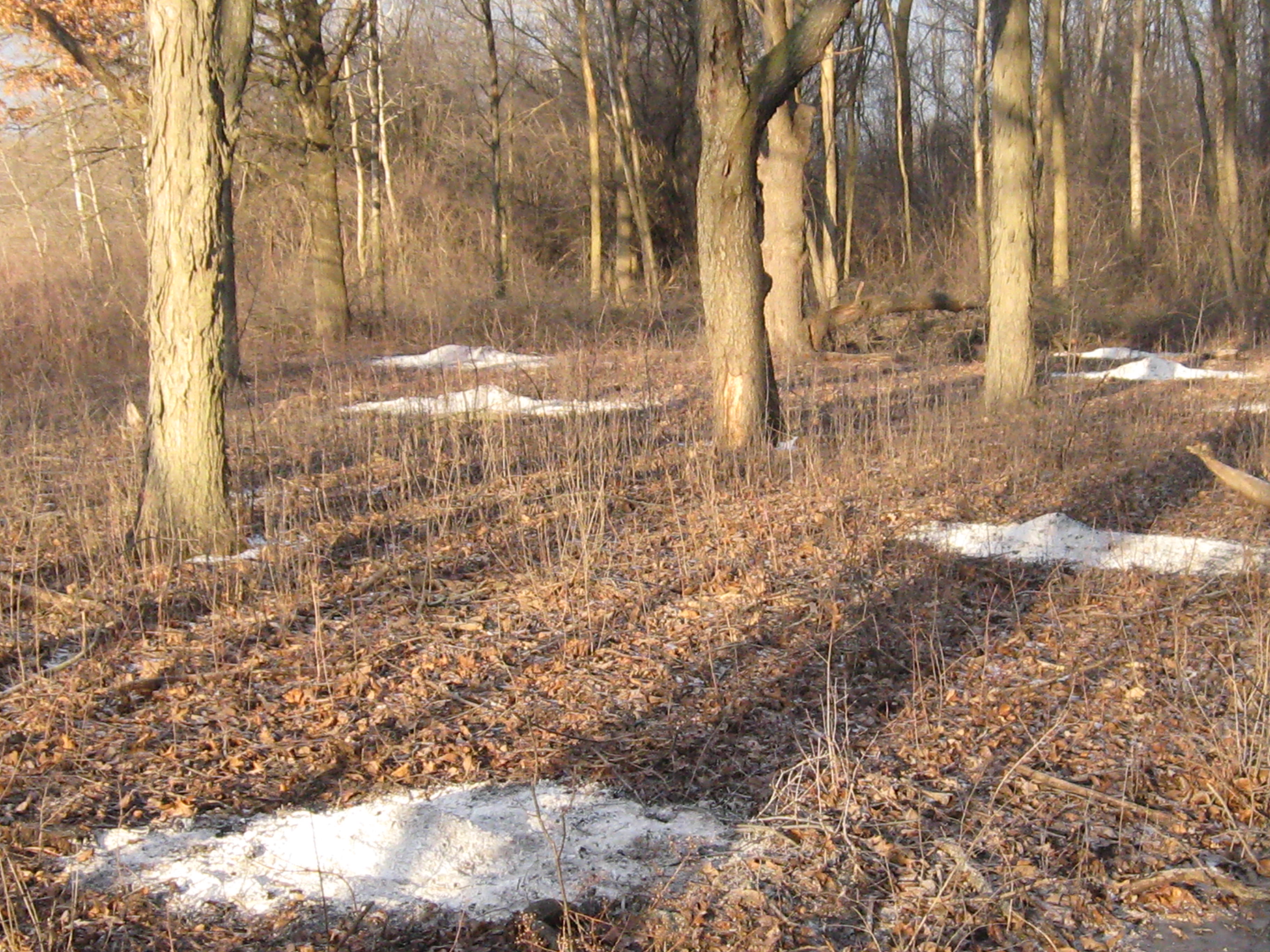
I spent the last two days at the Springs; yesterday was sunny, today cloudy.  Both days were mild, for mid-January, and it was very quiet and peaceful.  I was in heaven!

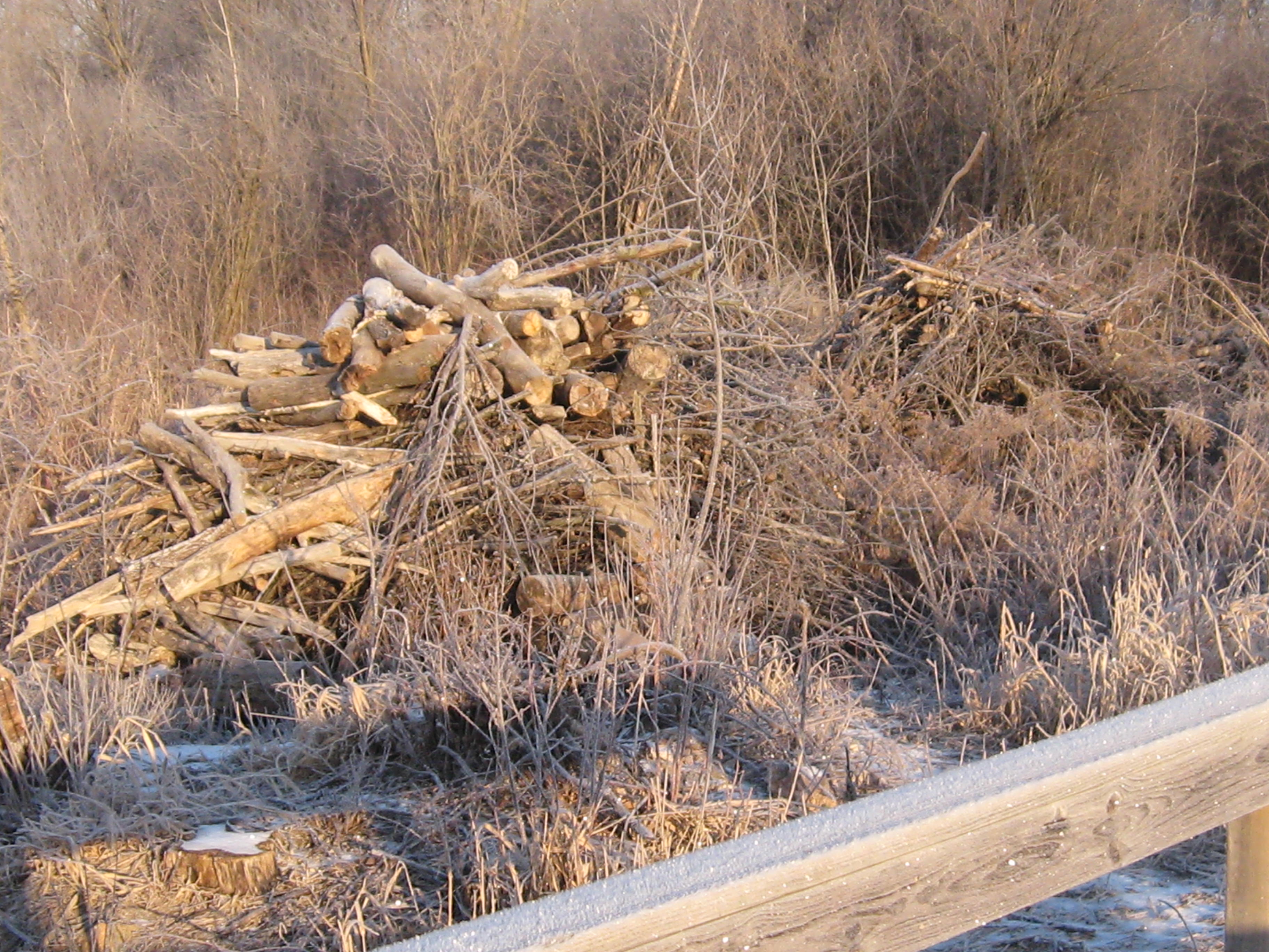
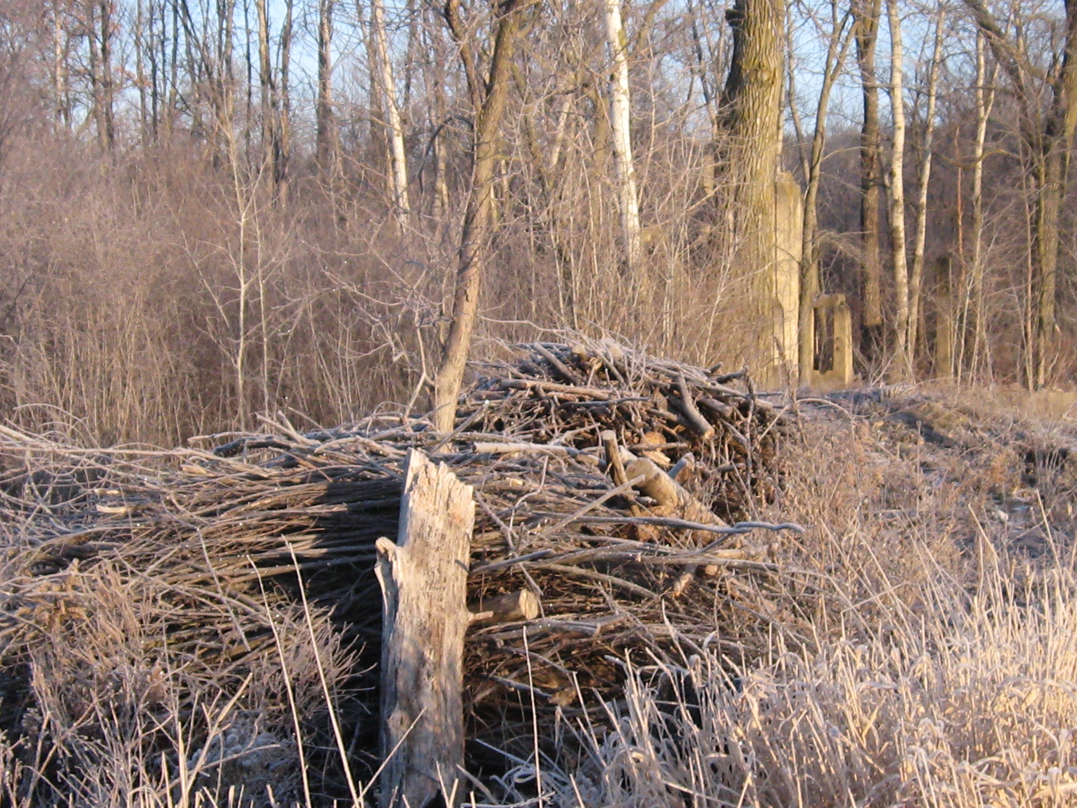
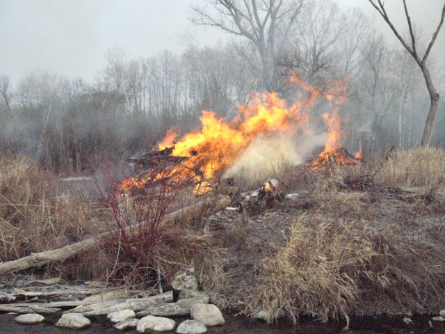
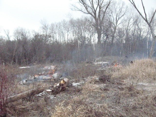
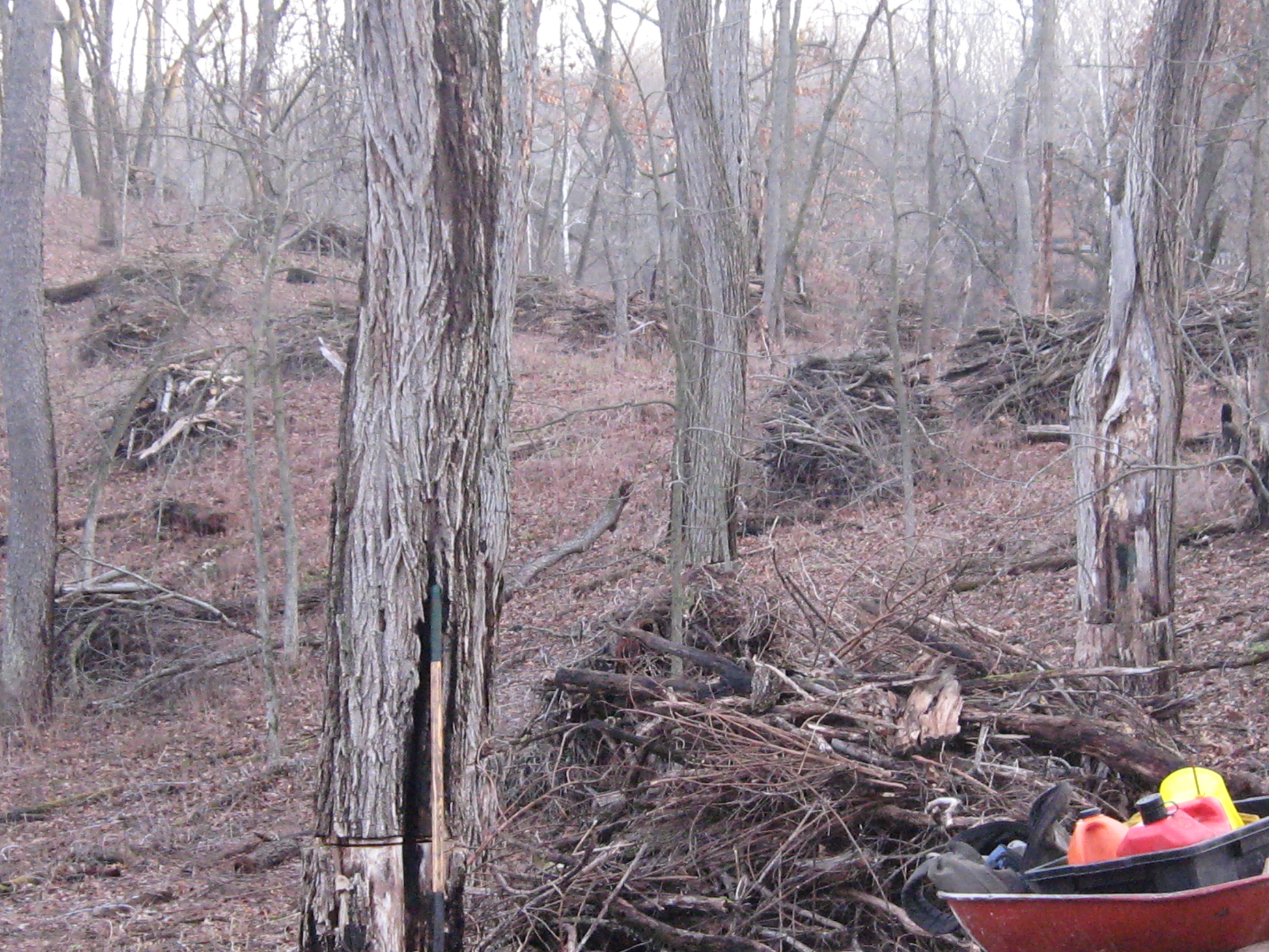
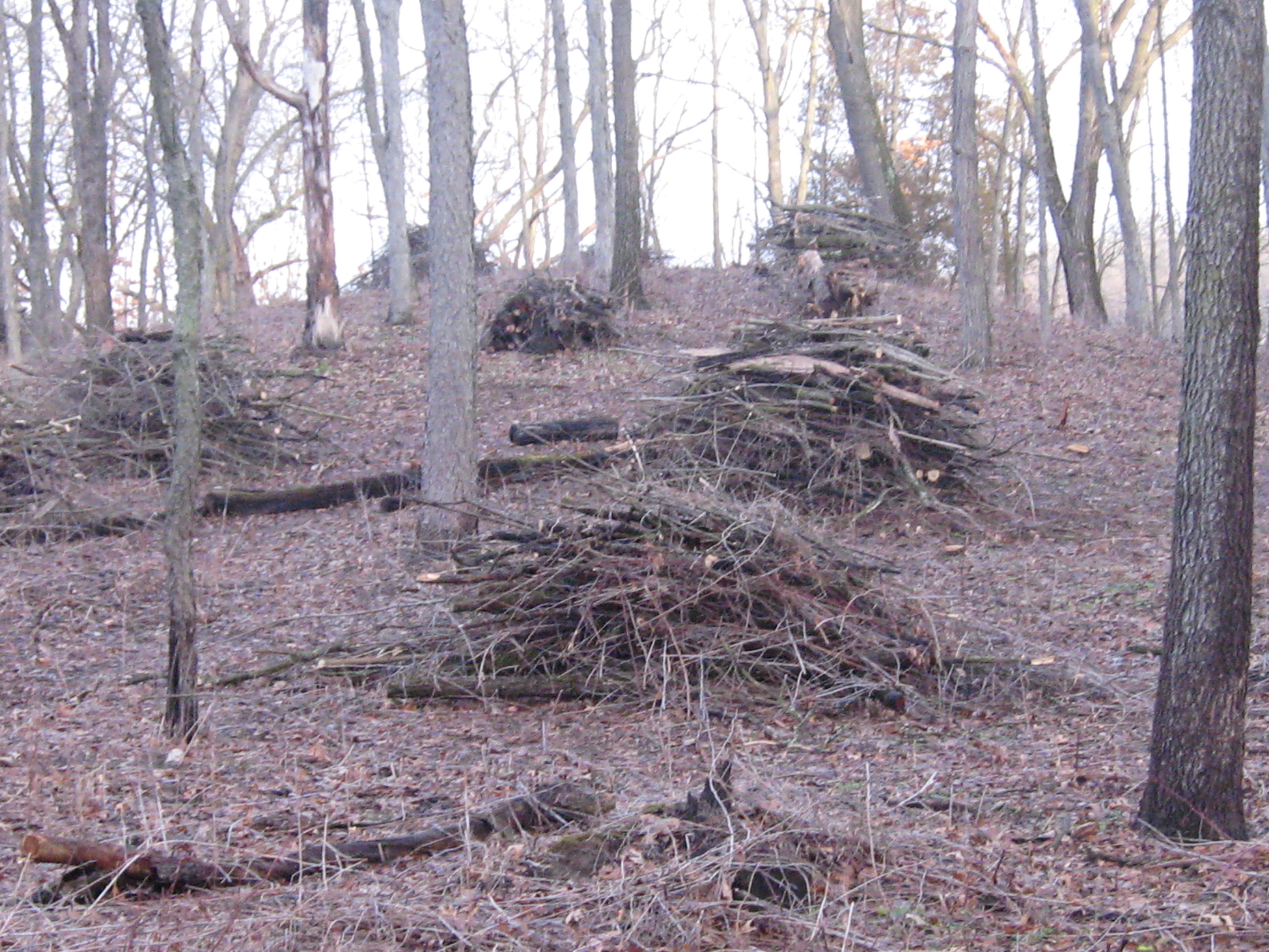
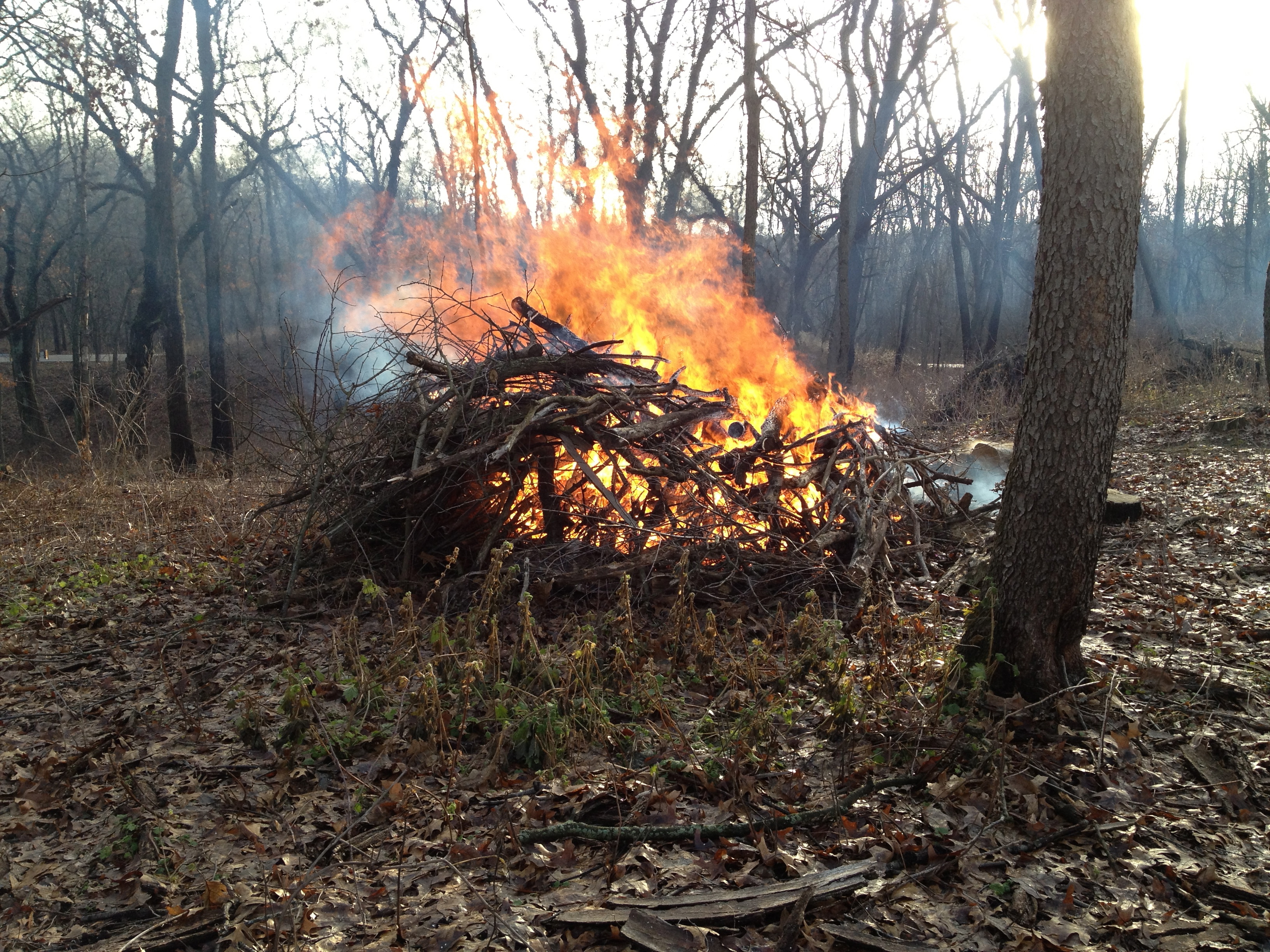
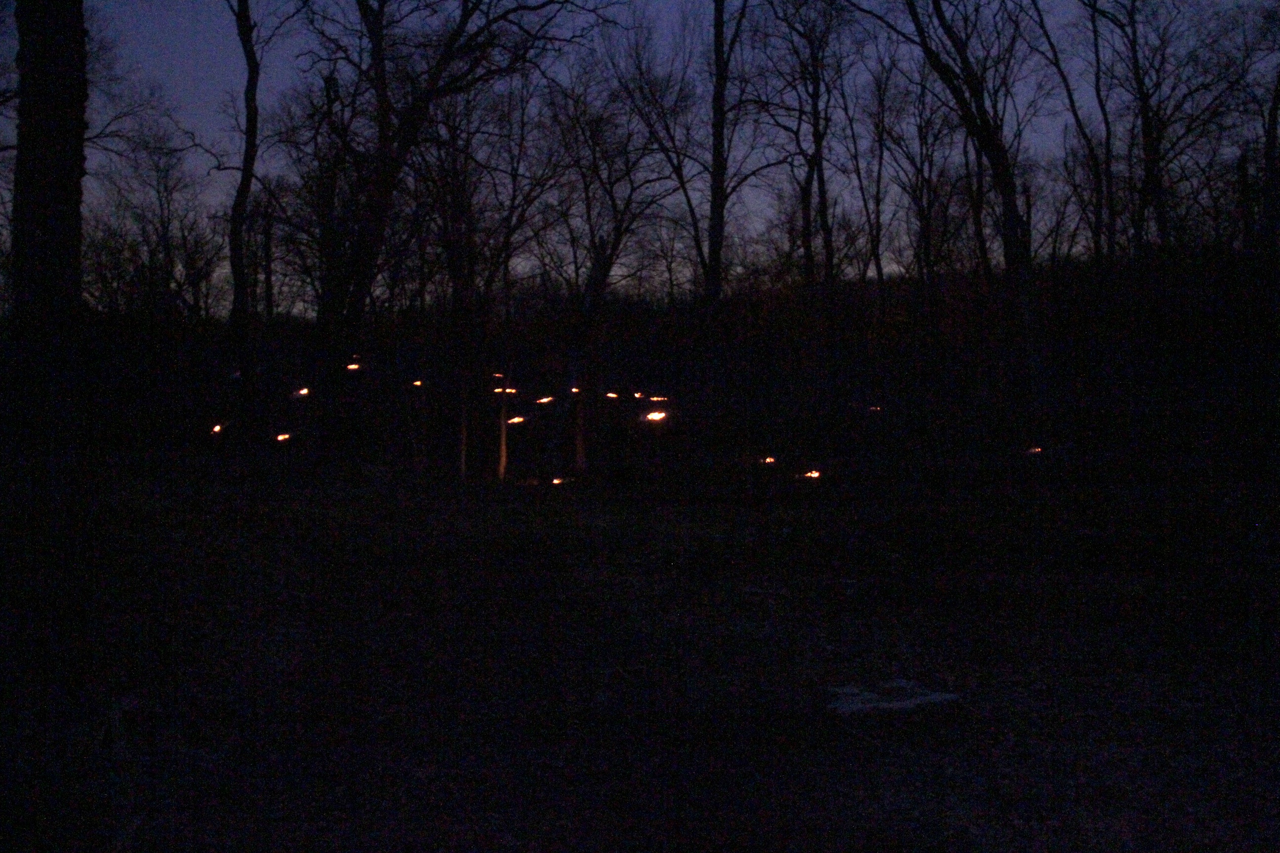
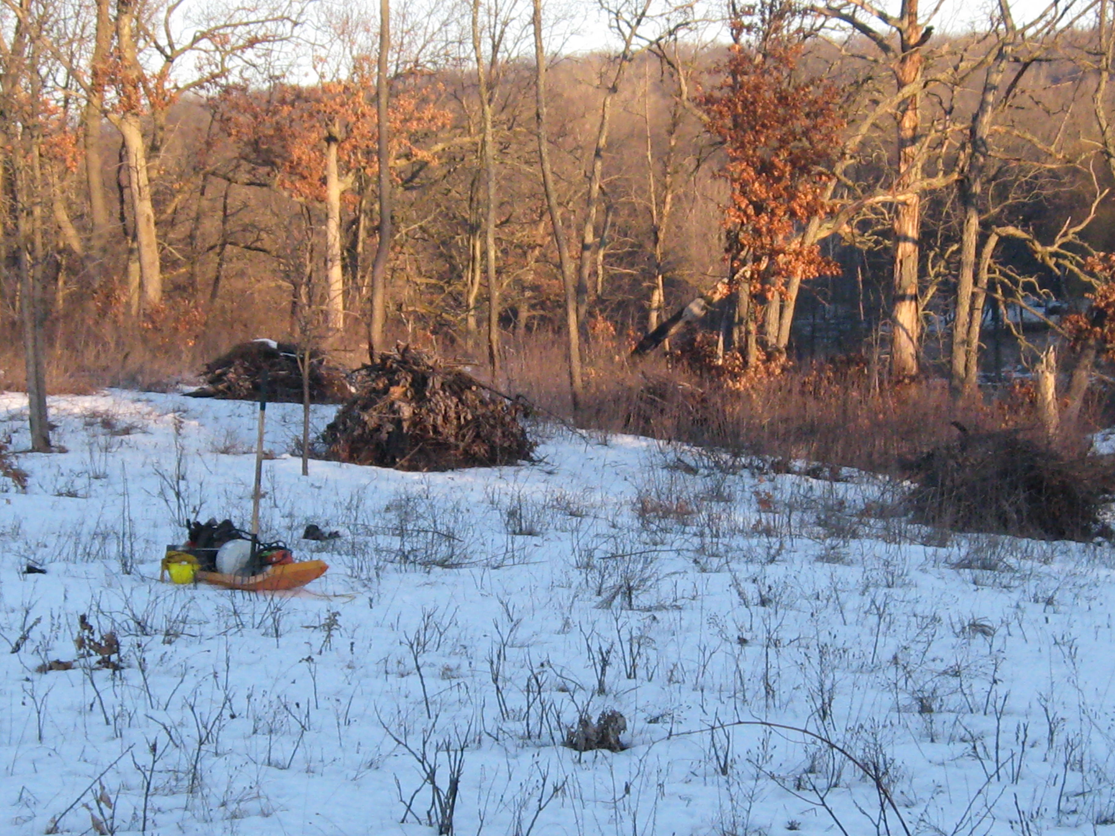
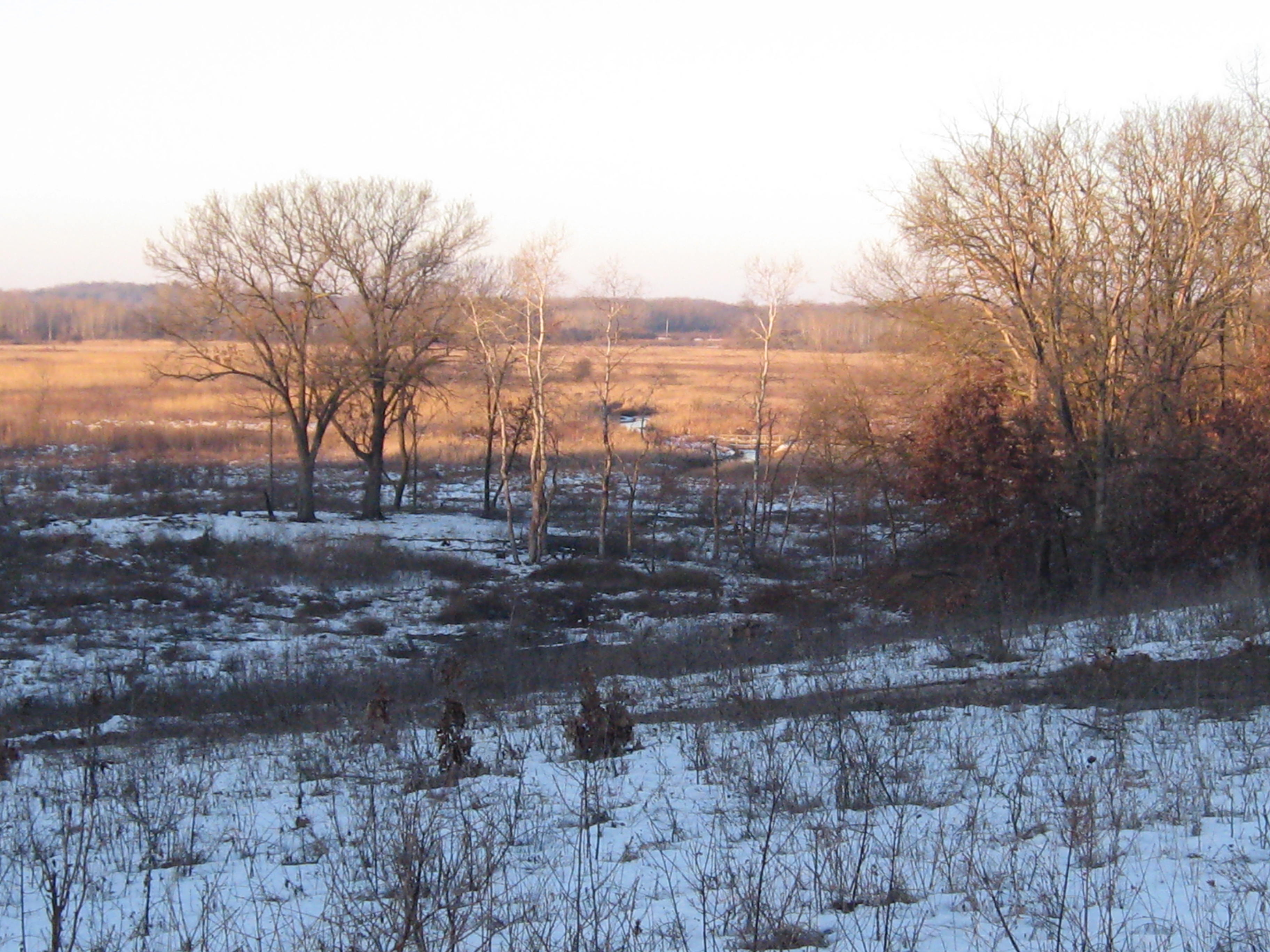
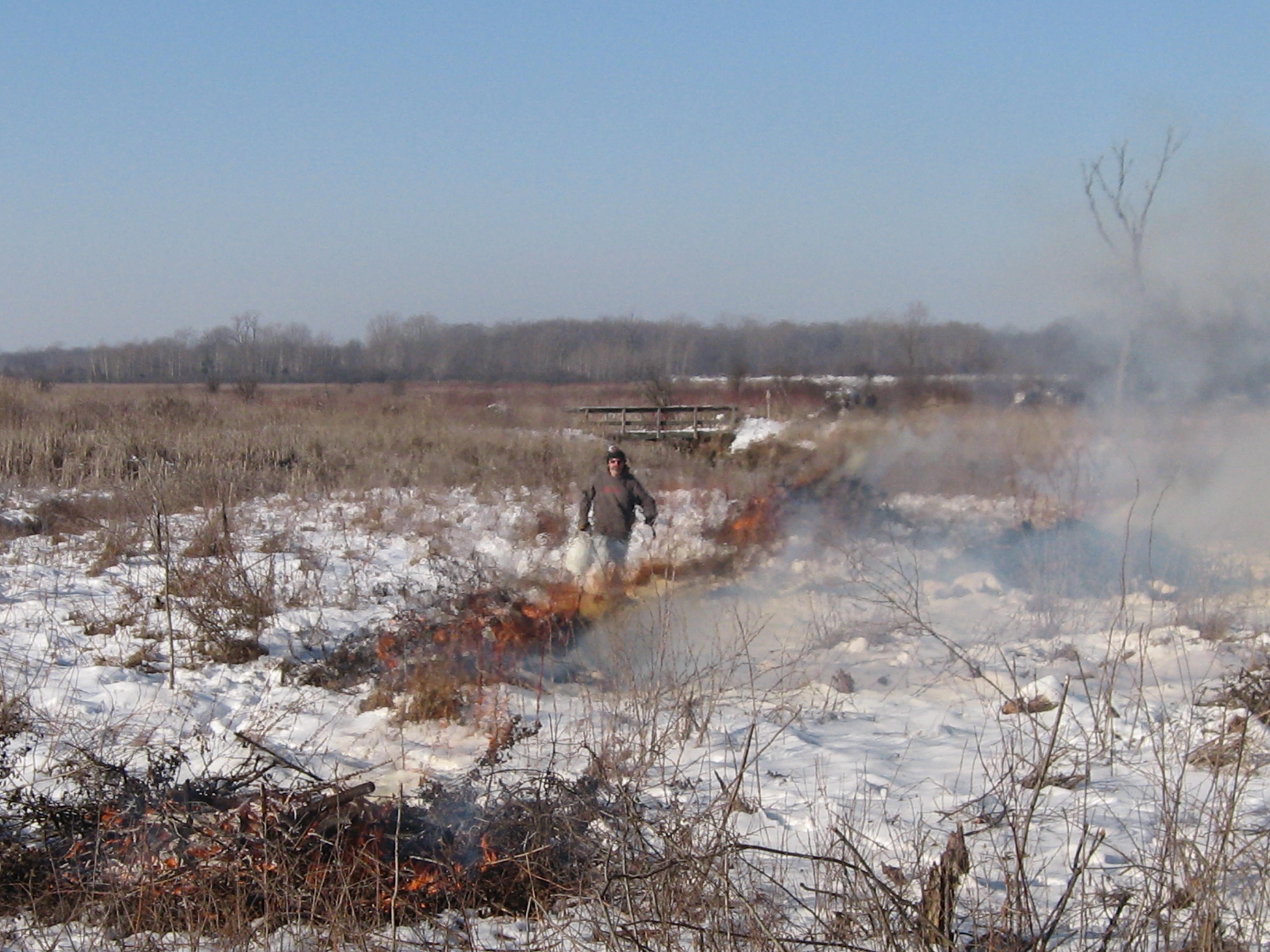
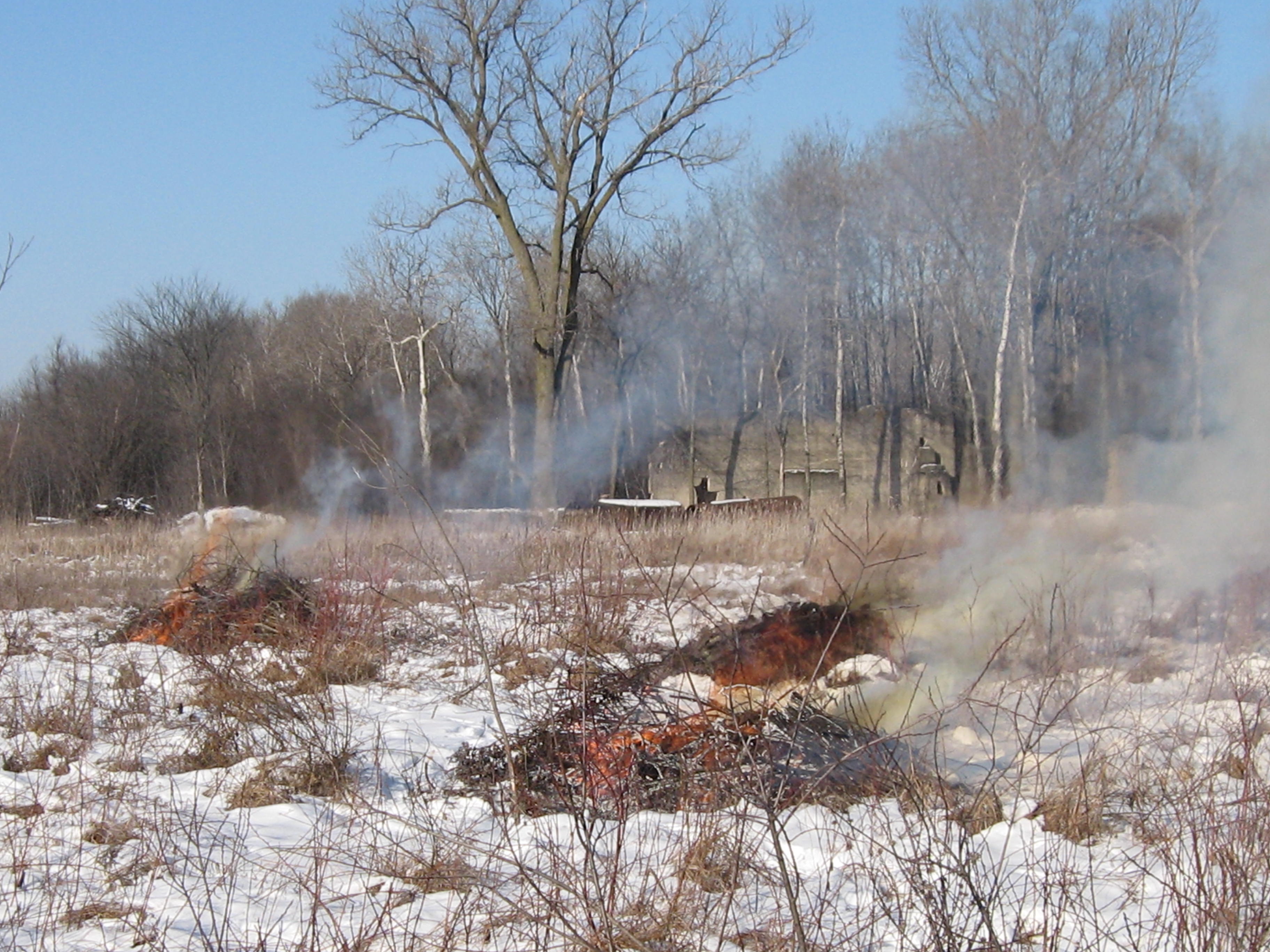
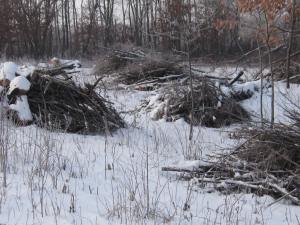
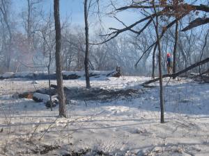
I started yesterday lighting some piles that were at the point where the main loop trail first emerges into the prairie.

IMG_0475 IMG_0476 IMG_0477

I took these pictures this morning.  Its hard to tell, but I cut a bunch of Buckthorn way in the back left below, while waiting for the piles to burn down.

IMG_0492 IMG_0493

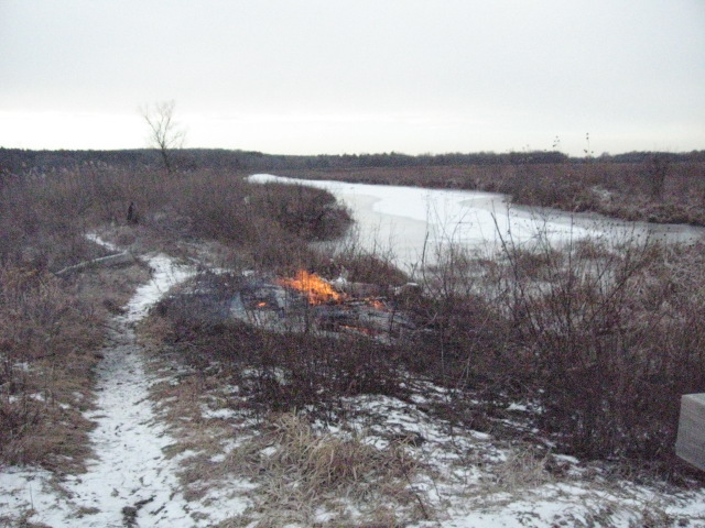
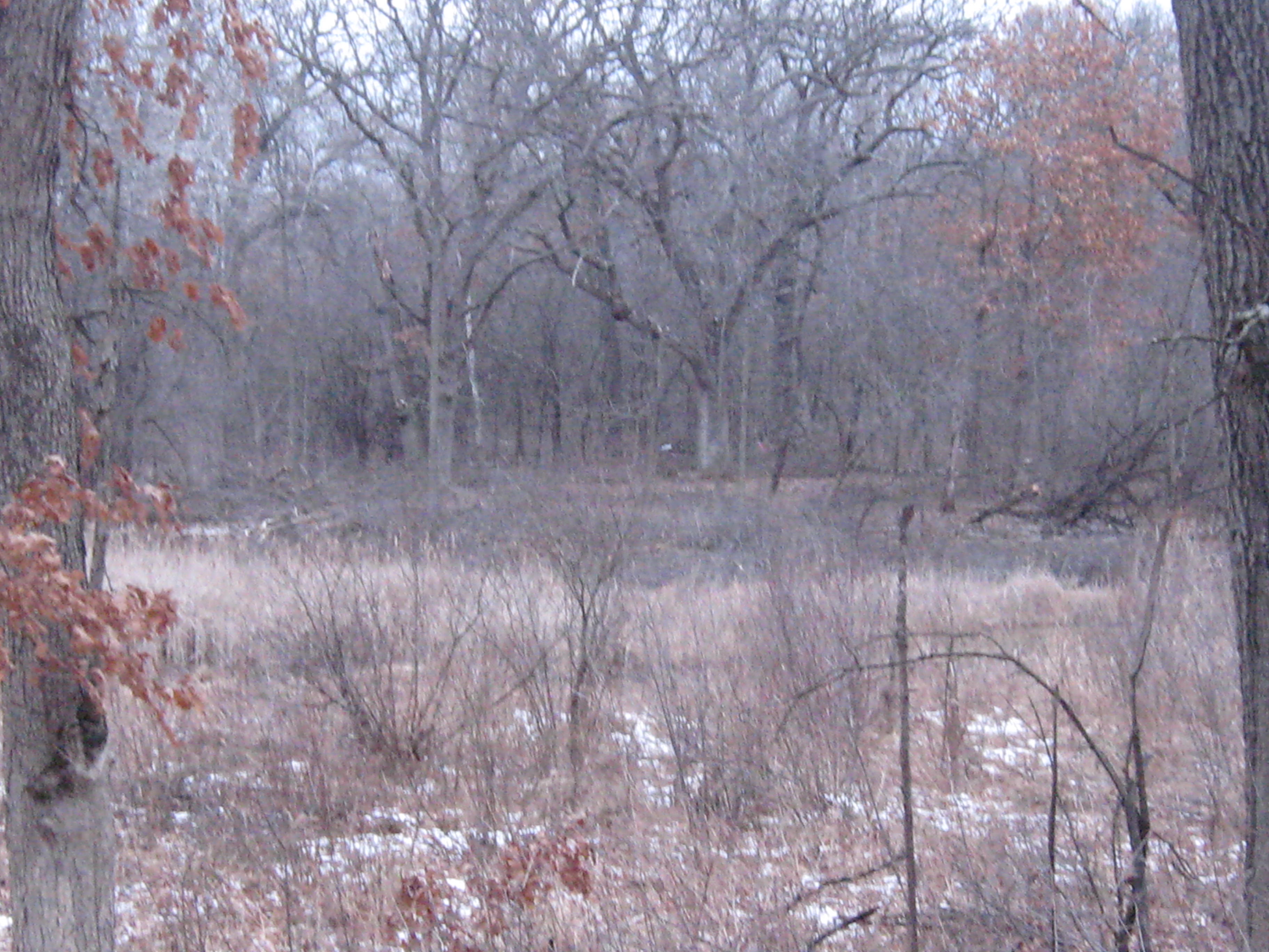
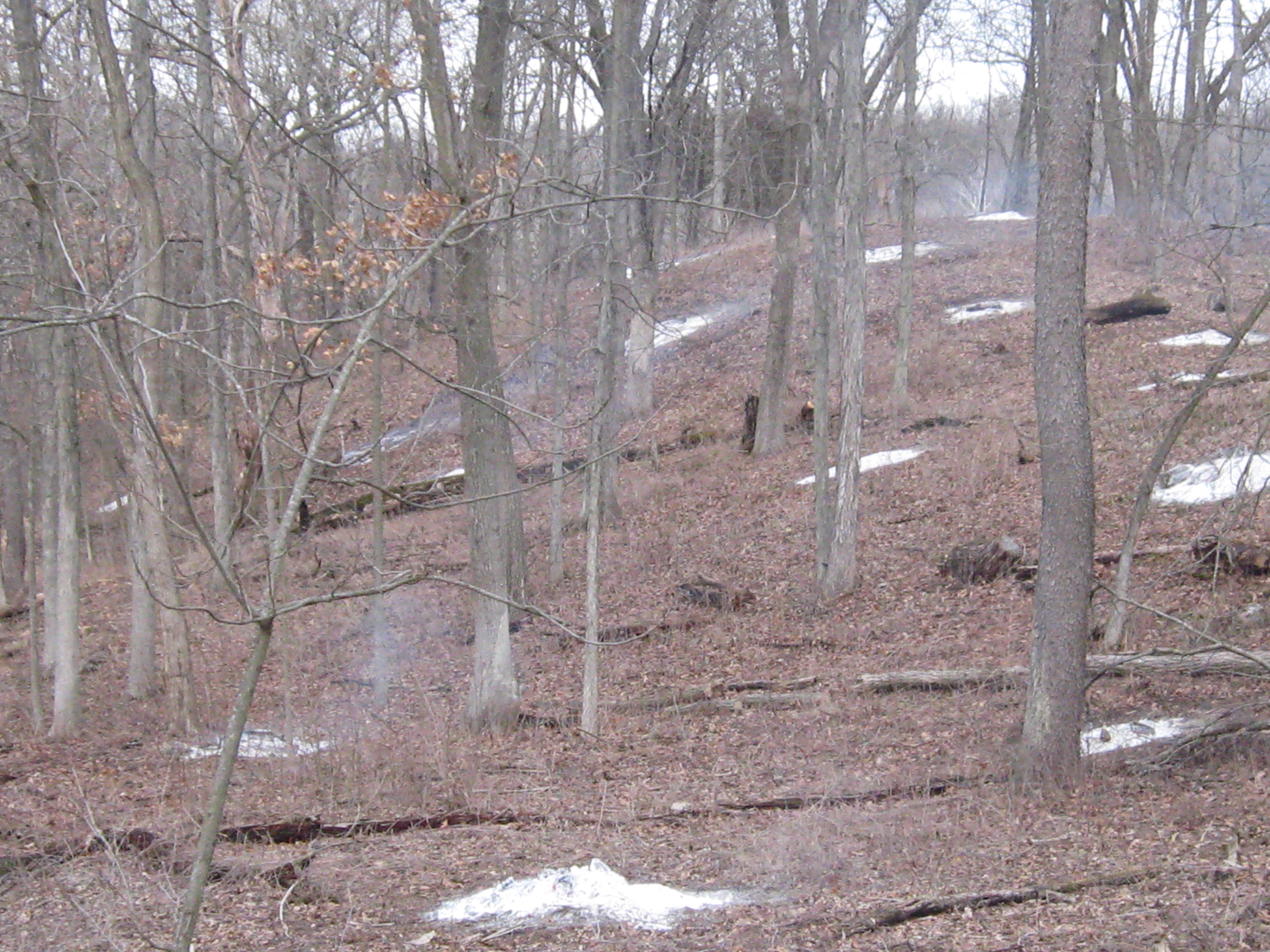
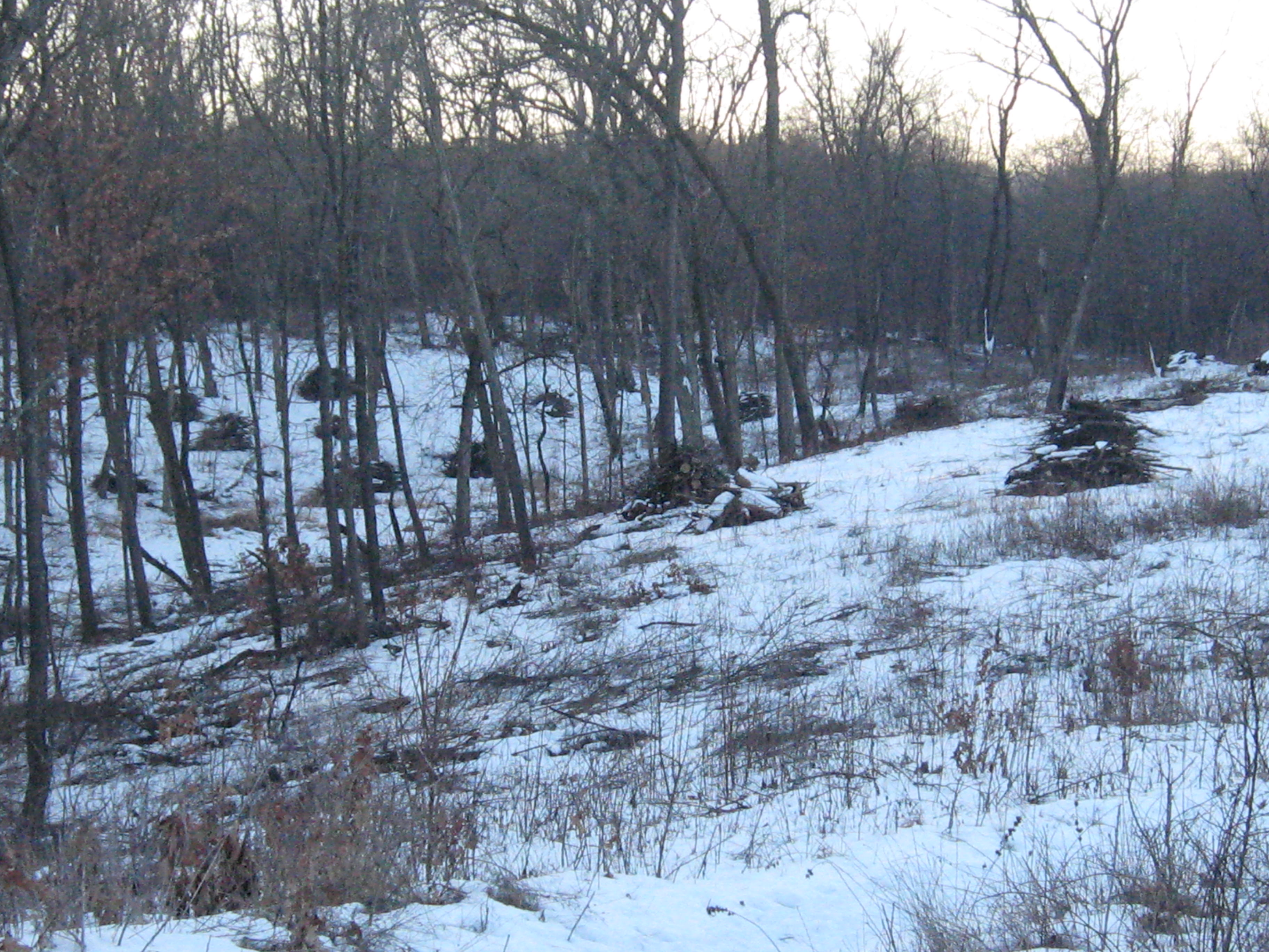
When I came to this spot at the end of the day today and looked out at the prairie, I was reminded of the grassy plains at the top of the Pitchstone Plateau, in the South West corner of Yellowstone National Park.  Last Fall, Pati and I scouted out a possible route from Lewis Lake across the Plateau to get to the famous Bubbler Hot Springs, where three forks of the the Bechler River meet.   It is two days hike to get to the Bubbler no matter which way you come from but well worth the effort.

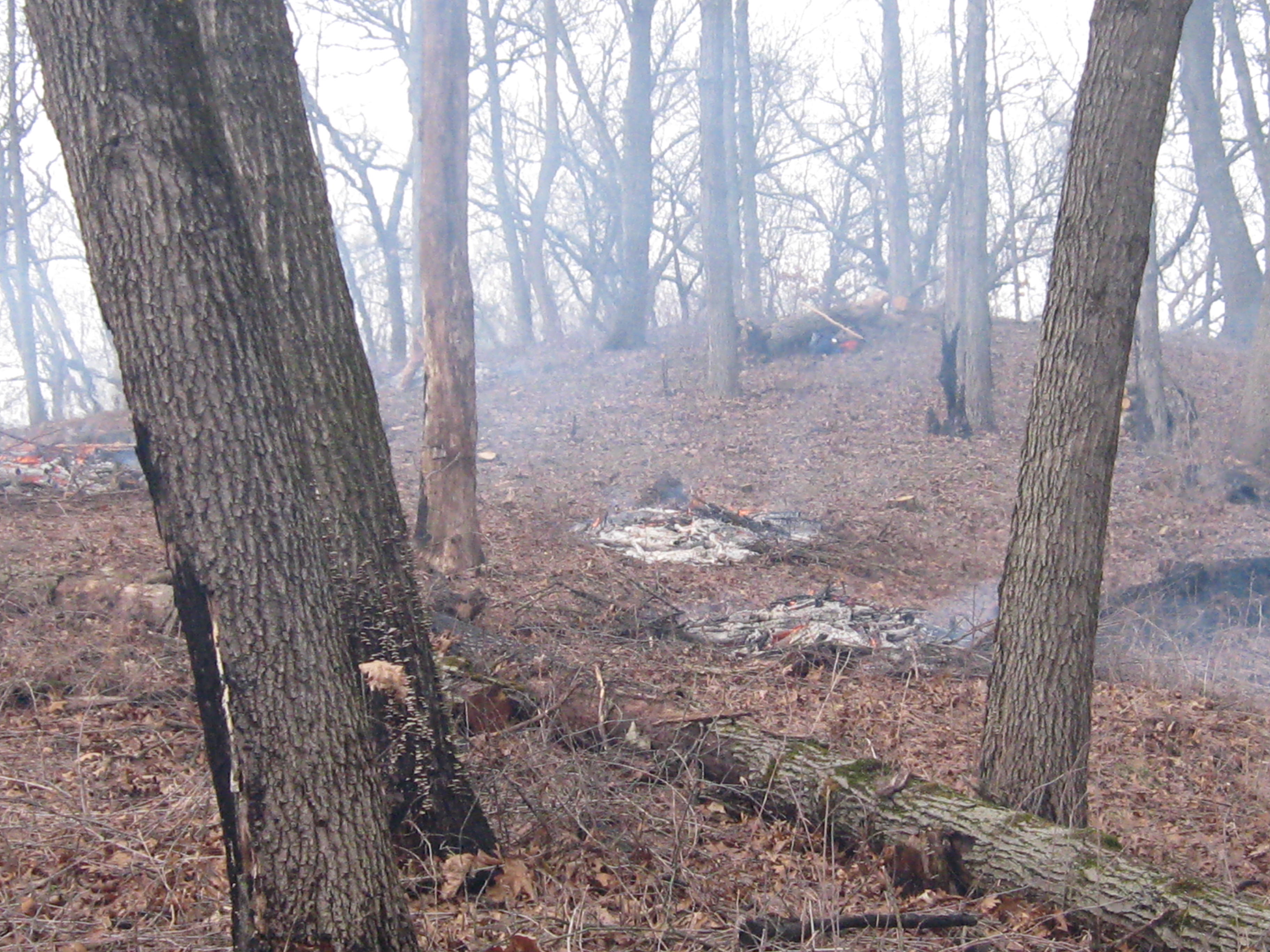
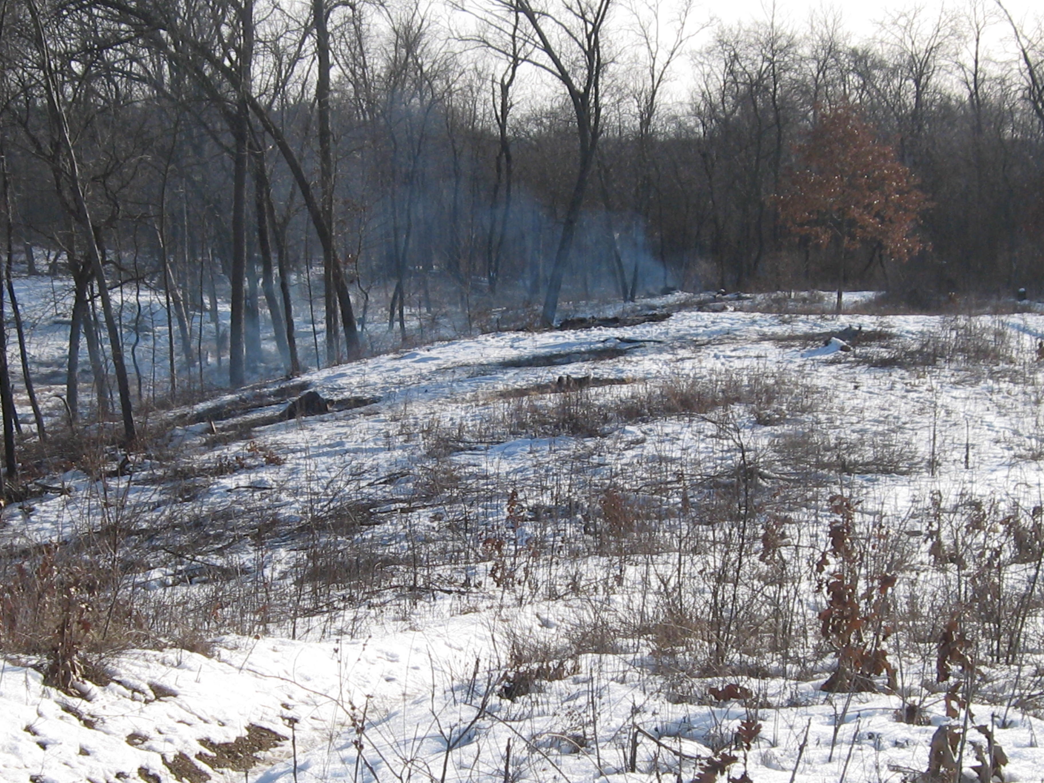
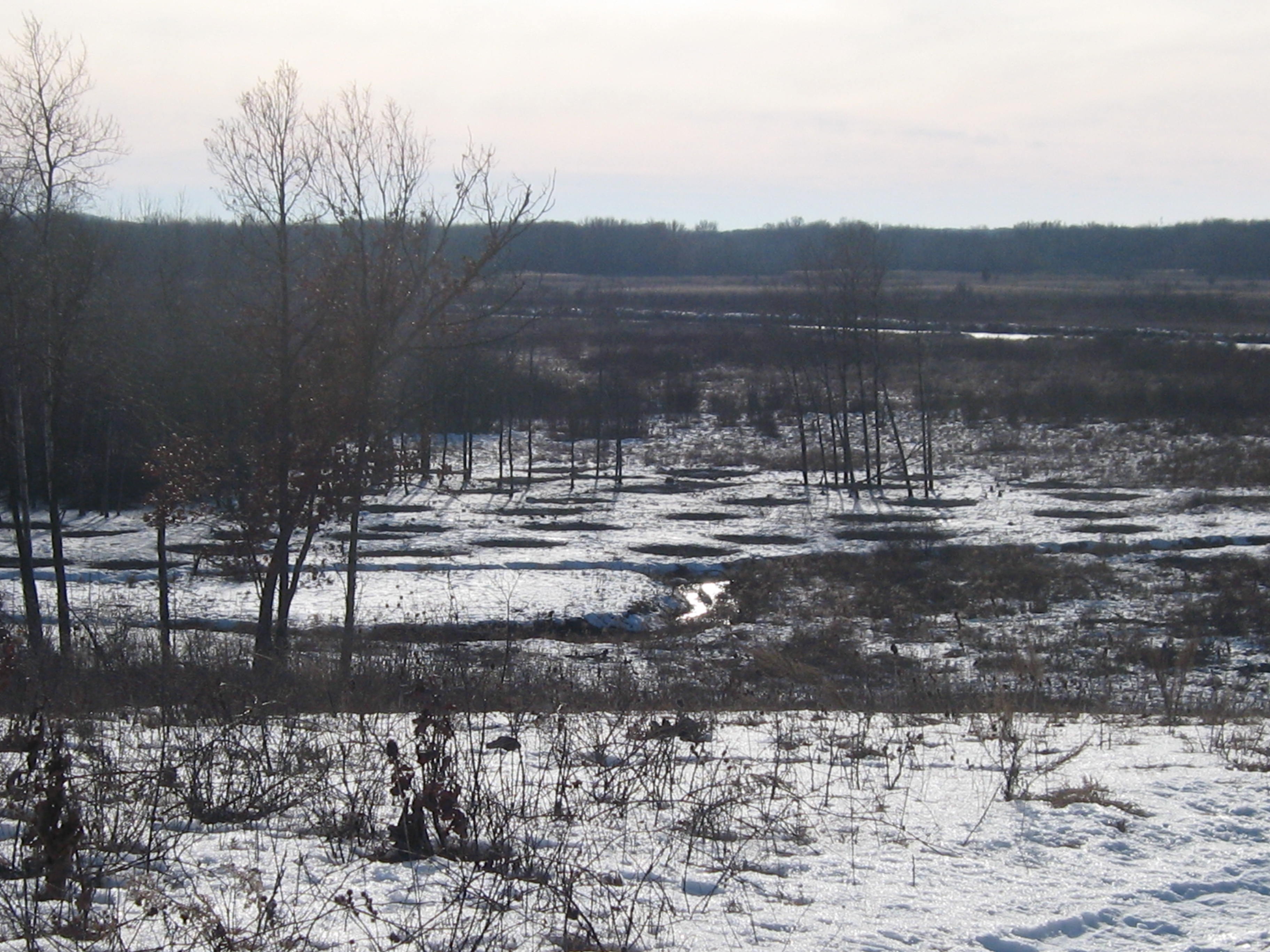
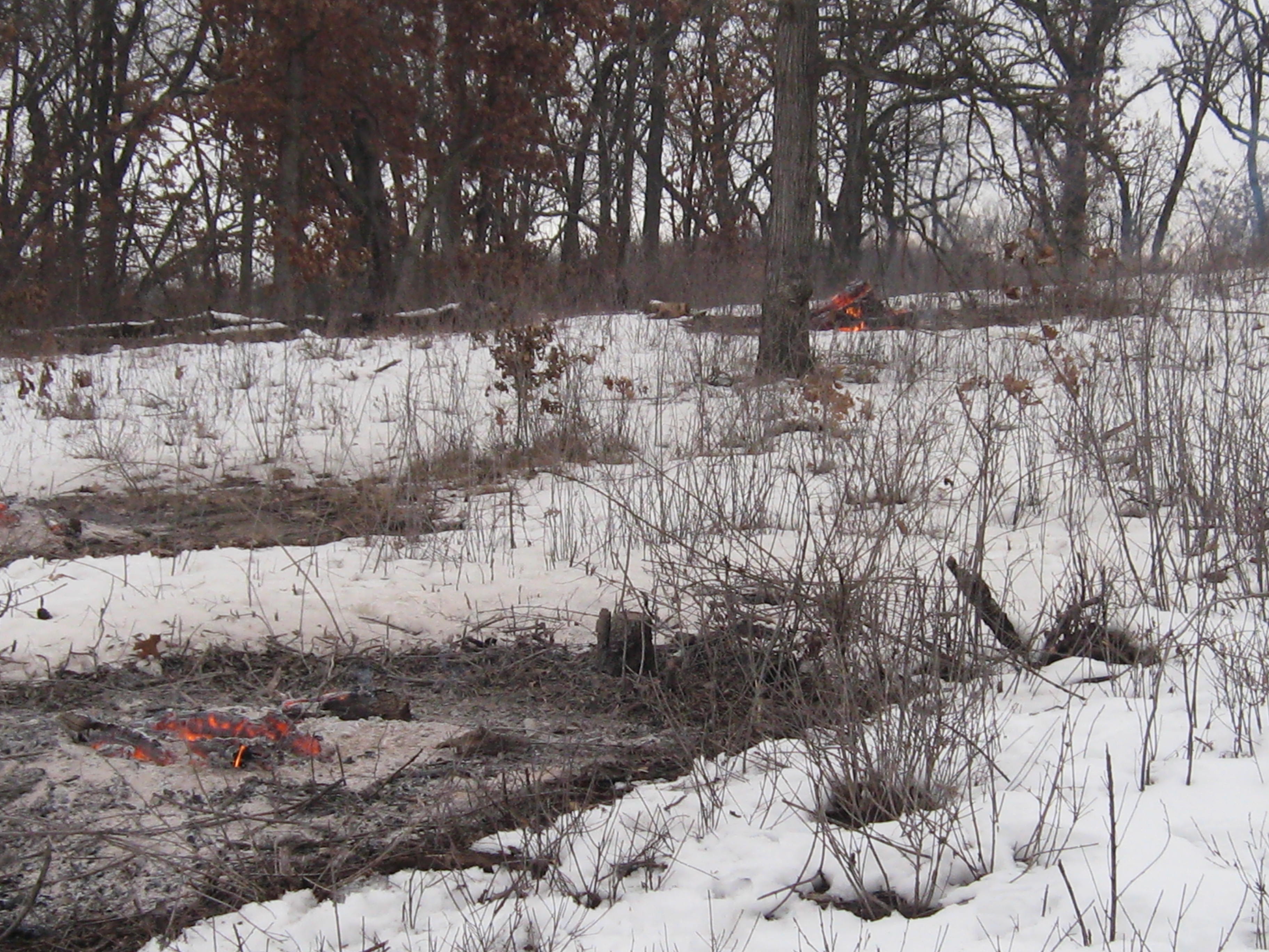
Yesterday I tried to light some piles by the Marl pits but my torch quit working half way through.  I had better luck this morning and finished up there.

IMG_0469 IMG_0470 IMG_0472

IMG_0473

IMG_0495 IMG_0496 IMG_0497 IMG_0498

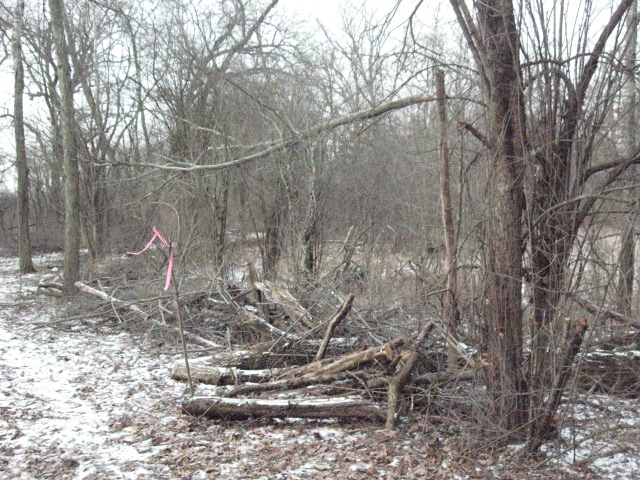
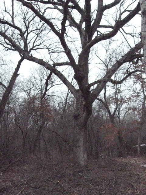
When things had settled down at the pits, I went over to the cut-off trail to clear an area by a huge White Oak tree where the trail is relatively close to the river.

IMG_0499 IMG_0500 IMG_0501

The last time I opened a trail was at the Hartland Marsh.  I can’t wait till you all get a chance to walk this new trail.  You’re going to love it!

IMG_0503 IMG_0504

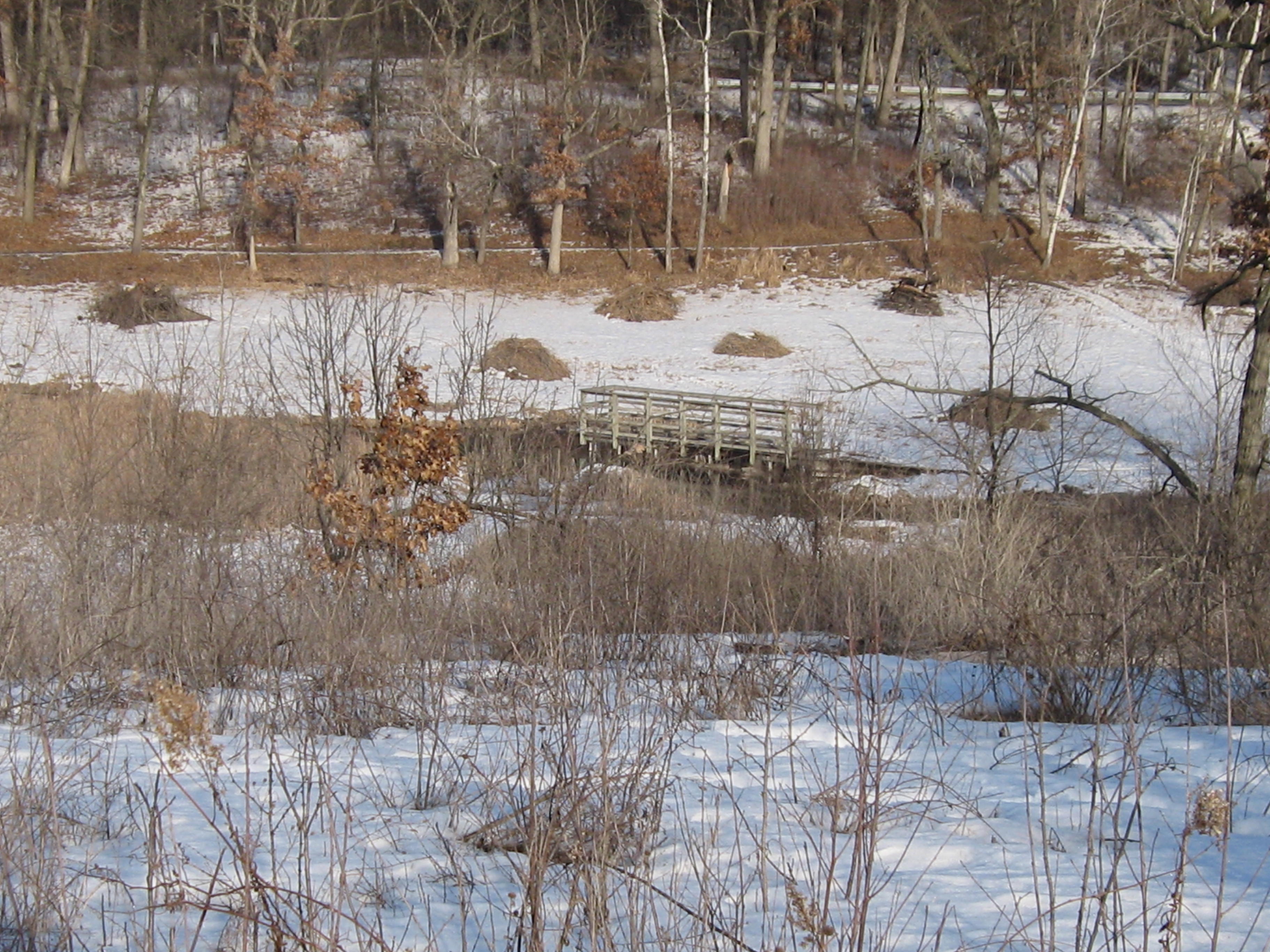
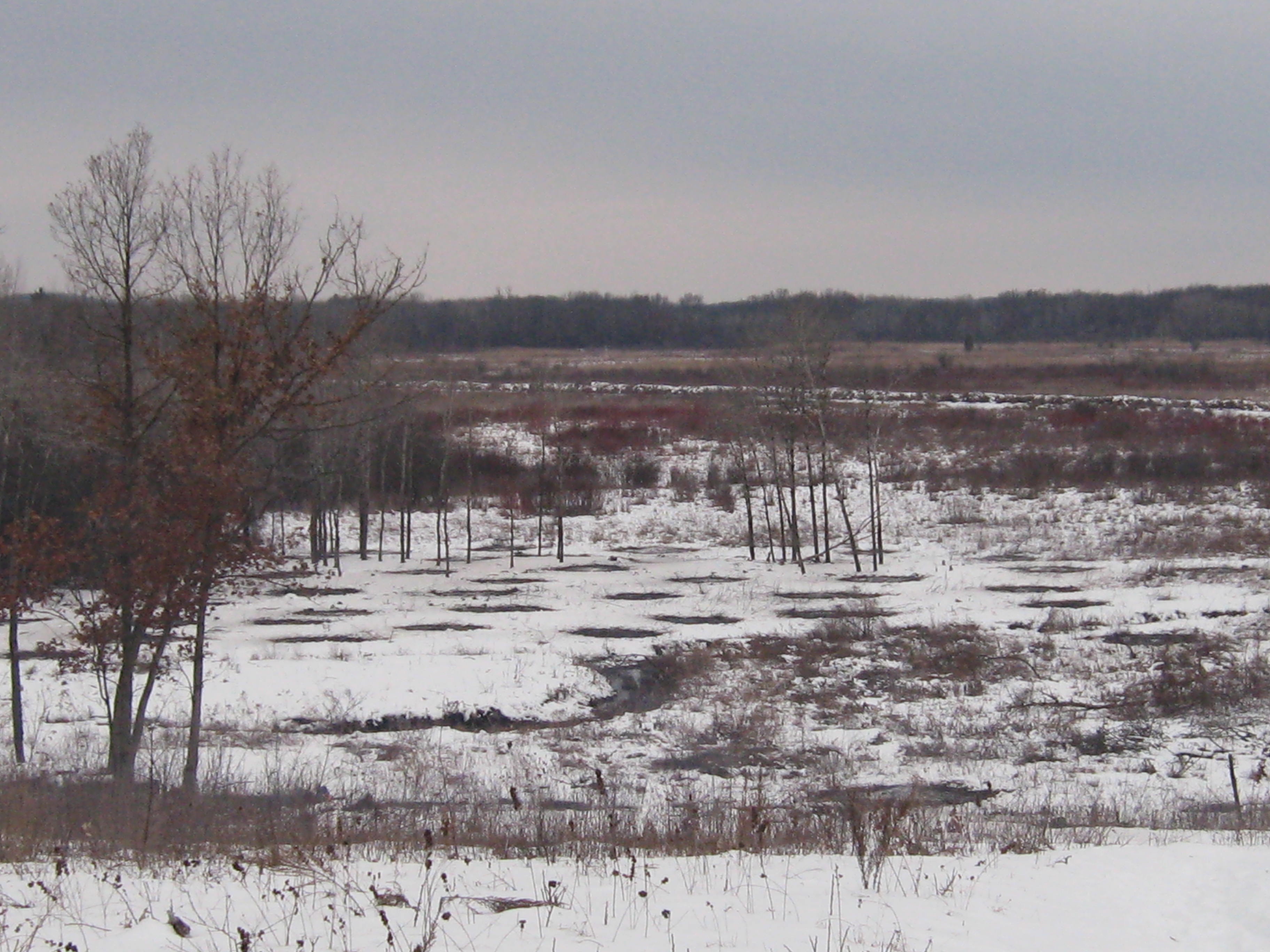
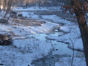
You can see the main loop trail outlined in white across the river.

IMG_0505 IMG_0507

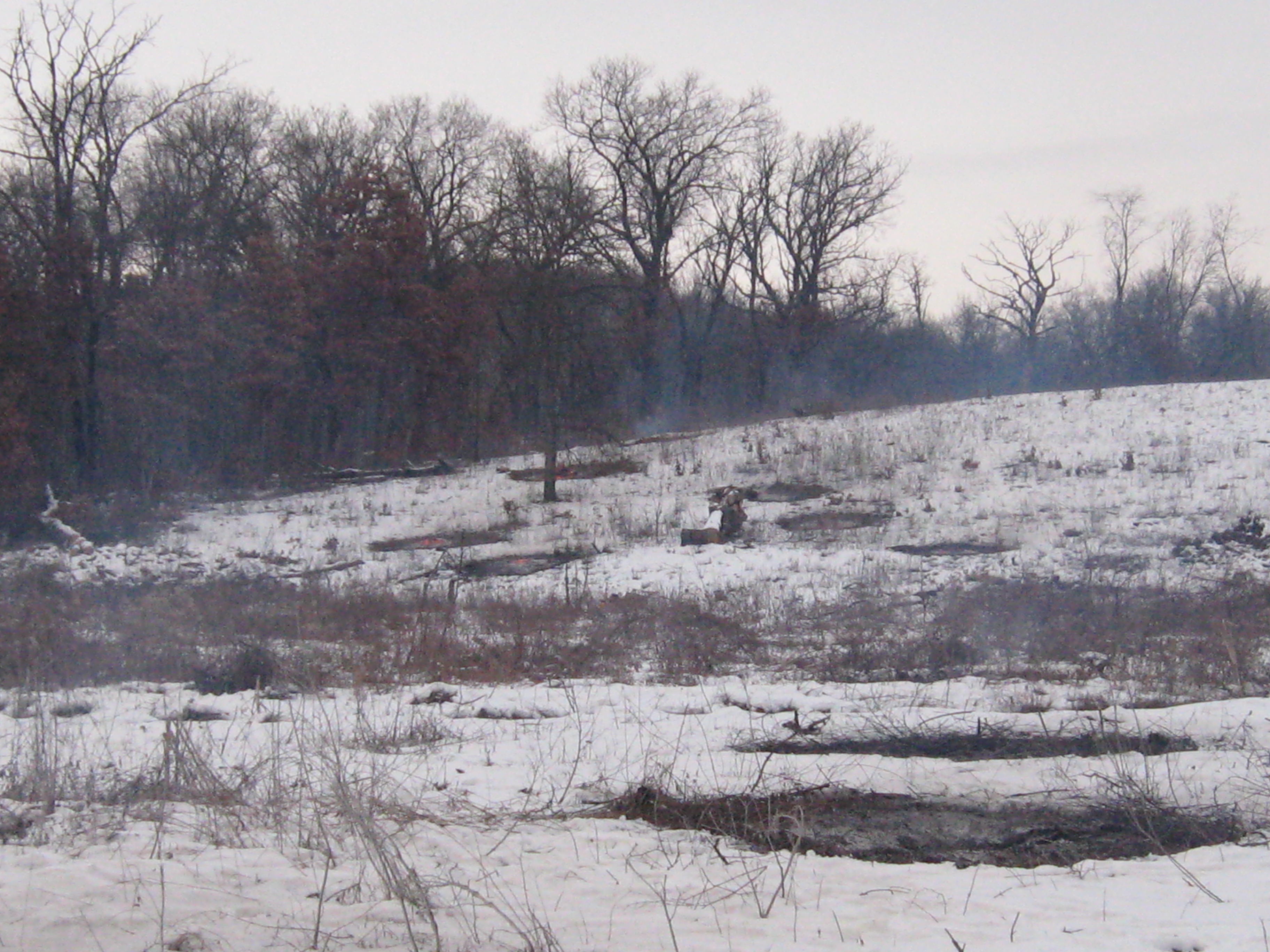
Here is a view from the main loop trail looking North towards the big White Oak where I was cutting.

IMG_0511

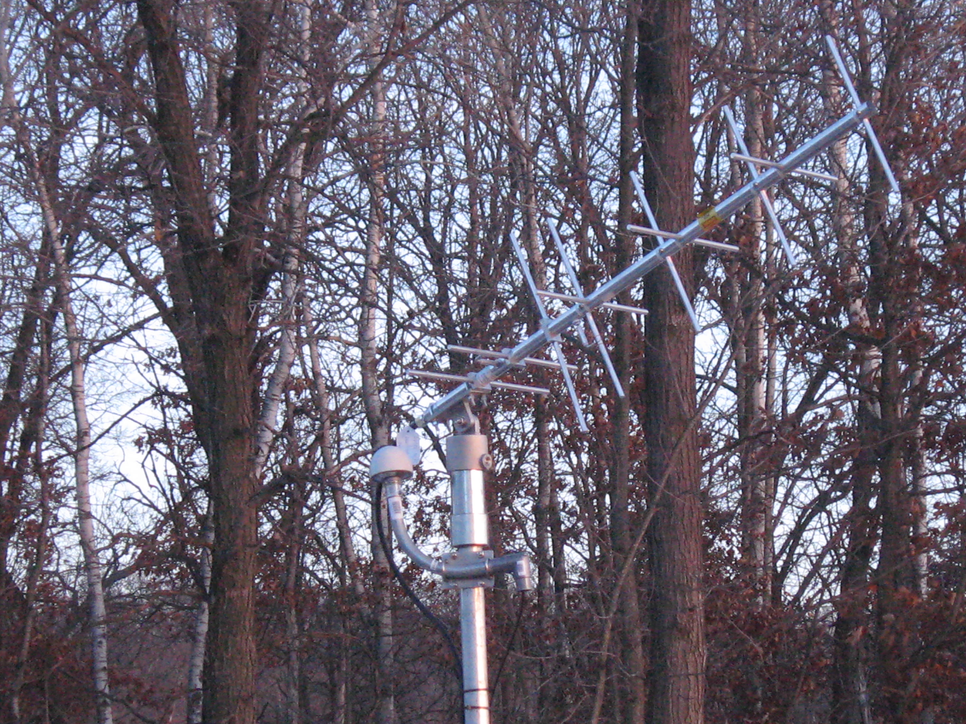
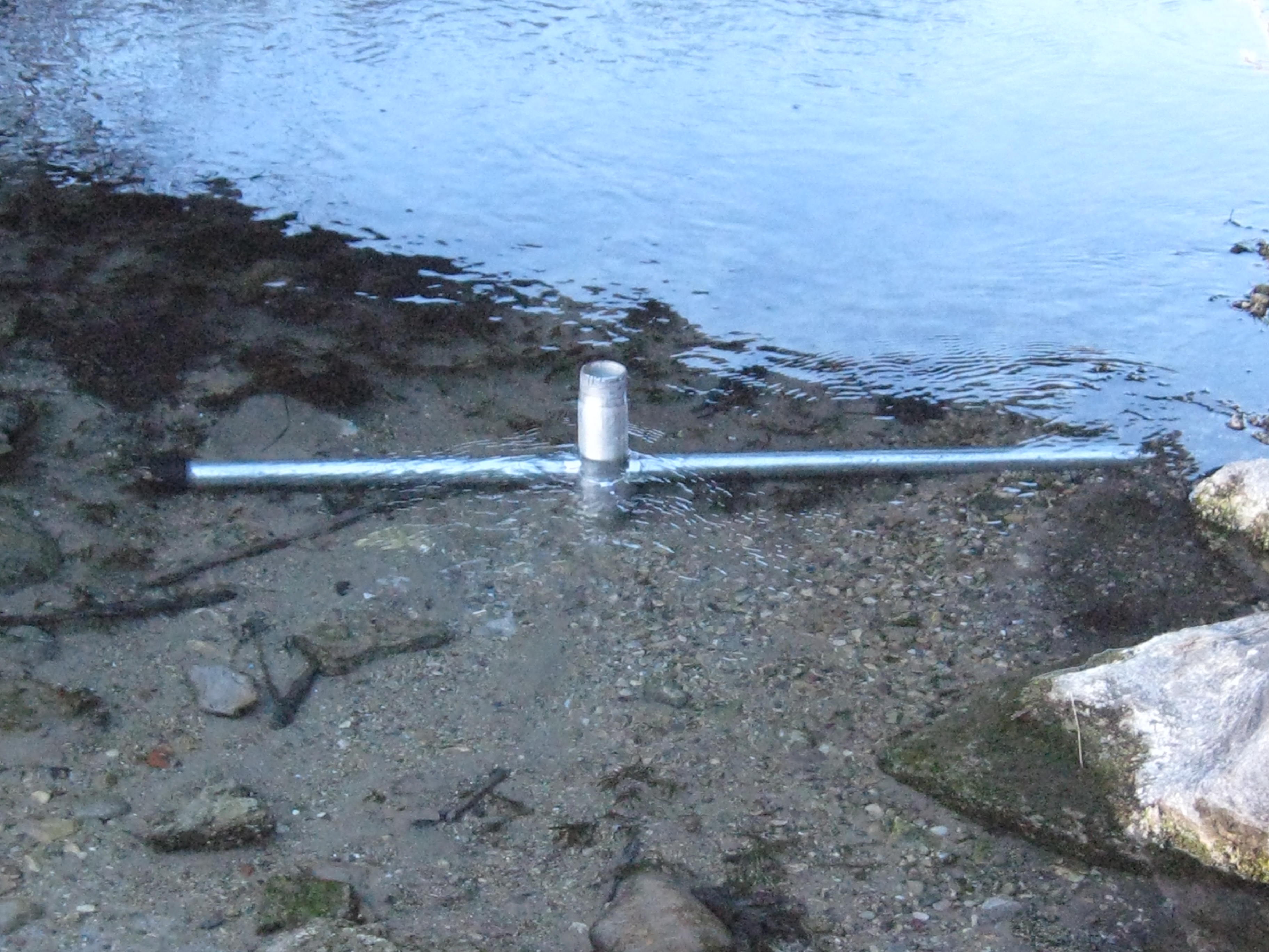
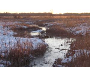
I’m going to try to remember to capture a water level reading whenever I go out.

IMG_0508

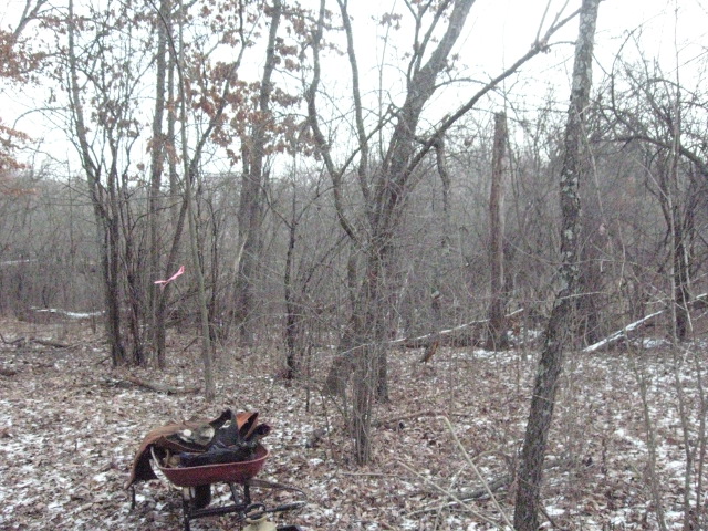
After the gear was stowed away, I took a walk around, which I love to do, and got these pictures.  Rich Csavoy explained that the hole in the concrete of this old foundation on the cut-off trail was used to empty the fire place.

IMG_0513  IMG_0516 IMG_0514

IMG_0517

IMG_0481

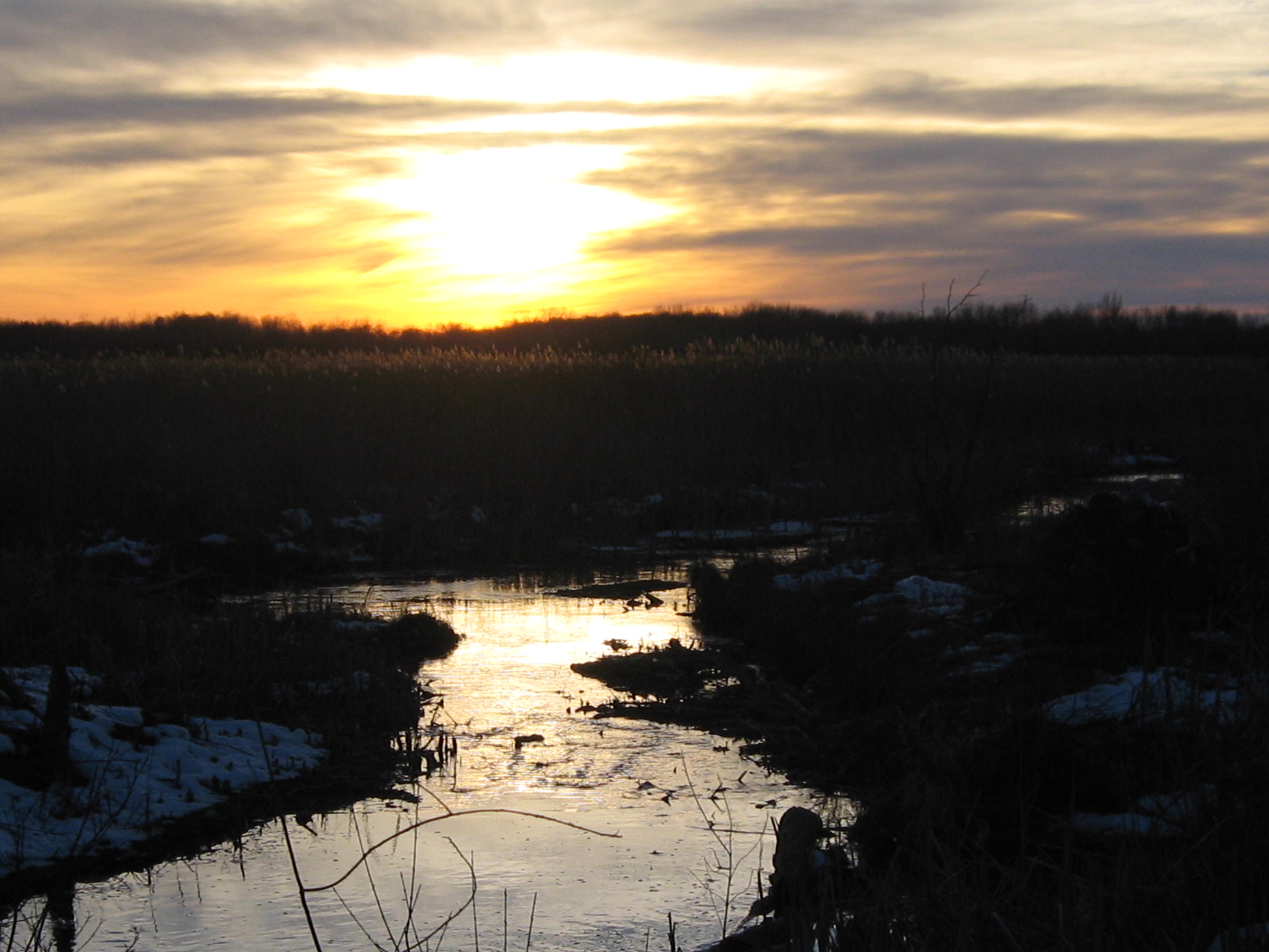
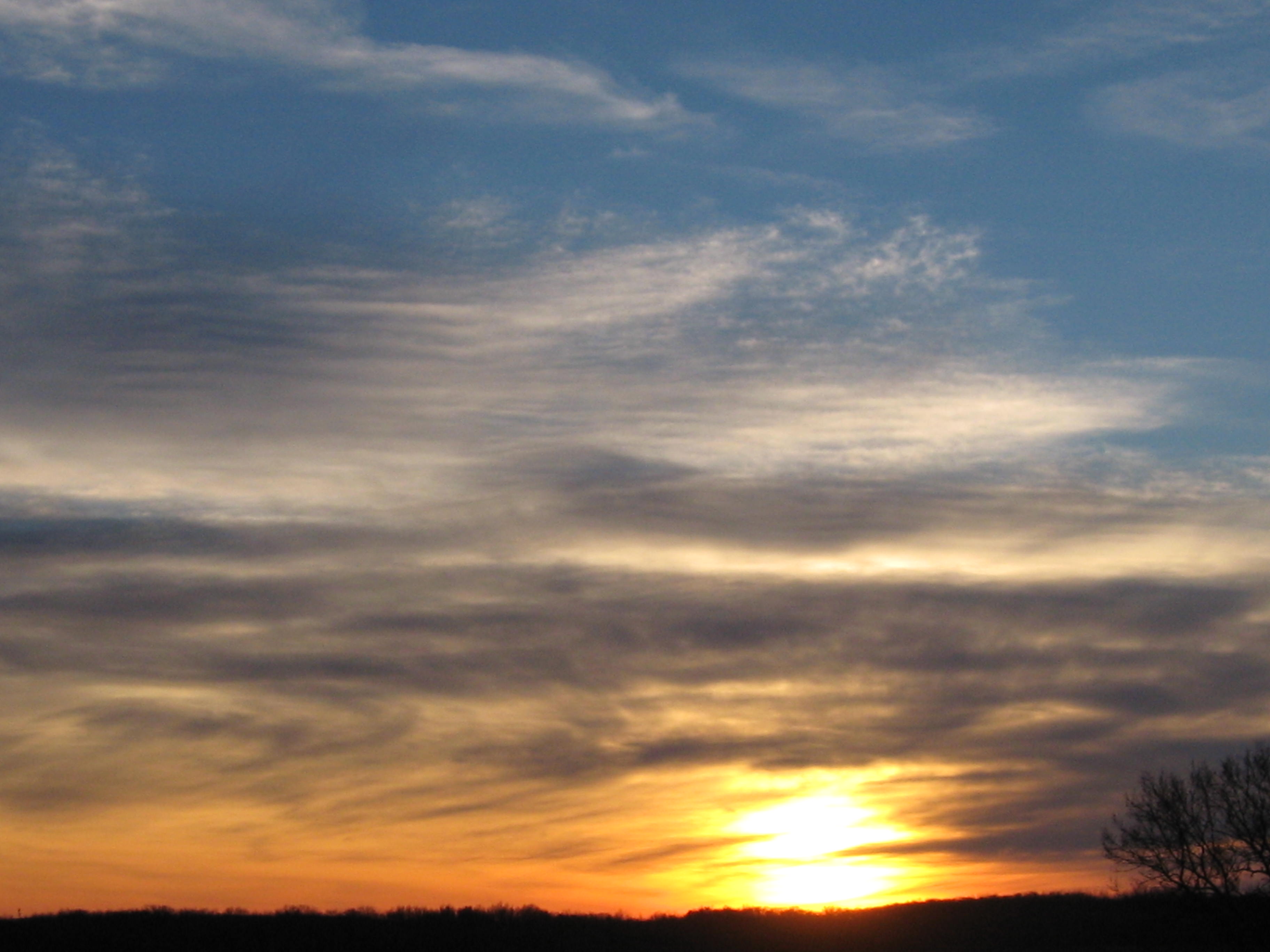
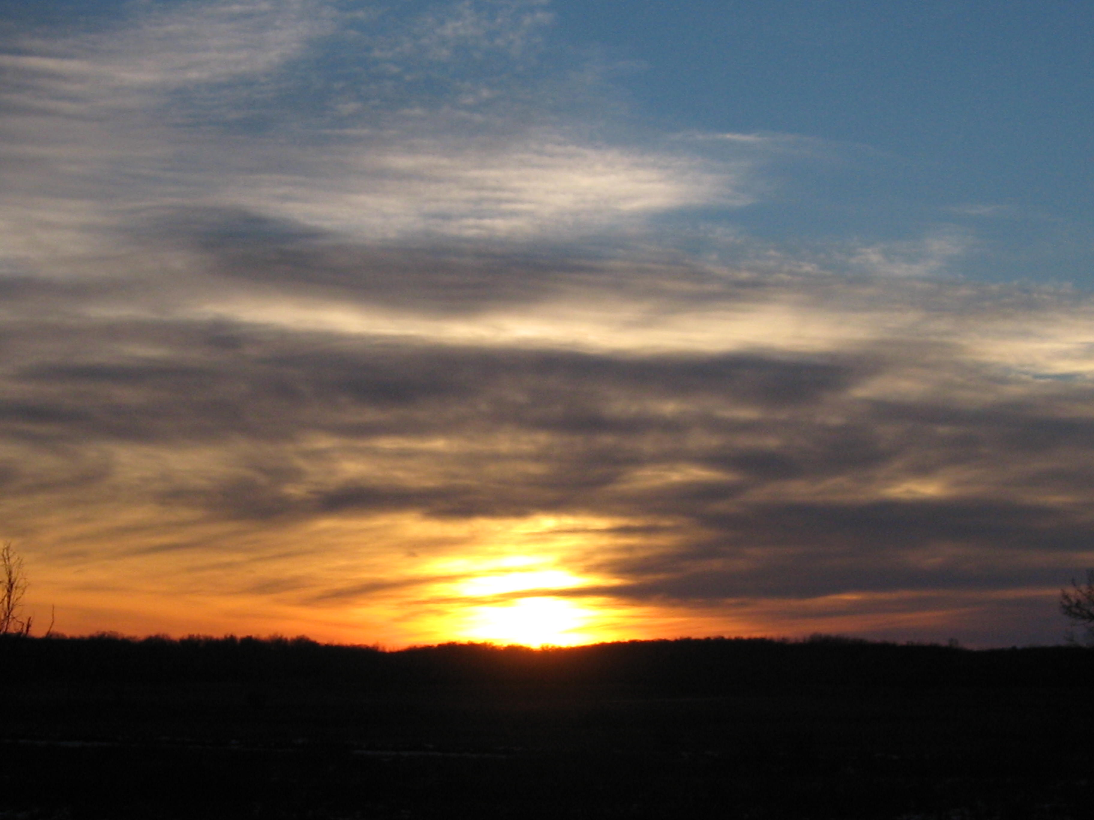
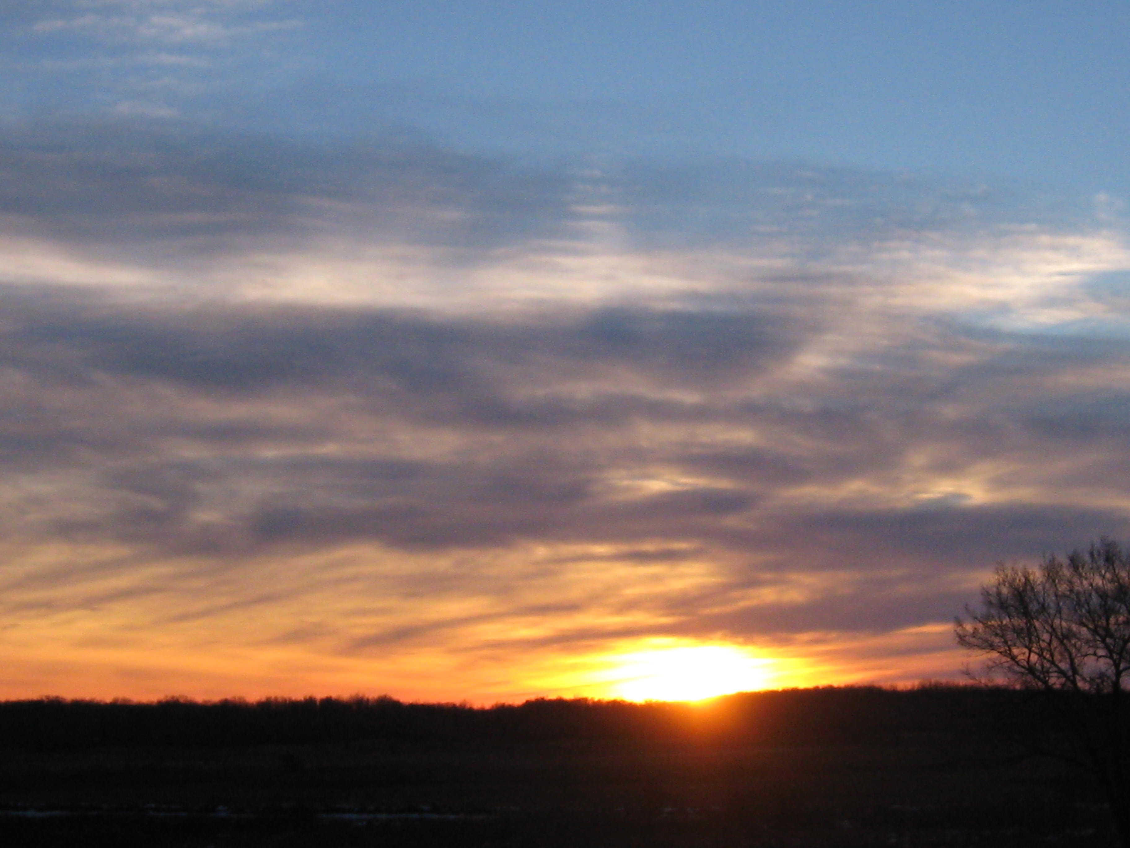
Yesterday’s sunset was very nice.

IMG_0487 IMG_0490

See you at the Springs!

I watched the fire that grew so low

It felt like a warm, sunny Spring day.  The snow had all melted and the ground was wet.  The brush piles on the South end of the loop trail were wet from the recent rain, but the steady Westerly breeze promised all the support we would need, and we started lighting fires.

IMG_0445 IMG_0447 IMG_0448 IMG_0451

Lindsay and I lit 45 piles and Rich arrived shortly after noon to help us mop up.

IMG_1047 IMG_0452 IMG_0453 IMG_0455 IMG_0457 IMG_0461

Highway 67 is visible through the smoke above on the left and we got a call from the North Prairie Fire Chief investigating a complaint.  I’m not sure if it was a motorist or someone living East of the forest beyond Hwy 67.  The chief just wanted to confirm that we were the party that had called in that morning to notify them of our burning plans.  The smoke was never heavy or thick on the road.  What are they complaining about?

After the piles had settled down, Lindsay, Rich and I took a grand tour around the Springs.  It was the first time Rich was able to hang out with us after working, and we had a great time enjoying the scenery and envisioning the future.

You might wonder if perhaps we had inhaled a little too much smoke when you listen to this conversation.

There is a new depth gauge at the site of the ground water flow monitoring station.

IMG_0466

We gave the piles one last stir after our walk and then Lindsay and Rich headed for home.  I lingered and watched the fires that that grew so low…

RichNightShotOfFires

See you at the Springs!

Fire On The Dunes

Today was a gloriously beautiful day at the Springs and I felt very lucky to serve the Creator.  Yes, THE CREATOR!  I think I’m becoming a Deist, and you might consider it too, if you had just read Thomas Paine’s The Age Of Reason.  What a tour de force!

The ground water flow meter, aka stream gaging station, has been installed!  I’m assuming it was Hydrogeologist Mike Parsen, from the Wisconsin Geological & Natural History Survey, and/or his team that did the work.  It looks very cool.  I don’t know if it is “online” yet, there is no data reported for the Scuppernong River at the USGS Water Watch site yet (thanks to John Hrobar for that link).  We’ll keep an eye on it.

IMG_0421 IMG_0424 IMG_0425 IMG_0426 IMG_0427 IMG_0428

We had clear skies, and steady winds out of the West; perfect conditions for burning brush piles on the Sand Dunes where the First People once made their campgrounds.  I was glad to have Rich Csavoy’s help and we burned another 44 piles.

IMG_0391 IMG_0393 IMG_0396 IMG_0398 IMG_0403 IMG_0404 IMG_0407

As we get the brush cut, piled and burned, new vistas are opening up.  Here you can see the Scuppernong River and the Marl Pit bridge from the Scenic Overlook.

IMG_0390

And now you can see the Indian Spring from the overlook as well.

IMG_0402

I loaded the gear in my truck, slipped into some dry boots, and made my way back via the newly cleared cutoff trail to enjoy the sunset.

IMG_0416 IMG_0420 IMG_0430 IMG_0431 IMG_0433 IMG_0437

See you at the Springs!


Smoke Gets In Your Eyes

We called ourselves the “River Rats”.  With our Blue Dolphin canoe loaded with a chainsaw, pruning saw, rake and garbage bags, we were determined to make the Bark River from Hartland to Lake Nagawicka navigable for canoes and litter free.  Mark Mamerow and I took many work trips down the Bark and, after 7 years, its a really nice paddle.  In his new book “The Bark River Chronicles – Stories from a Wisconsin Watershed”, Milton J. Bates describes our stretch of the Bark River in Chapter 5.  Mr. Bates tells the story of The Hartland Marsh in great detail and even mentions Pati and I.  Although he doesn’t mention Mark by name, he does comment on the great improvements to the river in this stretch since his last visit in the 1990s.  Thanks Mark! 

IMG_1701

Check out About Paul for more info about the Hartland Marsh project.  Here is a map of the Bark River in the Hartland Marsh area.

That being said, it was great to connect with Mark again today as we burned 50 more piles at the Scuppernong Springs.  The morning was crisp and cold.

IMG_0368

Just beyond the row of 12 brush piles you can see below is a remnant of a sedge meadow.

IMG_0369

Our DNR friends Don and Amanda gave us a huge bag of seeds, with over 20 varieties suitable for a Wet Mesic Prairie setting, that we plan to sow in the area around the Indian Springs and in other locations.  The transition from Buckthorn thicket to natural prairie or wetland includes a lot of steps and burning the brush piles is one of my favorites.

IMG_0371 IMG_0374

We lit another dozen piles farther down the outflow channel of the Indian Springs, closer to where it joins the Scuppernong River.

IMG_0375 IMG_0376

The conditions were perfect so we moved to the West side of the Indian Campground Sand Dune and lit another bunch of piles.  By 11:00am we had 50 piles started and we began the mop up process.

IMG_0378 IMG_0379 IMG_0380 IMG_0381

You can see the outflow channel of the Indian Spring below from the Scenic Overlook.IMG_0384 IMG_0385 IMG_0386 IMG_0387

Snow started falling around 4:00pm and it was coming down pretty good by the time I left.  Since there wasn’t much of a sunset today, here is a great shot taken by Tighe House a couple weeks ago.

scuppernong nature trail

See you at the Springs!

Fire In The Sky

It was the coldest morning of the year and the setting moon’s light brilliantly contrasted the deep blue cloudless sky as I made my way to the Indian Springs.  I’ve been meaning to get some pictures of the “Monster Spring“, as the locals used to call it, in a morning light.

IMG_0338 IMG_0342 IMG_0344 IMG_0345

The “Monster”

IMG_0349

Here is one of the Hillside Springs.

IMG_0346

It’s been a great year working out at the Springs and I want to thank Pati, Lindsay, Rich, Mark, John, Sue, Thomas, Chakry, Sriram, Don, Ron, Paul, Anne, Amanda and everyone else who lent a hand or showed support.

The coolest thing that happened to me this past year was my rediscovery of Philosophy thanks to my good friends at Tragedy And Hope.  It’s never too late, nor too early, nor too often to study Philosophy.

Today though, we are interested in Physics.

IMG_0352

The conditions were perfect for burning brush piles and I was able to light 34.  In half of those I just poked my torch into the center of the pile instead of doing the usual chainsaw work to create a consolidated pile to ignite.

IMG_0350 IMG_0353 IMG_0355 IMG_0357

The view from the scenic overlook.

IMG_0359

And the Marl Pit Bridge.

IMG_0361

IMG_0363 IMG_0365

Here is a video of the sunset taken from the scenic overlook.

See you at the Springs!

Light My Fire

My pictures don’t do justice to the beauty of the hoar frost that covered the trees this morning when I arrived at the Springs.  It was cold and my fingers were freezing as I took these pics.

IMG_0305 IMG_0308

This was taken from the Marl Pit bridge and shows the hillside above the Indian Springs where we planned to burn.

IMG_0312 IMG_0313 IMG_0314 IMG_0315

Here is a closer look at the piles we planned to light up.

IMG_0318 IMG_0322 IMG_0323 IMG_0324

The conditions were perfect.  A light but steady wind out of West and clear skies.  Lindsay and Pati came out to help and enjoy the beautiful day.

IMG_0325

Below you can see where the two forks of the Indian Springs outflow merge on their way to the Scuppernong River.

IMG_0326 IMG_0327 IMG_0328

Lindsay used a leave blower to help jump start the fires when they needed a blast of air and it worked pretty darn good.

IMG_0331 IMG_0332 IMG_0333

The view from the Marl Pit bridge. You can see where the channel from the Indian Springs joins the river.

IMG_0337

We burned 22 piles today and I think we have 3-4 more day’s work to finish the piles in this area.  I had to leave early so Pati and Lindsay handled the mop up operations. Thanks!

See you at the Springs!

A Burning Ring Of Fire

Pati and I really enjoy burning brush piles.  It’s got the right mix of mindfulness and mindlessness and it’s immensely satisfying to see all that Buckthorn turn to ash.  We had a great day for burning at the old barn site just downstream a bit from the saw mill site #12 on the Map.  There was a light but steady breeze out of the Northeast that kept the smoke away from Hwy 67 and we were able to light 21 piles up.

IMG_0293 IMG_0294 IMG_0295

The wood is finally starting to dry out from last week’s snow.  Here is Pati standing next to a ring of fire.

IMG_0297 IMG_0298 IMG_0299 IMG_0302

I found another little spring coming out of the hillside just downstream from the Hotel Spring near a fallen Willow.  We’ll open that up when it gets a little warmer.

I’m reading PONDS OF THE SCUPPERNONG and surveying the landscape at the old Parker Hotel site, which started out as a cheese factory, more closely.  This location is definitely rising in priority to clear Buckthorn and Aspen from.  Here is a nice picture of the Big Pond that Jon Bradley sent me.  If you have any pictures of the ponds, or anything else of interest at the Scupppernong Springs, please contact me and I’ll post them.

Scuppernong Ponds

I hope to see you at the Springs!

Let Me Stand Next To Your Fire

I took advantage of the East wind yesterday to burn 15 brush piles right along Hwy 67.  This is the area where the barn once stood that was part of the Parker Hotel and Mann/Dousman/Parker Trout Ponds complex.  THE PONDS OF THE SCUPPERNONG is a fascinating history that has deepened my appreciation for the opportunity I have to spend so much time at this wonderful place that was cherished by so many people over the years.

My plan was to burn the phragmites piles along the river first.

IMG_0271

That proved impossible as they were thoroughly soddened.  I quickly gave that up and went over to the old barn site.

IMG_0272 IMG_0274 IMG_0276

I’ve been concerned about burning these piles, given their close proximity to Hwy 67, and the light, Easterly winds provided the perfect conditions.

IMG_0280 IMG_0282 IMG_0283 IMG_0285 IMG_0286

Here is the old barn foundation.

IMG_0288 IMG_0291

The view from Hwy 67 is beautiful, albeit, a bit loud.  I filmed from the edge of the road and then wandered down to the edge of the barn foundation shown above.  You can see 15 or so brush piles between the trail and the River that we hope to burn tomorrow.

See you at the Springs!

THE PONDS OF THE SCUPPERNONG

The Upper Pond, Photo by Pete Nielsen

The Upper Pond, Photo by Pete Nielsen

I didn’t know what Robert Duerwachter was referring to in his book title.  What ponds?  I never saw, or at least I don’t remember seeing, the two trout ponds that made the Scuppernong Springs famous.  If you love The Springs, you must pick up your very own copy of “THE PONDS OF THE SCUPPERNONG” at Forest Headquarters.  I can’t summarize it any better than the author:

A NARRATIVE OF PEOPLE, ACHIEVEMENTS AND

LITTLE KNOWN FACTS IN THE LIVES AND TIMES

OF THOSE WHO MADE SIGNIFICANT CONTRIBUTIONS

TO THE PONDS IN THE SOUTHEAST QUARTER OF

SECTION 34 IN THE TOWN OF OTTAWA

WAUKESHA COUNTY, WISCONSIN

CHESTER M. SMITH

THE DOUSMAN FAMILY

CURTIS AND NANCY MANN

ELIPHALET S. STONE

THE PARKER FAMILY

THE PERELES FAMILY

ORIN C. BENSON

I love history and this, picture filled, page turner is the definitive history of the Scuppernong Springs.

Finally, we can start burning some brush piles.  I think there might be over 300.  First, a few morning views of the Scuppernong River:

IMG_0229 IMG_0232 IMG_0234

Our goal was to burn all of the piles on the “inside” of the big bend in the river by the Old Hotel Site.

IMG_0230 IMG_0231

Rich Csavoy arrived early and we got after it.

IMG_0238 IMG_0239

Pati, a veteran brush pile burner, joined in the fun.

IMG_0242 IMG_0246 IMG_0245

I got these pics while mopping up.

IMG_0253 IMG_0254 IMG_0255 IMG_0261 IMG_0263

After the gear was all stowed away, I took a walk along the river and saw the biggest flock of geese I have ever seen in my life.  It must have stretched out over a mile…

IMG_0264 IMG_0267

You gotta hear them…

It was a blessed day at the Springs and we burned 19 piles.

Happy Holidays and I Hope to see you out at the Springs!

Phragmites Spraying and Indian Campground Cleanup

On Thursday, October 11, Lindsay and I returned to the Hidden Spring to spray the Phragmites that had grow up since we cut it back in July.

Lindsay used the following recipe:

3 gal. clean water
20 oz. Habitat herbicide
2 oz. non-ionic surfactant

Pour 1.5 gal water into sprayer or storage container.  Add Habitat.  Add surfactant while pouring in remaining water.  He used and even flat fan tip on the sprayer.

While Lindsay sprayed, I cut phragmites by hand that was right in the Hidden Spring and along its channel (shown below, before and after).  I made the cuts as close to the ground as possible and then carefully dripped Habitat poison into the cut stems, some of which were 1/2″ in diameter.  I also pulled some water cress that had regrown.

After that, we resumed our effort to prepare the Indian Campground/Sand Prairie for mowing focusing on an area where Ron Kurowski showed us a huge patch of Lupine growing last Spring.  This is in the North West area of the Sand Prairie.

Here are some before pictures.

And after.

Later, we took a walk around to enjoy the scenery, as we usually do, and I got this picture at the Indian Springs looking back up stream towards the source.

There are a lot of Asters, Golden Rod and other flowers in bloom.  We are looking forward to when the whole area we are recovering around the Indian Springs is carpeted with native grasses and flowers.