
We couldn’t have had a nicer day for the second leg of our Journey Down the Scuppernong River. Spindrifts of fine white snow crystals swirled and danced. The morning sky was mostly cloudy but the stiff breeze from the northwest promised to bring clearing and sunshine. Pati and Lindsay were all geared up and, after consulting the maps one last time, we headed southwest, from where the river crosses Hwy N, to our destination at the dam on the south end of Upper Spring Lake.
The next couple videos provide nice panoramas of the Glacial Lake Scuppernong horizon.


Check out the Google Map included with post of the first leg of our journey to follow our course. Here we have come to the end of the long, straight, channel which began our route.
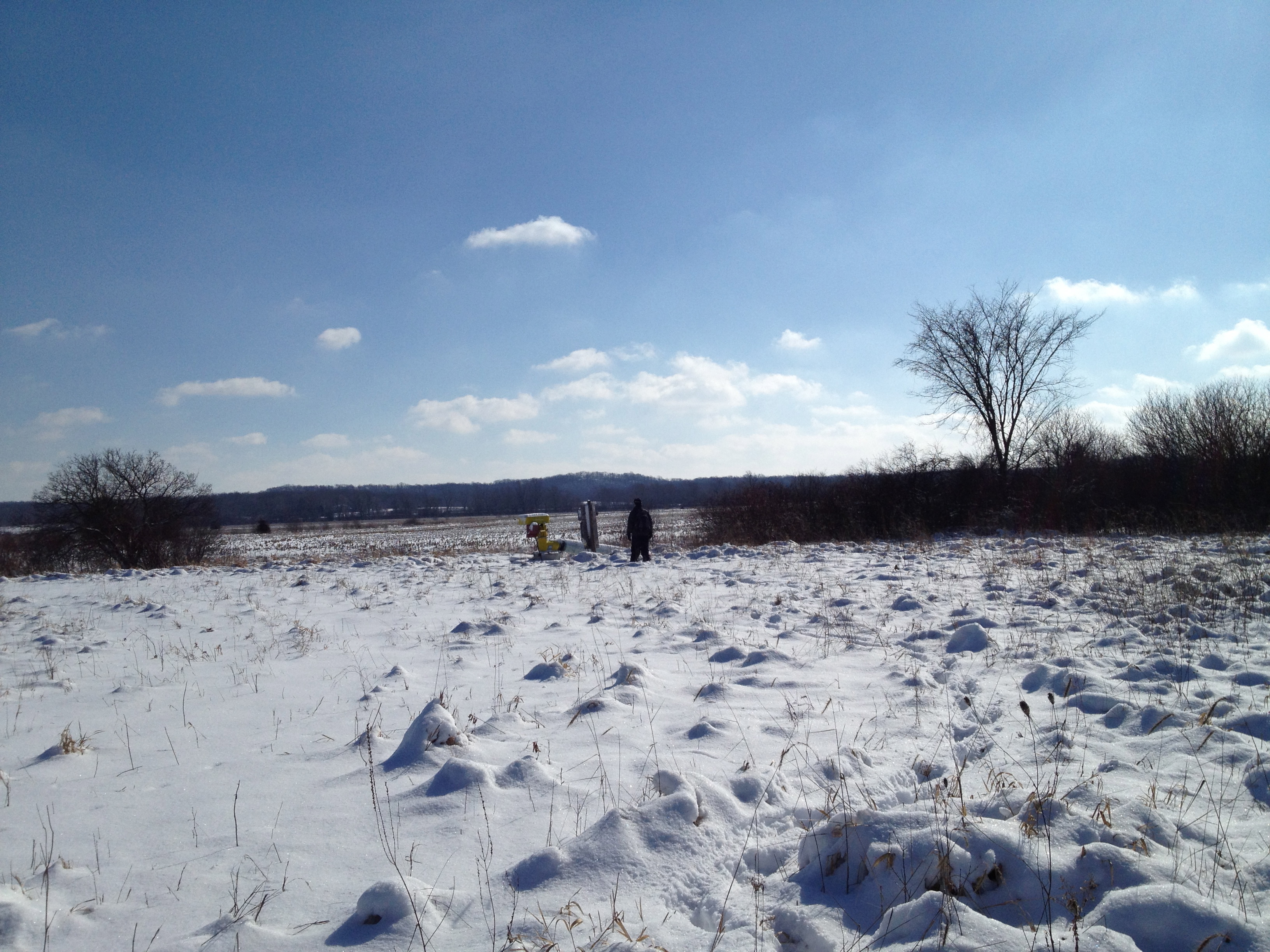
Below we are following the southern border of the Dempsey Farm Partnership.


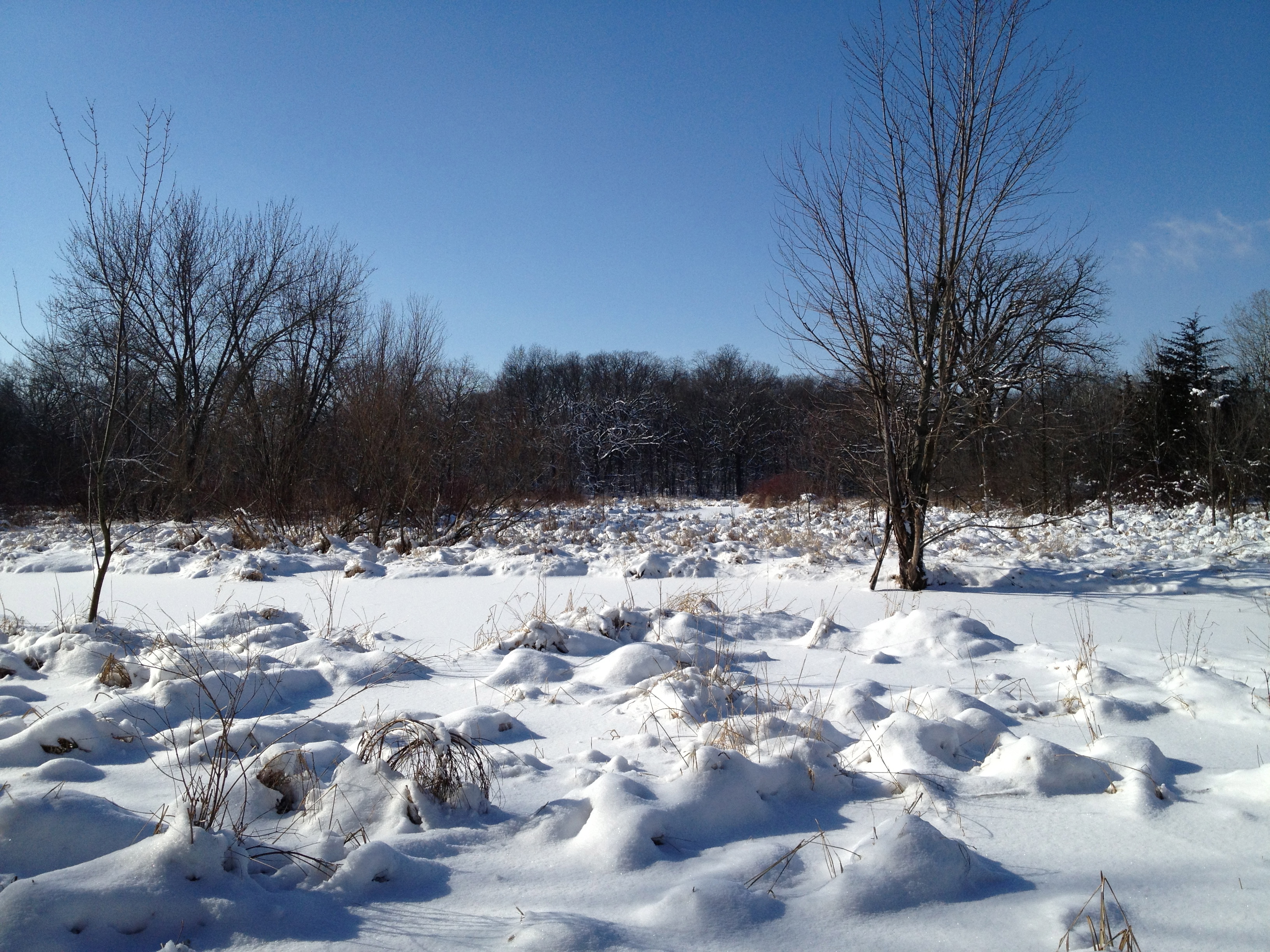
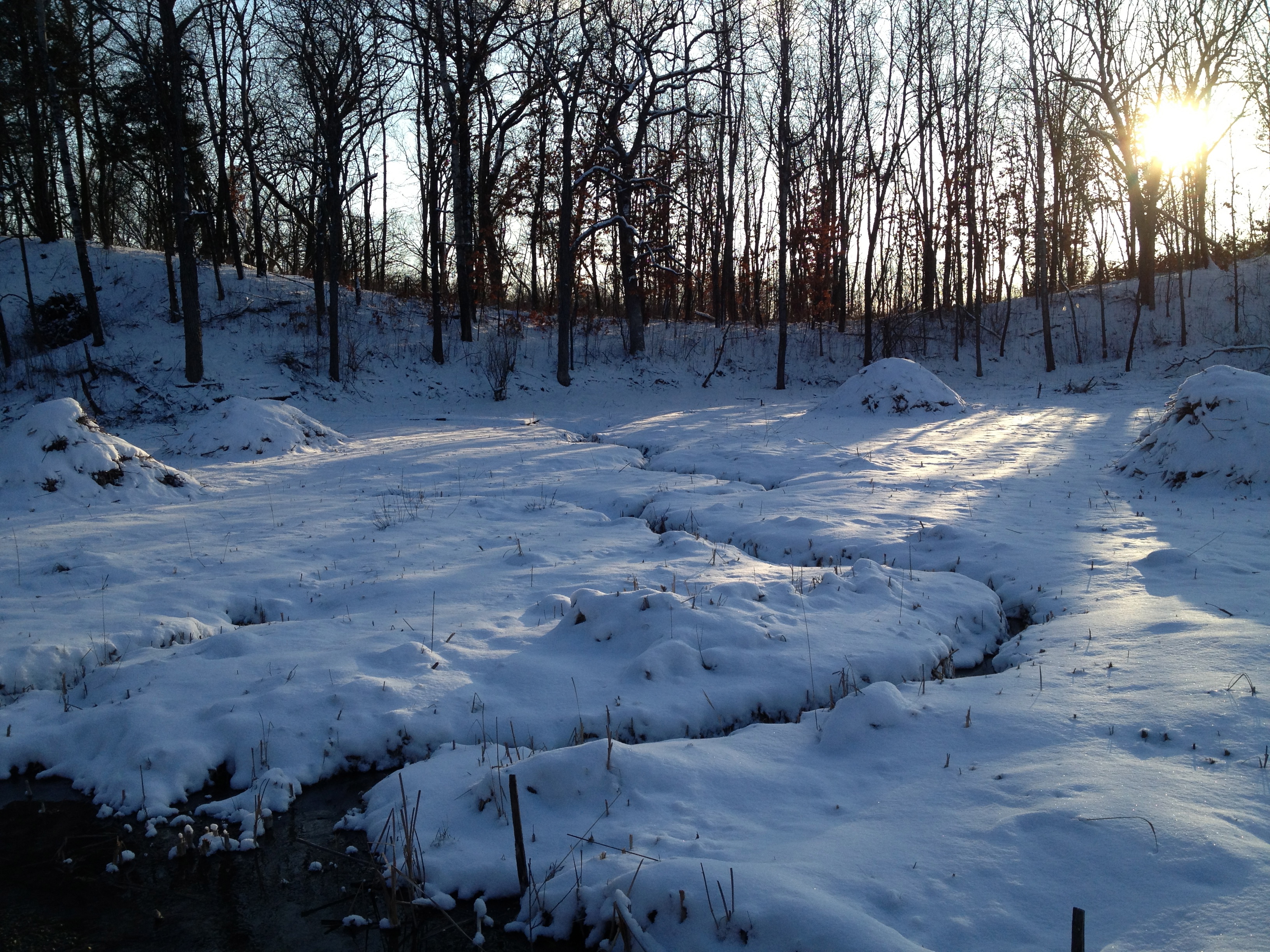
The frozen wetlands made for easy hiking, but we did have to scramble through a dogwood and willow thicket or two.
That got us all warmed up.

I got confused and took us down a channel that went south instead of following the main river course; a detour of 1/2 mile or so.

We came to a beautiful old home site just east of Hwy Z.
Then, after a short lunch break, we arrived at Hwy Z.
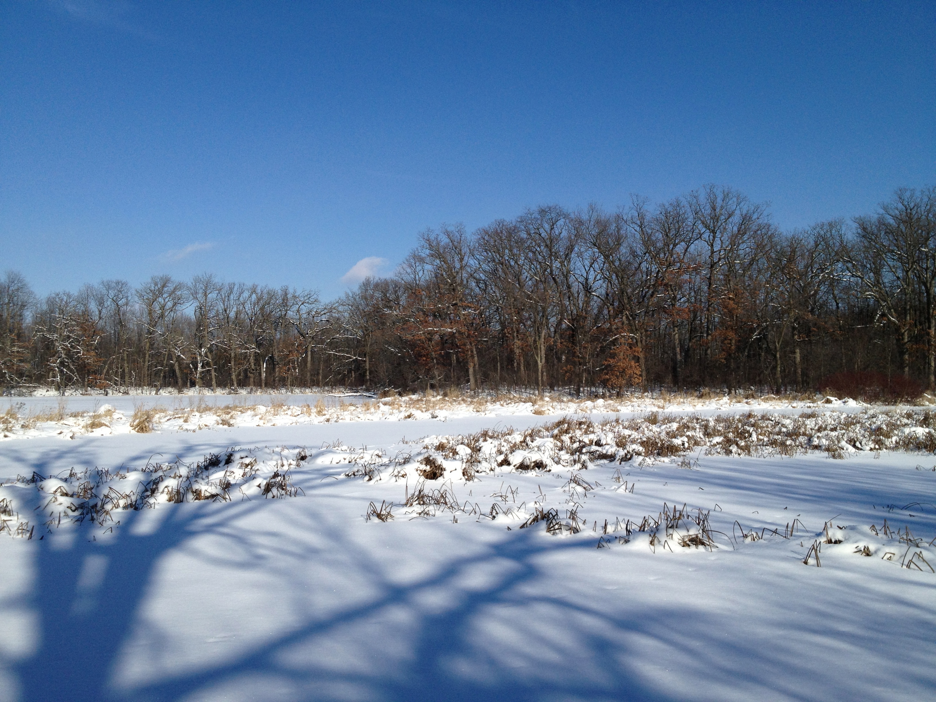
The frozen river’s edge made for easy walking.

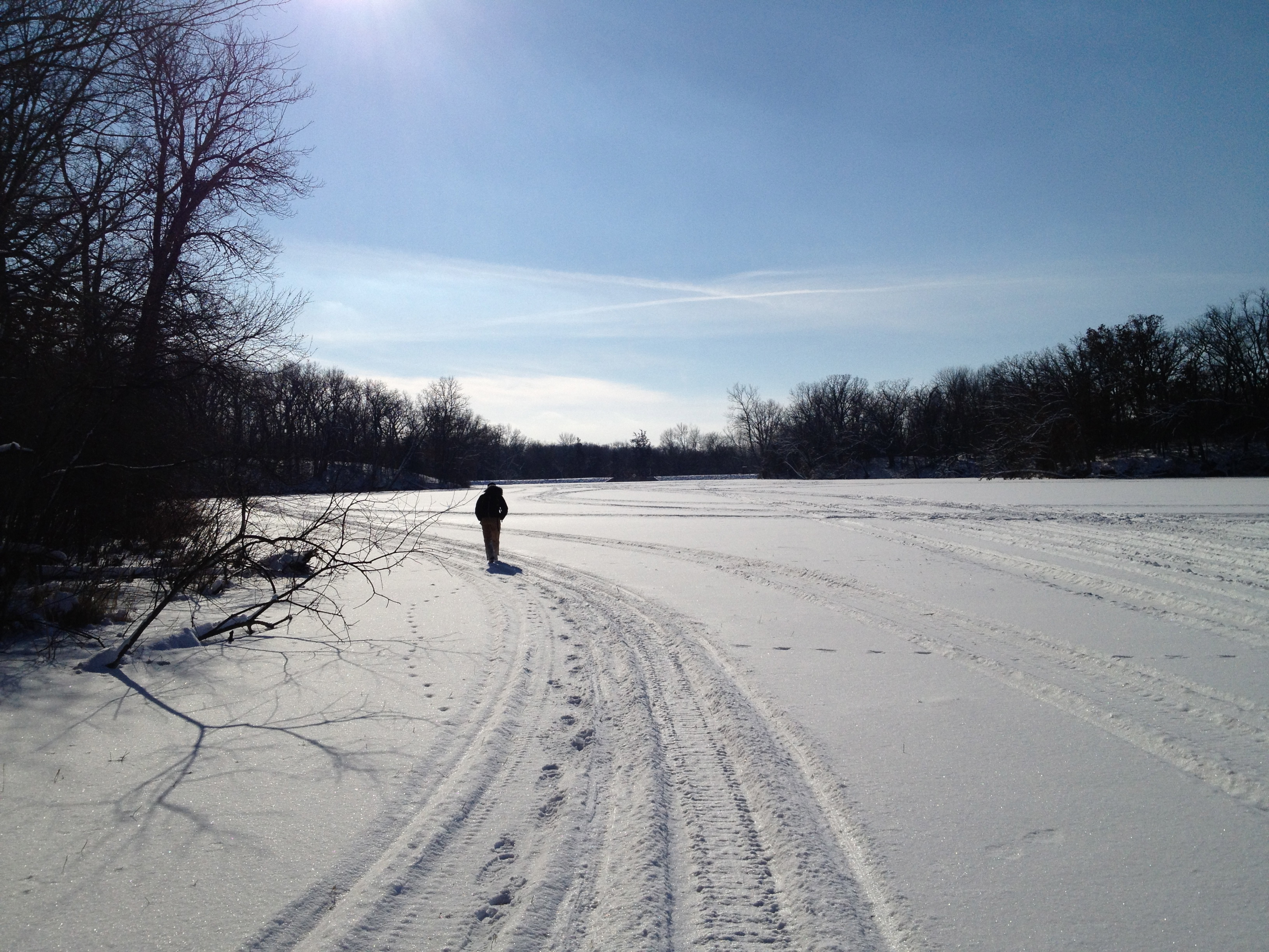
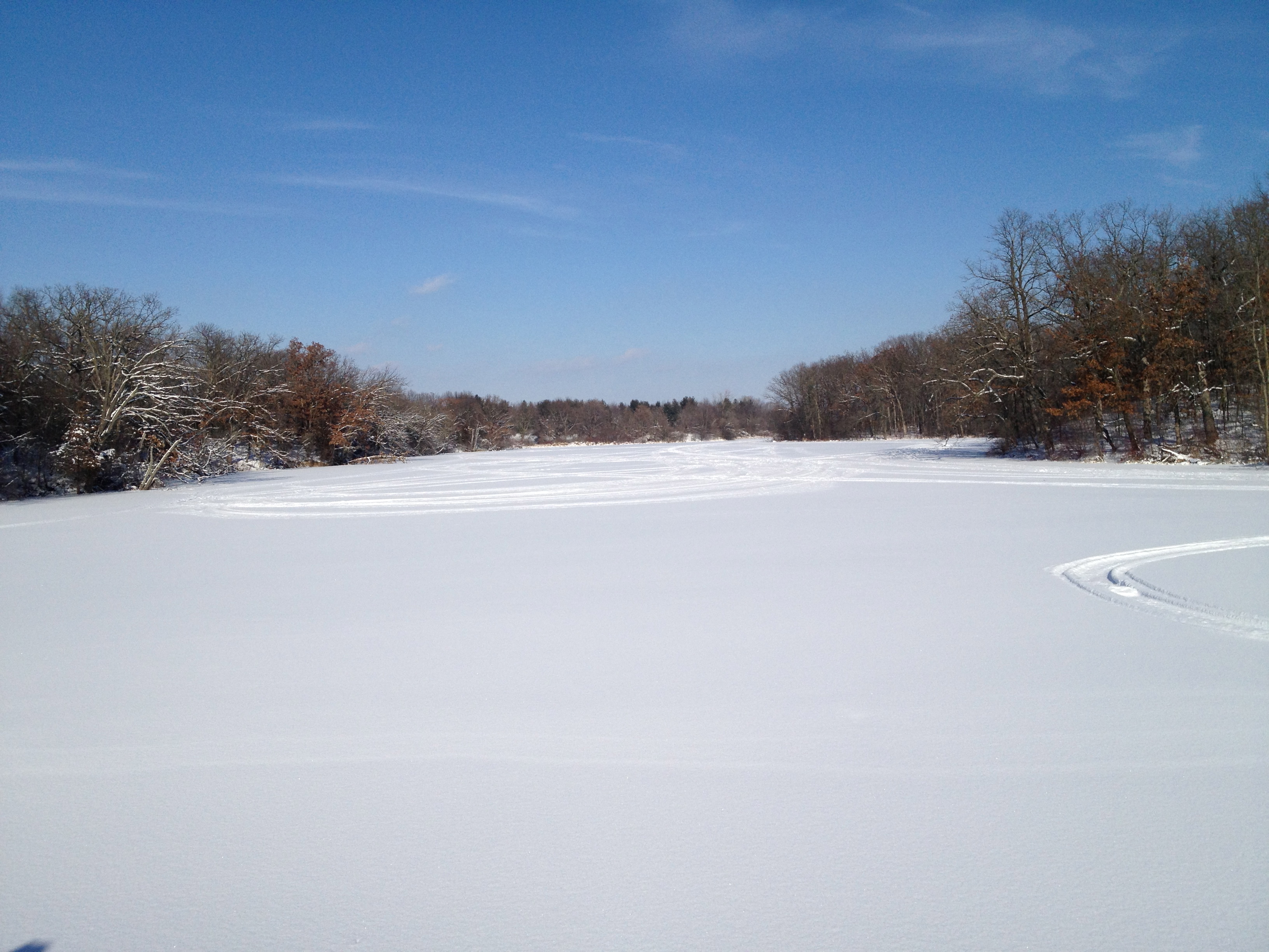
We emerge onto Upper Spring Lake.
The scenery was marvelous!
The dam at the end of the lake came into view.

We have heard a few complaints about the dam preventing fish from traveling up the river and now see what they mean.

The dam is on private property but we could not resist checking it out; fortunately, we did not get hassled. That completes the second leg of our journey!
Since we were in the neighborhood, we stopped at the Scuppernong Springs Nature Trail on the way home to visit the origins of the river. Here is the Emerald Spring.
The Hidden Spring.


We had a wonderful day exploring the river!


We hope to do our next leg of the journey in a couple weeks.
See you at the Springs!

The site is coming up slowly. It could be all of the embedded videos in this post and the first Journey Down the Scuppernong River post. It sometimes takes a while to get the info required to show an embedded Google Map, which I included in the first post. I will ponder options. Let me know if you noticed a performance slow down since these recent posts.
paul
The Carlin Dam, which forms Upper Spring Lake, was named for the pioneer family that built a mill there. The heavy rains in 2008 blew the dam out and released tons of silt and thousands of trout into Lower Spring Lake. There was a lot of debate about whether or not to rebuild the dam. Don Dane explained that the current owner of the dam owns the lake as well; a unique situation in Wisconsin. The DNR owns the the land around the lake, but not the lake itself! This looks like a job for a real historian to dig into.
Pingback: Redemption at the Hartland Marsh | Scuppernong Springs Nature Trail
Pingback: Journey Down The Scuppernong River Part 3 | Scuppernong Springs Nature Trail
Pingback: Paradise Springs | Scuppernong Springs Nature Trail
Pingback: South Branch Scuppernong River | Scuppernong Springs Nature Trail
Pingback: Super Friends of the Scuppernong Springs | Scuppernong Springs Nature Trail