
“I’m more ‘here’ when I’m here, partly because I’ve learned more about the river.”, that is how Milton Bates described his deepening present moment awareness in his fantastic book, The Bark River Chronicles. We drew inspiration from Mr. Bates to embark on our own Journey Down The Scuppernong River, and it has been a wonderful, enriching and, unfortunately, a bit disturbing, learning experience. From the pristine headwaters at the Scuppernong River Nature Trail to the final, completely degraded, drainage ditch, that passes through the mud farms west of Hwy 106, the journey has taught us a lot about natural history and the impact of white settlers with their insatiable, often short-sighted, desire to convert natural resources into money — which continues to this day.
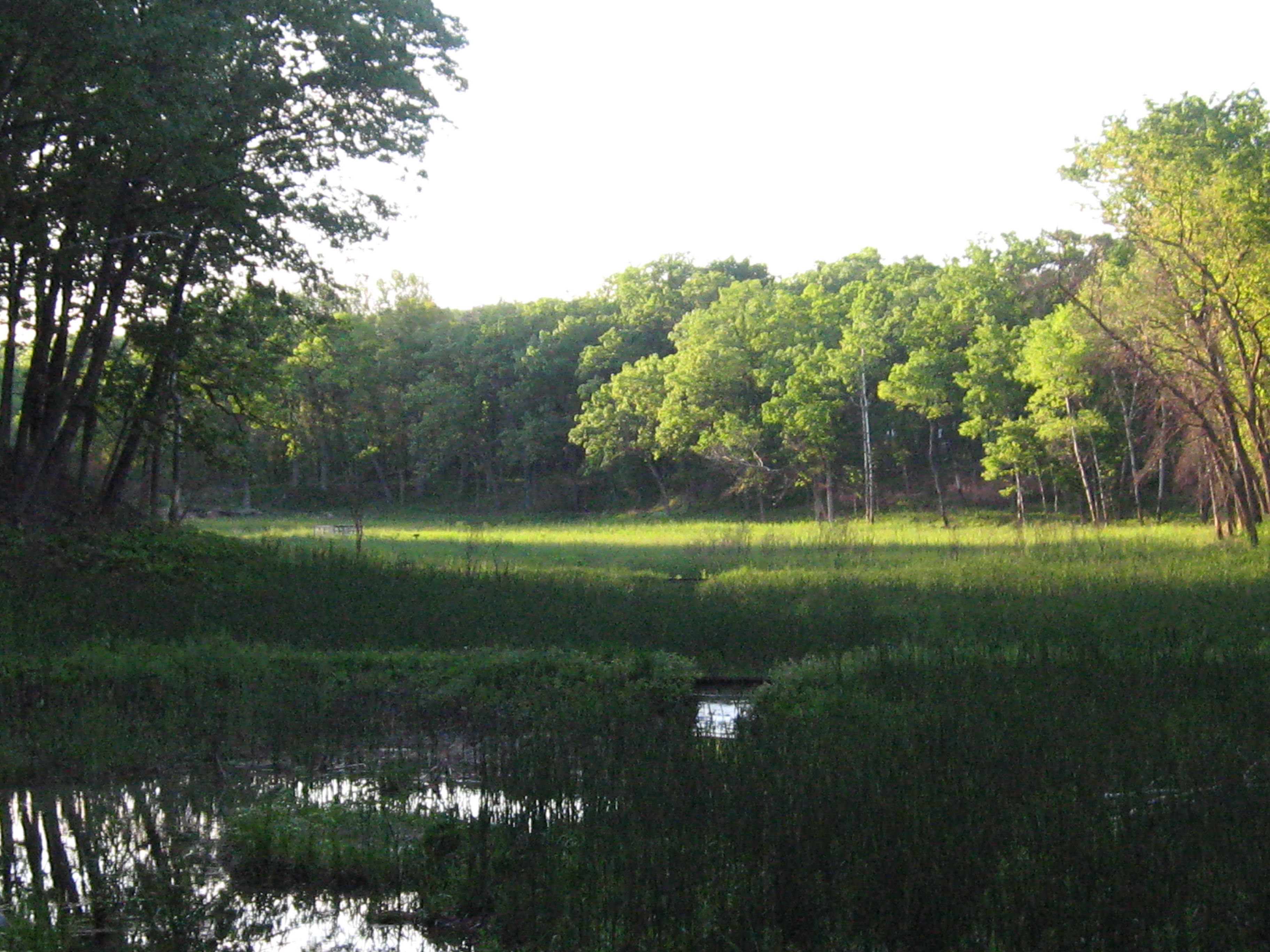
On our journey downstream we tried to document all of the tributaries and water sources that feed the Scuppernong River but we missed one of the most significant; the South Branch of the Scuppernong River. I remember now exactly when we encountered it on the second leg of your journey, as we approached an abandoned farm just east of Hwy Z, and I assumed at the time that it was just an irrigation canal.
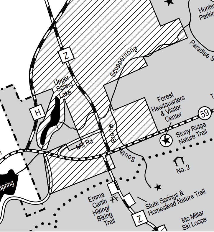
(full image here)
I even mentioned in a previous post the brook trout that were released into the south branch, but it did not register:
Waukesha SOUTH BRANCH SCUPPERNONG RIVER BROOK TROUT 83
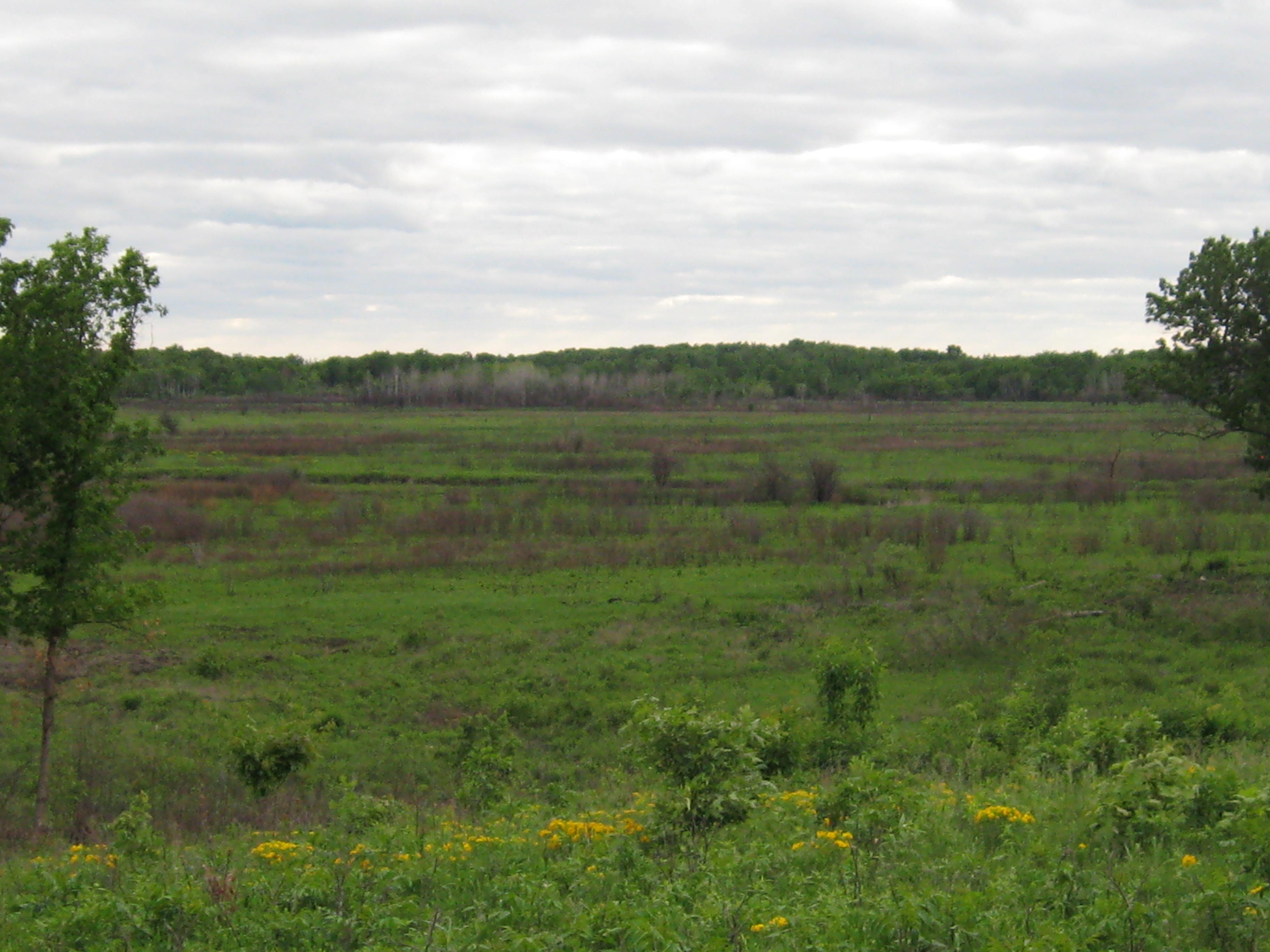
John and Sue Hrobar visit The Springs often, and we discuss, fish, flowers and the pros and cons of intervening to attempt to restore native habitats. Lately, our discussions have focused on what has happened to the brook trout in the stretch of river near the headwaters since we have begun clearing the springs and river. John concludes, because we don’t see trout in the river like we used to, that our efforts have disturbed a critical balance making the river unsuitable for trout. The major change being the removal of water cress, which was literally damming the river and causing it to overflow its banks, but which may have been providing the habitat for bugs and insects on which the trout depend. He suspects that our clearing of all the feeder springs has not increased the flow of water and has only released more mud and sediment into the river. I respect John’s ideas and I’m trying to understand what is going on with the fish. What is good trout habitat and what should a healthy, natural, spring-fed river look like? Here is what the WDNR considers suitable habitat for trout fishing on the Scuppernong River and its tributaries.
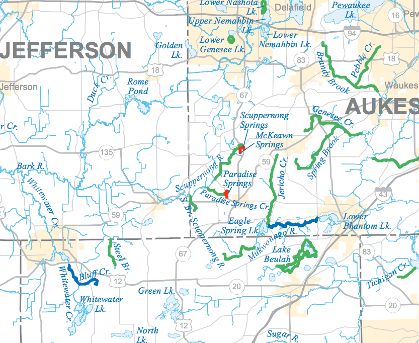
(full image here)
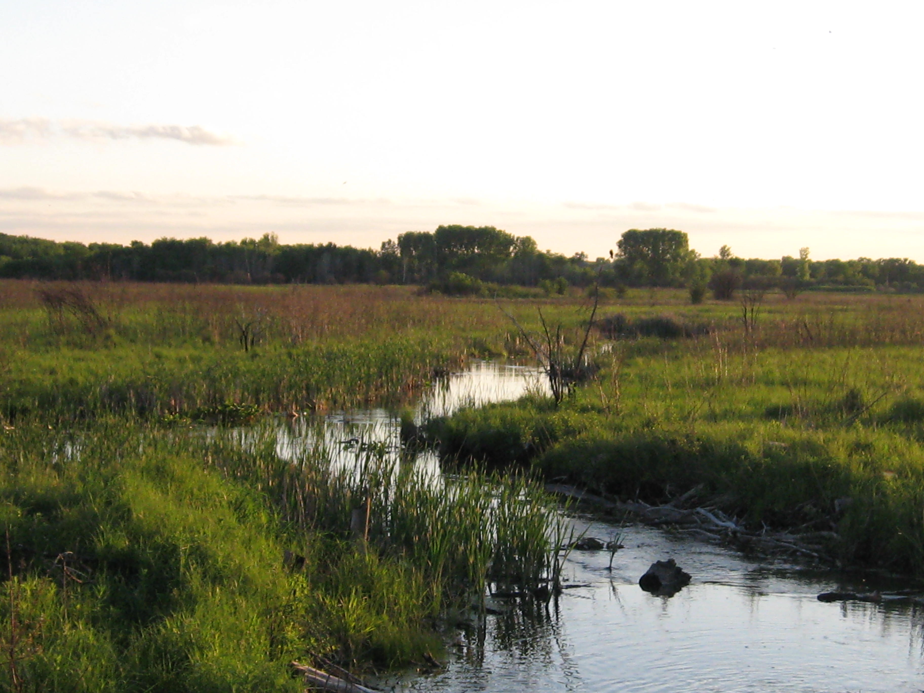
John and Sue enlightened me as to the existence of the South Branch of the Scuppernong River and I really appreciate that. The source is the Stute Springs, just south of forest headquarters. You can follow its course north and west by zooming into this map:
It was really peaceful yesterday morning when I arrived at The Springs and encountered this wind blown cherry tree blocking my access to the parking area at the terminus of a DNR, 2-track, access road at the south end of the trail.

Coincidentally, this happened to be an area where some black locust stumps where protruding in the road and I shaved these as well as removed the downed tree. I continued spraying first year garlic mustard seedlings on the south end of the loop trail using a 2.34% solution of glyphosate and then proceeded to the north side of the scuppernong river to girdle some aspen.
I spent the afternoon piling buckthorn between the north side of the river and the cut-off trail and made another dozen or so piles. John and Sue arrived to say hello and we had a great conversation regarding the restoration effort and then they lead me to this rare patch of kitten tails.

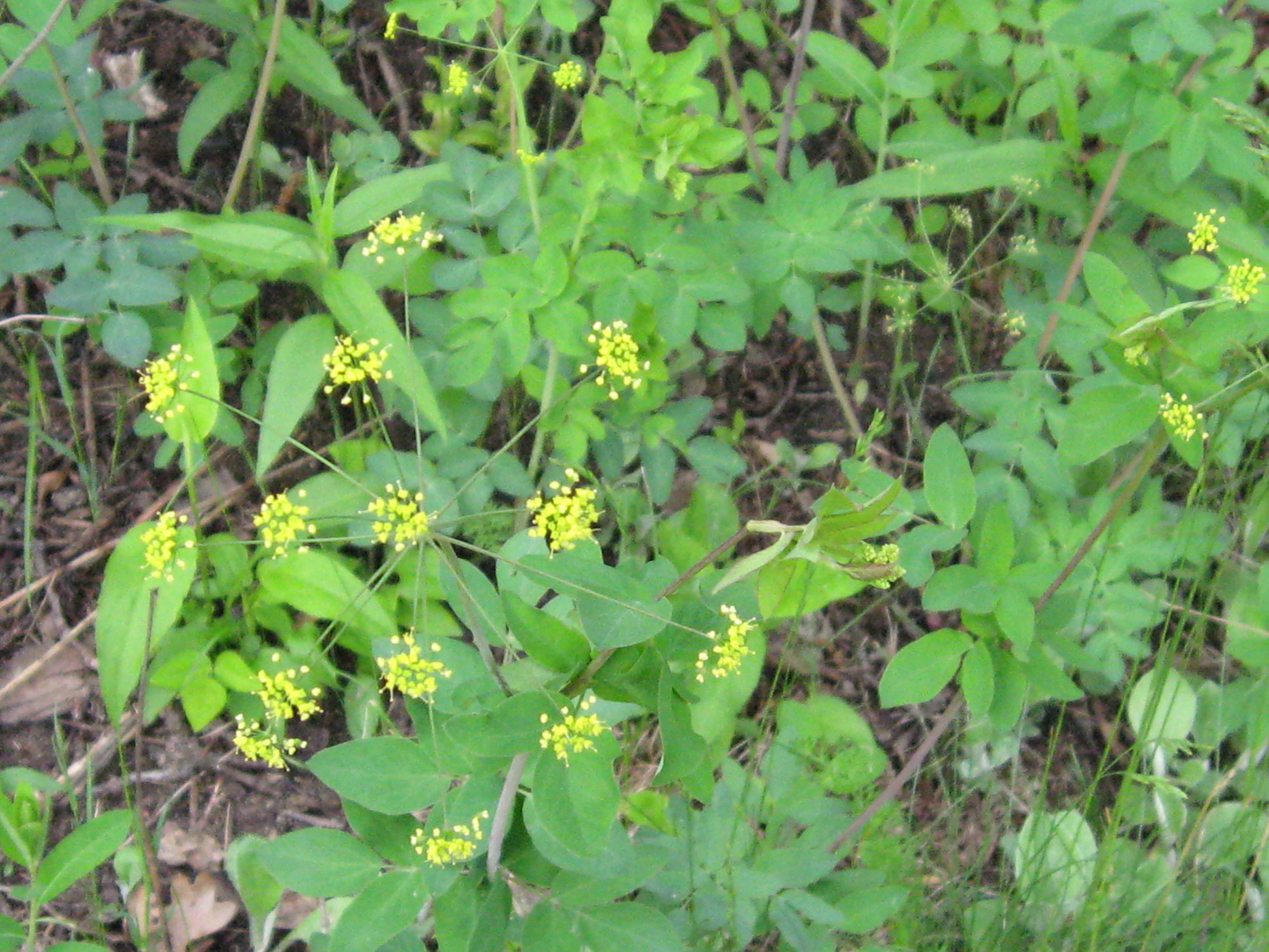
Golden Alexander is in full bloom.
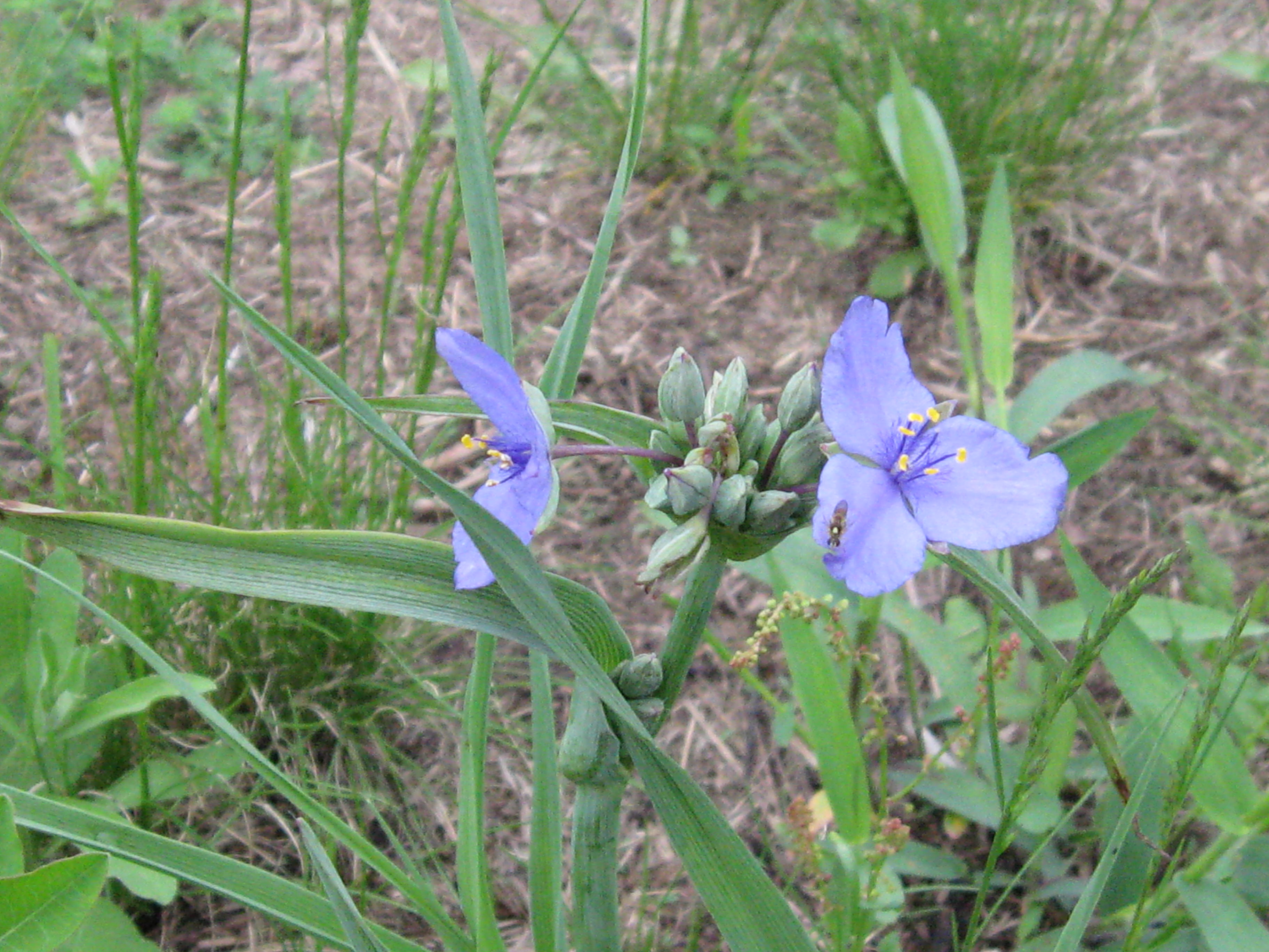
Spider Wort is prolific on the sand prairie.
Our good friend, the north wind, blew into The Springs and it was cool and cloudy most of the day, but when the sunshine finally broke through, it was glorious.
Another spring may have started flowing, check this out:
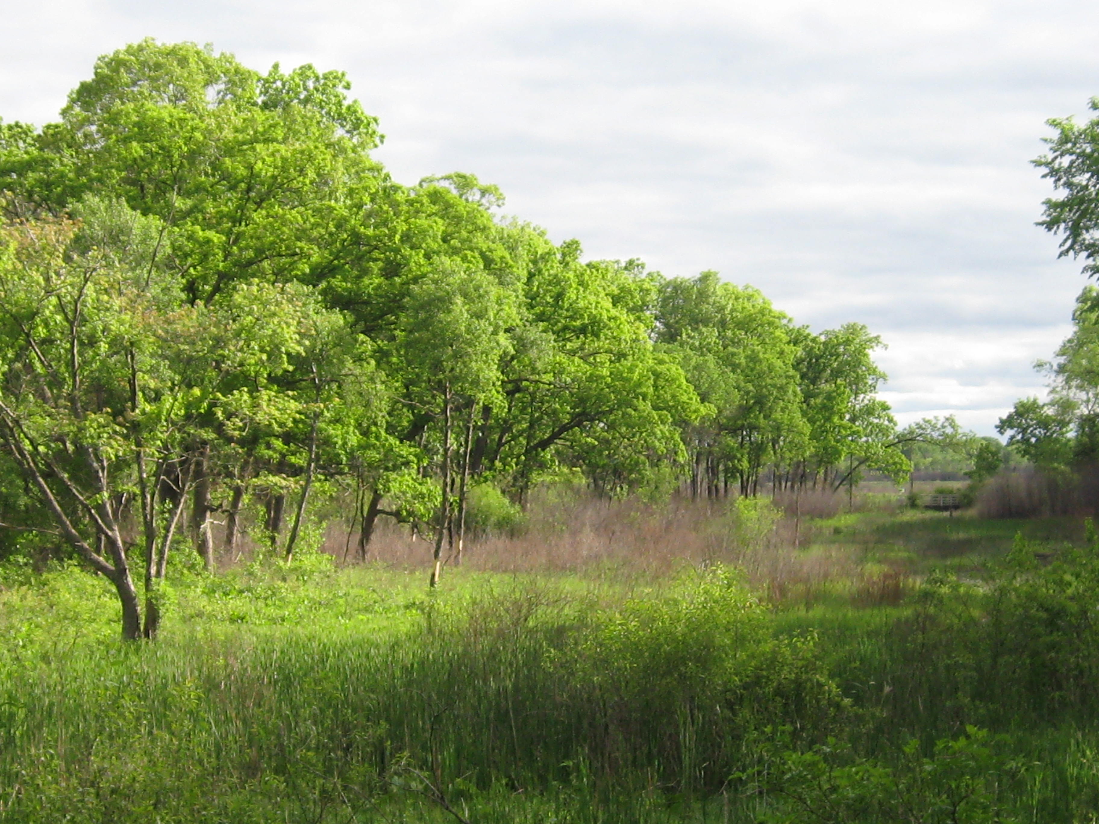
Views of the Scuppernong Prairie from the Sauk Campground…


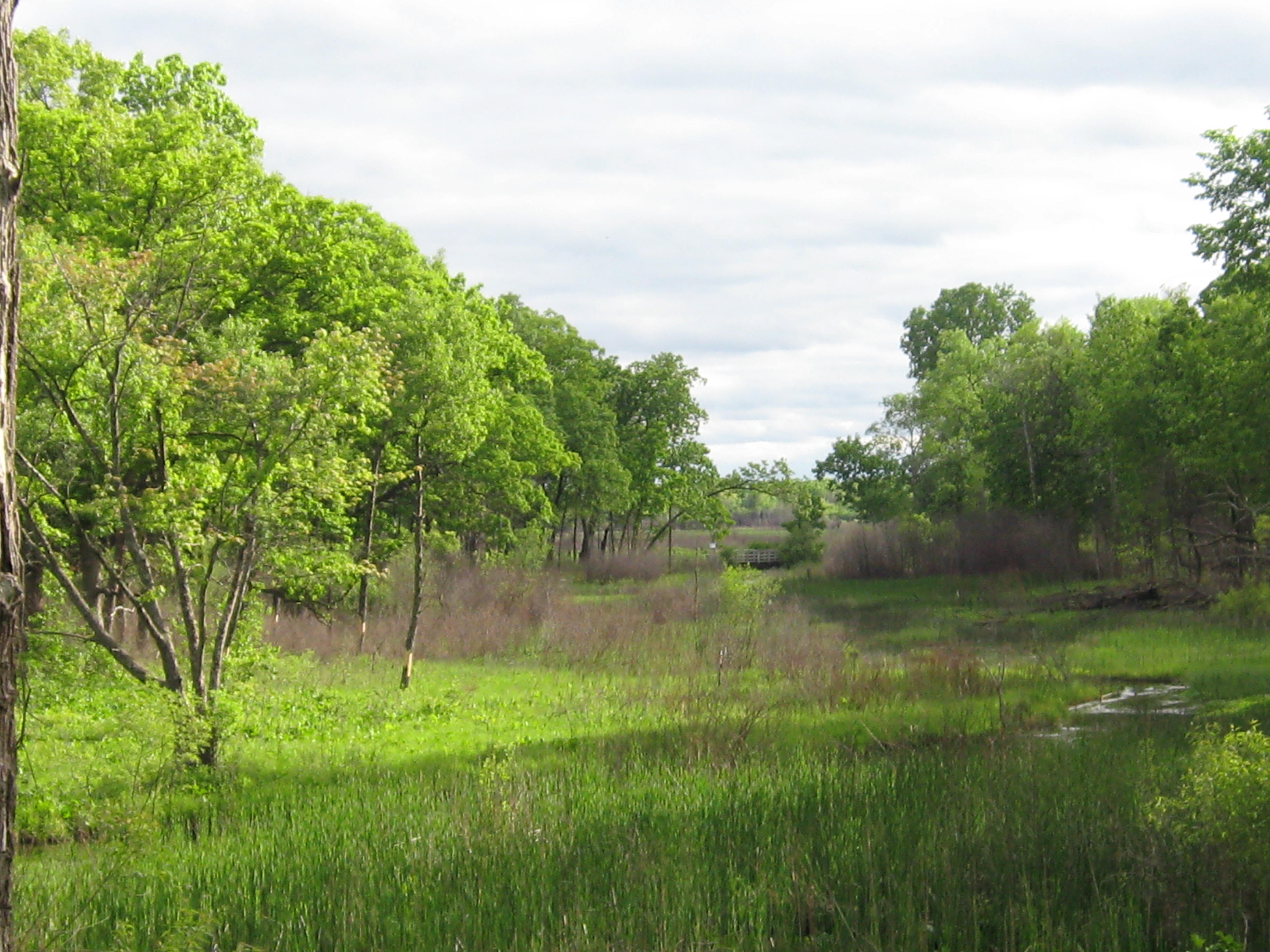
… and the marl pit bridge.
My sweetheart, Pati Holman, road her bike the 40 or so miles from Milwaukee to join me and we took a nice walk around the loop trail before heading for home.
See you at The Springs!

Pingback: Traditional Gardening | Scuppernong Springs Nature Trail
Pingback: Flower Power | Scuppernong Springs Nature Trail