
Hello again, and welcome back to The Springs.
We were frustrated in our last attempt to complete our journey down the Scuppernong River on foot by unstable ice. Heading east from Hwy 106 just a bit north of Palmyra, we walked along the embankment that separates the surrounding industrial farmland from the river, which at this point has been engineered into little more than a drainage ditch. As we approached the Prince’s Point Wildlife Area we had to leave the banks of the river due to thin ice and ultimately had to call it quits. We resolved to return in the spring in our Blue Dolphin canoe to try paddling this stretch, which we imagined to be wild and even exotic.
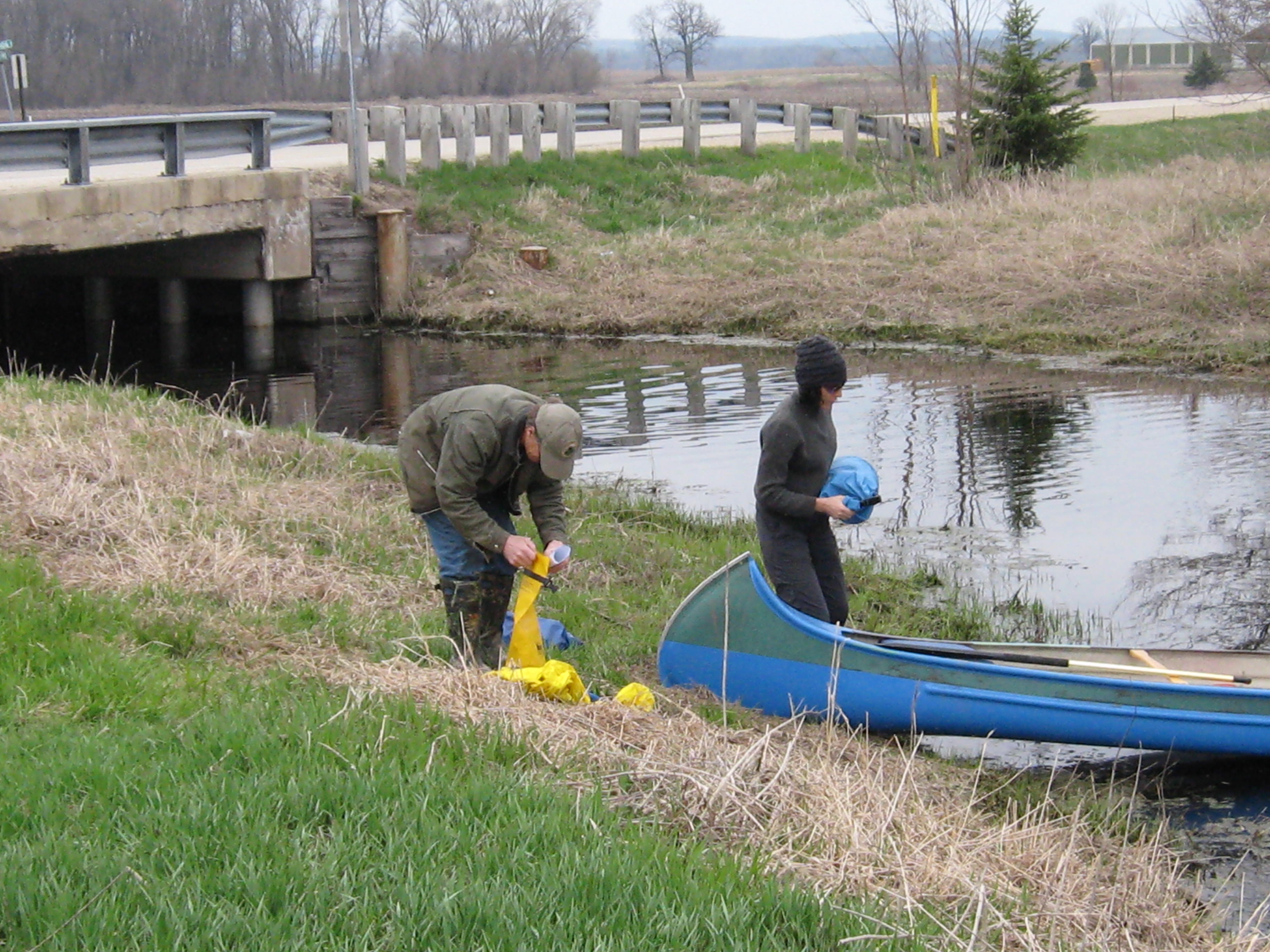
I was joined by Lindsay and Pati on what promised to be a beautiful spring day.

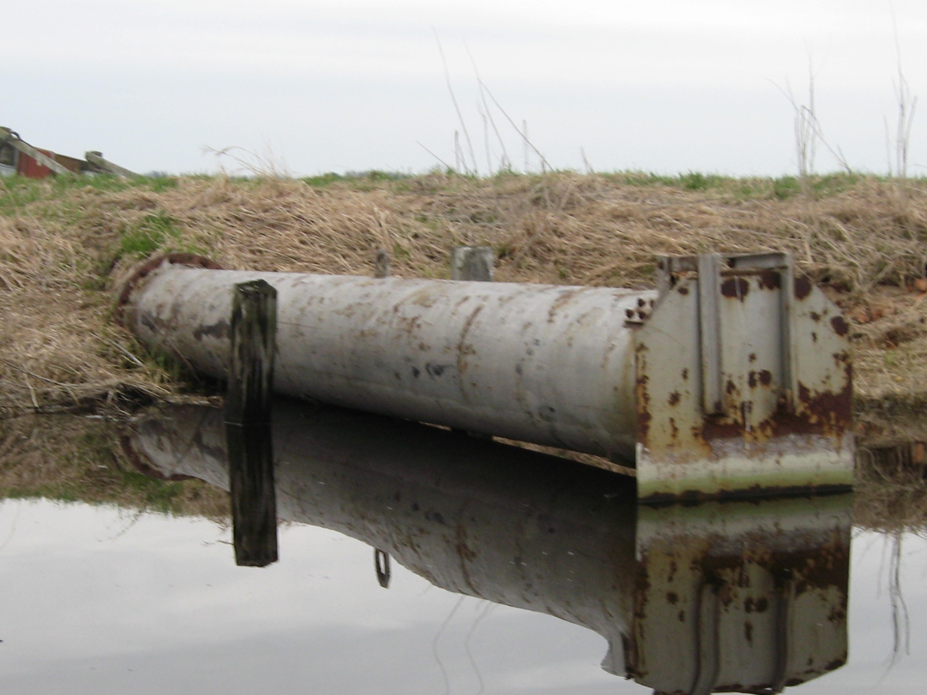
There are industrial scale farms on both sides of the river just west of Hwy 106 and one can only wish to turn back the clock and see what the river was like before it was totally “bleeped” up.


Check out this goose perched on top of a root ball. Protecting something?

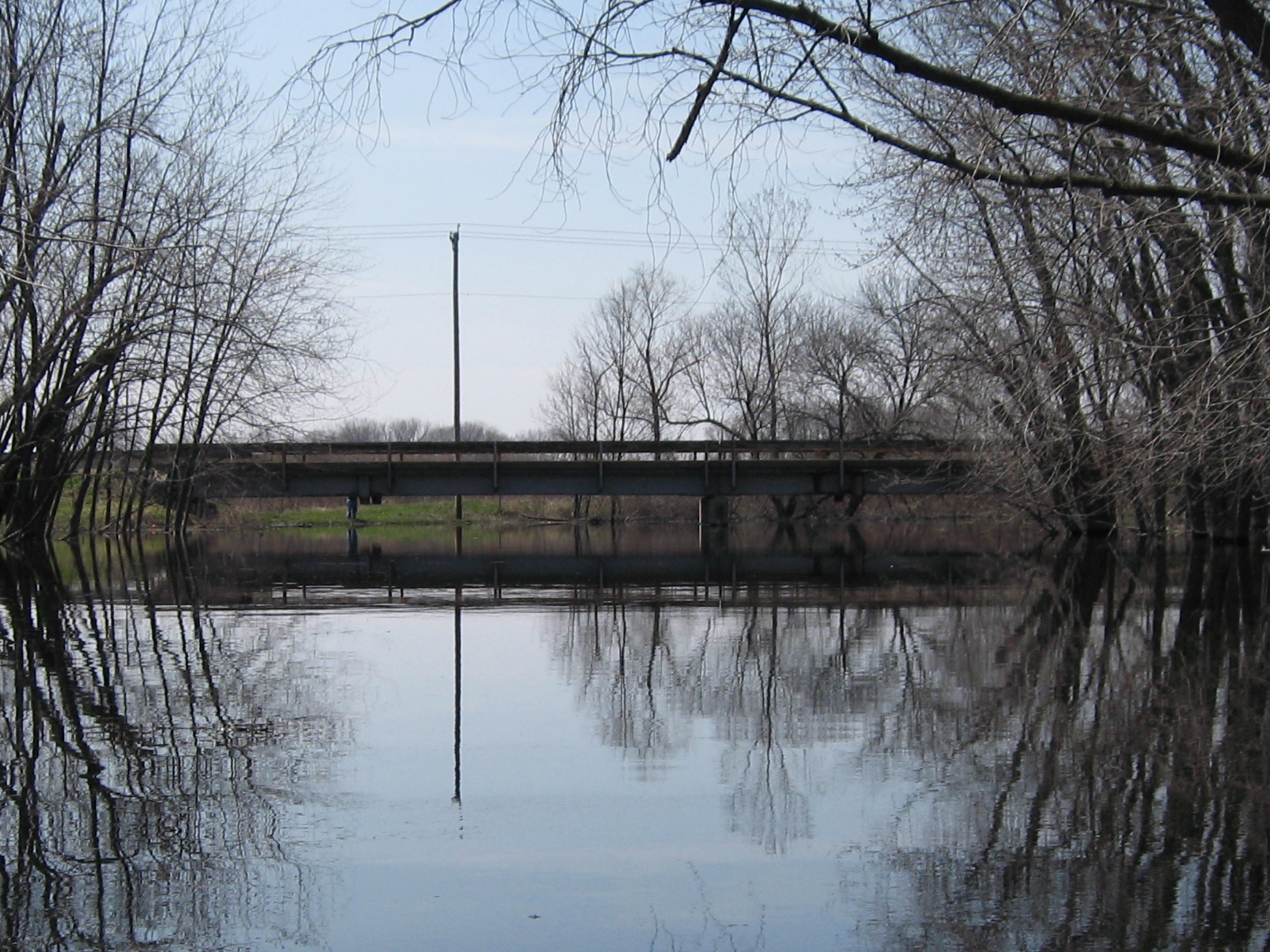
A couple views from the bridge that crosses the river.

In the video above I mistakenly referred to the Prince’s Point Wilderness Area rather than the Prince’s Point Wildlife Area. At that point I still had the naive believe that we were about to enter a wild and exotic stretch of the river leaving the canals and industrial farms behind. Unfortunately, the river engineering did not stop at the farms and we encountered a maze of channels and embankments that splintered the river into myriad flows.

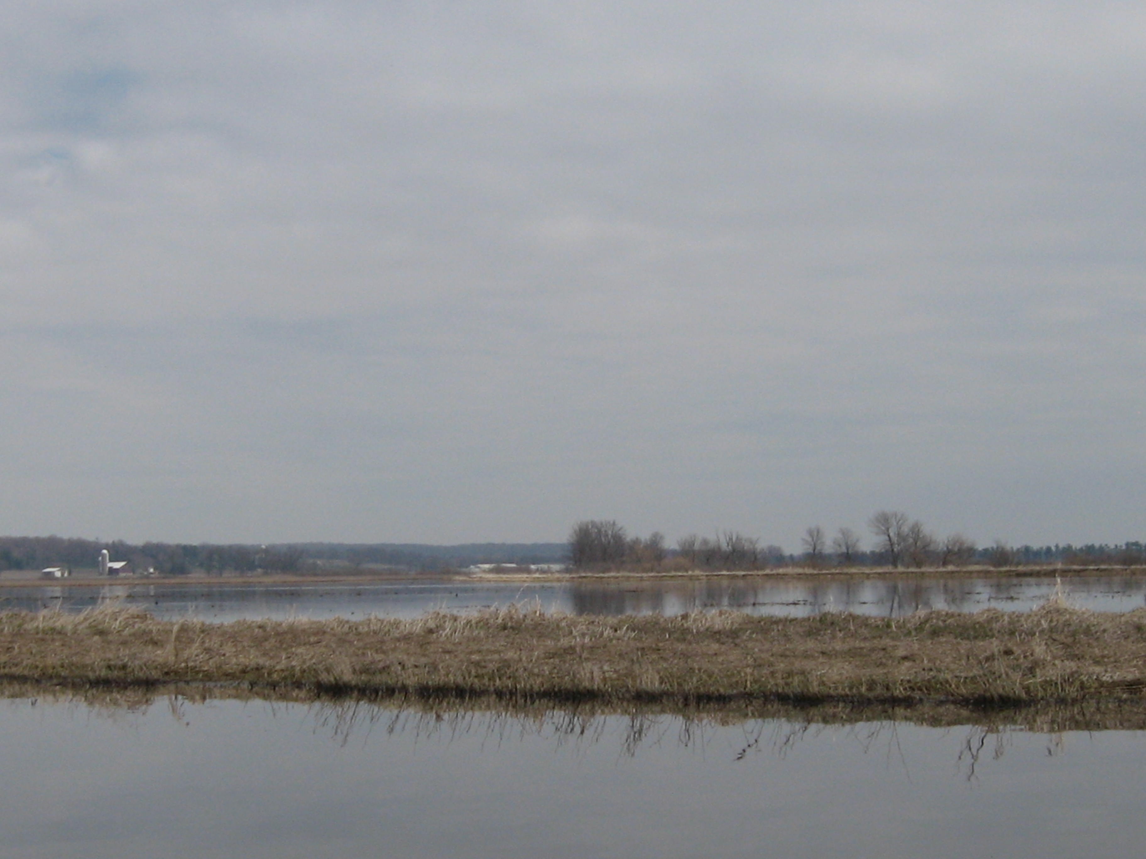
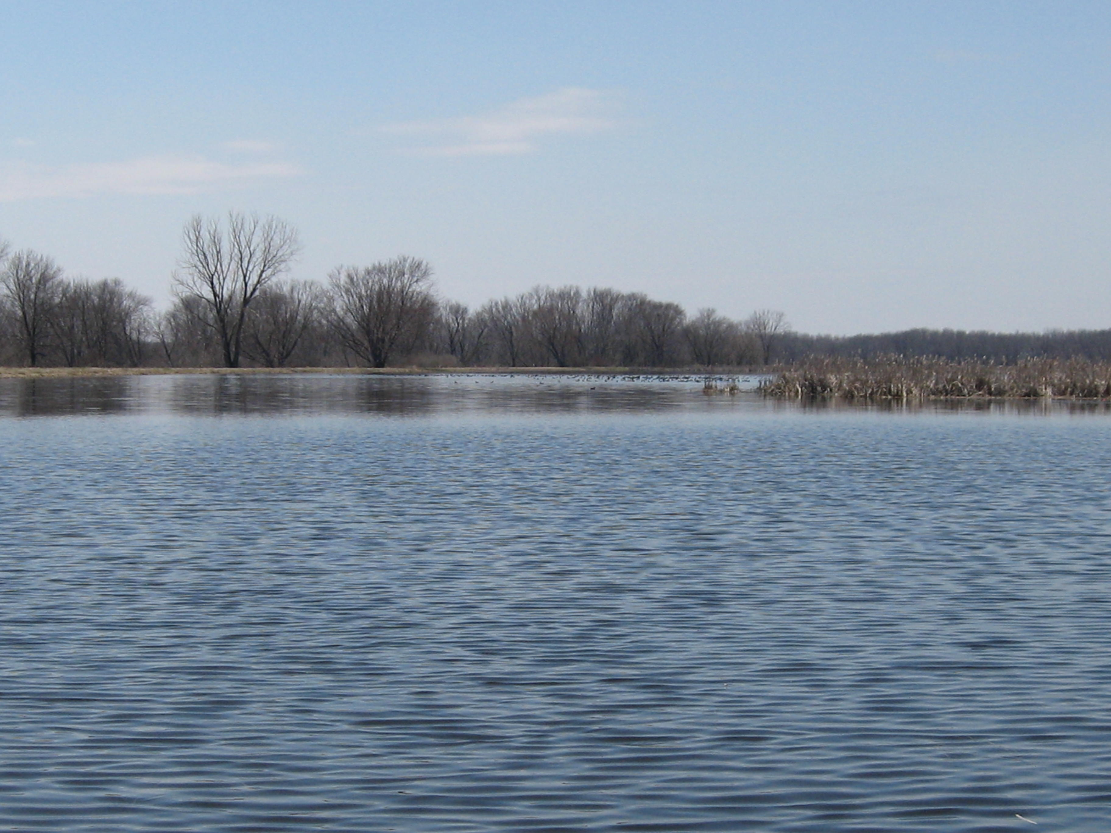
With the help of a map that Pati got from the internet and the Map application on my iPhone, we tried to get back on “the river” eventually realizing it didn’t exist anymore. Here is a widening of one of the canals that attracted a huge flock of coots.


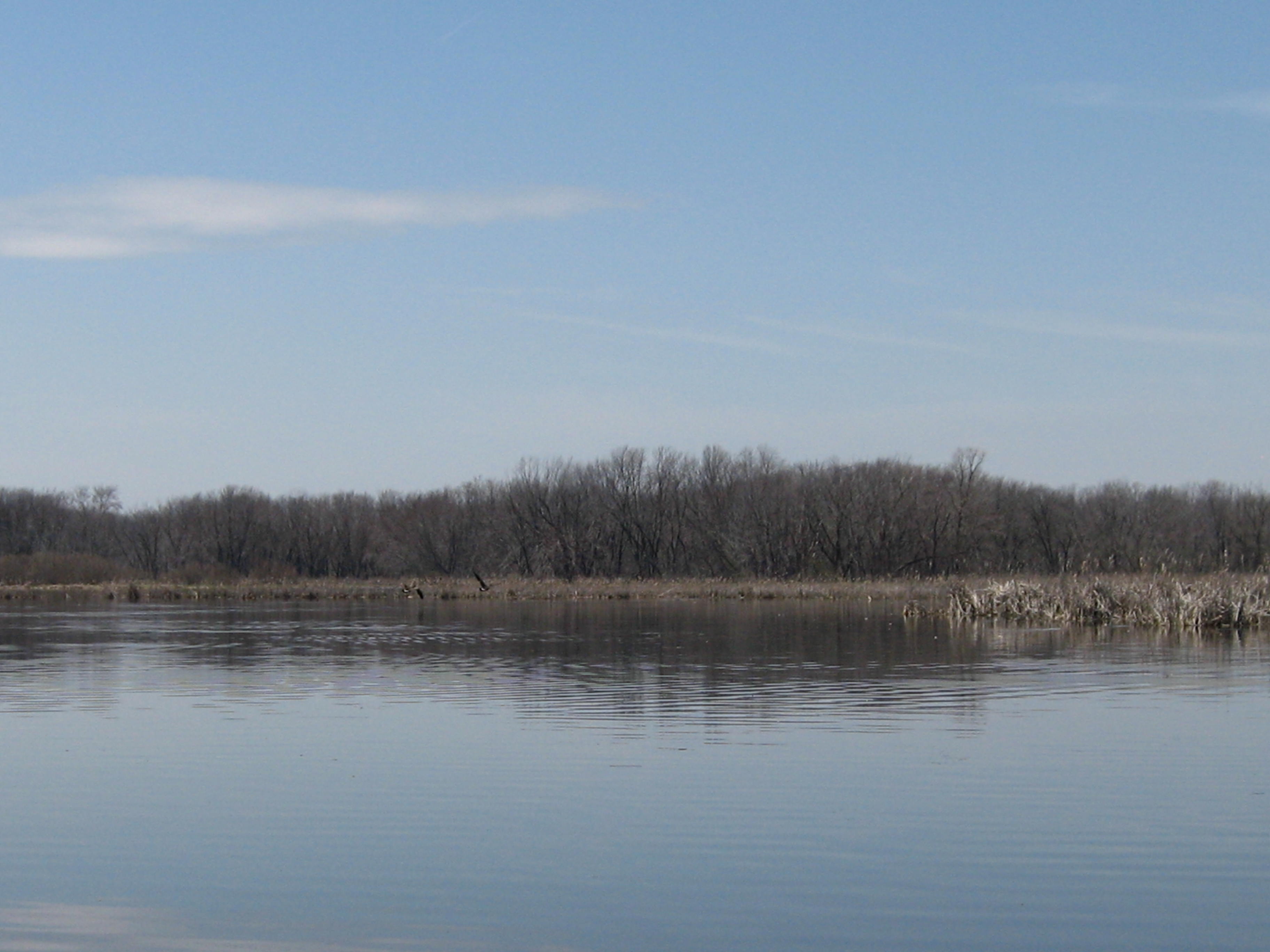
As we paddled down dead end canals and pulled the canoe over embankments attempting to travel west to the Bark River, the realization of how badly degraded this stretch of the river is began to sink in. Although we did see a couple of river otters and a muskrat, we almost got swamped by a school of giant carp. We could understand why they channeled the river to create farmland east of Prince’s Point, but there didn’t appear to be any rhyme or reason to the embankments that diced up the wetland in the Prince’s Point Wildlife Area other than to support a path for vehicles to travel.
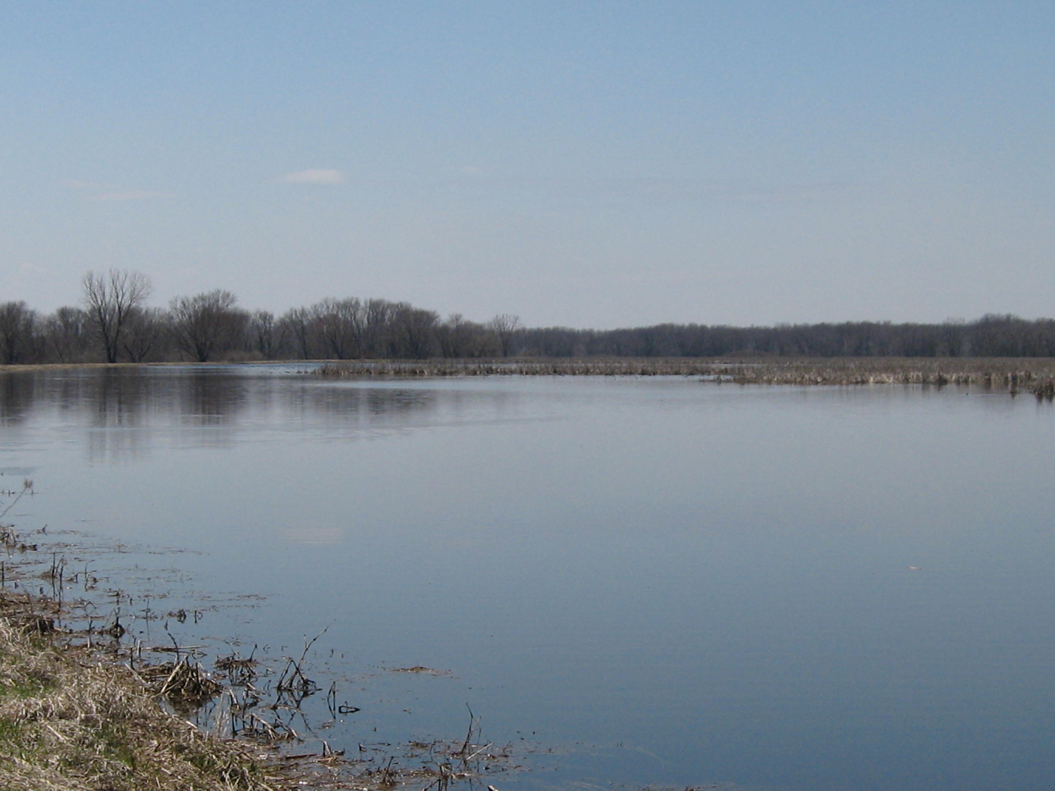
We finally did thread our way to the confluence of the Scuppernong “River” and the Bark River.


Per the DNR “The Scuppernong River’s headwaters are classified as class 2 trout stream. The stream has a naturally reproducing, self sustaining population of brook trout.” That is a far cry from what we saw between Hwy 106 and the confluence with the Bark River. On that note however, we have not seen any brook trout in area of the Scuppernong Springs Nature Trail, i.e. the headwaters, since last fall. I’m concerned that our efforts last year to unplug the water cress dams have altered a delicate balance that supported the brook trout population. Craig Helker, Water Resources Management Specialist with the DNR, does a fish count every July by “shocking” the water in the area just below the Hotel Springs and we look forward to the results for 2013.
Here is a view on our return heading back upstream.
We were disappointed by the way the beautiful, cold, crystal clear, Scuppernong River waters that we know and love merged morosely with the Bark. That is not to say there weren’t some beautiful views and wildlife on this final stretch; it’s just that our expectations were really high.
See you at The Springs!

I refer often to industrial farms; the term factory farm is more common and that is what I meant to say.
Pingback: South Branch Scuppernong River | Scuppernong Springs Nature Trail
Pingback: Prince’s Point Wildlife Area | Scuppernong Springs Nature Trail
Pingback: The Great Work | Scuppernong Springs Nature Trail
Pingback: Super Friends of the Scuppernong Springs | Scuppernong Springs Nature Trail