
Hi. Thanks for following our adventures on the Scuppernong River. Today Pati, Lindsay and I took advantage of bright sunshine and frozen wetlands to hike the third segment of our Journey Down the Scuppernong River. We traveled from the Carlin Dam just below Upper Spring Lake to where the river crosses Hwy 106. The vote was unanimous that this was the most beautiful section so far.
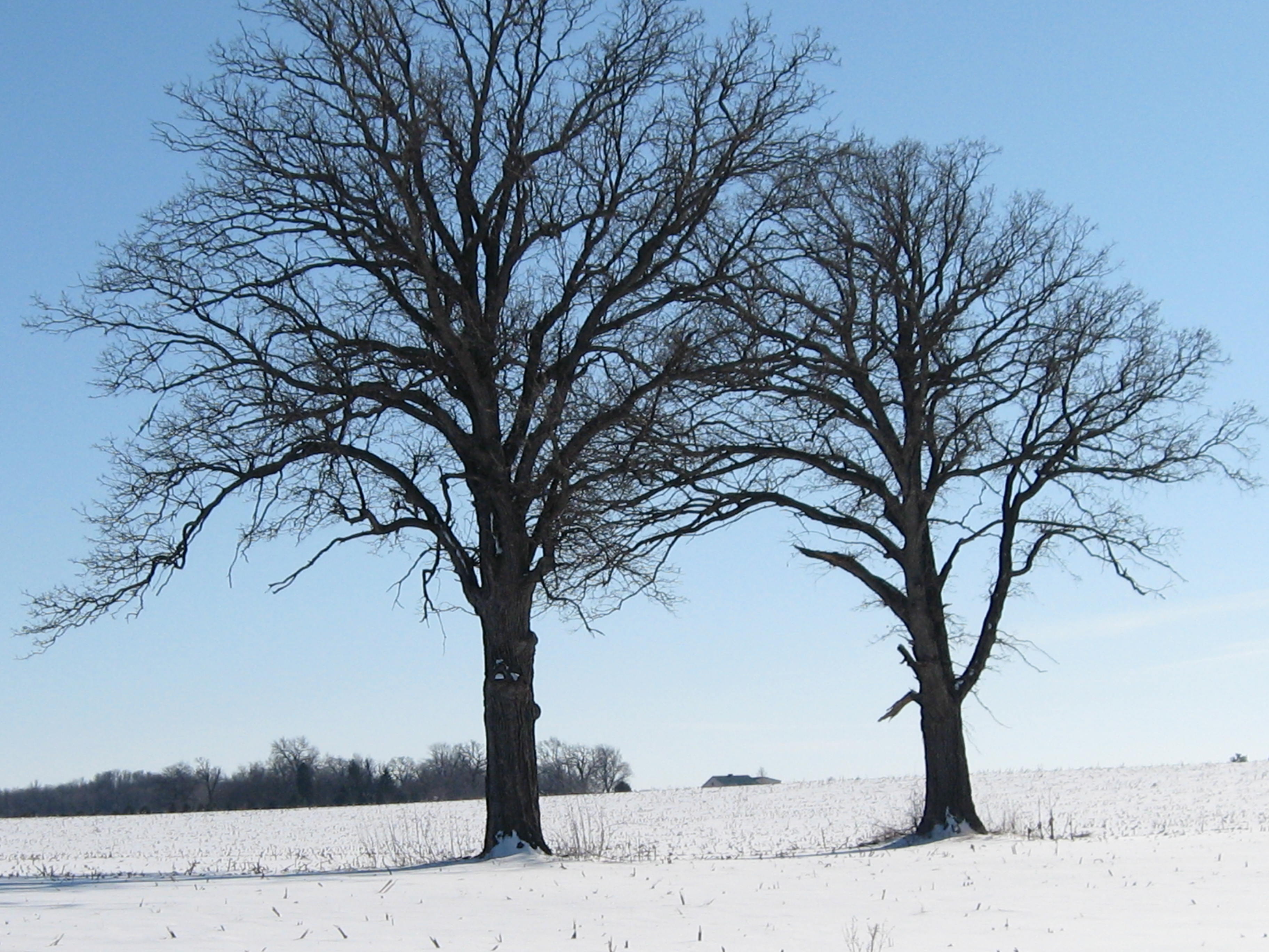
Snowshoes were a big help today. The section between Hwy 59 and Spring Lake is notable for the rolling hills covered with oak woods that border the river on the south. We took the high-line “trail”.

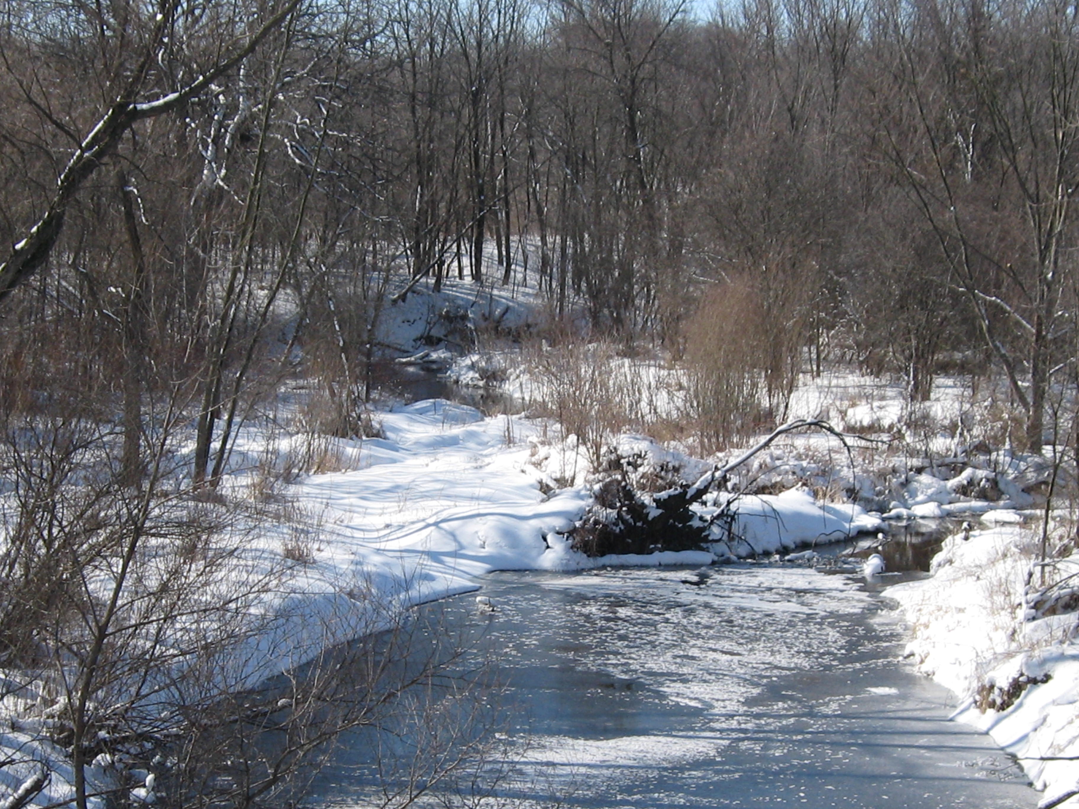
There were no discernible trails anywhere on the stretch of river we walked today and that is too bad because there is some fantastic scenery along the way.

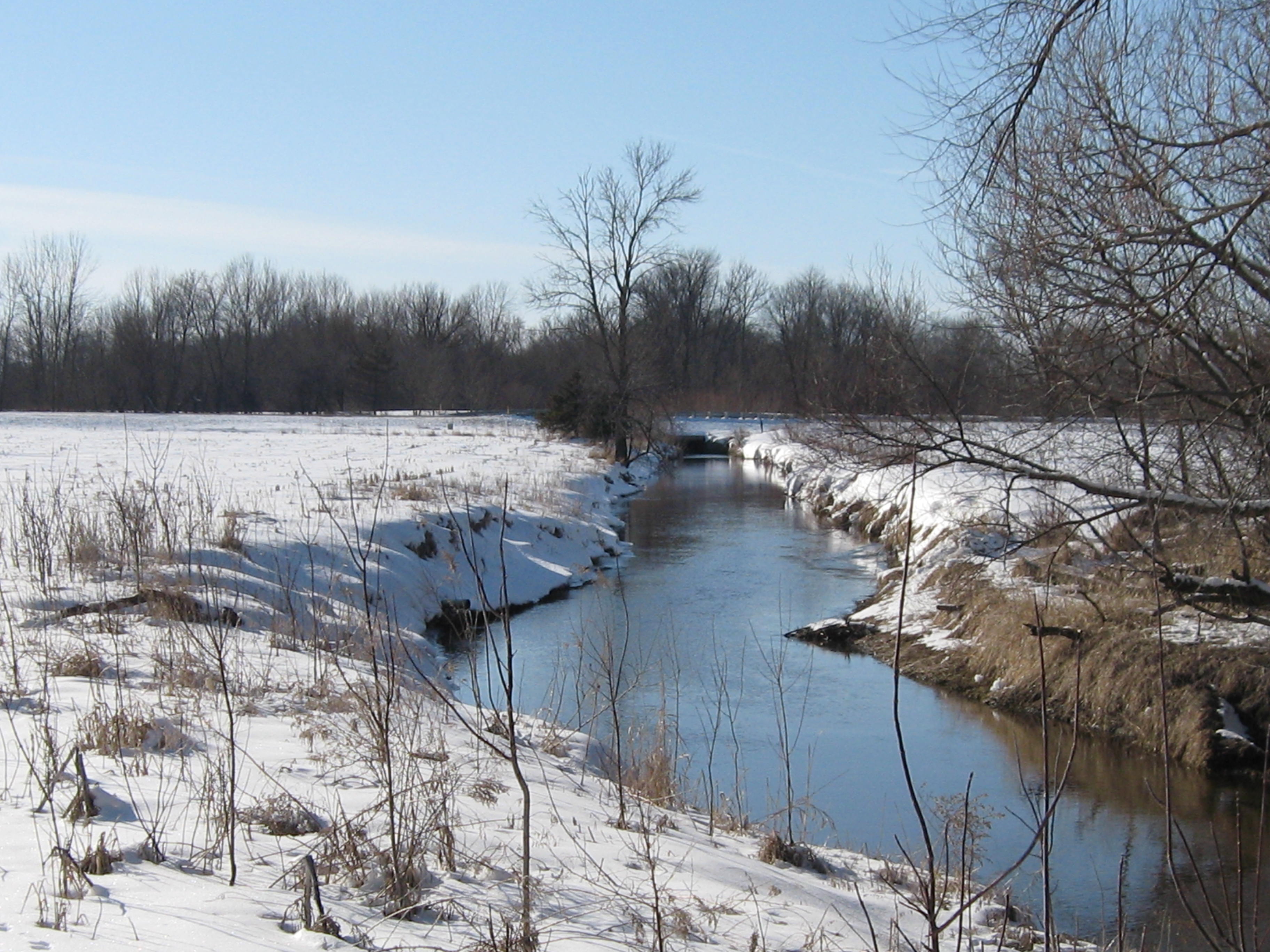
This is a good view looking back at the ridges and high ground we had just traversed.
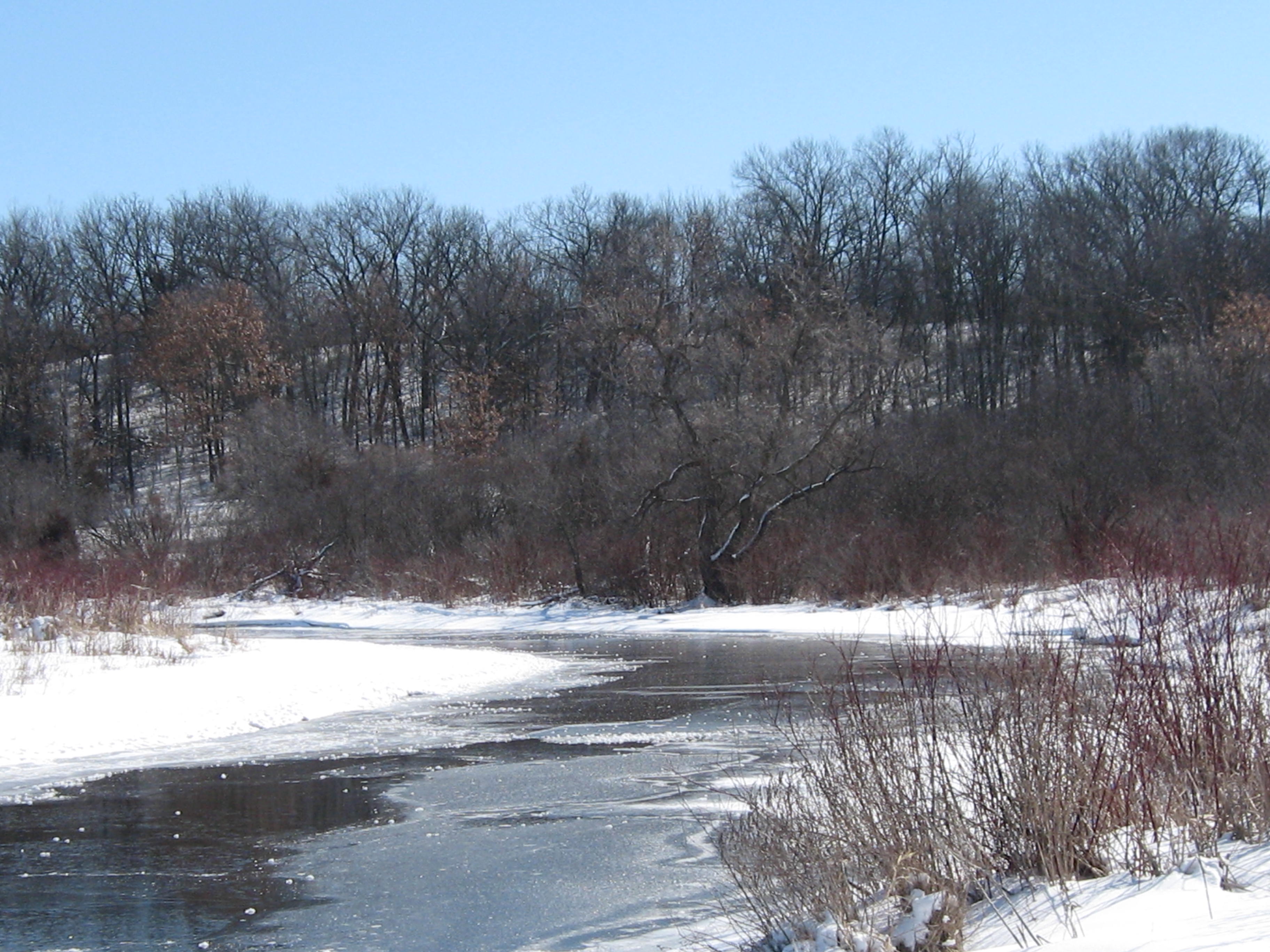
Soon we reached Spring Lake.

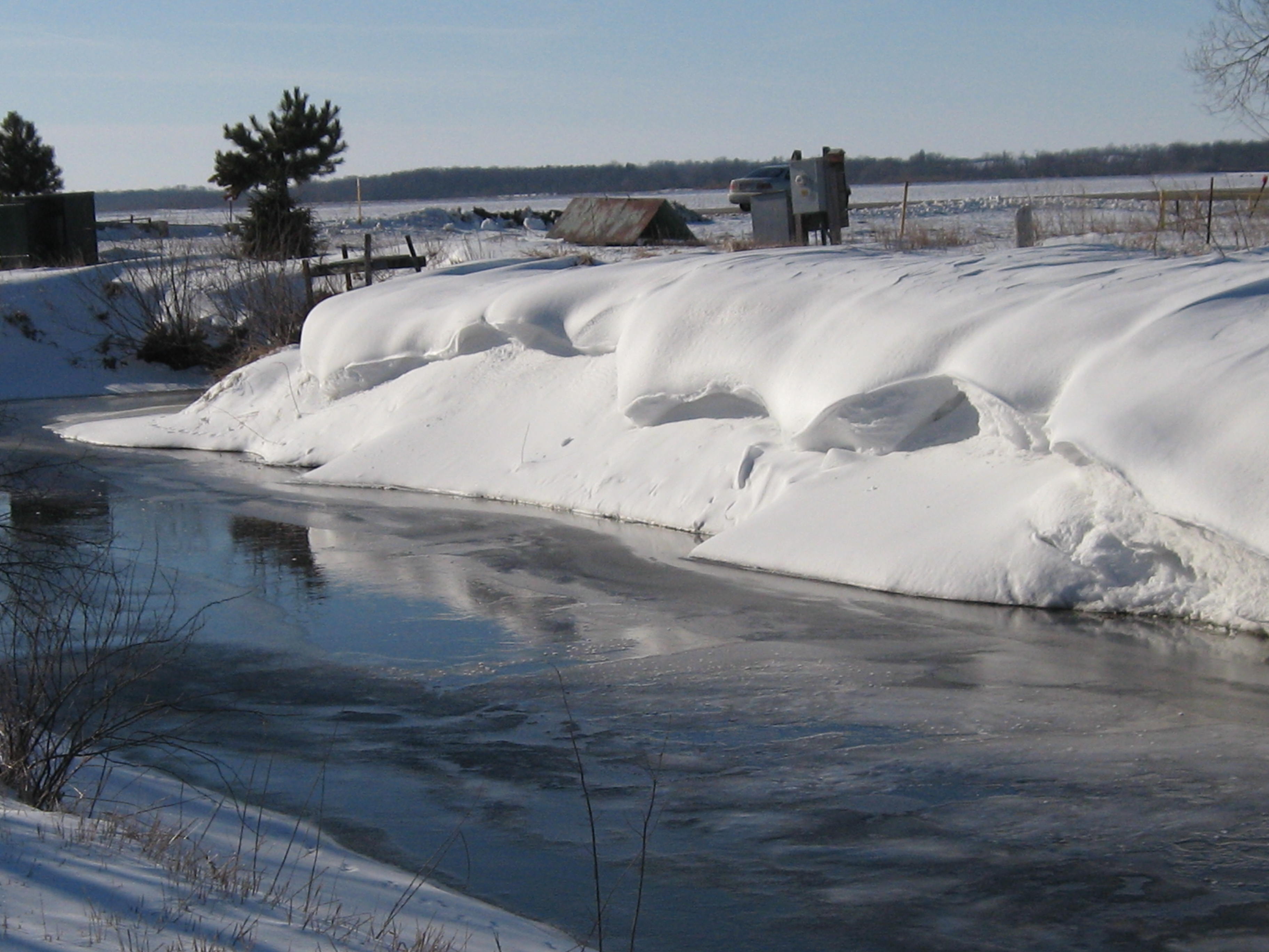
There are two outflows from Spring Lake. One is at the dam pictured here, and this is the course we chose, and the other is in downtown Palmyra.

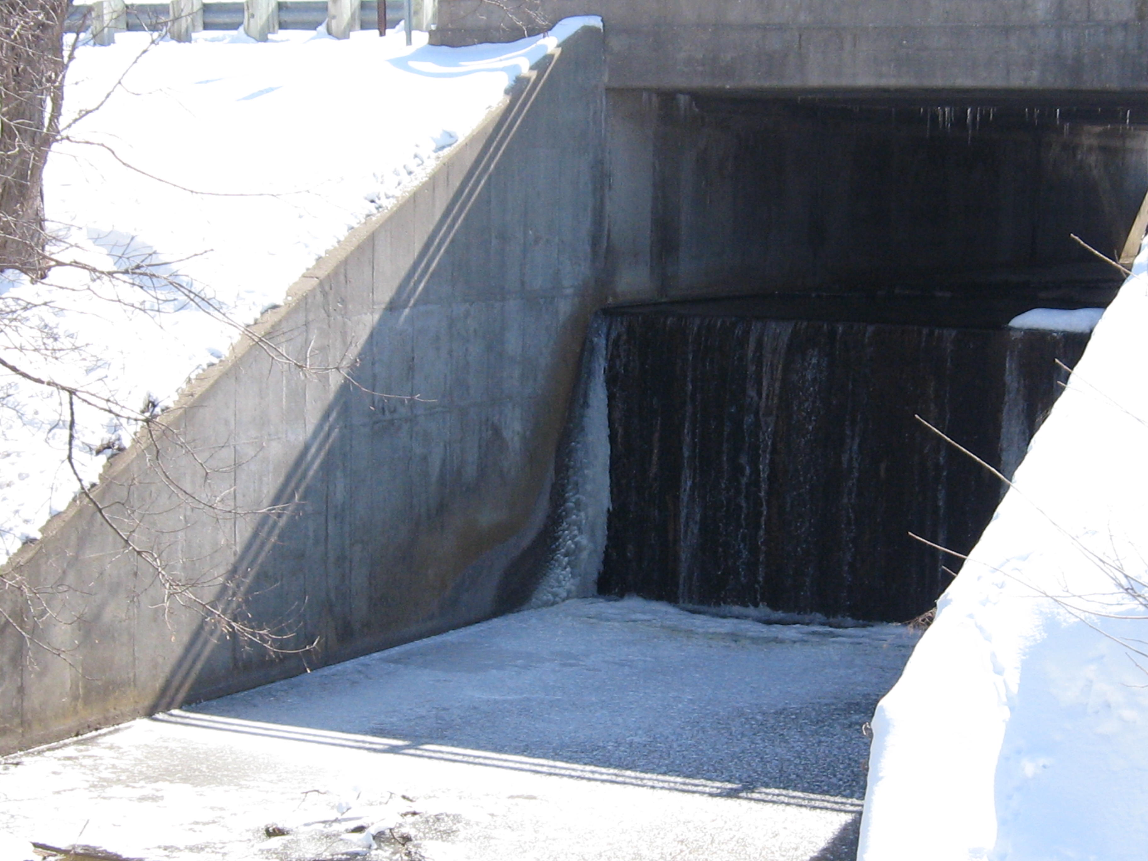
When we got to Hwy E, we realized that we didn’t take the main channel out of Spring Lake; that would have been the downtown exit.
The river twists and turns quite a bit and we took another high-line trail through a beautiful oak woodland. It was so nice that after a while we noticed that we had lost touch with the river as it was heading north and we were going west. Oops!
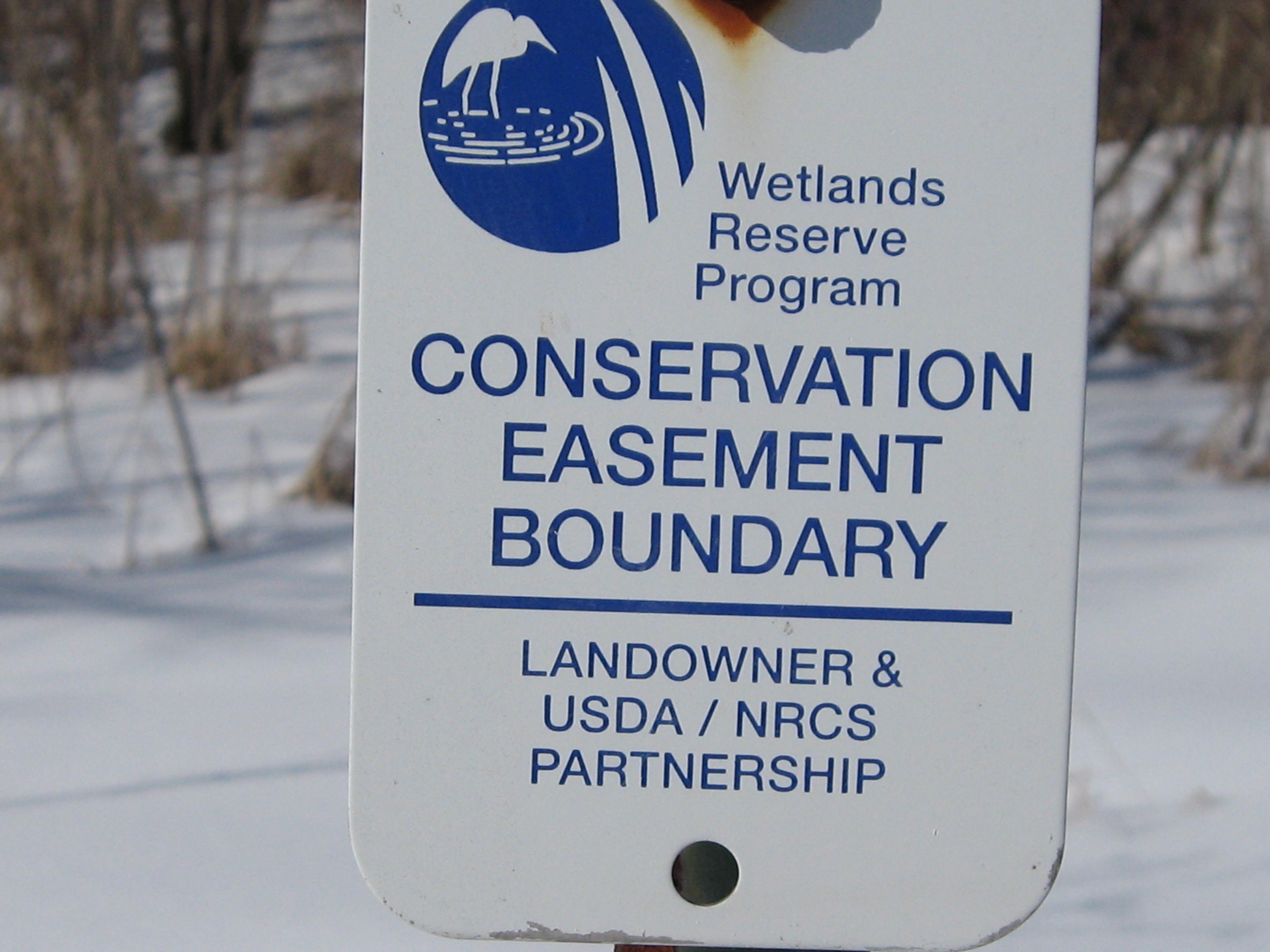
This area of the river is managed under the Wetland Reserve Program.
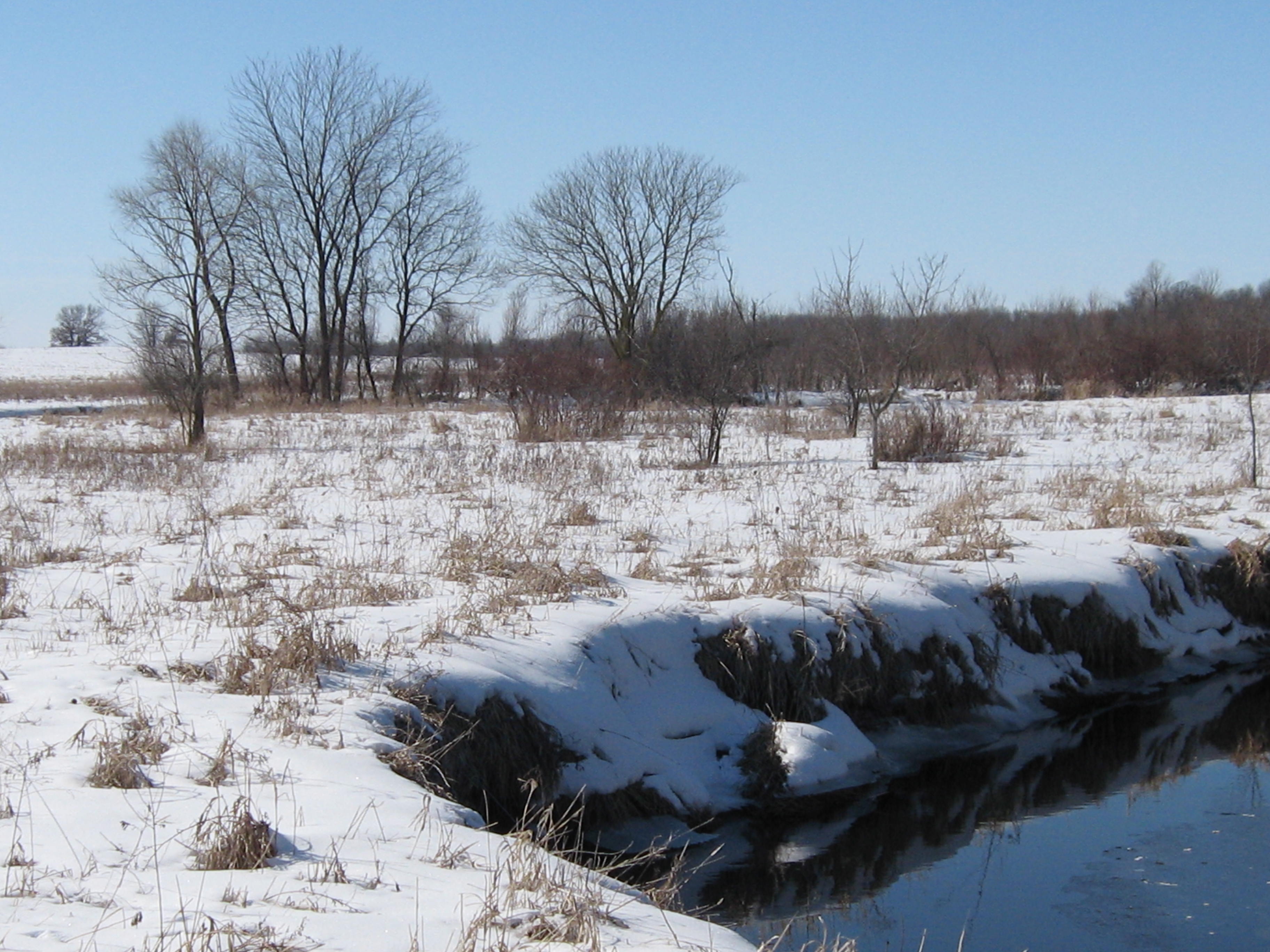
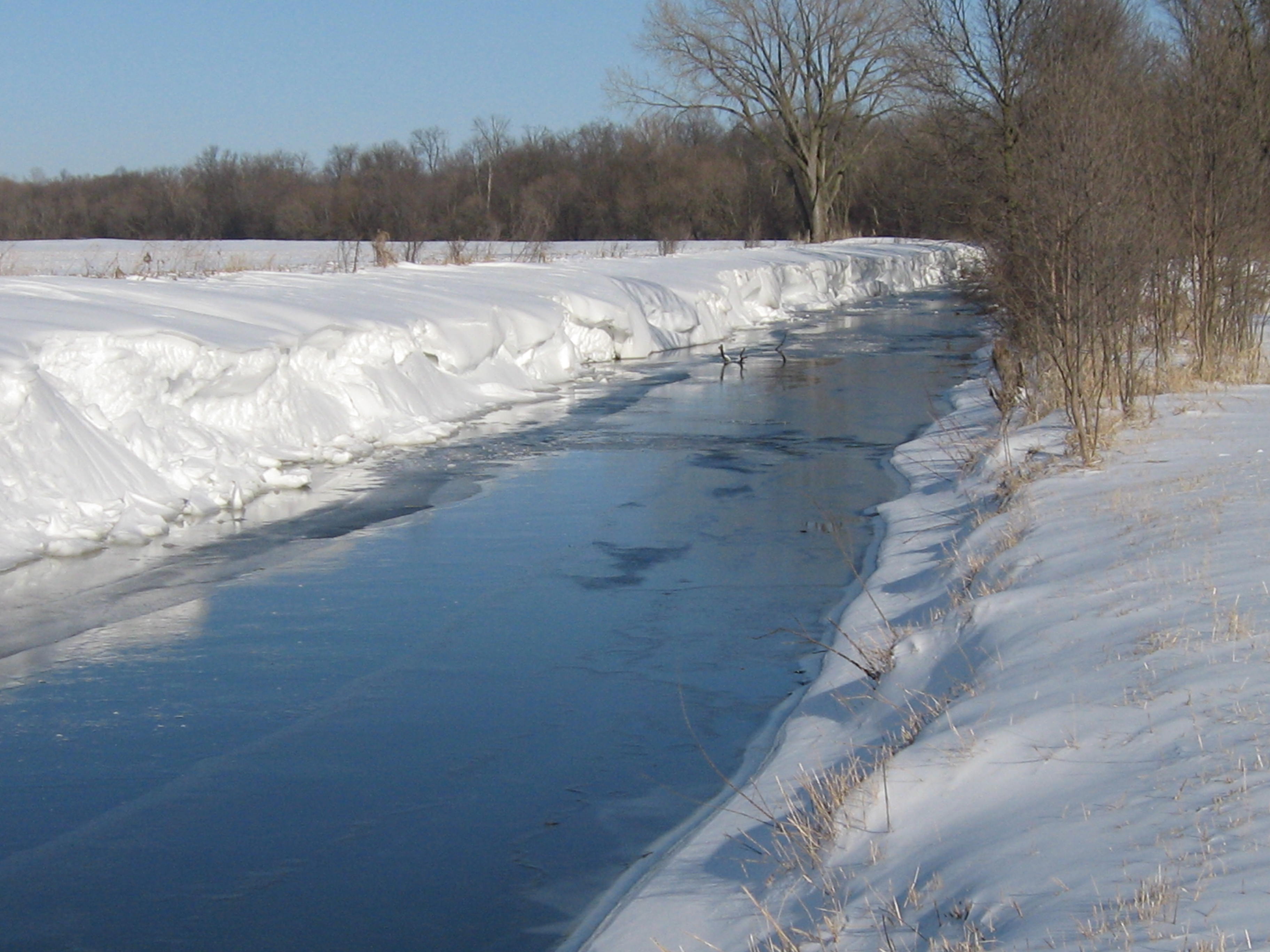
More river views.

And oaks.
All good things must come to an end. Why?
Lindsay’s car was parked at the intersection of Hwy 106 and Island Road and, upon our return, we noticed this sign on a canal and began to speculate whether the canal was the watertrail referred to. It turns out this is the “put-in” spot to take the watertrail downstream where the canal joins the river.
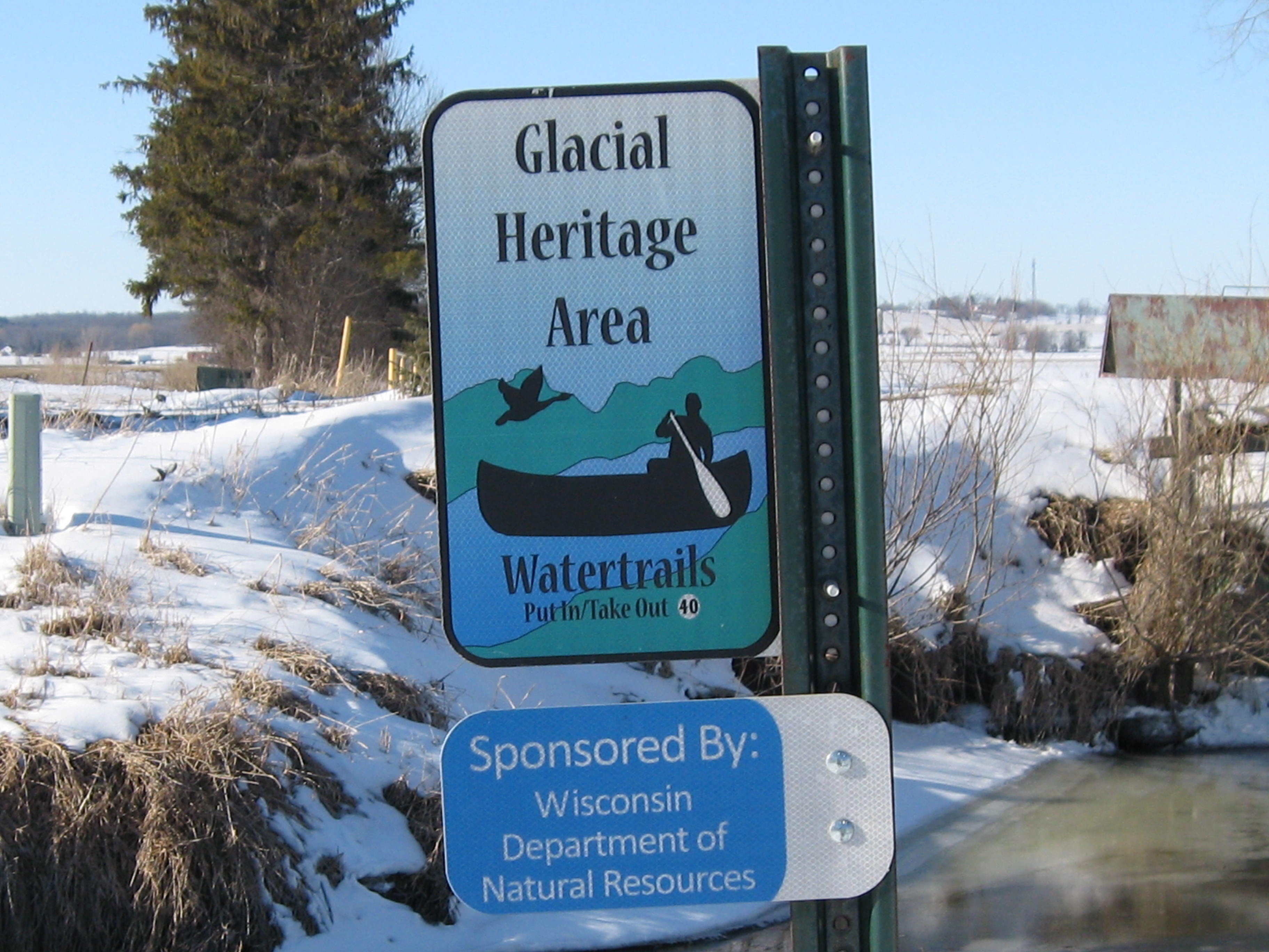
Here is more info about the Glacial Heritage Area Watertrails. Scroll to the bottom of the page for a selection of excellent maps showing paddleable waters primarily in western Jefferson County. I checked the google satellite map and followed the course of these canals until they hit dead ends.
Next time, we’ll hike the fourth and last segment of the river west of Hwy 106, through the Prince’s Point Wildlife Area, to where the Scuppernong River merges with the Bark River.
See you at the Springs!


Pingback: Paradise Springs | Scuppernong Springs Nature Trail
Pingback: Journey Down The Scuppernong River Part 4 | Scuppernong Springs Nature Trail
Pingback: Super Friends of the Scuppernong Springs | Scuppernong Springs Nature Trail