
The Hartland Marsh, aka Ice Age Marsh, aka Ice Age Wetland, is an important wetland in the Bark River watershed. It filters runoff water from the commerce centers on its north and south and the roads and subdivisions of the Village of Hartland to the east and helps prevent flooding downstream. It’s diverse landscapes include Oak and Hickory uplands and three islands. And bubbling forth from the labyrinth of rock formations below, are many crystal clear springs that join the Bark River.
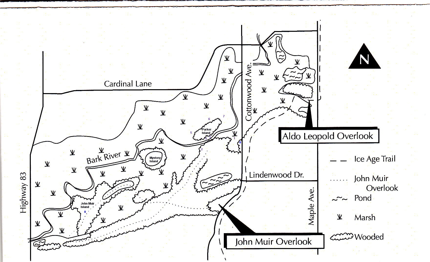
Please refer to the About Paul page on this site for a Google Map showing the location of the Hartland Marsh. I love to show people around the marsh, but since we may not get a chance to meet there, here is a little tour. We’ll start at the old Parker brothers home site on the south side of the Bark River. This is just north of the detention pond and farm field on the west side of Cottonwood Ave. I’ll be referring to this map; note the numbers of the springs in blue to correlate with the text (click the image to view full size).
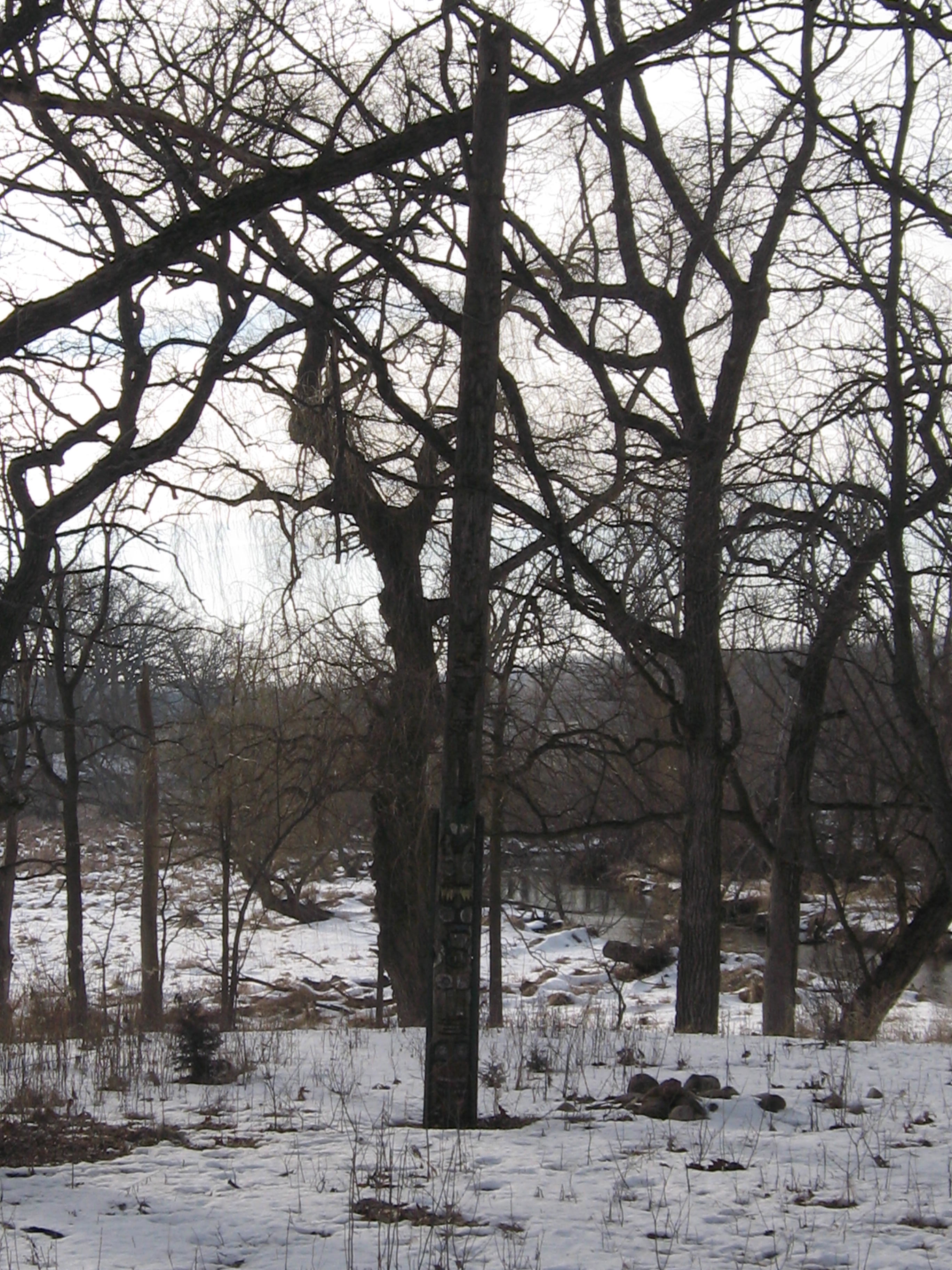
Upon their return from World War I, John and Jim Parker built a cozy home on top of a “low finely modeled hill” surrounded by springs and mature oak trees. John Parker carved this totem pole, which I found laying on the hill above the river completely obscured by a buckthorn thicket. Marlin Johnson, who was instrumental in acquiring this property for the Waukesha County Land Conservancy, and Brian Engel stood the pole up.

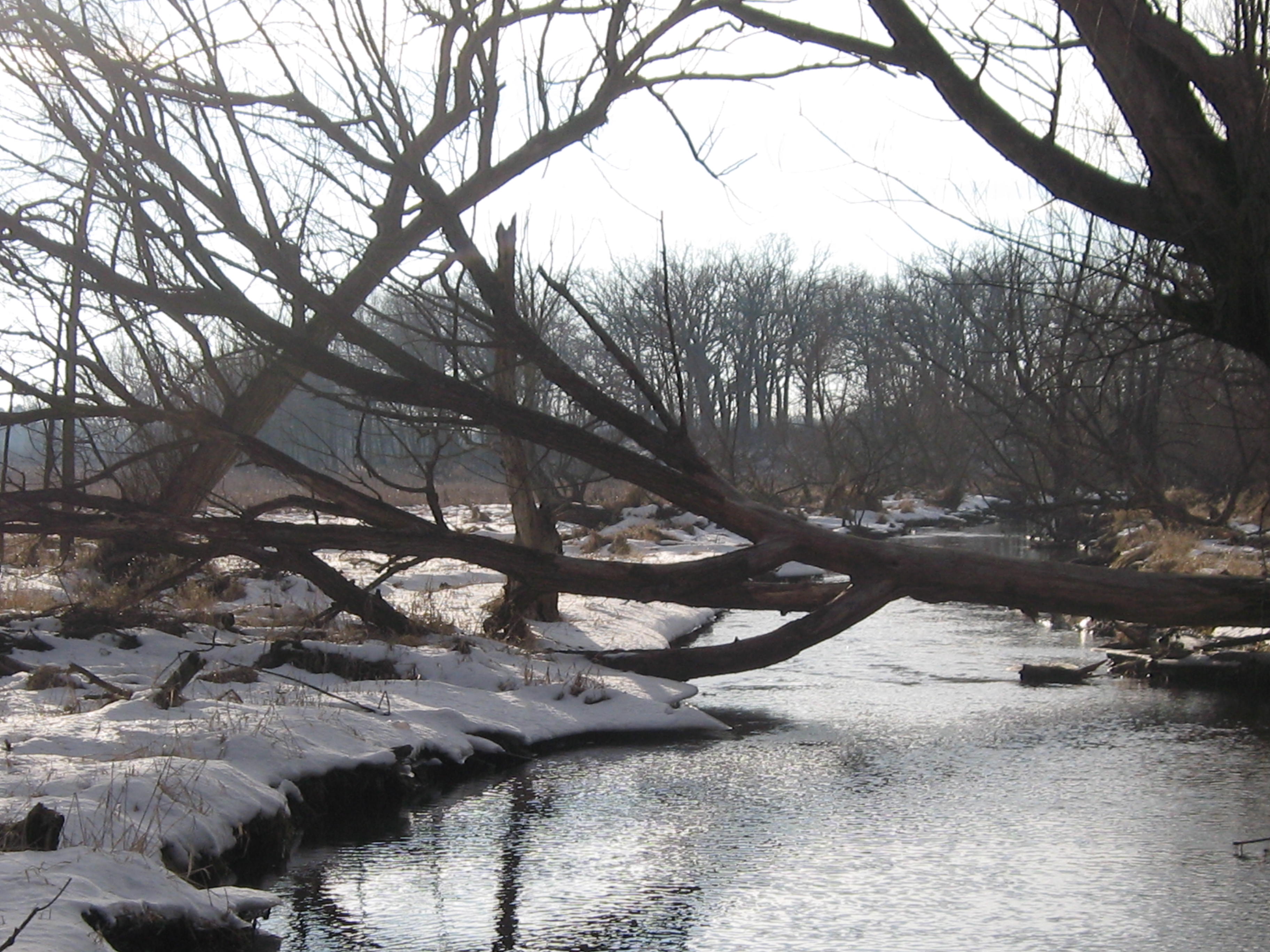
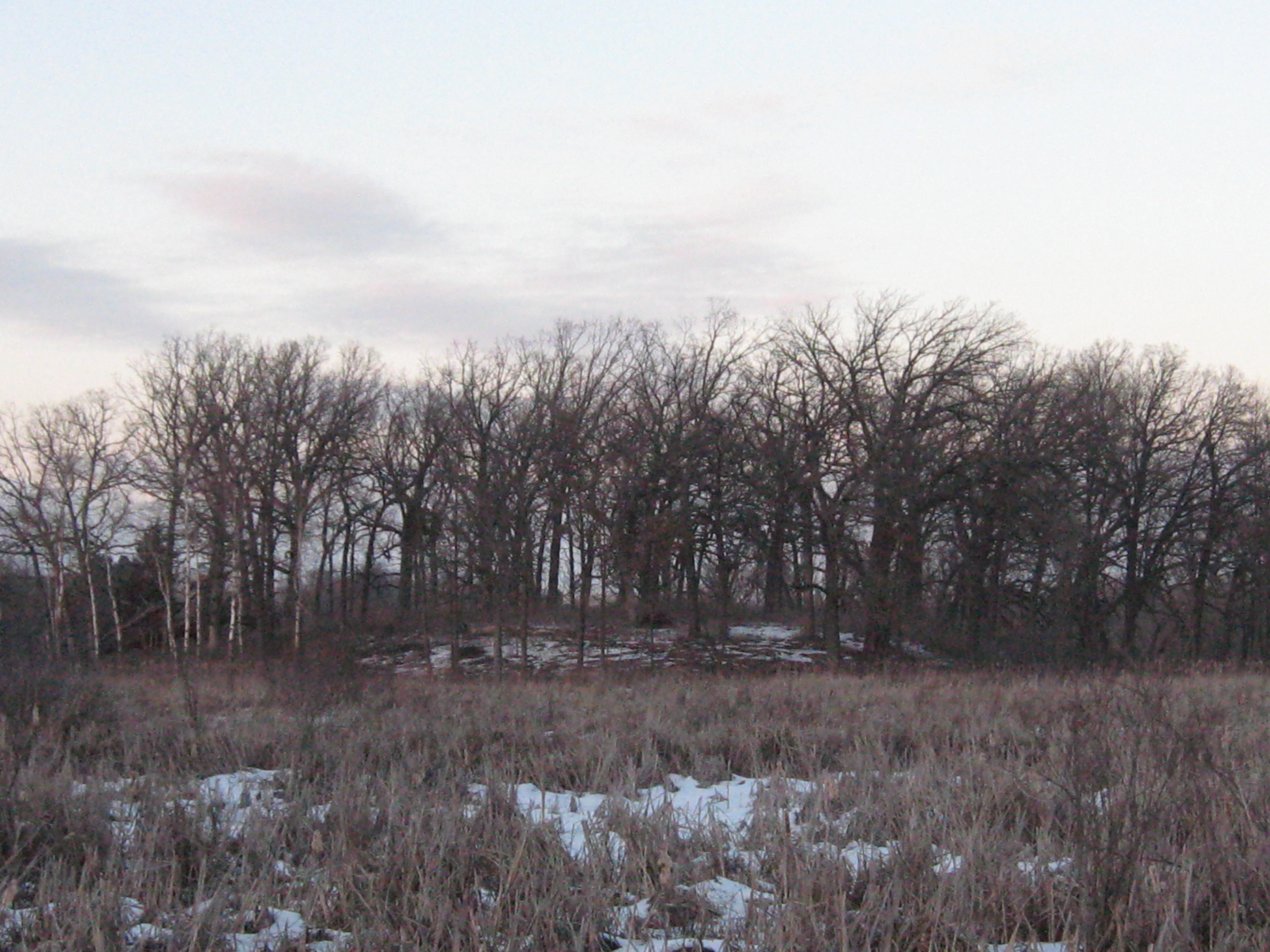
To west down river and across the marsh we see the Mystery Island.
And passing silently by to the north is the Bark River.

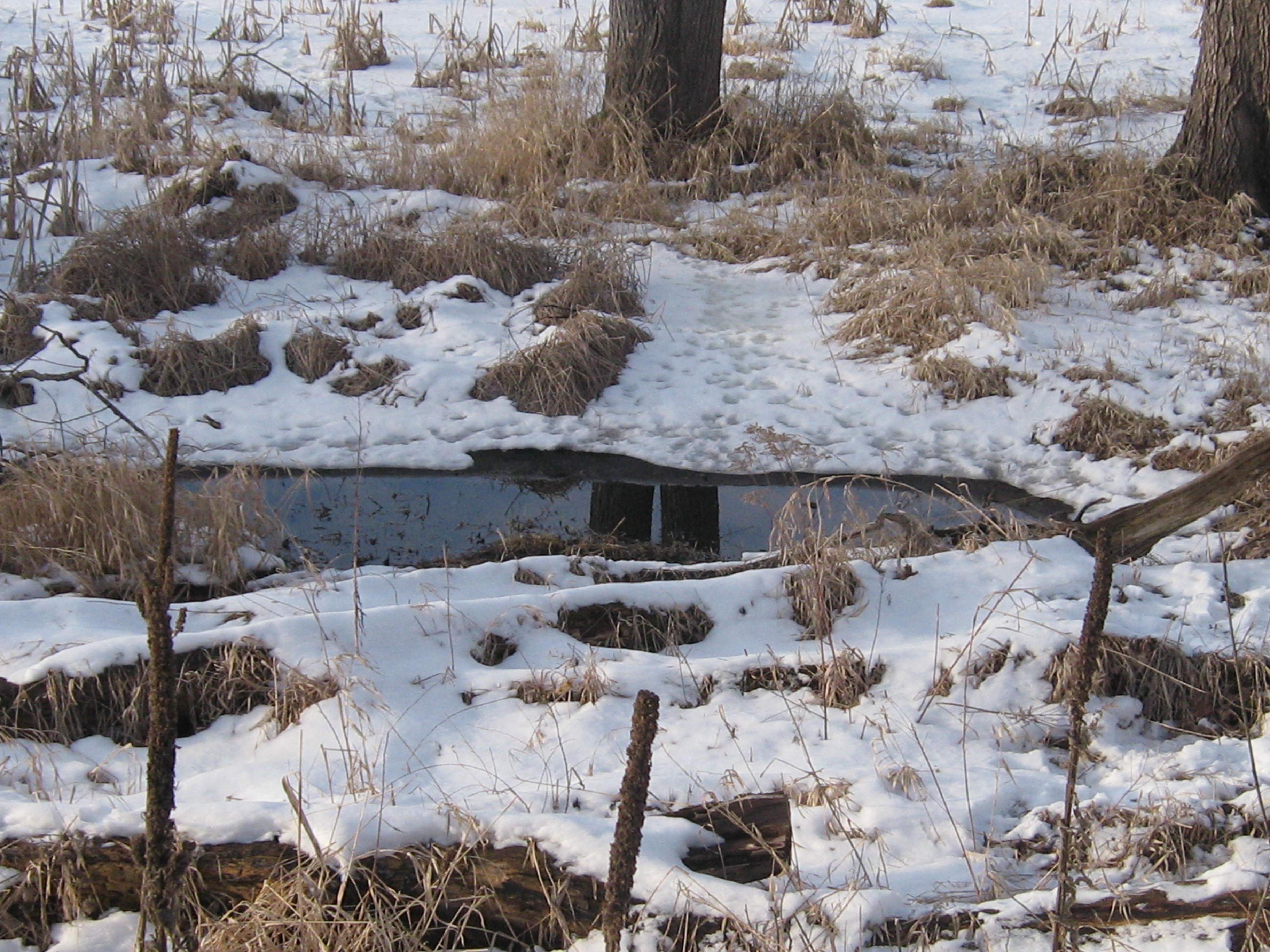
The first spring marked #1 on the map above is just east of the home site near the base of a huge willow tree. You will often catch a glimpse of a great horned owl here.
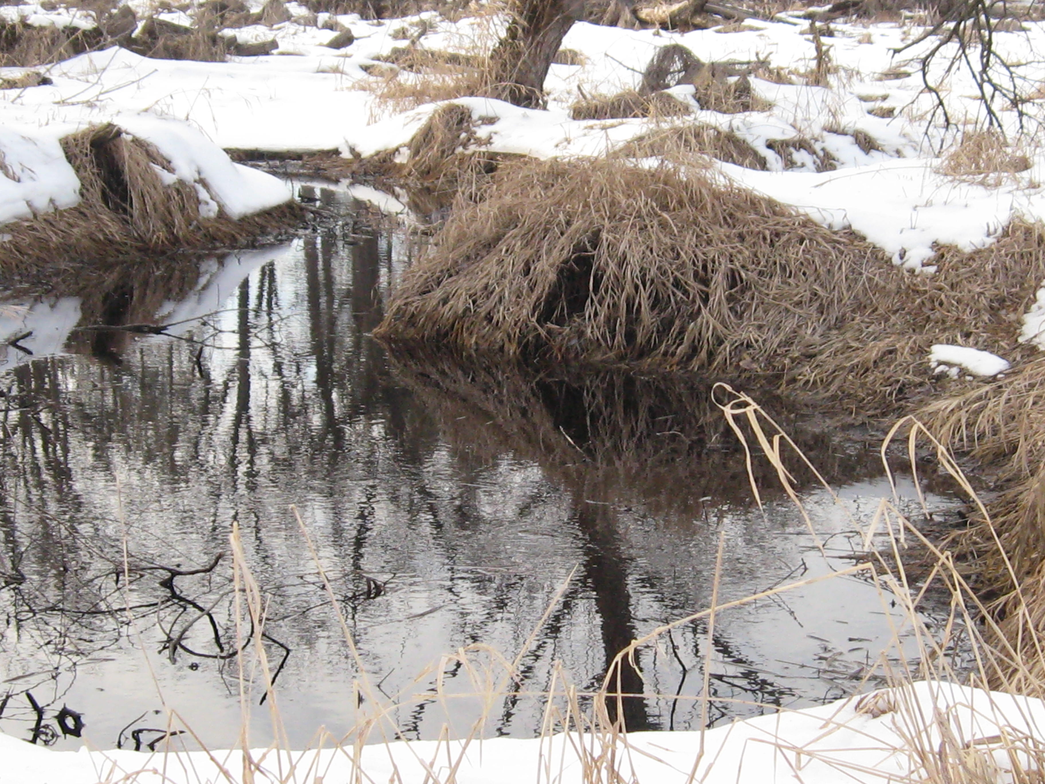
At the base of the hill on the west side of the home site at #2 is another spring. The outflow of this spring used to pass through the mouth of a turtle that was chiseled out of stone. We used to keep the Bark River search and rescue canoe docked alongside the channel for easy deployment.

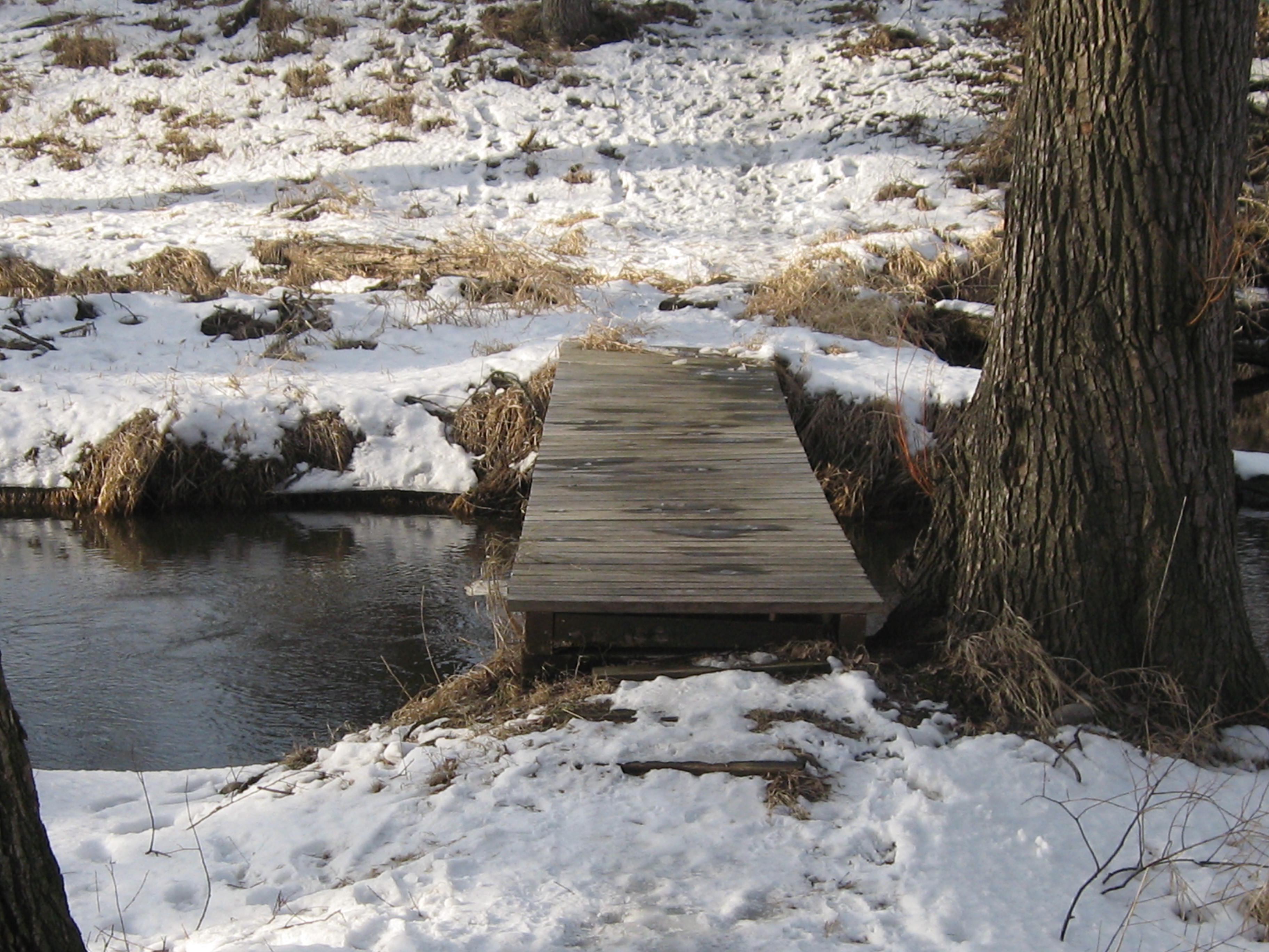
Crossing the bridge we encounter springs #3 and #4.

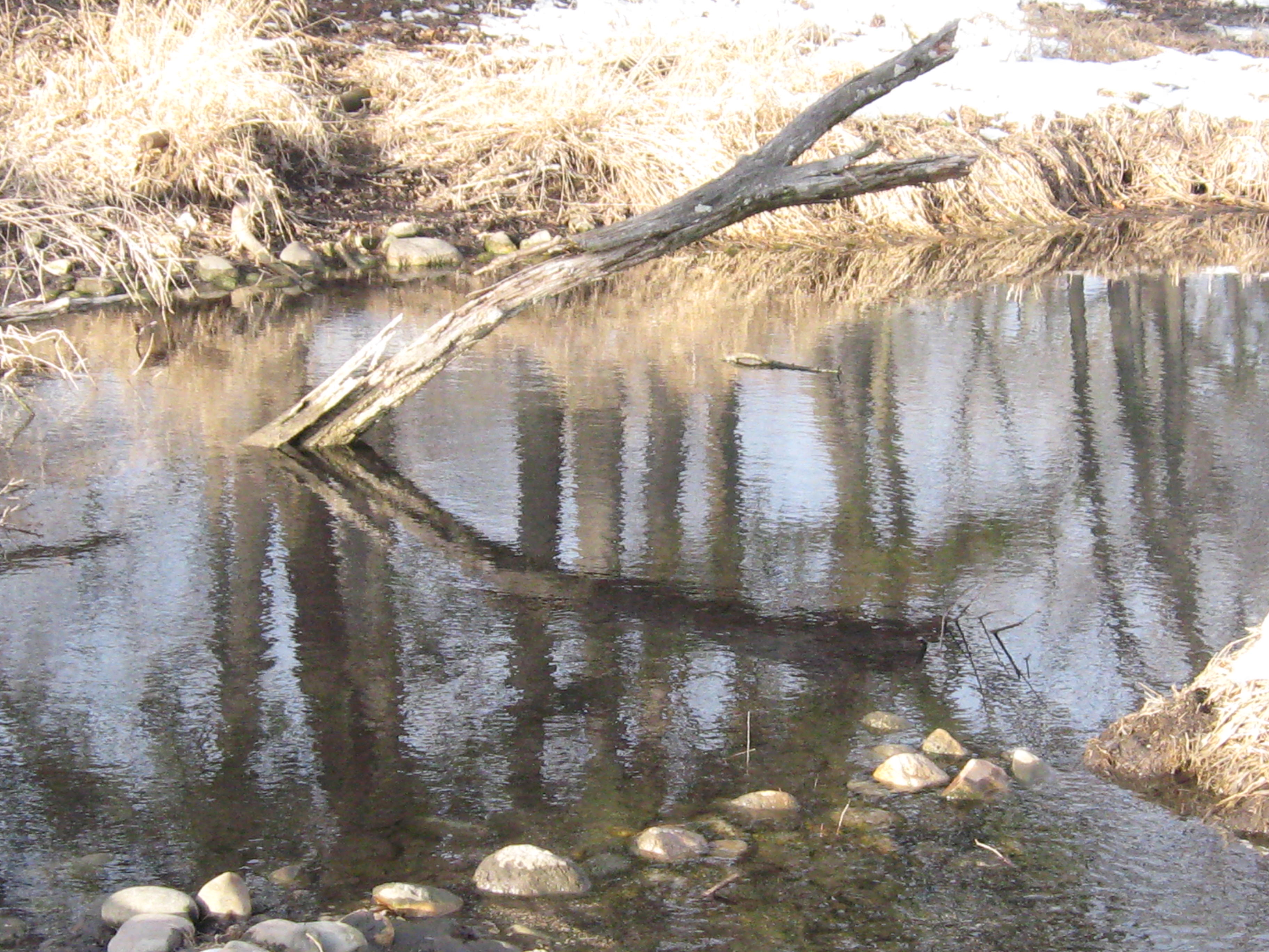
I’ll never forget the time the bridge almost got washed down the river. It was hanging on by one corner with the span pointing downstream. The water was so deep that Mike Fort and I were barely able to reposition it. Later, Pati and I laid a fresh deck of 2×6 planks on it. I’m always amazed to consider how high the river got.
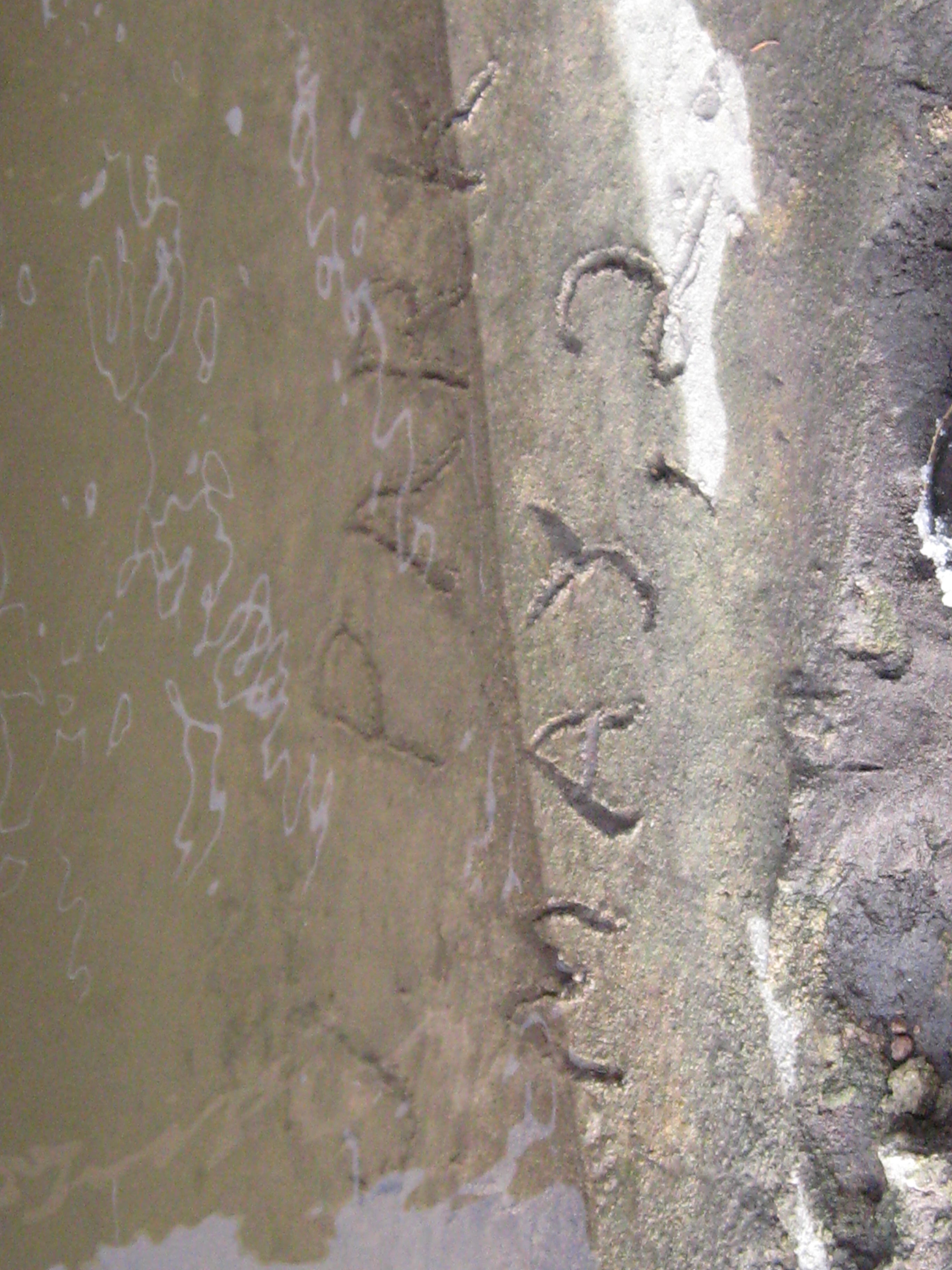
Can you make out the “J. Parker May 2, 1948 on the concrete foundation above? I wonder if it was John or Jim?
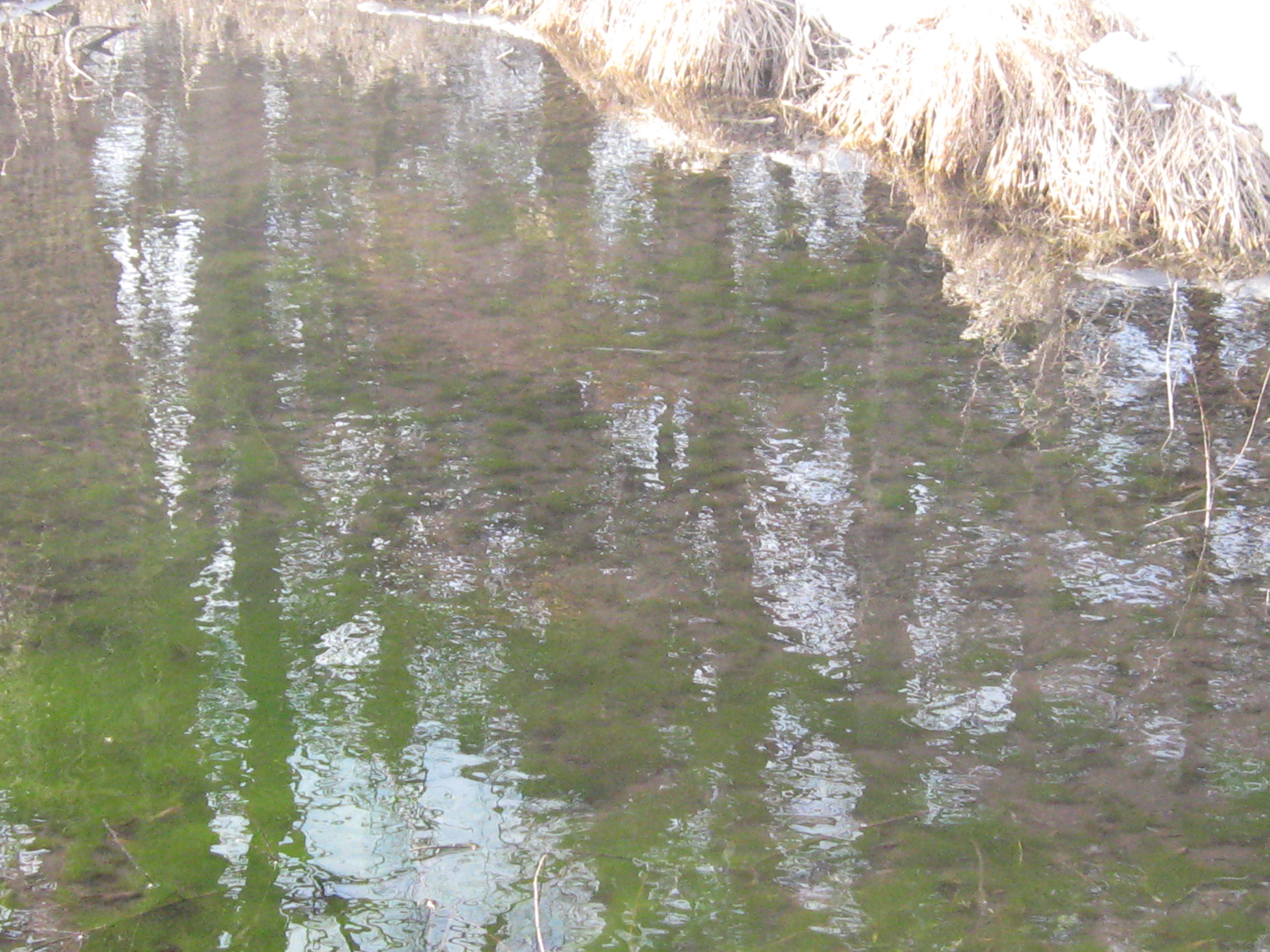
Crossing the river we find spring #5 on the west end of Parker Island.


And around 2/3 of the way east on north side of the island is #6.
The Fire Chief, Augie Wilde told me there used to be a pond here where people caught Northern Pike. They must have made a dam trapping the outflow of springs #5 and #6.

The seventh spring is just off the east side of Parker Island.

There is a beautiful oak, hickory, cherry and pine woodland on the island.

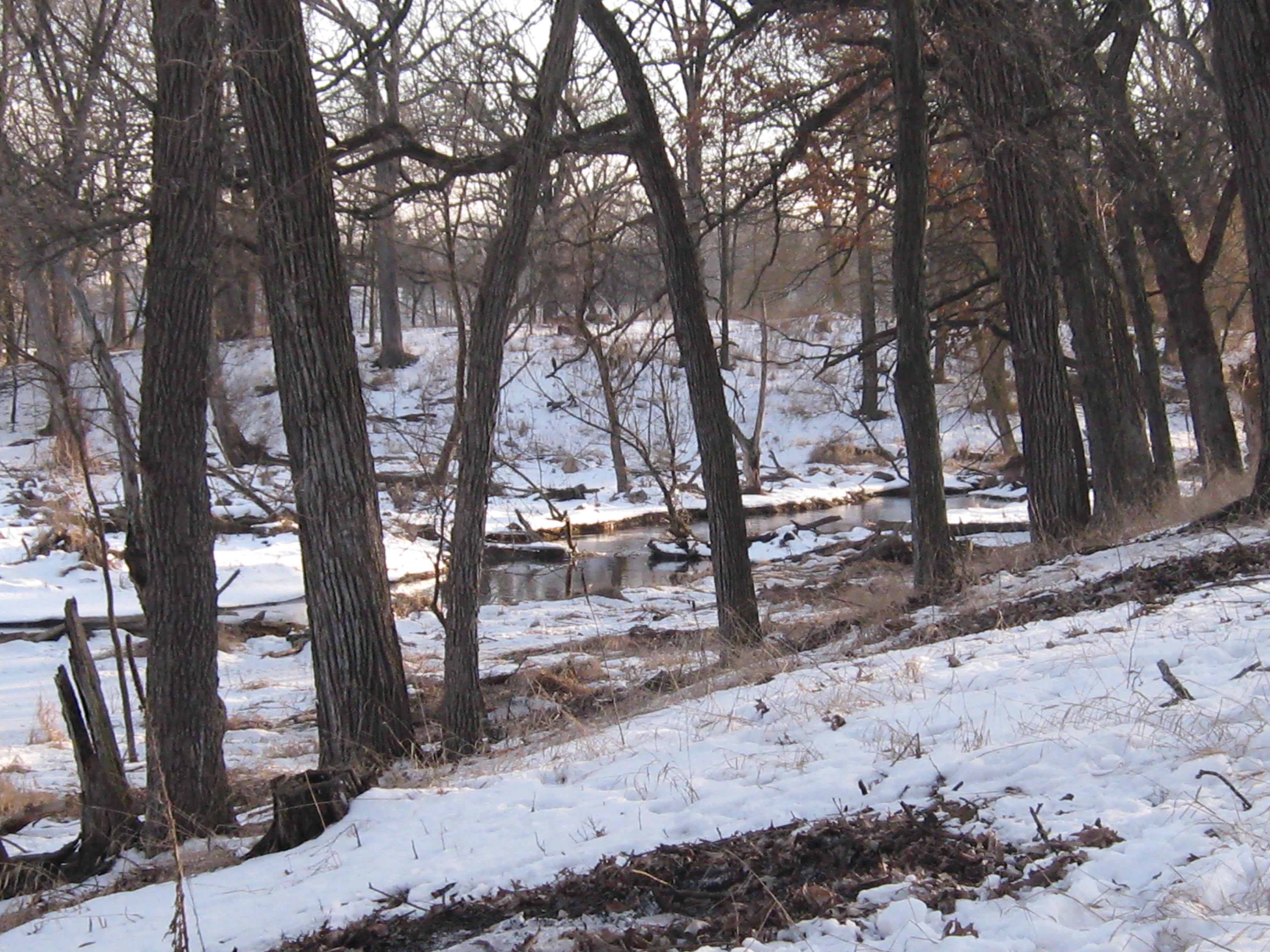
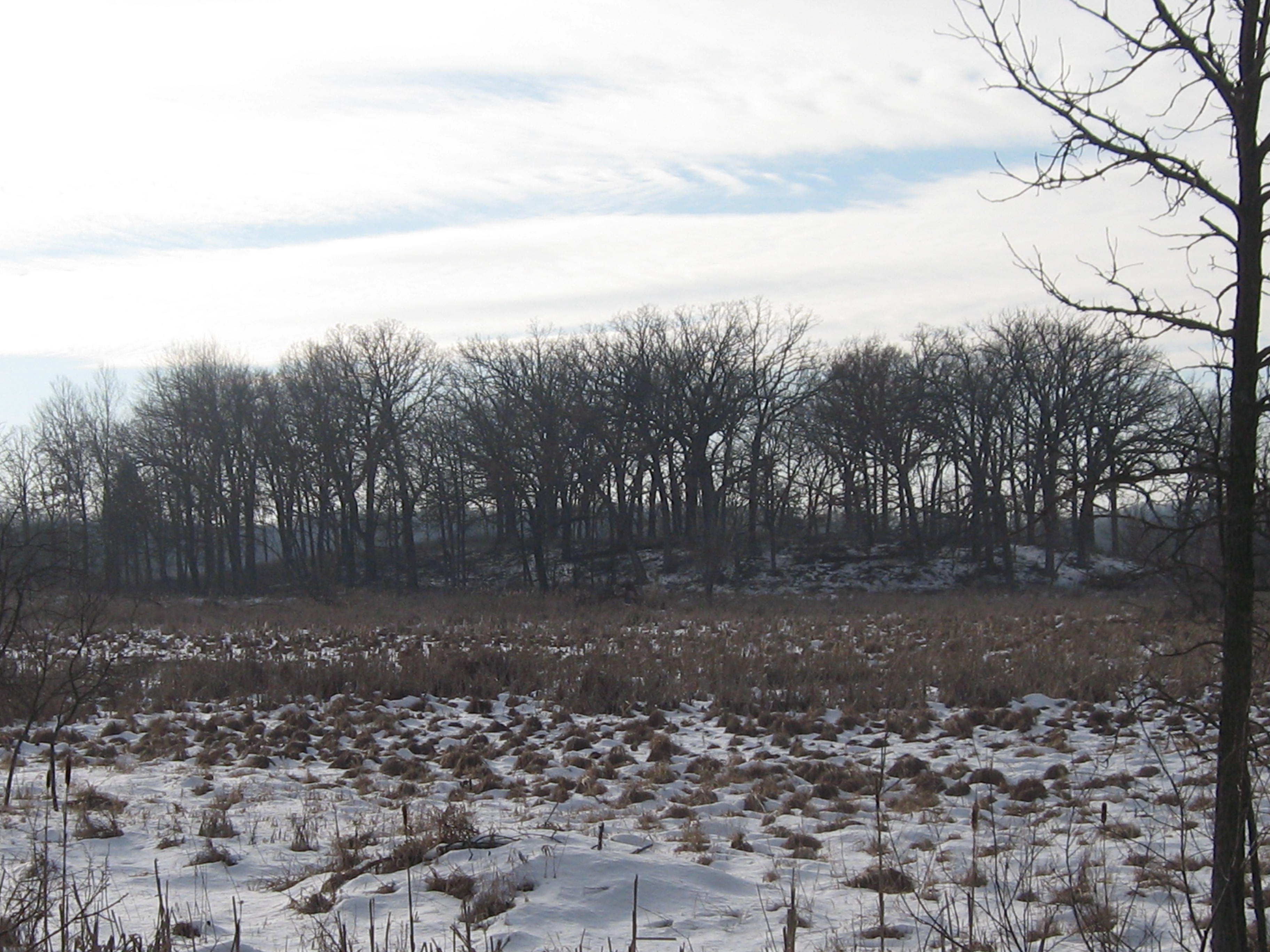
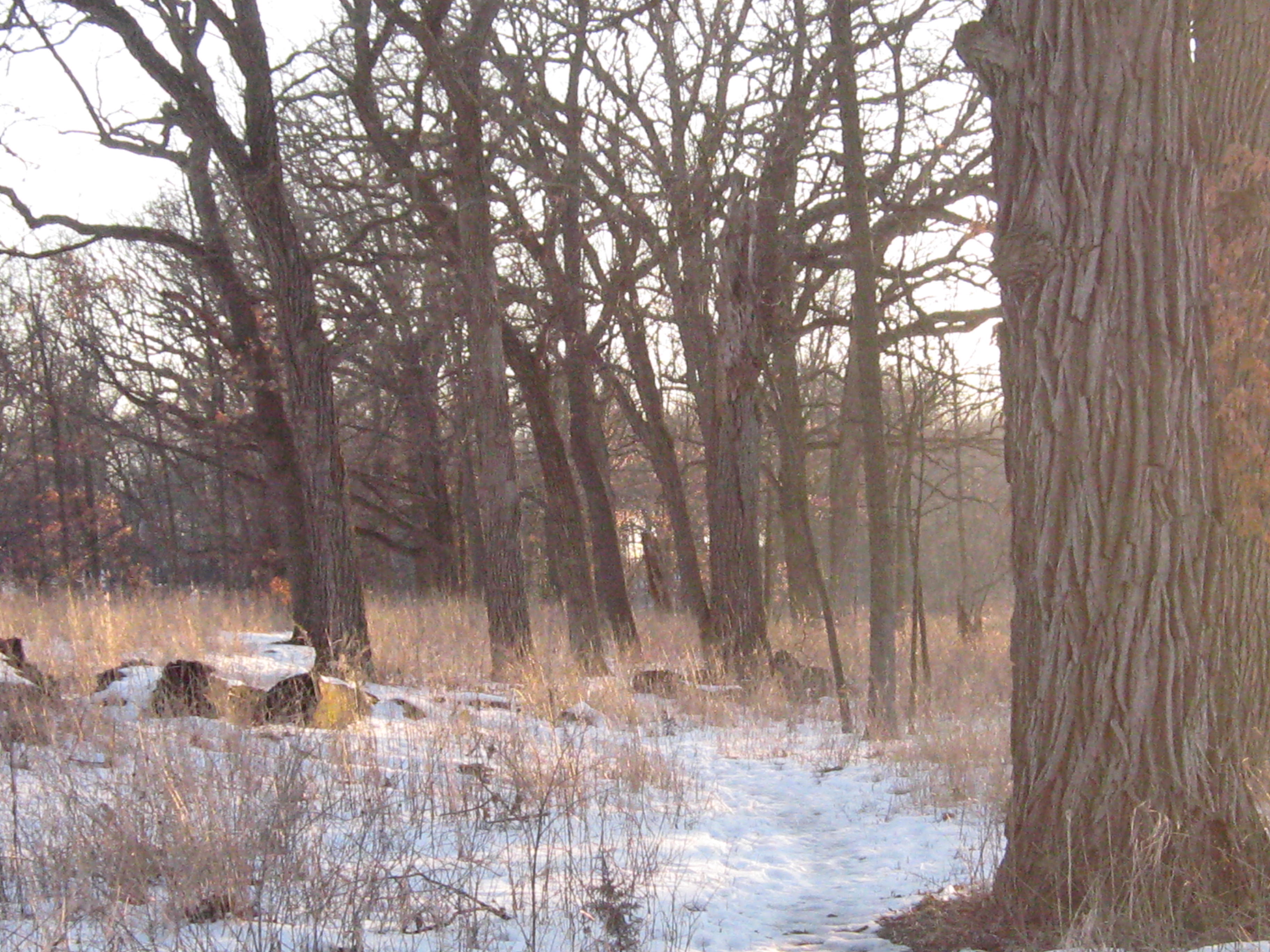
Leaving the Parker Island, we follow the south side of the Bark River downstream to the Mystery Island. Winter is the easiest time to visit.
Here is the view along the trail connecting the Waukesha County Land Conservancy property with the Village of Hartland and Ice Age Trail Alliance properties.
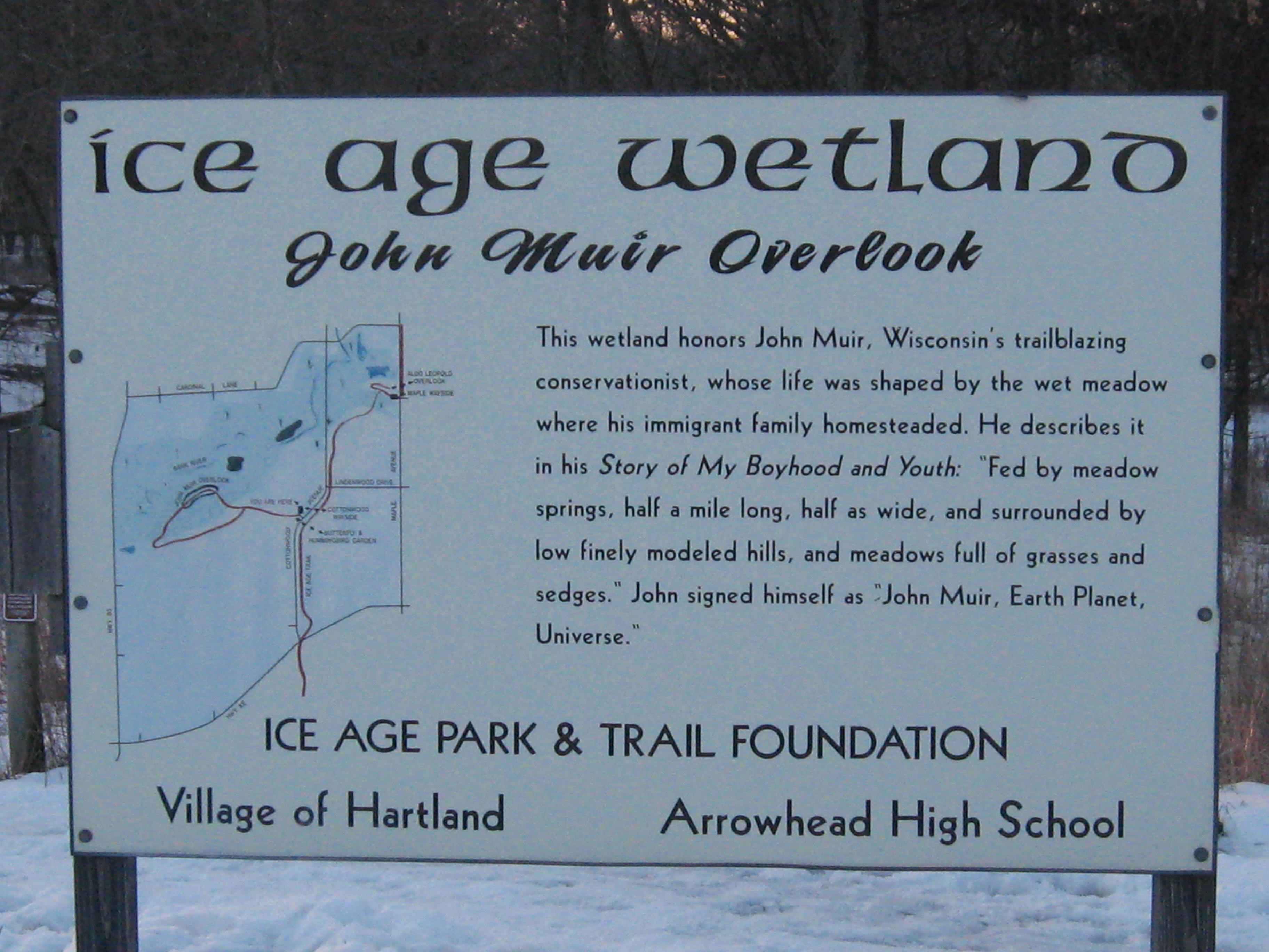
There is a nice picnic site and parking lot at the Cottonwood Gazebo and this sign.
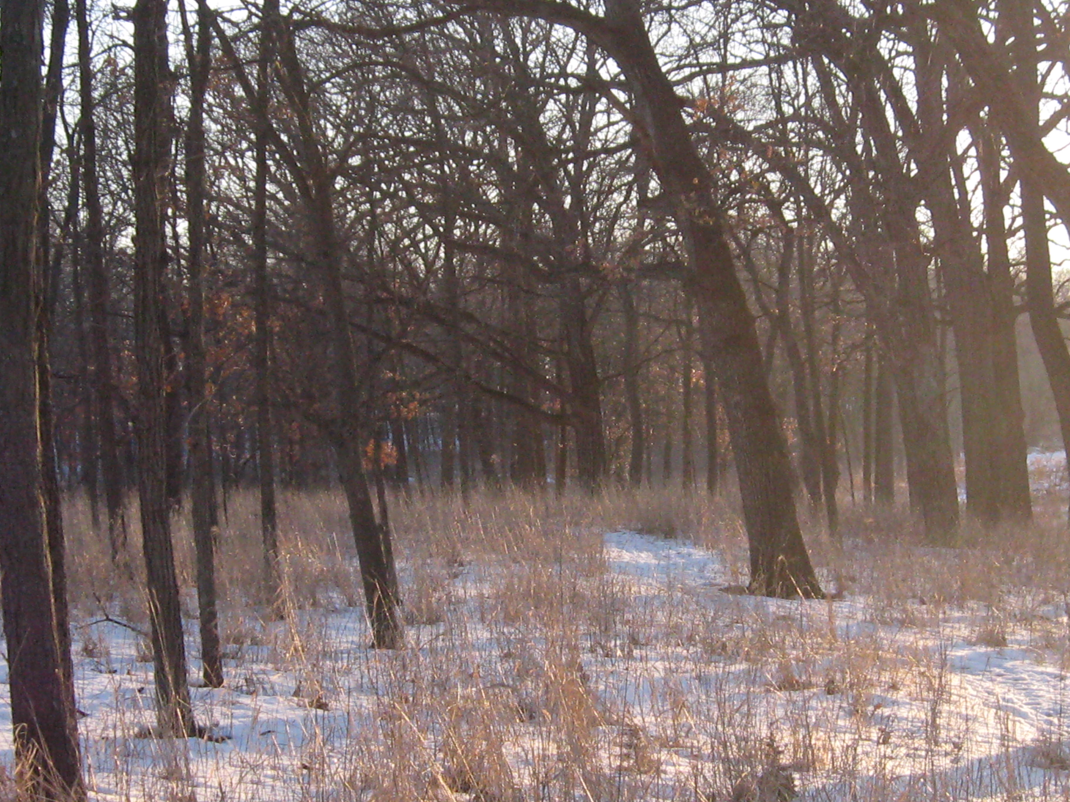
Here is the view from the sign above looking west down the loop trail. You can see the charred remains of burned buckthorn piles.

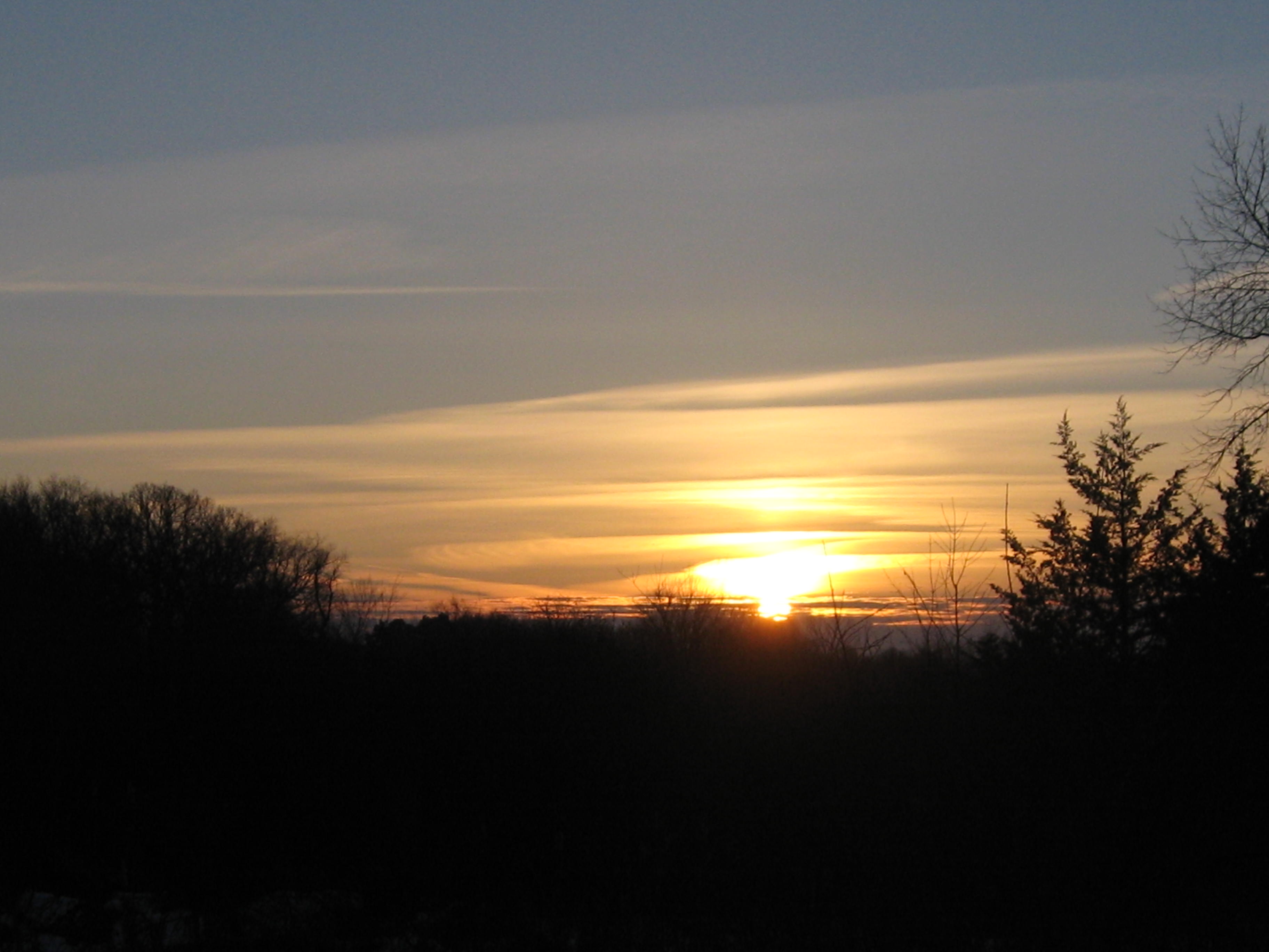
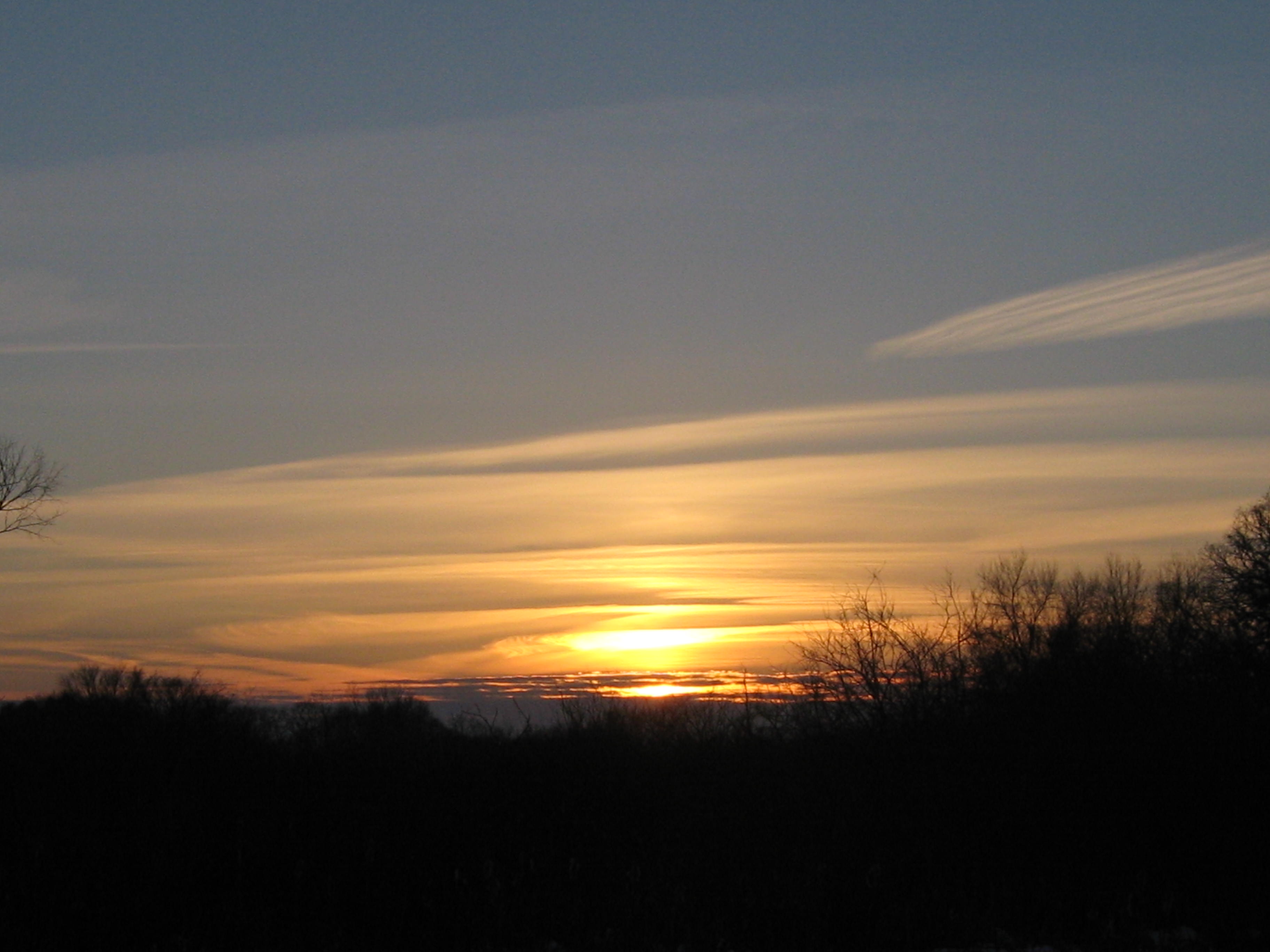
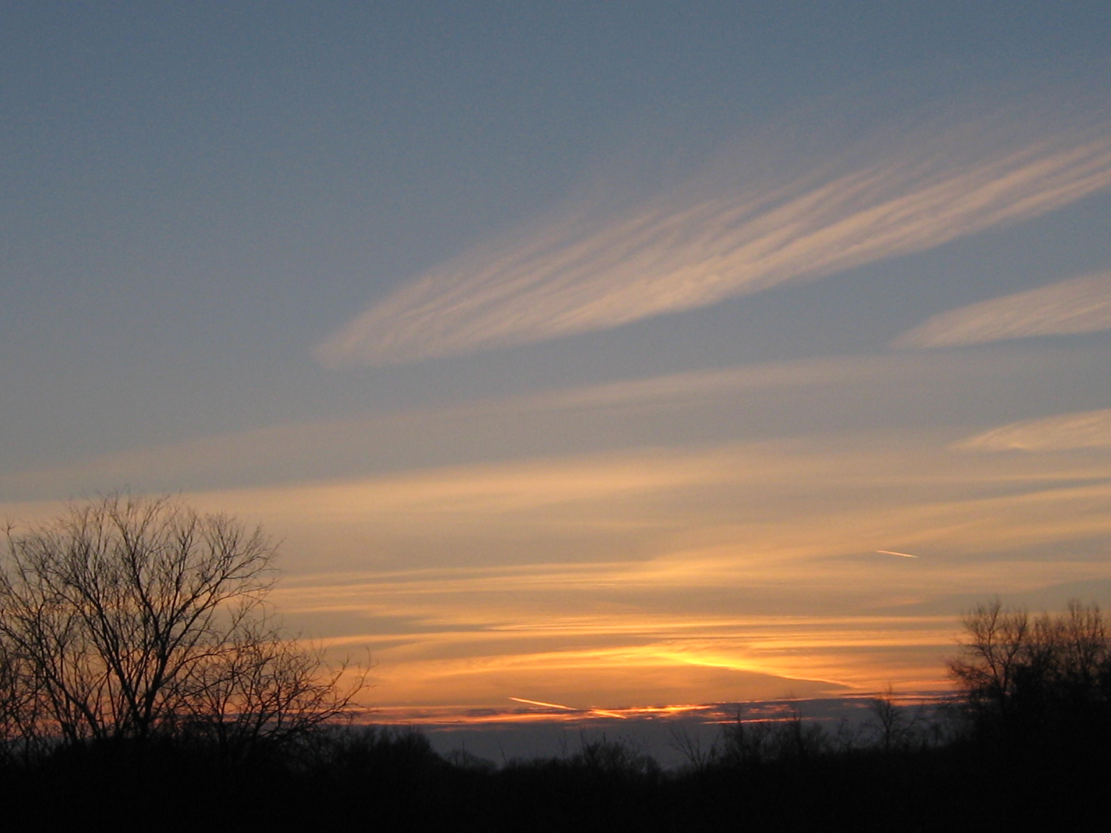
The daylight was fading as I made my way to the John Muir Island via the excellent set of boardwalks that the Ice Age Trail Alliance built.
The southwest side of Mystery Island as seen from the boardwalk leading to the John Muir Island.

There is another set of springs at #8 at which I have seen muskrats chomping on water cress in the dead of winter. And finally, right along Cottownwood Ave. at #9 is another set of springs.
I hope this little taste of the Hartland Marsh will motivate you to pay a visit and see for yourself.

Fantastic information and photos! I might have to check out this area in Spring.
wow, burning those piles is a dream come true. Nice work! The after video is impressive.
Pingback: Redemption at the Hartland Marsh | Scuppernong Springs Nature Trail
Pingback: Frog Celebration | Scuppernong Springs Nature Trail
Pingback: The Buckthorn Metaphor | Scuppernong Springs Nature Trail
Pingback: More Trout Stream Therapy | Scuppernong Springs Nature Trail
Pingback: Freedom | Scuppernong Springs Nature Trail
Pingback: Meadow Springs | Scuppernong Springs Nature Trail
Pingback: Spring Labor Days | Scuppernong Springs Nature Trail
Pingback: Wood Working | Scuppernong Springs Nature Trail
Pingback: Buchta Wins Gold in PilingStyle | Scuppernong Springs Nature Trail
Pingback: Kettle Moraine Natural History Association | Scuppernong Springs Nature Trail
Pingback: The Woot Of All Weevil | Scuppernong Springs Nature Trail
Pingback: Swift Action In Hartland | Scuppernong Springs Nature Trail
Pingback: Natural Law | Scuppernong Springs Nature Trail
Pingback: Sexy Buckthorn | Scuppernong Springs Nature Trail
Pingback: Marsh Madness | Scuppernong Springs Nature Trail
Pingback: The Shaman Santa | Scuppernong Springs Nature Trail
Pingback: Friends of the Hartland Marsh | The Buckthorn Man