Buckthorn Alley

“Thats all I can stands, I can’t stands no more!” 


When I visited the land that time forgot on the north end of the Scuppernong Springs Nature Trail, I reached into my backpack for a can of spinach and realized I had left it at home.

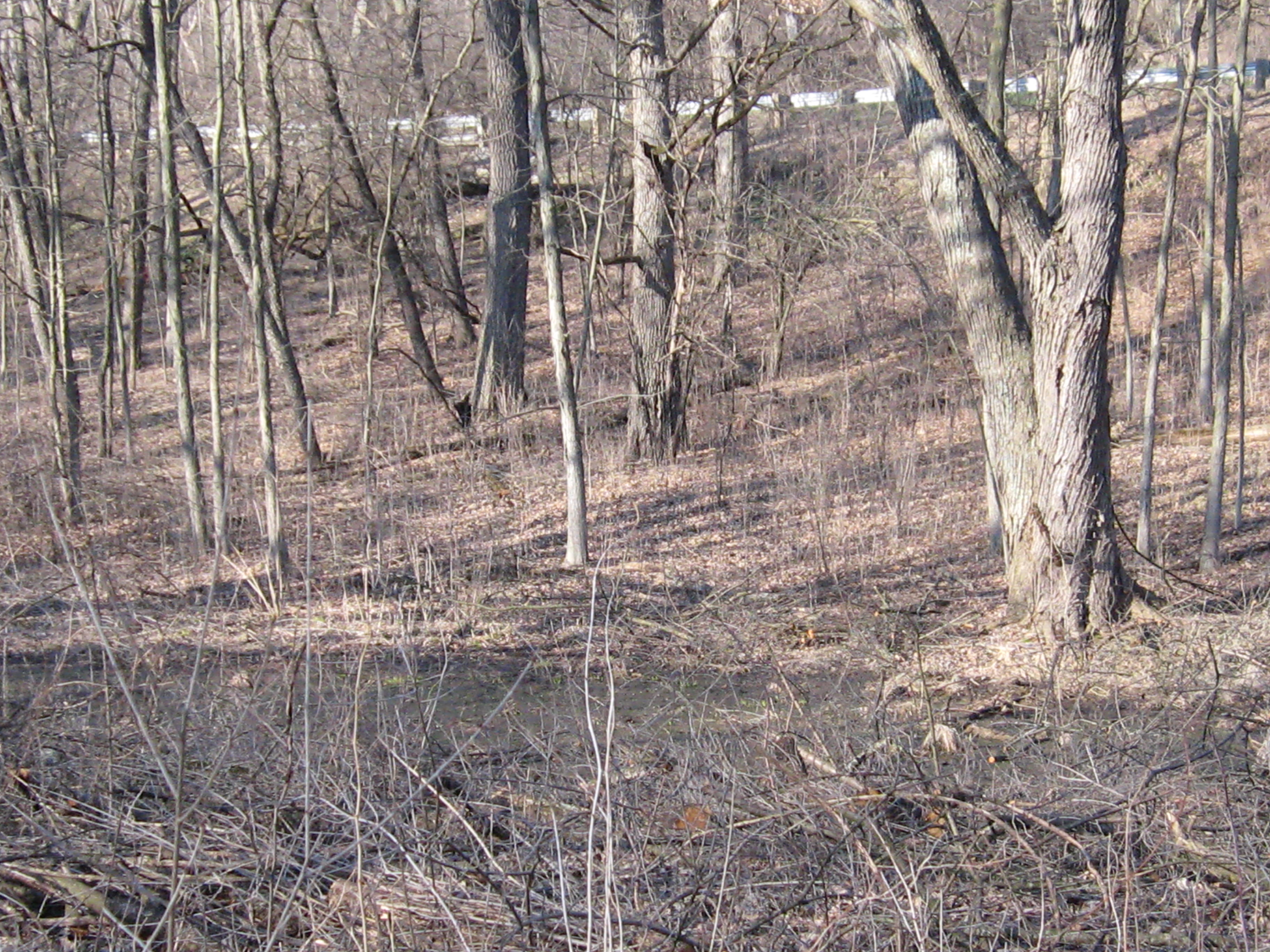
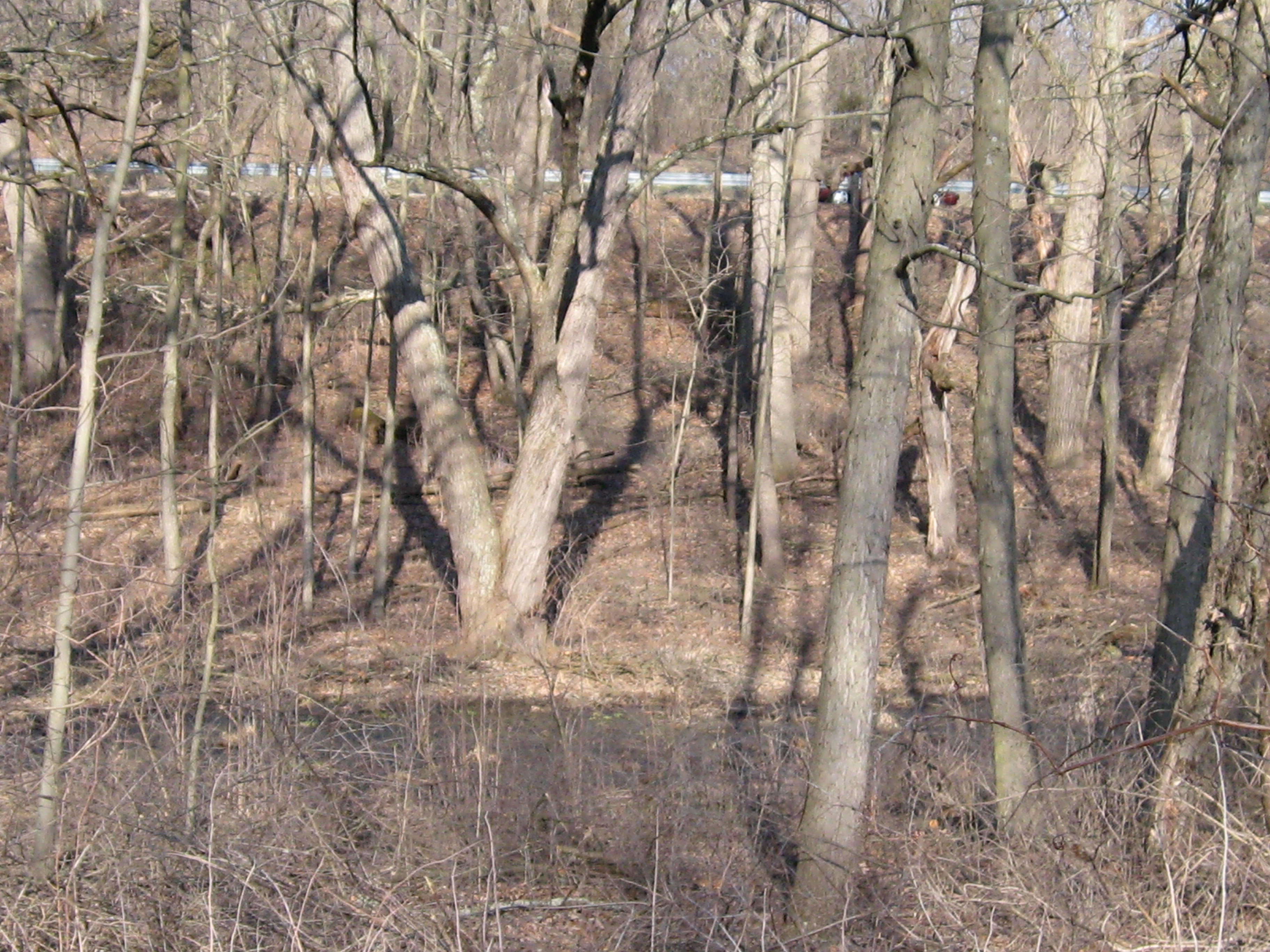
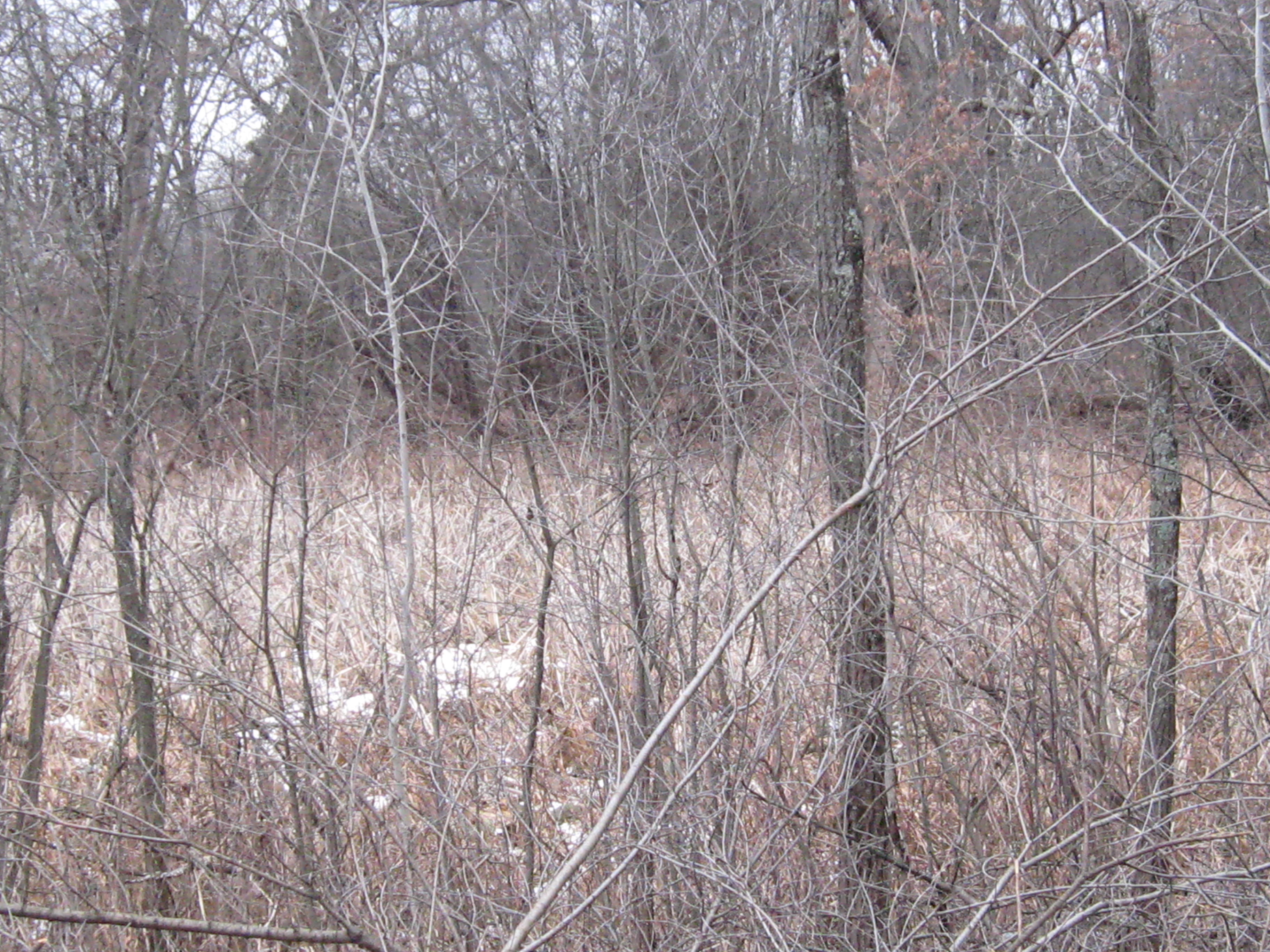
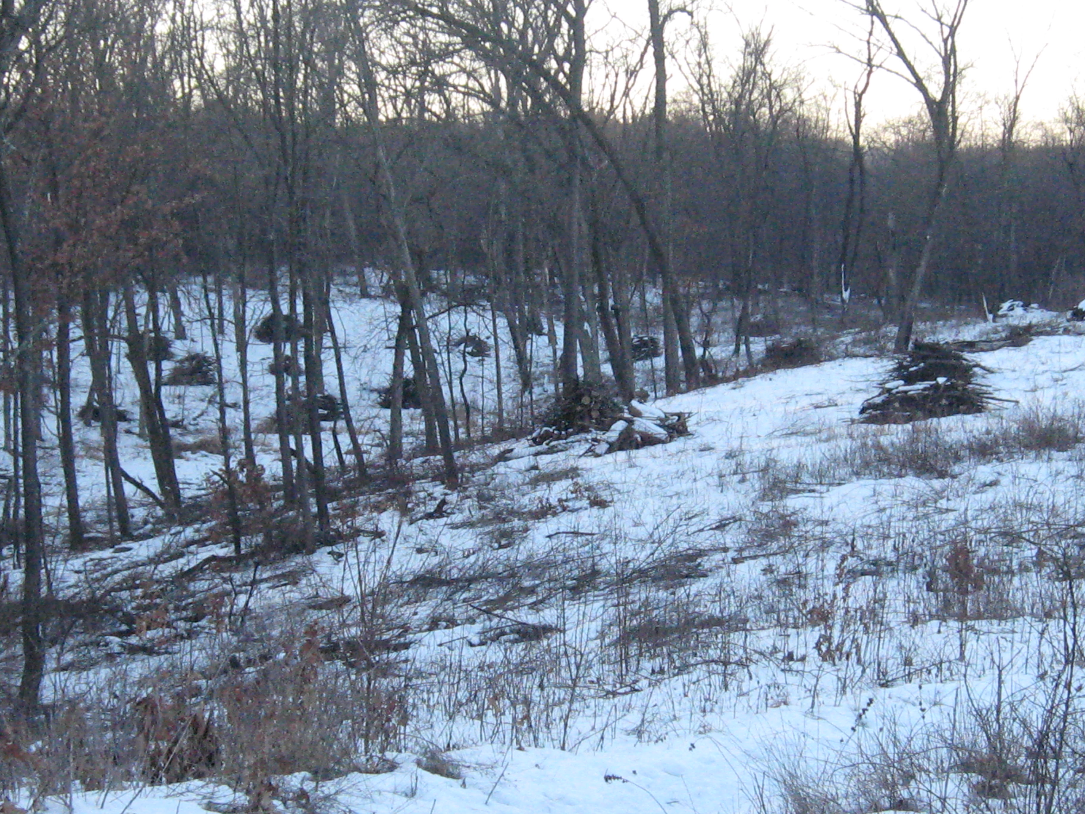
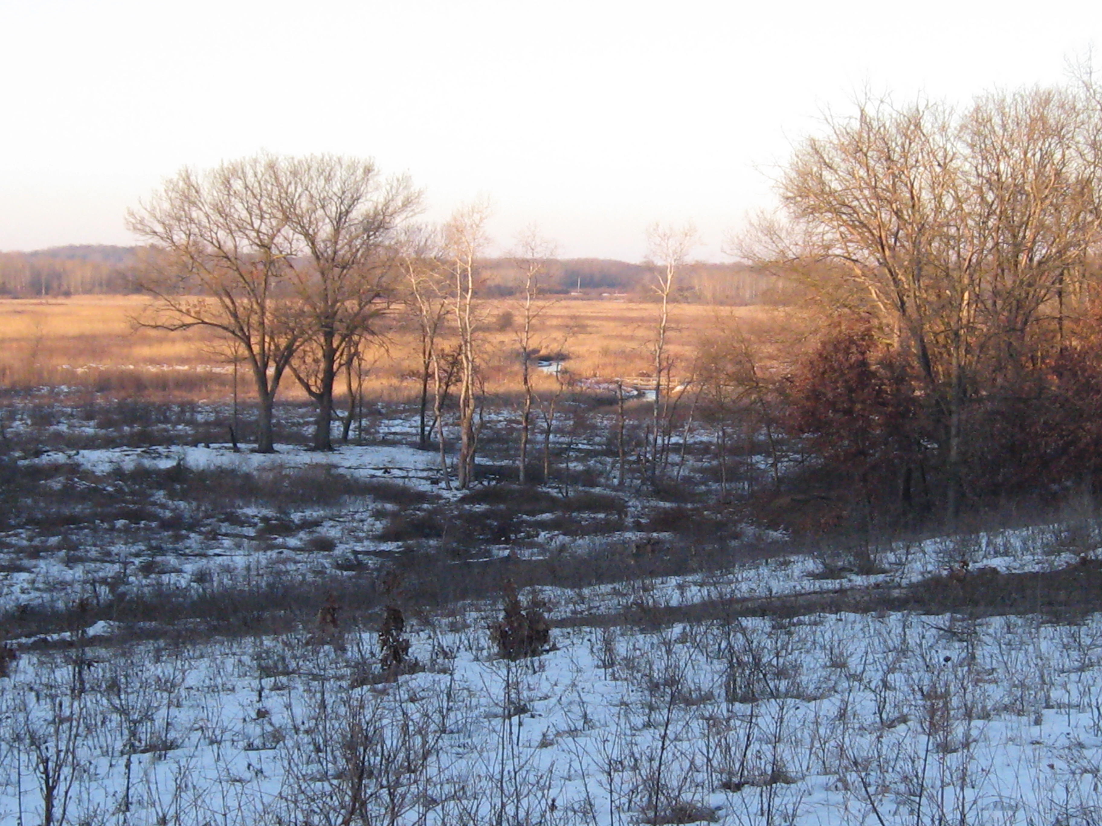
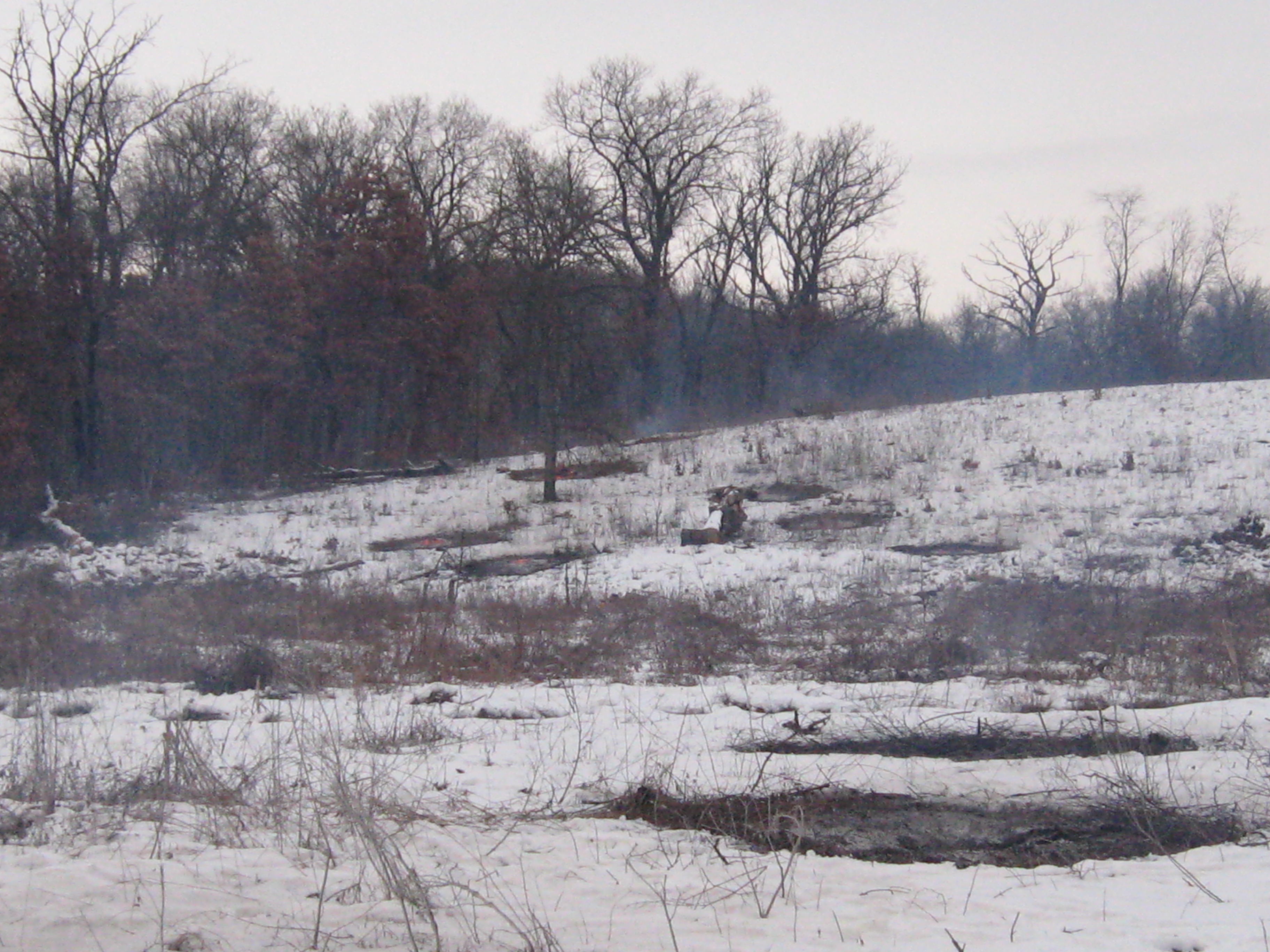
I rarely walk the section of trail marked in blue below because it is so dark, damp and uninteresting compared to the rest of the trail.

SSTrailNorthEndMap

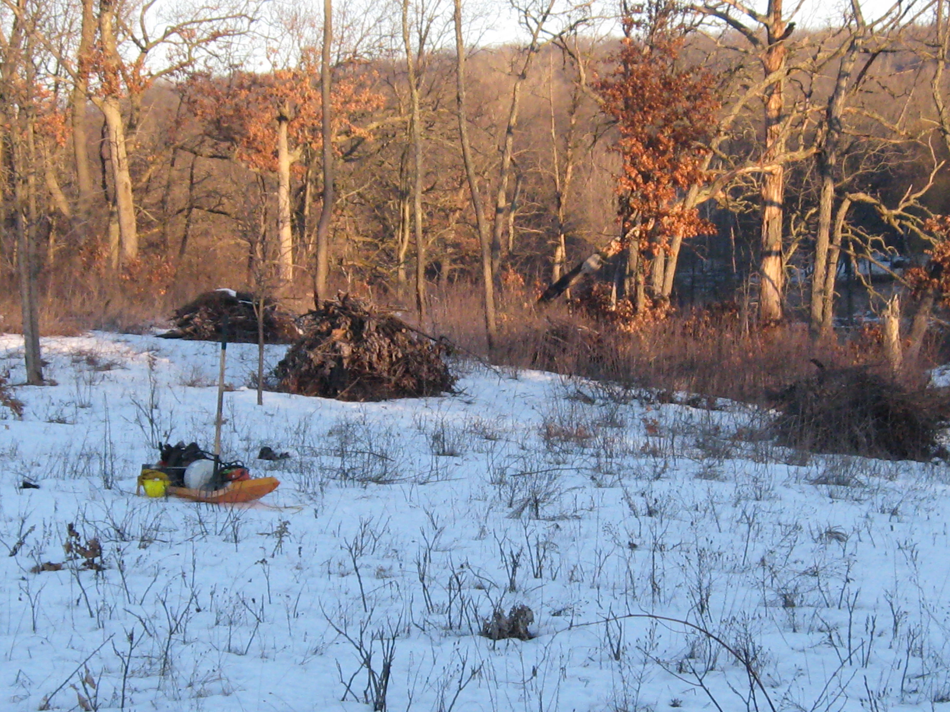
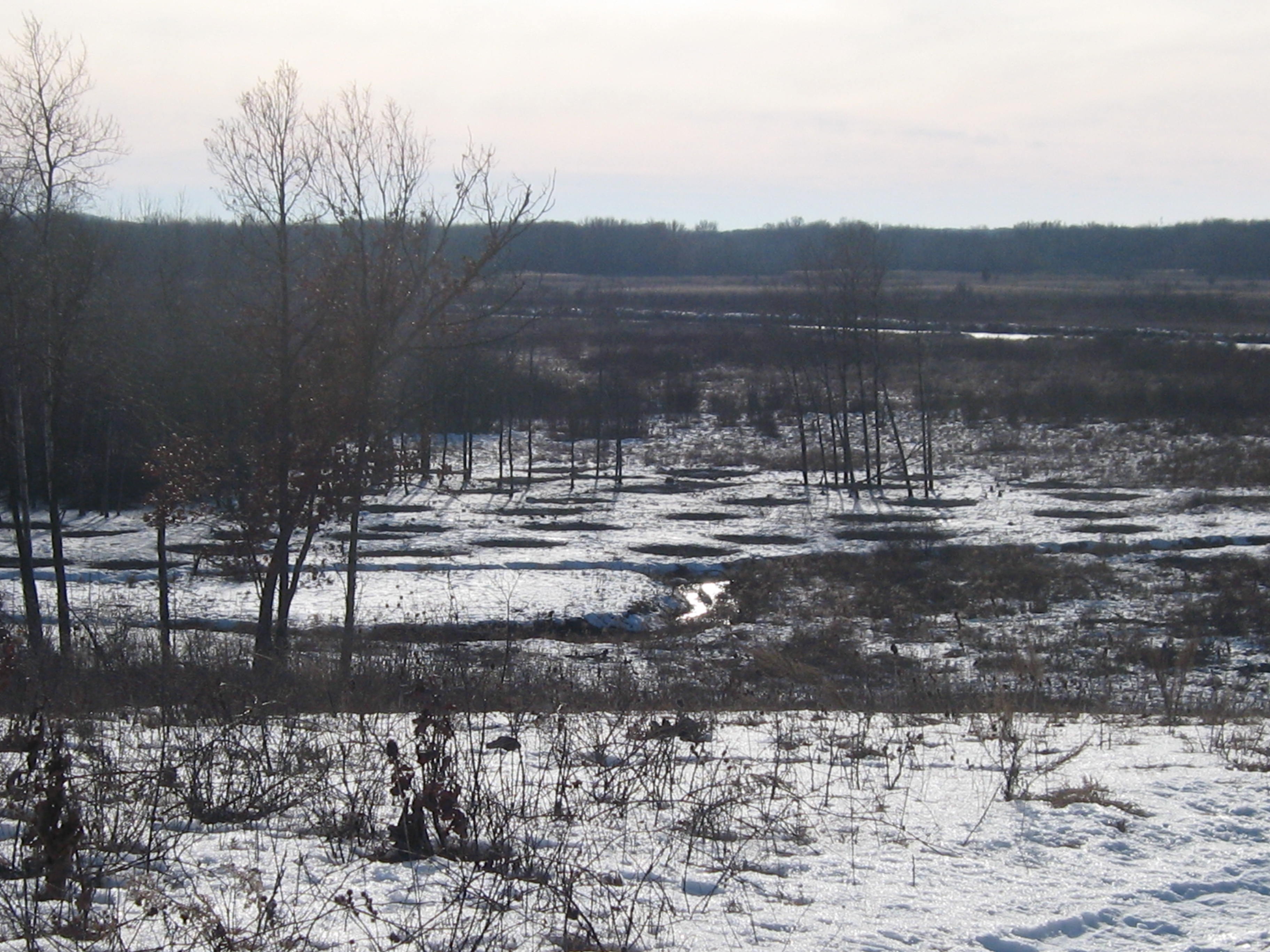
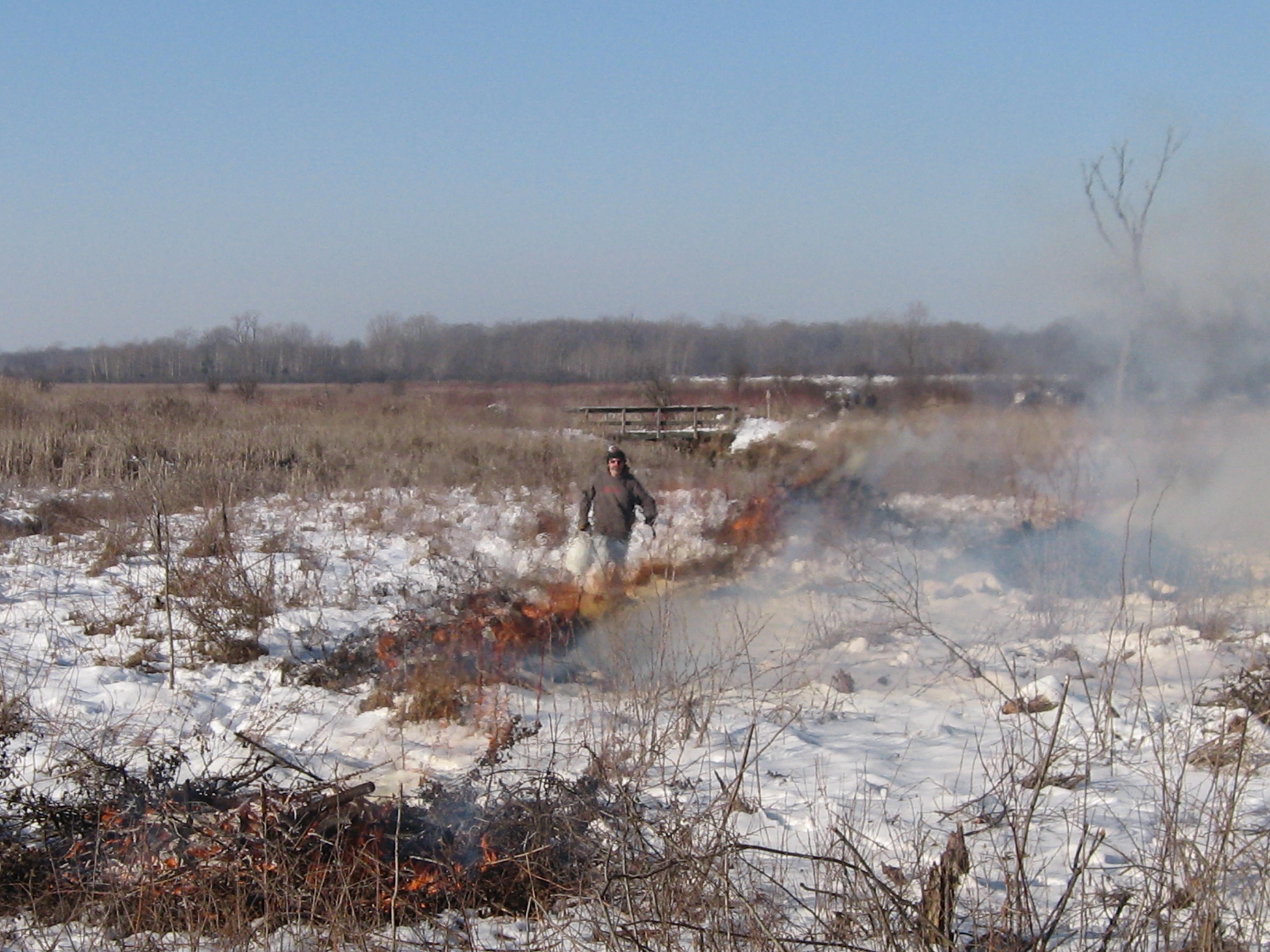
At the end of the day yesterday, I walked this section of the trail to make sure there were no trees downed across it and review just how badly degraded it was. Here is a tour of the first hundred yards or so.

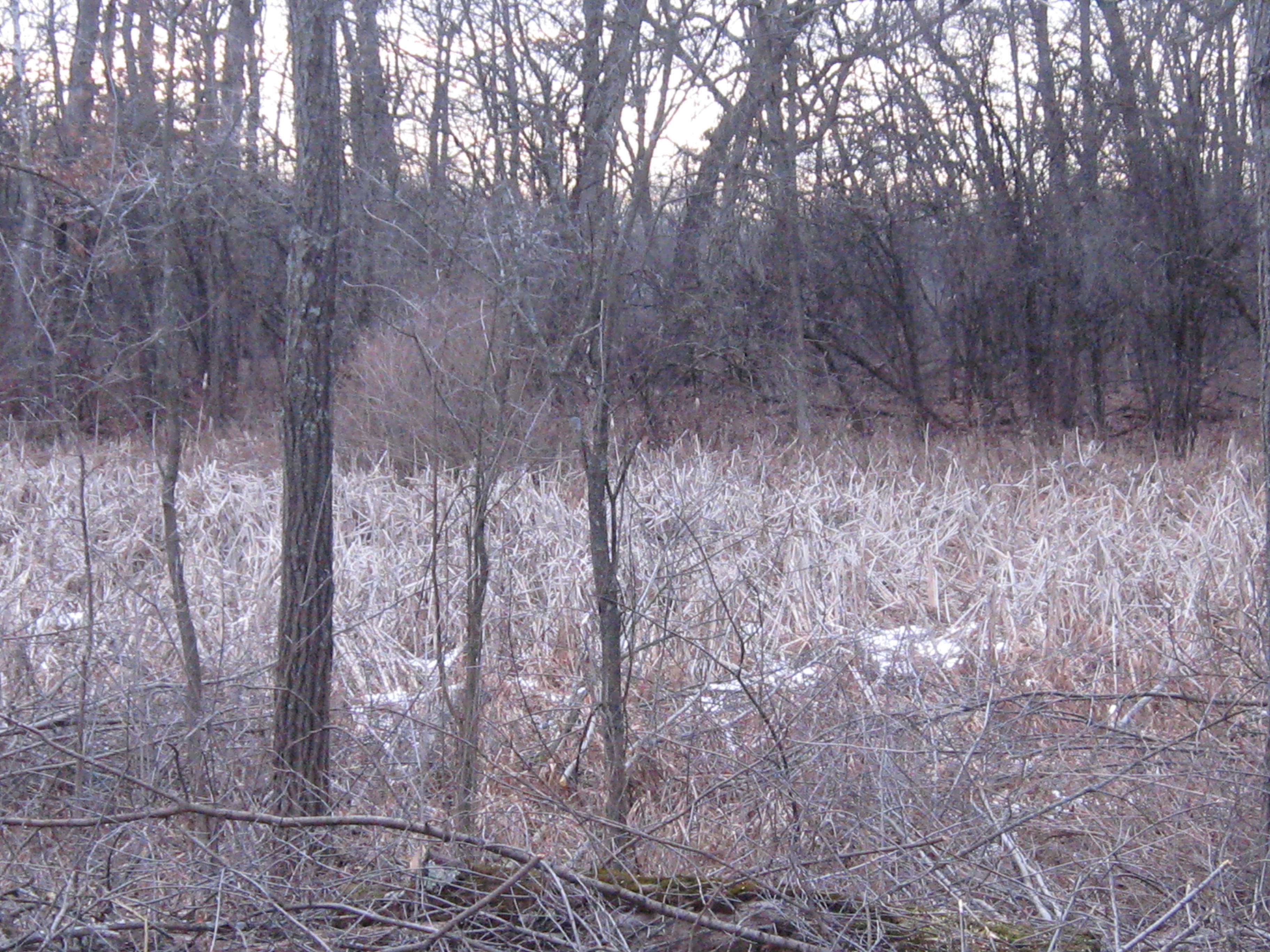
After passing through this buckthorn thicket, I thought “Thats all I can stands, I can’t stands no more!” I’m changing my priorities to focus on this section of trail. I’ve been reminded of my old hero, Popeye, by my recent diagnosis via MRI that I have torn the head of the long biceps tendon on my left arm. I got whacked there by the branch of a red oak tree that I was clearing off the trail back in October of 2012. One solution offered by the orthopedic surgeon was to sever the head of the biceps tendon completely; apparently the Creator was confused when deciding to join this muscle with the scapula and we don’t really need it. The only downside he explained was that my biceps muscle would bunch up reminiscent of Popeye The Sailor.

popeye

My rotator cuff is torn as well, but after three months of physical therapy and Feldenkrais Lessons with Pati, the pain and discomfort has subsided and I can live with it.

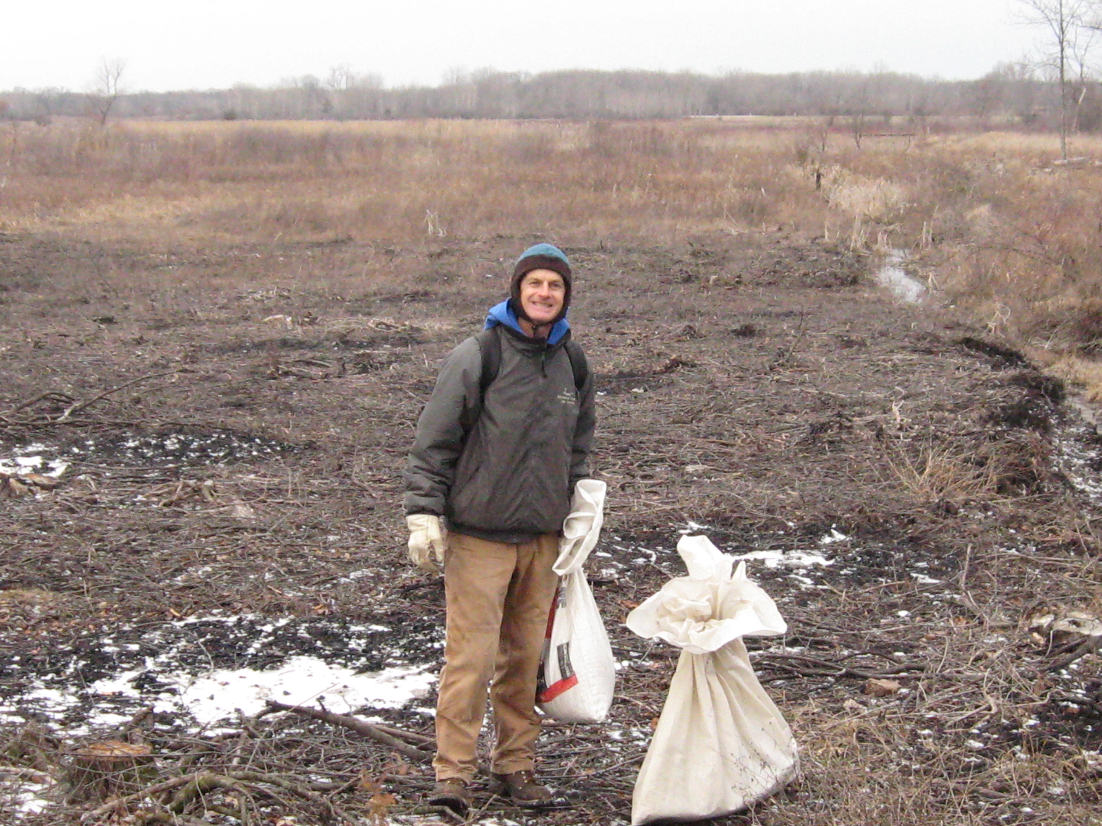
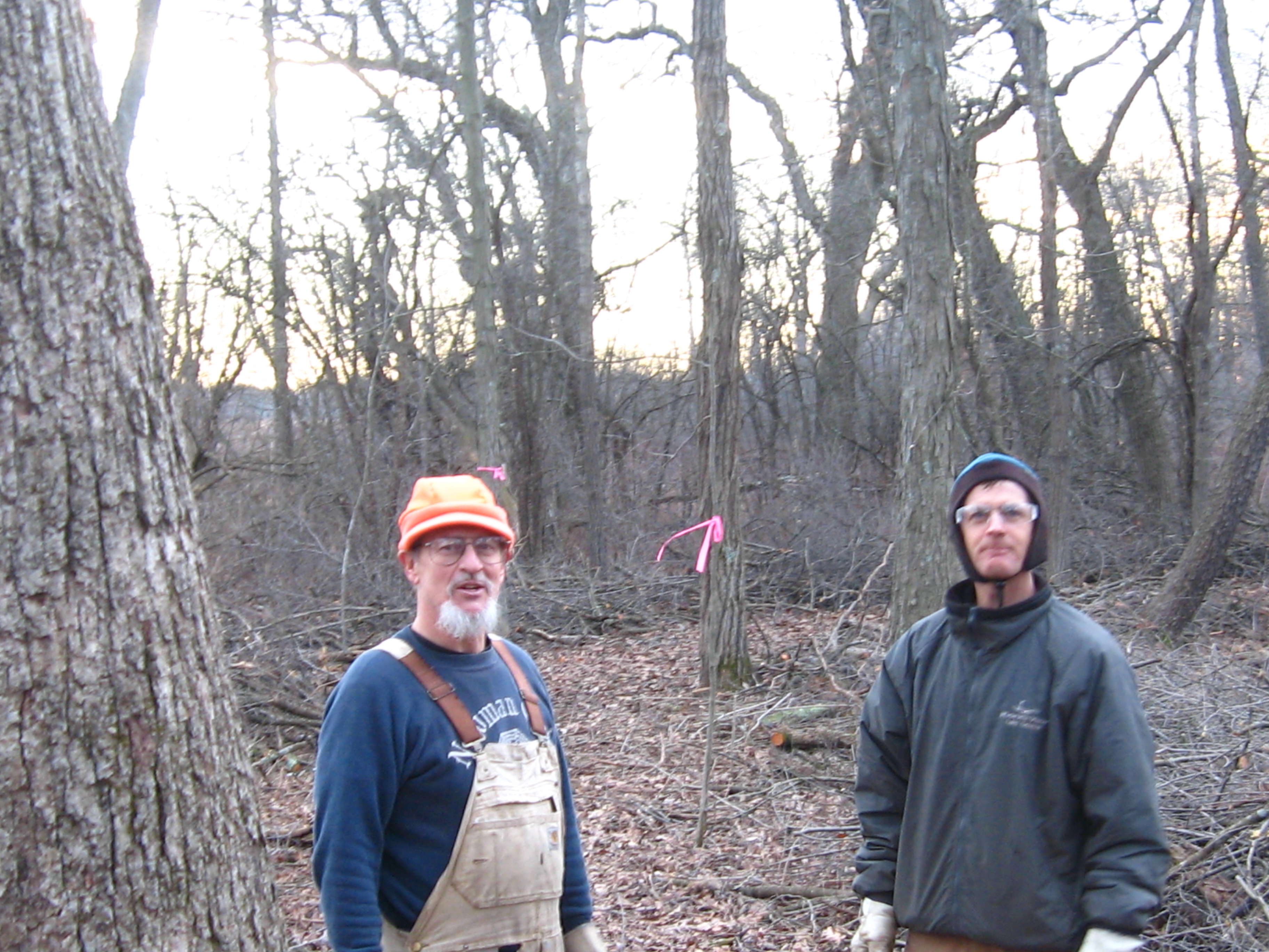
Yesterday morning, Rich joined me as we continued our efforts to spray the spotted knapweed on the sand prairie that covers the Indian Campground. The site listed above explains “Apply selective herbicide clopyralid during bud growth in early June for best results (48 oz per 100 gal water).” hmmm, we don’t have any clopyralid and it is only April; so our use of glyphosate at this time of the year is not the preferred technique; nevertheless, since glyphosate attacks any green plant, I’m hopeful we will see good results (we focus the spray as much as possible to reduce collateral damage).

Next, we continued the effort to control aspen around the Indian Springs girdling the rest of the clonal colony in that area.

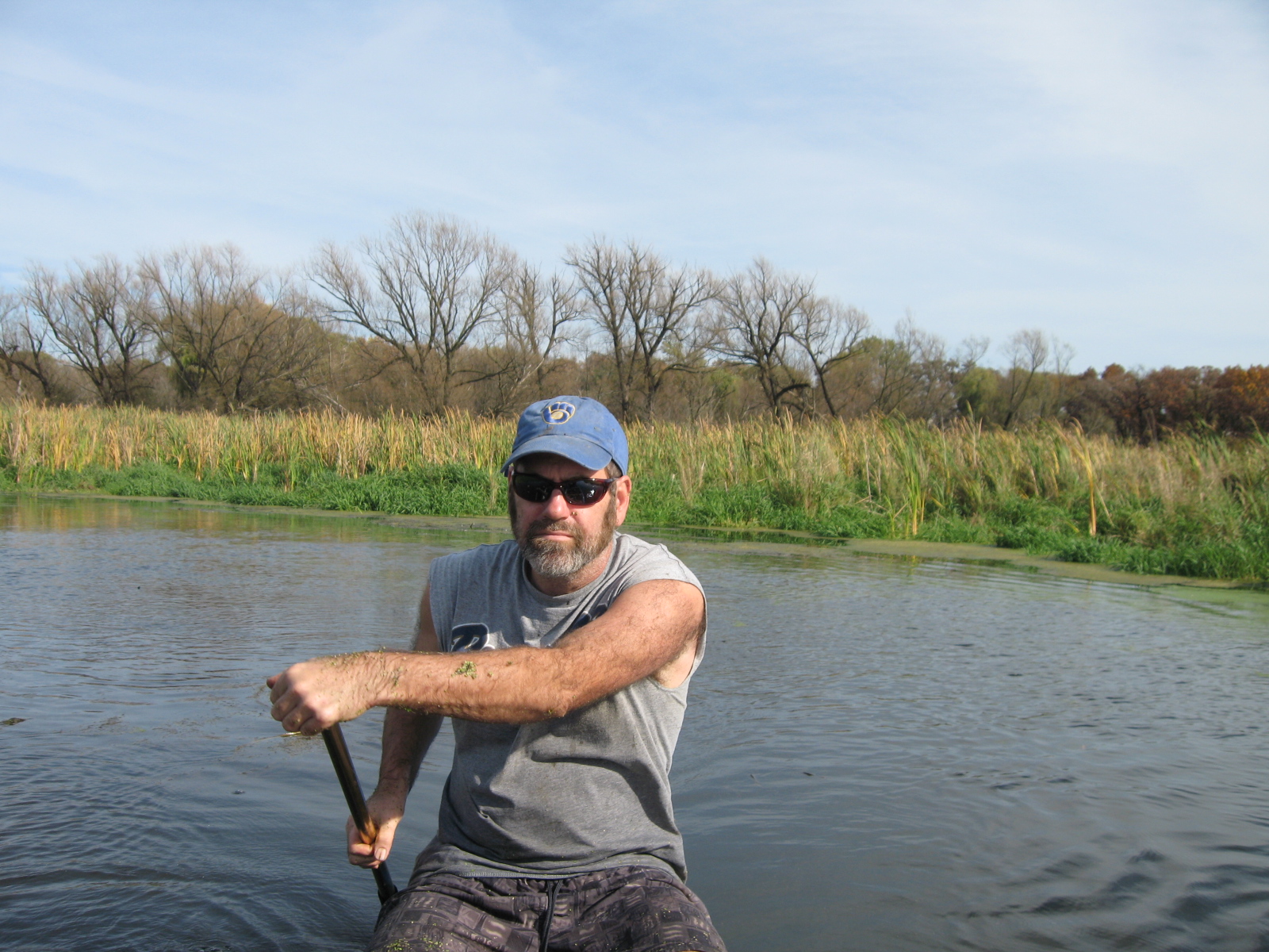
Roberta “Berta” Roy-Montgomery joined Rich and I and we finished girdling the aspen in this bowl.

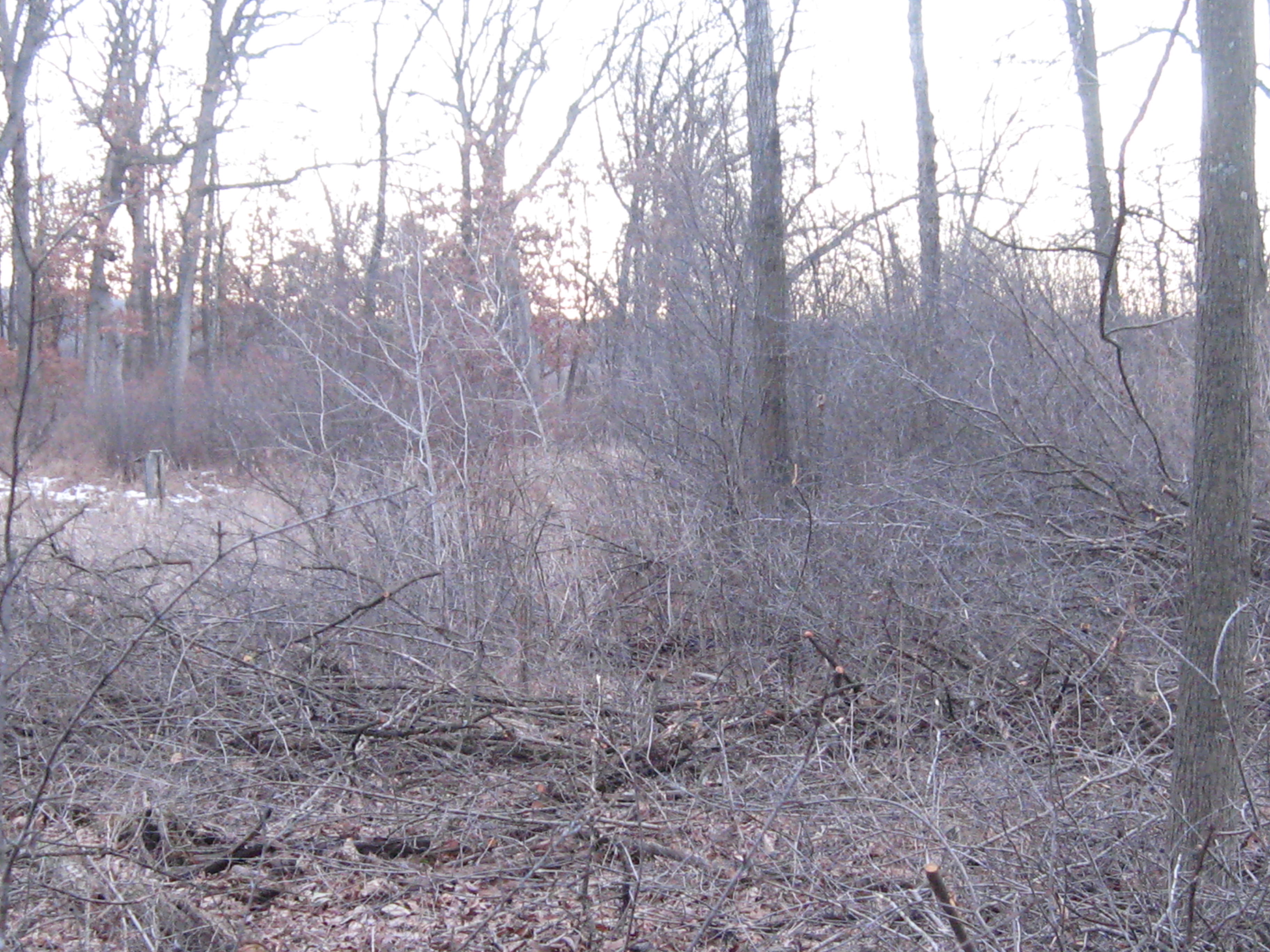
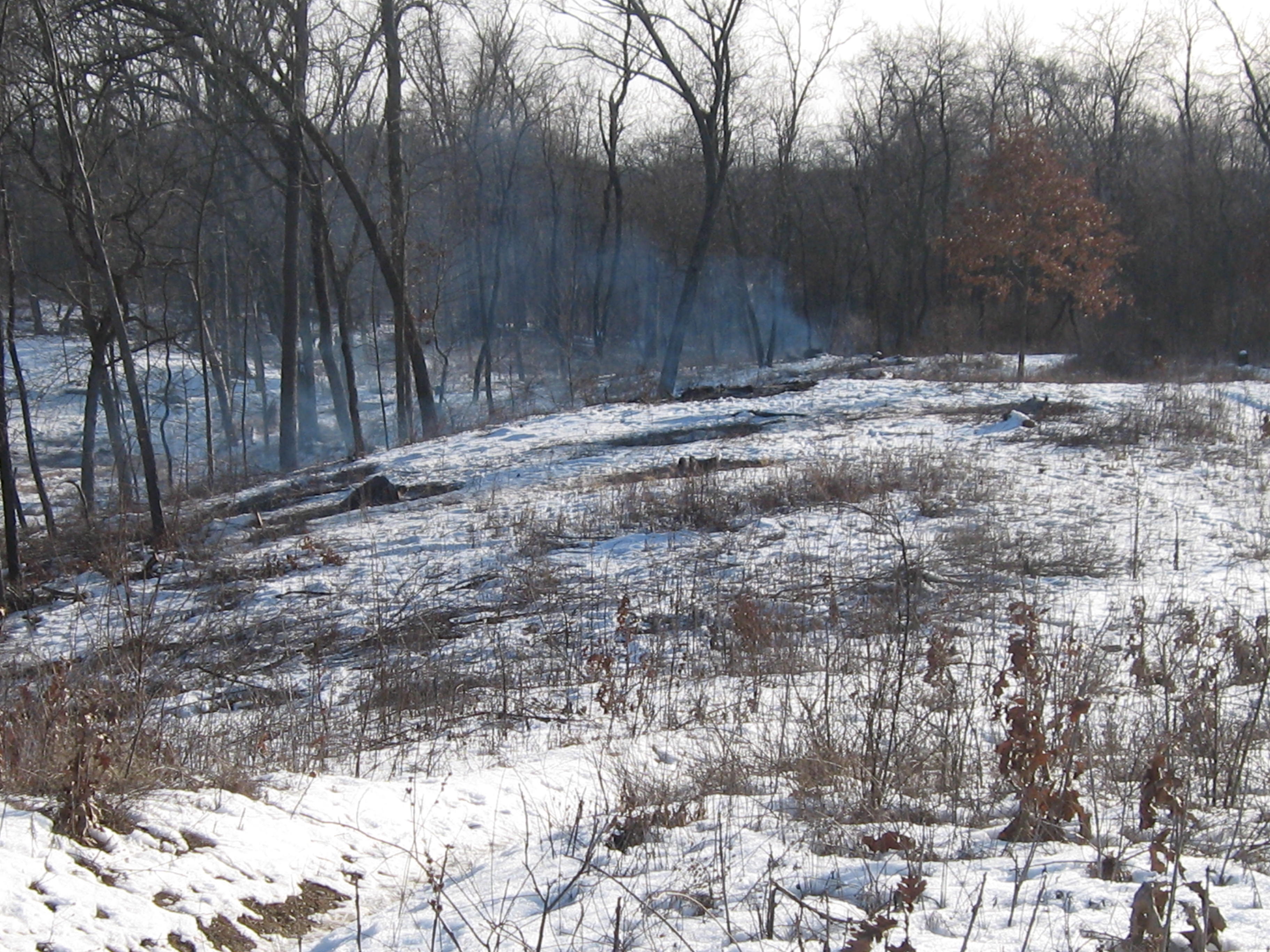
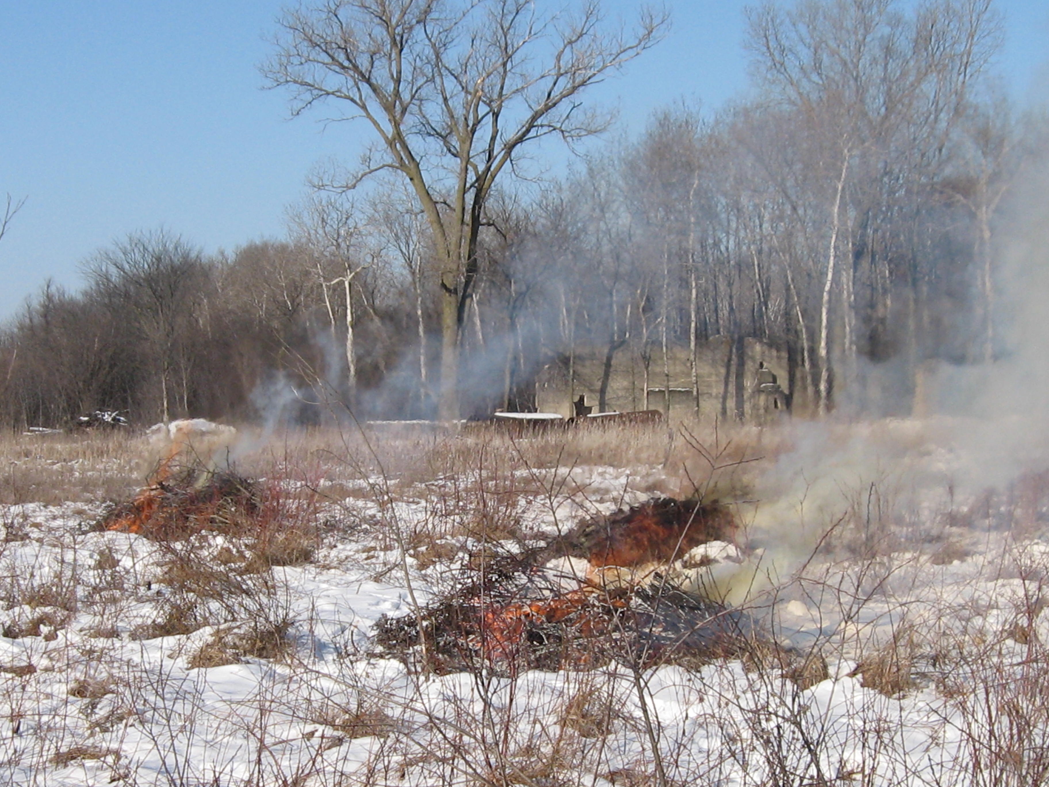
Rich and Berta had other commitments for the rest of the afternoon and I headed over to the area north of the old barn site to continue cutting buckthorn between the loop trail and Hwy 67.

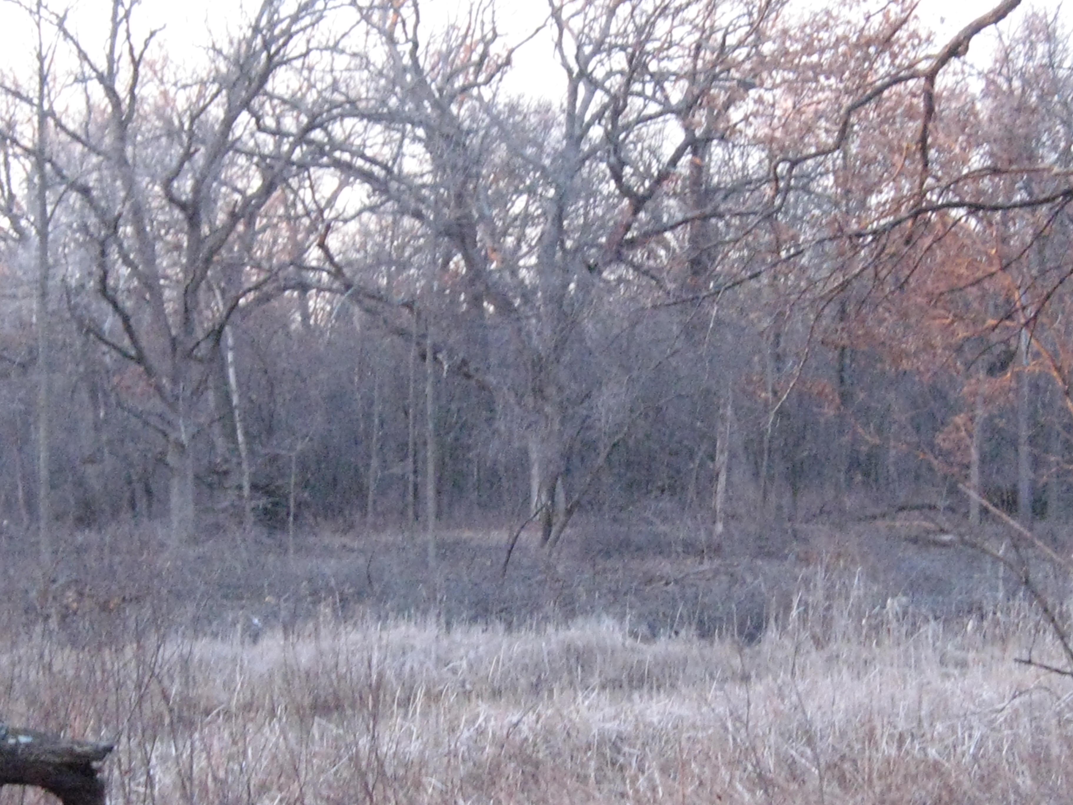
This is probably as far as we’ll get in this area for now as our focus is shifting to the Buckthorn Alley.

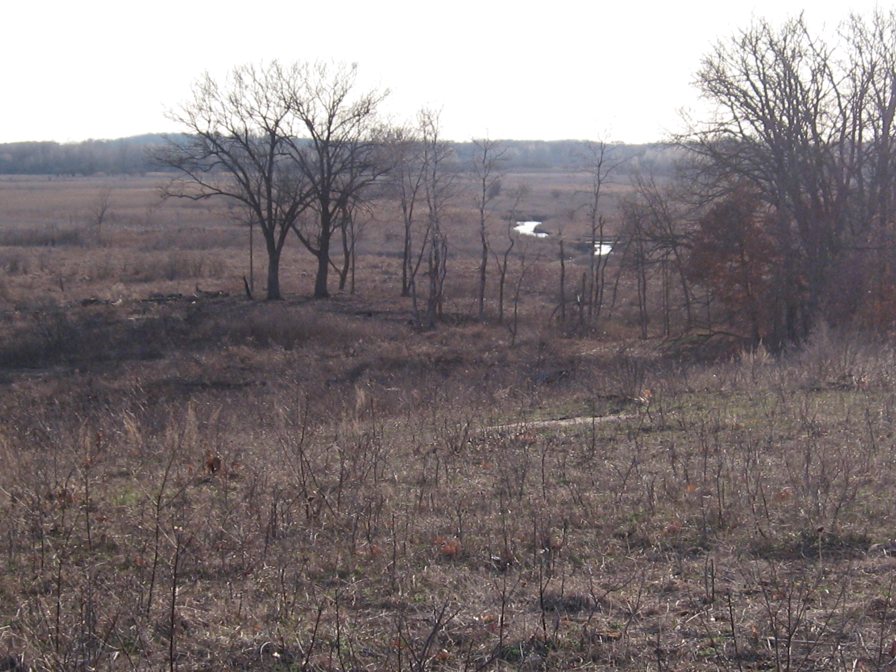
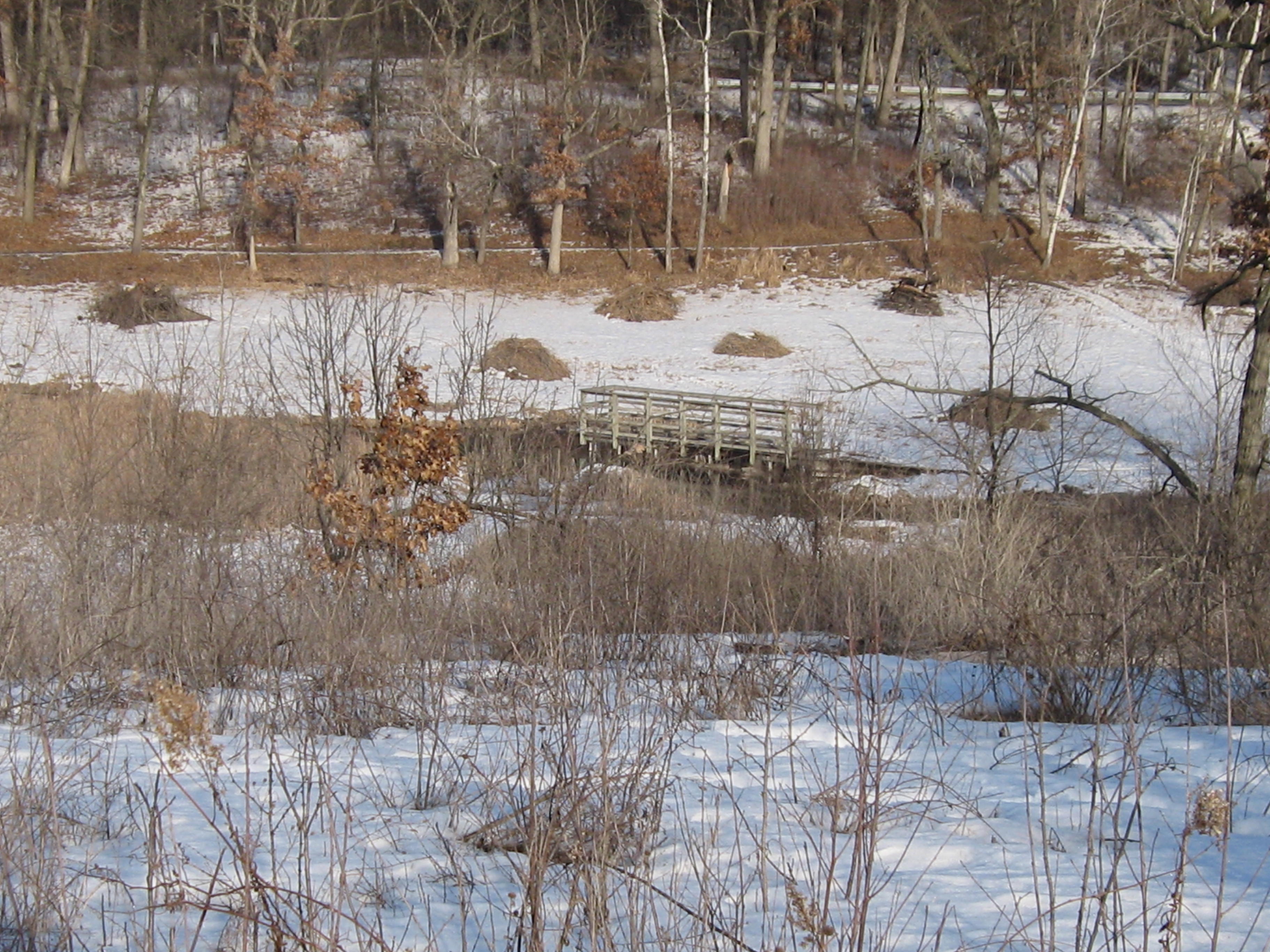
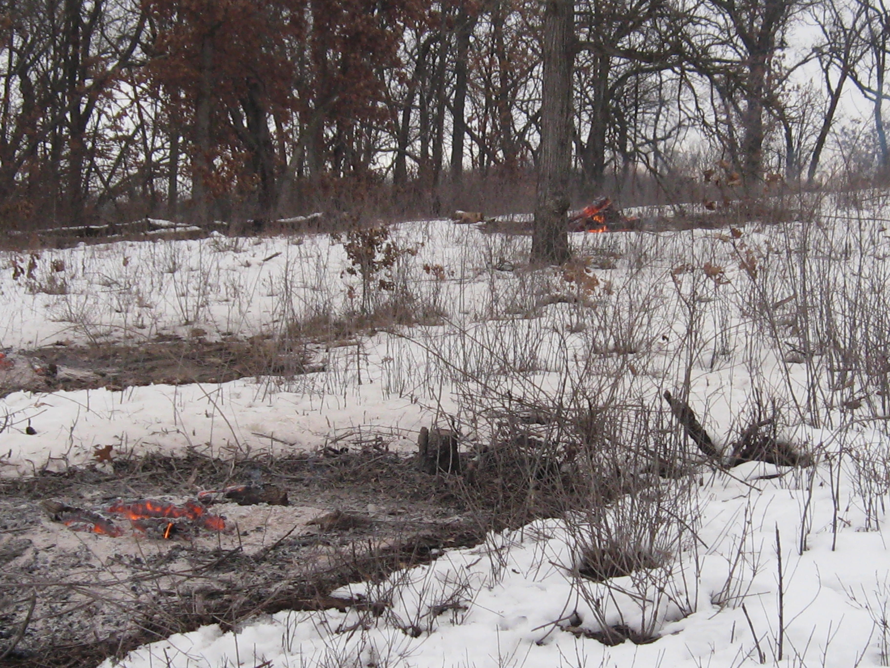
Here are a couple of views of the area just cut. You have to walk amongst the oak, cherry and hickory trees in here to really appreciate their size and beauty.

IMG_1131

IMG_1129

IMG_1130

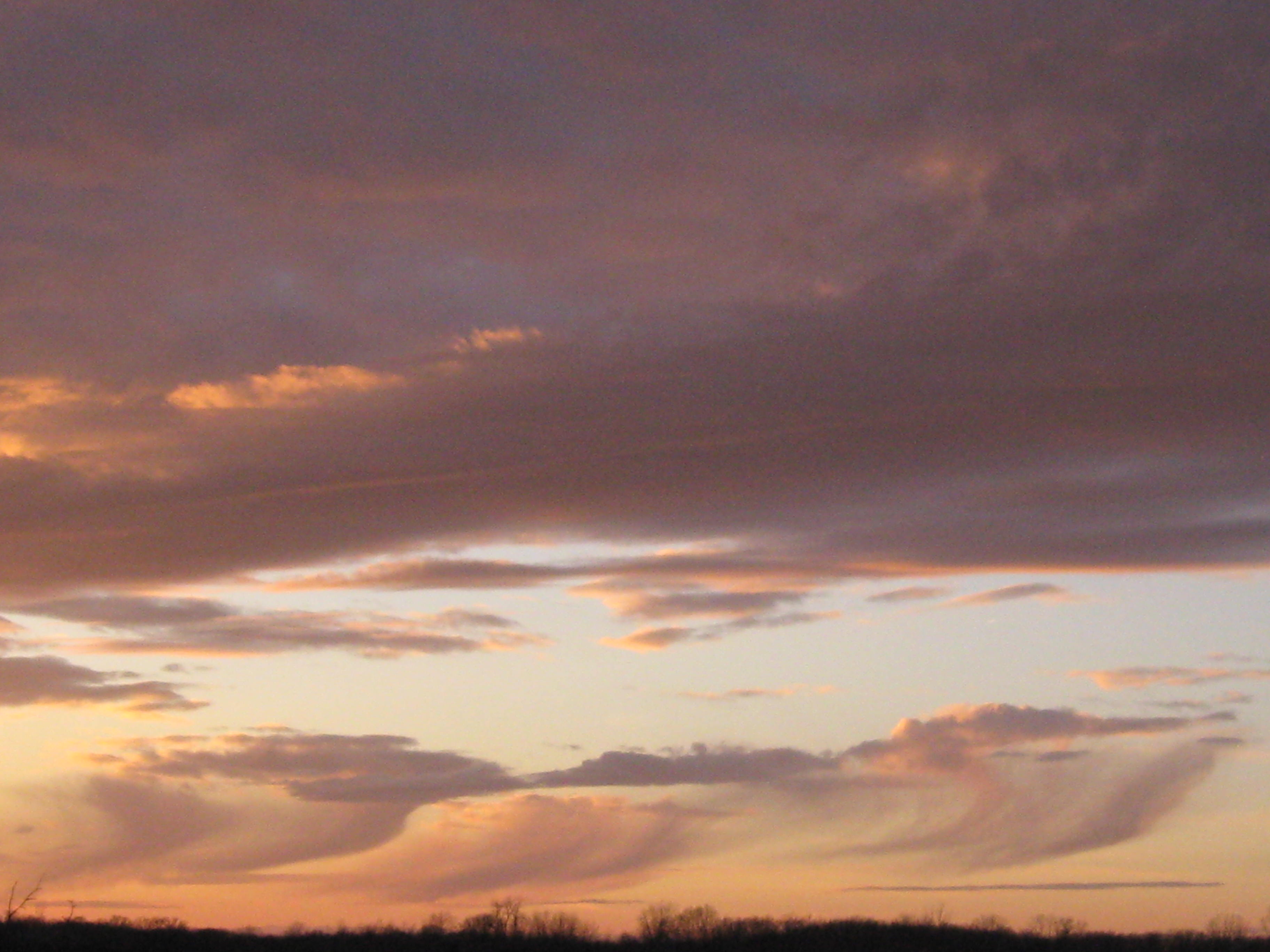
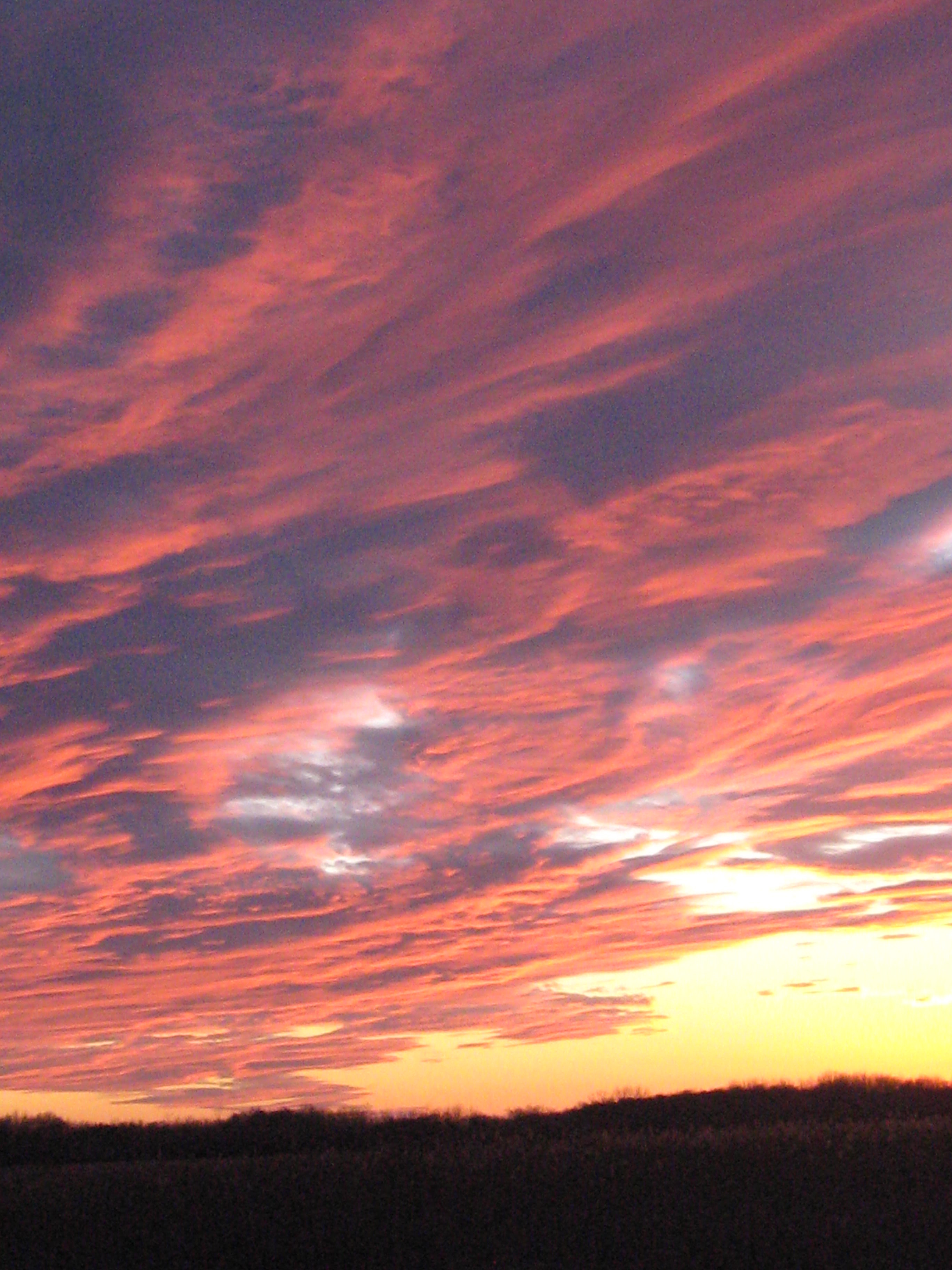
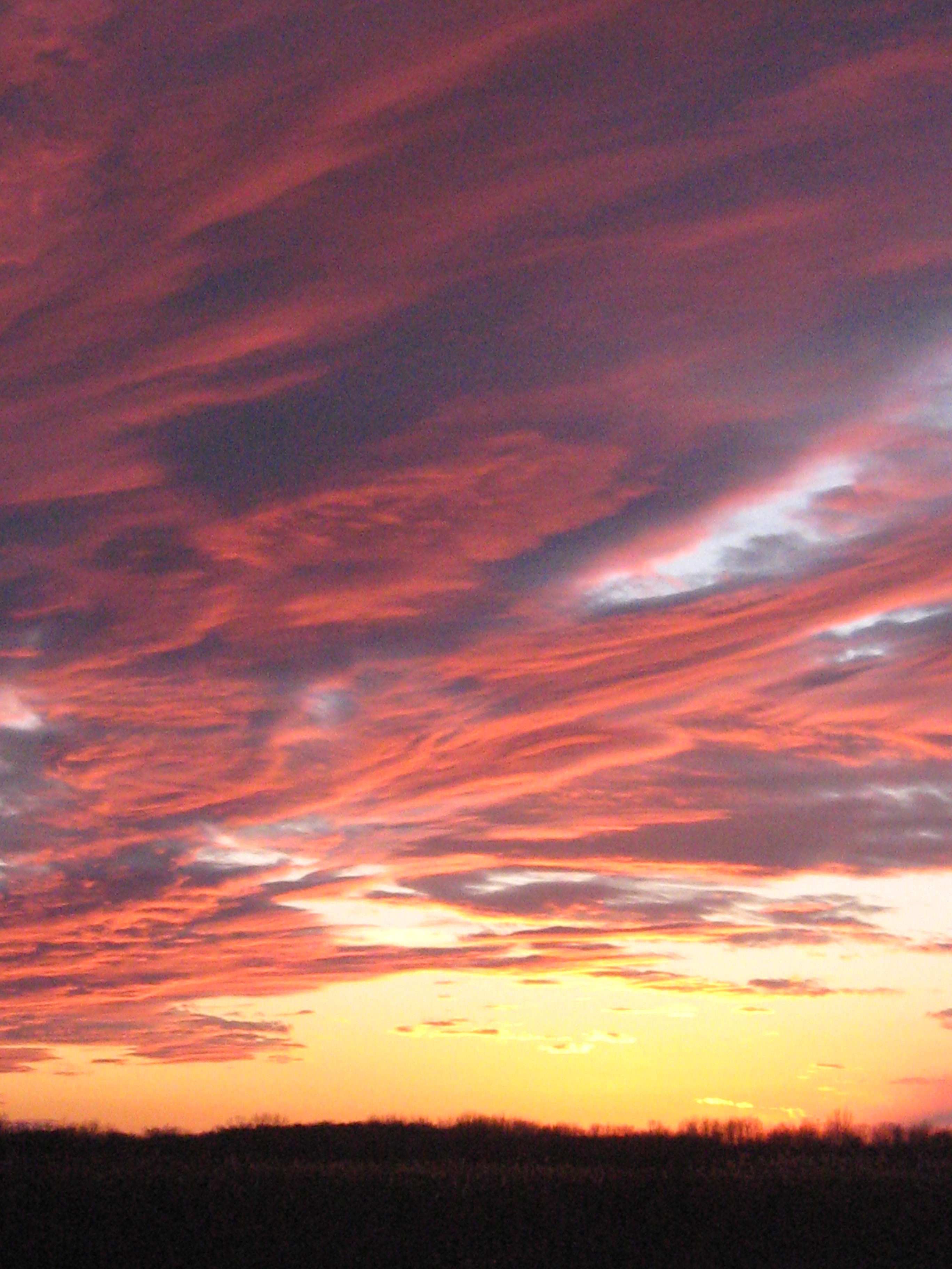
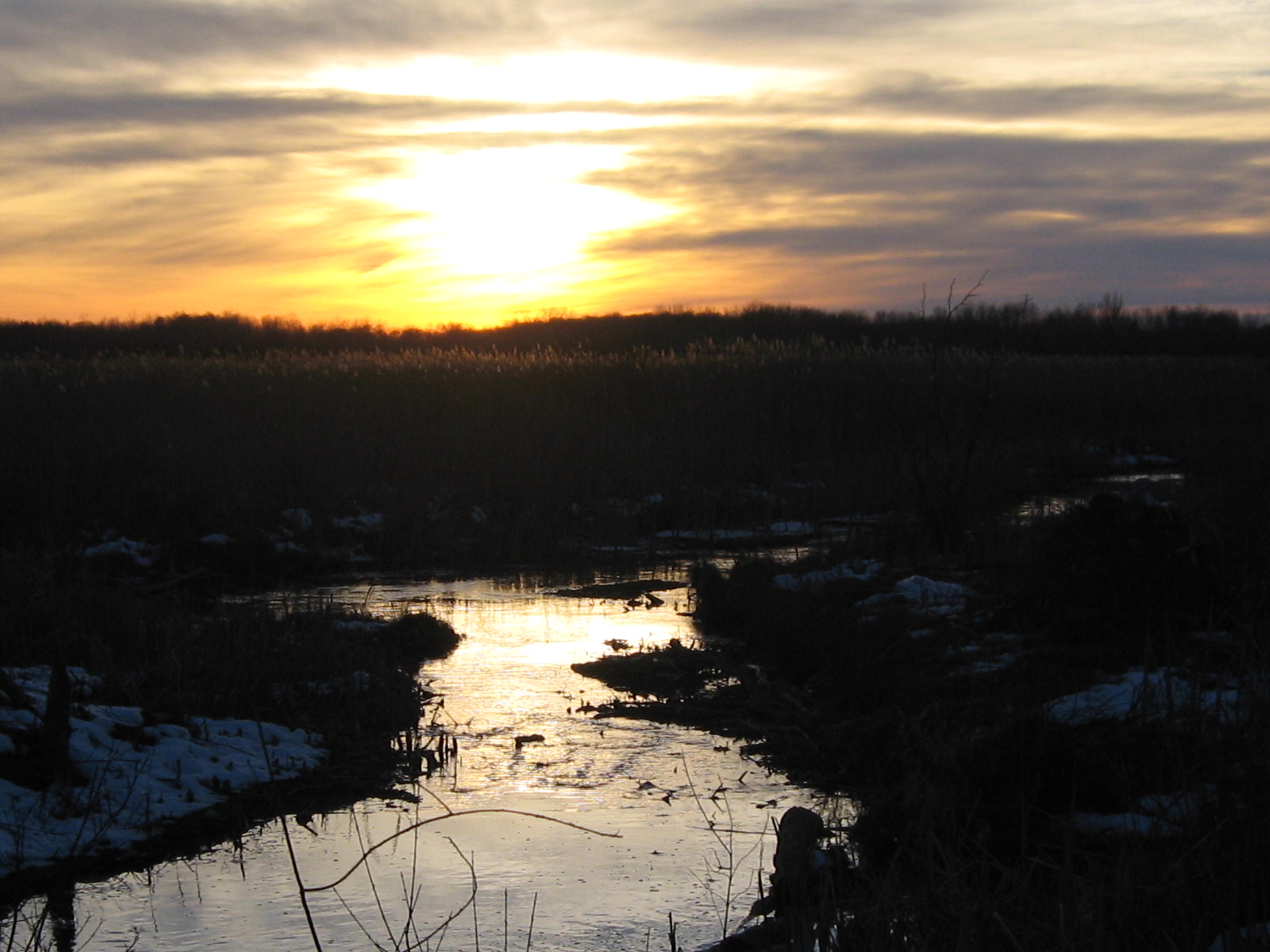
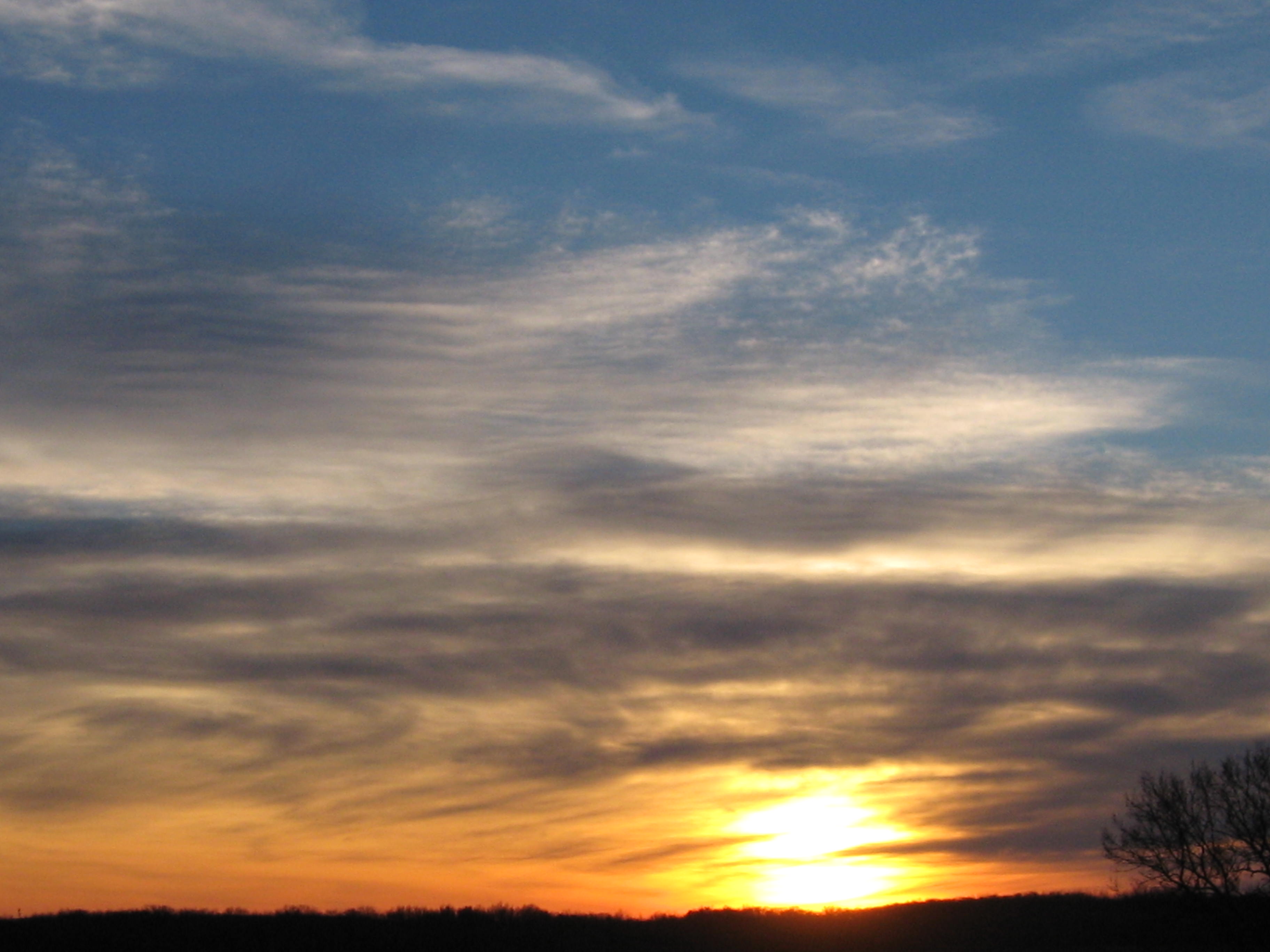
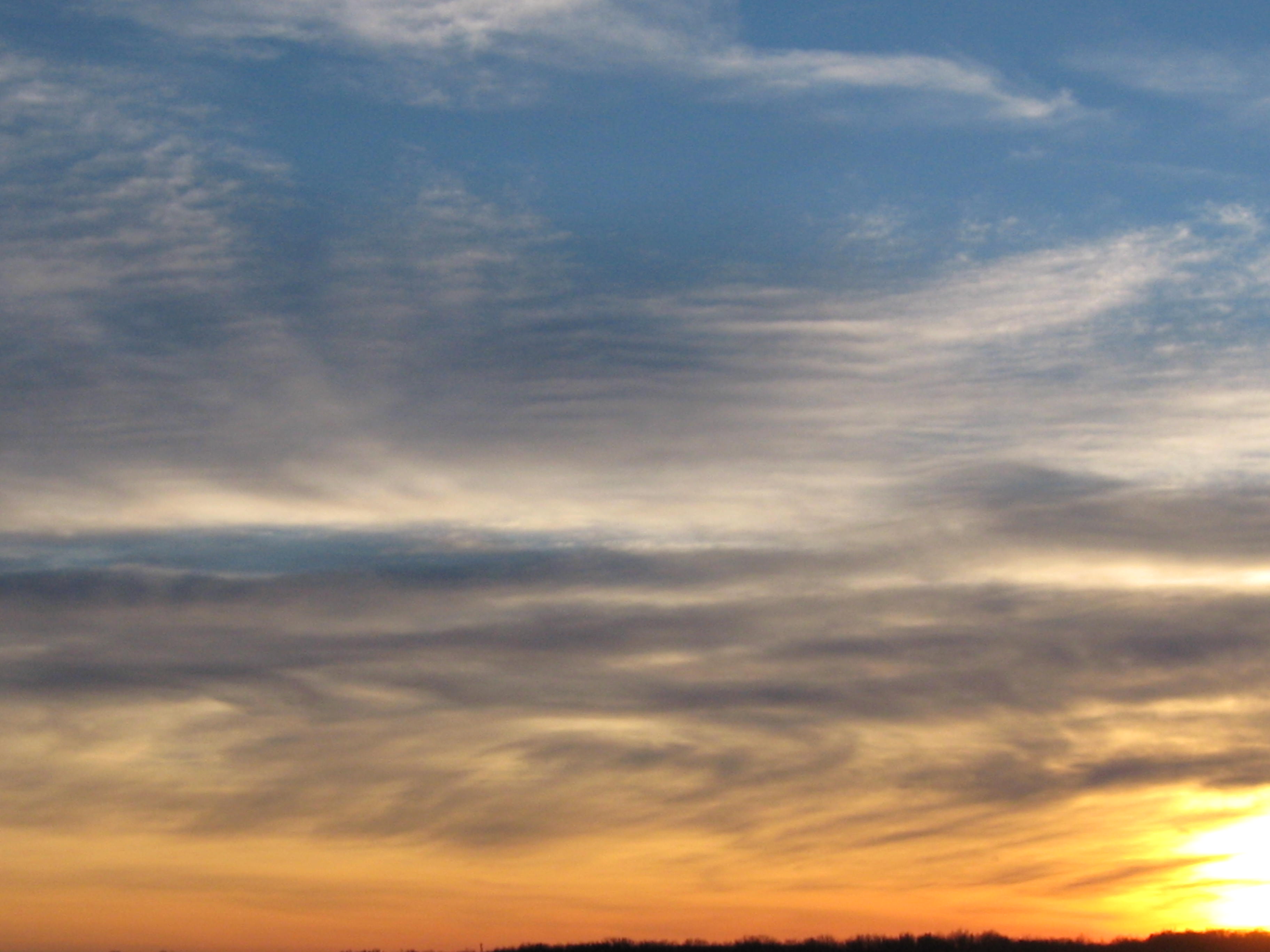
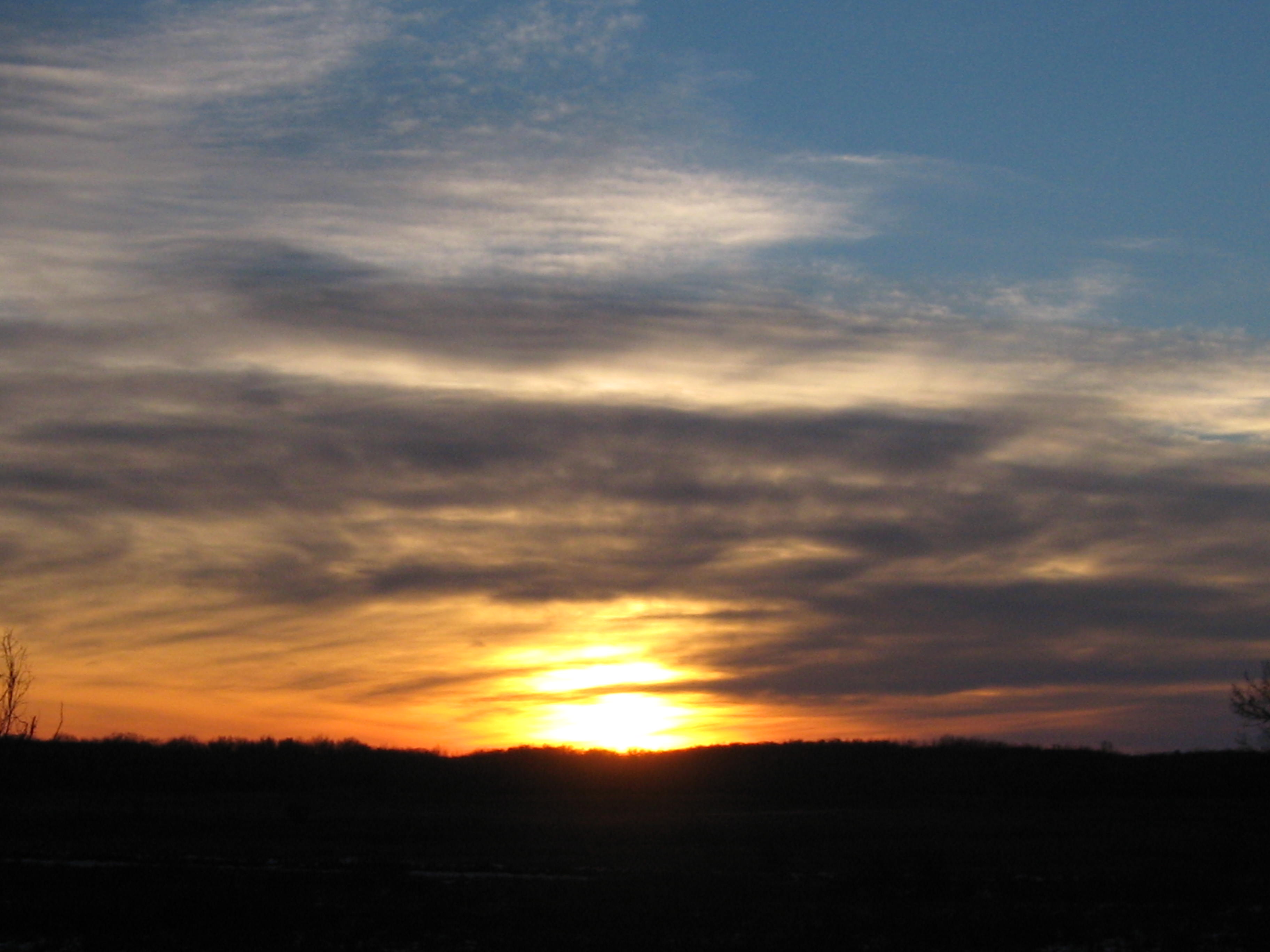
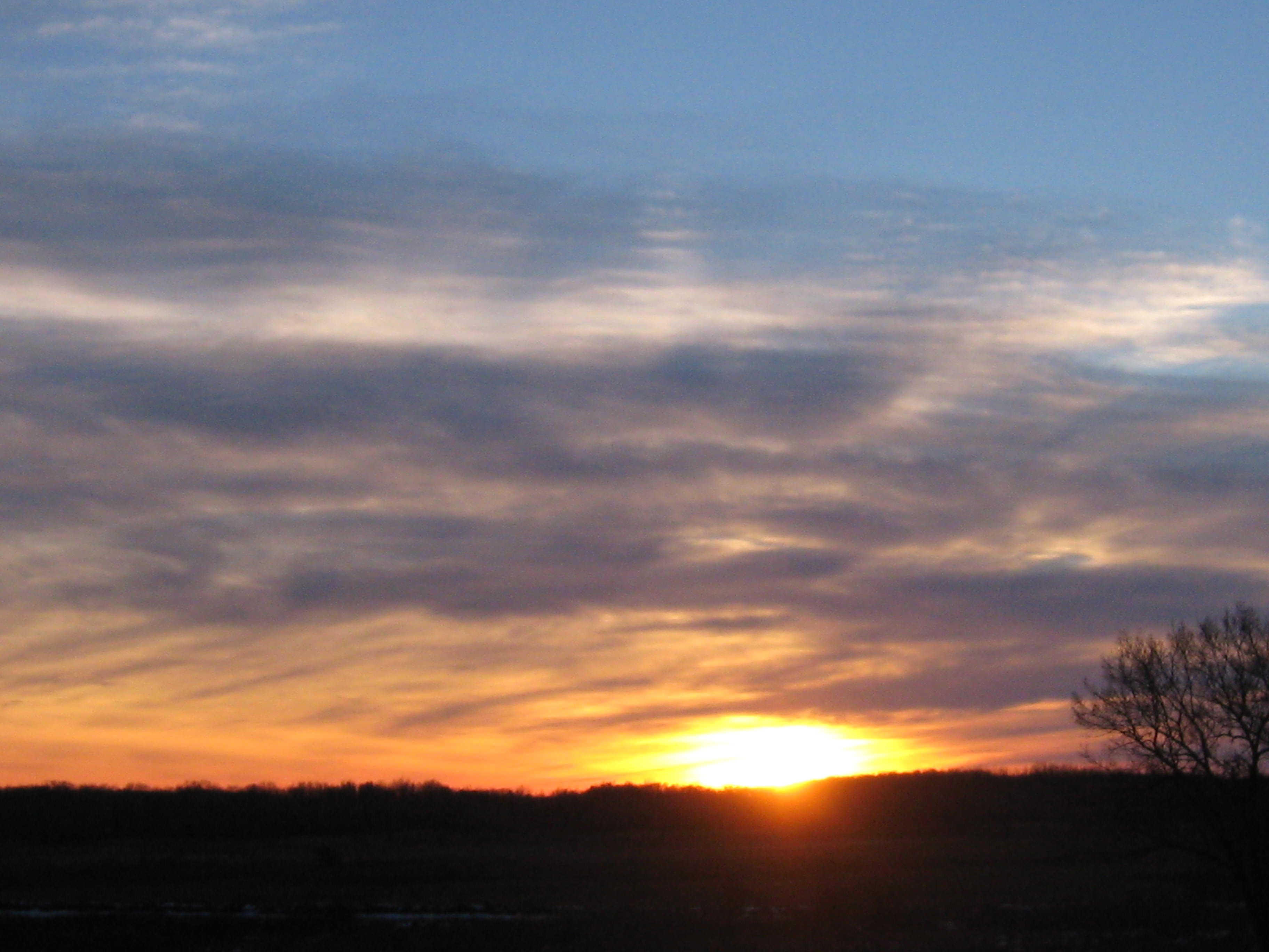
I couldn’t stay for the sunset but did grab these parting shots.

IMG_1132

IMG_1134

See you at The Springs!

Idle No More

Hi.  Thanks again for checking out the Scuppernong Springs Nature Trail Posts!

Before I get into today’s incredible adventure at the Springs, I want to shine a light on the Idle No More movement.  I participated in their consciousness awakening event in Milwaukee yesterday and it was very moving.  The singing and speakers were excellent.  The First People elders spoke a lot about the responsibility we all share to take care of the land in preparation for the 7th generation to come, and to be aware that we are the beneficiaries of the love and care of the 7th generation that preceded us.

Here is audio recorded before the march Idle No More January 18, 2013 Pre March Song and Speeches.

We marched down to Veterans Park, where a Pipe Ceremony was held and there was more singing and speeches.  Action on a new mining bill in Wisconsin is heating up!

The other big issue raised is the struggle for sovereignty.

I found Kevin Annett’s documentary Unrepentant: Canada’s Genocide, while researching the Idle No More movement.

And we think we have invasive species problems!  Image how the indigenous people felt about the White European Invaders!

In honor of the Native, Indigenous, First People, we sowed a mix of 20+ Wet Mesic Prairie plant seeds around the Indian Spring and areas to the North marked in white on the map below.

SSTrailSeededArea

Here is part of the area seen from the Scenic Overlook on the old Indian Campground site.

IMG_0518

And a bit closer up.

IMG_0520 IMG_0521 IMG_0523

Sowing seed is the creme dela creme of restoration work.  I will post a list of all the different plants in the mix and we’ll try to identify as they emerge.

The Scuppernong River water level is holding steady at .026.

IMG_0524

Here is an interesting bit of machinery we found near the site of the Marl Plant.  This Spring we’ll do a little excavating around this to see what it is attached to.

IMG_0525

After the seed was sown Lindsay and I headed over to the cutoff trail to continue cutting Buckthorn where I left off last time.  Here are some before shots; the first two are looking to the North on the cutoff trail at an old cranberry bog.

IMG_0526 IMG_0527

Below we are looking South, towards the river.IMG_0528 IMG_0529 IMG_0530

Around 2:00pm Rich Csavoy joined us and Don Dane, the DNR trail boss, stopped by to drop off more seeds (for more wooded uplands) and we all took a walk around the place reviewing the progress and future plans.  Don is hoping to mow the Indian Campground this coming week.  We cut a bit more after our visit with Don and here is the final result.  The first picture below is looking at the cranberry bog and the next two are looking South towards the river.

IMG_0539

IMG_0537 IMG_0538 IMG_0533 IMG_0534

The view of the work site from the main trail on the South side of the river.

IMG_0541

It was a glorious sunset; one of the best I’ve ever see at the Springs.

IMG_0543 IMG_0546 IMG_0547 IMG_0549 IMG_0551 IMG_0553 IMG_0554 IMG_0555

See you at the Springs!

Fire On The Dunes

Today was a gloriously beautiful day at the Springs and I felt very lucky to serve the Creator.  Yes, THE CREATOR!  I think I’m becoming a Deist, and you might consider it too, if you had just read Thomas Paine’s The Age Of Reason.  What a tour de force!

The ground water flow meter, aka stream gaging station, has been installed!  I’m assuming it was Hydrogeologist Mike Parsen, from the Wisconsin Geological & Natural History Survey, and/or his team that did the work.  It looks very cool.  I don’t know if it is “online” yet, there is no data reported for the Scuppernong River at the USGS Water Watch site yet (thanks to John Hrobar for that link).  We’ll keep an eye on it.

IMG_0421 IMG_0424 IMG_0425 IMG_0426 IMG_0427 IMG_0428

We had clear skies, and steady winds out of the West; perfect conditions for burning brush piles on the Sand Dunes where the First People once made their campgrounds.  I was glad to have Rich Csavoy’s help and we burned another 44 piles.

IMG_0391 IMG_0393 IMG_0396 IMG_0398 IMG_0403 IMG_0404 IMG_0407

As we get the brush cut, piled and burned, new vistas are opening up.  Here you can see the Scuppernong River and the Marl Pit bridge from the Scenic Overlook.

IMG_0390

And now you can see the Indian Spring from the overlook as well.

IMG_0402

I loaded the gear in my truck, slipped into some dry boots, and made my way back via the newly cleared cutoff trail to enjoy the sunset.

IMG_0416 IMG_0420 IMG_0430 IMG_0431 IMG_0433 IMG_0437

See you at the Springs!


Smoke Gets In Your Eyes

We called ourselves the “River Rats”.  With our Blue Dolphin canoe loaded with a chainsaw, pruning saw, rake and garbage bags, we were determined to make the Bark River from Hartland to Lake Nagawicka navigable for canoes and litter free.  Mark Mamerow and I took many work trips down the Bark and, after 7 years, its a really nice paddle.  In his new book “The Bark River Chronicles – Stories from a Wisconsin Watershed”, Milton J. Bates describes our stretch of the Bark River in Chapter 5.  Mr. Bates tells the story of The Hartland Marsh in great detail and even mentions Pati and I.  Although he doesn’t mention Mark by name, he does comment on the great improvements to the river in this stretch since his last visit in the 1990s.  Thanks Mark! 

IMG_1701

Check out About Paul for more info about the Hartland Marsh project.  Here is a map of the Bark River in the Hartland Marsh area.

That being said, it was great to connect with Mark again today as we burned 50 more piles at the Scuppernong Springs.  The morning was crisp and cold.

IMG_0368

Just beyond the row of 12 brush piles you can see below is a remnant of a sedge meadow.

IMG_0369

Our DNR friends Don and Amanda gave us a huge bag of seeds, with over 20 varieties suitable for a Wet Mesic Prairie setting, that we plan to sow in the area around the Indian Springs and in other locations.  The transition from Buckthorn thicket to natural prairie or wetland includes a lot of steps and burning the brush piles is one of my favorites.

IMG_0371 IMG_0374

We lit another dozen piles farther down the outflow channel of the Indian Springs, closer to where it joins the Scuppernong River.

IMG_0375 IMG_0376

The conditions were perfect so we moved to the West side of the Indian Campground Sand Dune and lit another bunch of piles.  By 11:00am we had 50 piles started and we began the mop up process.

IMG_0378 IMG_0379 IMG_0380 IMG_0381

You can see the outflow channel of the Indian Spring below from the Scenic Overlook.IMG_0384 IMG_0385 IMG_0386 IMG_0387

Snow started falling around 4:00pm and it was coming down pretty good by the time I left.  Since there wasn’t much of a sunset today, here is a great shot taken by Tighe House a couple weeks ago.

scuppernong nature trail

See you at the Springs!

Get After It! Interview with Dave Hoffman

It’s good to be back at the Springs!  Pati and I had a great time on our road trip out West, which included Yellowstone, The Tetons, Glacier, Crater Lake and Mt Shasta.  I know this will sound crazy but I am able to share our experience ala John Coffey, the death row prisoner featured in the movie “The Green Mile”, so be sure to visit me out at the Springs so I can lay my hands on you!

Out West, when you want to get something done, you “Get After It” and that is going to be our new motto out at the Springs.

Lindsay and I “got after it” yesterday, 10/4, and the day started with removing a huge Red Oak that snapped off at the base and fell across the trail just up the hill from the Scuppernong Spring.

Then we went down to the river just below the Scuppernong Spring to attack a patch of Phragmities that we are treating as a test plot.  We want to see how the technique of bundling, cutting and poisoning with Habitat works.  Lindsay learned the technique while volunteering with the DNR (Jared Urban) at the Bluff Creek Site.  Here our a few pictures

As we were “getting after it”, Dave Hoffman, DNR Bureau of Endangered Resources Specialist, who is currently working to secure a grant via the North American Wetland Conservation Act to continue the restoration efforts in the Scuppernong River Habitat Area begun by Ron Kurowski, paid us a visit.  What a coincidence!  With the departure of DNR veteran Tim Peters, Dave is stepping up to fill the gap in coordinating the DNR efforts to execute the master plan for the Scuppernong River watershed.  We toured the site with Dave and captured a short interview with him, which you can listen to here Dave Hoffman Interview 20121004.

After our visit with Dave, we resumed our efforts to prepare the Sand Prairie at the Indian Campground site for mowing.  DNR Trail Boss, Don Dane, is planning to mow this area soon.  We worked in the area South of the spur trail that leads to the Indian Spring.

We still have some prep work to complete in this area and plan to “Get After It!” on Saturday.

I Can See Clearly Now…

My last 4 visits to the Springs were spent prepping the Indian Campground for mowing and burning.  I made good progress on 8/21 on the Northeast section.

Cutting stumps and charred logs in the sand is tough on the chain, bar and sprocket.  The grit gets in between the swiftly rotating parts and wears them down fast.  I had to constantly stop and tighten the chain because of the wear on the links.  I wore out 4 chains, a bar and 2 sprockets.

To preserve my sanity, I needed to work on something a little easier and more fun so yesterday I focused on continuing the effort to open up the views to the West from the Indian Campground Scenic Overlook.

I am a landscape artist in my dreams and when I resumed working at the Springs in April 2011 my first goal was to open up the views West from the Scenic Overlook.  To that end, I began clearing Buckthorn on both sides of the Indian Springs and yesterday was the day to “take the curtain down” and see what we could see.  Here is a before picture and video panorama.

The trees in the foreground of the picture above on the left included Cherry, Red Oak and Hickory.  Normally I focus on Buckthorn but in this case, recognizing the land was previously an open wetland/meadow, the DNR recommended these trees be cut.  I purposely preserved the longest, straightest pieces of wood that I could.  I know a couple people who turn wood on lathes and they may be able to make something from these pieces.  If you would like to harvest some 10-14″ diameter 20-30′ foot long pieces, of Cherry, Red Oak or Hickory, please help yourself.  In the interest of making a dramatic change, I focused on cutting and saved the piling for another day.  I must admit, as I contemplated the days work and the huge difference I was about to effect, my heart was racing.  As we used to say, it was a rush.

Here is an after picture and video panorama.

The row of Buckthorn on the left in the picture above is the target for the next workday.  Later that evening I was joined by my wife Pati, who road her bike out from our home in Milwaukee, and I took a few more pictures.

I hope you like it!

Later that afternoon Ron Kurowski, retired DNR naturalist and the force behind the Scuppernong River Habitat Area project, stopped by and we took a walk around.  I can best describe his mood as ebullient.  He showed me pictures and described the many flowers, some rare, that he had seen already on his walk.  I asked him to document his findings and send me the descriptions and pictures so I can post them as a guest blog here.  Thanks Ron!

Ron filled in more of the history of the most recent beaver activity in the area and explained the relationship between the dam they made at the Marl Pit bridge and the defunct short cut trail that used to bisect the loop trail.  The dam caused so much water to back up that it flooded the area to the North where the cutoff trail went.  Check out the map above, this is a huge area!  Although beavers have always been an important contributor to the natural landscape, the powers that be dictated that they had to go.  Ron hired a trapper to remove the beaver and he said one of them was over 100 lbs, the biggest beaver he had ever caught.  Ron said the beaver at the Marl Pit dam used to be quite an attraction.  My efforts to redirect the river back onto its main channel, from where it had gotten diverted by the beavers, is holding up around 90% effective.  This will have to be redone.

As we toured the Springs, especially the area around the Emerald Springs, Ron suggested that we contact Ben Heussner, DNR Fish Biologist, and get some of the left over “geo logs” that were originally used to help constrain the river into a narrower channel.  We need to install more of these logs and do some dredging to continue the efforts to put the river back into its natural bed.  There is still too much water spreading out into the surrounding land around the Emerald Springs and it is feeding the Phragmites and Cattail.  We’re not done “fixing the water” yet.

Indian Campground Cleanup Continues

My ever loving and trustworthy soul mate Pati Holman came out with me yesterday to work at the Springs.  She took a day off from her work as a Feldenkrais Practitioner to play in the Sand Prairie with me.  Pati has been very supportive over the last 15 years helping me out when she could at the Brady’s Rocks and Hartland Marsh projects.

We continued the effort to prepare the Indian Campground Sand Prairie for mowing and burning doing some clearing and piling in the Northeast corner.  It was a hot day!  Here are a couple of before shots.

The view from the Indian Campground looking West.

Pati pulling spotted knapweed.

The target work area.

After cutting and piling.

It’s slow going as the area is a tangle of large dead trees interspersed with “witches broom” regrowth from the previous mowing all tied together with wild grape vines.

Indian Campground

There is a wonderful Sand Prairie at the Indian Campground location along a crest on the Scuppernong Springs Nature Trail (see #6 Scenic Overlook on the map below).

Some years ago the DNR burned and mowed this area in an attempt to beat back the encroachment of Red Oak, Cherry, Black Locust, Sumac, Hickory, Buckthorn and other woody plants that had begun to fill it in.  During the burn many large Red Oak and other trees came down.  Their unburnt remains littered the Sand Prairie and would make it difficult to mow or burn the area again.  Many thousands of saplings from the parent trees had sprung back as well.  Ron Kurowski suggested we cut, pile and burn the downed wood to pave the way for Trail Boss Don Dane and his crew to mow the prairie again this Fall.  We hope to burn it next Spring if the conditions are right.

Here is a view from the scenic overlook looking West.

I cut the downed wood until the afternoon when Lindsay, Don Dane, and Dave, who also works with the DNR came out to join me.  I had a close encounter with a hornet’s nest at the base of a dead Cherry tree and had to take a break to nurse multiple stings.  Good thing Pati keeps our First Aid kit well stocked!  A closer look at the work at hand…

Examples of the woody plants making a comeback on the Sand Prairie.

The short boardwalk below is at the Indian Springs.  We discussed the best way to shore this up with Don and Dave and came up with a plan.  Hopefully, we’ll get to this some time in October or November.

Take another peek at the map shown above.  There is a trail shown that bisects the loop trail heading Northeast from #3 Marl Pit Ruins to join the main loop just to the right of the #13.  This trail has gotten so overgrown it is literally gone.  When Ron took a tour with Lindsay and I a couple months ago, he pointed out the general area where this trail intersected the main trail in the vicinity of #13 on the map.  We asked Don and Dave to help us relocate the path for this trail so we could open it up again and it didn’t take them long to find it.  Don is planning to come back soon and flag the trail precisely and we hope to reopen this route sometime this Winter.  It passes by some magnificent White Oaks, the biggest trees on the property.  Needless to say, we are chomping at the bit to reveal these beauties.

After Don and Dave left, Lindsay and I piled the wood I had cut in the morning at the Indian Campground.  We enjoyed working in the rain for a change!  There is still a lot of prep work to do there before it will be ready for mowing and burning.