
The Ho Chunk called it the Scuppernong, or “sweet-scented land”. The Scuppernong River watershed, contains the largest mesic prairie east of the Mississippi. Its primary sources are The Springs, which you can tour via the Scuppernong Springs Nature Trail.
Think of The Springs as the heart pumping life giving water into the main artery of the Scuppernong River. When I began working at The Springs, 3 ½ years ago, I found the heart clogged with watercress, silt, marl and muck.
How do we measure the health of the heart of a river? The Wisconsin DNR does a fish count, on the stretch of the river between the gaging station bridge and the hotel springs, every year as a way to measure water quality. The counts have been going down since I began intervening by pulling out watercress, opening up the channels from the individual springs to the river, and stirring up and releasing muck and marl downstream.
Are my actions, metaphorically speaking, my heart surgeries, diminishing the quality of the water? Yes, if you go by the fish counts alone and you assume that my actions are the main causative factor for the decline. But, consider the river, choked with watercress, as a weight lifter dependent on steroids. The watercress dominated habitat provided shelter and macroinvertebrates the trout depend on, thus artificially boosting the fish counts. And, just like a weight lifter depends on steroids to maximize his power while ignoring the long term effects, the high fish counts at the Scuppernong River were dependent on an invasive plant dominating the river, to the long-term detriment of the heart.
What’s wrong with a river choked with watercress and filled with muck like a lake bottom? After all, the fish counts were high and we used to see trout in the river all the time.
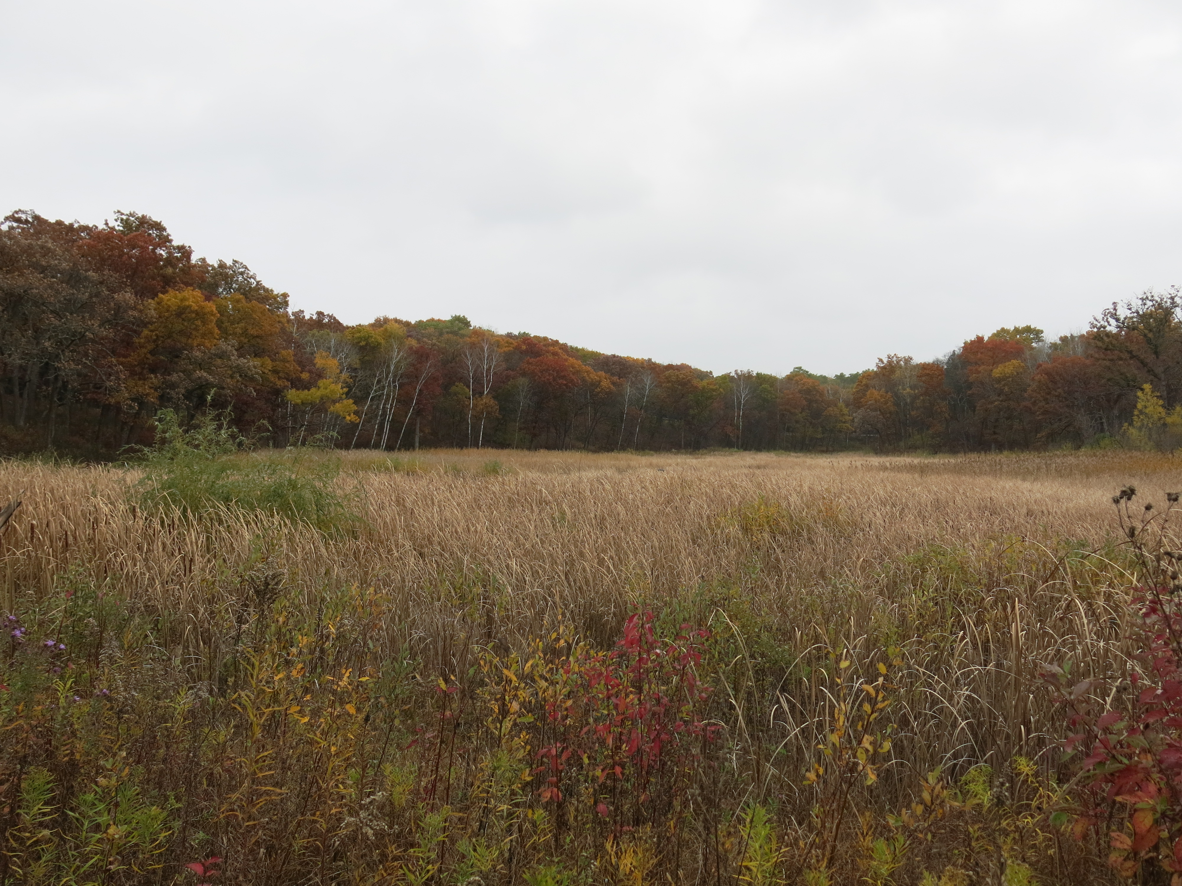
It isn’t natural and it isn’t healthy long-term for the river watershed. The remnants of the entrepreneurial spirit of the European settlers on the river are four separate embankments that span the valley of the headwaters. Upstream of these four humps, muck and marl have backed up completely changing the hydrology. We do not see the diversity of macroinvertebrates typically found on stoney, sandy, bottom riverbeds. Now, I’m asserting that without data to back it up. I’m simply assuming that a muck and marl riverbed will not have the same diversity of species as a stoney, sandy riverbed. To address this lack of data, I plan to begin collecting biotic index data at various points in the headwaters so that we can compare it to after the four “humps” are removed, which will happen next Spring.
The width of the river in the majority of the headwaters above the hotel springs is 2 or 3 times normal and it resembles more a lake bottom than a riverbed. This widened and shallow system provides an ideal water source for the invasive cattails and phragmites that dominate the headwaters valley. Their root systems are hollow tubes ½ to ¾ inch in diameter, strong as pvc but much more flexible, that tap into the river The key to addressing this problem is, as Tracy Hames would say: “Fix the water“. Removing the humps will generate a headcut, which will cause the stream channel to narrow increasing its velocity and exposing a stoney, sandy bed. This will make it much easier to intercept the root systems of the cattails and phragmites and turn off the spigots that are feeding them. And keeping the watercress to a reasonable amount, so it does not impede the river like a vegetative dam, will help keep the water cold as it rushes downstream.
♦♦♦
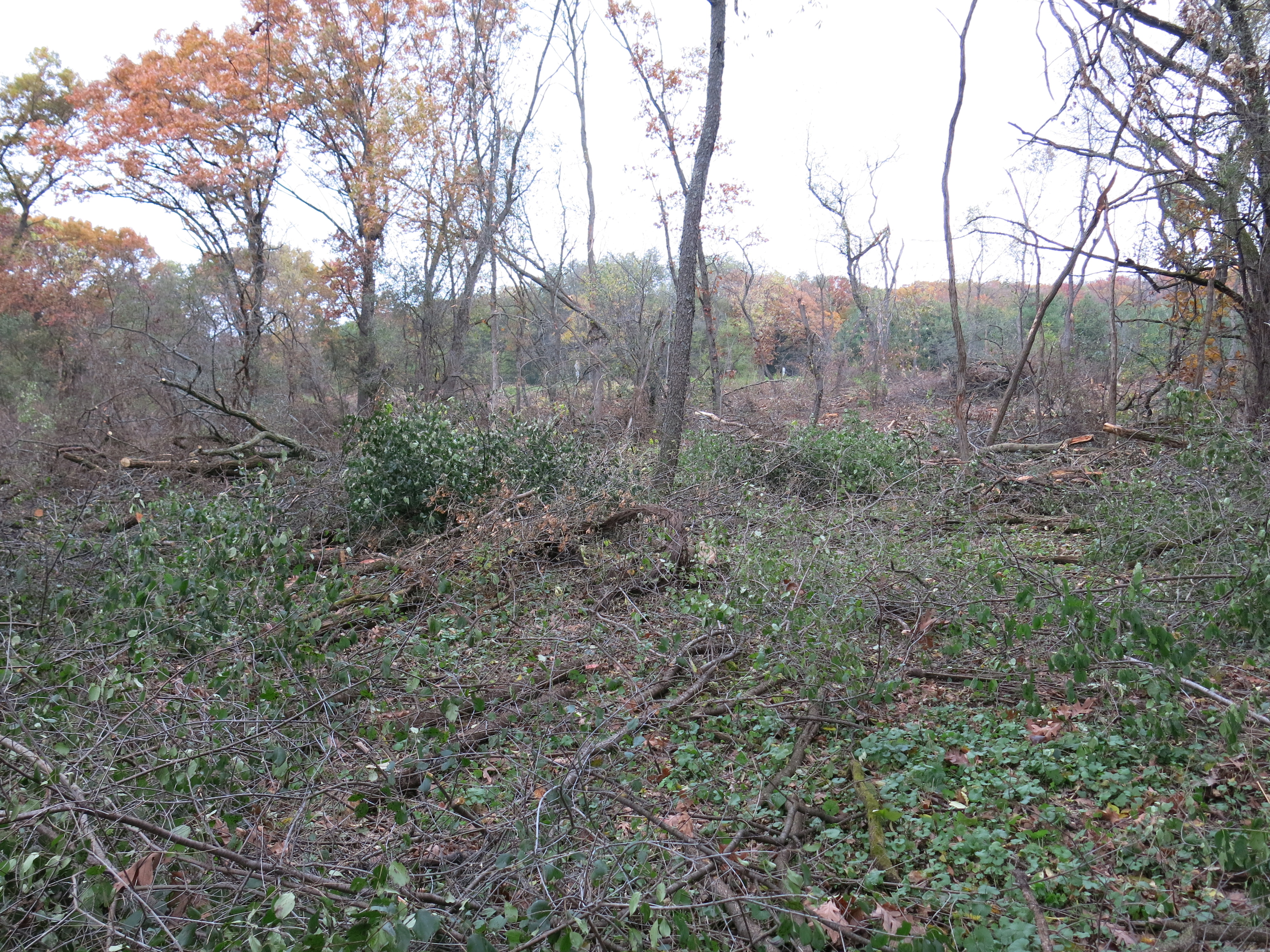
I had a dramatic, three-day, run at The Springs this past Wednesday – Friday swinging my chainsaw with boundless energy. I’ve been chomp’in at the bit for 6 months to take down the buckthorn in many key areas, where a small amount of work can yield dramatic new vistas, and I tackled the areas marked in blue below this past week.

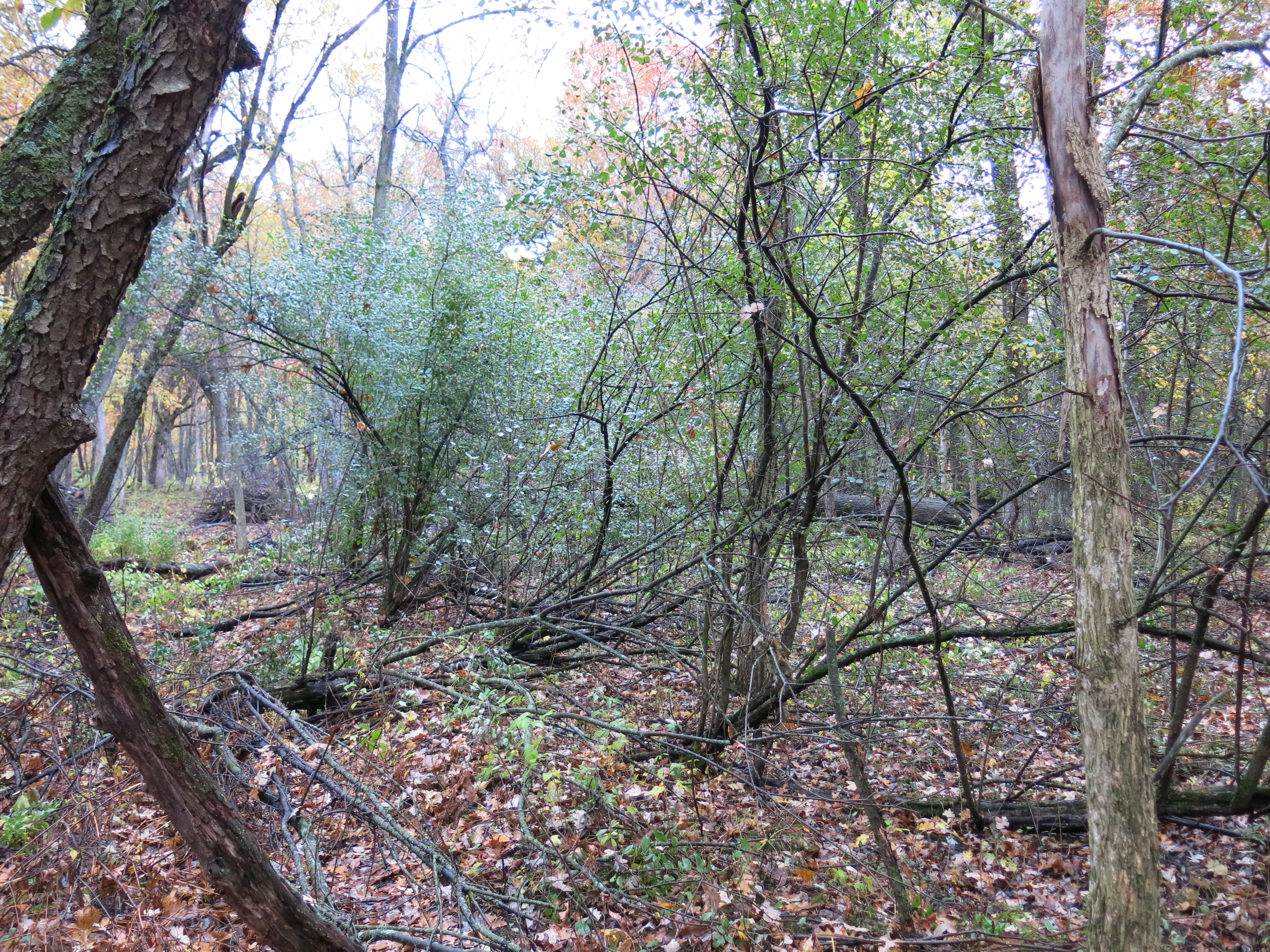
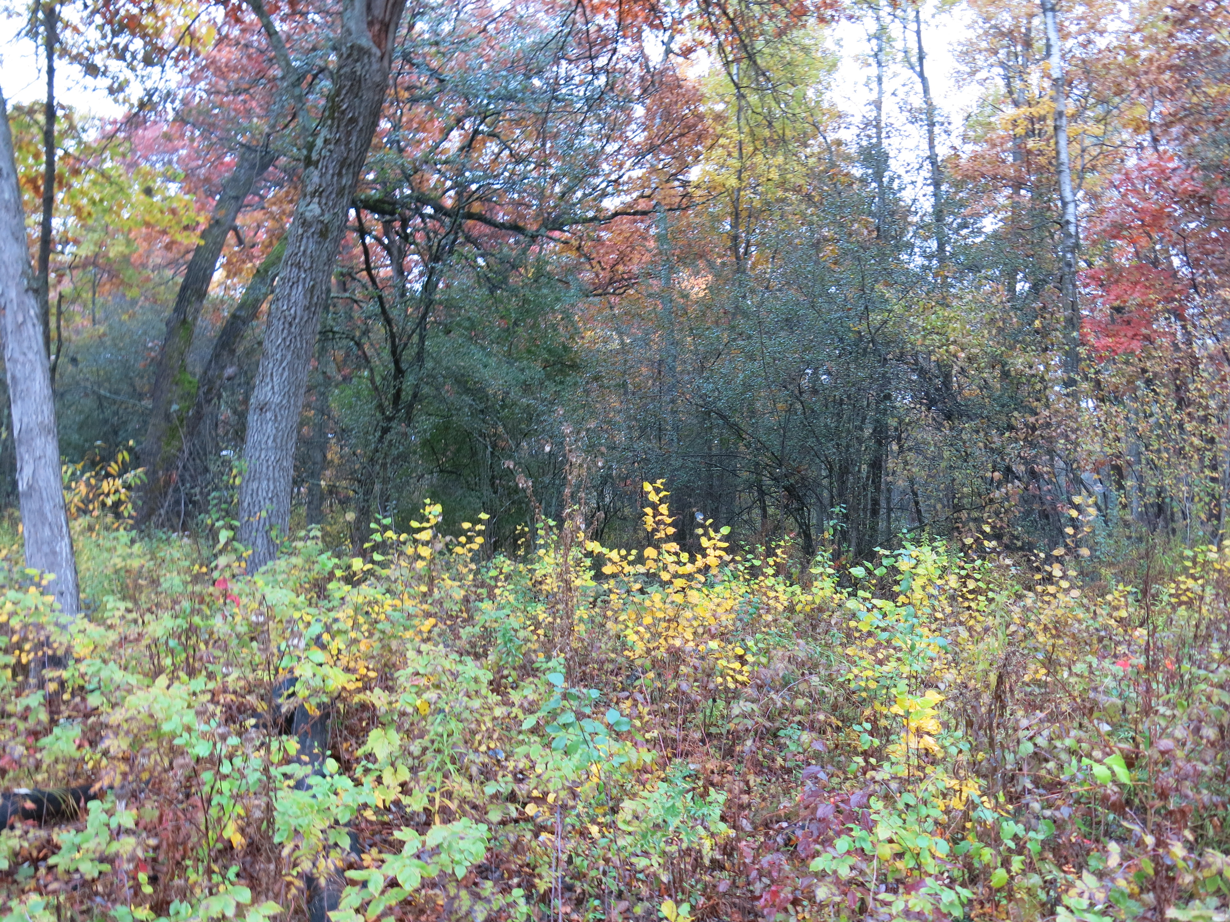
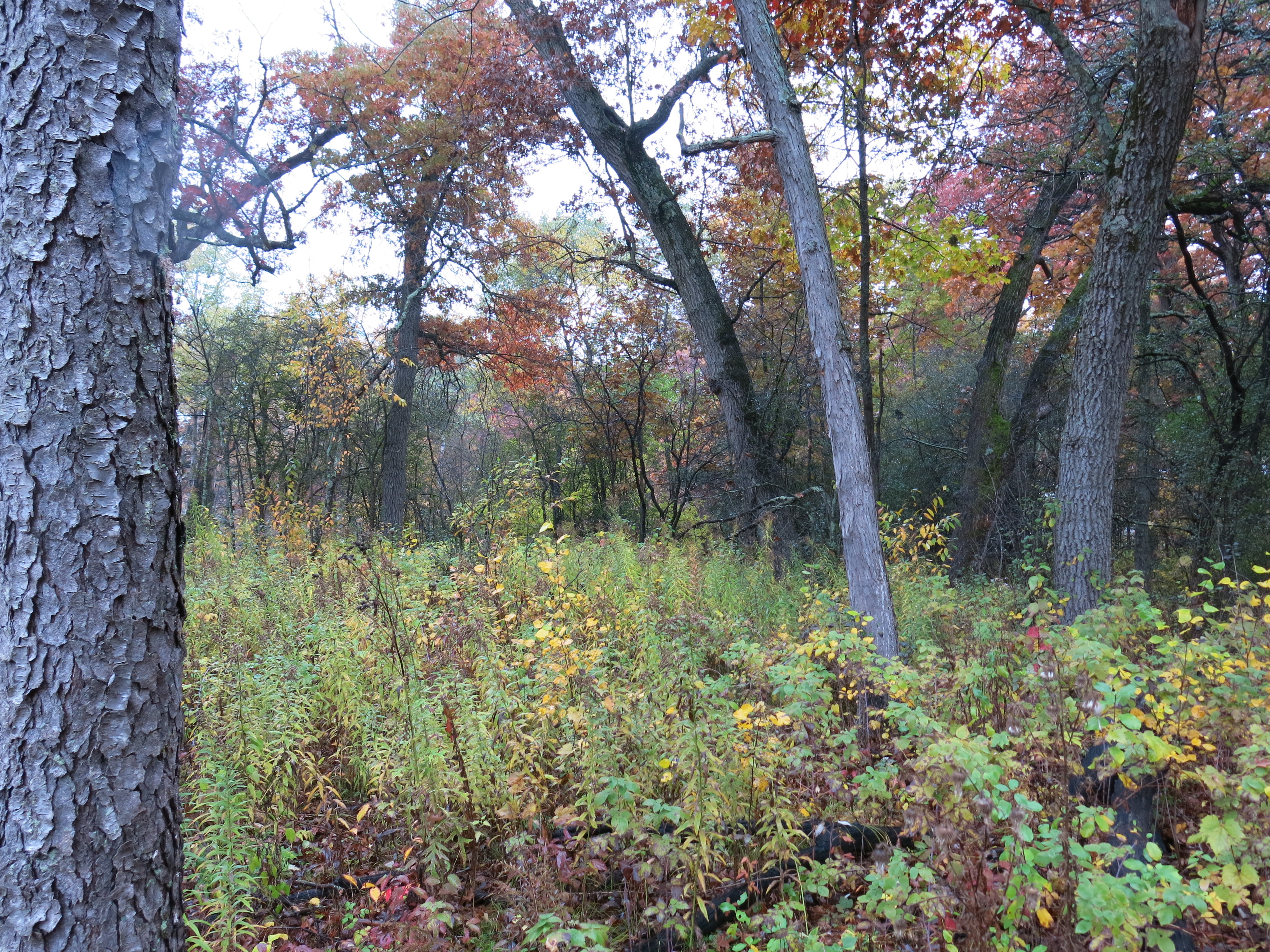
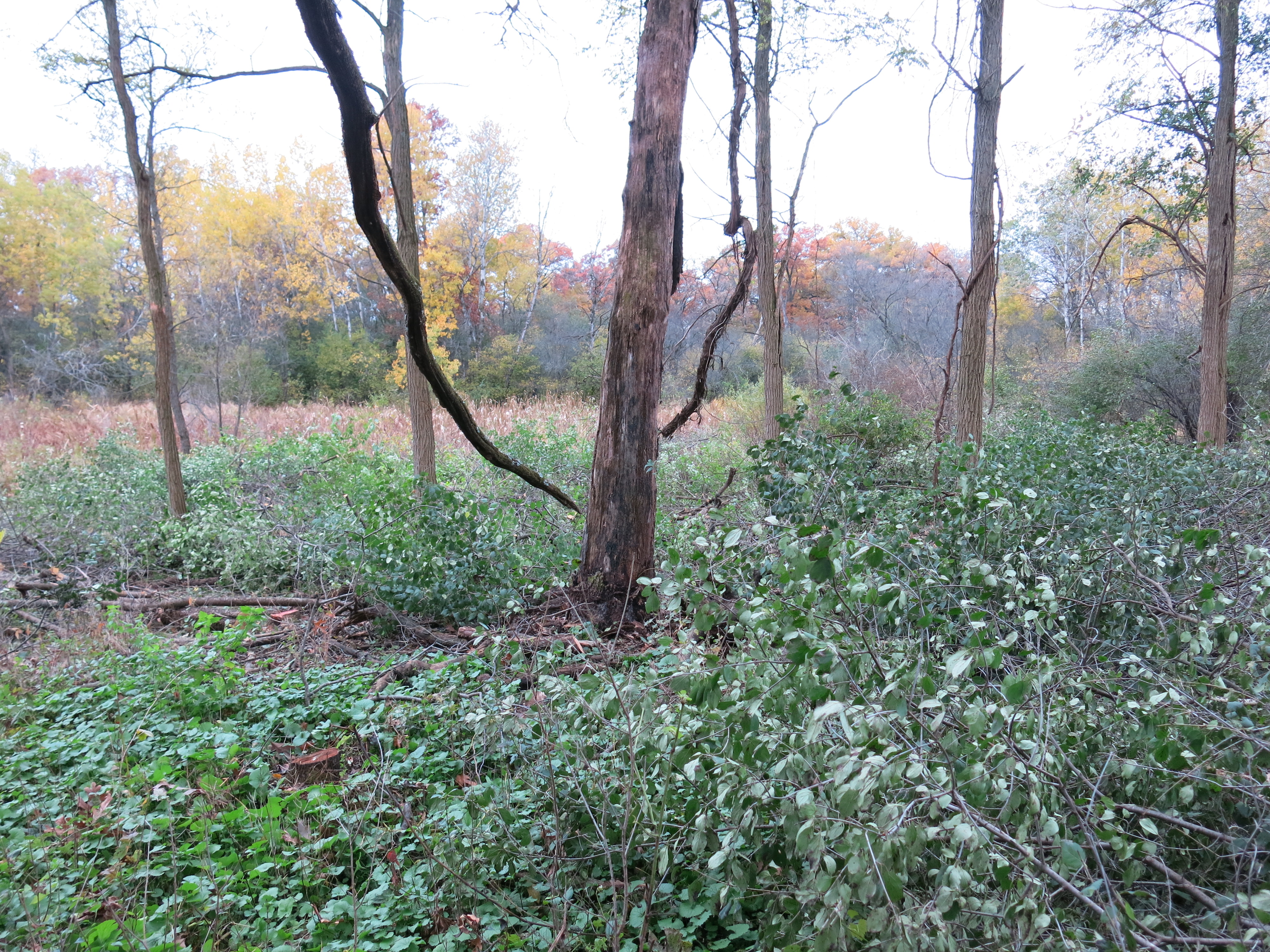
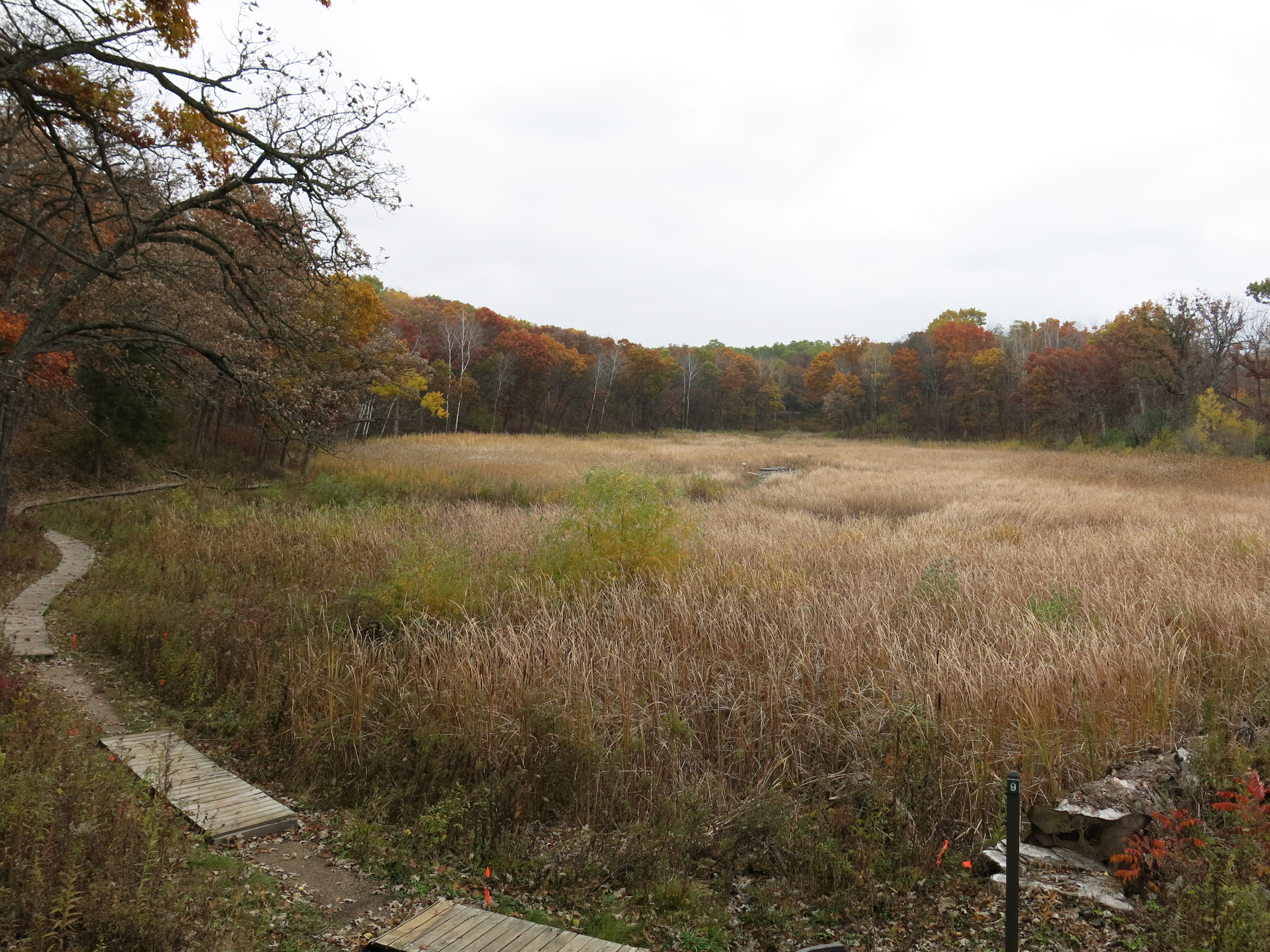
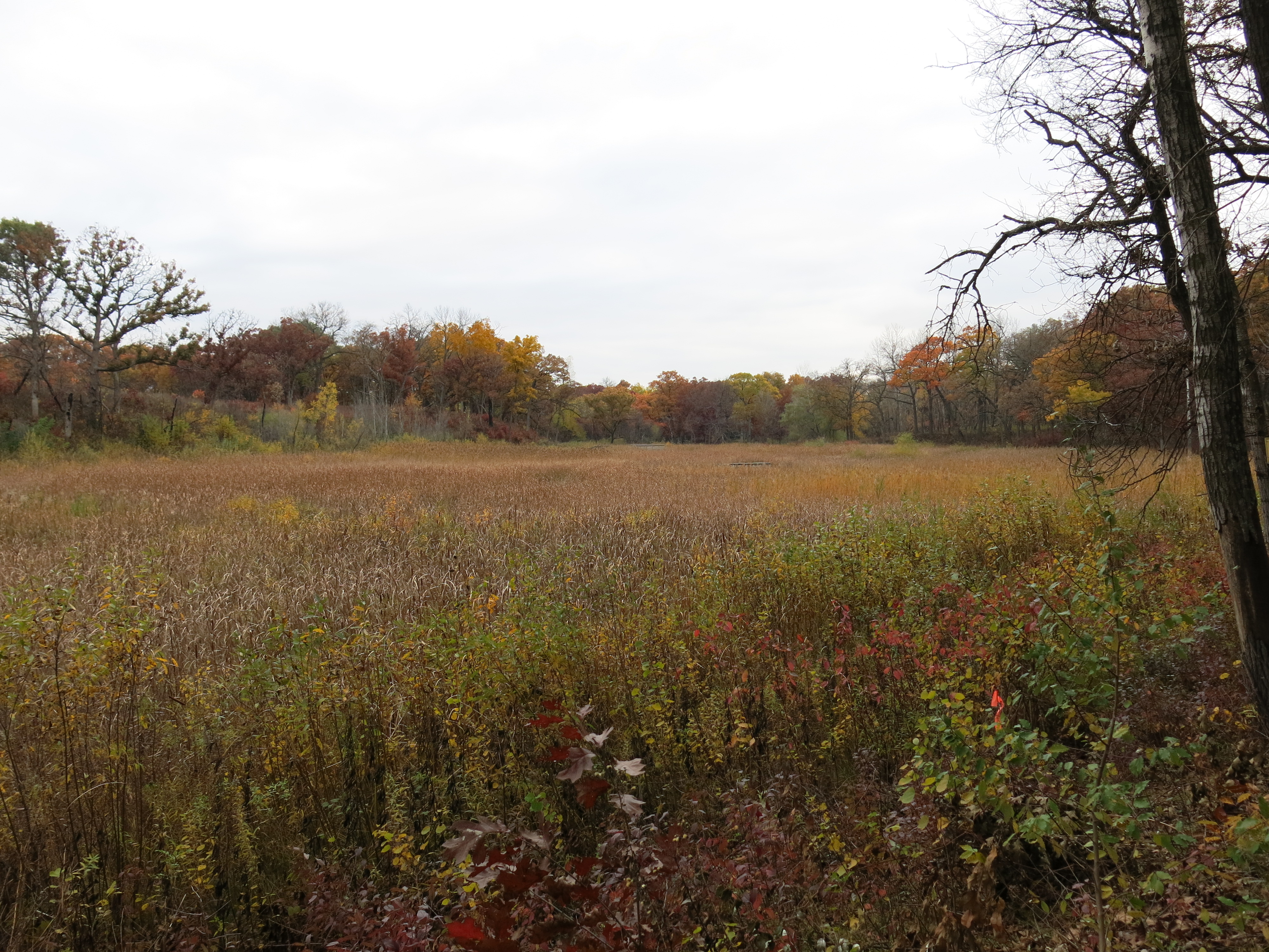
On Wednesday I worked near the boardwalk that Ben Johnson and I recently raised on the east end of the Buckthorn Alley. Here are views taken beforehand looking south, then west, then east.


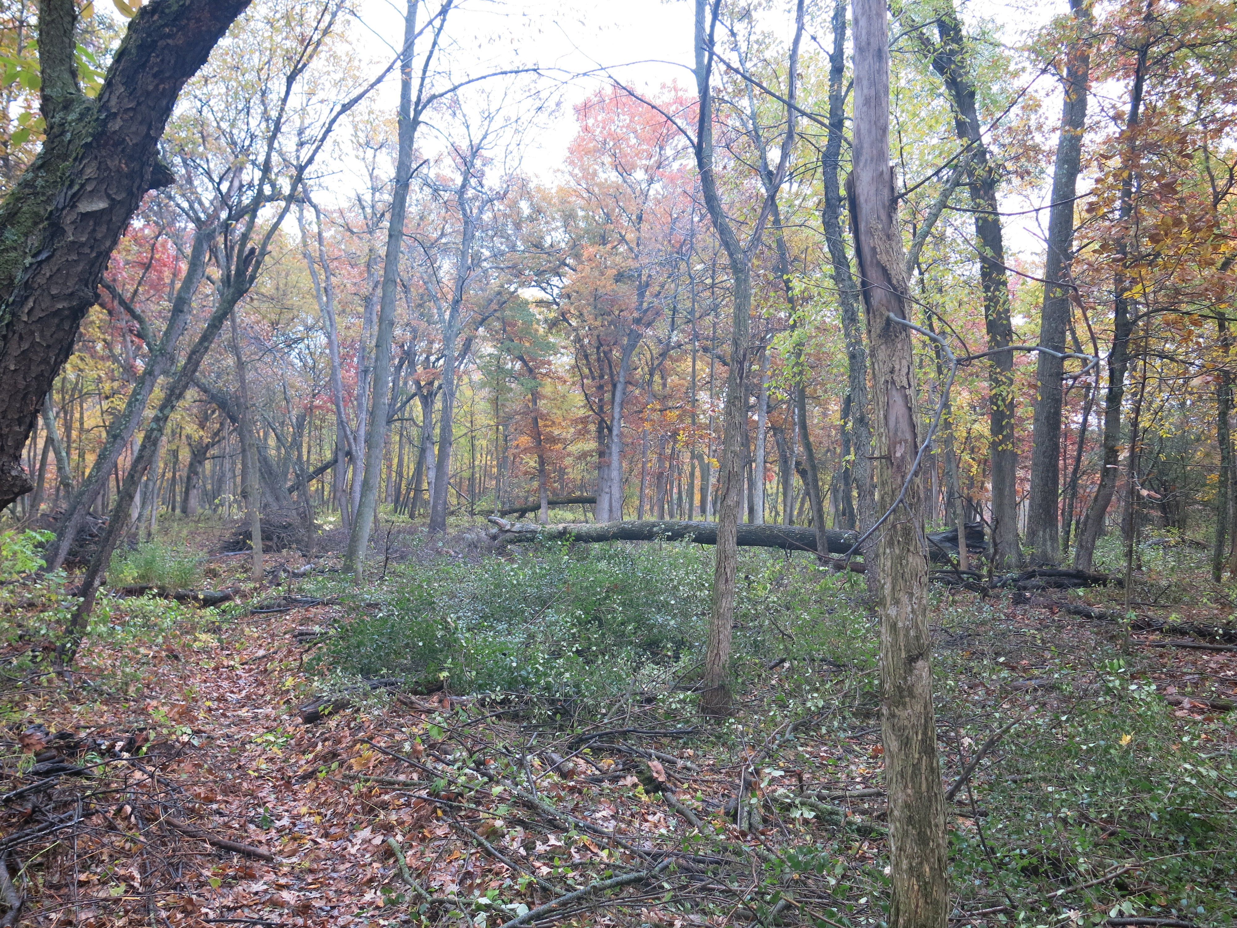
And afterwards, the same perspectives.
I’ll take you on a video stroll along the trail later below.
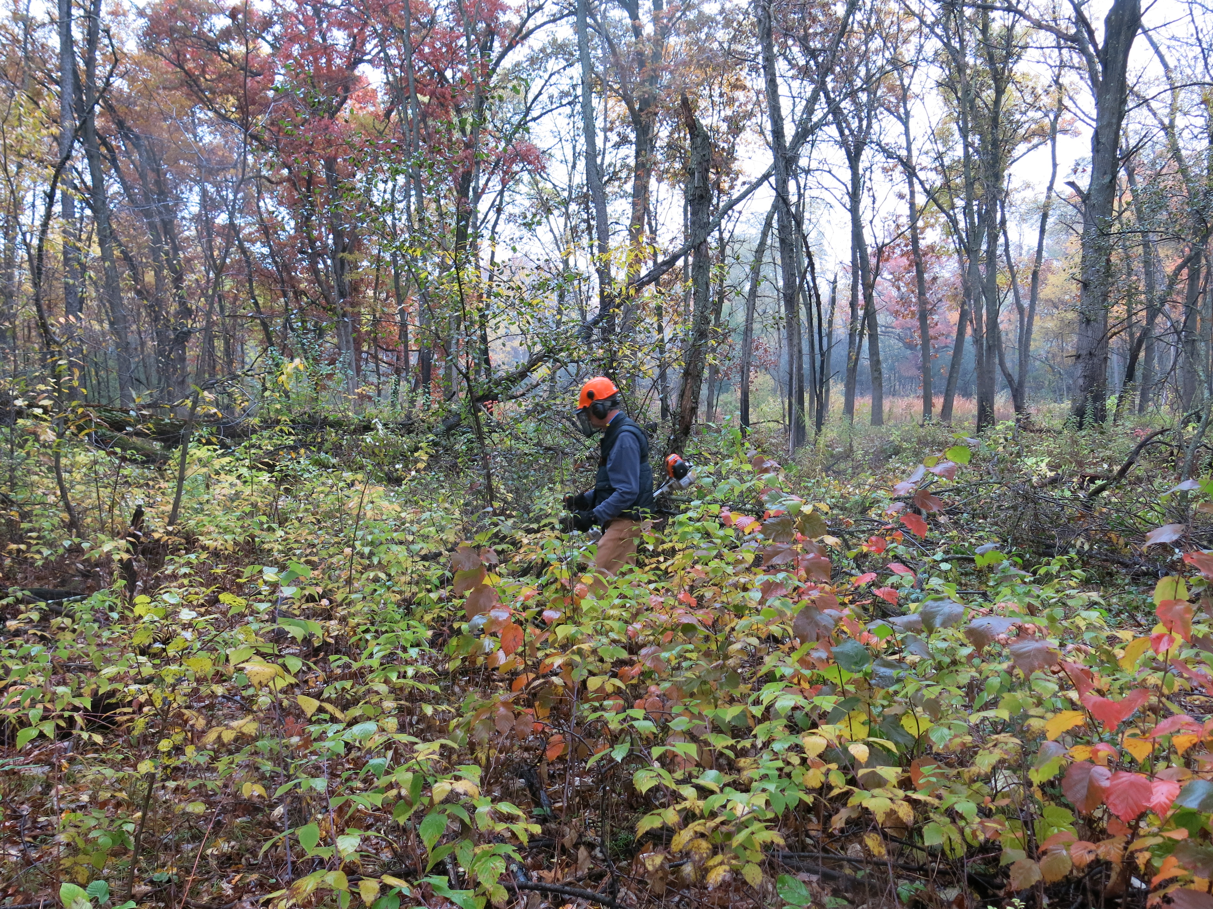
On Thursday, I was joined in the morning by a new volunteer named Dave Kieffer, who took a vacation from his project management role to help me out. Dave worked the brush cutter and I swung the chainsaw in the area marked in blue above that is closest to the cut-off trail.
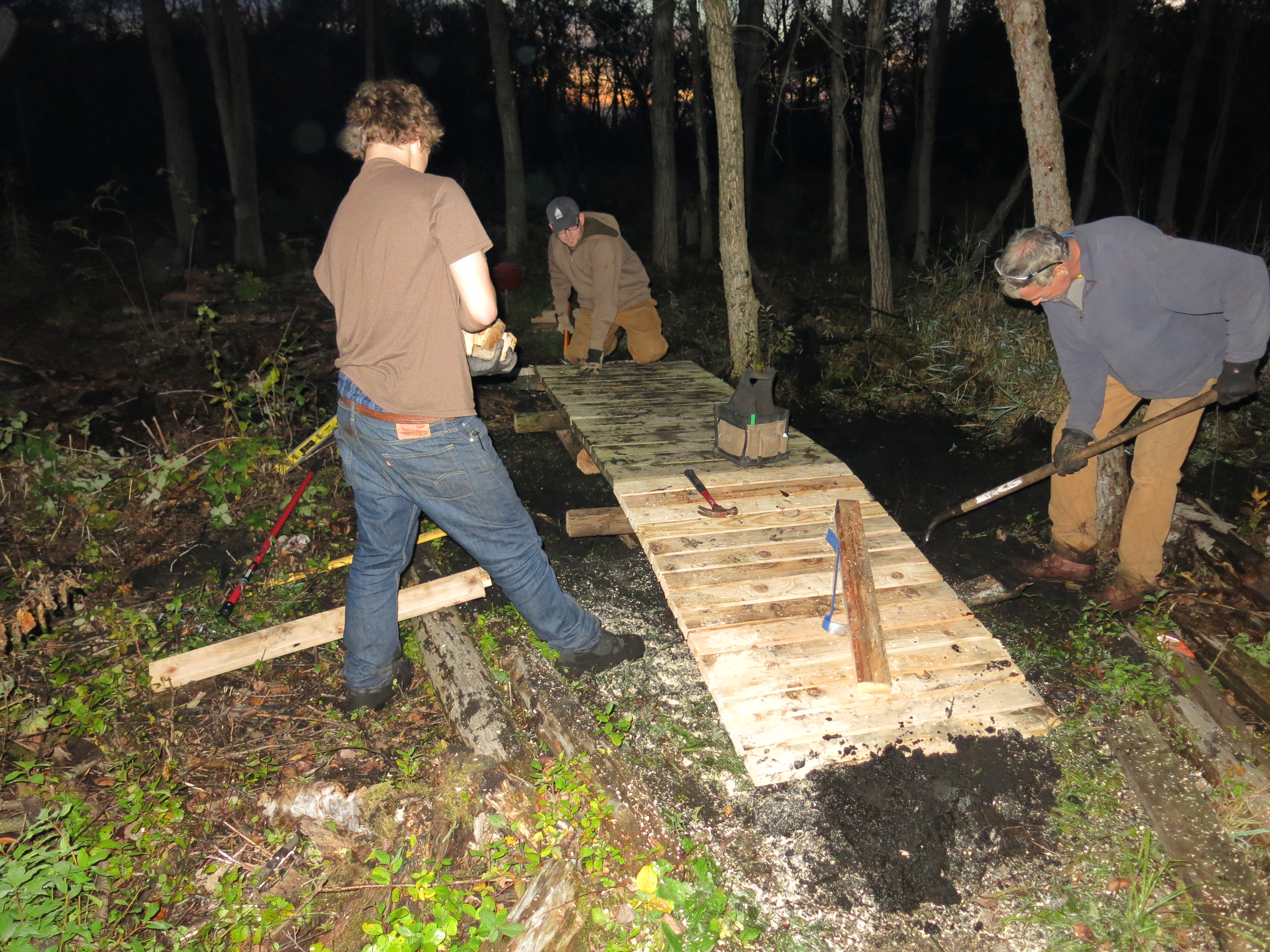
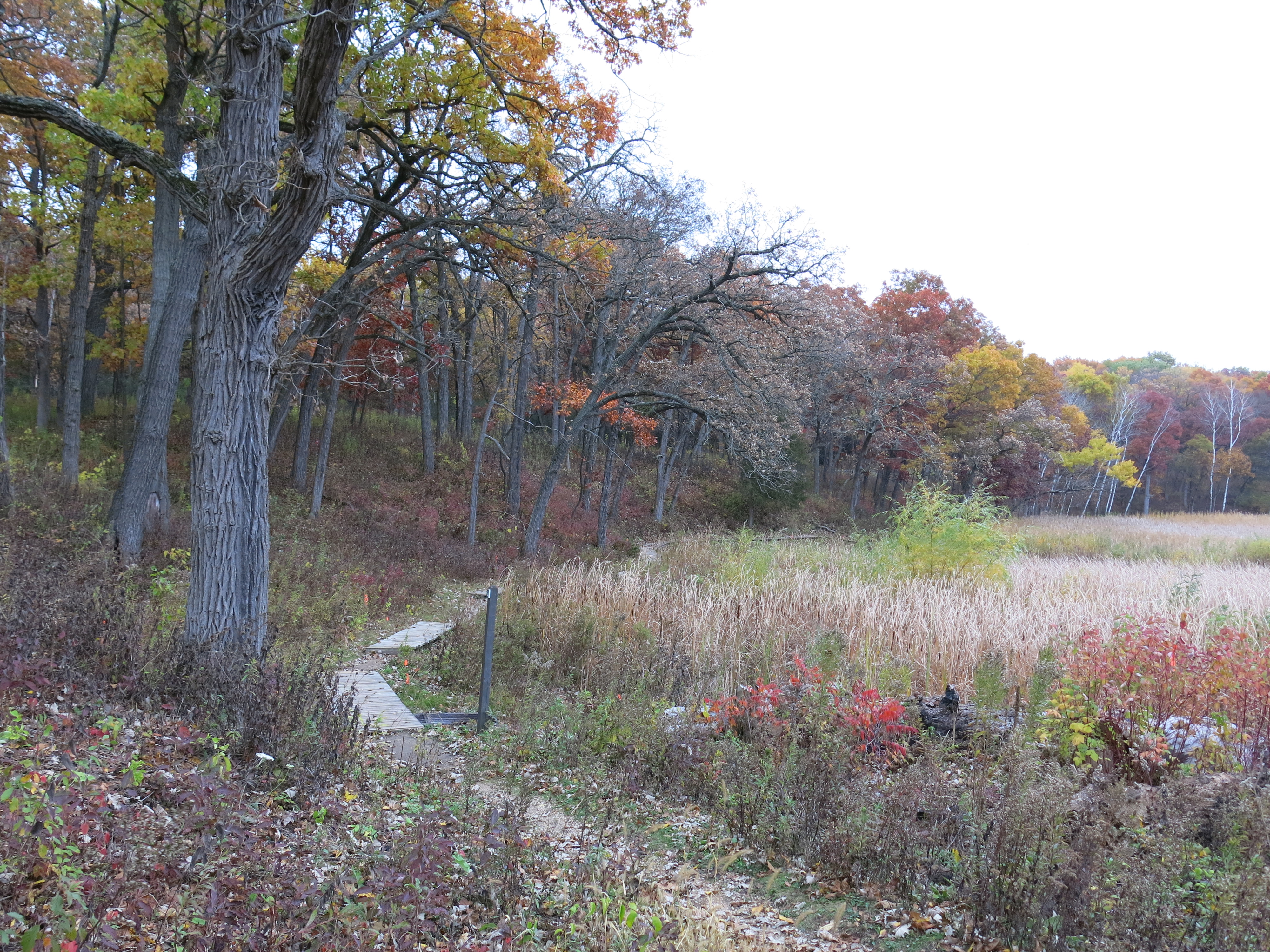
We had a date in the afternoon with Ben Johnson and another new volunteer, Ryan Wendelberger (a senior at Brookfield Central High School), to relocate two boardwalks so we shifted gears around 2:00pm. Here is how it looked when we finished.

Dave and I staged some logs to use as pedestals for the newly relocated boardwalks and then we met Ben and Ryan at the DNR parking area above the Hotel Springs, where we planned to take the boardwalk sections. Amazingly, Ben, Dave and Ryan were able to transport the boardwalk sections using Ben’s hand dolly. We were soon busy positioning one of the sections as a bridge on the north loop trail, where water is clearly attempting to cross the existing causeway and join the outflow of a spring just south of the trail.


Ben explains what we are doing.
Everyone pitched in for a great team effort!
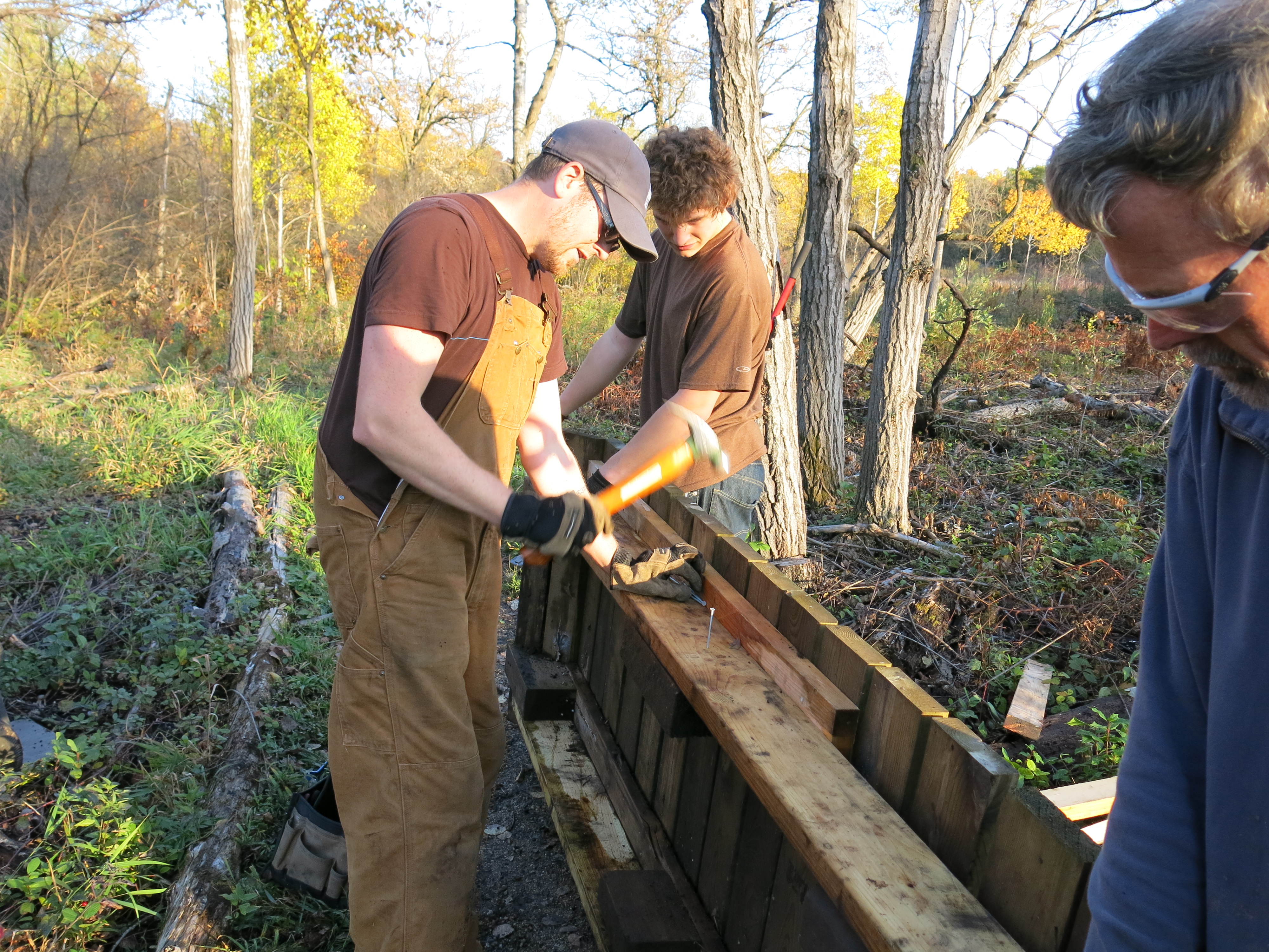


The light was fading as we nailed the last boardwalk pieces and applied the final touches. Thanks again to Ben, Dave and Ryan for your outstanding contibution!


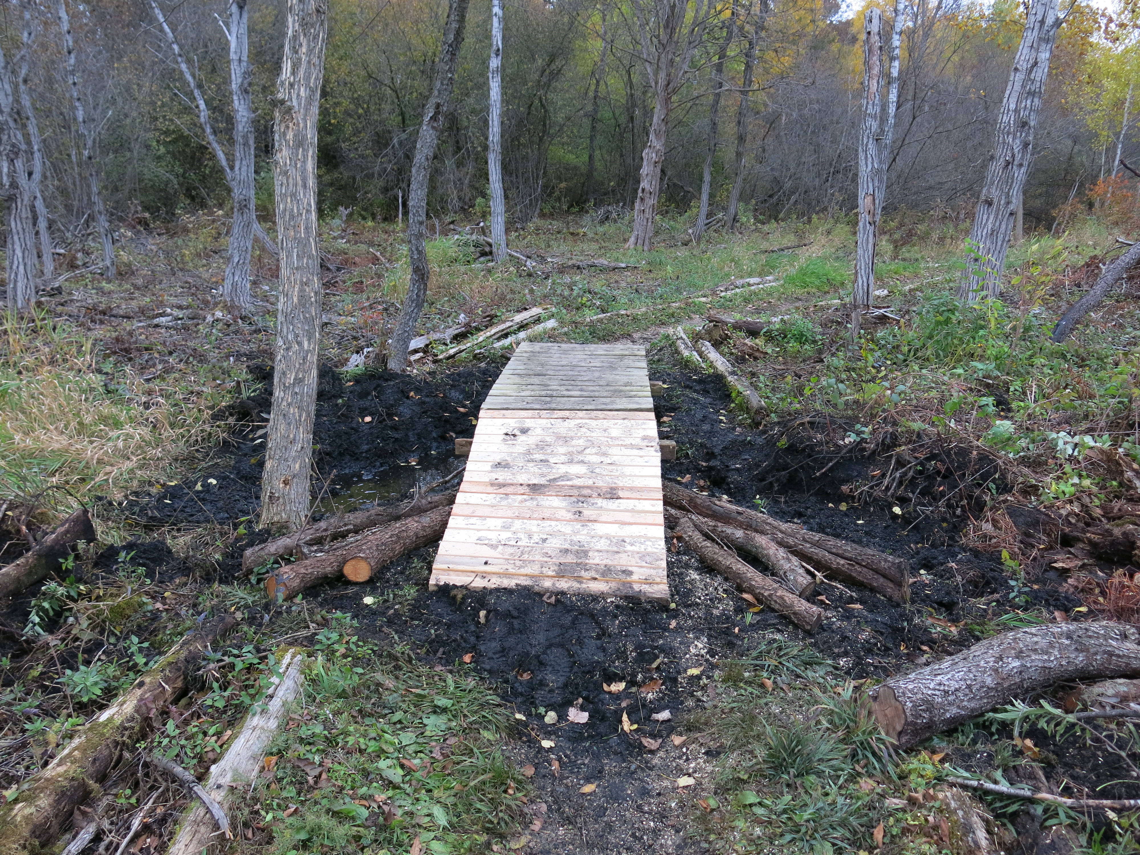
Here it is in the daylight.


Friday I was still raring to go.
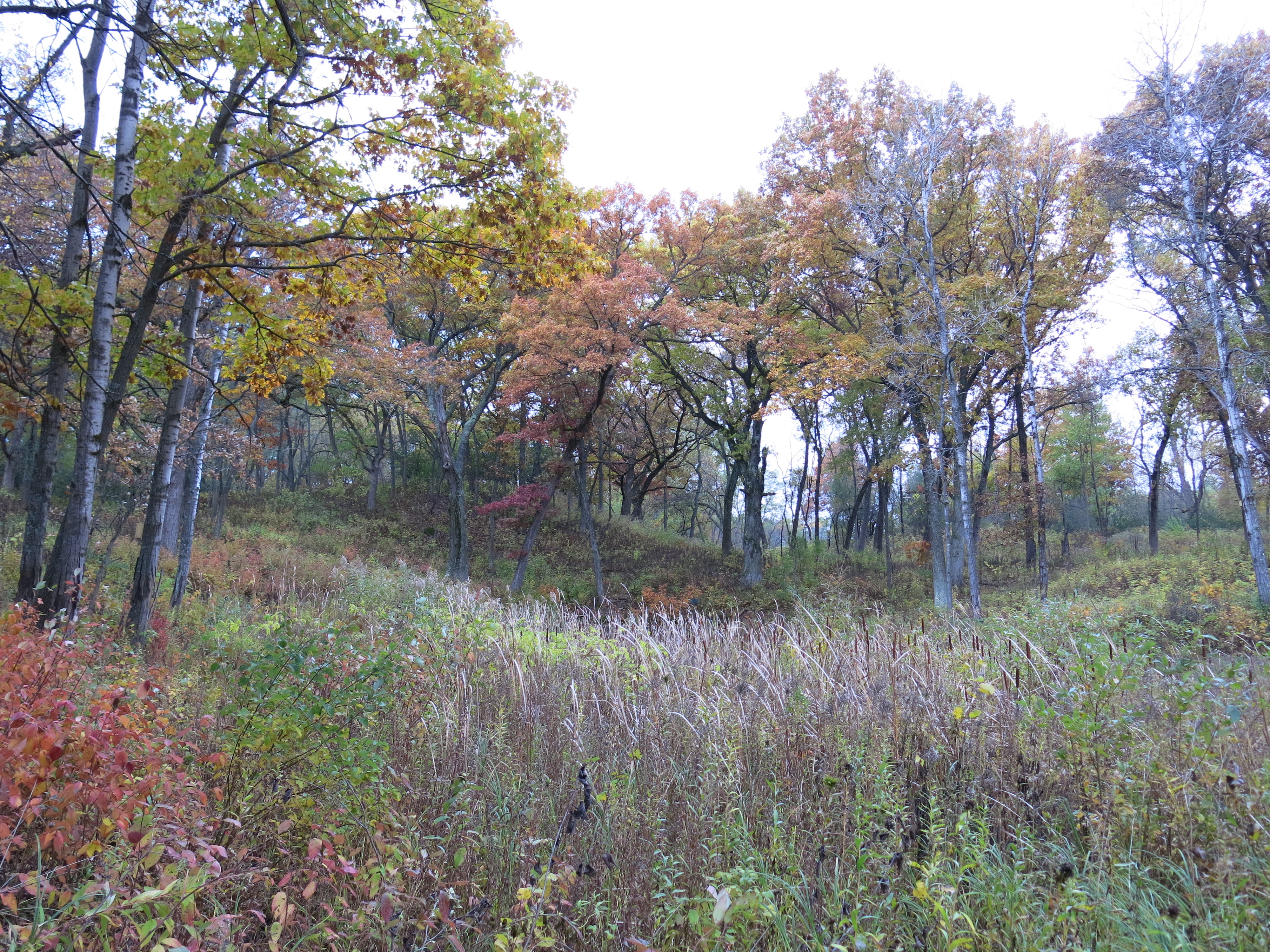
I wanted to cut in an area on the northeast edge of the loop trail (shown in blue on the map above) to connect the opening along the trail and former cranberry bog to the opening made by Steve Tabat and his crew as they harvest black locust trees.
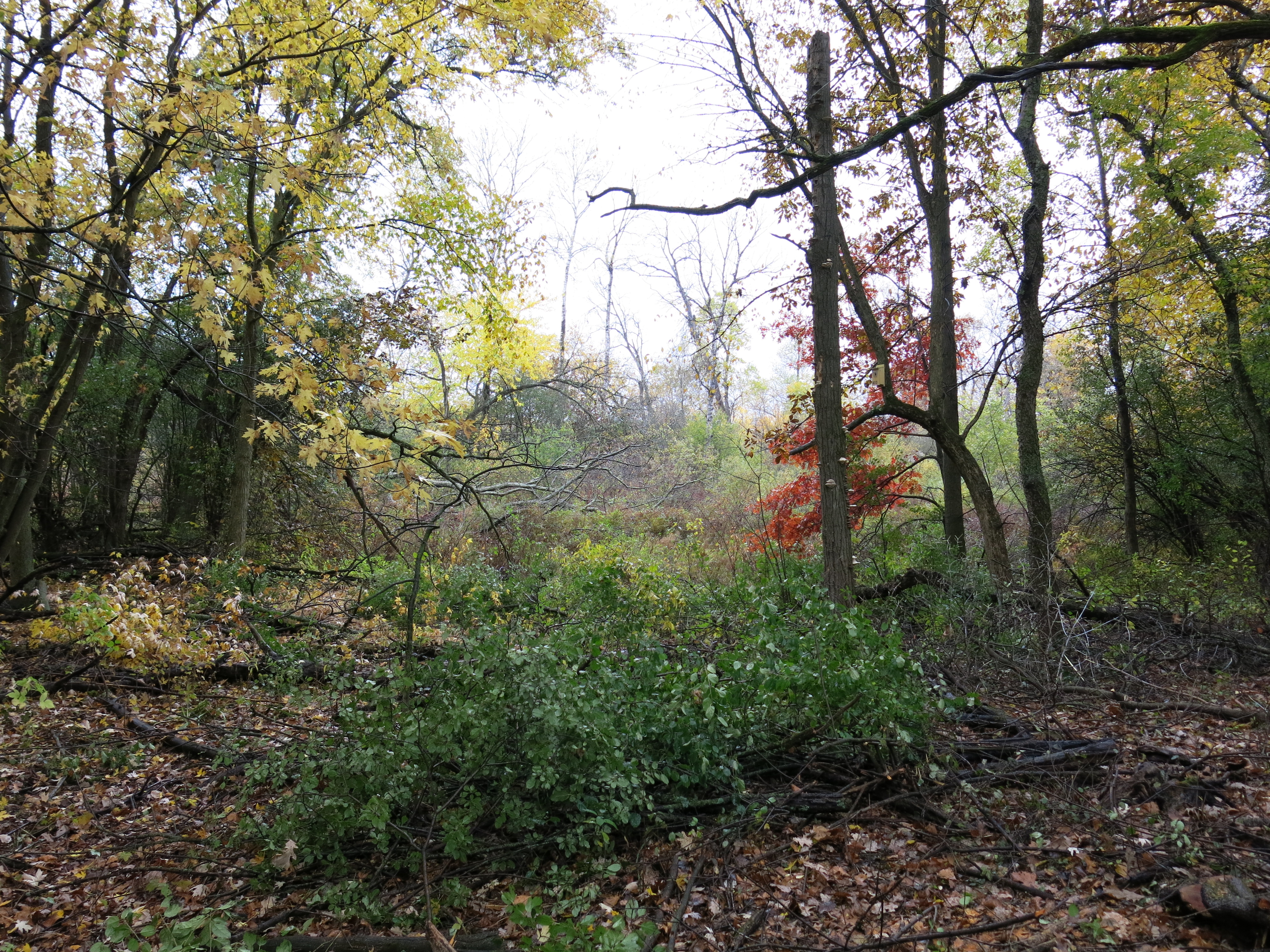
View from the trail.

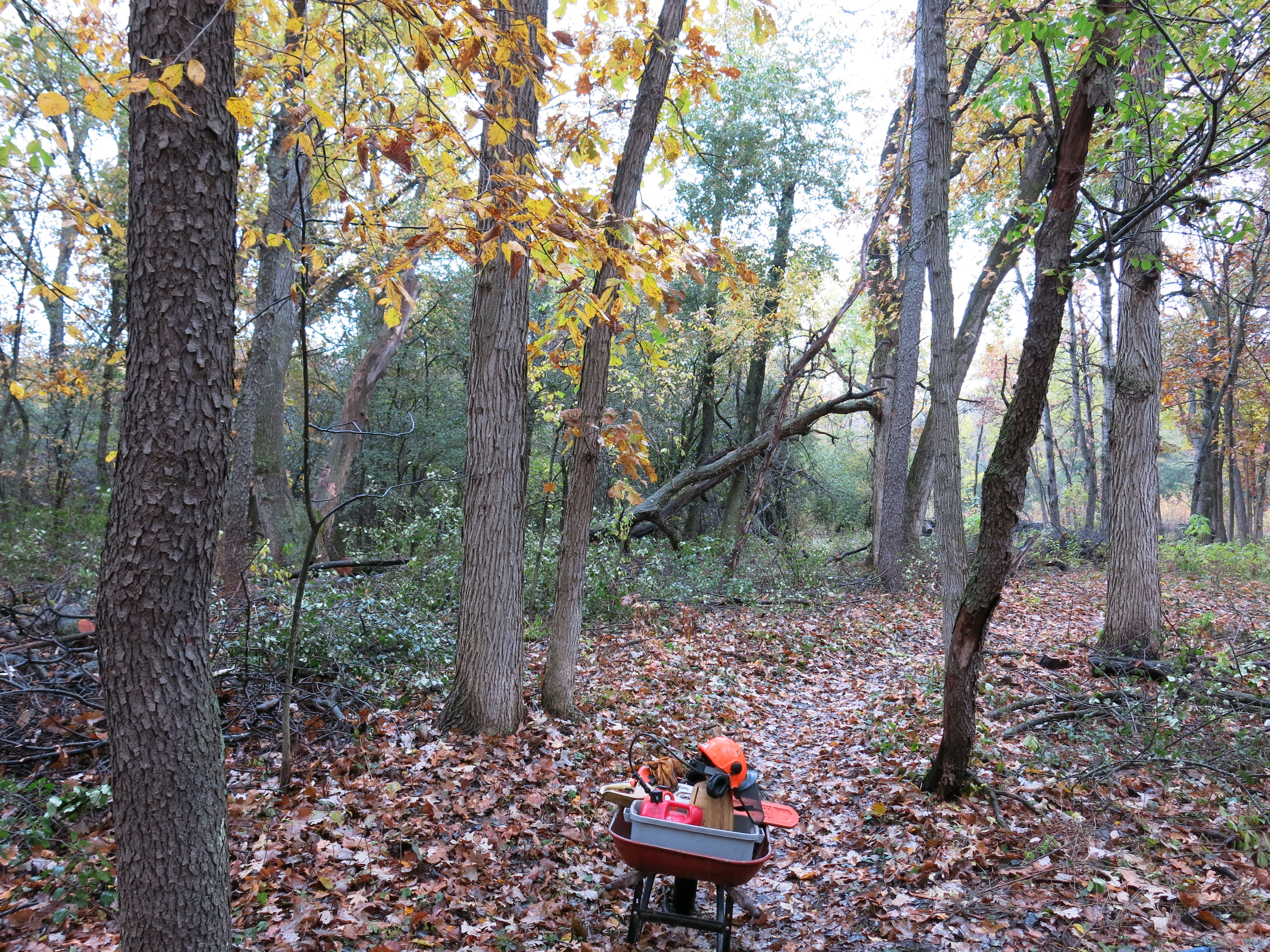
The views looking right , center and left from where I staged my gear.


It was surprisingly warm and I had to strip off my long johns after the first tankful of gas. I put a new spark plug in the machine because it was running rough the day before and that did the trick! The views below are right-center and left as compared to those above.
Come along with me as I stroll down the north loop trail past the areas that were cut.
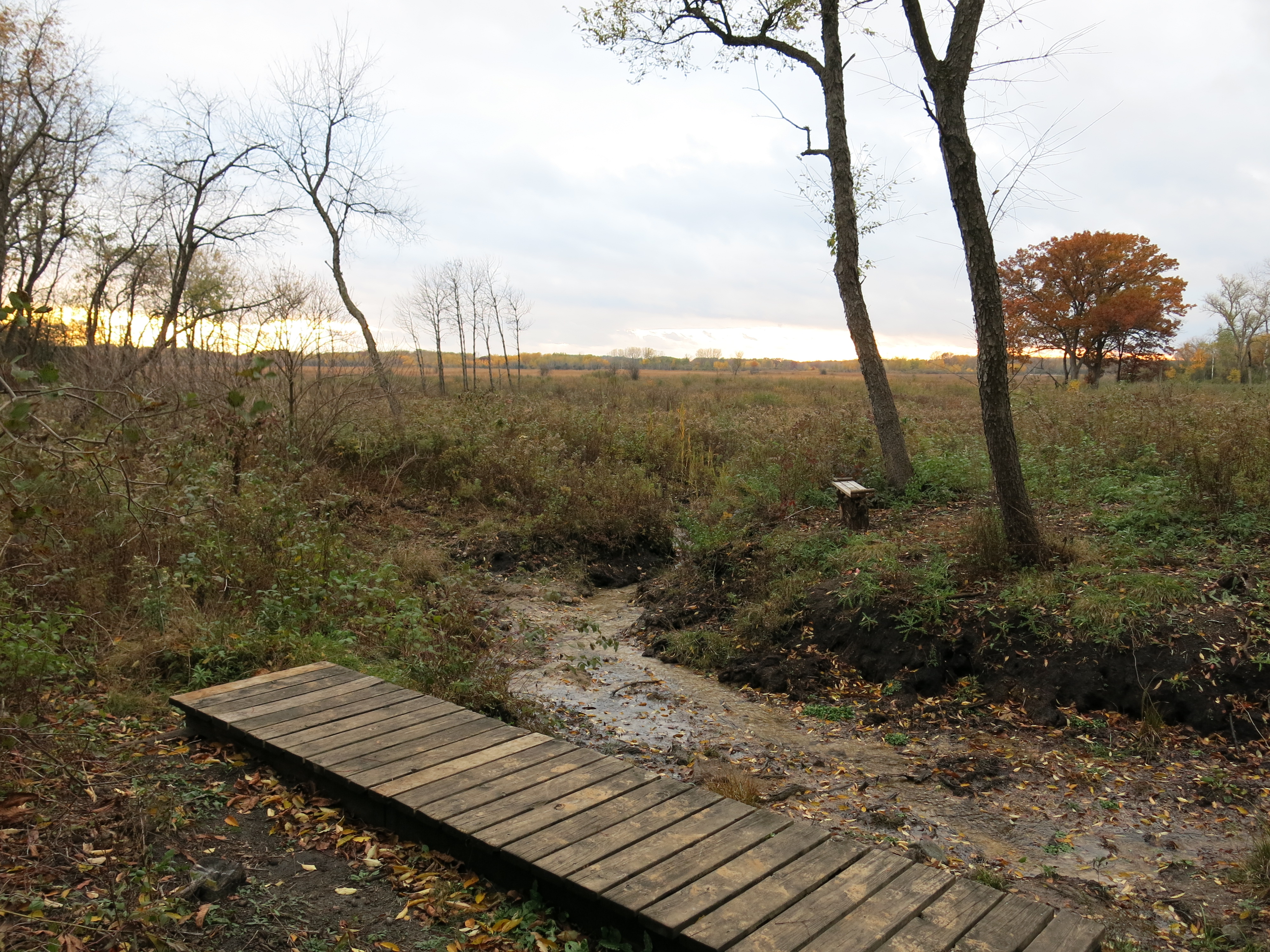
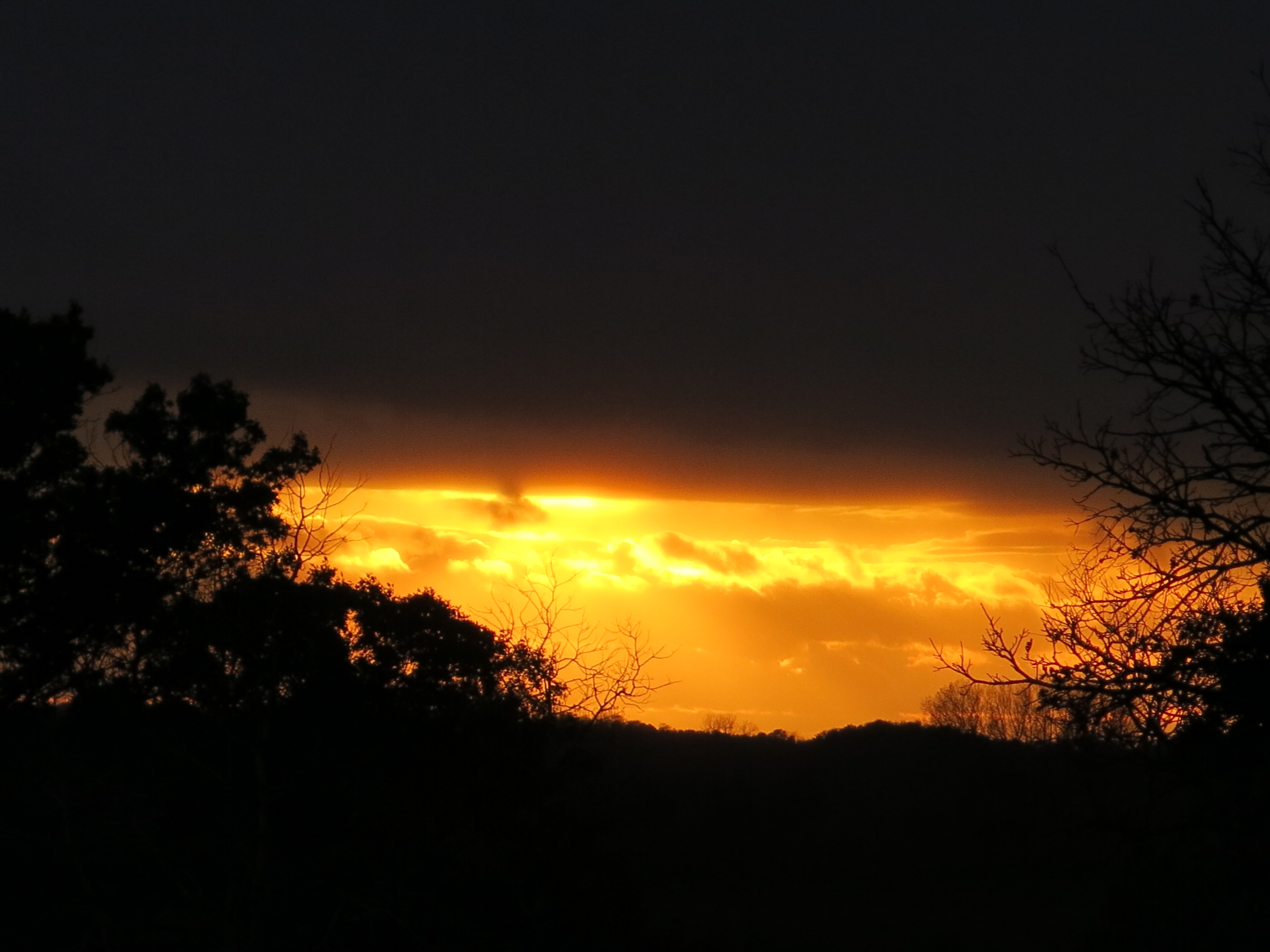
Afterwards, I took a blissful walk along the river towards the Scuppernong Spring.

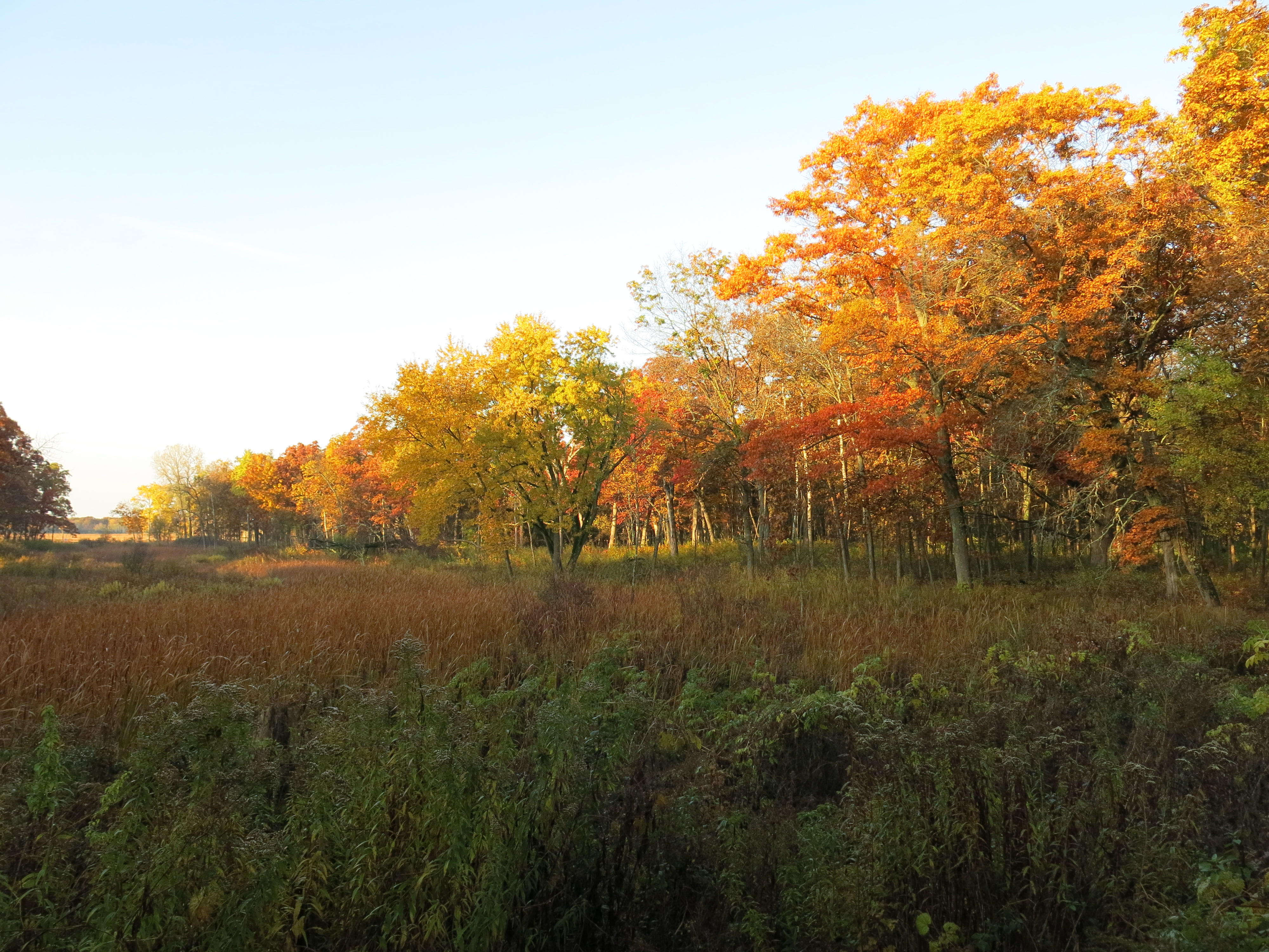
The sunset was dramatic!


See you at The Springs!
p.s. I’ll be camping all next week at My Shangri-La. Do drop in and surprise me.

Sunset in the keyhole, was this from the sandprairie bench?
No, it was right at signpost #6.
Pingback: The Ottawa Lake Springs | Scuppernong Springs Nature Trail
Pingback: Swift Action In Hartland | Scuppernong Springs Nature Trail