
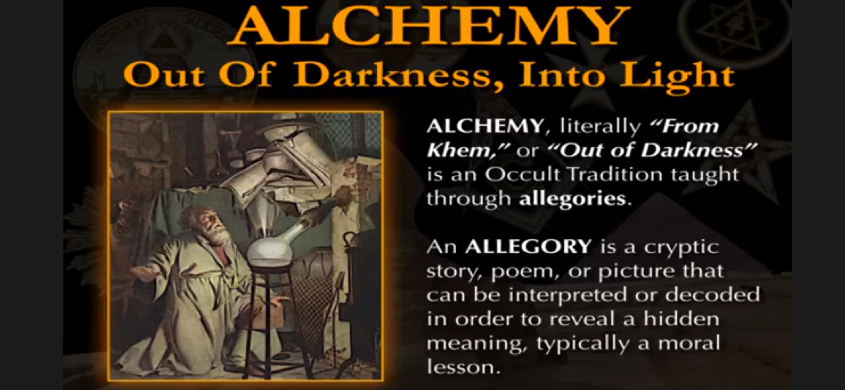
The Springs, and I, have undergone a dramatic transformation over the last four years. The invasive plants that once dominated the Scuppernong Springs Nature Preserve are akin to the “base metal” in an alchemical process, and the years of indoctrination in the religions of: Government, Catholicism and Money, had me in “base consciousness”. The allegories of Alchemy are aptly suited to both contexts, as explained by Mark Passio in his latest seminar: “De-Mystifying The Occult“, which was expertly immortalized by my friends at Tragedy and Hope.
“ALCHEMY, literally “From Khem,” or “Out of Darkness” is an Occult Tradition taught through allegories.”
 Mark explains the essence of the esoteric truth that has been hidden, or occulted, from us:
“The Alchemist seeks to remove from his or her thoughts, emotions and actions their disorderly imperfections, or base characteristics, in order to bring them to their true state of Natural Order (Harmony with Natural Law) and to transmute them into “Alchemical Gold,” representing the purification of Body, Mind and Spirit.”
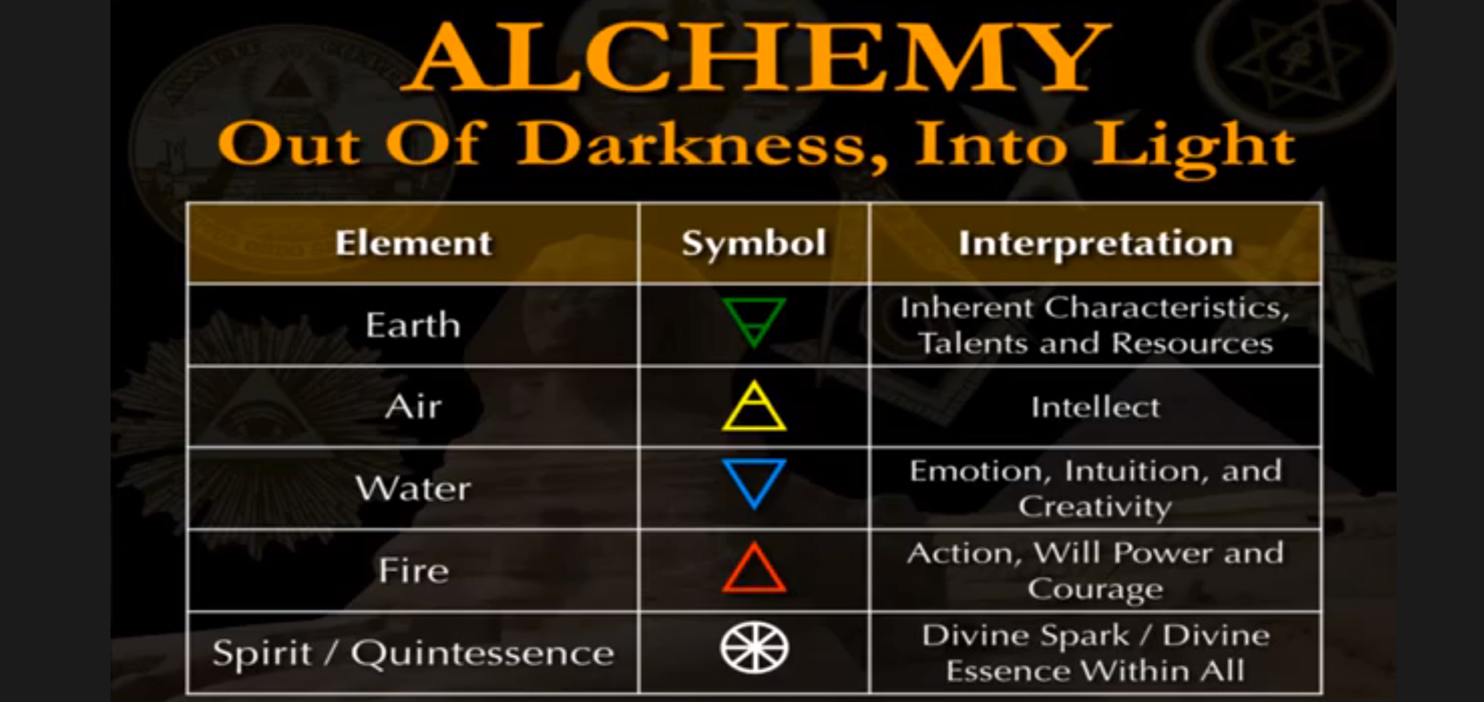
 I feel deeply connected to Earth, Air, Water, Fire and, the Quintessence — Spirit, when I’m at the Scuppernong Springs. Below, Mark begins to explain the allegories in Alchemy by revealing the esoteric interpretations of these fundamental elements.
 There can be no start to the journey Out Of Darkness, Into Light, unless we honor the Sacred Feminine aspect of the Human Psyche in ourselves.
 This brief sketch can’t begin to do justice to Mark’s full De-Mystifying The Occult Presentation:
“The Philosopher’s Stone represents man himself at the beginning of the process of Self-Mastery.”
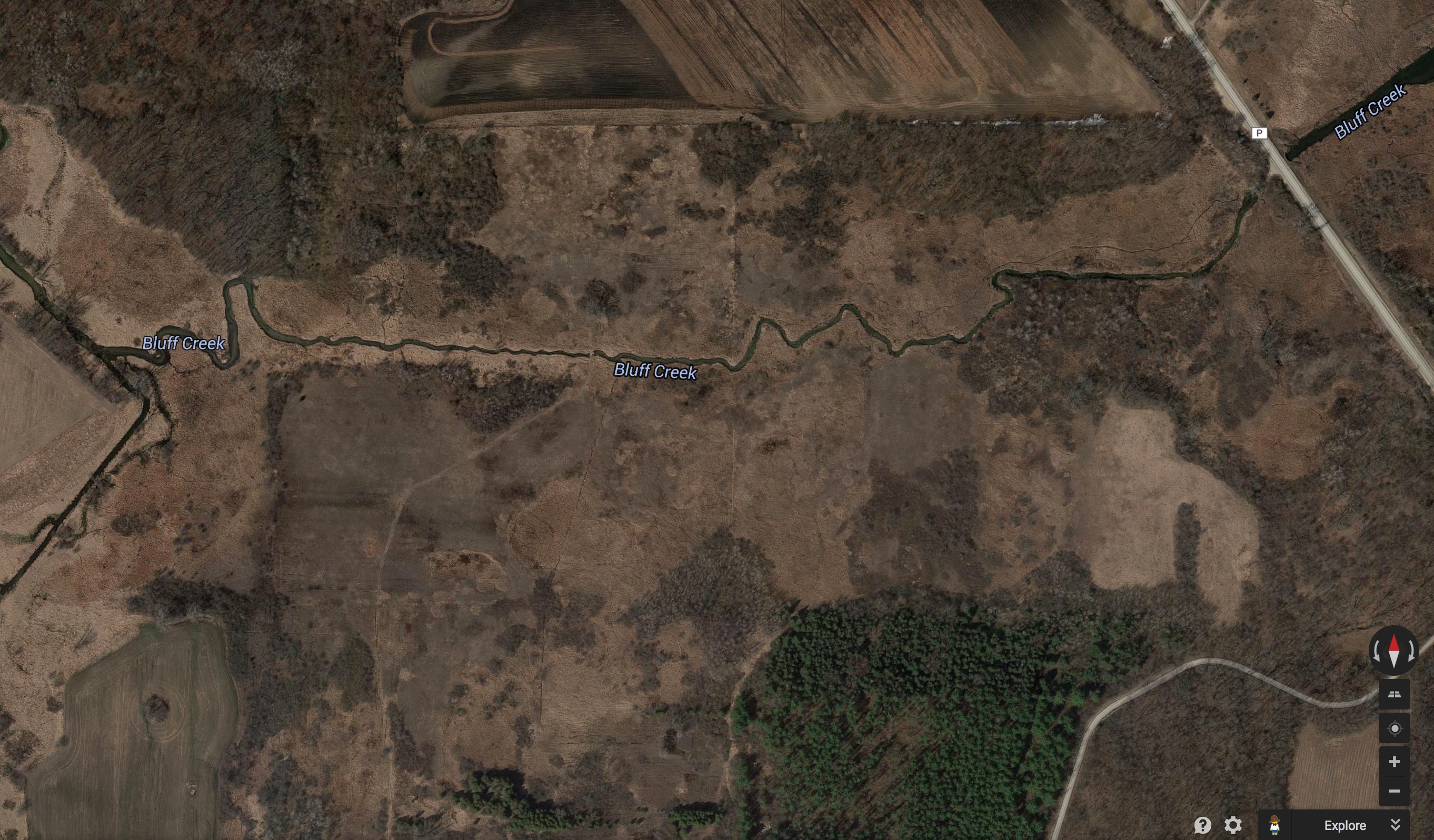
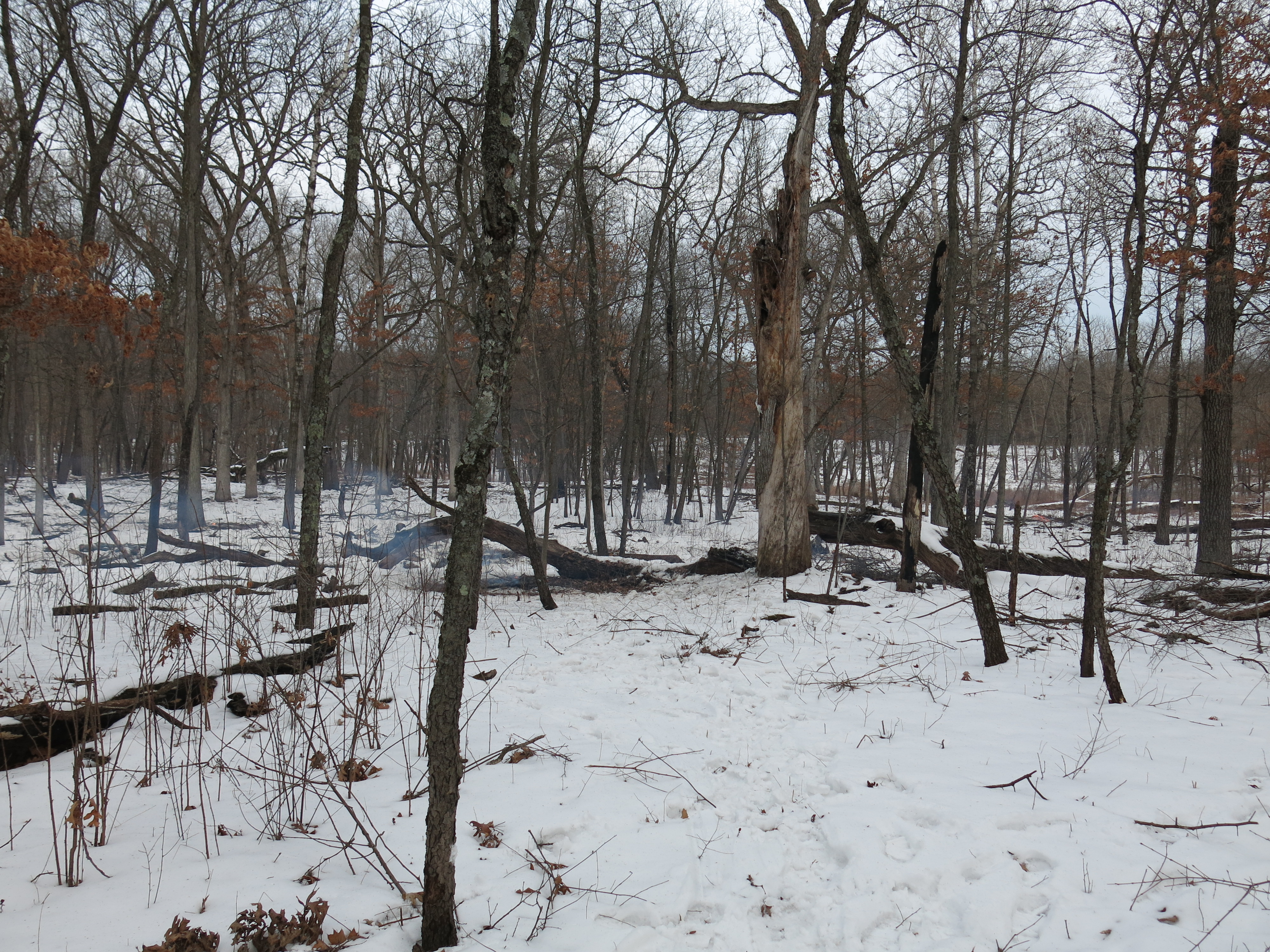
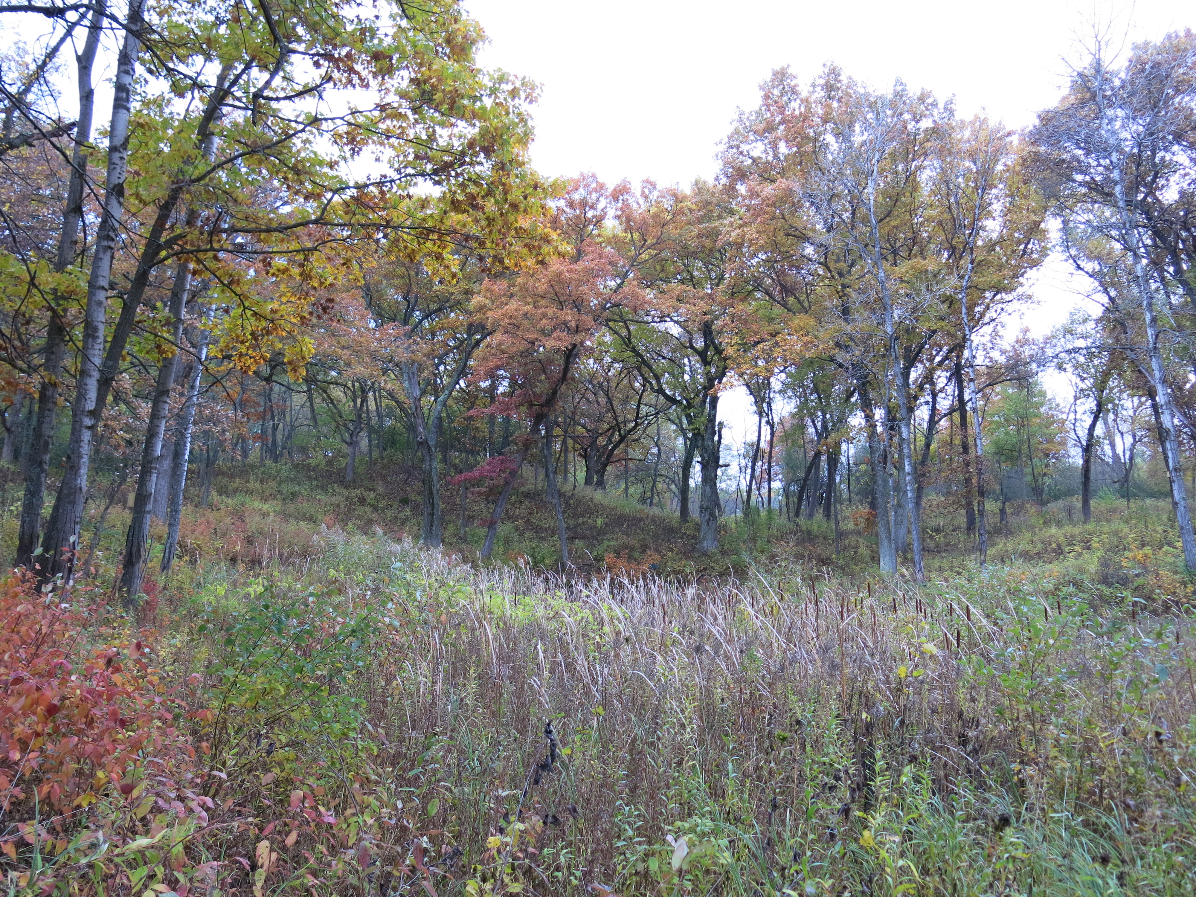
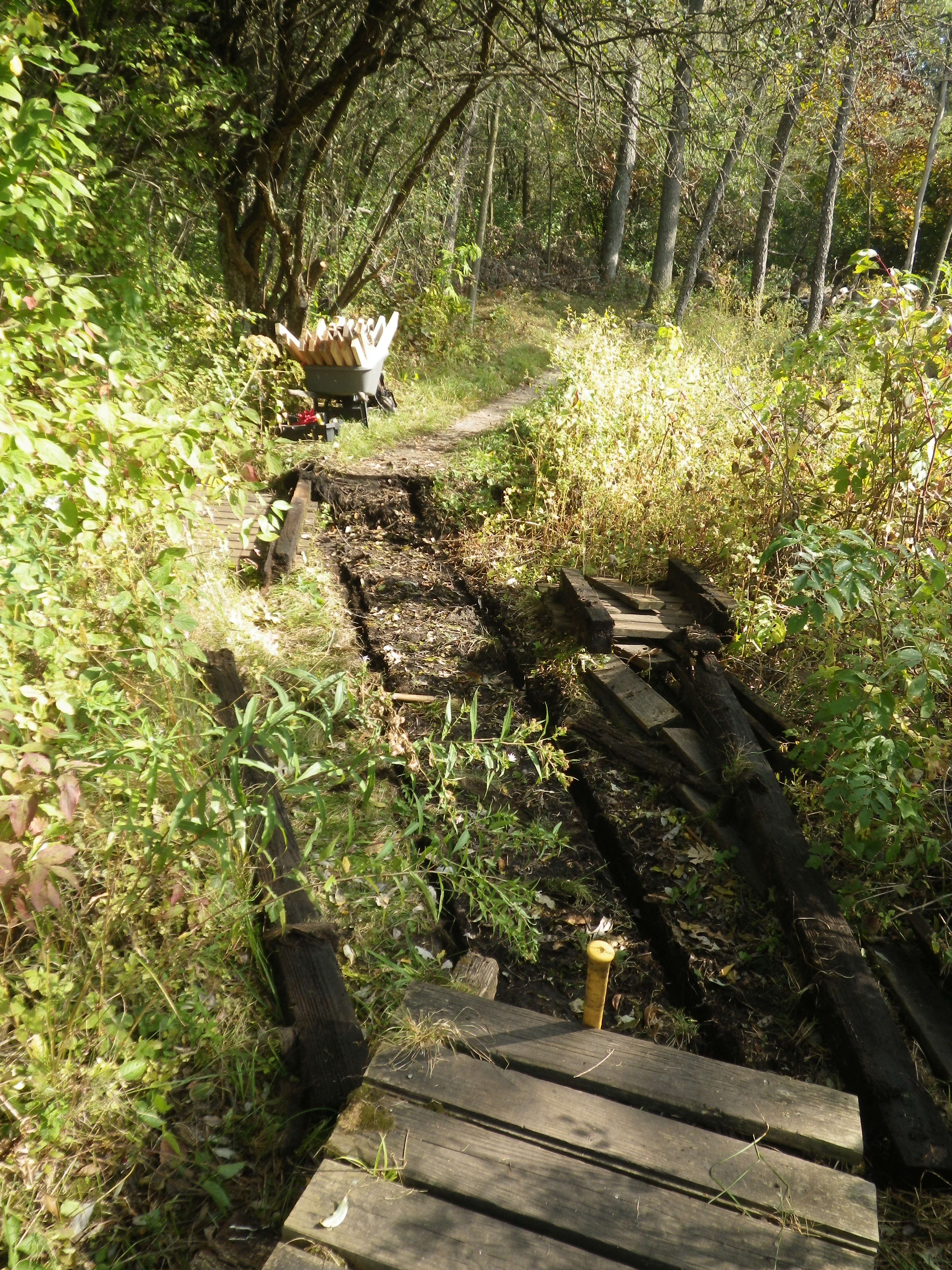
 Allegorically, invasive species had “corrupted” The Springs, and a lack of concern on the part of the area’s first real estate developers for the consequences of their actions, put the hydrology of the Scuppernong River into disharmony.
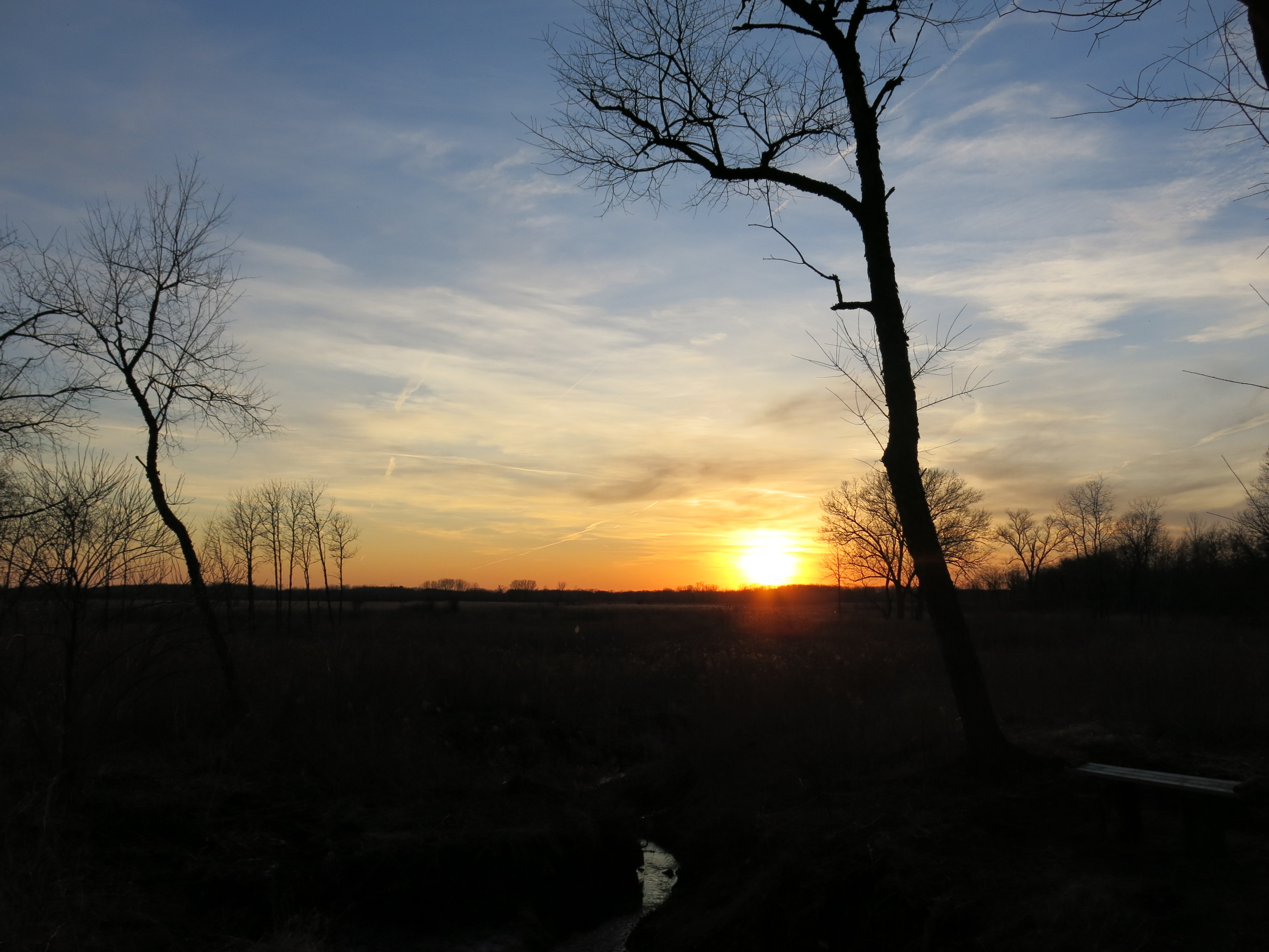
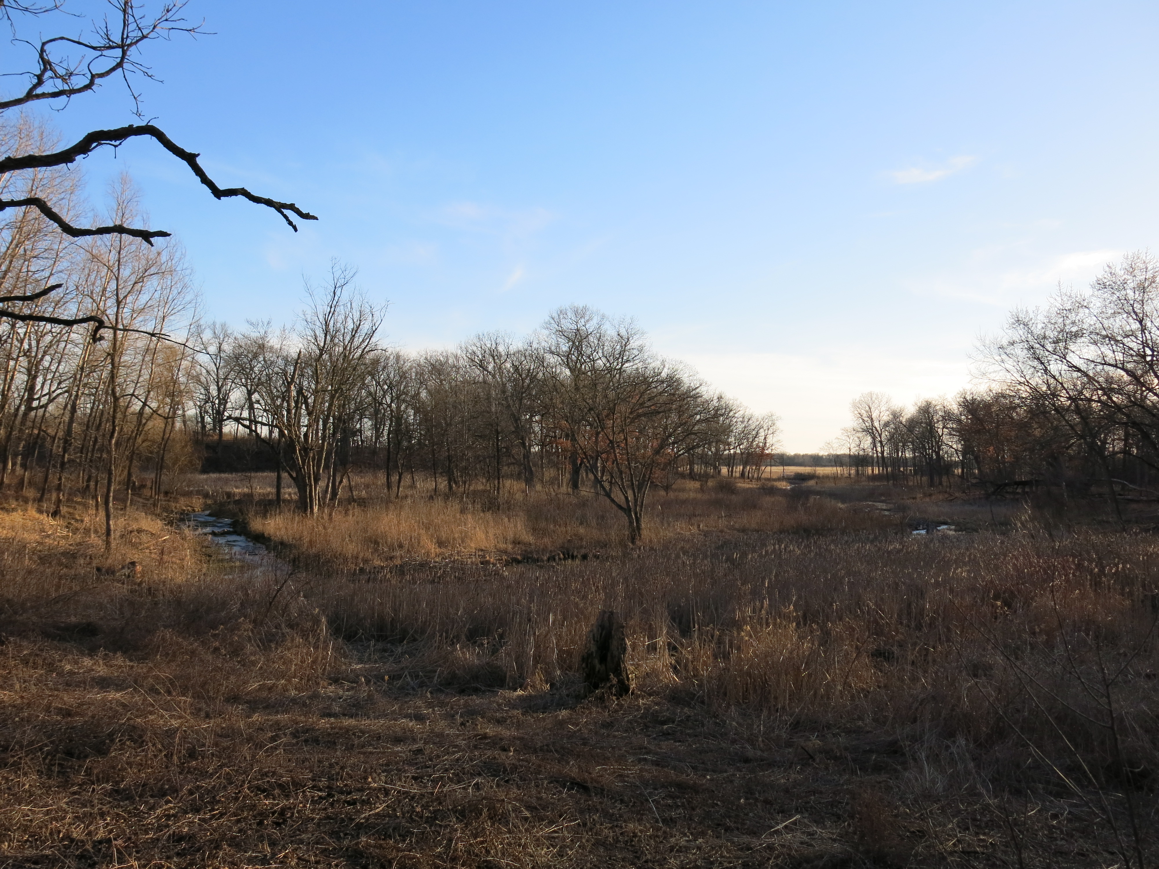
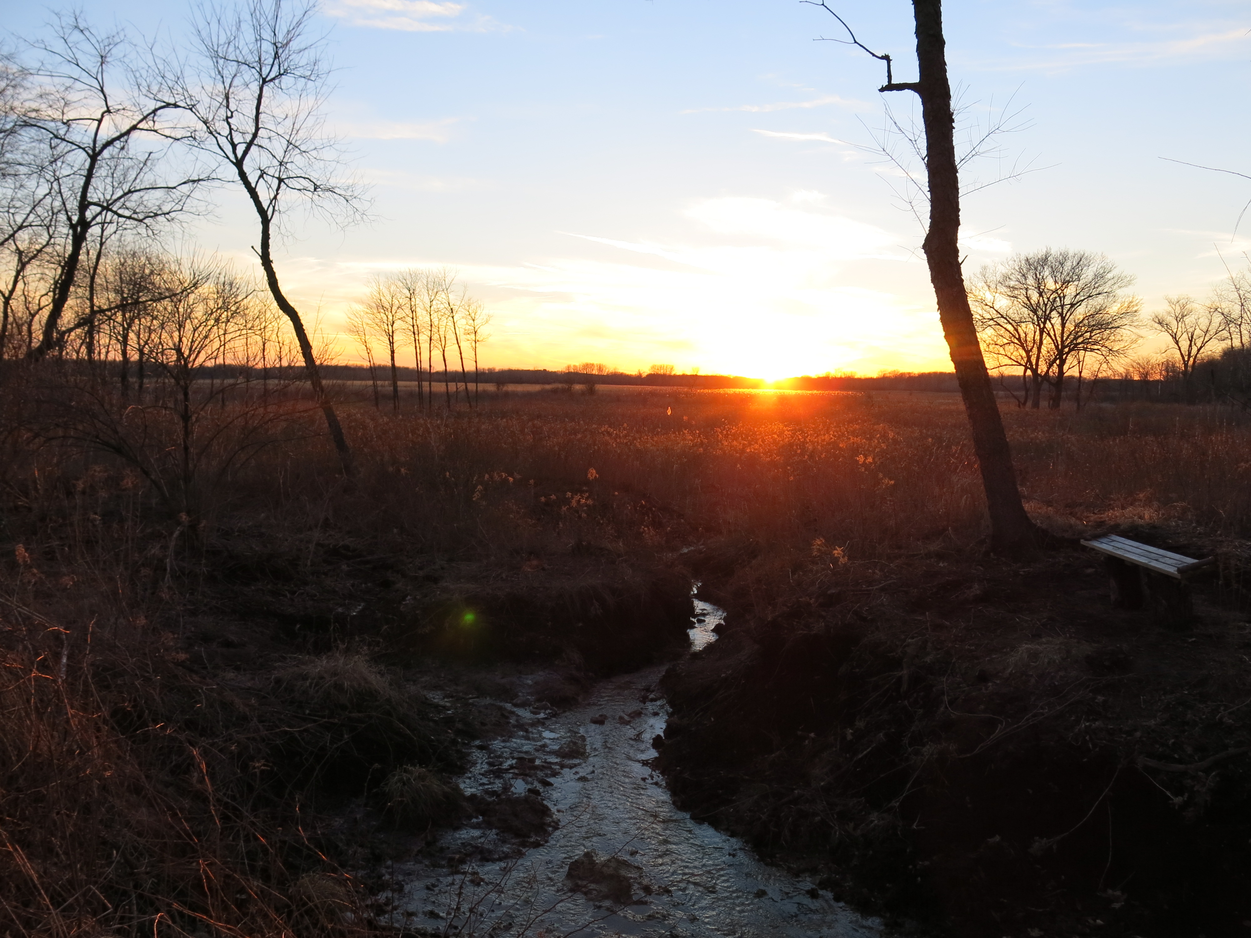
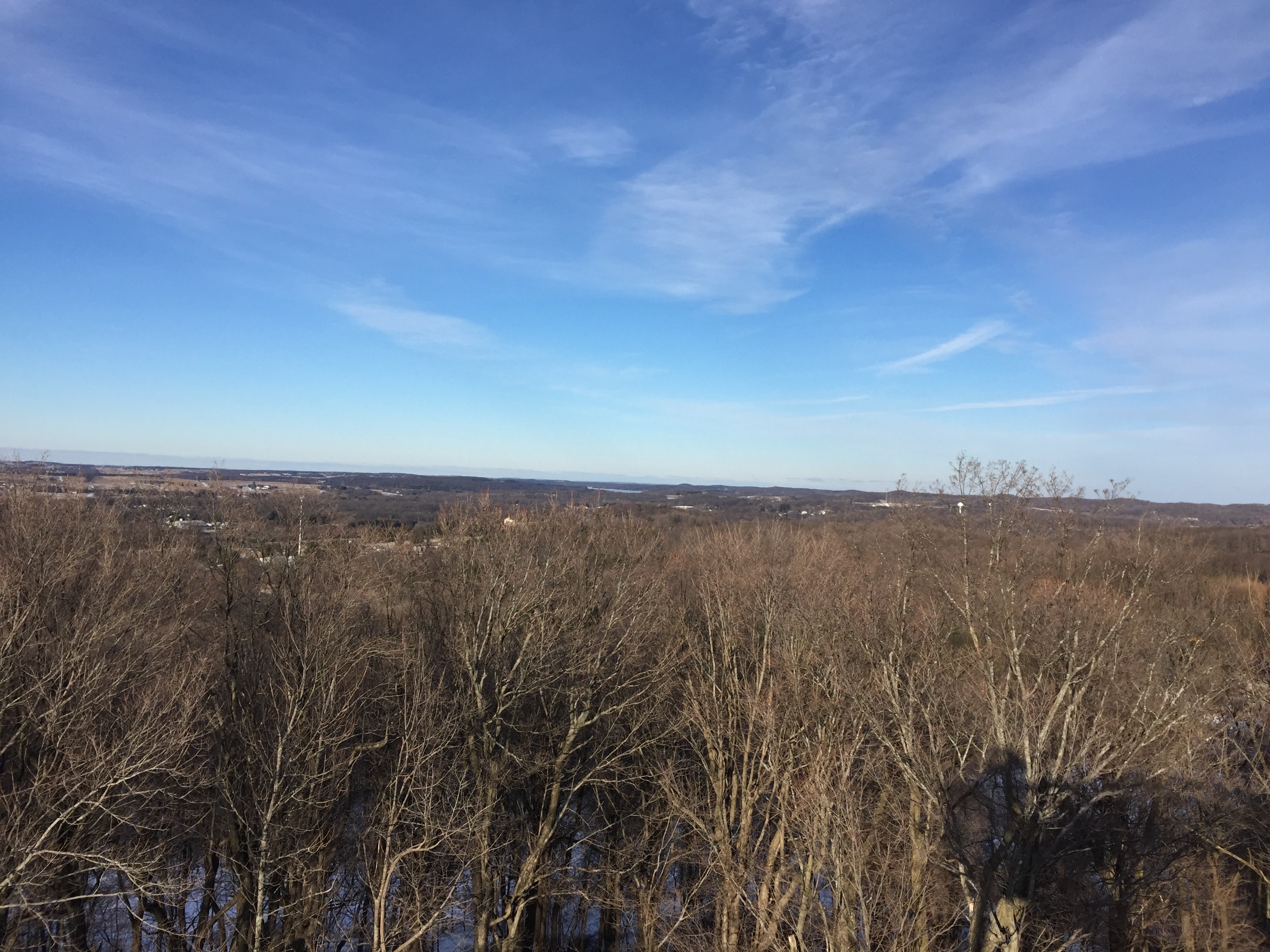
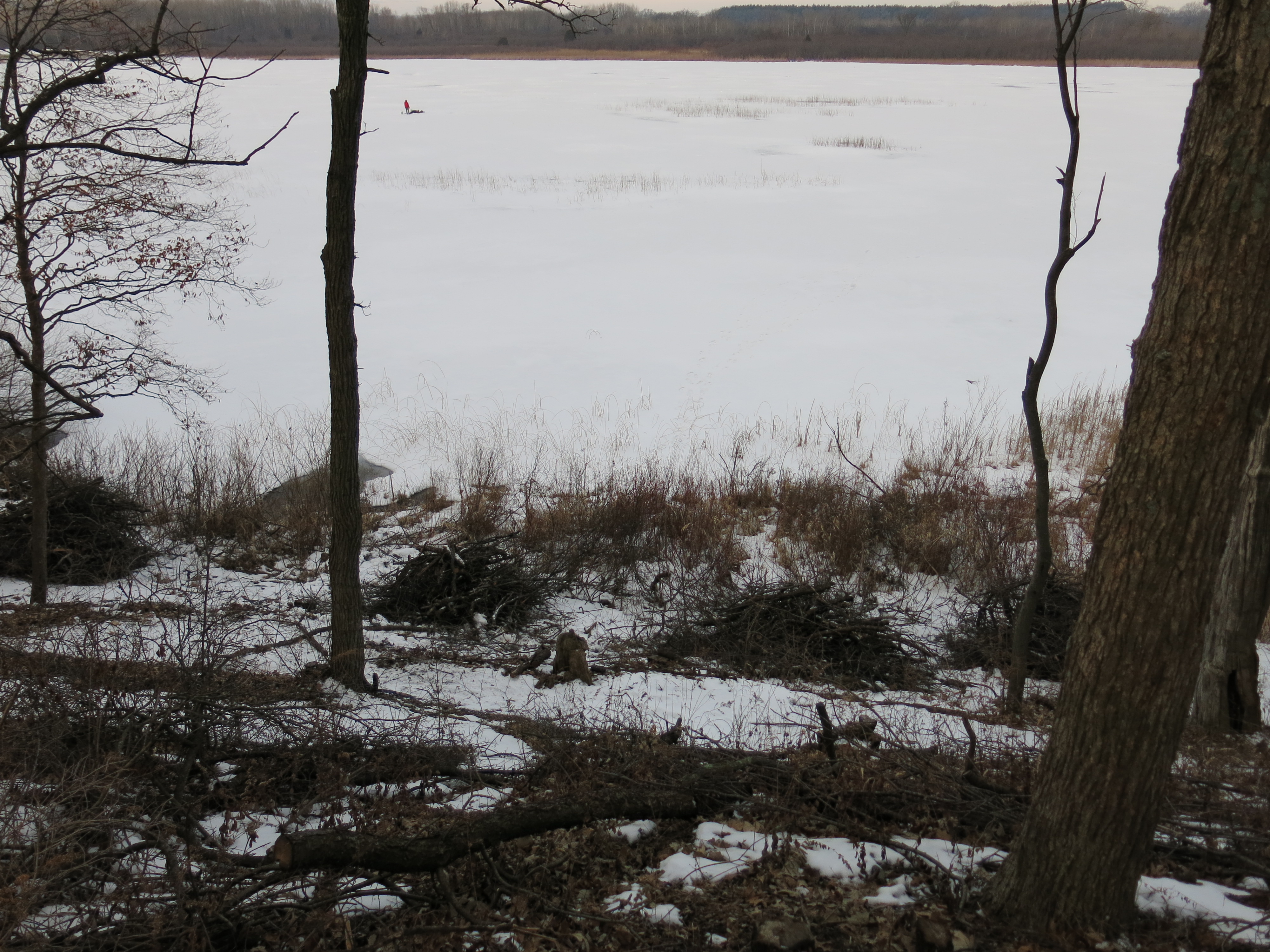
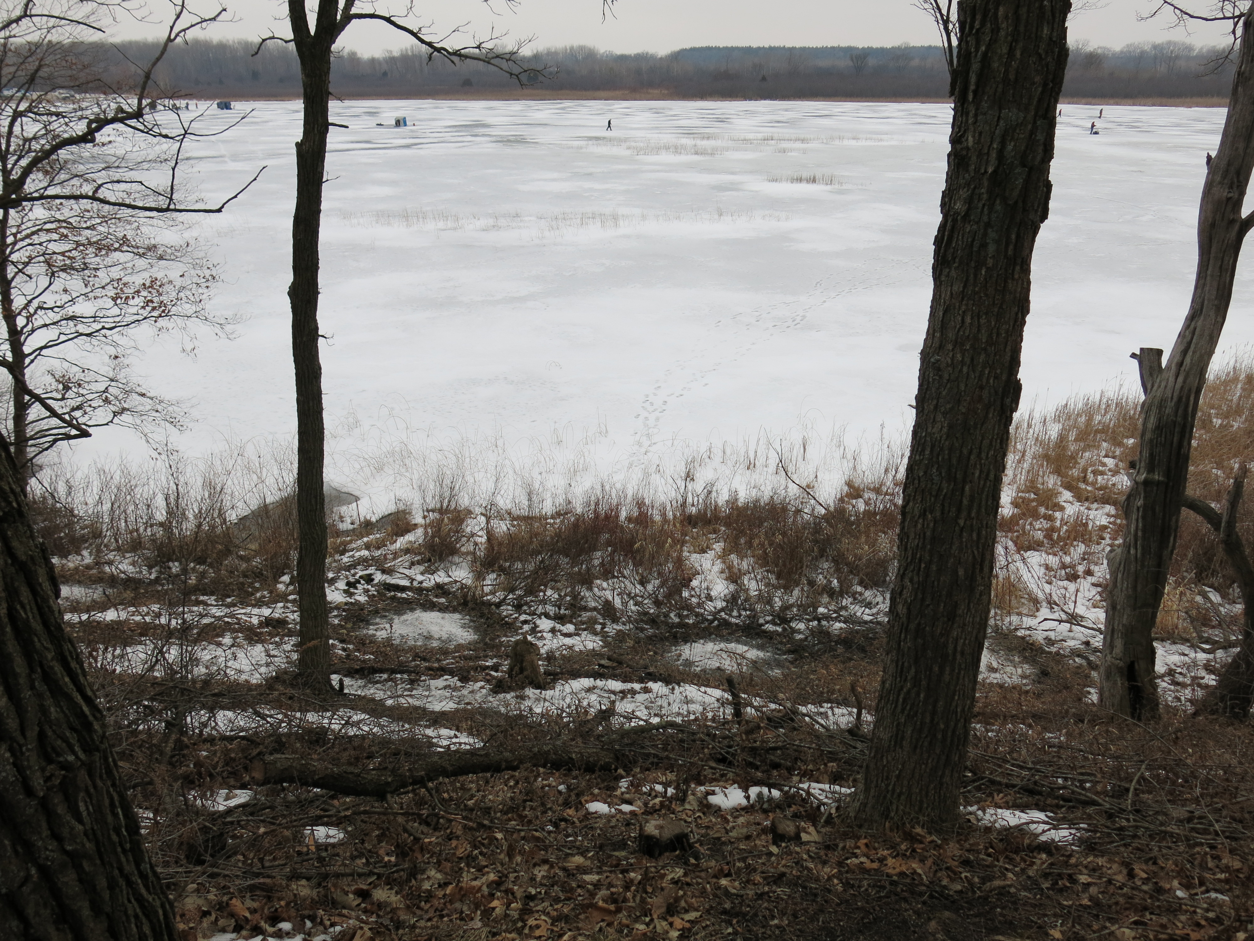
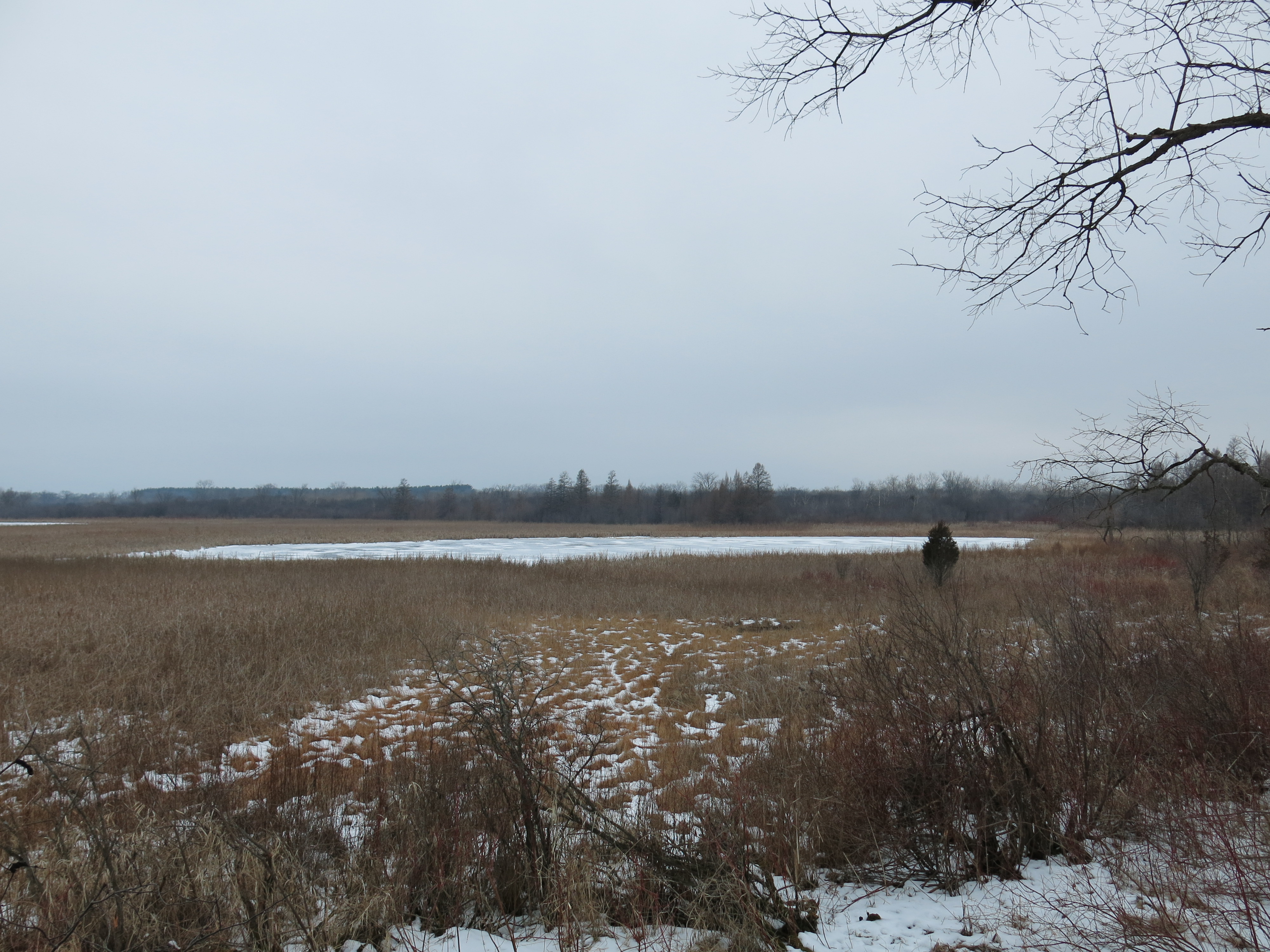
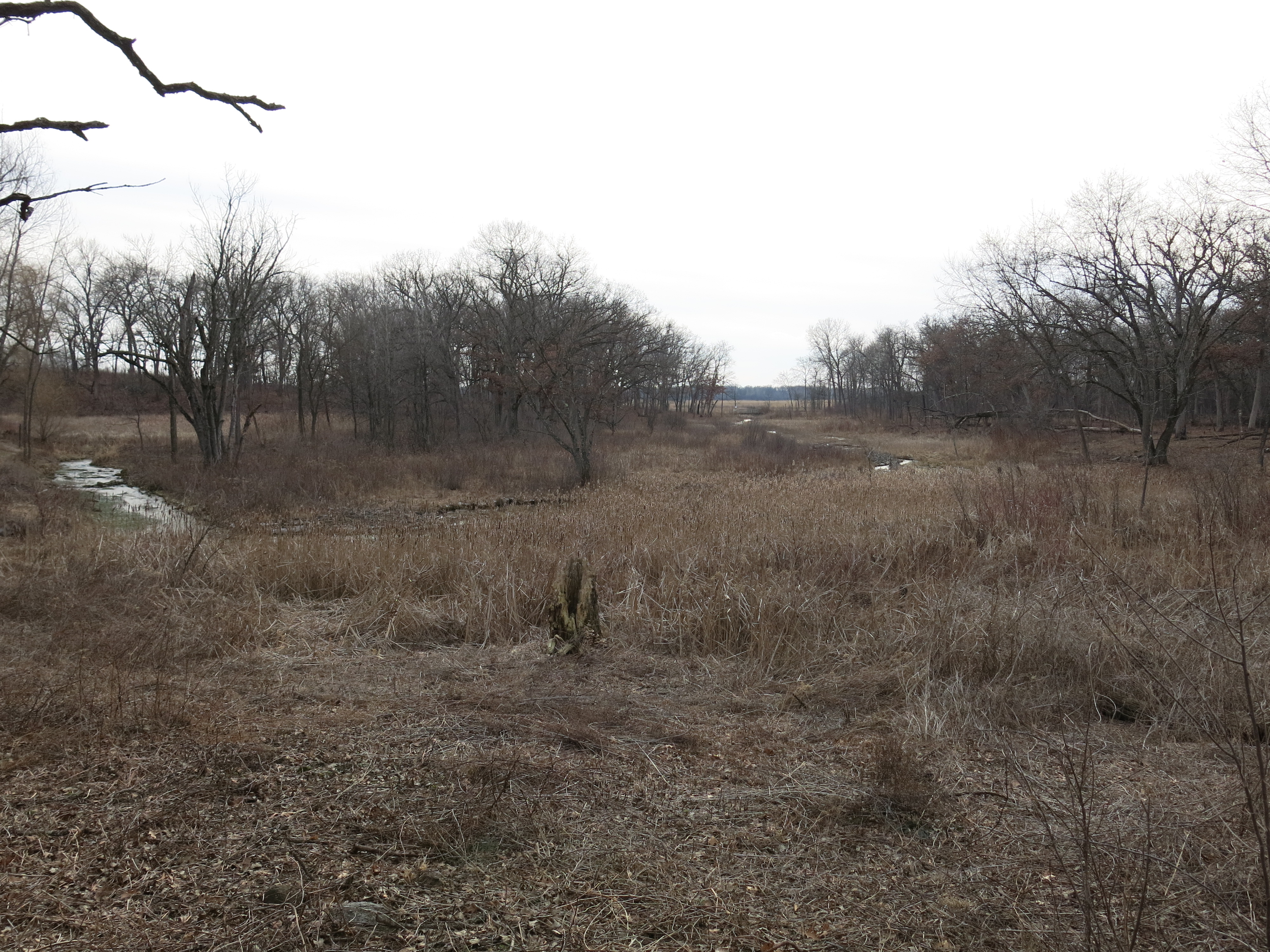
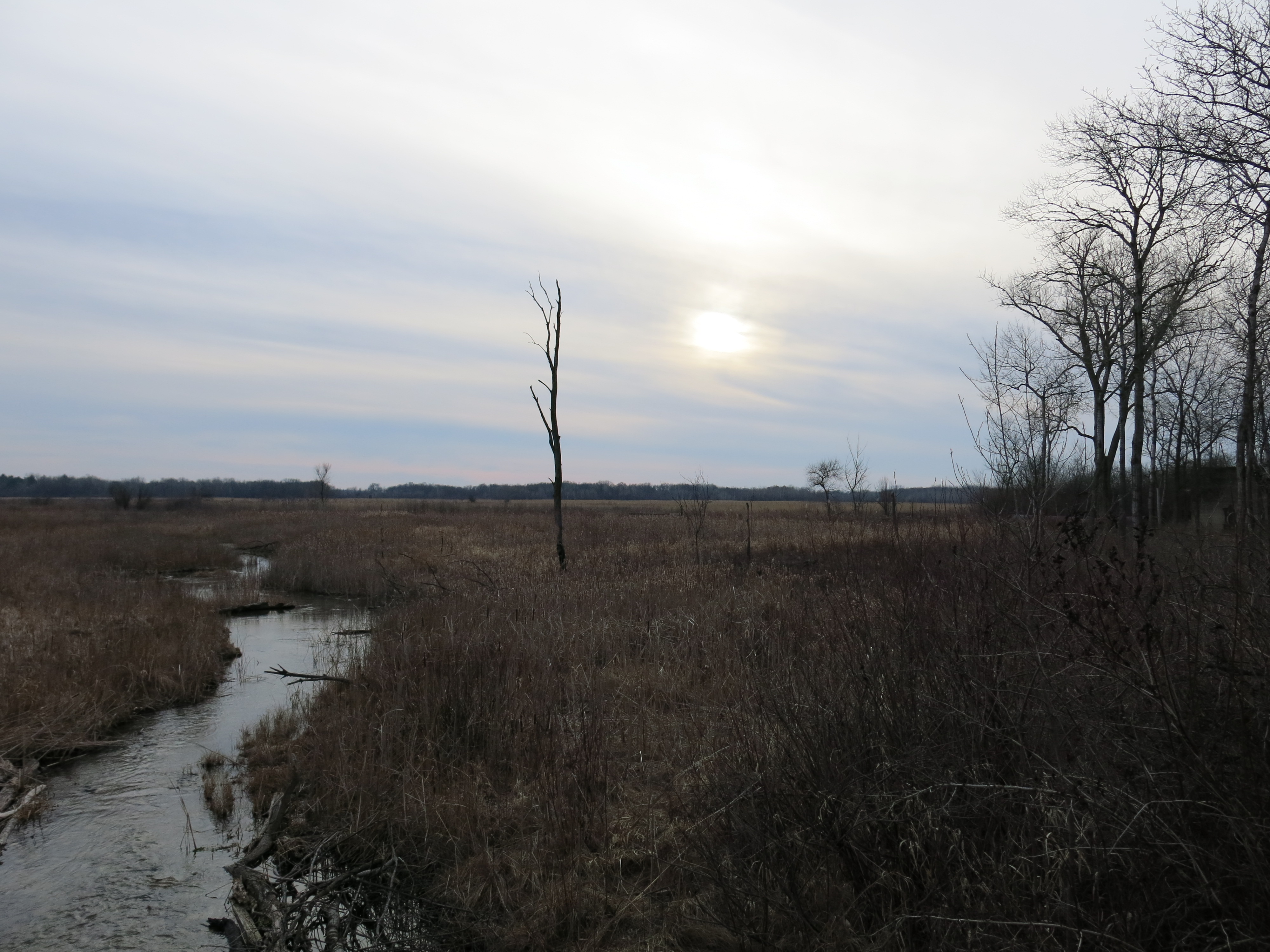
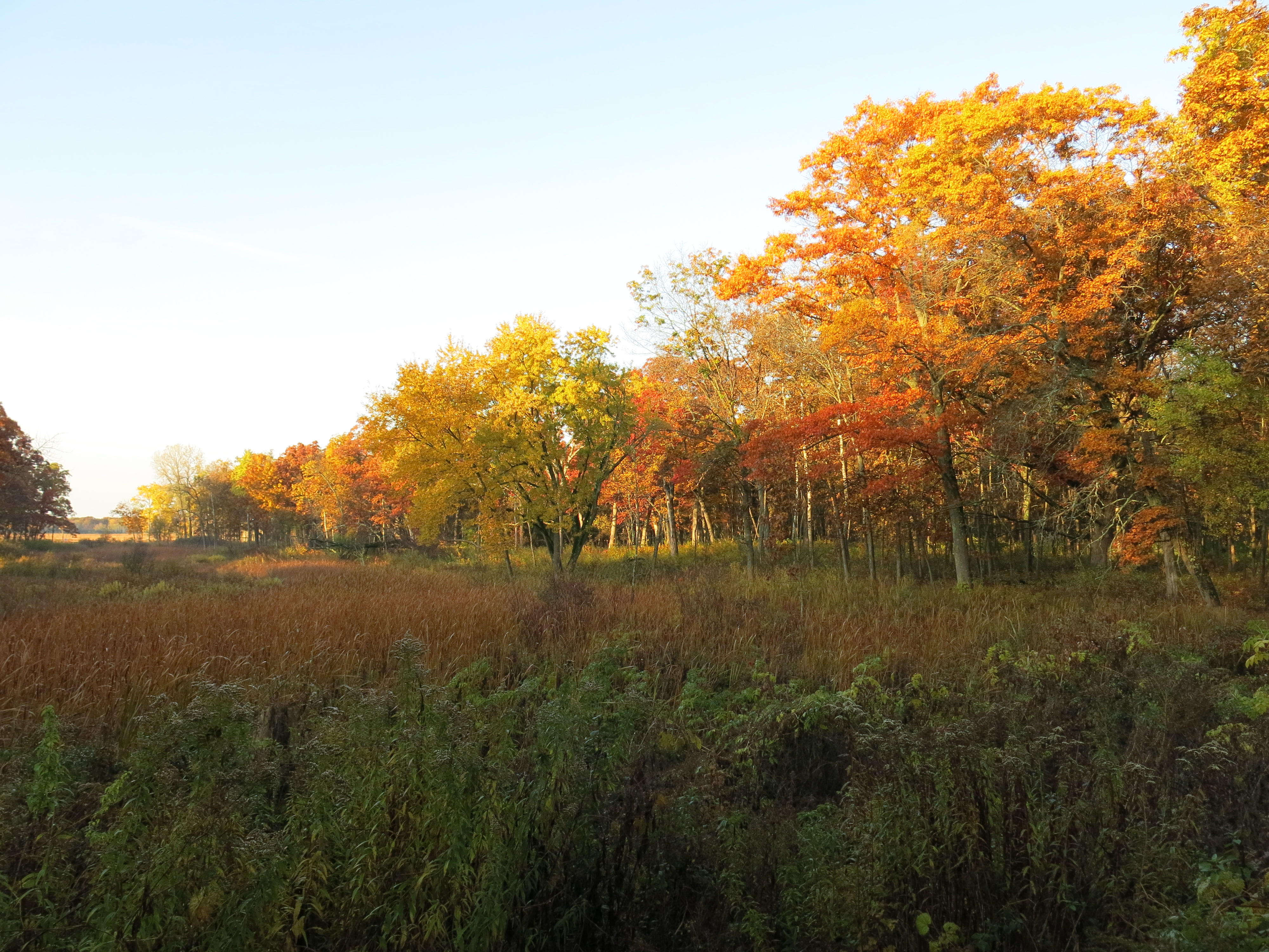
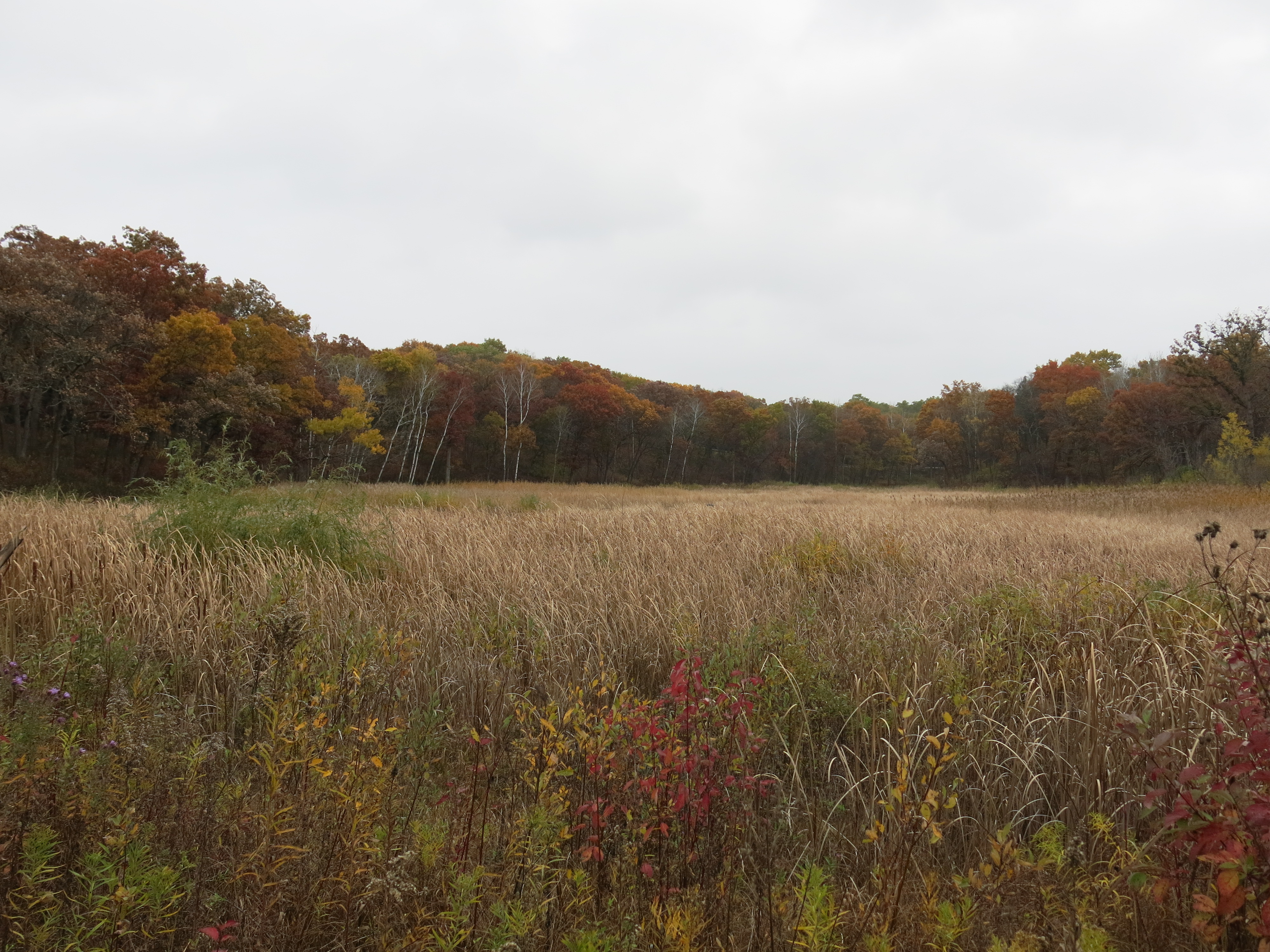
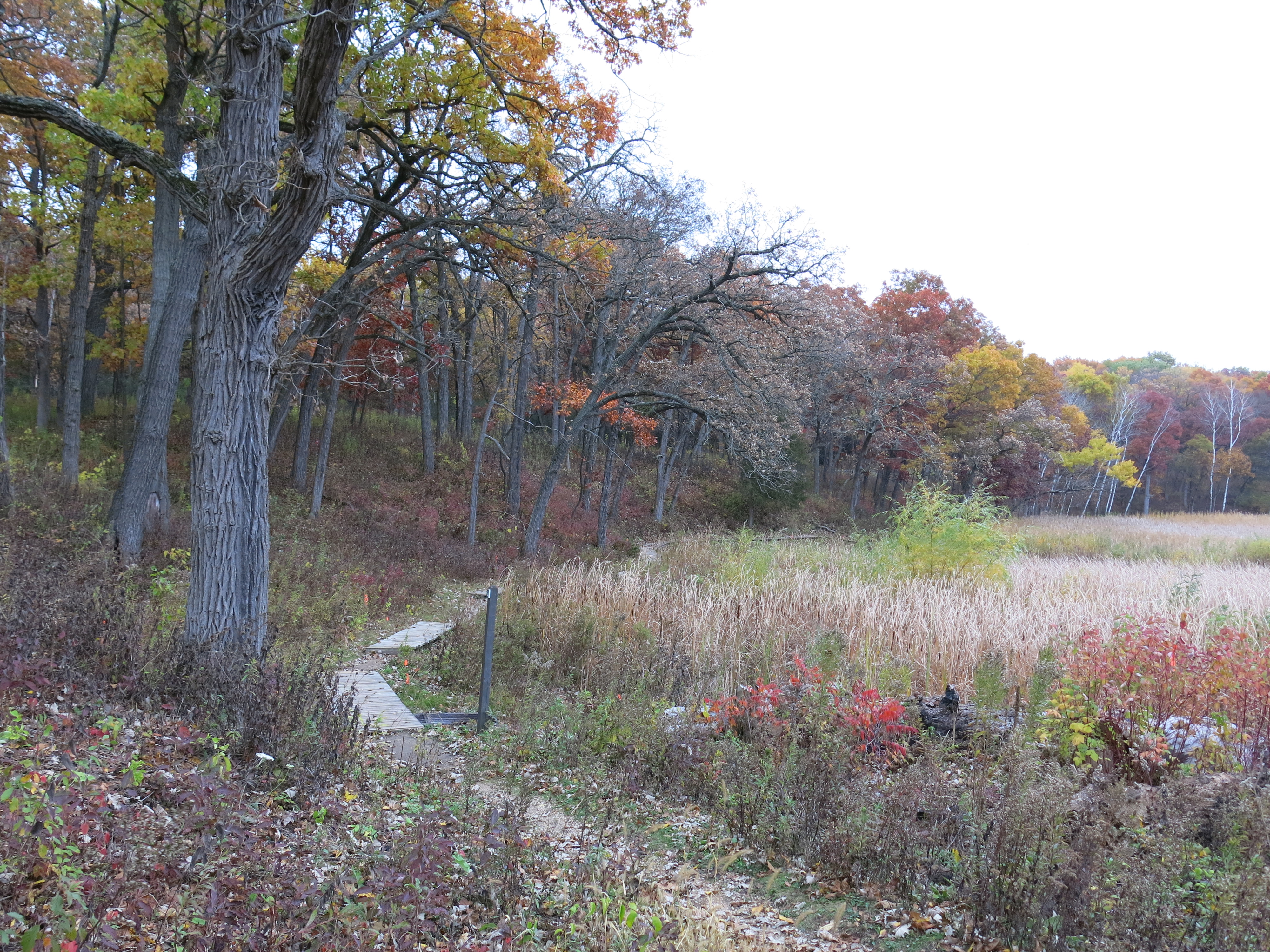
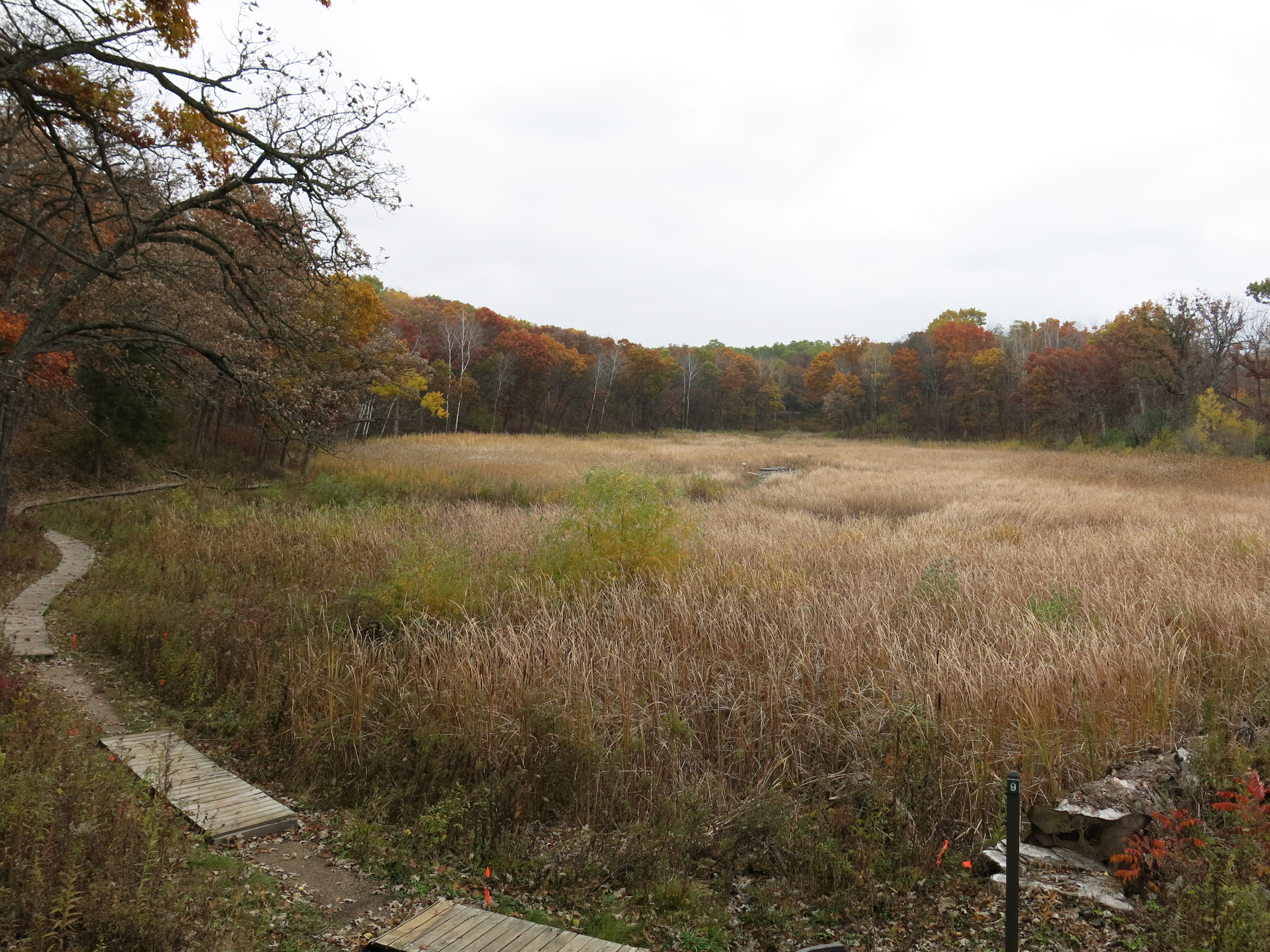
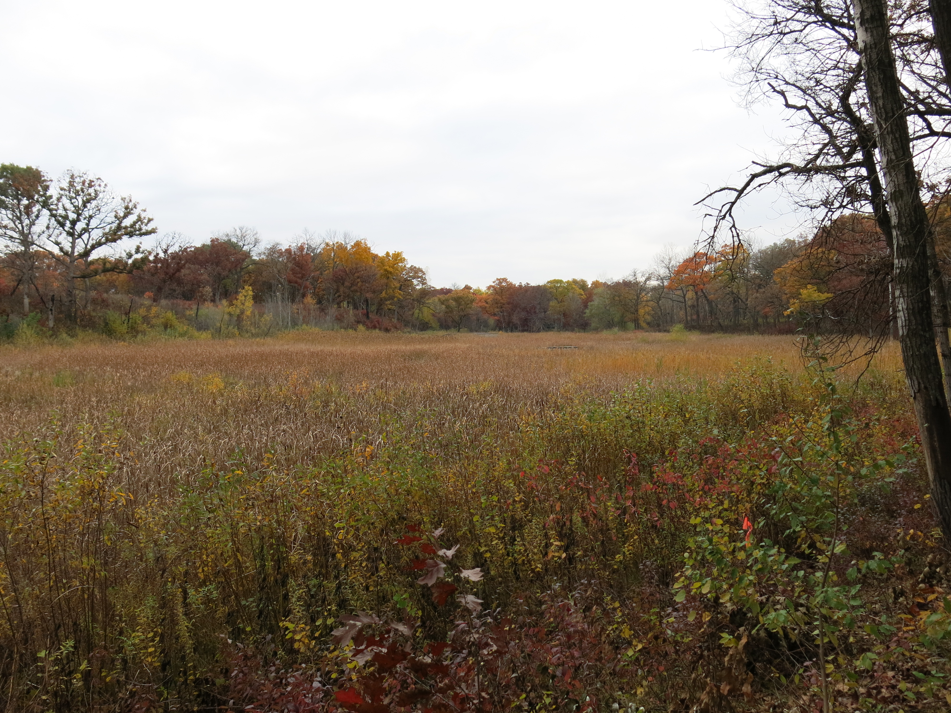
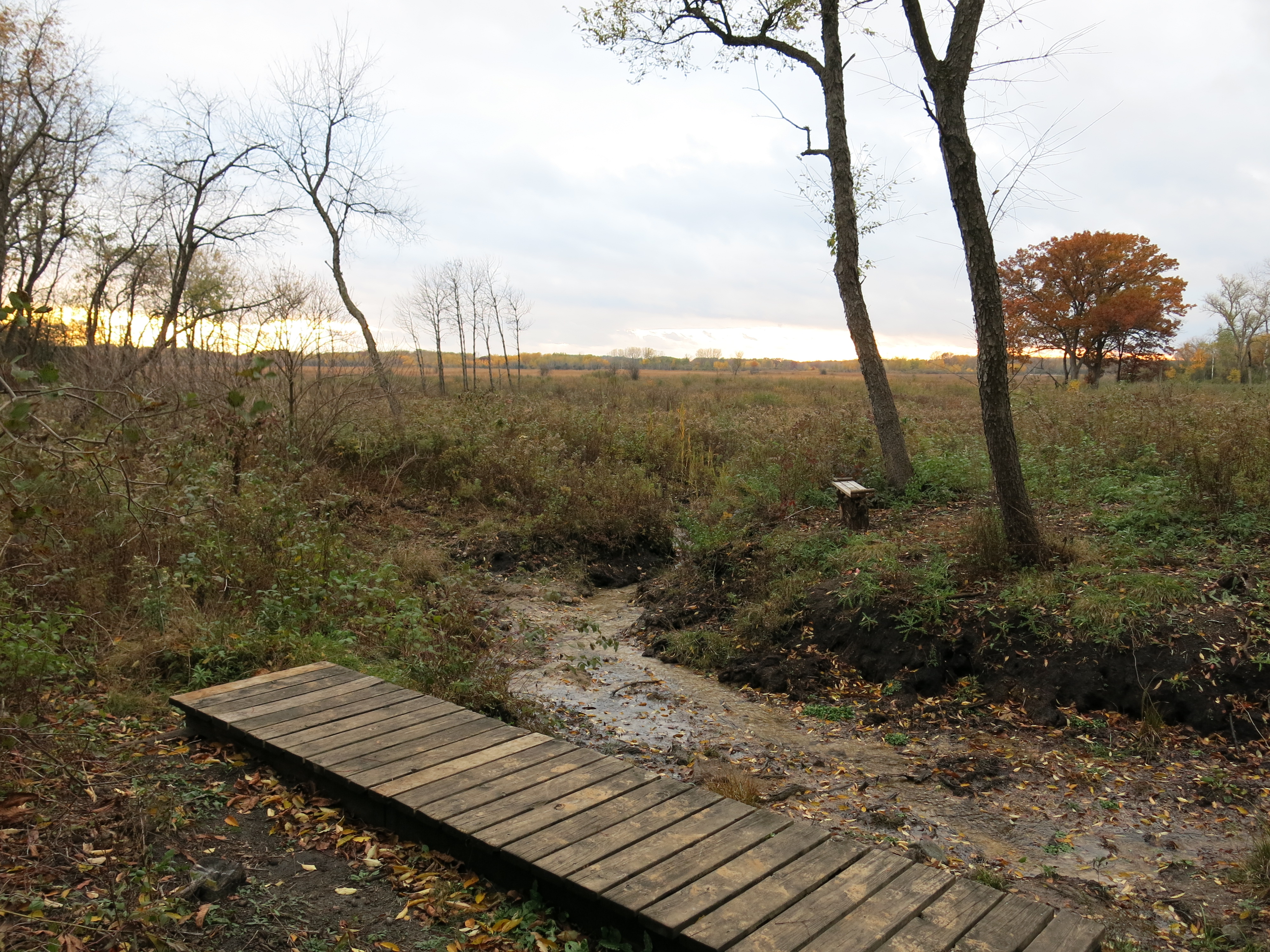
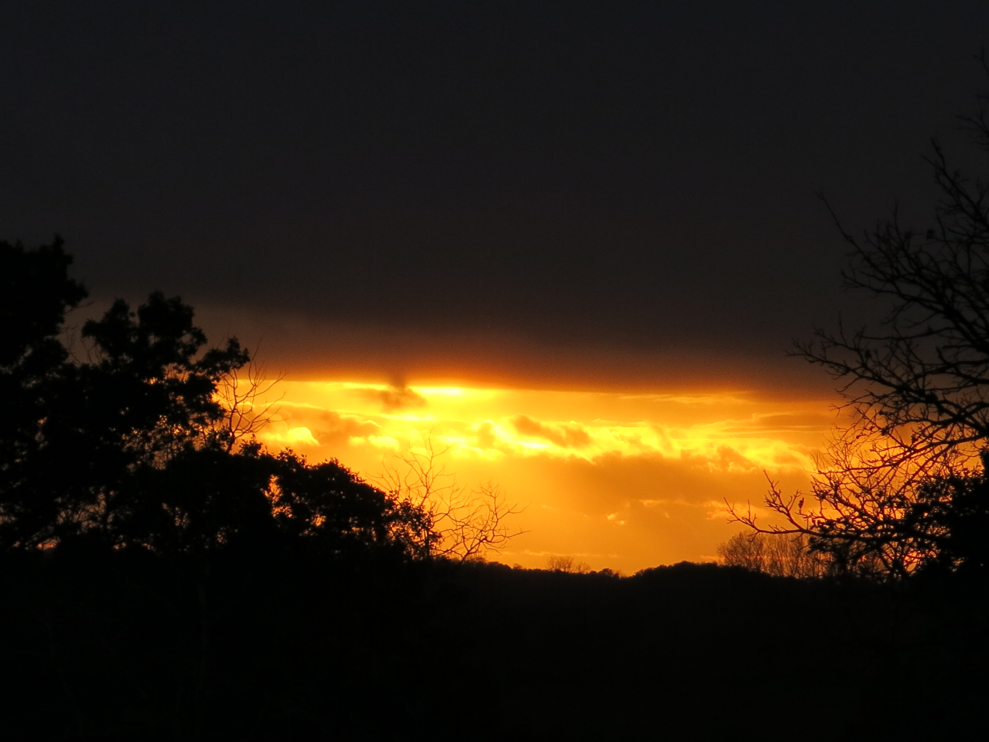
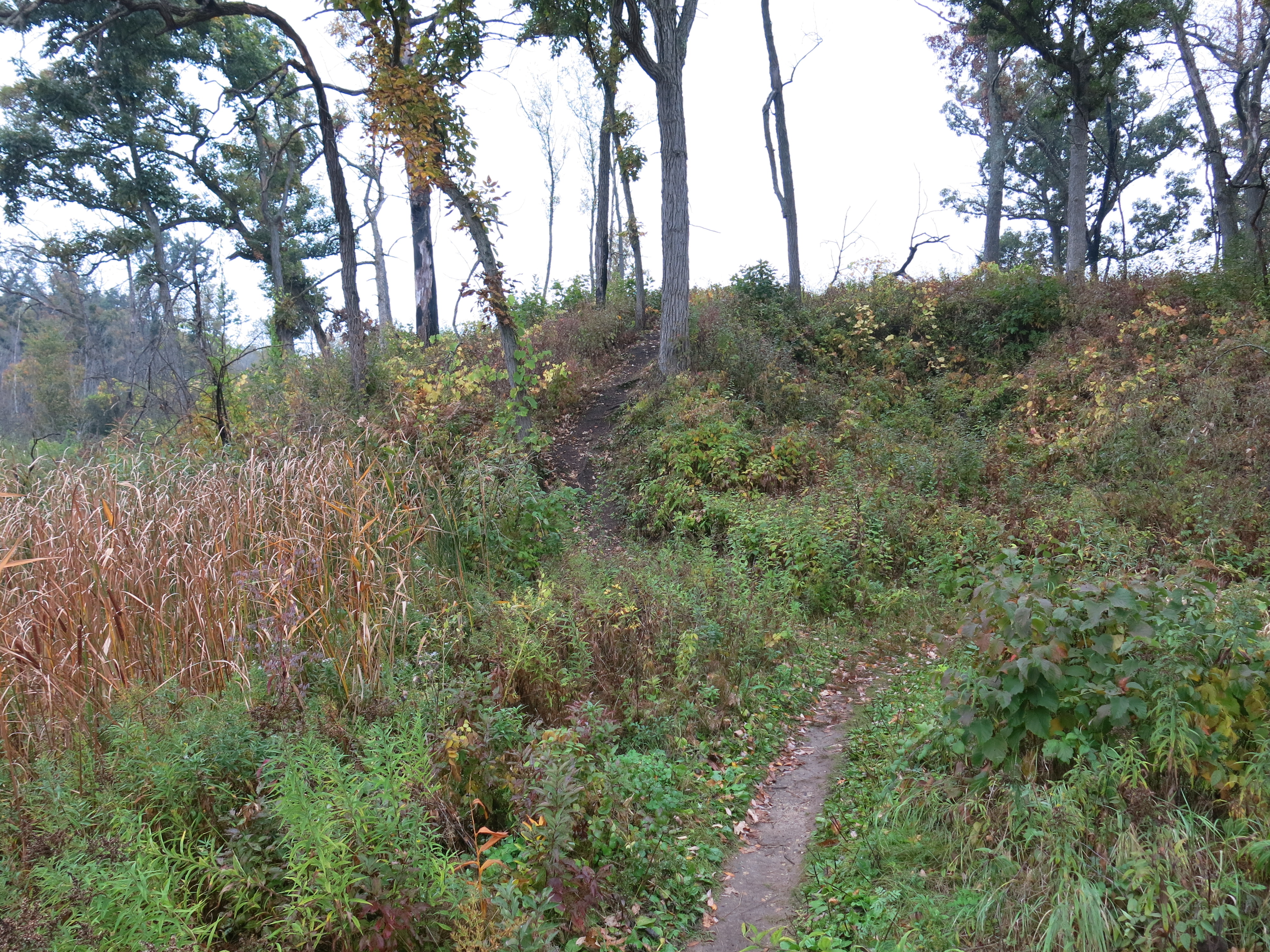
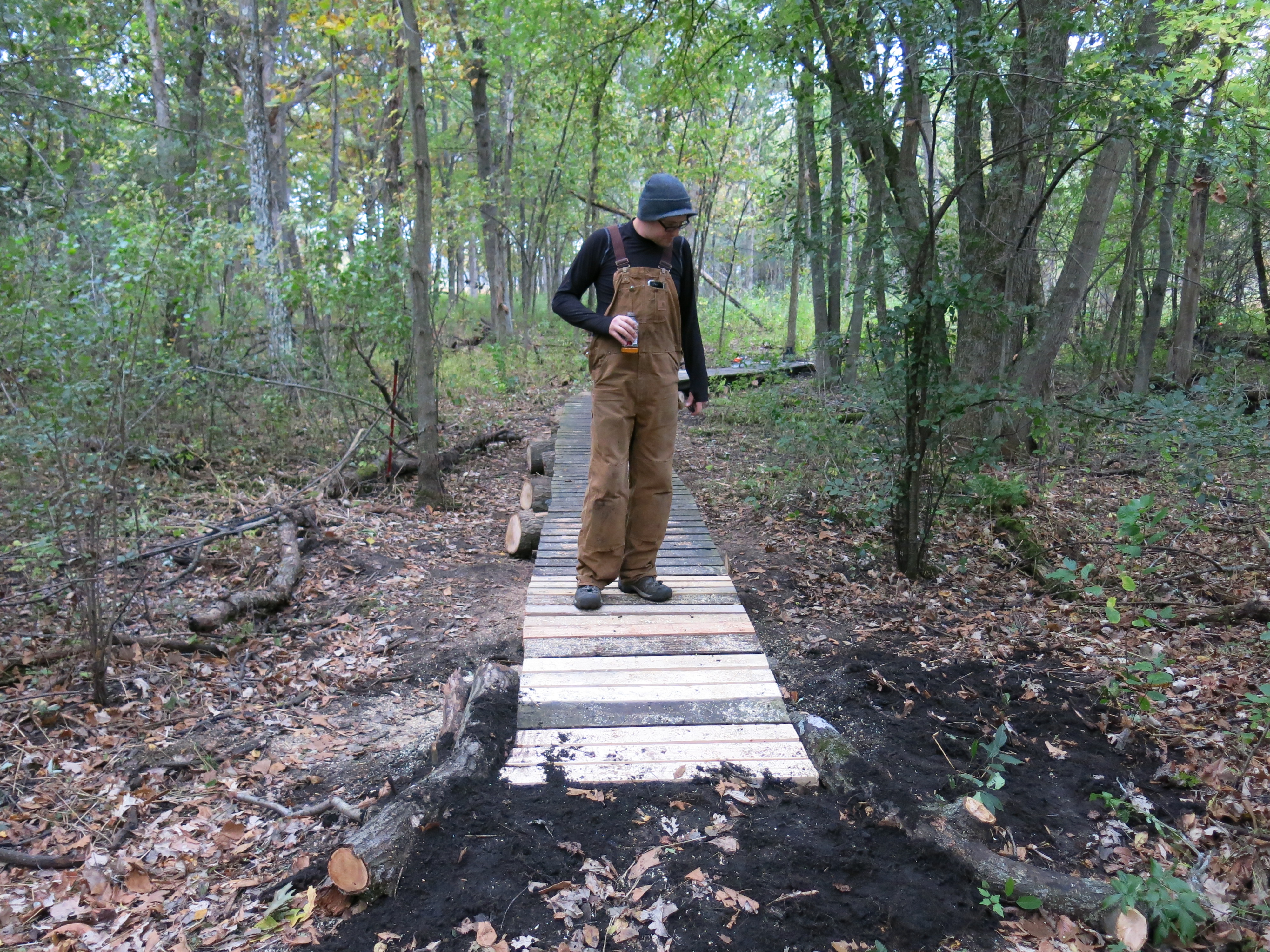
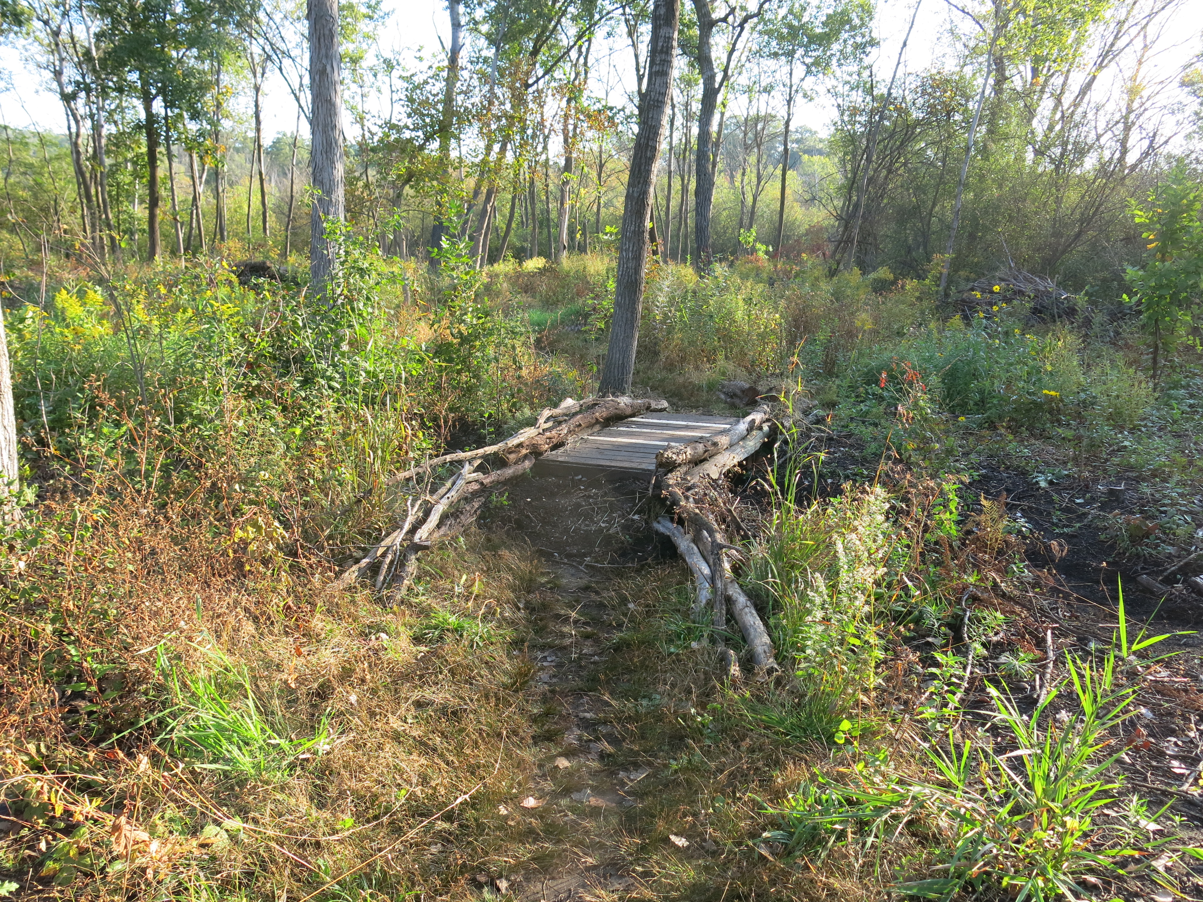
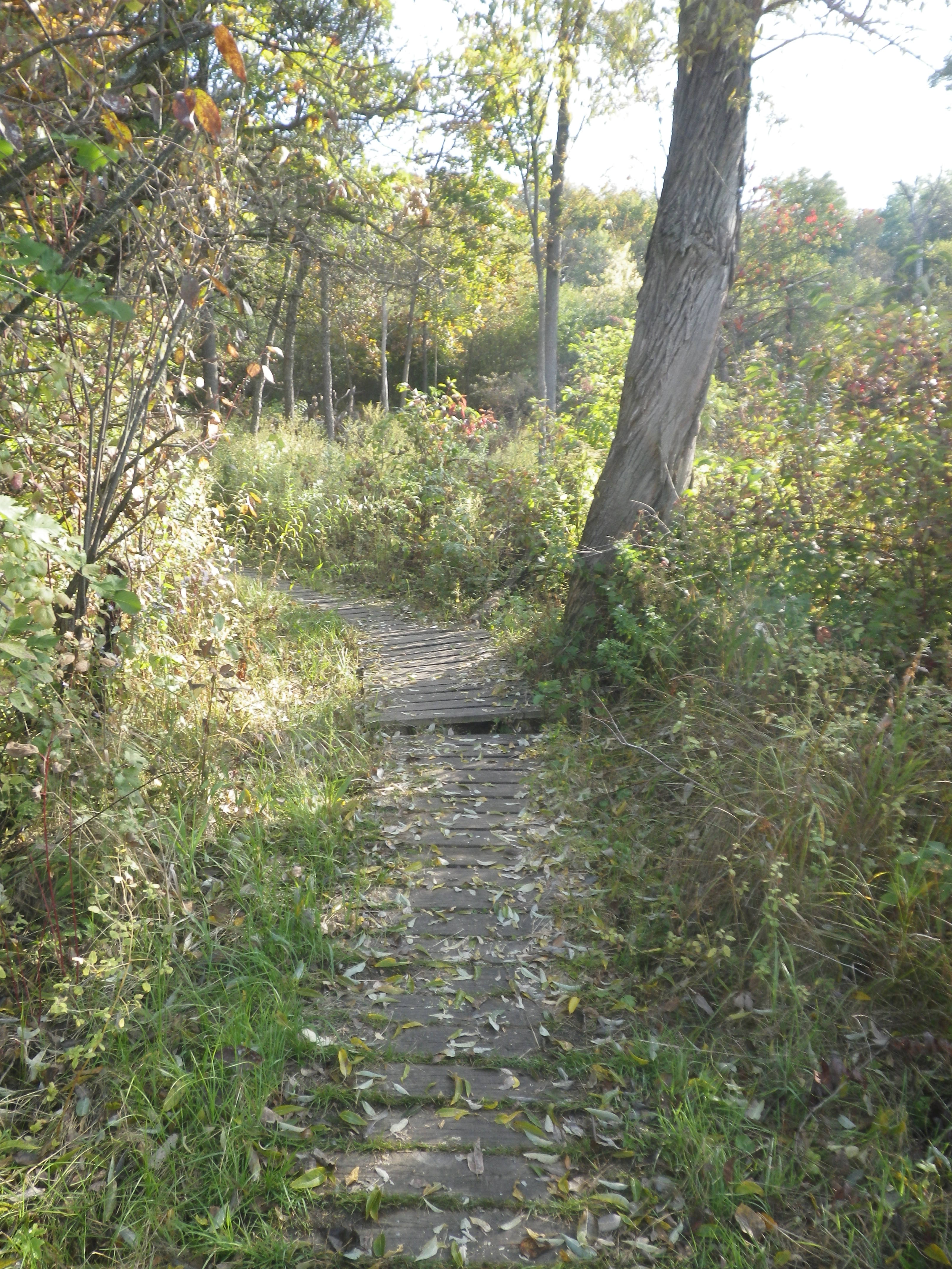
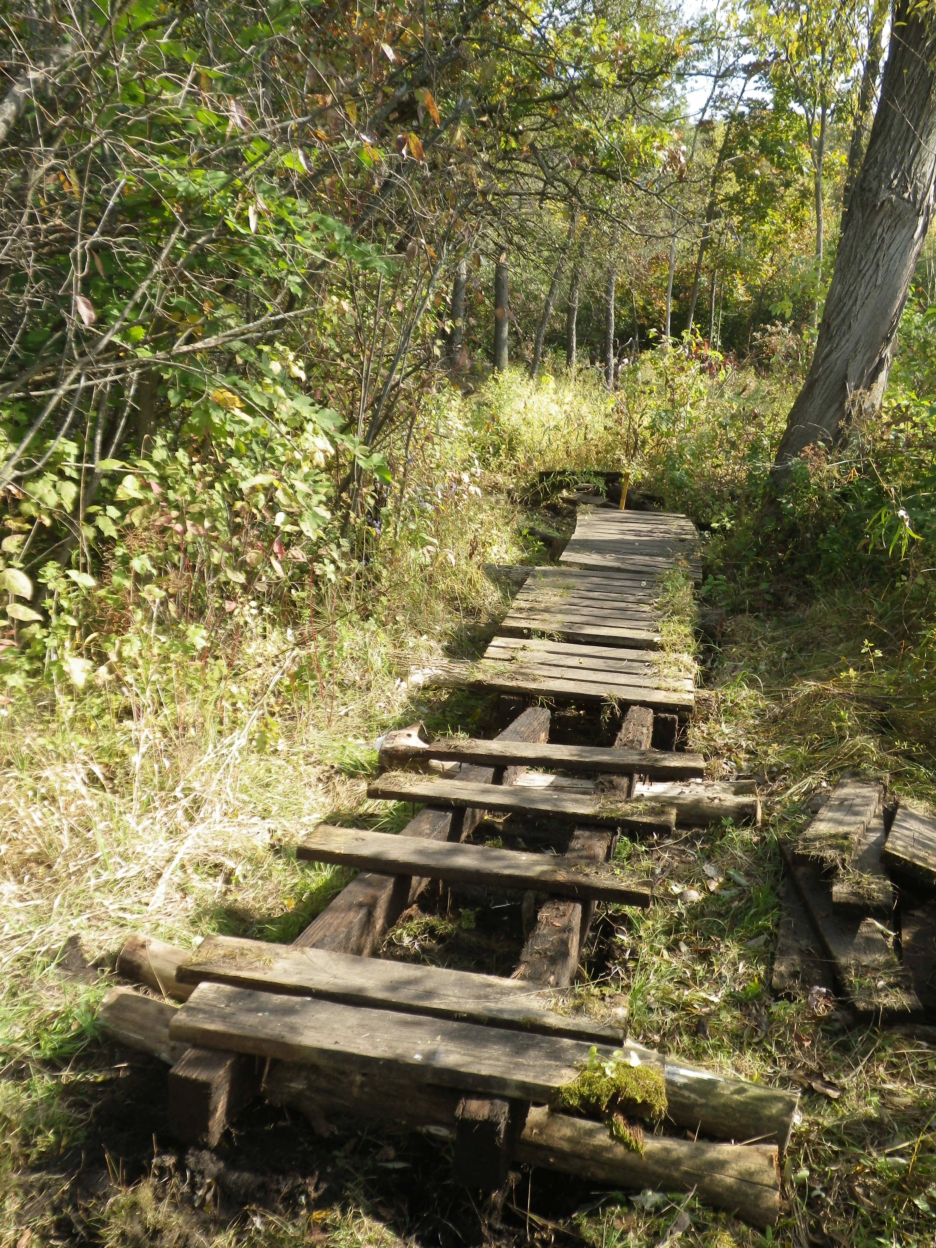
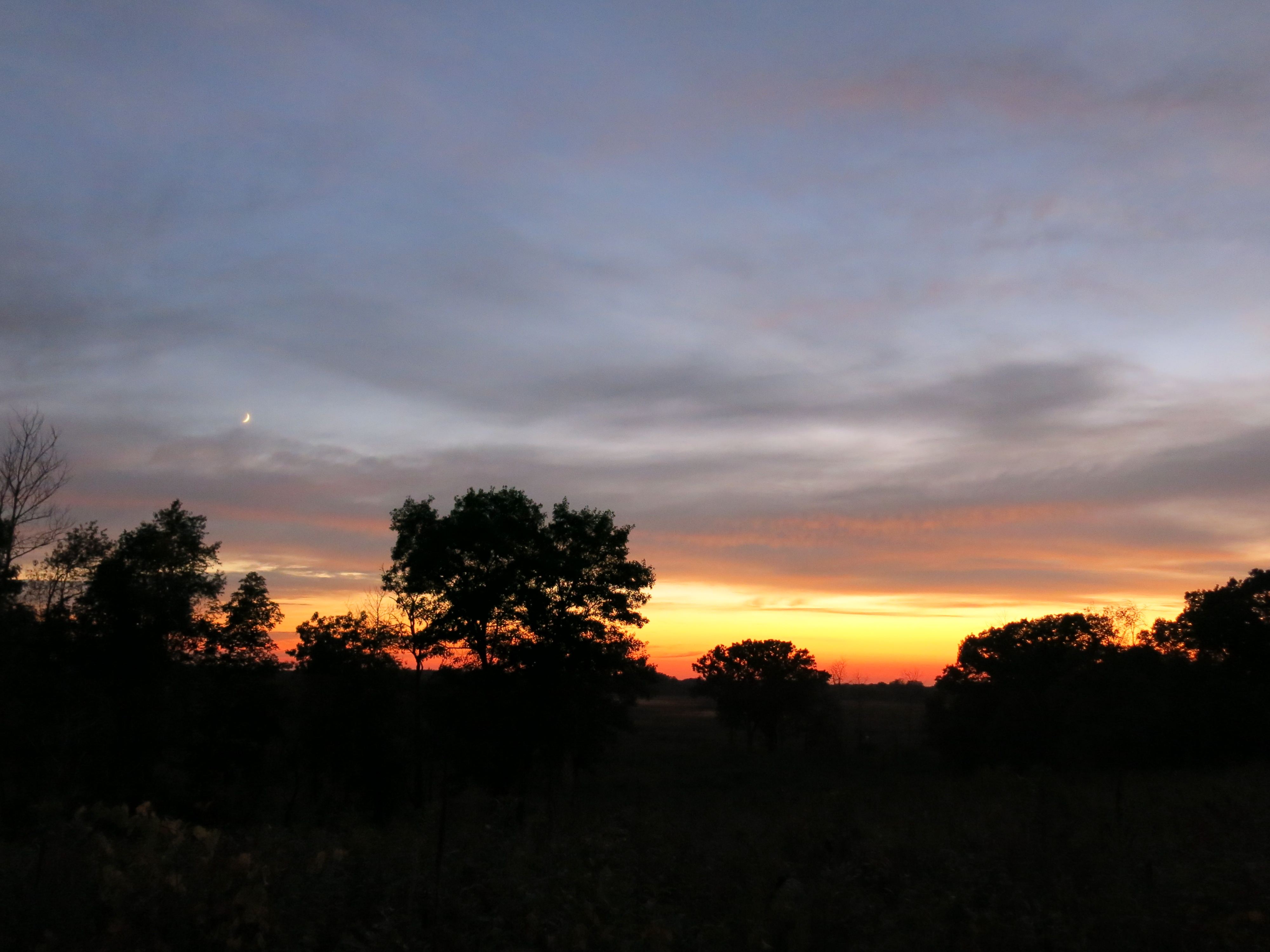
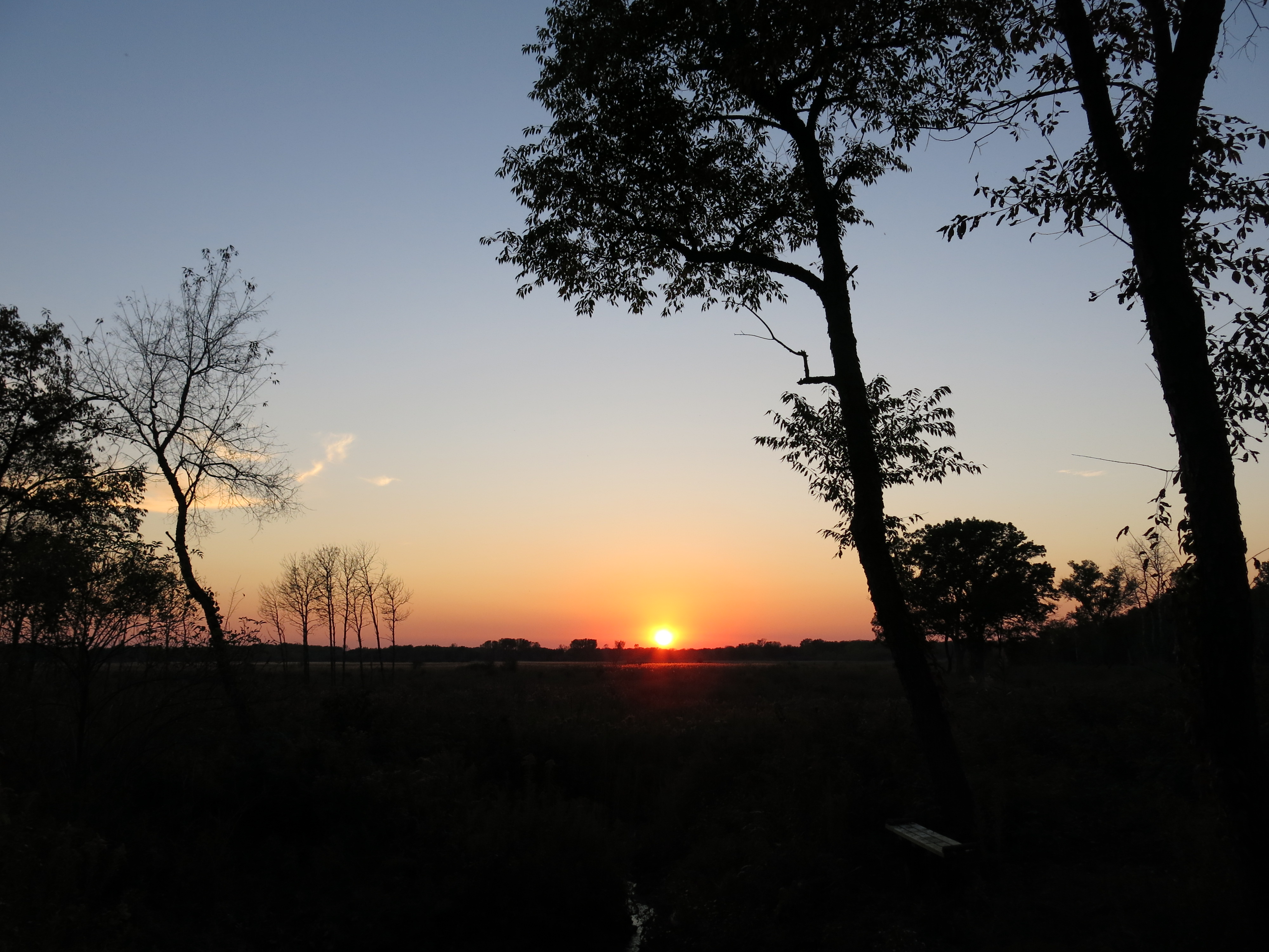
 Last week, I stood on the north end of the loop trail filled with joy and awe as the late afternoon sunlight flooded the wetlands that were once canopied by tangled buckthorn, and contemplated my own journey to higher consciousness.
 “There are only two mistakes one can make along the road to truth: not going all the way, and not starting.” Buddha
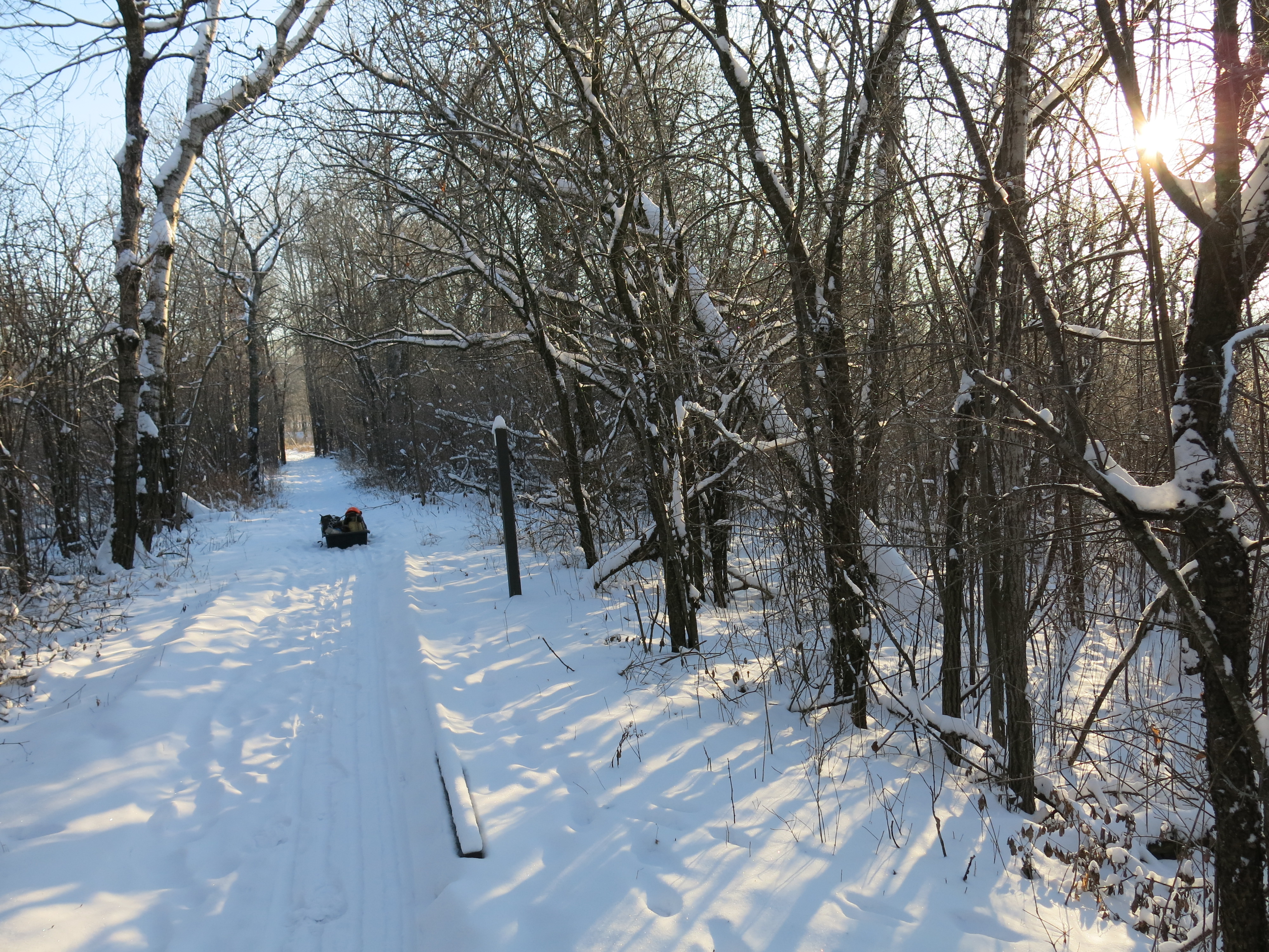
 Well, I’m going all the way — to Philadelphia that is — to meet Mark Passio, and a host of other truth seekers, at the Free Your Mind III Conference next weekend. I plan to do some exploring in the Allegheny National Forest on the way there, and back, so it should be a fun vacation.
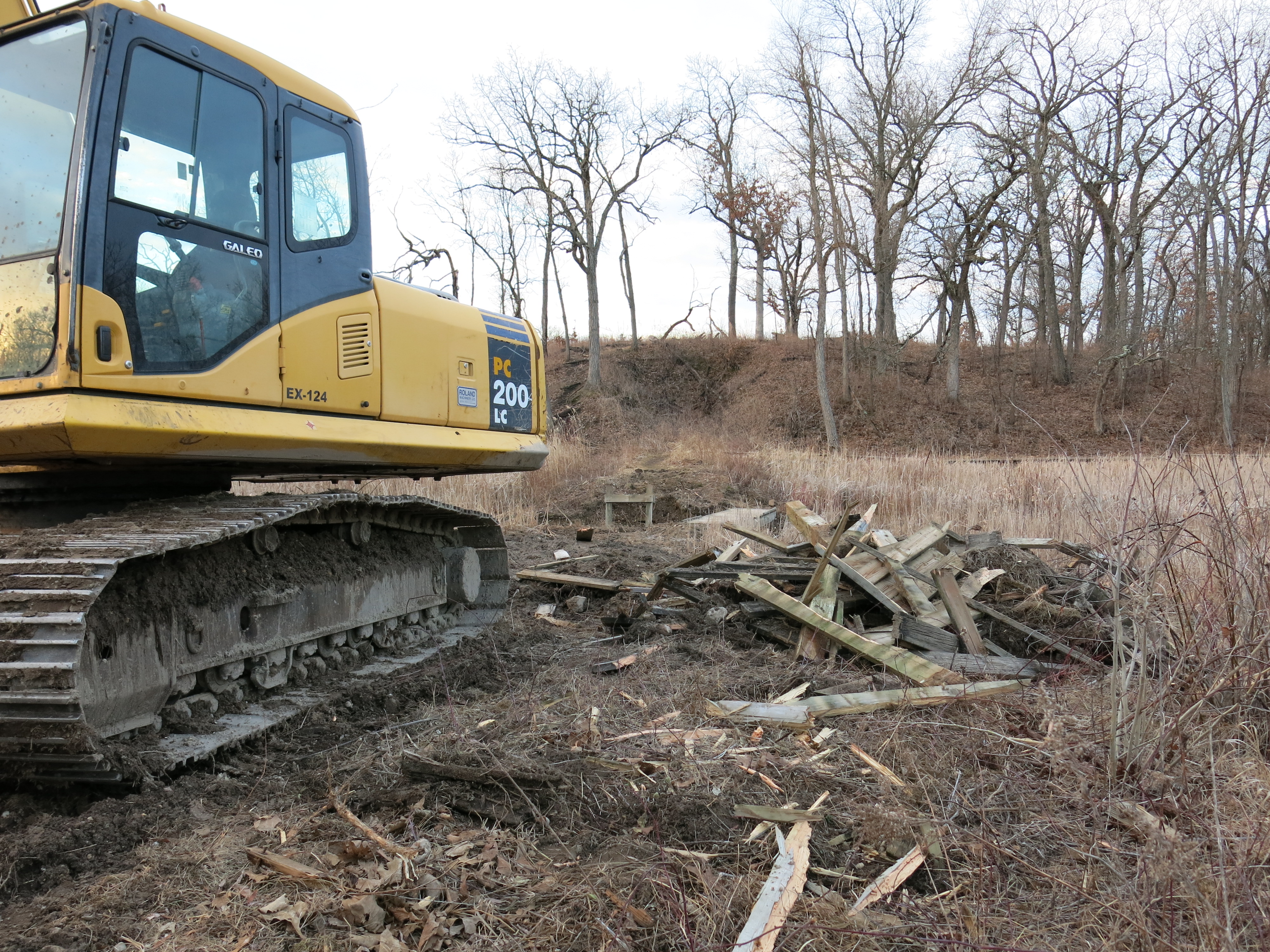
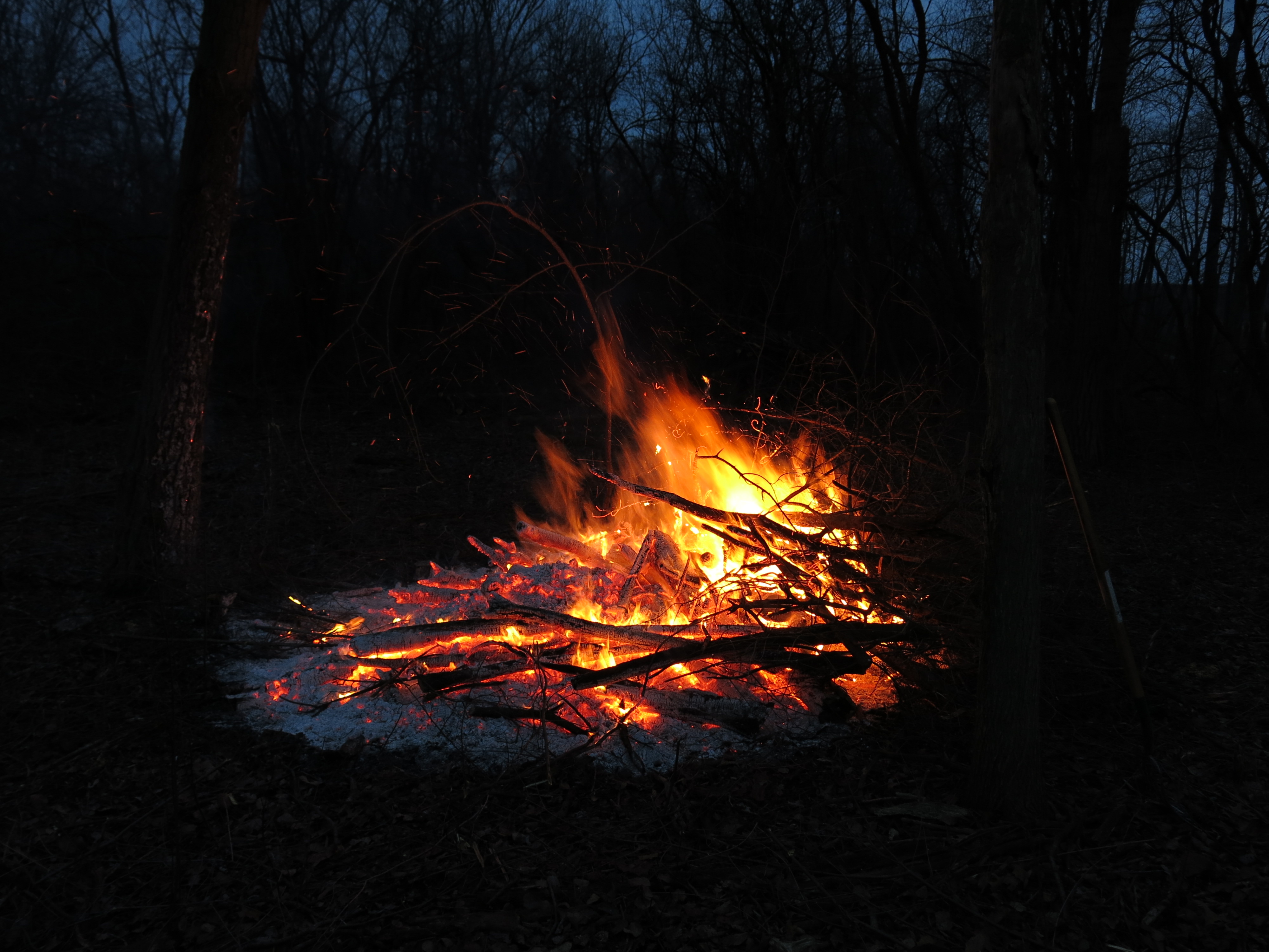
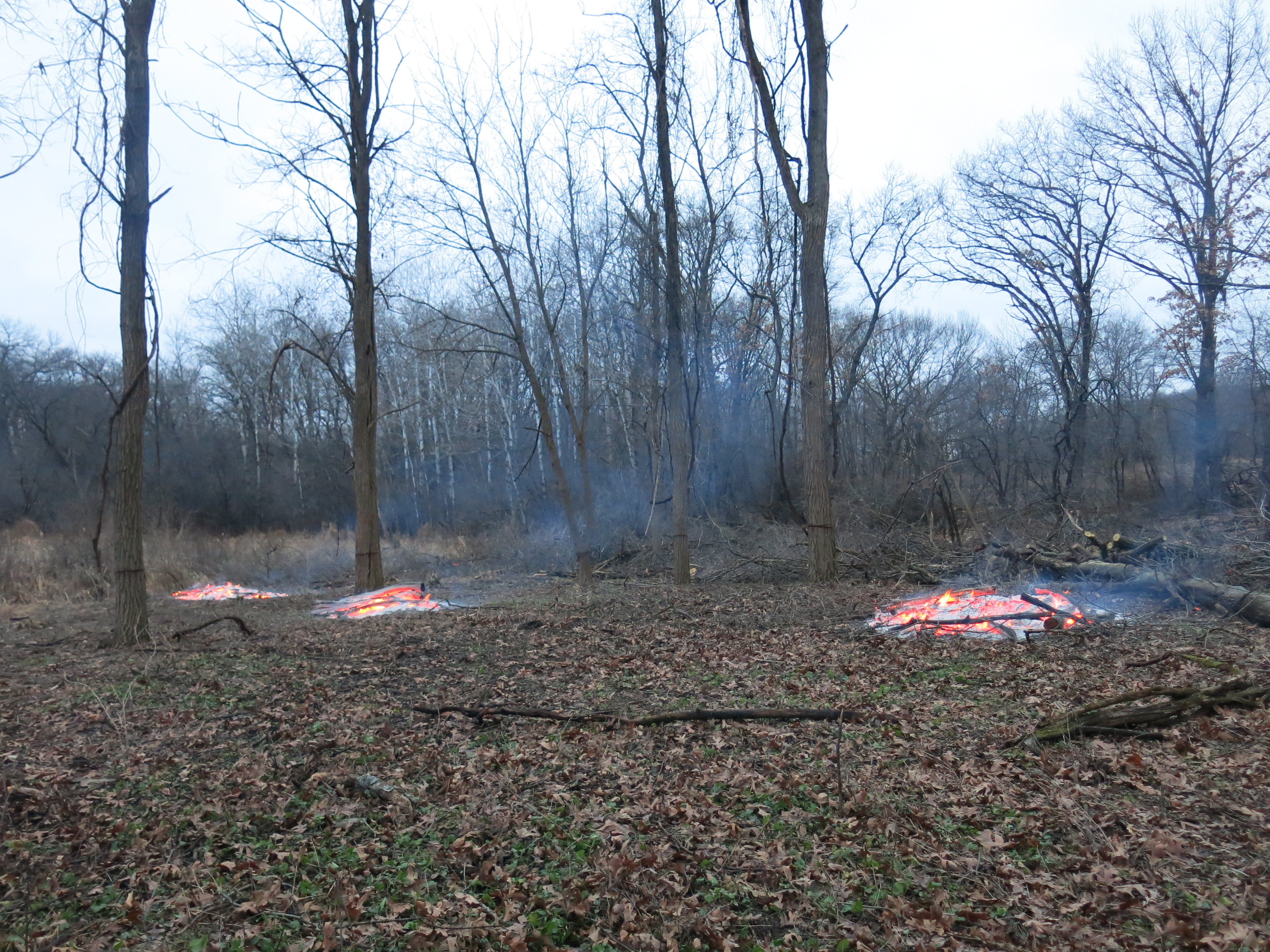
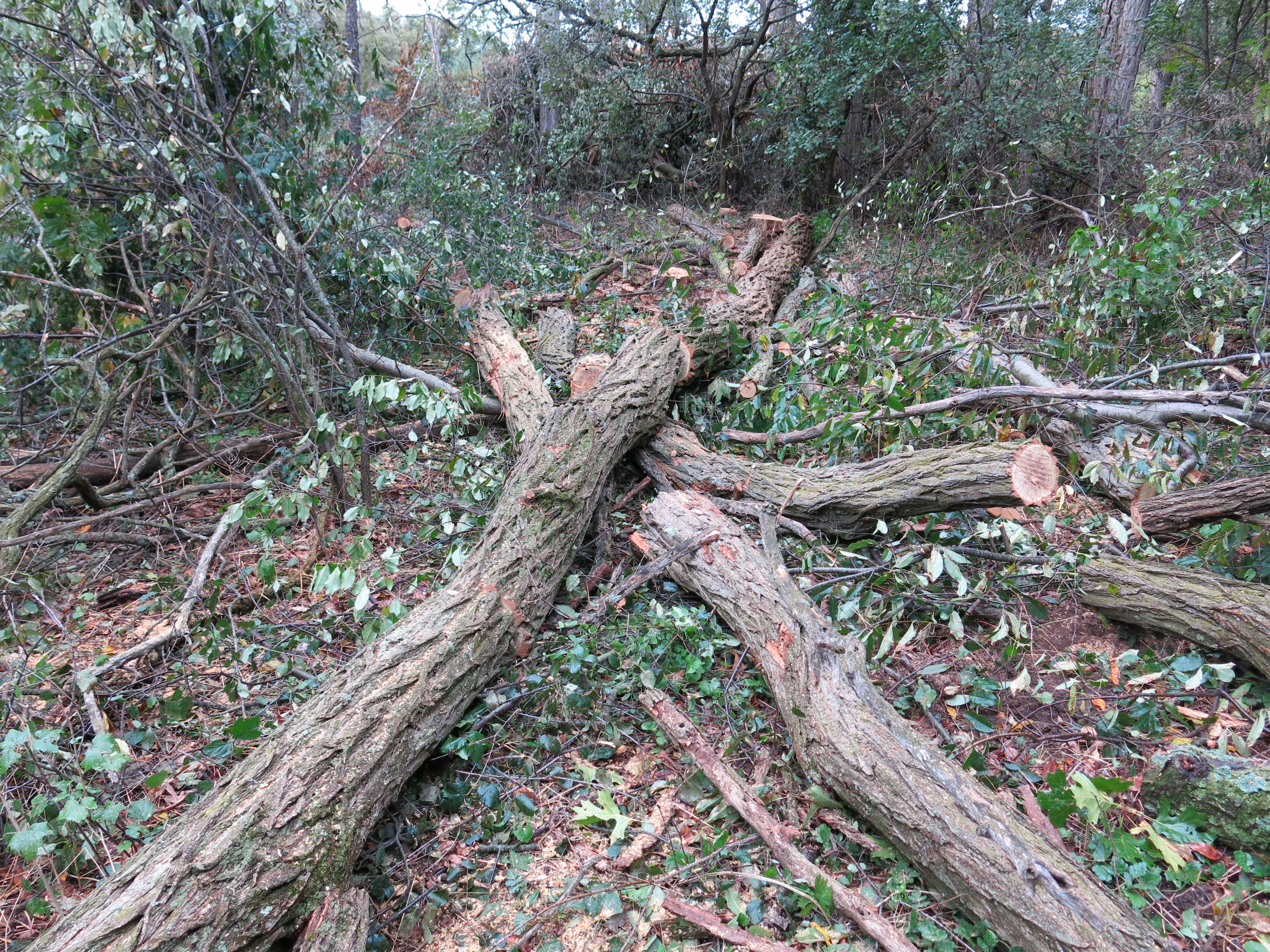
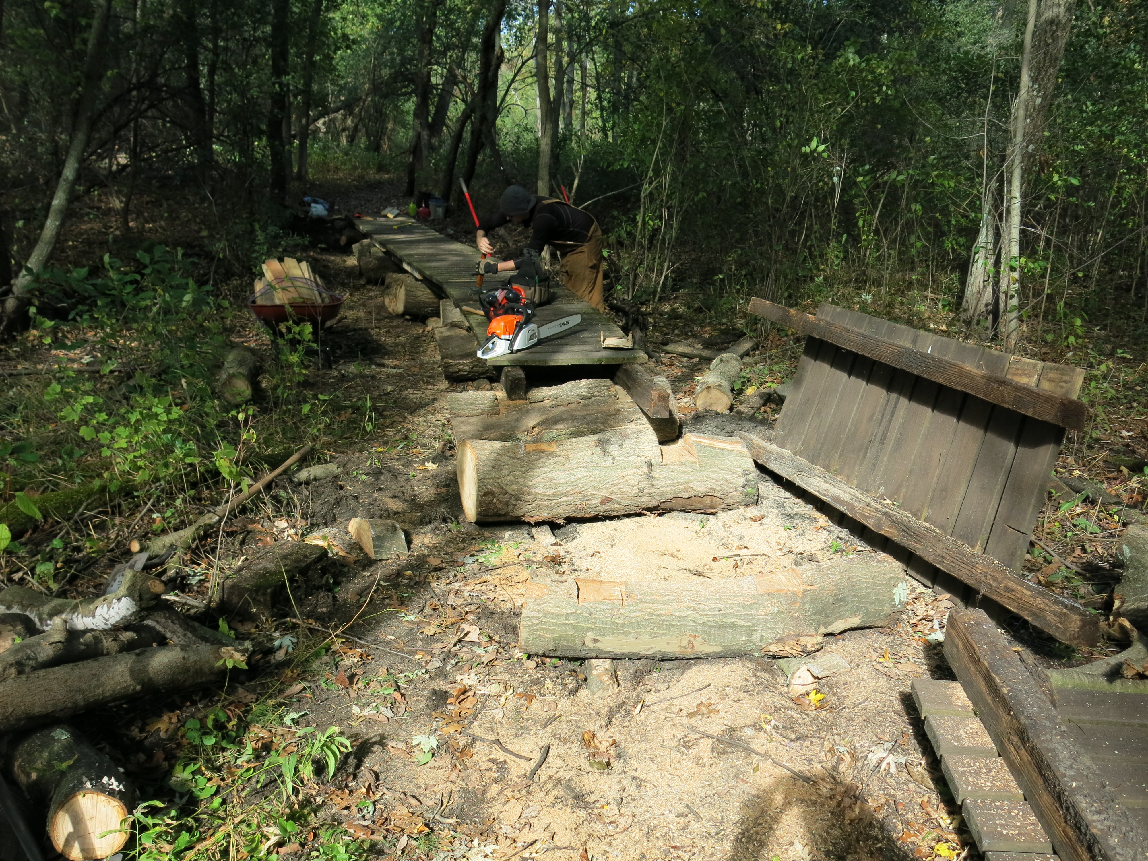
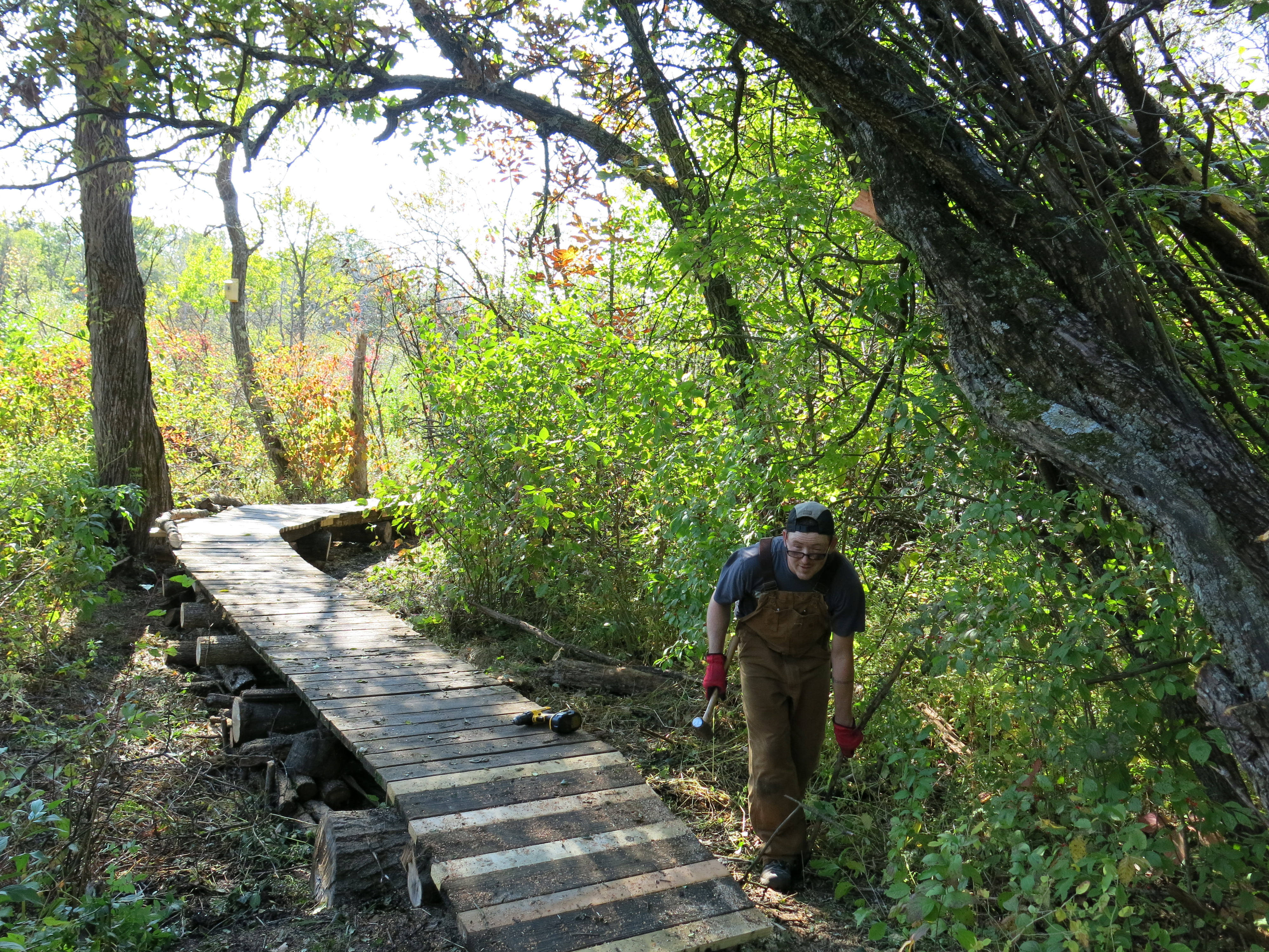
Even The Buckthorn Man can get too much of a good thing, and I need to take a break from cutting for at least a month or two. The level of aggressive force required to attack a buckthorn thicket can’t be sustained year round. I’ve been ripping it up lately and it’s time to put the chainsaw down.
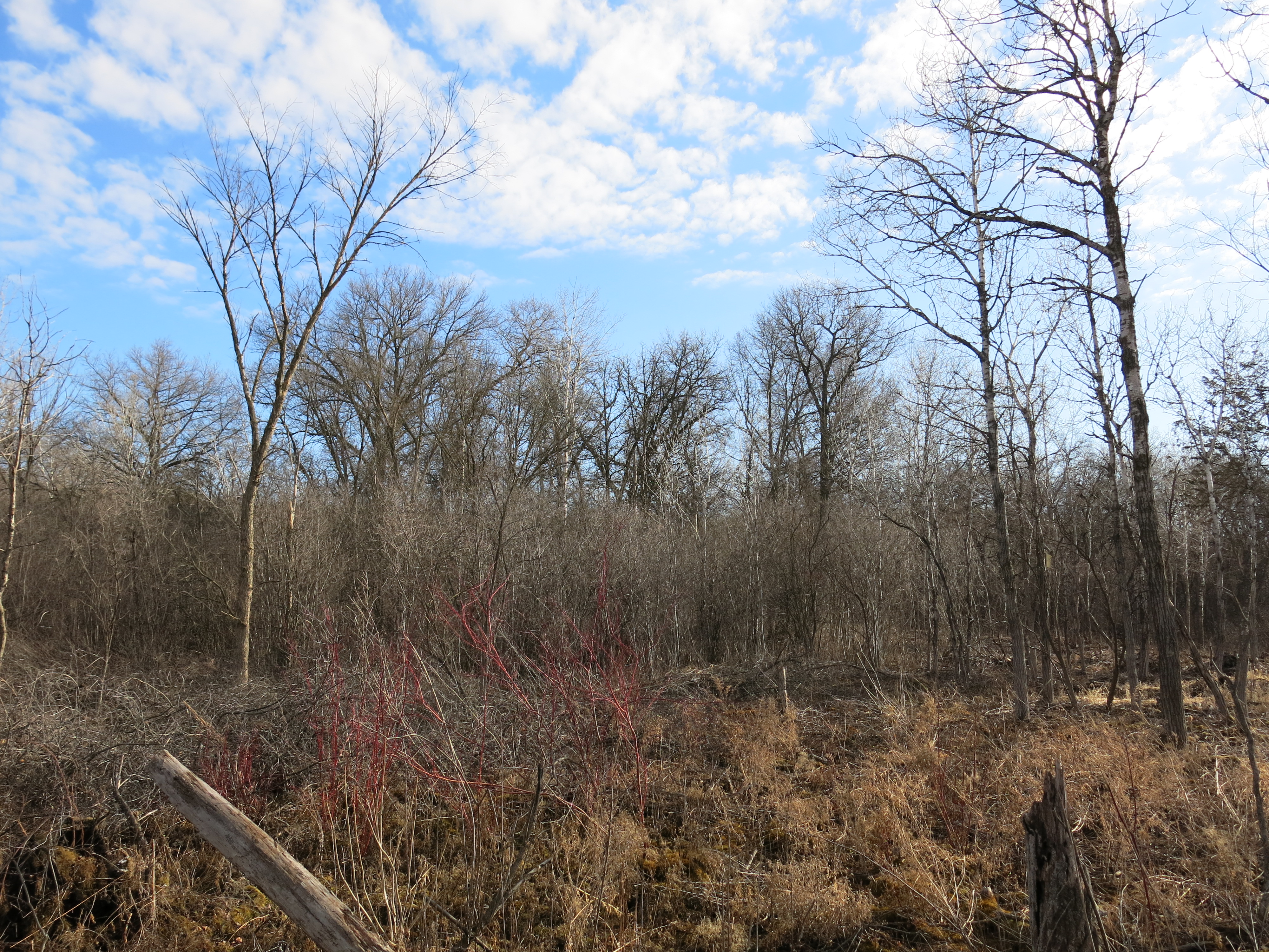
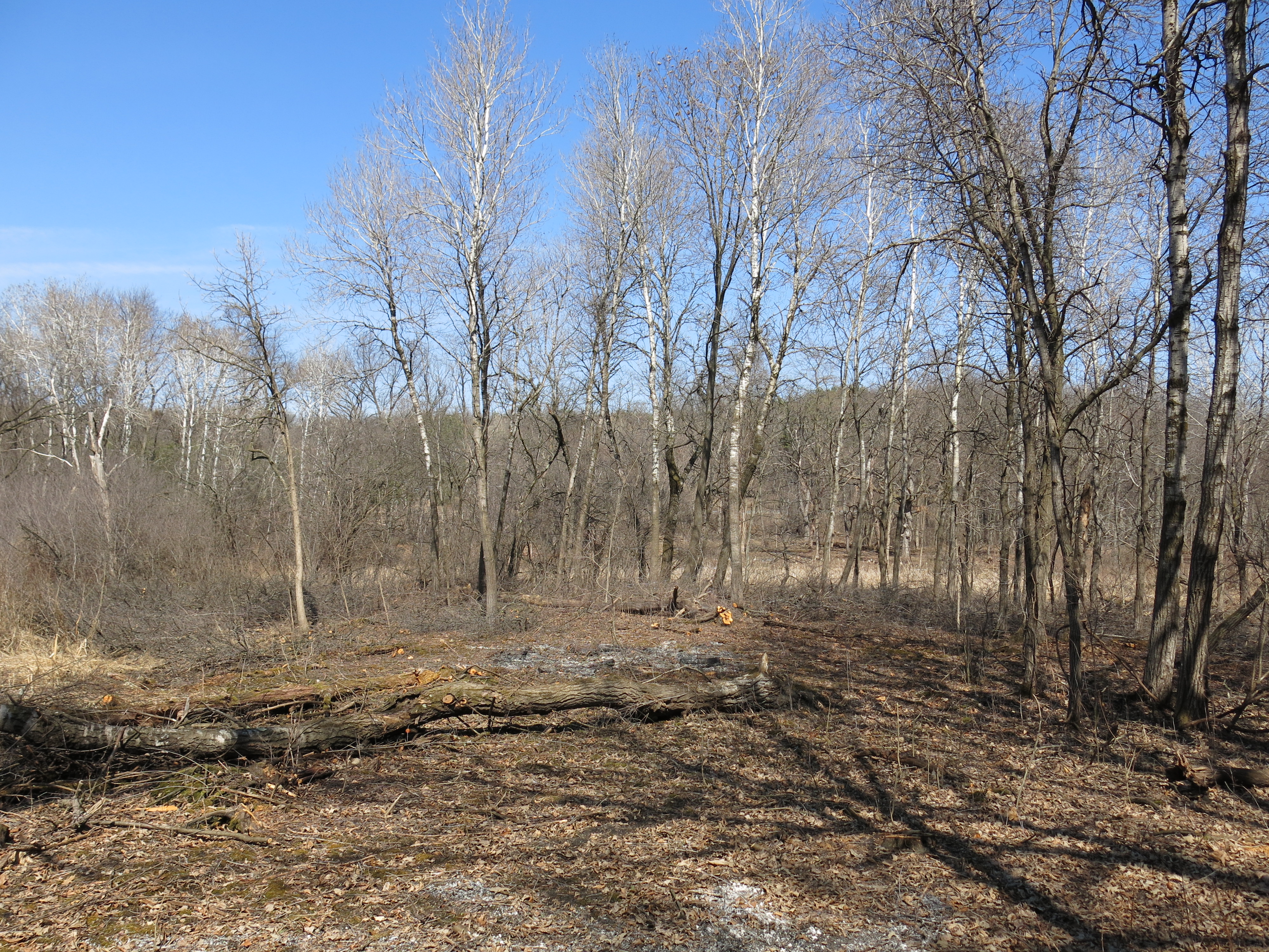
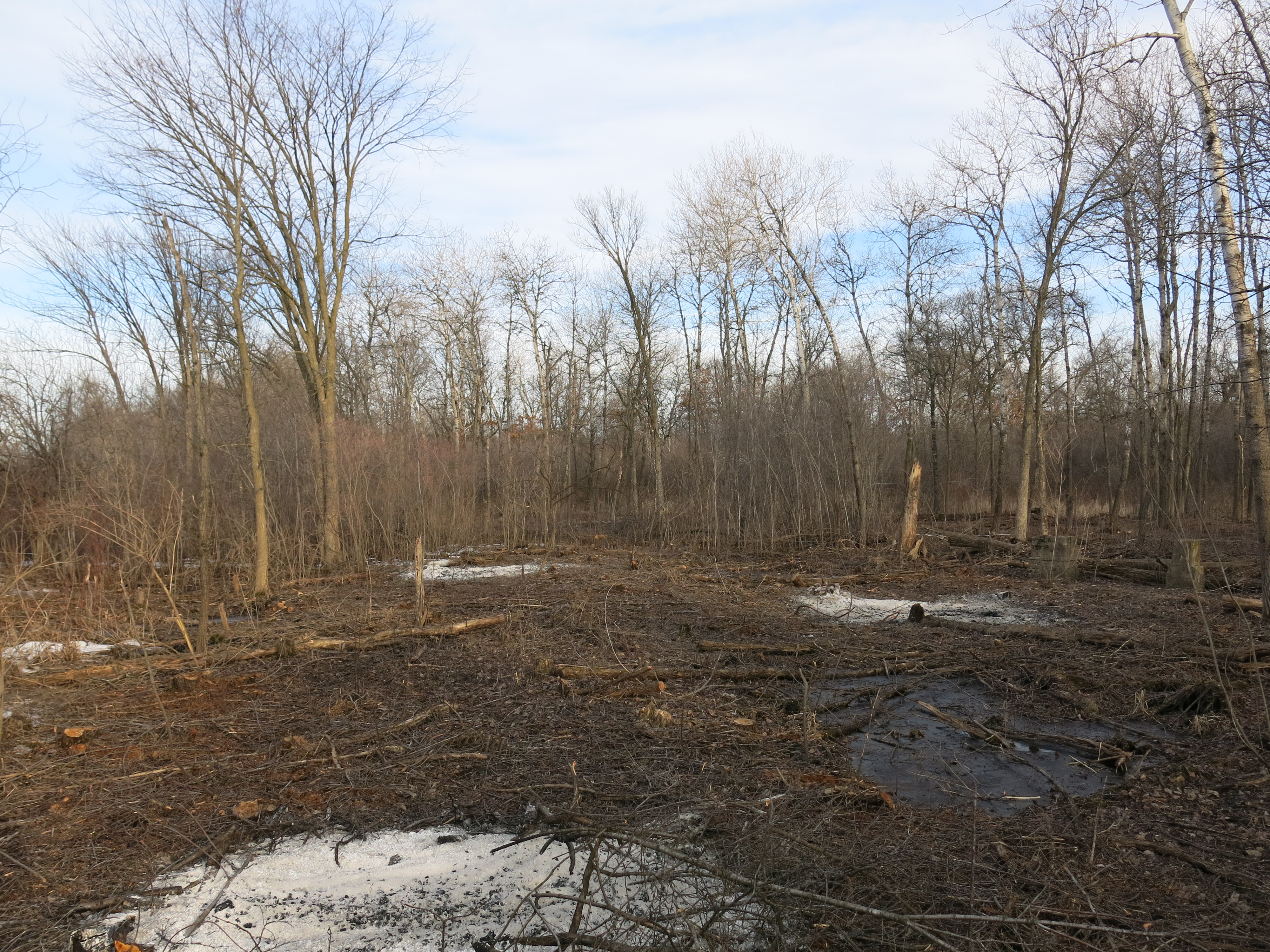
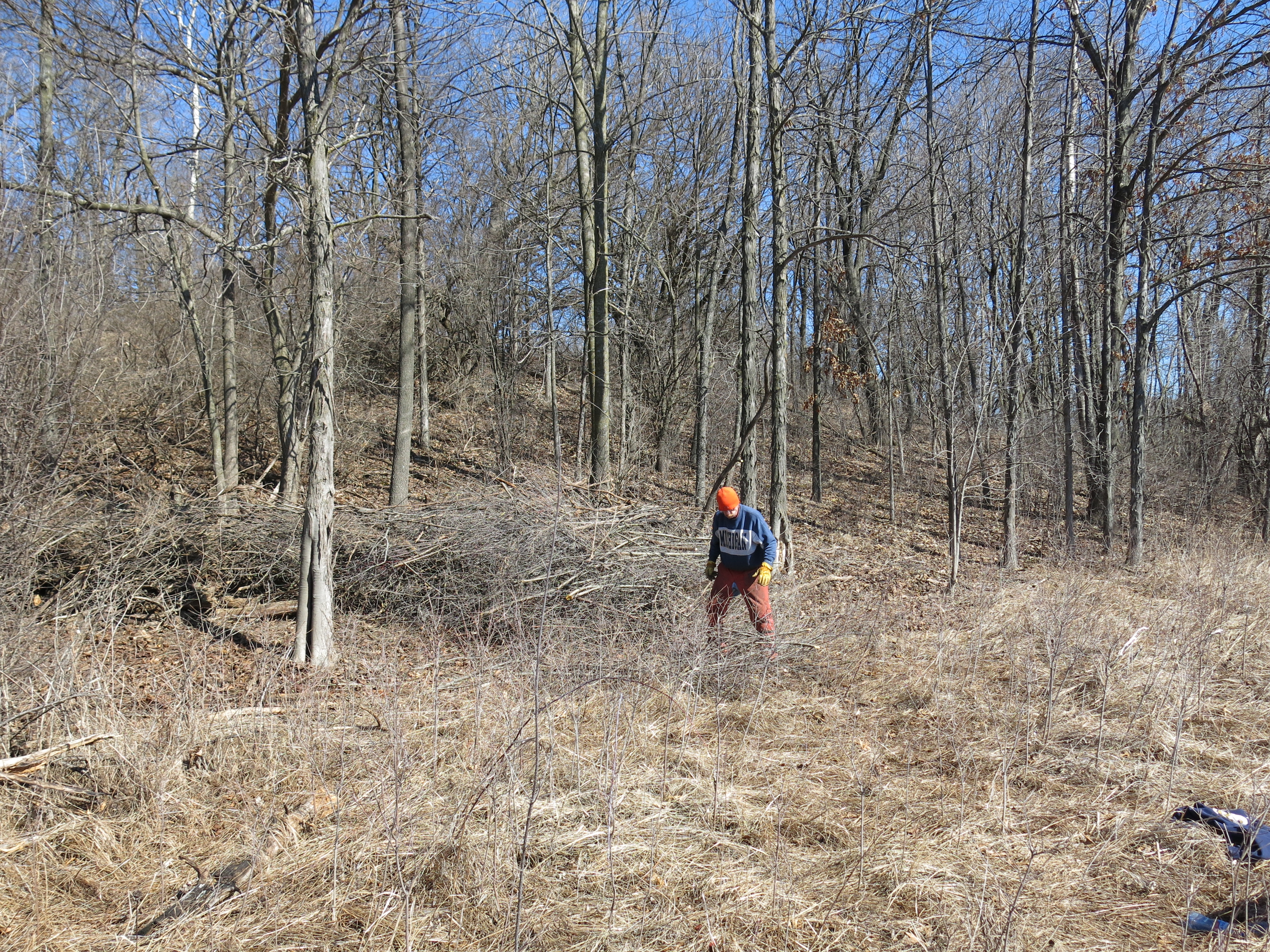
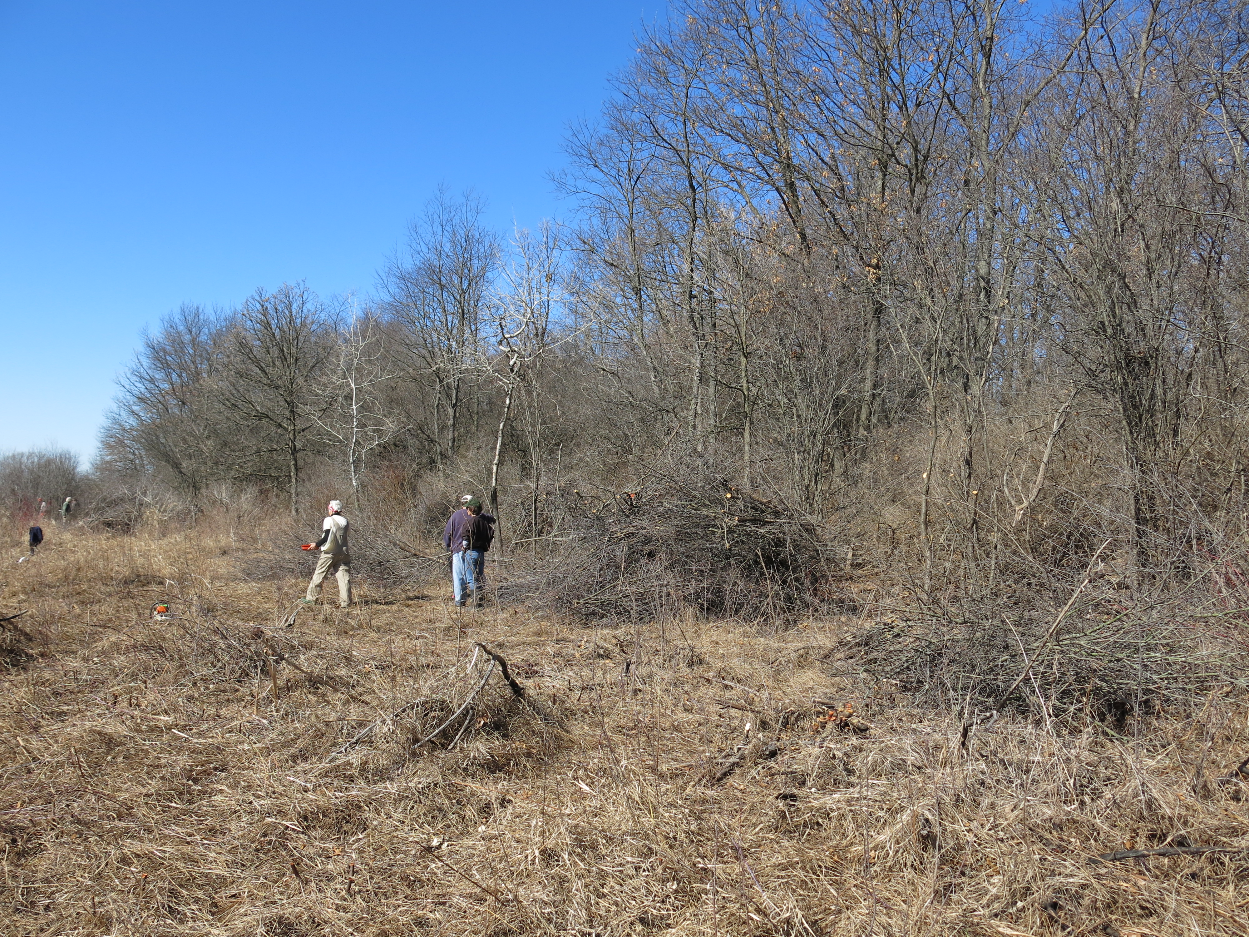
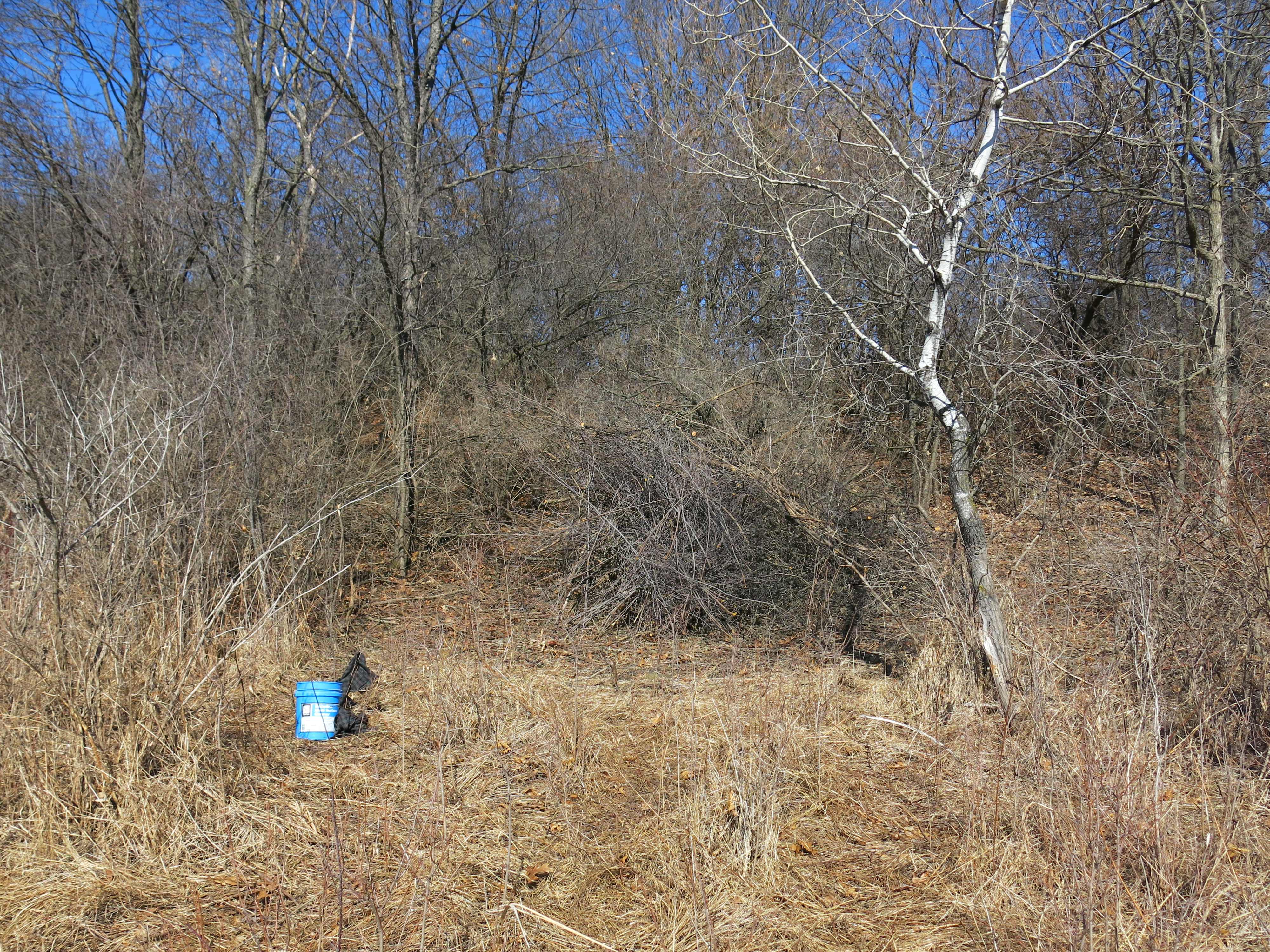
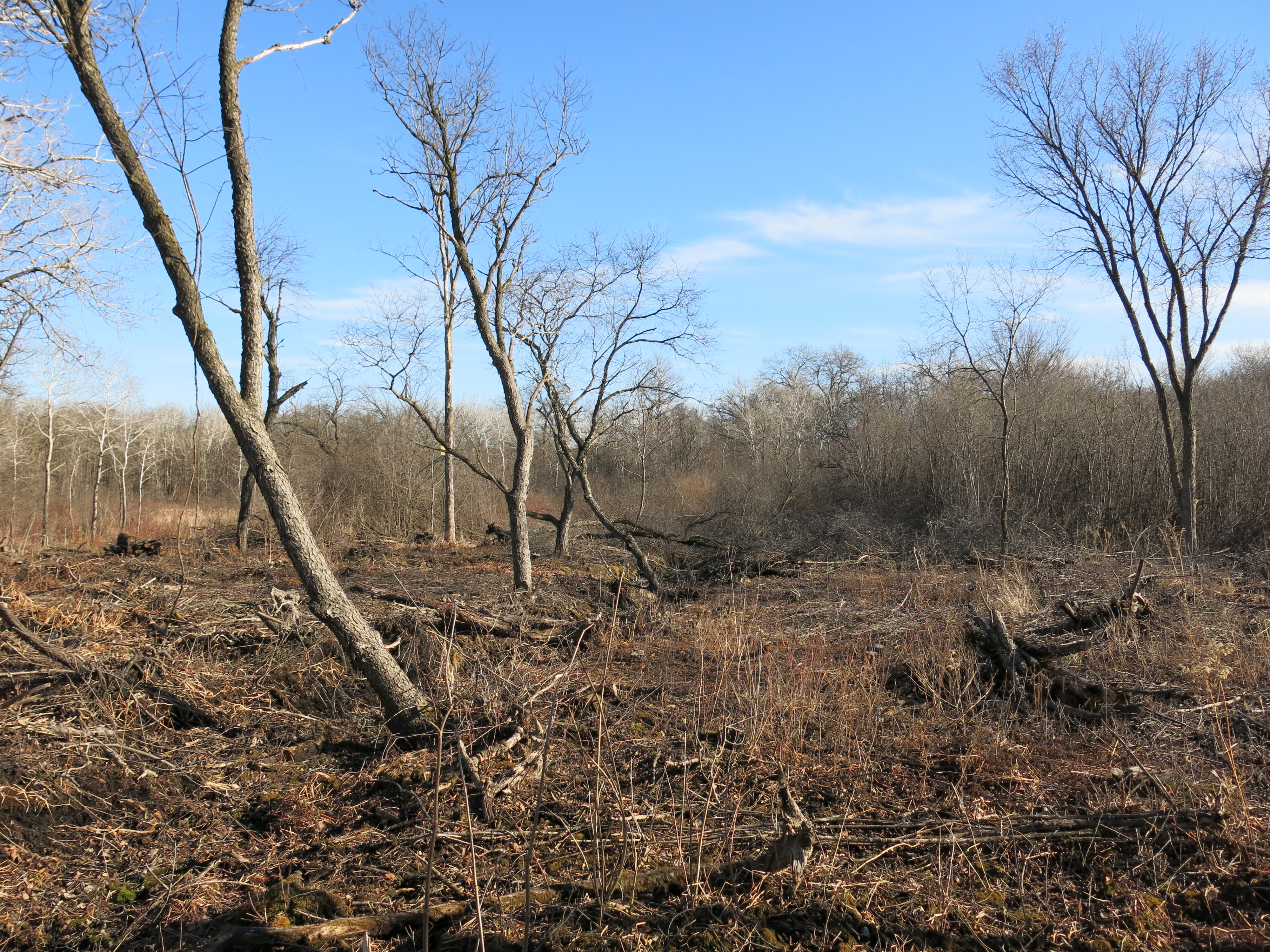
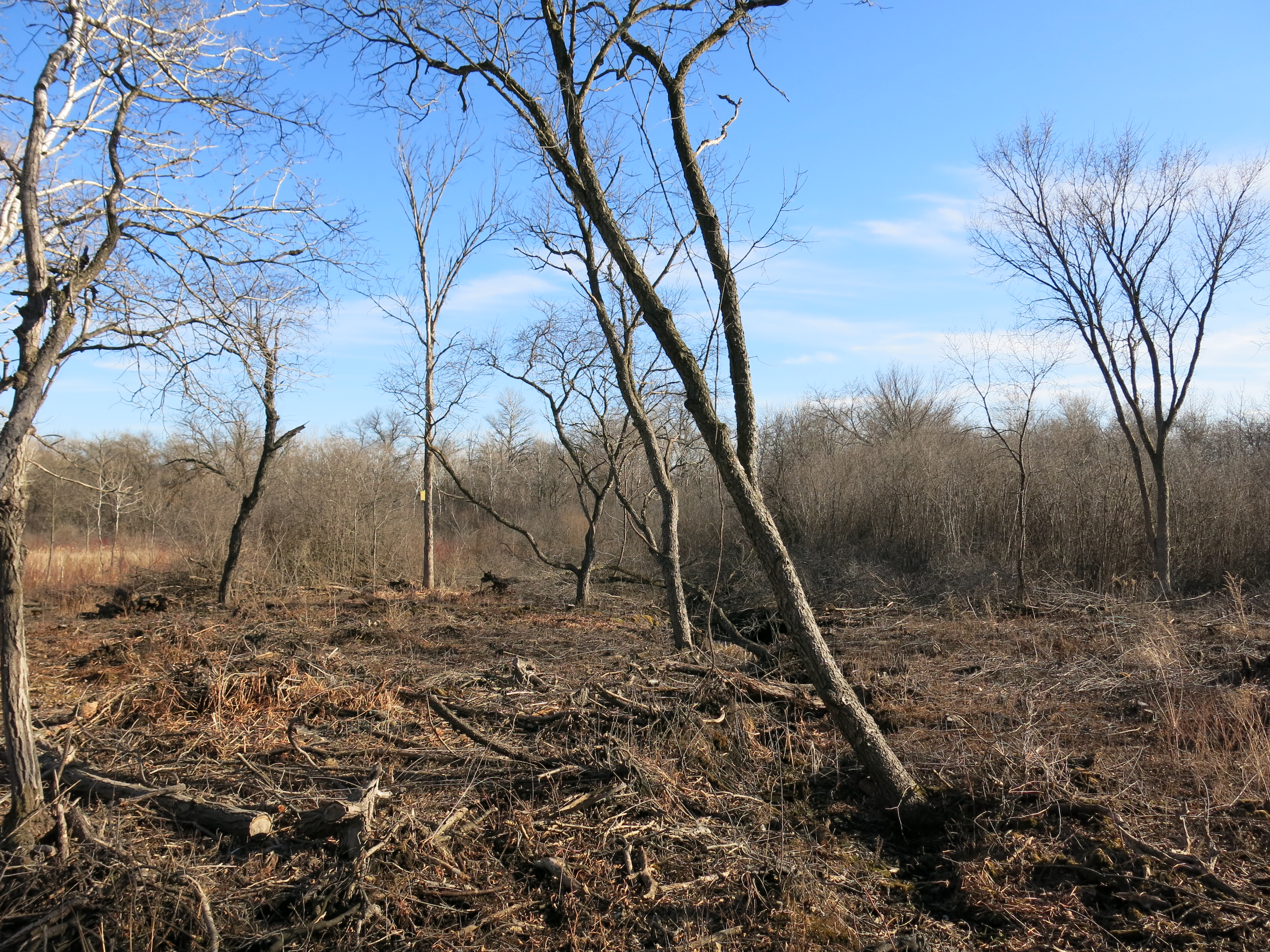
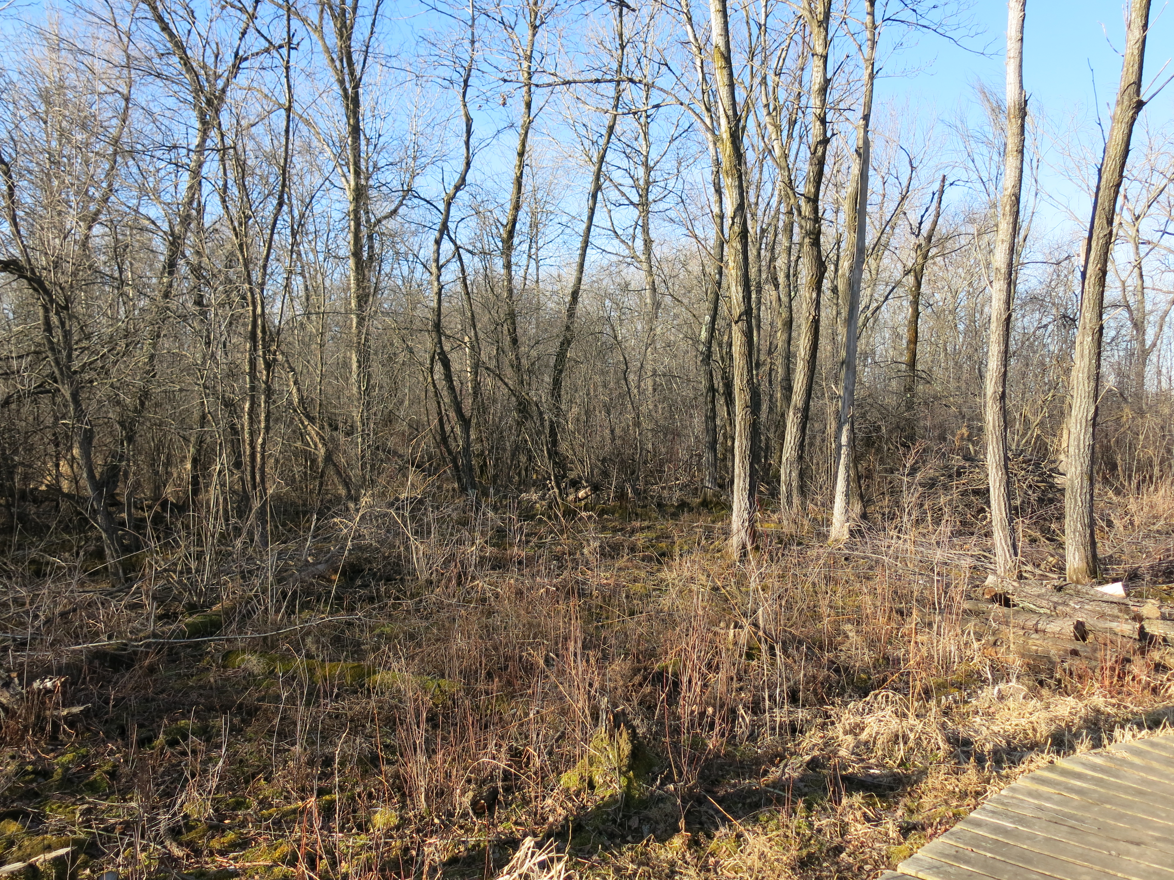
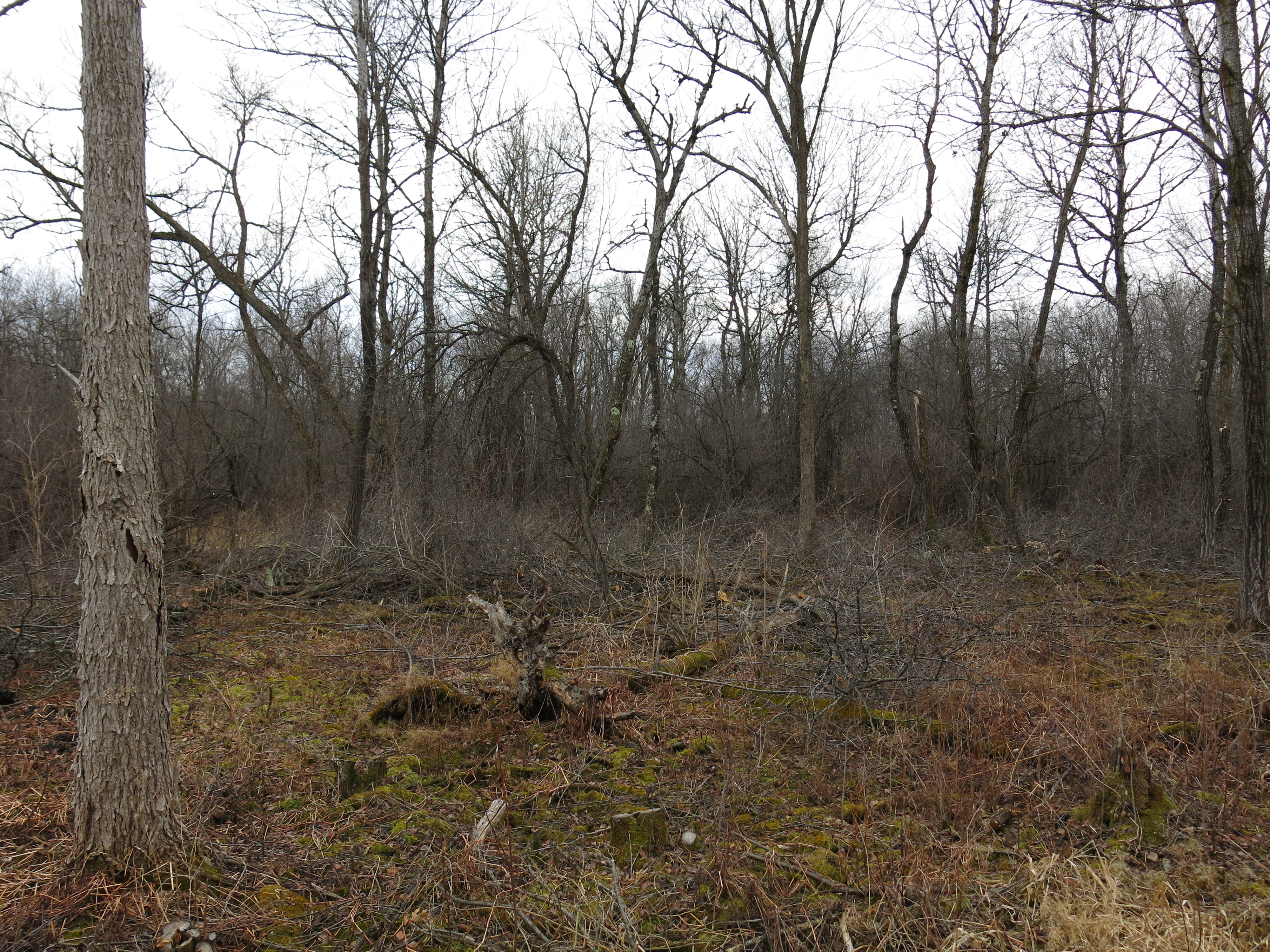
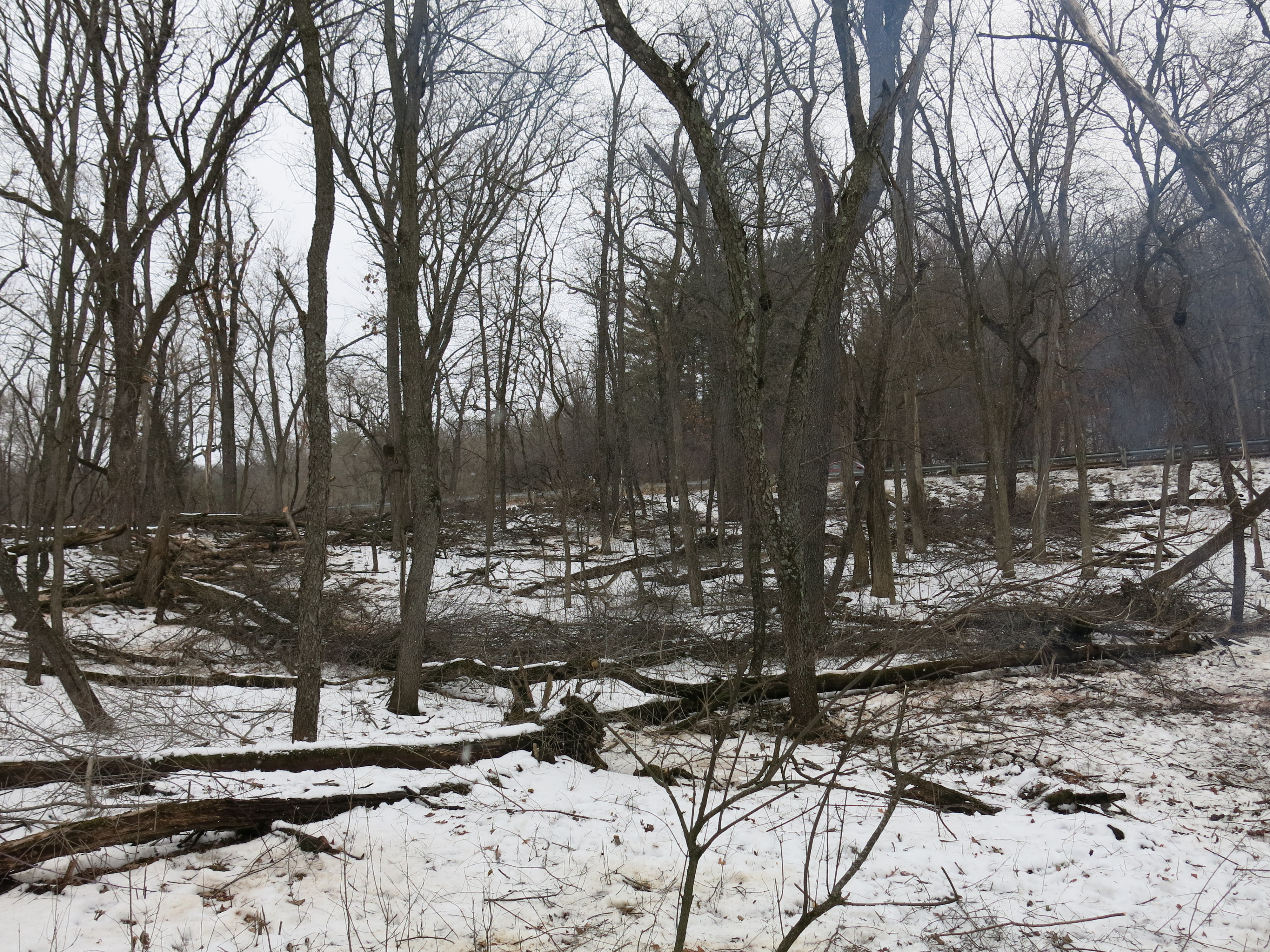
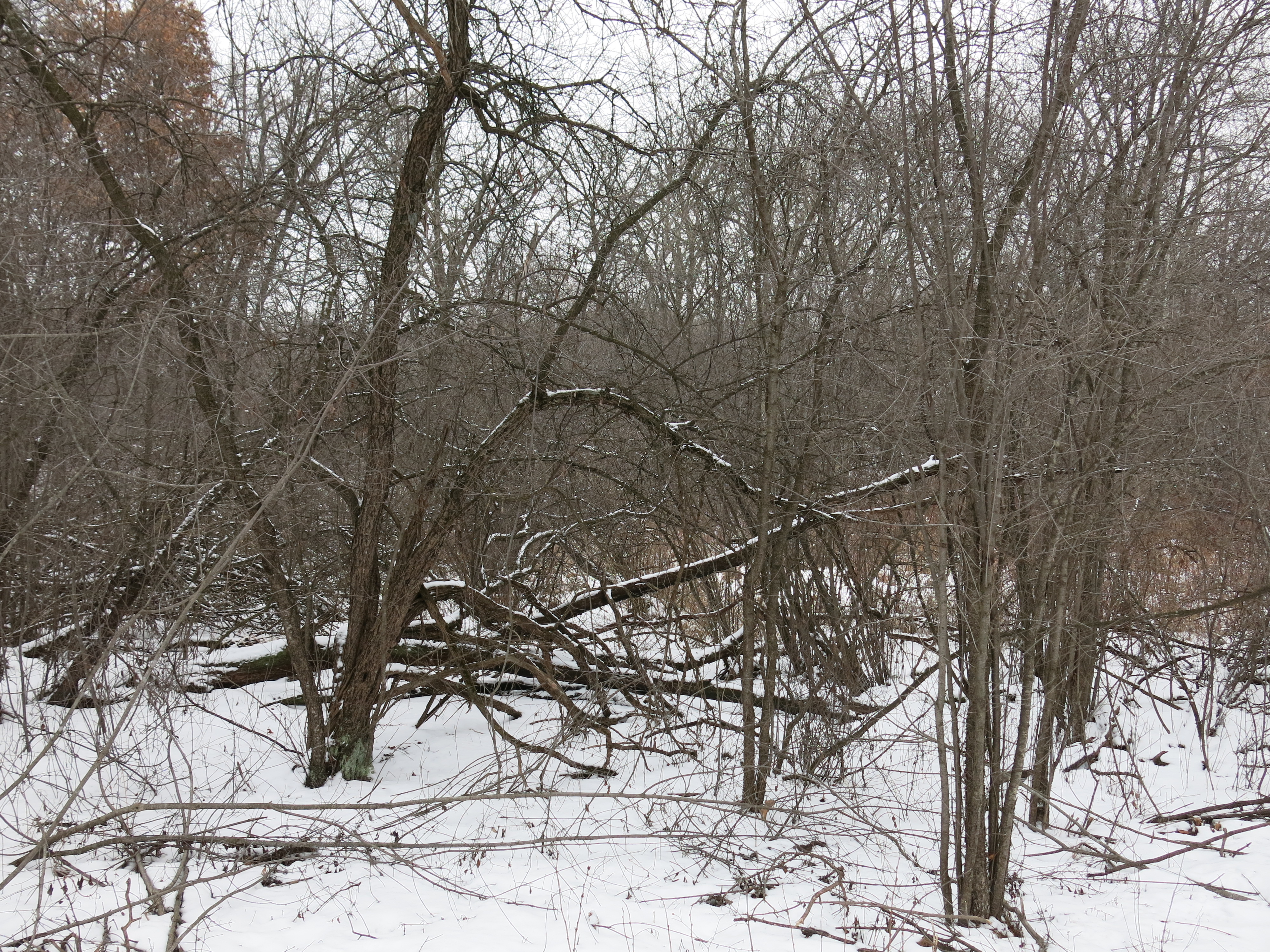
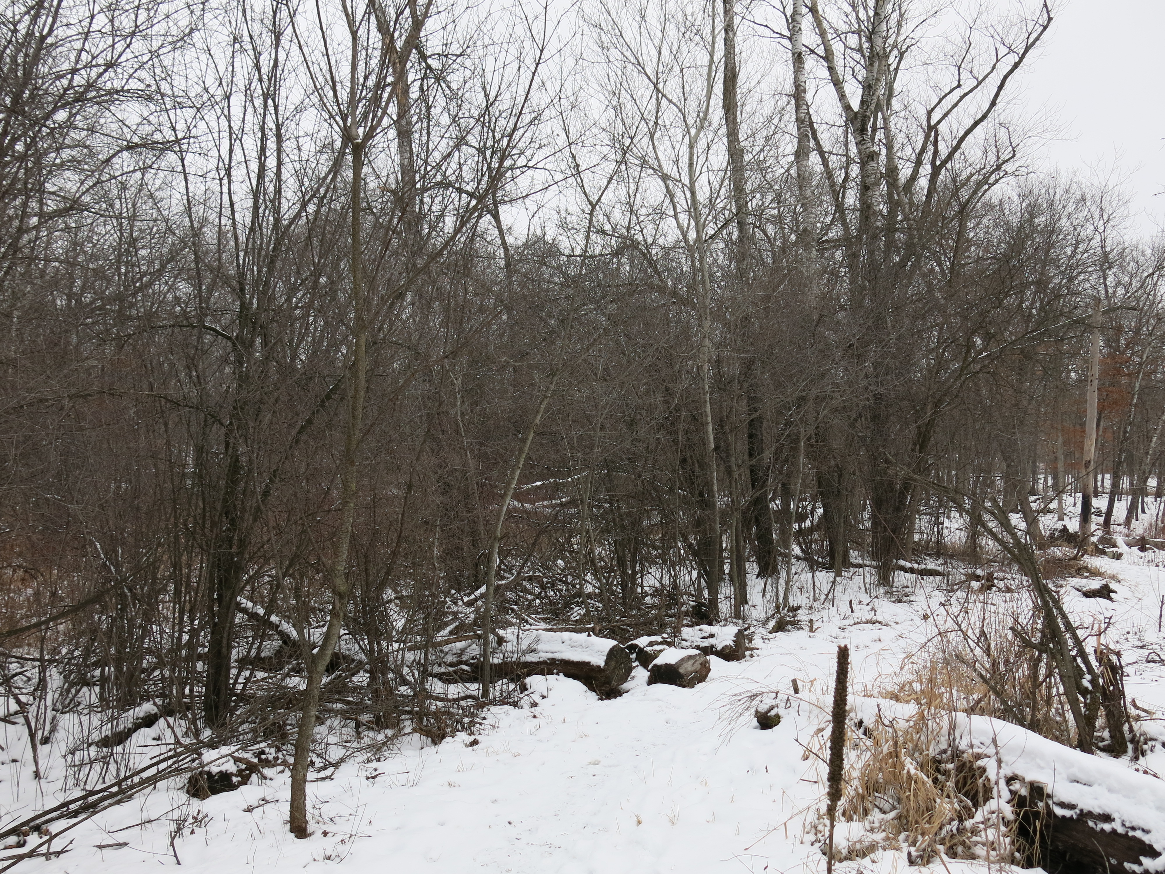
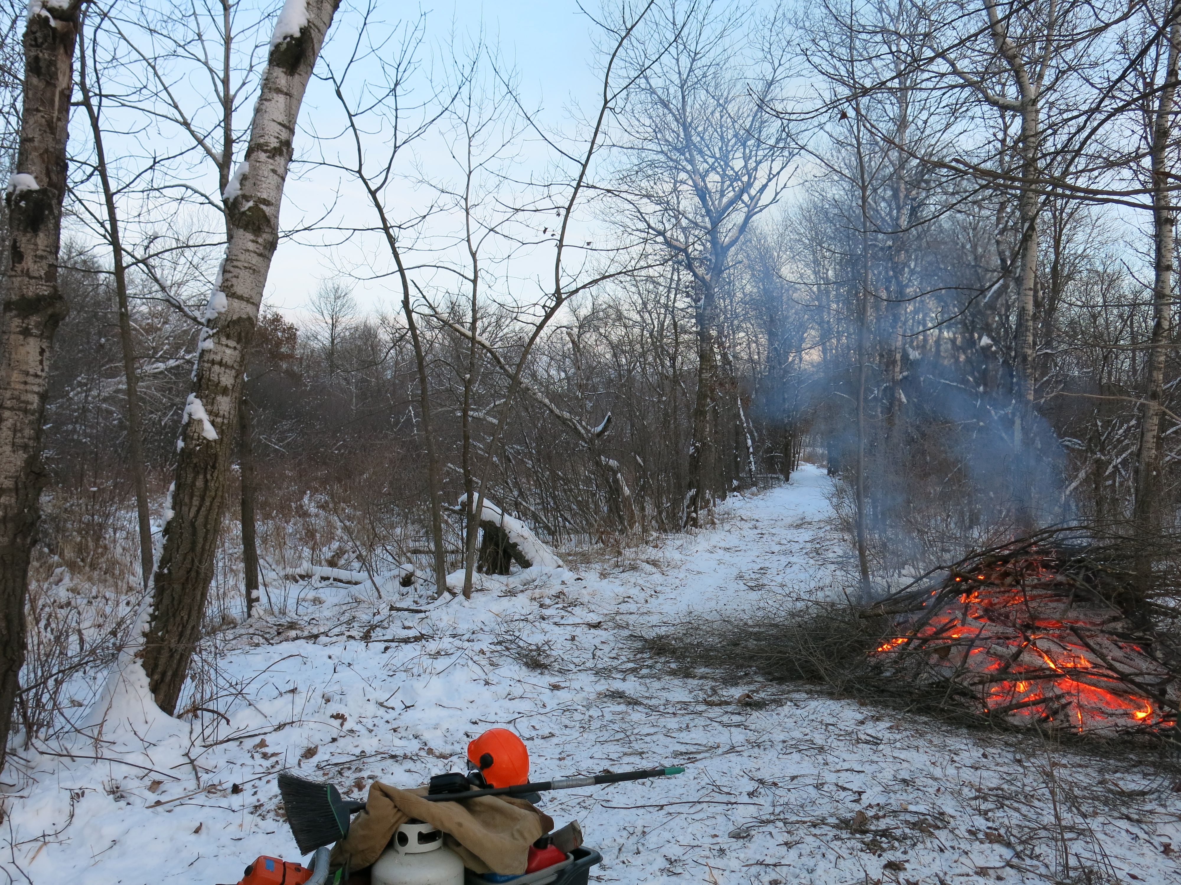
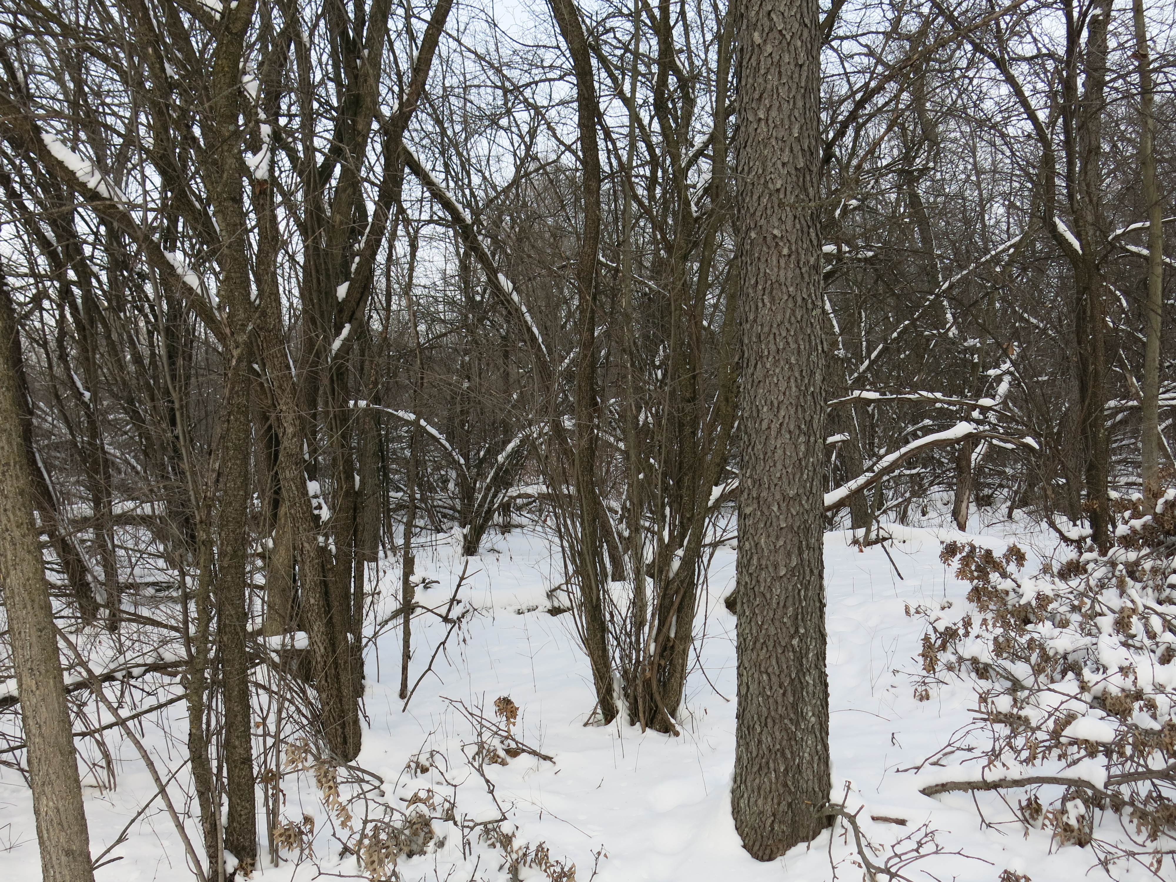
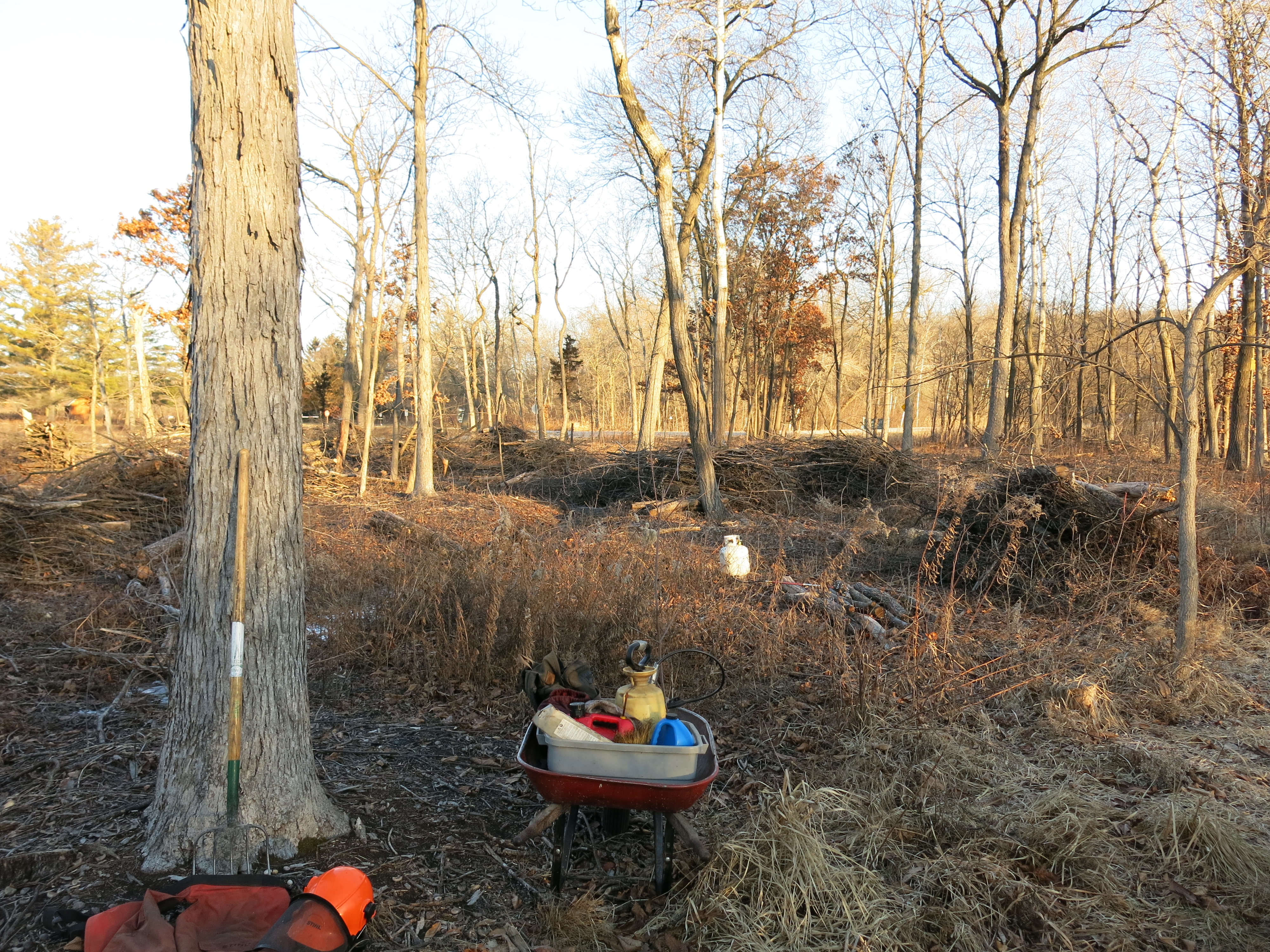
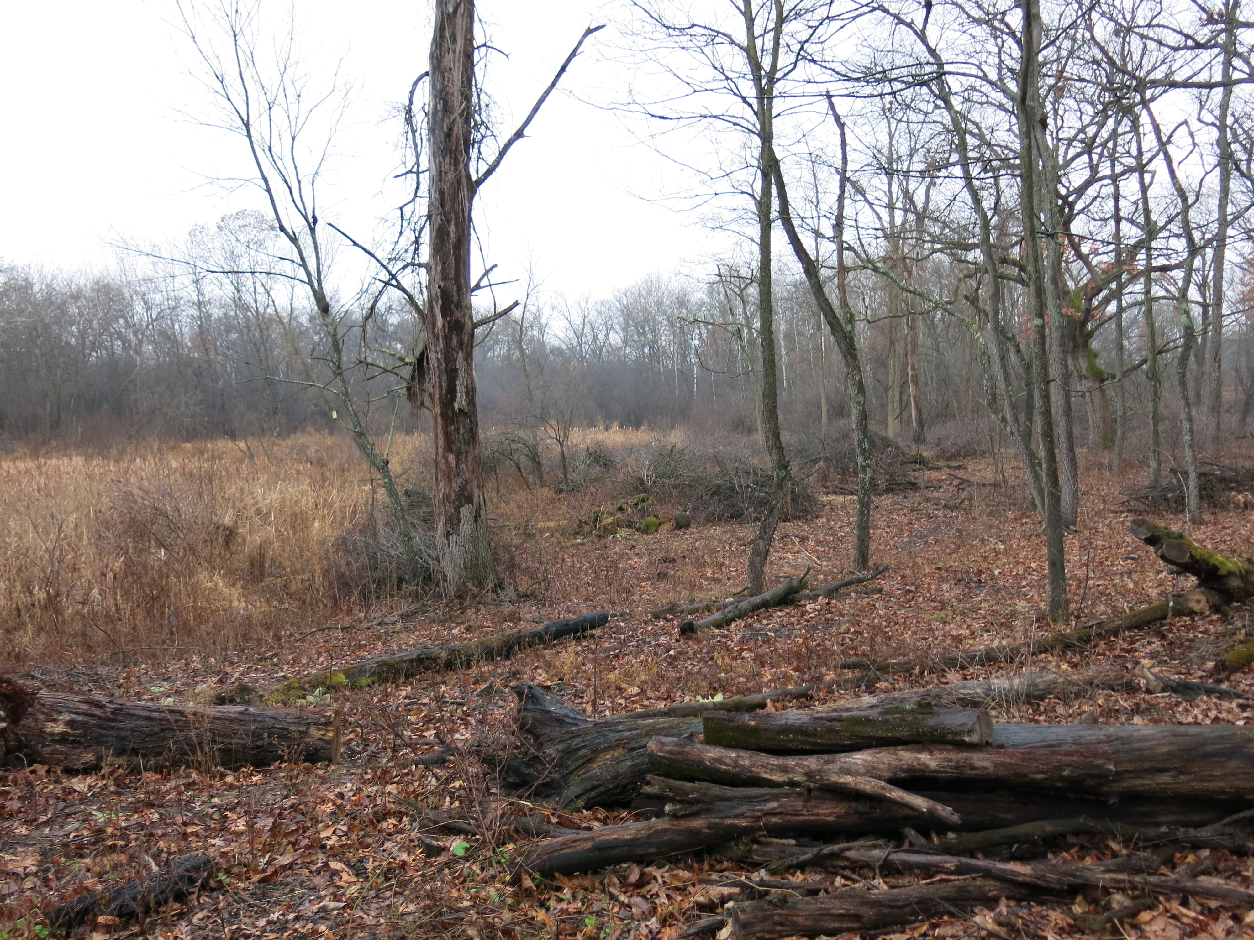
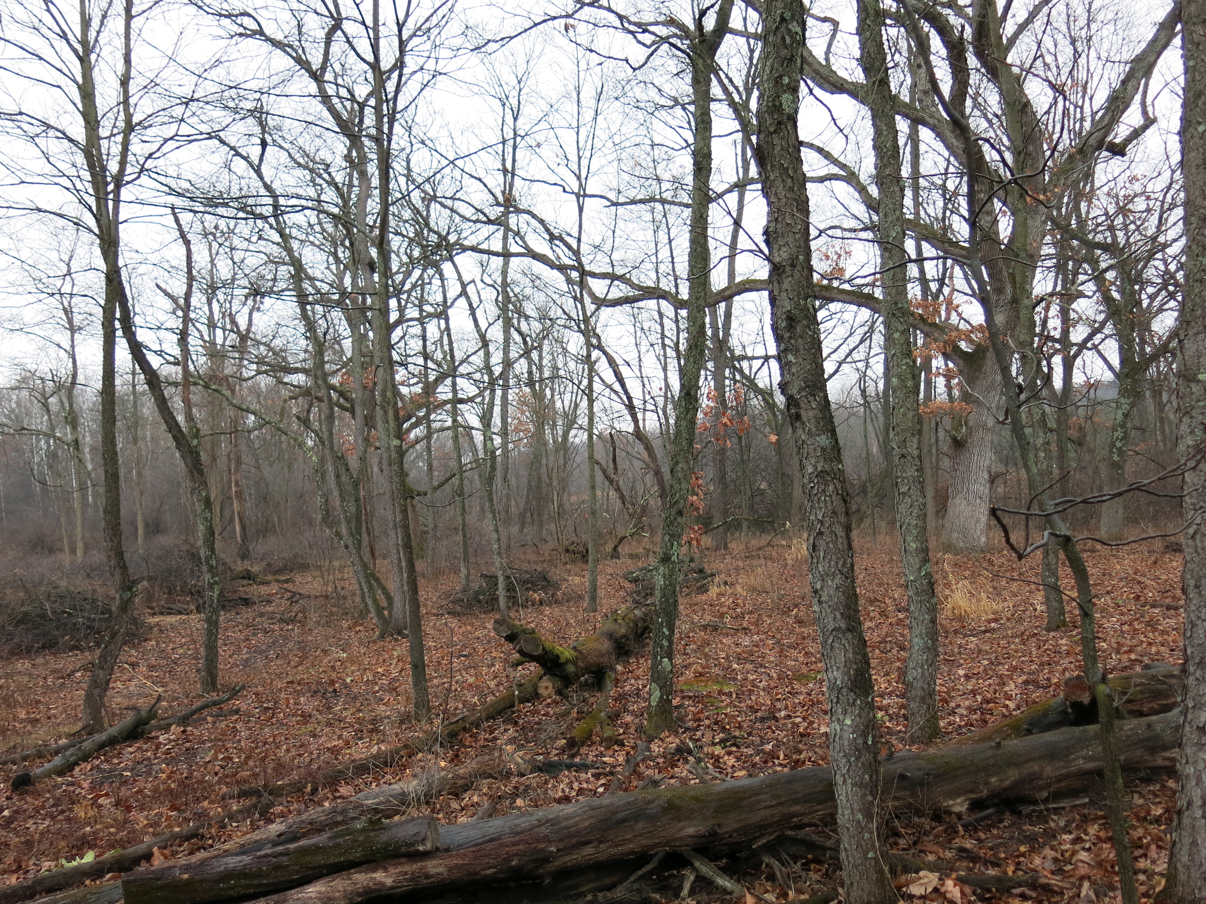
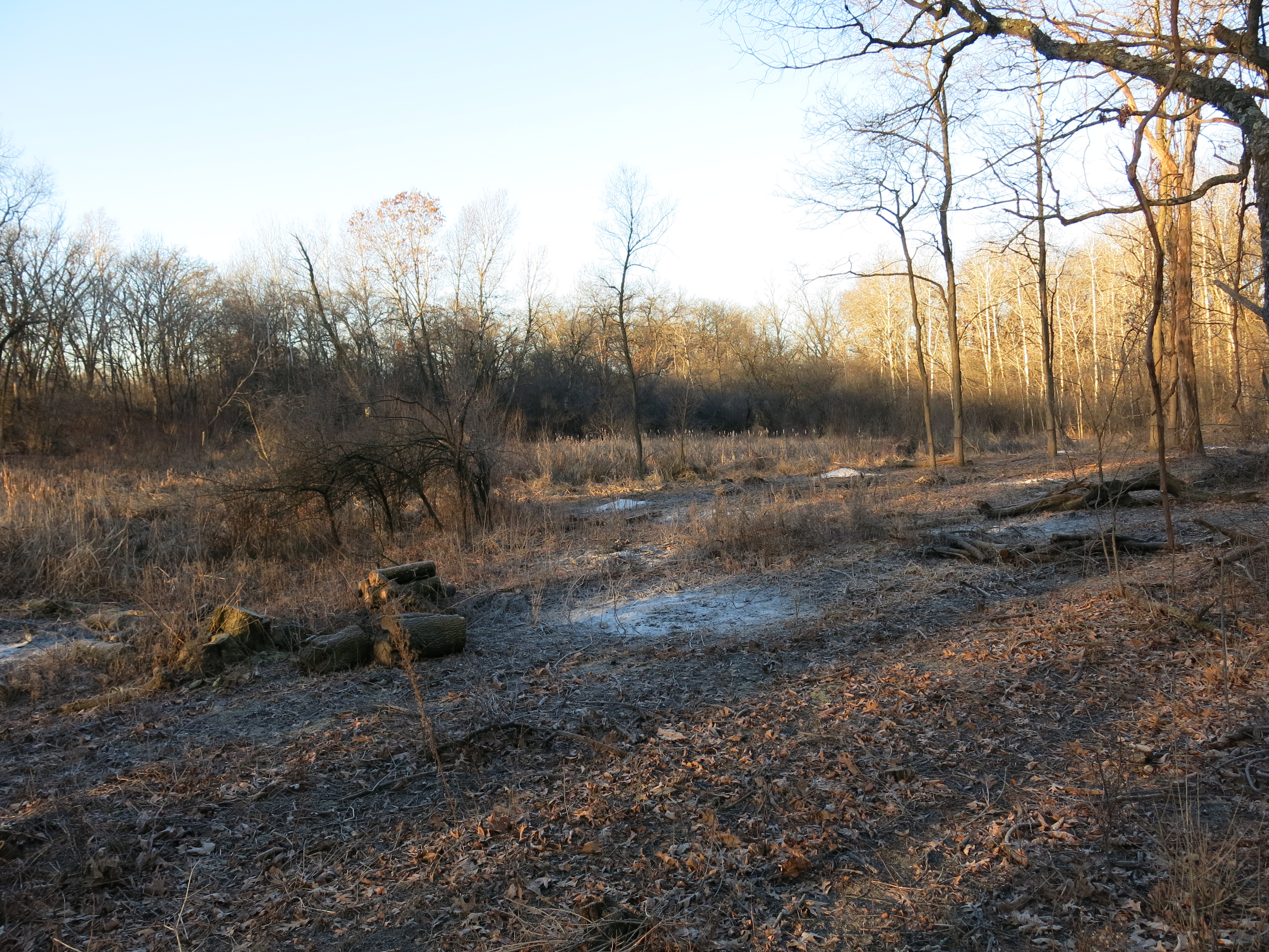
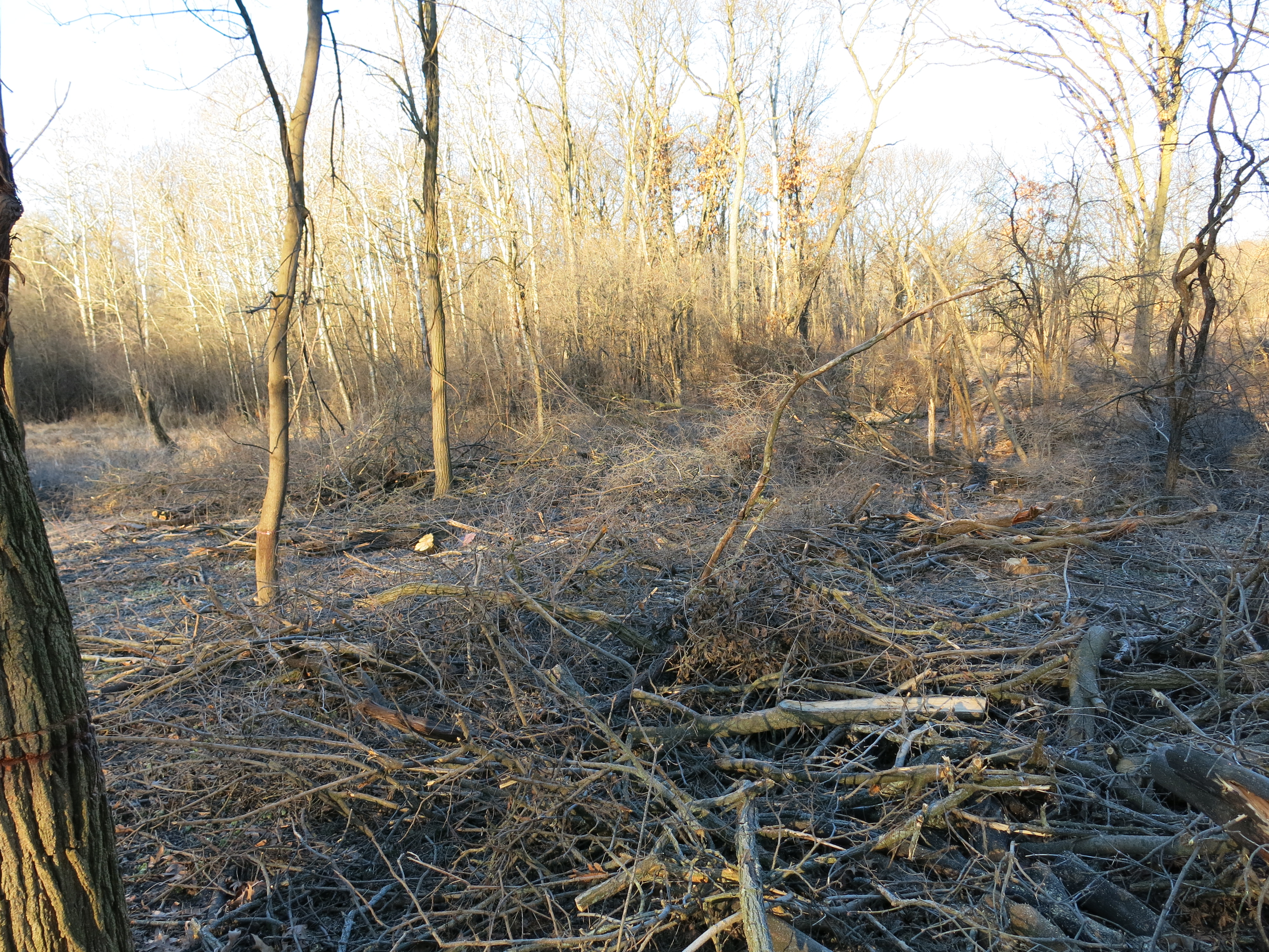
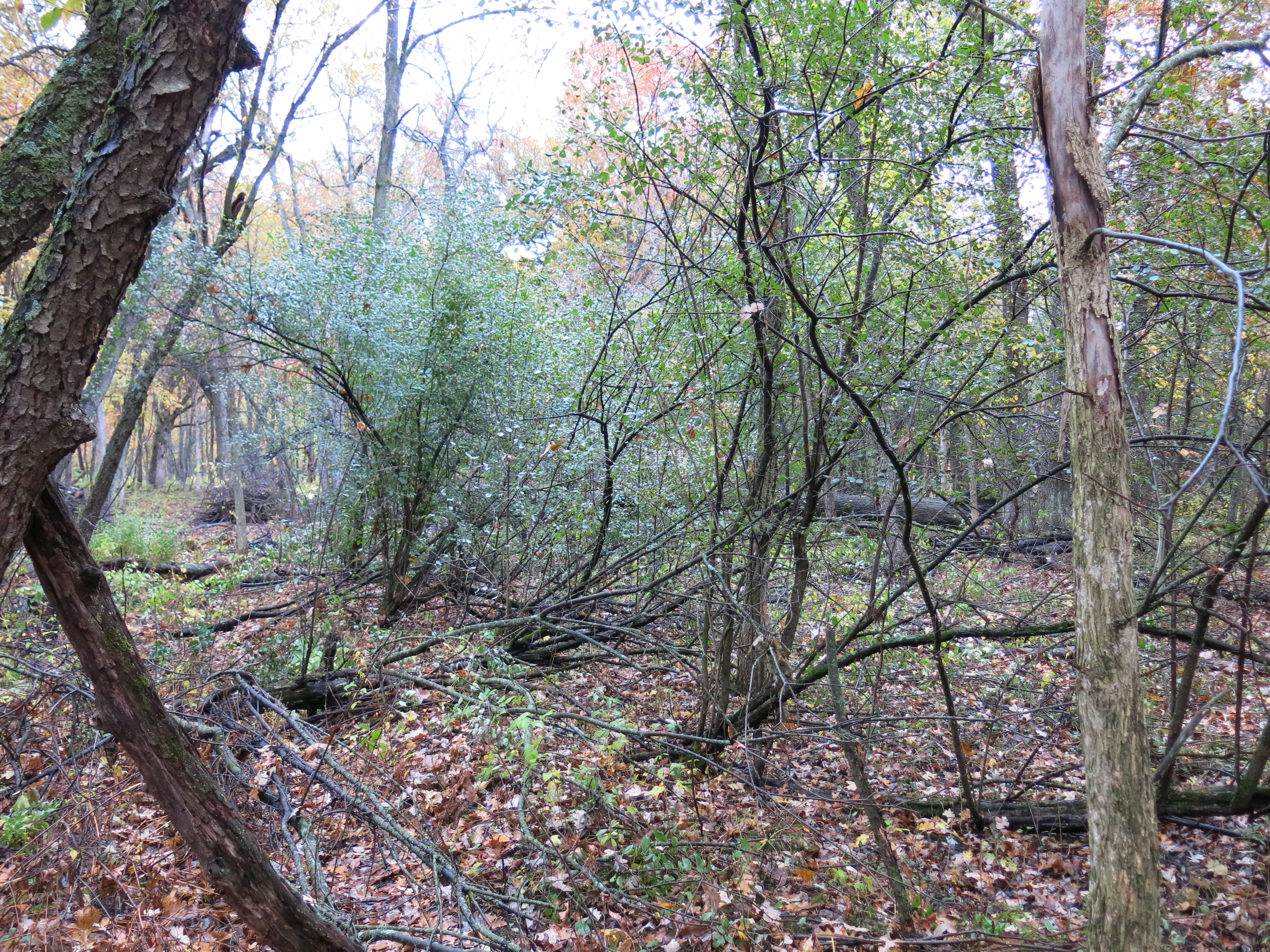
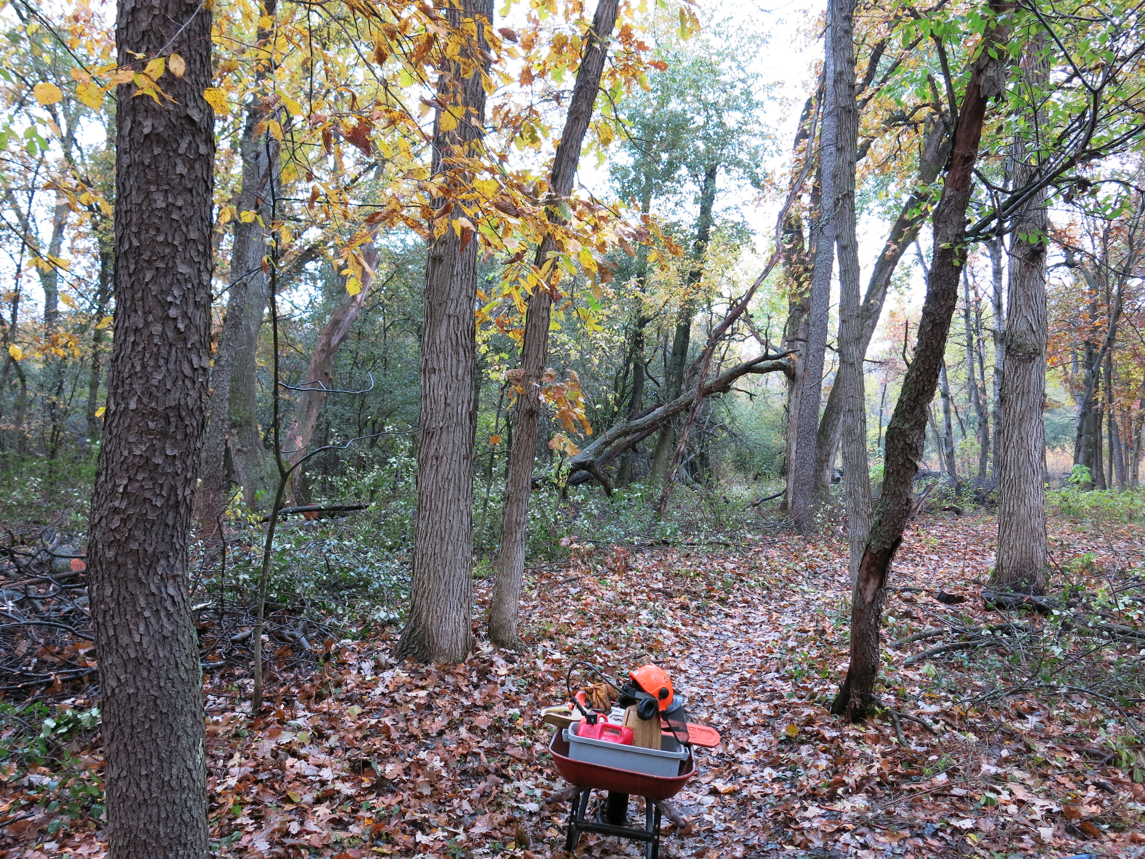
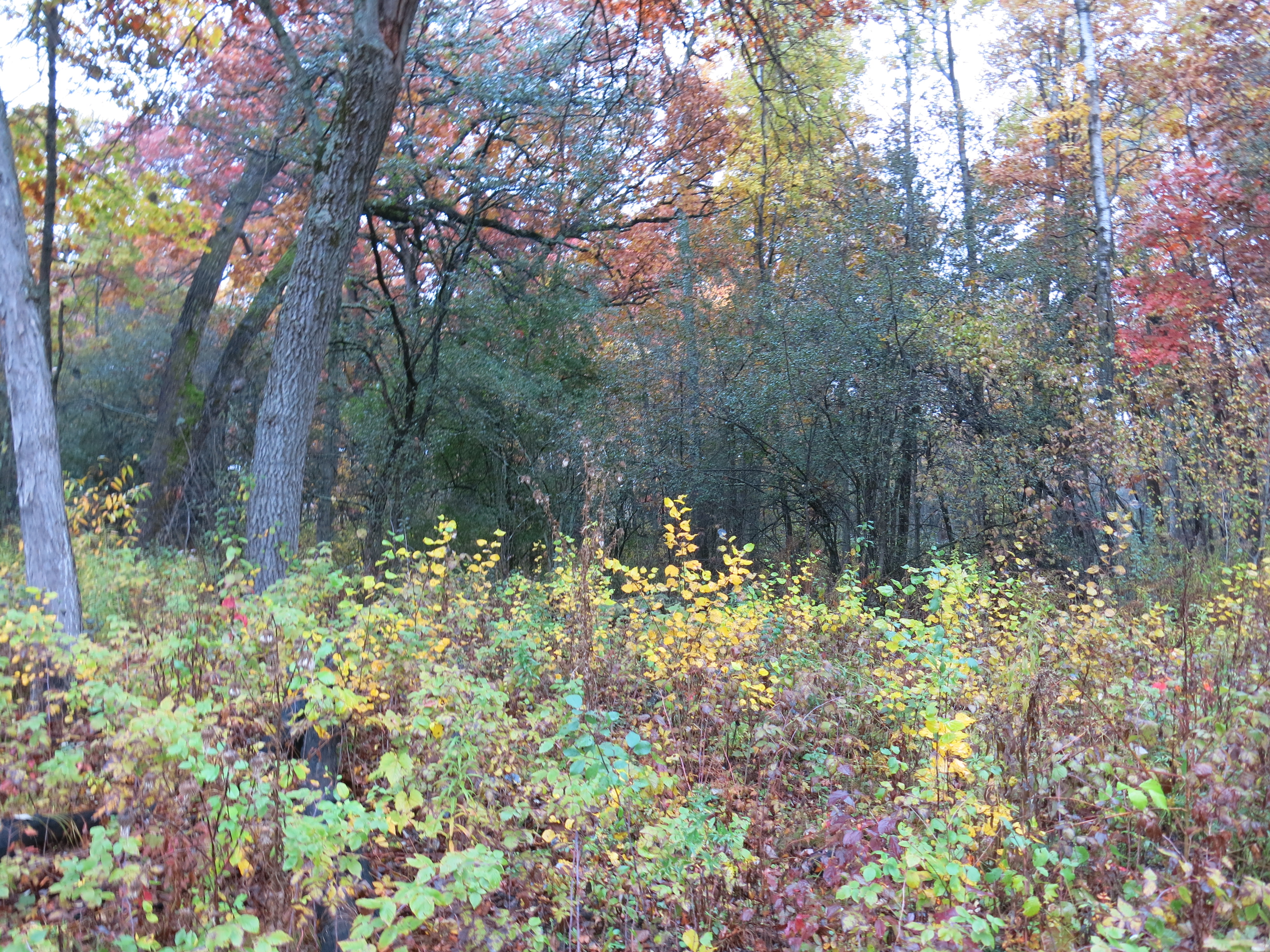
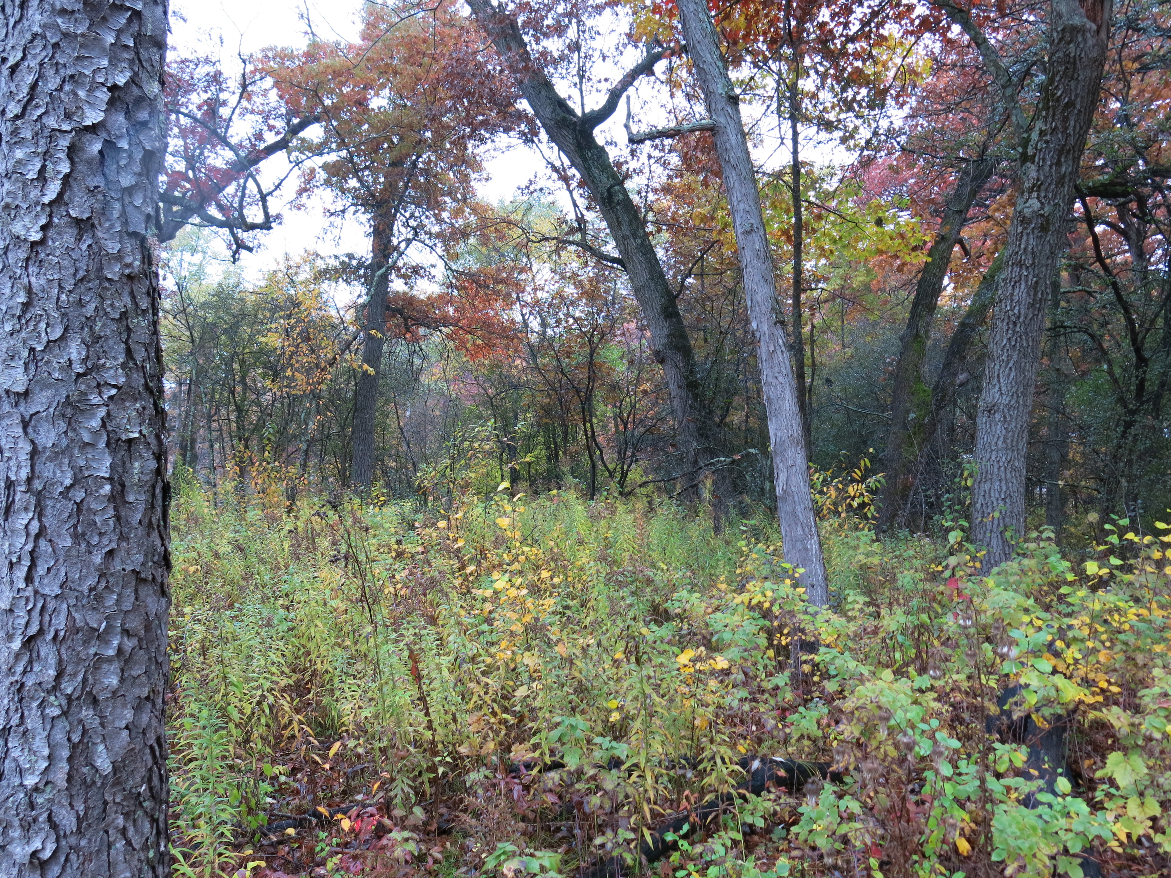
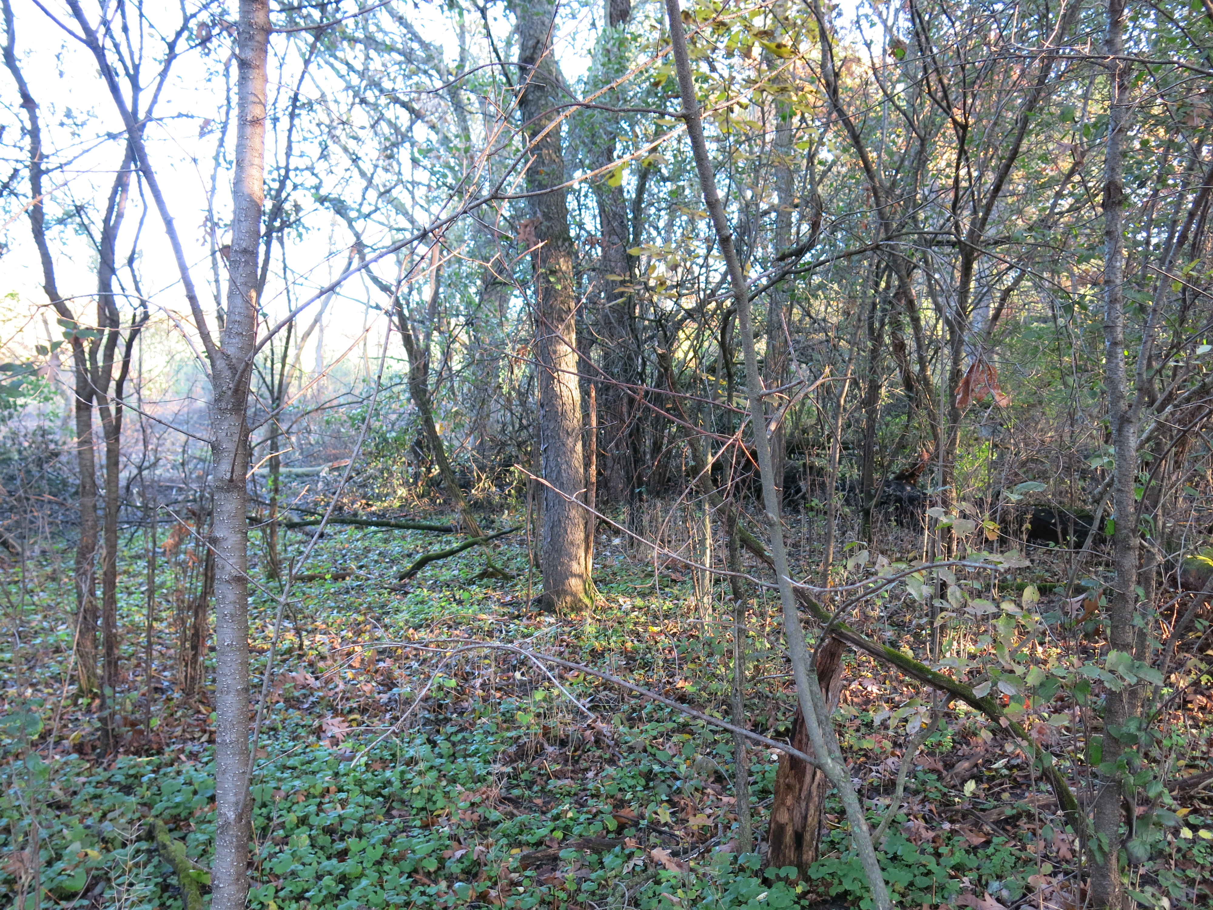
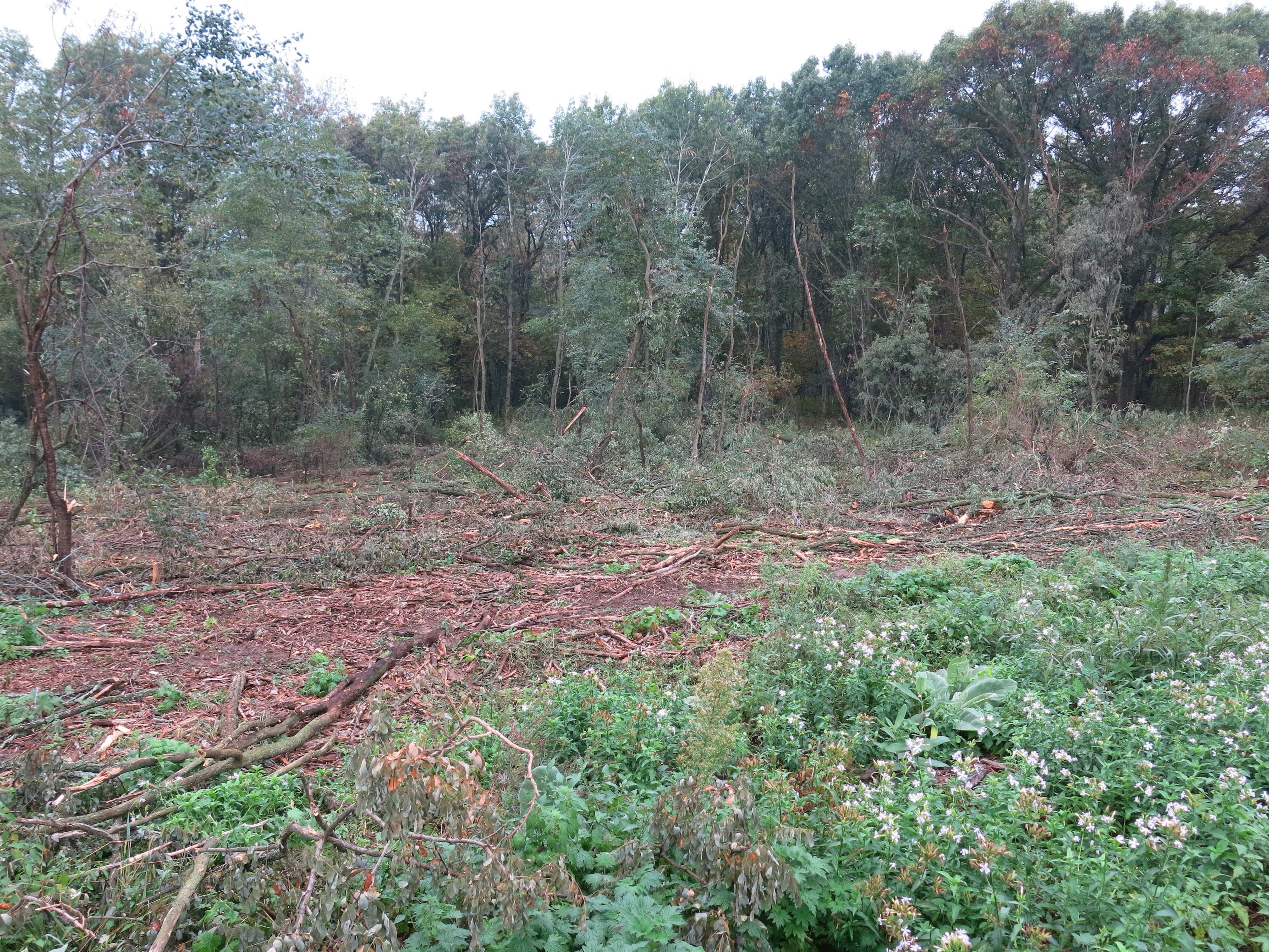
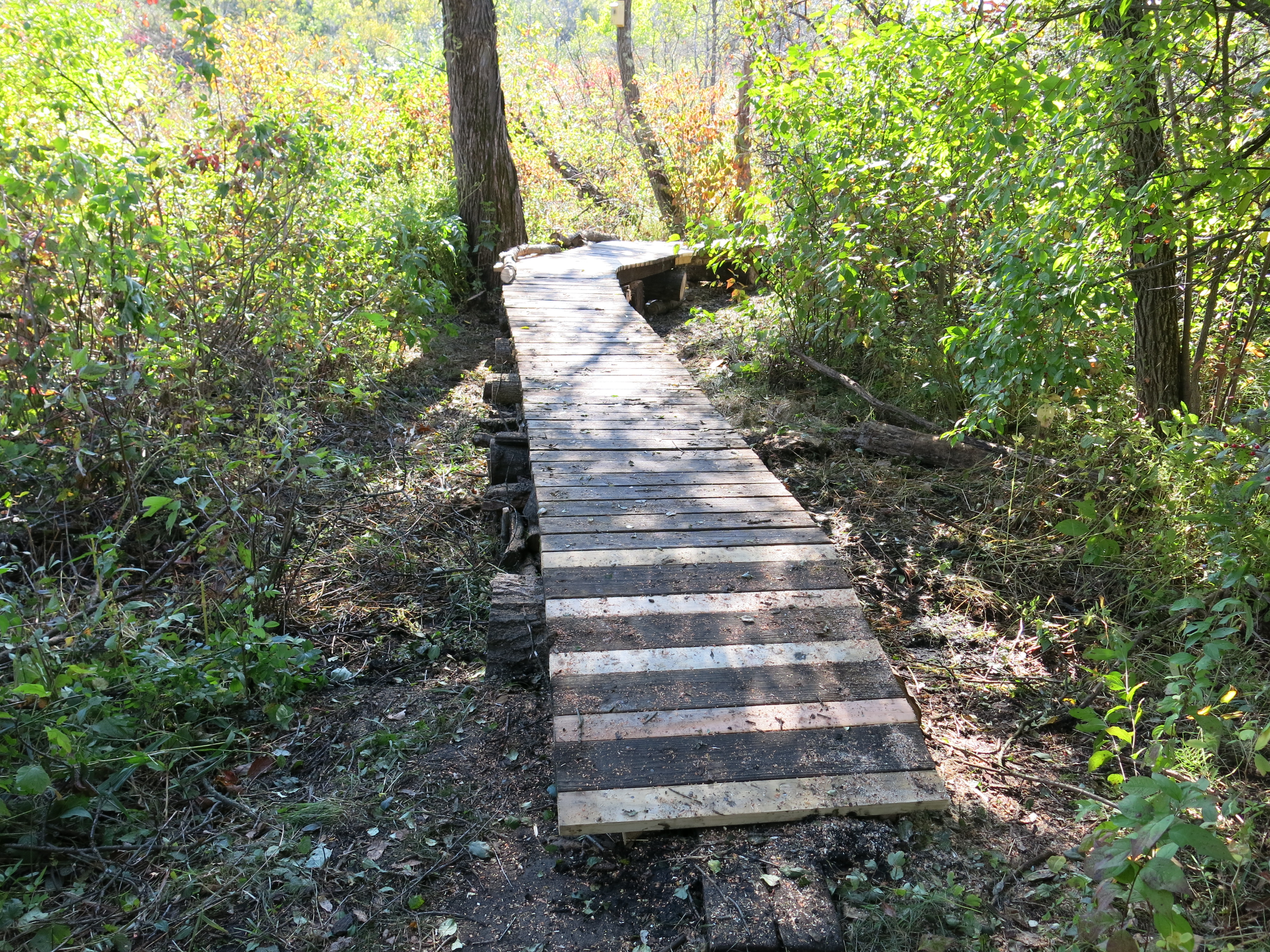
Last Monday, March 30th, I stabbed and slashed many a buckthorn on the north side of the north end of the loop trail, continuing where I left off last time. Here are four views, taken when I arrived, progressing from west to east.


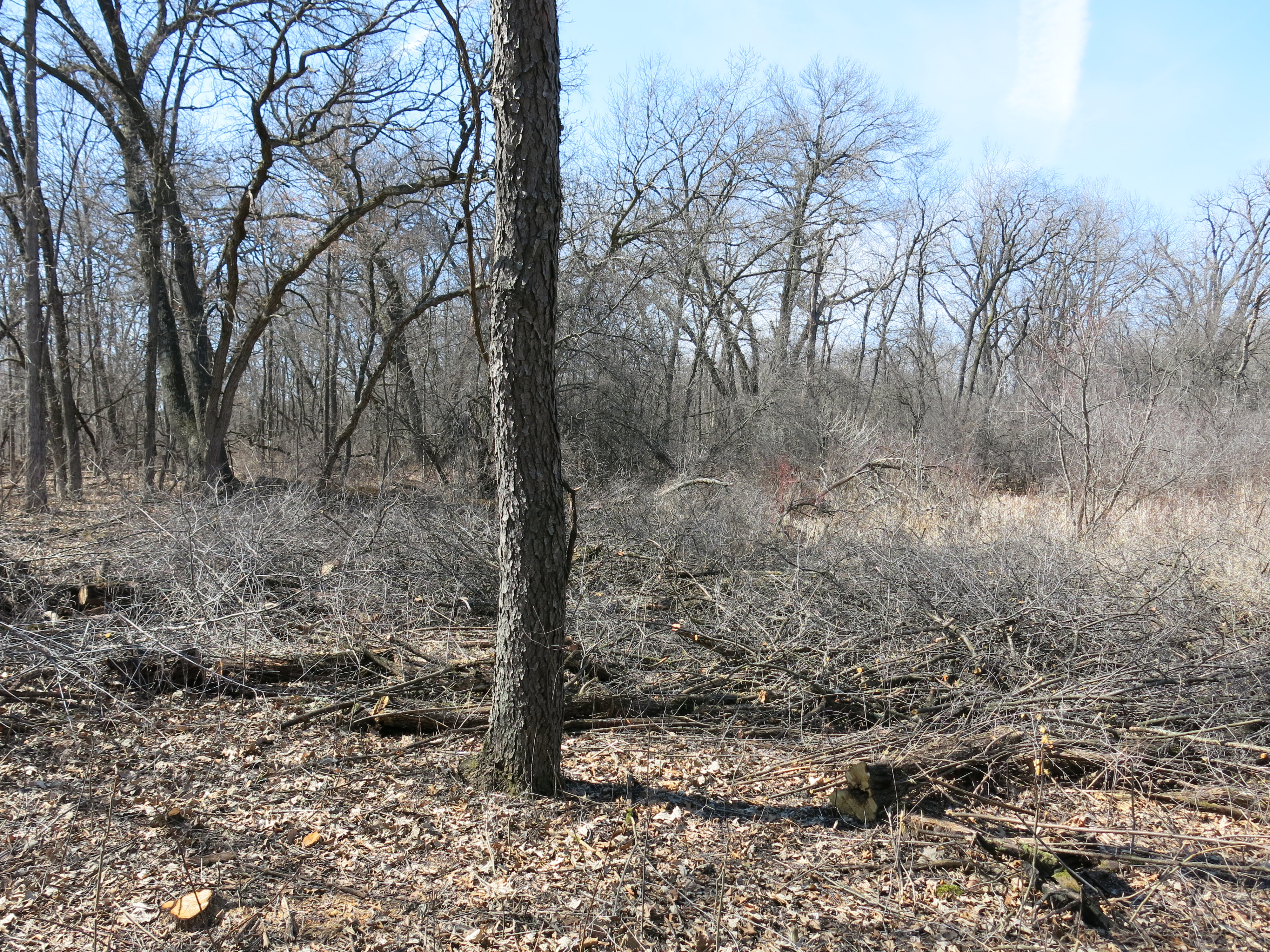
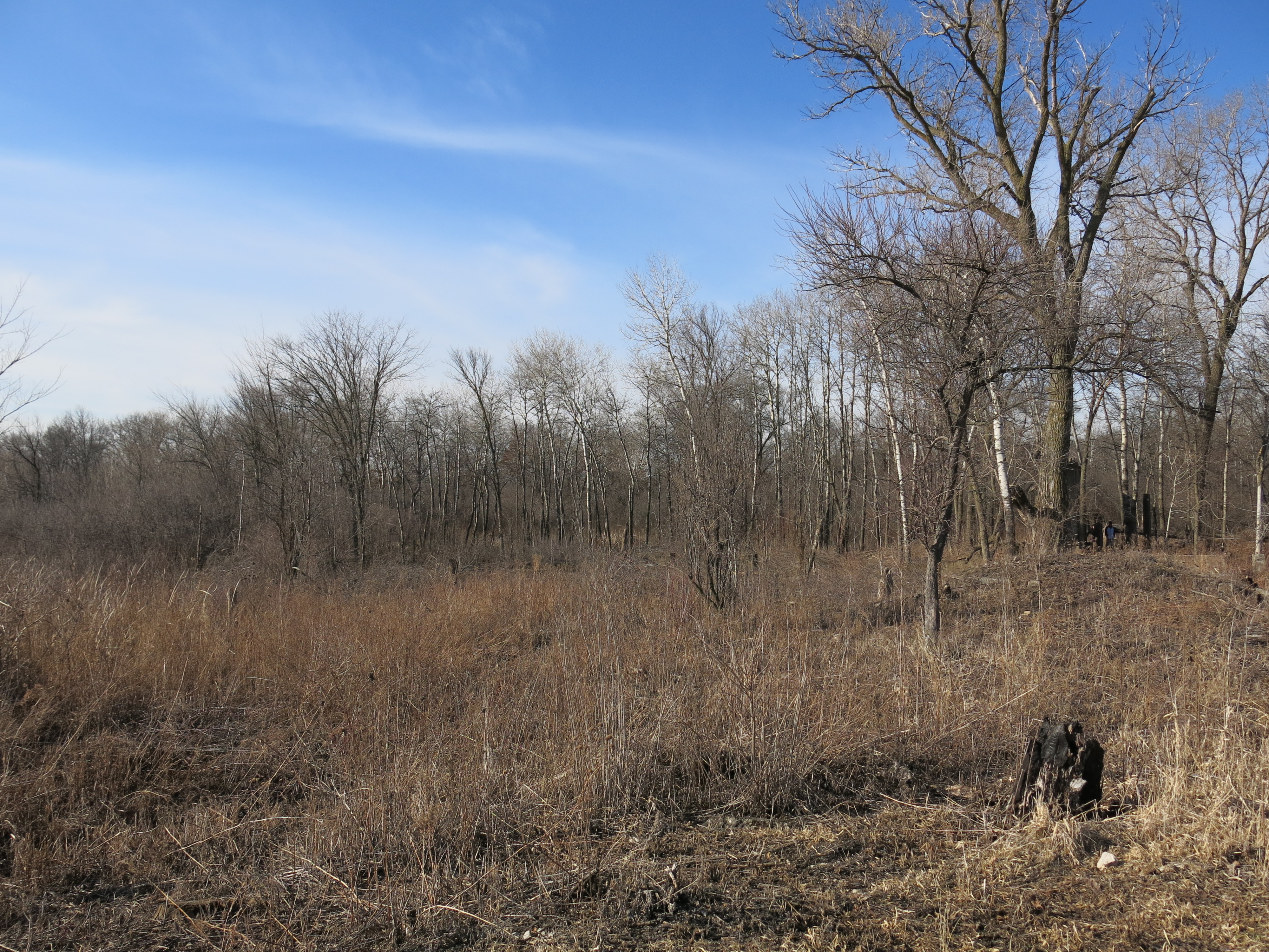
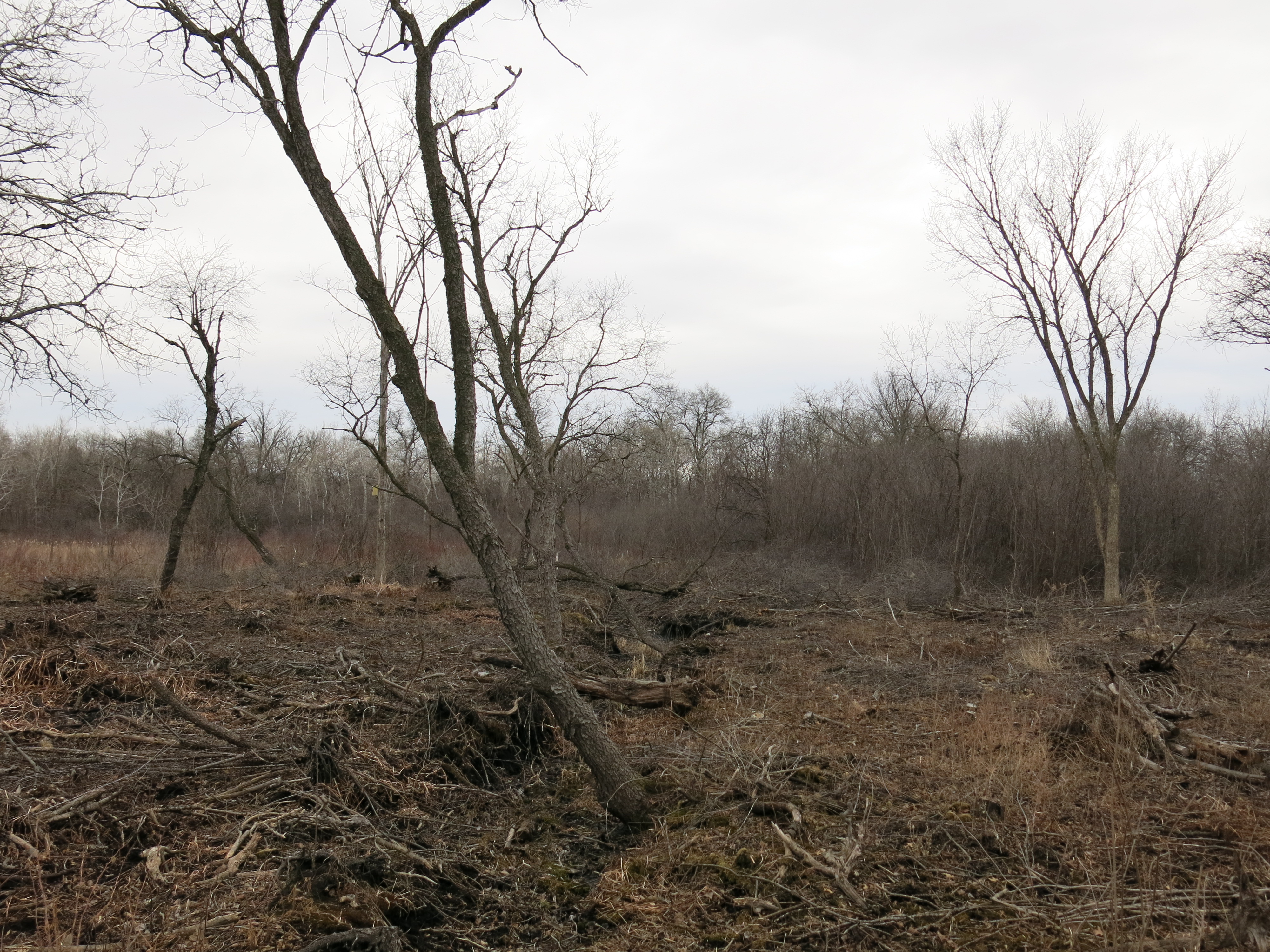
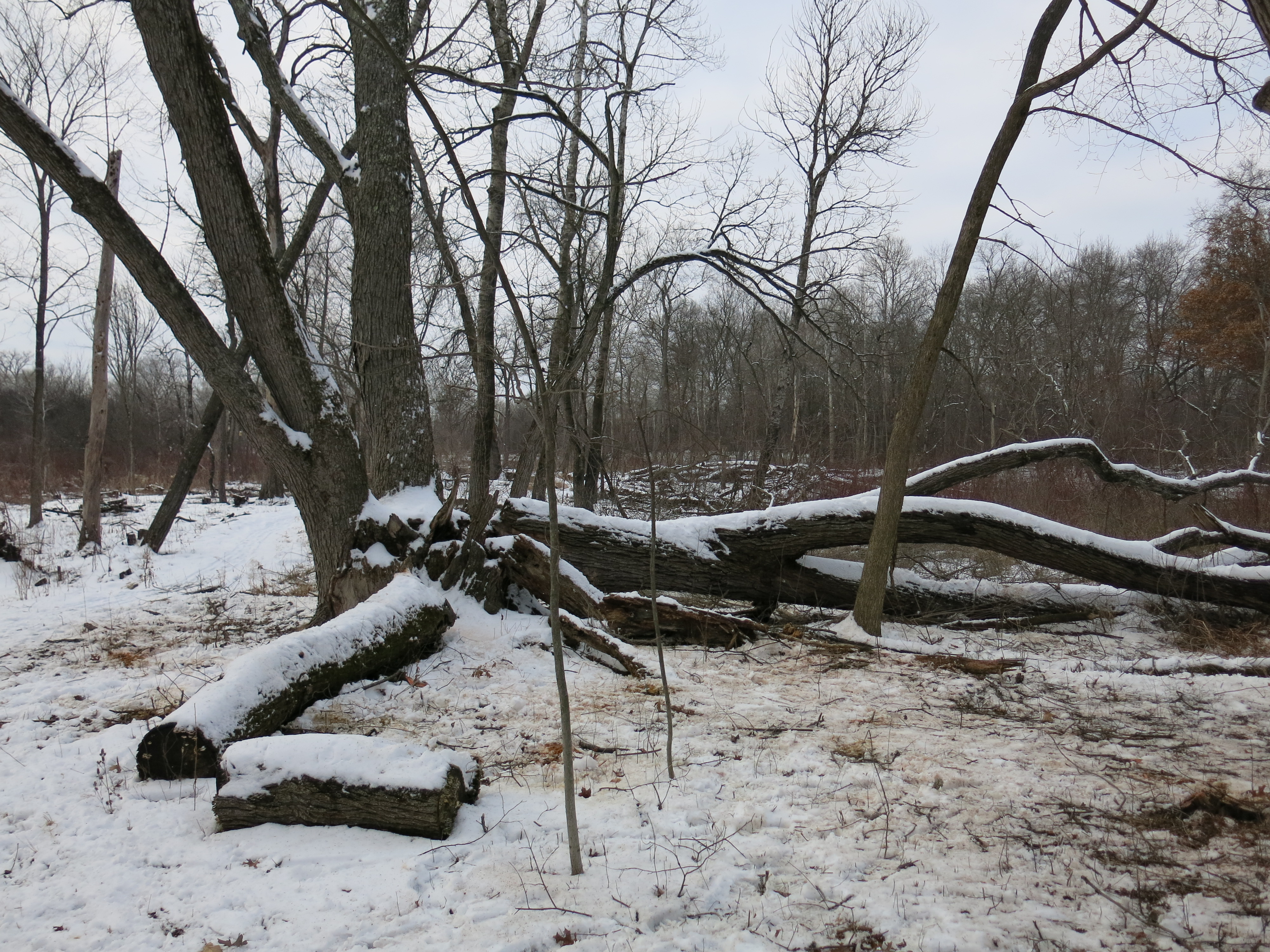
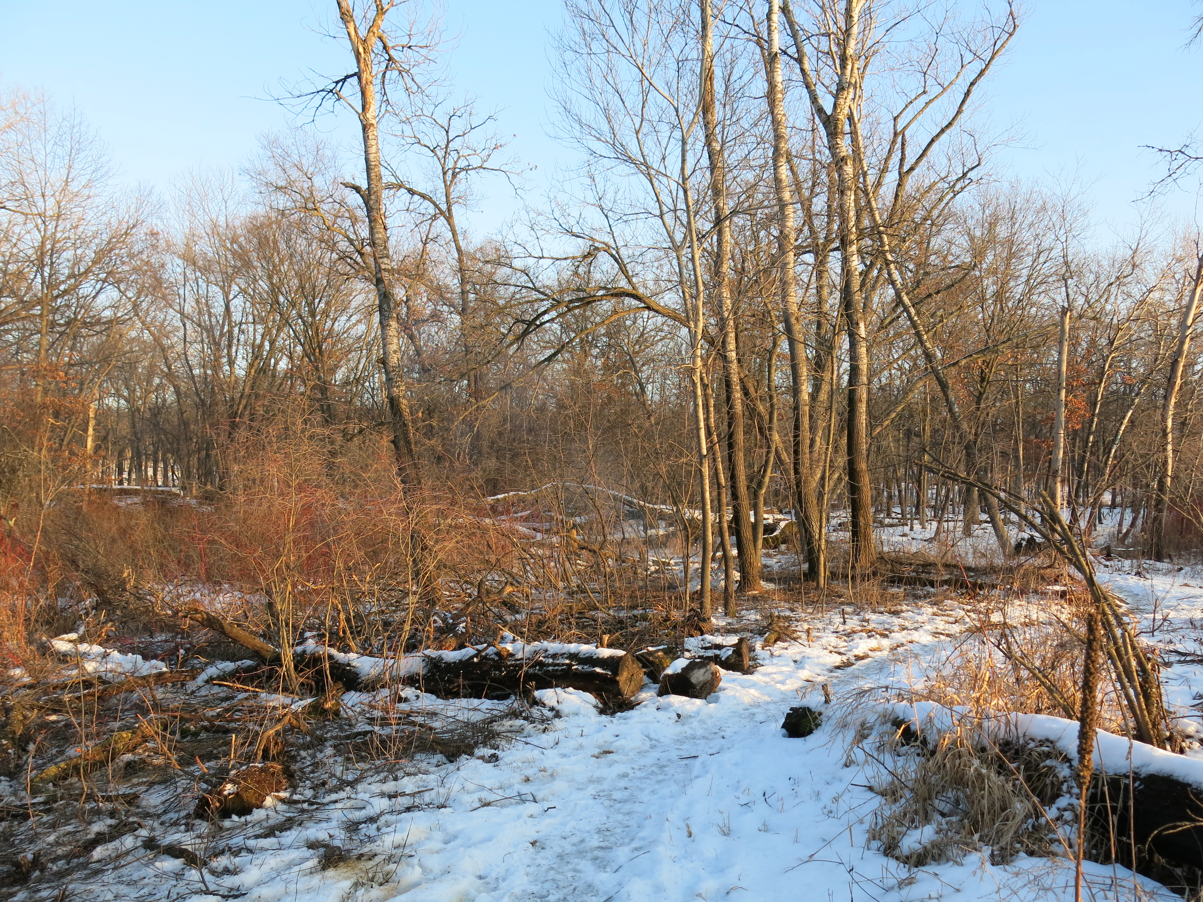
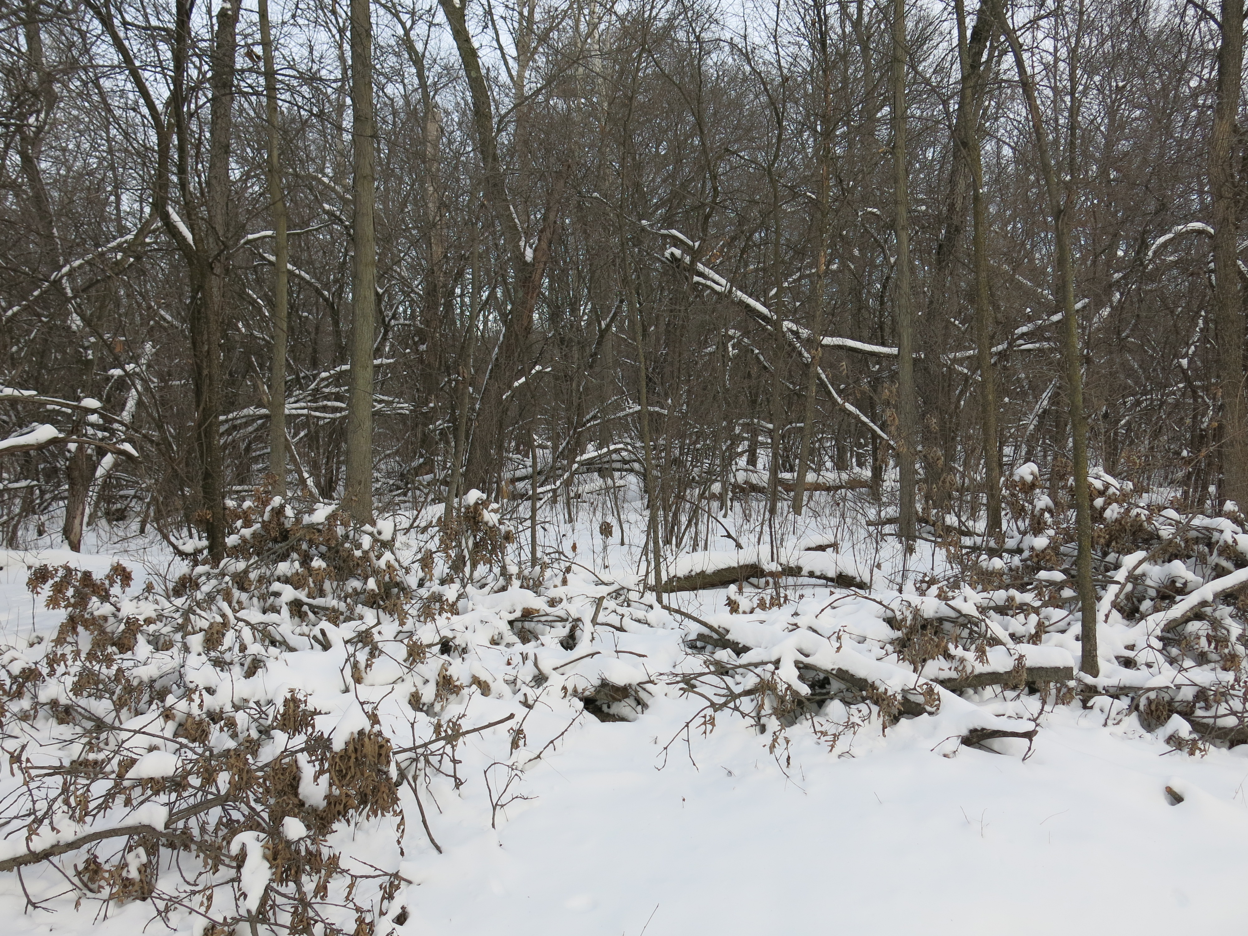
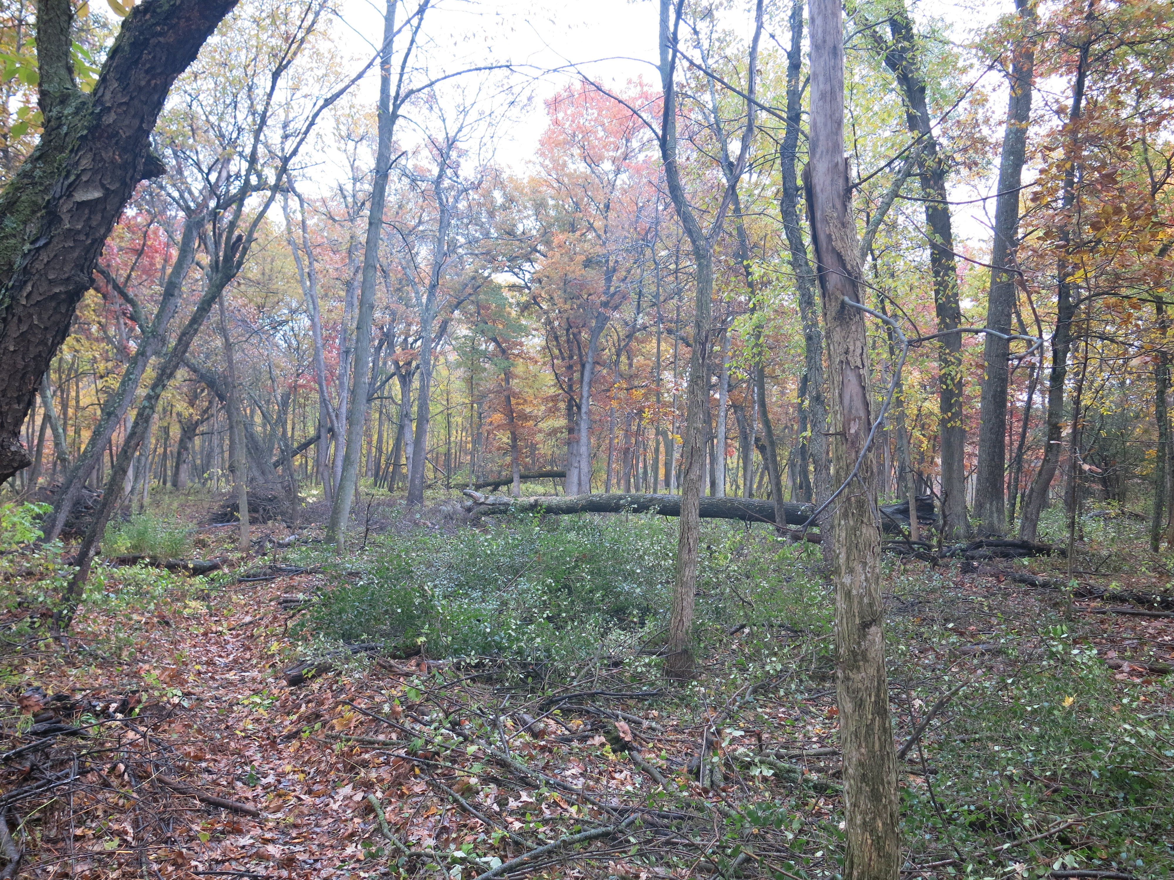
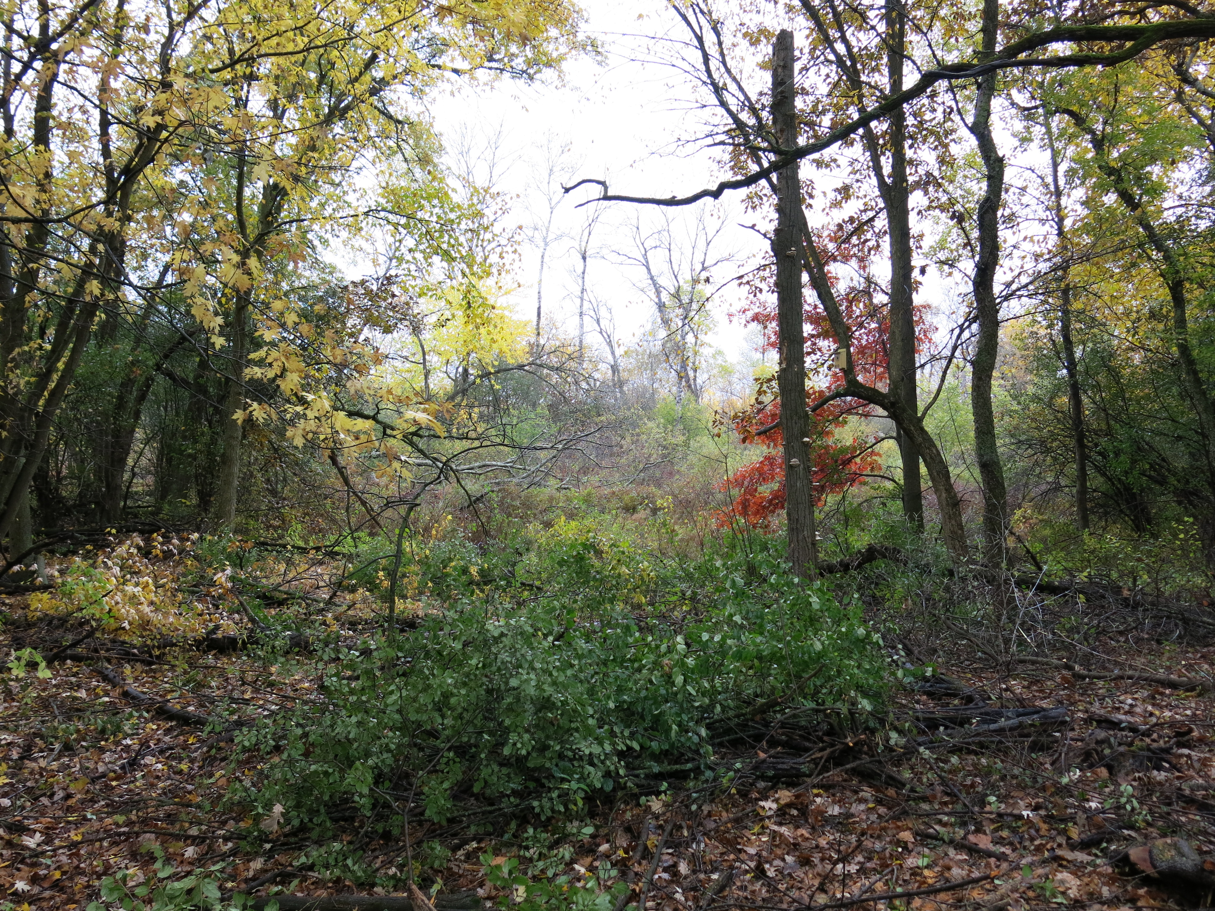
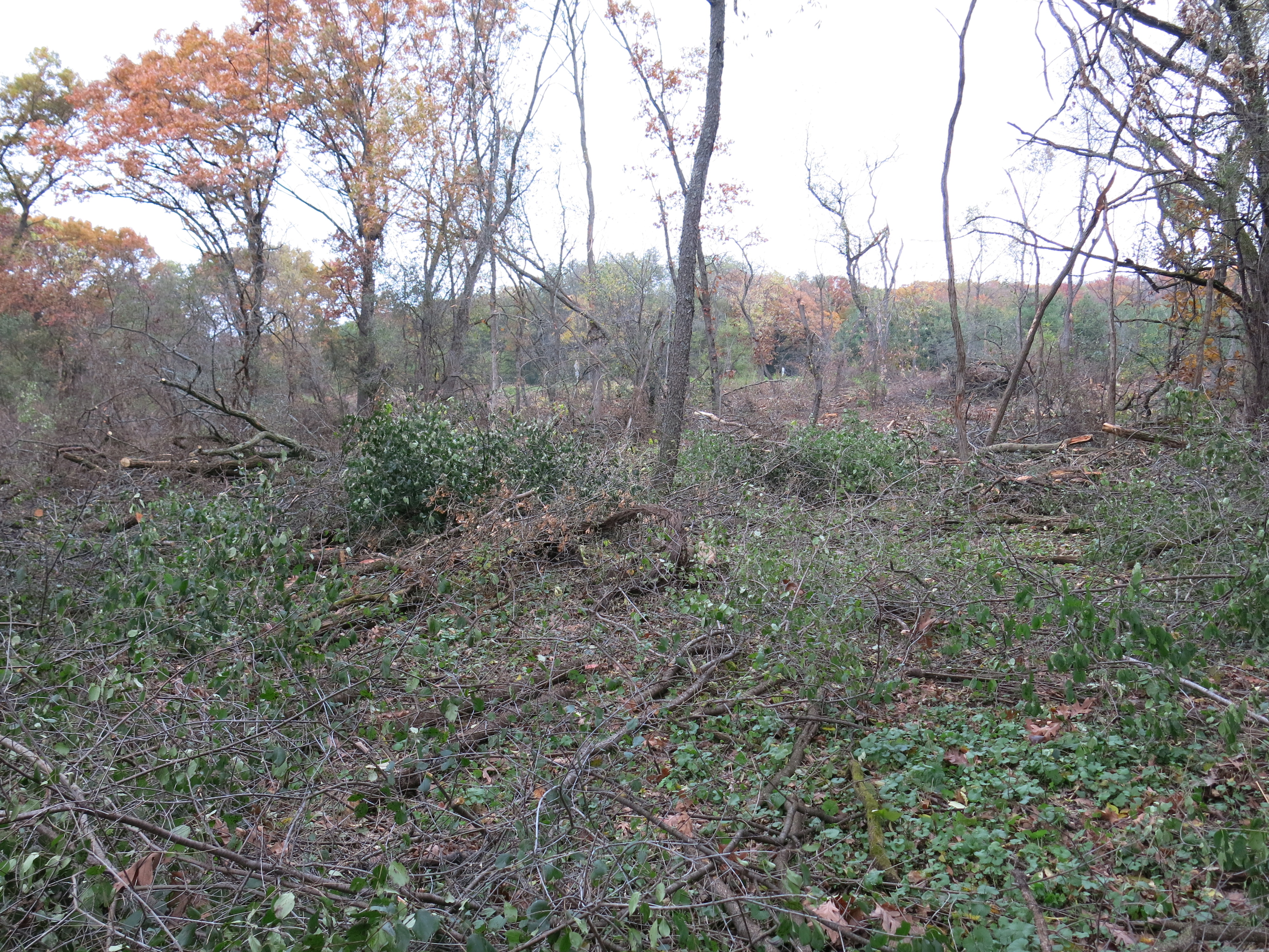
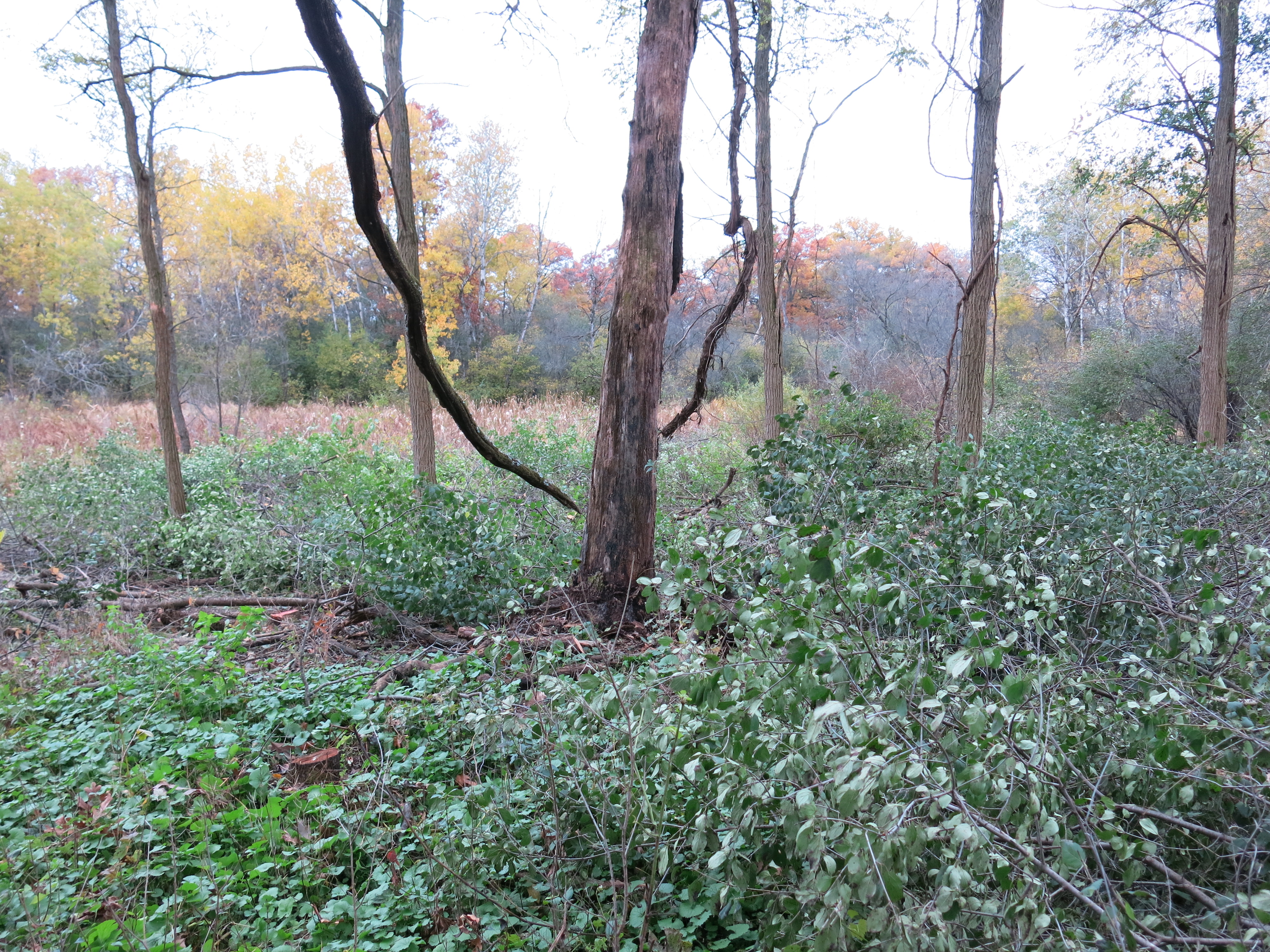
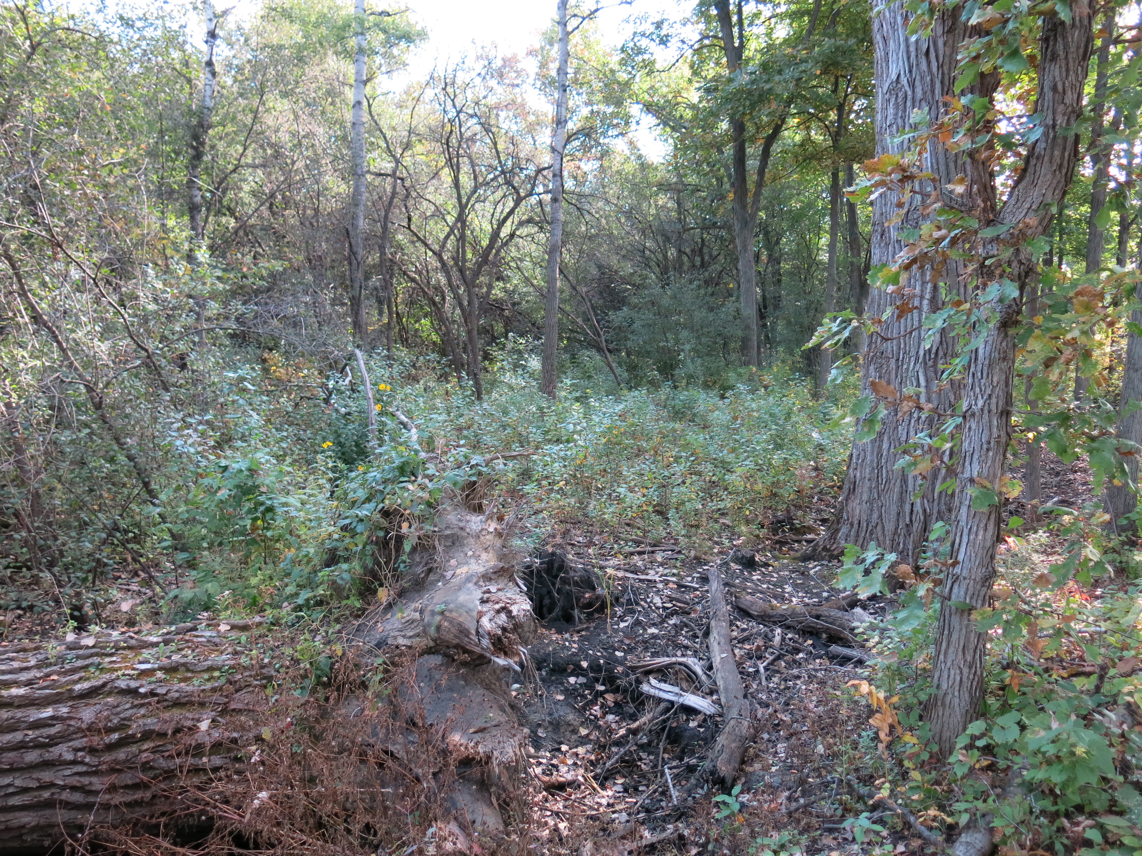
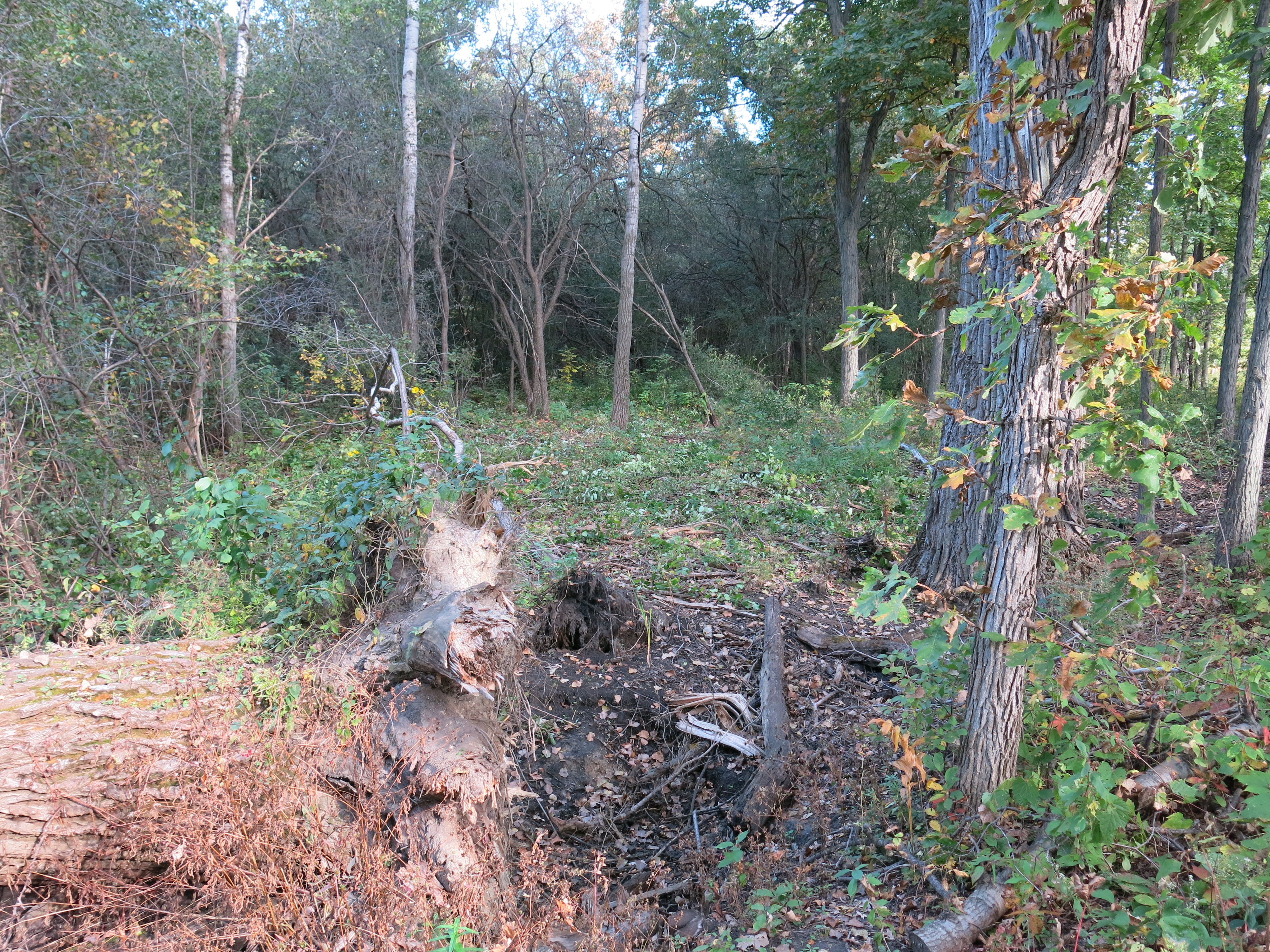
And the same perspectives after my violent assaults.


All kidding aside, I’m almost looking forward to Garlic Mustard season!
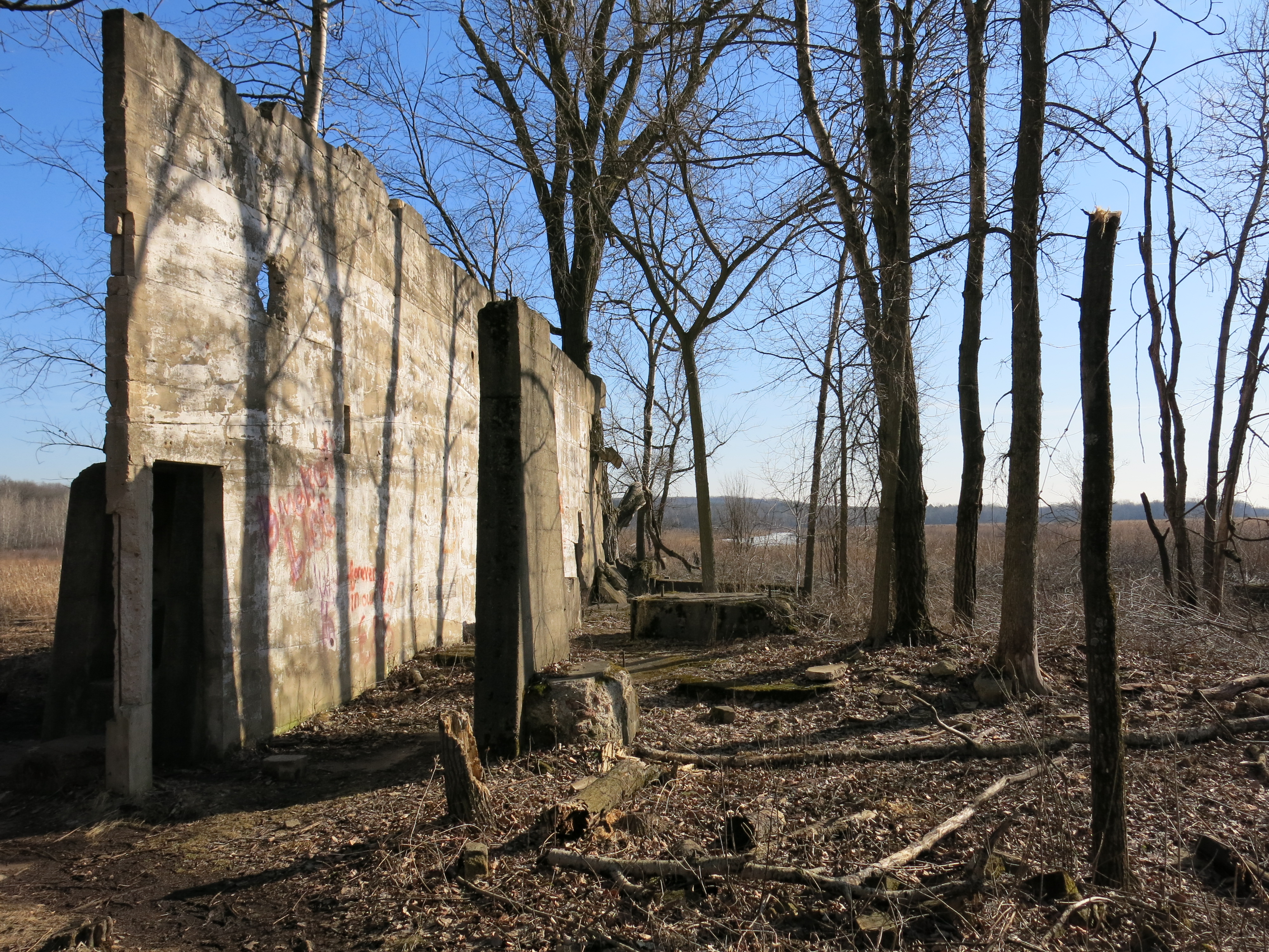
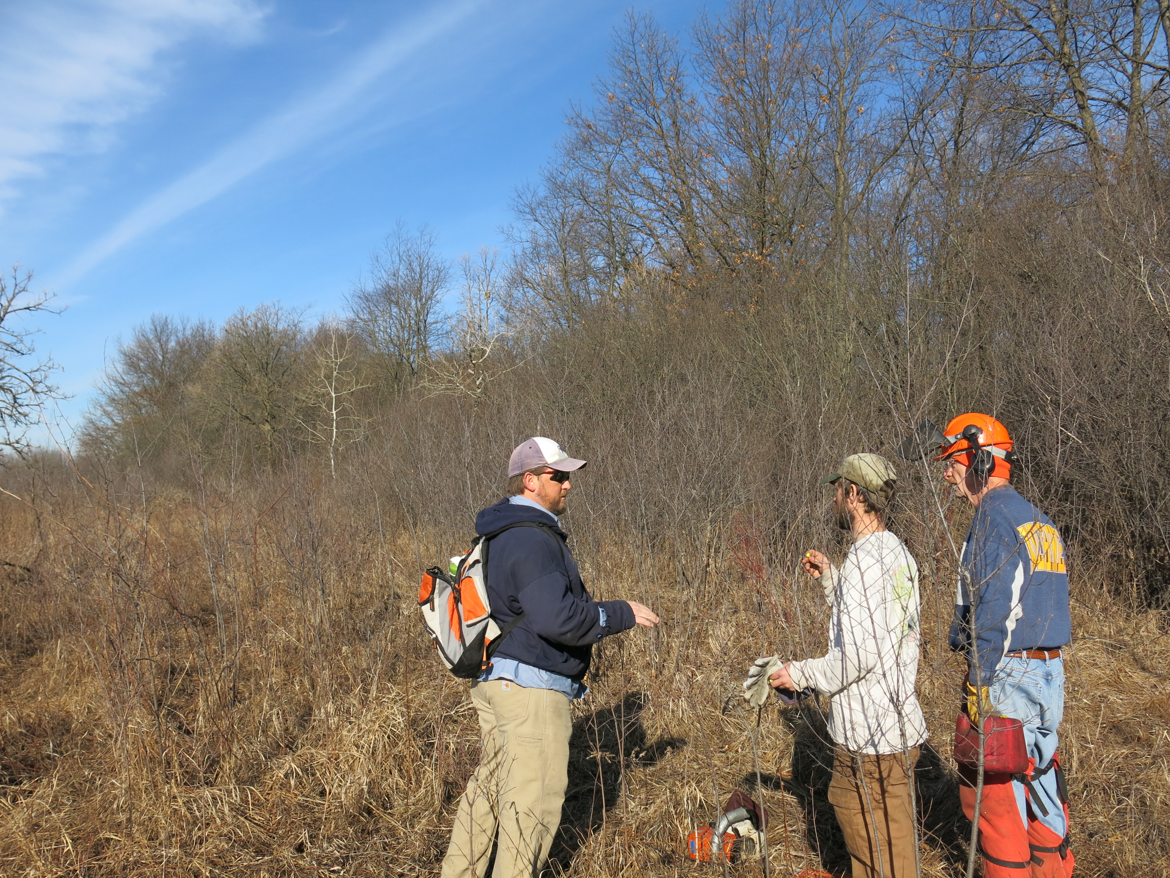
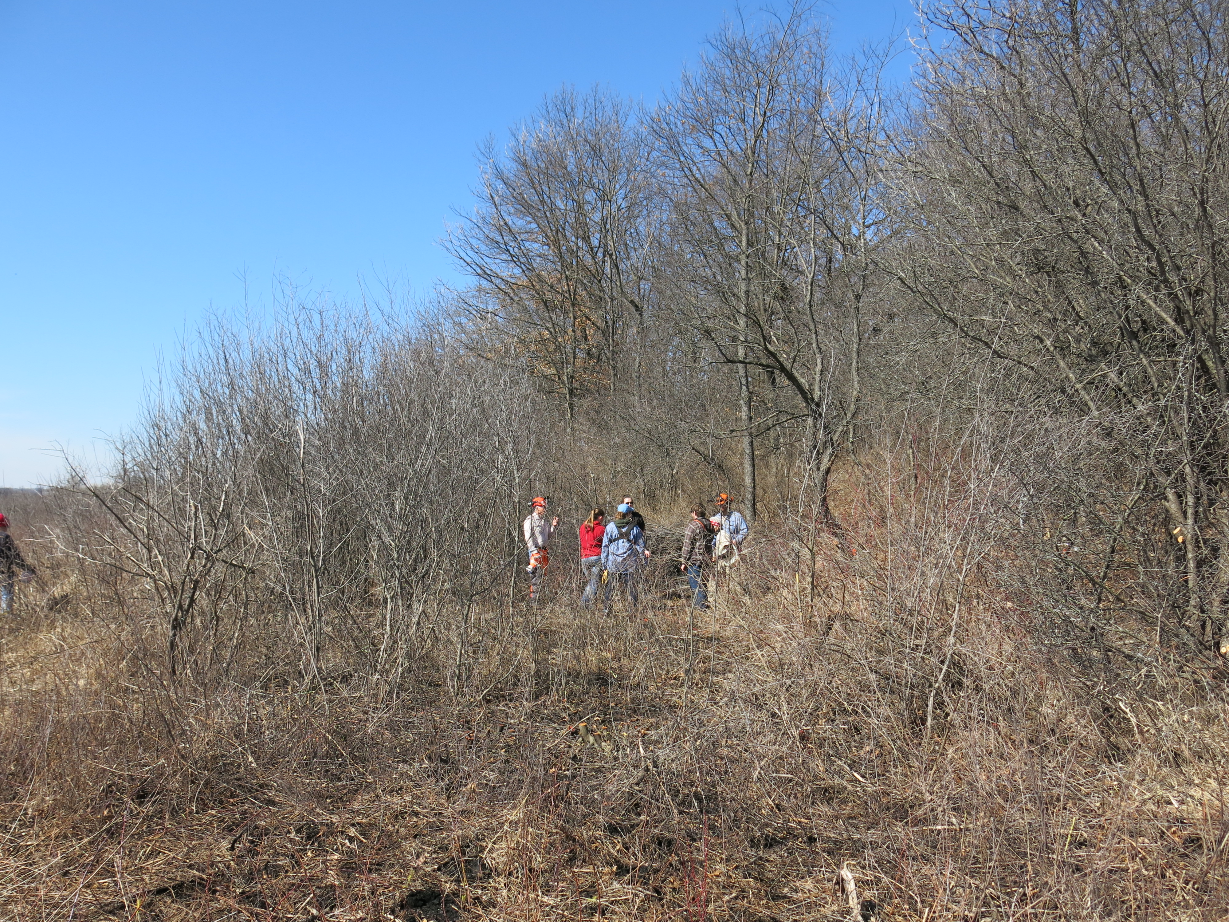
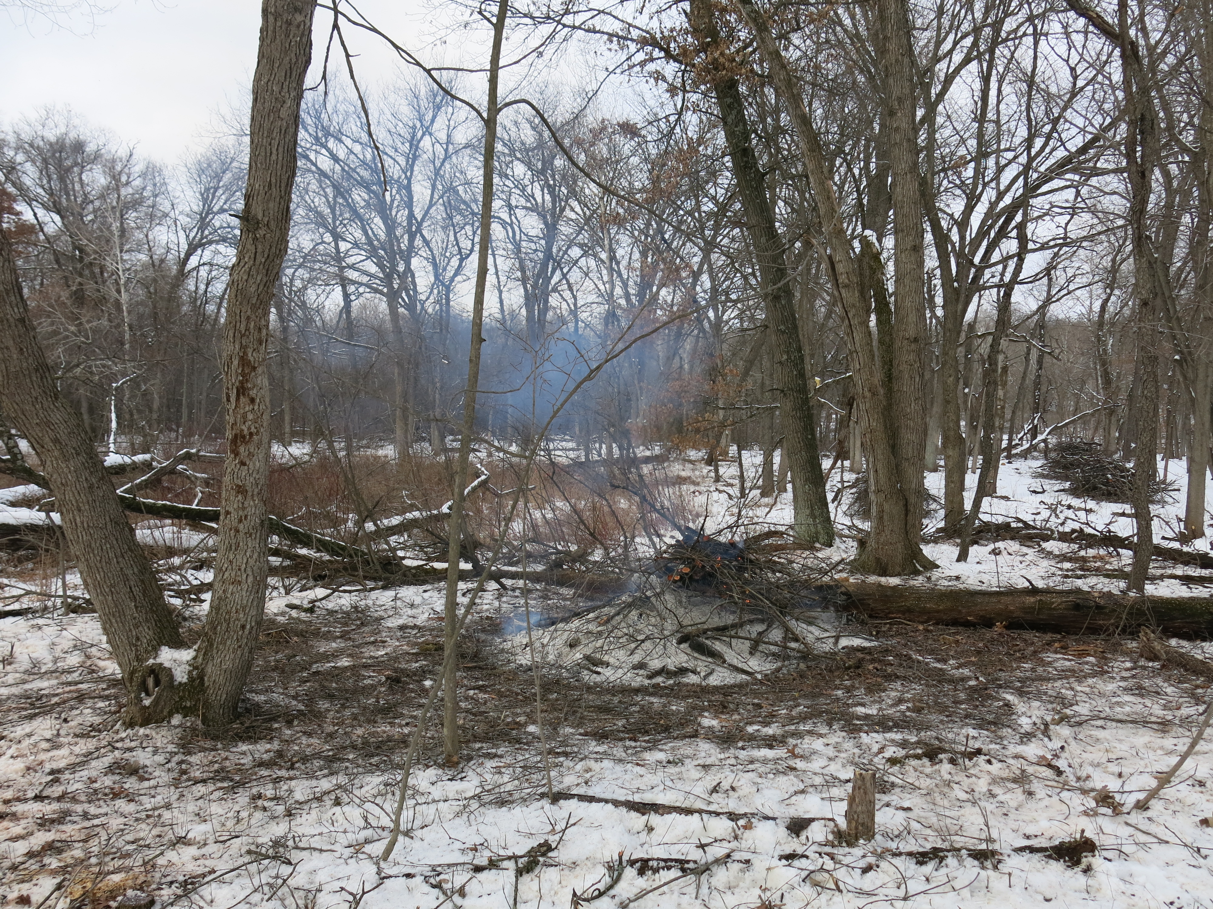
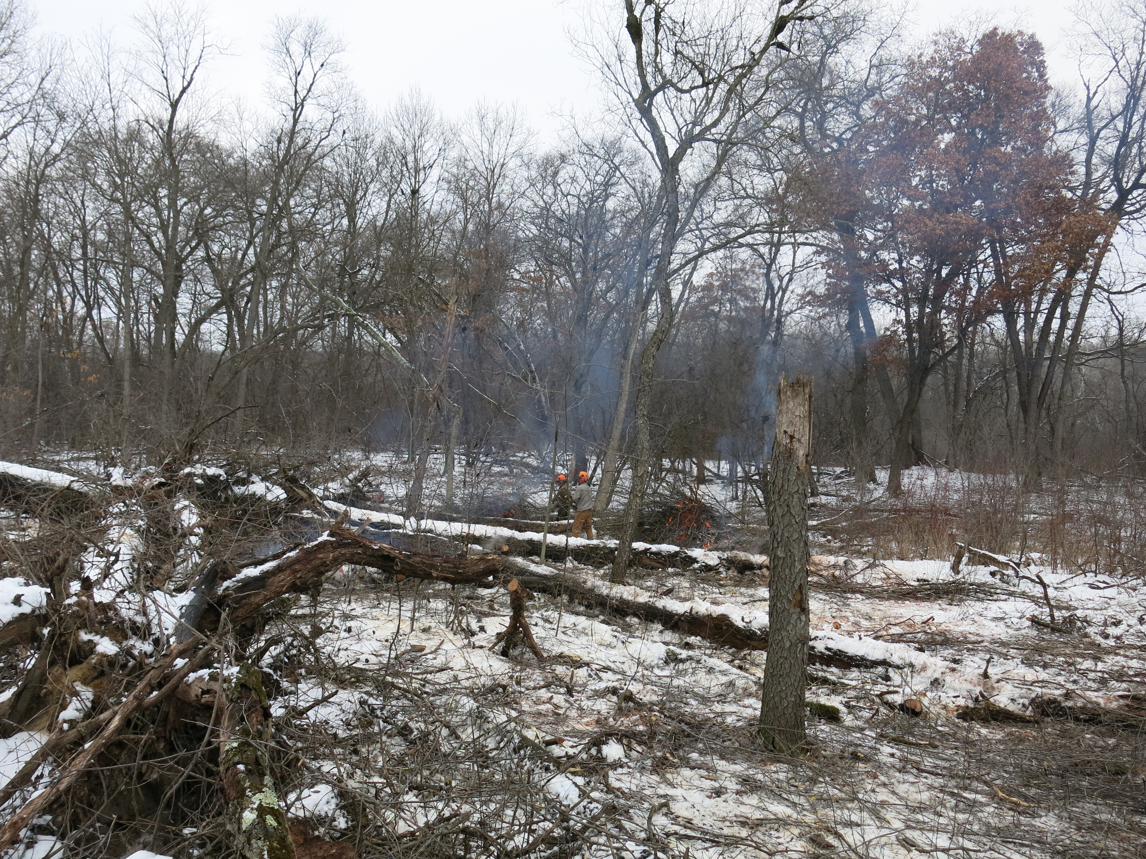
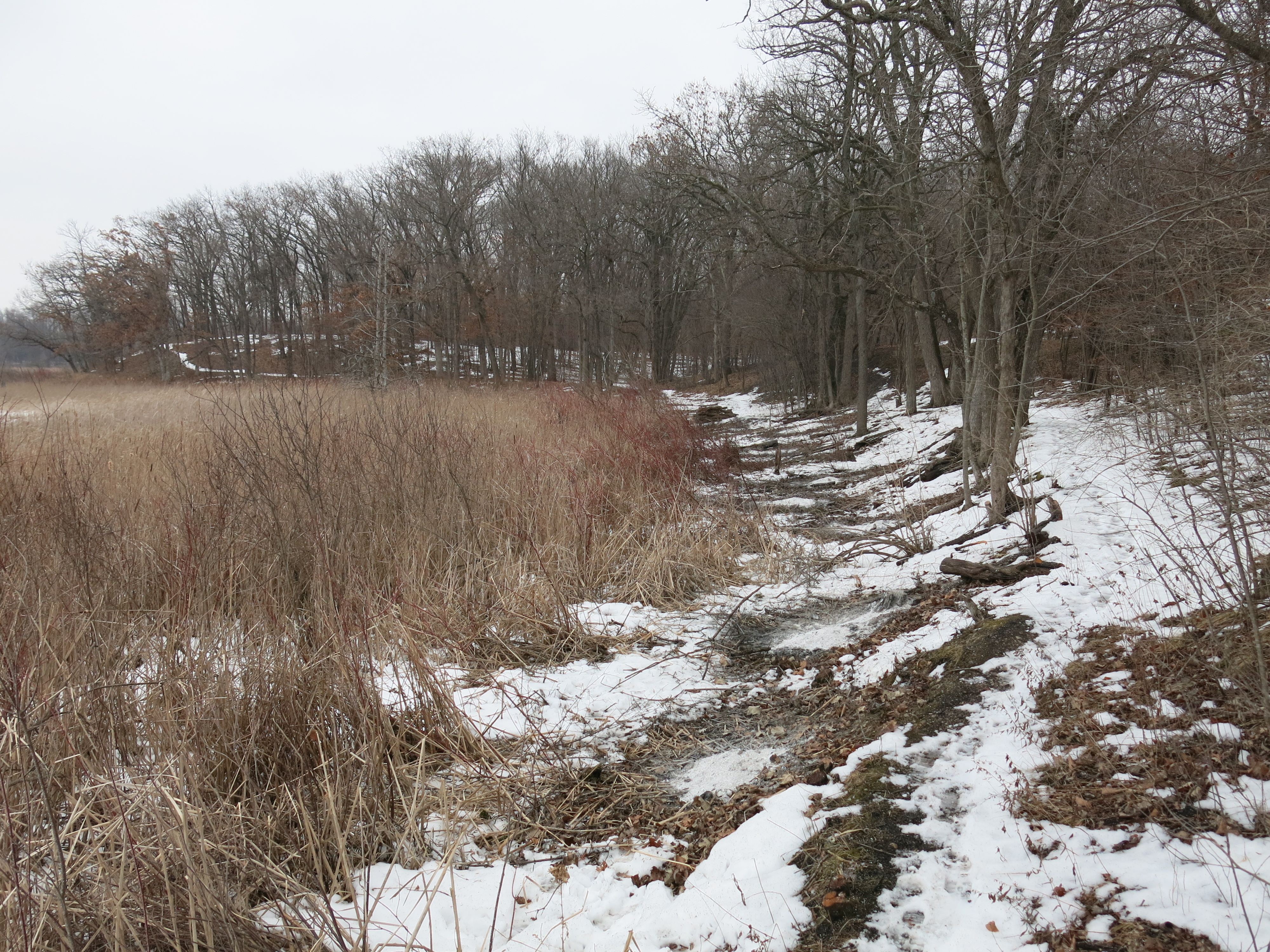
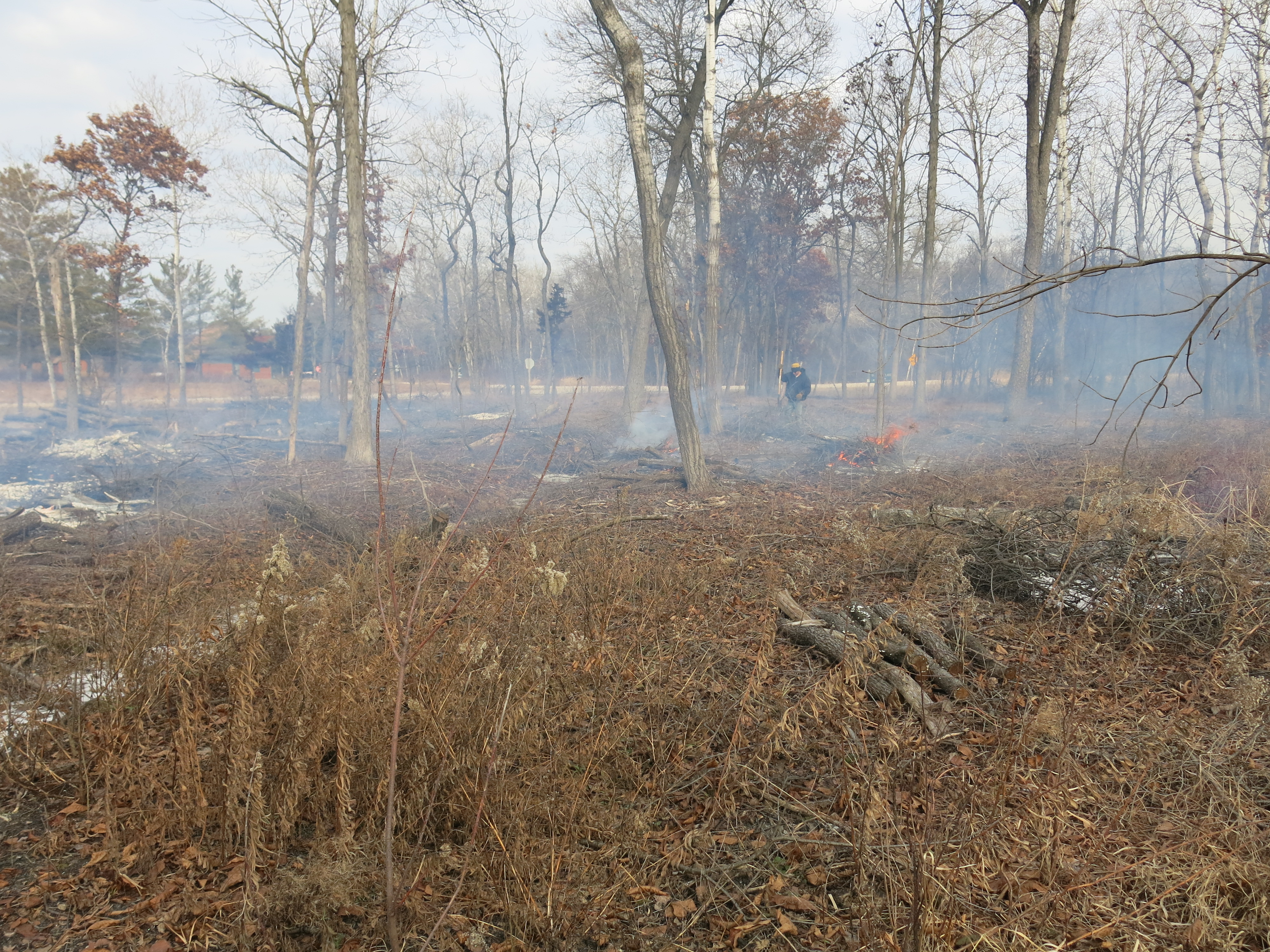
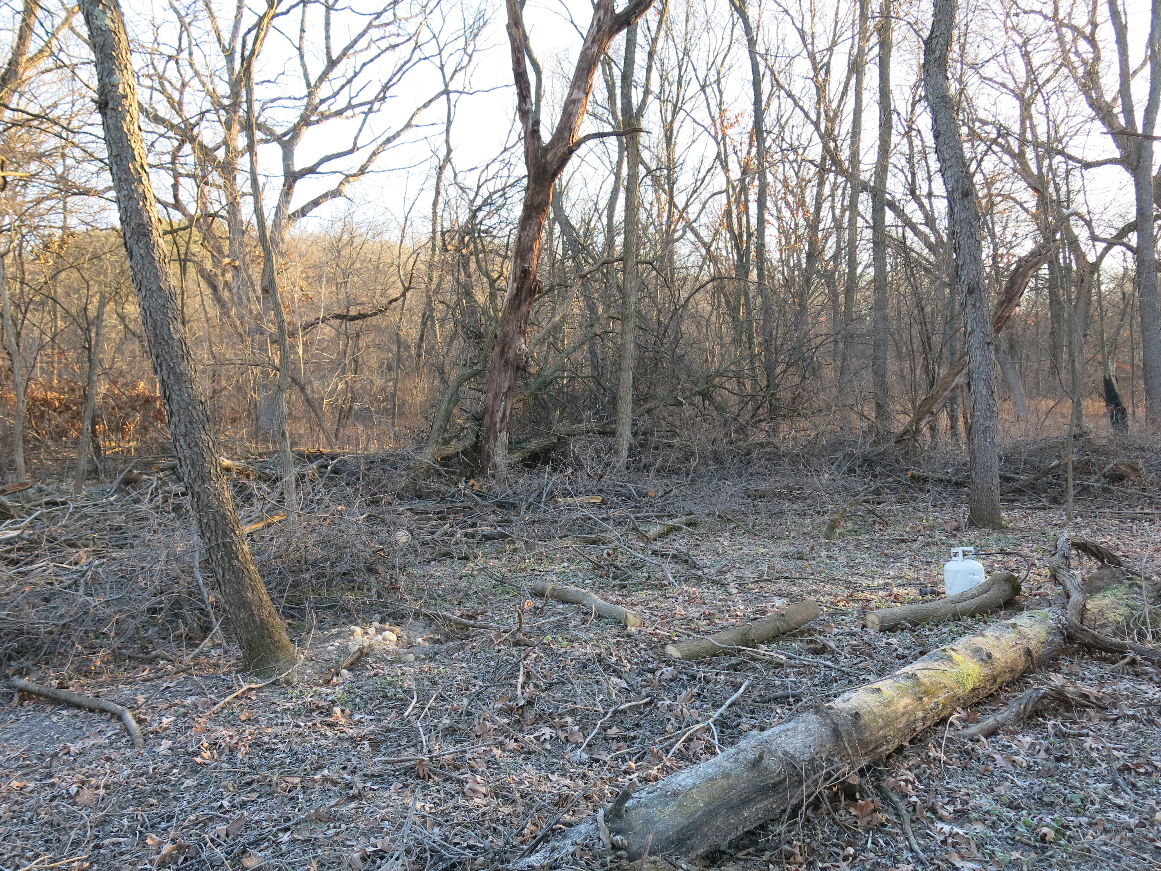
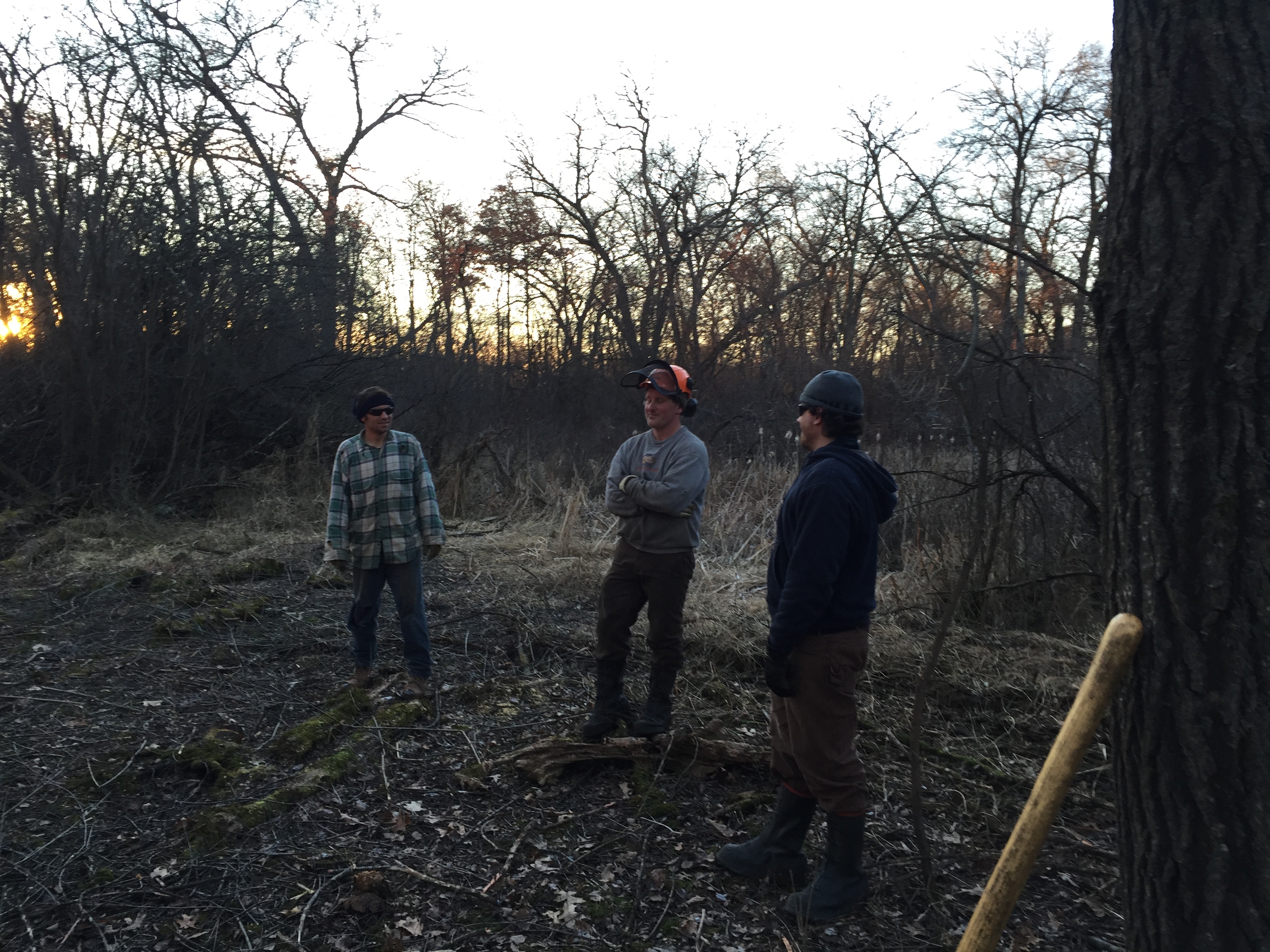
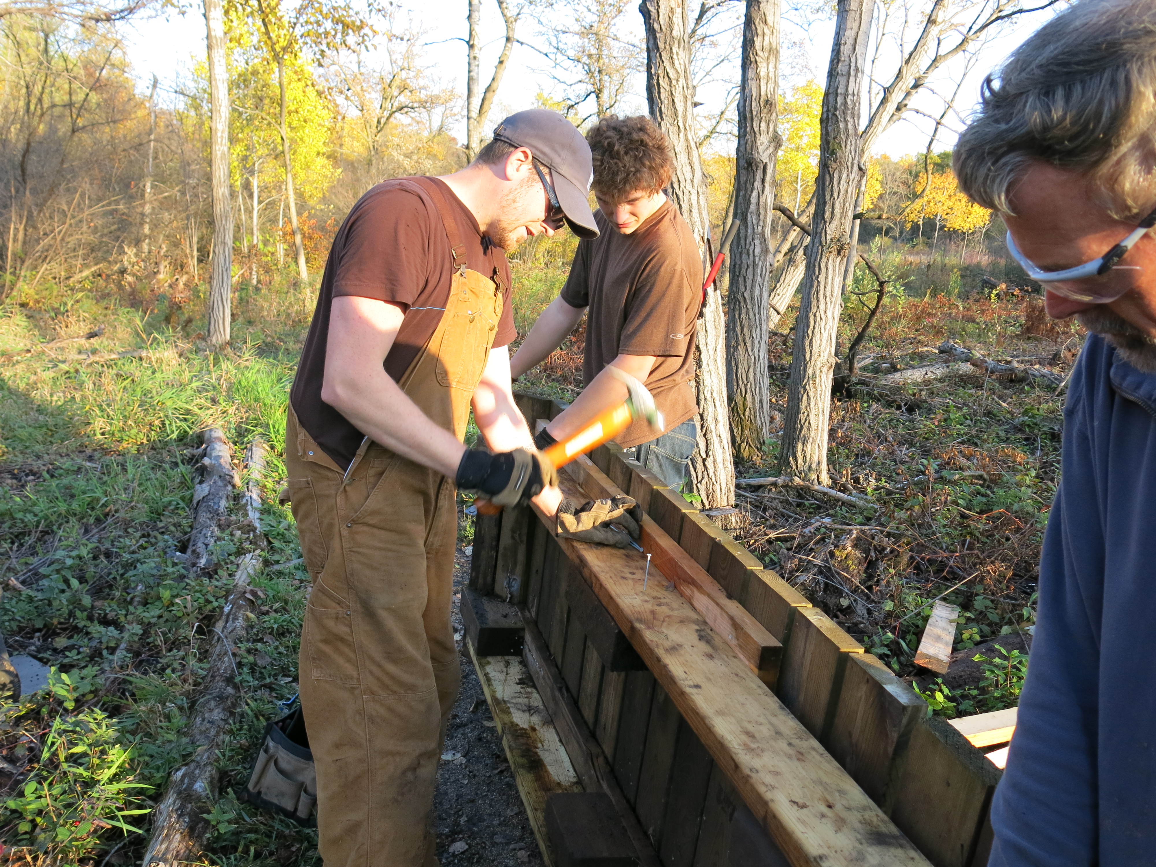
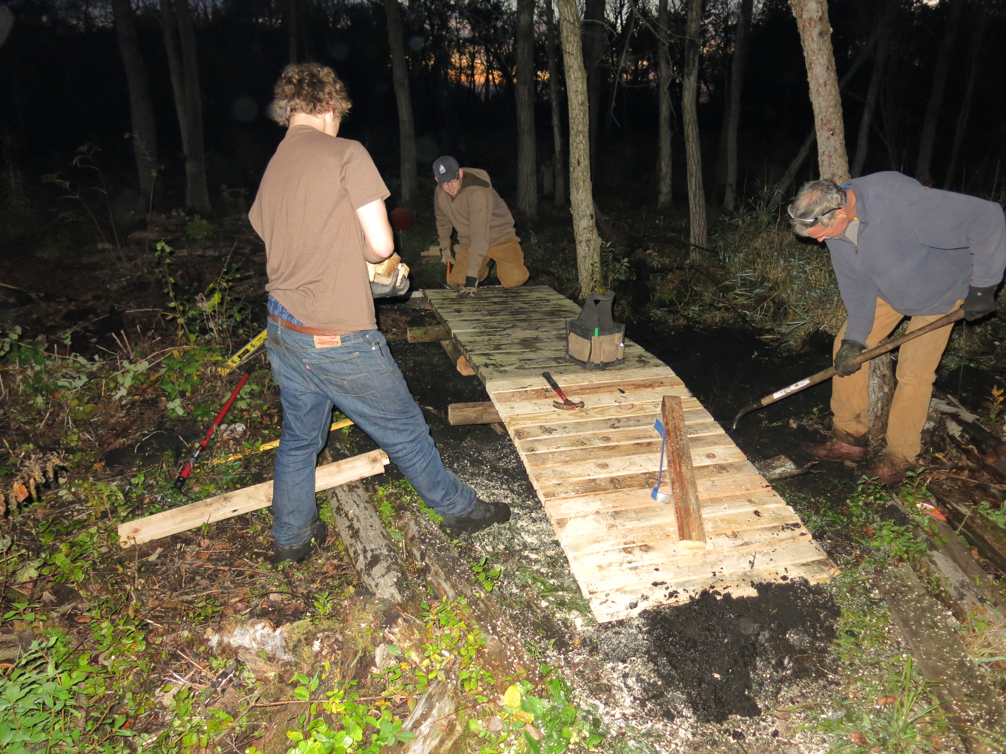
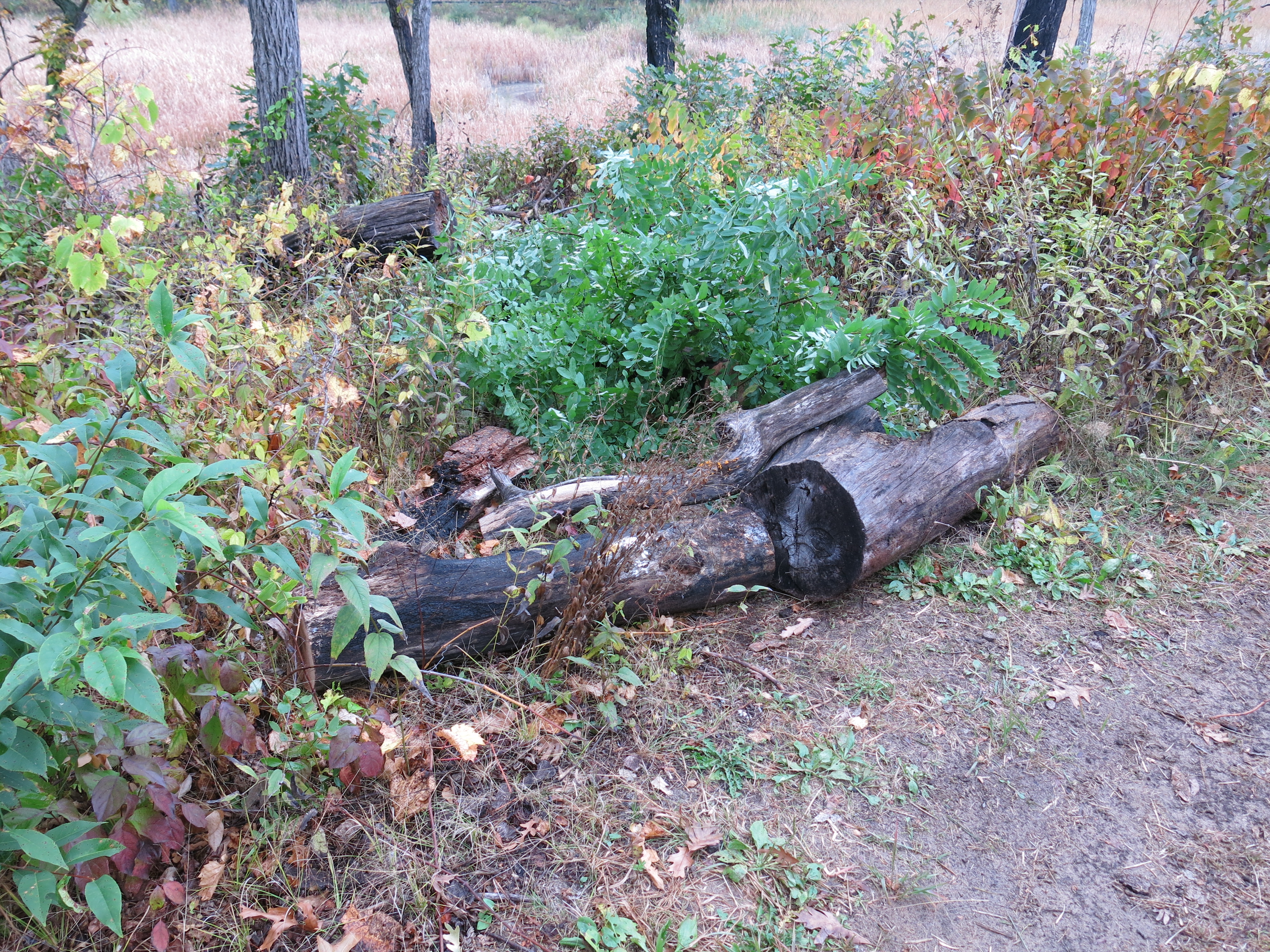
For my last hurrah on Wednesday, I was headed a bit farther east down the north end of the loop trail, almost to signpost #13 and the junction with the Cutoff trail. Along the way, at the scene of Monday’s attack, I noticed fresh stacks of buckthorn; Thanks Andy!

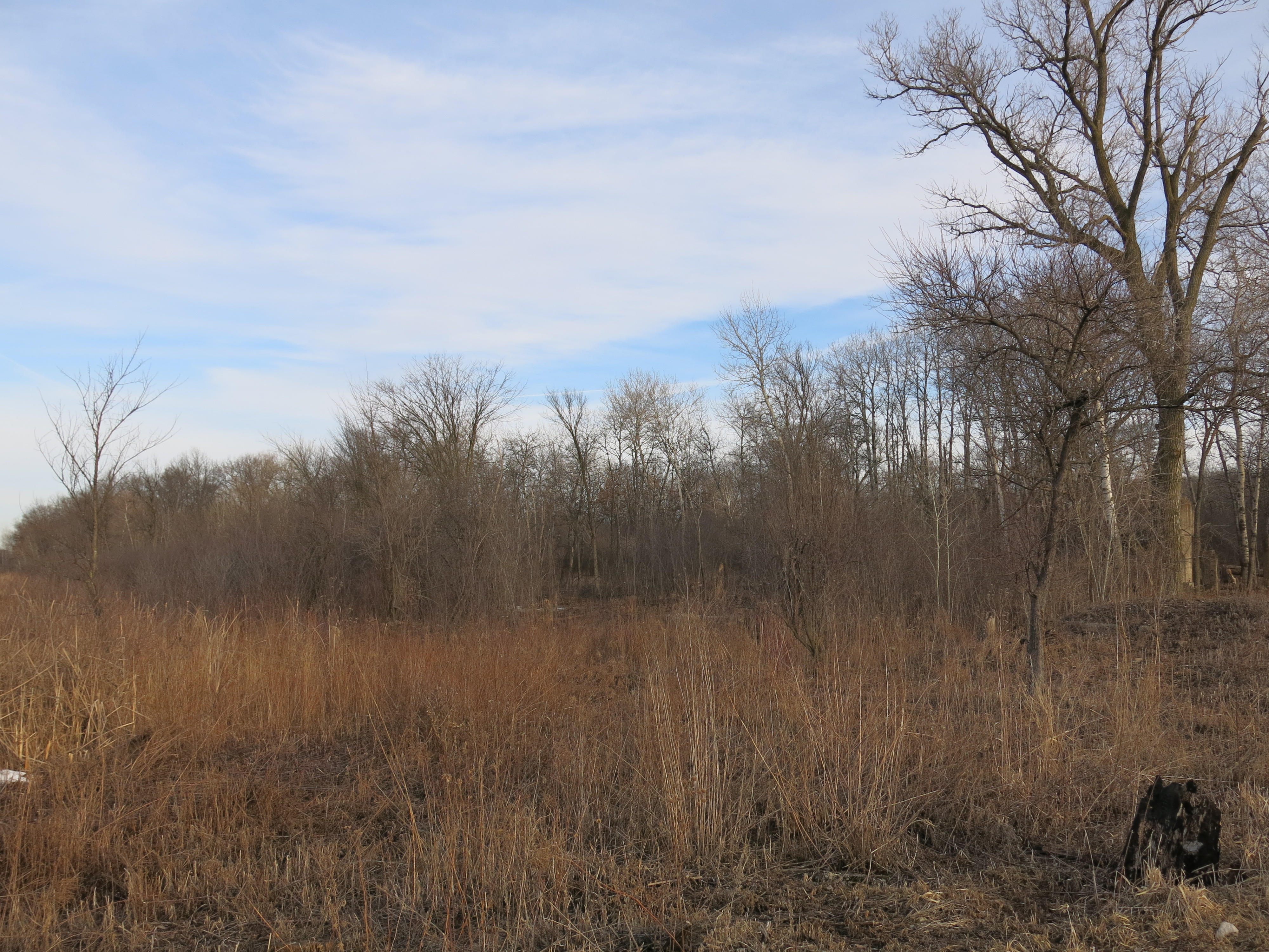
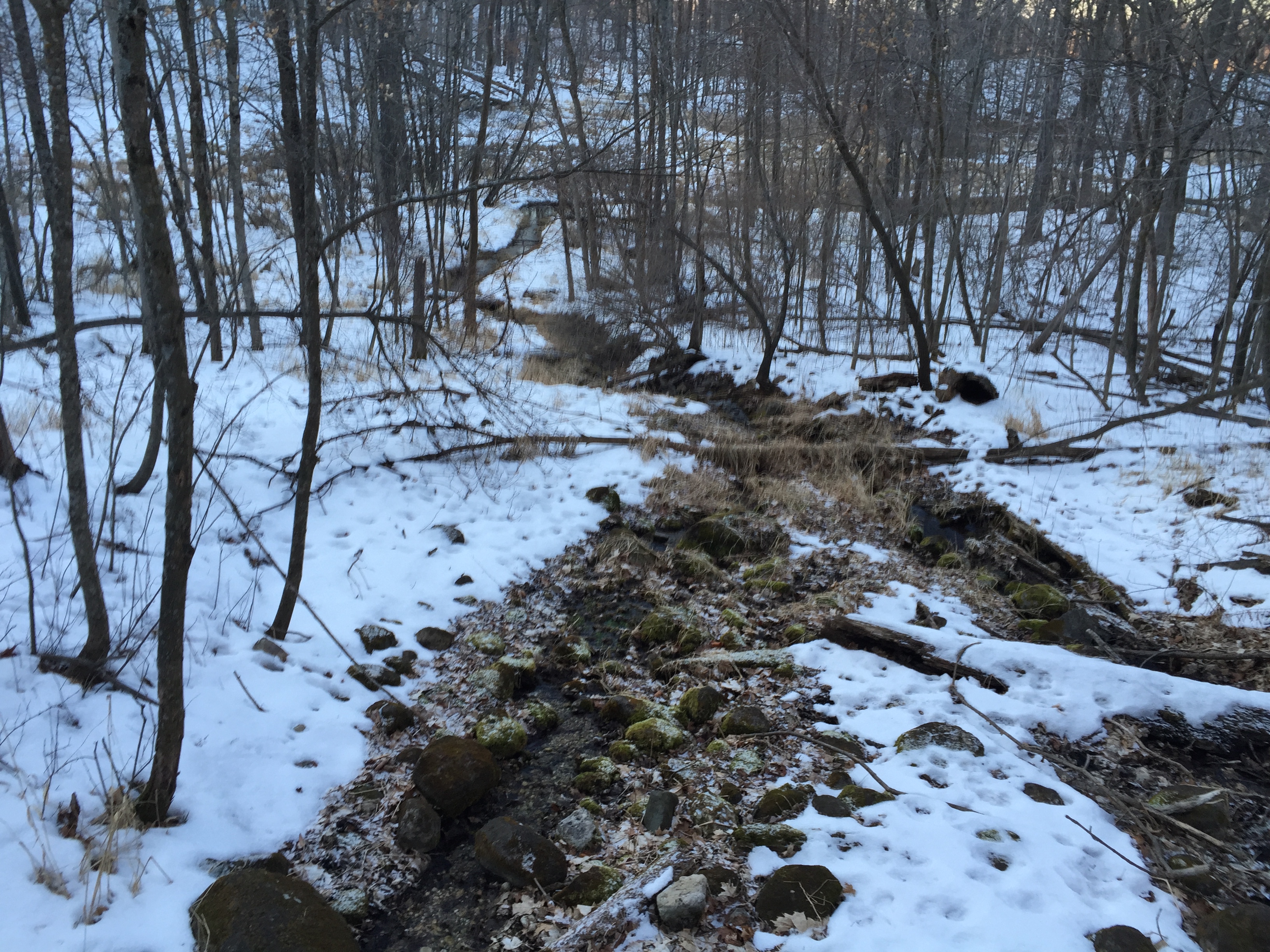
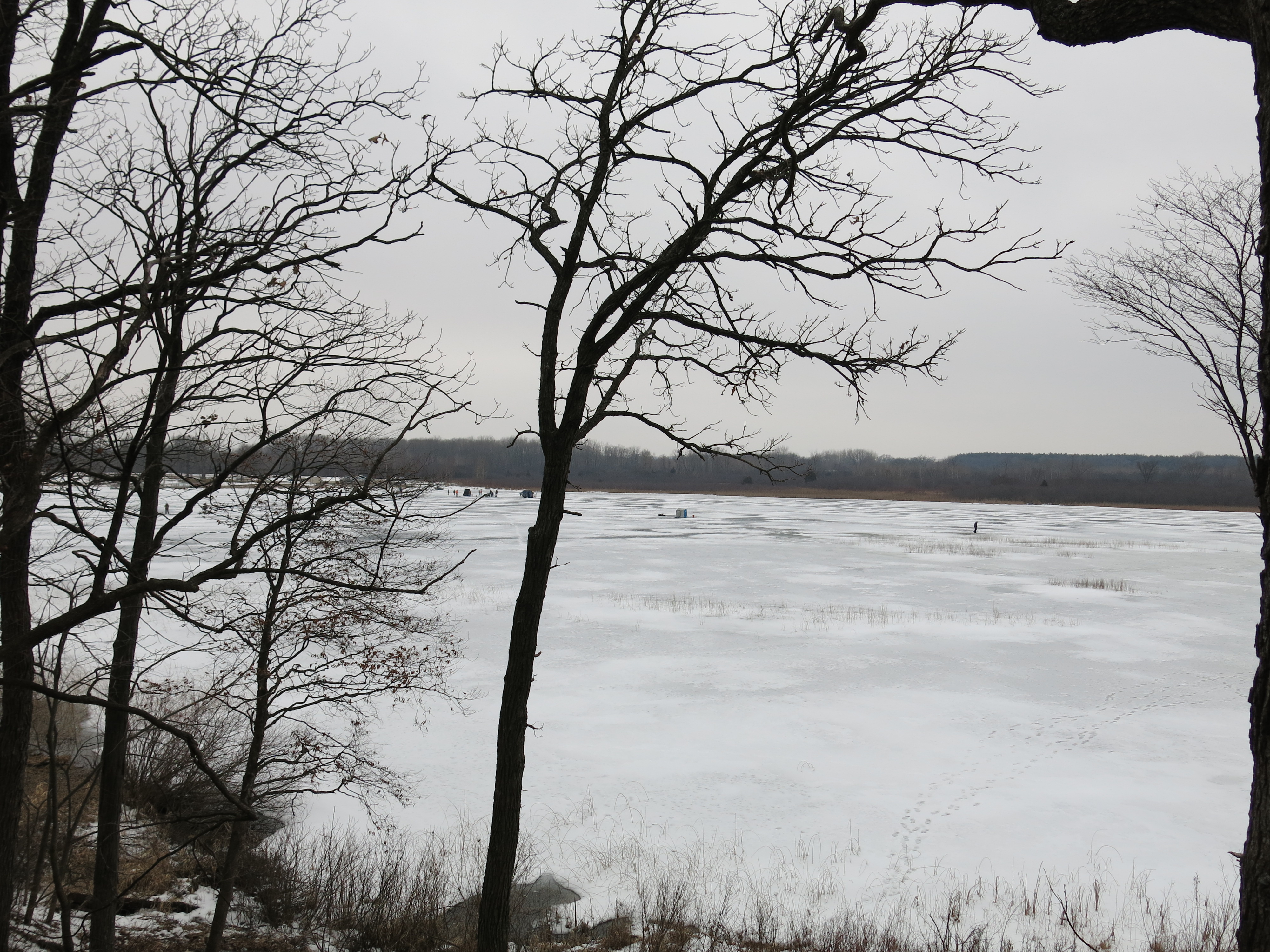
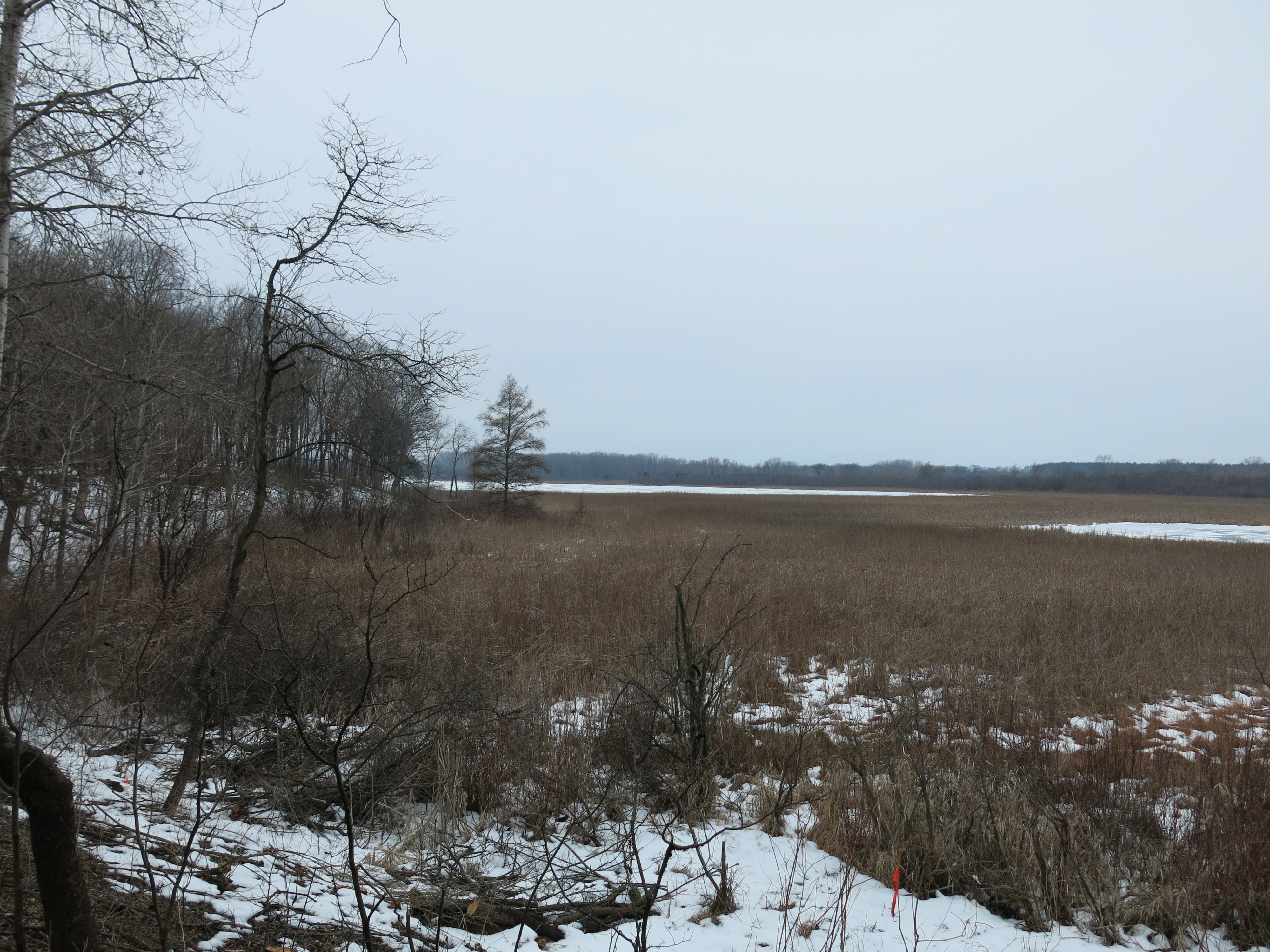
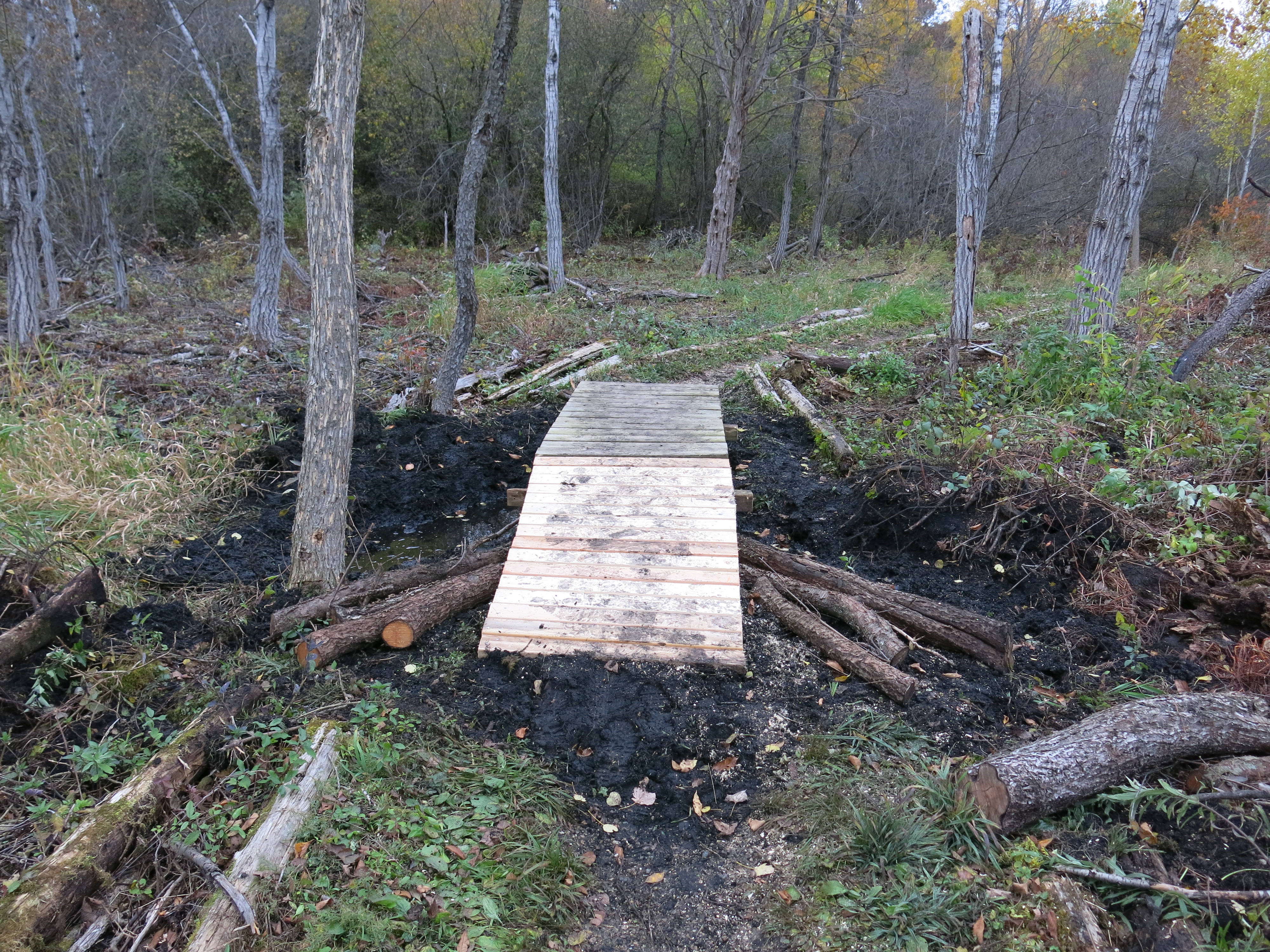
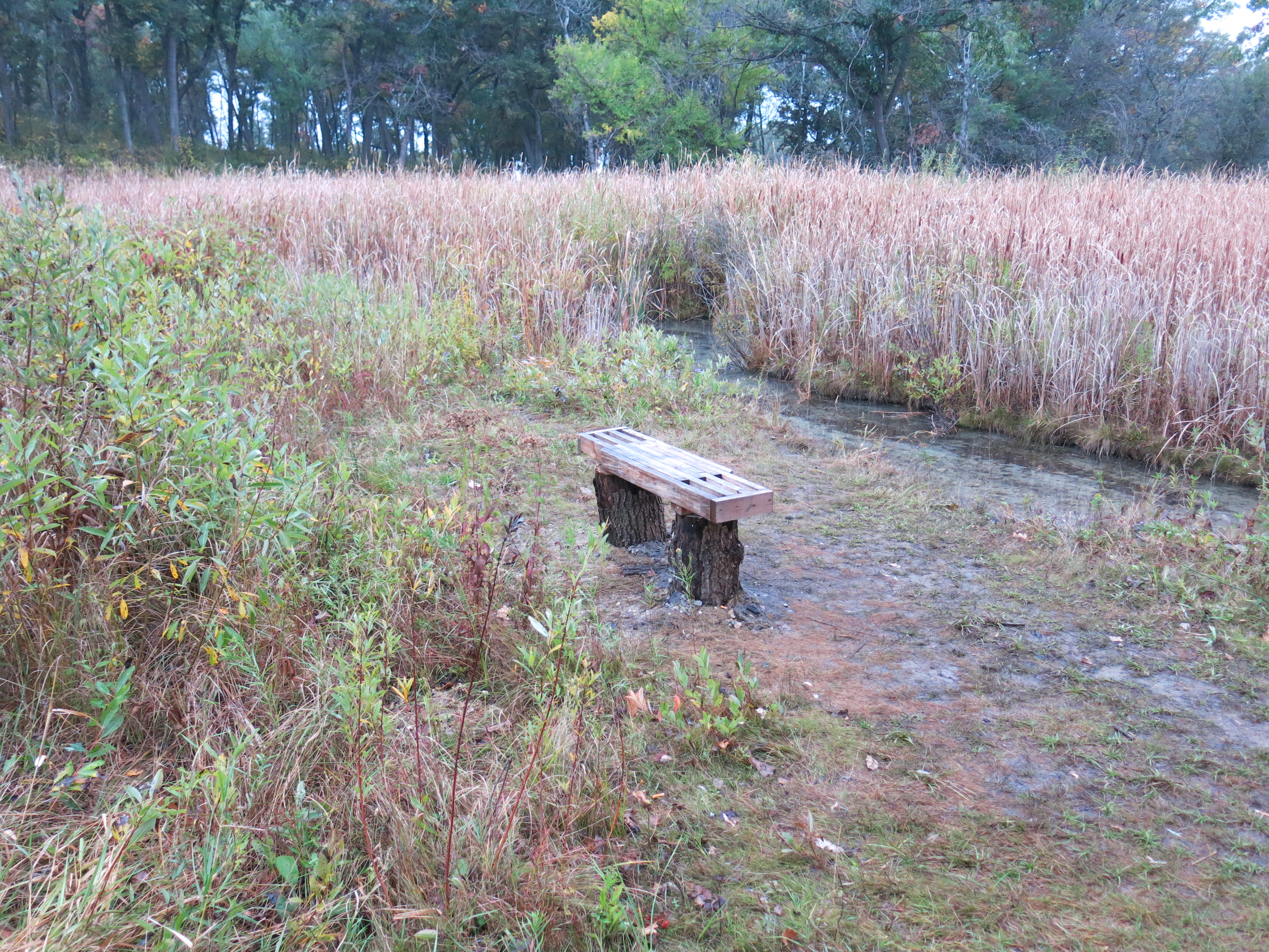
At the worksite shown below, the presence and shape of the wetlands on the north side of the trail was much more evident, even though there was a relatively thin, although decidedly nasty, curtain of buckthorn still shrouding them. The views below are: first, from near the trail, then at the buckthorn curtain looking left and right.


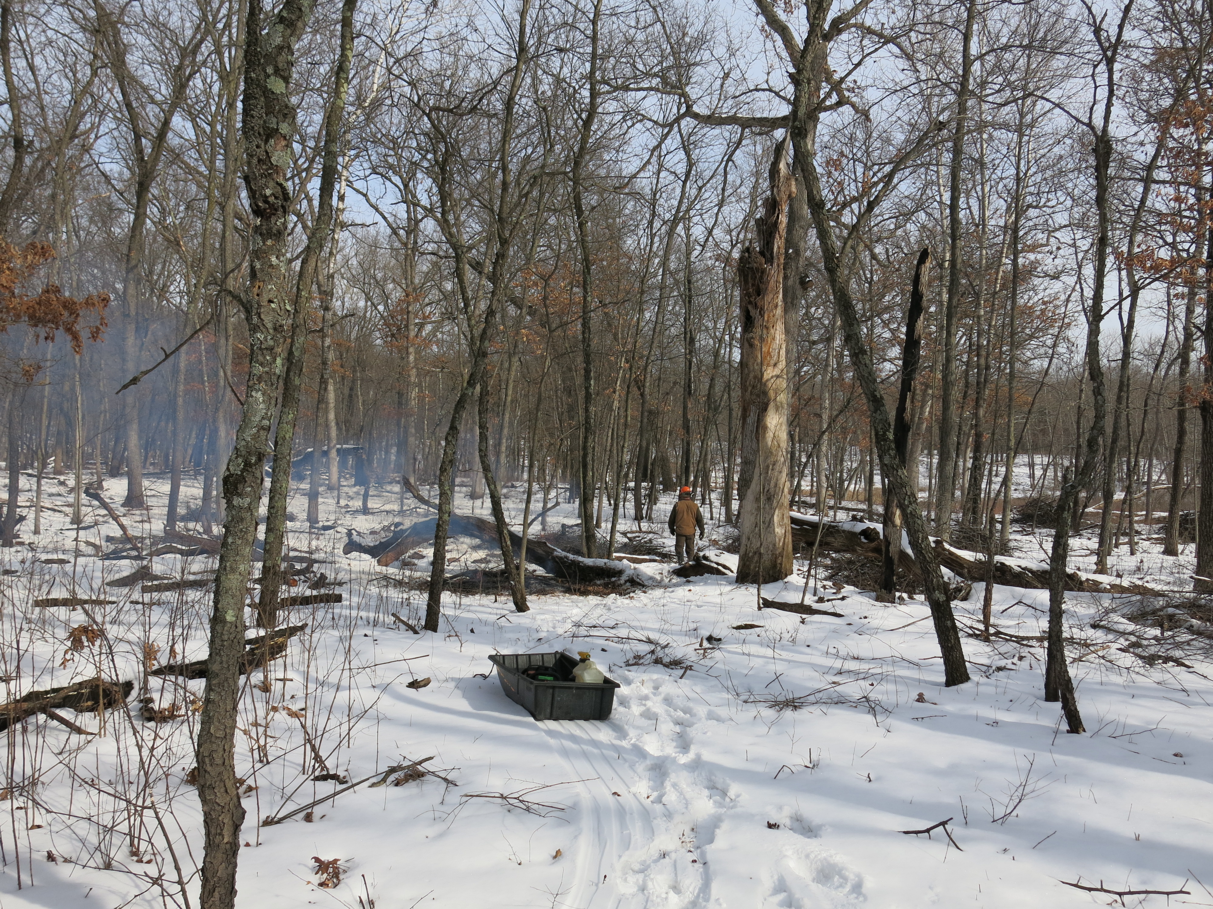
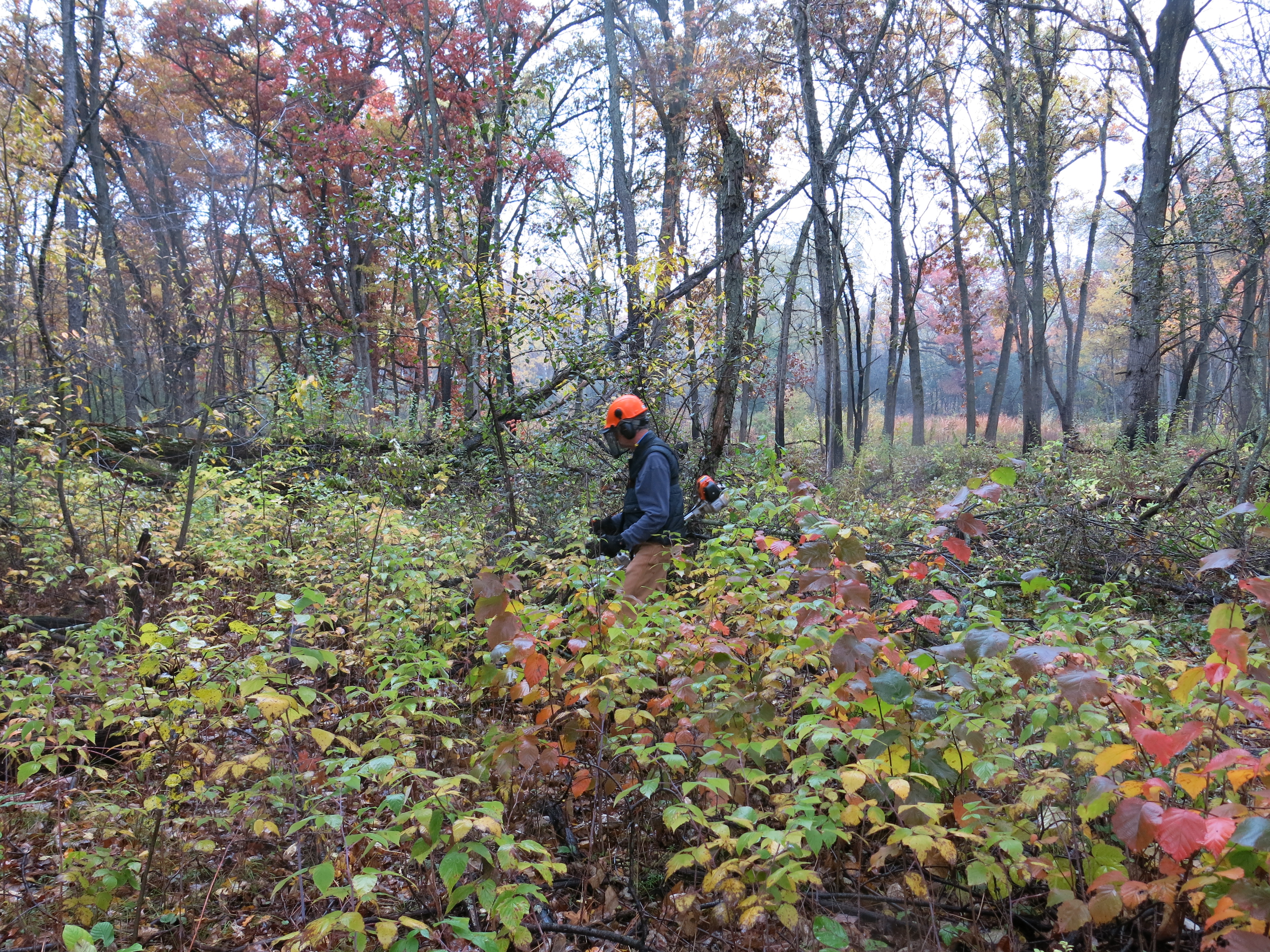
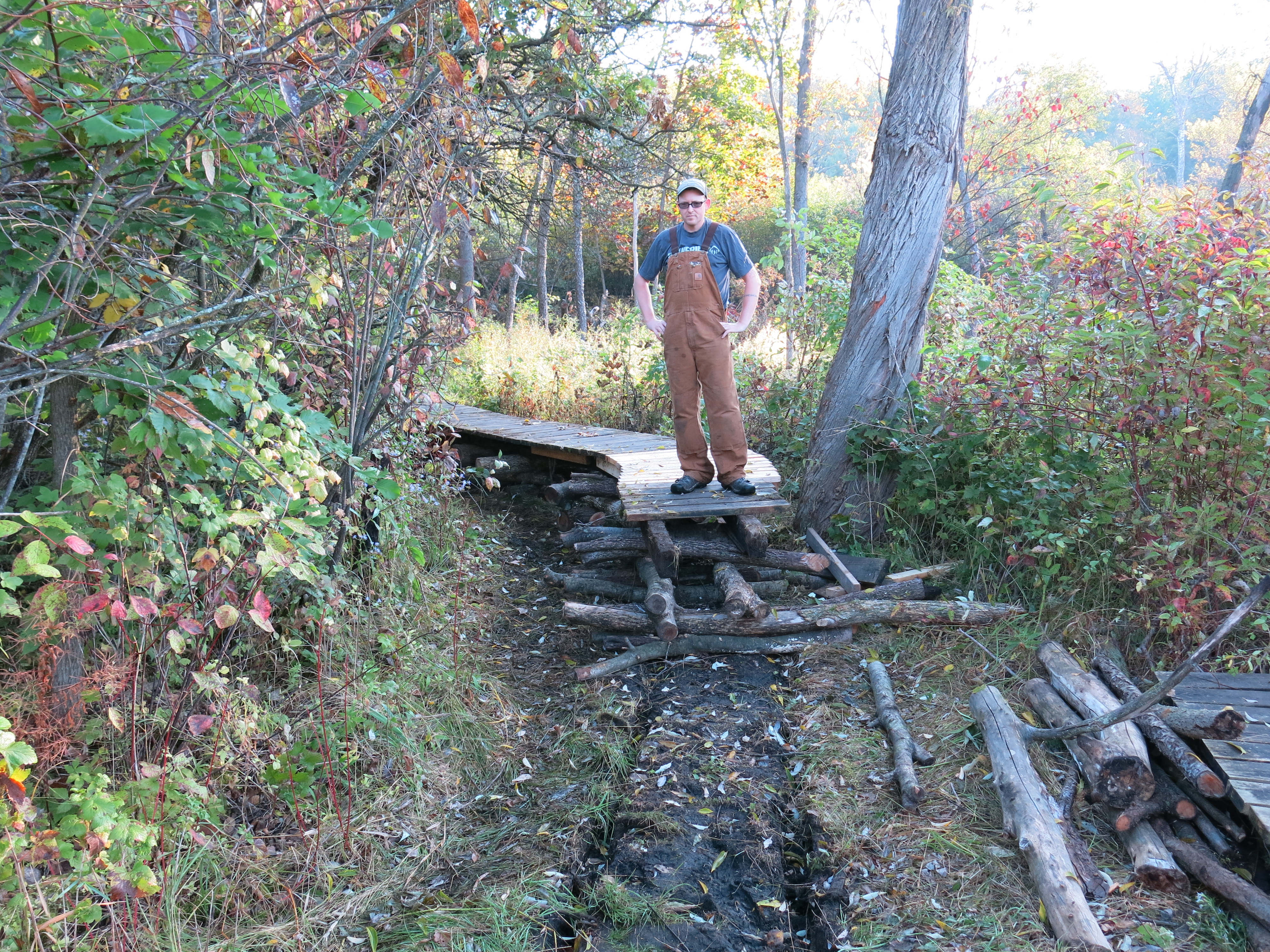
I knew this was going to be my last time cutting for a while and tried not to get impatient with the machine.


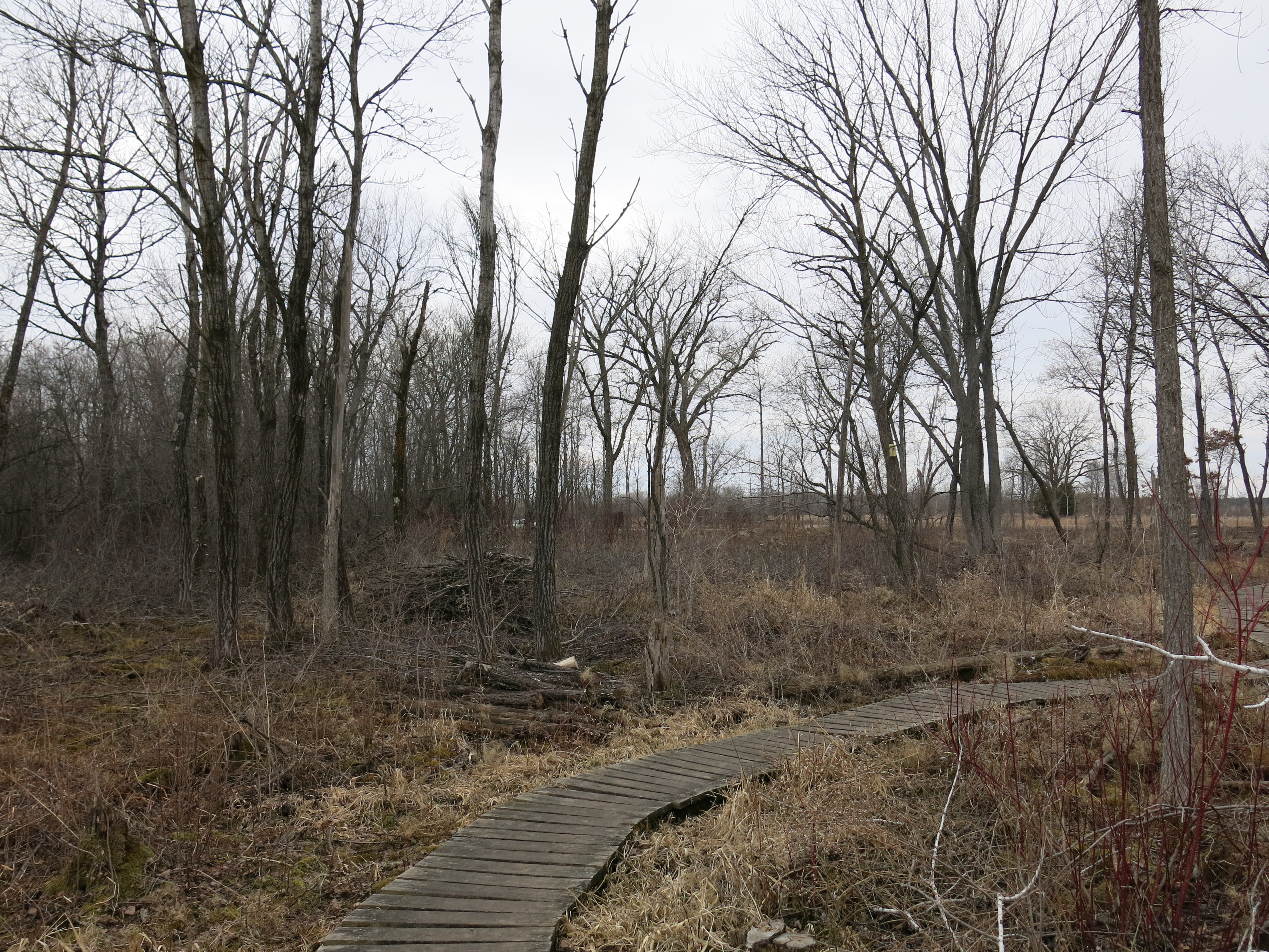
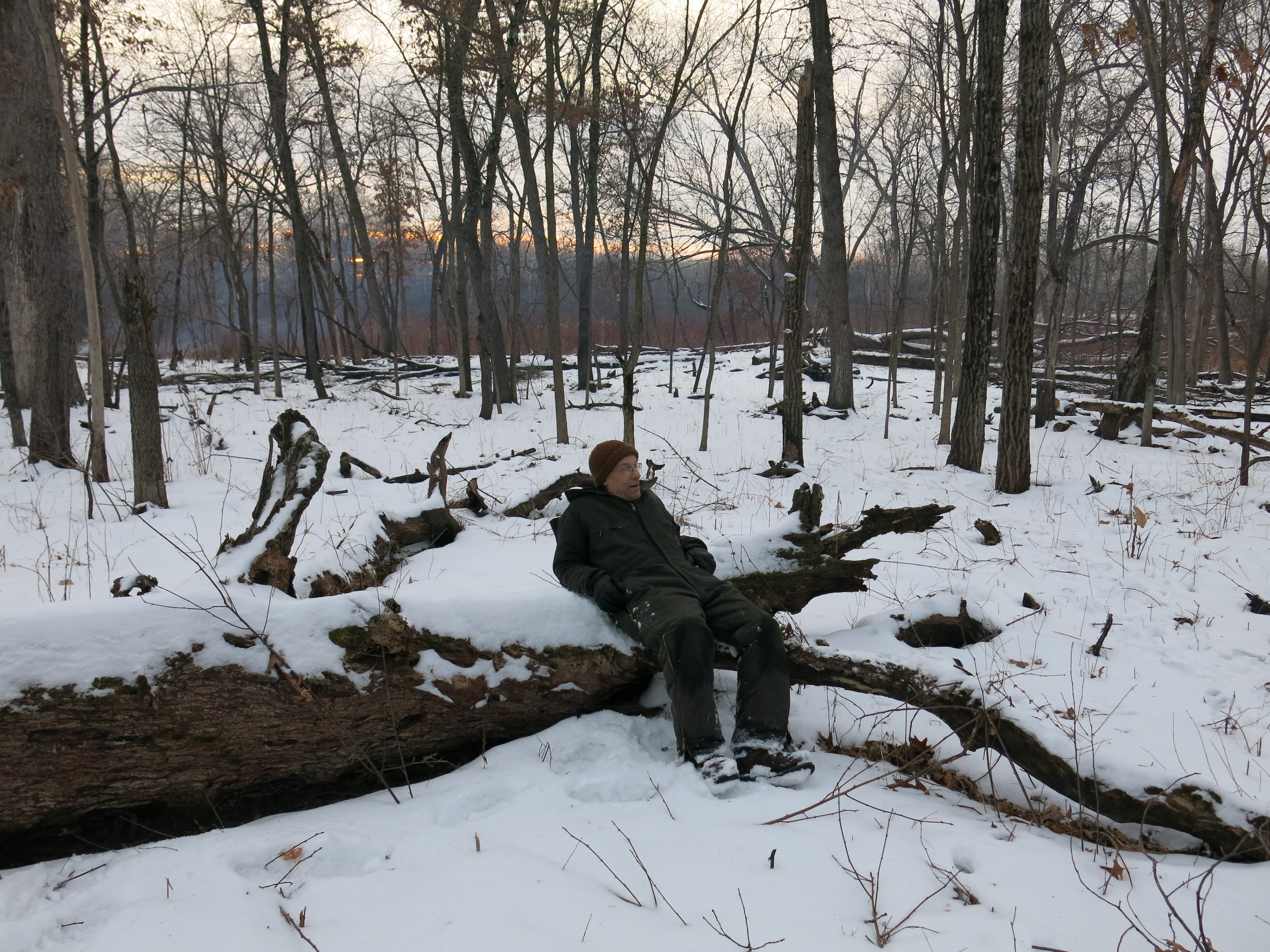
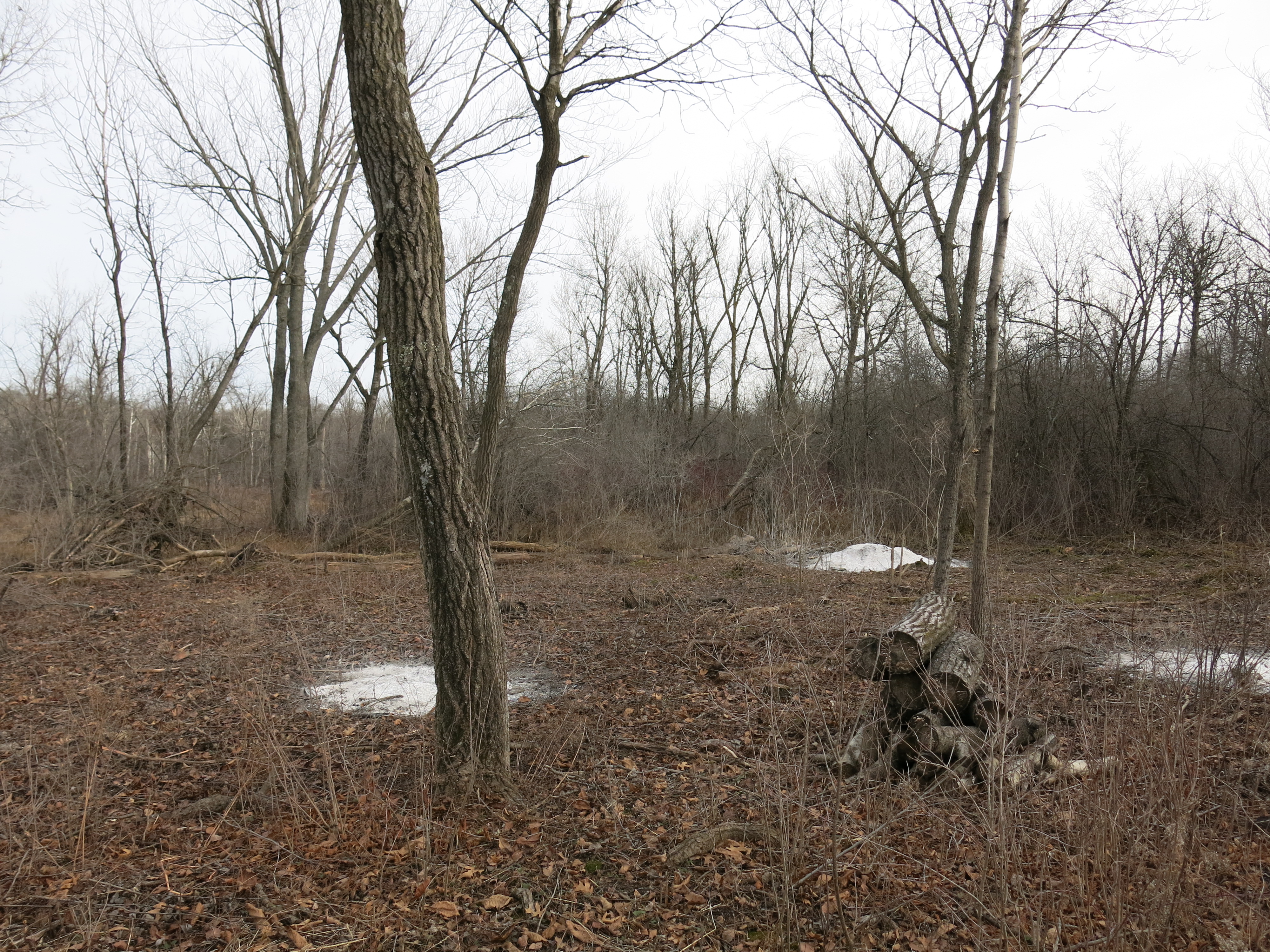
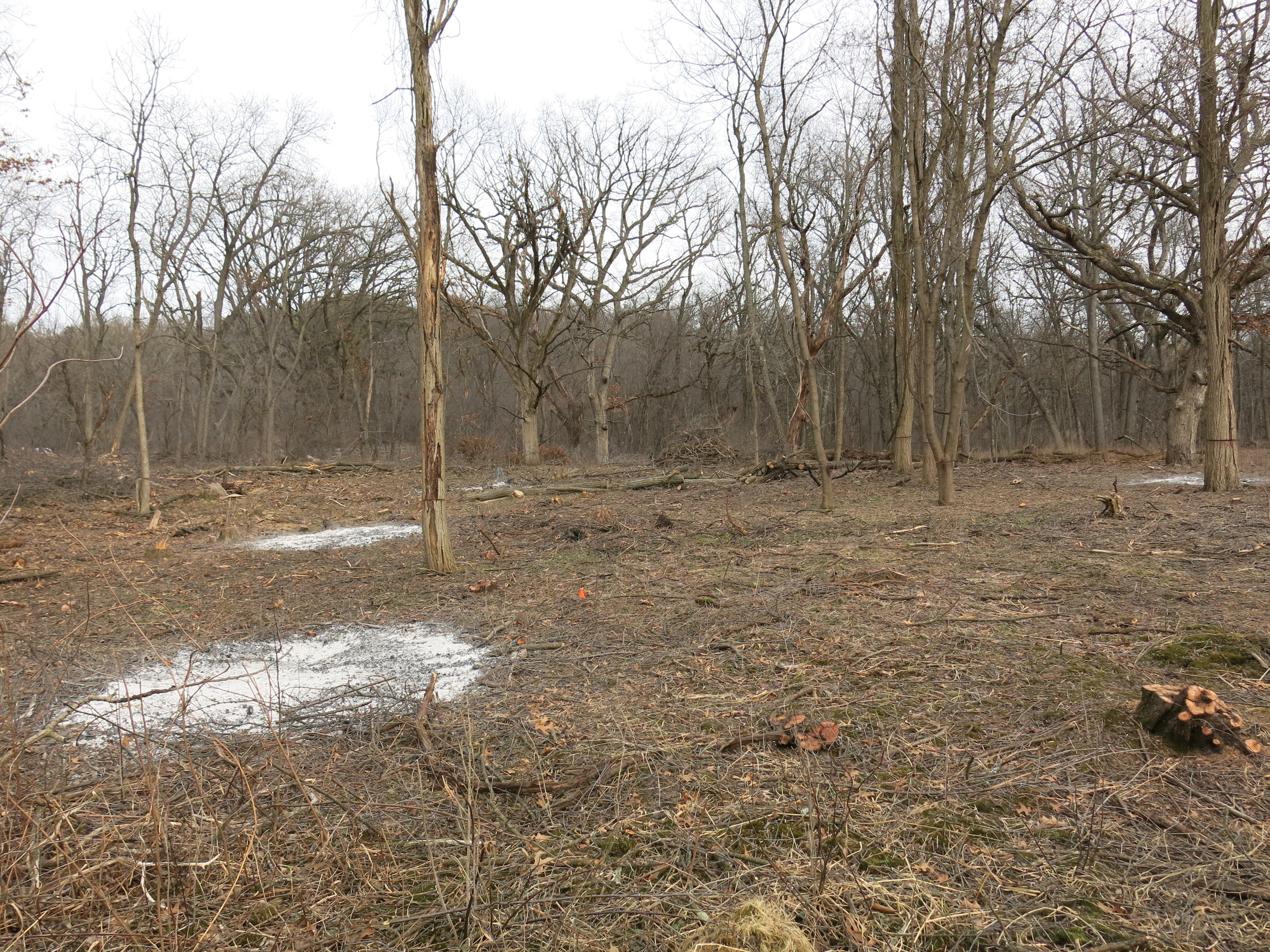
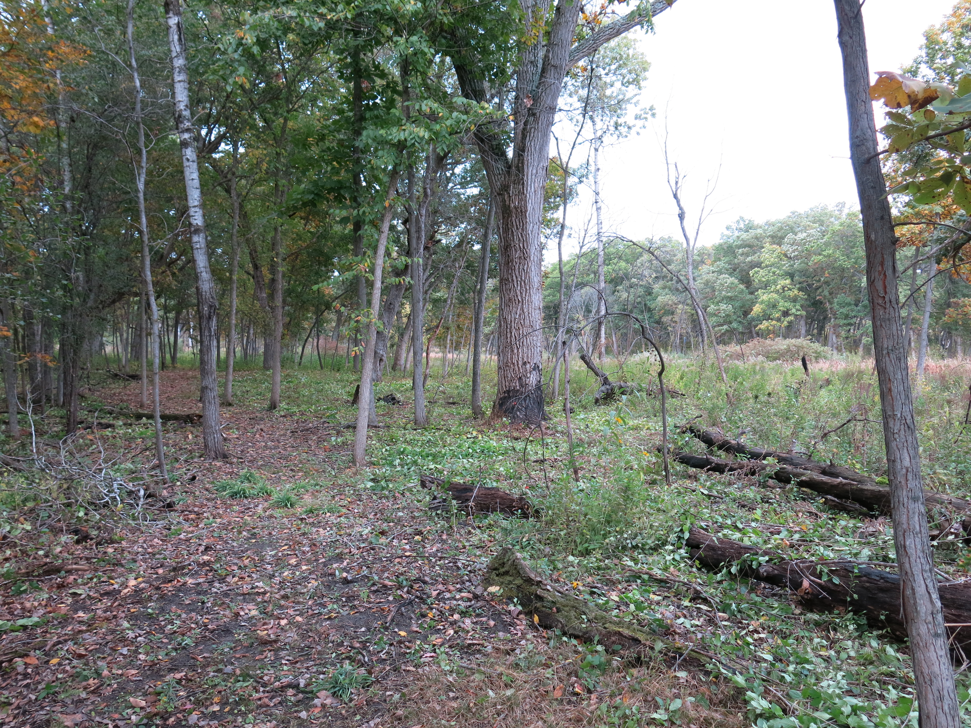
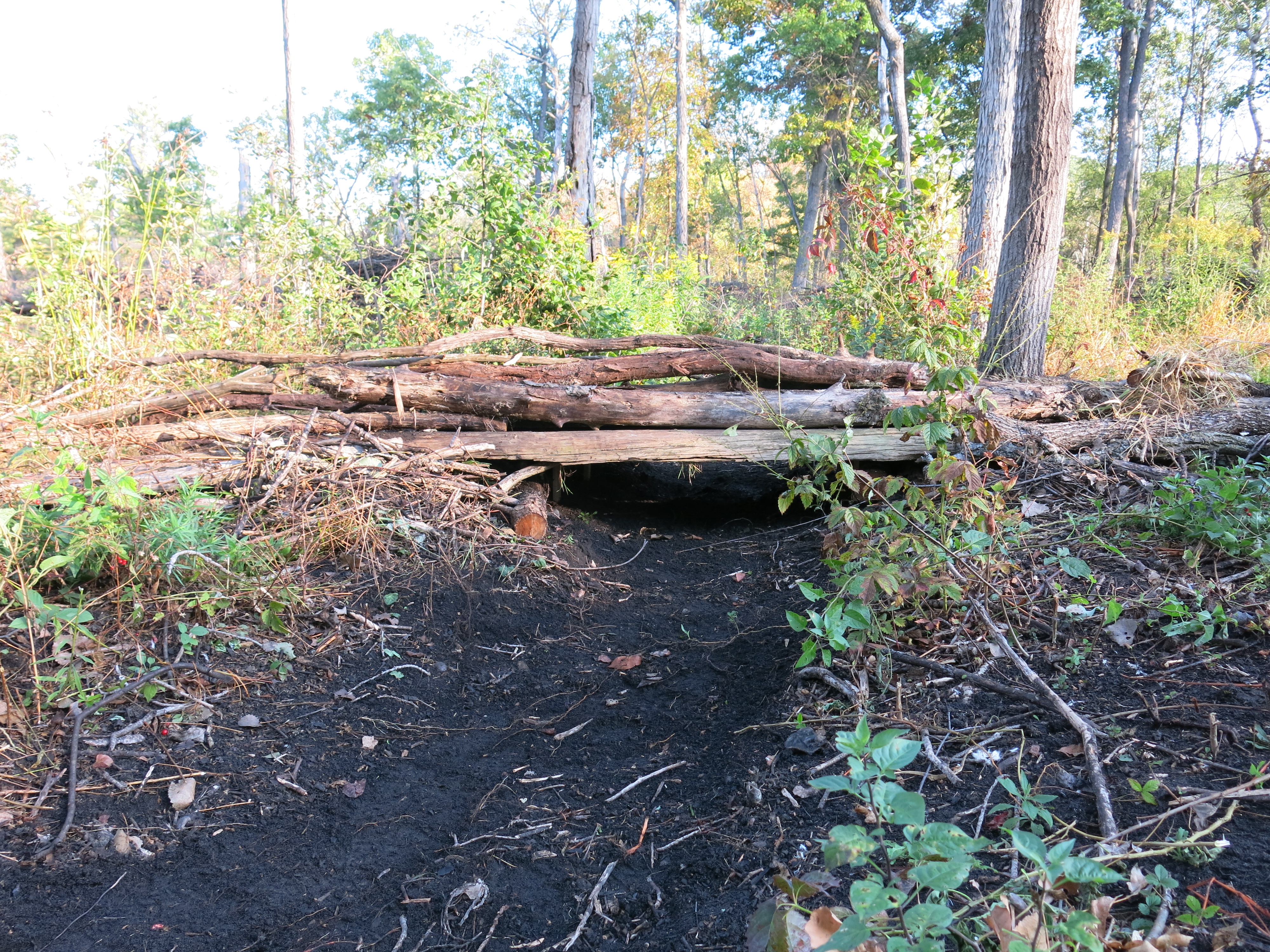
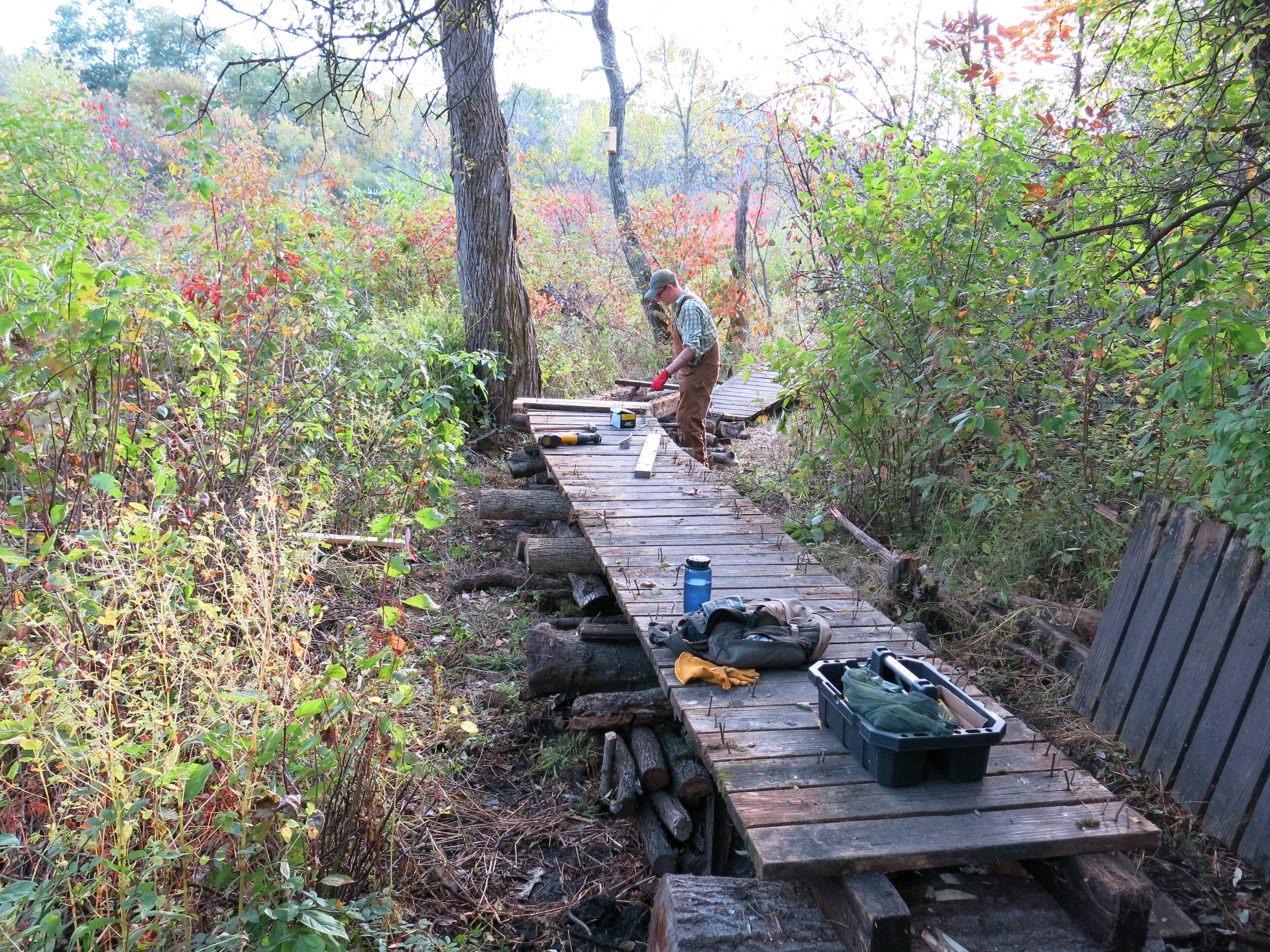
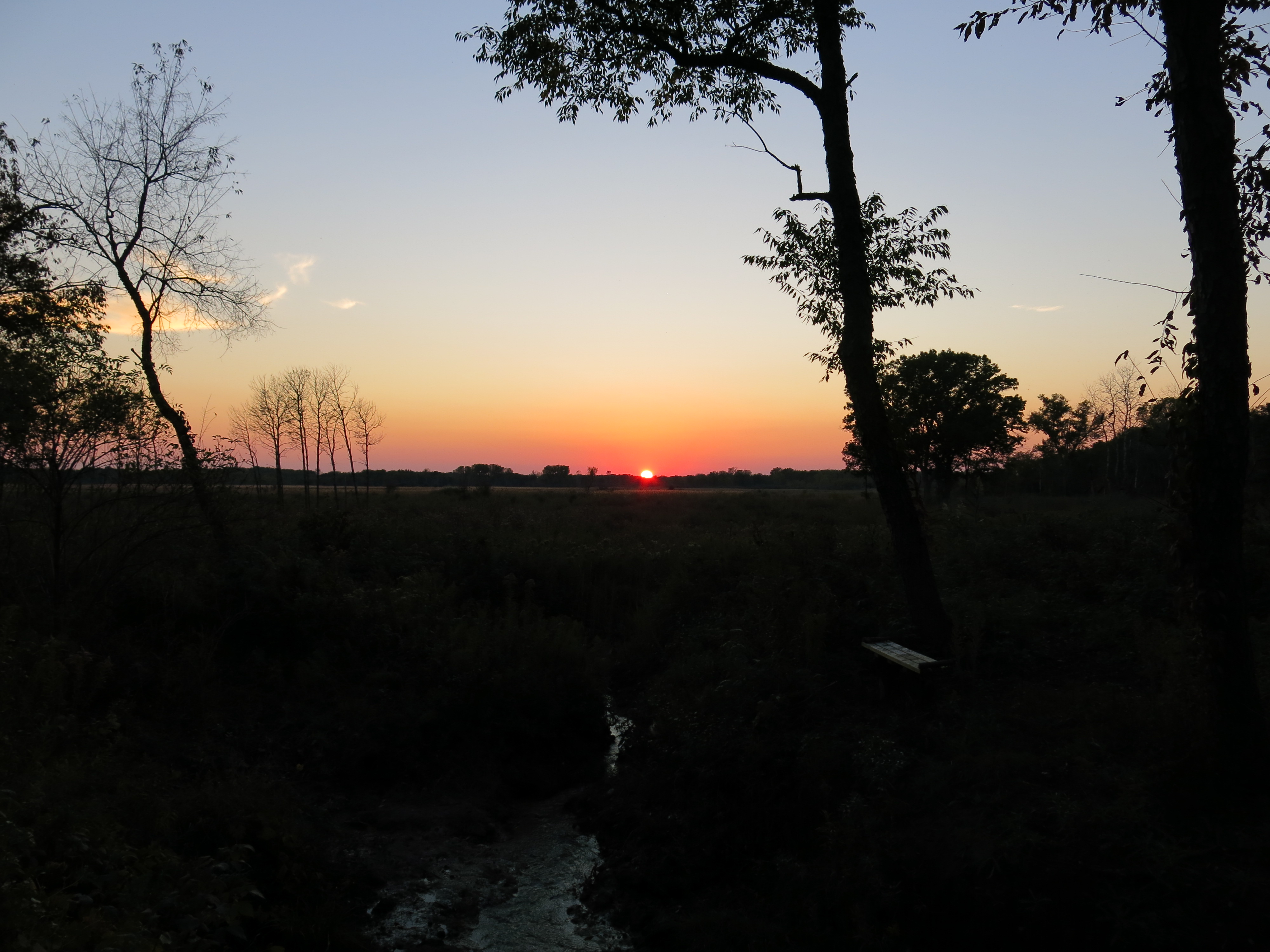
It was on the way back to my truck on that gorgeous, sunny afternoon, that it really began to sink in just how dramatically different this area of the Scuppernong Springs Nature Preserve looks now.
“The third and final phase of the Alchemical Great Work is Rubedo, or Reddening, the transmutation into Gold or Sulfur, representing Purified and Enlightened Consciousness, the Elemental Fire of the Philosopher’s Stone, symbolized by a red elixir, which represents the unification of Man (the limited) with the Divine (the unlimited).” Mark Passio

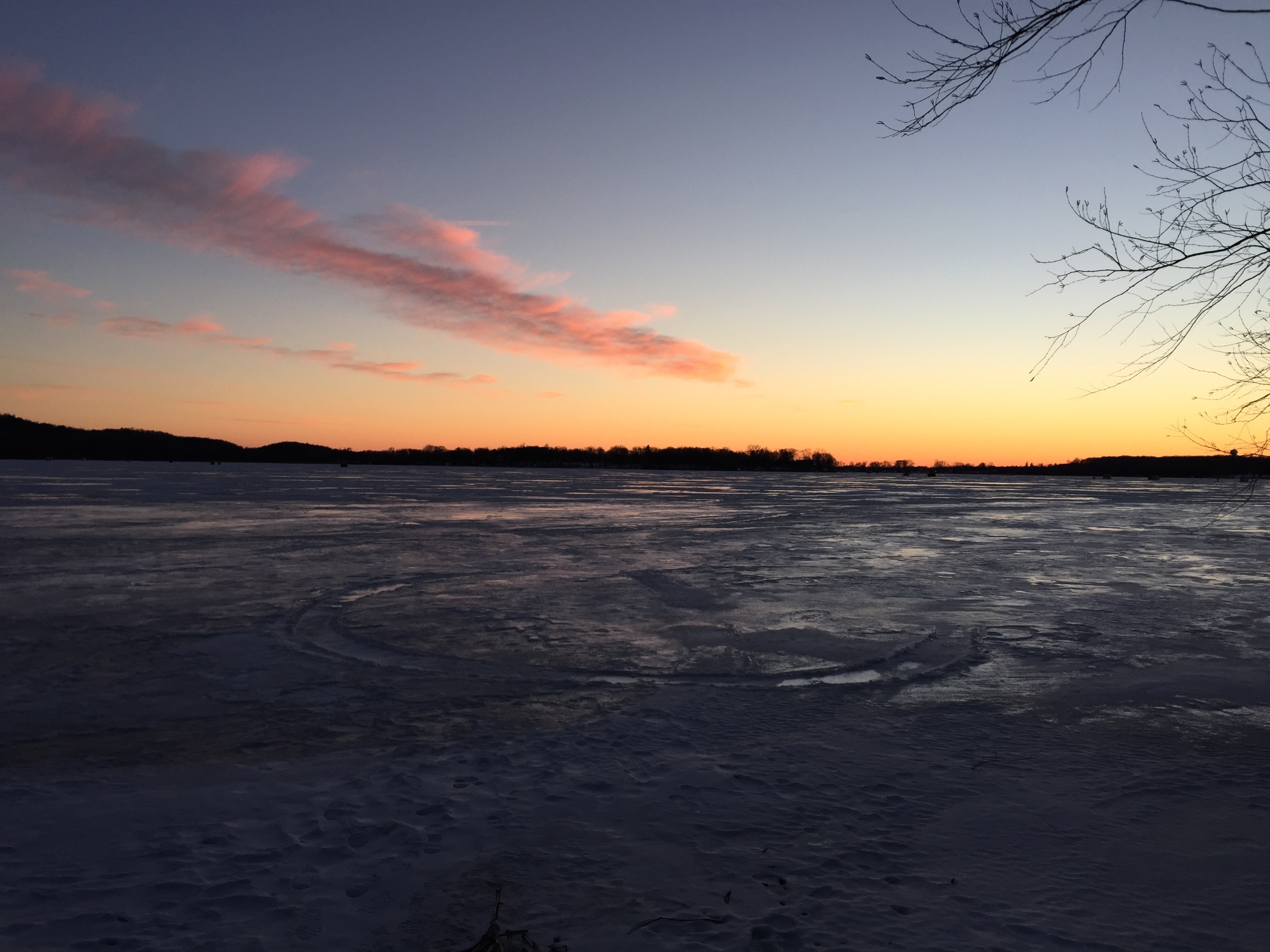
See you at The Springs!


