It’s time to go for a walk

Pati and I met Dr. Jim Meeker, and his wife Joan Elias, when their neighbors, Greg Legault and Janette Christie (Legault), introduced us on the memorably challenging, private, cross country ski trails they had woven across their adjoining properties in Gurnee, Wisconsin.  We began renting Greg’s cozy cabin back in the early 90’s and I remember how starstruck Pati was when we met Jim, who already had a reputation for the manoomin, aka wild-rice, research he had done in the Bad River’s Kakagon Sloughs.

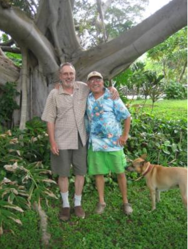
Jim and Greg at the South Point Banyan Tree house

JimAndGreg

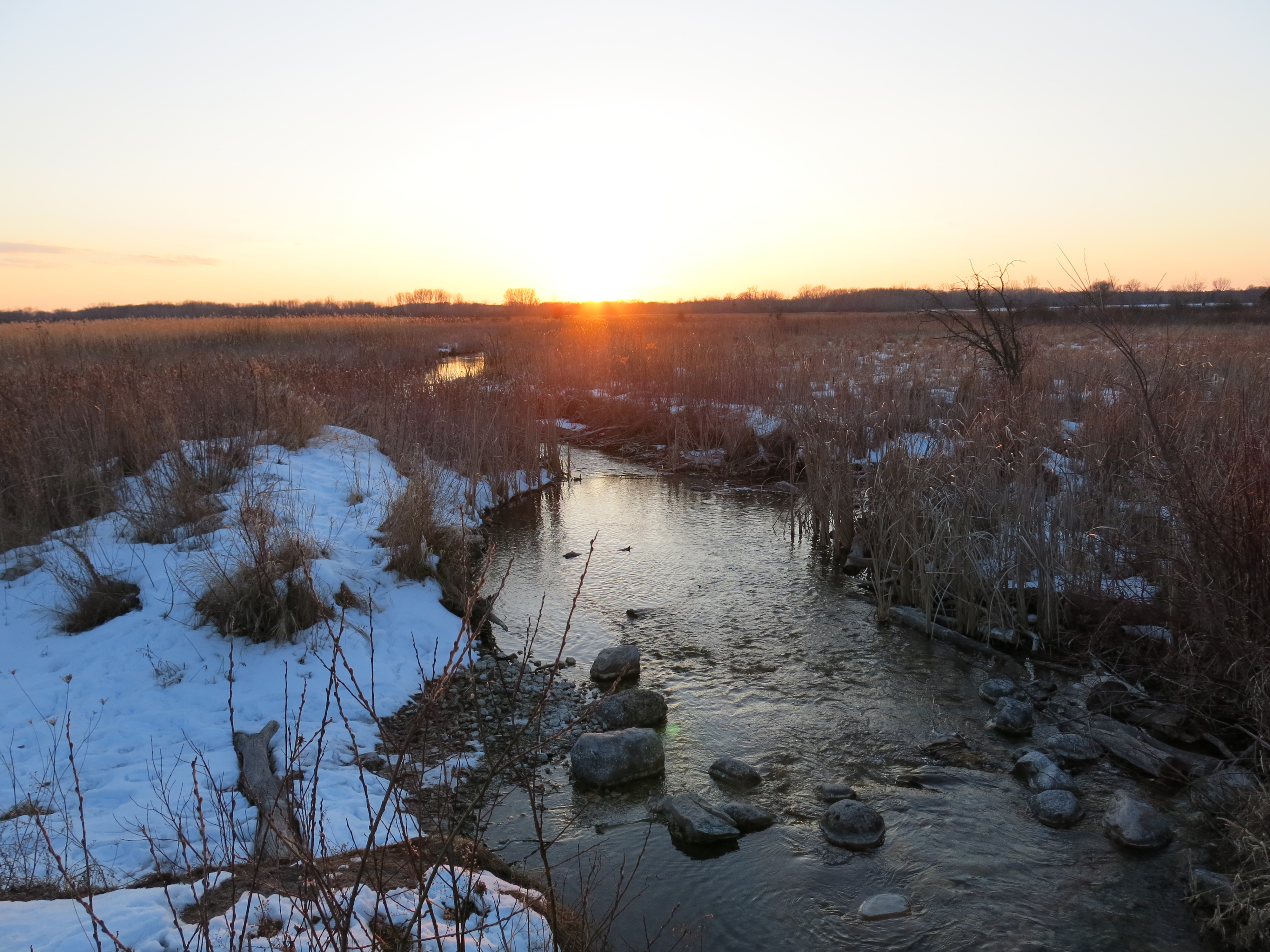
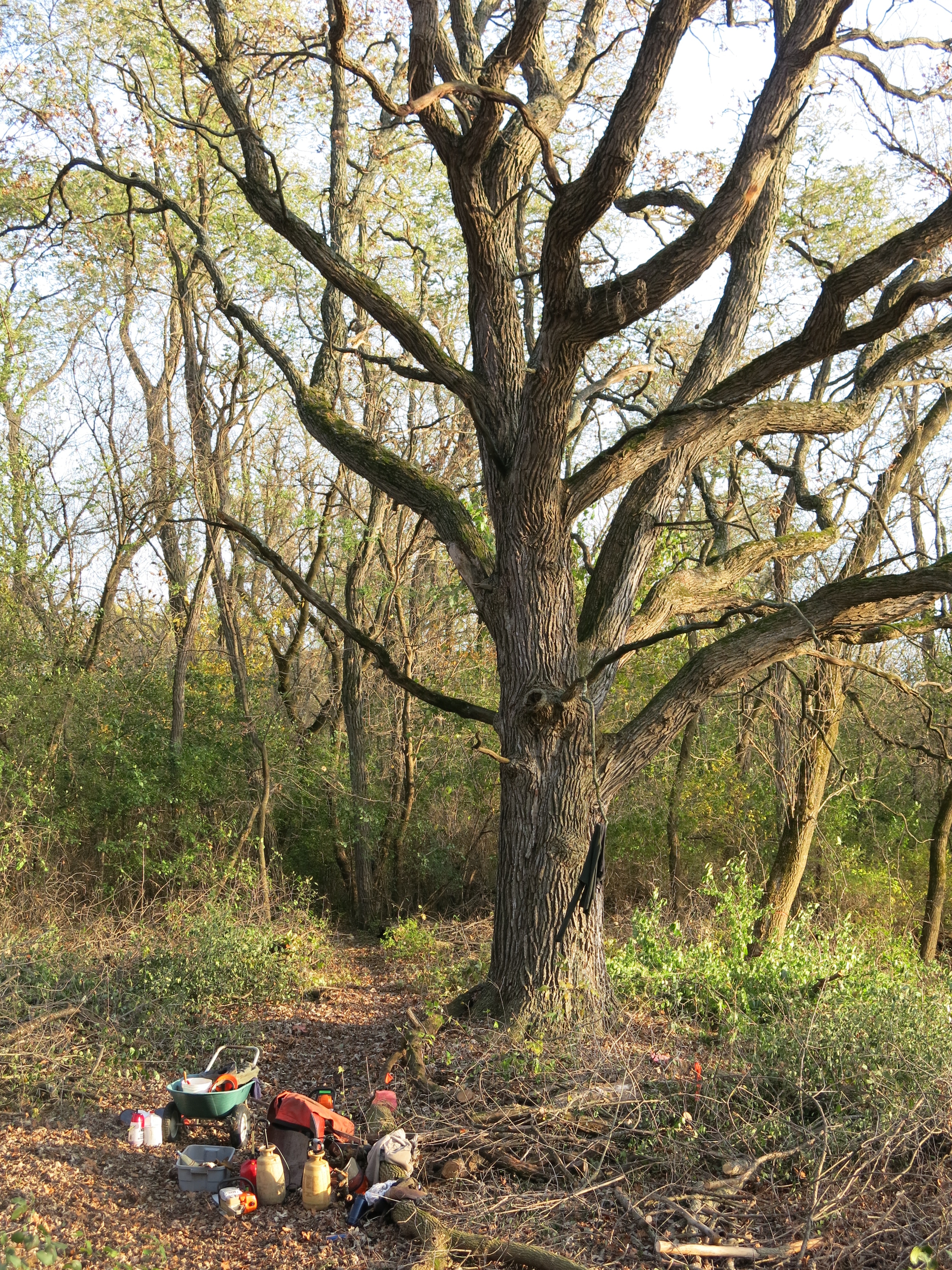
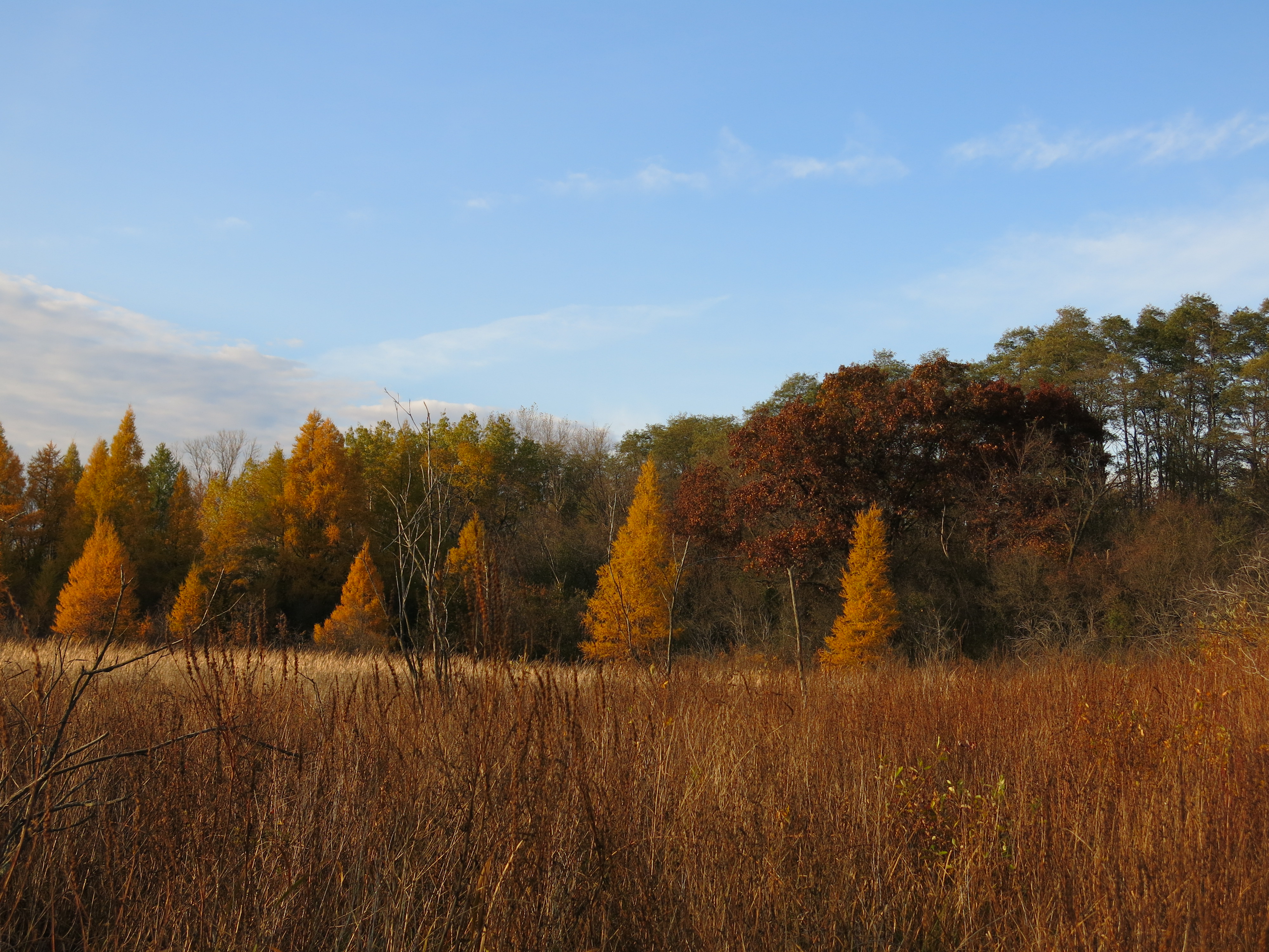
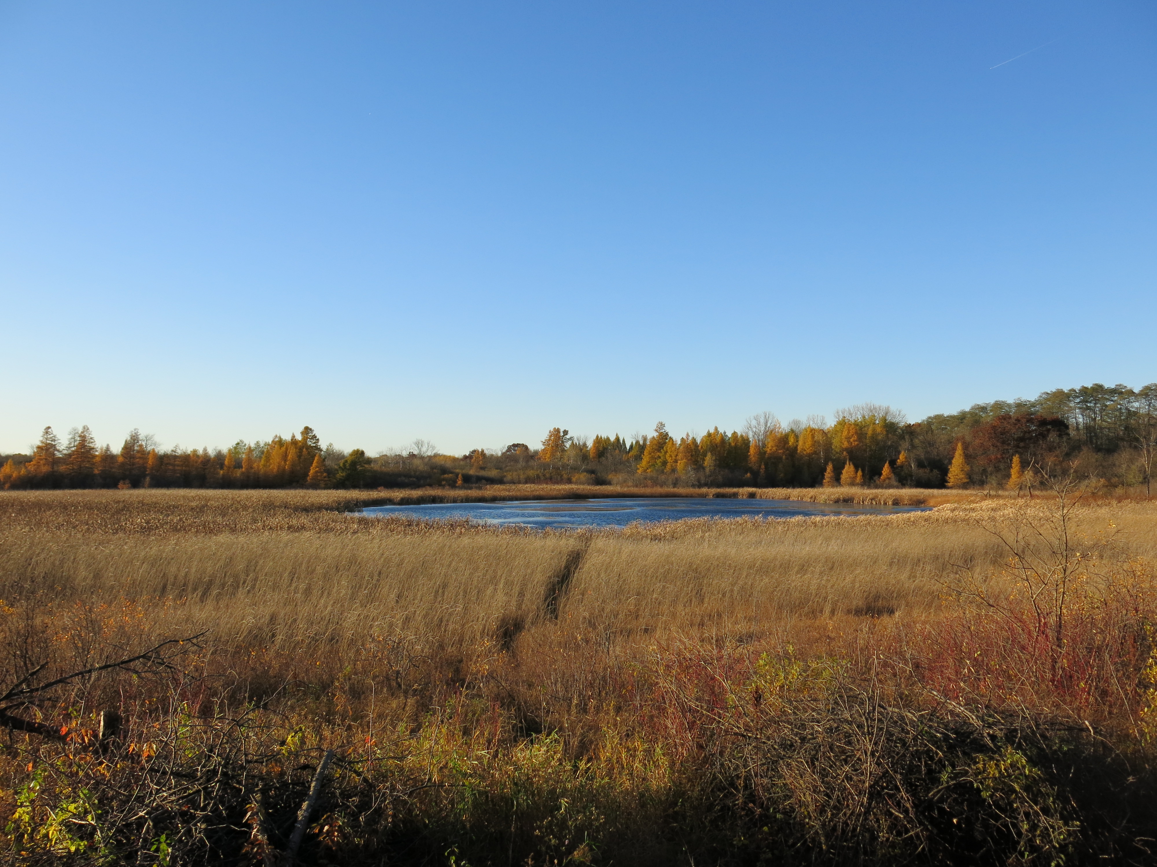
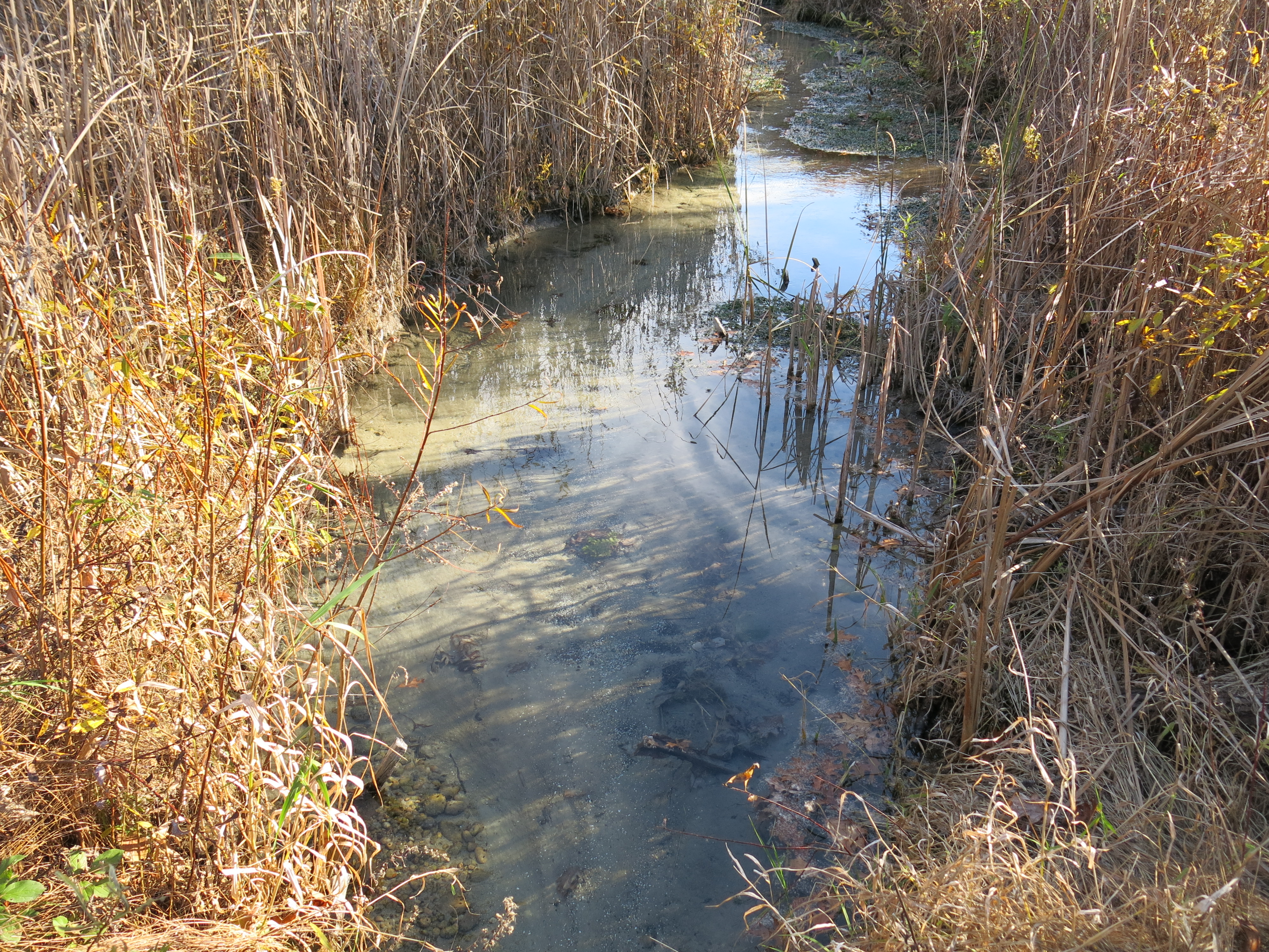
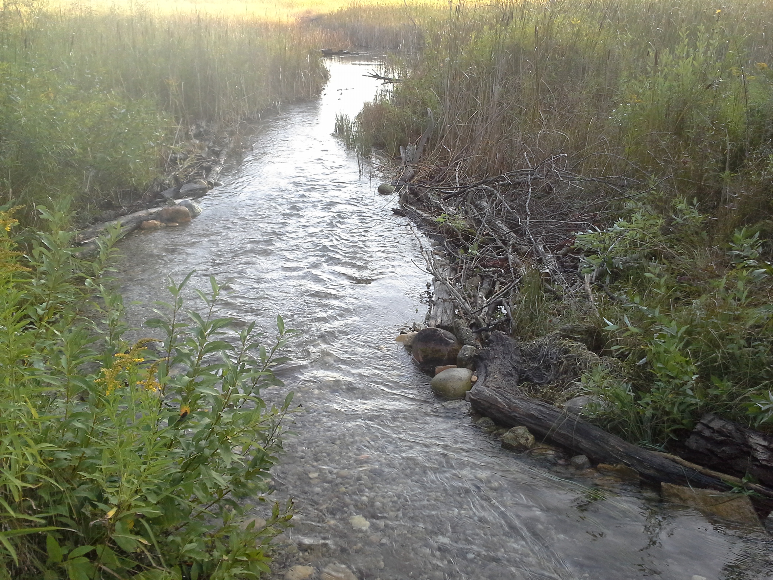
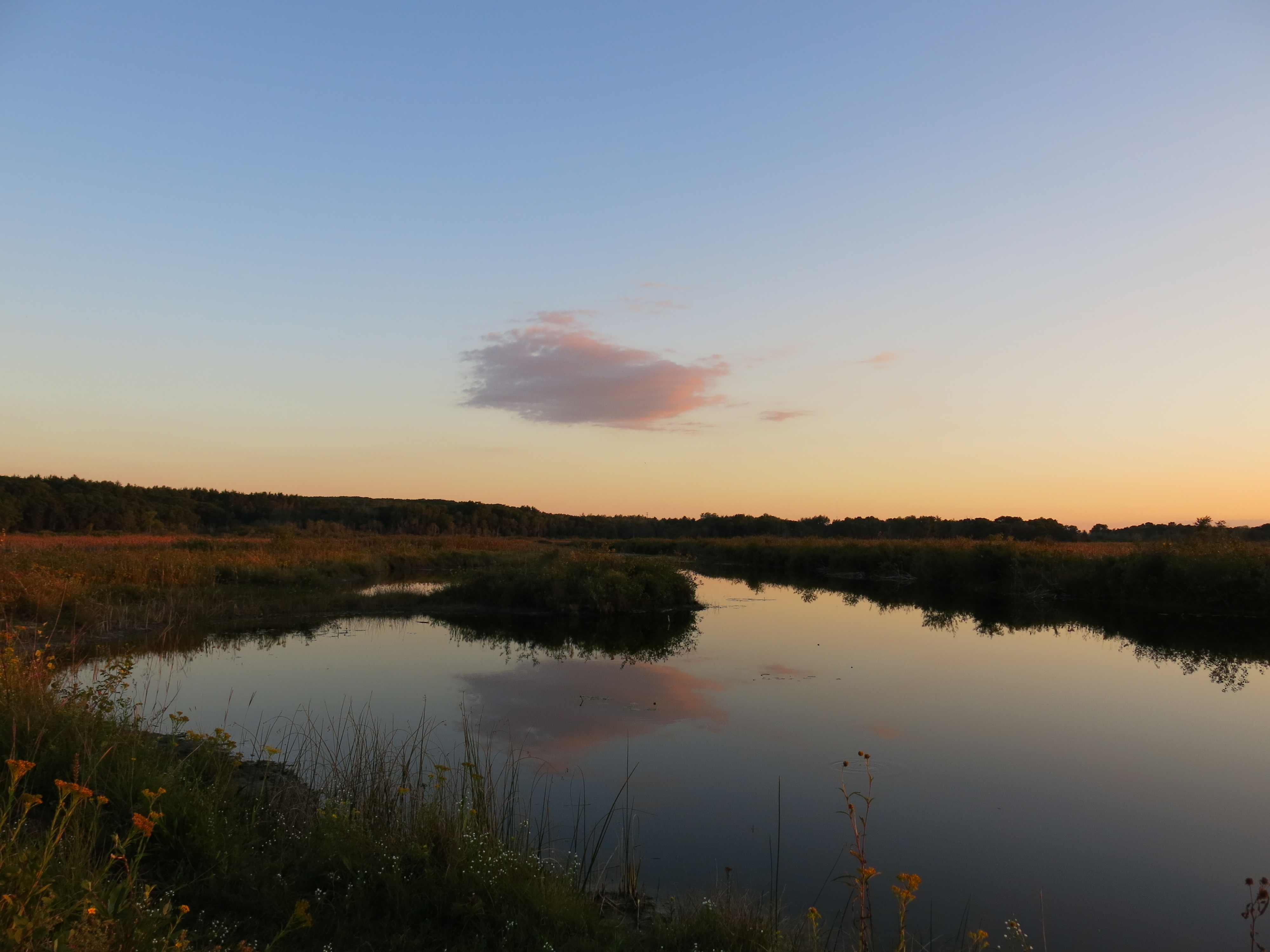
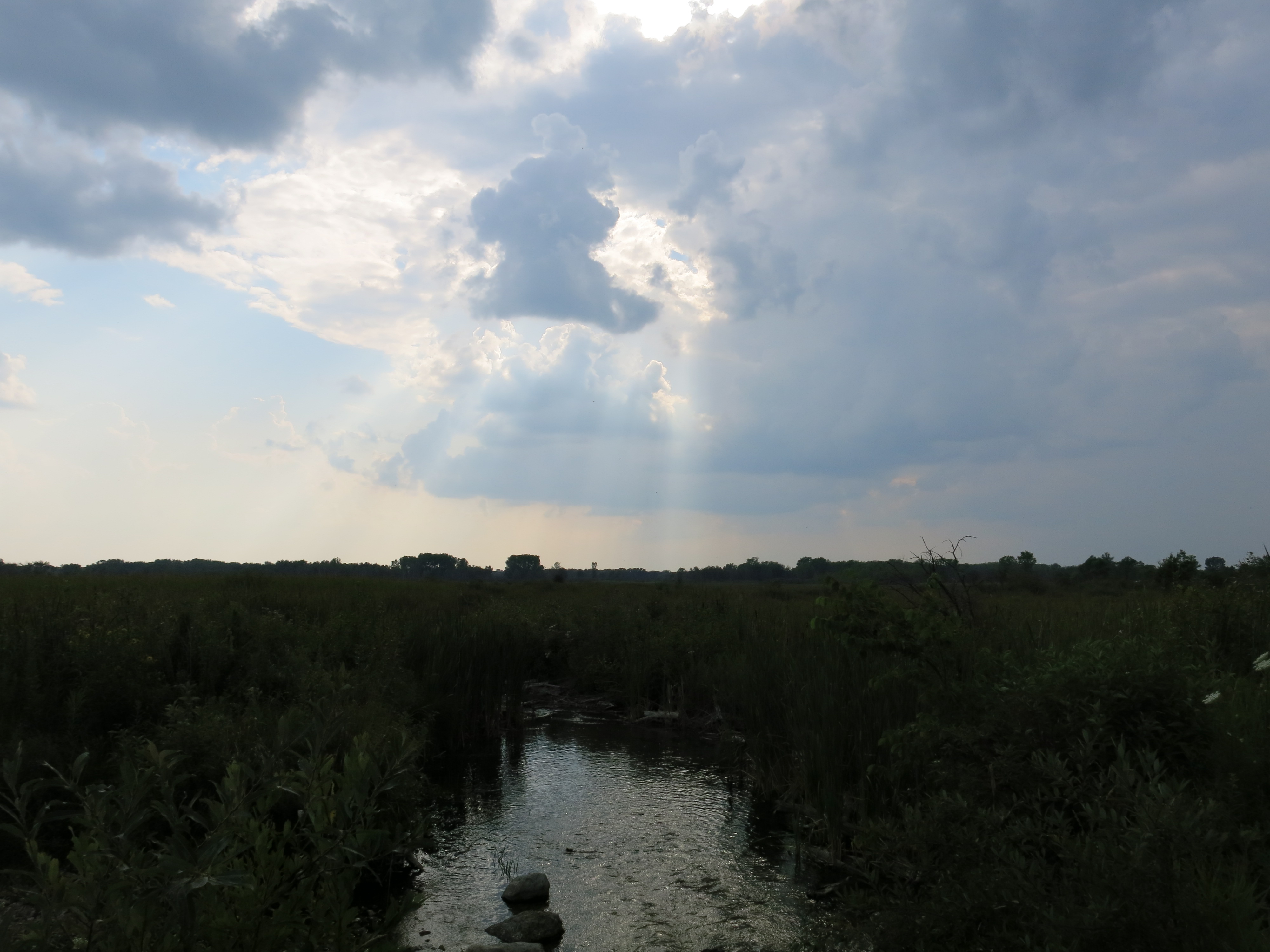
One of Jim’s best pictures of the Kakagon Sloughs

KakagonSloughJimMeeker

Jim and Joan befriended us and we stayed in touch over the years.   Pati and I were truly saddened when we heard that Jim had “walked on” (see page 10 in this issue of Mazina’igan, or expand the article shown below.)

DrJimMeekerManoominExpertWalksOn

I felt lucky and blessed to be in Gurnee on March 21 for the Memorial Service and Celebration of Jim’s Life (Pati had a business commitment in South Africa.)   Here are a couple of testimonials:

Great Lakes Indian Fish and Wildlife Commission is grateful for Dr. Meeker’s many contributions as a former staff member, scientist, teacher and mentor, but mostly as a very gentle, approachable human-being, filled with kindness and concern for all living creatures, but especially those plant-beings!

or, this from the Northland College Magazine (see page 8)

A professor of botany and natural resources, Jim shared his passion for the outdoors with students in the classroom, field and laboratory.  Jim fostered an inter-disciplinary approach to solving problems and used an experiential pedagogy before those approaches were being promoted within higher education.

Jim loved to share what he learned from nature: “It’s time to go for a walk!”

IMG_1775

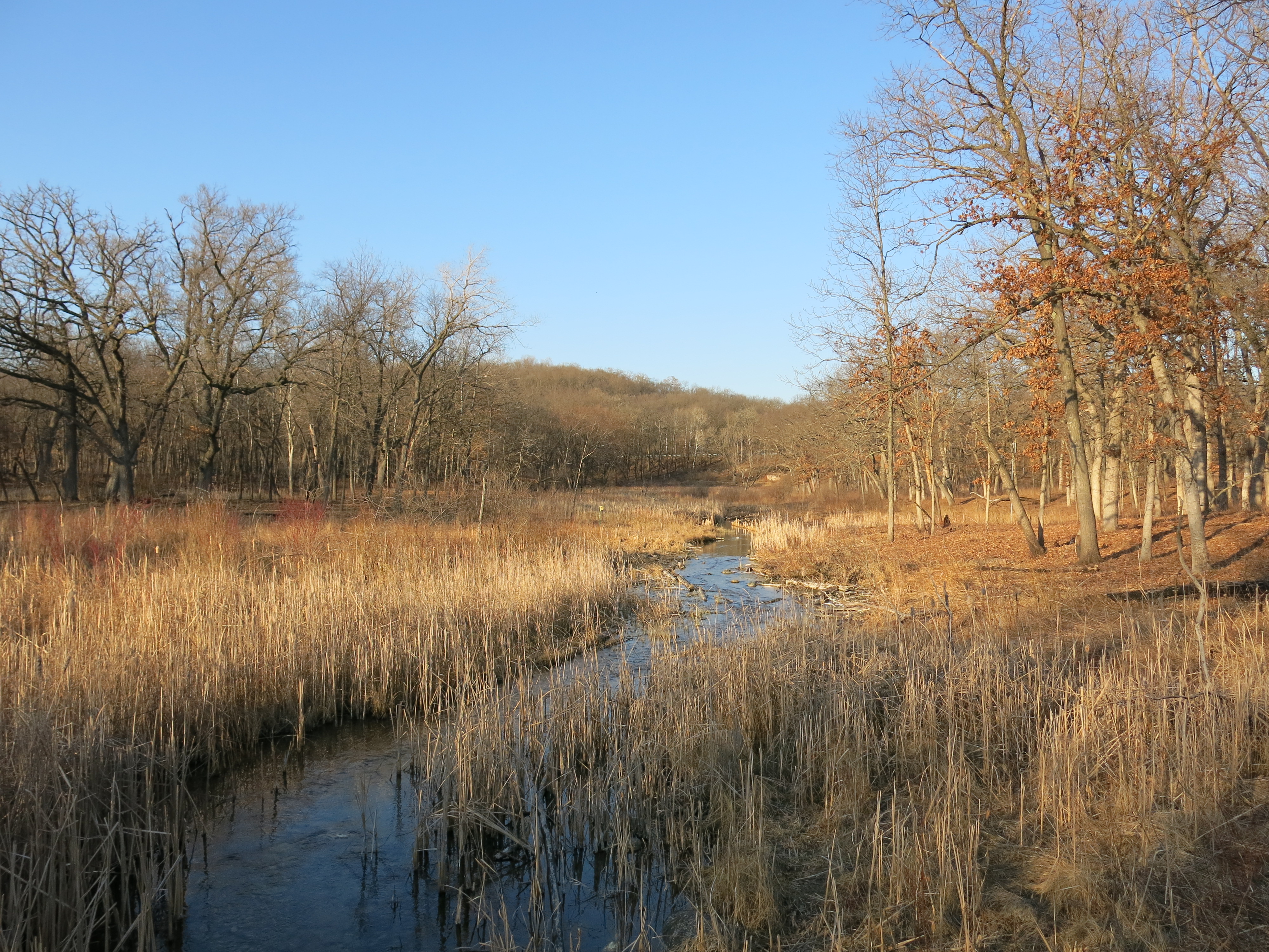
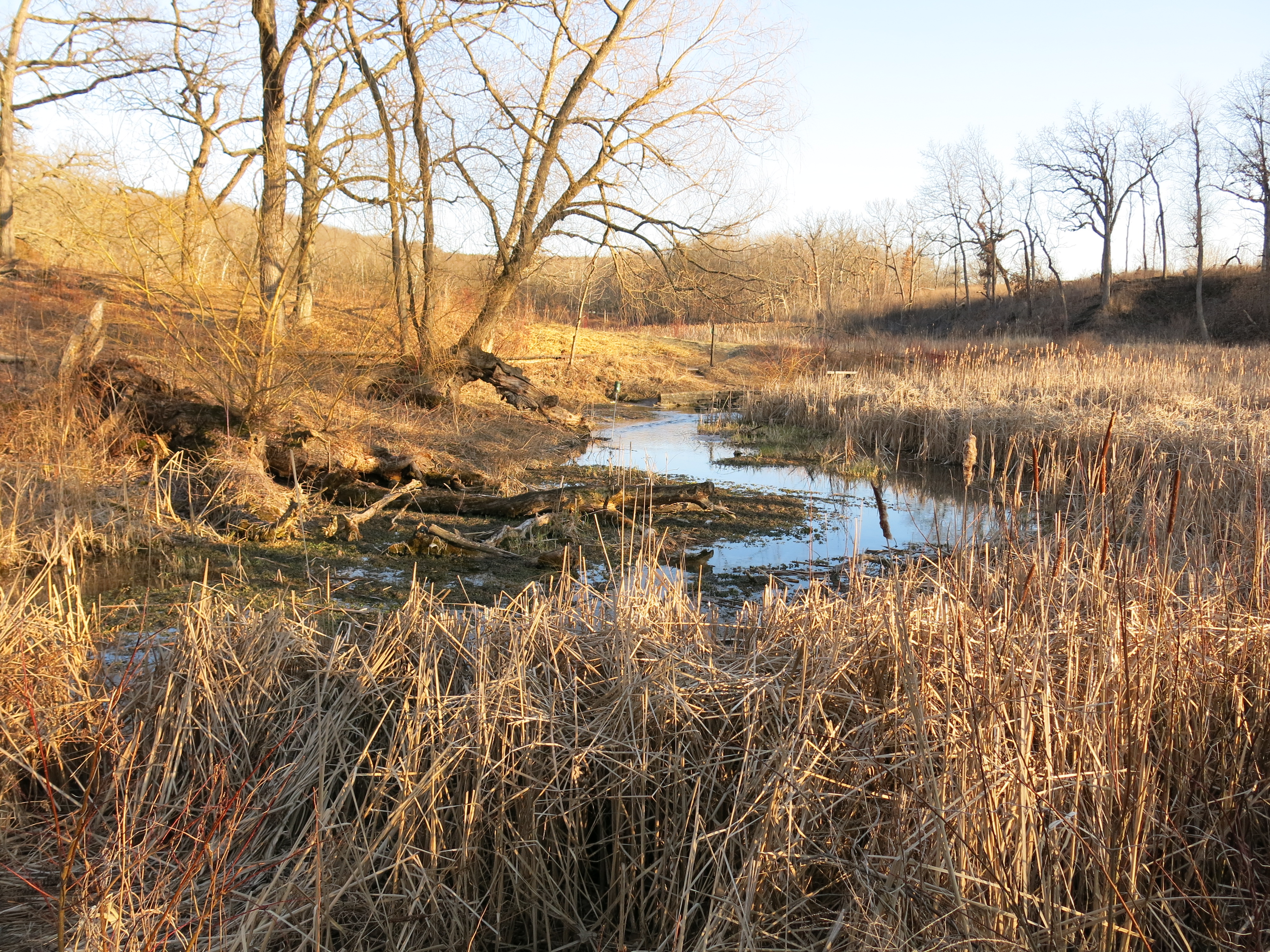
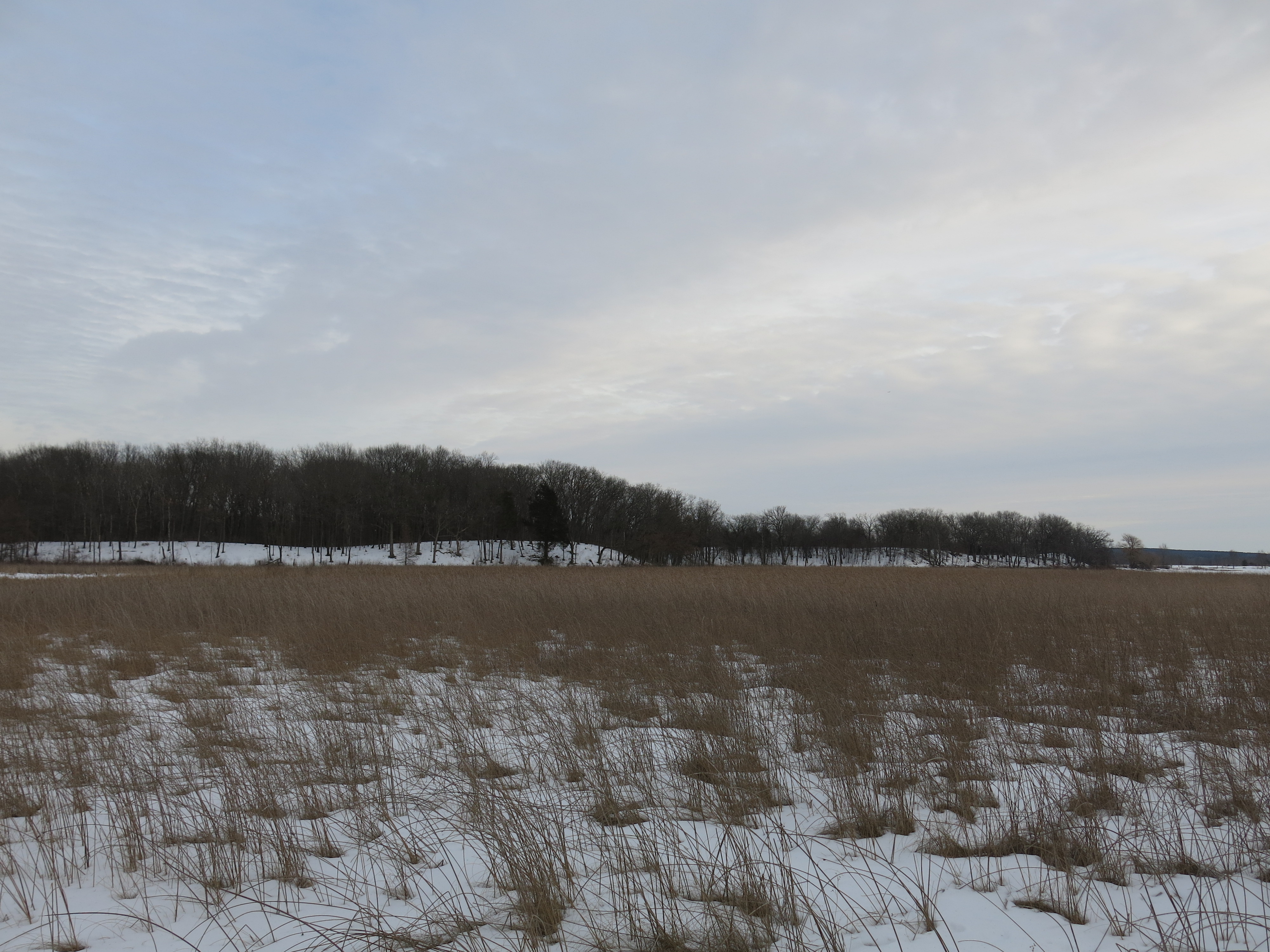
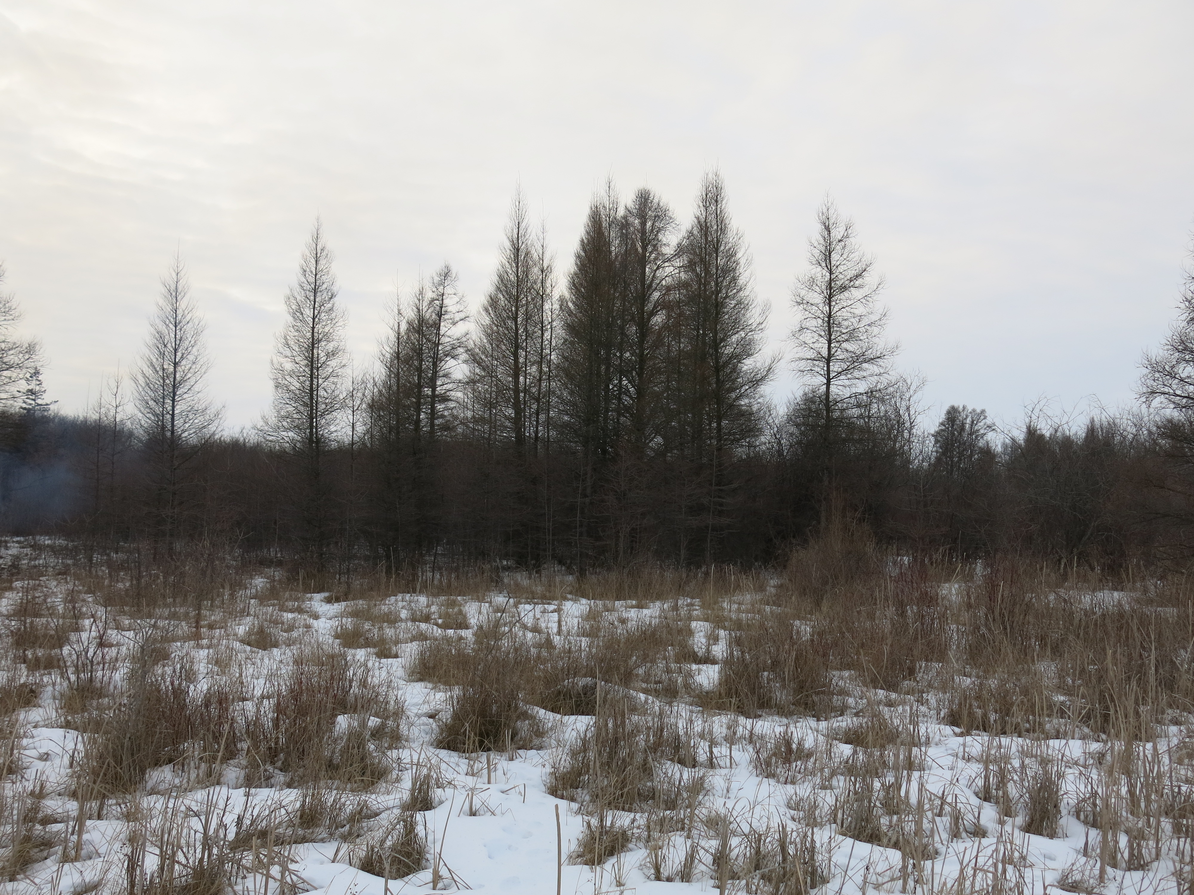
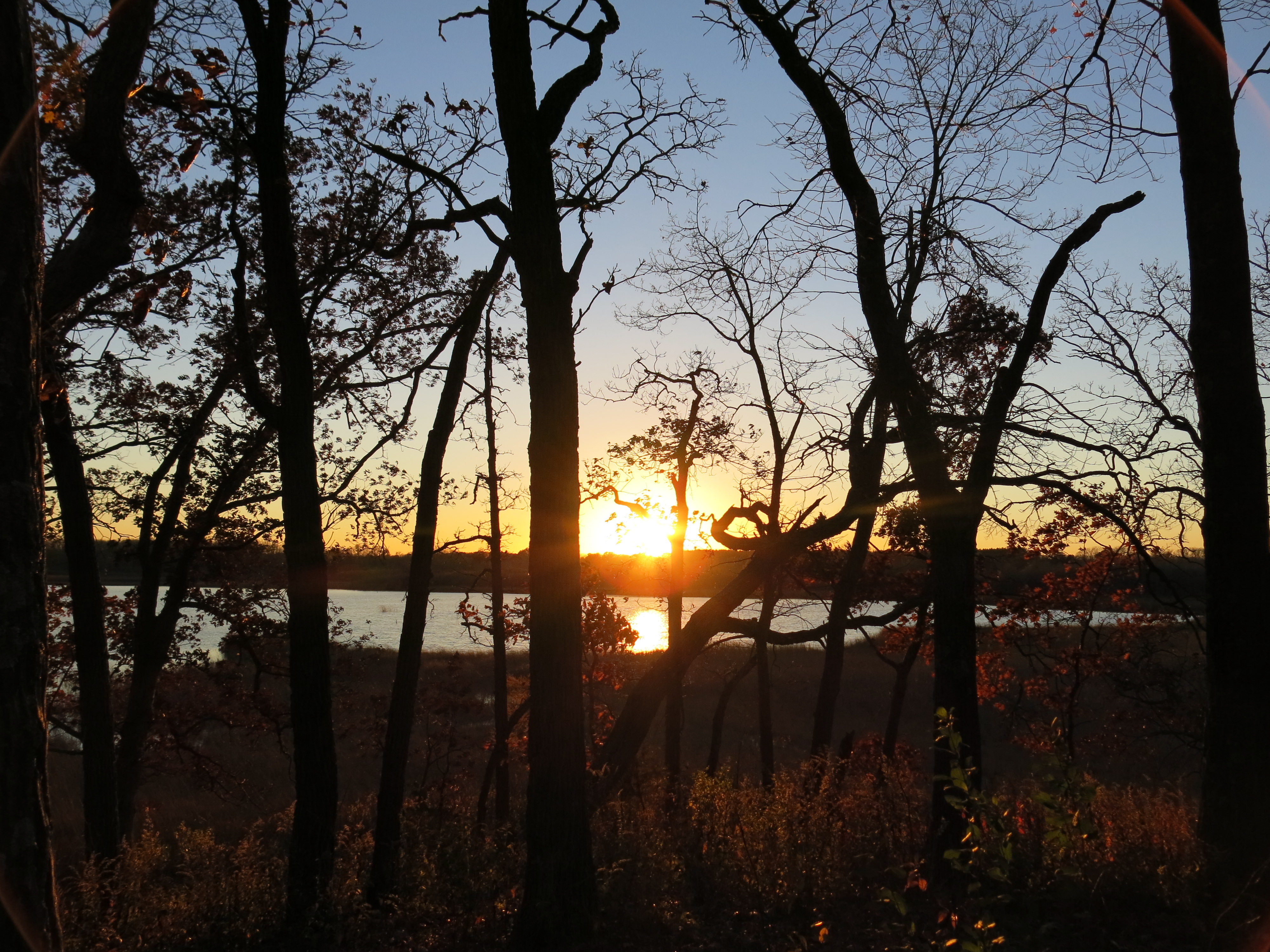
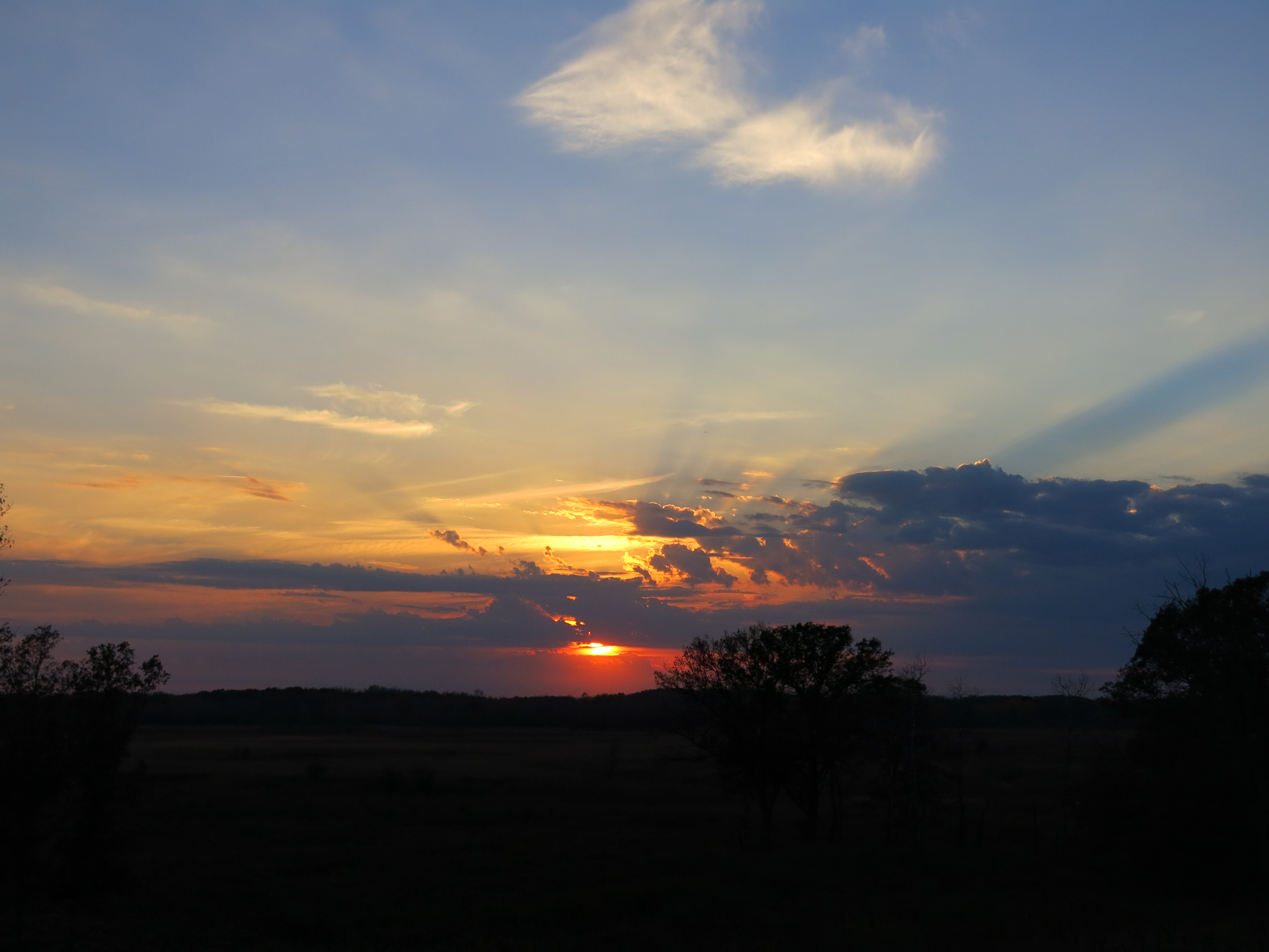
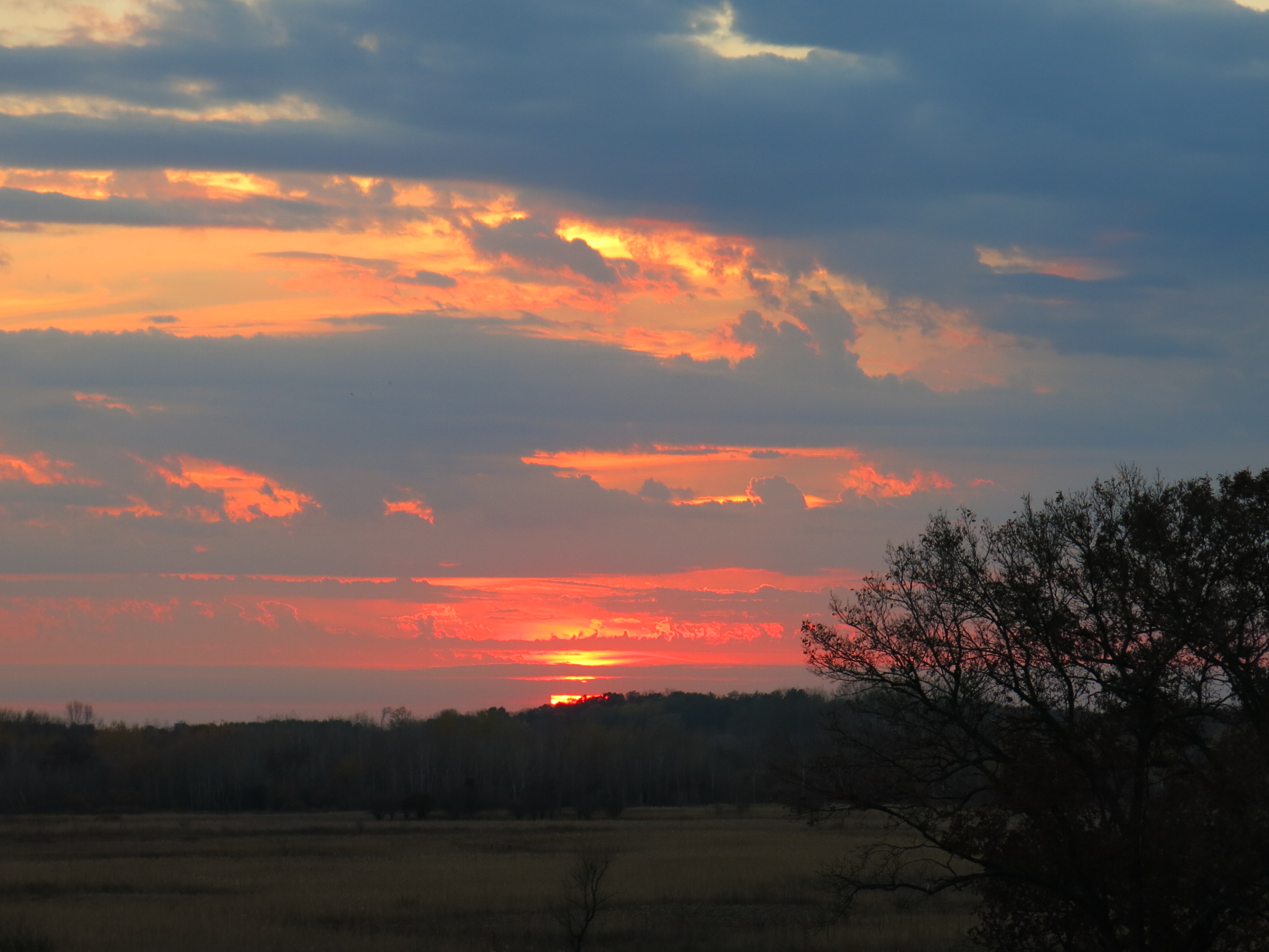
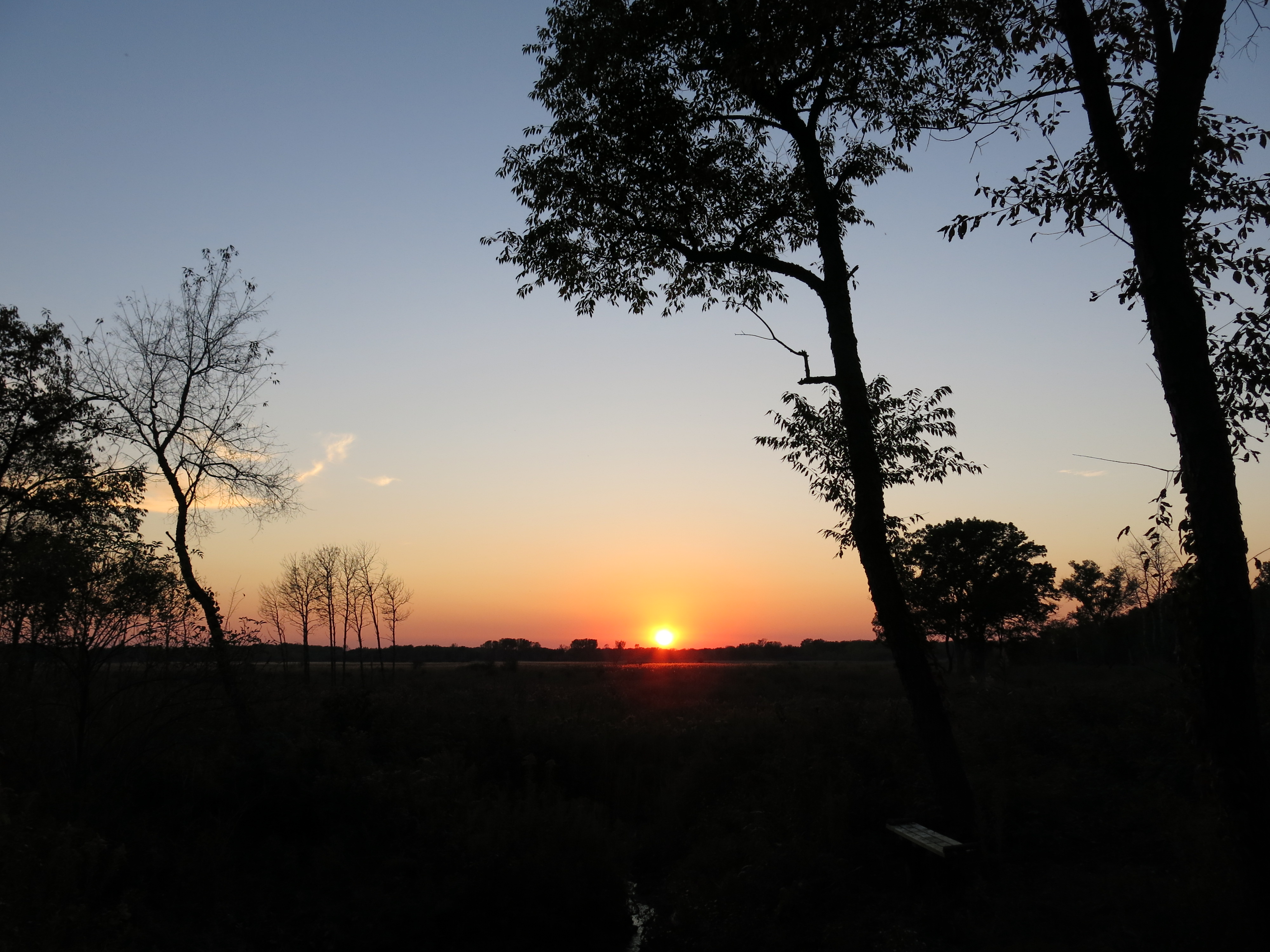
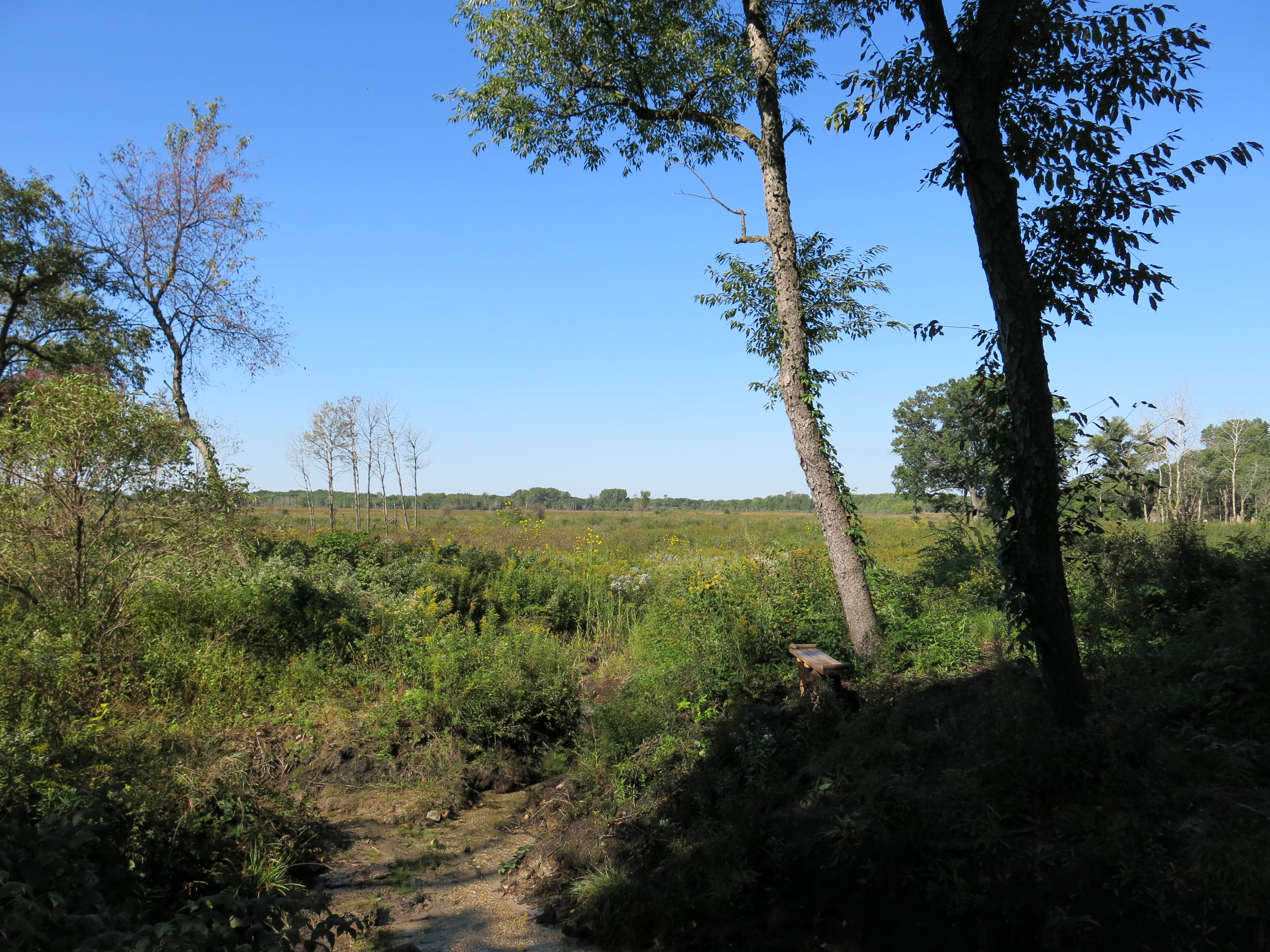
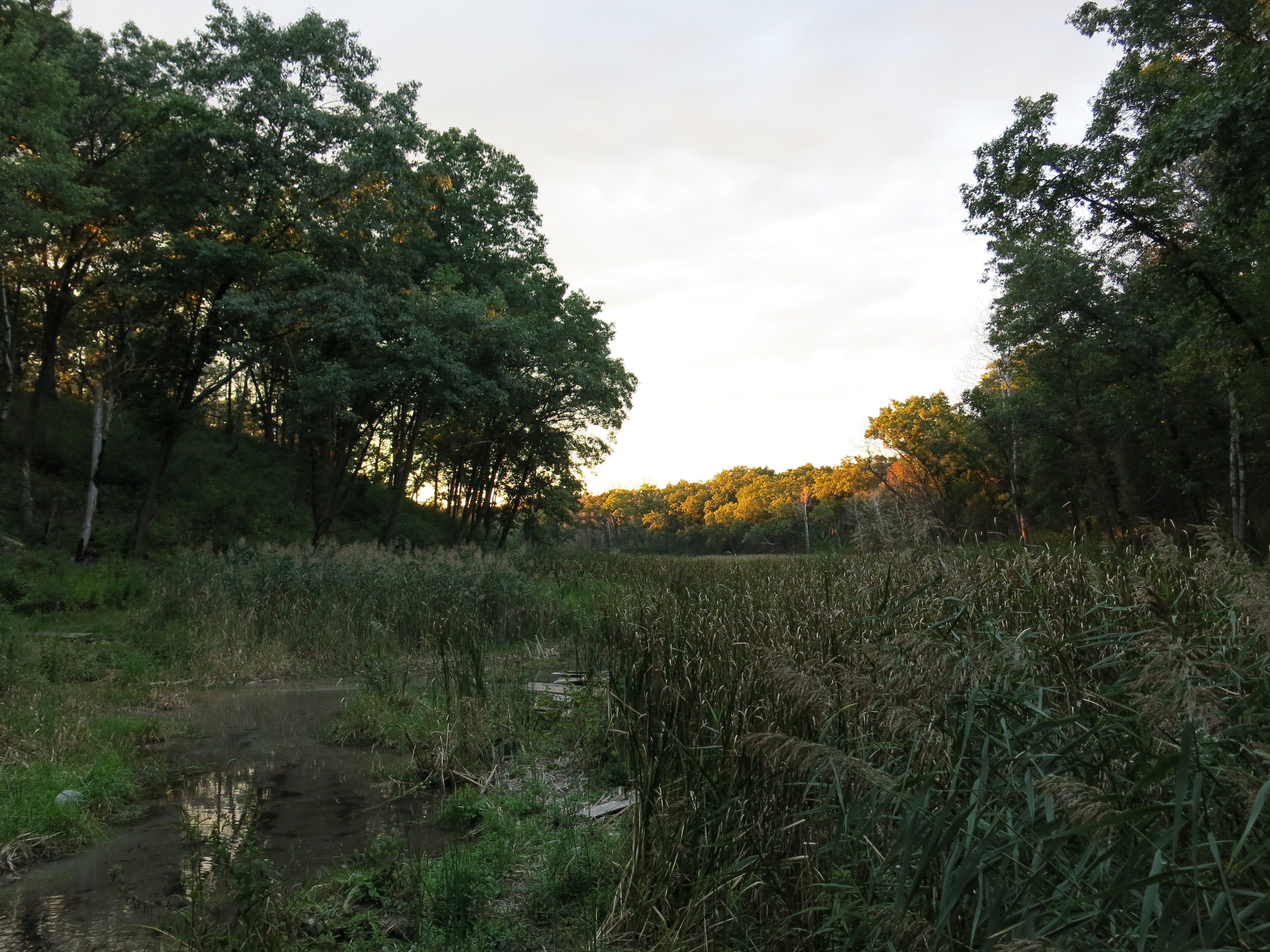
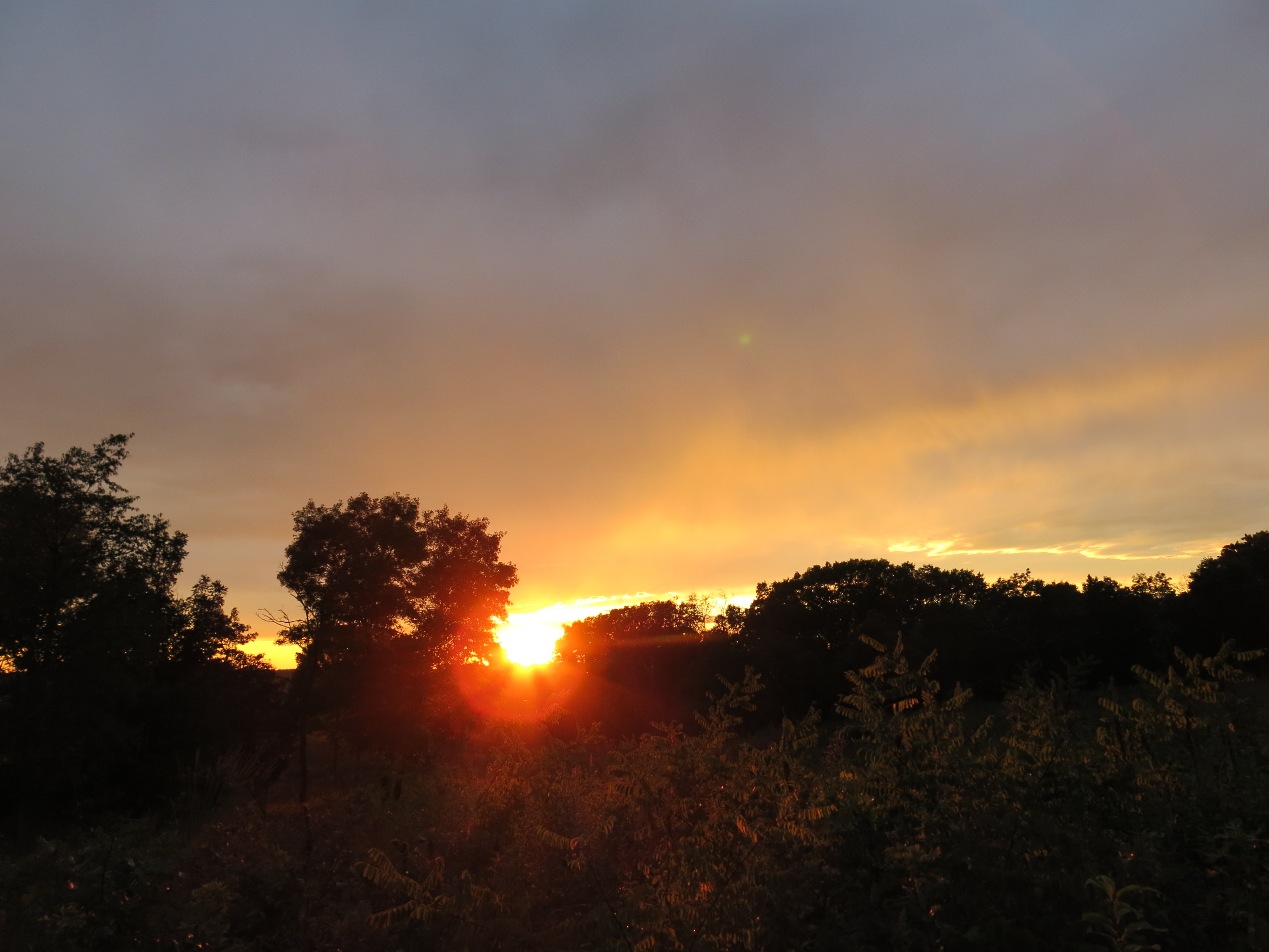
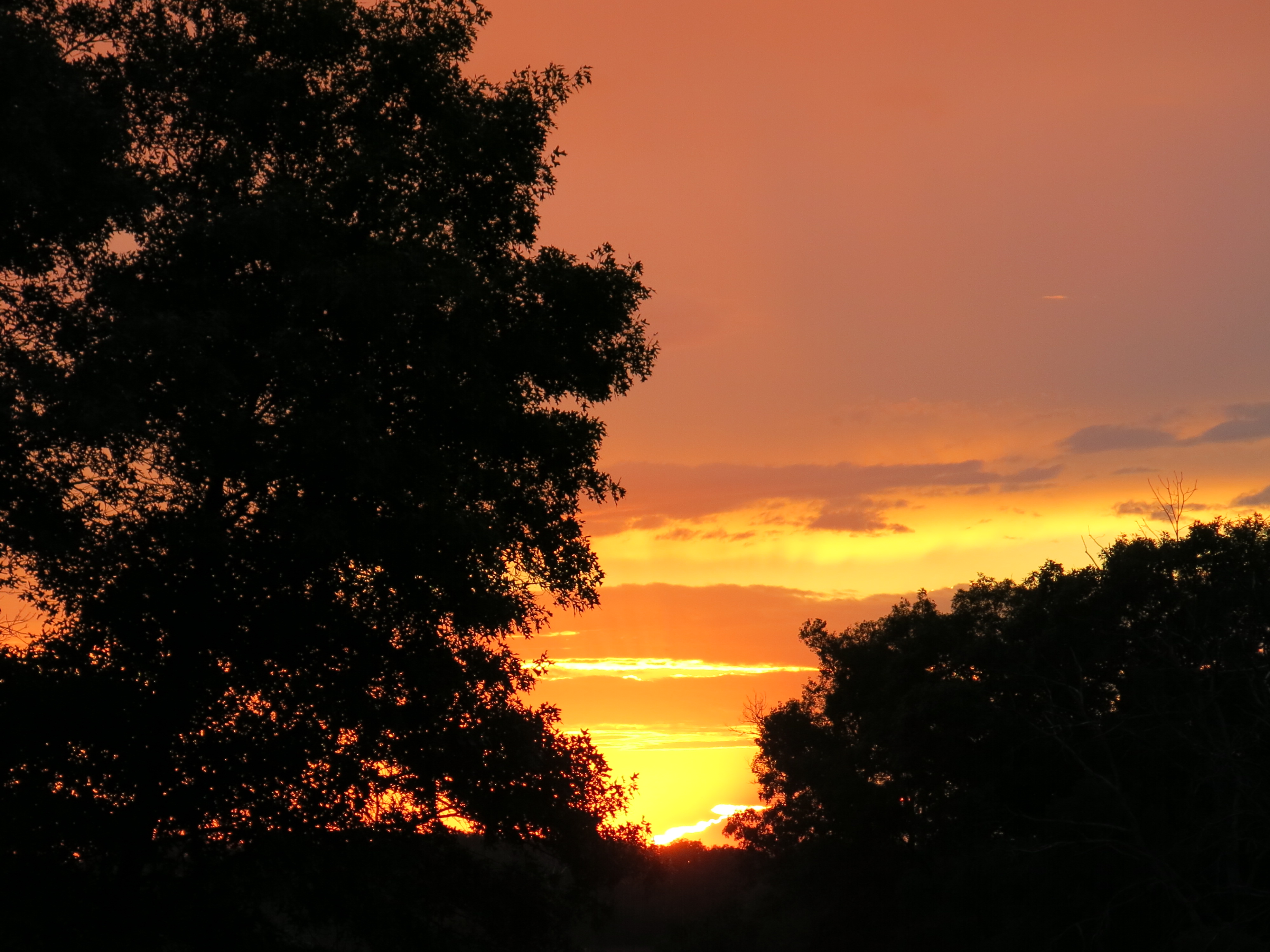
One of Jim and Joan’s favorite places in the neighborhood: Potato Falls.
IMG_1787
IMG_1794

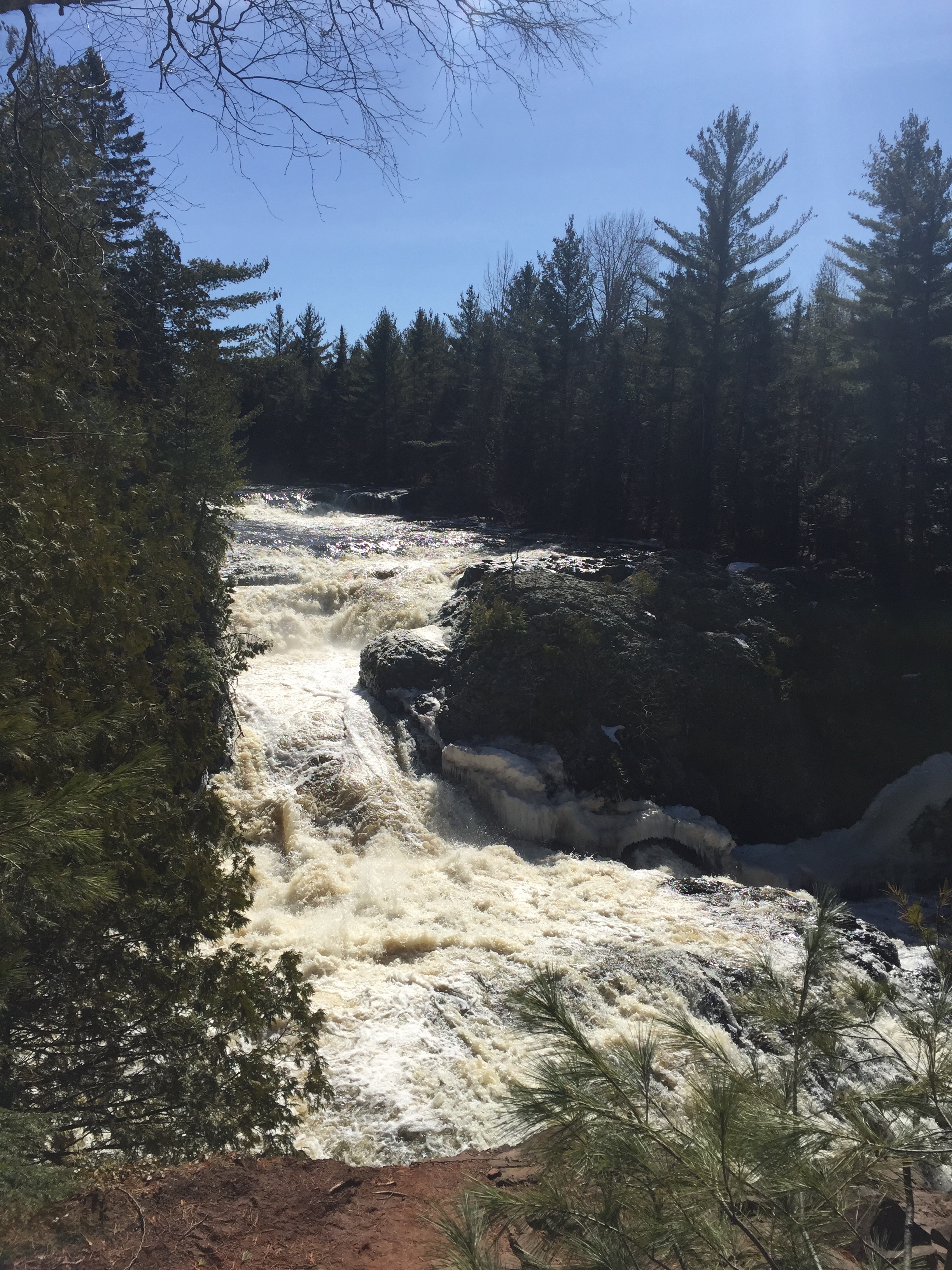
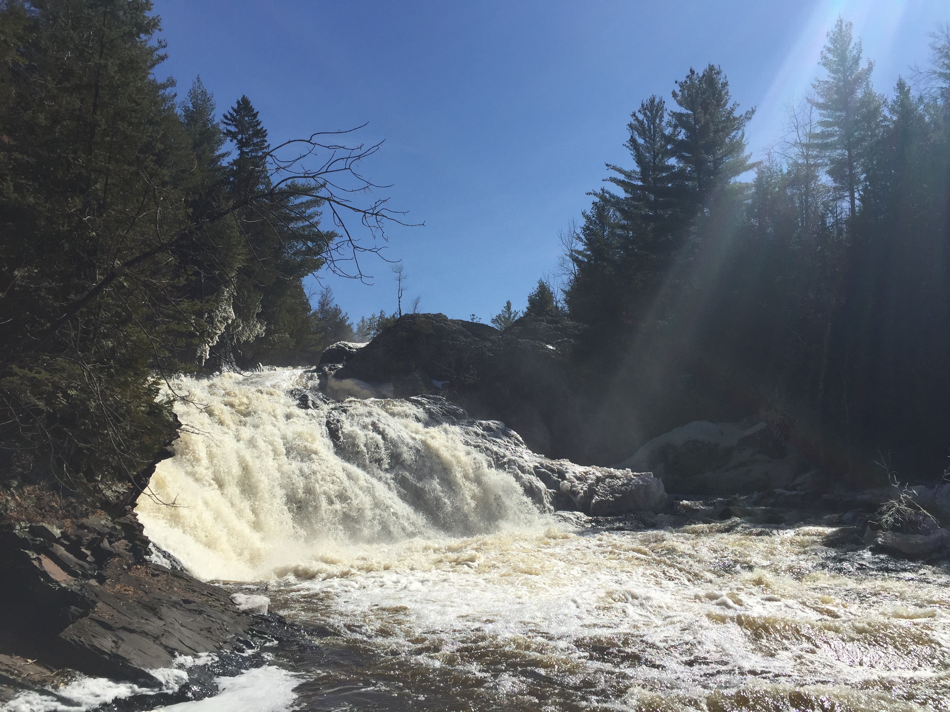
That is the upper falls above cascading over multiple tiers, and below we see the lower falls.

IMG_1800

I got a real treat when I met a team of kayakers who had just run the upper falls!
IMG_1779

Check out Jonathan Sisley’s run down the upper falls, which begins around 1:00 into this video (thanks for sharing this Jonathan!)

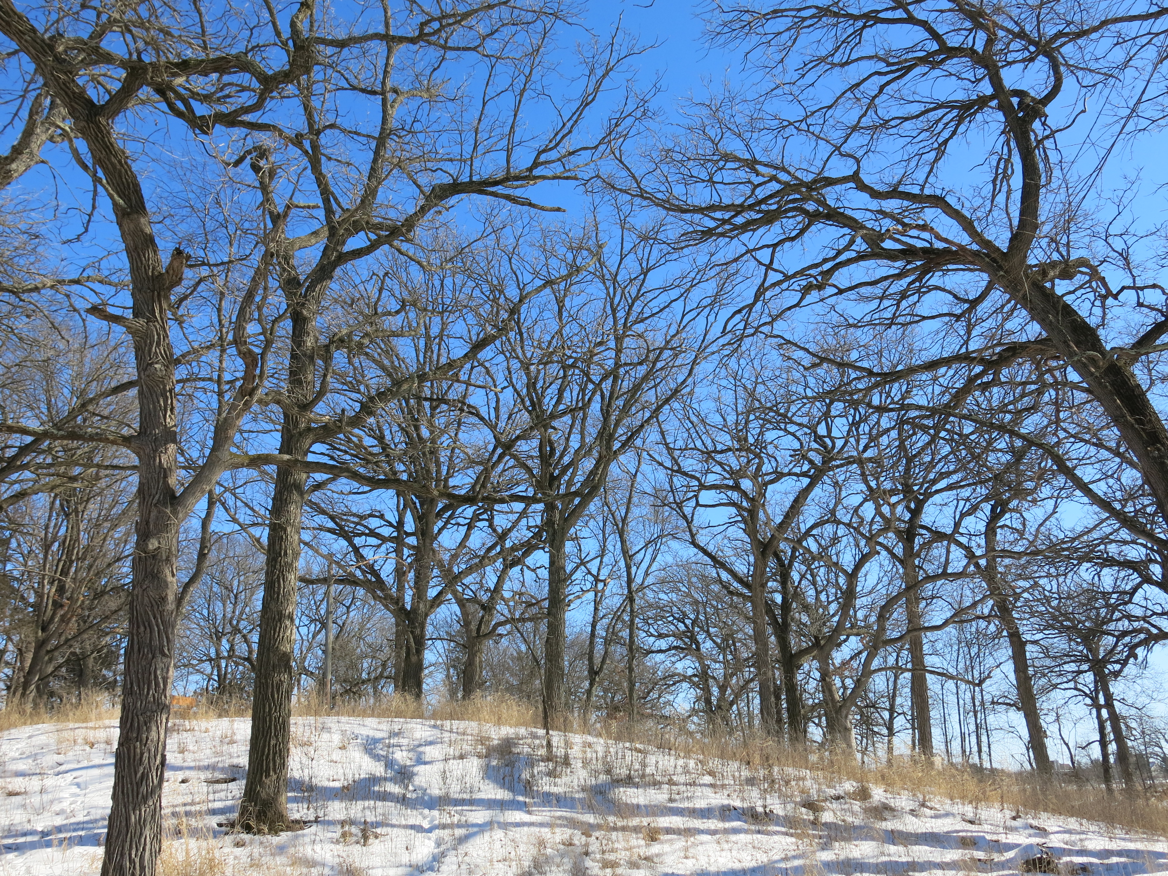
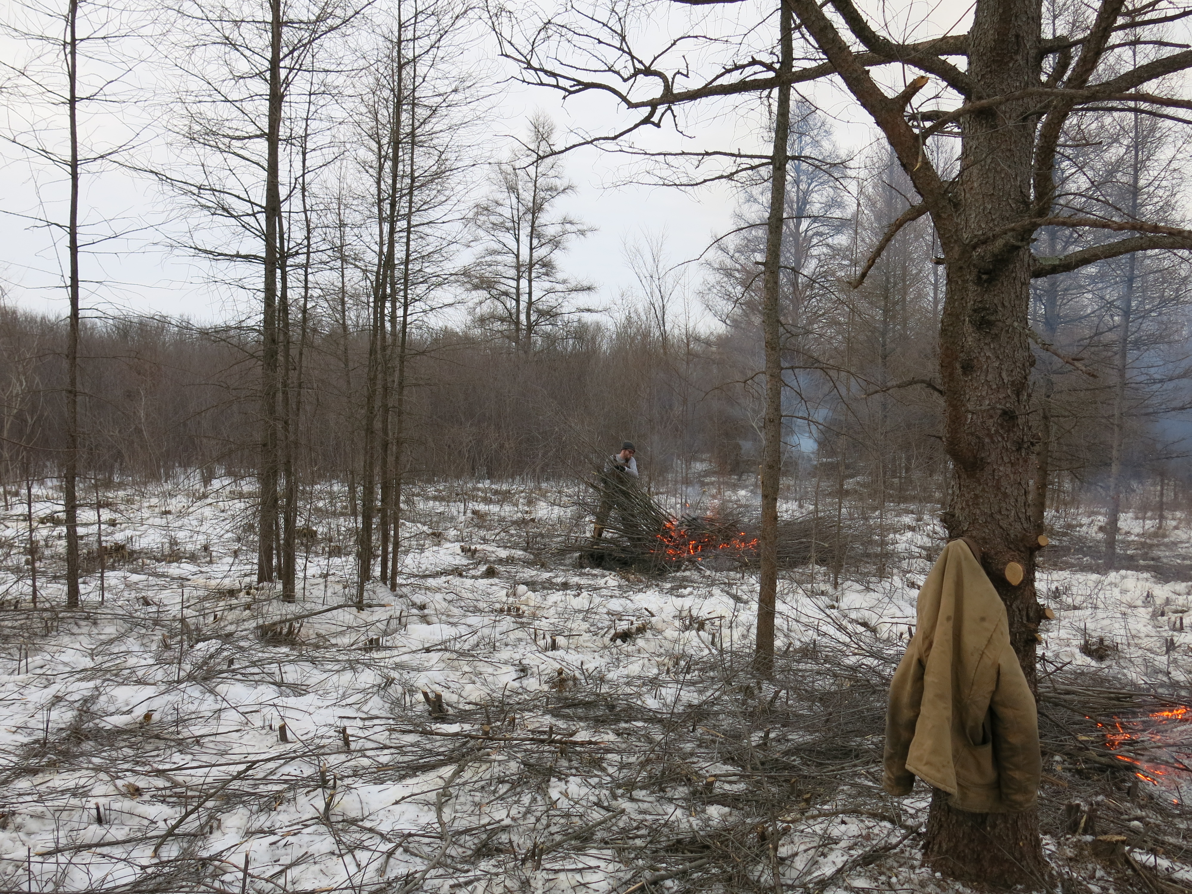
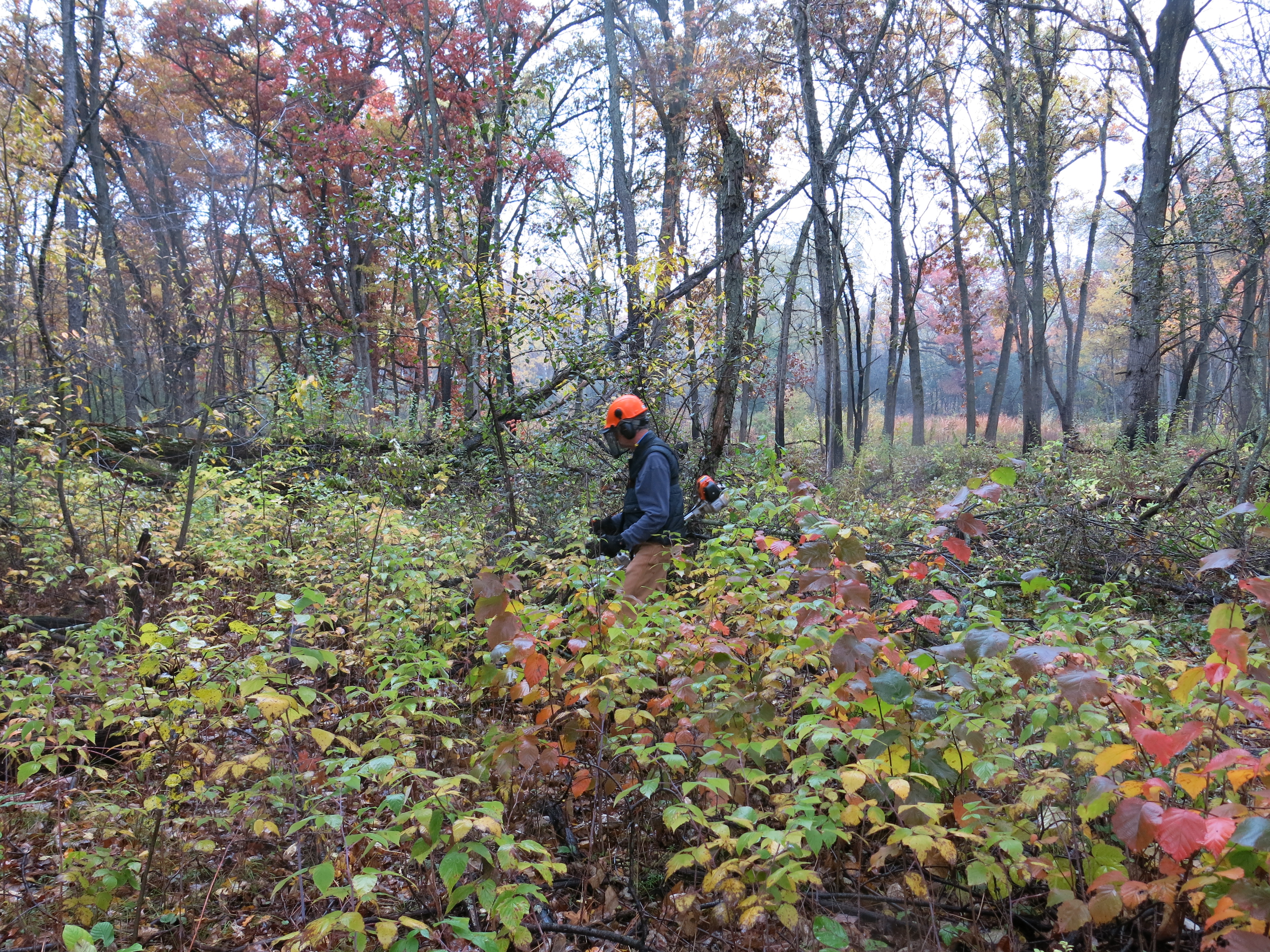
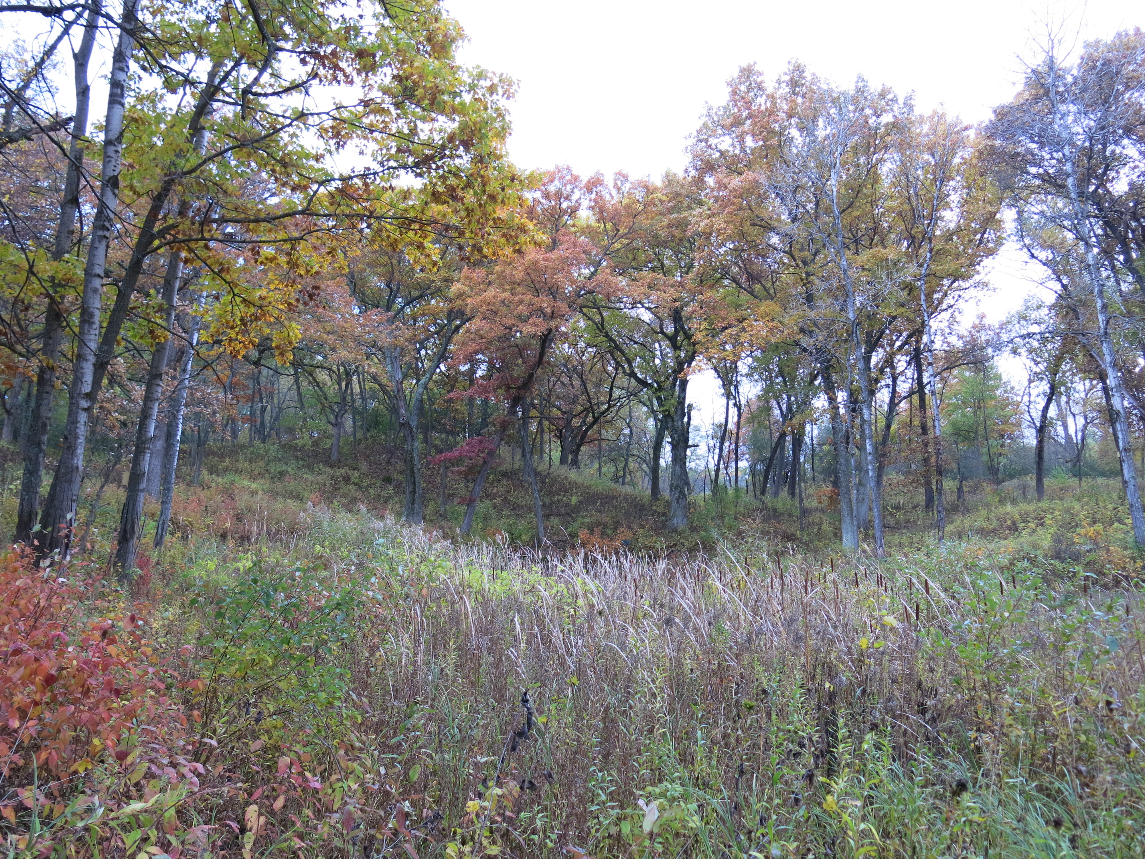
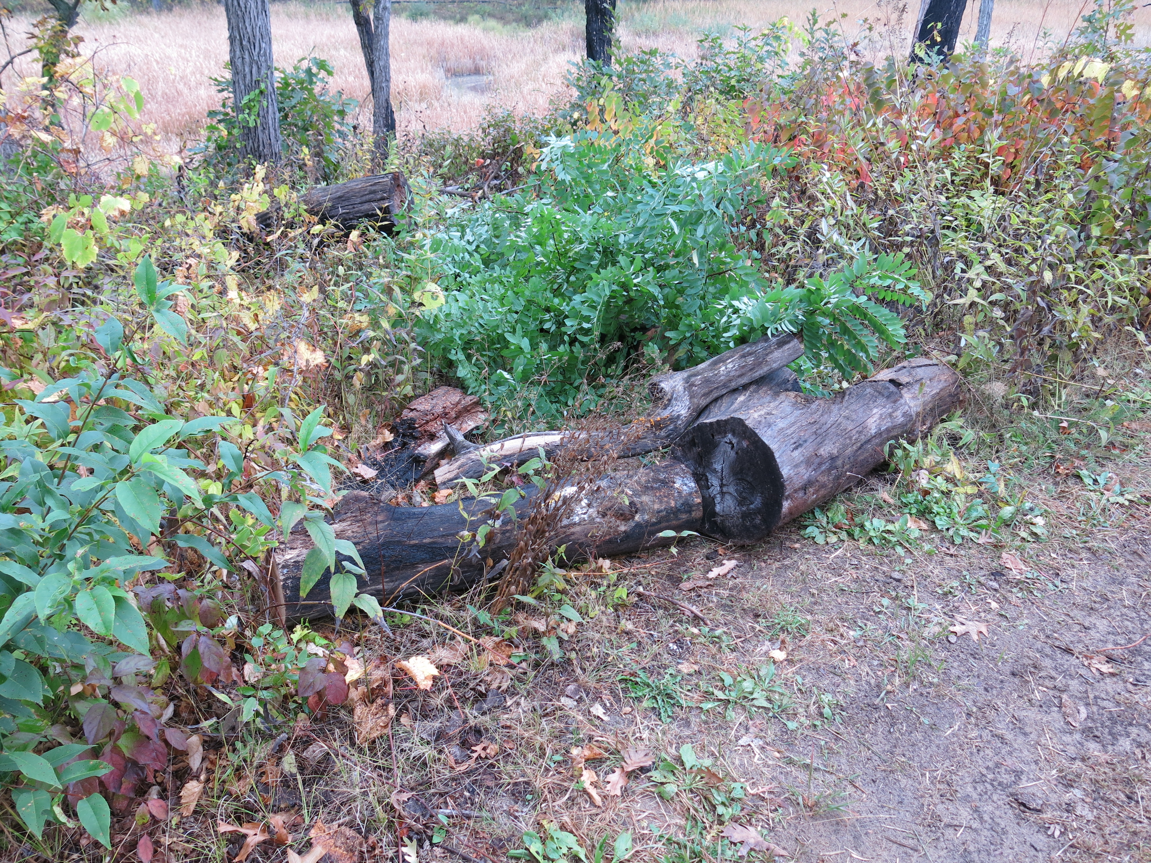
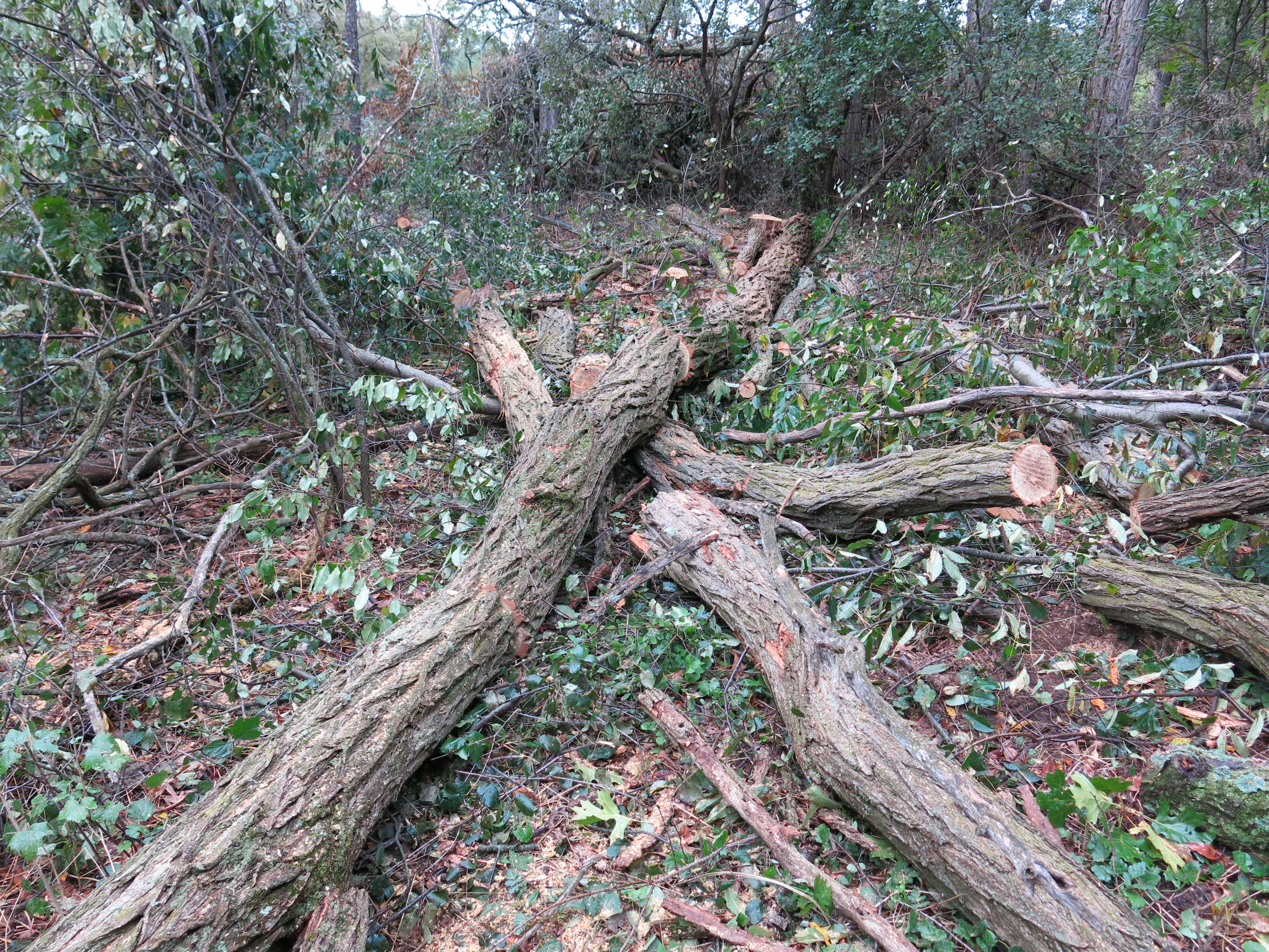
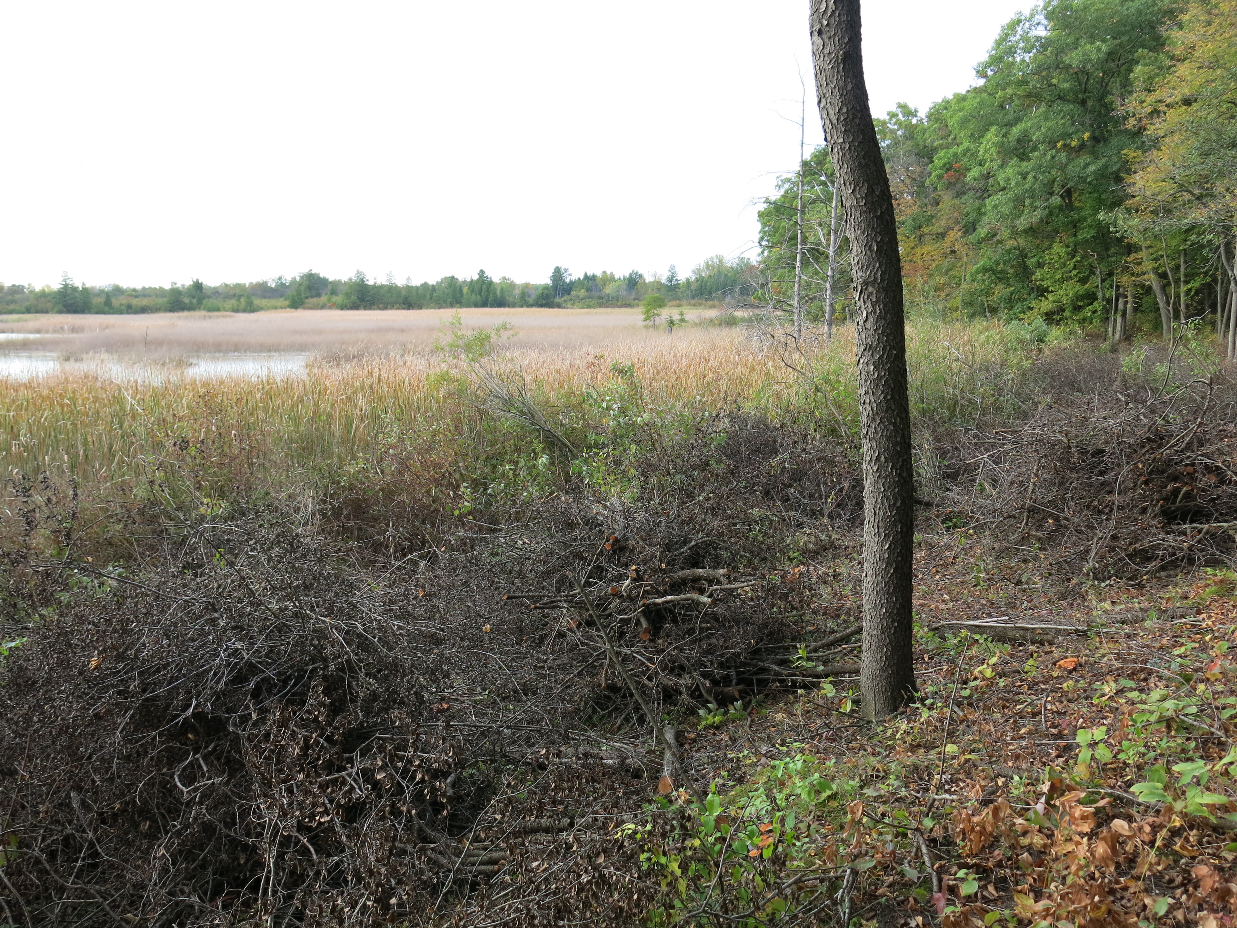
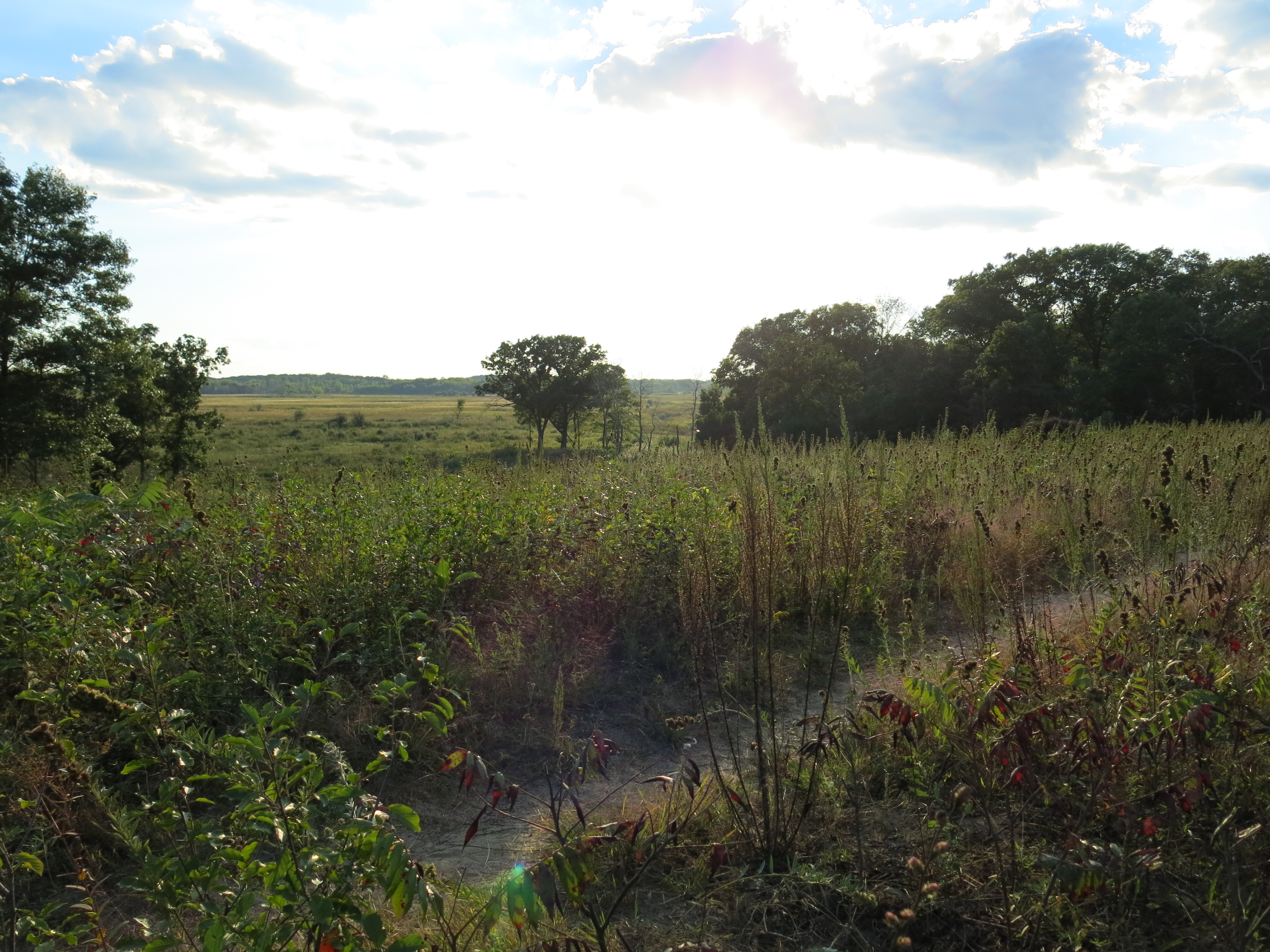
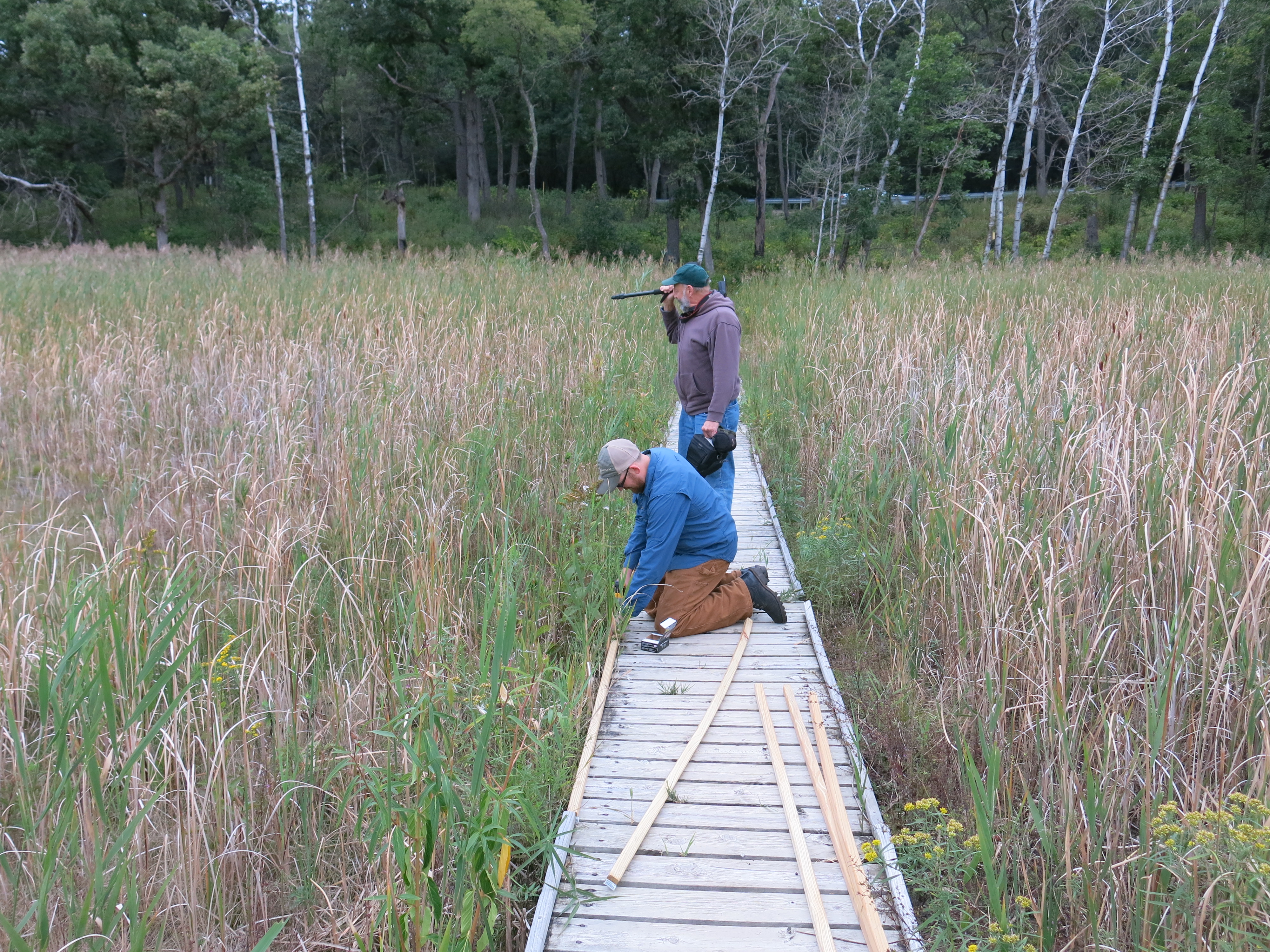
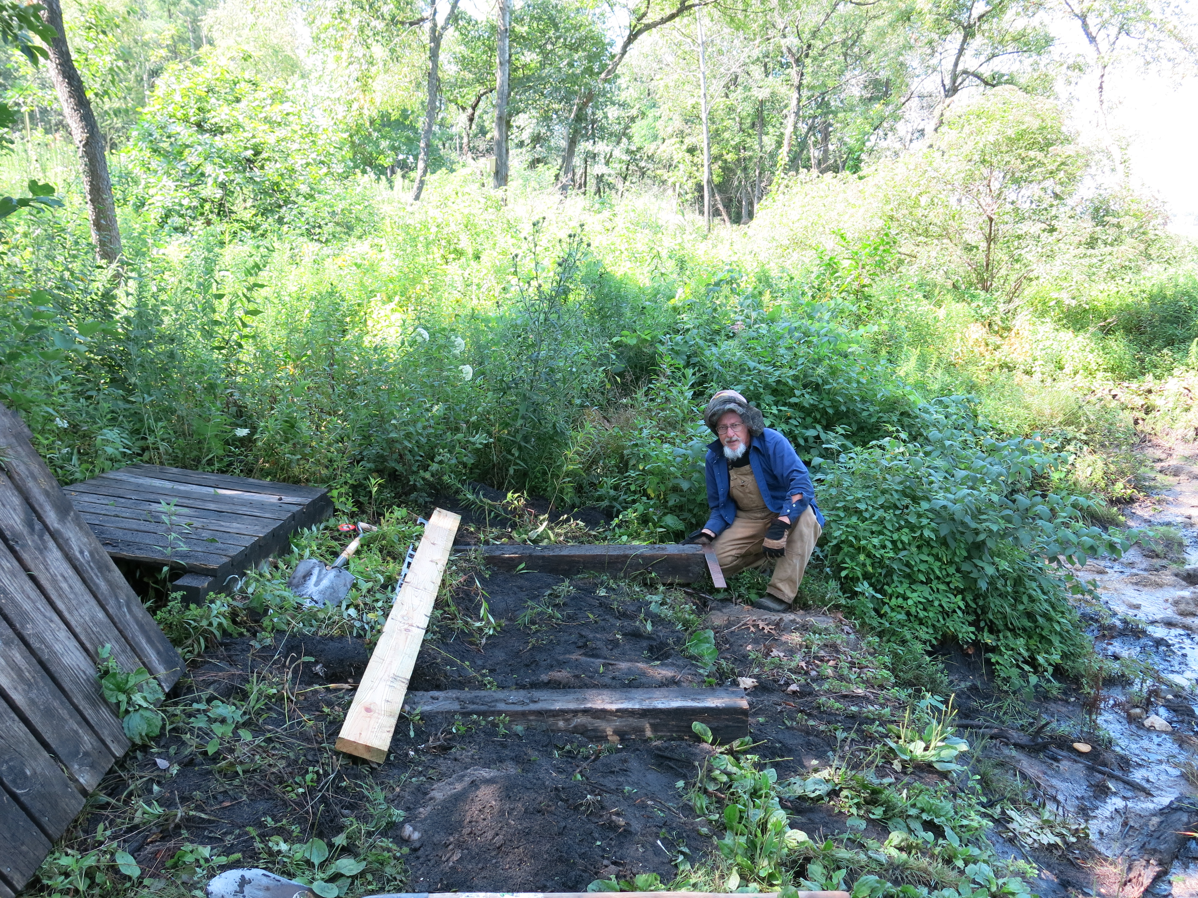
Back at The Springs, there was buckthorn to cut and pile.  Andy Buchta stacked all the brush I laid down near the marl factory.

IMG_1803

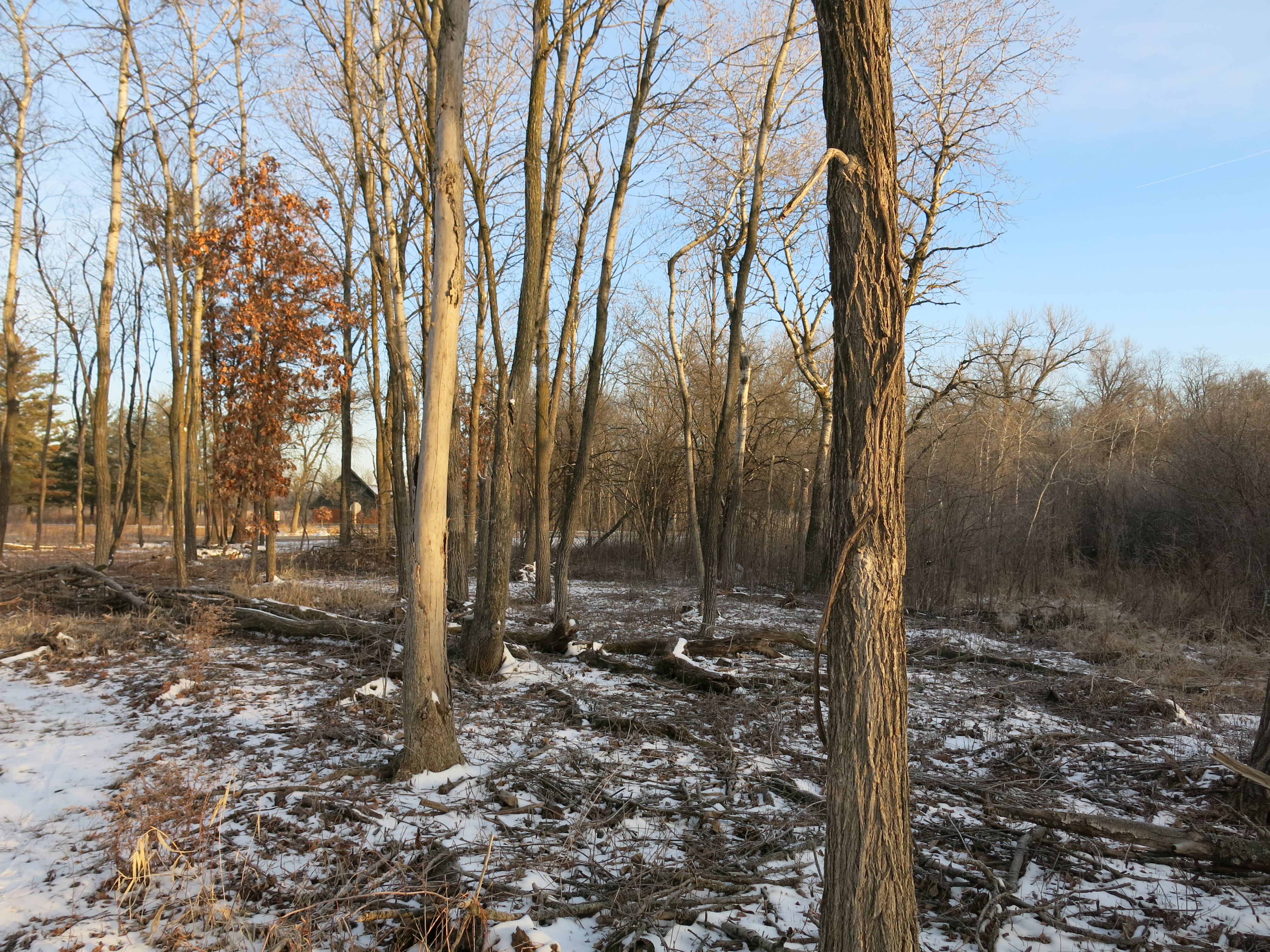
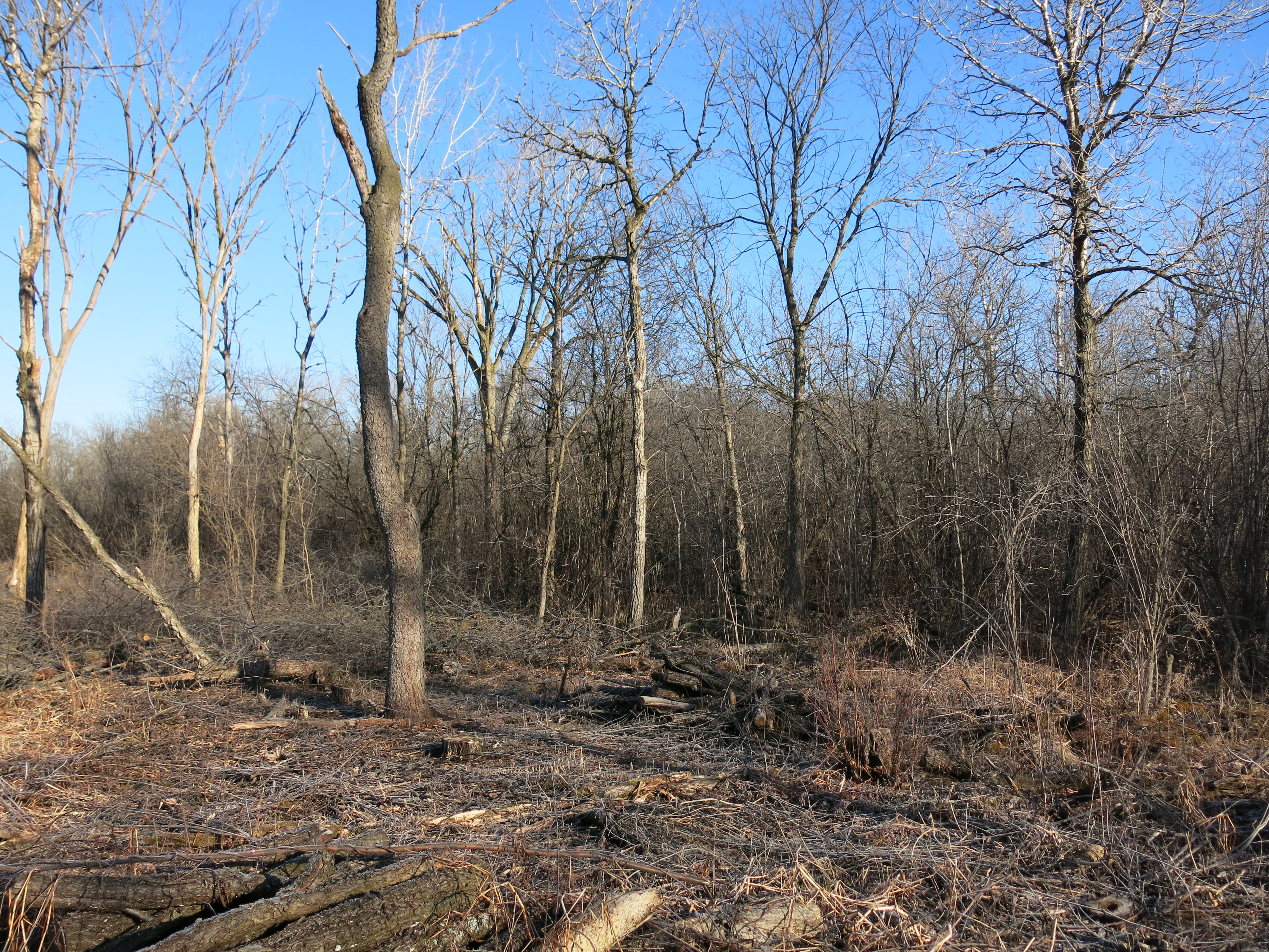
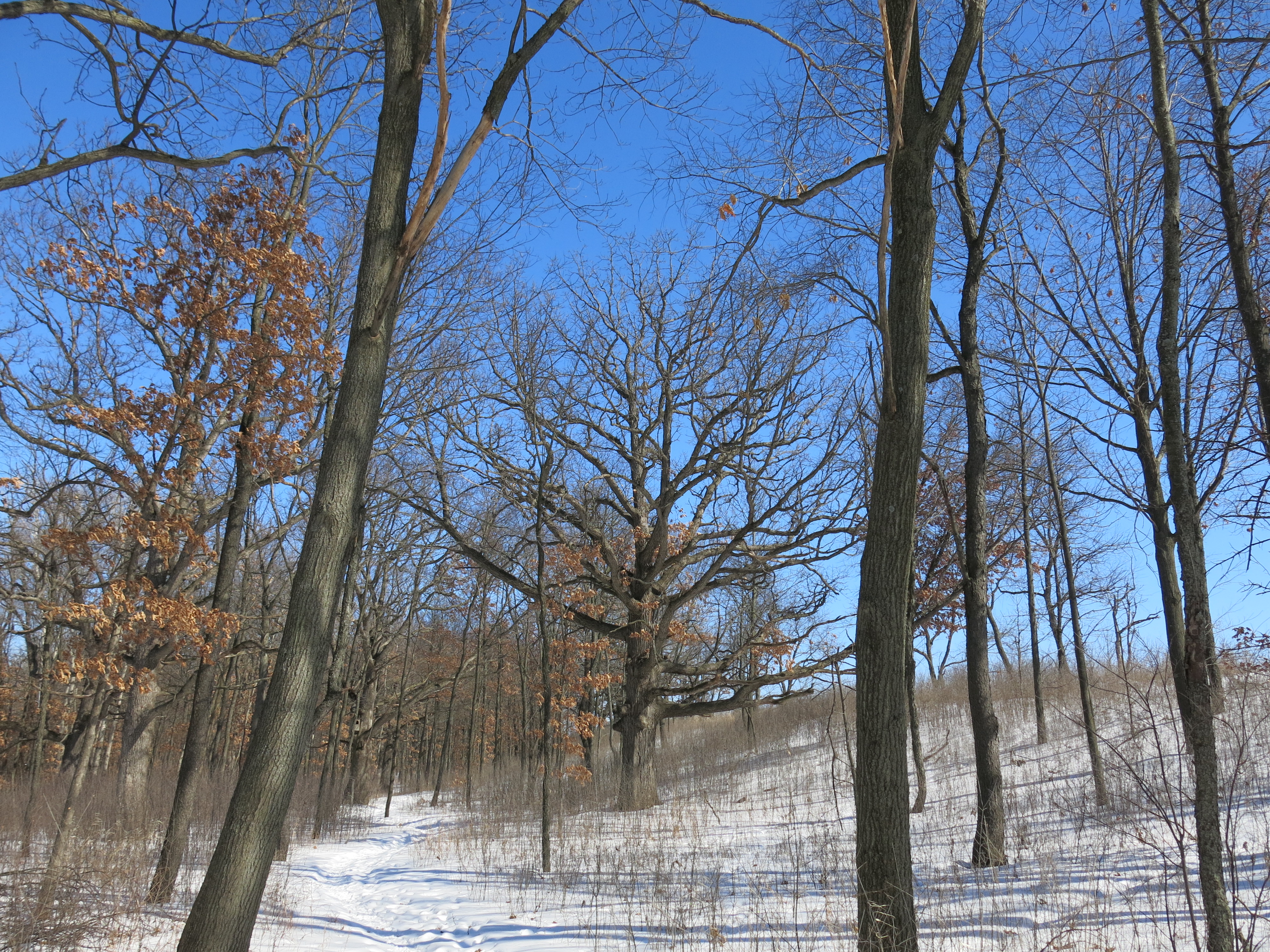
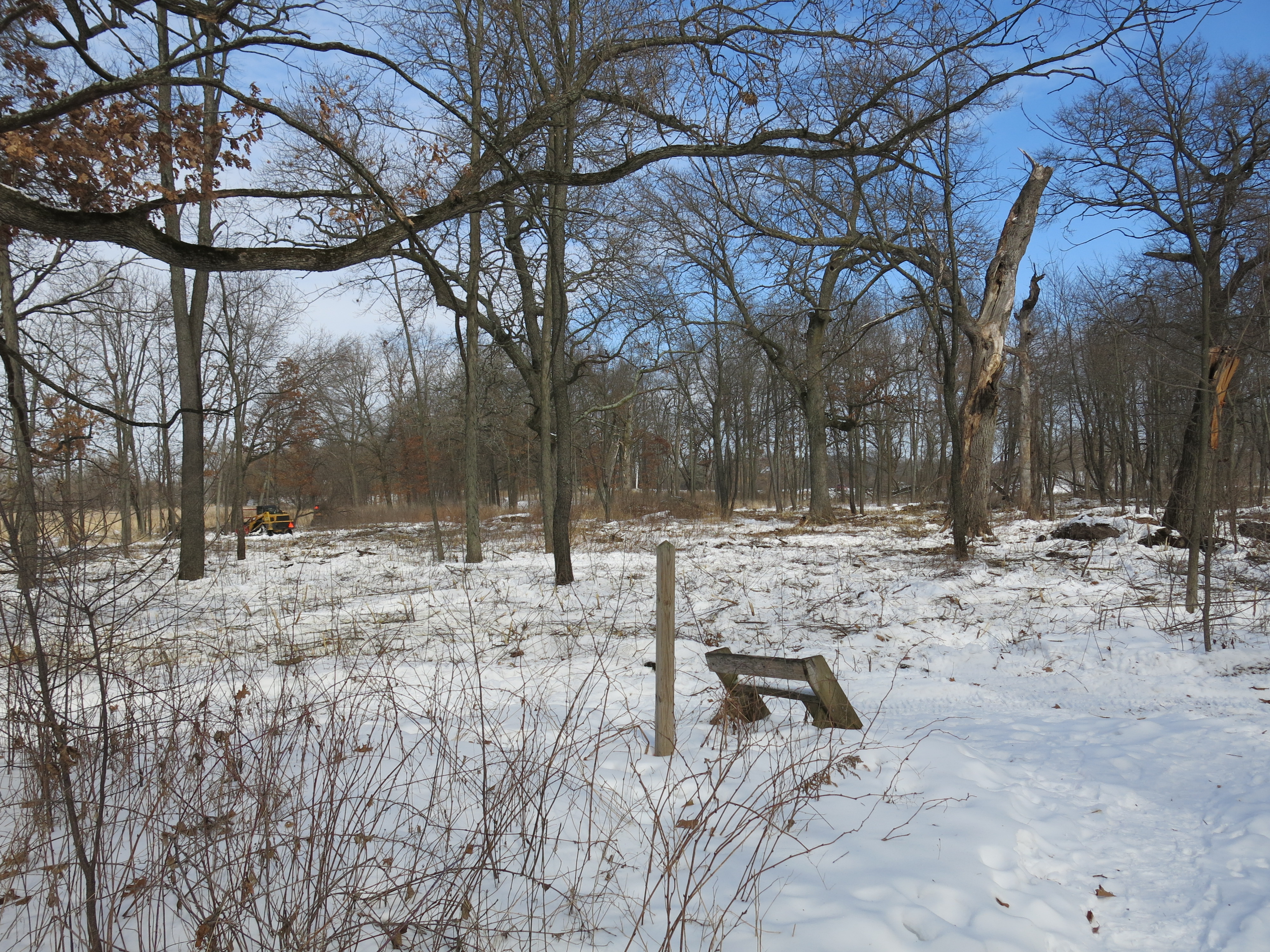
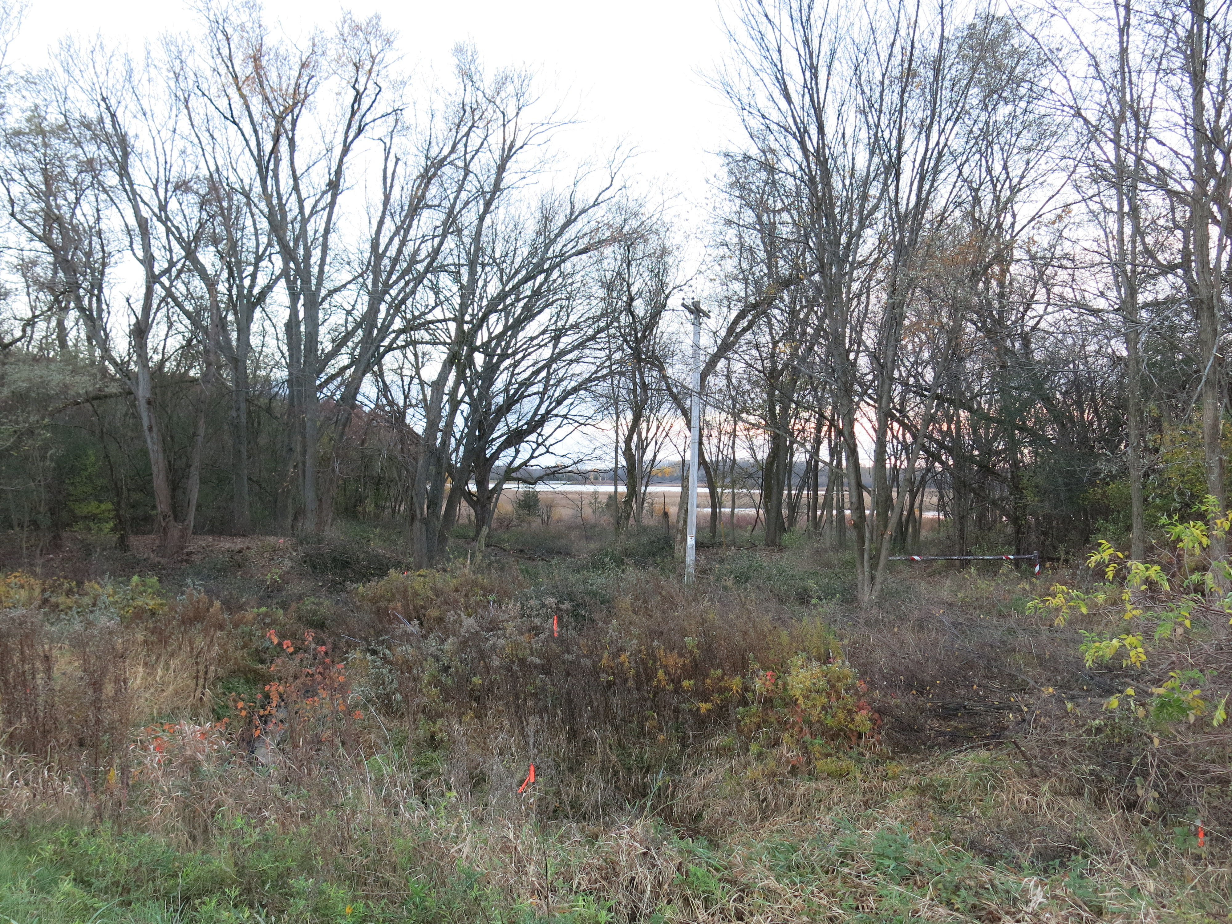
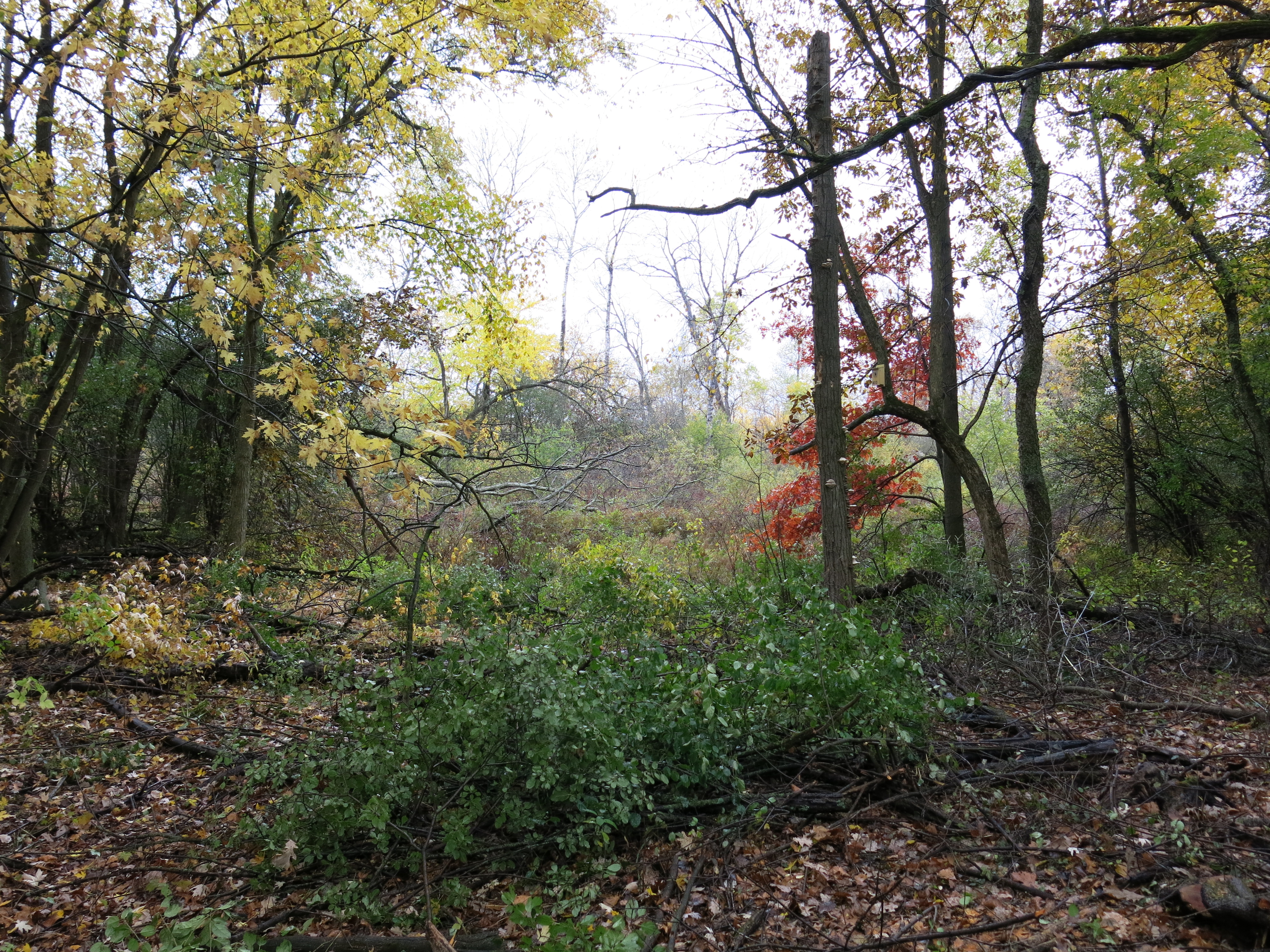
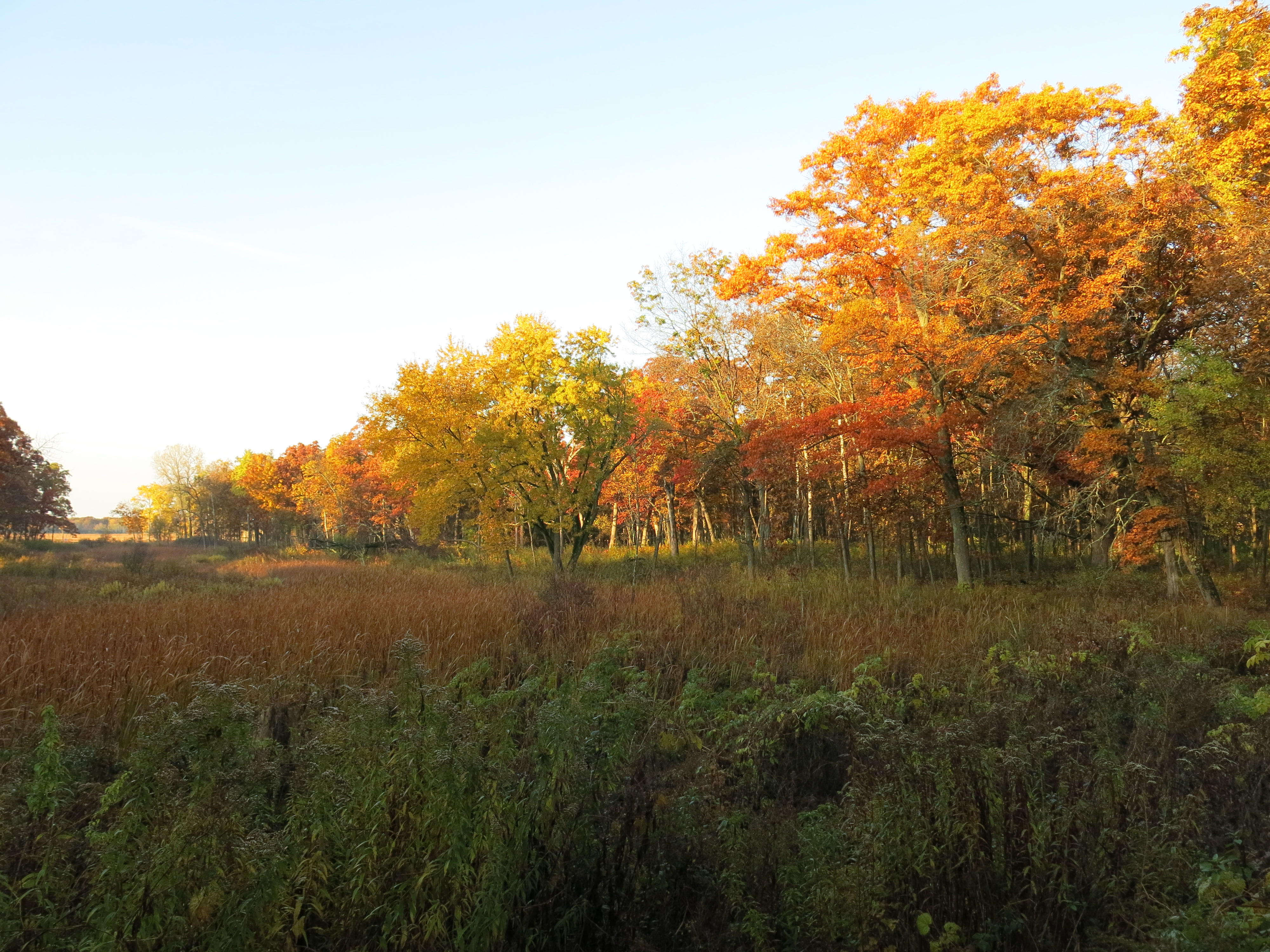
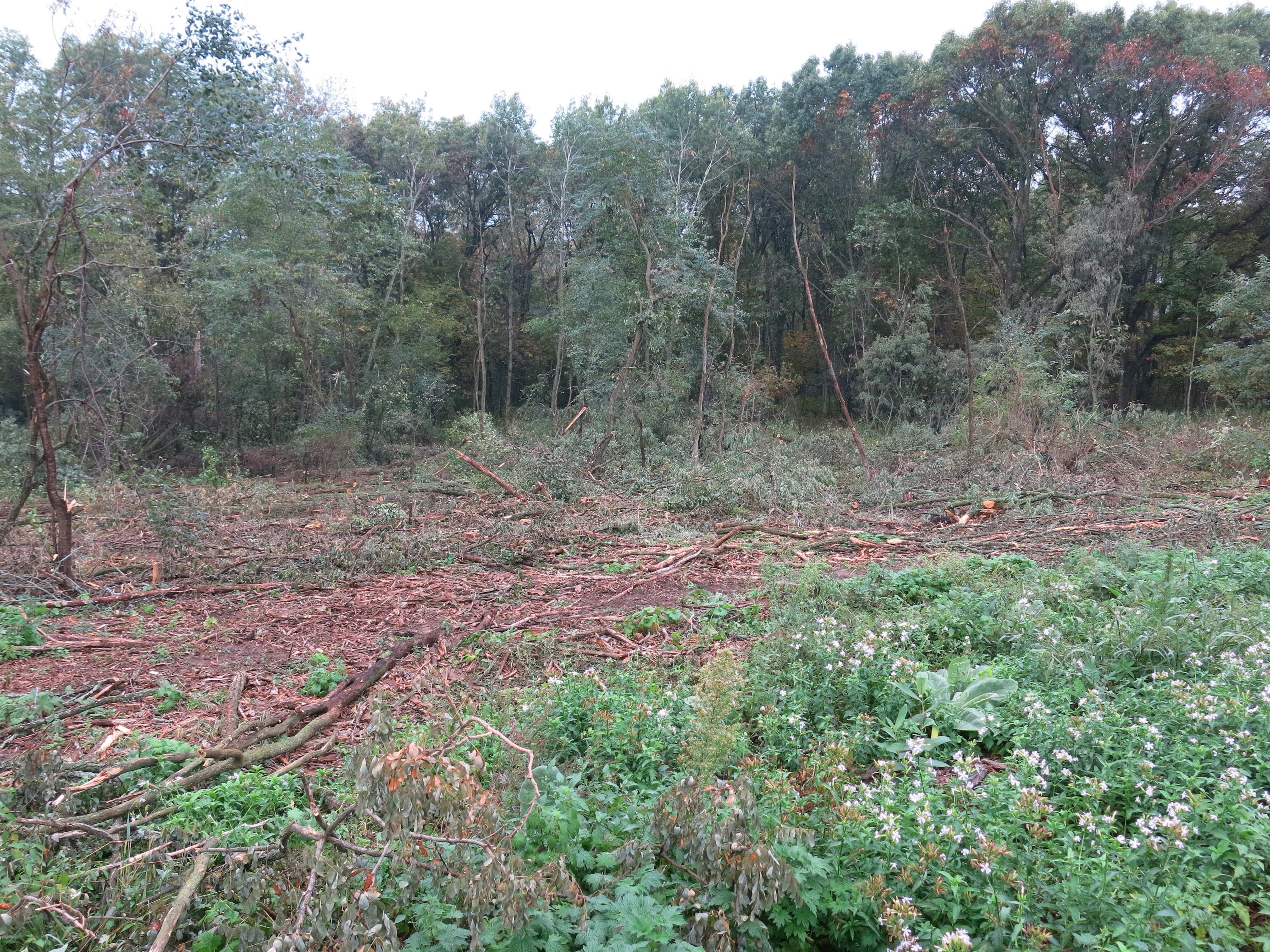
I continued clearing the areas on both sides of the trail a couple hundred yards from the parking lot on Hwy ZZ, in what used to be, The Buckthorn Alley.

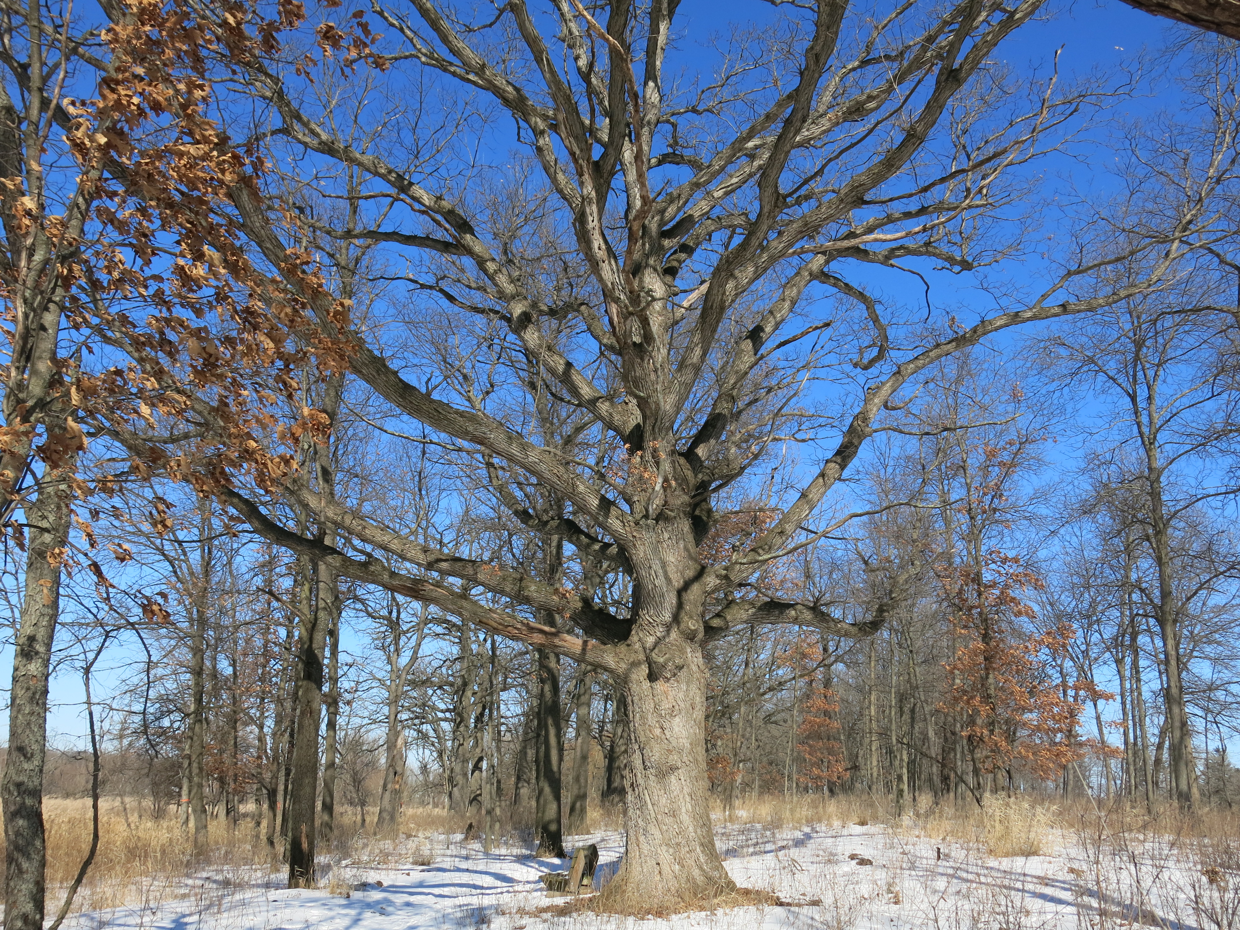
Tuesday I focused on the left side of the trail…

IMG_5342 IMG_5343 IMG_5344

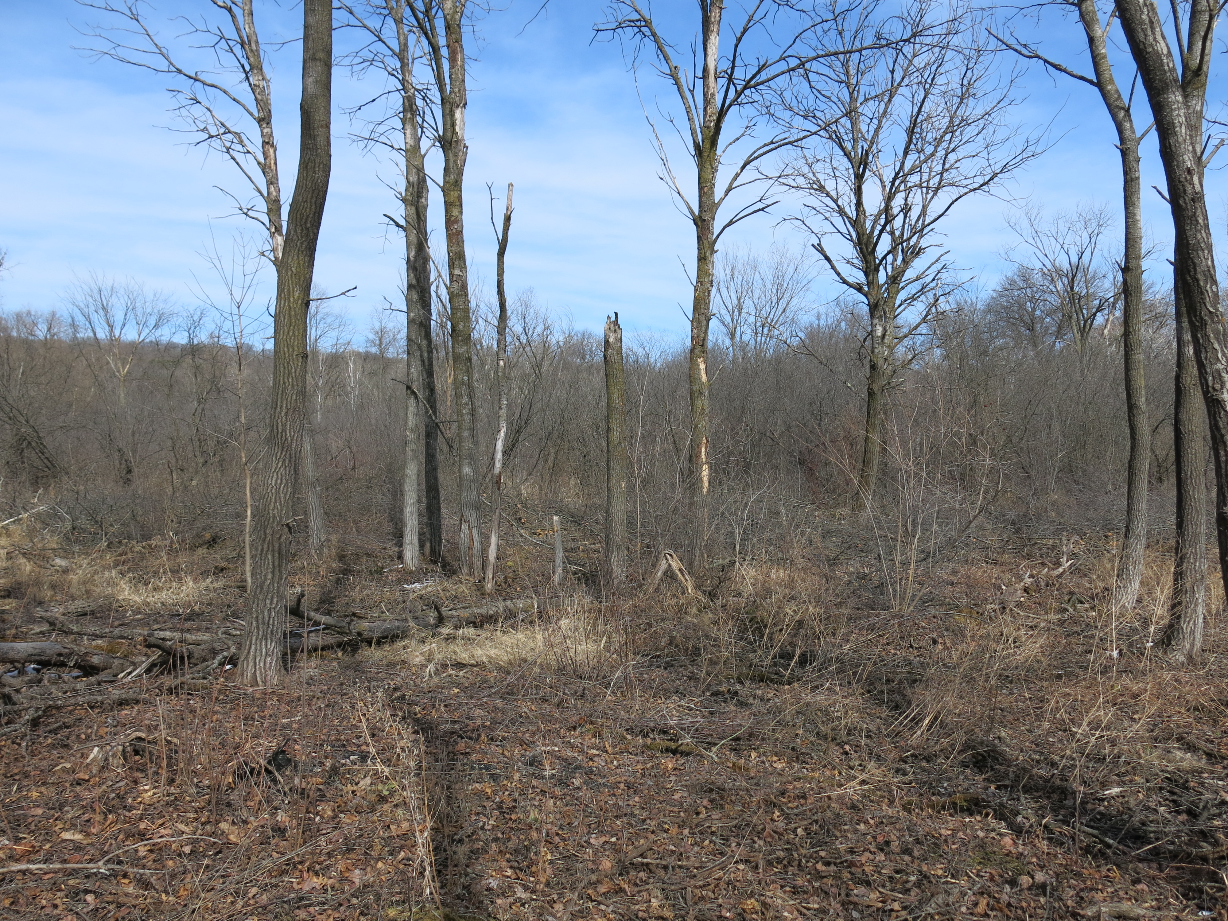
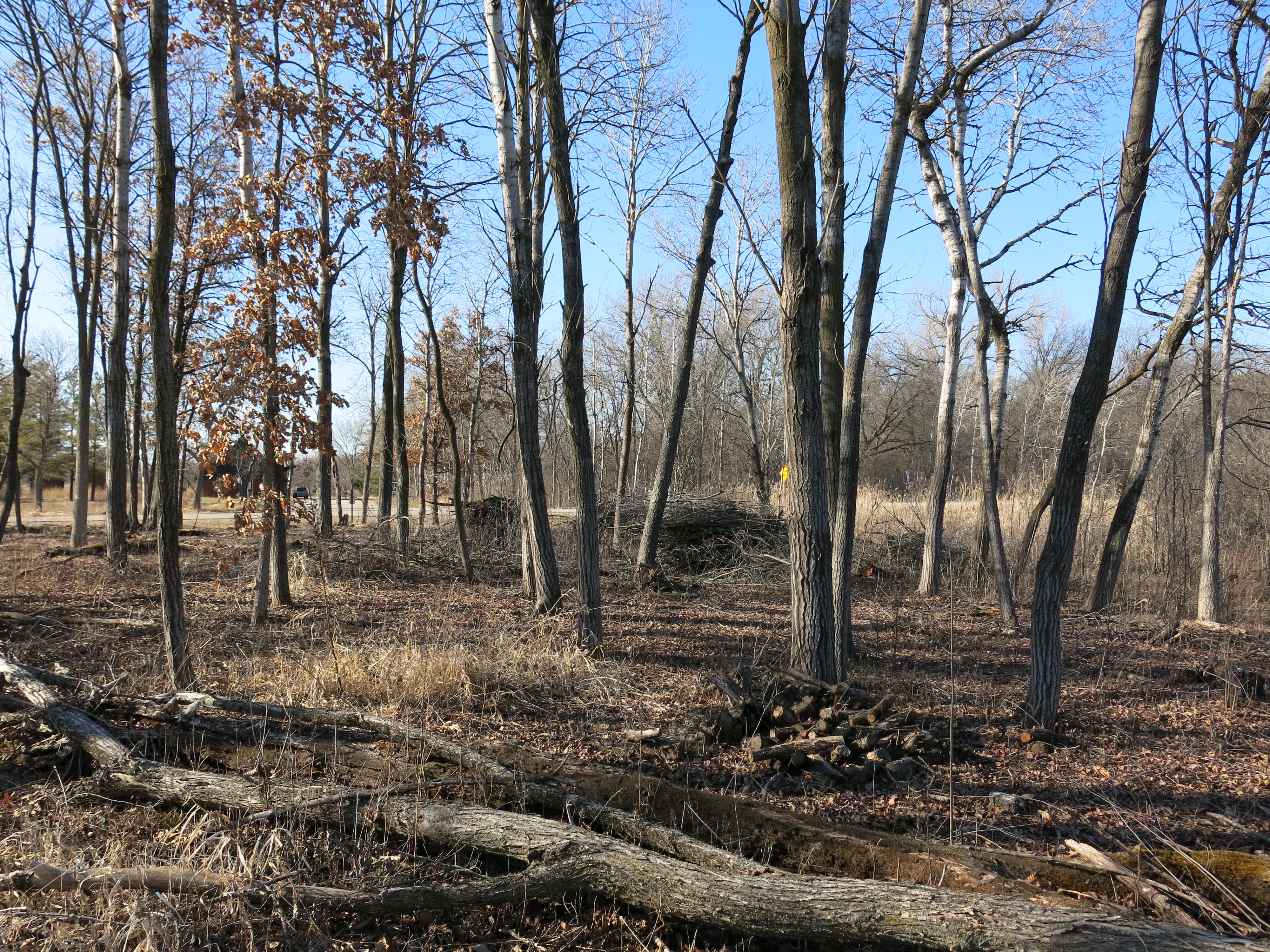
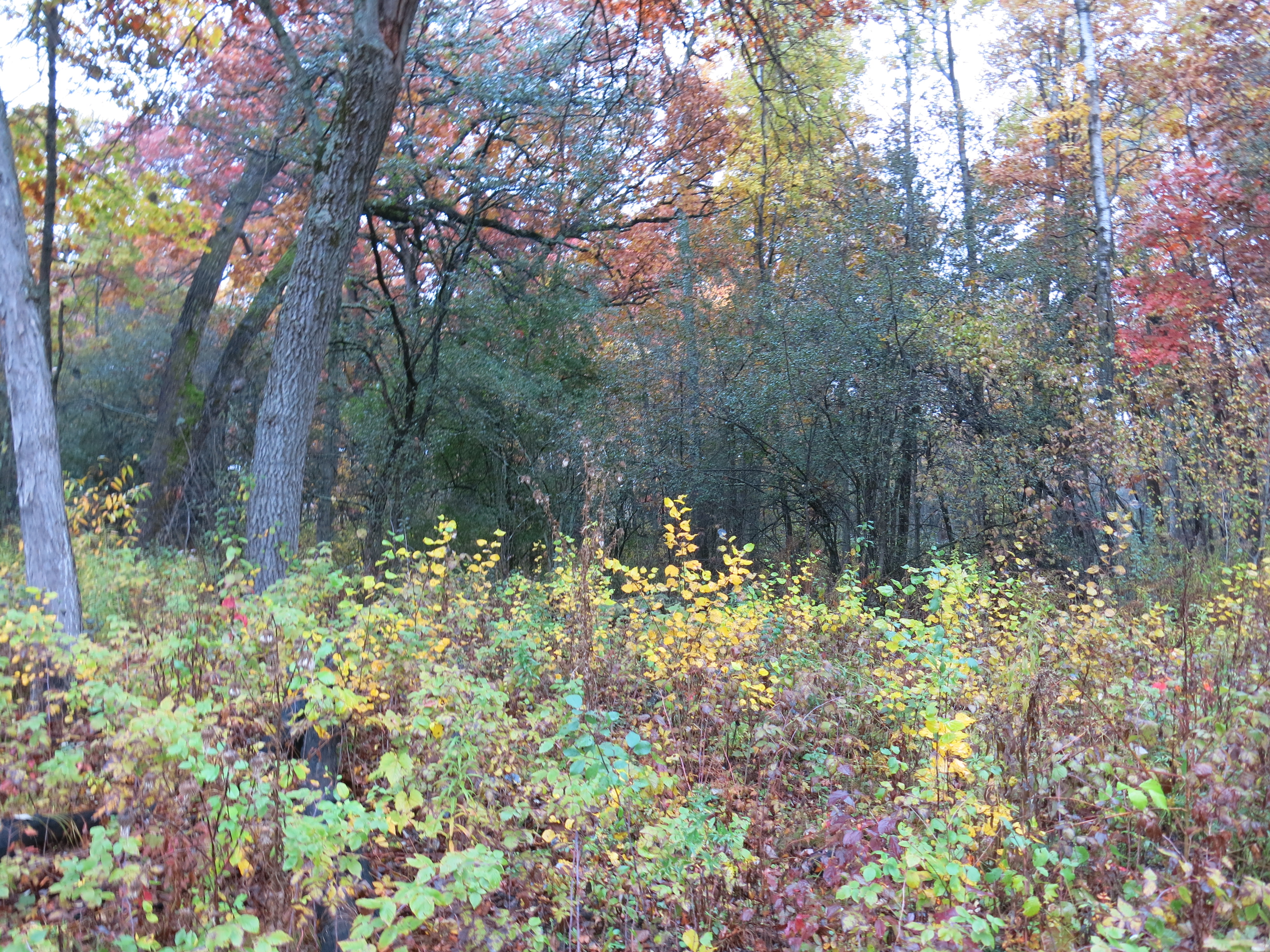
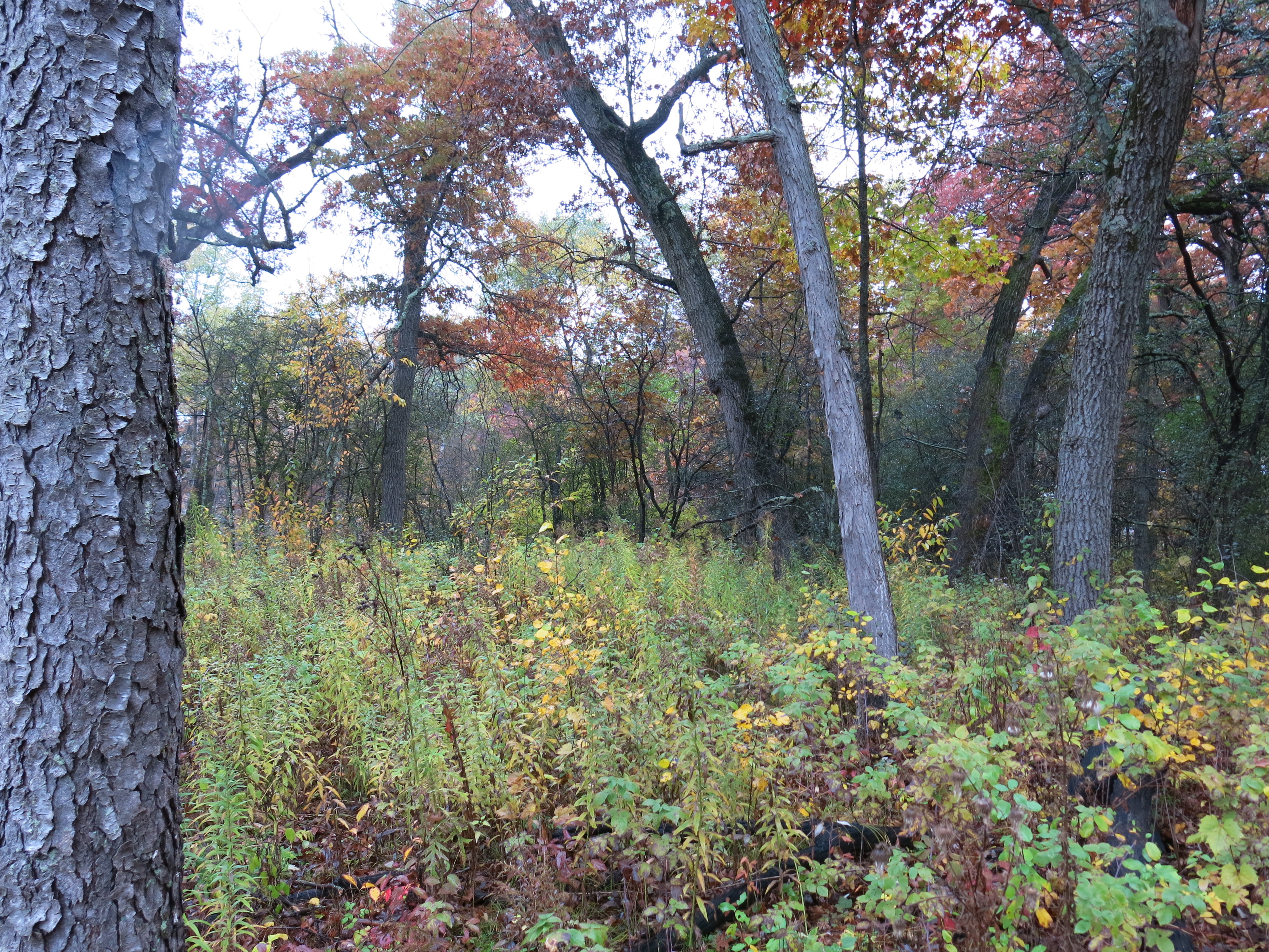
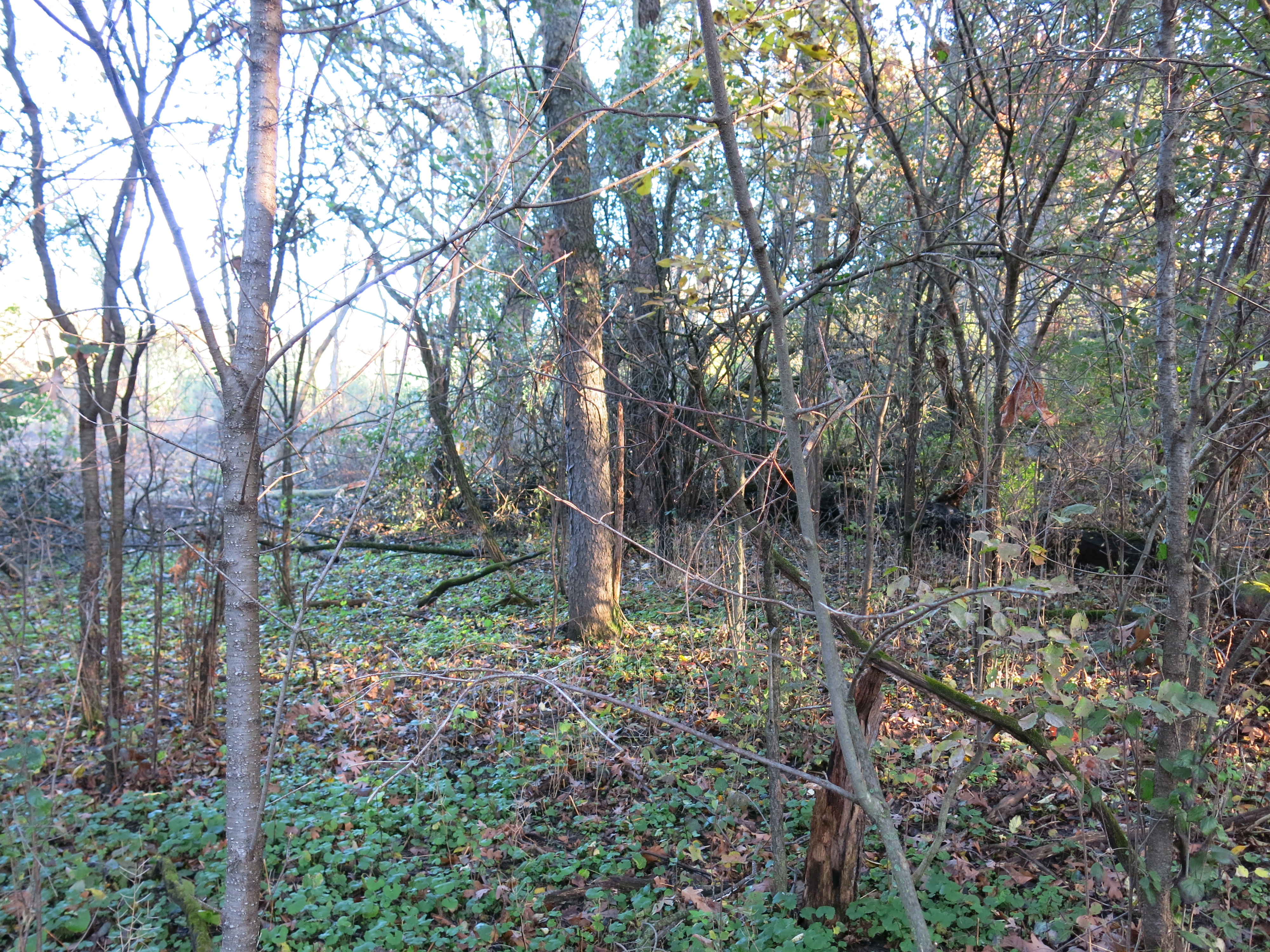
…and cut many a buckthorn, though it’s hard to tell (below, same three views after.)

IMG_5345 IMG_5346 IMG_5347

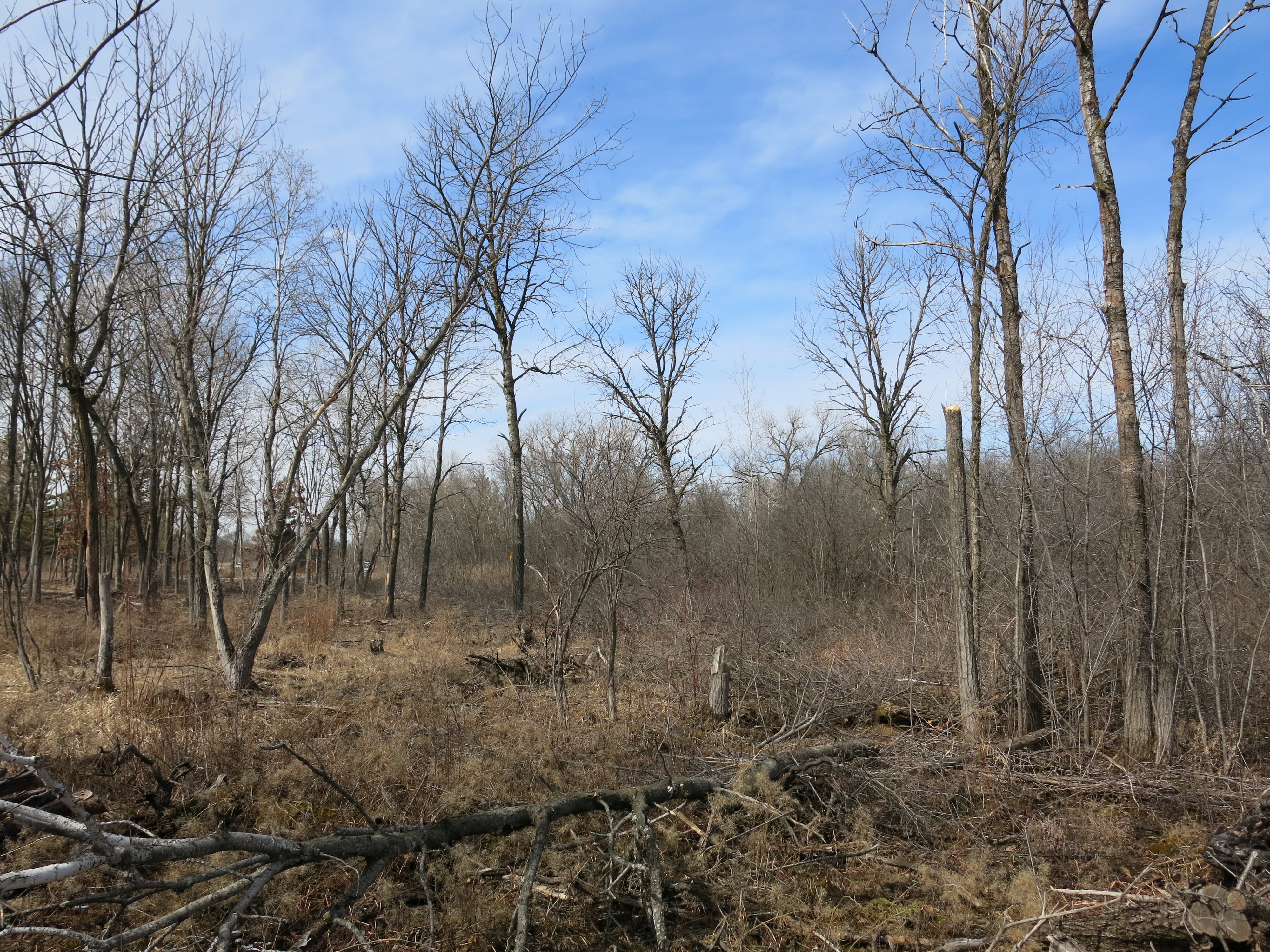
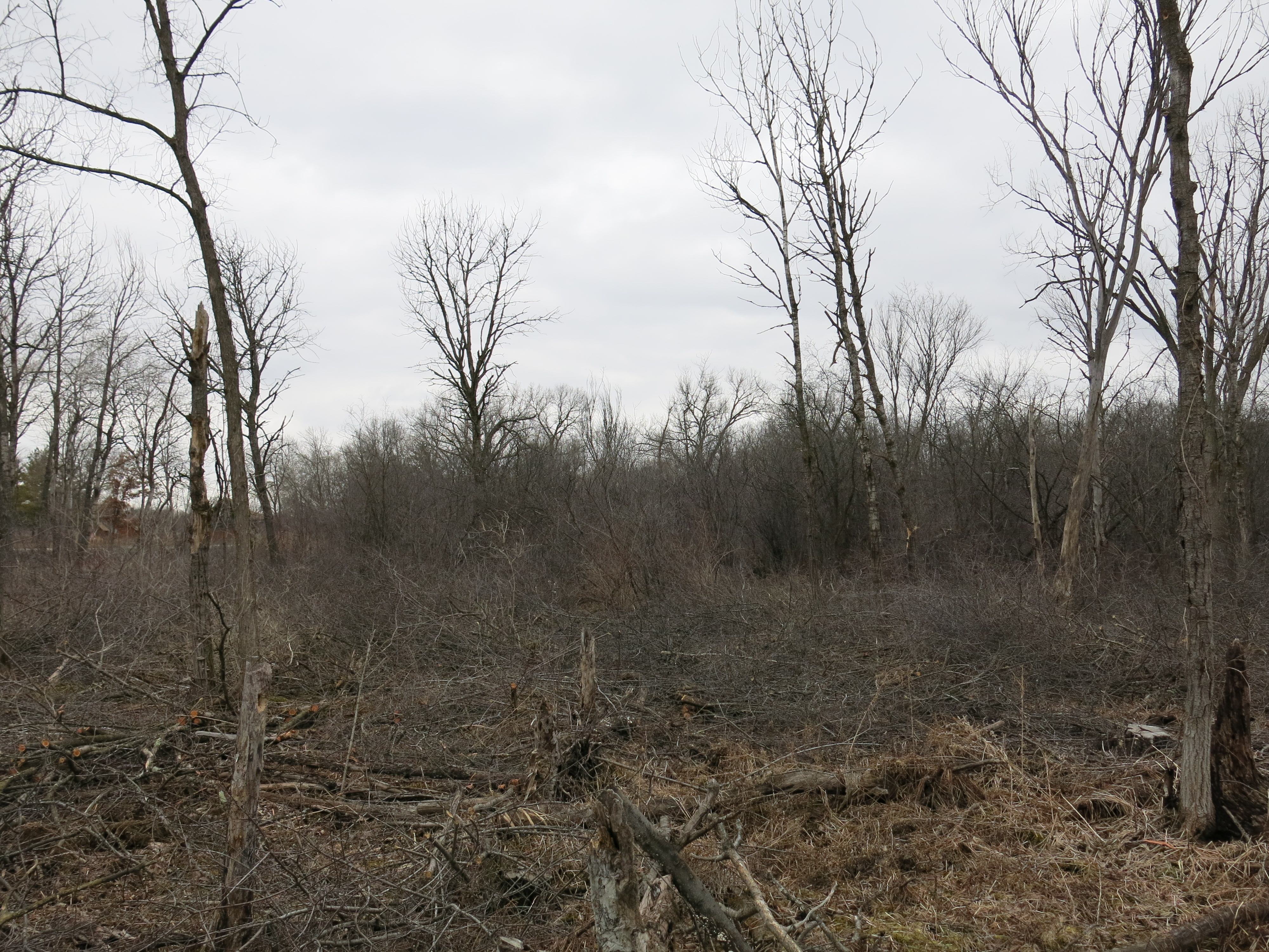
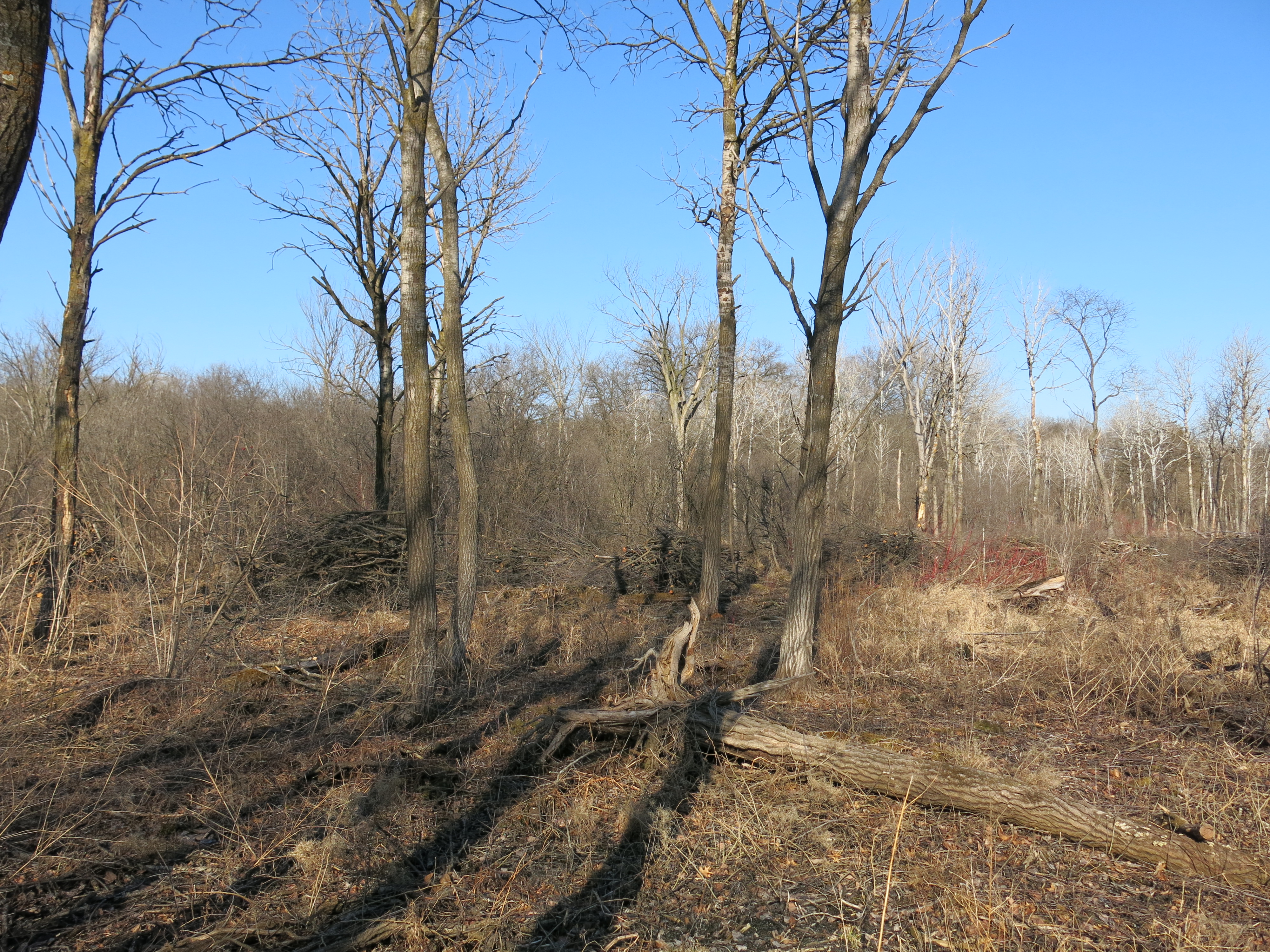
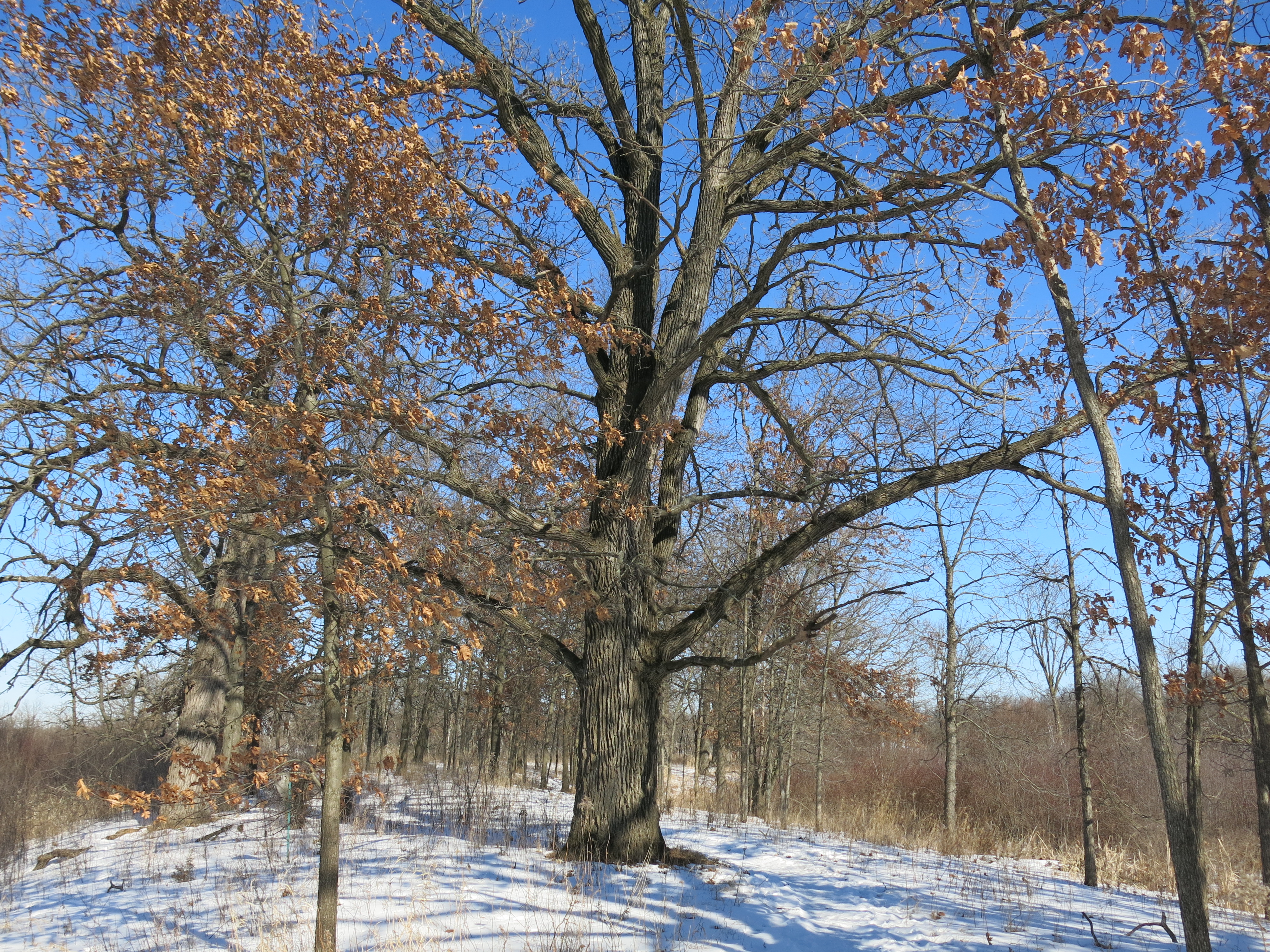
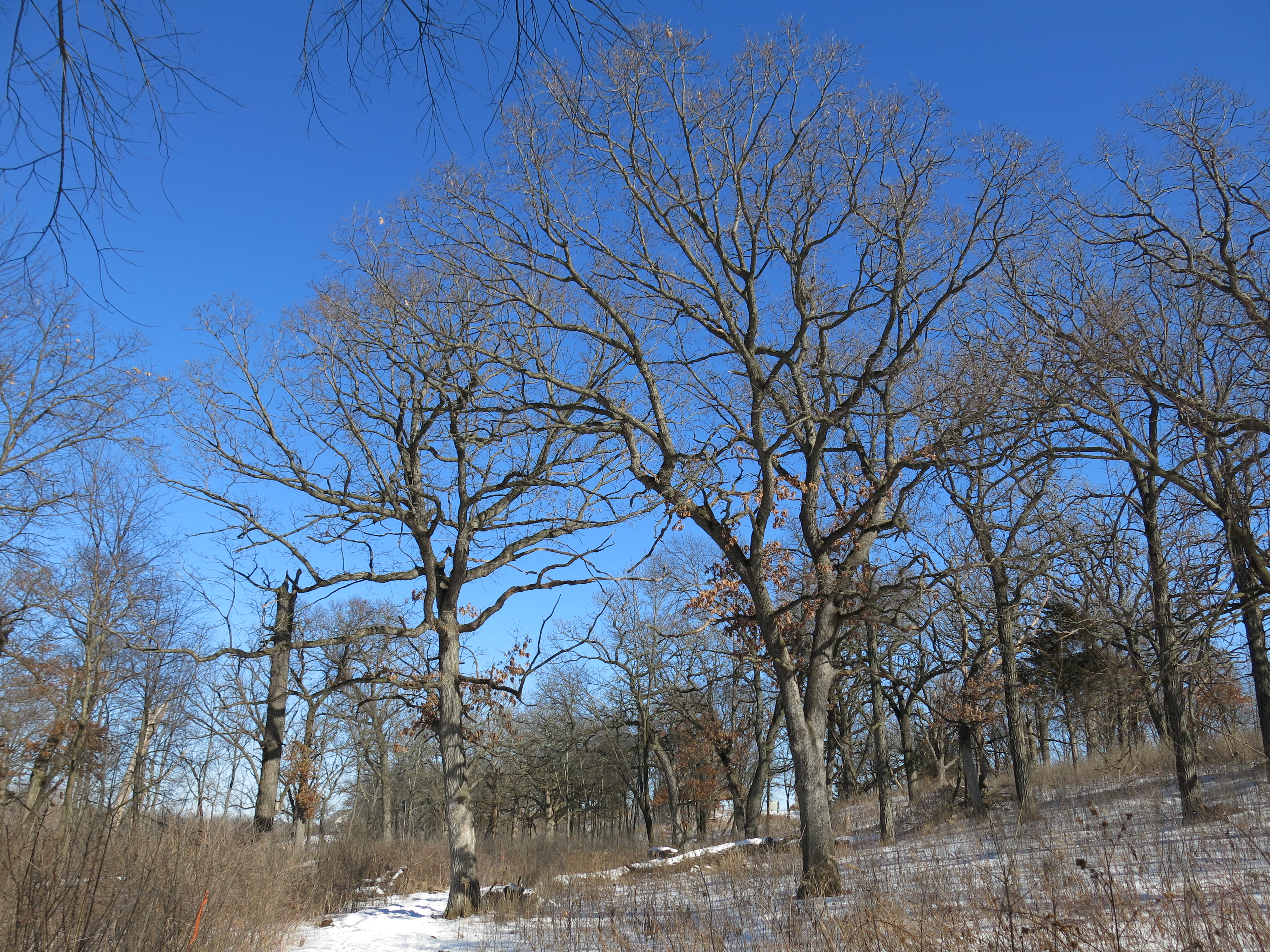
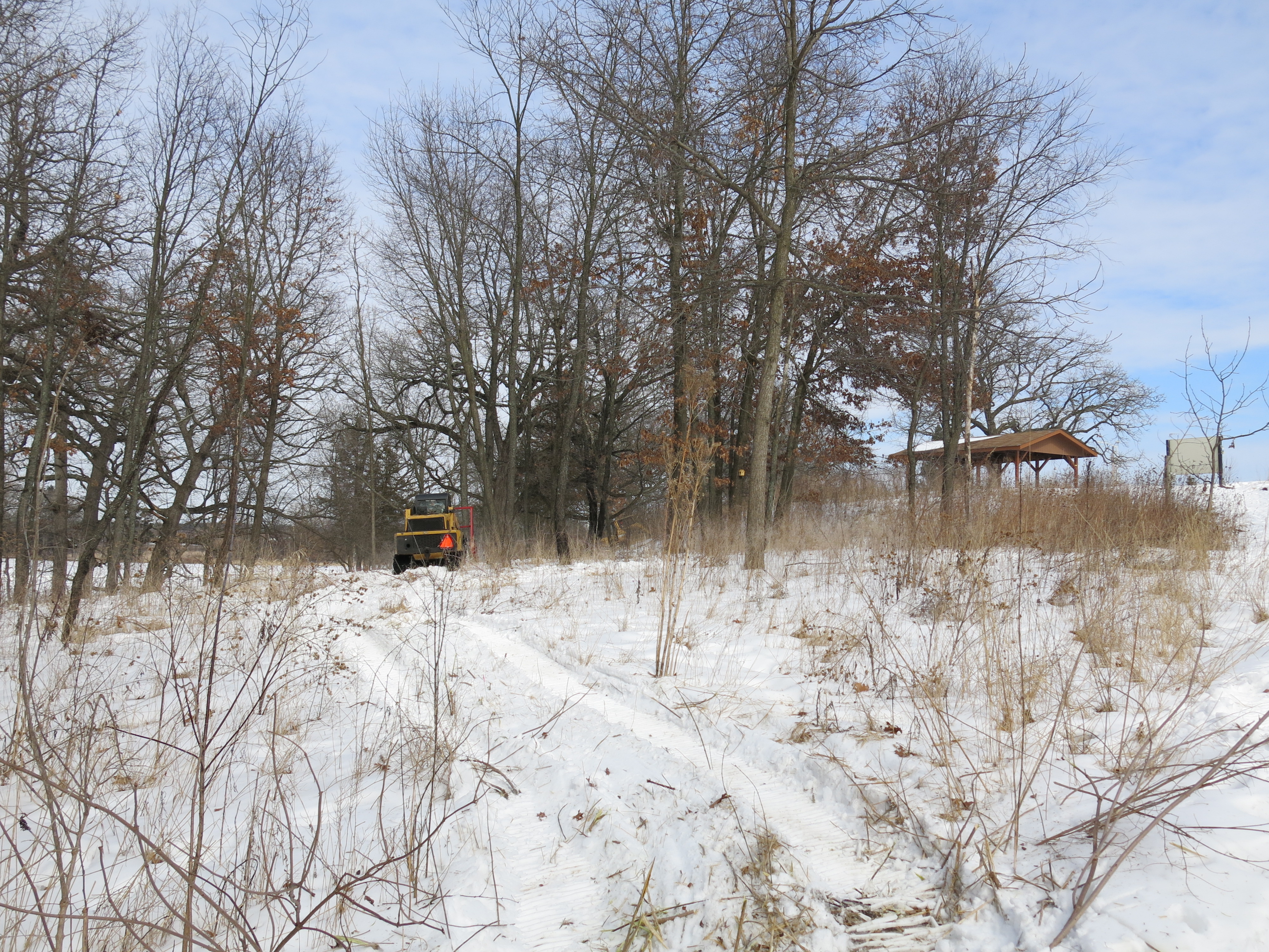
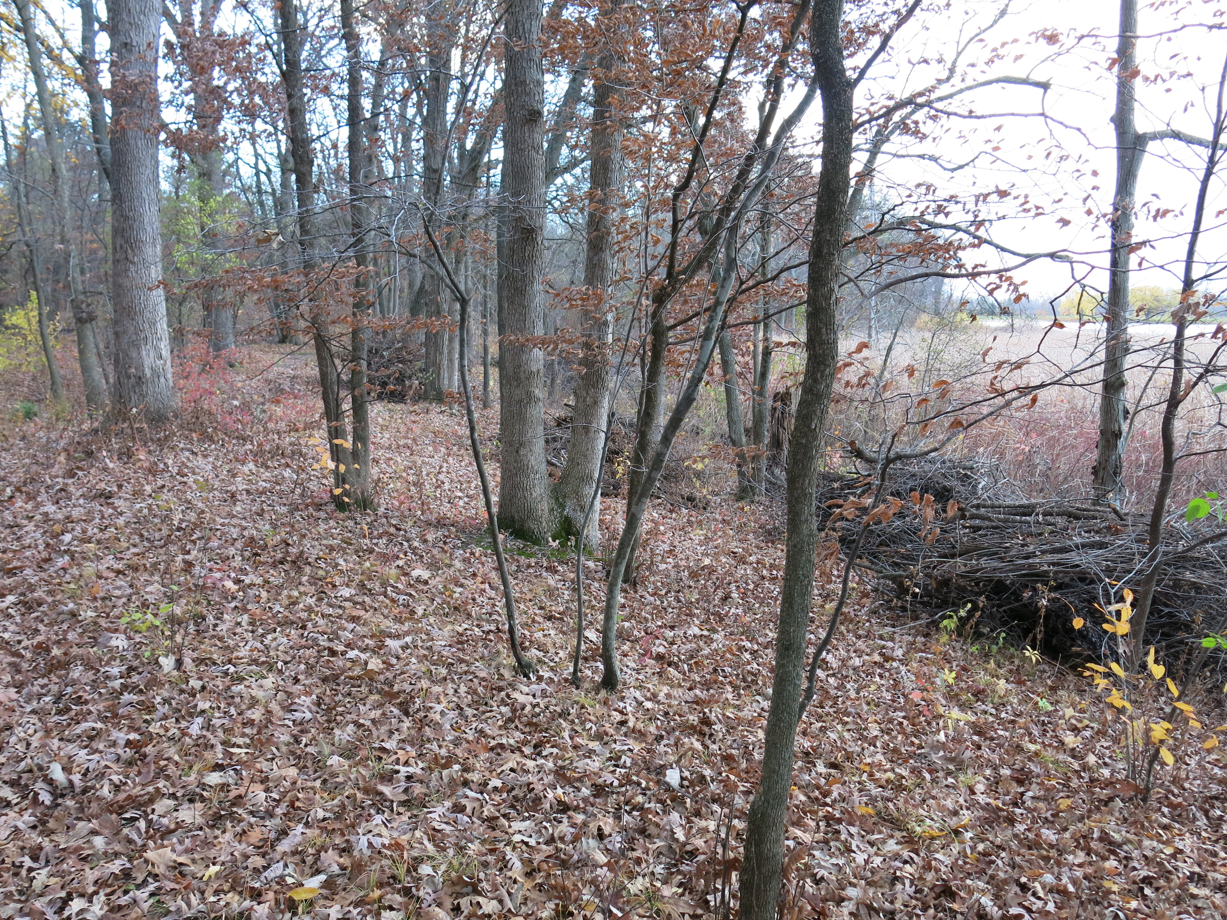
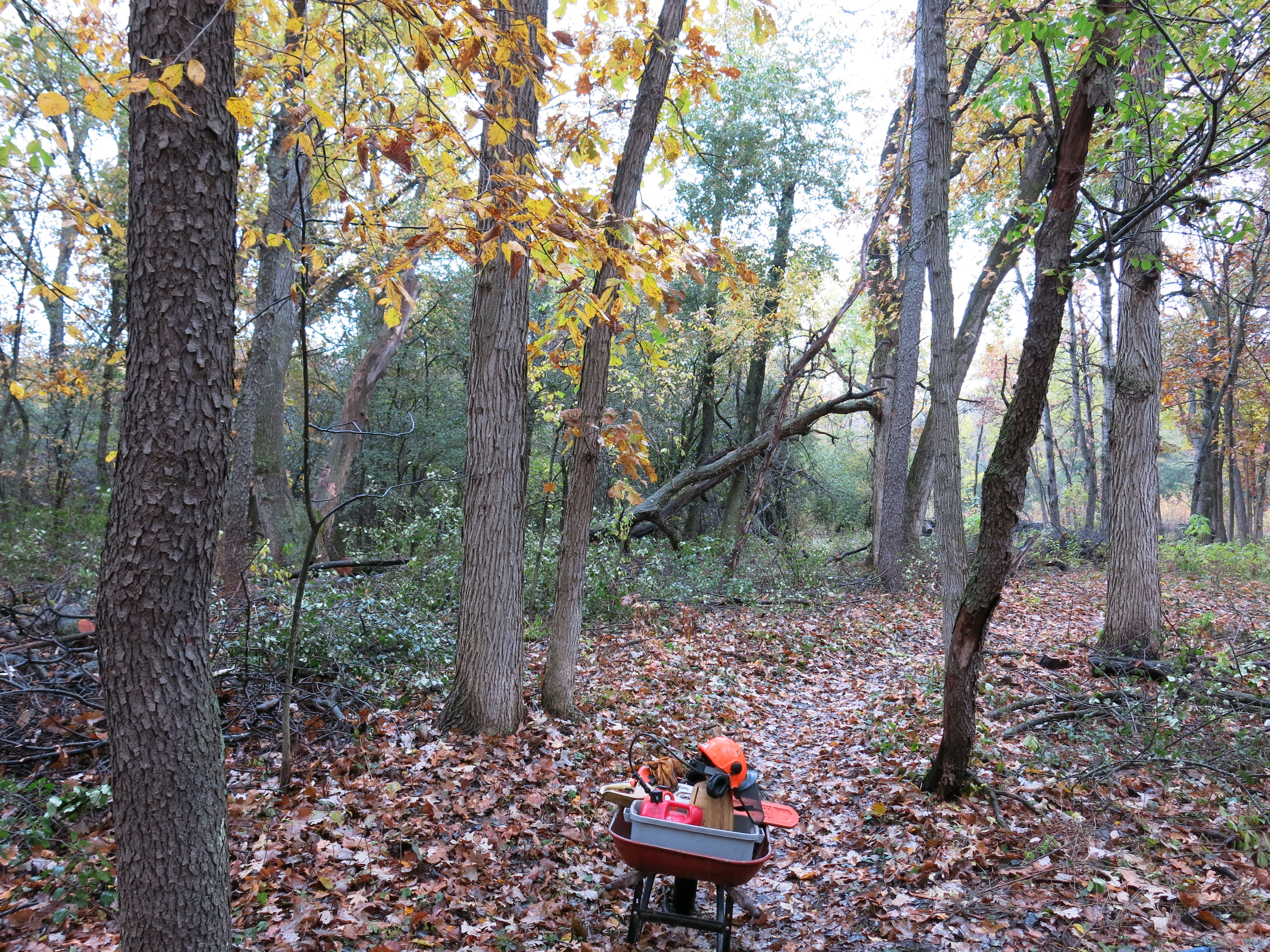
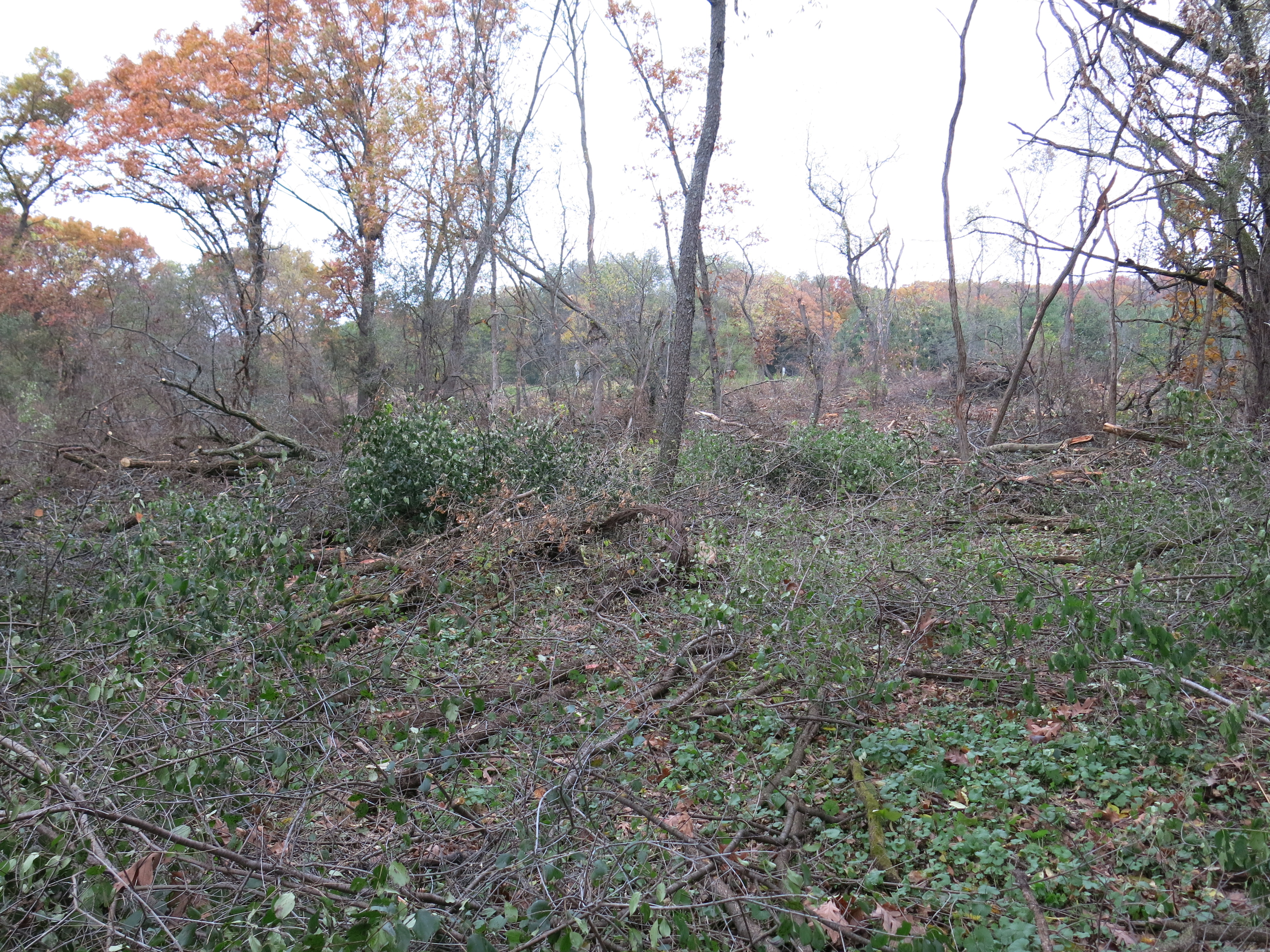
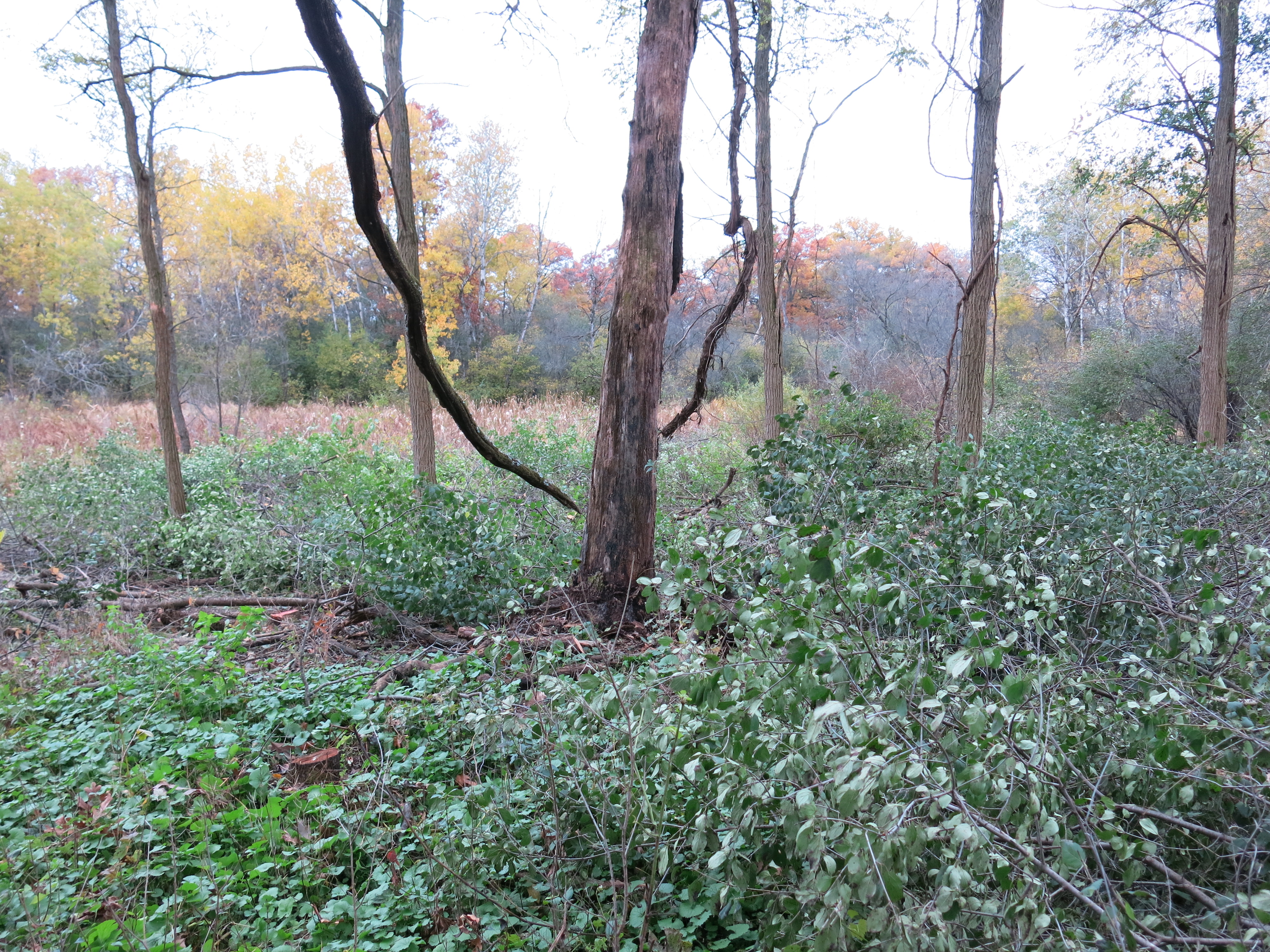
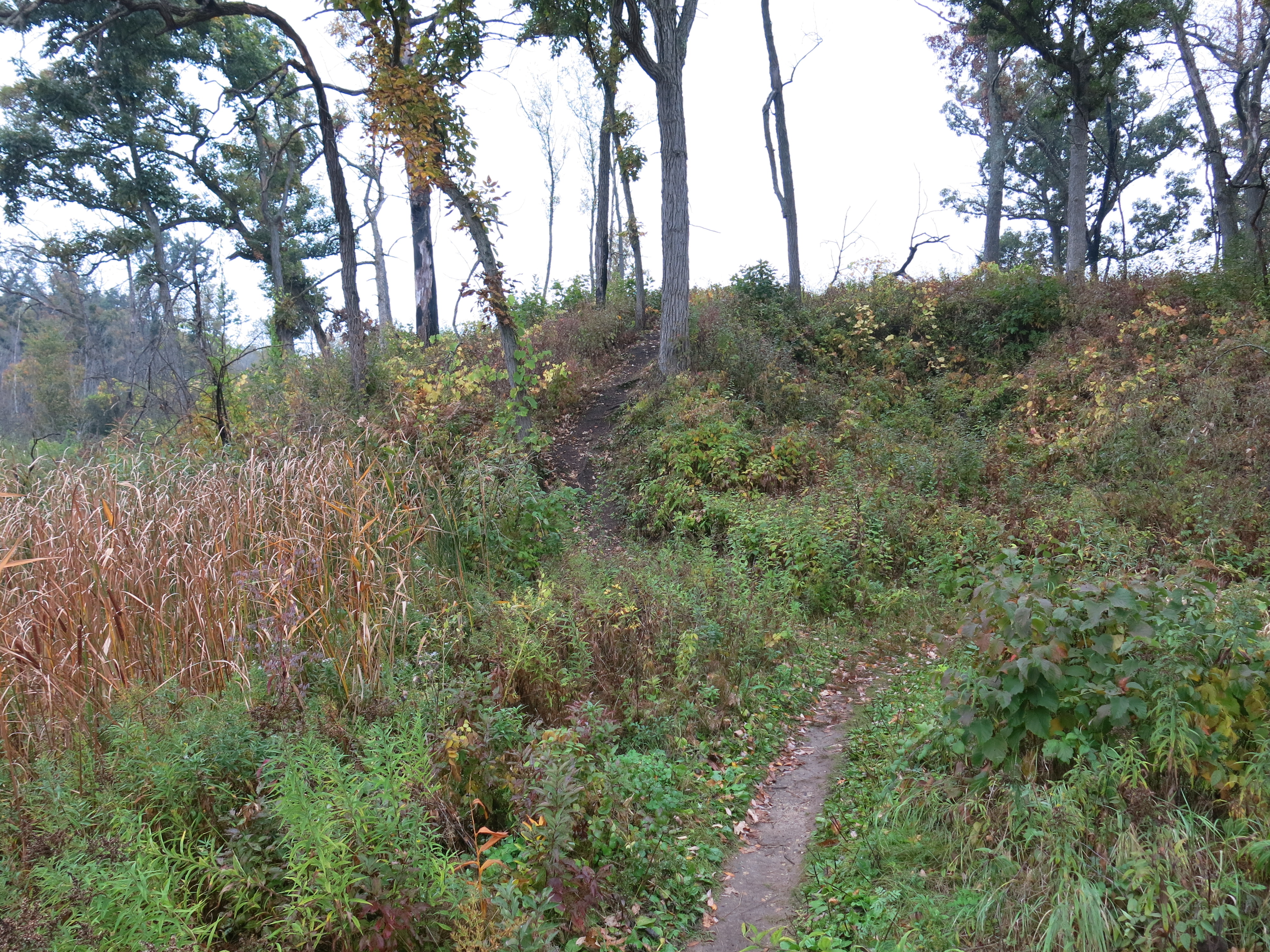
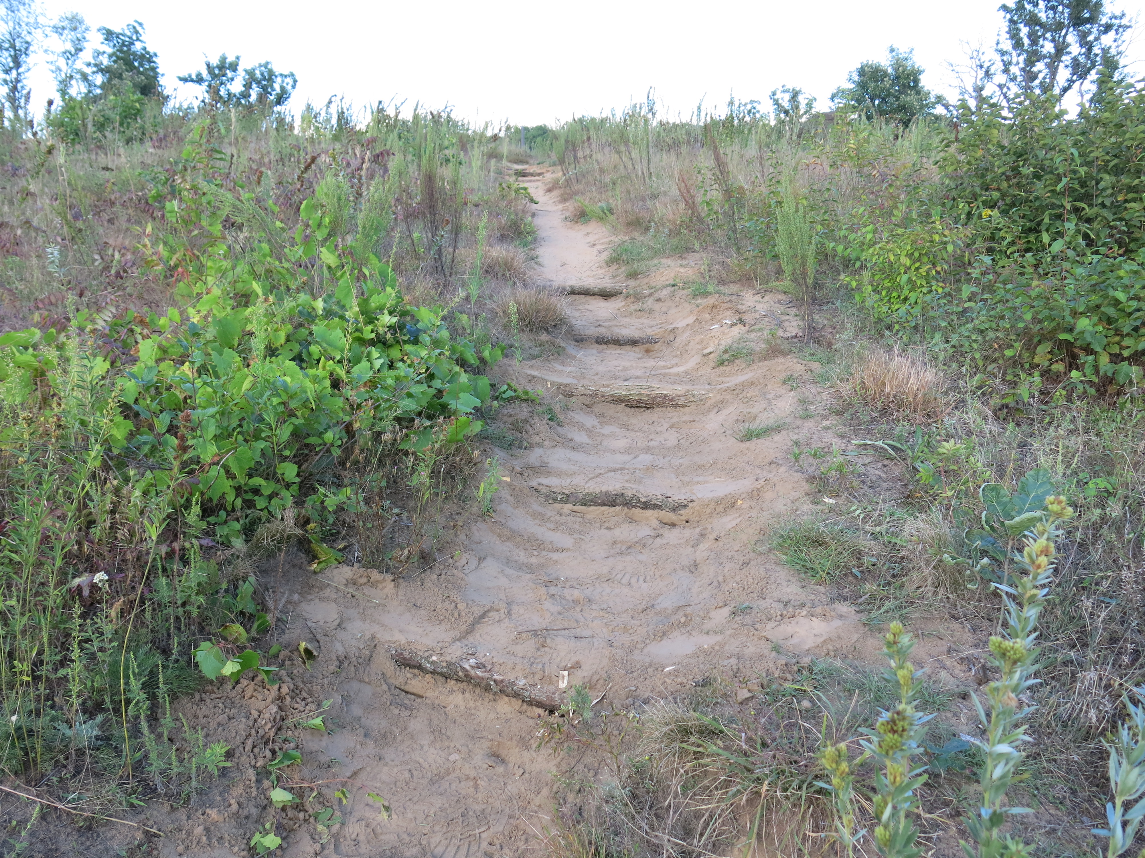
On Thursday I continued cutting on both the right and left sides of the trail (below, before cutting, looking right, then left.)

IMG_5348 IMG_5350 IMG_5351

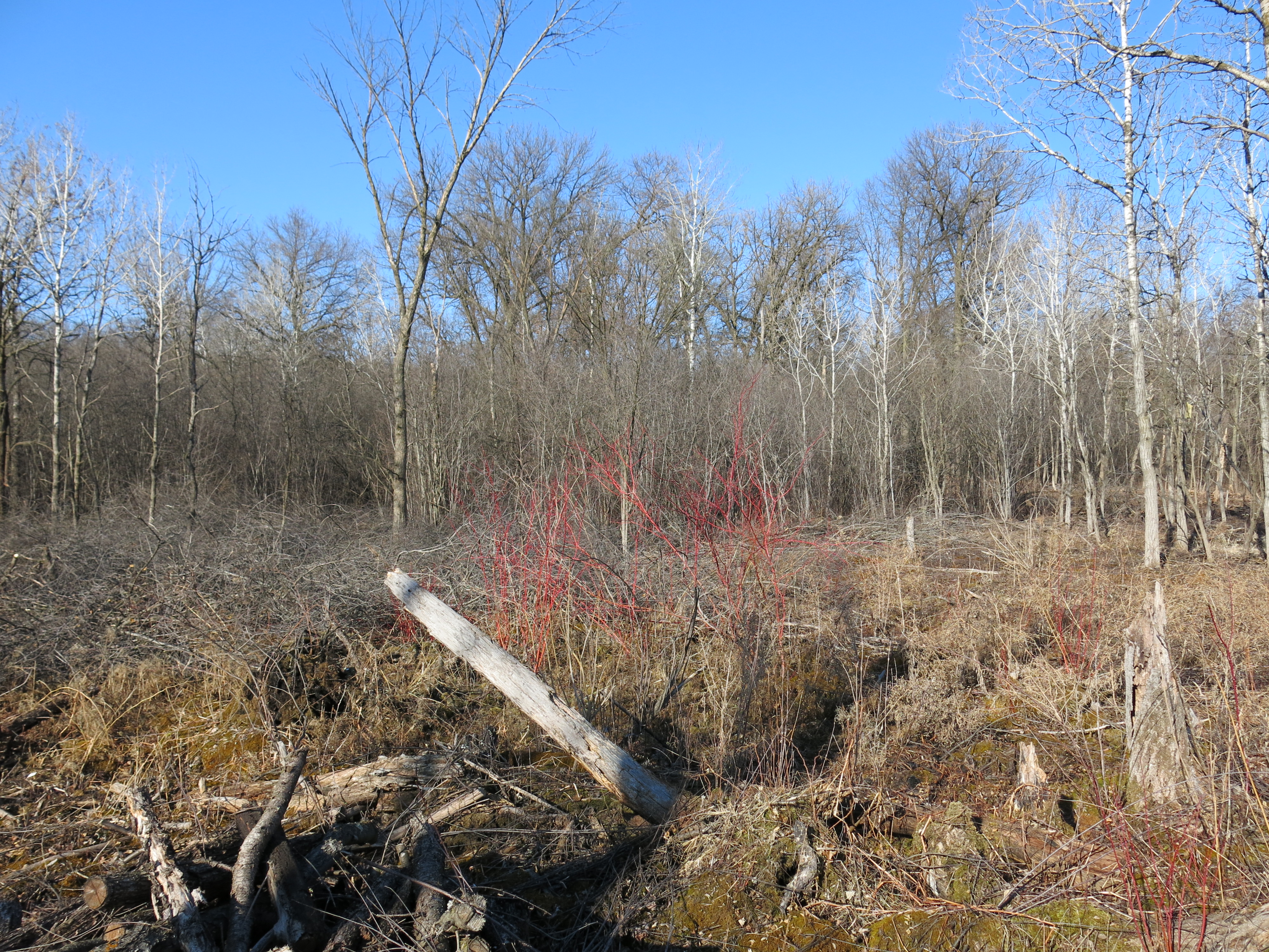
Below, the same three views after a 6 tanks of gas in the chain saw.

IMG_5352 IMG_5353 IMG_5354

Ben Johnson joined me after work to help rake out and rehabilitate the burn rings/scars from the last brush pile burning season.  The skunk cabbage is emerging.

IMG_1806

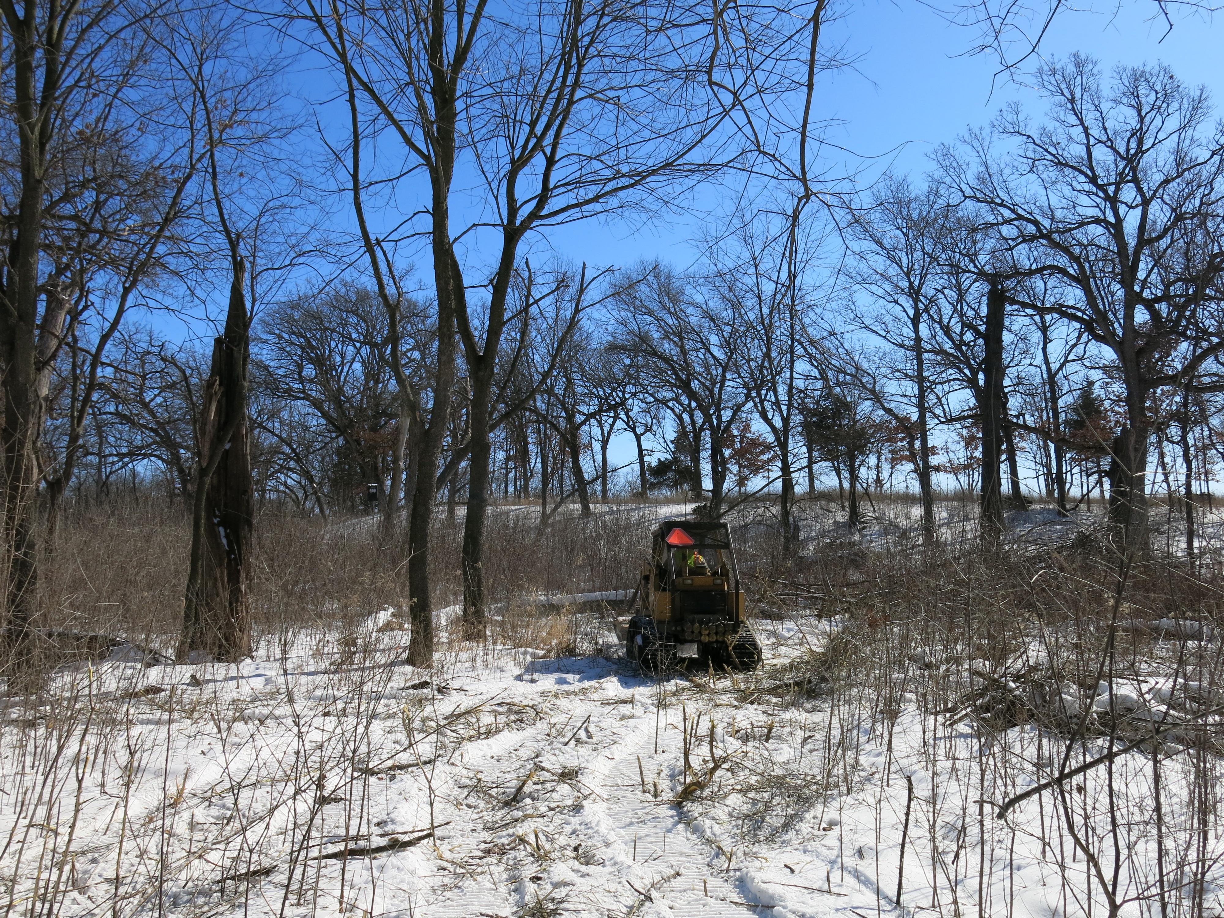
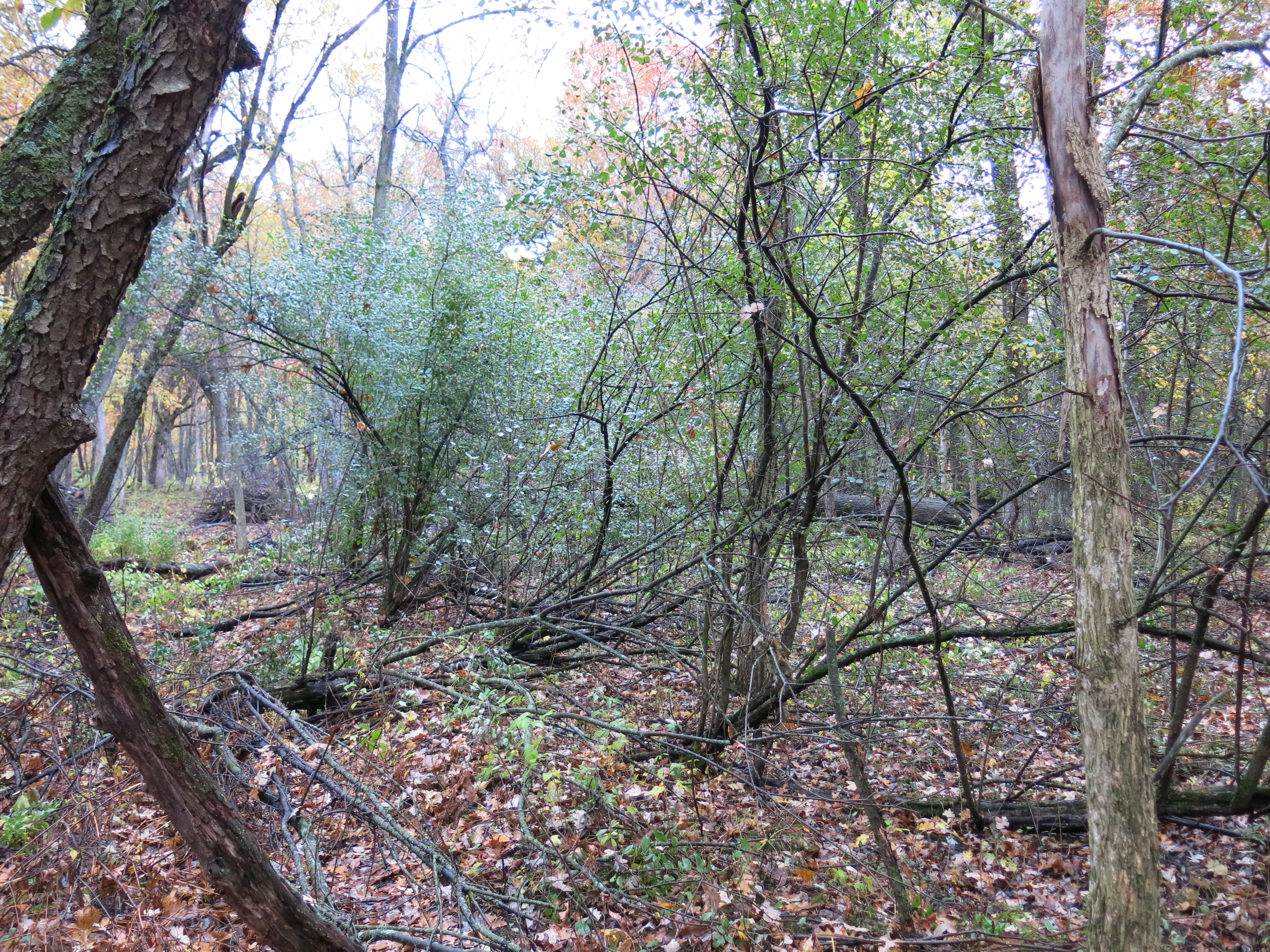
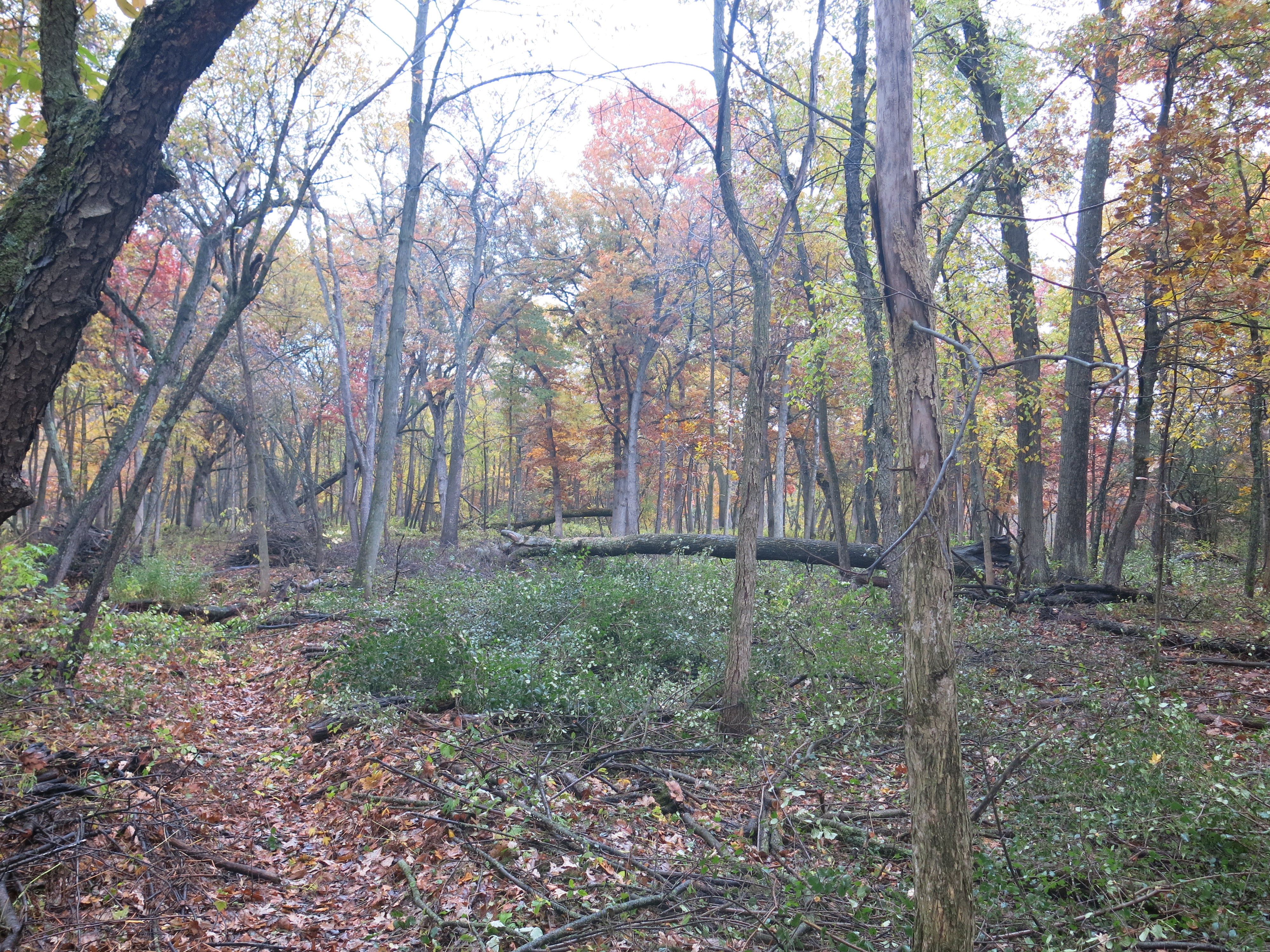
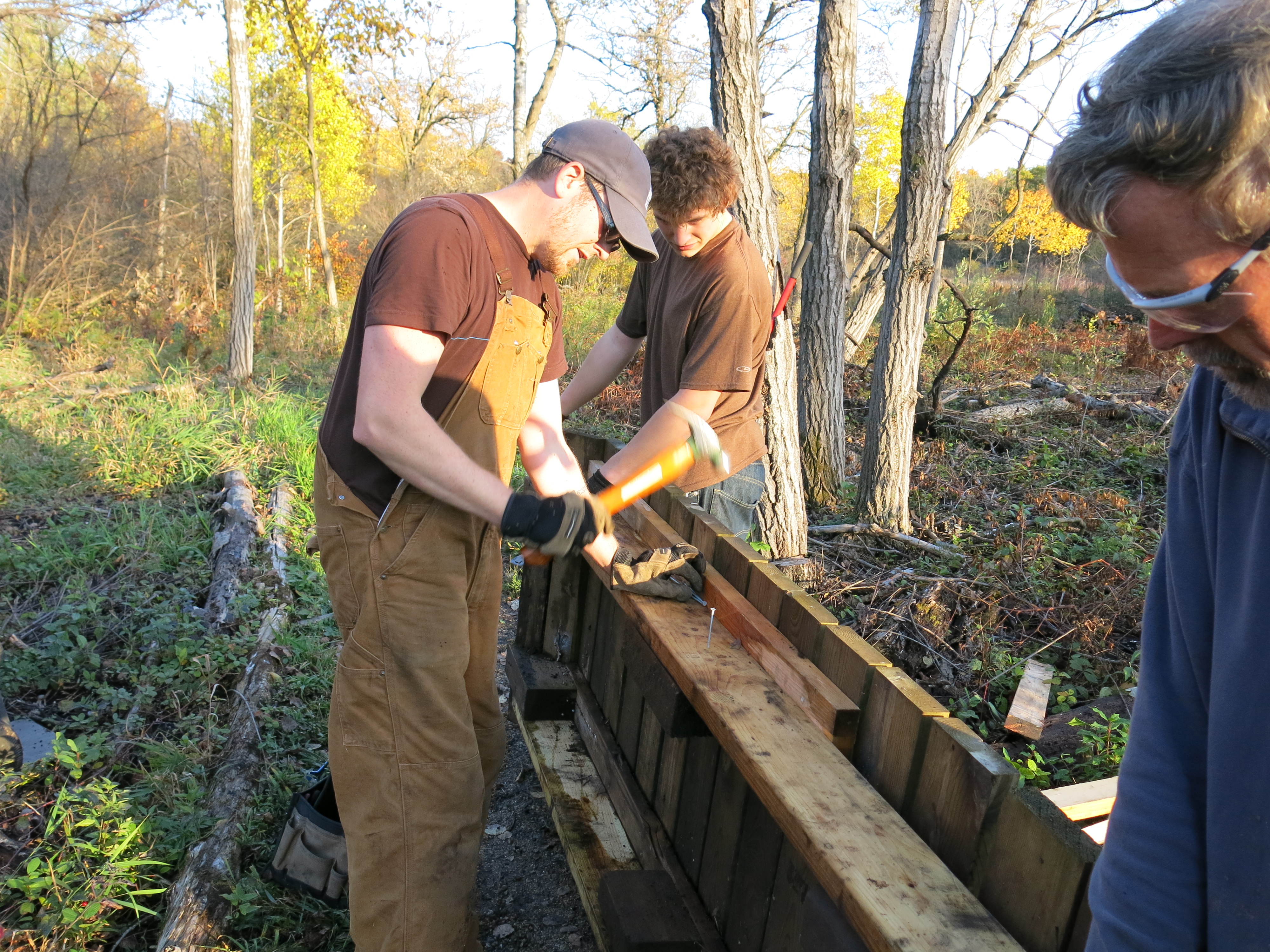
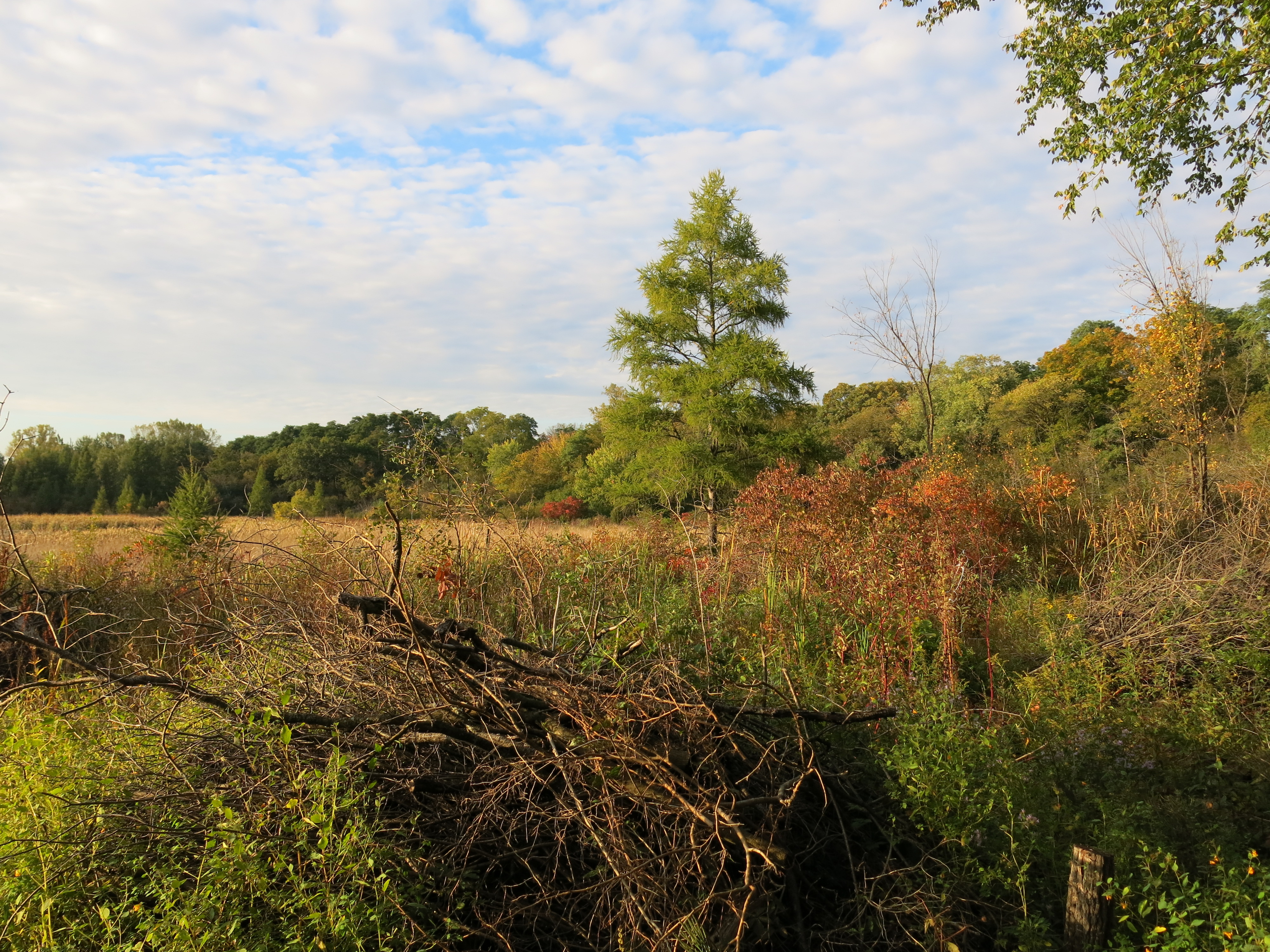
Believe it or not I was back at it on Saturday.  I’m trying to cut as much buckthorn as I can while it’s still dormant.  Andy is following close behind piling the brush.  Thanks Andy!

IMG_5356

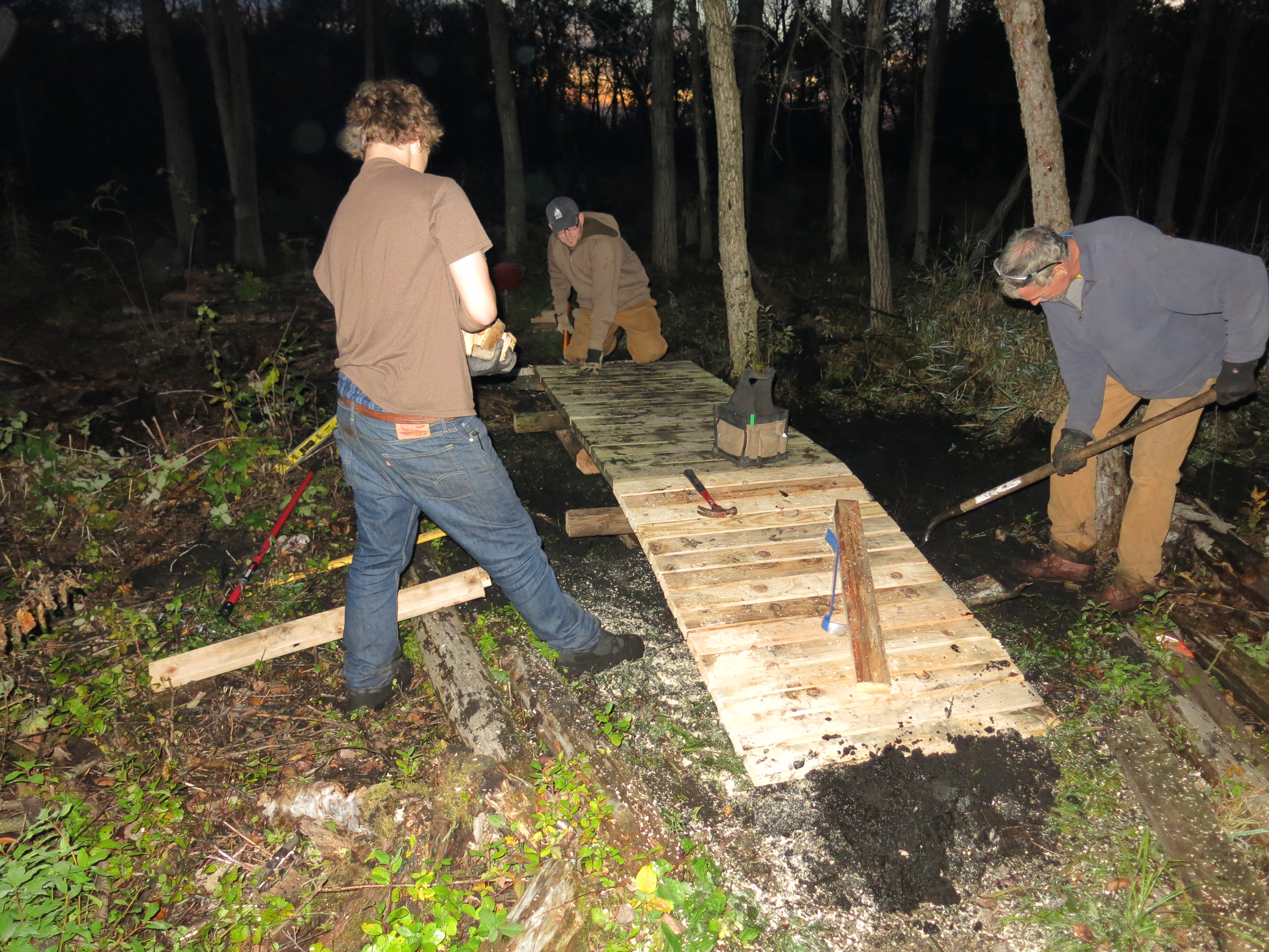
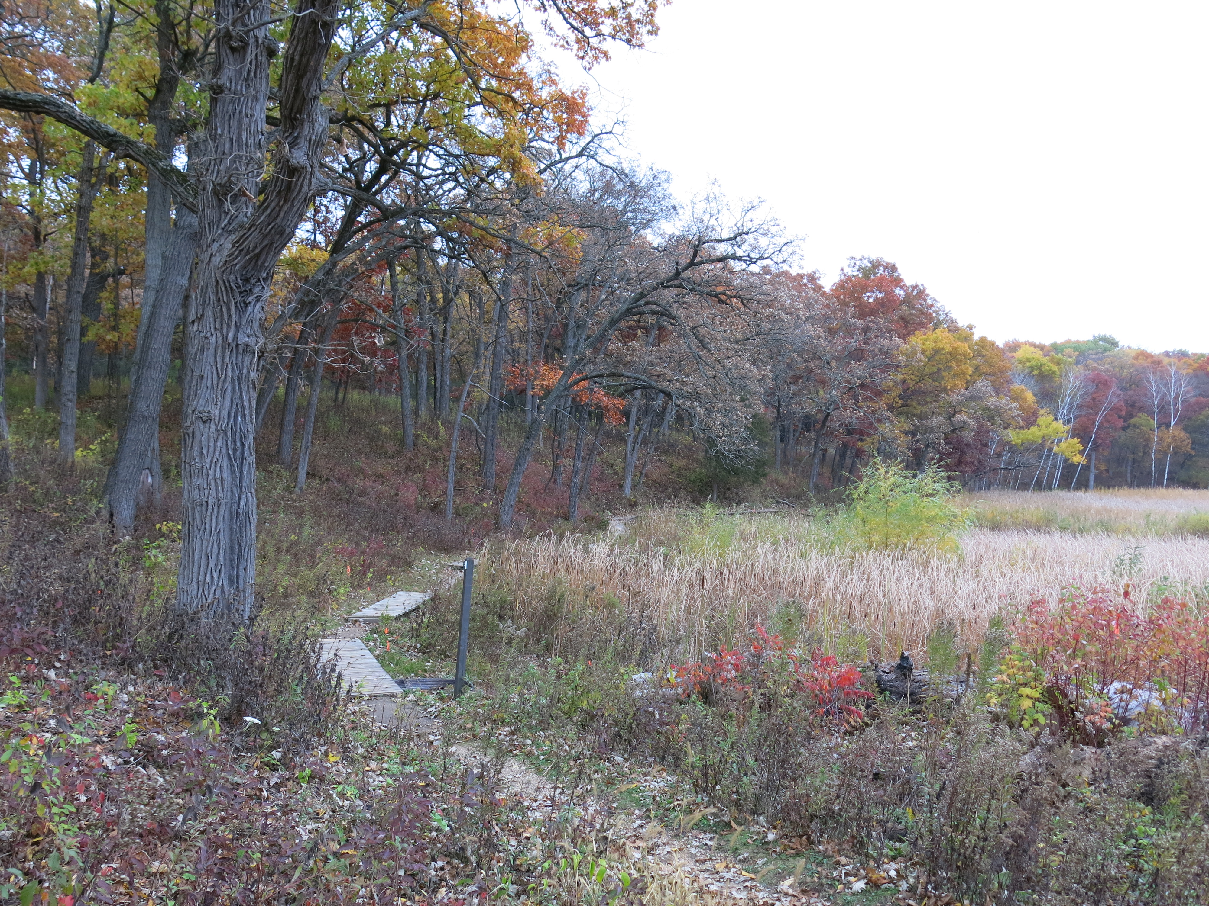
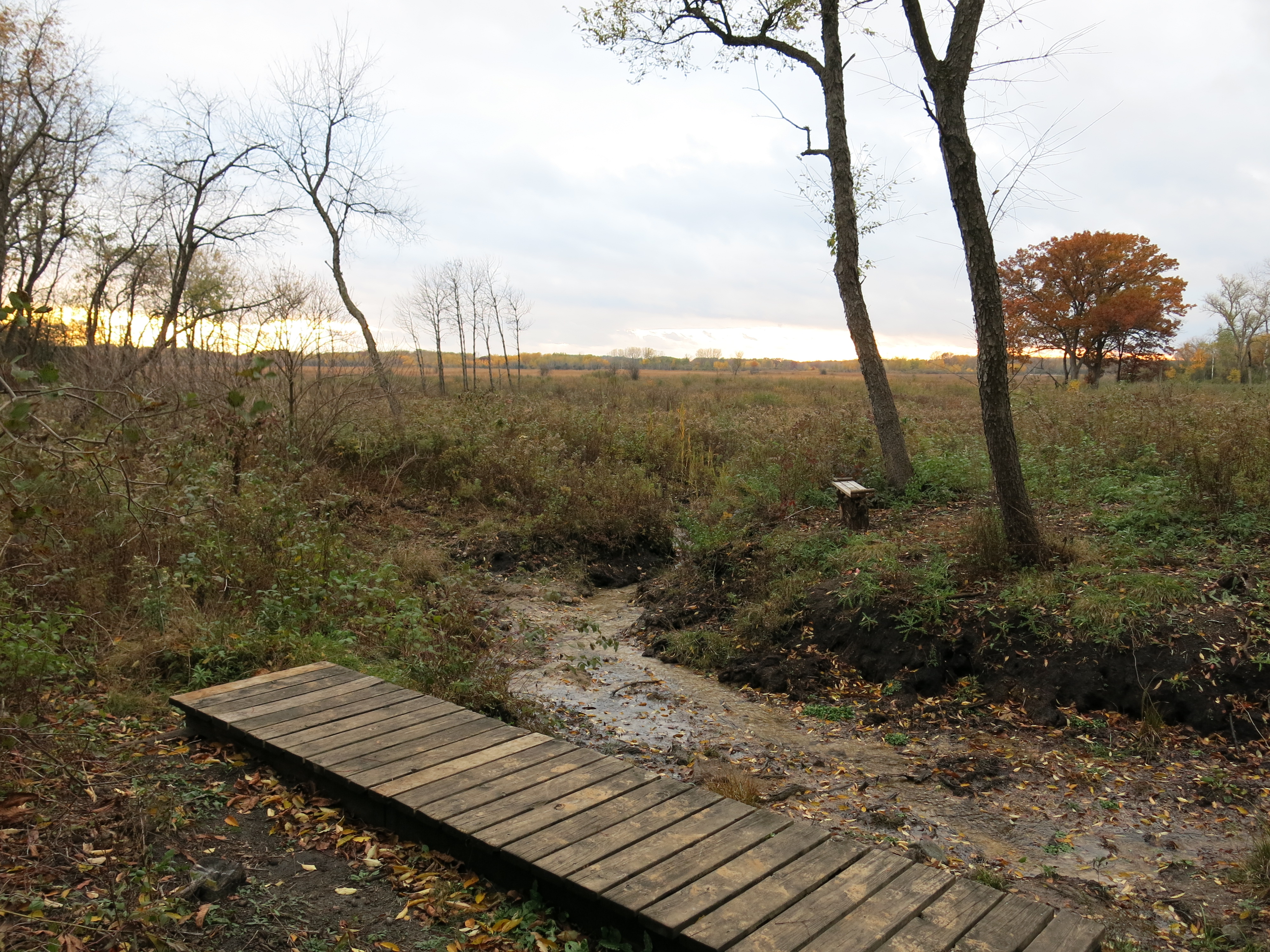
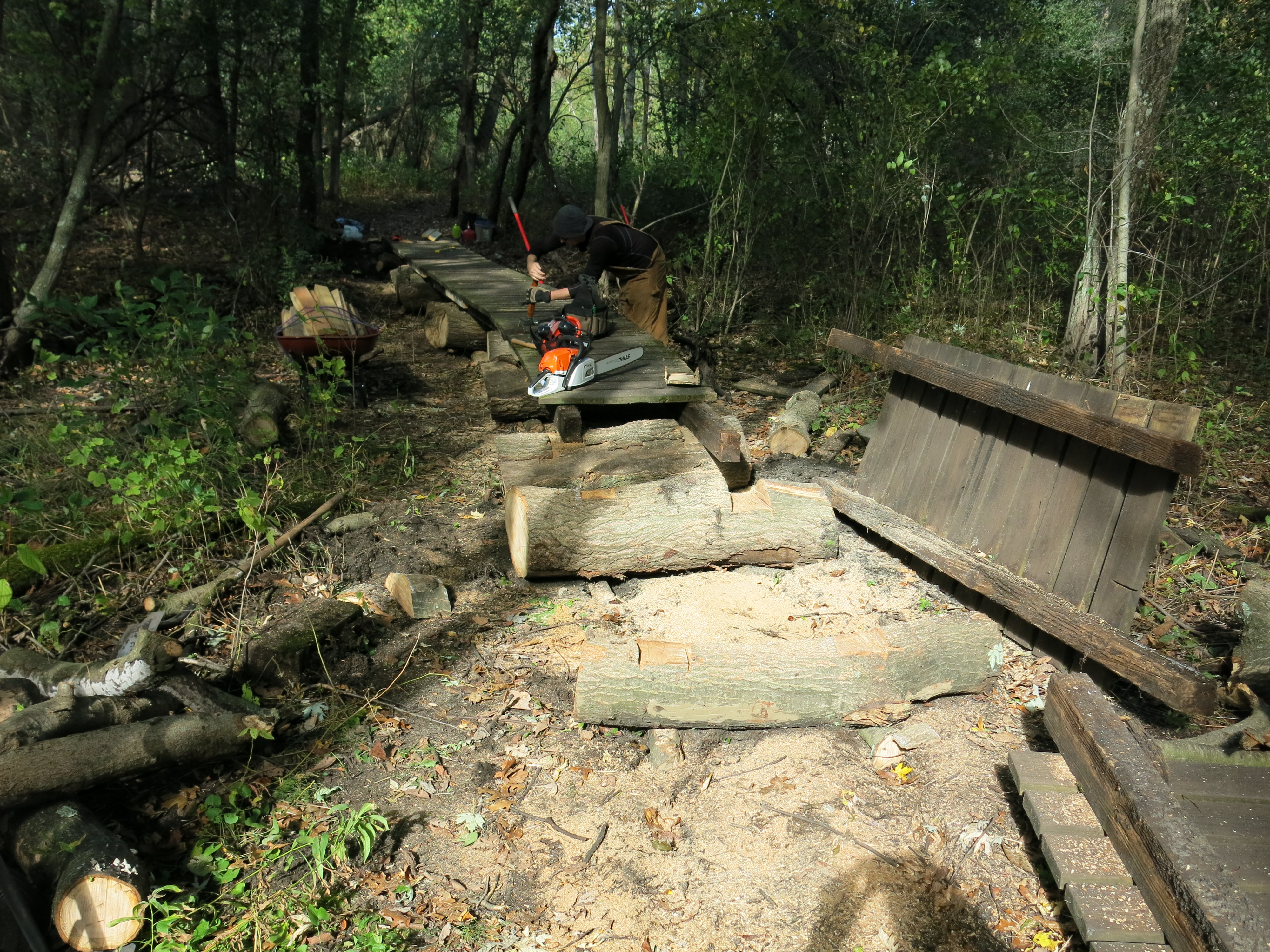
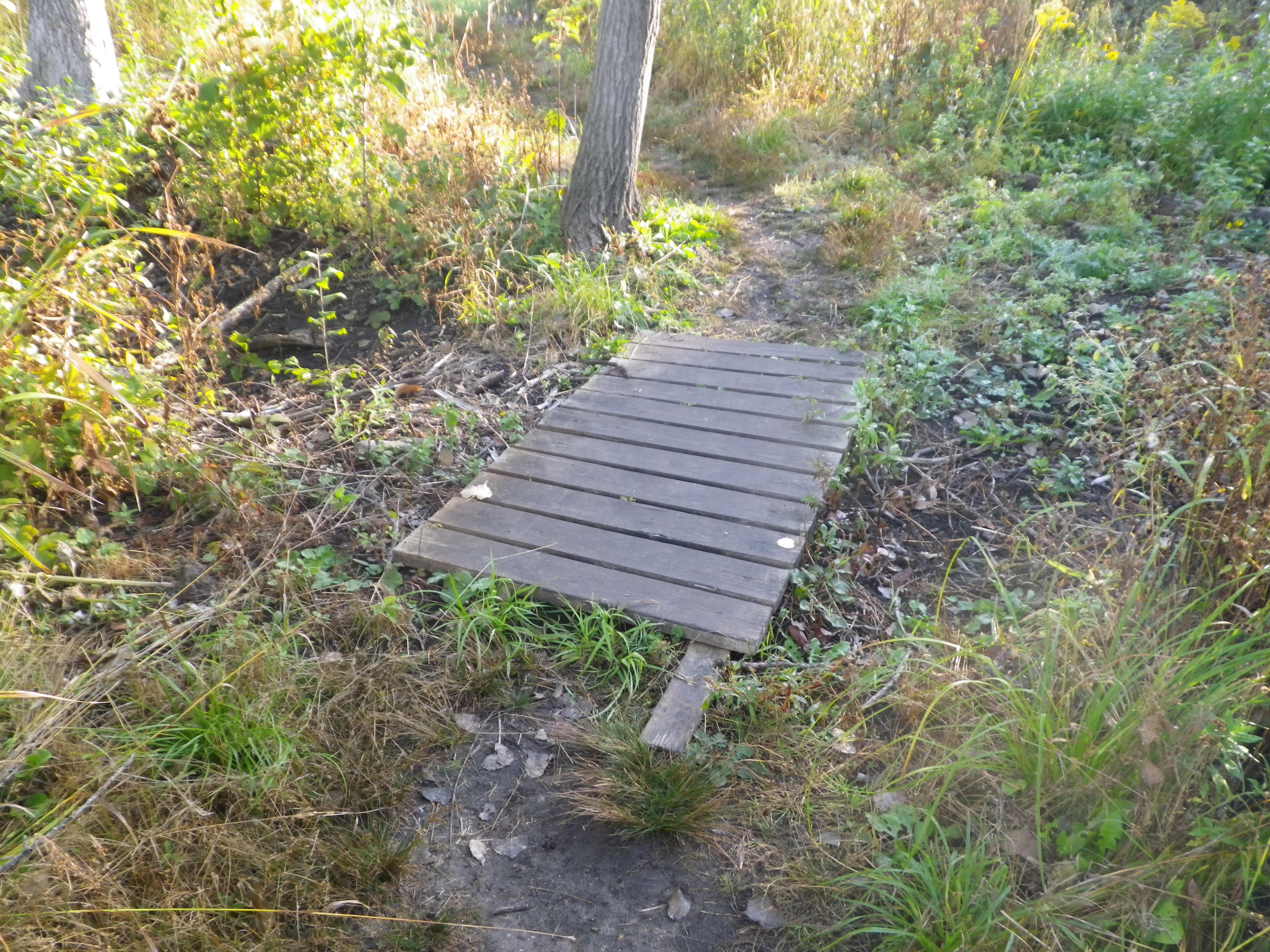
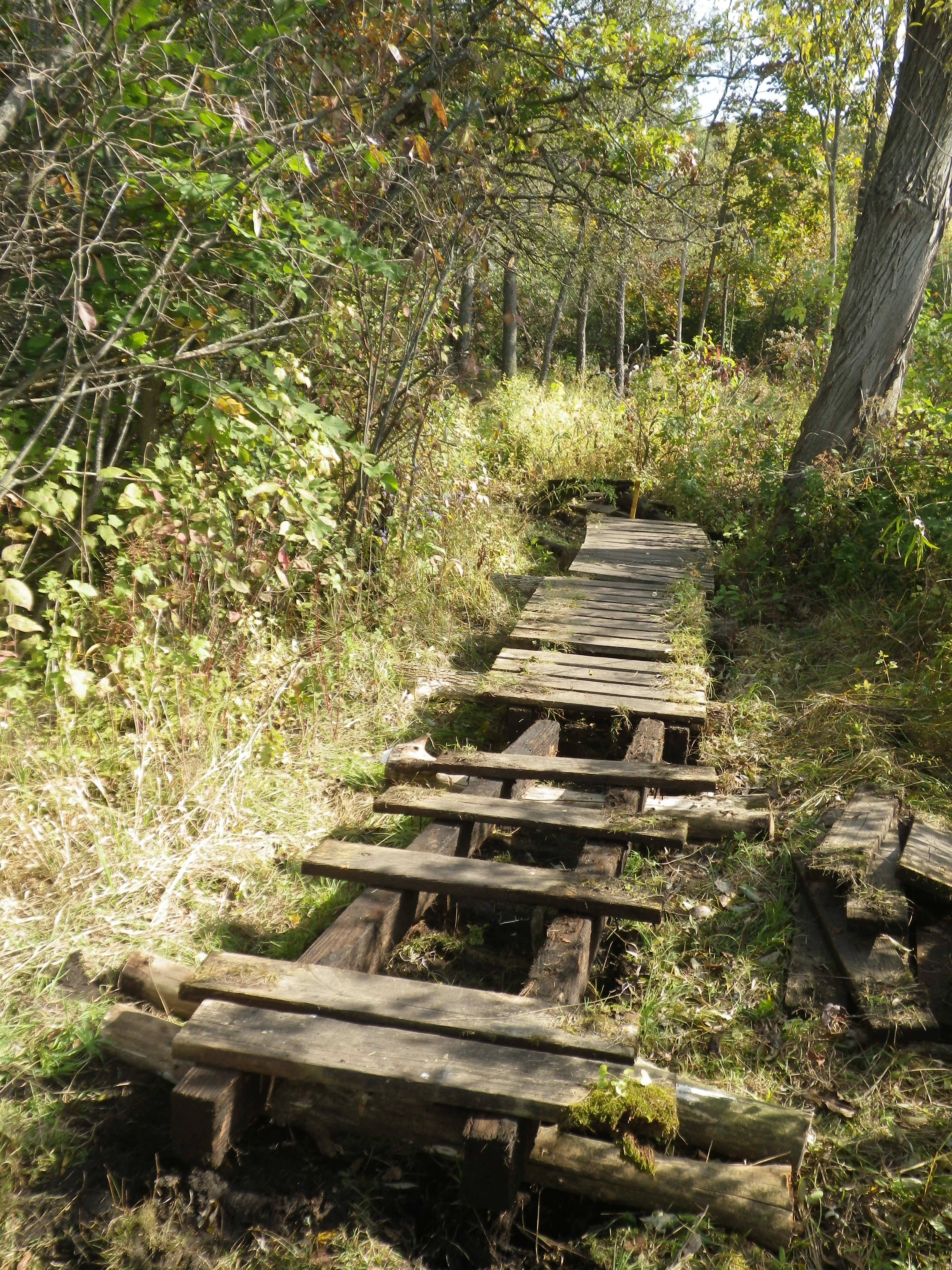
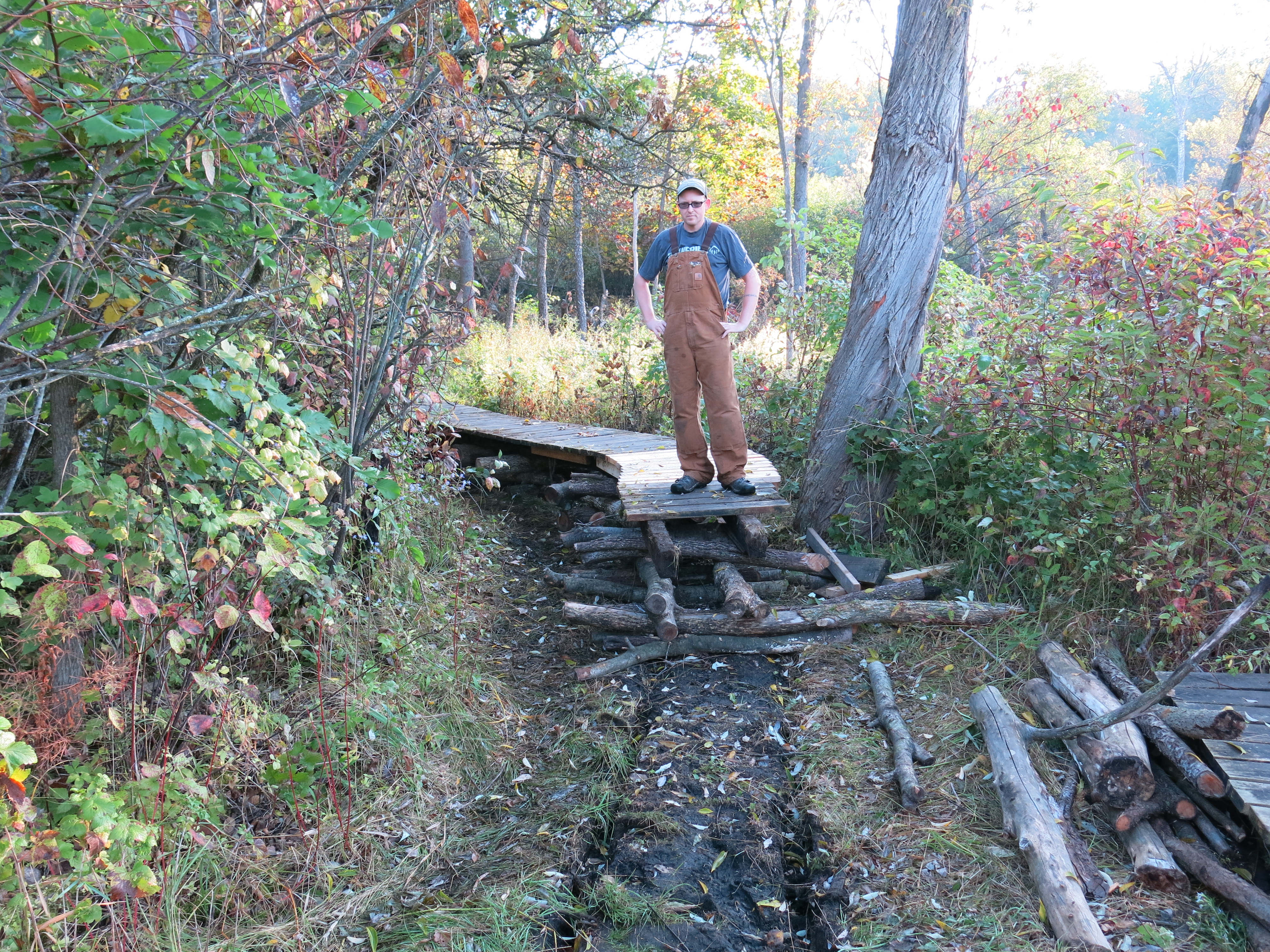
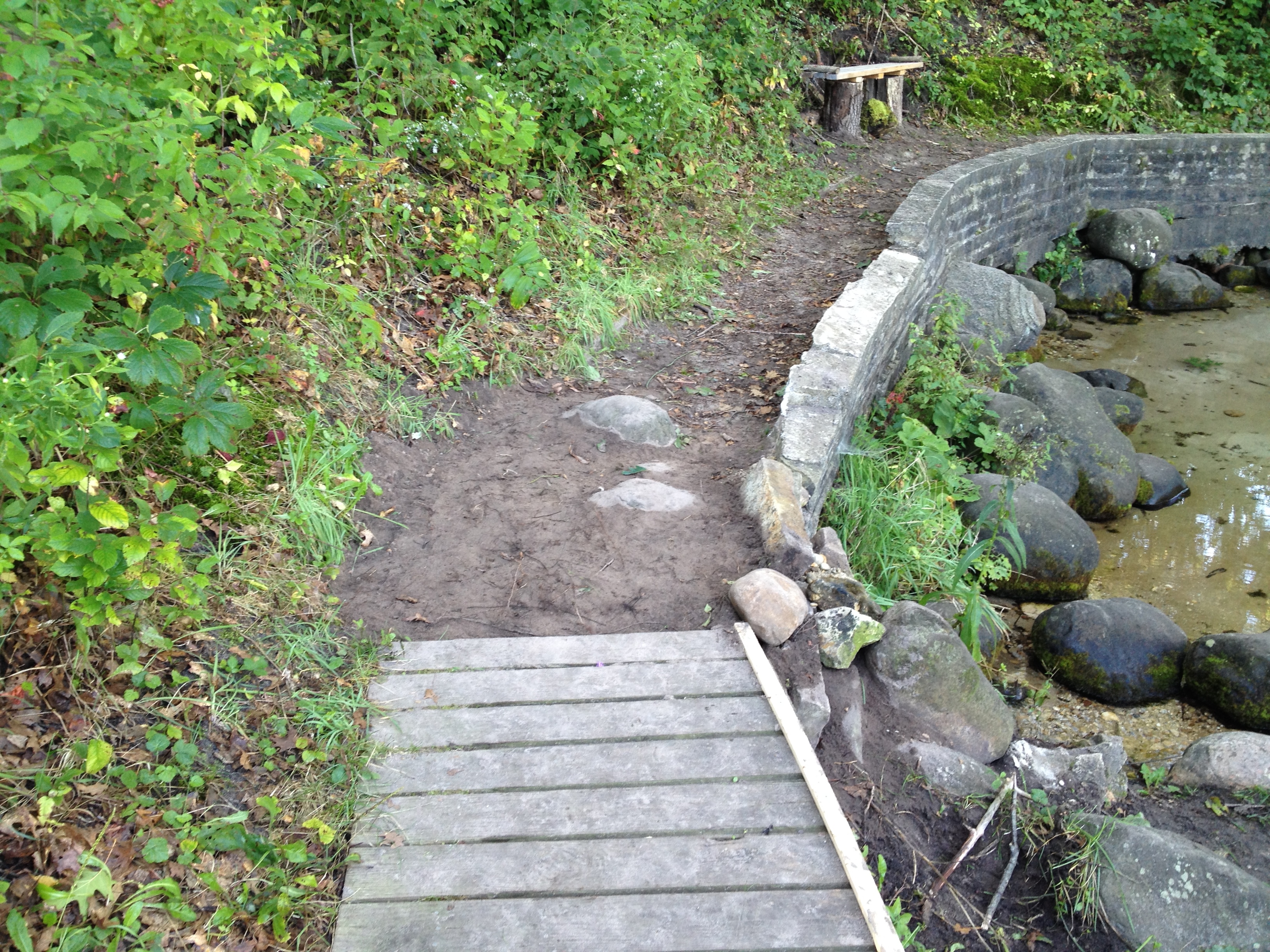
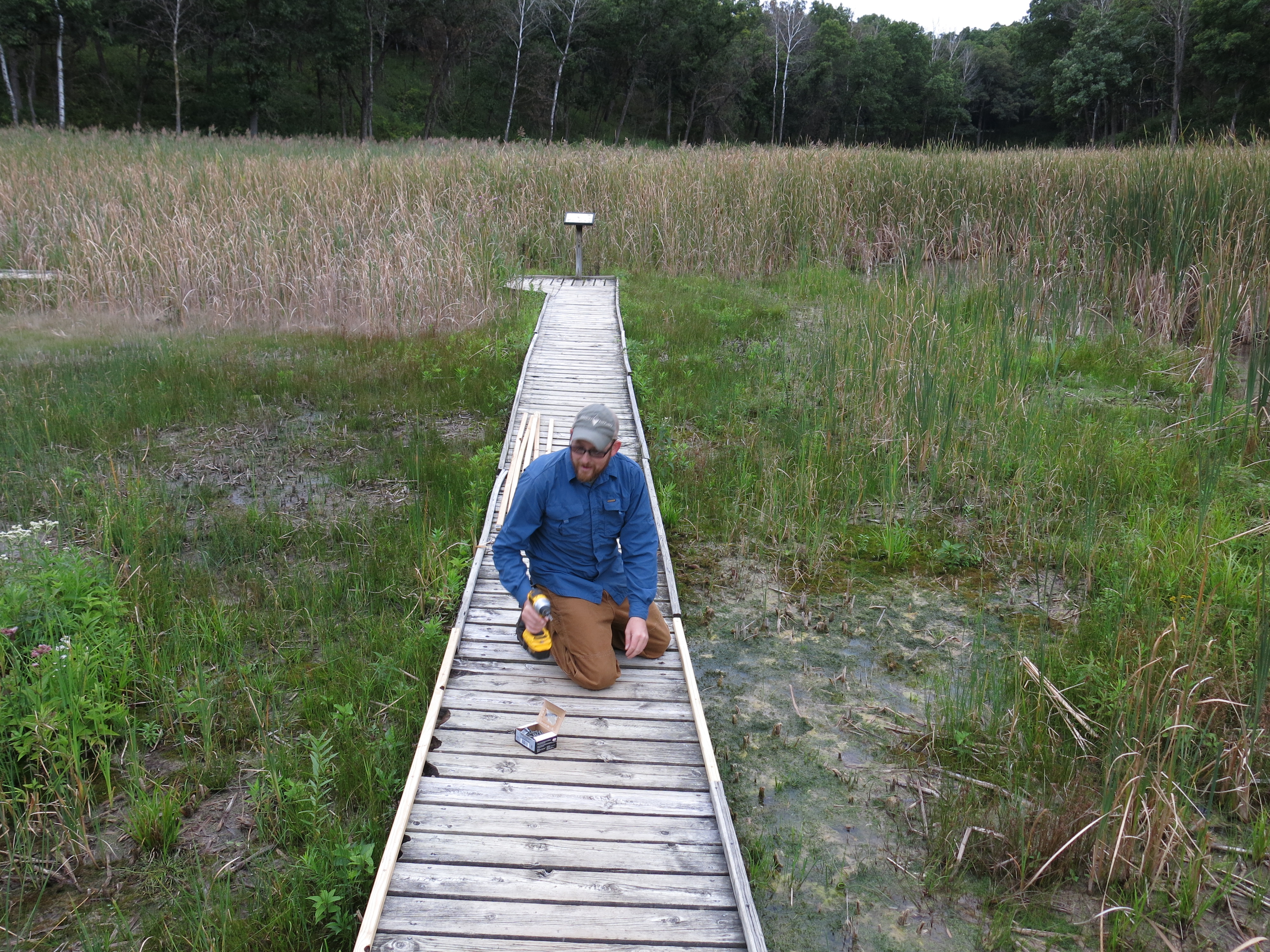
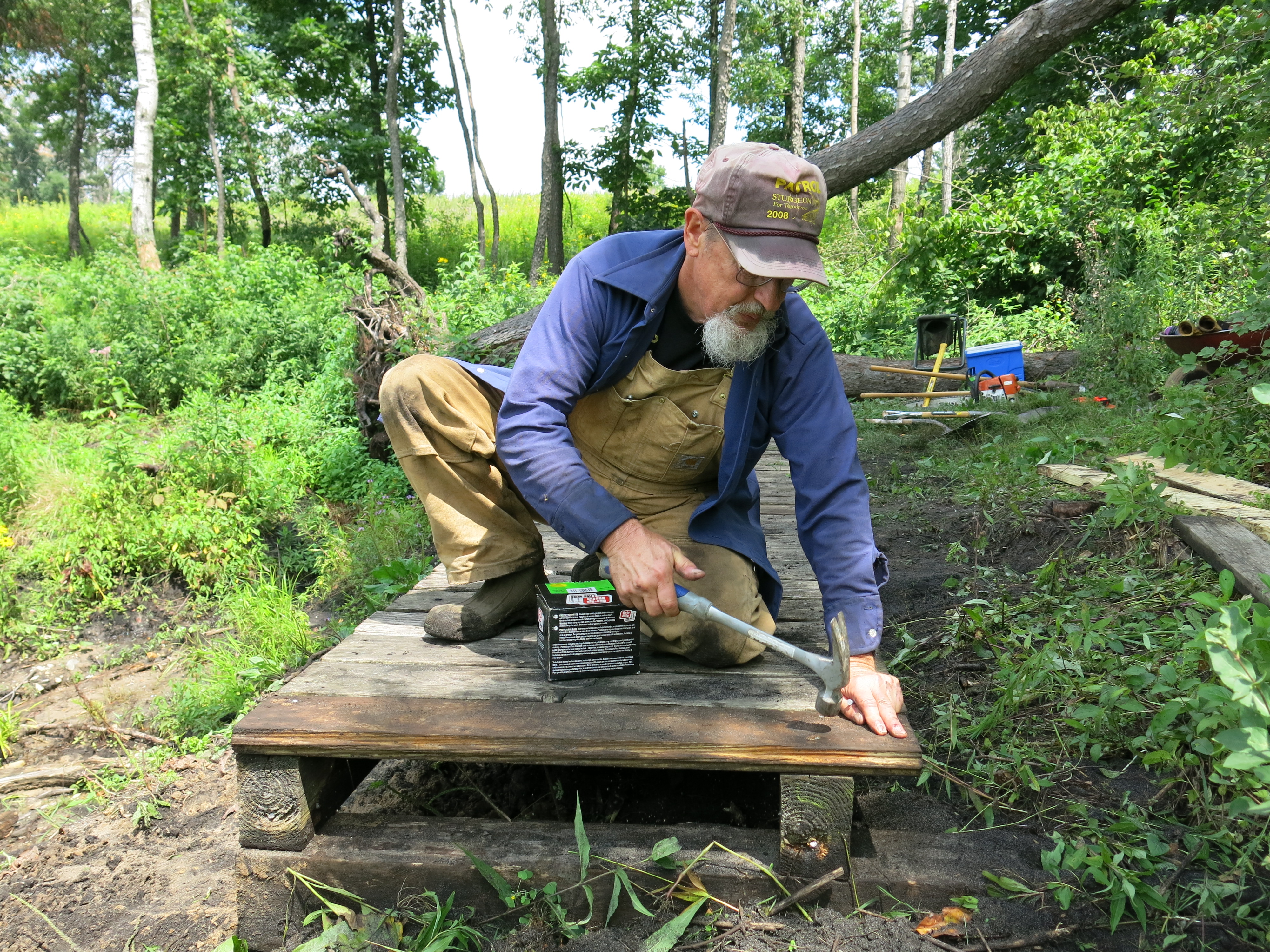
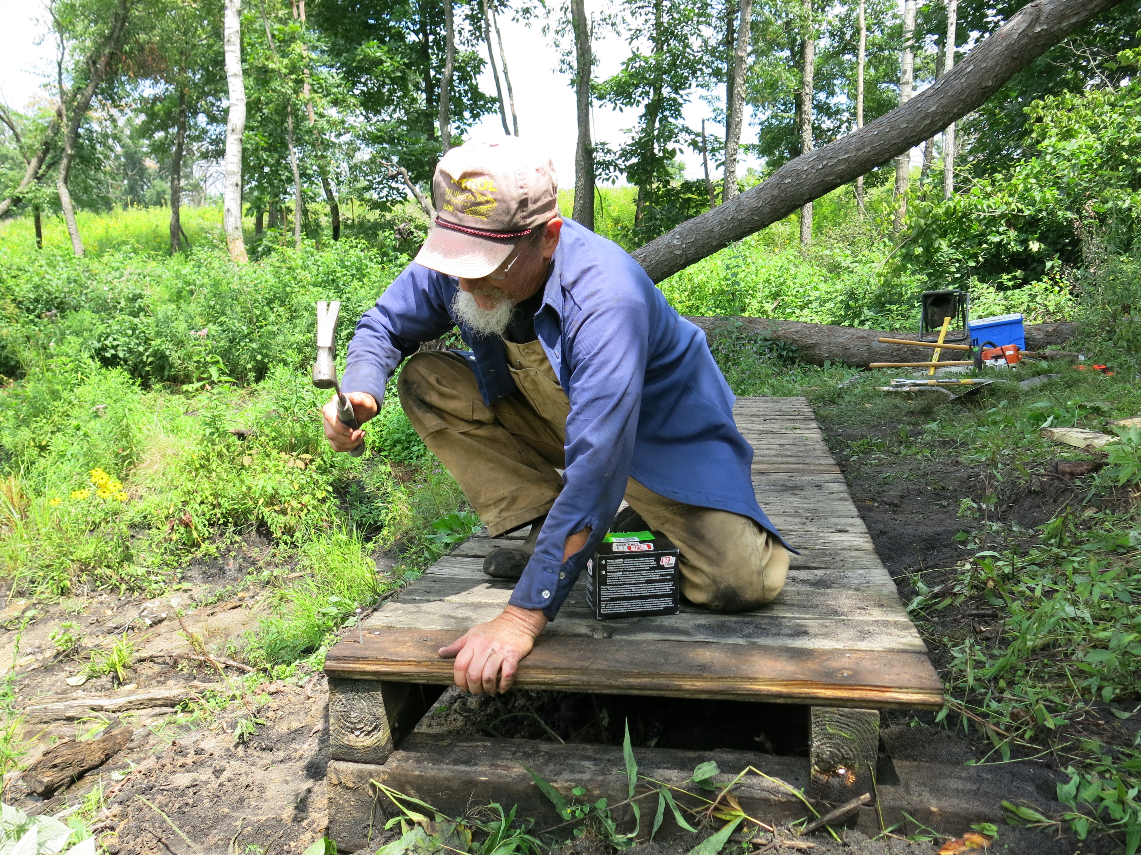
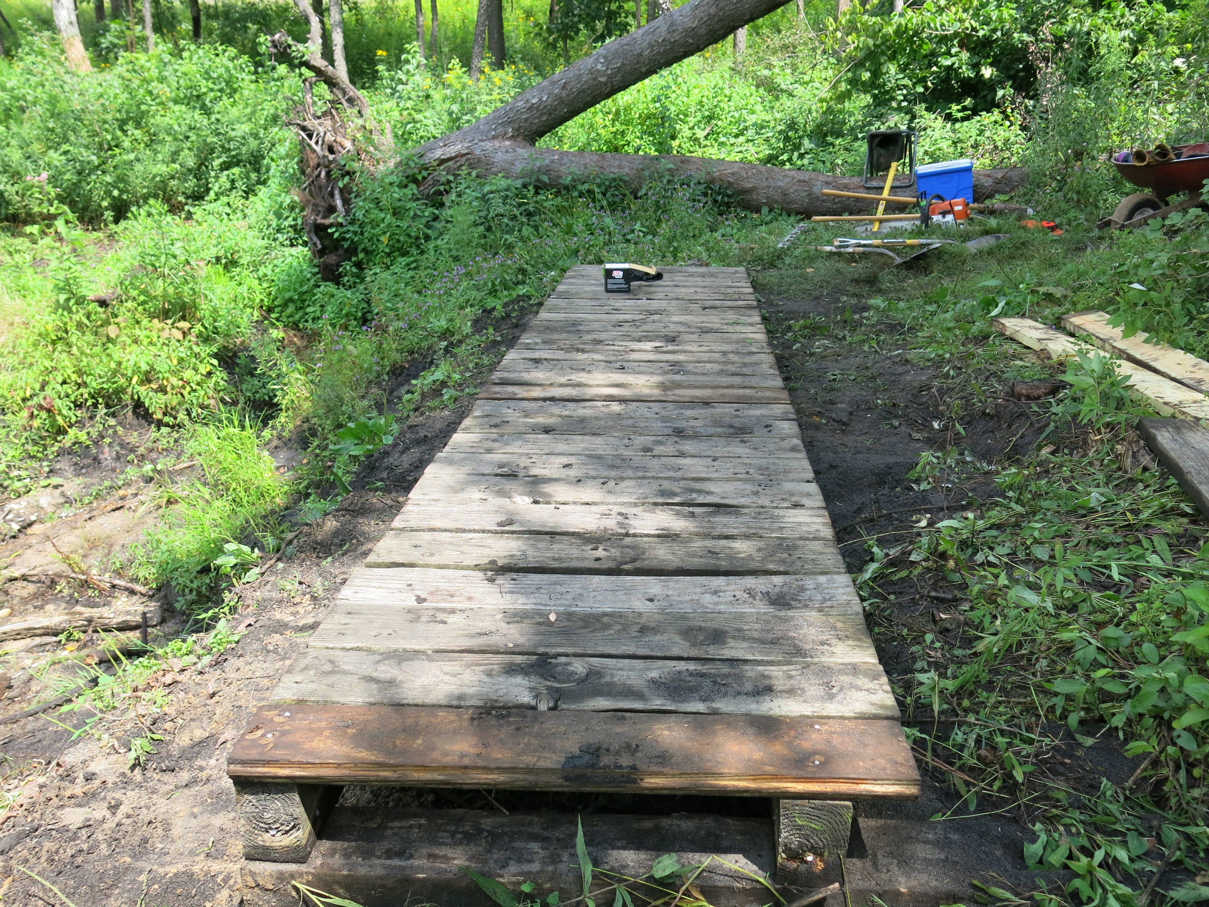
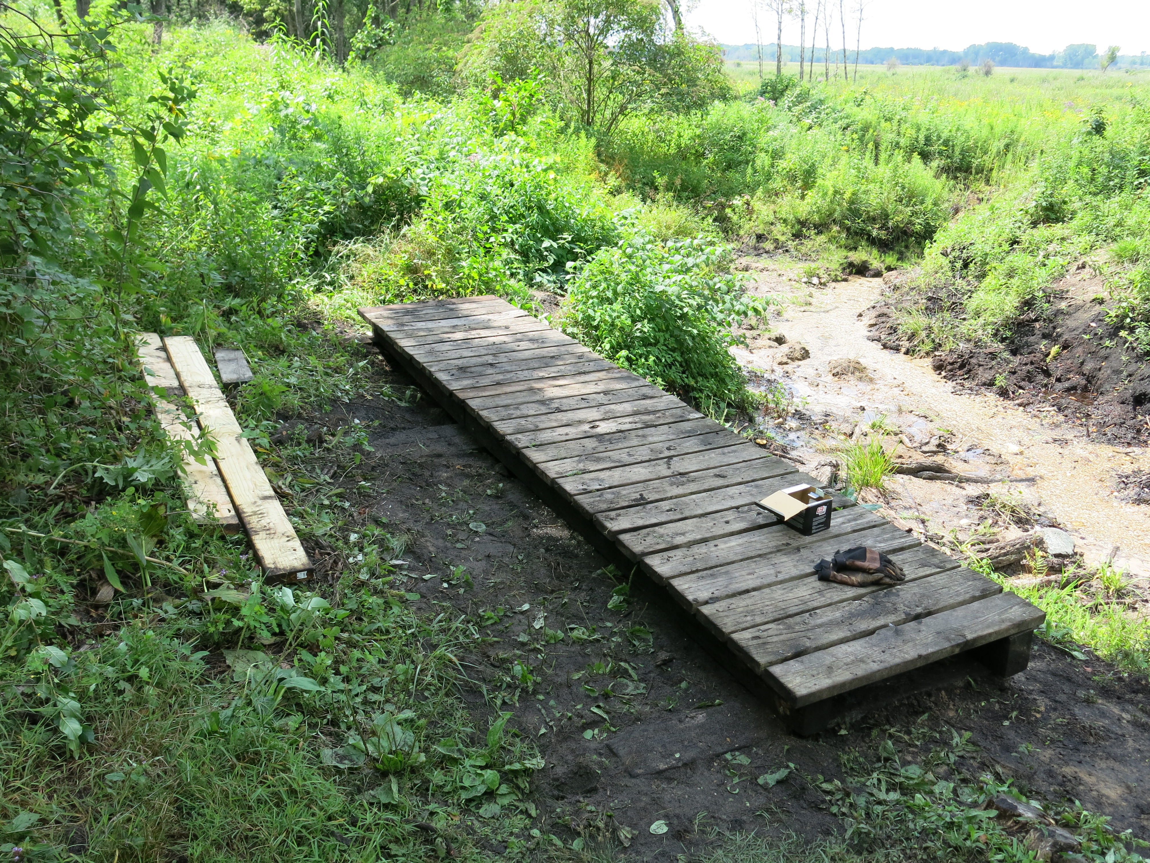
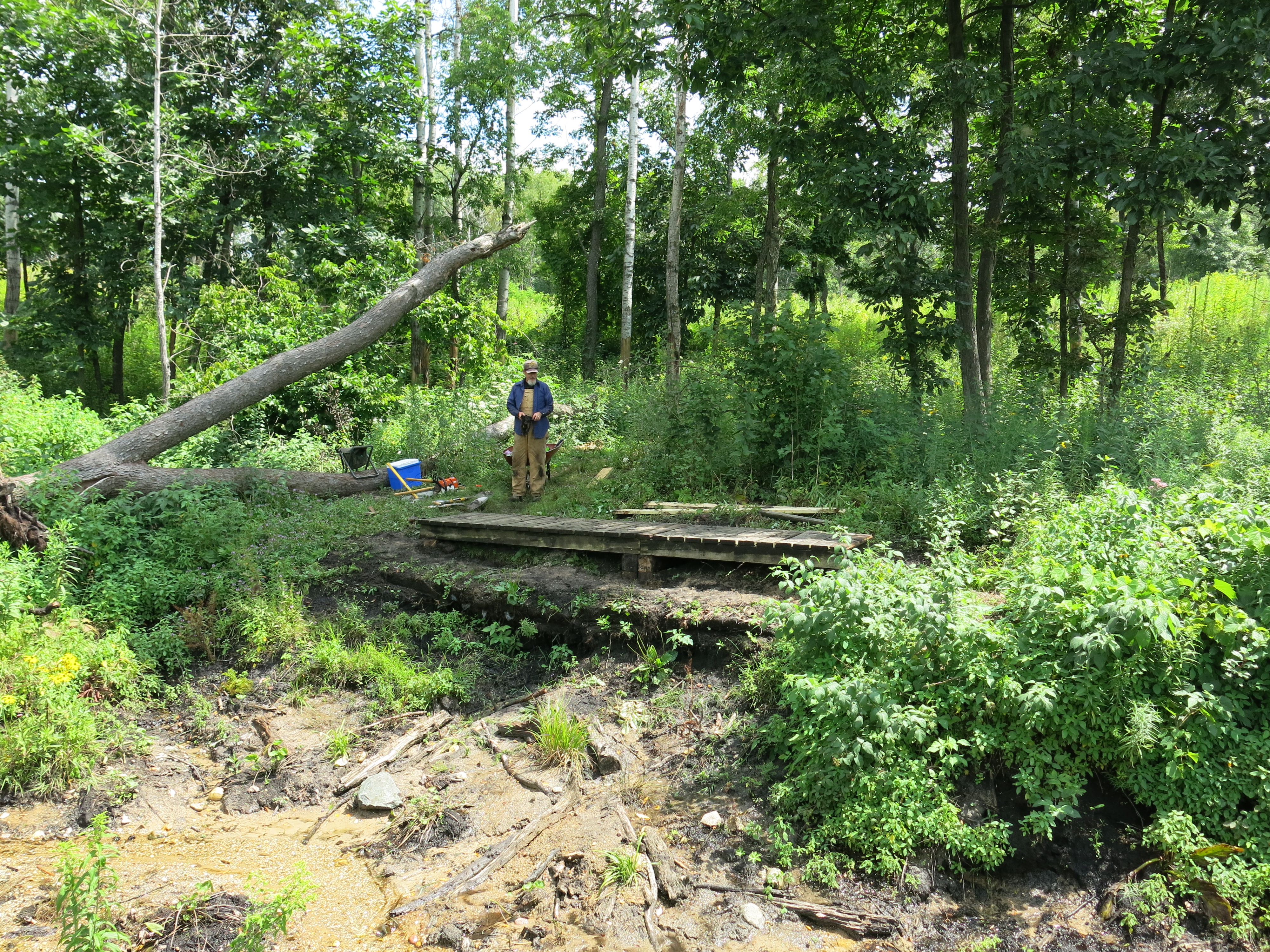
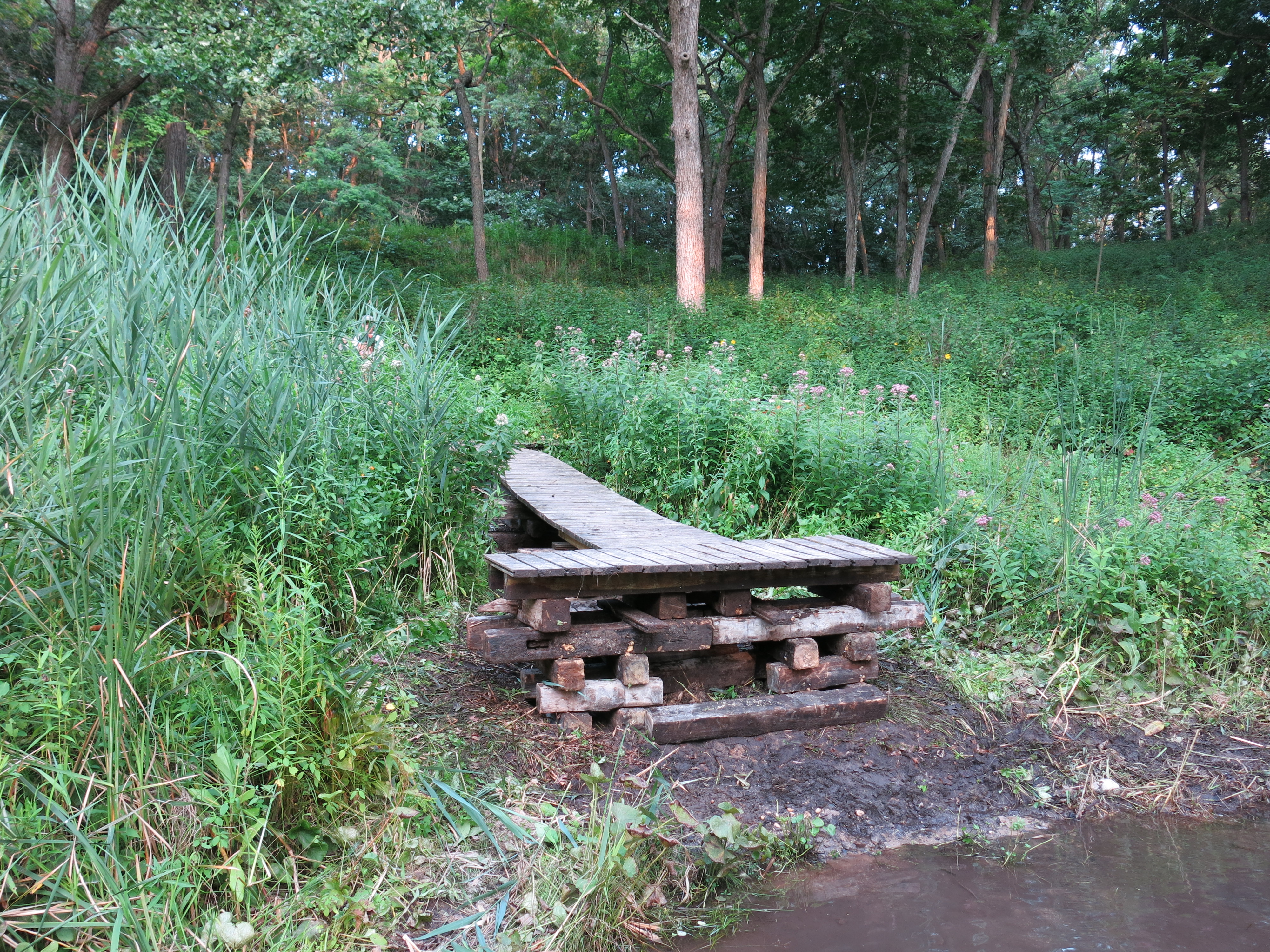
Ben has been helping Anne Korman, Assistant Superintendent KMSF – Southern Unit, work on a plan to make the Scuppernong Springs Nature Trail handicap accessible from the parking lot to the Hotel Spring and we had a date to review project.  The removal of the bridge by the Hotel Spring has opened up some new perspectives on how to route the trail.  Anne, and her boss Paul Sandgren, scoped out the situation and they are seriously considering building the new bridge over the river at the old sawmill site at signpost #12.  The new trail would follow the berm that formed the lower pond.

IMG_5368

IMG_5369 IMG_5370

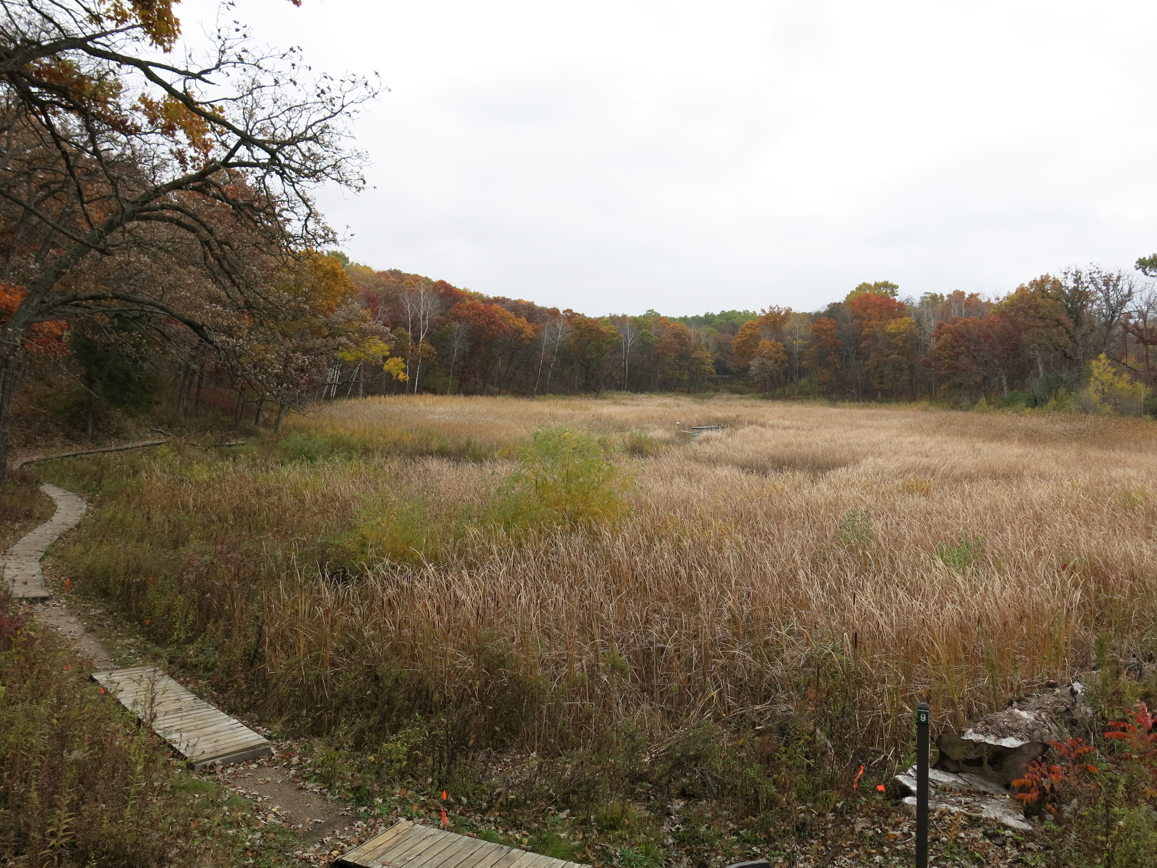
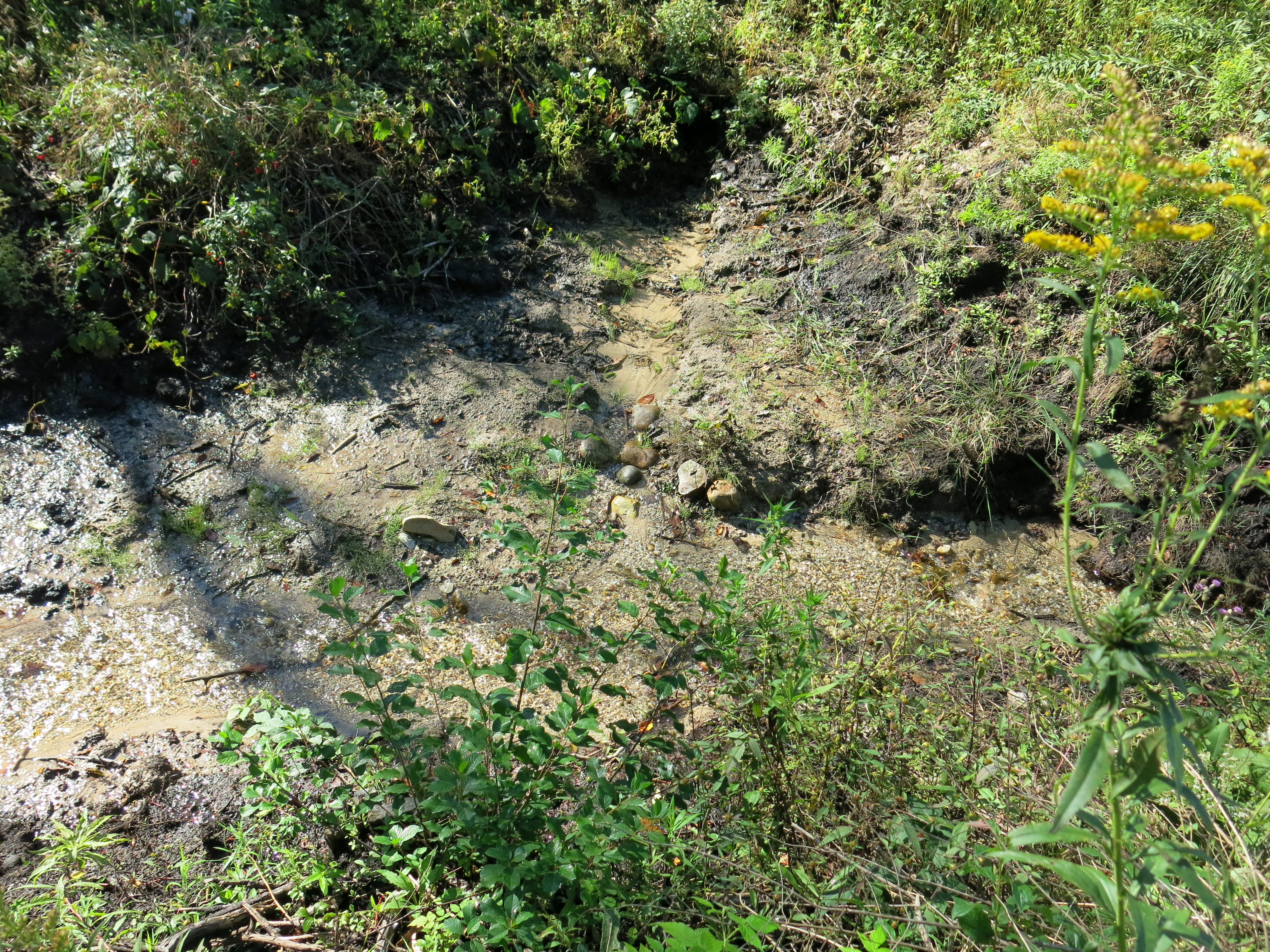
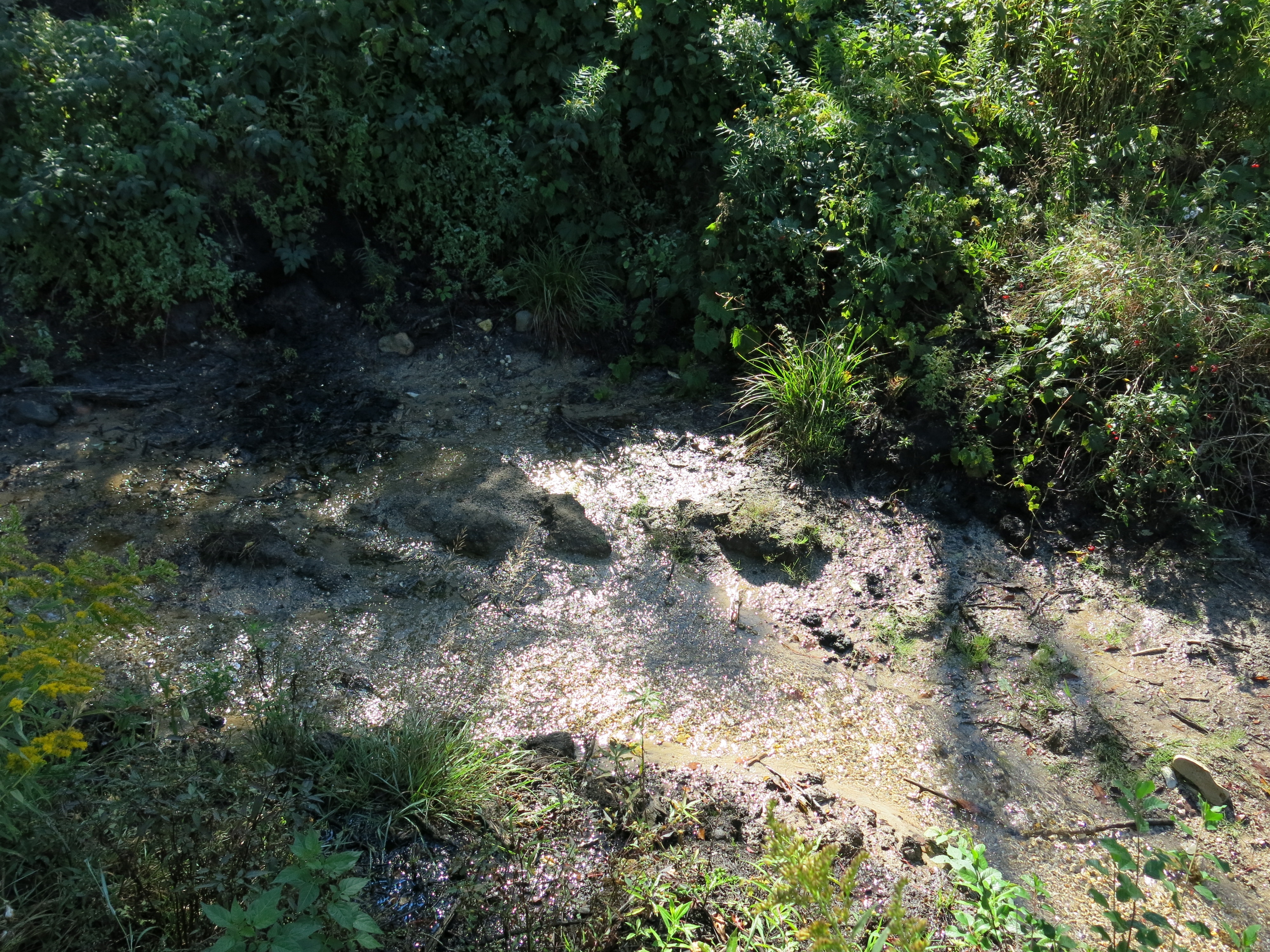
This would be a beautiful spot to cross the river, with the added bonus that the east bank of the old bridge site, which has some very unique springs and flora, would be allowed to return to a natural state.  The DNR Water Regulations and Zoning engineers will have a say in the matter for sure.

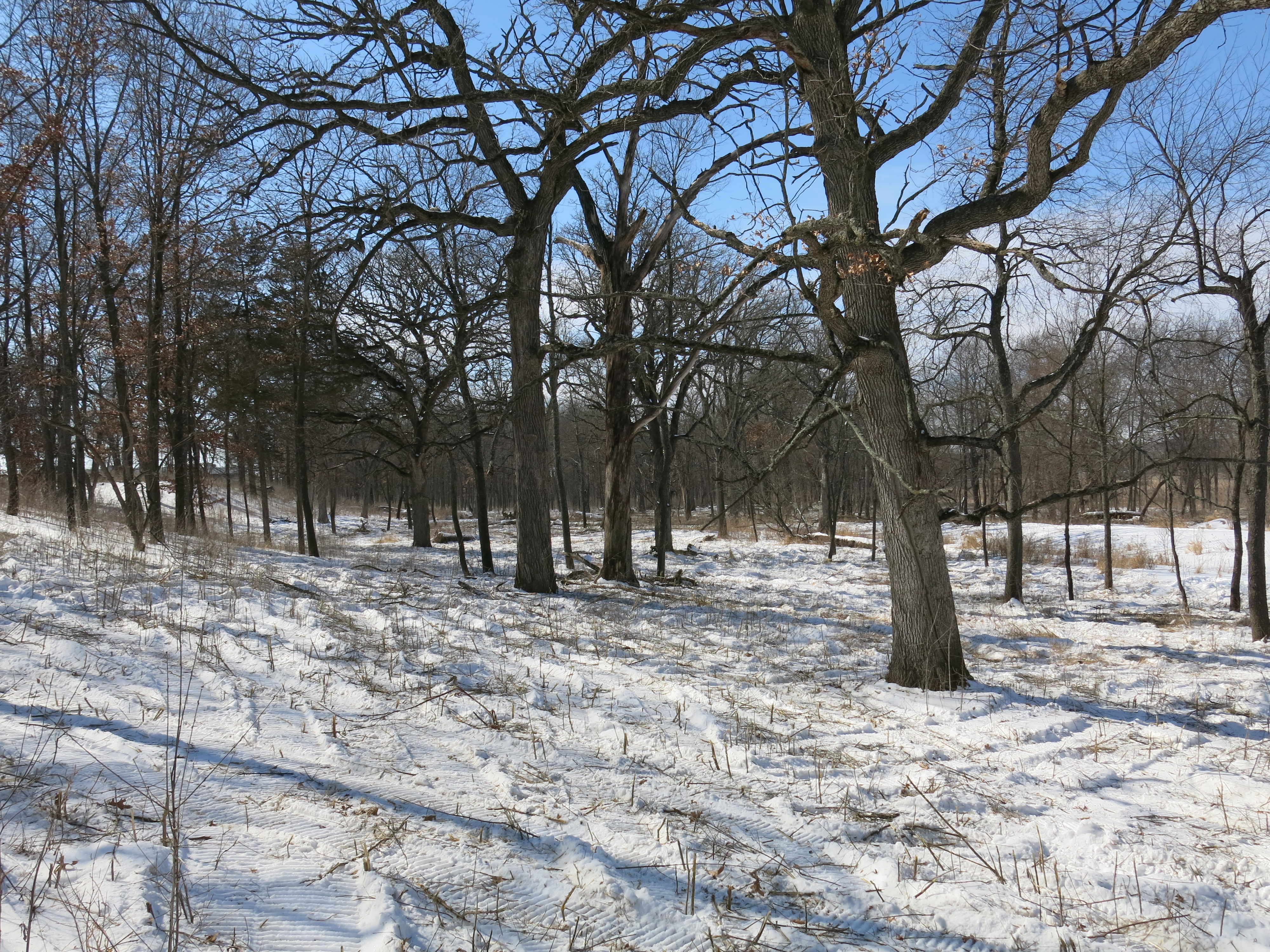
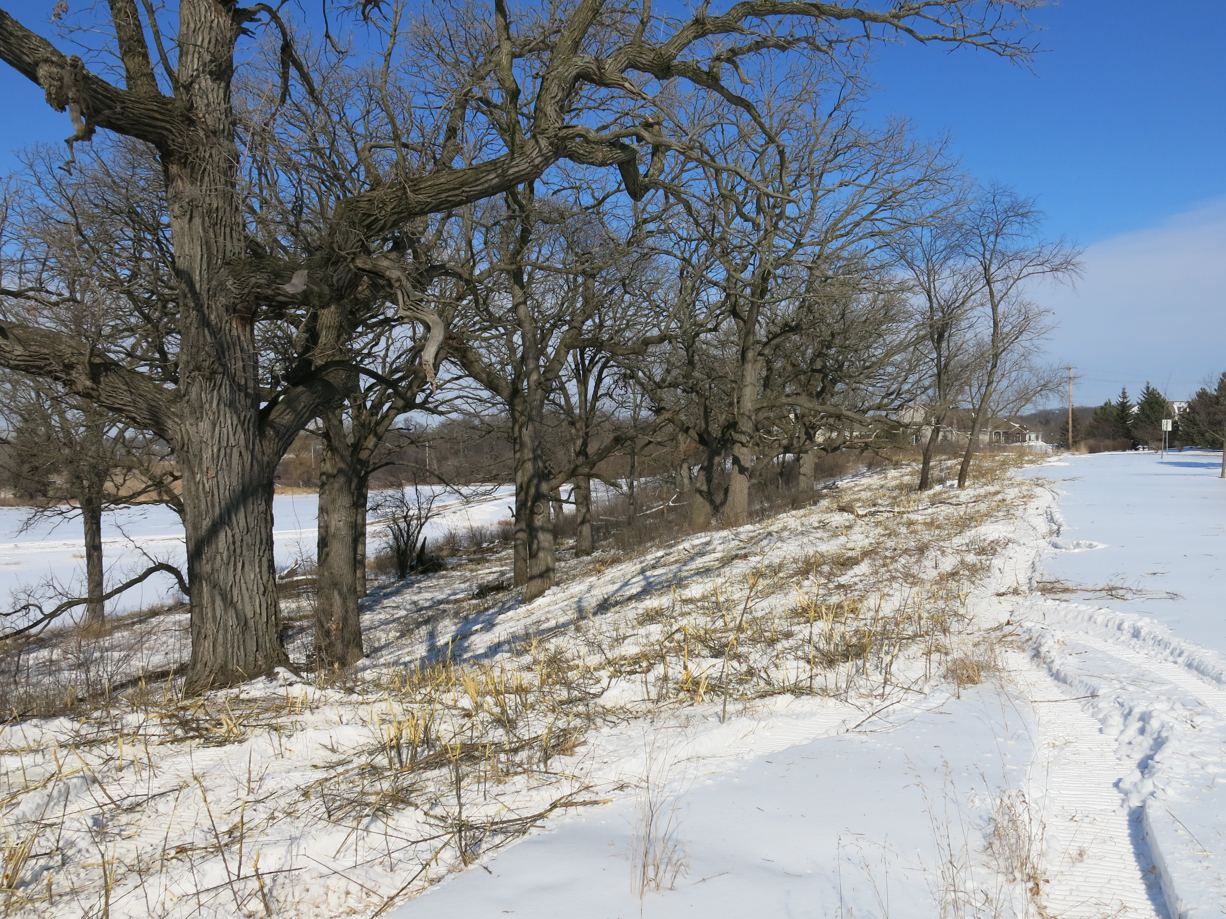
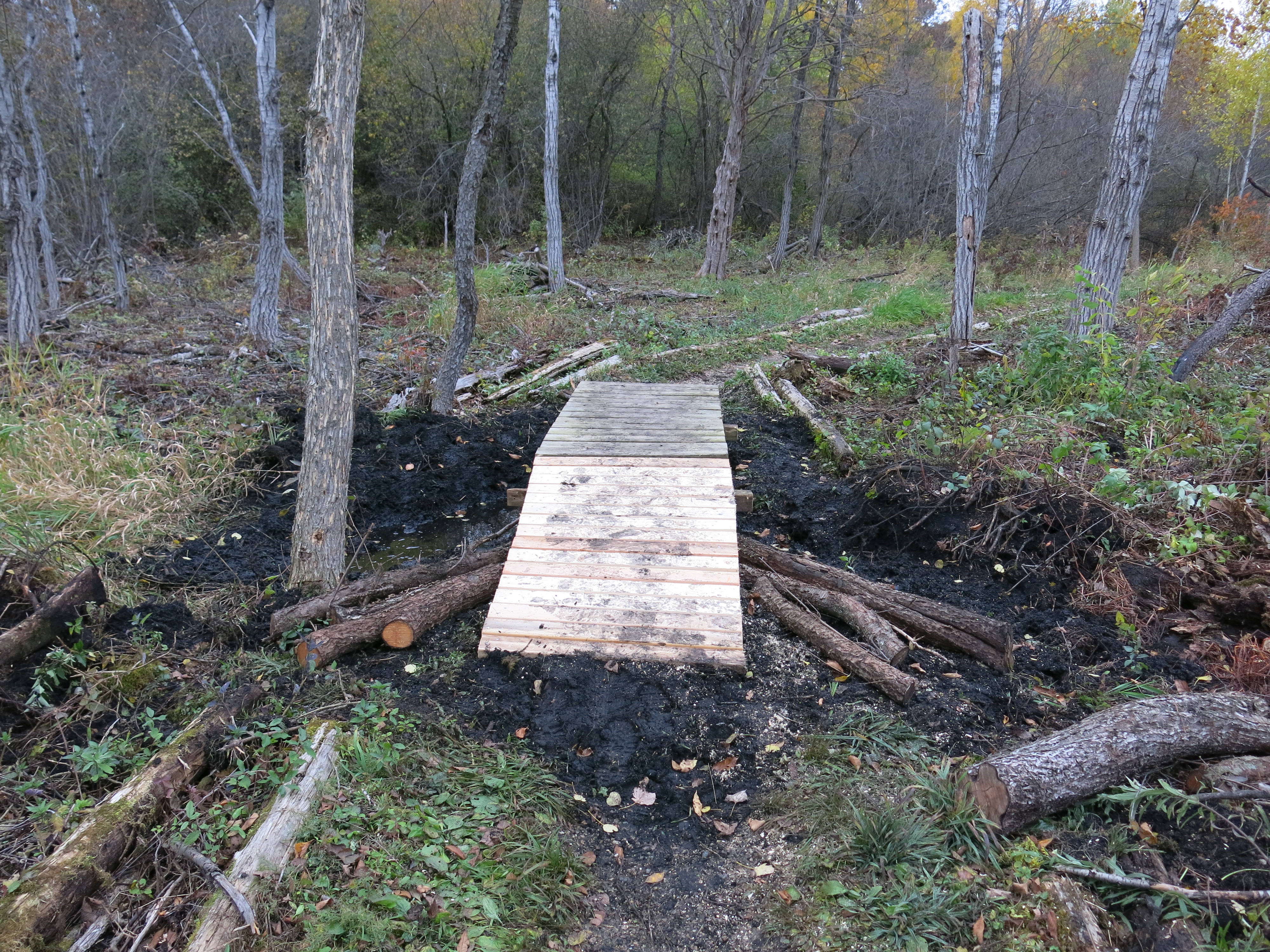
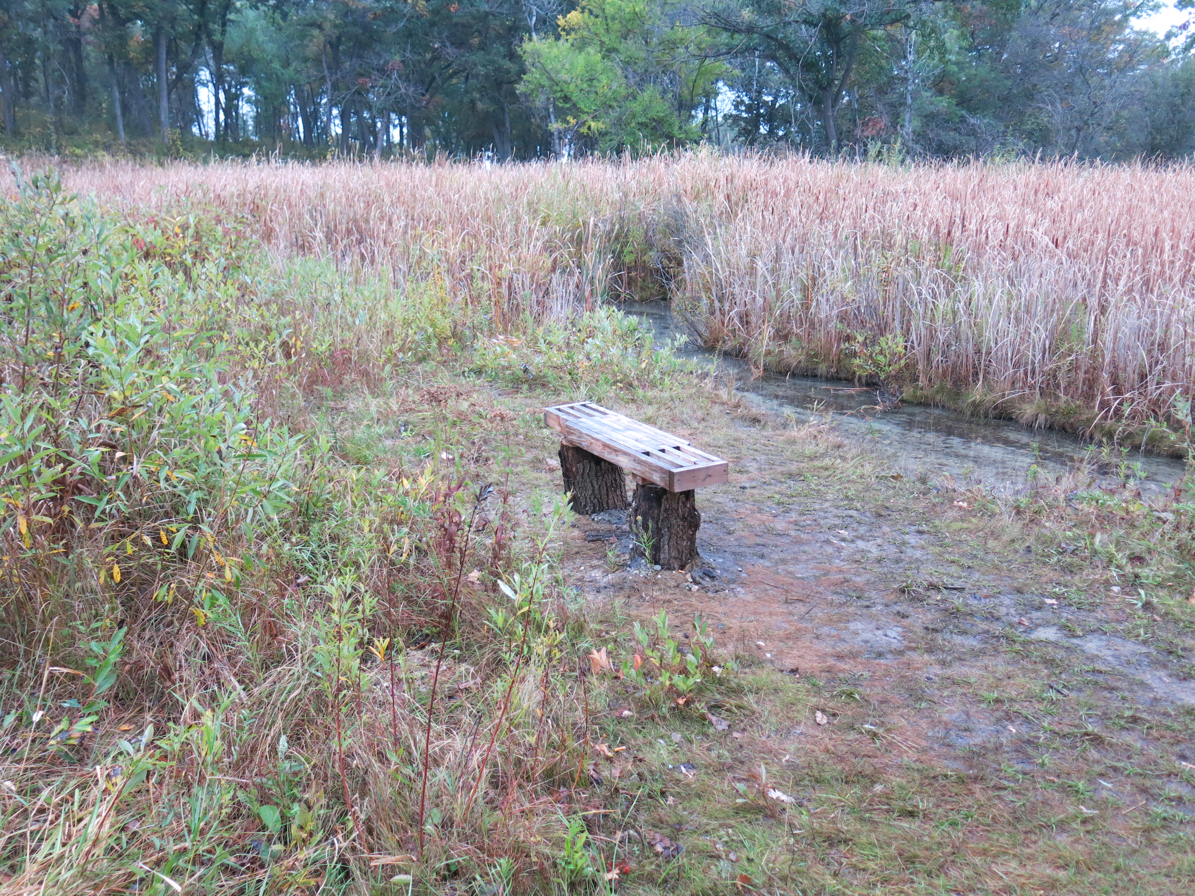
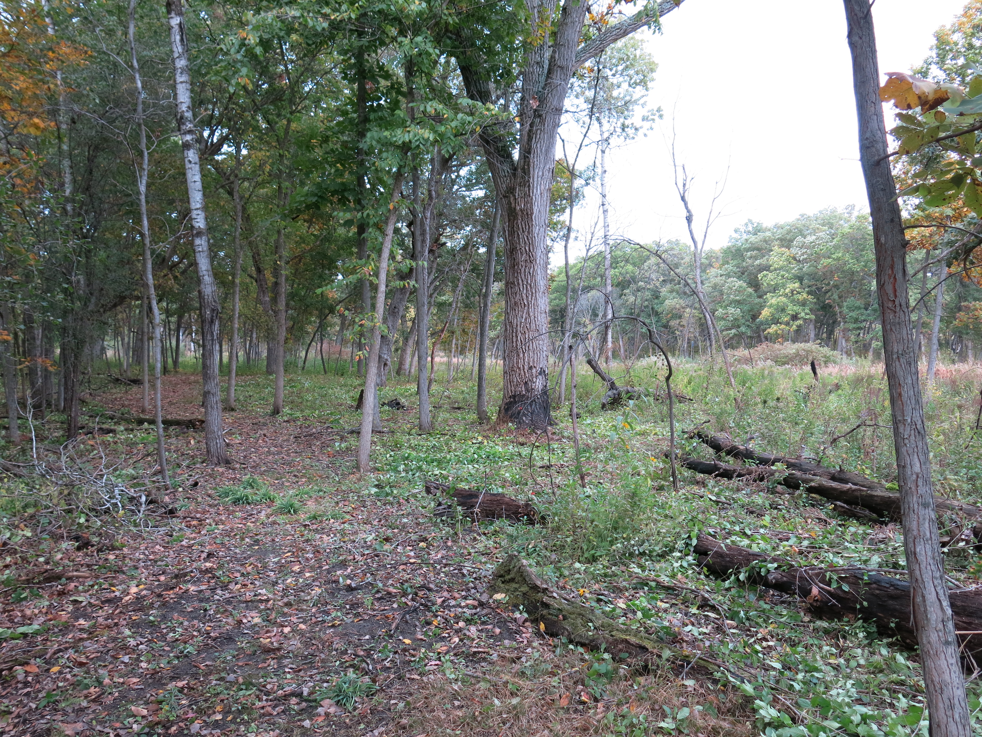
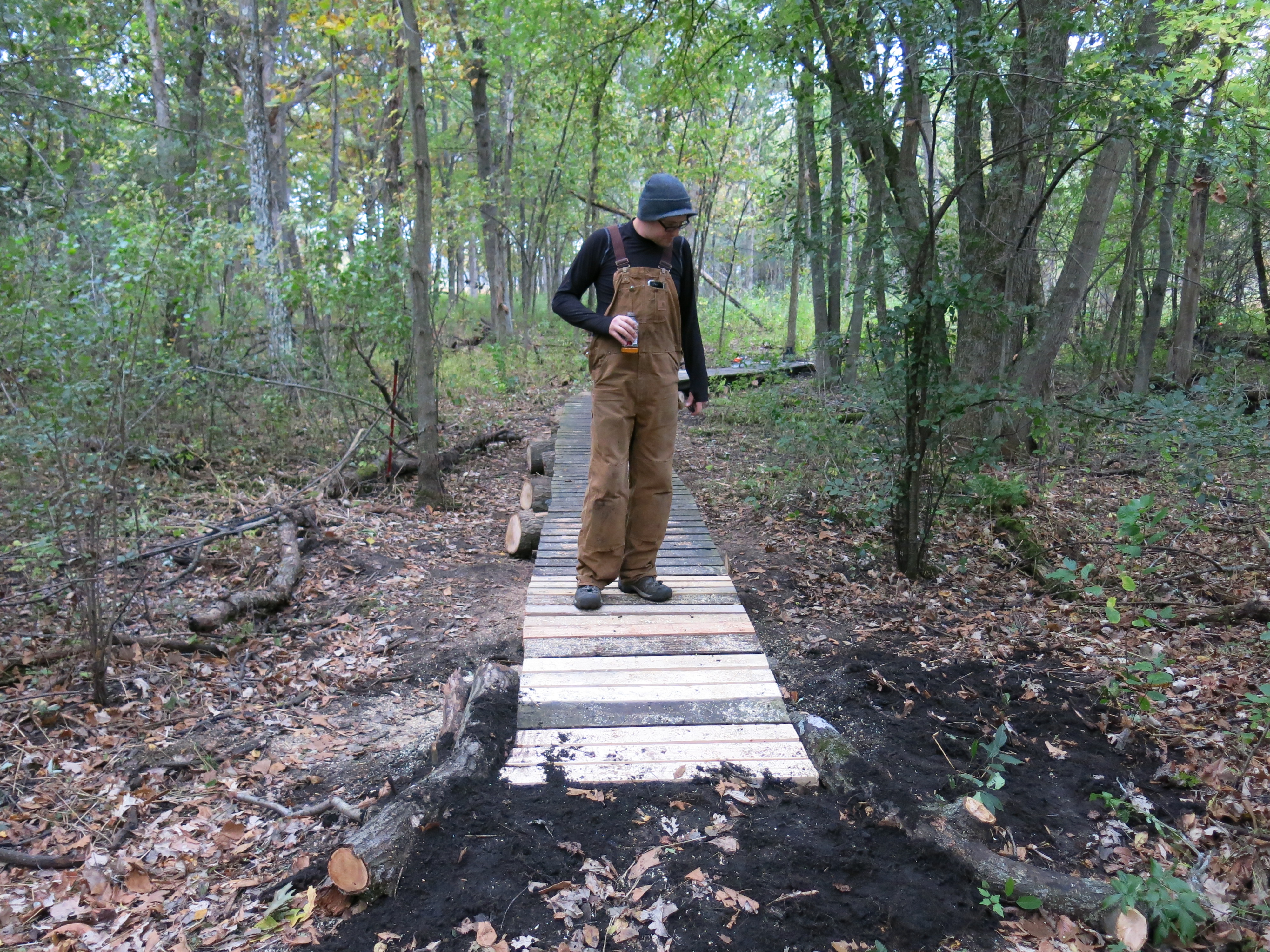
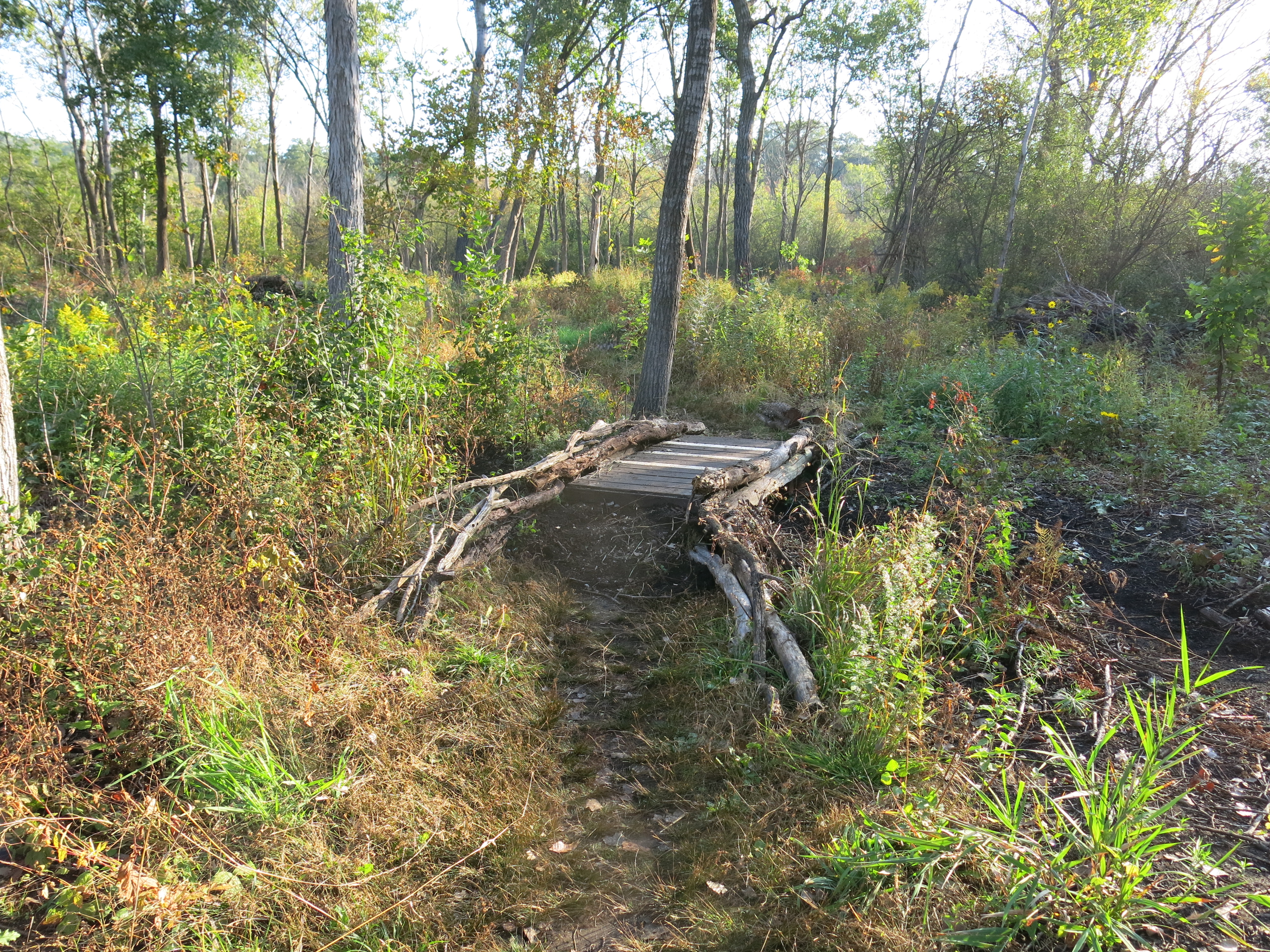
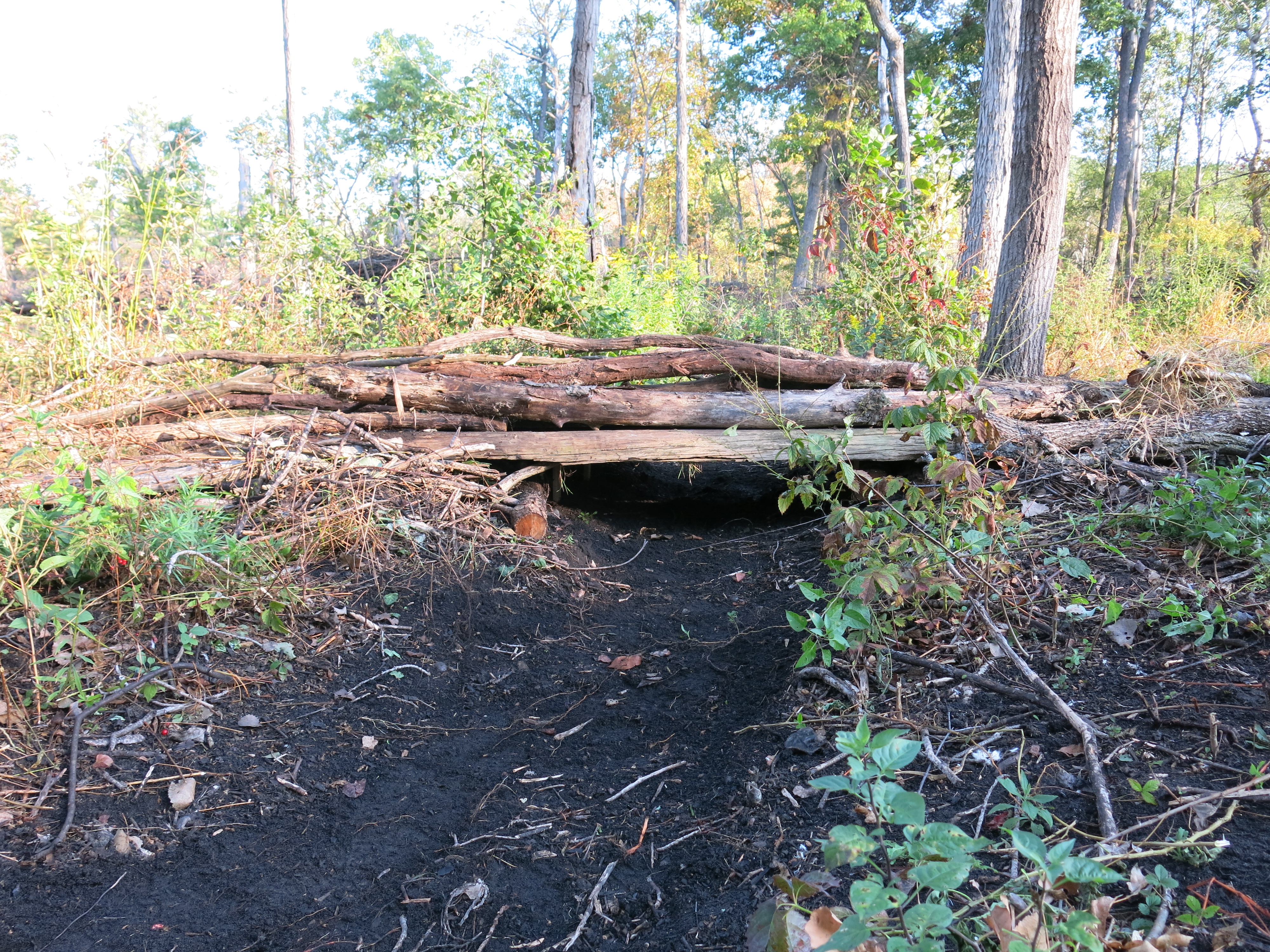
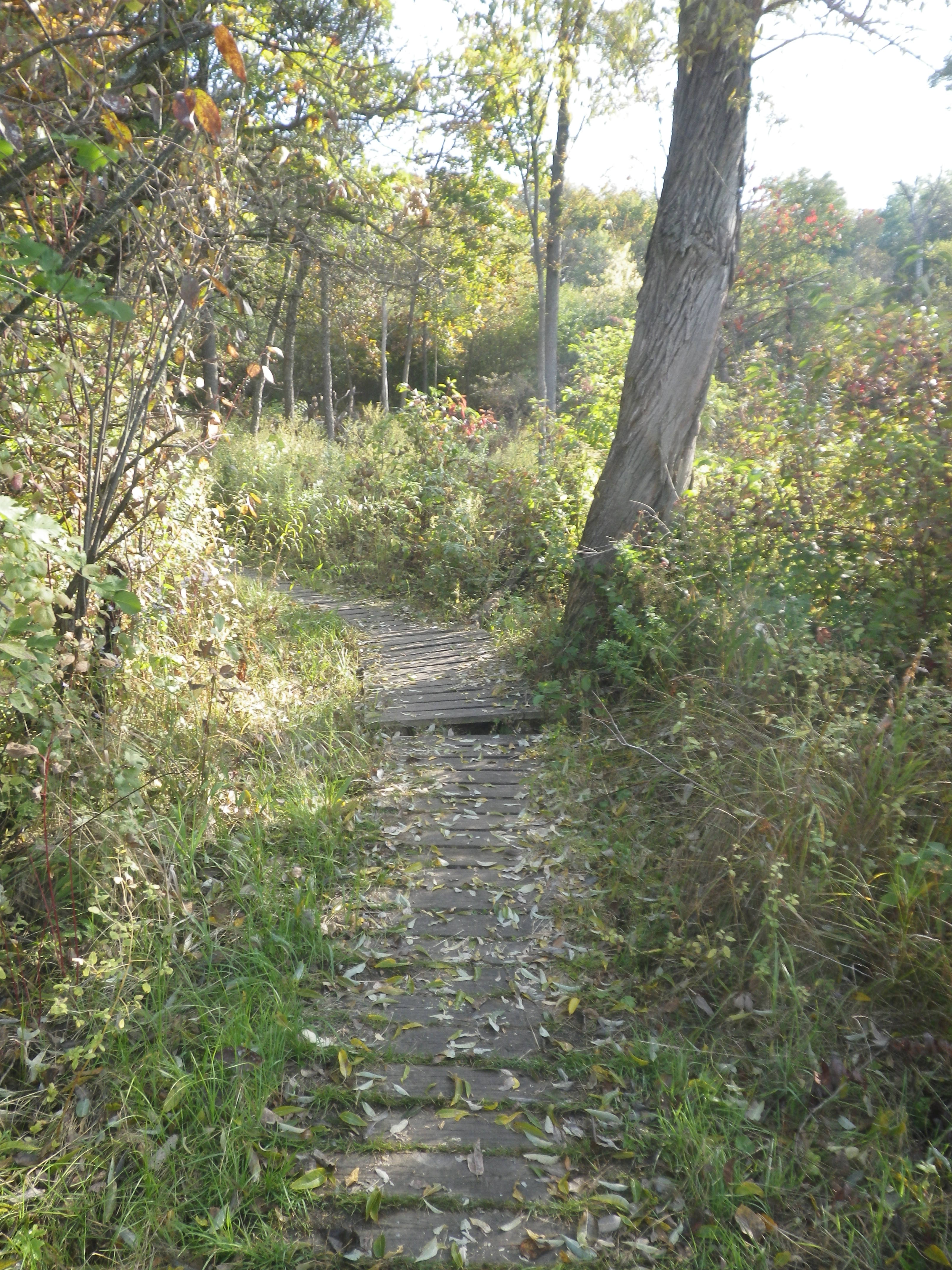
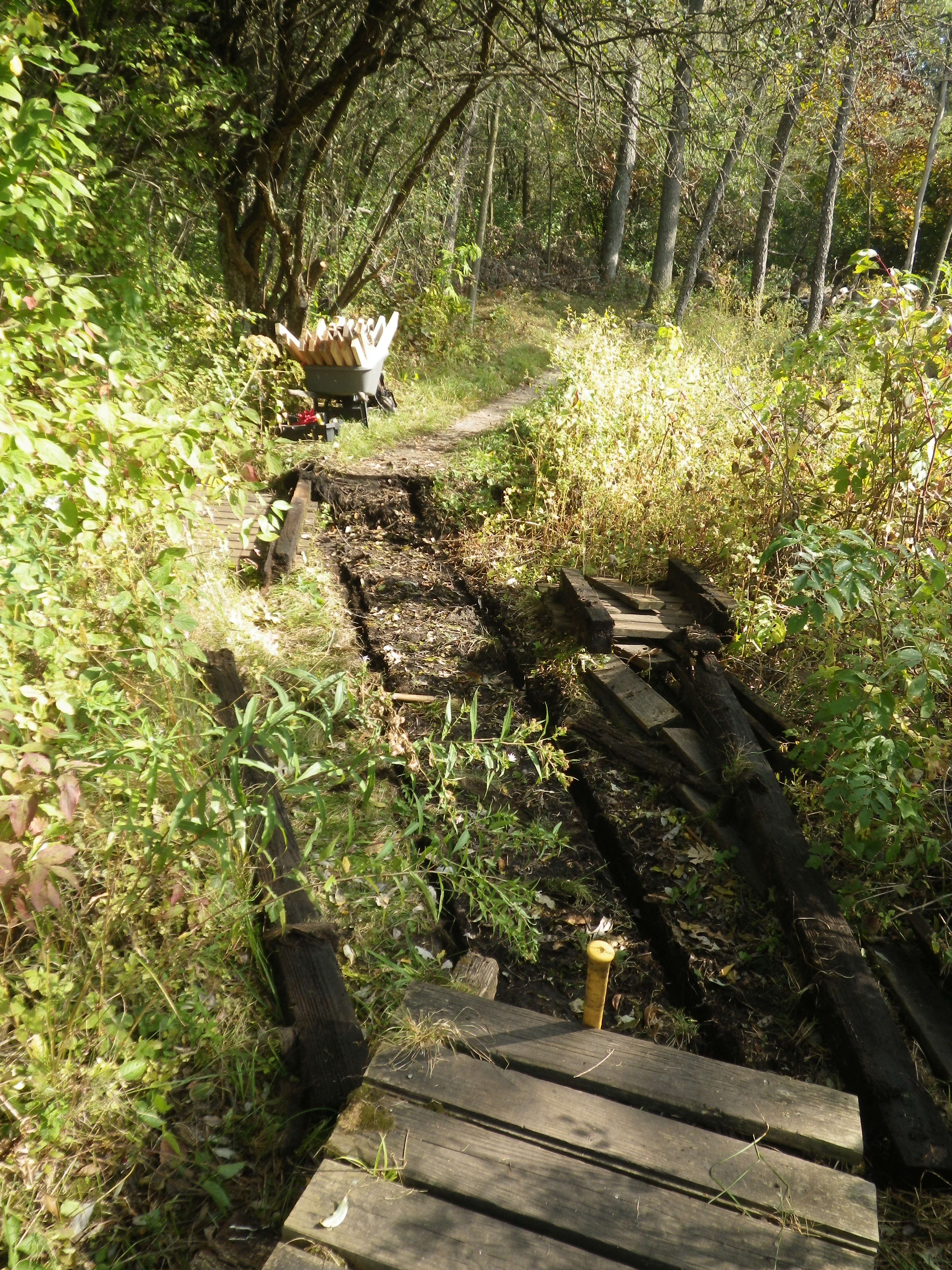
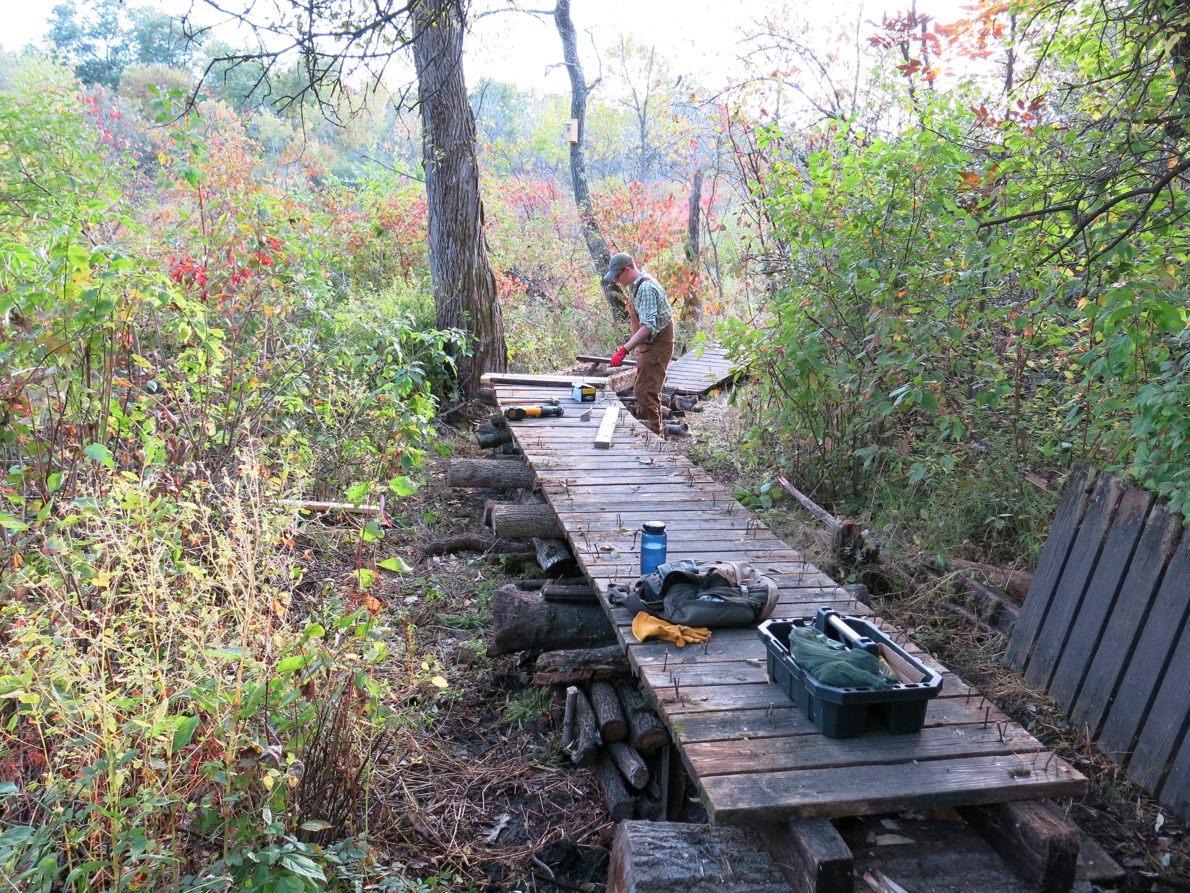
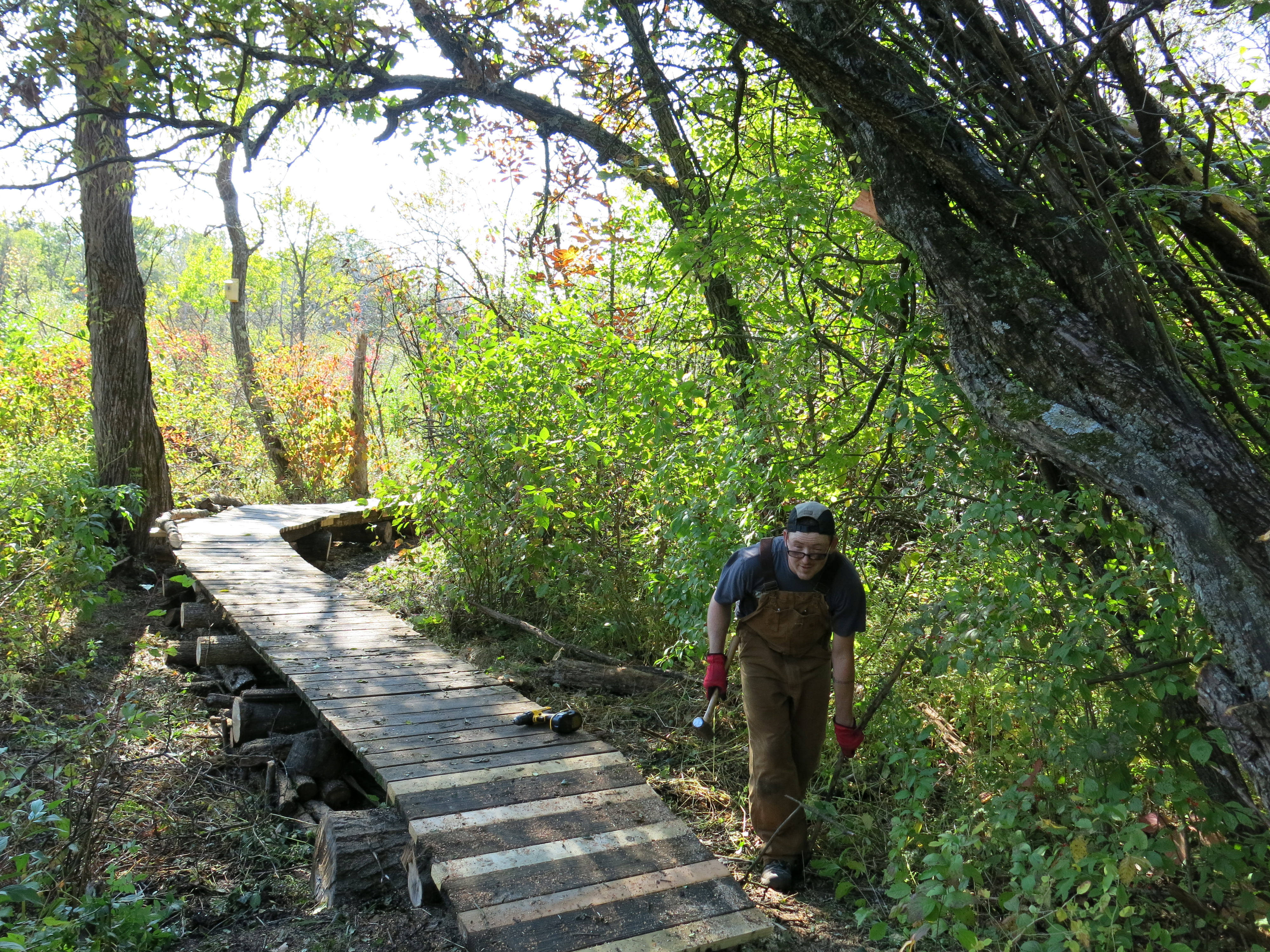
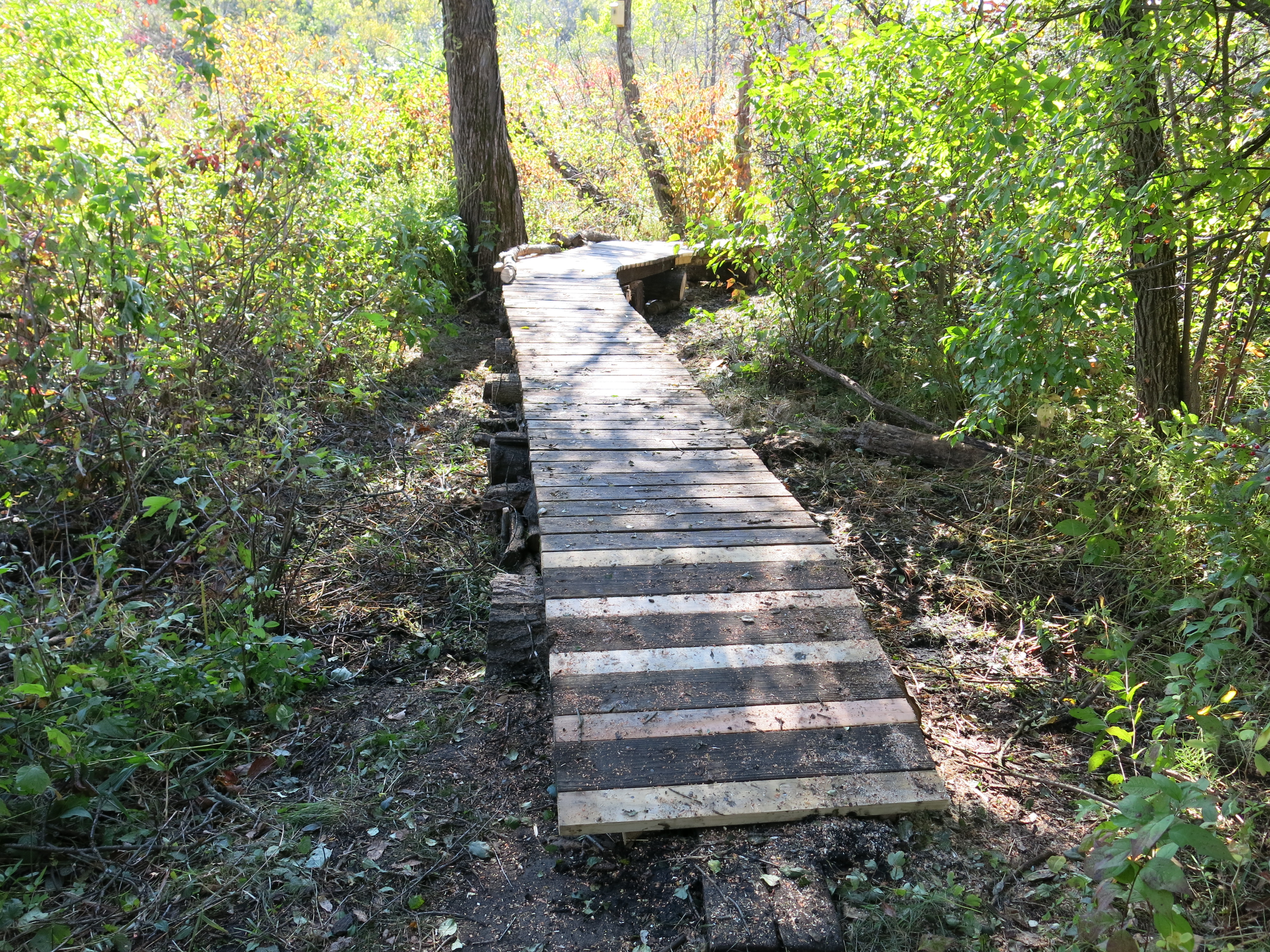
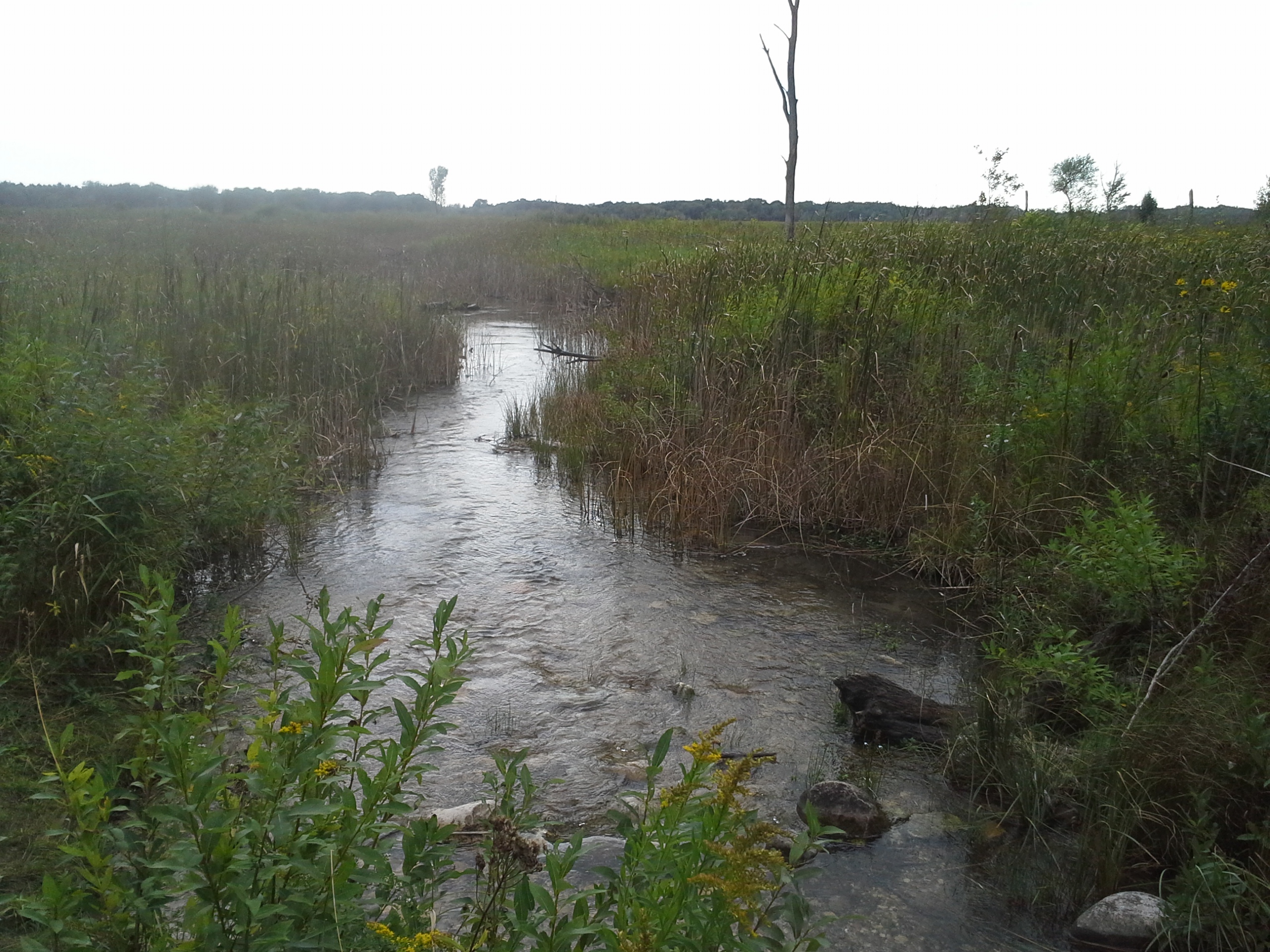
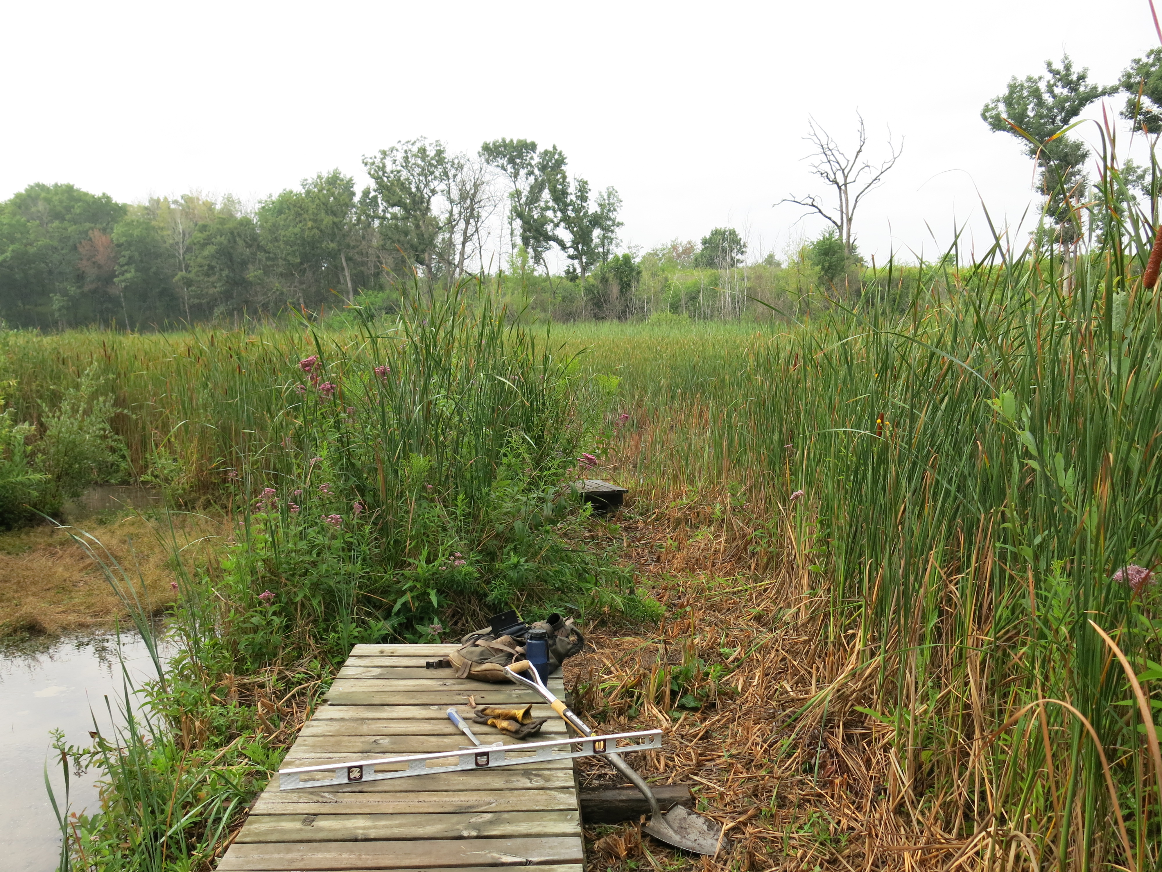
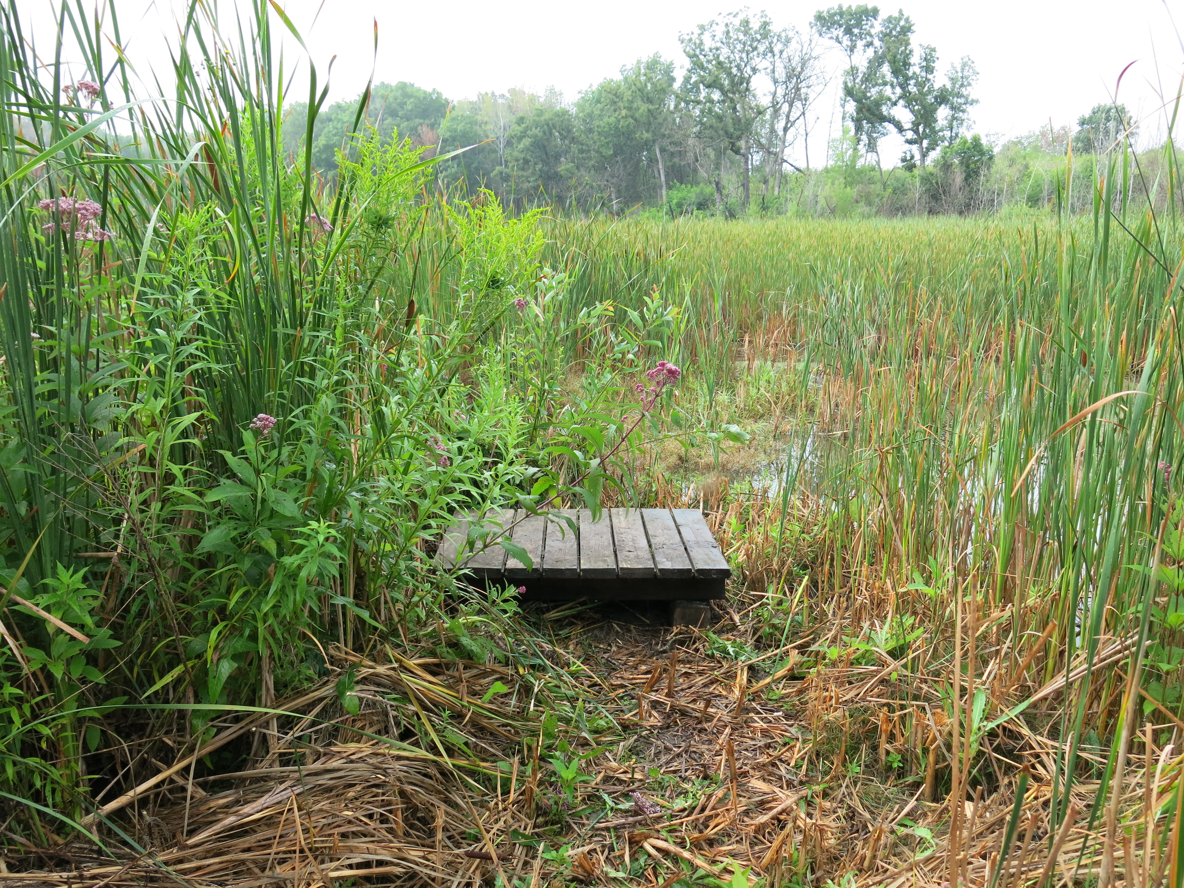
While Ben moved boardwalks and cleared a trail along the berm, I continued cutting buckthorn on the left side of the trail, where I left off last time.

IMG_5358 IMG_5359

That is how it looked before I got started.  Andy joined me and piled tons of buckthorn while I cut.

IMG_5373 IMG_5375 IMG_5377 IMG_5378

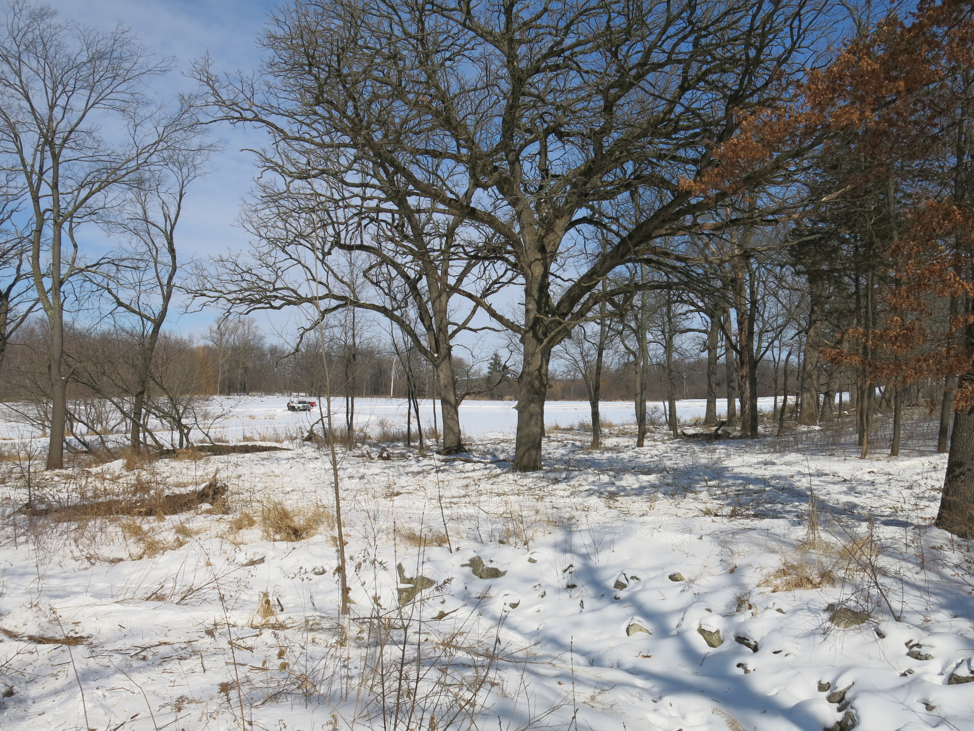
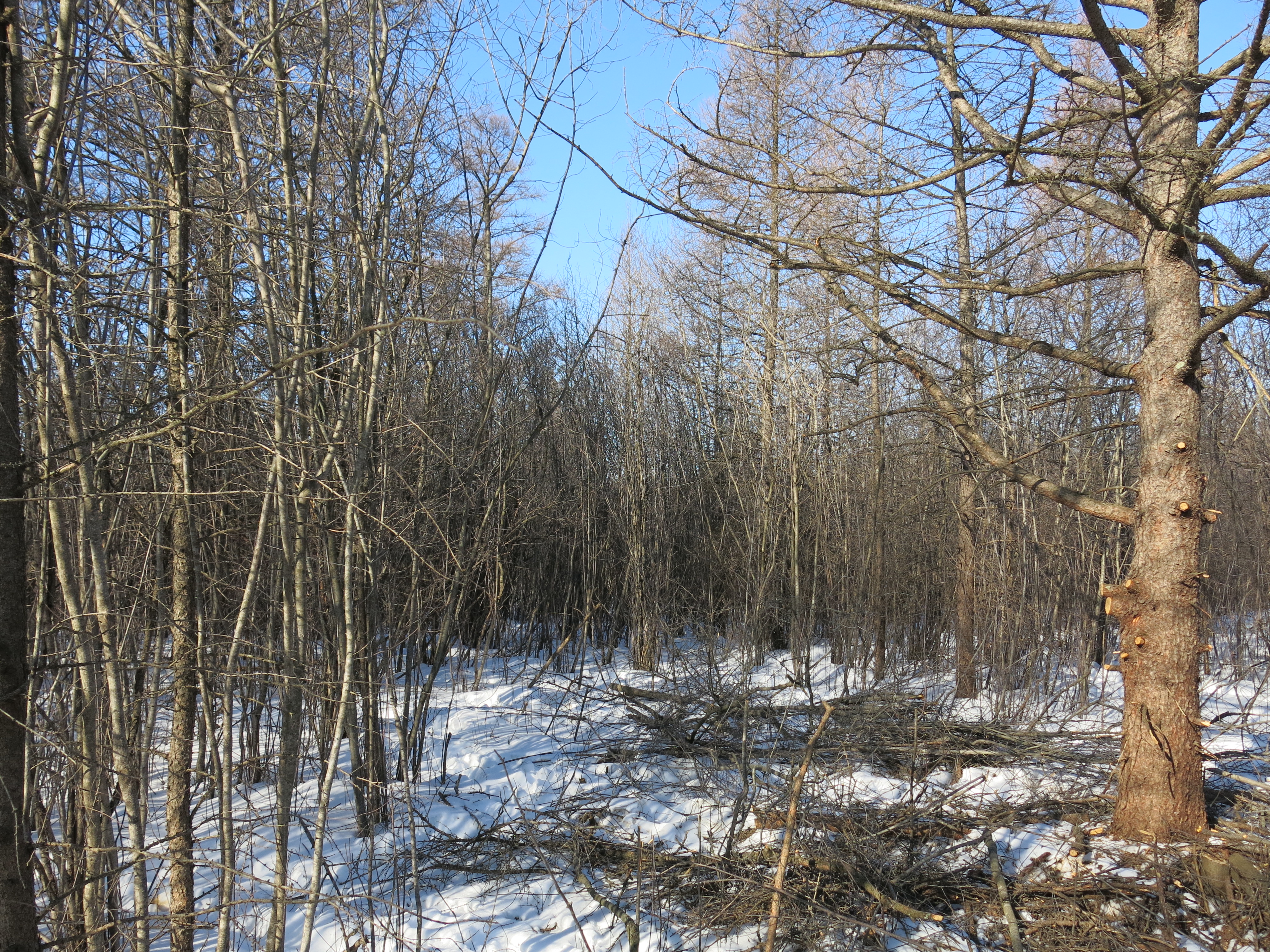
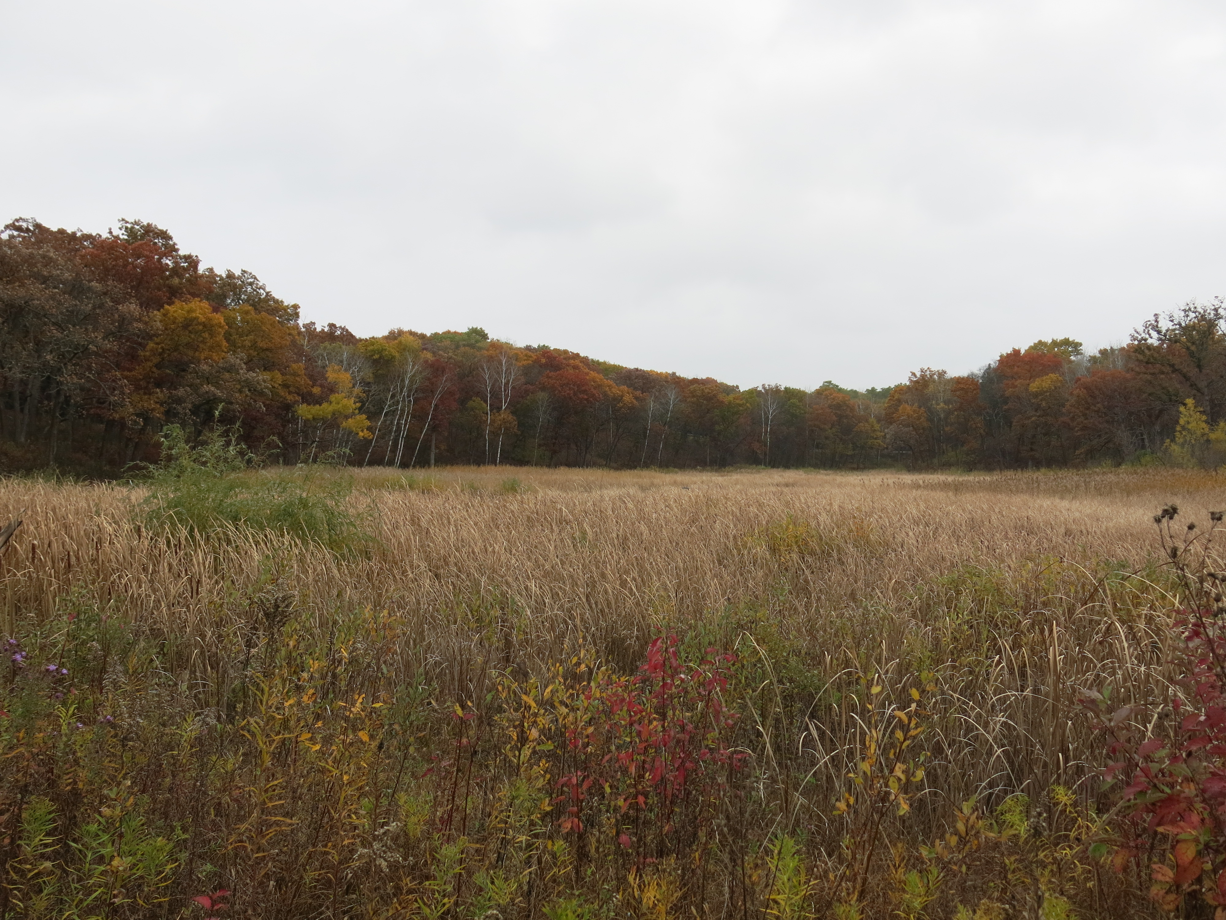
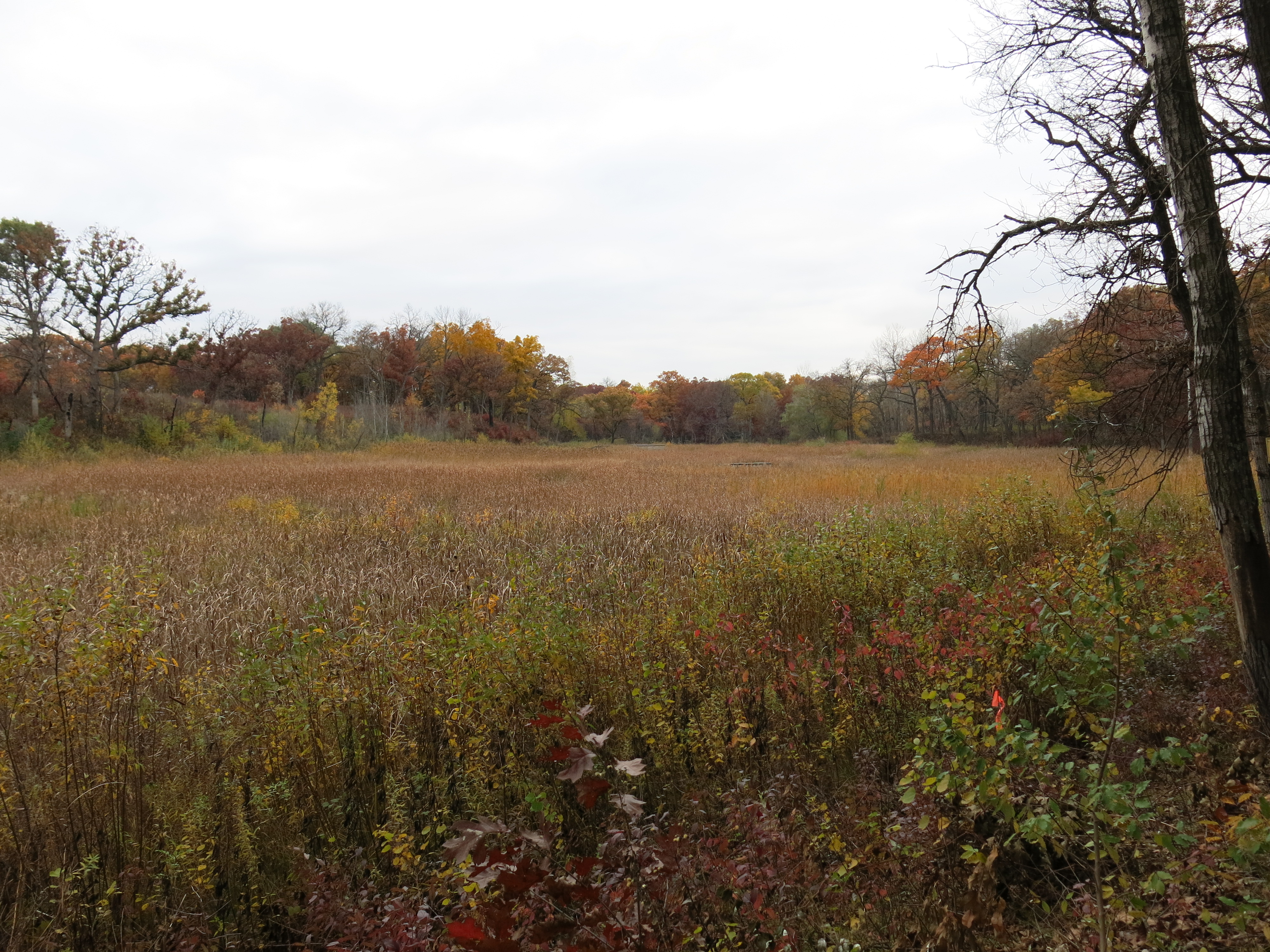
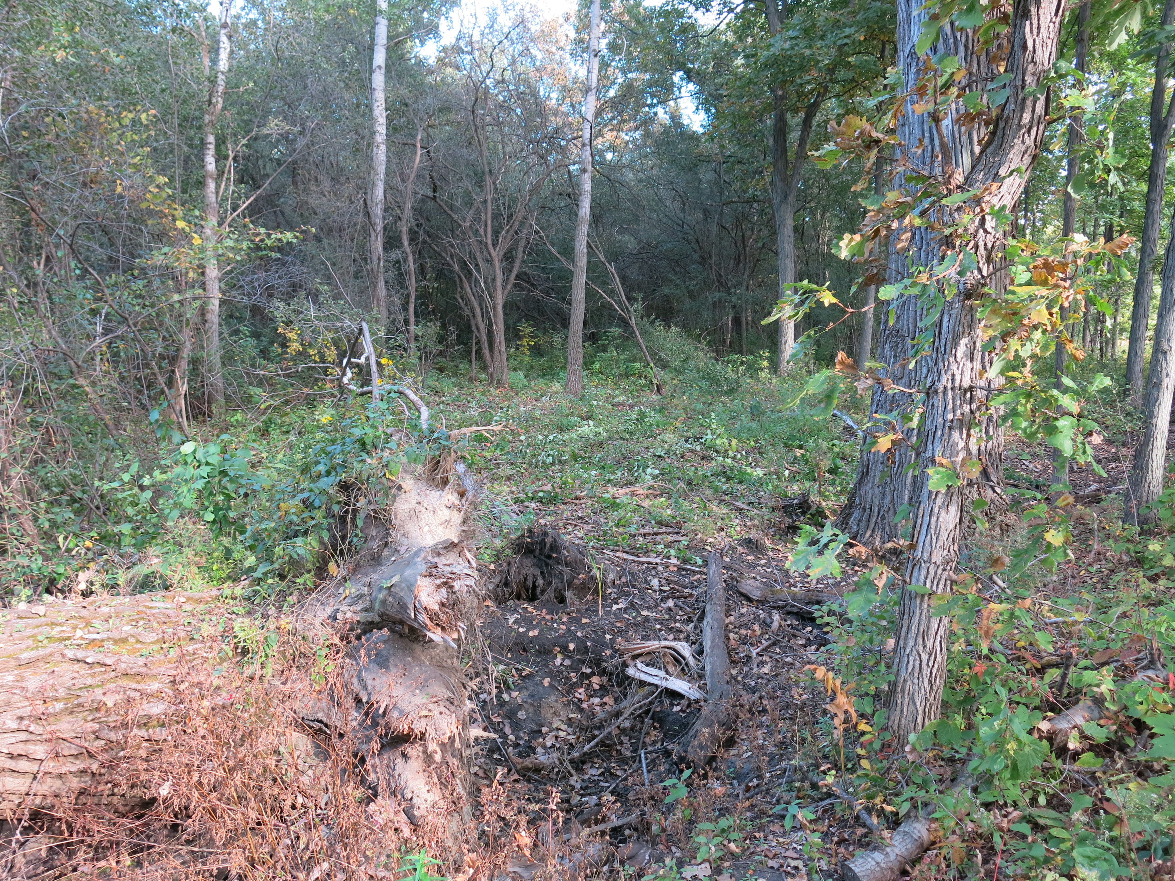
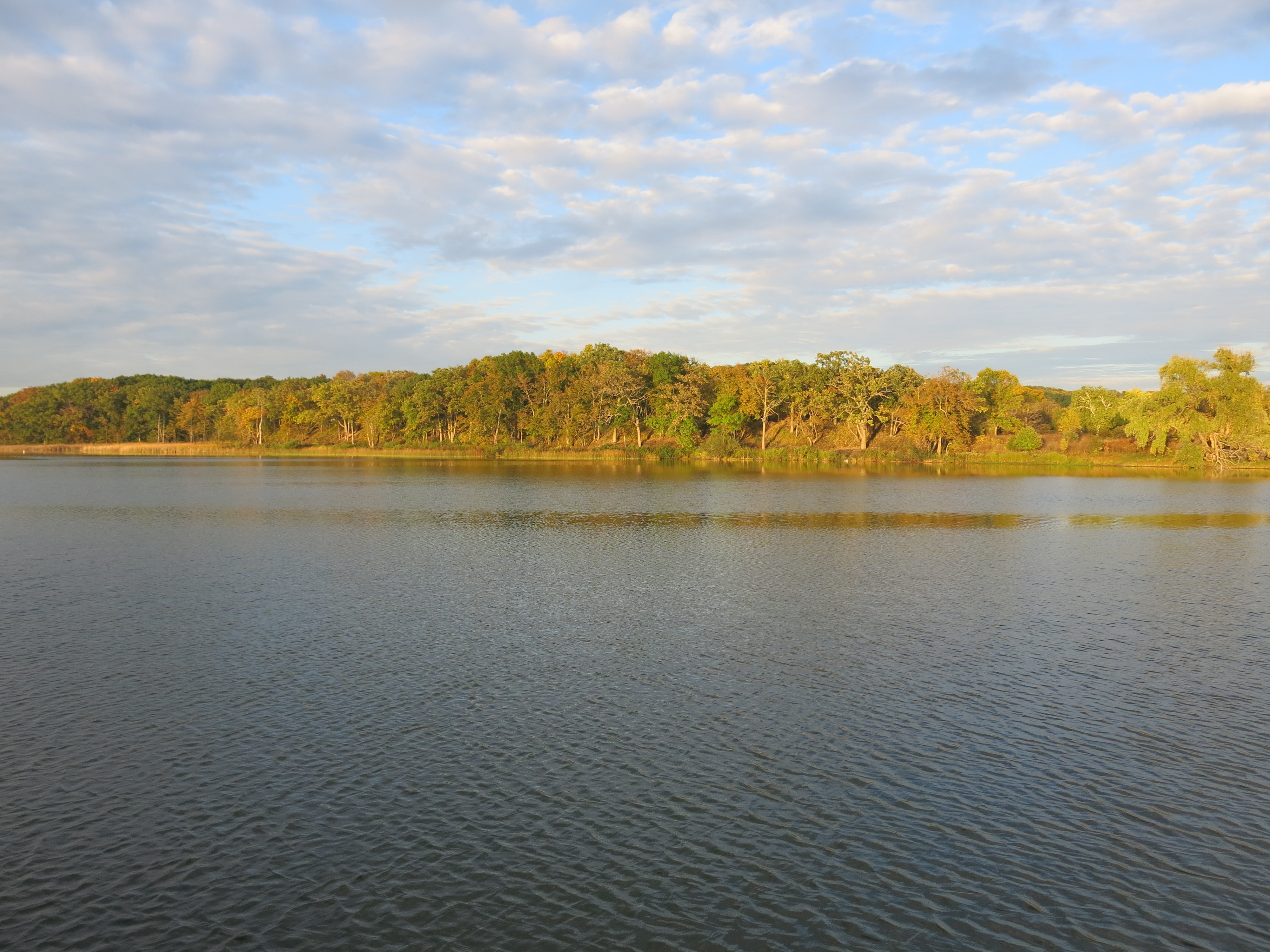
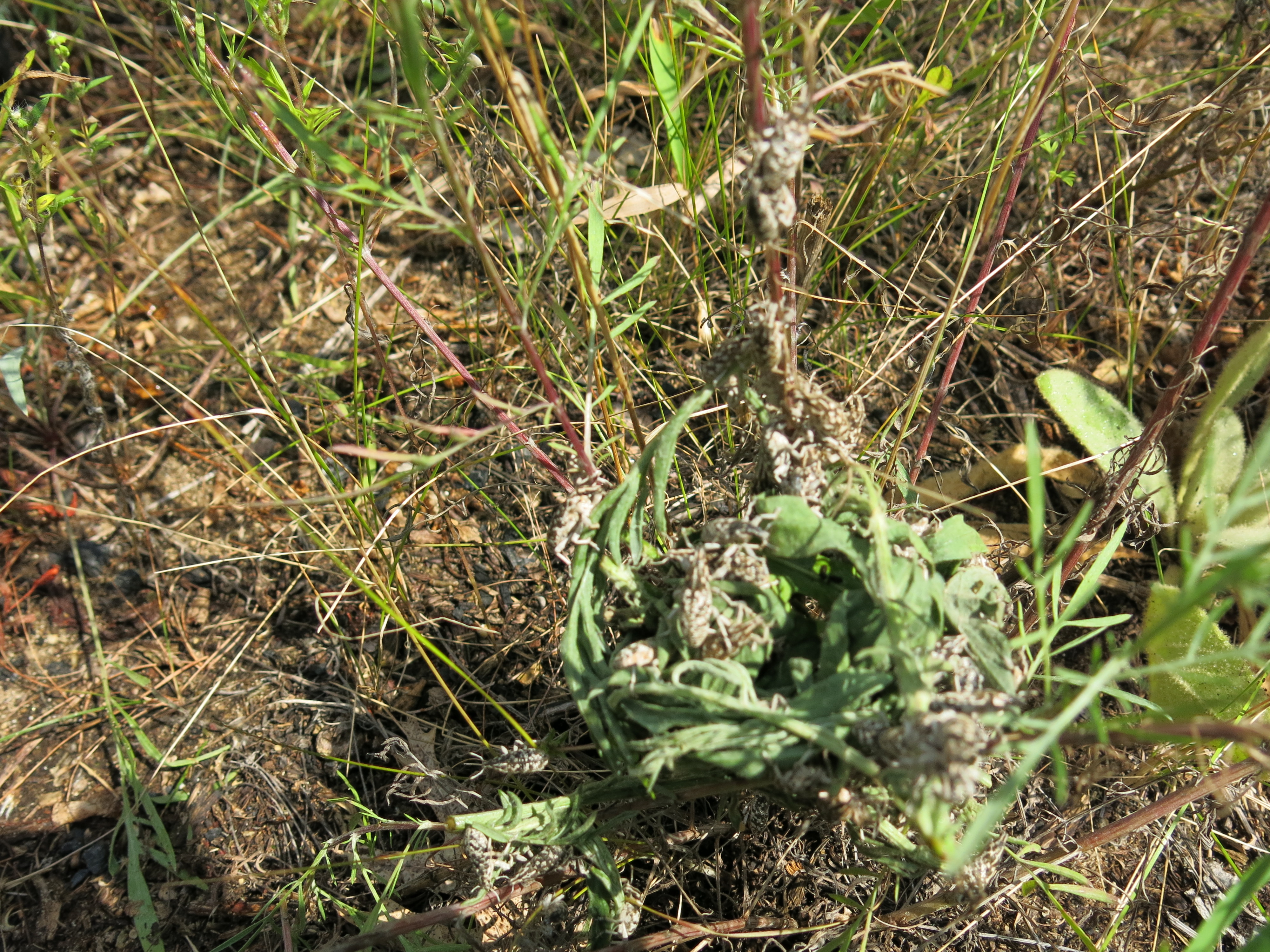
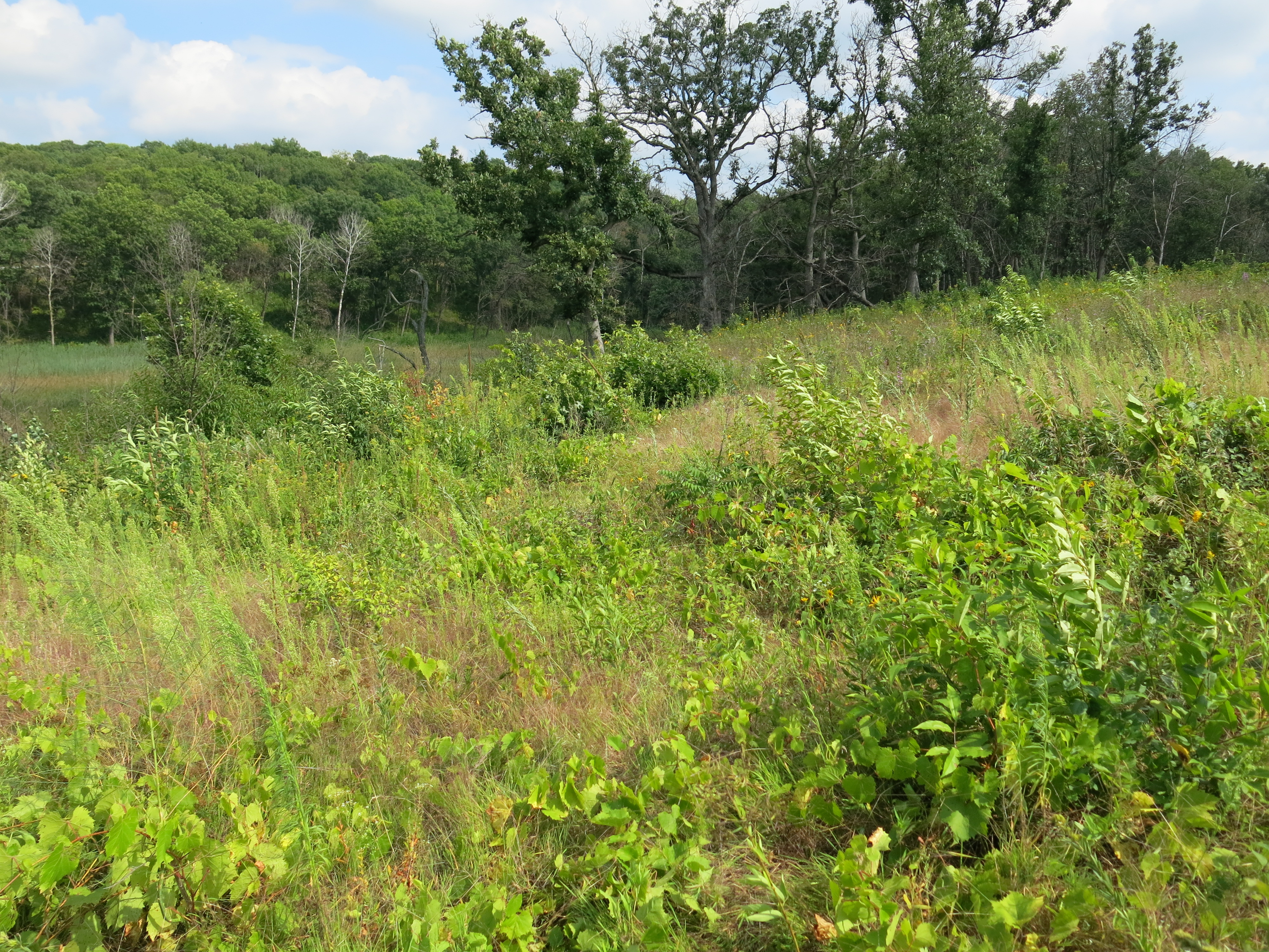
I can’t wait to see how these wetlands respond in the absence of the buckthorn cover!

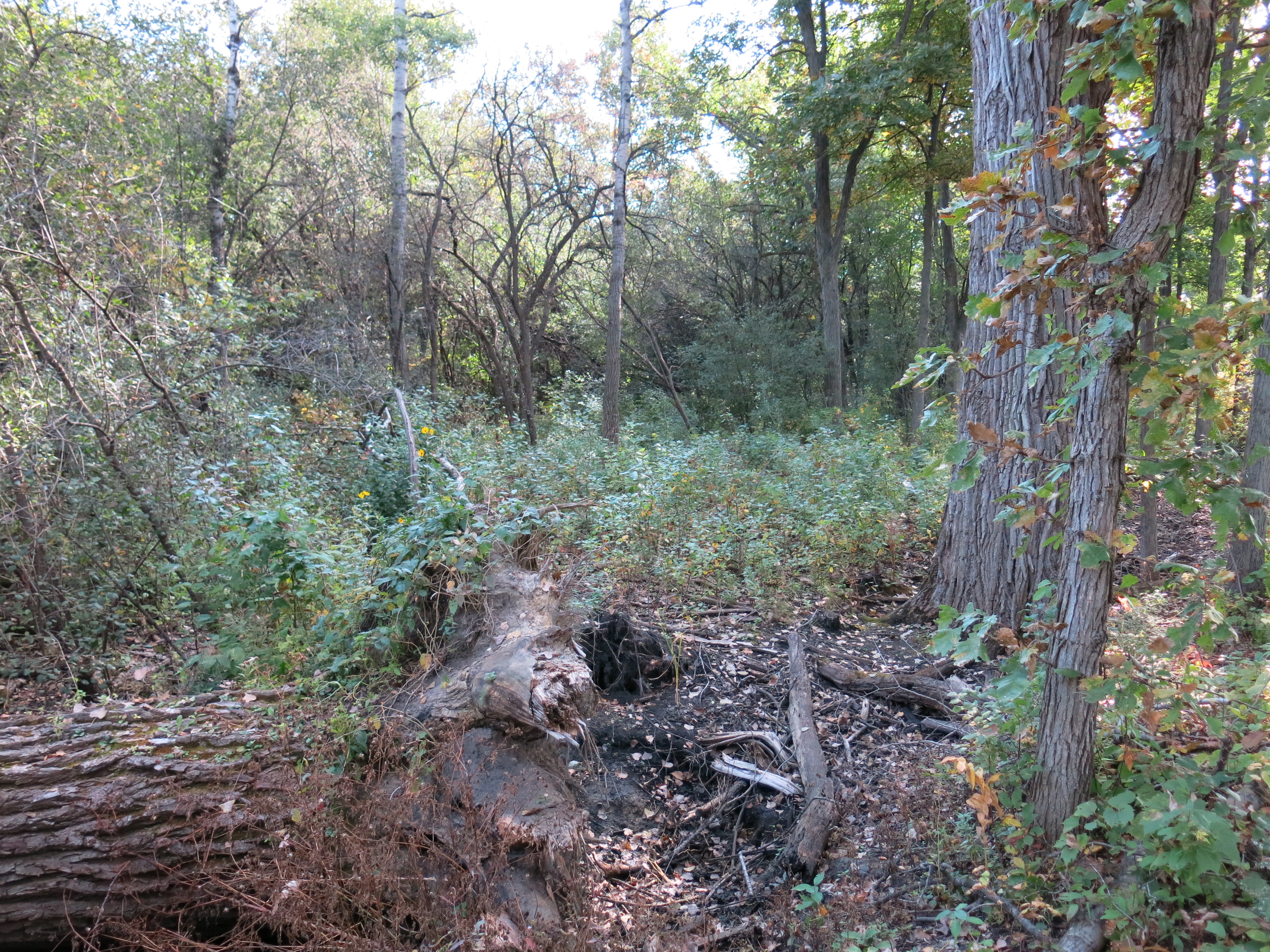
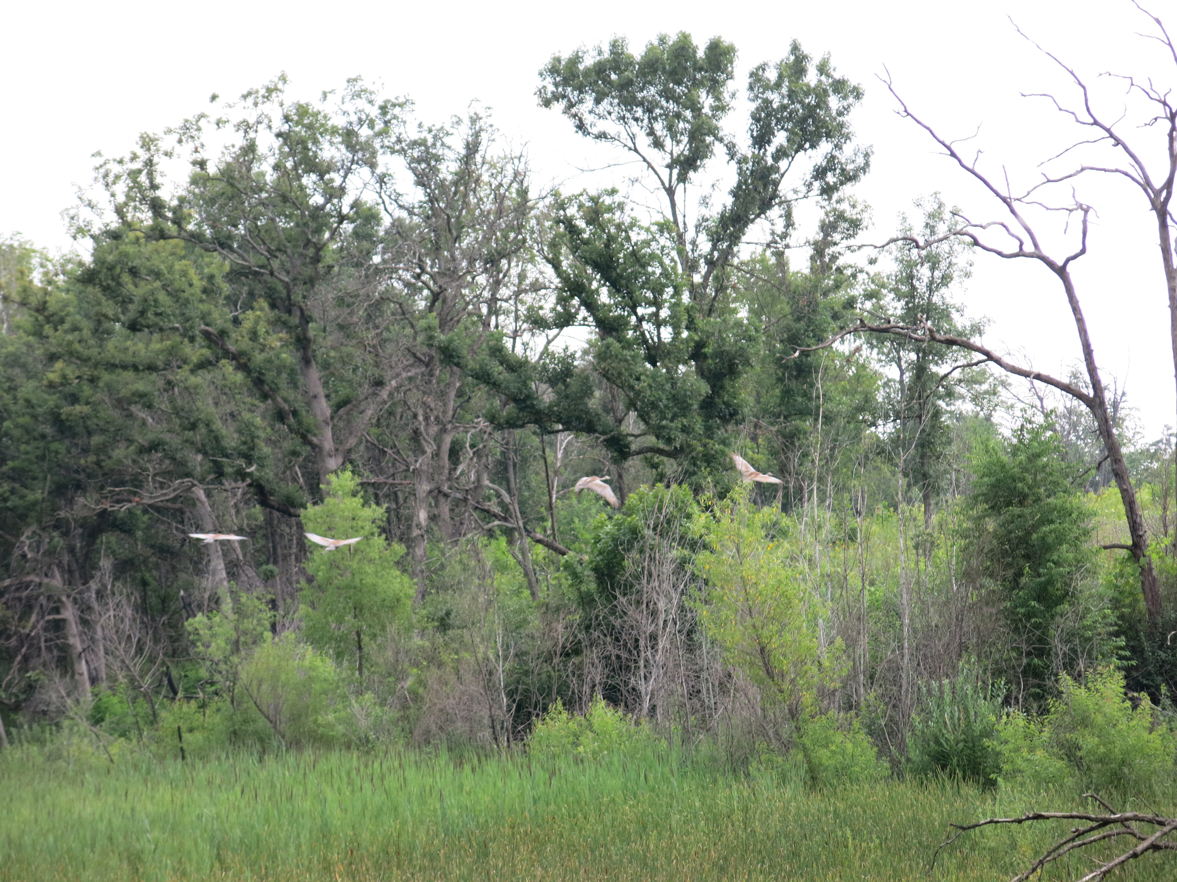
Ben and I had an excellent adventure exploring the northeast corner of the Scuppernong Springs Nature Preserve and then we took a tour.

IMG_5382 IMG_5383

IMG_5384 IMG_5385

I’m excited to share that the Natural Resources Foundation has added the Scuppernong Springs Nature Trail to their 2015 Field Trip Schedule.

TroutStreamTherapy

See you at The Springs!

p.s. Thanks to Mark Miner for monitoring bluebird houses!

Marsh Madness

I hope Spring is here to stay!

It’s been crazy here on the home front.  Pati, my African Queen, left for Cape Town today and I’ve been cramming for my “day in court” on Friday.  Like Ian Anderson sang: “Nothing Is Easy”.

I’ll tell you what looks easy though: two experts driving forestry mowers cutting huge swaths of buckthorn in a couple hours, that would have taken, even The Buckthorn Man,  weeks to do with a brush cutter.

IMG_5139

We had absolutely perfect conditions for DNR Facilities Repair Worker, Don Dane (that title doesn’t even begin to describe what Don does!) and Forestry/Wildlife Technician, Mike Spaight, to mow buckthorn at the Hartland Marsh.  This latest initiative at The Hartland Marsh, spearheaded by Kevin Thusius, property manager for the Ice Age Trail Alliance, manifested it’s first concrete result last week thanks to Paul Sandgren, Forest Superintendent Southern Unit – KMSF Lapham Peak & Glacial Drumlin Trail East, donating two full days of his best equipment and crew.  Thanks Paul!

Way back on February 27th I spent a few hours at The Marsh flagging a firebreak for the prescribed burning we hope to start in 2016.  How about this Oakitecture!

IMG_5036 IMG_5041 IMG_5042 IMG_5044 IMG_5045 IMG_5046 IMG_5047 IMG_5050 IMG_5051 IMG_5053 IMG_5054

IMG_5056

IMG_5063 IMG_5065 IMG_5066 IMG_5068

Last week Thursday and Friday (March 5-6) , just before this blessed thaw, Don and Mike came out and hit the buckthorn hard.  They completed the firebreak, and some mowing on the uplands, on Thursday.

IMG_5140 IMG_5144

IMG_5145 IMG_5148 IMG_5149 IMG_5150 IMG_5151 IMG_5152 IMG_5155 IMG_5157 IMG_5158 IMG_5160 IMG_5167 IMG_5169

And on Friday, they continued working the uplands all the way back to the hillside below the Gazebo on Cottownwood Avenue.

IMG_5170 IMG_5171 IMG_5172 IMG_5174 IMG_5178 IMG_5179 IMG_5183 IMG_5184 IMG_5187 IMG_5188 IMG_5191 IMG_5192 IMG_5193 IMG_5194

I love those guys!

IMG_1758

Back on Monday, March 2, I was joined by Andy Buchta and Ben Johnson as we cleared glossy buckthorn from the tamarack grove on the northwest side of the Ottawa Lake Fen State Natural Area.

IMG_5121

Here is a panorama view taken from the middle of the fen.

Closing in around the tamaracks…

IMG_5125 IMG_5126

… is a thicket of glossy buckthorn.

IMG_5127 IMG_5128

It was a glorious day; our last of the season over there no doubt.

IMG_5130 IMG_5131

IMG_5133 IMG_5134 IMG_5135 IMG_5136

Last Saturday, March 7, Andy and I continue clearing the buckthorn near the old marl factory wall.  Here is how it looked when I got there.

IMG_5195 IMG_5196 IMG_5197

I won’t get tired of saying it was a great day!

IMG_5200 IMG_5201

We gutted the core of the last nasty buckthorn thicket on this wedge of land just west of the marl factory wall, and I think I can finish it off with one more day’s work.

I was pretty tuckered out when the sun went down.

IMG_5204 IMG_5208 IMG_5212

See you at The Springs!

The Ottawa Lake Springs

I hope you enjoyed the marvelous stretch of blessed Fall weather we recently experienced here in Southeastern Wisconsin as much as I did.

IMG_4248 IMG_4250

I chose to camp in late October at Ottawa Lake site #335, aka My Shangri-la, back in January because I wanted to enjoy the 5th annual Halloween Bash, and the event turned out to be magical indeed.

IMG_4312

The campground was almost full Saturday evening for the climax of the festivities and a crescent moon hung over the lake.  As Pati and I strolled amongst the fantasmicgorically decorated campsites, we were occasionally startled by ghoulish outbursts piercing the sweetly scented campfire smoke.

IMG_4316

The pumpkin carving was exquisite again this year.

IMG_4308 IMG_4311 IMG_4314

It was pure good fun, except for the premature report of the demise of the Buckthorn man, which I found very disconcerting.

photo

Contrary to the epitaph above, I had a super productive week working on the Scuppernong Springs Nature Trail and the Ottawa Lake Fen SNA.  I setup camp on Monday October 20th…

IMG_4268

… then proceeded with my empty truck to the gravel pile Anne Korman (Assistant Superintendent of the Kettle Moraine State Forest — Southern Unit) had directed us to.

IMG_4263

There were a few spots on the trail that tended to puddle and I filled them with stone.

IMG_4264 IMG_4266

Back at camp I enjoyed a dinner of fresh vegetables, stir-fried with the Buckthorn Man’s secret recipe curry brown lentils and wild rice.

IMG_1443

On Tuesday and Wednesday I began clearing buckthorn and honeysuckle on the south side of a channel that drains a spring that emerges from a ditch just below Hwy 67.

OttawaLakeSpring

Here is the view before I got started standing on the shoulder of Hwy 67 and looking towards Ottawa Lake.

IMG_4271

People I meet on the Scuppernong Springs Nature Trail tell me that they used to be able to see Ottawa Lake from the highway.  Now, the only way you could possibly do that is via the drainage shown above.  I was determined to reopen this view as a tease to draw people into exploring this beautiful area.  At the end of the day on Wednesday, I followed the drainage up expecting to see the water emerging from a culvert that drains wetlands on the northeast side of Hwy 67.  Instead, the culvert was dry and I found the source was a bubbling spring on the west side of the highway.

On Thursday I took a day off, sort of, sharpening my chains in camp and later meeting Ben Johnson at the Hotel Springs to work on positioning a boardwalk that we had relocated to the cut-off trail.  The rain didn’t dampen our spirits one bit!  It was a pleasure to have Ben over to the campsite for dinner afterwards and we dried our butts off by the fire.

IMG_4275

Lindsay Knudsvig joined me on Friday and we began clearing the north side of the channel that flows from the spring I “discovered” on Wednesday.  Ottawa Lake is fed by many springs and I think this one may be the most substantial.  Here are a couple views after we finished for the day.

IMG_4279

IMG_4284

There is a massive, pre-settlement, white oak near the spring’s channel.

IMG_4286

Unfortunately, Lindsay could not stay for dinner, but Pati came out and we enjoyed the sunset and campfire.

IMG_4287

There is an embankment on the north side of the channel that extends out to where the water joins the pond that is at the center of the Ottawa Lake Fen.  There are excellent views south, west and north from this vantage point.

IMG_4281 IMG_4283 IMG_4282

On Saturday I started to clear the buckthorn from both sides of this embankment.  Here is what it looked like before I got started (looking left, then right).

IMG_4294 IMG_4295

I finished the left side on Saturday and began clearing the debris from the channel with the intention of getting a current flowing all the way to the union with the fen pond.  That evening Pati returned to stay a couple nights with me and it was sweet.

IMG_4297 IMG_4299 IMG_4300

On Sunday morning we took a nice walk around the Scuppernong Springs Nature Trail waiting for the day to warm up and then we headed to where the Scuppernong River passes under Hwy Z to do our last river monitoring of the year.  You can view the data we collected in 2014 at the Water Action Volunteers site by searching by site (Scuppernong River at Count Hwy Z) and specifying the date range of April thru November and the “select all parameters” button.

In the last post I made the bold and unsubstantiated assertion that: “We do not see the diversity of macroinvertebrates typically found on stoney, sandy, bottom riverbeds…”, in the muck and marl filled stretches of the headwaters of the Scuppernong River.  So, Pati and I repeated the same biotic index study we did at Hwy Z as part of our river monitoring, at four locations in the Scuppernong River headwaters where the DNR is planning to remove material to enable the river to headcut.  We investigated the areas just upstream from where the changes will be made.  Here is what we found (refer to this link to see pictures of the Macroinvertebrates):

Where the Scuppernong River crosses Hwy Z, which has a stoney and sandy riverbed:

  • Aquatic Sow Bug
  • Crawfish
  • Amphipod or Scud
  • Dameslfly larva
  • Giant Water Bug
  • Back Swimmer
  • Water Boatman
  • Riffle Beetle Larva
  • Pouch Snail
  • Caddisfly Larva

Now, at the four sites in the headwaters.  First at the Old Mill site:

IMG_1449

  • Aquatic Sow Bug
  • Crawling Water Beetle
  • Amphipod or Scud
  • Dameslfly larva
  • Predaceous Diving Beetle
  • Back Swimmer
  • Riffle Beetle Larva
  • Orb Snail
  • Caddisfly Larva

At the Hotel Spring Bridge site:

IMG_1448

  • Aquatic Sow Bug
  • Fishing Spider
  • Amphipod or Scud
  • Nematode of Threadworm
  • Leech
  • Pouch Snail
  • Riffle Beetle Larva
  • Orb Snail
  • Caddisfly Larva

At the bridge to the Hidden Spring site:

IMG_4321

  • Aquatic Sow Bug
  • Amphipod or Scud
  • Nematode of Threadworm
  • Whirligig Beetle
  • Pouch Snail
  • Predaceous Diving Beetle
  • Dobsonfly Larva
  • Caddisfly Larva

And finally, at the first bridge to the Hillside Springs:

IMG_4322

  • Aquatic Sow Bug
  • Amphipod or Scud
  • Riffle Beetle
  • Riffle Beetle Larva
  • Dobsonfly Larva
  • Caddisfly Larva
  • Backswimmer
  • Water Strider

I think it is fair to say that I was wrong to conclude that there was not the same diversity of macroinvertebrates in the headwaters area, where the riverbed is generally full of muck and marl, as further downstream, like at Hwy Z, where the riverbed is stoney and sandy.  I did have to literally drag the net through the muck and marl in the headwaters to get the samples so it may be the case the the macroinvertebrates there are not as accessible to the trout as they are in the areas downstream that are stoney and sandy.  In any case, we will continue to collect data in the headwaters at the sites listed above next spring, before any changes are made to remove material from the former embankments, and continue to collect data after the changes are made.

Sunday evening we finished dinner early and raced over to the Indian Campgrounds to catch the sunset.

IMG_4324 IMG_4336

And finally, this past Monday, I finished clearing the buckthorn along both sides of the embankment that follows the Ottawa Lake Spring channel to its entrance to the fen pond.

IMG_4340 IMG_4341

One Last view from the highway.

IMG_4345

I also pulled out a lot more junk from the spring channel including: a car tire, one 5 gallon bucket, three 1 gallon plastic plant containers, bottles, cans, logs, planks and deck boards.  Walk with me as I follow the channel from the fen up to its source at the spring.  There is a bit of drama halfway through when I get stuck in muck up to my chest and let a few choice words fly.

Last but not least, I captured these images of the brush piles that Andy Buchta made on the east side of Ottawa Lake in the area that I cleared last month when I camped at My Shangri-La.  Thanks Andy!

IMG_4346

See you at The Springs!

The Heart Of The Scuppernong

The Ho Chunk called it the Scuppernong, or “sweet-scented land”.  The Scuppernong River watershed, contains the largest mesic prairie east of the Mississippi.  Its primary sources are The Springs, which you can tour via the Scuppernong Springs Nature Trail.

Think of The Springs as the heart pumping life giving water into the main artery of the Scuppernong River.  When I began working at The Springs, 3 ½ years ago, I found the heart clogged with watercress, silt, marl and muck.

How do we measure the health of the heart of a river?  The Wisconsin DNR does a fish count, on the stretch of the river between the gaging station bridge and the hotel springs, every year as a way to measure water quality.  The counts have been going down since I began intervening by pulling out watercress, opening up the channels from the individual springs to the river, and stirring up and releasing muck and marl downstream.

Are my actions, metaphorically speaking, my heart surgeries, diminishing the quality of the water?  Yes, if you go by the fish counts alone and you assume that my actions are the main causative factor for the decline.  But, consider the river, choked with watercress, as a weight lifter dependent on steroids.  The watercress dominated habitat provided shelter and macroinvertebrates the trout depend on, thus artificially boosting the fish counts.  And, just like a weight lifter depends on steroids to maximize his power while ignoring the long term effects, the high fish counts at the Scuppernong River were dependent on an invasive plant dominating the river, to the long-term detriment of the heart.

What’s wrong with a river choked with watercress and filled with muck like a lake bottom?  After all, the fish counts were high and we used to see trout in the river all the time.

It isn’t natural and it isn’t healthy long-term for the river watershed.  The remnants of the entrepreneurial spirit of the European settlers on the river are four separate embankments that span the valley of the headwaters.  Upstream of these four humps, muck and marl have backed up completely changing the hydrology.  We do not see the diversity of macroinvertebrates typically found on stoney, sandy, bottom riverbeds.  Now, I’m asserting that without data to back it up.  I’m simply assuming that a muck and marl riverbed will not have the same diversity of species as a stoney, sandy riverbed.  To address this lack of data, I plan to begin collecting biotic index data at various points in the headwaters so that we can compare it to after the four “humps” are removed, which will happen next Spring.

The width of the river in the majority of the headwaters above the hotel springs is 2 or 3 times normal and it resembles more a lake bottom than a riverbed.  This widened and shallow system provides an ideal water source for the invasive cattails and phragmites that dominate the headwaters valley.  Their root systems are hollow tubes ½ to ¾ inch in diameter, strong as pvc but much more flexible, that tap into the river  The key to addressing this problem is, as Tracy Hames would say: “Fix the water“.   Removing the humps will generate a headcut, which will cause the stream channel to narrow increasing its velocity and exposing a stoney, sandy bed.  This will make it much easier to intercept the root systems of the cattails and phragmites and turn off the spigots that are feeding them.  And keeping the watercress to a reasonable amount, so it does not impede the river like a vegetative dam, will help keep the water cold as it rushes downstream.

♦♦♦

I had a dramatic, three-day, run at The Springs this past Wednesday – Friday swinging my chainsaw with boundless energy.  I’ve been chomp’in at the bit for 6 months to take down the buckthorn in many key areas, where a small amount of work can yield dramatic new vistas, and I tackled the areas marked in blue below this past week.

SSTrailMapCuttingNorthLoopTrail

On Wednesday I worked near the boardwalk that Ben Johnson and I recently raised on the east end of the Buckthorn Alley.  Here are views taken beforehand looking south, then west, then east.

IMG_4173 IMG_4175 IMG_4174

And afterwards, the same perspectives.

IMG_4176 IMG_4177 IMG_4178

I’ll take you on a video stroll along the trail later below.

On Thursday, I was joined in the morning by a new volunteer named Dave Kieffer, who took a vacation from his project management role to help me out.  Dave worked the brush cutter and I swung the chainsaw in the area marked in blue above that is closest to the cut-off trail.

IMG_4183 IMG_4184 IMG_4185

We had a date in the afternoon with Ben Johnson and another new volunteer, Ryan Wendelberger (a senior at Brookfield Central High School), to relocate two boardwalks so we shifted gears around 2:00pm.  Here is how it looked when we finished.

IMG_4187

Dave and I staged some logs to use as pedestals for the newly relocated boardwalks and then we met Ben and Ryan at the DNR parking area above the Hotel Springs, where we planned to take the boardwalk sections.  Amazingly, Ben, Dave and Ryan were able to transport the boardwalk sections using Ben’s hand dolly.  We were soon busy positioning one of the sections as a bridge on the north loop trail, where water is clearly attempting to cross the existing causeway and join the outflow of a spring just south of the trail.

IMG_4189 IMG_4191

Ben explains what we are doing.

Everyone pitched in for a great team effort!

IMG_4194 IMG_4196 IMG_4197 IMG_4198

The light was fading as we nailed the last boardwalk pieces and applied the final touches.  Thanks again to Ben, Dave and Ryan for your outstanding contibution!

IMG_4199 IMG_4200 IMG_4203

Here it is in the daylight.

IMG_4214 IMG_4215 IMG_4216

Friday I was still raring to go.

IMG_4206

I wanted to cut in an area on the northeast edge of the loop trail (shown in blue on the map above) to connect the opening along the trail and former cranberry bog to the opening made by Steve Tabat and his crew as they harvest black locust trees.

View from the trail.

IMG_4207

The views looking right , center and left from where I staged my gear.IMG_4209 IMG_4210 IMG_4211

It was surprisingly warm and I had to strip off my long johns after the first tankful of gas.  I put a new spark plug in the machine because it was running rough the day before and that did the trick!  The views below are right-center and left as compared to those above.

IMG_4212 IMG_4213

Come along with me as I stroll down the north loop trail past the areas that were cut.

Afterwards, I took a blissful walk along the river towards the Scuppernong Spring.

IMG_4220 IMG_4222 IMG_4223 IMG_4224 IMG_4229 IMG_4230

The sunset was dramatic!

IMG_4231 IMG_4233 IMG_4237 IMG_4239 IMG_4245 IMG_4247

See you at The Springs!

p.s. I’ll be camping all next week at My Shangri-La.  Do drop in and surprise me.

Imagining The Scuppernong River

Generation after generation of people lived and loved along the banks of the Scuppernong River.  They never imagined saw mills, cheese factories, trout farms or marl pits; instead, they imagined that the spring waters, diverse prairies and oak savannahs would continue to support them, their children, and their children’s children for generations to come.

When Chester W. Smith arrived in 1847 he imagined the power he could create harnessing the force of the river and he dammed it to make the Buttermilk Mill. His cultural background emphasized man’s mastery over the natural world; it was his oyster!

Talbot Dousman imagined a more sophisticated application of the water in 1874, and he bisected the Scuppernong River with embankments and flumes transforming the headwaters into a trout farm.

The marl works left scabs and a deep scar on the land, wounding and abusing the river during the years it was operated along its banks.

These “care”-takers of the land took more than they cared, leaving the headwaters of the river submerged; its natural course lost under ponds of water for 120 years.

In the early 1990’s DNR Naturalist, Ron Kurowski, and others, imagined the Scuppernong River the way it was before European settlement, and they began reversing the anthropogenic impact via the Scuppernong River Habitat Area restoration project.  What does it mean to imagine the river minus the reckless impacts of those who preceded us?  I think Dr. Megan A.  Styles, Ben Johnson‘s professor at the University of Illinois Springfield, expressed it quite eloquently in a recent email to him:

You’ve hit on a really important central theoretical tenet in restoration ecology — very rarely is the landscape “restored” to a precolonial state; it is actually constructed (notice there’s no “re-” here) anew in a manner that reflects (1) contemporary environmental values and (2) the ways that we “imagine” a truly wild and functional ecosystem should look like. I use the word “imagine” here not to suggest that it is not based in science (it certainly is!), but to remind us that there is a creative process afoot here as well. What we consider a desirable habitat will change over time in concert with changing values and new scientific discoveries.

Ben Heussner and the Wisconsin DNR Fisheries team imagine what a natural and healthy trout habitat should look like and they — one spring at a time, one bend at a time, one tributary at a time — have been reversing the anthropogenic effects on the Scuppernong River watershed for the last 20 years.  Recently they performed an elevation study of the Scuppernong Springs to get the data they needed to objectively support what was visually apparent.

ScuppernongSpringsElevationChange

On a recent visit to The Springs, Ben interpreted the results of the elevation survey and explained their plans for the headwaters:

From the Hotel Spring bridge (site 3 below) we walked upstream along the river bank discussing how the river bed would change as a result of the projected head-cut.  Heussner concluded that the scope of the plan, in addition to the work at the “perch” at the Hotel Spring bridge shown above at data point 1078, should include reducing the humps left after the removal of the embankments where the two bridges lead to the Hillside and Hidden Springs (sites 1 and 2 below), and the hump at the embankment where the mill pond was formed (site 4 below).  He is working now on the permitting process and targeting Spring, 2015, to implement the plan.

ScuppernongRiverElevationWorkSites

Then we walked downstream from the Hotel Spring bridge and inspected the results of the back filling we did last spring to compliment the bio-logs the DNR installed late last year (with help from Trout Unlimited), and imagined what it will look like when these areas fill in with vegetation.  The river is really ripping through this stretch now, creating a sandy, stony bottom and carving deep pools and cut banks; great trout habitat!  Ben is hoping that, with one more workday this December, they can finish the stream bank remediation effort all the way to the gaging station bridge.

Meanwhile, this year, after a long hiatus, the DNR has begun stocking trout again in the Scuppernong River watershed:

  • McKeawn Springs, 37 Brook Trout yearlings
  • Ottawa Lake, 1,485 Rainbow Trout yearlings
  • Paradise Spring Creek, 300 Brook Trout yearlings
  • Paradise Spring Pond, 200 Brook Trout yearlings
  • Scuppernong River at Hwy N, 148 Brook Trout yearlings
  • South Branch Scuppernong River, 74 Brook Trout yearlings.

We are constructing a new reality at the headwaters of the Scuppernong River that reflects: “contemporary environmental values”, and what “a truly wild and functional ecosystem should look like.”

♥ ♥ ♥

Last Thursday I resumed my efforts to prep the Scuppernong Springs Nature Preserve for the next prescribed burn by cutting buckthorn sprouts and seedlings with my brush cutter in the area around the old hotel site.  The new bench that Ben and Karen Johnson built is getting a lot of use!

IMG_4080

I noticed that the black locust removal effort has resumed in earnest.  This is dramatically changing the look of the northeast corner of the property.

IMG_4077 IMG_4078

I also addressed an issue that DNR trail boss, Don Dane, pointed out a while back, and which Dan Carter reiterated on his recent visit, and that is the steep little short-cut trail that was getting “burned in” from the Hotel Spring bridge up to the Sand Prairie.  Here are before…

IMG_4083

… and after images.

IMG_4085 IMG_4086

Ben Johnson joined me after work and we harvested some red oak logs that we planned to use to raise a boardwalk at the east end of the Buckthorn Alley.

IMG_4087

We cut up the downed tree on the left shown above and moved the logs over to the boardwalk with a hand dolly.

IMG_4089

On Friday I strapped on the brush cutter and did some “mowing” along the cut-off trail.  Although it looks like a carpet of buckthorn, there was a lot of wild strawberry and geranium actively growing at ground level and I was glad I wasn’t spraying herbicide.

IMG_4092 IMG_4093

Later, I checked out the results of the latest hand-to-hand combat with the black locust.  I’ll go out on a limb and say this is the handiwork of Steve Tabat and his crew, although I have not seen them personally in action.

IMG_4094

On Sunday, Ben Johnson and I began an ambitious boardwalk raising effort.

IMG_4097 IMG_4098

In a couple hours we had the deck torn apart.  You can see how it was embedded in the dirt.

IMG_4100 IMG_4101

IMG_4102

It took a while to get going and determine the best, complimentary, way to use our skills, but soon the new boardwalk was taking shape.

IMG_4104 IMG_4105

It was fabulously busy and we were constantly interrupted by hikers; good thing Ben posted a couple of orange, “trail work ahead”, cones to warn them.

Did I mention that Ben is indefatigable?

IMG_4106 IMG_4108 IMG_4109

Thanks again Ben for leading this effort!

It was an epic week at The Springs and I hope to see you there soon!

Decking Out The Springs

Ben Johnson and I have been on a real nature binge at The Springs: intoxicated with fragrant breezes, bubbling spring water, clear blue skies, colorful wild flowers, singing birds, liberating temperatures, and, most of all, satisfying work.  We positively indulged in a nature bender!

Ben’s three day bacchanalia began last Friday, when he raised two boardwalks near the trailhead to ecstatic new levels.  The 8′, 4×6″ runners, that supported the deck boards disappeared into the ground long ago and were blocking the water, microbes and invertebrates that move through the soil.

Deck #1

IMGP0497

Deck #2

IMGP0501

The affair lasted all day, and when it was over, he was drunk with success.

Deck #1

IMG_4040

IMG_4041

Deck #2

IMG_4042 IMG_4043

I joined Ben on Saturday, modestly intending to cut buckthorn sprouts and seedlings near signpost #1 and completely unaware that he was riding the Bull.  I reminded him that our recent deck repair efforts were motivated by Big Jim Davee, and he just gazed a bit glassy eyed down the trail and said: “I’ve been wanting to do this for a long time.”  We briefly discussed the next boardwalk on our priority list, and, assuming he was simply going to lift up the 8′ sections and reset them on level logs, I left Ben to his mission and proceeded to cut brush near signpost #1.

Deck #3, comprised of 6, 8′ sections, is close to the east edge of the Buckthorn Alley and it rocked and rolled as you passed over.  There are wetlands on either side and, like decks 1 and 2 above, the runners were totally submerged in the soil.

IMGP0517

A closer view of the gap shown above.

IMGP0519

The far end of the boardwalk.

IMGP0522

Just before noon, I noticed that my iPhone had gone totally mad and I was not able to use it.  I was desperate (yah, a slave to my fondle slab) to keep in touch with Pati, who had just arrived in Uruguay to work with children for three weeks, and I had to let her know that I was incommunicado.  I raced over to deck #3 to borrow Ben’s phone and found him hard at work.

IMGP0538

IMGP0540

IMGP0541

He had surveyed the situation and boldly, or perhaps, bulldly, decided to raise the deck in dramatic fashion.  Back in my days at “The Quiet Company” we called this ‘setting a stretch goal’ and Ben delivered.  By the end of the day he was halfway done.

IMG_4051 IMG_4053

I wondered why I had spent the day cutting brush; I should have been helping Ben.  I promised to help him finish the next day.

IMG_4054

We met early Sunday morning and I talked Ben into bringing his new Stihl 261 C-M chainsaw to the site.  Thanks to the Kettle Moraine Natural History Association for purchasing this versatile tool for Ben!

IMG_4058 IMG_4057

We decided to harvest logs to raise the last 24′ of the deck from a huge red oak tree that had fallen across the trail, and Ben made quick work of it with his new chainsaw.  Another day reveling with mother nature; we couldn’t get enough!

The deck turned out great and I was really impressed with Ben’s effort!

IMG_4060 IMG_4061 IMG_4062 IMG_4063 IMG_4064

That was an intense, extended, weekend for Mr. Johnson!

Below is an example of the brush clearing I have been doing.  Ever since DNR Trail Boss, Don Dane, said they were planning to burn The Springs in the spring of 2015, I’ve been thinking about laying more fuel down on the ground.  I could be wrong, but I’m hoping that the cut buckthorn will dry out by next spring and contribute to a hotter ground fire, which in turn will scorch the cut tips of the buckthorn stems and kill them.

IMG_4045 IMG_4047

The same views after brush cutting.

IMG_4048 IMG_4049

I cut brush all day Monday and it was very relaxing.

This view is from above the Hidden Spring.

IMG_4066

Sunset on the deck above the Indian Springs.

IMG_4067 IMG_4071 IMG_4072

See you at The Springs!

KMSF — Southern Unit Wins 2014 Gold Seal Award

The Kettle Moraine State Forest — Southern Unit won the 2014 Gold Seal Award for the best self-guided nature trail!  There are 5 self-guided nature trails in the Southern Unit: Bald Bluff, Lone Tree Bluff, Paradise Springs, Scuppernong Springs and Stute Springs.   The Friends of Wisconsin State Parks announced the contest back in August.  Congratulations to all the hard working folks at the Southern Unit including: Superintendent Paul Sandgren, Assistant Superintendent Anne Korman, and especially, Don Dane — the Trail Boss!

Ben Johnson, and his wife Karen, were hard at work while Pati and I vacationed up North.  They added 12 more steps to complete the erosion control on the path down to the Indian Spring from signpost #6 and they installed a very stylish bench near the Hotel Spring.

I whacked some buckthorn sprouts and seedlings with my brush cutter on Tuesday and ran into Dr. Dan Carter from the Southeastern Wisconsin Regional Planning Commission.  He was documenting rare plants and waiting for the rest of his team to arrive to complete the demarcation of the wetlands for the Wisconsin DOT.  I know, “Say it ain’t so Joe!”, but WisDOT is in the initial planning stage of some changes deemed necessary to make Hwy 67 safer.  Please plan on attending the public meeting, which WisDOT will be scheduling for later this Fall, and help us make sure they don’t mess with The Springs.

Dan has a keen eye and he spotted the sixth known occurrence of Pipsissewa (Chimaphila Umbellata) in the area: “It is more rare in the region than any other plant I am aware of at The Springs…” (photo courtesy of Dan Carter)

Pipsissewa

I want to give a belated thank you to Scuppernong Springs Super Friend, Anne Moretti for informing me that there is a difference between Buckthorn and Chokecherry!

chokecherries

Last year when I was cutting in The Buckthorn Tunnel, Anne noticed that I was oblivious to the distinction and she gently pointed it out.  Well, I’m a little slow when it comes to confronting my own ignor-ance and I finally “did the grammar” and now I know the difference.  I’m going to let 100 Chokecherries blossom!

I had a crazy busy week and didn’t get much work done at The Springs, but Pati and I did enjoy a wonderful late afternoon at Ottawa Lake yesterday, and we caught the sunset from the Indian Campground.

Andy Buchta has started piling the buckthorn I recently cut on the east shore of Ottawa Lake.  Thanks Andy!

IMG_4023

This Tamarack was the only decent tree I found amongst the brush I cut.

IMG_4025

The Ottawa Lake Fen State Natural Area.

IMG_4026

Ottawa Lake seen from the fishing pier.

IMG_4028 IMG_4029

Sunset on the Indian Campground.

IMG_4032 IMG_4033 IMG_4038

See you at The Springs!


Ben Johnson — Expanding the Green Dream

It’s been almost a year since Anne Korman, Assistant Superintendent of the Kettle Moraine State Forest — Southern Unit, introduced me to Ben Johnson and his contributions at The Springs have been gaining momentum ever since.  From his first, fearless, dead of Winter, forays in the Buckthorn Alley wielding a decidedly underwhelming chainsaw — to his latest step building project using recycled buckthorn logs on the sand prairie — Ben has demonstrated natural creativity and indefatigable enthusiasm.  Let’s take a look at some of his recent accomplishments and find out what makes Mr. Johnson tick (his words are indented in italics below.)

Is it an obsession, a religion, a deep metaphysical connection to our primal ancestral past?  I’m not quite sure why some of us have the ability to see and feel the natural world, while others have no association whatsoever to the land. That’s a pretty judgmental assumption to make, but quite simply, some people get it and others don’t. The Aboriginal People of Australia believe in “dreamtime,” a spirit world where they can transcend space and time. Maybe there are a few of us that are fortunate enough to journey into a green dream: a mindset or inquisitive state of consciousness where we can actually speak the language of ecology. And it’s absolutely a journey. Nobody just walks into the woods and is given this gift. We have to work at it, study, inspect. We must experience the rain on our faces, see the first buds open, and the last leaves fall to the ground, the progression, the phenology of the landscape.

On September 4th, Ben bugged out of work early and headed straight for the gaging station bridge to do a little stream bank remediation.  The view downstream before he got started on that steamy afternoon.

20140904_155037

And after…

20140904_182928

20140904_183250

Seen from the left bank.

20140904_155939 20140904_182907

A few years back, after investing a good many years in college, and a solid decade trying to capture an income under a fluorescent enclosed sky, I asked myself, “does any of this make me happy? Ok, then what would?” I felt there was only one route to take, and that was in a natural setting, far away from the corporate path I had chosen. It’s not quite so easy to dump ones routine and dive into a new career. I have plenty of experience in the “green industry”, but the world of commercial landscaping is a far cry from ecological stewardship. To get to where I wanted to be, I felt that education was the key component. So I again enrolled in the university. I chose to pursue an MA in Environmental Studies at the University of Illinois at Springfield.

One of the first things Ben noticed when he began volunteering at The Springs, a fact I lamented as well, was that there were no benches anywhere along the trail to rest one’s weary bones.  We talked about it many times and I know the satisfaction Ben must have felt when he finally got a chance to do something about it.  On Saturday, September 6th, he did some erosion control at the edge of the stone wall at the Scuppernong Spring and installed one of his custom benches using red oak pedestals foraged from a pile up the trail where the source tree had fallen across the path.

IMG_1407 IMG_1406 IMG_1408

On Sunday I joined Ben and we picked out 4 more pedestals, loaded our wheel barrows with two more benches, and headed for the Indian Spring.

IMG_3936

The bench design couldn’t be simpler and they are surprisingly stable when screwed into thick oak stumps.

IMG_3938

The views from the bench, looking right and left, of the some of the springs that comprise the Indian Springs.

IMG_3942 IMG_3941

You get a great view of the prairie to the west as well.

IMG_3943

There is no such thing as a free lunch, so on top of the scholastic pursuit, I began volunteering at the Wildlife in Need Center as an animal rehabilitation technician and this soon evolved into showcasing wildlife at educational events. The next step, and it felt like the natural one to take, was to find a habitat or ecosystem to immerse myself in, and take the time to learn the land. The Southern Kettle Moraine DNR volunteer coordinator pointed me towards Paul Mozina and the Scuppernong Springs Nature Trail. I wouldn’t say that I found a blank slate to work, it was more like a Jackson Pollack painted over the top of a Thomas Cole.

We took the other bench up to the sand prairie and, amazingly, Ben picked one of my favorite spots, from which you get a classic view of the Scuppernong River winding westward, to plant the bench.

IMG_3945 IMG_3947 IMG_3946

The view from the bench.

IMG_3965

These conveniently located resting places cost almost nothing to build, and only a few minutes to install, yet they had gone wanting for years.

In due time, I came to understand that the work at the Springs was the practice of restoration ecology, be it in the river, the sand prairie, or knee deep in the snow removing buckthorn. Vegetation is a monster to ID, learn, and control in itself, but I felt the fauna of the area deserved attention as well. I used the skills gained through osmosis as the son of a carpenter (thanks Dad) to build fifty nesting boxes for various woodland and prairie species. I would like to think that the overall avian population at the property increased as a result of this project. That’s the restoration, let’s bring back what’s native to the Springs.

The morning passed quickly and in the afternoon I headed over to the buckthorn alley to cut the buckthorn resprouts and seedlings that flourished there with my brush cutter.  Ben had other plans.  There are two trails that descend from the sand prairie down to the Indian Springs and they converge along the edge of the outflow stream forming a little loop trail.  Both trails are pure sand and suffering from erosion, so Ben decided to build some stairs.

IMG_3958 IMG_3961

Ben plans to finish the steps on this path and then tackle the more deeply eroded trail that leads directly down to the Indian Spring.

Johnson, another carpenter’s son, loves to work with his hands on wood.  We saw some of his handiwork resurrecting the deck near the Scuppernong Spring.  Thursday after work, he stopped out with his friend and coworker, Glen Rhinesmith, and replaced the missing toe boards on the boardwalk leading to the Emerald Spring.

IMG_3995 IMG_3996 IMG_3997 IMG_3999

While Ben worked, I got to show Glen around The Springs and I learned way more from him than he did from me.  Glen has a great eye, two in fact, and deep, deep knowledge about plants, fish, birds and the natural world, not to mention photography and ham radios.  I hope to post some of his pictures of The Springs here soon.  Here are just a few of the interesting things he pointed out to me.

Blue Milk Mushrooms.

IMG_4001

Indian Pipe.

IMG_4002

Evening Primrose, which Glen explained attracts moths and smells like lemon!

IMG_4005

Ben and Glen.

IMG_4006

Though I thought the day would never come, I have reached the final course in the Master’s degree program at UIS, the capstone internship. With the help of Anne Korman, Assistant Superintendent of the KMSF – Southern Unit, I secured my graduate internship with the WDNR at the Springs. We have outlined projects and areas of need on the property. First priority is invasive vegetation, followed by trail improvements and accessibility. The fisheries team has also given me the opportunity to learn about stream restoration. It’s an honor to have such a beautiful classroom in which to work. This is the place where I enter the green dreamworld. I carry on a conversation with the land. It’s a very Leopoldian concept. Restoration ecology is an ethical practice, deciding what is right for the landscape.

Thanks Ben!  It’s a pleasure to work with you.

I got a few licks in myself this past week cutting buckthorn resprouts and seedlings along the trail from the parking lot on Hwy ZZ all the way to the end of the Buckthorn Alley.

The spotted knapweed flower weevils we released in early August appear to be doing well and I have spotted them munching seedheads on the south end of the prairie and in the huge patch of knapweed to the east of the Indian Spring spur trail.  I am leaving these remaining mature knapweed plants for the weevils despite the fact that they are loaded with seeds.  There are lots of first year plants that do not have flowers, and that are far from where I released the root weevils (they migrate less than 100 yards a year), that I may dig out yet this season.

I love the view from the Scuppernong Spring as the late afternoon sunlight illuminates the valley.

IMG_3984

Sunset out on the marl pit canal looking East towards the sand prairie.

IMG_3955

IMG_3969

Looking south…

IMG_3971

… then north

.IMG_3972IMG_3973 IMG_3977 IMG_3978

Last Monday evening at the marl pit bridge.

IMG_3982

Sunset on the south end of the sand prairie.

IMG_3986 IMG_3991 IMG_3993

See you at The Springs!

p.s. I’m taking a week off to relax with Pati at a cabin up north on Lake Owen.

The Woot Of All Weevil

I’ve had my hands full with spotted knapweed on the sand prairie, so I was curious when The Buckthorn Man said that his old hunting buddy, Elmer Fudd, might have a solution.

Elmer_fudd

I was pretty skeptical, as you can image: Elmer knows a thing or two about wabbits, and wascals, it’s true, but knapweed?

Sometimes I can barely understanding Elmer, so when he described Cyphocleonus achates as “The Woot of all Weevil”, I had to scratch my head.  Then, he challenged me to: “wook it up on the intewnet!”  I brought up startpage, found Weed Busters BioControl, and before you could say “What’s Up Doc?”, I had my weevils.

IMG_3784

Dick Jenks joined me as we wet weevil wun wild on the sand pwaiwie.

IMG_3786

These little guys have a grip!

IMG_3787 IMG_3789

I’ve had a three day run at The Springs — beginning this past Sunday morning — every day spraying clopyralid on the black locust seedlings and resprouts that have emerged in the areas where Steve Tabat and his crew did major league black locust harvesting this past spring.

IMG_3748

Ben Johnson joined me yesterday afternoon and helped me finish the area on the south end of the Scuppernong Springs Nature Preserve property.   When I told The Buckthorn Man, he said: “dude, I thought you were only going to spray stumps!”  “Yeah, I know”, I told him, but I thought these seriously degraded areas were far enough away from the river that it would be ok.

When I told Lindsay Knudsvig that my hands were sore and blistered from pulling and digging spotted knapweed, he suggested I focus on pulling off the flowering seed heads, and I think that is the way to go for the rest of the season.  The flower and root weevils we’ve released could take 3-4 years to increase and spread across the whole prairie, and I’m going to do the best I can stop the production of new knapweed seed in the meantime.  Sunday I worked on the northwest side of the sand prairie…

IMG_3752

… and on Monday, I worked on the northeast side (before and after pics below);  I’m leaving the knapweed on the far south end of the prairie to the weevils.

IMG_3778 IMG_3779

Later, I got in some relaxing time at the marl pit bridge…

IMG_3757 IMG_3759

… and met some new friends from my old stomp’in grounds up in Hartland, WI.

IMG_3767

The big bend.

IMG_3761

The view from the Scuppernong Spring

IMG_3768

The Indian Spring.

IMG_3769

The Sand Prairie.

IMG_3783

More views from the marl pit bridge.

IMG_3780

IMG_3776

The Buckthorn Man and I will be taking a working vacation at My Shangri-La for a week beginning this Friday, so stop in and surprise us i.e., bring your own.

See you at The Springs!

Simplifying Life at The Springs

Thank you, dear reader, for following my exploits here at The Springs.  Long-time readers know that I’m an activist at heart; frustrated in my attempts to change the world.  Why is that?  I’ll let the over-quoted icons, George Orwell and Winston Churchill, explain:

GeorgeOrwell

“He who controls the past controls the future. He who controls the present controls the past.”

WinstonChurchill

“History is written by the victors.”

“The great game” is being played constantly by the titans of finance and their minions in government.  It’s one thing to become conscious of it and quite another to do something about it.  I know, I’ve tried.  And now, I’m taking refuge at The Springs.  I’ll give it 7 years; I started in May, 2011.  Yup, then I’m going to move on and change the world, but for now, I’m living the simple life at The Springs.

Indeed, things have gotten much simpler at The Springs: I don’t fret about the possible side effects to me and the environment from foliar spraying toxic poisons anymore, I gave up on the phragmites and narrow-leaved cattails that dominate the river valley (last year, I cut the tops off with a hedge cutter, which was a waste of time), and I let the life cycles of the many invasive plants dictate what I work on e.g., my highest priority now is pulling spotted knapweed before it goes to seed.

IMG_3578

Last weekend I continued to clean up the area just downstream from the Scuppernong Spring, where we pulled up the flumes and support beams, and Ben Johnson and I kept it really simple pulling spotted knapweed on the sand prairie.

On Sunday, I got out the brush cutter and whacked many huge American Pokeweed plants that were flourishing on the south end of the trail. Although they are native, DNR trail boss, Don Dane, advised me to keep them out of The Springs.  I cut a lot of Canadian Fleabane and tidied up the trail a bit on the south end.  I pulled knapweed in the afternoon, which, I think, along with the frequent rains and the hand of the creator of course, is helping the sand prairie burst with blooms.

IMG_3597 IMG_3598

Yesterday, I called out the big guns i.e. the mighty arms of Rich Csavoy, to help me rebuild the sloping deck at the Indian Springs.

IMG_0385

Rich picked the northwest corner of the deck to anchor and level the new foundation.

IMG_3586 IMG_3587

He moved like a cat.

IMG_3588 IMG_3589

We soon had a new foundation, set on pillars buried in the front and 6″x6″, 4′ beams recovered from the river, nestled in the hillside.  Then we relaid the deck on top and replaced a few missing deck boards.

IMG_3590 IMG_3591 IMG_3595

It makes a really nice place to sit and enjoy the Indian Springs.  I wasn’t through with Rich yet, and I asked him to take a look at the cantilevers in the deck pedestals we recently build; there were some gaps between the supports and their loads.

IMG_3567

After a few minutes of study, Rich selected a few choice shims from the nearby pile of flume scraps, and neatly toenailed the beams together.  Thanks Rich, you taught me a lot!  And, before I forget, thanks again to Big Jim Davee for kick-starting our boardwalk and deck rebuilding efforts.

We had a 4′ section of boardwalk left over from the deck rebuilding effort at the Scuppernong Spring and Ben suggested we place it on the riverbank near the decks we recently moved to the place I call, for now, the no-name springs.

IMG_3584 IMG_3585

It’s a nice pedestal for river viewing.

Celebrations are in order!  After two failed seasons in a row, our resident Sandhill Cranes have successfully raised 2 chicks to robust young adults.

IMG_3581 IMG_3582

Ahhh, the simple life.

IMG_3580

See you at The Springs!