I hope you enjoyed the marvelous stretch of blessed Fall weather we recently experienced here in Southeastern Wisconsin as much as I did.


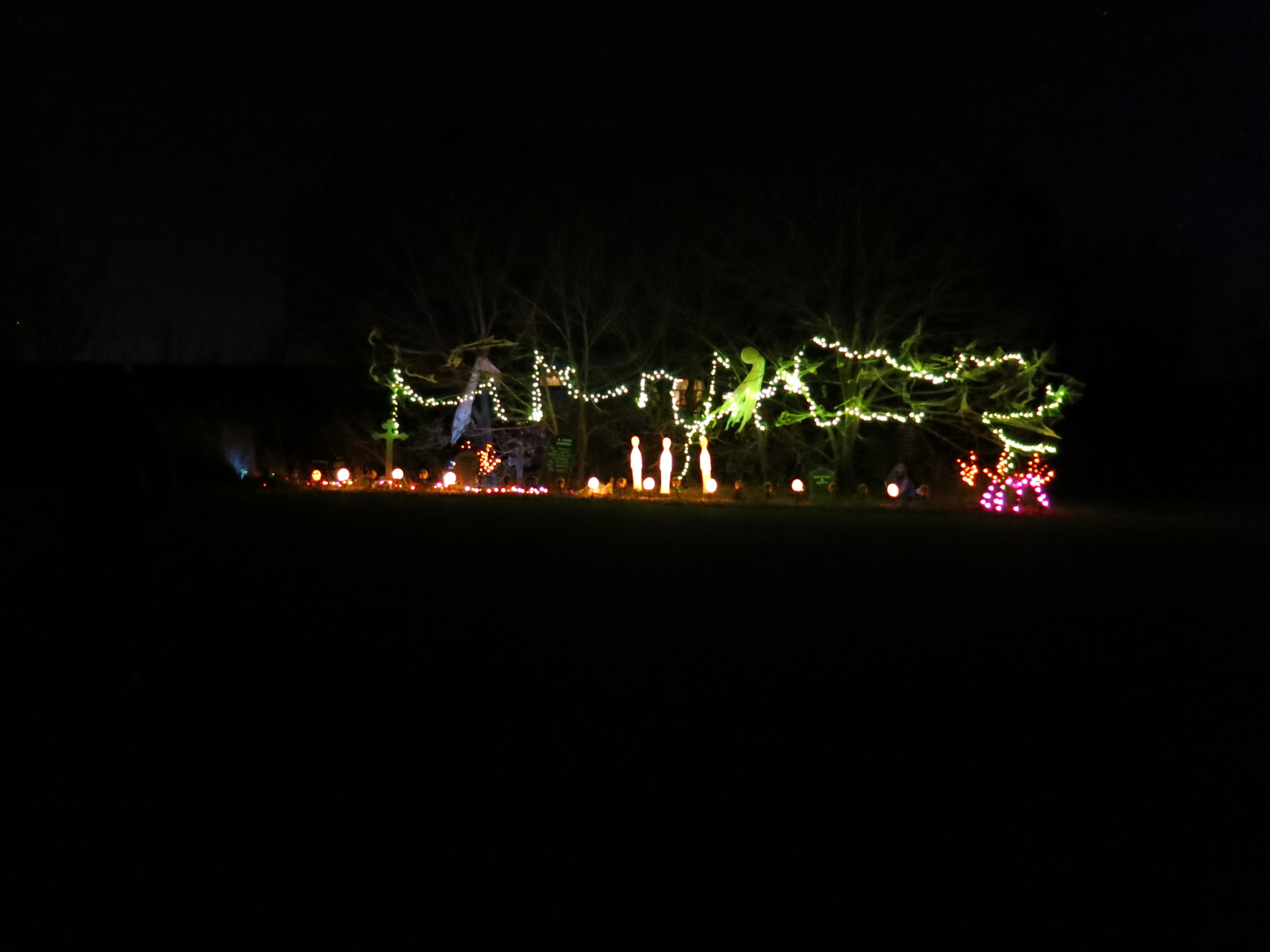
I chose to camp in late October at Ottawa Lake site #335, aka My Shangri-la, back in January because I wanted to enjoy the 5th annual Halloween Bash, and the event turned out to be magical indeed.

The campground was almost full Saturday evening for the climax of the festivities and a crescent moon hung over the lake. As Pati and I strolled amongst the fantasmicgorically decorated campsites, we were occasionally startled by ghoulish outbursts piercing the sweetly scented campfire smoke.
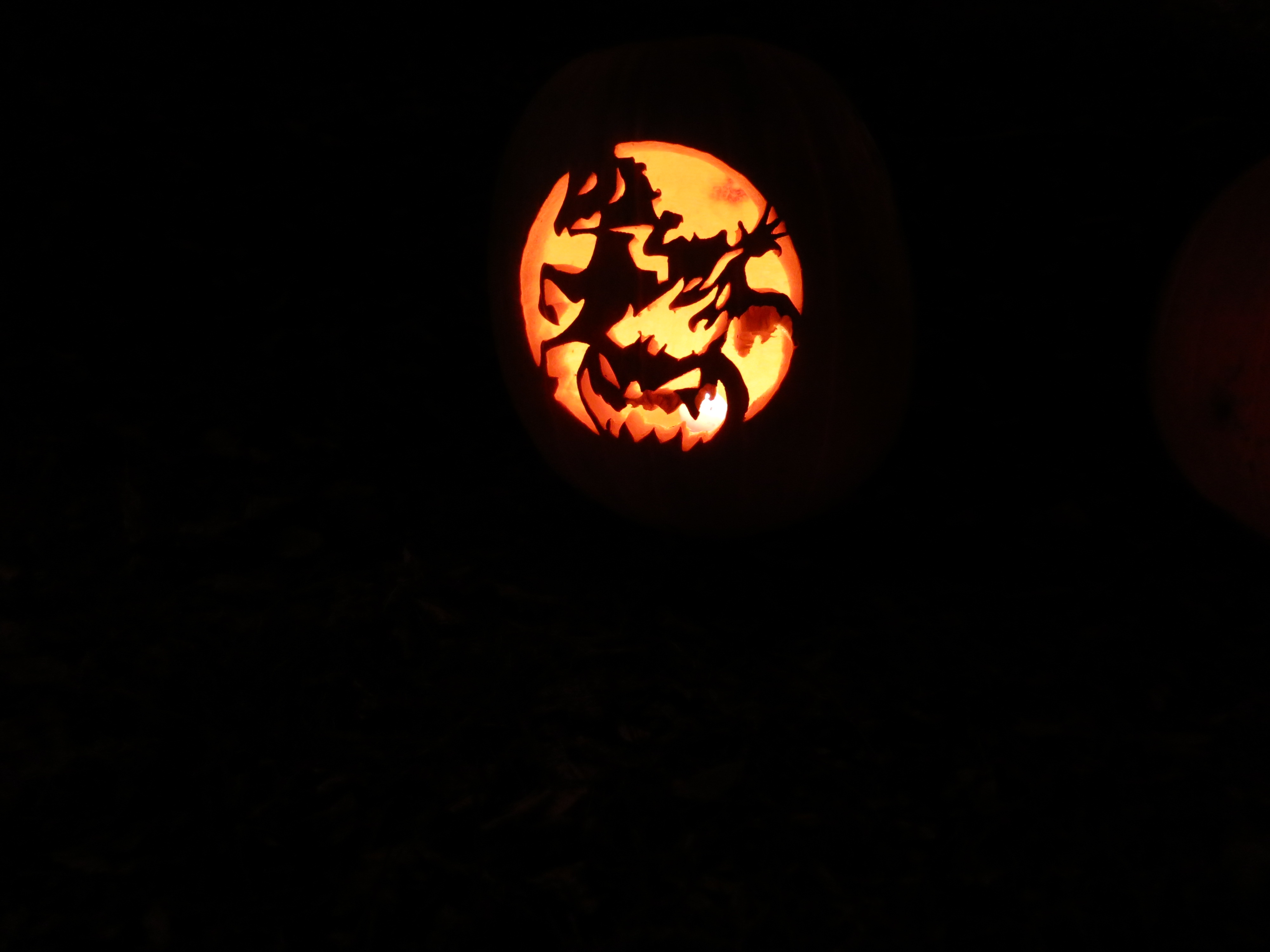
The pumpkin carving was exquisite again this year.


It was pure good fun, except for the premature report of the demise of the Buckthorn man, which I found very disconcerting.

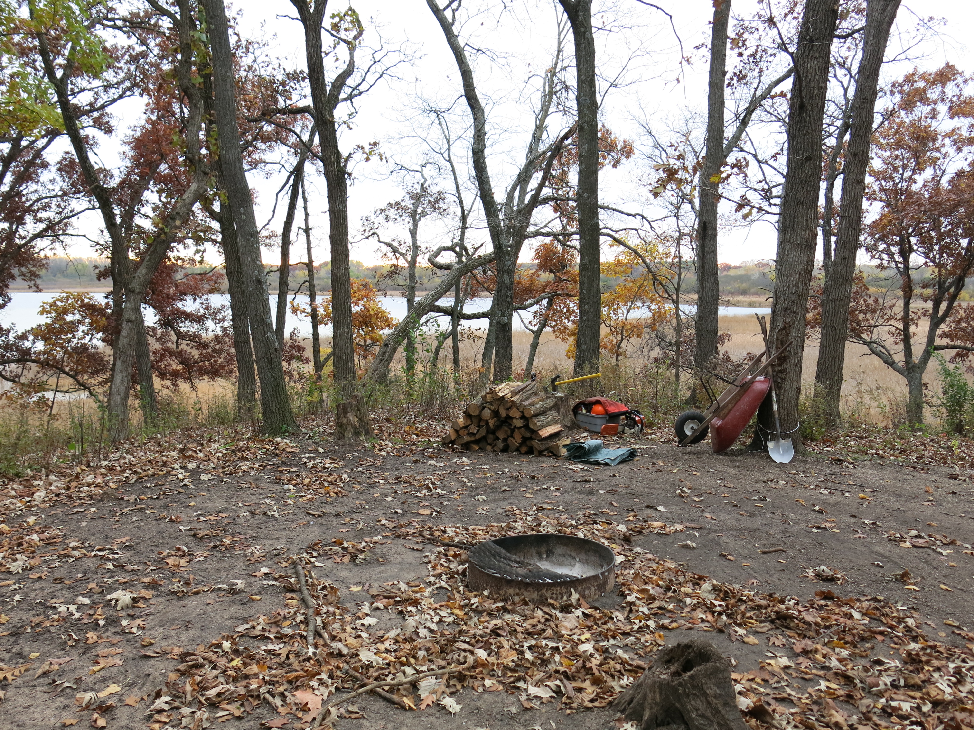
Contrary to the epitaph above, I had a super productive week working on the Scuppernong Springs Nature Trail and the Ottawa Lake Fen SNA. I setup camp on Monday October 20th…
… then proceeded with my empty truck to the gravel pile Anne Korman (Assistant Superintendent of the Kettle Moraine State Forest — Southern Unit) had directed us to.
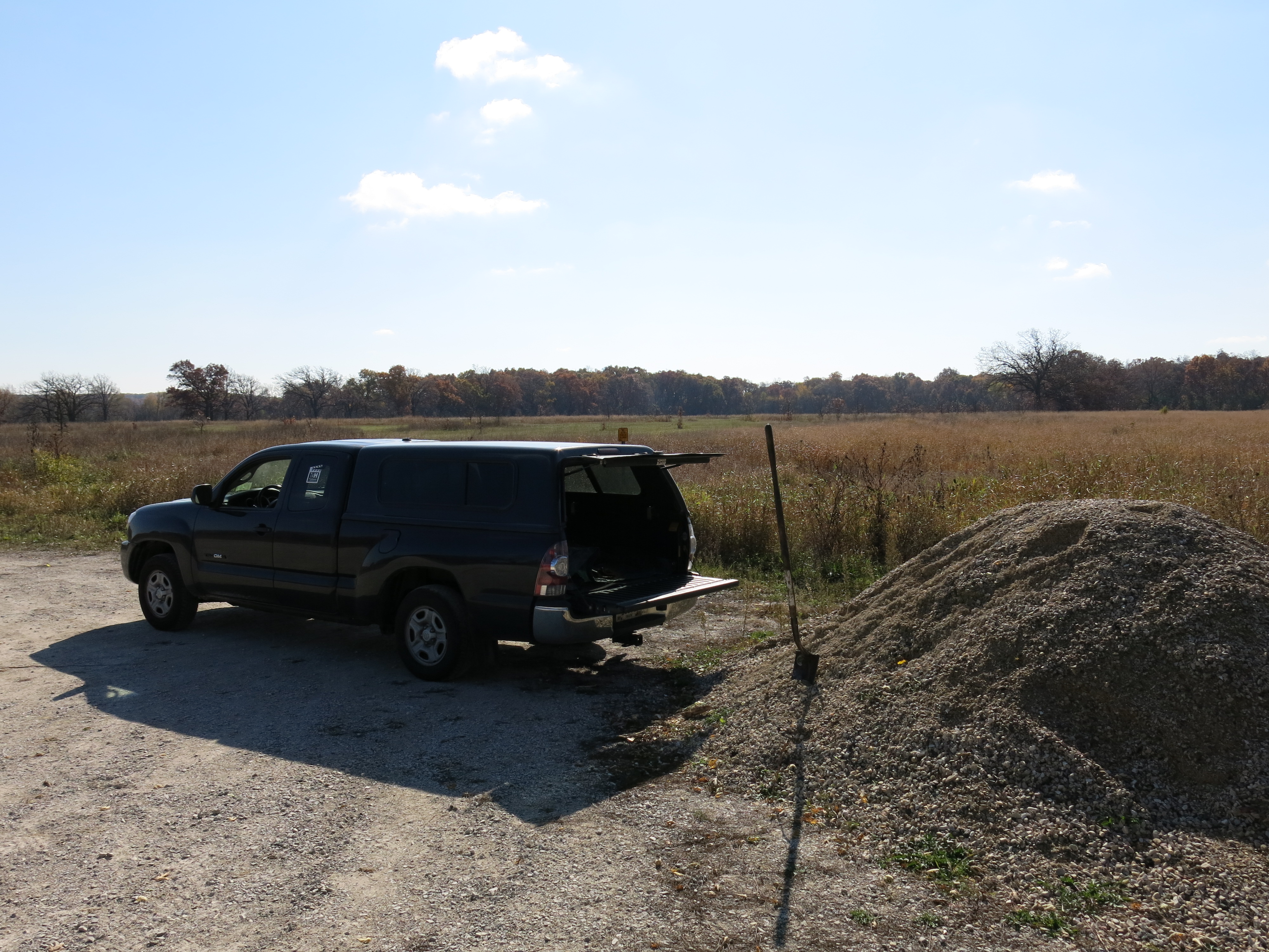
There were a few spots on the trail that tended to puddle and I filled them with stone.


Back at camp I enjoyed a dinner of fresh vegetables, stir-fried with the Buckthorn Man’s secret recipe curry brown lentils and wild rice.

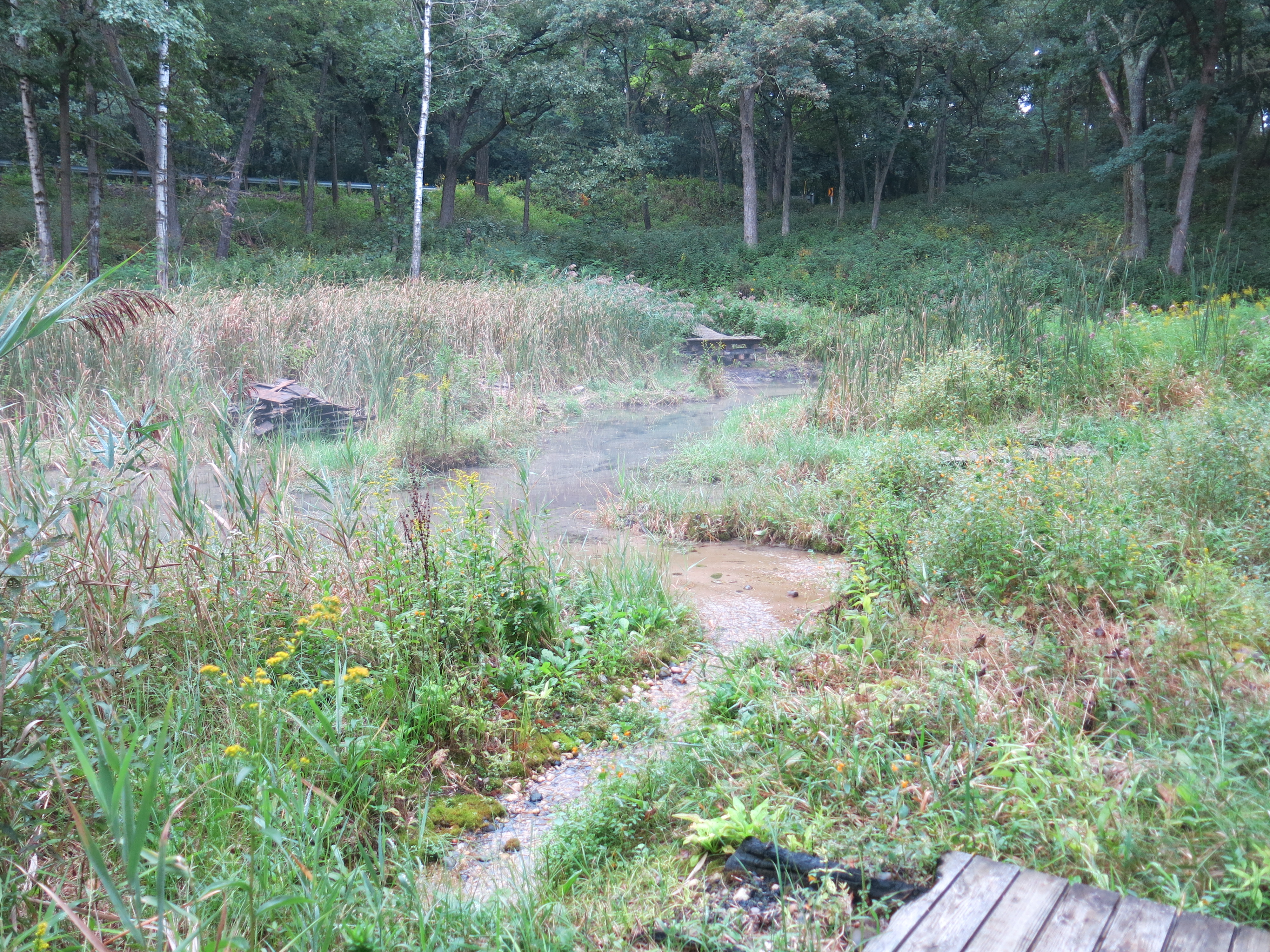
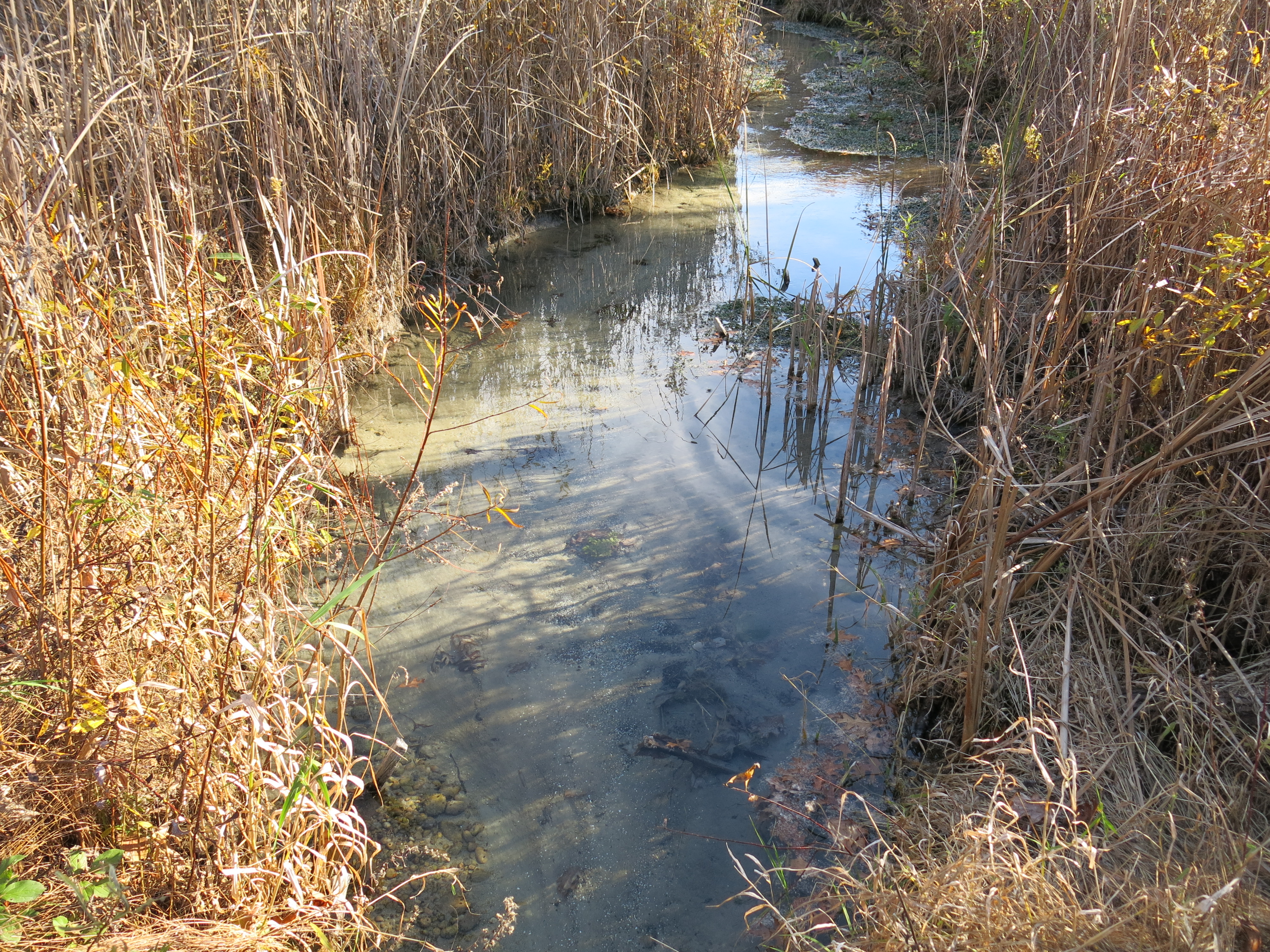
On Tuesday and Wednesday I began clearing buckthorn and honeysuckle on the south side of a channel that drains a spring that emerges from a ditch just below Hwy 67.

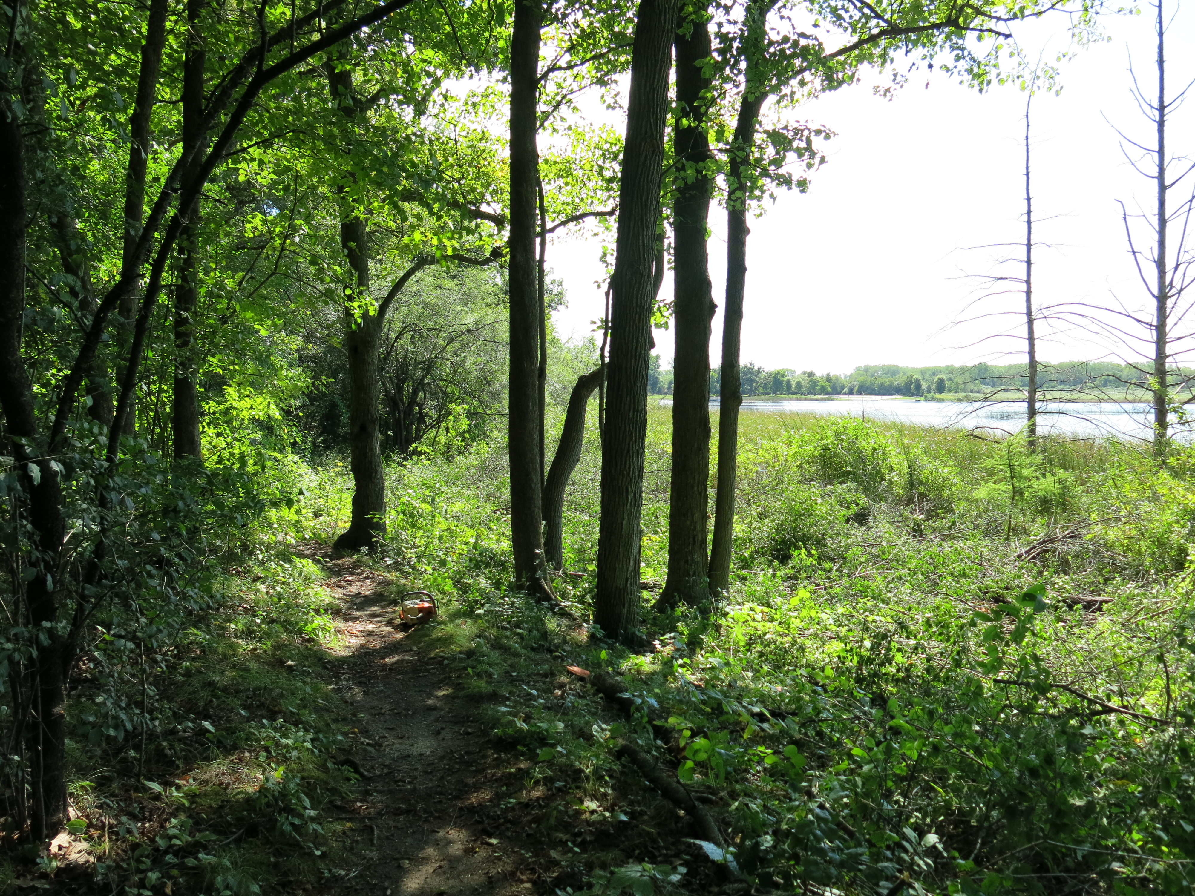
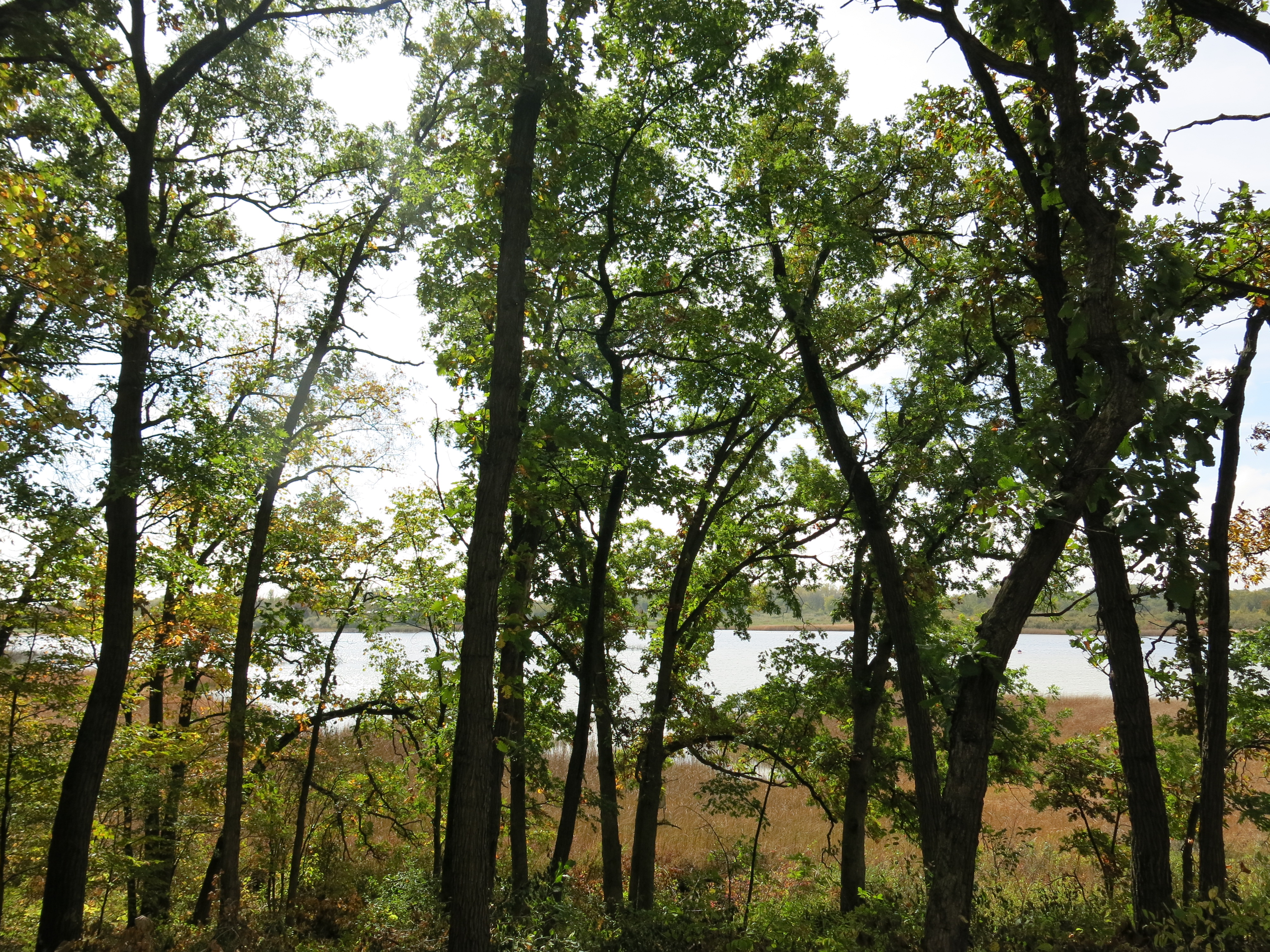
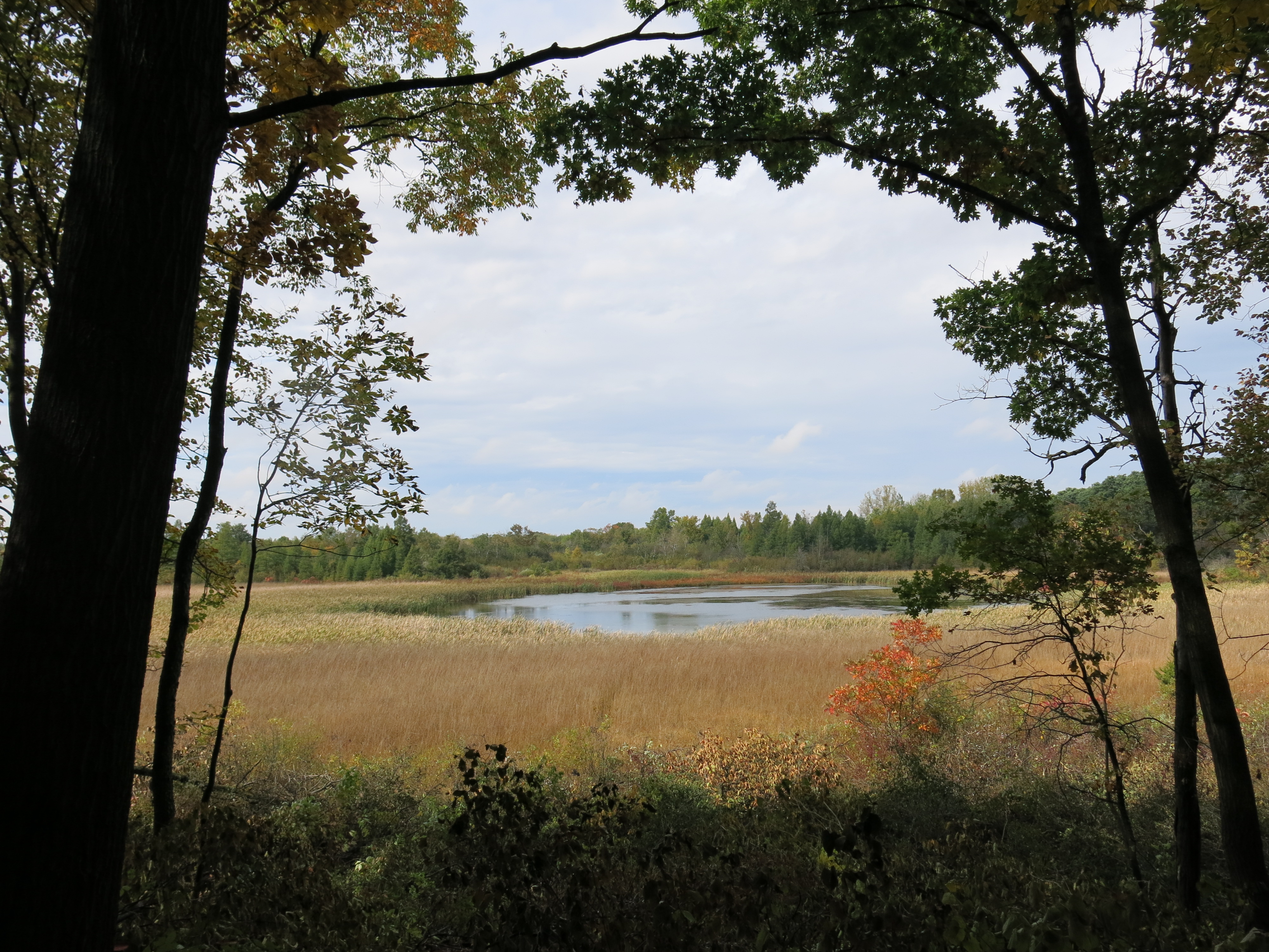
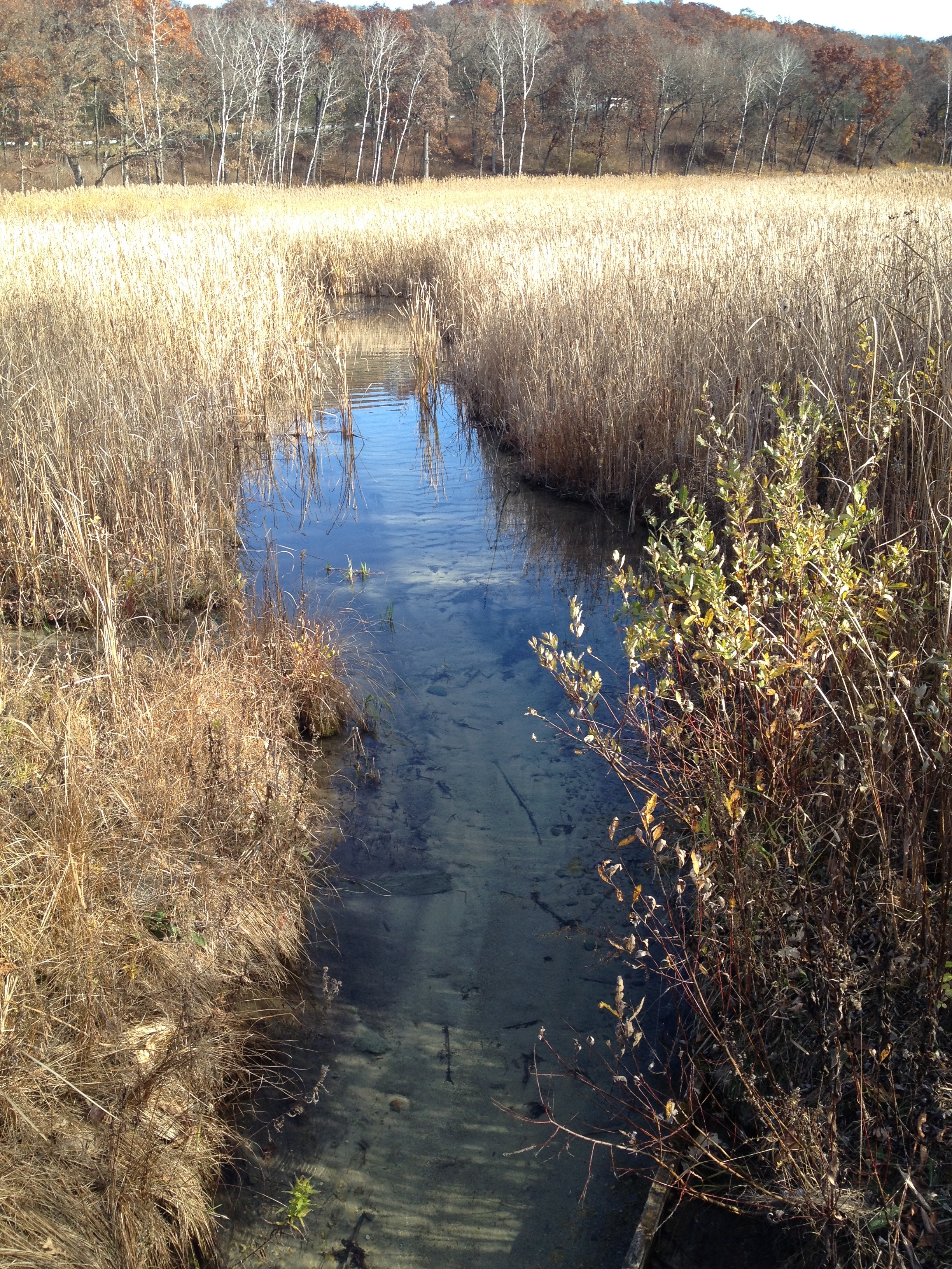
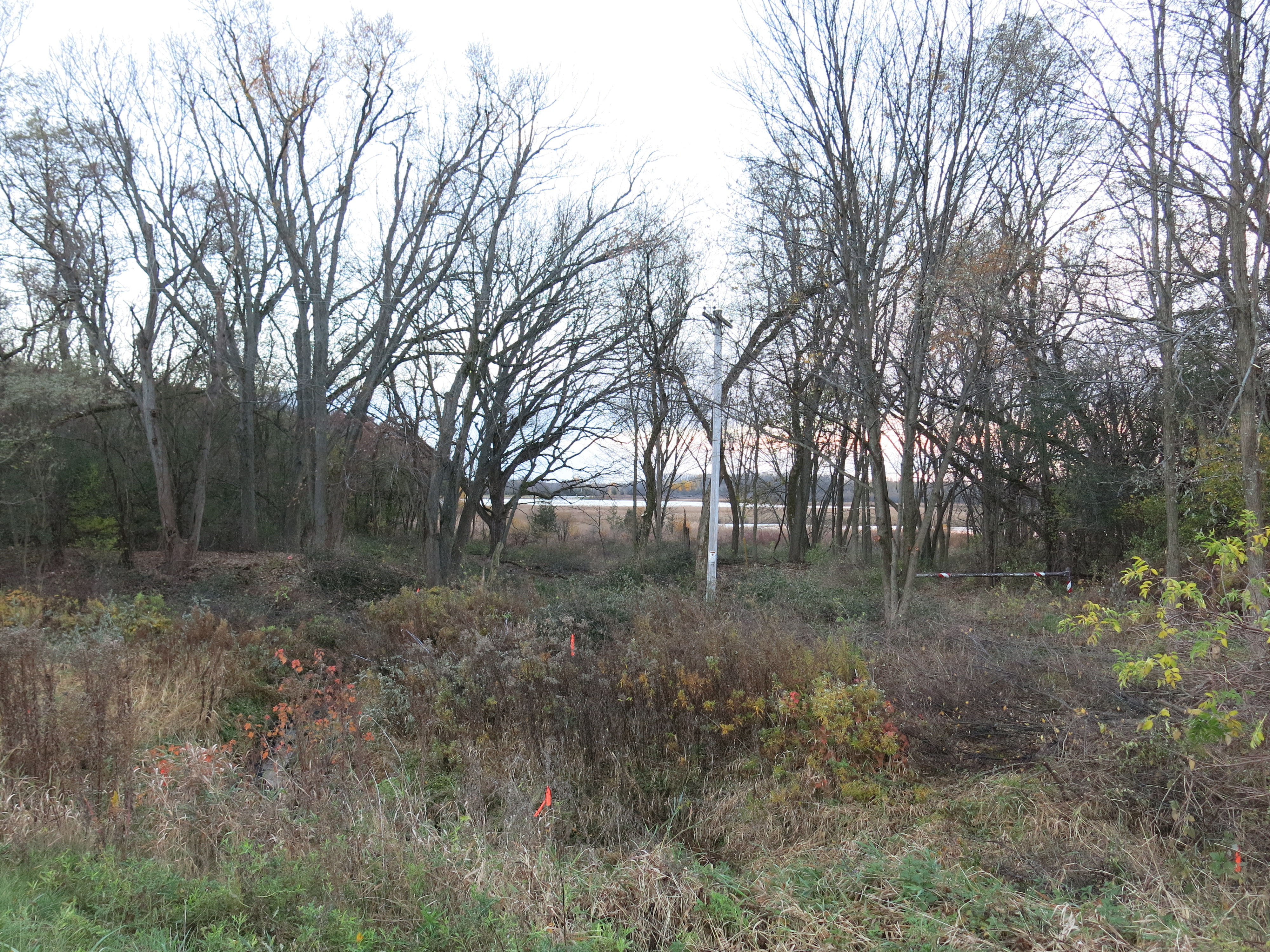
Here is the view before I got started standing on the shoulder of Hwy 67 and looking towards Ottawa Lake.

People I meet on the Scuppernong Springs Nature Trail tell me that they used to be able to see Ottawa Lake from the highway. Now, the only way you could possibly do that is via the drainage shown above. I was determined to reopen this view as a tease to draw people into exploring this beautiful area. At the end of the day on Wednesday, I followed the drainage up expecting to see the water emerging from a culvert that drains wetlands on the northeast side of Hwy 67. Instead, the culvert was dry and I found the source was a bubbling spring on the west side of the highway.
On Thursday I took a day off, sort of, sharpening my chains in camp and later meeting Ben Johnson at the Hotel Springs to work on positioning a boardwalk that we had relocated to the cut-off trail. The rain didn’t dampen our spirits one bit! It was a pleasure to have Ben over to the campsite for dinner afterwards and we dried our butts off by the fire.

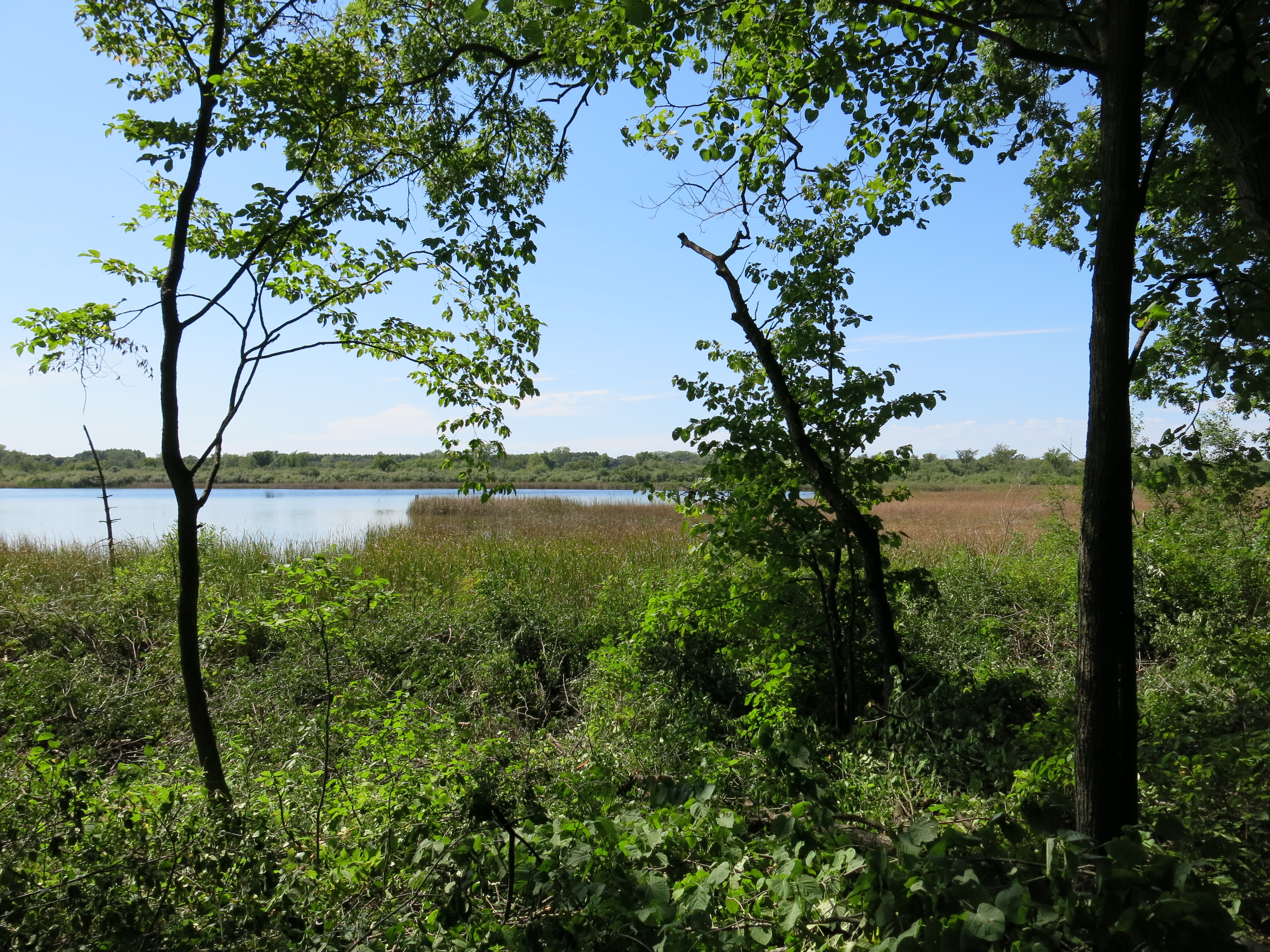
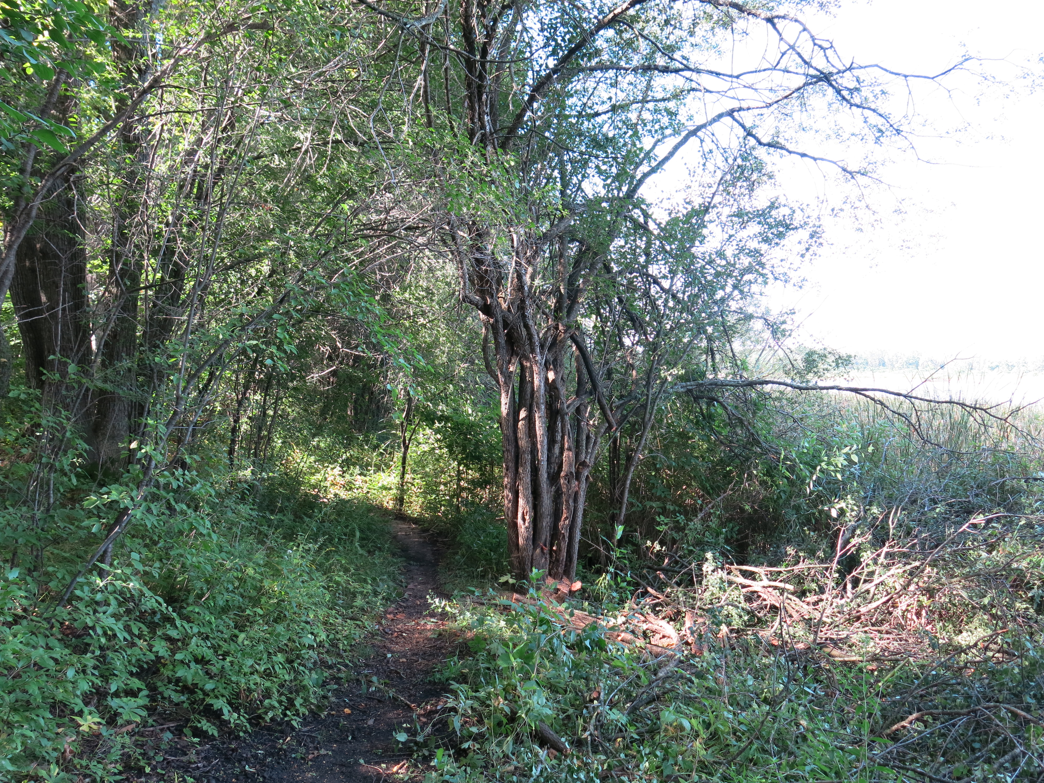
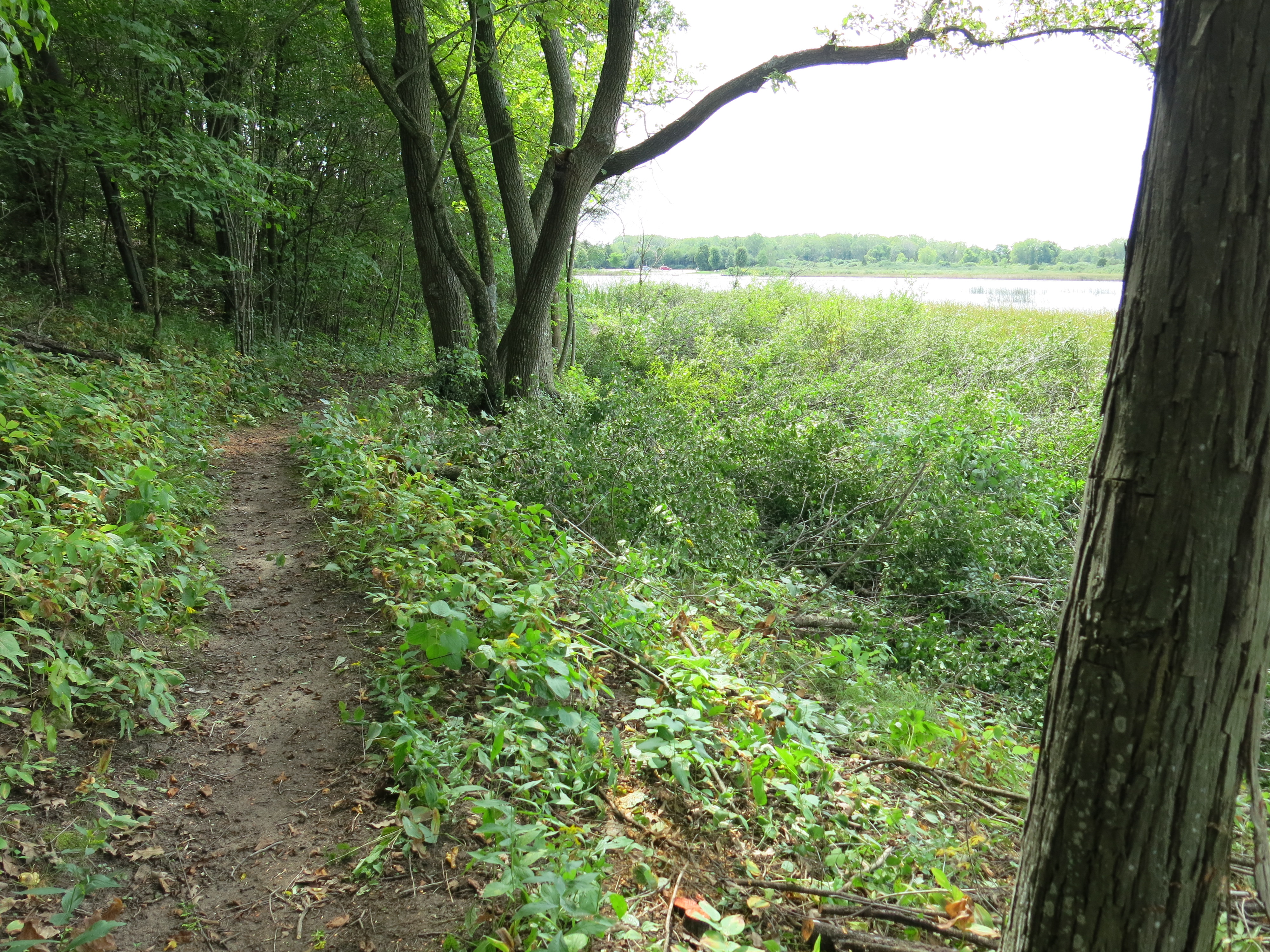
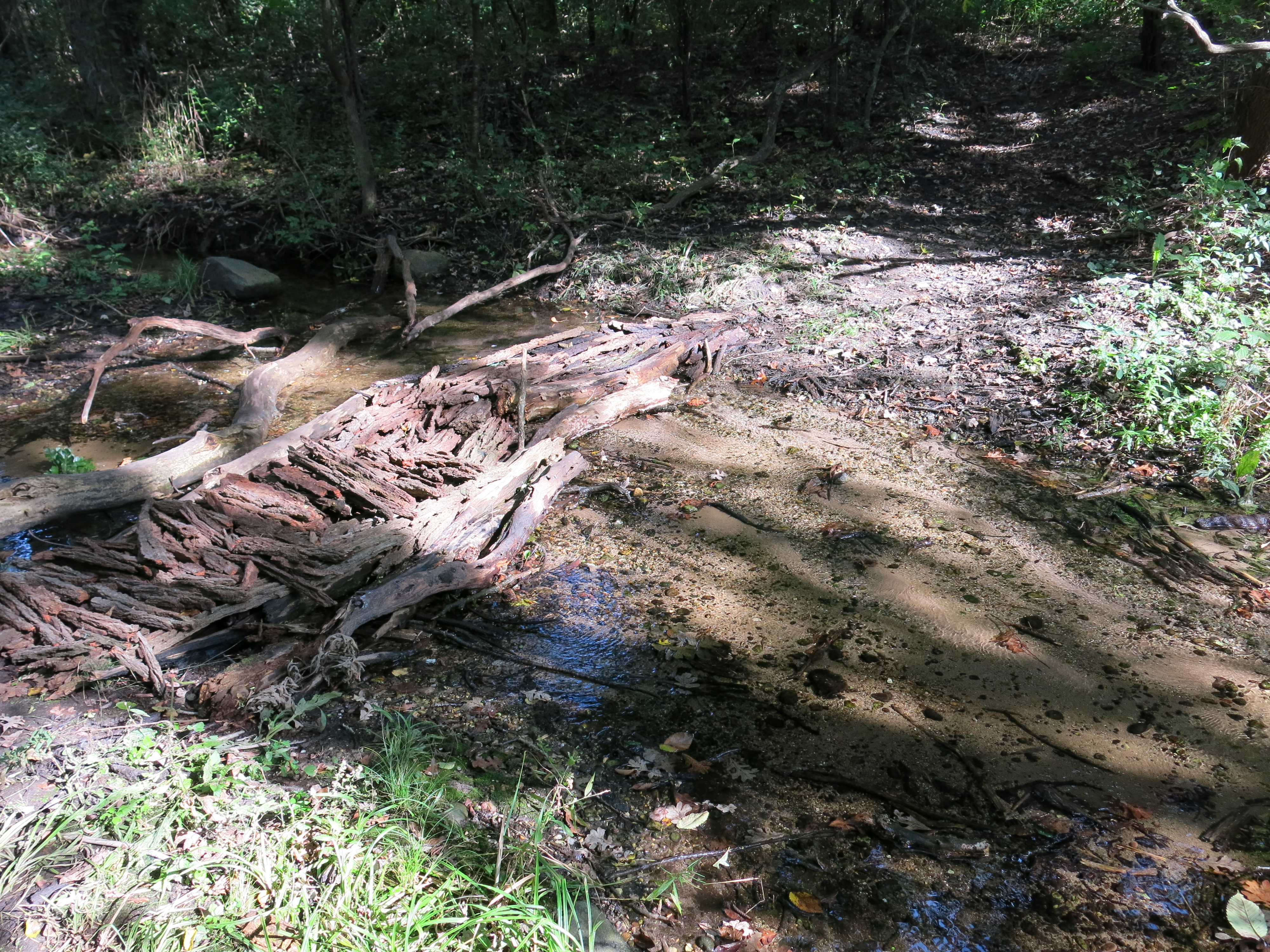
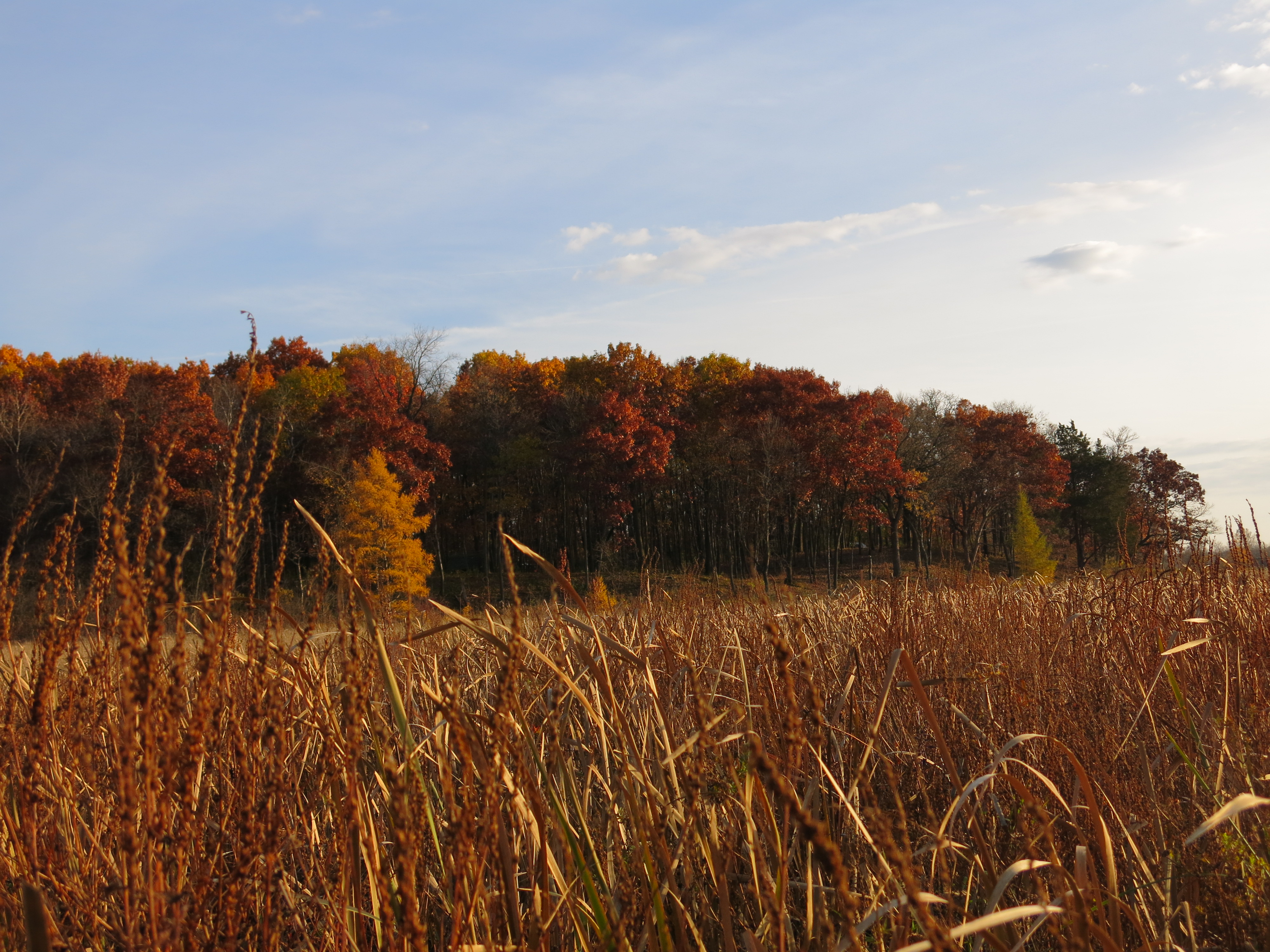
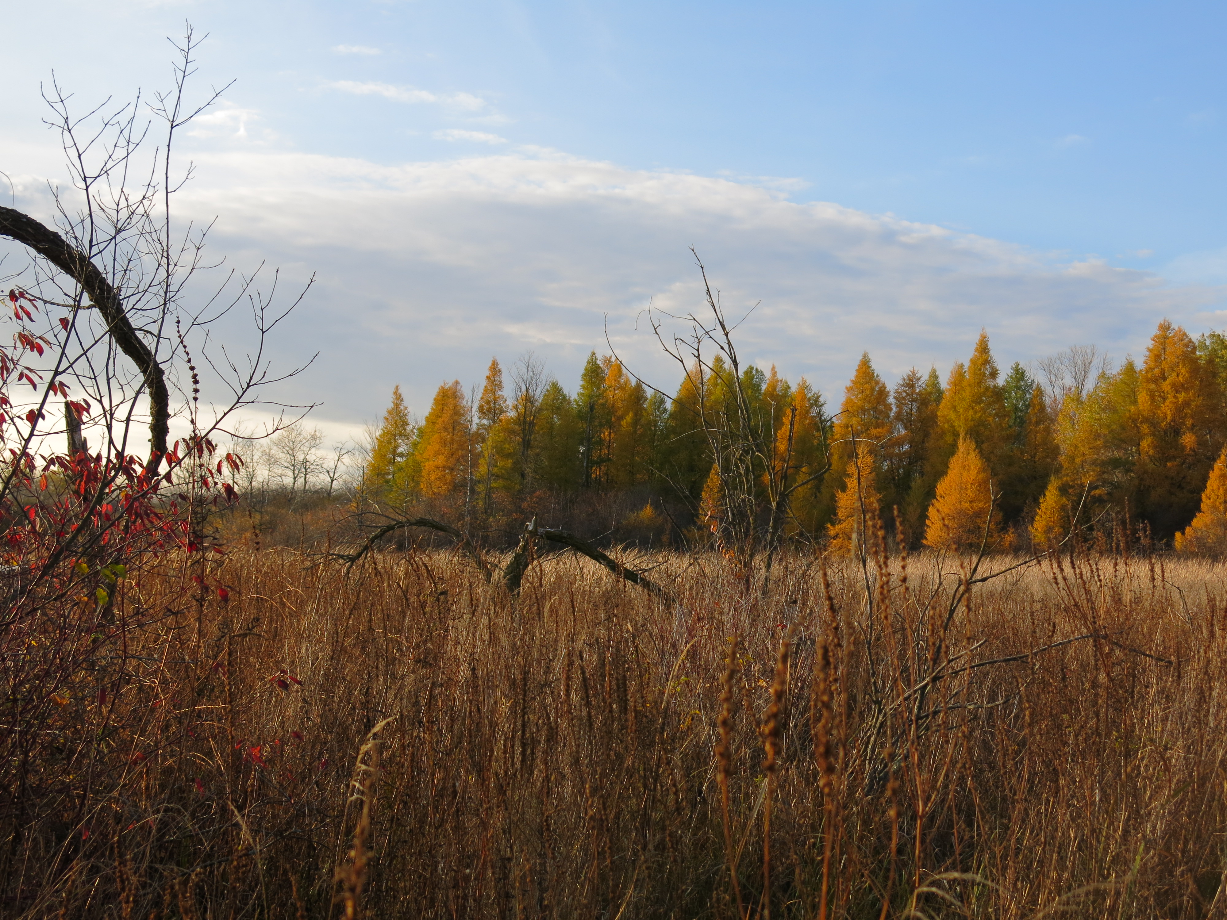
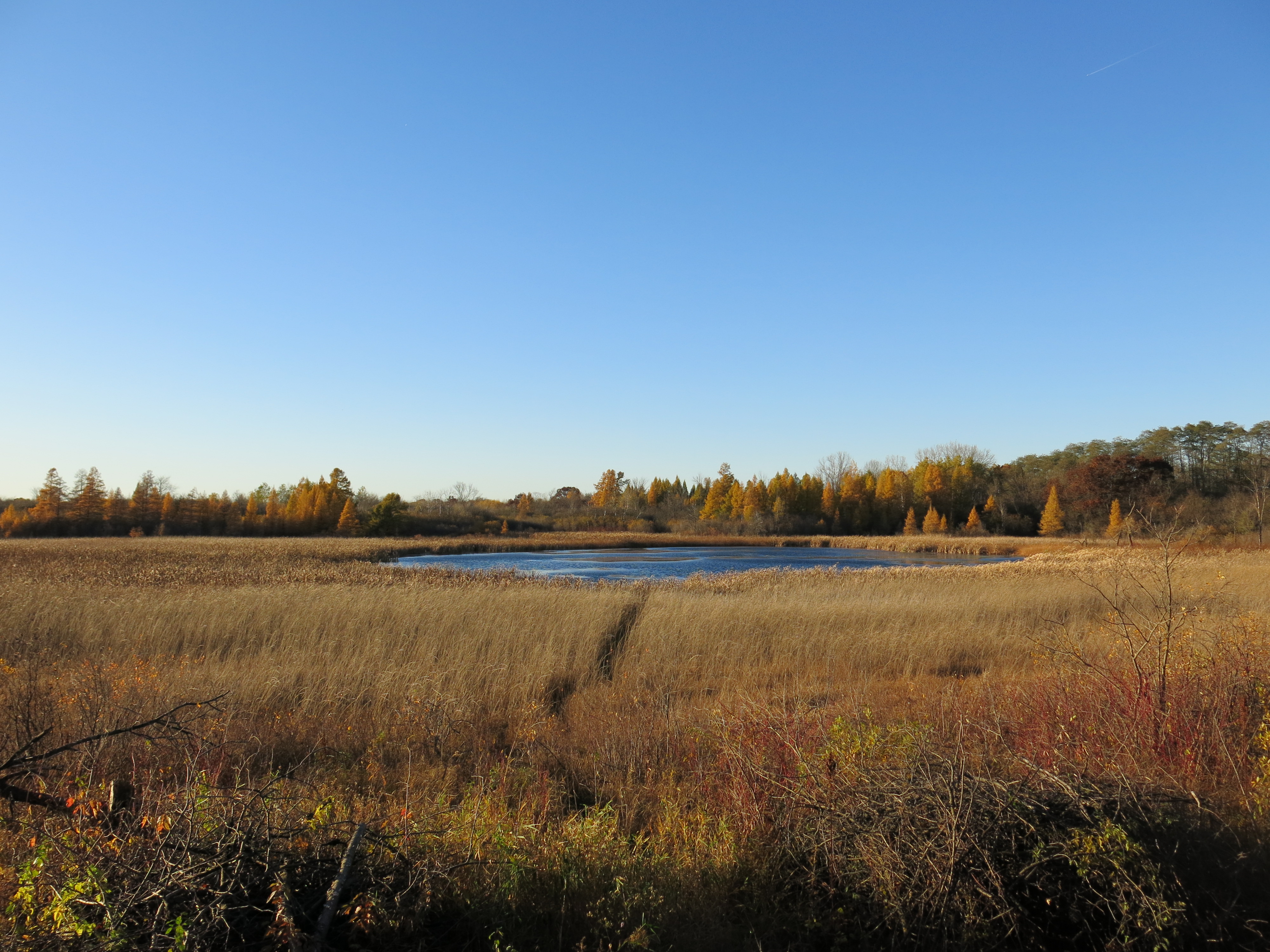
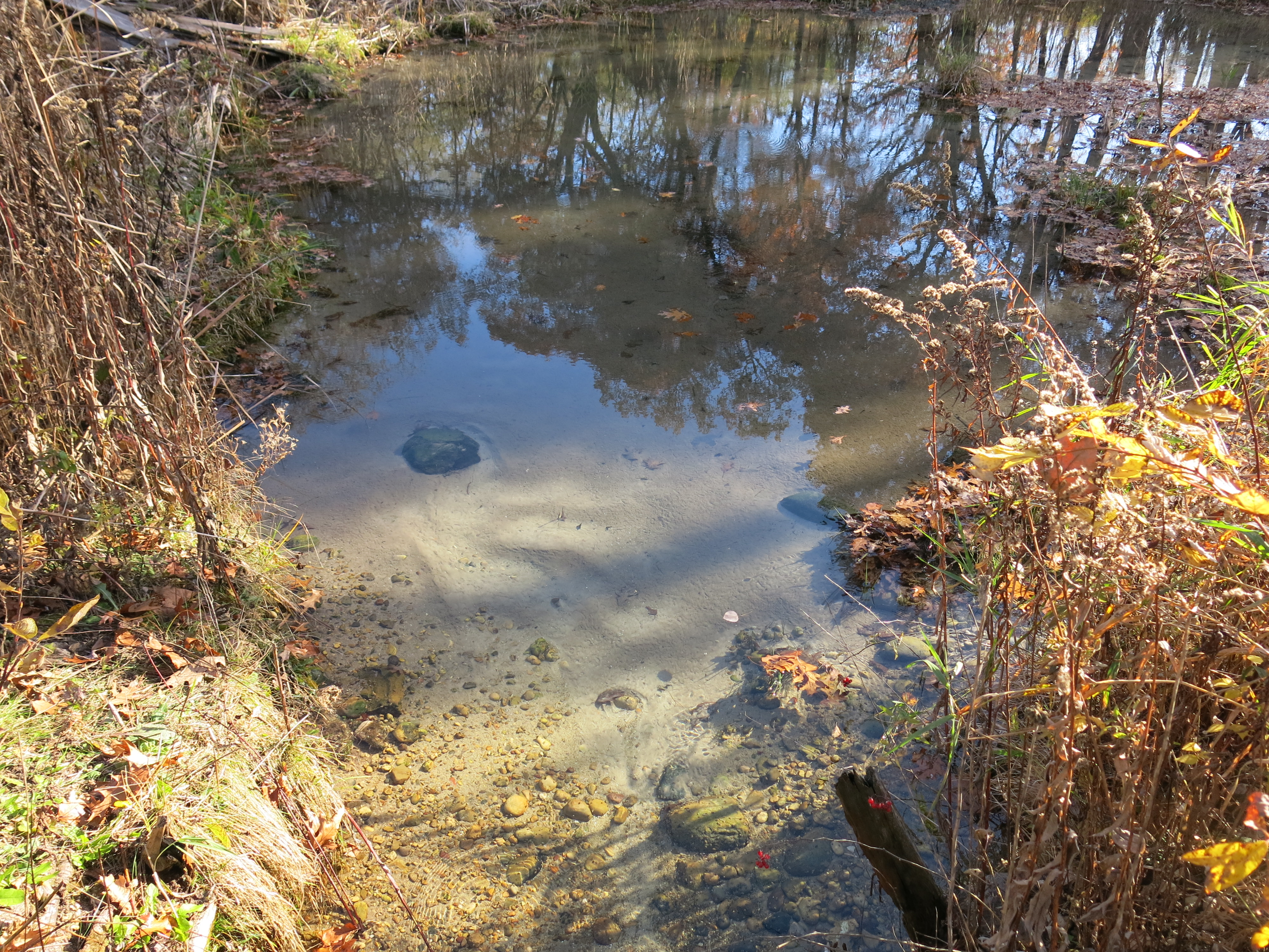
Lindsay Knudsvig joined me on Friday and we began clearing the north side of the channel that flows from the spring I “discovered” on Wednesday. Ottawa Lake is fed by many springs and I think this one may be the most substantial. Here are a couple views after we finished for the day.


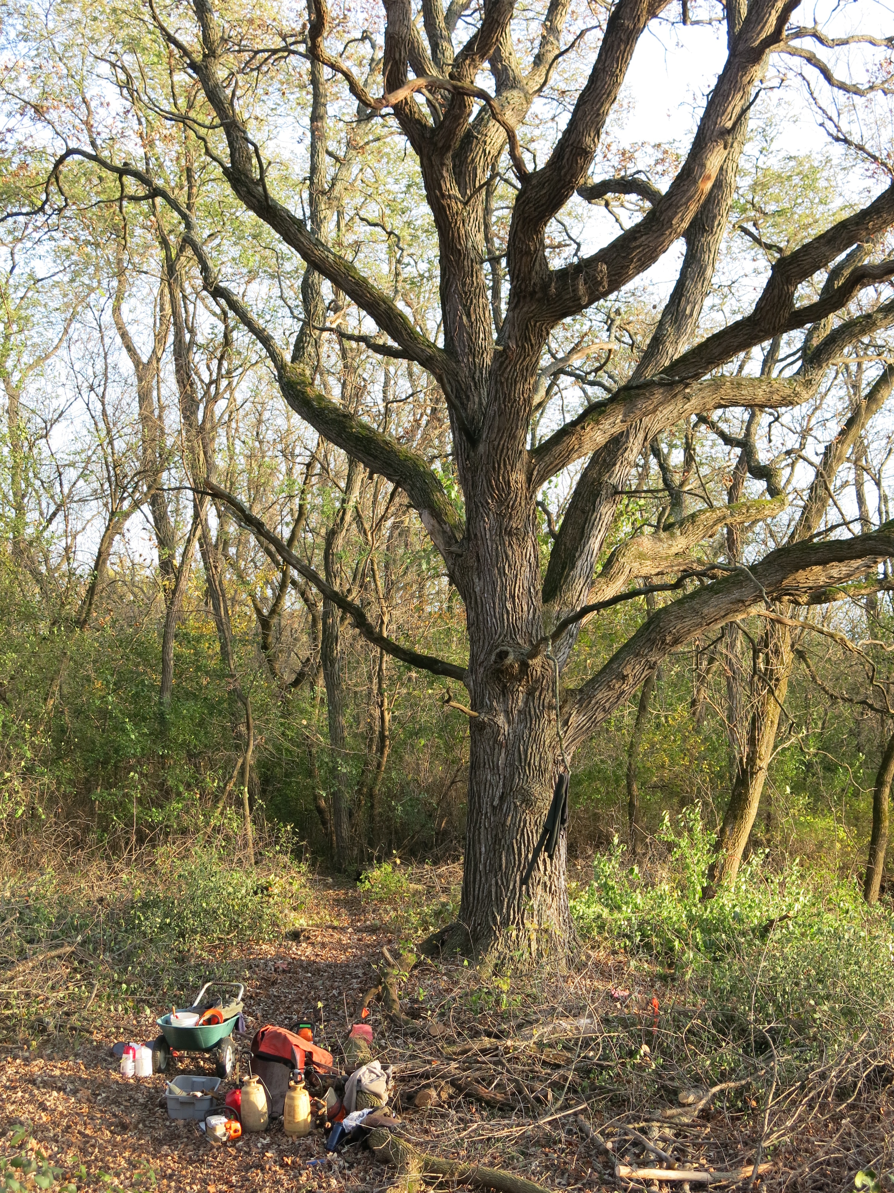
There is a massive, pre-settlement, white oak near the spring’s channel.
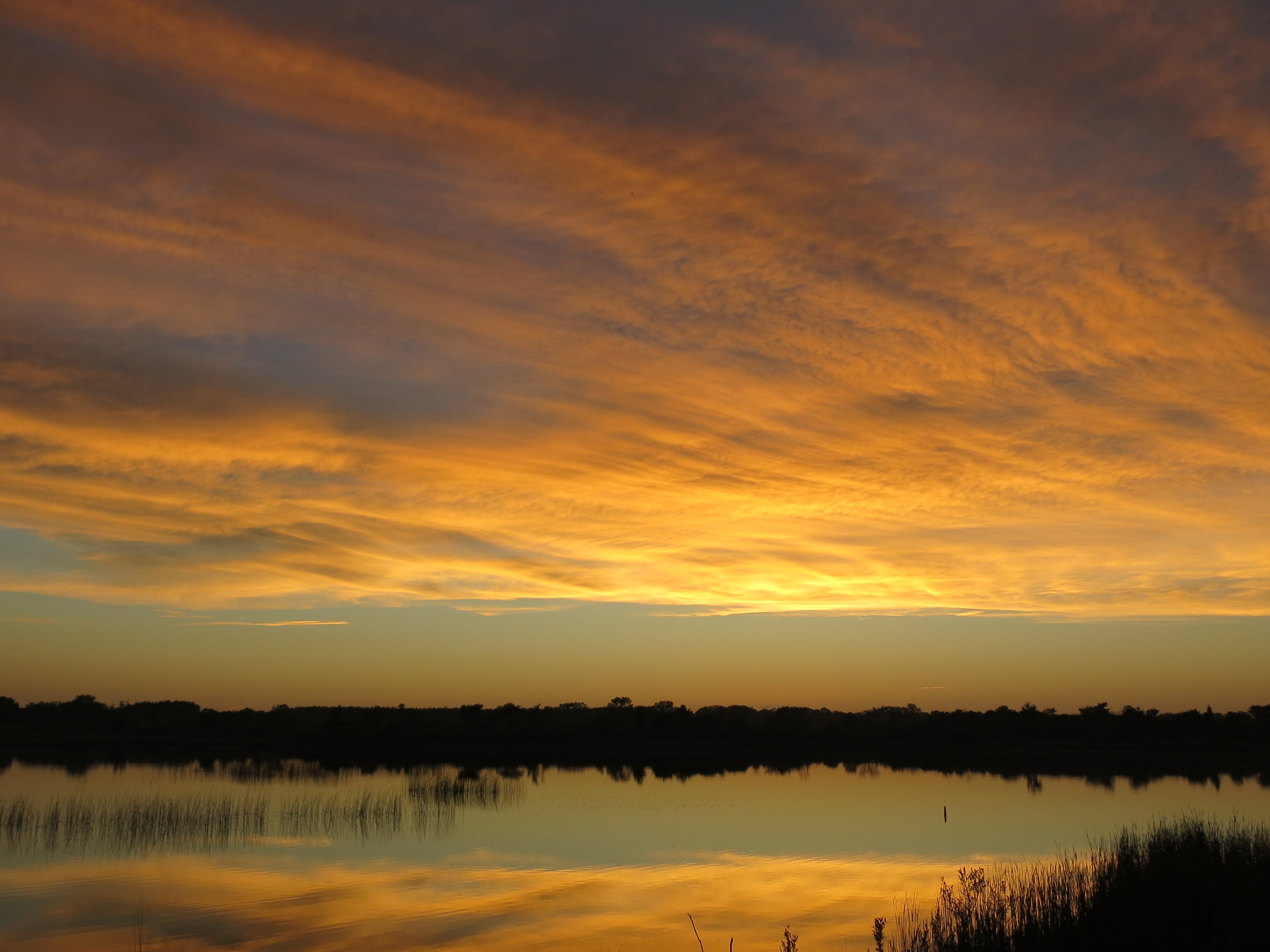
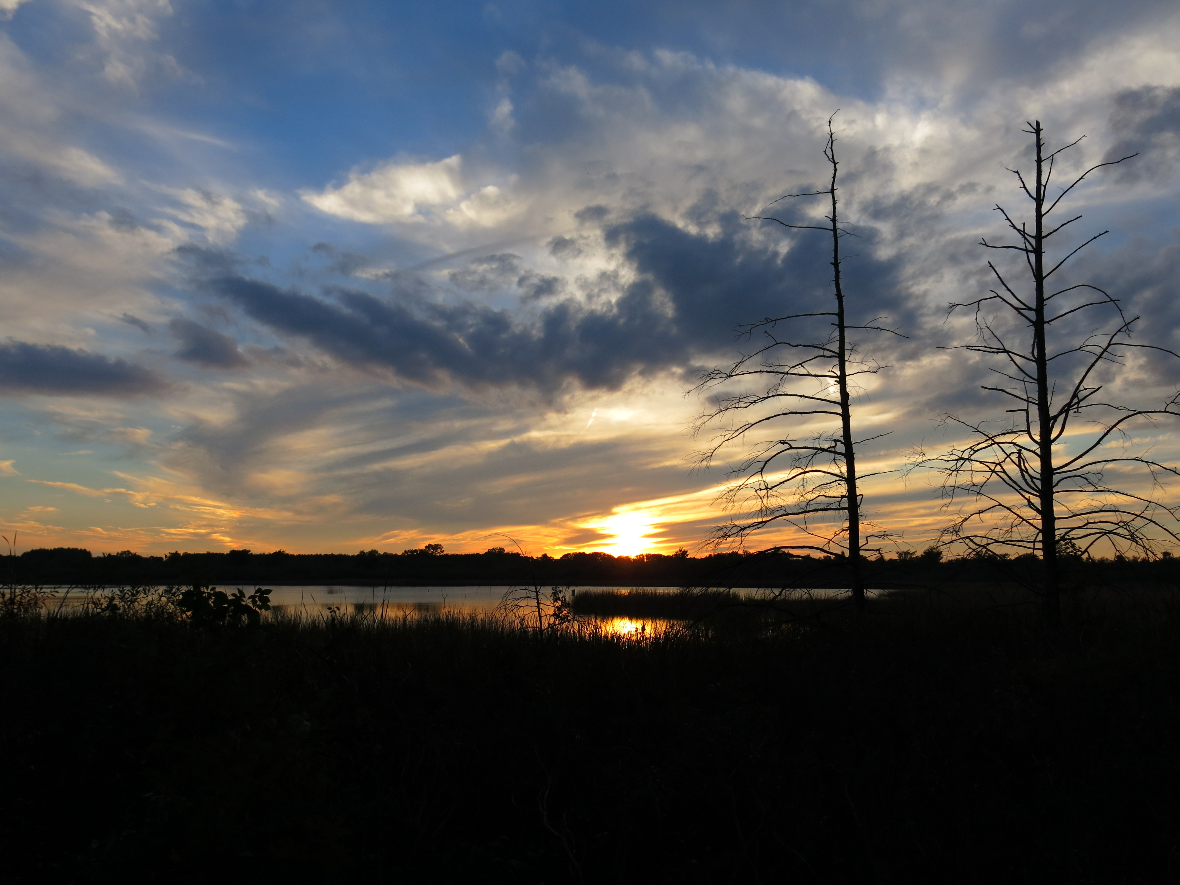
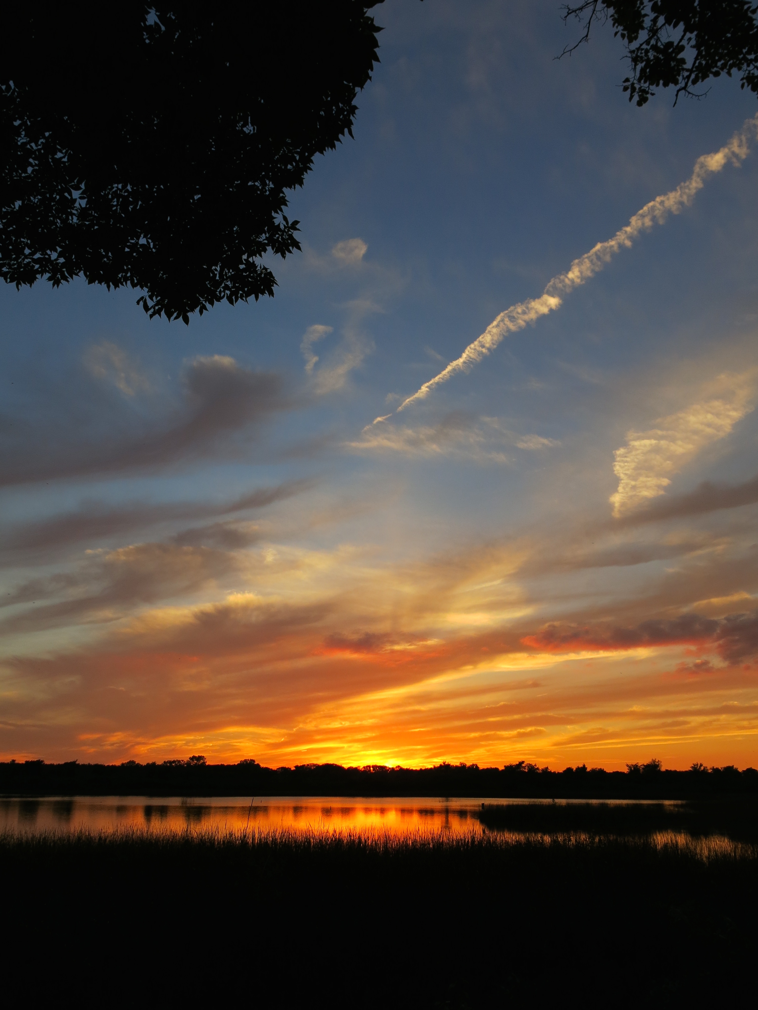
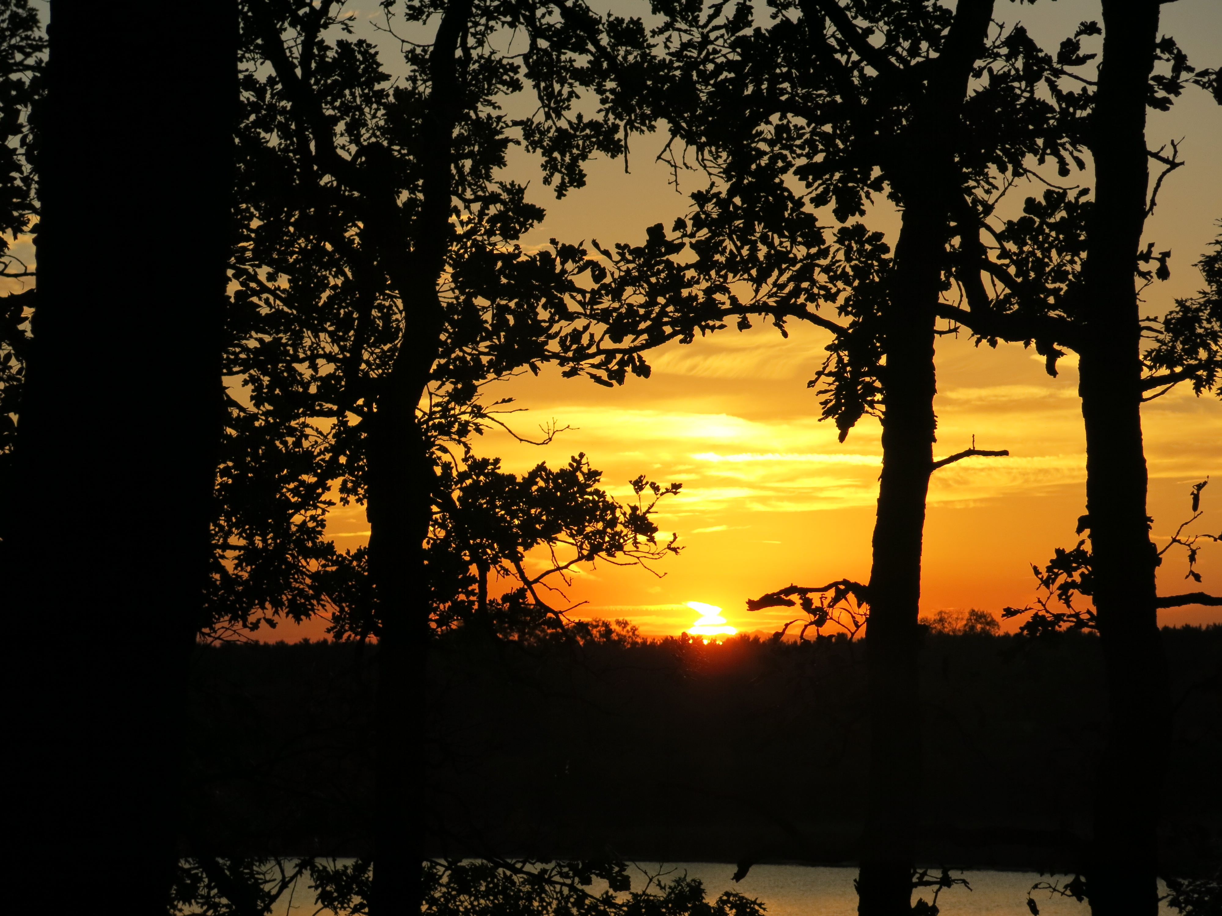
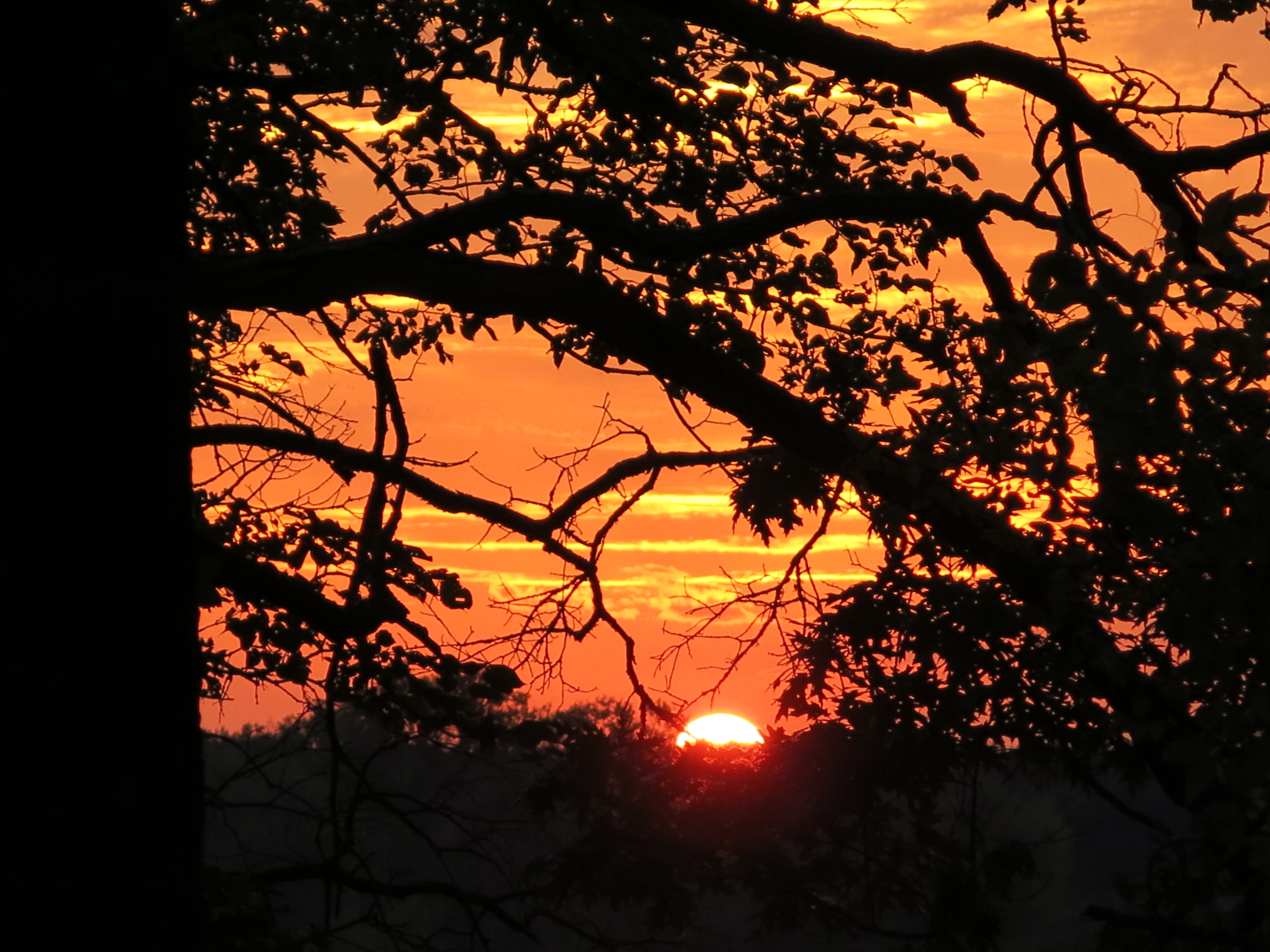
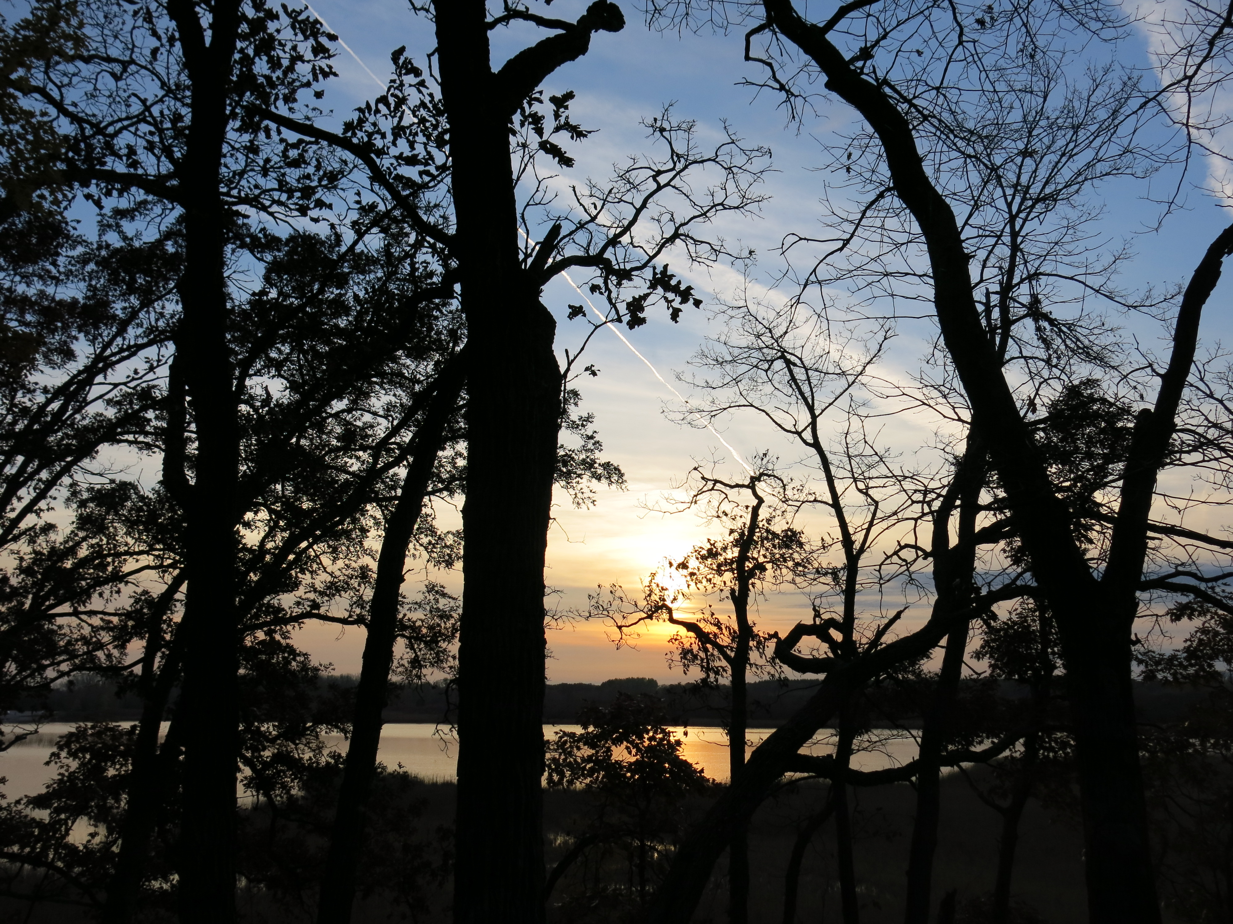
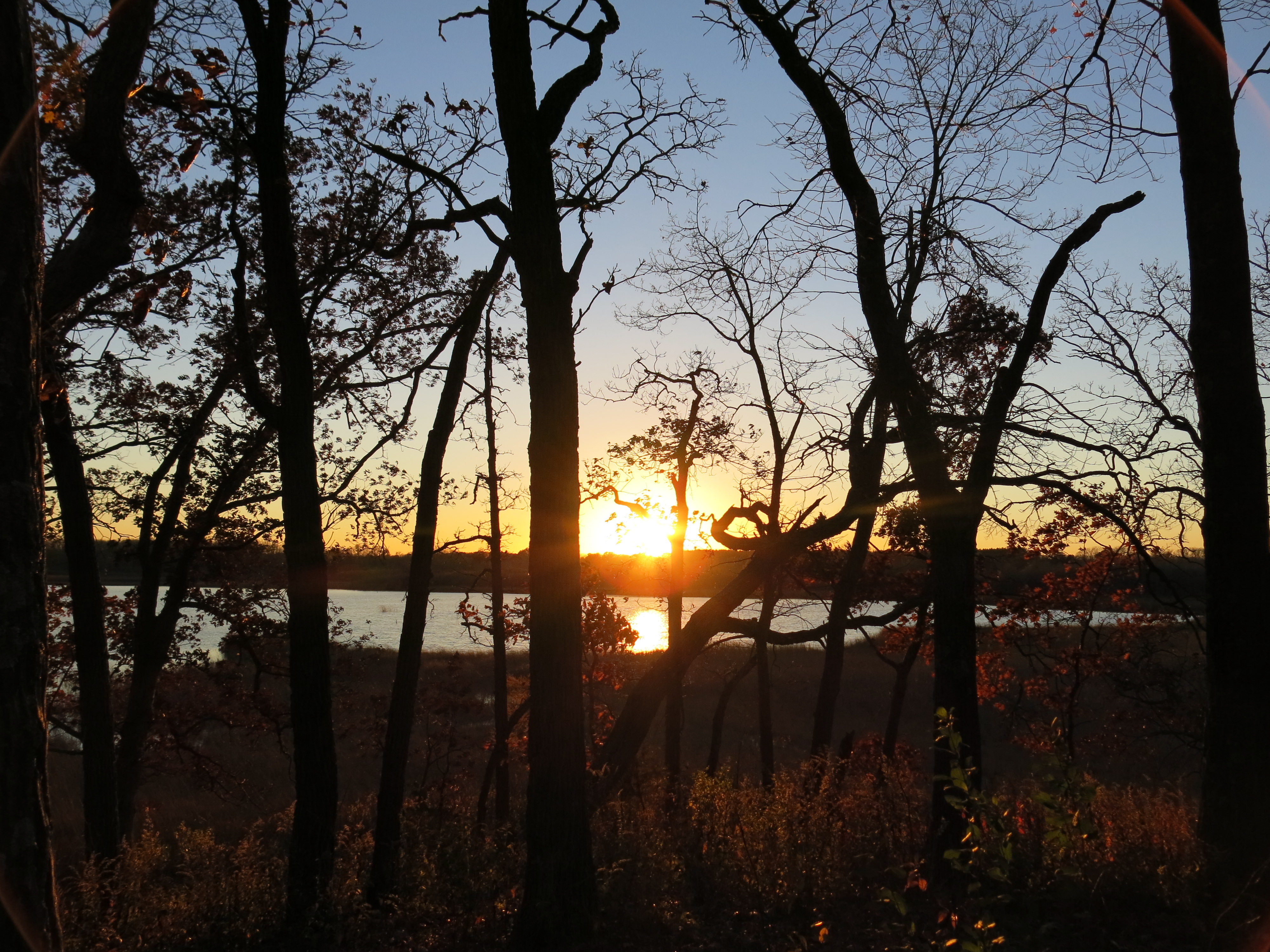
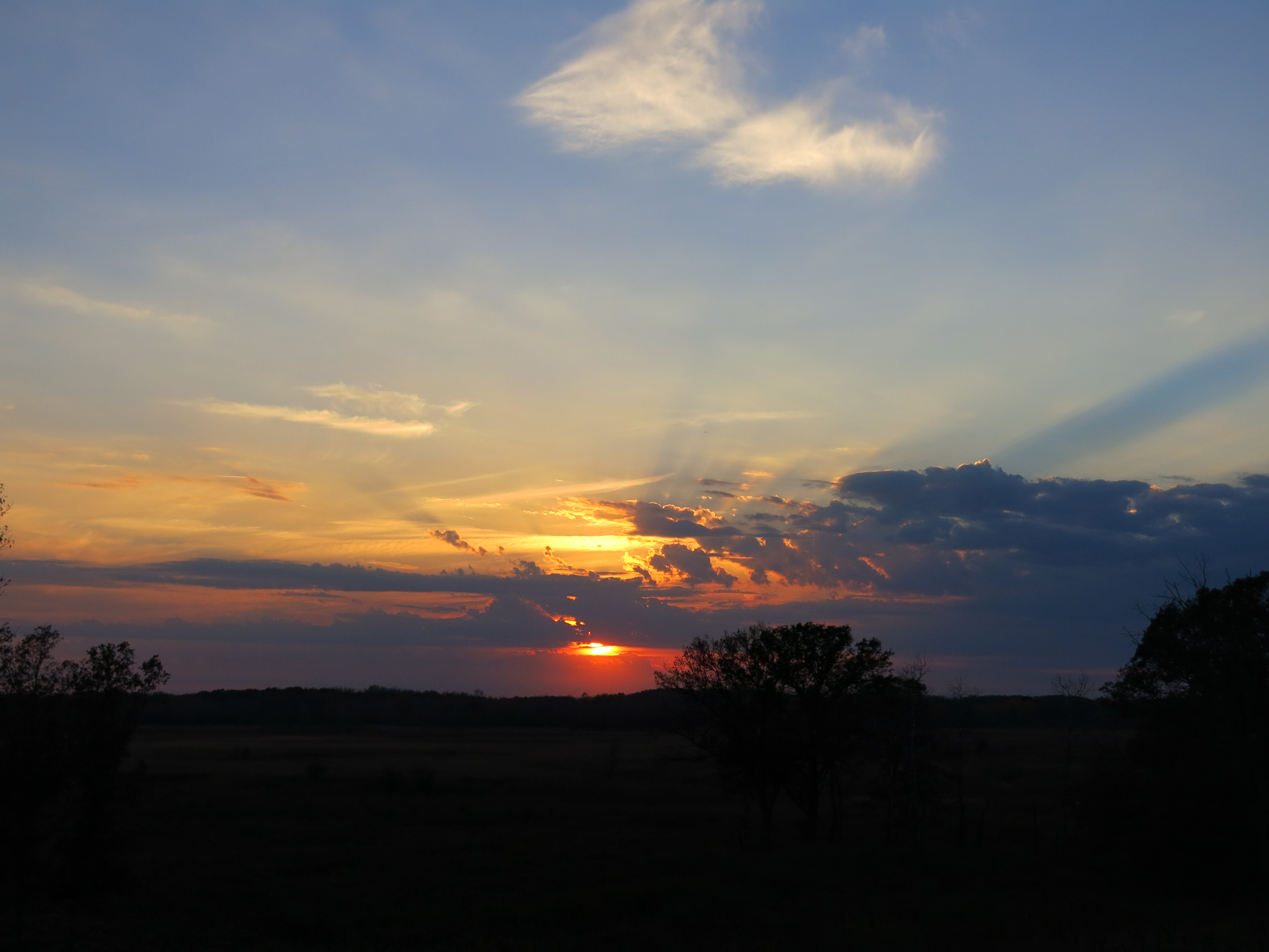
Unfortunately, Lindsay could not stay for dinner, but Pati came out and we enjoyed the sunset and campfire.
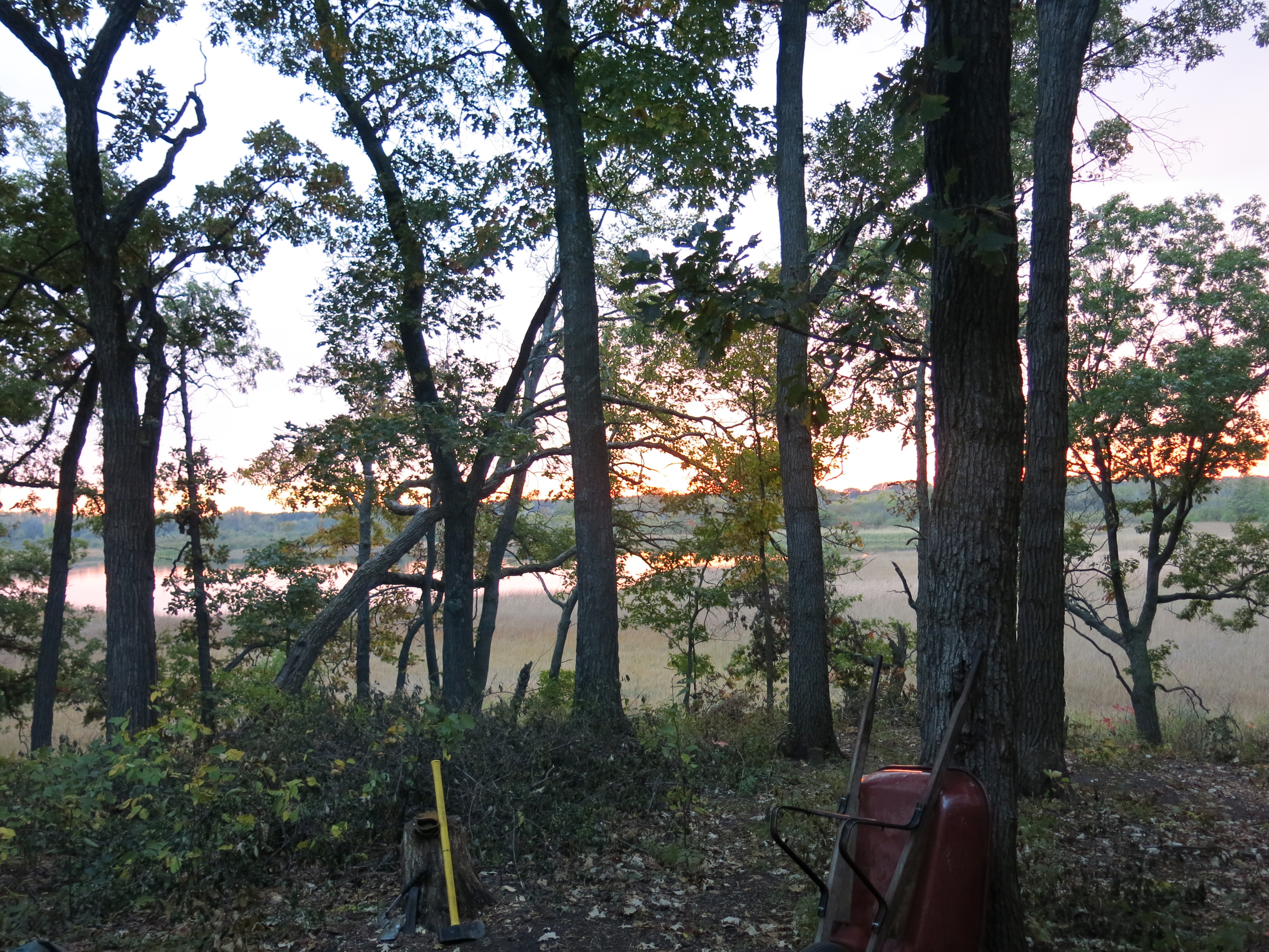
There is an embankment on the north side of the channel that extends out to where the water joins the pond that is at the center of the Ottawa Lake Fen. There are excellent views south, west and north from this vantage point.
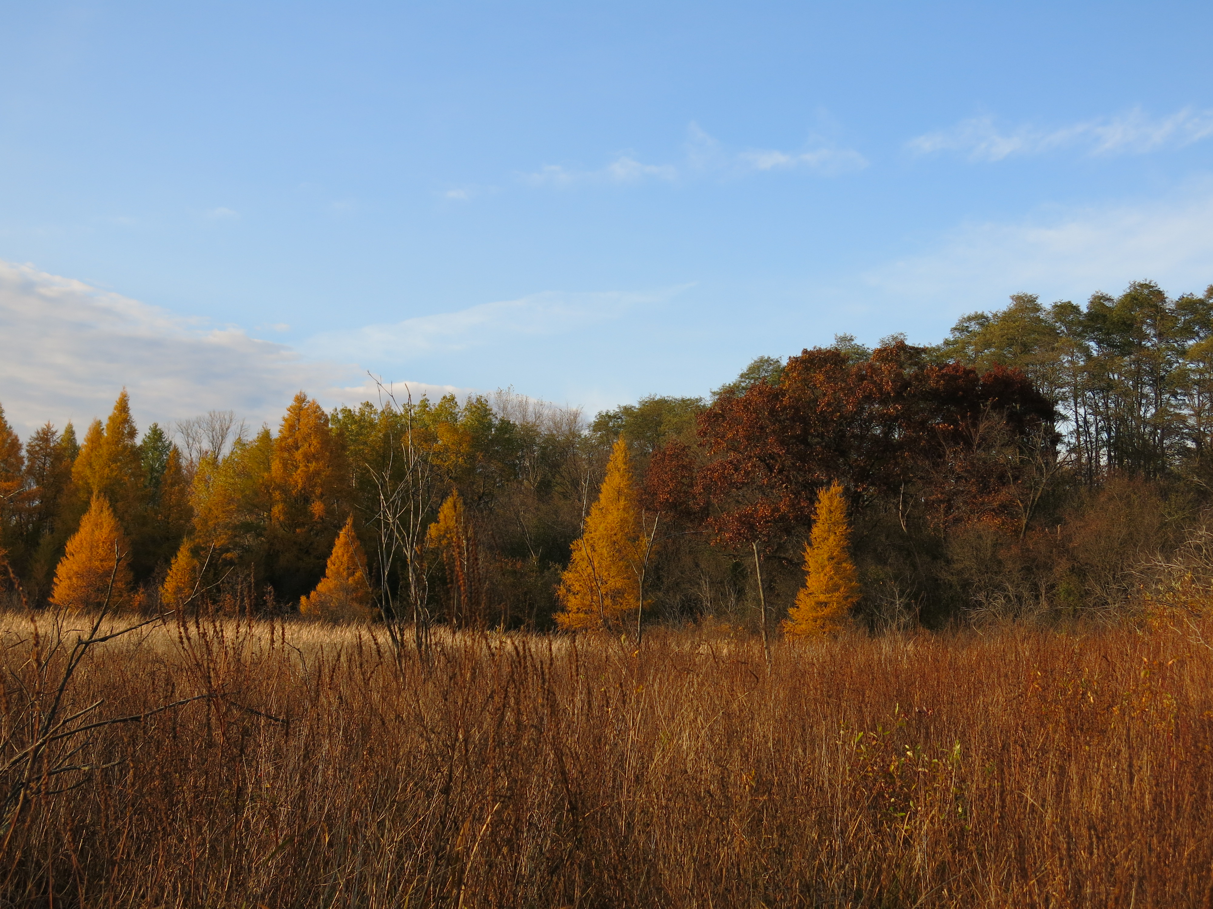
On Saturday I started to clear the buckthorn from both sides of this embankment. Here is what it looked like before I got started (looking left, then right).


I finished the left side on Saturday and began clearing the debris from the channel with the intention of getting a current flowing all the way to the union with the fen pond. That evening Pati returned to stay a couple nights with me and it was sweet.

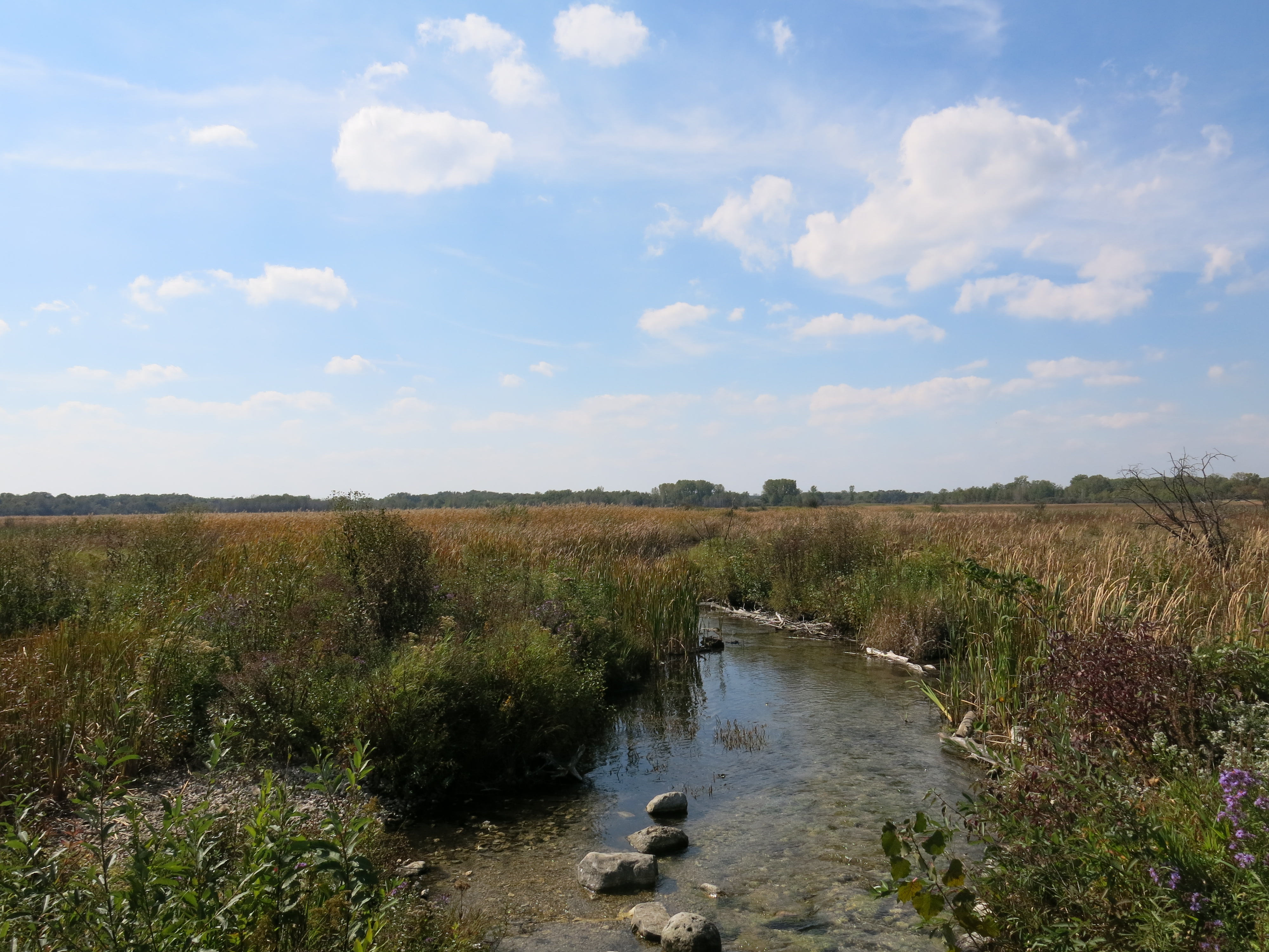
On Sunday morning we took a nice walk around the Scuppernong Springs Nature Trail waiting for the day to warm up and then we headed to where the Scuppernong River passes under Hwy Z to do our last river monitoring of the year. You can view the data we collected in 2014 at the Water Action Volunteers site by searching by site (Scuppernong River at Count Hwy Z) and specifying the date range of April thru November and the “select all parameters” button.
In the last post I made the bold and unsubstantiated assertion that: “We do not see the diversity of macroinvertebrates typically found on stoney, sandy, bottom riverbeds…”, in the muck and marl filled stretches of the headwaters of the Scuppernong River. So, Pati and I repeated the same biotic index study we did at Hwy Z as part of our river monitoring, at four locations in the Scuppernong River headwaters where the DNR is planning to remove material to enable the river to headcut. We investigated the areas just upstream from where the changes will be made. Here is what we found (refer to this link to see pictures of the Macroinvertebrates):
Where the Scuppernong River crosses Hwy Z, which has a stoney and sandy riverbed:
- Aquatic Sow Bug
- Crawfish
- Amphipod or Scud
- Dameslfly larva
- Giant Water Bug
- Back Swimmer
- Water Boatman
- Riffle Beetle Larva
- Pouch Snail
- Caddisfly Larva
Now, at the four sites in the headwaters. First at the Old Mill site:

- Aquatic Sow Bug
- Crawling Water Beetle
- Amphipod or Scud
- Dameslfly larva
- Predaceous Diving Beetle
- Back Swimmer
- Riffle Beetle Larva
- Orb Snail
- Caddisfly Larva
At the Hotel Spring Bridge site:
- Aquatic Sow Bug
- Fishing Spider
- Amphipod or Scud
- Nematode of Threadworm
- Leech
- Pouch Snail
- Riffle Beetle Larva
- Orb Snail
- Caddisfly Larva
At the bridge to the Hidden Spring site:
- Aquatic Sow Bug
- Amphipod or Scud
- Nematode of Threadworm
- Whirligig Beetle
- Pouch Snail
- Predaceous Diving Beetle
- Dobsonfly Larva
- Caddisfly Larva
And finally, at the first bridge to the Hillside Springs:
- Aquatic Sow Bug
- Amphipod or Scud
- Riffle Beetle
- Riffle Beetle Larva
- Dobsonfly Larva
- Caddisfly Larva
- Backswimmer
- Water Strider
I think it is fair to say that I was wrong to conclude that there was not the same diversity of macroinvertebrates in the headwaters area, where the riverbed is generally full of muck and marl, as further downstream, like at Hwy Z, where the riverbed is stoney and sandy. I did have to literally drag the net through the muck and marl in the headwaters to get the samples so it may be the case the the macroinvertebrates there are not as accessible to the trout as they are in the areas downstream that are stoney and sandy. In any case, we will continue to collect data in the headwaters at the sites listed above next spring, before any changes are made to remove material from the former embankments, and continue to collect data after the changes are made.
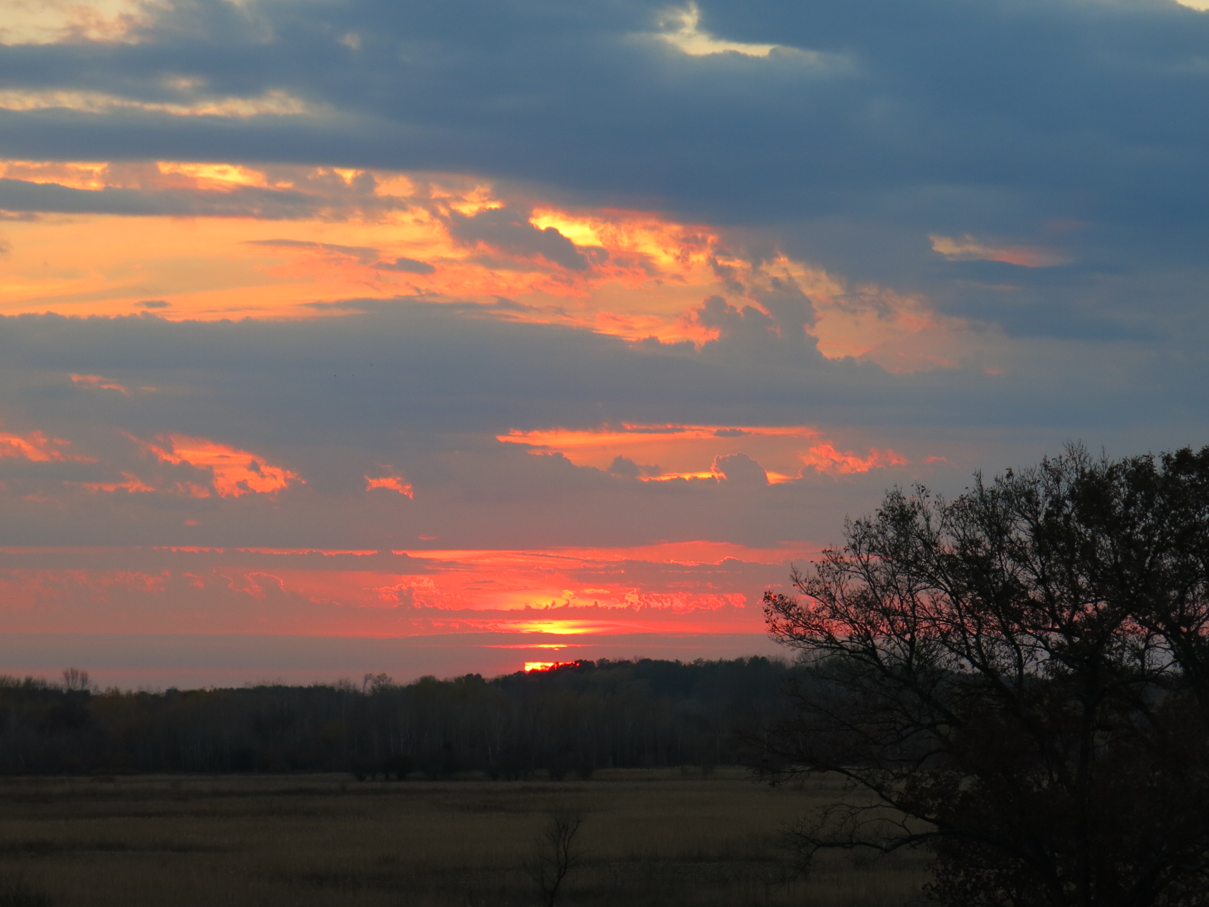
Sunday evening we finished dinner early and raced over to the Indian Campgrounds to catch the sunset.
And finally, this past Monday, I finished clearing the buckthorn along both sides of the embankment that follows the Ottawa Lake Spring channel to its entrance to the fen pond.


One Last view from the highway.
I also pulled out a lot more junk from the spring channel including: a car tire, one 5 gallon bucket, three 1 gallon plastic plant containers, bottles, cans, logs, planks and deck boards. Walk with me as I follow the channel from the fen up to its source at the spring. There is a bit of drama halfway through when I get stuck in muck up to my chest and let a few choice words fly.
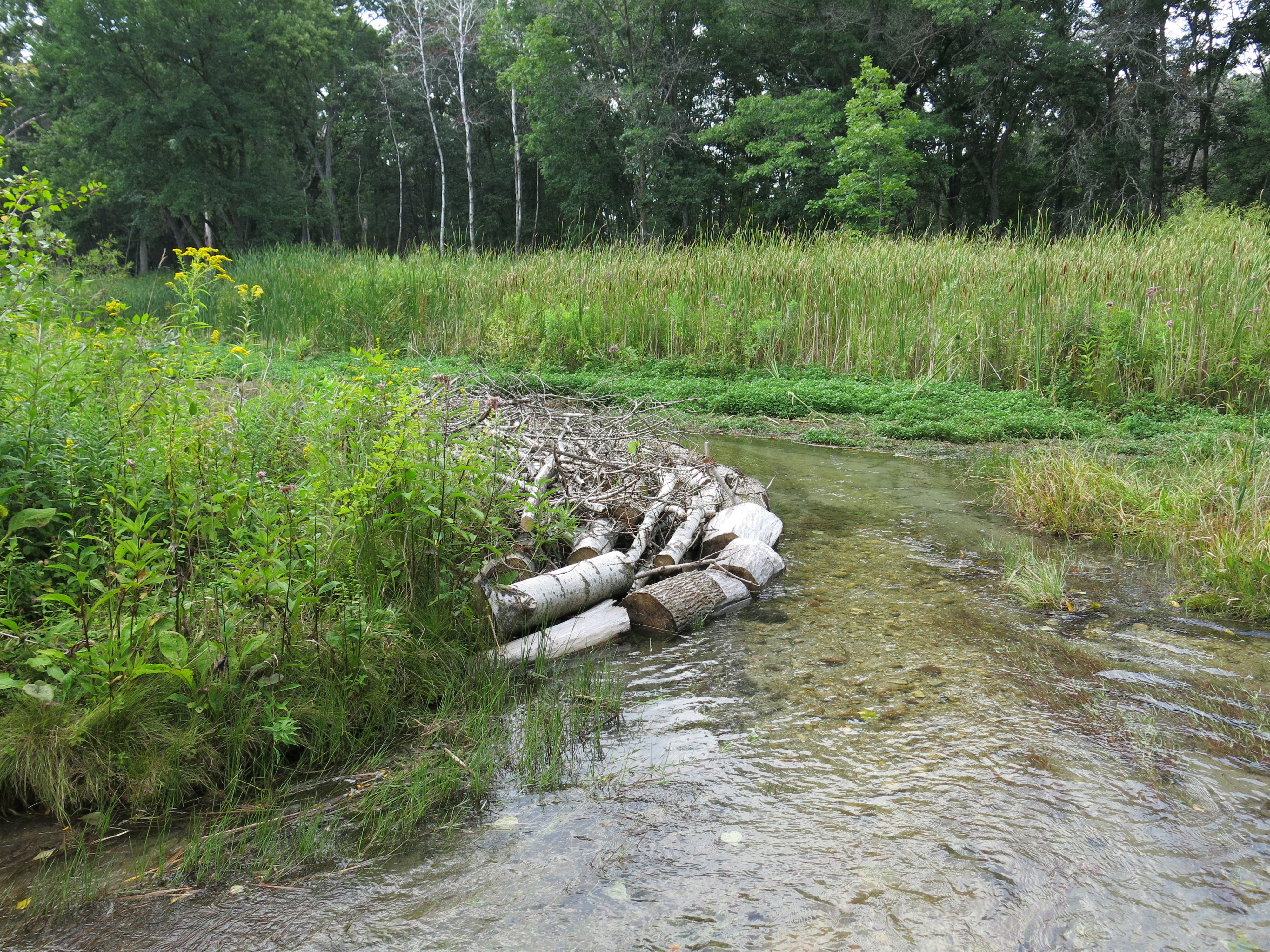
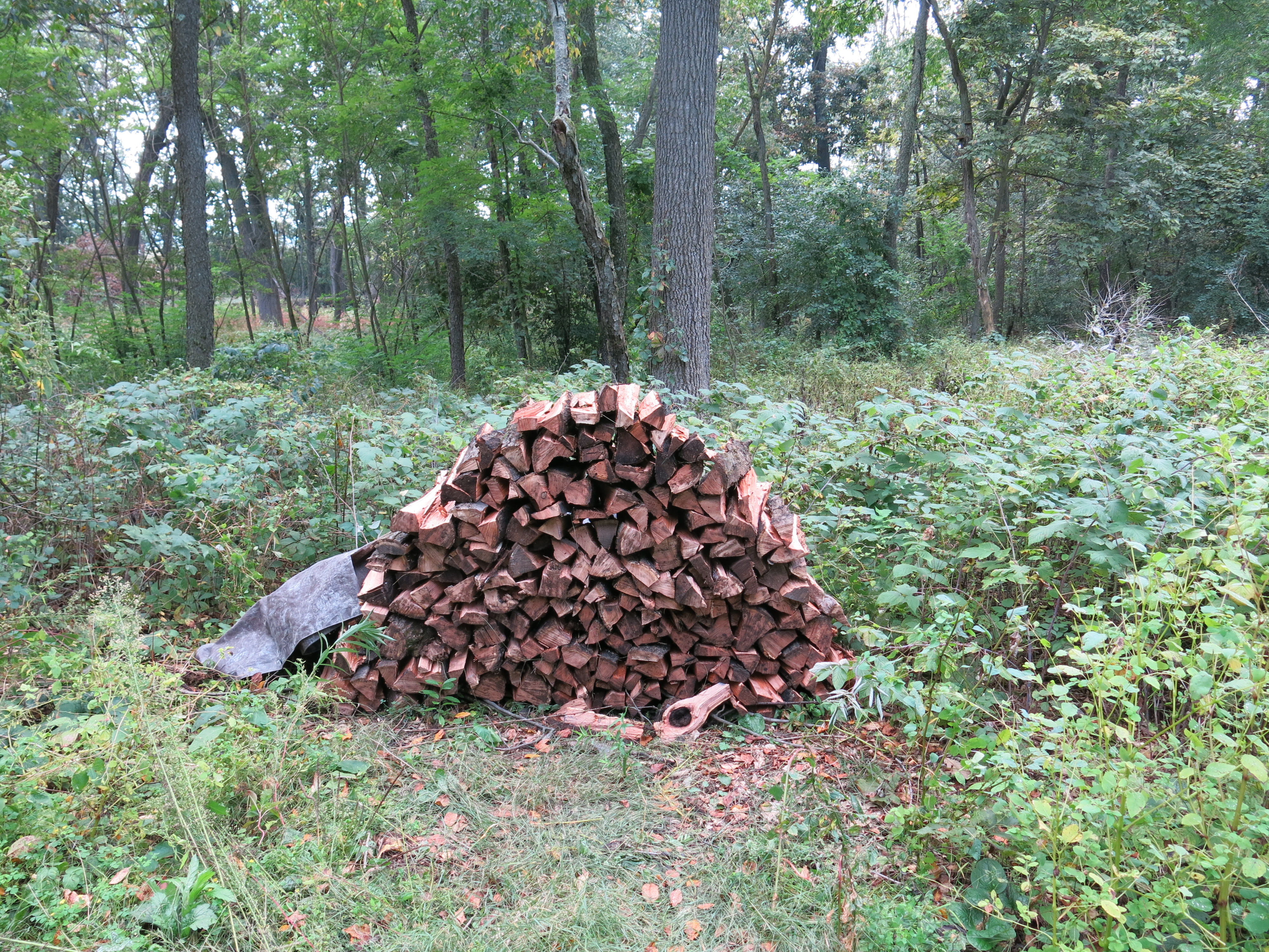
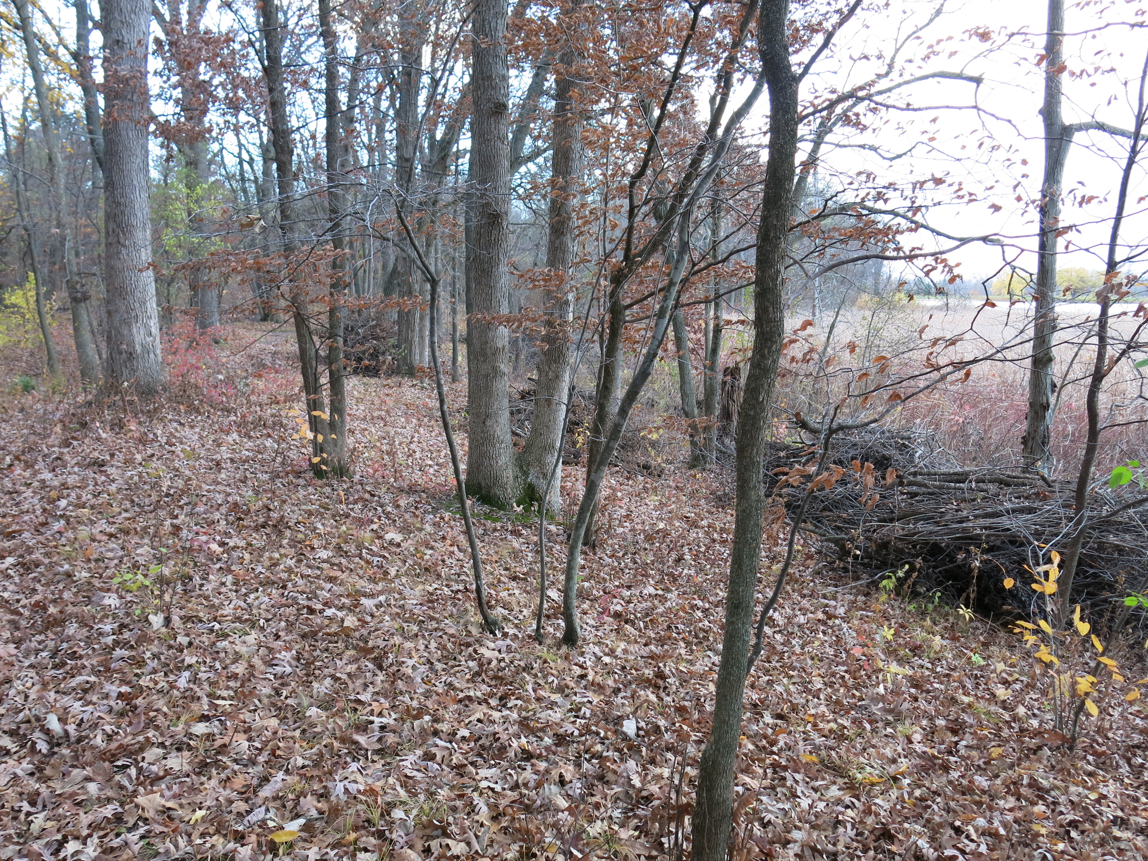
Last but not least, I captured these images of the brush piles that Andy Buchta made on the east side of Ottawa Lake in the area that I cleared last month when I camped at My Shangri-La. Thanks Andy!
See you at The Springs!