Journey Down The Scuppernong River

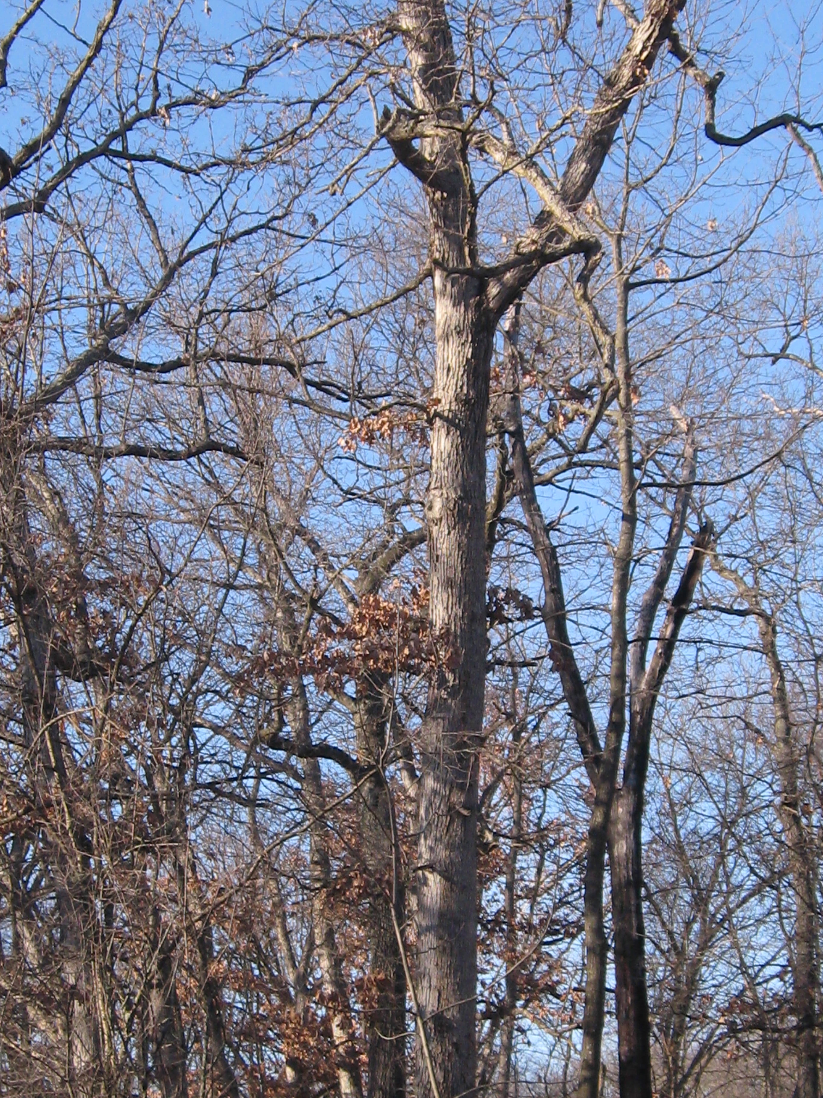
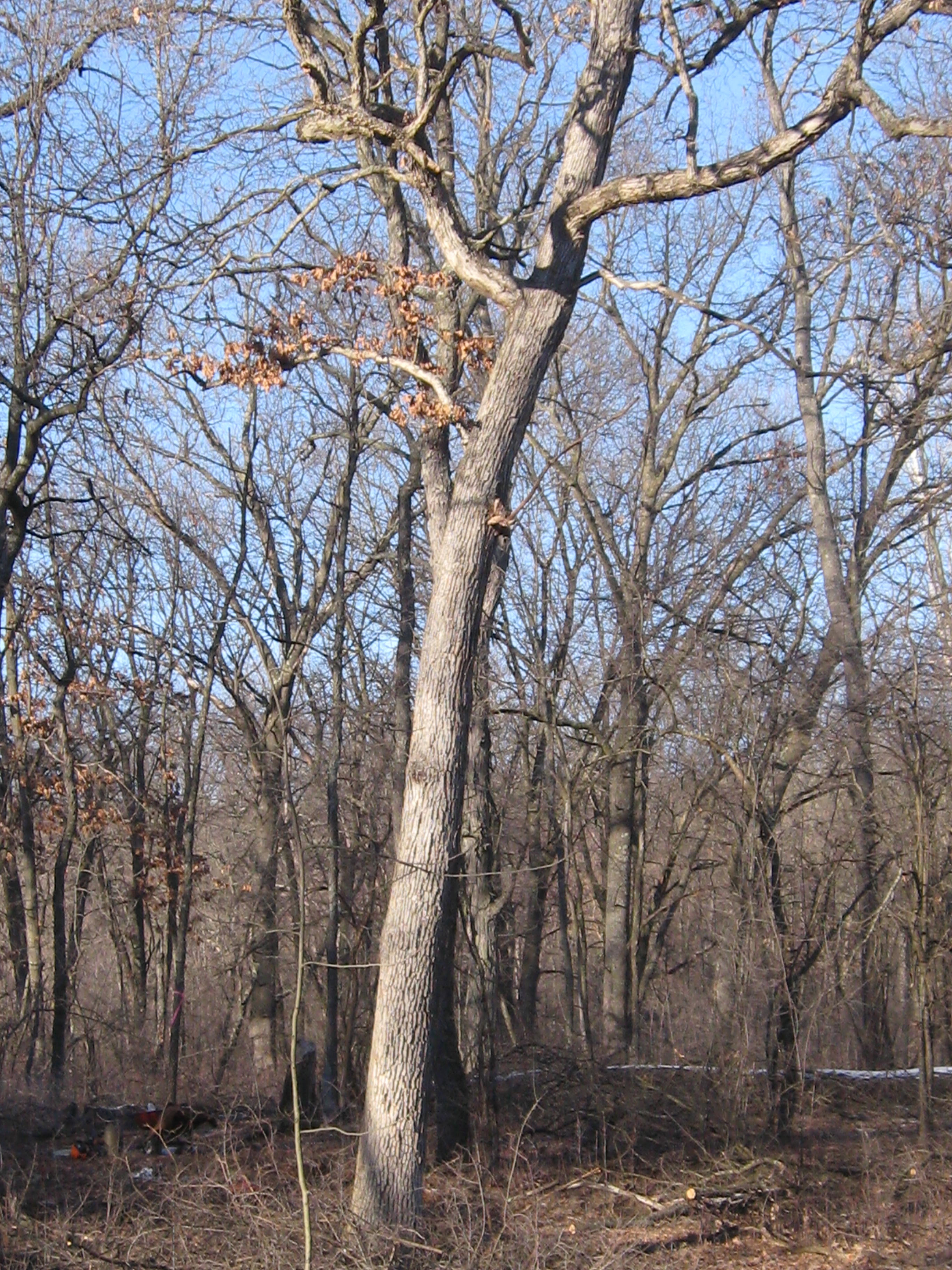
Inspired by The Bark River Chronicles by Milton J. Bates, we are going to follow the Scuppernong River from its source at the Scuppernong Spring to where it merges with the Bark River, 15 or so miles downstream, just south of Hebron in the Prince’s Point State Wildlife Area.  Lindsay, Pati and I took the first leg of the journey today hiking from the Scuppernong Spring to where the river crosses Hwy N.

We left Pati’s car at the intersection of Wilton Rd and Hwy N and took Lindsay’s truck back to the Springs.

IMG_0600

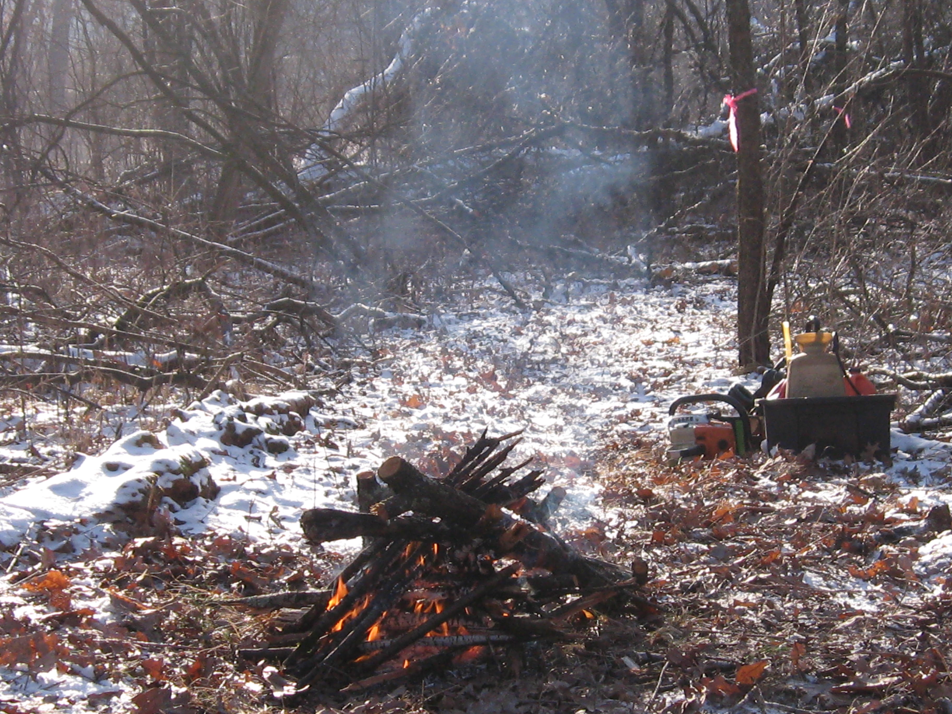
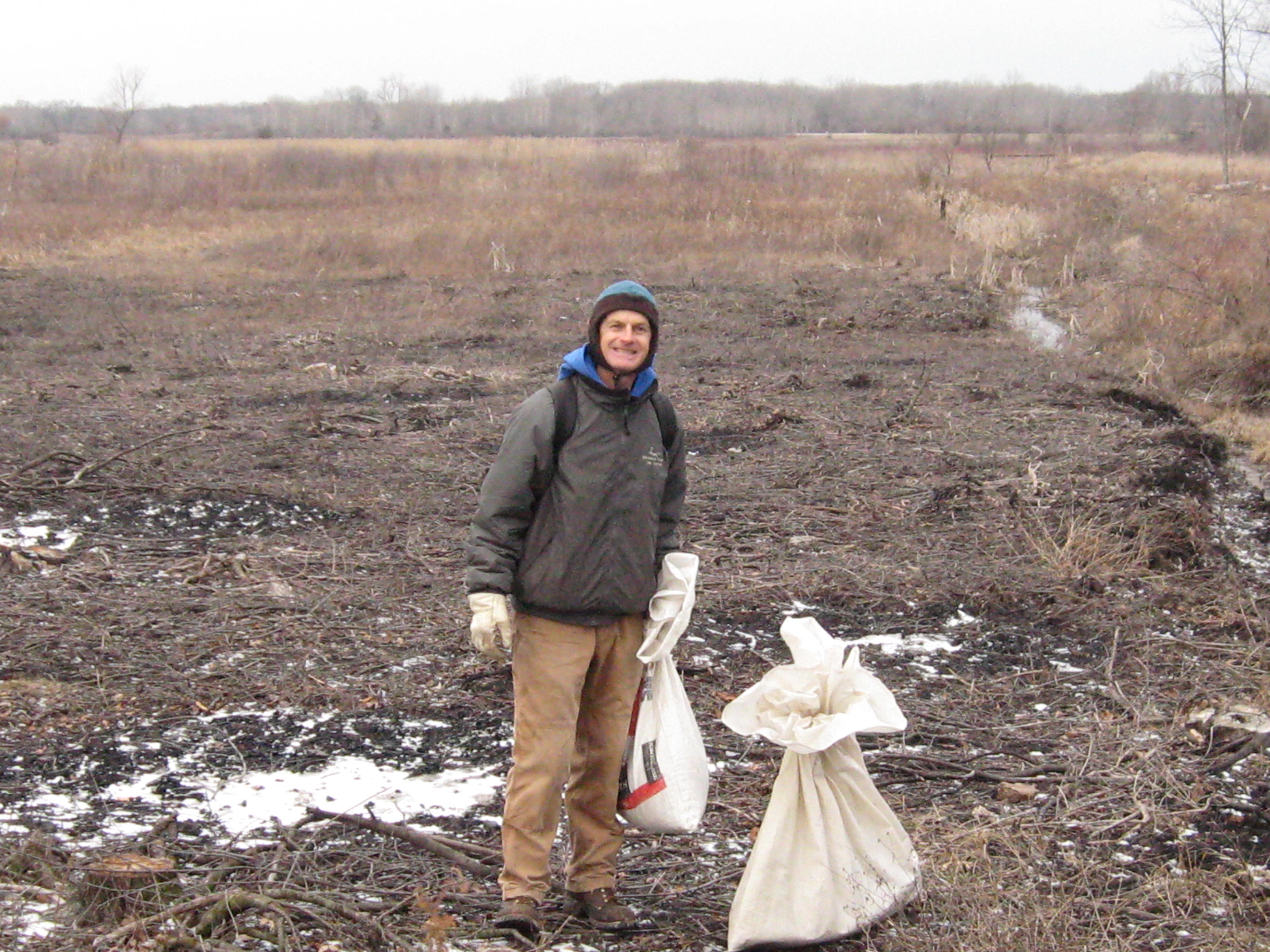
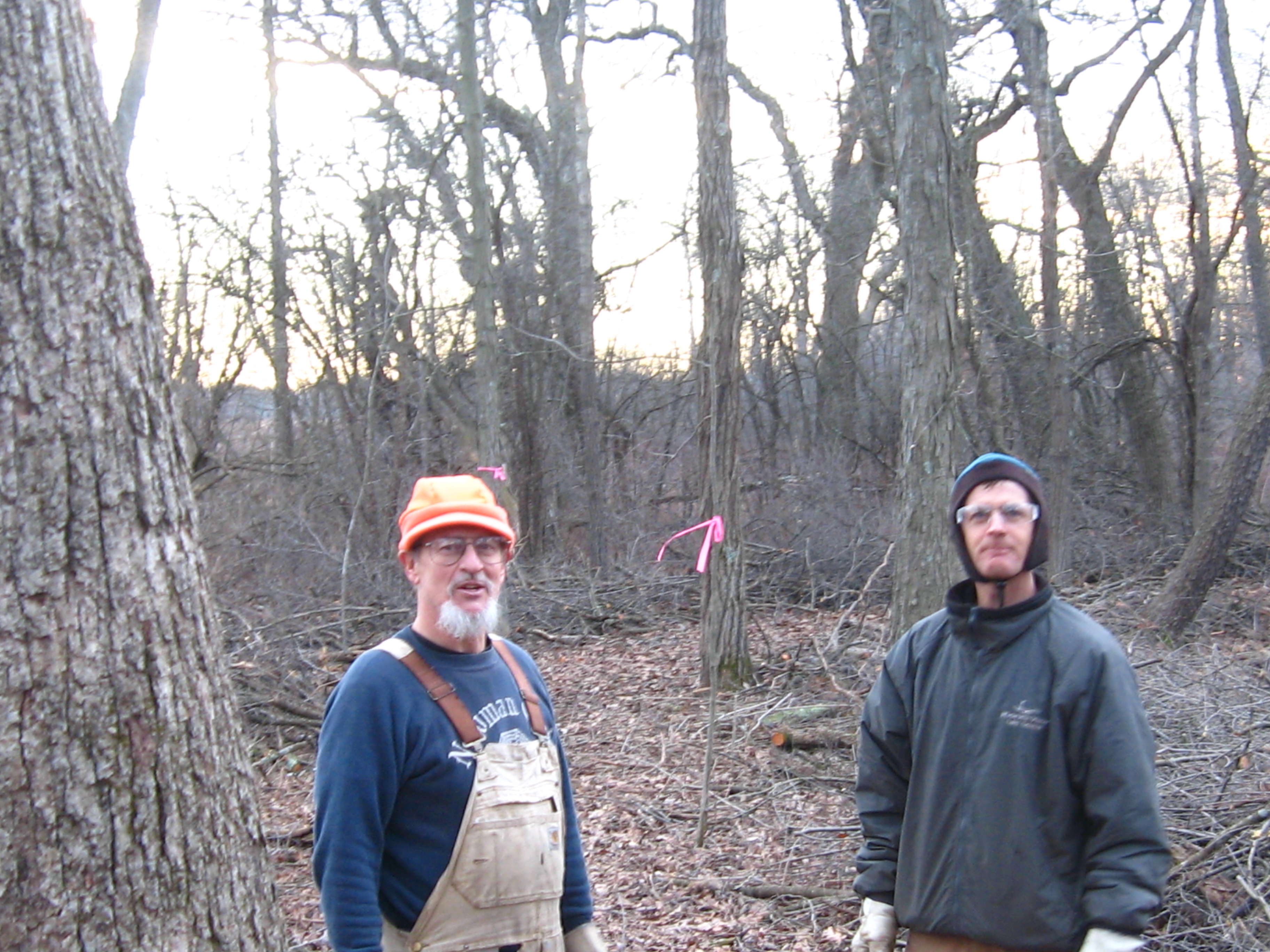
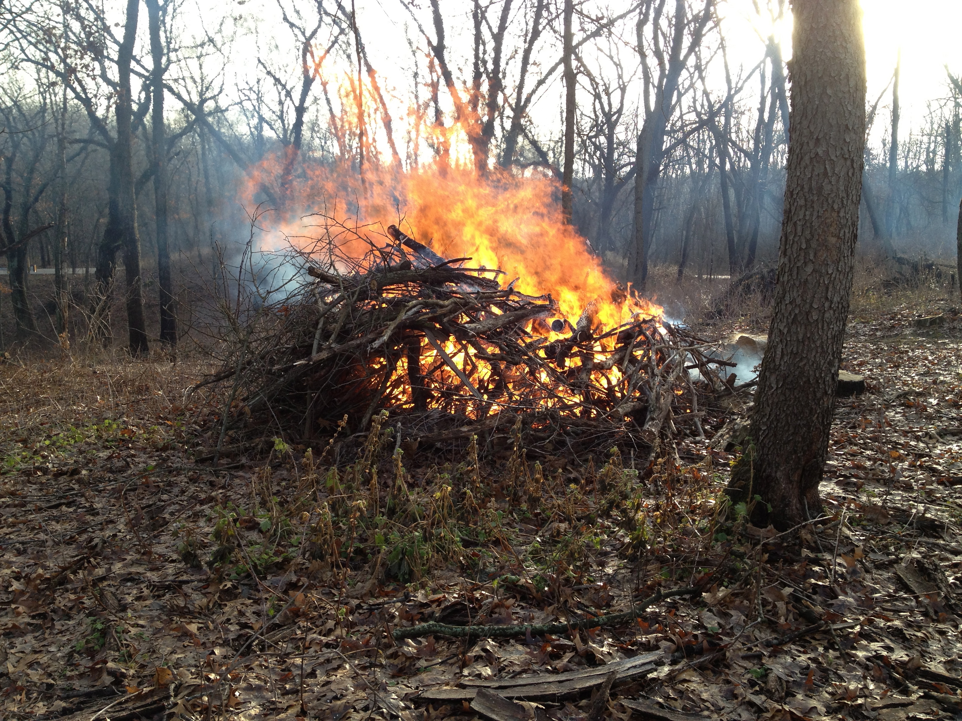
There we met Rich Csavoy and we split the sack of Upland Woodland seeds that Don Dane gave us into 4 parts and we sowed the seed; first at the old barn site along the river north of the Hotel site and then on the far south side of the loop trail by our starting point at the Scuppernong Springs.

IMG_0602

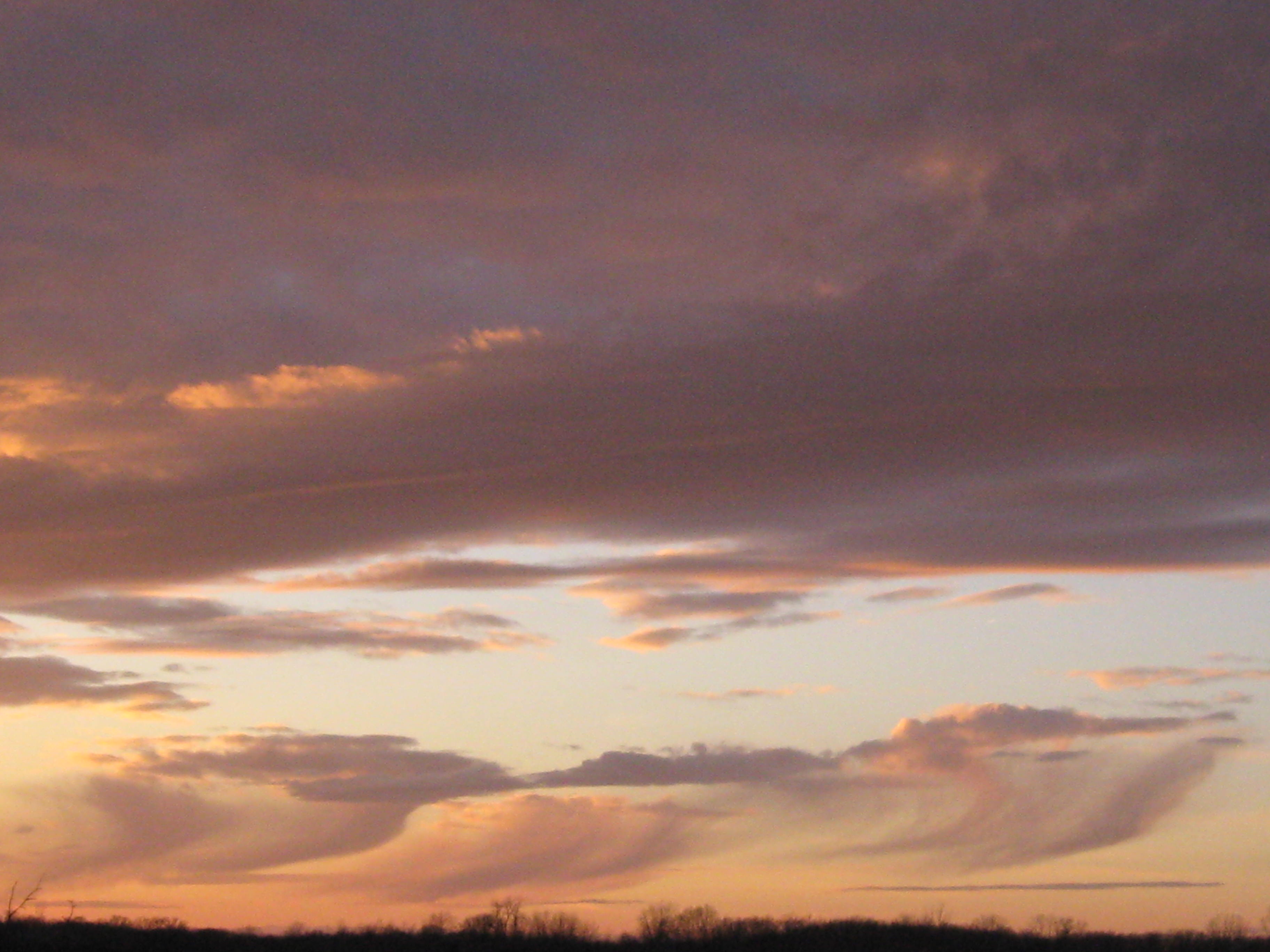
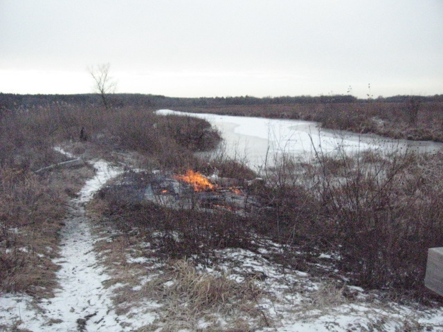
Snow is forecast, but we are hoping to get to Hwy N before the skies let loose.

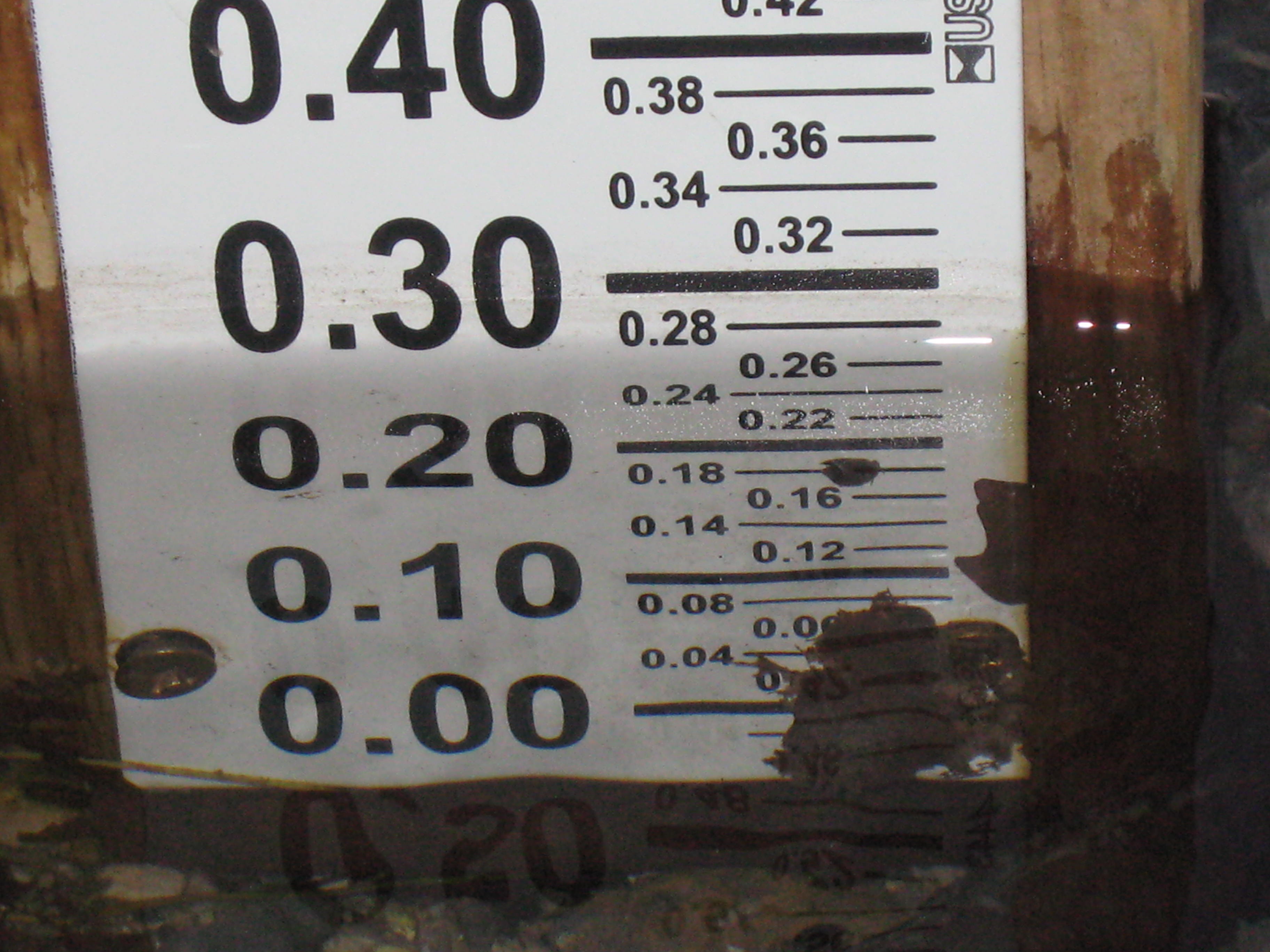
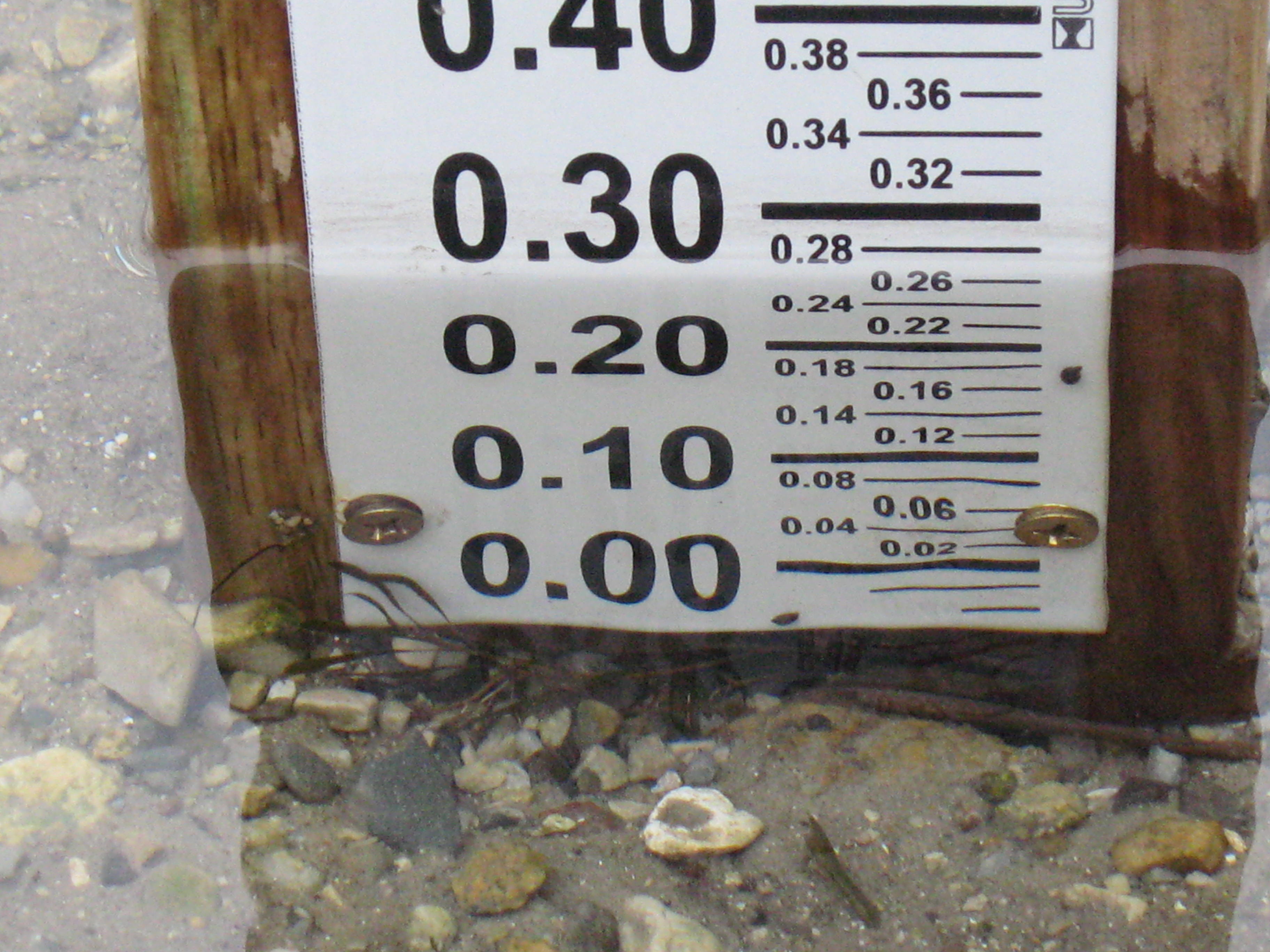
The next video was taken at the site of the new Ground Water Monitoring (Stream Gaging) Station. The data is now live at the USGS Water Watch site.  Mike Parsen, the Hydrogeologist from the
Wisconsin Geological and Natural History Survey explains, “If you scroll over these circles you’ll see the name of the station at both Scuppernong Springs and another gaging station we installed at Paradise Springs a few miles to the southwest of Scuppernong. If you click on the circle, a pop-up window with tabs will appear where you can view a hydrograph of the creek stage. As the USGS collects more measurements they will develop a rating curve for this specific stretch of the creek, which will allow them to calculate flow rates for the creek.

Mike sums up the effort “… we at the Wisconsin Geological and Natural History Survey (WGNHS) are cooperating with the U.S. Geological Survey (USGS) on this project which is funded by the WI DNR. To perform the work and meet the permitting requirements we worked with KMSF (Southern Unit) Staff as well as the WI DNR and US Army Corps of Engineers.”  The Installation Report is here and provides an excellent explanation for how the monitoring unit works.  You can see the nitrogen bubbles releasing every second or so from the end of the orifice line as described in the report.

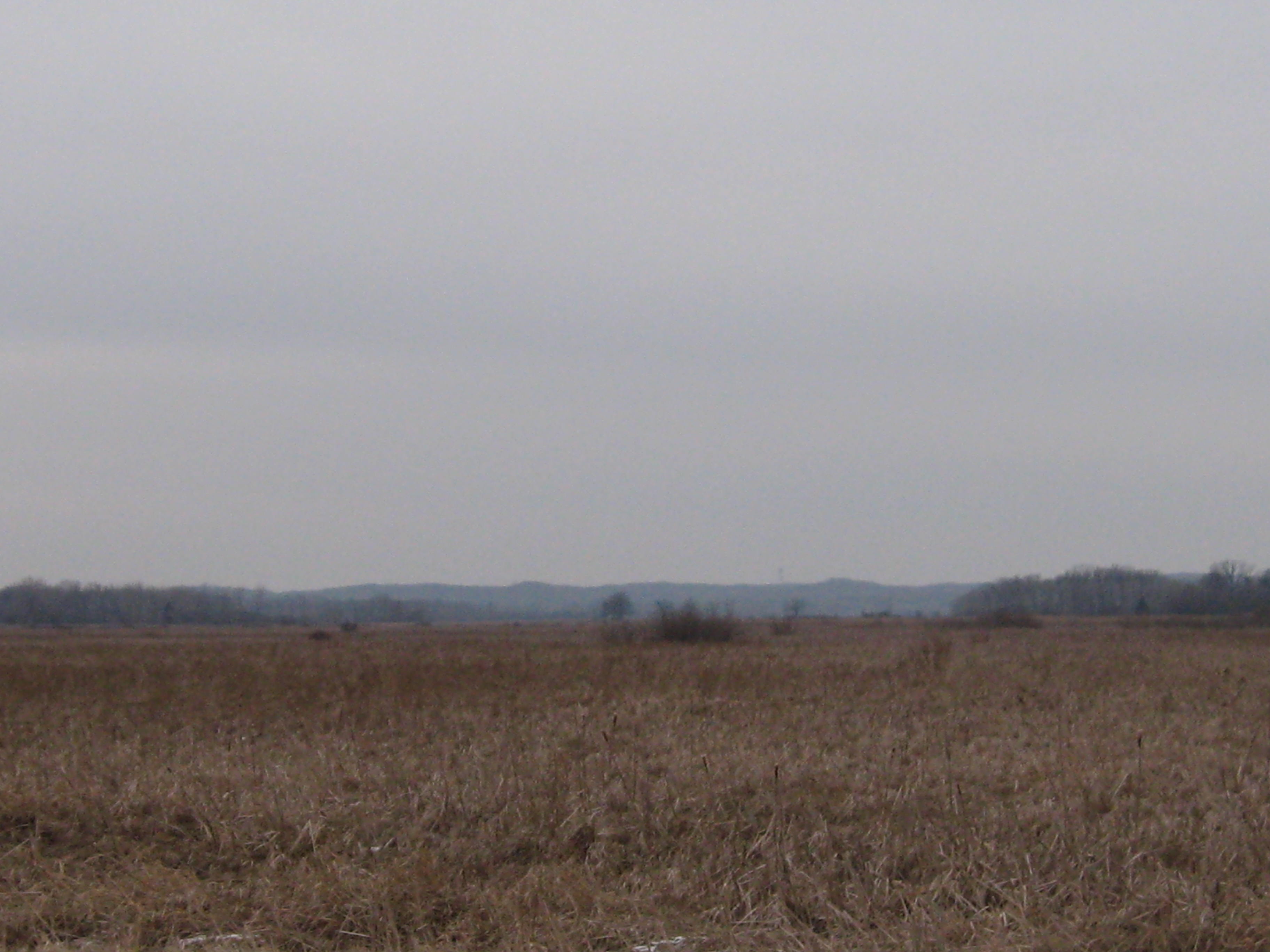
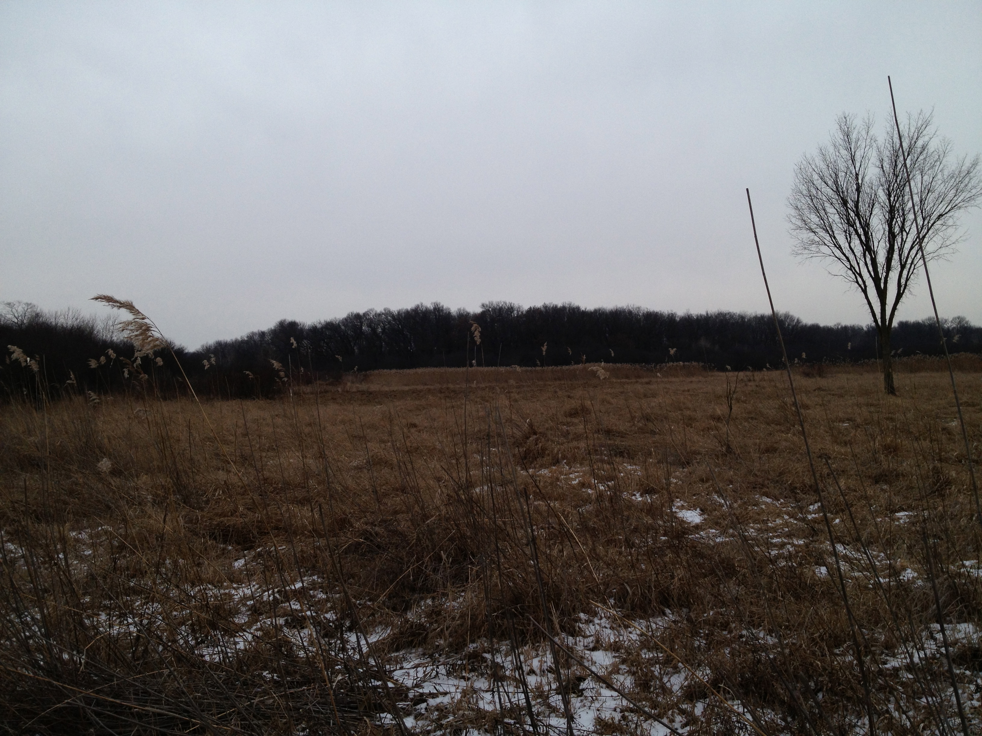
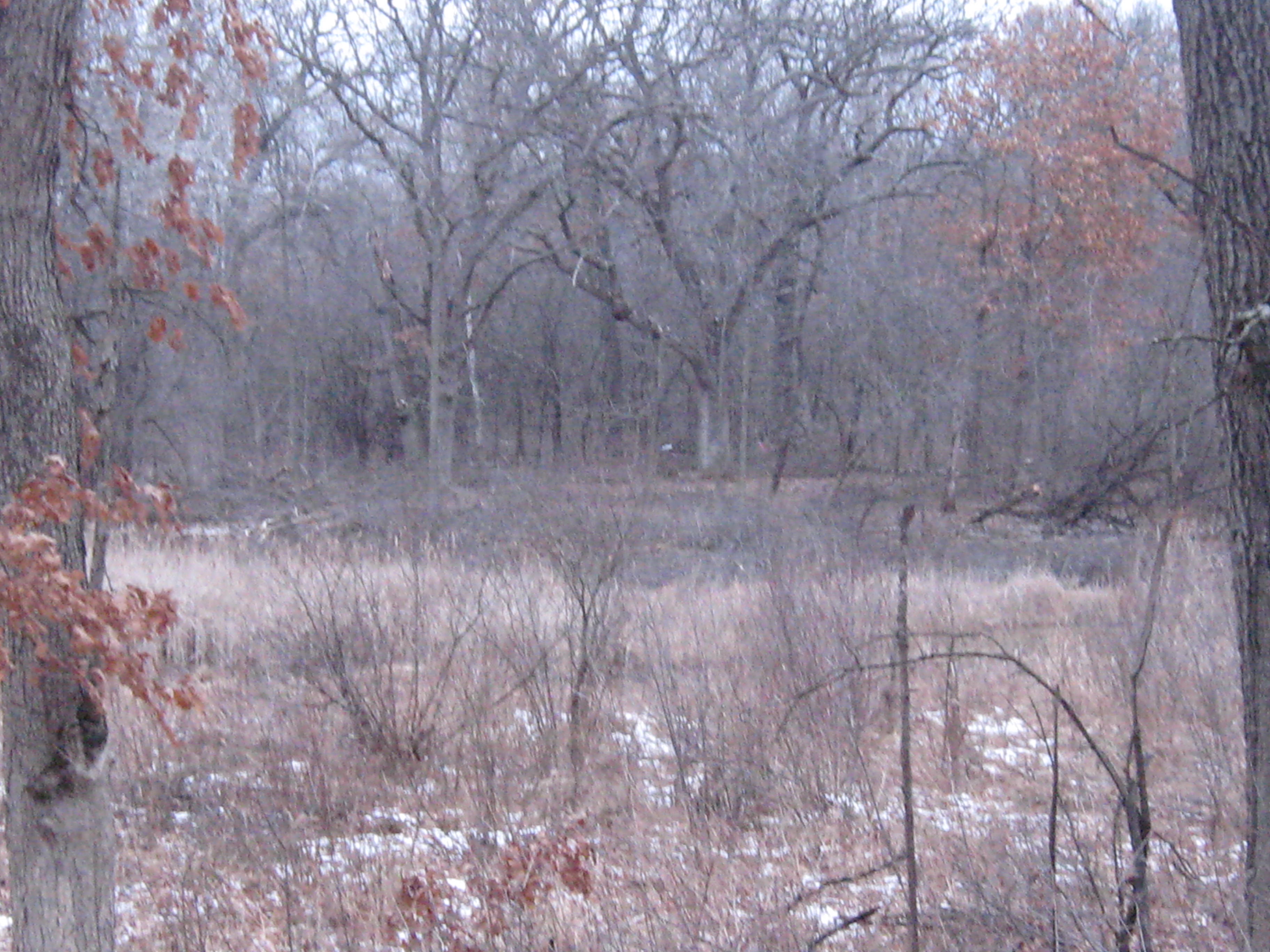
Next we take a look around at the Glacial Lake Scuppernong basin and Ottawa Lake.

And proceeded to where the outflow channel from Ottawa Lake joins the river.

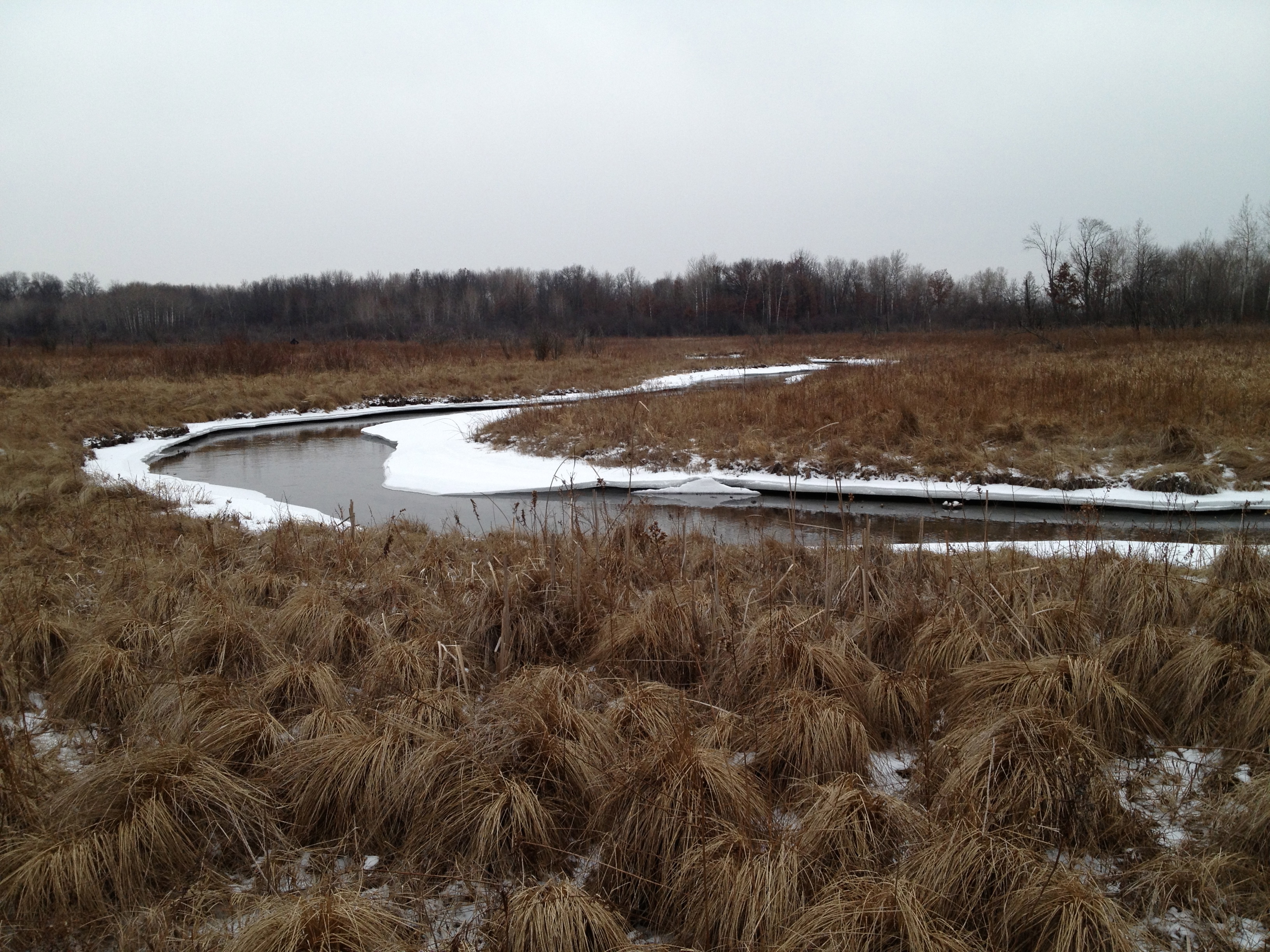
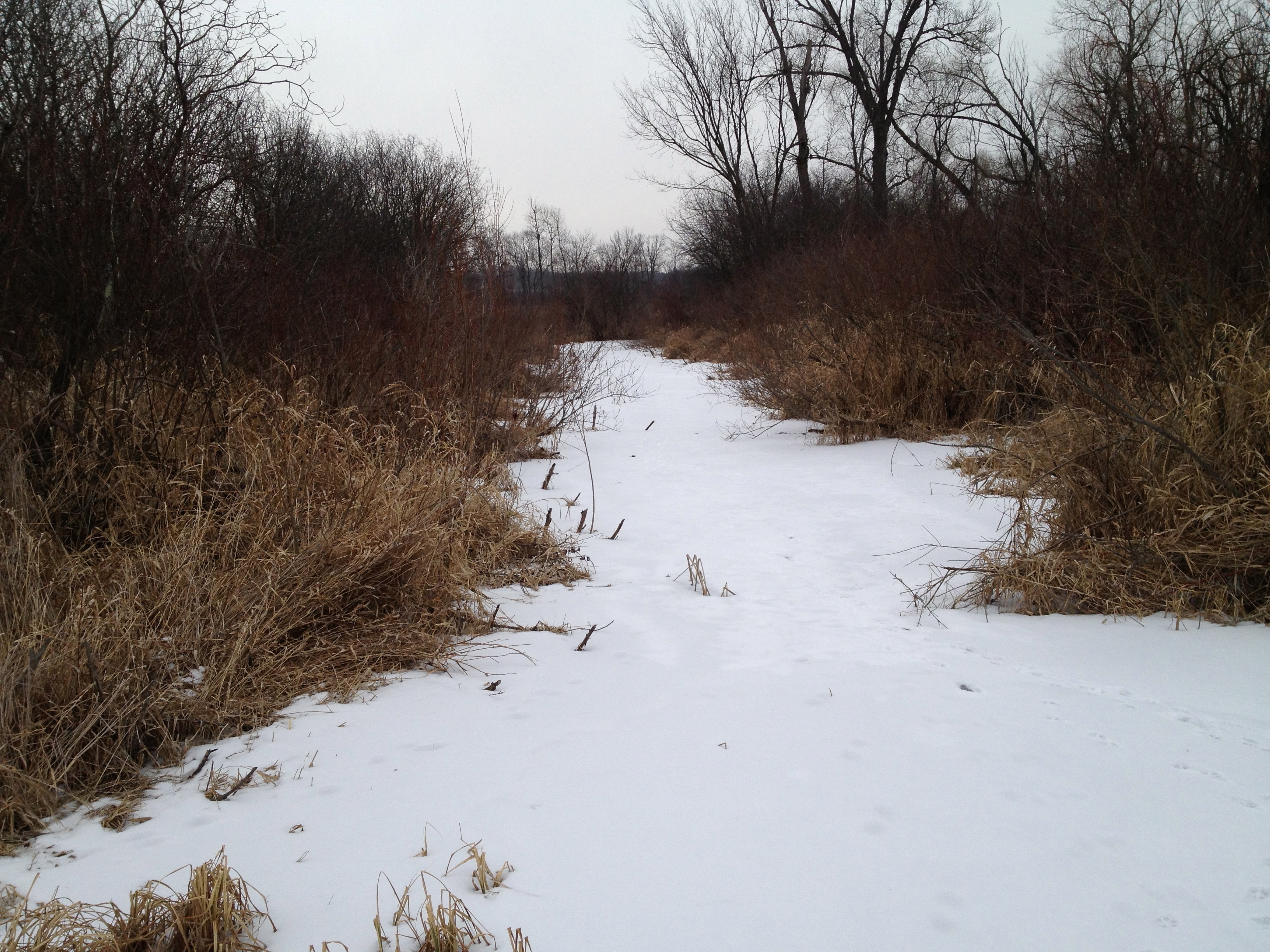
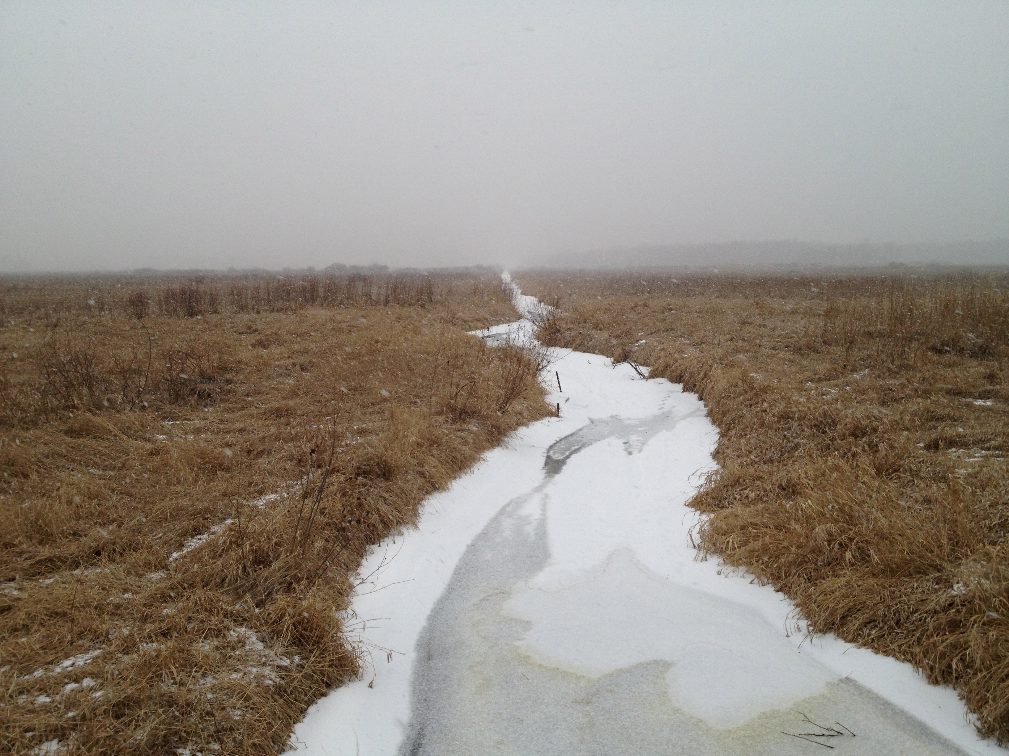
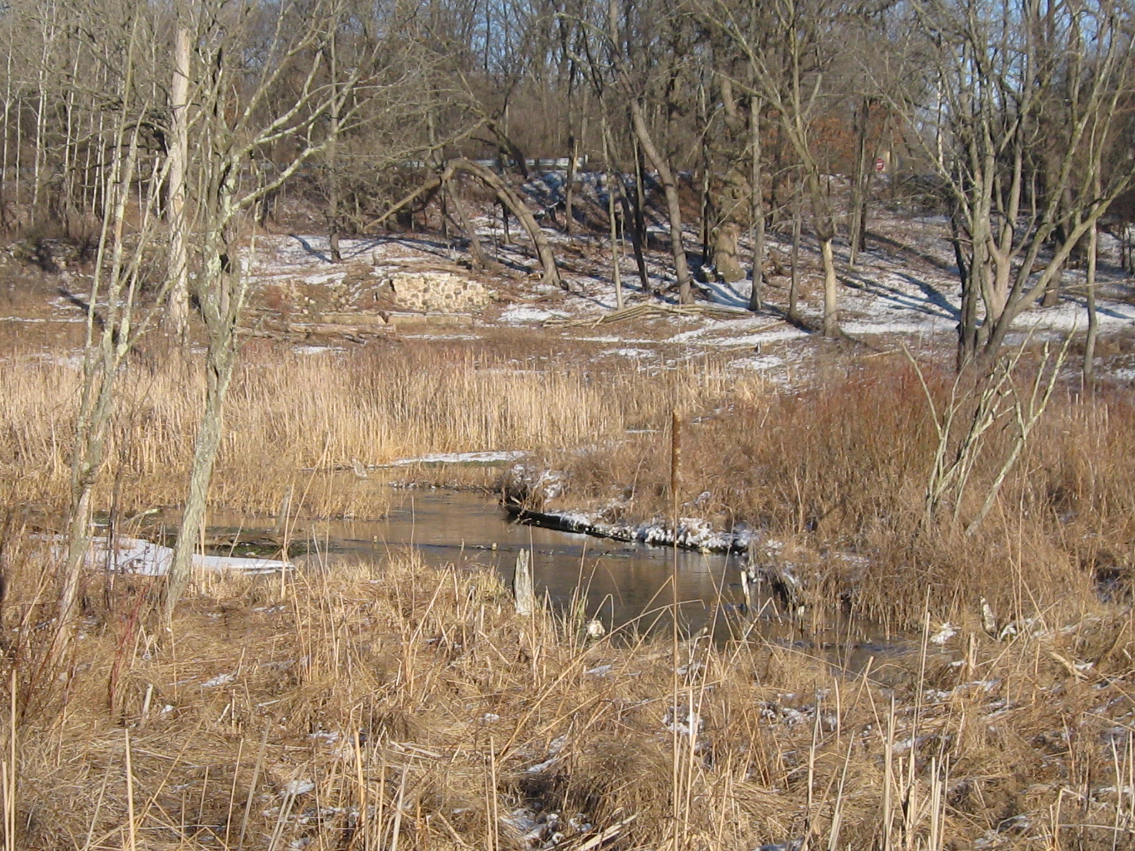
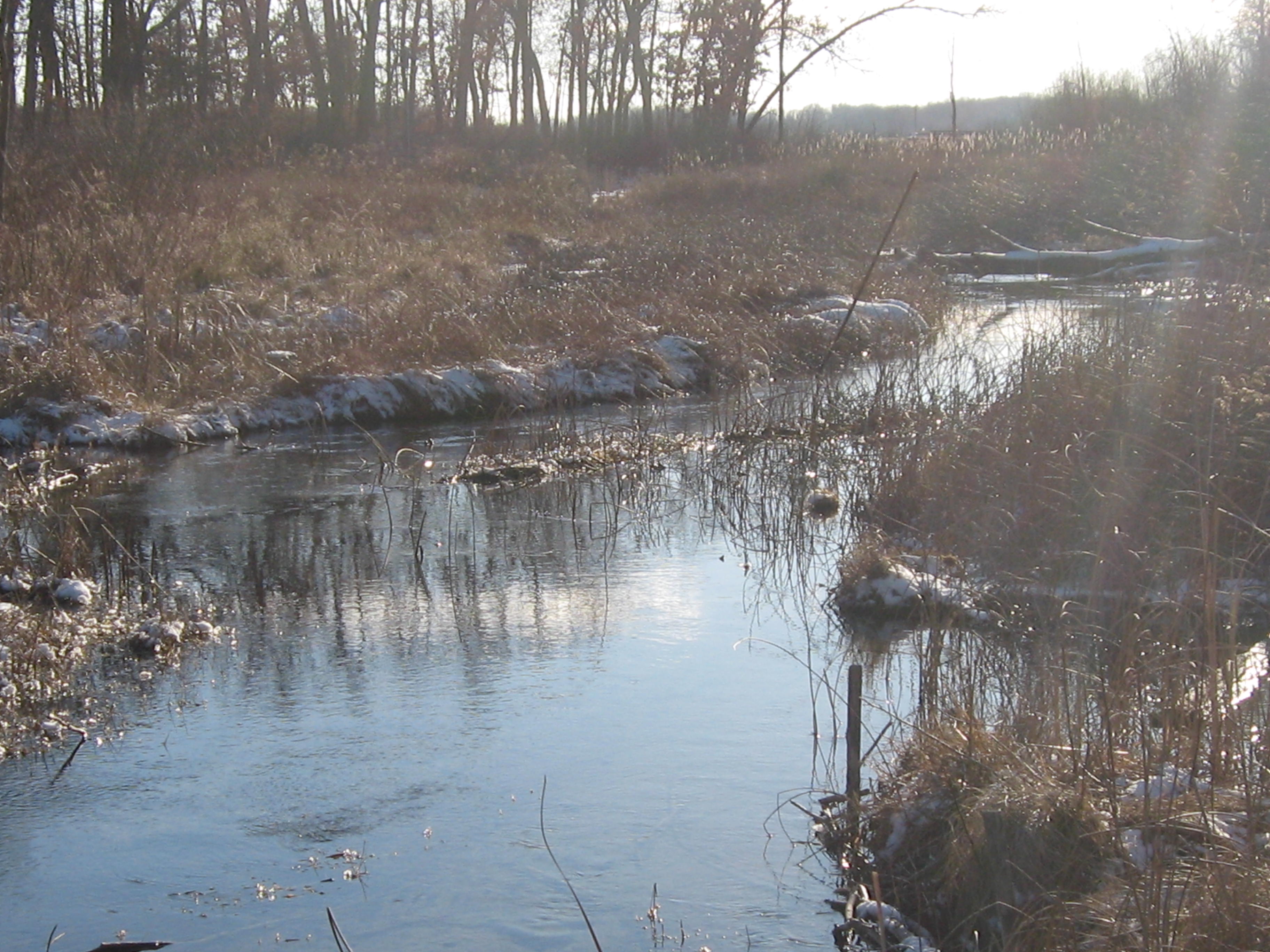
The river takes a sharp left turn to the south and follows a straight course until it comes along side a pond, at which point it turns right to the west.

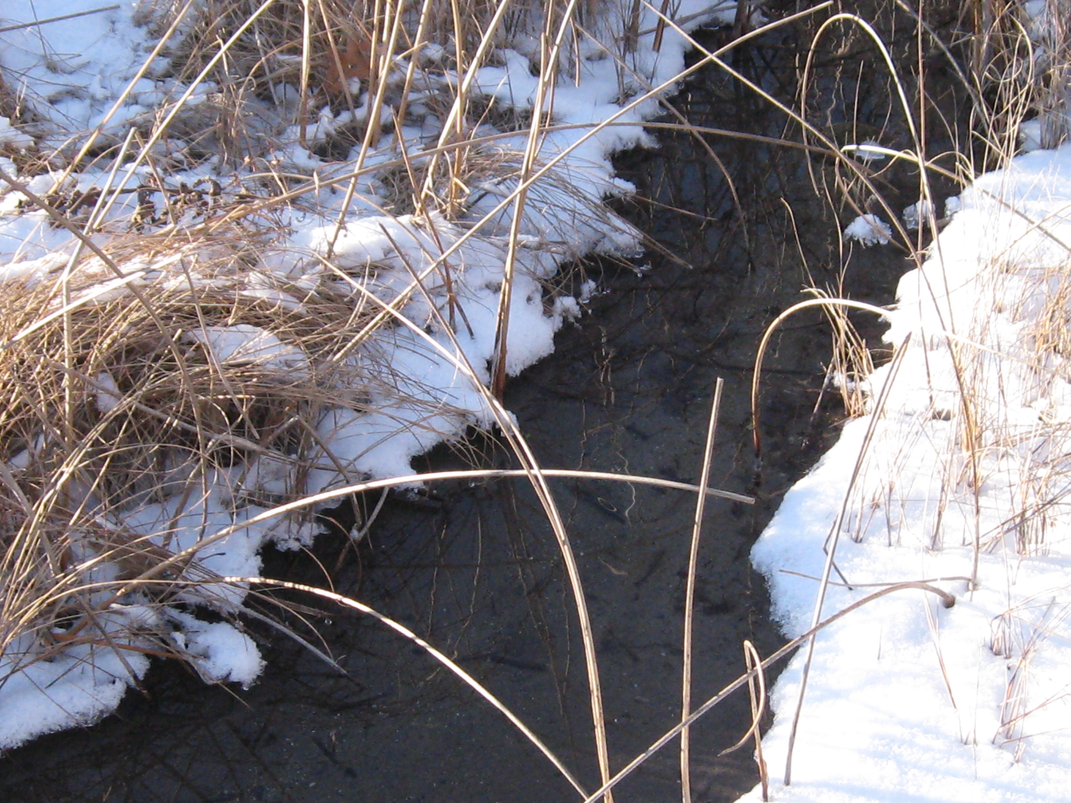
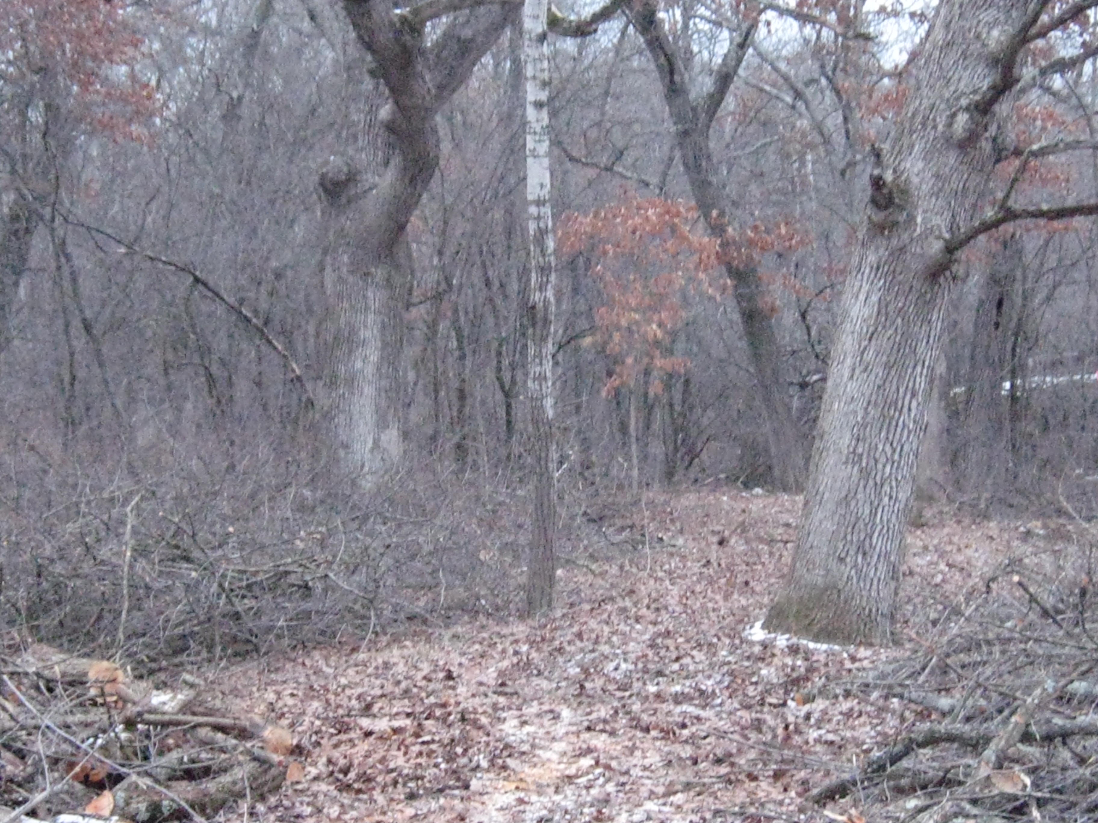
Here are a few perspectives looking up and downstream.

IMG_1054

IMG_1055

IMG_1056

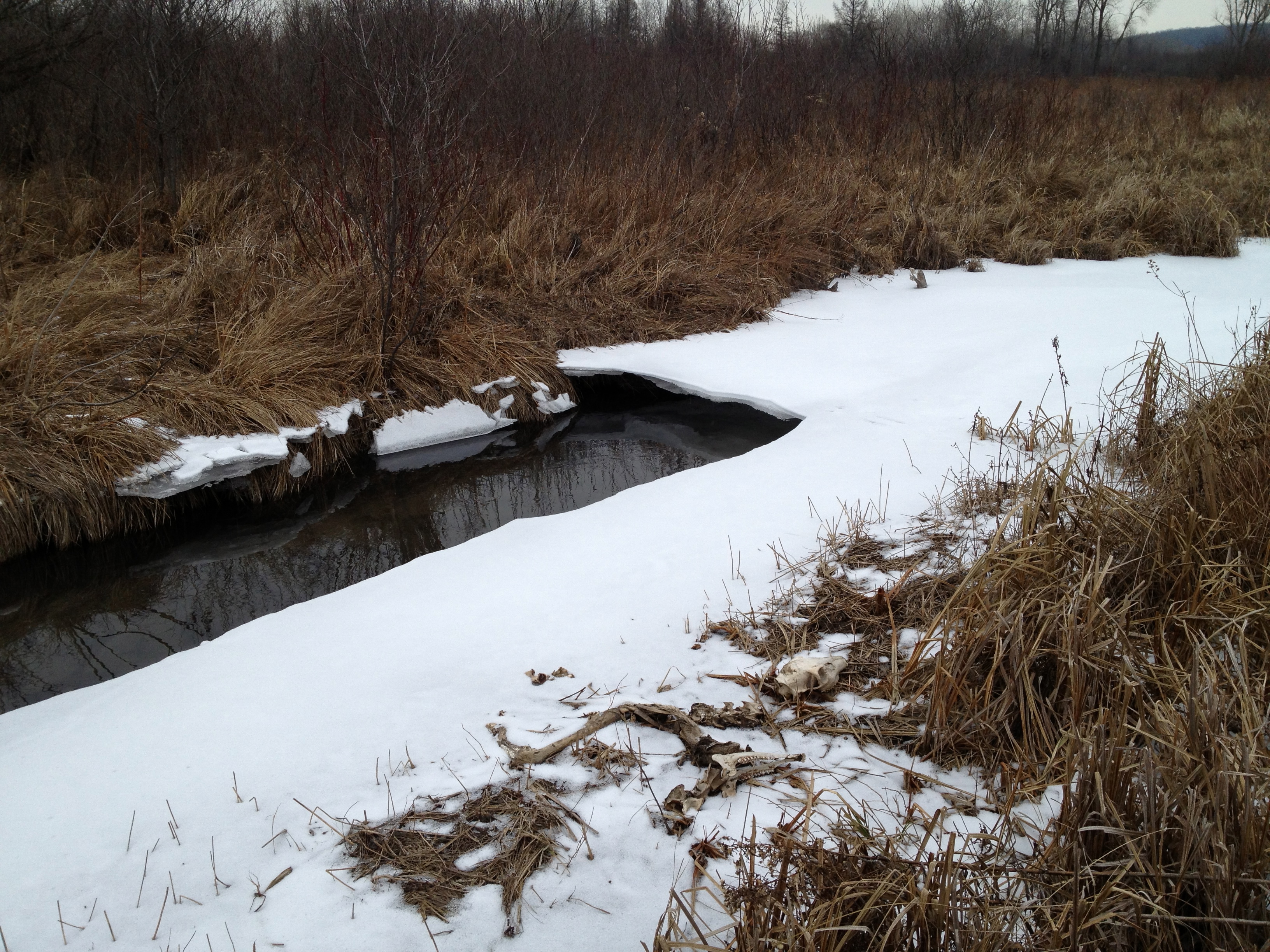
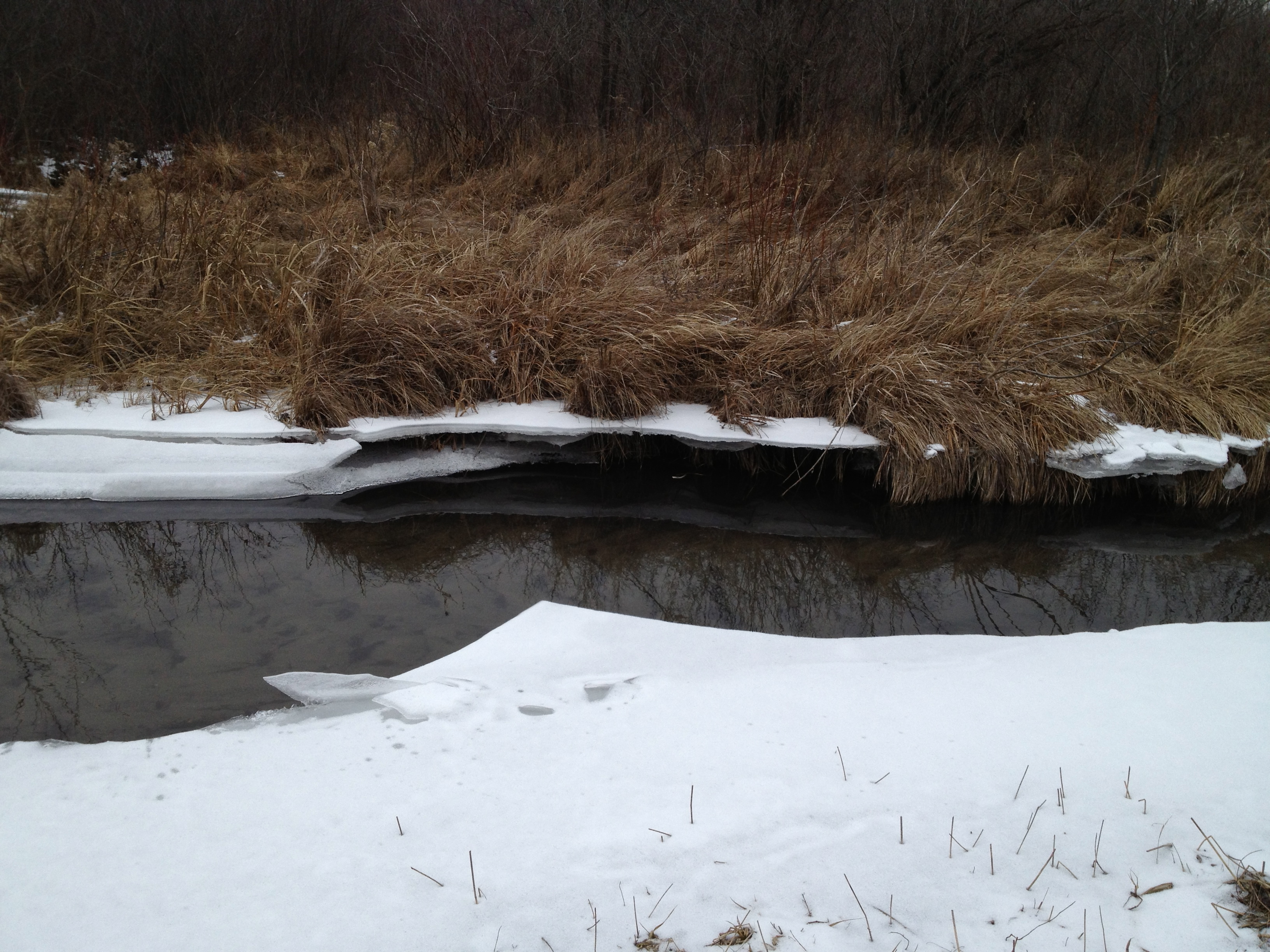
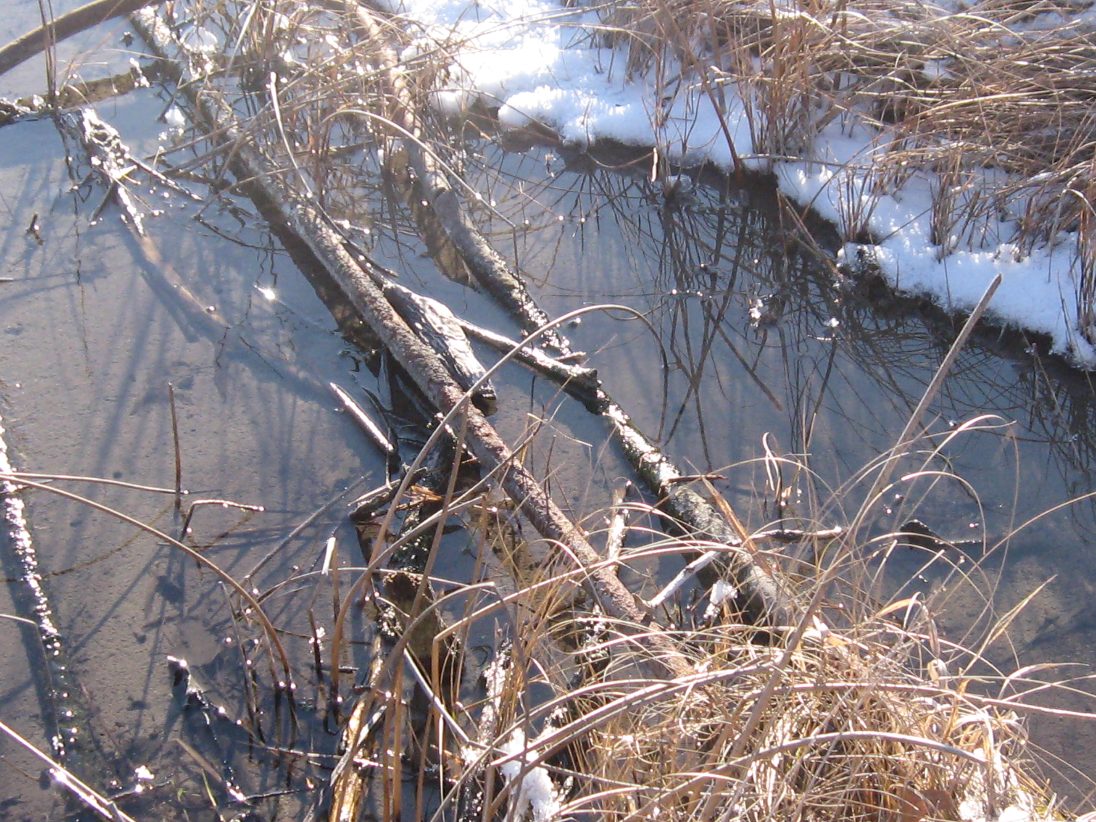
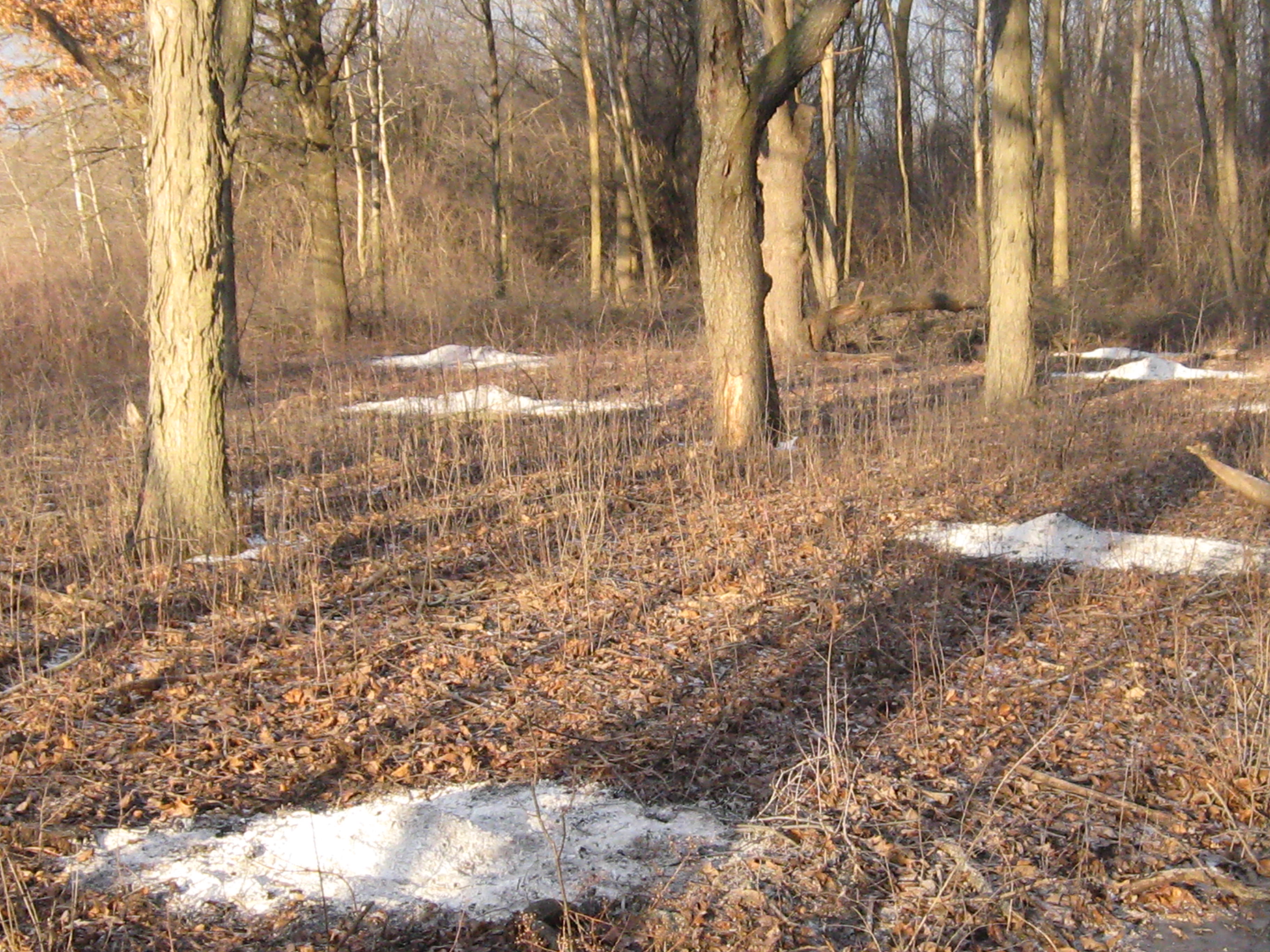
The ice showed evidence that very recently the river was 6-8″ higher in this area.

IMG_1059 IMG_1060

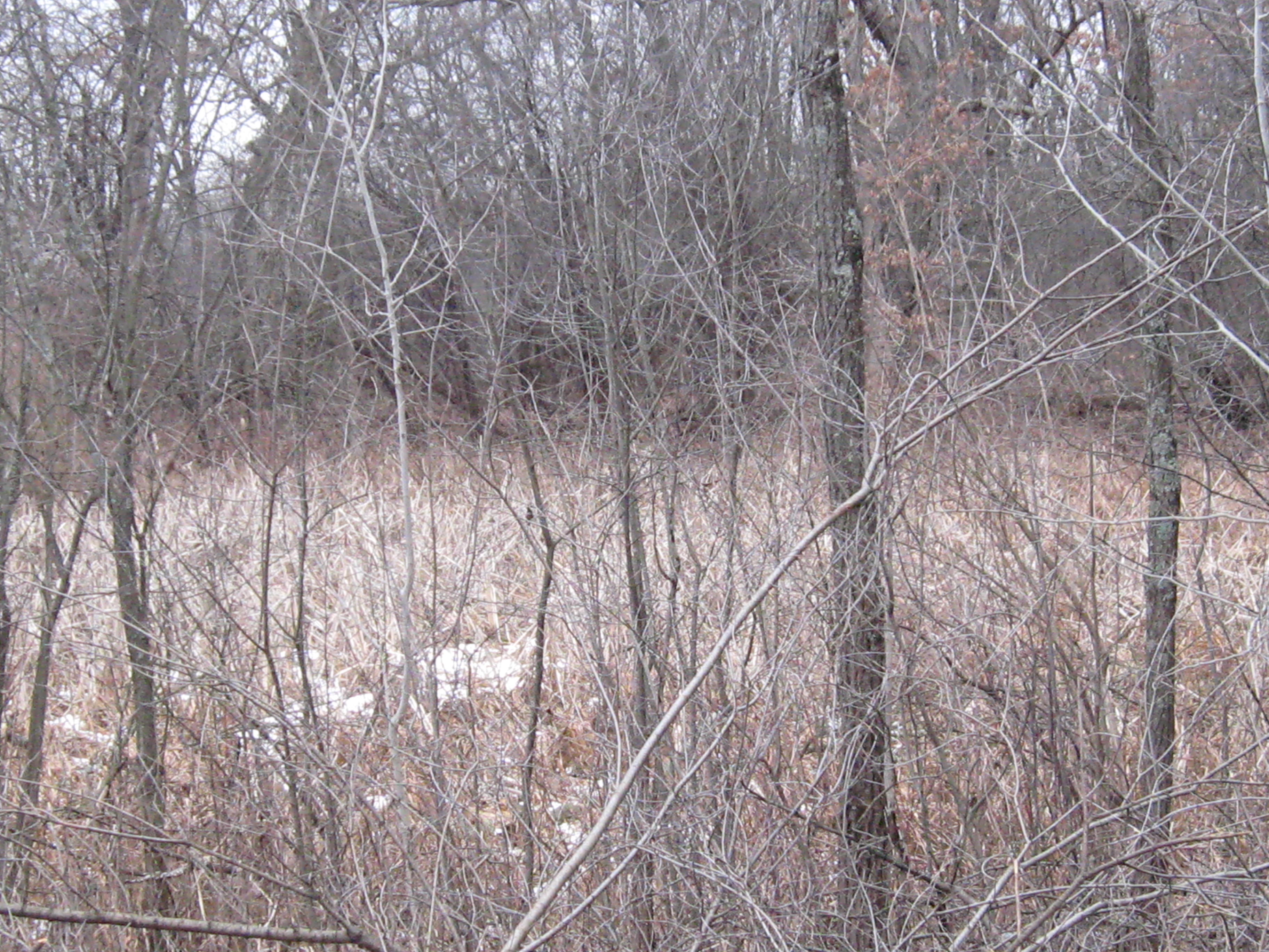
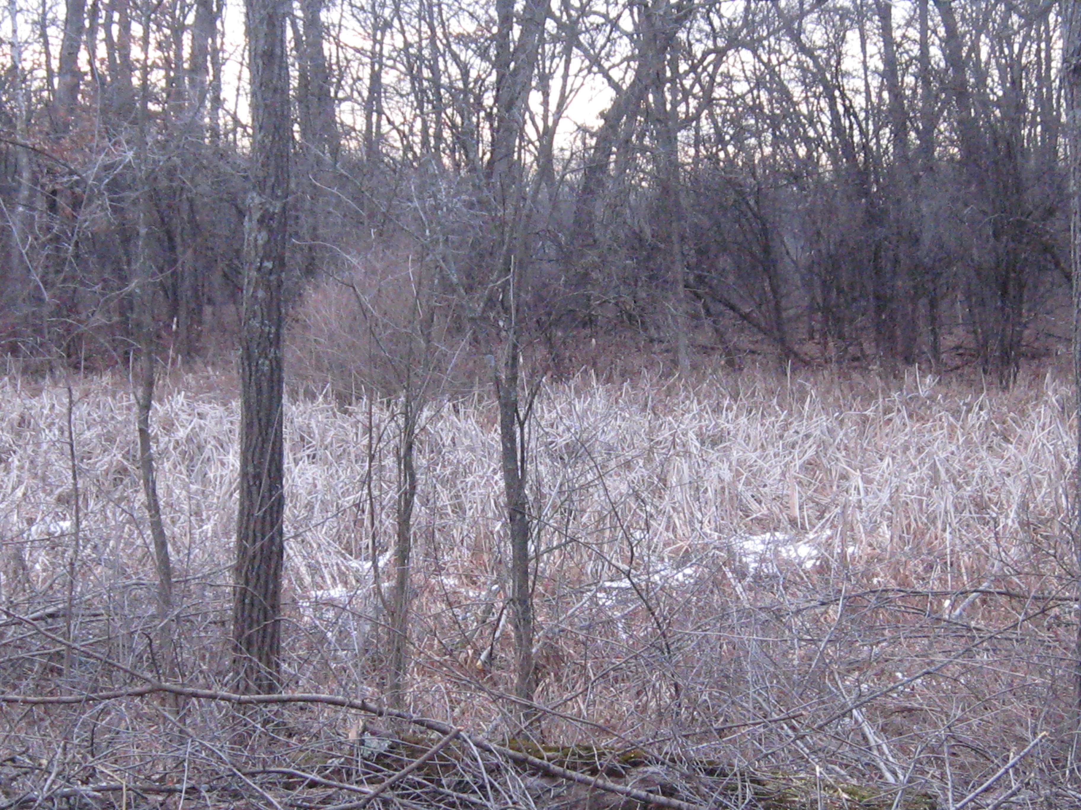
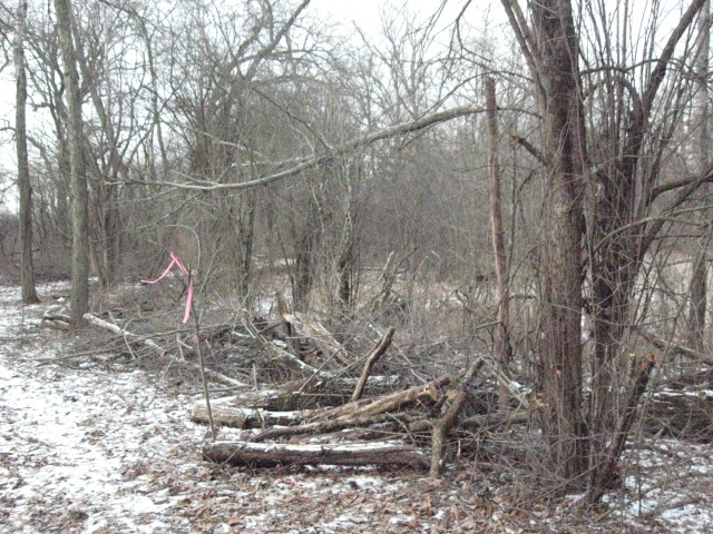
The vegetation varies from rushes, sedges, flowers and grasses to cattails and phragmites, dogwood and willow.

IMG_1063

The next point of interest is where another spring joins the river. The origin of this water source is a spring on the east side of Hwy 67, just north of Road X.  If you know the name of this spring, please add it in a comment to this post.

If you follow the course of the river in the google map embedded above you will notice it comes up close behind a homestead. I believe the DNR recently purchased this property.

A bit further downstream we came to the site of the repair work the DNR did last summer (see end of that post) to close off the connection between the river and a drainage canal.

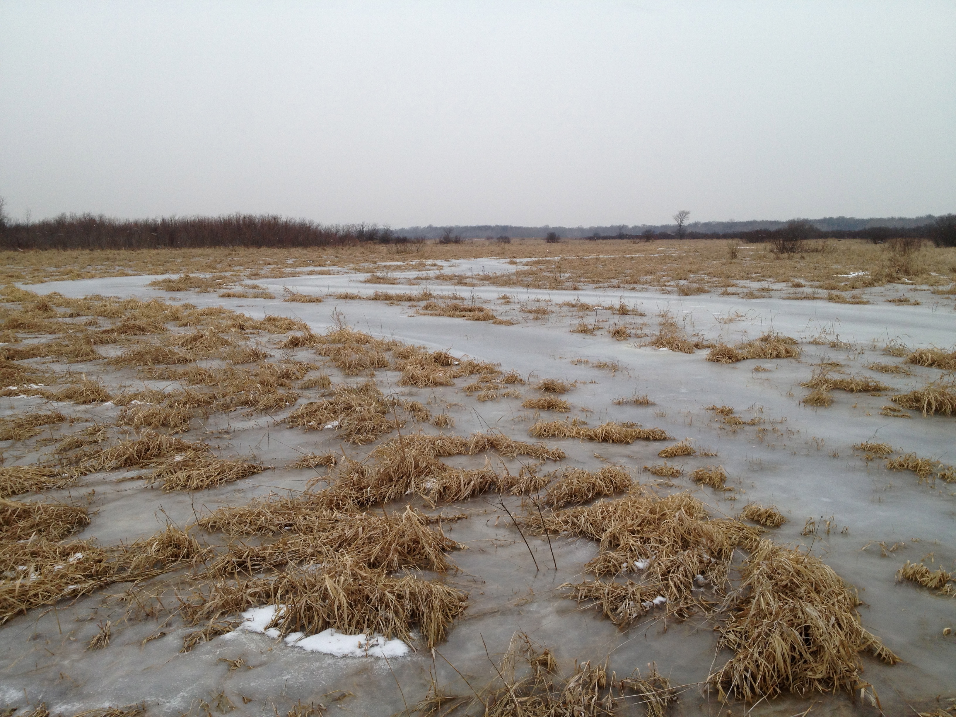
Strolling along the DNR two-track “road”, we came across a ditch that crossed the river perpendicularly and, much to my dismay, joined up with the channel that was disconnected from the river just upstream.  You can see the ice path joining the river to the channel above it.
IMG_1064

The view of the ditch that bisects the river looking south.

IMG_1065

Here is the channel full of water; is this by design or accident?
IMG_1066

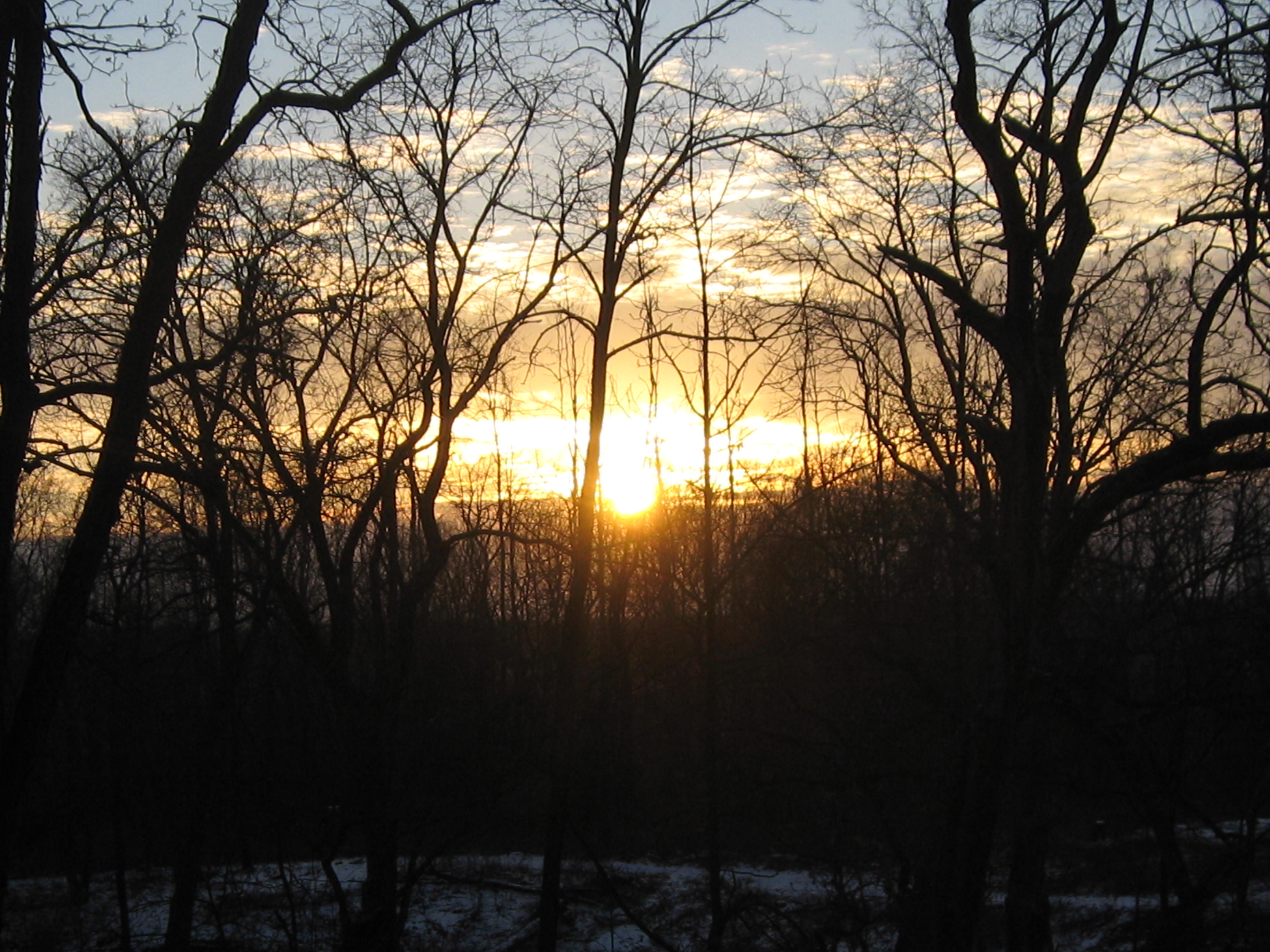
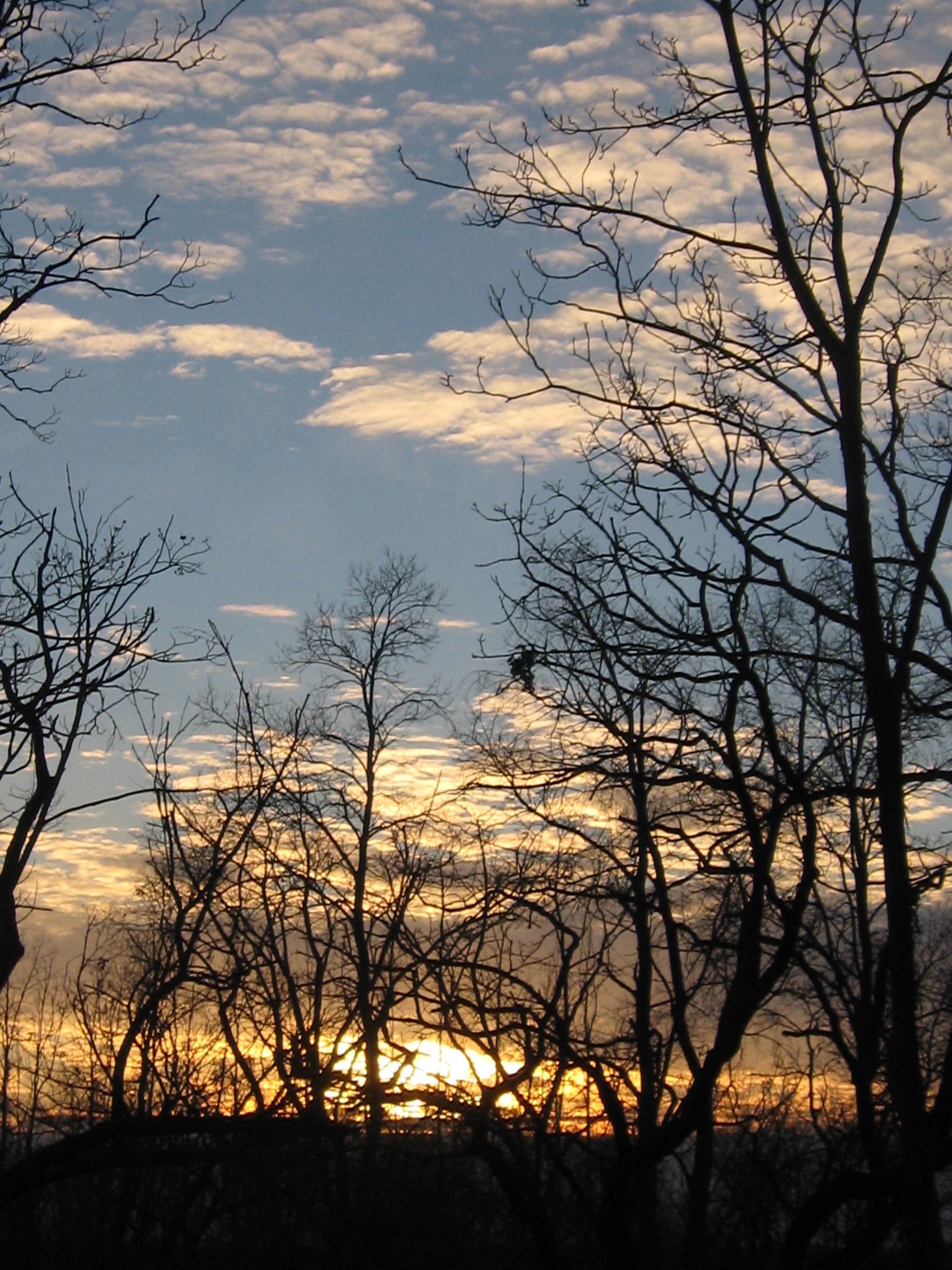
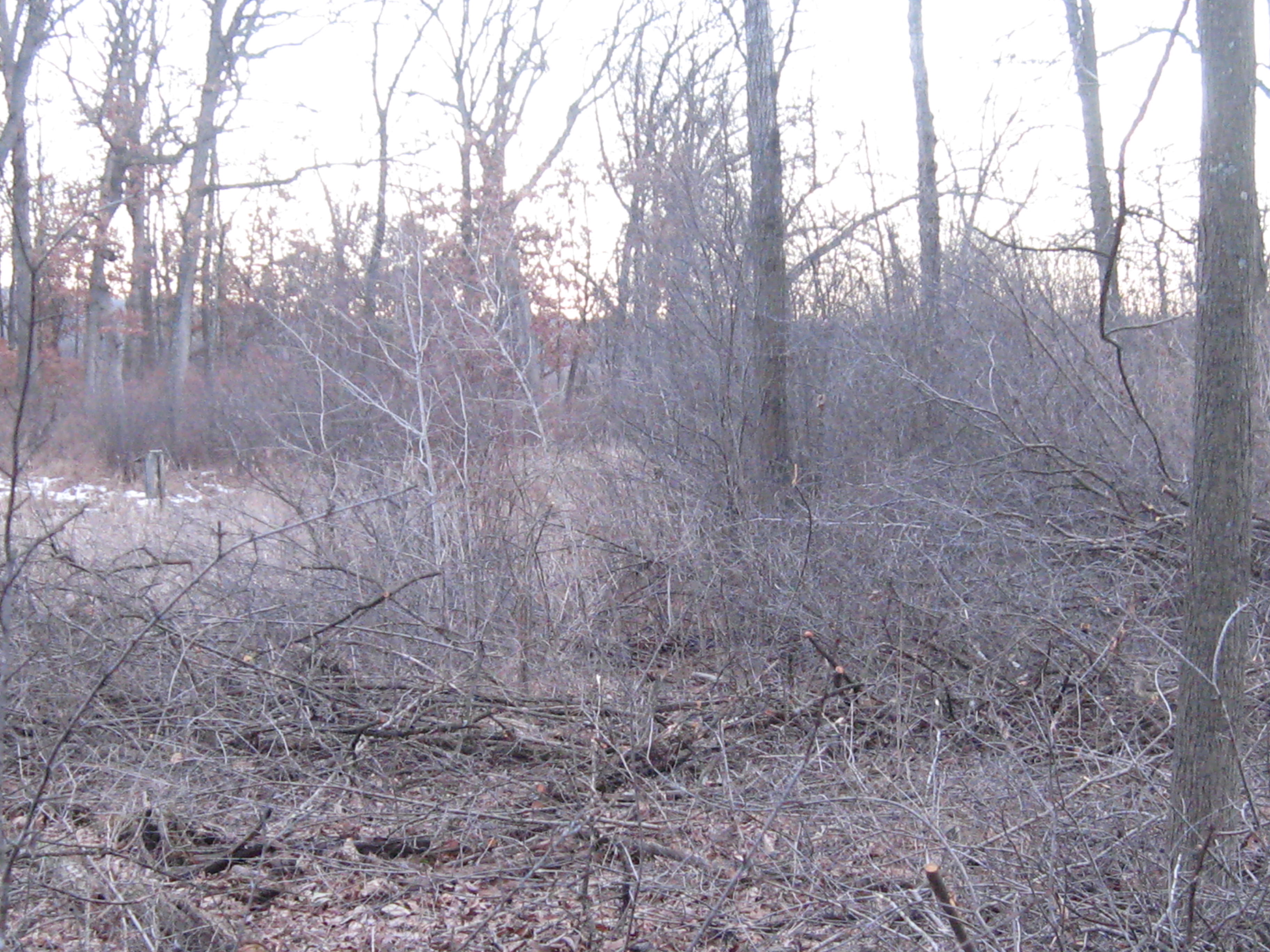
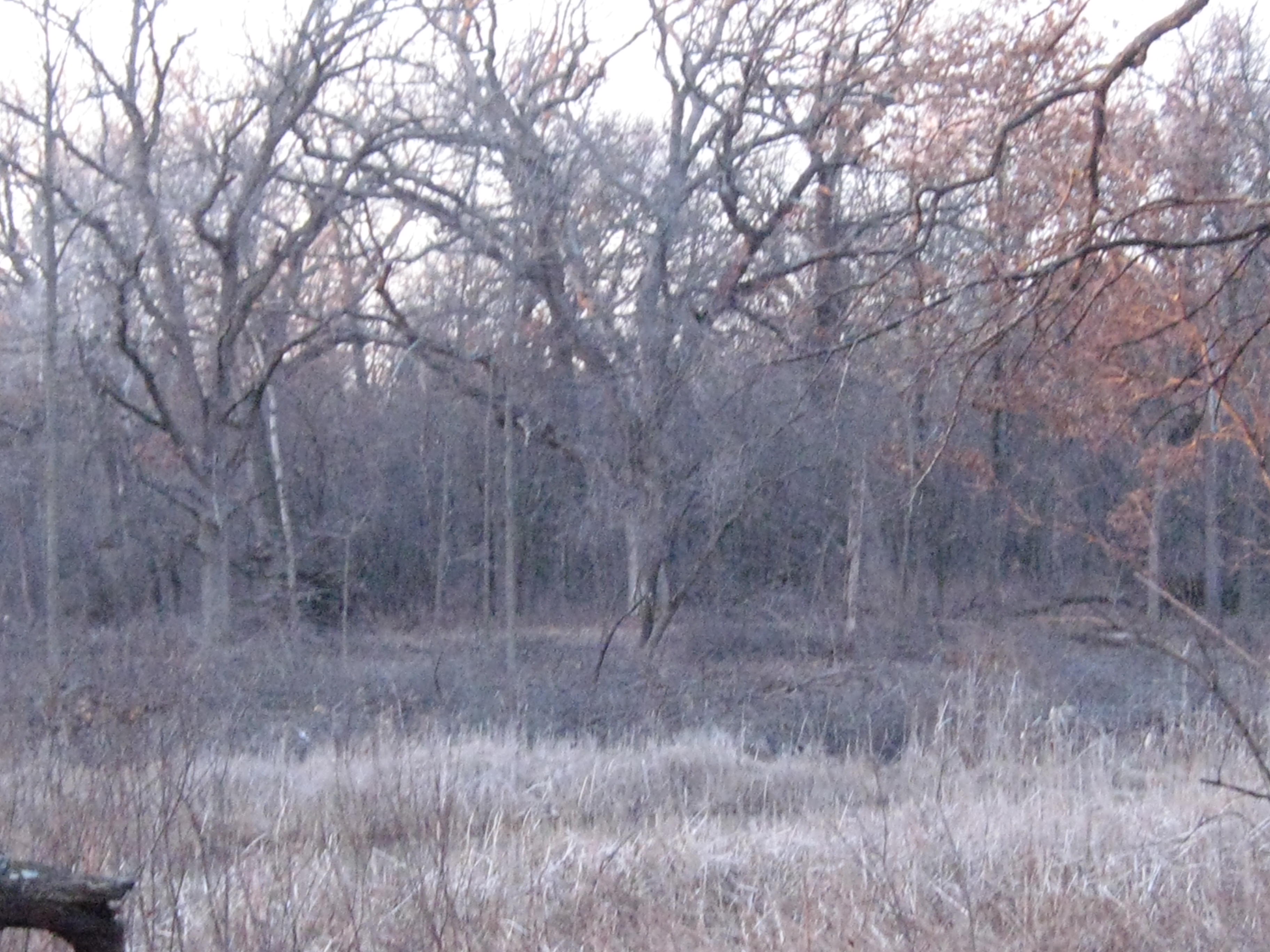
Another look around at the lay of the land in these next two videos. We are way out in the boonies here.

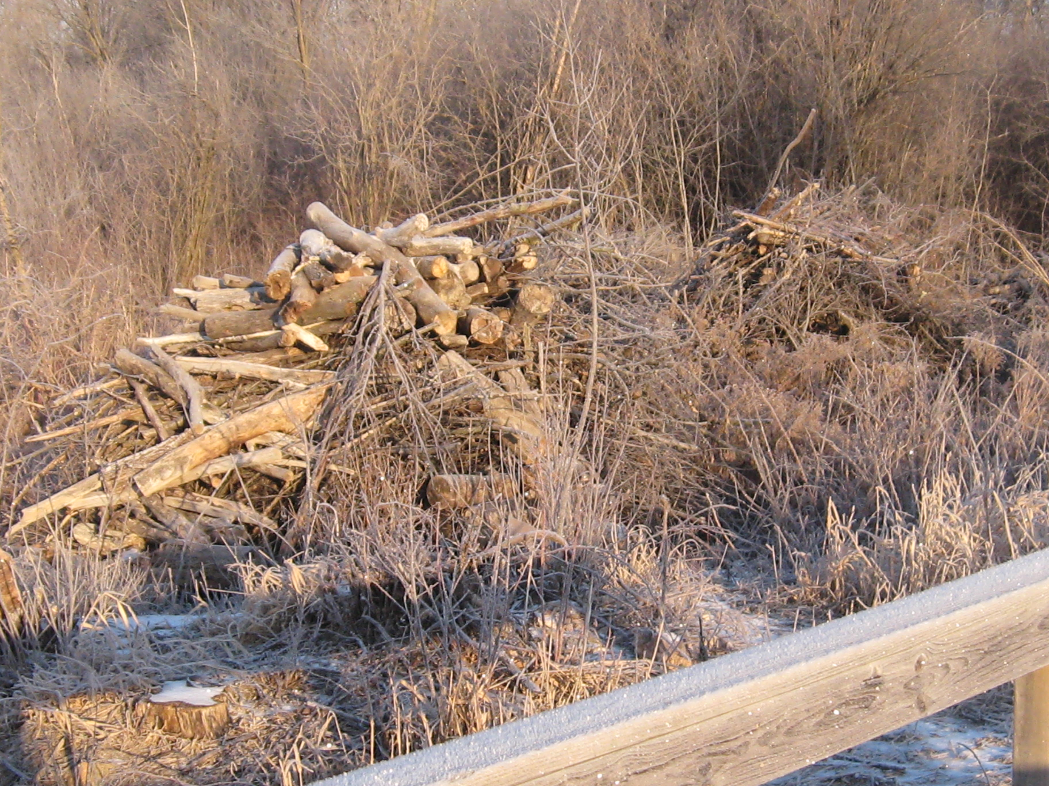
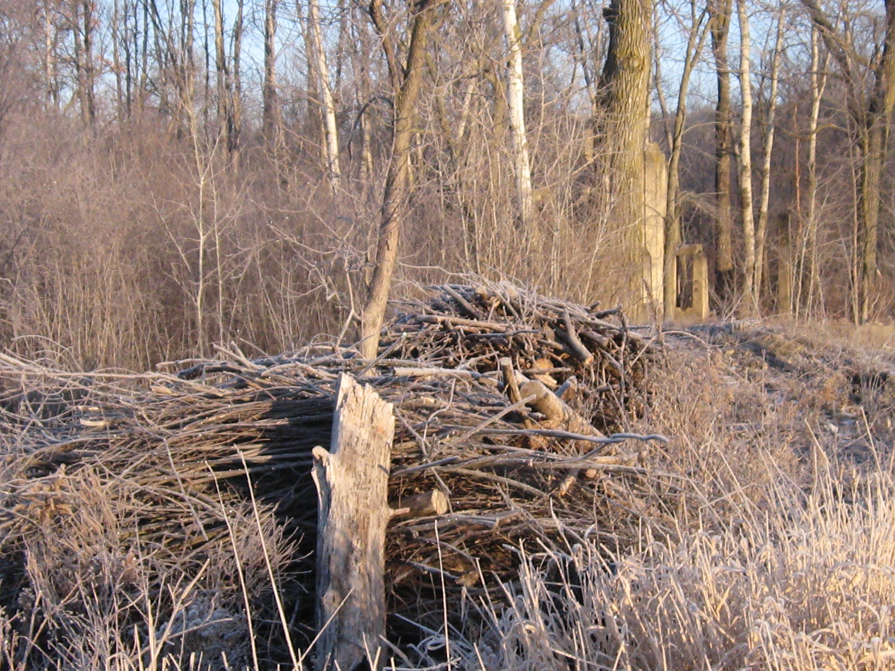
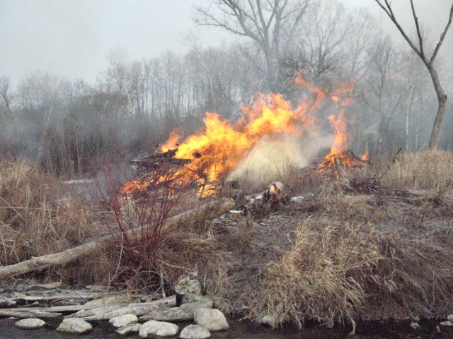
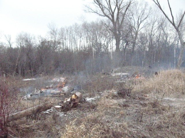
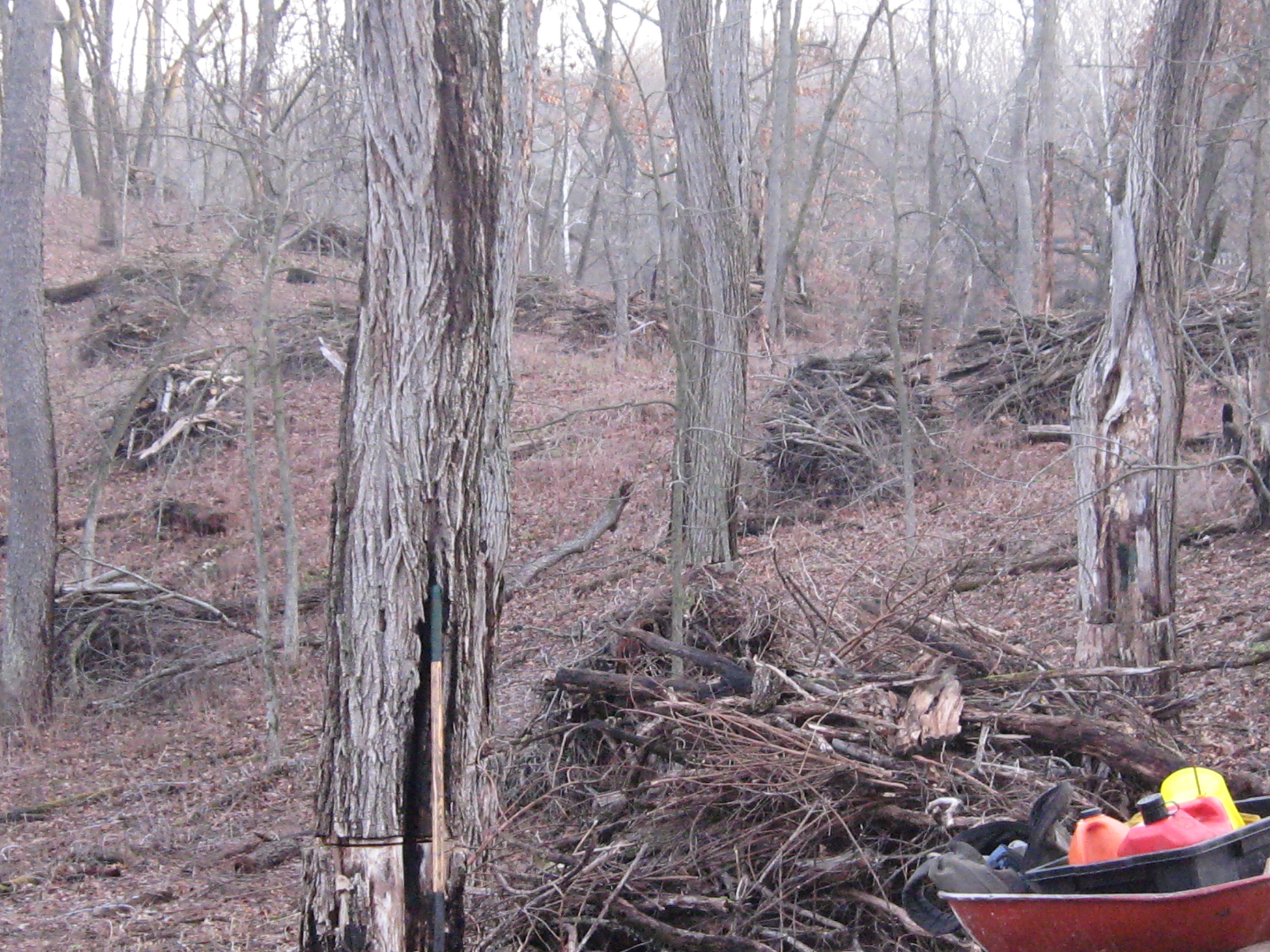
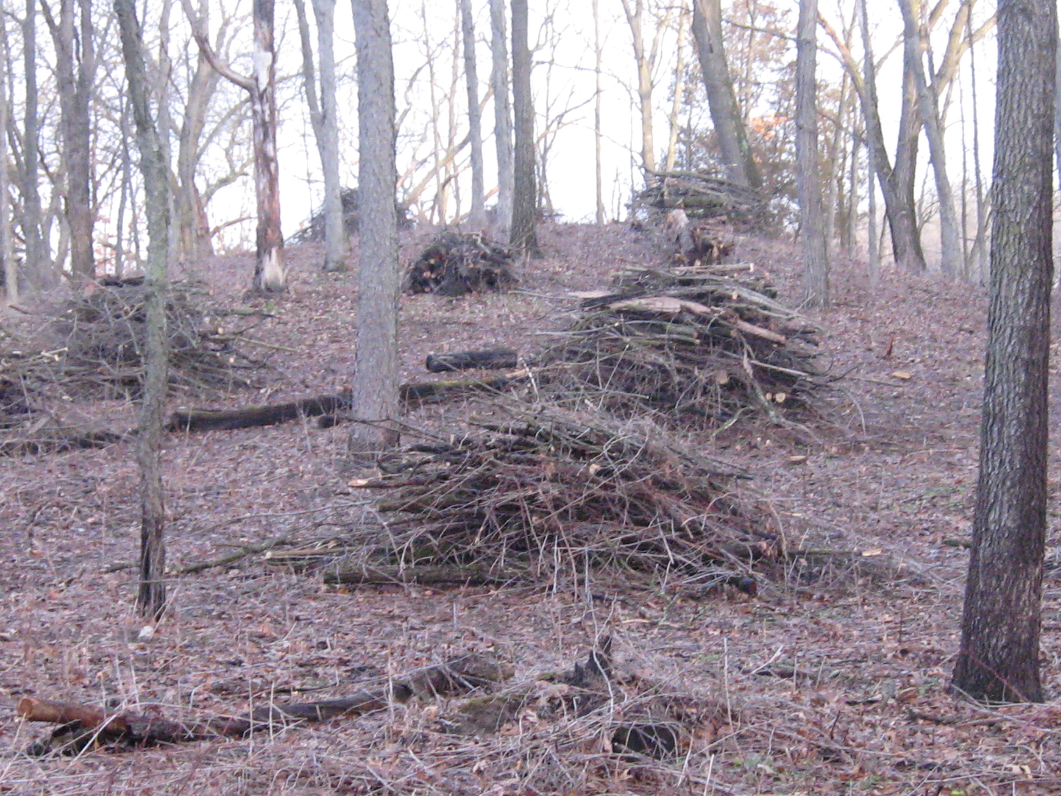
The next point of interest is the site where the DNR staged their equipment for the project they did last Summer mentioned above in the link to the Ben Heussner Interview. It was a lot dryer back then; good thing the wetland was frozen.
IMG_1068

IMG_1069

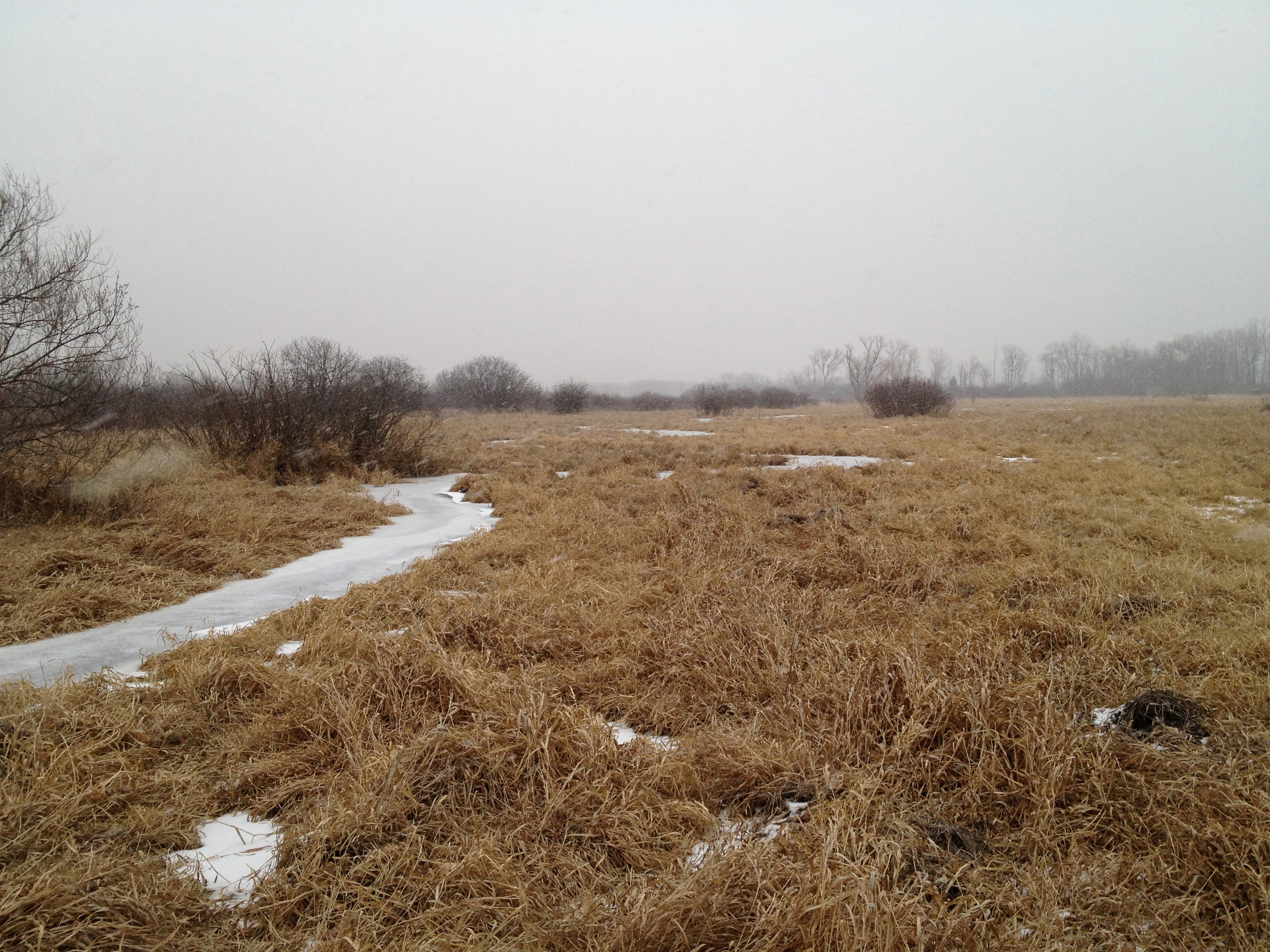
As we approached Hwy N, the snow and sleet began to fall. You’ll hear me musing repeatedly about why there is water in the channel. I will follow up with the DNR about this to see if it is expected.

The river and channel merge at Hwy N.

IMG_1070

IMG_1075

That was a nice little trip!  We recommend the south side of the river if you want to give it a try.  We noticed a lot of areas to gather seeds, or “plugs” next year to sow or plant back by the headwaters, where we are trying to diversify the cattail and phragmites mono cultures that currently dominate there.

Here is the view looking west downstream from Hwy N.  We hope to hike the next segment to Hwy Z soon.

IMG_1073

Thanks for following the Scuppernong Springs Nature Trail posts and watch for the next segment in our Journey Down The Scuppernong River.

See you at the Springs!

The Oak Cathedral

The White, Black, Red and Burr Oaks on the Cut-Off trail create a sacred space.   These majestic works of art exhibit the most graceful, dynamic, flowing, architectural lines possible.  Removing the clutter and tangle of Buckthorn from beneath their sweeping canopys is akin to wiping away the dirt from the ceiling of the Sistine Chapel.  I’m honored and thankful for the opportunity to do it!

It couldn’t have been more peaceful and beautiful at the Springs today as I continued clearing Buckthorn along the cut-off trail in the area marked in white below.

SSCutOffTrail

I made a little fire, and needed it to defrost my sprayer, but with the bright sunshine and light winds, I was plenty warm.

IMG_0568 IMG_0569 IMG_0570 IMG_0571 IMG_0572

There were some huge and TALL Buckthorns in this area and they all seemed to be sprouting dozens of interlocking trunks and branches.  It tries your patience after a while and I had to quit after 6 tankfuls with the chainsaw.

IMG_0577 IMG_0576

Its tough to capture the scale of these beauties in the Oak Cathedral.

IMG_0578 IMG_0579 IMG_0580 IMG_0581

The Scuppernong River is near and will be visible from the trail.

IMG_0582 IMG_0583 IMG_0589

In THE PONDS OF THE SCUPPERNONG, Robert Duerwachter described efforts to create a goldfish farm in this area of the river.  I think I found the spot.  There are some old pipes laying there, which we’ll haul out, and a spring is flowing into the river.

IMG_0585 IMG_0586

The sun set early behind a solid bank of clouds and I took these pictures on the high ground at the South end of the trail that we recently cut and burned.

IMG_0593 IMG_0595 IMG_0597

The water level is holding steady but it looks like there is some dirt, or possibly, damage at the base of the measuring stick.  We’ll have to take a closer look next time.

IMG_0599

Heh, see you at the Springs!

Idle No More

Hi.  Thanks again for checking out the Scuppernong Springs Nature Trail Posts!

Before I get into today’s incredible adventure at the Springs, I want to shine a light on the Idle No More movement.  I participated in their consciousness awakening event in Milwaukee yesterday and it was very moving.  The singing and speakers were excellent.  The First People elders spoke a lot about the responsibility we all share to take care of the land in preparation for the 7th generation to come, and to be aware that we are the beneficiaries of the love and care of the 7th generation that preceded us.

Here is audio recorded before the march Idle No More January 18, 2013 Pre March Song and Speeches.

We marched down to Veterans Park, where a Pipe Ceremony was held and there was more singing and speeches.  Action on a new mining bill in Wisconsin is heating up!

The other big issue raised is the struggle for sovereignty.

I found Kevin Annett’s documentary Unrepentant: Canada’s Genocide, while researching the Idle No More movement.

And we think we have invasive species problems!  Image how the indigenous people felt about the White European Invaders!

In honor of the Native, Indigenous, First People, we sowed a mix of 20+ Wet Mesic Prairie plant seeds around the Indian Spring and areas to the North marked in white on the map below.

SSTrailSeededArea

Here is part of the area seen from the Scenic Overlook on the old Indian Campground site.

IMG_0518

And a bit closer up.

IMG_0520 IMG_0521 IMG_0523

Sowing seed is the creme dela creme of restoration work.  I will post a list of all the different plants in the mix and we’ll try to identify as they emerge.

The Scuppernong River water level is holding steady at .026.

IMG_0524

Here is an interesting bit of machinery we found near the site of the Marl Plant.  This Spring we’ll do a little excavating around this to see what it is attached to.

IMG_0525

After the seed was sown Lindsay and I headed over to the cutoff trail to continue cutting Buckthorn where I left off last time.  Here are some before shots; the first two are looking to the North on the cutoff trail at an old cranberry bog.

IMG_0526 IMG_0527

Below we are looking South, towards the river.IMG_0528 IMG_0529 IMG_0530

Around 2:00pm Rich Csavoy joined us and Don Dane, the DNR trail boss, stopped by to drop off more seeds (for more wooded uplands) and we all took a walk around the place reviewing the progress and future plans.  Don is hoping to mow the Indian Campground this coming week.  We cut a bit more after our visit with Don and here is the final result.  The first picture below is looking at the cranberry bog and the next two are looking South towards the river.

IMG_0539

IMG_0537 IMG_0538 IMG_0533 IMG_0534

The view of the work site from the main trail on the South side of the river.

IMG_0541

It was a glorious sunset; one of the best I’ve ever see at the Springs.

IMG_0543 IMG_0546 IMG_0547 IMG_0549 IMG_0551 IMG_0553 IMG_0554 IMG_0555

See you at the Springs!

A Yellowstone Moment

Thank you for tuning into the Scuppernong Springs Nature Trail journal!

I spent the last two days at the Springs; yesterday was sunny, today cloudy.  Both days were mild, for mid-January, and it was very quiet and peaceful.  I was in heaven!

I started yesterday lighting some piles that were at the point where the main loop trail first emerges into the prairie.

IMG_0475 IMG_0476 IMG_0477

I took these pictures this morning.  Its hard to tell, but I cut a bunch of Buckthorn way in the back left below, while waiting for the piles to burn down.

IMG_0492 IMG_0493

When I came to this spot at the end of the day today and looked out at the prairie, I was reminded of the grassy plains at the top of the Pitchstone Plateau, in the South West corner of Yellowstone National Park.  Last Fall, Pati and I scouted out a possible route from Lewis Lake across the Plateau to get to the famous Bubbler Hot Springs, where three forks of the the Bechler River meet.   It is two days hike to get to the Bubbler no matter which way you come from but well worth the effort.

Yesterday I tried to light some piles by the Marl pits but my torch quit working half way through.  I had better luck this morning and finished up there.

IMG_0469 IMG_0470 IMG_0472

IMG_0473

IMG_0495 IMG_0496 IMG_0497 IMG_0498

When things had settled down at the pits, I went over to the cut-off trail to clear an area by a huge White Oak tree where the trail is relatively close to the river.

IMG_0499 IMG_0500 IMG_0501

The last time I opened a trail was at the Hartland Marsh.  I can’t wait till you all get a chance to walk this new trail.  You’re going to love it!

IMG_0503 IMG_0504

You can see the main loop trail outlined in white across the river.

IMG_0505 IMG_0507

Here is a view from the main loop trail looking North towards the big White Oak where I was cutting.

IMG_0511

I’m going to try to remember to capture a water level reading whenever I go out.

IMG_0508

After the gear was stowed away, I took a walk around, which I love to do, and got these pictures.  Rich Csavoy explained that the hole in the concrete of this old foundation on the cut-off trail was used to empty the fire place.

IMG_0513  IMG_0516 IMG_0514

IMG_0517

IMG_0481

Yesterday’s sunset was very nice.

IMG_0487 IMG_0490

See you at the Springs!

I watched the fire that grew so low

It felt like a warm, sunny Spring day.  The snow had all melted and the ground was wet.  The brush piles on the South end of the loop trail were wet from the recent rain, but the steady Westerly breeze promised all the support we would need, and we started lighting fires.

IMG_0445 IMG_0447 IMG_0448 IMG_0451

Lindsay and I lit 45 piles and Rich arrived shortly after noon to help us mop up.

IMG_1047 IMG_0452 IMG_0453 IMG_0455 IMG_0457 IMG_0461

Highway 67 is visible through the smoke above on the left and we got a call from the North Prairie Fire Chief investigating a complaint.  I’m not sure if it was a motorist or someone living East of the forest beyond Hwy 67.  The chief just wanted to confirm that we were the party that had called in that morning to notify them of our burning plans.  The smoke was never heavy or thick on the road.  What are they complaining about?

After the piles had settled down, Lindsay, Rich and I took a grand tour around the Springs.  It was the first time Rich was able to hang out with us after working, and we had a great time enjoying the scenery and envisioning the future.

You might wonder if perhaps we had inhaled a little too much smoke when you listen to this conversation.

There is a new depth gauge at the site of the ground water flow monitoring station.

IMG_0466

We gave the piles one last stir after our walk and then Lindsay and Rich headed for home.  I lingered and watched the fires that that grew so low…

RichNightShotOfFires

See you at the Springs!

A Burning Ring Of Fire

Pati and I really enjoy burning brush piles.  It’s got the right mix of mindfulness and mindlessness and it’s immensely satisfying to see all that Buckthorn turn to ash.  We had a great day for burning at the old barn site just downstream a bit from the saw mill site #12 on the Map.  There was a light but steady breeze out of the Northeast that kept the smoke away from Hwy 67 and we were able to light 21 piles up.

IMG_0293 IMG_0294 IMG_0295

The wood is finally starting to dry out from last week’s snow.  Here is Pati standing next to a ring of fire.

IMG_0297 IMG_0298 IMG_0299 IMG_0302

I found another little spring coming out of the hillside just downstream from the Hotel Spring near a fallen Willow.  We’ll open that up when it gets a little warmer.

I’m reading PONDS OF THE SCUPPERNONG and surveying the landscape at the old Parker Hotel site, which started out as a cheese factory, more closely.  This location is definitely rising in priority to clear Buckthorn and Aspen from.  Here is a nice picture of the Big Pond that Jon Bradley sent me.  If you have any pictures of the ponds, or anything else of interest at the Scupppernong Springs, please contact me and I’ll post them.

Scuppernong Ponds

I hope to see you at the Springs!

Let Me Stand Next To Your Fire

I took advantage of the East wind yesterday to burn 15 brush piles right along Hwy 67.  This is the area where the barn once stood that was part of the Parker Hotel and Mann/Dousman/Parker Trout Ponds complex.  THE PONDS OF THE SCUPPERNONG is a fascinating history that has deepened my appreciation for the opportunity I have to spend so much time at this wonderful place that was cherished by so many people over the years.

My plan was to burn the phragmites piles along the river first.

IMG_0271

That proved impossible as they were thoroughly soddened.  I quickly gave that up and went over to the old barn site.

IMG_0272 IMG_0274 IMG_0276

I’ve been concerned about burning these piles, given their close proximity to Hwy 67, and the light, Easterly winds provided the perfect conditions.

IMG_0280 IMG_0282 IMG_0283 IMG_0285 IMG_0286

Here is the old barn foundation.

IMG_0288 IMG_0291

The view from Hwy 67 is beautiful, albeit, a bit loud.  I filmed from the edge of the road and then wandered down to the edge of the barn foundation shown above.  You can see 15 or so brush piles between the trail and the River that we hope to burn tomorrow.

See you at the Springs!

THE PONDS OF THE SCUPPERNONG

The Upper Pond, Photo by Pete Nielsen

The Upper Pond, Photo by Pete Nielsen

I didn’t know what Robert Duerwachter was referring to in his book title.  What ponds?  I never saw, or at least I don’t remember seeing, the two trout ponds that made the Scuppernong Springs famous.  If you love The Springs, you must pick up your very own copy of “THE PONDS OF THE SCUPPERNONG” at Forest Headquarters.  I can’t summarize it any better than the author:

A NARRATIVE OF PEOPLE, ACHIEVEMENTS AND

LITTLE KNOWN FACTS IN THE LIVES AND TIMES

OF THOSE WHO MADE SIGNIFICANT CONTRIBUTIONS

TO THE PONDS IN THE SOUTHEAST QUARTER OF

SECTION 34 IN THE TOWN OF OTTAWA

WAUKESHA COUNTY, WISCONSIN

CHESTER M. SMITH

THE DOUSMAN FAMILY

CURTIS AND NANCY MANN

ELIPHALET S. STONE

THE PARKER FAMILY

THE PERELES FAMILY

ORIN C. BENSON

I love history and this, picture filled, page turner is the definitive history of the Scuppernong Springs.

Finally, we can start burning some brush piles.  I think there might be over 300.  First, a few morning views of the Scuppernong River:

IMG_0229 IMG_0232 IMG_0234

Our goal was to burn all of the piles on the “inside” of the big bend in the river by the Old Hotel Site.

IMG_0230 IMG_0231

Rich Csavoy arrived early and we got after it.

IMG_0238 IMG_0239

Pati, a veteran brush pile burner, joined in the fun.

IMG_0242 IMG_0246 IMG_0245

I got these pics while mopping up.

IMG_0253 IMG_0254 IMG_0255 IMG_0261 IMG_0263

After the gear was all stowed away, I took a walk along the river and saw the biggest flock of geese I have ever seen in my life.  It must have stretched out over a mile…

IMG_0264 IMG_0267

You gotta hear them…

It was a blessed day at the Springs and we burned 19 piles.

Happy Holidays and I Hope to see you out at the Springs!

Break On Through To The Other Side

Morning view of the Springs.

IMG_0223

IMG_0224

I can’t believe we got the Lost Trail opened up before the big snow came!  Lindsay really got after it last Sunday and showed me what was possible.  With that inspiration, I finished opening up the cut-off trail today.  Here are a few before pics.

IMG_0226 IMG_0227

And After…

IMG_1034 IMG_1036

This temporary bridge will be replaced with something nicer next year.  You can see a bit of the Marl factory.

IMG_1037

Speaking of “Marl”, a man who really inspires me is Marlin Johnson, retired Biology Teacher at the University of Wisconsin, Waukesha and current Manager of the UW-Waukesha Field Station.  He recently shared two books with me: The Tibby Line – Dousman Marlboro & Southern and The Ponds of the Scuppernong, both by Robert Duerwachter (Win Press Publishing win9133@frontiernet.net).  The former documents the history of the rail line used to haul Marl from the Scuppernong Springs’ “pits” to Dousman and the Marl industry in general.  I’ll post some highlights soon.

Here is another shakey video tour of the Lost Trail.  You’ll have to supply your own spooky music.

It looks like this Saturday, December 22, will be a perfect day to start burning brush piles!  “Come on baby light my fire”.

See you at the Springs!

Lost on a Lost Trail

We got rained out yesterday and that was great.  Today, well rested and sharpened, Lindsay and I started cutting Buckthorn at the Eastern junction of the Lost Trail (first described here, with more details here).  It took a few minutes to locate the route that DNR Trail Boss Don Dane flagged for us back in August.

I began clearing the trail junction while Lindsay worked reopening the trail.  Here are a few before and after shots of the trail junction.  This is the view into the Lost Trail.

IMG_1024

The view West along the loop trail leading to the parking lot.IMG_1025

The view East on the loop trail heading towards the Old Hotel and Saw Mill. IMG_1026

The view North towards the cranberry bog.IMG_1027

And after…

IMG_1031

IMG_1028 IMG_1029

By the time I finished this, Lindsay had progressed way down the trail.  I joined him and we continued on to within less than 100 yards of the Marl Pits.  We are planning to finish opening up this cutoff trail on Wednesday the 19th.  You can see how far we got marked in White below.  There is still a lot of brush to cut between the trail and the river so we’ll be working in this area for a while.

SS12-16Map

Here is a video tour of the Lost Trail.  Note, at the beginning of the cutoff trail that we did not attempt to cut all the little Prickly Ash with our chain saws.  I’ll get this on Wednesday with a brush cutter and then we’ll hit them with a foliar spray in the Spring when the re-sprout.

I forgot to mention in the last post that we saw 5-6 good sized Brook Trout lingering at a little bend in the river by signpost #10.  This is one of their favorite spots to hang out but we haven’t seen them there for a while.  The sunlight was perfect and we got a real good look.  I also saw one later in the Emerald Spring.