Carl Takes His Cuts

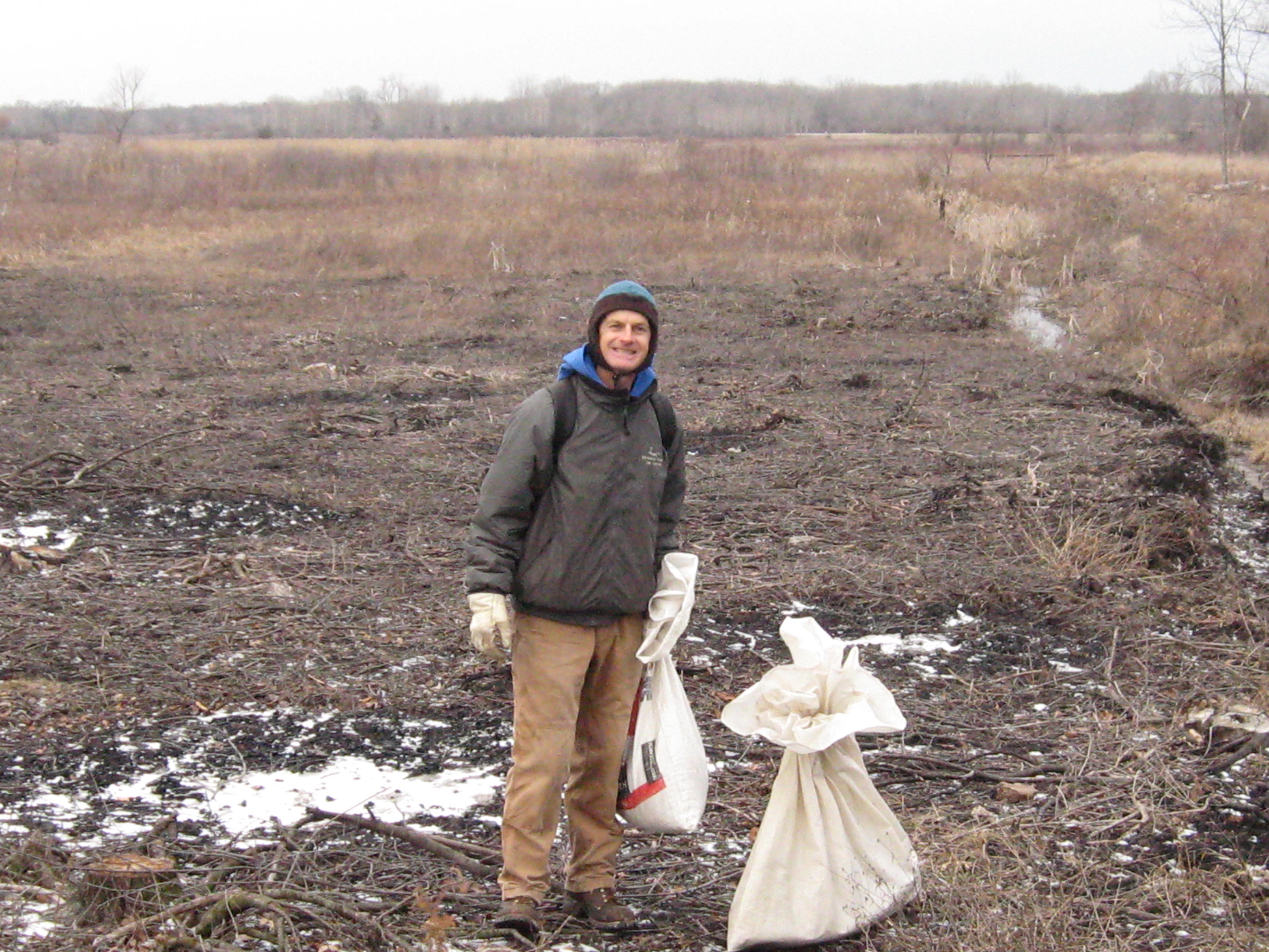
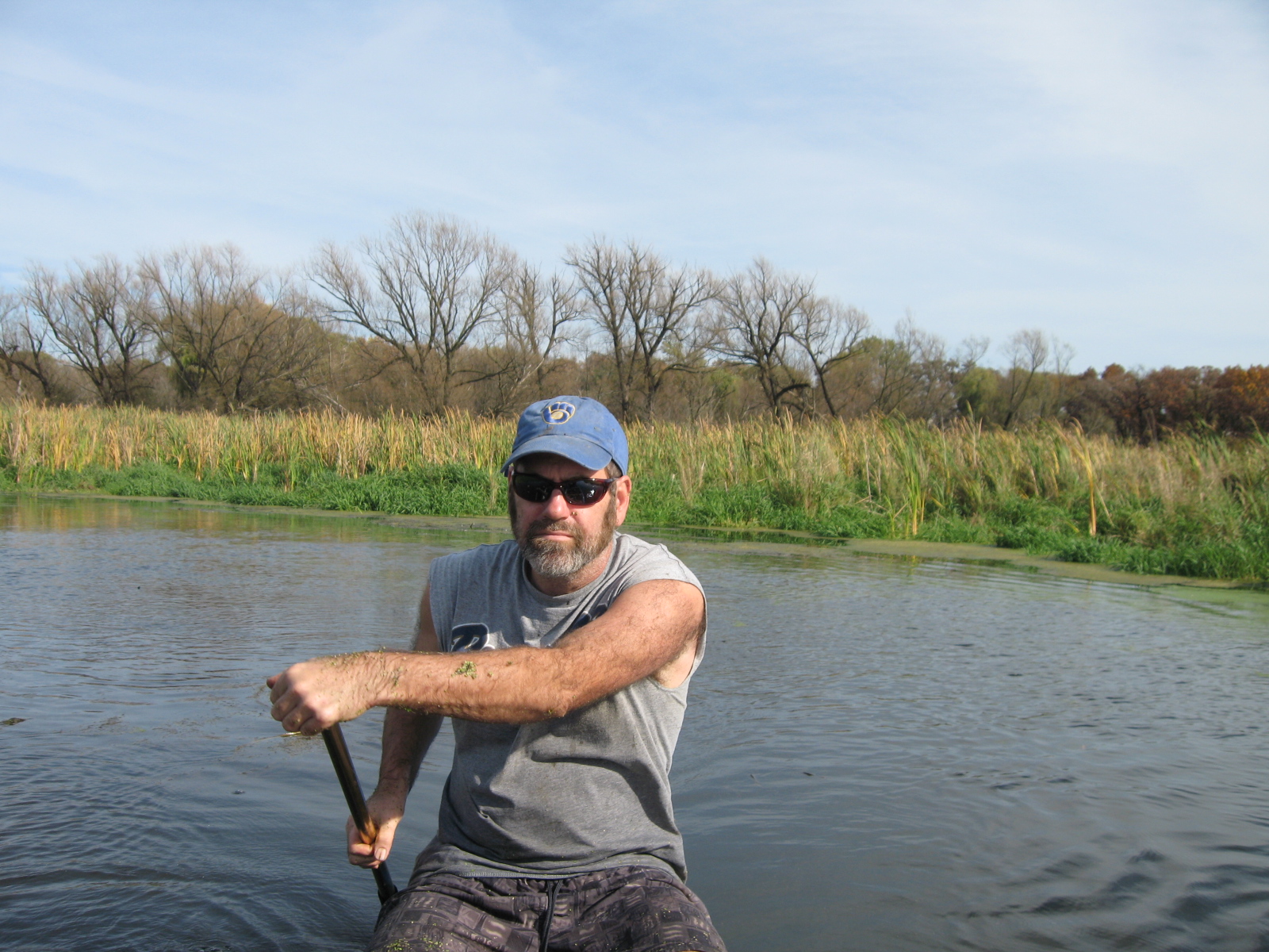
I knew I was going to like Carl.  He found this website while researching something on the internet and, being one who has his thoughts, emotions and actions in harmony, in a unity of consciousness, he contacted me immediately asking to help.  Carl is a hard working, down to earth, righteous dude and we thoroughly enjoyed his company.

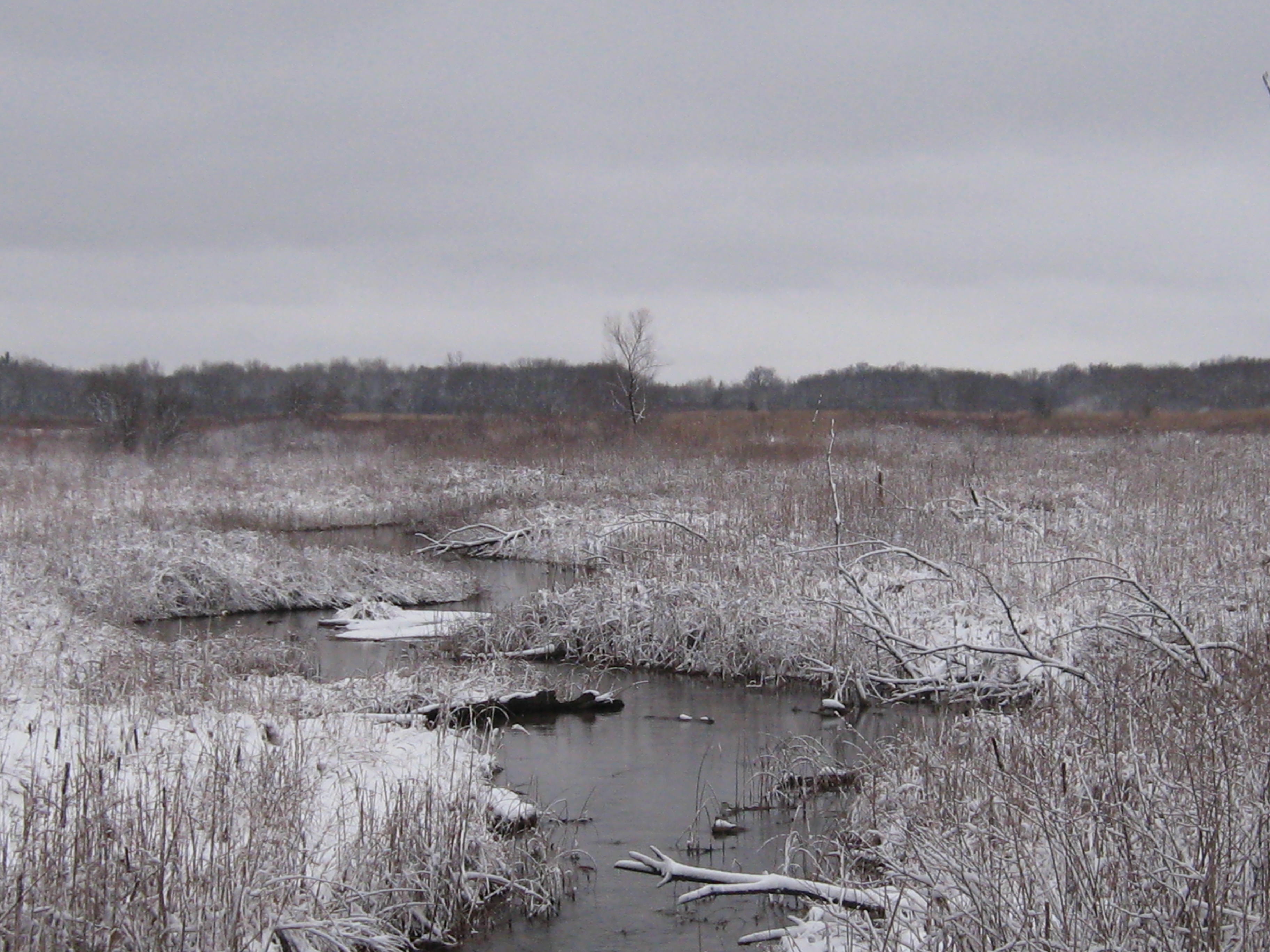
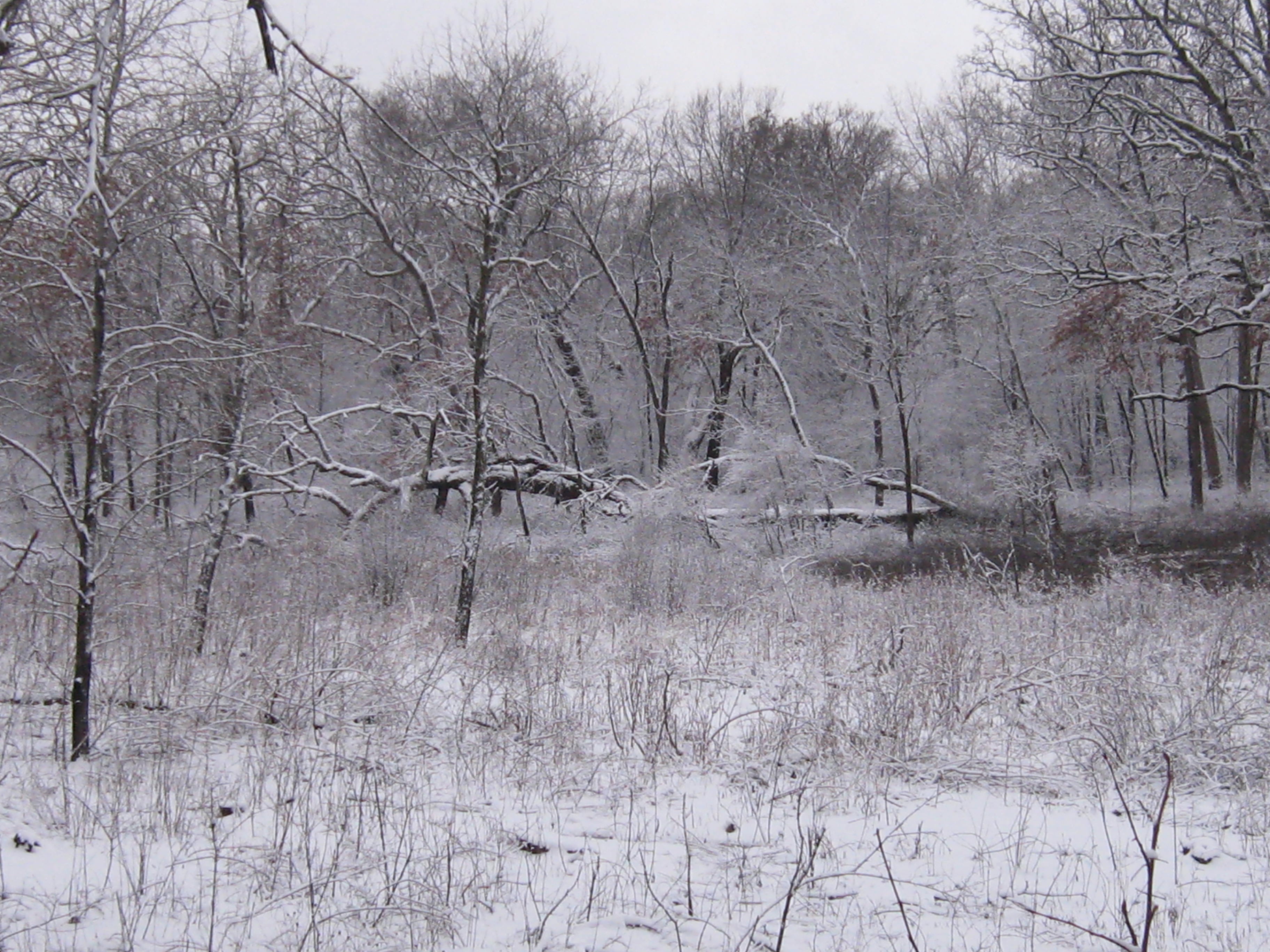
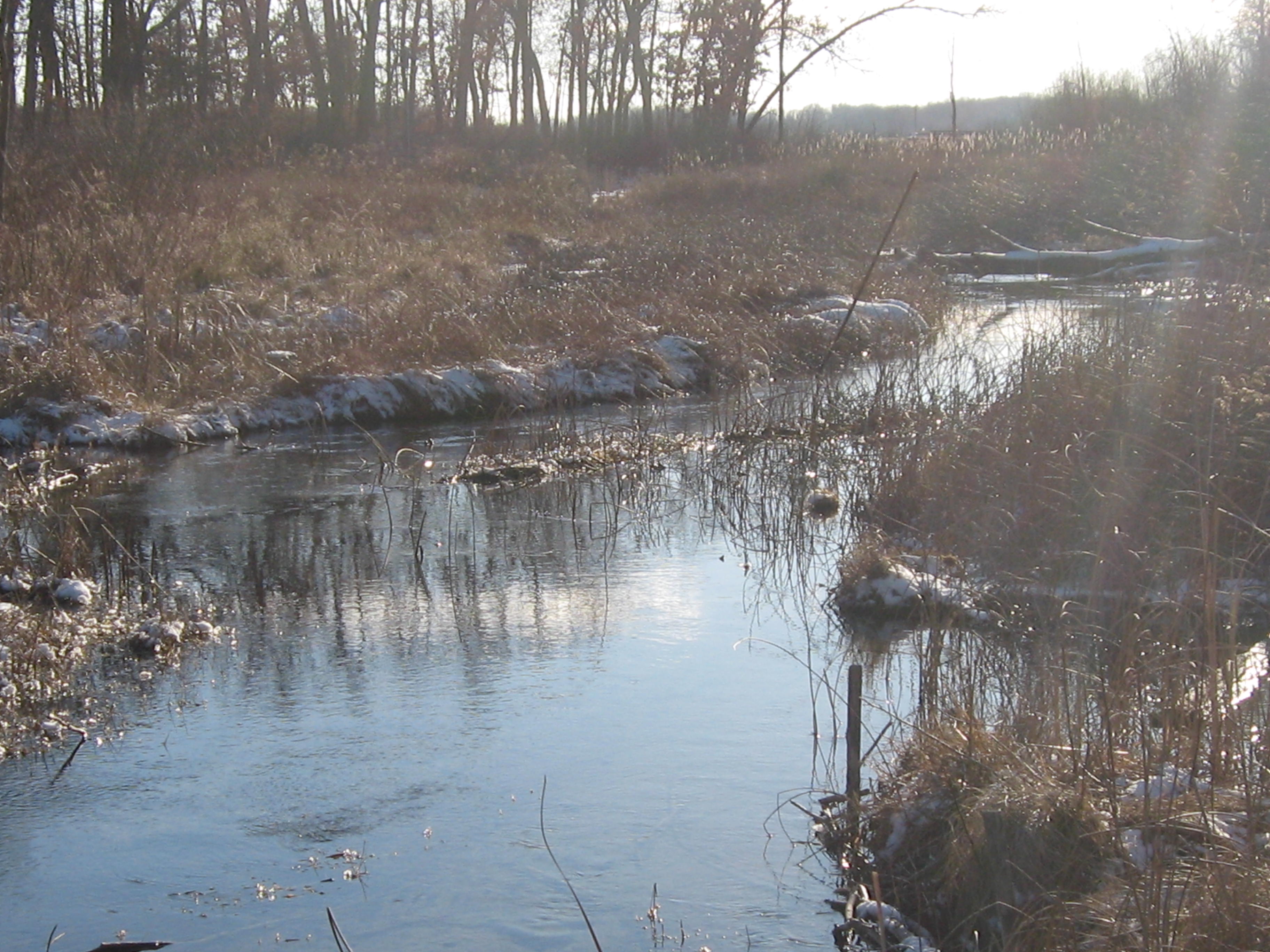
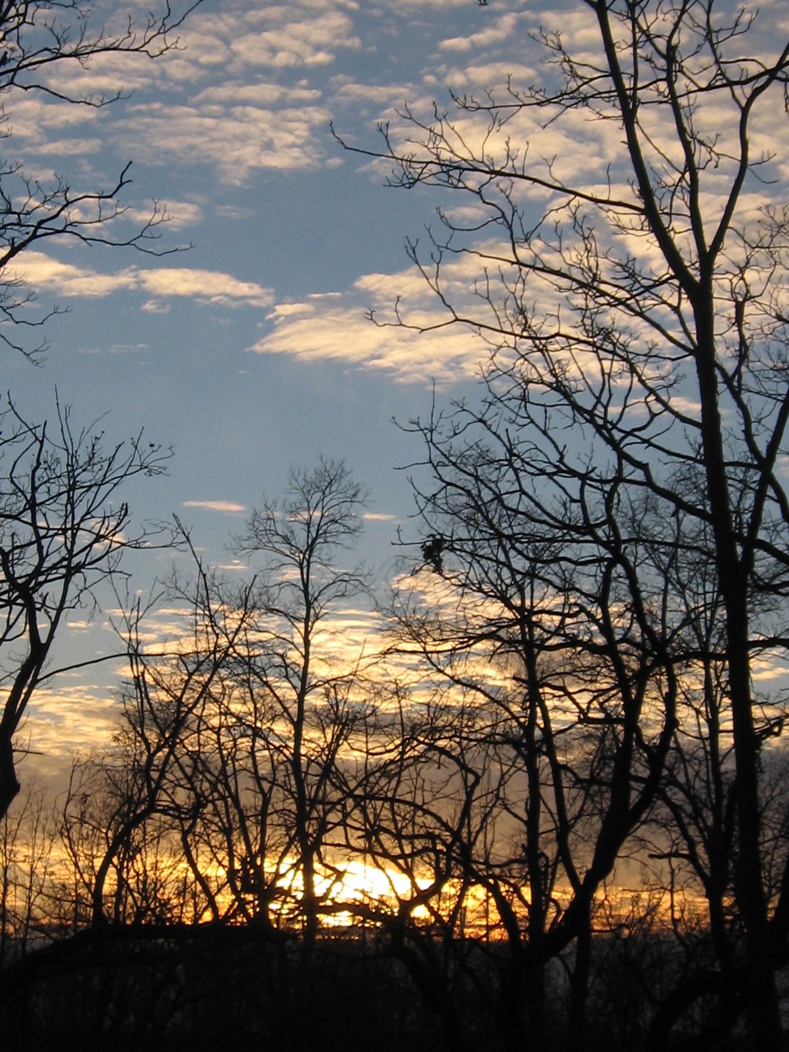
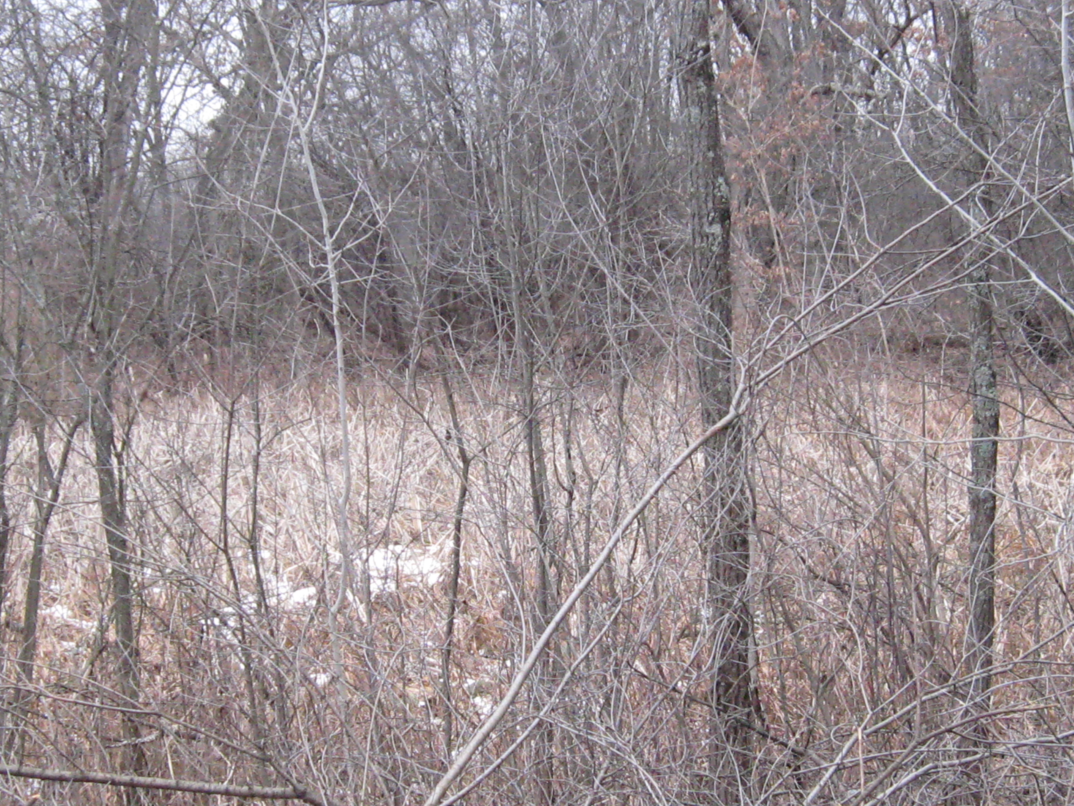
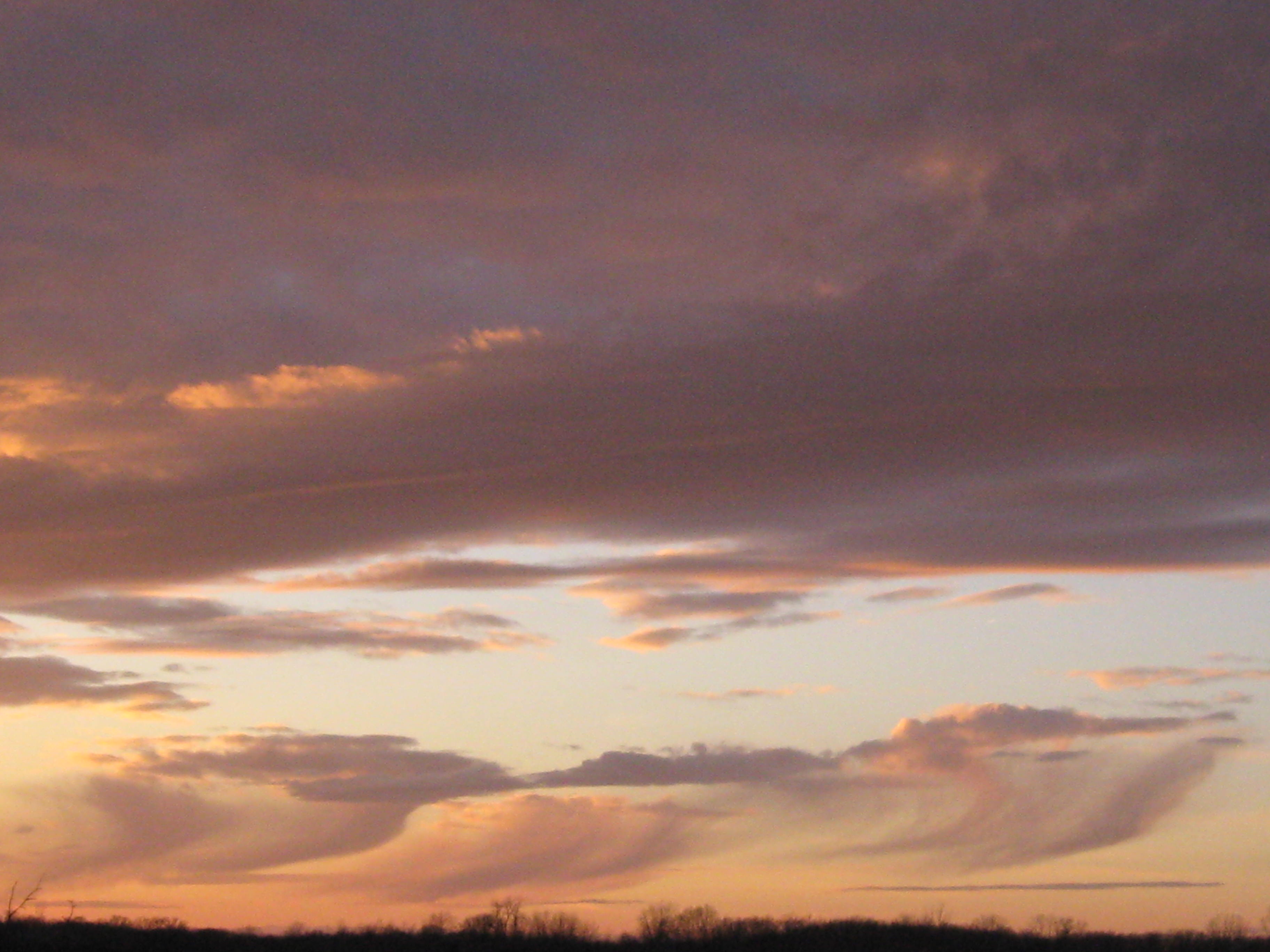
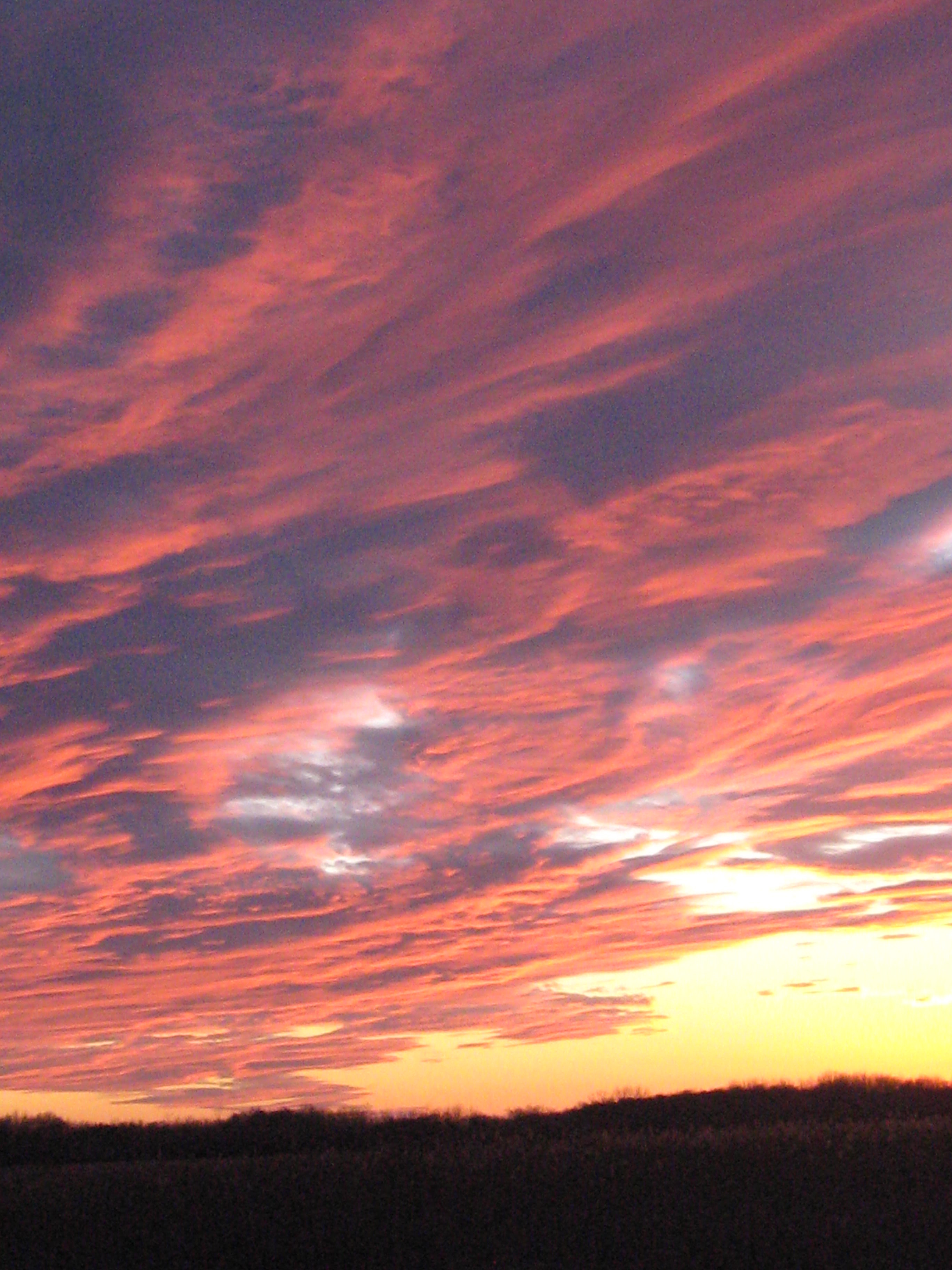
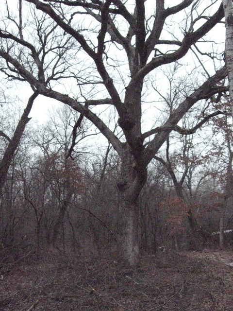
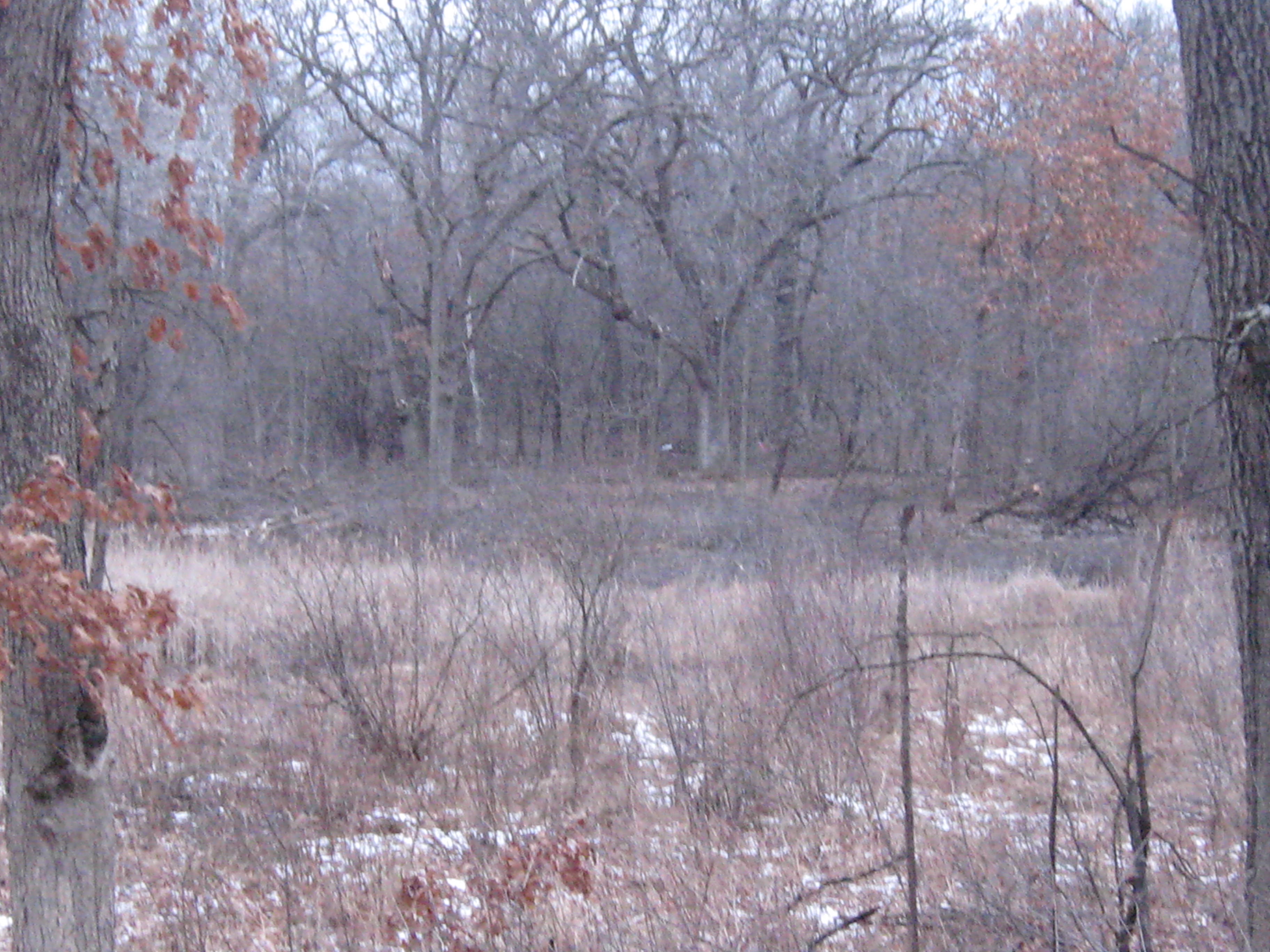
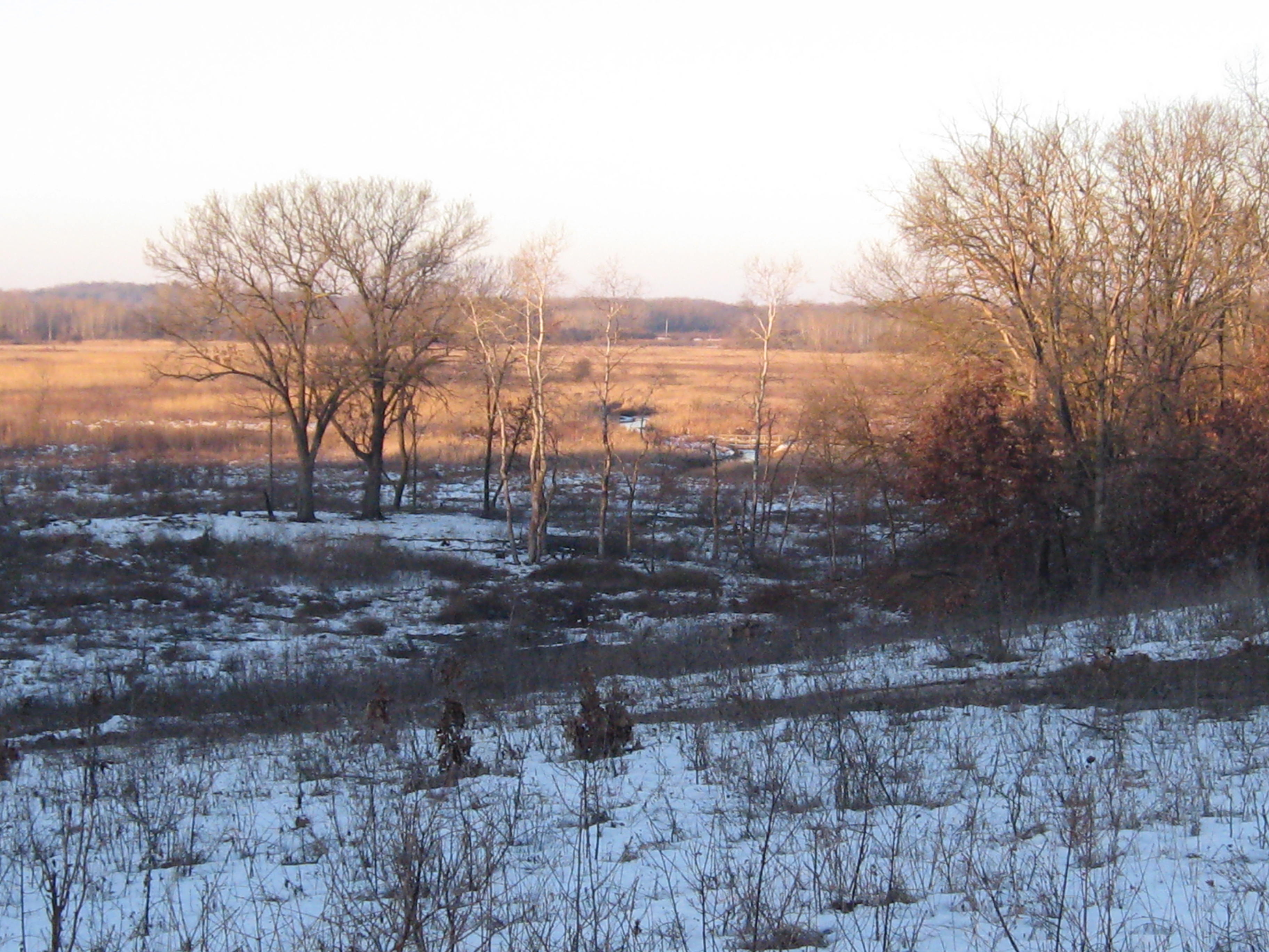
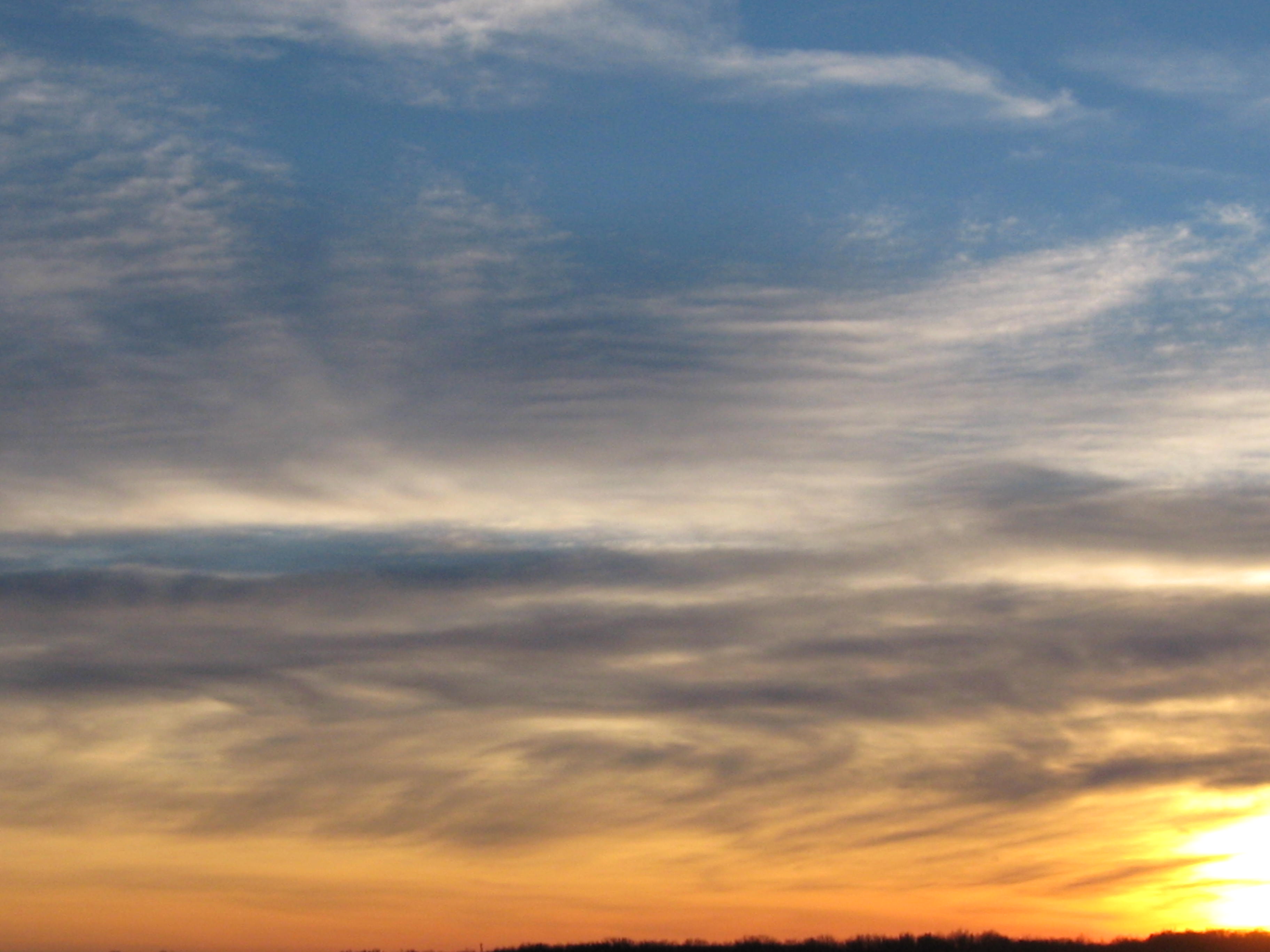
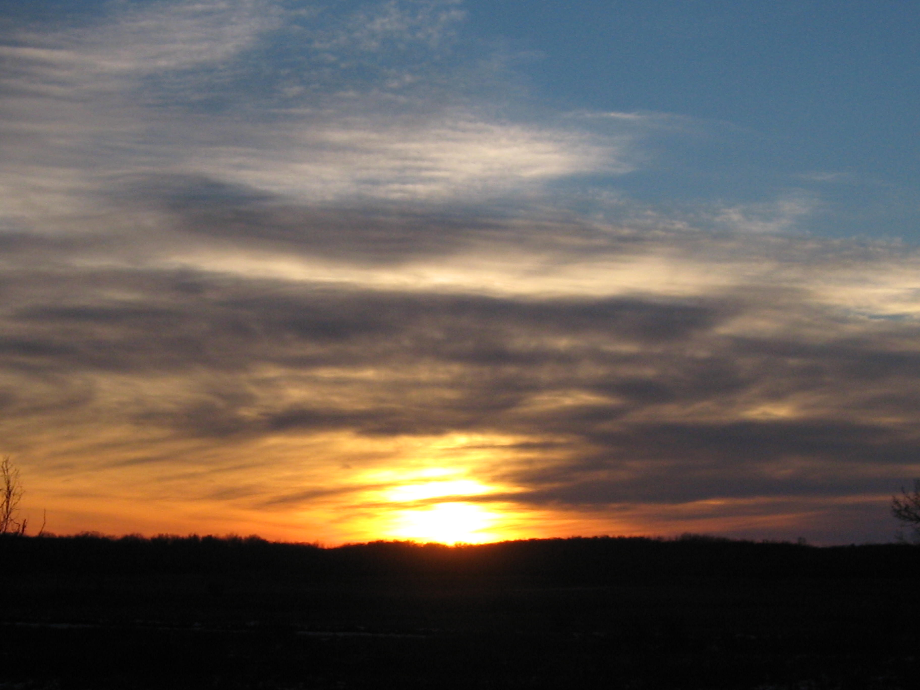
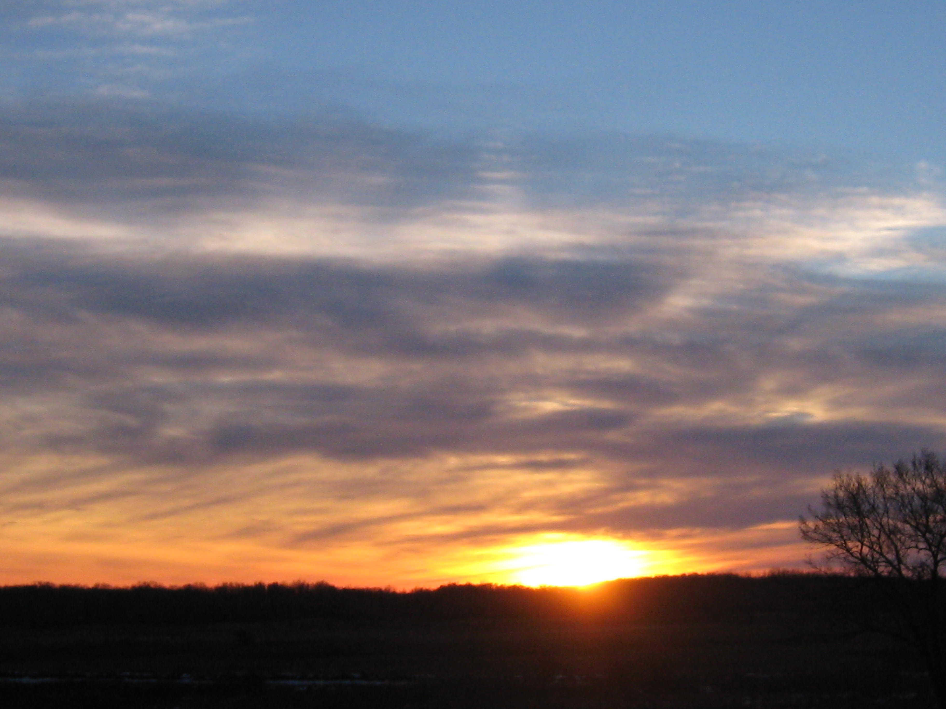
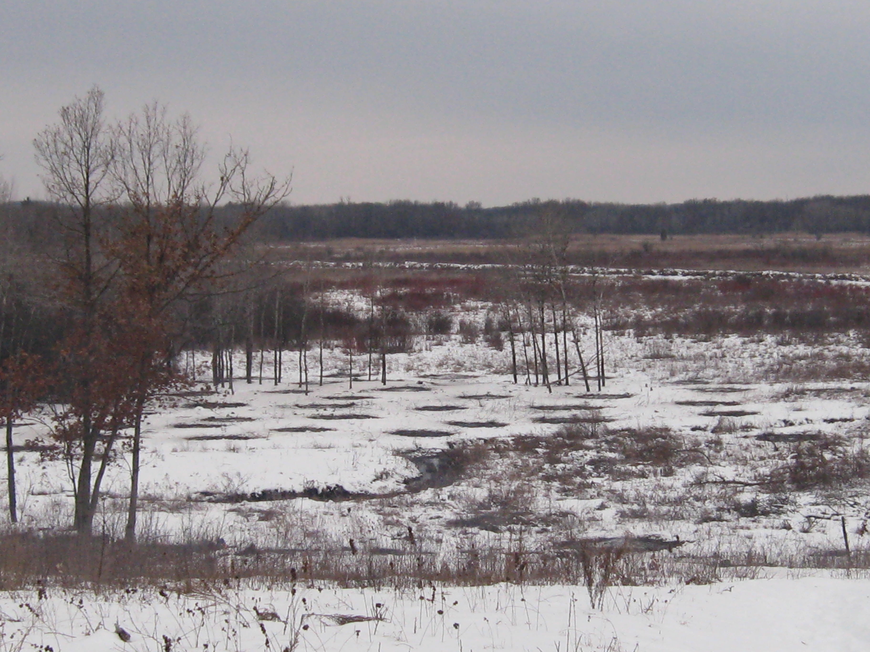
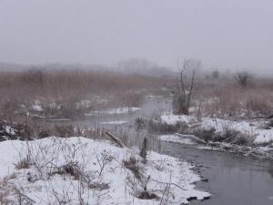
I love these views of the Scuppernong River Habitat Area, which contains the largest prairie east of the Mississippi.
IMG_0688

IMG_0689

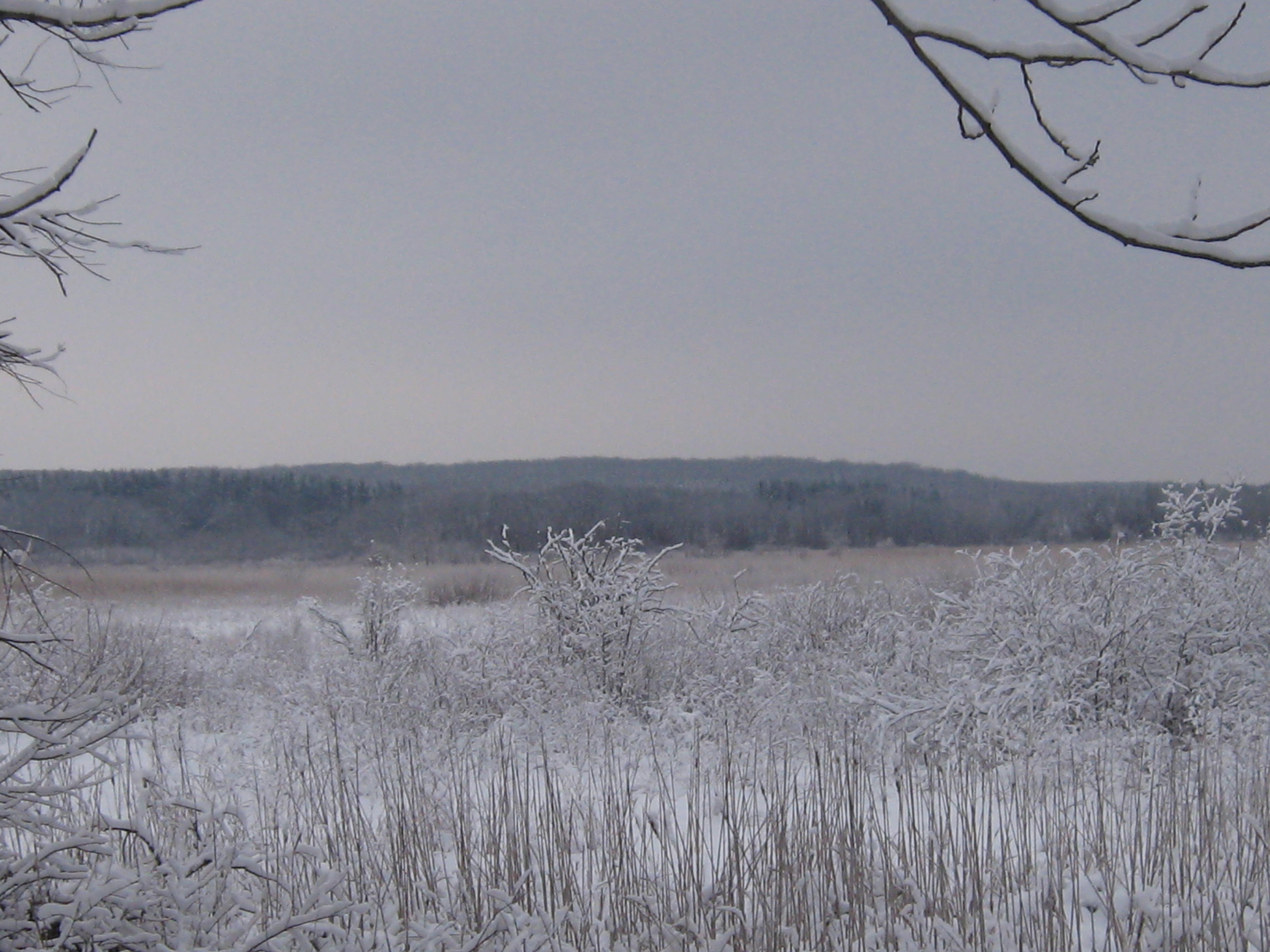
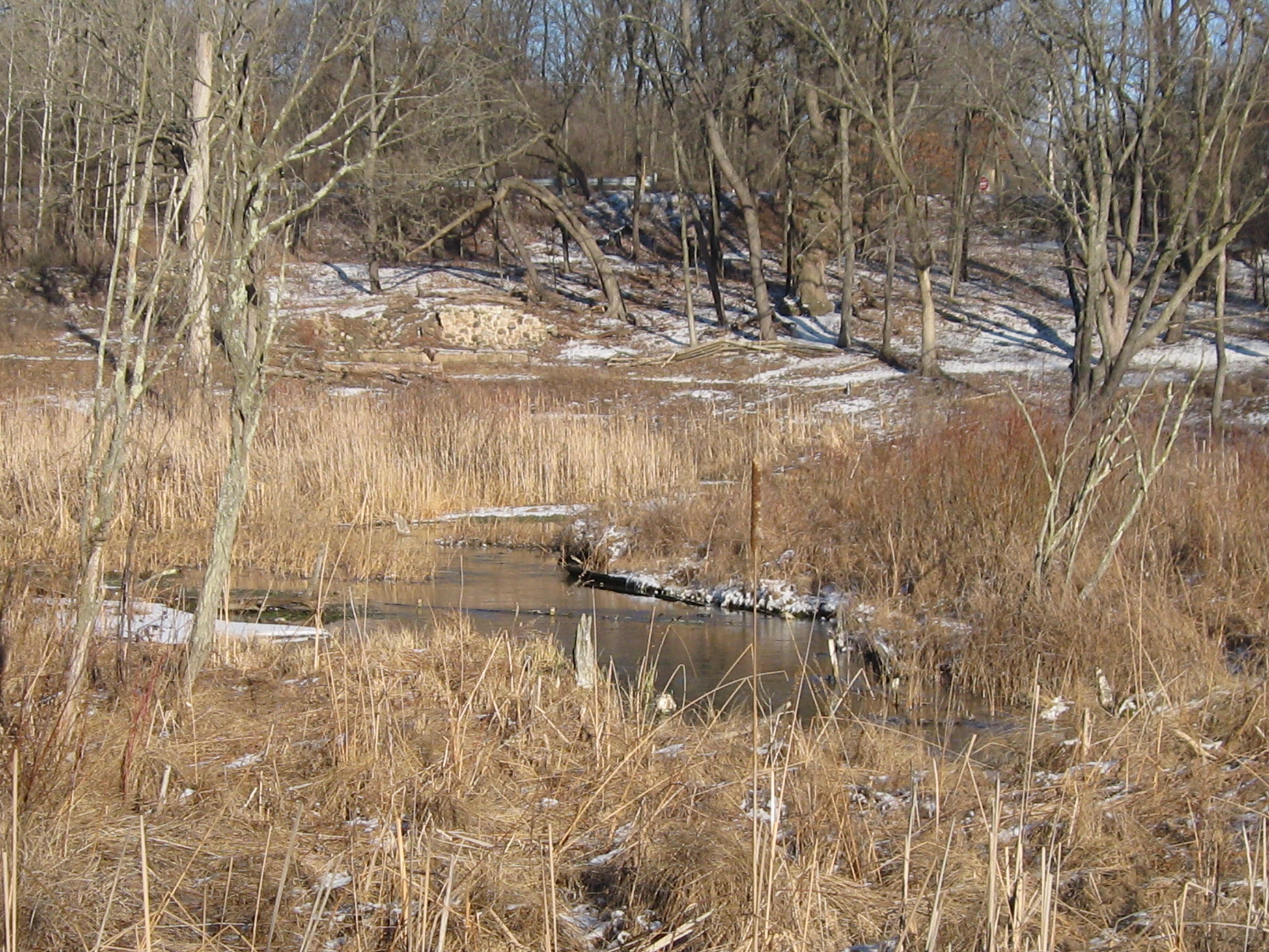
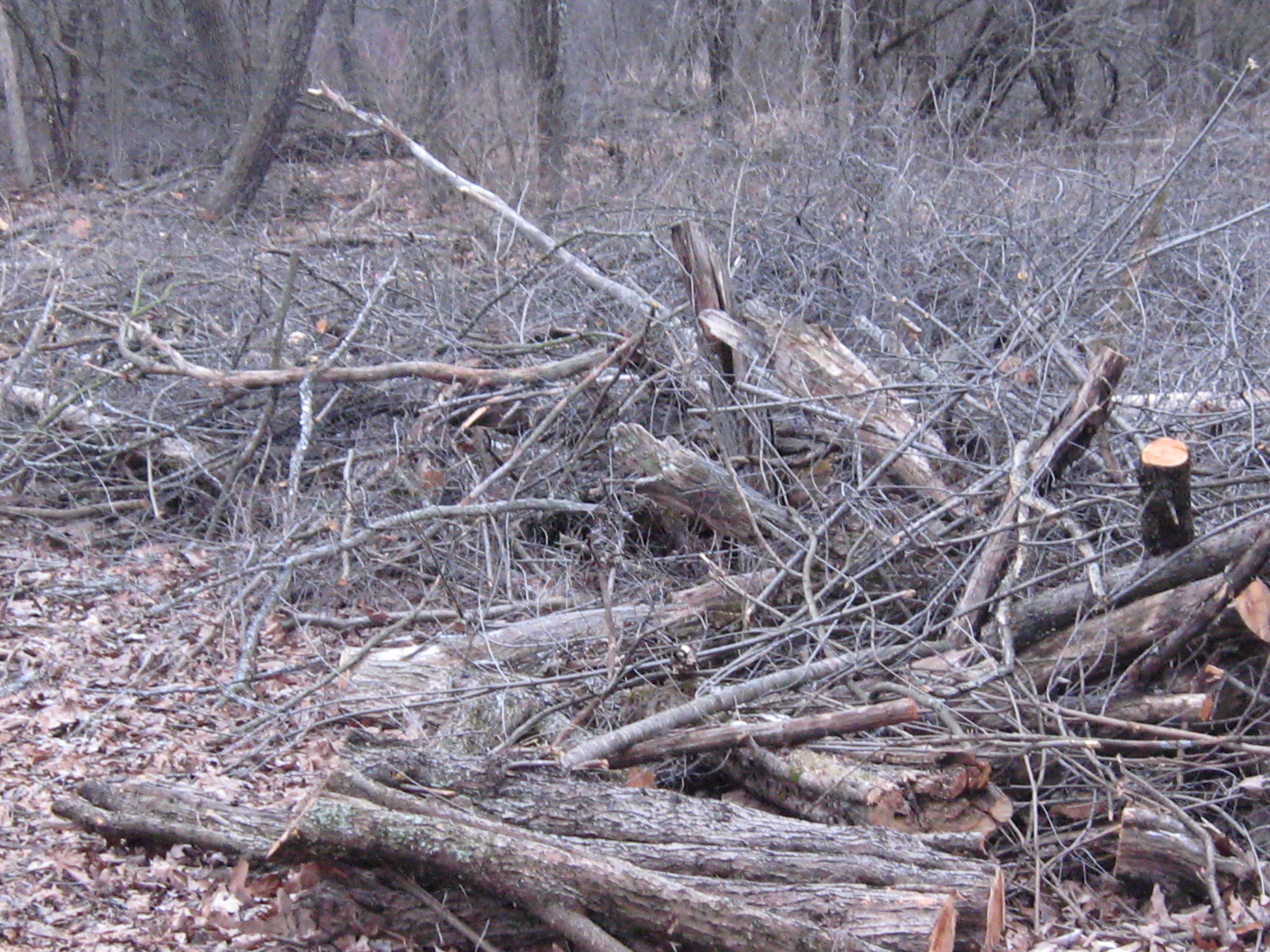
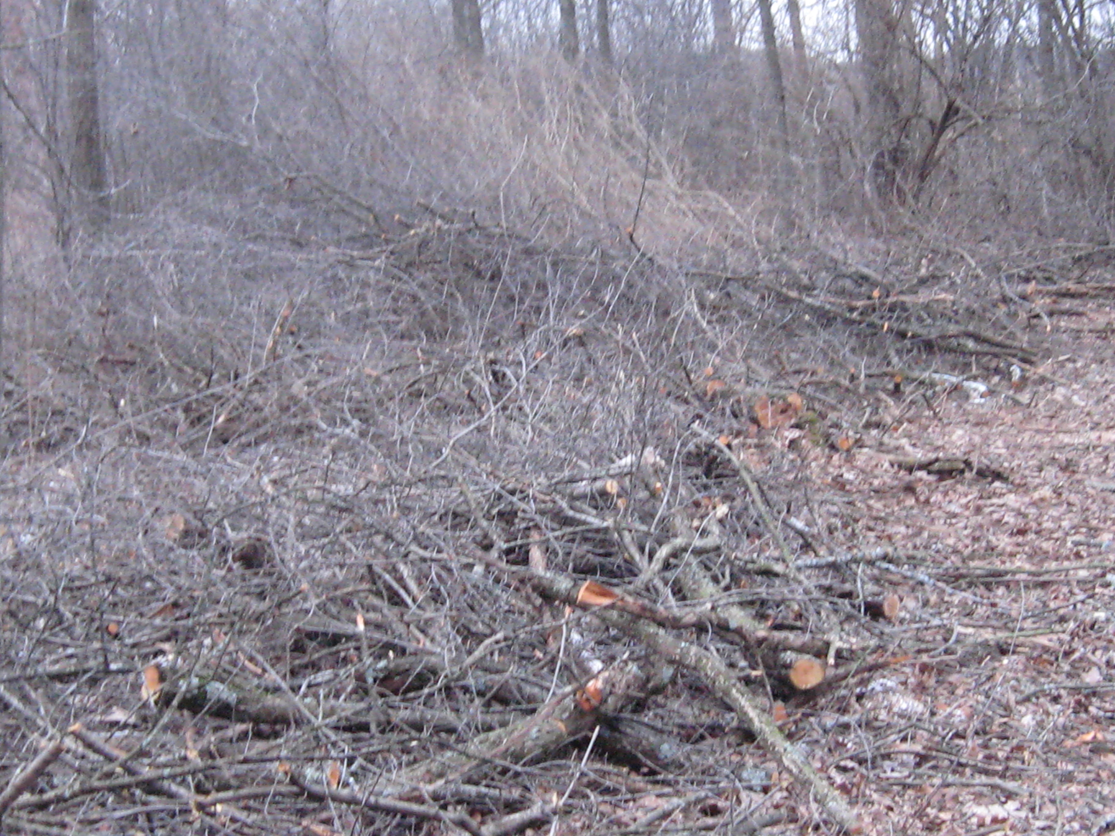
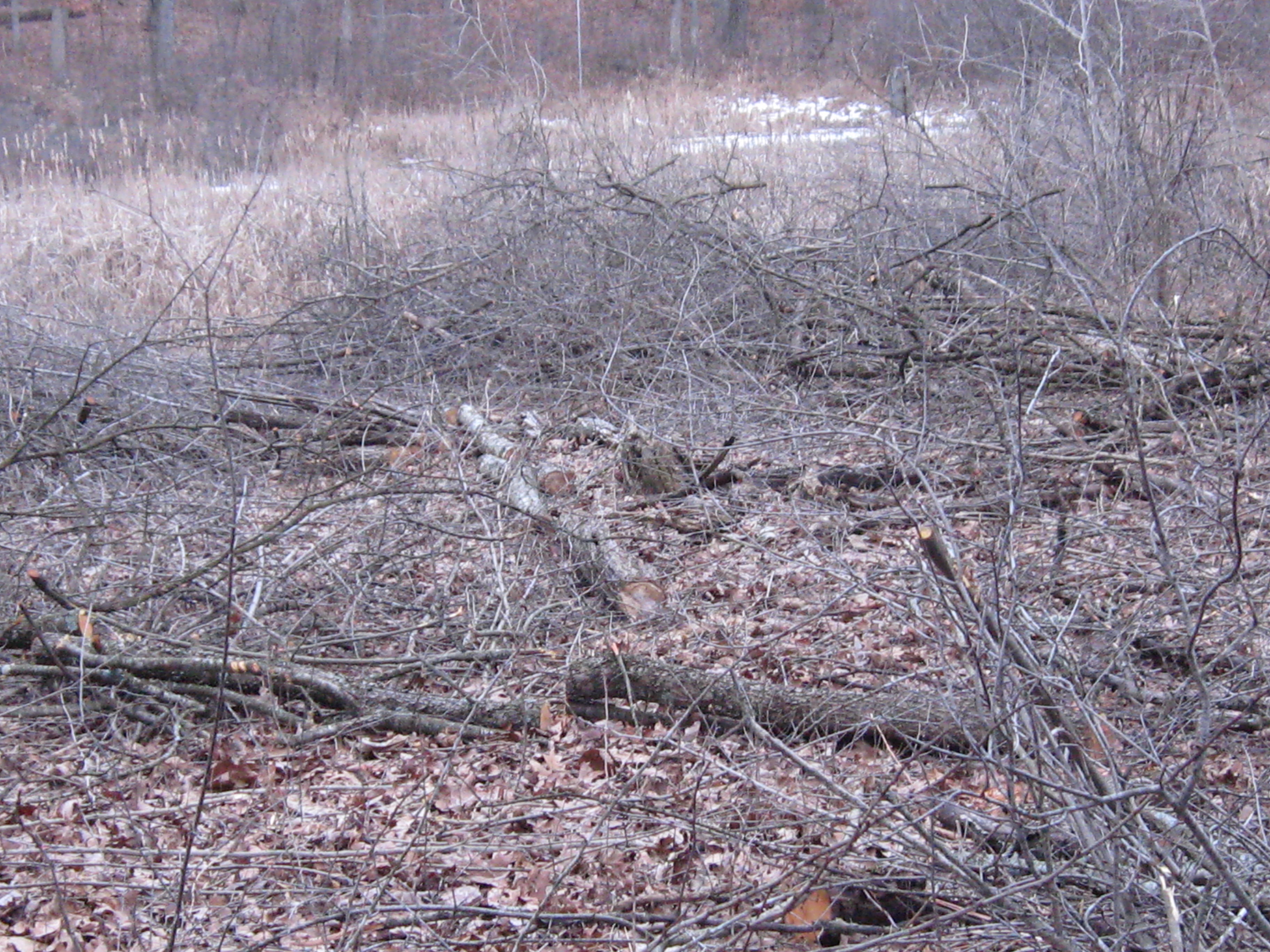
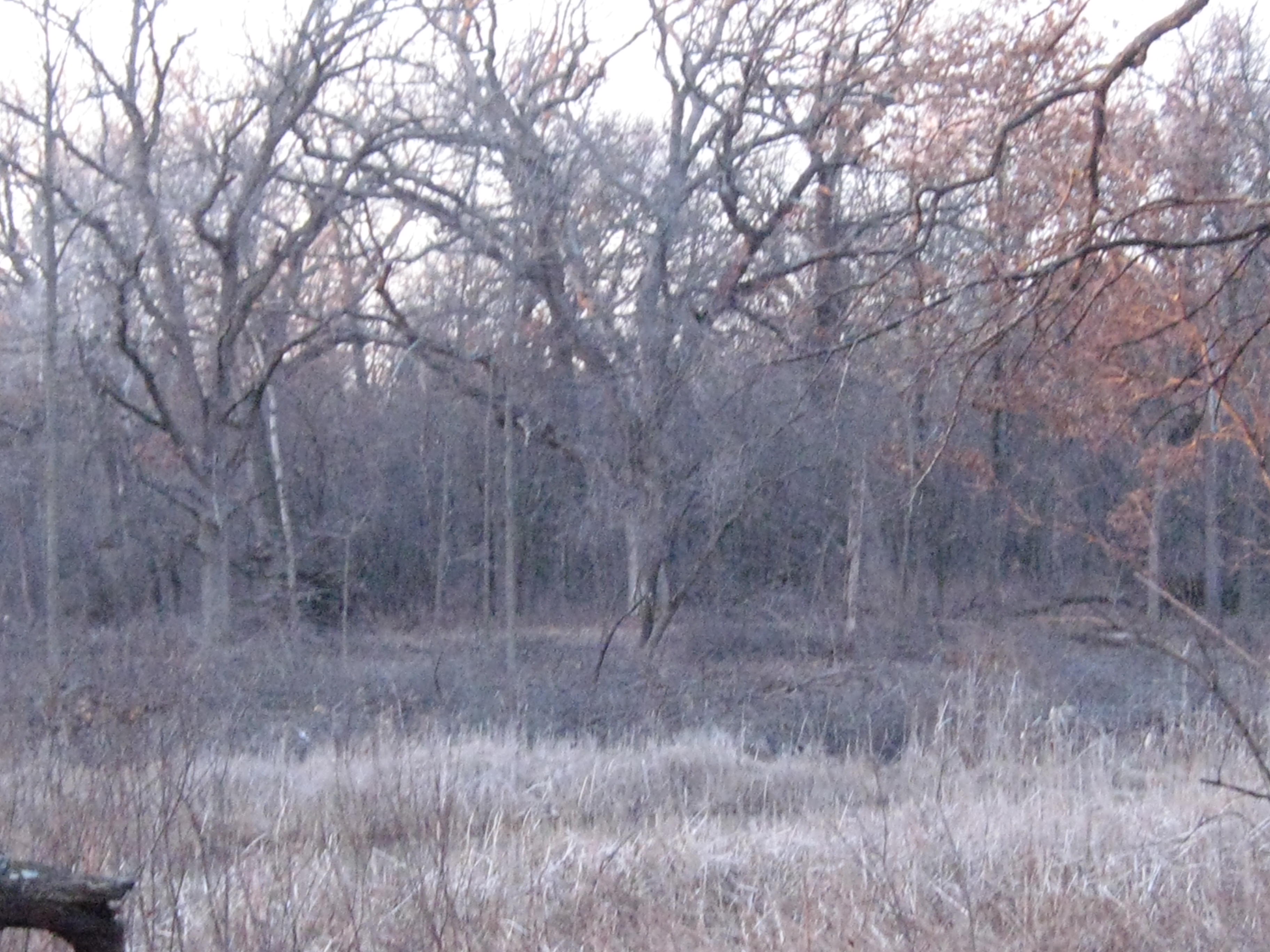
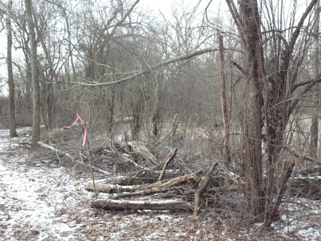
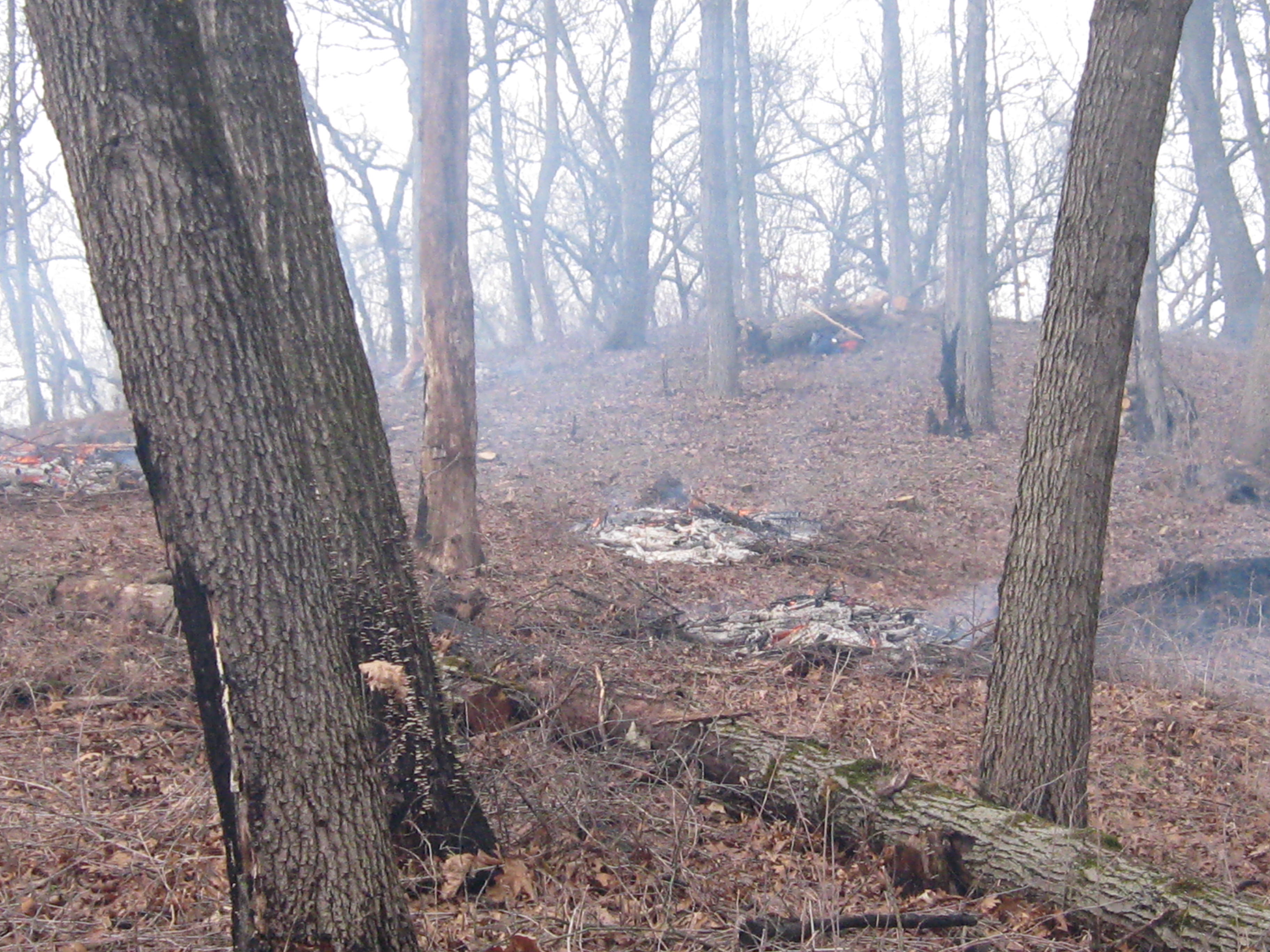
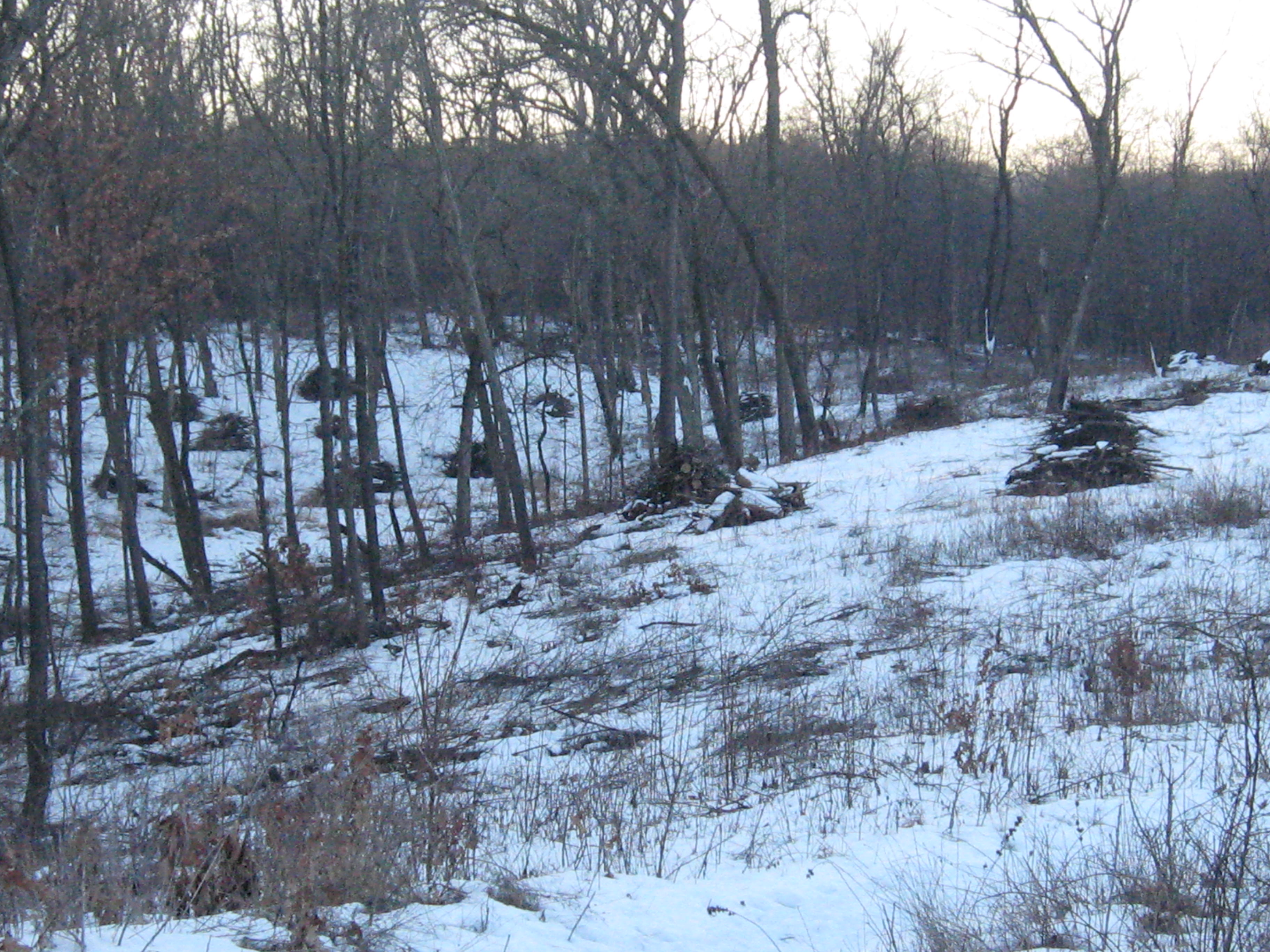
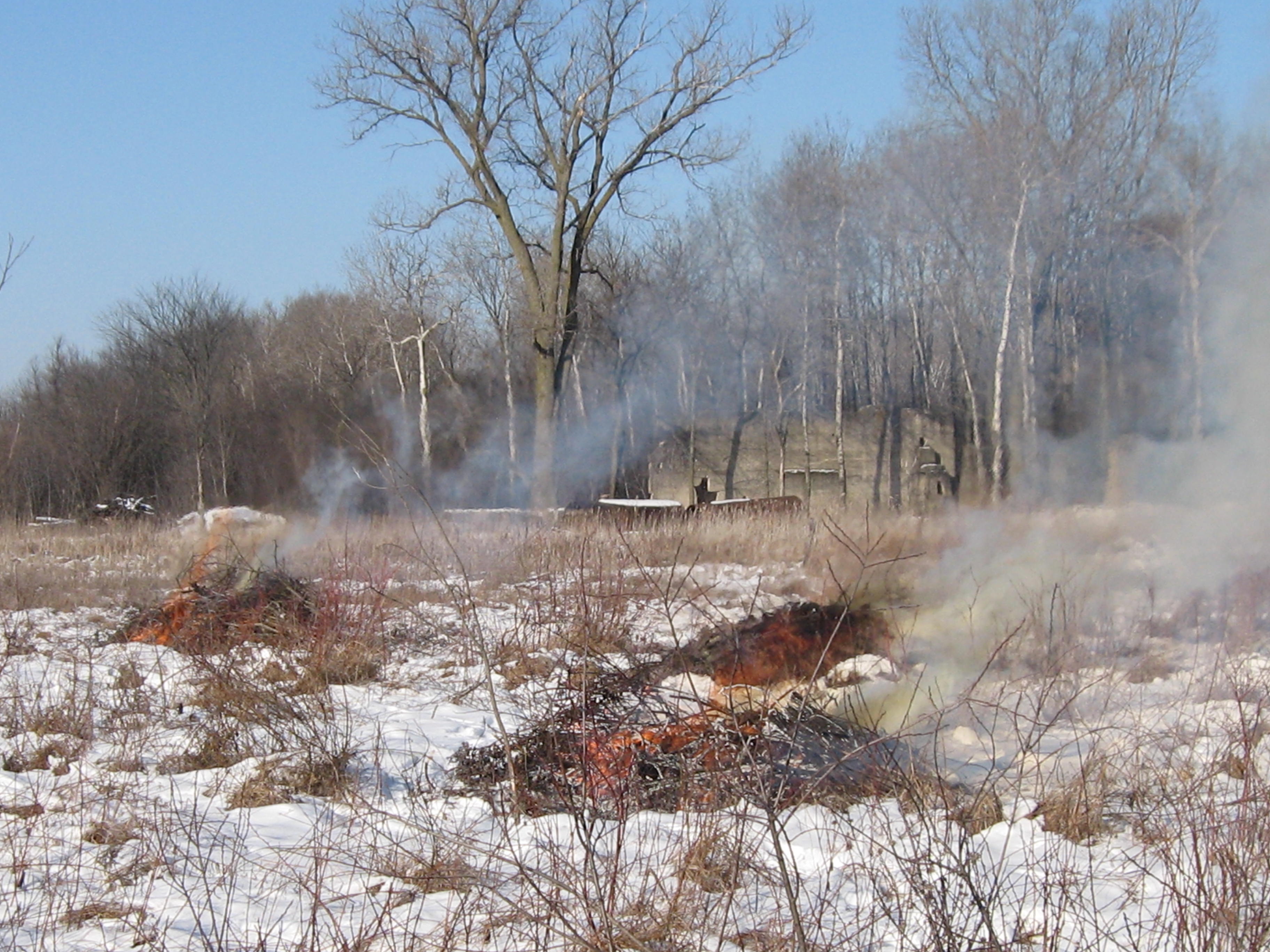
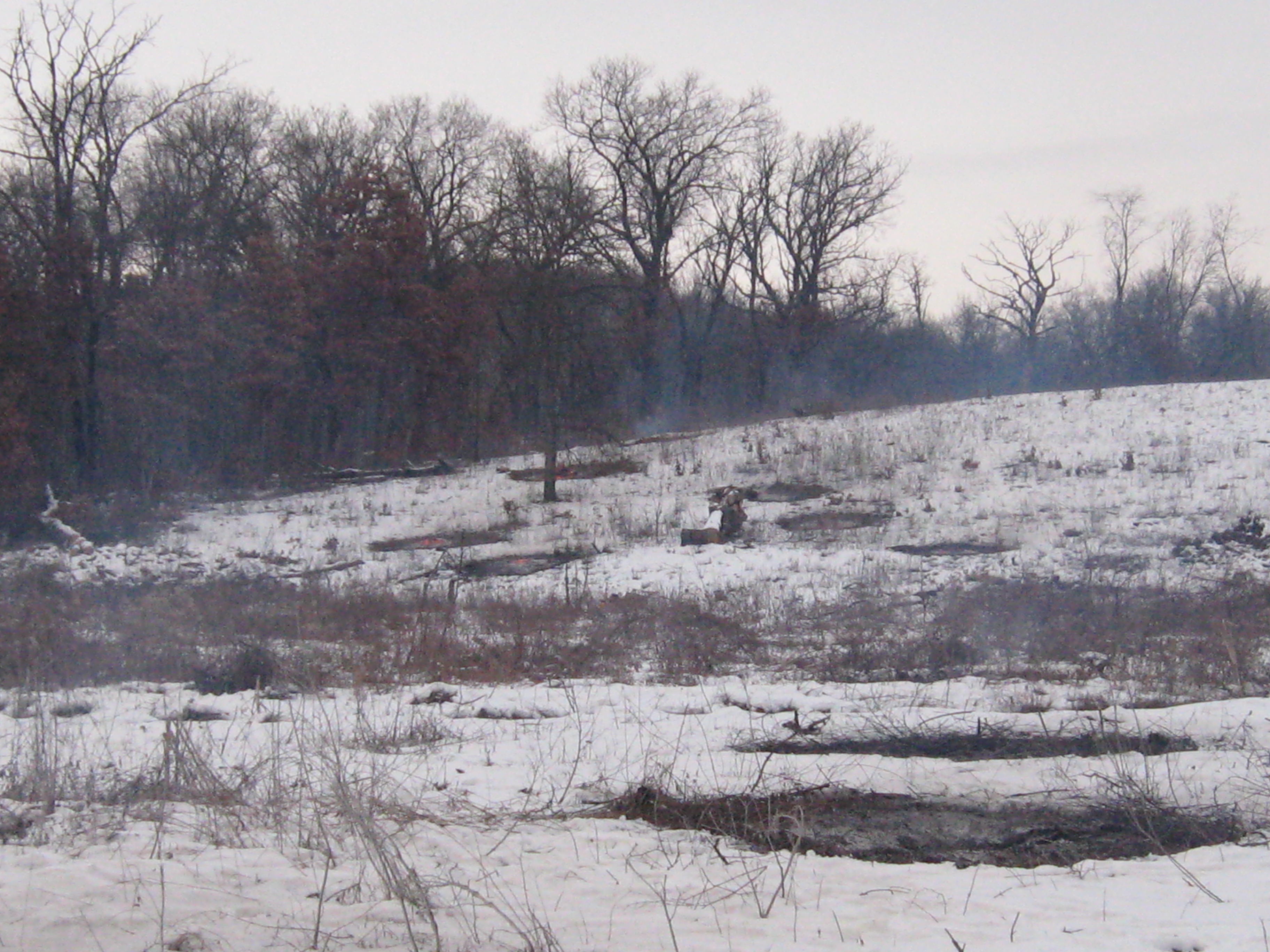
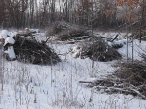
Every season is beautiful at the Scuppernong Springs.  I’ve been looking forward to the snow because it covers the scars we have left with all of our cutting and burning.  They will be healed by the spring, but until then, its nice that they are covered with a blanket of snow.

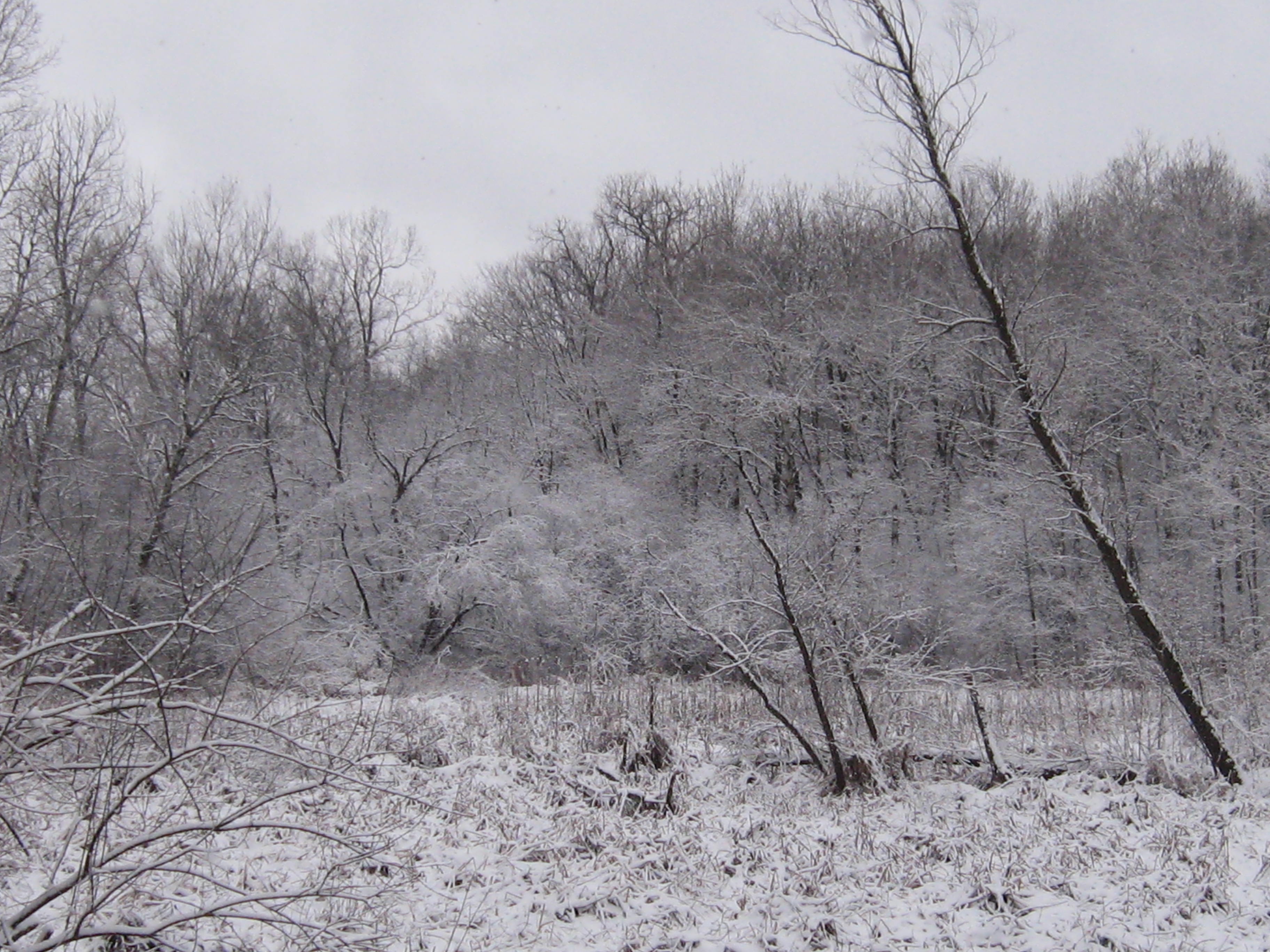
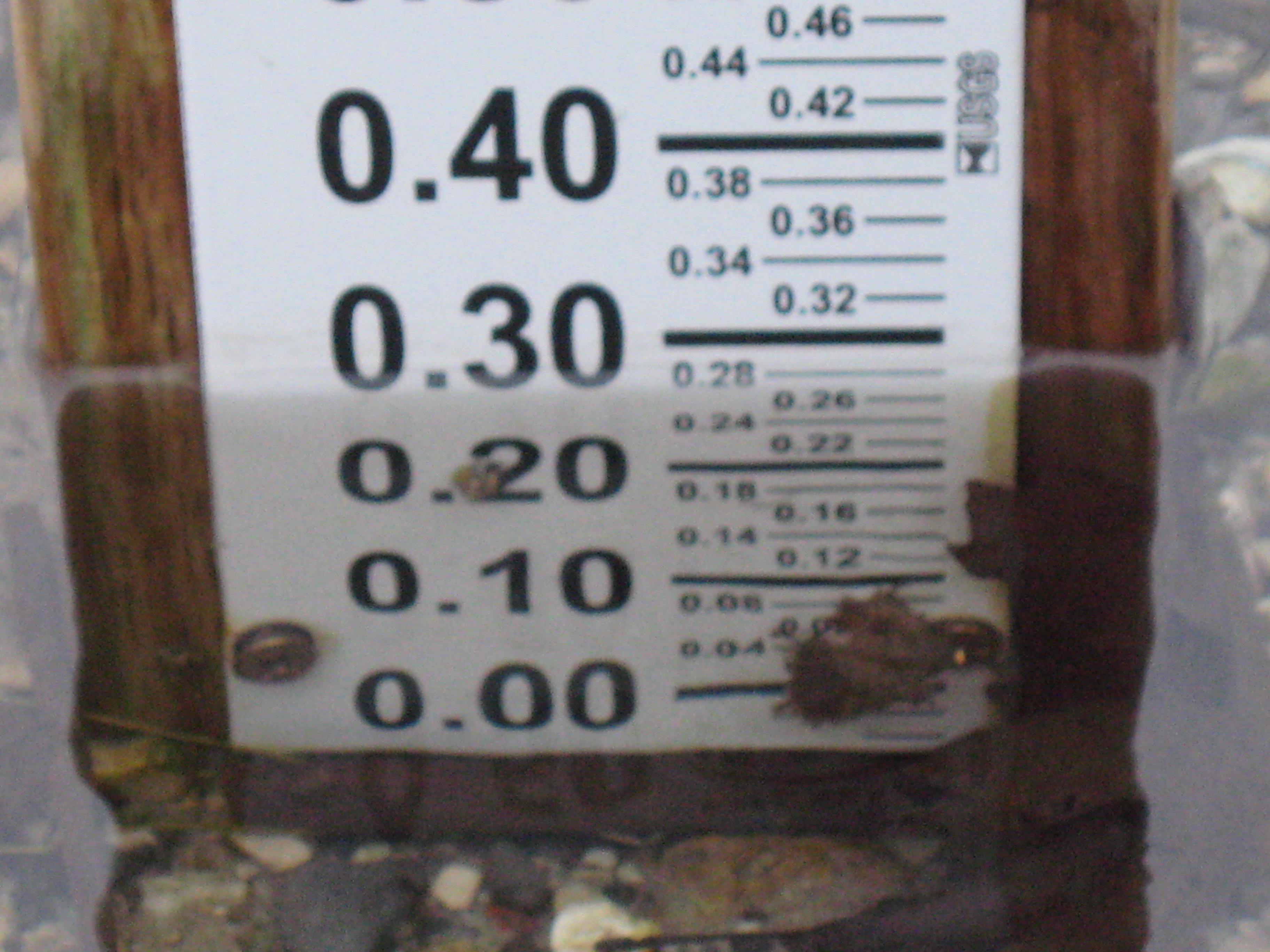
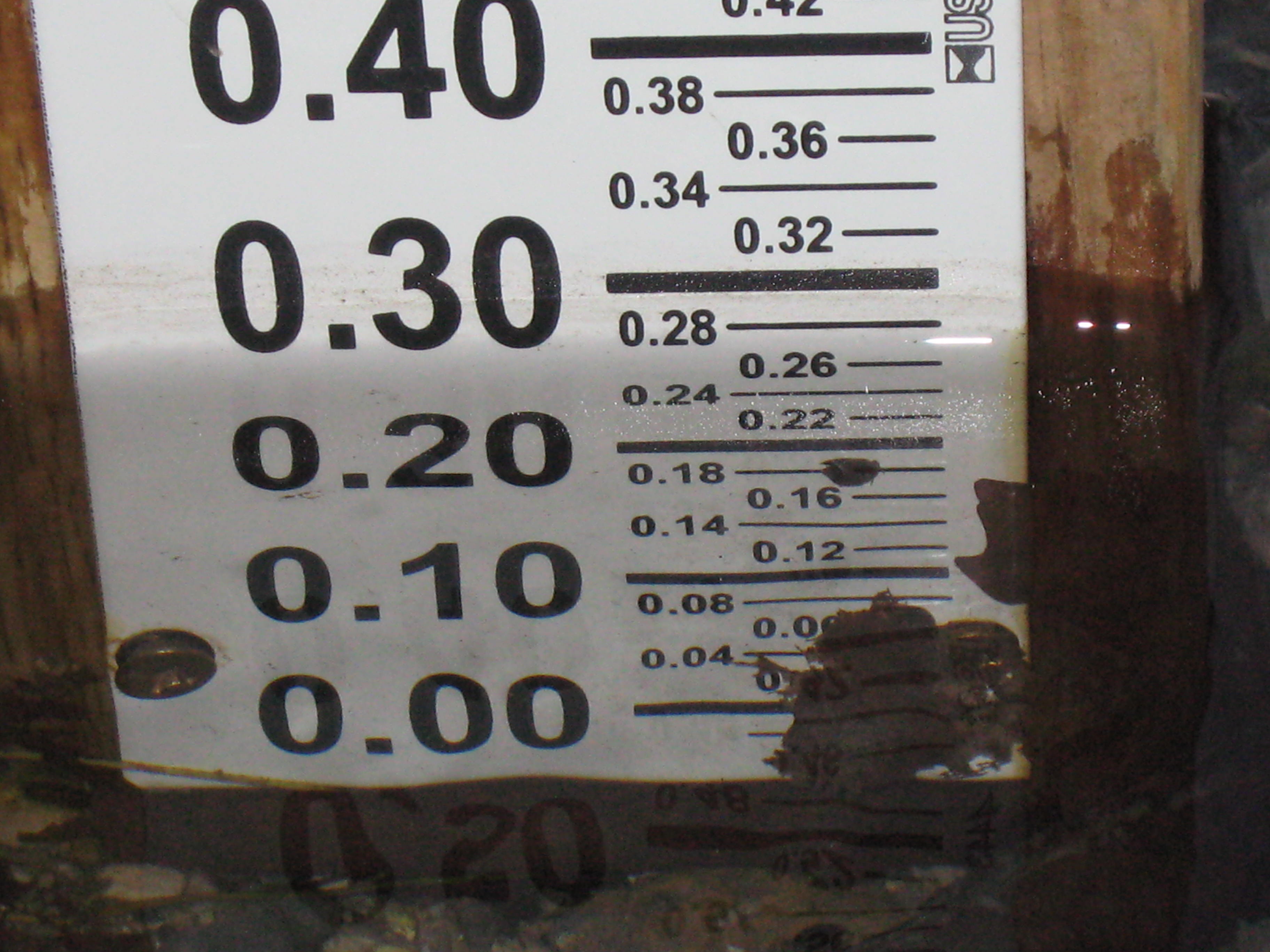
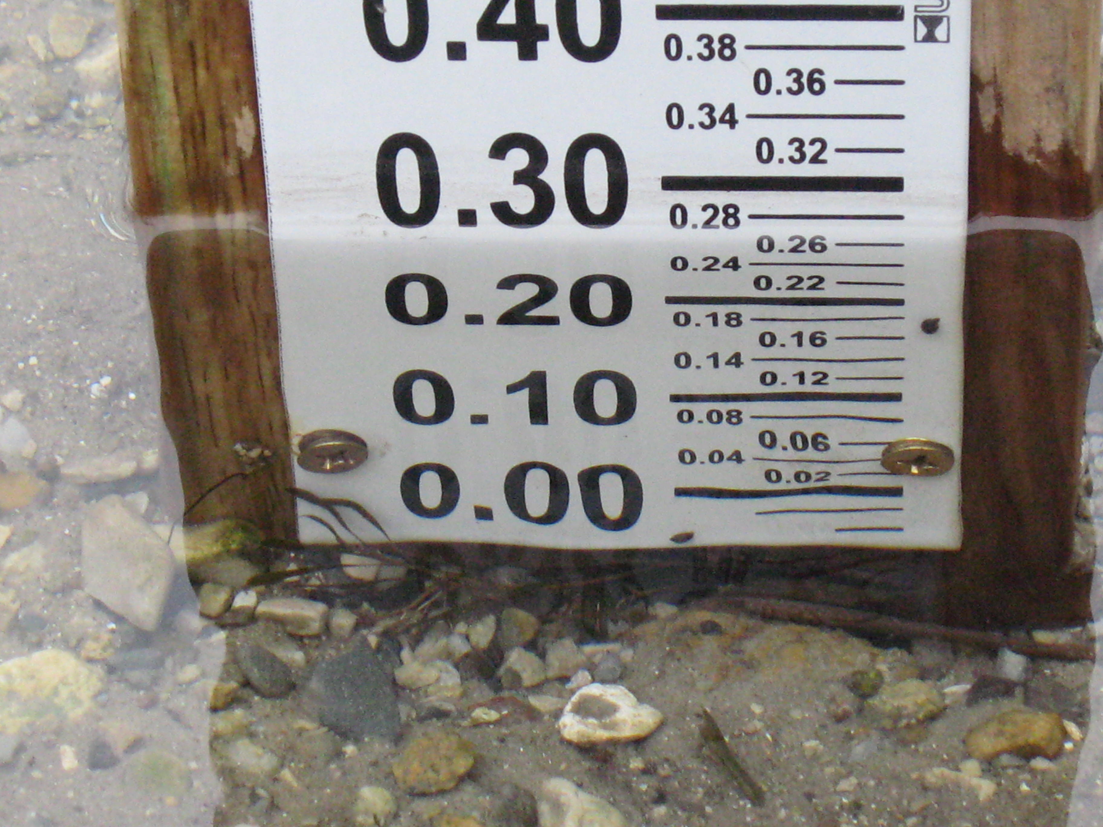
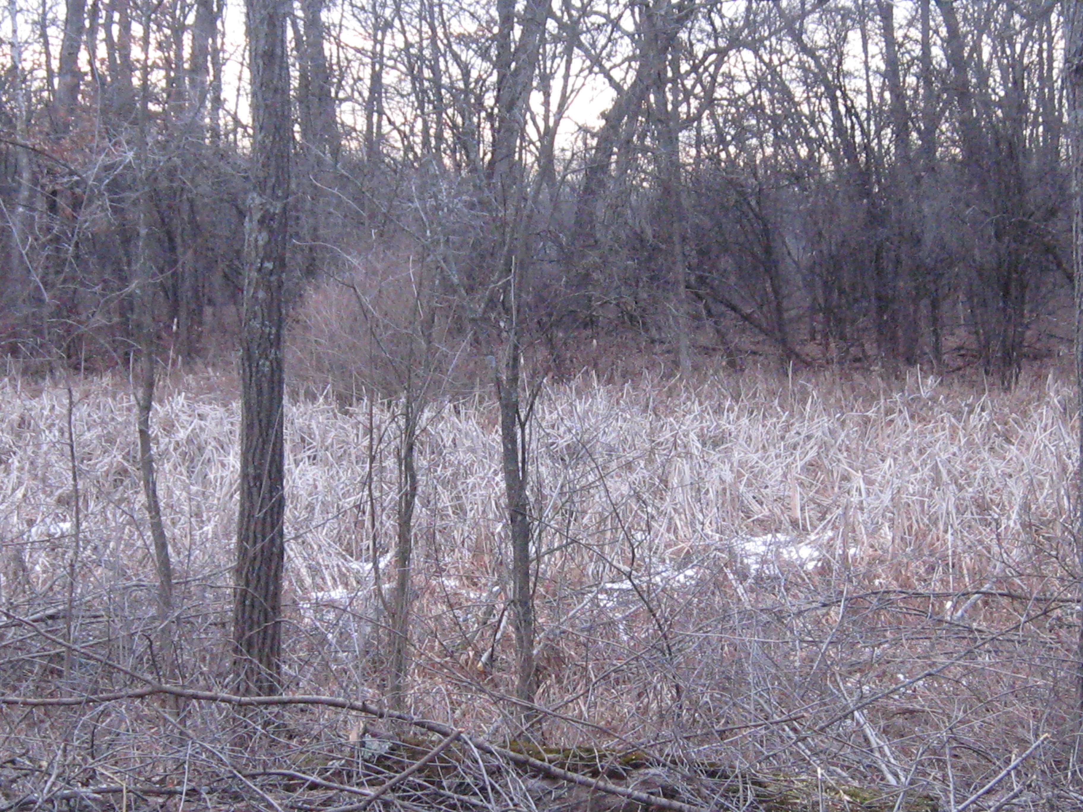
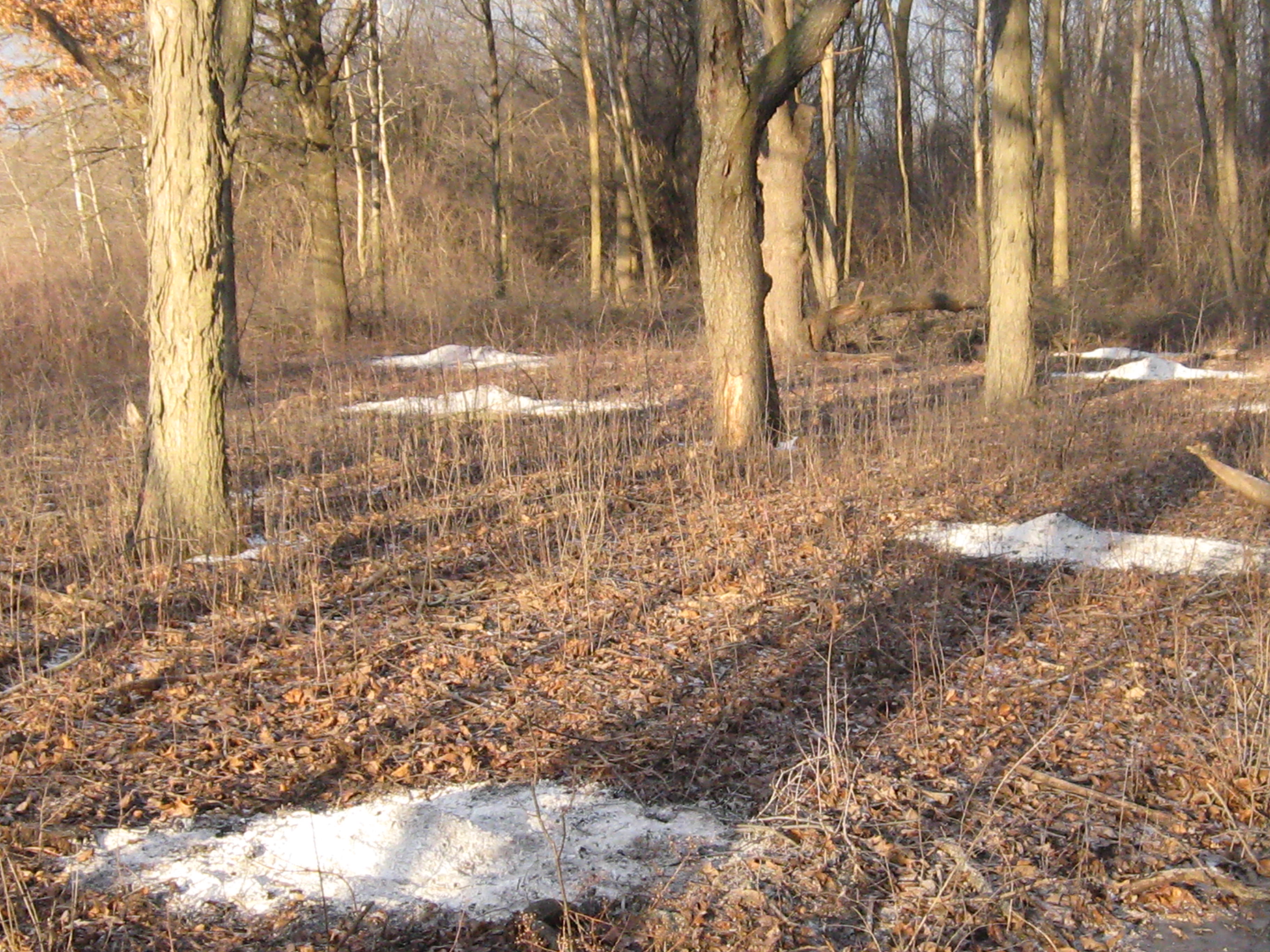
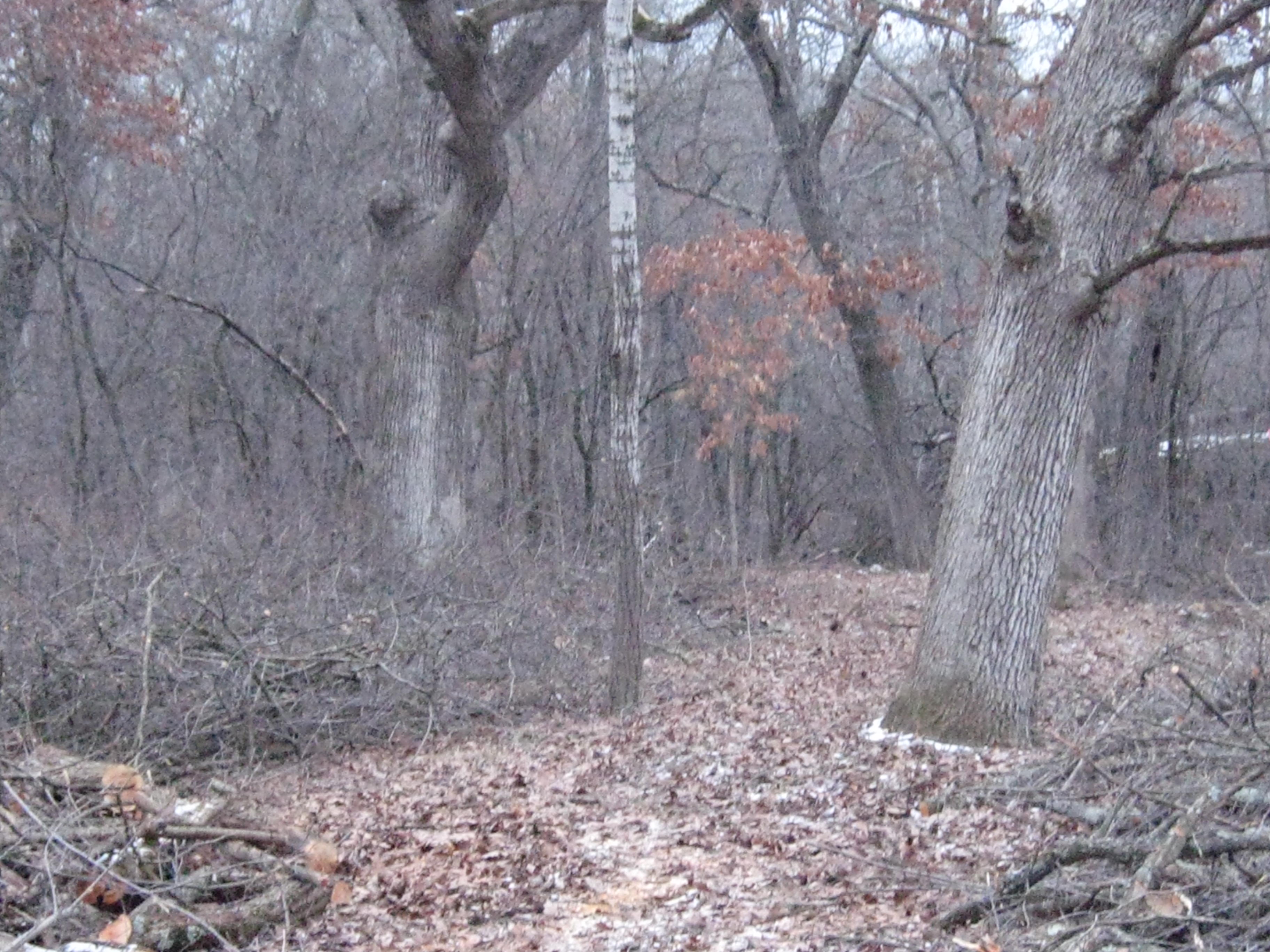
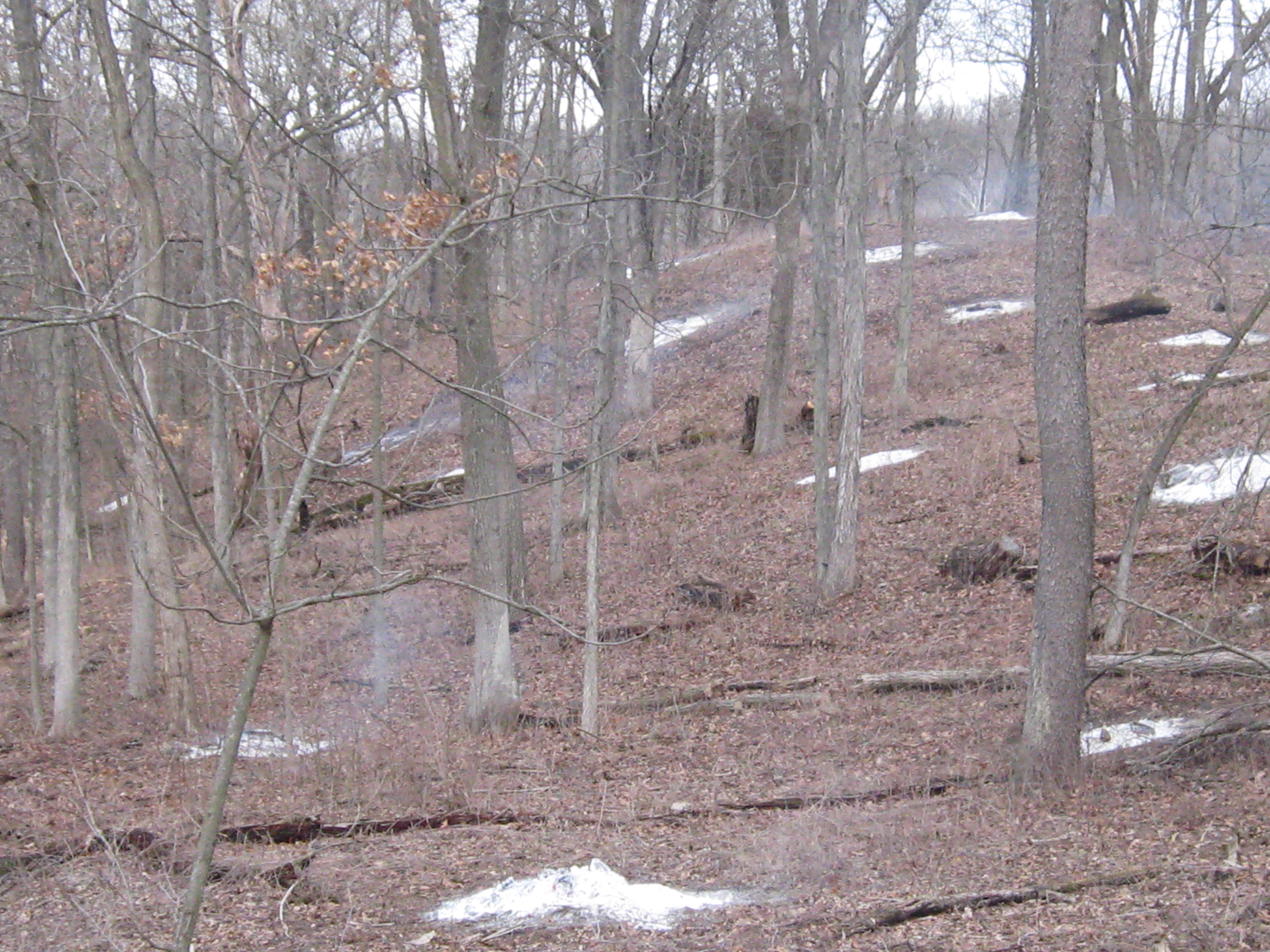
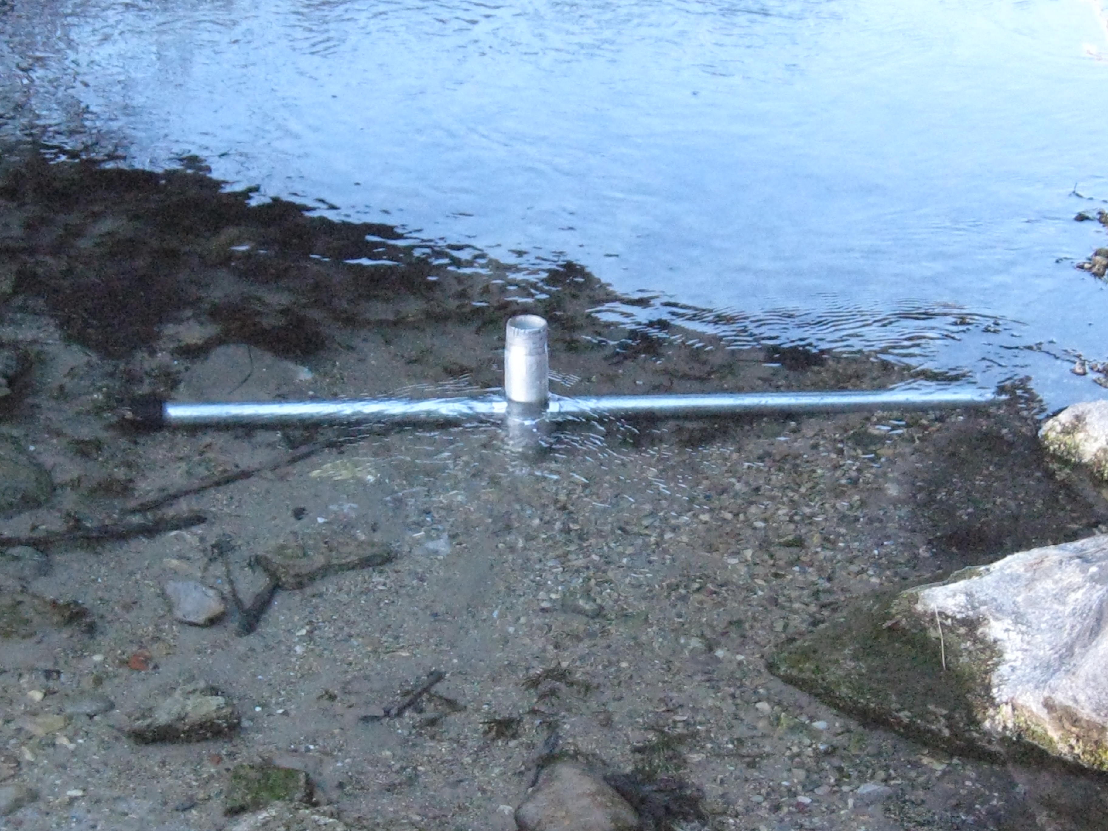
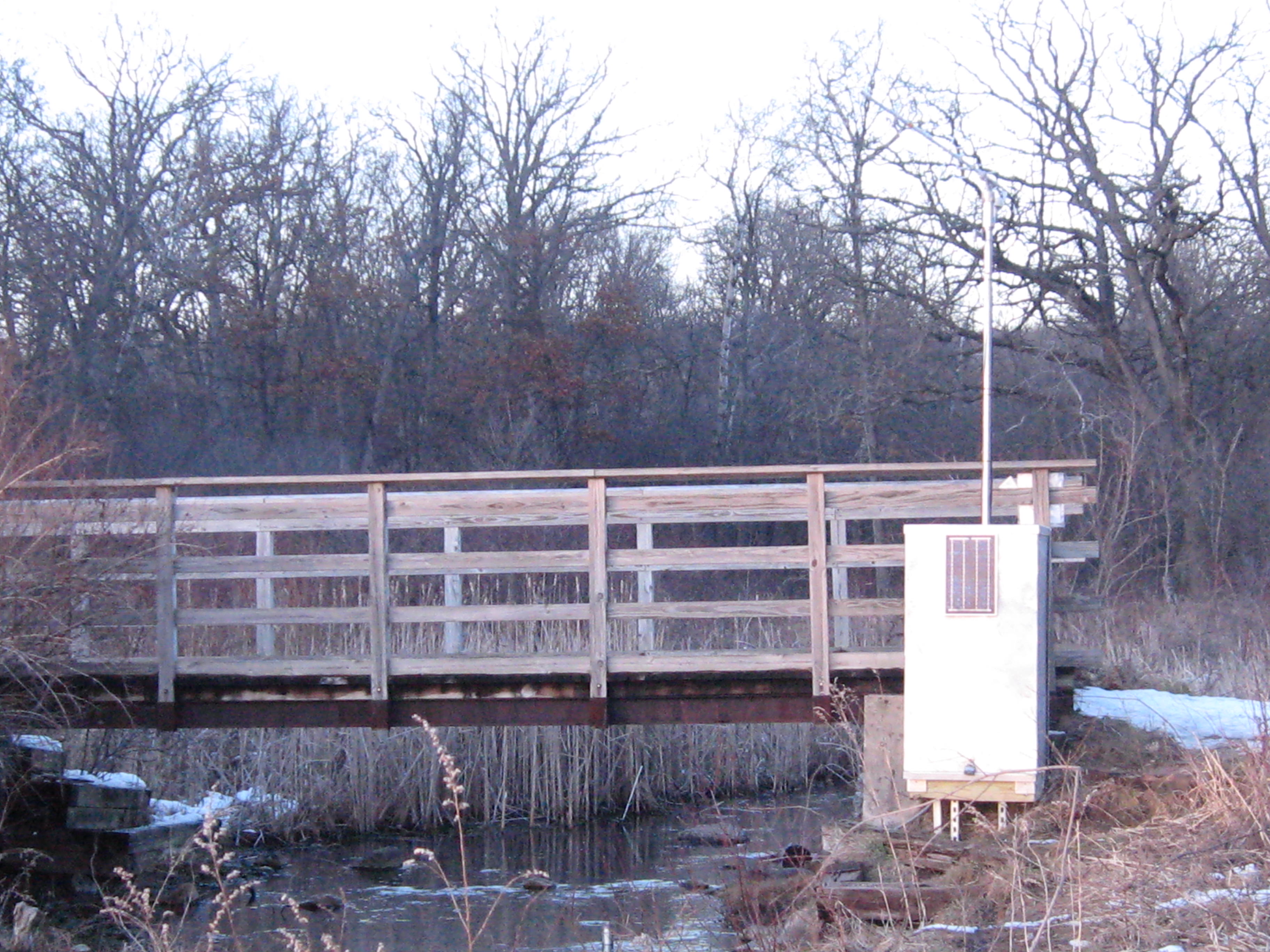
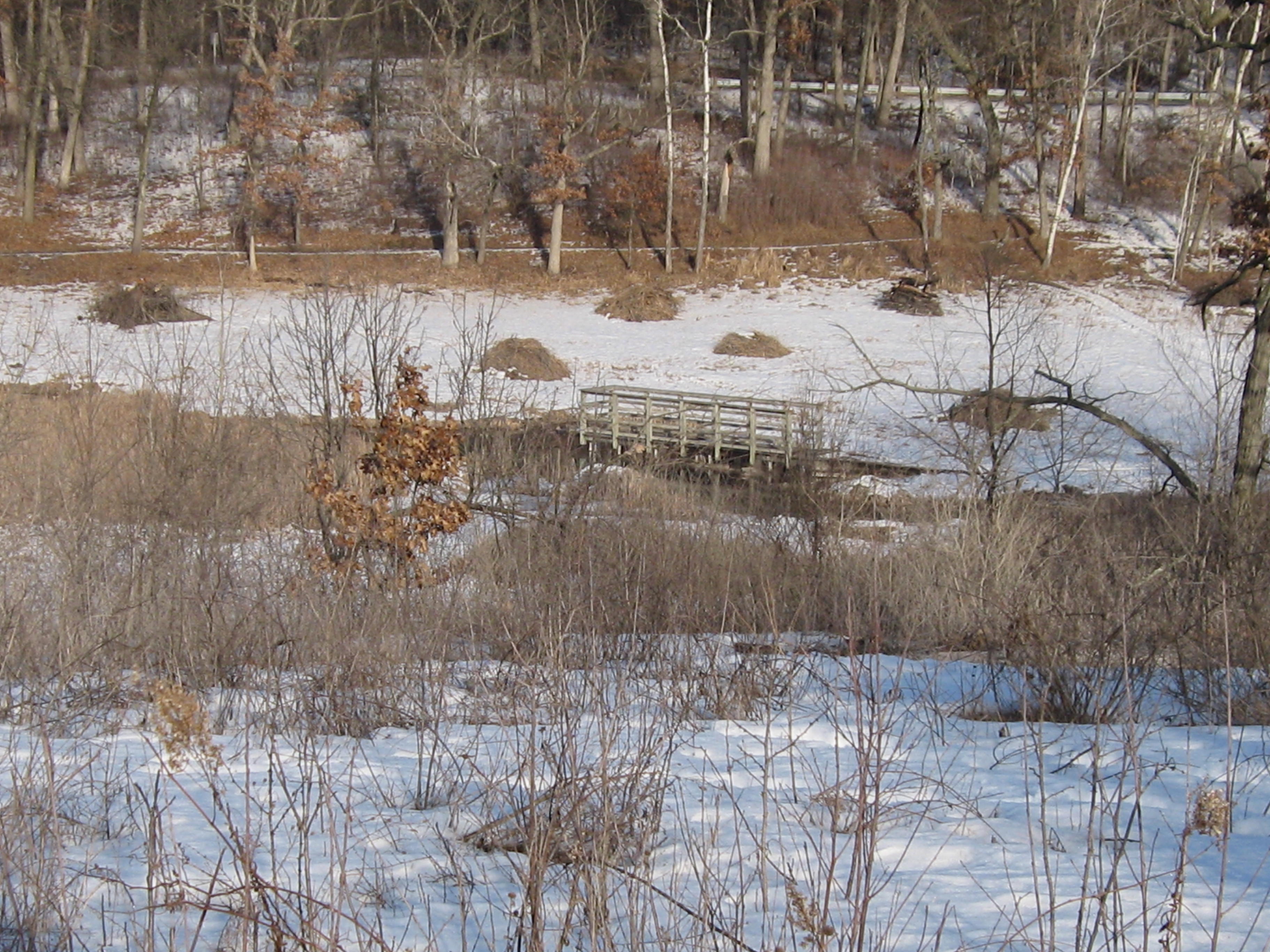
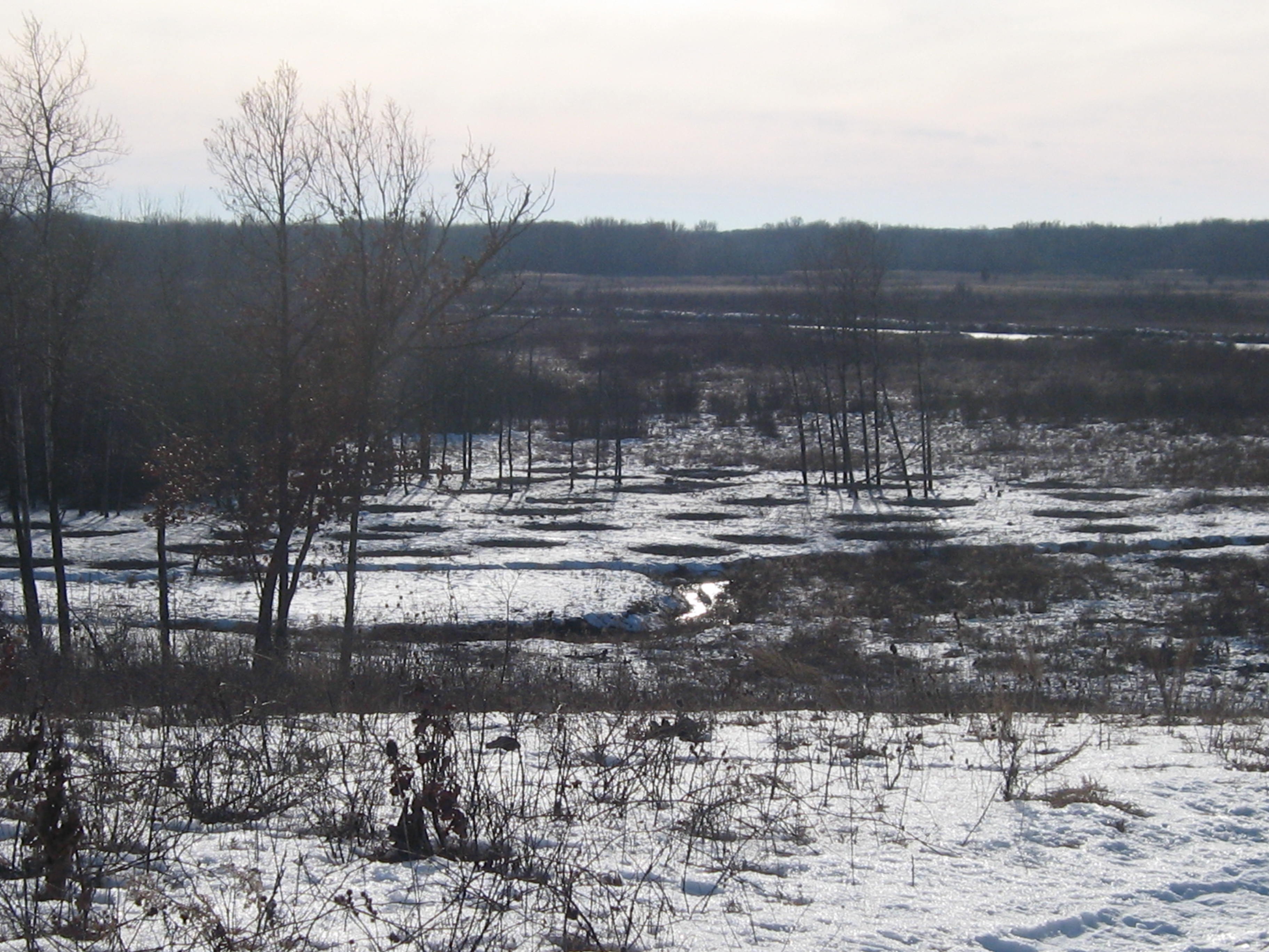
Here is the view of the worksite on the cut-off trail from the bridge over the Scuppernong River where the water flow gauge was recently installed.

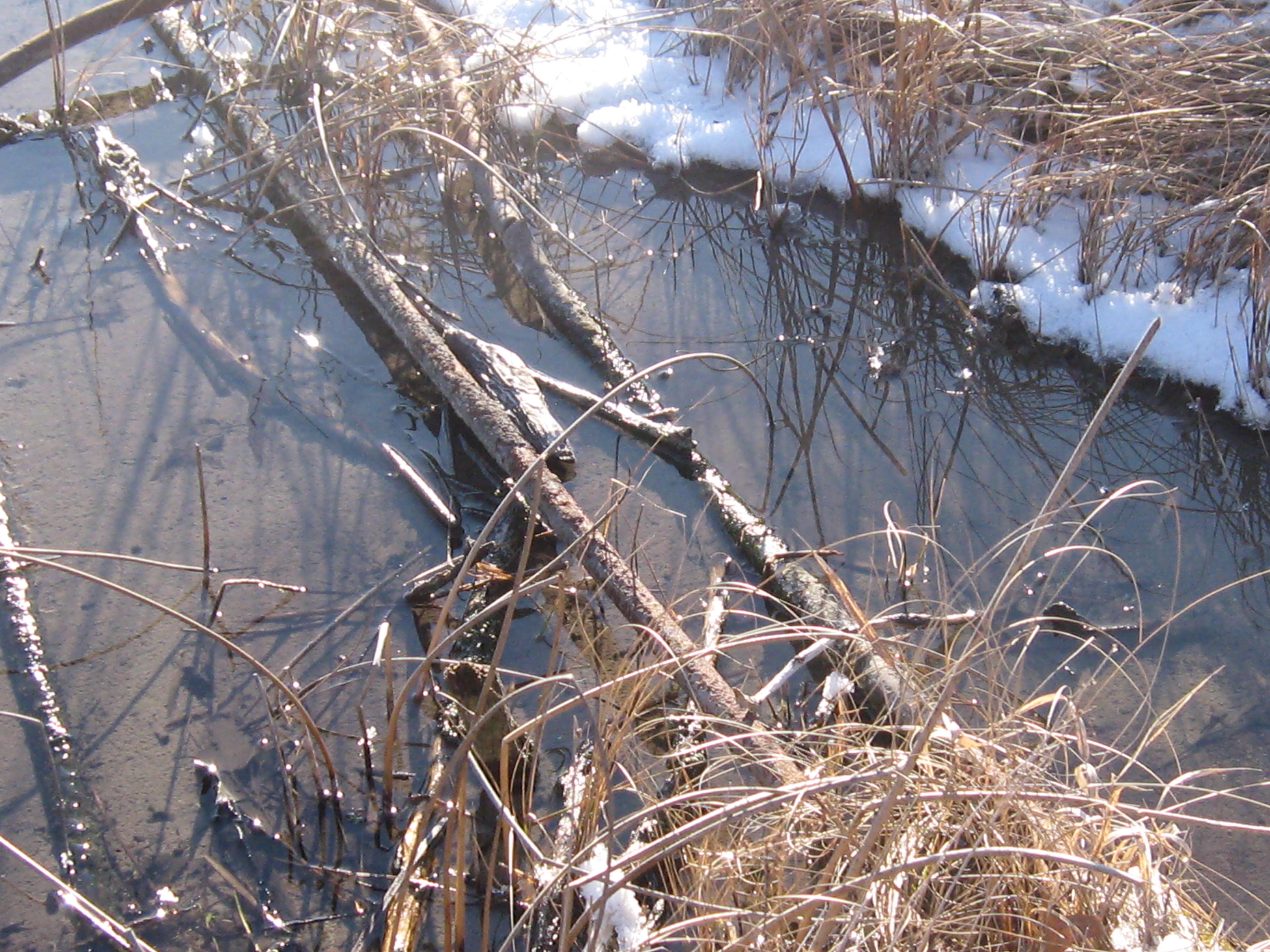
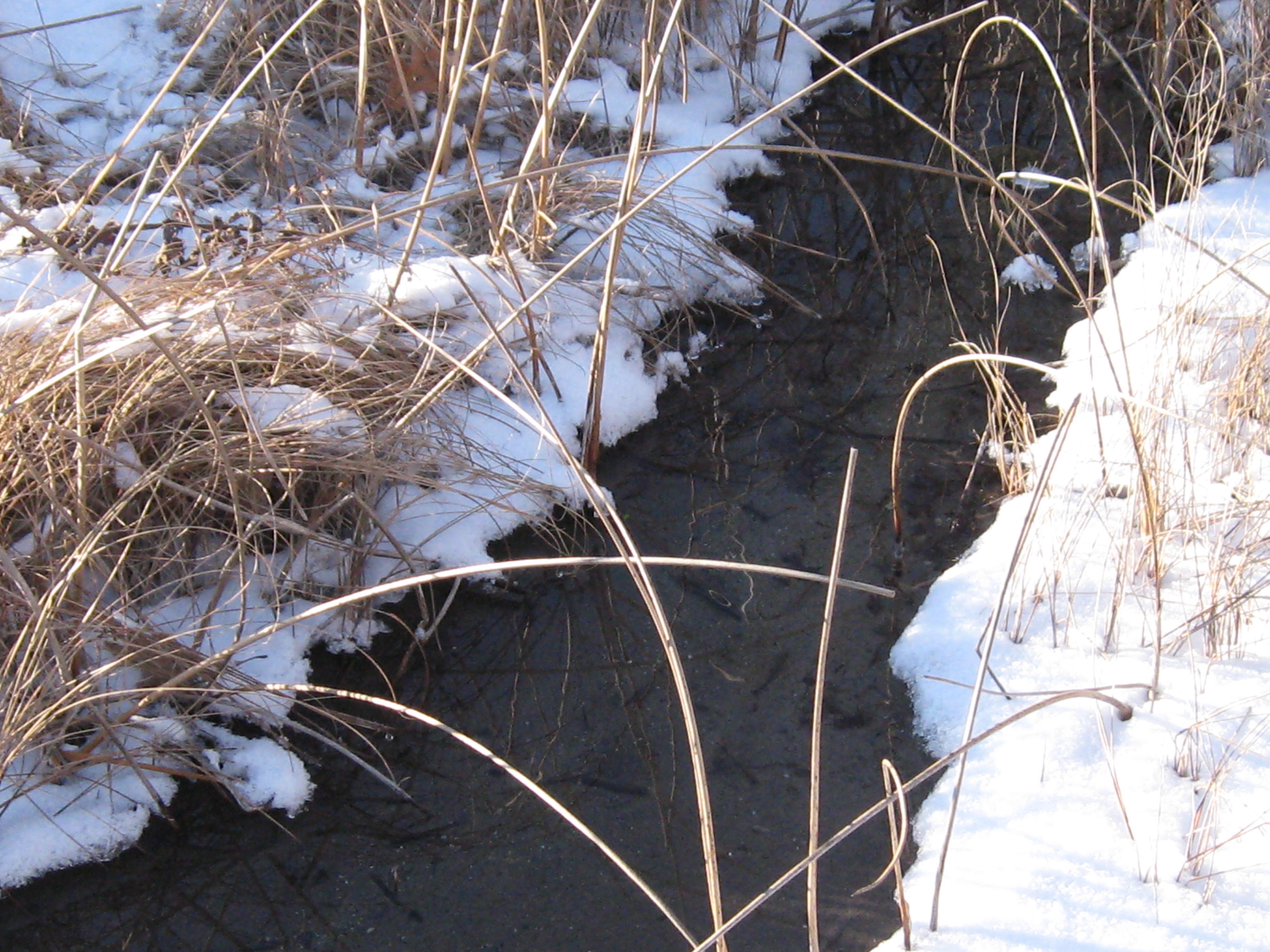
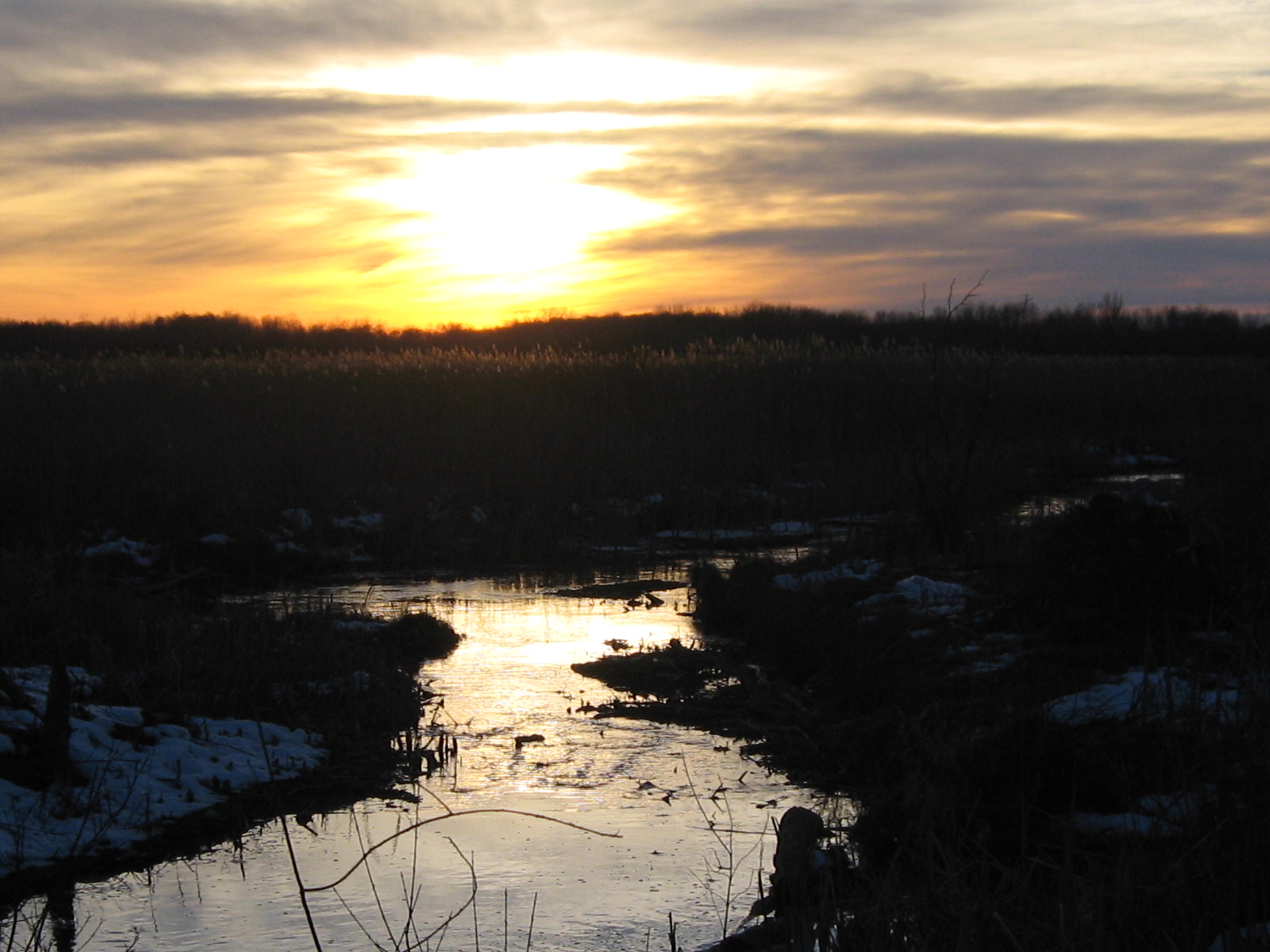
I took the next three videos on my way to get some drinking water for the day at the Hotel Springs.  The river takes on a special character when framed with snow.

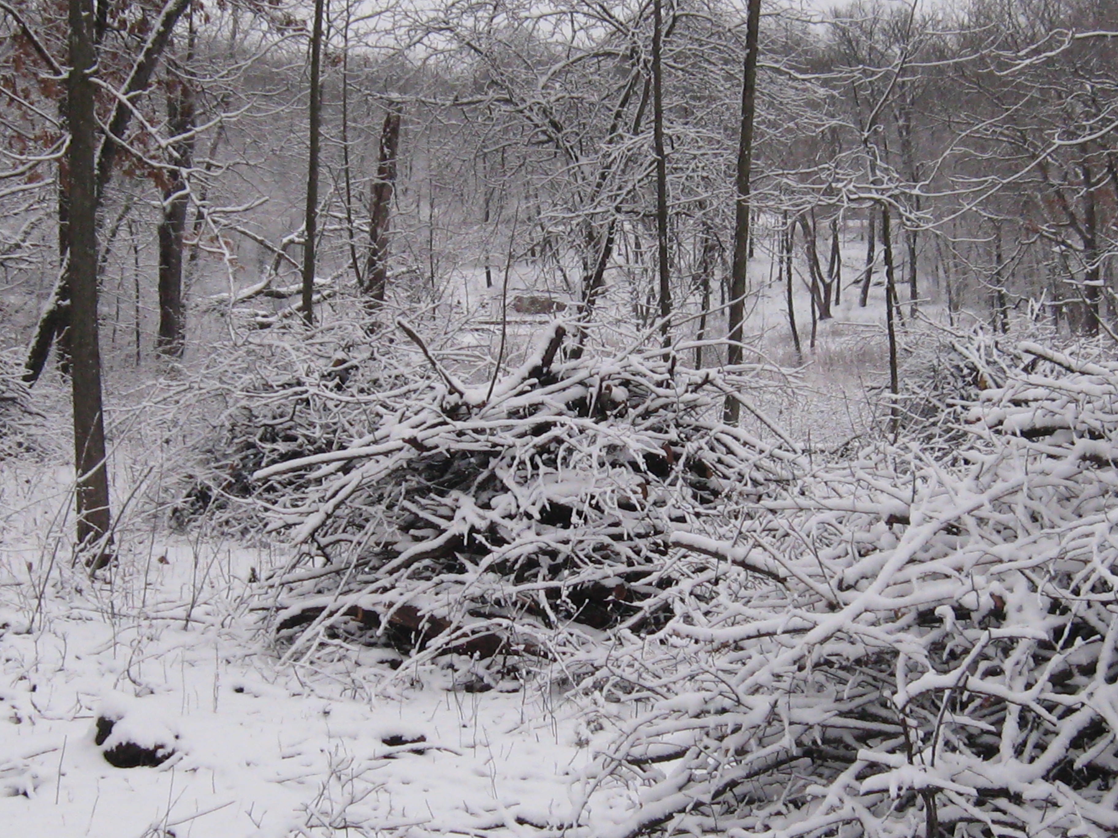
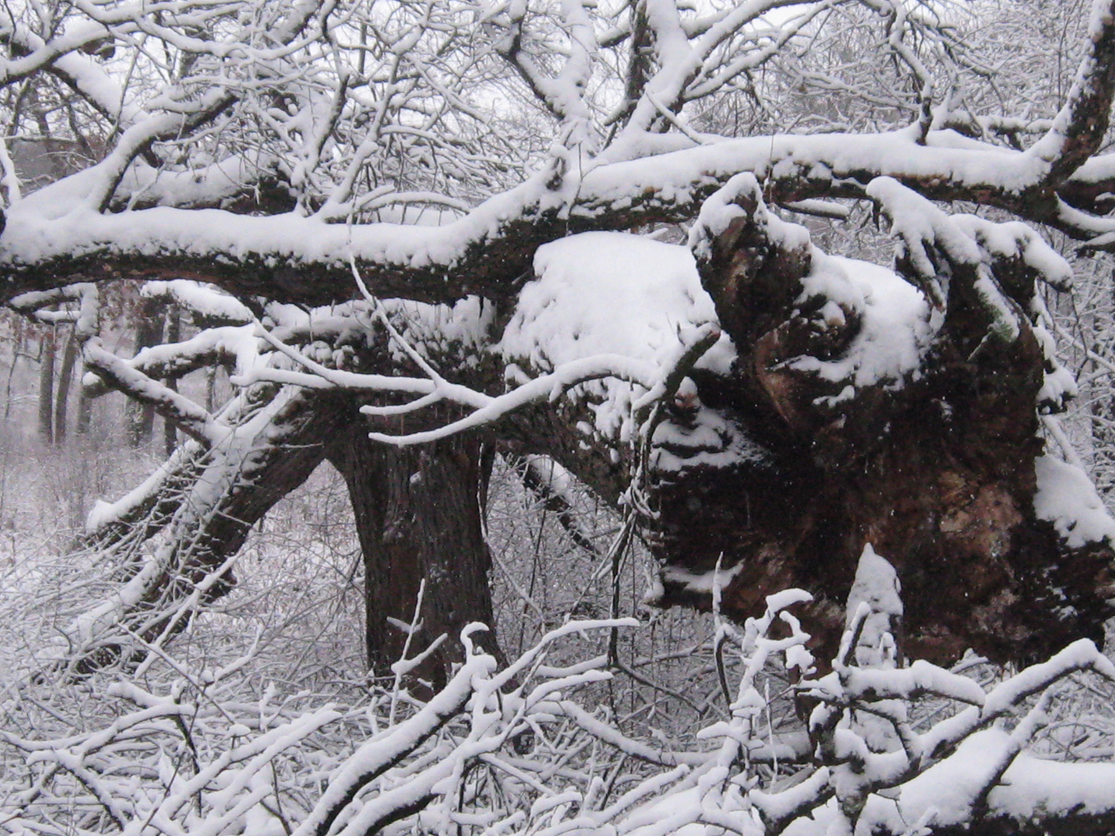
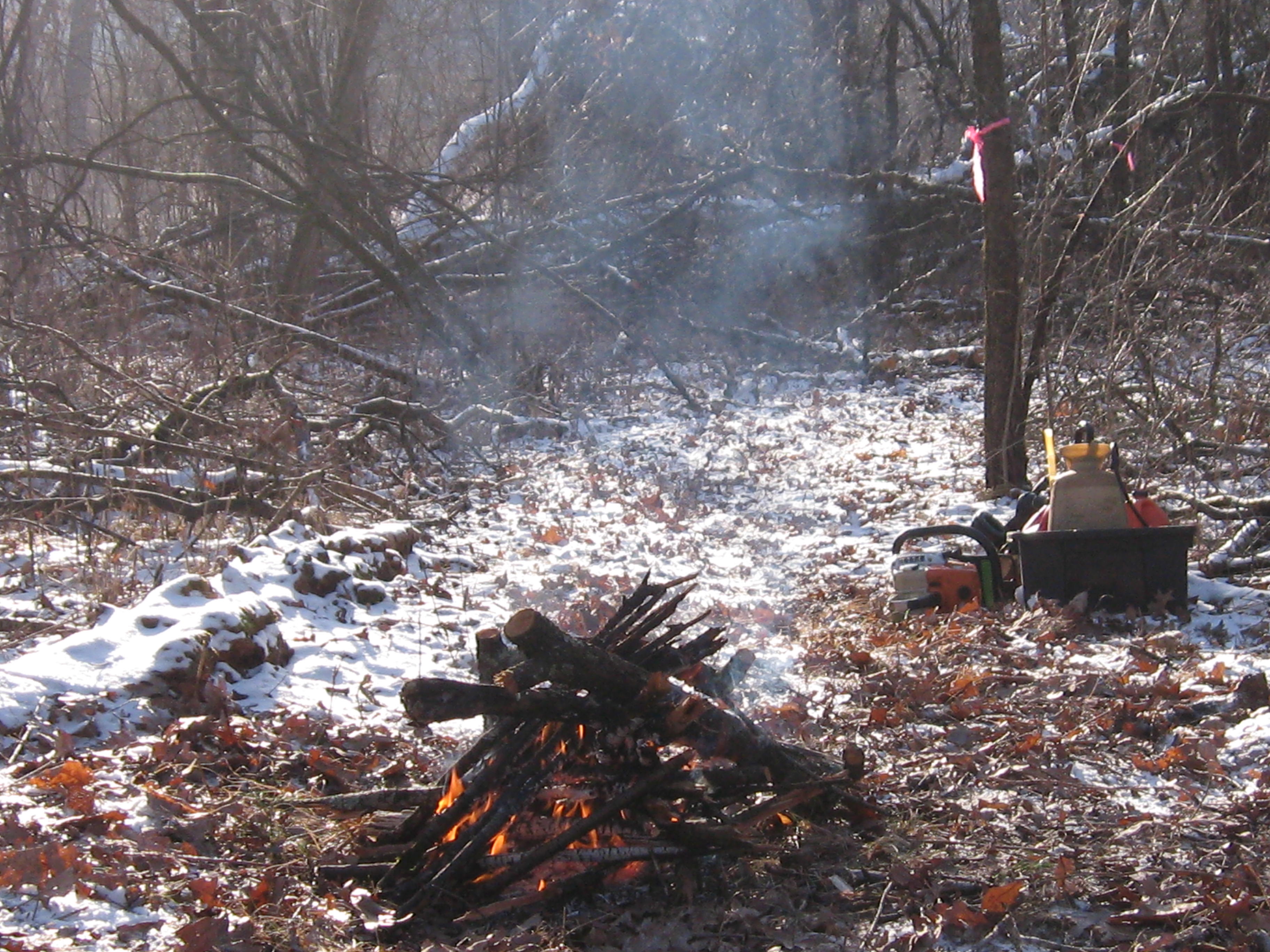
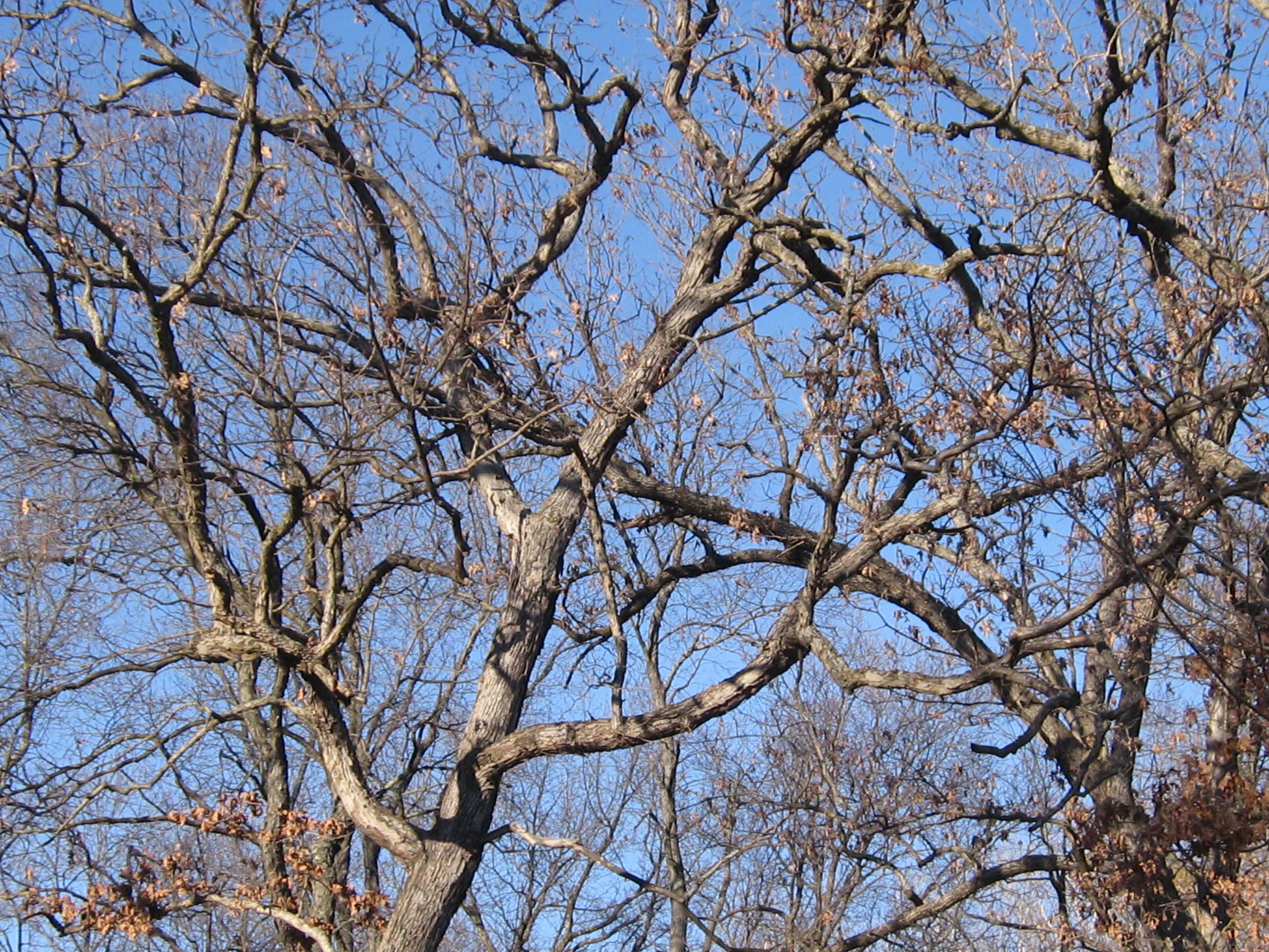
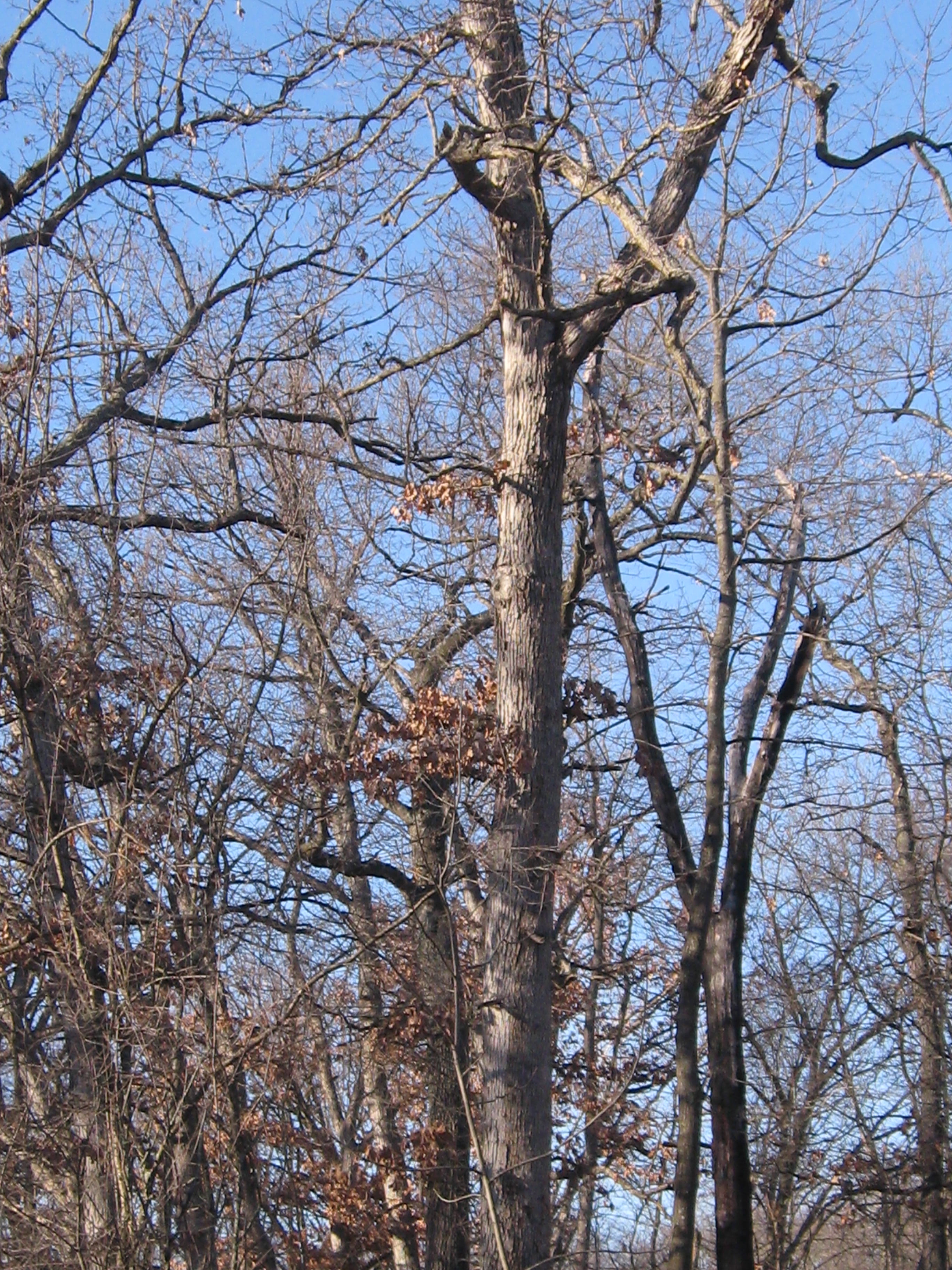
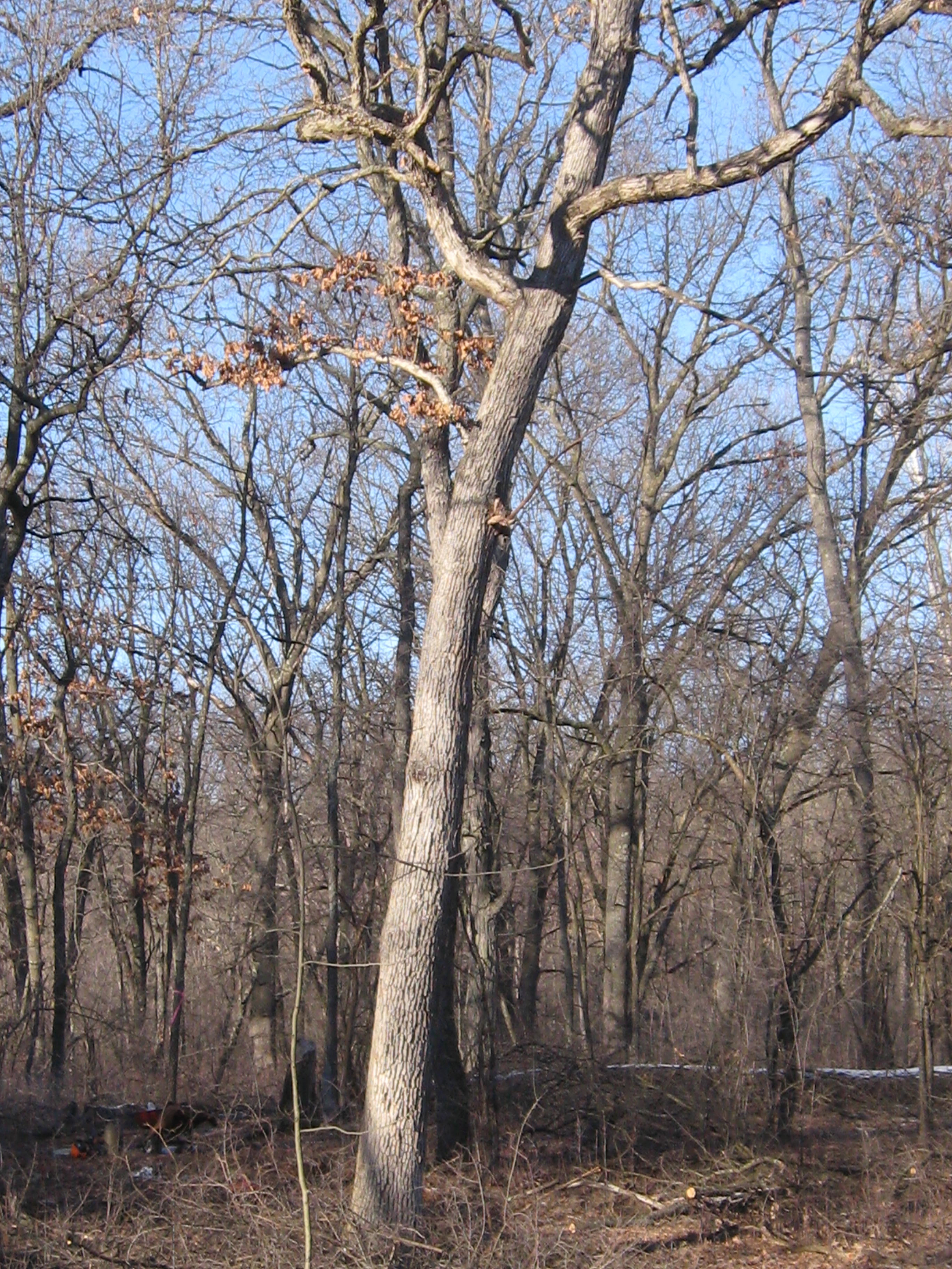
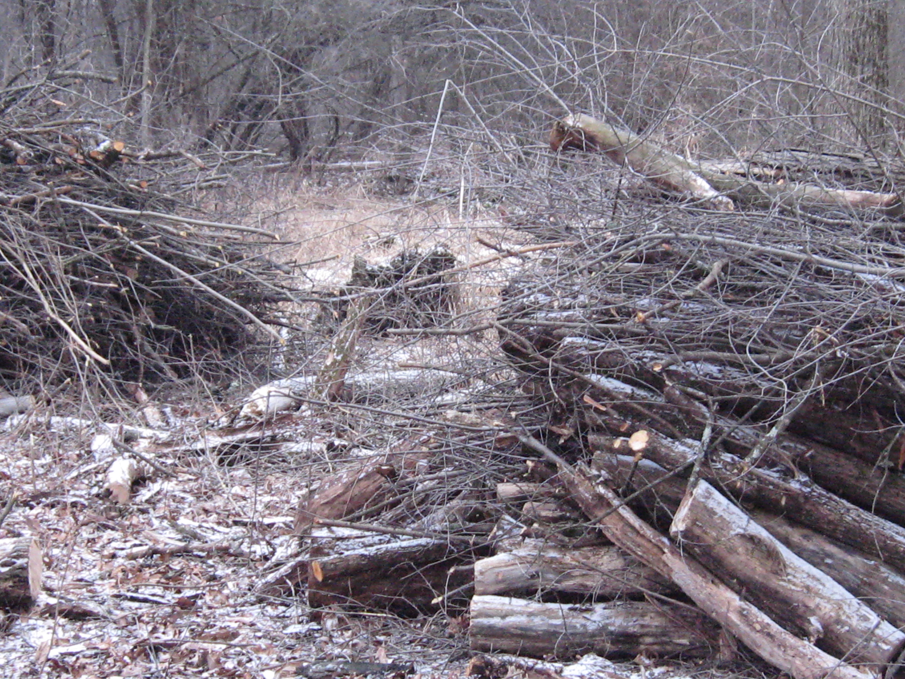
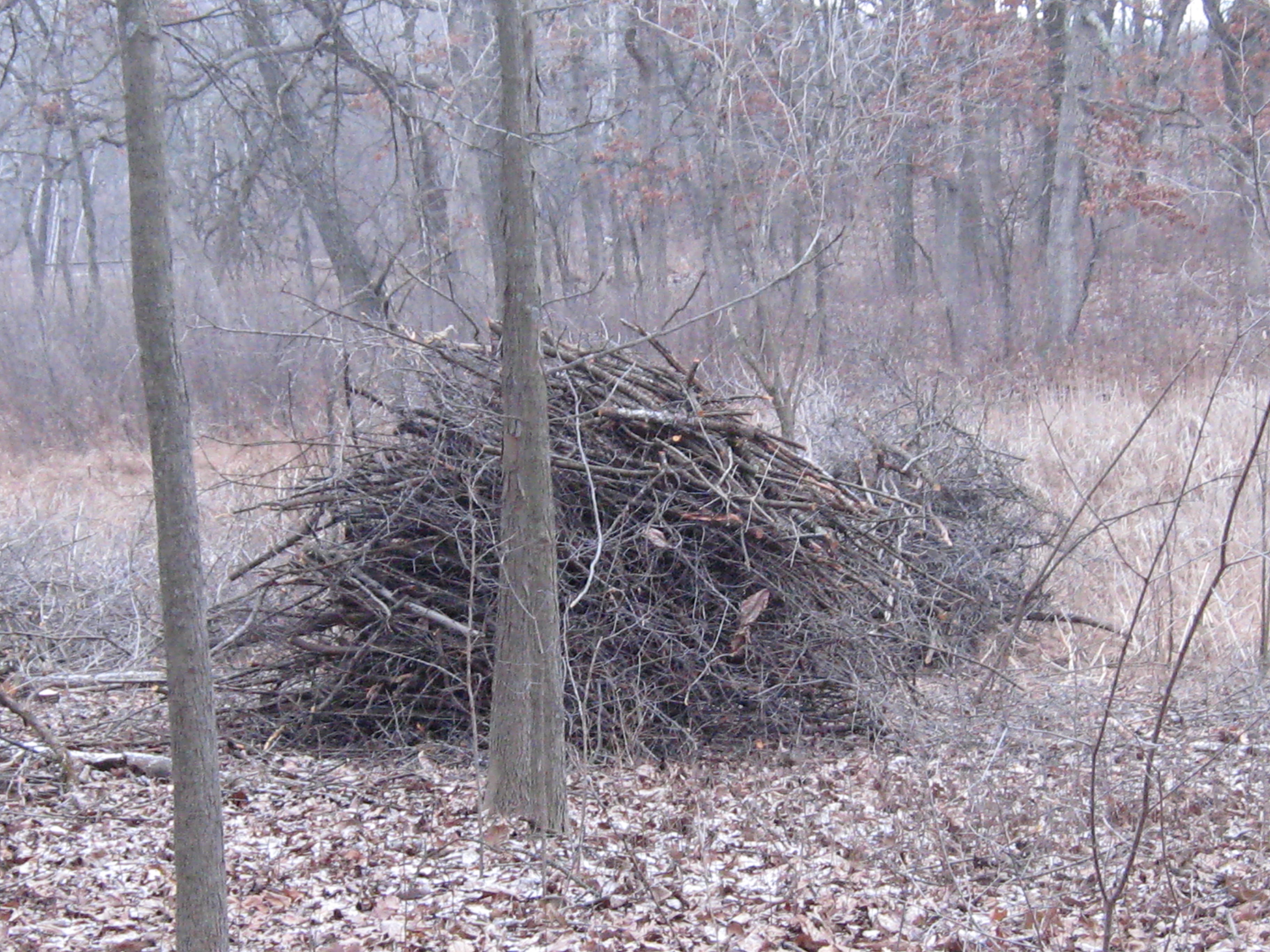
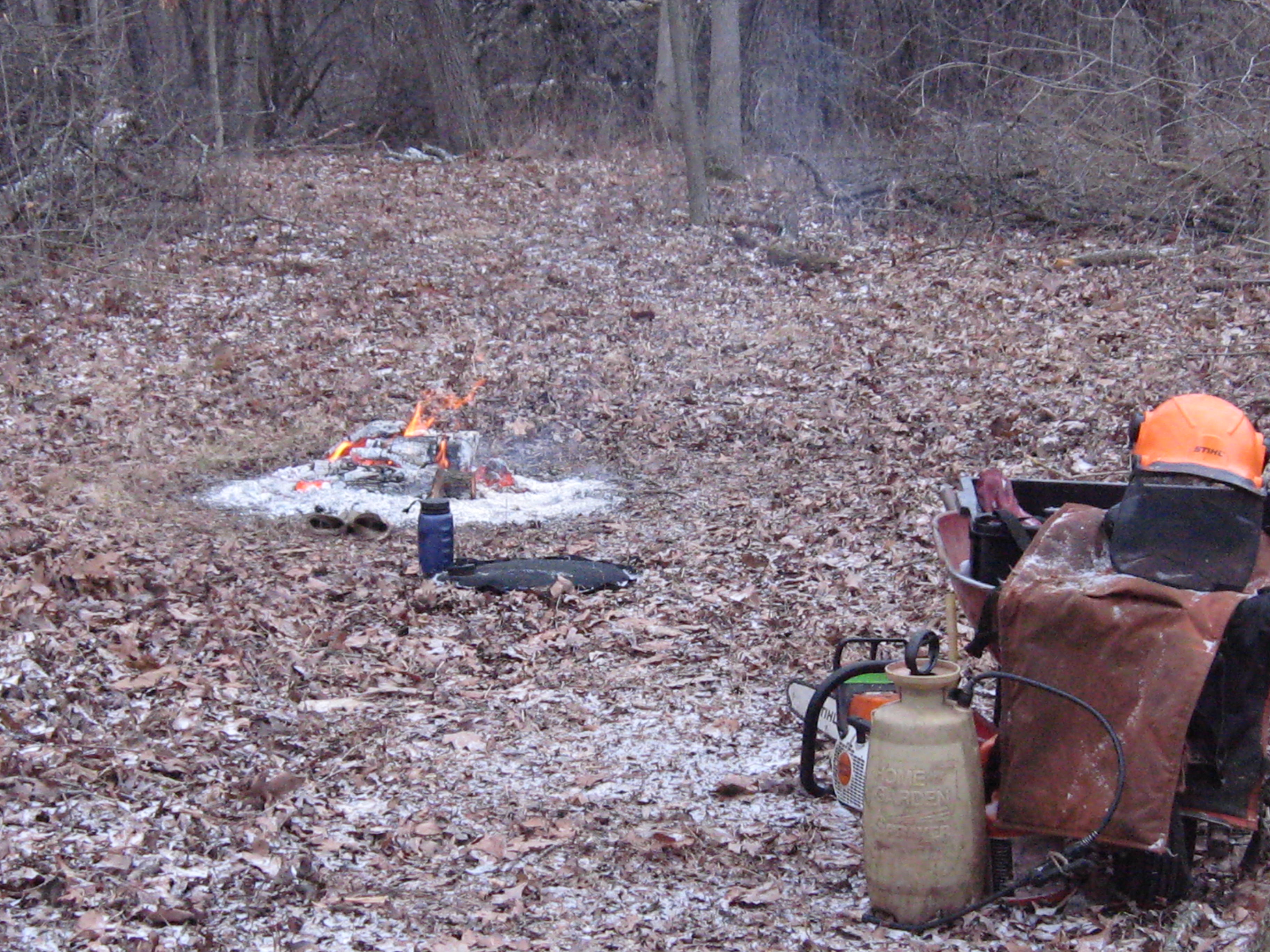
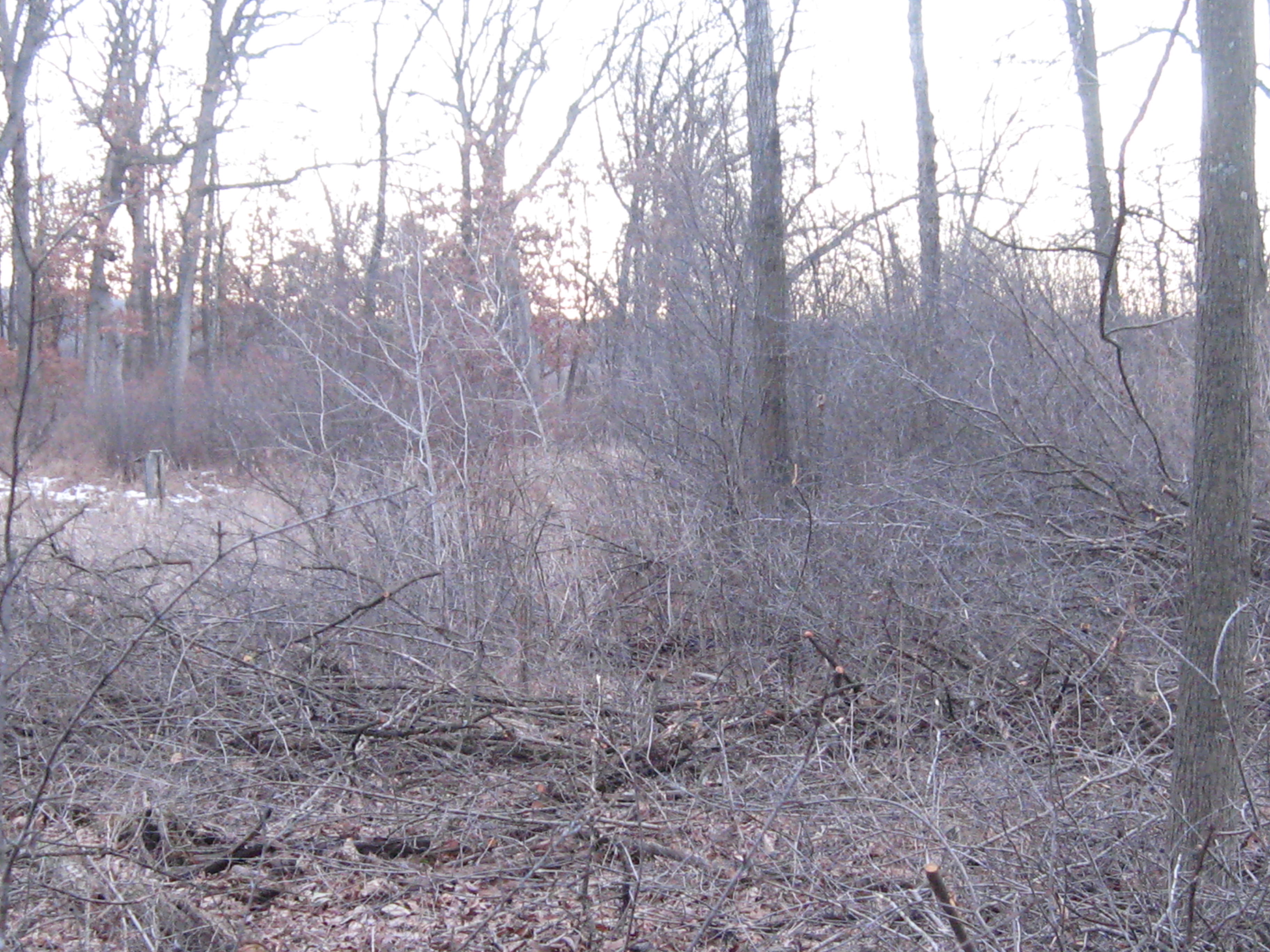
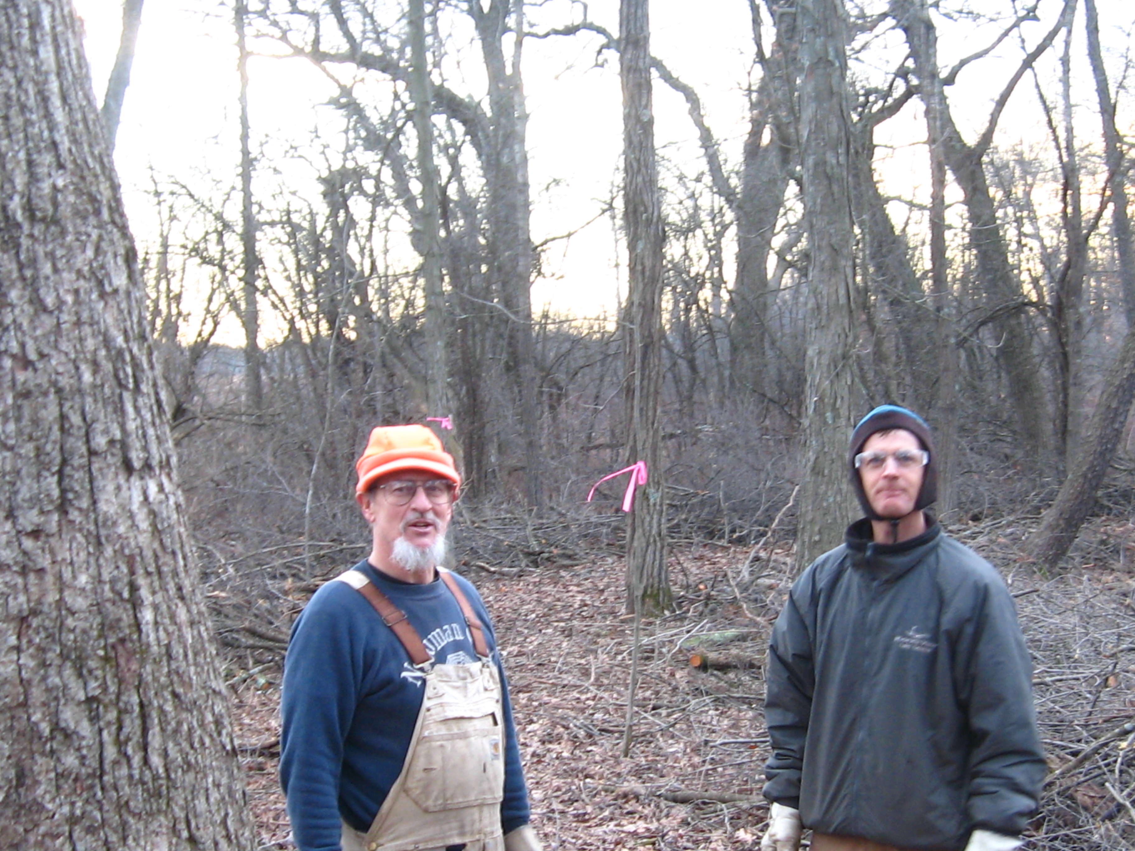
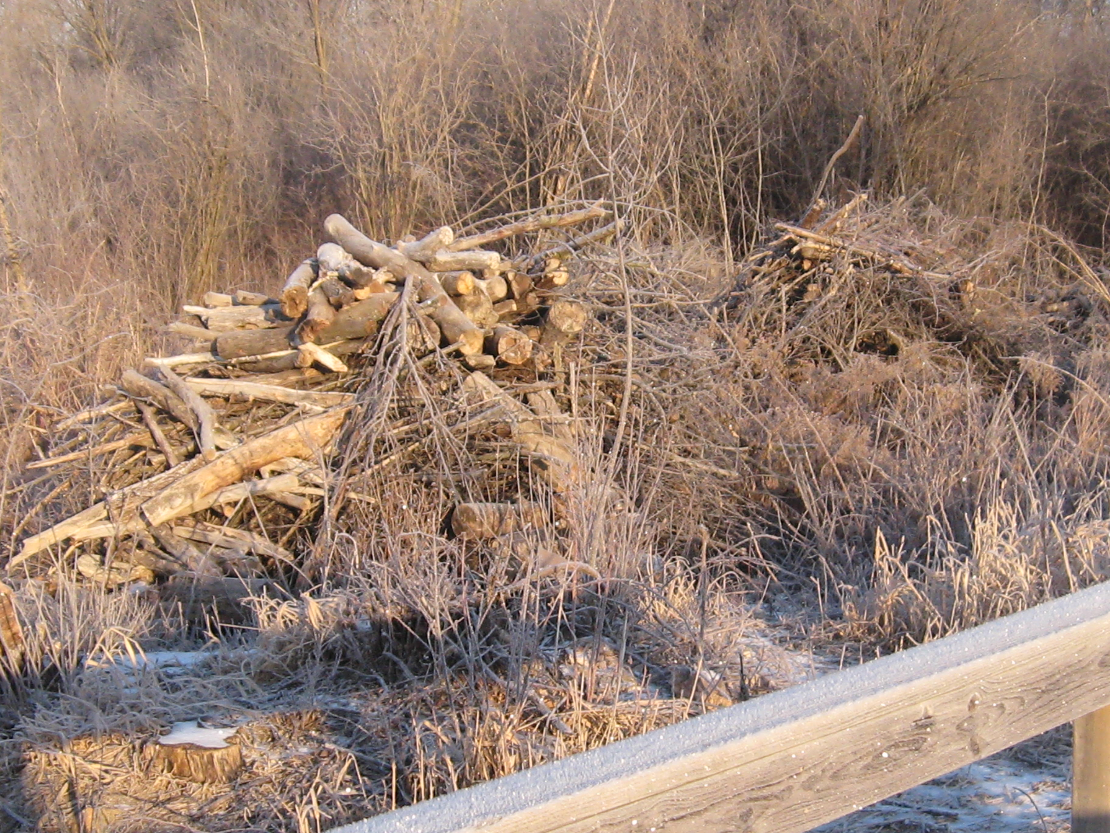
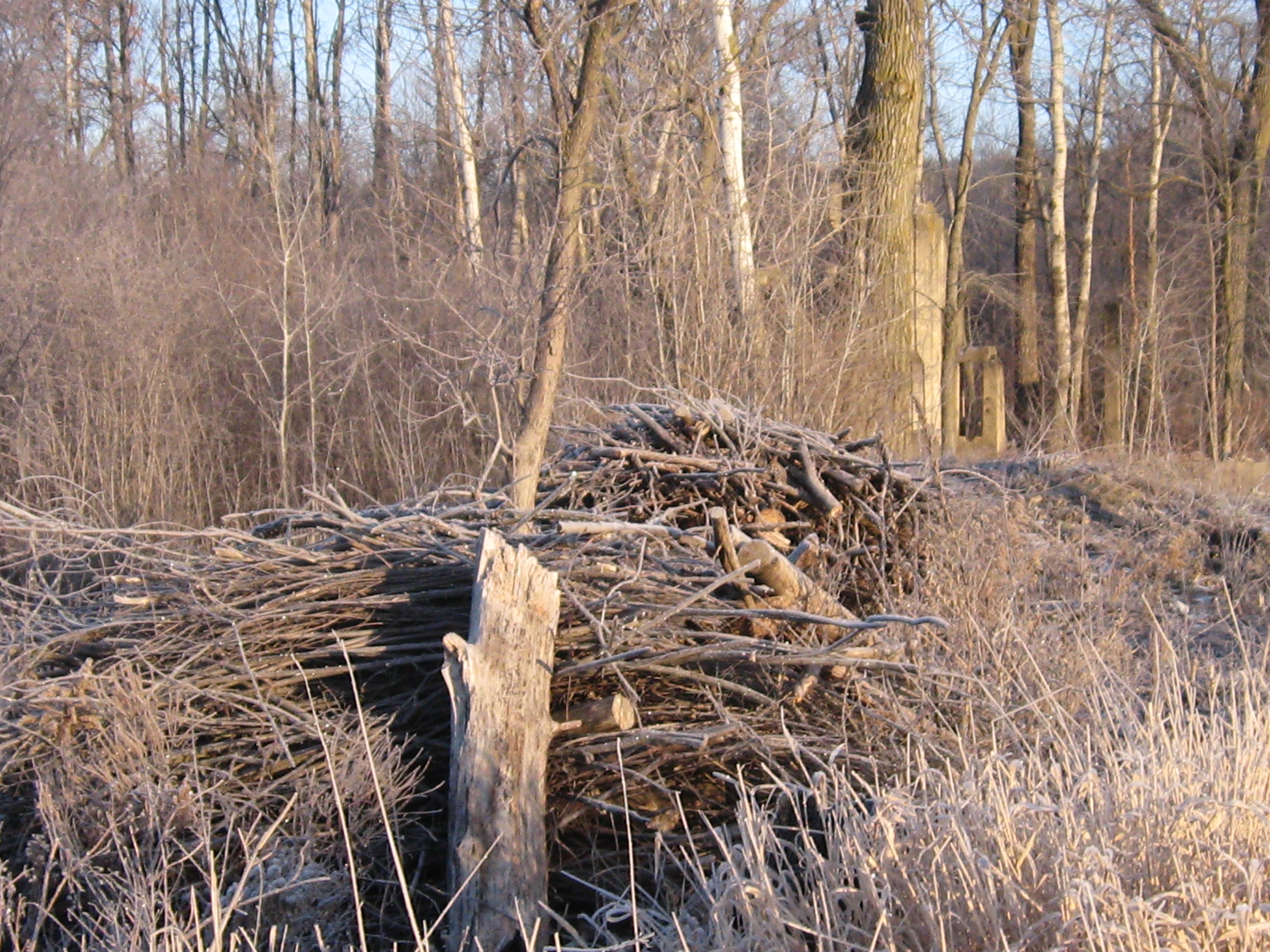
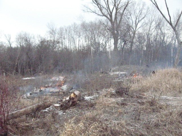
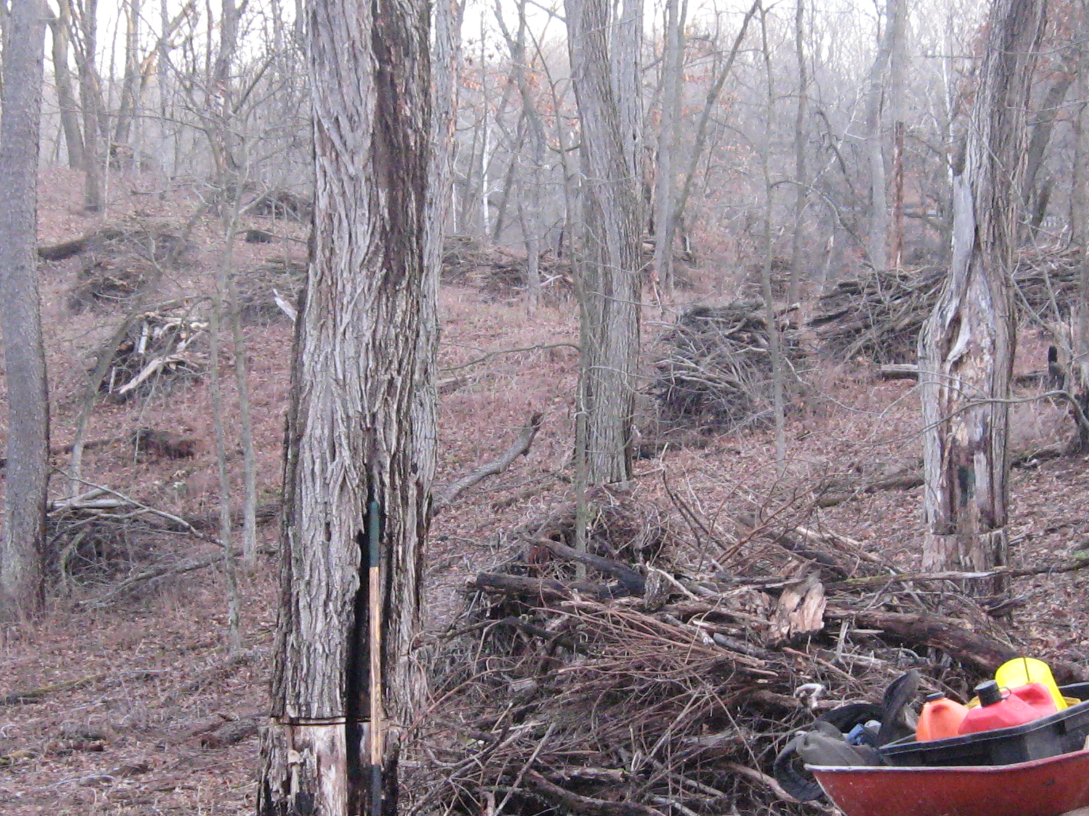
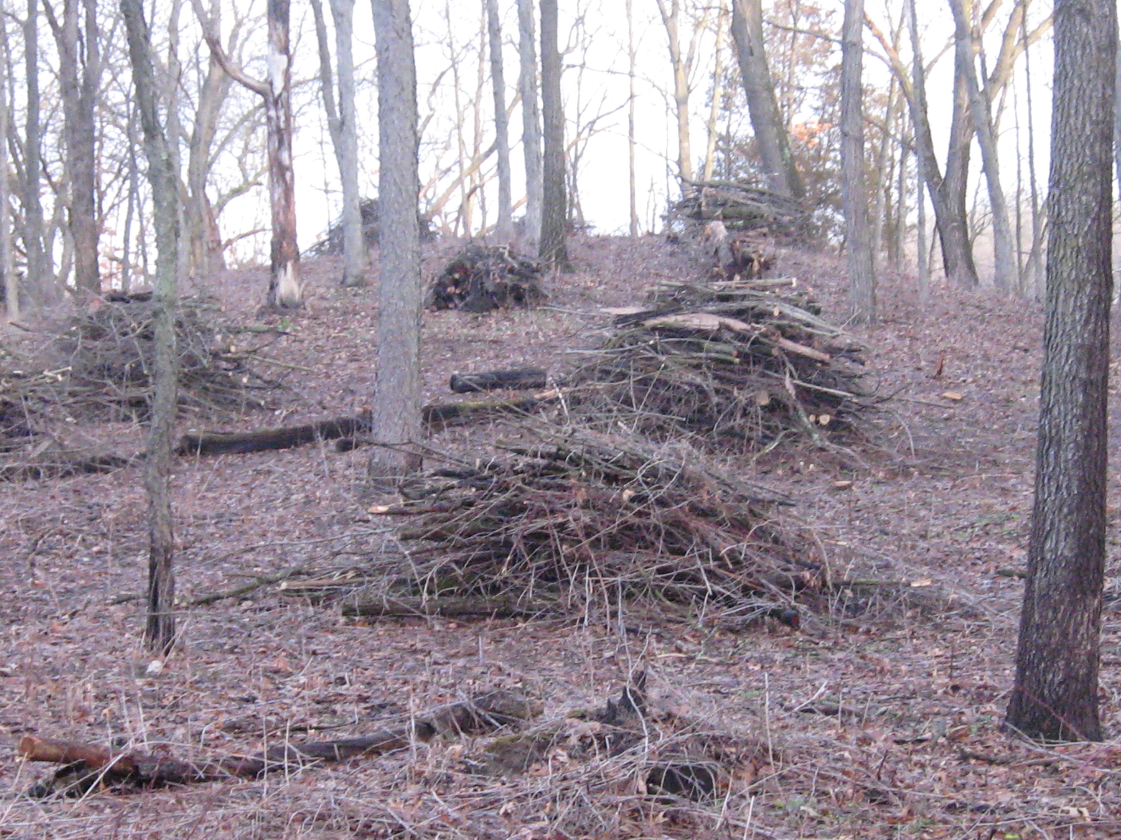
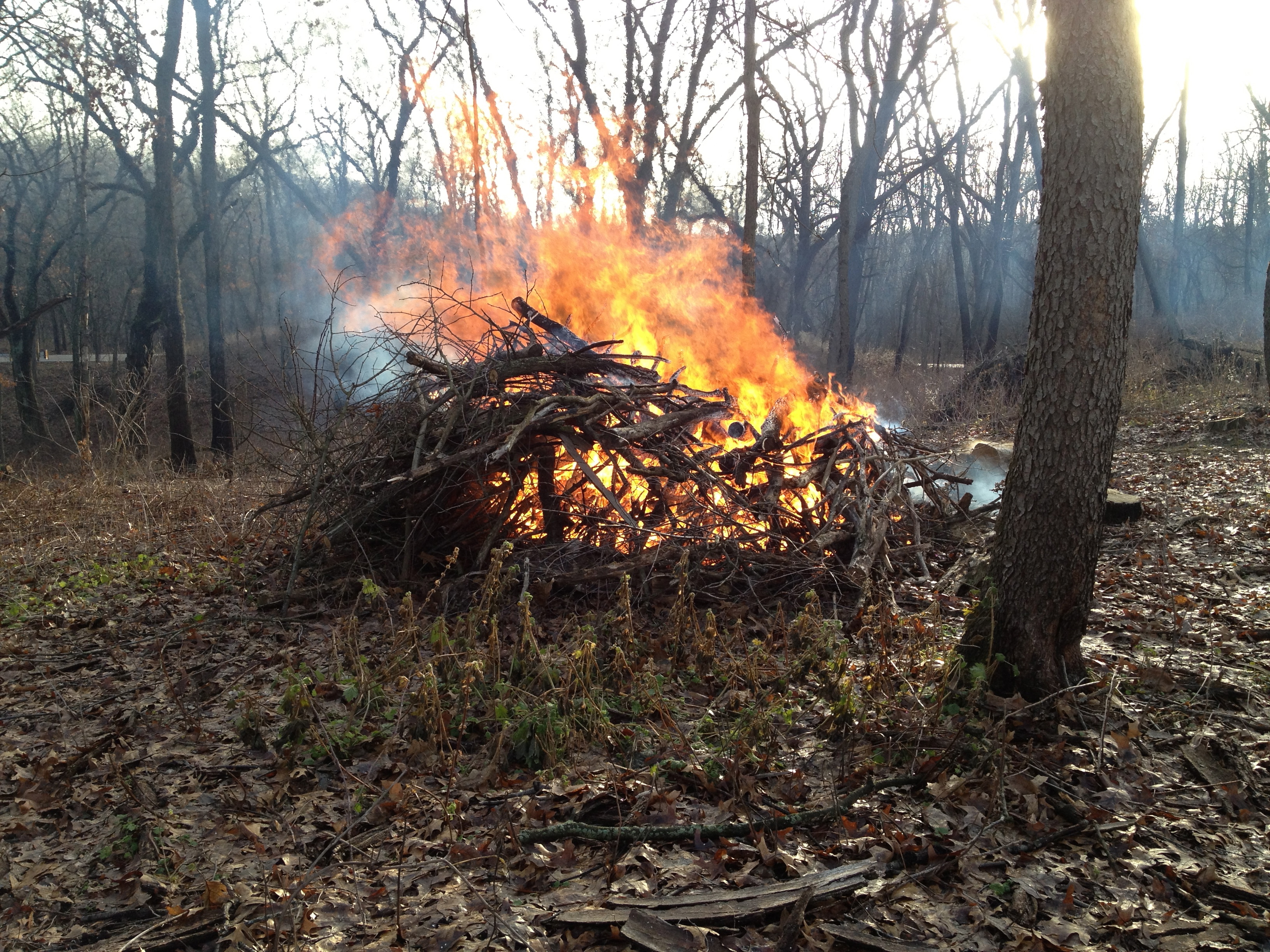
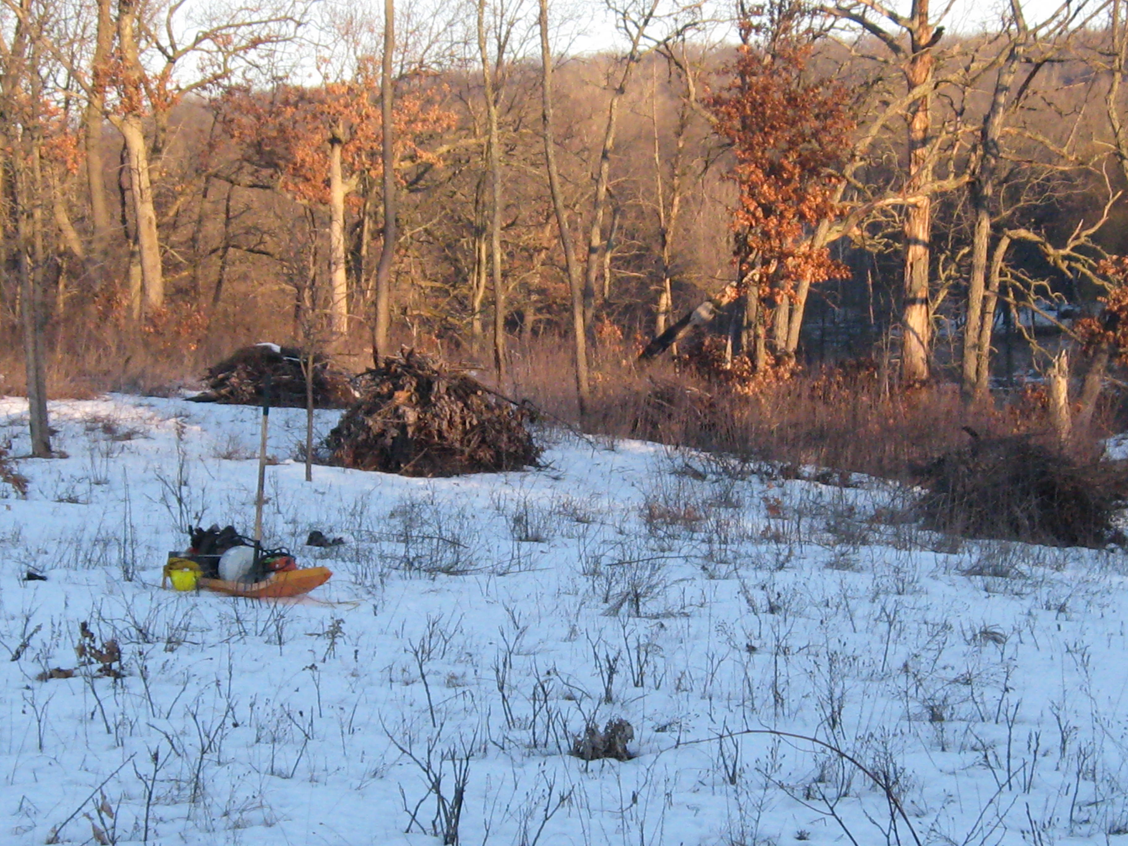
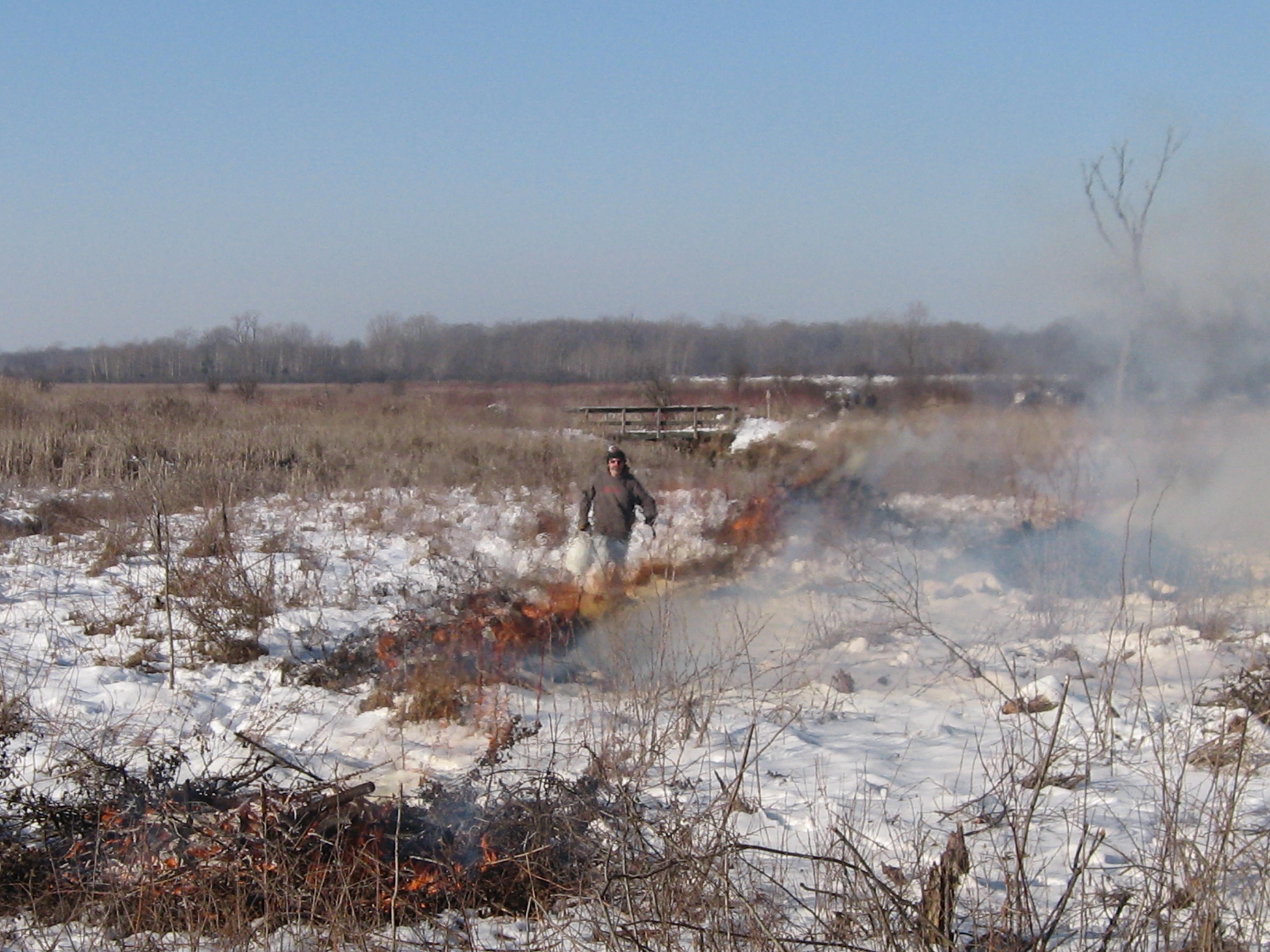
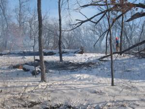
Here is the worksite. There are some really nice, big oaks along the cut-off trail.  I was joined by Rich Csavoy and Carl Baumann. I struggled a bit to get a fire going but it was well worth it.

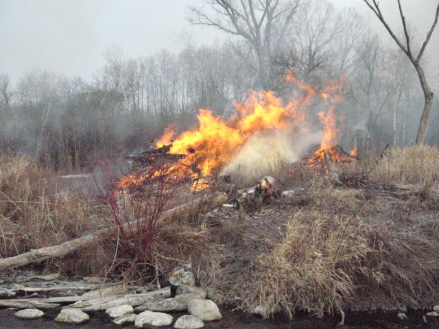
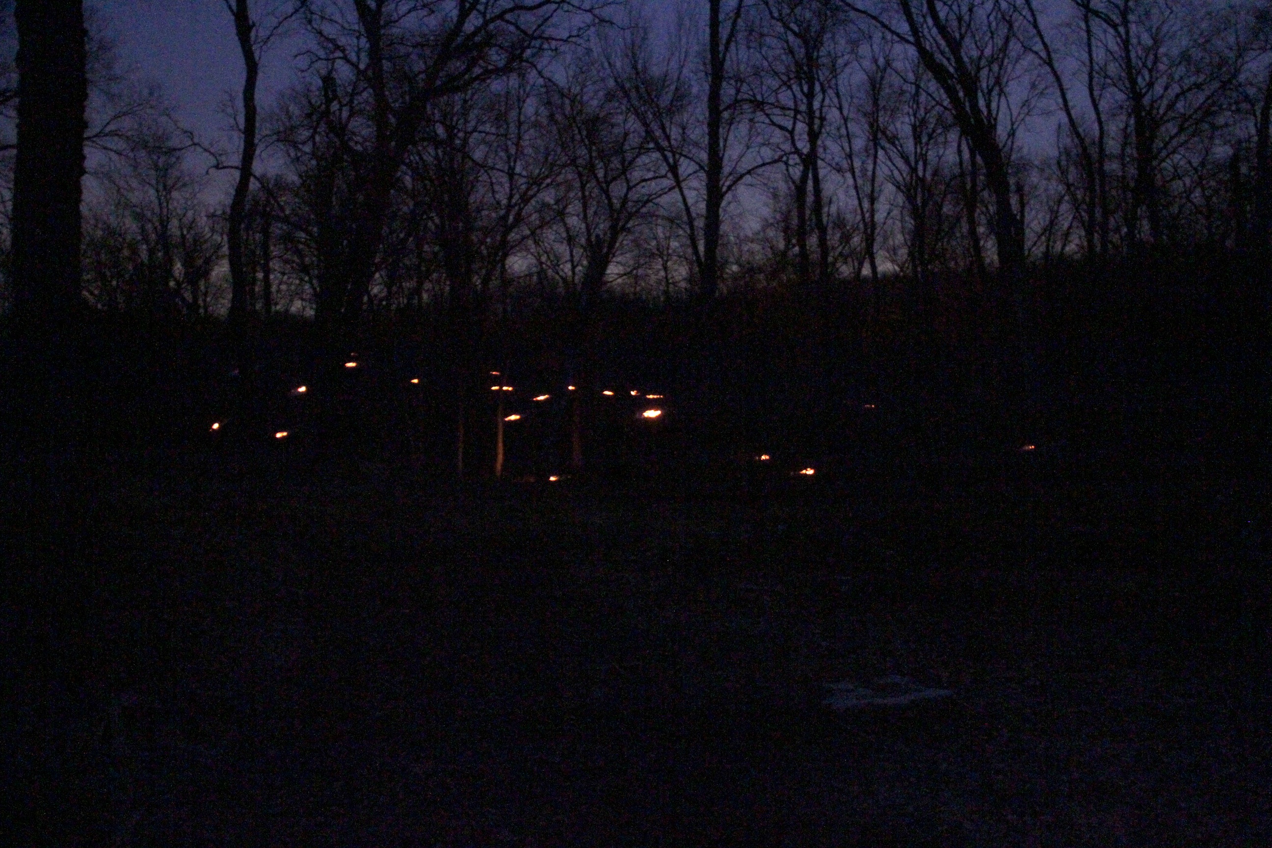
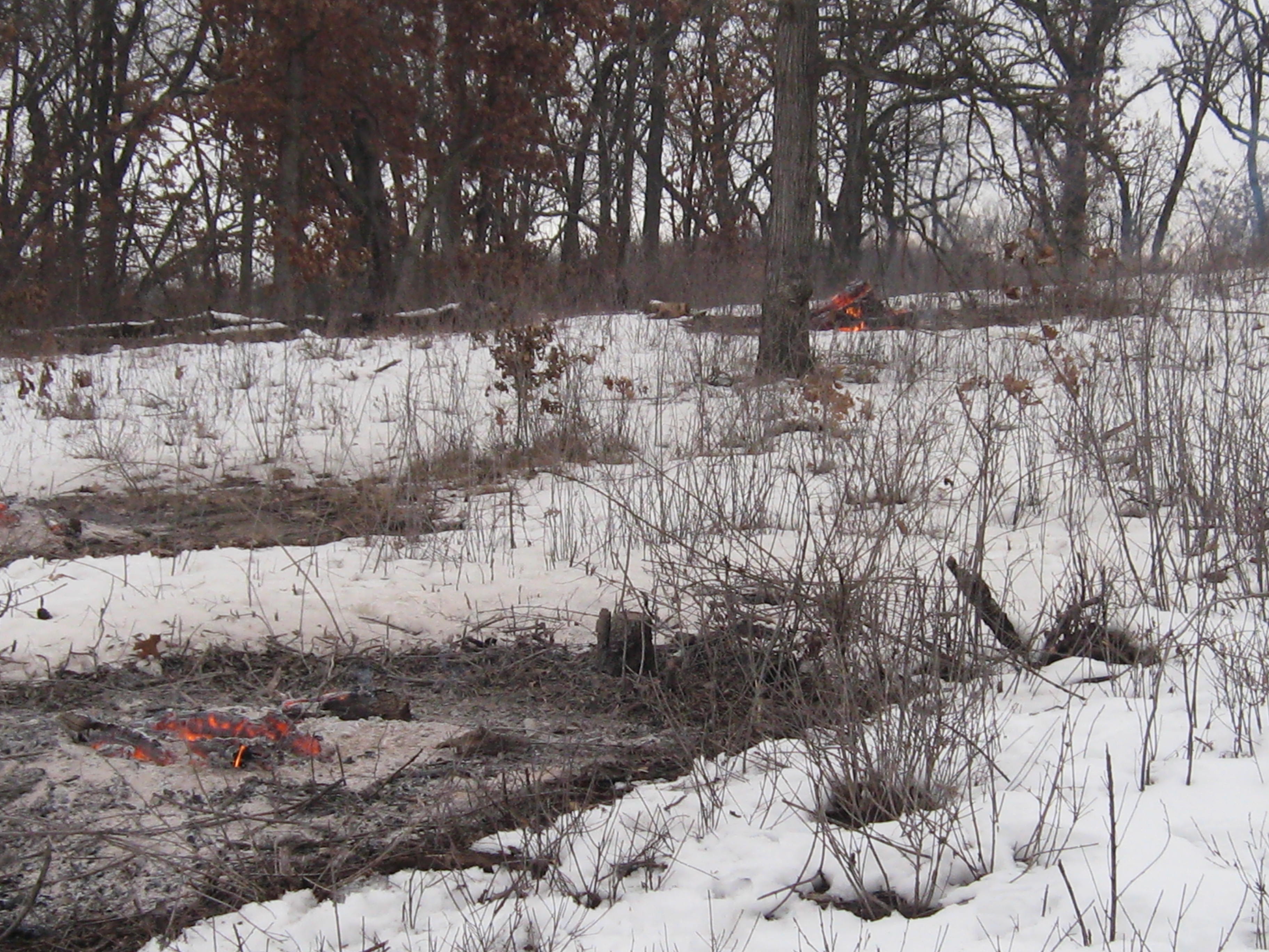
Like moths, we couldn’t resist the flames and quit a bit early to talk story and warm ourselves by the fire.

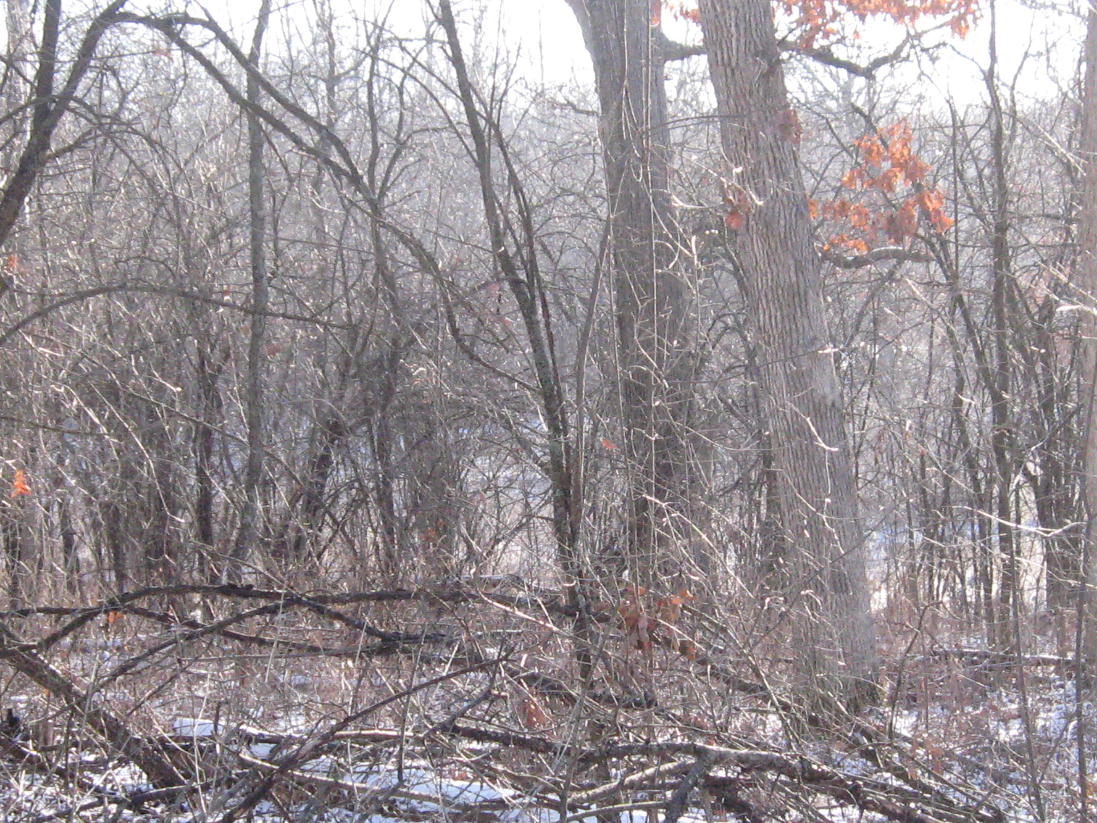
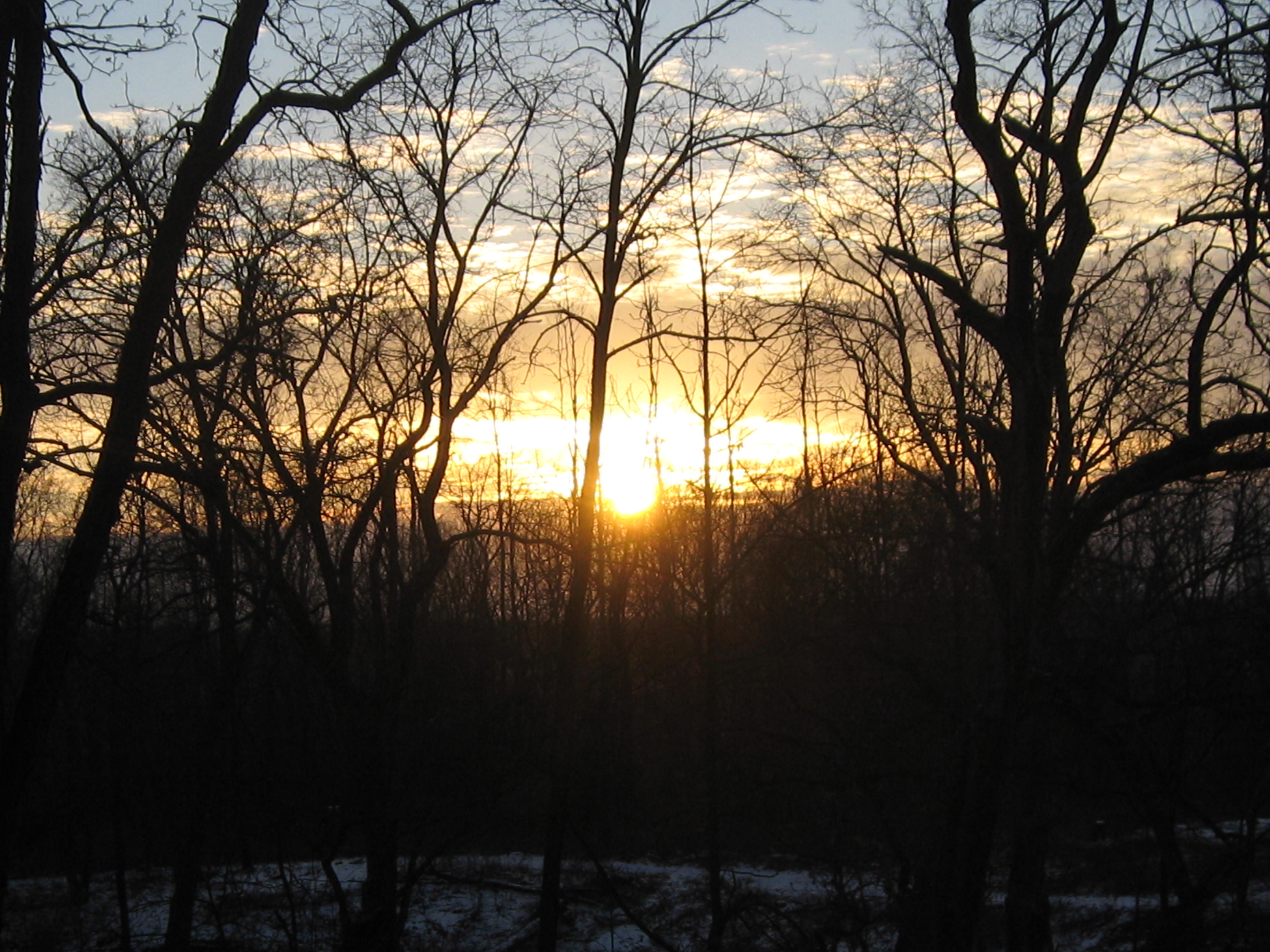
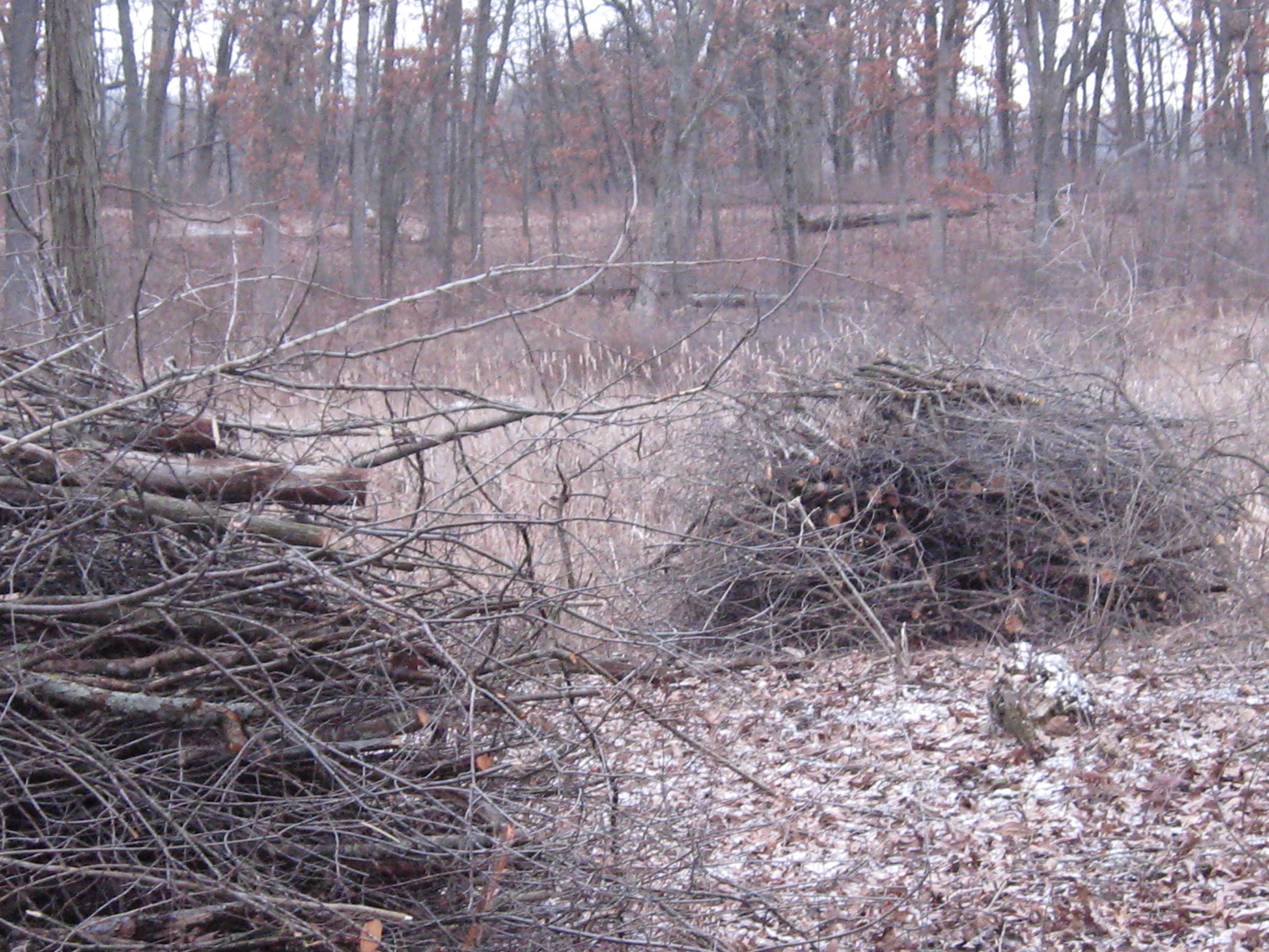
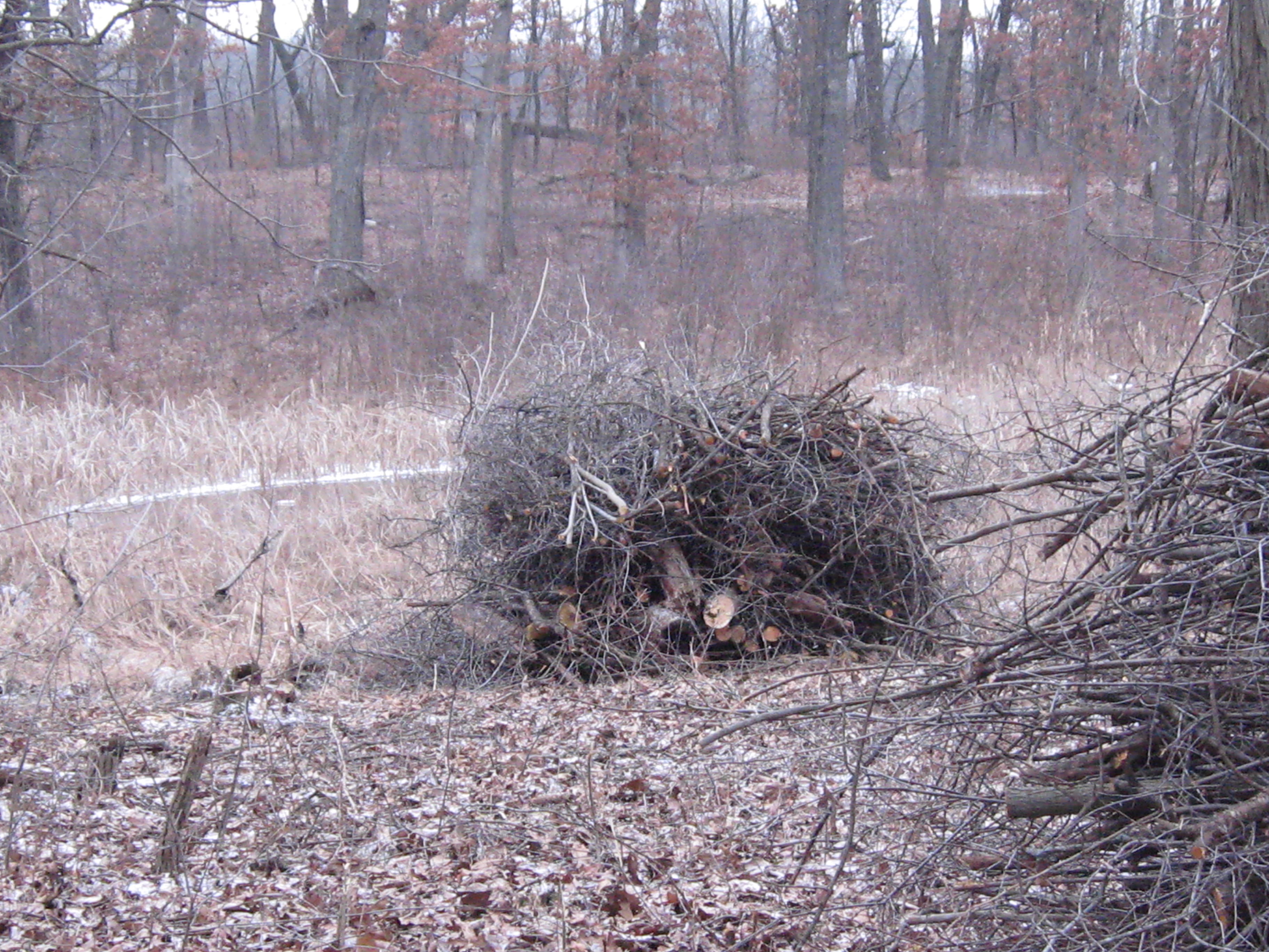
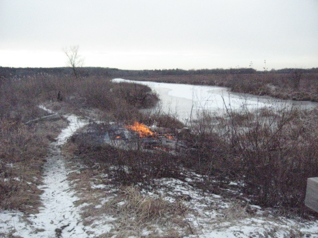
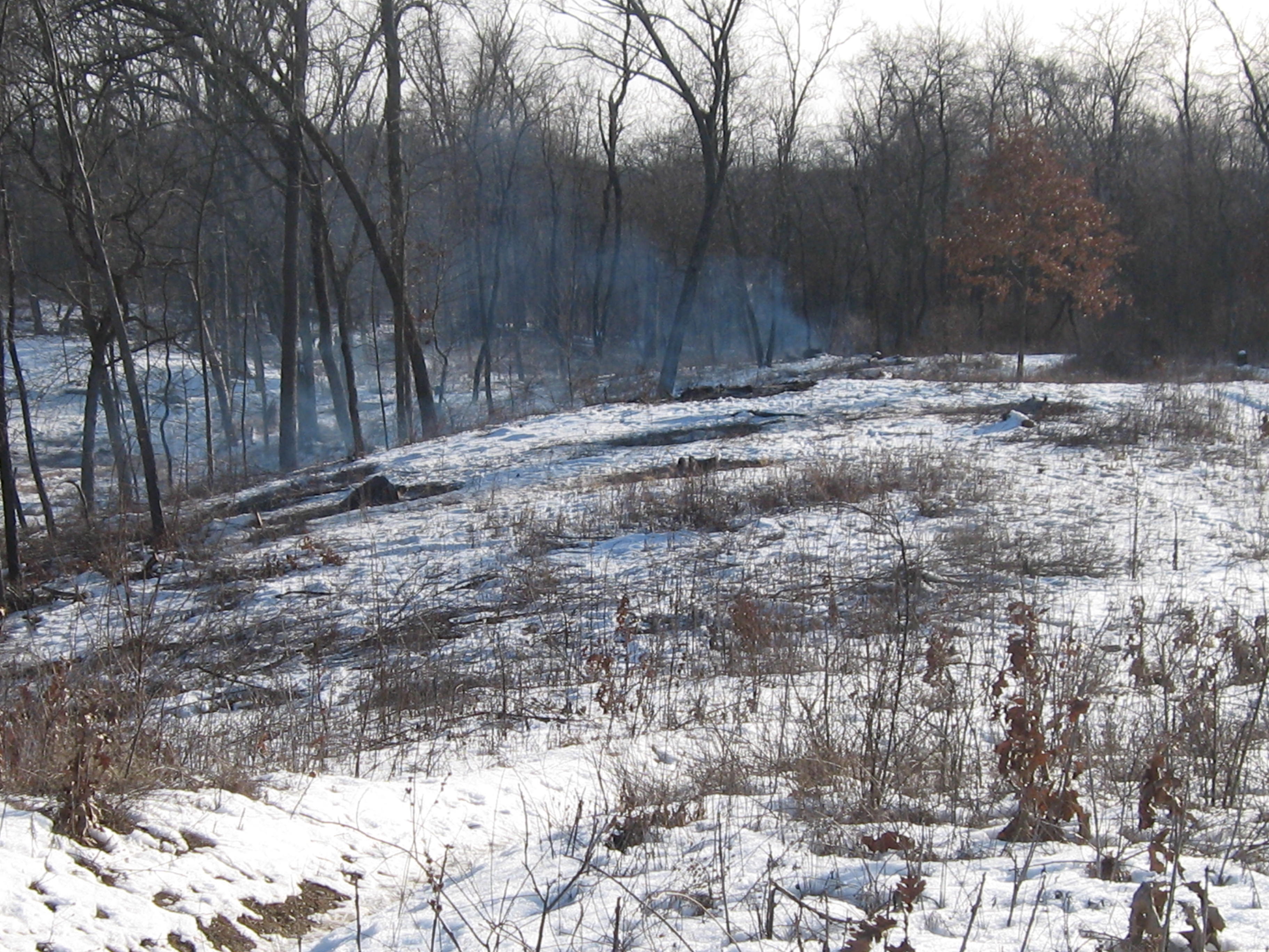
Before I knew it, the afternoon was turning into evening, and I hurried back to the bridge to get an after video of the worksite from that perspective.

John and Sue Hrobar joined us by the fire and their faces lit up with excitement as they described the dozen robins and bluebirds they saw near the Hotel Spring. It was another wonderful day at the springs spent with old and new friends; sweet as can be.

See you at the Springs!

A wet and snowy day at The Springs

The dead of winter forecast called for snow followed by a deep freeze.  I don’t mind cutting with a little snow and if it turned into a blizzard, well, then I’d just have to quit and enjoy it.  So I made my way out to the Springs without a care in the world; happy and at peace.

The work site was, again, the cut-off trail.  This land of oak giants by the riverside is thick with buckthorn, and it was gratifying indeed to give them a good whacking.

The snow started falling immediately after I took that video and it didn’t take long until I was pretty thoroughly soaked. The work is strenuous and kept me warm despite the wet. I cut my limit of 6 tankfuls and called it a day.

After changing into some dry clothes, I did a little sight seeing.  Below is where the trail first breaks out into the main prairie.

IMG_0620 IMG_0623 IMG_0624

Now that we have hiked the river from the Scuppernong Spring all the way to Hwy N, I finally know what I’m looking at and can see where the Scuppernong River threads its way through the hills to the west.  Below we see the Marl Pit and the Indian campground.

IMG_0625 IMG_0628

River shots.

IMG_0630 IMG_0634

Below is along the north side of the river, along the cut-off trail, just upstream from the bridge where the ground water monitoring station was installed.  This is where we will be cutting next.

IMG_0632 IMG_0633

Continuing down the cut-off trail.

IMG_0636 IMG_0637

Here is that huge oak that looks like it was lifted right out of the ground.

IMG_0638 IMG_0639

New views of the river are opening up along the cut-off trail.

IMG_0641

Below is an old cranberry bog where the cut-off trail joins the main loop.

IMG_0644

The old barn site.

IMG_0645 IMG_0646 IMG_0648

Looking across the river from the hotel site at the work in progress on the cut-off trail.

IMG_0649 IMG_0650

The water is up a bit!

IMG_0635 IMG_0652

Thanks for taking the time to enjoy the Springs with me, and I hope to see you there soon!

The Oak Cathedral

The White, Black, Red and Burr Oaks on the Cut-Off trail create a sacred space.   These majestic works of art exhibit the most graceful, dynamic, flowing, architectural lines possible.  Removing the clutter and tangle of Buckthorn from beneath their sweeping canopys is akin to wiping away the dirt from the ceiling of the Sistine Chapel.  I’m honored and thankful for the opportunity to do it!

It couldn’t have been more peaceful and beautiful at the Springs today as I continued clearing Buckthorn along the cut-off trail in the area marked in white below.

SSCutOffTrail

I made a little fire, and needed it to defrost my sprayer, but with the bright sunshine and light winds, I was plenty warm.

IMG_0568 IMG_0569 IMG_0570 IMG_0571 IMG_0572

There were some huge and TALL Buckthorns in this area and they all seemed to be sprouting dozens of interlocking trunks and branches.  It tries your patience after a while and I had to quit after 6 tankfuls with the chainsaw.

IMG_0577 IMG_0576

Its tough to capture the scale of these beauties in the Oak Cathedral.

IMG_0578 IMG_0579 IMG_0580 IMG_0581

The Scuppernong River is near and will be visible from the trail.

IMG_0582 IMG_0583 IMG_0589

In THE PONDS OF THE SCUPPERNONG, Robert Duerwachter described efforts to create a goldfish farm in this area of the river.  I think I found the spot.  There are some old pipes laying there, which we’ll haul out, and a spring is flowing into the river.

IMG_0585 IMG_0586

The sun set early behind a solid bank of clouds and I took these pictures on the high ground at the South end of the trail that we recently cut and burned.

IMG_0593 IMG_0595 IMG_0597

The water level is holding steady but it looks like there is some dirt, or possibly, damage at the base of the measuring stick.  We’ll have to take a closer look next time.

IMG_0599

Heh, see you at the Springs!

Pile up on the cut-off trail

A cold day at the Springs is better than a warm day in the office! I don’t really know cold, even though I’ve been frost bitten, like our friend Lonnie Dupre.  Back in 2005 when he and his partner, Eric Larsen, were attempting to become the first people to make their way under their own power to the North Pole in the summer, Pati and I hosted a fund raiser for their “One World Expedition“.  They made it on their second attempt and were greeted by a polar bear when they arrived!  We have followed their exploits with interest ever since and currently, Lonnie is camped at around 14,200′ on his way to the summit of Denali.  This is Lonnie’s third attempt to summit Denali solo in January, something that has never been done.  Go Lonnie Go!

I made a little fire for comfort and Rich and I enjoyed a fine day making brush piles on the cut-off trail where we have been cutting recently.  We should be able to light these piles up this season, provided we get a little more snow.  We have around 60 piles left to burn and they are all relatively close to Hwy 67.  This is on hold until we get some snow cover and an east wind.

Here are a few before pictures looking first to the right, or north side of the trail, then straight west and finally, to the south.

IMG_0556 IMG_0557 IMG_0558 IMG_0559

We took frequent breaks by the fire to relax and warm up our finger tips; nevertheless, we did manage to stack up around 16 piles.

IMG_0561 IMG_0562 IMG_0563 IMG_0564 IMG_0565 IMG_0566

IMG_0567

We plan to keep cutting and piling along the river side of the cut-off trail pending the next opportunity to burn some more piles.

See you at the Springs!

Idle No More

Hi.  Thanks again for checking out the Scuppernong Springs Nature Trail Posts!

Before I get into today’s incredible adventure at the Springs, I want to shine a light on the Idle No More movement.  I participated in their consciousness awakening event in Milwaukee yesterday and it was very moving.  The singing and speakers were excellent.  The First People elders spoke a lot about the responsibility we all share to take care of the land in preparation for the 7th generation to come, and to be aware that we are the beneficiaries of the love and care of the 7th generation that preceded us.

Here is audio recorded before the march Idle No More January 18, 2013 Pre March Song and Speeches.

We marched down to Veterans Park, where a Pipe Ceremony was held and there was more singing and speeches.  Action on a new mining bill in Wisconsin is heating up!

The other big issue raised is the struggle for sovereignty.

I found Kevin Annett’s documentary Unrepentant: Canada’s Genocide, while researching the Idle No More movement.

And we think we have invasive species problems!  Image how the indigenous people felt about the White European Invaders!

In honor of the Native, Indigenous, First People, we sowed a mix of 20+ Wet Mesic Prairie plant seeds around the Indian Spring and areas to the North marked in white on the map below.

SSTrailSeededArea

Here is part of the area seen from the Scenic Overlook on the old Indian Campground site.

IMG_0518

And a bit closer up.

IMG_0520 IMG_0521 IMG_0523

Sowing seed is the creme dela creme of restoration work.  I will post a list of all the different plants in the mix and we’ll try to identify as they emerge.

The Scuppernong River water level is holding steady at .026.

IMG_0524

Here is an interesting bit of machinery we found near the site of the Marl Plant.  This Spring we’ll do a little excavating around this to see what it is attached to.

IMG_0525

After the seed was sown Lindsay and I headed over to the cutoff trail to continue cutting Buckthorn where I left off last time.  Here are some before shots; the first two are looking to the North on the cutoff trail at an old cranberry bog.

IMG_0526 IMG_0527

Below we are looking South, towards the river.IMG_0528 IMG_0529 IMG_0530

Around 2:00pm Rich Csavoy joined us and Don Dane, the DNR trail boss, stopped by to drop off more seeds (for more wooded uplands) and we all took a walk around the place reviewing the progress and future plans.  Don is hoping to mow the Indian Campground this coming week.  We cut a bit more after our visit with Don and here is the final result.  The first picture below is looking at the cranberry bog and the next two are looking South towards the river.

IMG_0539

IMG_0537 IMG_0538 IMG_0533 IMG_0534

The view of the work site from the main trail on the South side of the river.

IMG_0541

It was a glorious sunset; one of the best I’ve ever see at the Springs.

IMG_0543 IMG_0546 IMG_0547 IMG_0549 IMG_0551 IMG_0553 IMG_0554 IMG_0555

See you at the Springs!

A Yellowstone Moment

Thank you for tuning into the Scuppernong Springs Nature Trail journal!

I spent the last two days at the Springs; yesterday was sunny, today cloudy.  Both days were mild, for mid-January, and it was very quiet and peaceful.  I was in heaven!

I started yesterday lighting some piles that were at the point where the main loop trail first emerges into the prairie.

IMG_0475 IMG_0476 IMG_0477

I took these pictures this morning.  Its hard to tell, but I cut a bunch of Buckthorn way in the back left below, while waiting for the piles to burn down.

IMG_0492 IMG_0493

When I came to this spot at the end of the day today and looked out at the prairie, I was reminded of the grassy plains at the top of the Pitchstone Plateau, in the South West corner of Yellowstone National Park.  Last Fall, Pati and I scouted out a possible route from Lewis Lake across the Plateau to get to the famous Bubbler Hot Springs, where three forks of the the Bechler River meet.   It is two days hike to get to the Bubbler no matter which way you come from but well worth the effort.

Yesterday I tried to light some piles by the Marl pits but my torch quit working half way through.  I had better luck this morning and finished up there.

IMG_0469 IMG_0470 IMG_0472

IMG_0473

IMG_0495 IMG_0496 IMG_0497 IMG_0498

When things had settled down at the pits, I went over to the cut-off trail to clear an area by a huge White Oak tree where the trail is relatively close to the river.

IMG_0499 IMG_0500 IMG_0501

The last time I opened a trail was at the Hartland Marsh.  I can’t wait till you all get a chance to walk this new trail.  You’re going to love it!

IMG_0503 IMG_0504

You can see the main loop trail outlined in white across the river.

IMG_0505 IMG_0507

Here is a view from the main loop trail looking North towards the big White Oak where I was cutting.

IMG_0511

I’m going to try to remember to capture a water level reading whenever I go out.

IMG_0508

After the gear was stowed away, I took a walk around, which I love to do, and got these pictures.  Rich Csavoy explained that the hole in the concrete of this old foundation on the cut-off trail was used to empty the fire place.

IMG_0513  IMG_0516 IMG_0514

IMG_0517

IMG_0481

Yesterday’s sunset was very nice.

IMG_0487 IMG_0490

See you at the Springs!

I watched the fire that grew so low

It felt like a warm, sunny Spring day.  The snow had all melted and the ground was wet.  The brush piles on the South end of the loop trail were wet from the recent rain, but the steady Westerly breeze promised all the support we would need, and we started lighting fires.

IMG_0445 IMG_0447 IMG_0448 IMG_0451

Lindsay and I lit 45 piles and Rich arrived shortly after noon to help us mop up.

IMG_1047 IMG_0452 IMG_0453 IMG_0455 IMG_0457 IMG_0461

Highway 67 is visible through the smoke above on the left and we got a call from the North Prairie Fire Chief investigating a complaint.  I’m not sure if it was a motorist or someone living East of the forest beyond Hwy 67.  The chief just wanted to confirm that we were the party that had called in that morning to notify them of our burning plans.  The smoke was never heavy or thick on the road.  What are they complaining about?

After the piles had settled down, Lindsay, Rich and I took a grand tour around the Springs.  It was the first time Rich was able to hang out with us after working, and we had a great time enjoying the scenery and envisioning the future.

You might wonder if perhaps we had inhaled a little too much smoke when you listen to this conversation.

There is a new depth gauge at the site of the ground water flow monitoring station.

IMG_0466

We gave the piles one last stir after our walk and then Lindsay and Rich headed for home.  I lingered and watched the fires that that grew so low…

RichNightShotOfFires

See you at the Springs!

Fire On The Dunes

Today was a gloriously beautiful day at the Springs and I felt very lucky to serve the Creator.  Yes, THE CREATOR!  I think I’m becoming a Deist, and you might consider it too, if you had just read Thomas Paine’s The Age Of Reason.  What a tour de force!

The ground water flow meter, aka stream gaging station, has been installed!  I’m assuming it was Hydrogeologist Mike Parsen, from the Wisconsin Geological & Natural History Survey, and/or his team that did the work.  It looks very cool.  I don’t know if it is “online” yet, there is no data reported for the Scuppernong River at the USGS Water Watch site yet (thanks to John Hrobar for that link).  We’ll keep an eye on it.

IMG_0421 IMG_0424 IMG_0425 IMG_0426 IMG_0427 IMG_0428

We had clear skies, and steady winds out of the West; perfect conditions for burning brush piles on the Sand Dunes where the First People once made their campgrounds.  I was glad to have Rich Csavoy’s help and we burned another 44 piles.

IMG_0391 IMG_0393 IMG_0396 IMG_0398 IMG_0403 IMG_0404 IMG_0407

As we get the brush cut, piled and burned, new vistas are opening up.  Here you can see the Scuppernong River and the Marl Pit bridge from the Scenic Overlook.

IMG_0390

And now you can see the Indian Spring from the overlook as well.

IMG_0402

I loaded the gear in my truck, slipped into some dry boots, and made my way back via the newly cleared cutoff trail to enjoy the sunset.

IMG_0416 IMG_0420 IMG_0430 IMG_0431 IMG_0433 IMG_0437

See you at the Springs!


Smoke Gets In Your Eyes

We called ourselves the “River Rats”.  With our Blue Dolphin canoe loaded with a chainsaw, pruning saw, rake and garbage bags, we were determined to make the Bark River from Hartland to Lake Nagawicka navigable for canoes and litter free.  Mark Mamerow and I took many work trips down the Bark and, after 7 years, its a really nice paddle.  In his new book “The Bark River Chronicles – Stories from a Wisconsin Watershed”, Milton J. Bates describes our stretch of the Bark River in Chapter 5.  Mr. Bates tells the story of The Hartland Marsh in great detail and even mentions Pati and I.  Although he doesn’t mention Mark by name, he does comment on the great improvements to the river in this stretch since his last visit in the 1990s.  Thanks Mark! 

IMG_1701

Check out About Paul for more info about the Hartland Marsh project.  Here is a map of the Bark River in the Hartland Marsh area.

That being said, it was great to connect with Mark again today as we burned 50 more piles at the Scuppernong Springs.  The morning was crisp and cold.

IMG_0368

Just beyond the row of 12 brush piles you can see below is a remnant of a sedge meadow.

IMG_0369

Our DNR friends Don and Amanda gave us a huge bag of seeds, with over 20 varieties suitable for a Wet Mesic Prairie setting, that we plan to sow in the area around the Indian Springs and in other locations.  The transition from Buckthorn thicket to natural prairie or wetland includes a lot of steps and burning the brush piles is one of my favorites.

IMG_0371 IMG_0374

We lit another dozen piles farther down the outflow channel of the Indian Springs, closer to where it joins the Scuppernong River.

IMG_0375 IMG_0376

The conditions were perfect so we moved to the West side of the Indian Campground Sand Dune and lit another bunch of piles.  By 11:00am we had 50 piles started and we began the mop up process.

IMG_0378 IMG_0379 IMG_0380 IMG_0381

You can see the outflow channel of the Indian Spring below from the Scenic Overlook.IMG_0384 IMG_0385 IMG_0386 IMG_0387

Snow started falling around 4:00pm and it was coming down pretty good by the time I left.  Since there wasn’t much of a sunset today, here is a great shot taken by Tighe House a couple weeks ago.

scuppernong nature trail

See you at the Springs!

Light My Fire

My pictures don’t do justice to the beauty of the hoar frost that covered the trees this morning when I arrived at the Springs.  It was cold and my fingers were freezing as I took these pics.

IMG_0305 IMG_0308

This was taken from the Marl Pit bridge and shows the hillside above the Indian Springs where we planned to burn.

IMG_0312 IMG_0313 IMG_0314 IMG_0315

Here is a closer look at the piles we planned to light up.

IMG_0318 IMG_0322 IMG_0323 IMG_0324

The conditions were perfect.  A light but steady wind out of West and clear skies.  Lindsay and Pati came out to help and enjoy the beautiful day.

IMG_0325

Below you can see where the two forks of the Indian Springs outflow merge on their way to the Scuppernong River.

IMG_0326 IMG_0327 IMG_0328

Lindsay used a leave blower to help jump start the fires when they needed a blast of air and it worked pretty darn good.

IMG_0331 IMG_0332 IMG_0333

The view from the Marl Pit bridge. You can see where the channel from the Indian Springs joins the river.

IMG_0337

We burned 22 piles today and I think we have 3-4 more day’s work to finish the piles in this area.  I had to leave early so Pati and Lindsay handled the mop up operations. Thanks!

See you at the Springs!