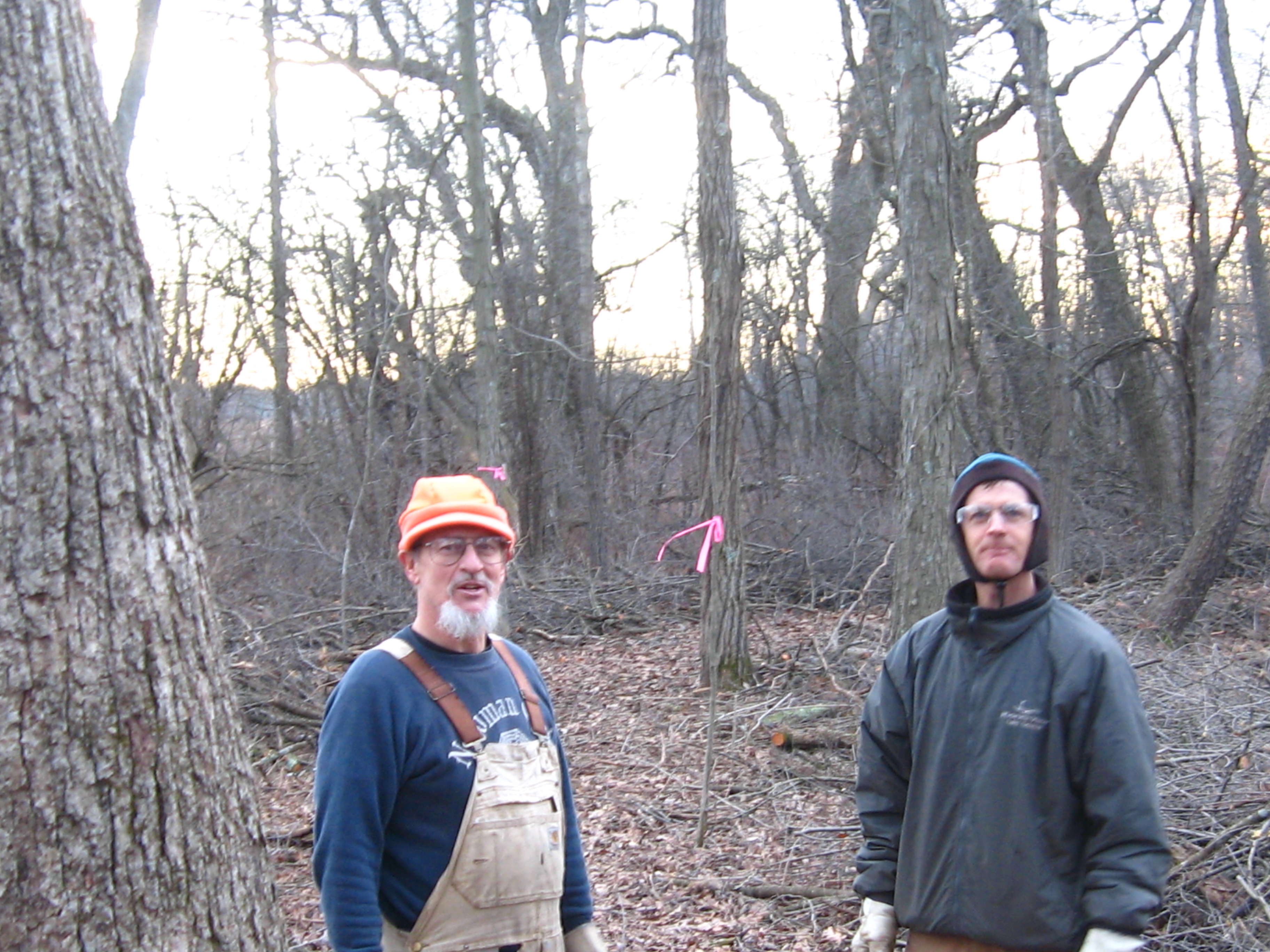
The dead of winter forecast called for snow followed by a deep freeze. I don’t mind cutting with a little snow and if it turned into a blizzard, well, then I’d just have to quit and enjoy it. So I made my way out to the Springs without a care in the world; happy and at peace.
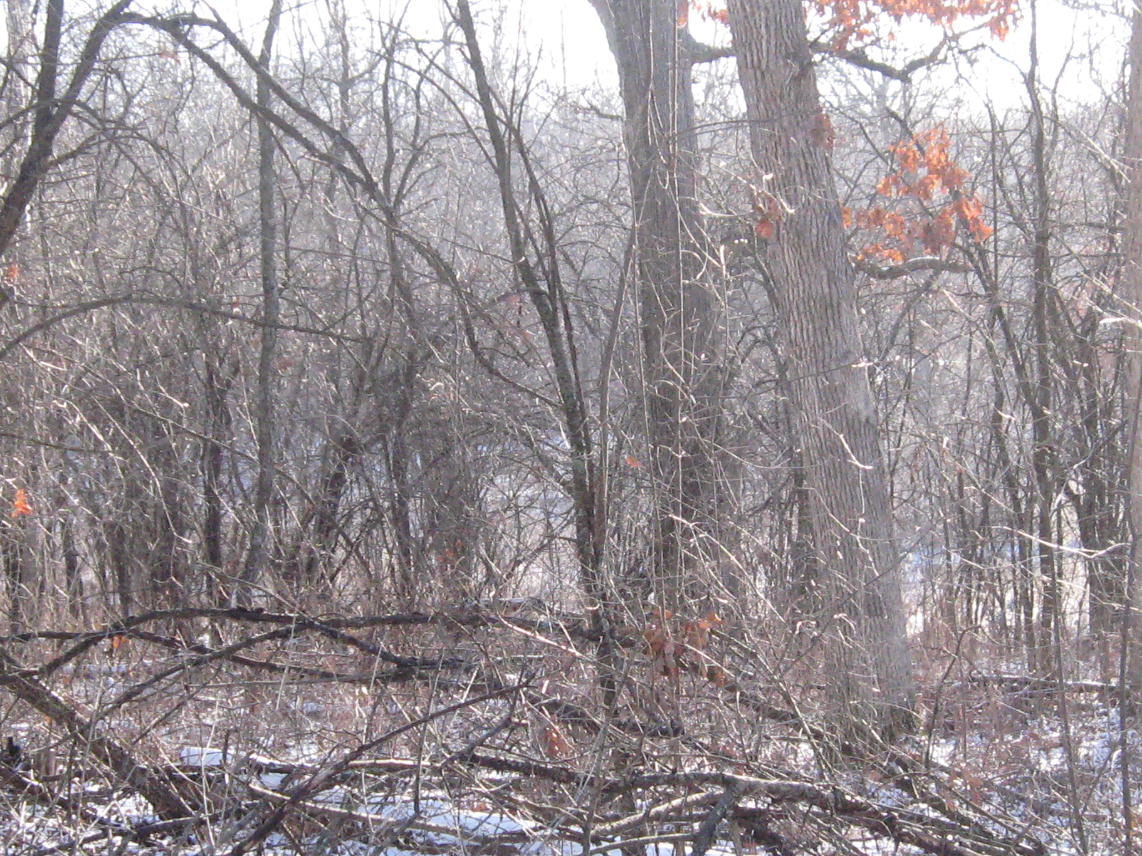
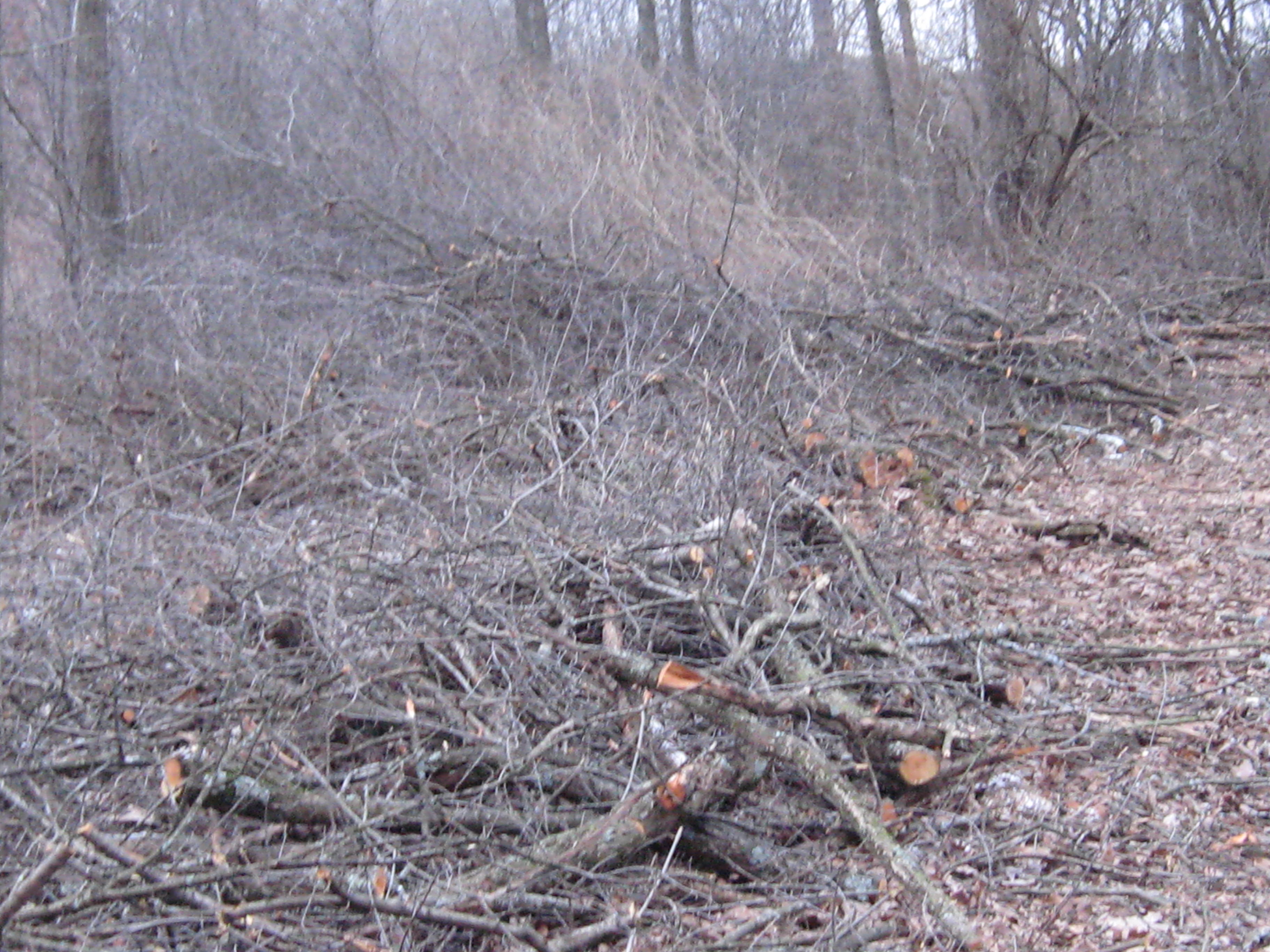
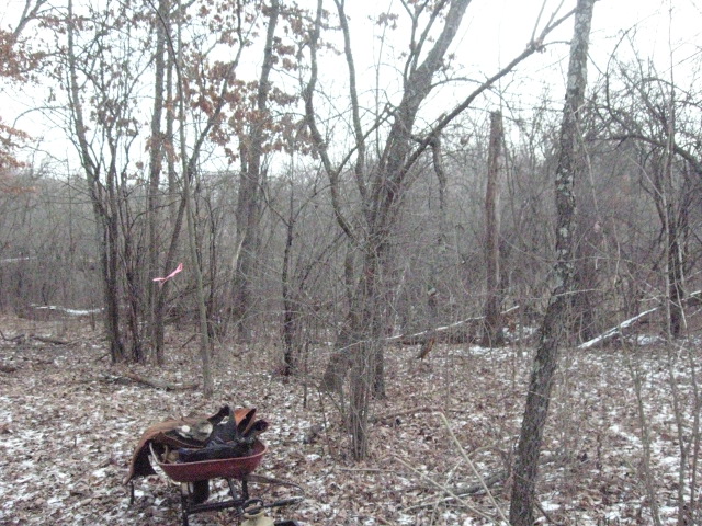
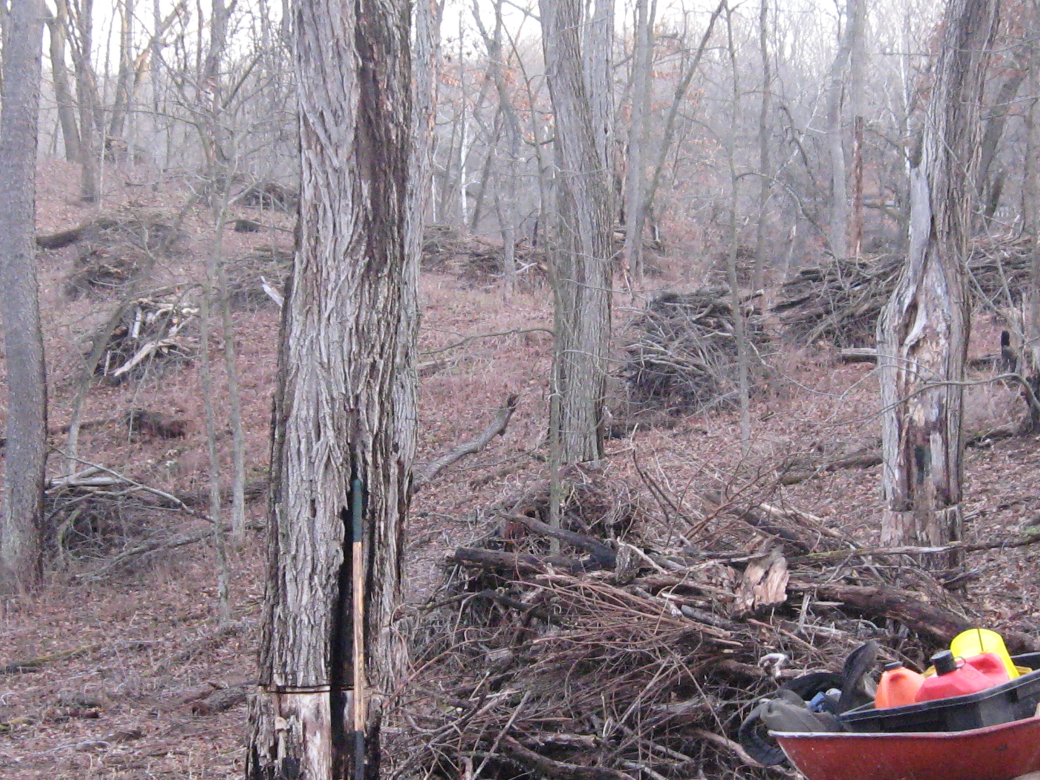
The work site was, again, the cut-off trail. This land of oak giants by the riverside is thick with buckthorn, and it was gratifying indeed to give them a good whacking.
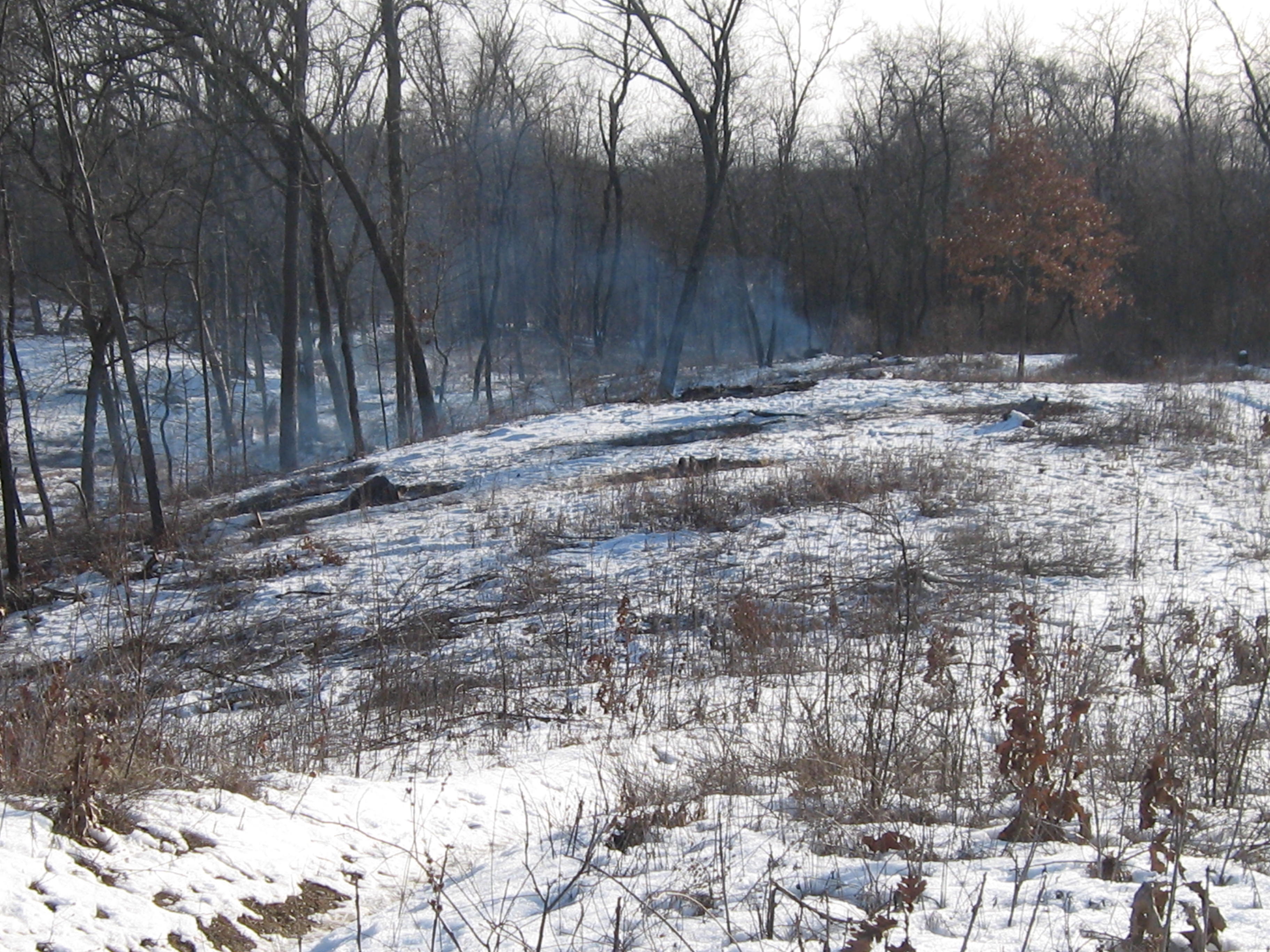
The snow started falling immediately after I took that video and it didn’t take long until I was pretty thoroughly soaked. The work is strenuous and kept me warm despite the wet. I cut my limit of 6 tankfuls and called it a day.
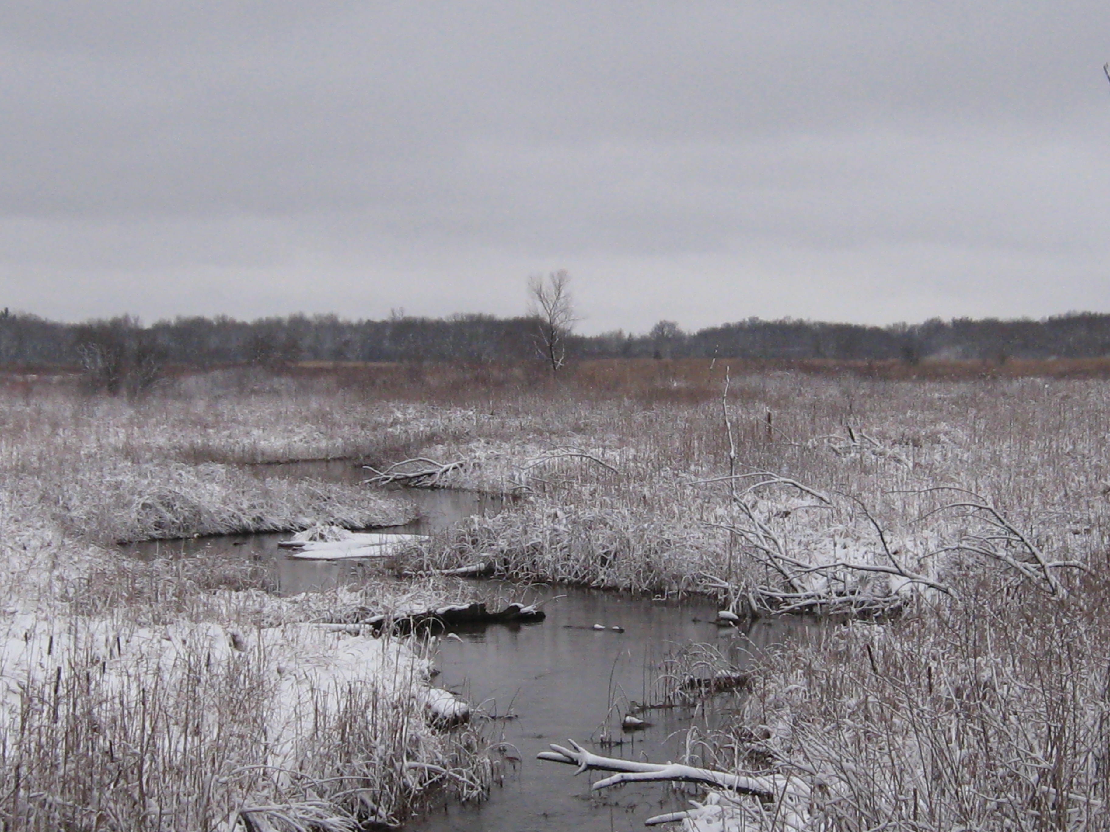
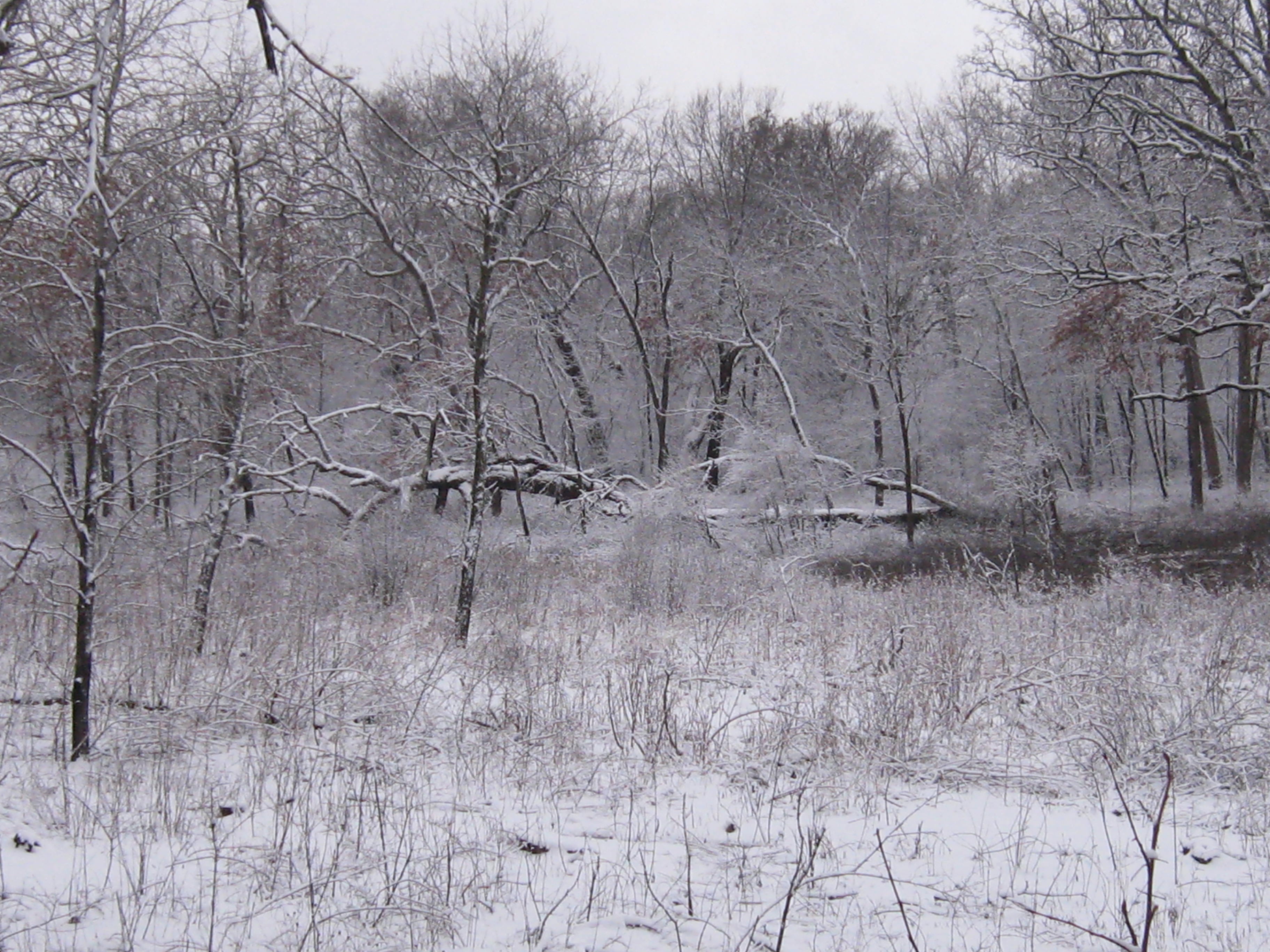
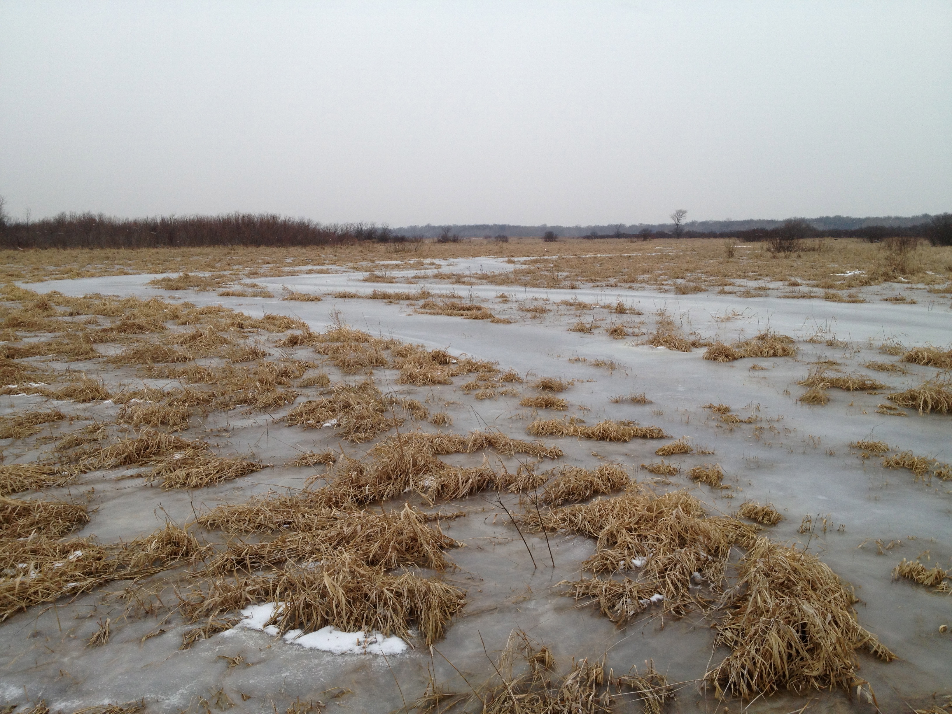
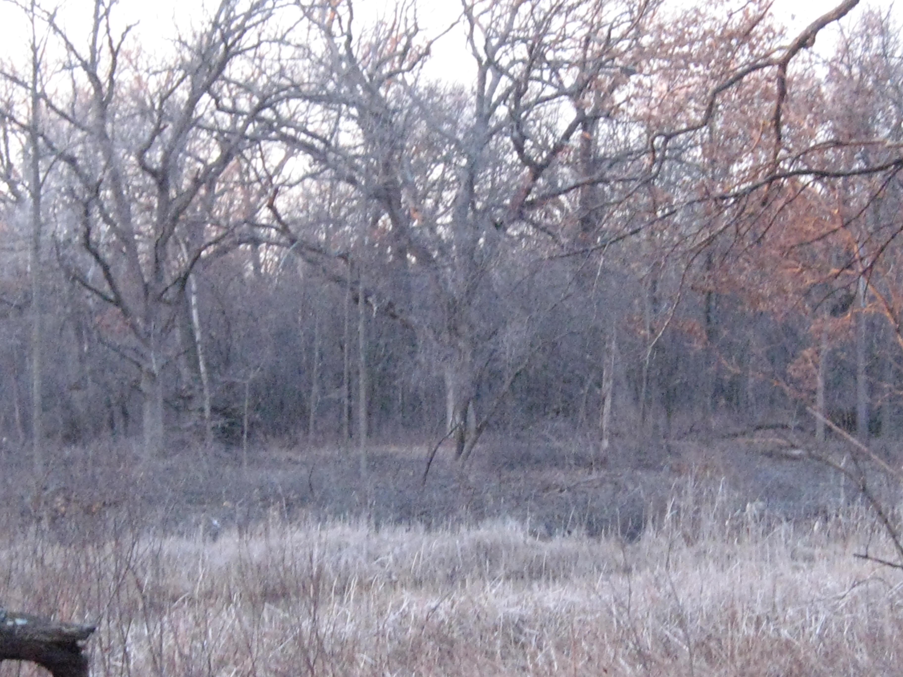
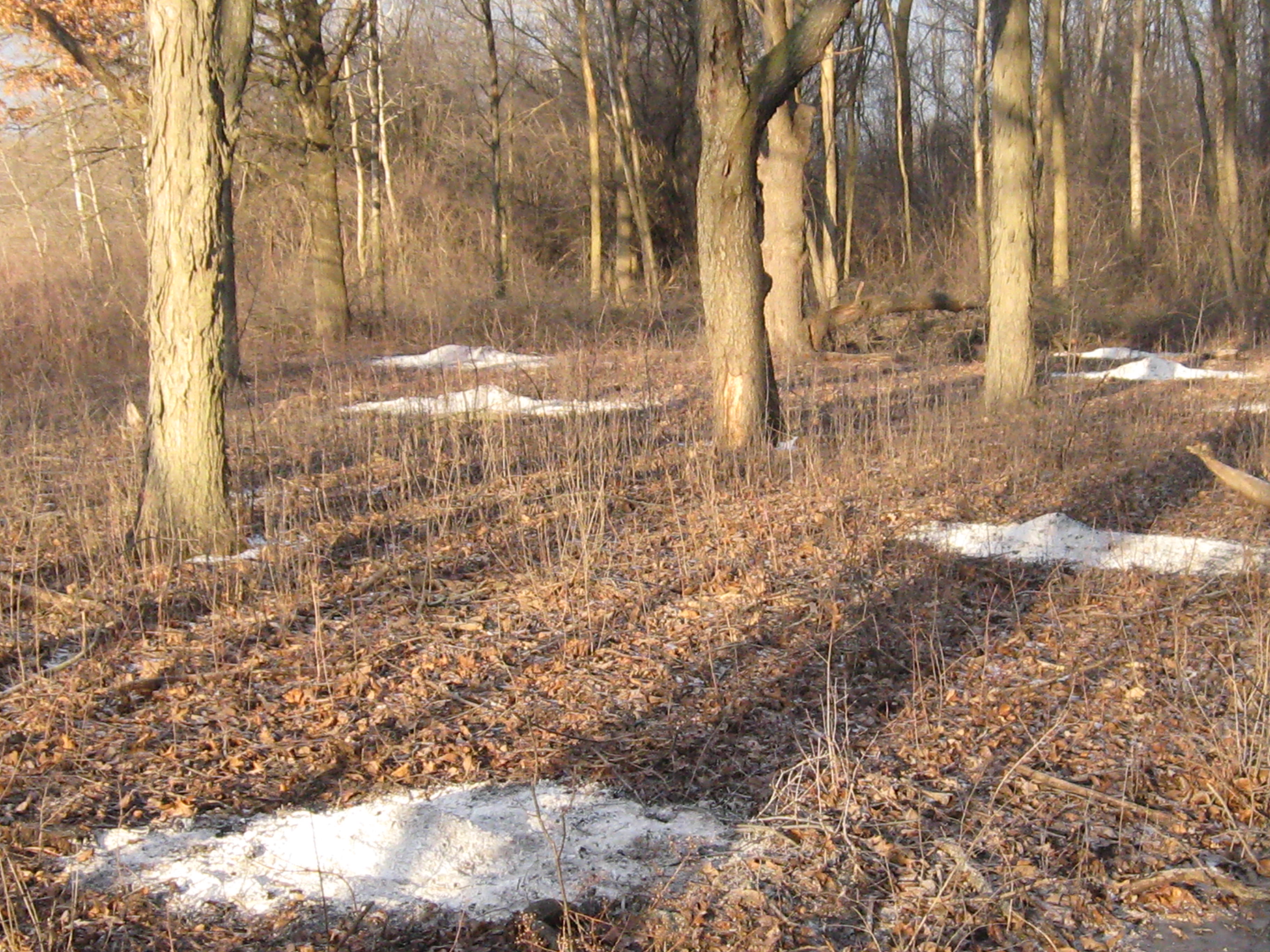
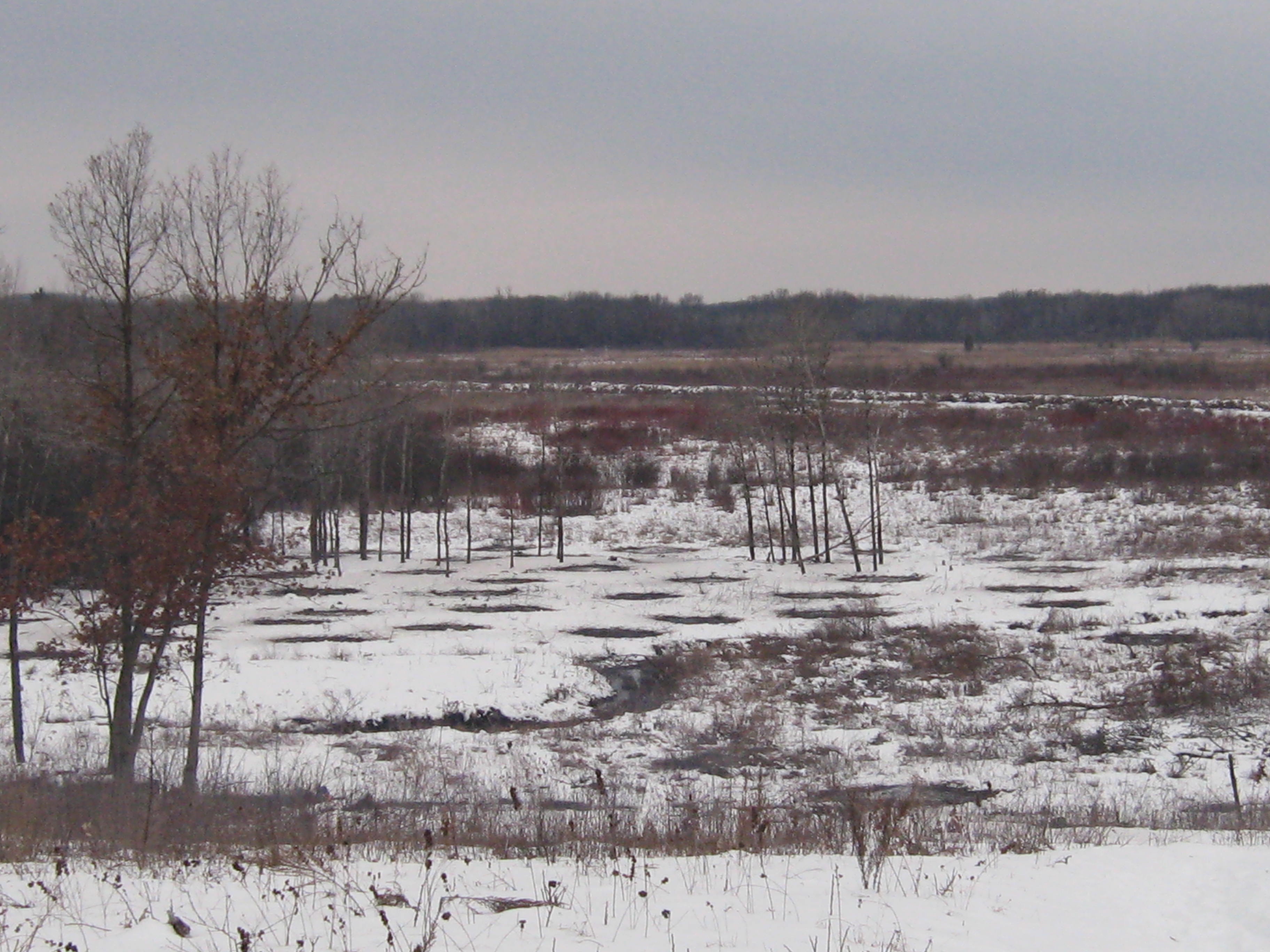
After changing into some dry clothes, I did a little sight seeing. Below is where the trail first breaks out into the main prairie.
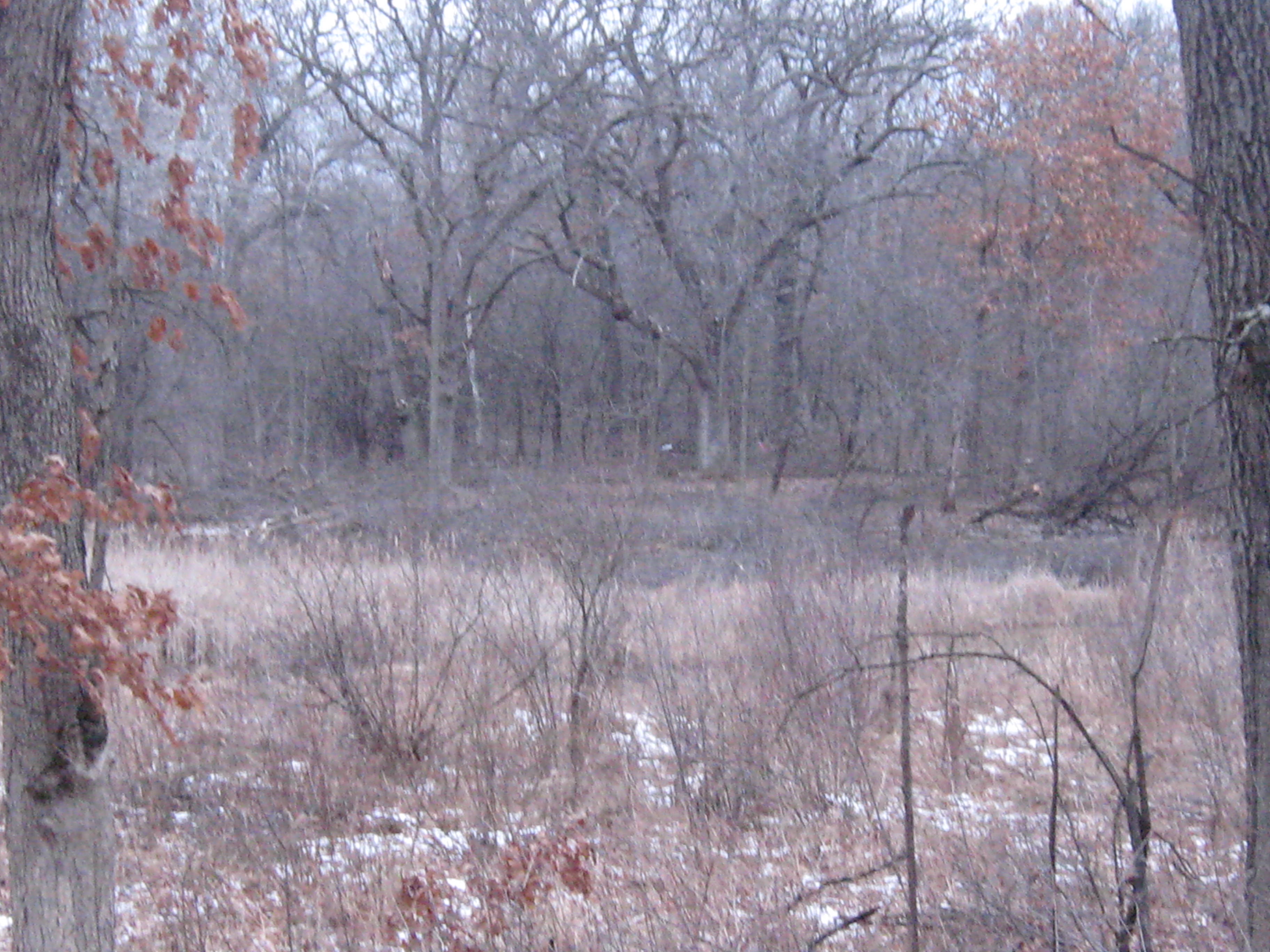
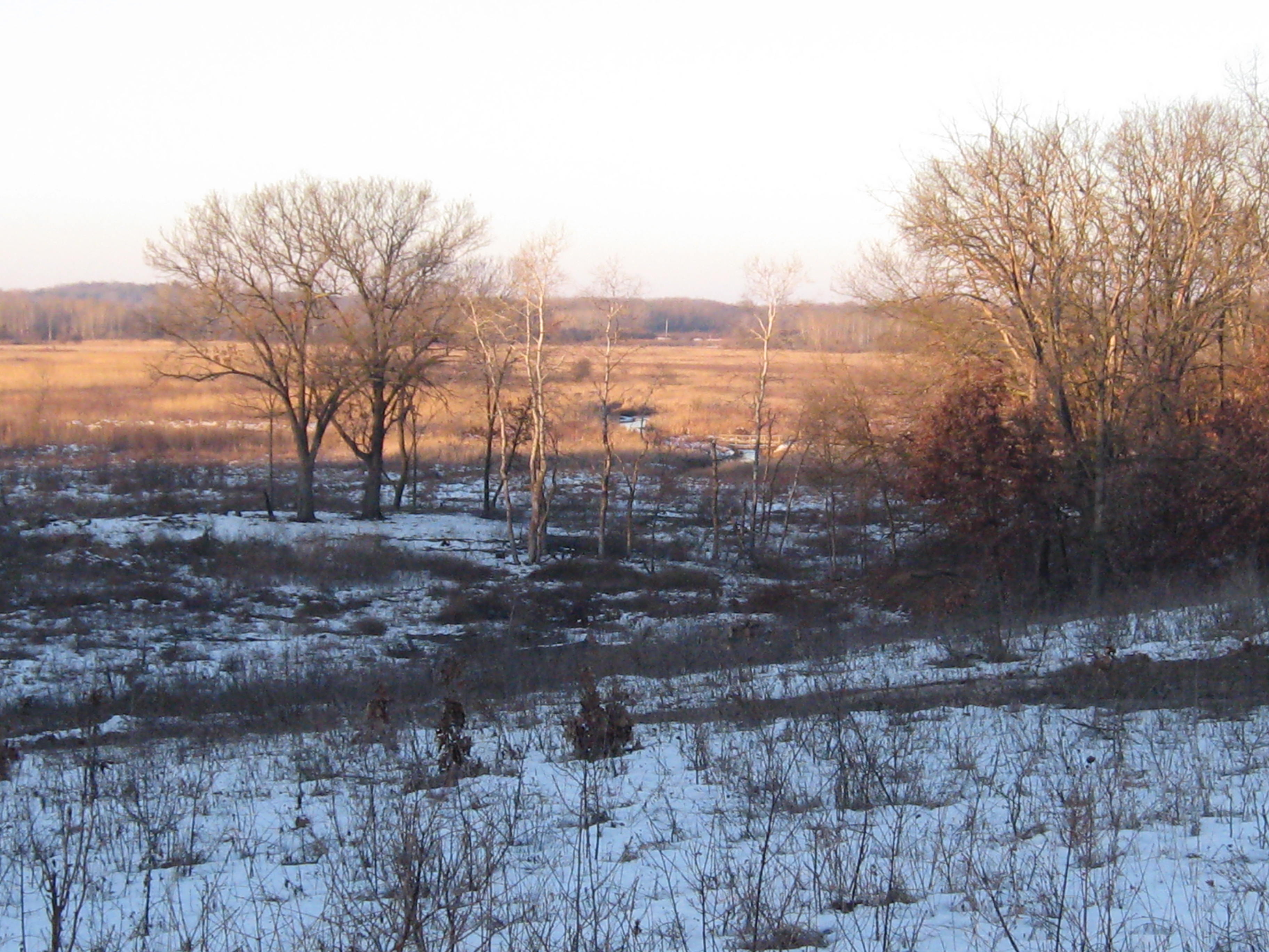
Now that we have hiked the river from the Scuppernong Spring all the way to Hwy N, I finally know what I’m looking at and can see where the Scuppernong River threads its way through the hills to the west. Below we see the Marl Pit and the Indian campground.
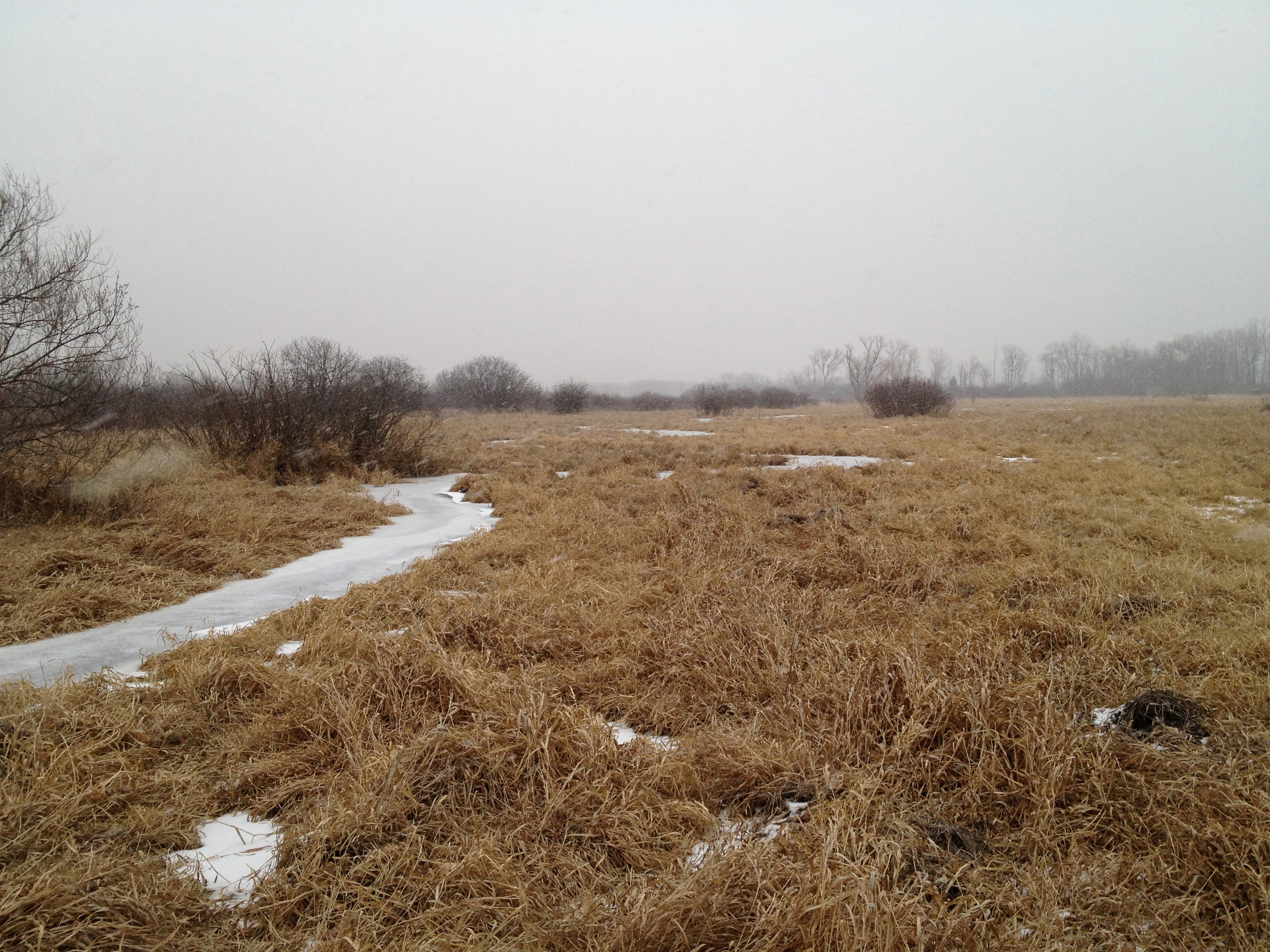
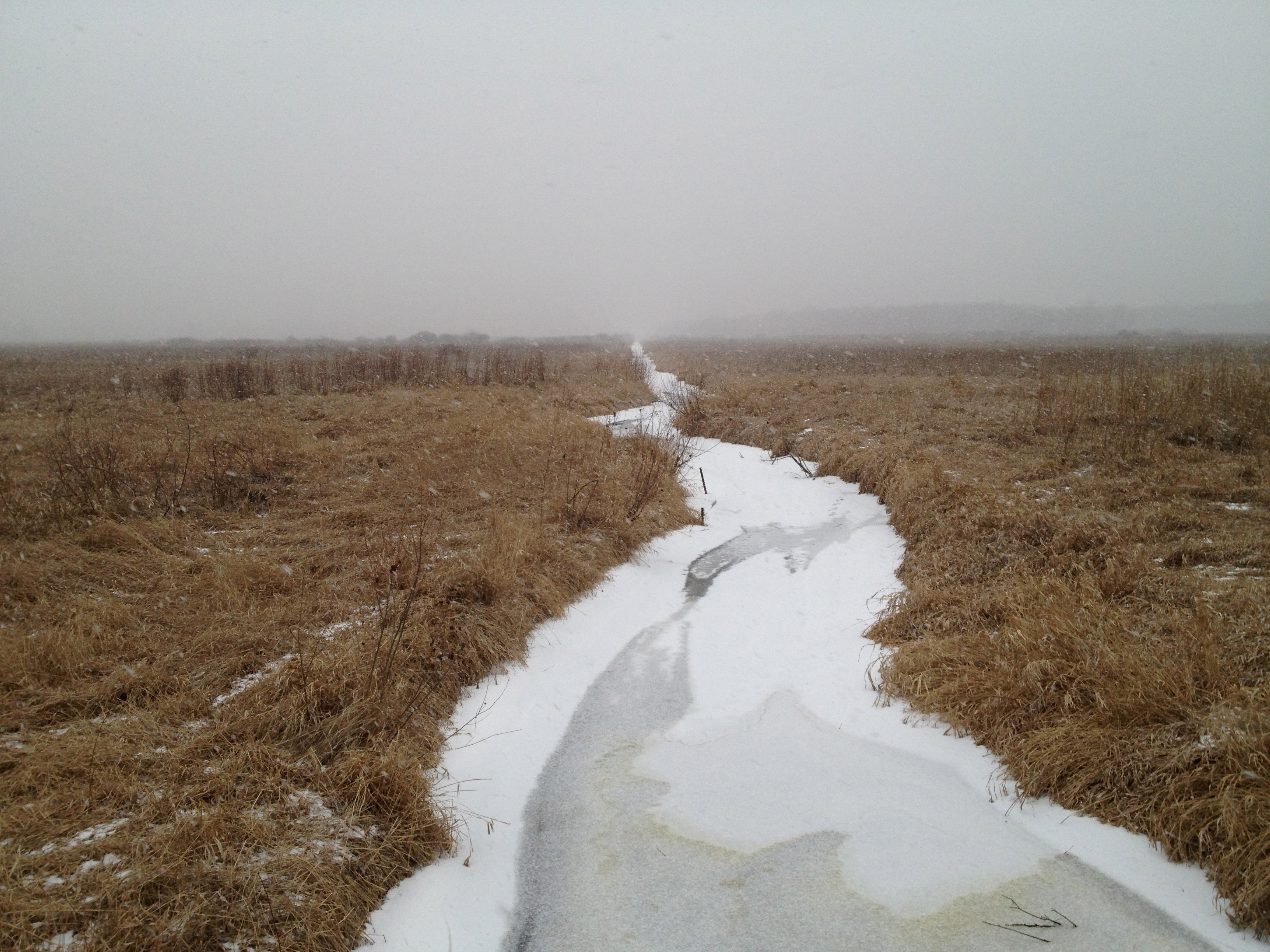
River shots.
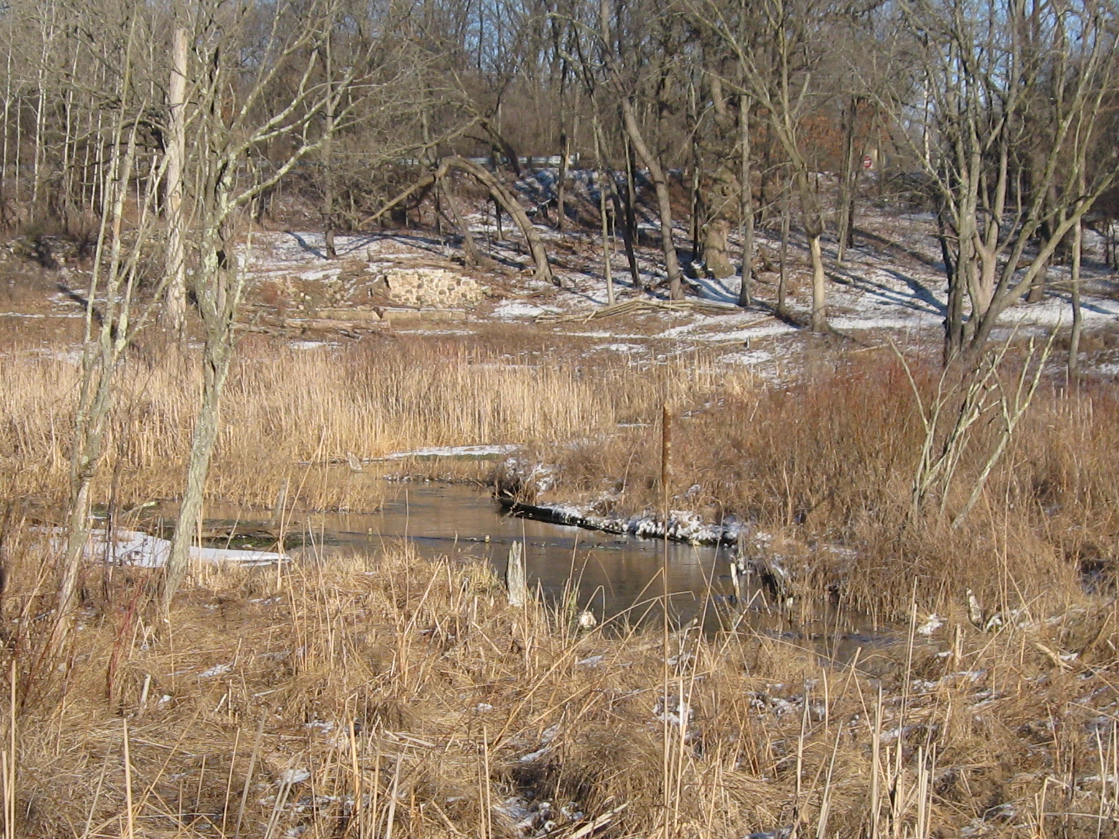
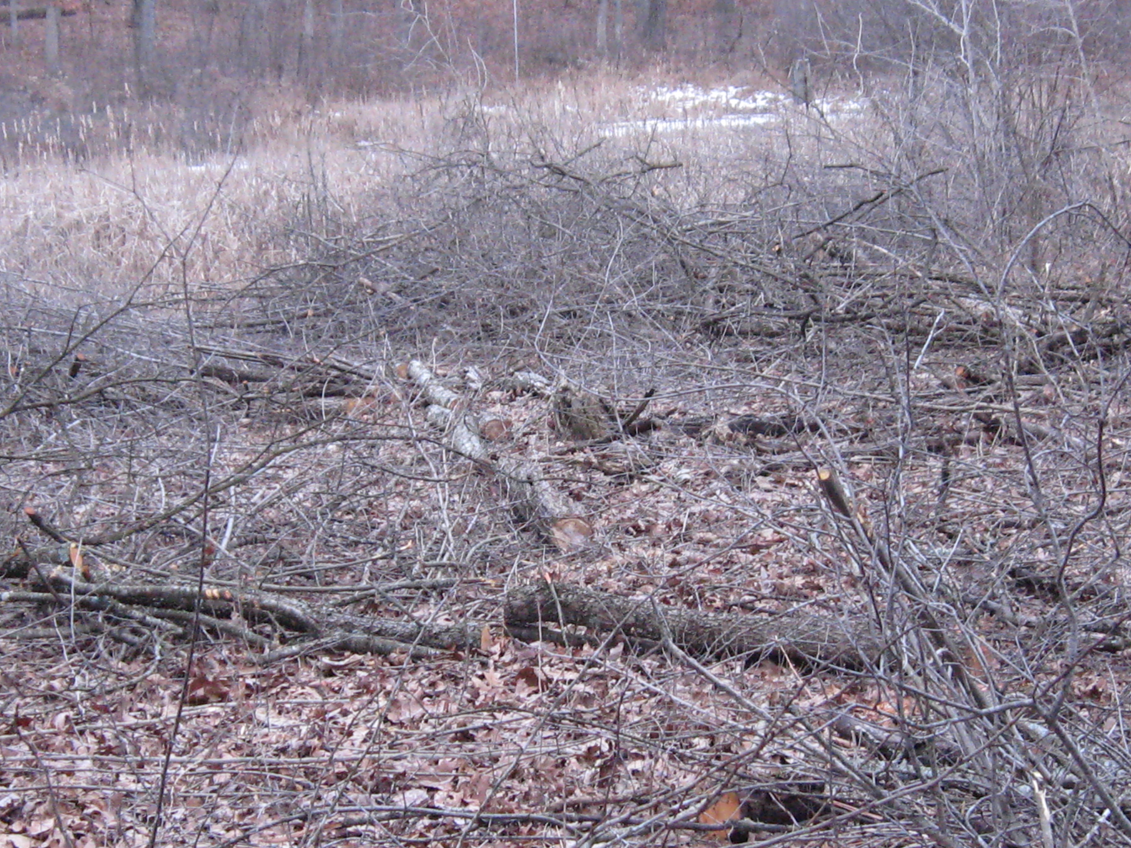
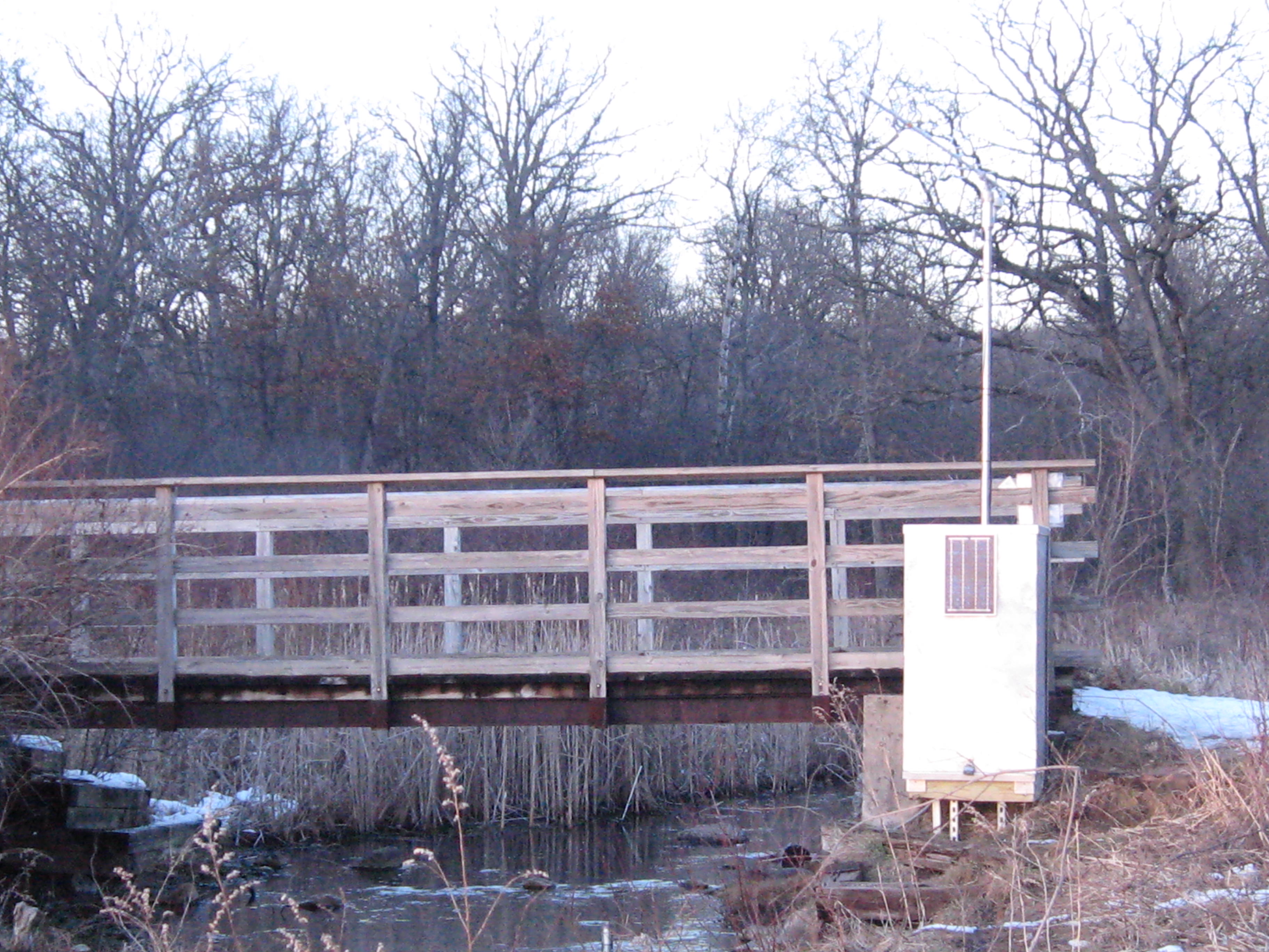
Below is along the north side of the river, along the cut-off trail, just upstream from the bridge where the ground water monitoring station was installed. This is where we will be cutting next.
Continuing down the cut-off trail.
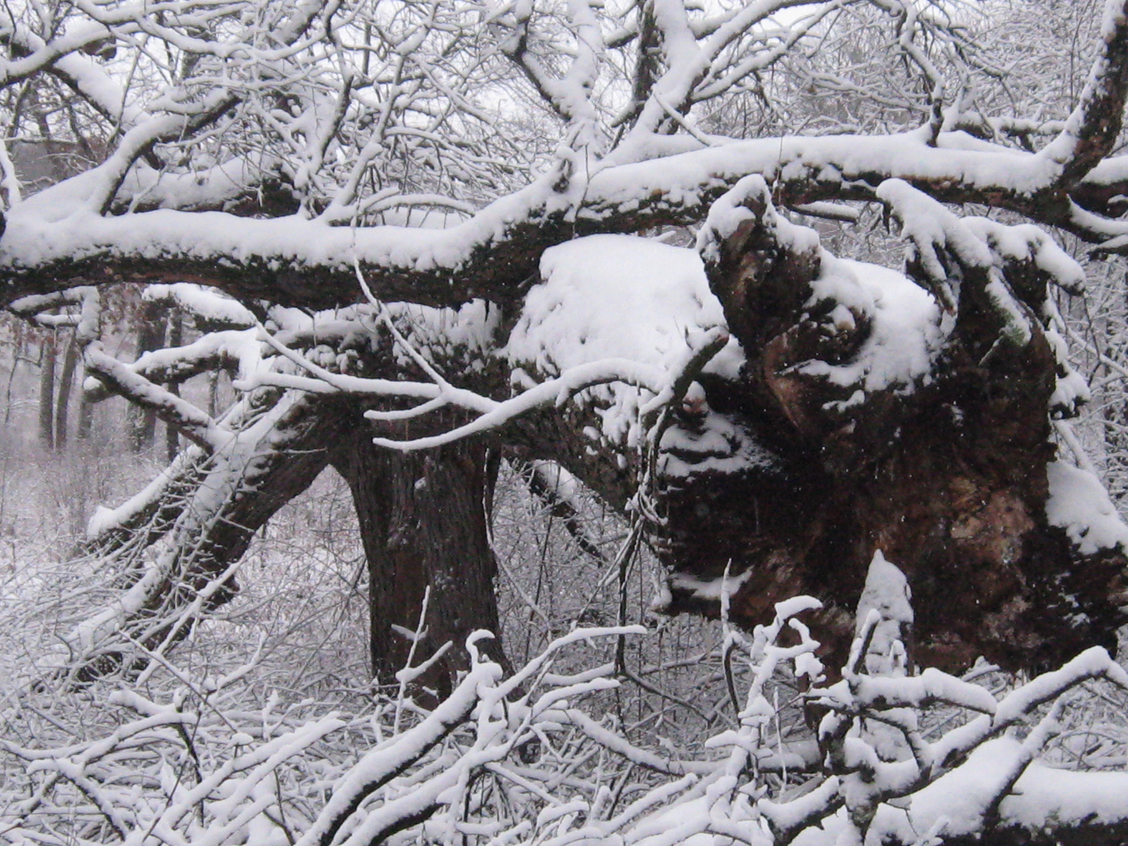
Here is that huge oak that looks like it was lifted right out of the ground.
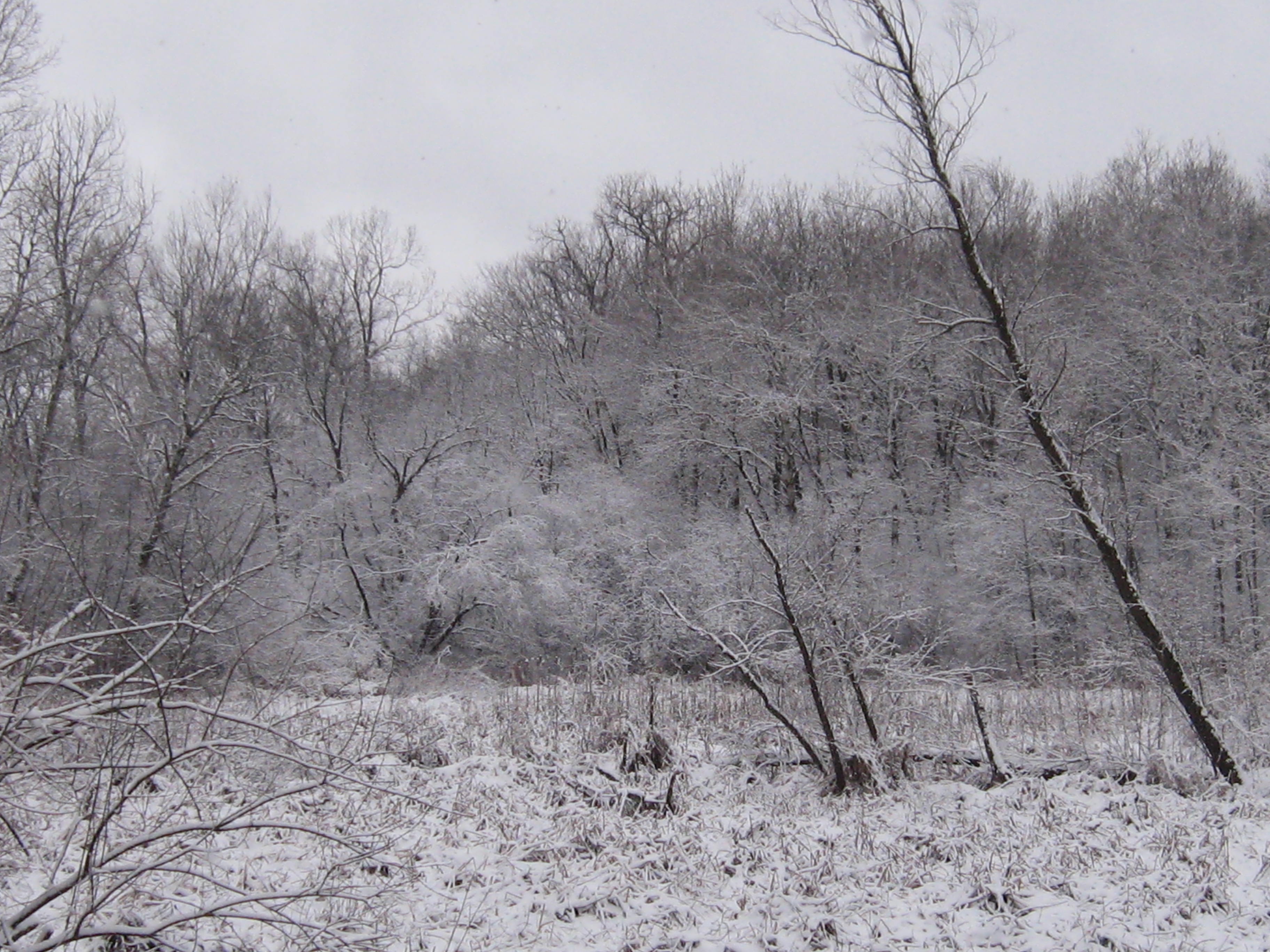
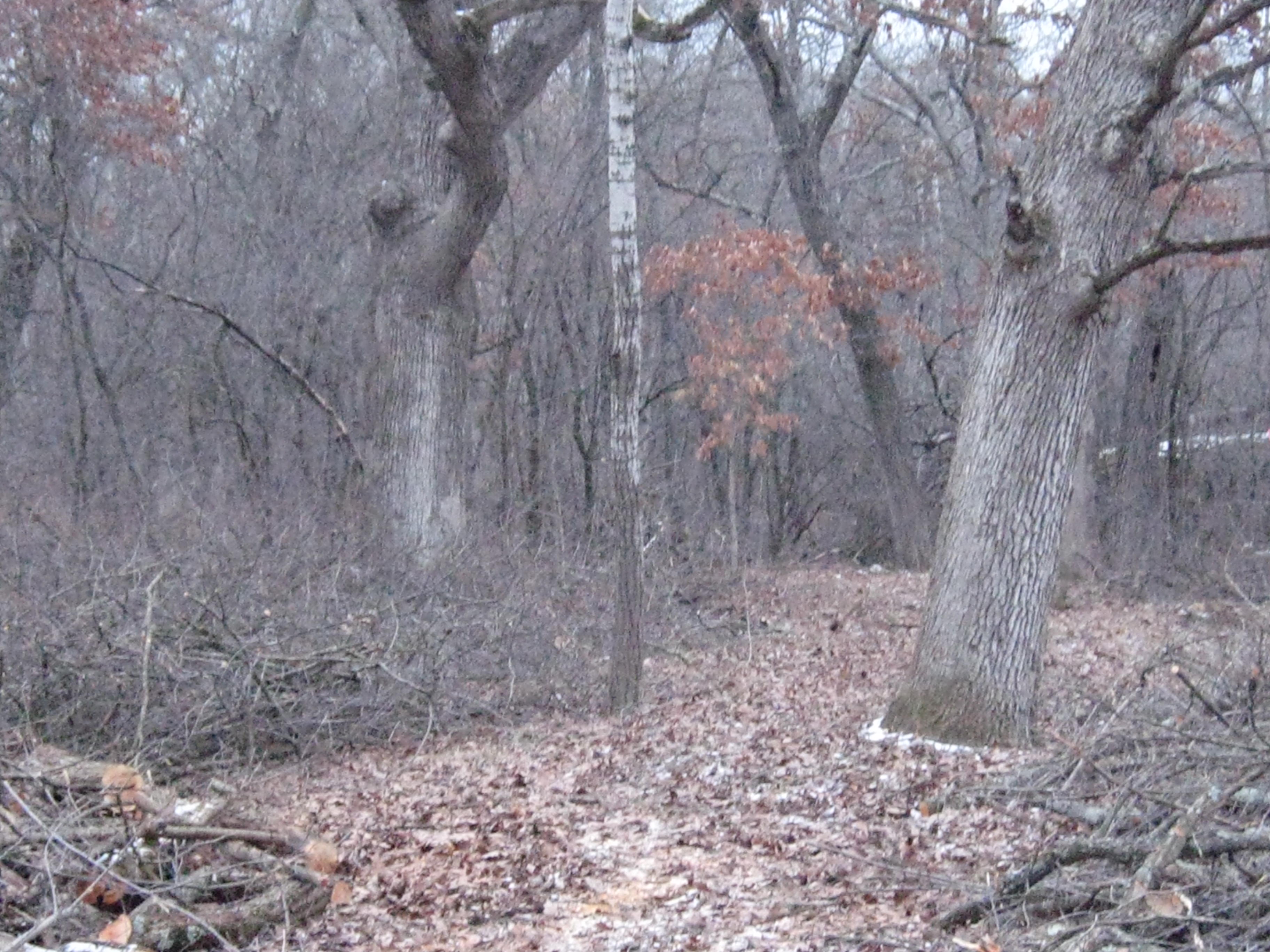
New views of the river are opening up along the cut-off trail.
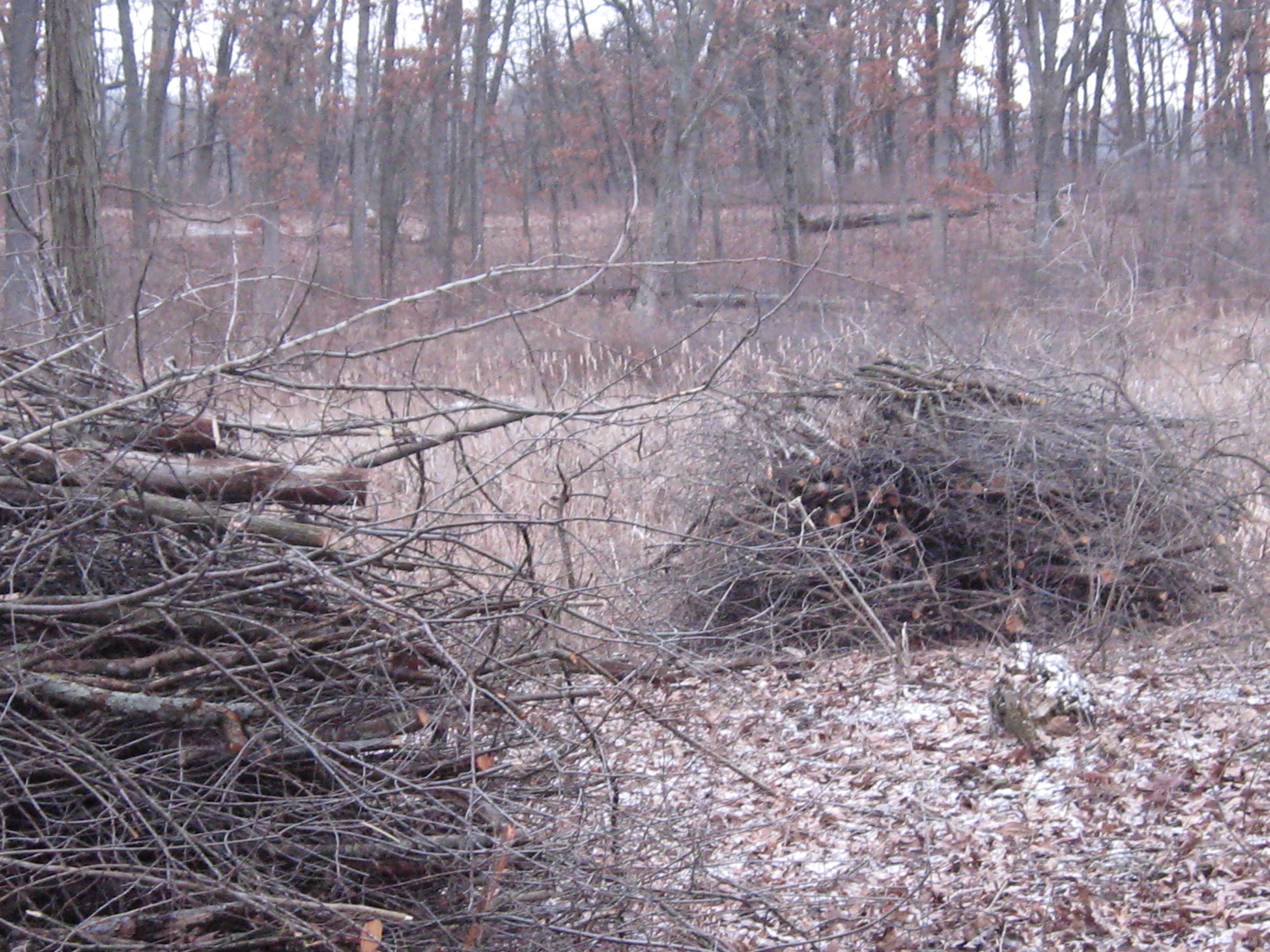
Below is an old cranberry bog where the cut-off trail joins the main loop.
The old barn site.
Looking across the river from the hotel site at the work in progress on the cut-off trail.
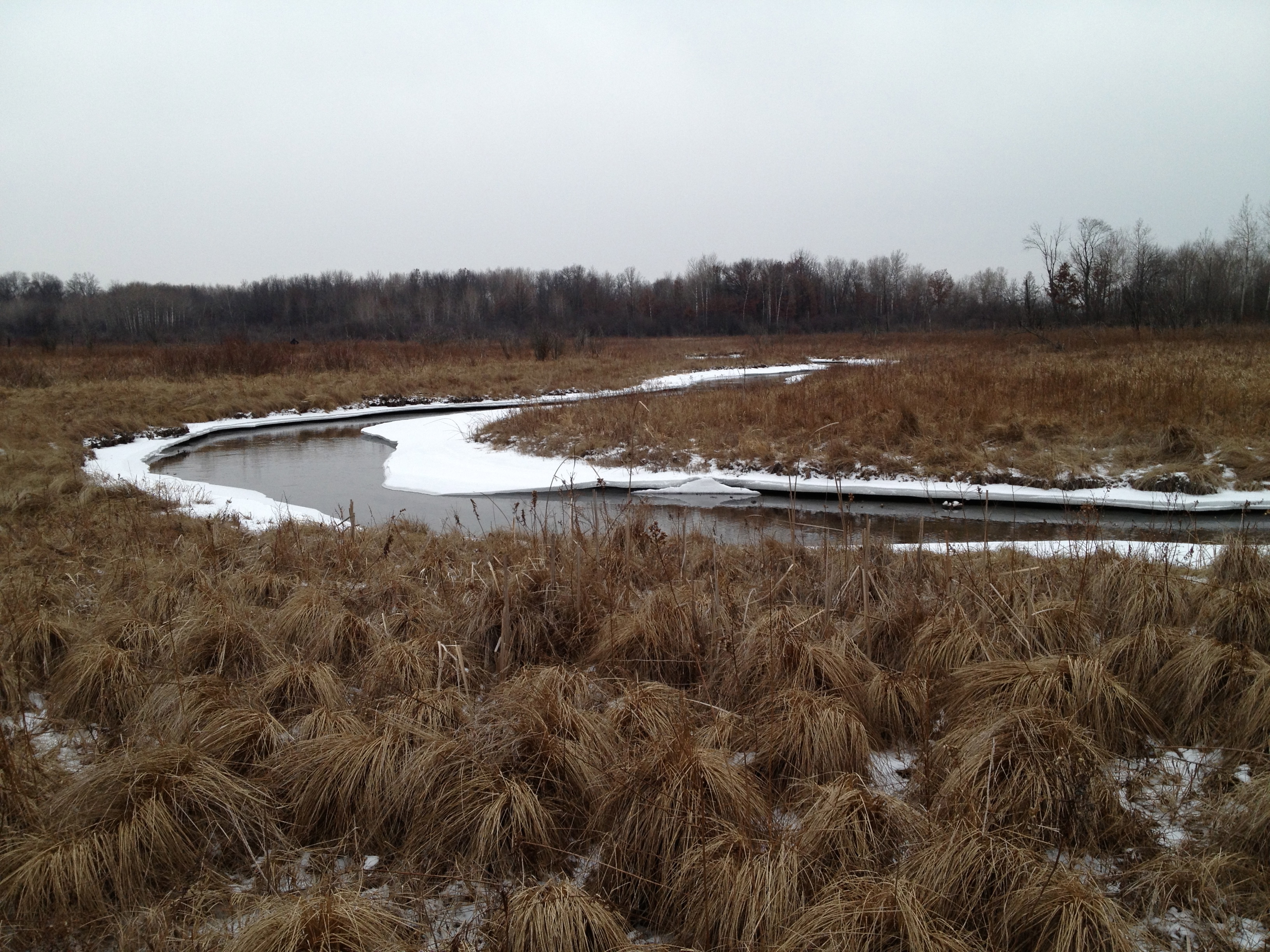
The water is up a bit!
Thanks for taking the time to enjoy the Springs with me, and I hope to see you there soon!
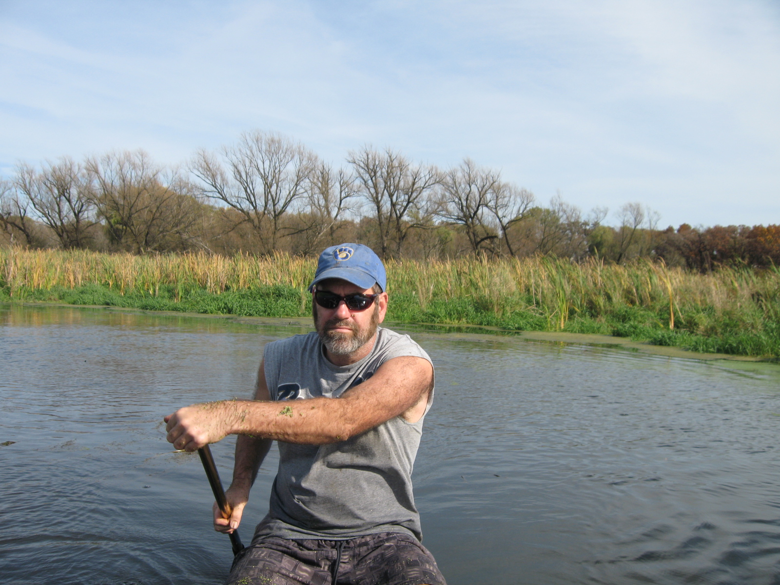
Inspired by The Bark River Chronicles by Milton J. Bates, we are going to follow the Scuppernong River from its source at the Scuppernong Spring to where it merges with the Bark River, 15 or so miles downstream, just south of Hebron in the Prince’s Point State Wildlife Area. Lindsay, Pati and I took the first leg of the journey today hiking from the Scuppernong Spring to where the river crosses Hwy N.
We left Pati’s car at the intersection of Wilton Rd and Hwy N and took Lindsay’s truck back to the Springs.
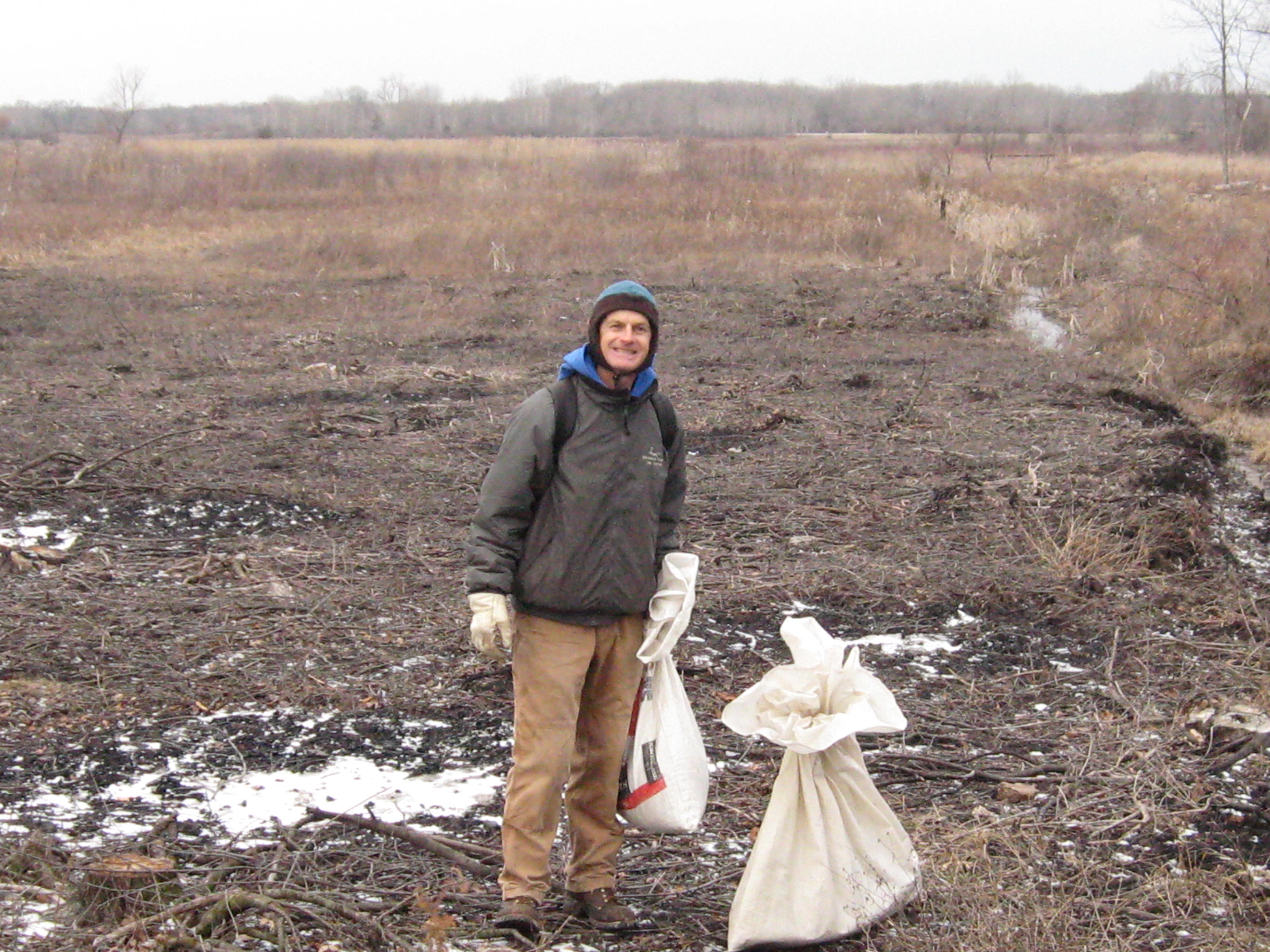
There we met Rich Csavoy and we split the sack of Upland Woodland seeds that Don Dane gave us into 4 parts and we sowed the seed; first at the old barn site along the river north of the Hotel site and then on the far south side of the loop trail by our starting point at the Scuppernong Springs.
Snow is forecast, but we are hoping to get to Hwy N before the skies let loose.
The next video was taken at the site of the new Ground Water Monitoring (Stream Gaging) Station. The data is now live at the USGS Water Watch site. Mike Parsen, the Hydrogeologist from the
Wisconsin Geological and Natural History Survey explains, “If you scroll over these circles you’ll see the name of the station at both Scuppernong Springs and another gaging station we installed at Paradise Springs a few miles to the southwest of Scuppernong. If you click on the circle, a pop-up window with tabs will appear where you can view a hydrograph of the creek stage. As the USGS collects more measurements they will develop a rating curve for this specific stretch of the creek, which will allow them to calculate flow rates for the creek.”
Mike sums up the effort “… we at the Wisconsin Geological and Natural History Survey (WGNHS) are cooperating with the U.S. Geological Survey (USGS) on this project which is funded by the WI DNR. To perform the work and meet the permitting requirements we worked with KMSF (Southern Unit) Staff as well as the WI DNR and US Army Corps of Engineers.” The Installation Report is here and provides an excellent explanation for how the monitoring unit works. You can see the nitrogen bubbles releasing every second or so from the end of the orifice line as described in the report.
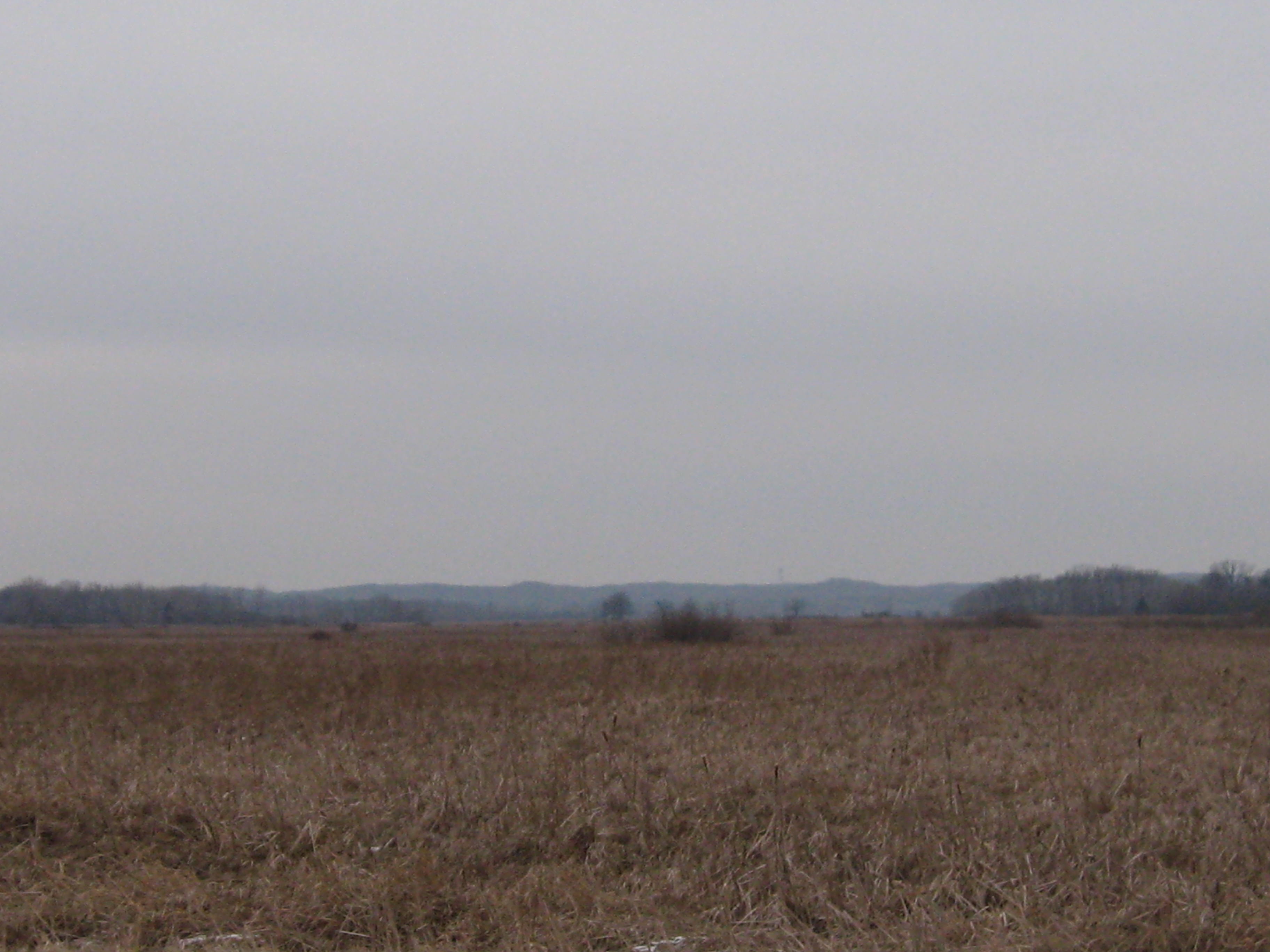
Next we take a look around at the Glacial Lake Scuppernong basin and Ottawa Lake.
And proceeded to where the outflow channel from Ottawa Lake joins the river.
The river takes a sharp left turn to the south and follows a straight course until it comes along side a pond, at which point it turns right to the west.
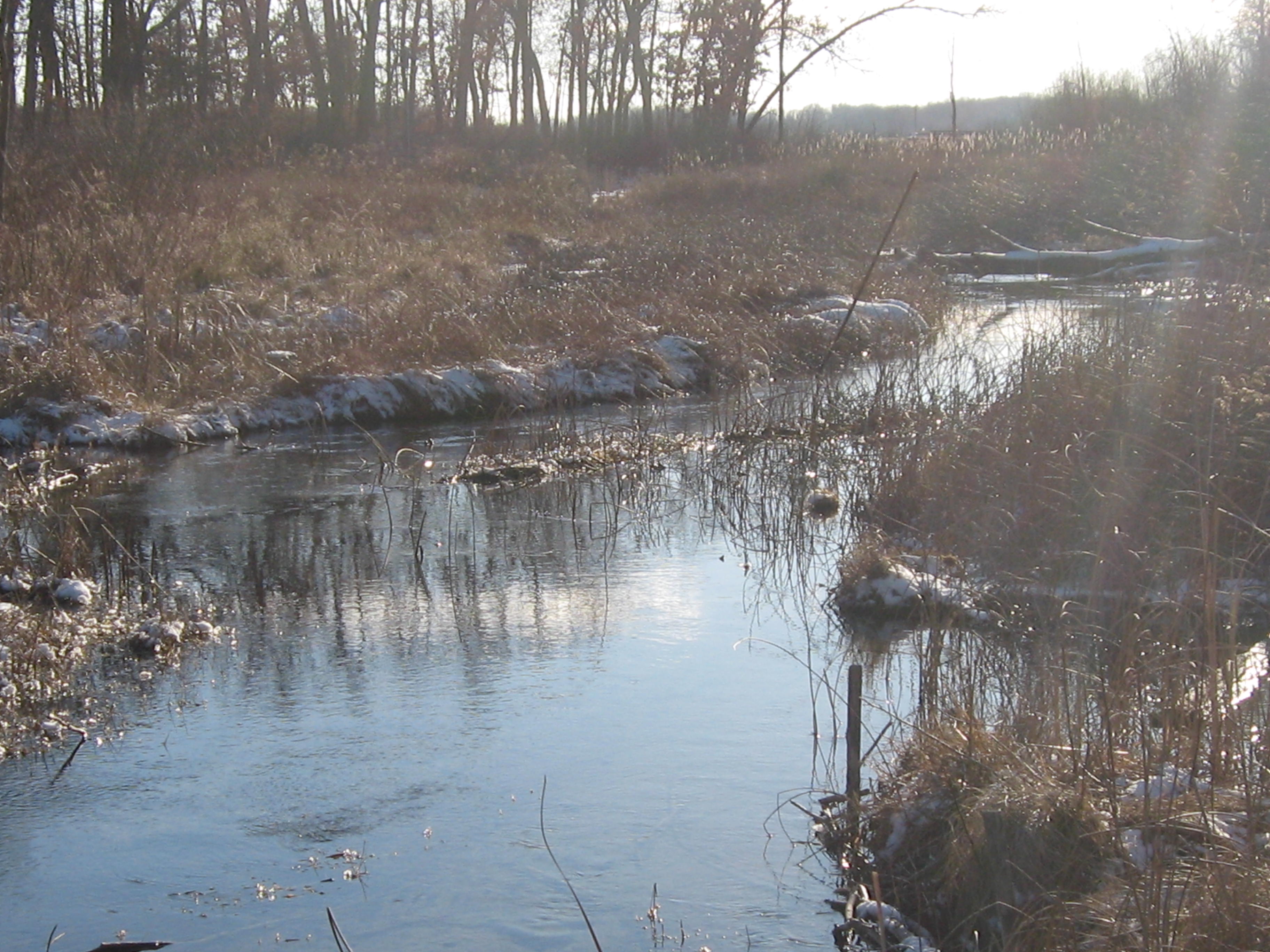
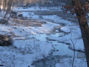
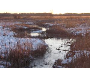
Here are a few perspectives looking up and downstream.
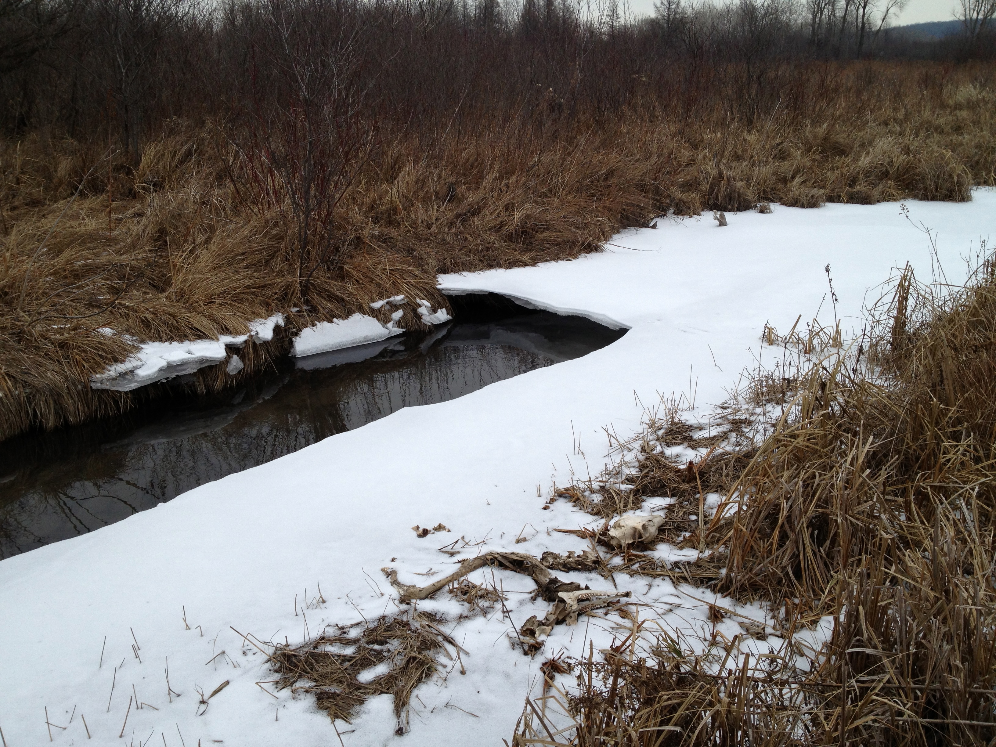
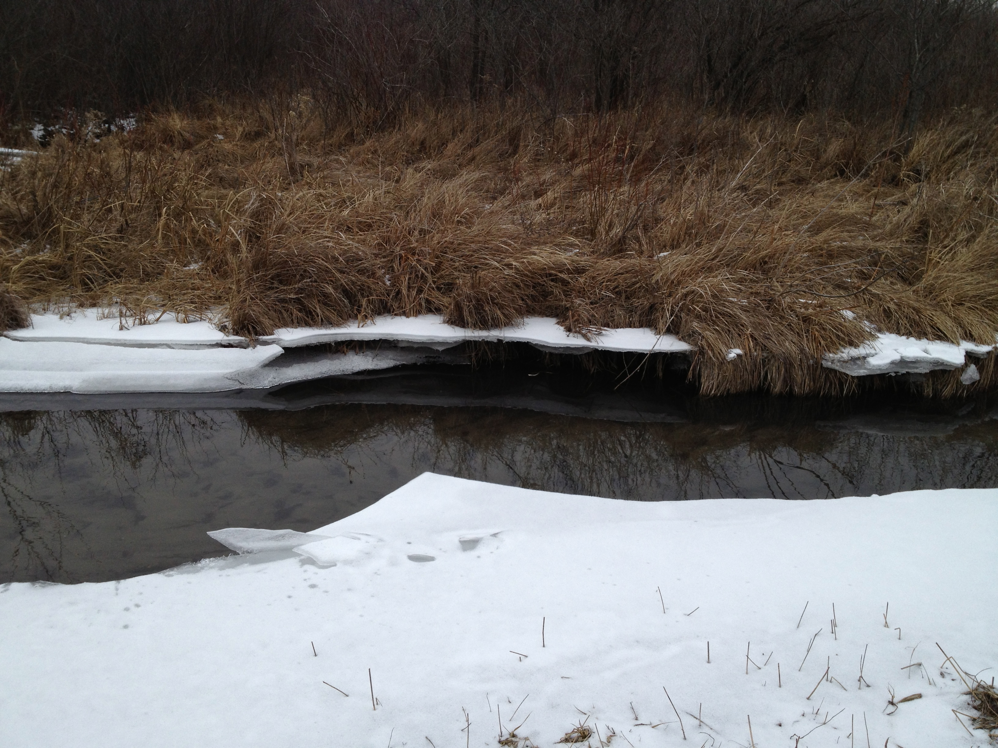
The ice showed evidence that very recently the river was 6-8″ higher in this area.
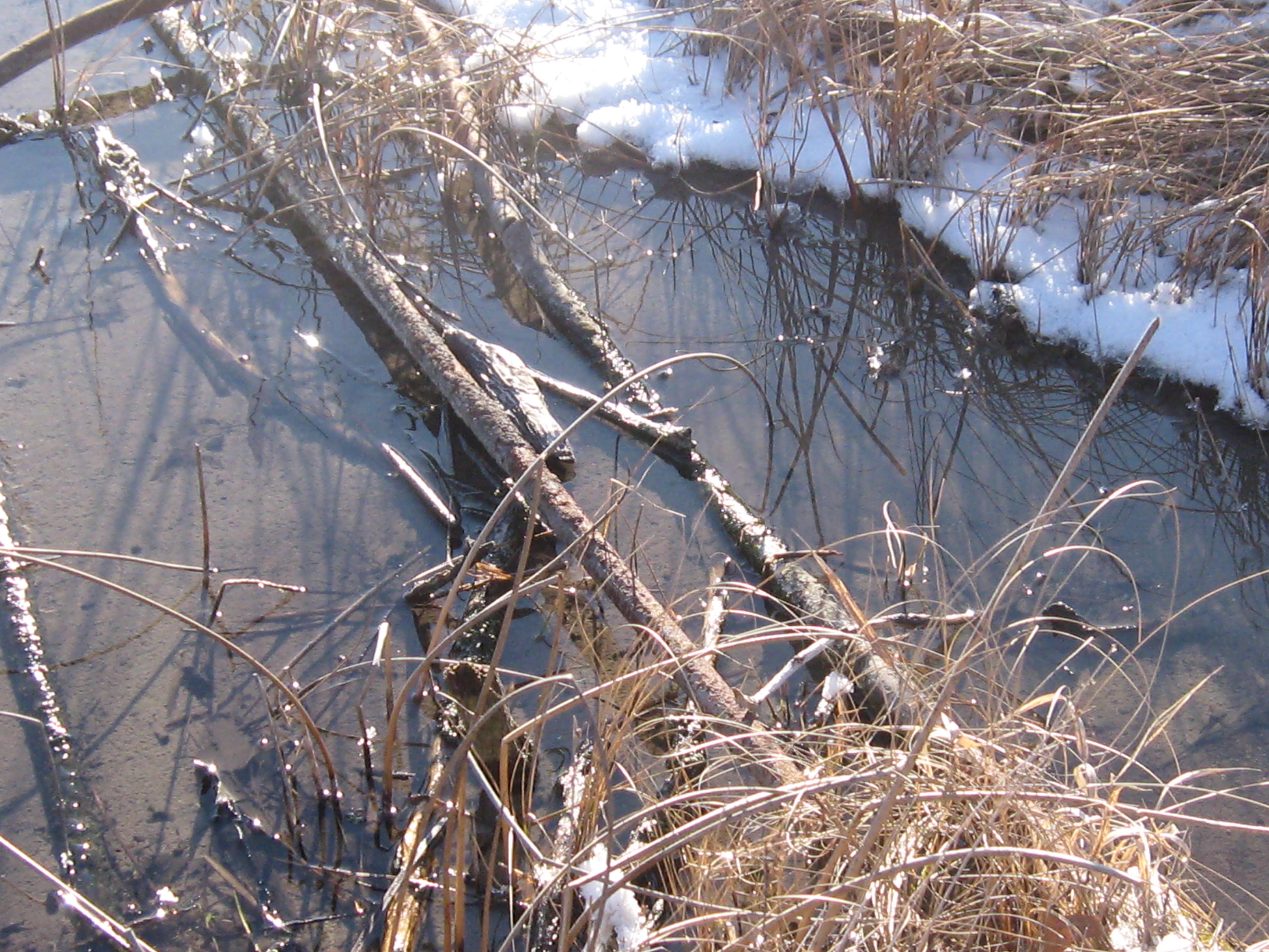
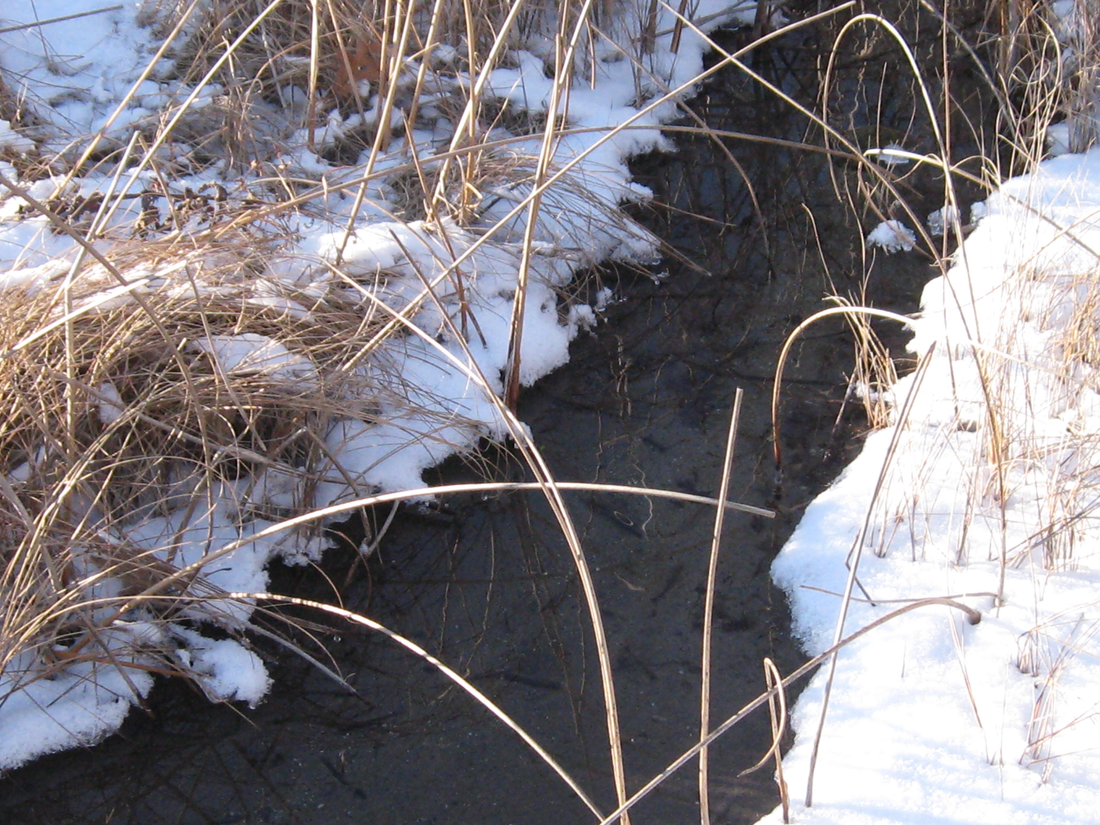
The vegetation varies from rushes, sedges, flowers and grasses to cattails and phragmites, dogwood and willow.
The next point of interest is where another spring joins the river. The origin of this water source is a spring on the east side of Hwy 67, just north of Road X. If you know the name of this spring, please add it in a comment to this post.
If you follow the course of the river in the google map embedded above you will notice it comes up close behind a homestead. I believe the DNR recently purchased this property.
A bit further downstream we came to the site of the repair work the DNR did last summer (see end of that post) to close off the connection between the river and a drainage canal.
Strolling along the DNR two-track “road”, we came across a ditch that crossed the river perpendicularly and, much to my dismay, joined up with the channel that was disconnected from the river just upstream. You can see the ice path joining the river to the channel above it.
The view of the ditch that bisects the river looking south.
Here is the channel full of water; is this by design or accident?
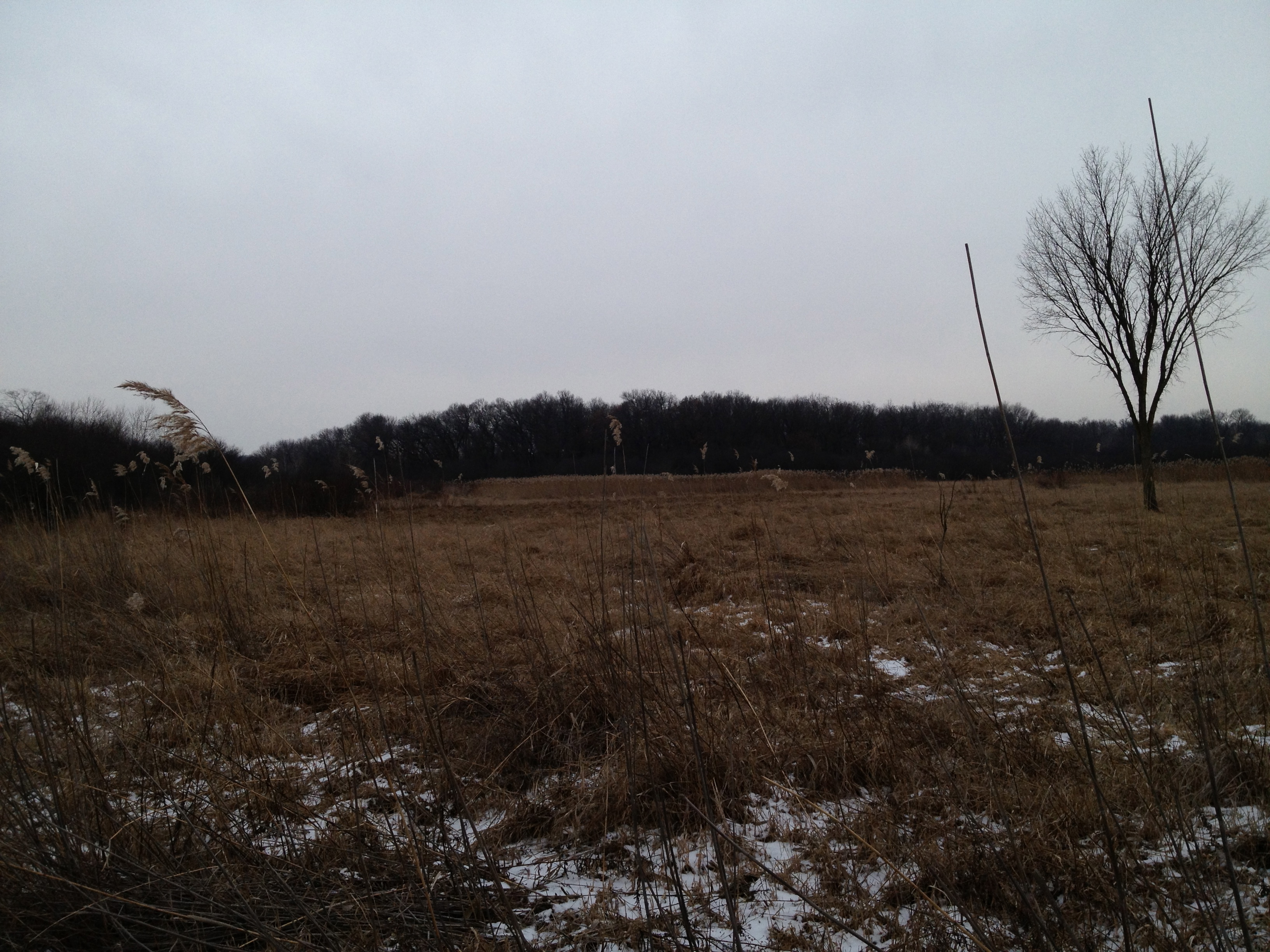
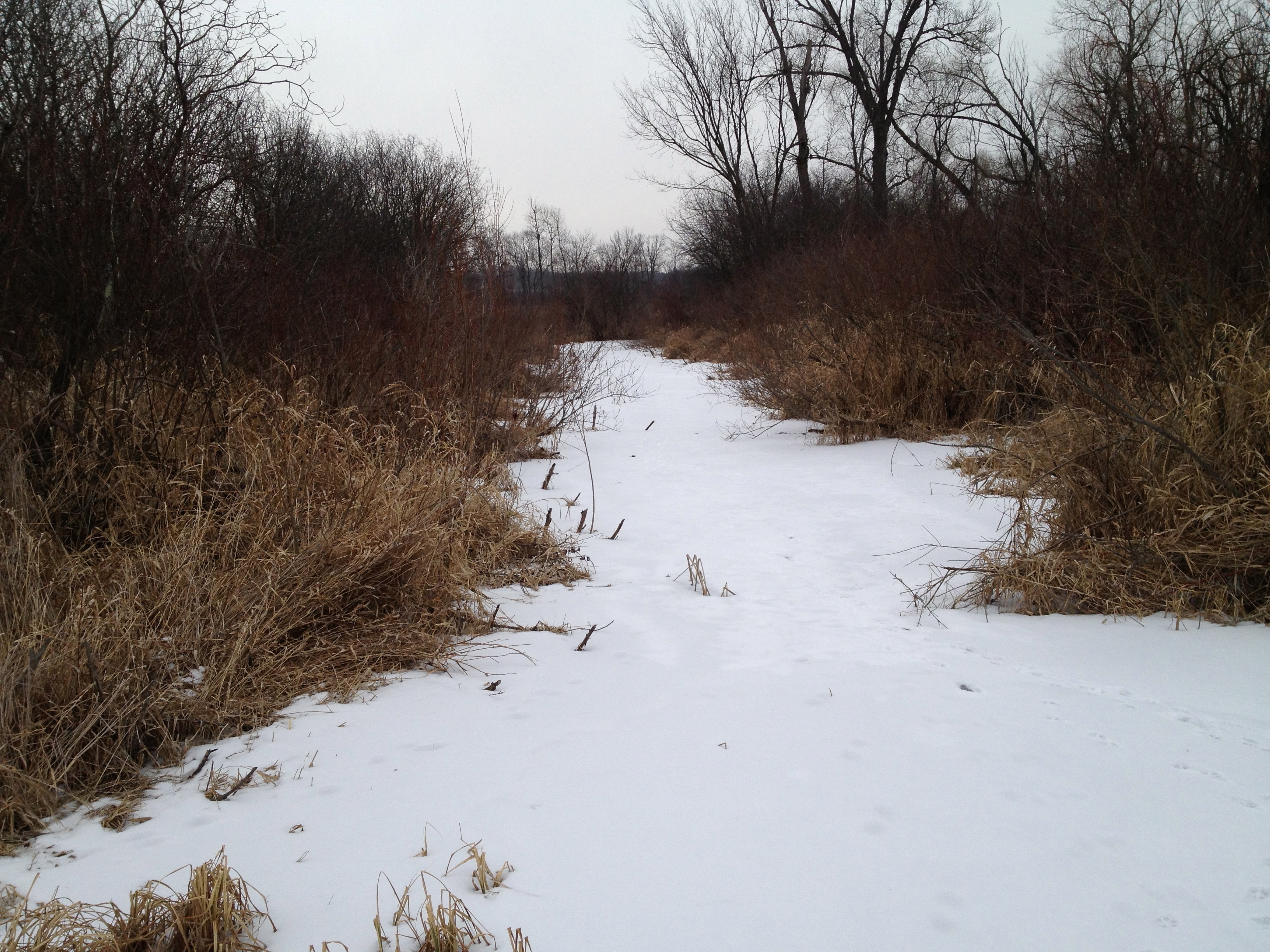
Another look around at the lay of the land in these next two videos. We are way out in the boonies here.
The next point of interest is the site where the DNR staged their equipment for the project they did last Summer mentioned above in the link to the Ben Heussner Interview. It was a lot dryer back then; good thing the wetland was frozen.
As we approached Hwy N, the snow and sleet began to fall. You’ll hear me musing repeatedly about why there is water in the channel. I will follow up with the DNR about this to see if it is expected.
The river and channel merge at Hwy N.
That was a nice little trip! We recommend the south side of the river if you want to give it a try. We noticed a lot of areas to gather seeds, or “plugs” next year to sow or plant back by the headwaters, where we are trying to diversify the cattail and phragmites mono cultures that currently dominate there.
Here is the view looking west downstream from Hwy N. We hope to hike the next segment to Hwy Z soon.
Thanks for following the Scuppernong Springs Nature Trail posts and watch for the next segment in our Journey Down The Scuppernong River.
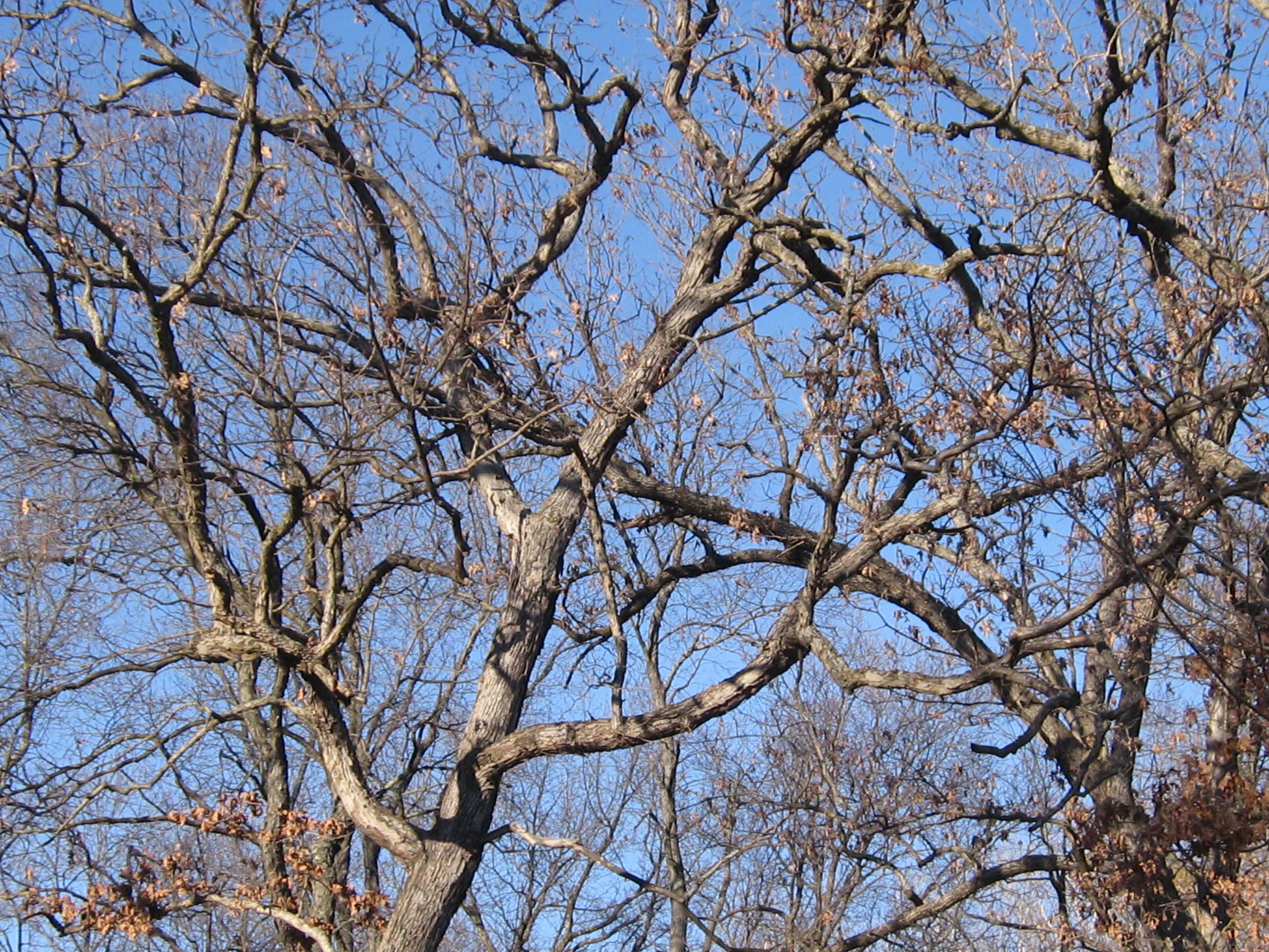
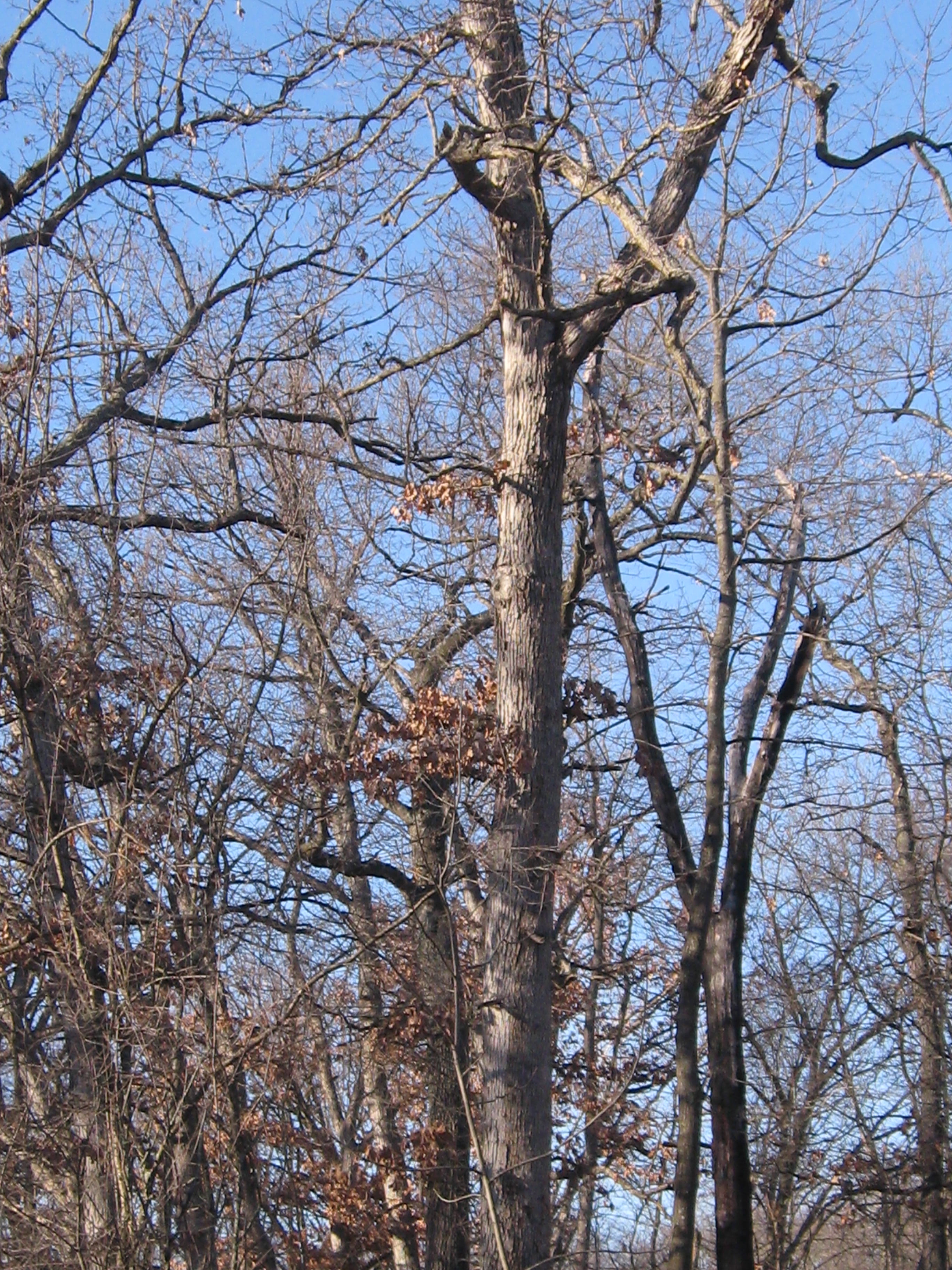
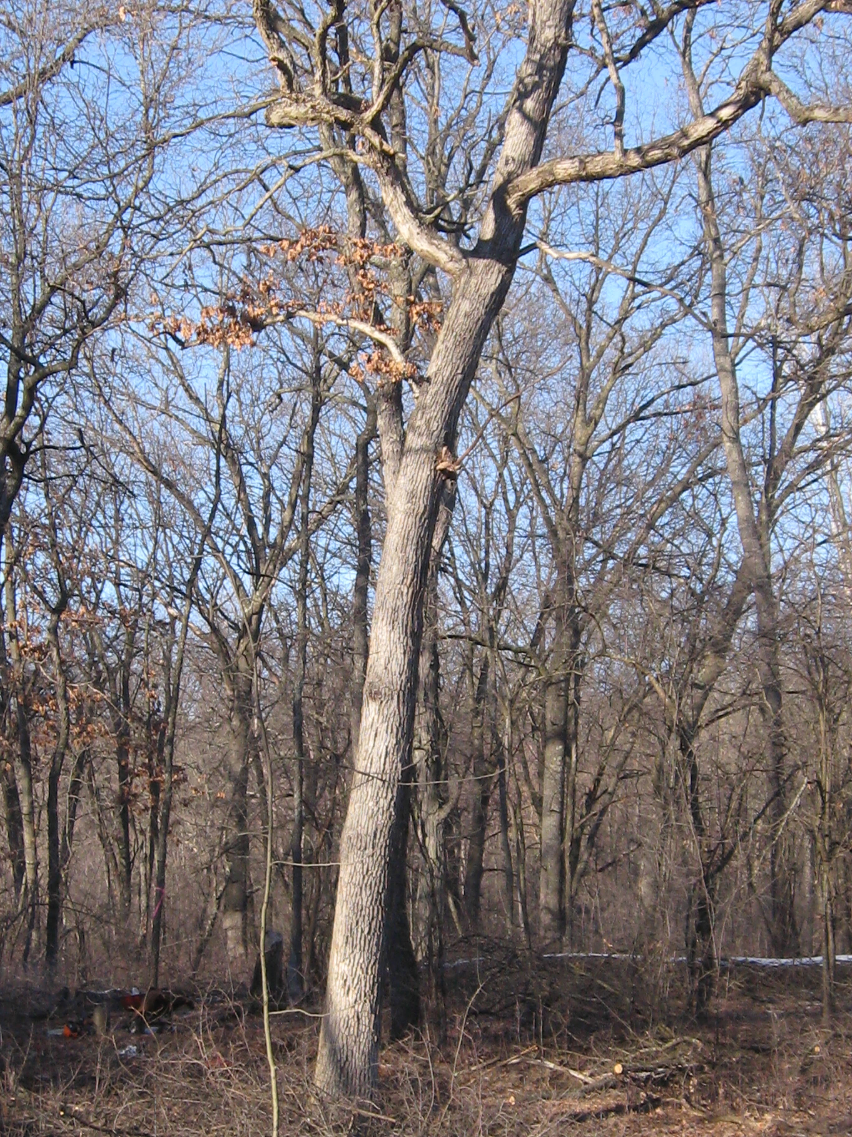
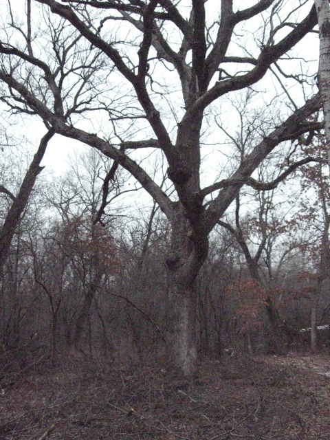
The White, Black, Red and Burr Oaks on the Cut-Off trail create a sacred space. These majestic works of art exhibit the most graceful, dynamic, flowing, architectural lines possible. Removing the clutter and tangle of Buckthorn from beneath their sweeping canopys is akin to wiping away the dirt from the ceiling of the Sistine Chapel. I’m honored and thankful for the opportunity to do it!
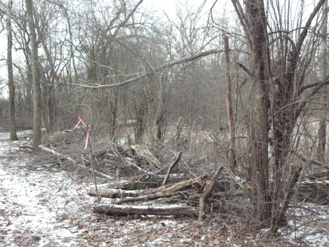
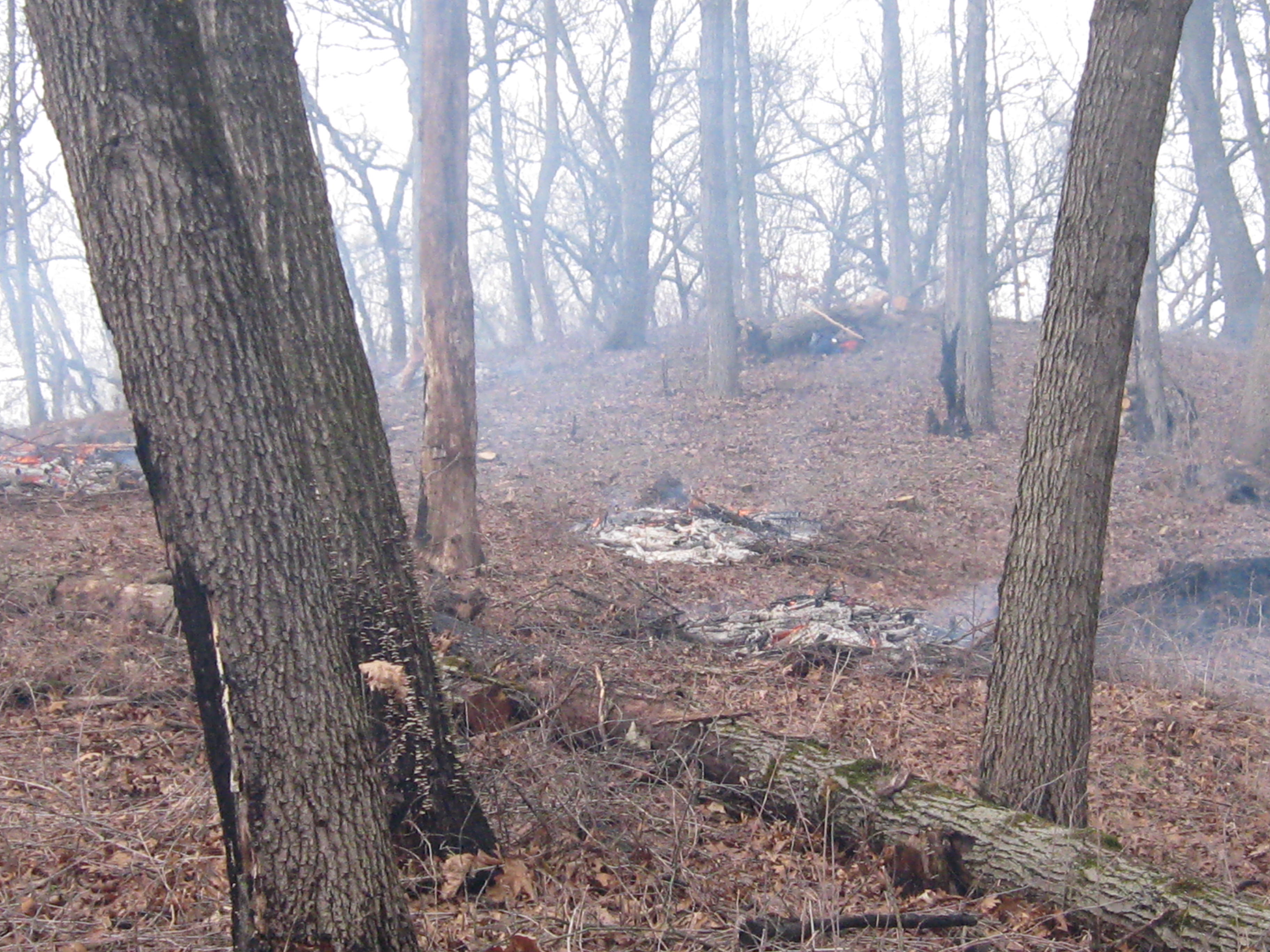
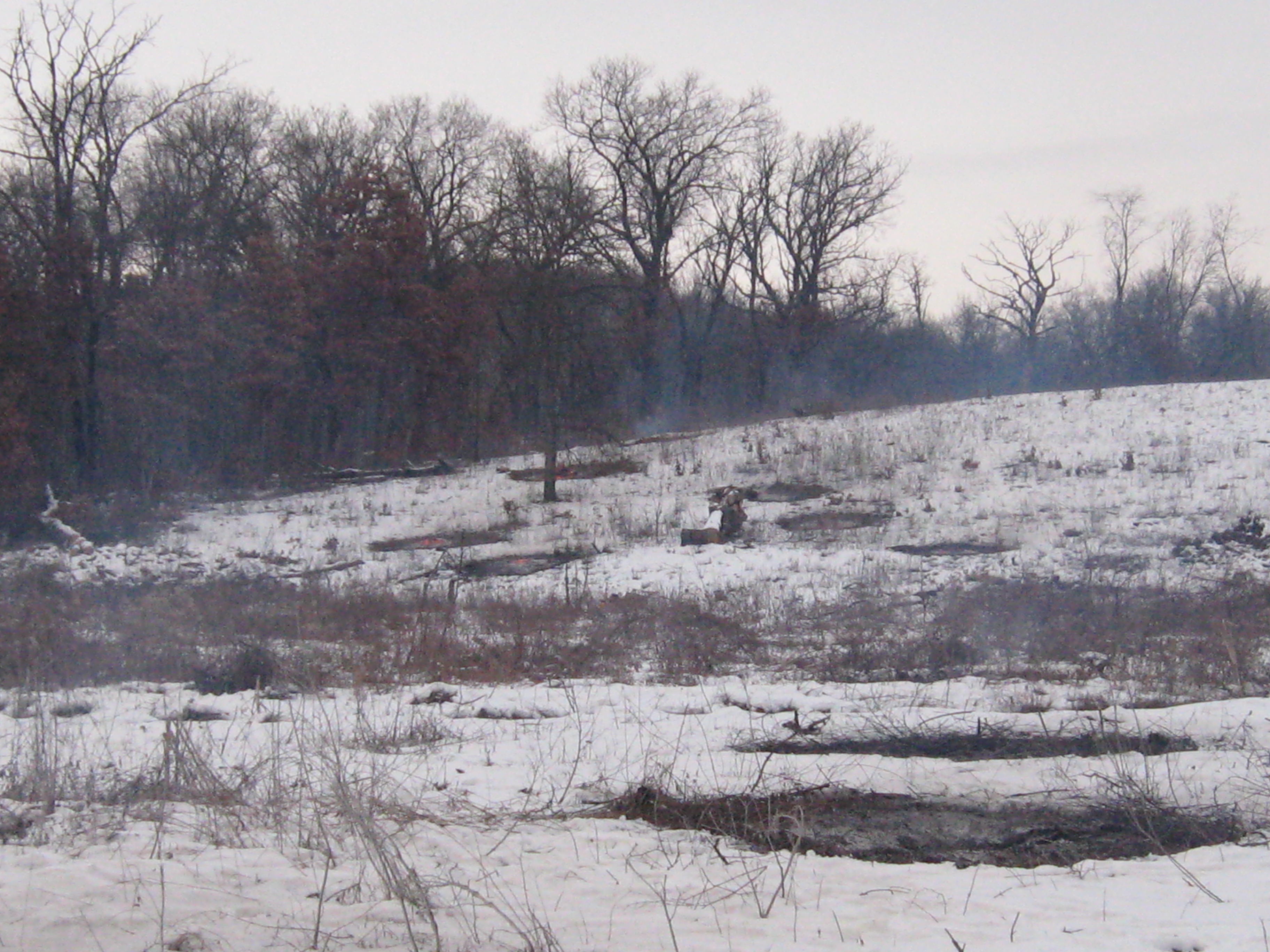
It couldn’t have been more peaceful and beautiful at the Springs today as I continued clearing Buckthorn along the cut-off trail in the area marked in white below.
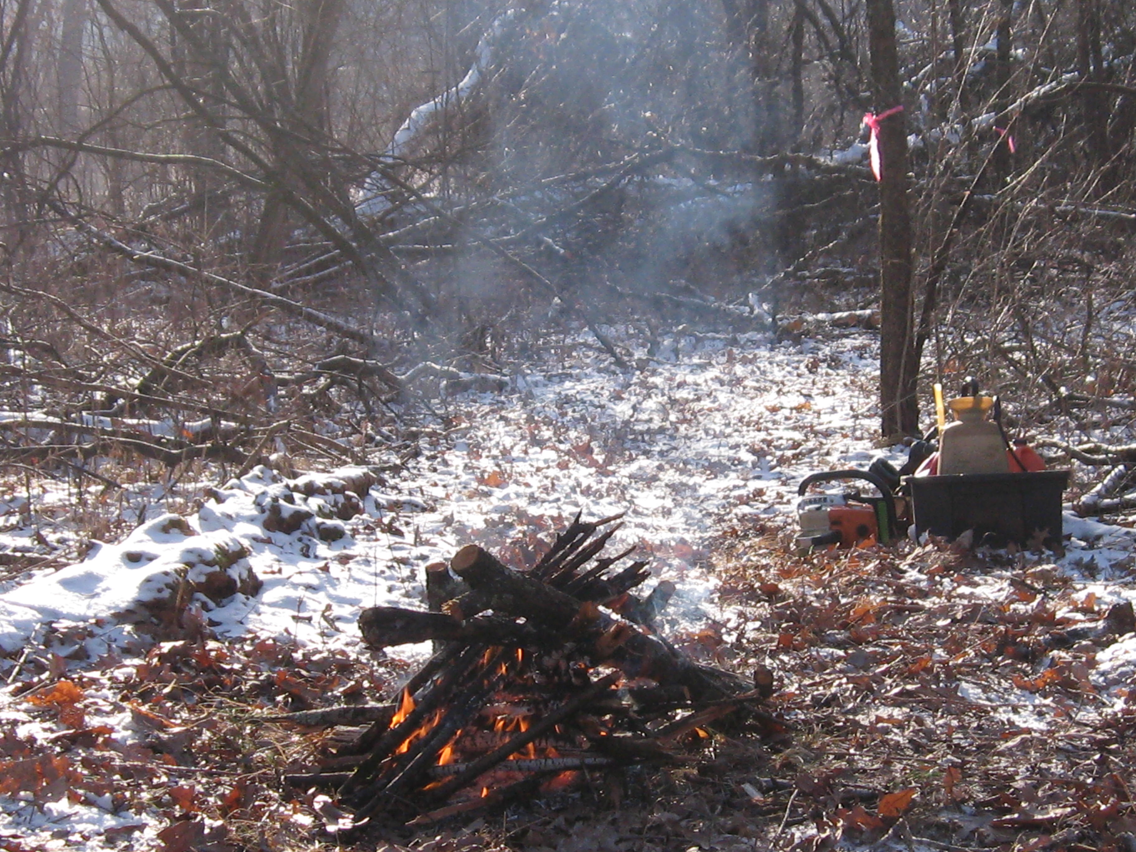
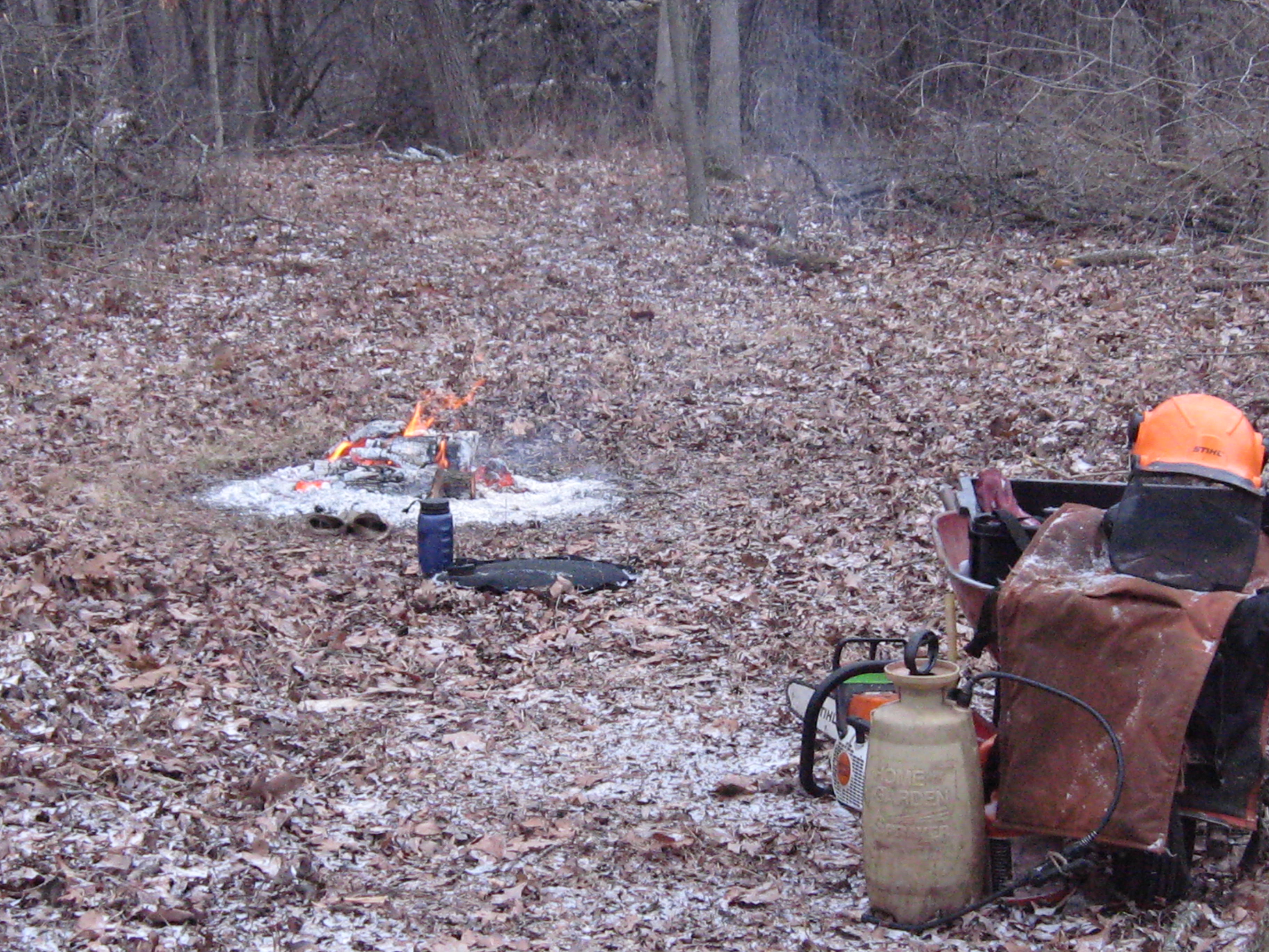
I made a little fire, and needed it to defrost my sprayer, but with the bright sunshine and light winds, I was plenty warm.
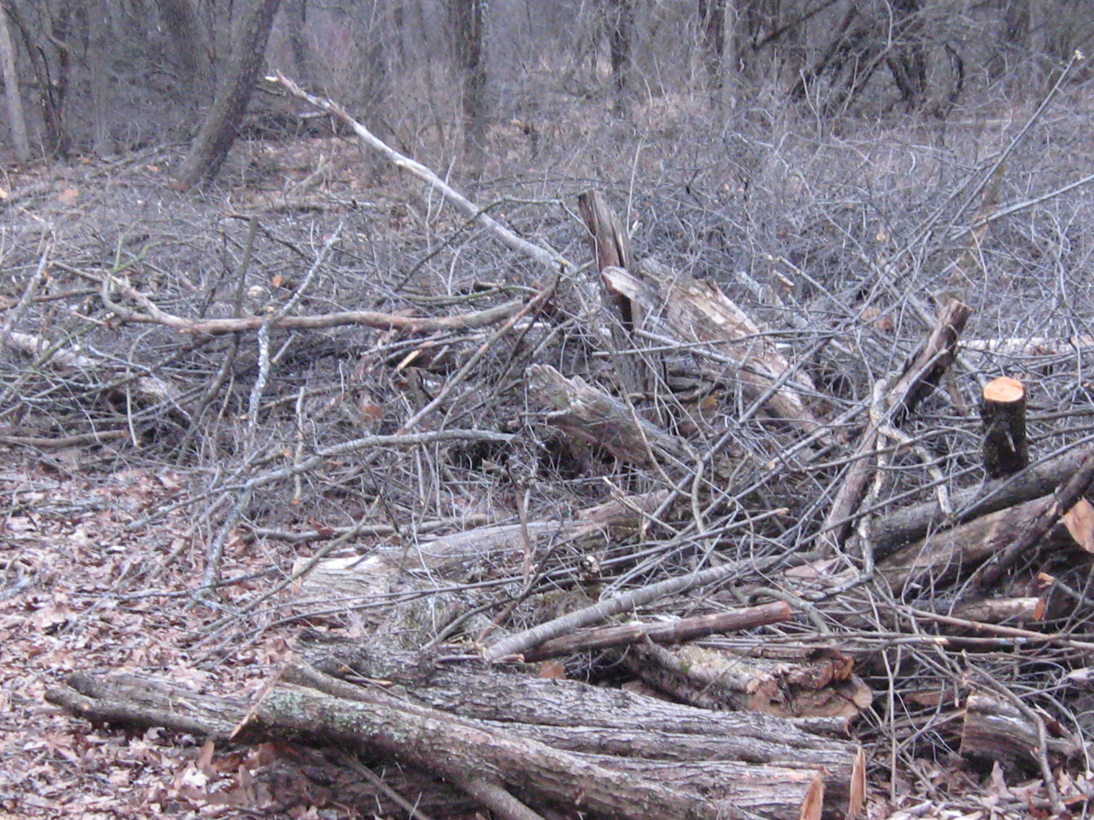
There were some huge and TALL Buckthorns in this area and they all seemed to be sprouting dozens of interlocking trunks and branches. It tries your patience after a while and I had to quit after 6 tankfuls with the chainsaw.
Its tough to capture the scale of these beauties in the Oak Cathedral.
The Scuppernong River is near and will be visible from the trail.
In THE PONDS OF THE SCUPPERNONG, Robert Duerwachter described efforts to create a goldfish farm in this area of the river. I think I found the spot. There are some old pipes laying there, which we’ll haul out, and a spring is flowing into the river.
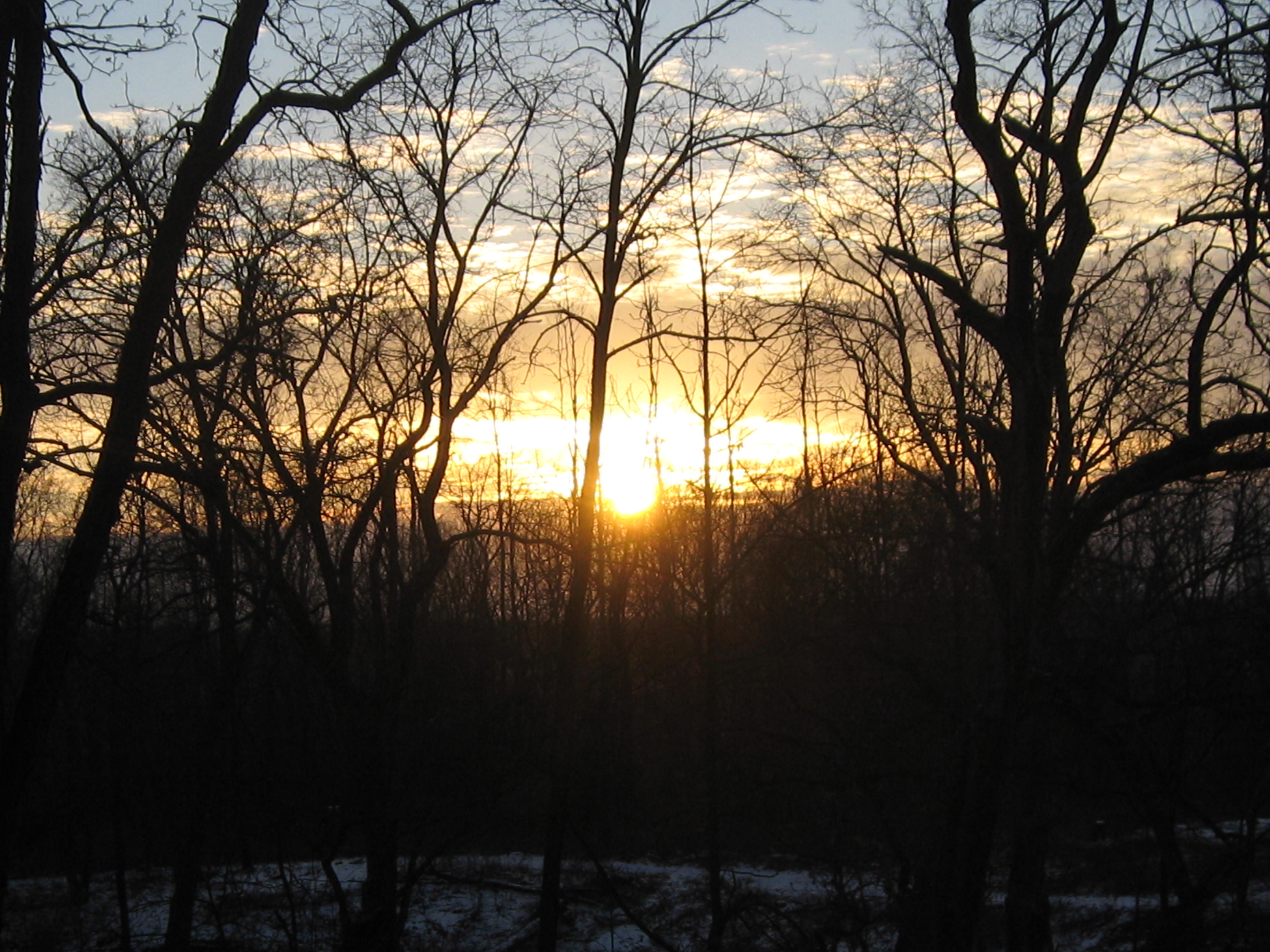
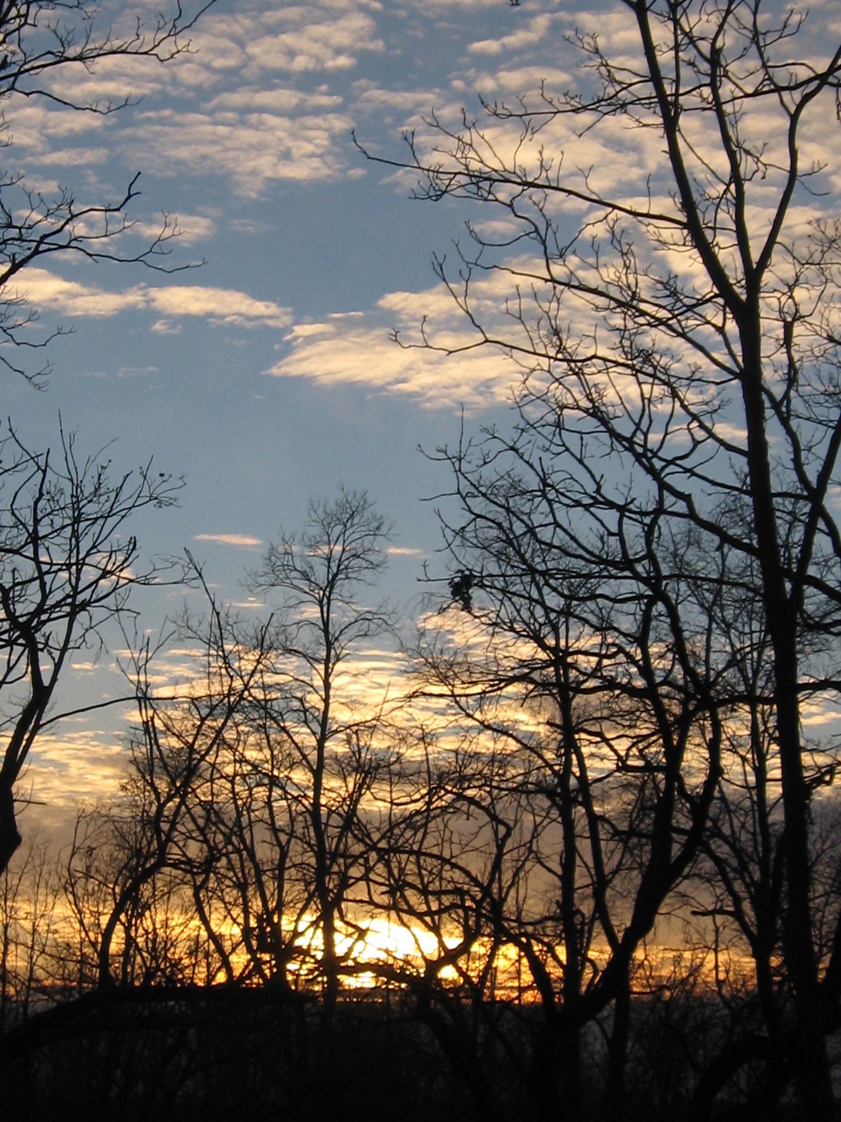
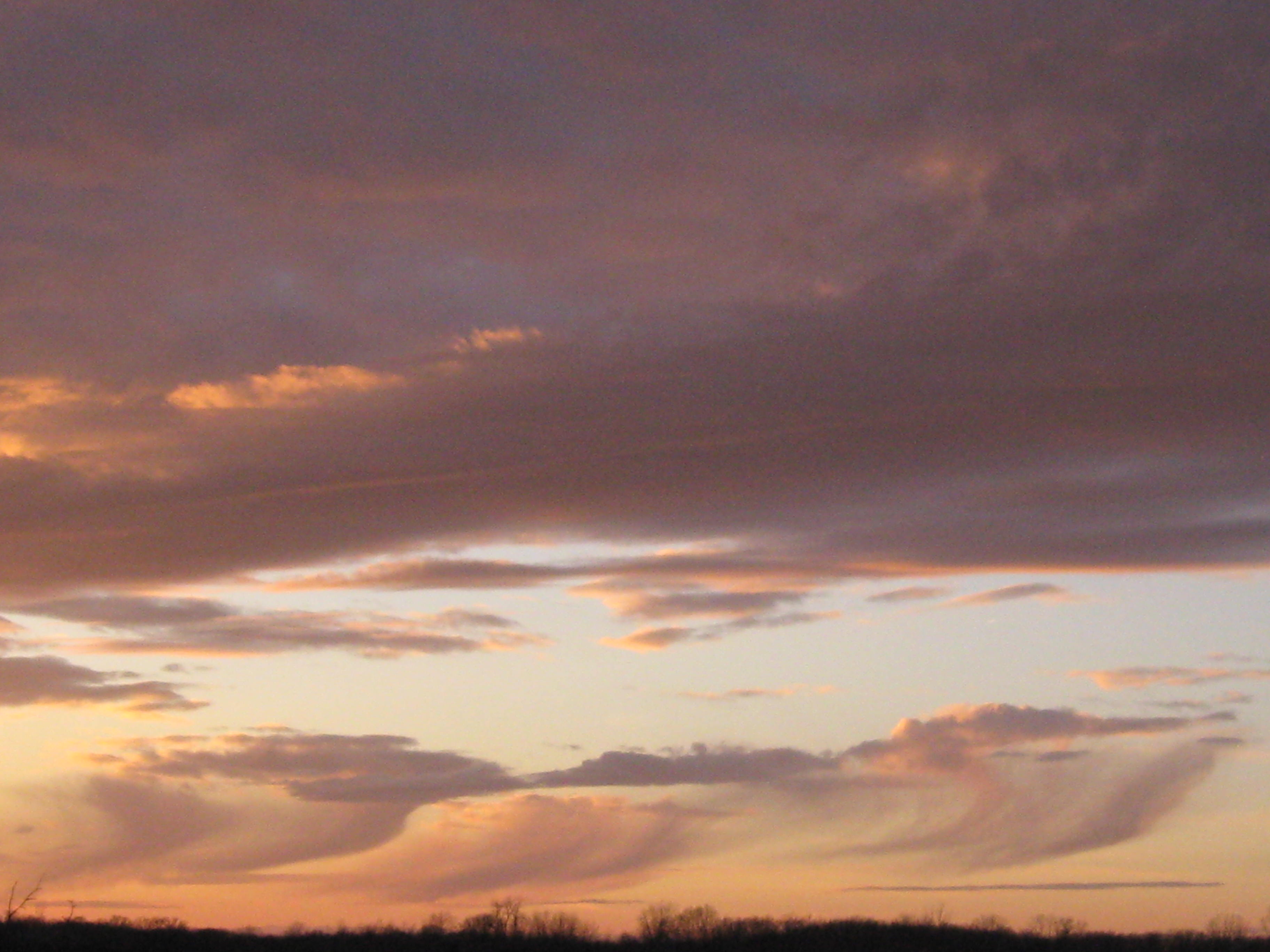
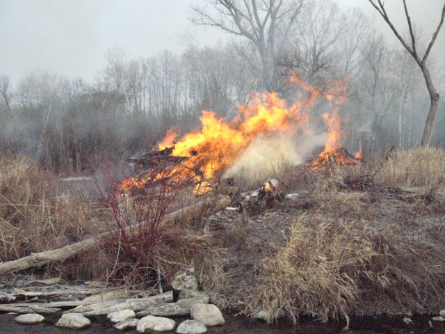
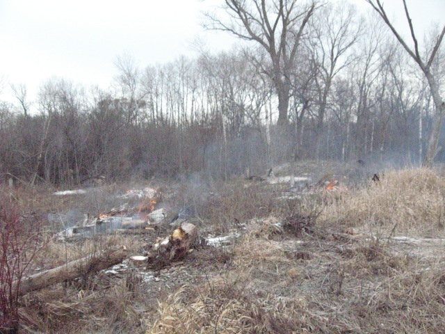
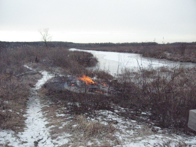
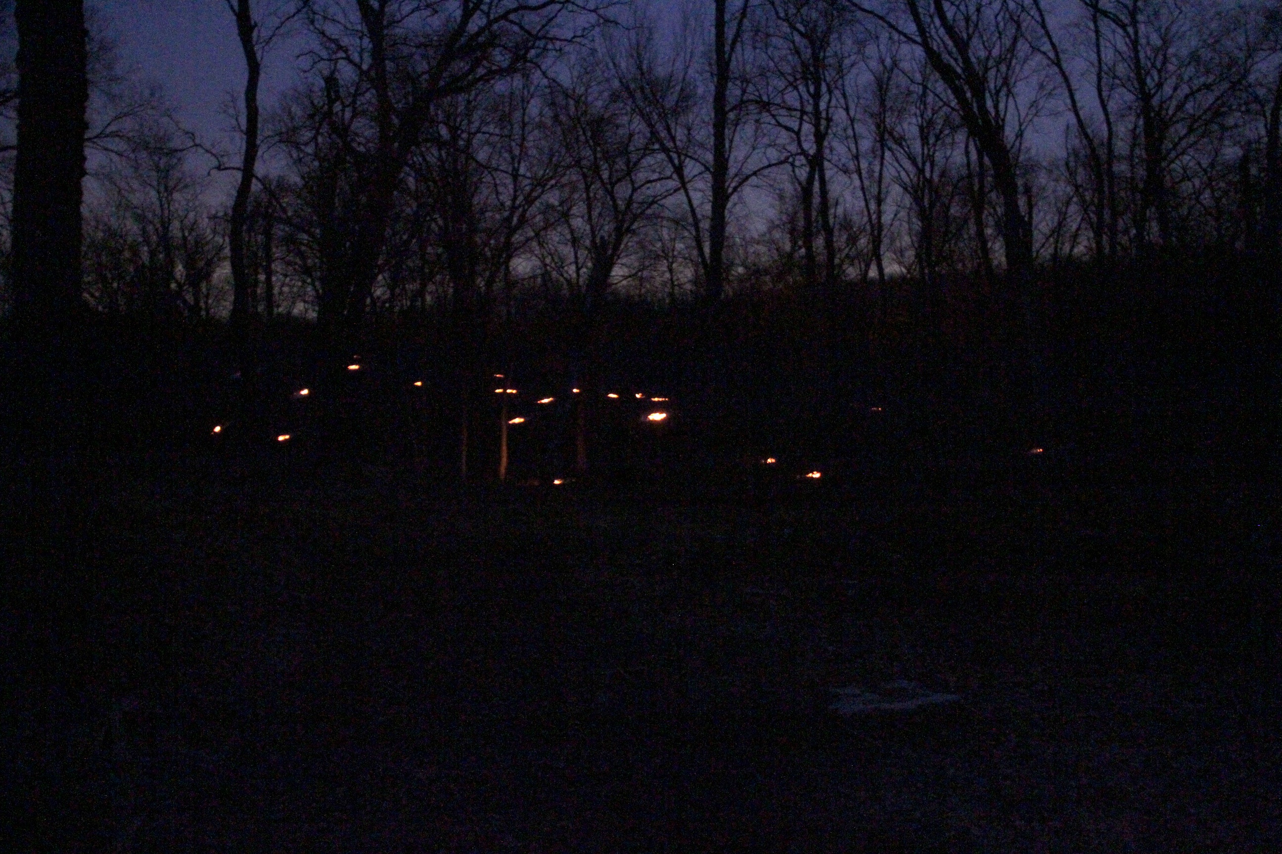
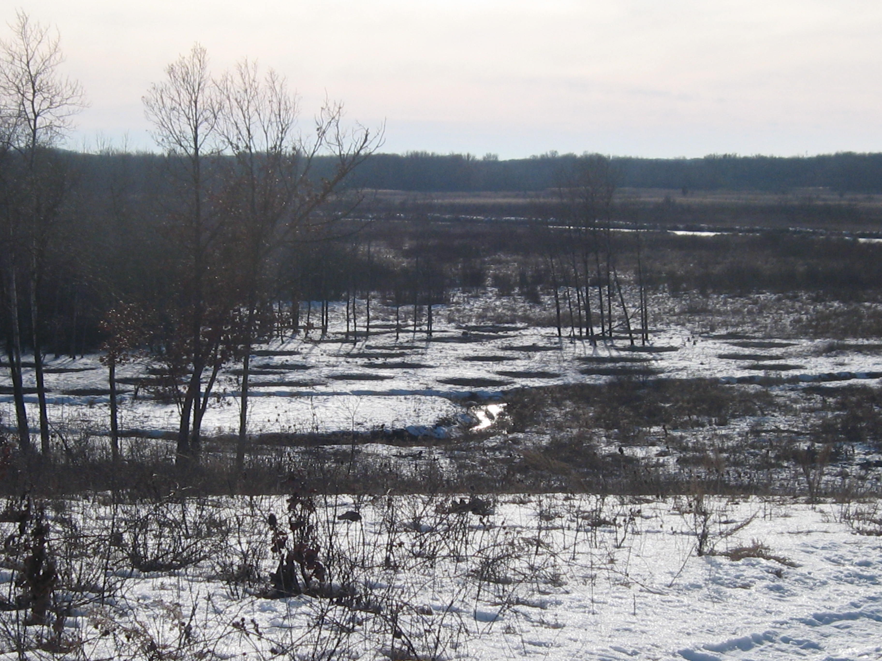
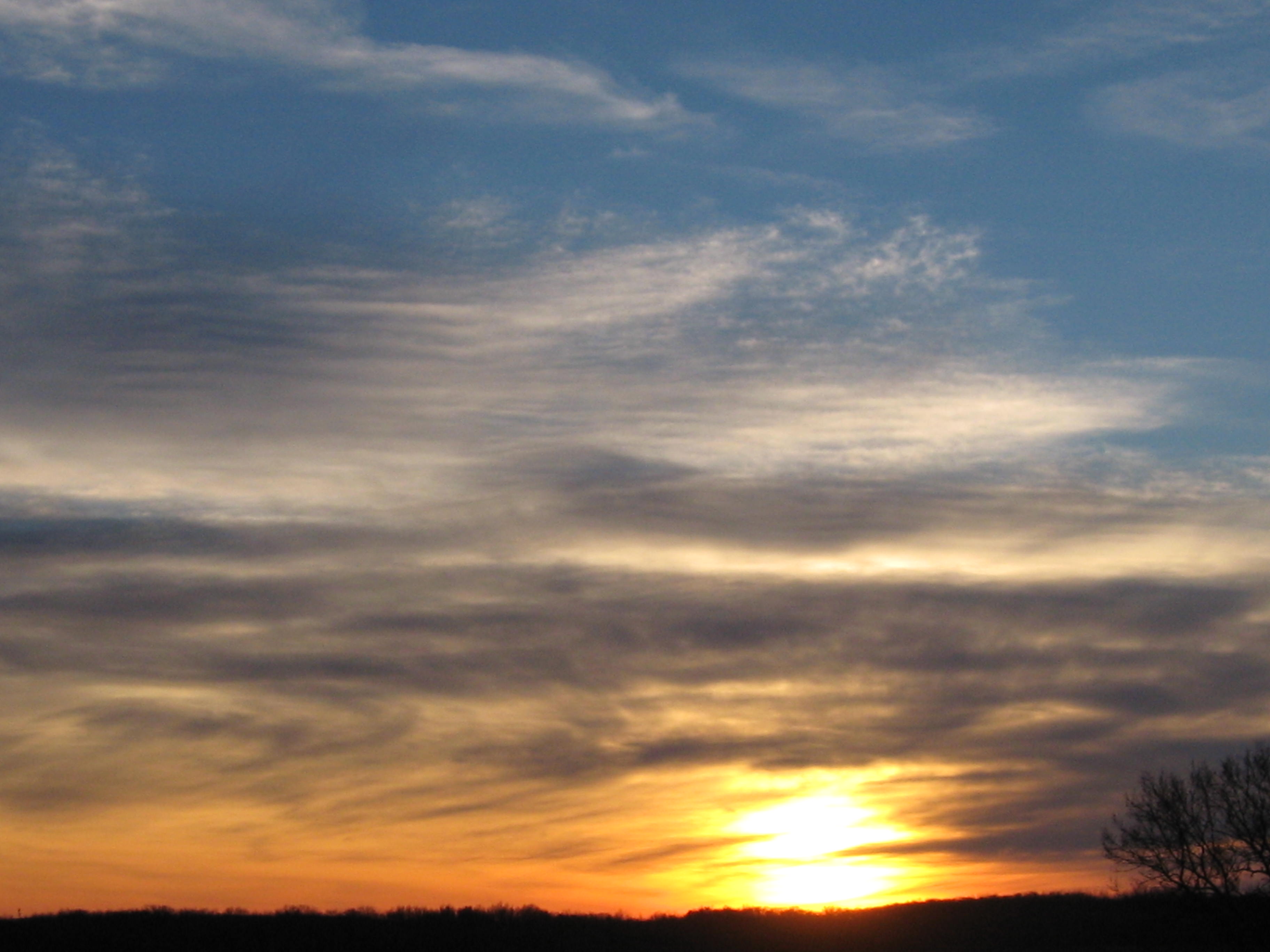
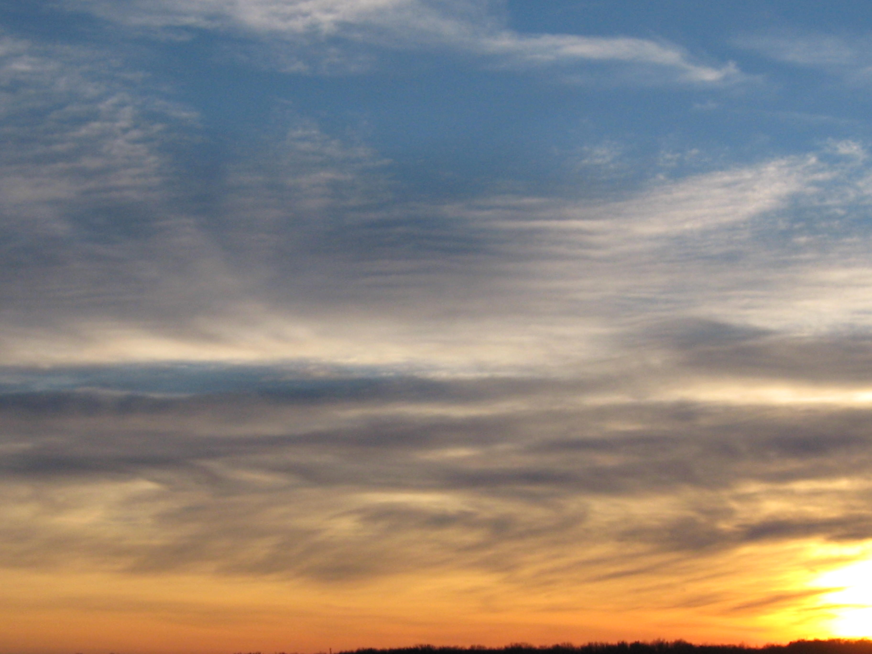
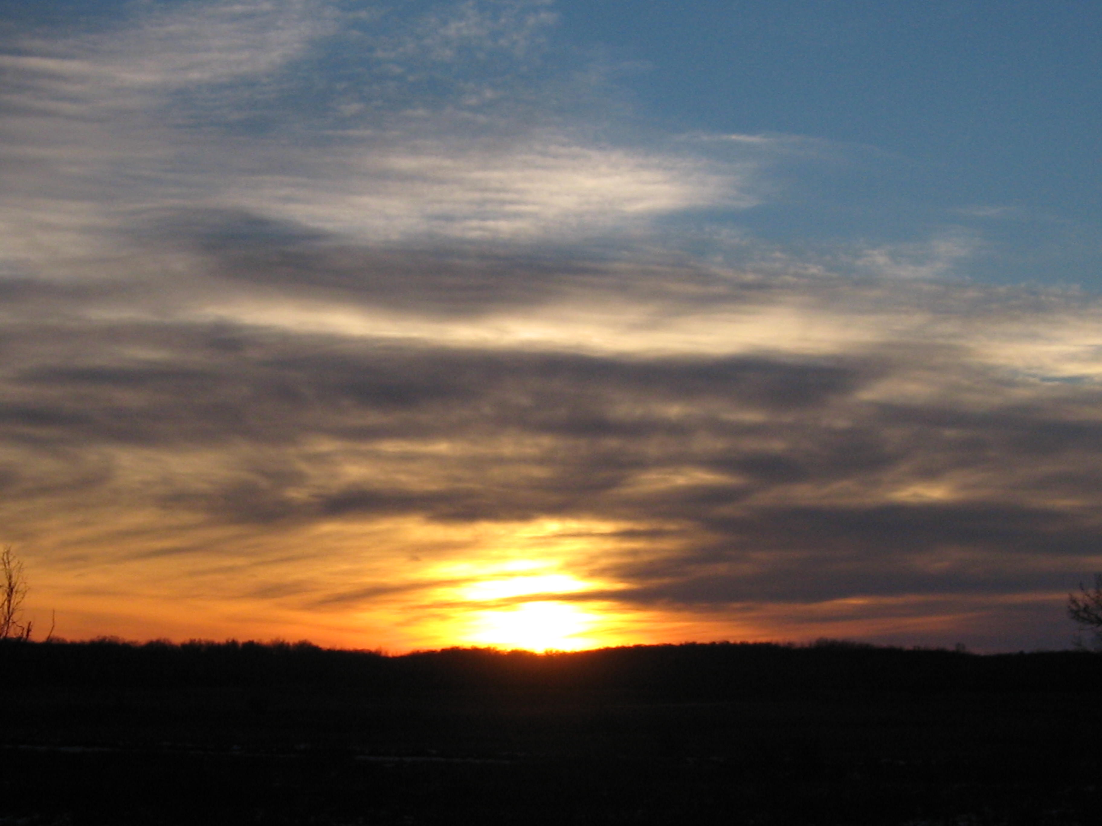
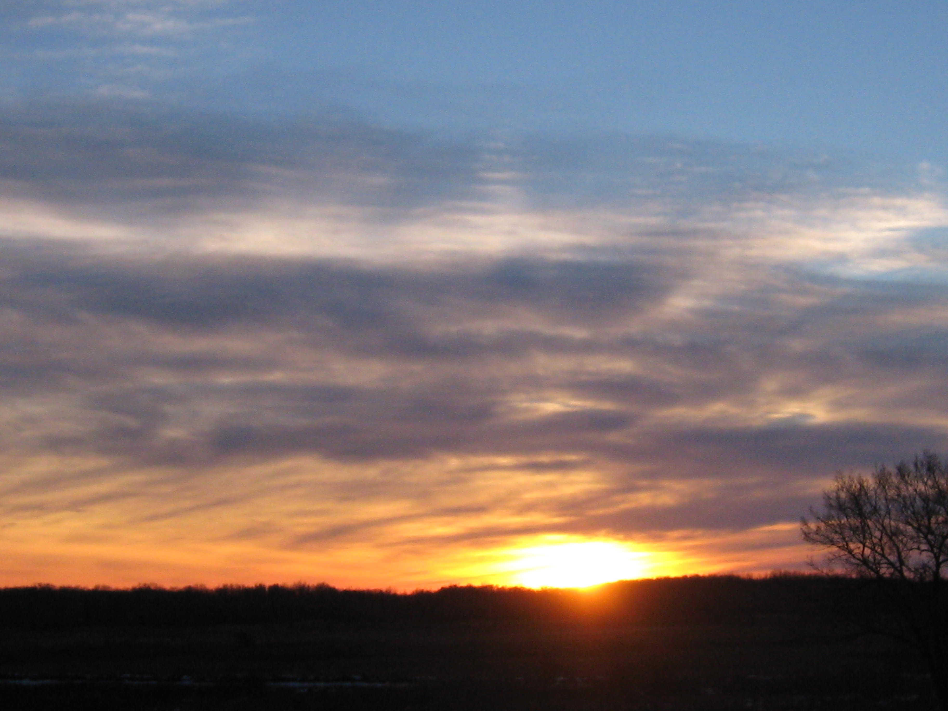
The sun set early behind a solid bank of clouds and I took these pictures on the high ground at the South end of the trail that we recently cut and burned.
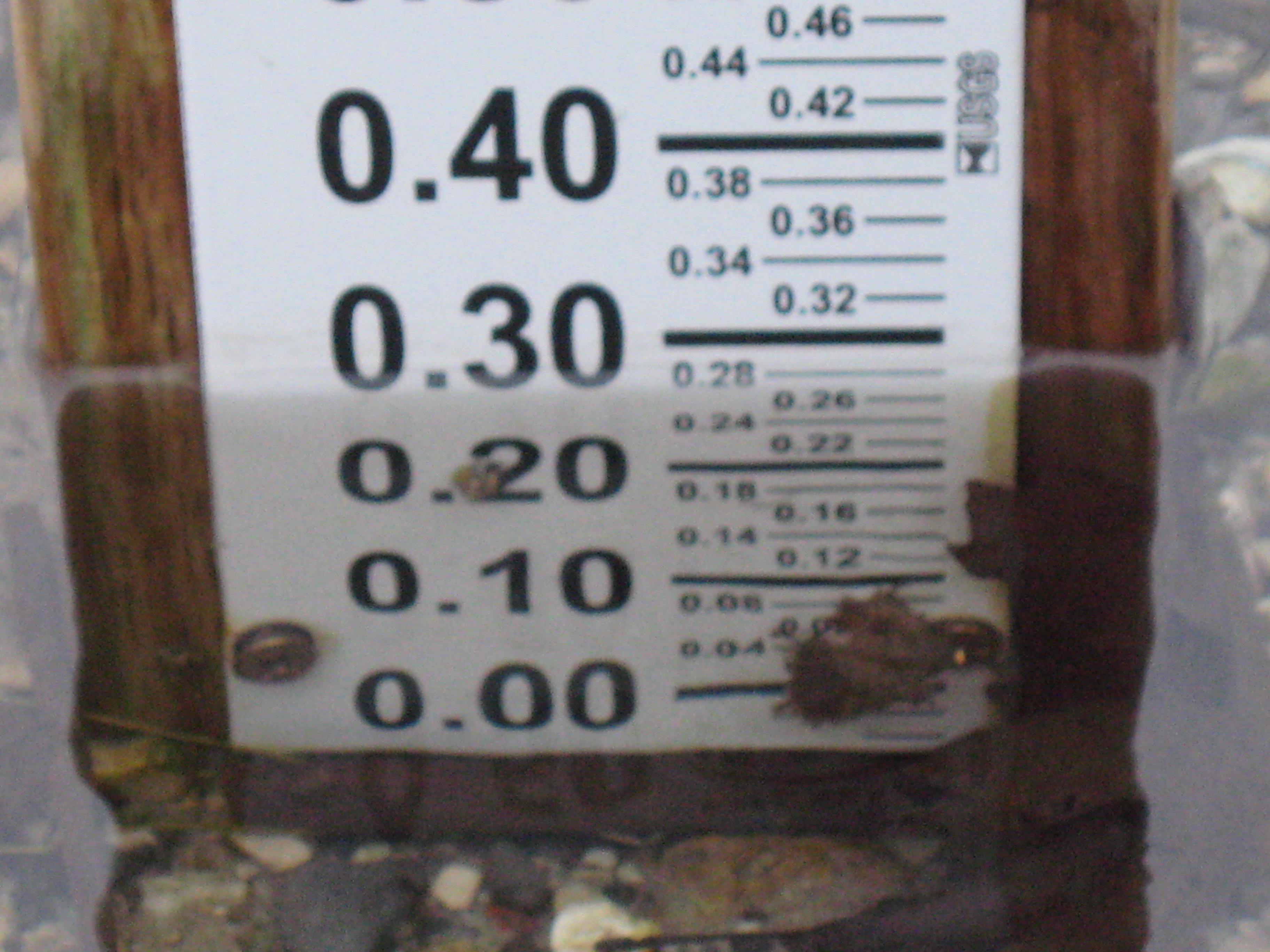
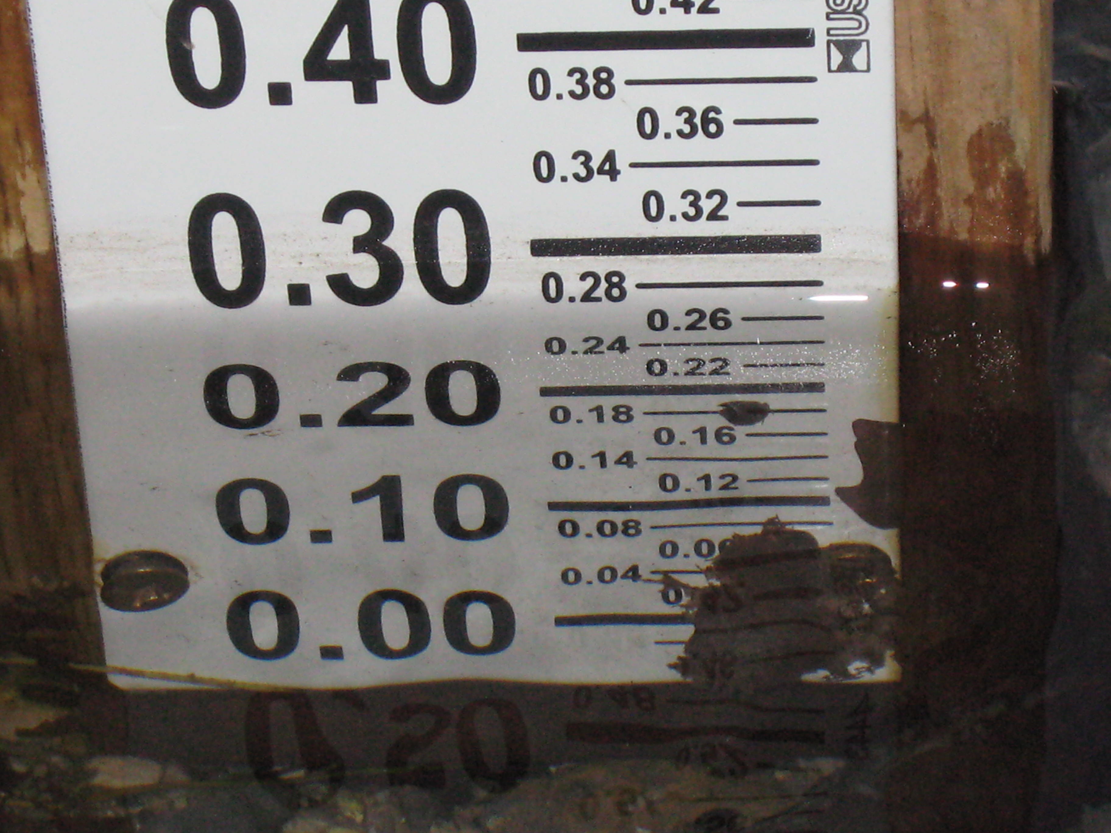
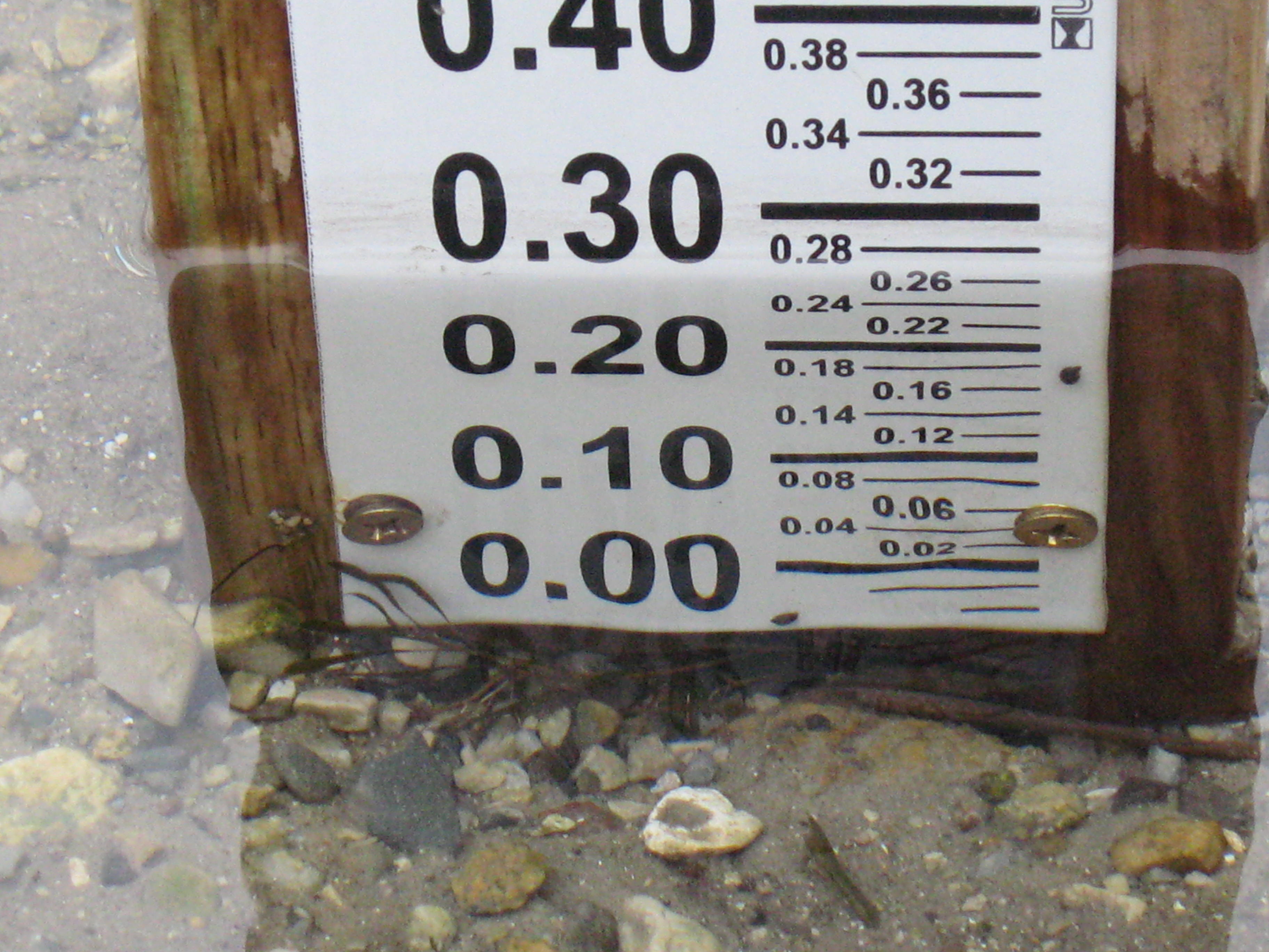
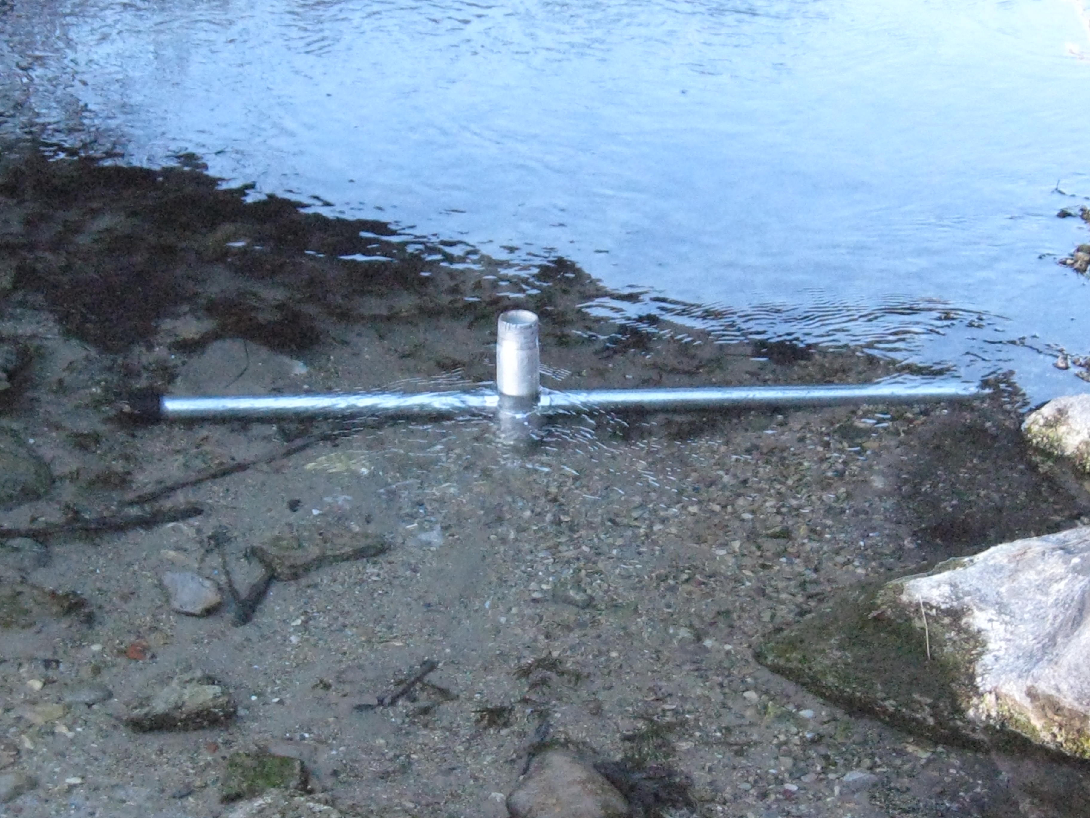
The water level is holding steady but it looks like there is some dirt, or possibly, damage at the base of the measuring stick. We’ll have to take a closer look next time.
A cold day at the Springs is better than a warm day in the office! I don’t really know cold, even though I’ve been frost bitten, like our friend Lonnie Dupre. Back in 2005 when he and his partner, Eric Larsen, were attempting to become the first people to make their way under their own power to the North Pole in the summer, Pati and I hosted a fund raiser for their “One World Expedition“. They made it on their second attempt and were greeted by a polar bear when they arrived! We have followed their exploits with interest ever since and currently, Lonnie is camped at around 14,200′ on his way to the summit of Denali. This is Lonnie’s third attempt to summit Denali solo in January, something that has never been done. Go Lonnie Go!
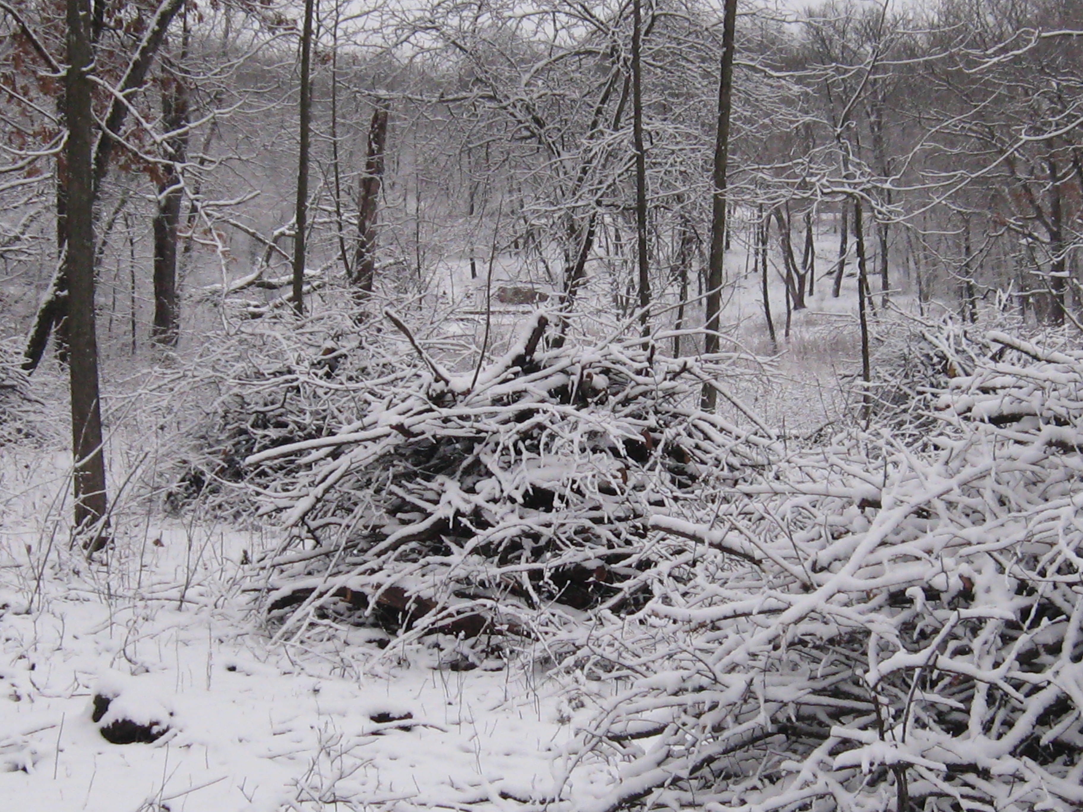
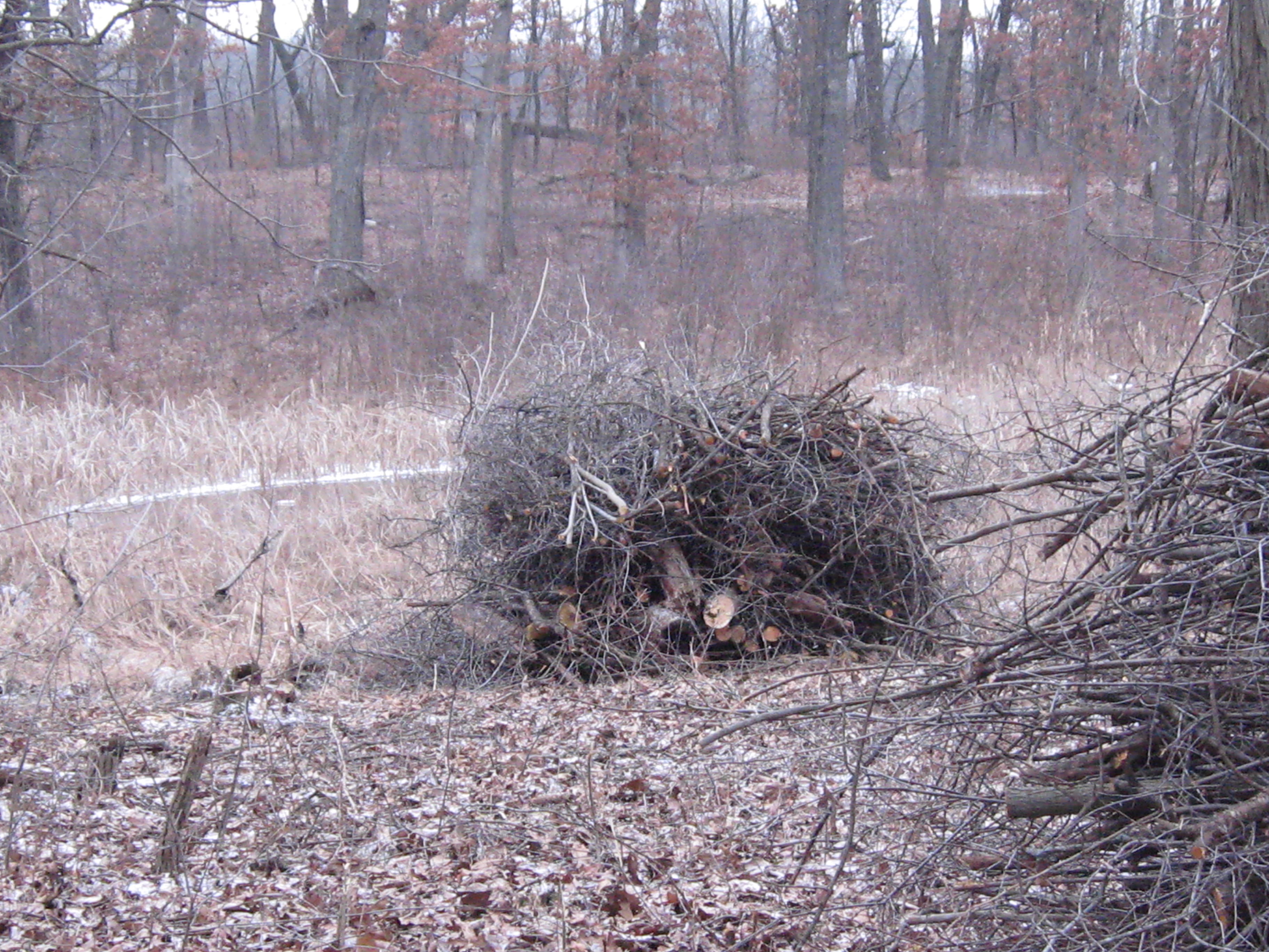
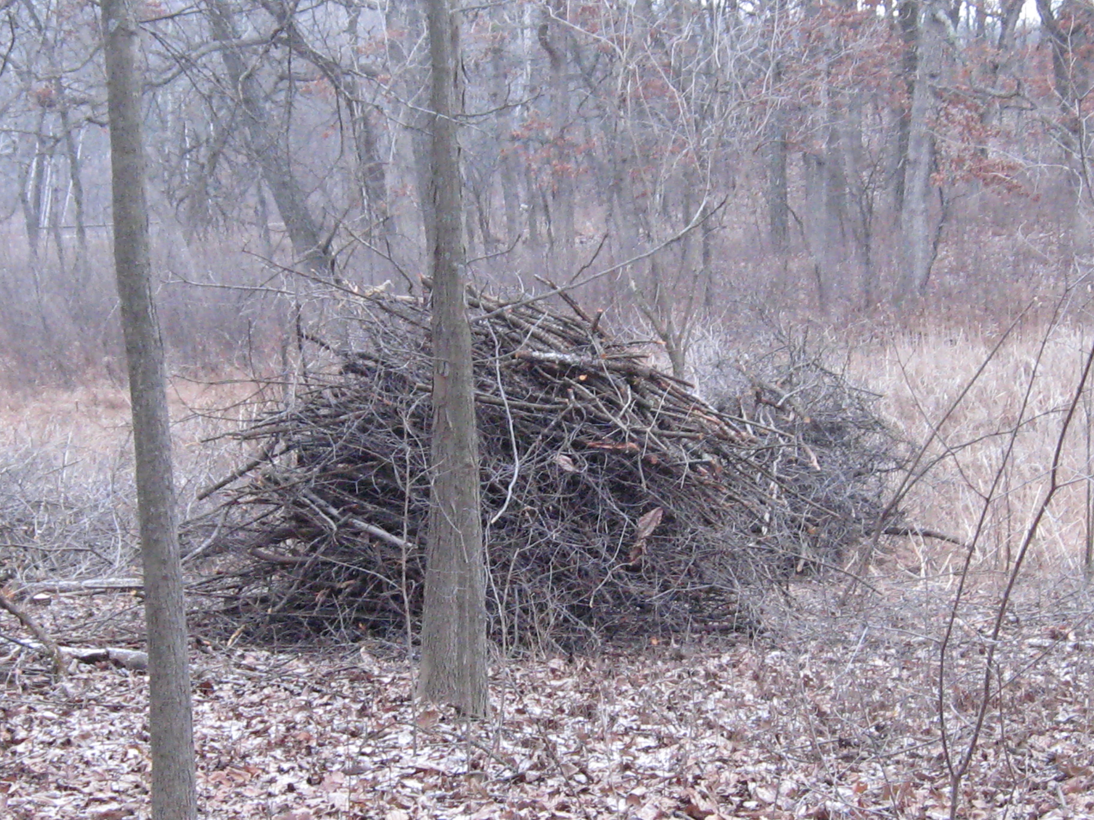
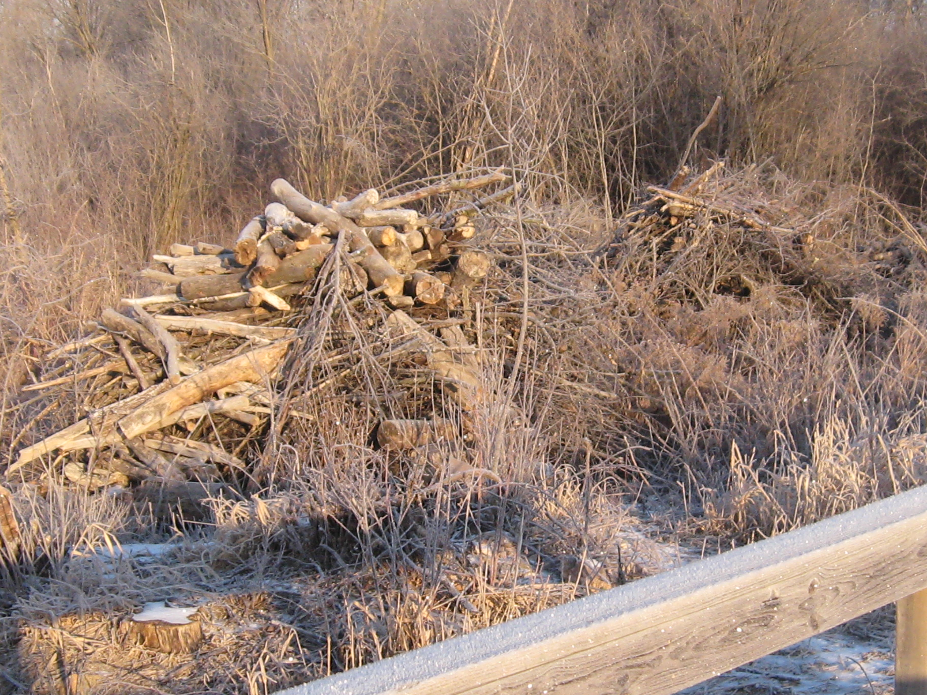
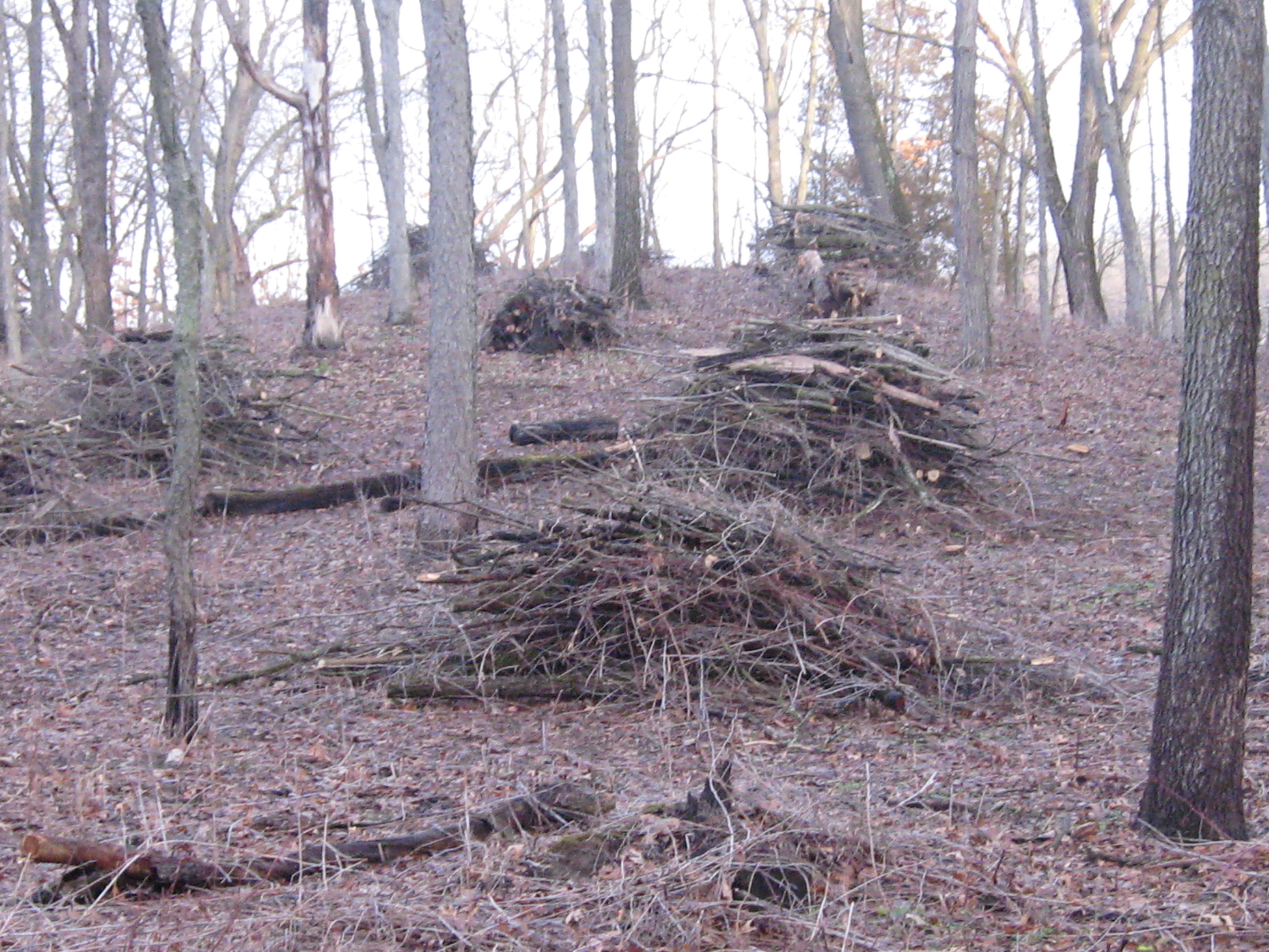
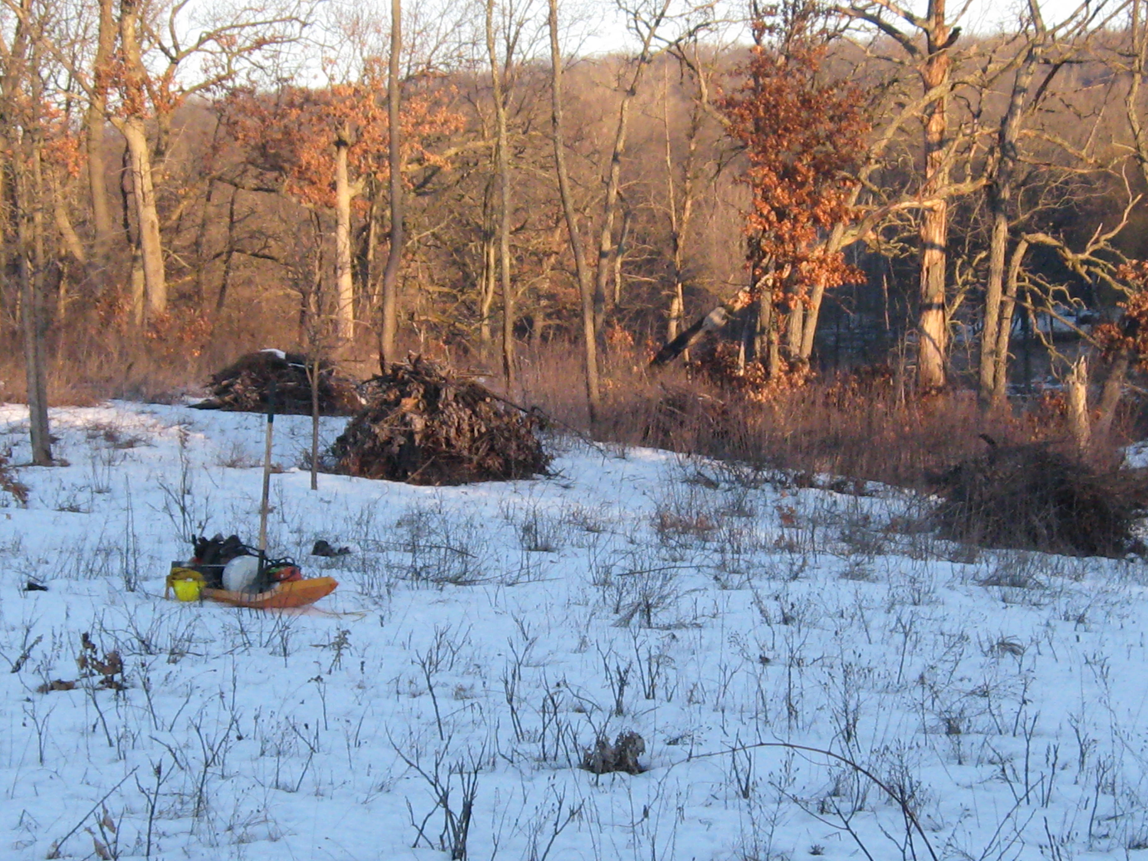
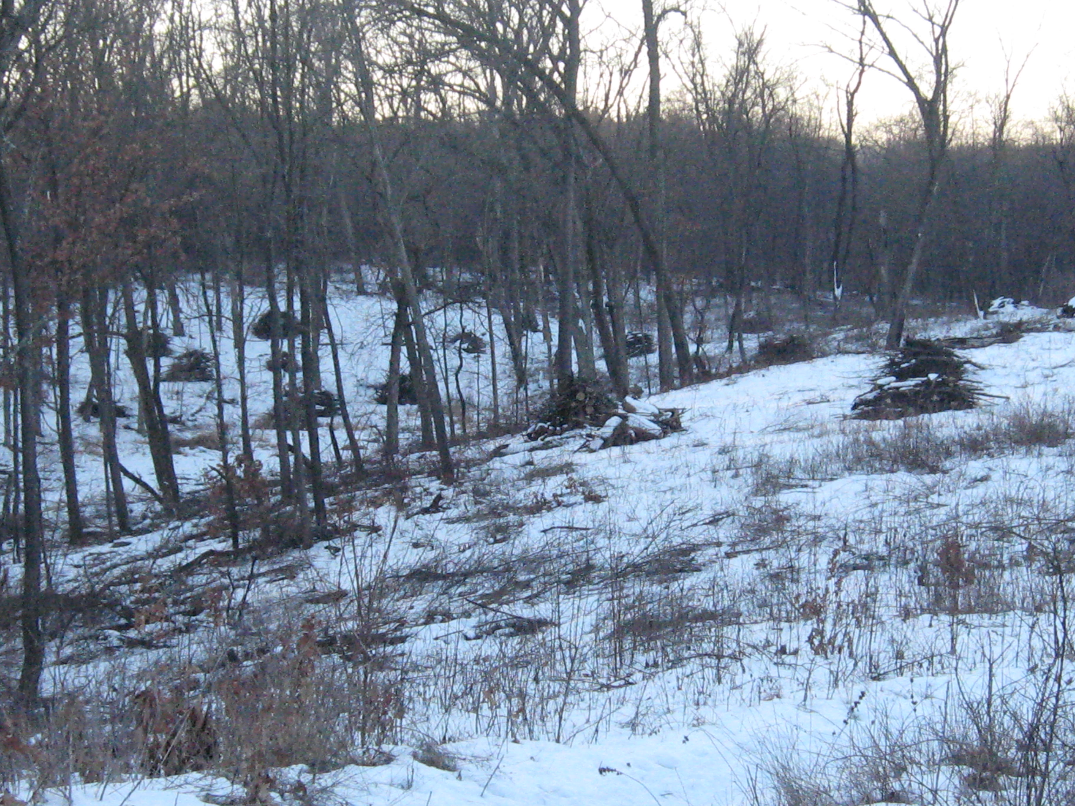
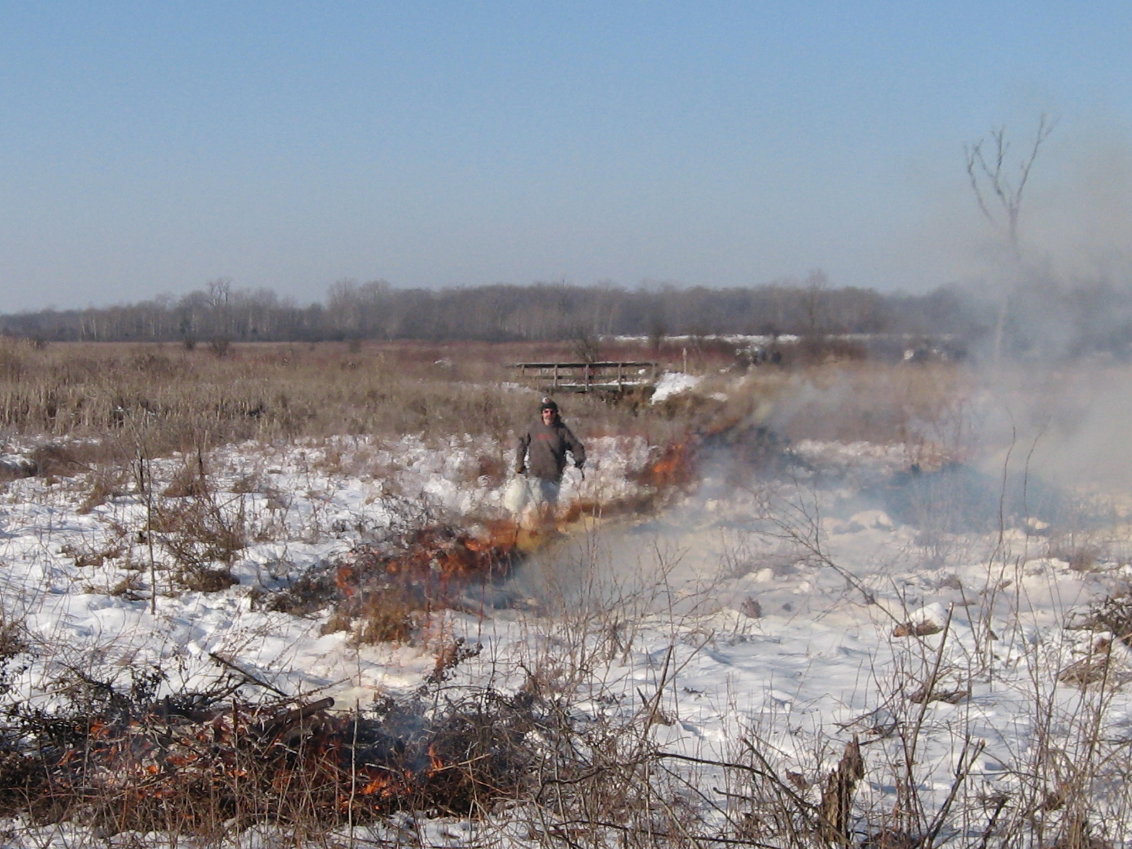
I made a little fire for comfort and Rich and I enjoyed a fine day making brush piles on the cut-off trail where we have been cutting recently. We should be able to light these piles up this season, provided we get a little more snow. We have around 60 piles left to burn and they are all relatively close to Hwy 67. This is on hold until we get some snow cover and an east wind.
Here are a few before pictures looking first to the right, or north side of the trail, then straight west and finally, to the south.
We took frequent breaks by the fire to relax and warm up our finger tips; nevertheless, we did manage to stack up around 16 piles.
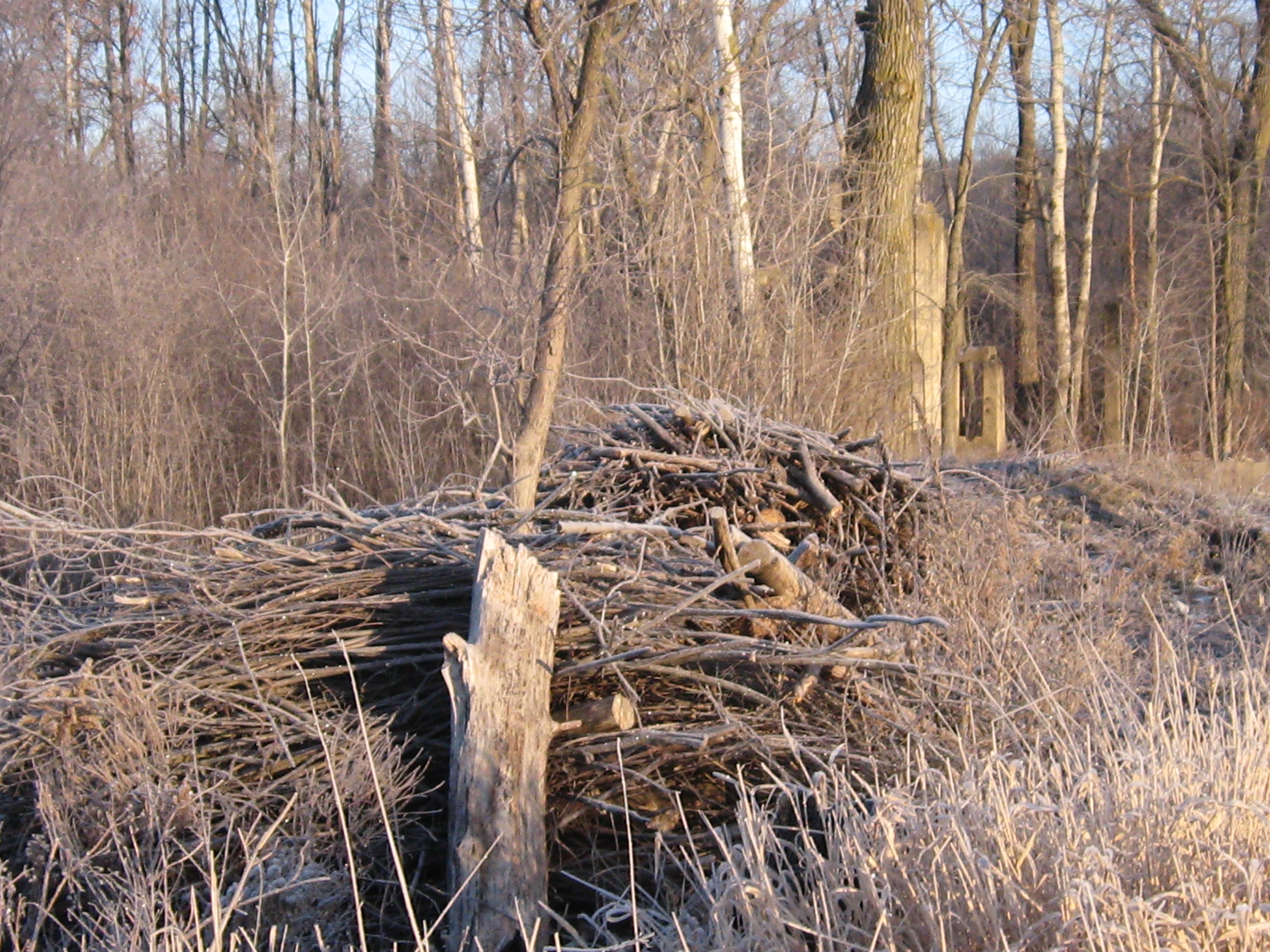
We plan to keep cutting and piling along the river side of the cut-off trail pending the next opportunity to burn some more piles.
Hi. Thanks again for checking out the Scuppernong Springs Nature Trail Posts!
Before I get into today’s incredible adventure at the Springs, I want to shine a light on the Idle No More movement. I participated in their consciousness awakening event in Milwaukee yesterday and it was very moving. The singing and speakers were excellent. The First People elders spoke a lot about the responsibility we all share to take care of the land in preparation for the 7th generation to come, and to be aware that we are the beneficiaries of the love and care of the 7th generation that preceded us.
We marched down to Veterans Park, where a Pipe Ceremony was held and there was more singing and speeches. Action on a new mining bill in Wisconsin is heating up!
I found Kevin Annett’s documentary Unrepentant: Canada’s Genocide, while researching the Idle No More movement.
And we think we have invasive species problems! Image how the indigenous people felt about the White European Invaders!
In honor of the Native, Indigenous, First People, we sowed a mix of 20+ Wet Mesic Prairie plant seeds around the Indian Spring and areas to the North marked in white on the map below.
Here is part of the area seen from the Scenic Overlook on the old Indian Campground site.
And a bit closer up.
Sowing seed is the creme dela creme of restoration work. I will post a list of all the different plants in the mix and we’ll try to identify as they emerge.
The Scuppernong River water level is holding steady at .026.
Here is an interesting bit of machinery we found near the site of the Marl Plant. This Spring we’ll do a little excavating around this to see what it is attached to.
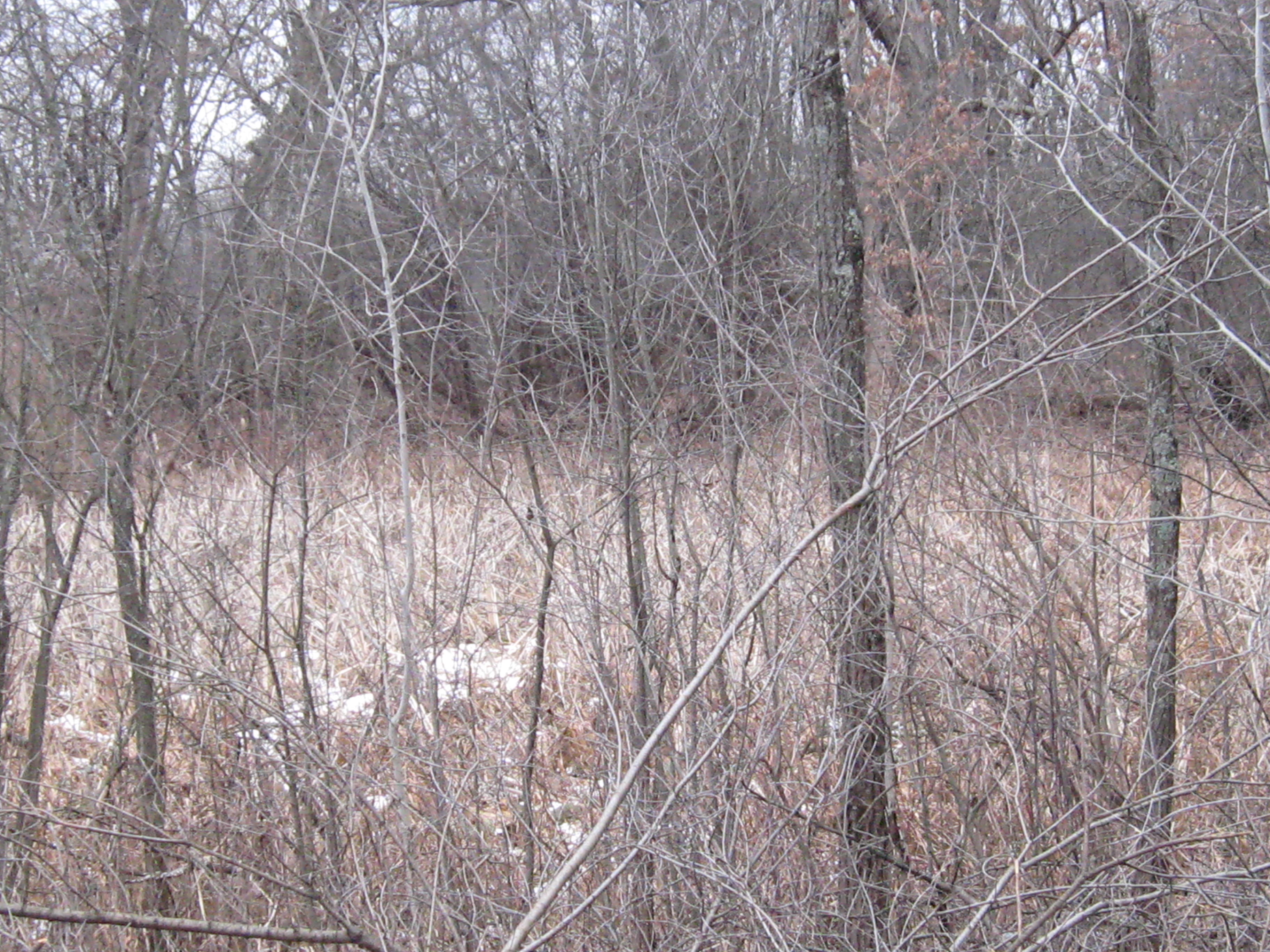
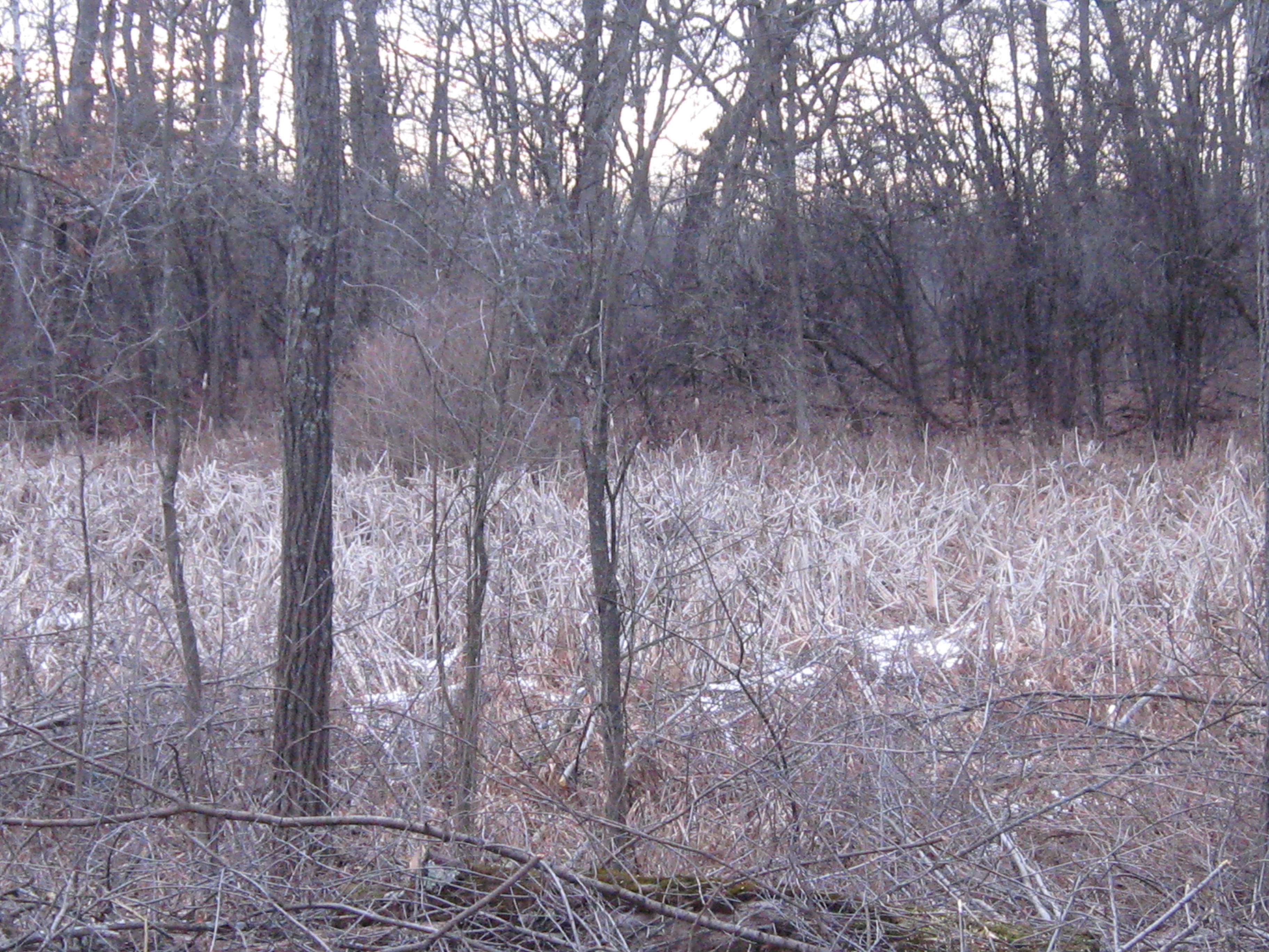
After the seed was sown Lindsay and I headed over to the cutoff trail to continue cutting Buckthorn where I left off last time. Here are some before shots; the first two are looking to the North on the cutoff trail at an old cranberry bog.
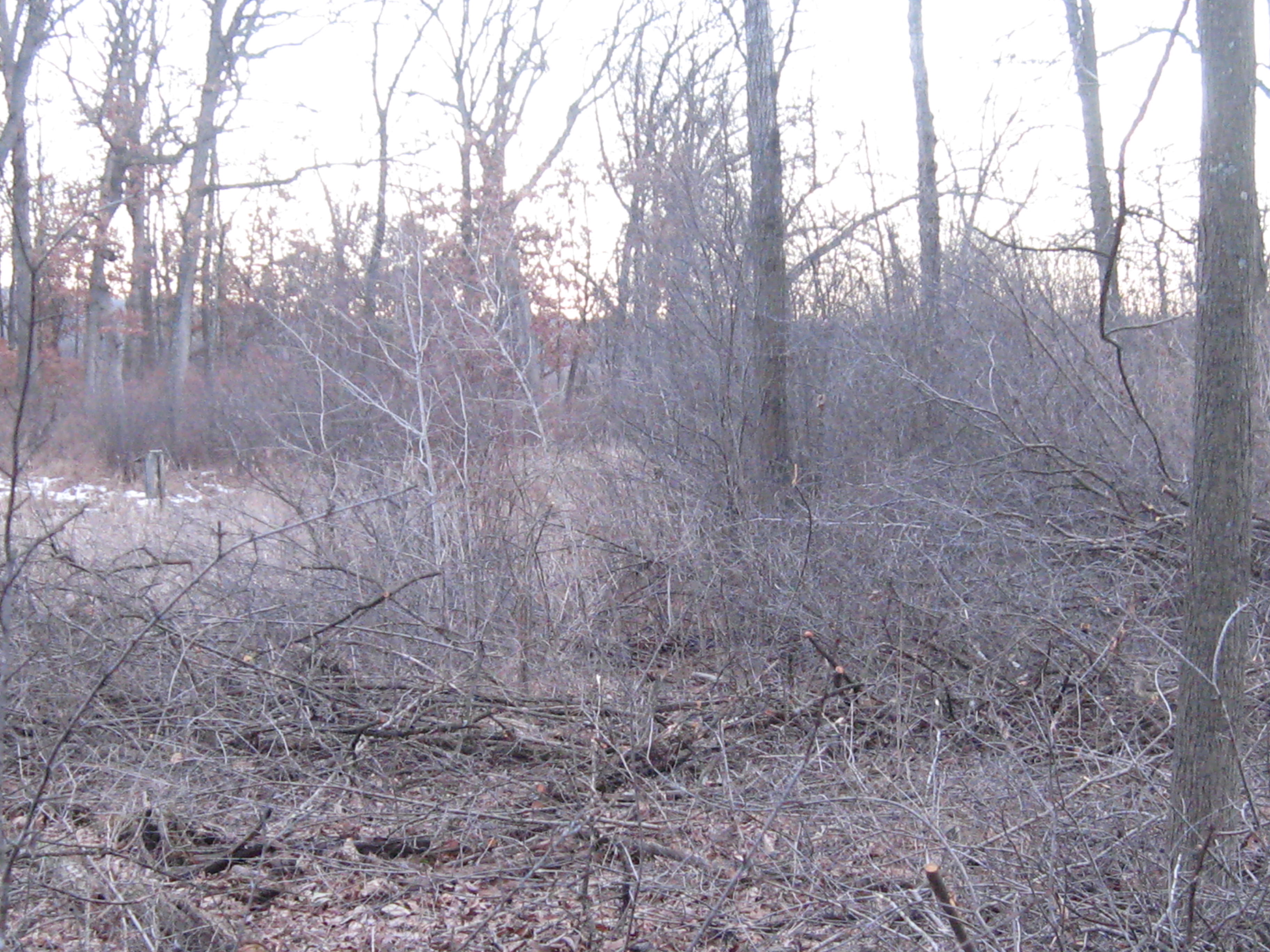
Below we are looking South, towards the river.
Around 2:00pm Rich Csavoy joined us and Don Dane, the DNR trail boss, stopped by to drop off more seeds (for more wooded uplands) and we all took a walk around the place reviewing the progress and future plans. Don is hoping to mow the Indian Campground this coming week. We cut a bit more after our visit with Don and here is the final result. The first picture below is looking at the cranberry bog and the next two are looking South towards the river.
The view of the work site from the main trail on the South side of the river.
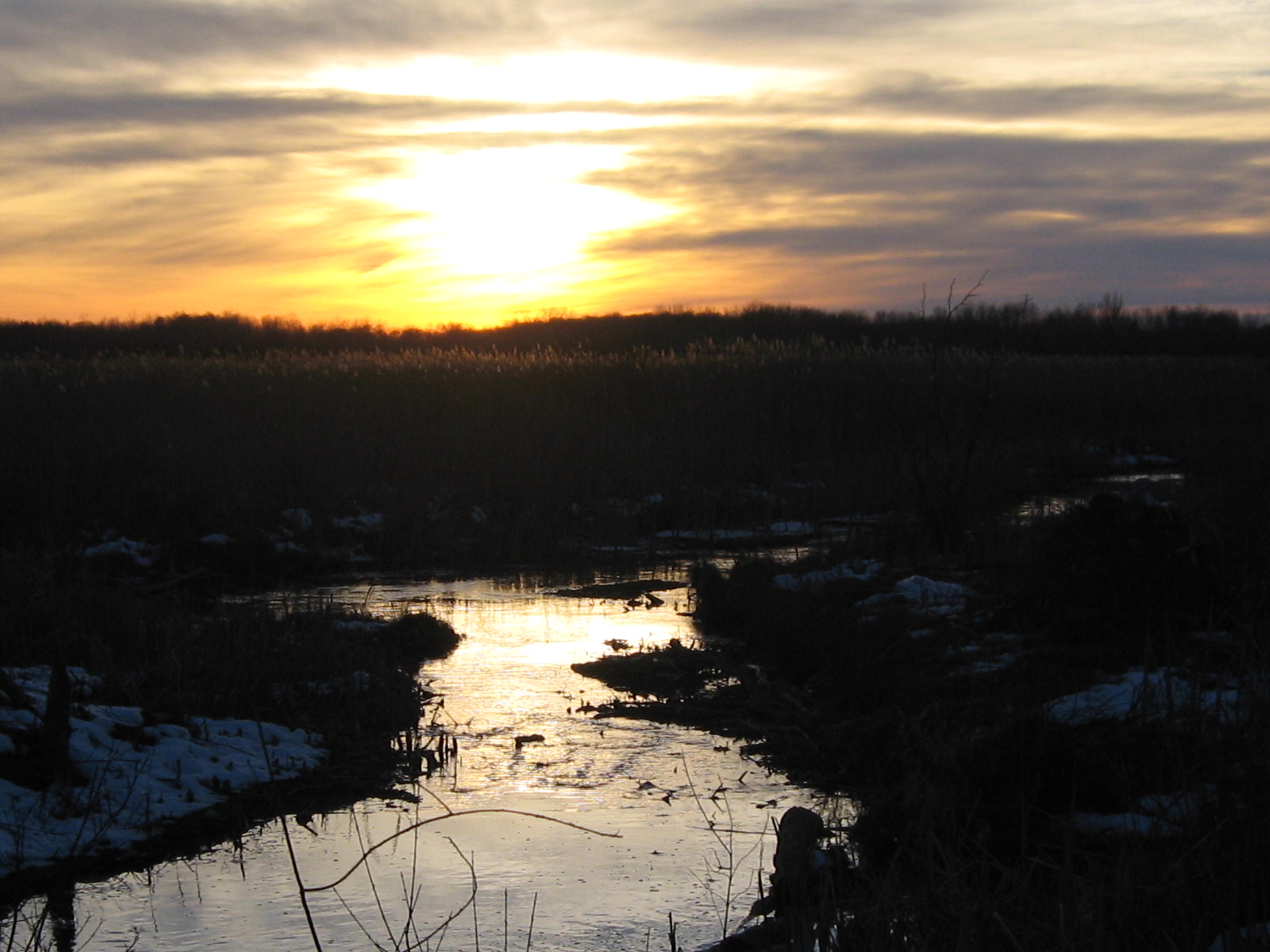
It was a glorious sunset; one of the best I’ve ever see at the Springs.
Thank you for tuning into the Scuppernong Springs Nature Trail journal!
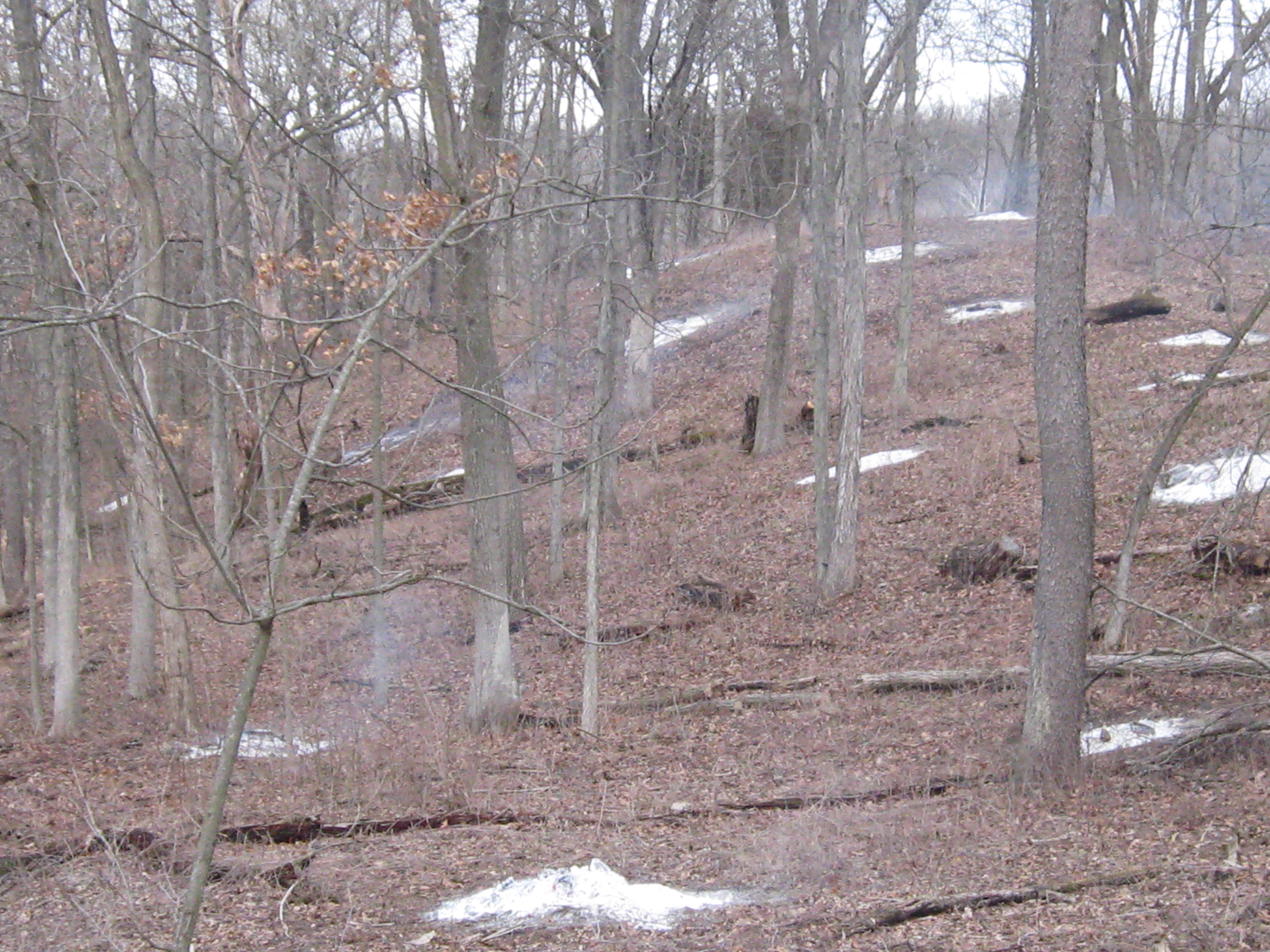
I spent the last two days at the Springs; yesterday was sunny, today cloudy. Both days were mild, for mid-January, and it was very quiet and peaceful. I was in heaven!
I started yesterday lighting some piles that were at the point where the main loop trail first emerges into the prairie.
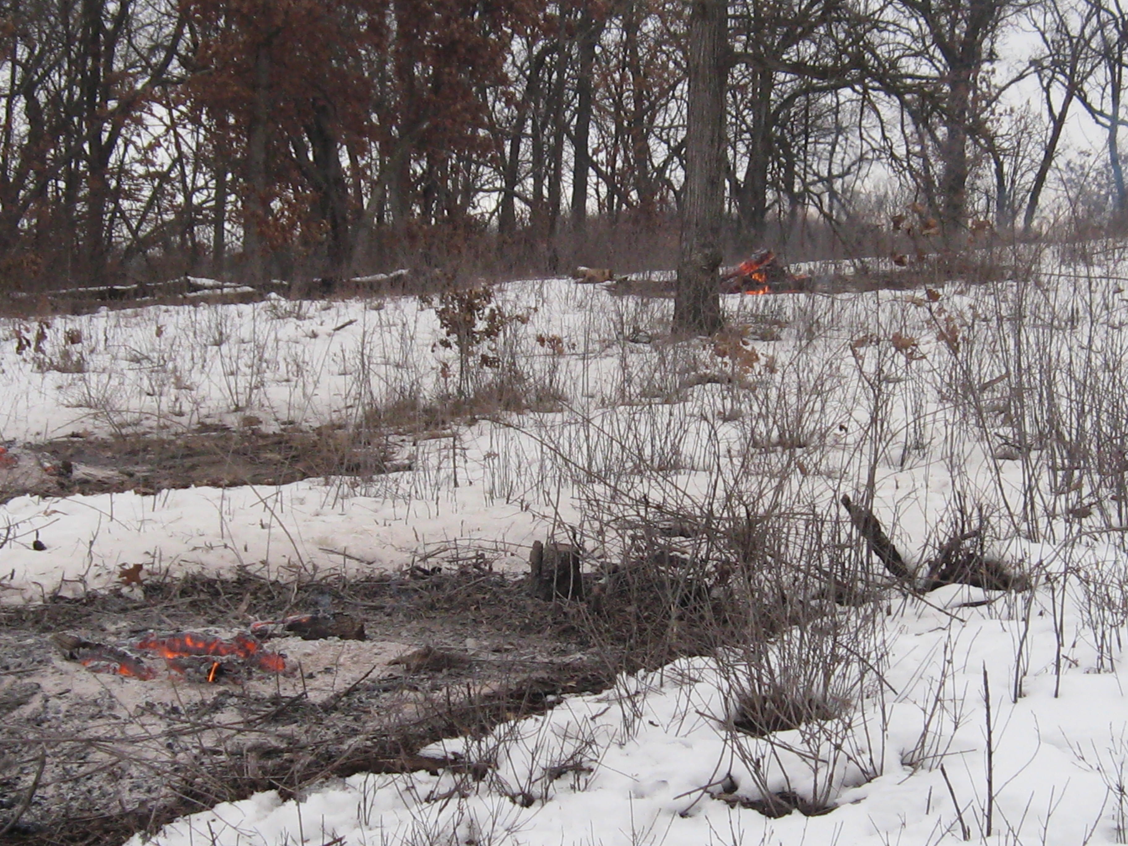
I took these pictures this morning. Its hard to tell, but I cut a bunch of Buckthorn way in the back left below, while waiting for the piles to burn down.
When I came to this spot at the end of the day today and looked out at the prairie, I was reminded of the grassy plains at the top of the Pitchstone Plateau, in the South West corner of Yellowstone National Park. Last Fall, Pati and I scouted out a possible route from Lewis Lake across the Plateau to get to the famous Bubbler Hot Springs, where three forks of the the Bechler River meet. It is two days hike to get to the Bubbler no matter which way you come from but well worth the effort.
Yesterday I tried to light some piles by the Marl pits but my torch quit working half way through. I had better luck this morning and finished up there.
When things had settled down at the pits, I went over to the cut-off trail to clear an area by a huge White Oak tree where the trail is relatively close to the river.
The last time I opened a trail was at the Hartland Marsh. I can’t wait till you all get a chance to walk this new trail. You’re going to love it!
You can see the main loop trail outlined in white across the river.
Here is a view from the main loop trail looking North towards the big White Oak where I was cutting.
I’m going to try to remember to capture a water level reading whenever I go out.
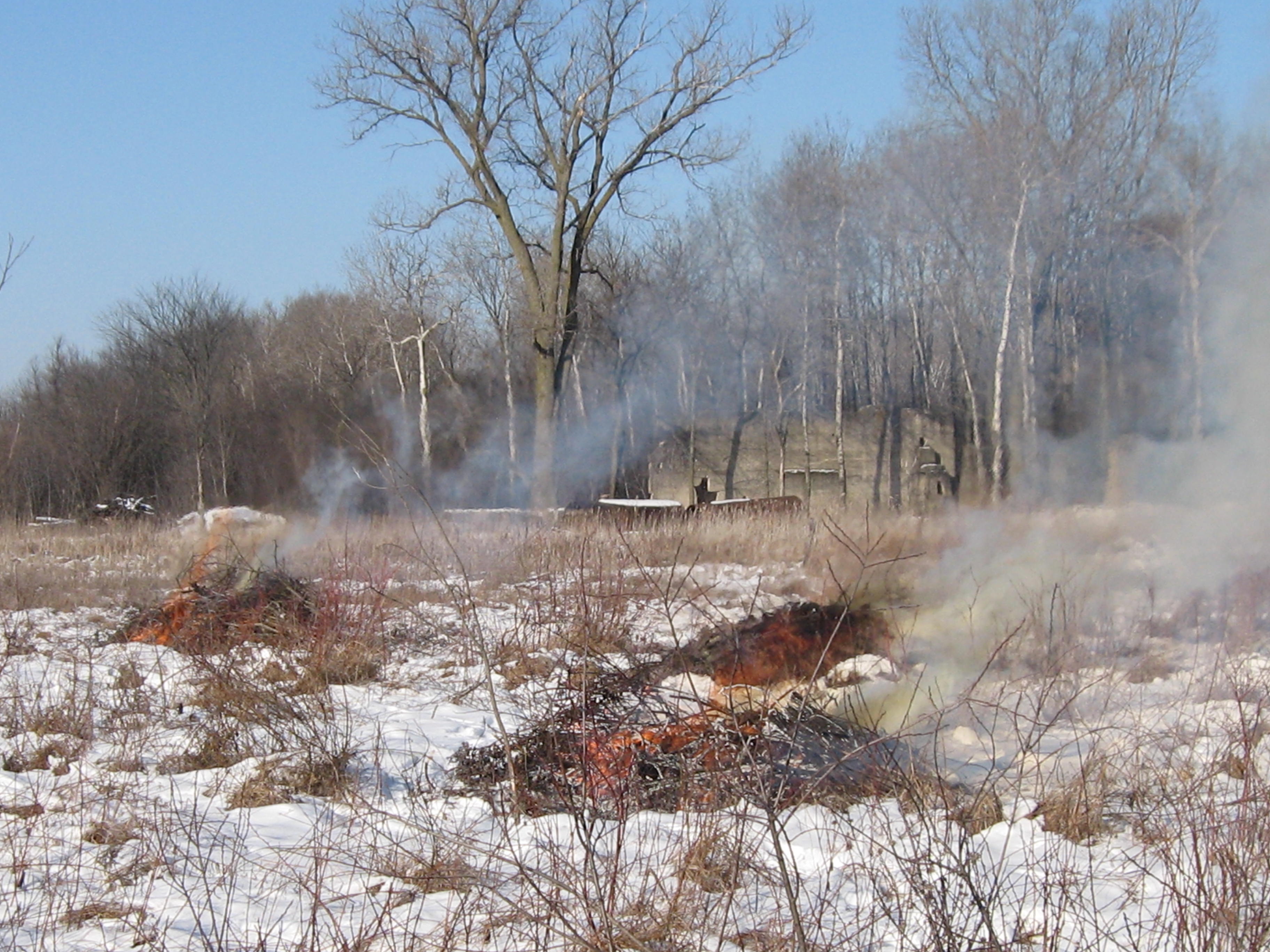
After the gear was stowed away, I took a walk around, which I love to do, and got these pictures. Rich Csavoy explained that the hole in the concrete of this old foundation on the cut-off trail was used to empty the fire place.
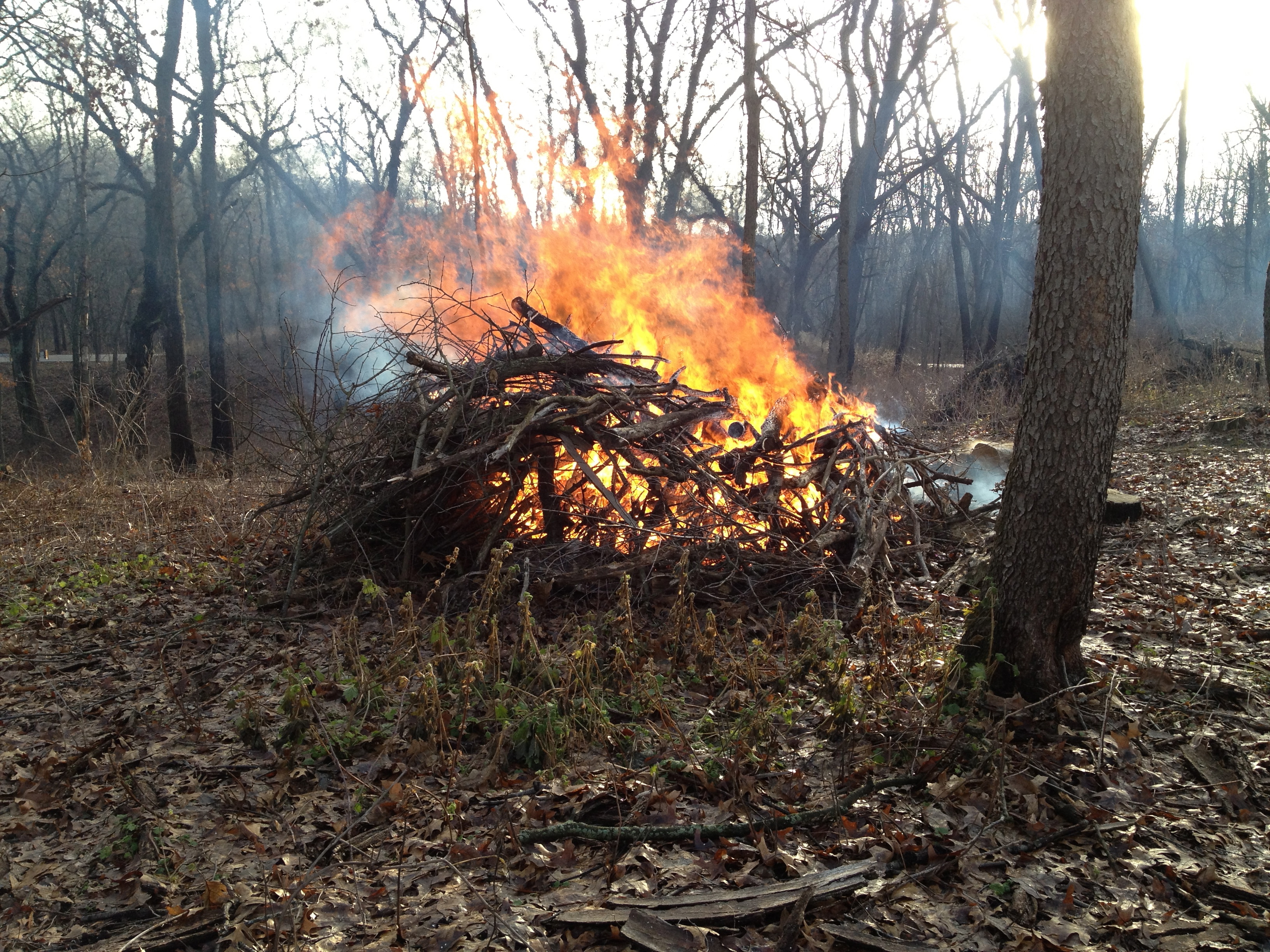
It felt like a warm, sunny Spring day. The snow had all melted and the ground was wet. The brush piles on the South end of the loop trail were wet from the recent rain, but the steady Westerly breeze promised all the support we would need, and we started lighting fires.
Lindsay and I lit 45 piles and Rich arrived shortly after noon to help us mop up.
Highway 67 is visible through the smoke above on the left and we got a call from the North Prairie Fire Chief investigating a complaint. I’m not sure if it was a motorist or someone living East of the forest beyond Hwy 67. The chief just wanted to confirm that we were the party that had called in that morning to notify them of our burning plans. The smoke was never heavy or thick on the road. What are they complaining about?
After the piles had settled down, Lindsay, Rich and I took a grand tour around the Springs. It was the first time Rich was able to hang out with us after working, and we had a great time enjoying the scenery and envisioning the future.
You might wonder if perhaps we had inhaled a little too much smoke when you listen to this conversation.
Today was a gloriously beautiful day at the Springs and I felt very lucky to serve the Creator. Yes, THE CREATOR! I think I’m becoming a Deist, and you might consider it too, if you had just read Thomas Paine’s The Age Of Reason. What a tour de force!
We had clear skies, and steady winds out of the West; perfect conditions for burning brush piles on the Sand Dunes where the First People once made their campgrounds. I was glad to have Rich Csavoy’s help and we burned another 44 piles.
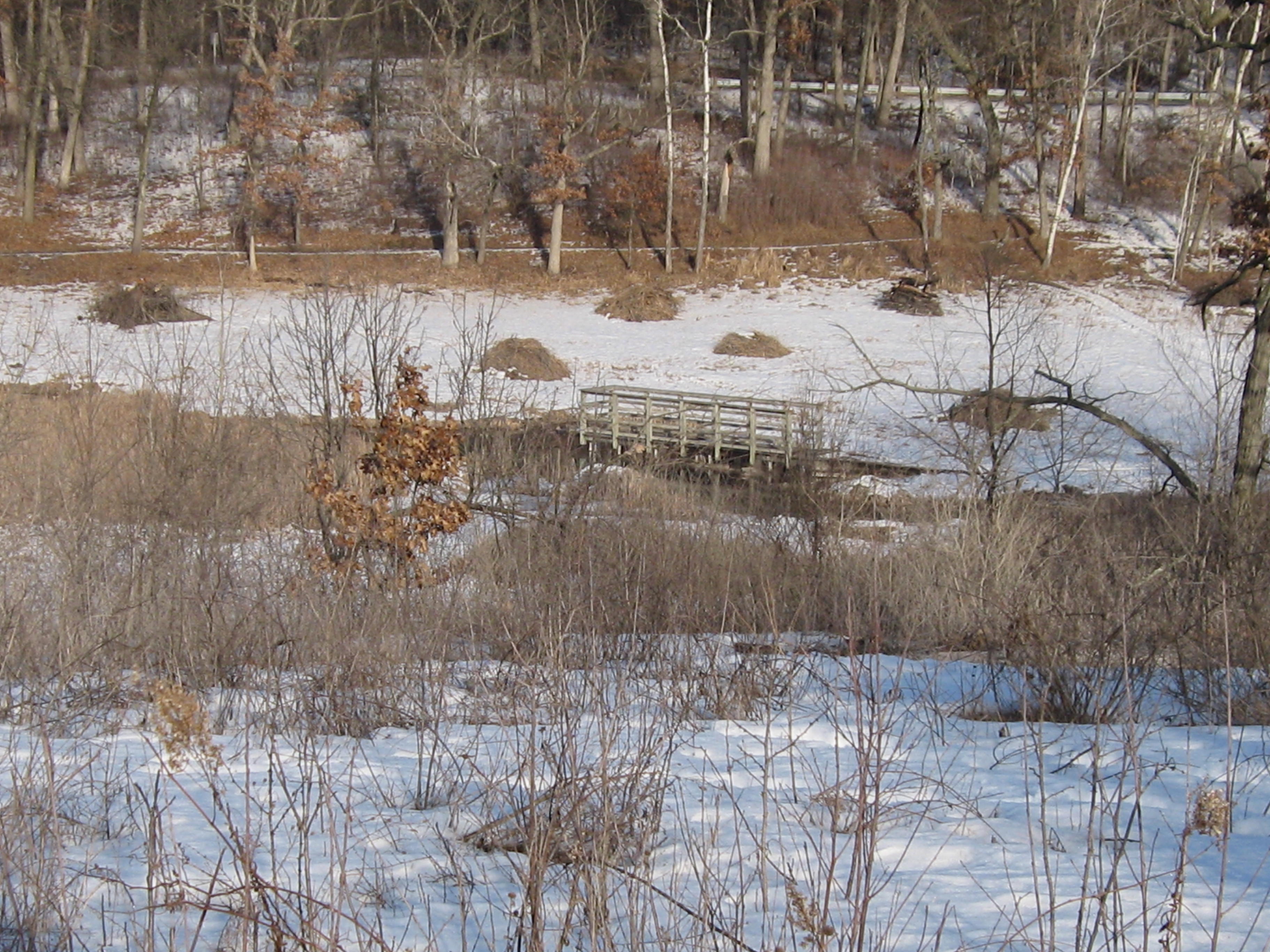
As we get the brush cut, piled and burned, new vistas are opening up. Here you can see the Scuppernong River and the Marl Pit bridge from the Scenic Overlook.
And now you can see the Indian Spring from the overlook as well.
I loaded the gear in my truck, slipped into some dry boots, and made my way back via the newly cleared cutoff trail to enjoy the sunset.
We called ourselves the “River Rats”. With our Blue Dolphin canoe loaded with a chainsaw, pruning saw, rake and garbage bags, we were determined to make the Bark River from Hartland to Lake Nagawicka navigable for canoes and litter free. Mark Mamerow and I took many work trips down the Bark and, after 7 years, its a really nice paddle. In his new book “The Bark River Chronicles – Stories from a Wisconsin Watershed”, Milton J. Bates describes our stretch of the Bark River in Chapter 5. Mr. Bates tells the story of The Hartland Marsh in great detail and even mentions Pati and I. Although he doesn’t mention Mark by name, he does comment on the great improvements to the river in this stretch since his last visit in the 1990s. Thanks Mark!
Check out About Paul for more info about the Hartland Marsh project. Here is a map of the Bark River in the Hartland Marsh area.
That being said, it was great to connect with Mark again today as we burned 50 more piles at the Scuppernong Springs. The morning was crisp and cold.
Just beyond the row of 12 brush piles you can see below is a remnant of a sedge meadow.
Our DNR friends Don and Amanda gave us a huge bag of seeds, with over 20 varieties suitable for a Wet Mesic Prairie setting, that we plan to sow in the area around the Indian Springs and in other locations. The transition from Buckthorn thicket to natural prairie or wetland includes a lot of steps and burning the brush piles is one of my favorites.
We lit another dozen piles farther down the outflow channel of the Indian Springs, closer to where it joins the Scuppernong River.
The conditions were perfect so we moved to the West side of the Indian Campground Sand Dune and lit another bunch of piles. By 11:00am we had 50 piles started and we began the mop up process.
You can see the outflow channel of the Indian Spring below from the Scenic Overlook.
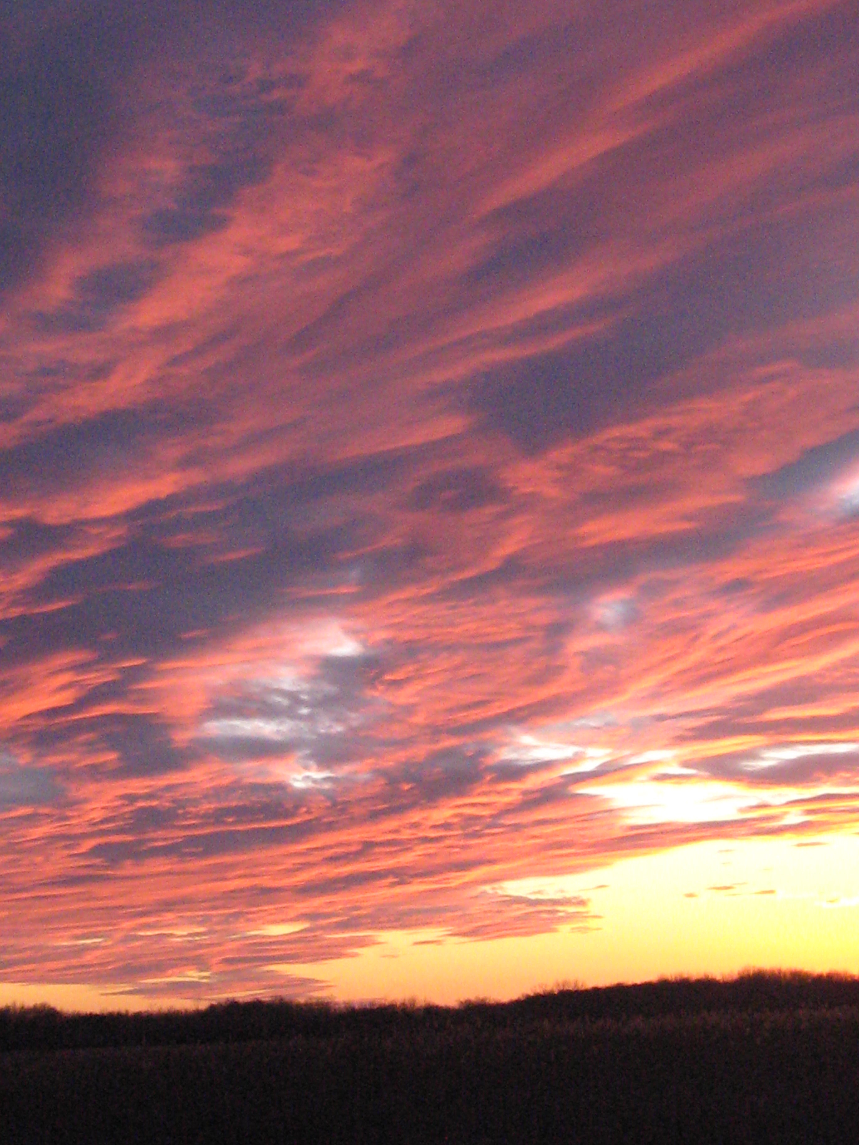
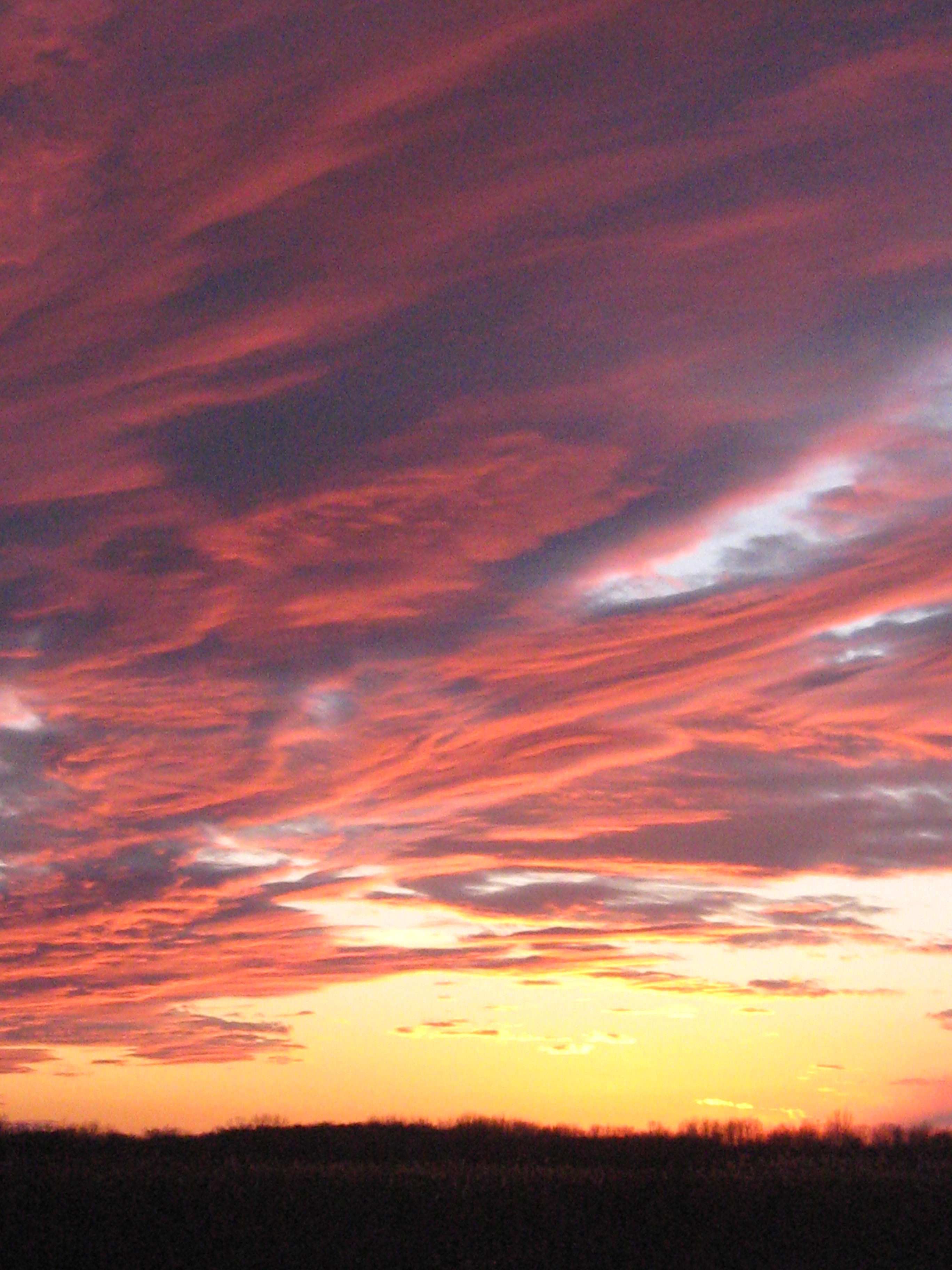
Snow started falling around 4:00pm and it was coming down pretty good by the time I left. Since there wasn’t much of a sunset today, here is a great shot taken by Tighe House a couple weeks ago.
It was the coldest morning of the year and the setting moon’s light brilliantly contrasted the deep blue cloudless sky as I made my way to the Indian Springs. I’ve been meaning to get some pictures of the “Monster Spring“, as the locals used to call it, in a morning light.
It’s been a great year working out at the Springs and I want to thank Pati, Lindsay, Rich, Mark, John, Sue, Thomas, Chakry, Sriram, Don, Ron, Paul, Anne, Amanda and everyone else who lent a hand or showed support.
The coolest thing that happened to me this past year was my rediscovery of Philosophy thanks to my good friends at Tragedy And Hope. It’s never too late, nor too early, nor too often to study Philosophy.
Today though, we are interested in Physics.
The conditions were perfect for burning brush piles and I was able to light 34. In half of those I just poked my torch into the center of the pile instead of doing the usual chainsaw work to create a consolidated pile to ignite.
The view from the scenic overlook.
And the Marl Pit Bridge.
Here is a video of the sunset taken from the scenic overlook.


