…the soul is the arrow, and Brahma is the target. I listened to Siddharta, by Hermann Hesse, recently and it really warmed my heart. In his quest for enlightenment, Siddharta learns to wait, and fast, and think but it is not until Vasudeva, the ferryman, teaches him to listen to the river, that he finds it. I thought of that today and spent some time in the late afternoon meditating and listening to the Scuppernong River… Ooooooommmmmmmmm.
The sand hill cranes are back at The Springs along with migrating geese and ducks. I felt like I was intruding when I showed up this morning with my gear and flushed them from the comfort of the river.
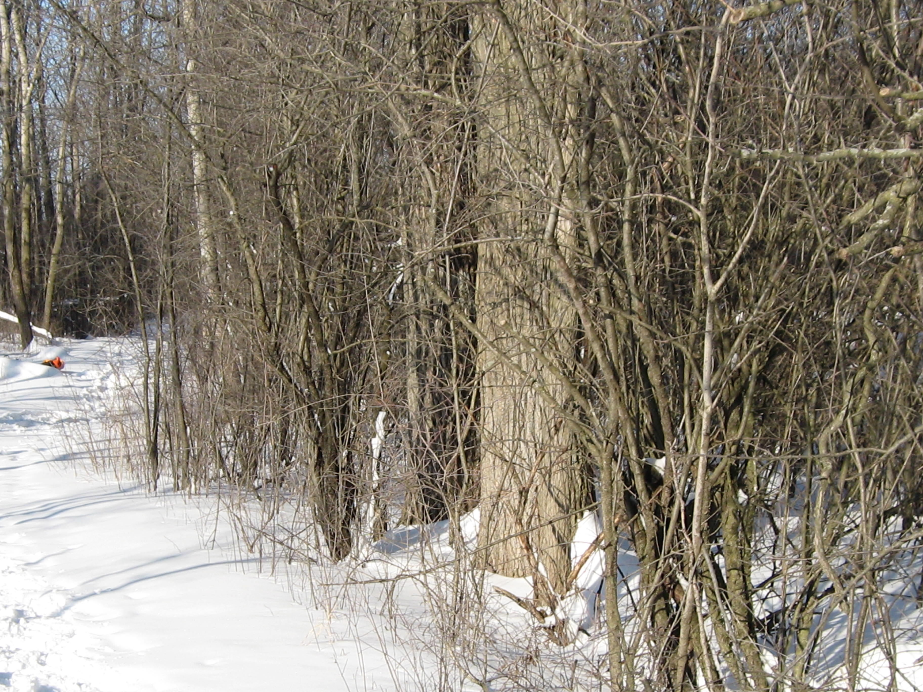
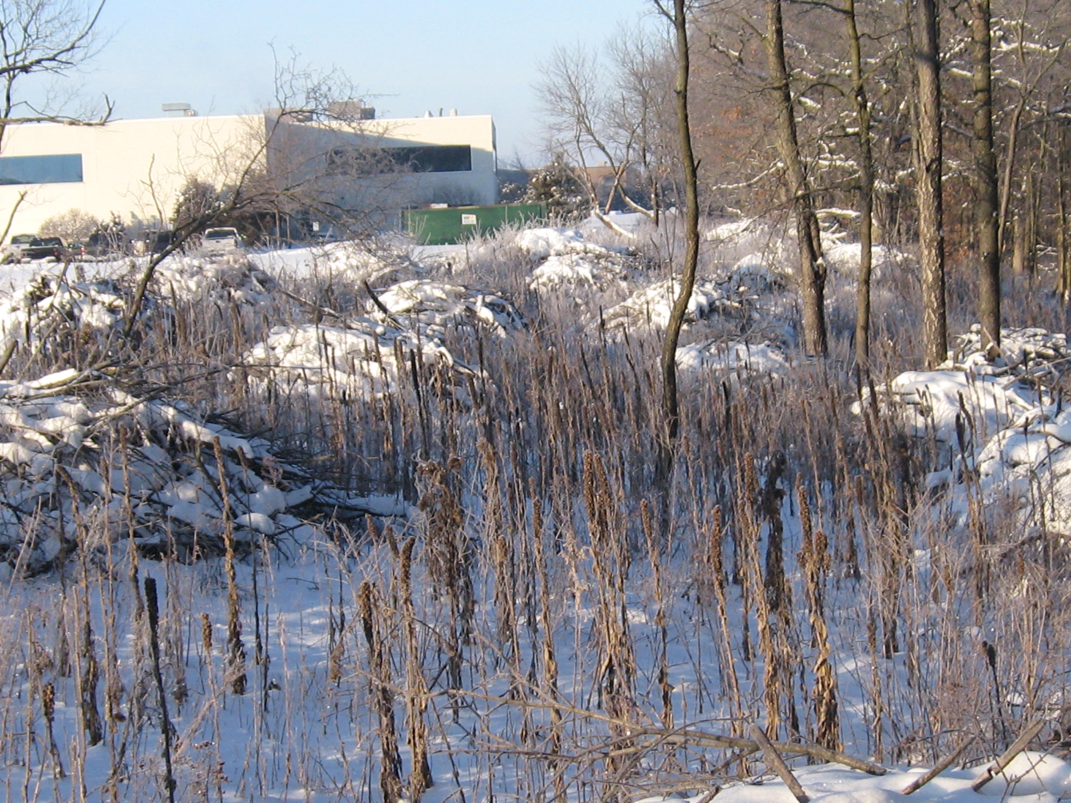
This buckthorn along the trail has got to go!
Anne, from Waterville, and her friend Terri (or Terry) arrived around mid-day clad in snowshoes to explore the newly opened cut-off trail. Later, Dan and Lou Ann Brown, who hike often at the Hartland Marsh, emerged from the cut-off trail after their first passage. The’ve been coming to the Springs for over 30 years and really like the new look.
After a good days work, the buckthorn is almost all cleared in the area between the cut-off trail and the river on the west end of the trail.
I took some time to relax and listen to the river in the late afternoon.
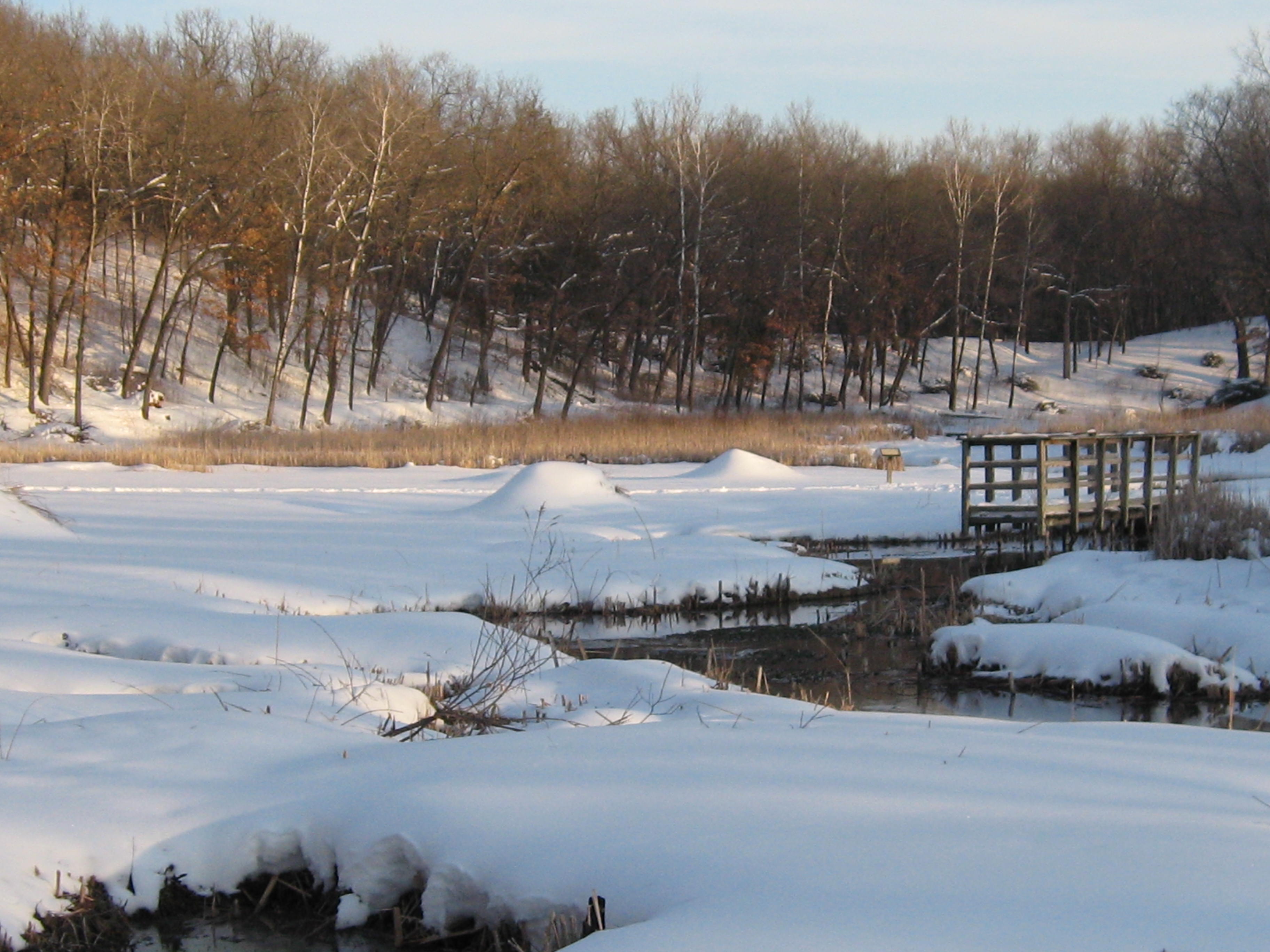
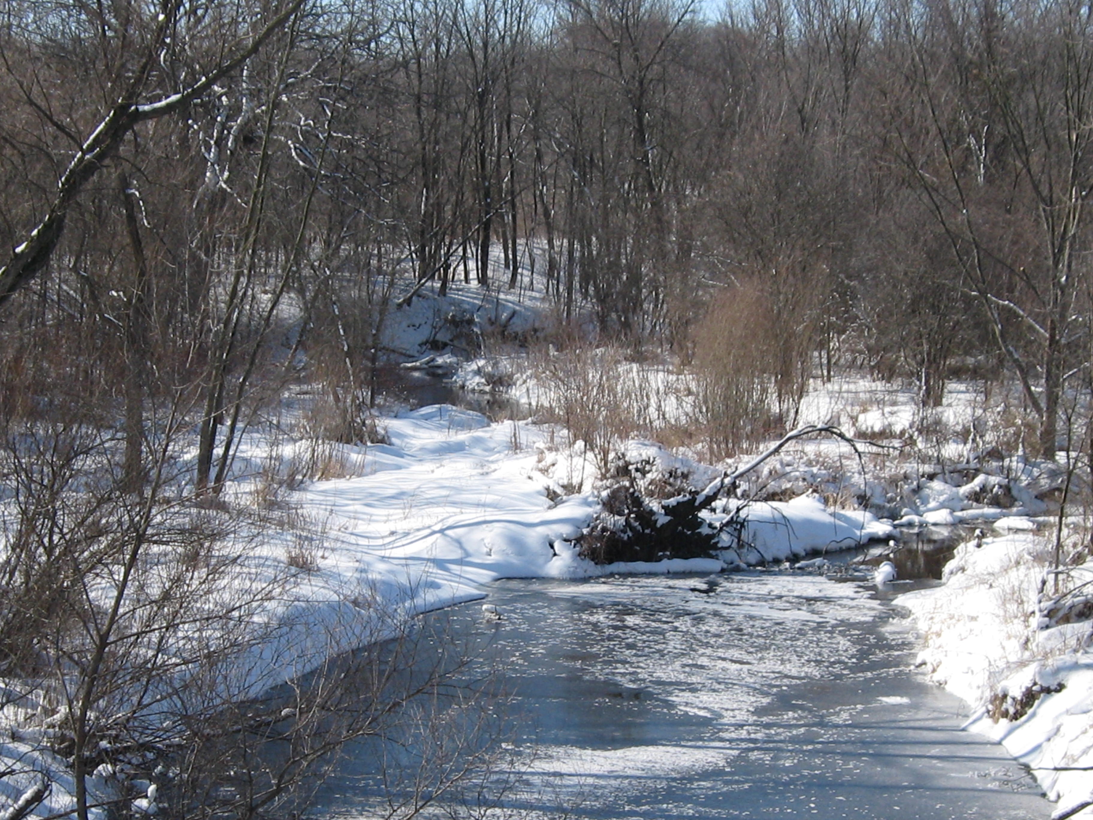
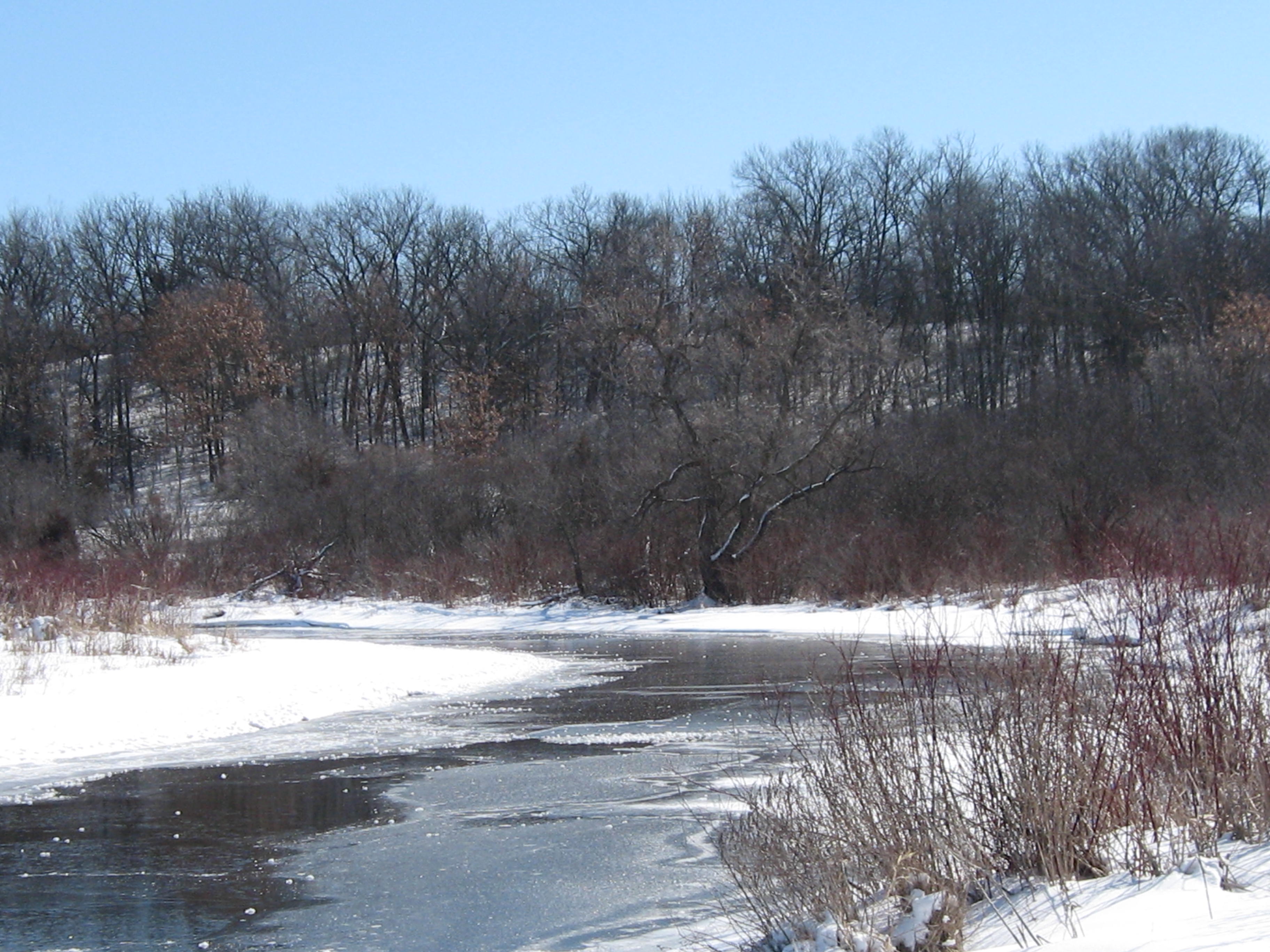
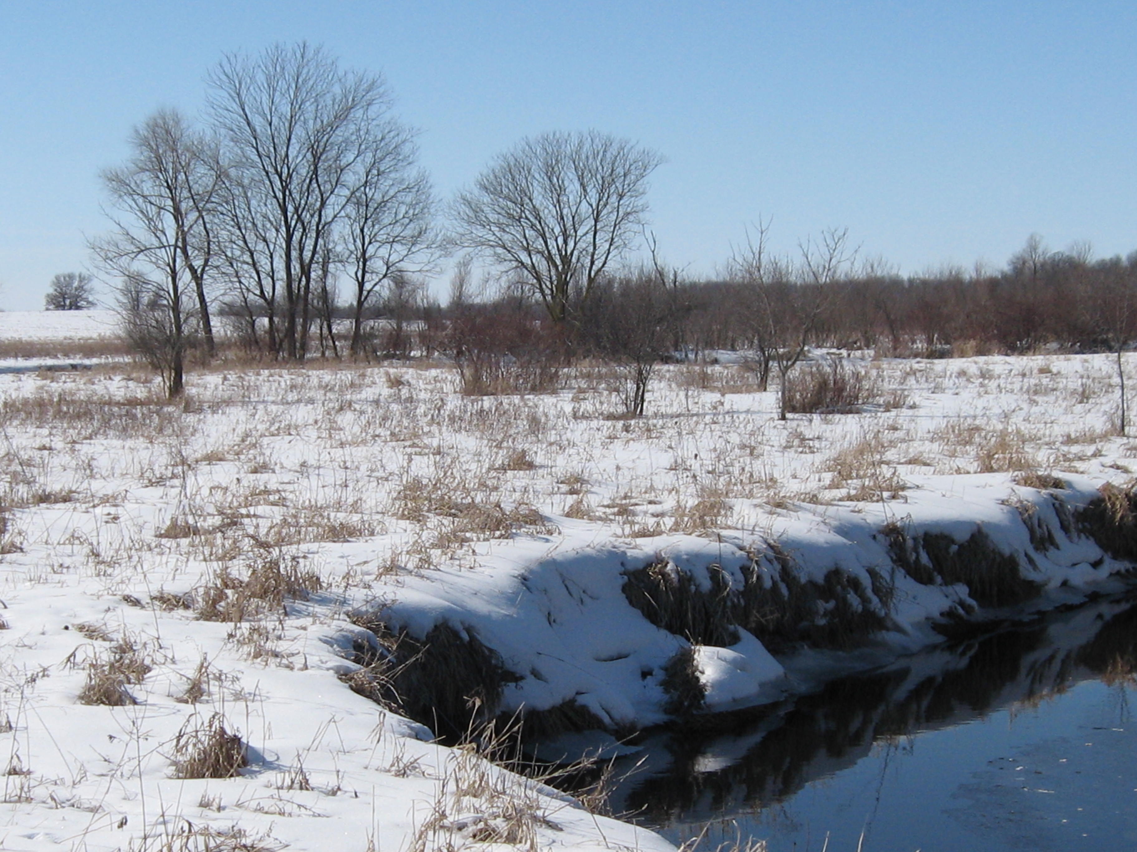
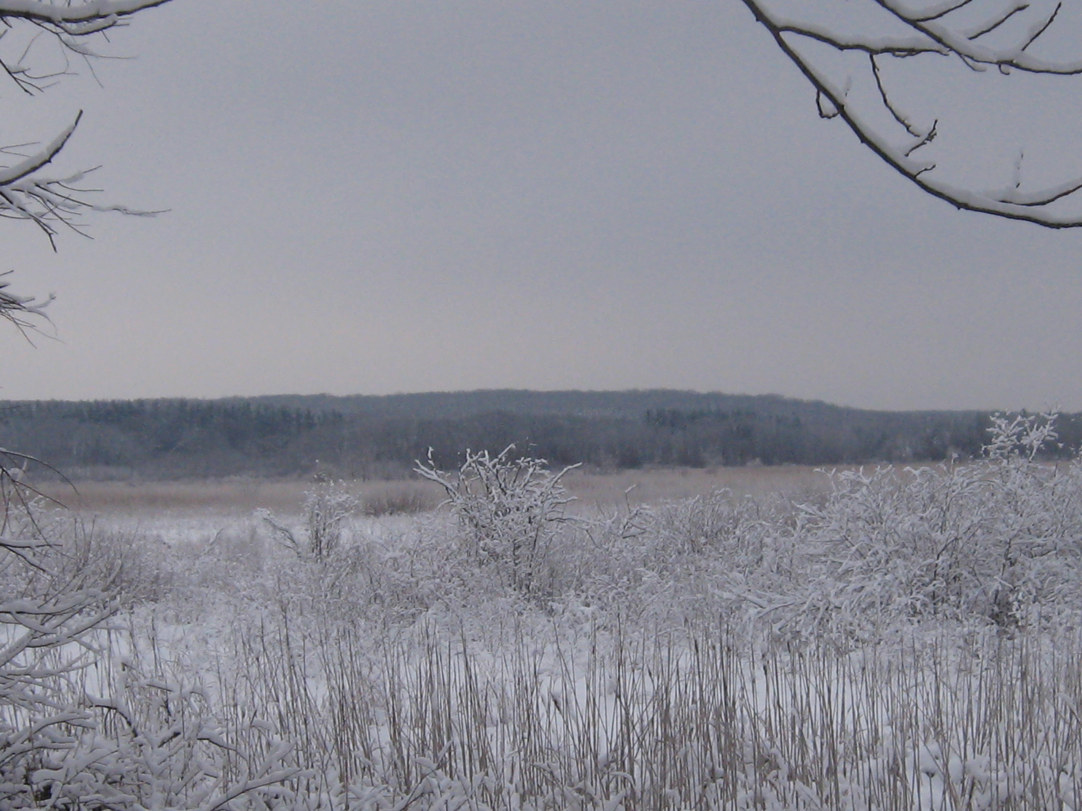
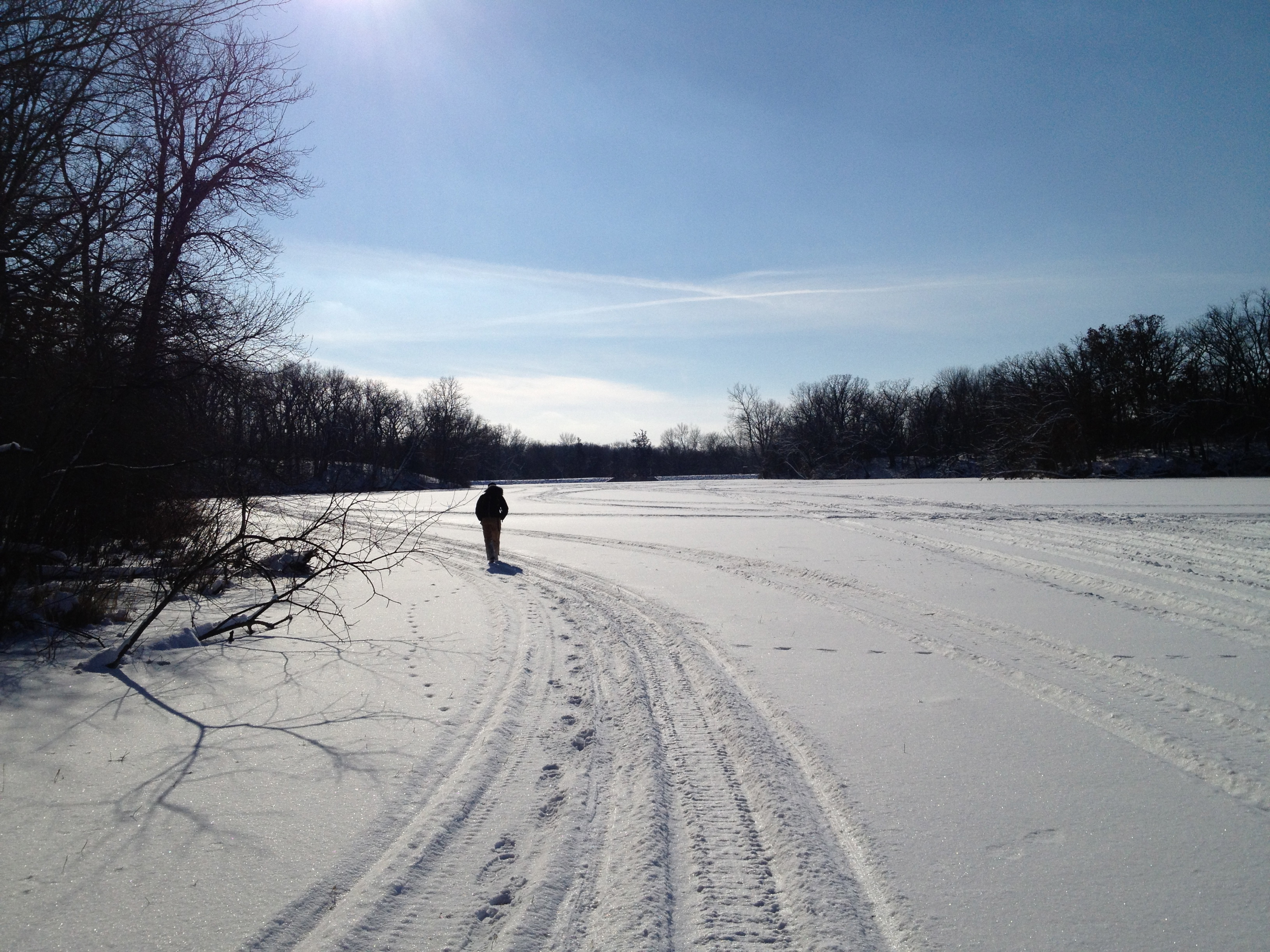
Hi. Thanks for following our adventures on the Scuppernong River. Today Pati, Lindsay and I took advantage of bright sunshine and frozen wetlands to hike the third segment of our Journey Down the Scuppernong River. We traveled from the Carlin Dam just below Upper Spring Lake to where the river crosses Hwy 106. The vote was unanimous that this was the most beautiful section so far.
Snowshoes were a big help today. The section between Hwy 59 and Spring Lake is notable for the rolling hills covered with oak woods that border the river on the south. We took the high-line “trail”.
There were no discernible trails anywhere on the stretch of river we walked today and that is too bad because there is some fantastic scenery along the way.
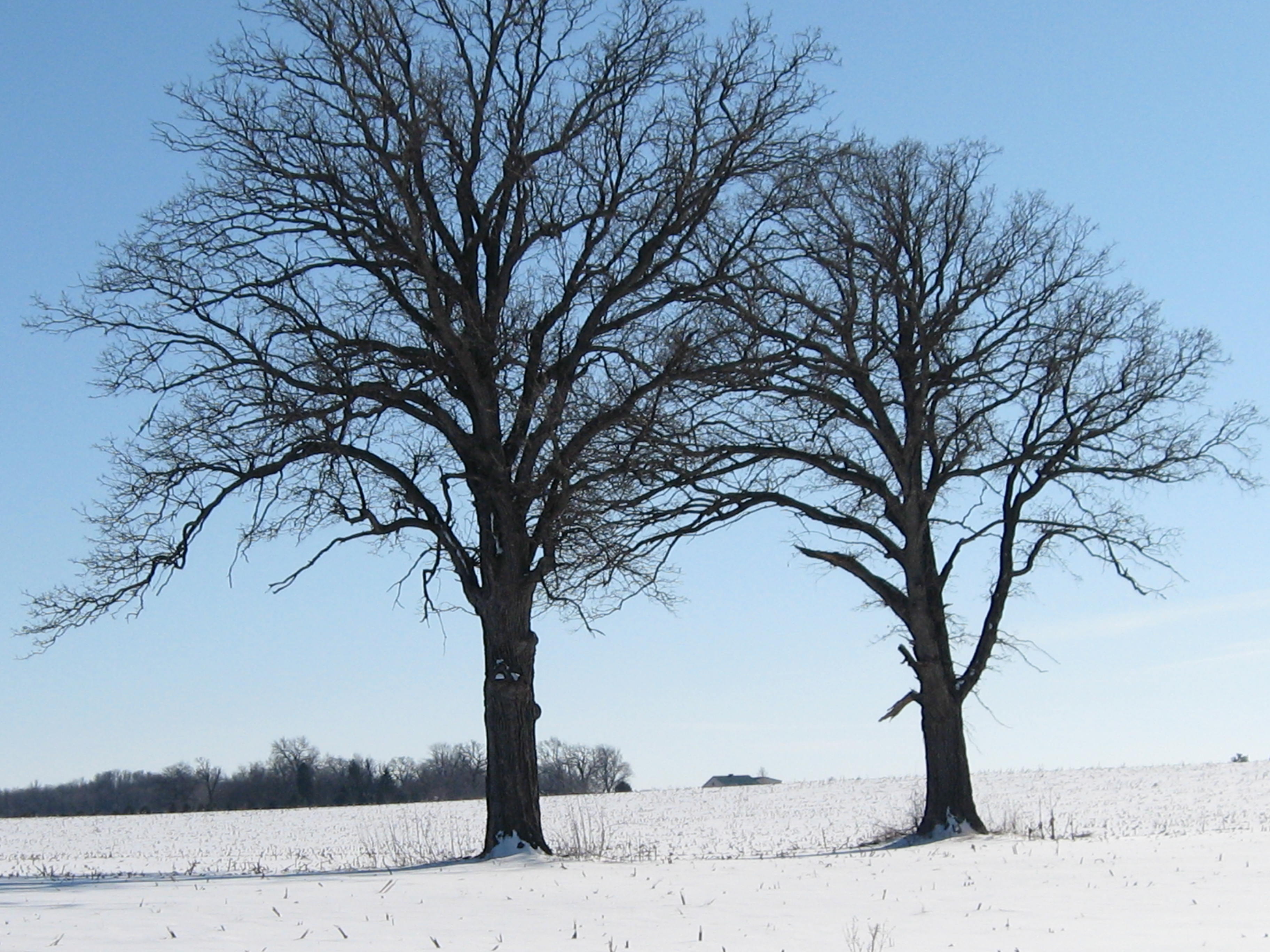
This is a good view looking back at the ridges and high ground we had just traversed.
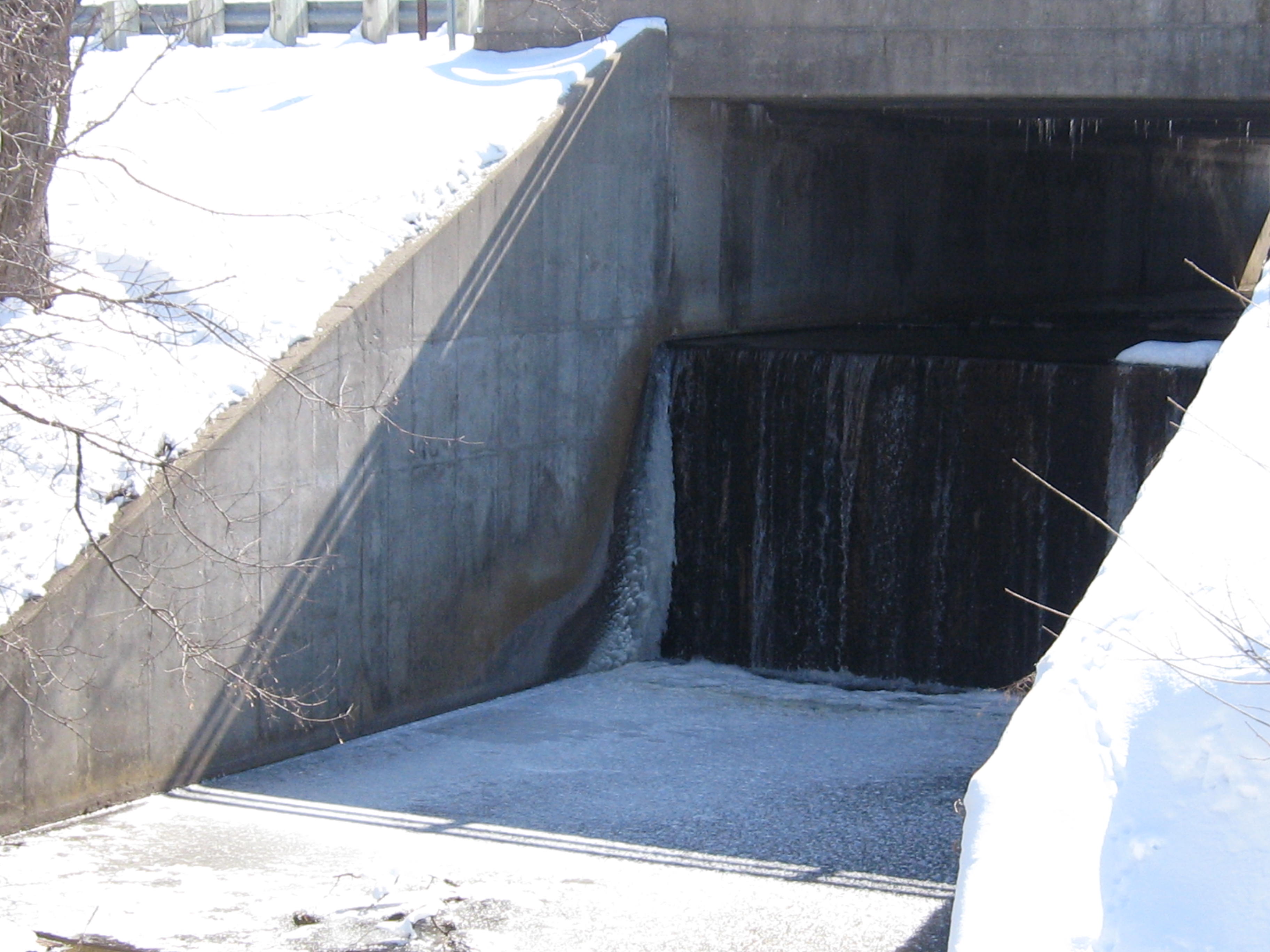
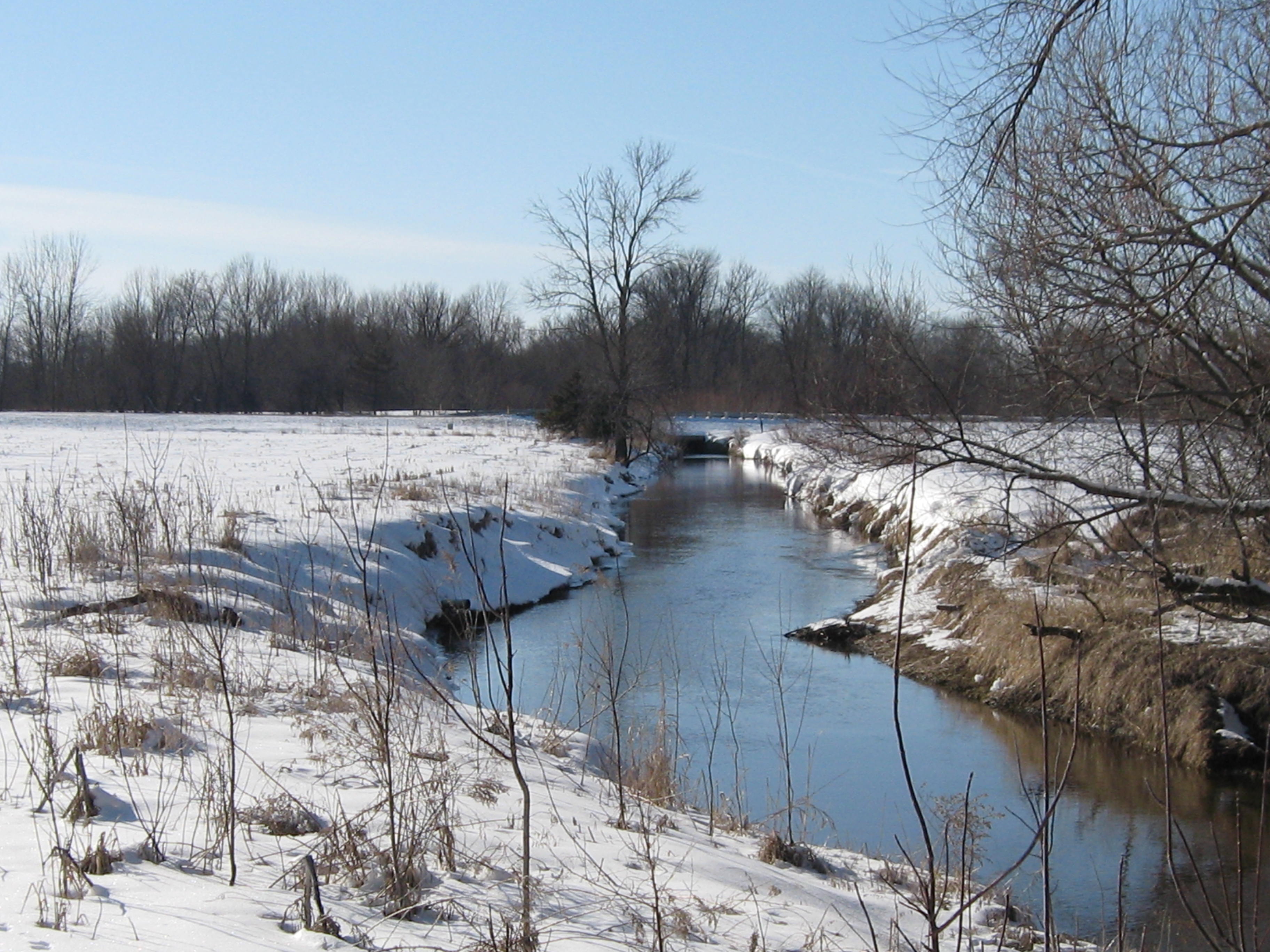
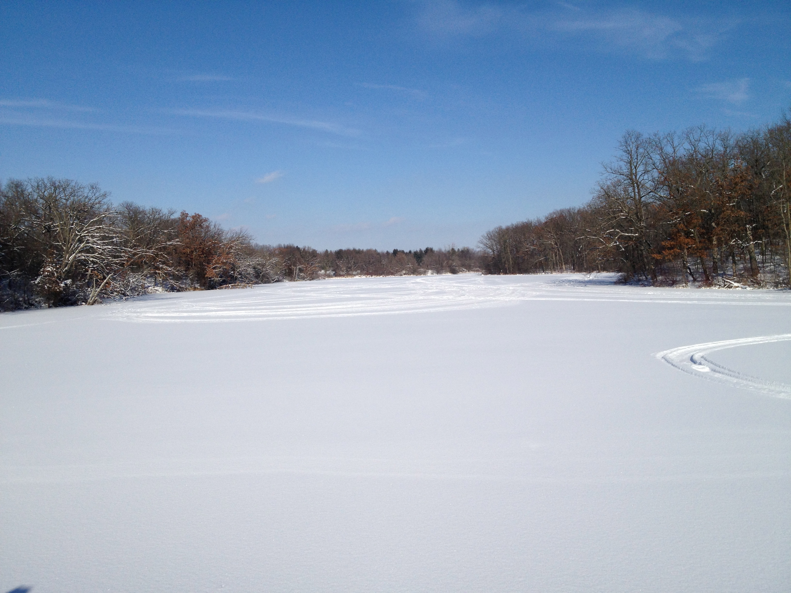
Soon we reached Spring Lake.
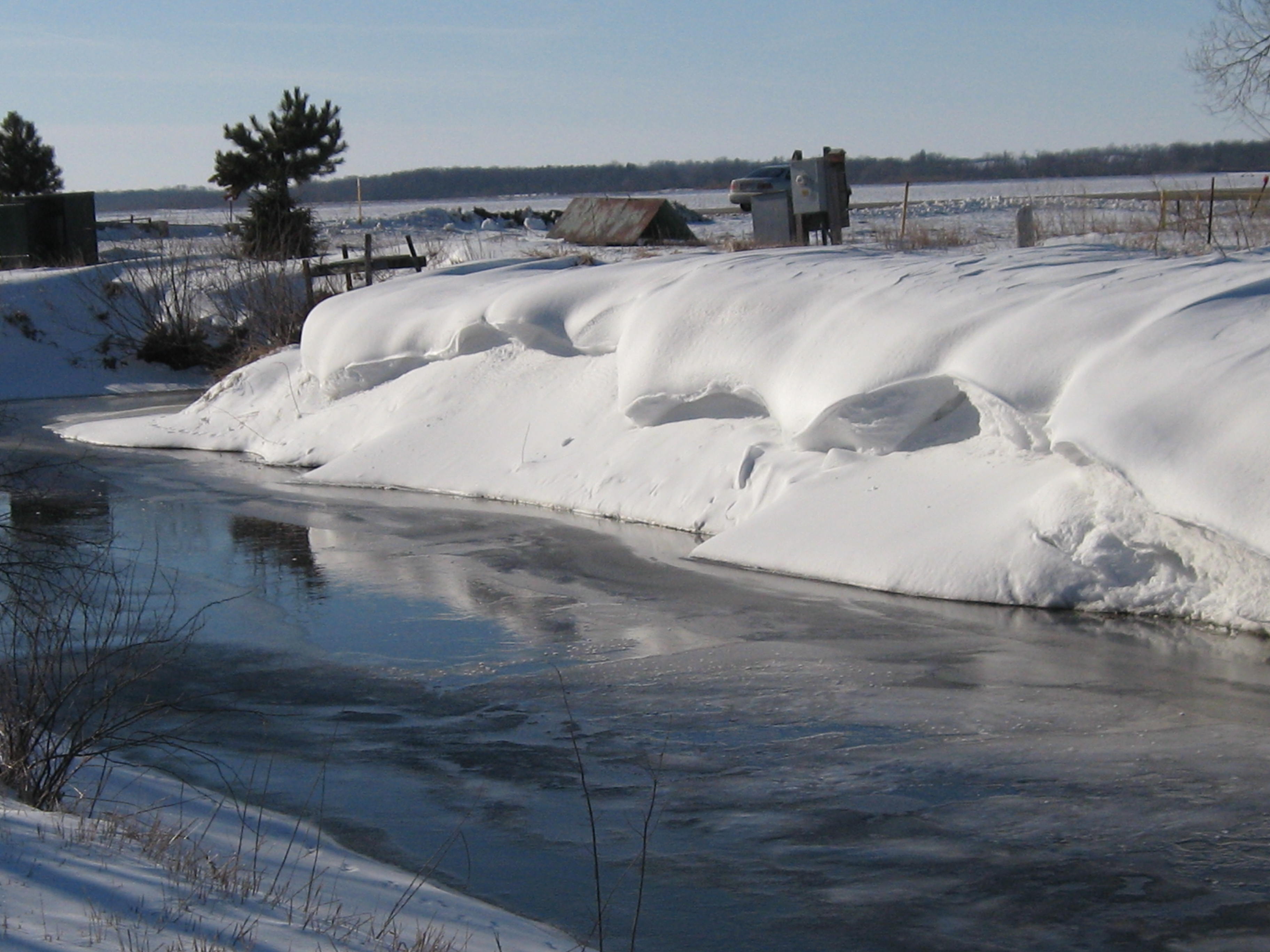
There are two outflows from Spring Lake. One is at the dam pictured here, and this is the course we chose, and the other is in downtown Palmyra.
When we got to Hwy E, we realized that we didn’t take the main channel out of Spring Lake; that would have been the downtown exit.
The river twists and turns quite a bit and we took another high-line trail through a beautiful oak woodland. It was so nice that after a while we noticed that we had lost touch with the river as it was heading north and we were going west. Oops!
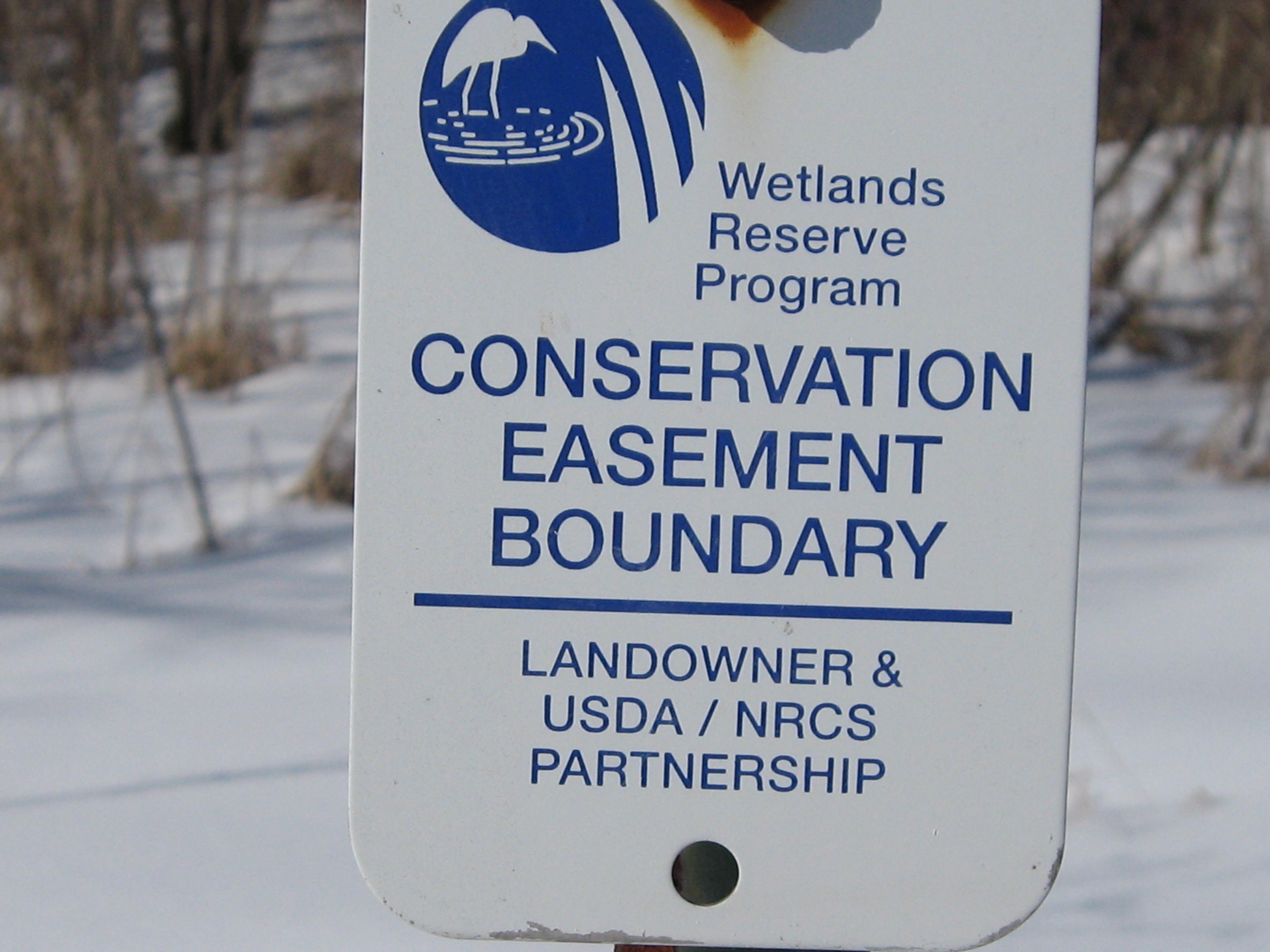
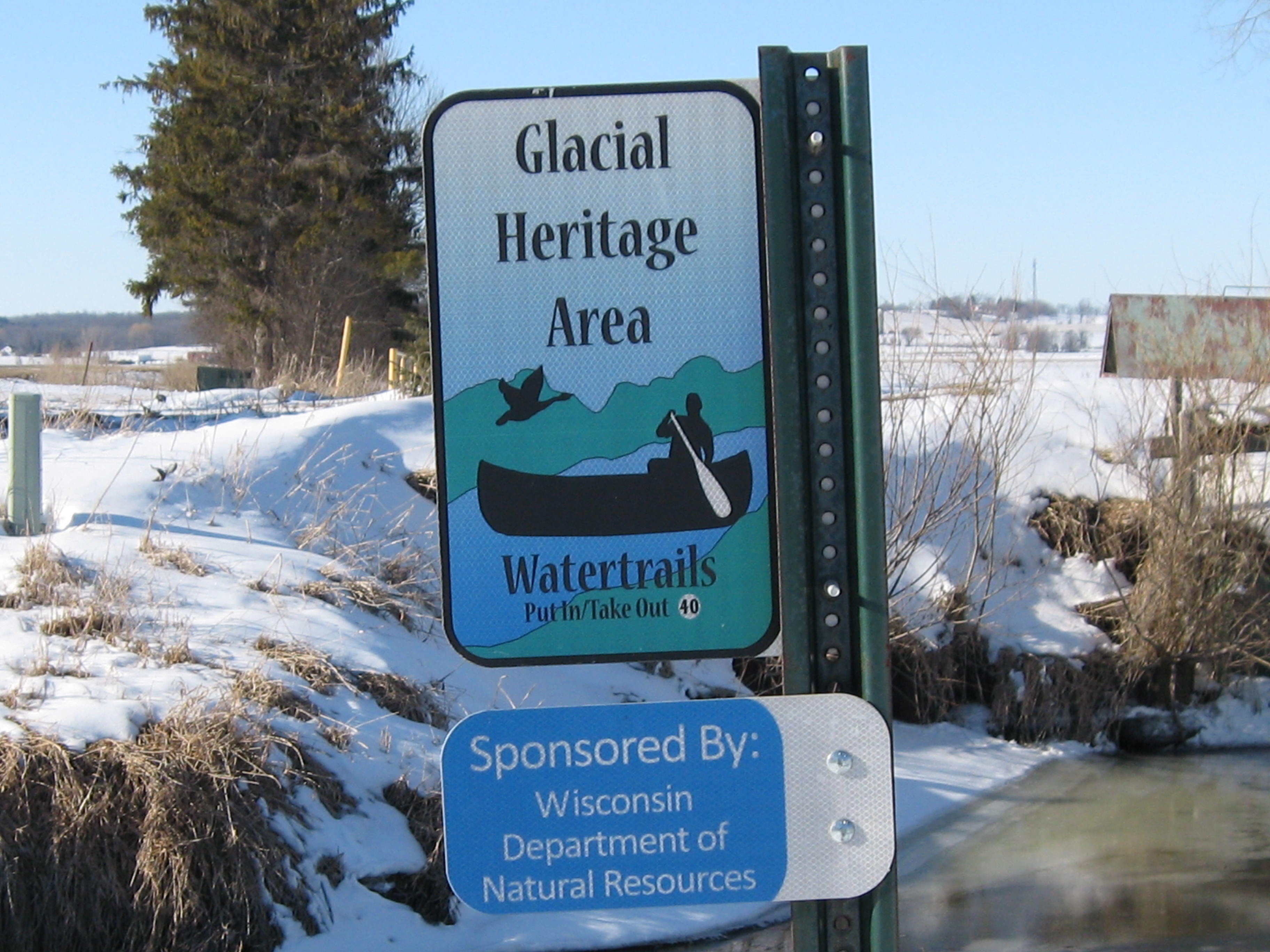
Lindsay’s car was parked at the intersection of Hwy 106 and Island Road and, upon our return, we noticed this sign on a canal and began to speculate whether the canal was the watertrail referred to. It turns out this is the “put-in” spot to take the watertrail downstream where the canal joins the river.
Here is more info about the Glacial Heritage Area Watertrails. Scroll to the bottom of the page for a selection of excellent maps showing paddleable waters primarily in western Jefferson County. I checked the google satellite map and followed the course of these canals until they hit dead ends.
Next time, we’ll hike the fourth and last segment of the river west of Hwy 106, through the Prince’s Point Wildlife Area, to where the Scuppernong River merges with the Bark River.
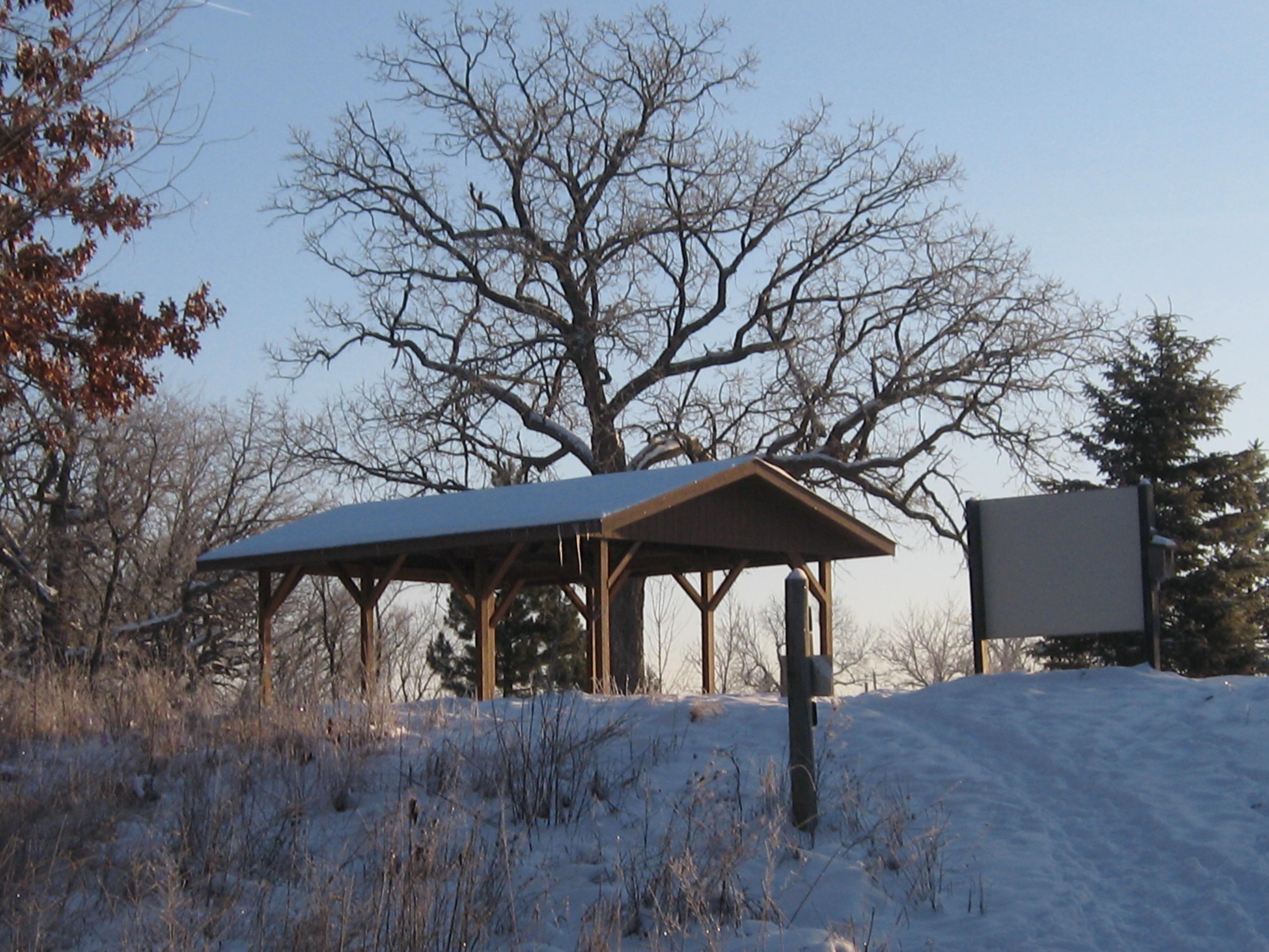
It was a quiet and peaceful winter’s day at the Scuppernong Springs except for the bluebirds, robins and geese noisily reminding me that spring is around the corner. I stopped at the Parry Rd. Spring on the way out to fill our collection of 5-gallon jugs. We have been drinking this fluoride and chlorine free spring water at home for over 12 years and it sure beats Milwaukee tap water! I had the water tested in September 2011 just to be sure and it passed with flying colors.
Its been snowing a lot lately and it was nice to see the sun again. I took this video at the marl pit bridge before heading to the work-site on the cut-off trail.
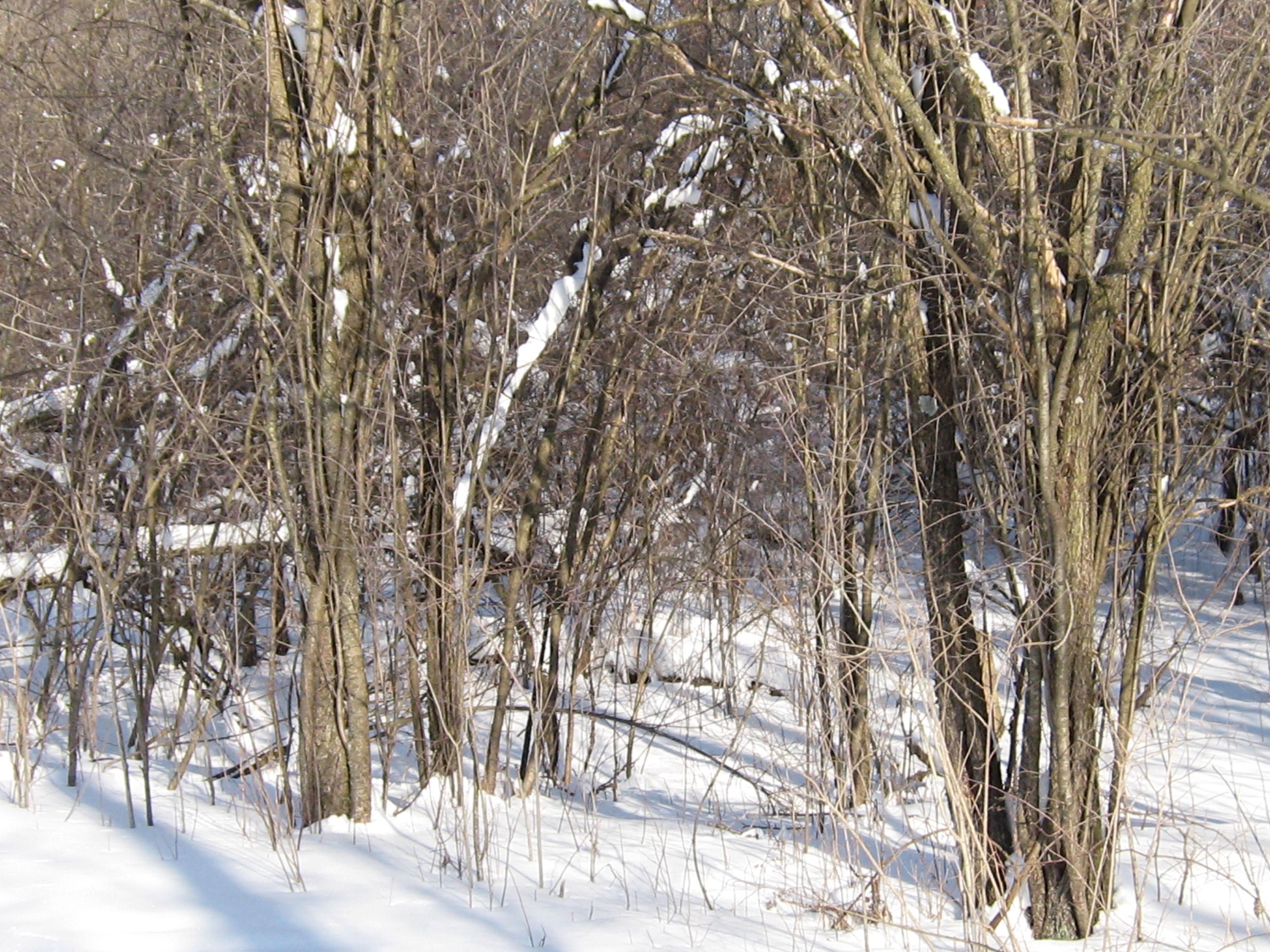
We are making great progress clearing the buckthorn between the cut-off trail and the river. I’m focusing on the west end of the trail now so we can be out of this area before the sand hill cranes start nesting by the marl pits.
I didn’t see a soul while I was working and I really enjoyed the peace and solitude. Here is what it looked like after I finished cutting.
After loading my gear in the truck, I took a very relaxed stroll on the Nature Trail. Here are a couple shots from the bridge over the Scuppernong River at #5 on the map.
One of my favorite views is from the old hotel site.
The robins and bluebirds find lots to eat in the spongy moss at the springs we recently cleared at the site of the old hatching house.
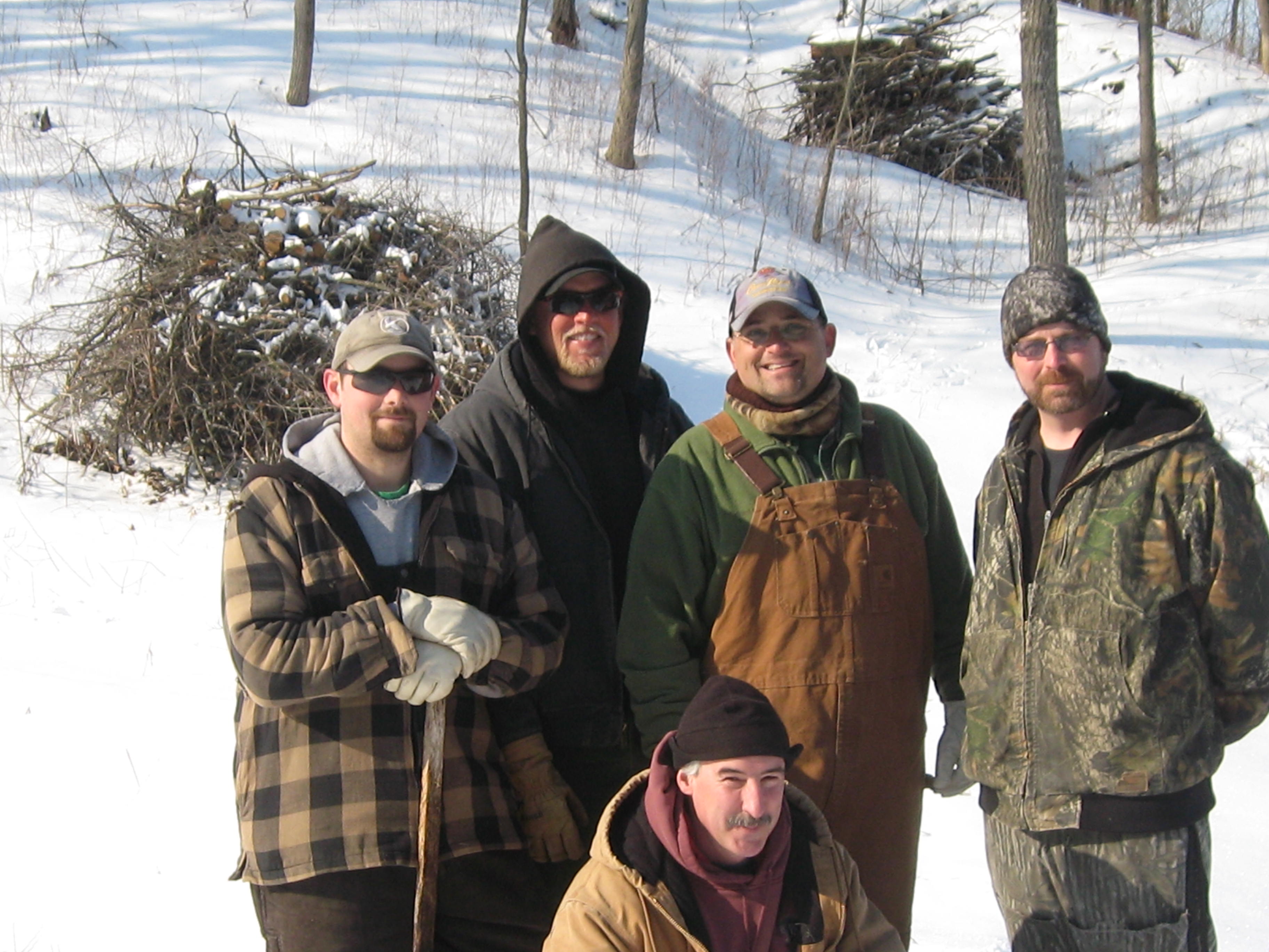
An elite team of DNR River Doctors paid a visit to the Scuppernong River to see how their patient was doing. Over the last 20 years, since DNR veterans Sue Beyler, Randy Schumacher and Ron Kurowski initiated the “healing” of the river in conjunction with the Scuppernong River Habitat Area restoration project, the health of the Scuppernong River has steadily improved. Nevertheless, the River Doctors advised that more “trout stream therapy” is in order. Let’s meet the doctors.
From left to right starting in the back row we have Josh Krall, Andrew Notbohm, Steve “Gus” Gospodarek, Ben “Benny” Heussner and in the front row, trail boss Don “Double D” Dane. Check out the DNR contact site for more information. You can review their most recent work on the Scuppernong river at the end of this Interview With Ben Heussner. By the way, on the first leg of our recent Journey Down the Scuppernong River, I expressed disappointment that water from the river had spilled over into the channel, which they had endeavored to segregate from the river last summer. Ben and Steve explained this was to be expected for 3 reasons: this is a flood plain and it is perfectly natural for the river to overflow its banks, there are water sources to the North of the channel that still feed it, and finally, they would have had to excavate the old river bed to an unacceptable depth, basically turning into another canal, to enable it carry more water. “Time heals all wounds” as Gos said, and the area in question will take many more years to completely heal.
I was joined by Pati Holman and we couldn’t have been more excited as we left the parking lot to survey the river to see what treatments the doctors might have in mind.
We identified 6 “projects”, or areas, where some therapy could be considered. The blue numbers on the map below will be referenced as we travel upstream from the marl pit bridge to the headwaters at the Scuppernong Spring.
Our first stop, project #1, was downstream a few yards from the marl pit bridge where the river splits in two forming an elbow that rejoins the main stream 30-40 yards downstream. I asked them to consider if we should close this side channel, which I made an ineffectual attempt to do last summer before Tracy Hames came to visit.
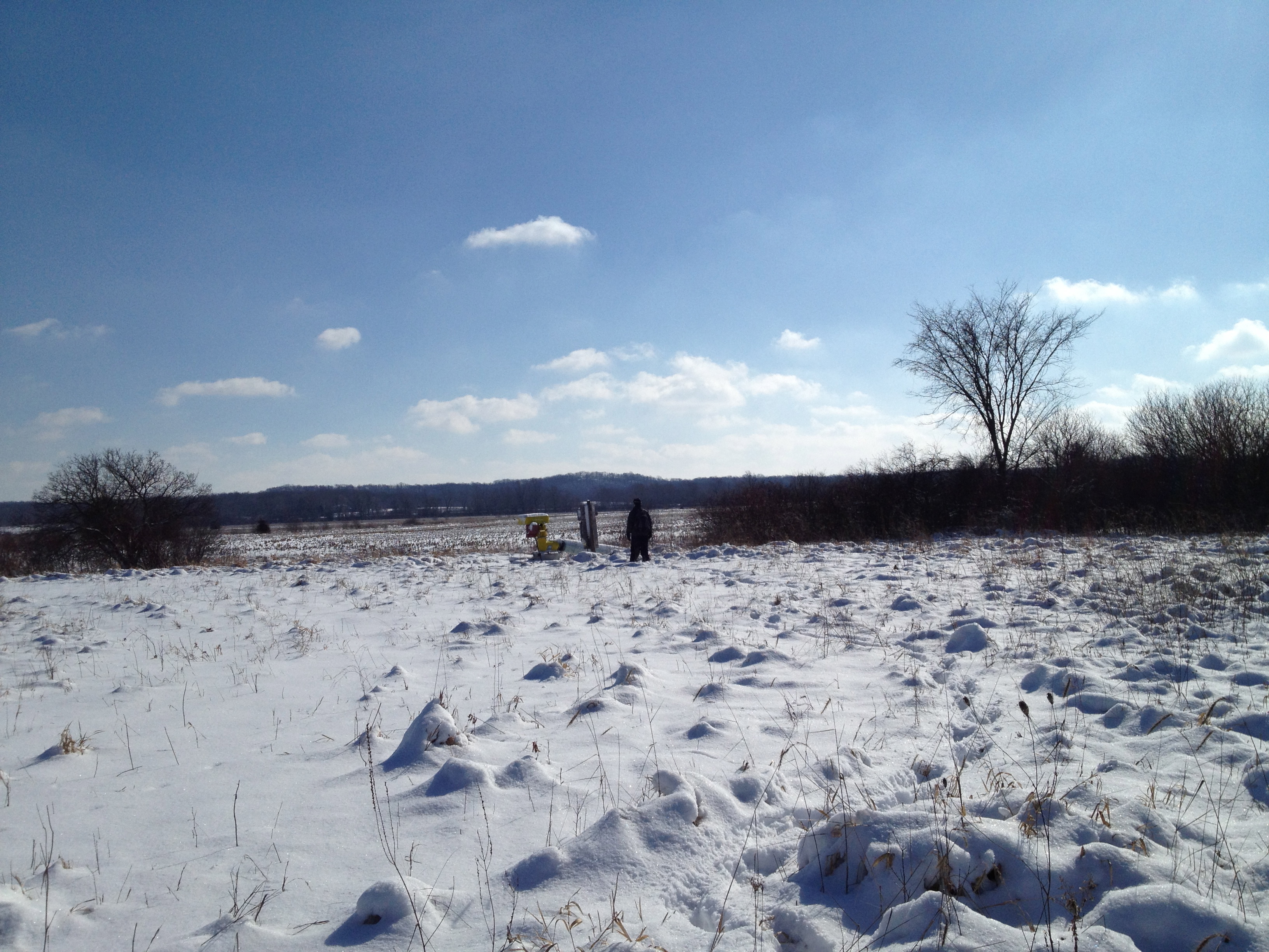
Then we proceeded upstream to the next bridge over the river where the water flow gauge was recently installed, where Steve explained what state the river was in when they began the “trout stream therapy” in that stretch.
We followed the right bank upstream maybe 100 yards to the site of project #2.
You can hear Steve and Ben discussing whether or not it was a good idea to remove the boards that we see in different areas of the river bed. They ultimately recommended that boards in the middle of the channel, where the water is moving the most freely, be removed, but boards on the periphery could be left in place so as not to disturb the muck. Then we continued upstream another 100 yards or so to project site #3.
You can probably tell from my excited chatter that I’m having a really good time. Then we continued upstream to the site of the dam that formed the upper, larger, of the two Ponds of the Scuppernong.
Then with perhaps the key insight of the morning, Dr. Heussner identified that the river was suffering from a gradient problem and that an elevation study was required (project #4). Take a listen.
As we progressed upstream, we considered that any further efforts would have to be done in sympathy with the establishment of the proper grade as Ben described above. We next arrived at the Emerald Spring where we discussed the idea of dredging the muck from the river to prevent it from going down stream once the improvements in the grade are achieved. This would be project #6.
Finally, we made our way over to the outflow channel from the Indian Spring, where Don had suggested some bio-logs might be useful. The doctors weigh in on project #6.
As Ben mentioned above, they will need to “chew on it” for a while to determine which of these projects they want to proceed with first. Depending on the needs of the project, we may try to enlist the South East Wisconsin Trout Unlimited group to give us a hand.
Pati and I had a great time hanging out with the DNR Fisheries team and “Double D” and we learned a lot! I hope you did too.
McKeawn Springs flashes by pretty quickly as we speed along to where ever we’re going on Hwy 67. It is located halfway between Piper Rd and Road X just a bit south of the Scuppernong Springs. Until recently, I didn’t know this spring had a name, but after I documented our encounter with the intersection of the channel that flows from McKeawn Spring and the Scuppernong River, Mike Kuhr, from the South East Wisconsin Trout Unlimited group, provided the missing moniker.
As I was cutting buckthorn on the cut-off trail this morning, I thought today is the day I slow down, get out of my car, and take a closer look at the McKeawn Spring. But first, there was a little work to do…
I had the pleasure of meeting Anne, from Waterville, and Steve, from Milwaukee, while taking breaks to refuel with cookies and gas. I really do like to “See you at the Springs!” Pati arrived just as I was finishing the 6th tank of gas and I told her about my idea to follow the outflow of McKeawn Spring to where it joins the Scuppernong River. She was all over that.
Pati dragged my sled back to the truck and we loaded the gear and drove over to McKeawn Spring.
This is a perfect time of the year to explore wetlands and we walked right down the channel avoiding all of the brush. I took this video about half way to the Scuppernong River junction.
When we got to the river we were greeted by a Sand Hill Crane, our first sighting of the season.
We followed the Scuppernong River back to the marl pit bridge.
As if this wasn’t all too exciting, we heard the whir of a distant chainsaw when we got to marl pits and guessed that someone might be harvesting firewood down on the south end of the loop trail. We hastened to the sound of axe on wood and found our new friend Carl Baumann hard at work on a huge red oak that had recently fallen.
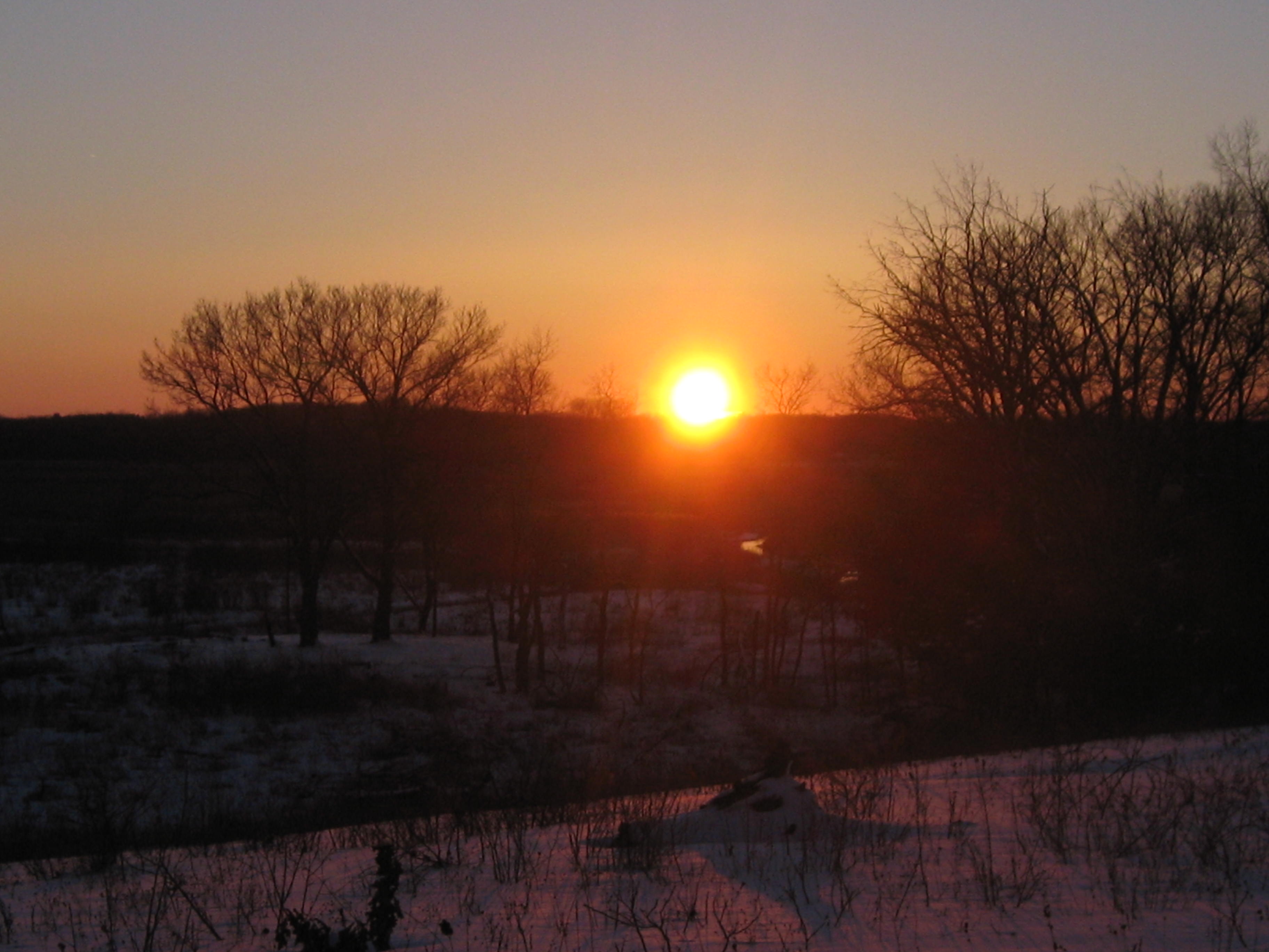
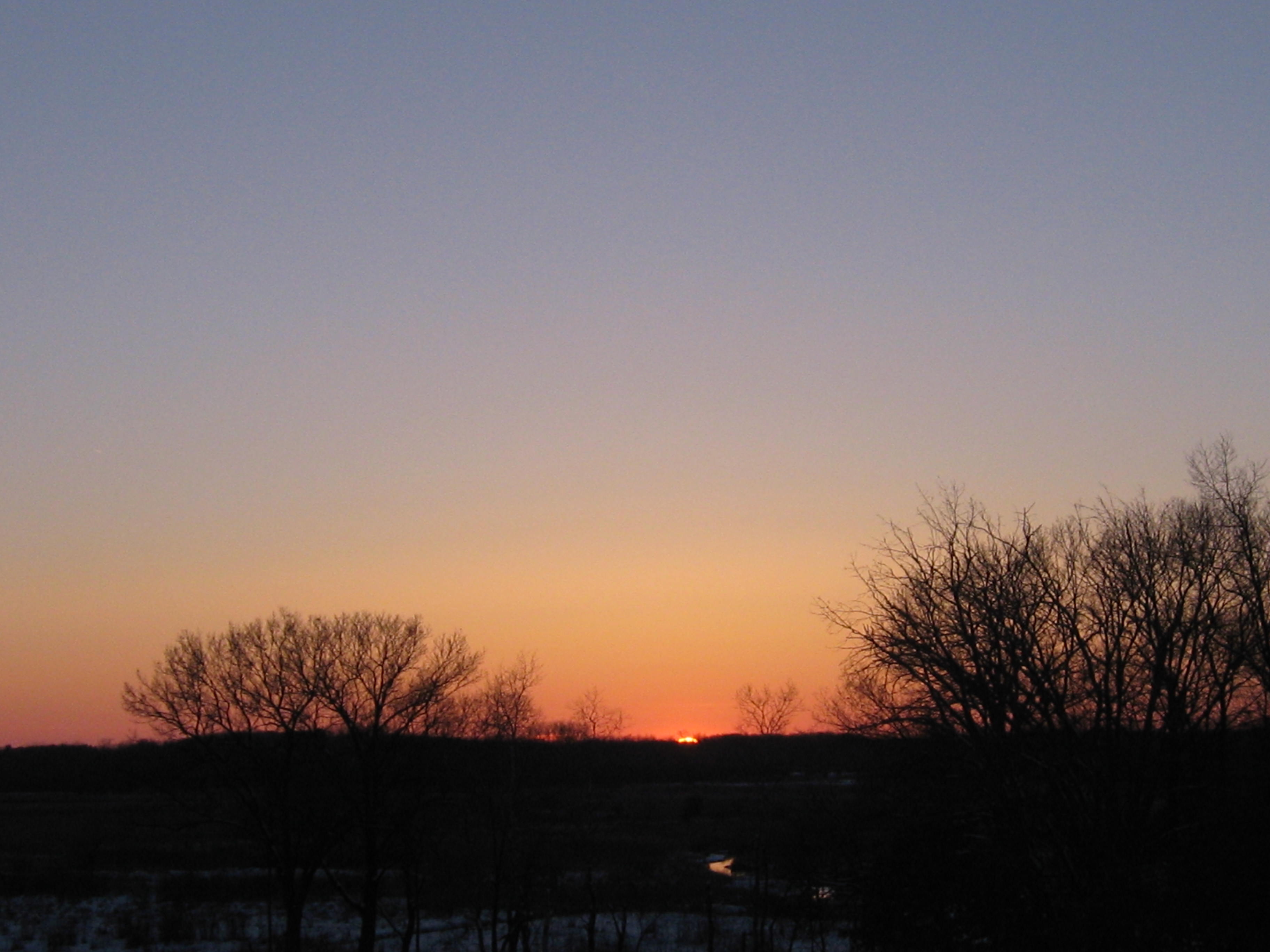
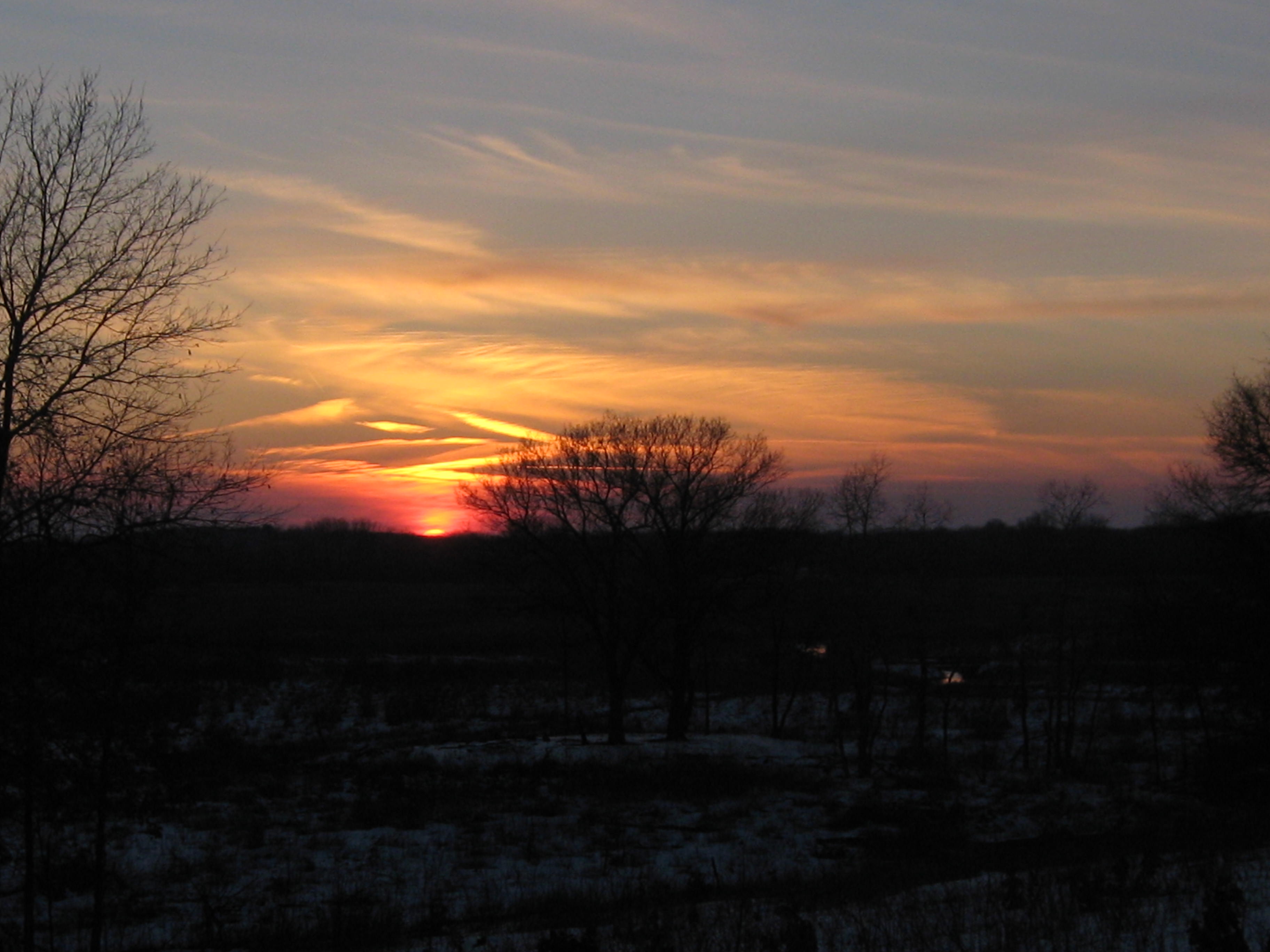
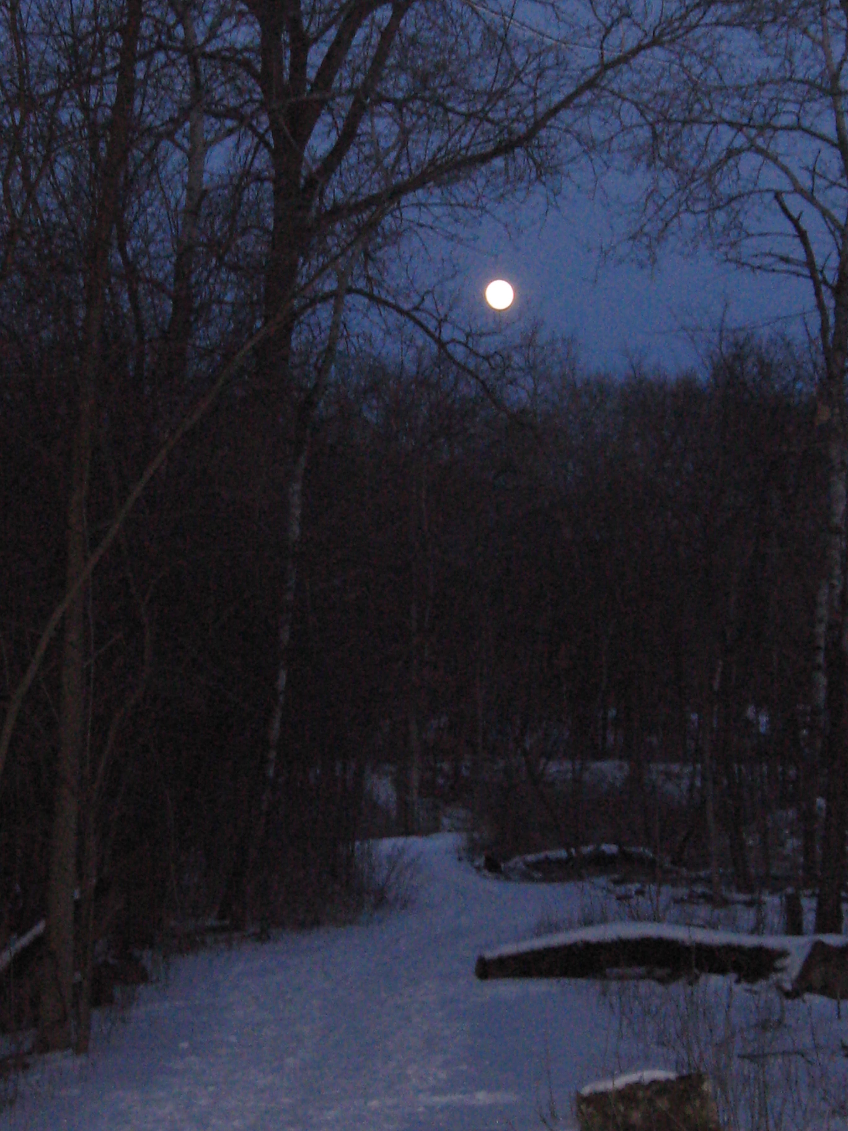
We had to leave Carl to his labors to catch the sunset and moonrise.
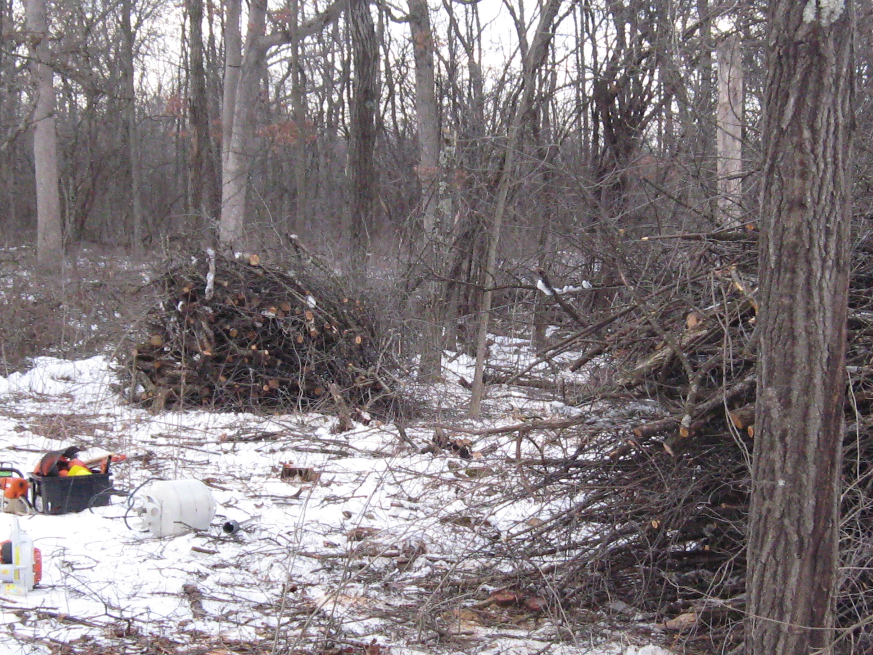
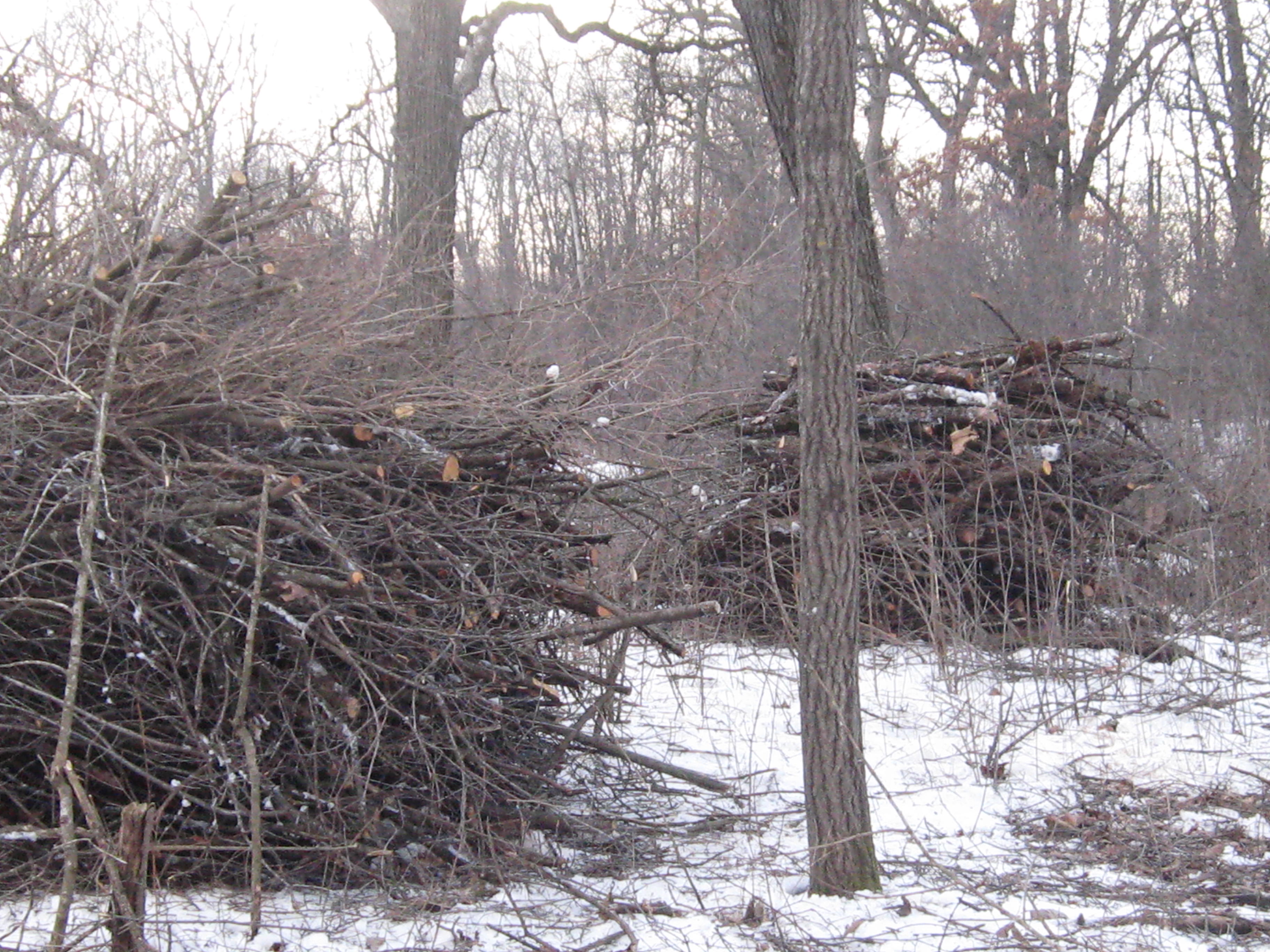
I’ve been looking for a word, an idea, that captures how I feel about finally burning the hundreds of brush piles I left at the Hartland Marsh. Redemption! It looks and feels much better now that most of the piles are gone. You can see the lay of the land more clearly; the view of the horizon through the trees. The scale of the big oak trees is more evident when your eye can follow their lines from the earth to the sky without being obscured by piles of brush at the trunk.
On Monday, February 18th, the Village of Hartland DPW crew (Dave, Jake, Josh, Tom) took advantage of the southerly winds to burn the most problematic brush piles right along Cottonwood Ave on the hillside just north of the gazebo. Yesterday they helped Rich Csavoy, who volunteers with me at the Scuppernong Springs, and myself burn the 33 remaining piles on the north side of Parker Island, which is just over the river from the Parker Brothers home site (this property is now owned by the Waukesha County Land Conservancy). There are less than 30 piles to burn on Village land to complete the cleanup!
Here is a video taken yesterday before we began burning piles on the north side of Parker Island.
And a few pictures.
I must confess I didn’t have a fire in my belly to get to work yesterday and, when confronted with the cold temperature and snowy, ice-encrusted piles, I seriously considered bailing out. But I didn’t, and shortly thereafter Rich, Jake, Josh and Tom arrived to boost my energy and spirits. Here is a video taken after the piles were burned.
Steve Brasch grew up at the Scuppernong Springs. His mother used to drop him off there with his friends in the morning with a promise to pick them up for supper. All day they ran wild; building forts, floating on rafts in the ponds, catching creatures, running, hiding, looking, simply being in the woods. He never lost his love of nature and, armed with a degree, he pursued a career in forestry. Those were the Reagan years and budgets were tight; Steve had to make some tough decisions and leave the forest behind.
Over the years Steve found opportunities to volunteer with many organizations working on land restoration and his passion for the outdoors never flagged. He moved into the Scuppernong neighborhood and, noticing the changes taking place at the Springs, decided to get involved. Lindsay and I really appreciated Steve’s help and camaraderie yesterday as we worked the piles on the cut-off trail. Welcome Steve!
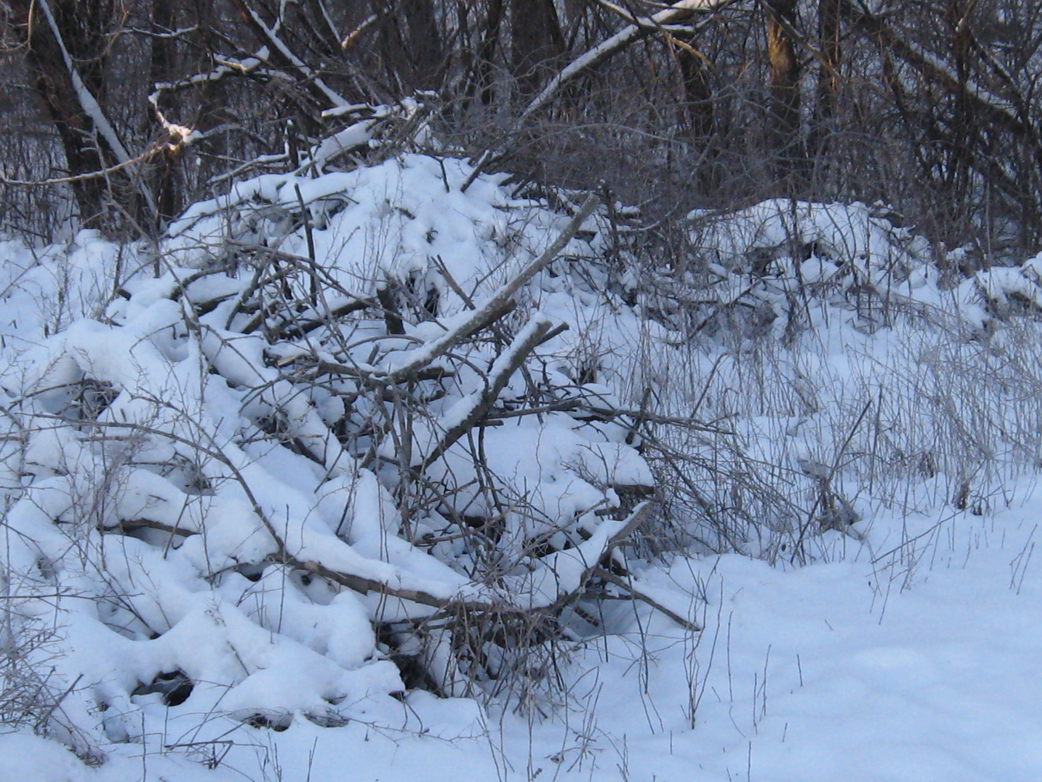
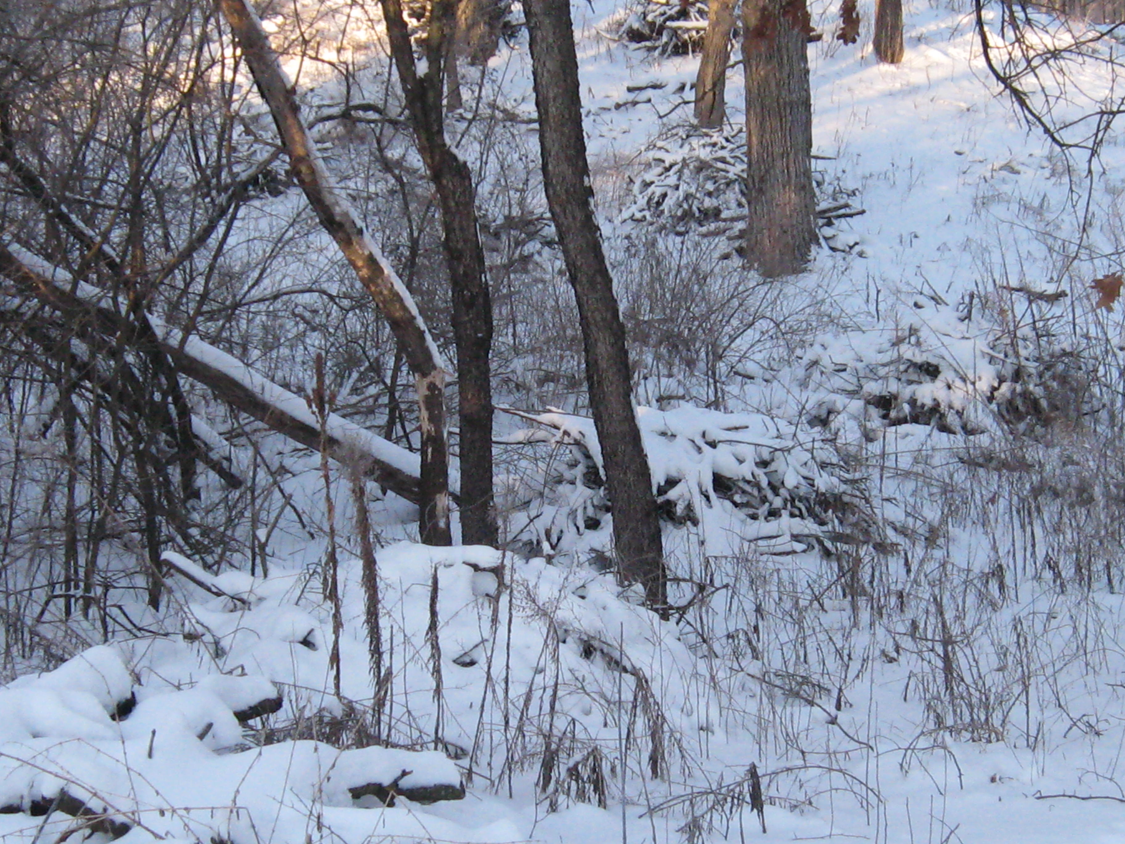
Here are a few pictures of the brush piles we intended to burn. This wood was cut and piled within the last month, which is pretty fresh as brush piles go, but they contained enough dead wood that we thought we could start them.
The plan was to get the existing piles lit and then continue piling the brush we cut last week.
Despite the cold, we got warmed up fast and the layers started coming off. Lindsay brought his leaf blower and that proved to be the difference between success and failure; there’s nothing like a jet of fresh air to kick-start a green brush pile.
We made a few new brush piles too.
We hope to finish clearing the buckthorn and brush between the cut-off trail and the river before spring. The cut-off trail passes through the loveliest woodlands in the whole Scuppernong Springs Nature Preserve and it is a joyful thrill to open this area up.
I knew I was going to like Carl. He found this website while researching something on the internet and, being one who has his thoughts, emotions and actions in harmony, in a unity of consciousness, he contacted me immediately asking to help. Carl is a hard working, down to earth, righteous dude and we thoroughly enjoyed his company.
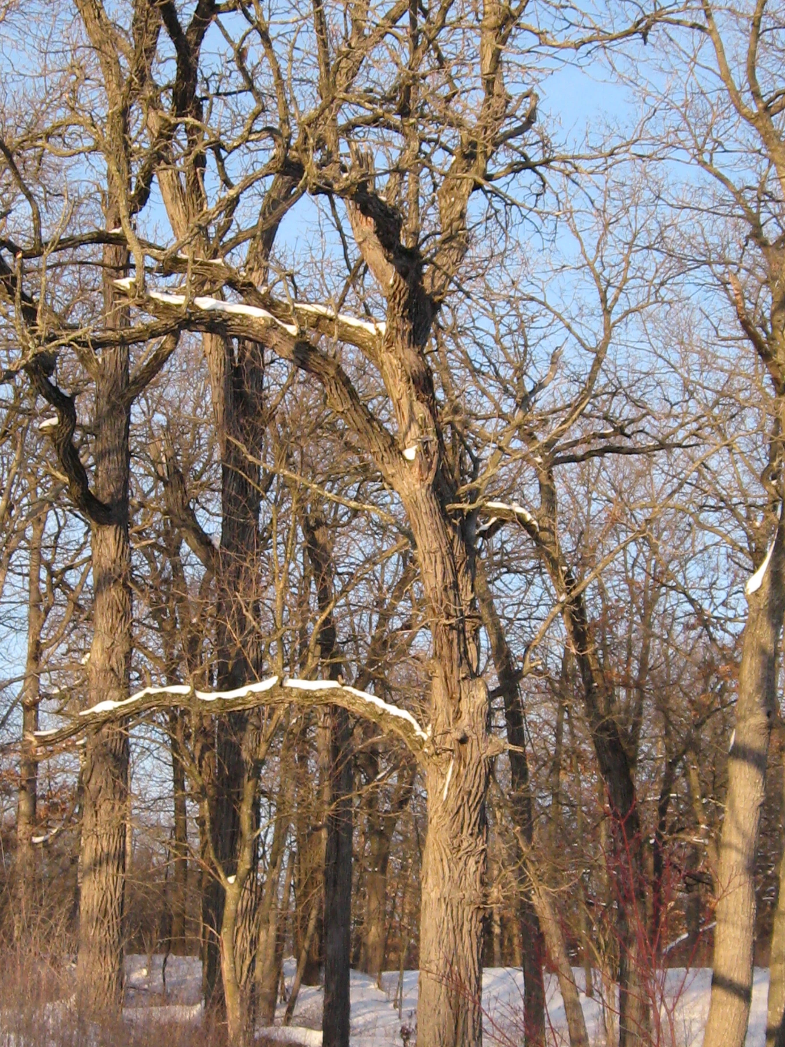
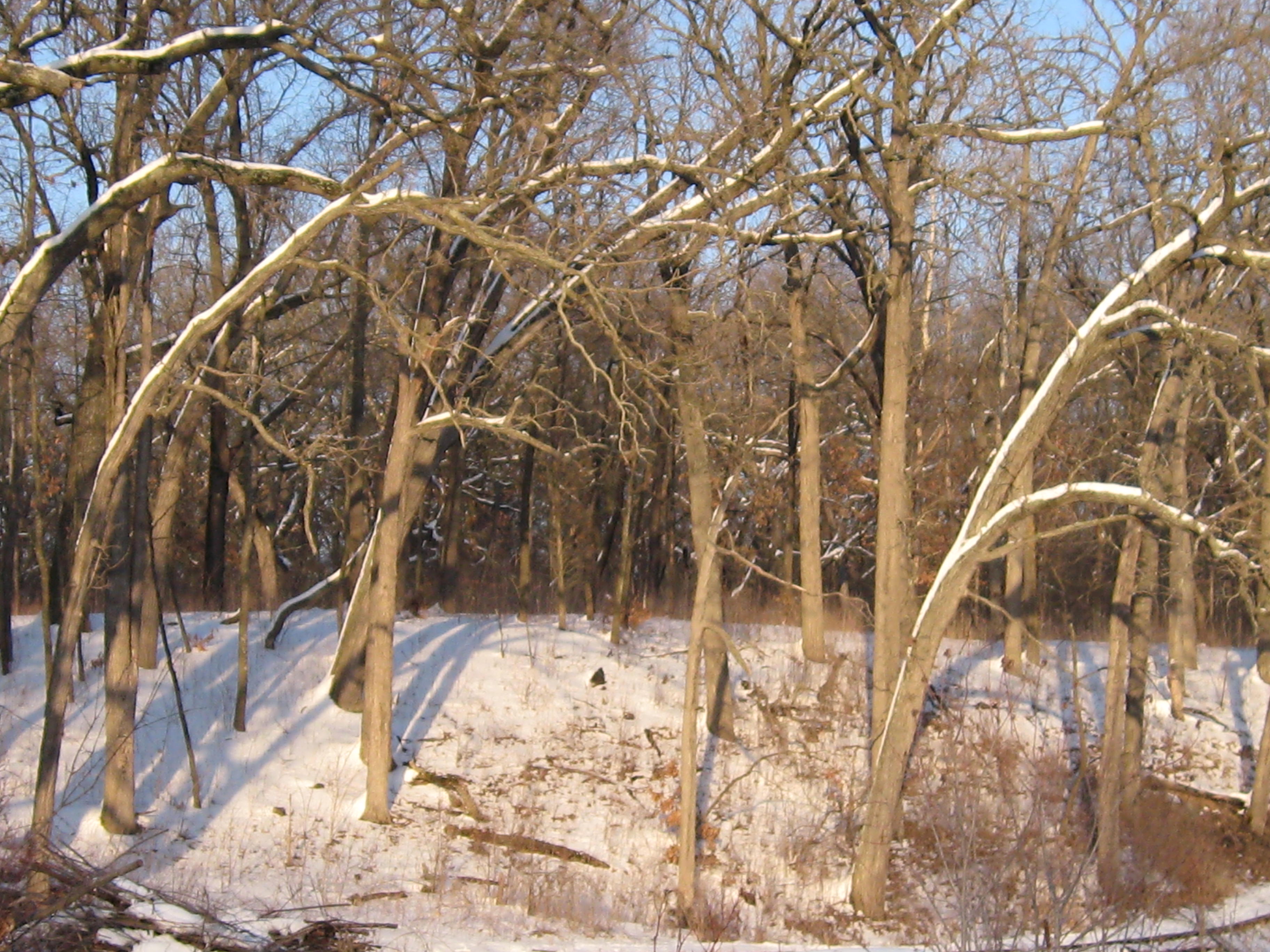
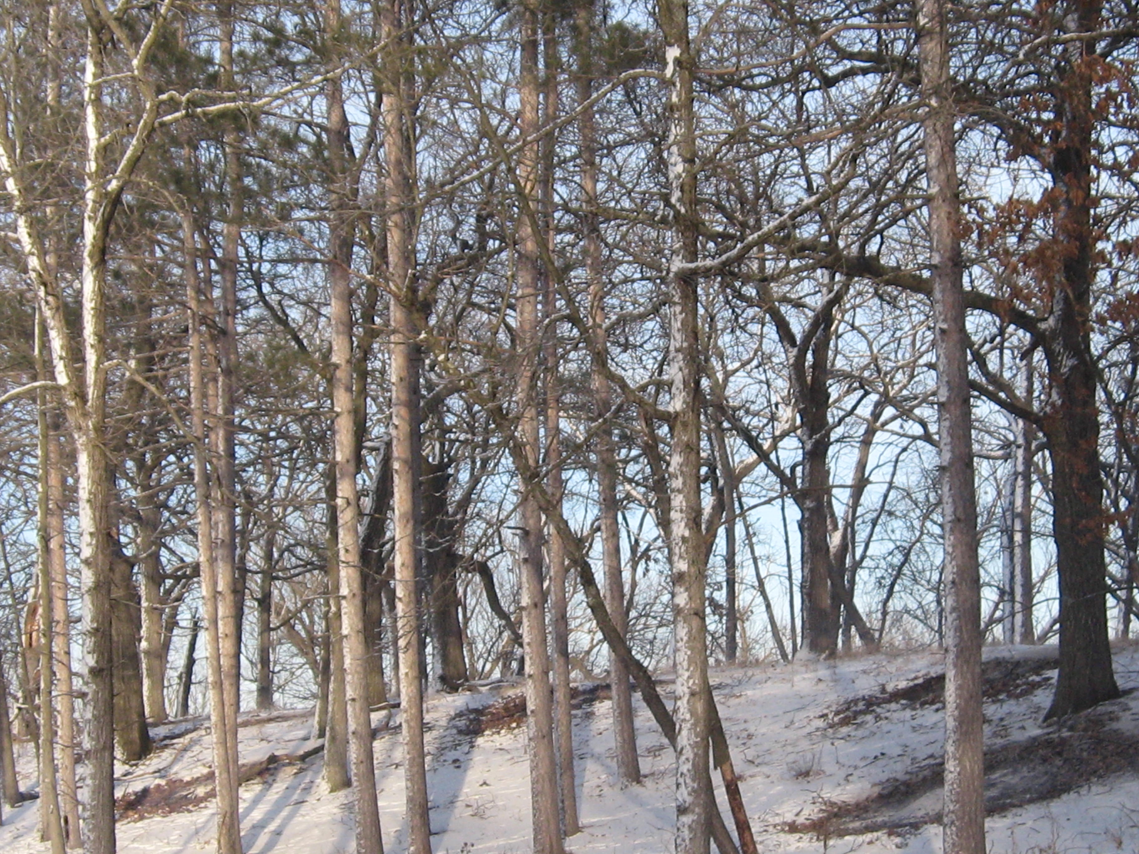
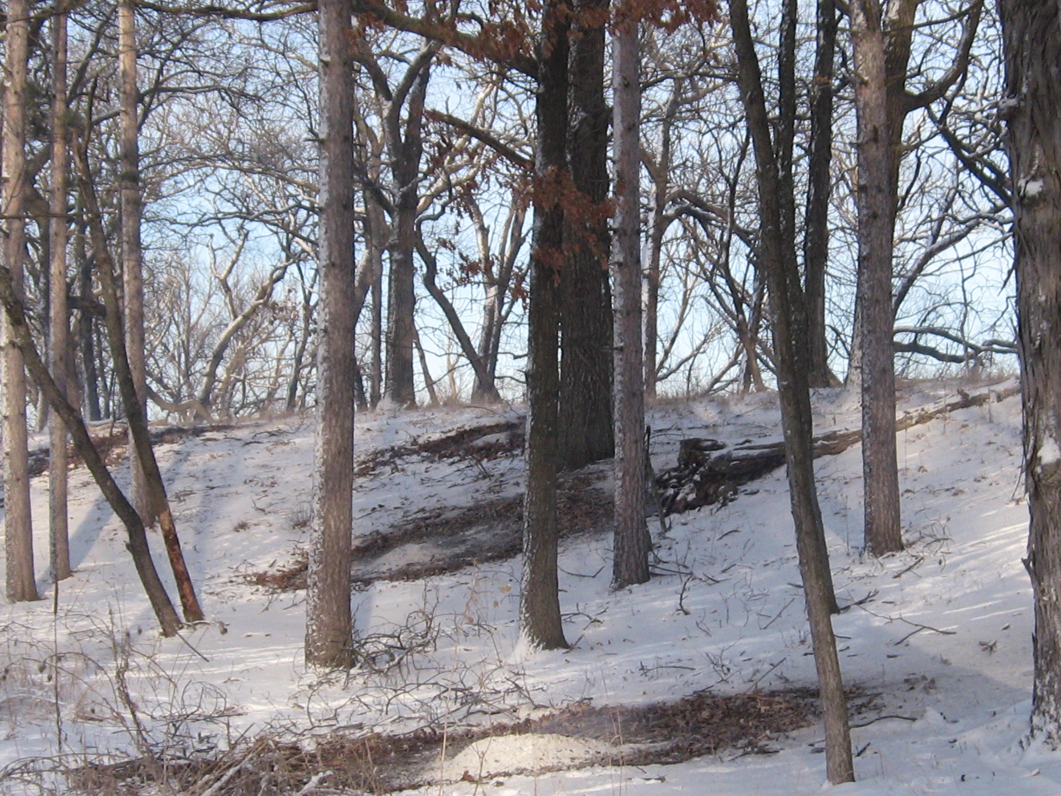
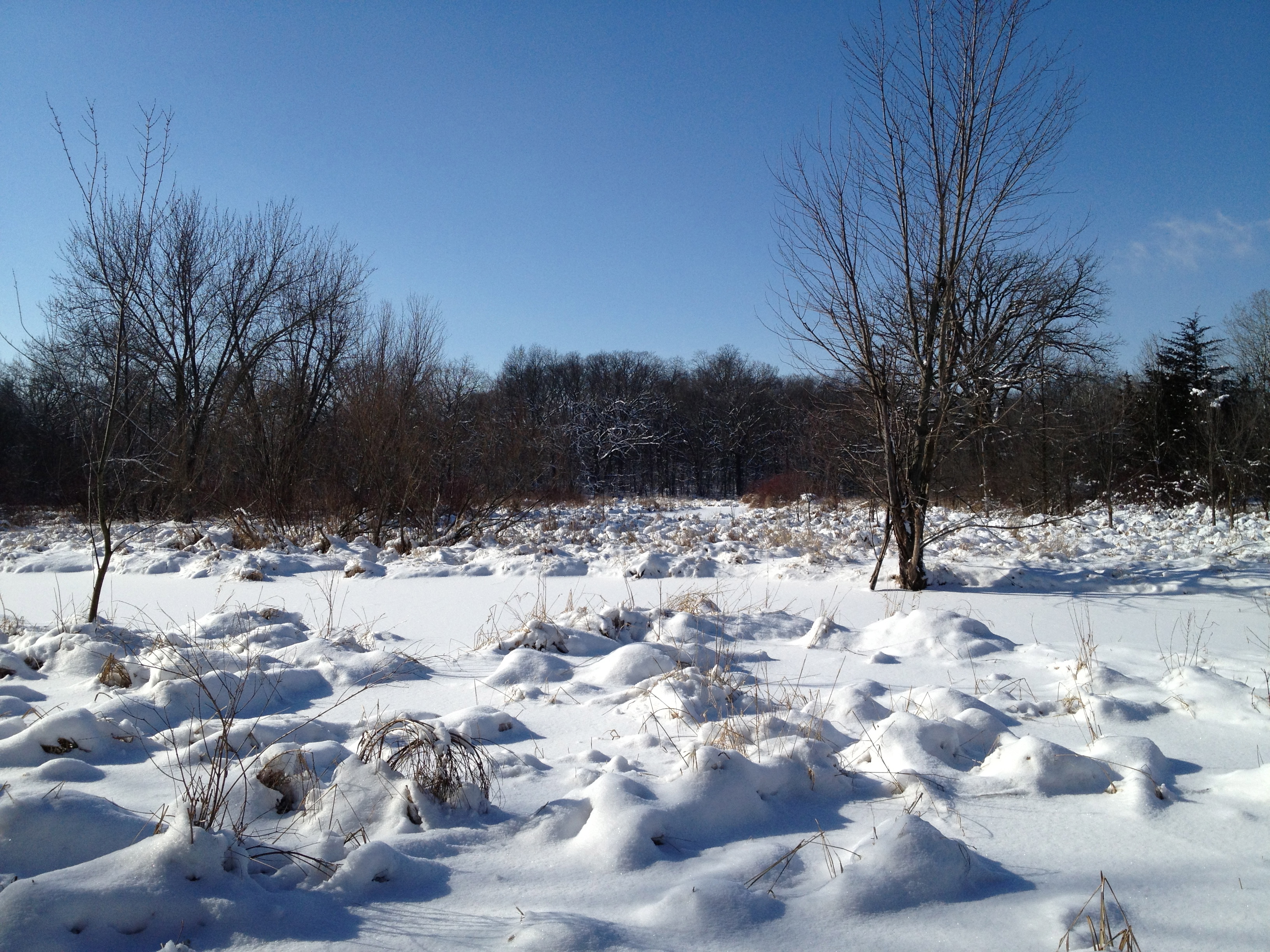
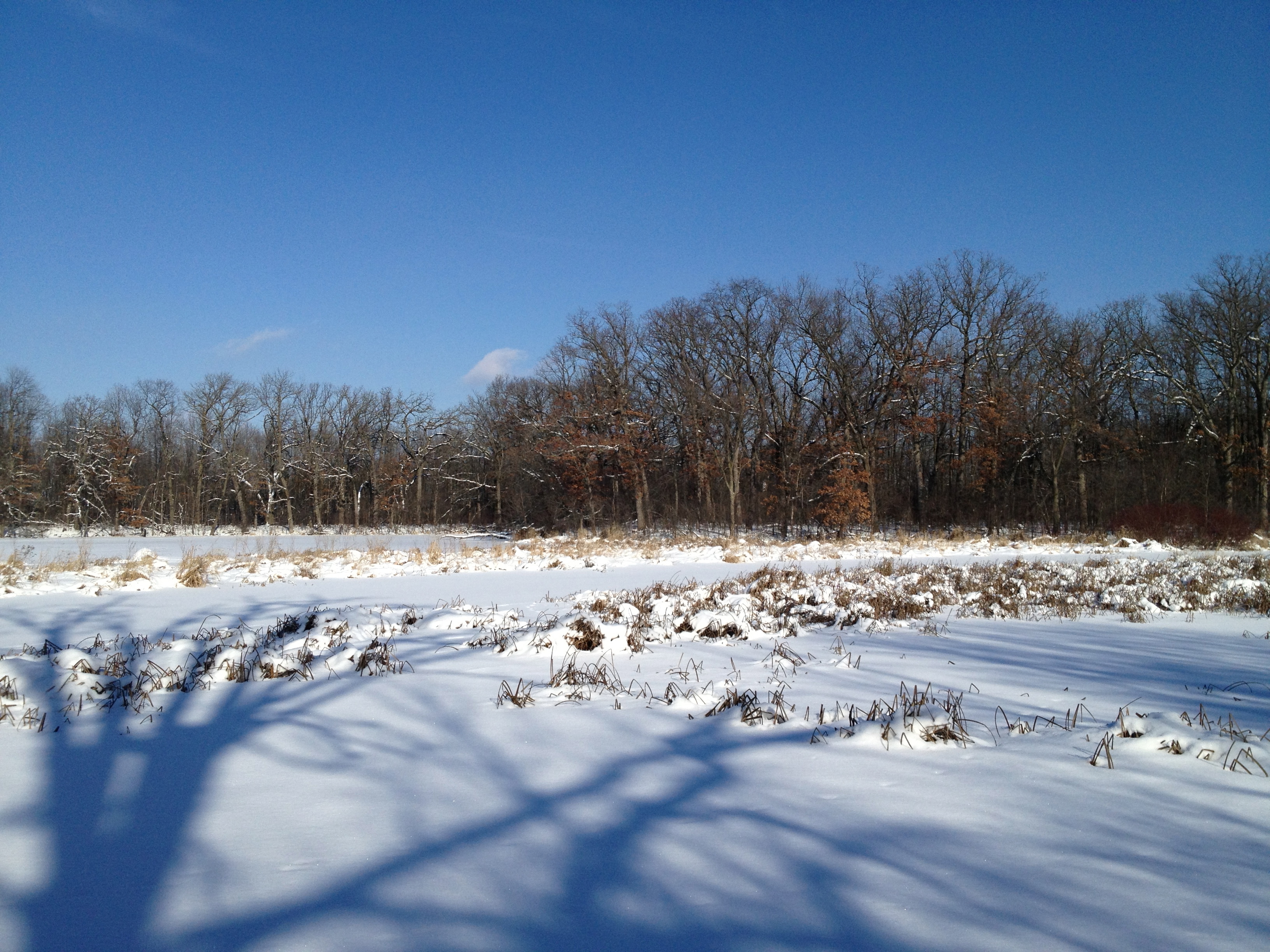
I love these views of the Scuppernong River Habitat Area, which contains the largest prairie east of the Mississippi.
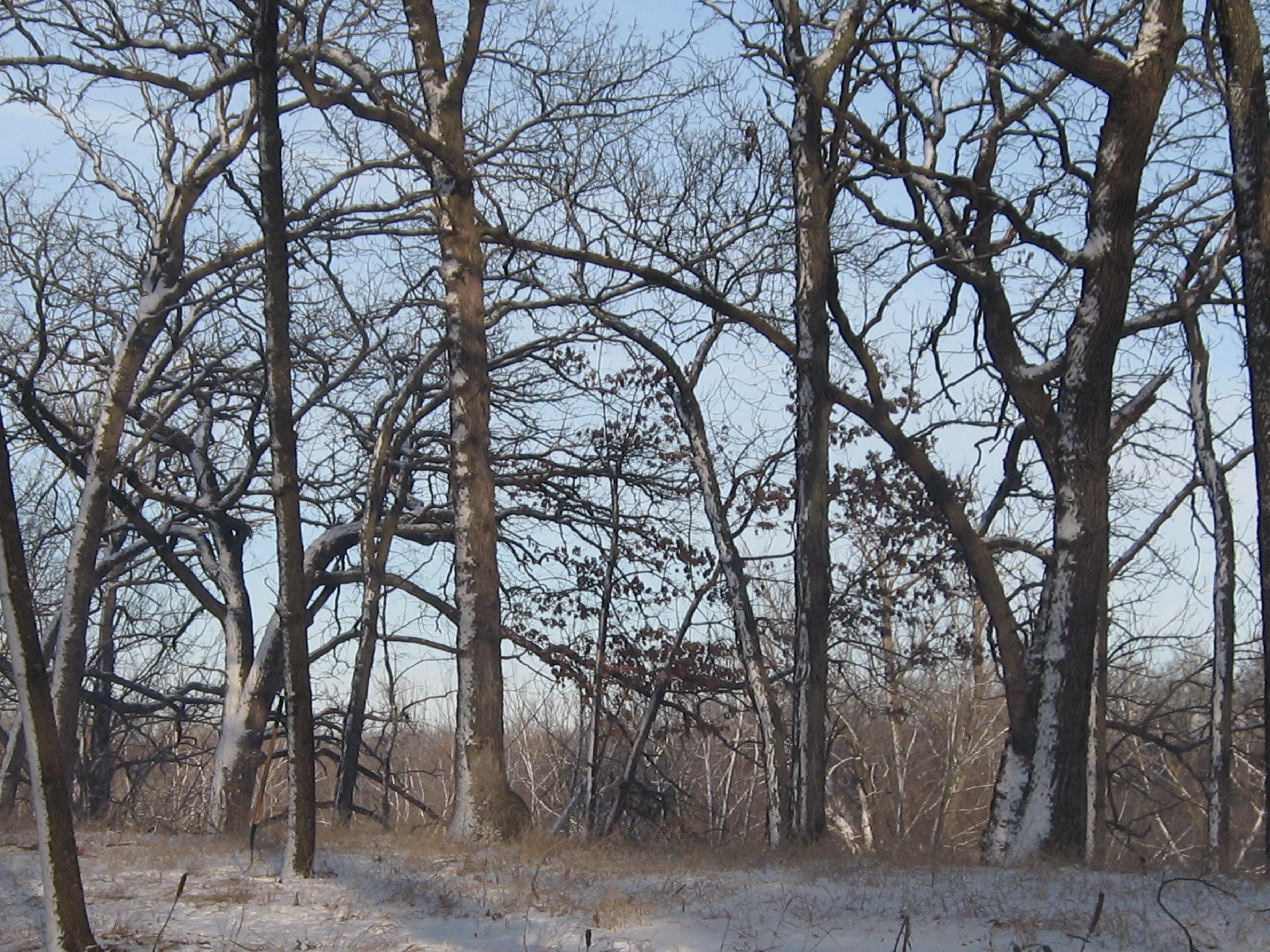
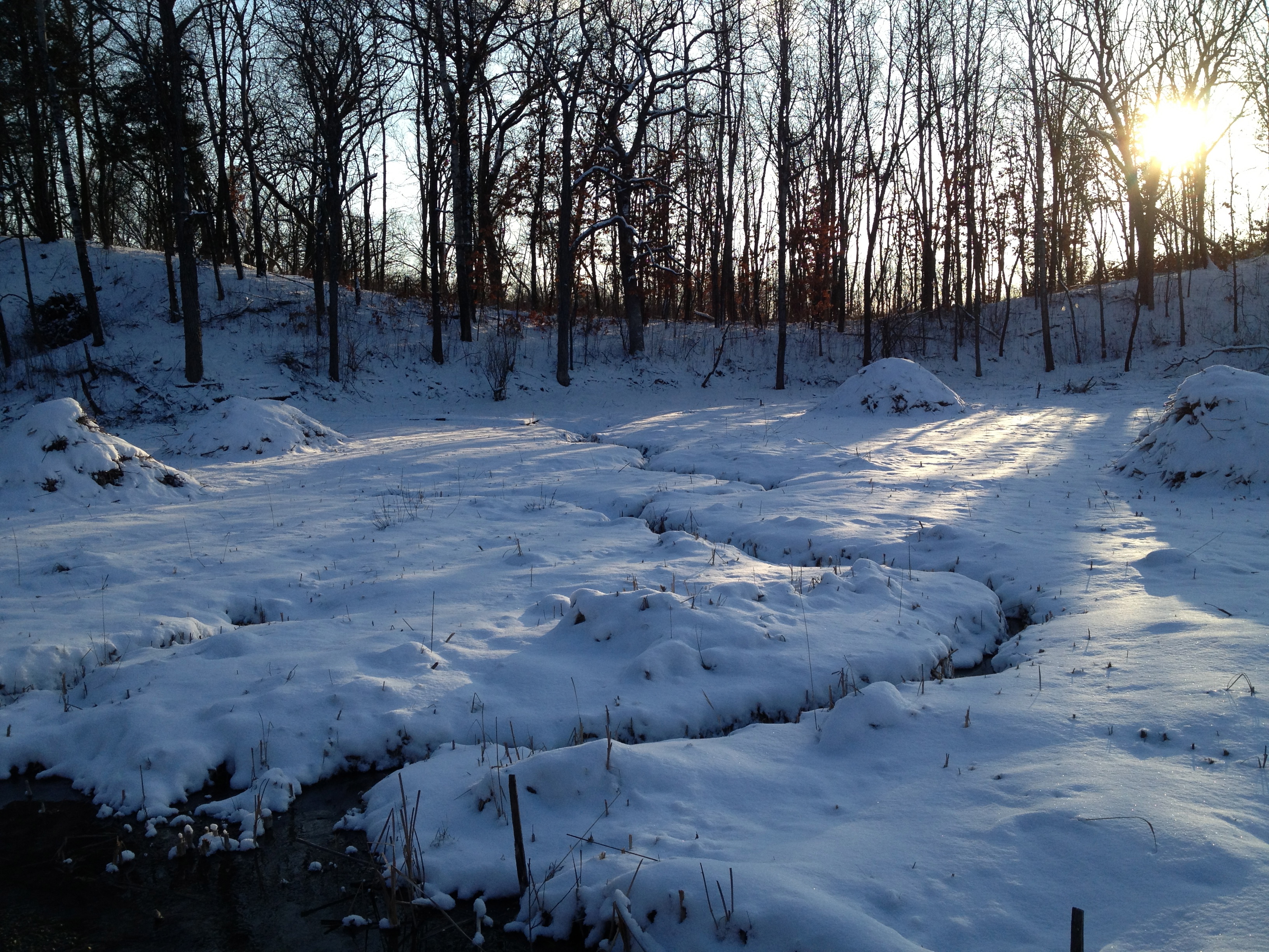
Every season is beautiful at the Scuppernong Springs. I’ve been looking forward to the snow because it covers the scars we have left with all of our cutting and burning. They will be healed by the spring, but until then, its nice that they are covered with a blanket of snow.
Here is the view of the worksite on the cut-off trail from the bridge over the Scuppernong River where the water flow gauge was recently installed.
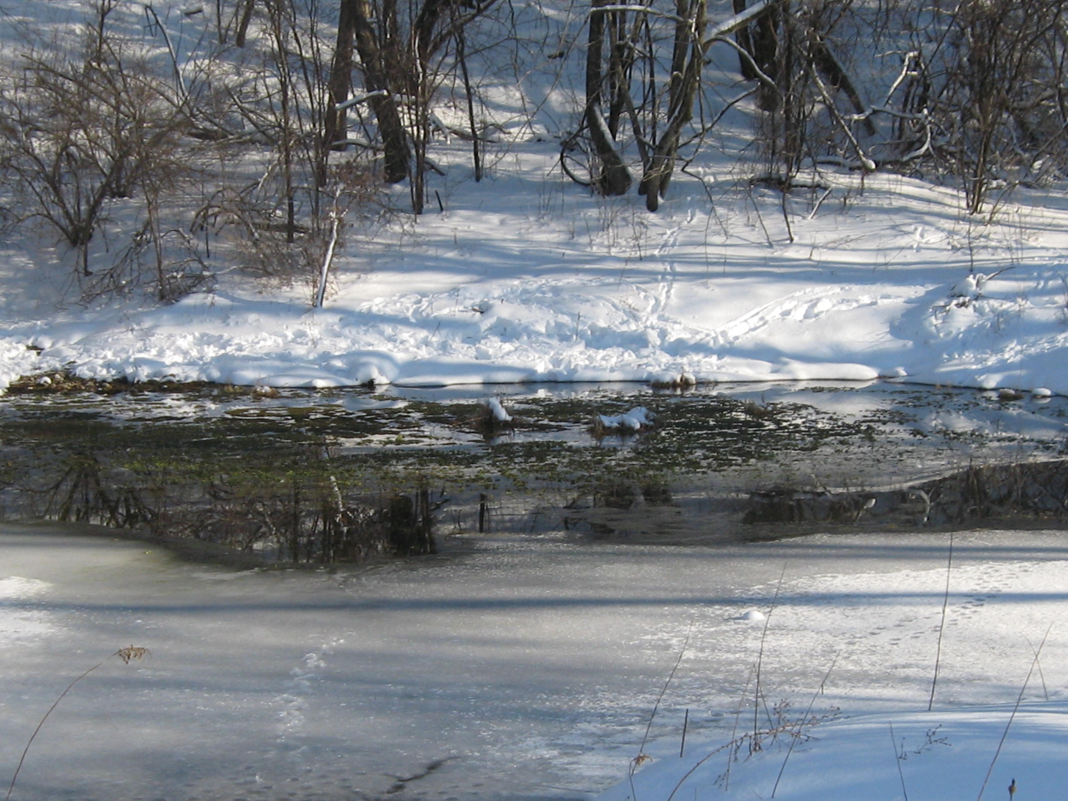
I took the next three videos on my way to get some drinking water for the day at the Hotel Springs. The river takes on a special character when framed with snow.
Here is the worksite. There are some really nice, big oaks along the cut-off trail. I was joined by Rich Csavoy and Carl Baumann. I struggled a bit to get a fire going but it was well worth it.
Like moths, we couldn’t resist the flames and quit a bit early to talk story and warm ourselves by the fire.
Before I knew it, the afternoon was turning into evening, and I hurried back to the bridge to get an after video of the worksite from that perspective.
John and Sue Hrobar joined us by the fire and their faces lit up with excitement as they described the dozen robins and bluebirds they saw near the Hotel Spring. It was another wonderful day at the springs spent with old and new friends; sweet as can be.
The Hartland Marsh is dear to me, as only a place can become once you have invested much into it (see About Paul). Despite the wintry weather, things are heating up lately at the Marsh. Ken Neitzke, who led the Waukesha/Milwaukee chapter of the Ice Age Trail Alliance (IATA) for many years, and was inspirational in awakening in me the awareness that I could make a difference, began exploring the possibility of resuming the use of fire in the maintenance of the Hartland Marsh. Ken lit a fire with the Village of Hartland leadership and Jill Rick, the author of the “I Want To Know” column in the Lake Country Reporter, fanned the flames.
IATA trail boss, Pat Witkowski, passed the torch to me letting me know about Jill’s recent article and I appended a comment to the article offering to help burn the brush piles I left behind at the Marsh. The fire jumped to Mike Einweck, the Village of Hartland Director of Public Works and he contacted me to let me know his crew was going to burn piles the next day (today). This was music to my ears and I immediately contacted Mike Fort and John Mesching. They have been working to restore prairies and Oak woodlands at Lapham Peak for many years, and being the jewels of the human species that they are, they both promised to come. Jack often helps at Lapham Peak and he joined us as well. Closing the loop, I contacted Pat to let her know and she also came to help.
I arrived a bit early to take some before pictures and was greeted by Jill Rick, whom I had contacted the night before to ask if she could get a photographer from the Lake Country Reporter to take some pictures. A half hour later Todd arrived and documented our efforts. The Village of Hartland Dept. of Public Works staff members Dave, Jake and Josh arrived around 8:00am and Jill began an interview with Dave, asking rather impertinently, “… do you know what you’re doing?”
I wondered If I knew what I was doing when I tried to light the first pile. Although the wood had been stacked for over 2 years and was well seasoned, we had just had a good soaking rain followed by an accumulation of 4″ of snow. Check out this mess.
Approximately 80% of these piles were made in one day by Arrowhead High School students under the guidance of biology teacher Greg Bisbee. Dave, Jake and Josh began with the piles right along the trail heading down from the gazebo. Situated in a becalmed drainage ditch, these snow encrusted tangles of frozen brush were not eager to embrace the flame. I encountered difficulty as well with piles by the trail and migrated up the hill looking for a little breeze. Soon, Mike and John arrived and we hit our stride. Despite the conditions, together we lit 60 piles.
The best part of the day was being visited by no less than; Augie Wilde, the Fire Chief, Dave Cox, the Village Administrator and Mike Einweck. These patient souls were subjected to impassioned speeches from yours truly about the need to do prescribed burns at the Marsh. The Municipal Code authorizes it and the Village’s own Comprehensive Land Use Plan Chapter 4 ( see Public Interest/Current Legislation under Legislation and Public Hearing Notices) implies it, as there is no other way to achieve its stated goals. I was happy to hear Dave Cox say “Fire is a good thing.” Hopefully, the Village leadership will be able to define some concrete action items to initiate a program of prescribed burning and implement them.
The Native Americans, or First Nation People taught us to plan for the 7th future generation. It is time for the Village of Hartland to embrace this credo and preserve and nurture its natural, open spaces for the 7th generation of Hartlandians to come.
Here is a short tour of the burn site at the end of the day.
After the gear was stowed away and I put some dry socks and boots on, I took a leisurely walk around the Marsh visiting all my favorite haunts. I encourage you to discover the beauty of the Hartland Marsh!
We couldn’t have had a nicer day for the second leg of our Journey Down the Scuppernong River. Spindrifts of fine white snow crystals swirled and danced. The morning sky was mostly cloudy but the stiff breeze from the northwest promised to bring clearing and sunshine. Pati and Lindsay were all geared up and, after consulting the maps one last time, we headed southwest, from where the river crosses Hwy N, to our destination at the dam on the south end of Upper Spring Lake.
The next couple videos provide nice panoramas of the Glacial Lake Scuppernong horizon.
Check out the Google Map included with post of the first leg of our journey to follow our course. Here we have come to the end of the long, straight, channel which began our route.
Below we are following the southern border of the Dempsey Farm Partnership.
The frozen wetlands made for easy hiking, but we did have to scramble through a dogwood and willow thicket or two.
That got us all warmed up.
I got confused and took us down a channel that went south instead of following the main river course; a detour of 1/2 mile or so.
We came to a beautiful old home site just east of Hwy Z.
Then, after a short lunch break, we arrived at Hwy Z.
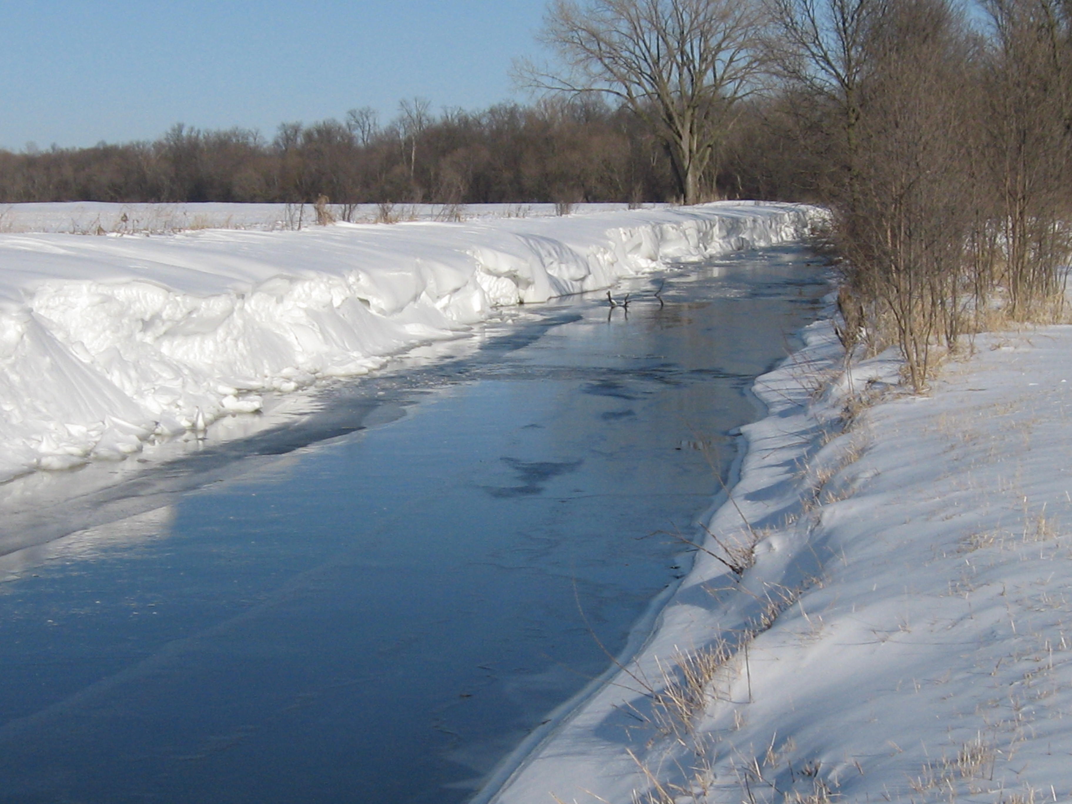
The frozen river’s edge made for easy walking.
We emerge onto Upper Spring Lake.
The scenery was marvelous!
The dam at the end of the lake came into view.
We have heard a few complaints about the dam preventing fish from traveling up the river and now see what they mean.
The dam is on private property but we could not resist checking it out; fortunately, we did not get hassled. That completes the second leg of our journey!
Since we were in the neighborhood, we stopped at the Scuppernong Springs Nature Trail on the way home to visit the origins of the river. Here is the Emerald Spring.
The Hidden Spring.
We had a wonderful day exploring the river!
We hope to do our next leg of the journey in a couple weeks.