Prince’s Point Wildlife Area

Our Journey Down the Scuppernong River continues as we take a closer look at the Prince’s Point Wildlife Area. I got over the shock and dismay at the fate of the river once it crossed Hwy 106 and I’ve been learning more about the area and its history.

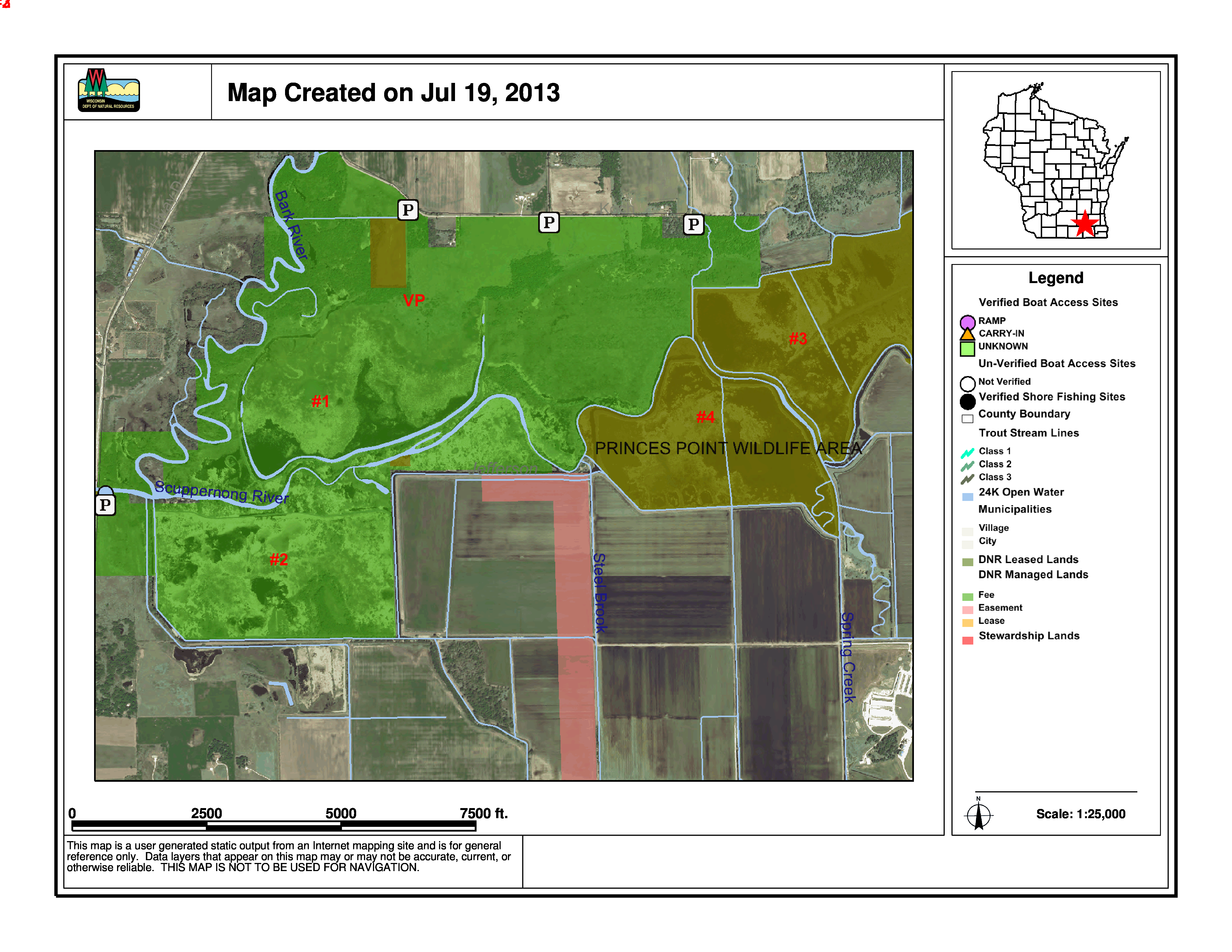
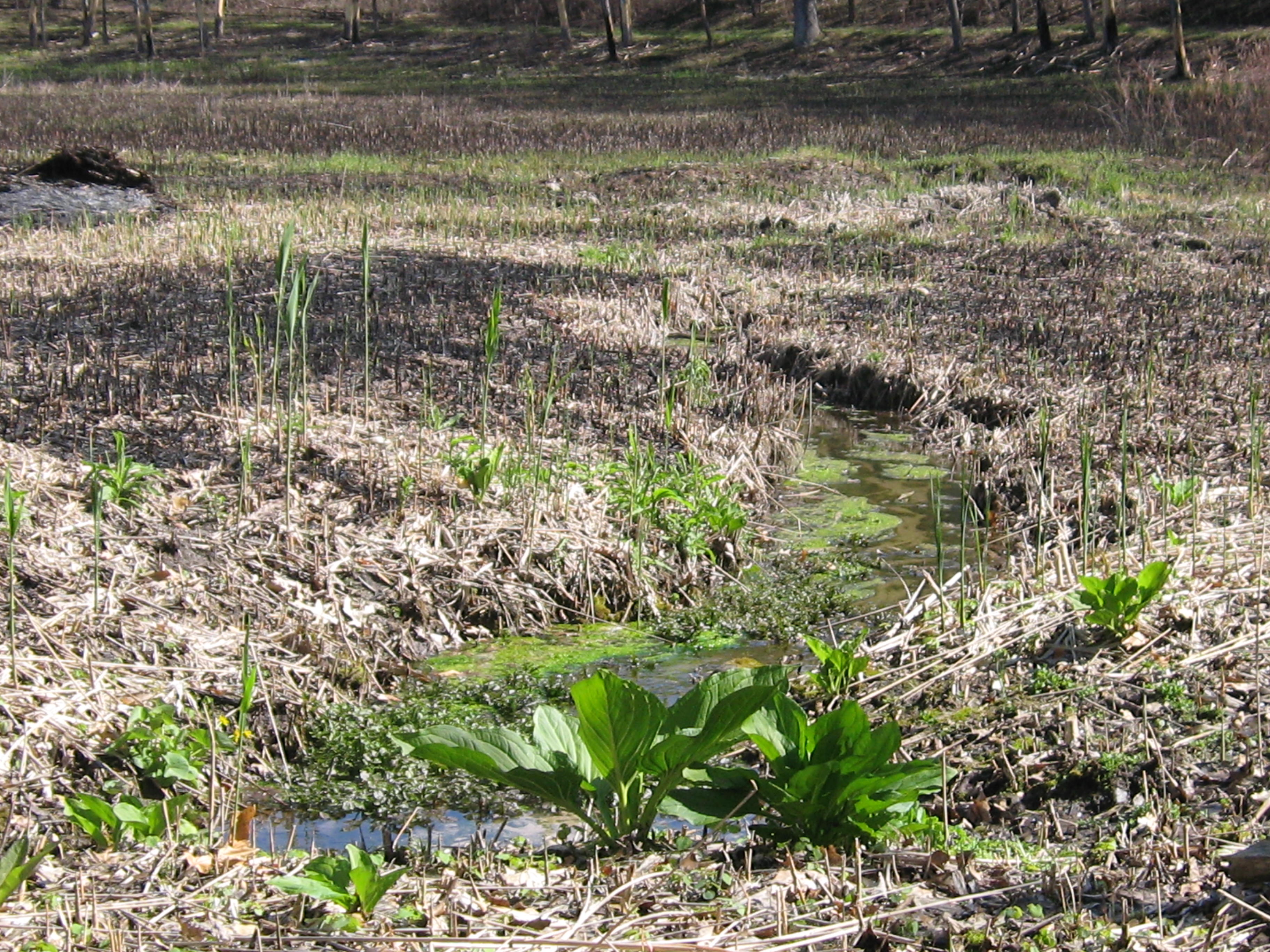
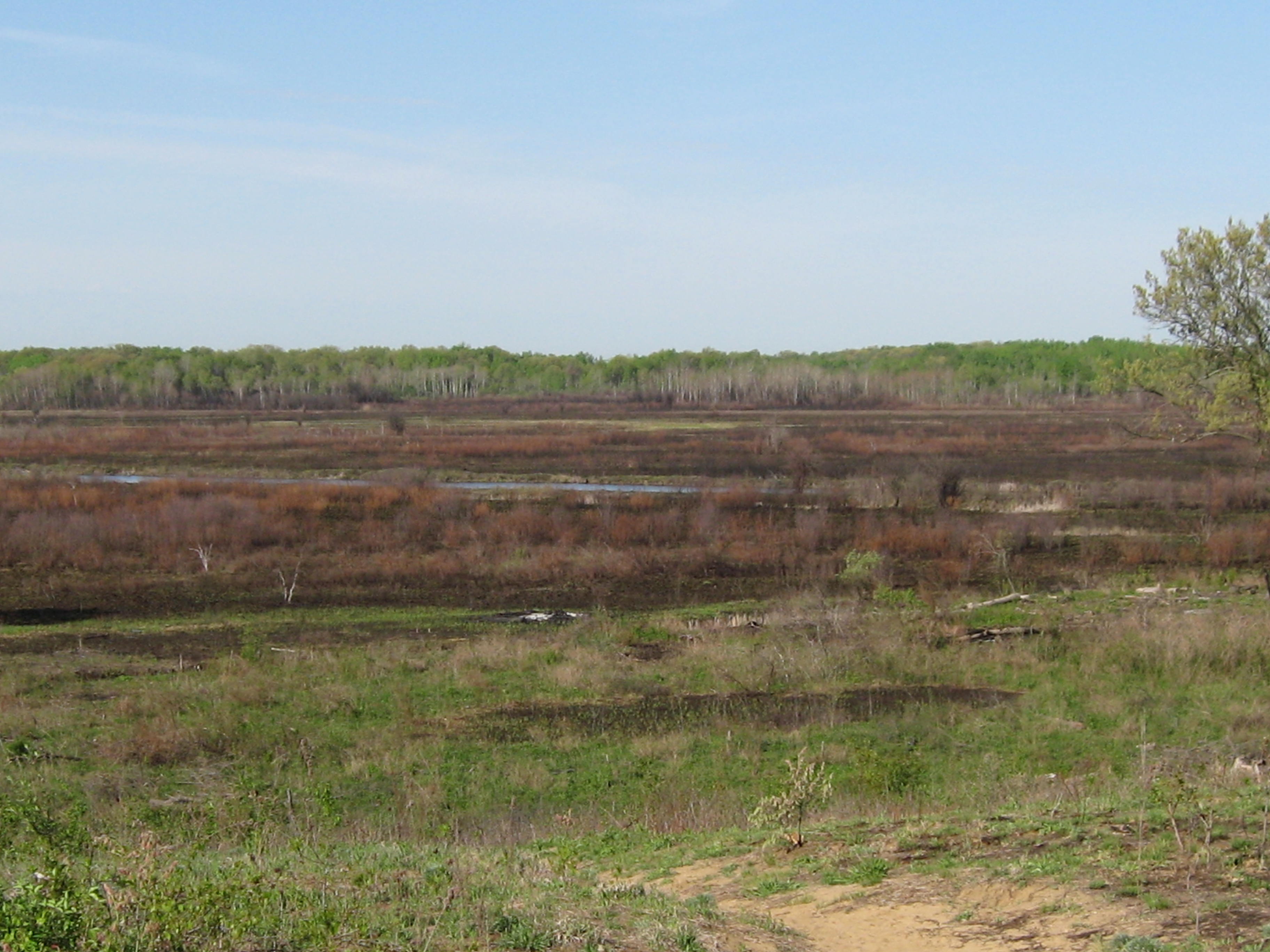
Large scale agricultural farming in natural wetland areas requires major land alterations to control water levels and it is doubtful that the changes wrought by the mud farmers along this stretch of the Scuppernong River would have been allowed under current environmental regulations. In 1952 Dean Kincaid (rest in peace) diverted the river from its natural meander into a ditch that facilitates managing the water level on this huge mud farm, which sits between Hwy 106 and Prince’s Point and is now run by his son Gary, and his son Corey. Other farmers, on what is now the west side of Prince’s Point Wildlife Area, did similar things to control Spring Creek and Steel Brook, which enter the basin here, and drained these wetlands for farming (see map below). Thus the land was “altered” and a new reality created

On July 17th I had the pleasure of getting a guided tour of Prince’s Point from Charlie Kilian, the recently retired property manager for almost 25 years, and Bret Owsley, the Wildlife Supervisor responsible for the area. Charlie is a mineral salt of the earth kind of guy with weathered face and hands, a quick smile, lots of stories and intimate knowledge of land, water, flora and fauna. Bret loves working with his “constituents” and I really appreciated him setting up the date with Charlie and bringing the maps that proved so useful. They picked me up at the boat dock on the west side of the wildlife area and Charlie told the first of many great stories. When he arrived on the scene the area was referred to as Princess Point, named after an “Indian” Princess. Charlie caught hell for pointing out that Native Americans didn’t have “princesses” and for changing the spelling of the name to Prince’s Point, after a man with the surname Prince, who ran a ferry service over the Bark River at this location.

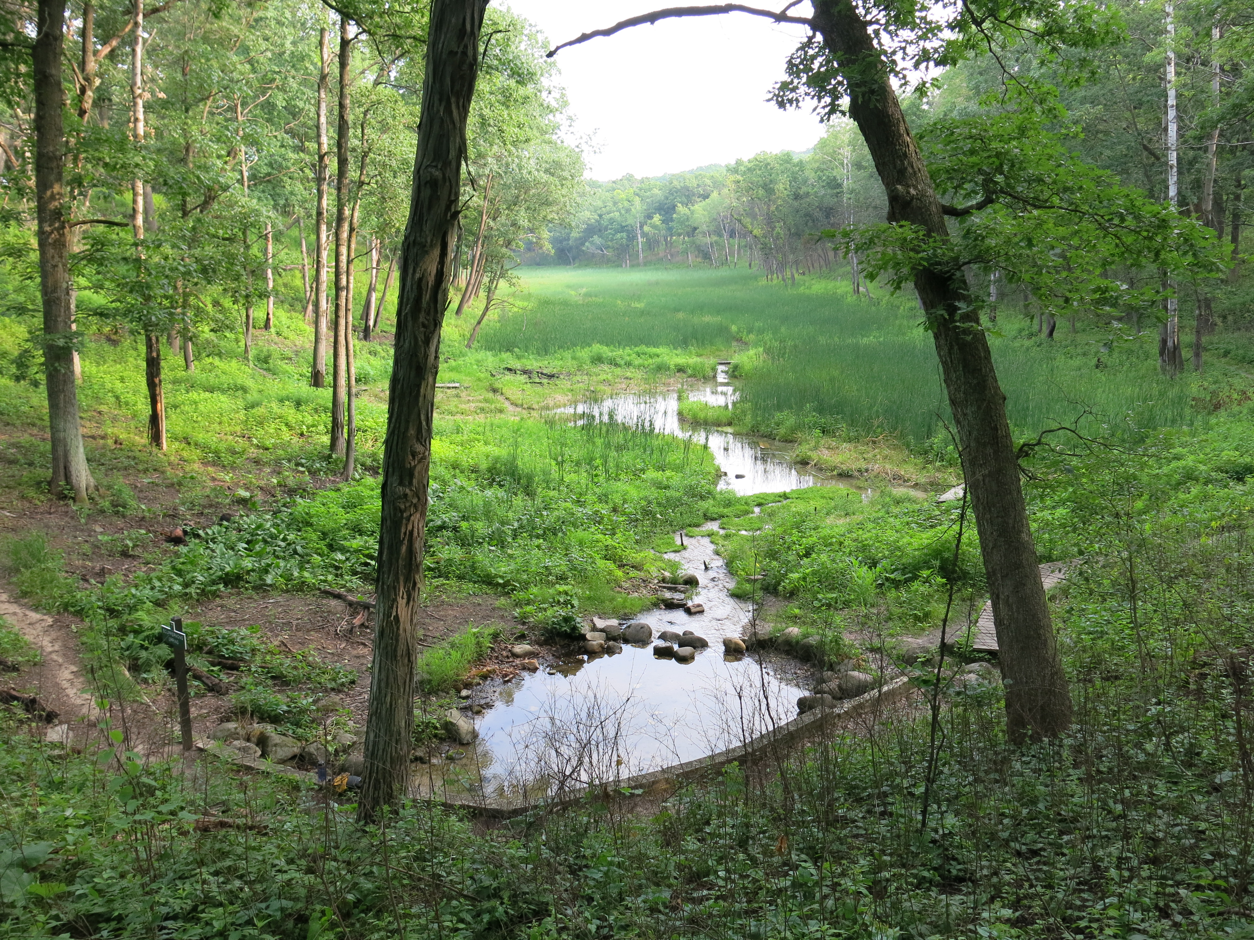
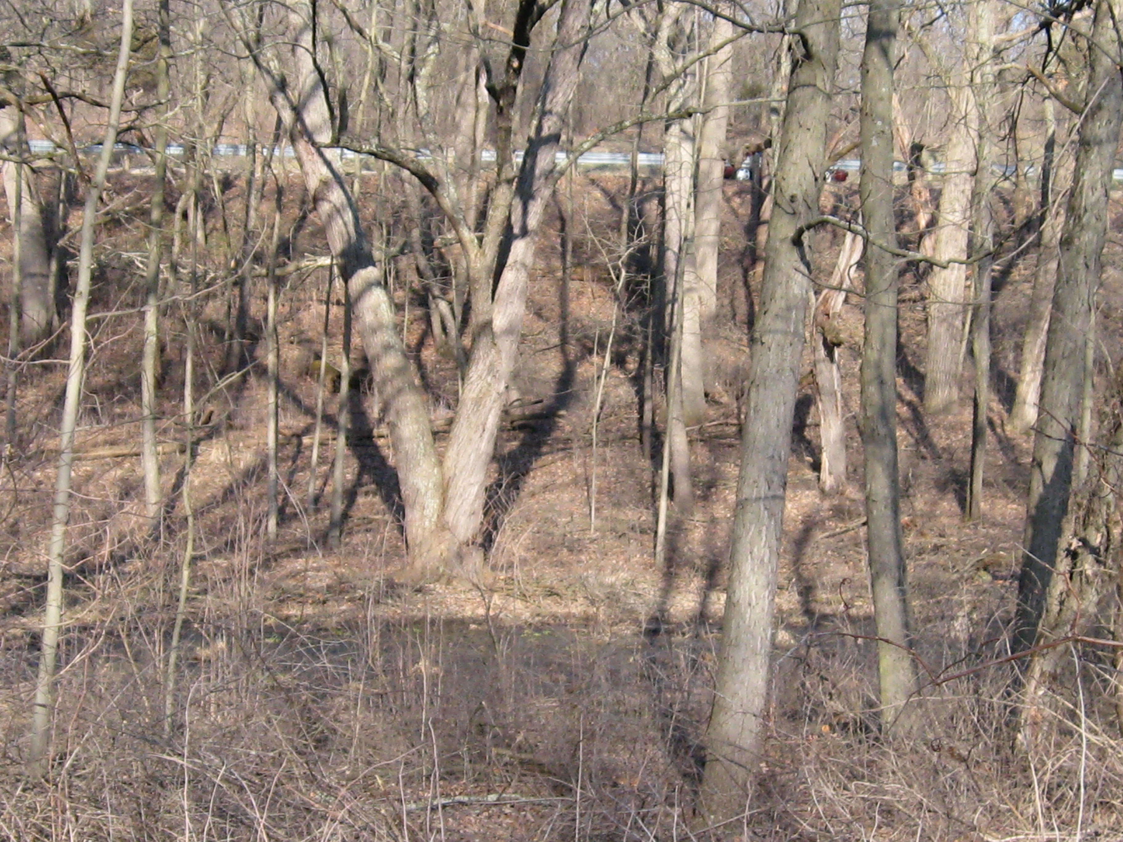
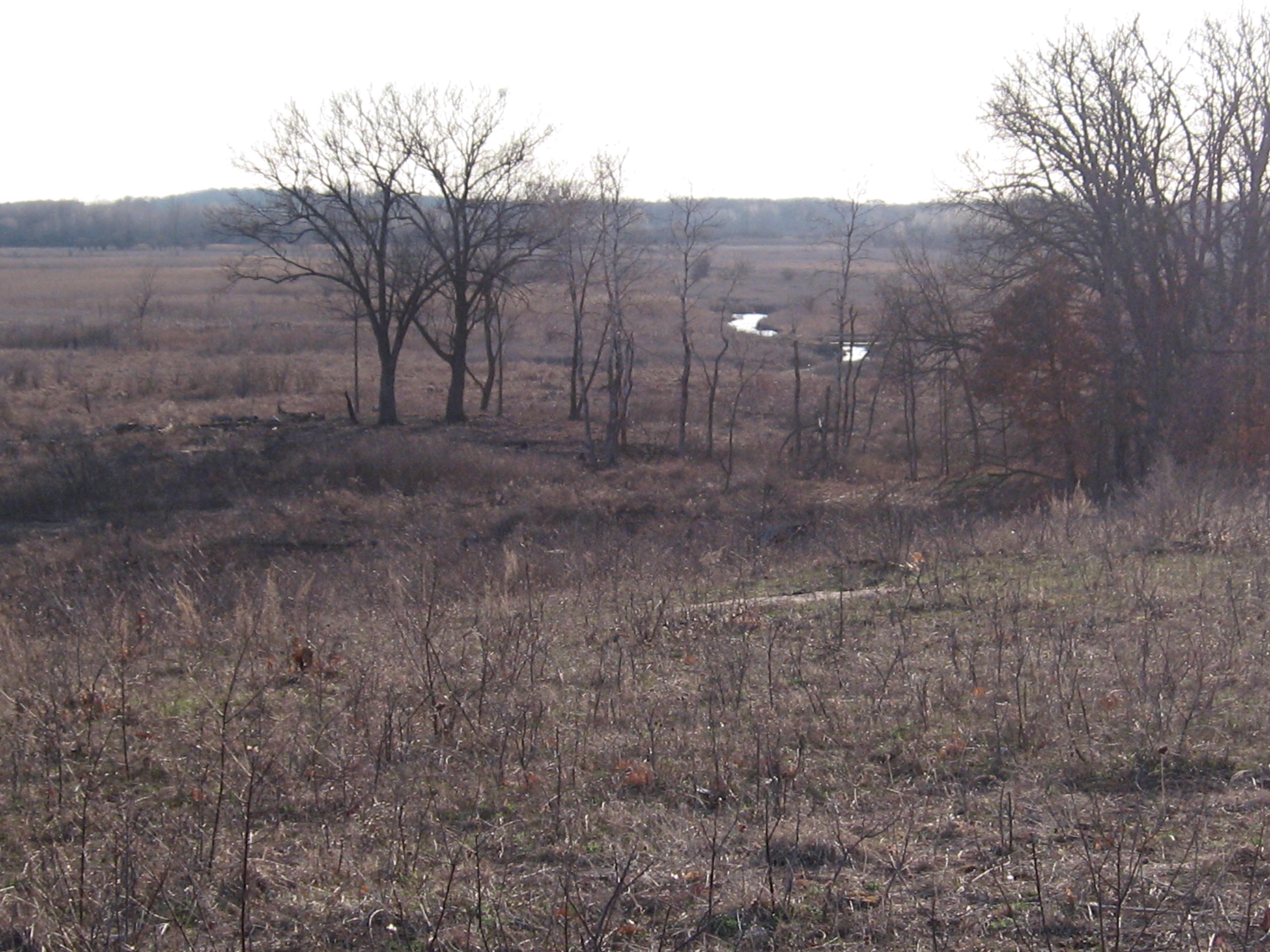
I mentioned that I wanted to collect a water sample from the Scuppernong River and Charlie thought of a route we could take with the DNR truck to get very close. We entered the wildlife area on a DNR “2-track” access road off of Hwy P, that had not been mowed yet this year, eventually arriving at a very wet point where we changed plans and headed up to some high ground. This viewpoint is mark VP on the map below and the impoundments are numbered 1-4 per the order they are introduced in the discussion. The brown shaded areas #3 and #4 comprise around 106 acres that were originally part of the Kincaid farm and transitioned, first to Wetland Reserve Program lands, and then around 2000 the DNR acquired full title.

PrincesPoint

Charlie and Bret do a great job explaining their management strategies for the Prince’s Point Wildlife Area in this video.

The video ends prematurely and accidentally as I was asking Bret about his role as a Wildlife Supervisor (I should have simply started another recording session). He went on to explain what motivates him — his passion for managing the land for the best balance possible given the “altered” conditions we have inherited; it’s always on his mind. As we parted Charlie shared his experience with lymes disease, something that still affects him, and how the “state” fought him tooth and nail to deny that his infection was work related, even though any rational person, honestly looking at the evidence, would recognize it was. Ah,”the state”, it’s a figment of our imaginations. It’s people who implement the mental conception we refer to as “the state” and it’s a shame those with the power to do so did not treat Charlie right after his many years of dedicated service. Charlie was pretty stoic about it. It bugs me.

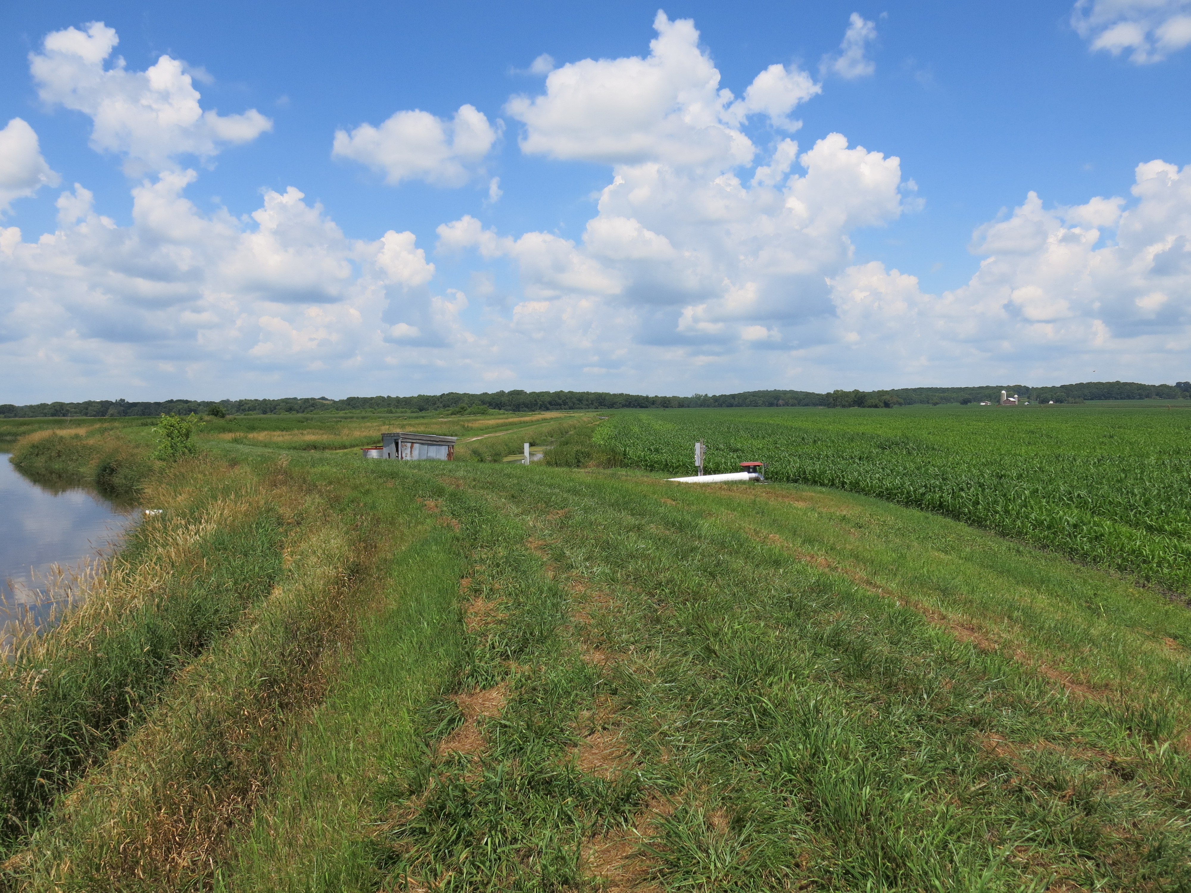
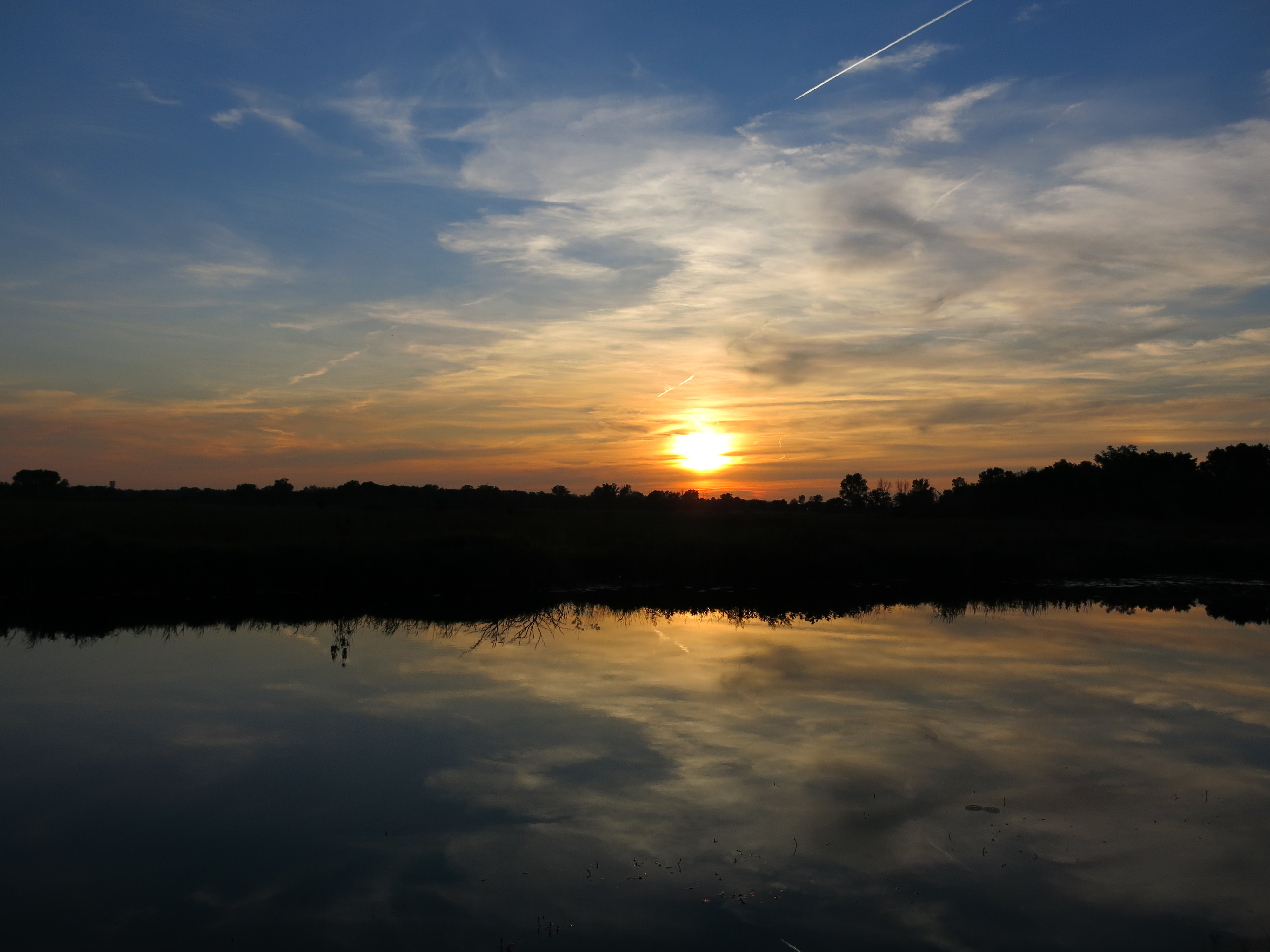
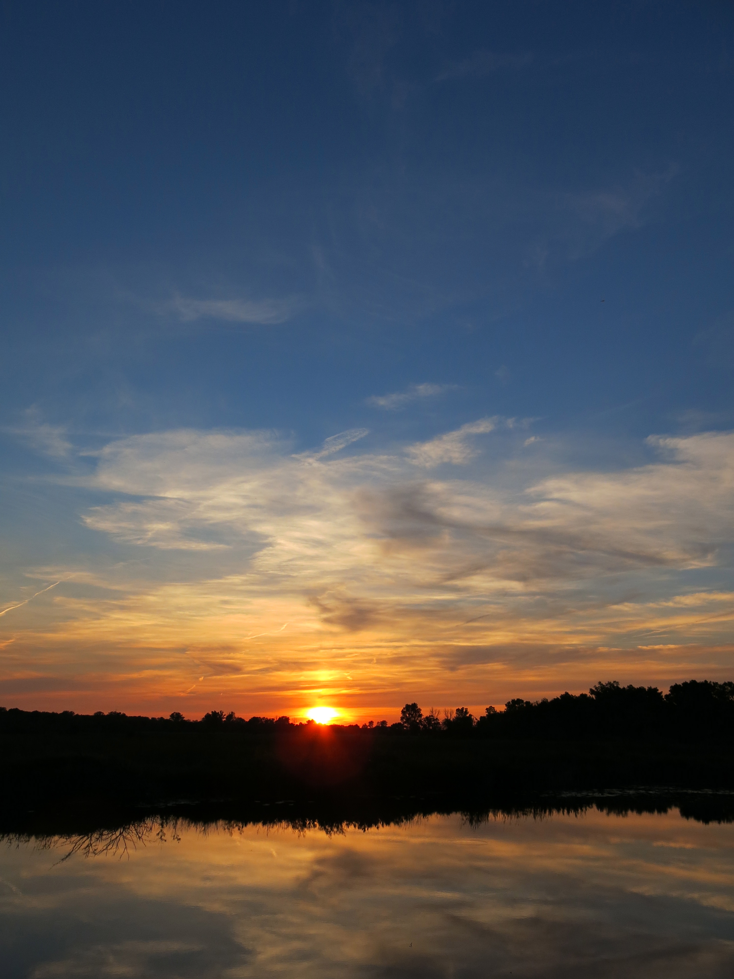
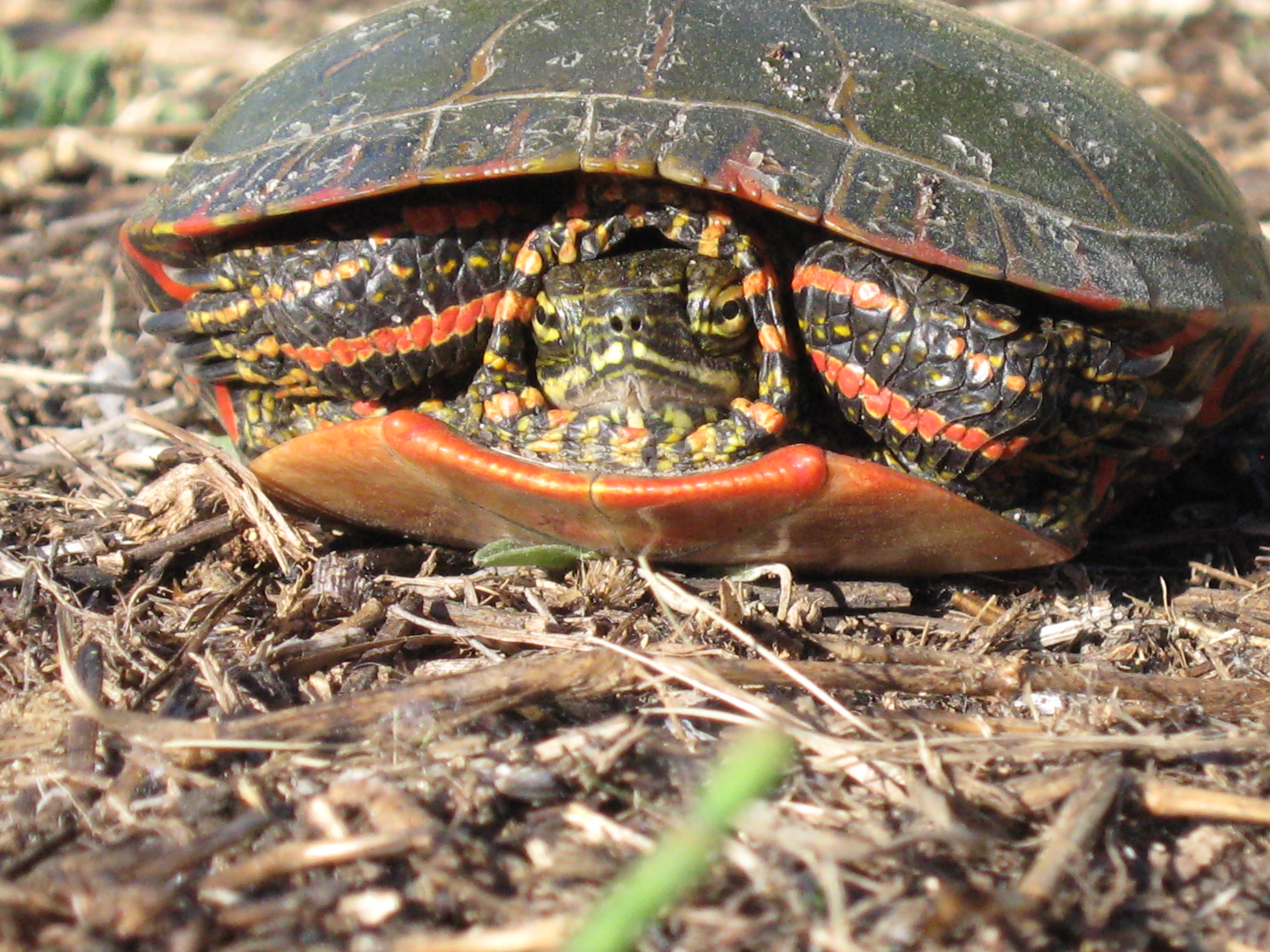
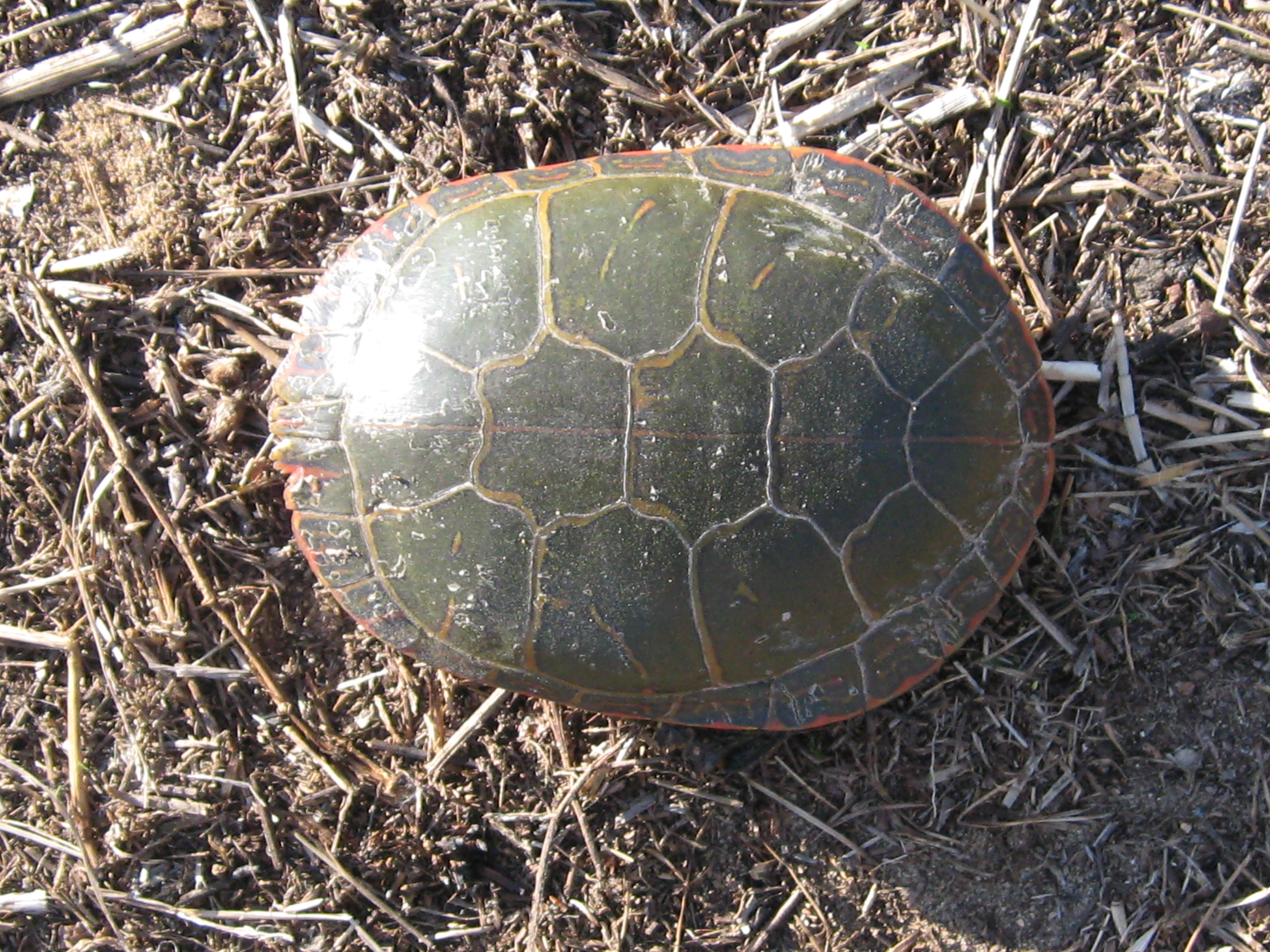
I stopped at the intersection of the Scuppernong River and Hwy 106 on the way back to The Springs and I walked out about 1/2 mile along the ditch past the third pumping station to get my water sample (the other sample was taken from the Scuppernong Spring and I will compare and post the results when they come back). I recently talked to Gary Kincaid about how they manage surface water on their mud farm and he explained that it is filtered vertically through 4-5′ feet of organic soil, i.e. peat moss, and as much as 25 feet horizontally, to where it is captured in clay or plastic drain tiles. The drain tiles are spaced approximately every 50 feet and run the length of the fields emptying into canals at the perimeters, from which it is pumped into the river when necessary. Gary emphasized that, given the high cost of fertilizer, herbicides and pesticides, they use the bare minimum on their farms.

IMG_0168

There are no comprehensive programs to test this nonpoint source pollution; it is done on a case by case basis.

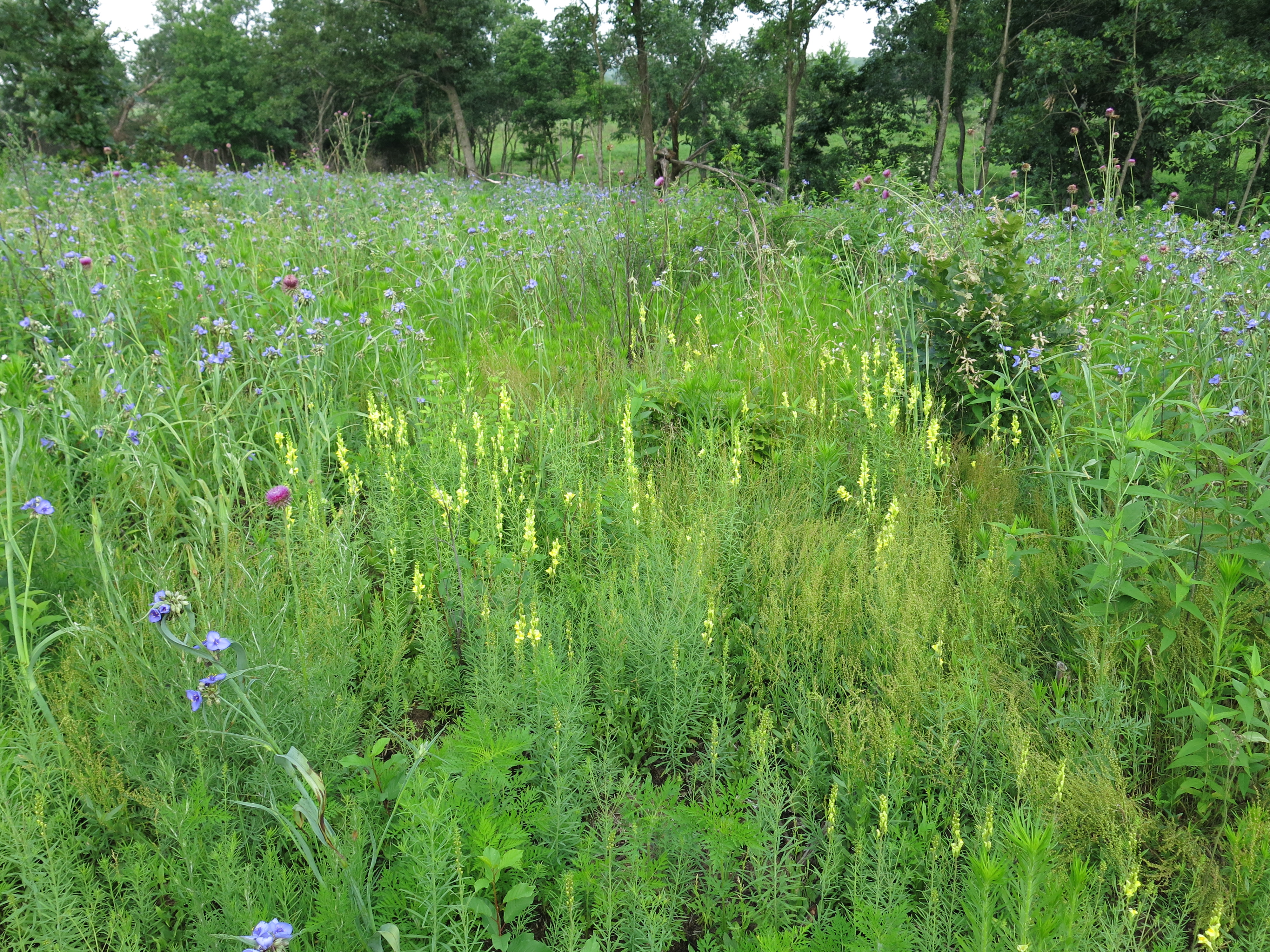
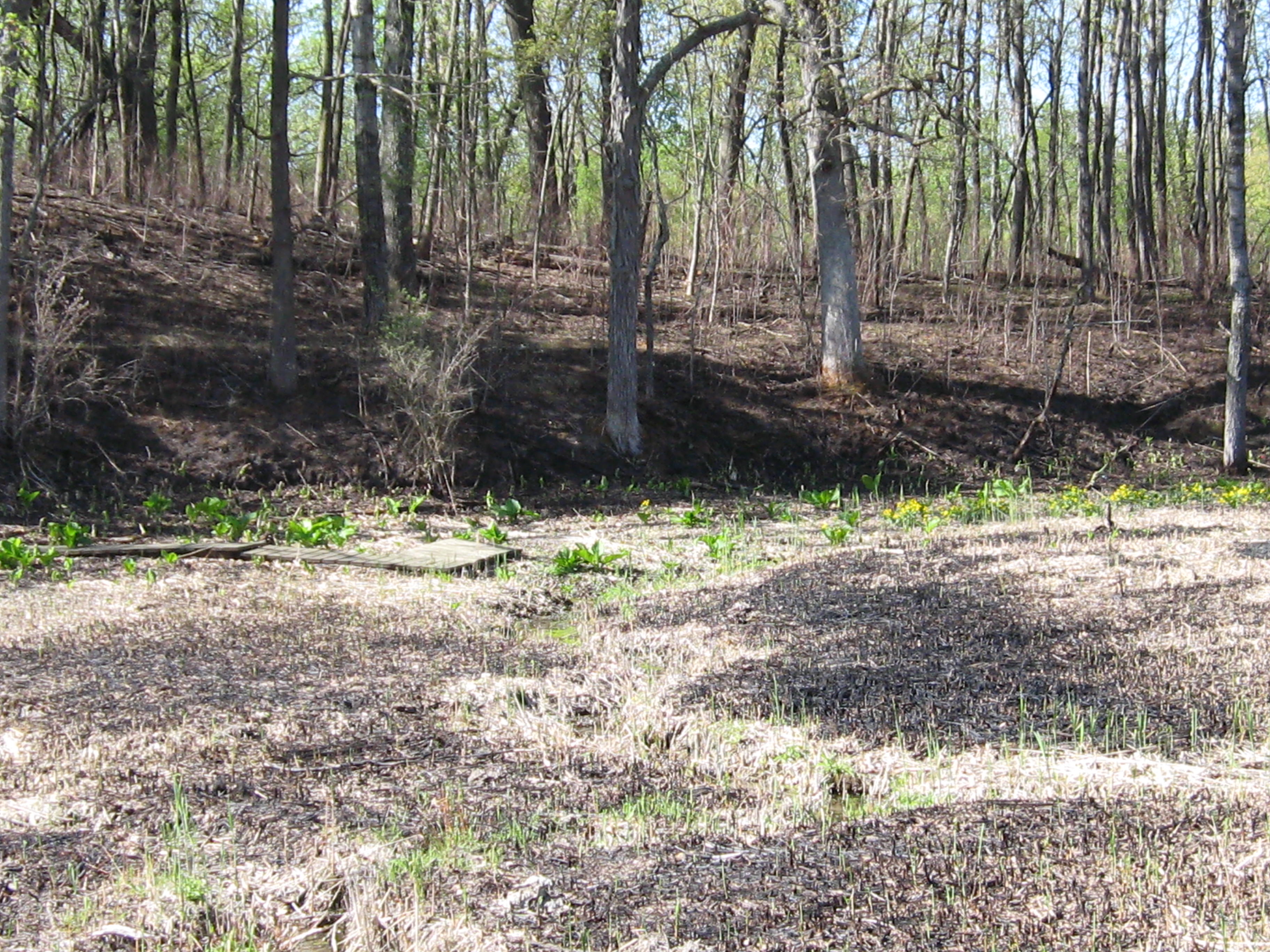
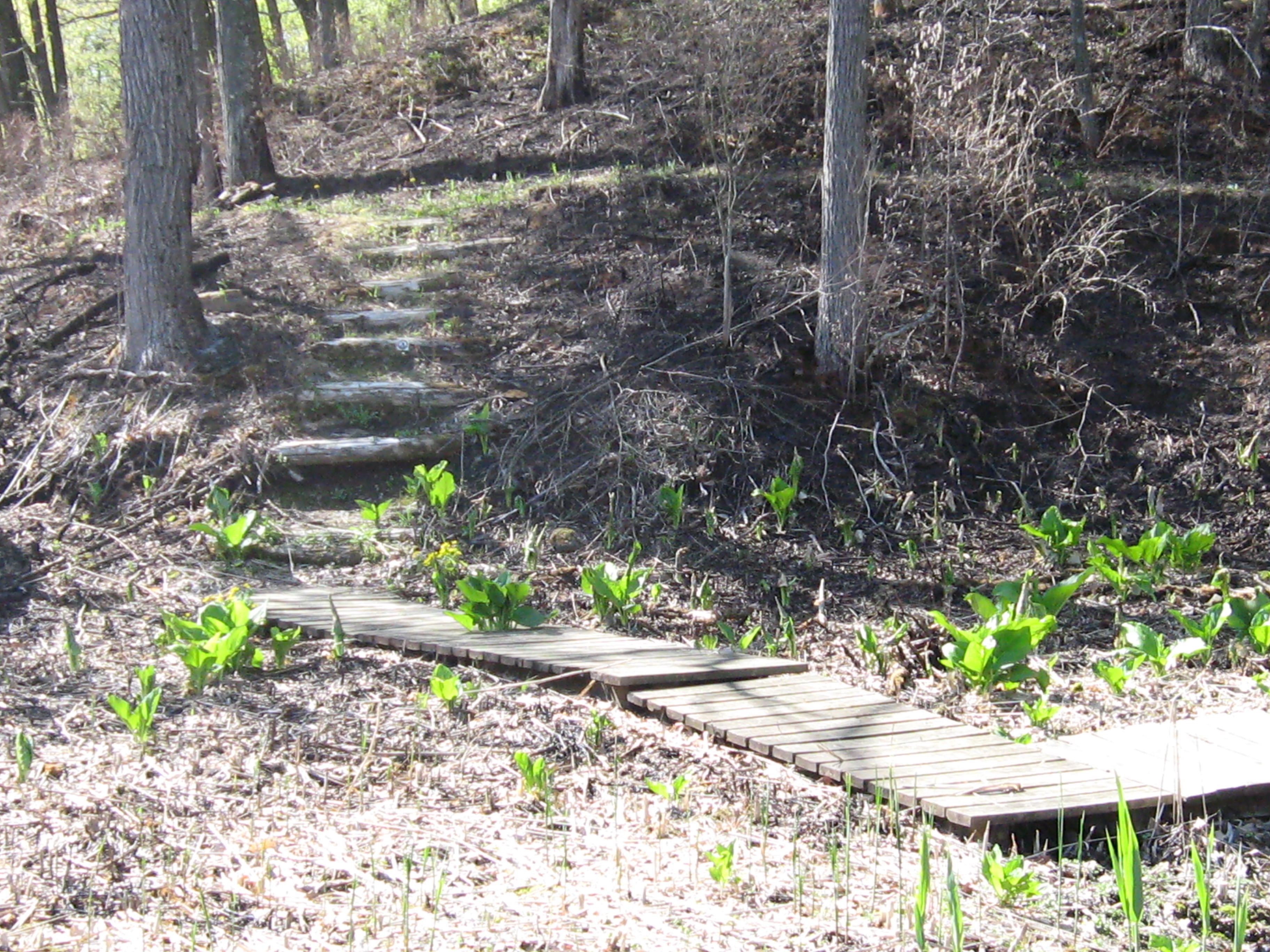
Back at The Springs, I sprayed Milestone on the buckthorn resprouts on the steep hillside below Hwy 67. The burn this past spring only top-killed the heartier saplings and they already have 2-3′ of new growth. Then I spent some time studying weeds on the sand prairie and decided to make a date with Ron Kurowski, the retired DNR Naturalist who lead the Scuppernong River Habitat Area restoration, and whose shoes the DNR has yet to fill, and he generously agreed to meet me the next day.

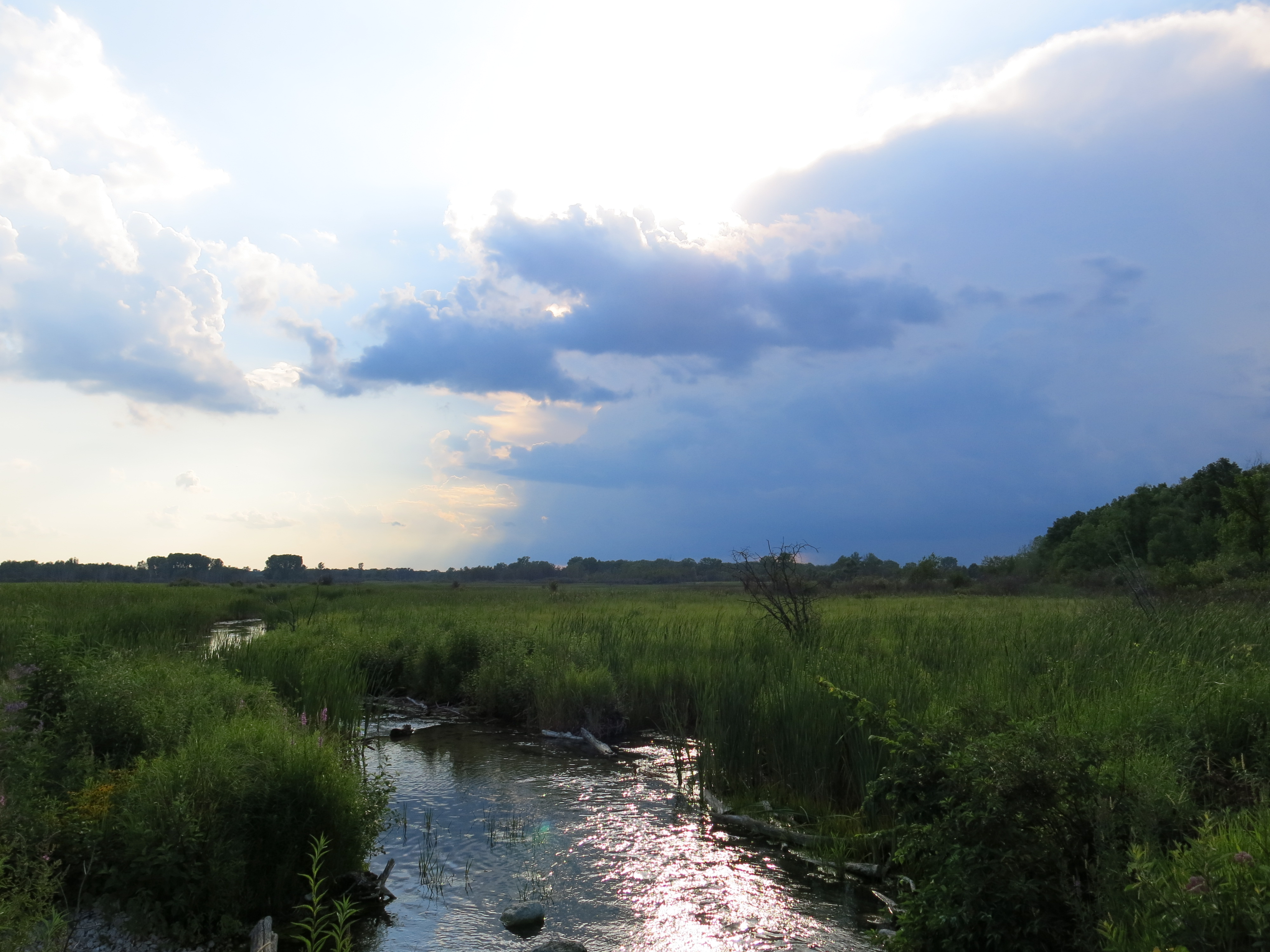
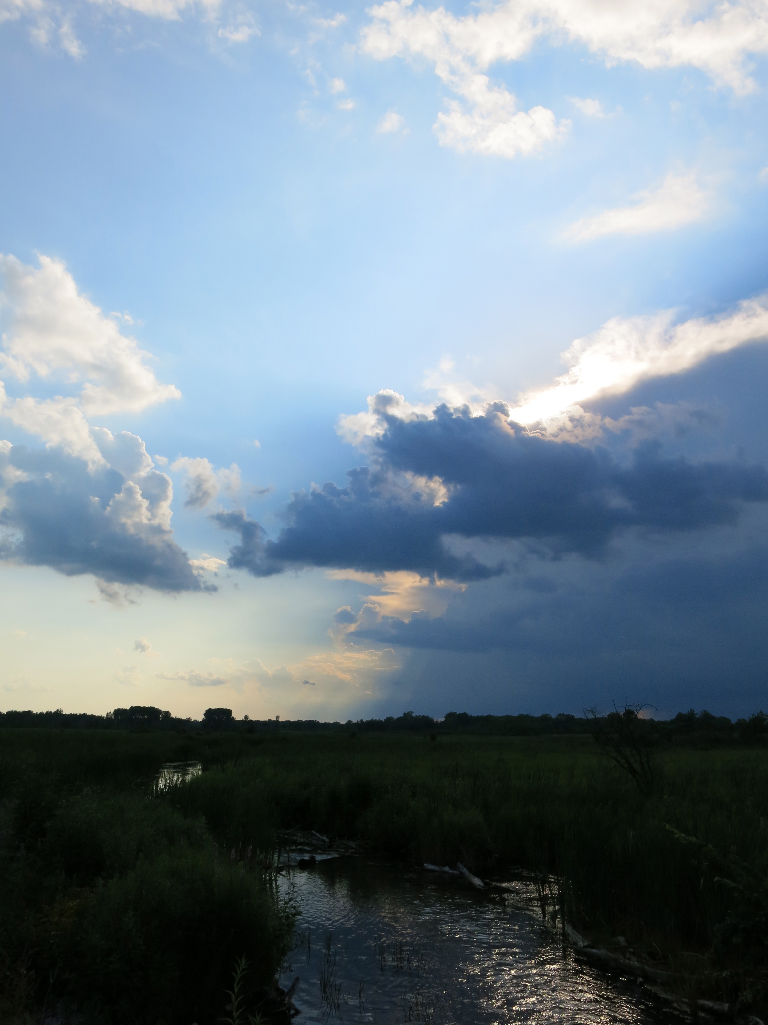
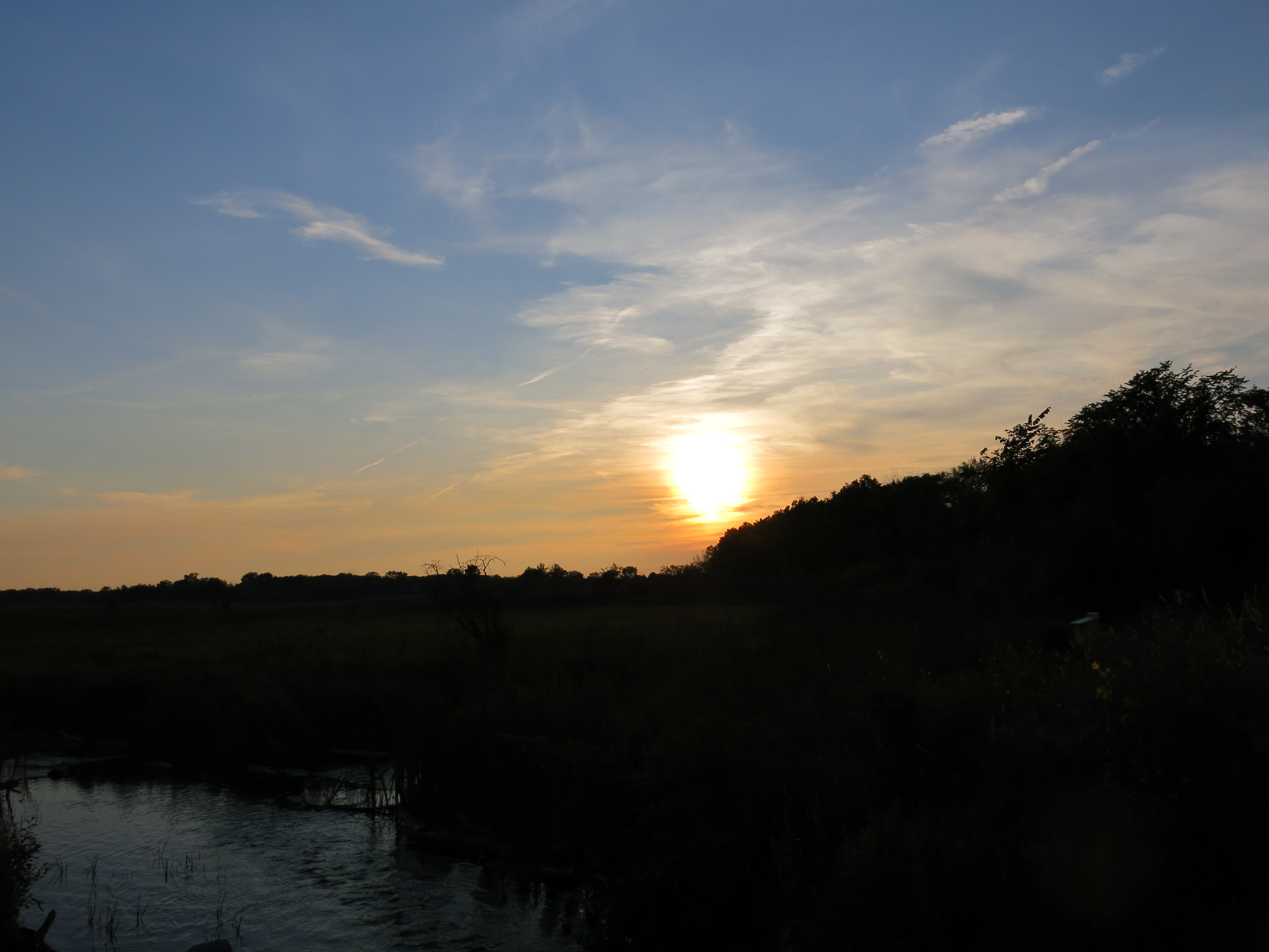
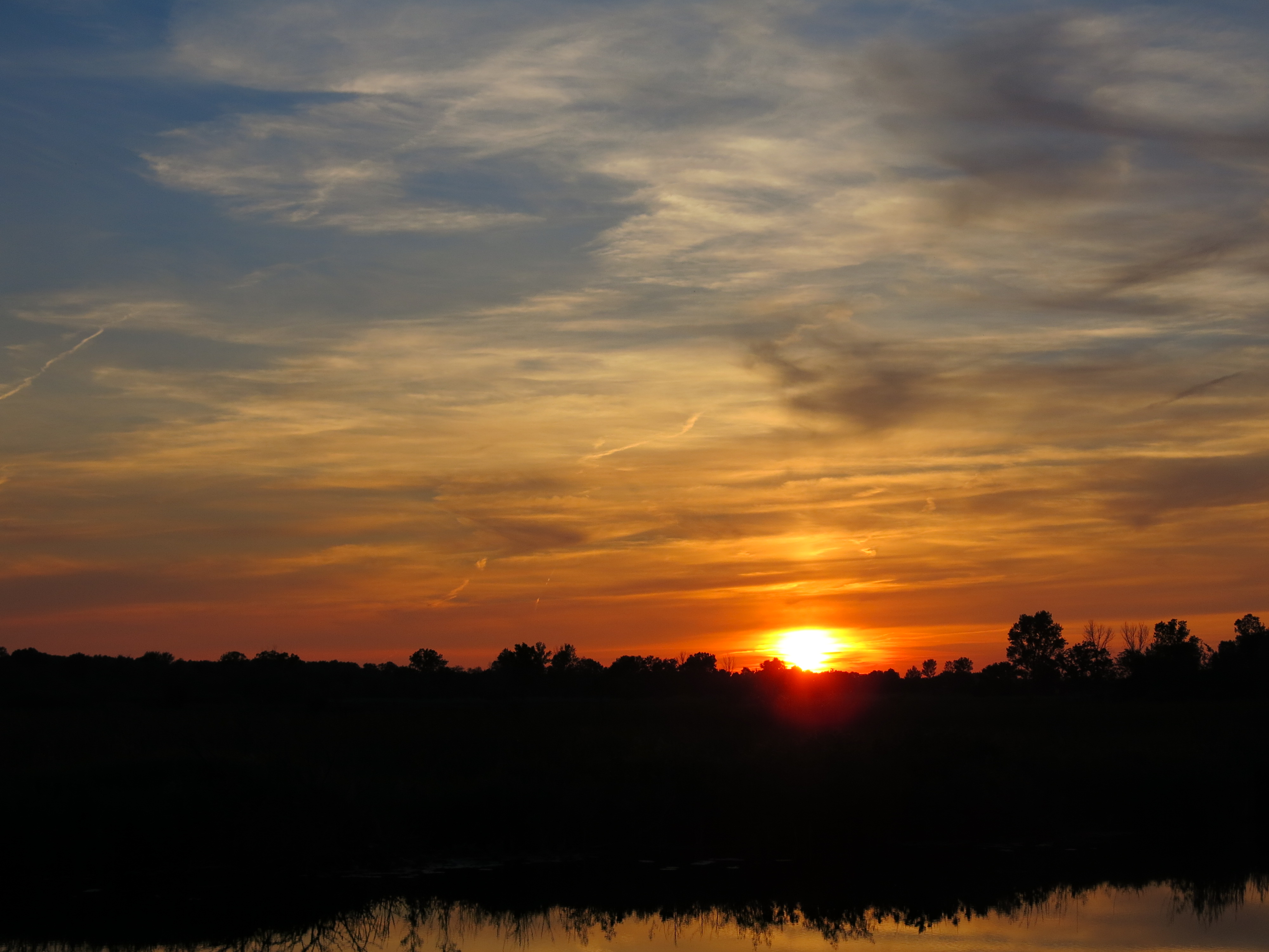
It was plenty hot and buggy out there and I was baked when I got these storm cloud shots before heading for home.

IMG_0171

IMG_0172

IMG_0175

IMG_0177

IMG_0178

IMG_0179

IMG_0181

See you at The Springs!

More Trout Stream Therapy

“Rain drops keep fallin’ on my head…” I’ve been feeling a bit like “the guy whose feet are too big for his bed”. Per B.J. Thomas’ example, “… I just did me some talkin’ to the sun” yesterday, pulling weeds all day on the sand prairie, site of the Potawatomi, Ho-Chunk and Sauk Native American campgrounds, and that snapped me out of it. I got that “peaceful, easy feeling” that comes when you know you’re in the right place, at the right time, doing the right thing.

I’m investigating whether or not I might have gotten infected with borrelia burgdorferi (lymes) and taking doxycycline, as a precaution, while I figure out what to do next. I feel pretty good now and I’ve been working at the Hartland Marsh the last two weeks, mowing, brush cutting and meeting with the village administrator, Dave Cox, to help initiate a prescribed burn program. It’s been a few years now since I was focused on the marsh and, with all the rain we’ve been having, the buckthorn and other invasive plants are quickly turning it back into a jungle. Fire inspires hope that my efforts at the marsh will not go to waste. If you haven’t visited the Hartland Marsh yet, put it on your list; it’s uniquely beautiful.

Yesterday, I spent a rejuvenating day at The Springs and I’m going to jump ahead to the highlight of day when I walked down to the old barn site and saw that the DNR Trout Stream Therapists, like elves from middle-earth, had worked some magic to continue healing the river. Well, maybe it was just a lot of planning, deep river knowledge and hard work that produced the excellent results you can see below. This area corresponds to site #3 on the map in the post linked above and it looks like they are queued up to complete site #2 in the near future. Thanks to Ben, “Gos” and their crew for their continued efforts to nurse the river back to health!

I started the day at the Scuppernong Spring getting some water.

IMG_0055

IMG_0043

The sand prairie is lush with spiderwort and other native flowers, as well as lots of weeds.

Common Milkweed
IMG_0046

Spiderwort
IMG_0047

Butter-and-eggs
IMG_0048

The Scuppernong Prairie

IMG_0052

John Hrobar alerted me that hoary alyssum was spreading like crazy and I decided to spend most of the day pulling this weed, since it was in peak flower, rather than continue piling brush in the woods, as I had planned. So, after spraying Transline on the short, black locust trees that have sprouted on the hillside just west of the scuppernong spring in the morning, I spent the rest of the day pulling hoary alyssum and spotted knapweed. All the rain we’ve been having made the weeds easy to pull and they came up roots-and-all, which was quite edifying. White Campion is another weed that is establishing itself on the sand prairie and I’m trying to figure out what to do with it; maybe nothing this year.

Hoary Alyssum
IMG_0050

I returned to the Scuppernong Springs in the late afternoon to reminisce about the wonderful visit I just had there with my Mom, Dad and brother Joe.

Then I wandered down the left bank of the river visiting the hillside and hidden springs.

IMG_0063

I’m not sure what this flower is… looks a bit like Indian Hemp.

IMG_0061

Sunset at the marl pit.

IMG_0065

IMG_0069

IMG_0073

IMG_0080

IMG_0082

IMG_0084

IMG_0089

See you at The Springs!

The Hidden Spring

I’m celebrating! Its been 2 years since I returned to the The Springs and 2 years since I had surgery to remove the cancerous tumor from my neck. So much has changed since then in both me and The Springs; I got healthy, retired and discovered philosophy, and The Springs got some tender loving care including a good cleaning.

One of the most exciting things we did last year was to uncover springs that were totally obscured by watercress, phragmites, cattails, buckthorn, and other brush.

SSTrailMap

We began the cleanup focused on removing the watercress that was damming the river, without consulting the map above, so it was one surprise after another as we “discovered” the two sets of Hillside Springs, The Hidden Spring and the Hatching House Springs. Yesterday, the morning light was just right and I paid respect to The Hidden Springs.

The views from the steps above the springs.

IMG_1497

IMG_1498

IMG_1499

There are some nice bubblers here.

IMG_1500

IMG_1502

Marsh marigolds and skunk cabbage frame the springs.

IMG_1503

IMG_1504

IMG_1506

IMG_1509

In discovering philosophy, I found my own hidden spring; a spring for my soul. One of the very simple ideas I’m contemplating is from The Yogatattva Upanishad that I found extracted in C. W. Leadbeater’s book The Chakras:

LayaYoga

What a beautiful way to visualize the body and breath in harmony with nature!

Chester W. Smith erected the first dam just below the Hotel Springs in 1846 to power a saw mill and the river valley was flooded until 1992. The fires have laid bare the landscape and it is clear where the trout farmers divided the flooded river valley to suit their purposes. We are hoping, if we can check the phragmites and cattails, that some of the original flora might resurface.

IMG_1496

IMG_1507

This embankment crosses the valley just north of The Hidden Spring.

IMG_1510

I continued spraying spotted knapweed on the Indian Campground; this is working very effectively. I sprayed a lot of flowering garlic mustard in the area south of the trail that did not get burned.

This painted turtle was sunbathing on the trail just above the Indian Spring.

IMG_1494

IMG_1492

IMG_1491

I finished girdling the aspen in the area around the old hotel site and piled the remaining brush there as well. Check out this video walking tour.

I spotted some Pussytoes and Wood Betony along the trail by spur to The Emerald Spring. A profusion of new growth is emerging!

IMG_1517

IMG_1523

See you at The Springs!

Buckthorn Alley

“Thats all I can stands, I can’t stands no more!” 


When I visited the land that time forgot on the north end of the Scuppernong Springs Nature Trail, I reached into my backpack for a can of spinach and realized I had left it at home.

I rarely walk the section of trail marked in blue below because it is so dark, damp and uninteresting compared to the rest of the trail.

SSTrailNorthEndMap

At the end of the day yesterday, I walked this section of the trail to make sure there were no trees downed across it and review just how badly degraded it was. Here is a tour of the first hundred yards or so.

After passing through this buckthorn thicket, I thought “Thats all I can stands, I can’t stands no more!” I’m changing my priorities to focus on this section of trail. I’ve been reminded of my old hero, Popeye, by my recent diagnosis via MRI that I have torn the head of the long biceps tendon on my left arm. I got whacked there by the branch of a red oak tree that I was clearing off the trail back in October of 2012. One solution offered by the orthopedic surgeon was to sever the head of the biceps tendon completely; apparently the Creator was confused when deciding to join this muscle with the scapula and we don’t really need it. The only downside he explained was that my biceps muscle would bunch up reminiscent of Popeye The Sailor.

popeye

My rotator cuff is torn as well, but after three months of physical therapy and Feldenkrais Lessons with Pati, the pain and discomfort has subsided and I can live with it.

Yesterday morning, Rich joined me as we continued our efforts to spray the spotted knapweed on the sand prairie that covers the Indian Campground. The site listed above explains “Apply selective herbicide clopyralid during bud growth in early June for best results (48 oz per 100 gal water).” hmmm, we don’t have any clopyralid and it is only April; so our use of glyphosate at this time of the year is not the preferred technique; nevertheless, since glyphosate attacks any green plant, I’m hopeful we will see good results (we focus the spray as much as possible to reduce collateral damage).

Next, we continued the effort to control aspen around the Indian Springs girdling the rest of the clonal colony in that area.

Roberta “Berta” Roy-Montgomery joined Rich and I and we finished girdling the aspen in this bowl.

Rich and Berta had other commitments for the rest of the afternoon and I headed over to the area north of the old barn site to continue cutting buckthorn between the loop trail and Hwy 67.

This is probably as far as we’ll get in this area for now as our focus is shifting to the Buckthorn Alley.

Here are a couple of views of the area just cut. You have to walk amongst the oak, cherry and hickory trees in here to really appreciate their size and beauty.

IMG_1131

IMG_1129

IMG_1130

I couldn’t stay for the sunset but did grab these parting shots.

IMG_1132

IMG_1134

See you at The Springs!