Big Jim Steps Up and Out

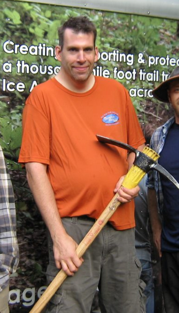
Even the Buckthorn Man looks like a shrimp next to Big Jim Davee.

BigJimDavee

Jim is a thoughtful, compassionate, gentle giant, with a visionary streak and the energy and motivation to make his dreams come true.  Like most people who hike the Scuppernong Springs Nature Trail, Jim noticed that the boardwalk at the Hatching House Spring (just around the corner from the Hotel Spring) was falling apart and potentially hazardous.

IMG_3476

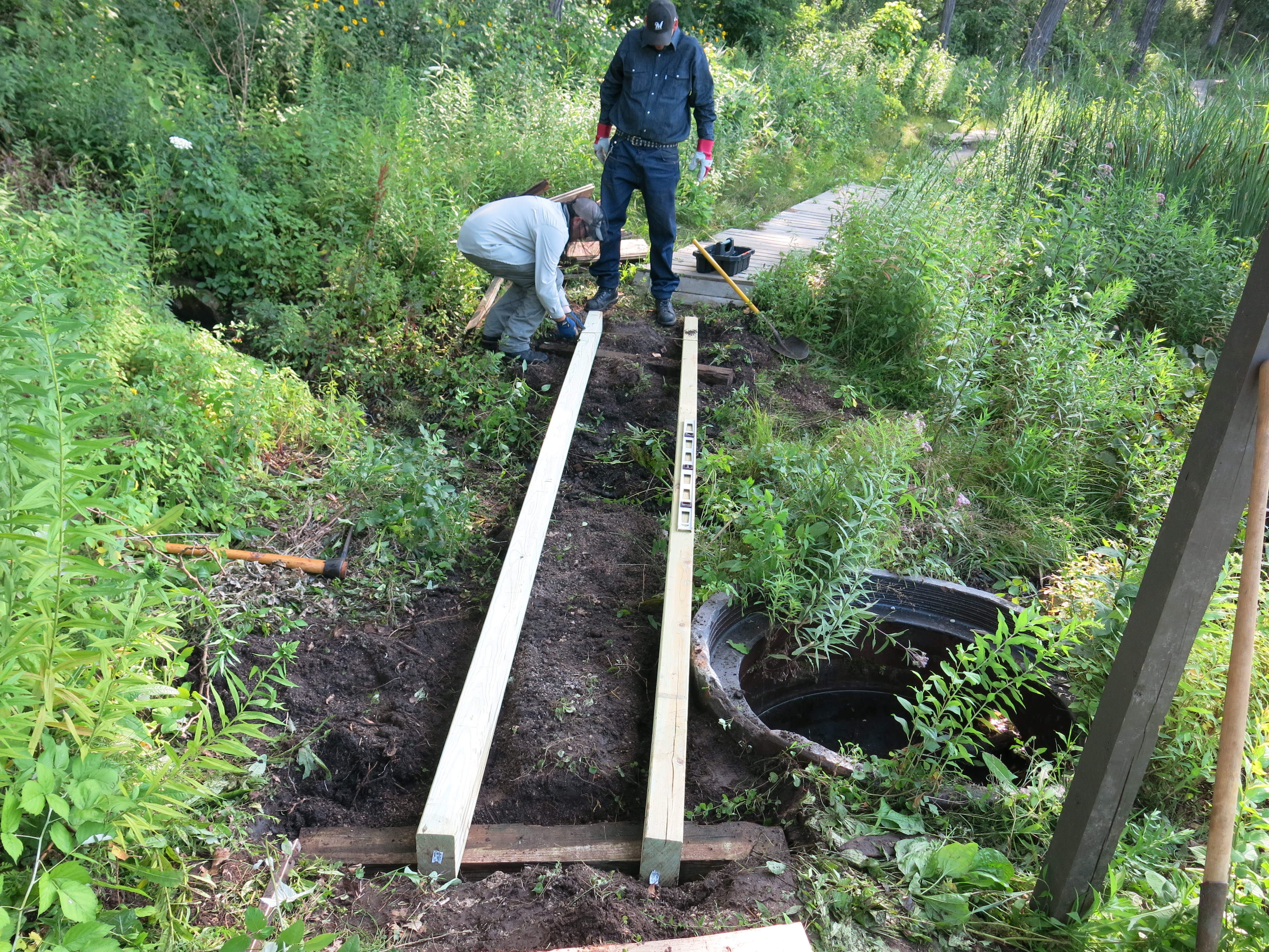
So he contacted Paul Sandgren and Anne Korman, the Superintendent and Assistant Superintendent respectively, of the Southern Unit — Kettle Moraine State Forest, describing the situation, and they promptly delivered materials to the site we needed to repair the boardwalk.  Jim contacted The Buckthorn Man and Ben Johnson, and we setup a workday for Saturday July 26.

IMG_3478 IMG_3480 IMG_3482

Big Jim drives it home.

IMG_3483

We recycled all of the deck boards!

IMG_3484

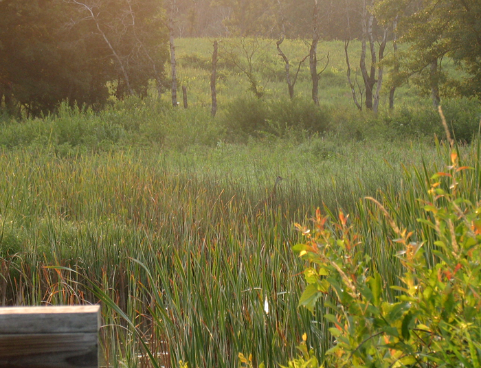
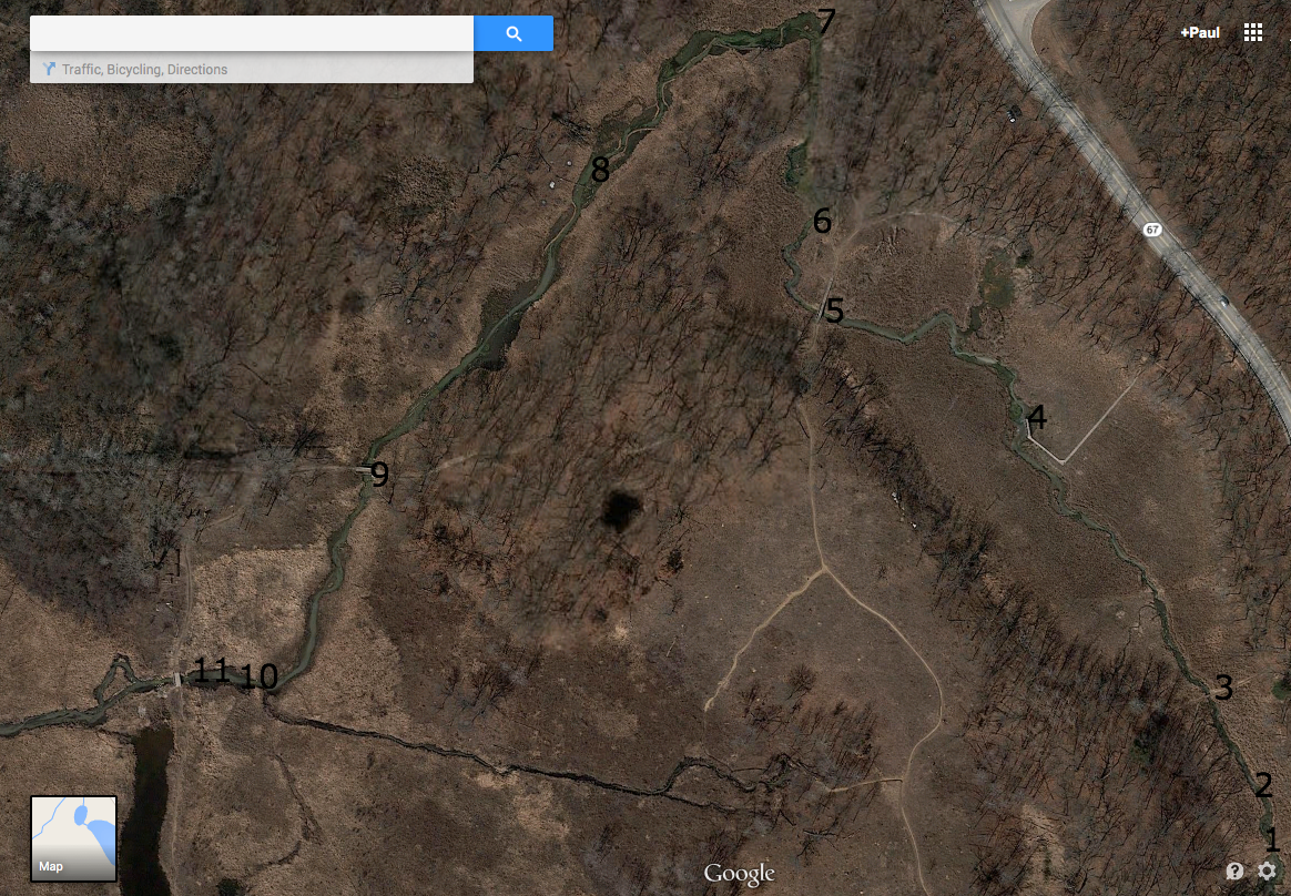
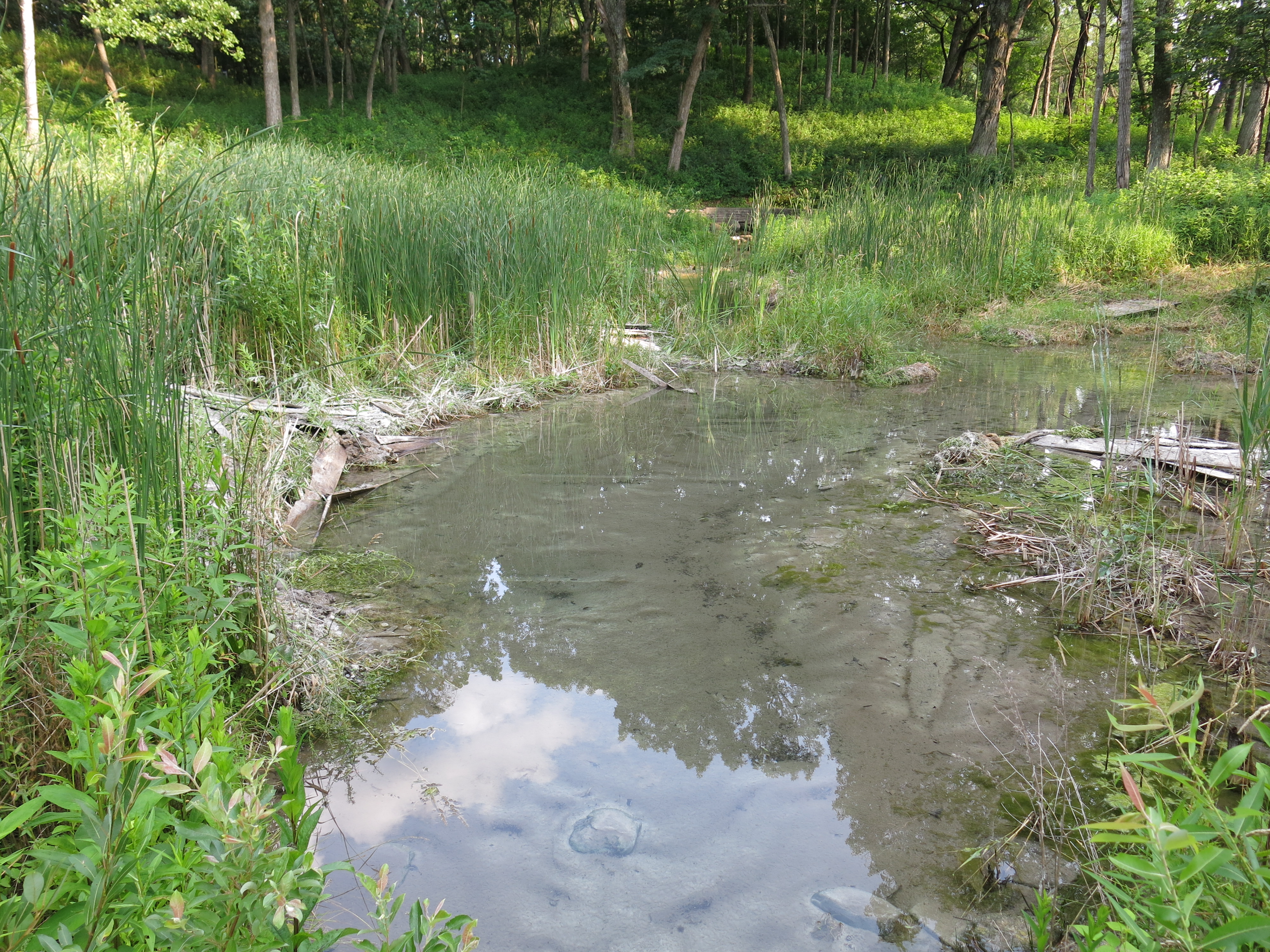
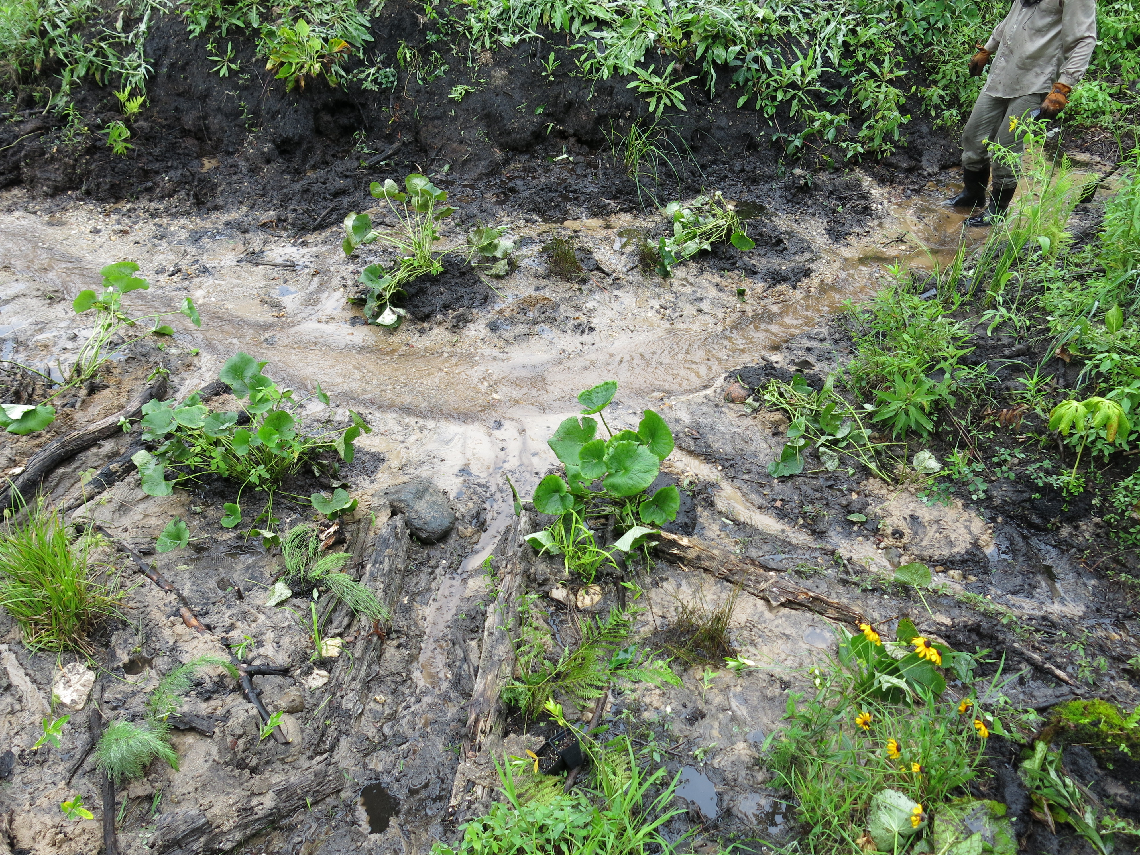
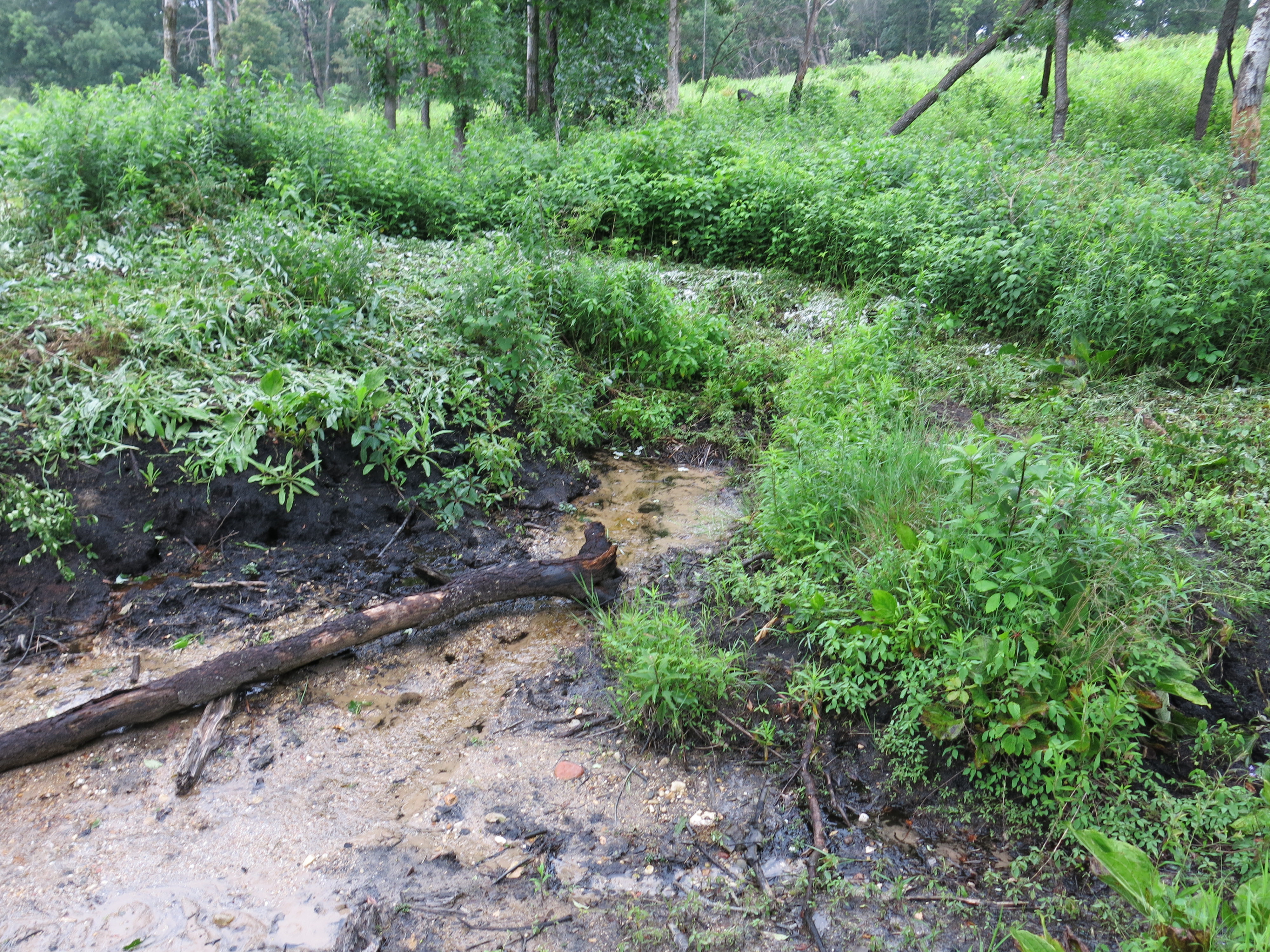
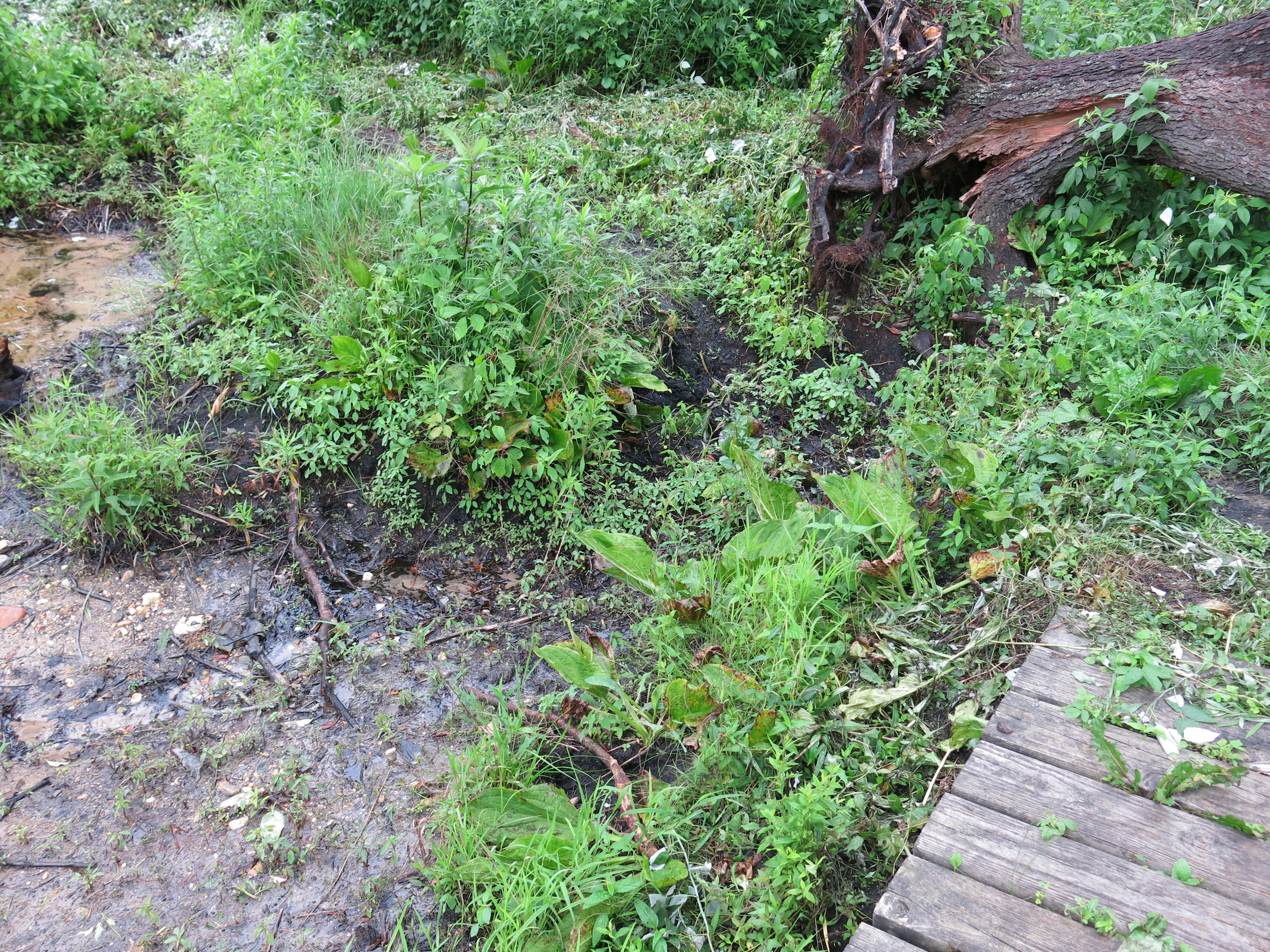
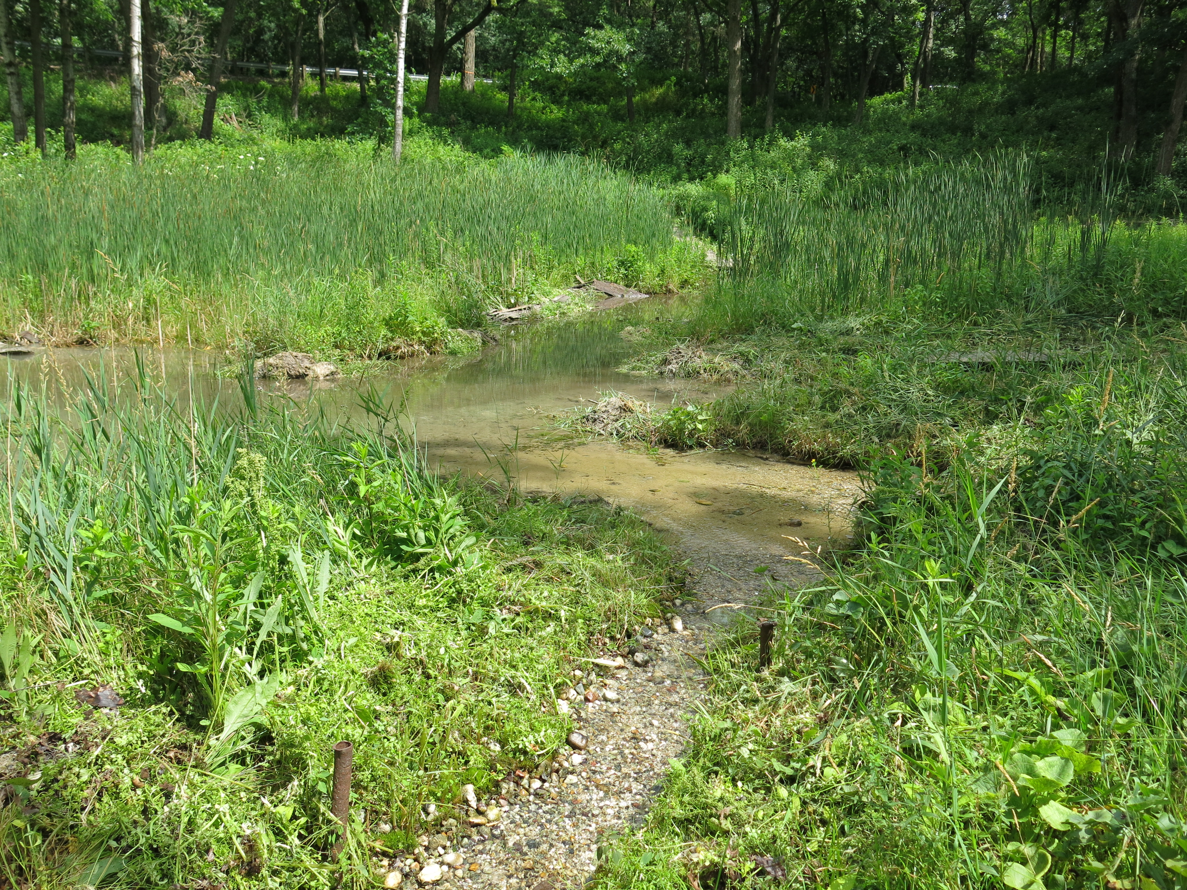
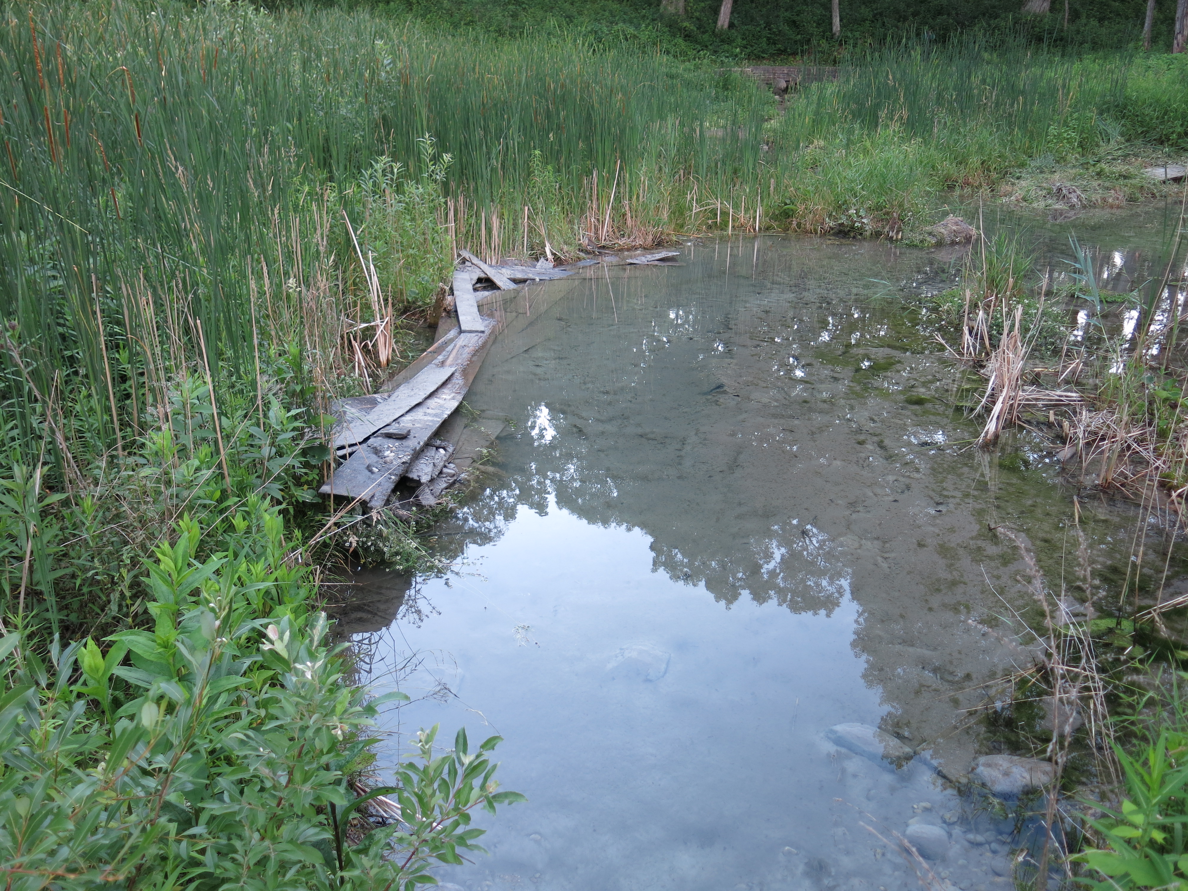
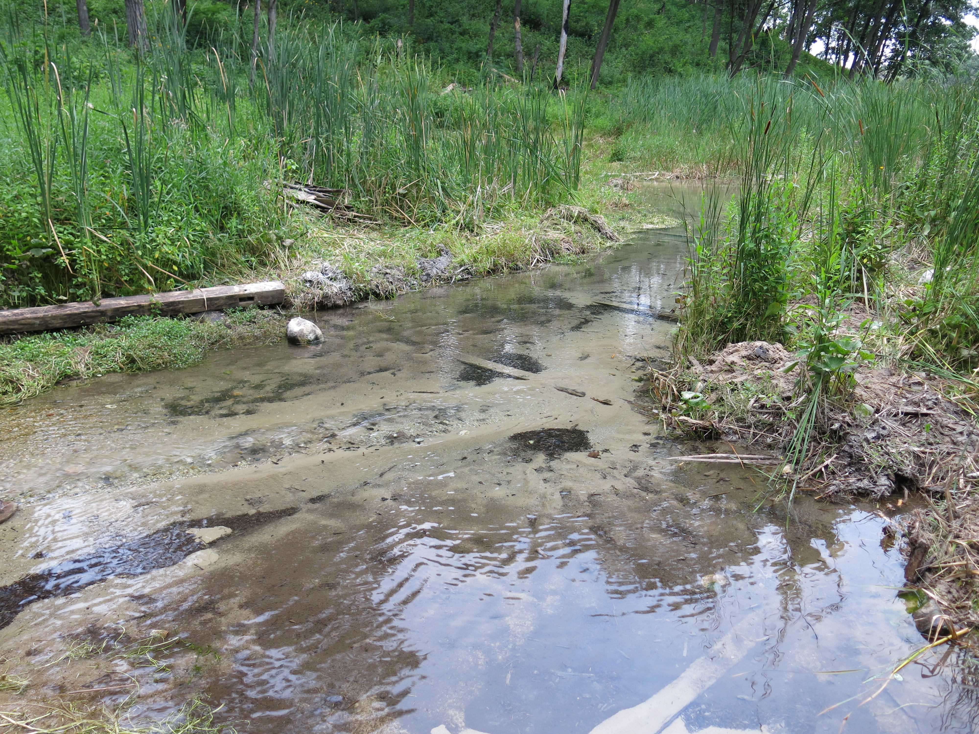
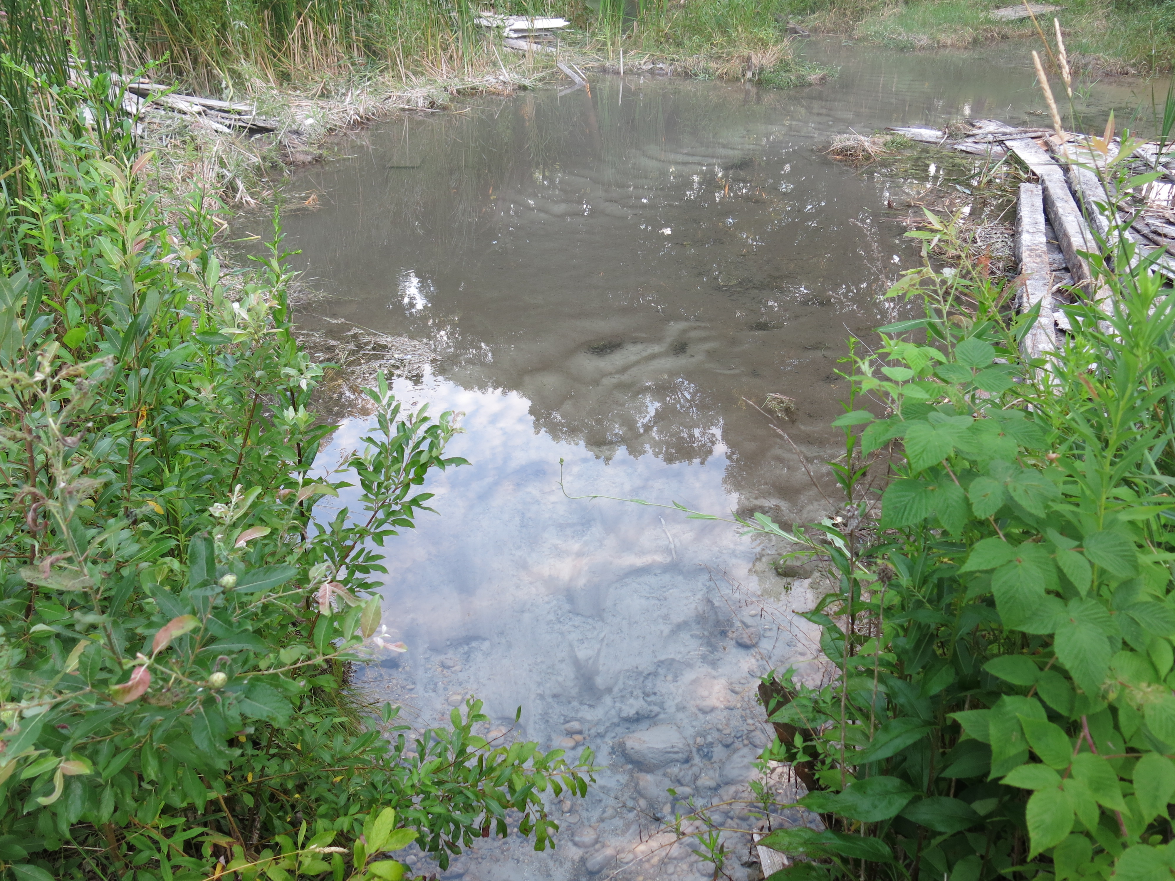
As we evaluated how to integrate our newly constructed boardwalk with the existing boardwalks on either side, we all concluded that these boardwalks were serving no purpose.  They were sitting on hard packed, bone dry, trail with no evidence of spring water moving under them from the hillside above.  I gave Anne Korman a call, and she took a break from helping out at the triathlon taking place next store at Ottawa Lake, to come over and confirm our conclusion.  She agreed, and we re-purposed the two boardwalks at the unnamed springs, located between the Hatching House and Emerald Springs, replacing one of the decks that was completely dilapidated and adding another boardwalk over a previously uncovered wet area leading to the springs.

IMG_3485

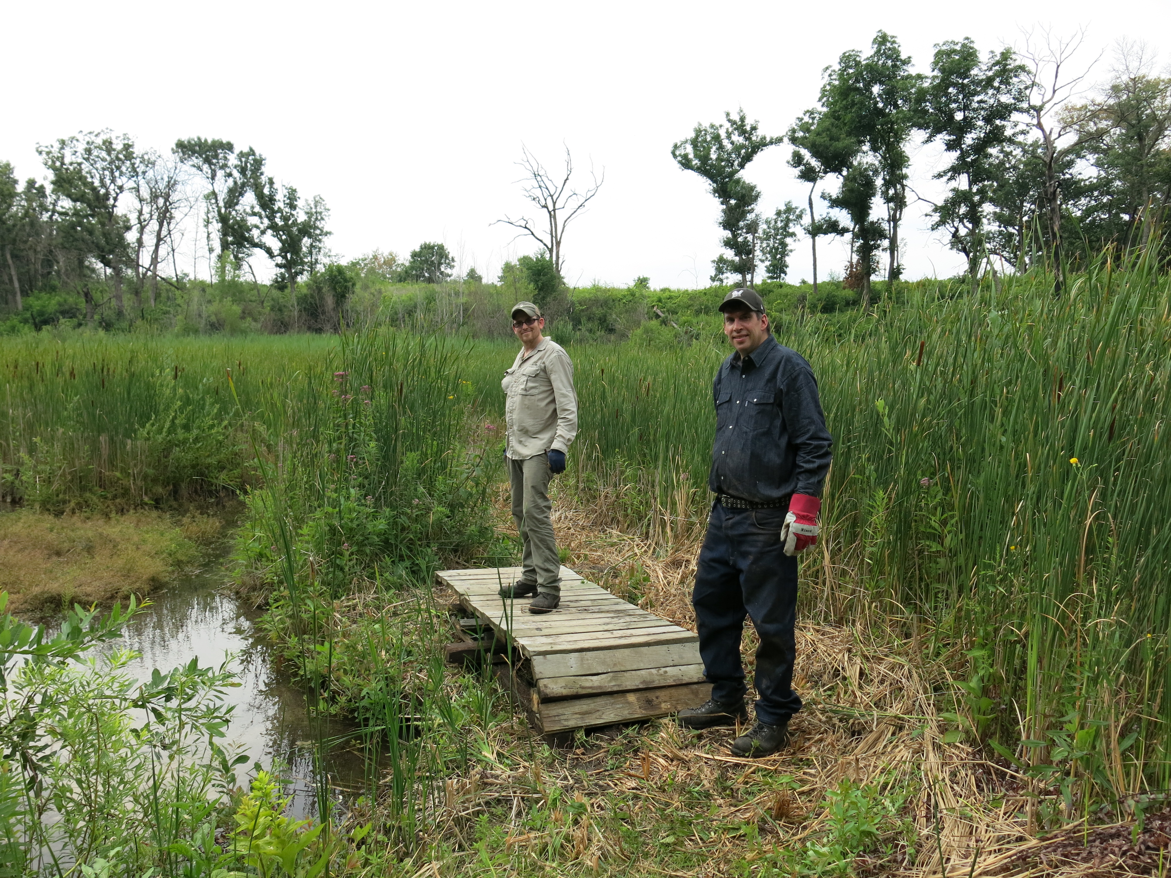
Thanks for being our leader on this project Jim!  Not only did Jim step up but he is also stepping out on the biggest adventure of his life!

On Sunday July 27, 2014 I’m going to begin an ” adventure of a lifetime.” I’m going to backpack solo from Madison to St. Croix, Wisconsin along The Ice Age National Scenic Trail. My goal is to reach St. Croix by the middle of August and to join a Mobile Skills Crew with the IANST. Afterwards I’ll hike up to Duluth Minnesota and hike the Superior Trail. During the winter I will continue my adventures preferable in the South. Next year March 2015 I’m planning on hiking solo North on The Appalachian National Scenic Trail. I will cover over 2,000 miles in about 6 months. My long term goals are to obtain the title The Triple Crown, hence my email mytriplecrown.2017. The four digits represent the year I want to finish them. The triple crown is made up of The Appalachian Trail, The Pacific Crest National Scenic Trail, and The Continental Divide National Scenic Trail. Please follow me right here on Facebook for all the latest news and updates about my journey.

Go for it Jim!

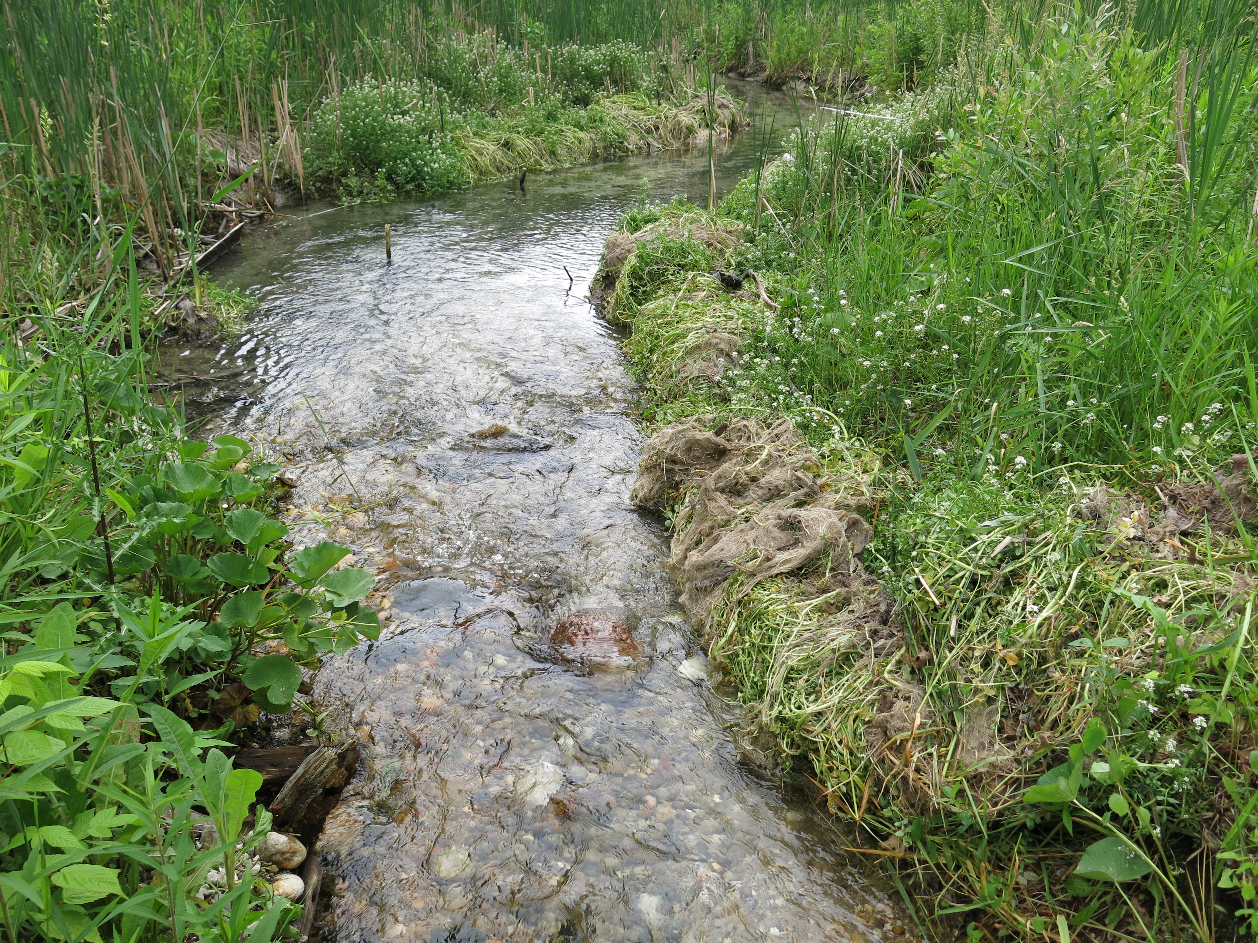
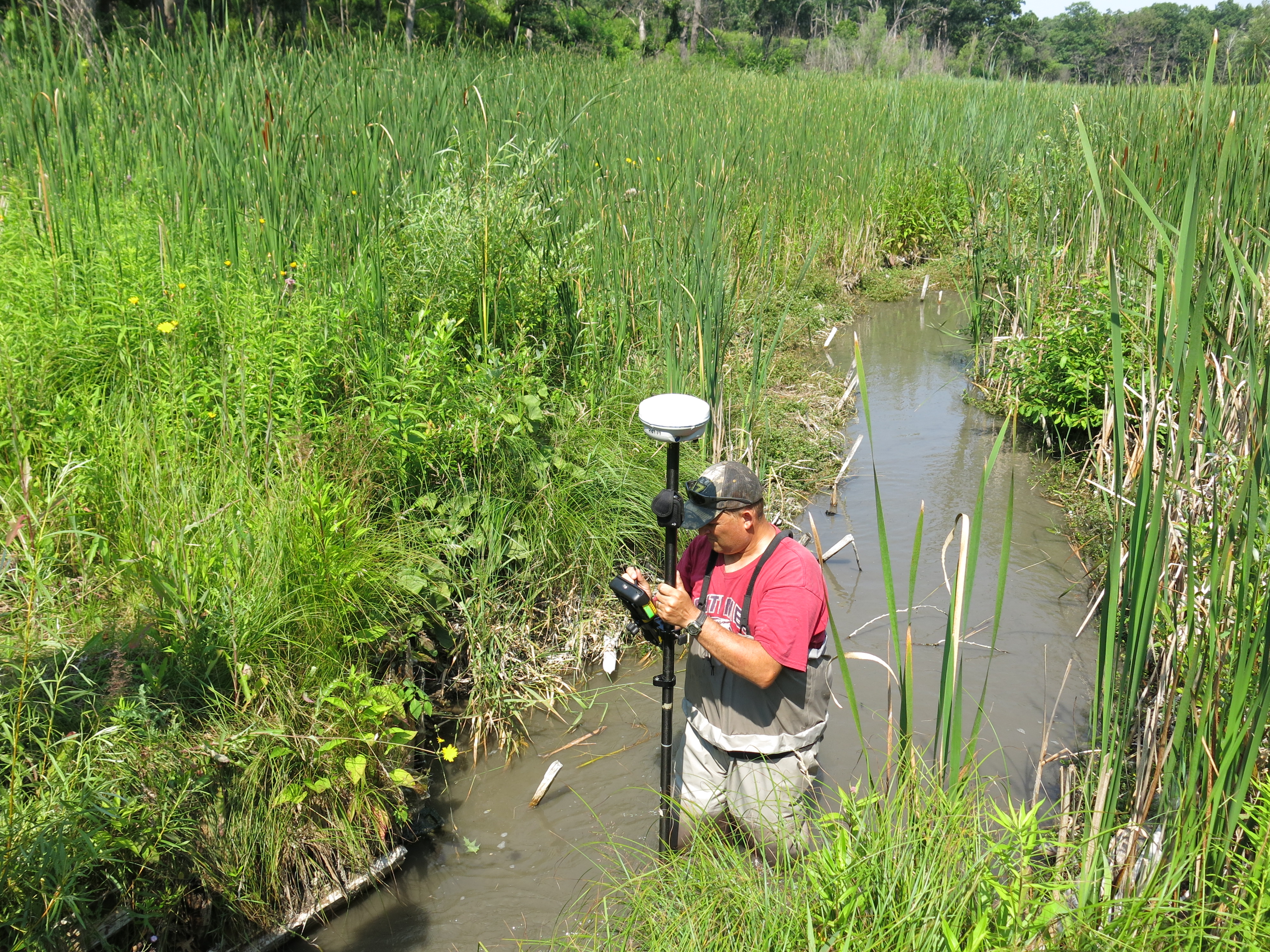
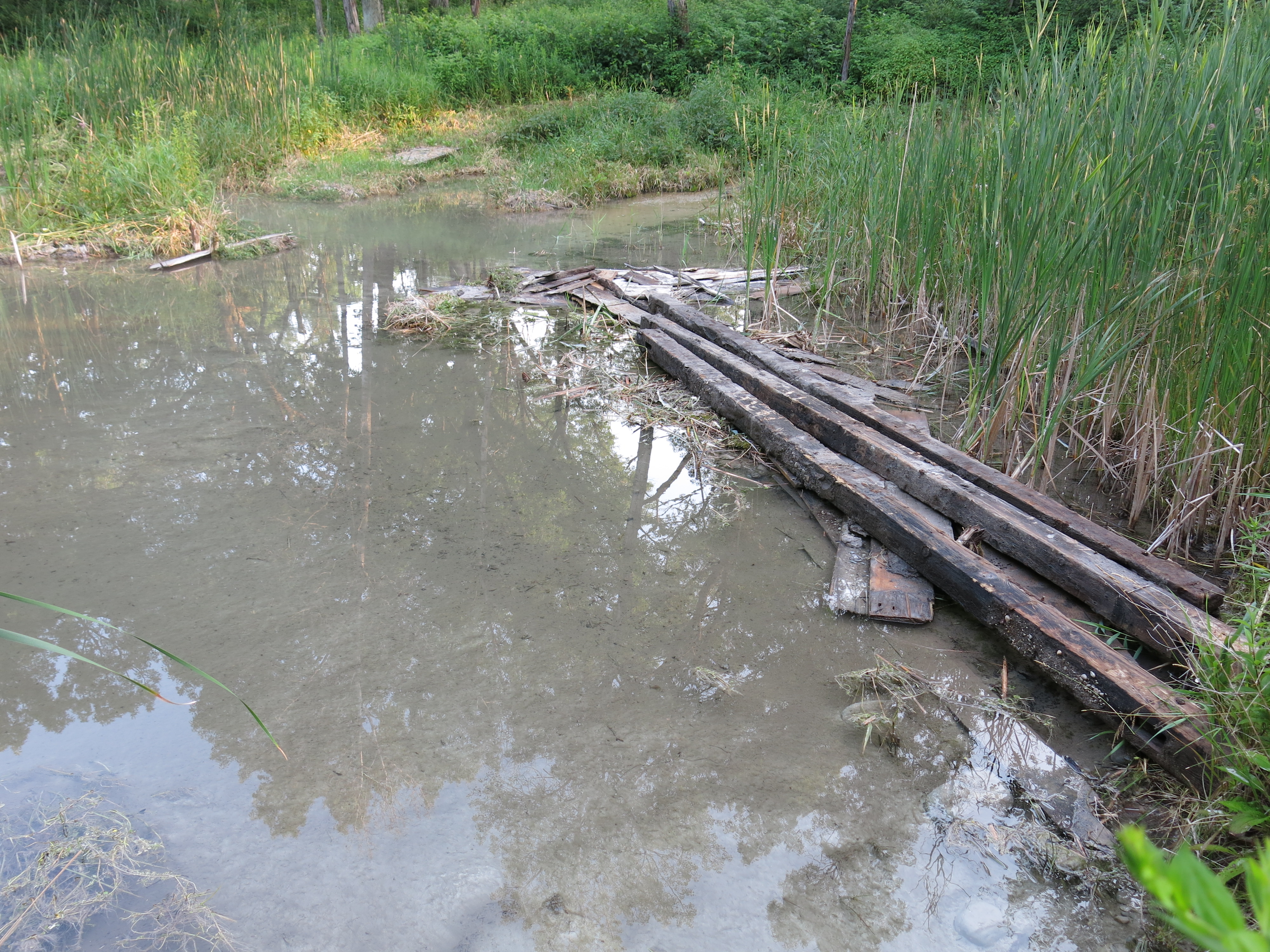
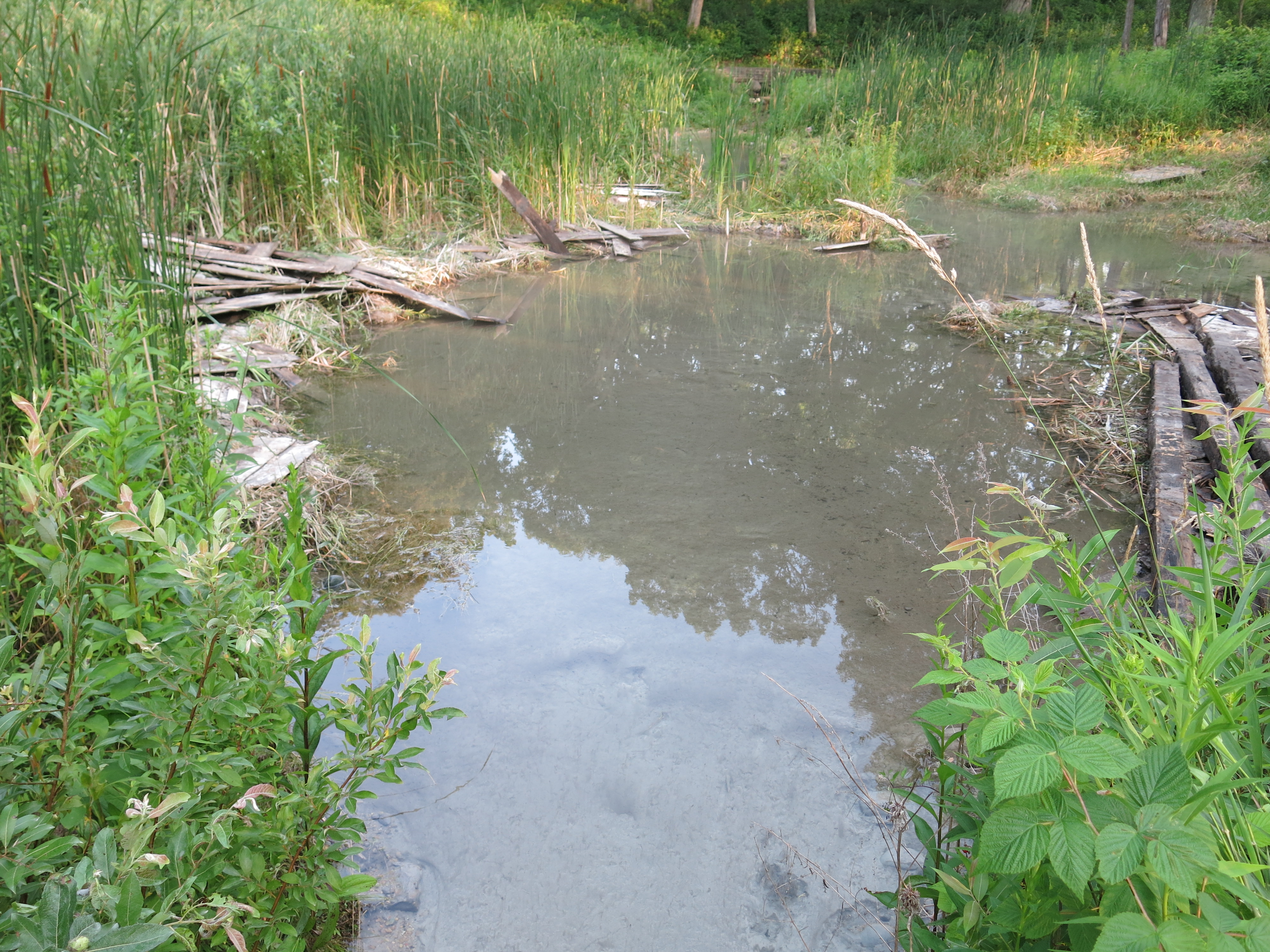
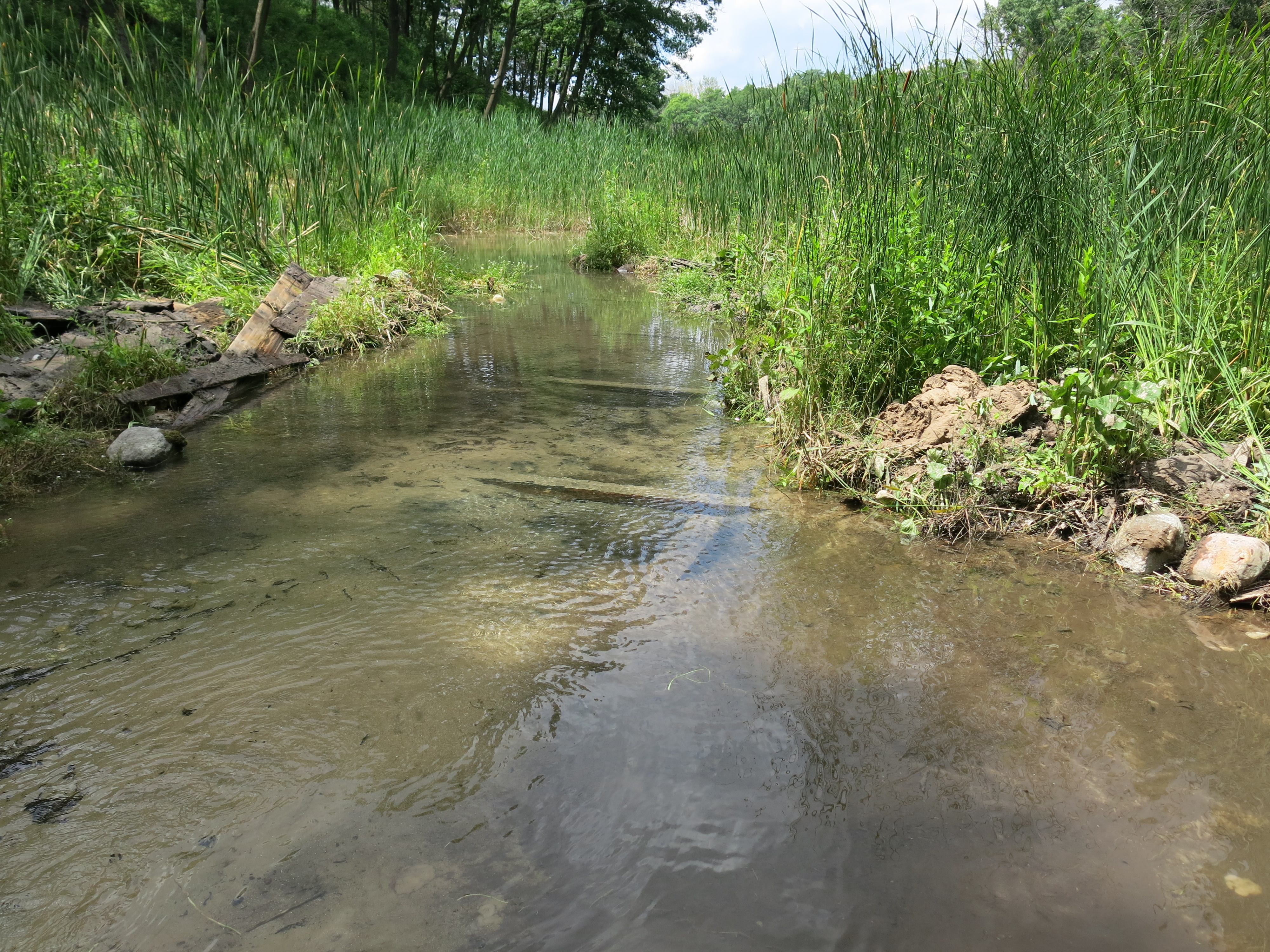
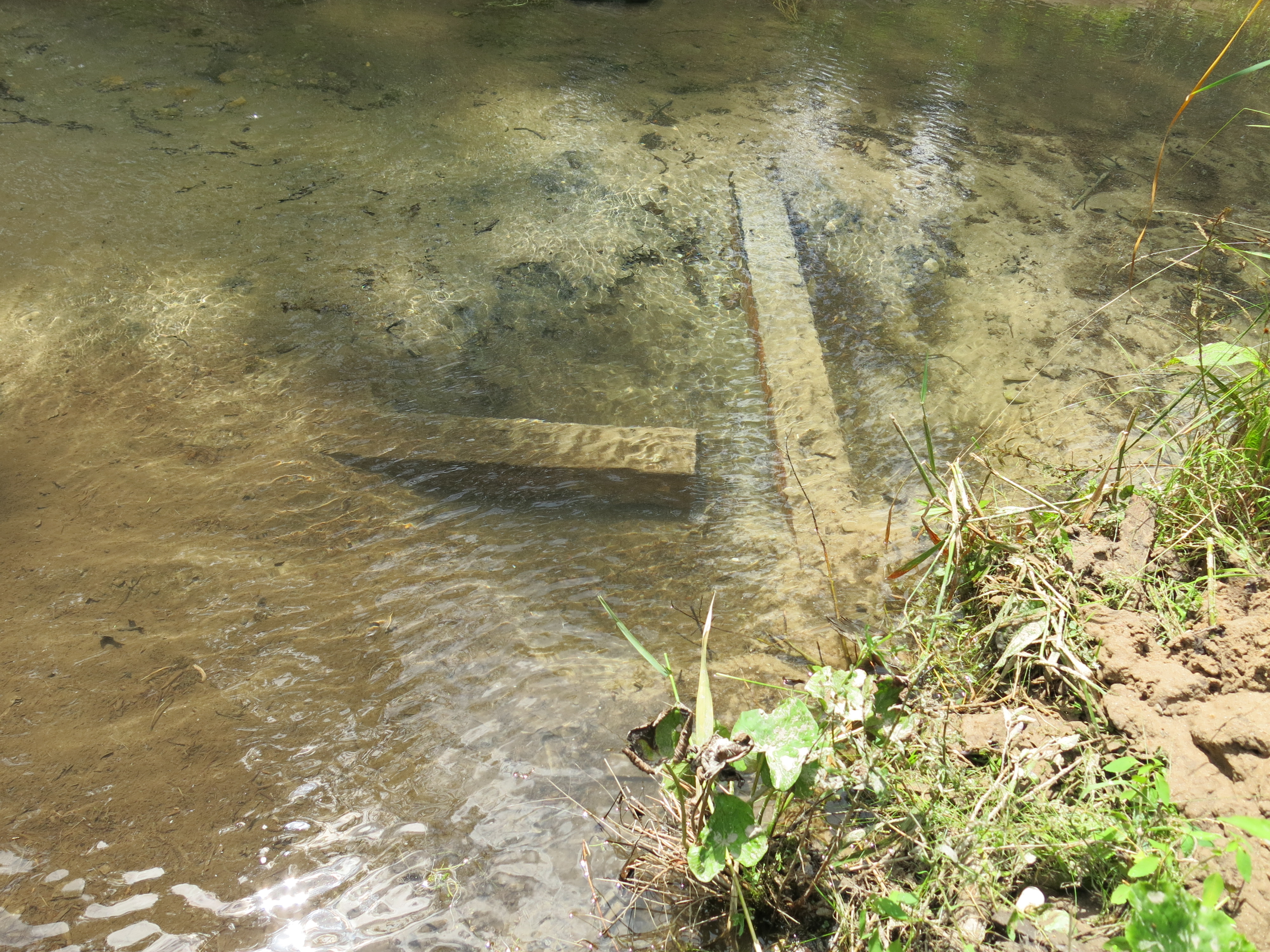
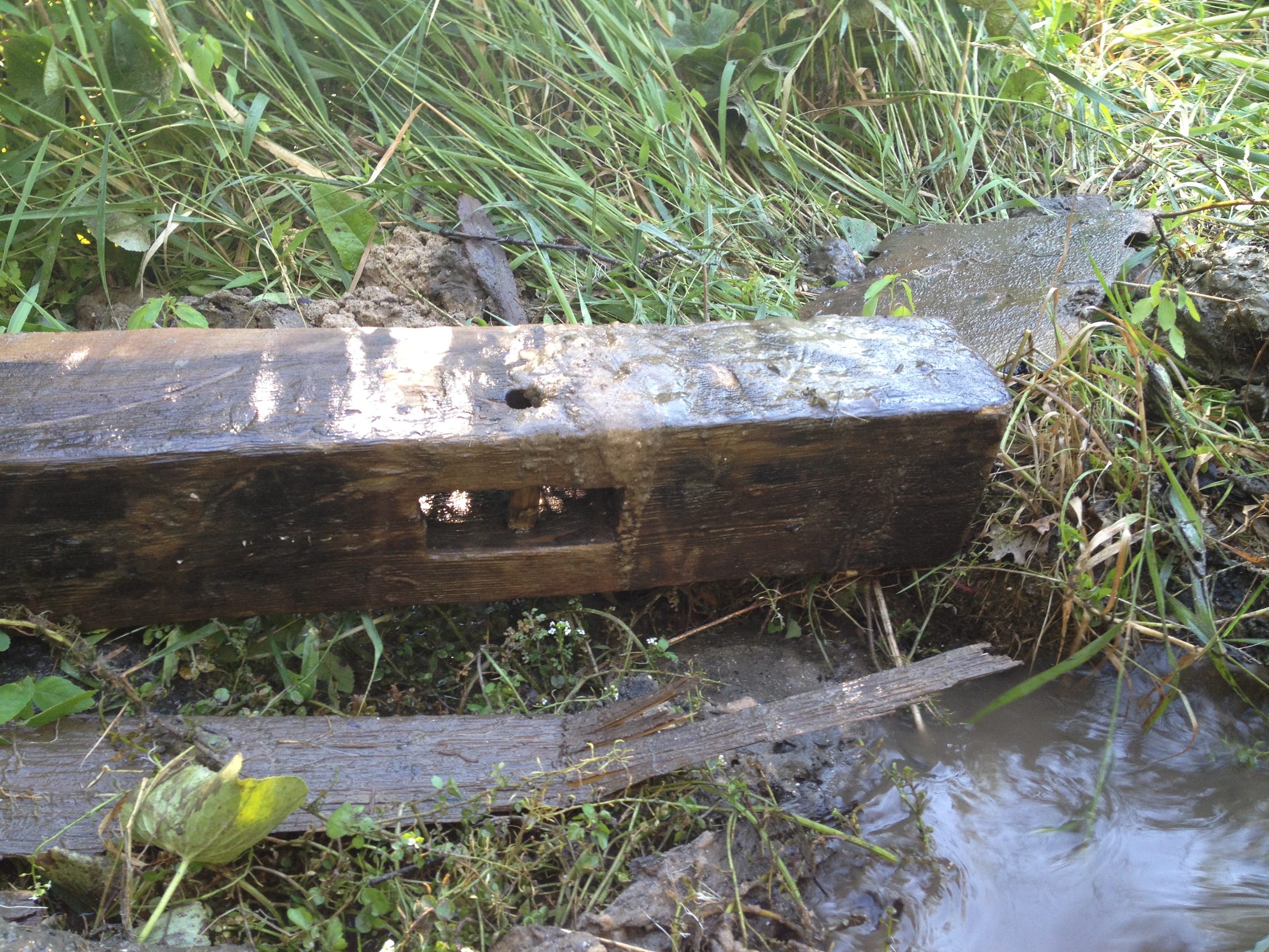
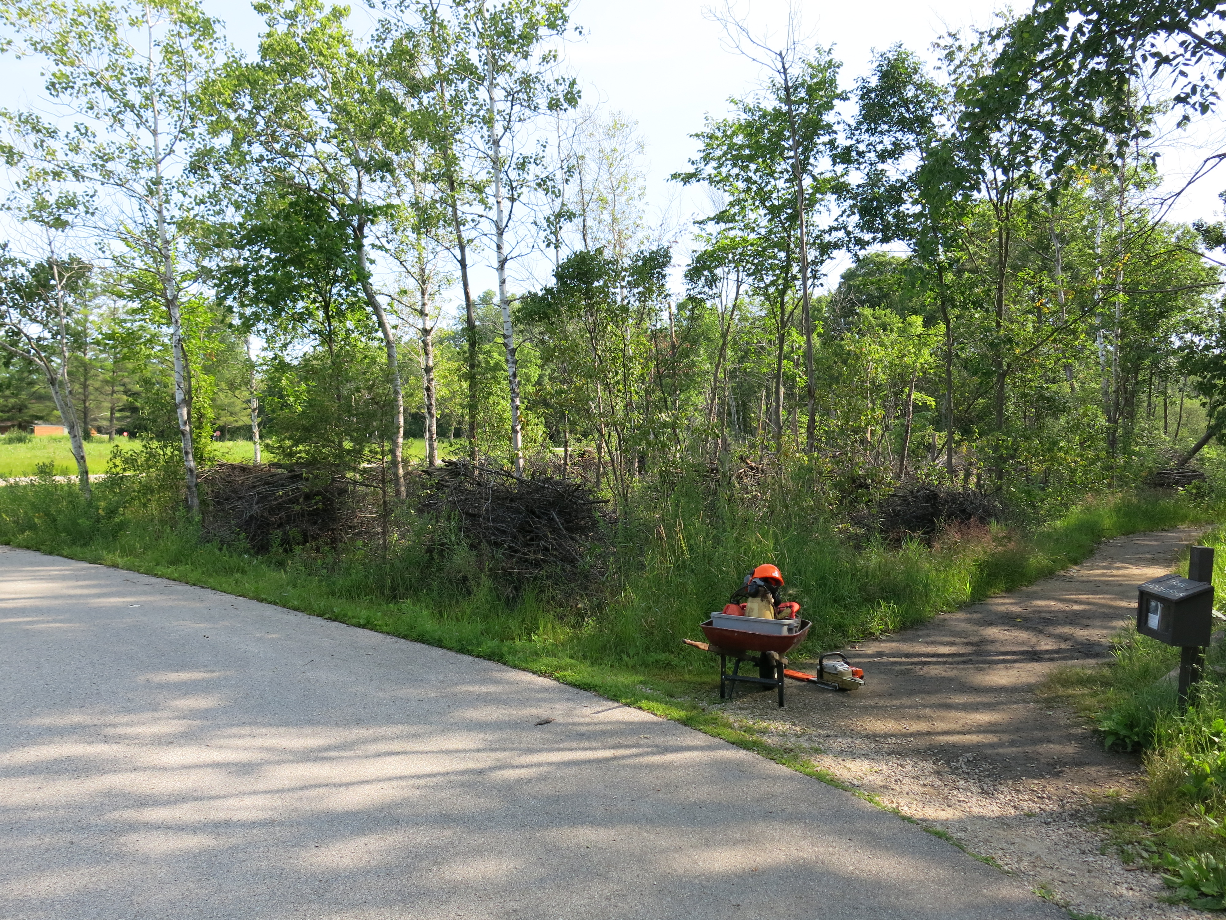
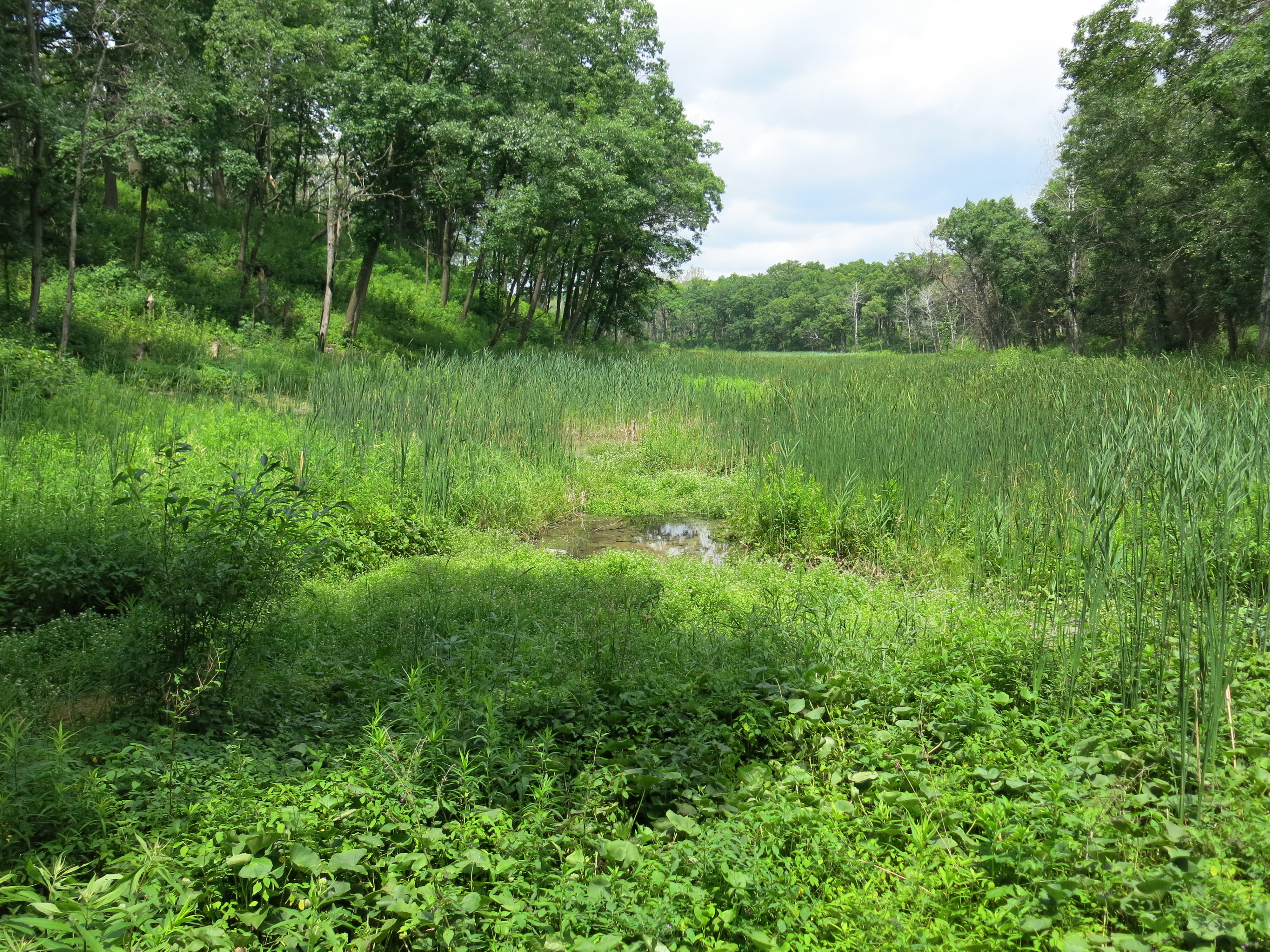
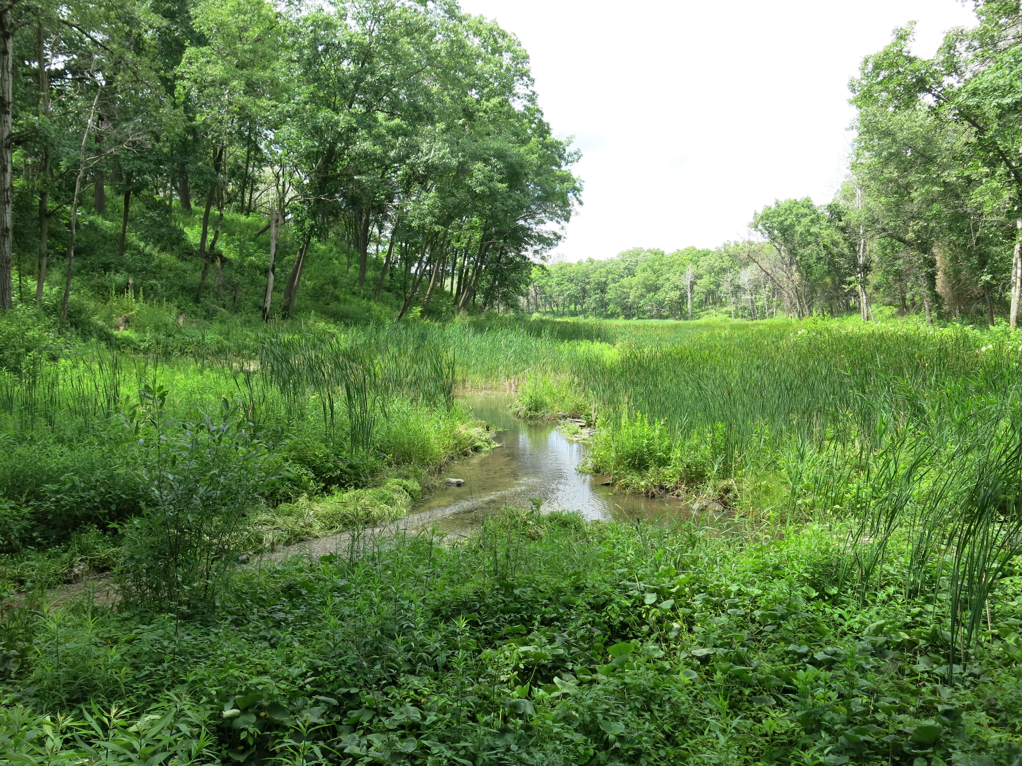
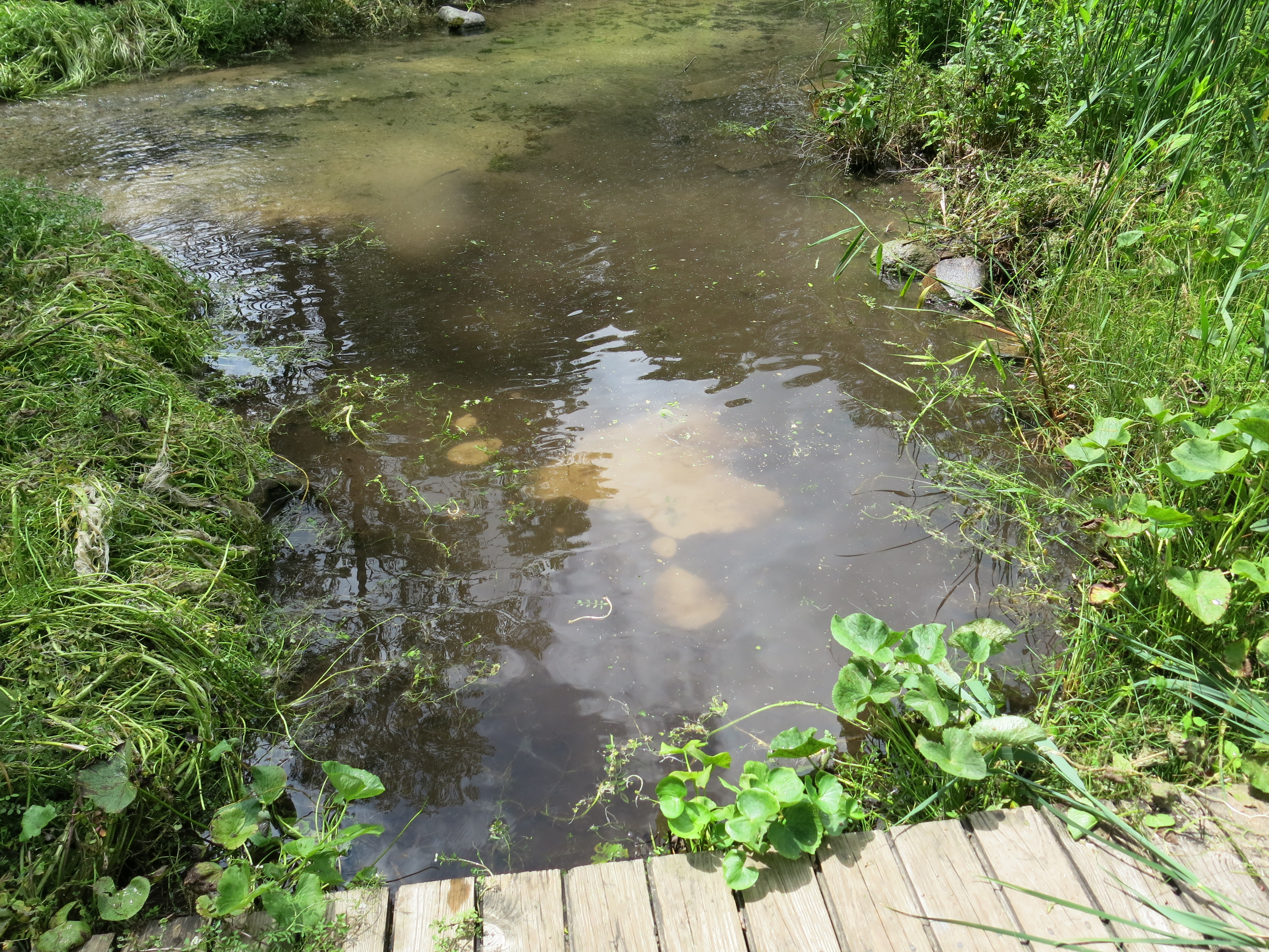
If that was all we got done yesterday, I would still categorize it as a great day, but Ben and I were determined to finish removing the huge oak beams that bisected the river just downstream from the Scuppernong Spring, and I wanted to promptly return the DNR Fisheries Team’s “jetter pump”.

IMG_3473 IMG_3474 IMG_3475

There were five beams remaining and get got after it with controlled fury.  Ben is, at least, twice as strong as The Buckthorn Man, and he single-handedly ripped a few of the beams from their moorings.  Thanks again to DNR Fisheries Technician, Steve Gospoderek, for suggesting the “jetter pump” as the right tool for the job, and to the DNR for loaning us the equipment.

IMG_3491 IMG_3492 IMG_3494 IMG_3495 IMG_3496

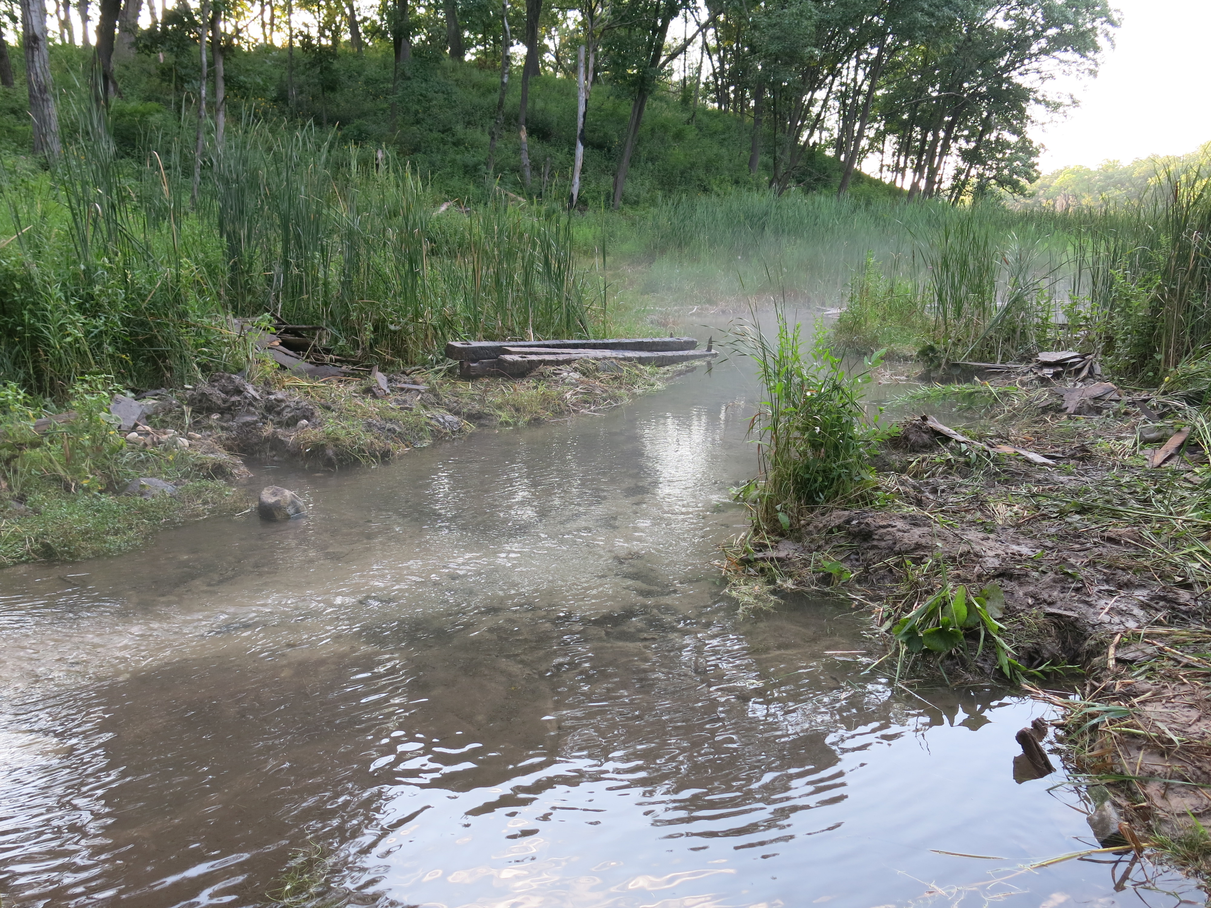
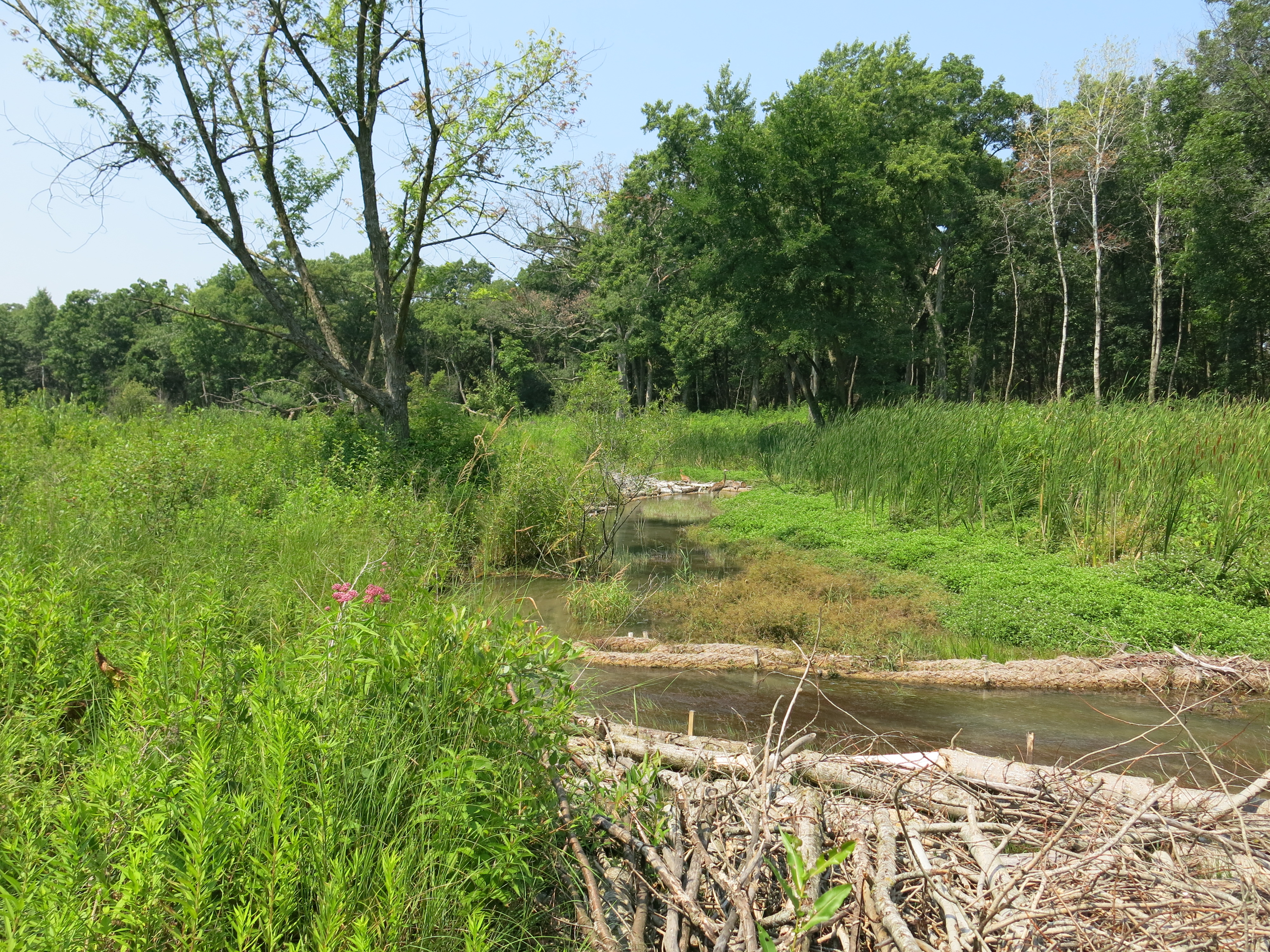
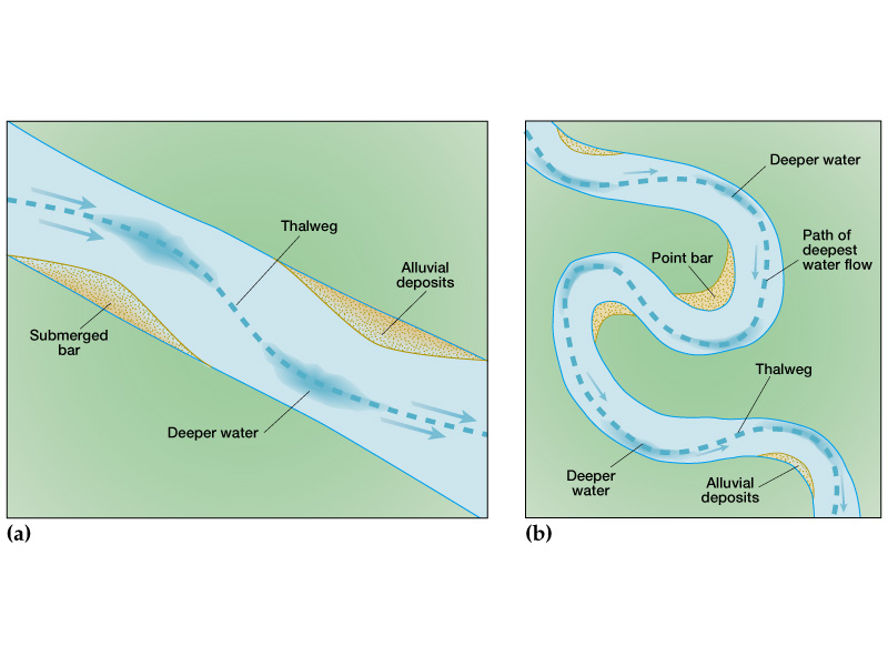
The new thalweg through this stretch of the river will become much more evident in the weeks to come.

I’m trying to catch up on the weeding at The Springs and spent last Thursday and Friday pulling Sow Thistle and Spotted Knapweed.

sowthistle

spottedknapweed

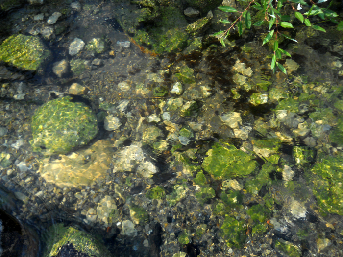
Sow Thistle likes it wet and was prevalent in the areas around the Indian Spring and along the river from Scuppernong Spring down to the Hotel Spring.  The knapweed is dominant (not for long!) on the Sand Prairie.

I got my permit to move live biological control agents from the DNR and should be getting flower weevils delivered next week.  The root weevils will be arriving in August.

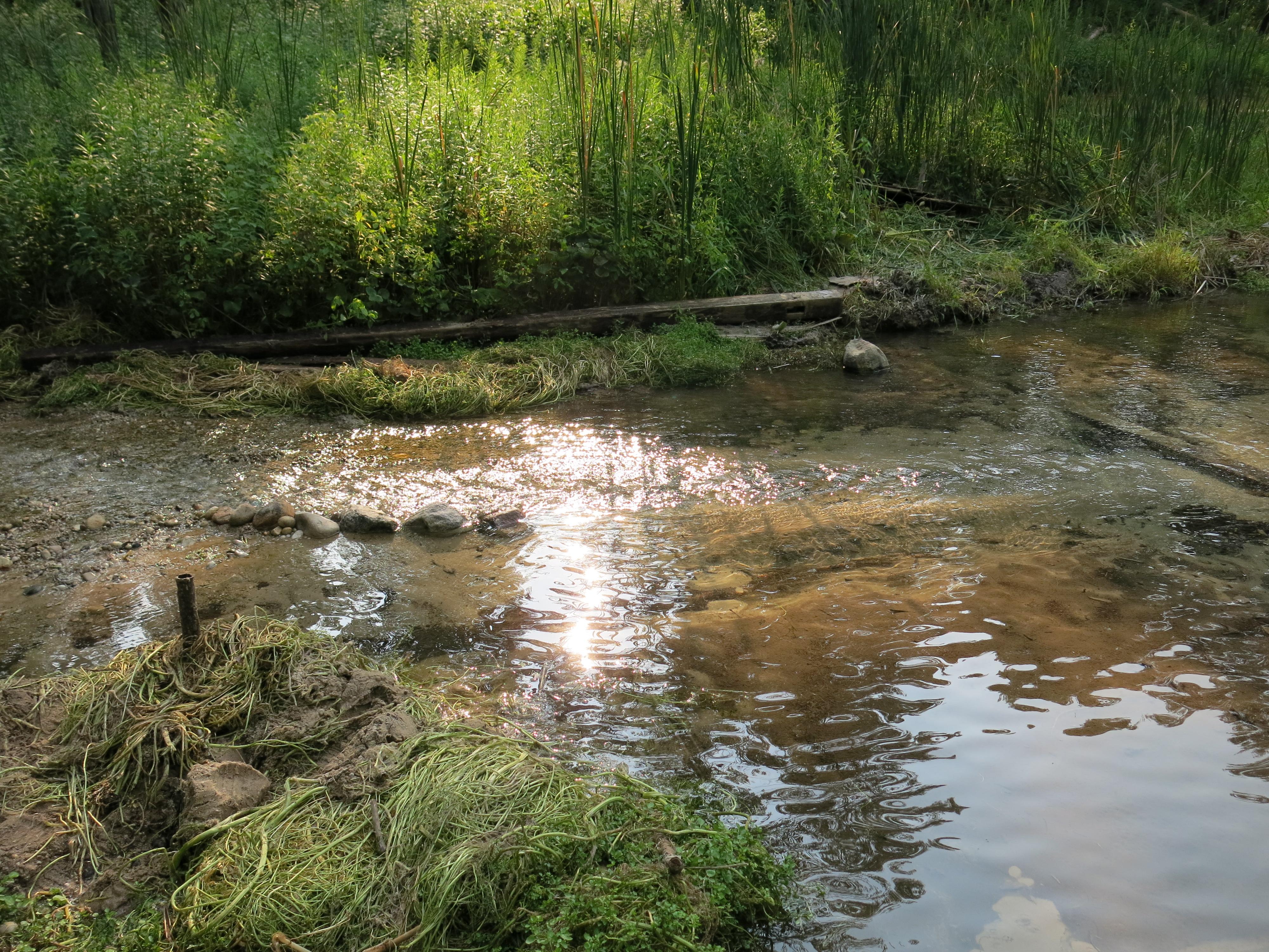
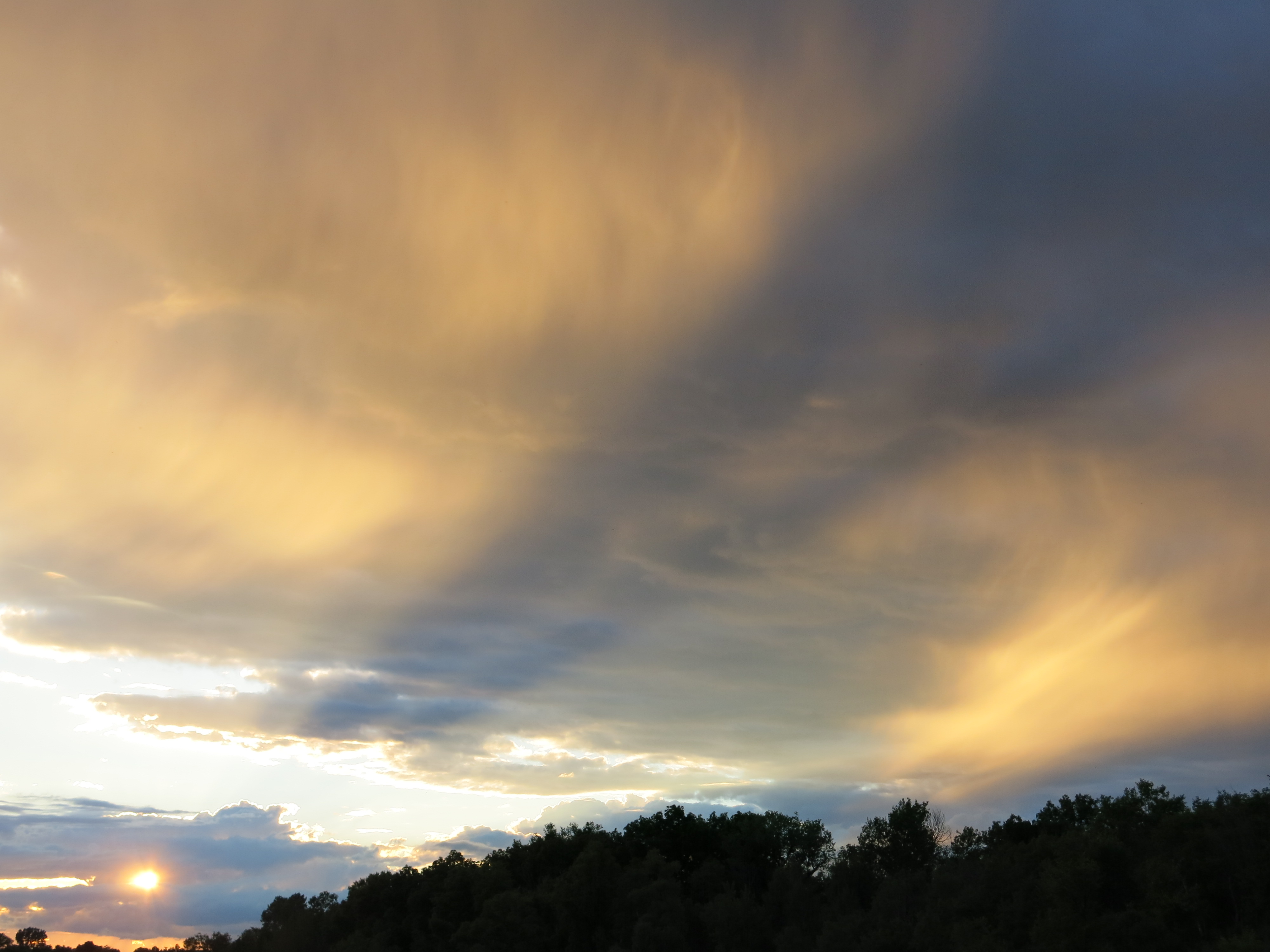
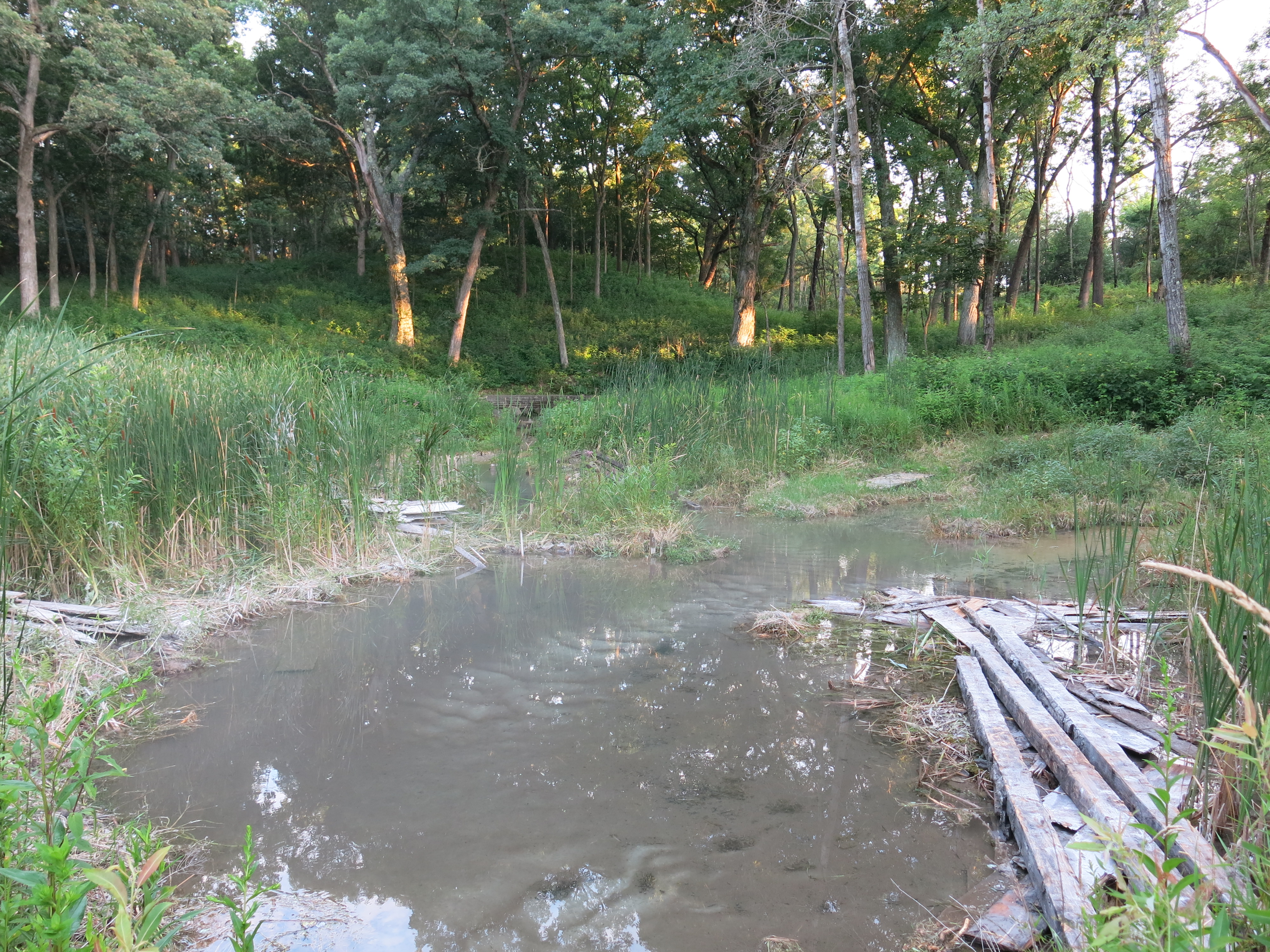
Thursday and Friday were mostly cloudy but yesterday Ben and I were treated to bright sunshine as we relaxed at the Marl Pit bridge after a grueling day’s effort.

IMG_3489

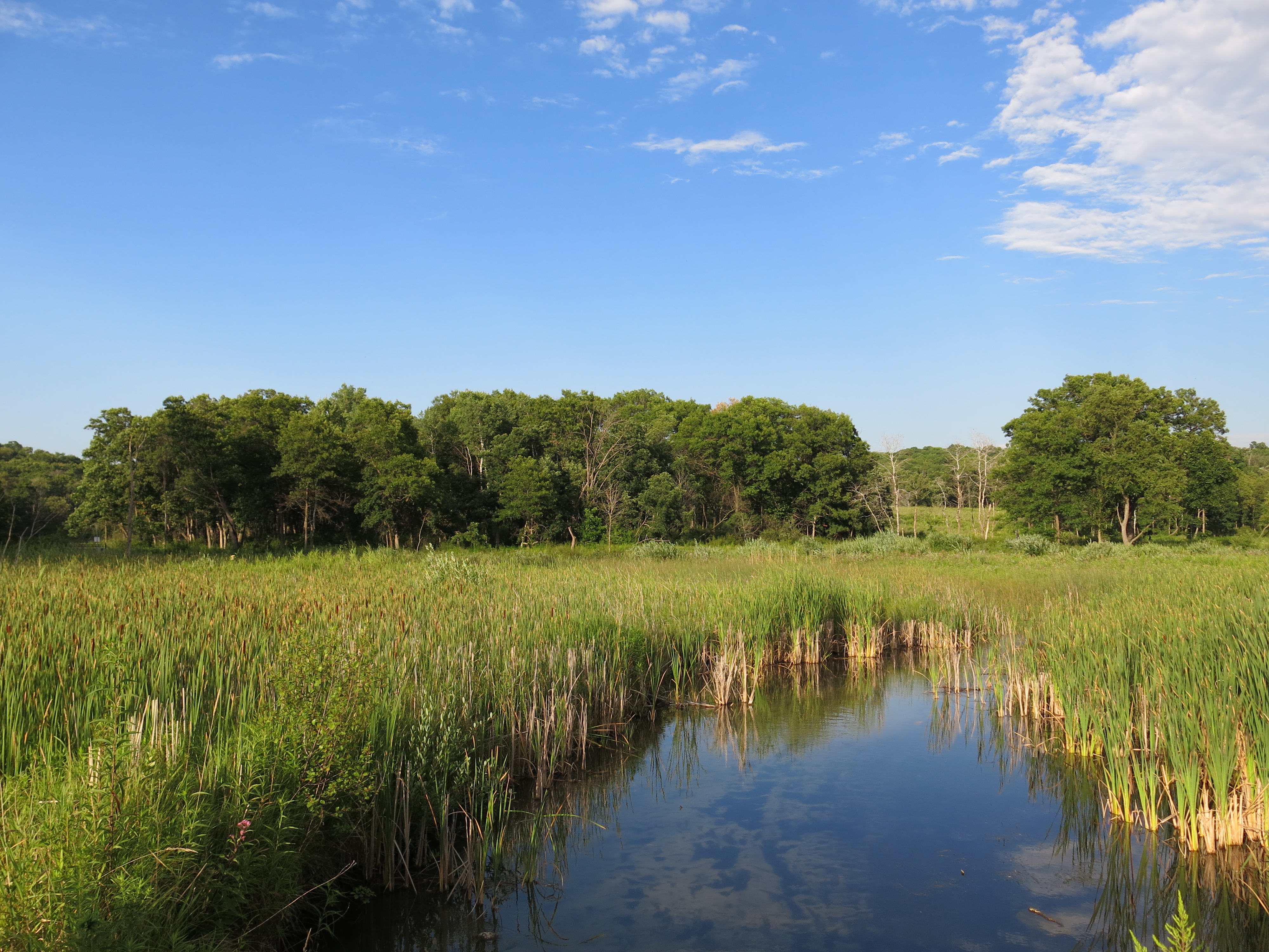
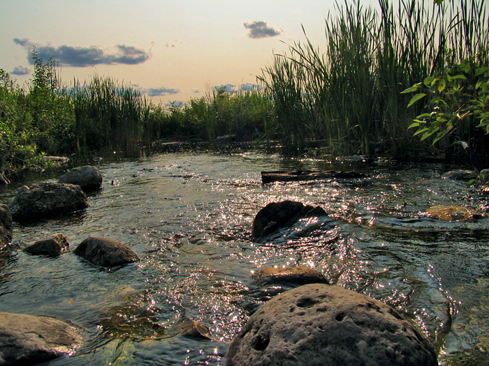
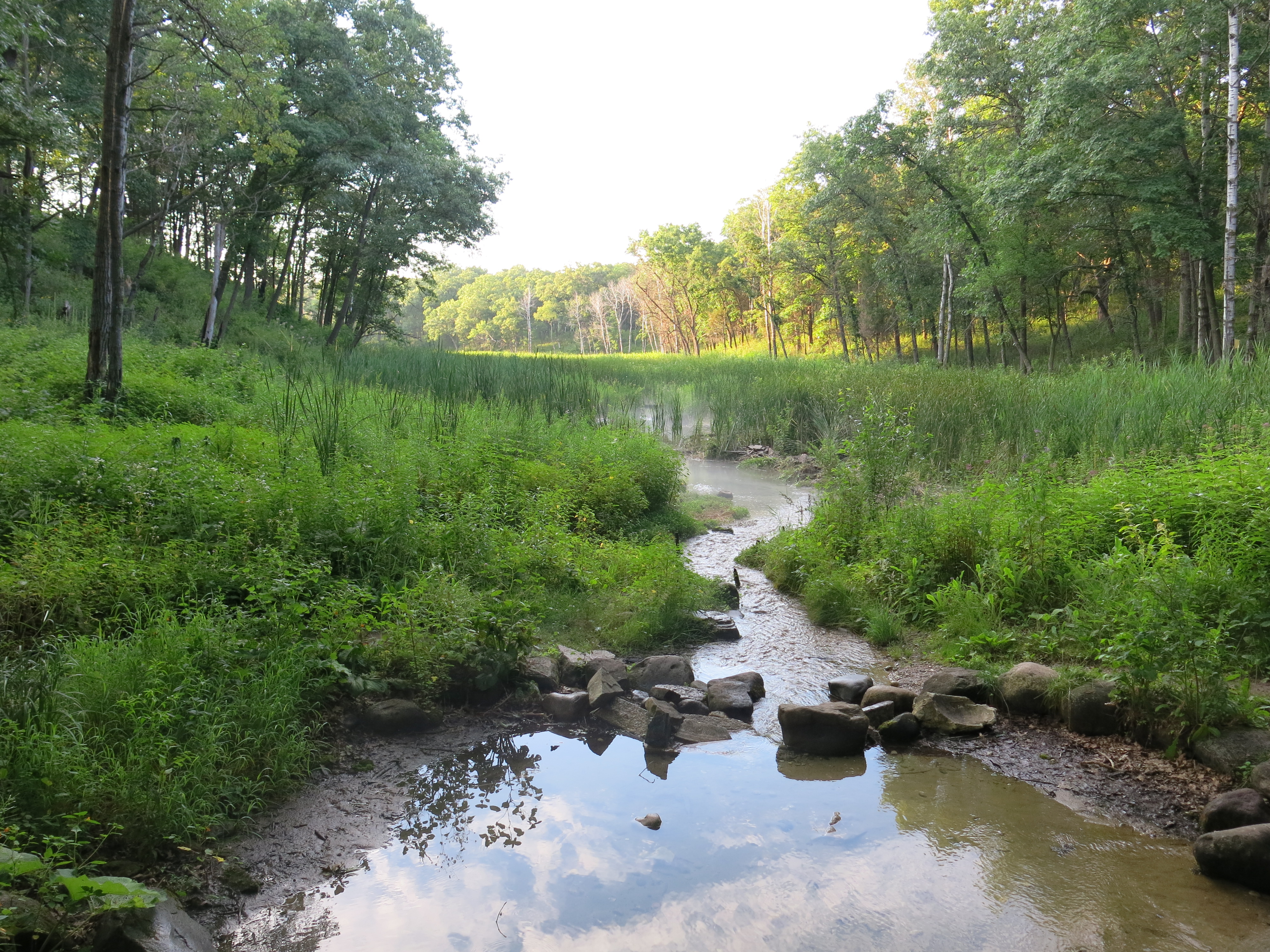
The view from the Gaging Station Bridge looking east.IMG_3490

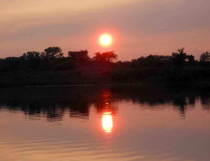
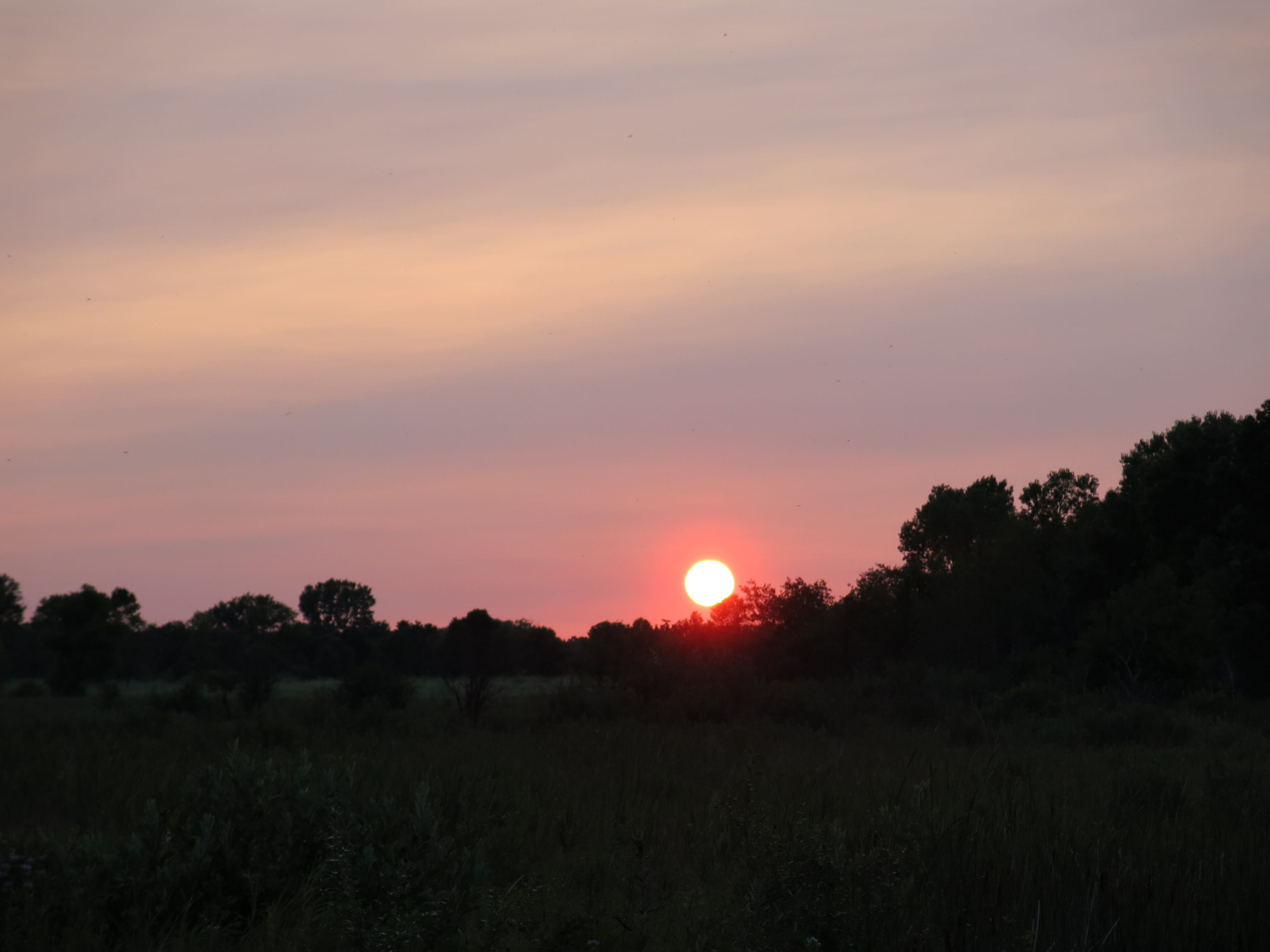
We barely made it back to the marl pits after touring The Springs to catch the sunset.

IMG_3497 IMG_3499 IMG_3501

See you at The Springs!

Jon Bradley Discovers Cure For The Summertime Blues

Despite a veritable who’s who of pundits, ranging from rocker Eddie Cochran…

to mod philosopher Pete Townsend …

Pete_Townshend_(2012)

… to legal scholar, former Attorney General, Janet Reno,

Janet-Reno_First-Female-US-Attorney-General

vociferously claiming that “… there ain’t no cure for the summertime blues!”, JB “The Producer” has, indeed, found the cure at The Springs!  I’ll let JB explain….

On July 16th, I arrived at Ottawa Lake Campground. I didn’t have a lot of time but I hit parts of the trail. The first image was taken by the Marl Pit bridge.

DSCN6008_2

The second one was taken at the main springs. The sun was spotlighting the springs and it was a photo I couldn’t resist.

IMG_7268 copy

The next morning, I got up bright and early and was able to walk the entire trail. When I got to the Sand Prairie and looked out, I noticed three deer down by the stream fed by the Indian Spring. They saw me before I saw them and ran into the woods before I could get a photo.

IMG_7275

IMG_7277

When I arrived at the Emerald Springs, I saw a few Monarchs on the milkweed plants. One of them allowed me to photograph it before continuing on its journey.
IMG_7290

Later that day, I returned to “The Springs” for a short time. For years I had been tempted to get in the ice cold Scuppernong River and finally took advantage of it. The Marl Pit bridge has always been my favorite area, and I was thrilled to become one with the river for a moment. I then sat along the river while my feet dried and realized how lucky we are to have this beautiful spot in our part of the world.
IMG_7324_2

IMG_7328

I visited the trail one more time the next morning before packing up and heading home. Back at the Marl Pit Bridge, I was enjoying the morning air when the call of a Sandhill Crane nearly made my jump. It came out from behind the bend for just a second when I snapped this photo.

IMG_7349

I then, of course, had to get a shot of the river facing west.

IMG_7350

Over at Ottawa Lake I had a good time canoeing. I love canoeing at Ottawa more than any other body of water I’ve visited.

DSCN5954

DSCN5988

DSCN6028

While canoeing, I saw Painted Turtles, Sandhill Cranes, a Great Blue Heron, a Northern Watersnake, and a state-threatened Blandings Turtle, but the highlight came shortly before packing up and heading home. I surprisingly found this Eastern Hognose Snake crossing the campground road. It put on a show by flattening its neck, hissing, bobbing its head, and curling up. Eventually it slithered back into the tall grass.

DSCN6064_2

(editor’s note.  JB, it was great to finally meet you at The Springs.  One question:  Do you think it will last?)

See you at The Springs!

Scuppernong River Survey

Like the headwaters of the river itself, efforts to restore the Scuppernong River to its natural state are gaining momentum.

Late last Fall the DNR Fisheries team, along with help from Southeast Wisconsin Trout Unlimited, installed bio-logs on the stretch of river between the old barn site and the gaging station bridge.

IMG_1420

This Spring, we filled in the areas behind the bio-logs with brush inspired by the efforts of volunteers from Trinity United Methodist Church.

IMG_3150

And recently, we rolled back the water cress…

IMG_3318

… and began removing the remaining structures from the flumes that once channeled the outflow from the Scuppernong Spring.

IMG_1363

The last time we saw Ben Heussner, DNR Fisheries Biologist, at The Springs, I reviewed with him the fact that in most of the places where dams or levees previously blocked the river, it looked like not enough of the obstructing material was removed, which resulted in humps in the riverbed that caused silt and marl to collect upstream.  Ben agreed and commissioned an elevation survey of the river from the Scuppernong Spring all the way downstream to the Marl Pit Bridge.

ScuppernongRiverSurvey

  1. Scuppernong Spring
  2. First bridge — end of flumes
  3. Second bridge — leading to hillside and hidden springs
  4. Emerald Spring
  5. Hotel Spring Bridge
  6. Hotel Spring
  7. Old Barn site
  8. Mid-point between old barn site and Gaging Station Bridge
  9. Gaging Station Bridge
  10. Just upstream of Marl Pit Bridge
  11. Marl Pit Bridge

Ben assembled a team of DNR experts to do the job.

IMG_3446

From left to right above: Michelle Hase — Water Regulations and Zoning Engineer, Andrew Notbohm — Fisheries Technician & Water Resources Management Specialist, Lynette Check  — NR Engineer, Steven Gospodarek — Fisheries Technician and Joshua Krall — Fisheries Technician.  What a fine group!   I had a blast tagging along and listening in.

In locations where there was a noticeable hump in the riverbed, like points 2, 3, 5 and 10 marked on the river image above, they captured three GPS points: one at the “toe”, or point upstream where the hump started, one at the middle of the hump, and one at the “heel”, or point downstream where the hump ended.  Using the elevations from these three points and calculating the desired, or optimal slope, by incorporating all of the data point elevations, they will be able to determine how much material should be removed from the hump to allow the river to clear out the accumulated sediment.  Steve and Michelle explained that this doesn’t necessarily mean removing material from the river, it may be enough to simply spread the hump out beyond the “toe” and “heel”.

Lynette is the expert with the Trimble, GPS device and she made sure we accurately captured all the data points.  Back at the office, she will retrieve the exact elevations of each location and map them out.  There are simple and sophisticated ways to present the results depending on the questions asked, and I’m looking forward to the recommendations the DNR Fisheries Team comes up with.

Lynette and Michelle putting the trimble together.

IMG_3432

The device relies on a cell phone to upload the data and Lynette took a soaker for The State, to help Steve reinitialize the device at the Scuppernong Spring.

IMG_3438

Steve “Gus” Gospodarek taking the measurement at the “heel” downstream of the bridge at location #3 shown above.

IMG_3441

Capturing the data point at the Hotel Spring.

IMG_3442

Big birds at the Big Bend.

IMG_3444

I was in heaven the whole time and thoroughly enjoyed the experience.  Steve taught me new words like thalweg

ThalwegDiag

… and oligotrophic.  Although the term oligotrophic (Lacking in plant nutrients and having a large amount of dissolved oxygen throughout) is normally applied to lakes, the concept can be extended to rivers as Steve used it to describe the Scuppernong River.

When the survey was done, Steve suggested we go back to forest headquarters and pick up a “jetter pump” to blast out the muck encasing the huge oak beams we discovered under the wreckage of the old flumes.  It was a pleasure to visit the Fishery Team’s storage facility and watch Steve, Andrew and Josh whip together a jetter pump rig.  Before you could say “brook trout”, we were back at the Scuppernong Spring blasting beams out of the muck.

IMG_3447

I had so much fun…

We got three beams totally out and almost finished a fourth.  Josh suggested we leave a beam that we half excavated in place to create a bend in the channel — and so we did.  The views below are looking upstream from the first bridge below the Scuppernong Spring, where the flumes ended.

IMG_3453 IMG_3452

I have the jetter pump rig in my truck and hopefully we’ll be able to get the remaining beams out in the next few weeks.

It was an excellent day capped off when Pati, my African Queen, came out to join me and say goodbye to the Scuppernong Springs before she embarks for South Africa again.

IMG_3457

See you at The Springs!


Free the Scuppernong River

For thousands of years the Scuppernong River ran free, cutting its path across the bed of the old Glacial Lake Scuppernong per the laws of nature.

GlacialLakeScuppernong

In the 1870s Talbot Dousman established a trout hatchery at the headwaters of the river at the Scuppernong Springs, temporarily subjecting the river to the laws of man.  The trout farmers engineered the river with multiple levees, dams and flumes eventually leaving the headwaters submerged under two ponds.

FlumesOnTheScuppernongRiver

Scuppernong Ponds

I’ve been getting intimately familiar with the river, you might say, “getting in bed” with it, literally running my fingers through the muck searching for the original riverbed.  As I removed the planks that formed the flumes, I discovered that the river is bisected by 10 huge 6×8″ beams 16′ long.

IMG_3385 IMG_3386 IMG_3388

While the river was under the ponds, a lot of silt and marl migrated into the riverbed and, as we can see above, was trapped behind the beams.  This past Wednesday, Ben Johnson and I removed the first of these beams, the one shown above that points to the left, and we also removed more planks from the flume and other wood structures where the flumes began.

IMG_1363 IMG_1362

IMG_3406

Ben and I are very excited about giving mother nature a free hand to restore the natural riverbed in this area by removing the remaining 9 beams.  Free the Scuppernong River!

IMG_3407 IMG_3409 IMG_3410

Pati and I took a short vacation last week up at the Chippewa Flowage to relax and do some paddling and biking.  The area is beautiful and we looked forward to exploring it.  Pati found the excellent documentary below about how the flowage was created, and it was disturbing to see yet another case of the native tribes being steam rolled by the Bureau of Indian Affairs.  As we paddled different areas of the flowage, I kept thinking of how beautiful it must have been before the dam was put in, and the native way of life in the Chippewa River Valley was destroyed forever.

I was eager to get back to The Springs and on Monday, July 14, I spent the morning cutting weeds like Bouncing Bet (shown below), Nodding Thistle and Canadian Fleabane on the sand prairie.

IMG_3383

In the afternoon I got into the river and removed more of the planking that formed the flumes just below the Scuppernong Spring (see pictures above), and I discovered the 10, huge beams, bisecting the river.

Happily exhausted, I watched the sun set and imagined the river set free.

IMG_3392 IMG_3394 IMG_3398

On Wednesday, I “mowed” the trail from the area around the hotel spring, north up to signpost #13, and then, following the cut-off trail, to the marl pits.  I cut a lot of thistle that was about to go to seed and tons of white clover near the marl pits with my brush cutter, which is a lot more handy than a mower for stepping off the trail to get the nearby weeds.

In the afternoon, I cleaned up the area where I removed planks from the river.  Some of the oak planks are in relatively good shape and might make interesting components in some artwork.  I plan to revisit the stacks and reclaim some choice pieces.  You are welcome to do the same.  I asked Ben to bring his cordless reciprocating saw thinking we could cut notches in the beams to create gaps for the river to flow through.  That was a bad idea and Ben quickly concluded that we needed to dig the beams out.  It took the two of us over an hour to remove the beam shown in the picture above, but I think the process will go faster in the future now that we know what we are up against.

Yesterday I returned to The Springs to cut some buckthorn and pull spotted knapweed and found that Andy Buchta had completed piling all the brush near the parking lot on Hwy ZZ.  Thanks Andy!

IMG_3400 IMG_3401

I wanted to finish a strip of buckthorn that separated an area we opened up last Fall from the area near the parking lot that we cleared this Spring shown above.

IMG_3403

I had to deal with some technical difficulties with my stump sprayer and chainsaw, its been a while since I cut buckthorn, but I got it done.

IMG_3404

I spent the afternoon pulling knapweed on the sand prairie.  Although the knapweed is starting to flower, there is a window of opportunity to continue pulling it before it sets seed.  Assuming I won’t get it all pulled, I’ll use the brush cutter to mow the remainder (except for the areas dedicated to introducing weevils.)  The problem is that its impossible to cut the knapweed without also cutting the surrounding native plants, so I’m trying to pull as much as possible.  The good news is that I sent in my permit to the Wisconsin Department of Agriculture, which I got from Weed Busters, and I should be receiving my Cyphocleonus Achates knapweed root weevils soon.  We’ll get the Larinus Minutus Obtusis flower weevils next year (that is how they recommend doing it).

Steve (third from the left below), and his Ecology class from UW Madison, stopped on their tour to say hello as I was wrestling with the knapweed.  Did you take a drink of the marvelous spring water?

IMG_1365

It’s buggy as hell now at The Springs and my bug net is constantly at the ready.  So be prepared if you come out…

IMG_3413 IMG_3422

See you at The Springs!

The Indian Spring Garden

Ben Johnson and I shared one of those special days yesterday at The Springs, that make it all worthwhile.  We ignored the intermittent rain and incessant mosquito attacks to plant a garden at the Indian Springs.  Watercress and quack grass are out: native sedges, grasses, ferns and flowers are in.  When these plants take hold this will be an even more magical place than it already is.

IMG_3379

We started the day with empty wheel barrows, just down the trail from the main parking lot on Hwy ZZ, in the buckthorn alley.  The emergence, or should I say, explosion, of a wide variety of native plants along this trail makes referring to it as an “alley” a misnomer.  I’ll have to come up with a new name.  So we arrived at the Indian Springs with our diverse loads of plants…

IMG_3369

… and surveyed the void left by the recent removal of watercress and quack grass.

IMG_3371 IMG_3372 IMG_3373 IMG_3375

The profile of stream bed has changed significantly since I removed the mud dam in the narrows of the picture above, and we furthered that process along by cleaning the debris from the literally dozens of springs that emerge here.  I don’t have scientific data to back this claim up, but it appeared that the volume of water flowing from each spring increased significantly as the obstructions were removed.

IMG_3377 IMG_3379 IMG_3380

Although I try to live in the present moment, I can’t help but look forward to next spring, when the transplants have settled in and we should have the deck repaired.  We spent the later part of the afternoon cutting and poisoning sumac and pulling spotted knapweed amongst the lupine patches on the west side of the sand prairie.  Thanks for your help Ben!

Pati and I are going on a short vacation (back around July 15th), so I got some licks in at The Springs this past Tuesday, cleaning up the areas around the hillside springs.  I mowed the spur trails that lead to the hillside and hidden springs, as well as the trail that leads to the emerald springs and the unnamed springs just to the north.

IMG_3358 IMG_3360

In what will become a semi-annual event, I pulled loads of watercress from the headwaters at the Scuppernong Spring down to the first bridge downstream.  When my fingers encountered the planking they installed way back in the days when this stretch of the river was a trout factory, I couldn’t help but pull this garbage out.  I found huge 6×8″ beams spanning the river bed from bank to bank onto which the planks had been nailed.  These unnatural impediments to the stream flow must be removed.

Before…

IMG_3353 IMG_3354

… and after.

IMG_3355 IMG_3356 IMG_3361 IMG_3363

After removing the planks shown below, the height of the river noticeably declined.  The channel is now much deeper and more distinct.  When I showed the area to Ben on Wednesday there were two ducks, normally very skittish when humans are near, who refused to leave.  I think they liked the change.

IMG_3368

Along with the aforementioned beams embedded in the river bottom, there are still more planks and pipes left over from the old days that we plan to remove in the coming weeks.  This will go a long way toward facilitating the river’s return to a natural steam bed in this area.

Again, the late afternoon was spent digging and pulling spotted knapweed along the main trail on the sand prairie.

I thought it was going to be a classic Scuppernong Sunset as I bathed in the river, but this bank of clouds came up fast from the northwest.  I can’t remember a spring and summer where we have gotten so much rain so consistently.

IMG_3364

See you at The Springs!