Oakological Succession

What does the future hold for the Oak Savannas and Woodlands of Wisconsin?  I left the 2015 Oak Savanna Alliance workshop last Saturday at Camp Timber-Lee with a decidedly unsettled feeling aka, cognitive dissonance.  Am I fighting for another seemingly hopeless cause i.e., stopping the War On Drugs, or trying to get a real investigation into what happened on 9/11, when I volunteer my time and attention, my spiritual currency, to restore and preserve the oakosystems in the Kettle Moraine?  Can, or rather, should, anything be done to prevent the oakological succession of the oak forests below the “tension zone” to mixed central and northern hardwood forests?

WisconsinTensionZone2

“Oak forests on medium- and high-productivity sites throughout the Midwest have been decreasing in extent for several decades. Historically, regeneration in these forests was facilitated by a periodic fire regime. Today, it is difficult to regenerate oaks on these nutrient-rich sites due to competition from native and nonnative plants that outcompete oak seedlings. Browsing by white-tailed deer also limits the survival and growth of oak seedlings. The lack of successful regeneration along with selective harvesting of mature oaks contribute to the gradual succession of oak forests to mixed central hardwoods, which includes species such as red and sugar maple, basswood, elms, green and white ash, and ironwood.Wisconsin’s Forests 2004 United States Department of Agriculture

IMG_5054

(see also: Shifts in Southern Wisconsin Forest Canopy and Understory Richness, Composition, and Heterogeneity)

DNR Natural Area Conservation Biologist Matt Zine made an excellent presentation about the progress of the oak succession and the master planning process currently happening at the Lulu Lake SNA.  But it appears, given the meager crumbs of financial support they get, that the Bureau of Natural Heritage Conservation should be renamed to the Museum of Natural Heritage Conservation.  With an annual budget of around $5 million, supporting 33.5 full time employees (of which only a handful are working in southeastern Wisconsin), to manage the endangered resources on 673 State Natural Areas comprising 373,000 acres, they are hard-pressed to do more than save a few choice relics.  Matt explained that they are 10 years behind when it comes to creating master plans for all of the SNAs, and that’s excluding the SNAs above the tension zone, which presumably do not contain any endangered resources, or stand to benefit from any formal management planning.   We don’t know how many, or what percentage, of the SNAs below the tension zone have master plans. This limited perspective on our endangered resources ignores the other 5 million acres of publicly owned lands in the state as well as the privately held lands (approximately 29 million acres.)

Wetlands near Lulu Lake

IMG_5595

Matt is the messenger and I’m having trouble with the message.  Am I fighting Mother Nature when I cling to the ideal of the pre-settlement oak savannas and woodlands and work to restore something that can never be again?  It’s not just the trees, it’s the oakosystems and the mystique of the Native Americans who nurtured and mastered a life sustaining and harmonious balance of flora and fauna.  I fear that, if we don’t preserve the oak savannas and woodlands, we will loose forever the native wisdom accumulated over centuries, that they intrinsically and beautifully embody.

Thank goodness there are people like Eric Tarman-Ramcheck, Emily Stahl and Amanda Kutka, who organized the Oak Savanna Alliance Workshop, and Zach Kastern and Ginny Coburn, who share my passion for the oak savannas and woodlands of the Kettle Moraine!  Zach and Ginny have been organizing volunteer workdays in the Southern Kettle Moraine in partnership with the DNR for three years now.  Zach was awarded the Land Steward of the Year award by the Oak Savanna Alliance.  Way to go Zach!

Zach receiving the award from Matt Zine.

IMG_5593 IMG_5594

The Buckthorn Man made a decent presentation baring his heart and soul while sharing his experiences volunteering for 20 years in the Kettle Moraine.

I’m plagued with doubts as I continue my efforts at The Scuppernong Springs Nature Trail: am I doing “The Right Thing” or am I fighting the natural succession?  Is it wise to abandon the management practices of the people who lived here for thousands of years, which kept the natural succession in check?

On Tuesday May 12, I spent most of the day cutting garlic mustard with my brush cutter.  I am observing that in the areas where I concentrated on cutting garlic mustard last year, there is significantly less this year and the plants that are present are typically 6-8″ tall, spindly, and with relatively few seeds.  I am gaining confidence that the strategy of mowing garlic mustard can succeed by focusing on keeping it out of the “best” areas and then gradually expanding the no-GM zone.

The river is starting to make a head cut at the Hotel Spring bridge location where the DNR recently excavated (scroll down to the leprechaun image in this post for more details.)

IMG_5565

The sun made a dramatic appearance late in the afternoon.

IMG_5570IMG_5572IMG_5563IMG_5566

On Wednesday, May 13, I was back at it whacking garlic mustard and pulling water cress.  I also spent some time weeding the spotted knapweed from the patches of lupine that are proliferating on the west slope of the sand prairie.

Sunset at Ottawa Lake.

IMG_5589 IMG_5575 IMG_5576 IMG_5579 IMG_5581 IMG_5585

On Saturday, May 16, Pati and I stopped at The Springs on the way home from the Oak Savanna Alliance Workshop to check out the lupine.

IMG_5597

IMG_5598 IMG_5599 IMG_5601 IMG_5603 IMG_5604

And finally, on Monday, May 18, I spent an absolutely beautiful spring day cutting garlic mustard, pulling water cress and digging out spotted knapweed.

IMG_5606

I weeded quack grass and water cress from the Indian Springs.

IMG_5609 IMG_5613 IMG_5614

In the late afternoon I joined Pat Witkowski and the Ice Age Trail Alliance “Monday Mudders” to do a little trail maintenance near the tower at Lapham Peak State Park.

IMG_5616 IMG_5618 IMG_5621 IMG_5622 IMG_5623

Views from the tower.

IMG_5627 IMG_5628

See you at The Springs!

The Indian Spring Garden

Ben Johnson and I shared one of those special days yesterday at The Springs, that make it all worthwhile.  We ignored the intermittent rain and incessant mosquito attacks to plant a garden at the Indian Springs.  Watercress and quack grass are out: native sedges, grasses, ferns and flowers are in.  When these plants take hold this will be an even more magical place than it already is.

IMG_3379

We started the day with empty wheel barrows, just down the trail from the main parking lot on Hwy ZZ, in the buckthorn alley.  The emergence, or should I say, explosion, of a wide variety of native plants along this trail makes referring to it as an “alley” a misnomer.  I’ll have to come up with a new name.  So we arrived at the Indian Springs with our diverse loads of plants…

IMG_3369

… and surveyed the void left by the recent removal of watercress and quack grass.

IMG_3371 IMG_3372 IMG_3373 IMG_3375

The profile of stream bed has changed significantly since I removed the mud dam in the narrows of the picture above, and we furthered that process along by cleaning the debris from the literally dozens of springs that emerge here.  I don’t have scientific data to back this claim up, but it appeared that the volume of water flowing from each spring increased significantly as the obstructions were removed.

IMG_3377 IMG_3379 IMG_3380

Although I try to live in the present moment, I can’t help but look forward to next spring, when the transplants have settled in and we should have the deck repaired.  We spent the later part of the afternoon cutting and poisoning sumac and pulling spotted knapweed amongst the lupine patches on the west side of the sand prairie.  Thanks for your help Ben!

Pati and I are going on a short vacation (back around July 15th), so I got some licks in at The Springs this past Tuesday, cleaning up the areas around the hillside springs.  I mowed the spur trails that lead to the hillside and hidden springs, as well as the trail that leads to the emerald springs and the unnamed springs just to the north.

IMG_3358 IMG_3360

In what will become a semi-annual event, I pulled loads of watercress from the headwaters at the Scuppernong Spring down to the first bridge downstream.  When my fingers encountered the planking they installed way back in the days when this stretch of the river was a trout factory, I couldn’t help but pull this garbage out.  I found huge 6×8″ beams spanning the river bed from bank to bank onto which the planks had been nailed.  These unnatural impediments to the stream flow must be removed.

Before…

IMG_3353 IMG_3354

… and after.

IMG_3355 IMG_3356 IMG_3361 IMG_3363

After removing the planks shown below, the height of the river noticeably declined.  The channel is now much deeper and more distinct.  When I showed the area to Ben on Wednesday there were two ducks, normally very skittish when humans are near, who refused to leave.  I think they liked the change.

IMG_3368

Along with the aforementioned beams embedded in the river bottom, there are still more planks and pipes left over from the old days that we plan to remove in the coming weeks.  This will go a long way toward facilitating the river’s return to a natural steam bed in this area.

Again, the late afternoon was spent digging and pulling spotted knapweed along the main trail on the sand prairie.

I thought it was going to be a classic Scuppernong Sunset as I bathed in the river, but this bank of clouds came up fast from the northwest.  I can’t remember a spring and summer where we have gotten so much rain so consistently.

IMG_3364

See you at The Springs!

Watercress Bio-Logs

It’s been a week of dodging rain and catching rays at The Springs; mostly the former.  It’s really wet out there and it’s going to be like a steam bath when the summer heat finally arrives.

On Wednesday, June 18, I waited in my truck for the rain to stop and got in some uninhibited practice on my recorder.  I still sound really bad, but I’m learning my way around the instrument and it’s fun to make sounds.  When the rain finally stopped I mowed the DNR 2-track access road on the south end of the Scuppernong Springs Nature Preserve with my brush cutter; not the most efficient tool, but dragging a mower out there is a lot of work too.

I followed up on my efforts last week at the Indian Springs by transplanting a few of the sedges that are growing downstream into the area where I pulled quack grass and watercress, just to see what it would take.  If you have not visited the Indian Springs in a while, you will be surprised by the new look.  There was a shelf of peat/mud/clay around 20 yards downstream from the deck at the main springs that created a little waterfall about a foot high, and I removed this material.  So now the outflow stream has found it’s natural bed in stone and sand and the water table has fallen to this new level in the upper area where the main springs emerge.  Now we can proceed with the transplants, and hopefully, sometime this summer, replace the deck.

I pulled and dug a ton of spotted knapweed, hoary alyssum and hawksbeard from the sand prairie in the afternoon.  Lindsay Knudsvig and John Hrobar both informed me that there are weevils that attack spotted knapweed and I do need to follow up on introducing them on the sand prairie.

IMG_3302

On Thursday, June 19, we had a date with the DNR Fisheries team to observe them performing an elevation study at the hotel springs bridge, but the weather was dicey and they decided to reschedule.  I’m hoping they will also study the elevation at the two little foot bridges that are upstream of the emerald spring, as they seem to have the same profile, i.e. a place were an embankment formerly dammed the river and where marl and sand have collected in the riverbed upstream (symptoms of the river not making a natural headcut.)  These are locations where humans intervened with the natural lay of the land that we need to put right.

Pati is back from her adventure in South Africa and we had another mission that day to do our monthly river monitoring on the Scuppernong River, where it crosses Hwy Z, just west of forest headquarters.  Pati spent 9 years as a research assistant at the Medical College of Wisconsin and she really enjoyed doing a little science in the river!

On the way home, the sun was shining and we stopped at The Springs to take a walk and there we ran into a team from the USGS recalibrating the measuring devices at the gaging station.  I forgot to get their names but they were very friendly and thoroughly explained what they were doing.

IMG_3297 IMG_3298 IMG_3299 IMG_3301

The consistency of the measurements are vulnerable to any changes in the river’s profile; moving rocks around, or even a bloom of underwater foliage a few feet downstream, can throw off the calibration.

Friday, June 20, I was back at The Springs with watercress on my mind.  It was three years ago that Lindsay and I attempted to clear out the watercress that was damming the river and it has come back vigorously since then forming new dams.  We started naively thinking we could actually get rid of the watercress, so we pulled out as much as we could, from bank to bank, and heaved it up and out of the river forming huge piles.  This released the river’s flow to the pull of gravity and significantly lowered the water table in the whole upper valley (from the Scuppernong Springs down to the old barn site.)

This time around, I decided to try something new.  After learning more about how the DNR Fisheries team used bio-logs to shape the river’s course, I thought of using the watercress to form natural bio-logs.  When I put my hands down in the riverbed and began to pull up the thick carpet of watercress roots, I realized I could just roll it over and pin it behind the stakes that were still in place from the effort the DNR made years ago to install bio-logs and stick bundles.

This approach addresses the fact that brook trout need bugs and cover.  Leaving the watercress on the perimeter of the river, creates a natural shelf the fish can hide under, and, in a few weeks, new growth from the watercress will again cover the river providing shade and a source of bugs.  The difference is that now the watercress root system will not be clogging the main channel of the river.  Of course, it will grow back into the channel and again have to be rolled out, but each time a layer of marl and mud will come with it deepening the main channel.  Well, enough talk, here is what it looks like now.  As far as the long-term results, we’ll have to see.

Looking downstream from the first footbridge below the Scuppernong Spring.

IMG_3318 IMG_3319 IMG_3320 IMG_3321 IMG_3322

Just as we saw back in 2012, the water level fell by 2-3 inches after the watercress dams were removed

.IMG_3324 IMG_3325

I think keeping an open channel will also compliment the DNR’s efforts to adjust the elevation of the river and produce a headcut.  My good friend John Hrobar, who spent his career working with water and studying it’s movement and behavior in complex ecosystems, totally disagrees with this approach and we have had many intense discussions about it.  I invite John to explain his position and rational either in a comment to this post or in a separate post.

In fact, later that afternoon, I ran into John and Sue Hrobar on the sand prairie as I was pulling spotted knapweed.  They pointed out a few new plants they had not seen before:

Clasping Milkweed.

IMG_3303

Last year, John pointed out that I was cutting all the purple prairie clover in my zeal to cut flowering spotted knapweed.  I was happy to show that I learned my lesson, and now we are poised for an explosion of purple.

IMG_3304

Flowering Spurge.

IMG_3307

The sun came out in its solstice fullness and it turned into a hot summer day for a couple hours.

IMG_3309

On Saturday, June 21, I joined Jared Urban and the State Natural Areas volunteers at the Bluff Creek SNA to girdle aspen.  We worked on the area marked in red below on an aspen clone that they started working on last month.  We focused on the little aspen that were spreading out into the prairie.

BluffCreekWestRxBurnMap

Zach Kastern showing Jack and Brandon where to go…

IMG_3313

… and how to do it.

IMG_3314

Jack, Zach, Brandon, Jerry, Jared and Ginny.

IMG_3316

I left shortly after noon to girdle aspen back at The Springs but Zach, Jared and Ginny stayed to finish the job and pull some sweet clover and parsnip while they were at it.  It was an excellent learning experience for me and I realized that I needed to follow up on the aspen girdling I did last year to make sure the clonal colonies were completely killed.

See you at The Springs!

SEWRPC Surveys The Springs

I love to landscape the landscape at the Scuppernong Springs.  This distinguished tract of land deserves our love and attention for the sake of its beauty.  So please, come out and help me dig a little spotted knapweed from the sand prairie!

clipartthumbsuphappysmileyemoticon

The lay of the land at The Springs was evoked beautifully by John Muir, in his classic: The Story of My Boyhood and Youth, and I had to pinch myself last night as I walked alone behind the Scuppernong Spring and thought: ‘this is my garden’.

IMG_3256

I’m intrigued by how others experience my garden.

Here is a great image from Landscape Photographer Byron S. Becker: “The photograph was taken in the spring of 2008 along Suppernong River near sundown. The camera was a 4×5 with a 90mm lens, using TriX 320 film and the exposure was 2 minutes; the developer was Pyronal.”

45BW56-1 Scuppernong Creek

Below is an example of Kristen Westlake’s Fine Art Photography.  You can see more of her images of The Springs, and all of her other outstanding work, here.

kristen-westlake-20140605-boardwalk-infrared-landscape-0001

I had a wonderful week of beautiful weather for landscape gardening at The Springs!  Last Monday, June 9th, I tried something new, per the advice of Jared Urban, and burned the first-year garlic mustard off the cut-off trail with my blow torch.  Below is where the cut-off trail joins the main trail at signpost #13.

IMG_3167 IMG_3168

And after…

IMG_3170

IMG_3169

I got the worst patches and now the trail is officially “burned in” as Don Dane would say.  I spent the afternoon digging spotted knapweed from the sand prairie and was glad to have Ben Johnson’s help with this seemingly Sisyphean task.  We focused on cleaning up the lupine patches.

IMG_3173

On Friday, June 13, I was joined by Dan Carter, Senior Biologist with The Southeastern Wisconsin Regional Planning Commission (SEWRPC).  Dan was continuing SEWRPC’s ongoing effort to document the vegetation at The Springs and invited me to come along.

IMG_3246

SEWRPC has divided The Springs into 4 areas for their vegetation surveys:

1) The dry prairie at the springs (aka, the Indian Campground)
2) The dry woods
3) The springs, immediately adjacent wetlands, and upper reaches of the creek
4) The fen and sedge meadow in the vast open area immediately to the west (includes trench where marl was mined).

The first three areas listed above are located in the blue circle on the right below and the fourth is in the larger blue circle to the left.  Click the links above to view SEWRPC’s preliminary vegetation surveys.

SEWRPCScuppernongSpringsNAList Area

As we walked through Buckthorn Alley on our way to the hotel spring, Dan and I stopped frequently to make notes and take pictures.  Dan recently completed his PhD in Biology at Kansas State University and he has a wealth of knowledge, understanding and wisdom.  Here are just a few of plants he identified.

Lady Fern

IMG_3181

Sensitive Fern

IMG_3184

False Solomon’s Seal

IMG_3195

True Solomon’s Seal

IMG_3196

Be careful at The SpringsPoison Hemlock.IMG_3210 IMG_3211

Bulrush

IMG_3214

Forked Aster, a state threatened plant!

IMG_3222

Valerian

IMG_3224

Horsetail

IMG_3227

We visited the Ottawa Lake Fen State Natural Area and Dan showed me two new springs that I had never seen before.  They emerge from the east side of the wetlands and you can find them by walking across the fen from campsite #334 towards the north until you come across their outflow channels.

IMG_3245 IMG_3241 IMG_3242

IMG_3243 IMG_3244

Of course, there were lots of interesting plants here too.

Bracken Fern

IMG_3232

Lake Sedge

IMG_3233

And the carnivorous Pitcher Plant

IMG_3247

Thanks Dan, for showing me around the place I love!

IMG_3250

I spent the afternoon pulling and digging spotted knapweed on the sand prairie.  There is a bumper crop of this noxious invader!

A soothing sunset at Ottawa Lake.

IMG_3258 IMG_3261 IMG_3264 IMG_3267 IMG_3271

A “Honey” moon at the Lapham Peak Tower.

IMG_3273

I had the pleasure of spending yesterday, June 14, at my favorite spot again.

IMG_3275 IMG_3279

The Indian Spring is being quickly overrun by quack grass and water cress so I spent the morning pulling these invasive plants.  Before…

IMG_3282

… and after.

IMG_3284 IMG_3287

Then I moved up the hill to the sand prairie and continued pulling and digging spotted knapweed.  It’s going to take years to get rid of this stuff unless I get a whole lot of help.

Speaking of which, my good friend Carl Baumann, who has been harvesting black locust on the south end of the trail, split all of the logs in my woodpile setting the stage for some cozy fires at My Shangri-La.  Thanks Carl!

IMG_3288

And Andy Buchta noticed the freshly cut buckthorn by the main entrance on Hwy ZZ and he has commenced to piling.  Thanks Andy!

IMG_3289 IMG_3290

It was a great week!

IMG_3295 IMG_3296

See you at The Springs!


Super Friends of the Scuppernong Springs

2013 was a fantastic year at The Springs. Here are highlights from the perspective of all the Super Friends♥ of the Scuppernong Springs Nature Trail. We don’t have a normal friends group; no, we have Super Friends♥
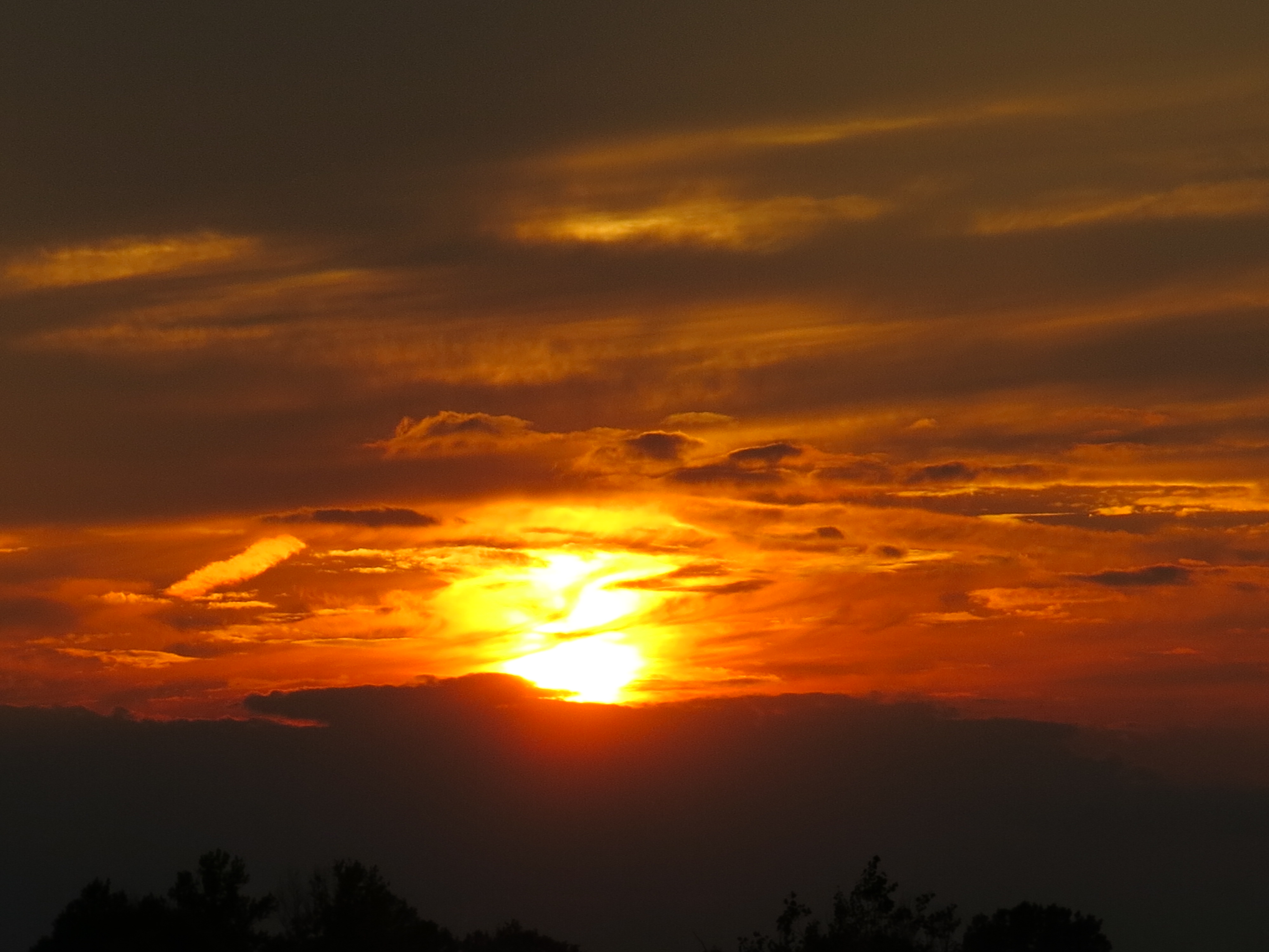
superfriends

January

scuppernong nature trail
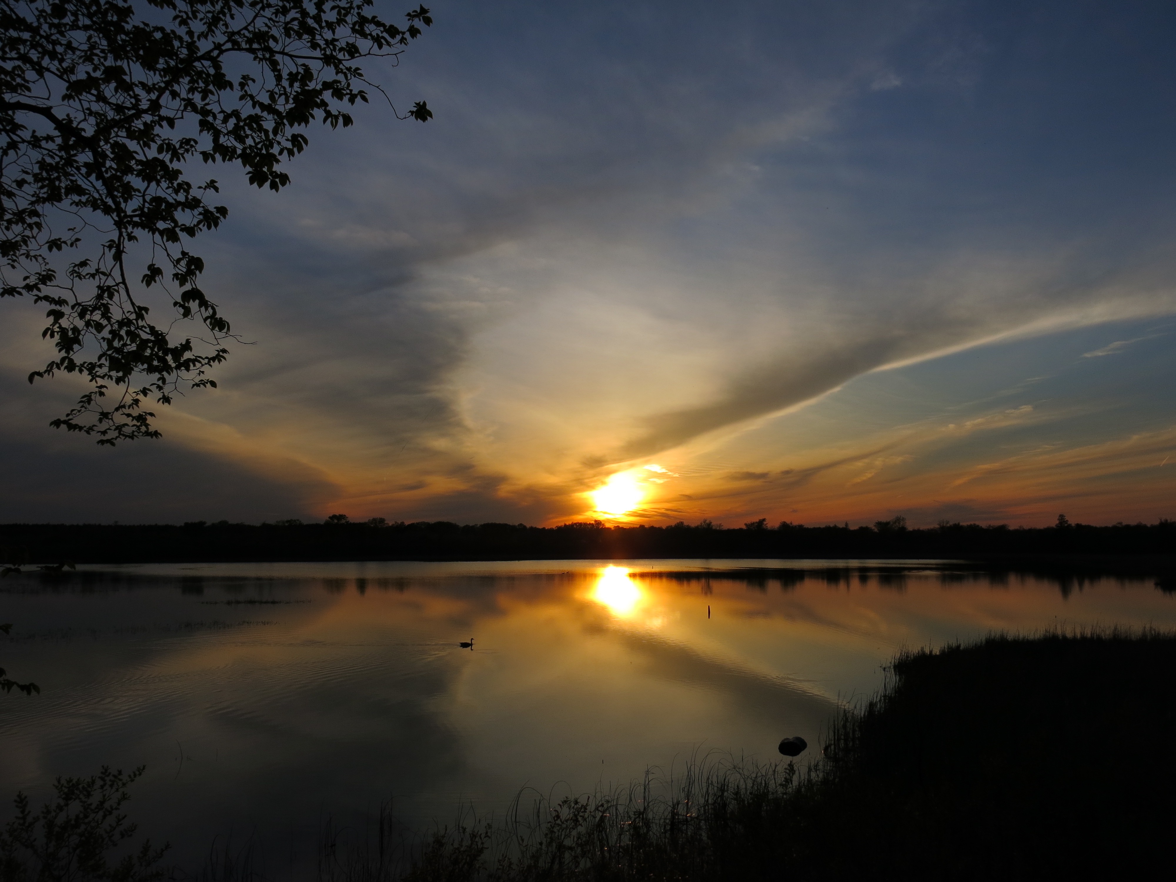
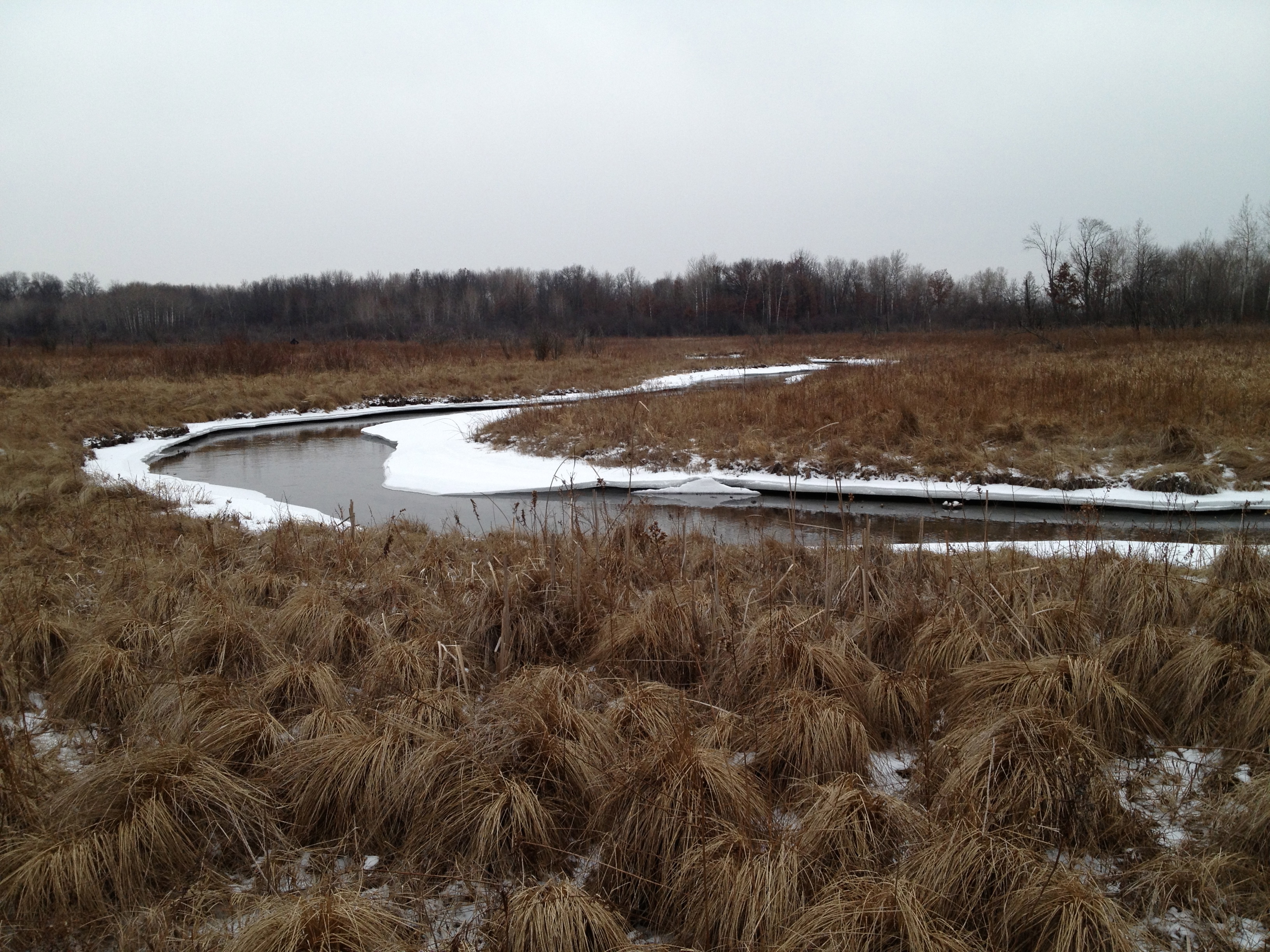
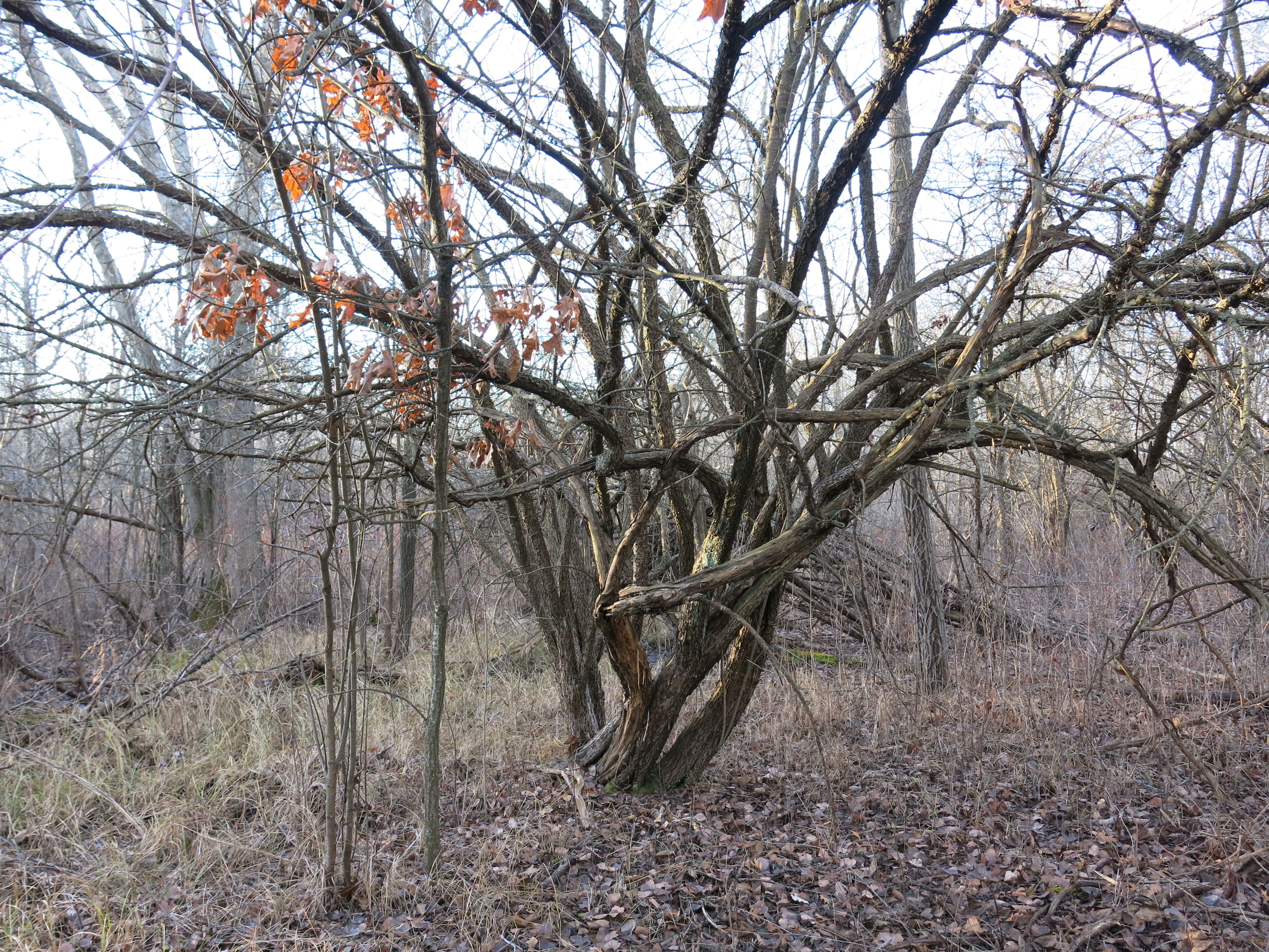
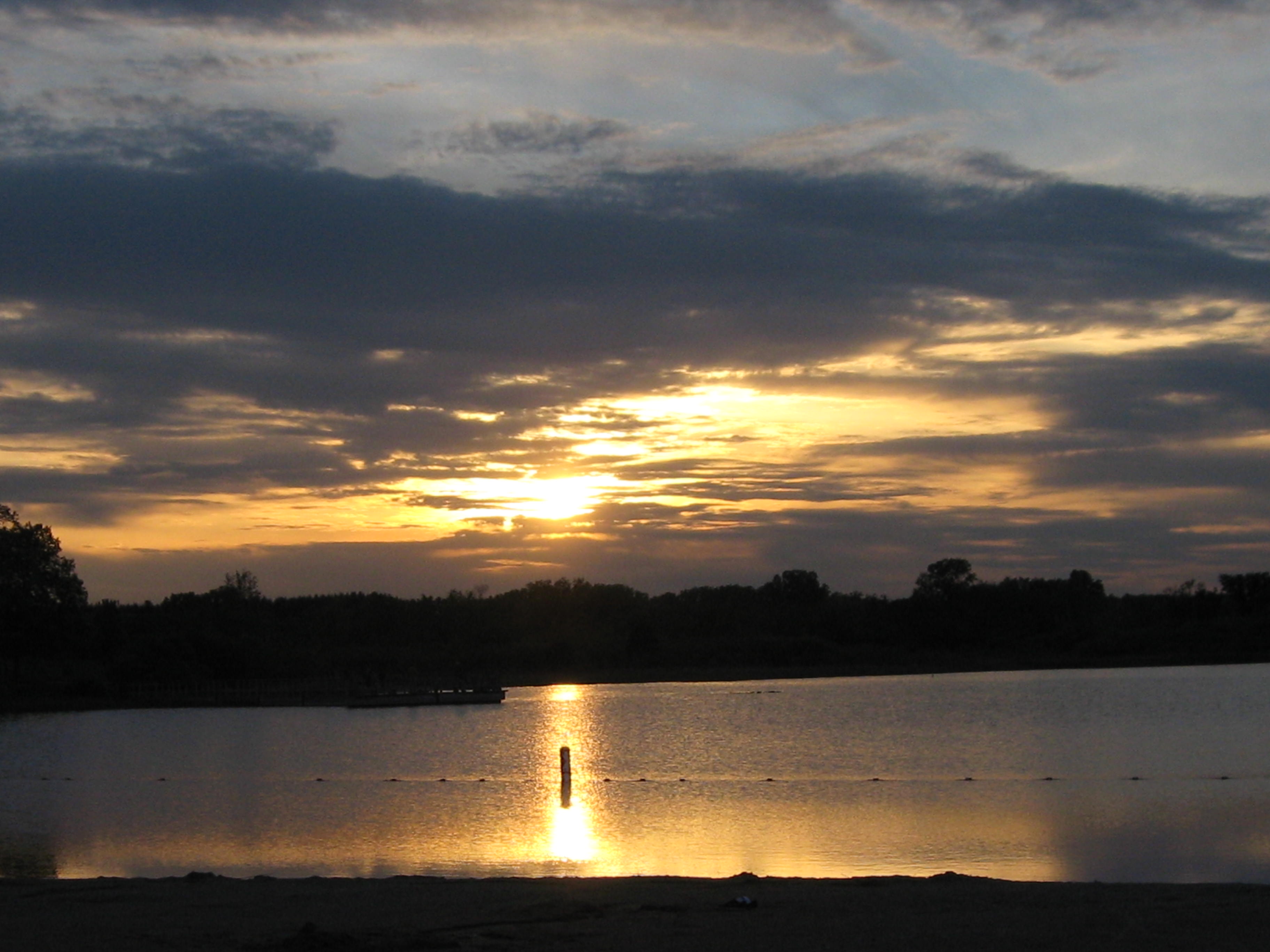
(photo by Tighe House)

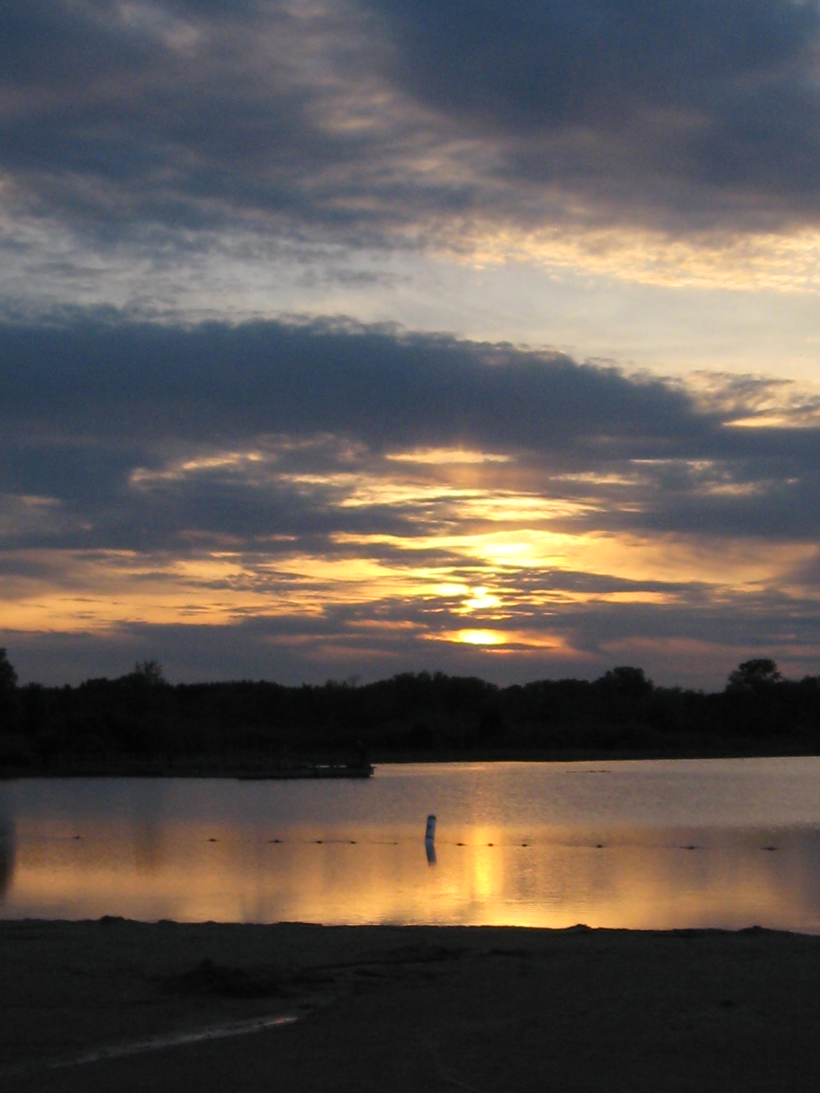
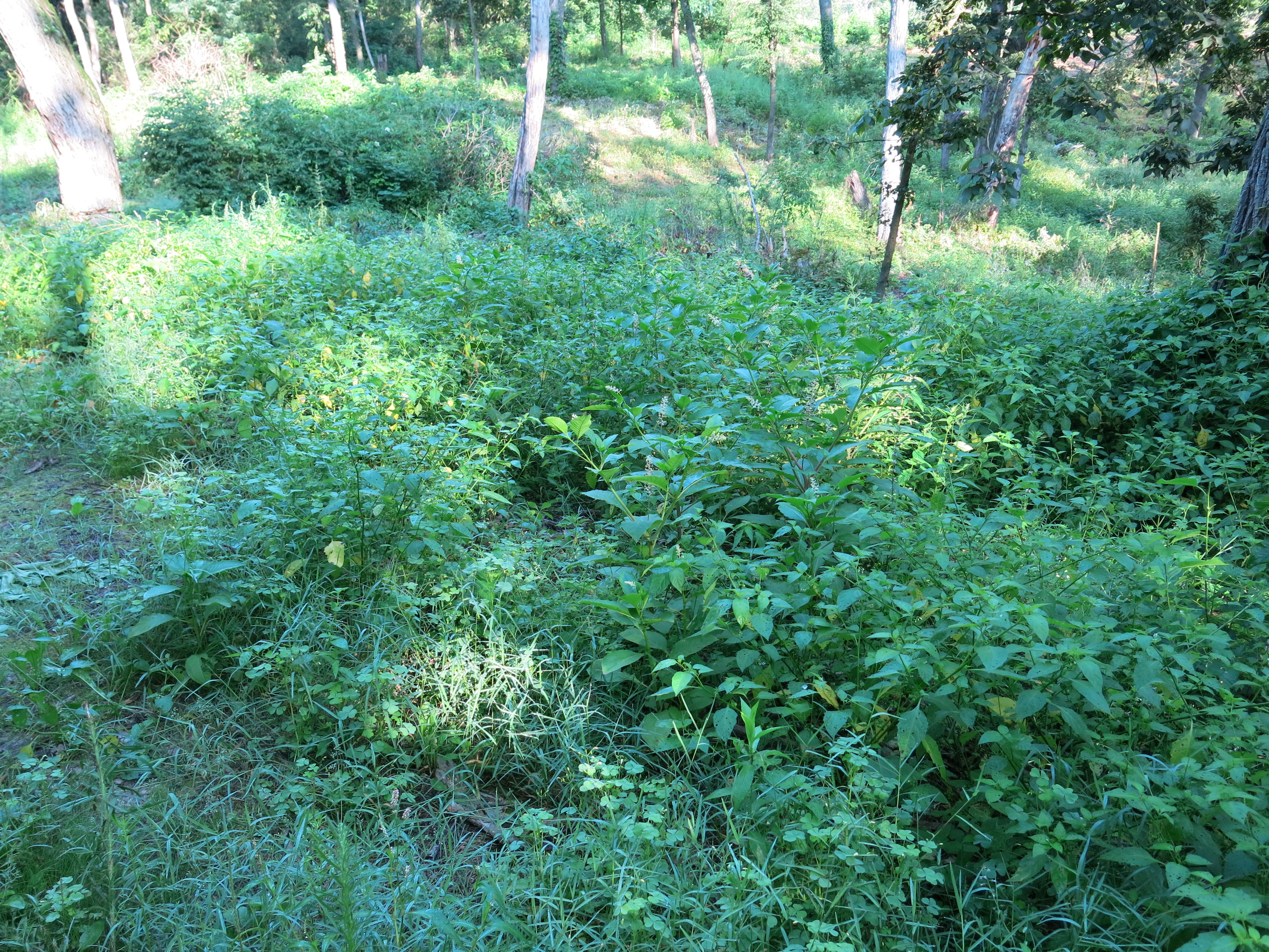
We burned a lot of brush piles on the south side of the Indian Spring and all across the Indian Campground, aka, the Sand Prairie.  My old friend from “The Quiet Company”, Mark Mamerow, was a big help.

The USGS installed a ground water flow meter at what I now call the “gaging station” bridge and Rich Csavoy and Lindsay Knudsvig were very active helping burn 173 brush piles.

Lindsay, Rich and I cut and piled buckthorn between the cut-off trail and river.  DNR trail boss, and jack-of-all-trades, Don Dane, provided native flower and grass seeds that we sowed near the Indian Spring.

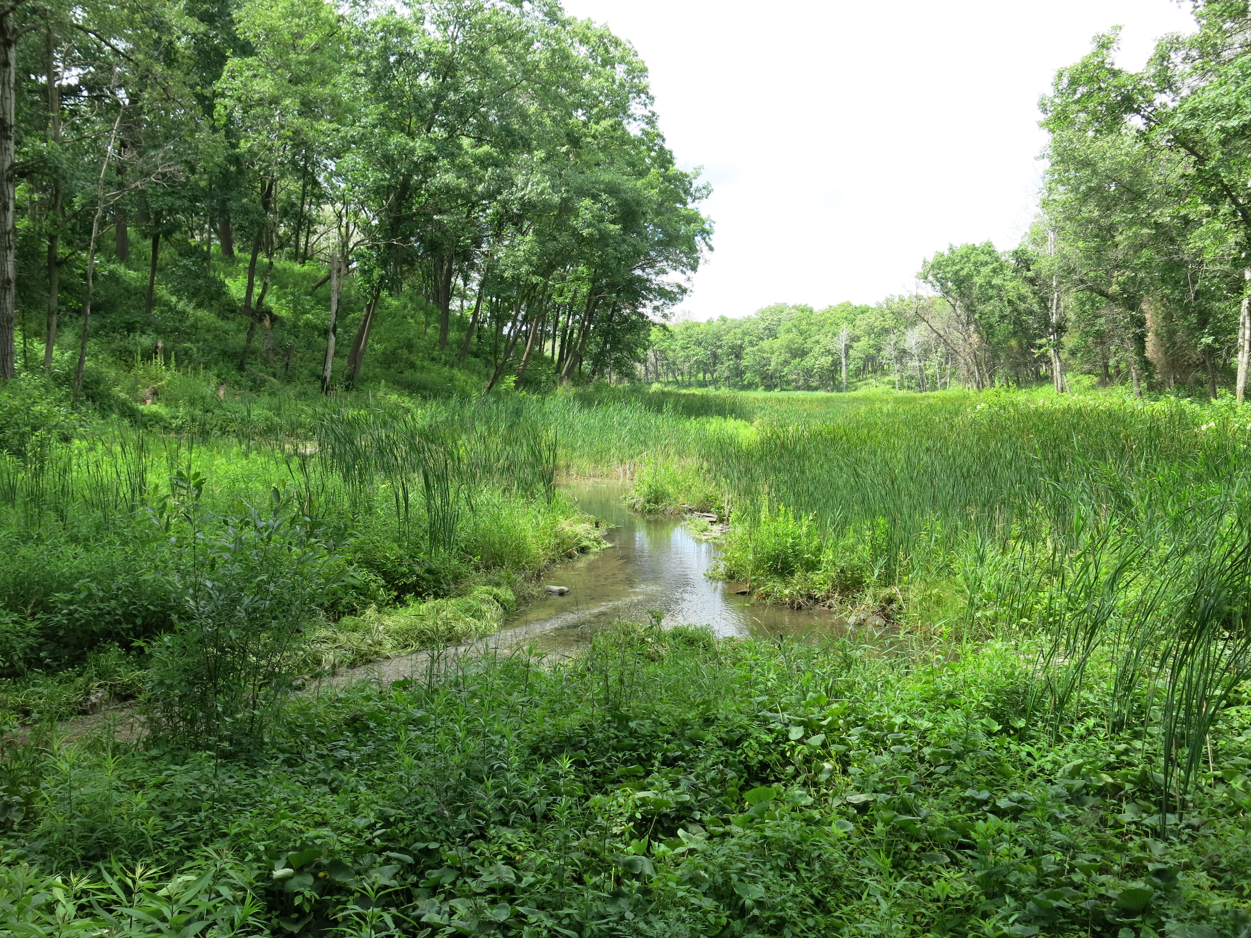
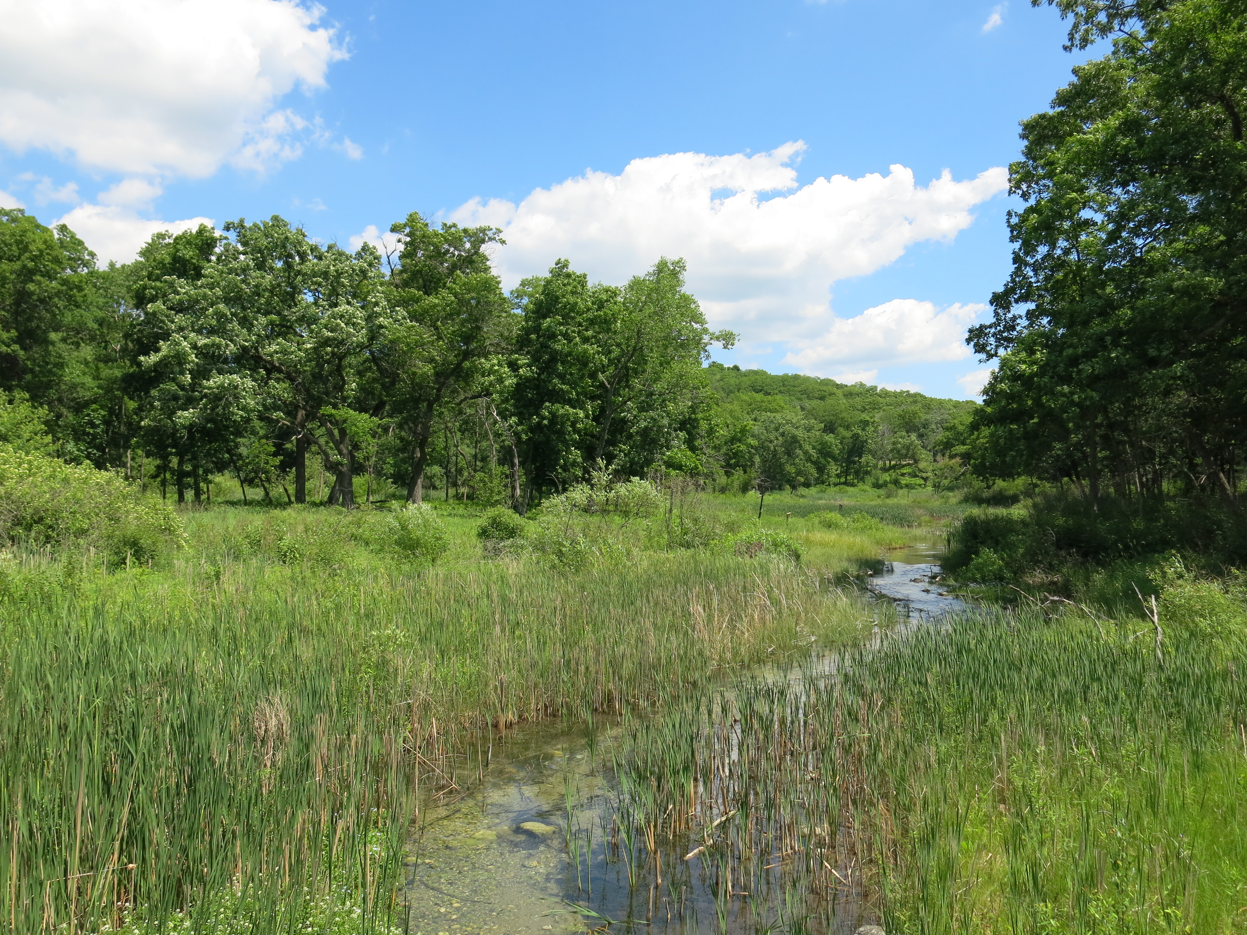
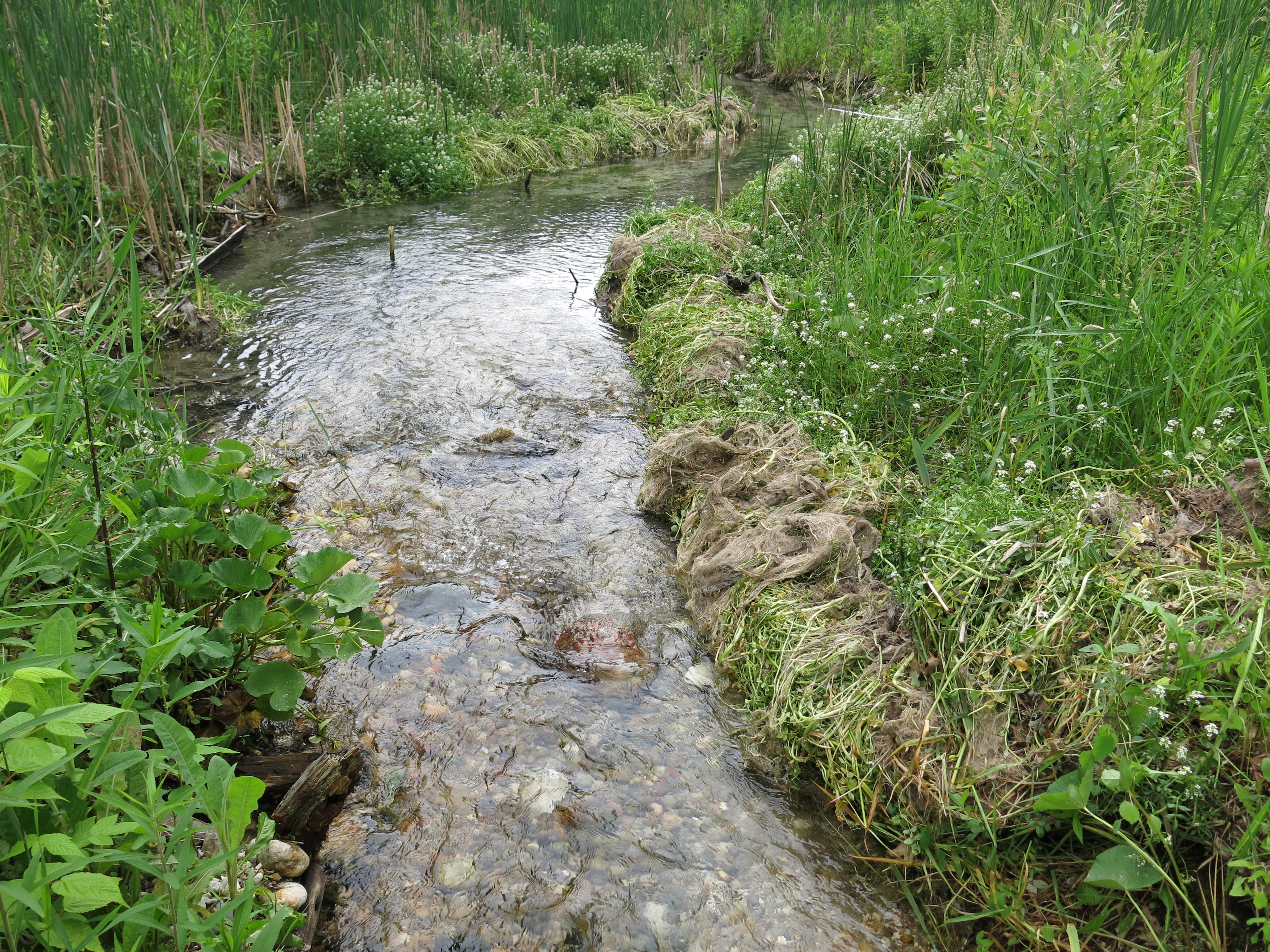
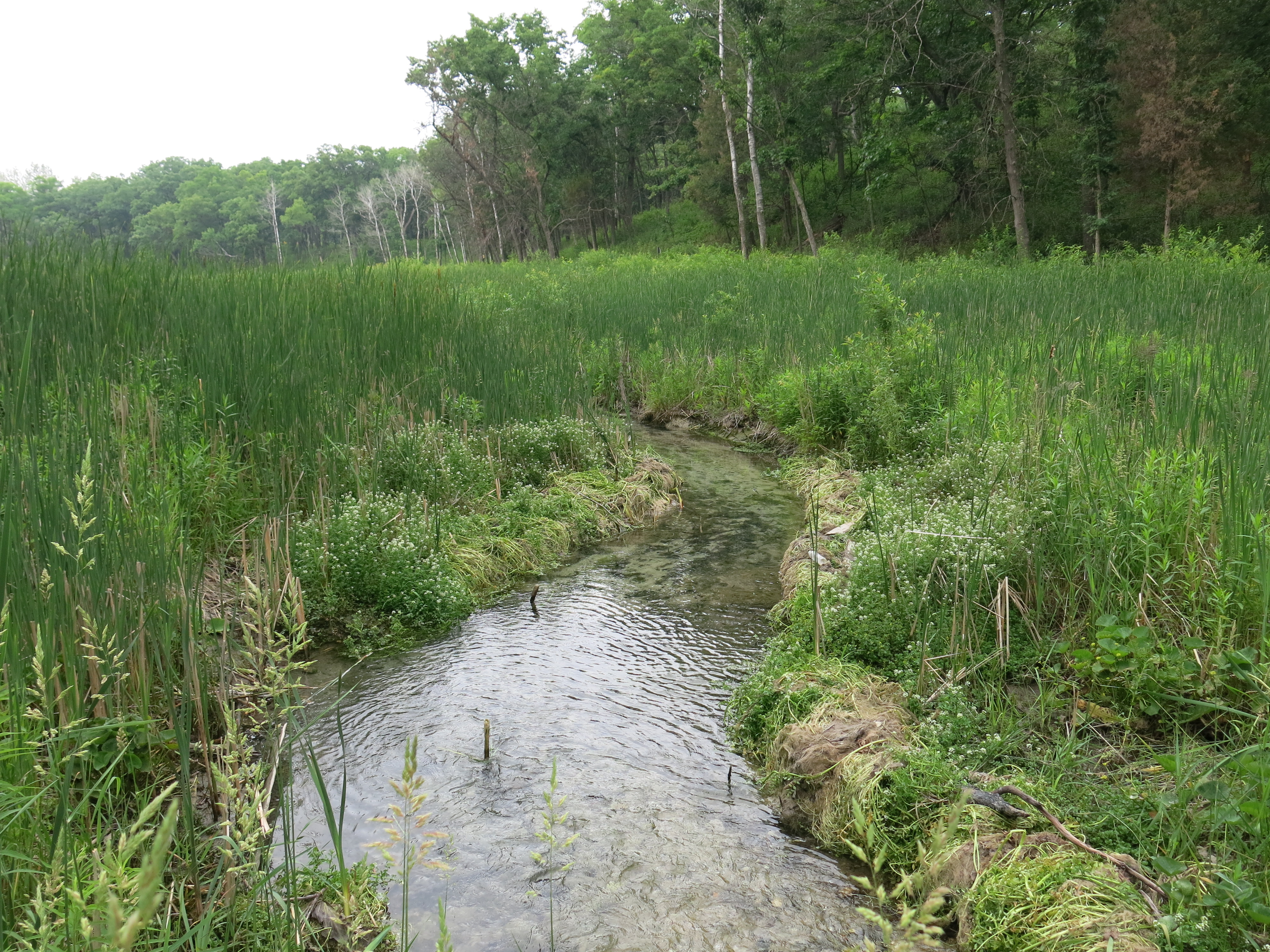
Lindsay, Pati and I began our Journey Down the Scuppernong River in an effort to become more intimately familiar with the Scuppernong River Habitat Area.

IMG_1054

February

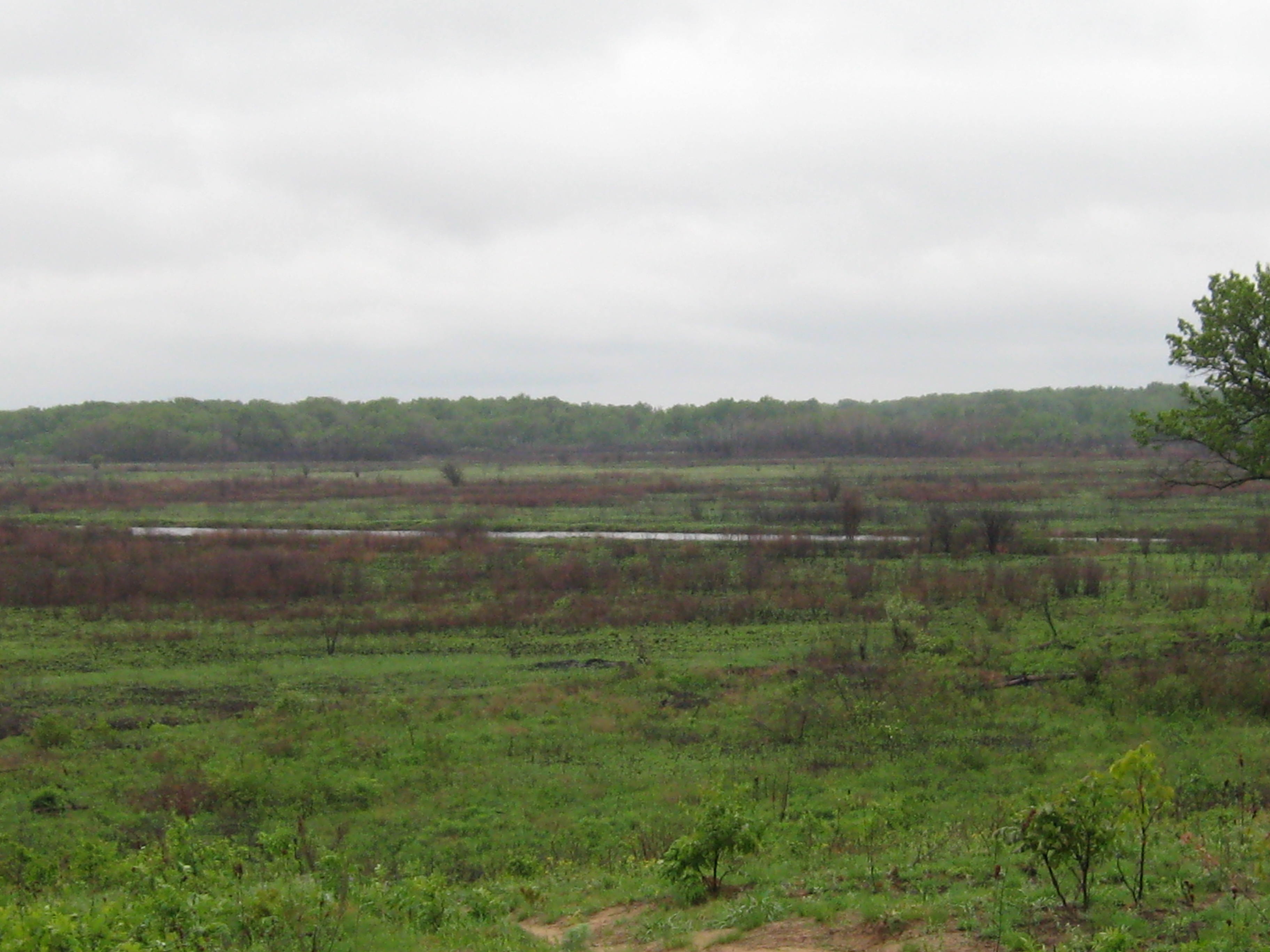
We continued exploring the Scuppernong River hiking the frozen, snow covered, banks from Hwy N all the way to Hwy 59.

IMG_1077

The powers that be relented and I got a window of opportunity to burn the brush piles I had left behind at the Hartland Marsh.  I couldn’t have done it without the help of my friends from the Ice Age Trail Alliance, Pat Witkowski, Mike Fort, John Mesching, Marlin Johnson, Glenn Ritz, Jack, Dick and the maintenance crew from the Village of Hartland.  We lit over 300 piles during the month on many workdays.

Carl Baumann and Rich Csavoy helped cut buckthorn between the cut-off trail and the river.  I hope to work with these righteous dudes again soon!

Steve Brasch, Carl, Lindsay and I had a couple of brush pile burning adventures and Lindsay showed me the value of having a leaf blower handy to ignite a smoldering pile.

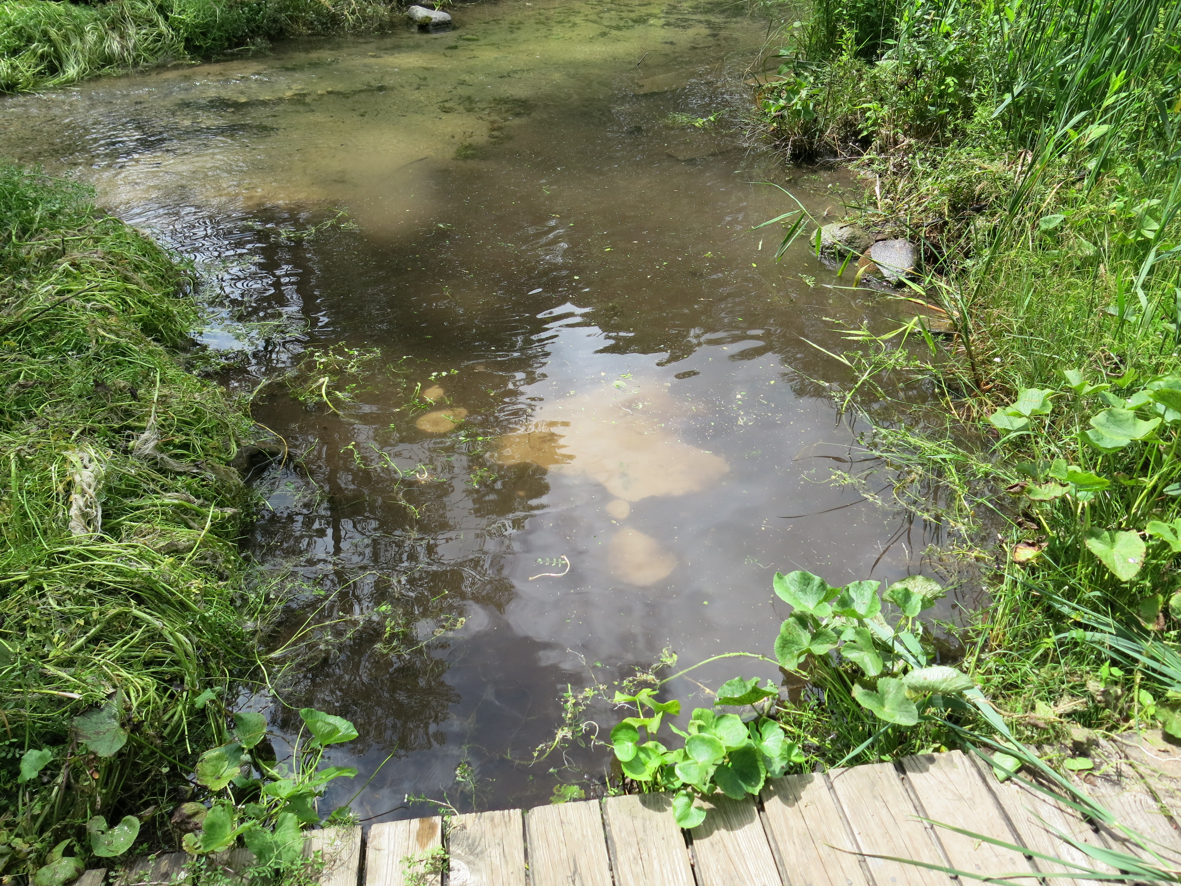
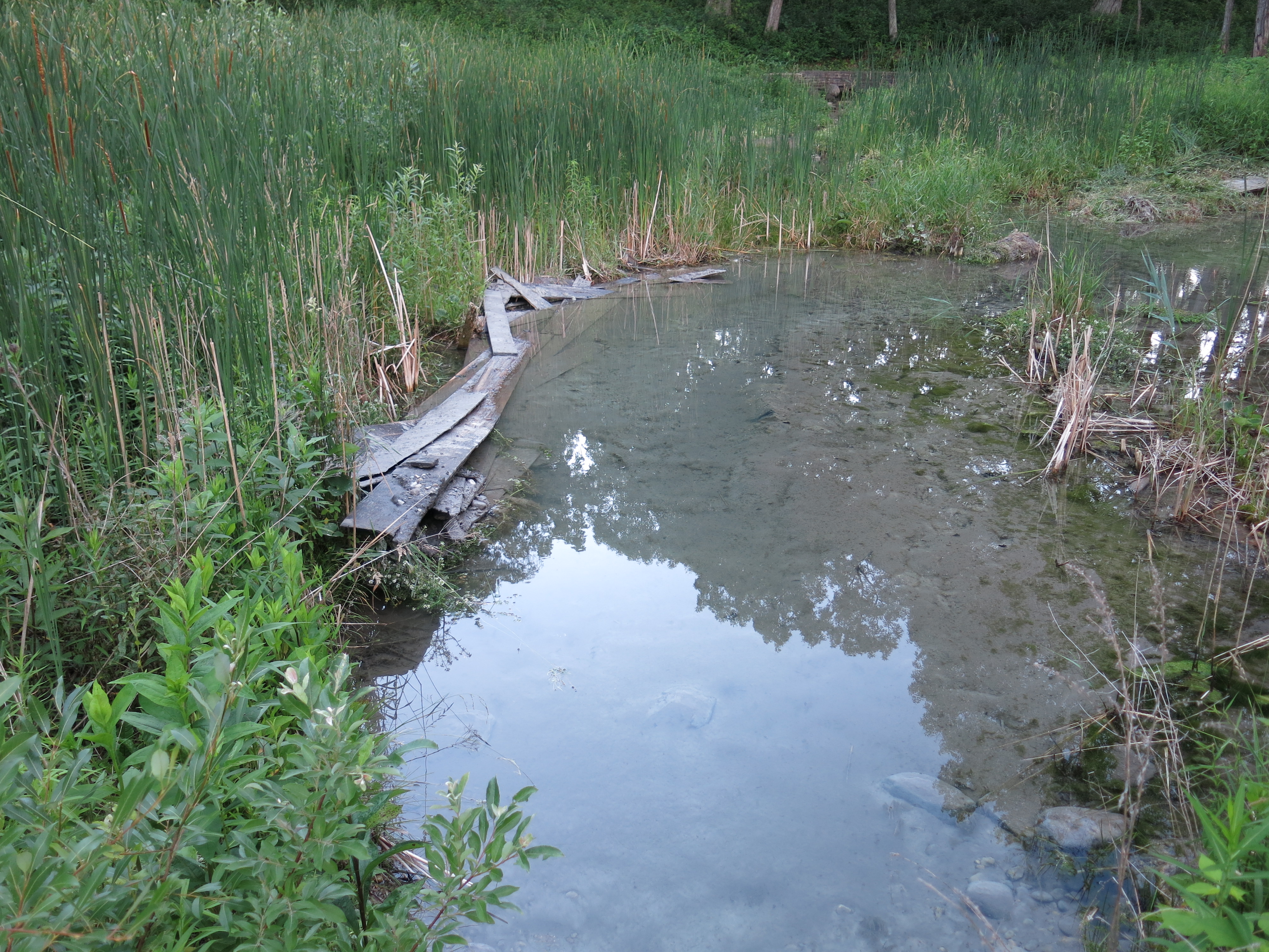
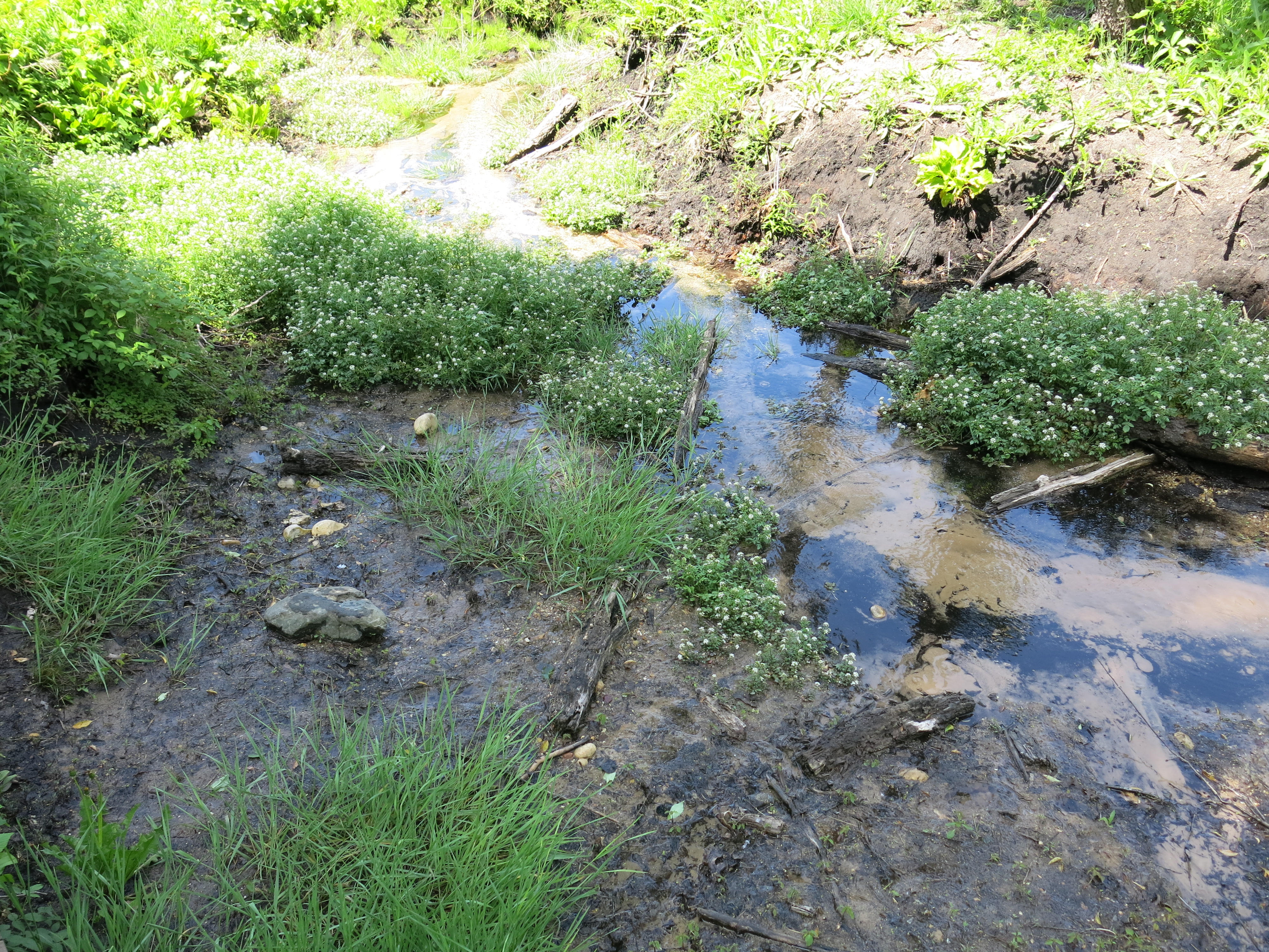
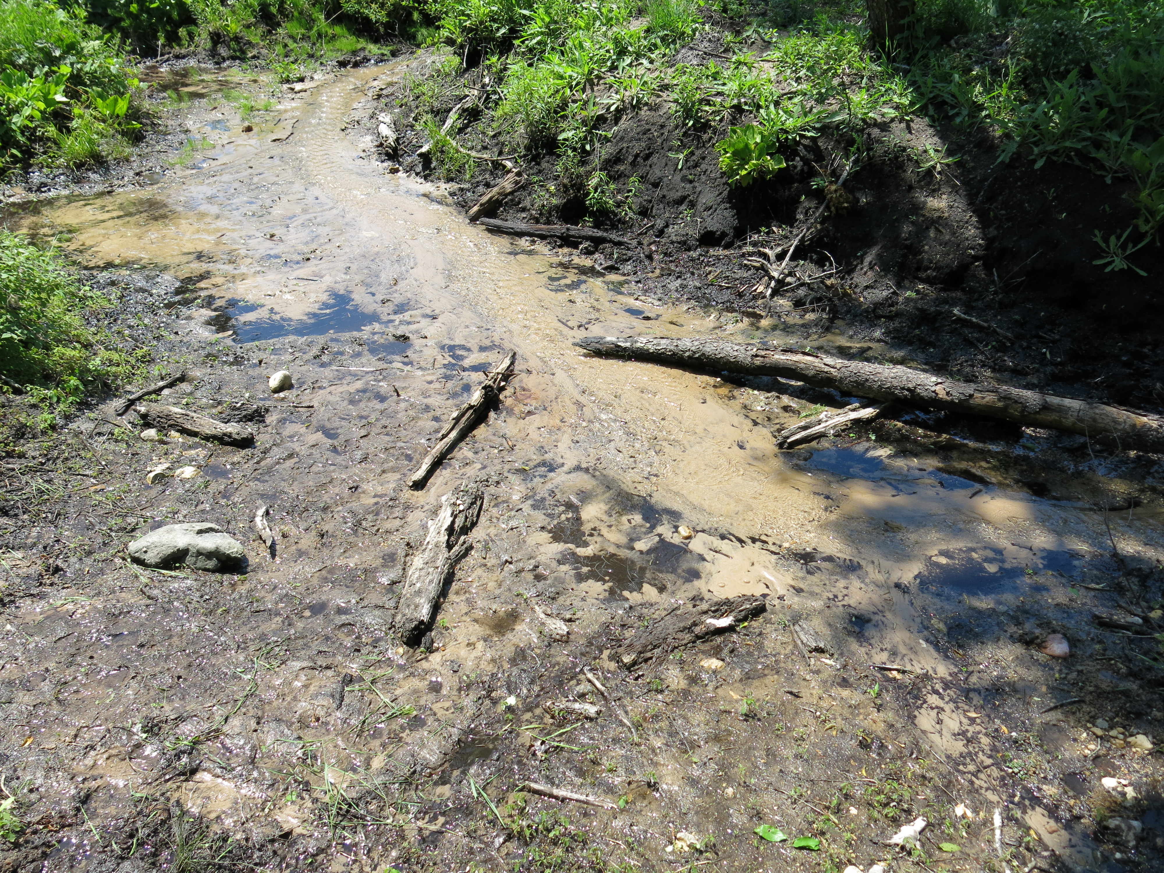
Pati and I continued our investigation of the Scuppernong River watershed following the outflow from McKeawn Spring to the river on a gorgeously warm winter day.

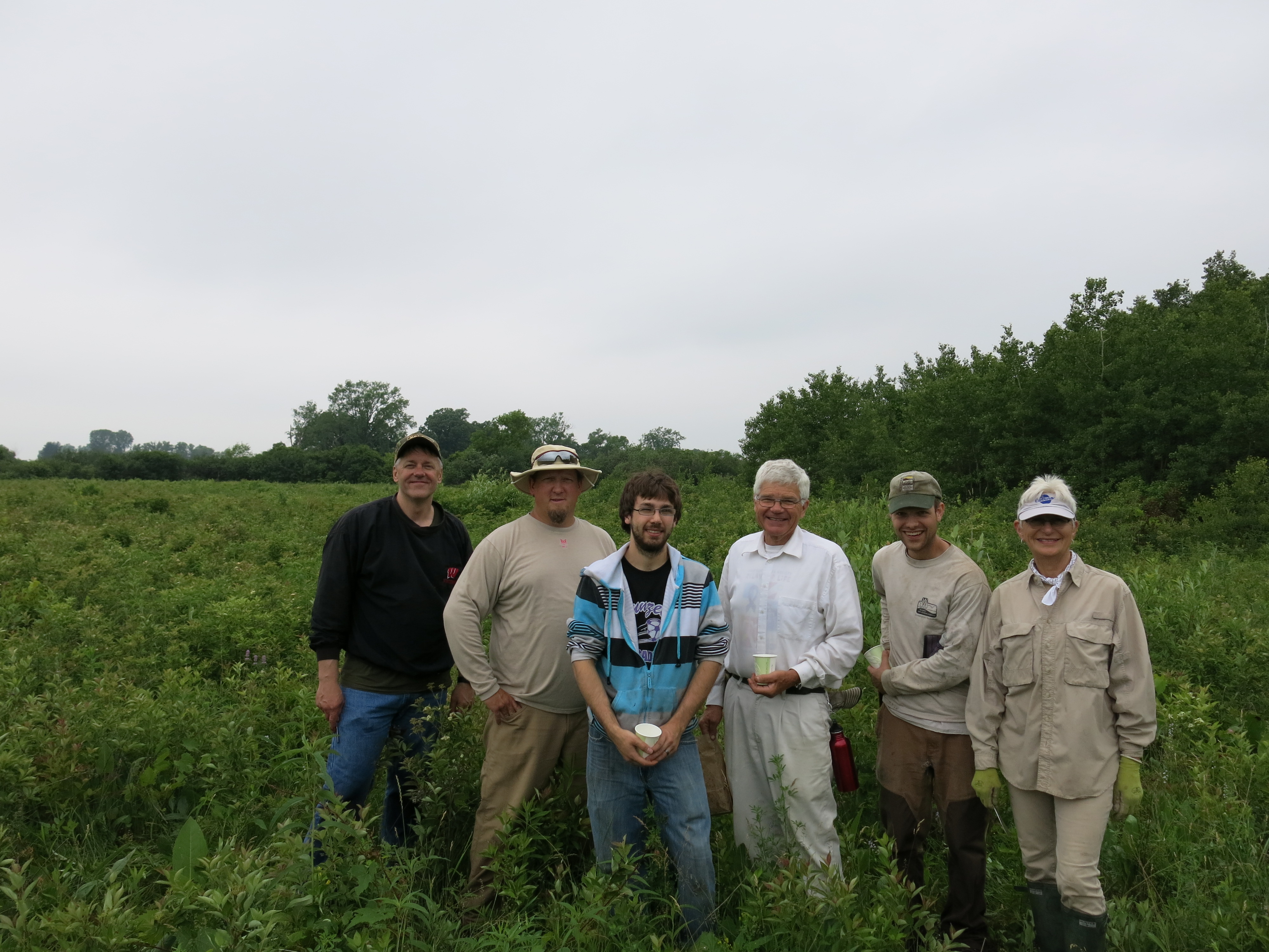
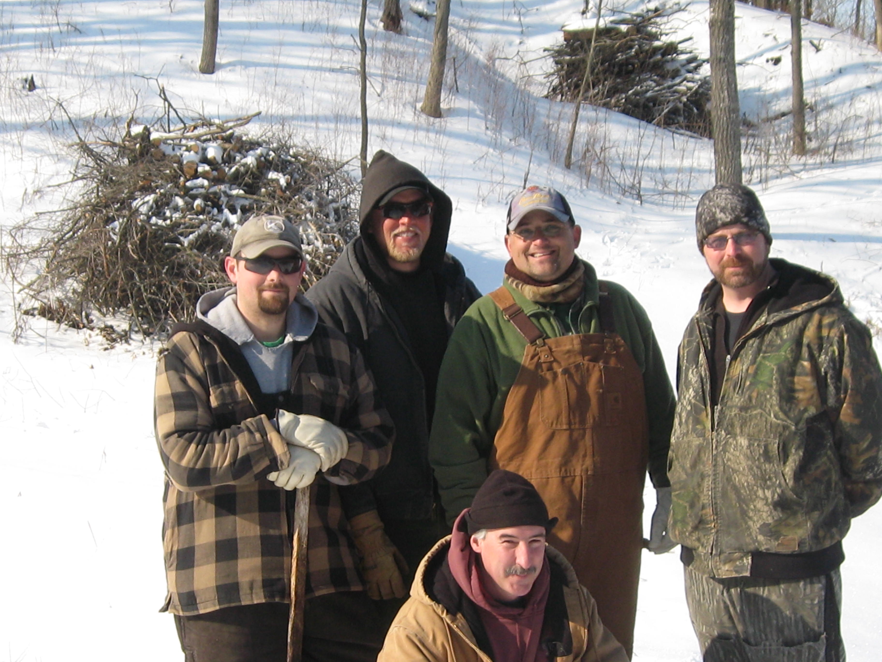
One of the most memorable days of the year was with the DNR Fisheries team of Ben “Benny” Heussner, Steve “Gos” Gospodarek, Andrew Notbohm and Josh Krall (right to left below, “Double D” Don Dane kneeing in front) as they reviewed their past efforts to rehabilitate the river and formed plans for the coming year.  They made good on their promise returning for two workdays on the river, most recently with a crew from the South Eastern Wisconsin Trout Unlimited group.

IMG_0828

March

Pati, and I and Lindsay continued our Journey Down the Scuppernong River hiking from Hwy 59 to Hwy 106.  We attempted the last leg from Hwy 106 to where the Scuppernong River joins the Bark River south of Hebron, but we were foiled by melting ice.

IMG_0893

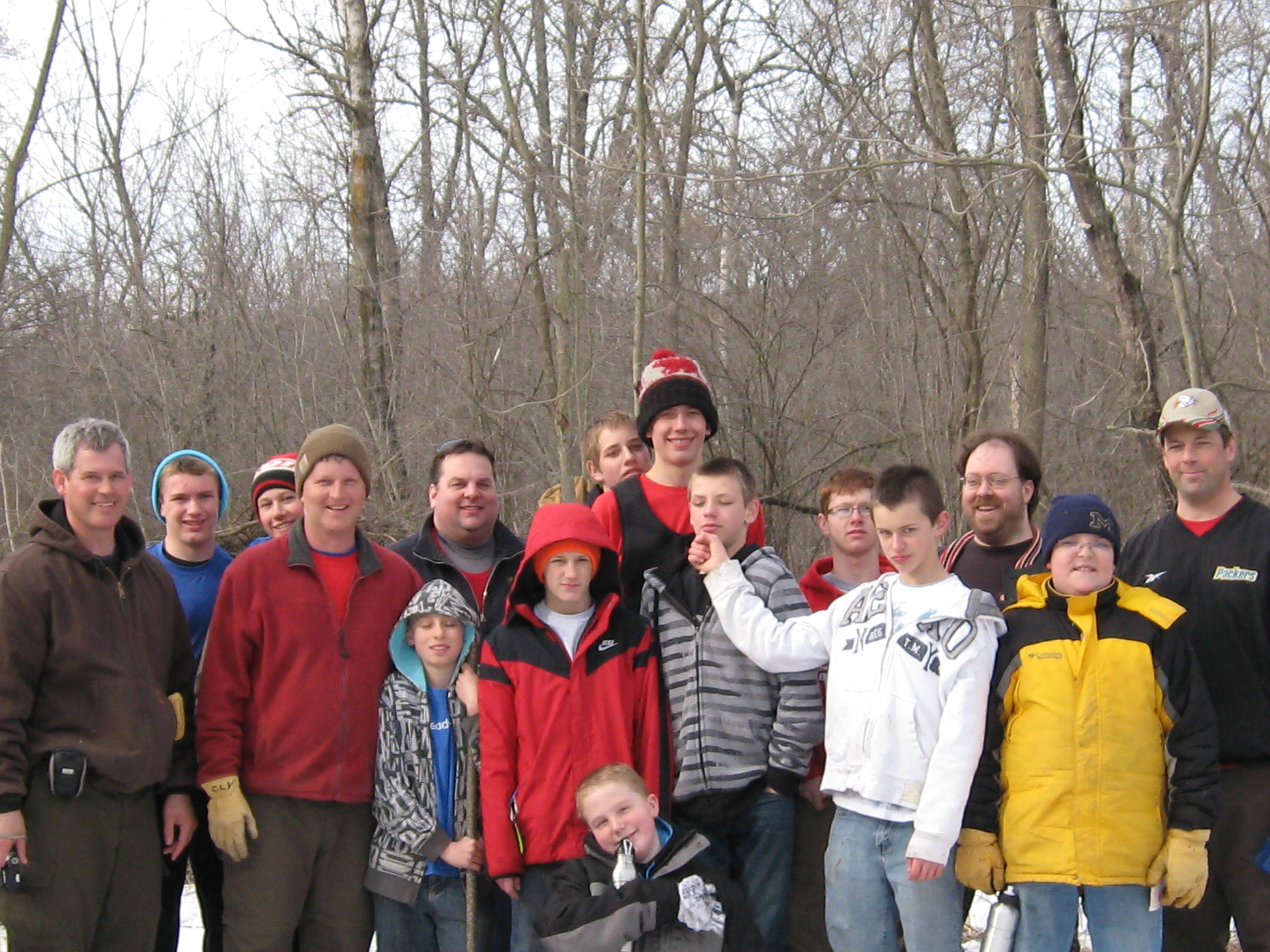
I continued clearing brush between the cut-off trail and the river and was glad to have the help of Boy Scout Troop 131, from Fort Atkinson to help pile it up.

IMG_0992

Lindsay and I were honored to jointly receive the Land Steward of the Year Award from the Oak Savanna Alliance for our work at the Scuppernong Springs Nature Trail.  I continued investigating the Scuppernong River watershed hiking the Paradise Springs Creek from it’s source to it’s confluence with the river.

Steve, Lindsay, myself and Carl had a classic brush pile burning day in the area around the Scuppernong Spring and shared a few cold brews afterwards.

IMG_0967

I began volunteering with Jared Urban and the DNR’s Endangered Resources team and met great people like Virginia Coburn, Zach Kastern and Herb Sharpless.

Dave Hoffman and Matt Zine secured a $75,000 NAWCA grant for the DNR to continue the work on the Scuppernong River Habitat Area that Ron Kurowski had championed for over 20 years.

April

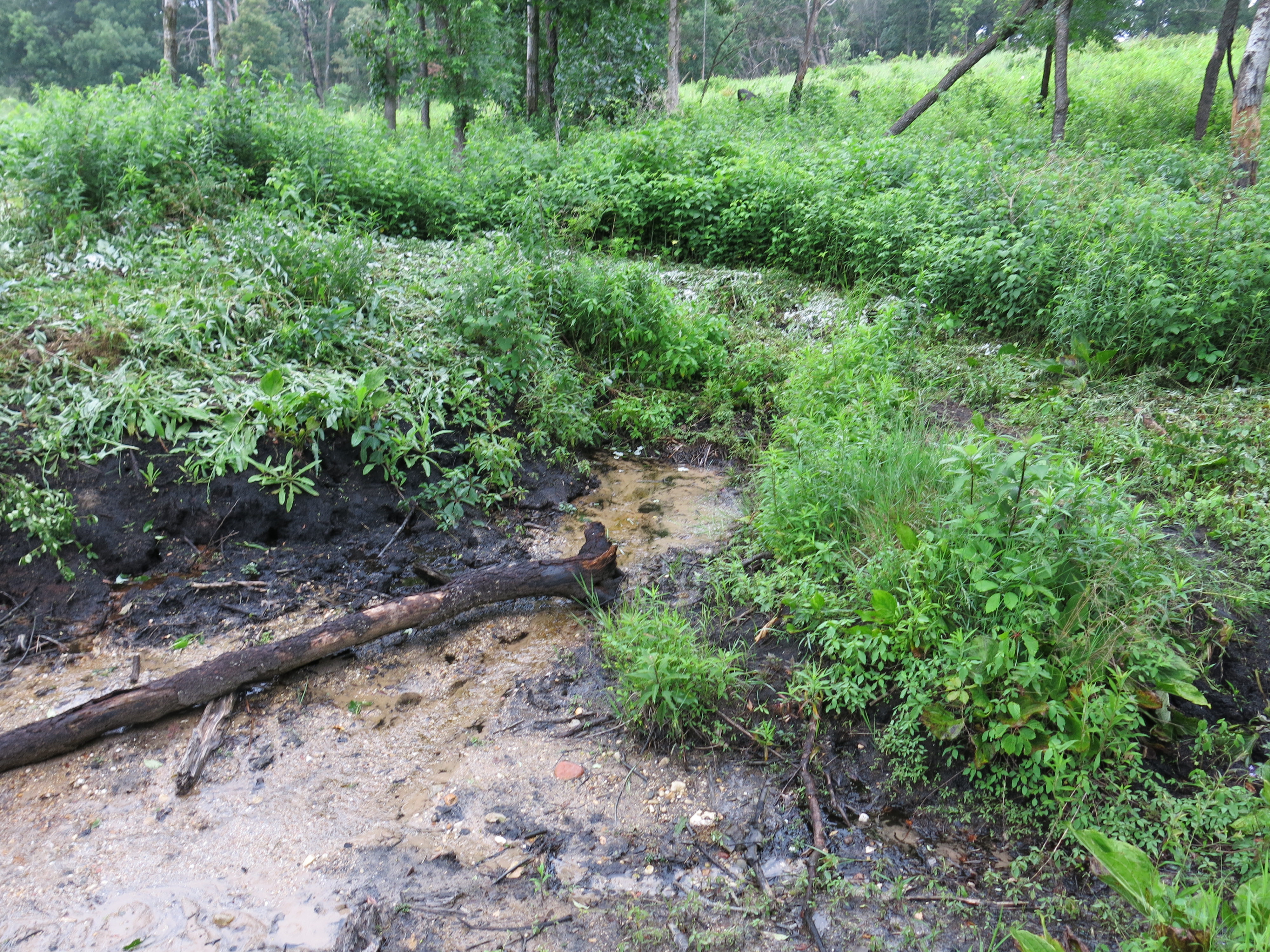
We began clearing brush in the area around the Old Hotel and Barn sites near the Hotel Springs.  Rich Csavoy, Pati and I continued to clear the brush between the cut-off trail and the river; this time on the far east end.

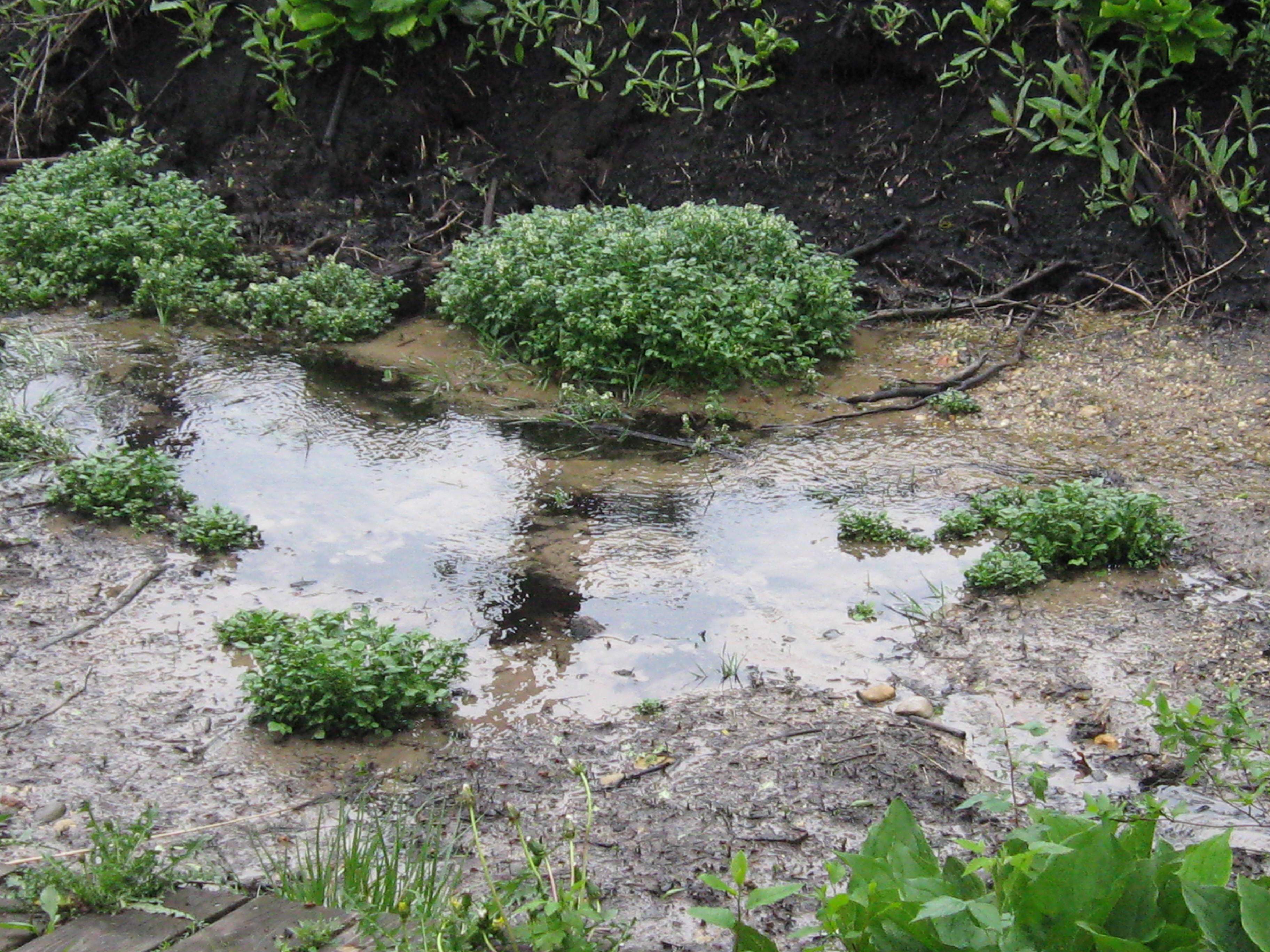
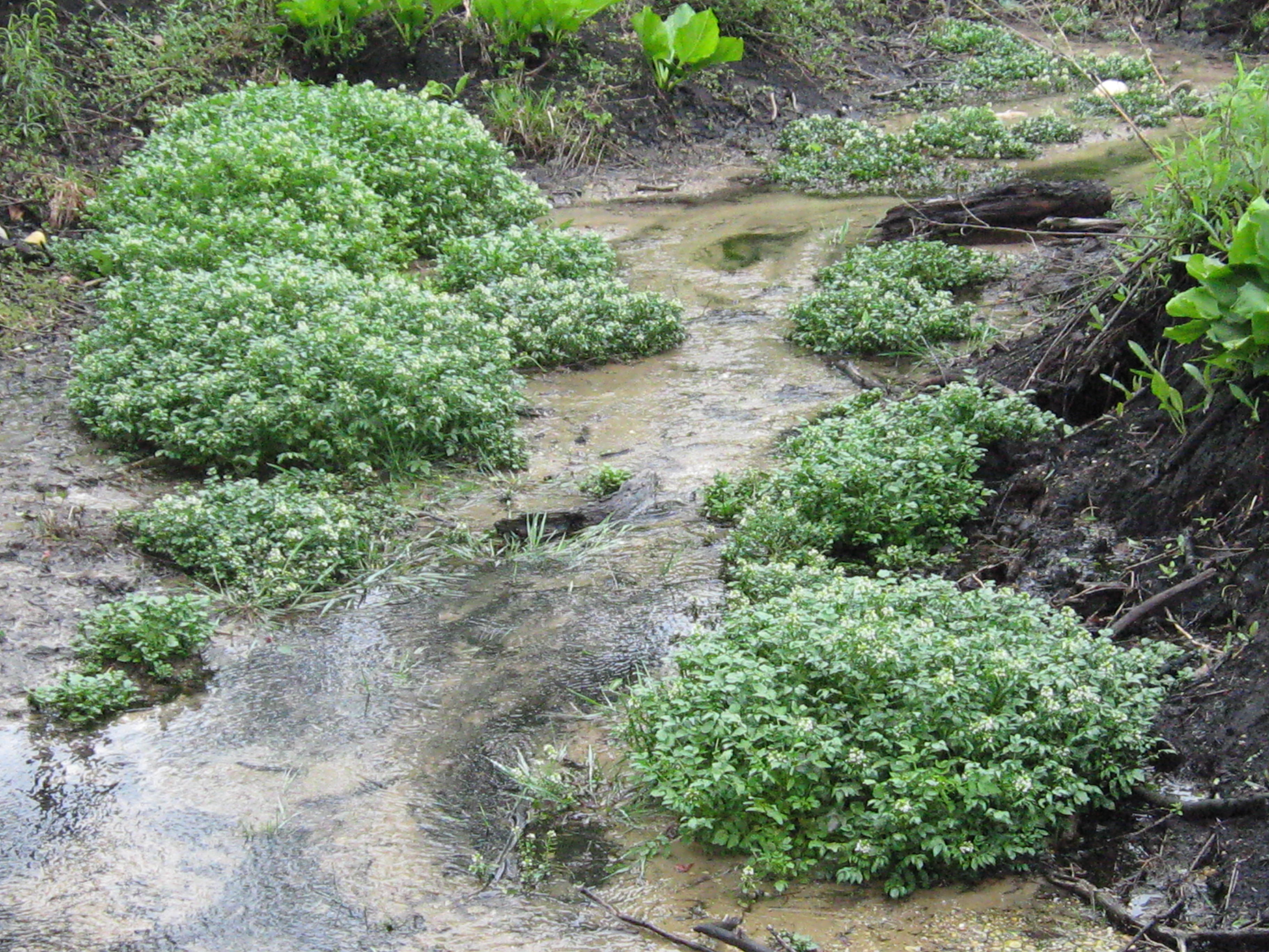
John and Sue Hrobar (shown with Don Dane below), the “Keepers of the Springs”, began to report that they were not seeing as many brook trout as they had in previous years and attributed this to our removing too much water cress the previous spring.  Indeed, Ben Heussner had warned us that the trout relied on this invasive plant for food (bugs) and cover.

IMG_0265

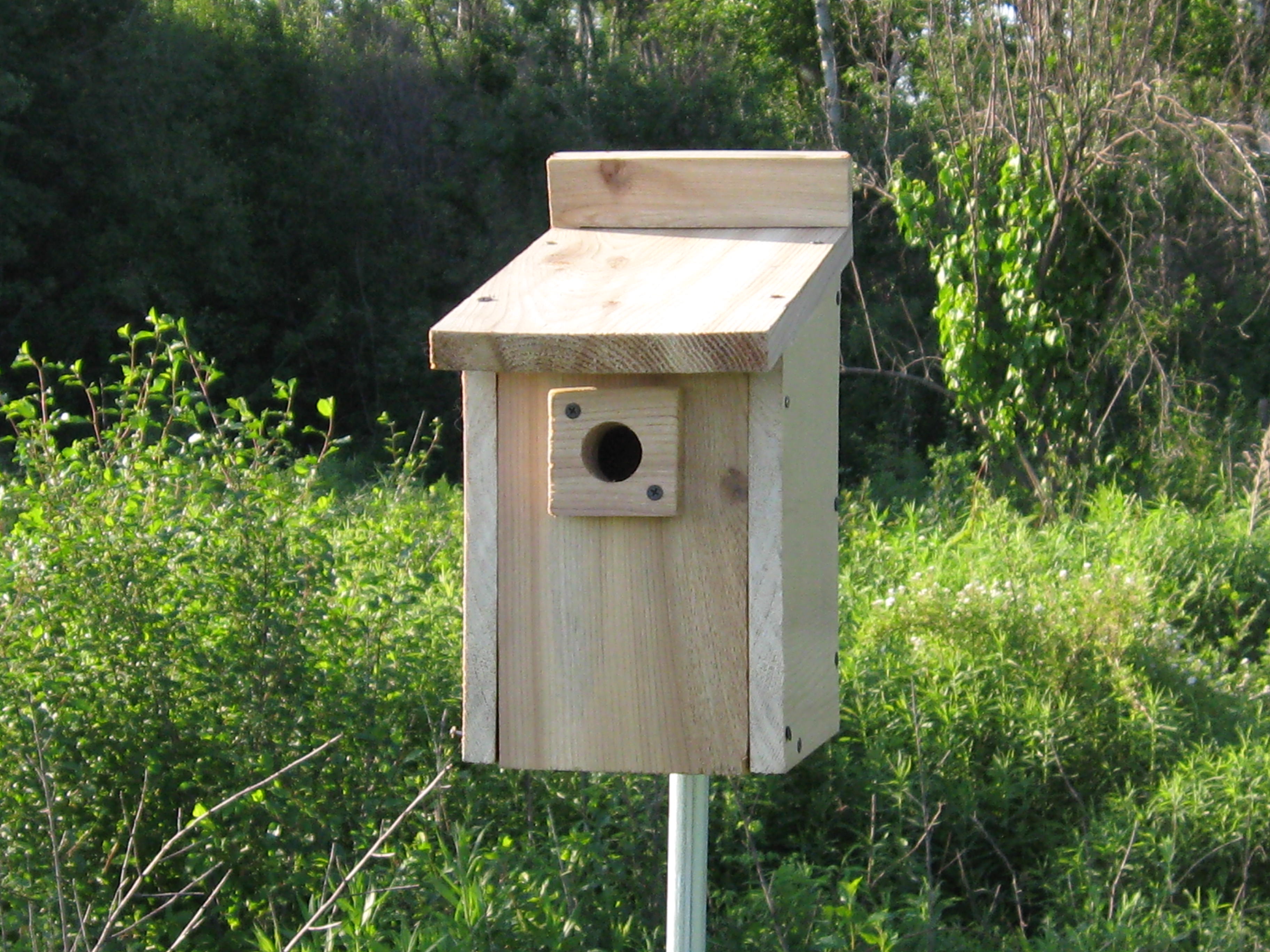
DNR wunderkind, Amanda Prange, her boyfriend Justin, his mother Beth, Roberta “Berta” Roy-Montgomery and DNR Ranger Elias Wilson (who would save my life 3 weeks later!) joined me for a day installing prothonotary warbler houses and piling brush.

IMG_1075

Rich, Berta and I began girdling aspen.  This was new for me and now I realize we were a bit early.

Rich and I began spraying weeds like garlic mustard and spotted knapweed.  I started having misgivings about using poisons in this delicate ecosystem.

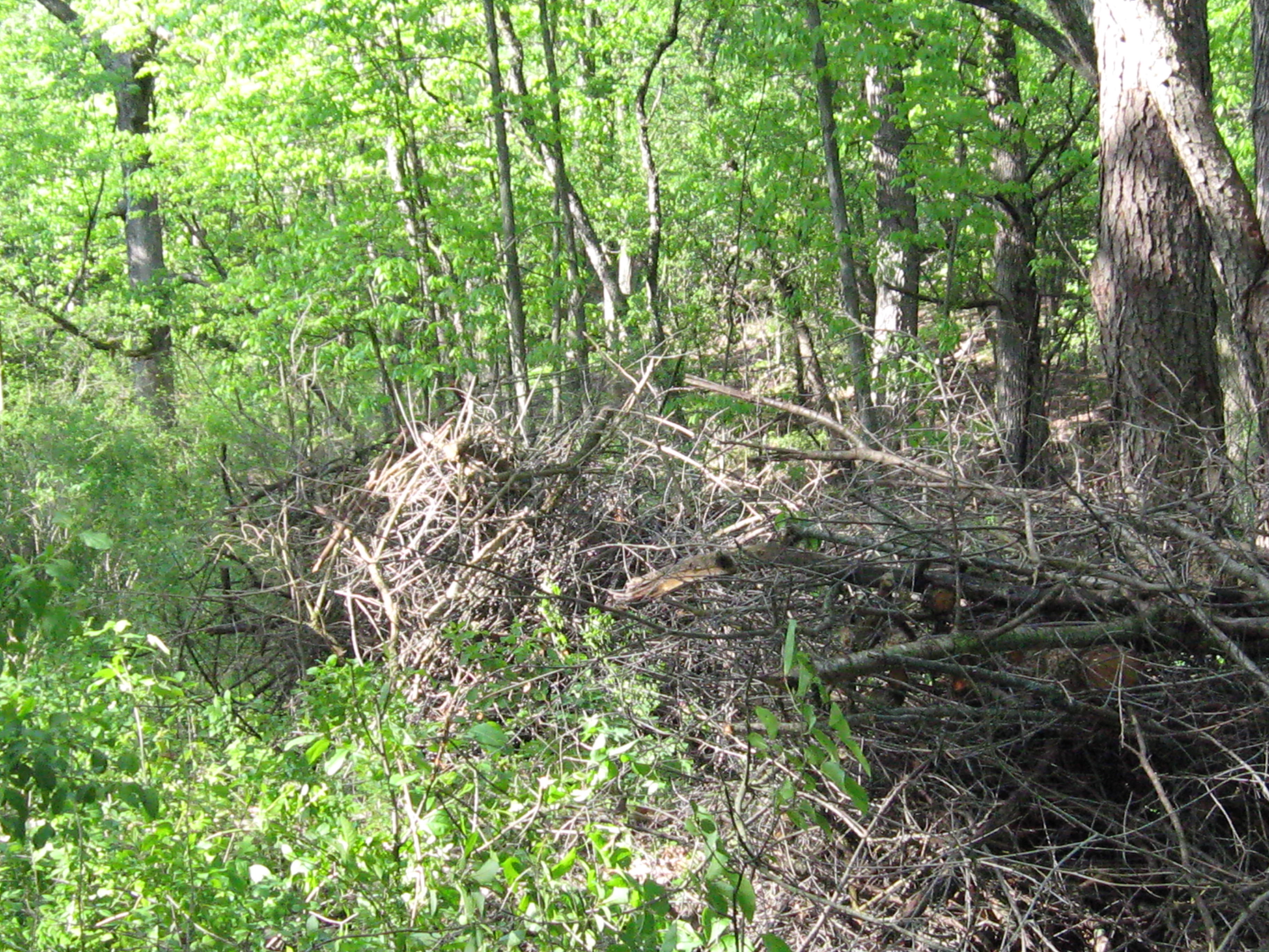
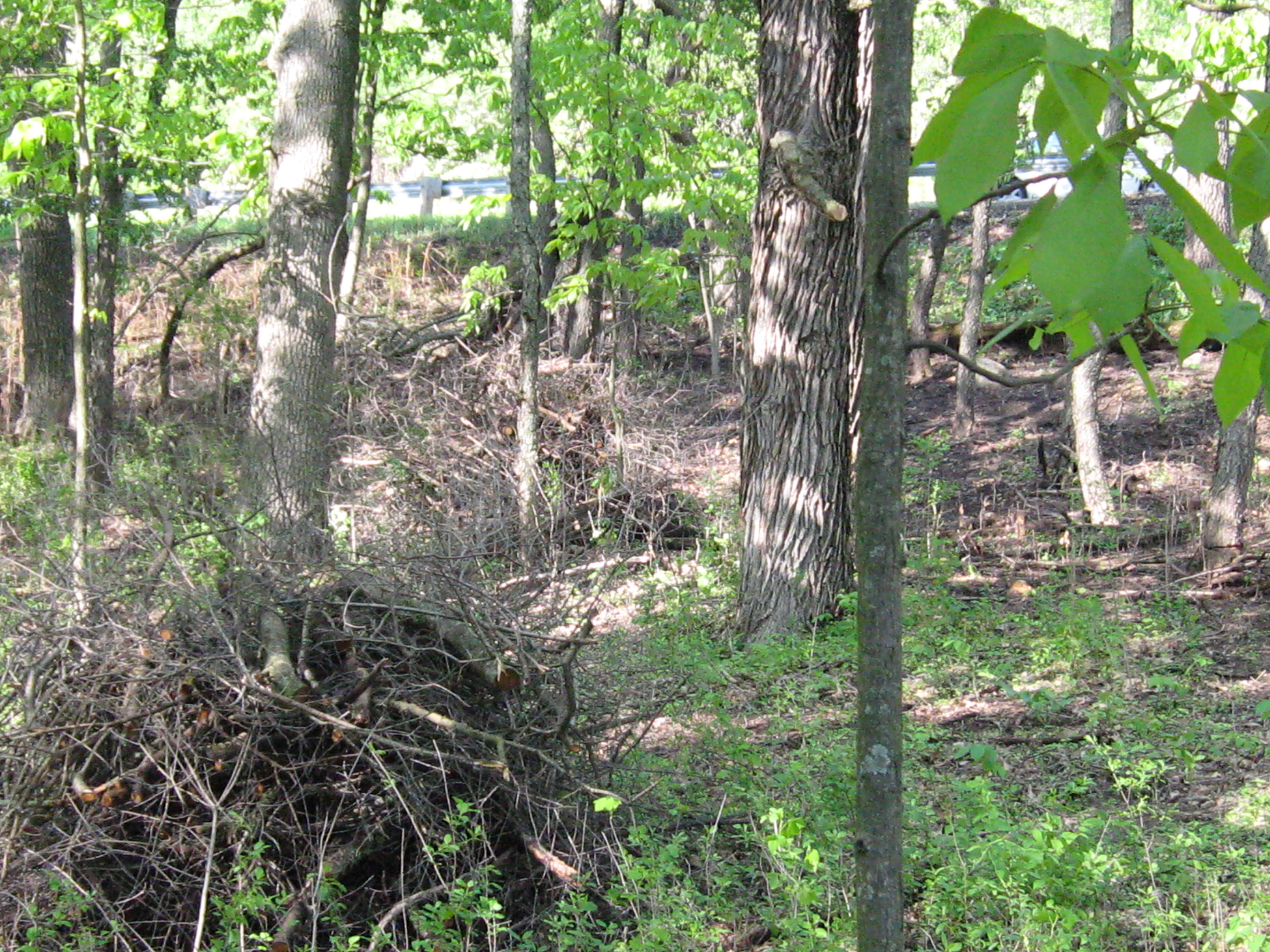
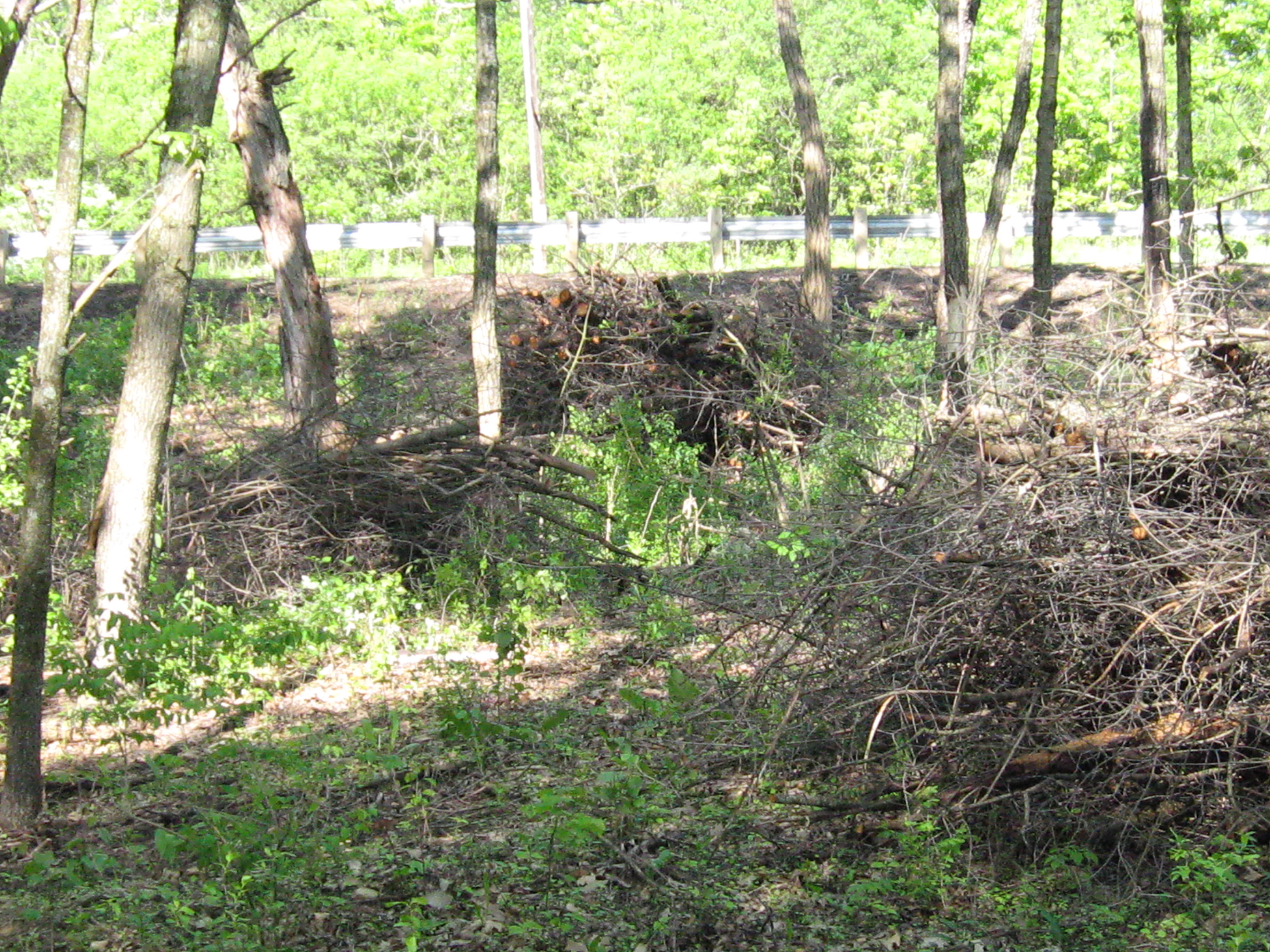
I began working in the Buckthorn Alley.

Pati, Lindsay and I made the final leg of Journey Down the Scuppernong River via canoe and were sorely disappointed to contrast this stretch of the river to those preceding.

Jon Bradley contributed an excellent photo essay to this blog.

DSCN1476

May

I began the month girdling aspen and working in the Buckthorn Alley.

The most exciting day of the year was when the DNR burned the Scuppernong.  It was memorable in every way but it almost began disastrously.  I was using a drip torch for the first time and it was leaking fuel badly from the rim of the cap.  DNR Ranger Elias Wilson noticed the danger immediately and calmly said: “Put the torch down Paul.”  Again, he repeated, with a little more emphasis: “Paul, put the torch down.”  Finally, I came to my senses and realized the danger too.  Thanks Elias, you saved my life!

IMG_1150

This is probably a good place to thank Paul Sandgren, Superintendent of the Southern Unit of the Kettle Moraine State Forest, Assistant Superintendent Anne Korman, Don Dane, Amanda Prange, Melanie Kapinos and all of the DNR staff, including retired naturalist, Ron Kurowski and the Kettle Moraine Natural History Association for all of their help and support.

Within a few weeks, flowers and grasses were emerging from the blackened earth and I kept busy girdling aspen along the river valley and piling brush from the Old Hotel site north to where the trail turns west away from Hwy 67.  Garret and Jenny interrupted their studies to help me pile brush and I hope to see them again sometime.

IMG_1597

Spring was in full bloom and Rich helped me girdle aspen and pile brush between the cut-off trail and the river.  Ticks and mosquitoes where out in force and I got infected with lymes.

IMG_1613

June

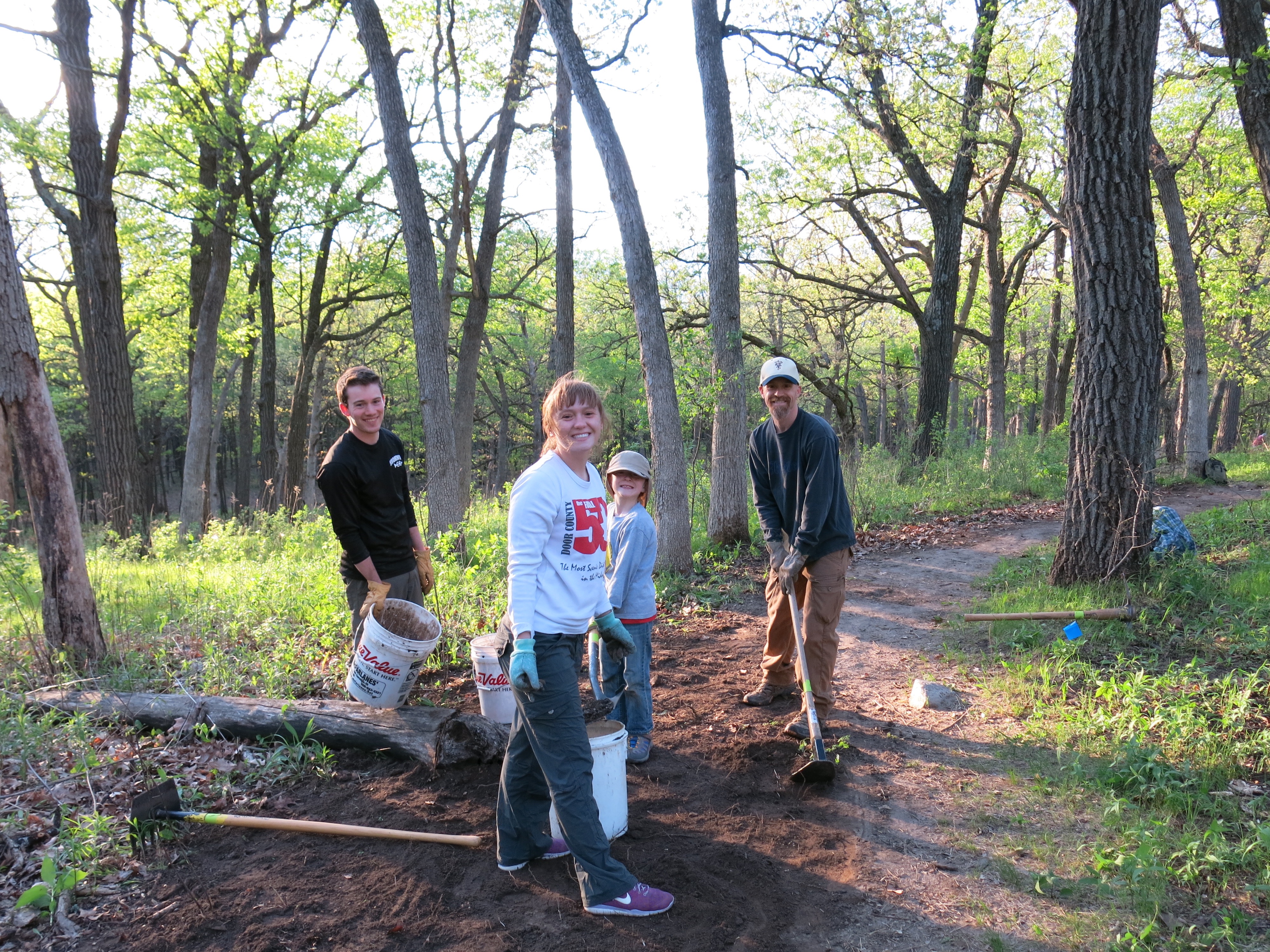
Amanda, Tara Fignar and Melanie pictured below, along with others including Jim Davee, Kay, Barb, Berta and Rich (see this blog) replaced all of the signposts that accompany the interpretive guide.  Don Dane made the new posts.

IMG_1744

Jon Bradley built and installed this swallow house near the marl pit bridge and we are looking forward to the new tenants moving in this spring.

IMG_1768

I continued volunteering with Jared Urban’s Endangered Resources team in Oak woodlands around Bald Bluff.  Jared, Zach and Gary are great teachers!

IMG_1793

Jon Bradley contributed another excellent photo essay.

IMG_4867

I sprayed Habitat/imazapyr on phragmites near the Emerald Spring and no life has returned there — maybe this spring.  I suspected it would be the last time I used this poison.  I switched strategies and began cutting invasive plant seed heads with a hedge trimmer, or I cut the entire plant with a brush cutter.

IMG_0010

My lymes infection kicked into gear and I had a few miserable days.

July

Ben Heussner and the DNR Fisheries team returned to the Scuppernong River to lay down some bio-logs continuing their effort to improve the river channel.

I spent a few days working at the Hartland Marsh brush cutting along the boardwalks and mowing the trails.

IMG_0104

I was still spraying poisons like Transline and Milestone on various invasive plants at The Springs and it bothered me. I cut a ton of huge, flowering, spotted knapweed plants with the brush cutter to prevent them from going to seed and also started digging them out.

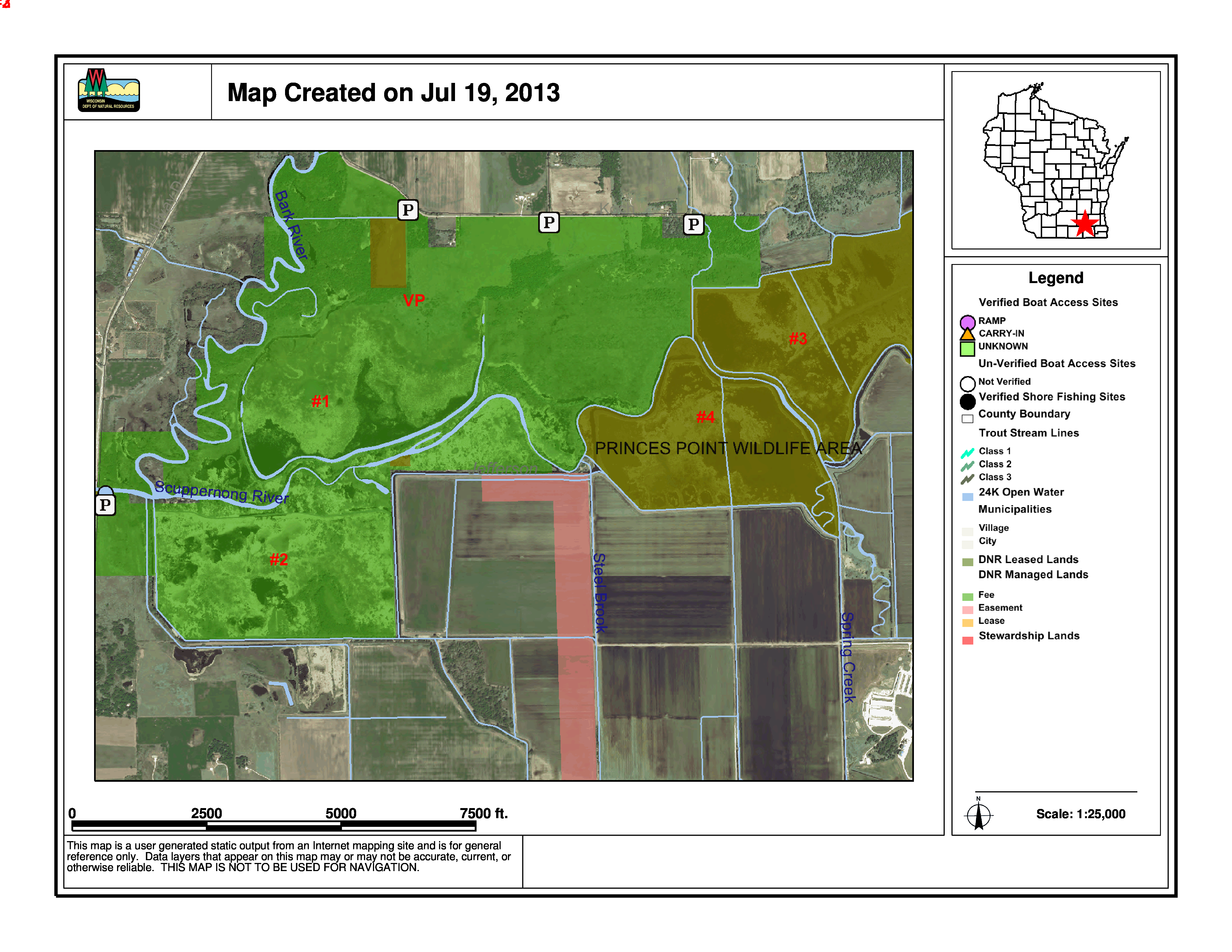
Pati, Lindsay and I were very disconcerted when we completed out Journey Down the Scuppernong River in the Prince’s Point Wildlife Area and I followed up and got a guided tour from DNR veterans Charlie Kilian, the recently retired property manager, and Bret Owsley to better understand what was going on.

PrincesPoint

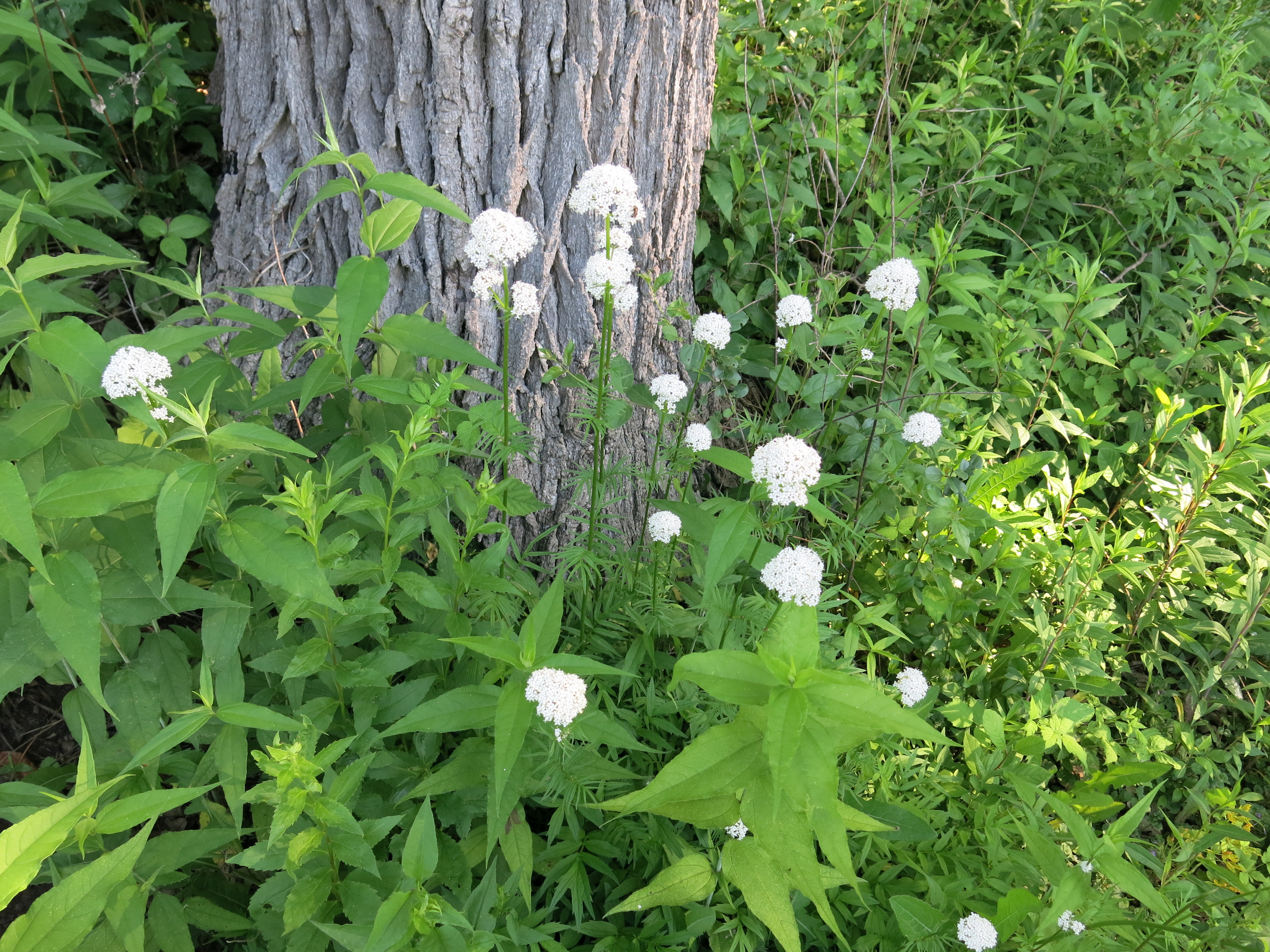
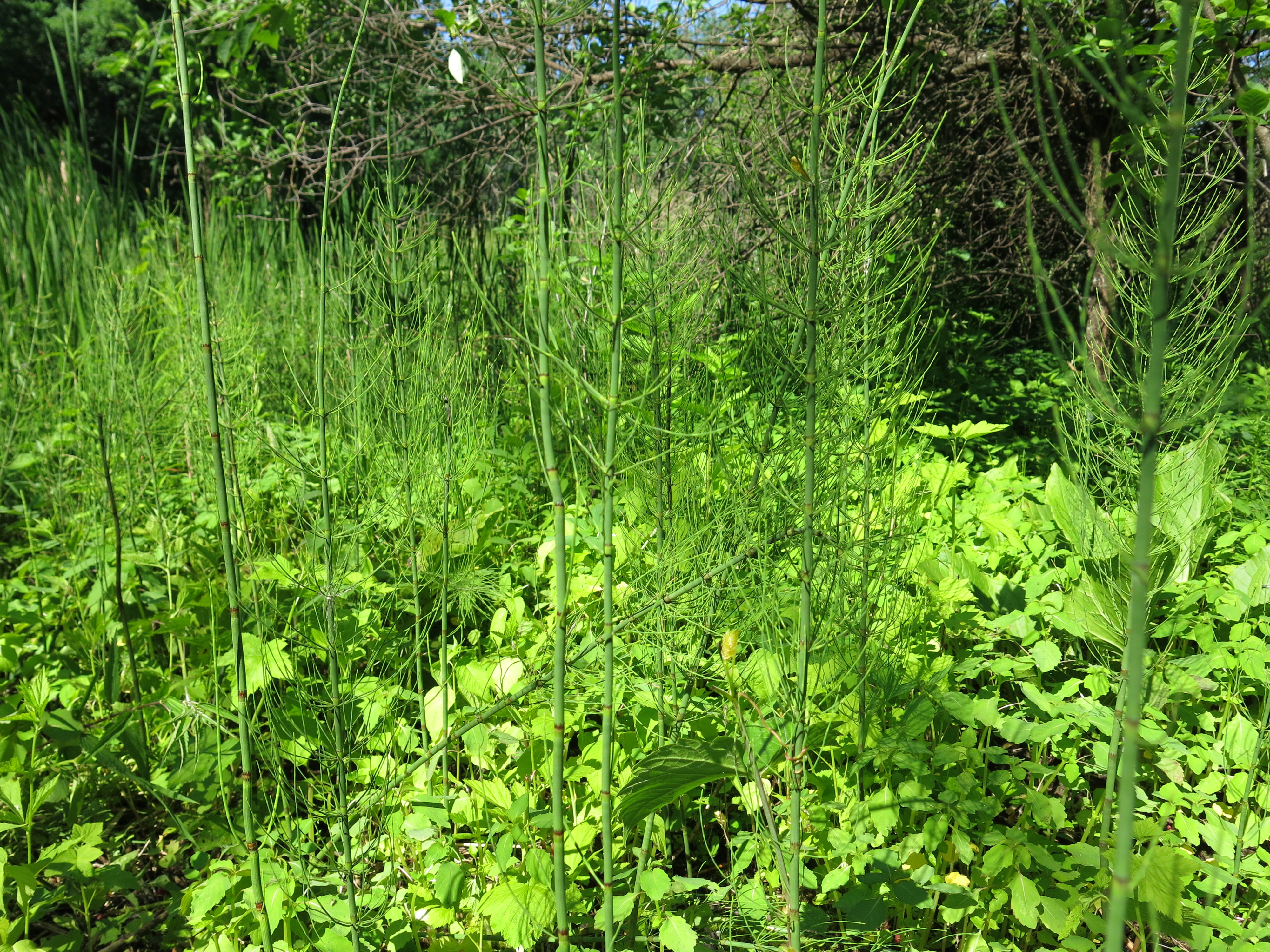
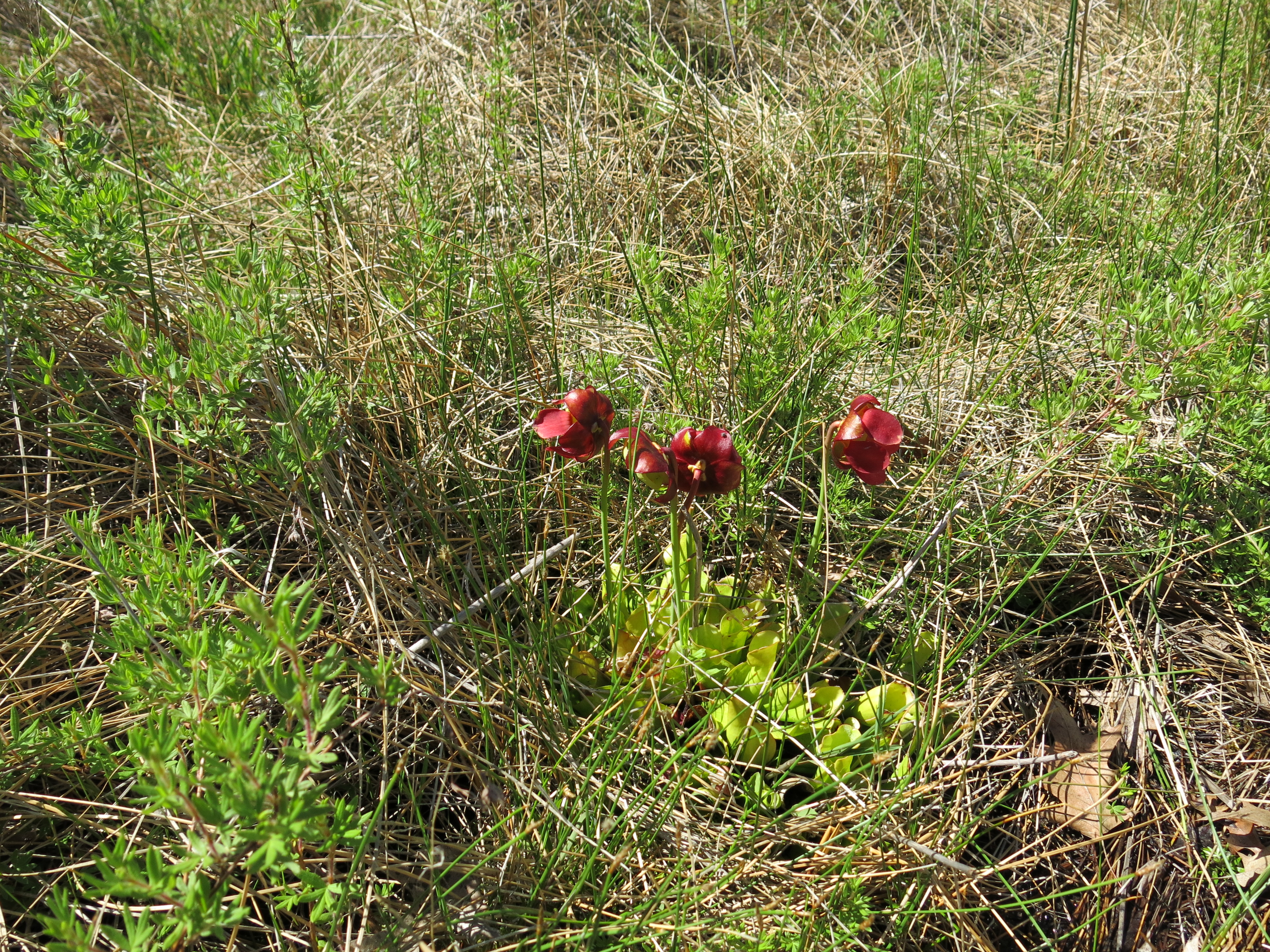
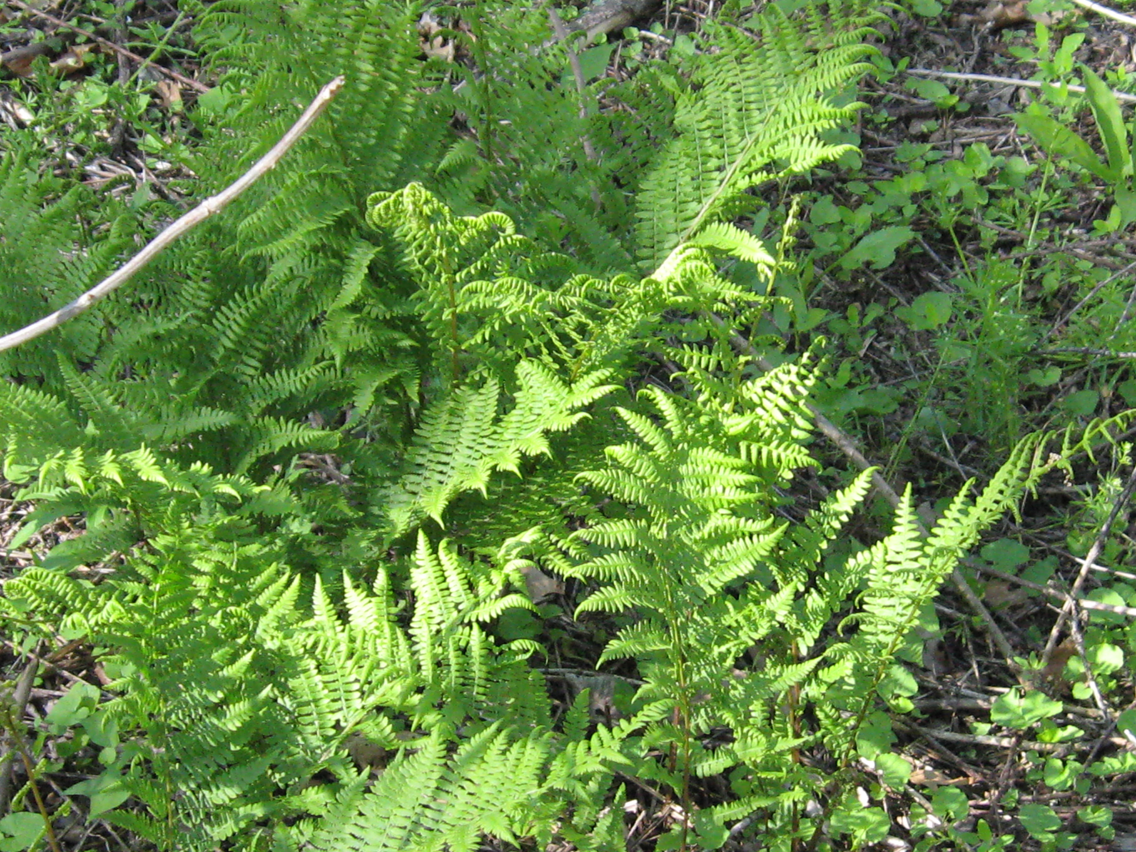
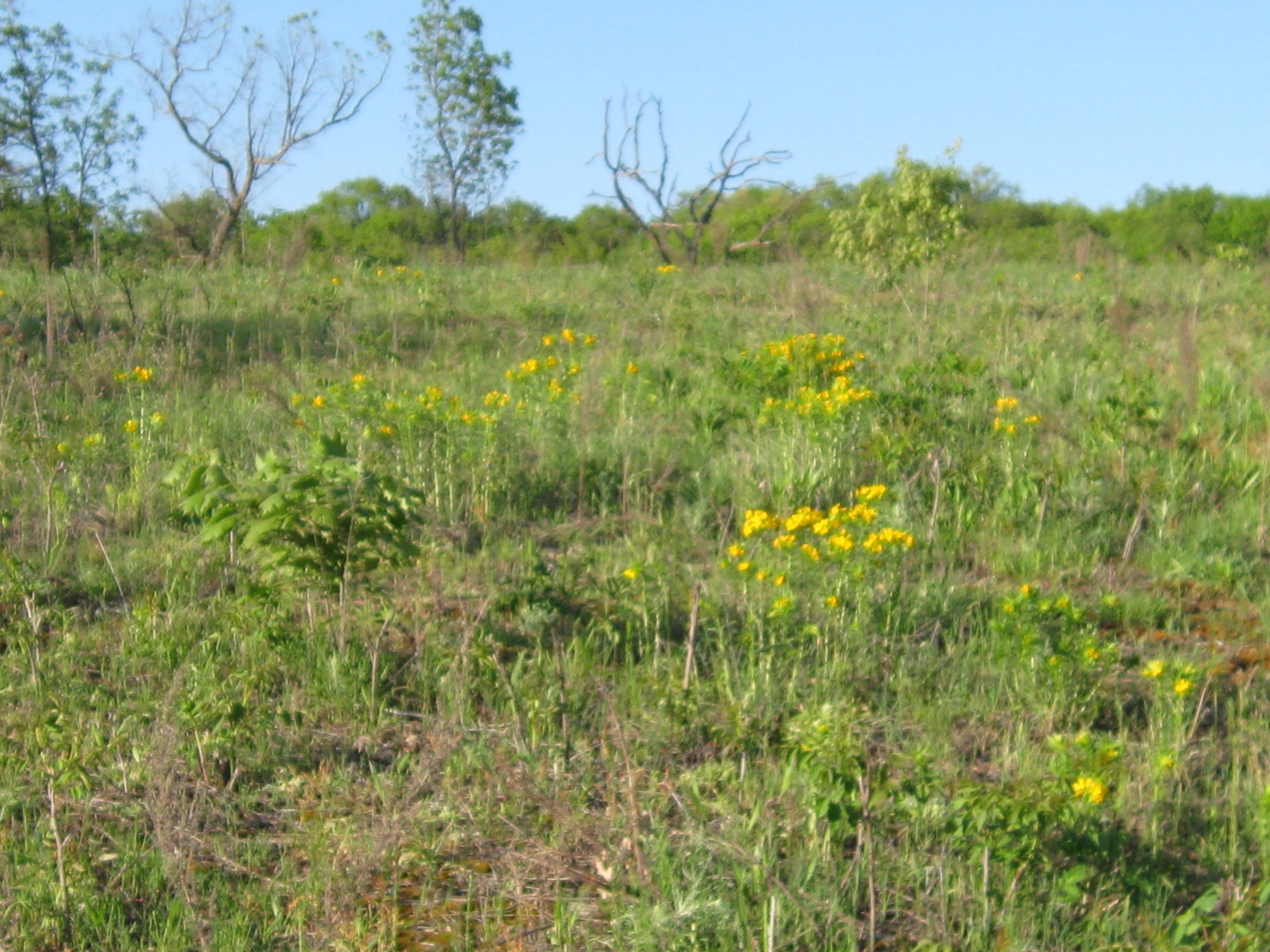
Ron Kurowski, retired DNR Naturalist and champion of the Scuppernong River Habitat Area restoration effort, met me at The Springs and helped me identify what was growing on the Sand Prairie and in other parts of the Scuppernong Springs Nature Preserve.

IMG_0201

I was becoming more and more disillusioned with the idea of spraying poison on weeds ad infinitum and began looking for alternatives.  Late in the month I met Jason Dare, the real deal when it comes to ecosystem management, at The Springs.  He was doing an invasive plant survey for the DNR and I became painfully aware that I didn’t know what I was doing vis-a-vis spraying invasive plants with poison in that delicate ecosystem.

August

The Buddha said : “When the student is ready, the teacher will appear”.  It was Atina Diffley’s award winning memoir Turn Here Sweet Corn that finally opened my eyes and raised my organic consciousness.

diffleys

I’m done spraying toxic poisons at The Springs, except for on freshly cut buckthorn, honey suckle and black locust stumps.

Ben Heussner had warned that our aggressive removal of water cress from the river in the spring of 2012 might impact the brook trout and John and Sue Hrobar observed that, indeed, they were seeing far fewer fish than in previous years.  We finally got some objective data when Craig Helker and his DNR team of water resources specialists, performed their annual fish count.  It was a fascinating day!  Below: Craig, me, Chelsea, Rachel, Shelly and Adam.

IMG_0291

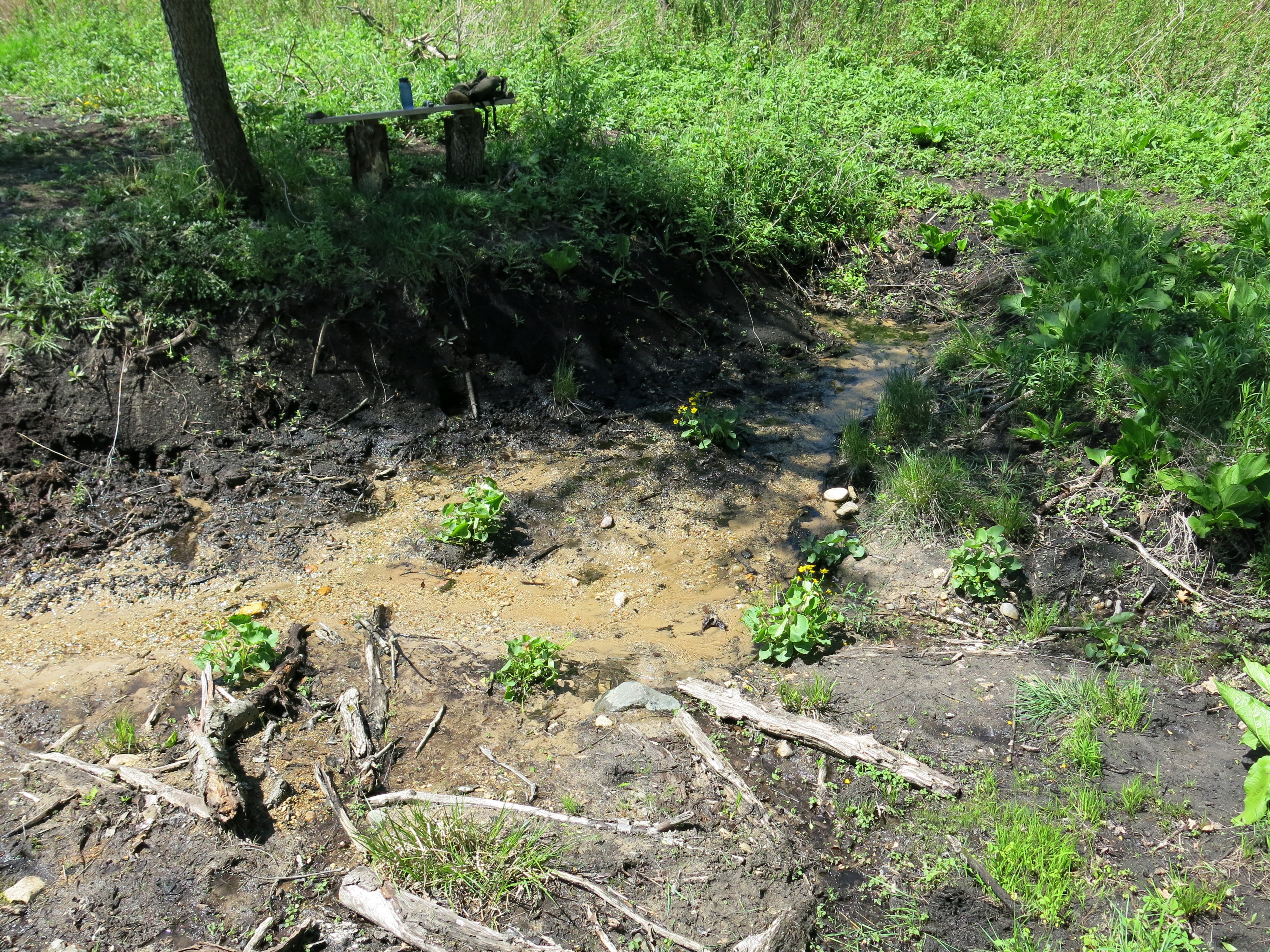
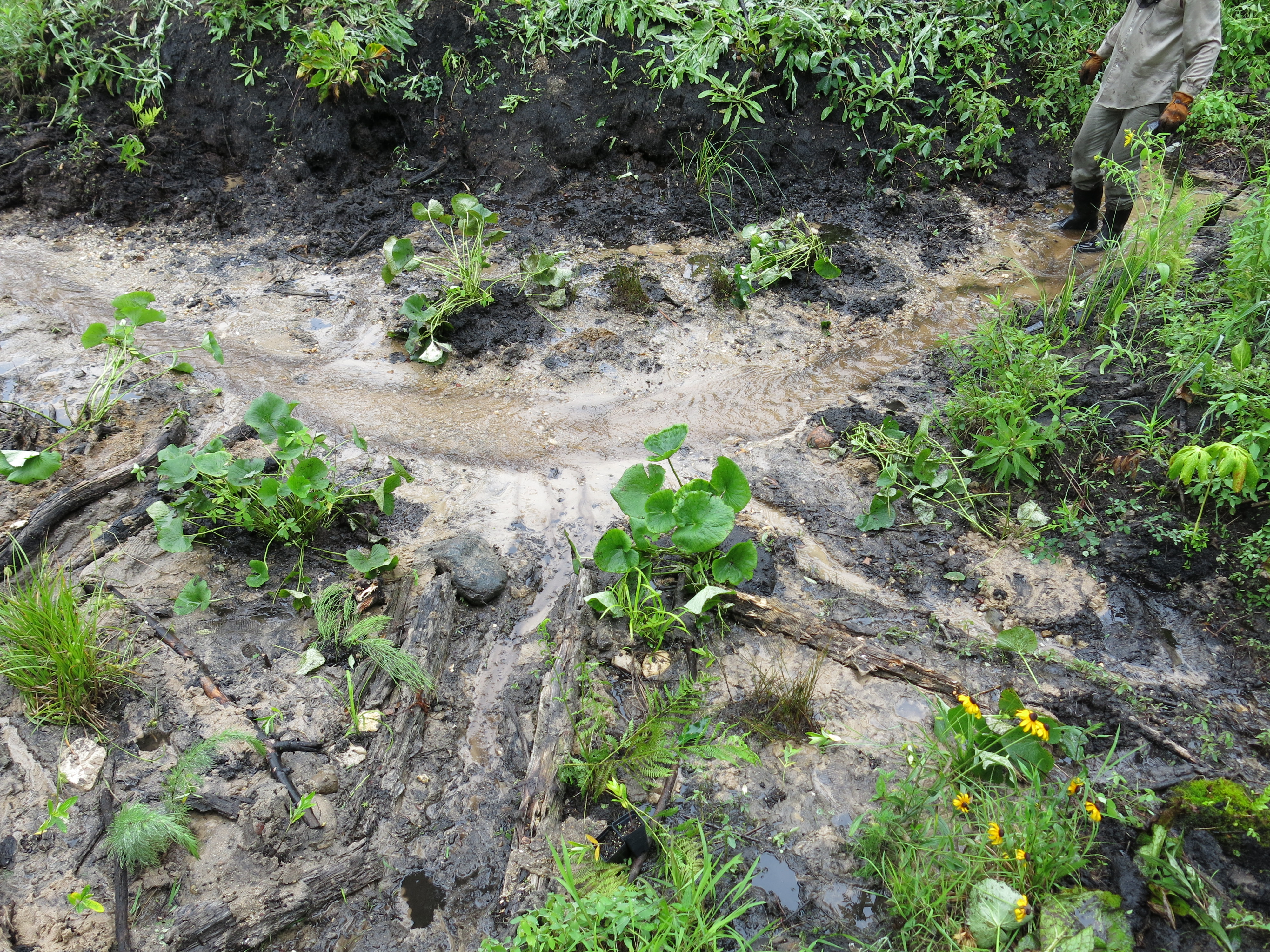
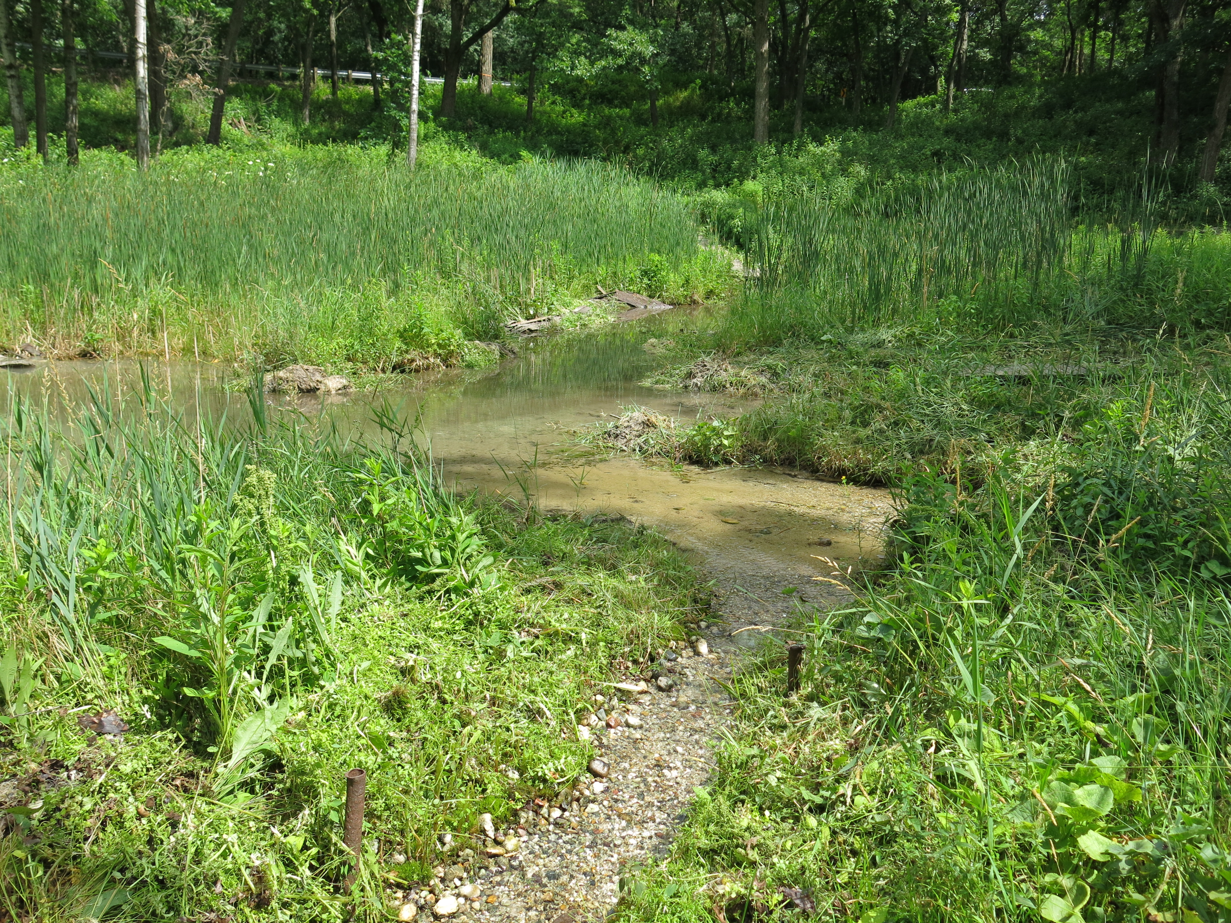
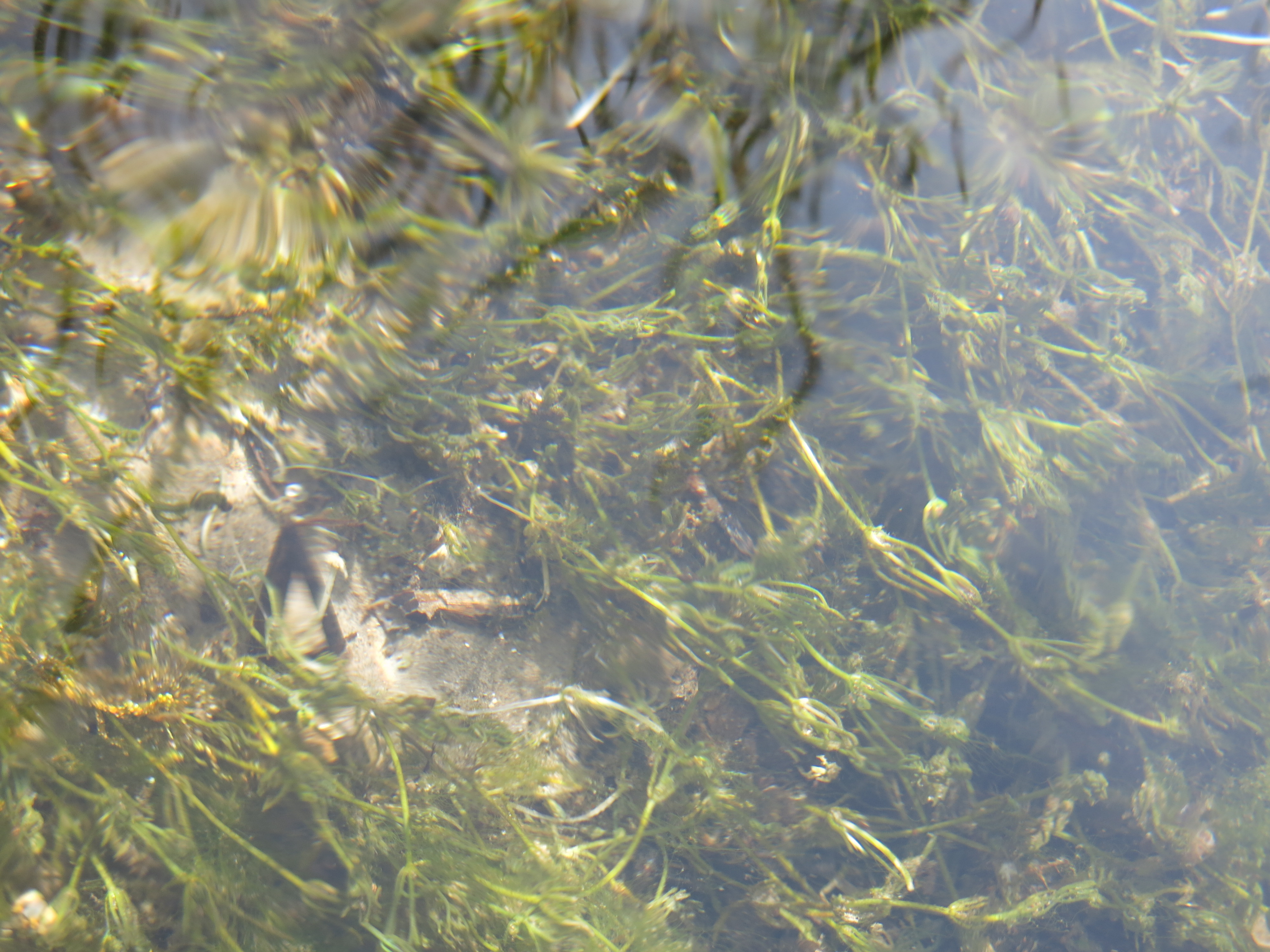
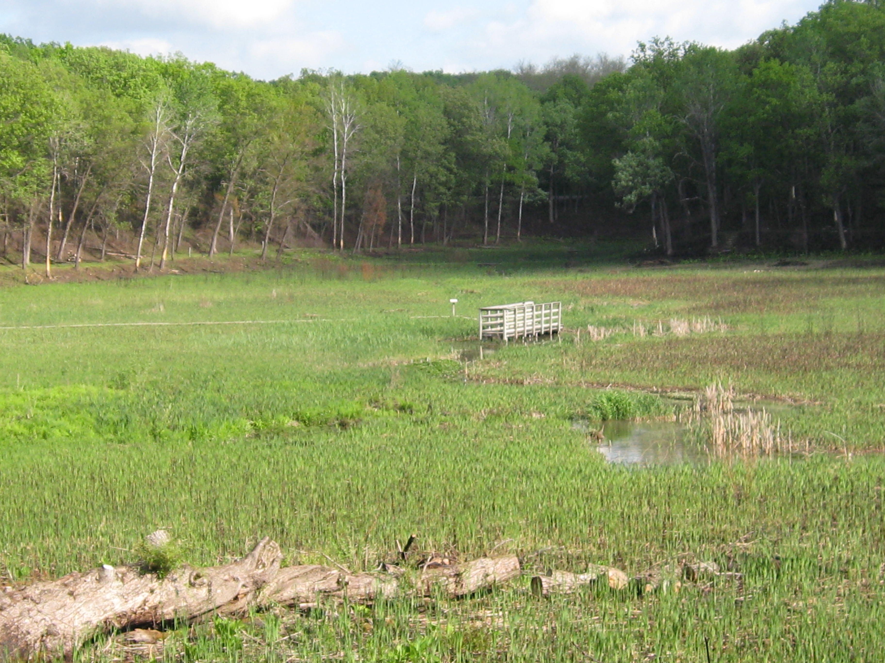
The fish counts were down significantly this year and I don’t doubt that it was a result of our removal of too much cover and food source from the river.  At the time we pulled the water cress, it had formed thick mats that damned the water flow raising the water table along the river by at least 6 inches.  I thought it was important to help re-establish the river channel, and the flora in the valley, to remove the water cress dams.  Until we can establish a native water plant, like Chara, which is in fact making a comeback, to replace the invasive water cress, we will allow the cress to thrive short of damning the river again.

I began attacking the phragmites and cattail that dominate the river valley with a hedge cutter loping off the maturing seed heads and leaving the emerging golden rod and asters undisturbed beneath them.

September

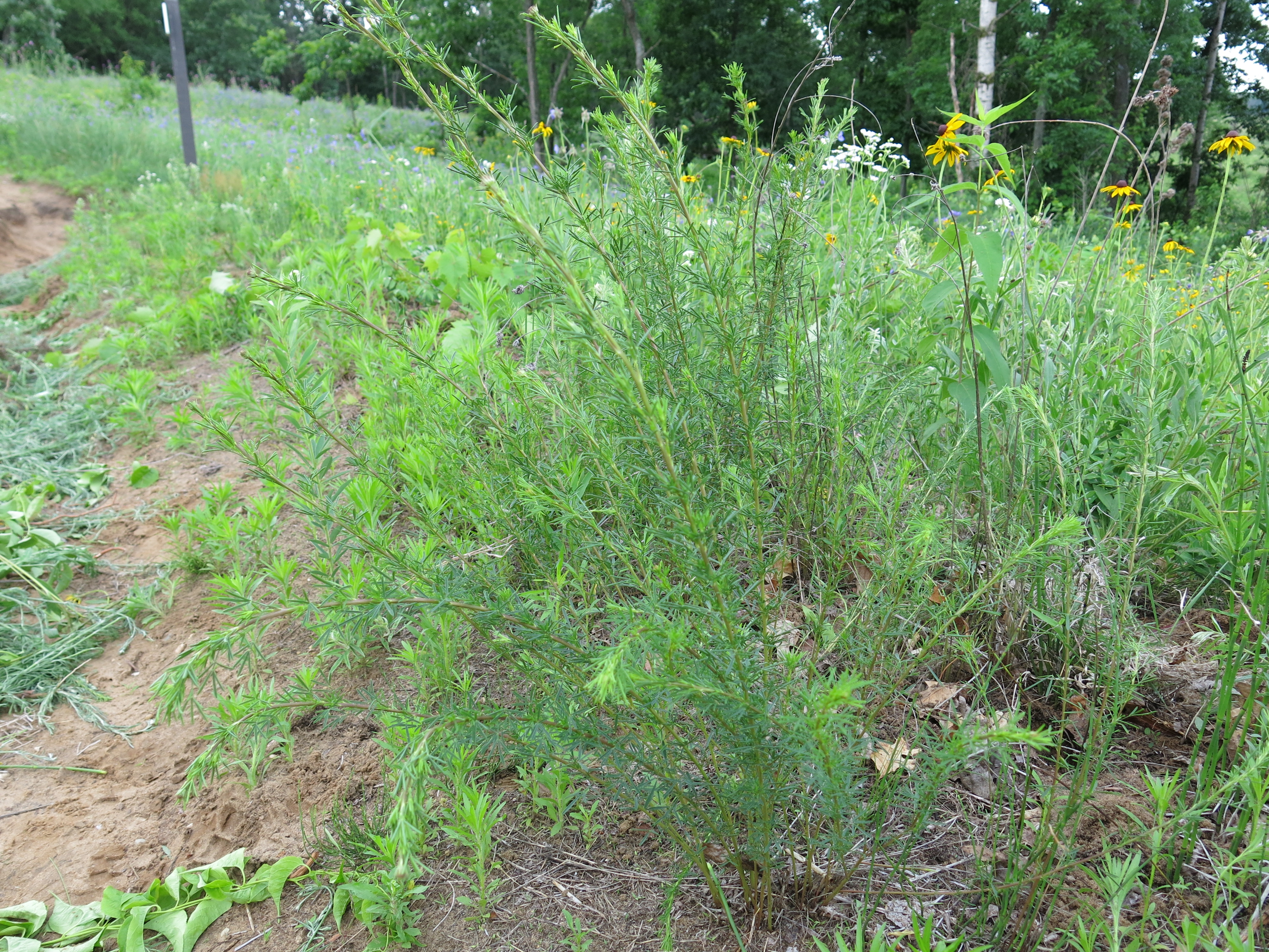
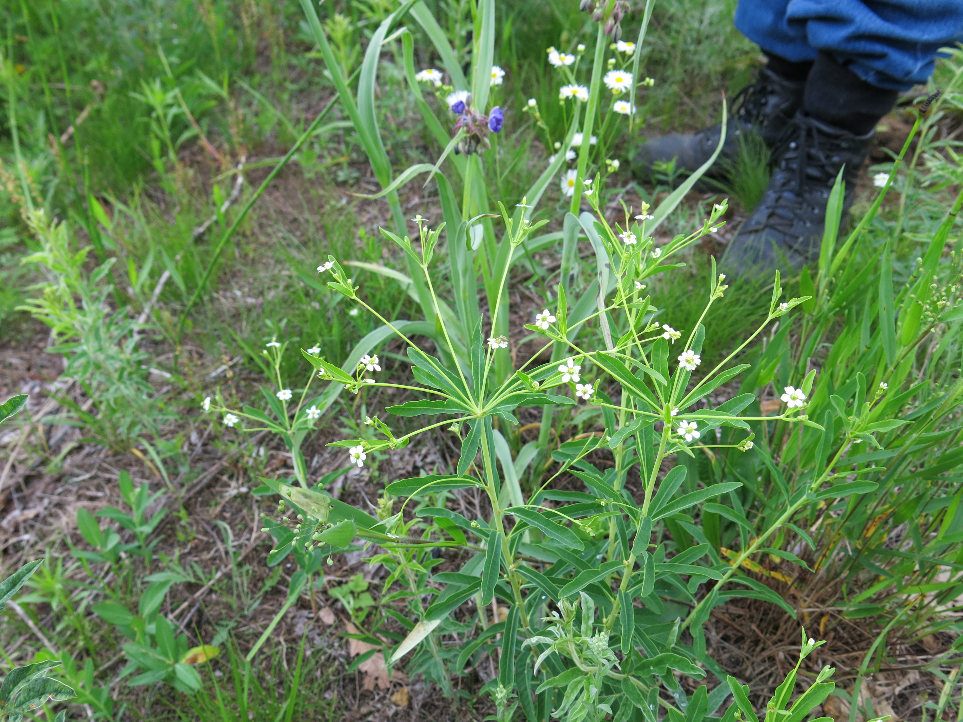
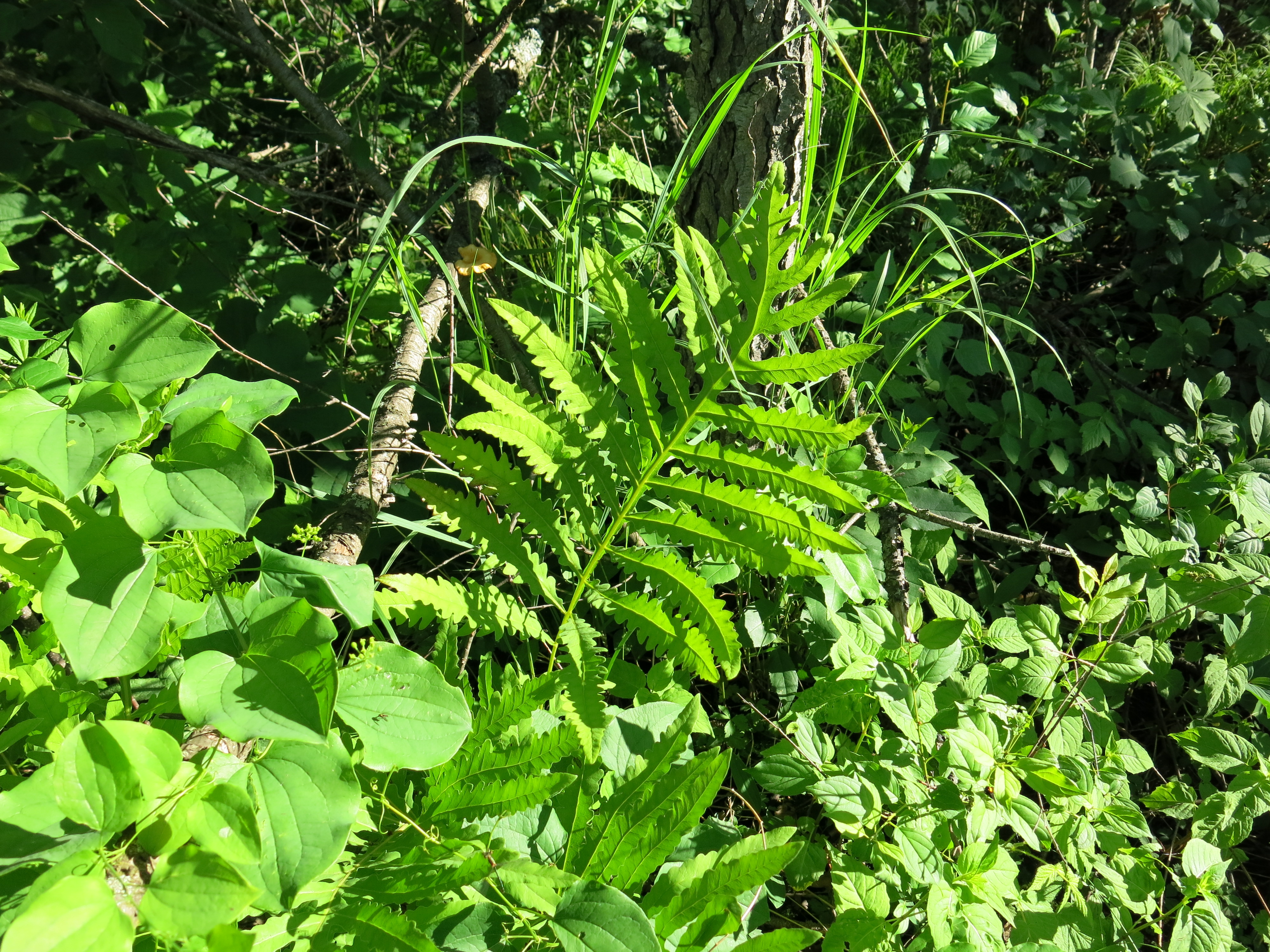
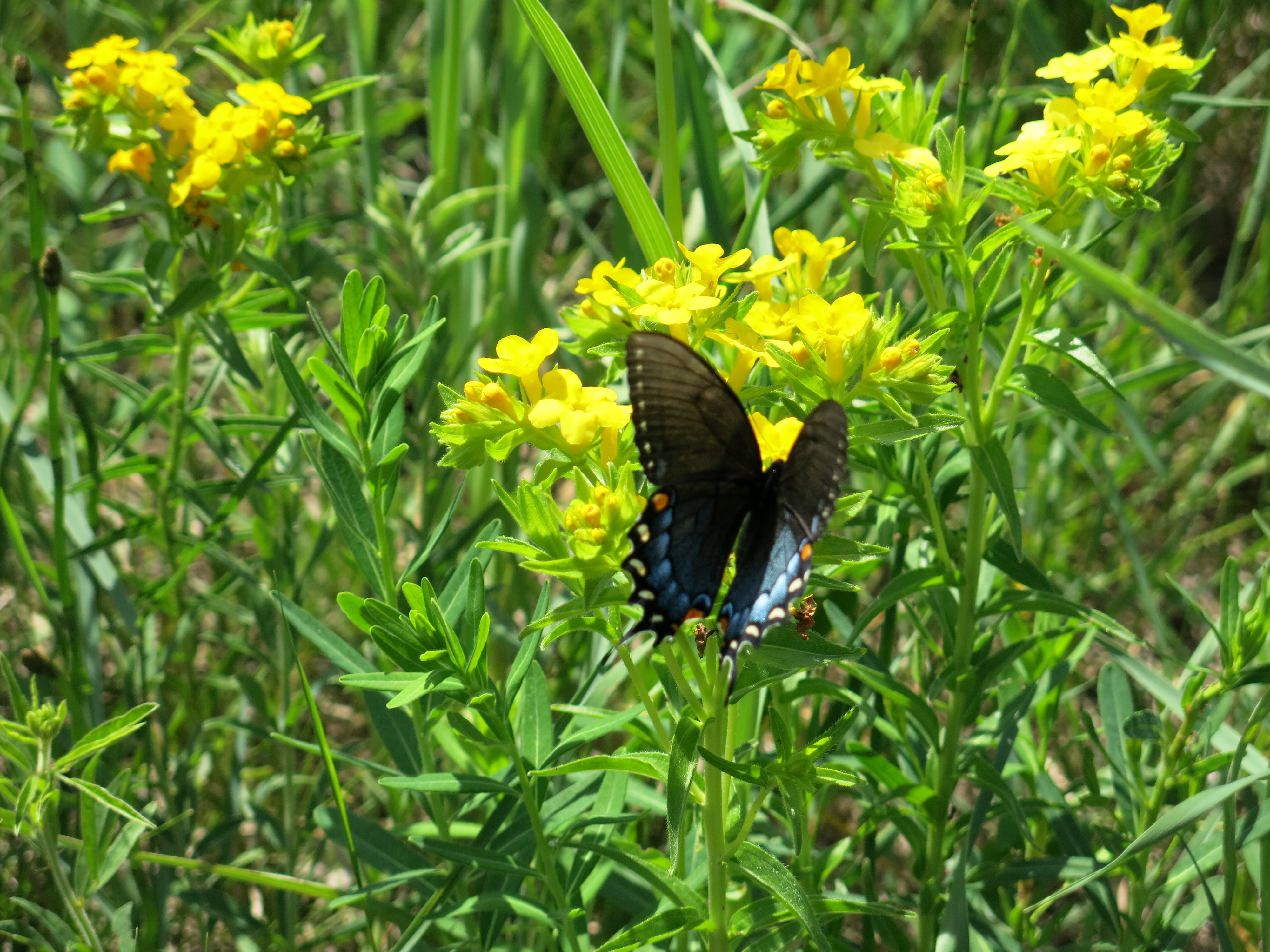
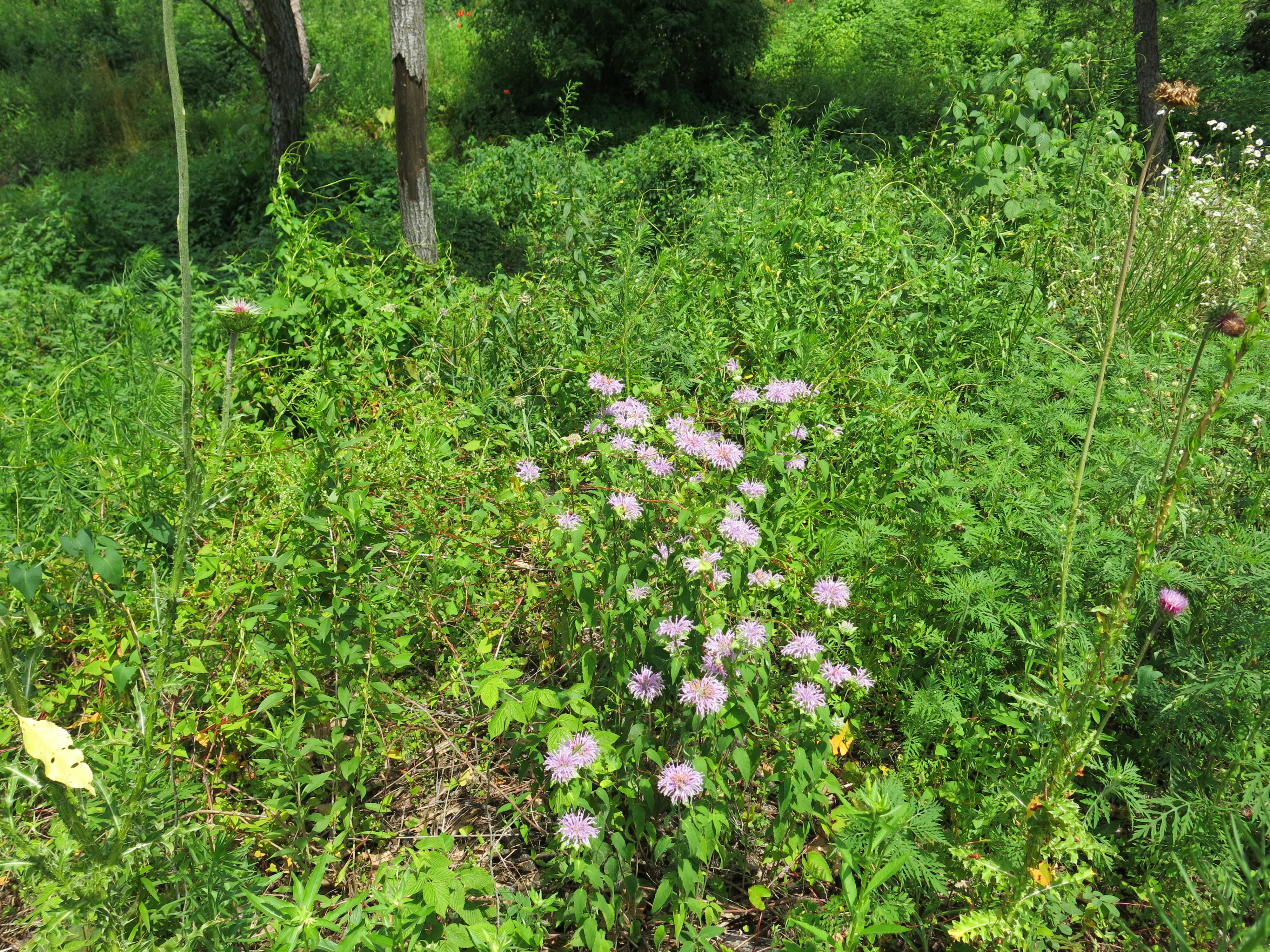
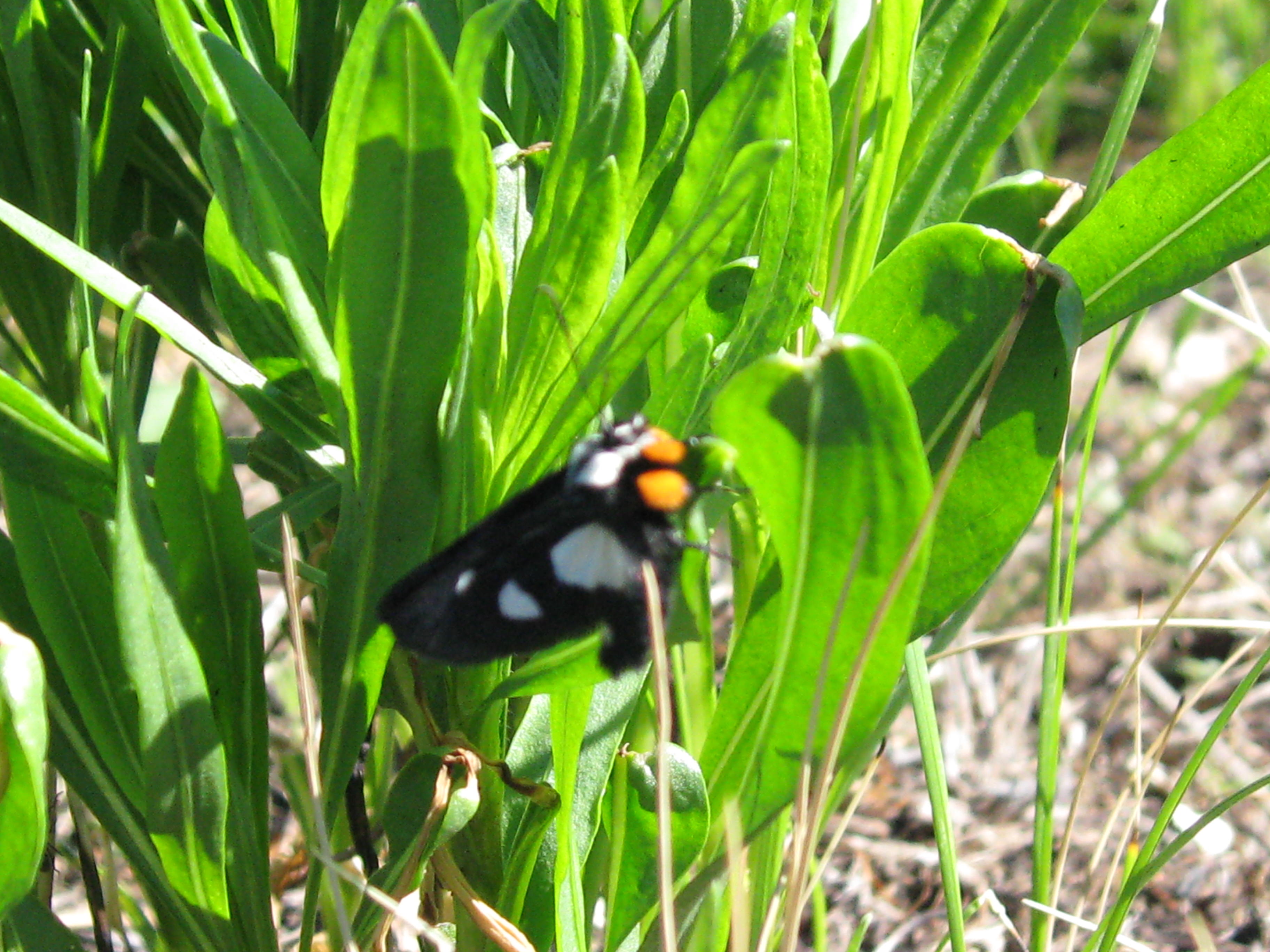
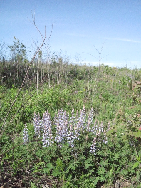
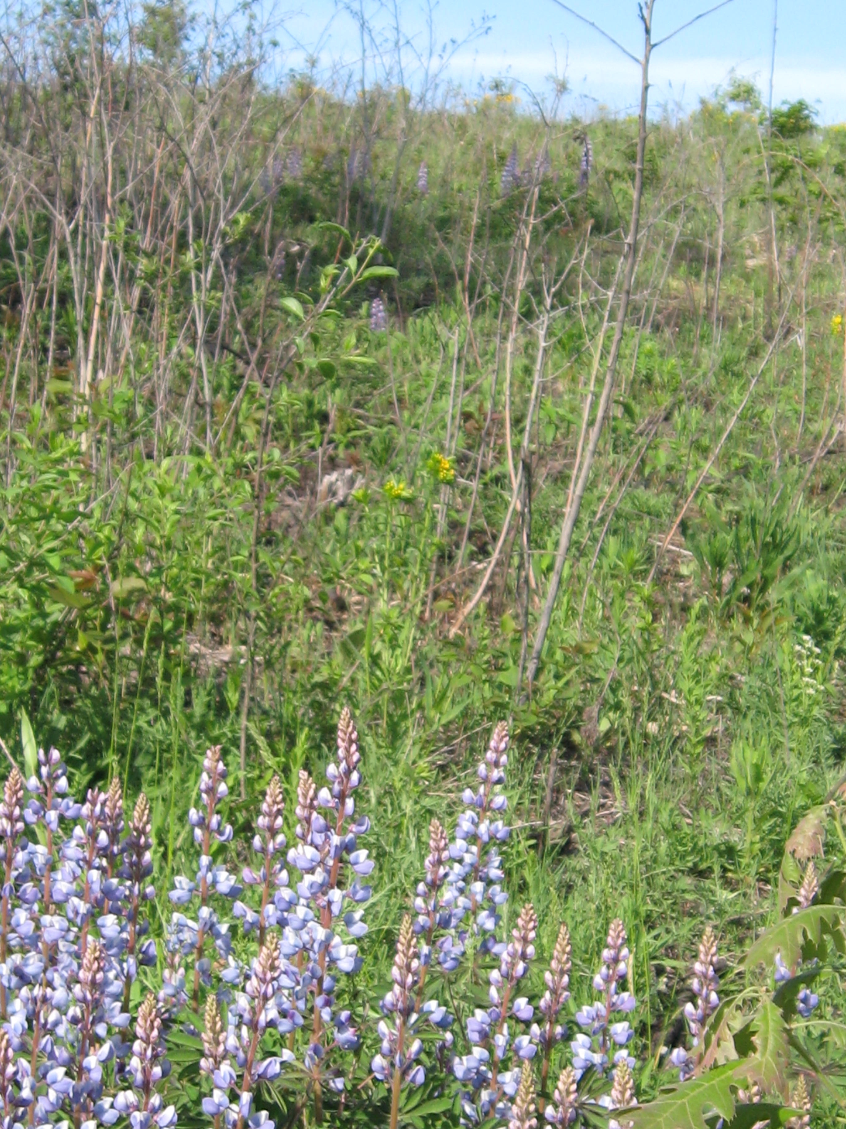
I learned to adjust my efforts to the plant life cycles and spent a lot of time pulling weeds by hand including: Canada Fleabane, American Burnweed (shown below), Common Ragweed , Queen Anne’s Lace  and Sweet Clover.

IMG_0393

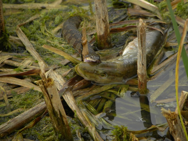
I wonder if I’ve bitten off more than I can chew attempting to eradicate invasive weeds at The Springs without using poison.  I take heart when I consider all of the Super Friends♥ that are willing to help.  Sue Hrobar captured this ambitious water snake and it inspires me to keep trying!

watersnake & grass pickerel 09:01

I’m getting more philosophical these days and thank my friends Mike and Yvonne Fort for their inspirational efforts at Lapham Peak State Park.

I began pulling Japanese knotweed and purple nightshade as well as all of the other aforementioned weeds and it almost seemed like the whole nature preserve was just a big weed patch.

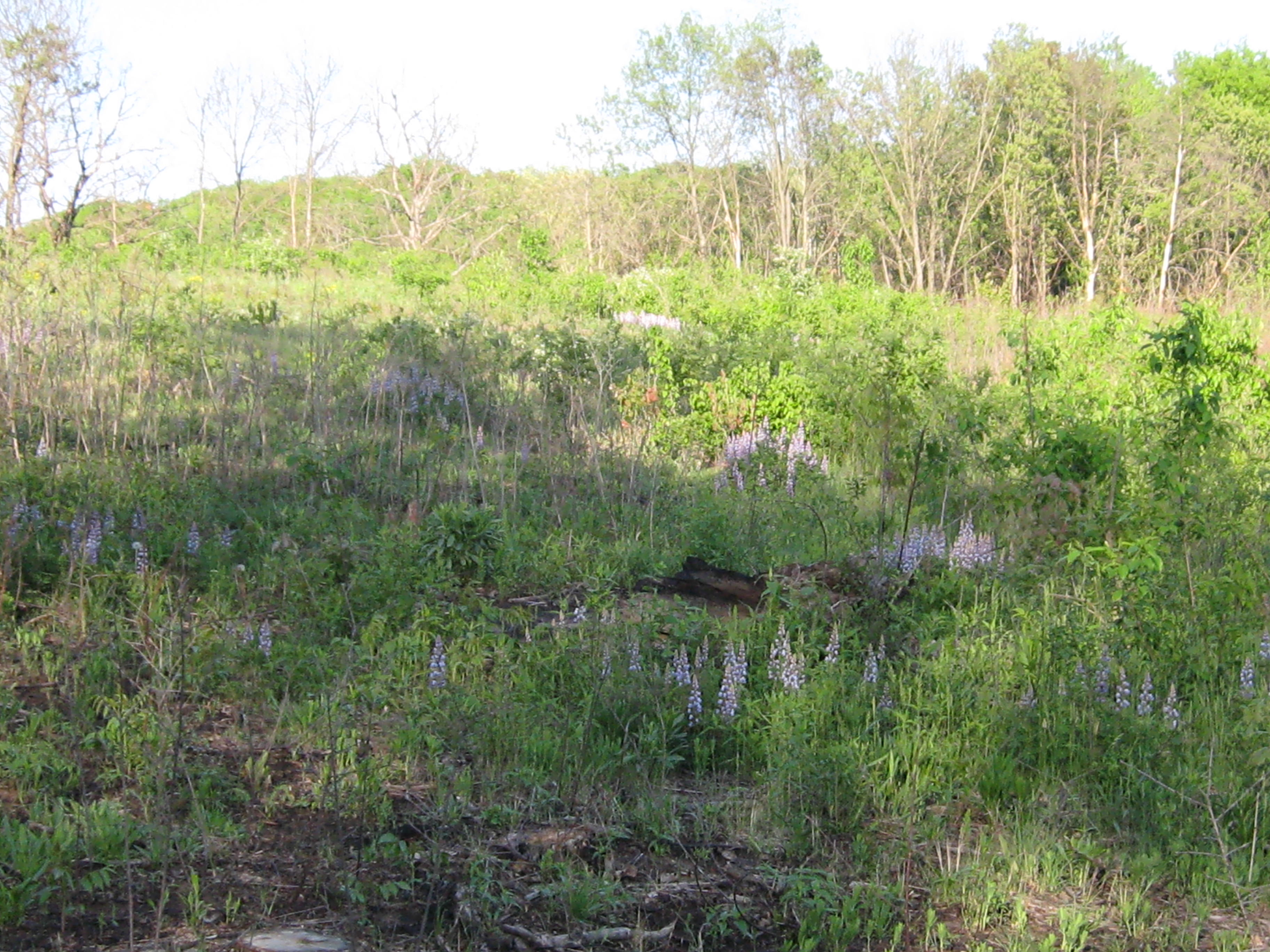
Pati and I usually go camping in the mountains in September and she couldn’t make it this year so I decided to camp at Ottawa Lake and see what that was like.  The two walk-in sites #334 & #335 adjoin the Ottawa Lake Fen State Natural Area.  Lindsay and his wife Connie and Pati joined me for my first evening at site #335 and we agreed that the wall of buckthorn on the hillside between the campsites and fen simply had to go.  I divided my time over the next two weeks between working near the campsites and at The Springs.

IMG_0662

October

I began cutting buckthorn on a stretch of trail at The Springs that I christened the Buckthorn Tunnel.

The task of weeding the Sand Prairie is daunting to say the least and I’m glad to have the help of Jim Davee, Pati and Tara Fignar.  I know we can stop the spotted knapweed from going to seed and then it’s just a question of carefully digging out the plants.

IMG_0711

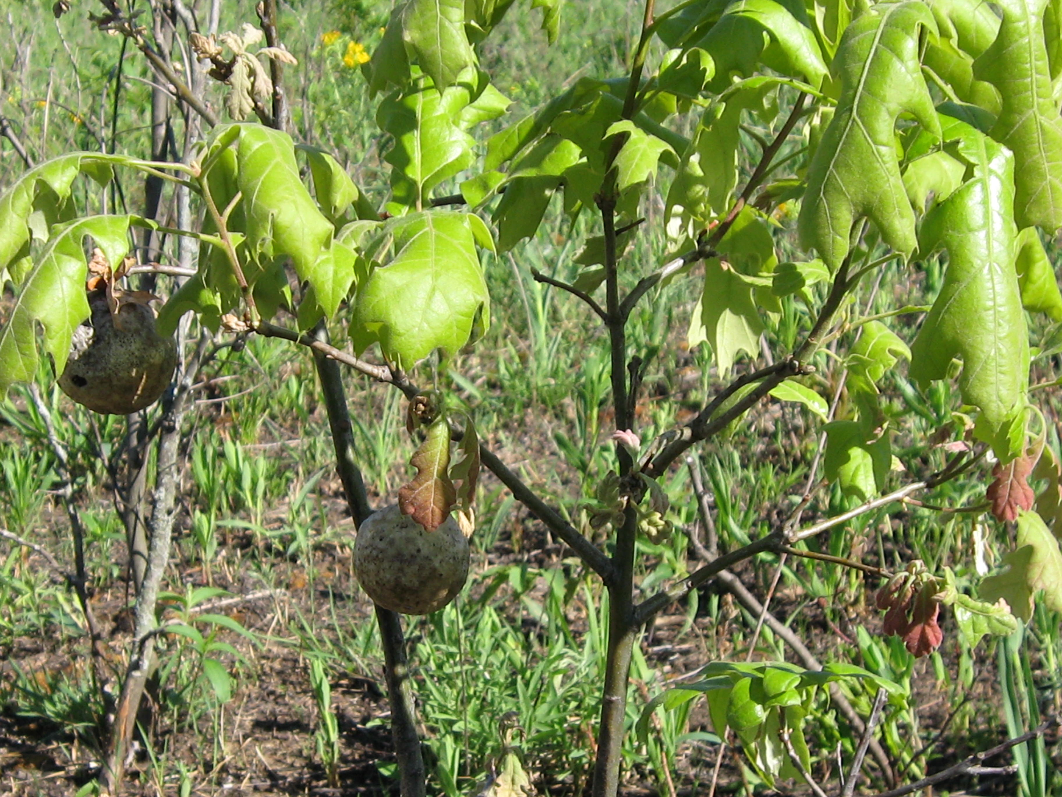
Lindsay informed me that there is a weevil that attacks only spotted knapweed and I’m considering if we should try to introduce it at The Springs.  That reminds me that we need to reintroduce more Purple Loosestrife beetles, as we had a bumper crop of this invasive plant in 2013.

Anne Moretti, Jim Davee and Tara Fignar helped me pile the buckthorn I had cut in the Buckthorn Tunnel.  I really appreciated their companionship and contribution.

IMG_0820

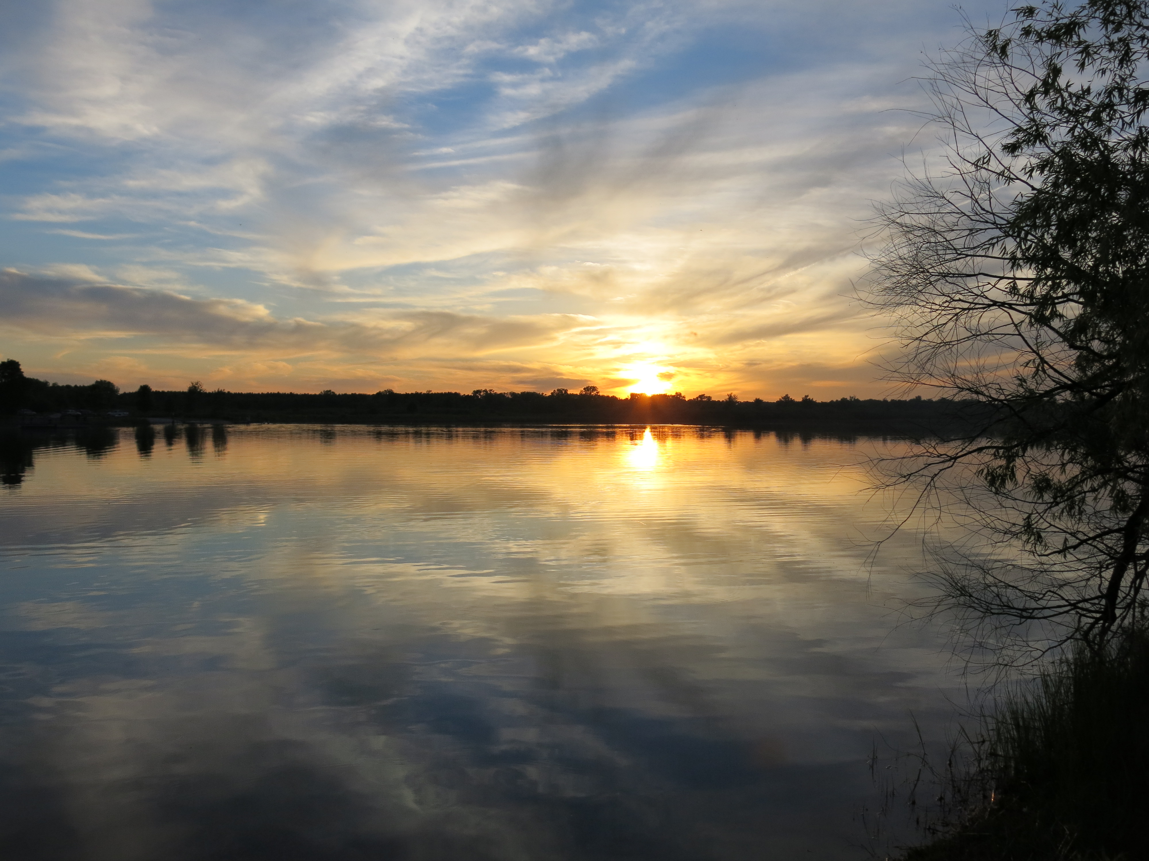
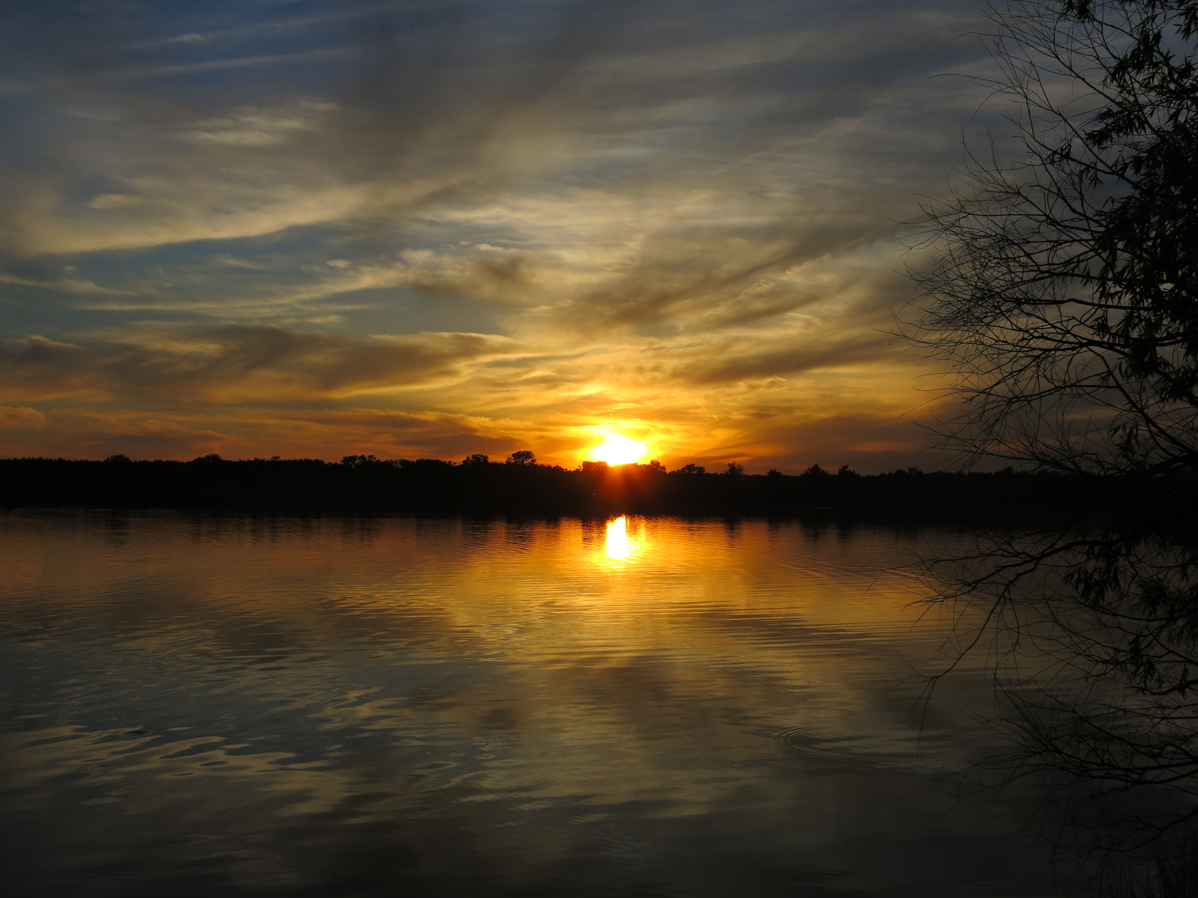
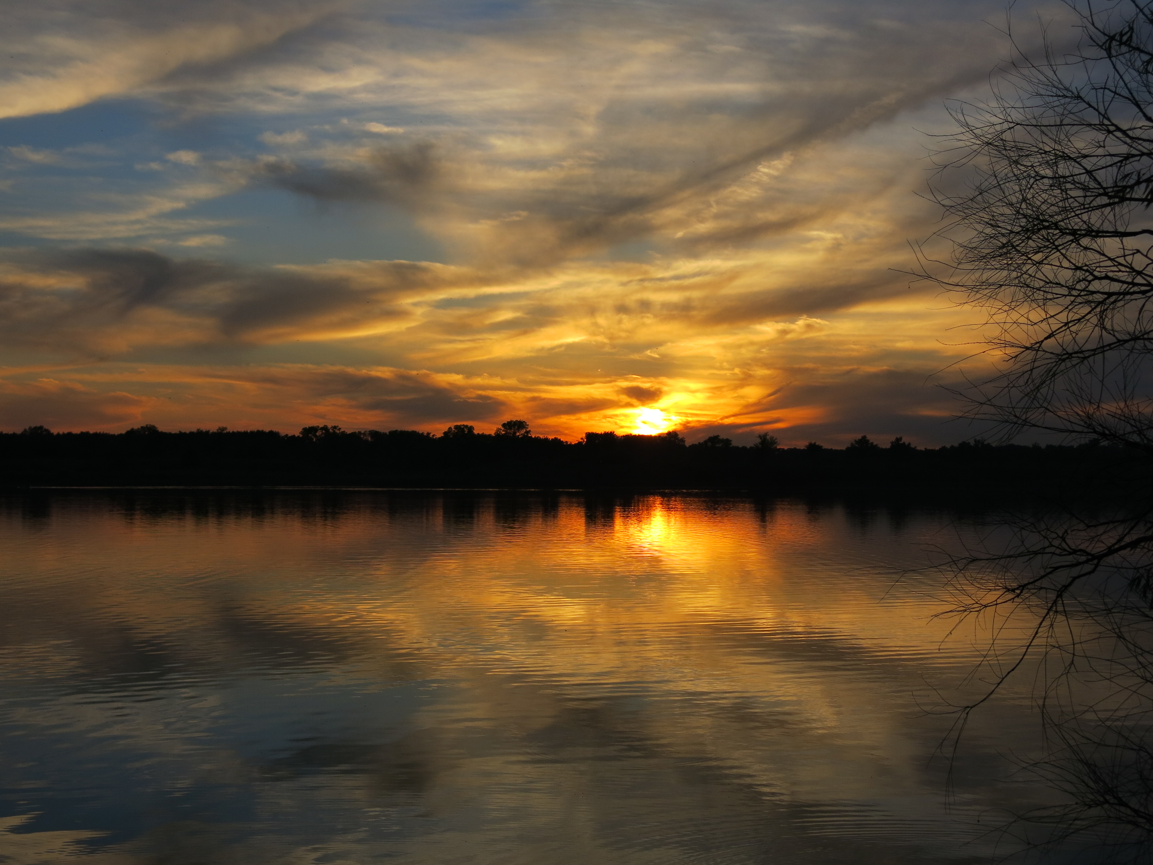
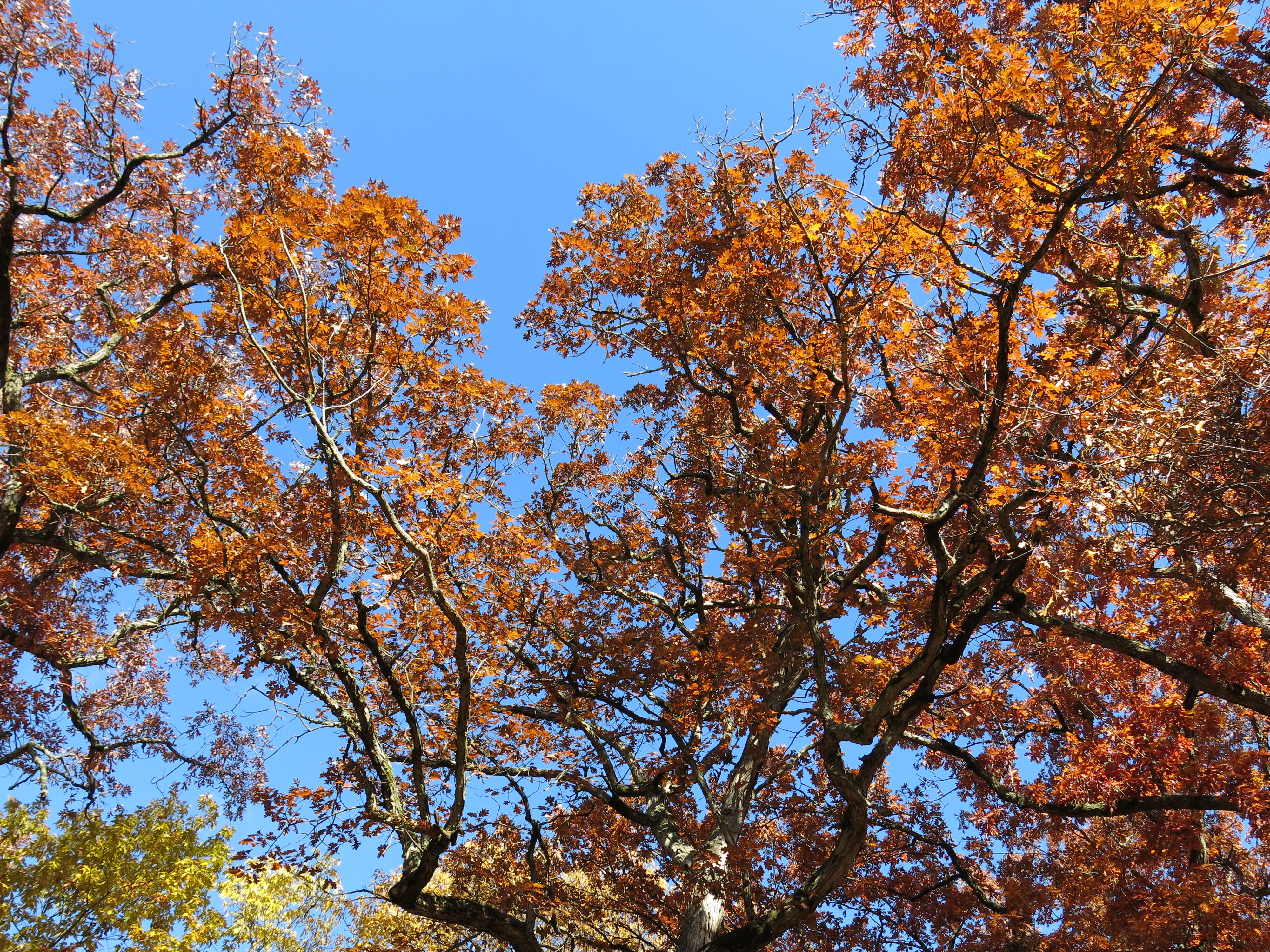
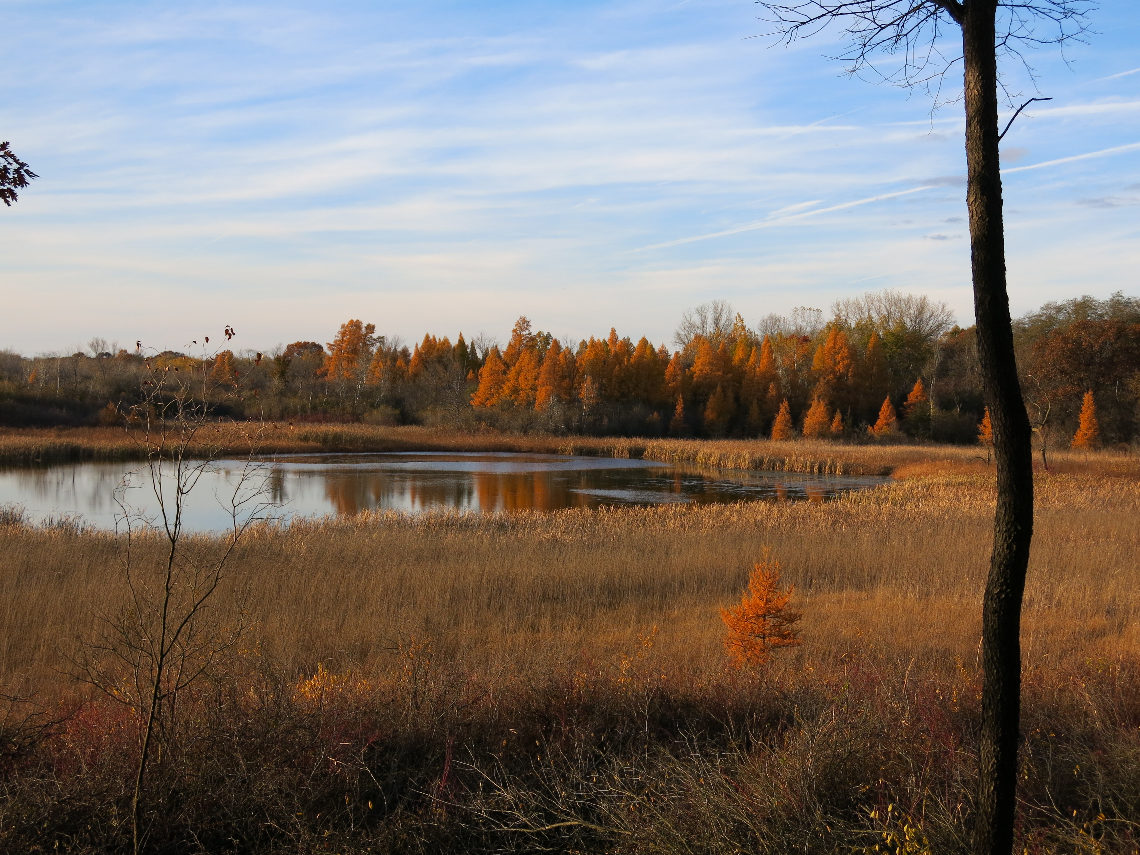
The fall colors where just starting to emerge by the end of the month.

IMG_0828

November

The Fall season lingered long and colorful.

IMG_0931

I spent another week camping at Ottawa Lake and continued cutting buckthorn and thinning American Hop Hornbeam near sites #334 and #335.

IMG_0968

IMG_0979

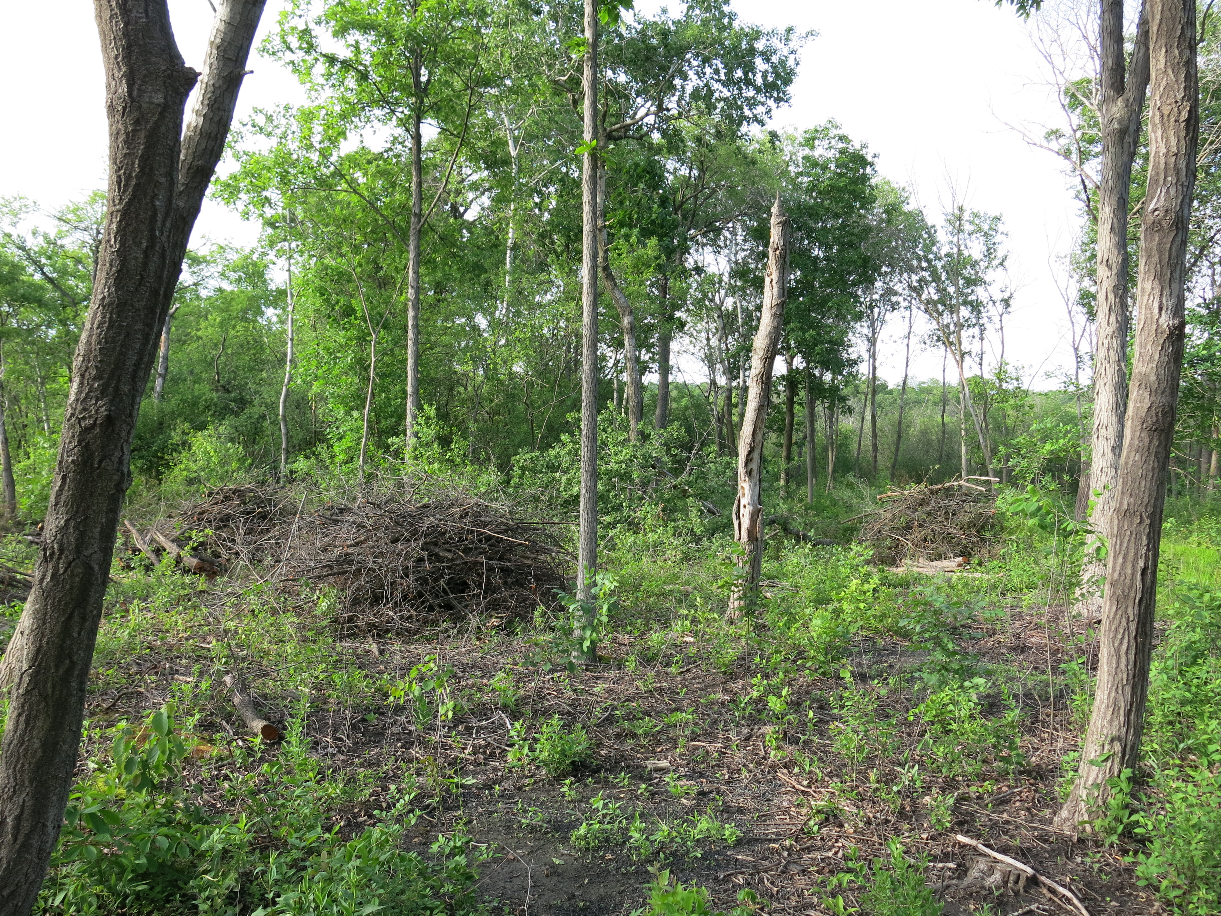
I began opening up a new area on the northeast end of the loop trail where it passes by an old cranberry bog; at signpost #13, the junction with the cut-off trail.  And I continued piling the freshly cut brush along the Buckthorn Tunnel.

Jon Bradley contributed another post-full of beautiful and interesting photos.  If you would like to contribute photos or stories to this blog, please let me know.

IMG_6231

I spent 3 days piling the brush cut near campsites #334 & #335.  I separated the good logs, suitable for firewood, from the brush and plan to return this spring to cut the logs into smaller pieces.

Lindsay took a full-time position at UW Madison and Rich focused on his beautiful grandchildren, awesome garden and classic pottery, but the Three Brushcuteers reunited for a day piling the brush I cut near the cranberry bogs mentioned above.  It was sweet to spend time with them again working in the forest.

Ben Johnson and Andy Buchta joined forces with me to pile brush right at the main parking lot on Hwy ZZ.  They are both hard-working men and I truly appreciate their contributions.  Both Ben and Andy have returned numerous times since then and I really enjoy working with them!

Towards the end of the month, master naturalist Dick Jenks began volunteering as well, doing everything from cutting, to piling, to burning brush piles.  Dick, Ben, Andy and Jim all have great ideas and are very observant.  I’m really benefiting from their experiences and perspectives.

Conditions were borderline, but we succeeding in lighting up all the brush piles we recently made in the Buckthorn Tunnel.

IMG_1299

December

After more than 6 months delay, while we focused on other areas of The Springs, we finally got back to the obscenely grotesque and nasty Buckthorn Alley.  You will not find a worse thicket of buckthorn anywhere on the planet.  With the help of Dick Jenks, Ben Johnson, Andy Buchta, Jim Davee and Pati, I was eager to “get after it”!

SSTrailMapBuckthornAlley

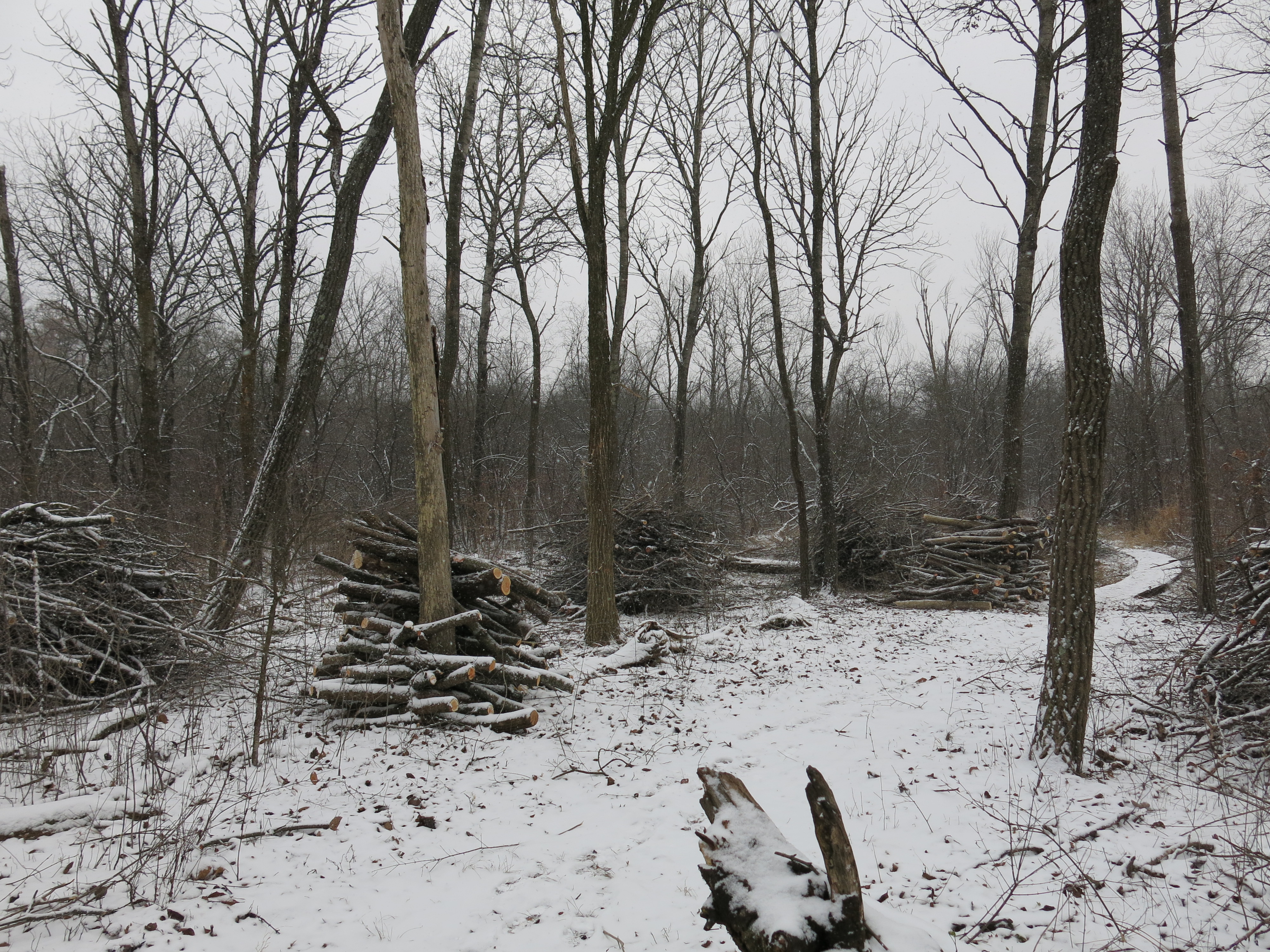
Everyone agreed we should separate the wood suitable for campfires at Ottawa lake from the slash and we have many log piles that we plan to prep using Dick’s custom sawbuck.  We’ll put some information fliers at the visitor’s center across Hwy ZZ and in the trail brochure box offering the wood to campers on a donation basis.  With the 25 mile limit on transporting firewood scheduled to kick in this season, we expect campers will take advantage of the buckthorn firewood.

IMG_1316

IMG_1359

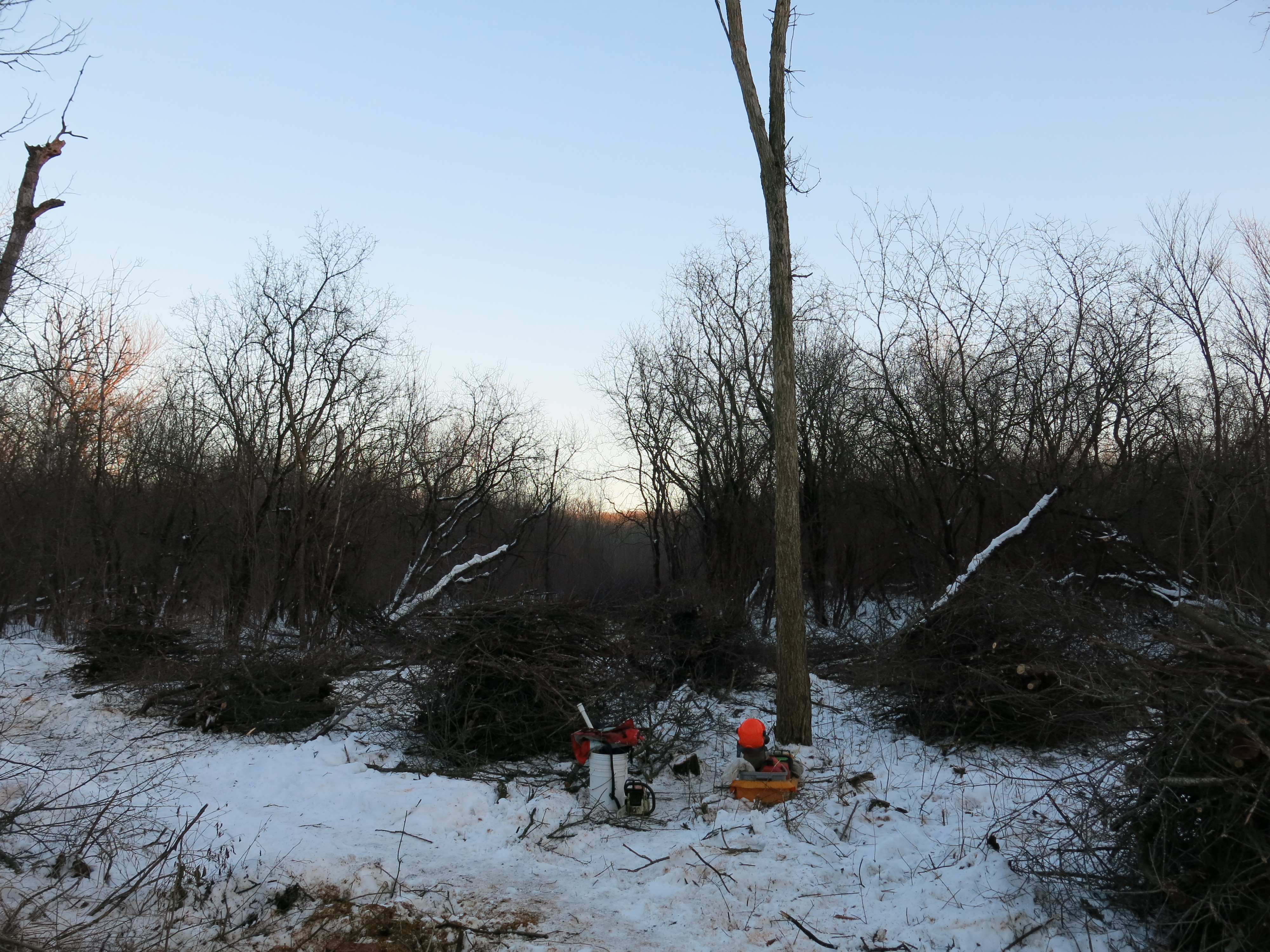
The snow cover was perfect for burning brush piles, and I took advantage of it burning all of the piles we had made the past year between the river and the cut-off trail.

IMG_1373

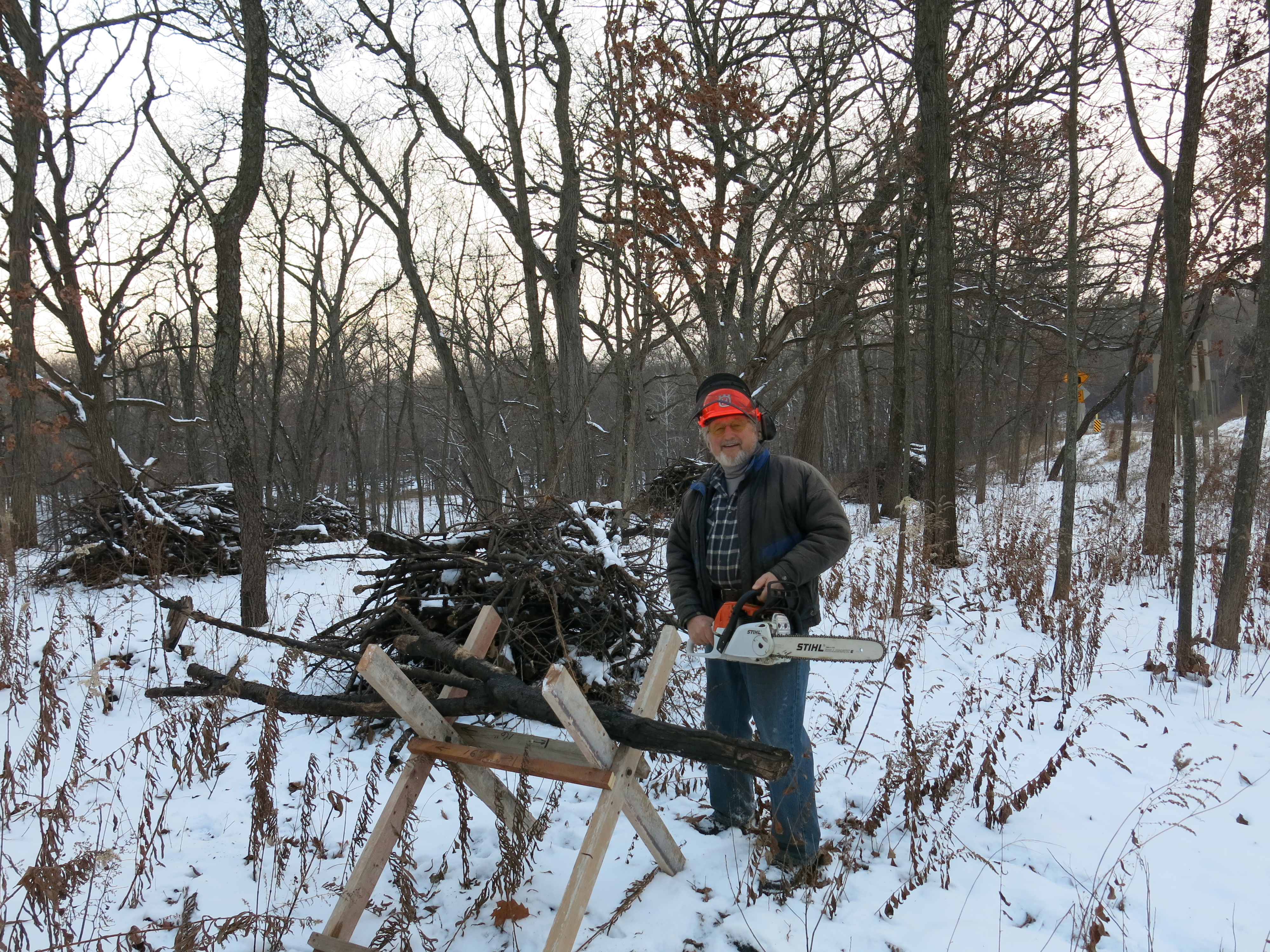
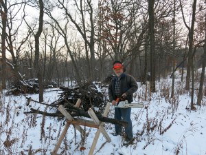
Dick Jenks with his sawbuck.

IMG_1382

We had a perfect day burning brush piles along Hwy 67.

SSTrailMap12-13-BurnPlan

I took advantage of another fine day and lit up all the brush piles remaining along the main trail.

SSTrailMapSolsticeBurn

John and Sue Hrobar informed me that Ben Heussner and the Fisheries team, along with the South Eastern Wisconsin Trout Unlimited group, had executed another workday on the river on December 14.  Check out their excellent results here and here.

IMG_1444

Ben Johnson (shown below) got his first licks in with a chainsaw in the Buckthorn Alley.  And Jim Davee came out to pile brush there too.

IMG_1439

The year ended for me with a “Big Bang“, that, given my evolution of consciousness documented in these posts over the last year, should not be too surprising.

I worked with Zach Kastern on numerous occasions over the past year and so I was really excited when he made time in his very busy life to come out and help cut some buckthorn.  I hold him in high esteem!  Here is the “blue V” we used as our target to open a channel through the buckthorn connecting the trail to the remnant of a cranberry bog.

IMG_1466

Thanks to Ben Johnson for inspiring me to put together this year-in-review.  And THANKS to all the Super Friends♥ who pitched in to help reveal the beauty of the Scuppernong Springs Nature Trail.

IMG_0584

See you at The Springs!

Fish Count

Hello, welcome to The Springs!

I feel so much better about my work at the Scuppernong Springs Nature Preserve since making the commitment to go organic. One barometer of healthy human consciousness is whether or not your thoughts, emotions and actions are in unity. The cognitive dissonance I was feeling about using poisons in the restoration effort is gone now and my thoughts, emotions and actions are unified in a renewed commitment to take care of the land; naturally.
Yesterday, it was my great pleasure to participate with a dedicated team of Wisconsin DNR Water Resource specialists as they conducted their annual fish count of the Scuppernong River. Fish Count in that they are viewed as key indicators of the quality of the water, the health of an ecosystem and even global climate change. We made significant changes to the Scuppernong River headwaters and valley last year by removing water cress dams, which freed the river’s flow lowering its depth 4-6″, and cleaning out springs to allow the water to join the river more directly. In theory (because I don’t have any data to prove it) these efforts should have reduced the “thermal pollution”, i.e. the temperature increase caused as the water warmed while slowly filtering through dense mats of water cress, which is a good thing because native brook trout like cold water. The downside is that we reduced a source of food and cover (water cress) and we disturbed a lot of muck. Did we inadvertently tip a delicately balanced system out of favor for the brook trout? I’ve been waiting for this year’s fish count with nervous anticipation since we heard about it from Craig Helker last November.

Meet Craig, Rachel, Adam and Chelsea.

Craig and Rachel explain the fish count.

And Adam provides the safety explanation.

That was on Tuesday, August 6, and unfortunately, there were problems with the equipment that could not be resolved and we had to reschedule for Thursday. I’m waiting for the crew at the gaging station bridge and here they come.

IMG_0281

IMG_0282

We reviewed what the problem was on Tuesday (a faulty probe) and I got a more detailed explanation of the system. The generator in the white boat creates the electrical current that flows from a plate on the bottom of the boat, which acts the cathode, to the probes held by the shockers, which act as anodes (I mix this all up in the videos) creating an electrical field. There is a separate system, powered by a battery, that shuts the current off if either of the shockers looses control of their probe. The current flow is also stopped if a probe stops working for some reason, which did happen again on Thursday, but this time the team was prepared and simply reverted to using only one probe.

Here is my first attempt to use iMovie to string a couple videos together showing our shocking actions. Note that Shelly, also from WDNR Water Resource team, has joined us.

We finished at the Hotel Spring and they setup buckets and began sorting the fish.

Adam, Craig and Rachel measure and count the fish.

Chelsea gives us a close up look at four of the eight different fish species that were collected.

And Rachel delivers the final tallies.

I got 2010 – 2012 data from Craig. Let’s see how we’re doing (note that we may have also impacted the 2012 numbers since we began our work that spring).

2010

Mottled Sculpin – 240
Brook Stickleback – 59
Central Mudminnow – 69
Fantail Darter – 2
Brook Trout – 121

2011

Mottled Sculpin – 169
Brook Stickleback – 25
Central Mudminnow – 72
Fantail Darter – 10
Brook Trout – 213
Green Sunfish – 1
Johnny Darter –2
Grass Pickerel – 1

2012

Mottled Sculpin – 211
Brook Stickleback – 11
Central Mudminnow – 15
Fantail Darter – 8
Brook Trout – 92
Green Sunfish – 1
Johnny Darter – 1

2013

Mottled Sculpin – 86
Brook Stickleback – 1
Central Mudminnow – 5
Fantail Darter – 9
Brook Trout – 66
Green Sunfish – 1
Grass Pickerels – 4
Northern Pike – 3

The numbers are definitely down from previous years and I wonder if the appearance of Northern Pike is significant. There are a lot of variables that could affect the number of fish collected, including the changes we made to the river last year, but I don’t know if we can go beyond speculation to identify specific cause and effect relationships. We are assuming that removing as much water cress as we did last year did reduce the food and cover that brook trout need, and hence we are letting it grow this year, but not to the extent that it forms dams like it used to. We did collect some “young of the year” brook trout, which indicate that they are still spawning in this area of the river.

Anne Korman, Assistant Superintendent of the Southern Unit of the Kettle Moraine State Forest stopped over to say hello and take this picture of the crew (Craig, Paul, Chelsea, Rachel, Shelly and Adam).

IMG_0291

I managed to pull a few weeds yesterday before meeting the DNR team. I got this queen anne’s lace along the first bridge over the river downstream from the Scuppernong Spring.

IMG_0276

And some of this purple nightshade on the south end of the loop trail

IMG_0277

Rachel showed me this chara plant, which is the source of the calcium carbonate that forms into marl.

IMG_0278

I spent the rest of the afternoon pulling spotted knapweed, common ragweed and hoary alysum on the sand prairie, which is poised for an explosion of color from rough blazing star, golden rod and many other flowers. Come and see the prairie!

Summer is flying by and you no longer have to walk way out along the marl pit channel to see the sun going down. I got these pictures from the marl pit bridge.

IMG_0297

IMG_0302

IMG_0305

IMG_0306

IMG_0308

See you at The Springs!

Spring Cleaning

It was around this time last year that we met Don Dane and Tim Peters at The Springs and expanded the scope of our restoration effort to include opening up all of the springs that feed the Scuppernong River, and clearing the river itself. Like Neo in The Matrix, who followed the white rabbit to discover the truth, we are also on a journey of exploration and learning to discover “the truth” of what the Scuppernong Springs area was like before the invasion of the white settlers. Terence McKenna coined the term Archaic Revival and it strikes a chord with me.

I had the pleasure of spending Friday, May 24, at The Springs. The northeast winds that arrived the day before continued to blow and the sky was impeccably blue. DNR naturalist/guide Melanie Kapinos and long-time Ice Age Trail Alliance member Barbra Converse, who gives tour of The Springs, stopped out to chat.

IMG_1633

Barb asked ‘why do you do it?’ and I really appreciated the opportunity to explain myself. It will take a long time to “revive” this area after many, many years of neglect. As I walk the land and observe the recovery from the burn, I see tons of weeds amongst the good native flowers and grasses. Much of the green you see in the post-burn pictures I have been posting is from buckthorn seedlings, thistle and burdock patches, phragmites, cattails, garlic mustard, spotted knapweed and other invasive plants. The journey back to health for the Scuppernong Springs Nature Preserve and the Scuppernong River Habitat Area will be long and I take every step with joyful anticipation.

Barb led us to these distinctive Oak Gall specimens on the Sauk Campground sand prairie.

IMG_1634

IMG_1635

As I was spraying spotted knapweed at the sand prarie, I noticed this attractive White Spotted Sable Moth.

IMG_1636

And this vibrantly green Lady Fern.

IMG_1641

I continued girdling Aspen on the slope behind the Hidden Spring. The fresh air made every breath a pleasure!

IMG_1642

IMG_1643

I spent the afternoon pulling watercress, phragmites and cattails from the Hatching House Springs and the Hillside Springs. These springs have nice, stony bottoms and look like great trout spawning habitats. I harvested a healthy dose of watercress at the Scuppernong Spring, which has the sweetest cress of them all.

Pati joined me for the rest of the day and we reveled in the beauty.

IMG_1645

IMG_1646

IMG_1647

IMG_1653

IMG_1654

If you love clouds, check out this site! I tried to capture the wisps floating by.

IMG_1648

IMG_1650

IMG_1651

IMG_1652

Sunset at Ottawa Lake.

IMG_1655

IMG_1659

IMG_1661

IMG_1663

IMG_1664

See you at The Springs!

The Sauk Spring

After a couple days, I start to miss The Springs.  They draw me away from the present moment into a dreamy future, which became reality for me last Thursday as I worked, wandered and wondered in a Garden of Eden. This place is flowing with living waters and I drew some for the day at the Scuppernong Spring.

IMG_1569

I crossed the Indian Campground on my way to an area at the bottom of the slope to girdle some Aspen trees.

IMG_1571 IMG_1572

It wasn’t until I started working with real Indians, I mean people born in India, that I started to become frustrated with the common use of the term here; a case of mistaken identity.  Language is so powerful!  Who were the “First People”, the “Native Americans”?  If only we could have learned from them how to live in harmony with the land and honored them with their own names.

Watercress and quack grass are two non-native plants that can really take over an area.  Lindsay pulled a ton of these invaders from the Indian Spring, or maybe we should call it the Sauk Spring after the tribe, along with the Fox, that ceded over 50,000,000 acres of their tribal lands to the United States in the Treaty of St. Louis back in 1803. Cede — to surrender possession of. We didn’t expect these deeply rooted plants to disappear and I thought it would be a good time to clean the spring again.

IMG_1574

IMG_1575

IMG_1576

After girdling aspen for a while, I donned some rubber knee boots and pulled the new batch of water cress and quack grass that were rapidly spreading. Here are a series of videos and photos taken later in the day that give a tour of the Sauk Spring.

IMG_1586

IMG_1587

IMG_1588

I love the sound of the water.

This view is a bit downstream from the source where an earthen dam was blocking the channel.

There is a second spring source that merges with the main channel on its way to the Scuppernong River.

The Sauk Spring is a relatively quiet place to hang out with a great view of the prairie.

Next, I headed to the old barn site, which is quite a bit noisier, to pile some buckthorn. Garrett and Jenny, two new volunteers, joined me and we did some stacking. I’m hoping to work with them again soon!

IMG_1577

IMG_1578

IMG_1579

Finally, it was time for some fun and by this time the clouds had been blown away by a refreshing north wind.

IMG_1580

IMG_1581

IMG_1582

This vernal pool as at the south end of the loop trail.

IMG_1583

The Sauk Campground is a sand prairie that really comes alive with color in the spring. The Hoary Puccoon is in full bloom.

IMG_1594

IMG_1603

And so are the Wild Lupine!

IMG_1596

IMG_1597

IMG_1602

On my way to the marl pits at the north end of the Sauk Campground…

IMG_1605

IMG_1607

At the pits looking east towards the Sauk Spring area.

IMG_1608

IMG_1609

May Apple on the cut-off, aka “lost”, trail.

IMG_1611

IMG_1613

IMG_1614

It was a lovely, cool, bug-free, full-moon evening and I watched the sun go down from the Marl Pit bridge.

IMG_1615

IMG_1616

IMG_1618

IMG_1622

IMG_1626

IMG_1630

IMG_1631

See you at The Springs!

The Hatching House Springs

I knew it was going to be a great day when I saw Lindsay’s smiling face!

We picked up where we left off on Thursday at the newly christened “Hatching House Springs” (see #9 on the Map).  Our goal was to open up the Springs and cut and pile the huge Willow that had fallen into the wetland.  Many of the Willow branches were taking root.  We also wanted to finish brush-cutting the cattail, which was concealing yet another series of springs closer to the bridge.    Here are some before shots.

You can see the two strategically placed boardwalks we uncovered last time below.

And the Water Cress…

Pati came out later to help pull cress and pile brush.  Here are the fruits of our labors.

The Hatching House Springs revealed!

There are at least a dozen springs in the area.  Here is a nice bubbler.

Time to pack up the gear.

The view from the observation deck at the Emerald Spring.

Sunset at the Indian Campground.

Hope to see YOU soon out at the Springs.

Ground Water Monitoring Project at the Springs

It was a beautiful, warm, sunny, and, dare I say, exciting, day at the Springs yesterday (November 15th).  I began cutting brush and cattail at location #9 on the map, the site of the old Trout Hatching House, which is between the Emerald Spring and the Hotel Spring.  The last time we worked in this area Lindsay and I noticed there were a couple of old boardwalk sections buried in the brush and, along with all of the Water Cress in the area, these were sure signs that there might be some hidden springs there.

Here are a couple of before shots.

And after.

I pulled a handful of cress aside and you can see running water by the first boardwalk.

There is a bubbling spring by the second boardwalk.

This Saturday, November 17th,  we plan to pull the cress out of these springs and open them up and pile the brush.  I can hardly wait!

Around mid-day my good friends Ed and Jim Brown, stopped by.  Ed has been involved in developing organic food sources and distribution networks for over 30 years (edward@organicbydesign.com) and currently makes his home in Spokane.  Ed introduced me to the Paradise Springs way back in the late 70’s.  He is an Enlightened Being.  Ed is going to connect us with some people who may be able to use the abundant firewood that is available and also to harvest some Water Cress.  Thanks to Jim for bringing Ed out to the Springs!

Ed noticed these roots from a Cottonwood tree by the marl pits enveloping the concrete foundation.

Just as Ed and Jim were leaving, along came a crew loaded with cameras and backpacks.  Mike Parsen, a Hydrogeologist from the Wisconsin Geological & Natural History Survey, John R. Karl, a Videographer and Science Writer with the University of Wisconsin Sea Grant Institute, Craig Helker, Water Resources Management Specialist with the DNR and Anne Korman, Assistant Superintendent of the Southern Kettle Moraine State Forest were making their first visit to the site as a team.  They are going to make a documentary describing their effort to update the state-wide ground water monitoring network.  Listen in as they explain.  From left to right below John R. Karl, Mike Parsen, Anne Korman and Craig Helker.

When we interviewed Tracy Hames, from the Wisconsin Wetlands Association, he stressed the importance of monitoring the river so we are very excited that Mike will be installing a water flow meter and temperature gauge.  Craig has been shocking the river to do fish surveys for 8-9 years and we are very interested in any changes he may measure as well.

To top off a most excellent day, Pati came out to help pile brush and participate in the interview.  It was a day full of fun and surprises!