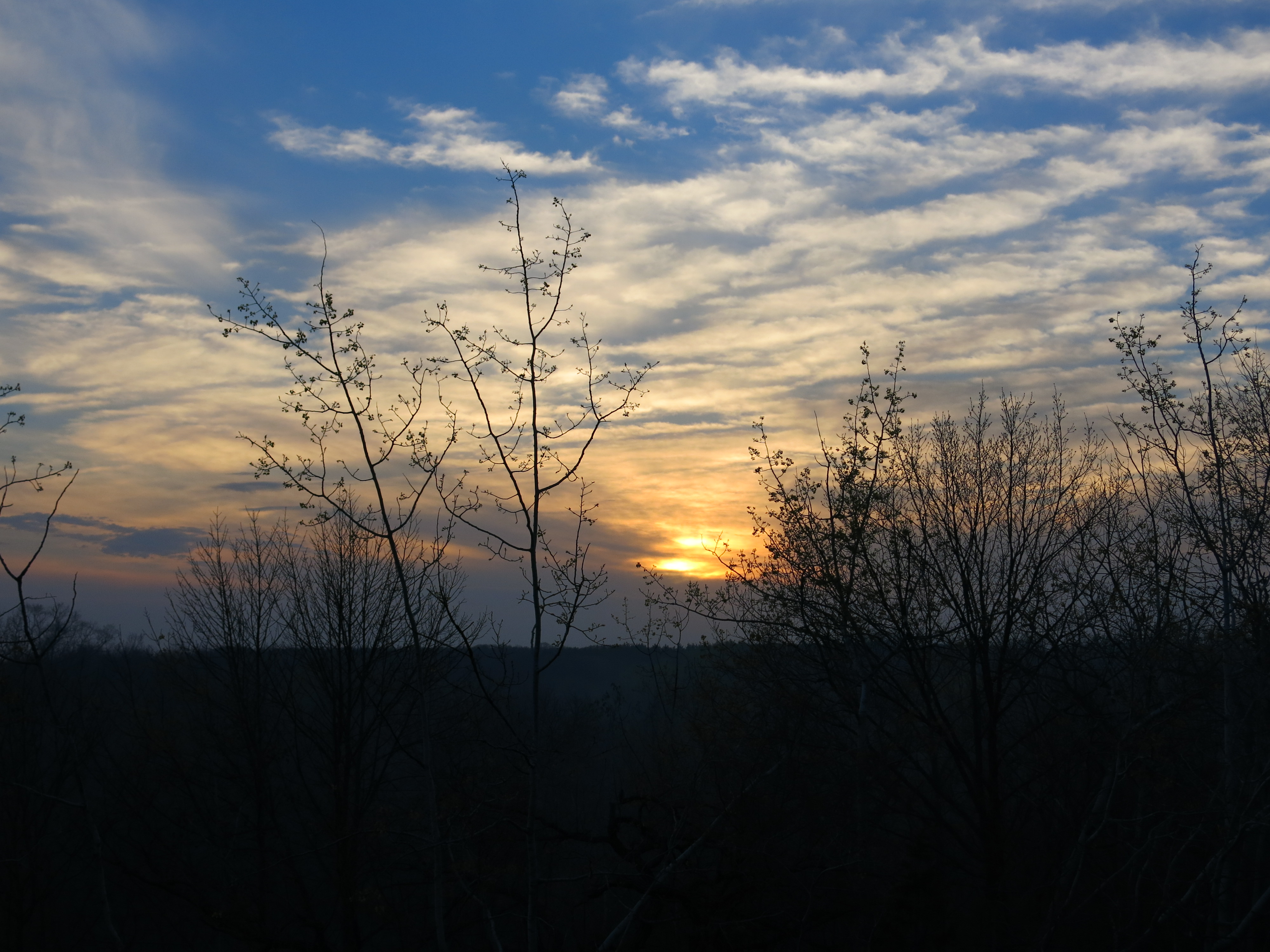
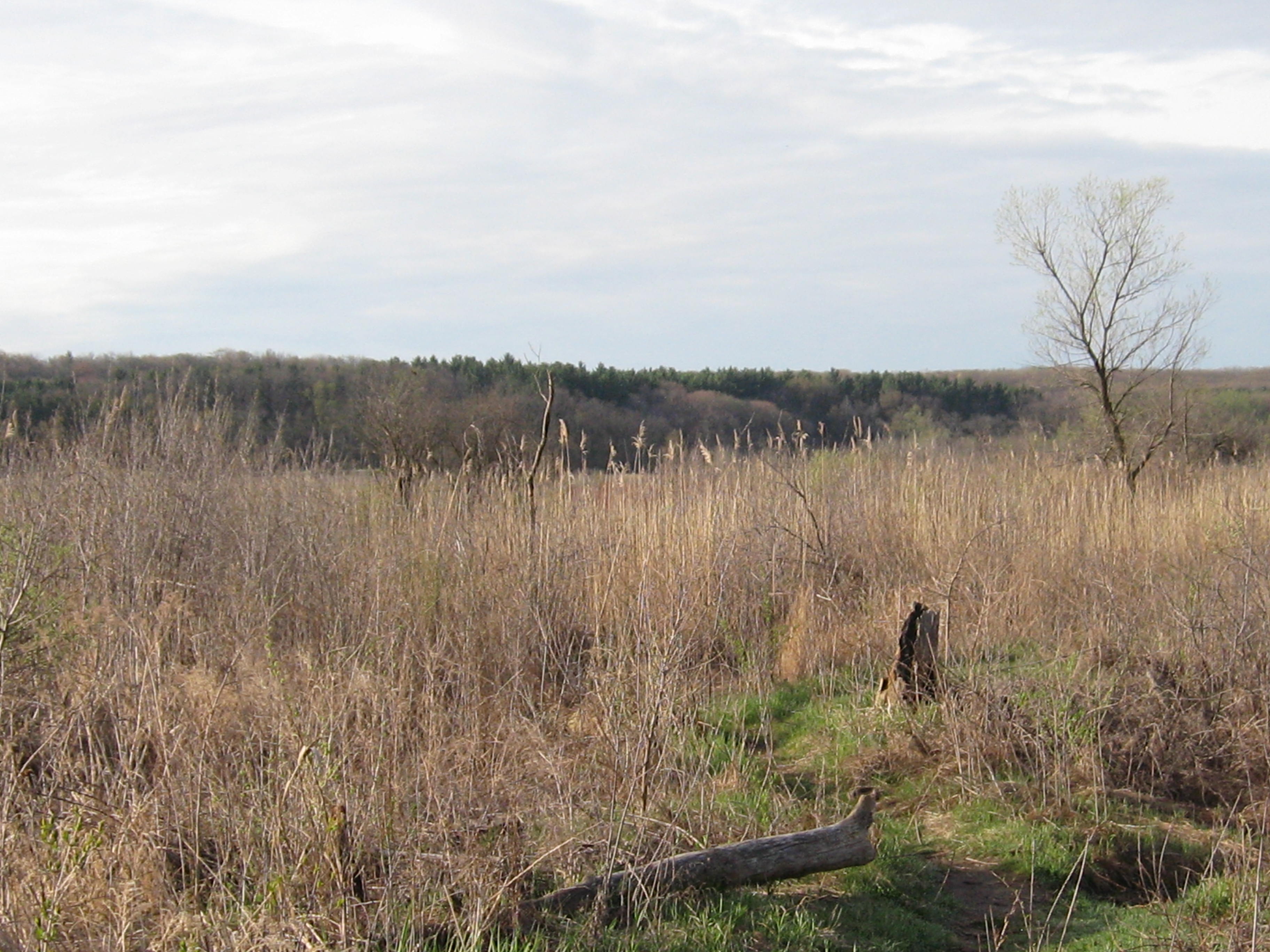
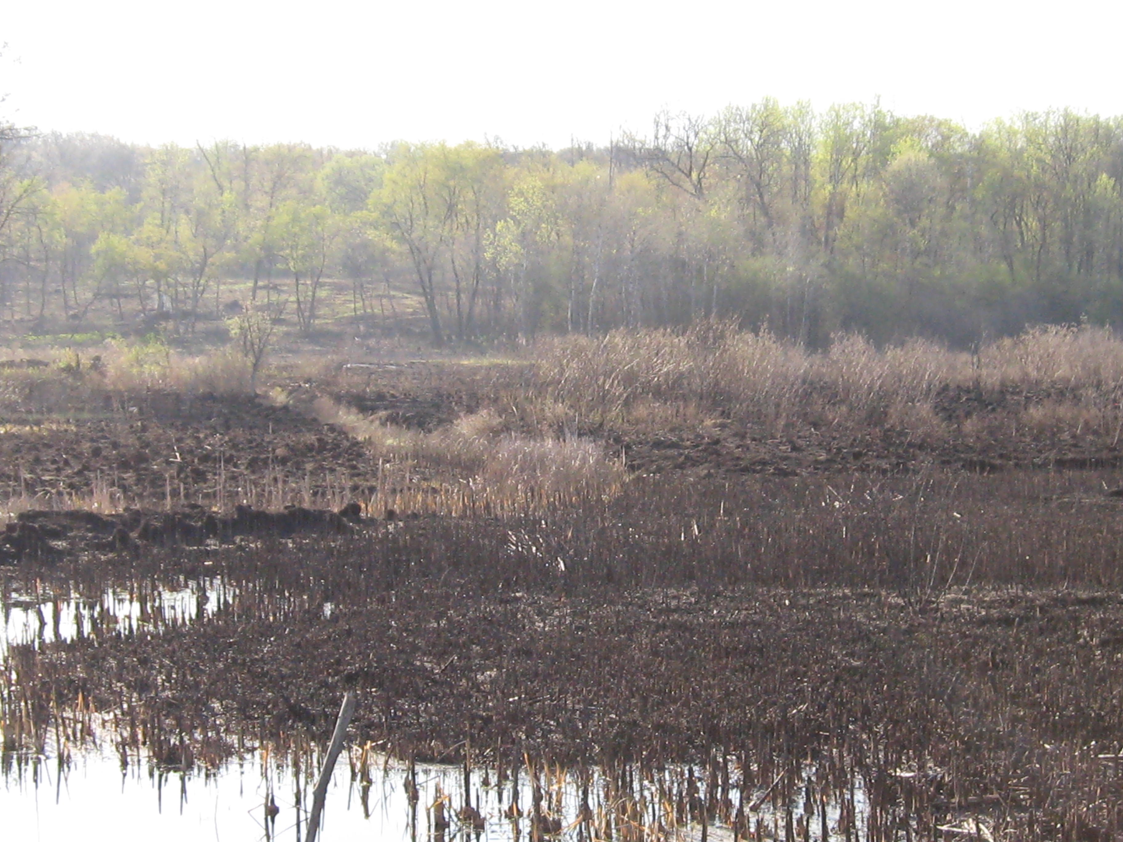
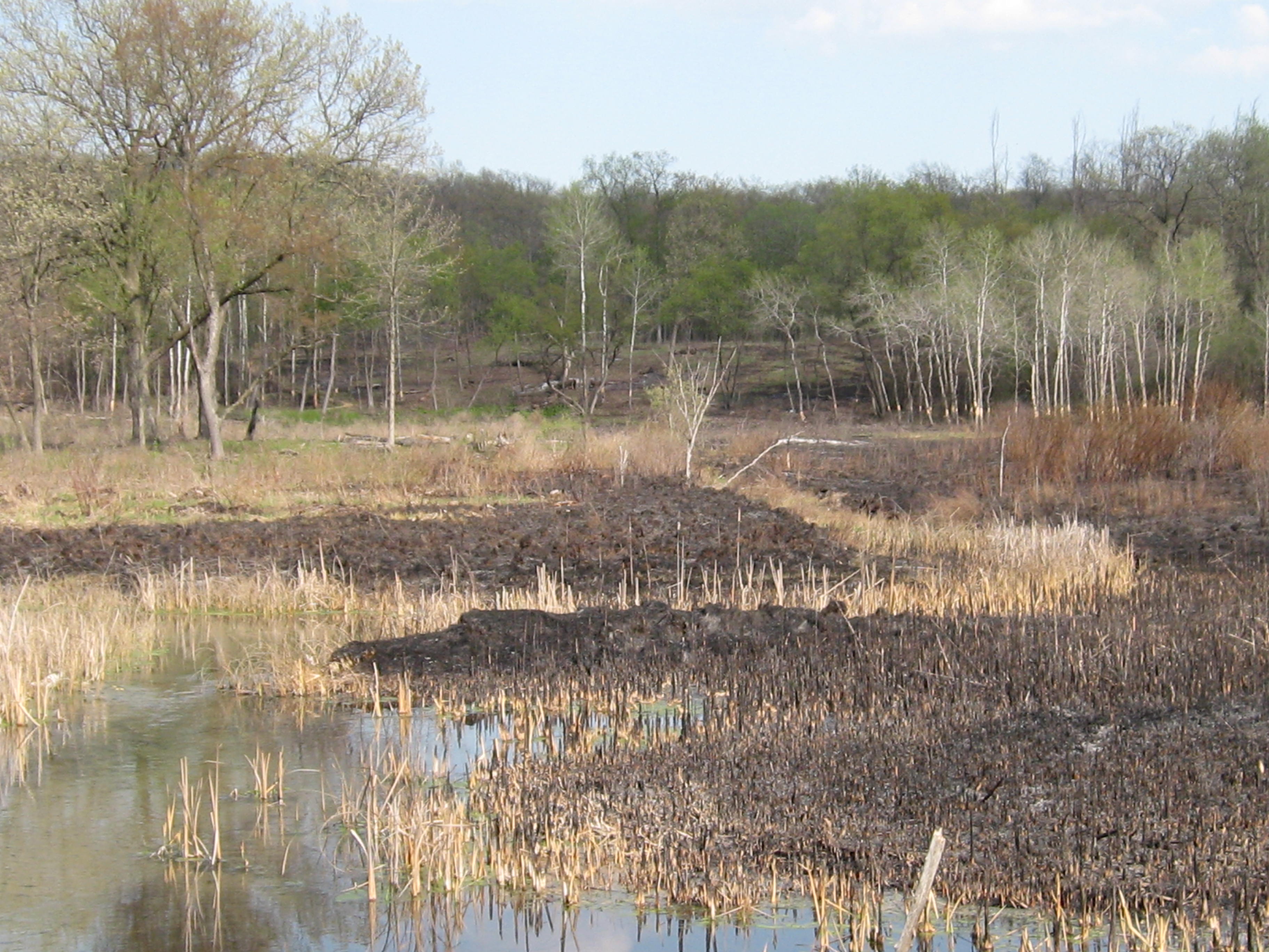
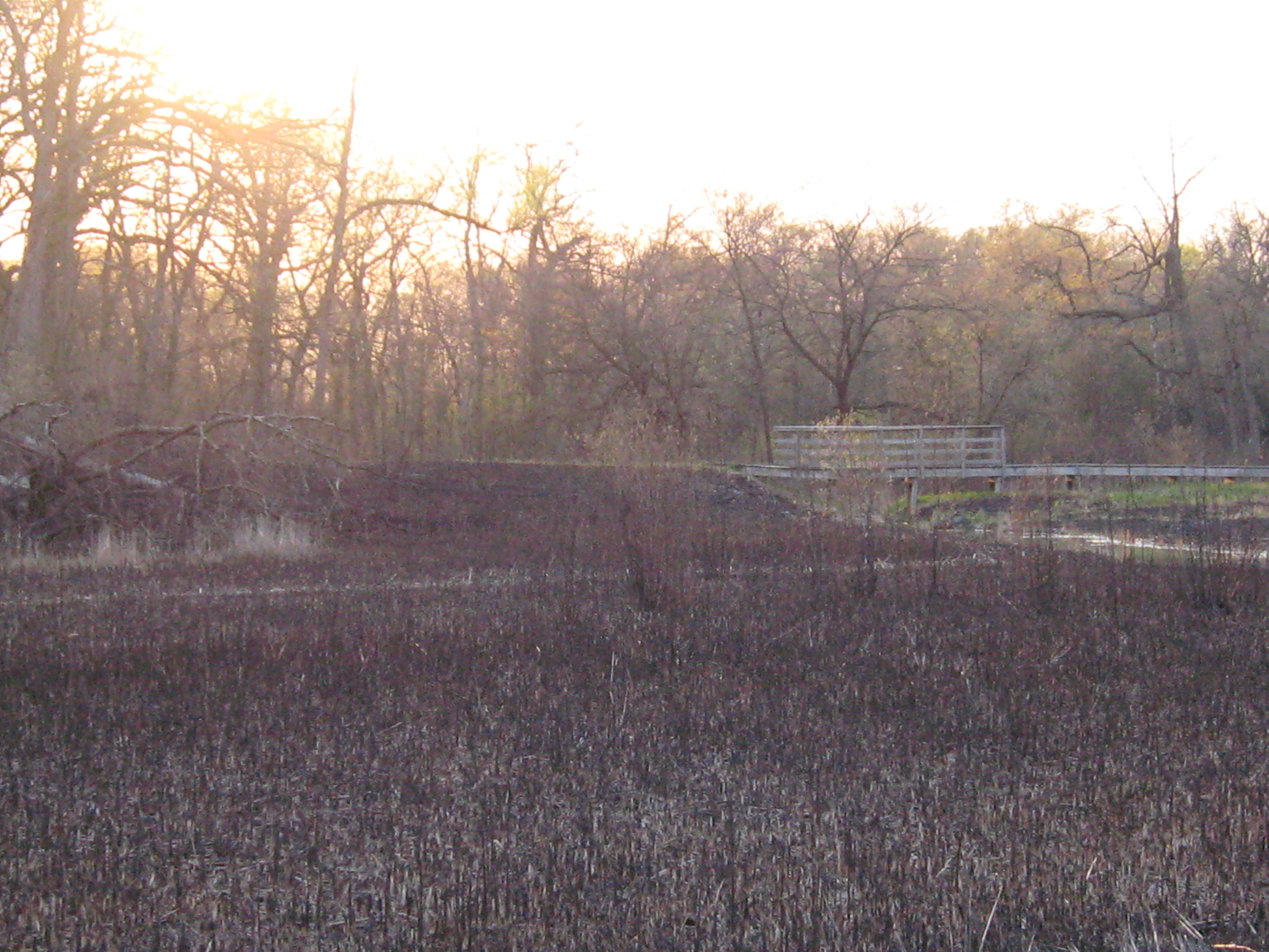
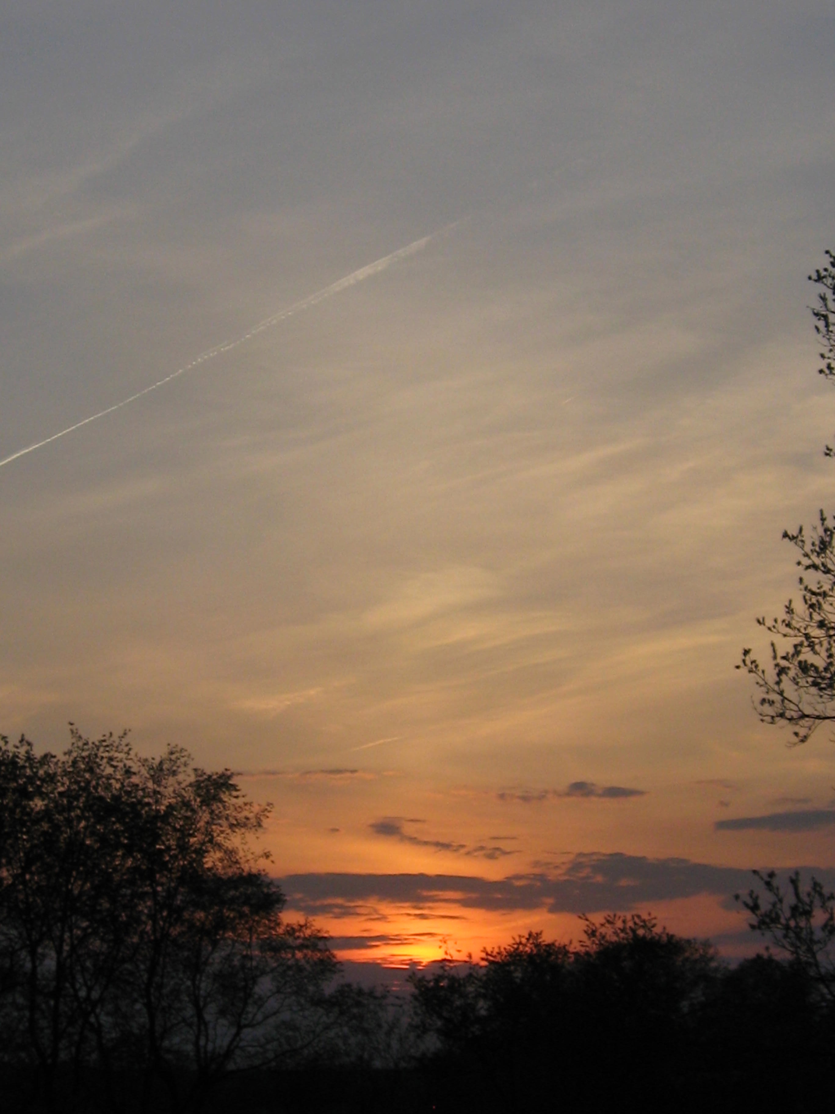
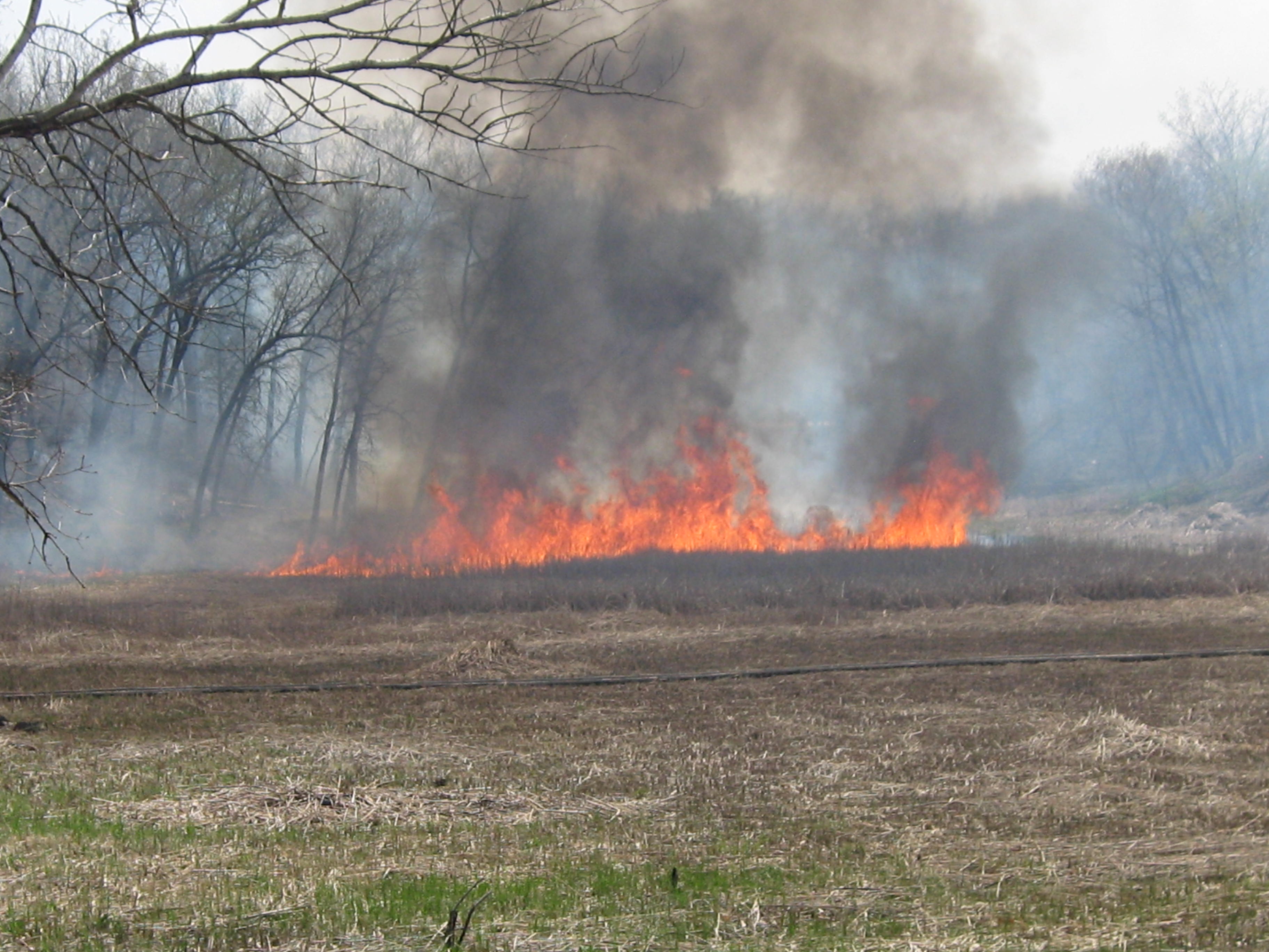
It’s been another busy burn season in the Kettle Moraine State Forest — Southern Unit. The biggest burn unit was 1,110 acres in the Scuppernong River Habitat Area stretching north from Hwy 59 and west of Hwy N, just a bit west of Eagle.
Zach Kastern turned me on to this area last September.
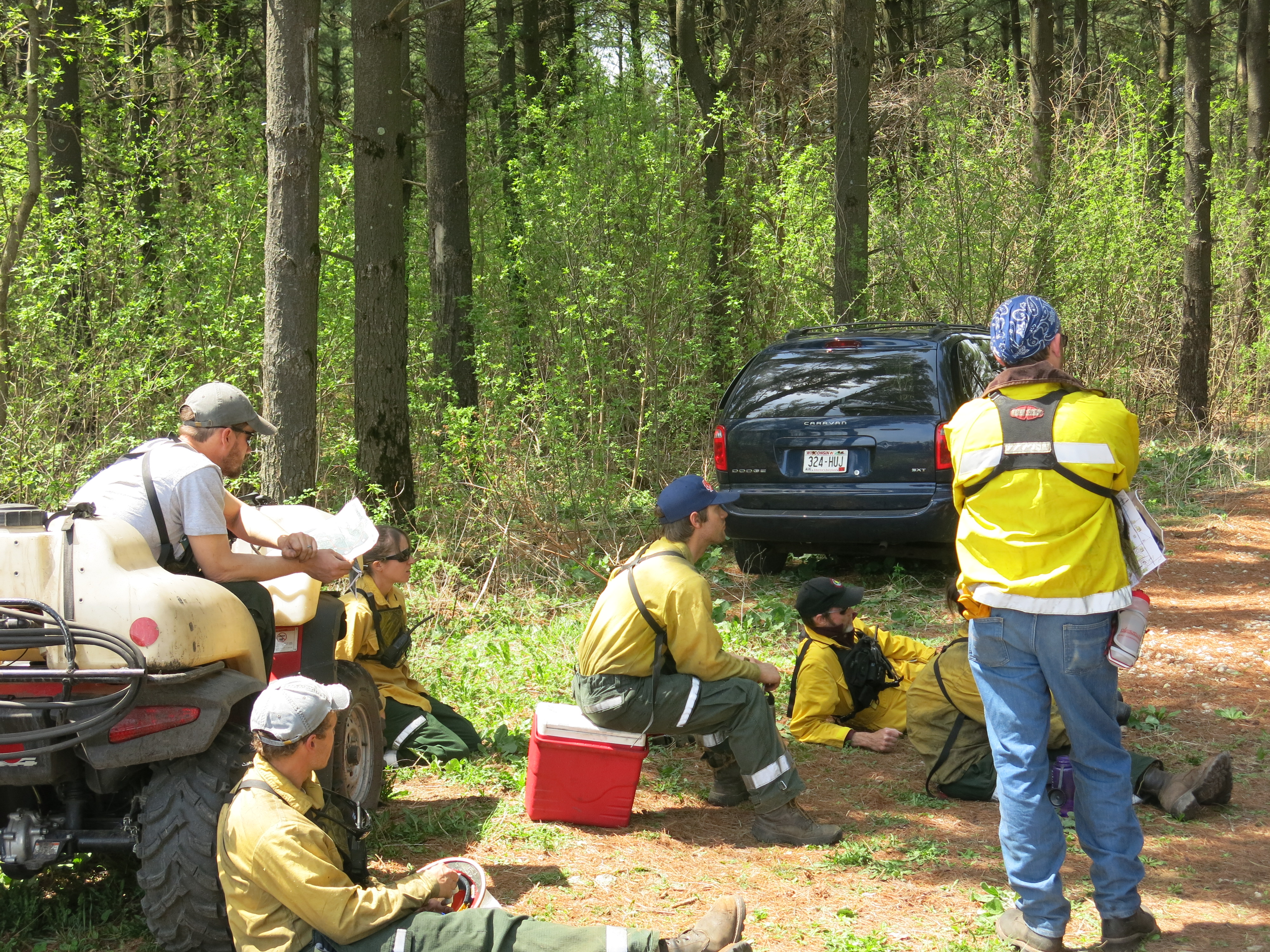
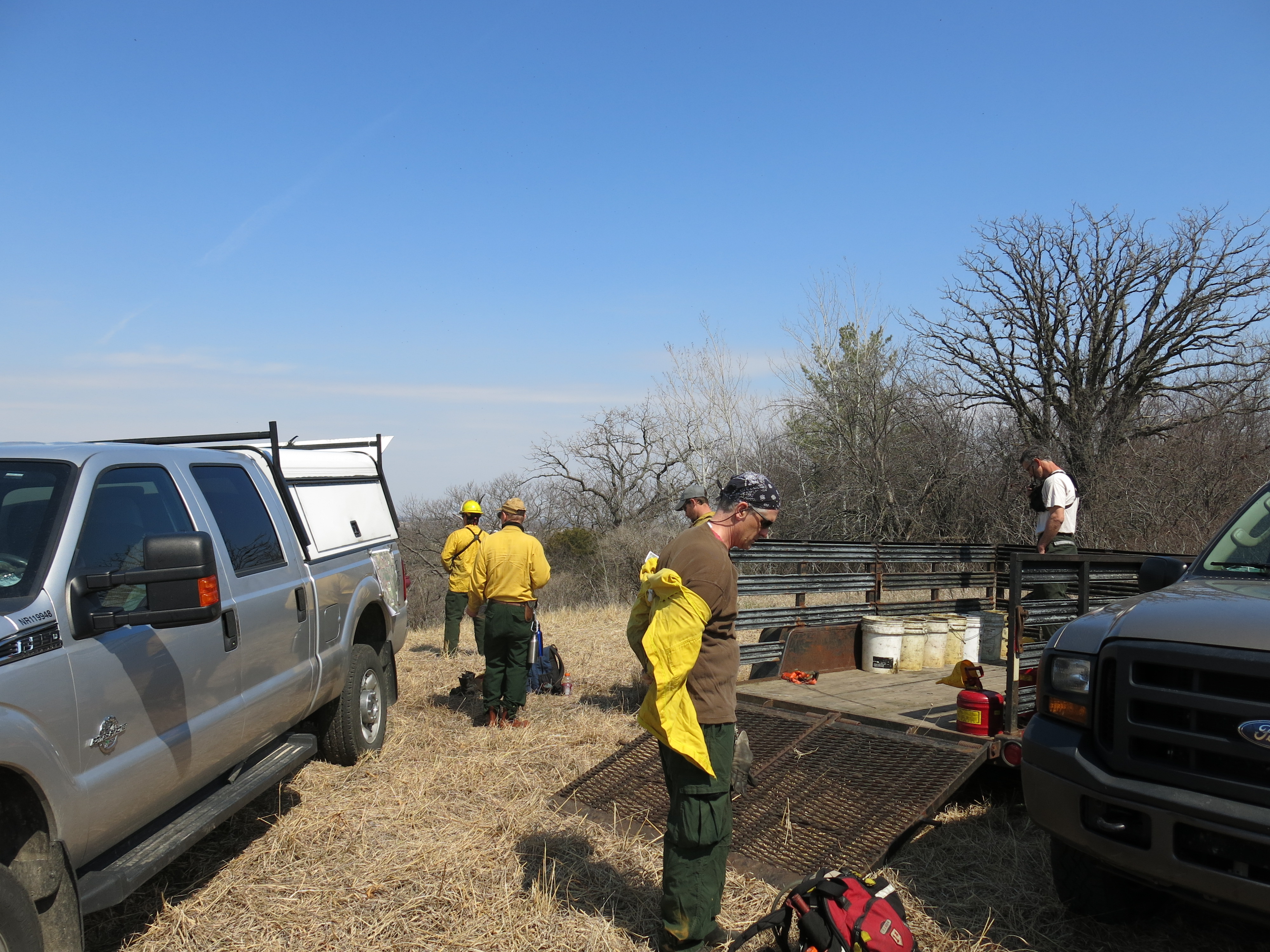
As the team gathered from working on the firebreaks, you could sense that this might be the last burn of the year and they were determined to make it a good one. Nate Fayram was the burn boss.
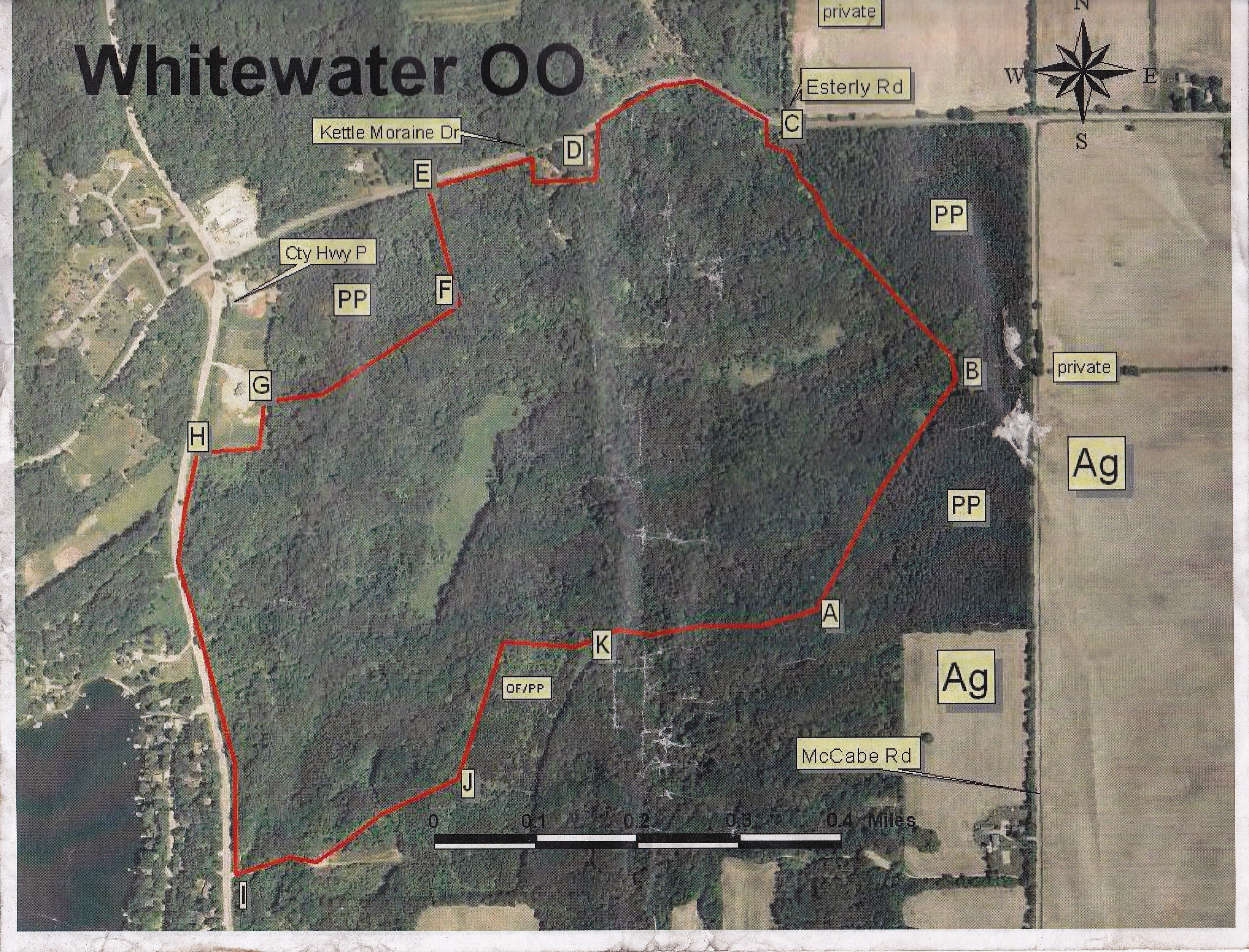
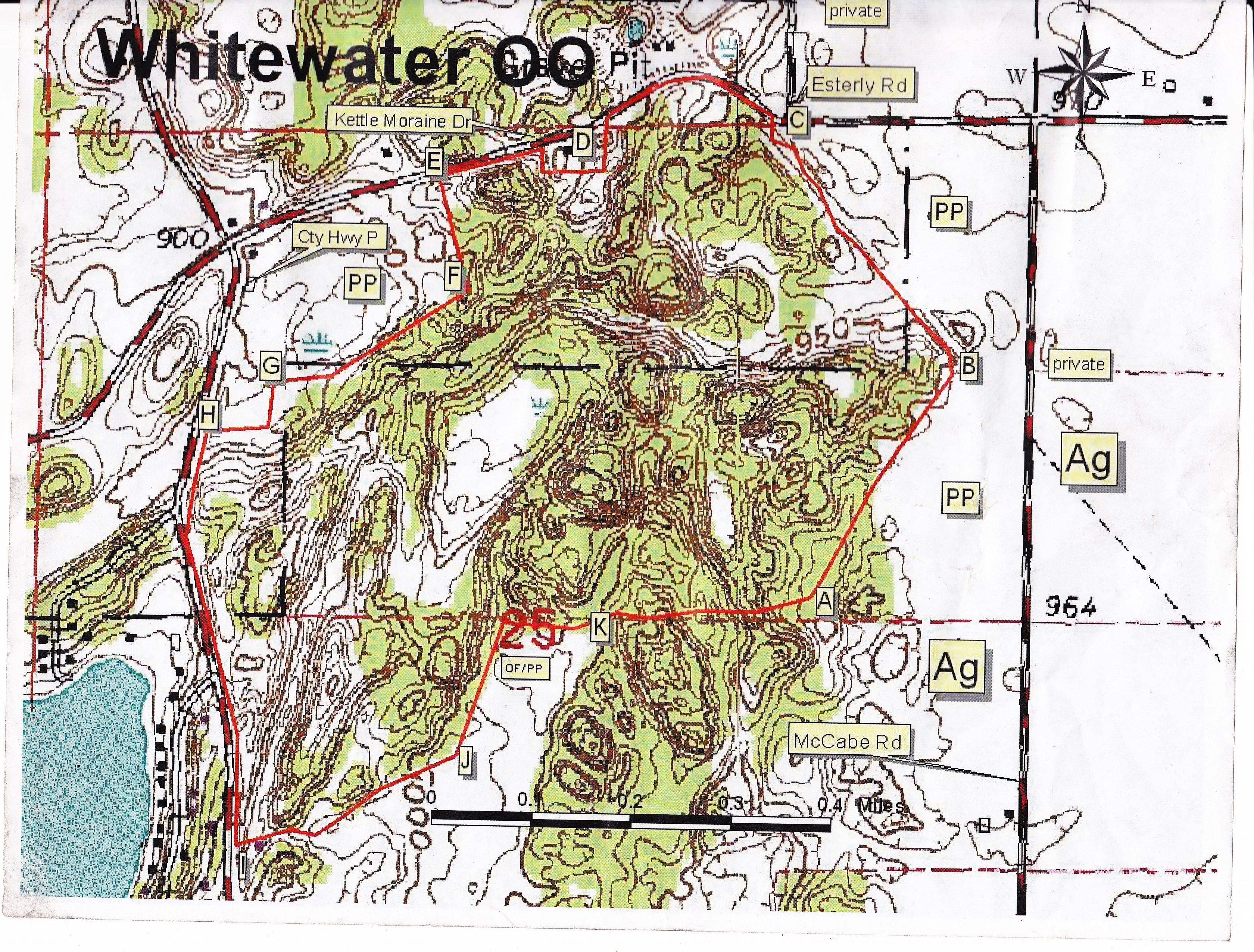
Here is the burn unit.
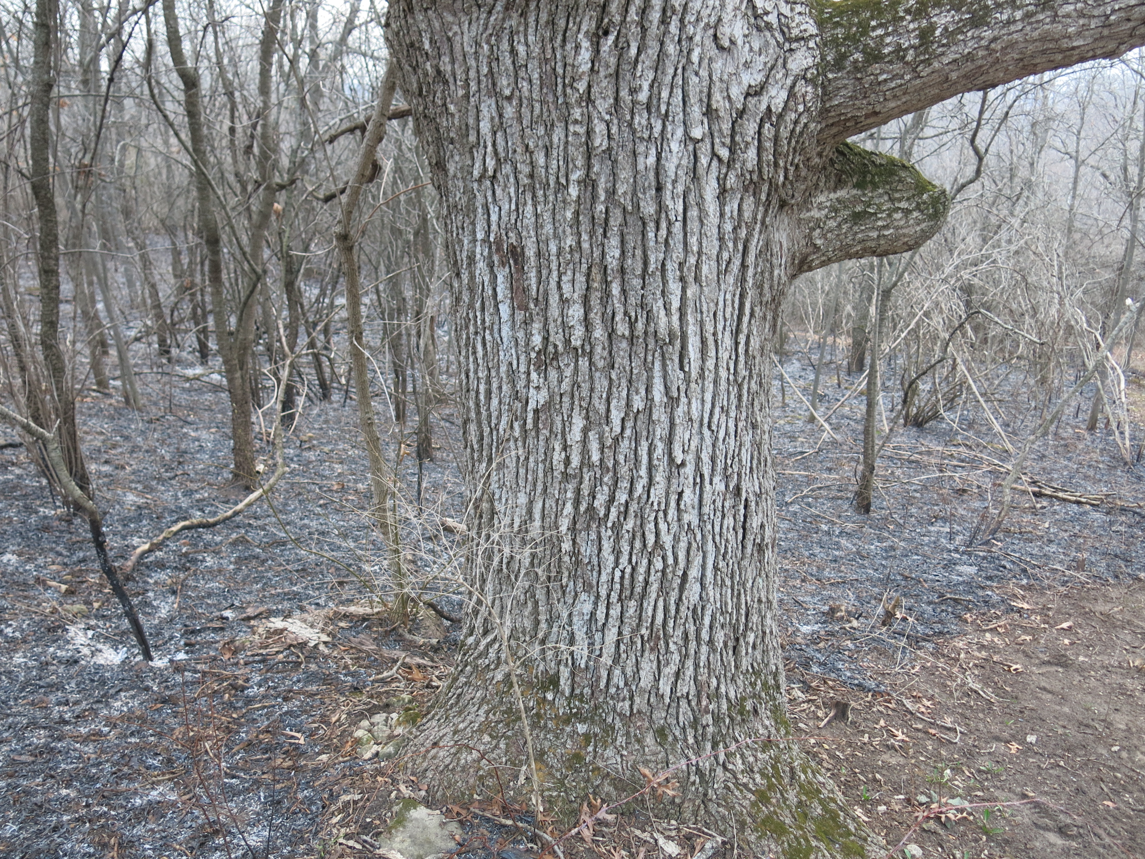
The terrain is classic Kettle Moraine!
Nate thoroughly reviewed all aspects of the burn plan with the team, which consisted of DNR veterans: Jessica Renley, Kevin Doyle, Adam Stone, Jared Urban, Alex Wenthe, Bridget Rathman and volunteers: Gary Birch, Ben Johnson and myself.
Defending private property within the burn unit was the highest priority.
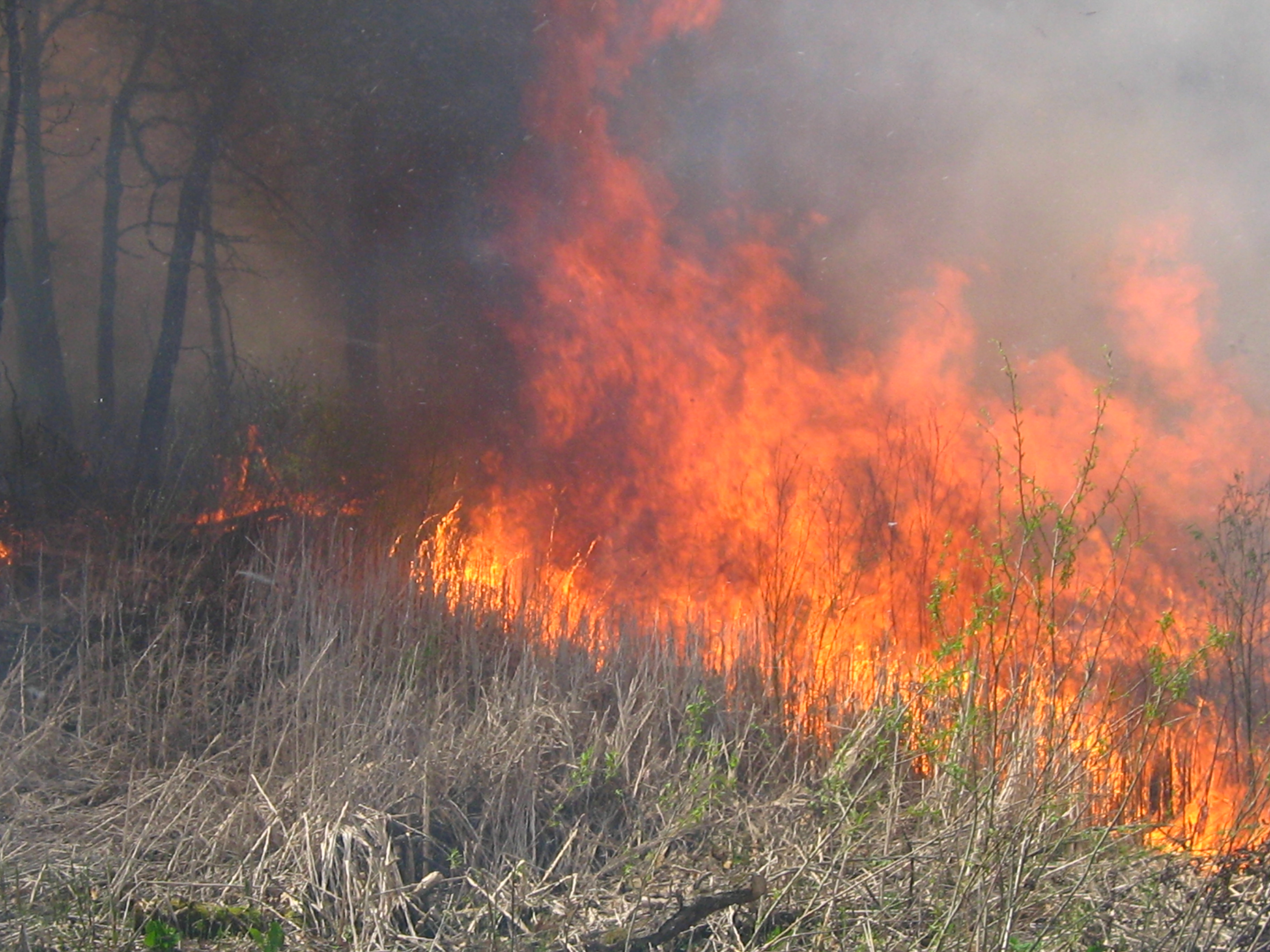
I worked the drip torch all day and there is definitely an art to efficiently delivering the flaming drops of diesel and gas.
We got a nice little head fire running up the hill in this area somewhere between points E and G.
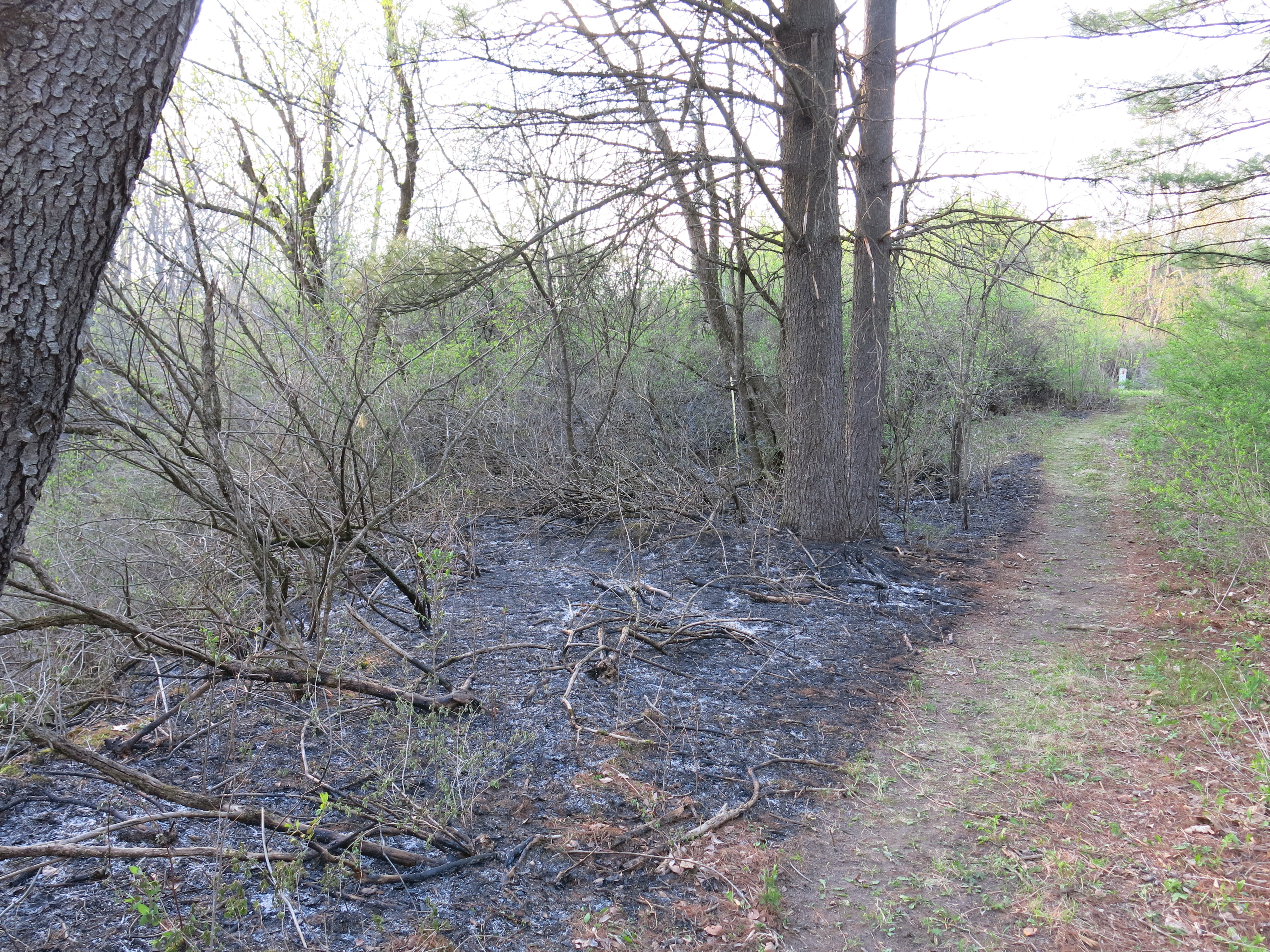
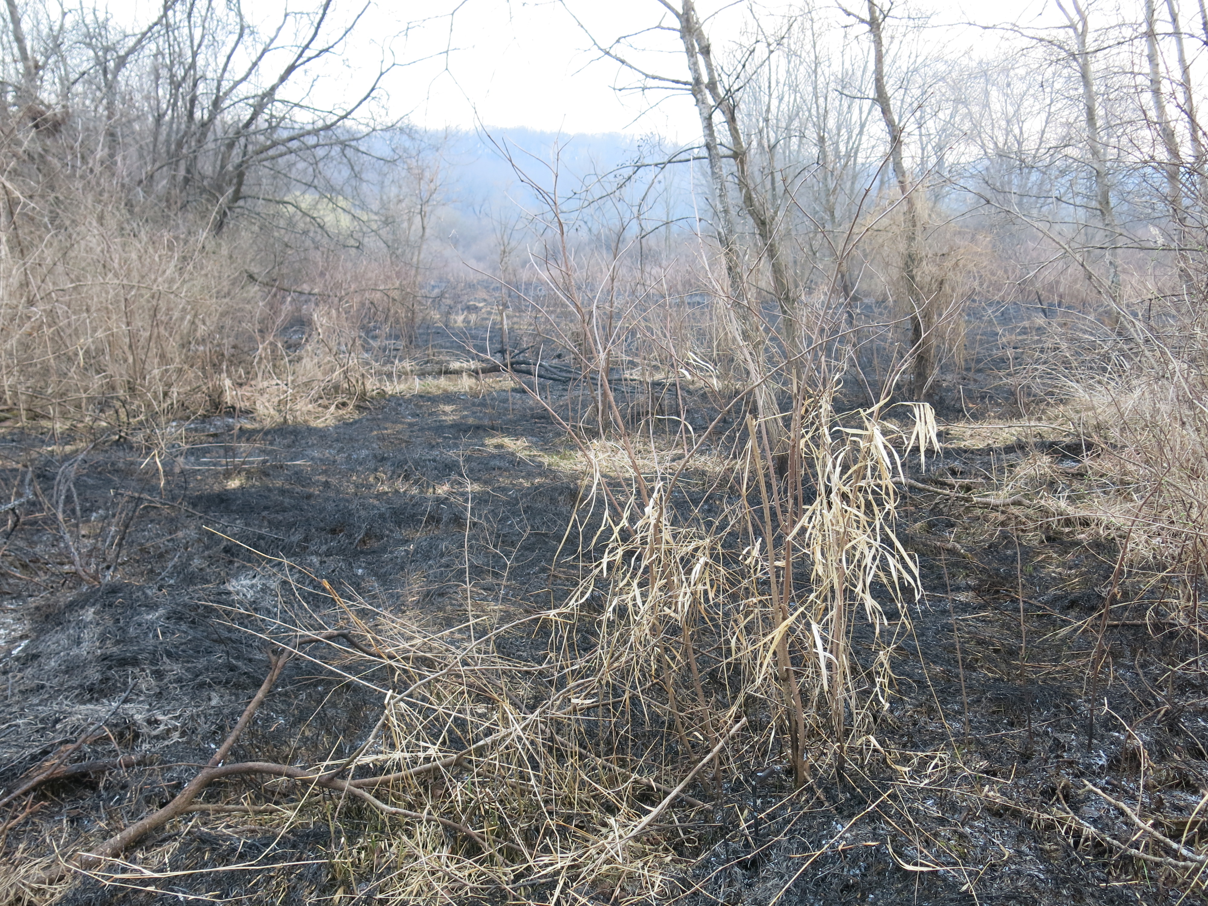
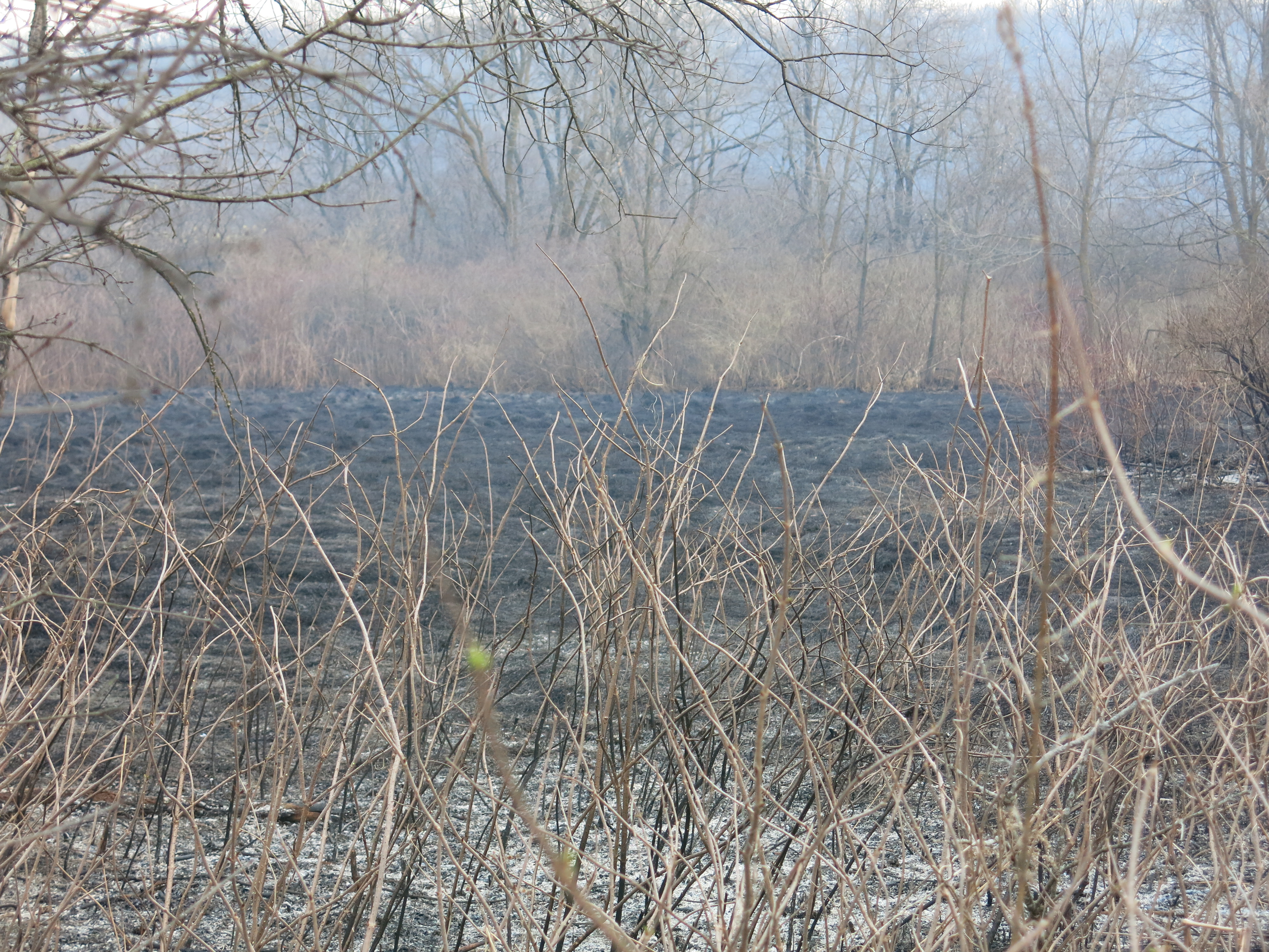
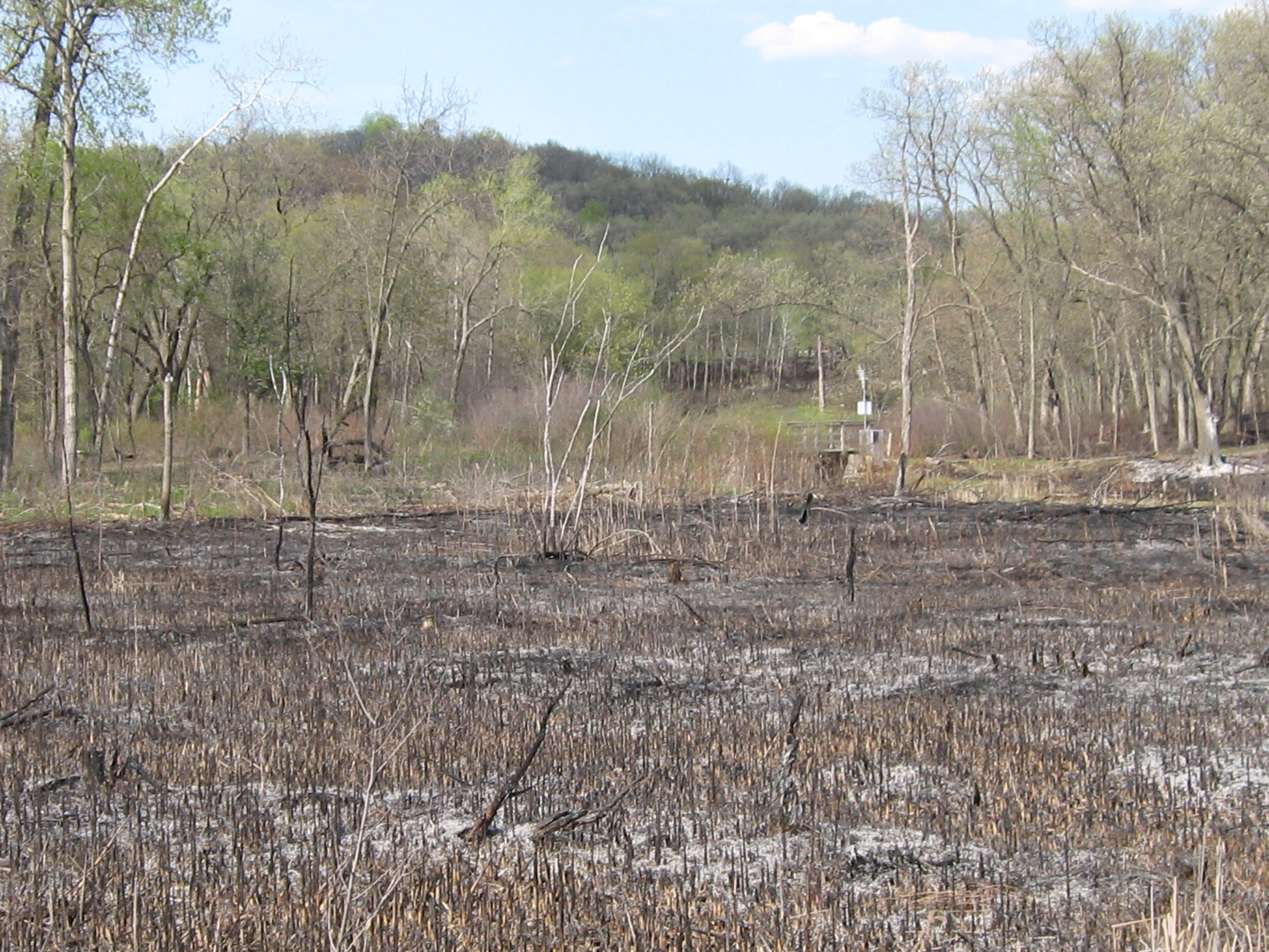
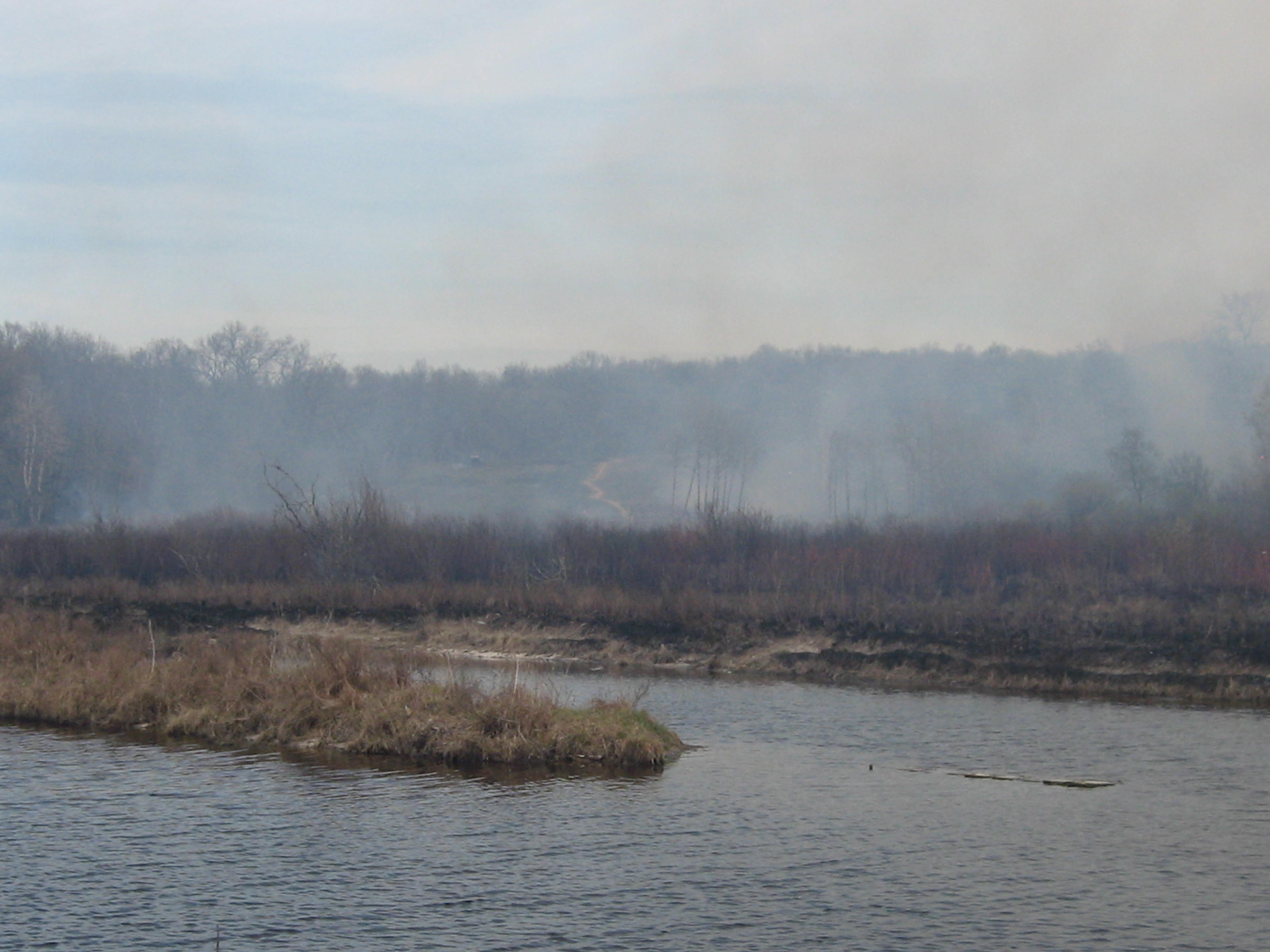
Black zone along Highway P.
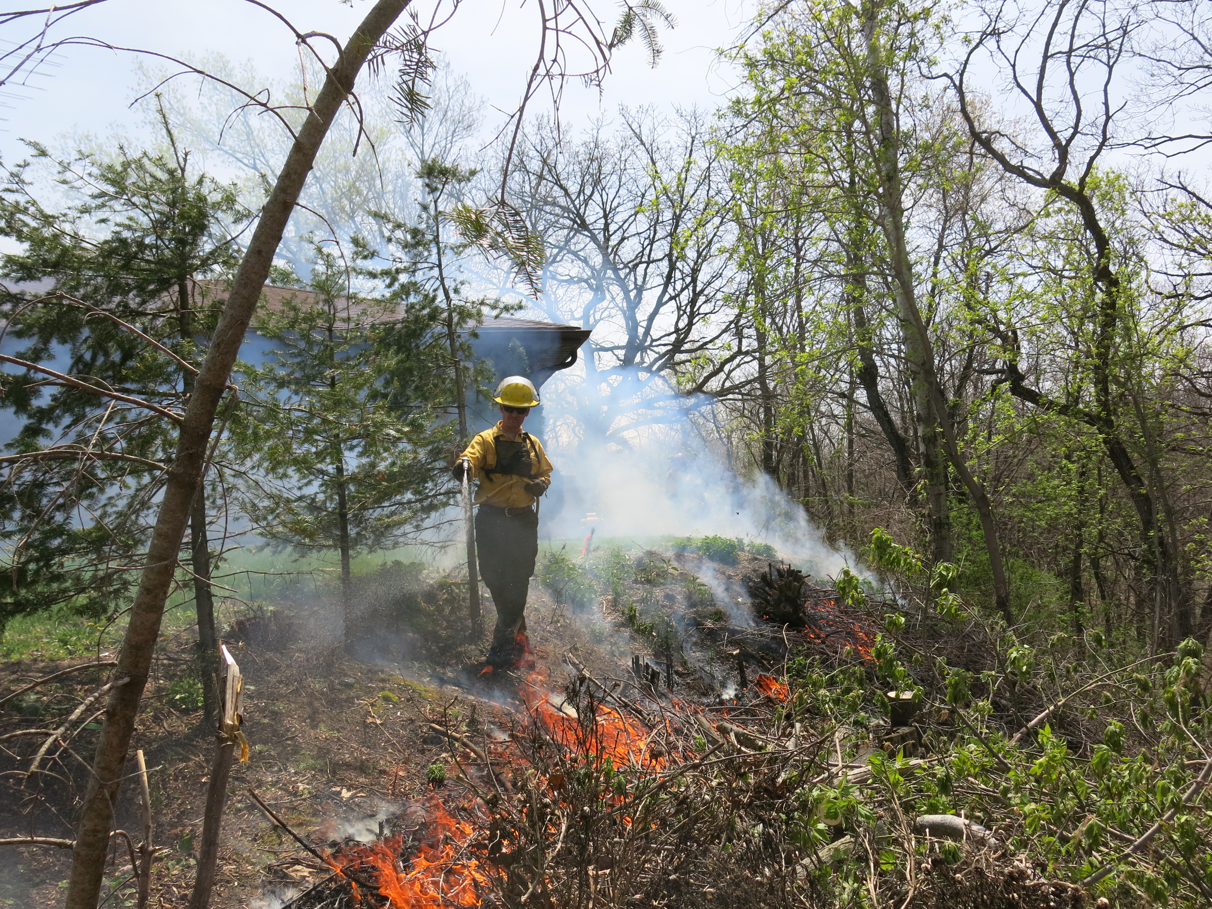
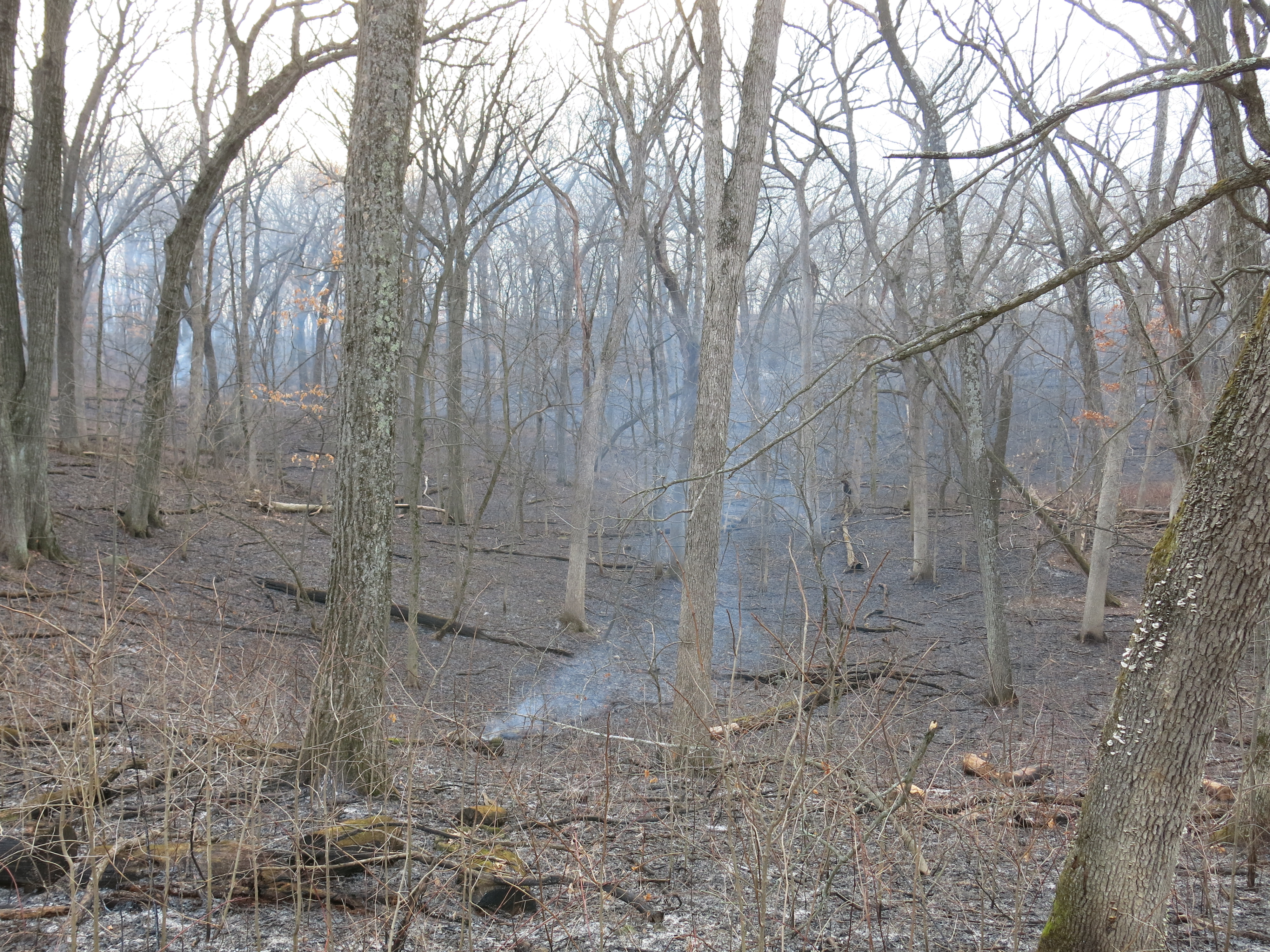
We tied in the lines near point K at around 5:05pm and then proceeded to burn out the interior. The fire didn’t always carry over the moraines or deep into the kettles so we had to crisscross the interior with our drip torches to complete the burn. I was really pooped from going up and down the steep moraines and it was sweet to be released after my drip torch was emptied for the last time.
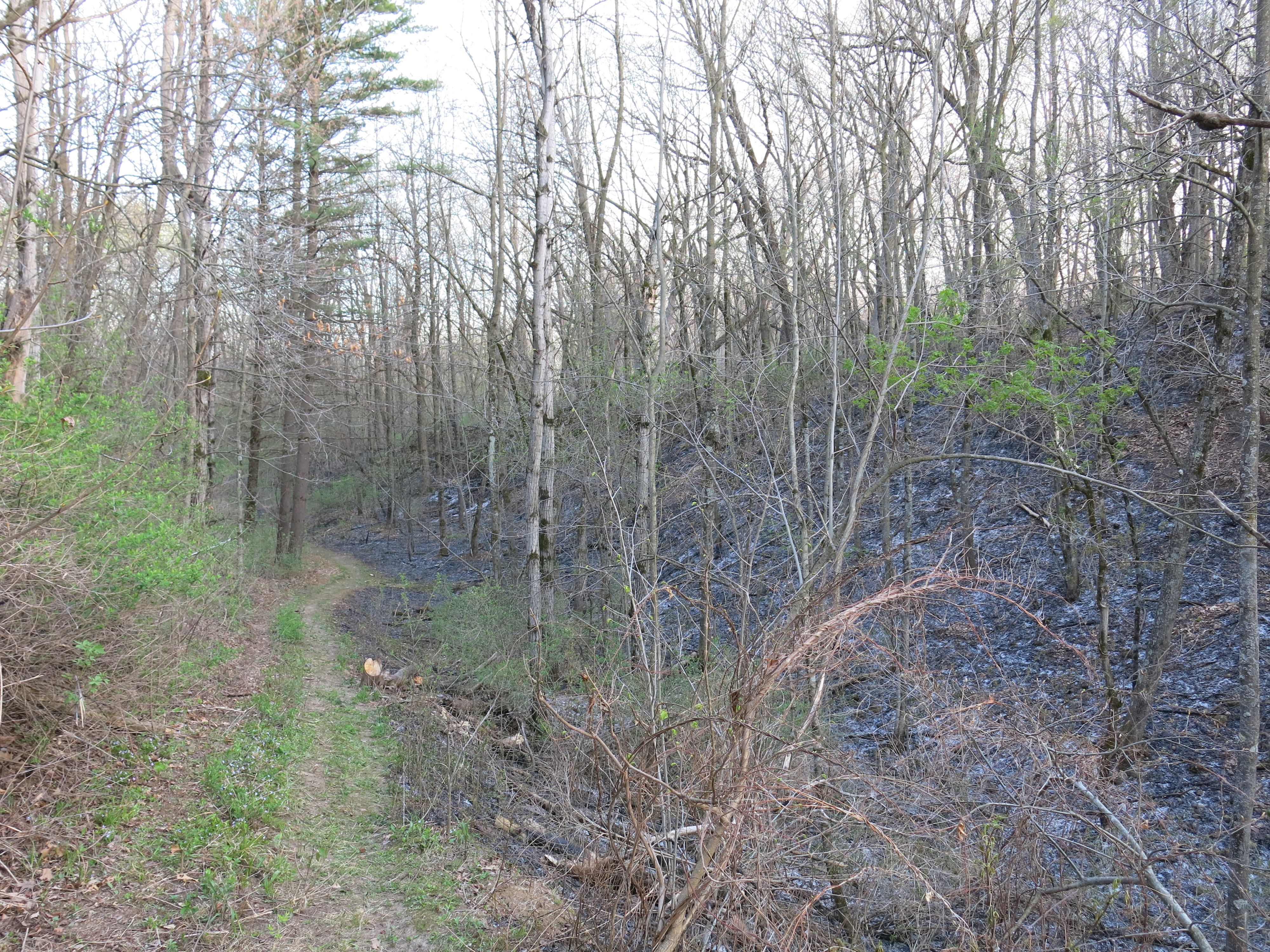
I parked my truck where Easterly Rd meets Kettle Moraine Drive at point C and took a walk into the burn unit.
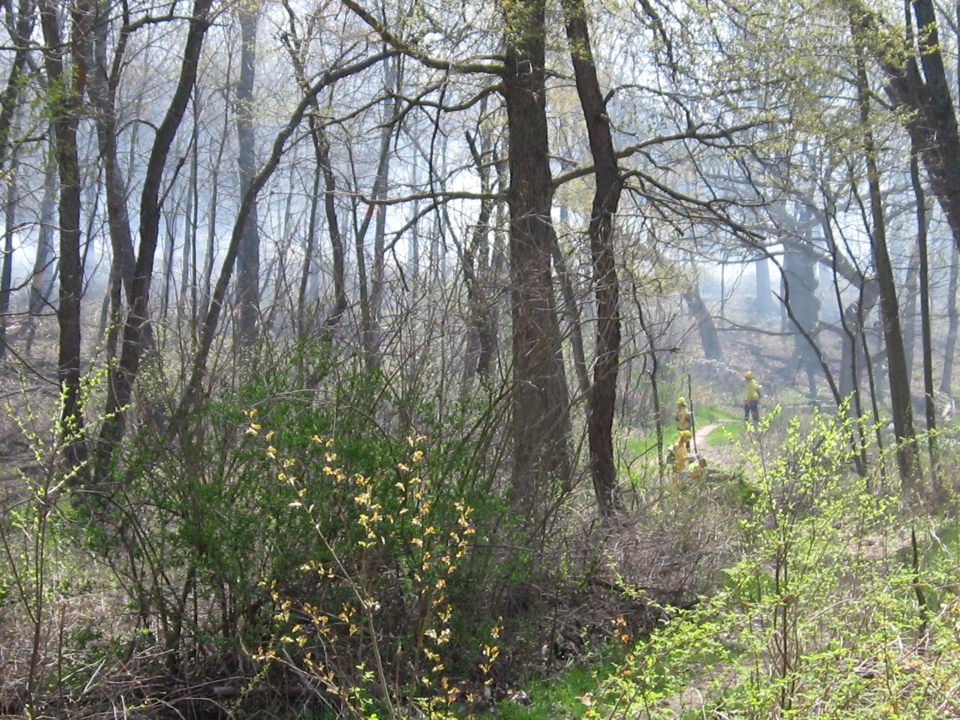
I got up on a high ridge overlooking one of the hillside prairies and I could hear their chainsaws whining as they took down burning snags; they were still hard at work!
Jared Urban would monitor the burn unit all night and Nate planned to return in the morning to complete the mop up. We are lucky to have such a hard working and dedicated DNR team taking care of our State Natural Areas!
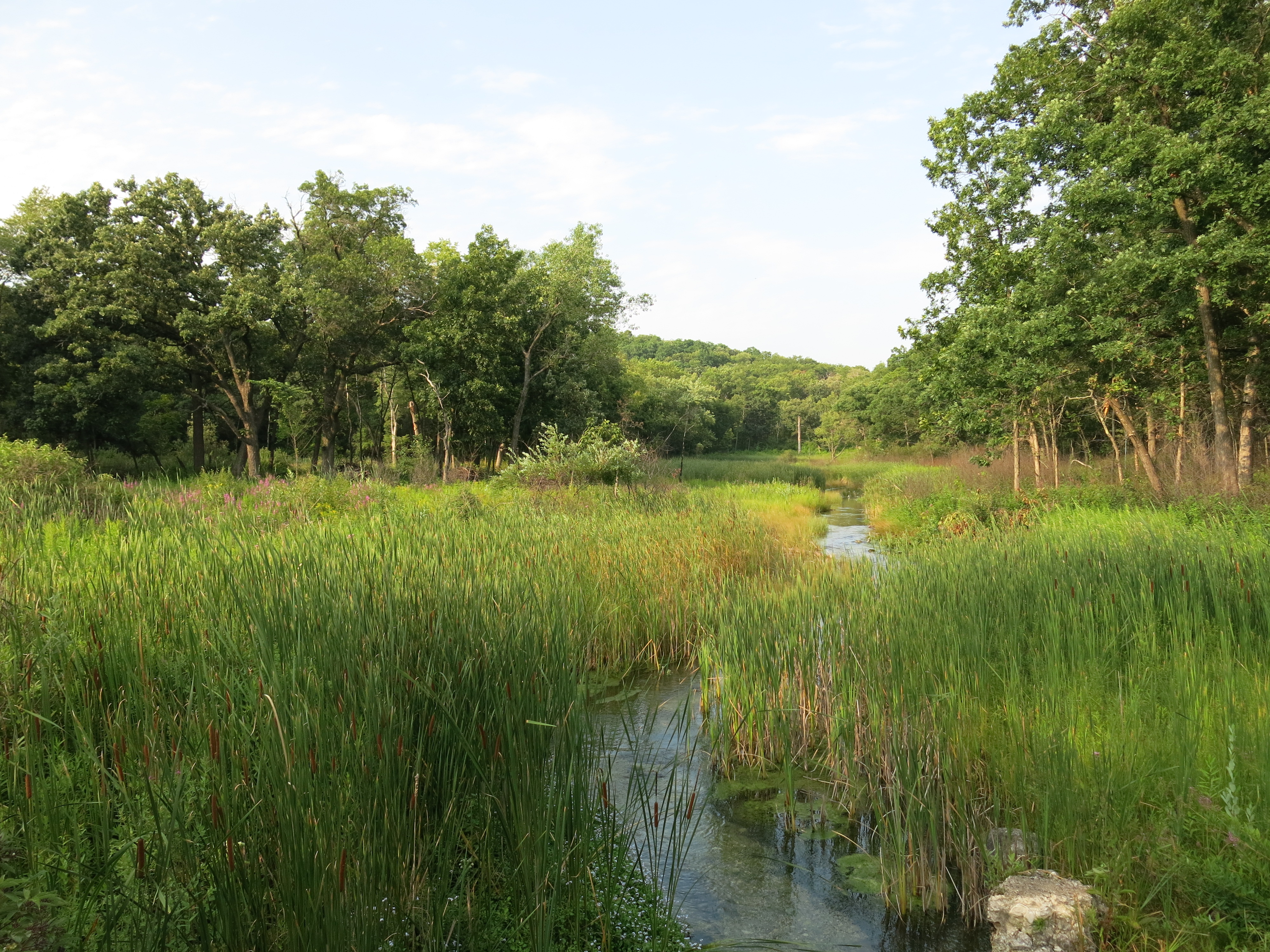
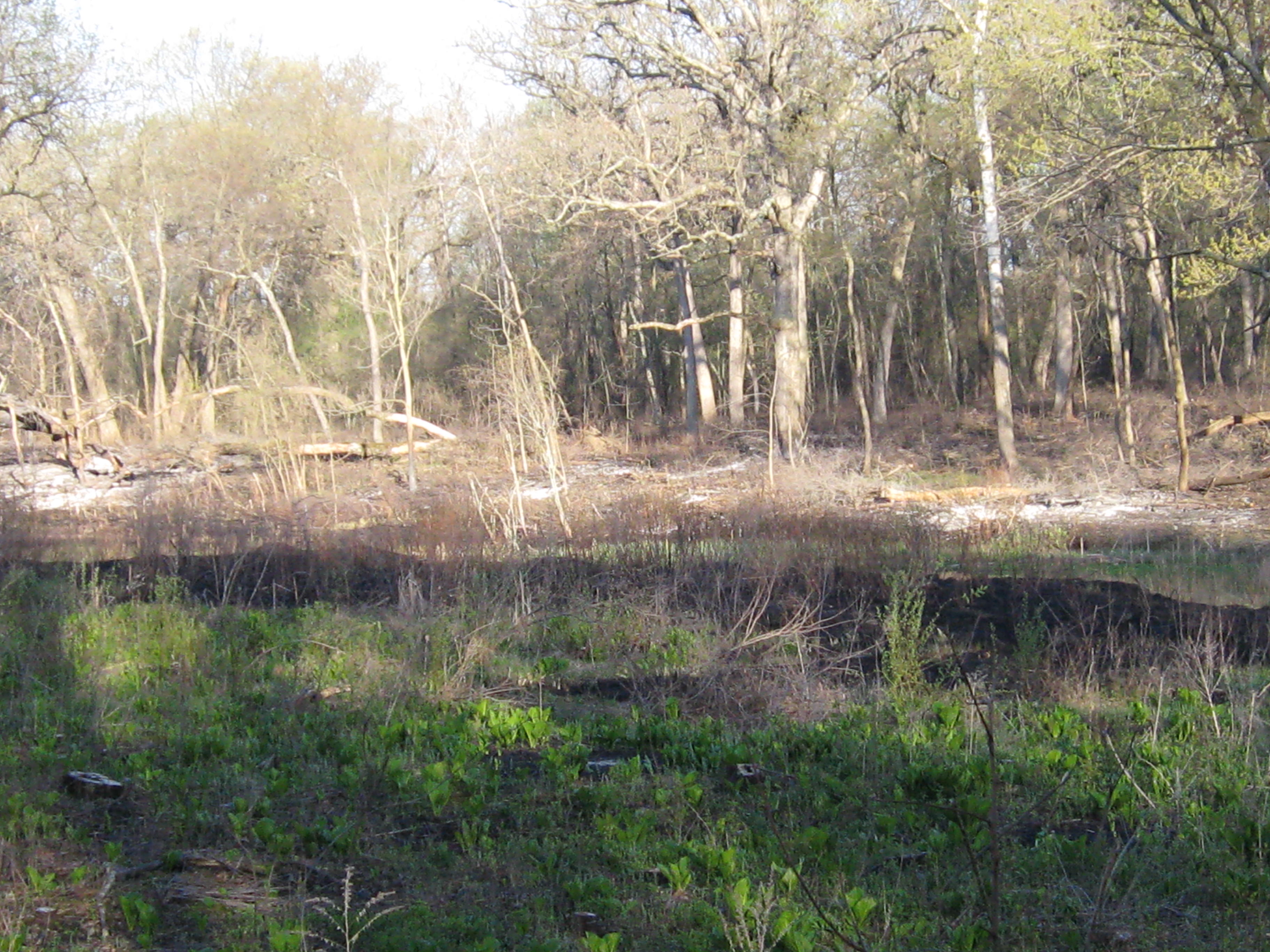
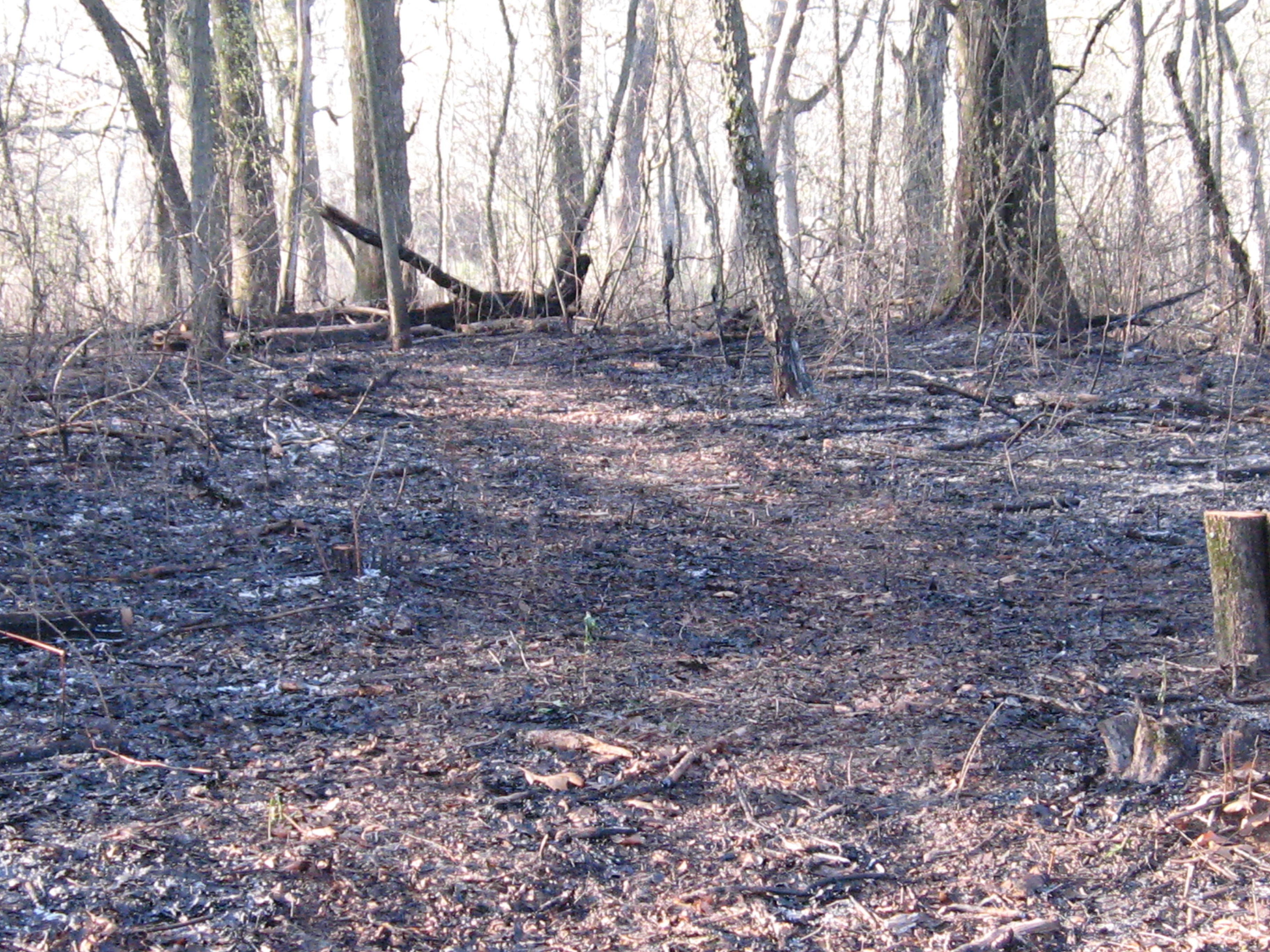
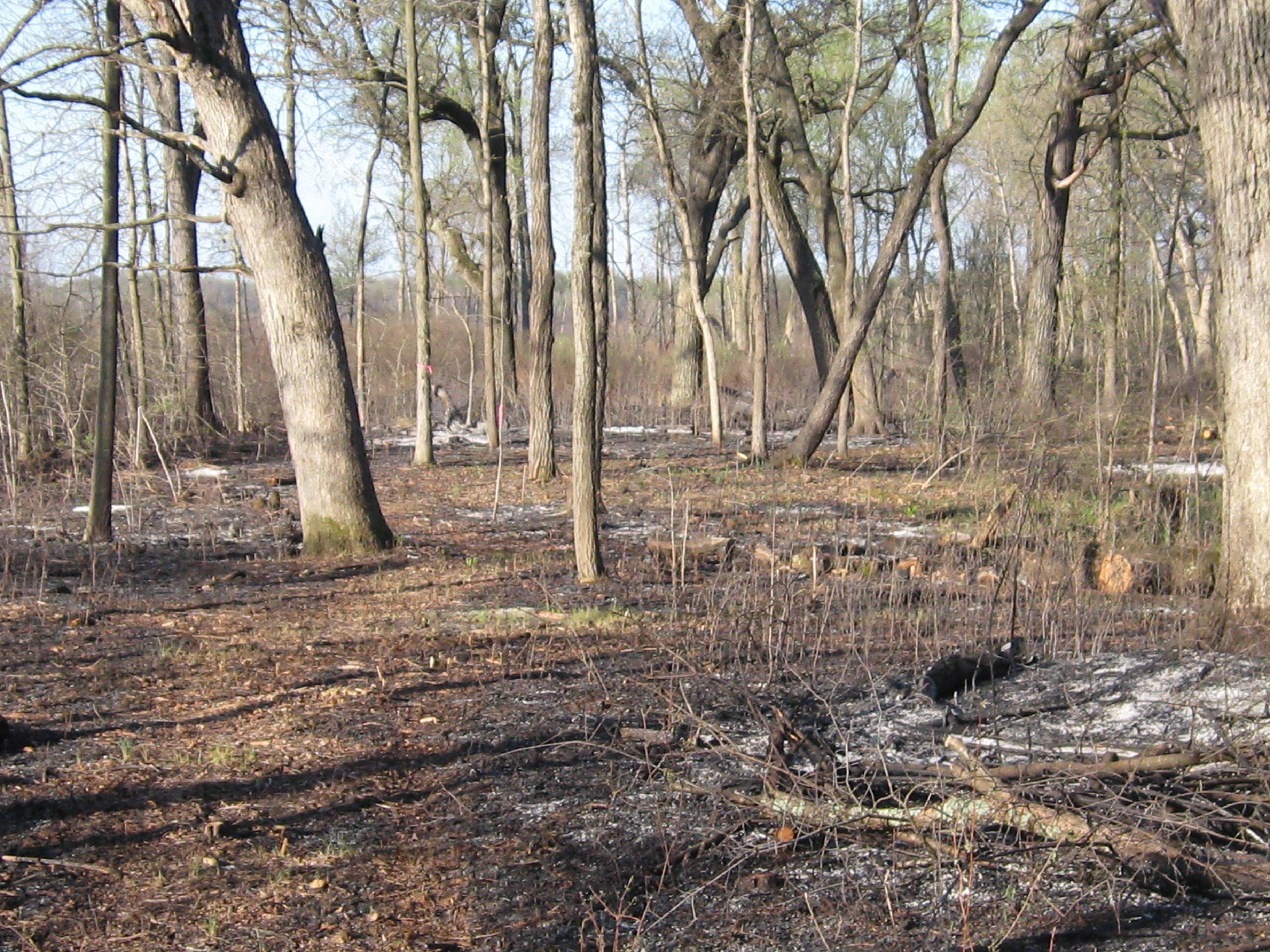
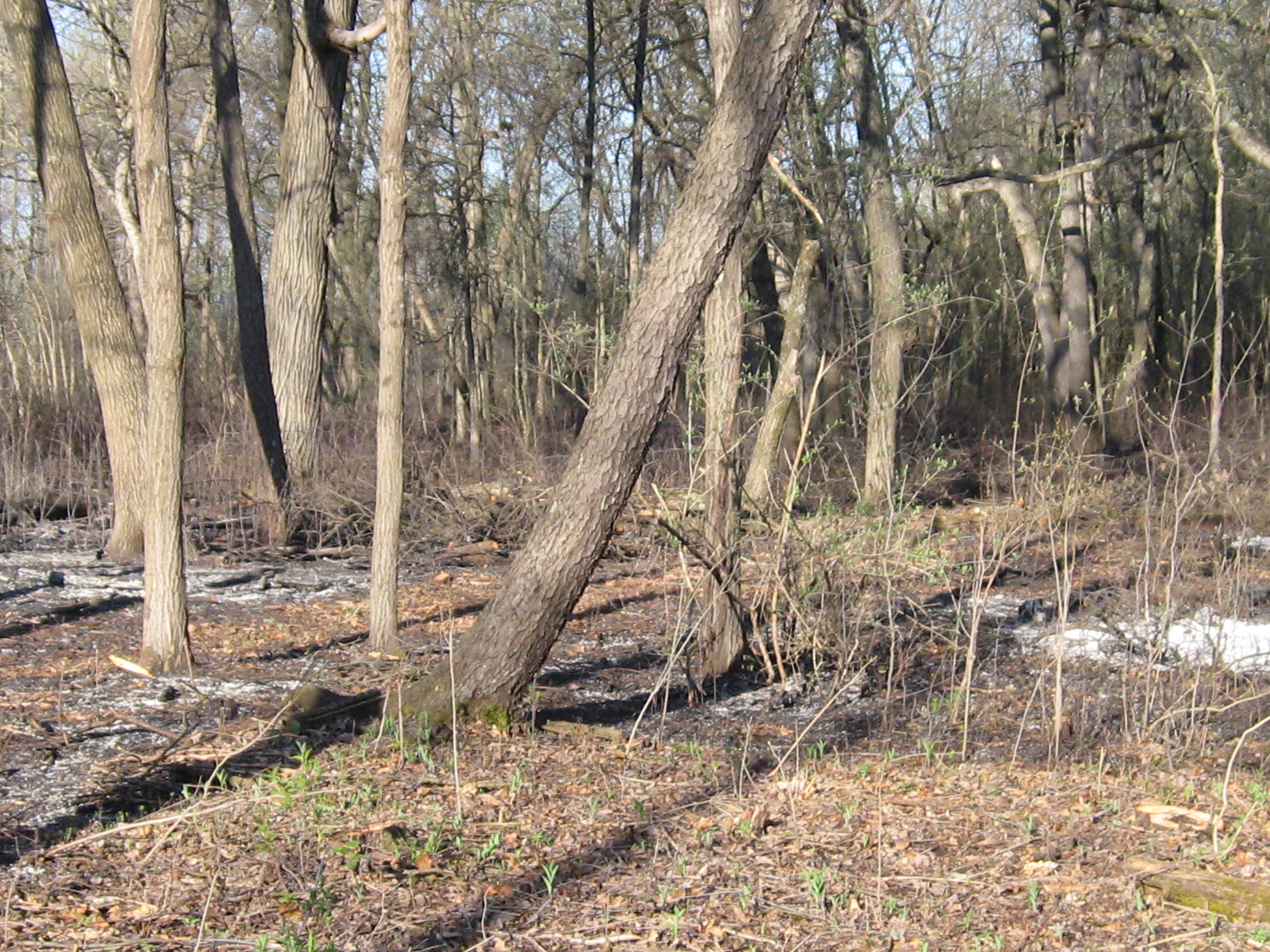
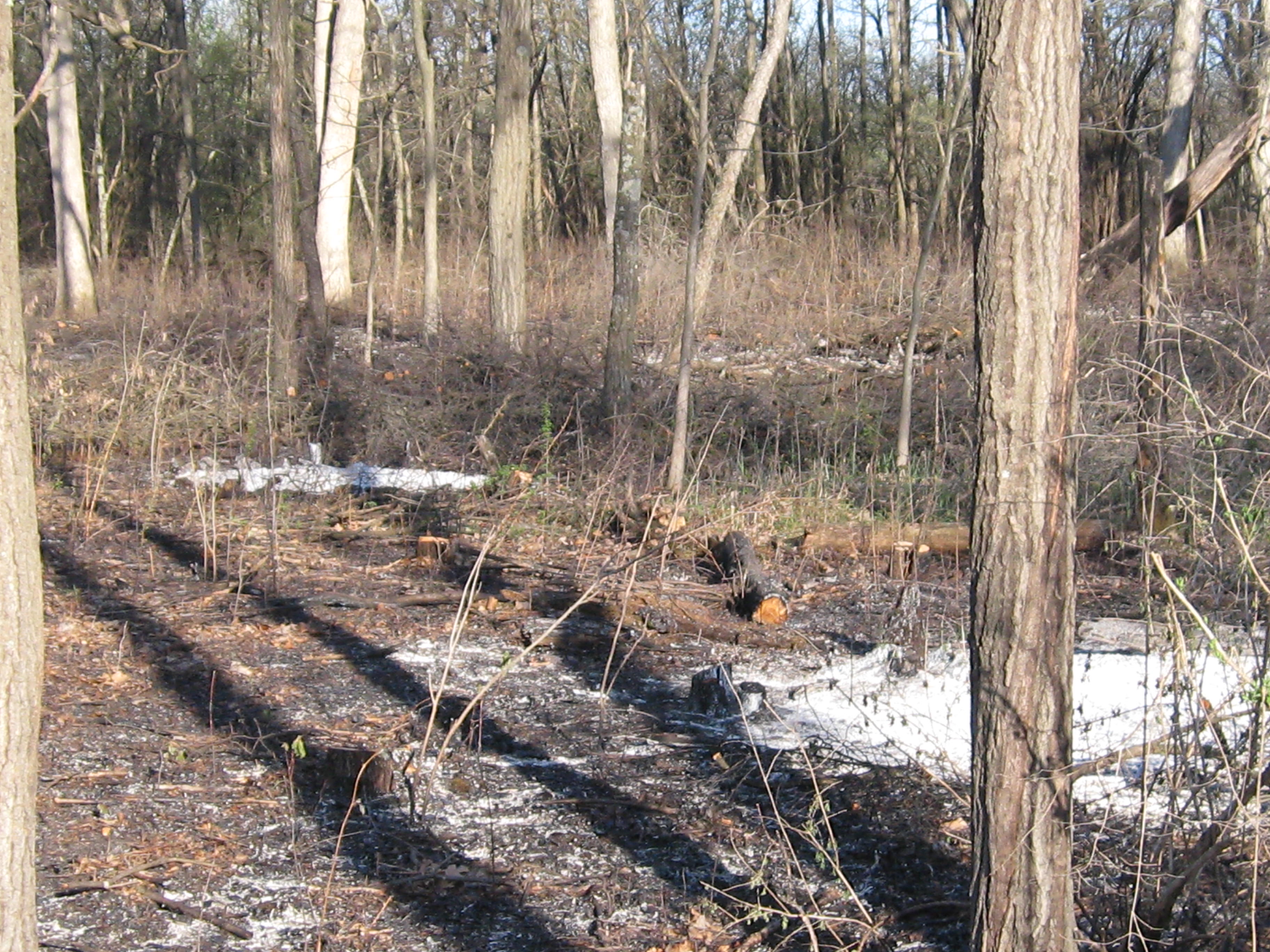
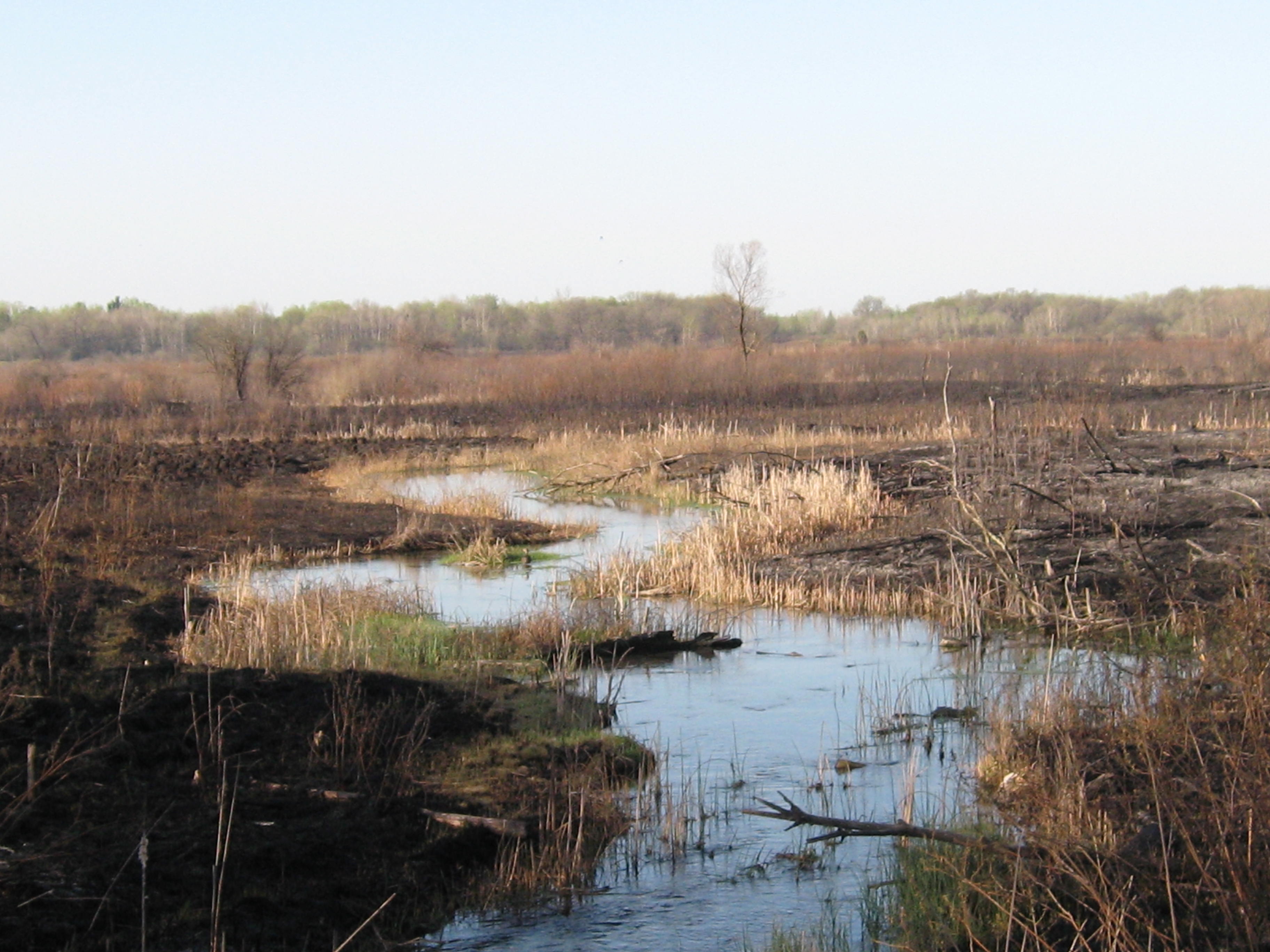
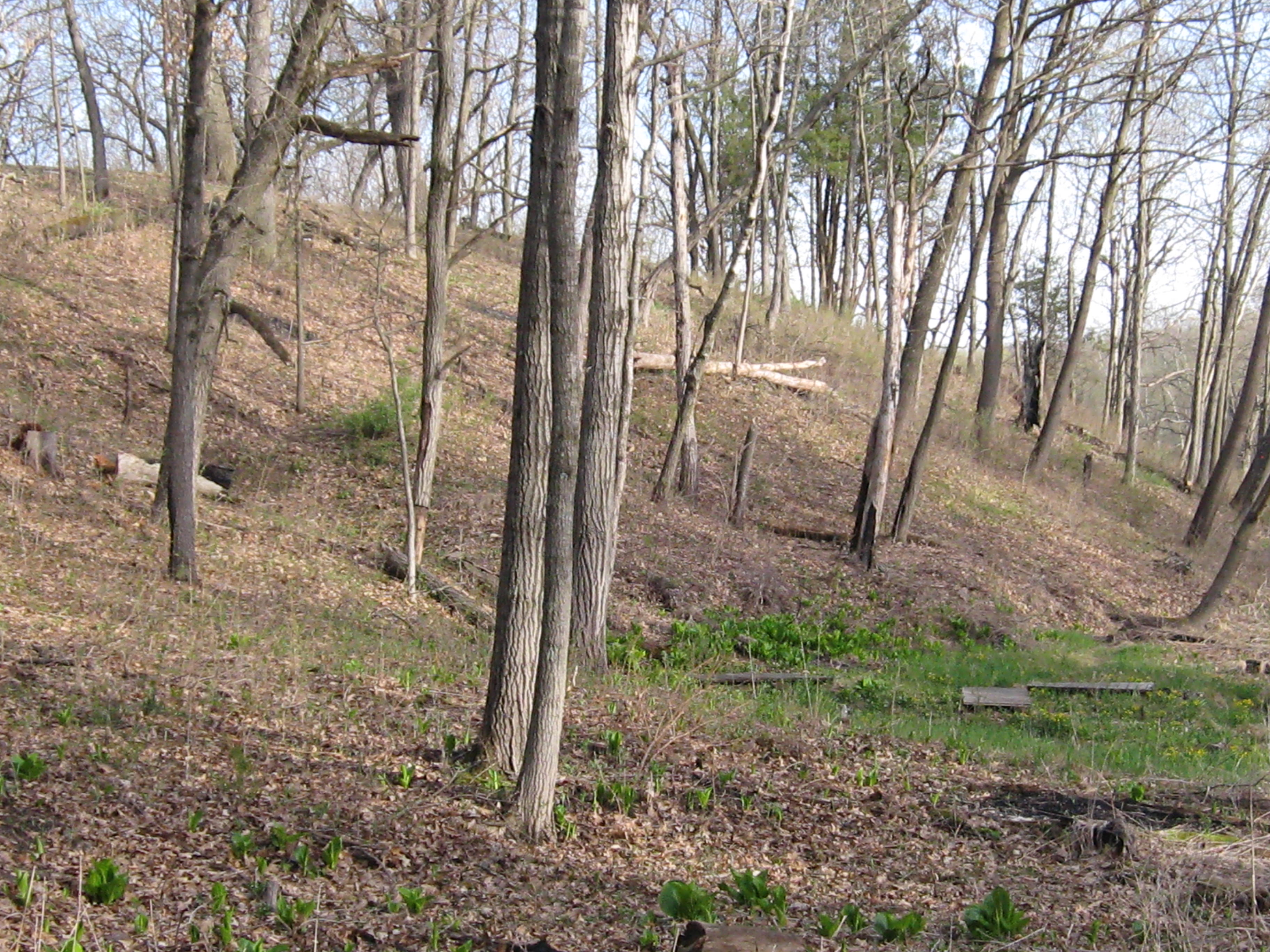
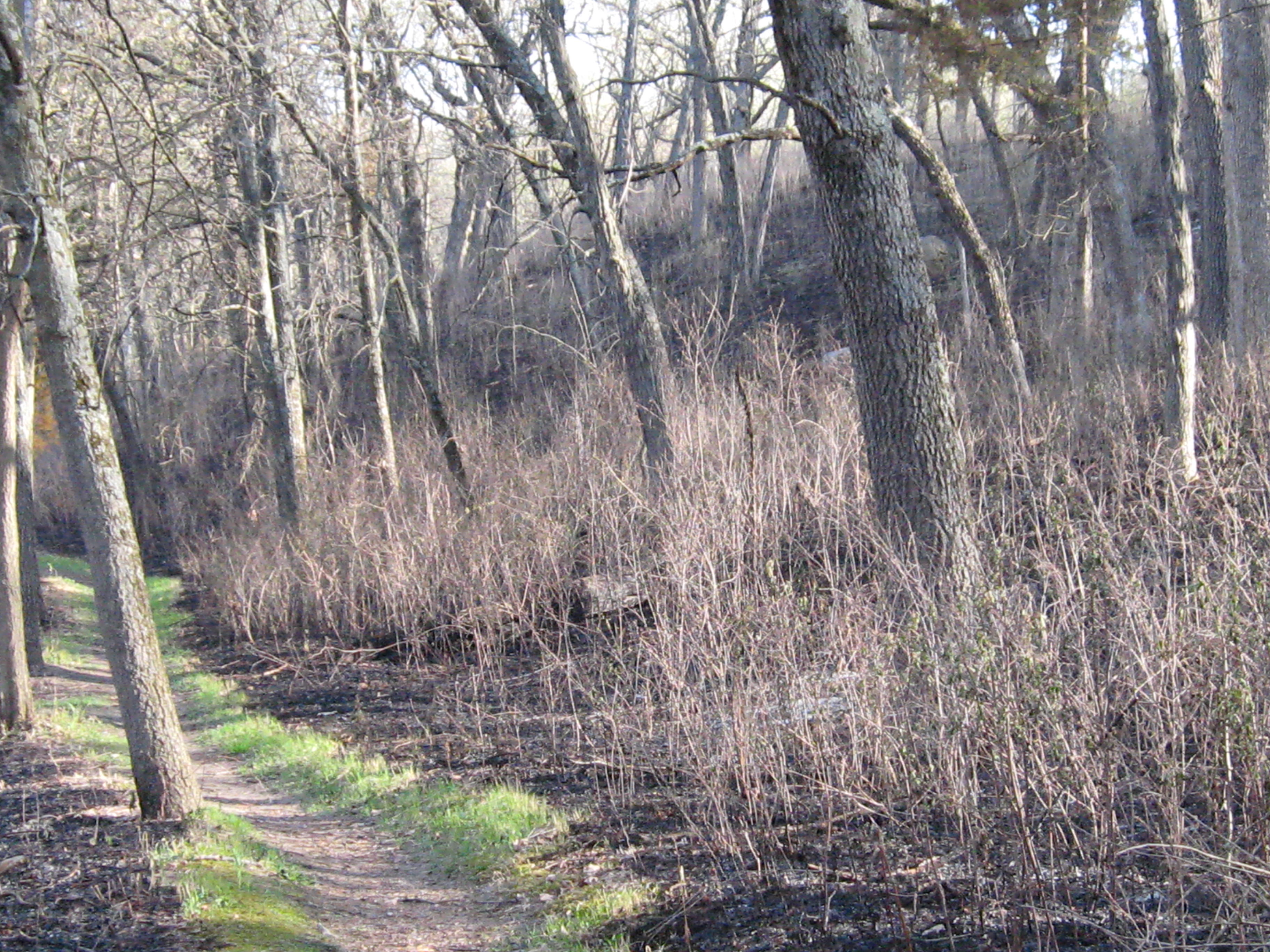
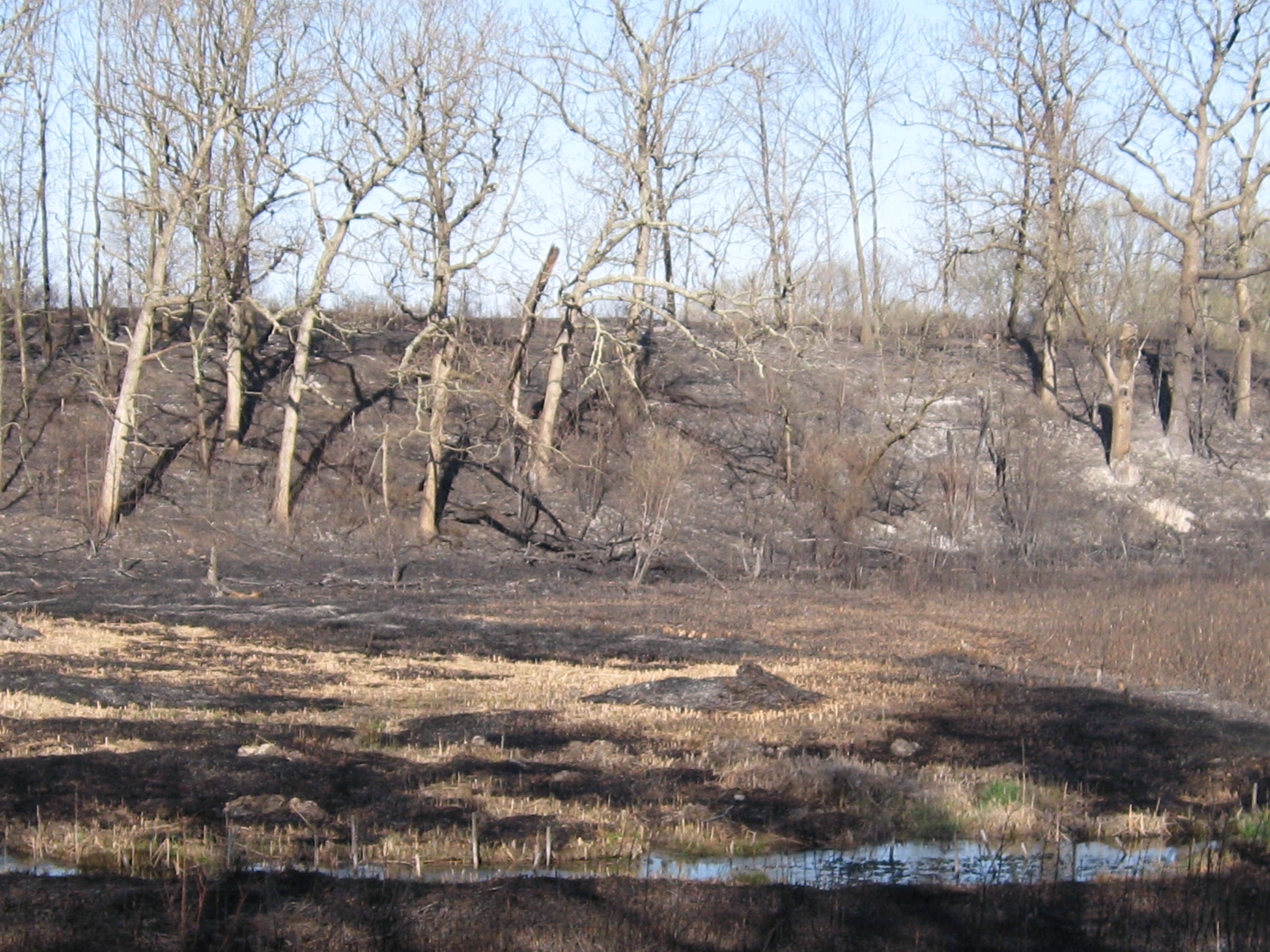
The Bluff Creek State Natural Area is a jewel in the Kettle Moraine State Forest–Southern Unit. The rolling moraines, deep kettles, massive oaks and bubbling springs that source Bluff Creek, make this one of the most beautiful areas in southeastern Wisconsin.
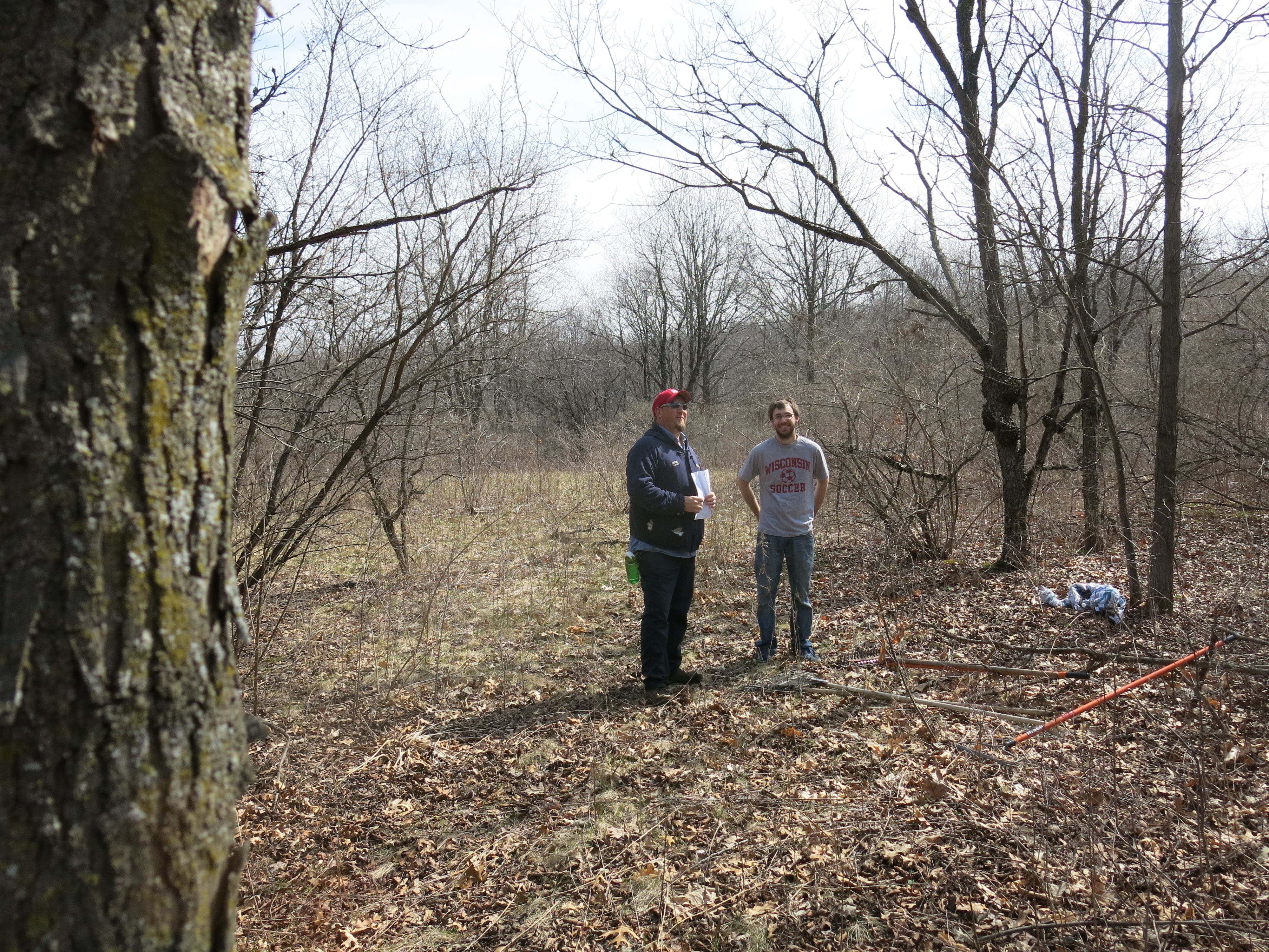
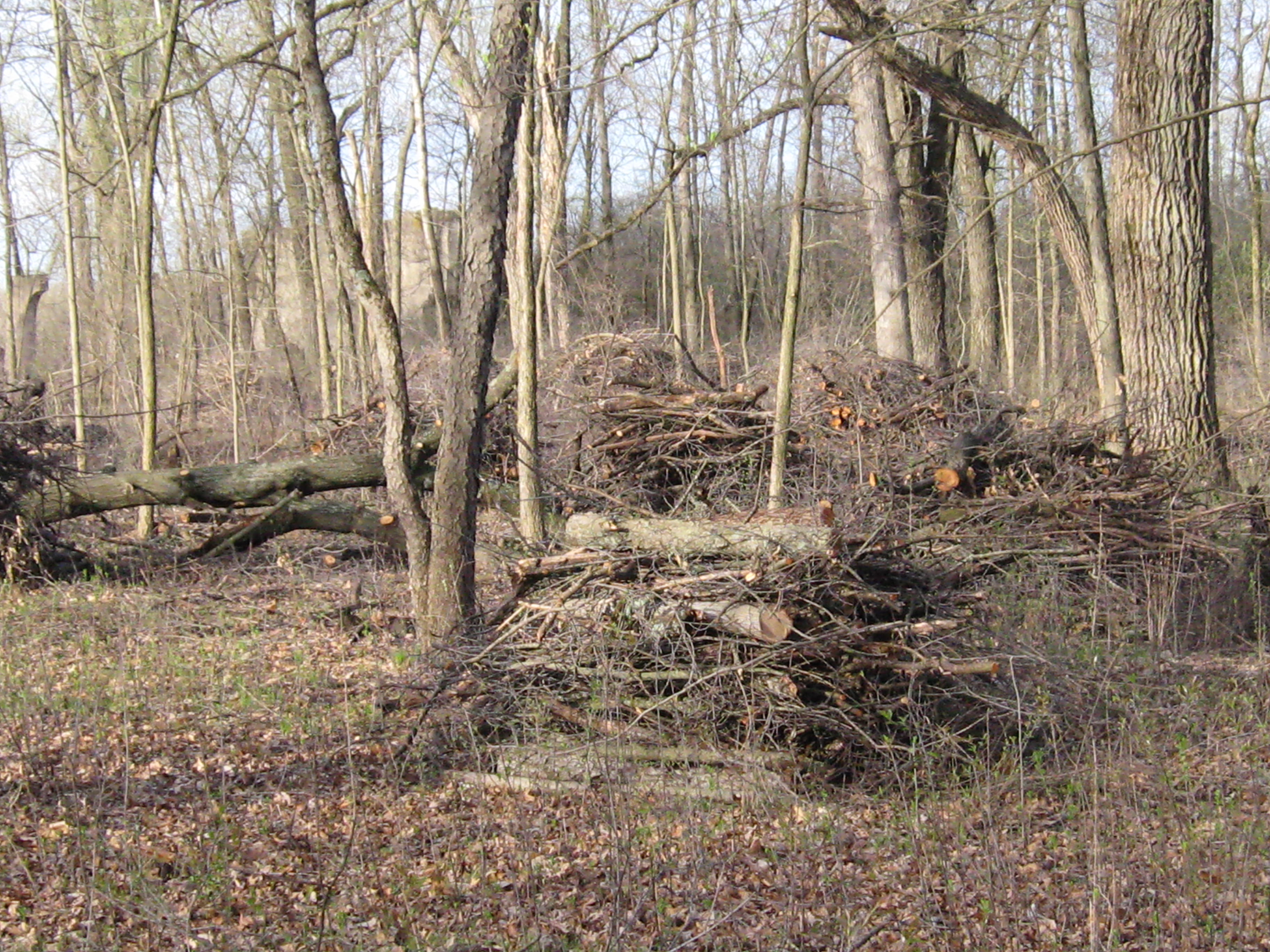
The DNR’s SNA team has been prepping the east side of the Bluff Creek property for months creating clean, wide firebreaks all around the burn unit, which is no easy task on the steep moraines. This would be the second time they burned the area and everyone was anxious to get it done. Last Saturday I spent the day there with Zach, Ginny, Don, Jerry and Brandon raking the areas around dead snags and taking down some really punky ones that might have fallen across the firebreak. We worked along the eastern perimeter of the 454 acre burn unit between A and K on the map below.
Zach and Brandon reviewing the situation.
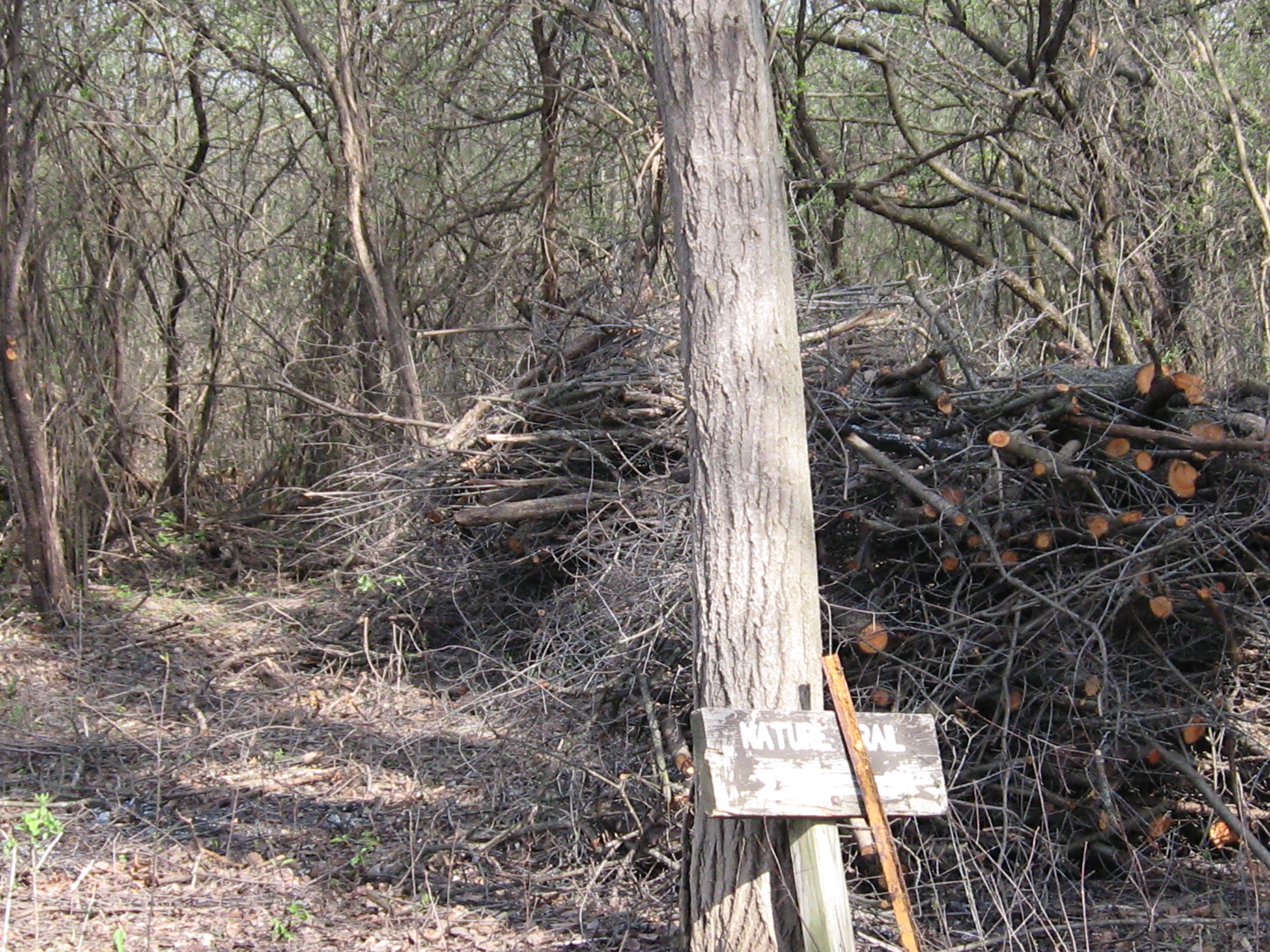
A monster dead oak that we cleared around.
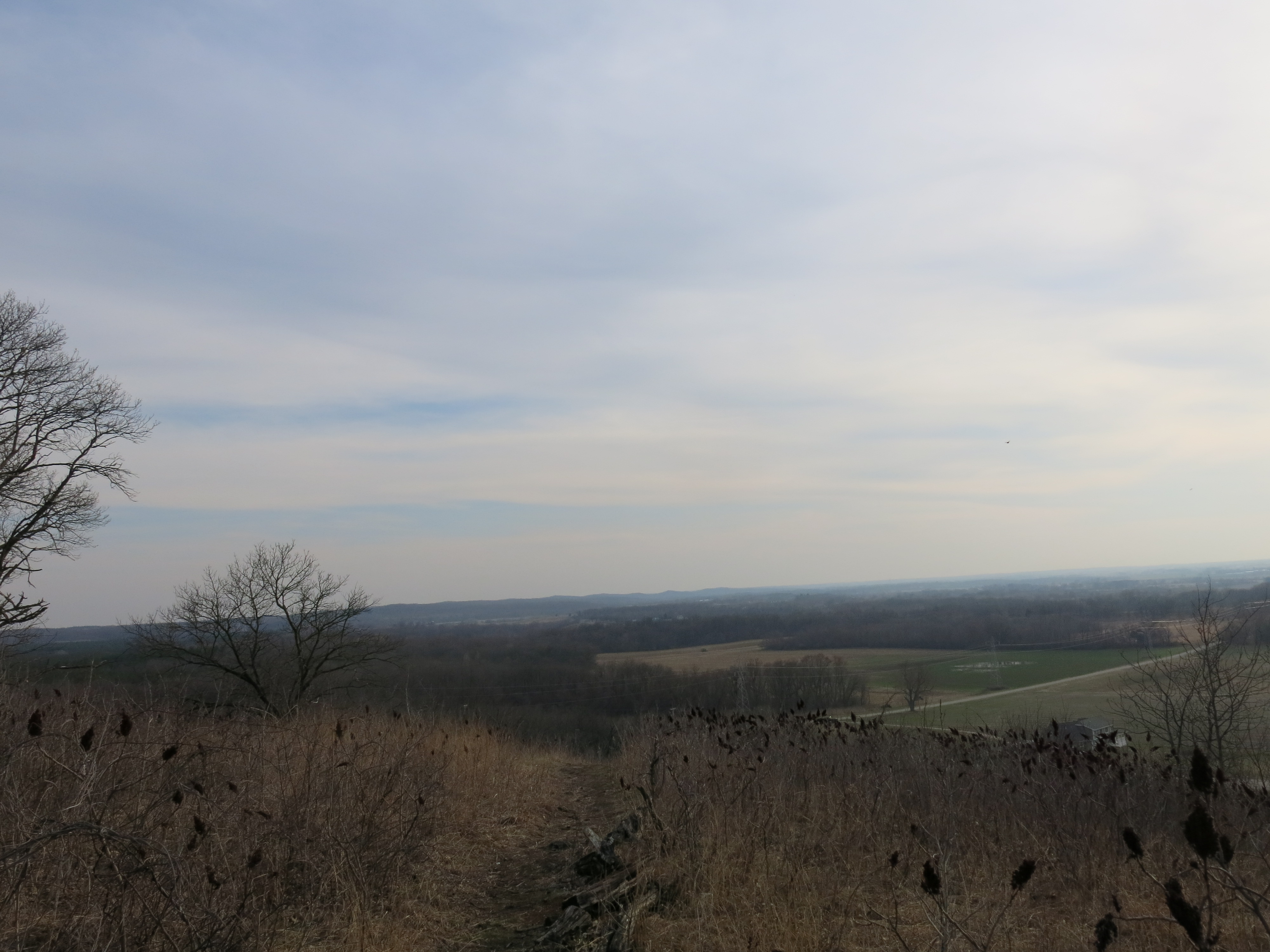
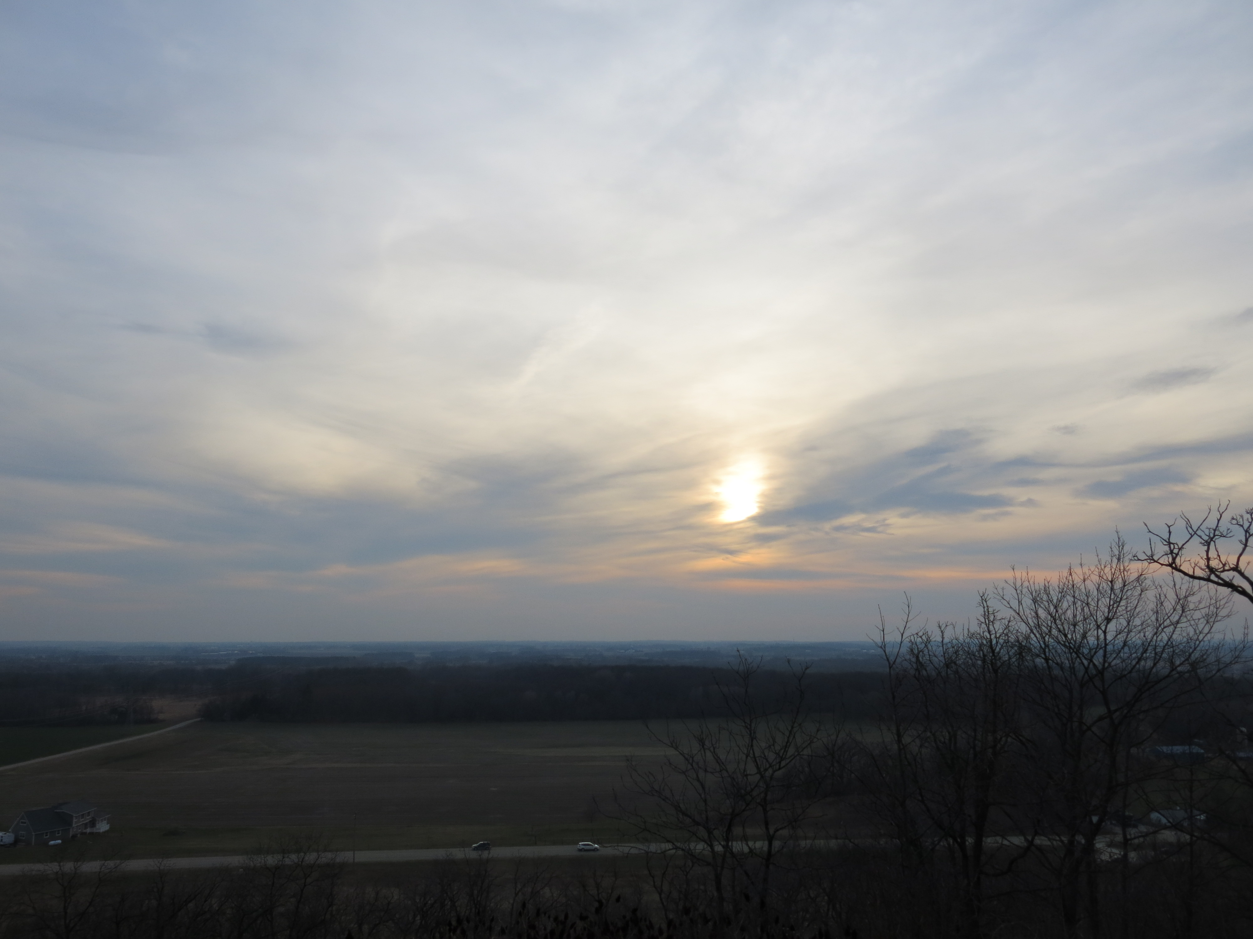
I stopped at Bald Bluff on the way home hoping I would get an invite to come back the next day for the burn.
I forgot my phone and, sure enough, when I got home, there was a message from Jared inviting me to join their crew to Burn Bluff Creek East. Cool!
The team from the Bureau of Natural Heritage Conservation included: Burn Boss Matt Zine, Nate Fayram and Jared Urban the north and south line bosses respectively and Jessica Renley, Alex Wenthe, Adam Stone and Bridget Rathman. Paul Sandgren, Matt Wilhelm, Don Dane, and Dennis Mclain represented the Kettle Moraine State Forest-Southern Unit. Greg Kidd and Erin Holmes, volunteering their time, represented the NRCS (Erin also works with Pheasants Forever). And, last but not least, Bill Walz, an SNA volunteer who also works with The Prairie Enthusiasts was there.
Greg gearing up.
Alex, Greg and Matt.
Matt Zine explains the burn plan.
It was a pleasure to hang out with the “pros” and be one of the team. Matt Zine attributes much of their success developing the SNA’s in the Kettle Moraine State Forest–Southern Unit to Paul Sandgren’s leadership and commitment. A lot of thought and effort went into planning this day — bringing the people and equipment together — and the conditions were perfect for a woodland burn!
Per the plan, we began anchoring the unit on the line between points B and A.
Then the south line team began lighting a backing fire from A to L while the north line team did the same moving west from B to D.
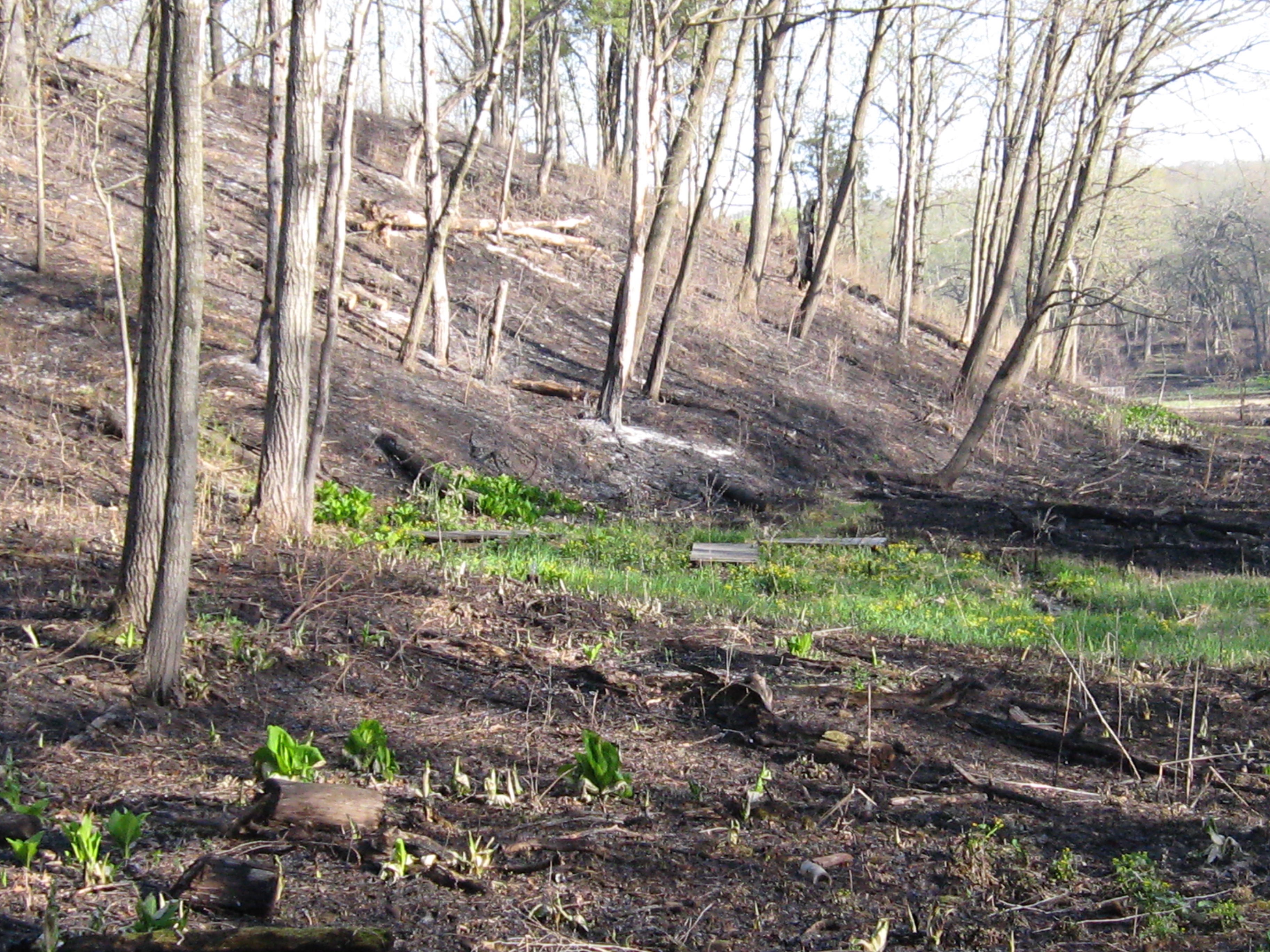
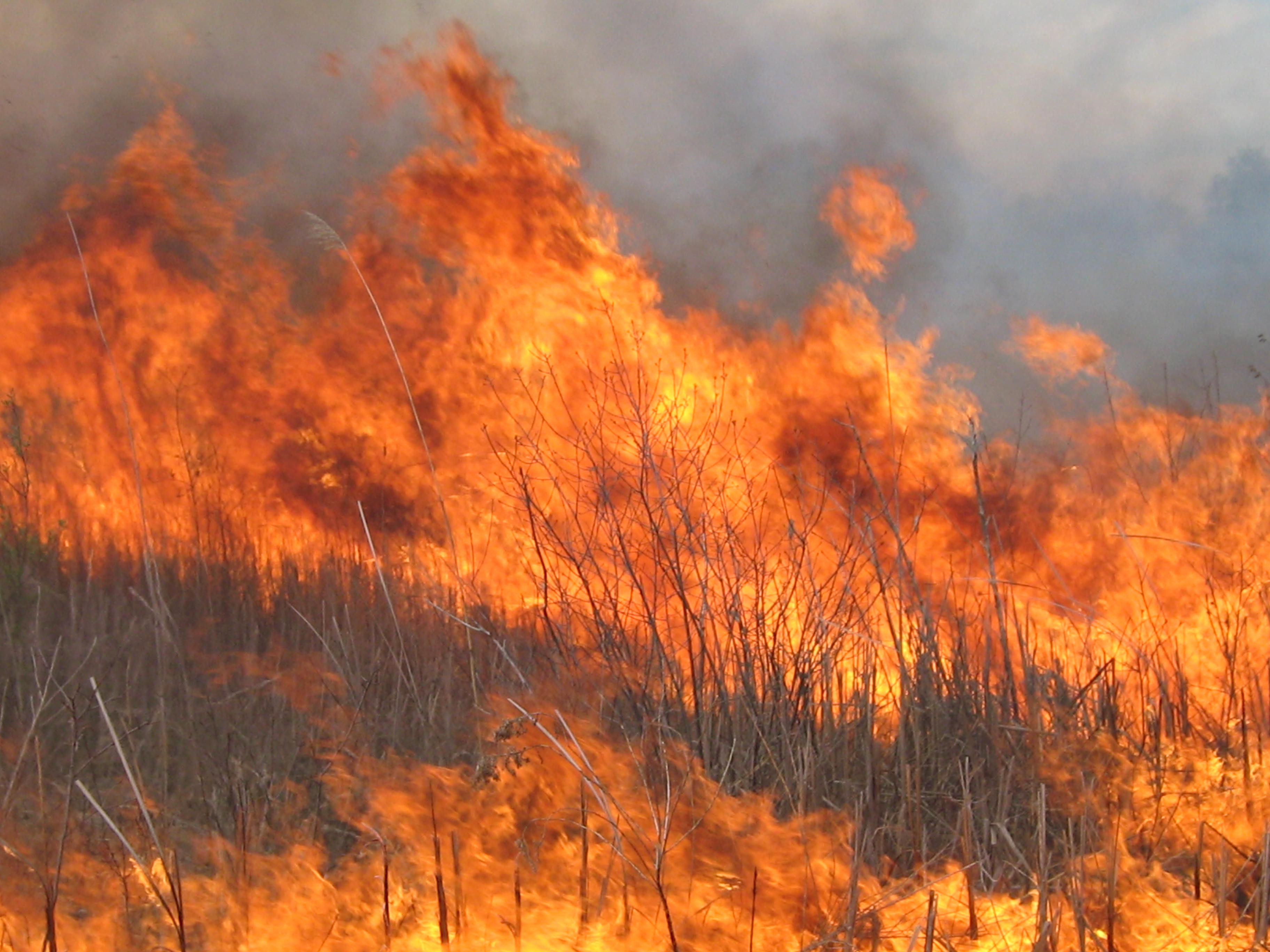
The steep moraines were not for the fainthearted to drive an ATV up and down on, and the wetlands on the northern perimeter had some deep, water filled trenches to negotiate. I was really impressed with the fortitude and level of effort and cooperation amongst everyone involved. They carried out the plan without a hitch!
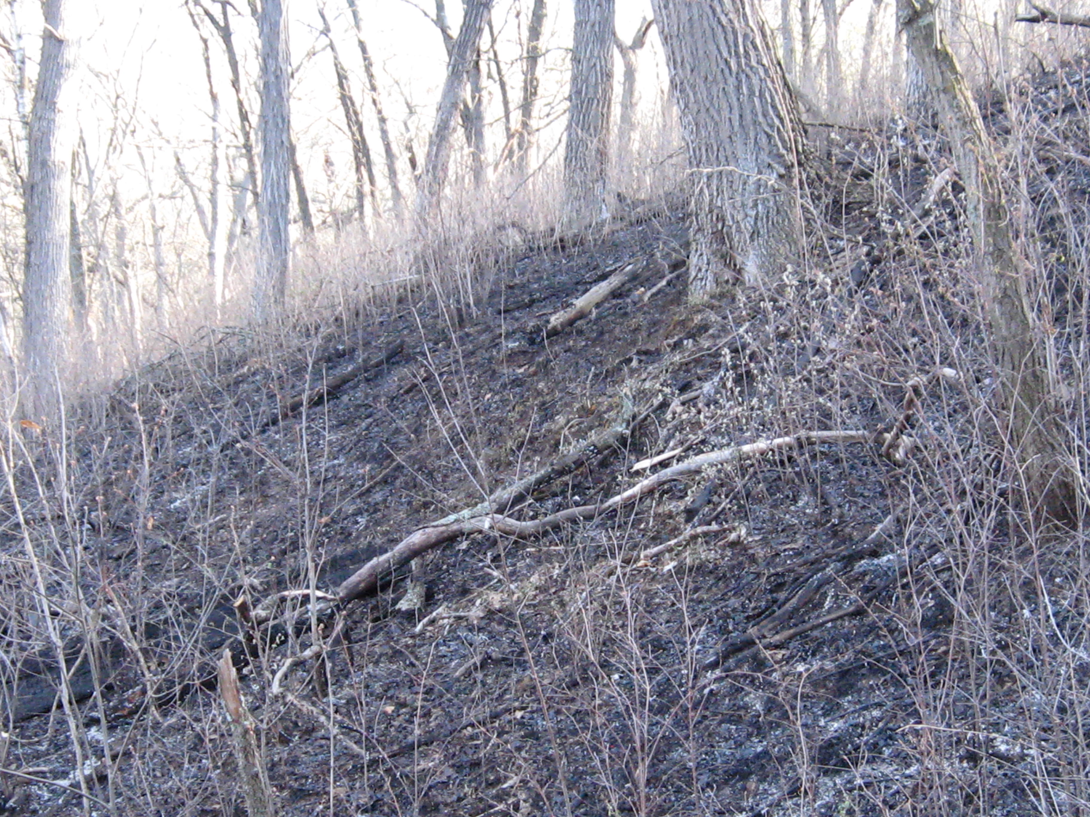
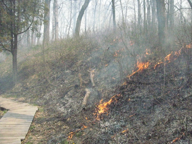
This classic kettle required a bit of extra effort to carry fire through it.
David Bart, Assistant Professor Landscape Architecture and Nelson Institute for Environmental Studies UW-Madison, contributed the next 5 pics showing the north line team in action.
Bill and I got “released” around 6:30pm and I quickly changed clothes and headed back to the burn unit to get some more pics.
A happy Matt and Erin.
Double D.
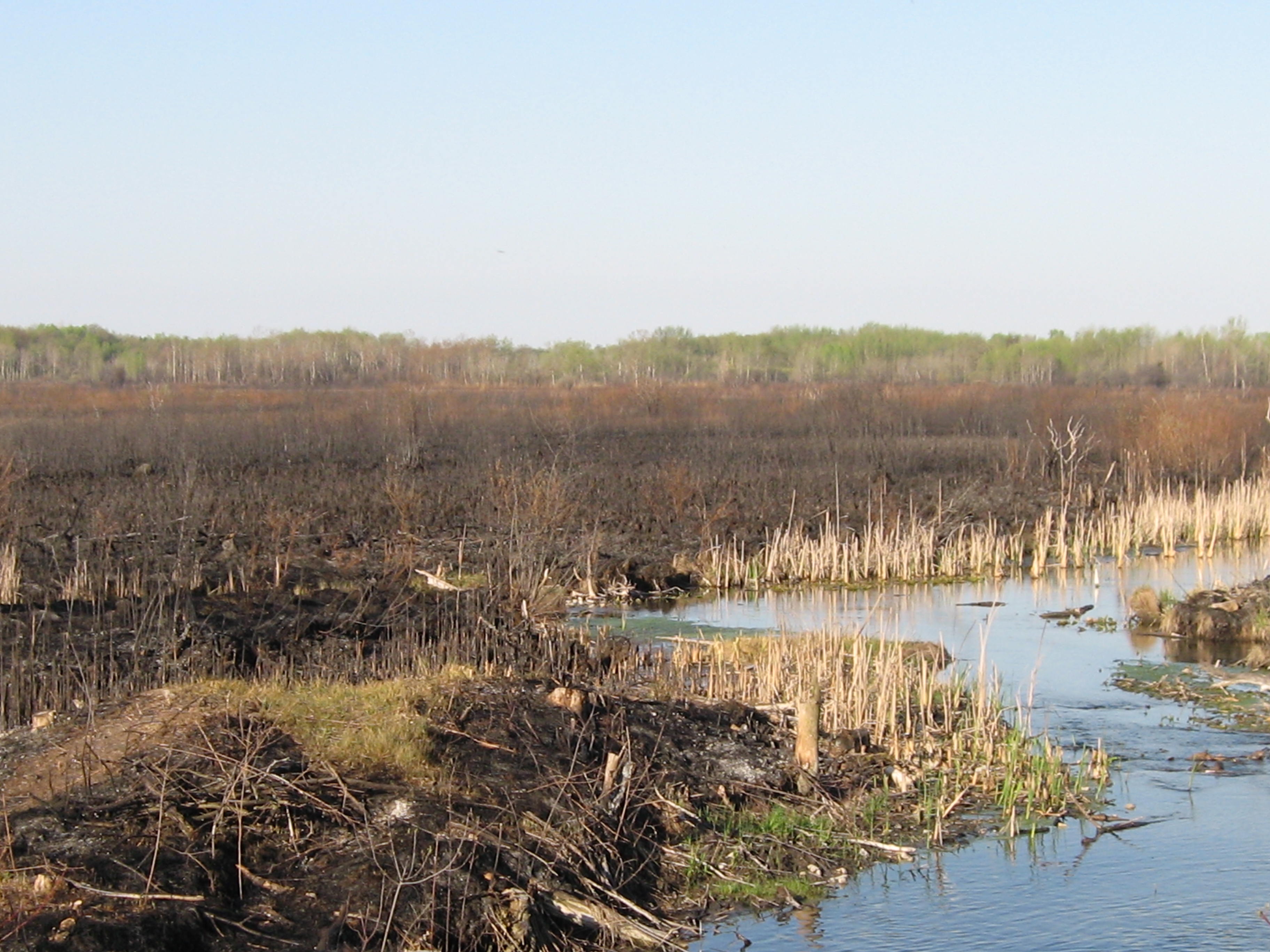
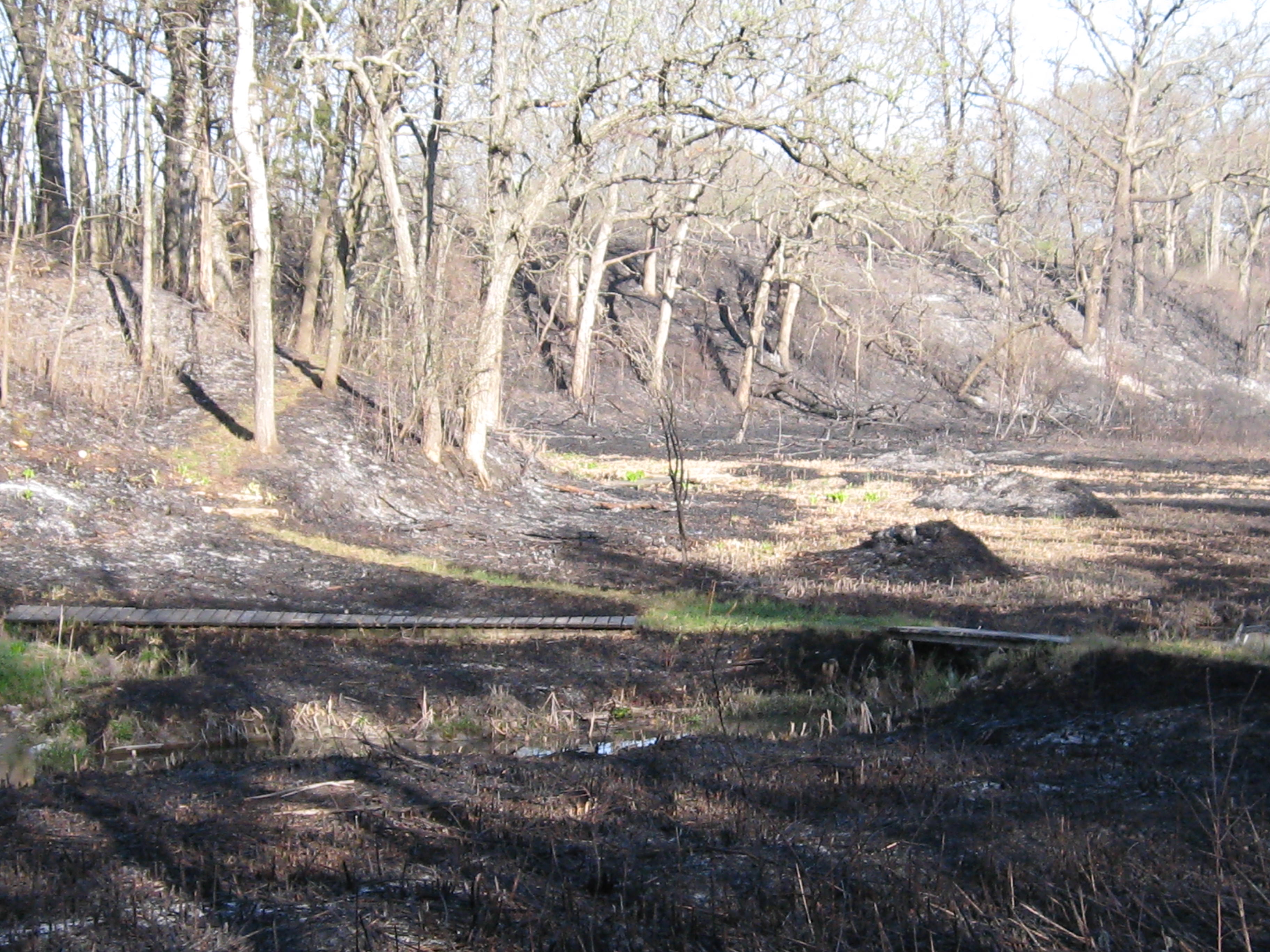
I was eager to see the blackened kettles and moraines along the line from A to L.
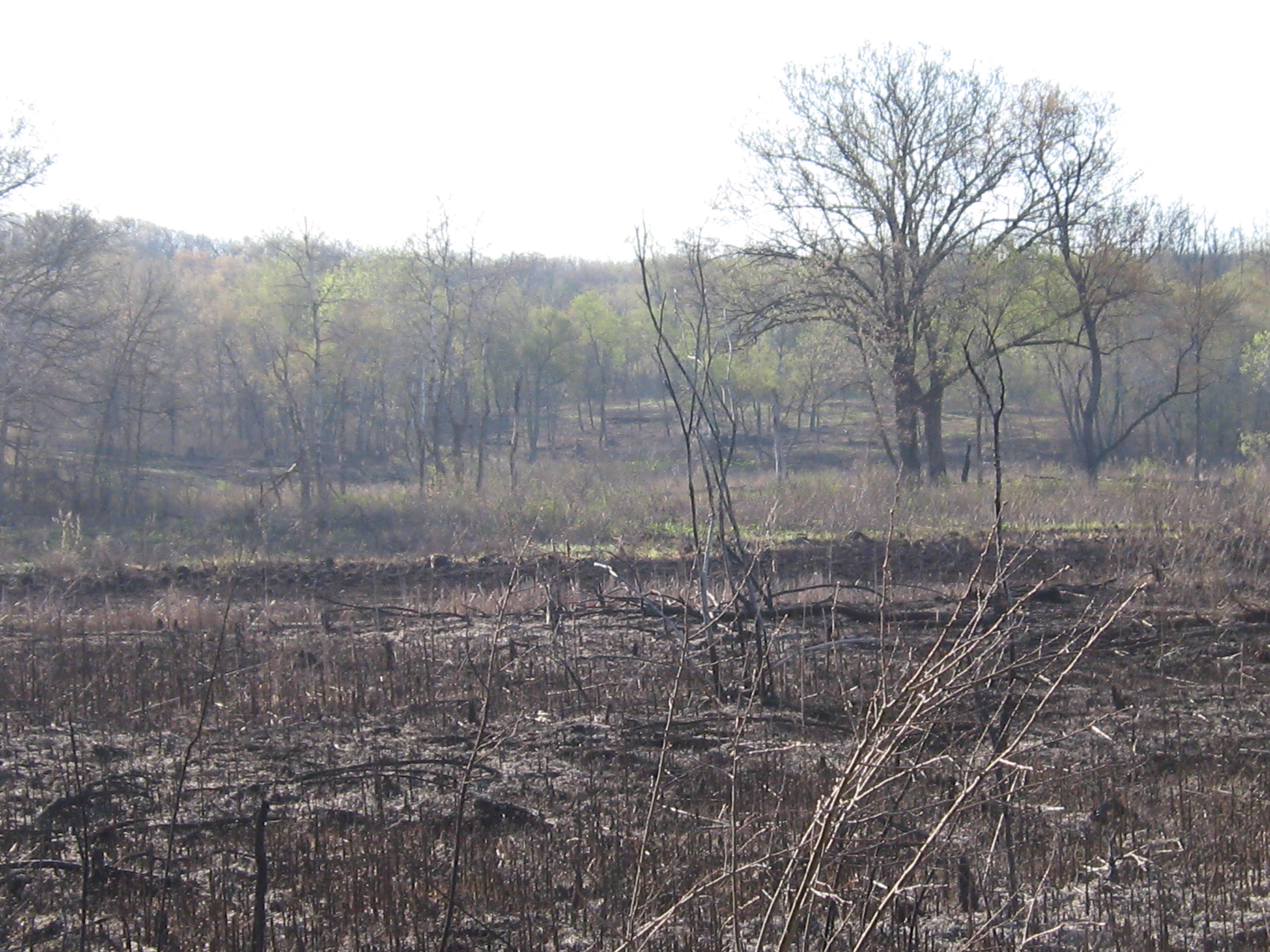
Then I headed west from point A and decided to try to walk the perimeter of the burn unit.
I was blown away when I saw how difficult it must have been to lay down the backing fire on the north line. Here are a couple views of the wetlands Nate, Jess and Adam lit up.
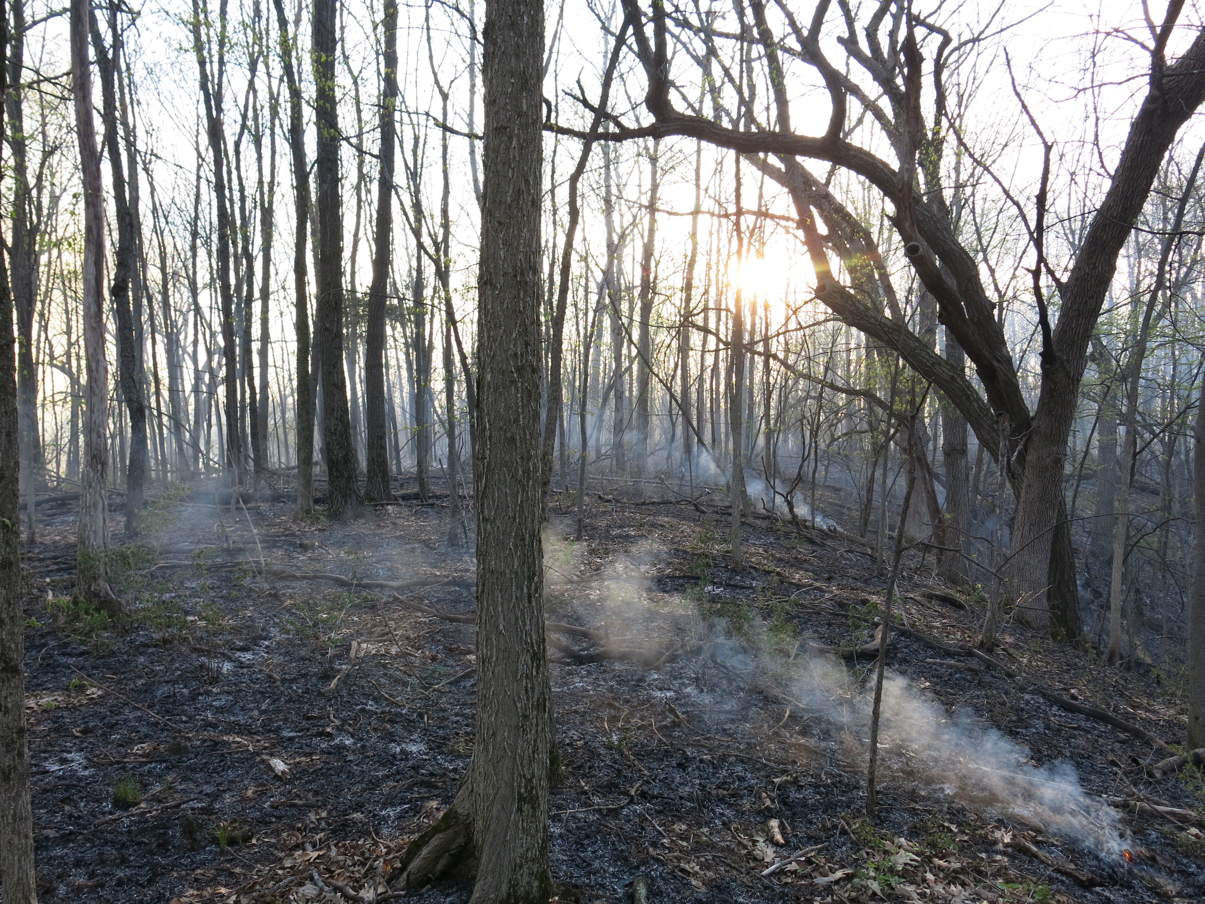
You could see lines of fire still creeping through the center of the unit.
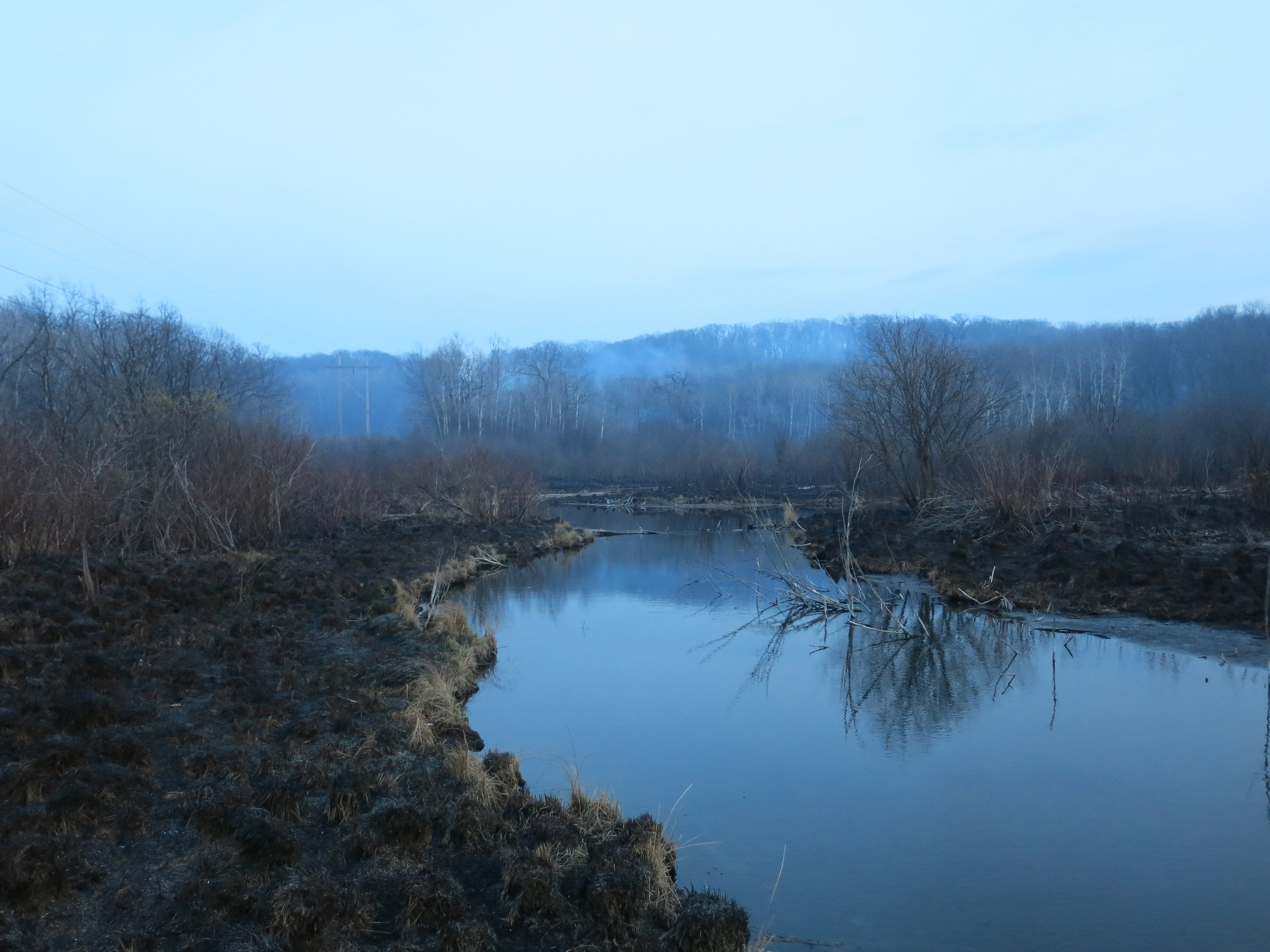
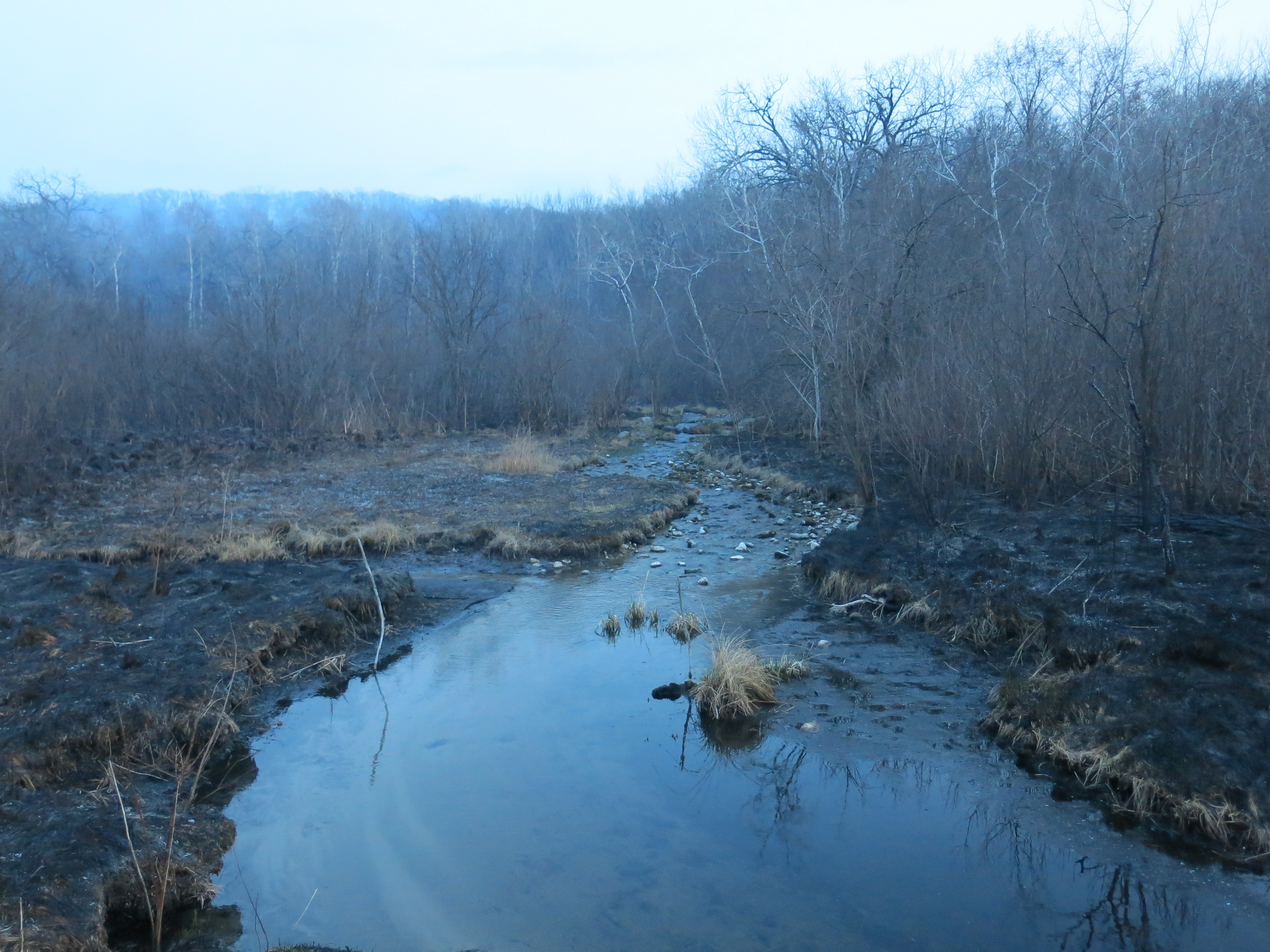
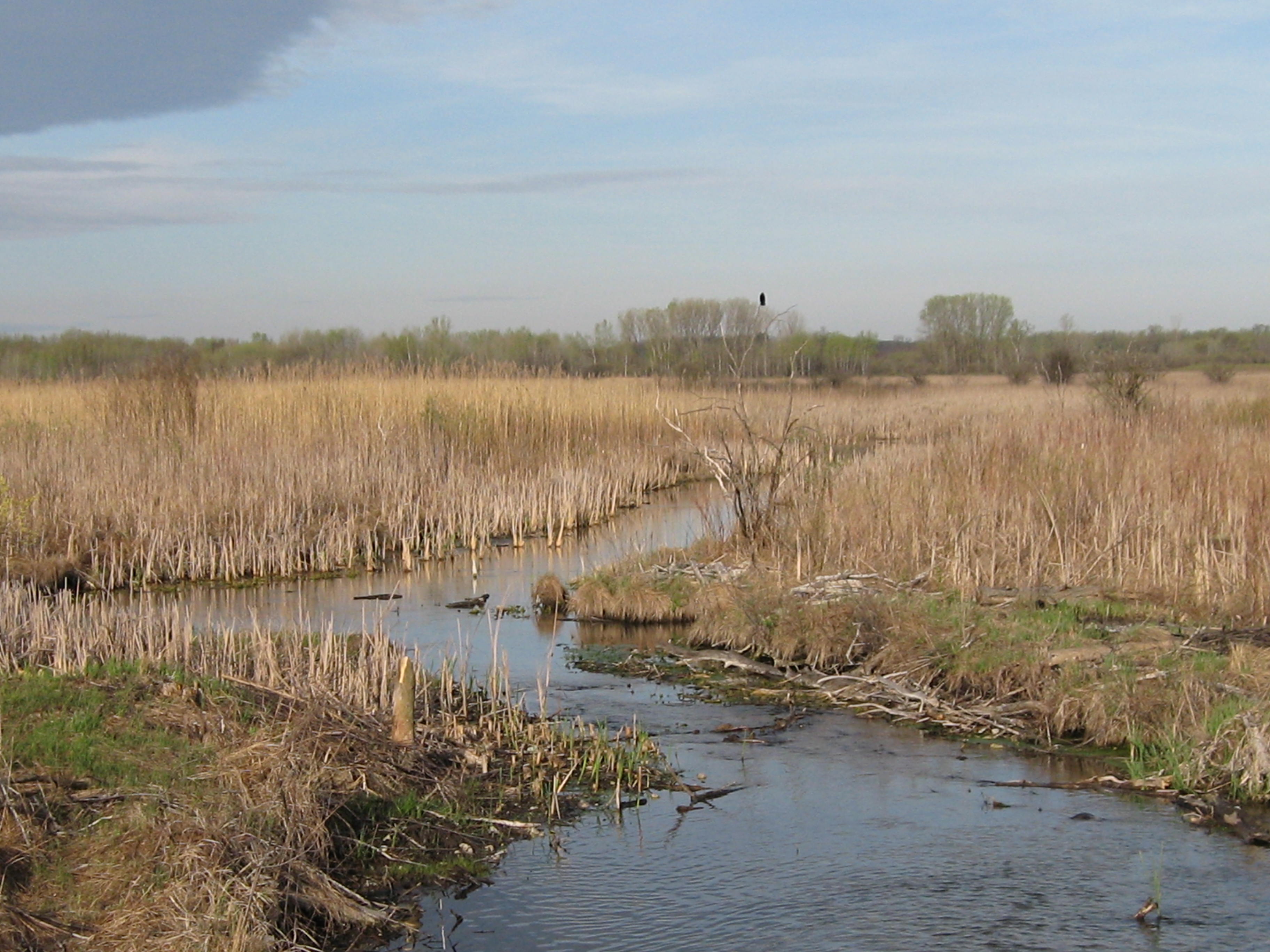
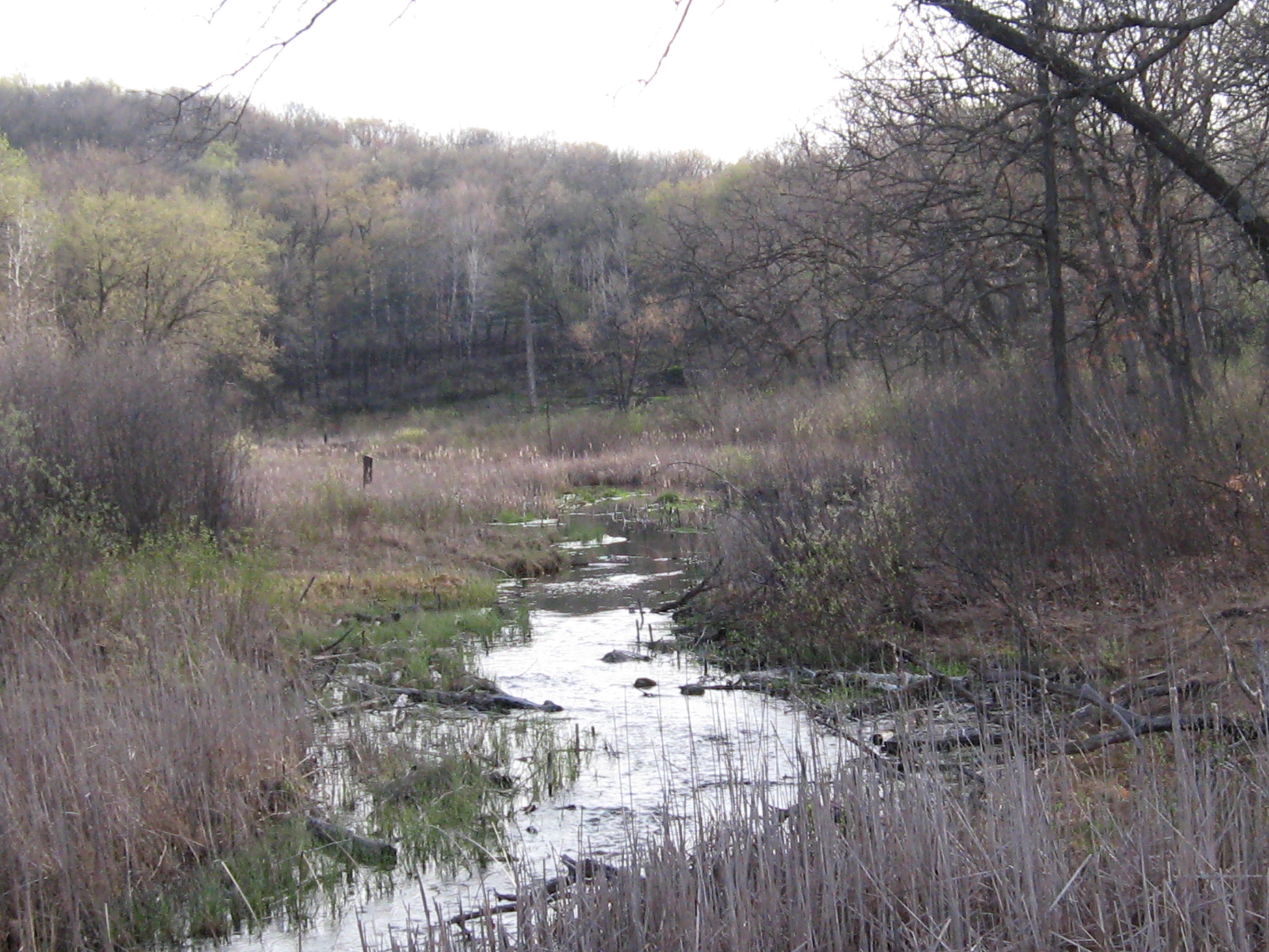
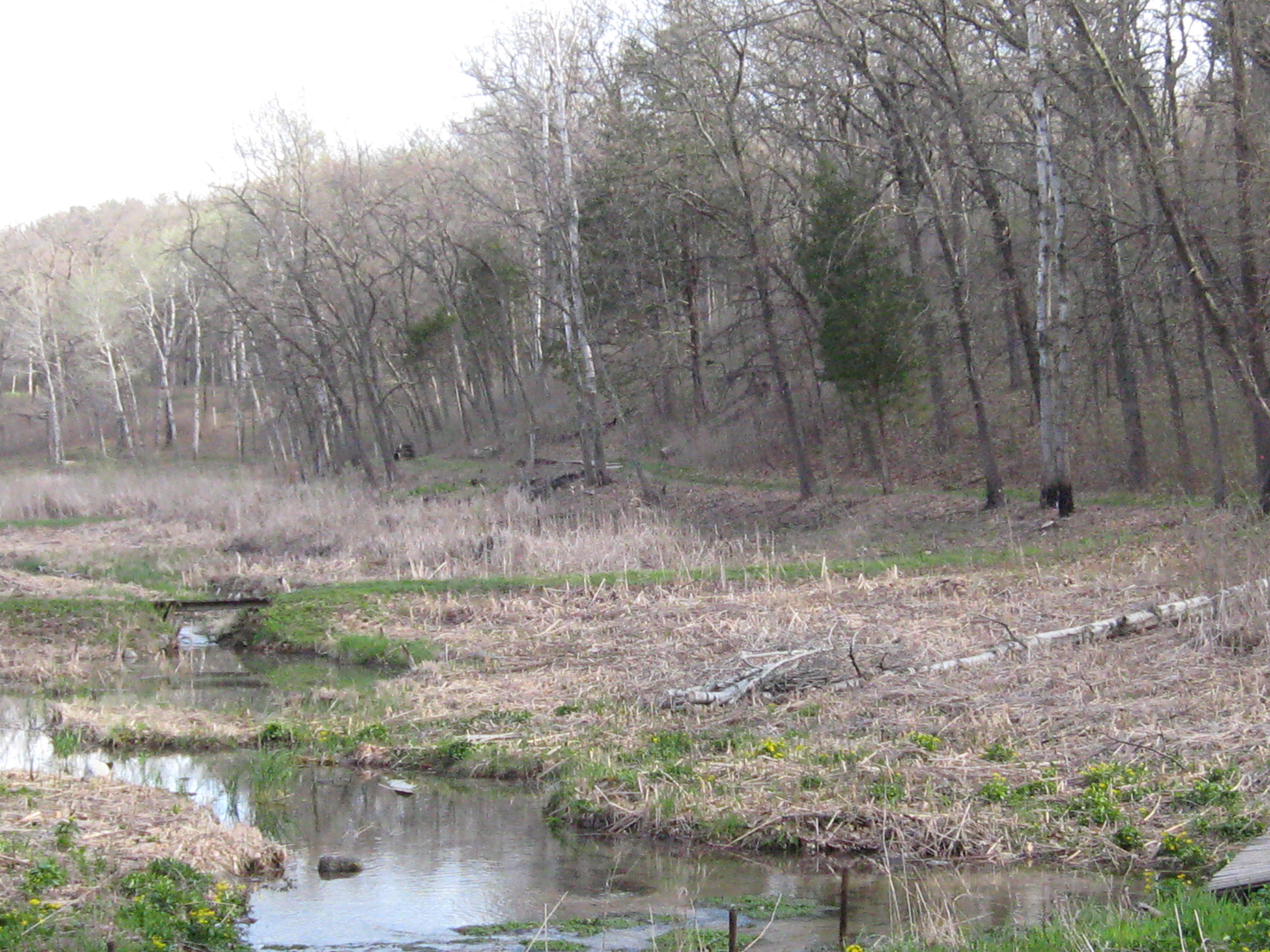
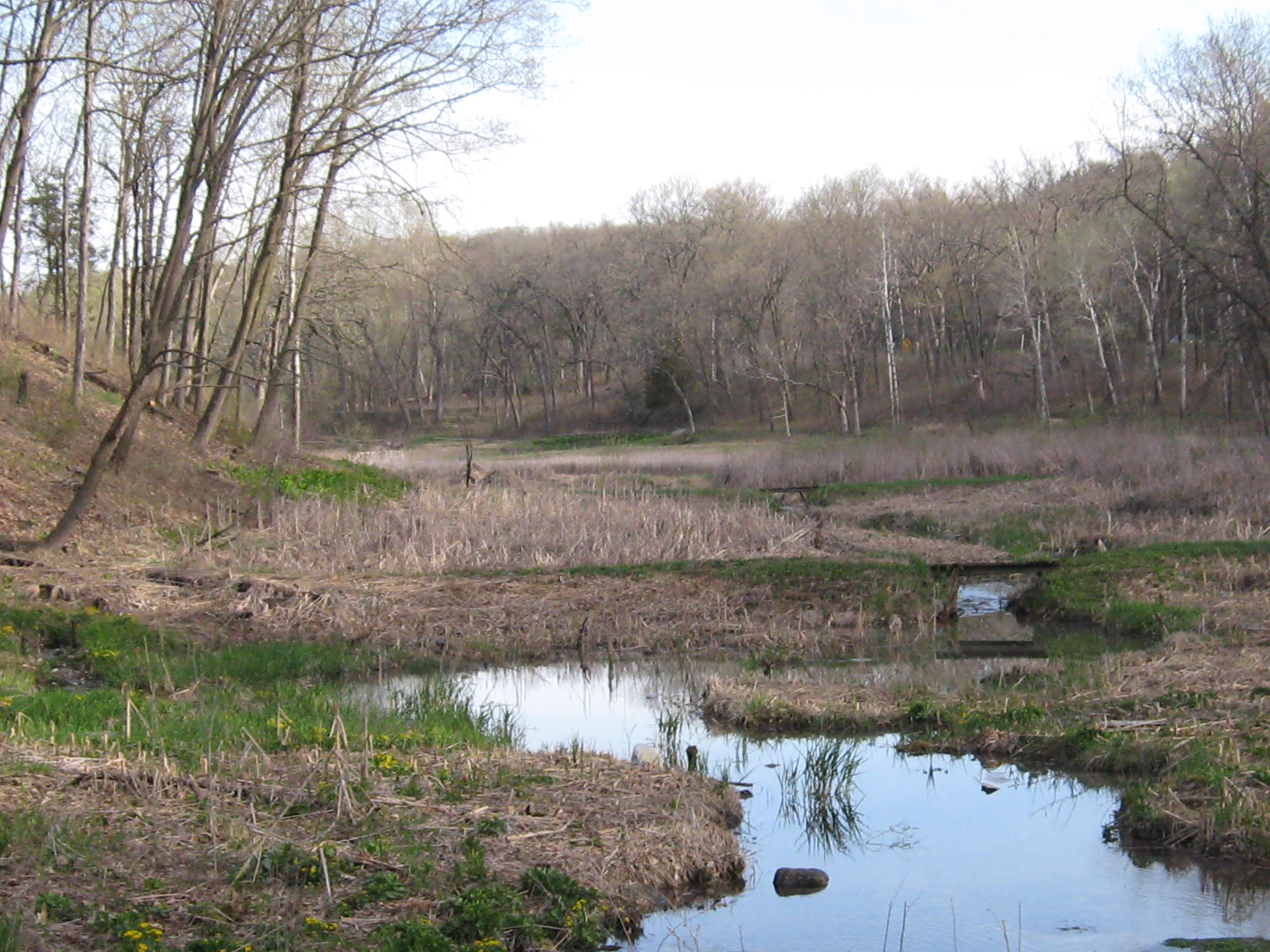
I threaded my way through the black and brush until I came to the big open water where all the springs collect forming Bluff Creek.
There are dozens of springs flowing into the headwaters.
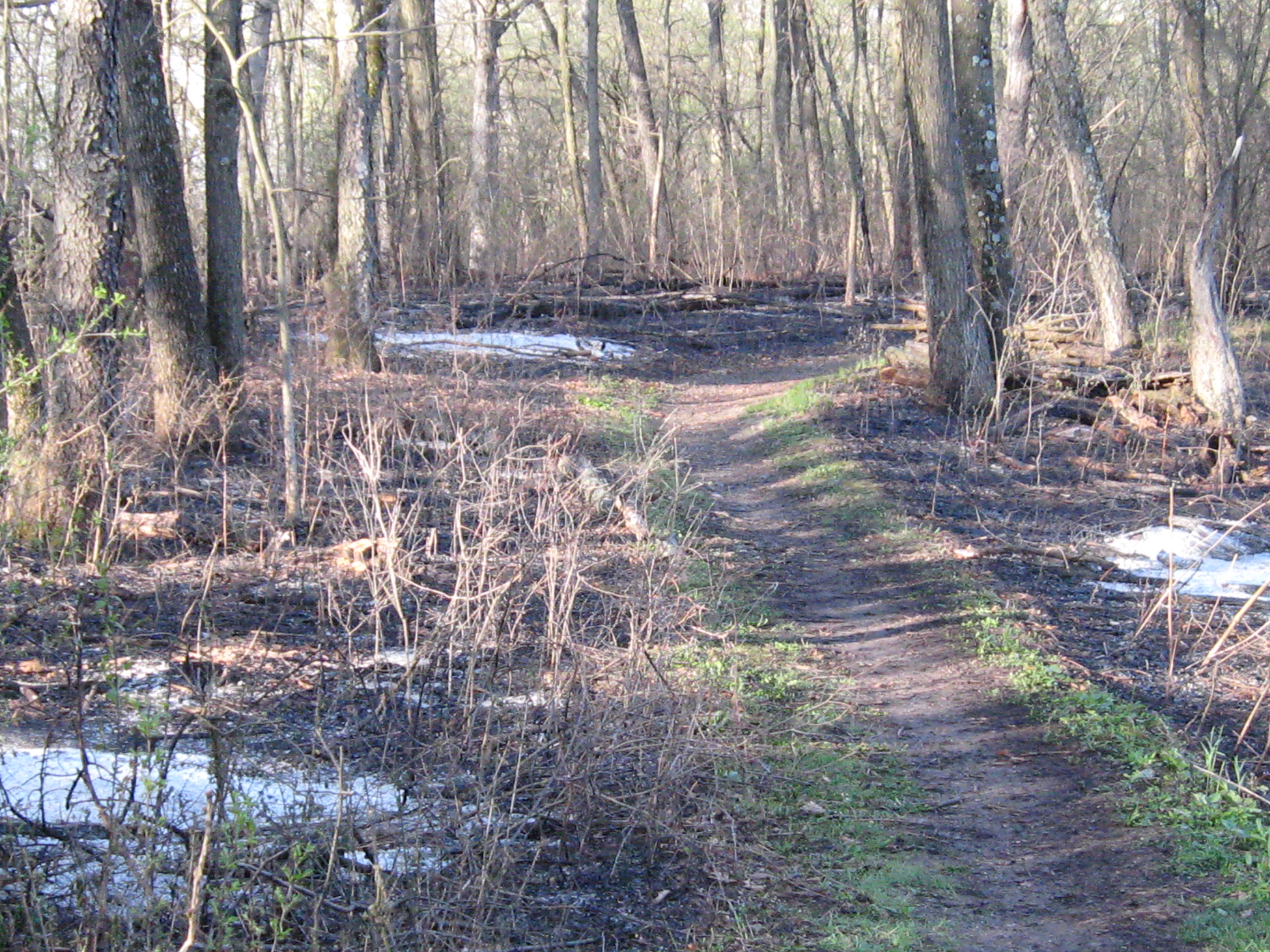
It’s a good thing I had walked this area once before on an SNA workday at Lone Tree Bluff and knew where I was. I had no problem picking my way through these creeping fires on the trail leading back to the parking lot on Easterly Road.
I found my way in the dark back along the firebreak at point J and came all the way around the south end of the burn unit back to point A. And reminiscent of last year’s Scuppernong Burn, I ran into Don Dane, just beginning his all-night vigil at the burn unit.
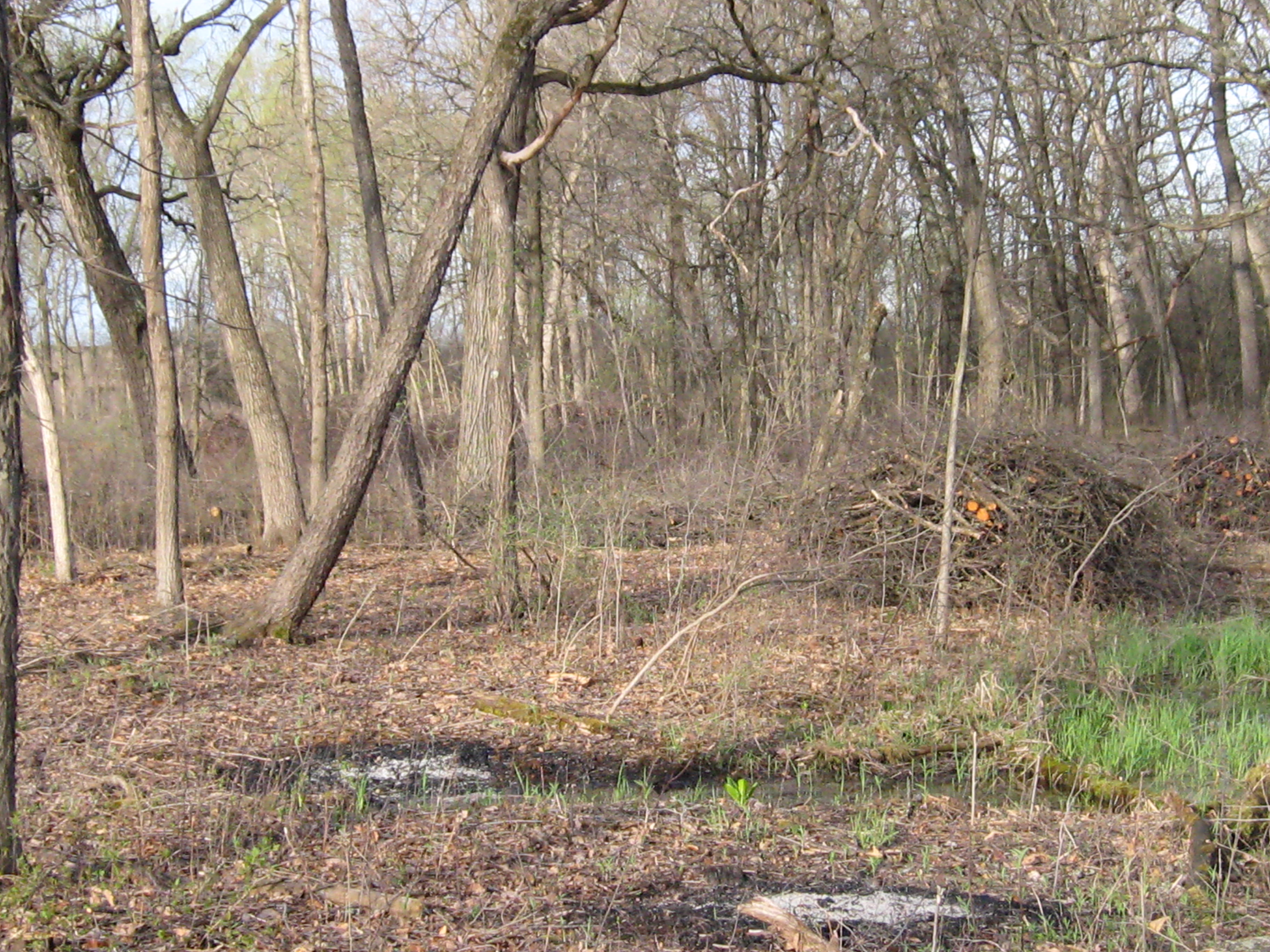
The new Statewide Prescribed Burning Guidelines require that all burning and smoking wood on “the entire burn” be extinguished before the burn can be declared “controlled”. Don watched the fires throughout the night and the SNA team returned today to complete the mop up. It is hoped that the guidelines can be amended to acknowledge the low level of risk that smoldering logs pose in the middle of a huge burn unit. It is hard and complicated enough as it is for the DNR to effectively use fire to help manage the forests.
Its finally dawned on me; Go Organic! Stop using poison on the land if you don’t want to poison the land! It’s obvious to me now after reading Atina Diffley’s award winning memoir Turn Here Sweet Corn. The organic approach is the embodiment of the Hippocratic Oath; do no harm. Atina’s love story with the land opened my eyes to the potential of applying organic farming techniques to our work at the Scuppernong Springs Nature Preserve. Atina and her husband, Martin Diffley, (Organic Farming Works LLC) are pioneers in the organic farming movement in Minnesota, their efforts culminating in a “Kale versus Koch, Soil versus Oil” pipeline smackdown where they stood up to the Minnesota Pipe Line Company, which is operated by the Koch Pipeline Company, a subsidiary of Koch Industries, and prevented a pipeline corridor from being routed right through their Gardens of Eagan Organic Farm. They saved their land AND Atina contributed to the preservation of other organic farms via the creation of the Organic Appendix to the Agricultural Impact Mitigation Plan that all pipeline and transmission line companies must comply with if they succeed in routing their lines across organic farmland.
Atina explains that it’s all about relationships: people to the land, plants to the soil and people meeting each others needs in community. I’m inspired to only employ non-toxic ways to nurture The Springs back to health a la organic farming techniques; I want the Scuppernong Springs Nature Trail to be “Certified Organic”. Atina and Martin helped me realize the importance of building and protecting the soil and, after reviewing the research on the residual effects of Milestone and Transline and their potential to leech into groundwater, I concluded that I could no longer use them in any context at The Springs. Jason Dare began turning me in this direction and now I’m fully committed. The only exception to the ban on poison that I will make is to use Tahoe/Triclopyr on cut buckthorn stumps (painting, not spraying), and hopefully, we’ll find a natural alternative to that as well.
I claimed to want to garden the sand prairie. What was I thinking? Would you use poison in your garden? In the past two years I had acquired no less than 7 different poisons: Aquaneat/glyphosate, Habitat/imazapyr, Bullzeye/glyphosate, Milestone/aminopryalid, Transline/clopyralid, Tordon/picloram and Tahoe/triclopyr, all of which I have returned to the DNR except the Tahoe stump killer. Martin Diffley summed it up pretty well: “If we don’t change direction, we’re going to end up where we’ve been going.”, and my approach was slowly poisoning The Springs. One story from Turn Here Sweet Corn that really impressed me was how they handled a 9 acre field of quack grass. Despite being pressed by demand for their produce to get this land into production, Martin recommended they wait for just the right combination of dry and hot weather. When it finally arrived, they used a 930 Case tractor fitted with a Vibra Shank field digger to “rake” the weeds, exposing the roots to the blazing sun, repeating the process over 6 weeks until the quack quit. That got me thinking about the phragmites and cattails in the valley along the Scuppernong River headwaters; maybe we could do the same thing there! Like Einstein said, “We can’t solve problems by using the same kind of thinking we used when we created them.”, and now that my organic consciousness has been awakened, I’m seeing new, non-toxic, solutions.
Yesterday, Pati and I met with DNR Trail Boss Don Dane to walk the trails and review our approach to restoring the Scuppernong Springs Nature Preserve, and we we joined by John and Sue Hrobar. I’m prone to excited bursts of non-stop chatter and, true to form, I began by telling Don that I wanted to go organic. He was totally on board with this and promised to help us achieve that goal. The first area we reviewed was the valley along the headwaters of the Scuppernong River that is dominated by phragmites and cattails. I told him Martin’s story and we talked about mowing and raking and Don suggested that, in the short term, I get a hedge cutter and simply cut the seed heads off the phragmites and cattails at a height that will leave the myriad of other plants that have emerged in the “understory” since the burn undisturbed. This will drain the energy from the phragmites and cattails while allowing the native plants to compete and, combined with fire, we hope this will be an effective strategy.
One of my big concerns is all of the buckthorn seedlings and resprouts that have emerged since we cleared the mature buckthorn. I explained this to Jason Dare and he suggested I rely on fire to control them. I talked to Don about this and he is committed to burning the scuppernong every 2-3 years. That was the assurance I needed! In the meantime, Don suggested brush cutting areas where the resprouts are thick to better enable fire to move through. We talked about the north end of the trail, buckthorn alley, and agreed that I should focus on clearing the buckthorn there to help facilitate getting a hot fire through this part of the Nature Preserve; the DNR has never been able to burn this area.
Here is a native swamp thistle Don pointed out by the hatching house springs.
John, Sue and Don at the gaging station bridge. I’m hoping that more volunteers will step forward if they know we going organic.
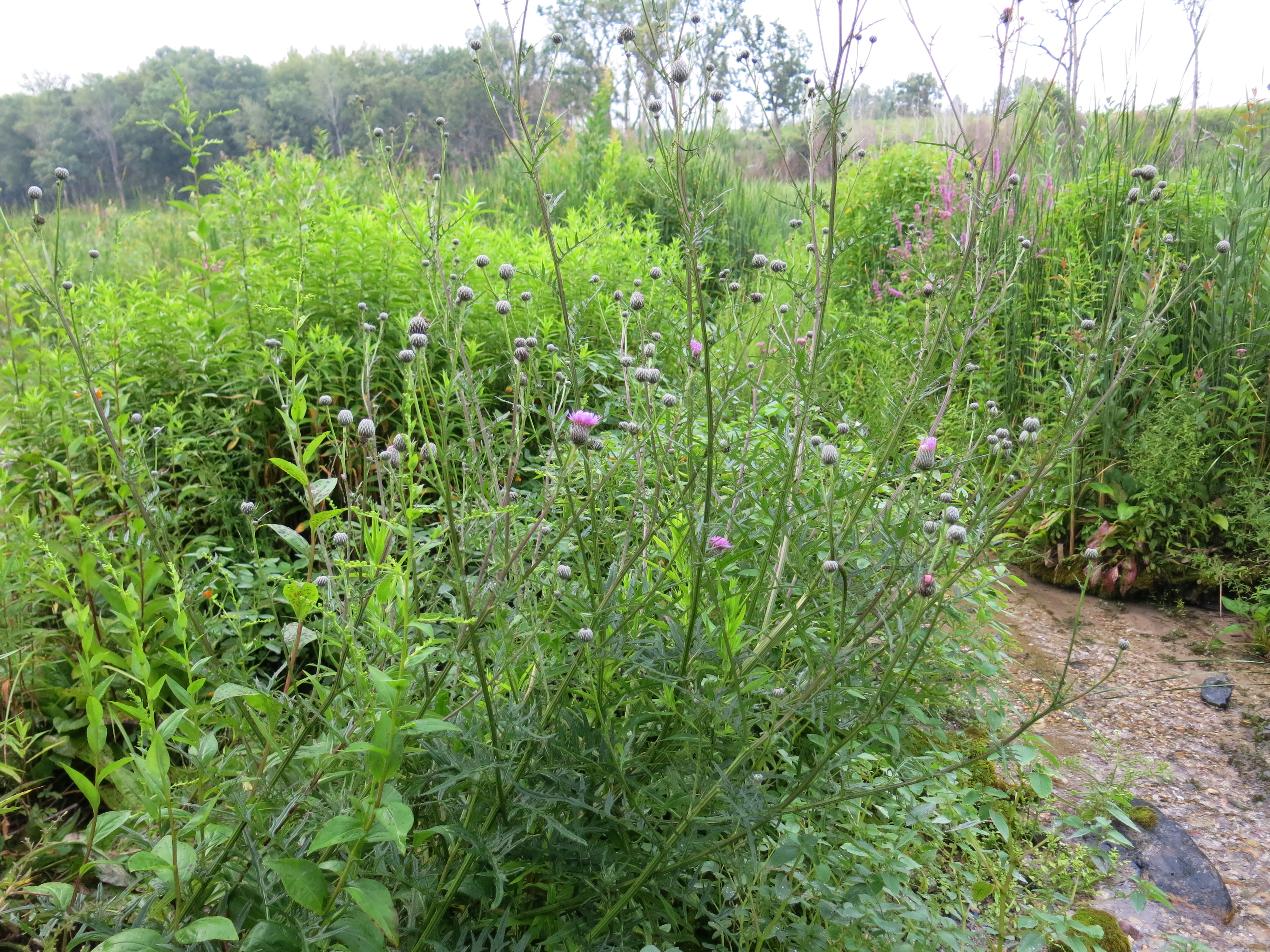
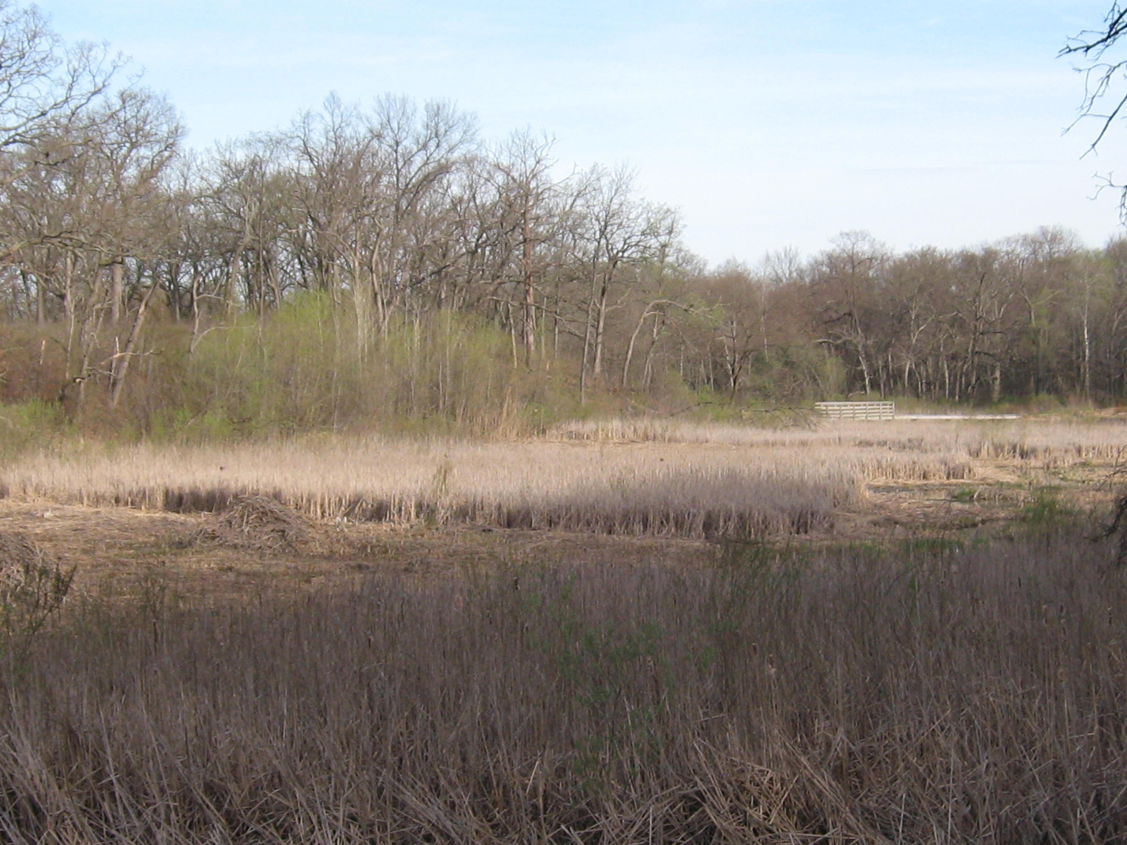
Pati and I spent the afternoon pulling spotted knapweed on the sand prairie, which Don said they also refer to as a cliff messenger prairie. The purple lovegrass is thriving!
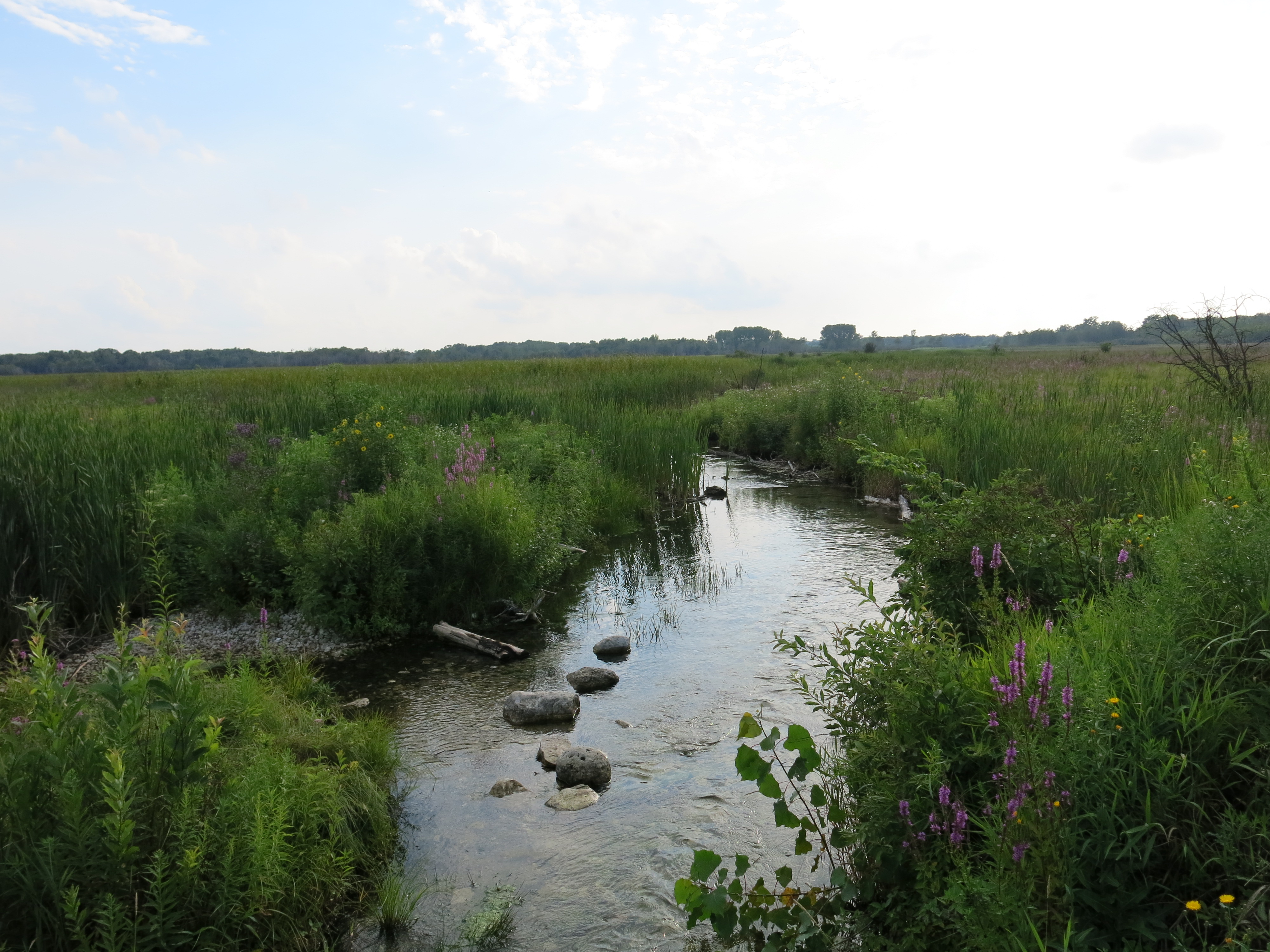
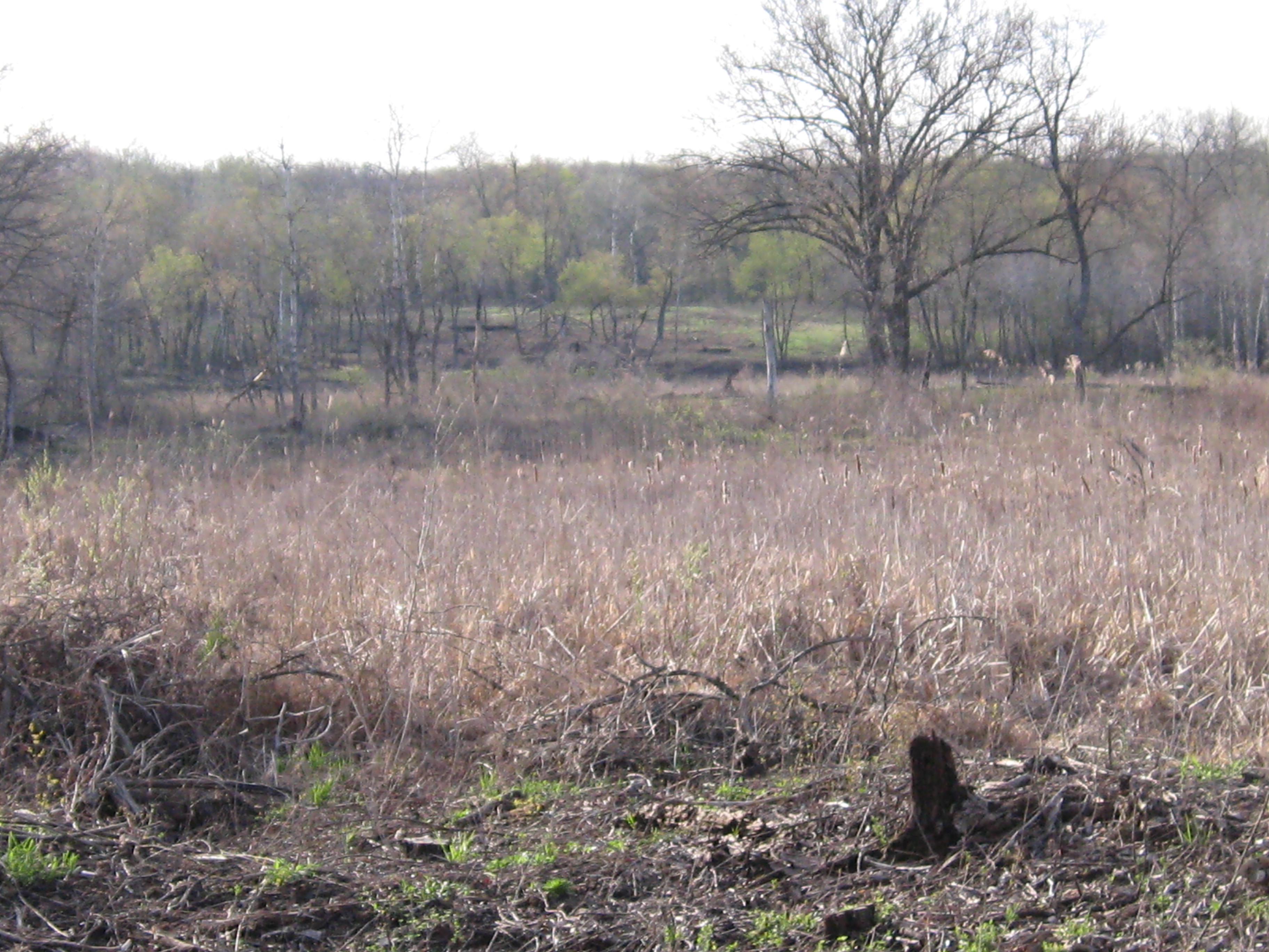
Here is a view of the sand prairie.
I felt totally calm and at peace with my hands in the sandy soil pulling spotted knapweed all afternoon. The rough blazing star and golden rod are set to flower and I’m really glad I took the time to clear the prairie with the brush cutter rather than simply mowing it. Here are a few parting shots from the marl pit and gaging station bridges.
She is not bashful, nor does she suffer any embarrassment when her naked beauty is revealed; nevertheless, Mother Nature typically clothes herself in a wide variety of fine raiment. Cloaked in snow or covered by meadows and prairies of wild grasses and flowers, or hidden under a blanket of leaves, she rarely shows off her warm, rich, chocolaty skin of bare soil; unless from the scars of the farmer’s till. Springs have always evoked the generative, life sustaining qualities that remind us of our intimate connection and dependence on Mother Nature. I hope that you enjoy these pictures of the Scuppernong Springs and appreciate the beauty of Mother Nature stripped bare. I can’t wait till she is dressed again in fresh colors.
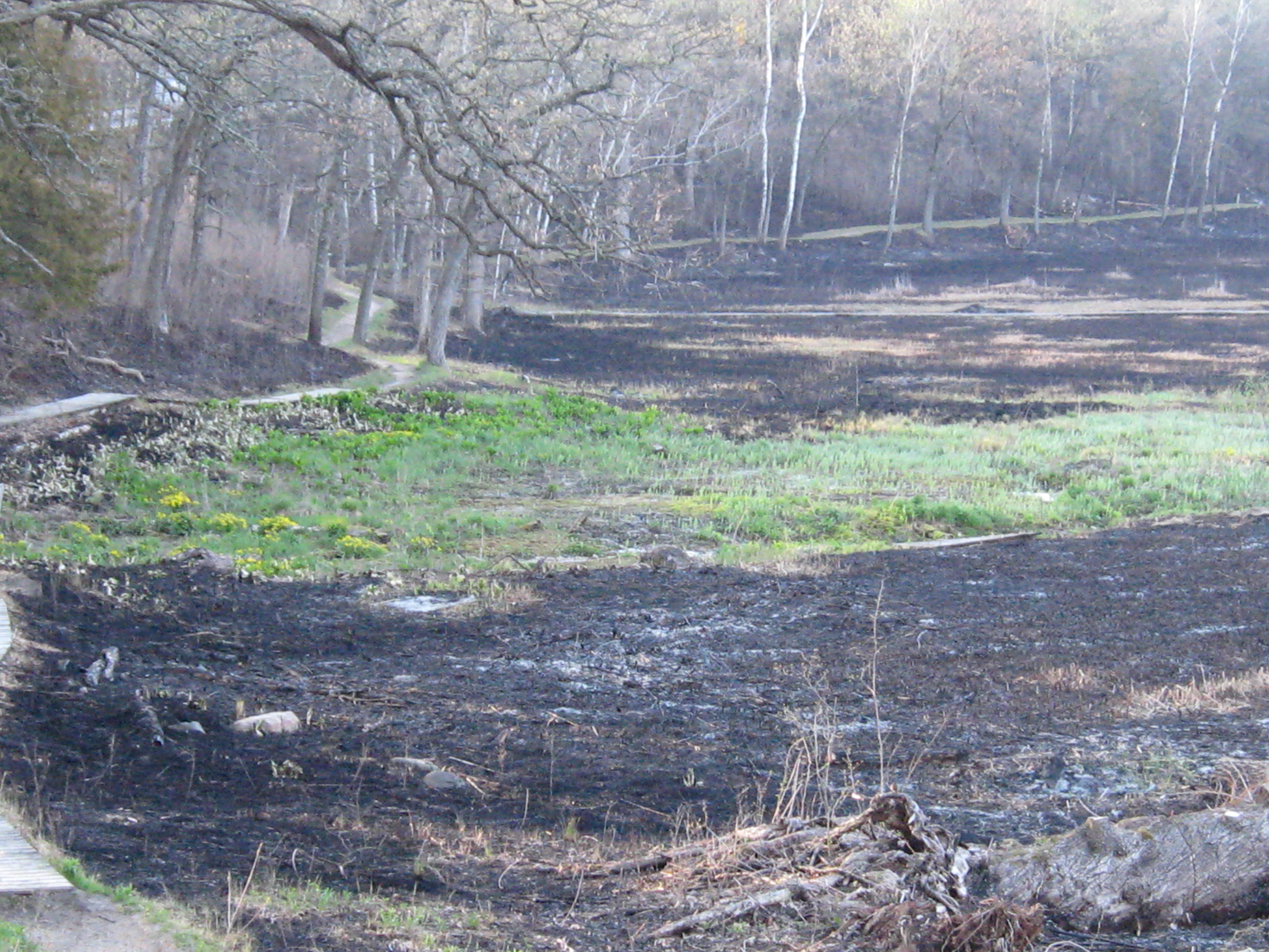
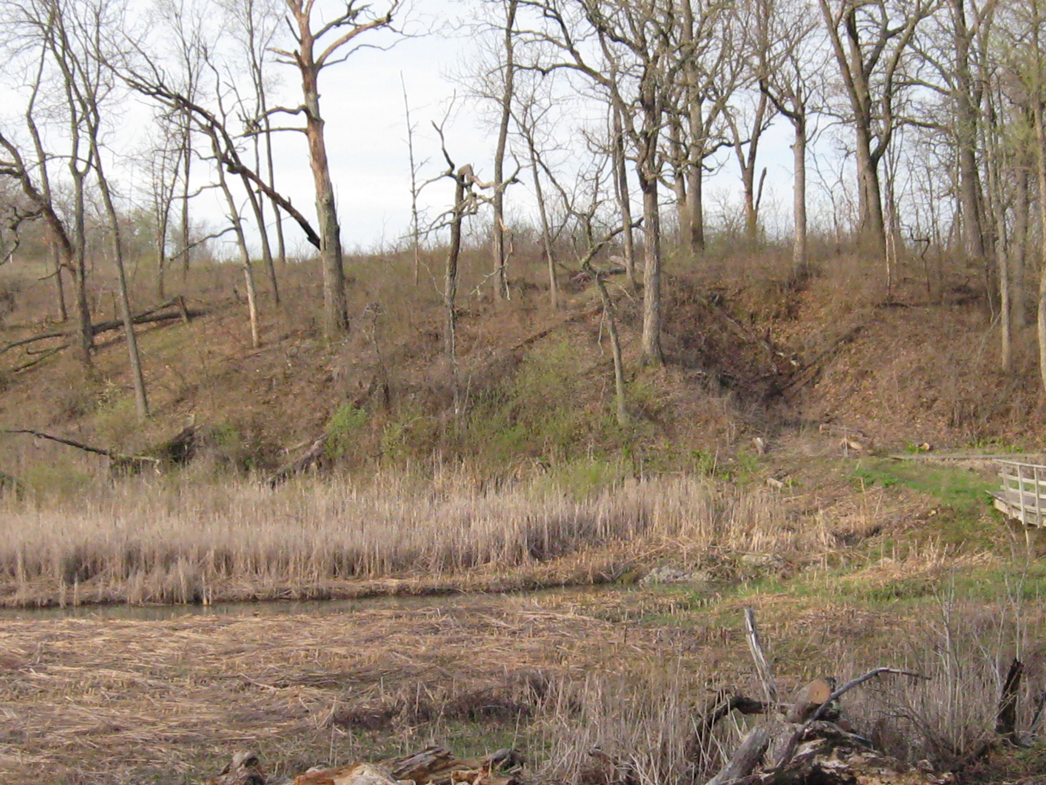
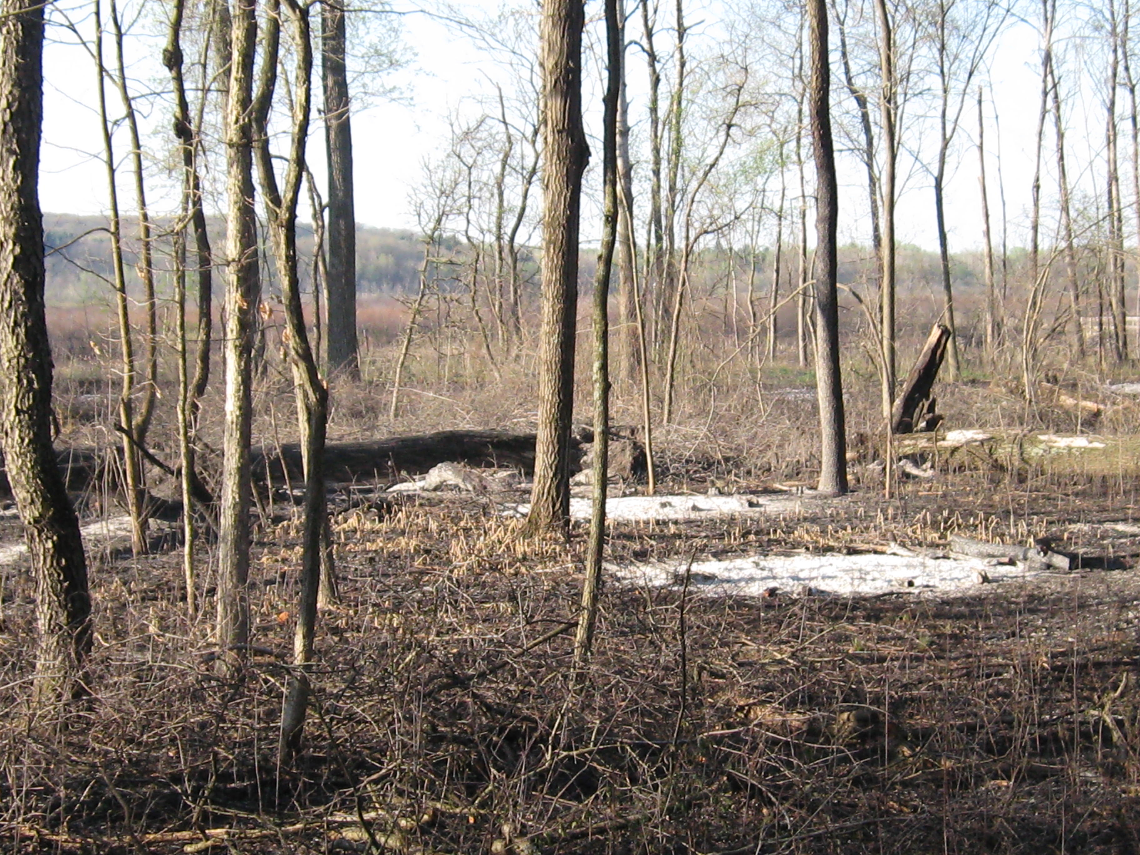
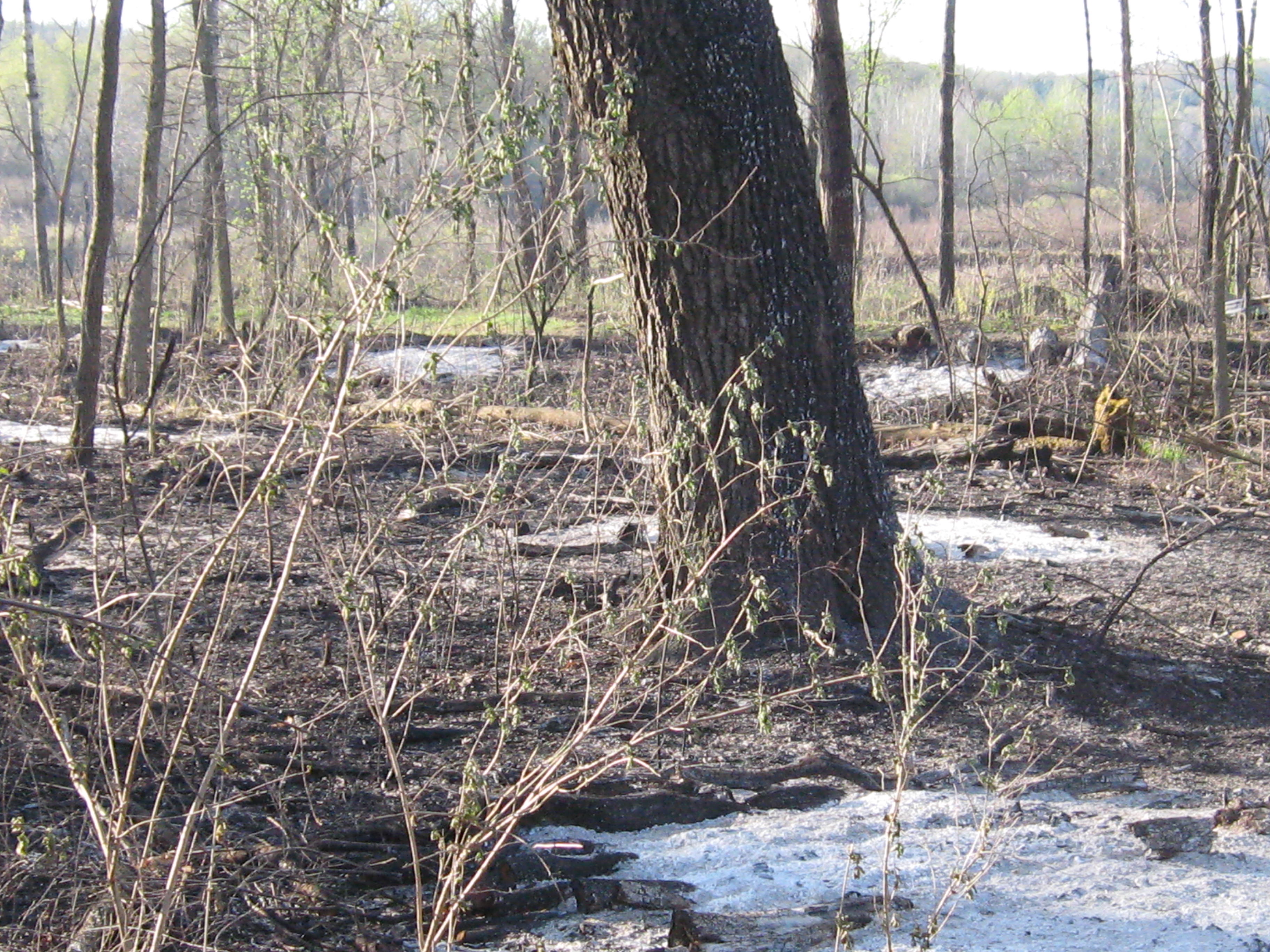
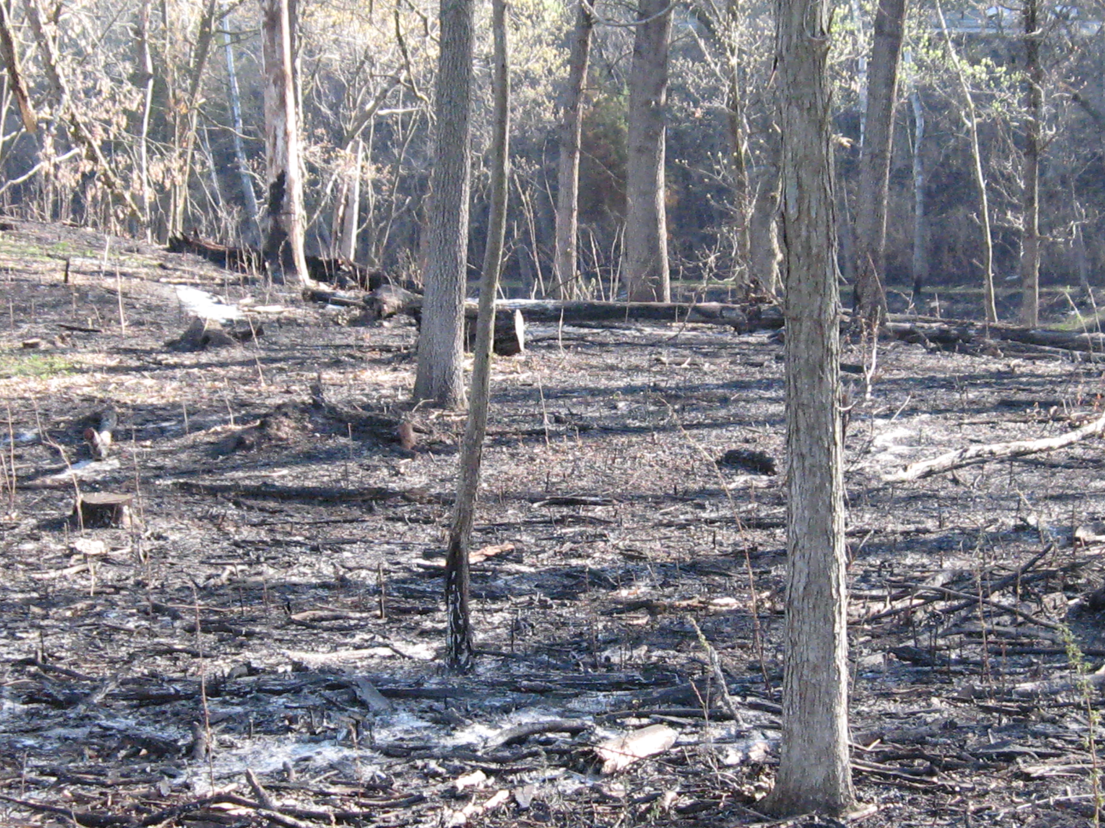
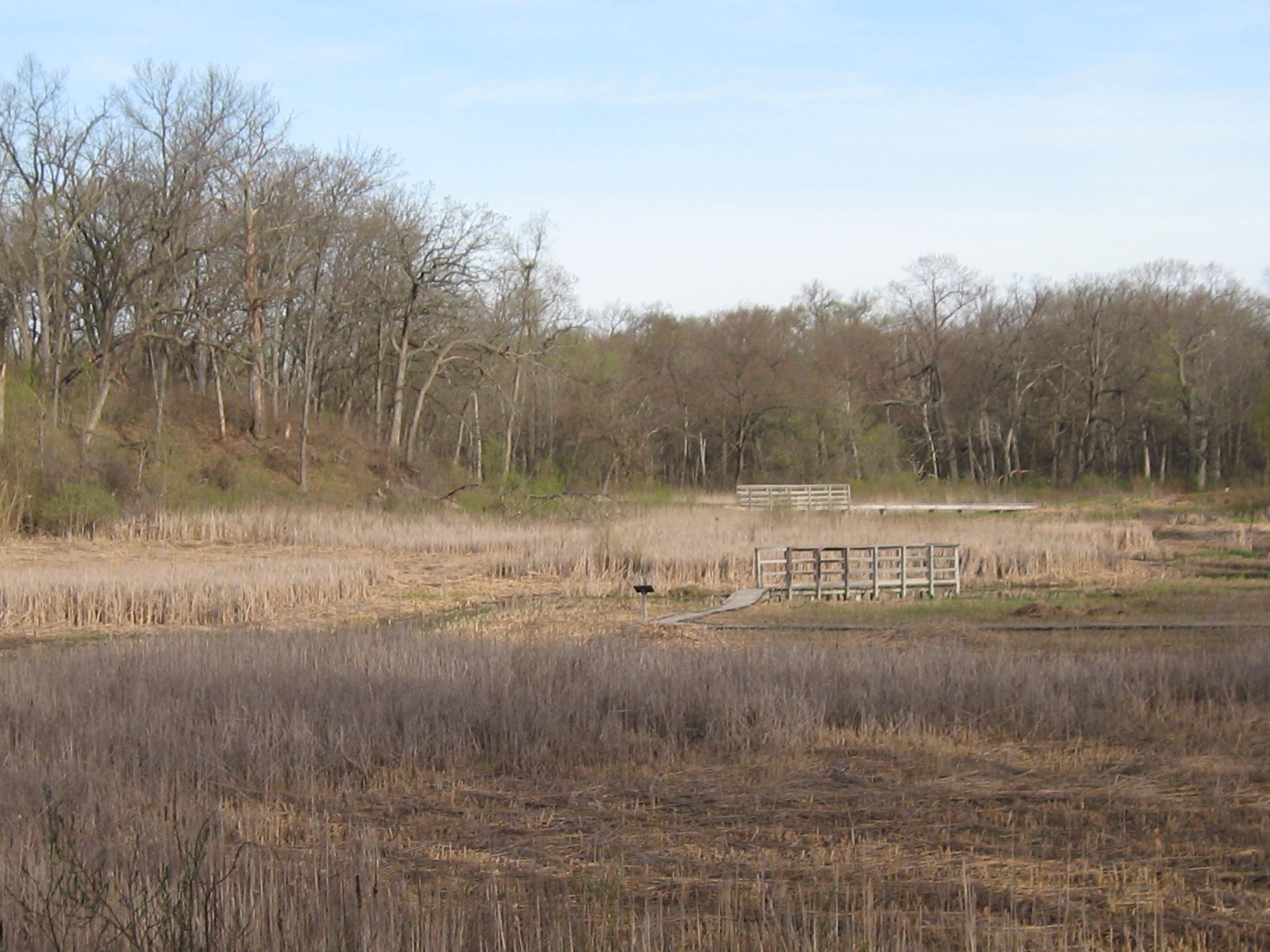
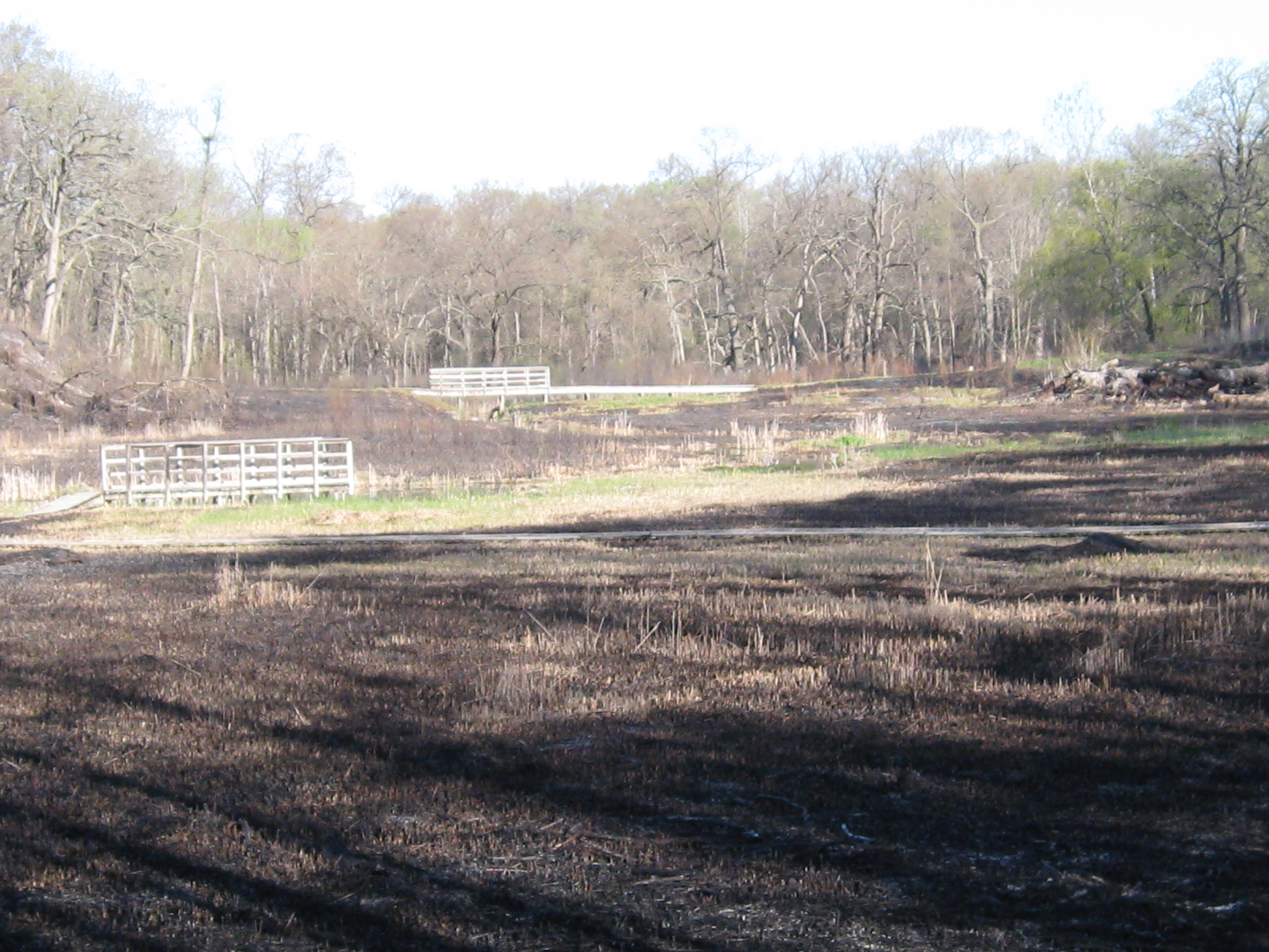
I took some pictures on May 6th before the burn and got some post burn shots yesterday. The fire did its work with consummate efficiency. The tour starts at the Hotel Springs and follows the trail to the north past the old barn site and then takes the cut-off trail west to the marl pits, joining the main loop trail to cross the bridge at the stream gaging station, and onto the Indian Campground, the south end of the loop and finally, from the Scuppernong Spring down the river valley returning to the Hotel Spring.
Looking south from the Hotel Springs area.
The old hotel site.
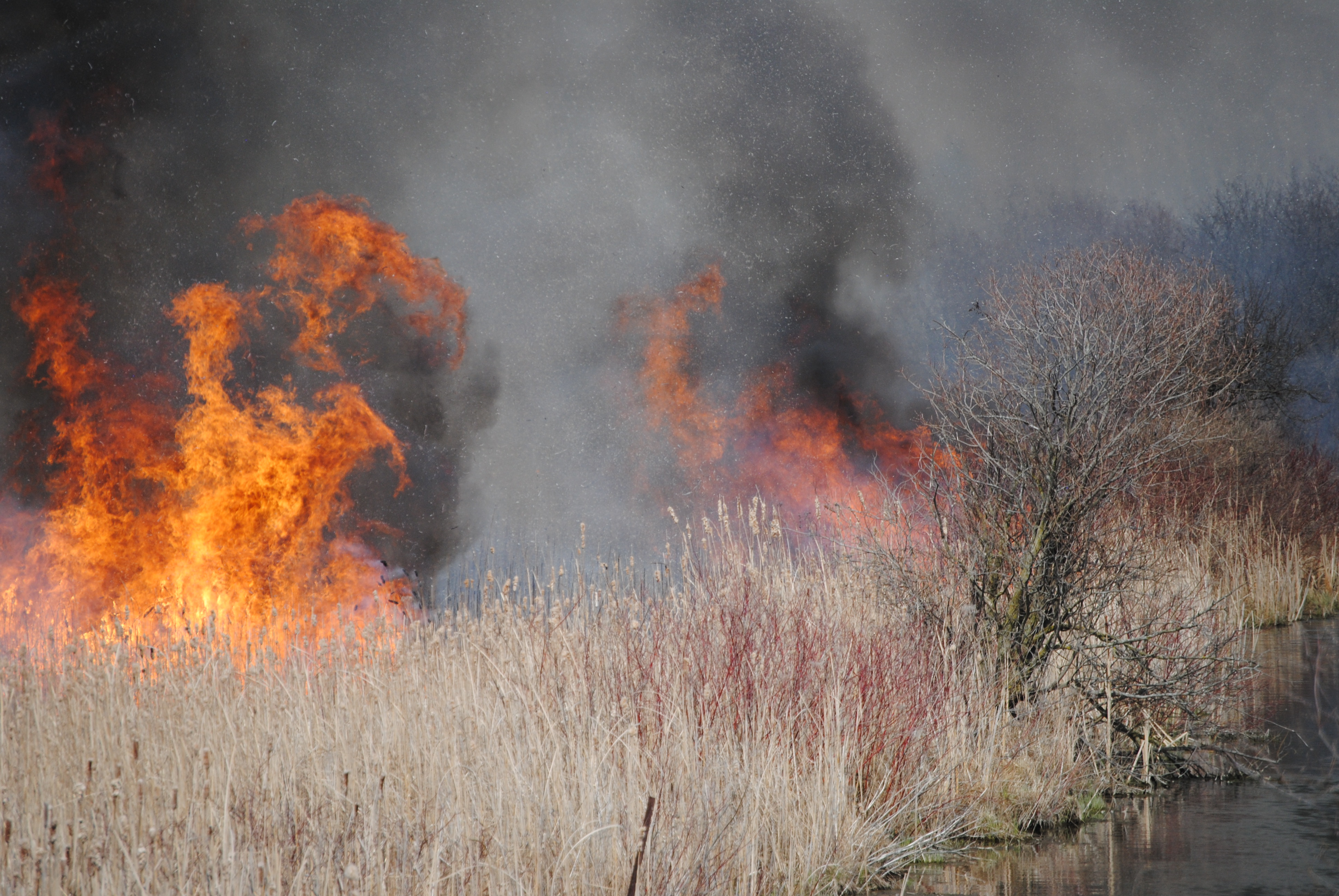
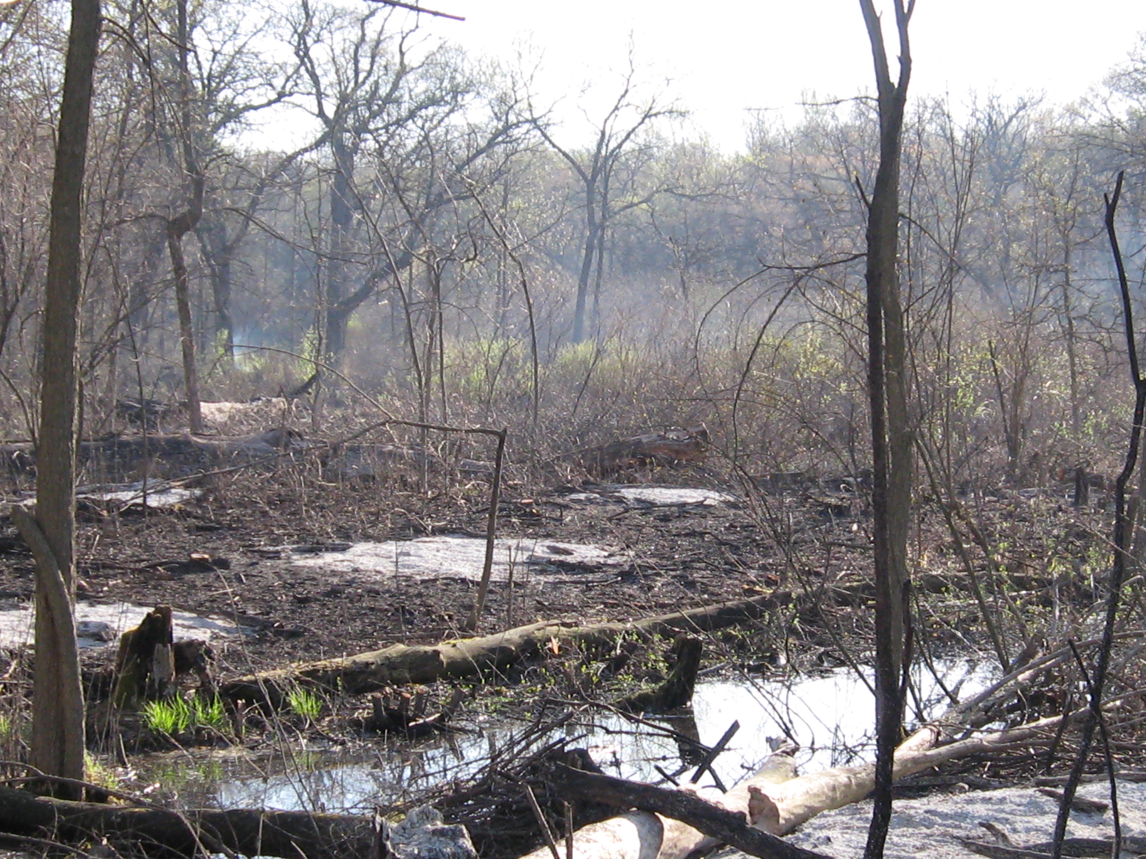
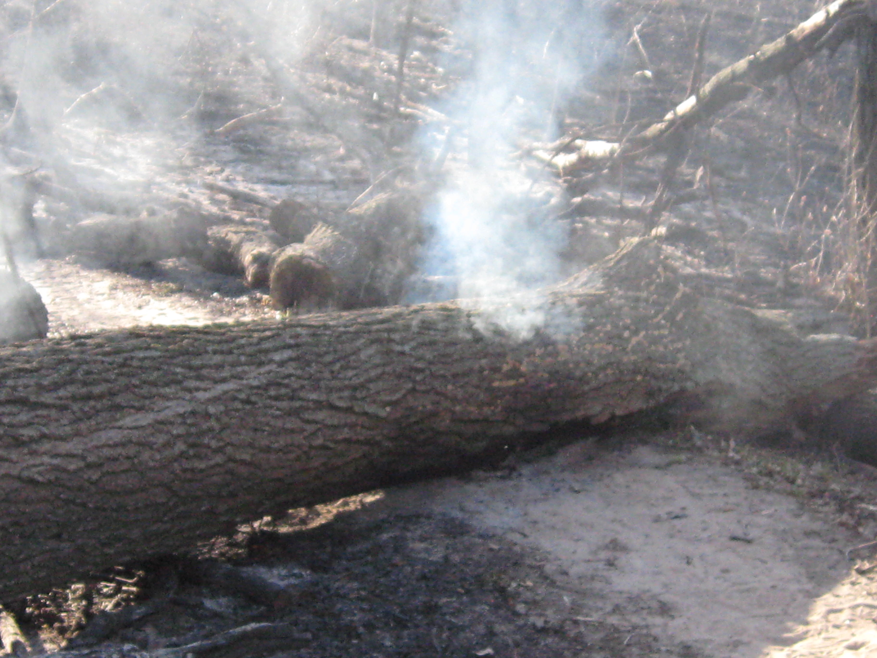
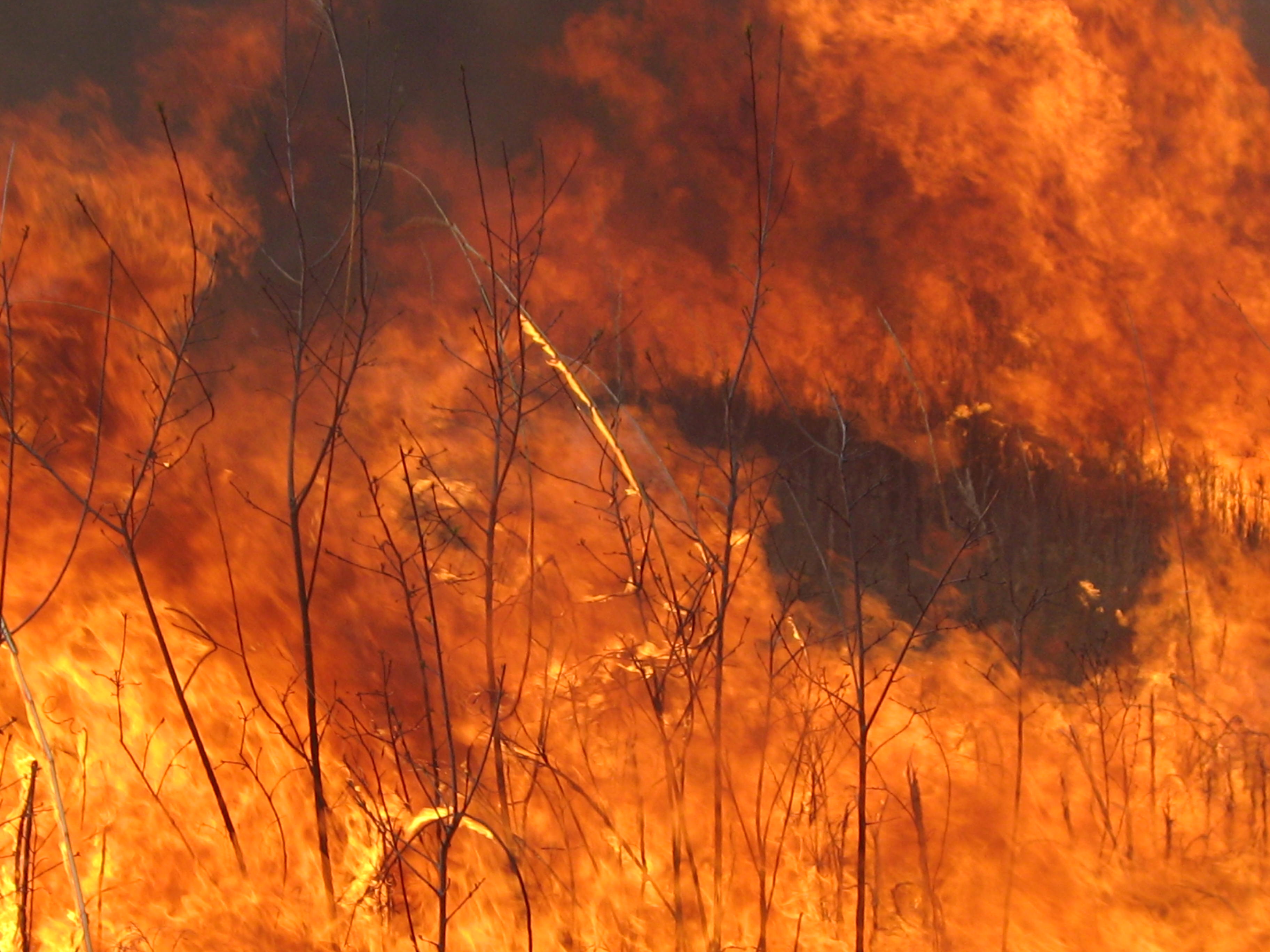
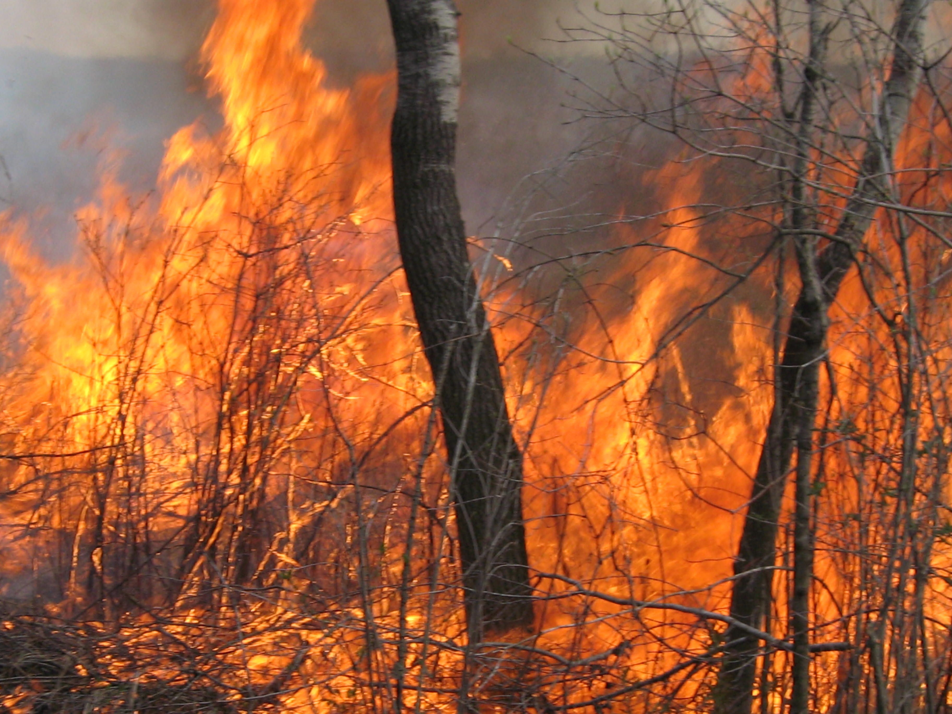
Below is the bowl of the lower pond and it was thickly covered with cattails, willow and other vegetation. When I lit this from the west bank of the river, it erupted into a conflagration of intense and immense proportion that engulfed the bowl in 20′ flames, from which a column of black smoke ascended high above the tree tops.
The east junction of the cut-off trail and the main loop trail.
Walking west on the cut-off trail.
Lindsay worked hard to save this unusual oak tree that speared its spreading branches into the earth.
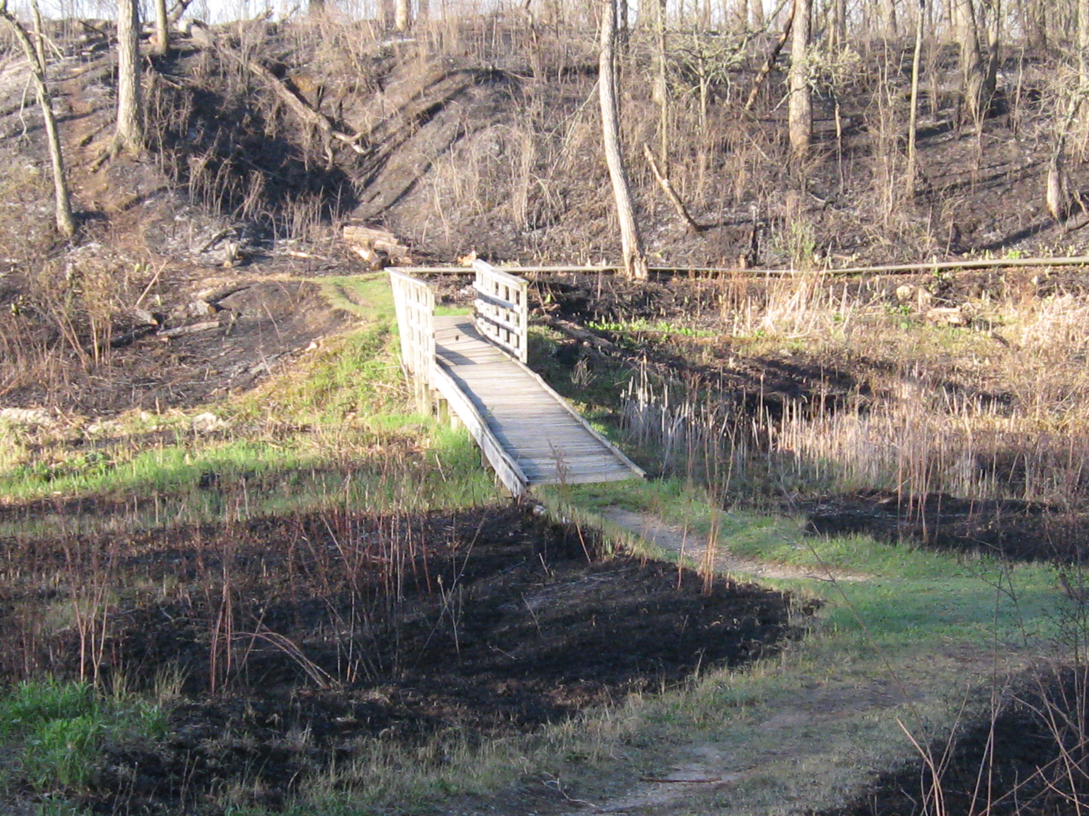
The last few pictures above are where the cut-off trail meets the main loop trail at the marl pits. Elias Wilson lit over 30 brush piles in this area in approximately an hour. I am thrilled to see the views that have opened up into the Scuppernong River valley from the main loop trail as you approach the stream gaging station bridge.
These views to the south show the area to the east of the marl pit bridge.
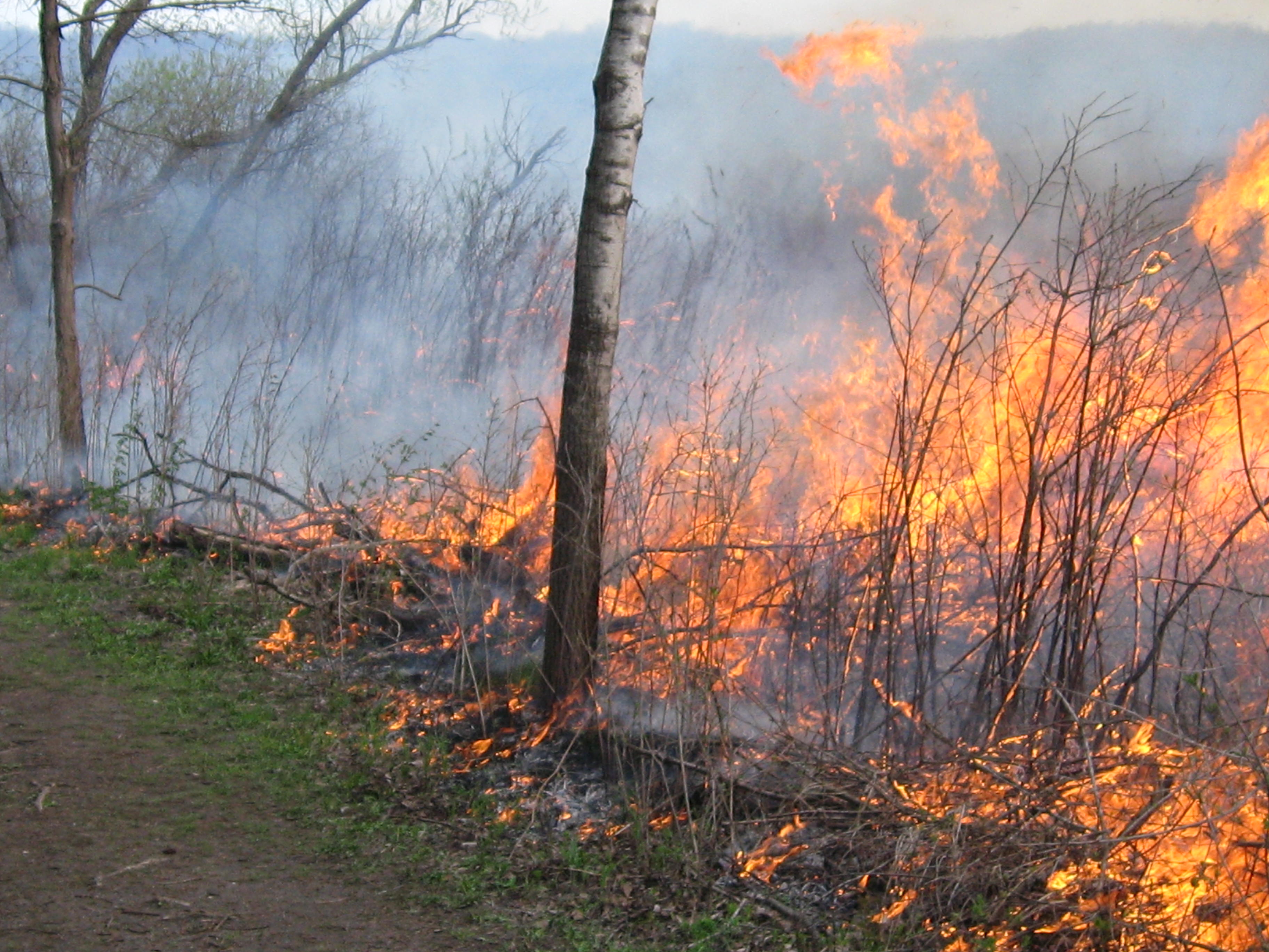
The day of the burn I witnessed a roaring head fire move across this area and I worried for the safety of the marl pit bridge, which you can see at the right of this picture.
When I got there I found the southeast corner of the bridge on fire and put it out as quick as I could. Sorry Ron!!!
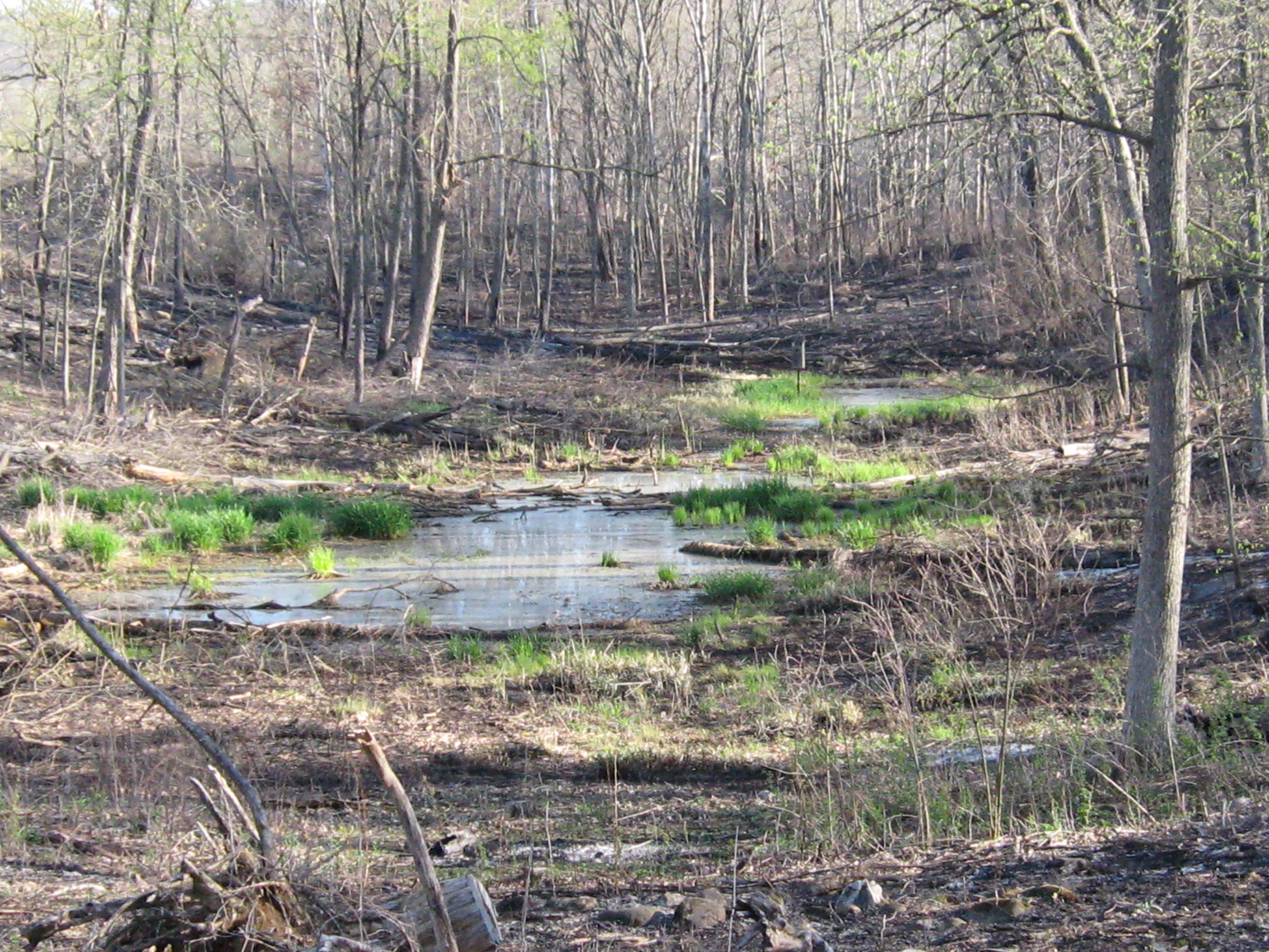
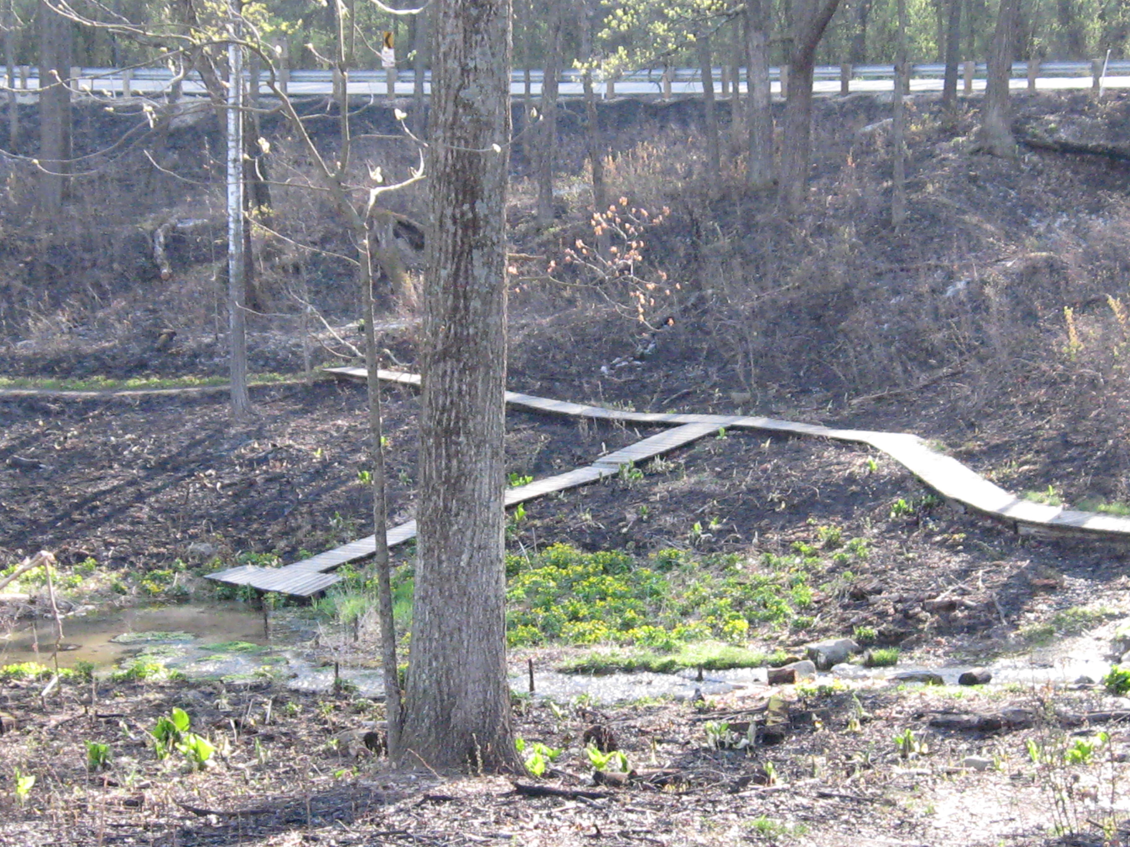
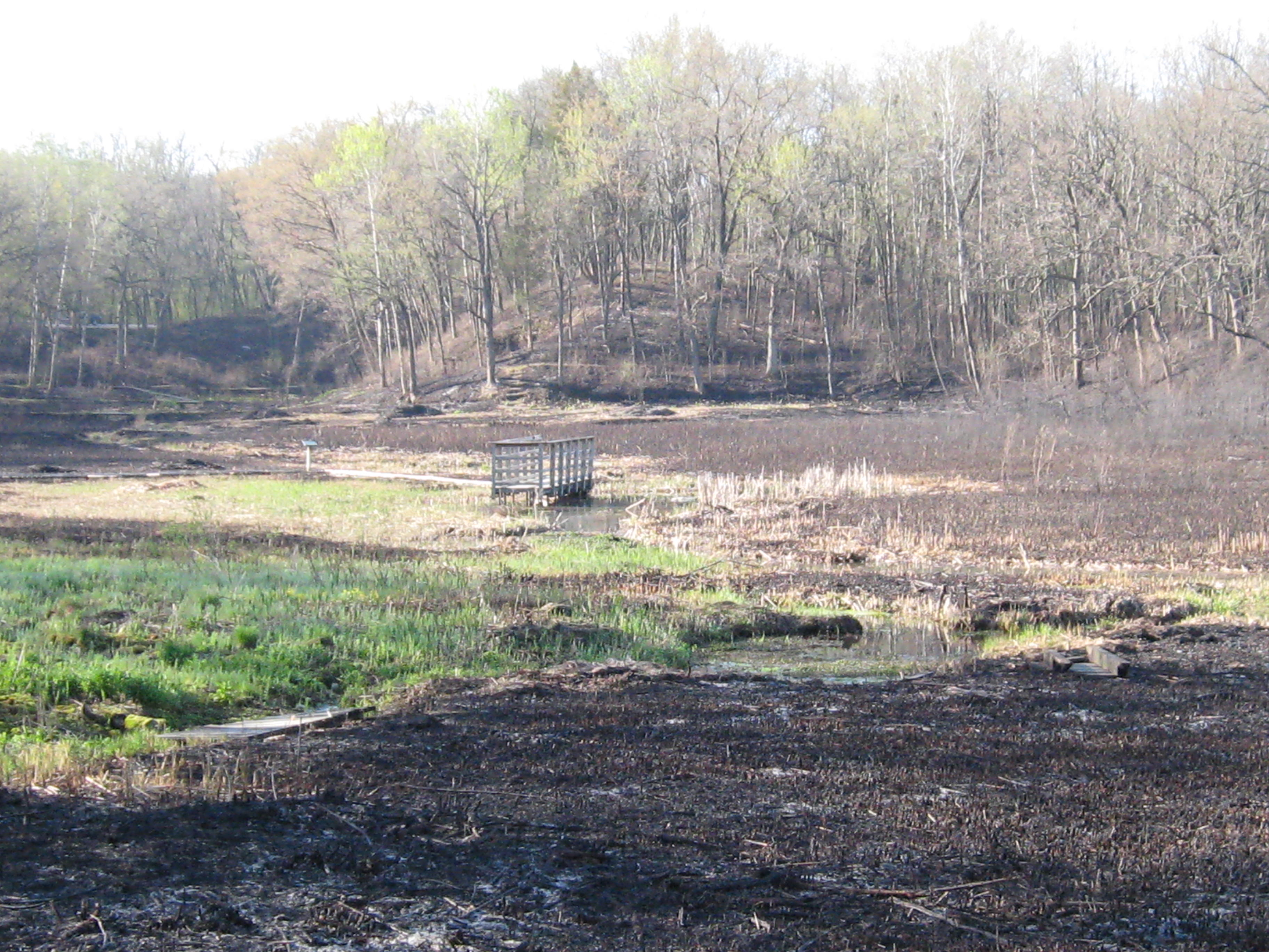
Here are some before and after shots taken from the marl pit bridge.
Some views from the area at or near the bridge at the stream gaging station.
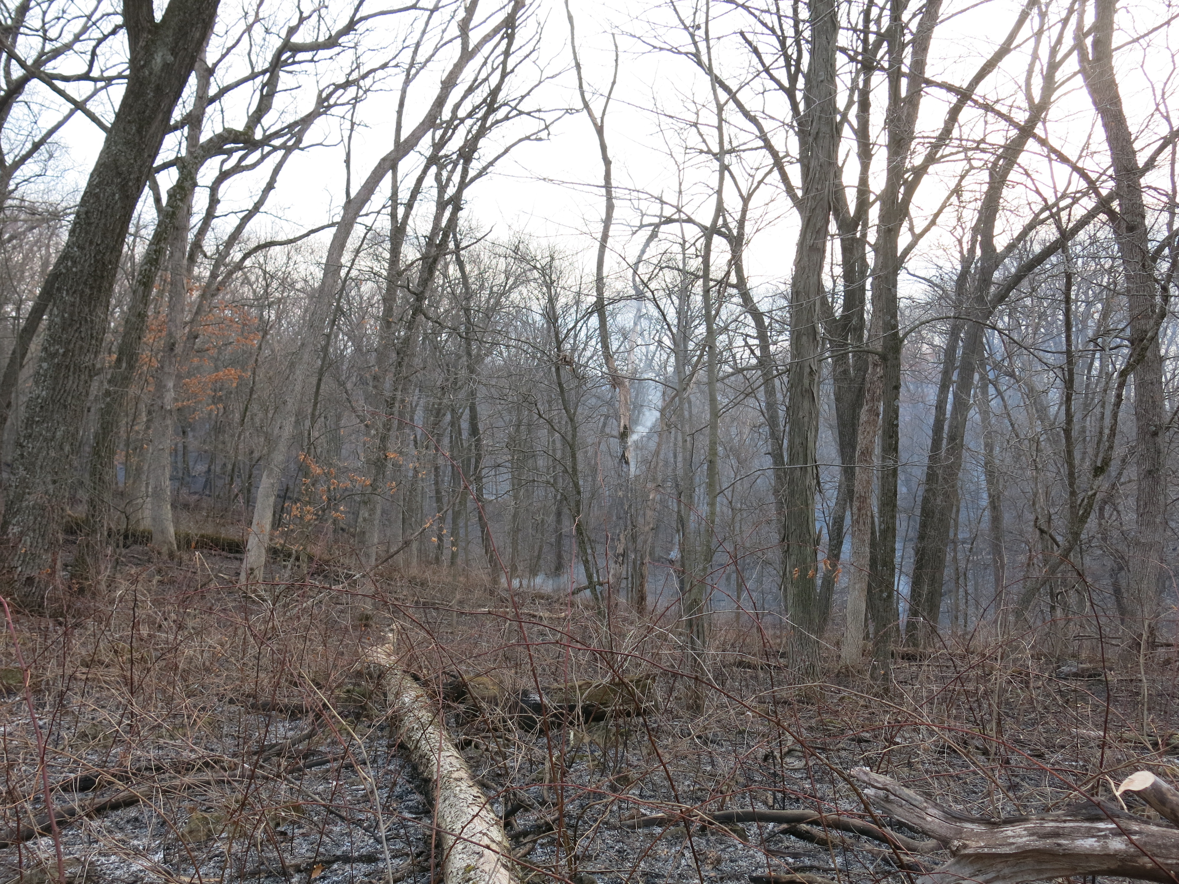
During the mop up, Dan tried to drop this smoldering snag to the north, away from the trail, but without wedges, it was impossible. I cleared this from the trail yesterday.
Classic views from the Indian Campground.
She scenery at the south end of the loop trail.
Dropping into the bowl of the Scuppernong Spring.
Looking down the valley.
Lindsay discovered the boardwalk at the far end of the Hatching House Spring, which is in the foreground of the picture below, and made a valiant effort to save it; getting a close encounter with intense heat on his face, especially his nose. He flipped it over and the fire went out, but the boardwalk is badly damaged.
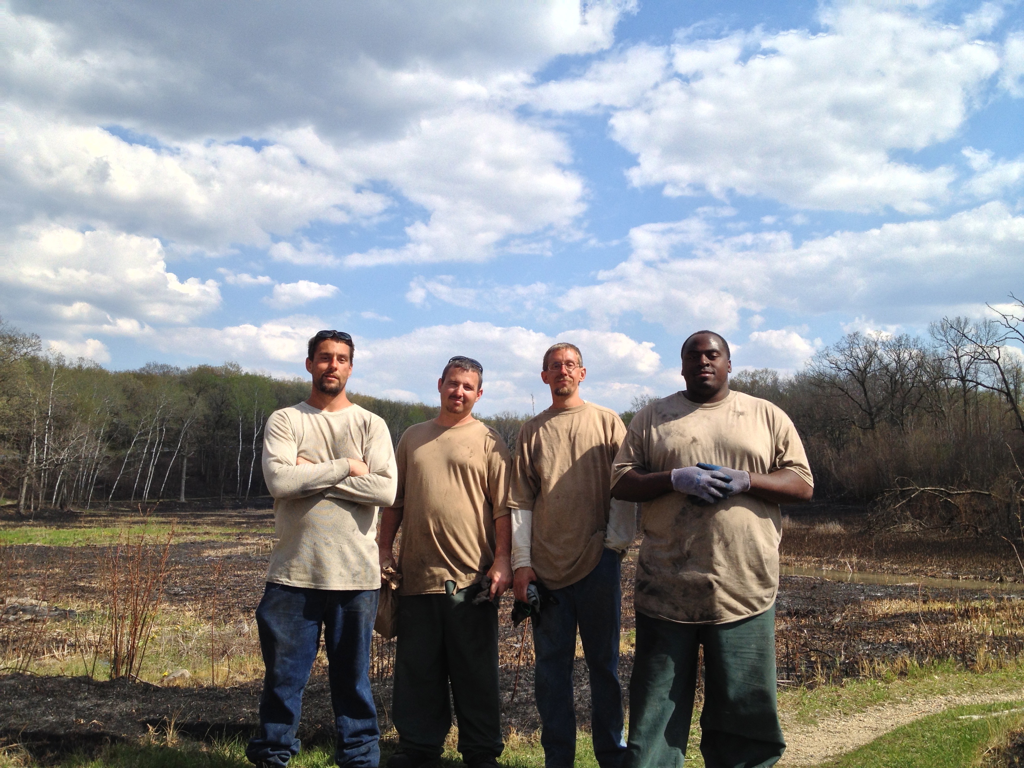
I have been planning for a couple months with the work release coordinators at the Sturtevant Transitional Facility to have some inmate “volunteers” come out to The Springs to help pile brush. Yesterday was our “pilot” adventure and the plane may have crashed. The inmates may have agreed in principle to volunteer but they were not told in advance when this might occur. Yesterday they were already on-site at the Bong Recreational Area, where they have been working for over a month to earn “release” money, when they were ordered to get in the van and “volunteer” at the Scuppernong Springs under threat of going to “the hole” if they did not agree. They were willing to volunteer, but not under those conditions and not at the expense of giving up a day when they could earn some desperately needed money ($2.00/hr after the State takes its cut). They were not in the best of spirits and when I found out the story, I suggested they just relax, which they did. But watching me pile all by myself, they couldn’t help it and they did pitch in a bit. We made 18 piles at the start of the buckthorn alley and another 8 piles by the Hotel Springs.
John, Mike, Jeremy and Ray.
John found these “mushrooms” above the old hotel site. Turkey eggs?
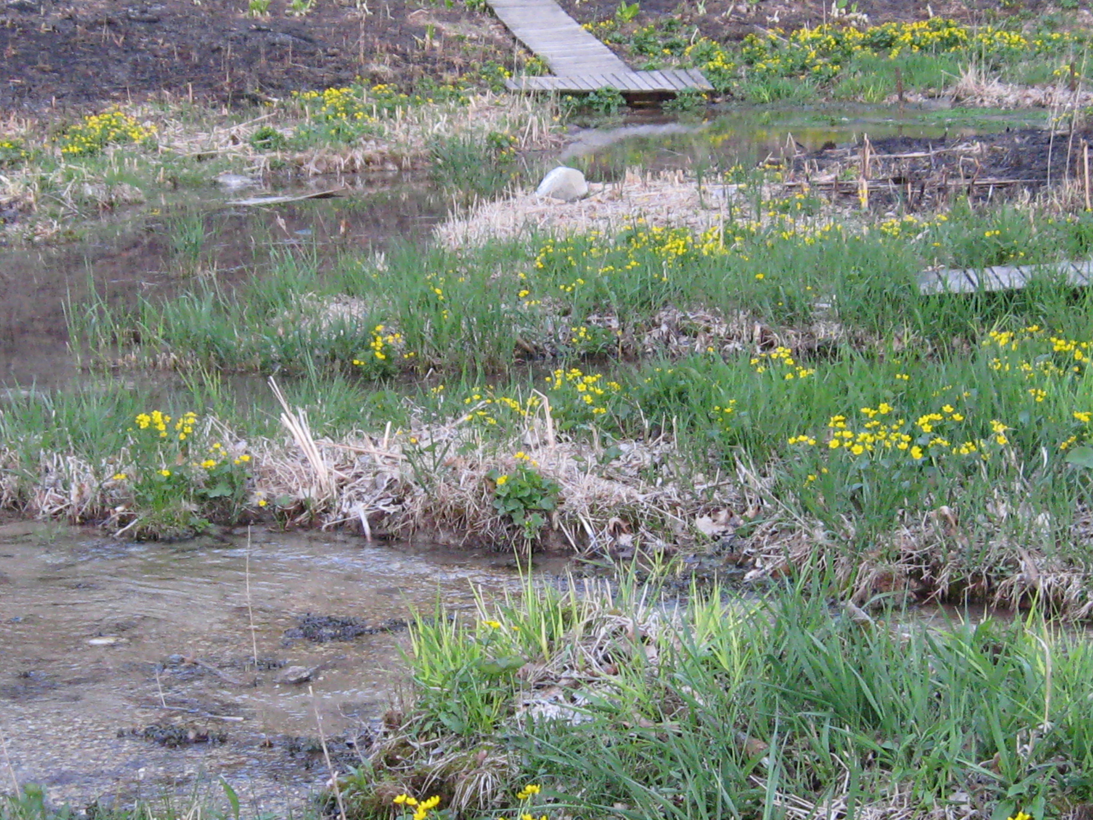
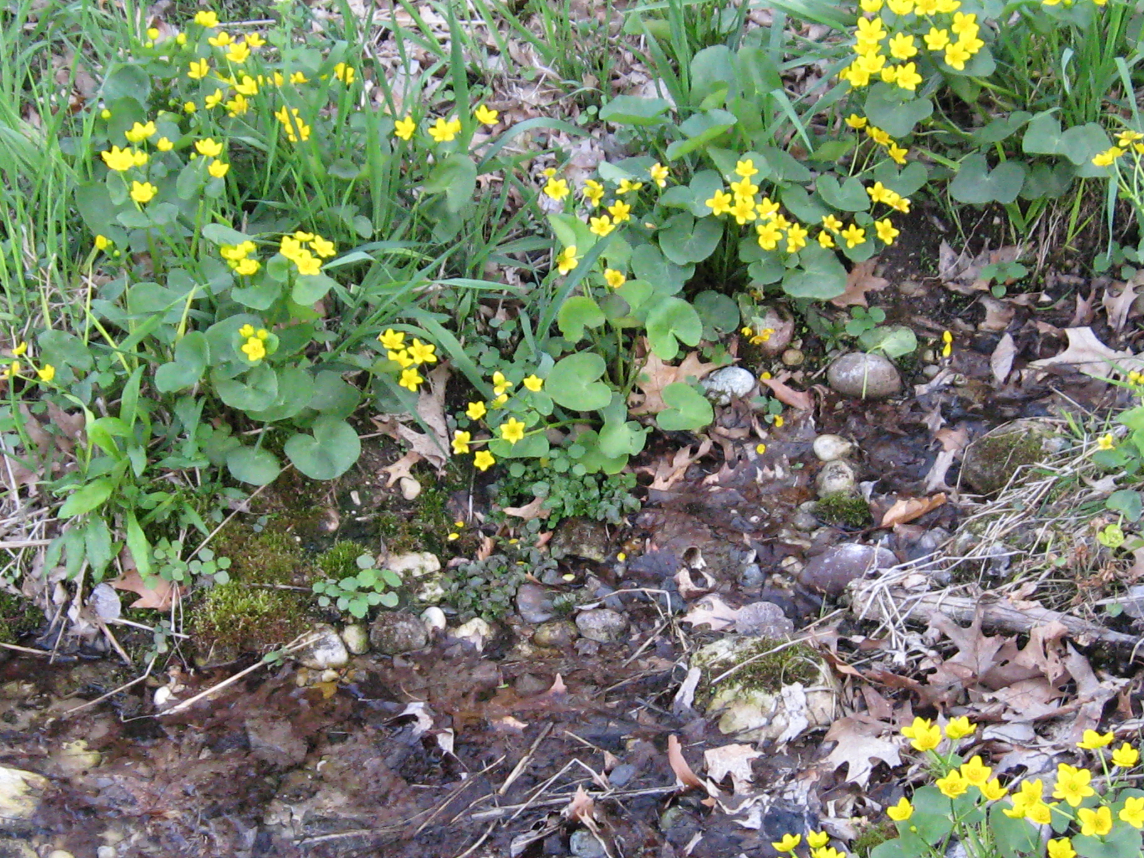
The fire did not obliterate all the color. Below, the marsh marigolds are flowering at the Hillside Springs.
I couldn’t leave. Everyone was gone except for the burn boss, Don Dane, who would maintain an all-night vigil. The sun had set and it was a moonless night. I walked the cut-off trail in the dark for the first time; my path illuminated by glowing snags and the embers from numerous brush piles. What a day it had been! We burned the Scuppernong and I wanted to savor the feeling, the smells, the smoke, the trees, and the night sky.
The day, May 6, began as the forces gathered at Forest Headquarters in front of the maintenance shop.
Paul Sandgren and Don Dane discussing plans with the lieutenant from the Eagle Fire Dept.
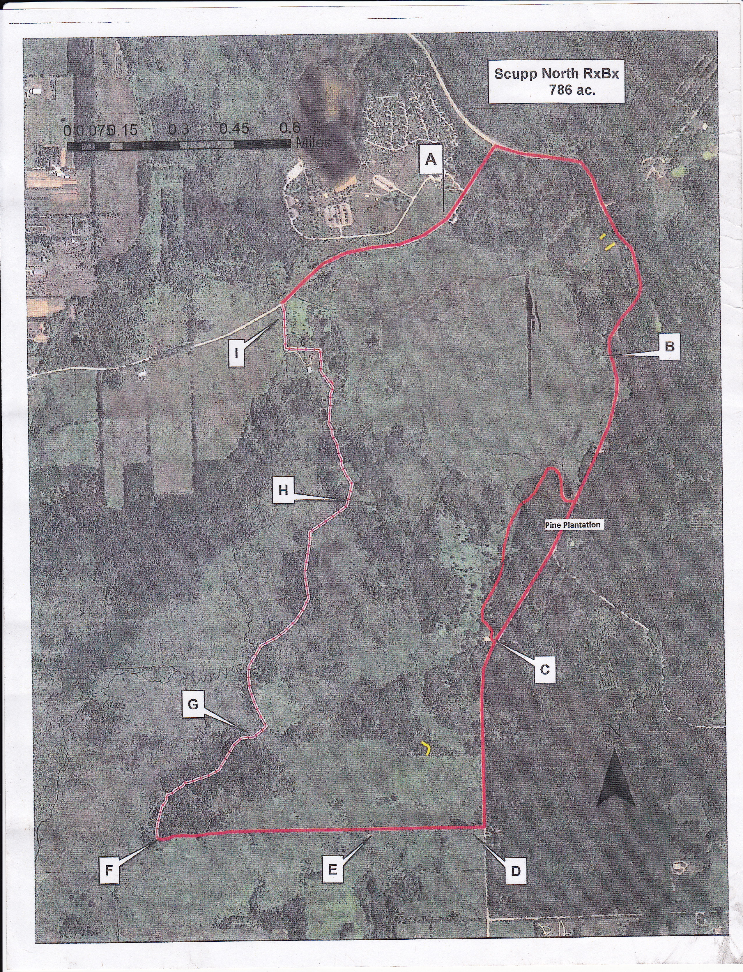
The excitement was building as Don prepared to explain the plan to burn 786 acres of the Scuppernong.
Refer to the plan below as you listen to Don’s instructions in the following video and notice that Amanda Prange is the one who steps forward when Don asks for a volunteer for a tough assignment. “Go Big” is the trend now for prescribed burns and Don effectively integrated people and equipment from multiple sources to implement his carefully conceived burn plan.
Lindsay and I were assigned to line boss Paul Sandgren’s team along with IAT trail boss Pat Witkowski, DNR sheriff Elias Wilson and Rocky, Dan and Melanie, also from the DNR. Our job was to make sure the fires set at the top of the ridge along Hwy 67 did not jump the trail.
The shifting and variable winds did not conform to the expectations in Don’s plan and Paul and Don decided to light the hillside along Hwy 67 from the bottom up instead of the top down, which was very effective.
I was assigned to help in this task and grabbed the last drip torch. Unfortunately, the seal around the throat of the torch was not good and fuel leaked from the rim in addition to coming out the torch nozzle. It is a good thing that Elias was there as he immediately noticed the danger and gently persuaded me to stop. I am prone to momentary lapses of reason and common sense when fixated on a goal, and it is quite likely that I would have immolated myself and ruined the day if Elias had not been there.
We listened to our radios with great interest to the status reports coming in from all quarters and I was impressed by the calm and deliberate way that every issue was handled. Incredibly, “the feds” as Don described them, called just as we were getting under way and tried to shut down the burn. They asserted that the WDNR was using funds from the NAWCA grant to pay for the effort, when in fact this burn had been planned for months before the WDNR was even awarded the grant and no money from the grant was used for the project. Don negotiated with “the feds” and resolved the issue.
After the hillside was burned we proceeded to light the valley on the east side of the Scuppernong River. Check out this head fire and notice that it is running from south to north.
We took a very short break for lunch and lit the west side of Scuppernong River. I had a good working torch by now and walked along the west edge of the river igniting an incredible head fire that ran to the tree line on the west bank of the bowl that used to form the lower pond.
All the burn teams were making great progress and we heard reports of all the burn lines being “tied in”. The perimeter was secured and the teams began pushing head fires through the interior of the burn unit. I walked along the north side of the river, where it makes its turn west from the old barn site, taking soakers in both boots as I lit the bank of the river all the way to the bridge where the stream gaging station is. The winds where blowing from the south and this line of fire moved aggressively to the north jumping the cut-off trail.
Lindsay moved into the black behind the line of fire and put out flames in a huge oak tree that is laying sideways around 10-12′ off the ground saving this interesting landmark. Paul Sandgren sent me over to light the area on the west side of the marl pits on both the north and south sides of the river. The backing fires lit on the west side of the burn unit were creeping east and the time was ripe to drive a head fire towards them. I had just leveraged a south wind to light the north side of the Scuppernong River and now, out in the open, I had a strong east north-east wind behind me. When I got to the marl pit bridge I found the southeast corner on fire and had to dip my water bottle in the river repeatedly to put it out before any major damage was done. As I walked south along the west side of the marl pits, I lit what soon turned into a raging head fire. My escape route ahead of me was to simply jump the fire line of the creeping back fire.
Here is a perspective looking northeast from marl pit.
I was able to get a good head fire going on the north side of the river as well and we tried to run it as far as we could along the south side of the trail leading back to the parking lot on Hwy ZZ.
I think we burned approximately 95% of the unit, but Don might have a more precise estimate, and, much to my surprise, we lit all of the 50+ brush piles created since the end of the winter burning season.
I am heading out to The Springs tomorrow and I plan to take a lot of “after” pictures to pair up with all of the “before” shots I took yesterday morning before joining the team at forest headquarters.
This was an experience I will never forget. The WDNR team of the Southern Unit of the State Forest led by Superintendent Paul Sandgren, Assistant Superintendent Anne Korman and burn boss, Don Dane, is one of the finest groups of people I have ever had the pleasure to work with.
I stopped at The Springs on my way back from Forest Headquarters; I didn’t want to go home. Wandering the trails in the dark amongst the scattered, glowing fires was pure pleasure. I stopped at one of the bogs to capture the sound of the frogs with the glowing embers of a brush pile in front of me.
I arrived at the DNR parking area at ZZ & 67 above the Hotel Spring for a sympathetically synchronous rendezvous with Don Dane and we celebrated the success of the burn. There was a lot of mop up work waiting for his team today. I hope you got some sleep Don.