Good Morning Springs

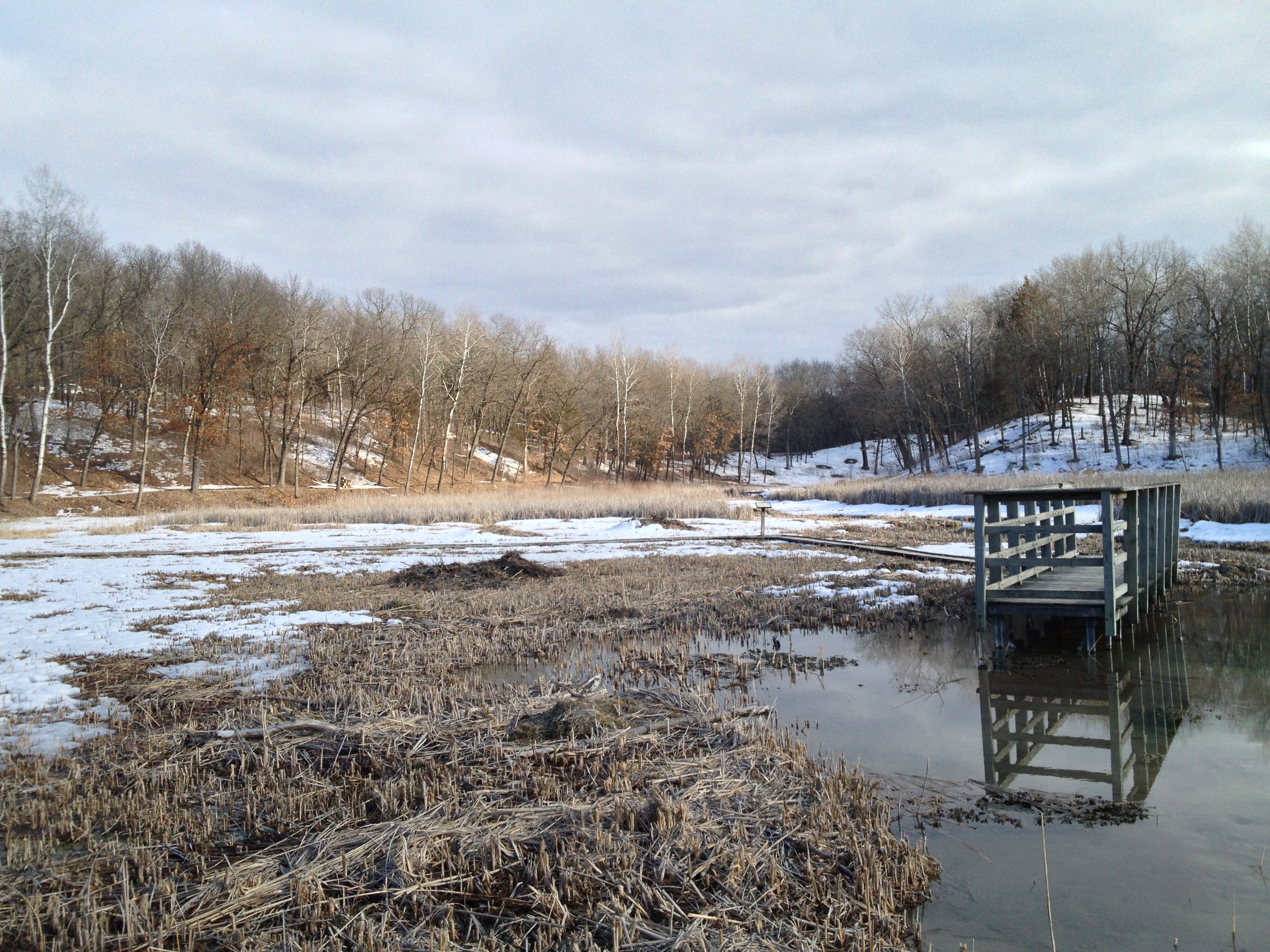
How can I describe what a great time I had at The Springs yesterday? The temperature and humidity were as pleasant as a Pacific Island. The air was fresh and breezing and the sunlight clarified everything. My thoughts were occupied by the current time; the present moment. Time is a spiritual current-cy. How do we spend it? What do we pay attention to? ‘As you sow, so shall you reap’ and ‘what goes around, comes around’ aren’t just cliches; they are examples of Natural Law, specifically, the Law of Attraction, which is immutably in-force everywhere at all times. So when I say I had a “great time” at The Springs yesterday, I mean it was joyful to invest my spiritual currency paying attention to nature and working to help create the beautiful world that I want to see.

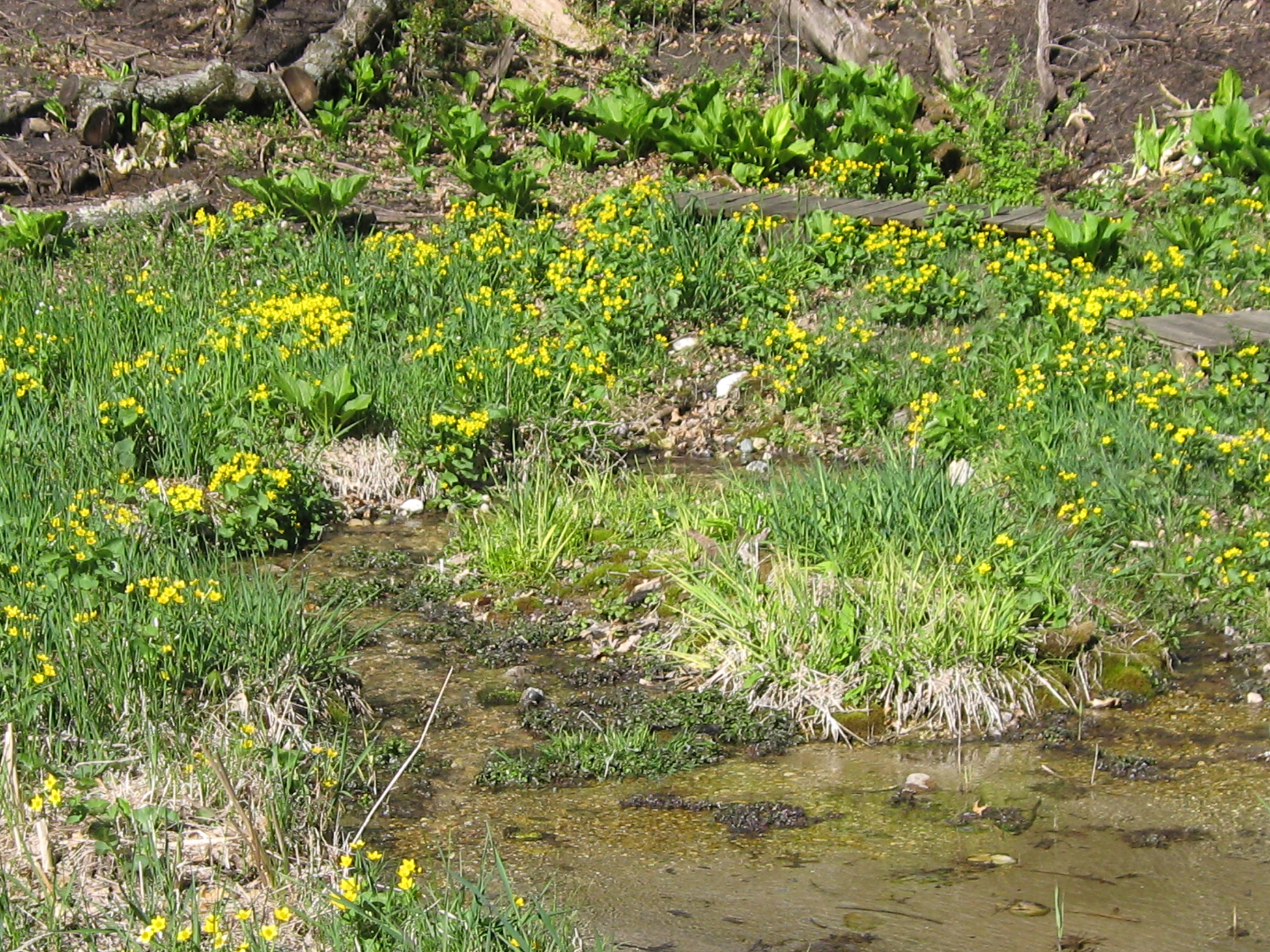
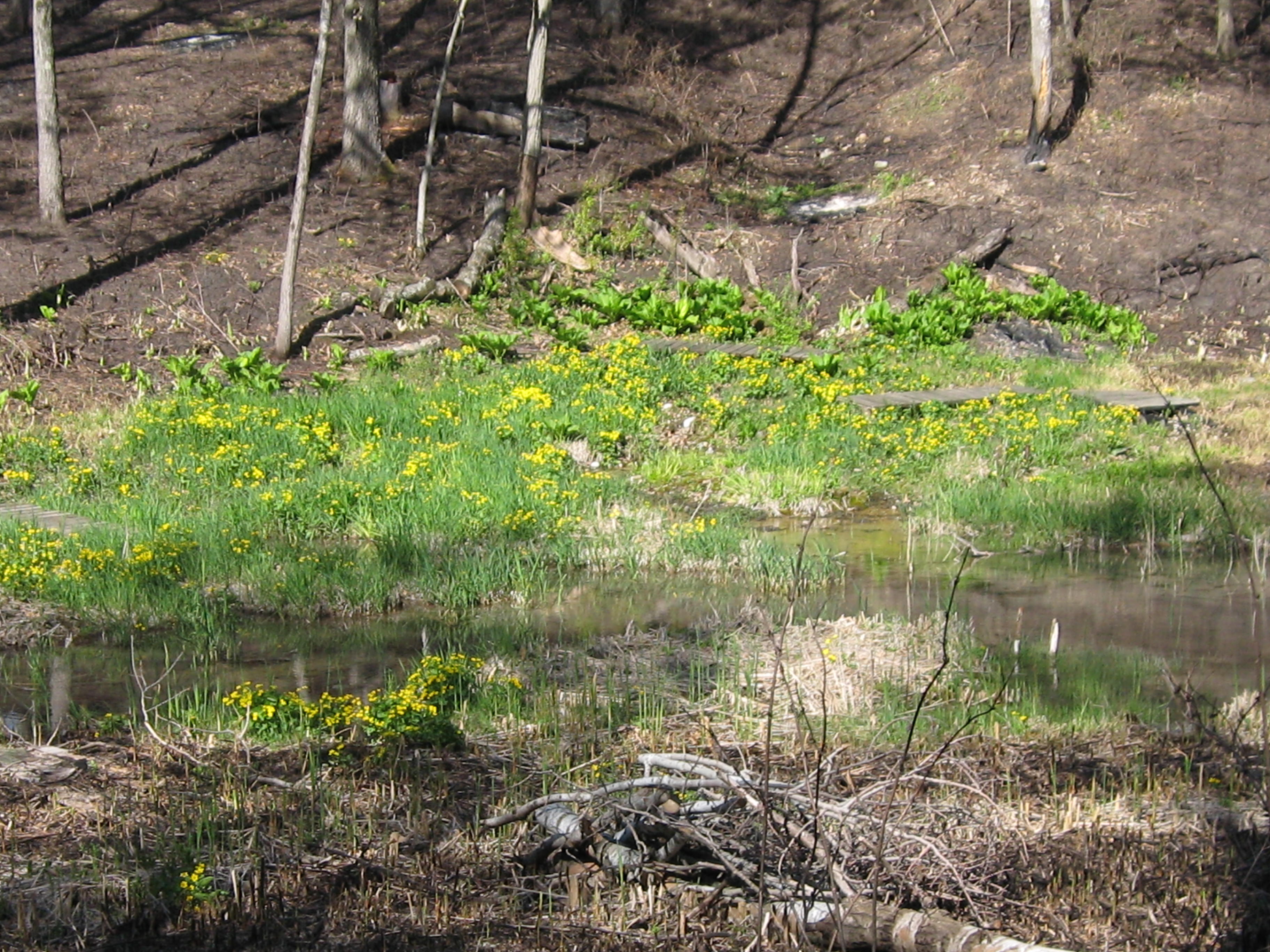
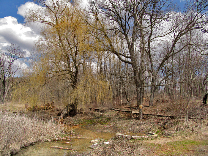
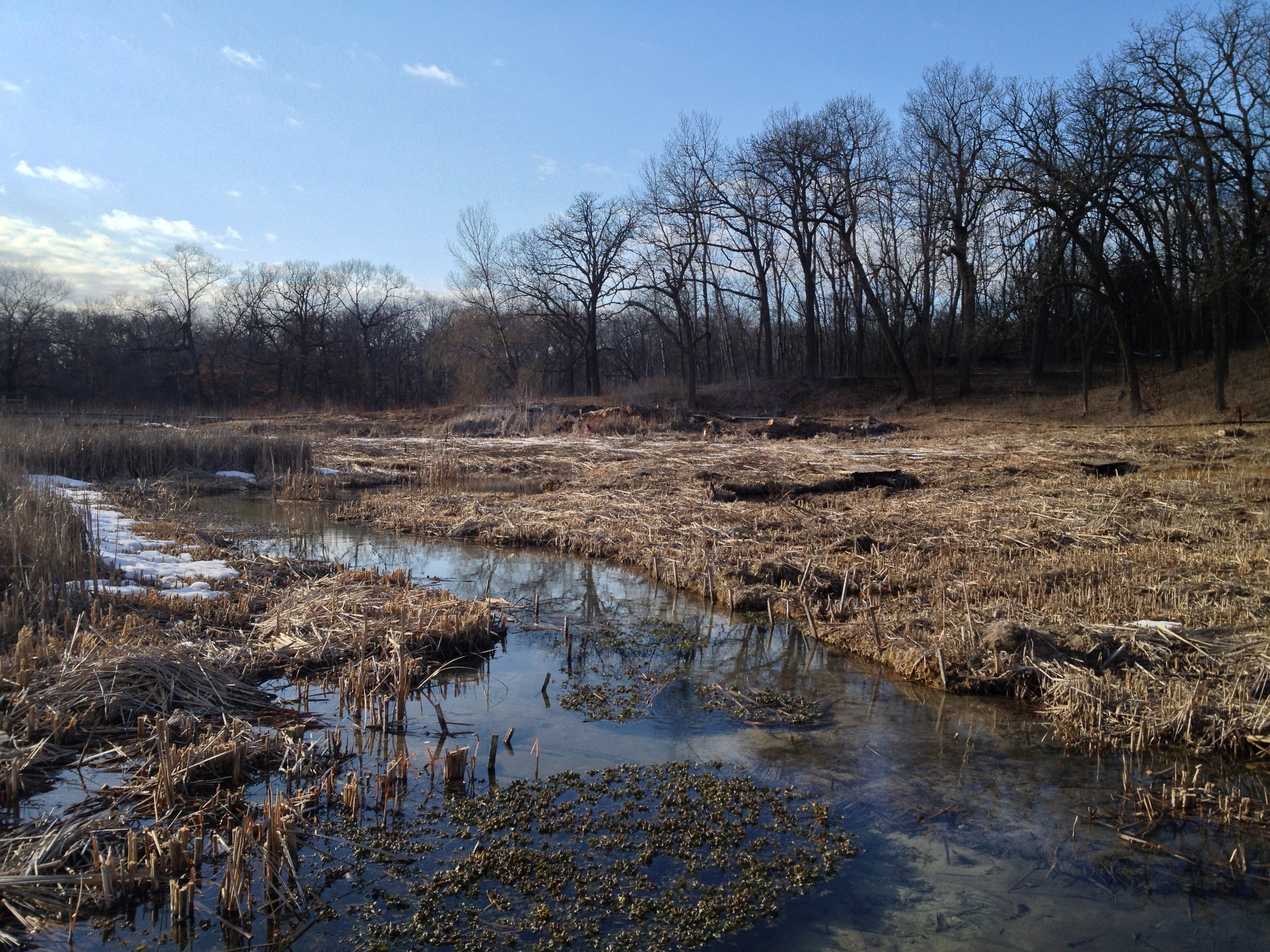
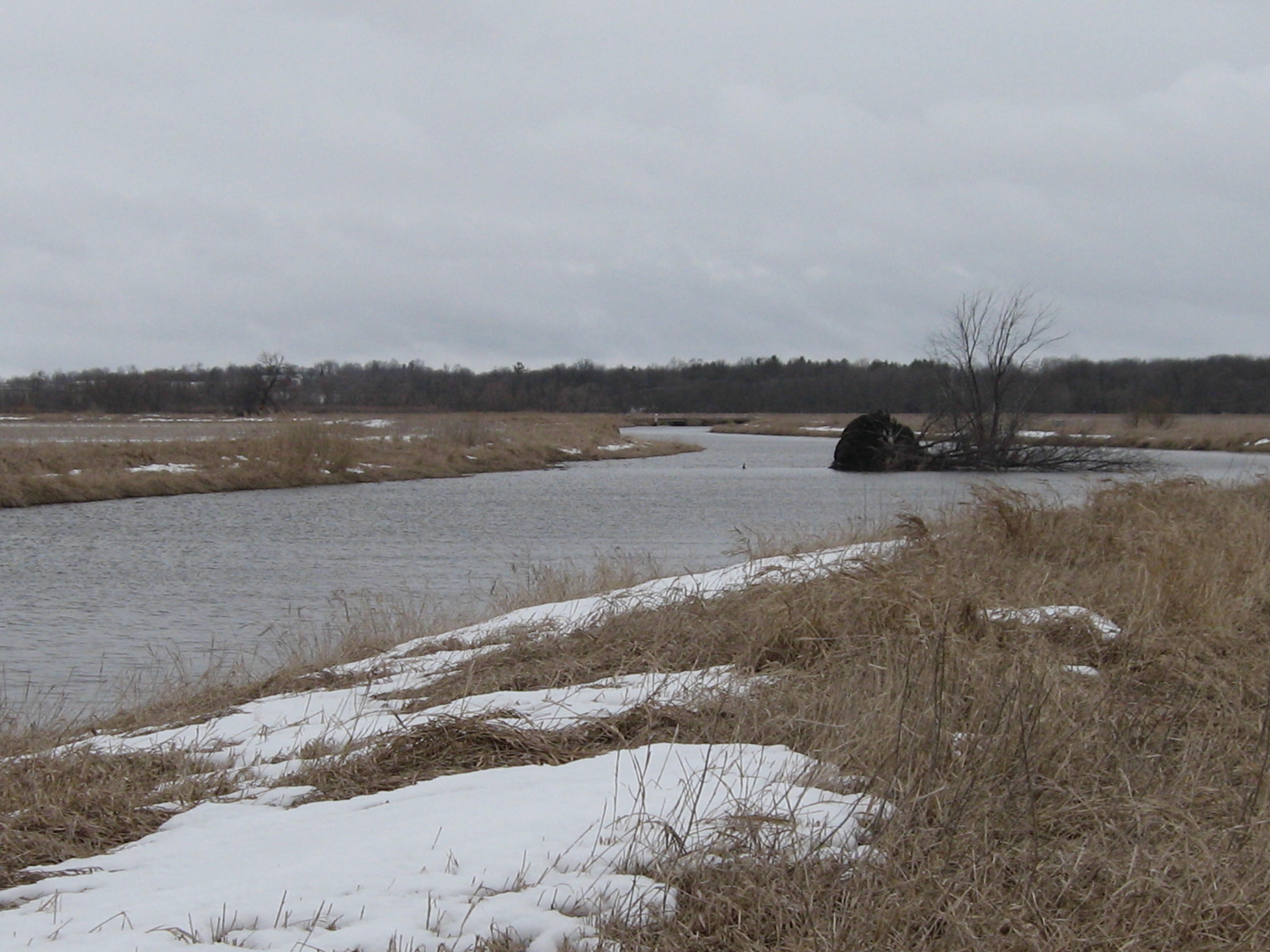
The morning light was flush on the Hillside Springs.

IMG_1475

IMG_1476

IMG_1477

IMG_1481

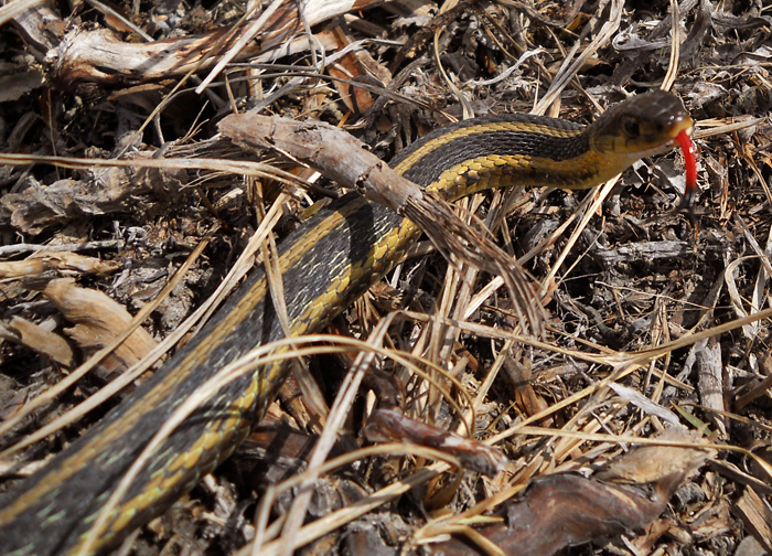
This Green Frog was enjoying the spring too.

IMG_1478

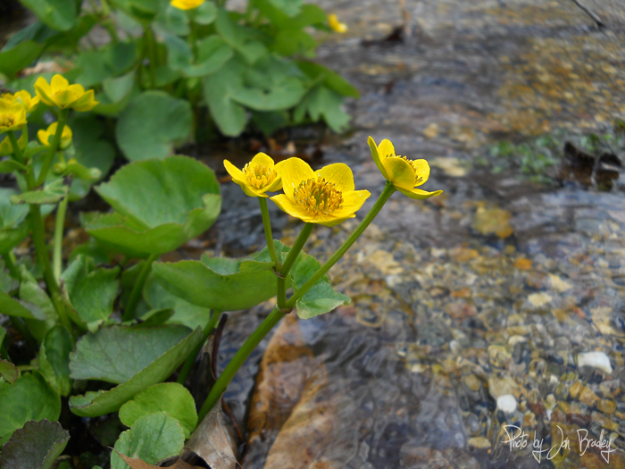
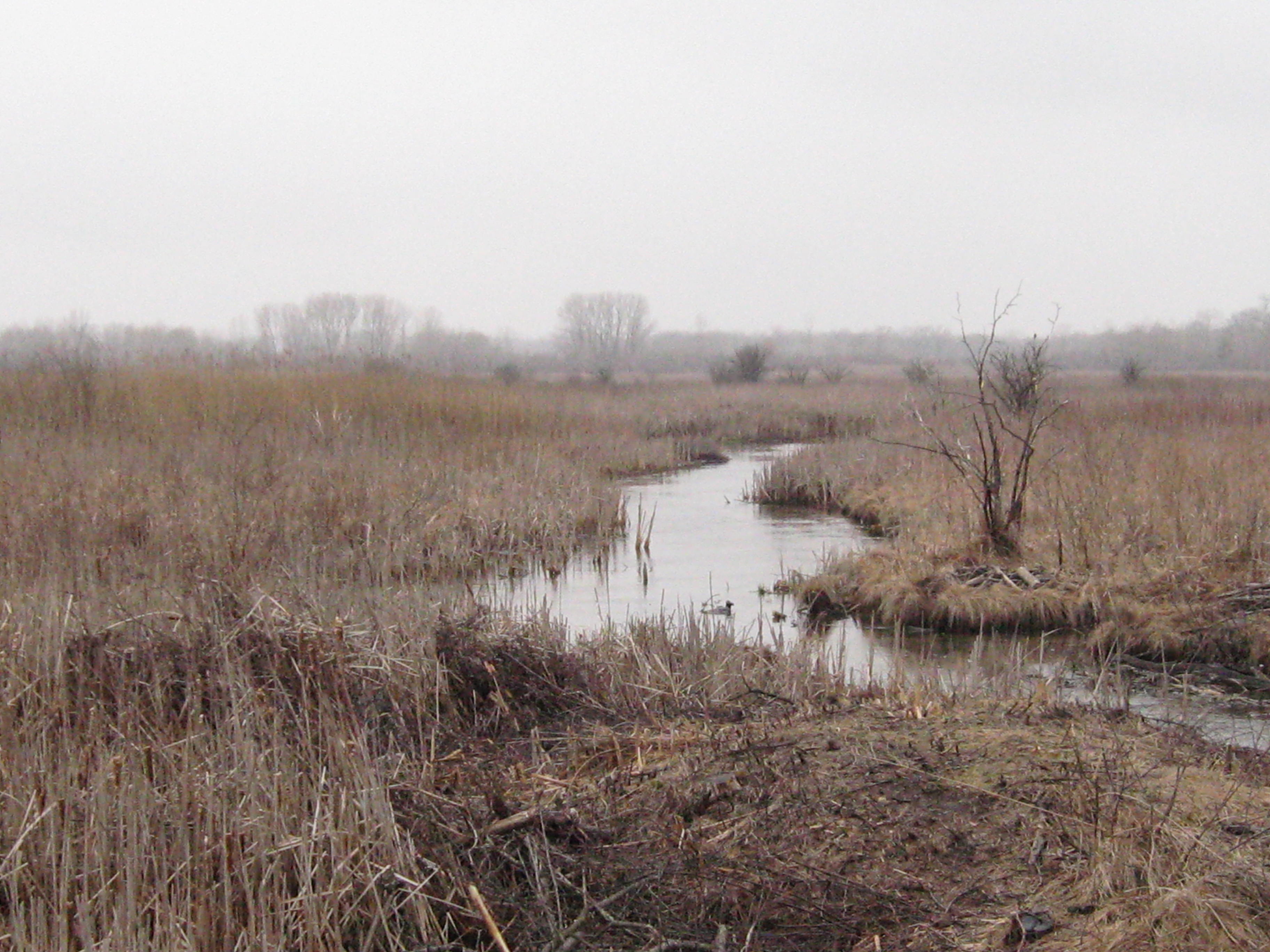
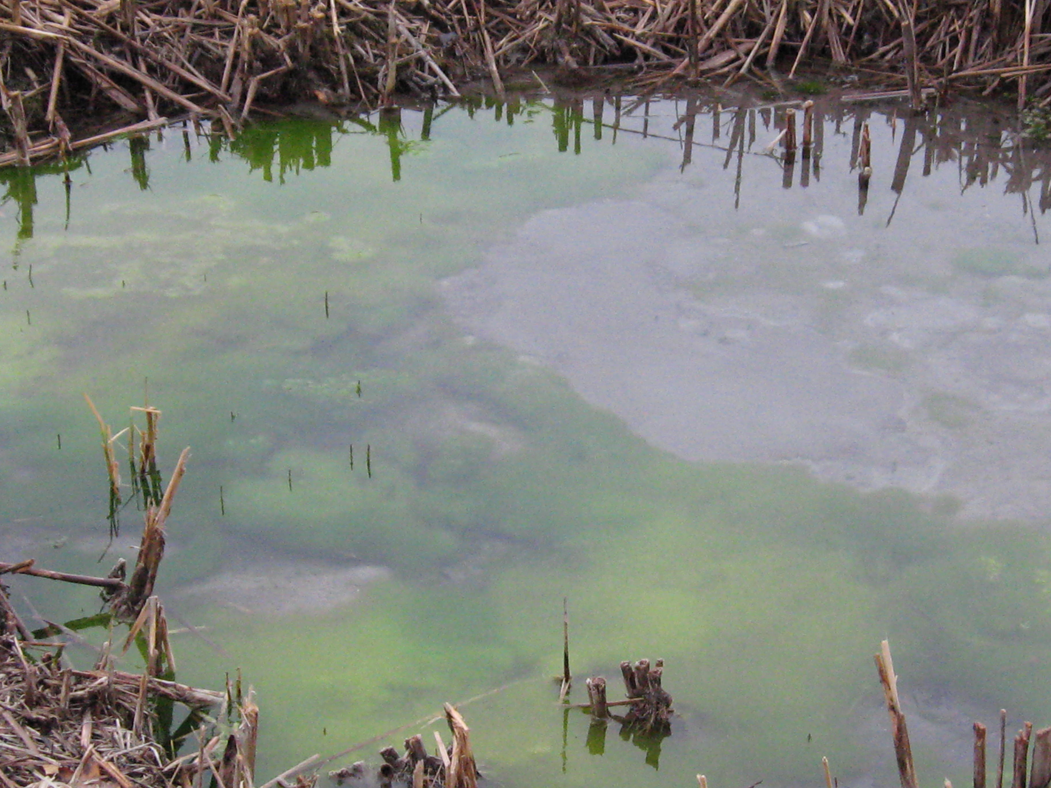
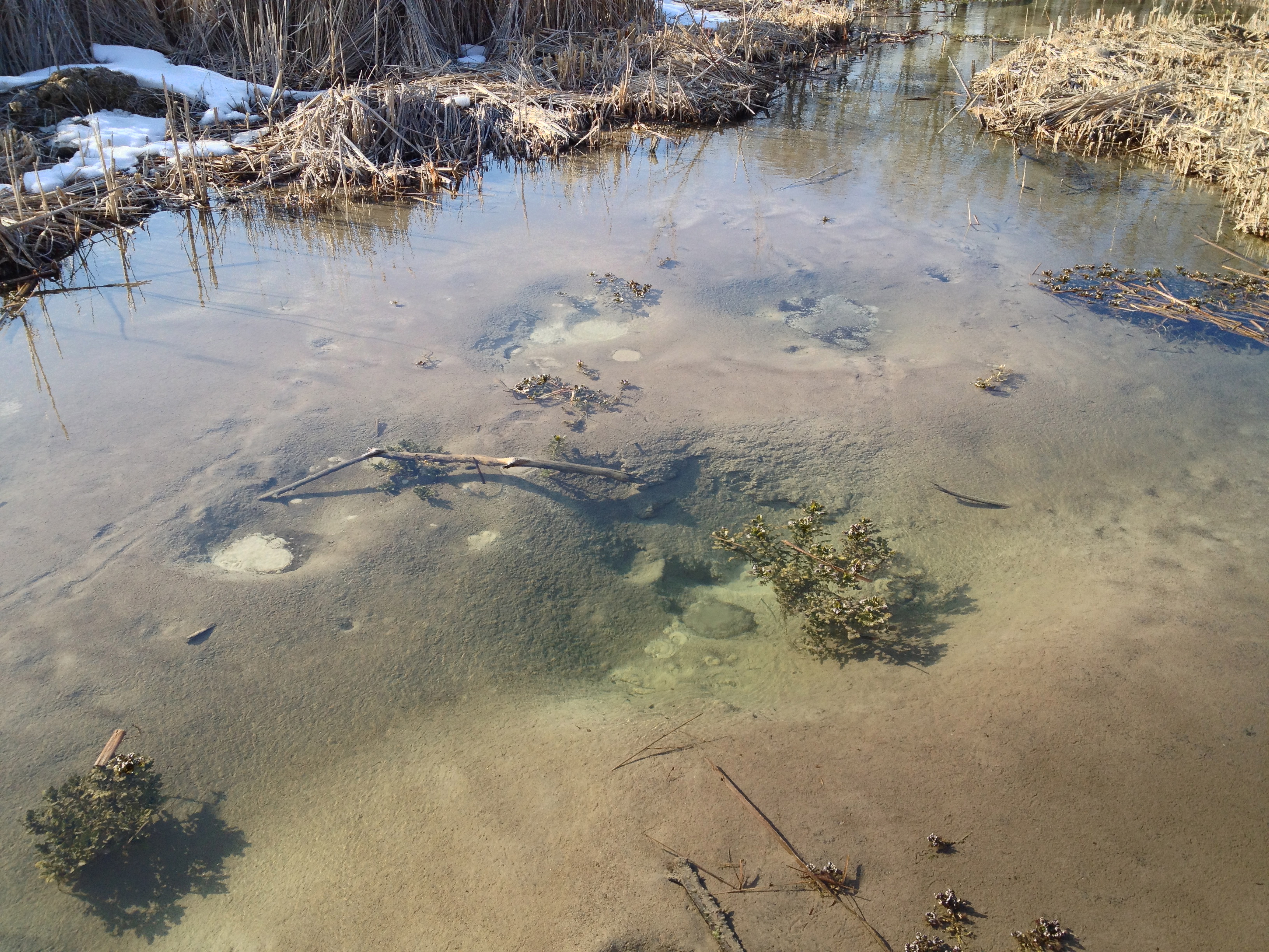
There are lush patches of fresh watercress just below the Scuppernong Spring and I harvested a bagful to include in my green juice recipe.

IMG_1479

IMG_1480

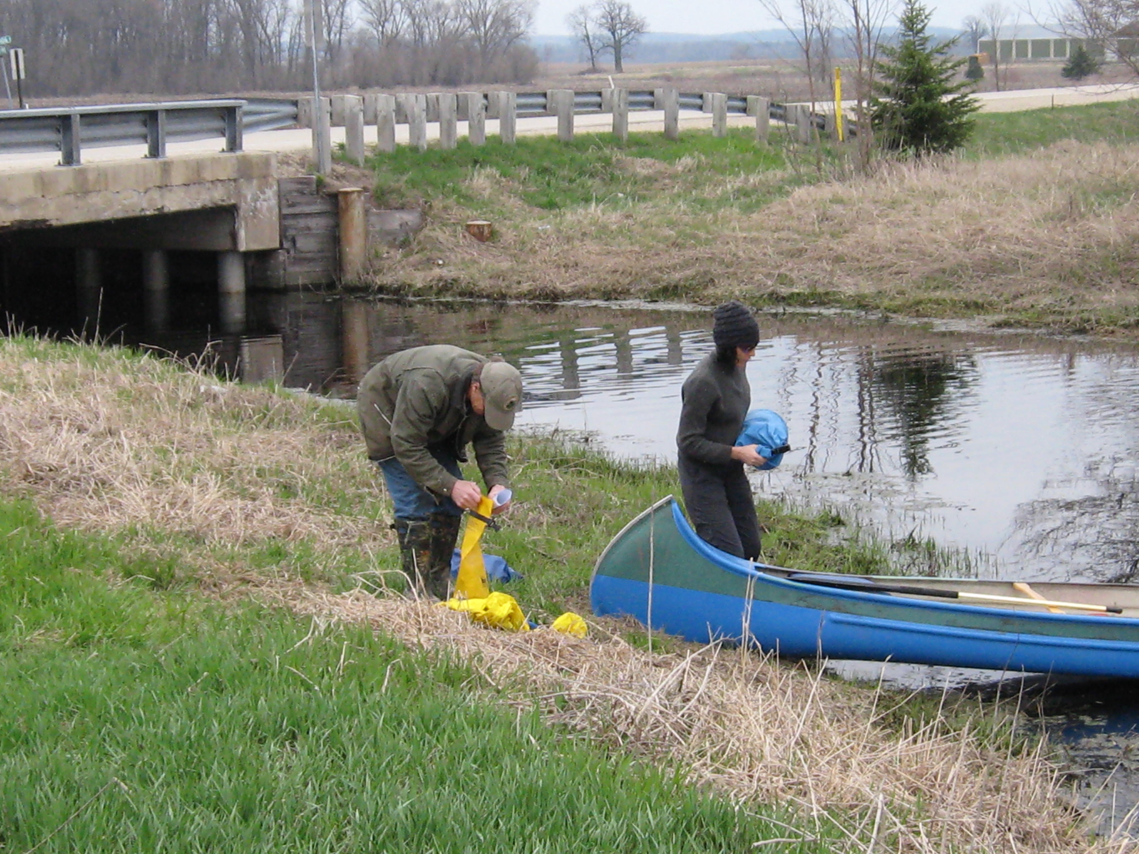
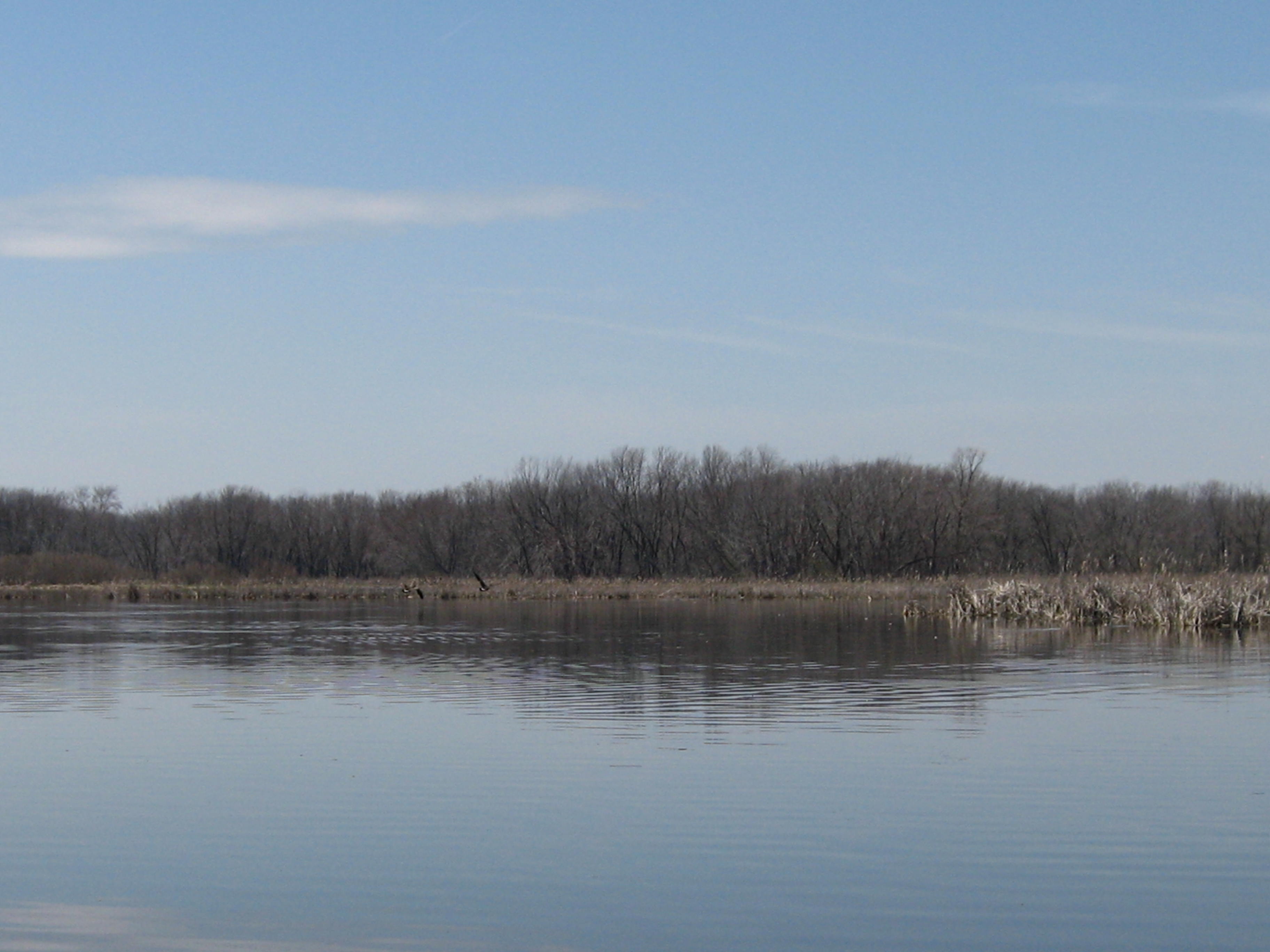
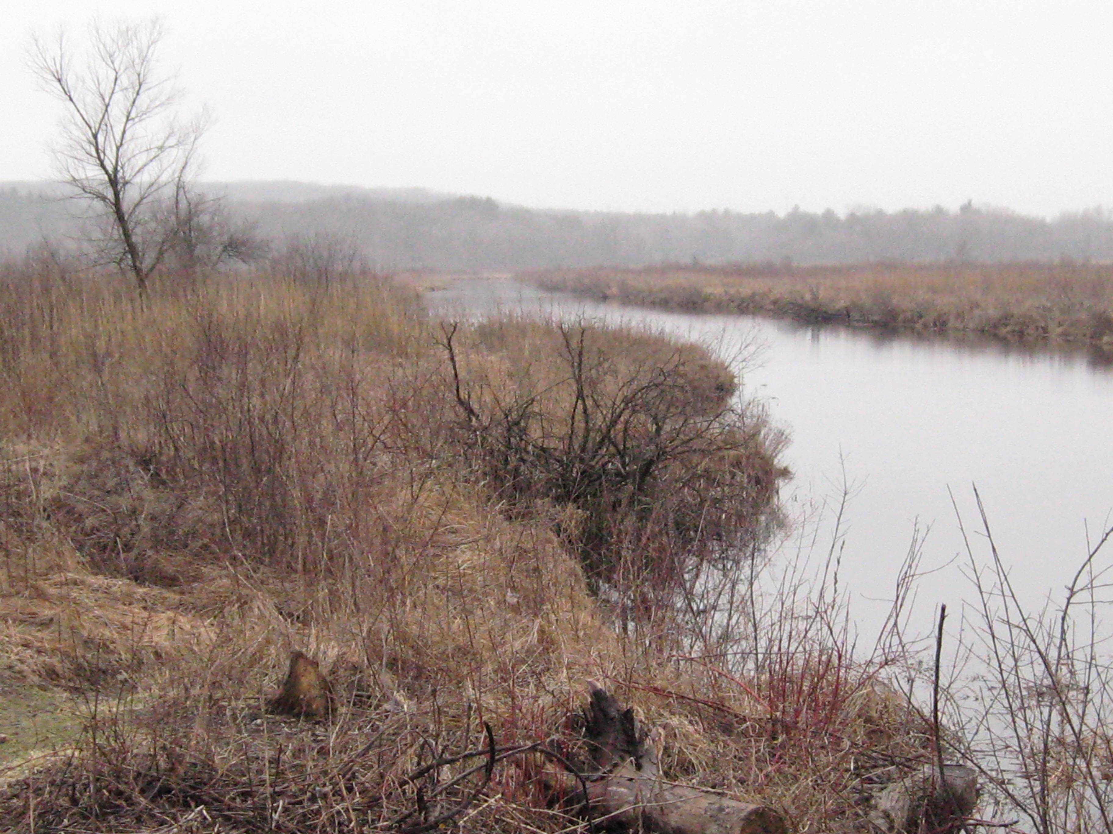
As I was rinsing the watercress at the point where the Scuppernong Spring spills out of its pool and starts to flow as a river, a brown trout emerged from beneath a rock rim and swam about in the pool. I don’t know for sure what is going on with the trout; are they visitors, or a local reproducing population?

BrownTrout

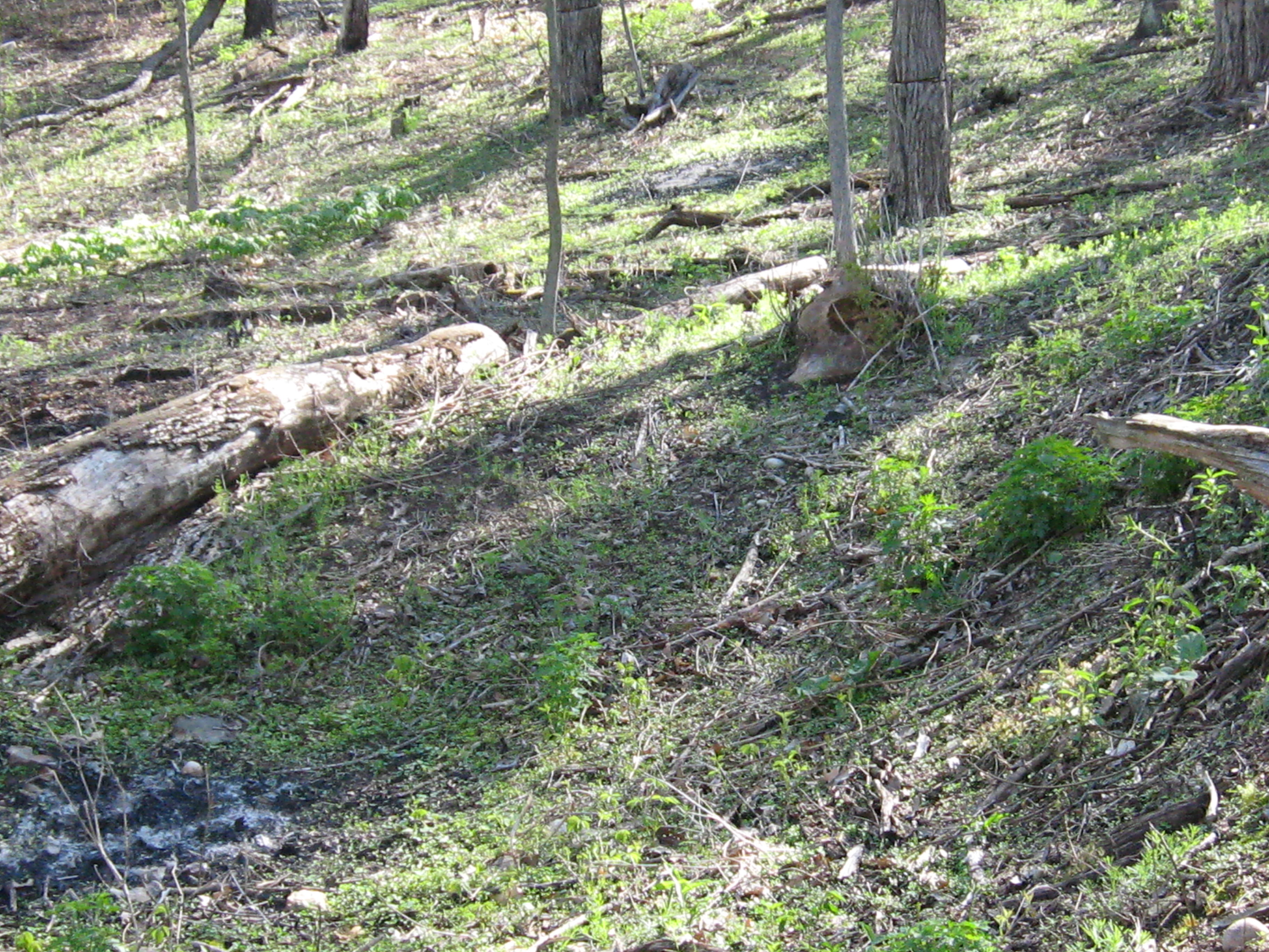
Thousands of garlic mustard seedlings have emerged at the south end of the loop trail literally carpeting the ground. I carefully sprayed them with glyphosate trying to avoid the many good plants that are also emerging.

IMG_1472

I conscientiously sprayed the spotted knapweed that dominates the sand prairie of the Indian Campground with clopyralid; carefully avoiding the many, many, diverse plants that are also coming up. This sand prairie is going to come alive with color in a couple weeks.

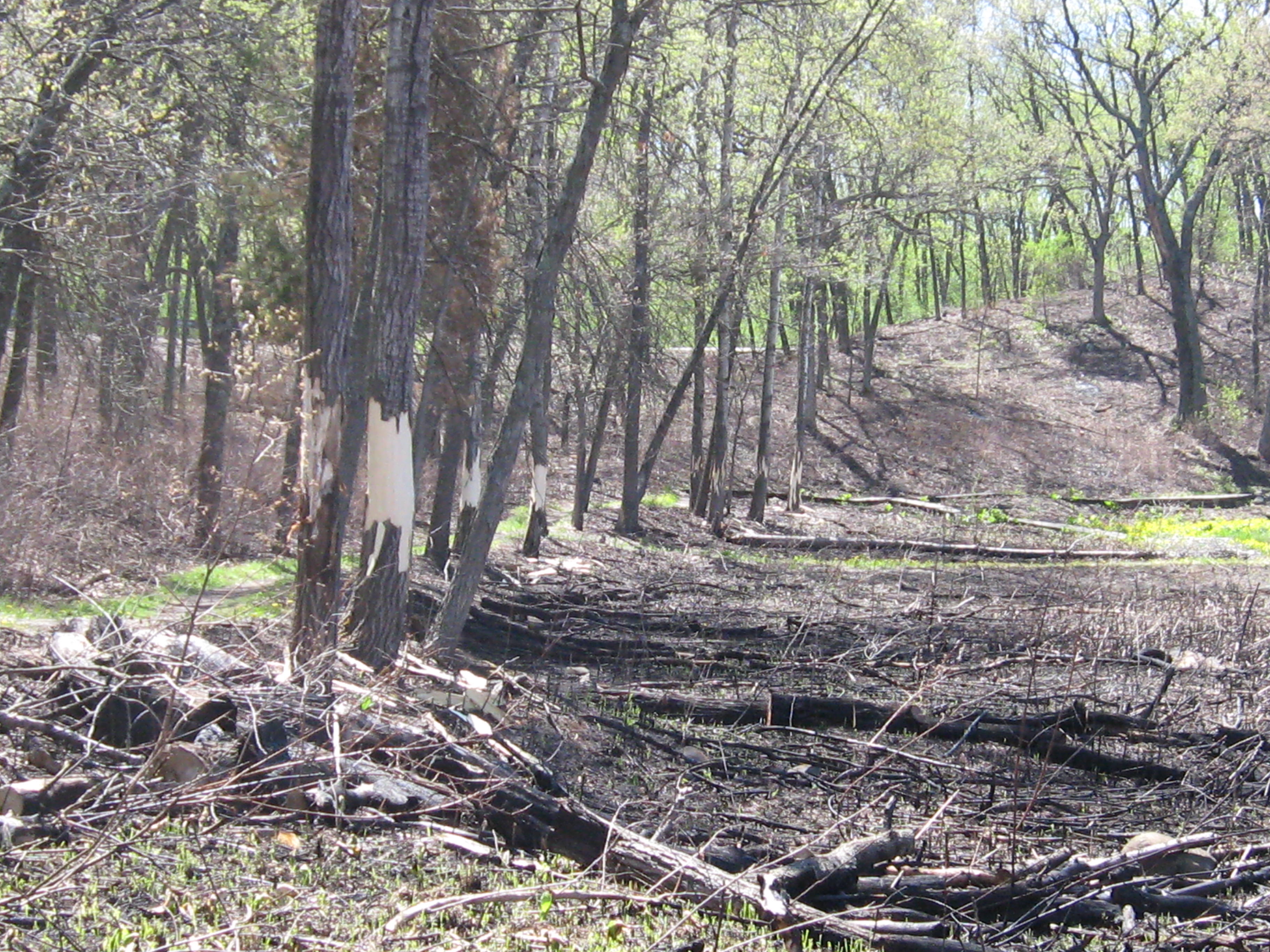
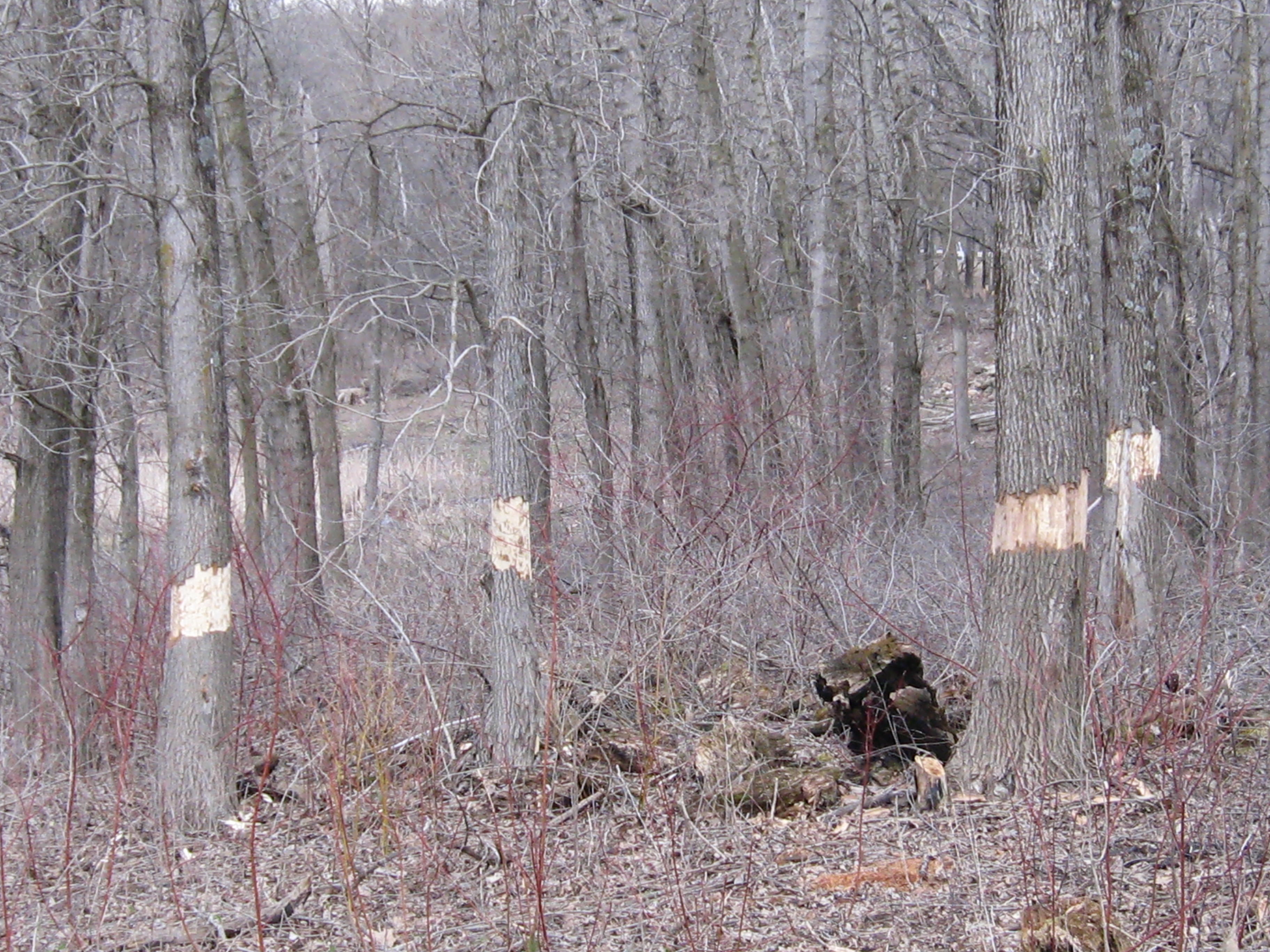
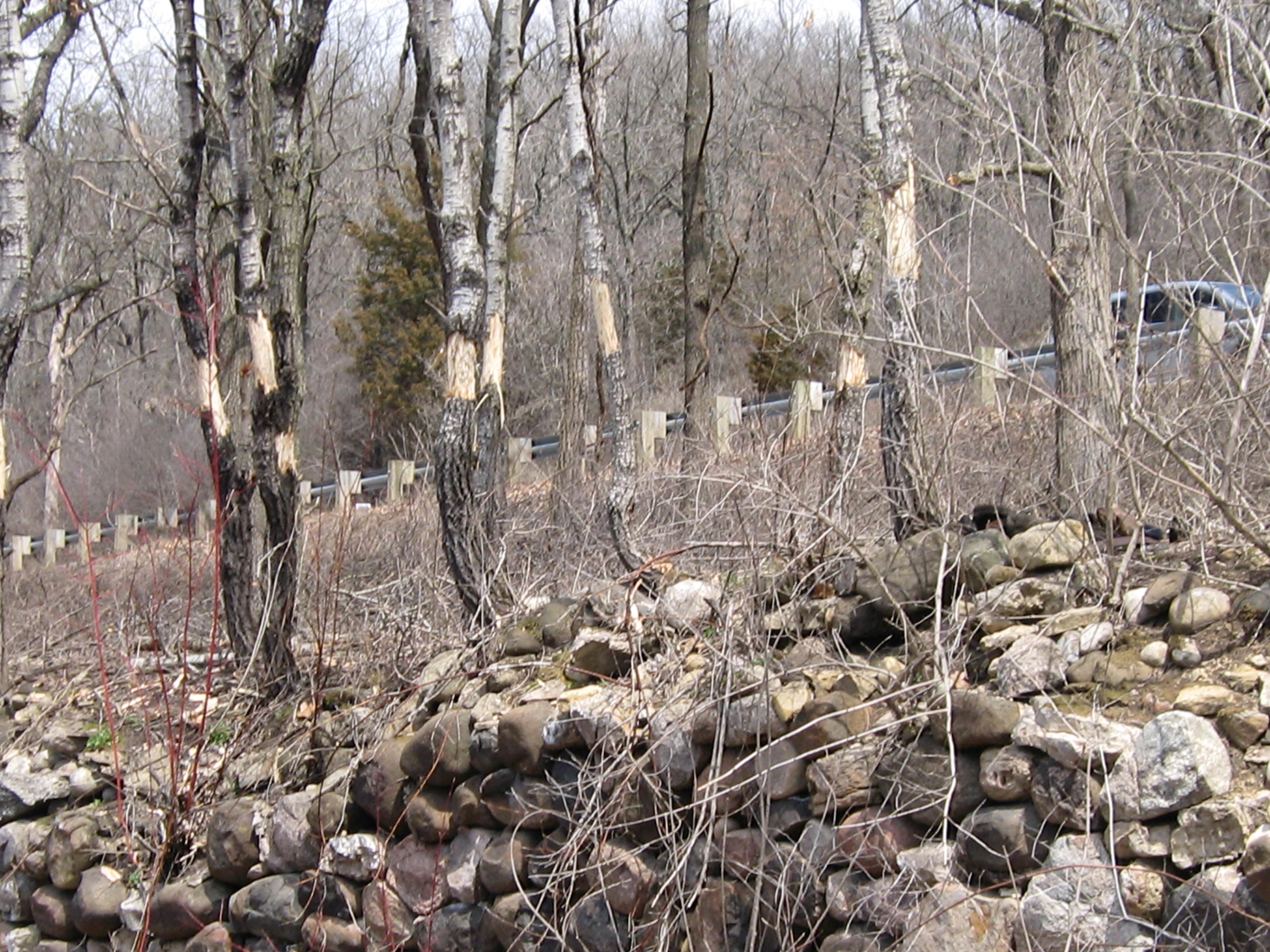
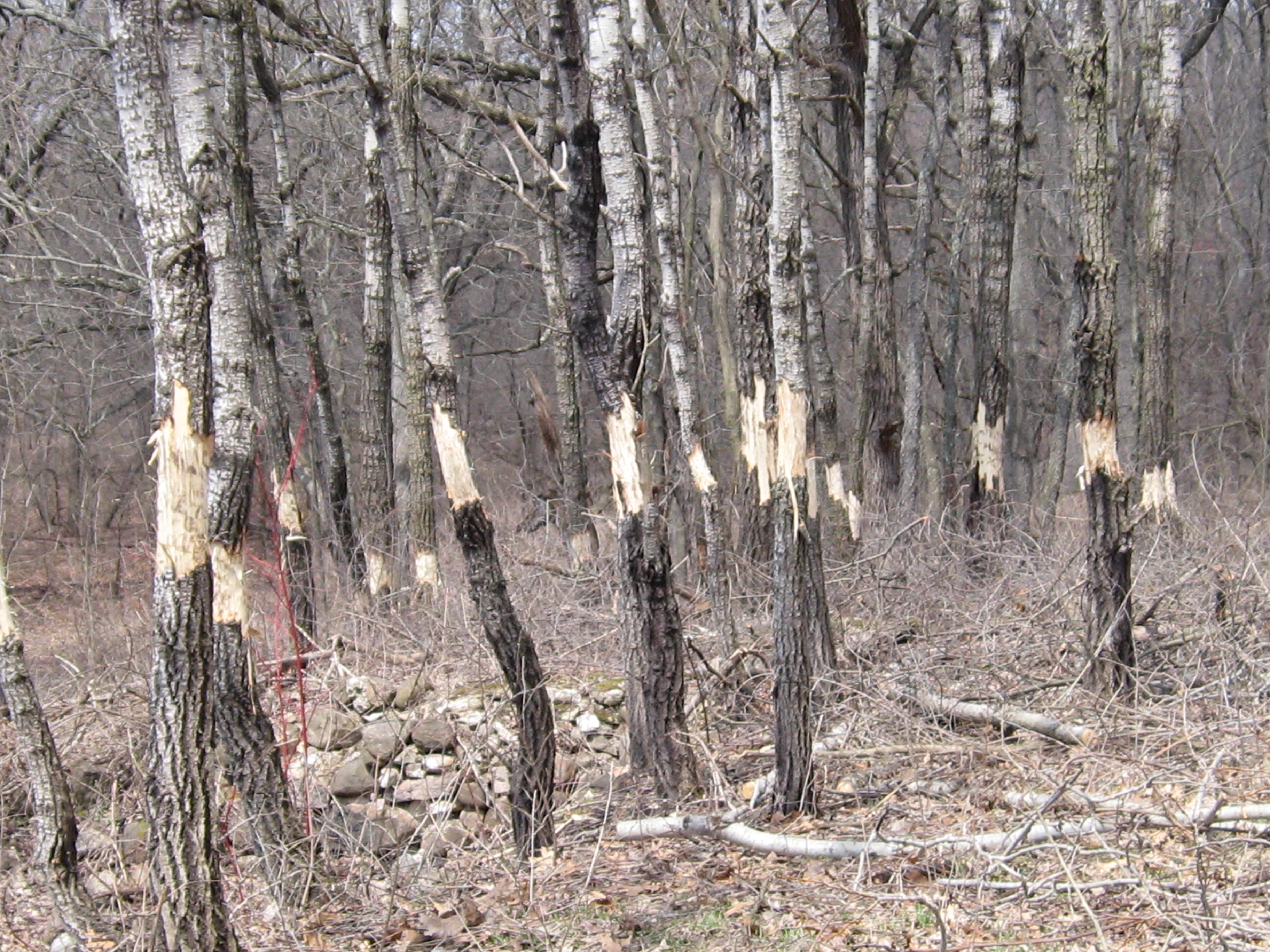
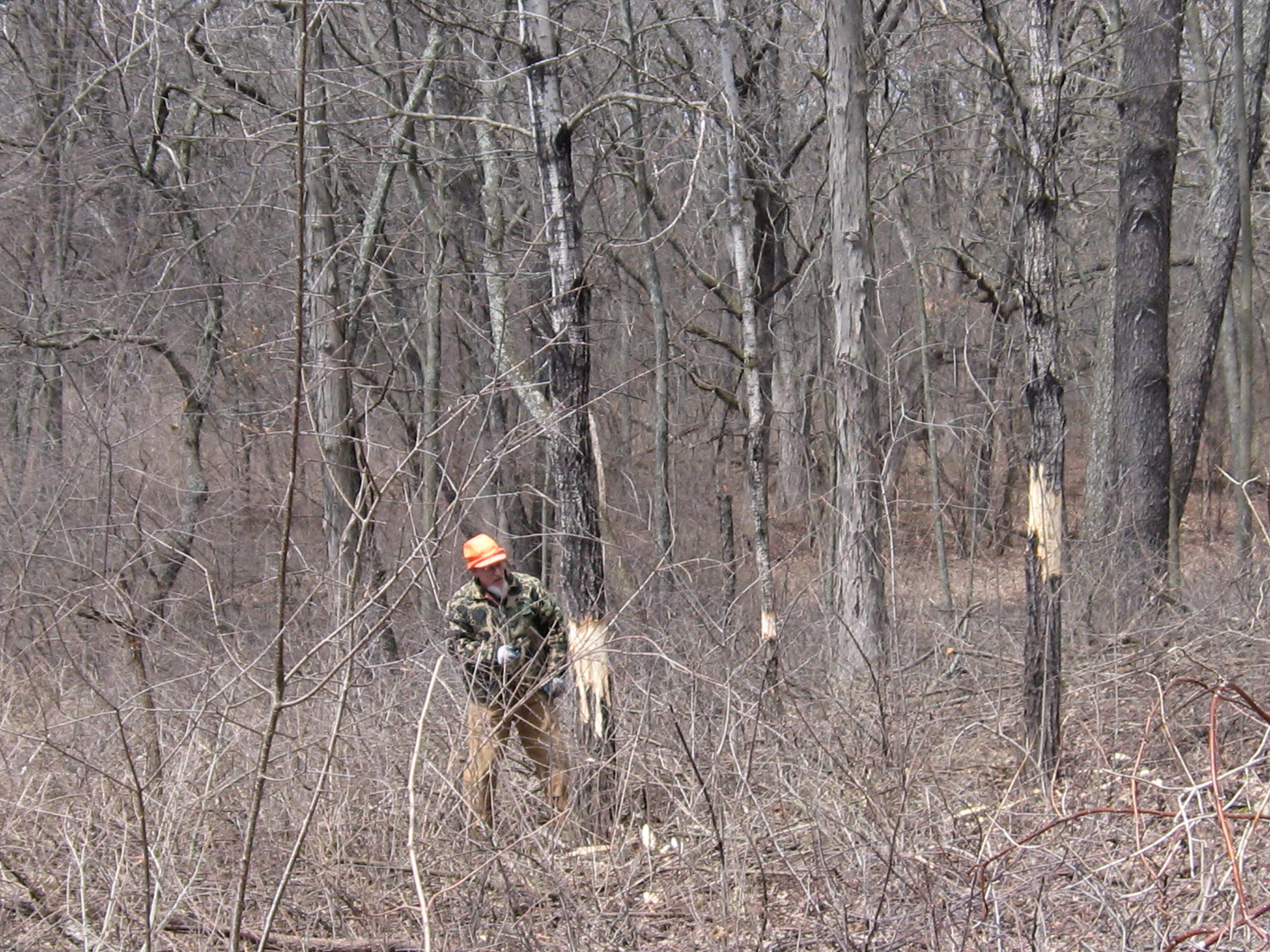
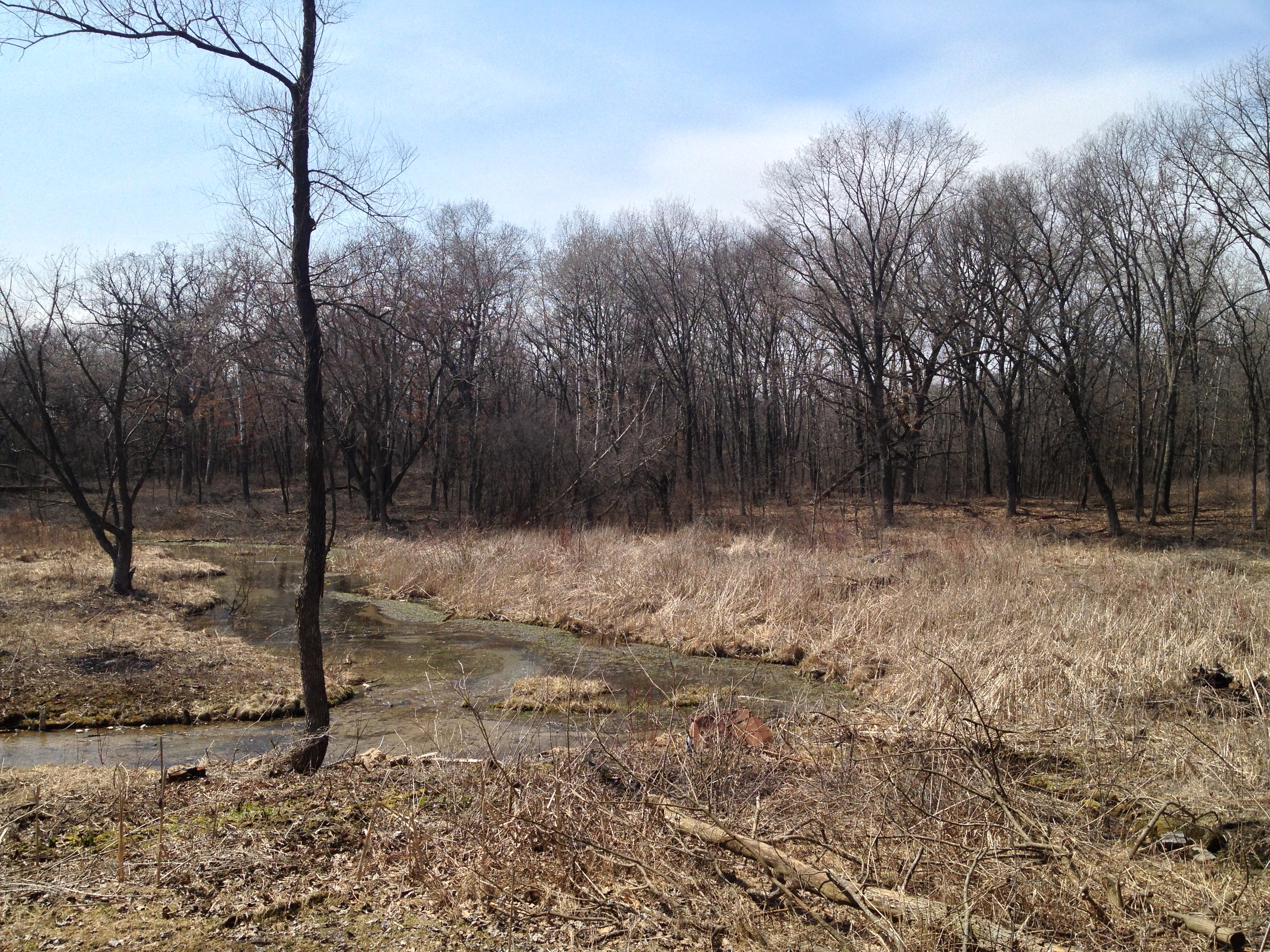
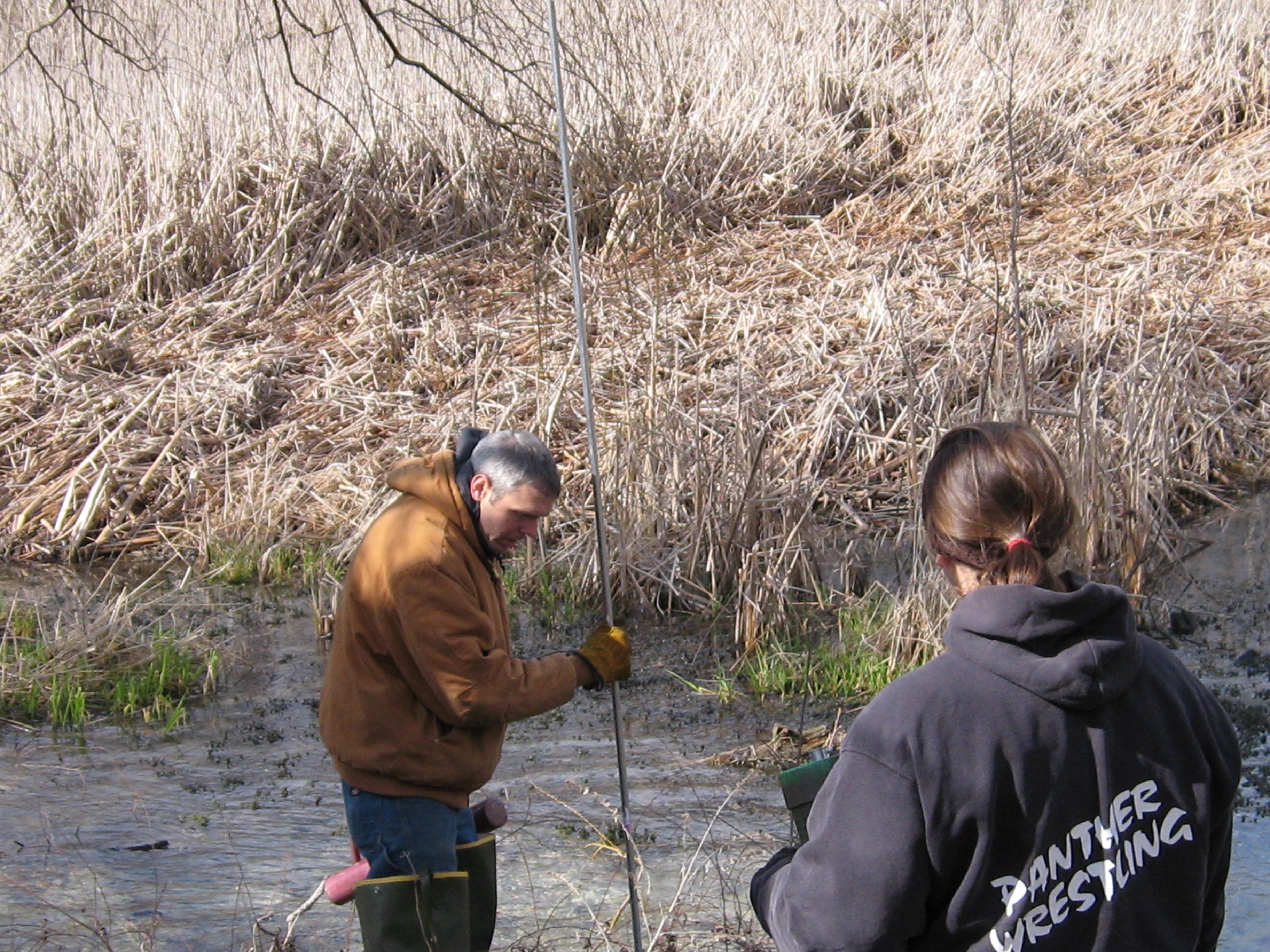
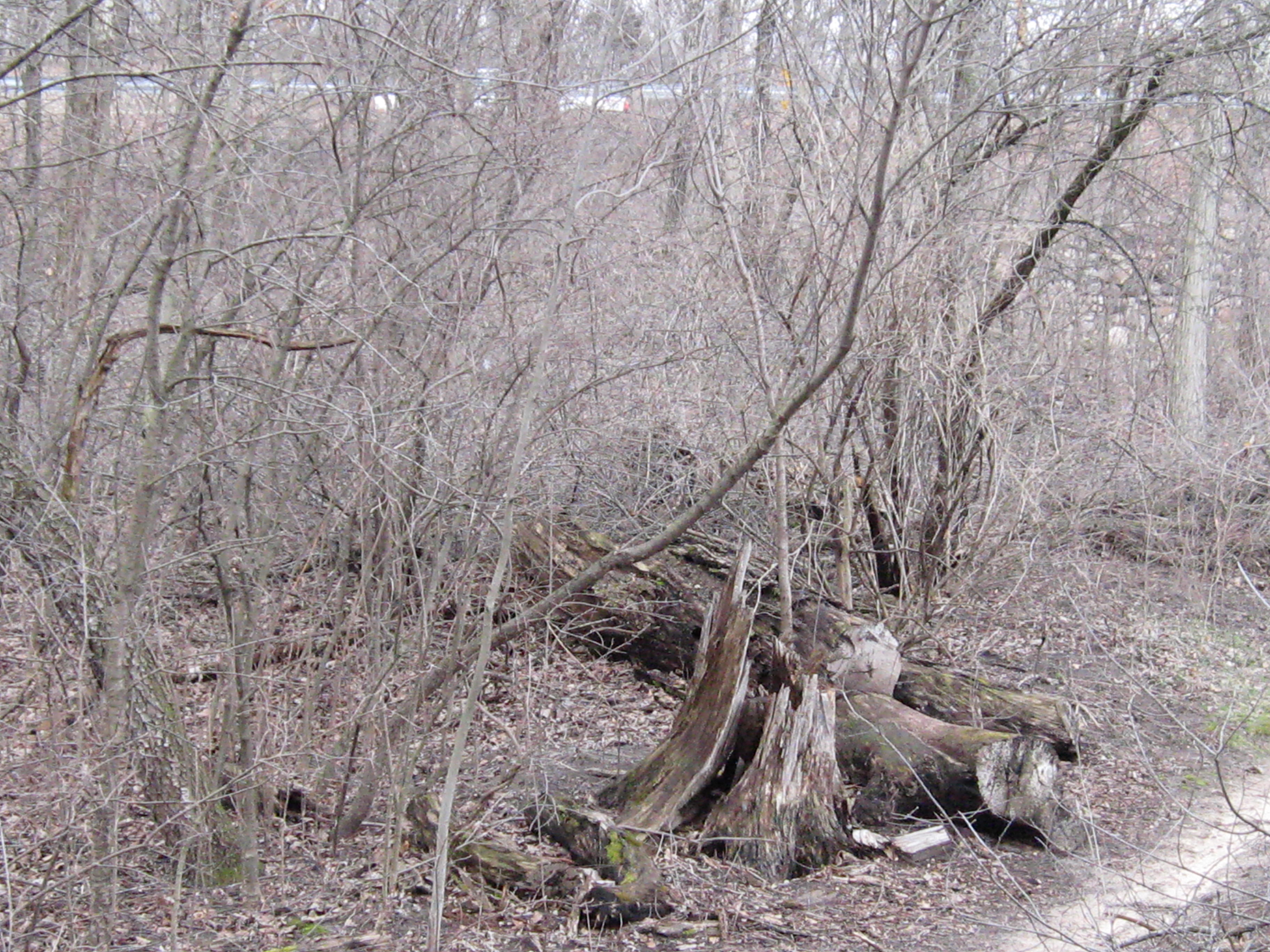
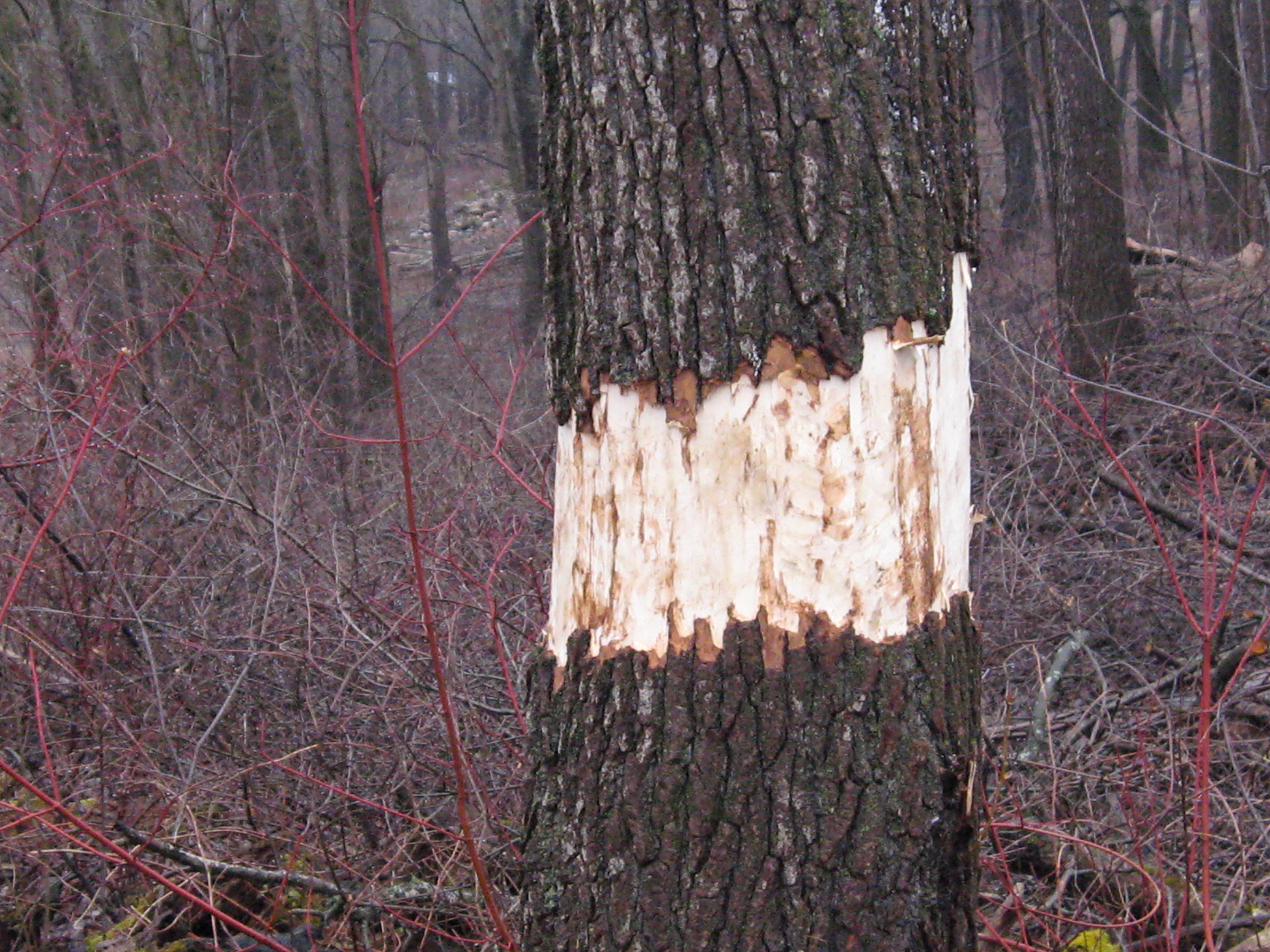
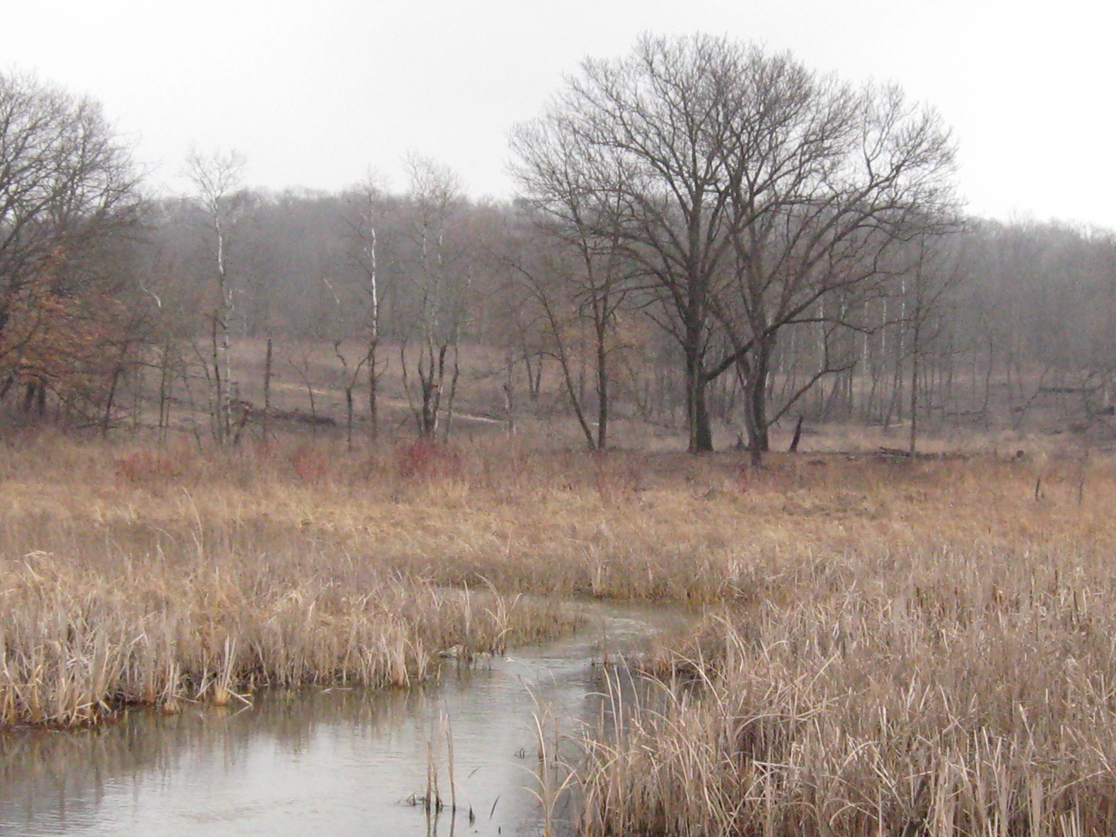
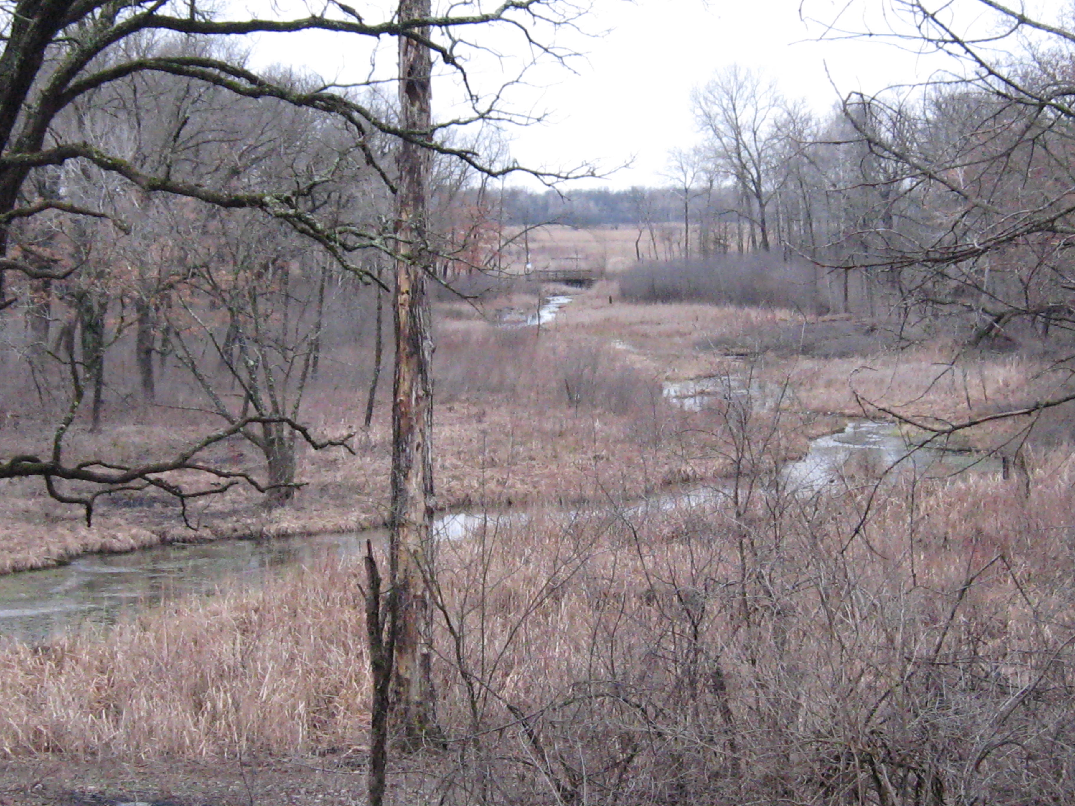
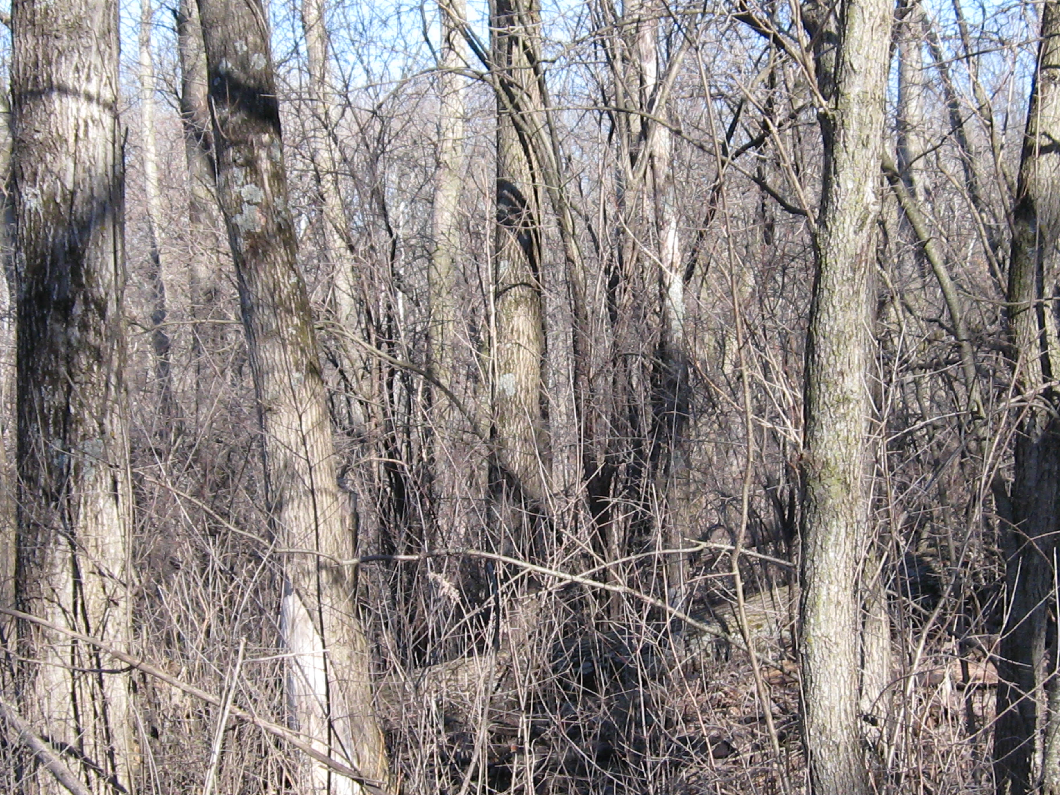
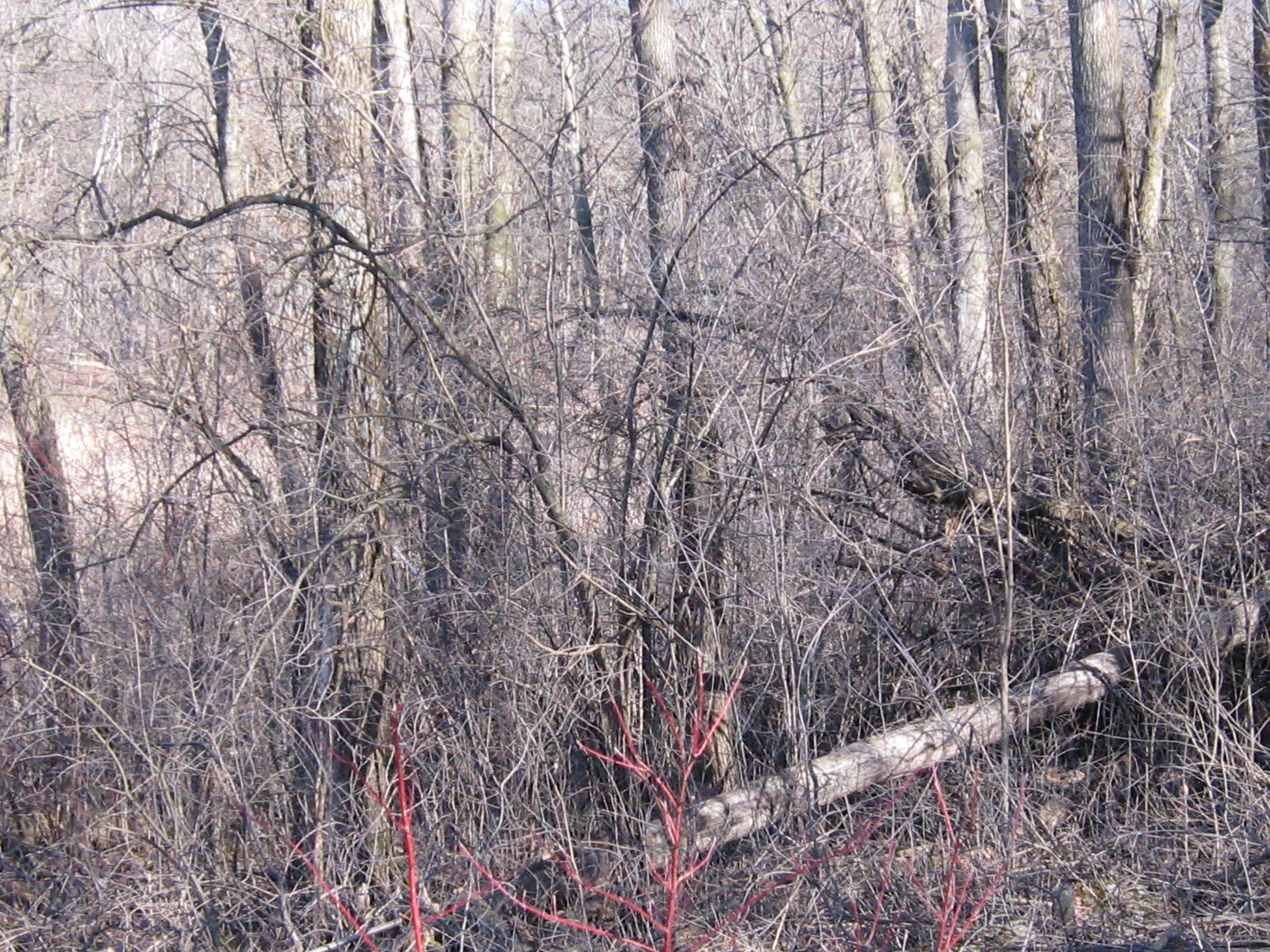
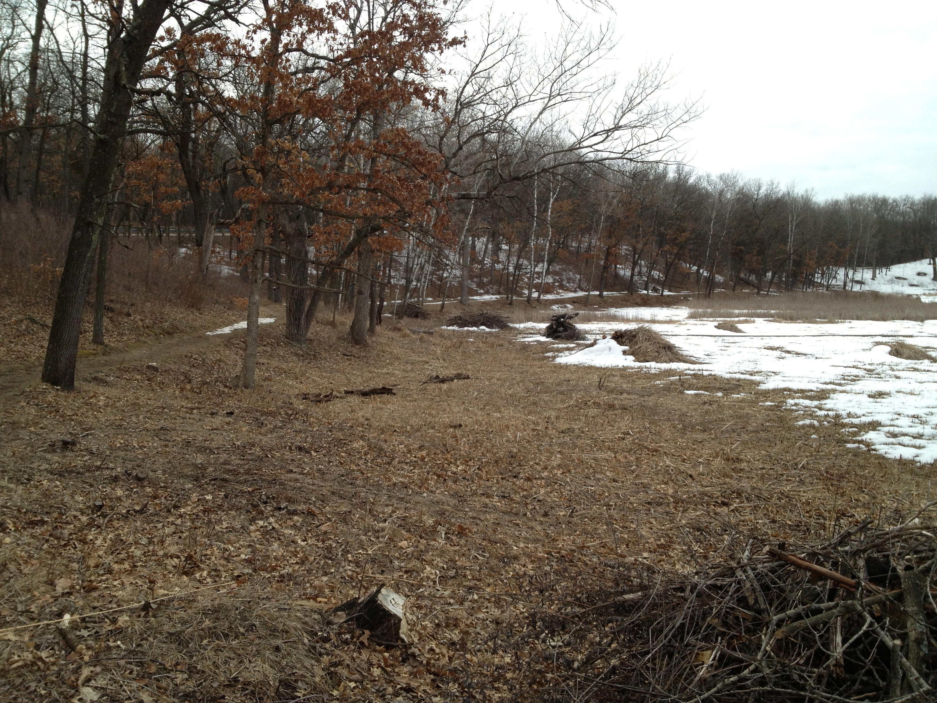
There were more aspen to girdle along the river valley. If we don’t do this, the clonal colonies will spread into and dominate the valley floor.

IMG_1482

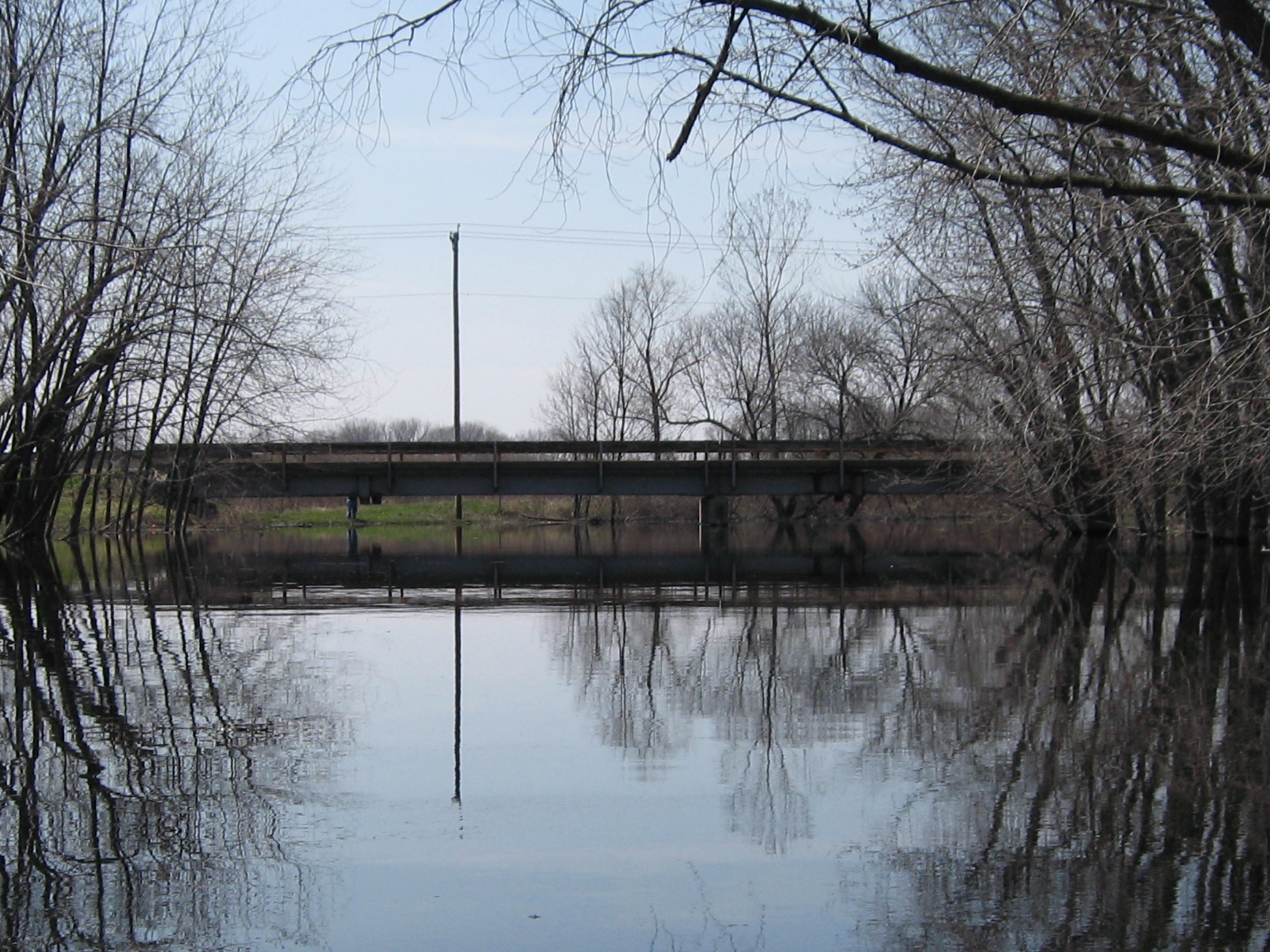
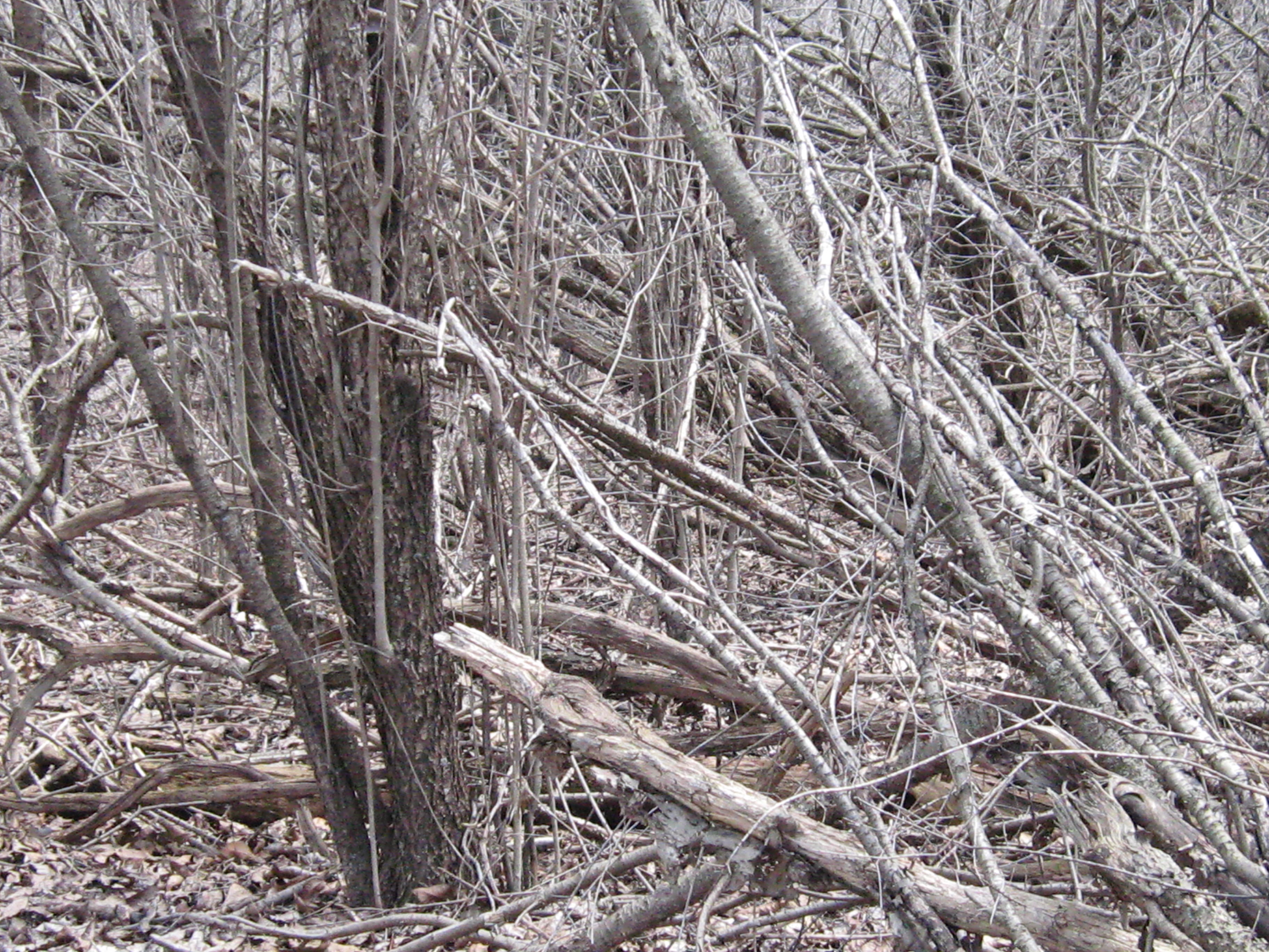
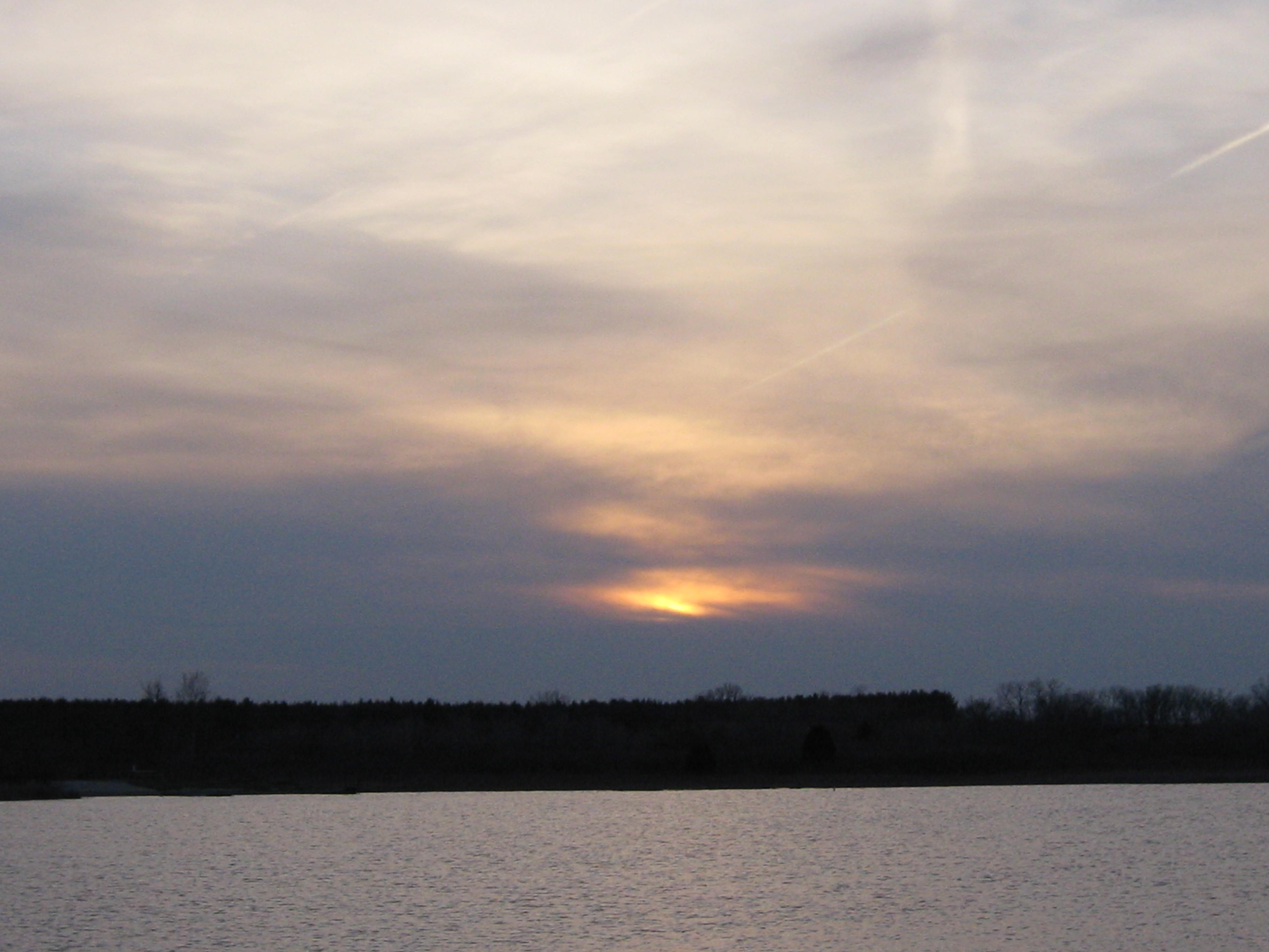
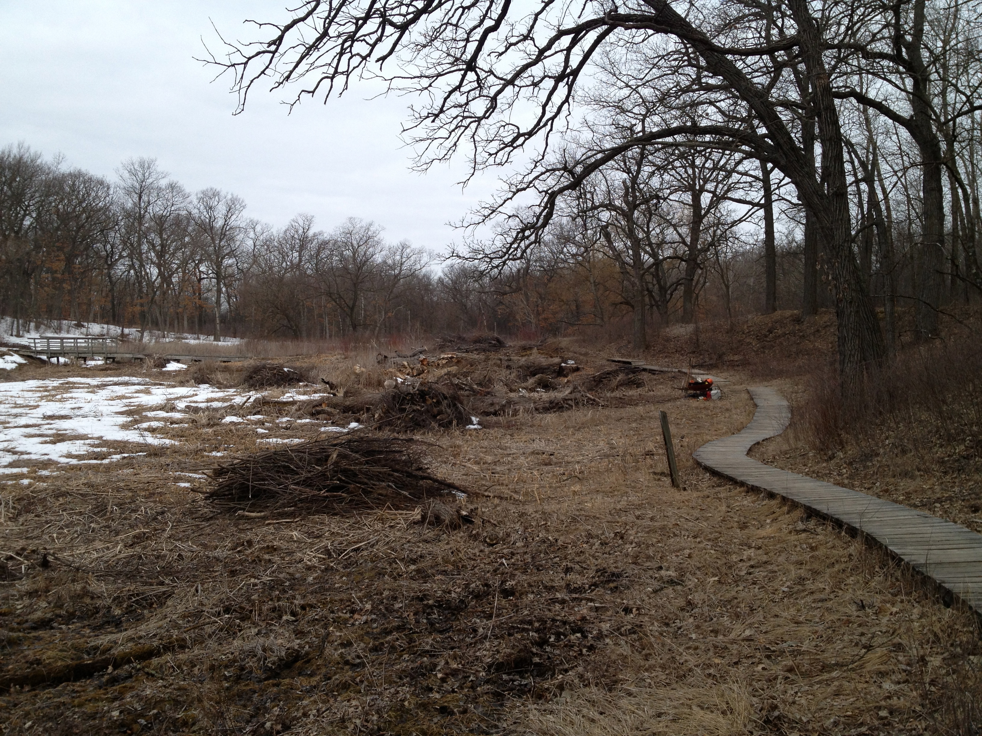
I piled brush in the afternoon by the old hotel site. You can see the foundation stones in many places now. I forgot to take some pictures, but if you’ve seen one brush pile… I was covered with soot when I finished and took a cool dip in the river by the marl pit bridge to wash off. Clouds moved in and I marveled at their beauty while doing some yoga asanas.

IMG_1484

IMG_1485

IMG_1488

With the video below I attempted to capture one of those ‘you had to be there’ moments.

See you at The Springs!

Jon Bradley Tours The Springs

If you love The Scuppernong Springs and want to share your stories or pictures here, please contact me. Here is the latest from Jon Bradley (Thanks for the awesome pics Jon!).

Today (4/27) was one of the warmer days so far this year. I knew today could be a good day to find wildlife at the Scuppernong Springs Nature Trail. From the moment I stepped out of the car I knew it would be a good day on the trail. Almost immediately I heard the call of a couple Sandhill Cranes. As I was walking along the Marl Pits I saw two cranes taking off about 200 yards away. Shortly after that I discovered this Common Garter Snake along the large Marl Pit, and two Painted turtles in one of the smaller Marl Pits.

DSCN1462

IMG_0085

Here is a photo taken at the Marl Pit bridge facing East.

IMG_4587

As I got down to the first Vernal Pond before the Indian Campground, I saw something move near my feet. I looked down and saw an amazing Eastern Hognose Snake. This snake is arguably the most unique snake in Wisconsin for many reasons. One of them being that it flattens its neck similar to a cobra.

DSCN1479

IMG_0087

I had heard that the Eastern Hognose Snake lived around the trail, but have never before seen one. It was hissing pretty loudly, though didn’t attempt to flee while I photographed it. Its important to say that all snakes at the Scuppernong Springs Nature Trail are harmless to people and most will do everything they can to avoid human contact.

IMG_4592

Here are a couple of flowers (hepatica & marsh marigold) I found around the trail. Its nice to see color coming back!

DSCN1476

DSCN1491

A few more scenic photos:

IMG_4599

IMG_4613

IMG_4625

There were a ton of birds at the Springs today. American Goldfinches, Red-winged Blackbirds, Red-Bellied Woodpeckers, and Warblers of all kinds. Between the old barn foundation and hotel site, I saw this Yellow-Rumped Warbler.

IMG_4620

On the way out, I stopped to check the water level.

IMG_4591

It was a fantastic day at the Springs and I hope to be back at least few more times this year. I love seeing the progression of the restoration project. Its nice to see the woodland areas looking more like woodlands and less like “buckthorn alleys”. I have to imagine even some animals will appreciate being able to navigate through the woods better. I unfortunately didn’t get to the new cutoff trail this time but I definitely plan on it this summer.

Thanks Jon!

See you at The Springs!

Journey Down the Scuppernong River Part 5

Hello again, and welcome back to The Springs.

We were frustrated in our last attempt to complete our journey down the Scuppernong River on foot by unstable ice. Heading east from Hwy 106 just a bit north of Palmyra, we walked along the embankment that separates the surrounding industrial farmland from the river, which at this point has been engineered into little more than a drainage ditch. As we approached the Prince’s Point Wildlife Area we had to leave the banks of the river due to thin ice and ultimately had to call it quits. We resolved to return in the spring in our Blue Dolphin canoe to try paddling this stretch, which we imagined to be wild and even exotic.

I was joined by Lindsay and Pati on what promised to be a beautiful spring day.

IMG_1147

IMG_1148

There are industrial scale farms on both sides of the river just west of Hwy 106 and one can only wish to turn back the clock and see what the river was like before it was totally “bleeped” up.

IMG_1149

IMG_1151

IMG_1153

IMG_1155

Check out this goose perched on top of a root ball. Protecting something?

IMG_1158

A couple views from the bridge that crosses the river.

IMG_1159

IMG_1162

In the video above I mistakenly referred to the Prince’s Point Wilderness Area rather than the Prince’s Point Wildlife Area. At that point I still had the naive believe that we were about to enter a wild and exotic stretch of the river leaving the canals and industrial farms behind. Unfortunately, the river engineering did not stop at the farms and we encountered a maze of channels and embankments that splintered the river into myriad flows.

IMG_1166

With the help of a map that Pati got from the internet and the Map application on my iPhone, we tried to get back on “the river” eventually realizing it didn’t exist anymore. Here is a widening of one of the canals that attracted a huge flock of coots.

IMG_1167

IMG_1168

IMG_1170

IMG_1171

As we paddled down dead end canals and pulled the canoe over embankments attempting to travel west to the Bark River, the realization of how badly degraded this stretch of the river is began to sink in. Although we did see a couple of river otters and a muskrat, we almost got swamped by a school of giant carp. We could understand why they channeled the river to create farmland east of Prince’s Point, but there didn’t appear to be any rhyme or reason to the embankments that diced up the wetland in the Prince’s Point Wildlife Area other than to support a path for vehicles to travel.

We finally did thread our way to the confluence of the Scuppernong “River” and the Bark River.

IMG_1173

IMG_1174

IMG_1177

IMG_1179

Per the DNR “The Scuppernong River’s headwaters are classified as class 2 trout stream. The stream has a naturally reproducing, self sustaining population of brook trout.” That is a far cry from what we saw between Hwy 106 and the confluence with the Bark River. On that note however, we have not seen any brook trout in area of the Scuppernong Springs Nature Trail, i.e. the headwaters, since last fall. I’m concerned that our efforts last year to unplug the water cress dams have altered a delicate balance that supported the brook trout population. Craig Helker, Water Resources Management Specialist with the DNR, does a fish count every July by “shocking” the water in the area just below the Hotel Springs and we look forward to the results for 2013.

Here is a view on our return heading back upstream.

We were disappointed by the way the beautiful, cold, crystal clear, Scuppernong River waters that we know and love merged morosely with the Bark. That is not to say there weren’t some beautiful views and wildlife on this final stretch; it’s just that our expectations were really high.

See you at The Springs!

Critical Thinking

I like to fancy myself as someone who knows how to think critically, but I suffered a momentary lapse of reason recently acting on belief instead of real knowledge. Fortunately, the consequences in this case were minor and served as a good reminder. To think critically consistently, a tool like the trivium is indispensible; grammar, logic and rhetoric, these are the keys we can use to distinguish truth from fiction and knowledge from mere belief or opinion.

In my last post I reported that we have been spraying spotted knapweed with glyphosate, aka, RoundUp, on the Sand Prairie believing this was the right approach for this invasive plant. The problem is I had not researched this plant i.e. I had not done my grammar and answered the questions of the Who, What, Where, and the When as applied to spotted knapweed. Lindsay sent me the link above via which I learned that the preferred technique is to “Apply selective herbicide clopyralid during bud growth in early June for best results (48 oz per 100 gal water).” I complained in the post that I didn’t have any clopyralid without doing the grammar on this compound. Thankfully, Lindsay did and he informed me that clopyralid is the active ingredient in Transline, which we do have. So this was a good reminder for me to apply critical thinking skills as we continue to try to restore the Scuppernong Springs Nature Preserve.

The scientific method goes hand in hand with the trivium and critical thinking and I’m trying a little experiment in the Scuppernong River just a few yards upstream from the bridge across the former embankment that created the upper pond. When Ben Heussner and his team of DNR Fish Biologists recently inspected the river, he pointed out that the river was not “head cutting” at this point and that is why it is still filled with silt and marl upstream. I’m trying a little low tech experiment to encourage the river start head cutting here.

Saturday, April 27, was a very pleasant day at The Springs and I started out spraying garlic mustard along Hwy 67 north of the old barn site. The understory here is severely degraded and consists mostly of garlic mustard.

Then I spent a couple hours girdling aspen at the old hotel site. There are some huge trees here and I was skeptical about attacking them with hand tools, but the bark is separating very easily from the trunks now and I made good progress.

IMG_1137

IMG_1138

Around mid-day, I headed over to the Buckthorn Alley, or, perhaps tunnel is more descriptive, and got started on one of the nastiest buckthorn thickets I have ever seen.

IMG_1139

IMG_1140

IMG_1141

IMG_1142

I made a small dent and already you can start to see things, like the sky, that will make this section of the trail much more enjoyable and interesting.

The day flew by and I had a date with Pati at home, so I had to depart before the sun set. Here is a parting panorama taken from the Indian Campground.

See you at The Springs!

Frog Celebration

Welcome back to The Springs! I was lucky and fortunate to spend both this past Saturday and Sunday at the Scuppernong Springs Nature Trail. I don’t know if the health benefits derived from the fresh air, sunshine and cold spring water can be objectively measured, but by the end of the day yesterday, I was in a blissful state.

Rich Csavoy joined me bright and early yesterday morning and we loaded up our backpack sprayers and got after the garlic mustard in the area around the old barn site. Rich showed me what the seeds look like when they first emerge and we tried to hit some of these, which literally formed a carpet in some areas. The DNR intends to burn here if conditions permit, but “the best laid plans of mice and men often go astray”, and we are not assuming this will happen. We also sprayed some spotted knapweed on the Sand Prairie that covers the Indian Campground.

After spraying we commenced girdling aspen trees at the old barn site. I refer to them as “clones” in the video below, but the correct term is clonal colony.

We are refining our techniques but this type of hand work is laborious. This is my first attempt at girdling aspen in this way, without using poison, and I want to give it a fair shot. I must confess though that the prospect of girdling the clonal colony of huge aspen at the old hotel site by hand is a little daunting. When I was working at the Hartland Marsh, I used my chainsaw to girdle a clonal colony of 40-50 huge aspen and I sprayed some glyphosate into the cuts. This worked perfectly and to this day there is nary an aspen in sight. I’m inclined to use the same approach at the Scuppernong Springs Nature Trail except for switching from Glyphosate to Transline, which the DNR uses for black locust, which spreads by putting out suckers from it’s roots . We’ll see how it goes.

IMG_1105

IMG_1104

IMG_1106

After dispatching that clonal colony of aspen, we grabbed some heavy duty garbage bags and picked up litter on both sides of Hwy 67 south of where east-bound Hwy ZZ leaves Hwy 67. I had noticed a lot of trash when I was spraying garlic mustard along the highway on Saturday. This was a good opportunity to get some nice views of the springs and river.

Finally, Rich loaded his van with cherry, oak and buckthorn firewood and I headed over to the cut-off trail with my chainsaw. Here is a view of the area from across the river at the old hotel site. You can see a swath of buckthorn amongst a large sugar maple tree.

IMG_1146

I was chomp’in at the bit to finish this last stretch of buckthorn between the cut-off trail and the river and slashed and flailed with impassioned vigor. Three tankfuls later…

The view across the freshly cut area from the cut-off trail.

IMG_1114

And the view from the old hotel site.

IMG_1110

By the time I loaded my gear back in the truck and began my ritual walking tour, I was very relaxed. The Marl Pit bridge is one of my favorite places to hang out. In the summer, I always take a bath here in the river and do a little yoga to relieve any muscle stress. Here is panorama video from that location.

The highlight of the day however was the sound of the frogs; a veritable din! Listen to the Spring Peepers and Western Chorus frogs in this video.

The frogs are very active in the wetlands and old cranberry bogs along the cut-off trail. Last spring it was so dry, there was barely a peep from the frogs. Check them out if you get a chance.

The Indian Spring.

IMG_1116

Sunset at Ottawa Lake.

IMG_1117

IMG_1121

See you at The Springs!

Pile on many more layers

Welcome back to The Springs! Yesterday, Saturday, April 13, I was joined by a group of volunteers organized by DNR Visitor Services Associate Amanda Prange. We started the day with a walk around the springs looking for places to install Warbler houses that the volunteers, including Rich Csavoy, made. It was a great feeling to share the appreciation I have for the Scuppernong Springs with other like minded souls. DNR Ranger Elias Wilson and Amanda settled on this spot under a weeping willow by the Hotel Springs.

IMG_1069

IMG_1070

IMG_1071

Roberta “Berta” and Amanda.

IMG_1072

We continued our walk around the springs but did not find another suitable location. Warblers need lots of space! Then we headed over to the cut-off trail and were joined by Amanda’s boyfriend Justin, and his mother Beth, and we began piling brush.

I was amazed that we made 13 piles in a little over an hour!

Here is the crew from left to right Beth, Amanda, Justin, Berta and Elias.

IMG_1075

In the afternoon I relocated to the area just north of the old barn site to continue cutting buckthorn around the perimeter of another spring that is at the base of the slope below Hwy 67. This one needs a good cleaning out, which we plan to do once the weather warms up. Here are a few shots of the area before I began cutting.

IMG_1079

IMG_1077

IMG_1078

Three tanks of gas later.

Here is the view of the old barn site as seen from the bridge over the Scuppernong River at #5 on the trail map, where the stream gaging station is.

IMG_1081

IMG_1082

The sun made a few brief appearances that were much appreciated, one of which occurred as I was passing the Hatching House Springs.

IMG_1083

IMG_1084

I can’t wait for warm, sunny, green days to arrive.

See you at The Springs!

Let it Rain

“Let it rain, let your love rain down on me.”  It’s been a long time since we had a good soaking rain!  “Only love, can make it rain”; the love of The Creator that is.  As of February 2013, we’re still in a moderate drought in Southeast Wisconsin and the recent rains are much appreciated.  I caught a break from the showers today and cut 8 cubits of buckthorn just north of the old barn site.

  • The Kettle Moraine Natural History Association is holding its annual meeting at 10am, Saturday, May 4, 2013 at the Kettle Moraine State Forest-Southern Unit Headquarters, located 3 miles west of Eagle on Hwy 59.
  • DNR Fisheries Biologist, Ben Heussner, will present a program on “Fishes of the Mukwonago River.”  Learn about the tremendous diversity of fish that can be found there and what is being done to preserve this fishery,

The DNR is stocking Wisconsin waters with trout.  Here is the statewide report.  Zeroing in on the Scuppernong River watershed we see:

Waukesha Ottawa Lake RAINBOW TROUT 1071
Waukesha PARADISE SPRINGS CREEK BROOK TROUT 125
Waukesha Paradise Springs Headwater Pond RAINBOW TROUT 250
Waukesha Paradise Springs Headwater Pond BROOK TROUT 200
Waukesha SOUTH BRANCH SCUPPERNONG RIVER BROOK TROUT 83

Hopefully some of these trout will venture over to the Scuppernong Springs.  I have not seen any trout in the river since last fall. John Hrobar suspects that all the disturbances to the river in the past year have chased the trout away.  Say it ain’t so John!

I dallied this morning waiting for the rain to stop and tested out one of my new aspen tree girdling tools. The bark came off better than last time, but I think it will get even easier in the next few weeks. This one took 10-15 minutes.

IMG_1057

I visited the stream gaging station and uploaded .33 to Crowd Hydrology site. You can see the correlations with the USGS data.

IMG_1058

IMG_1064

IMG_1060

The rain let up and I wheeled my gear along Hwy 67 to the work-site, just north of the old barn ruins.

It was a fine day to cut buckthorn!

The rain returned as I was loading up my gear, but I still enjoyed a walk around the nature trail.

IMG_1063

IMG_1065

IMG_1066

There is an interesting pond of primordial ooze by the Hatching House Springs.

IMG_1067

IMG_1068

The garlic mustard, catnip and spotted knapweed are starting to show some green. Skunk cabbage and marsh marigolds are coming up too but it’s still mostly dormant. Hopefully the DNR will get a chance to burn the Scuppernong Springs Nature Preserve this spring; it is definitely on the agenda.

See you at The Springs!

Scuppernong Spring House

The headwaters of the Scuppernong River were coveted by early settlers to harness as an economic engine. Chester Smith built a saw mill there around 1847 and Curtis Mann and Talbot Dousman created THE PONDS OF THE SCUPPERNONG for their trout farm and built a cheese factory in 1870 at the site of Chester’s mill. As the reputation of ponds, trout and serene location grew, so did the number and frequency of visitors, prompting Mann and Dousman to convert the cheese factory into a hotel, which they called the Scuppernong Spring House. You can read all about it in Robert Duerwachter’s great book, THE PONDS OF THE SCUPPERNONG where he explains “The Last relic of the Scuppernong Ponds, the building which at one time had been a saw mill, a cheese factory, a hotel, a restaurant, and a club house, was destroyed by fire on August 21, 1972, the work of an arsonist.”

Looking south from the site of the Scuppernong Spring House.

IMG_1014

IMG_1015

Since the fire, the hotel site has been colonized by huge aspen trees and buckthorn. There are some very fine oak and hickory trees on the slopes above the site and these too were under assault from buckthorn. Here is a view of the area as seen from Hwy 67.

Down at the hotel site there was a buckthorn thicket laced with huge fallen aspen and cedar trees; a lot more work than I thought!

IMG_1016

IMG_1017

IMG_1018

I took my time with this mess and when I finished the 6th tank of gas it was almost 4:00pm.

IMG_1019

IMG_1020

A strolling tour.

Revisiting the view from Hwy 67.

A close up study of the gnarly oak.

I enjoyed a nice walk around the trails and stopped at the stream gaging station to upload .30 to the Crowd Hydrology site. The sunset was beckoning, but I was tired and a little chilled so I headed for home back in Milwaukee.

See you at the Springs!

Burnt Offering

It was Ash Wednesday yesterday as Rich Csavoy and I donned our priestly garb (yellow, fire resistant jumpsuits) and offered 22 brush piles as burnt offerings to the sun god; the dominant visual and physical reminder of the work of The Creator.

Here are some before shots from the Temple of the Springs taken near the Hotel and Emerald Springs altars.

IMG_1106

IMG_1107

IMG_1108

IMG_1109

I was really happy to see Rich coming down the trail just as I was lighting the first couple of piles. We almost had to call tech support to figure out how to attach the suspension system on the inside of his brand new fire helmet. Thanks again to the Kettle Moraine Natural History Association for funding our gear!

The snow cover was a little sparse and we had to keep a close eye on the perimeters of the fire rings. There were a few cases were the fires began to escape, but, thanks to Rich’s help, we are able to easily contain them. I have had sporadic problems with my torch characterized by extremely low btu output and it happened again yesterday. I resolved it by tightening one of the joints in the torch hose and now I think I finally understand how to keep the torch working perfectly. Here are some after shots.

IMG_1110

IMG_1111

IMG_1114

IMG_1115

IMG_1116

After a cloudy day, bright blue skies moved in from the northeast; a welcome invitation to take a few late afternoon pictures of the Springs and a sure sign that The Creator accepted our offerings.

IMG_1118

IMG_1119

IMG_1120

The Emerald Springs.

IMG_1121

IMG_1122

The Hillside Springs.

IMG_1125

IMG_1126

The Scuppernong Spring.

IMG_1127

There is a new program via which we can text in the current water level at the gaging station. I was too burnt to try it out.

IMG_1128

These are for you Mike!

IMG_1129

IMG_1131

IMG_1133

IMG_1135

IMG_1137

IMG_1138

IMG_1139

See you at The Springs!

Journey Down The Scuppernong River Part 4

When you merge curiosity with a little experience you get curience.  Add in a dash of optimism and you get opticurience.  Etymology aside, that about describes our states of mind as Pati, Lindsay and I embarked on what we thought would be the final leg of our Journey Down The Scuppernong River.   We new what to expect just west of Hwy 106, but the Prince’s Point Wildlife Area was a mystery. Would the ice be stable enough to walk on? How extensive were the wetlands bordering the river and what would the water level be. There was only one way to find out.

Our goal was to follow the river from Hwy 106 to where it merged with the Bark River just east of Hwy D, a mile or 2 south of Hebron.

In hindsight, the idea that we could cross the Scuppernong River at some point near its confluence with the Bark wearing teva’s is pretty laughable; par for the course though, if you know me.

This area is a major thoroughfare for migratory birds and we scared up hundreds of geese, cranes, ducks and other birds from the river as we progressed west. Flock after flock of birds passed over head. We were being watched and I’m sure they wondered where we thought we were going.

As we approached the only bridge over the river, we new this was our last chance to switch sides. I don’t know if it would have been any more hike-able on the south side, but I naively insisted that we had a better chance on the north side.

IMG_1000

As the river neared the Prince’s Point Wildlife Area and escaped the confines of the embankments, it spread out in a vast flood plain. We tried to thread a path over the thin ice to the high ground to the northwest with the hopes of rejoining the river bank further downstream. When I began “post-holing” through the ice past my knees we realized that it was not our day. We retreated north to Koch Road leaving the flooded bottom lands of Prince’s Point and headed west to cross a bridge over the Bark River and connect with Hwy D, where we headed south to the parking lot and Lindsay’s waiting truck.

IMG_1002

We are going to wait a few weeks and paddle the stretch from Hwy 106 to the confluence with the Bark River to complete our Journey Down The Scuppernong River. This will be a lot of fun!

See you at the Springs!