Fish Count

Hello, welcome to The Springs!

I feel so much better about my work at the Scuppernong Springs Nature Preserve since making the commitment to go organic. One barometer of healthy human consciousness is whether or not your thoughts, emotions and actions are in unity. The cognitive dissonance I was feeling about using poisons in the restoration effort is gone now and my thoughts, emotions and actions are unified in a renewed commitment to take care of the land; naturally.
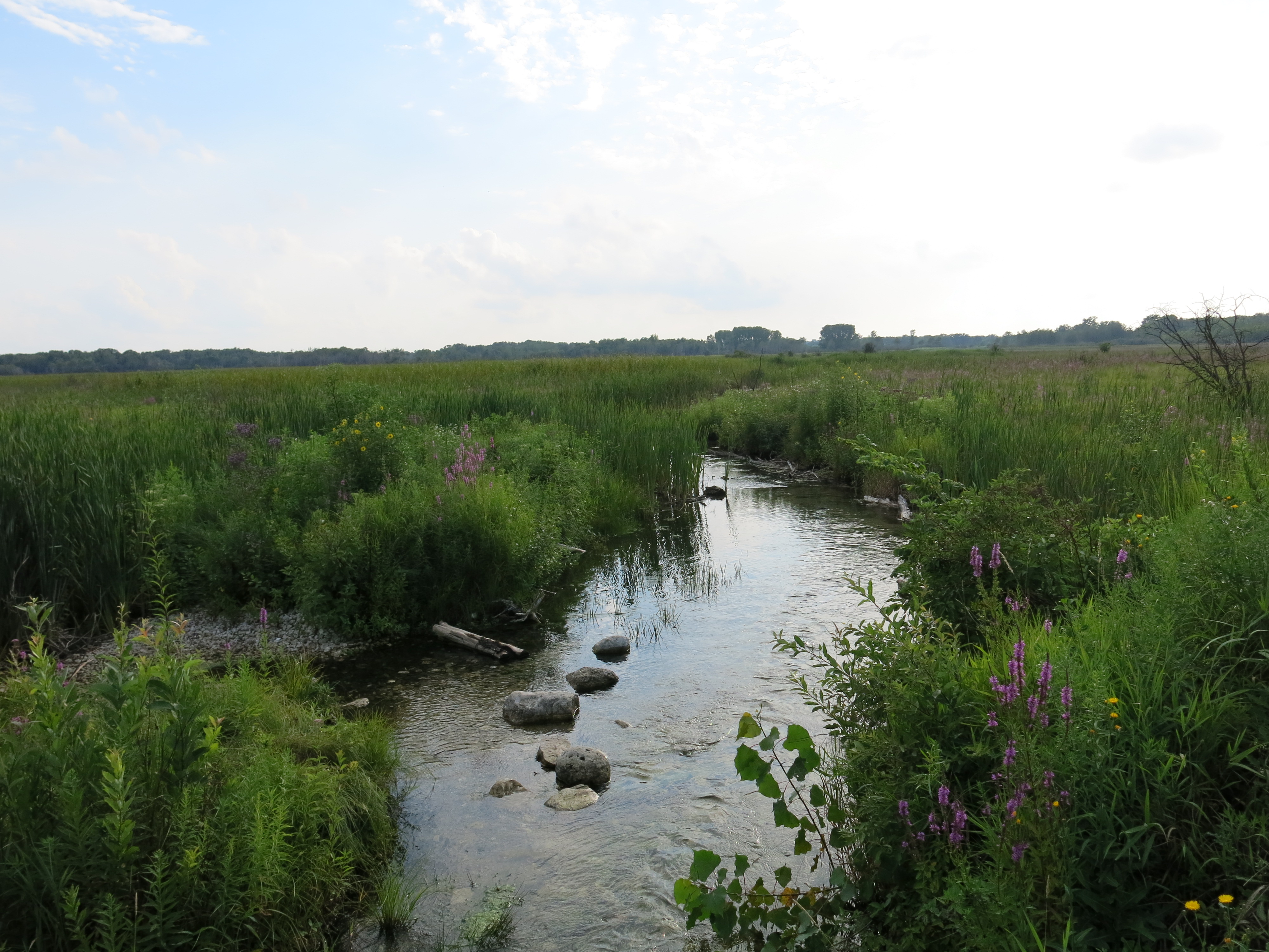
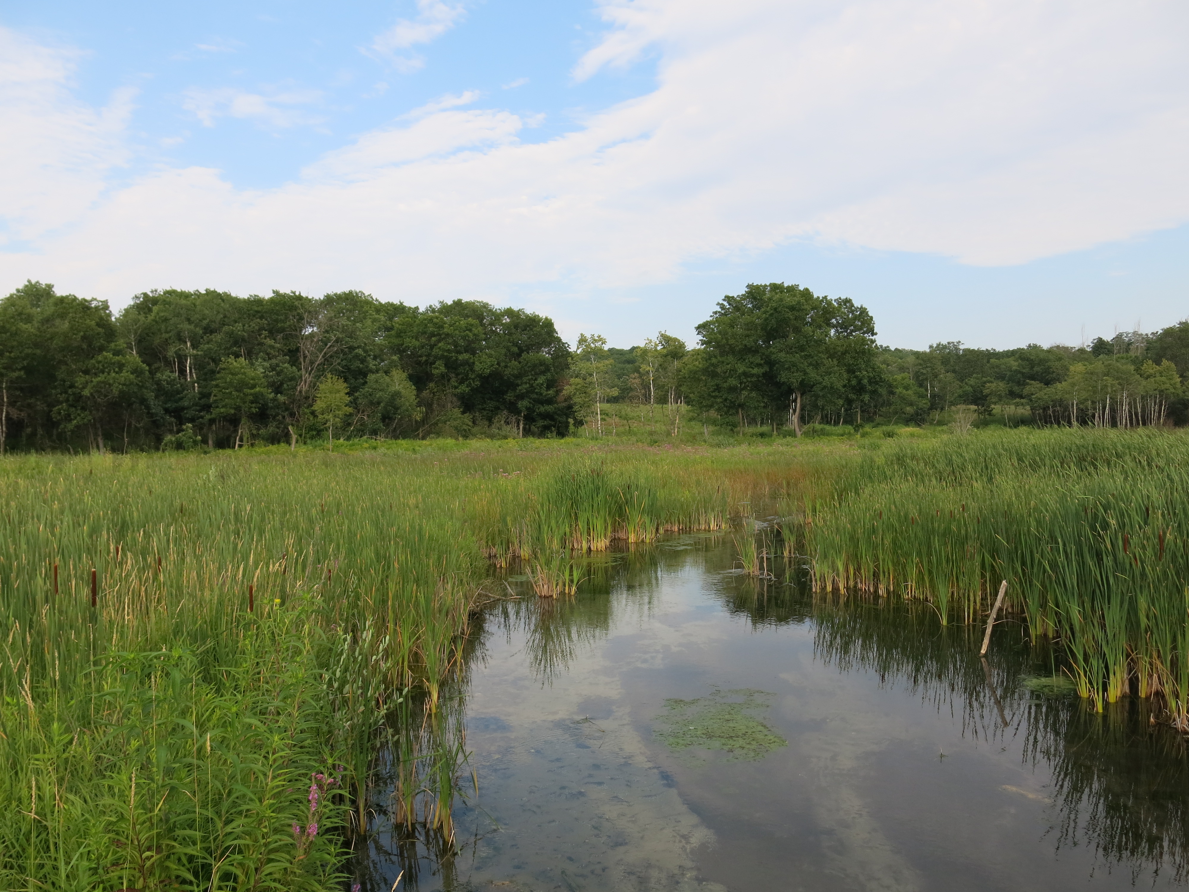
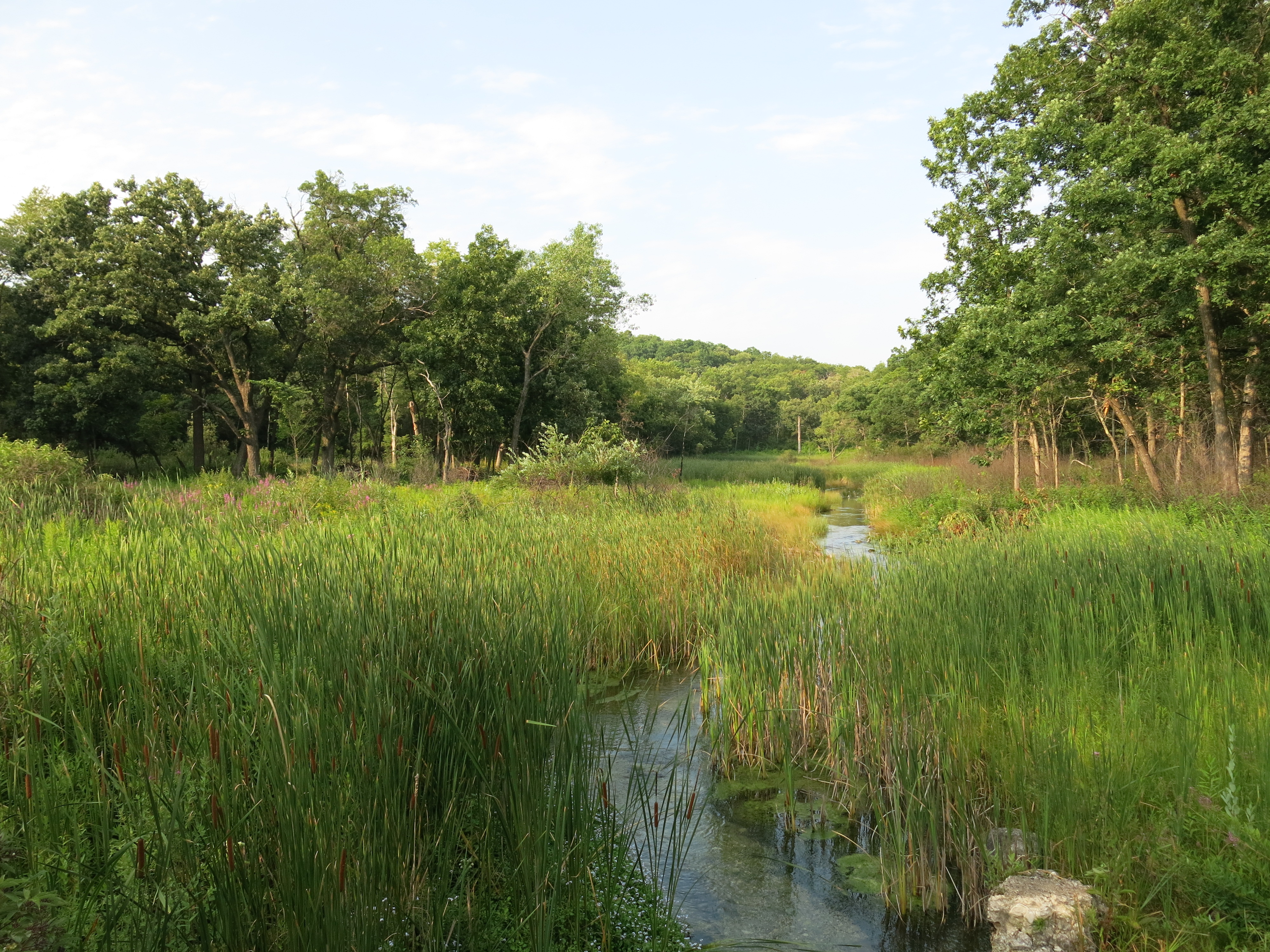
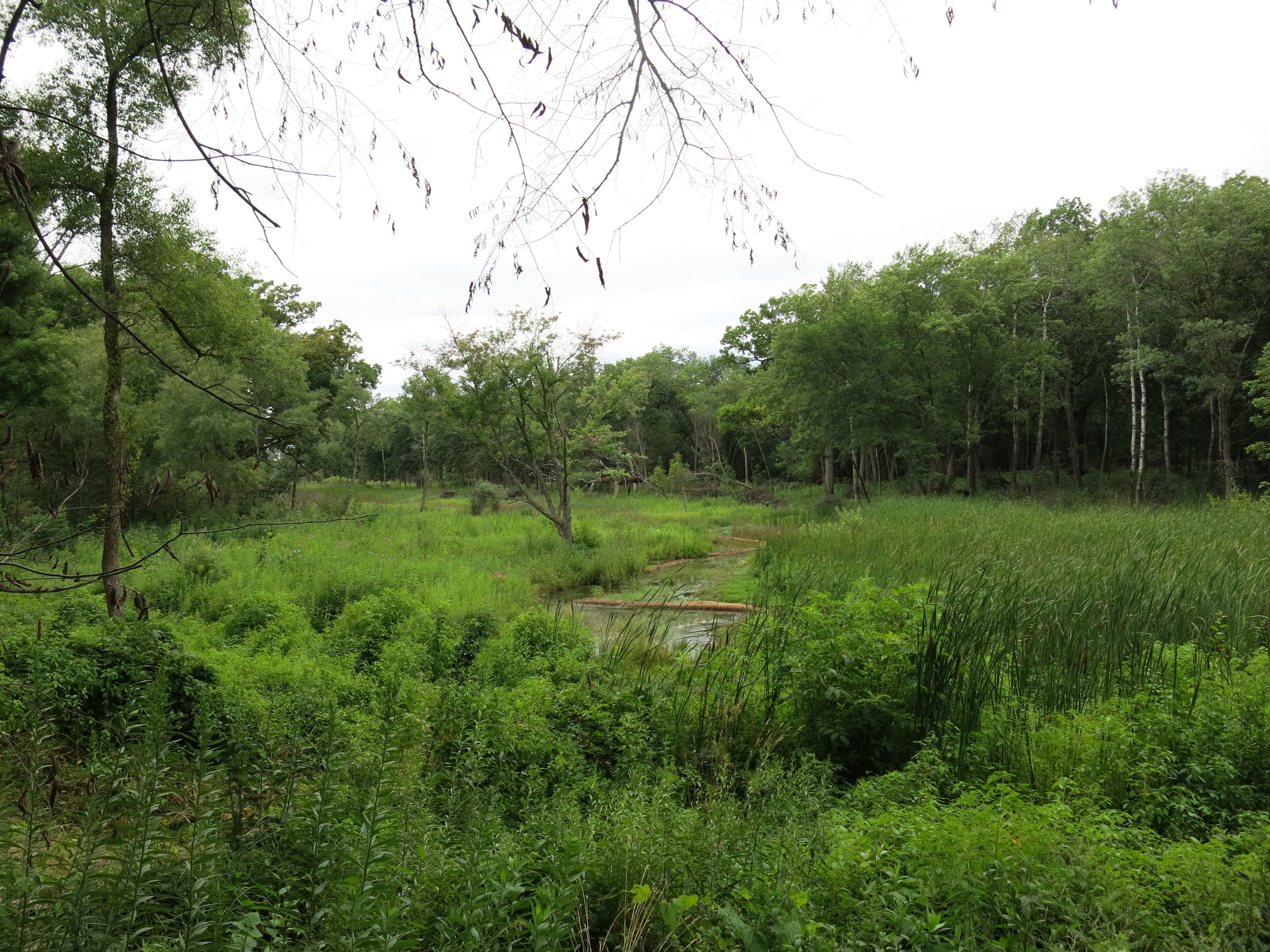
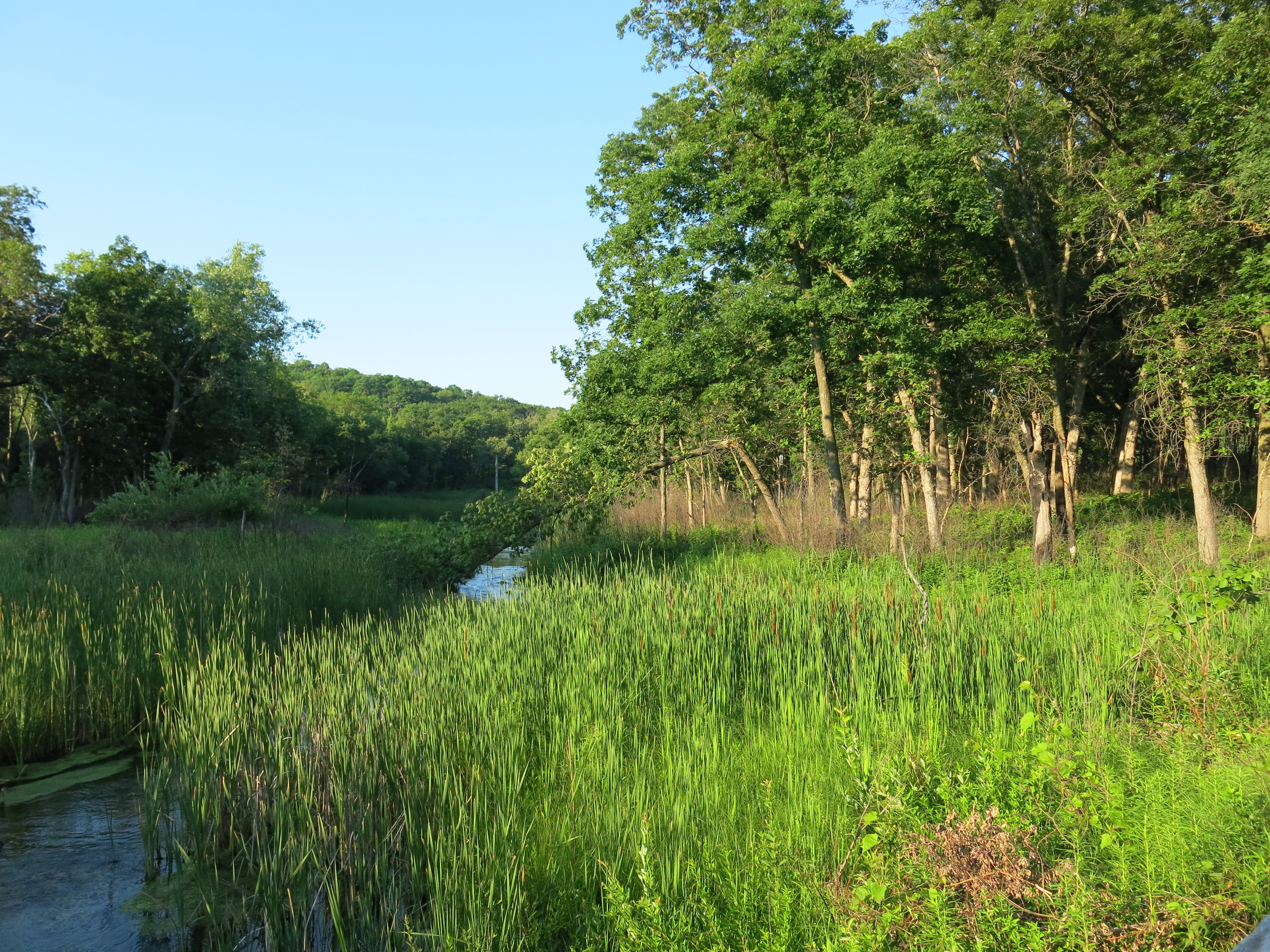
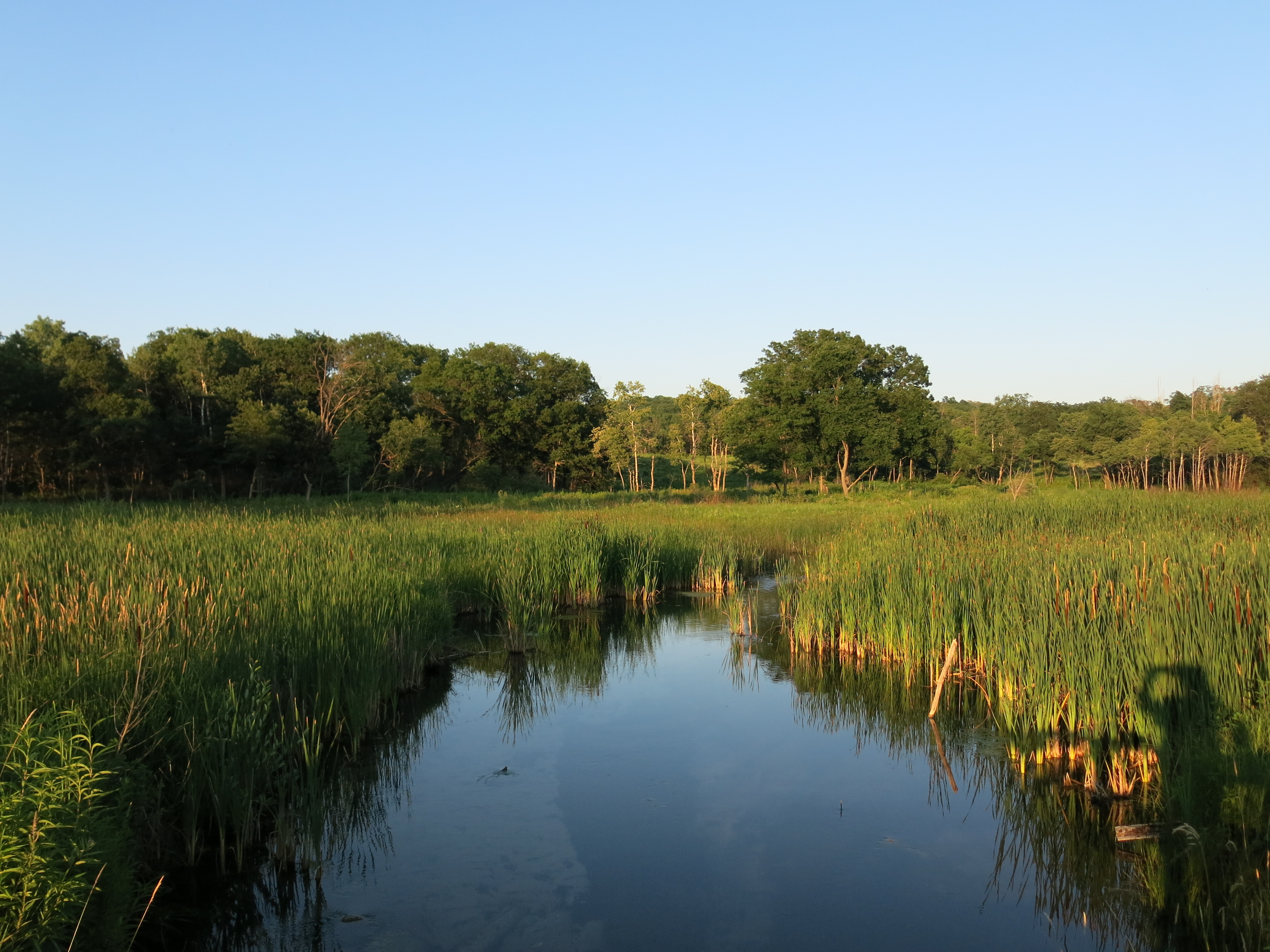
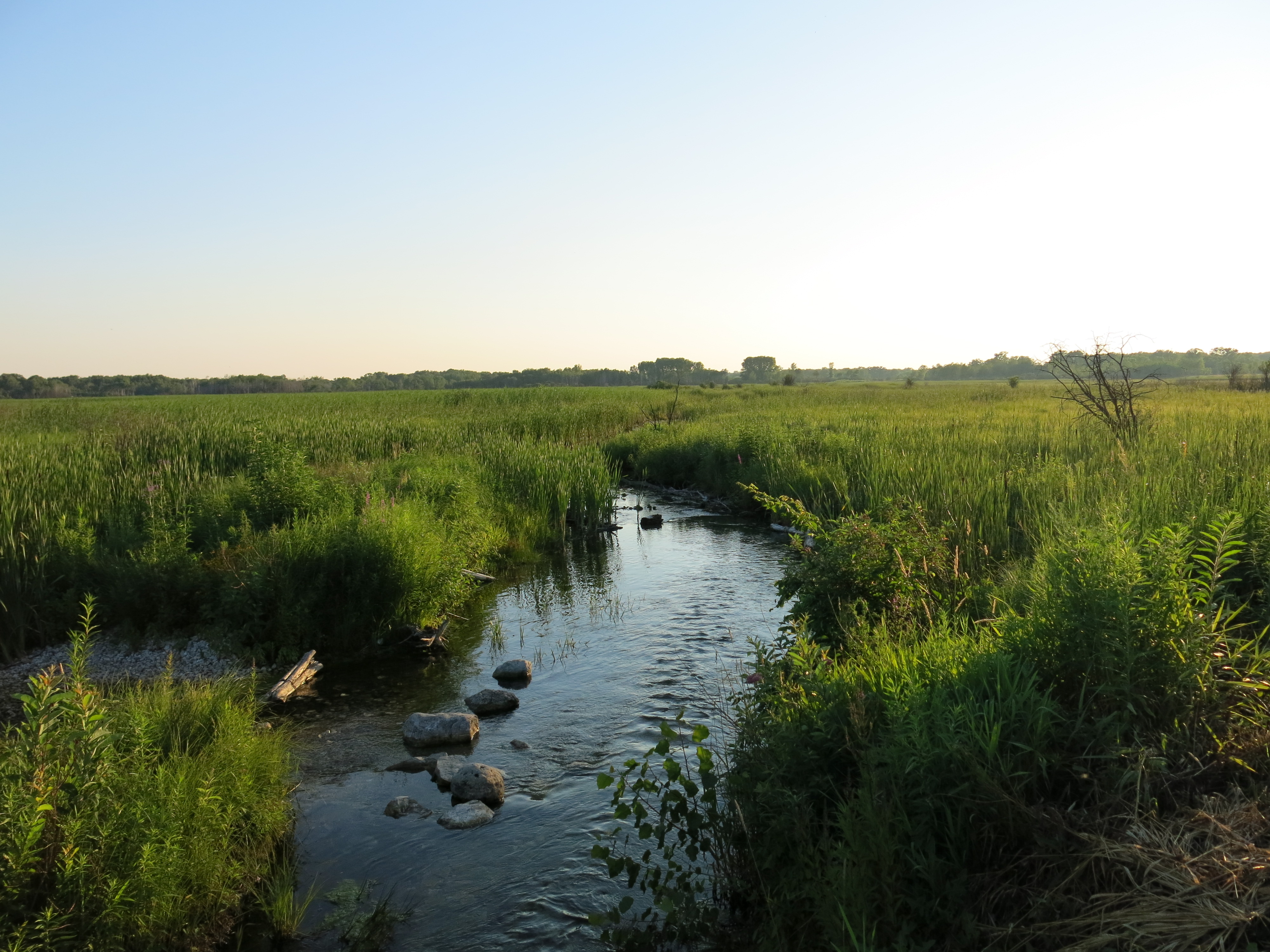
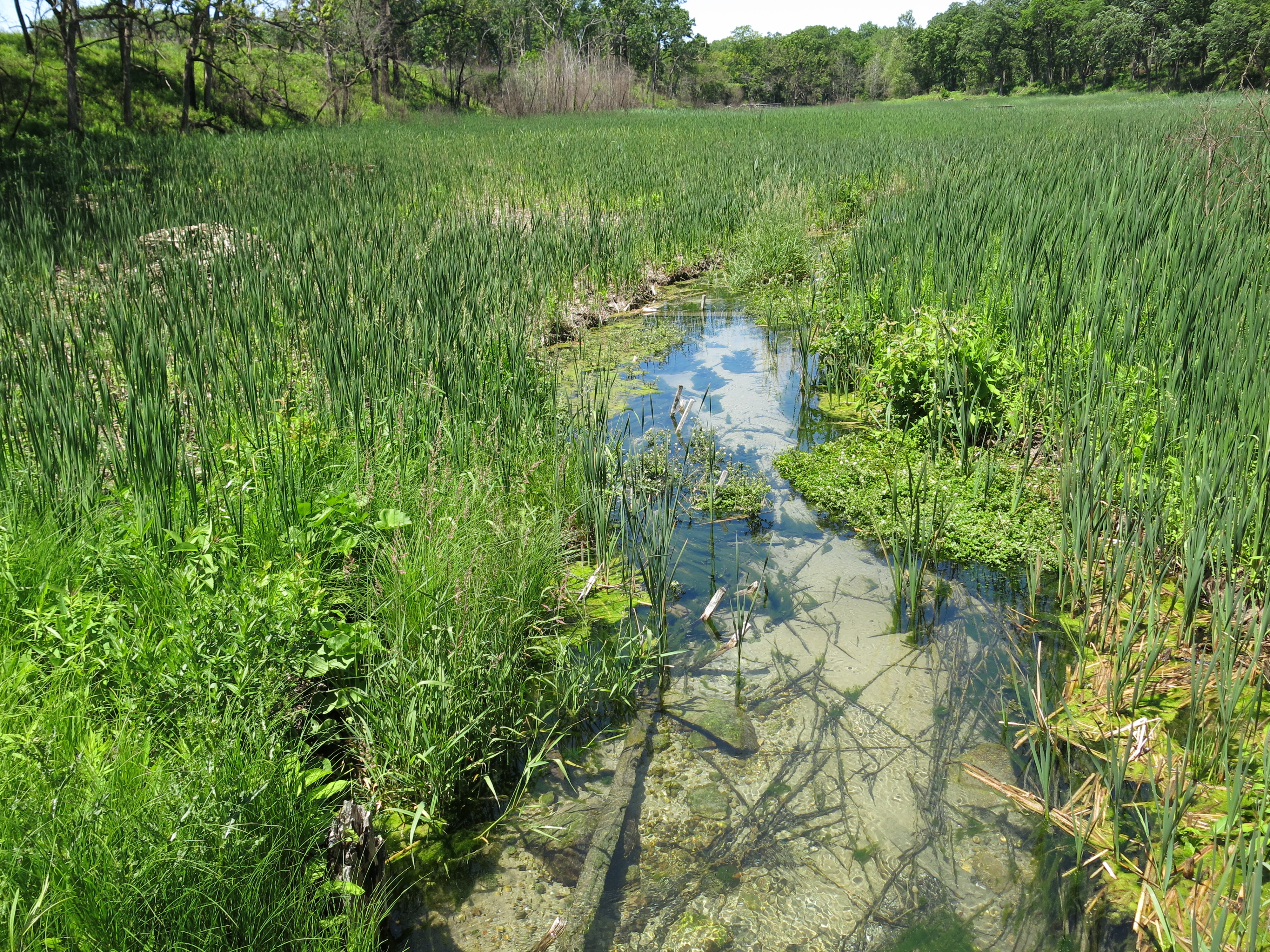
Yesterday, it was my great pleasure to participate with a dedicated team of Wisconsin DNR Water Resource specialists as they conducted their annual fish count of the Scuppernong River. Fish Count in that they are viewed as key indicators of the quality of the water, the health of an ecosystem and even global climate change. We made significant changes to the Scuppernong River headwaters and valley last year by removing water cress dams, which freed the river’s flow lowering its depth 4-6″, and cleaning out springs to allow the water to join the river more directly. In theory (because I don’t have any data to prove it) these efforts should have reduced the “thermal pollution”, i.e. the temperature increase caused as the water warmed while slowly filtering through dense mats of water cress, which is a good thing because native brook trout like cold water. The downside is that we reduced a source of food and cover (water cress) and we disturbed a lot of muck. Did we inadvertently tip a delicately balanced system out of favor for the brook trout? I’ve been waiting for this year’s fish count with nervous anticipation since we heard about it from Craig Helker last November.

Meet Craig, Rachel, Adam and Chelsea.

Craig and Rachel explain the fish count.

And Adam provides the safety explanation.

That was on Tuesday, August 6, and unfortunately, there were problems with the equipment that could not be resolved and we had to reschedule for Thursday. I’m waiting for the crew at the gaging station bridge and here they come.

IMG_0281

IMG_0282

We reviewed what the problem was on Tuesday (a faulty probe) and I got a more detailed explanation of the system. The generator in the white boat creates the electrical current that flows from a plate on the bottom of the boat, which acts the cathode, to the probes held by the shockers, which act as anodes (I mix this all up in the videos) creating an electrical field. There is a separate system, powered by a battery, that shuts the current off if either of the shockers looses control of their probe. The current flow is also stopped if a probe stops working for some reason, which did happen again on Thursday, but this time the team was prepared and simply reverted to using only one probe.

Here is my first attempt to use iMovie to string a couple videos together showing our shocking actions. Note that Shelly, also from WDNR Water Resource team, has joined us.

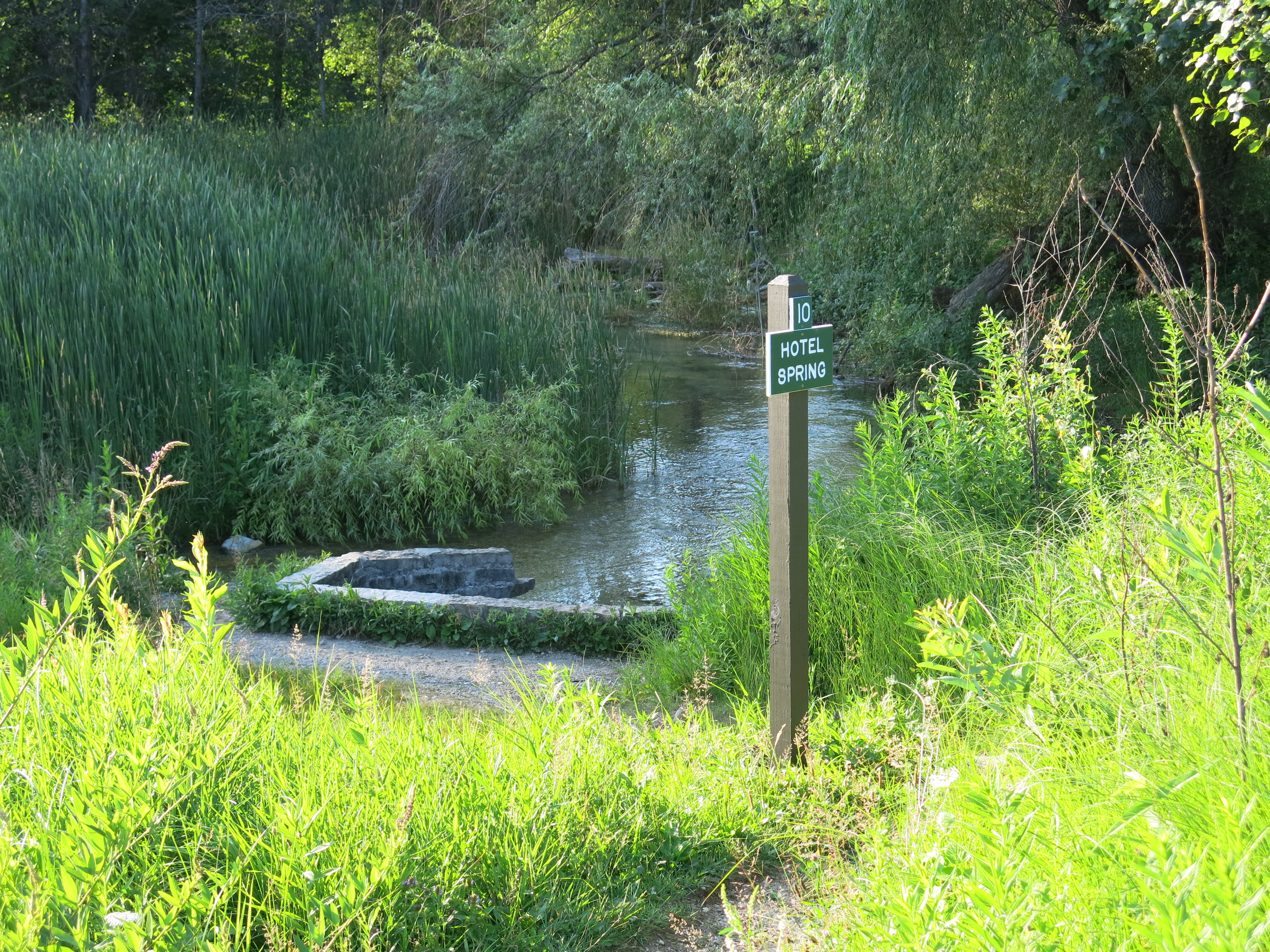
We finished at the Hotel Spring and they setup buckets and began sorting the fish.

Adam, Craig and Rachel measure and count the fish.

Chelsea gives us a close up look at four of the eight different fish species that were collected.

And Rachel delivers the final tallies.

I got 2010 – 2012 data from Craig. Let’s see how we’re doing (note that we may have also impacted the 2012 numbers since we began our work that spring).

2010

Mottled Sculpin – 240
Brook Stickleback – 59
Central Mudminnow – 69
Fantail Darter – 2
Brook Trout – 121

2011

Mottled Sculpin – 169
Brook Stickleback – 25
Central Mudminnow – 72
Fantail Darter – 10
Brook Trout – 213
Green Sunfish – 1
Johnny Darter –2
Grass Pickerel – 1

2012

Mottled Sculpin – 211
Brook Stickleback – 11
Central Mudminnow – 15
Fantail Darter – 8
Brook Trout – 92
Green Sunfish – 1
Johnny Darter – 1

2013

Mottled Sculpin – 86
Brook Stickleback – 1
Central Mudminnow – 5
Fantail Darter – 9
Brook Trout – 66
Green Sunfish – 1
Grass Pickerels – 4
Northern Pike – 3

The numbers are definitely down from previous years and I wonder if the appearance of Northern Pike is significant. There are a lot of variables that could affect the number of fish collected, including the changes we made to the river last year, but I don’t know if we can go beyond speculation to identify specific cause and effect relationships. We are assuming that removing as much water cress as we did last year did reduce the food and cover that brook trout need, and hence we are letting it grow this year, but not to the extent that it forms dams like it used to. We did collect some “young of the year” brook trout, which indicate that they are still spawning in this area of the river.

Anne Korman, Assistant Superintendent of the Southern Unit of the Kettle Moraine State Forest stopped over to say hello and take this picture of the crew (Craig, Paul, Chelsea, Rachel, Shelly and Adam).

IMG_0291

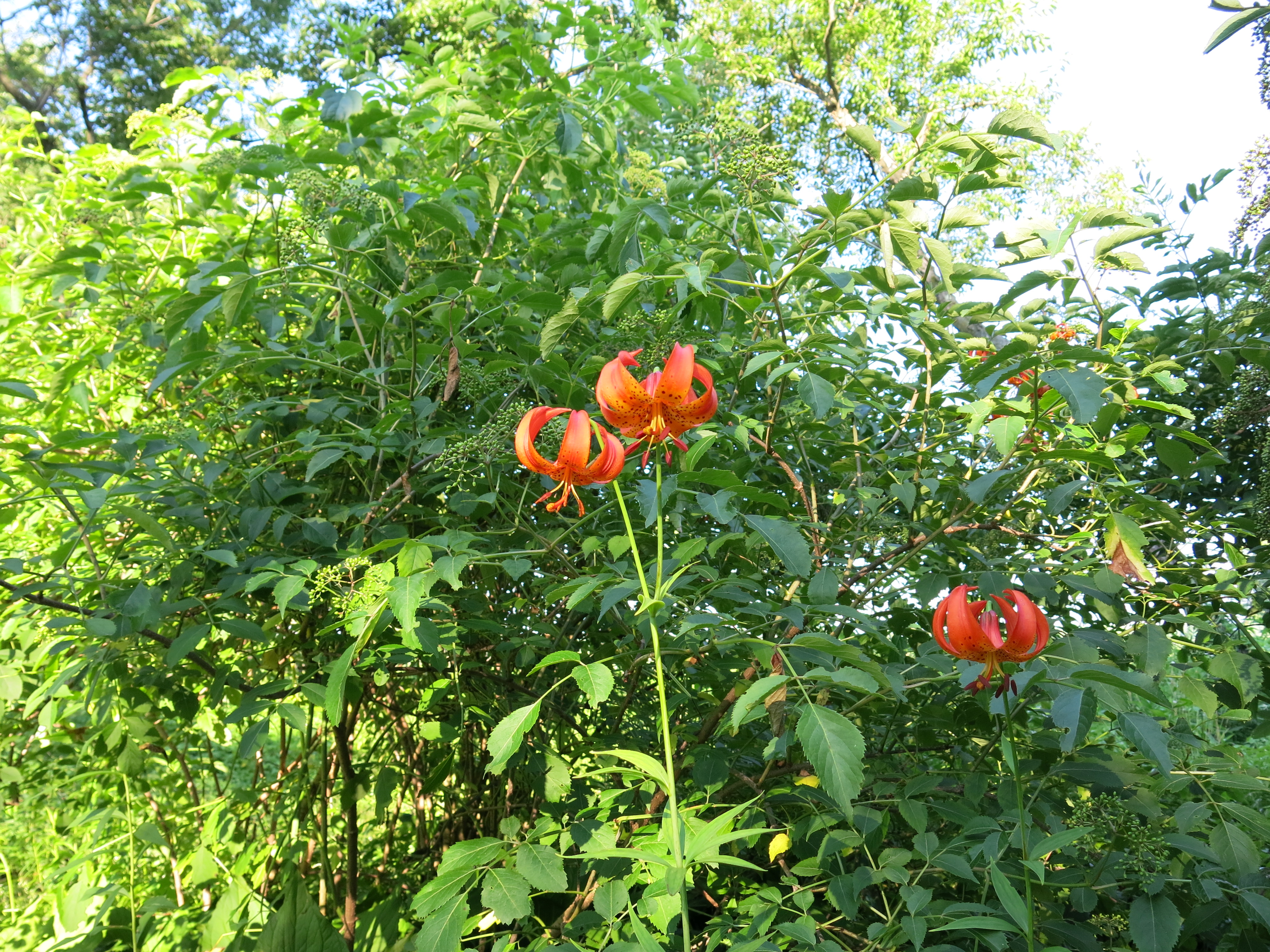
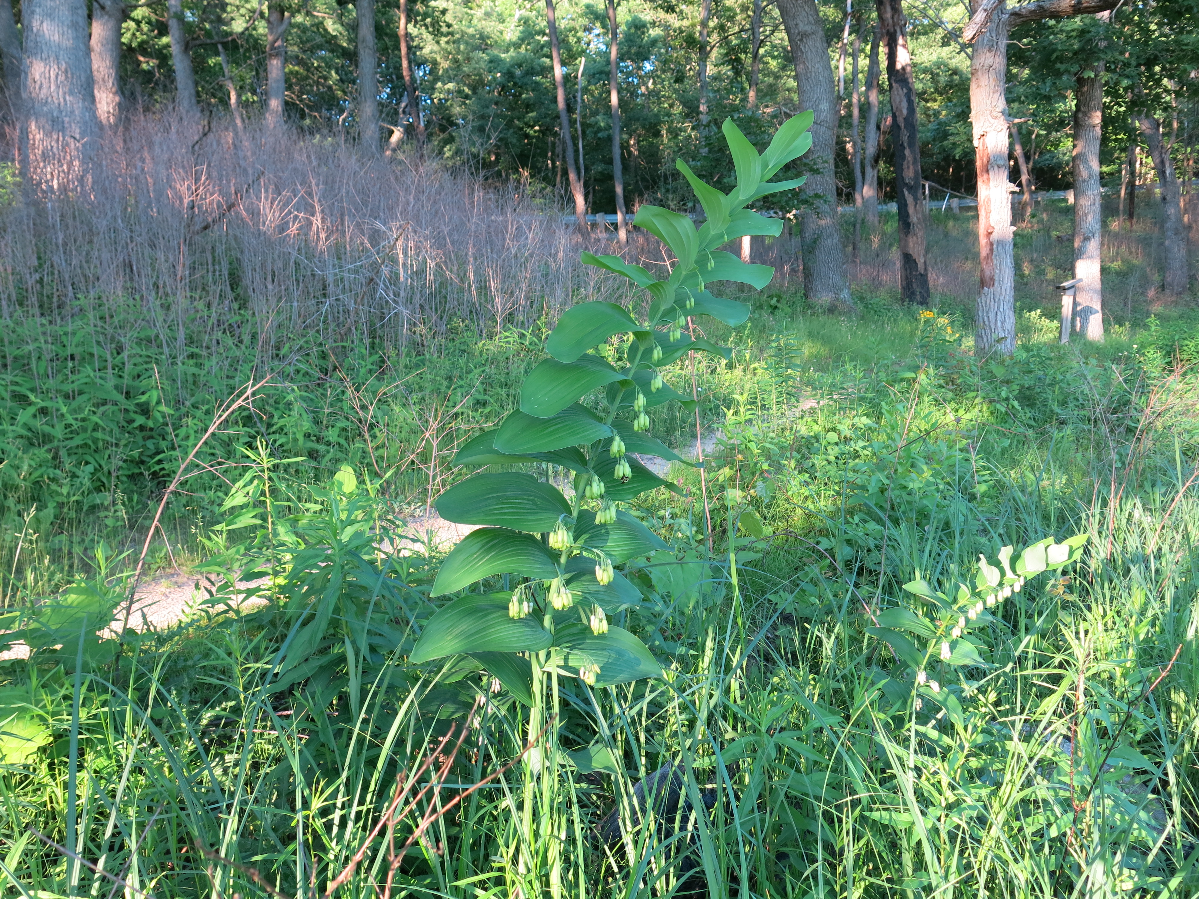
I managed to pull a few weeds yesterday before meeting the DNR team. I got this queen anne’s lace along the first bridge over the river downstream from the Scuppernong Spring.

IMG_0276

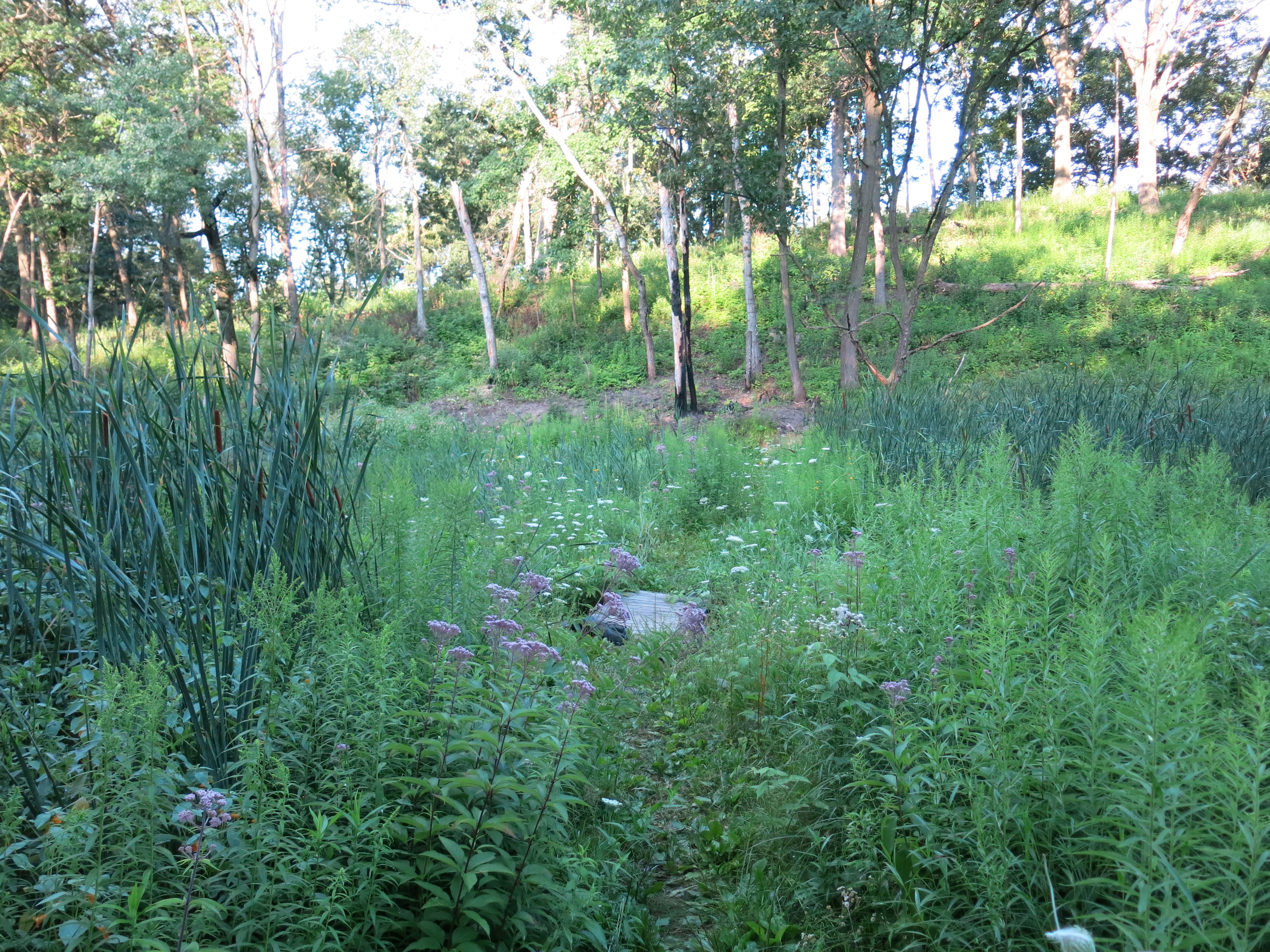
And some of this purple nightshade on the south end of the loop trail

IMG_0277

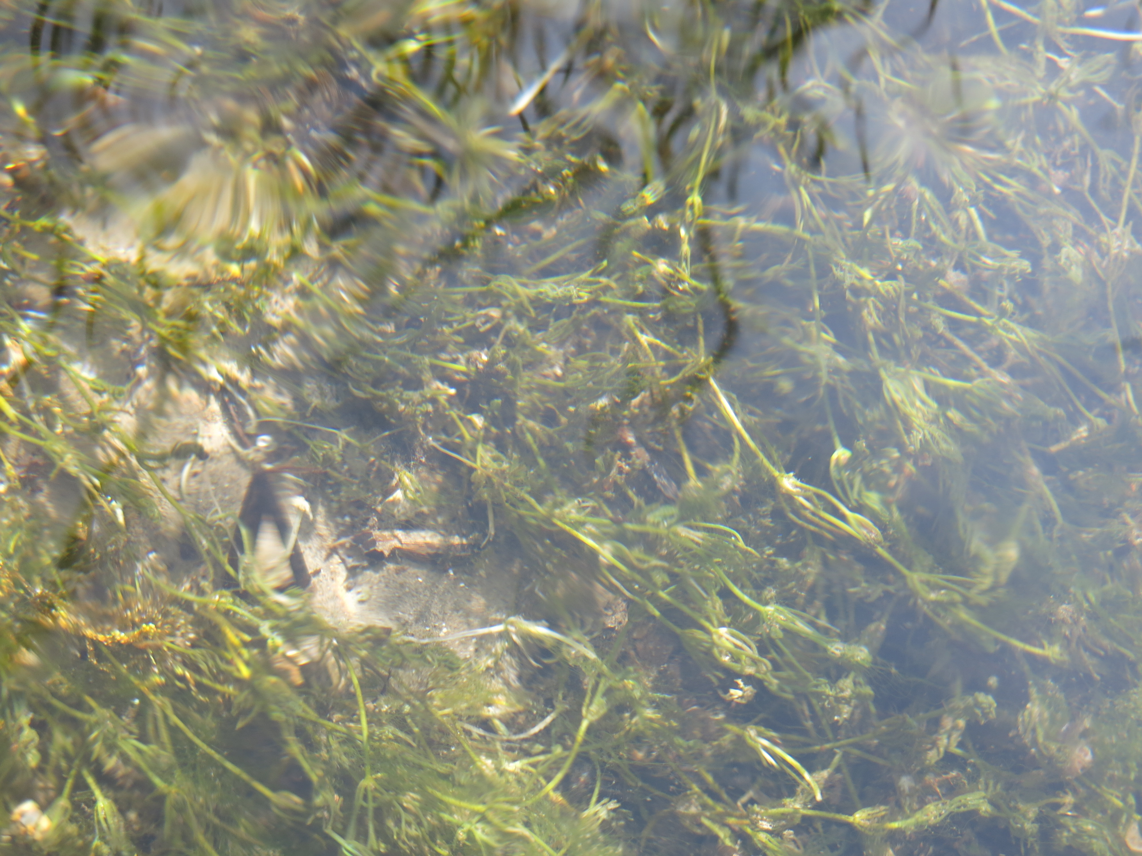
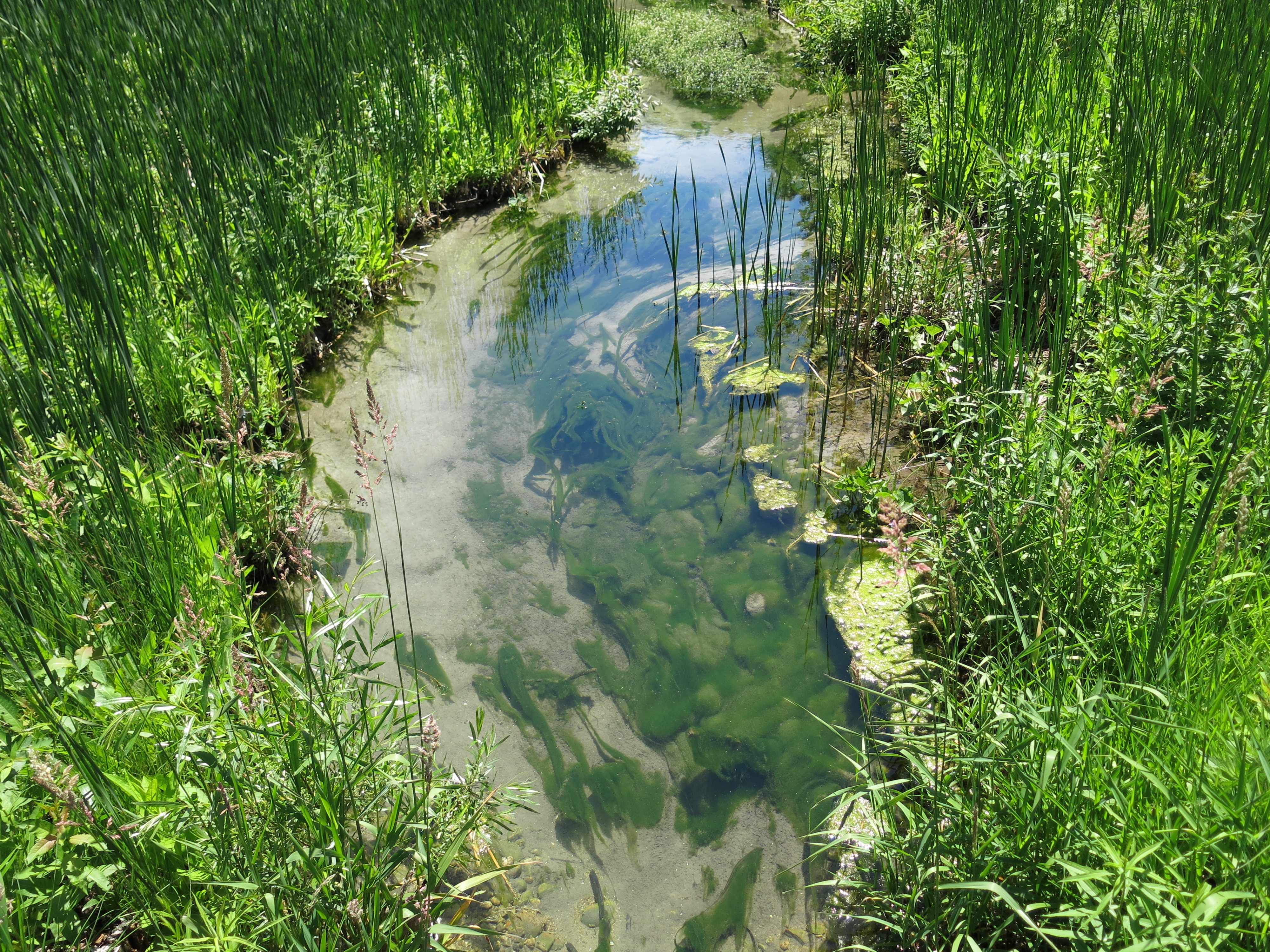
Rachel showed me this chara plant, which is the source of the calcium carbonate that forms into marl.

IMG_0278

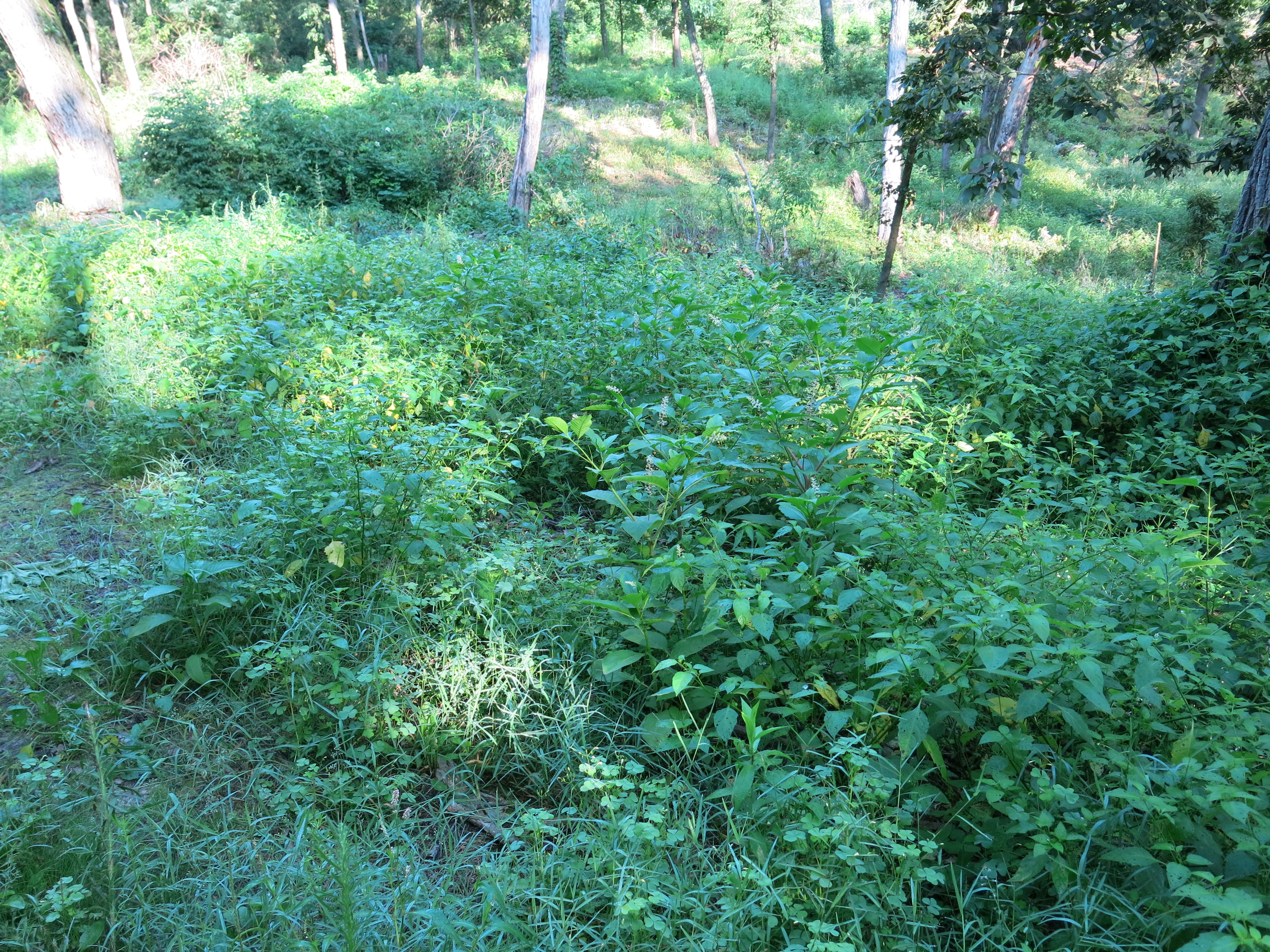
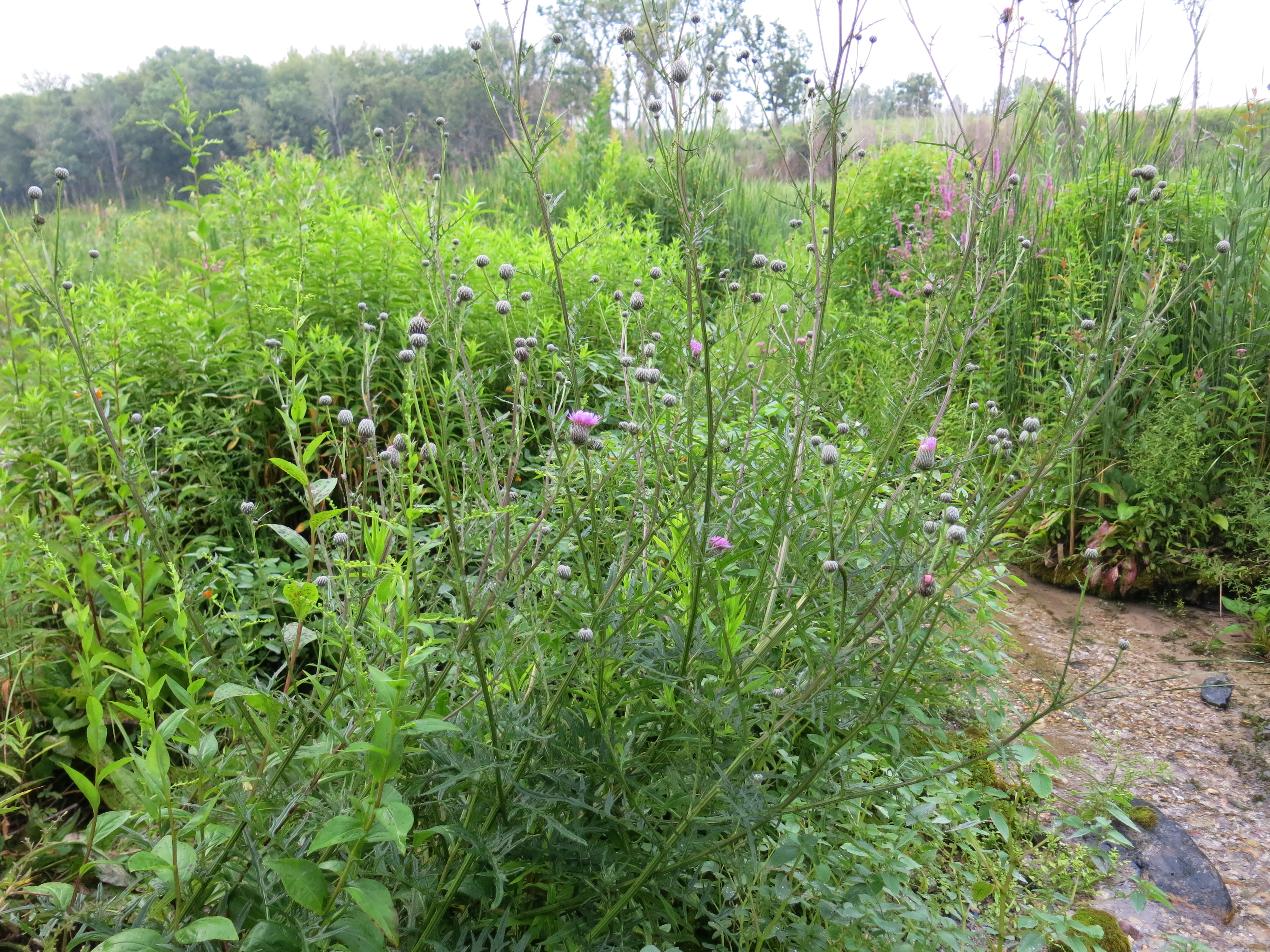
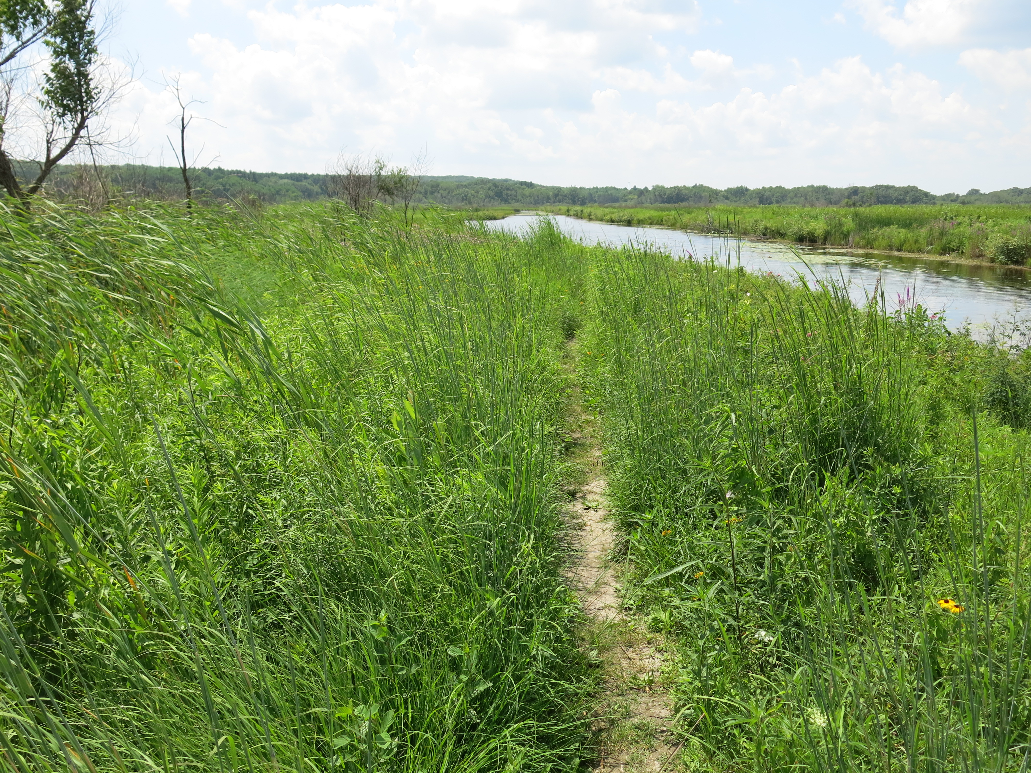
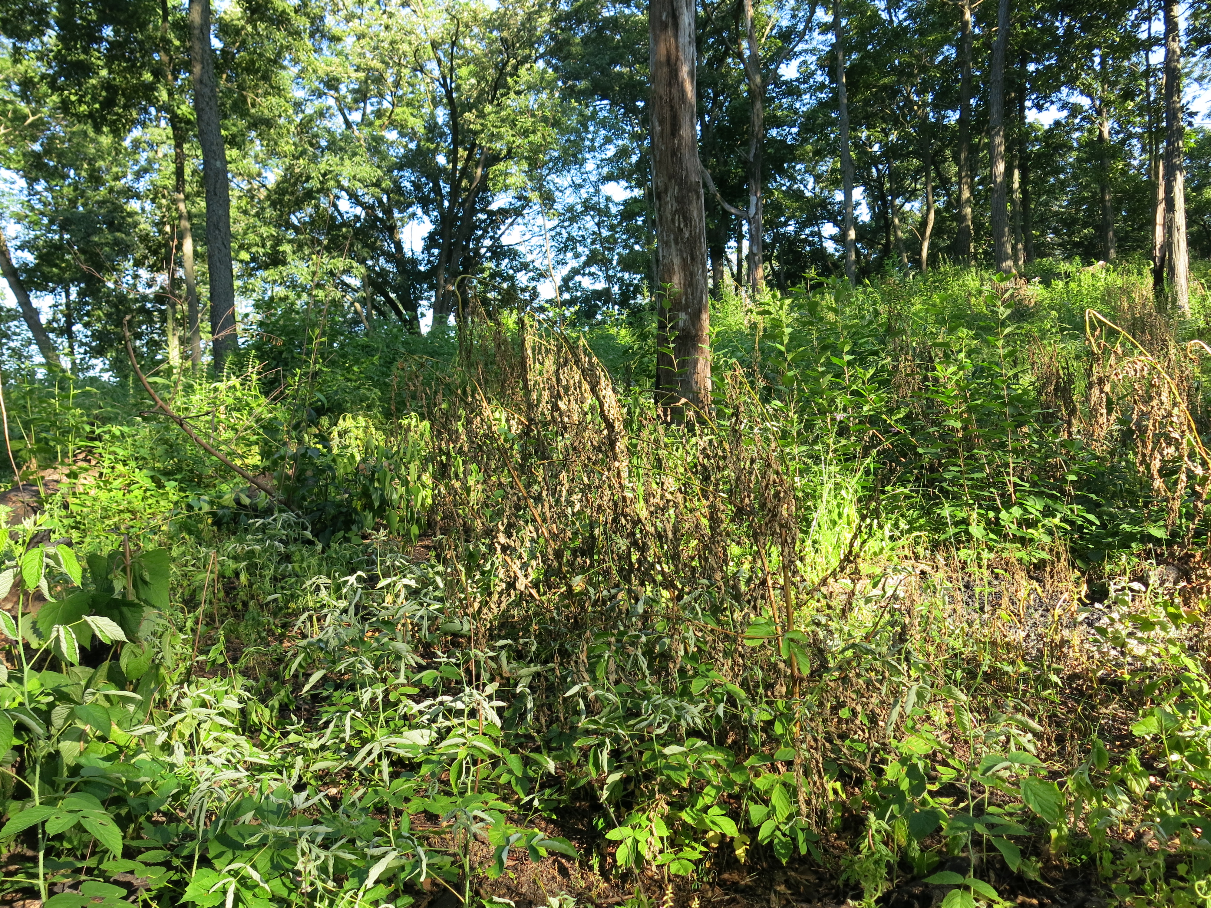
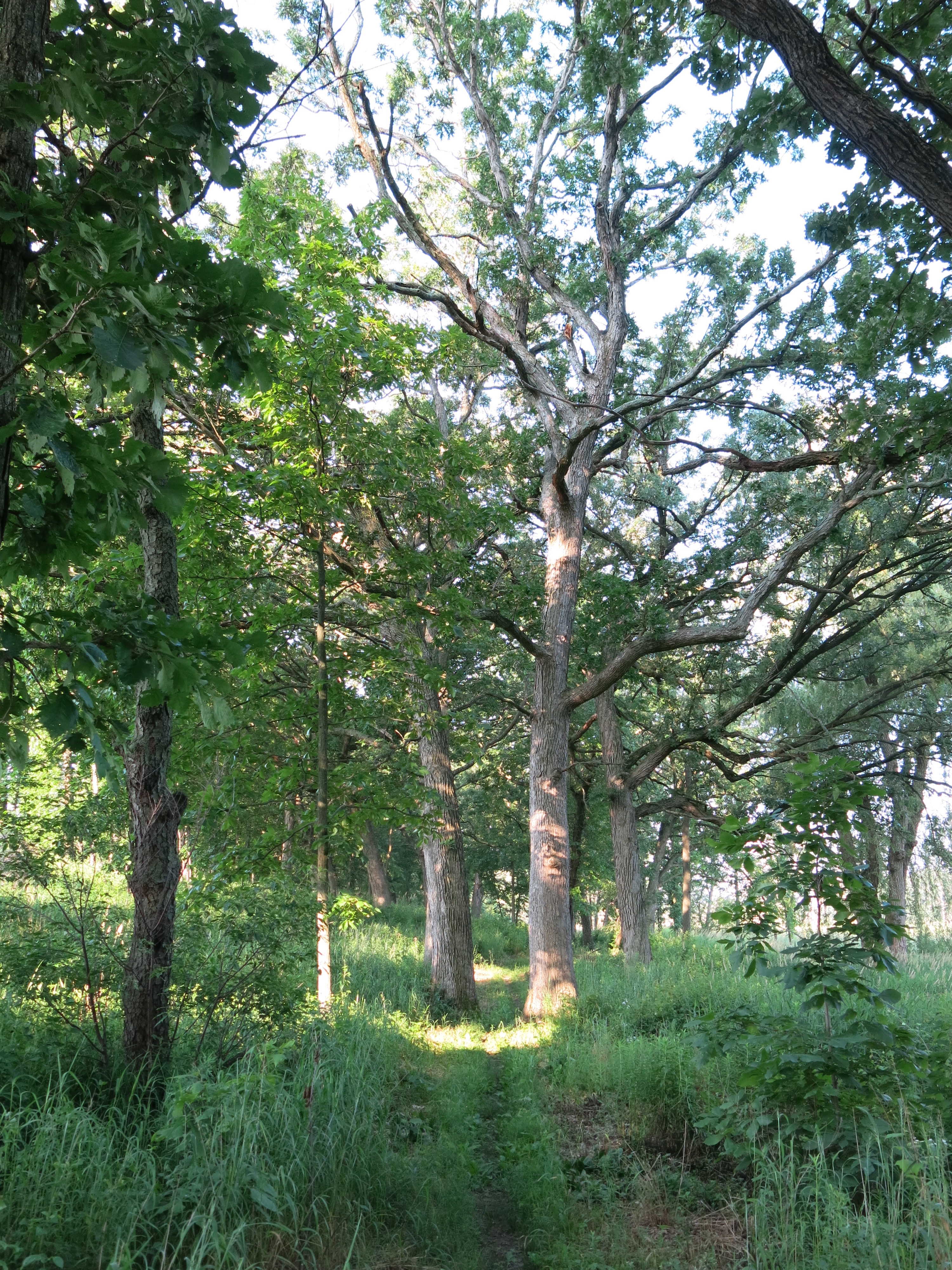
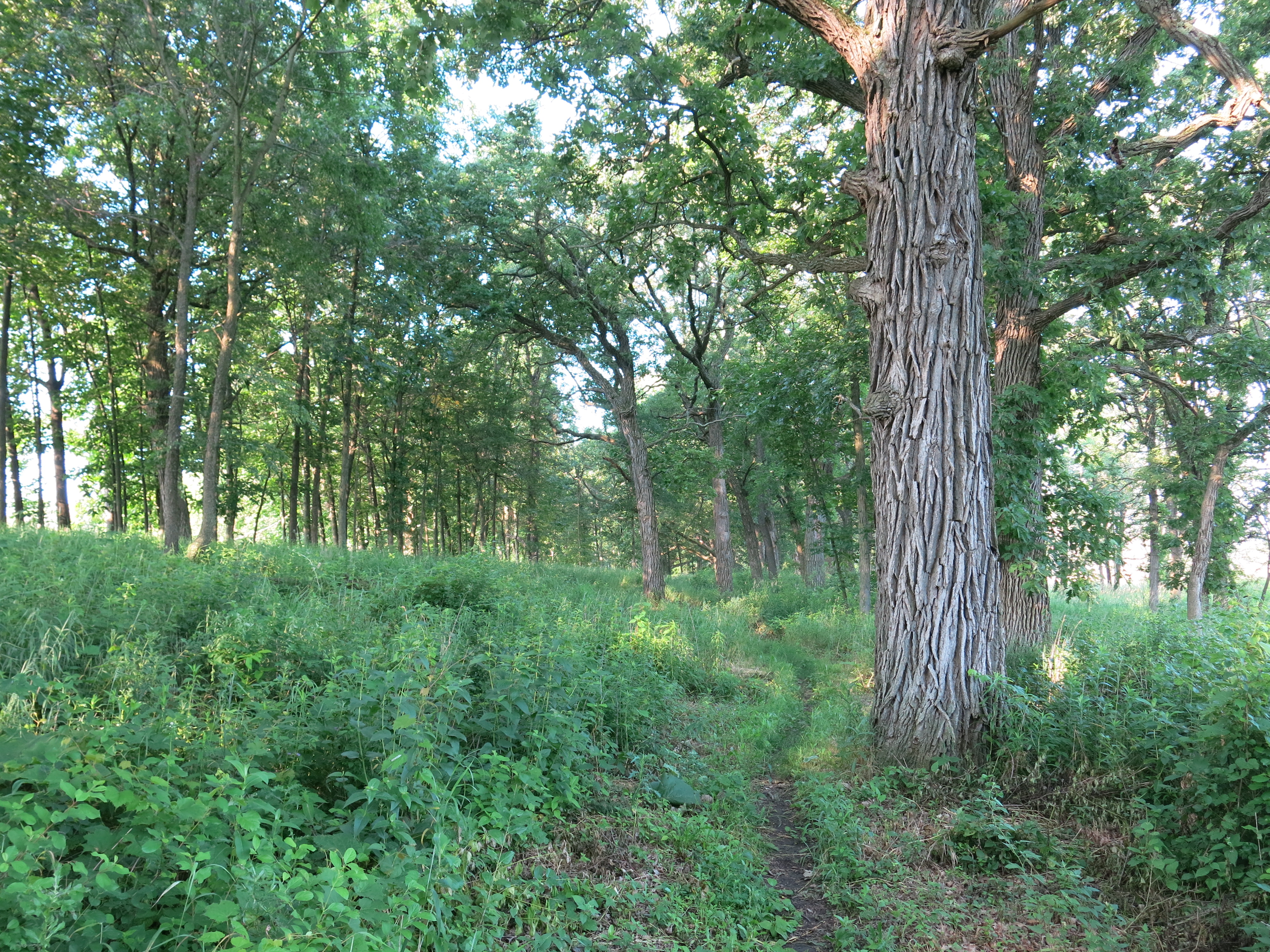
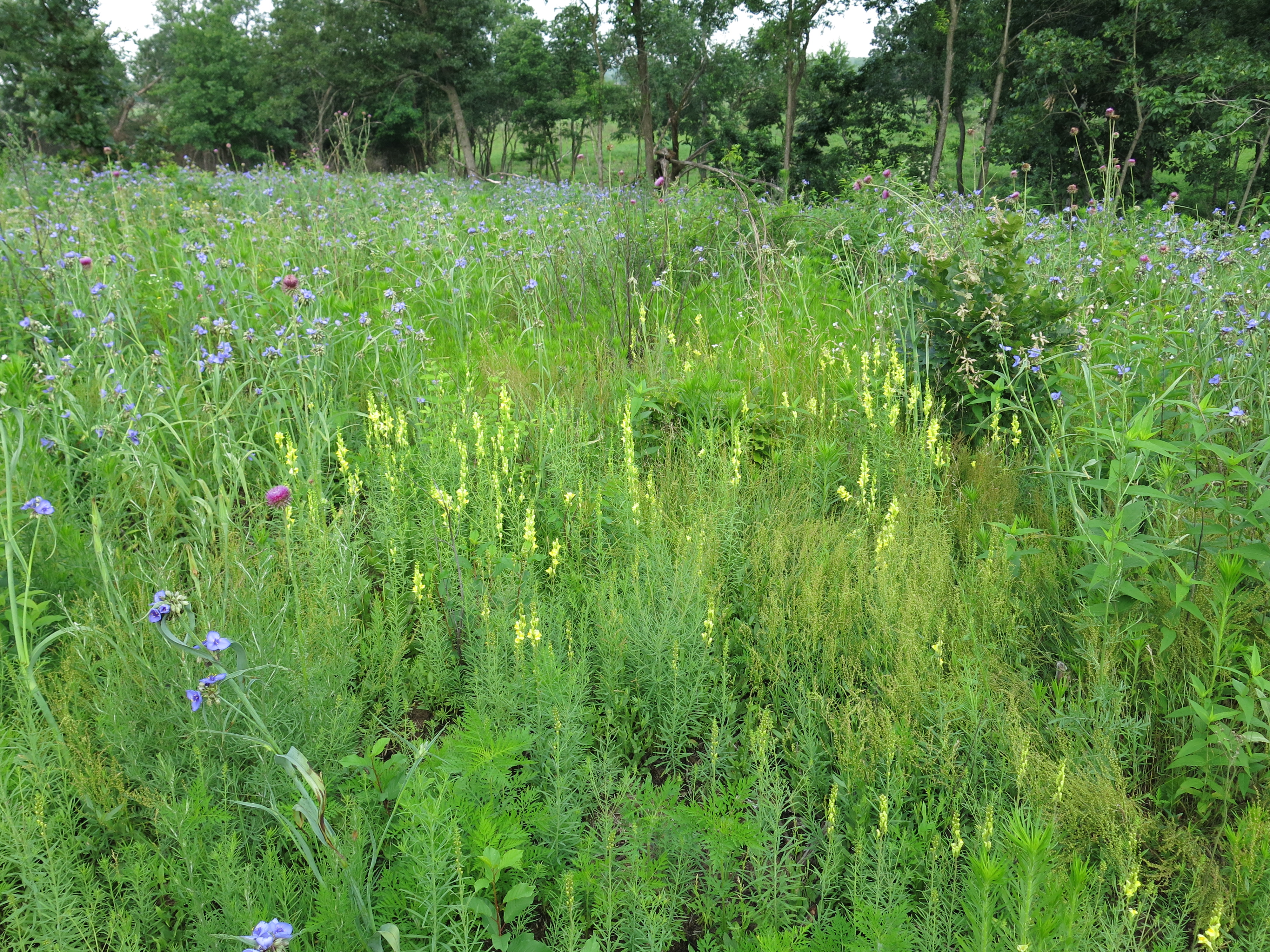
I spent the rest of the afternoon pulling spotted knapweed, common ragweed and hoary alysum on the sand prairie, which is poised for an explosion of color from rough blazing star, golden rod and many other flowers. Come and see the prairie!

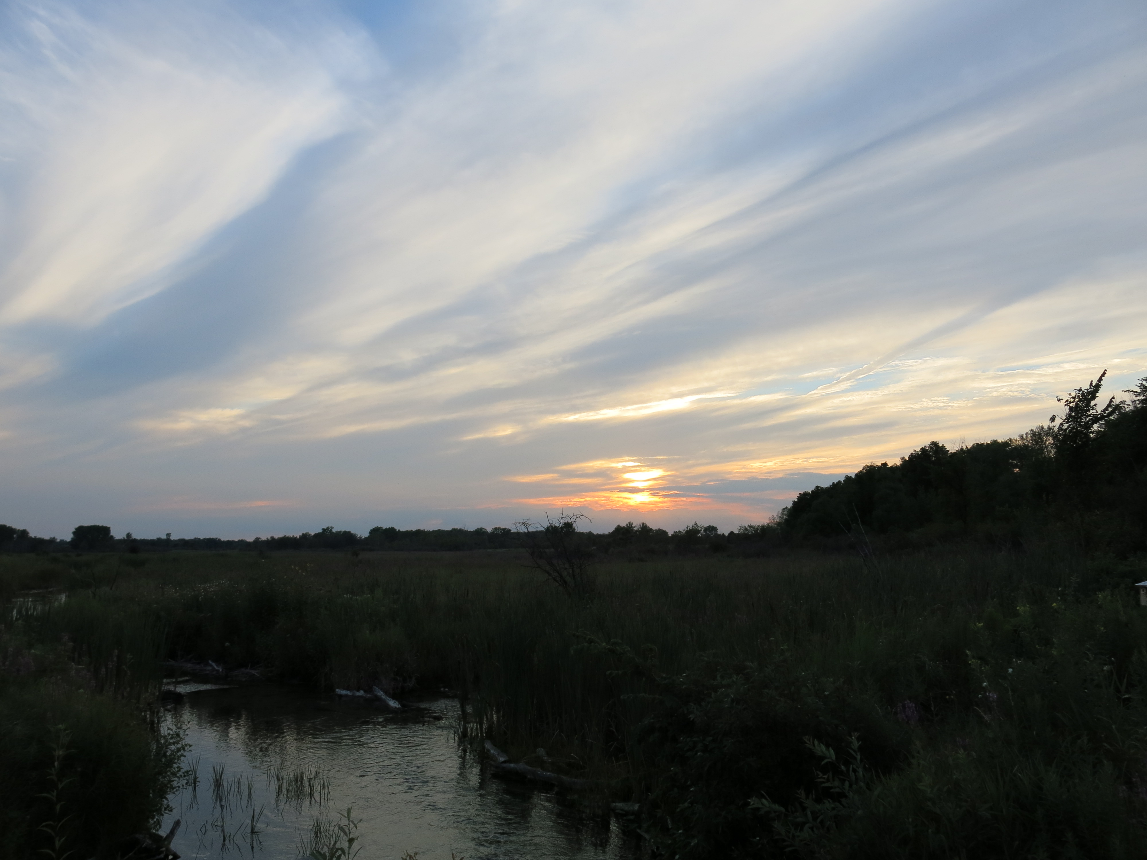
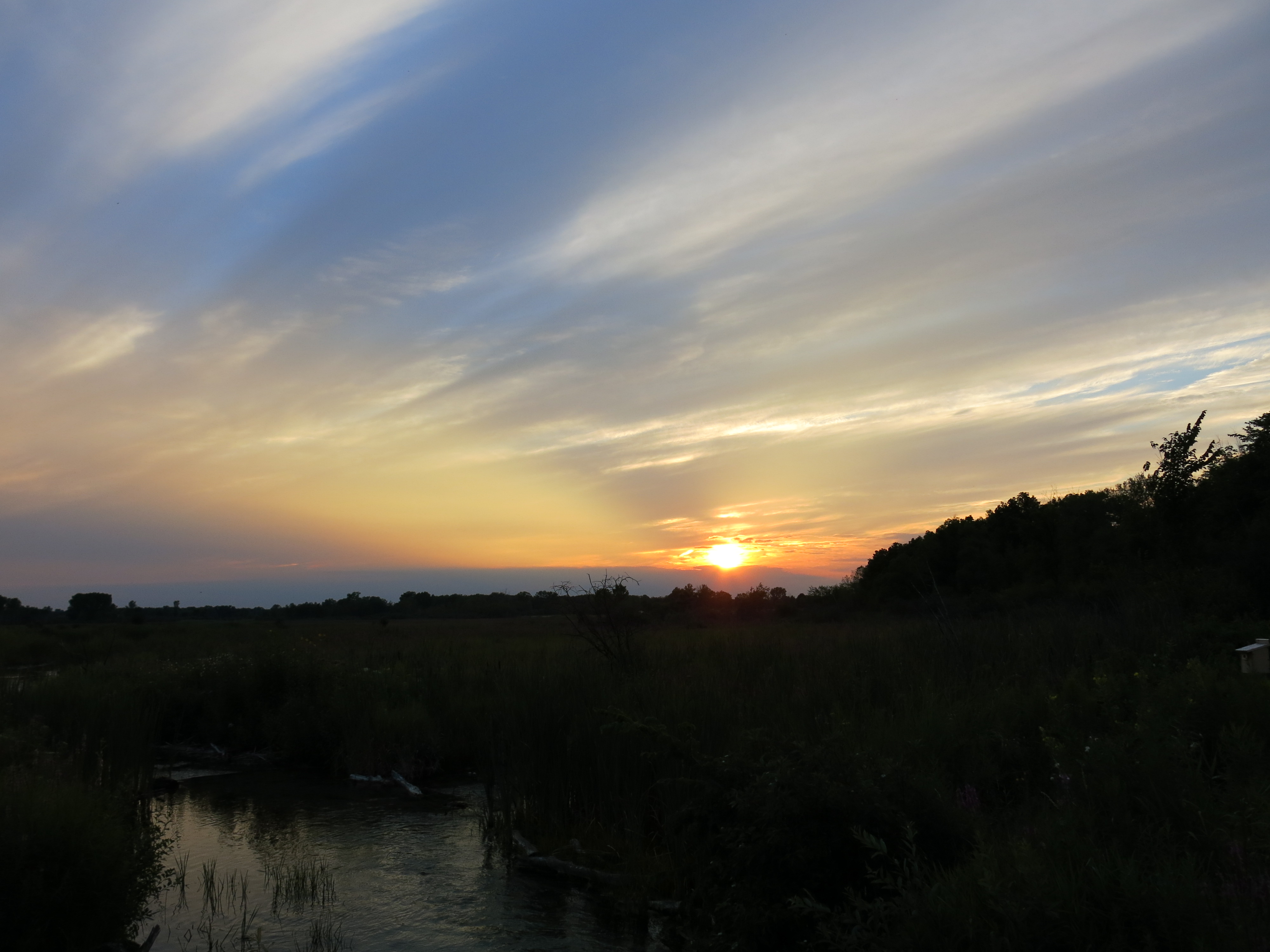
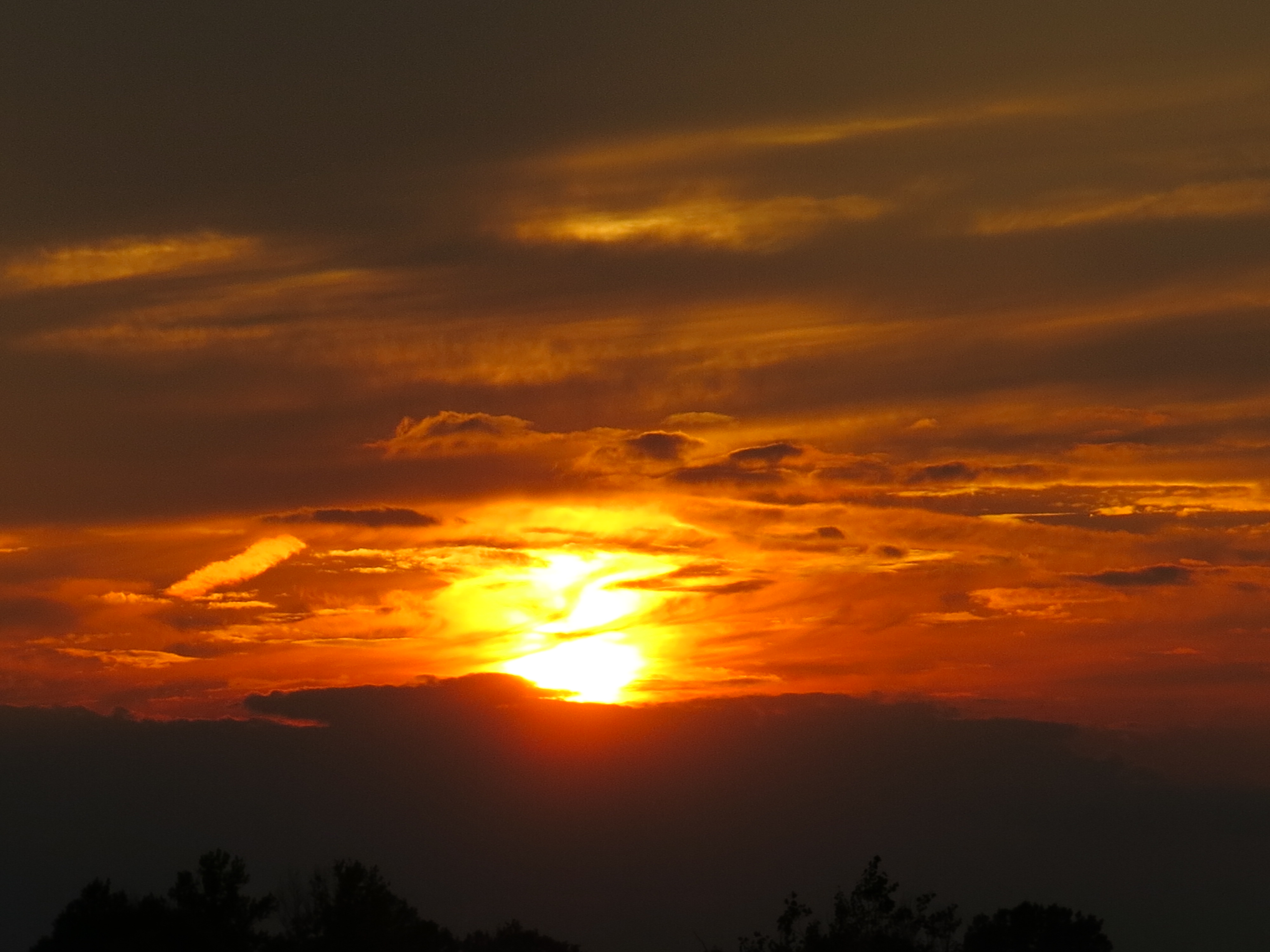
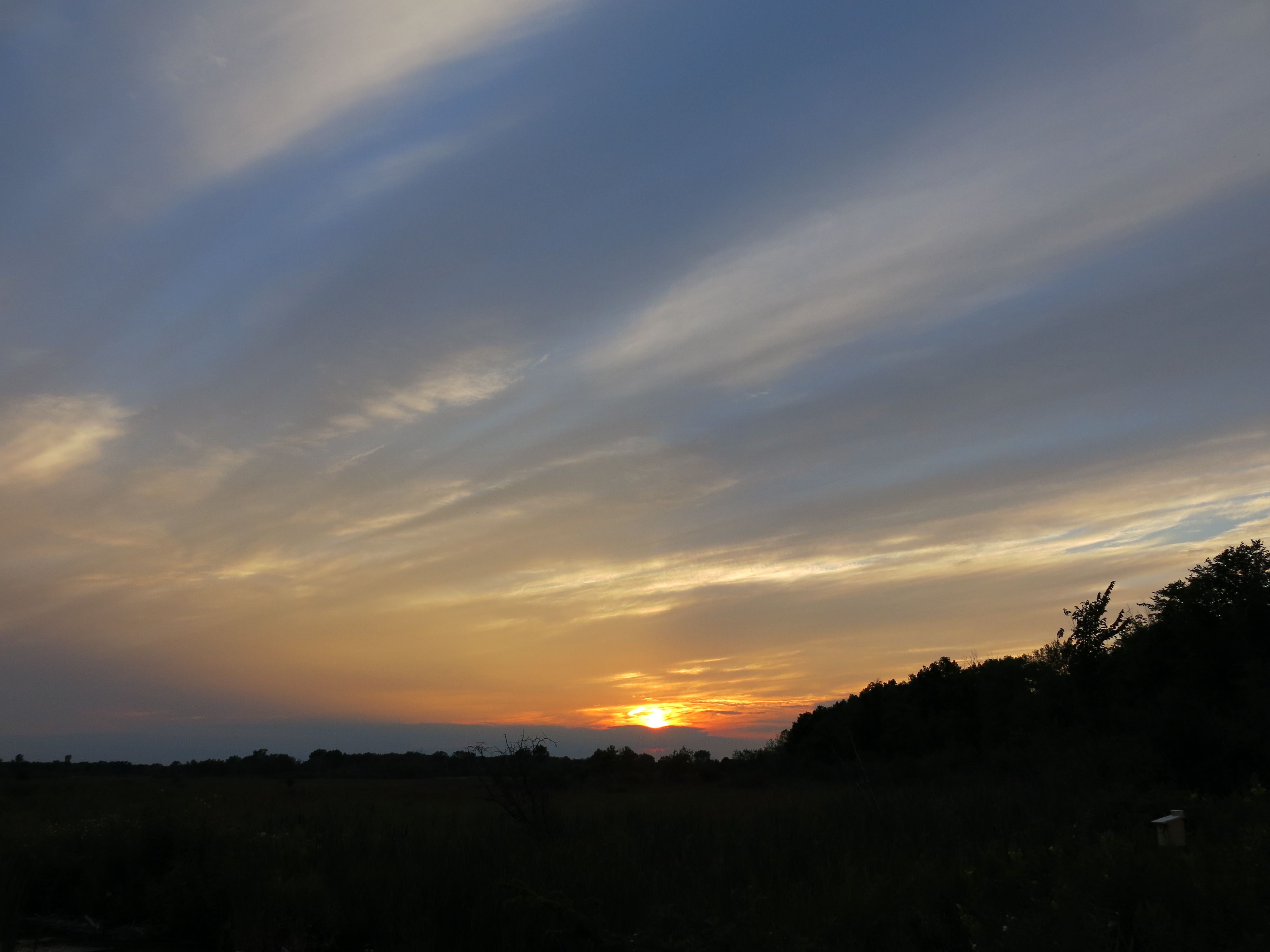
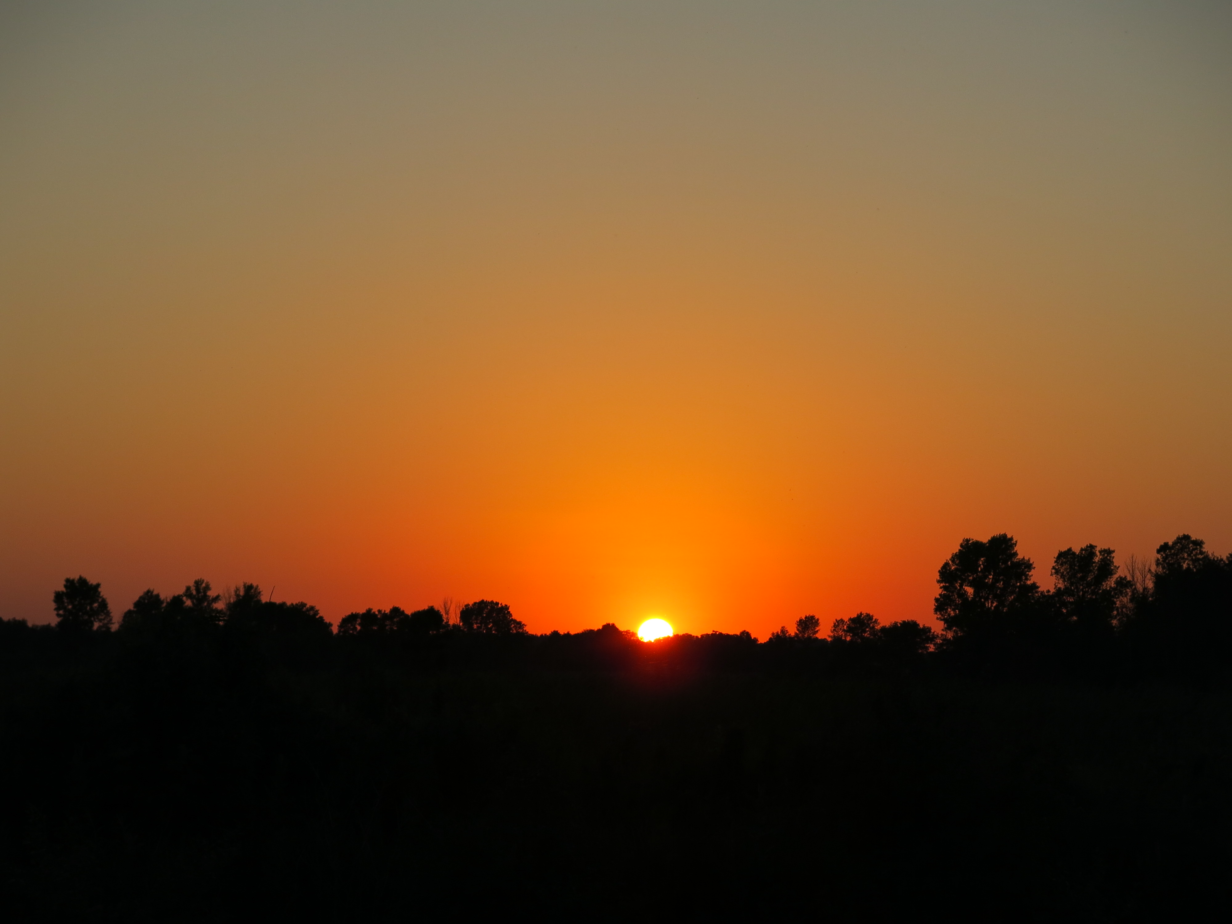
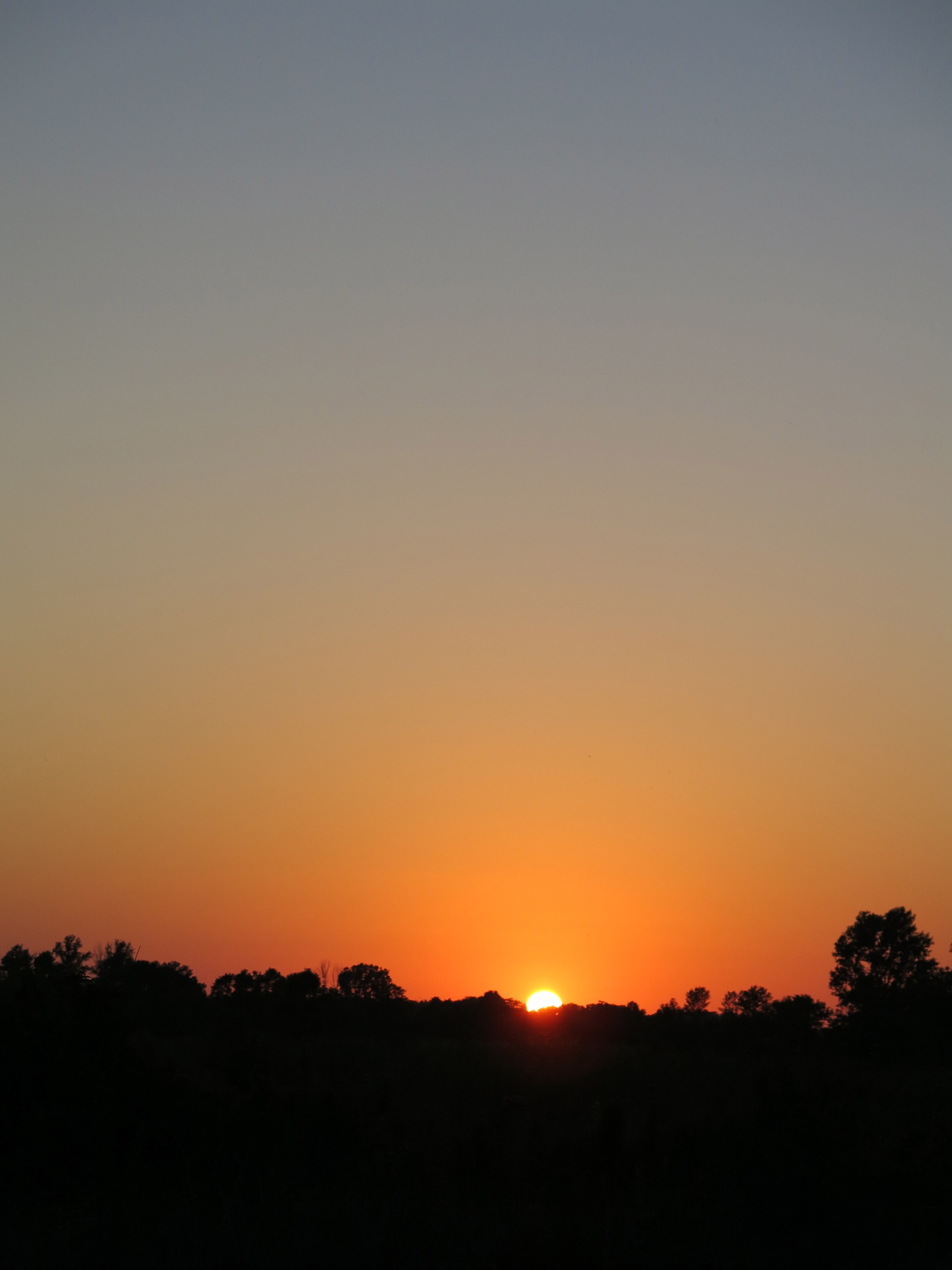
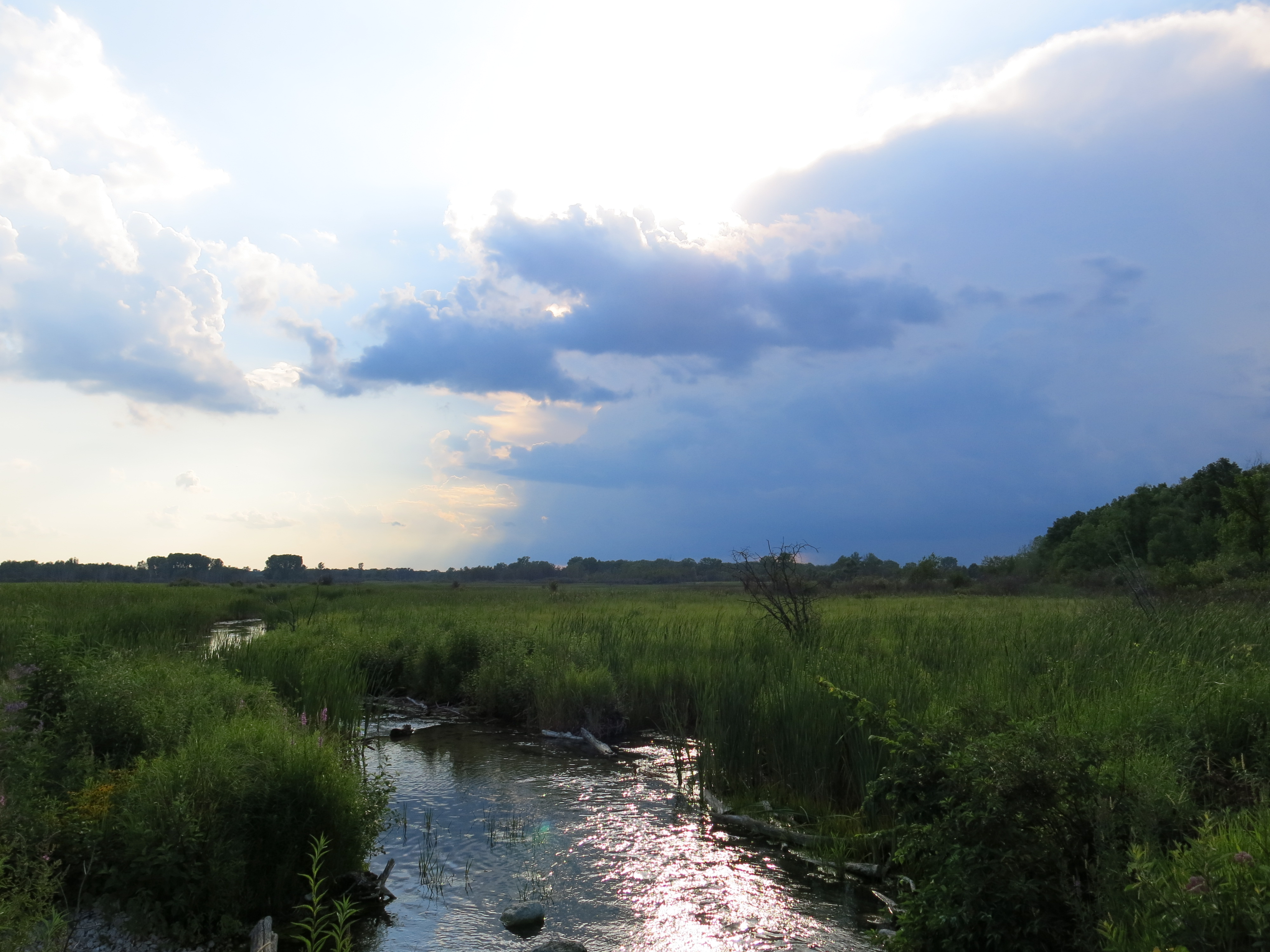
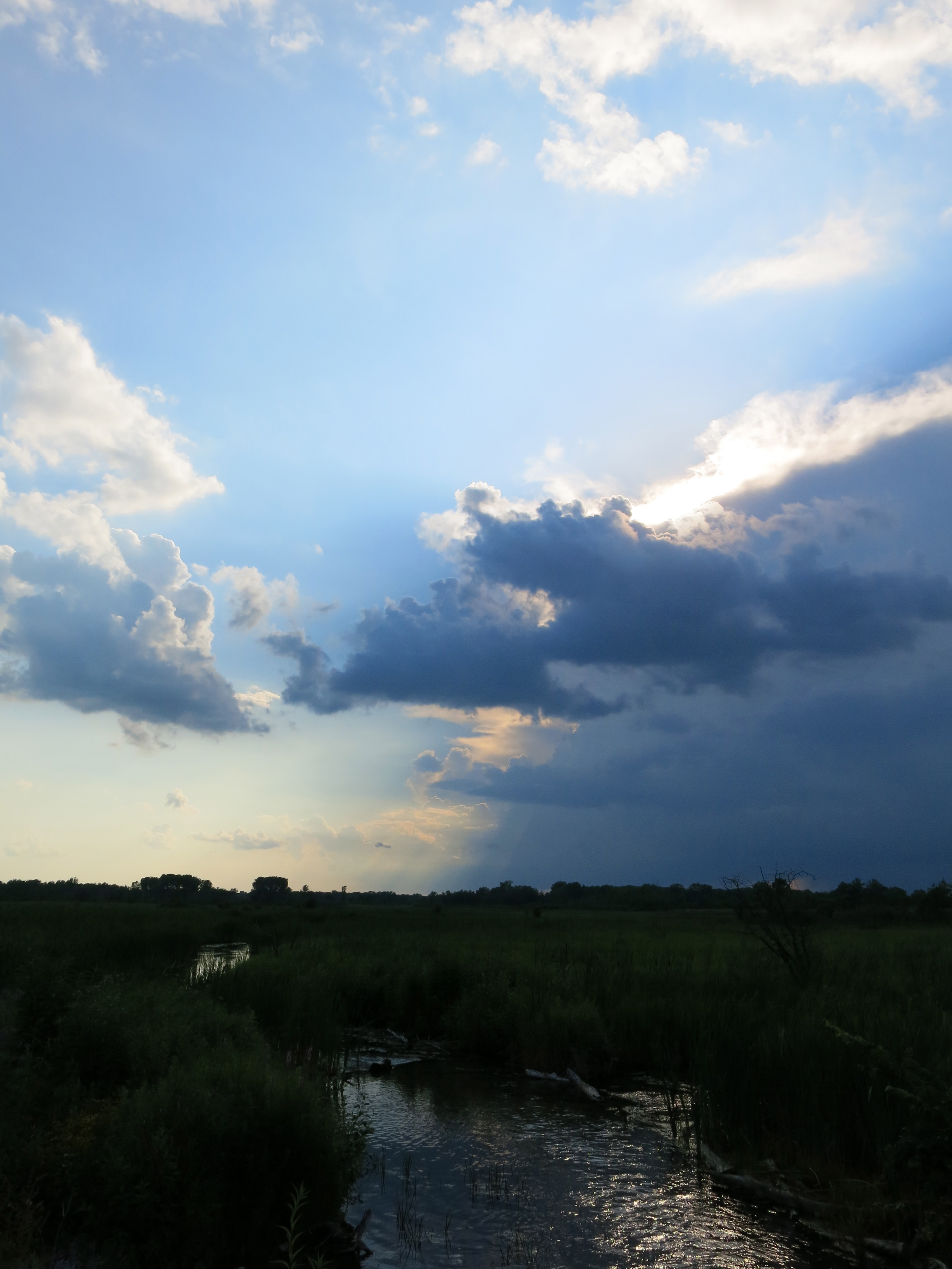
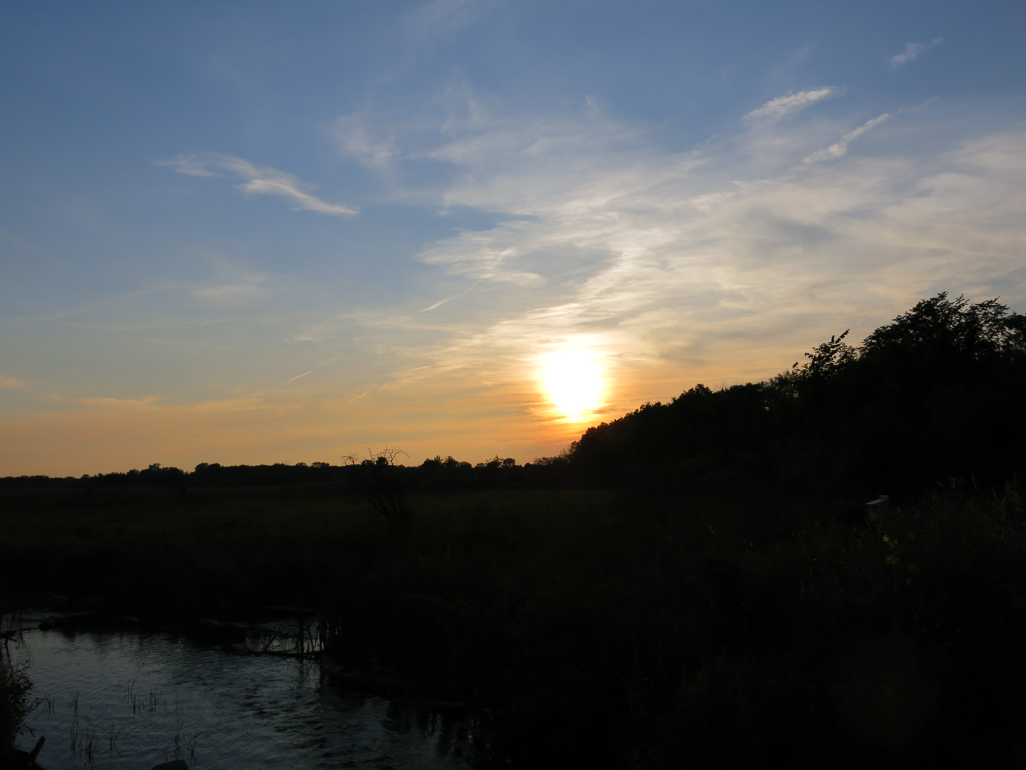
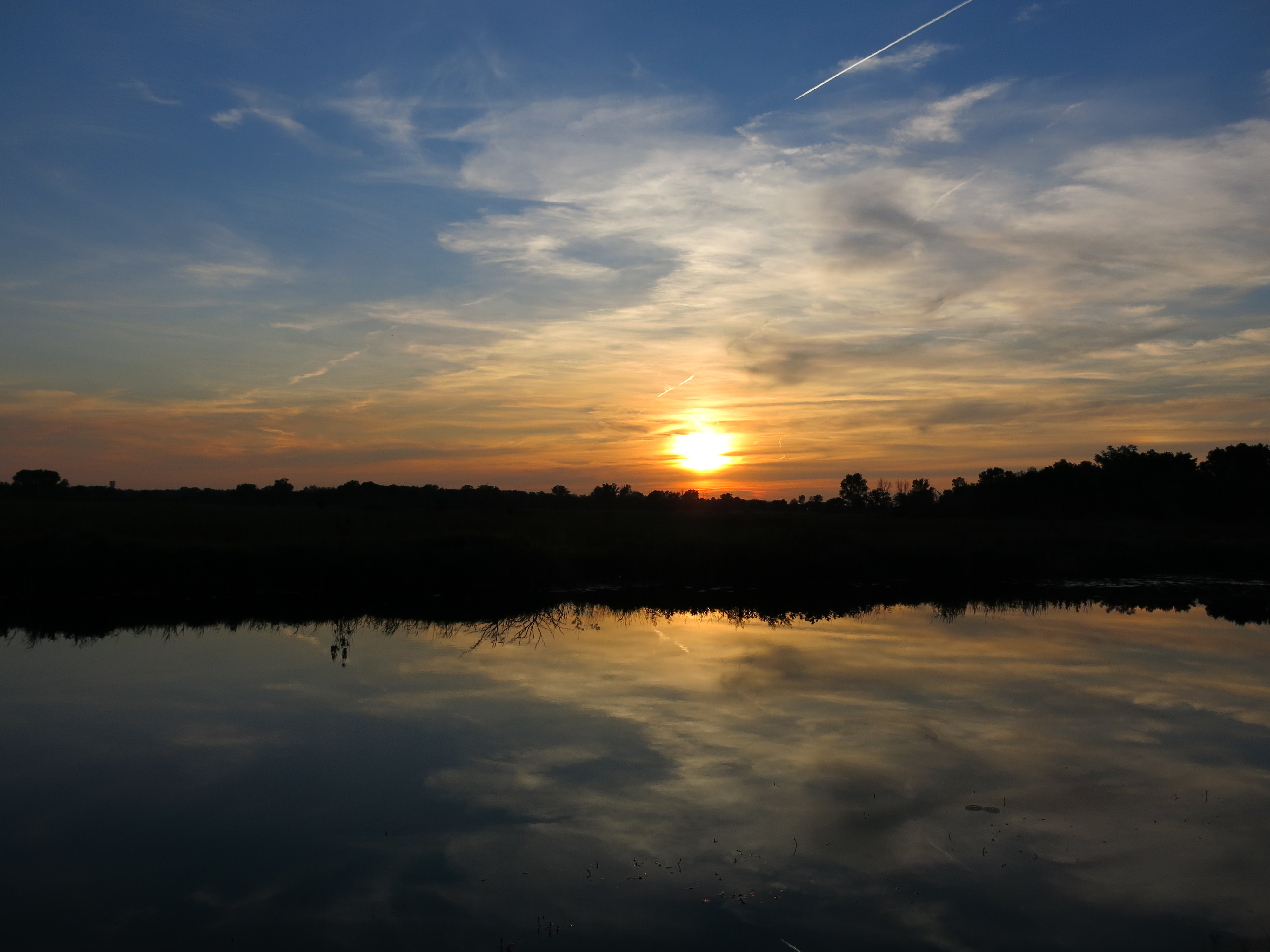
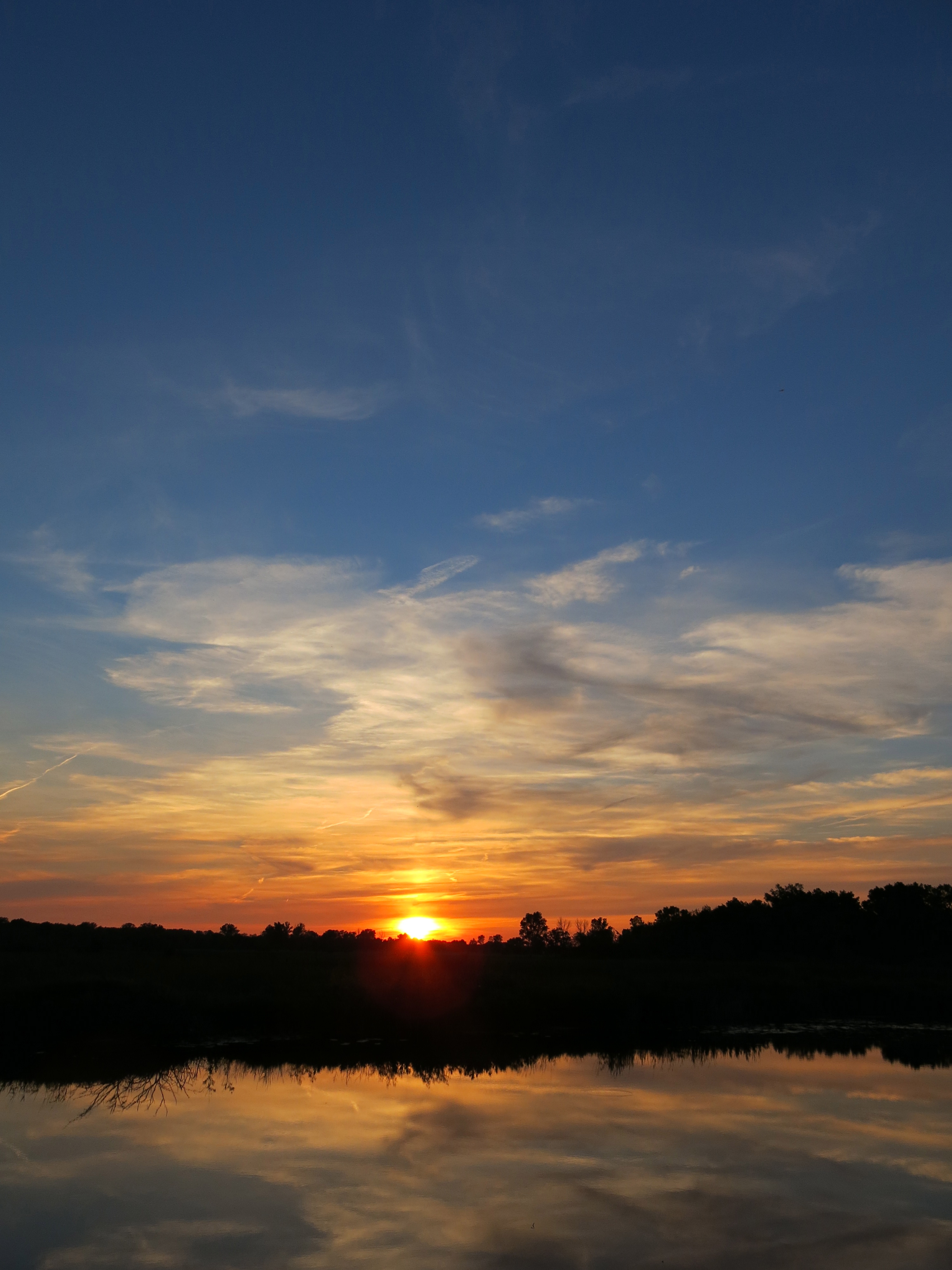
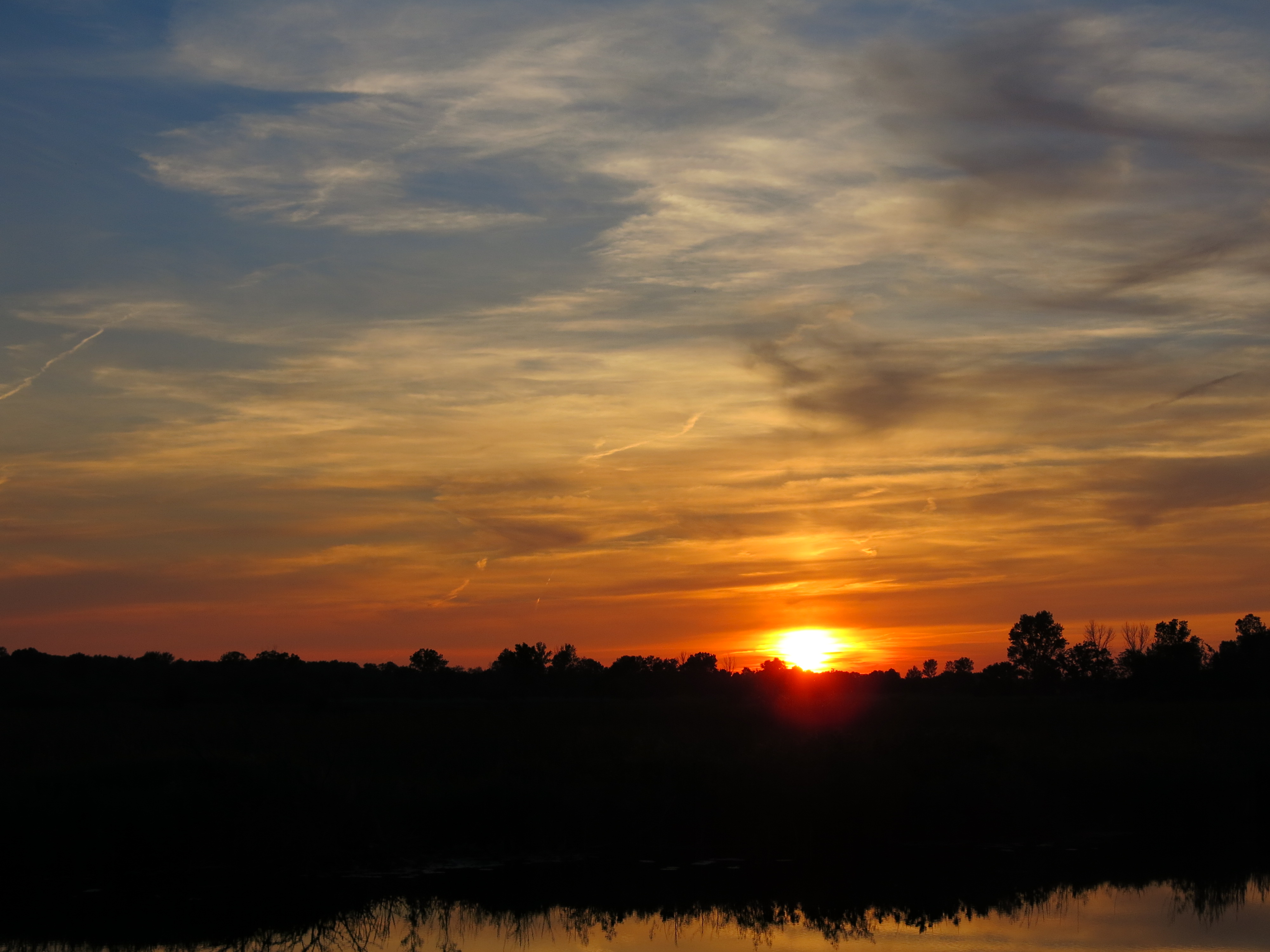
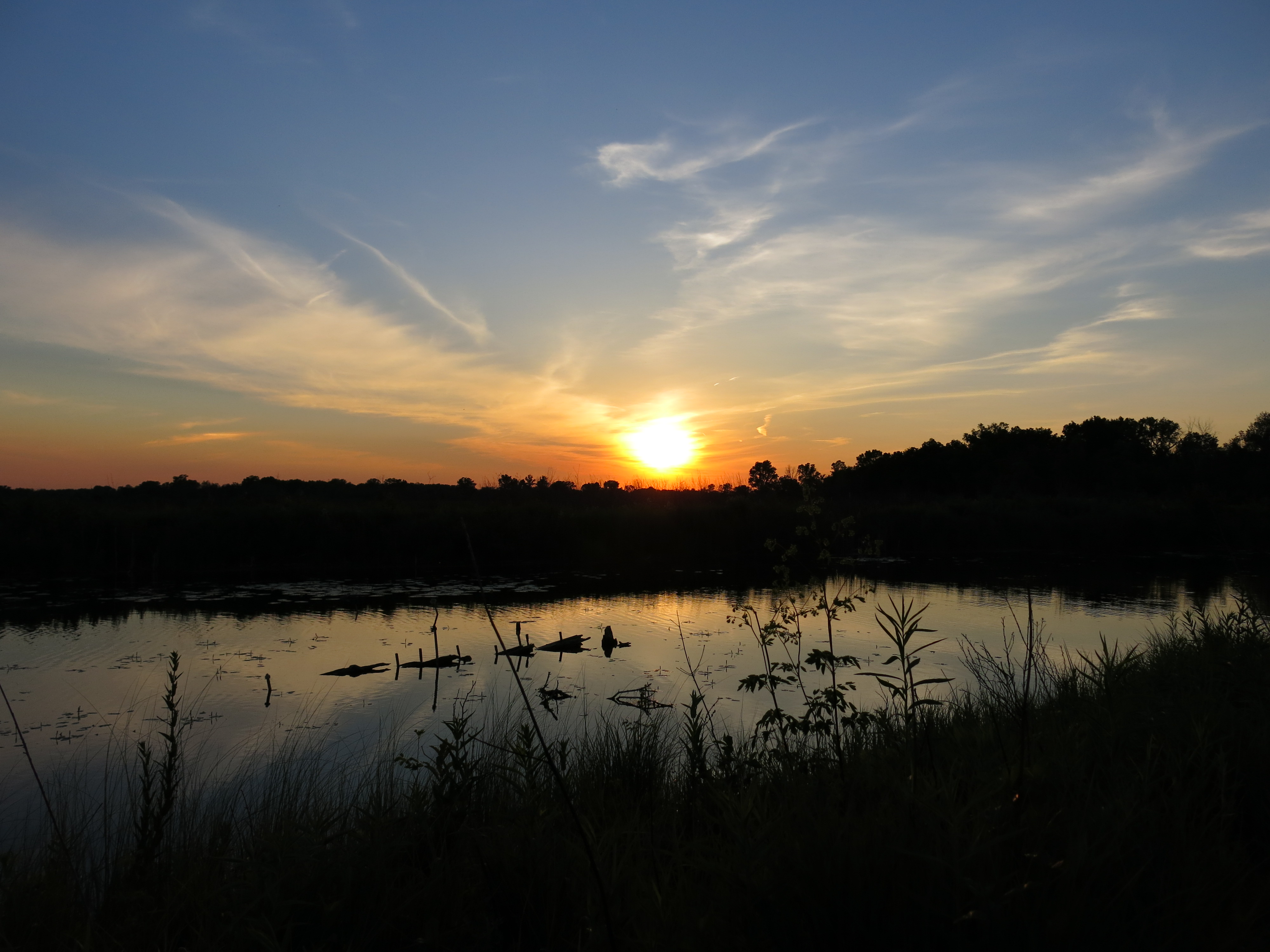
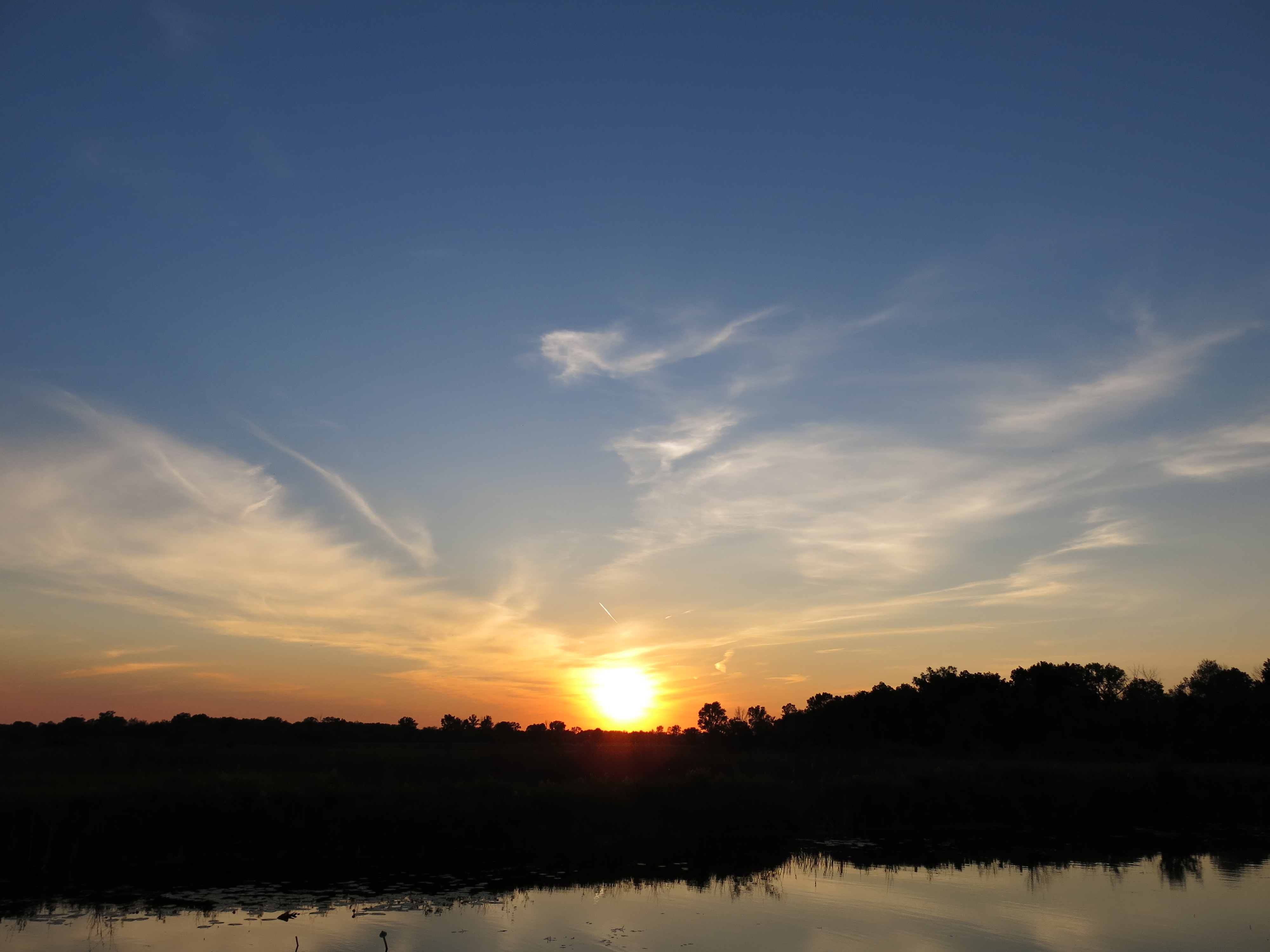
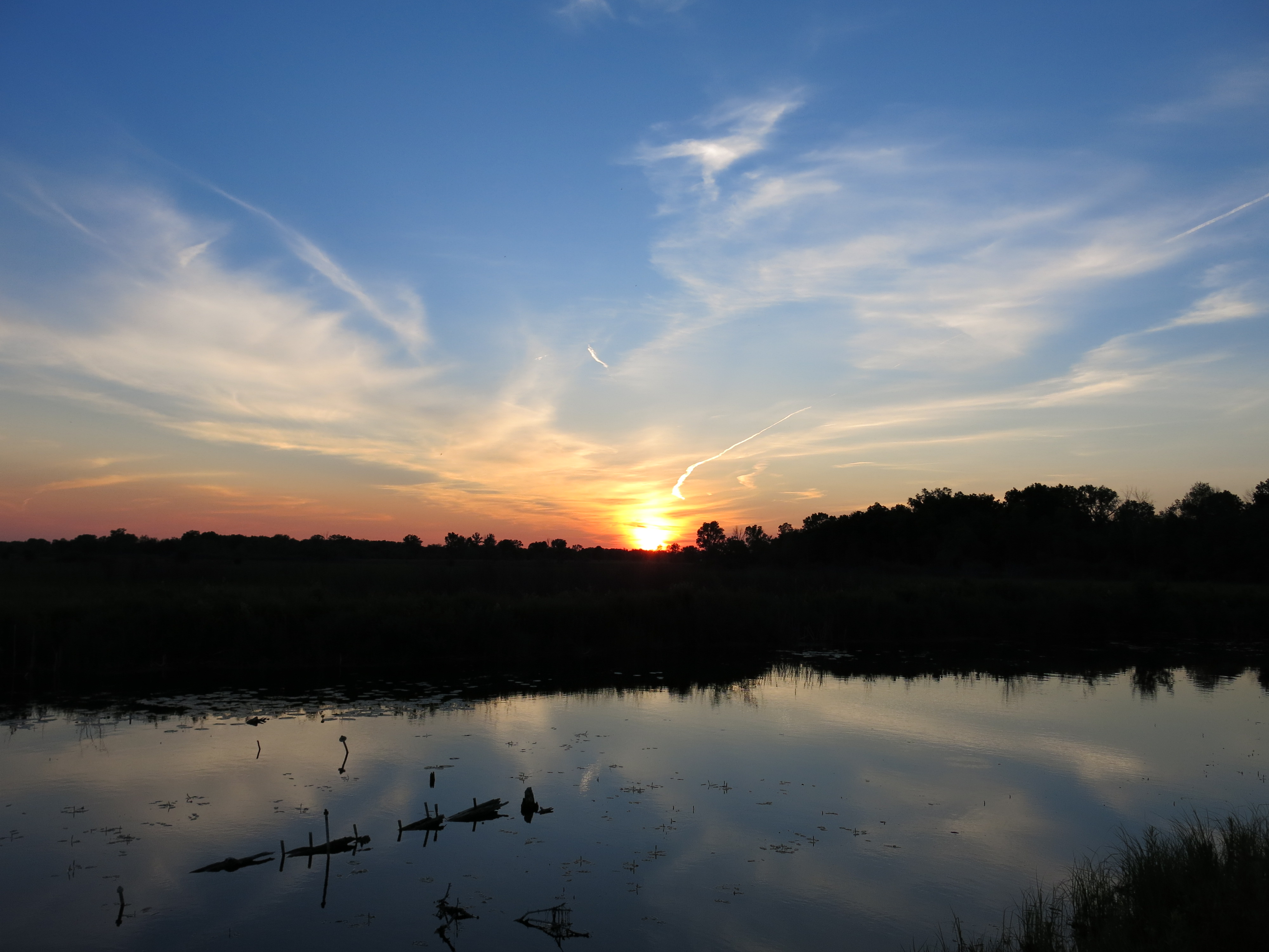
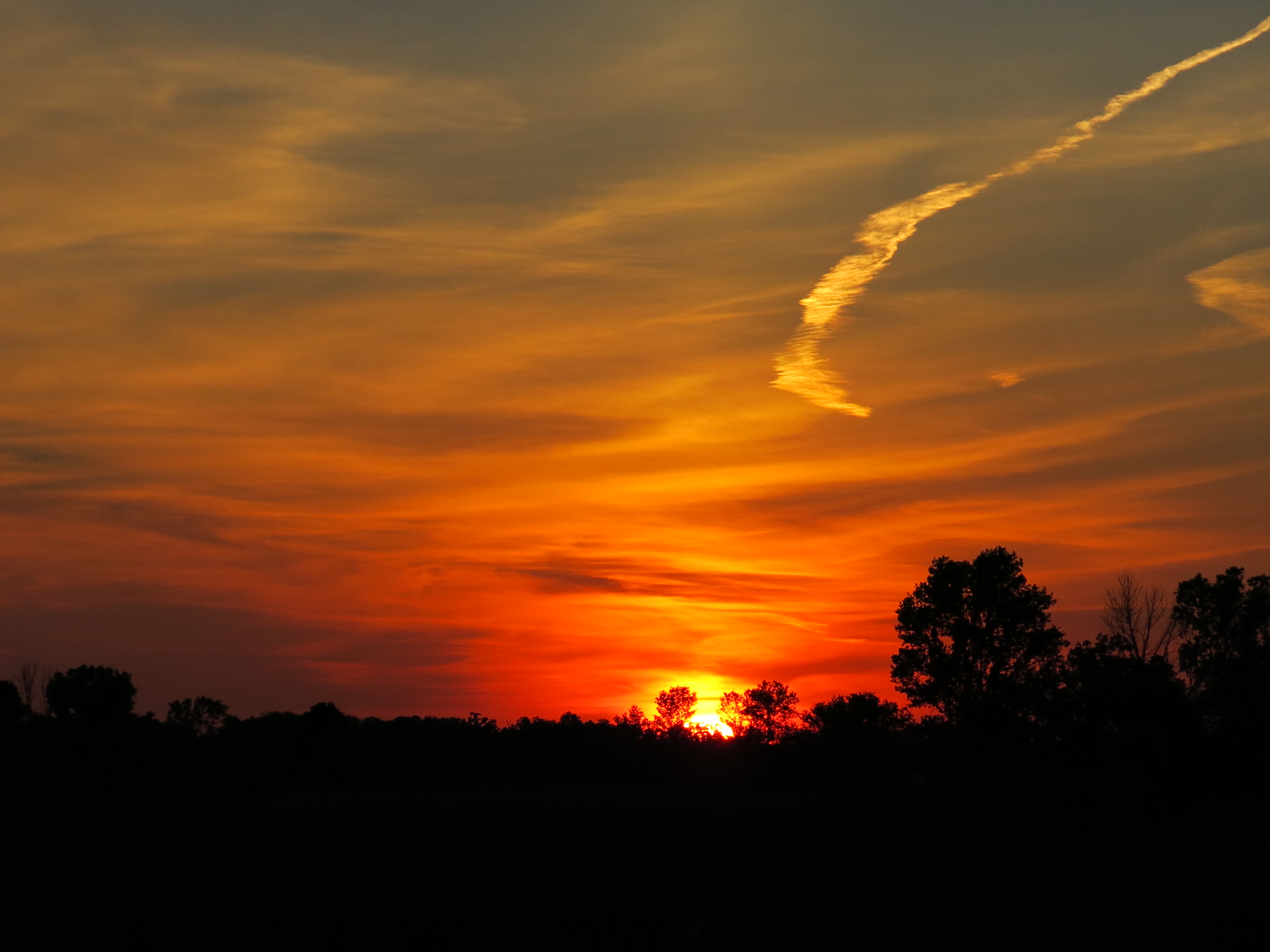
Summer is flying by and you no longer have to walk way out along the marl pit channel to see the sun going down. I got these pictures from the marl pit bridge.

IMG_0297

IMG_0302

IMG_0305

IMG_0306

IMG_0308

See you at The Springs!

Organic Consciousness

Its finally dawned on me; Go Organic! Stop using poison on the land if you don’t want to poison the land! It’s obvious to me now after reading Atina Diffley’s award winning memoir Turn Here Sweet Corn. The organic approach is the embodiment of the Hippocratic Oath; do no harm. Atina’s love story with the land opened my eyes to the potential of applying organic farming techniques to our work at the Scuppernong Springs Nature Preserve. Atina and her husband, Martin Diffley, (Organic Farming Works LLC) are pioneers in the organic farming movement in Minnesota, their efforts culminating in a “Kale versus Koch, Soil versus Oil” pipeline smackdown where they stood up to the Minnesota Pipe Line Company, which is operated by the Koch Pipeline Company, a subsidiary of Koch Industries, and prevented a pipeline corridor from being routed right through their Gardens of Eagan Organic Farm. They saved their land AND Atina contributed to the preservation of other organic farms via the creation of the Organic Appendix to the Agricultural Impact Mitigation Plan that all pipeline and transmission line companies must comply with if they succeed in routing their lines across organic farmland.

Atina explains that it’s all about relationships: people to the land, plants to the soil and people meeting each others needs in community. I’m inspired to only employ non-toxic ways to nurture The Springs back to health a la organic farming techniques; I want the Scuppernong Springs Nature Trail to be “Certified Organic”. Atina and Martin helped me realize the importance of building and protecting the soil and, after reviewing the research on the residual effects of Milestone and Transline and their potential to leech into groundwater, I concluded that I could no longer use them in any context at The Springs. Jason Dare began turning me in this direction and now I’m fully committed. The only exception to the ban on poison that I will make is to use Tahoe/Triclopyr on cut buckthorn stumps (painting, not spraying), and hopefully, we’ll find a natural alternative to that as well.

I claimed to want to garden the sand prairie. What was I thinking? Would you use poison in your garden? In the past two years I had acquired no less than 7 different poisons: Aquaneat/glyphosate, Habitat/imazapyr, Bullzeye/glyphosate, Milestone/aminopryalid, Transline/clopyralid, Tordon/picloram and Tahoe/triclopyr, all of which I have returned to the DNR except the Tahoe stump killer. Martin Diffley summed it up pretty well: “If we don’t change direction, we’re going to end up where we’ve been going.”, and my approach was slowly poisoning The Springs. One story from Turn Here Sweet Corn that really impressed me was how they handled a 9 acre field of quack grass. Despite being pressed by demand for their produce to get this land into production, Martin recommended they wait for just the right combination of dry and hot weather. When it finally arrived, they used a 930 Case tractor fitted with a Vibra Shank field digger to “rake” the weeds, exposing the roots to the blazing sun, repeating the process over 6 weeks until the quack quit. That got me thinking about the phragmites and cattails in the valley along the Scuppernong River headwaters; maybe we could do the same thing there! Like Einstein said, “We can’t solve problems by using the same kind of thinking we used when we created them.”, and now that my organic consciousness has been awakened, I’m seeing new, non-toxic, solutions.

Yesterday, Pati and I met with DNR Trail Boss Don Dane to walk the trails and review our approach to restoring the Scuppernong Springs Nature Preserve, and we we joined by John and Sue Hrobar. I’m prone to excited bursts of non-stop chatter and, true to form, I began by telling Don that I wanted to go organic. He was totally on board with this and promised to help us achieve that goal. The first area we reviewed was the valley along the headwaters of the Scuppernong River that is dominated by phragmites and cattails. I told him Martin’s story and we talked about mowing and raking and Don suggested that, in the short term, I get a hedge cutter and simply cut the seed heads off the phragmites and cattails at a height that will leave the myriad of other plants that have emerged in the “understory” since the burn undisturbed. This will drain the energy from the phragmites and cattails while allowing the native plants to compete and, combined with fire, we hope this will be an effective strategy.

One of my big concerns is all of the buckthorn seedlings and resprouts that have emerged since we cleared the mature buckthorn. I explained this to Jason Dare and he suggested I rely on fire to control them. I talked to Don about this and he is committed to burning the scuppernong every 2-3 years. That was the assurance I needed! In the meantime, Don suggested brush cutting areas where the resprouts are thick to better enable fire to move through. We talked about the north end of the trail, buckthorn alley, and agreed that I should focus on clearing the buckthorn there to help facilitate getting a hot fire through this part of the Nature Preserve; the DNR has never been able to burn this area.

Here is a native swamp thistle Don pointed out by the hatching house springs.

IMG_0258

Oriental bittersweet and hedge bindweed (shown below) are concerning and we discussed brush cutting and pulling them.

IMG_0260

John, Sue and Don at the gaging station bridge. I’m hoping that more volunteers will step forward if they know we going organic.

IMG_0265

Pati and I spent the afternoon pulling spotted knapweed on the sand prairie, which Don said they also refer to as a cliff messenger prairie. The purple lovegrass is thriving!

IMG_0261

Here is a view of the sand prairie.

I felt totally calm and at peace with my hands in the sandy soil pulling spotted knapweed all afternoon. The rough blazing star and golden rod are set to flower and I’m really glad I took the time to clear the prairie with the brush cutter rather than simply mowing it. Here are a few parting shots from the marl pit and gaging station bridges.

IMG_0268

IMG_0270

IMG_0272

IMG_0274

The Scuppernong Spring

See you at The Springs!

Mowing the Sand Prairie

My thoughts about the Sand Prairie are finally coming together into a restoration strategy.  Slowly mowing the weeds with my brush cutter affords ample time to carefully observe and ponder both the forest (prairie) and the trees (plants).  I see them both.

The weeds are obvious to me now; I recognize them from my childhood, playing at new home construction sites, and by their names: fleabane, knapweed, ragweed etc…. Jason Dare helped me connect the micro and macro perspectives when we talked last Saturday evening and I feel a lot more confident that I’m going in the right direction. DNR Trail Boss, Don Dane, is going to meet me at The Springs on Tuesday, August 6th, at 8:00am (where westbound Hwy ZZ meets Hwy 67 in a “T”) to walk the trails, identify invasive species threats and prioritize the efforts. We’ll also be integrating the results of Jason’s invasive species survey; a very timely commission by the DNR. You are welcome to join us and learn about the restoration!

I enjoyed a fine day at The Springs yesterday, spraying black locust saplings in the morning and then brush cutting weeds on the sand prairie. I would consider using a brush mower next year, but for now, I prefer the finer control of a weed whacker, as it gives me the opportunity to work slowly, identify what I’m seeing, and avoid cutting high quality native plants as much as possible.

The Wisconsin DNR Sand Prairie website includes this summary:

Sand prairie is a dry native grassland community dominated by grasses such as little bluestem, J junegrass, panic grasses, and poverty-oat grass. Common herbaceous associates are sand cress, field sage-wort, western ragweed, several sedges (e.g., Carex muhlenbergii, Cyperus filiculmis, and Cyperus schweinitzii), flowering spurge, frostweed, round-headed bush-clover, western sunflower, false-heather, long-bearded hawkweed, stiff goldenrod, horsebalm, and spiderwort. Drought-adapted fungi, lichens, and mosses are significant components of sand prairie communities.

One of the next steps is going to be to see how many of these plants are currently established at the Scuppernong Springs Nature Trail’s sand prairie.  Then we’ll need to consider how we want to reintroduce the plants that are missing and if other native plants that are not listed above can also be included.  I’m looking forward to working with the new Naturalist for the Southern Unit of the Kettle Moraine State Forest once that person is hired.  We are a long way from the restoration ideals of John J. Ewel’s “Restoration is the ultimate test of ecological theory”, but I think we are headed in the right direction.

See you at The Springs!

The Trivium

I had a “gut check” on the way home from The Springs last night. Jason Dare, the real deal when it comes to ecosystem management, met me by coincidence on the trail near the Hillside Springs, and, in the fading light, he helped me see a new approach to “gardening” at The Springs. As I drove home, I questioned whether or not I had made some mistakes, used the wrong poison in the wrong place at the wrong time, or missed golden opportunities to repel nascent invasive species. I faced the challenge of integrating new information that contradicted what I thought I new, and was putting into practice; I was confused!

Fortunately there is a way to dispel confusion — the liberating art of critical thinking known as The Trivium Method. As I reviewed what Jason said I recognized: The Grammar i.e., the knowledge of objects in the real world; The Logic, or process of non-contradictory identification that leads to understanding and answers the question why; and The Rhetoric, manifest in Jason’s wisdom and ability to explain the how to me. Just listen for yourself!

Armed with the trivium, I’m learning the phenology of the varied plant communities, the biology and the proper use of herbicide. I’m encouraged by people like Jason Dare, who is going to give me a list of the weeds he was inventorying for the DNR (and strategies for attacking them), and Ron Kurowski, who is going to give me a survey of native plants, and I hope other knowledgeable nature lovers will contribute as well. It seems like ever since the Native Americans were kicked out of the area in the late 1820s, people have viewed The Springs with and eye to make a buck. Now we are changing that and it is a wonderful opportunity to do something for the shear joy of it. I hope you will consider contributing your time and talents to this effort. Persistence is the key!

Had I known when I arrived yesterday morning what I know now, I would not have sprayed buckthorn seedlings and re-sprouts at the trailhead. Jason explained why October-November is the only time he will spray buckthorn seedlings and how a mix of Garlon 3a and Escort would be the least toxic approach, given the sensitivity of the area. Summer is time to focus on herbaceous weeds and that is what we plan to do from now on. Sound advice from someone with a lot of experience managing ecosystems. The knowledge, understanding and wisdom is sinking in!

IMG_0248

Just as I finished spraying, I got a trail update from a veteran birder named Tom, who said the north end of the trail was getting really overgrown. This is buckthorn alley and I confess that I have not walked this stretch of trail since the burn. I got after it with my brush cutter.

I had intended to pile brush in an area 100 yards or so down the main trail, where the first views of the prairie open up, and resumed that objective after sweeping buckthorn alley.

Here is how it looked after a couple hours. In light of my conversation with Jason, I’m rethinking the plan mentioned at the end of this video.

It was cool and breezy all day but the darn mosquitoes came out in force as evening progressed.

IMG_0252

Ron mentioned in his last visit that oak wilt was attacking the black oaks and here is example along the river.

IMG_0254

A last river view before heading home

IMG_0256

See you at The Springs!

The Sand Prairie

The Scuppernong Springs Nature Trail passes through prairies, woodlands and wetlands making it a great place to see a wide variety of flora and fauna. I’ve often referred to the Native American Campsite (#6 on the map) as, the “sand prairie”, without knowing what a sand prairie really is. Which begs the question, what exactly am I trying to restore? What does restoration mean?  Here is a summary from John J. Ewel’s “Restoration is the ultimate test of ecological theory” in: Restoration Ecology, A Synthetic Approach to Ecological Research,1987:

Sustainability
Is the reconstructed community capable of perpetuating itself, or, like agricultural ecosystems and golf courses, can it be sustained only if managed by people?
Invasibility
Does the reconstruction yield a community that resists invasions by new species?  Intact, natural communities are, in general, less easily invaded than ones that have been damaged or ones that lack one or more of their key species.
Productivity
A restored community should be as productive as the original.
Nutrient retention
A reconstructed community that loses greater amounts of nutrients than the original is a defective imitation.
Biotic interactions
Reassembly of formerly associated plant populations often – but
not always – leads to reconstitution of the entire community. Animals and
microbes usually colonize spontaneously because of their mobility and ubiquity,
respectively.

These are concrete, comprehensive, challenging goals that I’m taking to heart and mind.

Per Finley’s Vegetation of Wisconsin in the Mid-1800s map, this area was comprised of oak openings and prairies, of which we have one of the rare, “imperiled” varieties, i.e. a sand prairie, right here at The Springs.  Last year we spent a lot of time there clearing scruffy red oak and cherry trees that had survived earlier mowing and burning, and doing a lot of piling and burning of our own.   This year we are attacking the weeds and I asked Ron Kurowski (retired DNR Naturalist) to come out and help me identify plants and strategize.  Last Thursday, July 18, despite the heat and humidity, Ron was his ebullient self and we spent hours under the hot sun identifying plants; it was a blast!

The big blue stem by the marl pit canal responded very well to the burn.

IMG_0188

Liatris, aka Blazing Star, on the sand prairie.

IMG_0197

Swamp milkweed by the Indian Spring channel

IMG_0199

Cord grass

IMG_0200

Bergamot

IMG_0201

Before Ron arrived, I did a little brush cutting and spring cleaning in the area of the Hotel Springs.

IMG_0183 IMG_0184

5 springs emerge from the hillside near the stone half circle that frames the main Hotel Spring and they had gotten overgrown with brush and water cress.  I also cleaned out the springs by the old barn site and the new spring, that just started flowing again this year, by the huge willow stumps. Take a look!


One of my main ecological considerations, and axiomatic to reaching the goals set by Mr. Ewel above, is to limit, and ultimately completely stop, using poison on the land. The main valley along the headwaters, where all the springs are, is dominated by invasive cattails and phragmites. I recently tried spraying a patch of nearly 100% phragmites by the observation deck at the Emerald Spring with Habitat, and I thought it did not work. Now I think the jury is still out.

Is there an alternative to poisoning these plants that will enable other species to compete more effectively? There are a variety of shorter plants trying to make a living under the phragmites and cattails and they will loose out if their taller competitors are not burned frequently. I’m already talking to the DNR about burning next year and maybe we’ll try Lindsay’s idea and do smaller, targeted burns, like in the valley just mentioned.

I ran the brush cutter for a while after Ron left and sprayed buckthorn resprouts on the steep hillside by Hwy 67 before calling it a day.

IMG_0209

After a bath and a little yoga at the marl pit bridge, I put my bug net on and enjoyed the sunset.

IMG_0210

IMG_0213

IMG_0216

IMG_0217

IMG_0219

See you at The Springs!

Prince’s Point Wildlife Area

Our Journey Down the Scuppernong River continues as we take a closer look at the Prince’s Point Wildlife Area. I got over the shock and dismay at the fate of the river once it crossed Hwy 106 and I’ve been learning more about the area and its history.

Large scale agricultural farming in natural wetland areas requires major land alterations to control water levels and it is doubtful that the changes wrought by the mud farmers along this stretch of the Scuppernong River would have been allowed under current environmental regulations. In 1952 Dean Kincaid (rest in peace) diverted the river from its natural meander into a ditch that facilitates managing the water level on this huge mud farm, which sits between Hwy 106 and Prince’s Point and is now run by his son Gary, and his son Corey. Other farmers, on what is now the west side of Prince’s Point Wildlife Area, did similar things to control Spring Creek and Steel Brook, which enter the basin here, and drained these wetlands for farming (see map below). Thus the land was “altered” and a new reality created

On July 17th I had the pleasure of getting a guided tour of Prince’s Point from Charlie Kilian, the recently retired property manager for almost 25 years, and Bret Owsley, the Wildlife Supervisor responsible for the area. Charlie is a mineral salt of the earth kind of guy with weathered face and hands, a quick smile, lots of stories and intimate knowledge of land, water, flora and fauna. Bret loves working with his “constituents” and I really appreciated him setting up the date with Charlie and bringing the maps that proved so useful. They picked me up at the boat dock on the west side of the wildlife area and Charlie told the first of many great stories. When he arrived on the scene the area was referred to as Princess Point, named after an “Indian” Princess. Charlie caught hell for pointing out that Native Americans didn’t have “princesses” and for changing the spelling of the name to Prince’s Point, after a man with the surname Prince, who ran a ferry service over the Bark River at this location.

I mentioned that I wanted to collect a water sample from the Scuppernong River and Charlie thought of a route we could take with the DNR truck to get very close. We entered the wildlife area on a DNR “2-track” access road off of Hwy P, that had not been mowed yet this year, eventually arriving at a very wet point where we changed plans and headed up to some high ground. This viewpoint is mark VP on the map below and the impoundments are numbered 1-4 per the order they are introduced in the discussion. The brown shaded areas #3 and #4 comprise around 106 acres that were originally part of the Kincaid farm and transitioned, first to Wetland Reserve Program lands, and then around 2000 the DNR acquired full title.

PrincesPoint

Charlie and Bret do a great job explaining their management strategies for the Prince’s Point Wildlife Area in this video.

The video ends prematurely and accidentally as I was asking Bret about his role as a Wildlife Supervisor (I should have simply started another recording session). He went on to explain what motivates him — his passion for managing the land for the best balance possible given the “altered” conditions we have inherited; it’s always on his mind. As we parted Charlie shared his experience with lymes disease, something that still affects him, and how the “state” fought him tooth and nail to deny that his infection was work related, even though any rational person, honestly looking at the evidence, would recognize it was. Ah,”the state”, it’s a figment of our imaginations. It’s people who implement the mental conception we refer to as “the state” and it’s a shame those with the power to do so did not treat Charlie right after his many years of dedicated service. Charlie was pretty stoic about it. It bugs me.

I stopped at the intersection of the Scuppernong River and Hwy 106 on the way back to The Springs and I walked out about 1/2 mile along the ditch past the third pumping station to get my water sample (the other sample was taken from the Scuppernong Spring and I will compare and post the results when they come back). I recently talked to Gary Kincaid about how they manage surface water on their mud farm and he explained that it is filtered vertically through 4-5′ feet of organic soil, i.e. peat moss, and as much as 25 feet horizontally, to where it is captured in clay or plastic drain tiles. The drain tiles are spaced approximately every 50 feet and run the length of the fields emptying into canals at the perimeters, from which it is pumped into the river when necessary. Gary emphasized that, given the high cost of fertilizer, herbicides and pesticides, they use the bare minimum on their farms.

IMG_0168

There are no comprehensive programs to test this nonpoint source pollution; it is done on a case by case basis.

Back at The Springs, I sprayed Milestone on the buckthorn resprouts on the steep hillside below Hwy 67. The burn this past spring only top-killed the heartier saplings and they already have 2-3′ of new growth. Then I spent some time studying weeds on the sand prairie and decided to make a date with Ron Kurowski, the retired DNR Naturalist who lead the Scuppernong River Habitat Area restoration, and whose shoes the DNR has yet to fill, and he generously agreed to meet me the next day.

It was plenty hot and buggy out there and I was baked when I got these storm cloud shots before heading for home.

IMG_0171

IMG_0172

IMG_0175

IMG_0177

IMG_0178

IMG_0179

IMG_0181

See you at The Springs!

Summertime at The Springs

Summer has arrived buzzing with life and heat. Whew, it was hot yesterday as I pulled spotted knapweed at the sand prairie (see white shaded area in the map below). At least there was some breeze and beautiful, billowing, clouds to entertain me and it seemed like a better option than piling brush amongst the mosquitoes and poison ivy in the woods. This is a perfect time to get after knapweed, it’s the nail with its pink head sticking up the highest. The art is to get a diversity of native plants to return and fill the voids left after we pull weeds; this is where knowledgeable volunteers could really make a contribution. I’m envisioning the sand prairie in all its natural glory!

SSTrailSandPrairieMap

I started the day with a little walk around and saw that the Transline I sprayed on the young black locust trees at the south end of the loop trail was very effective.

IMG_0121

The Scuppernong Spring

IMG_0123

Michigan Lilies at the Indian Spring

IMG_0125

The Scuppernong Prairie

IMG_0127

There are three projects that would really improve the nature trail: build a bridge over the ditch where the cut-off trail joins the main loop trail at the marl pit factory, rebuild the observation deck at the Indian Spring, and fix the trail junction where the spur to the Indian Spring joins the mail loop trail. Check out this video to see what I mean.

I started the day spraying Milestone on a variety of weeds and buckthorn seedlings on the south end of the loop trail. Then I headed to the sand prairie to pull spotted knapweed.

IMG_0129

IMG_0130

IMG_0133

There is an unofficial, well established, trail that leads down the sand prairie from sign post #6 towards the channel that carries the outflow of the “Indian” Springs. At the bottom of the hill the trail was overgrown with wild raspberry, nettle and other plants, making it nearly impassable, so I brush cut this to complete a little loop trail over to the Indian Spring.

I returned to the Scuppernong Spring to cool off, get out of the sun and meditate and found a team of engineers hard at work creating a dam to hold back the flow. They succeeded in raising the water level 3-4″ and I couldn’t resist taking a dip! One of those righteous dudes left an excellent “Alaska Denali Park” cap behind and can claim it by contacting me.

IMG_0134

Amanda, Melanie and their crew of volunteers have been hard at work completing he installation of new sign posts #10, 11 and 12.

IMG_0135

The view down river from the old barn site

IMG_0139

Looking upstream from the stream gaging station

IMG_0140

And a few parting shots from the marl pit bridge

IMG_0142

IMG_0143

See you at The Springs!

Freedom

I’m celebrating true freedom from the mental chains of law and government! I was recently introduced to the work of Marc Stevens, who stands tall on the shoulders of people like: Lysander Spooner, author of No Treason (audio here), Frederic Bastiat, author of The Law (audio here), and Etienne de la Boetie, author of The Politics of Obedience: The Discourse of Voluntary Servitude.

Marc’s book, Adventures In Legal Land,

is an evolution of the principals of true freedom espoused by the aforementioned authors applied to our current political, legal systems. Don’t go to court without reading this book! I have been studying history and philosophy searching for the truth, which is the key to happiness according to Aristotle, and now I finally understand. Our Political “law” is nothing but the arbitrary WILL OF MEN and WOMEN. Government exists to direct and control our minds; the “State” is a figment of our collective imaginations. The Constitution is a “written instrument” that was only witnessed, not signed. It is not a binding contract (which must include an offer, acceptance, a meeting of the minds and consideration) on ME.

If the Catholic Church declared that my home was located in a “parish” that the pope drew on a map and that I must pay tithes to support their god works, I would laugh at them. Government is no different; it’s based on belief, faith and, ultimately, on violence and coercion. What facts and evidence do government bureaucrats have to prove that they have jurisdiction i.e., control, over me, and that their codes apply to me? They will point to the “law”, the arbitrary will of men, as if that were evidence that the laws apply to me. Shame on these sophists and their fallacious circular reasoning! I don’t believe in their “state” and their “laws”. They’re noth’in but a badge and a gun! Free your mind!

Those were my thoughts on Independence Day as I worked the brush cutter at the Hartland Marsh and later, The Springs. I had to visit the “grandfather” oak before I got started. Here is the trail leading from the Waukesha County Land Conservancy property to the junction of the Village of Hartland and Ice Age Trail properties.

IMG_0090

IMG_0092

The Mystery Island

IMG_0094

IMG_0095

The Patriarch

IMG_0097

IMG_0098

Back at the Parker Brothers’ homesite

IMG_0099

IMG_0102

Looks like a job for the “river rats

IMG_0103

IMG_0104

Here is the trail on the Village of Hartland property just below the gazebo on Cottonwood Ave.

IMG_0107

A couple video perspectives

Out on the boardwalk, which I was trimming.

IMG_0112

After finishing the trail maintenance for this year at the Marsh, I went to The Springs to pull some weeds. I thought the white clover at the marl pit bridge would pull right out, like the hoary alyssum on the sand prairie, but it was quickly evident that I’d need the brush cutter again.

IMG_0115

IMG_0116

Crown vetch
IMG_0117

I’m adjusting my game plan regarding scheduling work and what to focus on to recognize when the best time to strike at the weeds may be. The goal is to reduce the invasive species, using as little poison as possible, by preventing them from going to seed whether by pulling or cutting. Buckthorn alley will have to wait.

Pati peddled her bike out from Milwaukee and we had a picnic dinner at Ottawa Lake followed by fireworks at Pewaukee Lake; a very nice day. I’ll be back around the 15th.

See you at The Springs!

More Trout Stream Therapy

“Rain drops keep fallin’ on my head…” I’ve been feeling a bit like “the guy whose feet are too big for his bed”. Per B.J. Thomas’ example, “… I just did me some talkin’ to the sun” yesterday, pulling weeds all day on the sand prairie, site of the Potawatomi, Ho-Chunk and Sauk Native American campgrounds, and that snapped me out of it. I got that “peaceful, easy feeling” that comes when you know you’re in the right place, at the right time, doing the right thing.

I’m investigating whether or not I might have gotten infected with borrelia burgdorferi (lymes) and taking doxycycline, as a precaution, while I figure out what to do next. I feel pretty good now and I’ve been working at the Hartland Marsh the last two weeks, mowing, brush cutting and meeting with the village administrator, Dave Cox, to help initiate a prescribed burn program. It’s been a few years now since I was focused on the marsh and, with all the rain we’ve been having, the buckthorn and other invasive plants are quickly turning it back into a jungle. Fire inspires hope that my efforts at the marsh will not go to waste. If you haven’t visited the Hartland Marsh yet, put it on your list; it’s uniquely beautiful.

Yesterday, I spent a rejuvenating day at The Springs and I’m going to jump ahead to the highlight of day when I walked down to the old barn site and saw that the DNR Trout Stream Therapists, like elves from middle-earth, had worked some magic to continue healing the river. Well, maybe it was just a lot of planning, deep river knowledge and hard work that produced the excellent results you can see below. This area corresponds to site #3 on the map in the post linked above and it looks like they are queued up to complete site #2 in the near future. Thanks to Ben, “Gos” and their crew for their continued efforts to nurse the river back to health!

I started the day at the Scuppernong Spring getting some water.

IMG_0055

IMG_0043

The sand prairie is lush with spiderwort and other native flowers, as well as lots of weeds.

Common Milkweed
IMG_0046

Spiderwort
IMG_0047

Butter-and-eggs
IMG_0048

The Scuppernong Prairie

IMG_0052

John Hrobar alerted me that hoary alyssum was spreading like crazy and I decided to spend most of the day pulling this weed, since it was in peak flower, rather than continue piling brush in the woods, as I had planned. So, after spraying Transline on the short, black locust trees that have sprouted on the hillside just west of the scuppernong spring in the morning, I spent the rest of the day pulling hoary alyssum and spotted knapweed. All the rain we’ve been having made the weeds easy to pull and they came up roots-and-all, which was quite edifying. White Campion is another weed that is establishing itself on the sand prairie and I’m trying to figure out what to do with it; maybe nothing this year.

Hoary Alyssum
IMG_0050

I returned to the Scuppernong Springs in the late afternoon to reminisce about the wonderful visit I just had there with my Mom, Dad and brother Joe.

Then I wandered down the left bank of the river visiting the hillside and hidden springs.

IMG_0063

I’m not sure what this flower is… looks a bit like Indian Hemp.

IMG_0061

Sunset at the marl pit.

IMG_0065

IMG_0069

IMG_0073

IMG_0080

IMG_0082

IMG_0084

IMG_0089

See you at The Springs!

A Little KP at The Springs

The Springs are luxuriantly green in harmonious sympathy with the summer solstice.

I’m a little worse for wear — might be all the tick bites. Pati gave me this great site for info about lymes disease and we’re investigating and getting advice from people who have had it, like our good friend Karen Ande.

Yesterday it was absolutely gorgeous all day long at The Springs and I was eager to try out my new camera. The picture auto-focus and high definition video are great. Now, if I could just learn to hold the camera steady when taking videos, especially the first few seconds.

The view from the Scuppernong Spring, where I drew some water for the day.

I sprayed 8 gallons of very dilute (.2oz/gal) Milestone/aminopyralid on first year garlic mustard and huge patches of burdock on the south end of the trail and I must confess that I’m sorely conflicted about my continued use of herbicide on the land. Per this Mother Earth News story, there are issues with Milestone. The DNR reassured me that there is no problem given the low concentration they recommend, but I’m having doubts.

I mentioned in a previous post that I was not going to use Habitat/imazapyr anywhere in the river valley and I recently returned my supply to the DNR. This article in Natural News, persuaded me to return my Glyphosate as well. I’m still using Tahoe/triclopyr for buckthorn stumps, Transline/clopyralid for Black Locust and Milestone/aminopyralid for broad-leaf weeds.

In an ideal world, the DNR would have the resources to Burn The Scuppernong on a more regular basis; interspersing fall and spring fires per, the available fuel, and the status of the weeds. If that were the case, it would be conceivable to eliminate the use of all poisonous chemicals on the land. I feel a rant coming on… but, instead, I’ll do what I can to work toward that goal.

I brought my brush cutter out to tidy up the place. Here are before and after shots of the DNR 2-track we use to access a parking area at the south end of the loop trail.

IMG_0006

IMG_0007

Then I made my way to the hillside springs at the first embankment/bridge below the Scuppernong Spring.

IMG_0010

The second bridge down, before and after.

IMG_0016

IMG_0017

Then, on to the boardwalk that leads to the Emerald Spring. I sprayed this area with Habitat a few weeks ago and there was no effect. I miss the wise console of my good friend Lindsay Knudsvig, who would have undoubtebly warned me that it was “too early dude!”

IMG_0018

IMG_0020

I’m a little concerned about the algae that is blooming in the river and speculating that it might be caused by the removal of the layer of water cress that covered the river last year, and the burn this spring, which, together, significantly increased the amount of sunlight hitting the river bed. Warm temperatures spawn algae growth and so does stirring up muck in old river beds, which we did a lot of last year. This year’s DNR fish count, coming in July, will be very interesting. In any case, my further interventions with the river going forward will be minimal.

IMG_0012

IMG_0013

I cut cattails and willow resprouts at the Hatching House Springs and reed canary grass and buckthorn resprouts by the old hotel and barn sites. Jon Bradley mentioned in the last post that his expedition did not venture onto the cut-off trail because he “couldn’t see a definitive trail”. Indeed, a lot of aspen, buckthorn, honeysuckle and prickly ash has quickly sprouted so I went through the entire trail with the brush cutter to make it more evident. You can pick up the cut-off trail (aka, The Lost Trail) on your left as you walk along the main trail just past the long, tall, marl pit factory wall, on your right. Look for 4 logs laying parallel crossing a little drainage ditch and take this trail!

Here is a view from the gaging station bridge…

and the barn site followed by a Smooth Solomon’s Seal.

IMG_0022

IMG_0024

I really enjoyed the near solstice sunset out on the marl pit.

IMG_0027

IMG_0031

IMG_0035

IMG_0040

IMG_0042

See you at The Springs!