My thoughts about the Sand Prairie are finally coming together into a restoration strategy. Slowly mowing the weeds with my brush cutter affords ample time to carefully observe and ponder both the forest (prairie) and the trees (plants). I see them both.
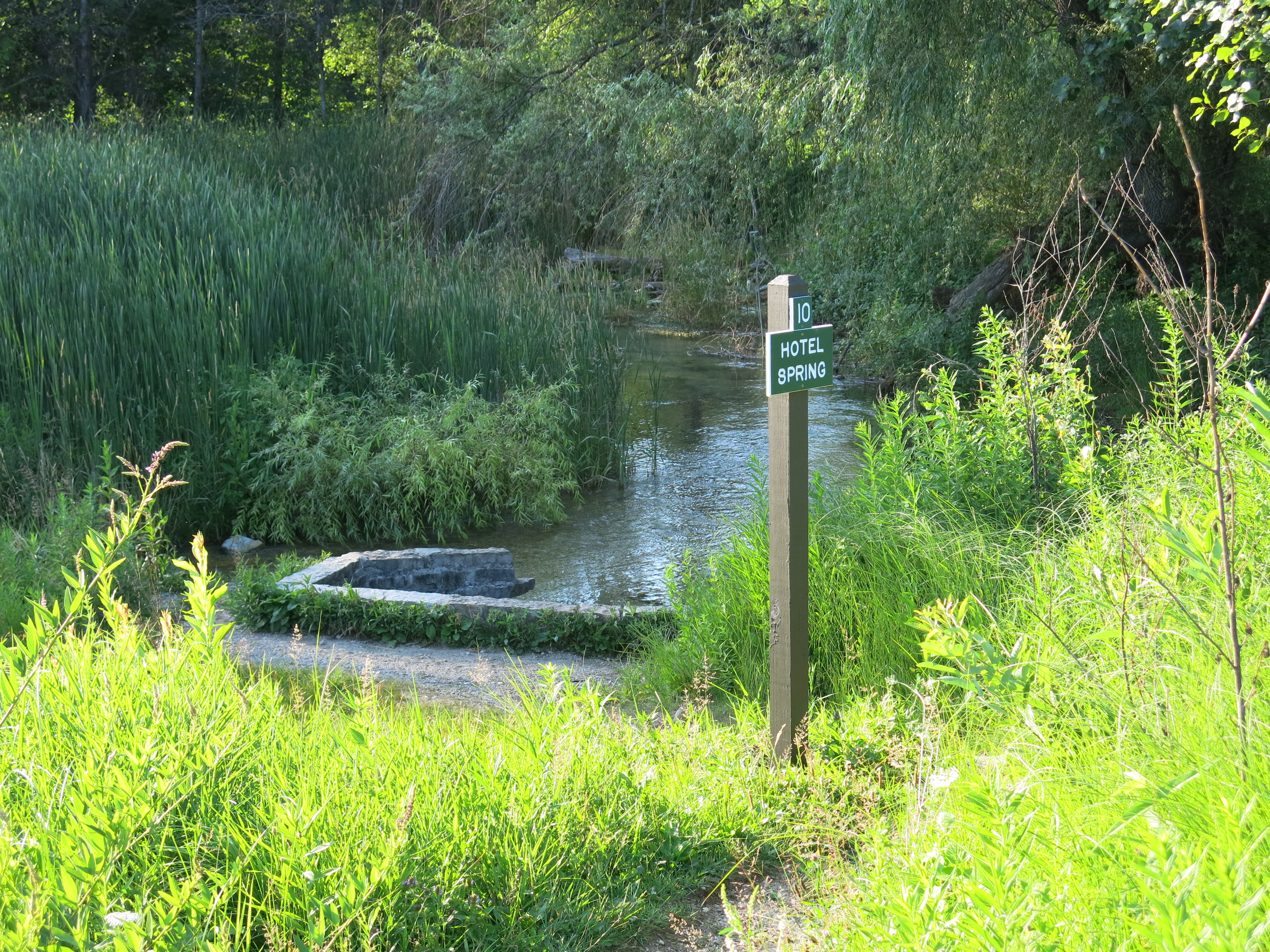
The weeds are obvious to me now; I recognize them from my childhood, playing at new home construction sites, and by their names: fleabane, knapweed, ragweed etc…. Jason Dare helped me connect the micro and macro perspectives when we talked last Saturday evening and I feel a lot more confident that I’m going in the right direction. DNR Trail Boss, Don Dane, is going to meet me at The Springs on Tuesday, August 6th, at 8:00am (where westbound Hwy ZZ meets Hwy 67 in a “T”) to walk the trails, identify invasive species threats and prioritize the efforts. We’ll also be integrating the results of Jason’s invasive species survey; a very timely commission by the DNR. You are welcome to join us and learn about the restoration!
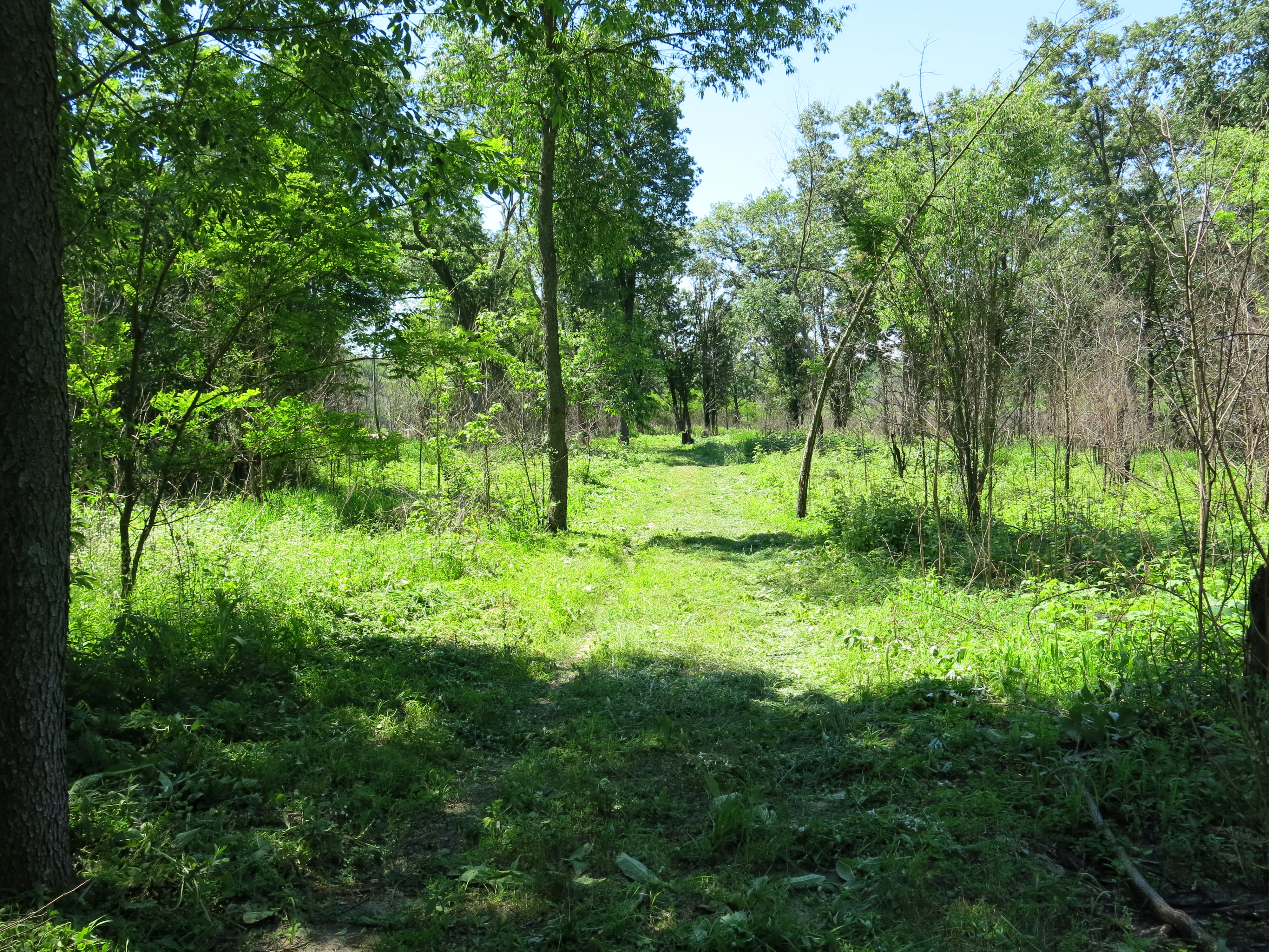
I enjoyed a fine day at The Springs yesterday, spraying black locust saplings in the morning and then brush cutting weeds on the sand prairie. I would consider using a brush mower next year, but for now, I prefer the finer control of a weed whacker, as it gives me the opportunity to work slowly, identify what I’m seeing, and avoid cutting high quality native plants as much as possible.
The Wisconsin DNR Sand Prairie website includes this summary:
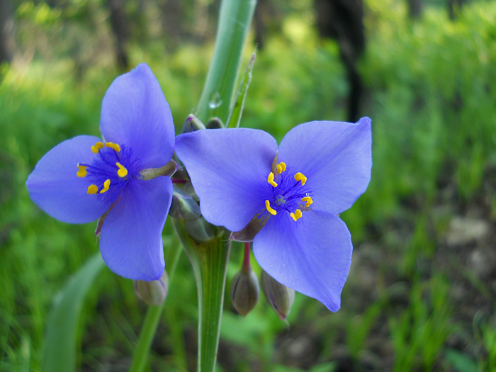
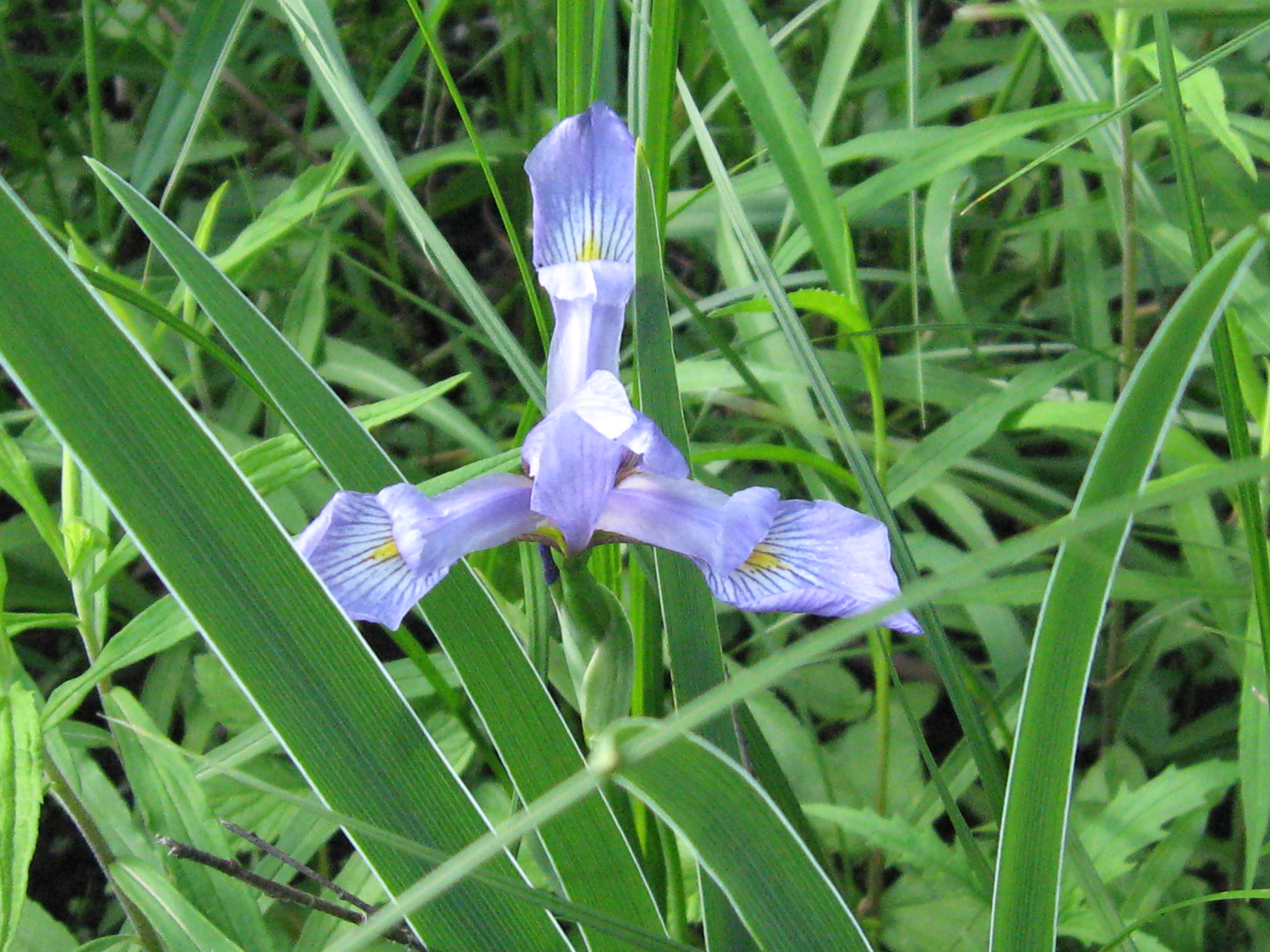
Sand prairie is a dry native grassland community dominated by grasses such as little bluestem, J junegrass, panic grasses, and poverty-oat grass. Common herbaceous associates are sand cress, field sage-wort, western ragweed, several sedges (e.g., Carex muhlenbergii, Cyperus filiculmis, and Cyperus schweinitzii), flowering spurge, frostweed, round-headed bush-clover, western sunflower, false-heather, long-bearded hawkweed, stiff goldenrod, horsebalm, and spiderwort. Drought-adapted fungi, lichens, and mosses are significant components of sand prairie communities.
One of the next steps is going to be to see how many of these plants are currently established at the Scuppernong Springs Nature Trail’s sand prairie. Then we’ll need to consider how we want to reintroduce the plants that are missing and if other native plants that are not listed above can also be included. I’m looking forward to working with the new Naturalist for the Southern Unit of the Kettle Moraine State Forest once that person is hired. We are a long way from the restoration ideals of John J. Ewel’s “Restoration is the ultimate test of ecological theory”, but I think we are headed in the right direction.
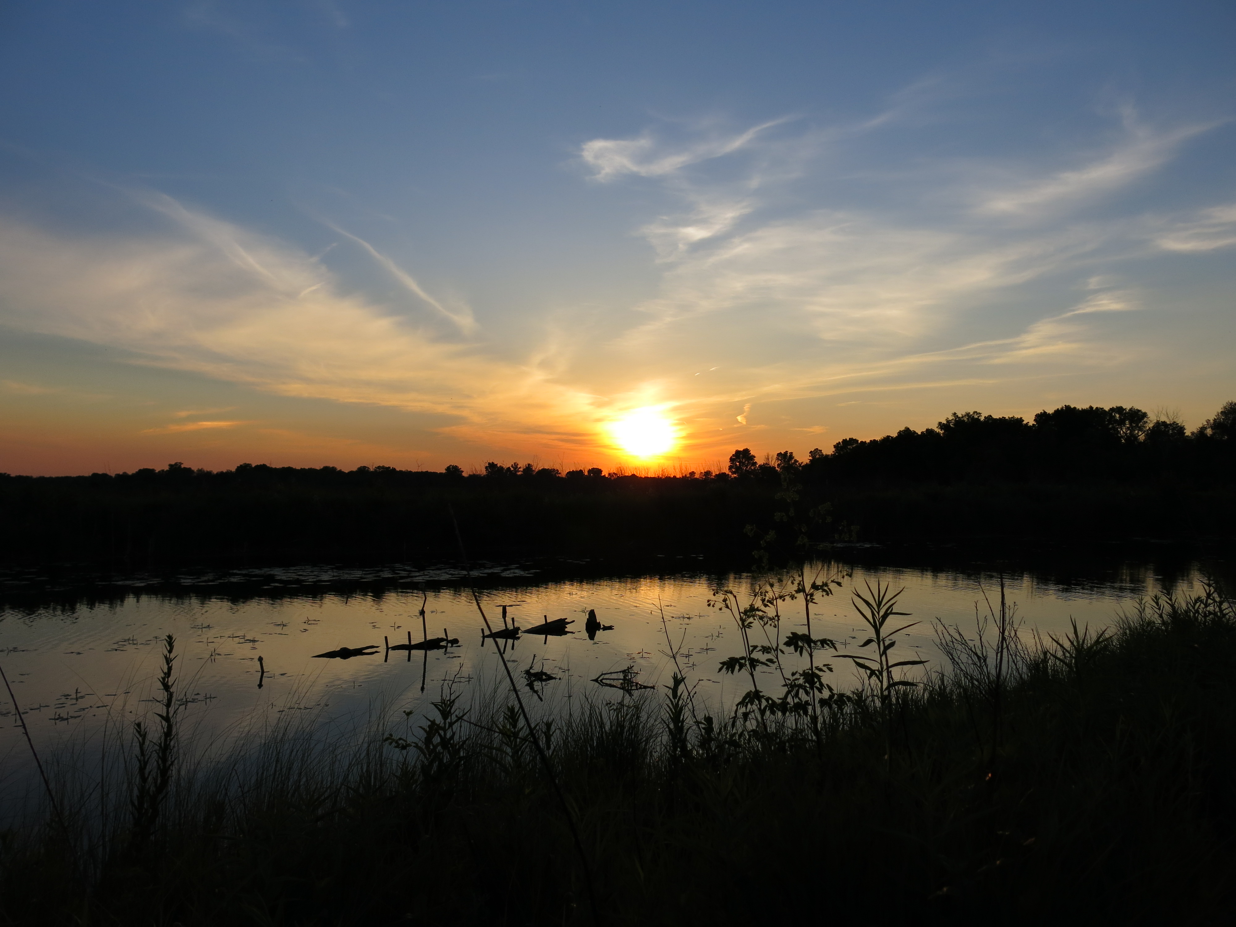
See you at The Springs!