It was a quiet and peaceful winter’s day at the Scuppernong Springs except for the bluebirds, robins and geese noisily reminding me that spring is around the corner. I stopped at the Parry Rd. Spring on the way out to fill our collection of 5-gallon jugs. We have been drinking this fluoride and chlorine free spring water at home for over 12 years and it sure beats Milwaukee tap water! I had the water tested in September 2011 just to be sure and it passed with flying colors.
Its been snowing a lot lately and it was nice to see the sun again. I took this video at the marl pit bridge before heading to the work-site on the cut-off trail.
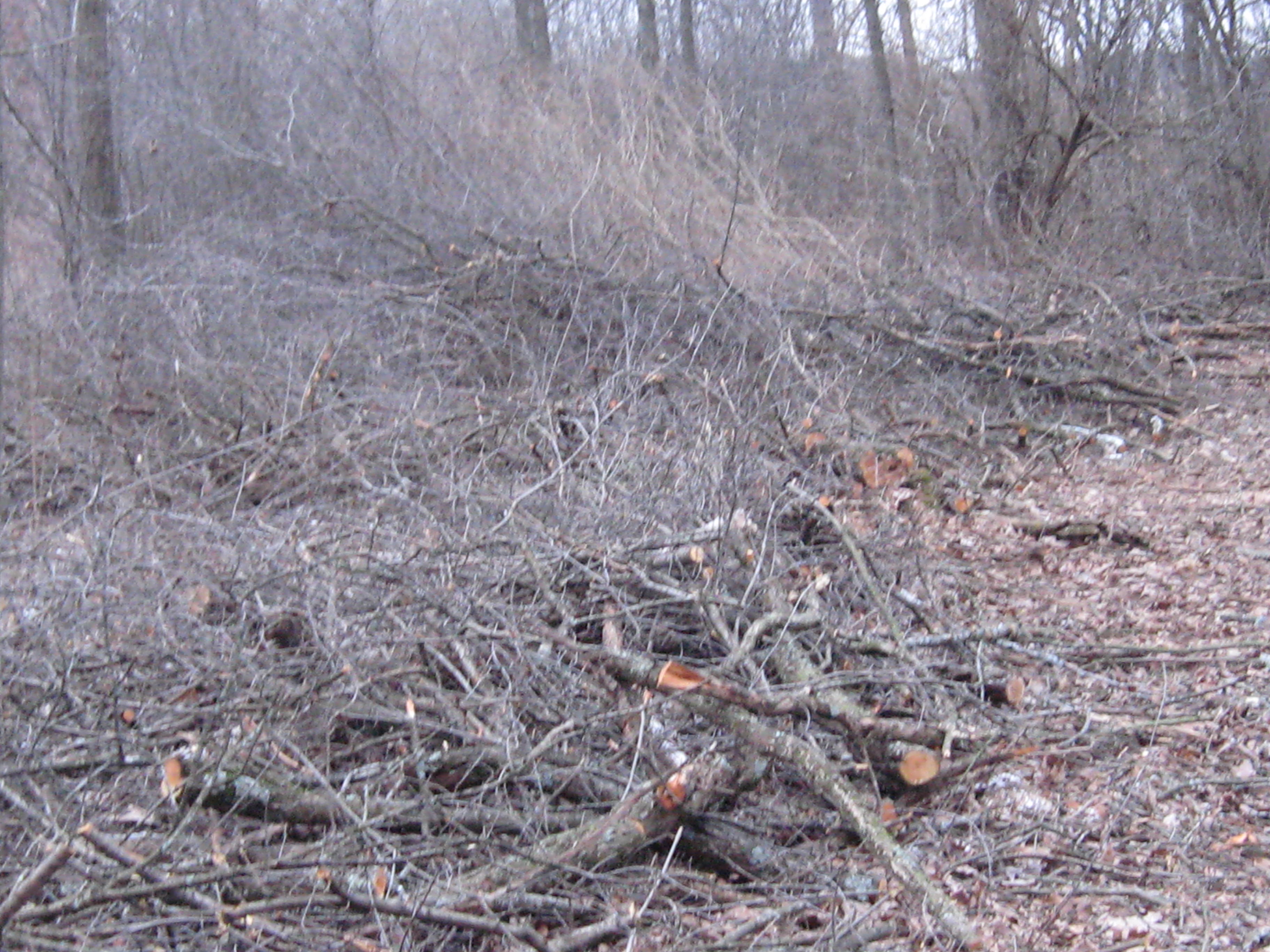
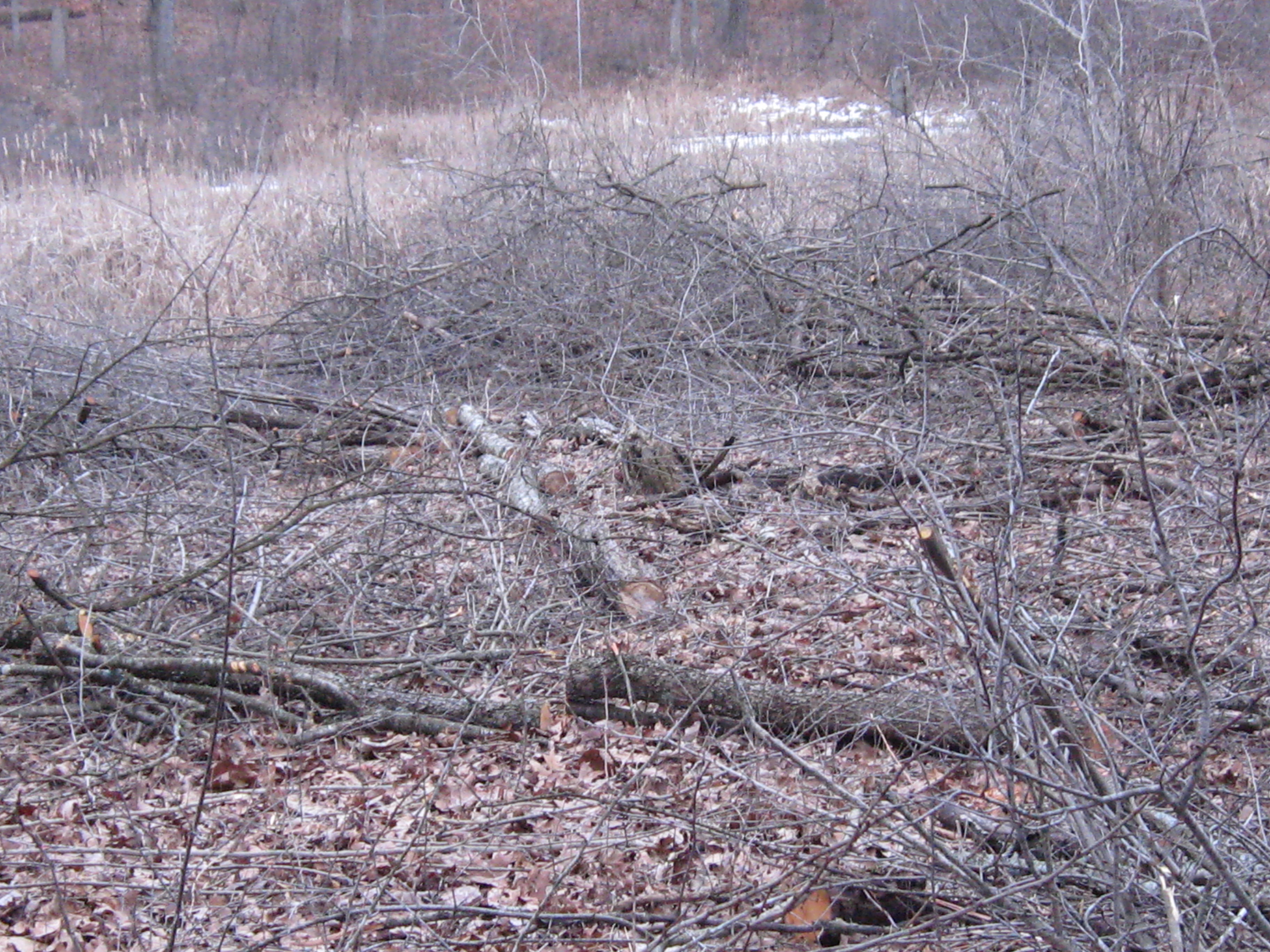
We are making great progress clearing the buckthorn between the cut-off trail and the river. I’m focusing on the west end of the trail now so we can be out of this area before the sand hill cranes start nesting by the marl pits.
I didn’t see a soul while I was working and I really enjoyed the peace and solitude. Here is what it looked like after I finished cutting.
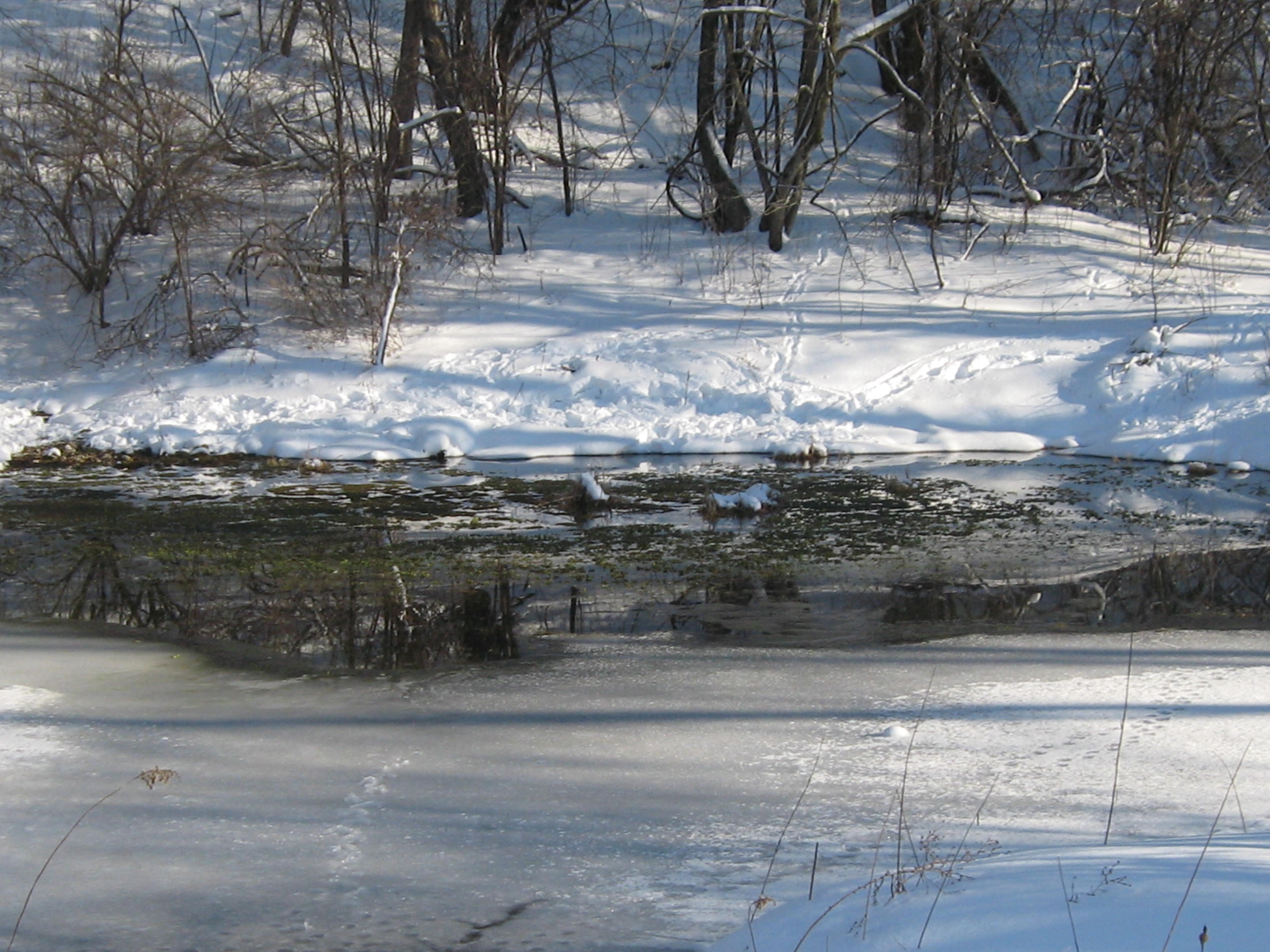
After loading my gear in the truck, I took a very relaxed stroll on the Nature Trail. Here are a couple shots from the bridge over the Scuppernong River at #5 on the map.
One of my favorite views is from the old hotel site.
The robins and bluebirds find lots to eat in the spongy moss at the springs we recently cleared at the site of the old hatching house.
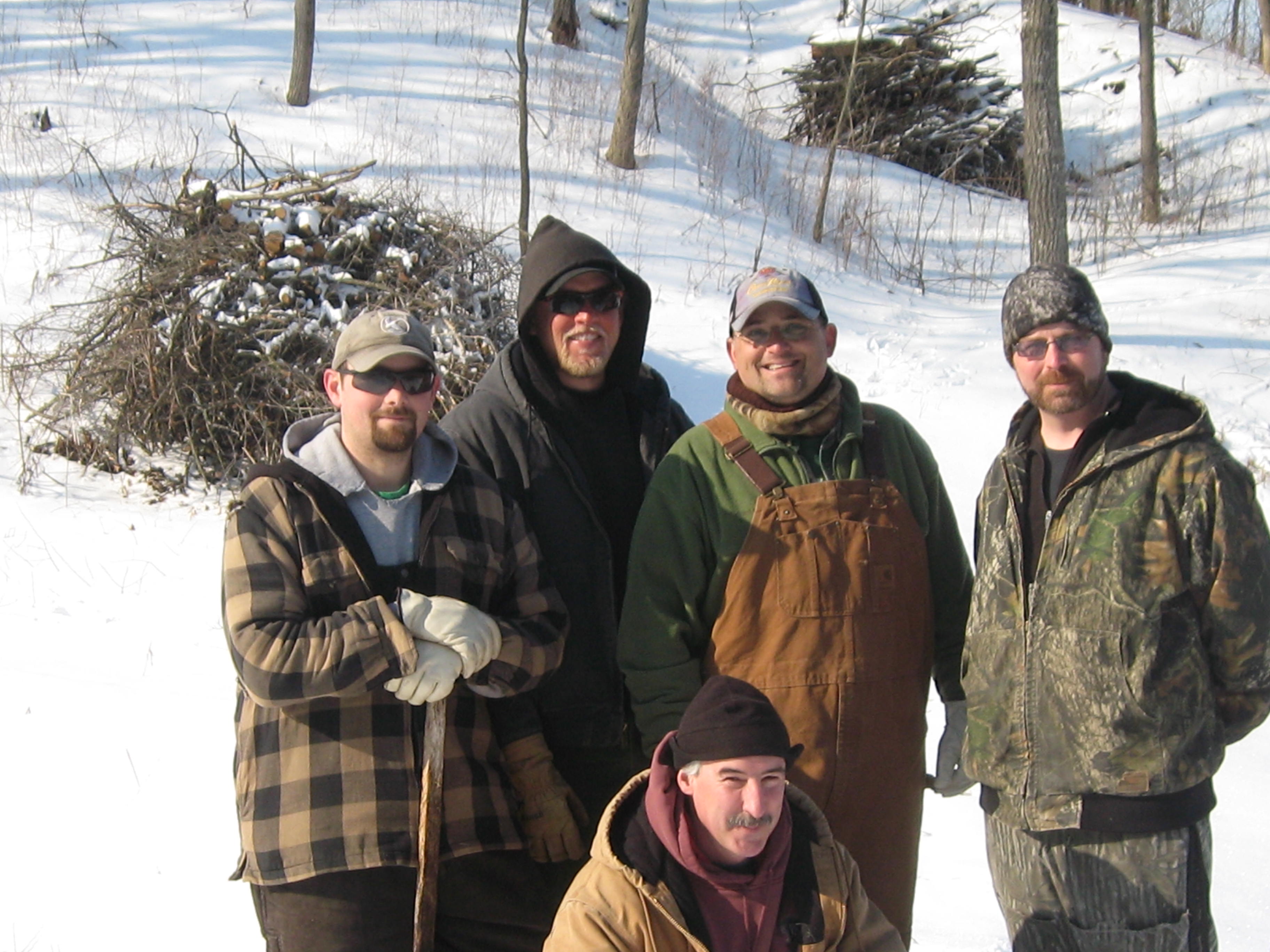
An elite team of DNR River Doctors paid a visit to the Scuppernong River to see how their patient was doing. Over the last 20 years, since DNR veterans Sue Beyler, Randy Schumacher and Ron Kurowski initiated the “healing” of the river in conjunction with the Scuppernong River Habitat Area restoration project, the health of the Scuppernong River has steadily improved. Nevertheless, the River Doctors advised that more “trout stream therapy” is in order. Let’s meet the doctors.
From left to right starting in the back row we have Josh Krall, Andrew Notbohm, Steve “Gus” Gospodarek, Ben “Benny” Heussner and in the front row, trail boss Don “Double D” Dane. Check out the DNR contact site for more information. You can review their most recent work on the Scuppernong river at the end of this Interview With Ben Heussner. By the way, on the first leg of our recent Journey Down the Scuppernong River, I expressed disappointment that water from the river had spilled over into the channel, which they had endeavored to segregate from the river last summer. Ben and Steve explained this was to be expected for 3 reasons: this is a flood plain and it is perfectly natural for the river to overflow its banks, there are water sources to the North of the channel that still feed it, and finally, they would have had to excavate the old river bed to an unacceptable depth, basically turning into another canal, to enable it carry more water. “Time heals all wounds” as Gos said, and the area in question will take many more years to completely heal.
I was joined by Pati Holman and we couldn’t have been more excited as we left the parking lot to survey the river to see what treatments the doctors might have in mind.
We identified 6 “projects”, or areas, where some therapy could be considered. The blue numbers on the map below will be referenced as we travel upstream from the marl pit bridge to the headwaters at the Scuppernong Spring.
Our first stop, project #1, was downstream a few yards from the marl pit bridge where the river splits in two forming an elbow that rejoins the main stream 30-40 yards downstream. I asked them to consider if we should close this side channel, which I made an ineffectual attempt to do last summer before Tracy Hames came to visit.
Then we proceeded upstream to the next bridge over the river where the water flow gauge was recently installed, where Steve explained what state the river was in when they began the “trout stream therapy” in that stretch.
We followed the right bank upstream maybe 100 yards to the site of project #2.
You can hear Steve and Ben discussing whether or not it was a good idea to remove the boards that we see in different areas of the river bed. They ultimately recommended that boards in the middle of the channel, where the water is moving the most freely, be removed, but boards on the periphery could be left in place so as not to disturb the muck. Then we continued upstream another 100 yards or so to project site #3.
You can probably tell from my excited chatter that I’m having a really good time. Then we continued upstream to the site of the dam that formed the upper, larger, of the two Ponds of the Scuppernong.
Then with perhaps the key insight of the morning, Dr. Heussner identified that the river was suffering from a gradient problem and that an elevation study was required (project #4). Take a listen.
As we progressed upstream, we considered that any further efforts would have to be done in sympathy with the establishment of the proper grade as Ben described above. We next arrived at the Emerald Spring where we discussed the idea of dredging the muck from the river to prevent it from going down stream once the improvements in the grade are achieved. This would be project #6.
Finally, we made our way over to the outflow channel from the Indian Spring, where Don had suggested some bio-logs might be useful. The doctors weigh in on project #6.
As Ben mentioned above, they will need to “chew on it” for a while to determine which of these projects they want to proceed with first. Depending on the needs of the project, we may try to enlist the South East Wisconsin Trout Unlimited group to give us a hand.
Pati and I had a great time hanging out with the DNR Fisheries team and “Double D” and we learned a lot! I hope you did too.
McKeawn Springs flashes by pretty quickly as we speed along to where ever we’re going on Hwy 67. It is located halfway between Piper Rd and Road X just a bit south of the Scuppernong Springs. Until recently, I didn’t know this spring had a name, but after I documented our encounter with the intersection of the channel that flows from McKeawn Spring and the Scuppernong River, Mike Kuhr, from the South East Wisconsin Trout Unlimited group, provided the missing moniker.
As I was cutting buckthorn on the cut-off trail this morning, I thought today is the day I slow down, get out of my car, and take a closer look at the McKeawn Spring. But first, there was a little work to do…
I had the pleasure of meeting Anne, from Waterville, and Steve, from Milwaukee, while taking breaks to refuel with cookies and gas. I really do like to “See you at the Springs!” Pati arrived just as I was finishing the 6th tank of gas and I told her about my idea to follow the outflow of McKeawn Spring to where it joins the Scuppernong River. She was all over that.
Pati dragged my sled back to the truck and we loaded the gear and drove over to McKeawn Spring.
This is a perfect time of the year to explore wetlands and we walked right down the channel avoiding all of the brush. I took this video about half way to the Scuppernong River junction.
When we got to the river we were greeted by a Sand Hill Crane, our first sighting of the season.
We followed the Scuppernong River back to the marl pit bridge.
As if this wasn’t all too exciting, we heard the whir of a distant chainsaw when we got to marl pits and guessed that someone might be harvesting firewood down on the south end of the loop trail. We hastened to the sound of axe on wood and found our new friend Carl Baumann hard at work on a huge red oak that had recently fallen.
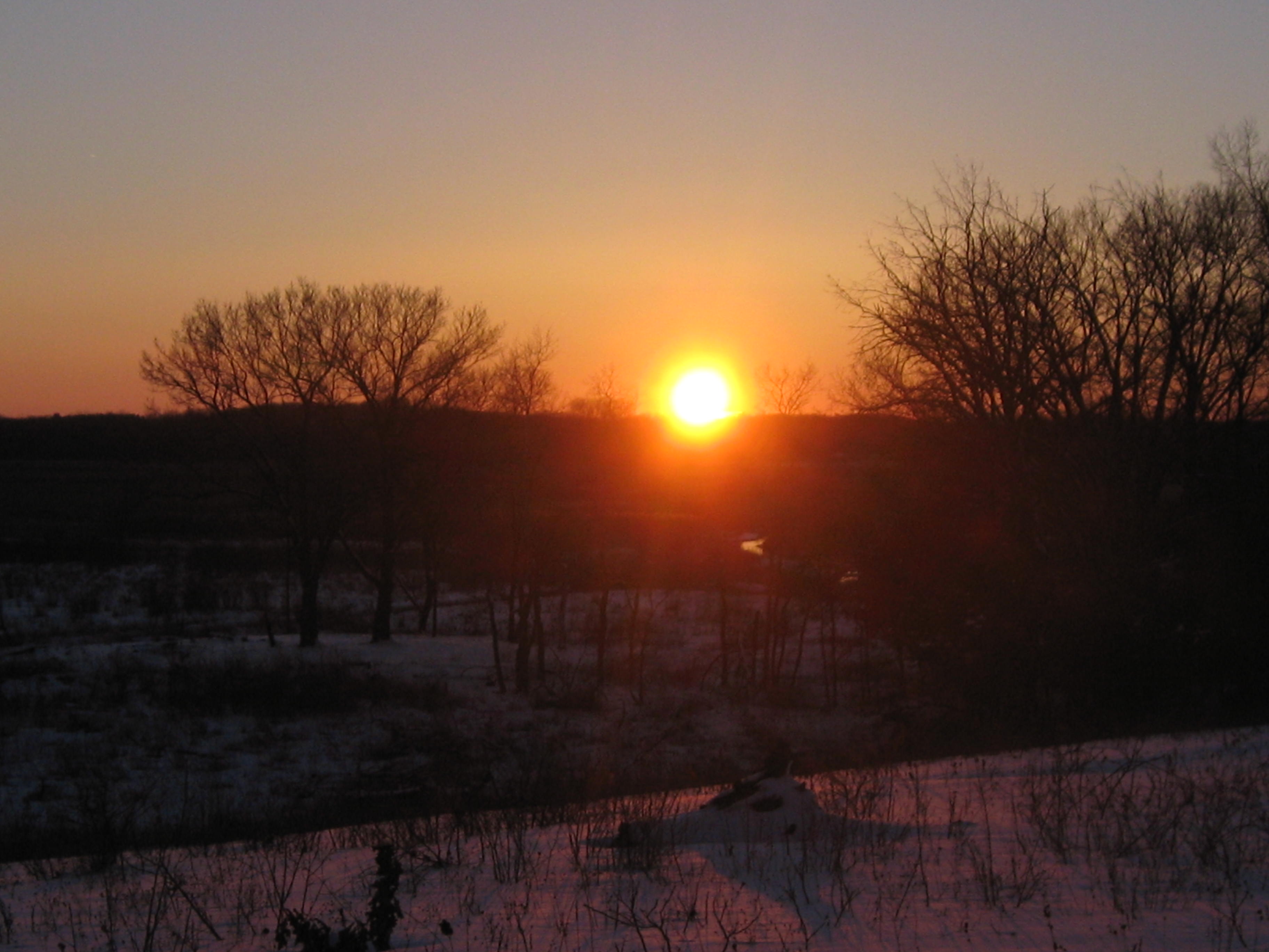
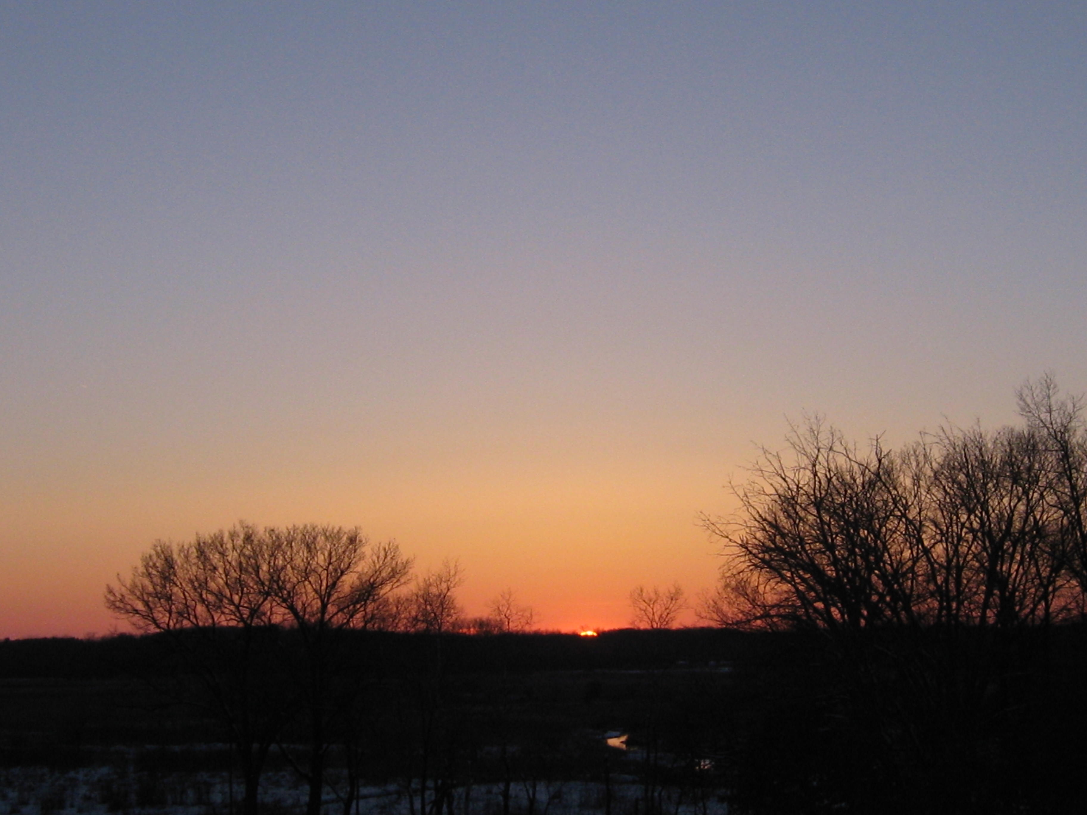
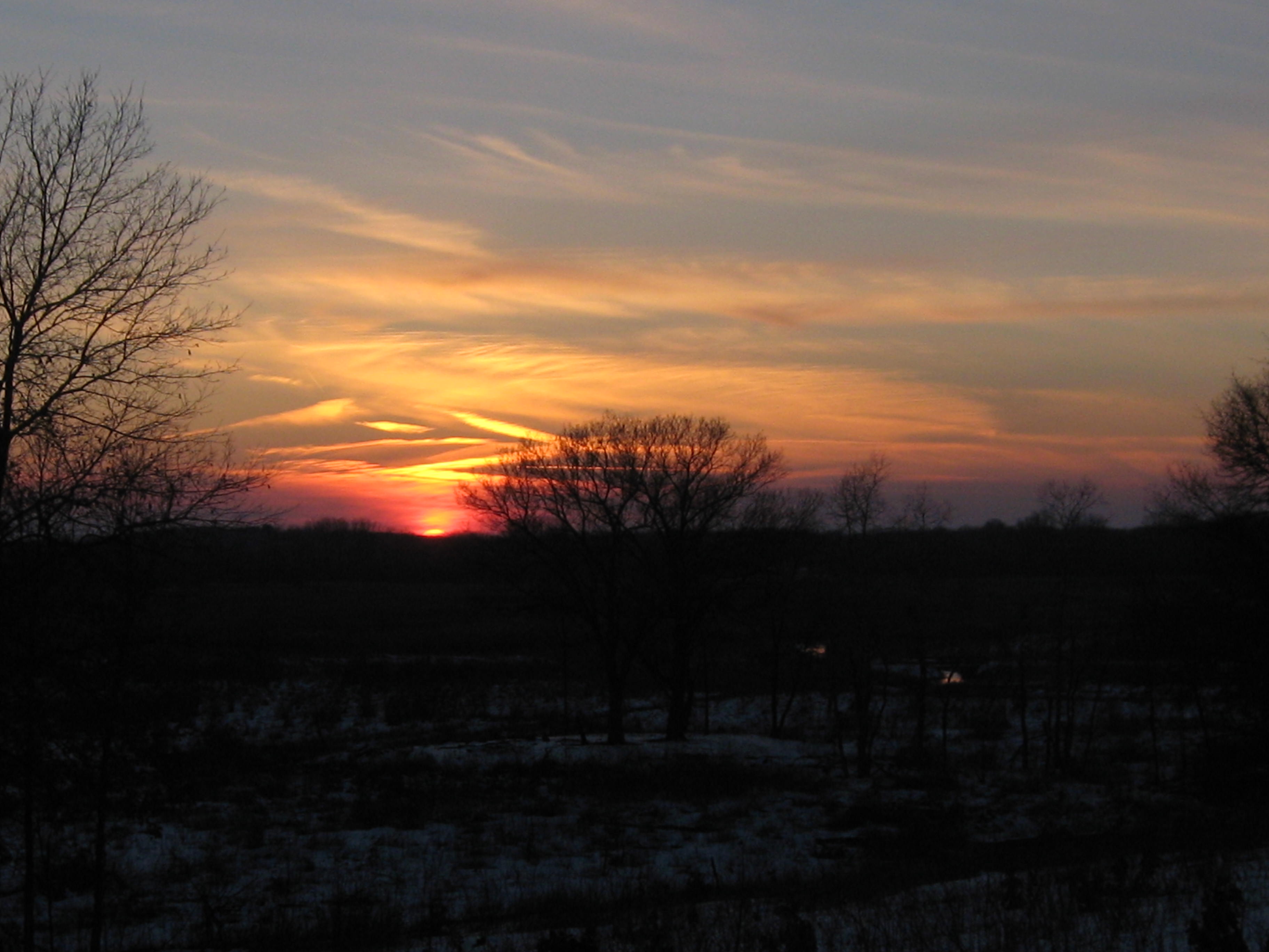
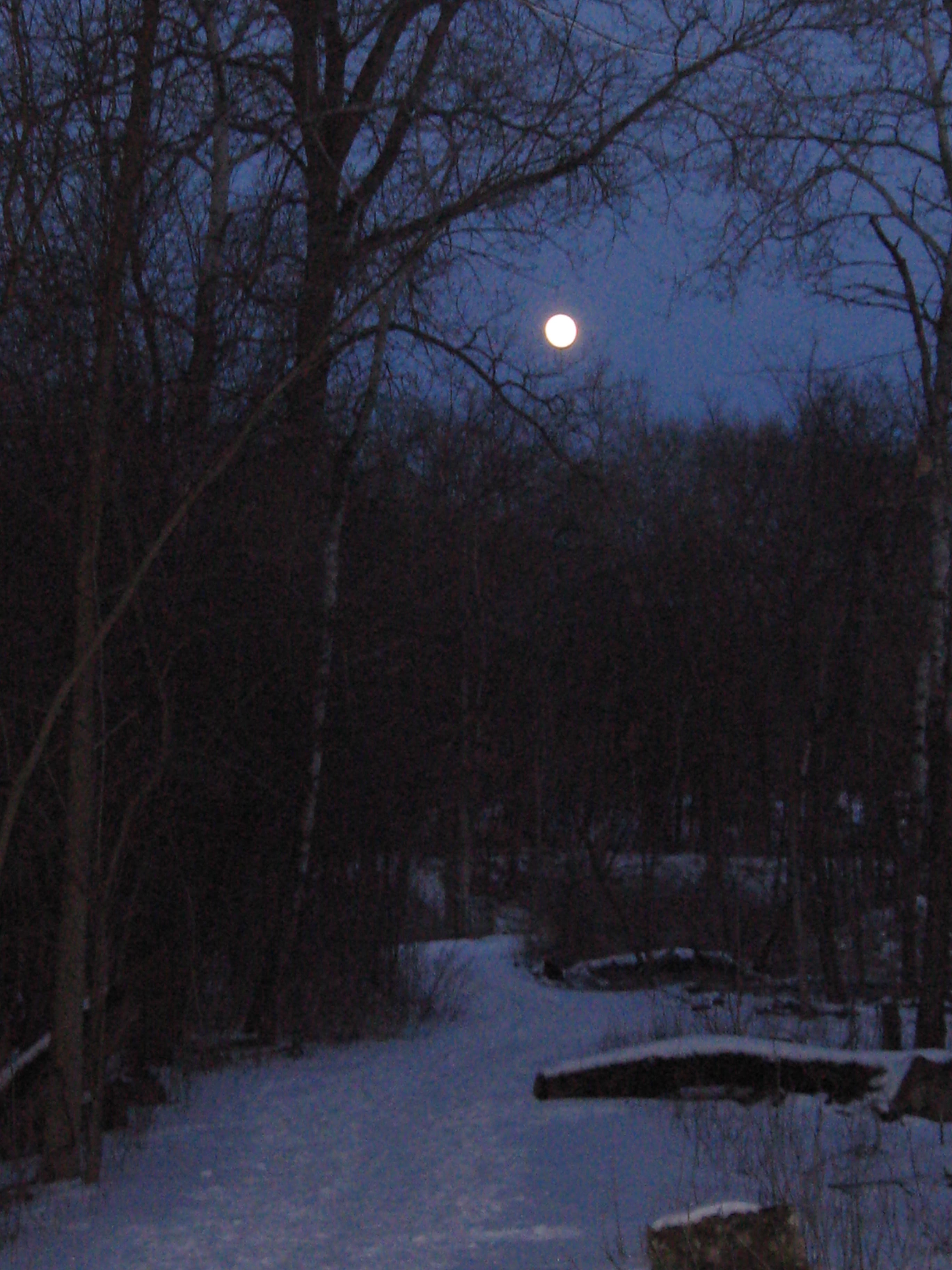
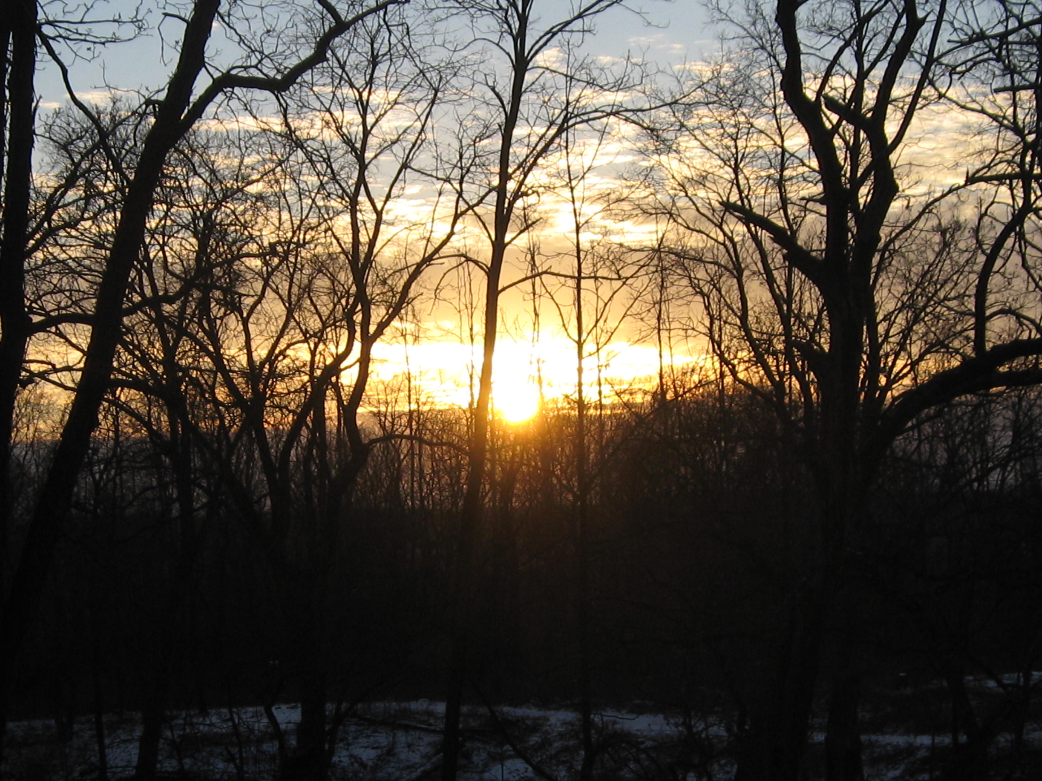
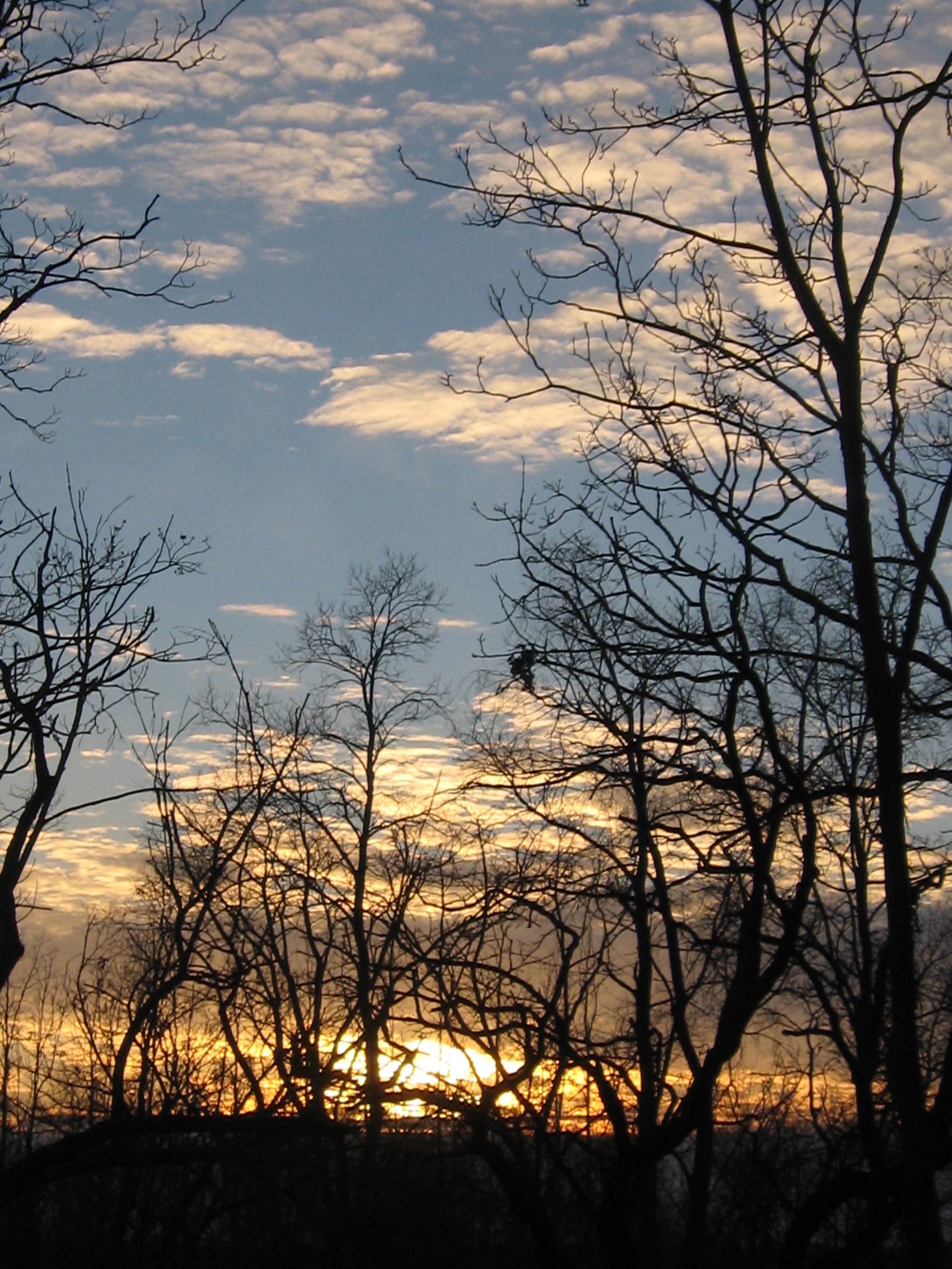
We had to leave Carl to his labors to catch the sunset and moonrise.
Steve Brasch grew up at the Scuppernong Springs. His mother used to drop him off there with his friends in the morning with a promise to pick them up for supper. All day they ran wild; building forts, floating on rafts in the ponds, catching creatures, running, hiding, looking, simply being in the woods. He never lost his love of nature and, armed with a degree, he pursued a career in forestry. Those were the Reagan years and budgets were tight; Steve had to make some tough decisions and leave the forest behind.
Over the years Steve found opportunities to volunteer with many organizations working on land restoration and his passion for the outdoors never flagged. He moved into the Scuppernong neighborhood and, noticing the changes taking place at the Springs, decided to get involved. Lindsay and I really appreciated Steve’s help and camaraderie yesterday as we worked the piles on the cut-off trail. Welcome Steve!
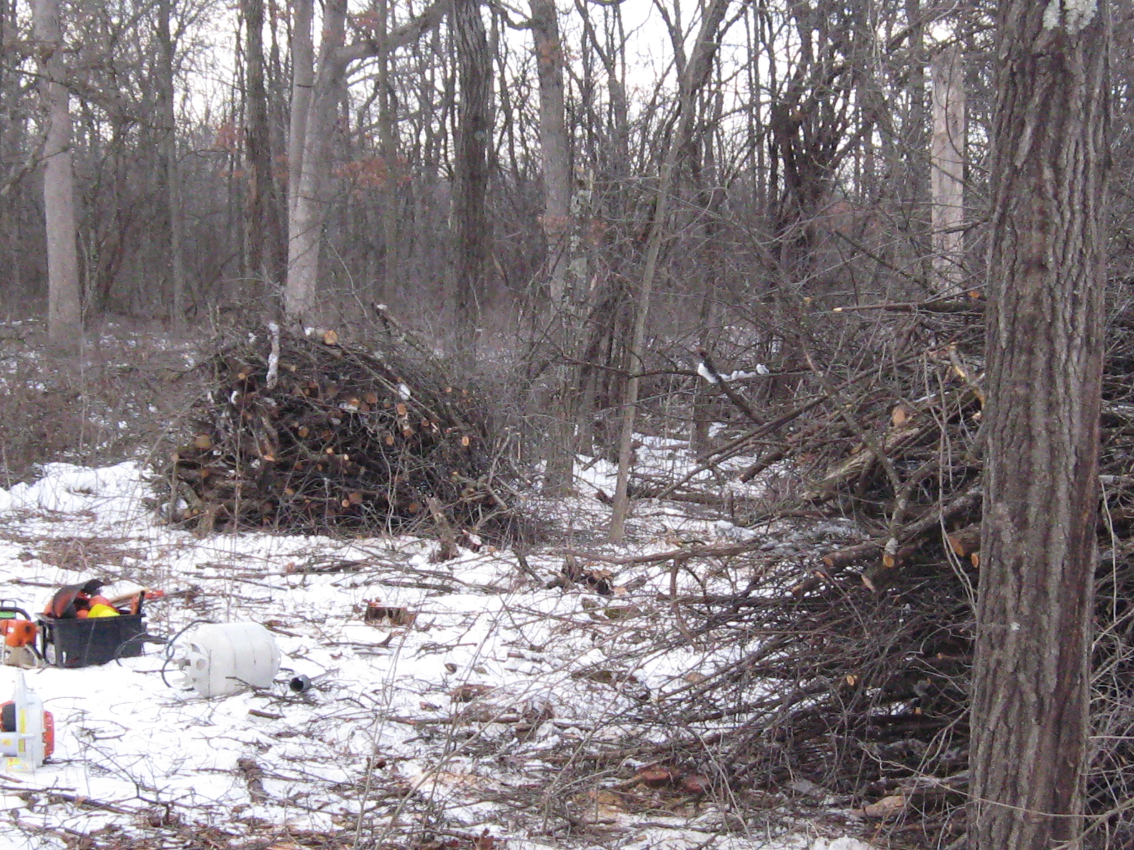
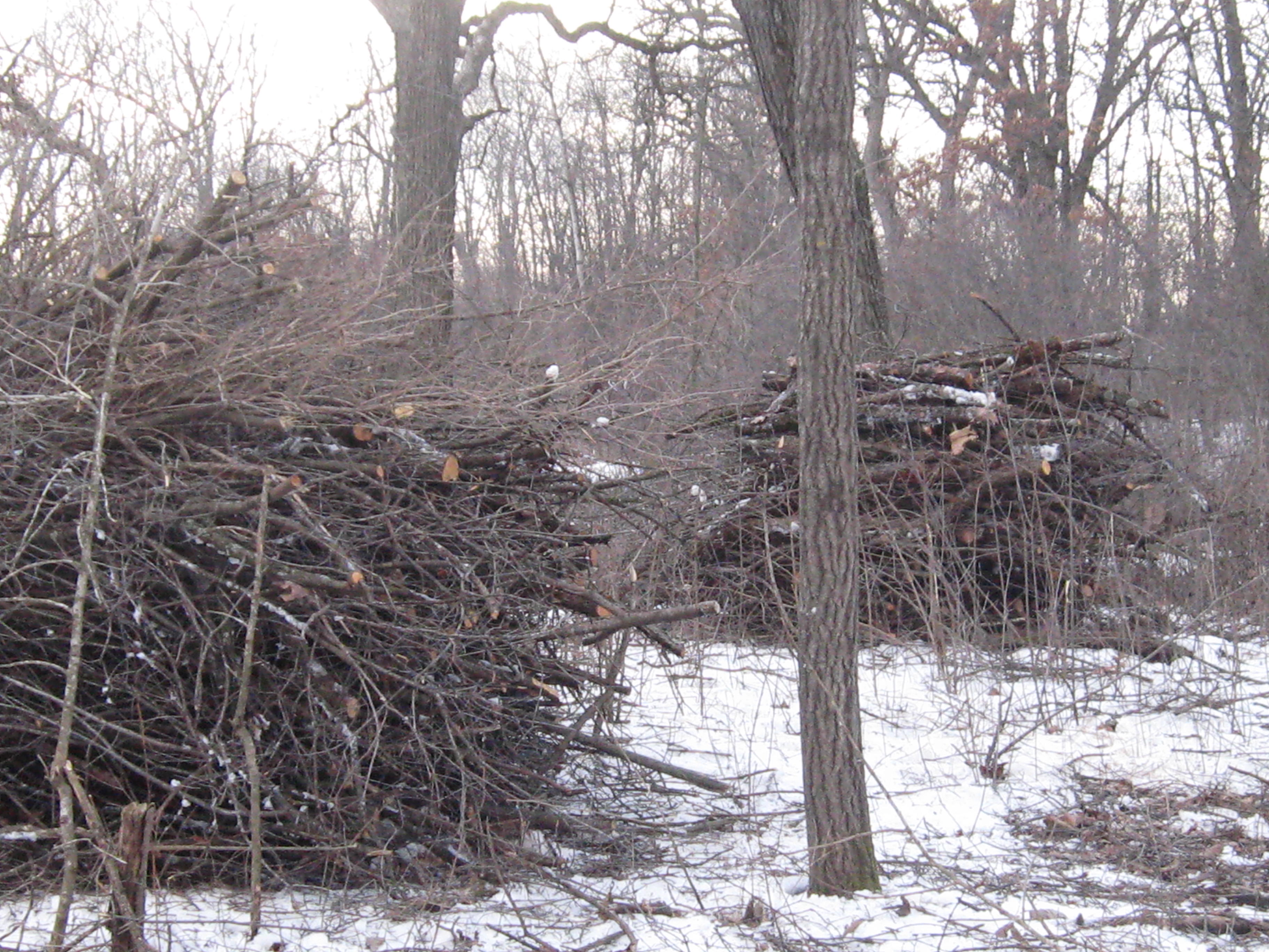
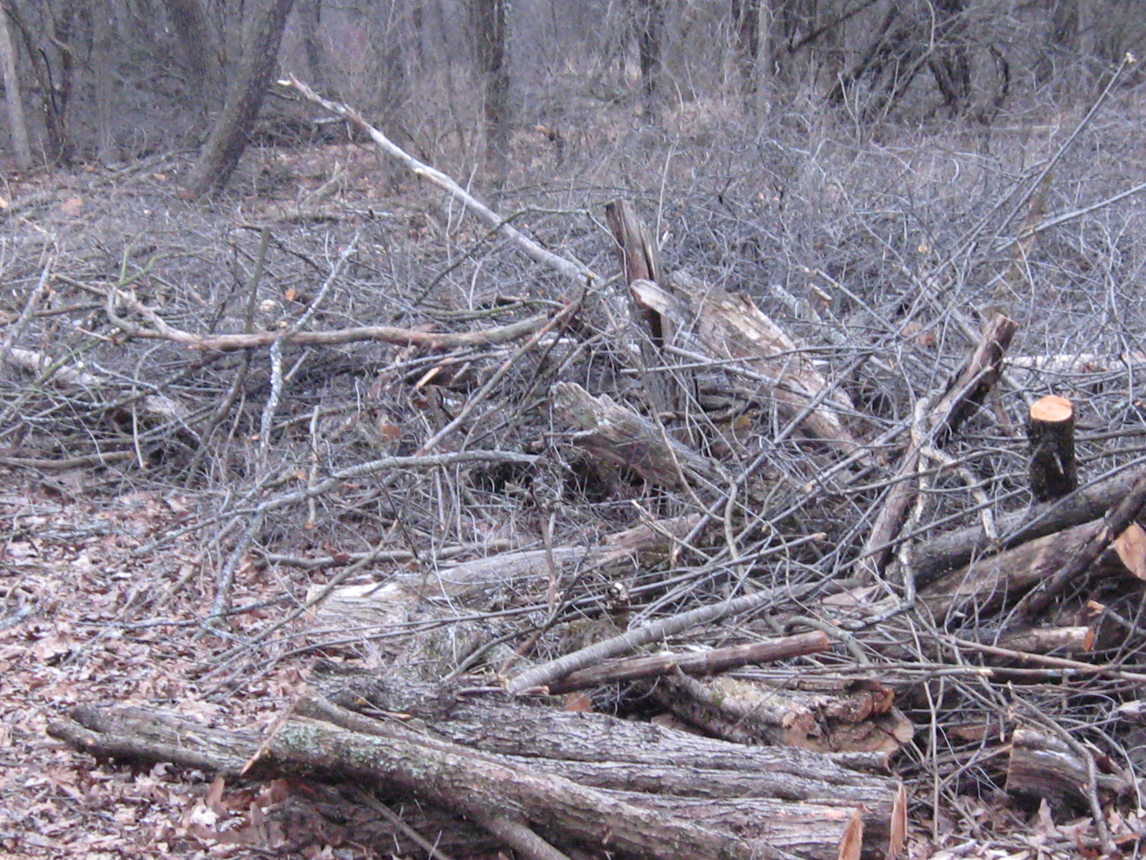
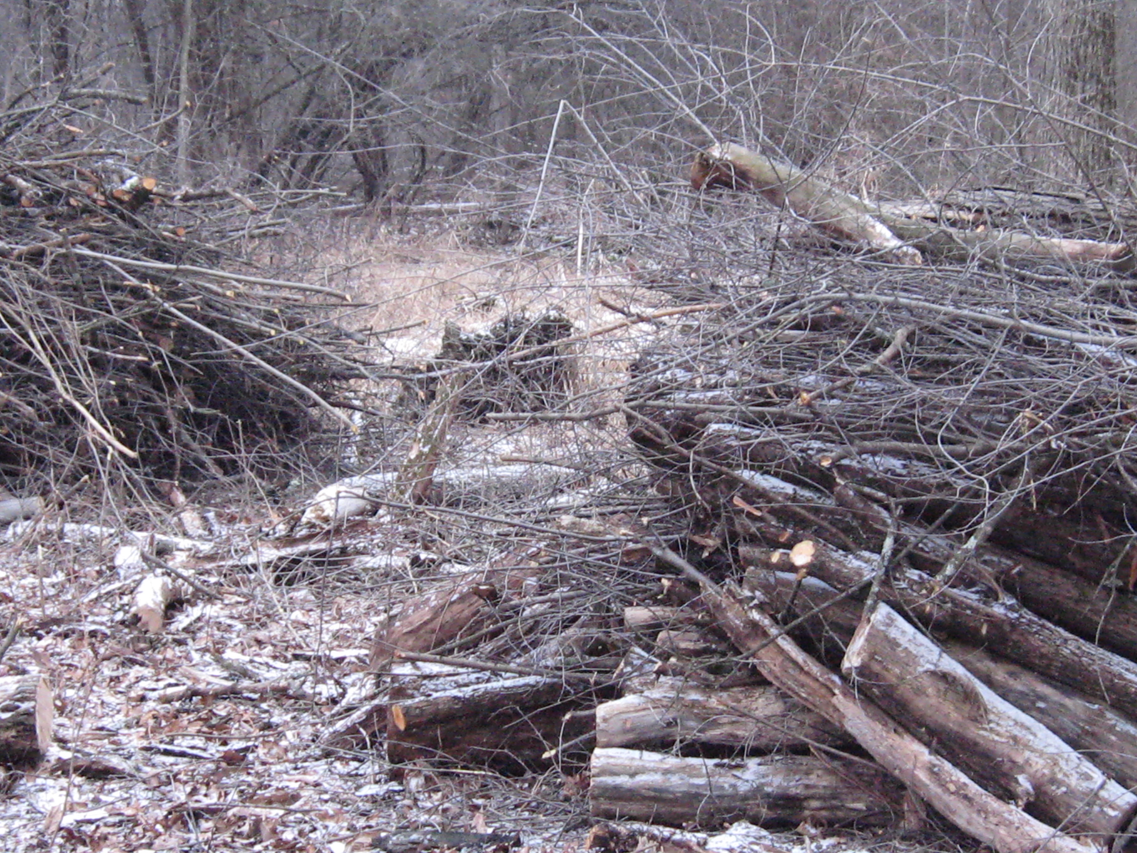
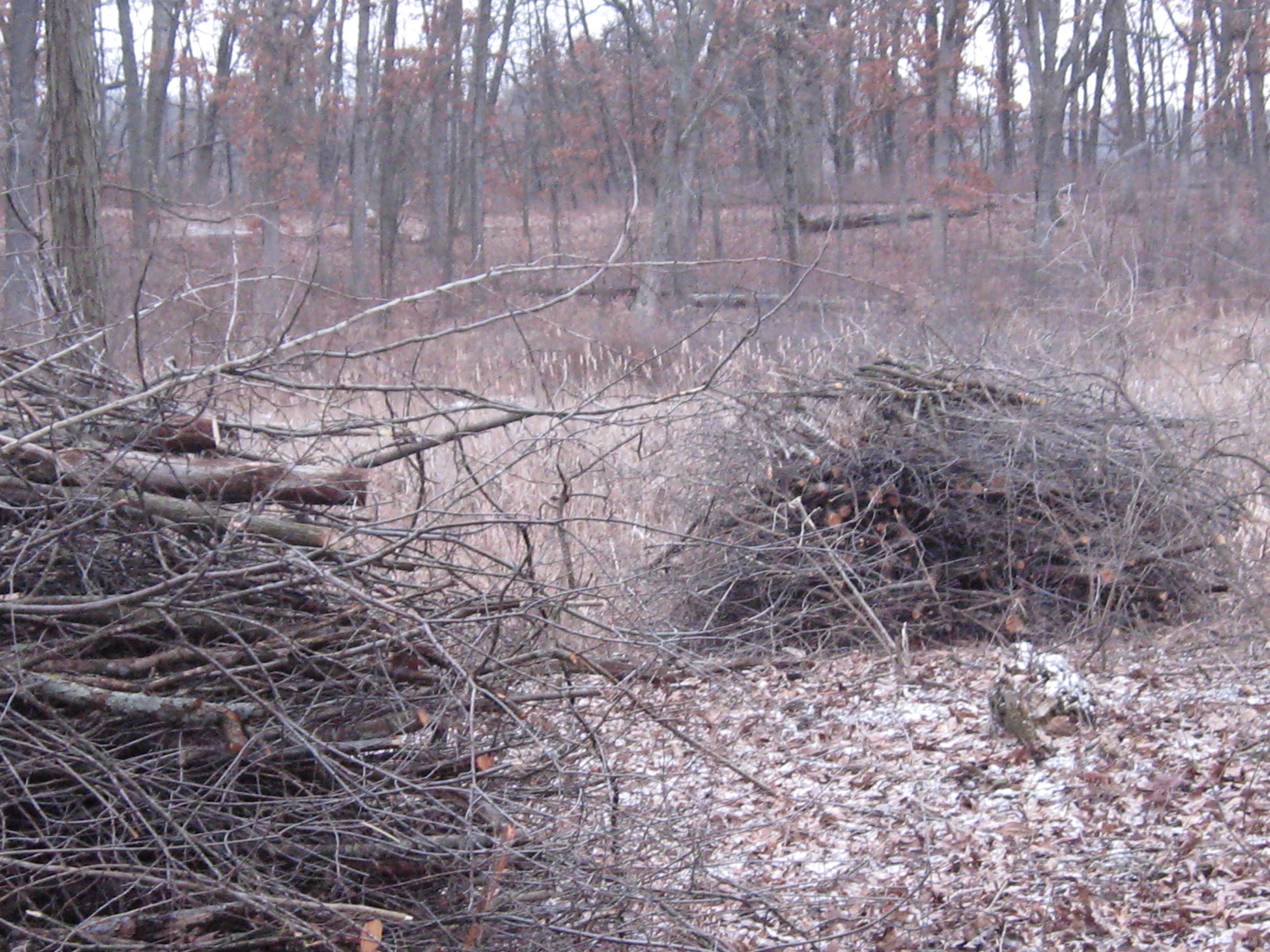
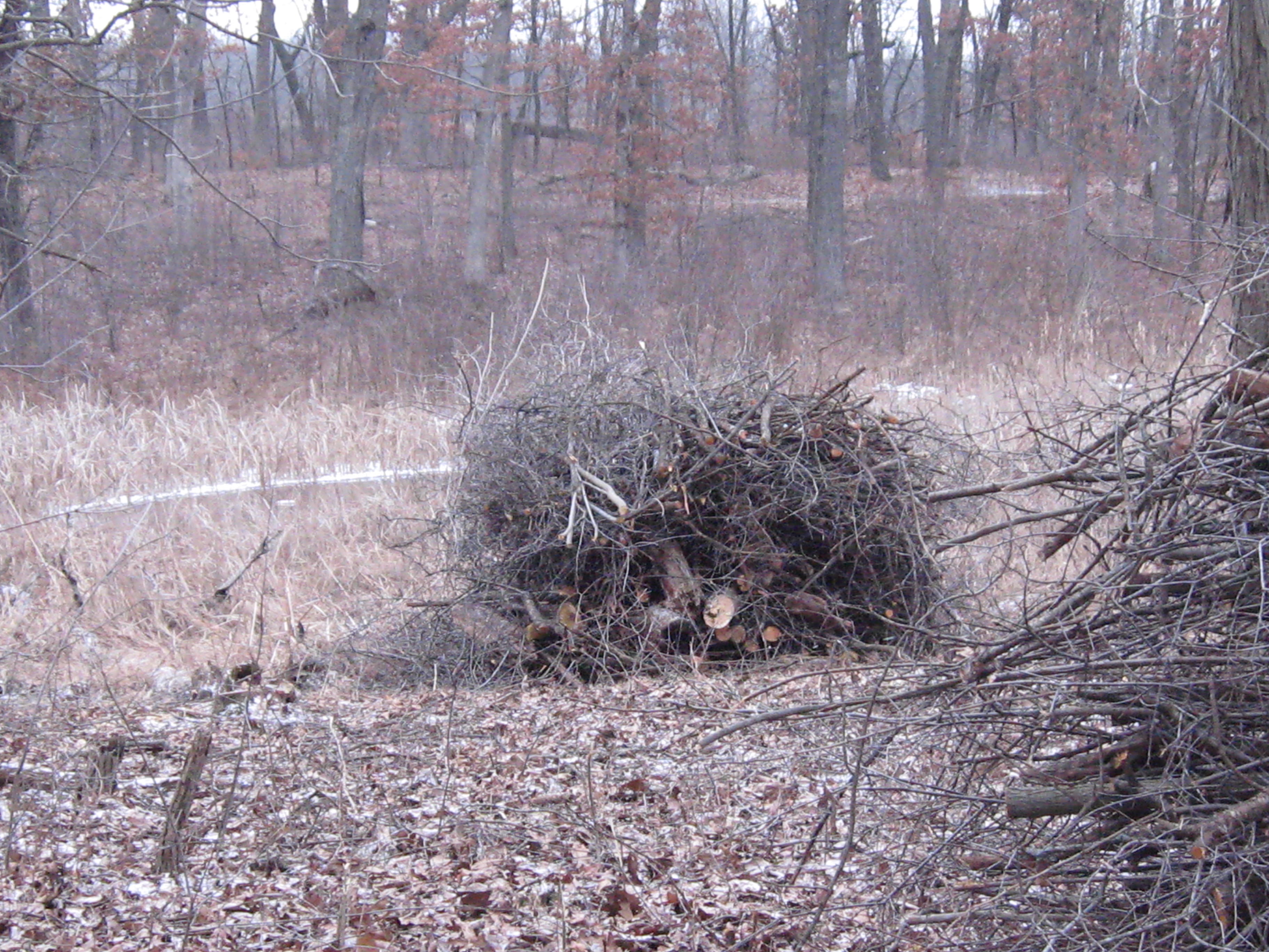
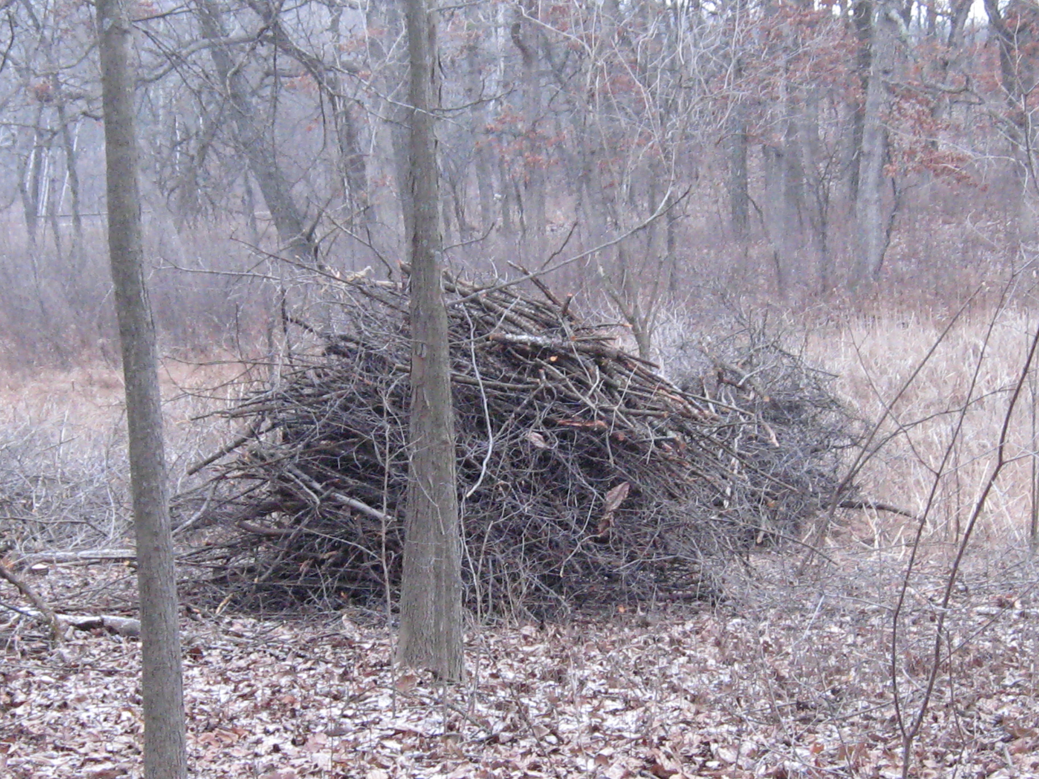
Here are a few pictures of the brush piles we intended to burn. This wood was cut and piled within the last month, which is pretty fresh as brush piles go, but they contained enough dead wood that we thought we could start them.
The plan was to get the existing piles lit and then continue piling the brush we cut last week.
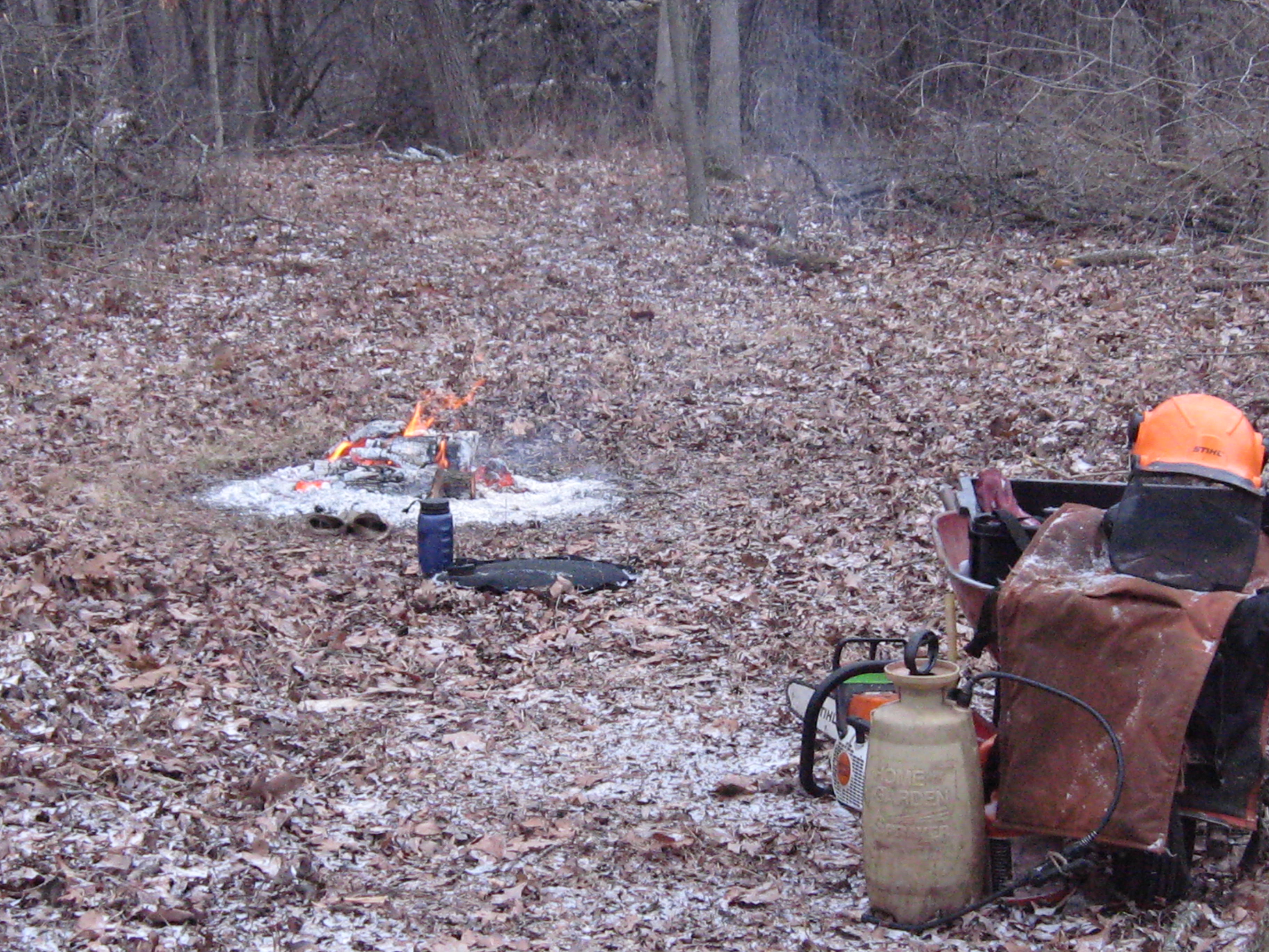
Despite the cold, we got warmed up fast and the layers started coming off. Lindsay brought his leaf blower and that proved to be the difference between success and failure; there’s nothing like a jet of fresh air to kick-start a green brush pile.
We made a few new brush piles too.
We hope to finish clearing the buckthorn and brush between the cut-off trail and the river before spring. The cut-off trail passes through the loveliest woodlands in the whole Scuppernong Springs Nature Preserve and it is a joyful thrill to open this area up.
I knew I was going to like Carl. He found this website while researching something on the internet and, being one who has his thoughts, emotions and actions in harmony, in a unity of consciousness, he contacted me immediately asking to help. Carl is a hard working, down to earth, righteous dude and we thoroughly enjoyed his company.
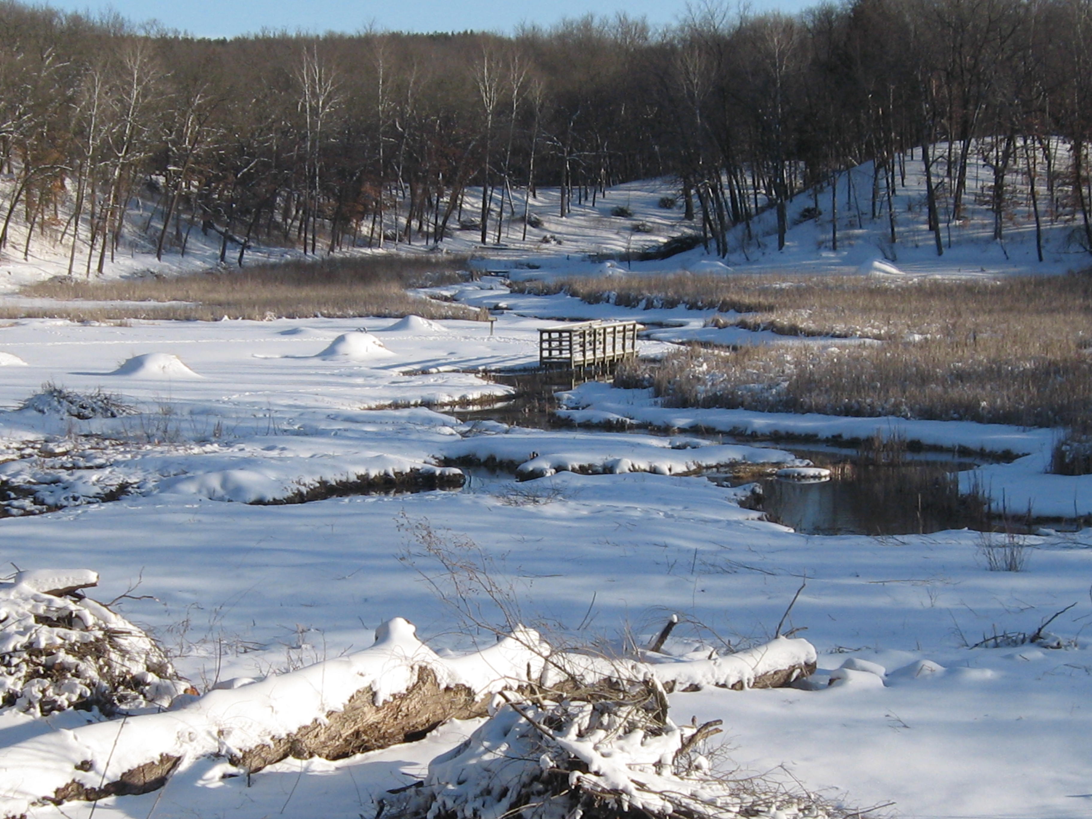
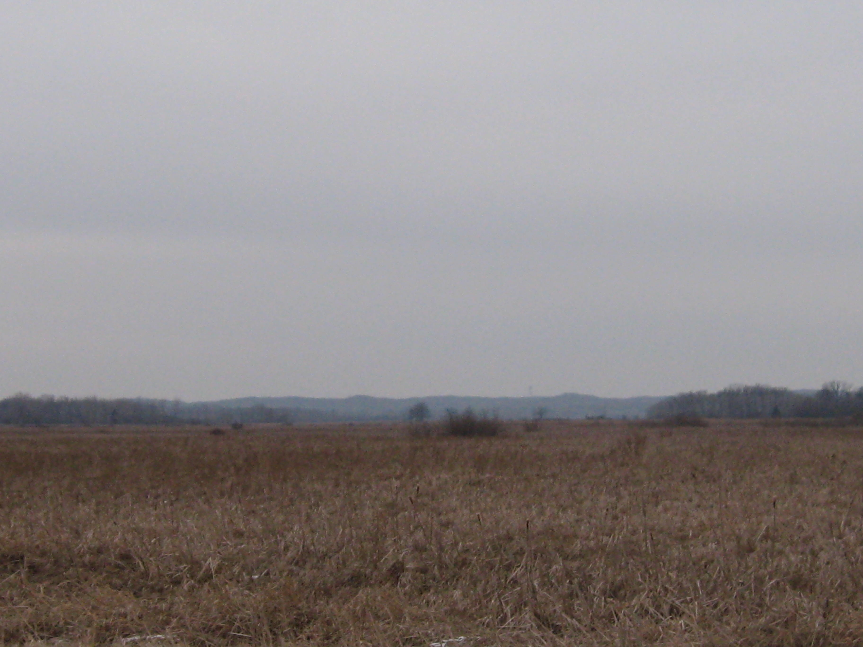
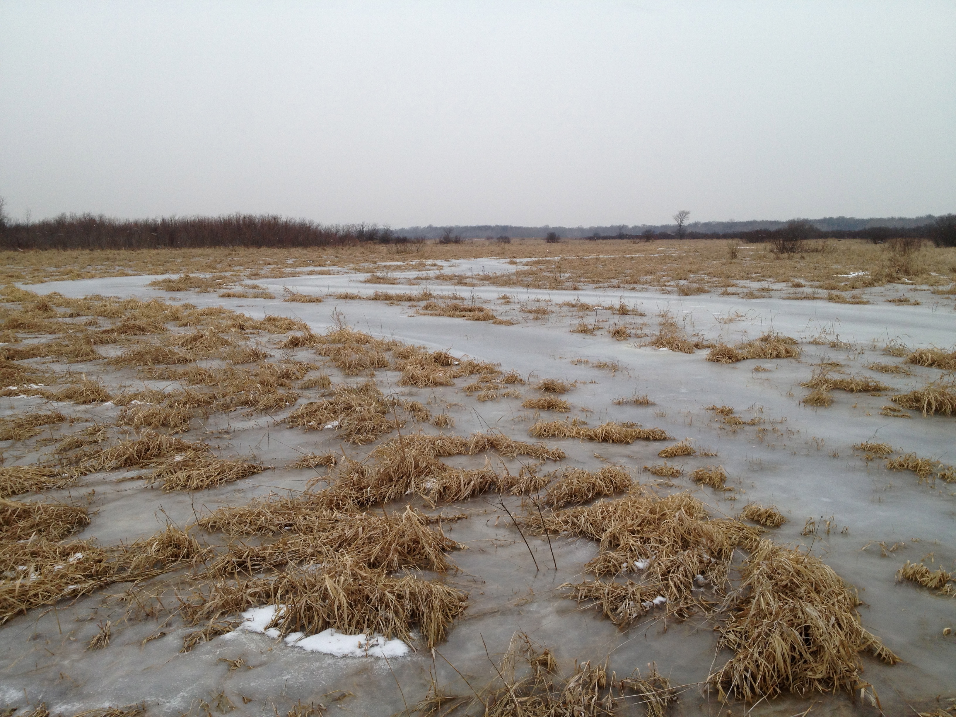
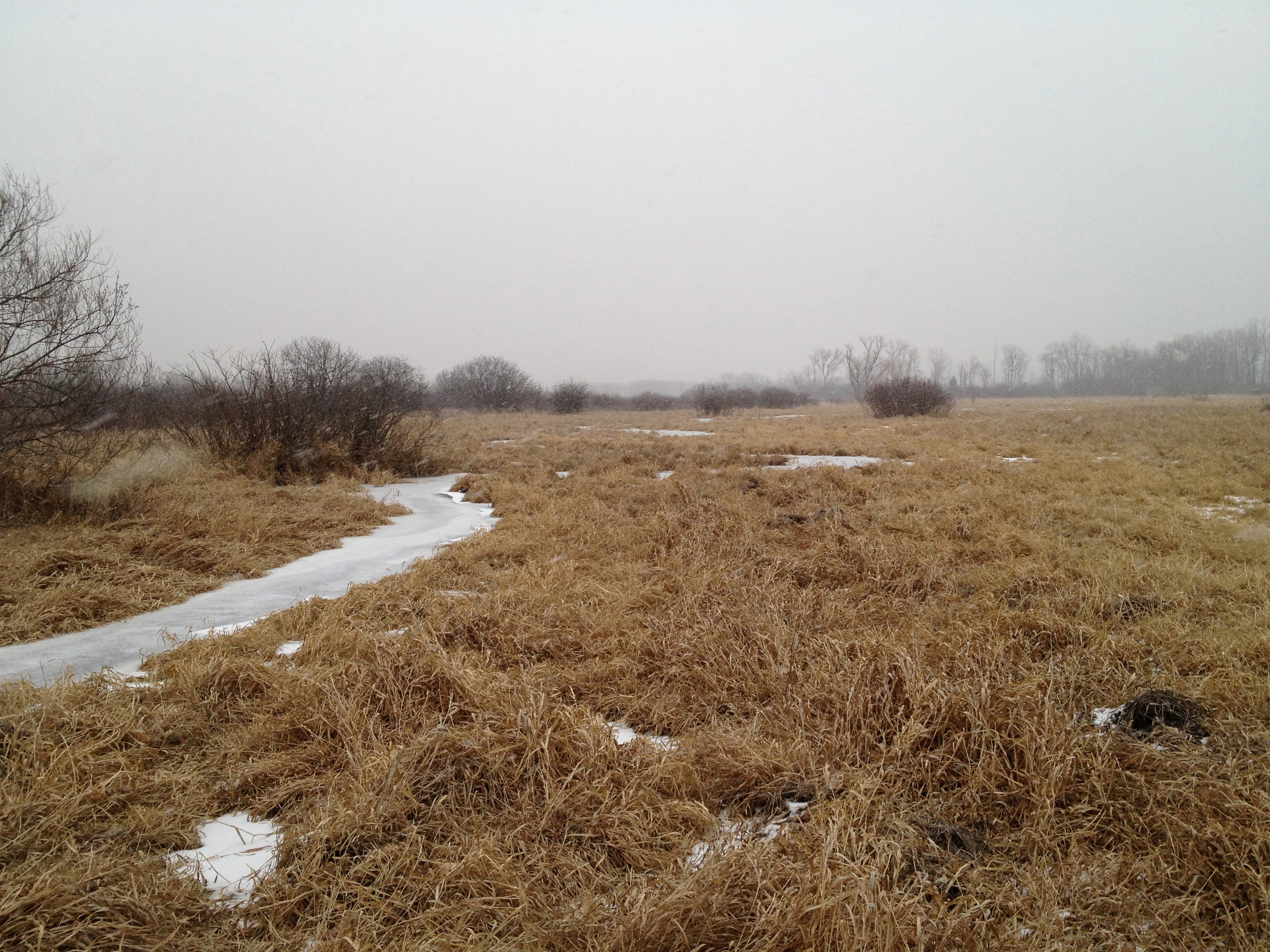
I love these views of the Scuppernong River Habitat Area, which contains the largest prairie east of the Mississippi.
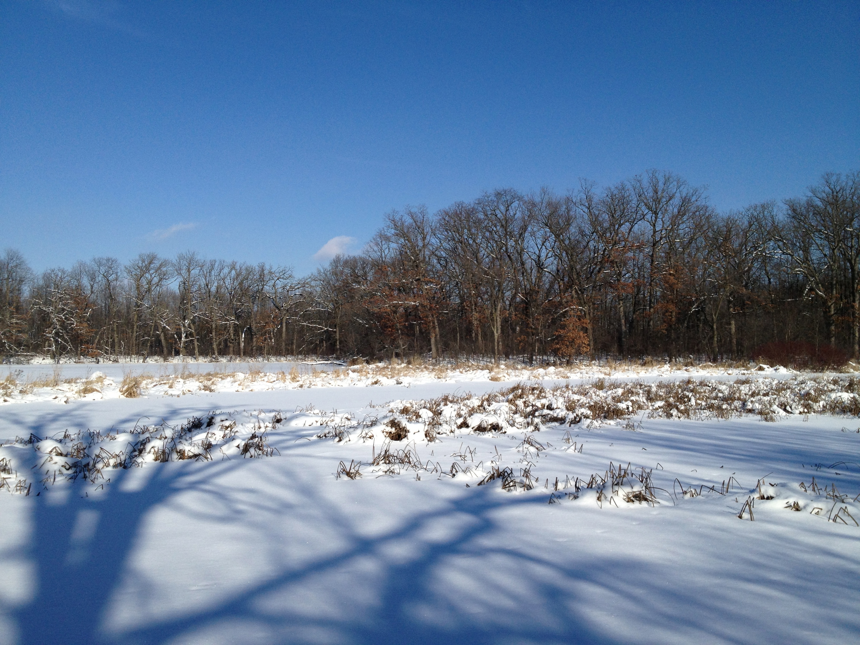
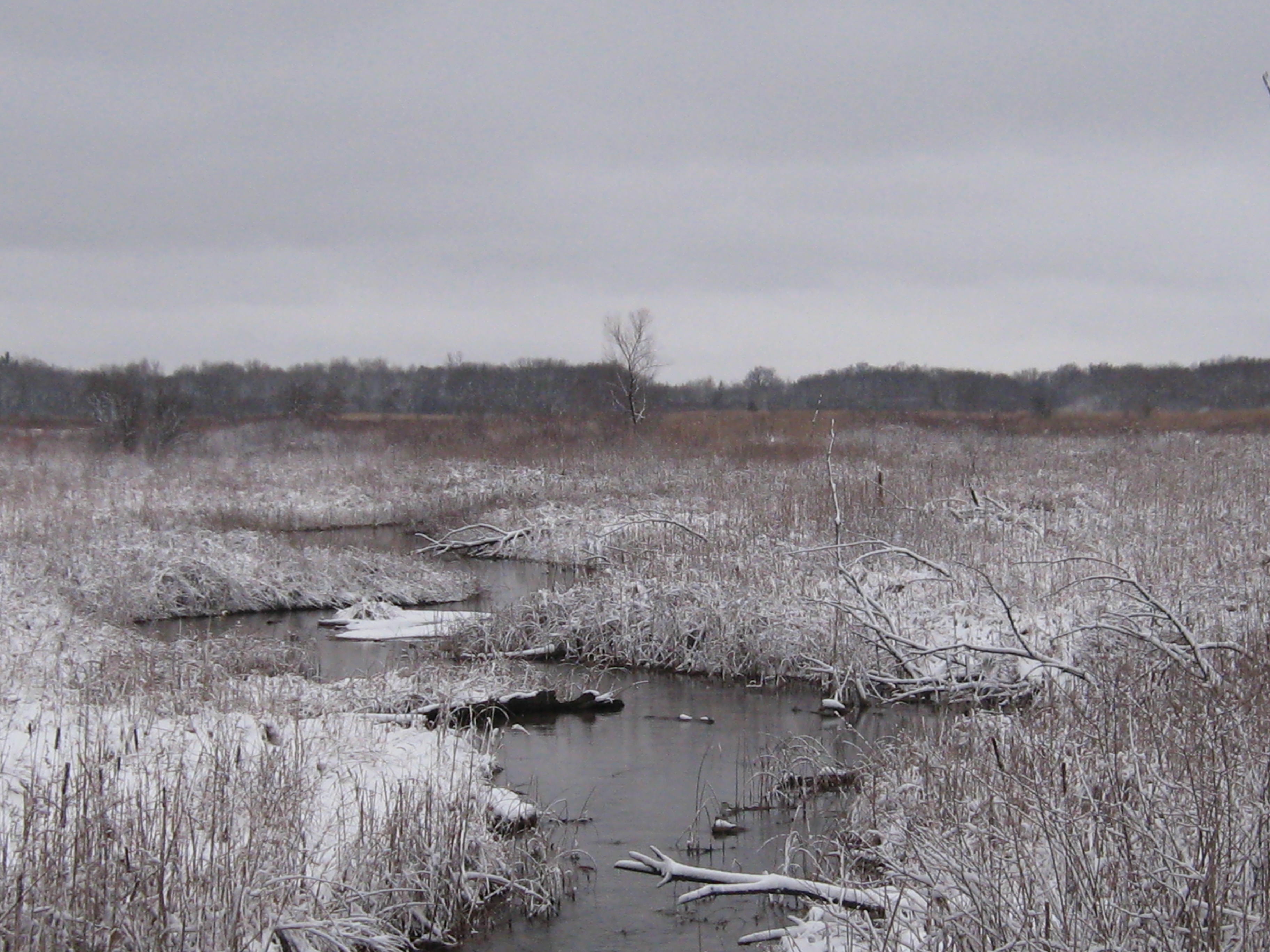
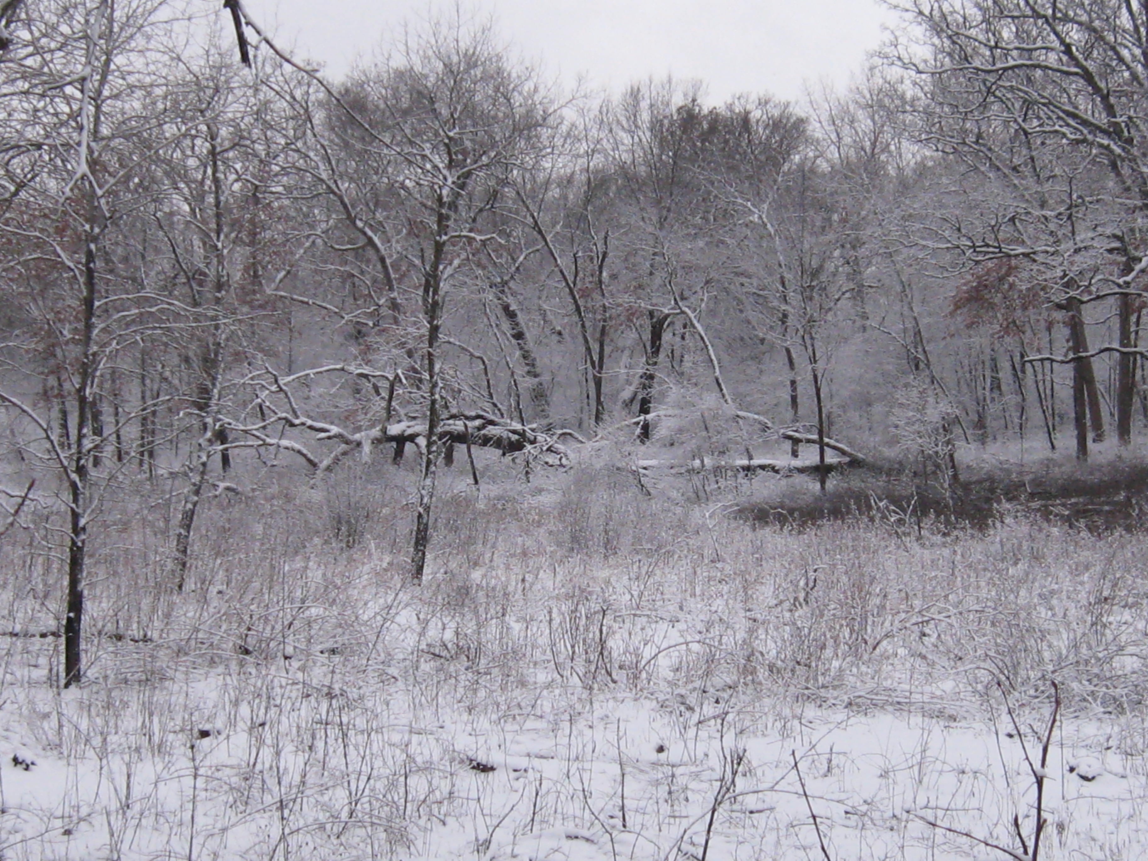
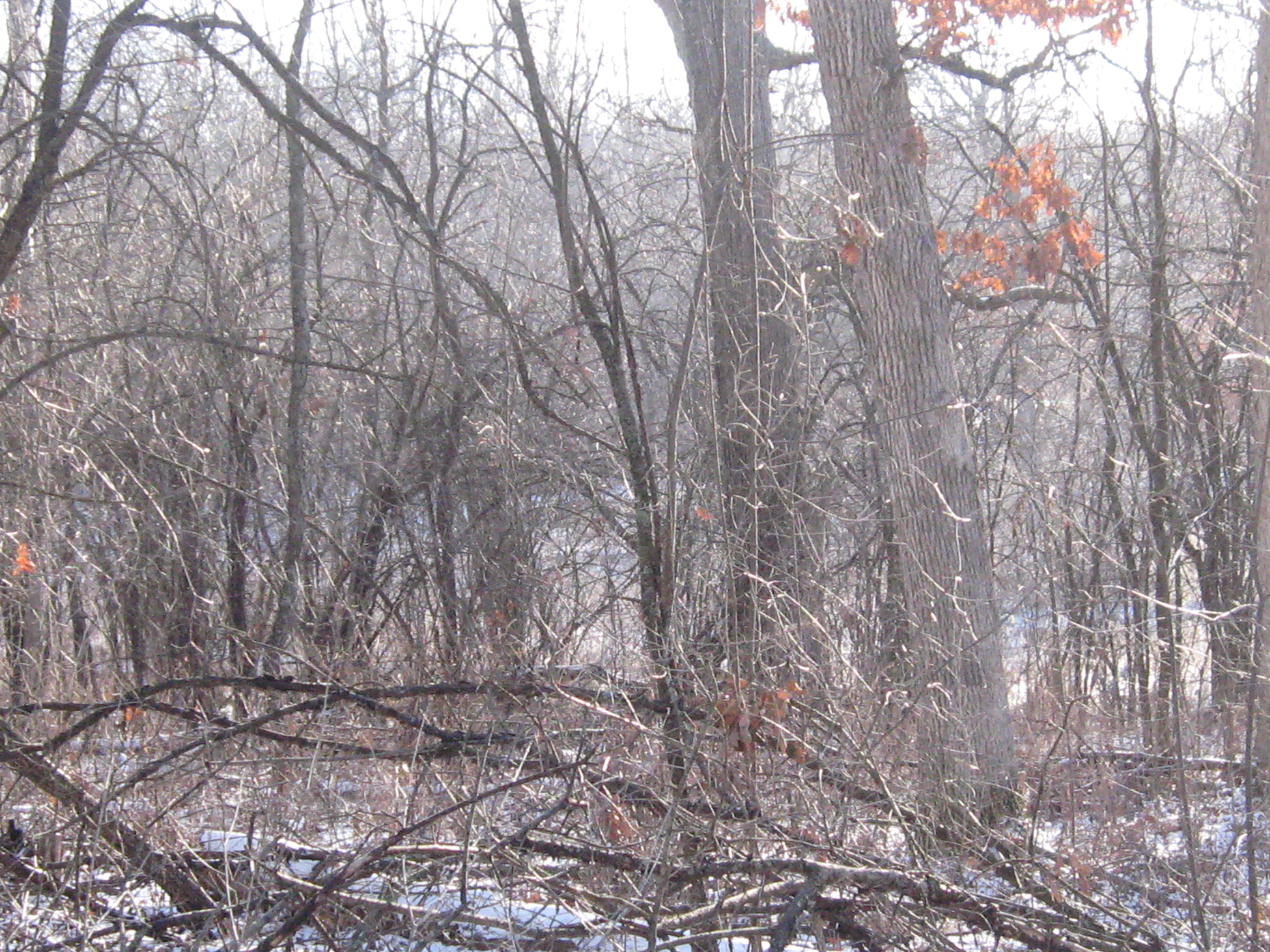
Every season is beautiful at the Scuppernong Springs. I’ve been looking forward to the snow because it covers the scars we have left with all of our cutting and burning. They will be healed by the spring, but until then, its nice that they are covered with a blanket of snow.
Here is the view of the worksite on the cut-off trail from the bridge over the Scuppernong River where the water flow gauge was recently installed.
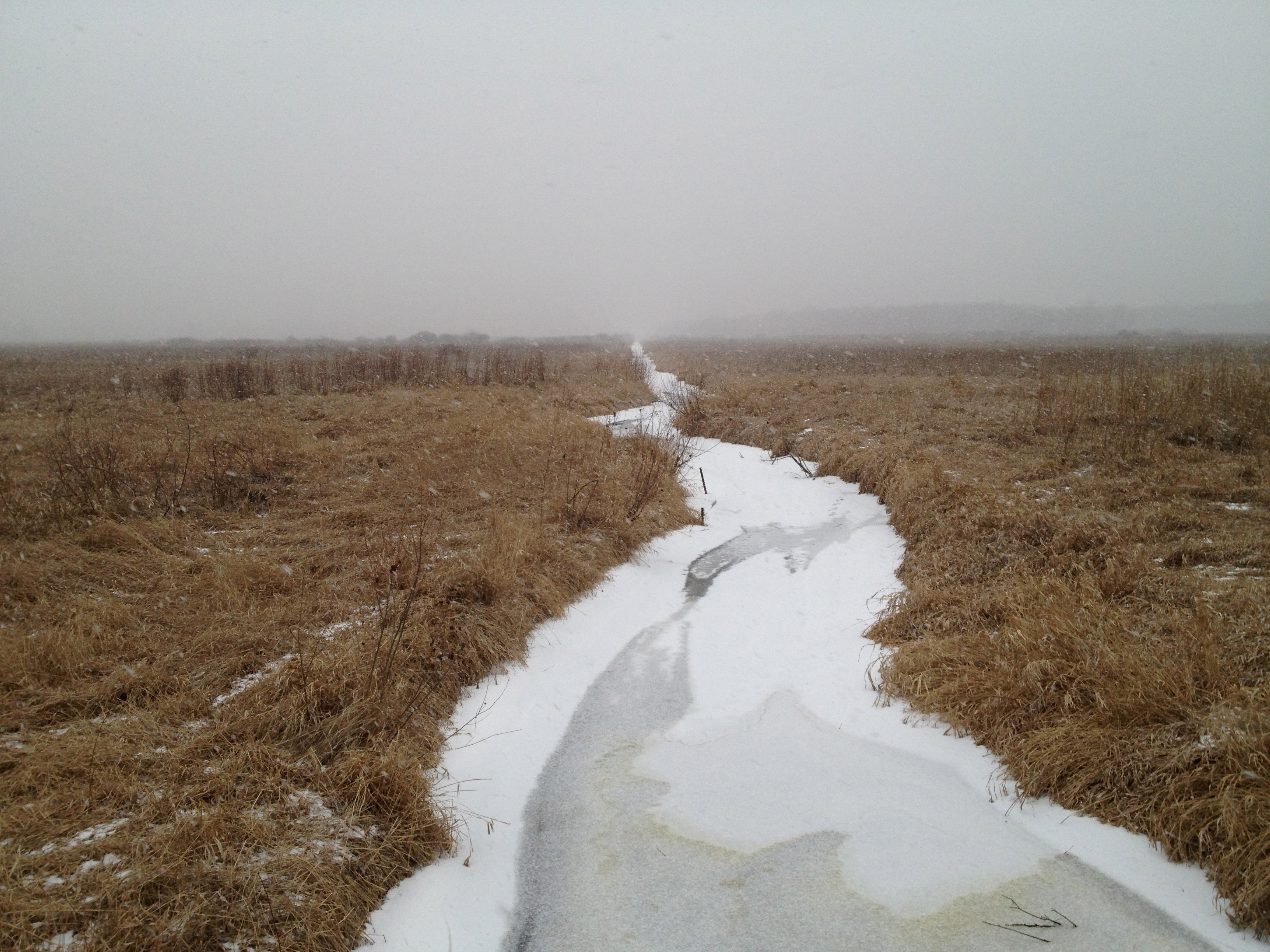
I took the next three videos on my way to get some drinking water for the day at the Hotel Springs. The river takes on a special character when framed with snow.
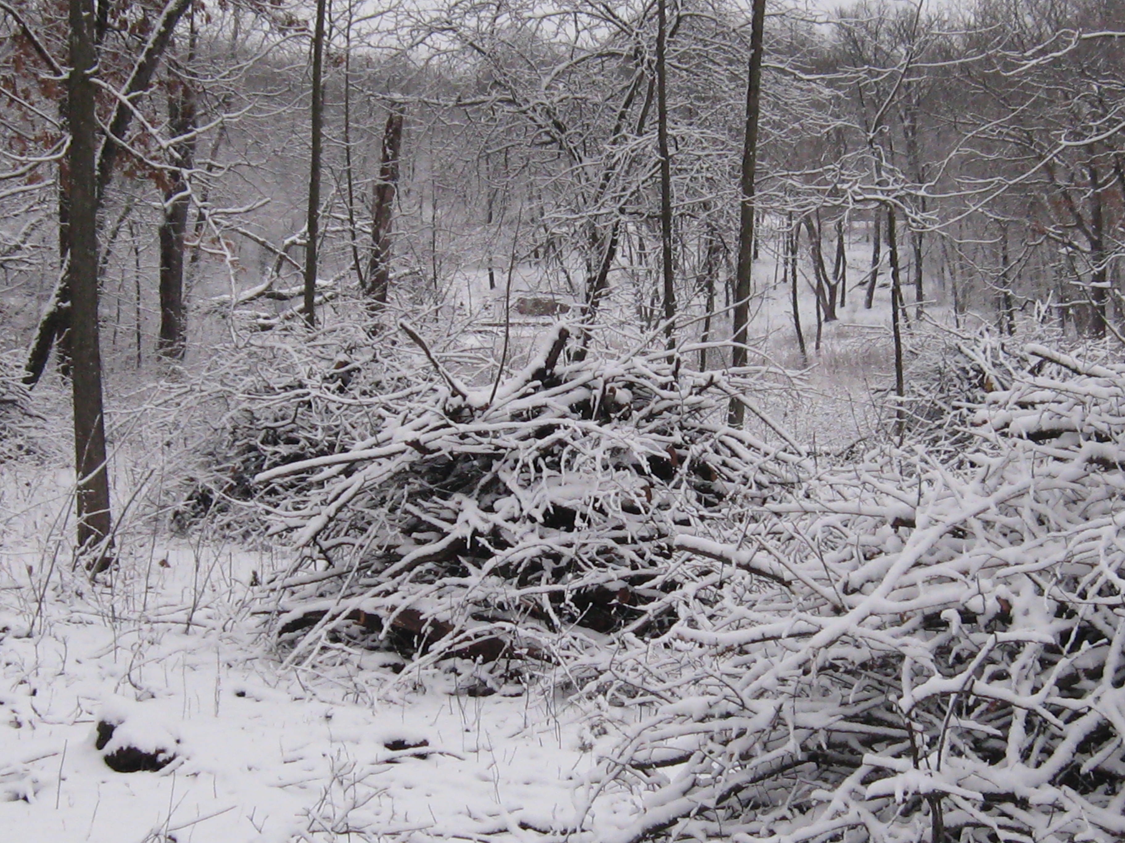
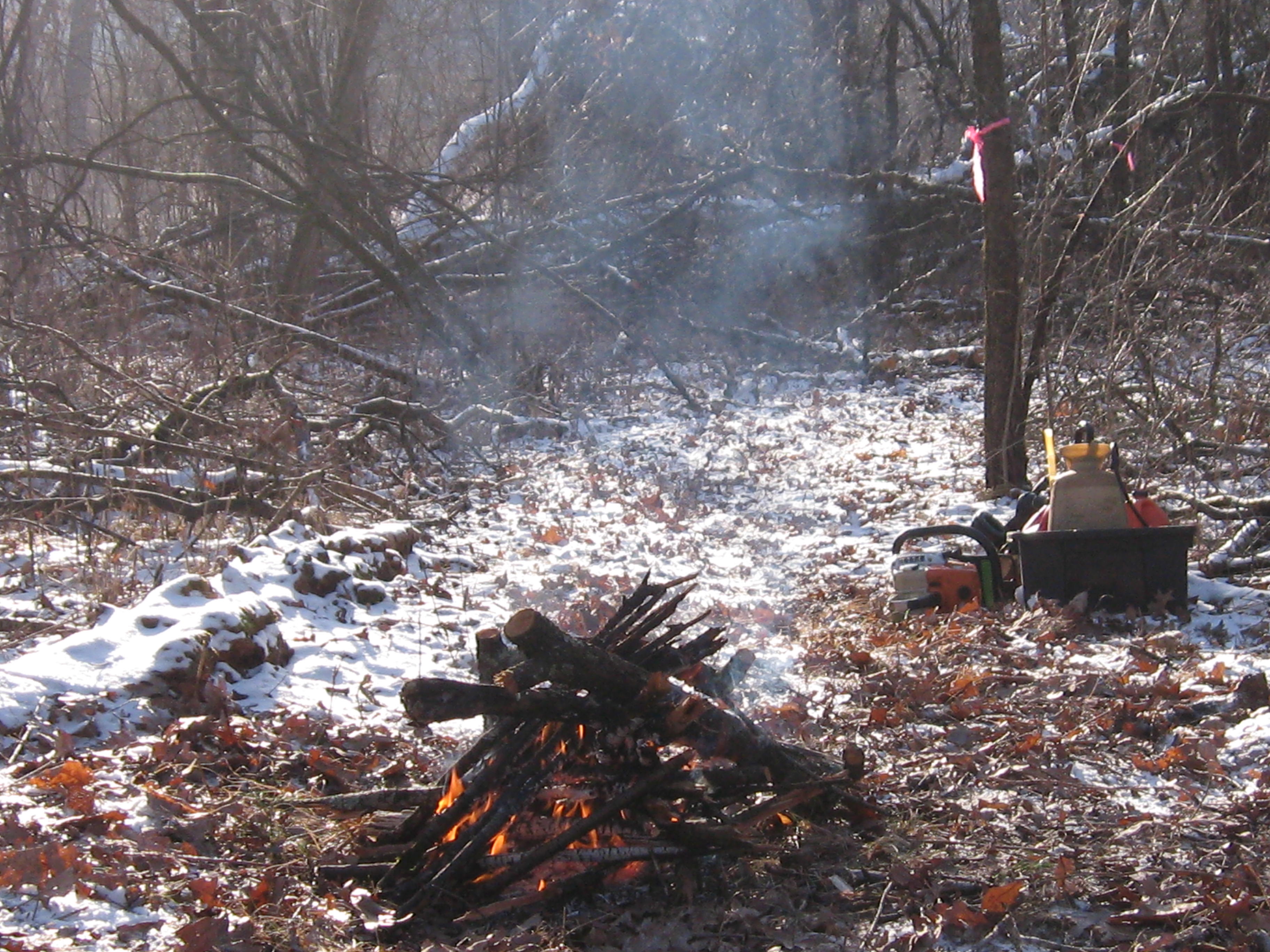
Here is the worksite. There are some really nice, big oaks along the cut-off trail. I was joined by Rich Csavoy and Carl Baumann. I struggled a bit to get a fire going but it was well worth it.
Like moths, we couldn’t resist the flames and quit a bit early to talk story and warm ourselves by the fire.
Before I knew it, the afternoon was turning into evening, and I hurried back to the bridge to get an after video of the worksite from that perspective.
John and Sue Hrobar joined us by the fire and their faces lit up with excitement as they described the dozen robins and bluebirds they saw near the Hotel Spring. It was another wonderful day at the springs spent with old and new friends; sweet as can be.
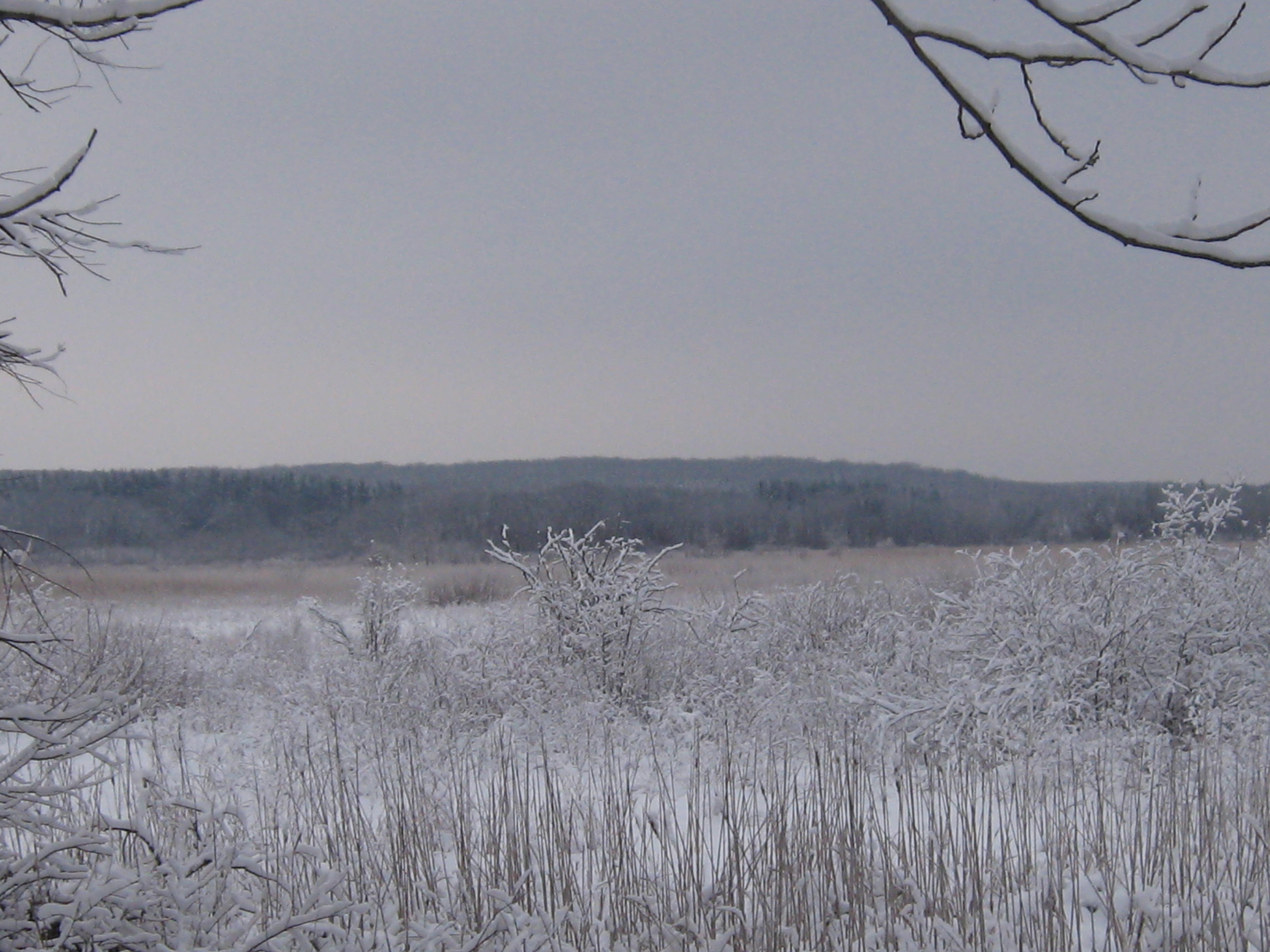
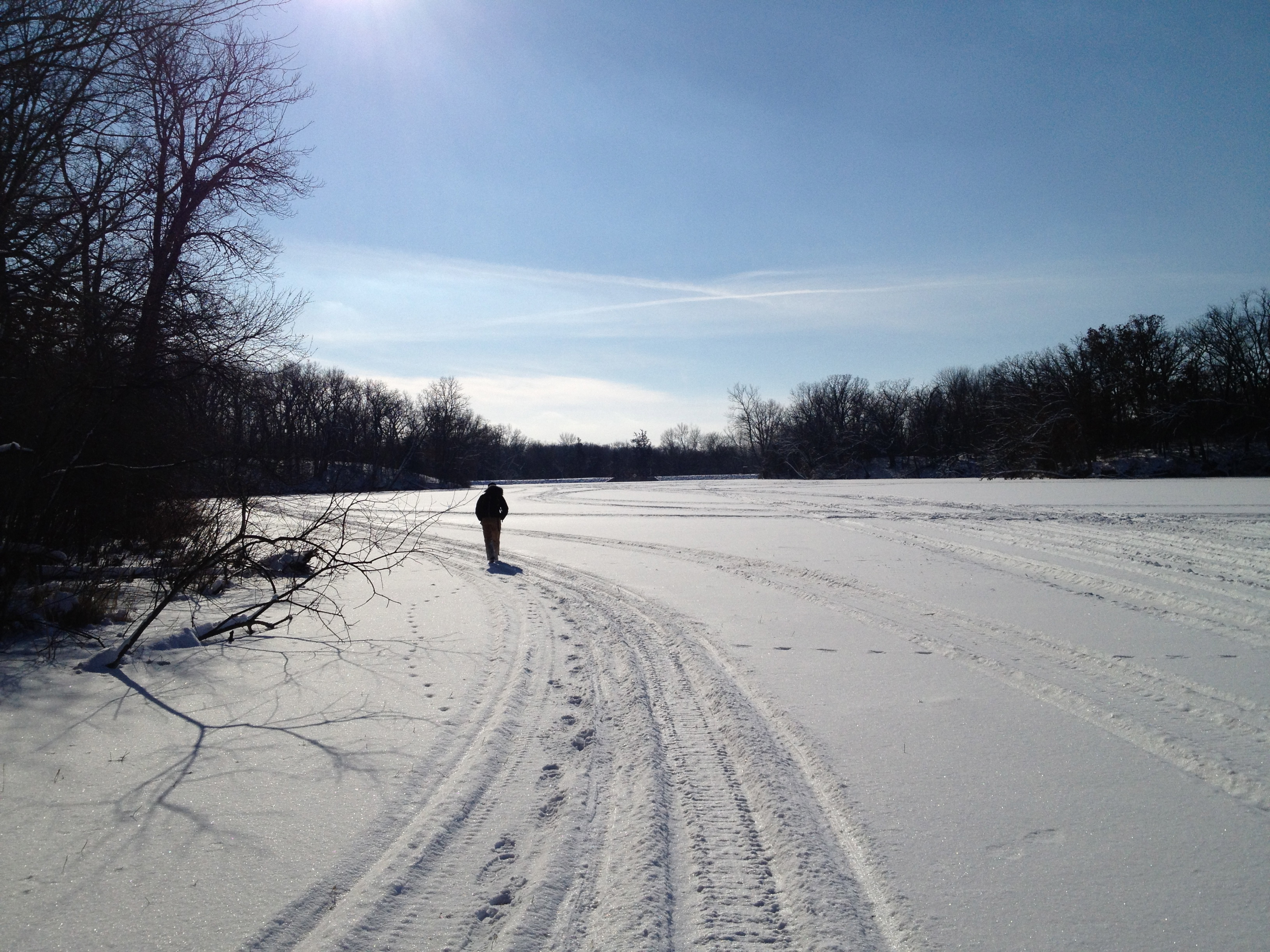
We couldn’t have had a nicer day for the second leg of our Journey Down the Scuppernong River. Spindrifts of fine white snow crystals swirled and danced. The morning sky was mostly cloudy but the stiff breeze from the northwest promised to bring clearing and sunshine. Pati and Lindsay were all geared up and, after consulting the maps one last time, we headed southwest, from where the river crosses Hwy N, to our destination at the dam on the south end of Upper Spring Lake.
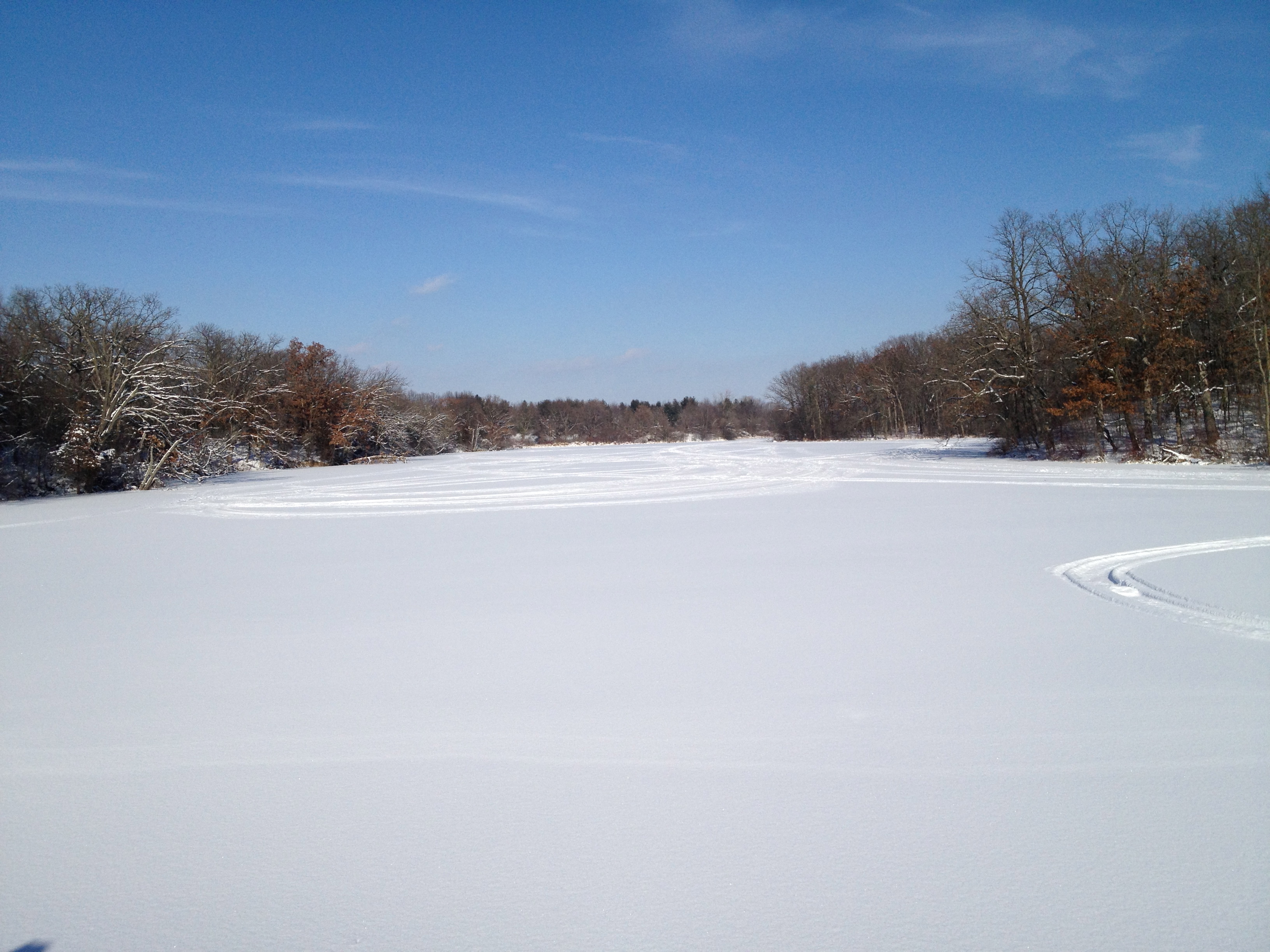
The next couple videos provide nice panoramas of the Glacial Lake Scuppernong horizon.
Check out the Google Map included with post of the first leg of our journey to follow our course. Here we have come to the end of the long, straight, channel which began our route.
Below we are following the southern border of the Dempsey Farm Partnership.
The frozen wetlands made for easy hiking, but we did have to scramble through a dogwood and willow thicket or two.
That got us all warmed up.
I got confused and took us down a channel that went south instead of following the main river course; a detour of 1/2 mile or so.
We came to a beautiful old home site just east of Hwy Z.
Then, after a short lunch break, we arrived at Hwy Z.
The frozen river’s edge made for easy walking.
We emerge onto Upper Spring Lake.
The scenery was marvelous!
The dam at the end of the lake came into view.
We have heard a few complaints about the dam preventing fish from traveling up the river and now see what they mean.
The dam is on private property but we could not resist checking it out; fortunately, we did not get hassled. That completes the second leg of our journey!
Since we were in the neighborhood, we stopped at the Scuppernong Springs Nature Trail on the way home to visit the origins of the river. Here is the Emerald Spring.
The Hidden Spring.
We had a wonderful day exploring the river!
We hope to do our next leg of the journey in a couple weeks.
The dead of winter forecast called for snow followed by a deep freeze. I don’t mind cutting with a little snow and if it turned into a blizzard, well, then I’d just have to quit and enjoy it. So I made my way out to the Springs without a care in the world; happy and at peace.
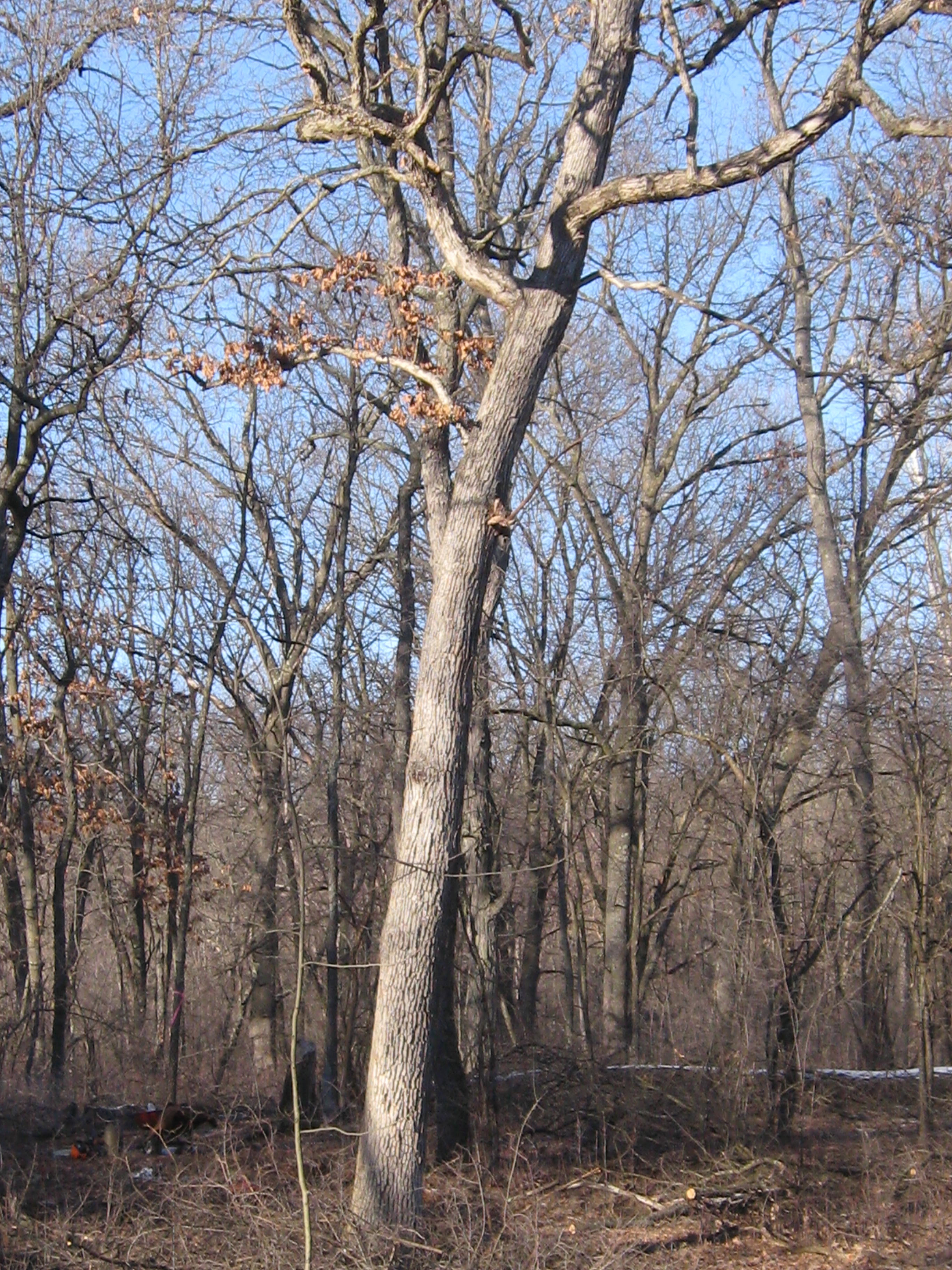
The work site was, again, the cut-off trail. This land of oak giants by the riverside is thick with buckthorn, and it was gratifying indeed to give them a good whacking.
The snow started falling immediately after I took that video and it didn’t take long until I was pretty thoroughly soaked. The work is strenuous and kept me warm despite the wet. I cut my limit of 6 tankfuls and called it a day.
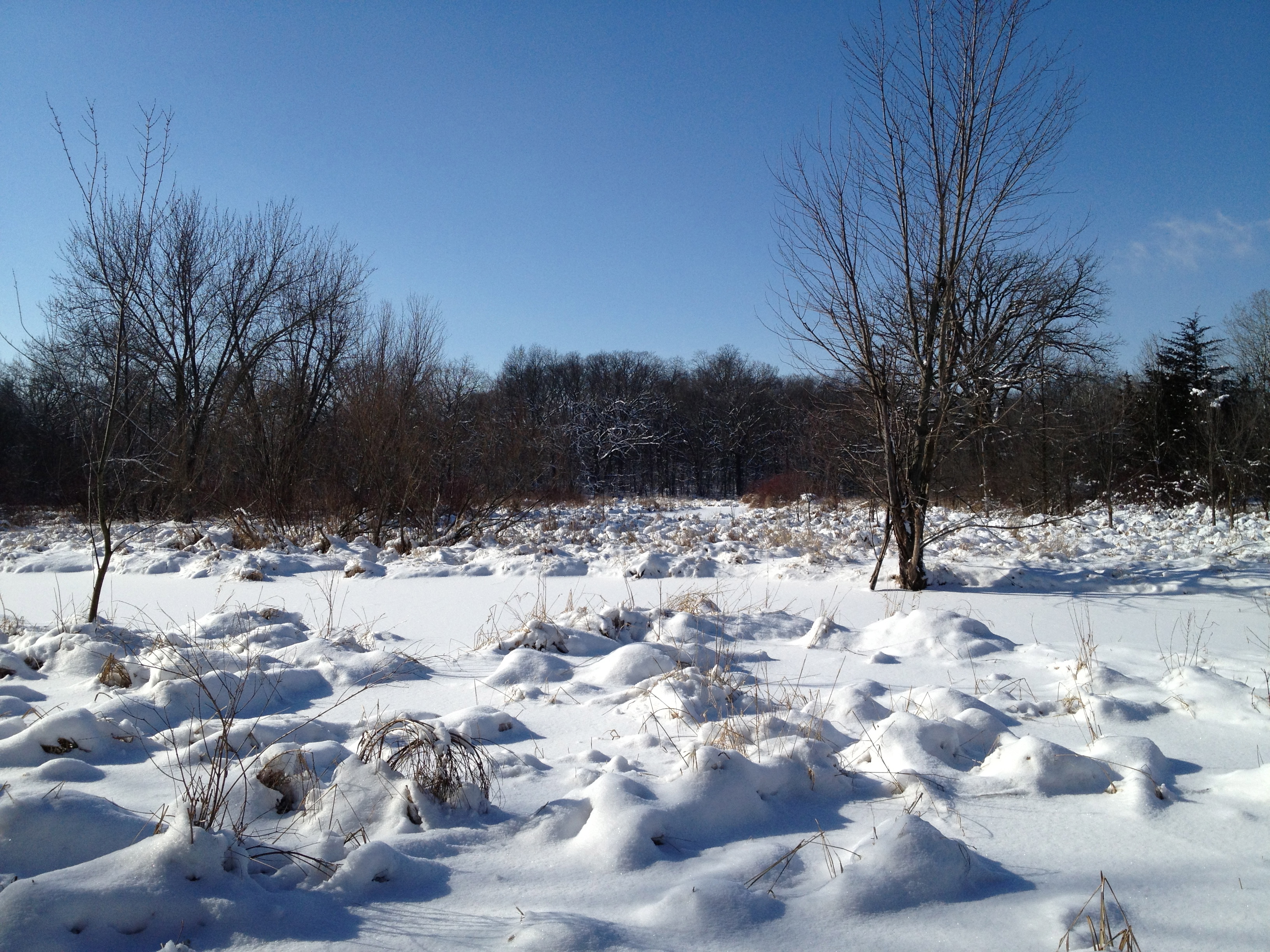
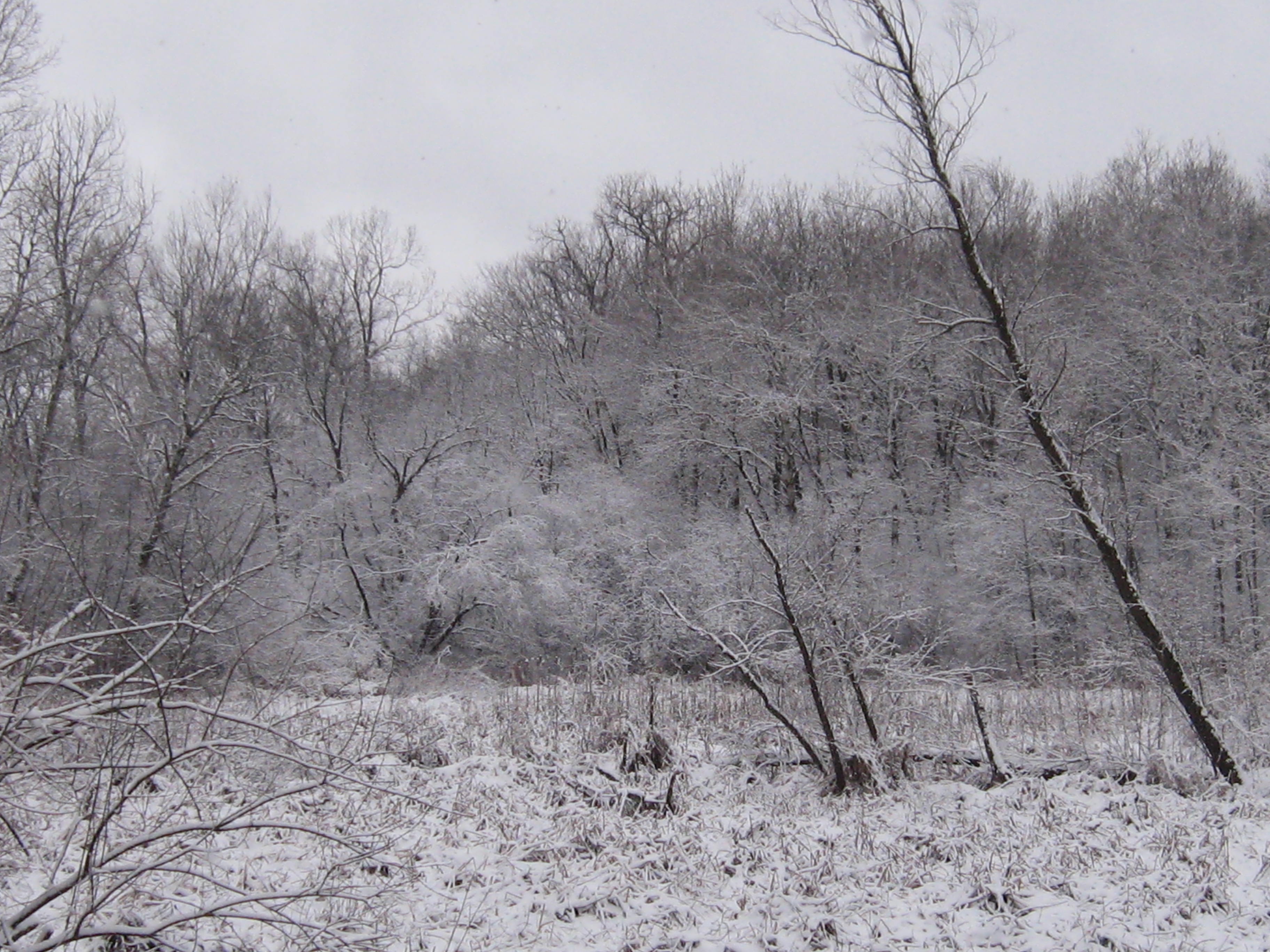
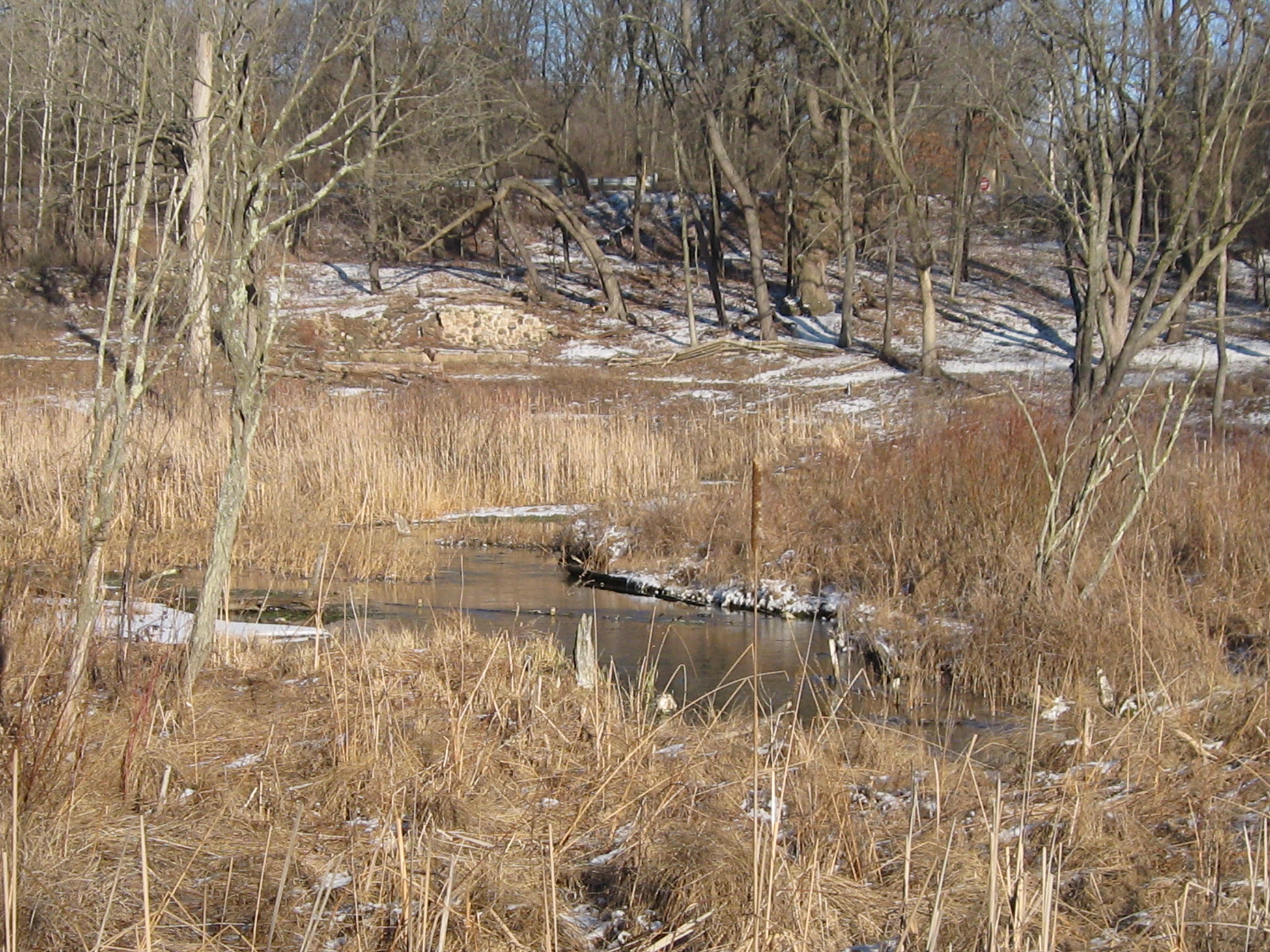
After changing into some dry clothes, I did a little sight seeing. Below is where the trail first breaks out into the main prairie.
Now that we have hiked the river from the Scuppernong Spring all the way to Hwy N, I finally know what I’m looking at and can see where the Scuppernong River threads its way through the hills to the west. Below we see the Marl Pit and the Indian campground.
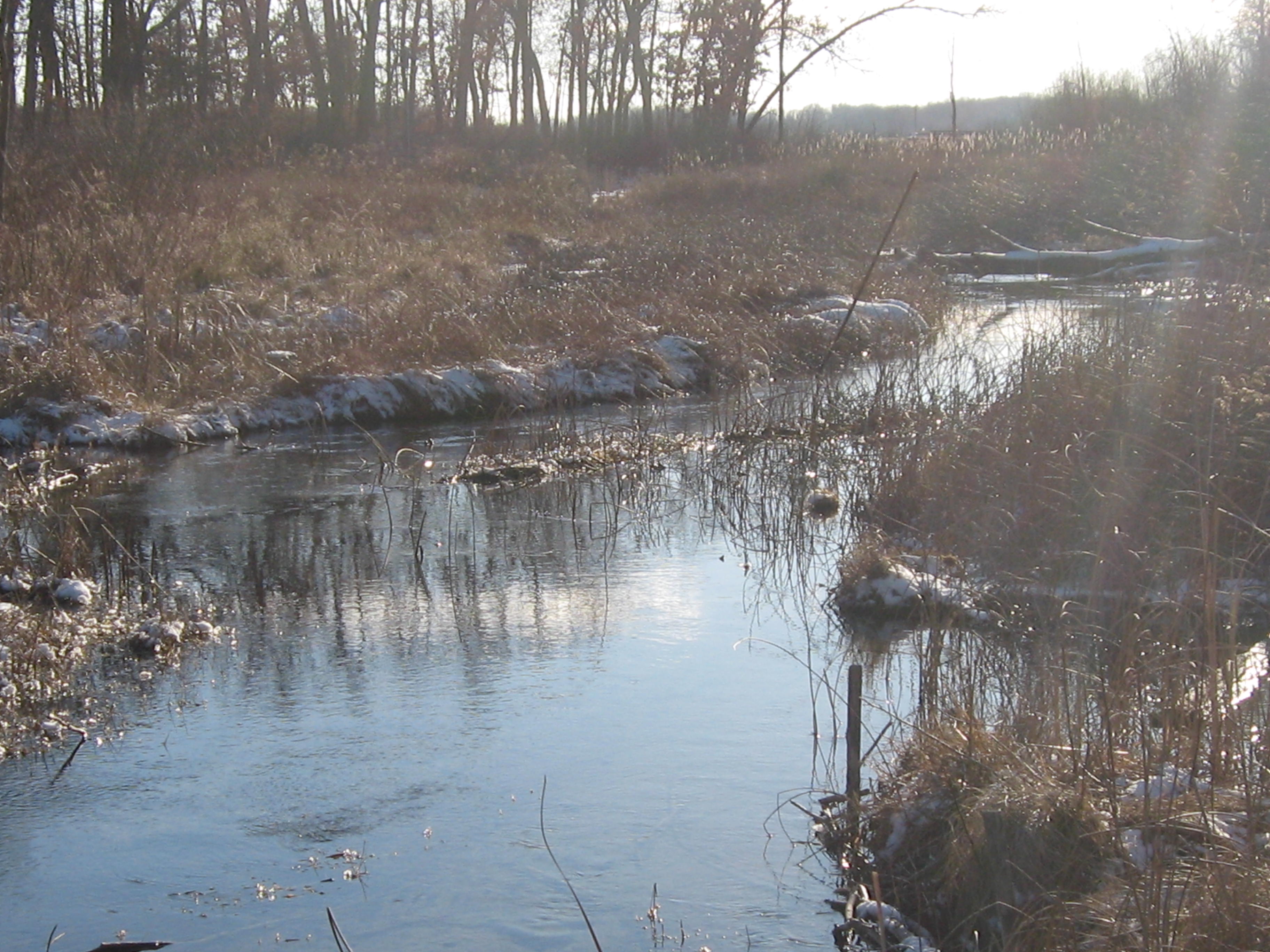
River shots.
Below is along the north side of the river, along the cut-off trail, just upstream from the bridge where the ground water monitoring station was installed. This is where we will be cutting next.
Continuing down the cut-off trail.
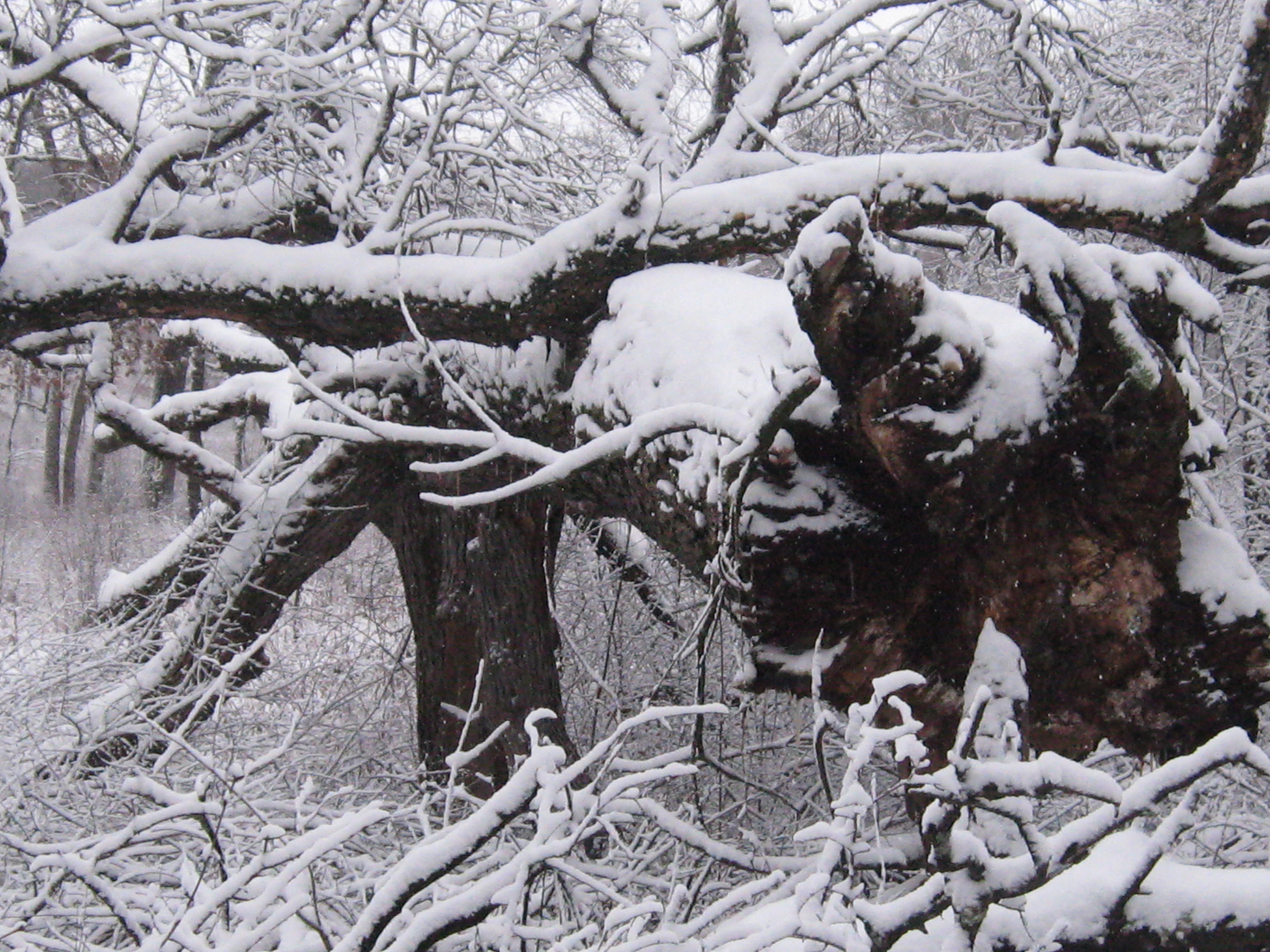
Here is that huge oak that looks like it was lifted right out of the ground.
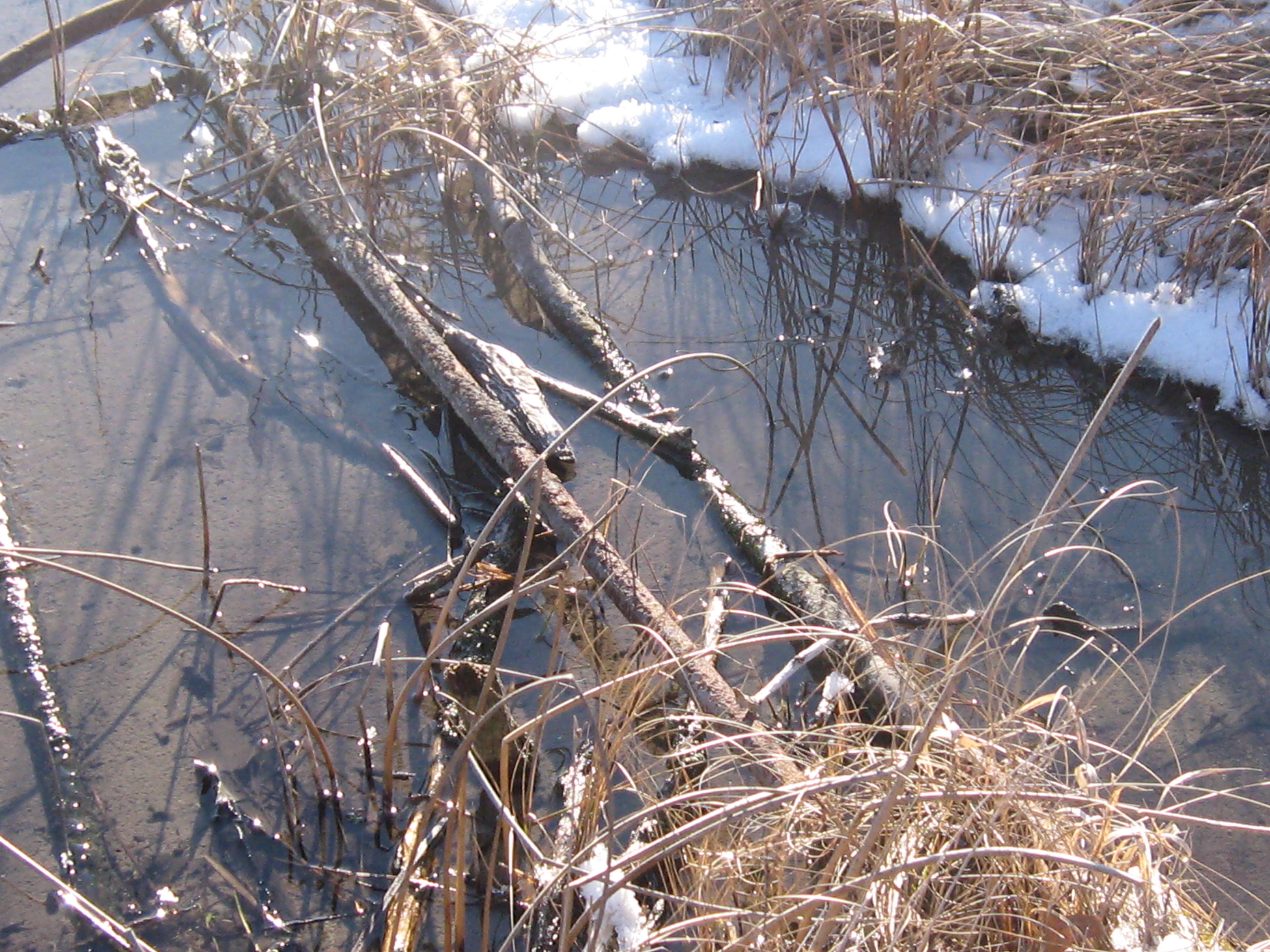
New views of the river are opening up along the cut-off trail.
Below is an old cranberry bog where the cut-off trail joins the main loop.
The old barn site.
Looking across the river from the hotel site at the work in progress on the cut-off trail.
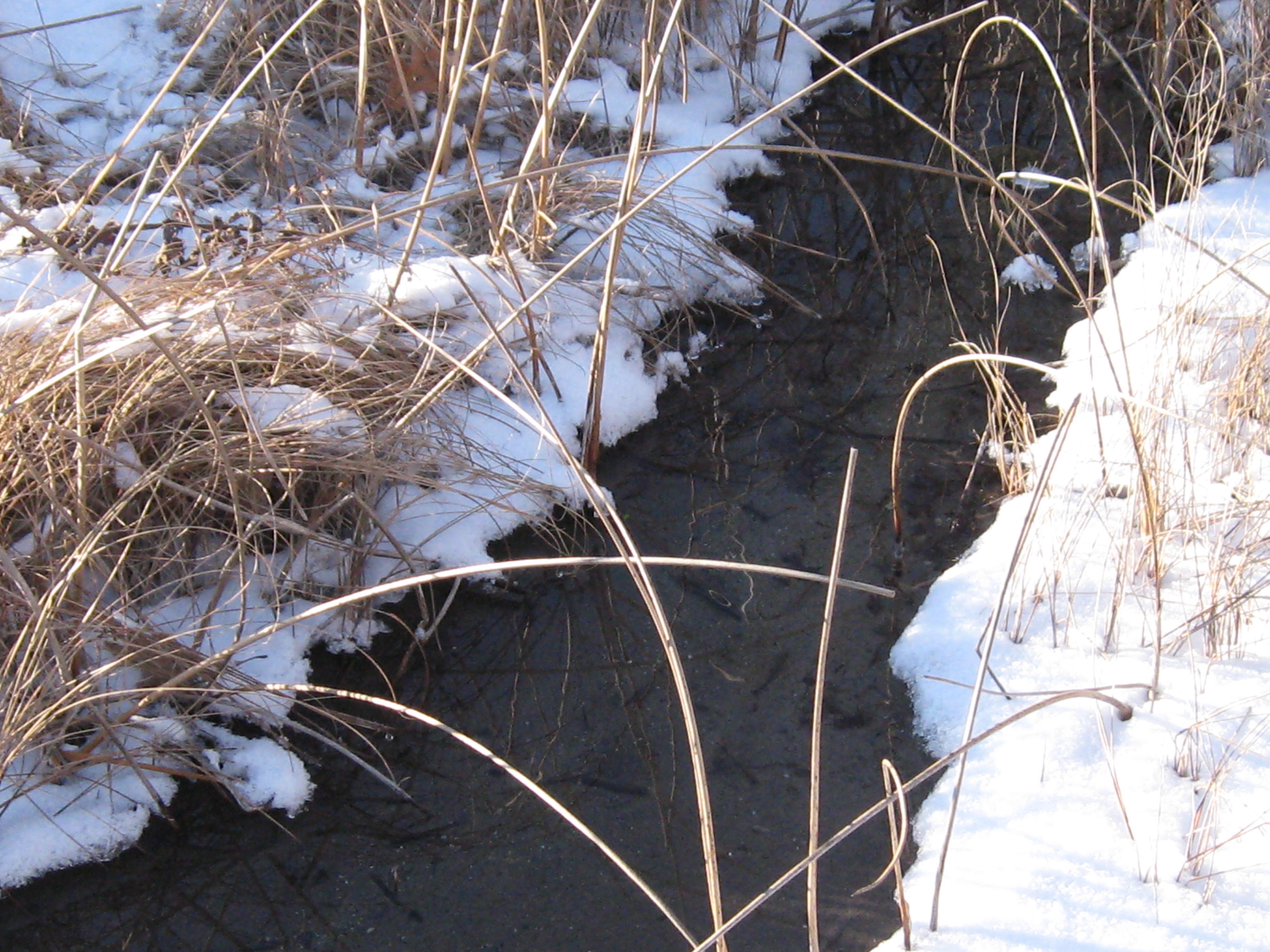
The water is up a bit!
Thanks for taking the time to enjoy the Springs with me, and I hope to see you there soon!
Inspired by The Bark River Chronicles by Milton J. Bates, we are going to follow the Scuppernong River from its source at the Scuppernong Spring to where it merges with the Bark River, 15 or so miles downstream, just south of Hebron in the Prince’s Point State Wildlife Area. Lindsay, Pati and I took the first leg of the journey today hiking from the Scuppernong Spring to where the river crosses Hwy N.
We left Pati’s car at the intersection of Wilton Rd and Hwy N and took Lindsay’s truck back to the Springs.
There we met Rich Csavoy and we split the sack of Upland Woodland seeds that Don Dane gave us into 4 parts and we sowed the seed; first at the old barn site along the river north of the Hotel site and then on the far south side of the loop trail by our starting point at the Scuppernong Springs.
Snow is forecast, but we are hoping to get to Hwy N before the skies let loose.
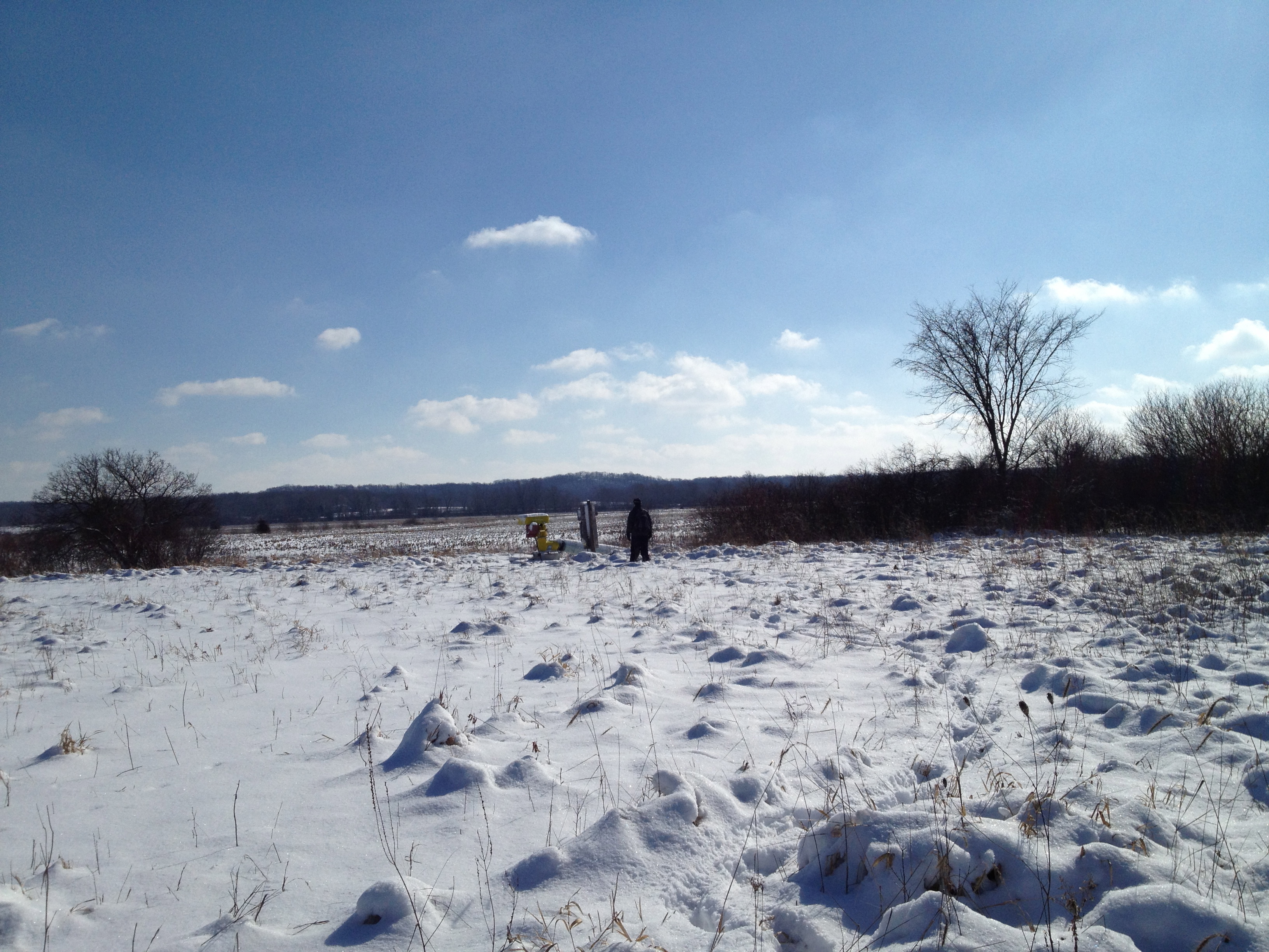
The next video was taken at the site of the new Ground Water Monitoring (Stream Gaging) Station. The data is now live at the USGS Water Watch site. Mike Parsen, the Hydrogeologist from the
Wisconsin Geological and Natural History Survey explains, “If you scroll over these circles you’ll see the name of the station at both Scuppernong Springs and another gaging station we installed at Paradise Springs a few miles to the southwest of Scuppernong. If you click on the circle, a pop-up window with tabs will appear where you can view a hydrograph of the creek stage. As the USGS collects more measurements they will develop a rating curve for this specific stretch of the creek, which will allow them to calculate flow rates for the creek.”
Mike sums up the effort “… we at the Wisconsin Geological and Natural History Survey (WGNHS) are cooperating with the U.S. Geological Survey (USGS) on this project which is funded by the WI DNR. To perform the work and meet the permitting requirements we worked with KMSF (Southern Unit) Staff as well as the WI DNR and US Army Corps of Engineers.” The Installation Report is here and provides an excellent explanation for how the monitoring unit works. You can see the nitrogen bubbles releasing every second or so from the end of the orifice line as described in the report.
Next we take a look around at the Glacial Lake Scuppernong basin and Ottawa Lake.
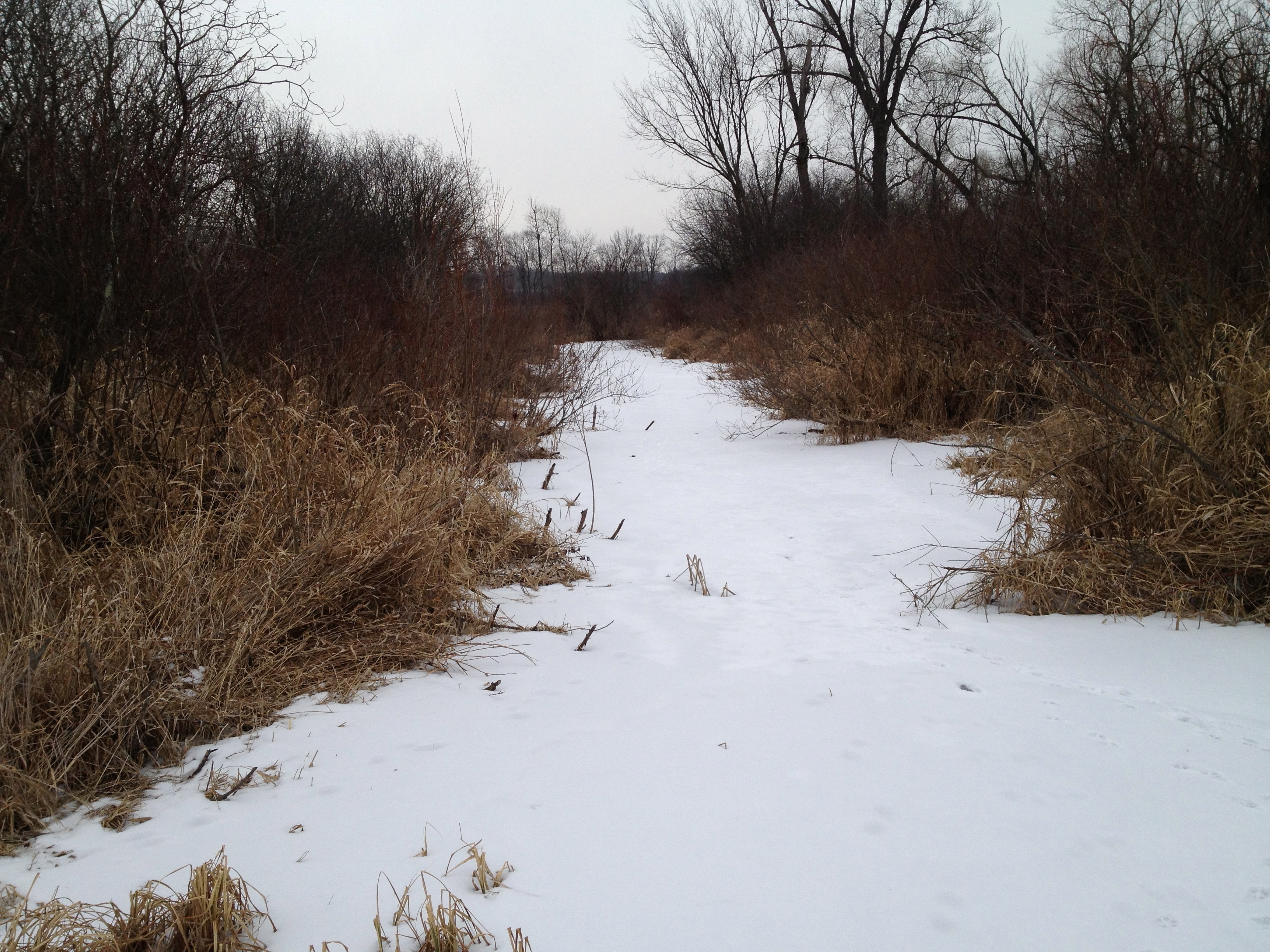
And proceeded to where the outflow channel from Ottawa Lake joins the river.
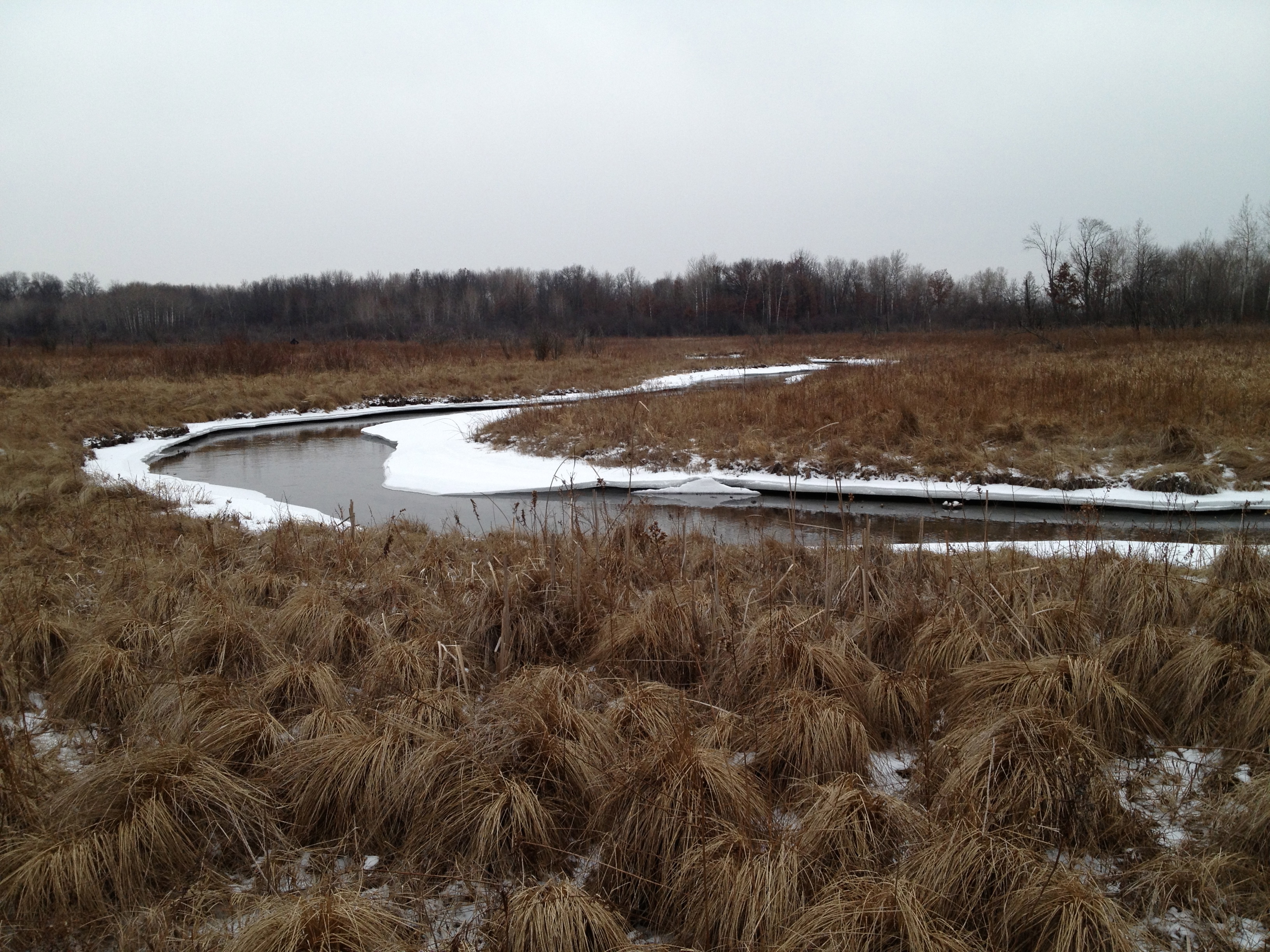
The river takes a sharp left turn to the south and follows a straight course until it comes along side a pond, at which point it turns right to the west.
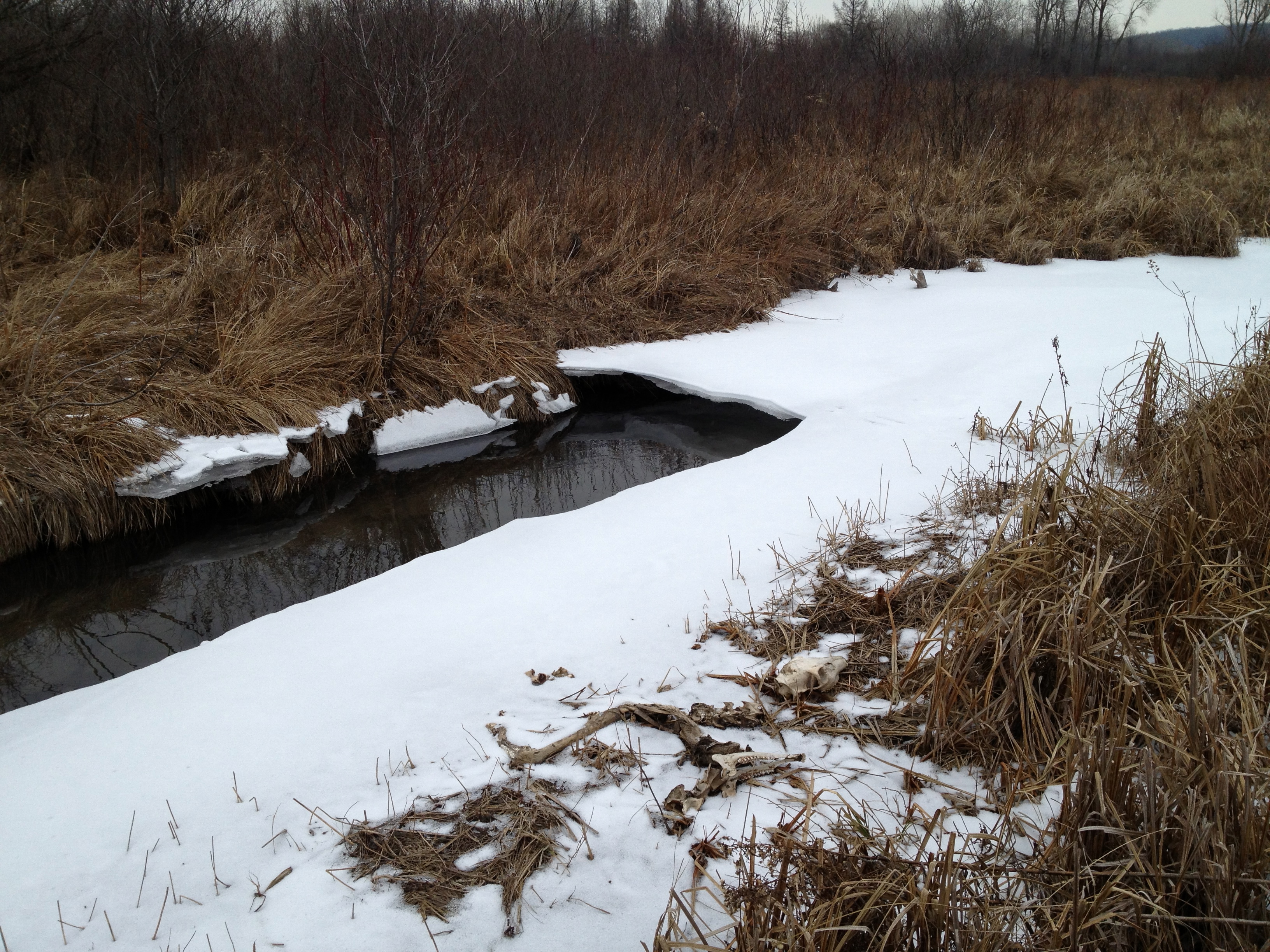
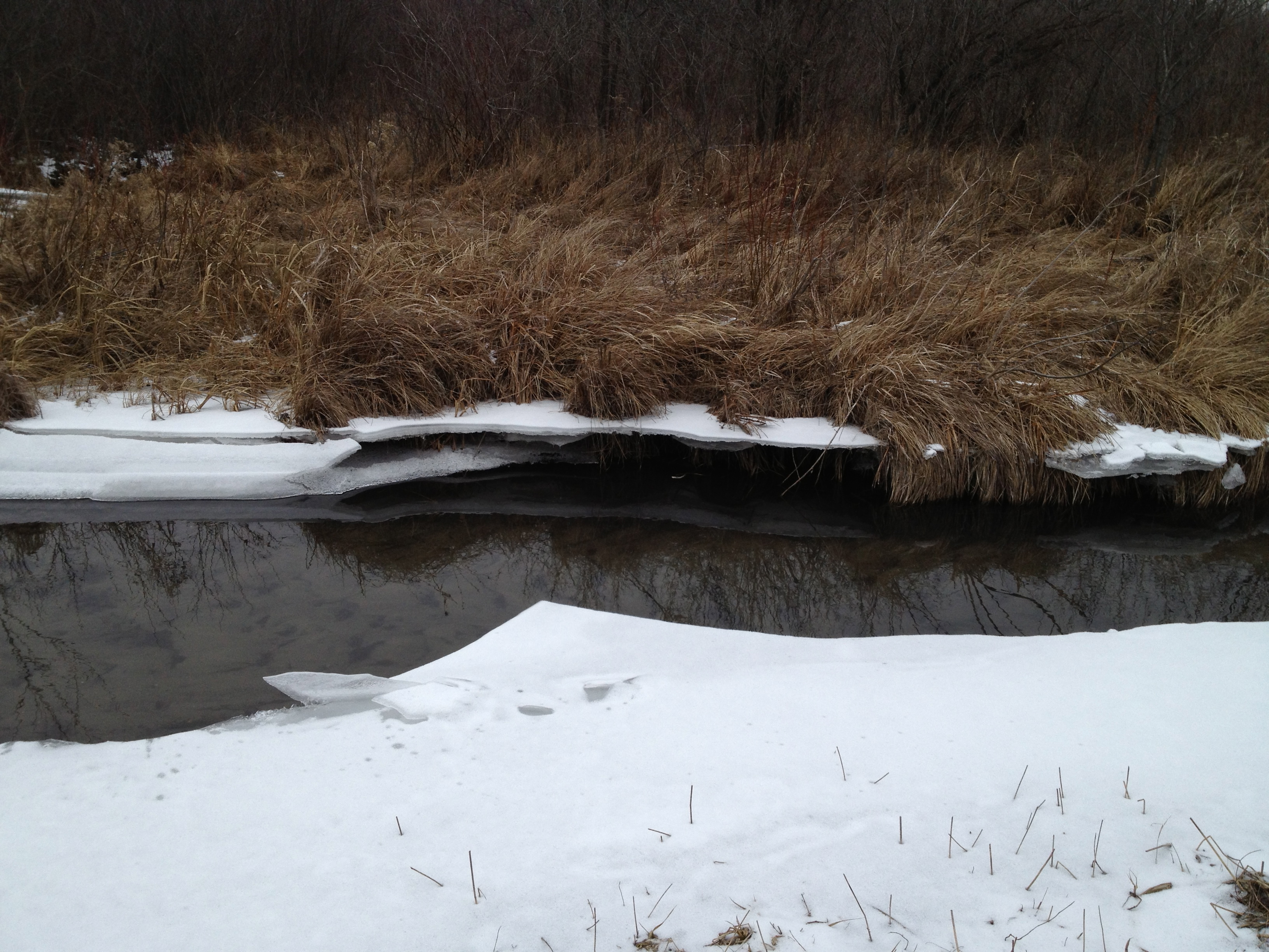
Here are a few perspectives looking up and downstream.
The ice showed evidence that very recently the river was 6-8″ higher in this area.
The vegetation varies from rushes, sedges, flowers and grasses to cattails and phragmites, dogwood and willow.
The next point of interest is where another spring joins the river. The origin of this water source is a spring on the east side of Hwy 67, just north of Road X. If you know the name of this spring, please add it in a comment to this post.
If you follow the course of the river in the google map embedded above you will notice it comes up close behind a homestead. I believe the DNR recently purchased this property.
A bit further downstream we came to the site of the repair work the DNR did last summer (see end of that post) to close off the connection between the river and a drainage canal.
Strolling along the DNR two-track “road”, we came across a ditch that crossed the river perpendicularly and, much to my dismay, joined up with the channel that was disconnected from the river just upstream. You can see the ice path joining the river to the channel above it.
The view of the ditch that bisects the river looking south.
Here is the channel full of water; is this by design or accident?
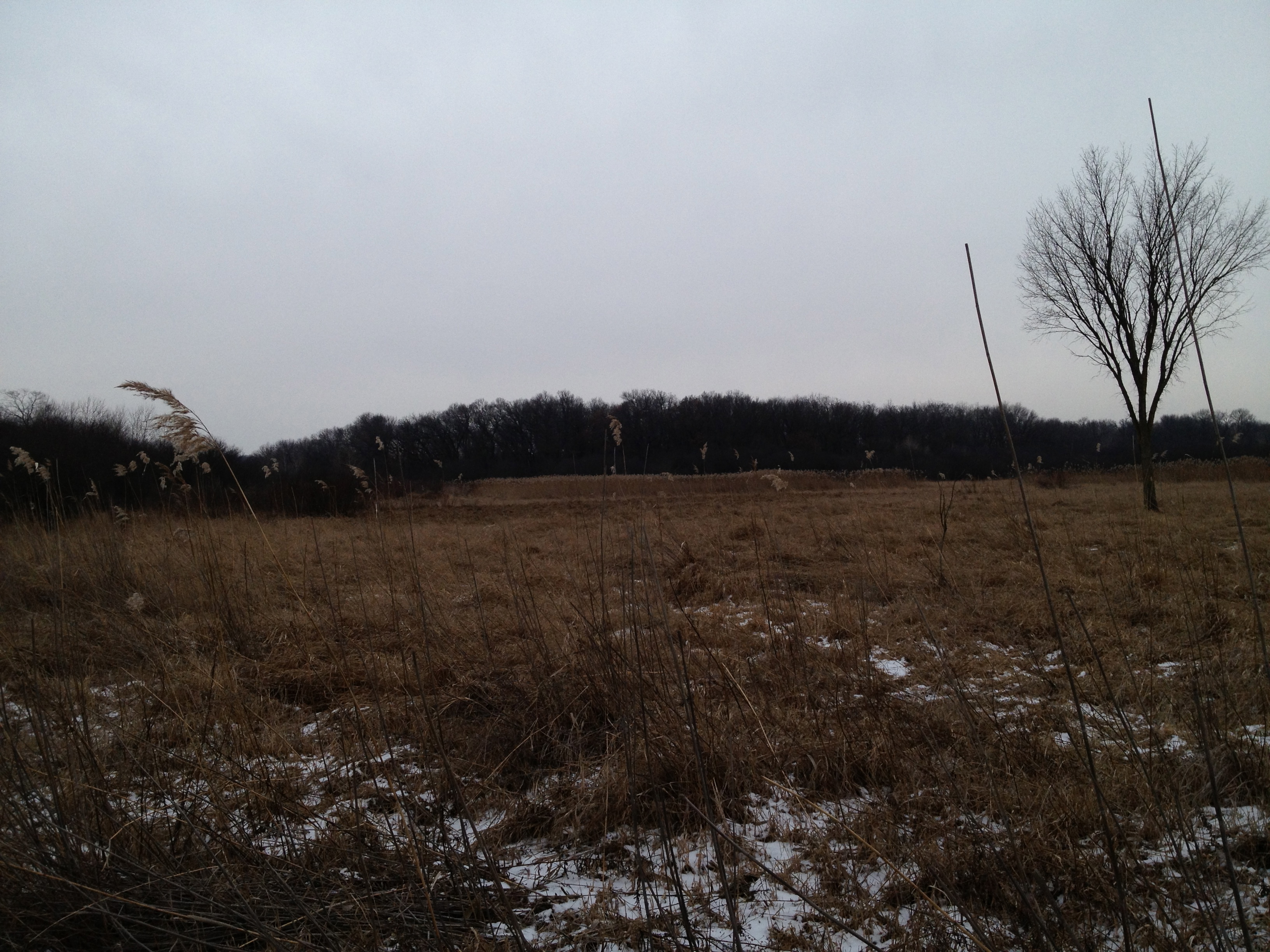
Another look around at the lay of the land in these next two videos. We are way out in the boonies here.
The next point of interest is the site where the DNR staged their equipment for the project they did last Summer mentioned above in the link to the Ben Heussner Interview. It was a lot dryer back then; good thing the wetland was frozen.
As we approached Hwy N, the snow and sleet began to fall. You’ll hear me musing repeatedly about why there is water in the channel. I will follow up with the DNR about this to see if it is expected.
The river and channel merge at Hwy N.
That was a nice little trip! We recommend the south side of the river if you want to give it a try. We noticed a lot of areas to gather seeds, or “plugs” next year to sow or plant back by the headwaters, where we are trying to diversify the cattail and phragmites mono cultures that currently dominate there.
Here is the view looking west downstream from Hwy N. We hope to hike the next segment to Hwy Z soon.
Thanks for following the Scuppernong Springs Nature Trail posts and watch for the next segment in our Journey Down The Scuppernong River.
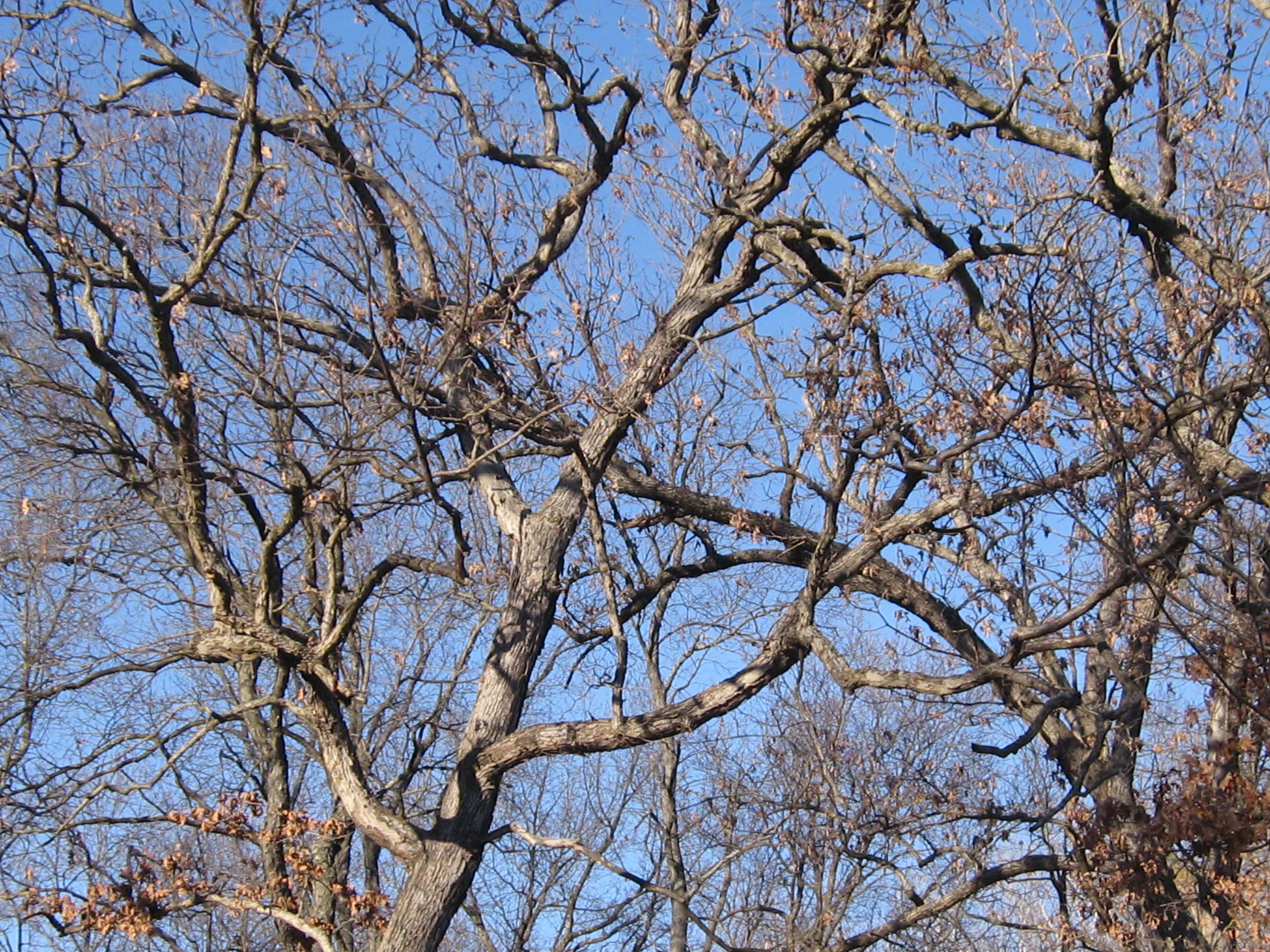
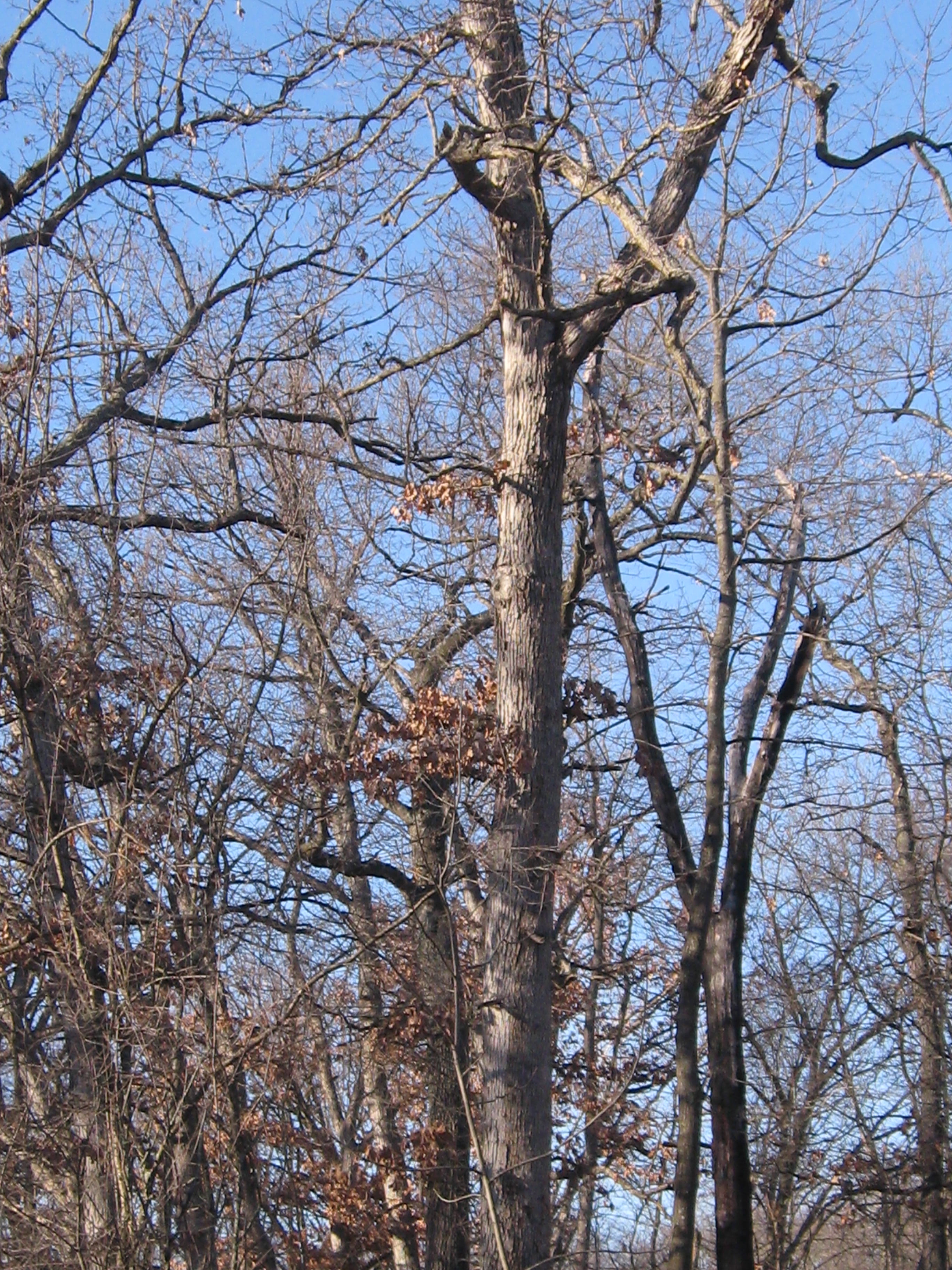
The White, Black, Red and Burr Oaks on the Cut-Off trail create a sacred space. These majestic works of art exhibit the most graceful, dynamic, flowing, architectural lines possible. Removing the clutter and tangle of Buckthorn from beneath their sweeping canopys is akin to wiping away the dirt from the ceiling of the Sistine Chapel. I’m honored and thankful for the opportunity to do it!
It couldn’t have been more peaceful and beautiful at the Springs today as I continued clearing Buckthorn along the cut-off trail in the area marked in white below.
I made a little fire, and needed it to defrost my sprayer, but with the bright sunshine and light winds, I was plenty warm.
There were some huge and TALL Buckthorns in this area and they all seemed to be sprouting dozens of interlocking trunks and branches. It tries your patience after a while and I had to quit after 6 tankfuls with the chainsaw.
Its tough to capture the scale of these beauties in the Oak Cathedral.
The Scuppernong River is near and will be visible from the trail.
In THE PONDS OF THE SCUPPERNONG, Robert Duerwachter described efforts to create a goldfish farm in this area of the river. I think I found the spot. There are some old pipes laying there, which we’ll haul out, and a spring is flowing into the river.
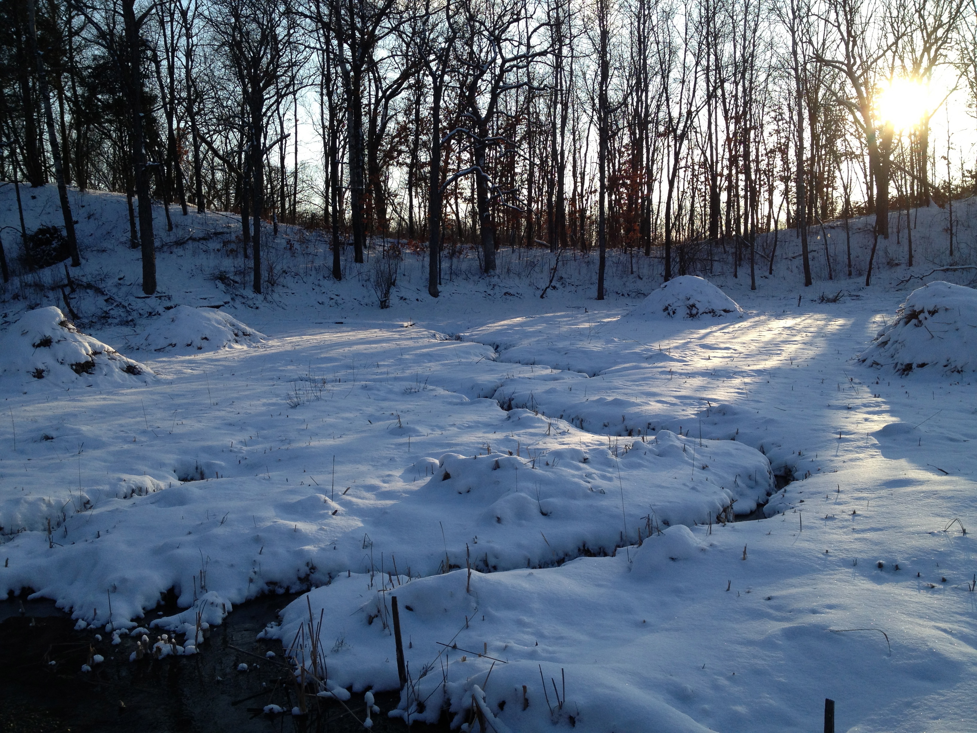
The sun set early behind a solid bank of clouds and I took these pictures on the high ground at the South end of the trail that we recently cut and burned.
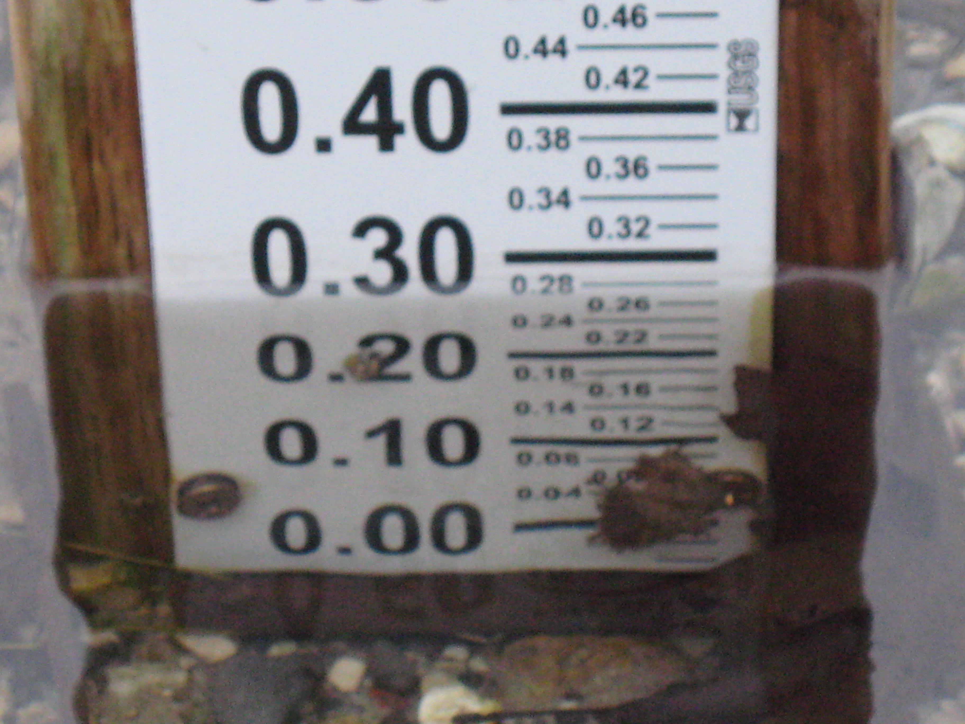
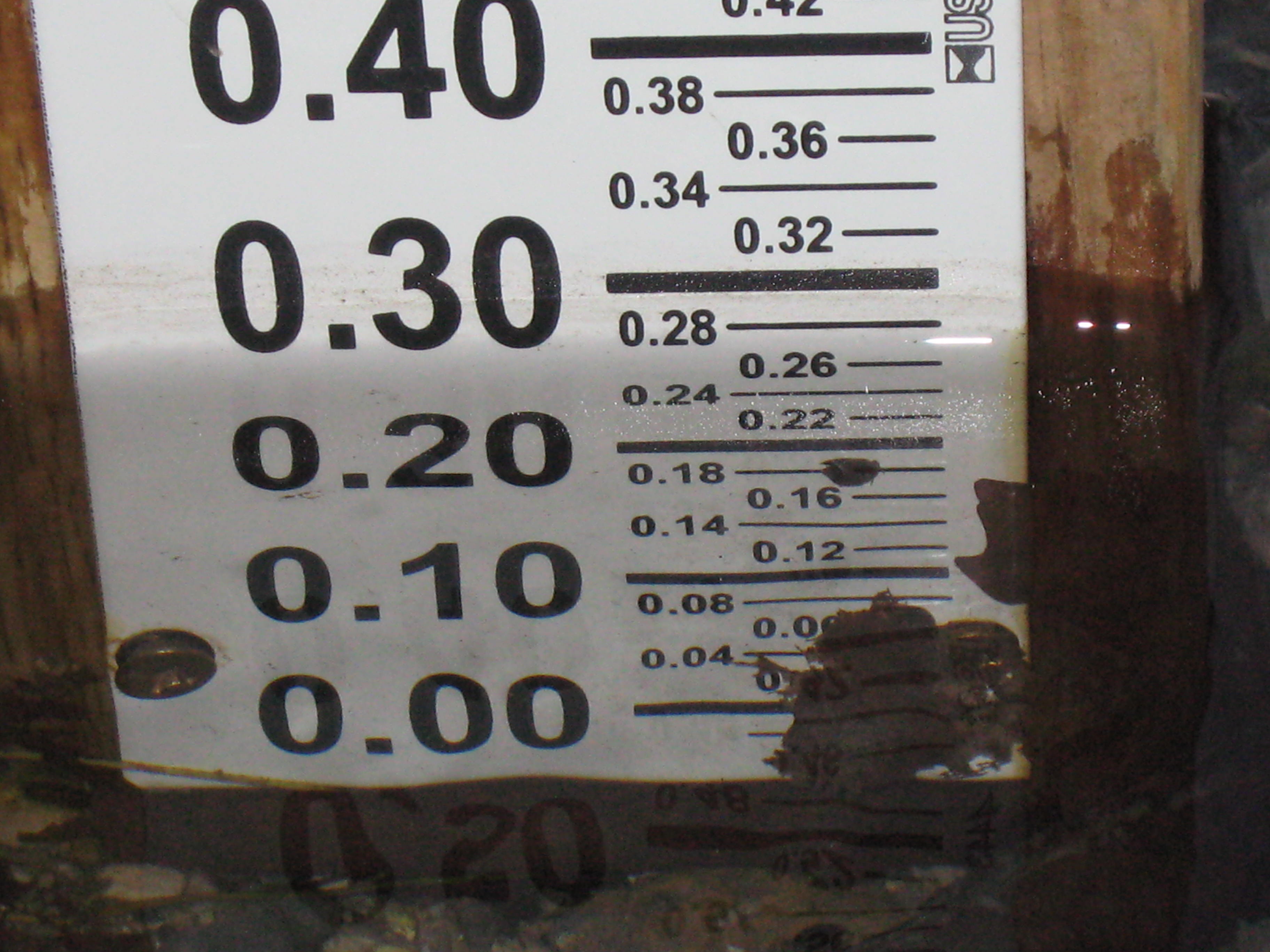
The water level is holding steady but it looks like there is some dirt, or possibly, damage at the base of the measuring stick. We’ll have to take a closer look next time.
A cold day at the Springs is better than a warm day in the office! I don’t really know cold, even though I’ve been frost bitten, like our friend Lonnie Dupre. Back in 2005 when he and his partner, Eric Larsen, were attempting to become the first people to make their way under their own power to the North Pole in the summer, Pati and I hosted a fund raiser for their “One World Expedition“. They made it on their second attempt and were greeted by a polar bear when they arrived! We have followed their exploits with interest ever since and currently, Lonnie is camped at around 14,200′ on his way to the summit of Denali. This is Lonnie’s third attempt to summit Denali solo in January, something that has never been done. Go Lonnie Go!
I made a little fire for comfort and Rich and I enjoyed a fine day making brush piles on the cut-off trail where we have been cutting recently. We should be able to light these piles up this season, provided we get a little more snow. We have around 60 piles left to burn and they are all relatively close to Hwy 67. This is on hold until we get some snow cover and an east wind.
Here are a few before pictures looking first to the right, or north side of the trail, then straight west and finally, to the south.
We took frequent breaks by the fire to relax and warm up our finger tips; nevertheless, we did manage to stack up around 16 piles.
We plan to keep cutting and piling along the river side of the cut-off trail pending the next opportunity to burn some more piles.