Pile on many more layers

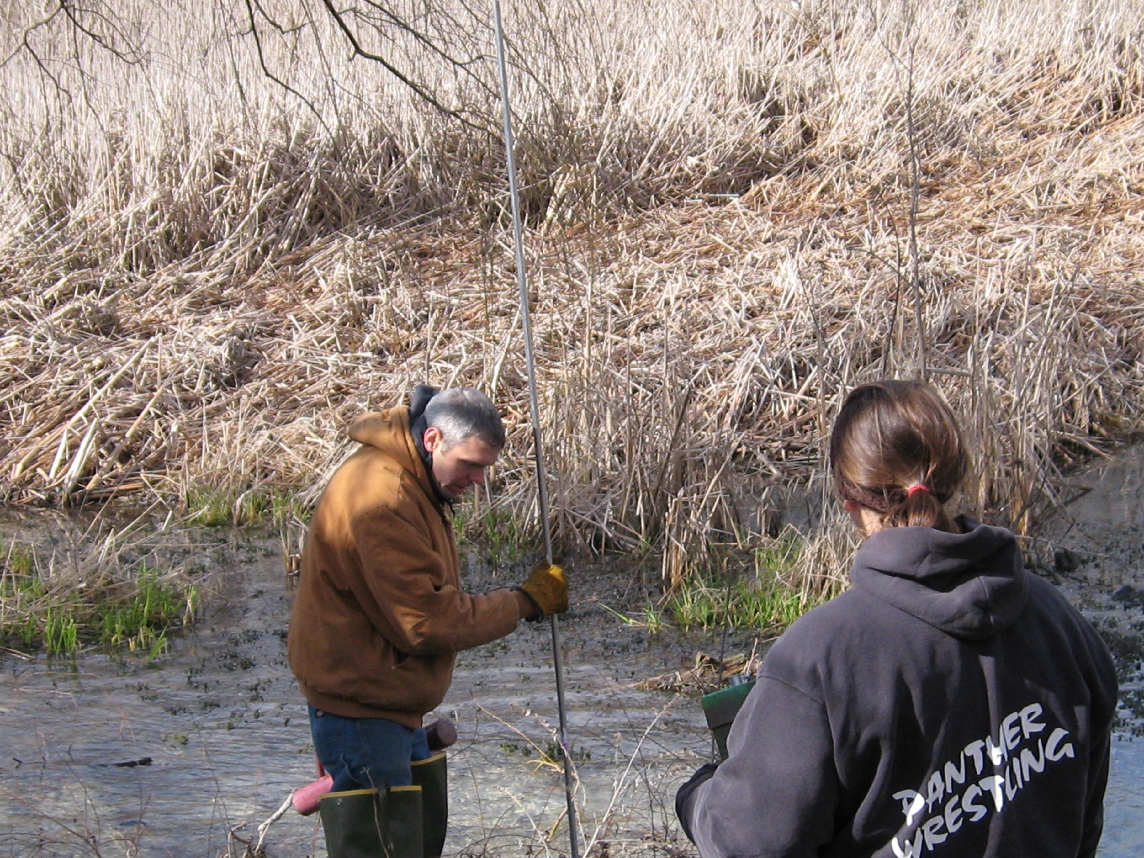
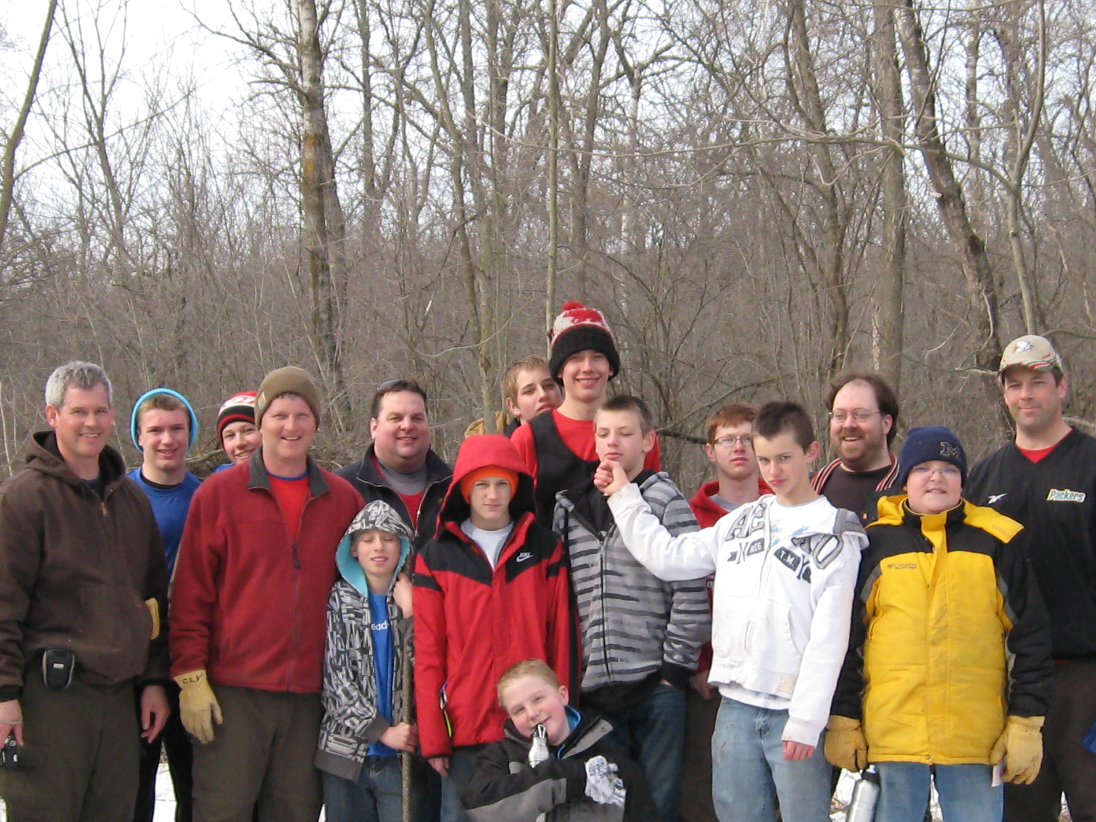
Welcome back to The Springs! Yesterday, Saturday, April 13, I was joined by a group of volunteers organized by DNR Visitor Services Associate Amanda Prange. We started the day with a walk around the springs looking for places to install Warbler houses that the volunteers, including Rich Csavoy, made. It was a great feeling to share the appreciation I have for the Scuppernong Springs with other like minded souls. DNR Ranger Elias Wilson and Amanda settled on this spot under a weeping willow by the Hotel Springs.

IMG_1069

IMG_1070

IMG_1071

Roberta “Berta” and Amanda.

IMG_1072

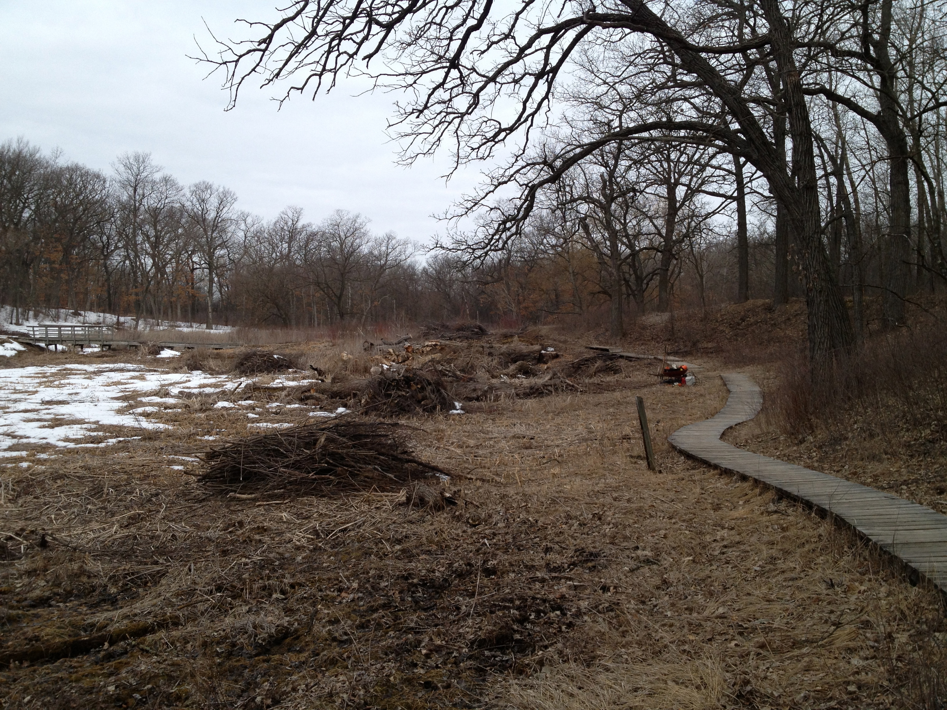
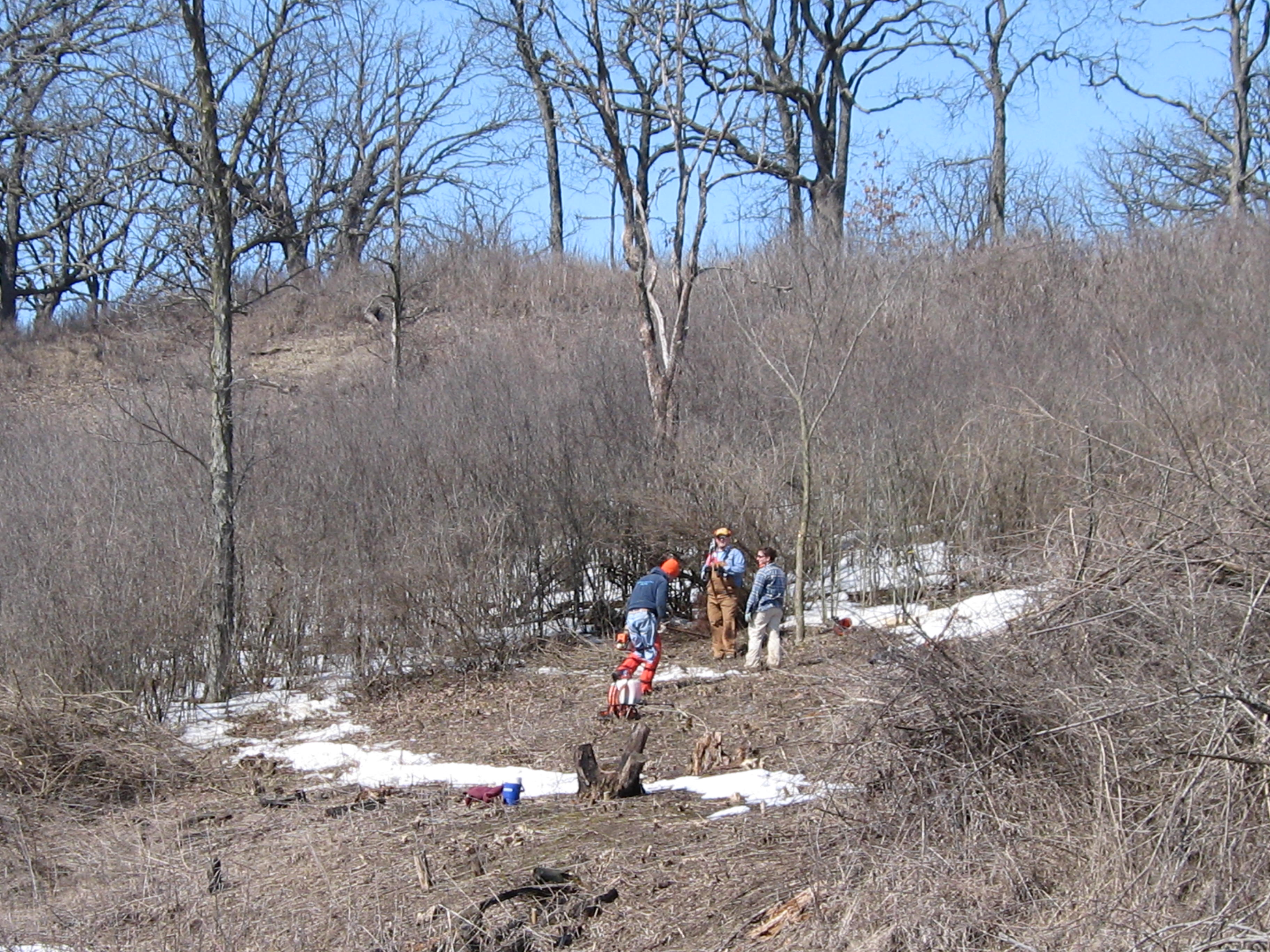
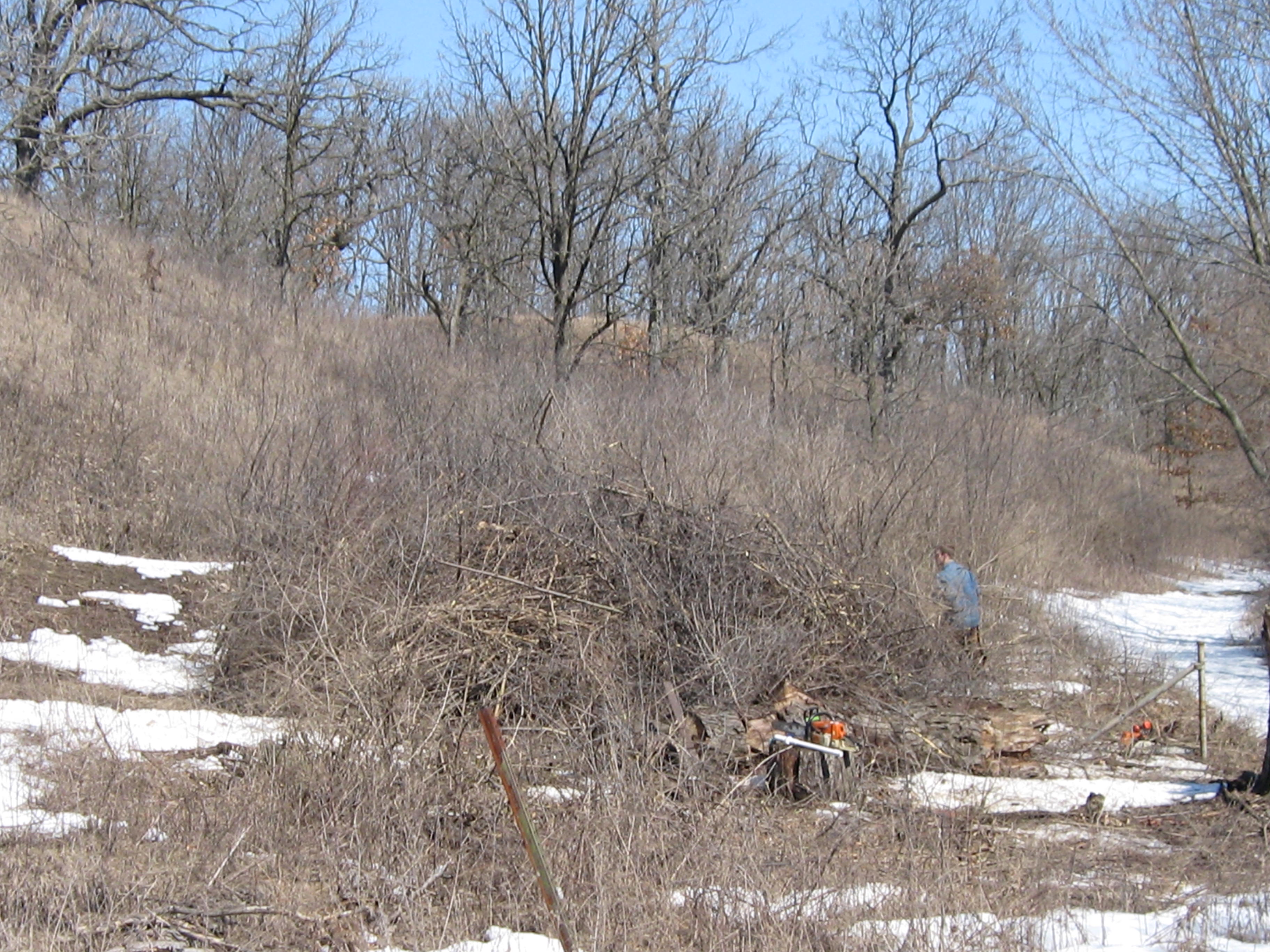
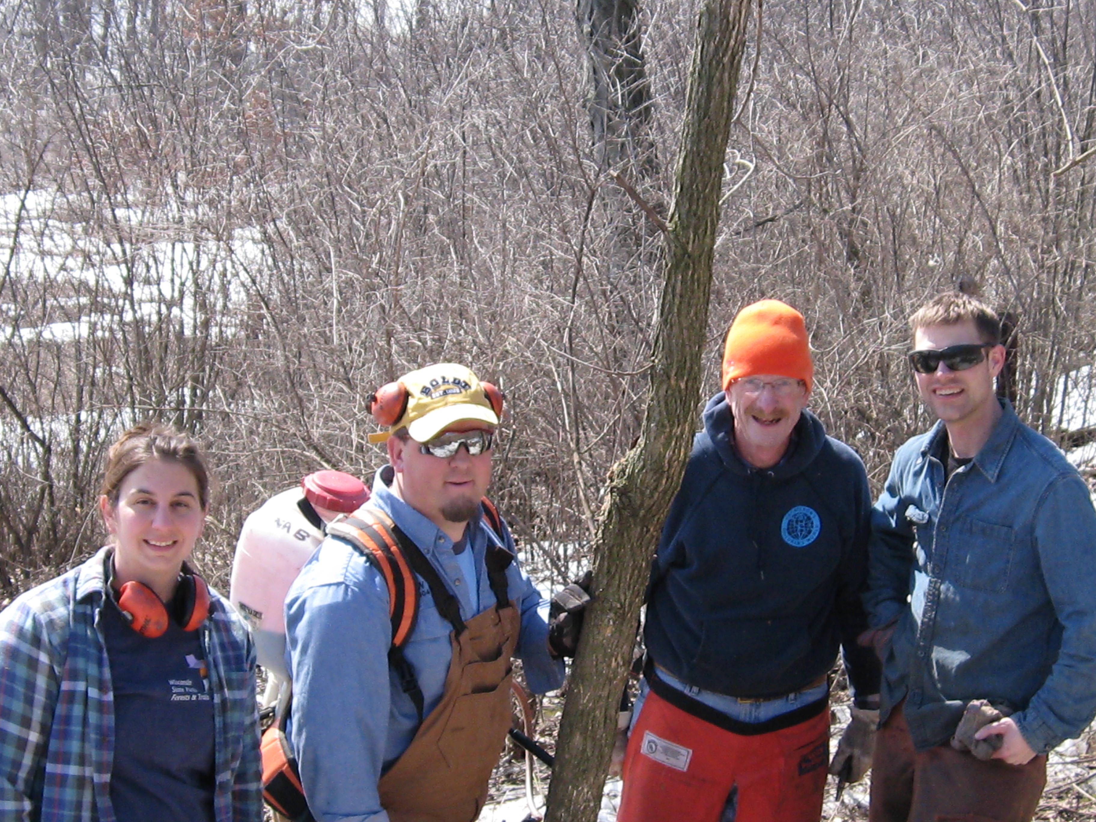
We continued our walk around the springs but did not find another suitable location. Warblers need lots of space! Then we headed over to the cut-off trail and were joined by Amanda’s boyfriend Justin, and his mother Beth, and we began piling brush.

I was amazed that we made 13 piles in a little over an hour!

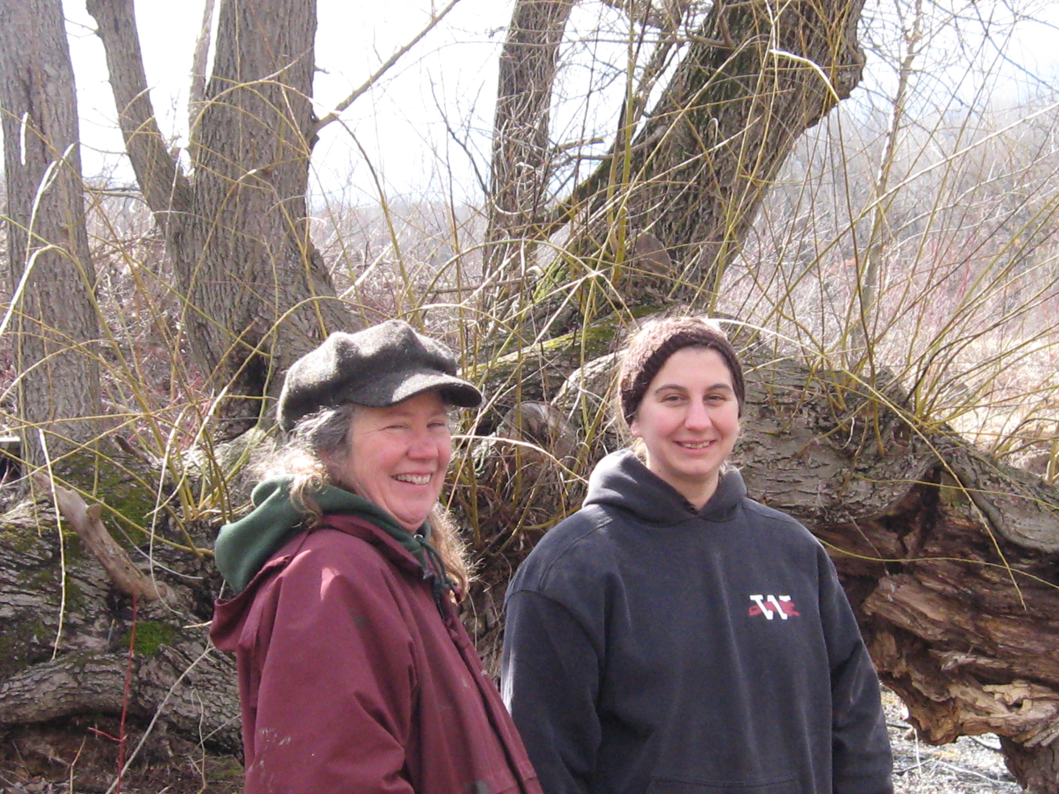
Here is the crew from left to right Beth, Amanda, Justin, Berta and Elias.

IMG_1075

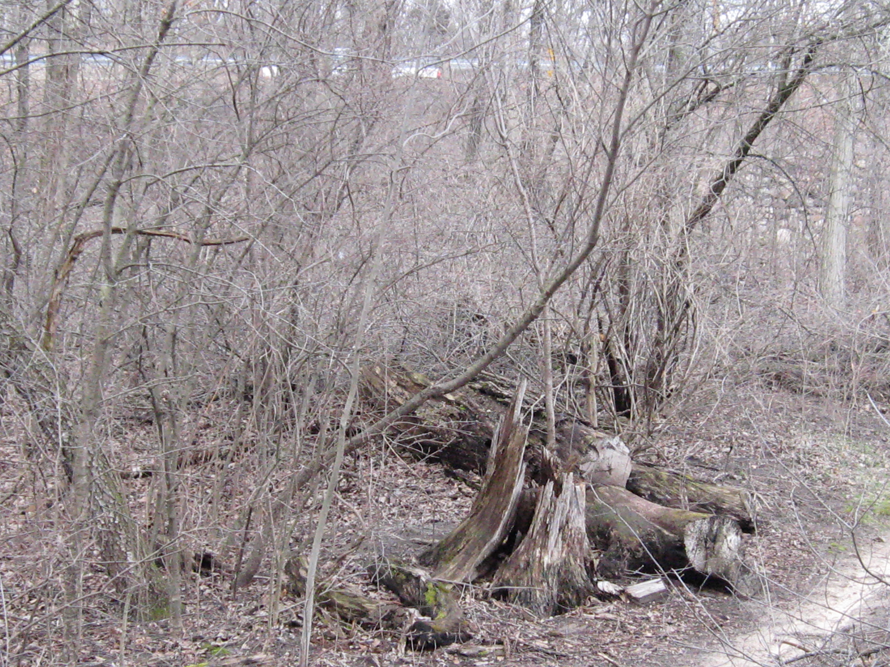
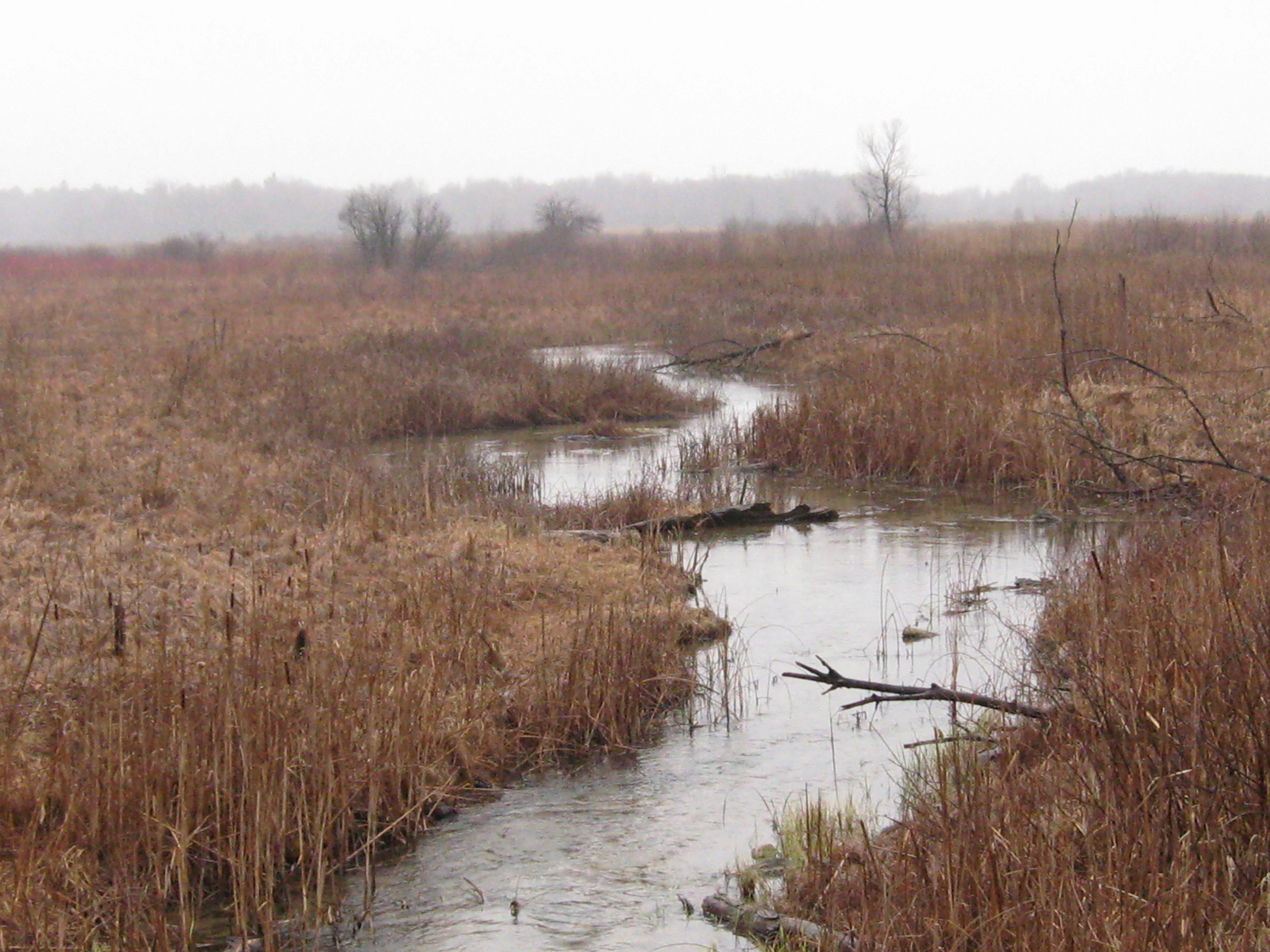
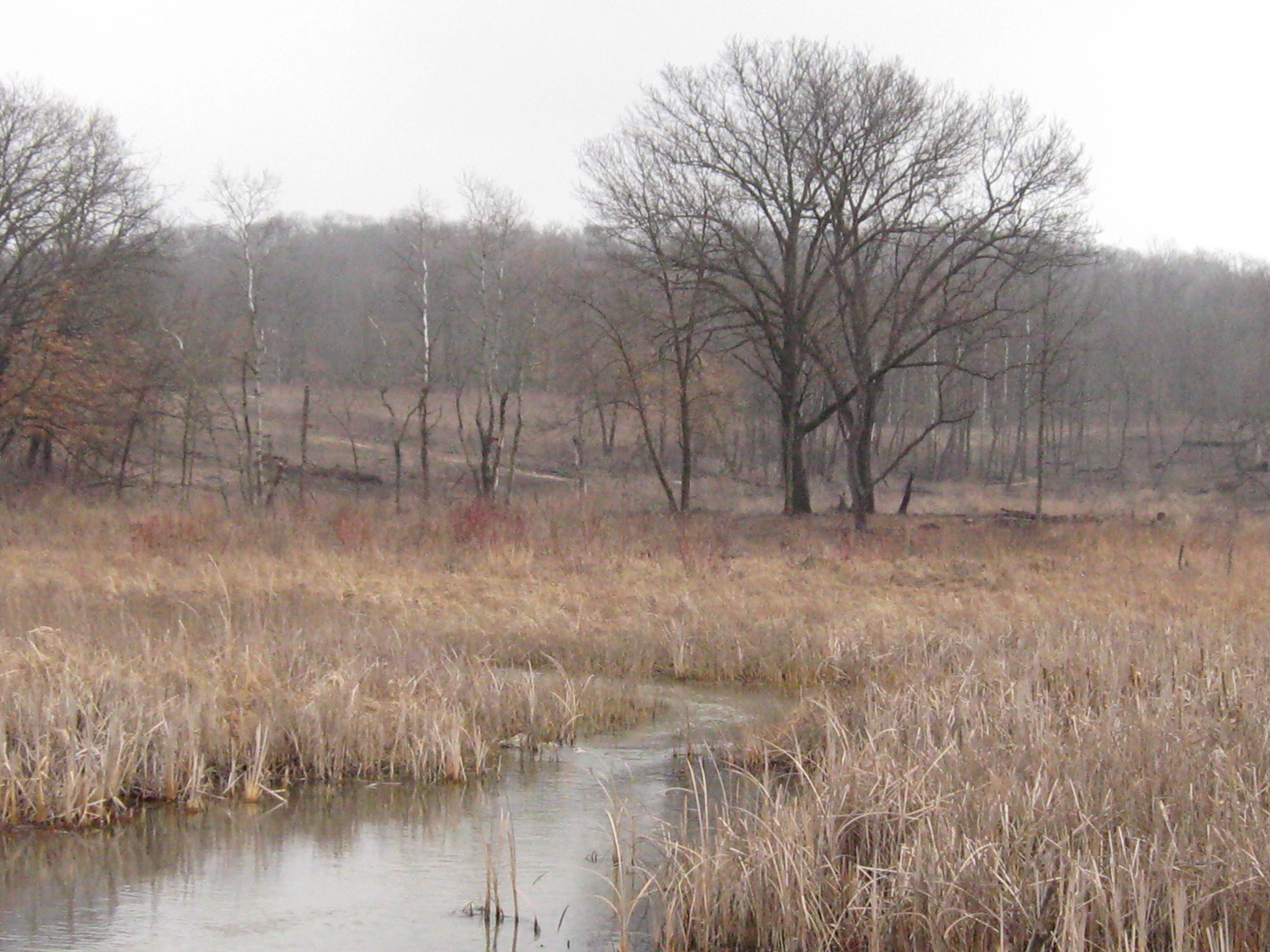
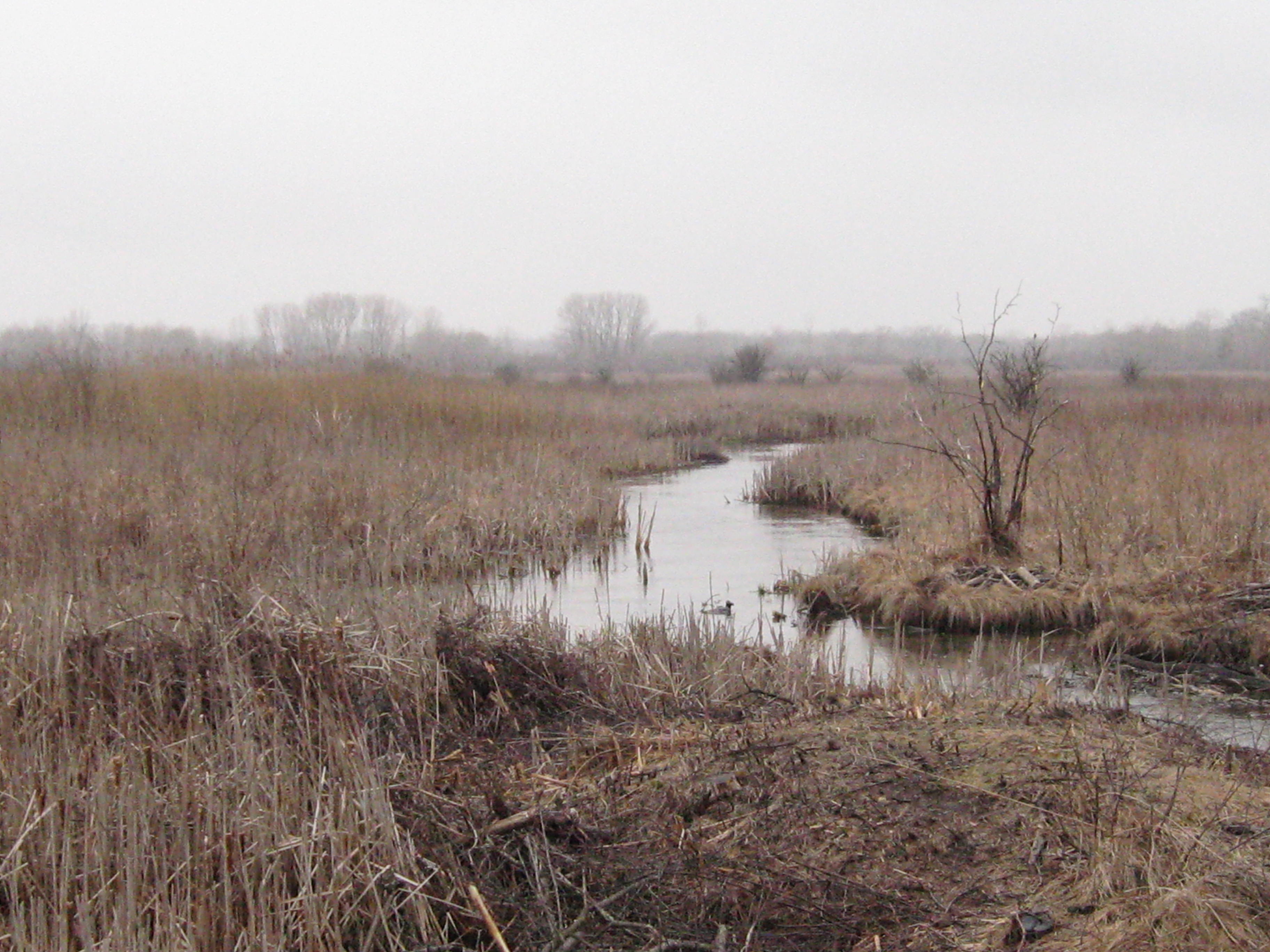
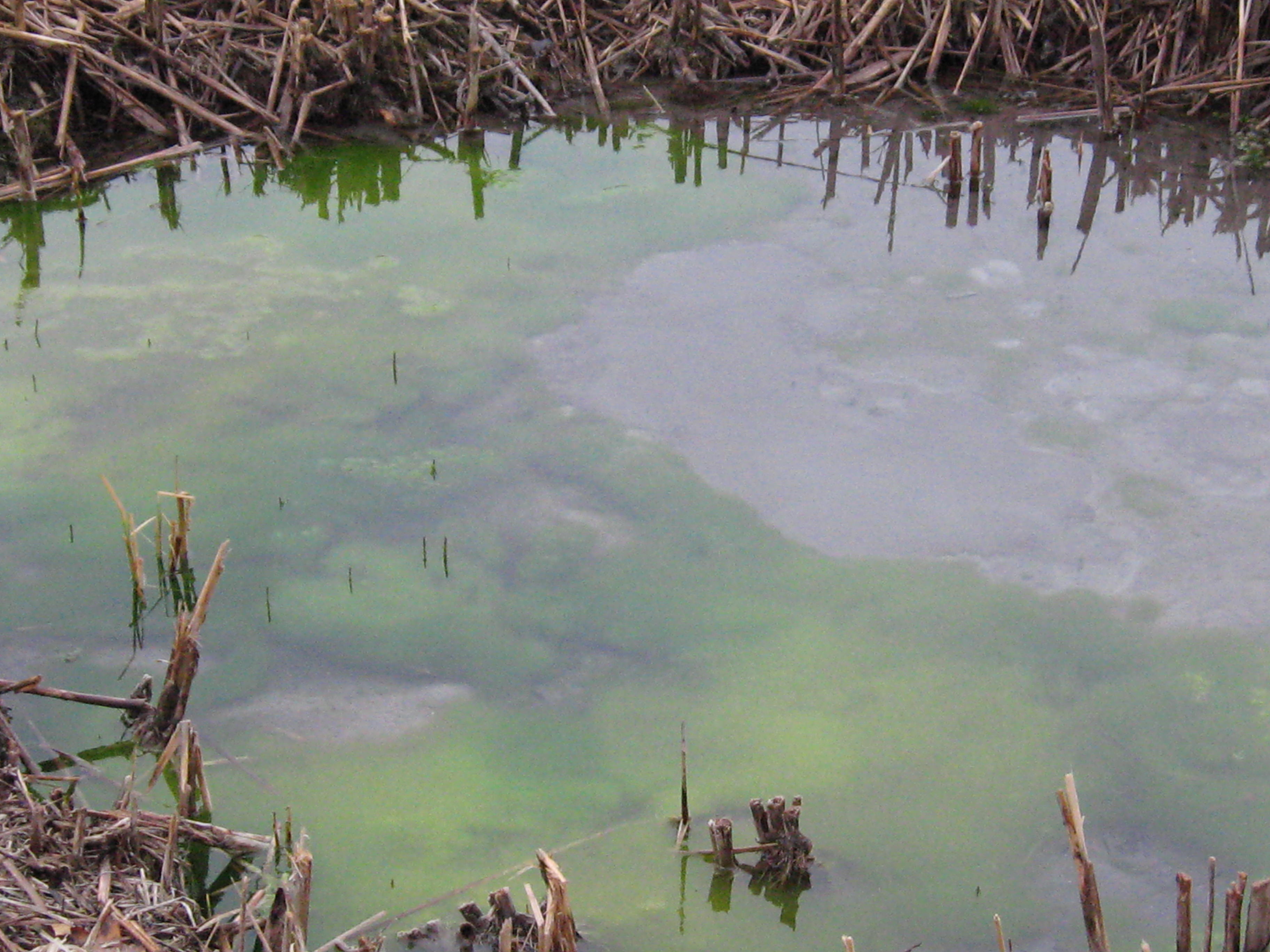
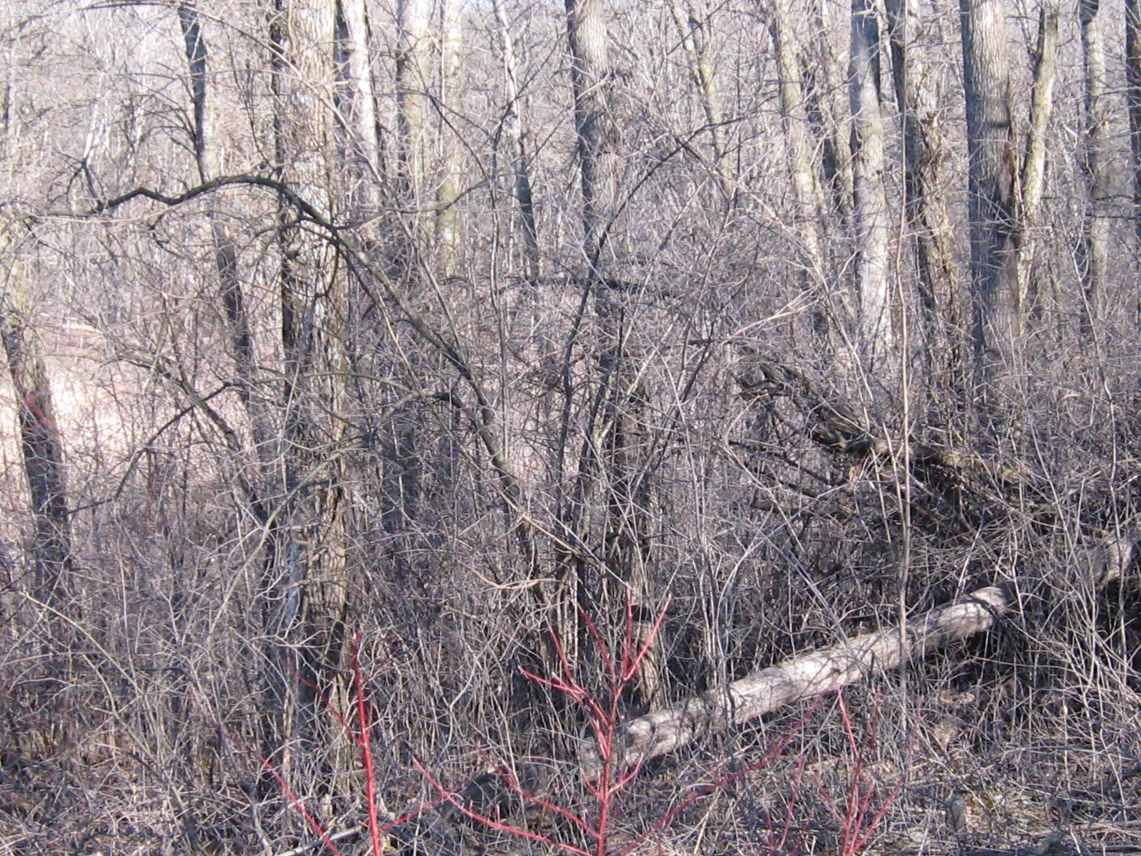
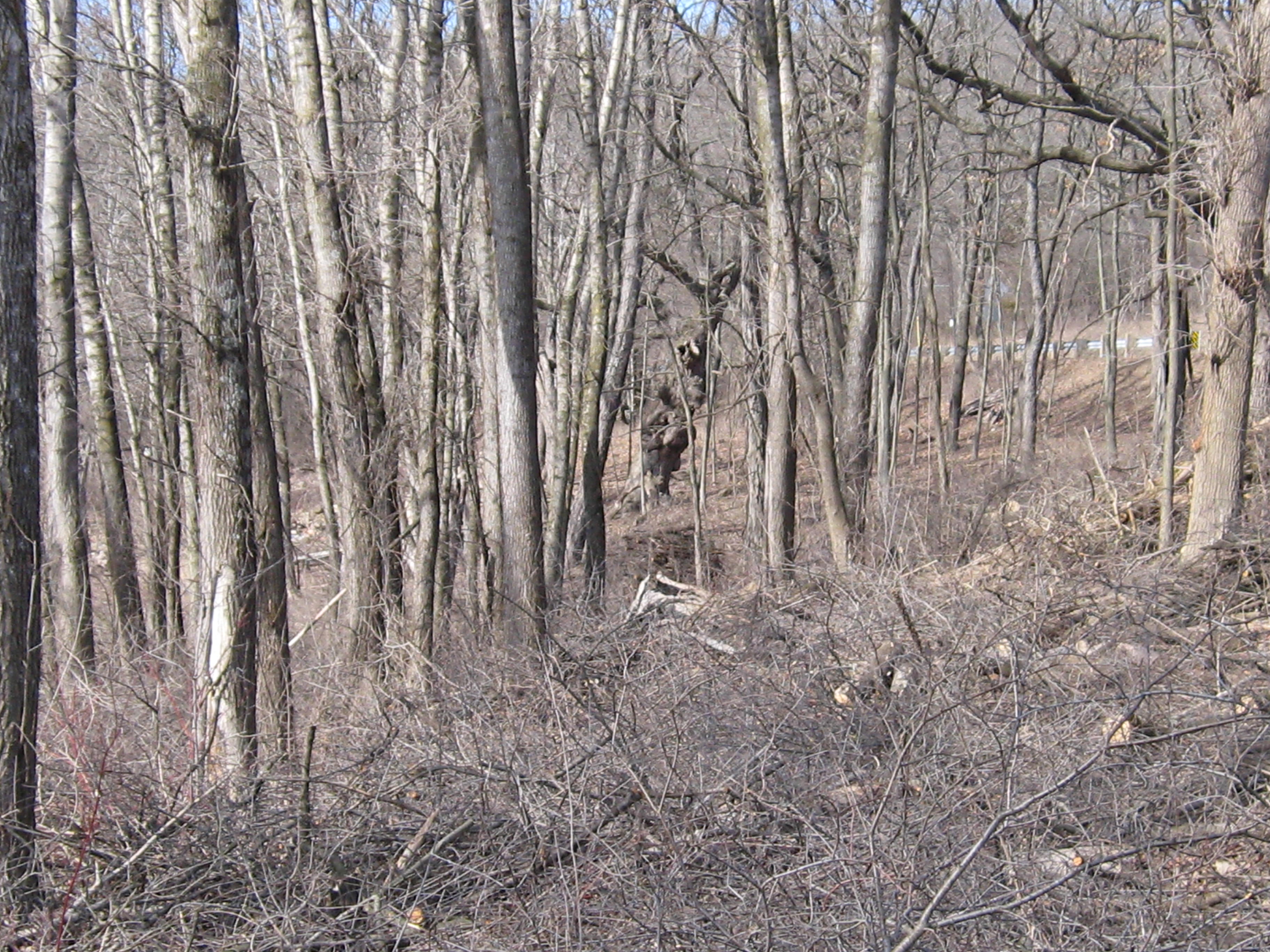
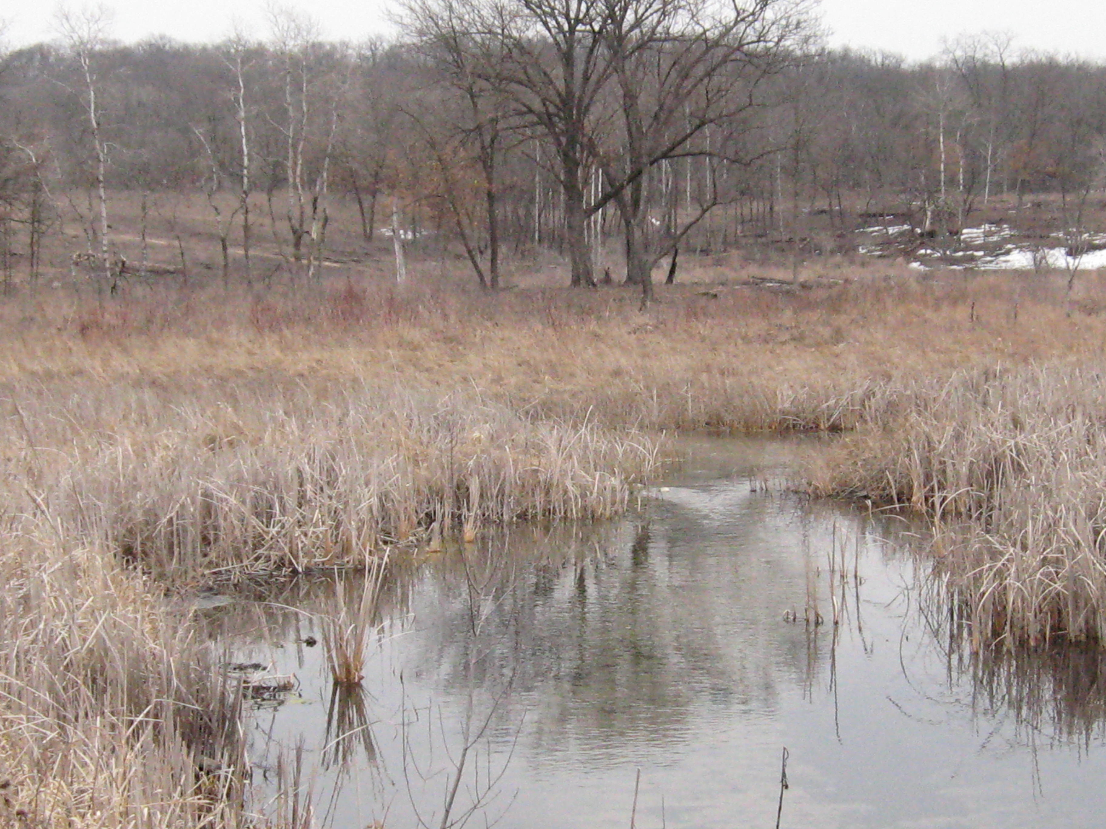
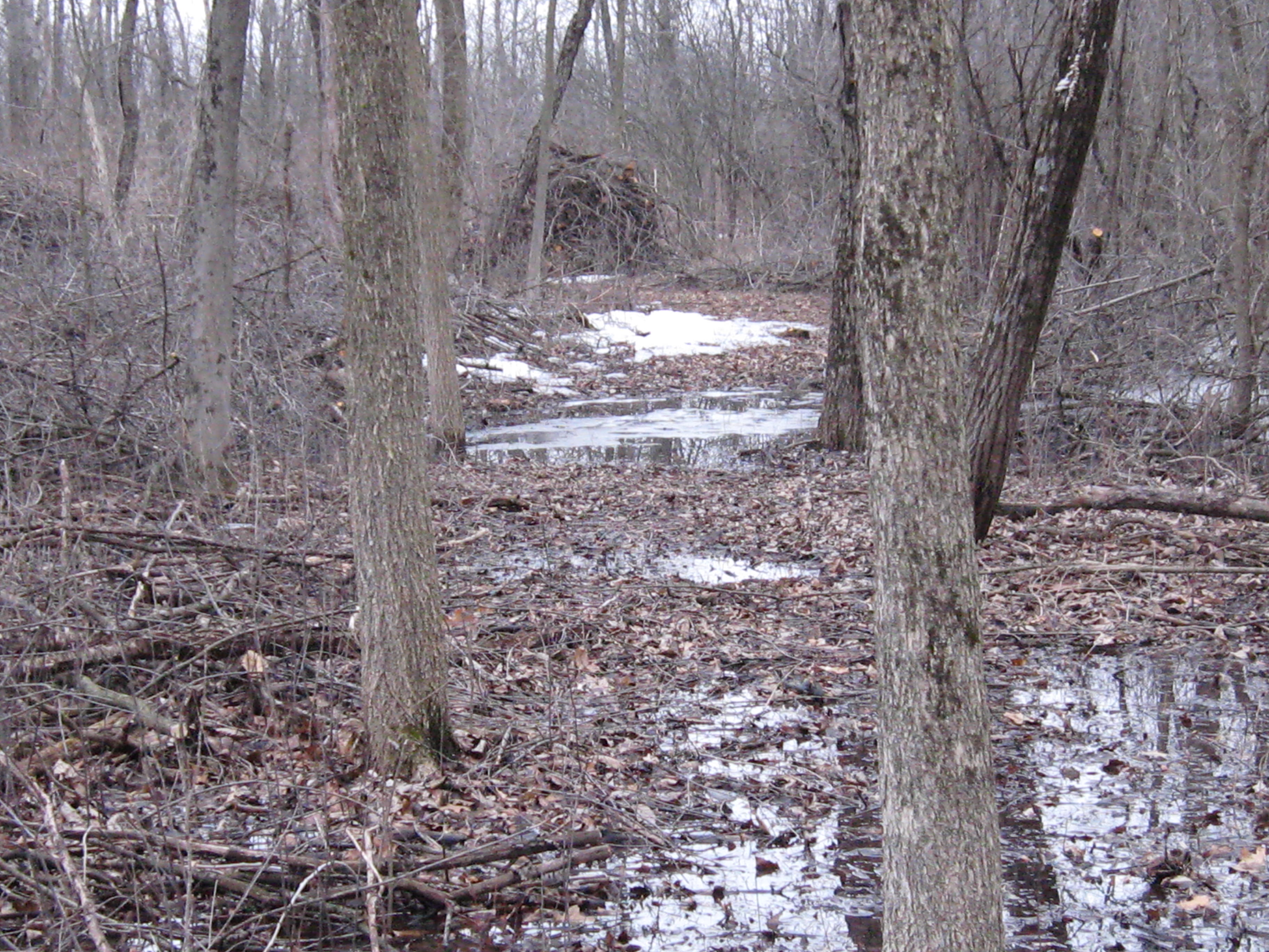
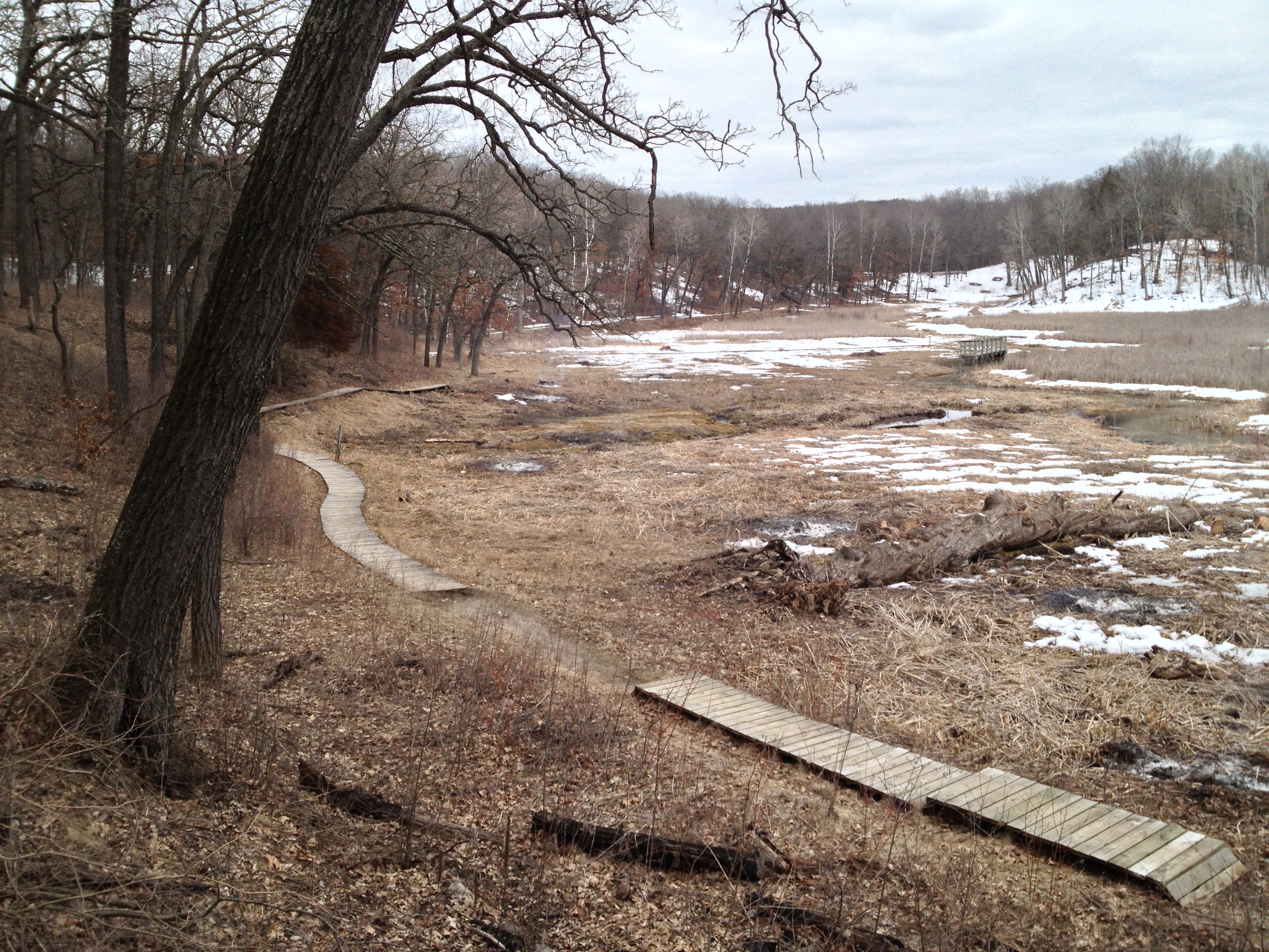
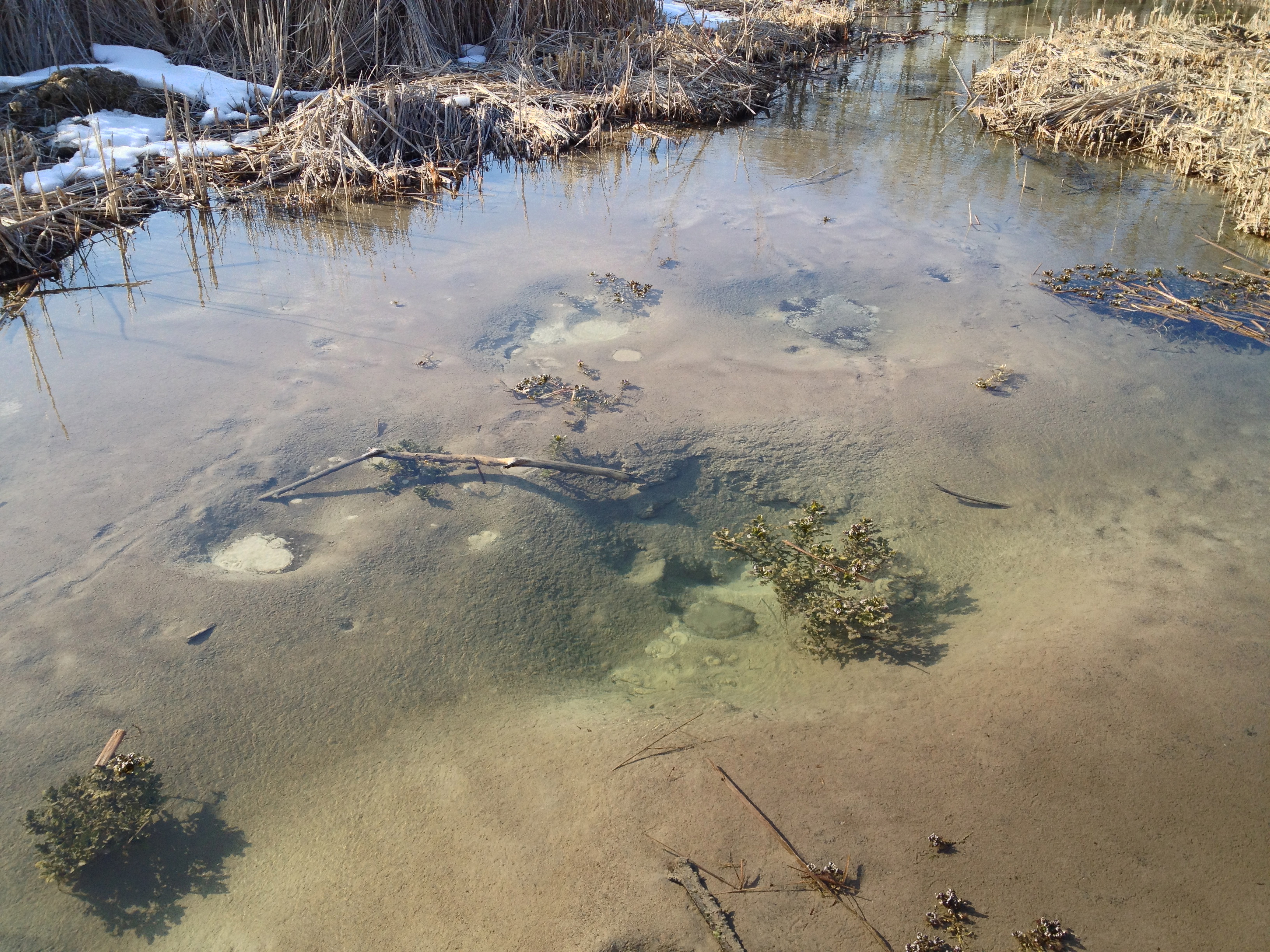
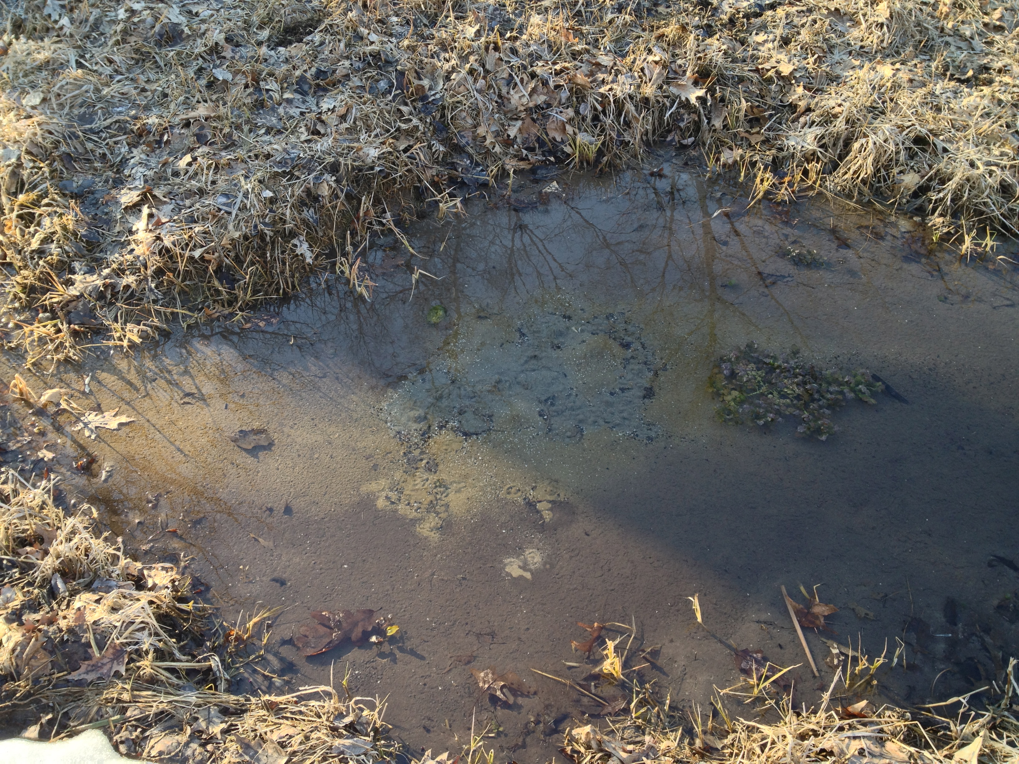
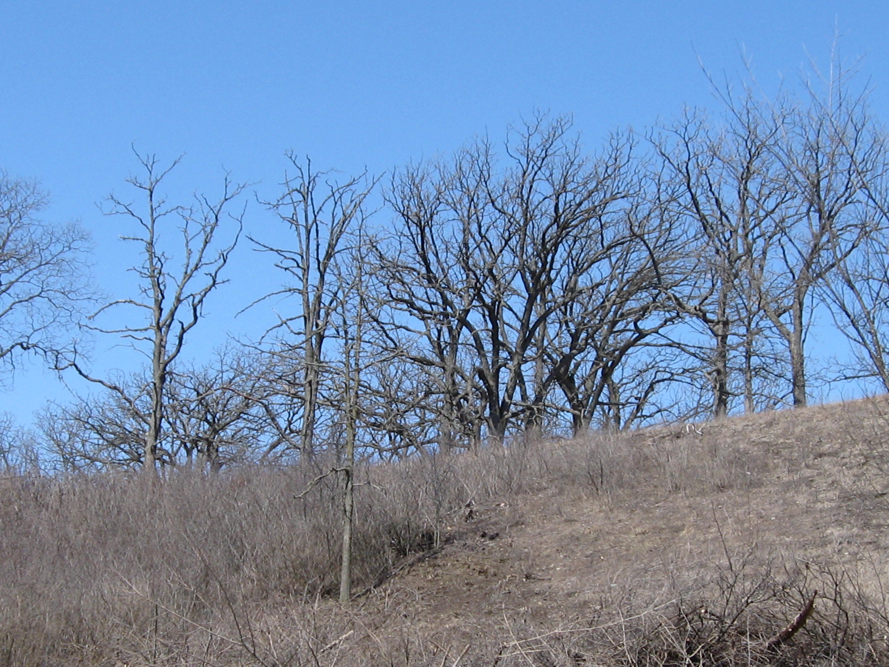
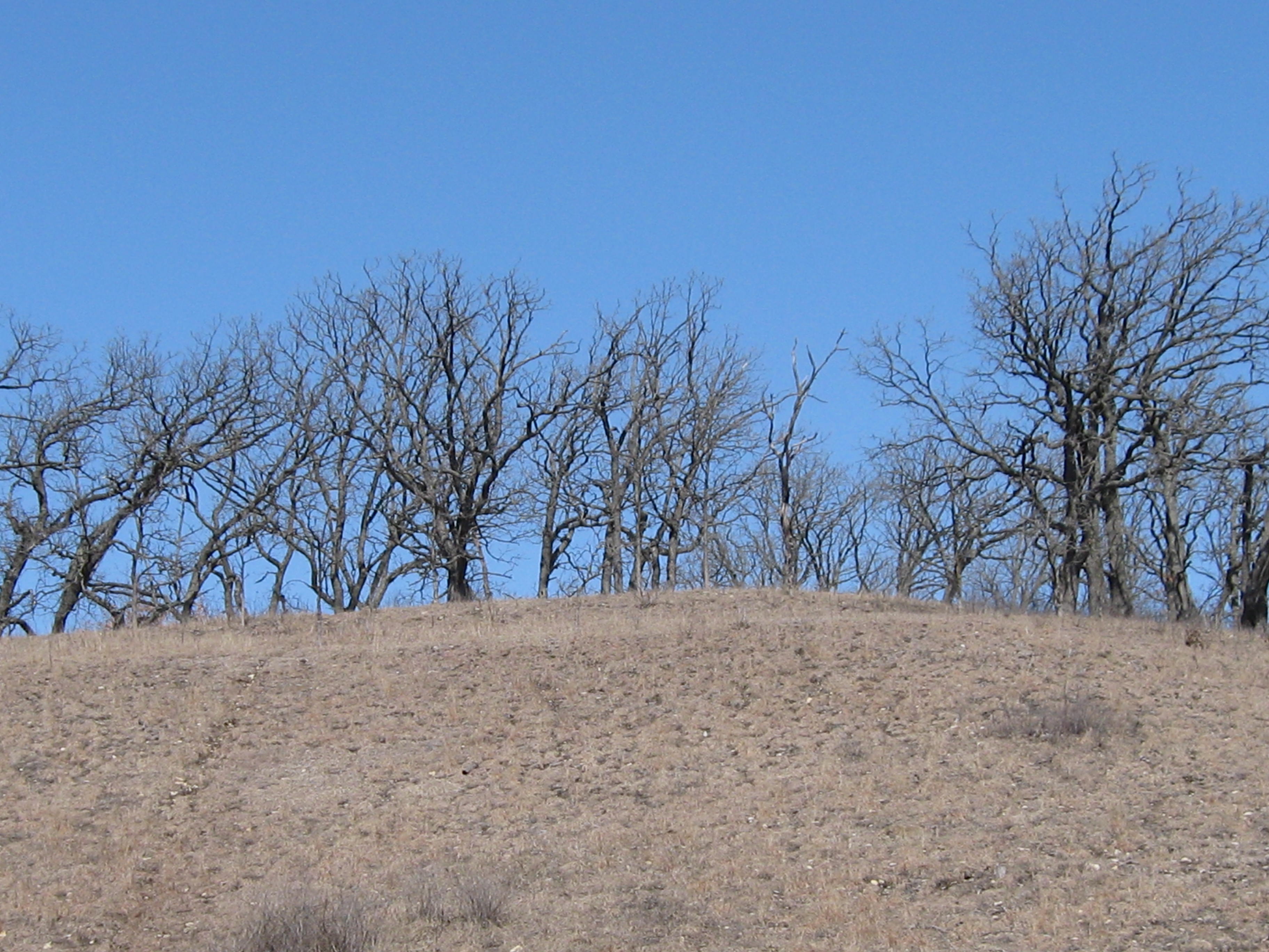
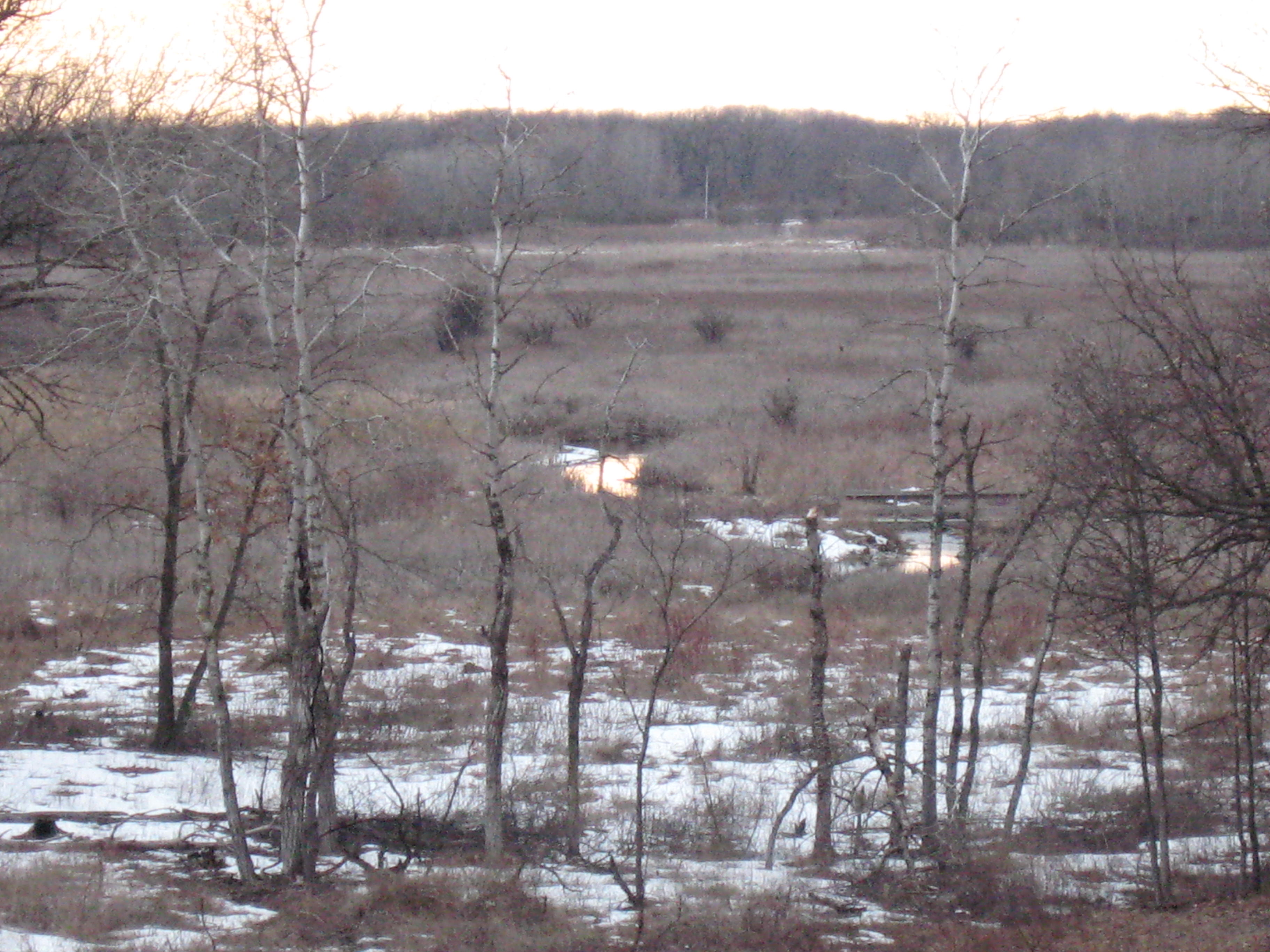
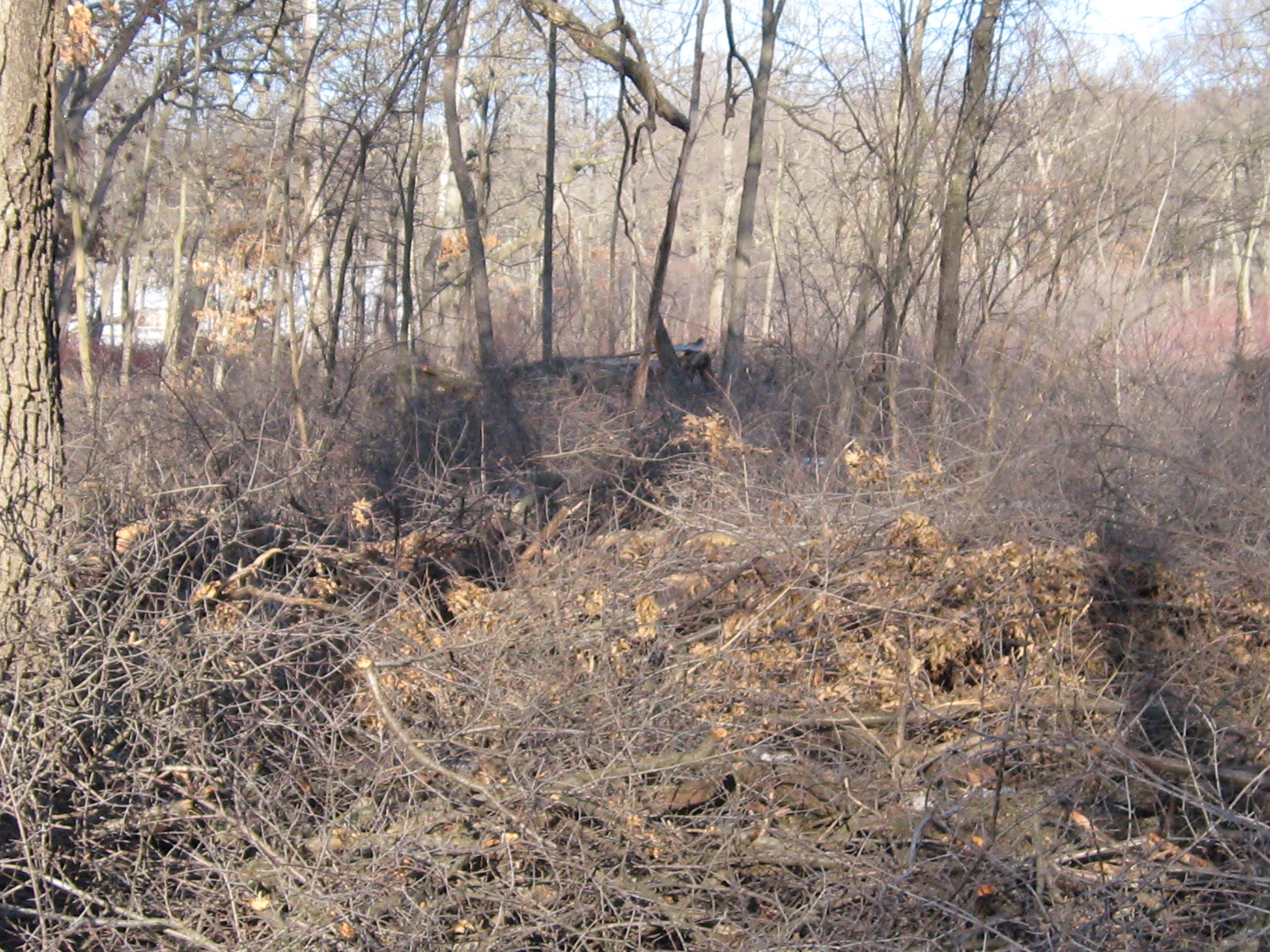
In the afternoon I relocated to the area just north of the old barn site to continue cutting buckthorn around the perimeter of another spring that is at the base of the slope below Hwy 67. This one needs a good cleaning out, which we plan to do once the weather warms up. Here are a few shots of the area before I began cutting.

IMG_1079

IMG_1077

IMG_1078

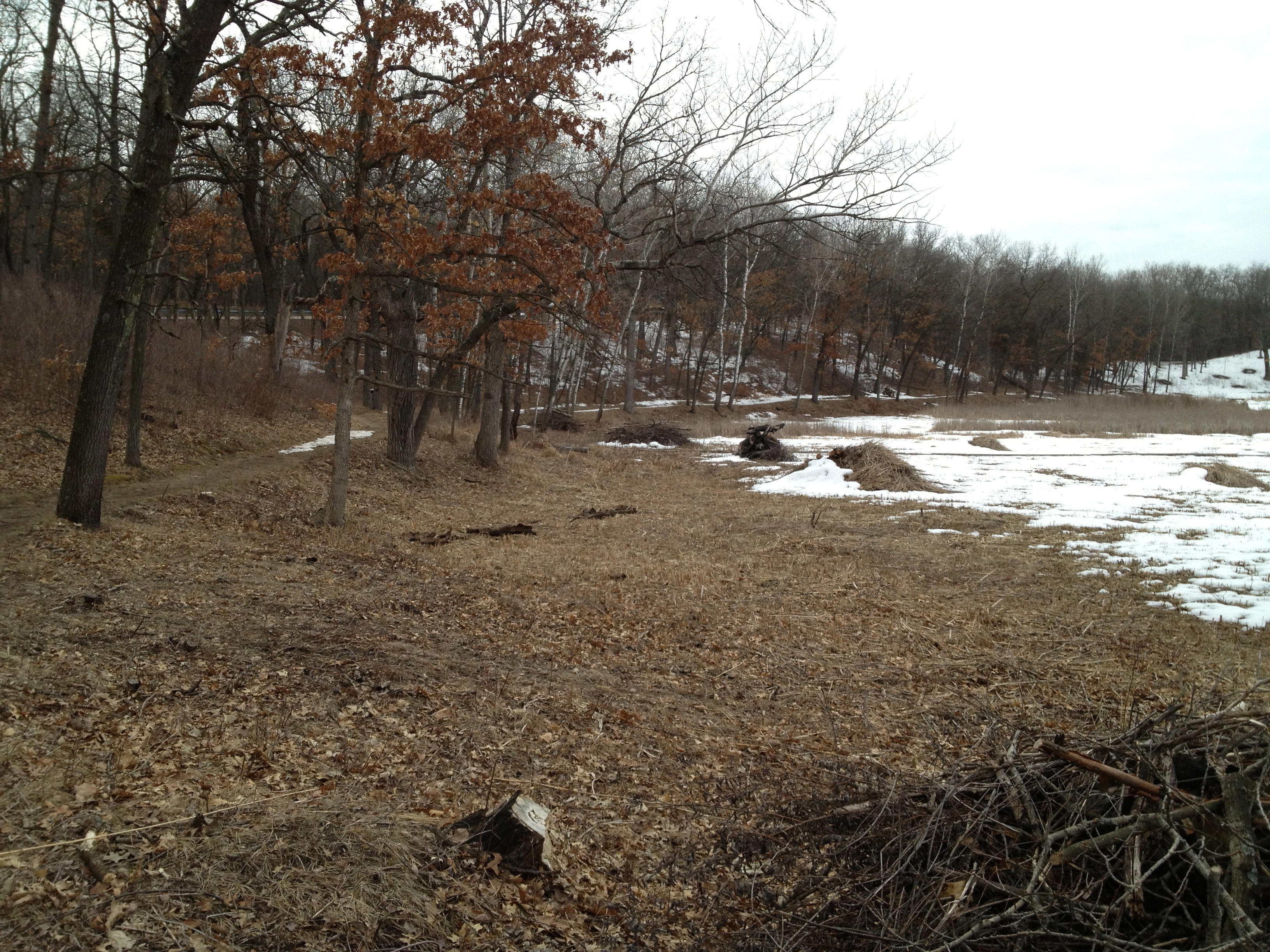
Three tanks of gas later.

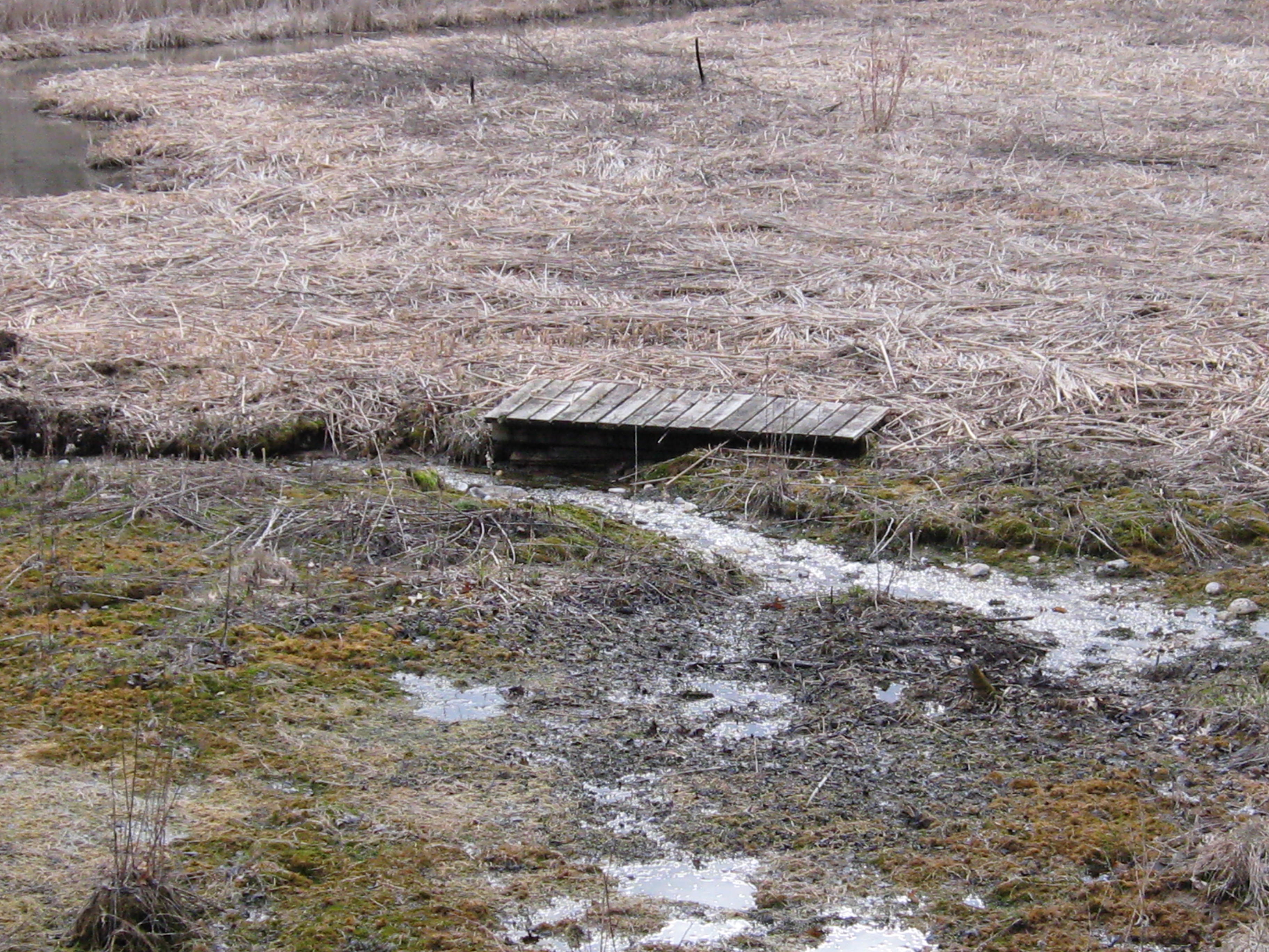
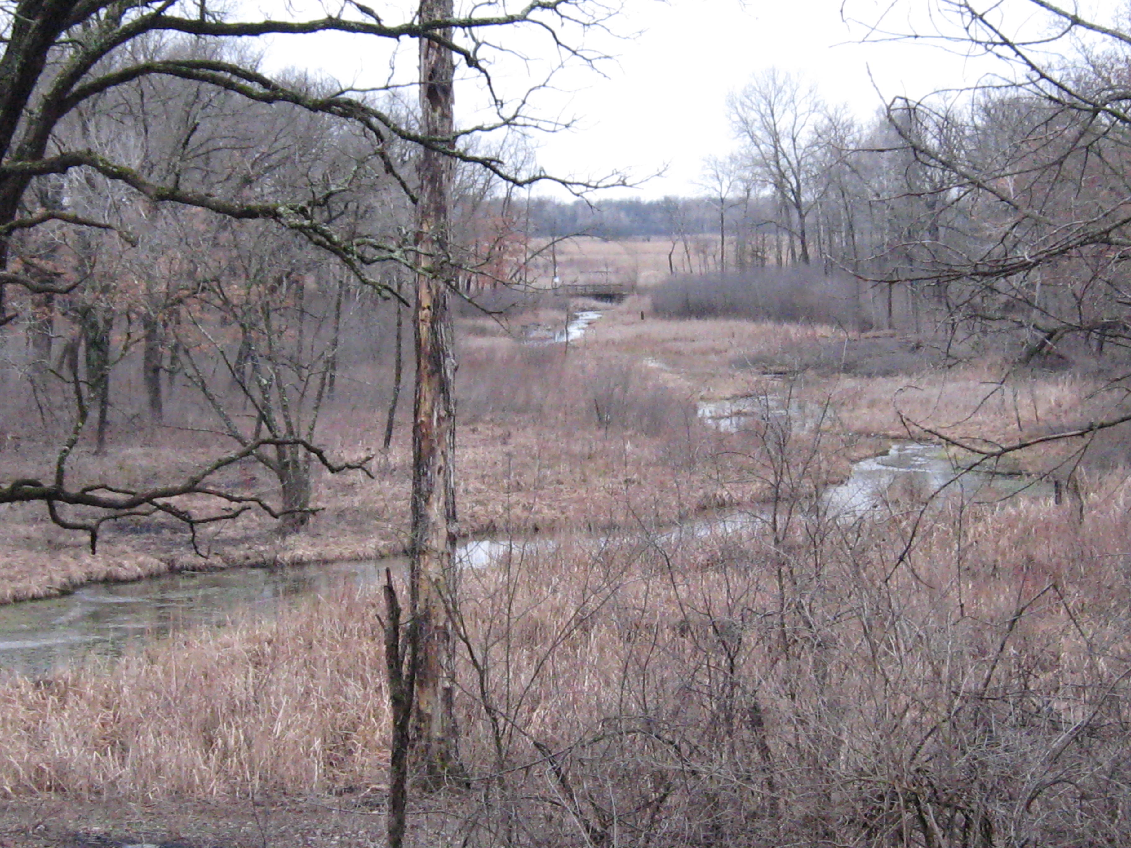
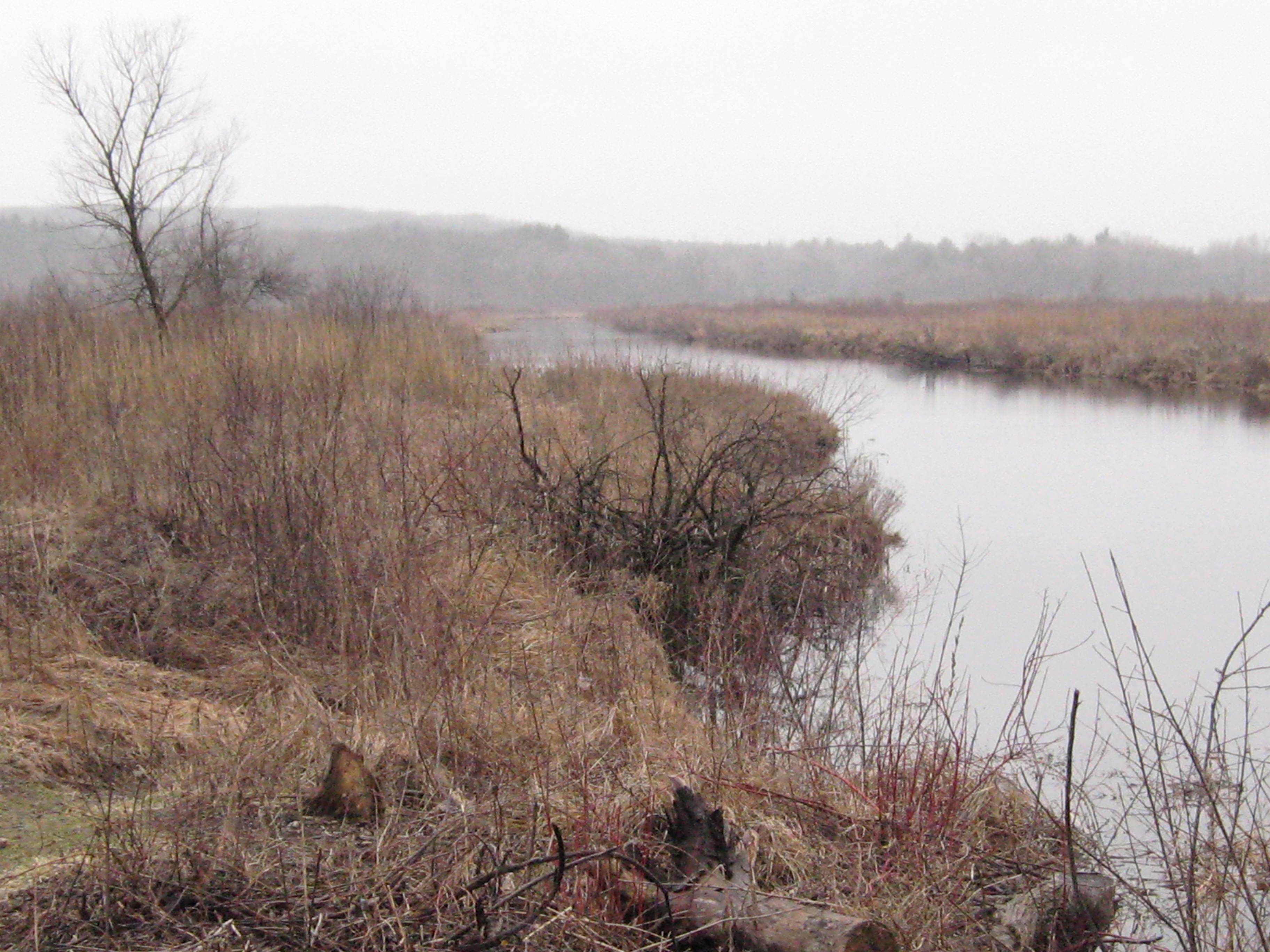
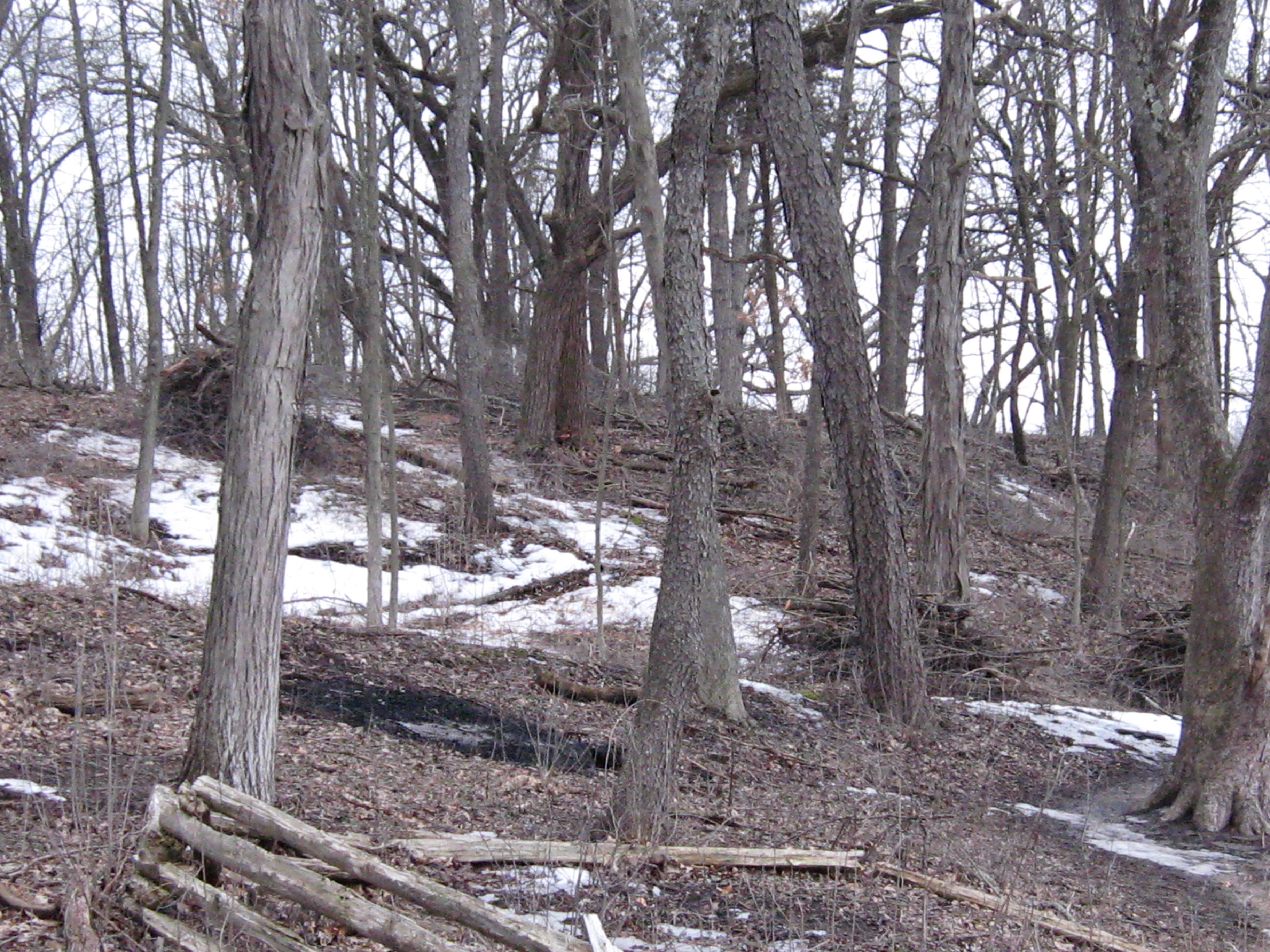
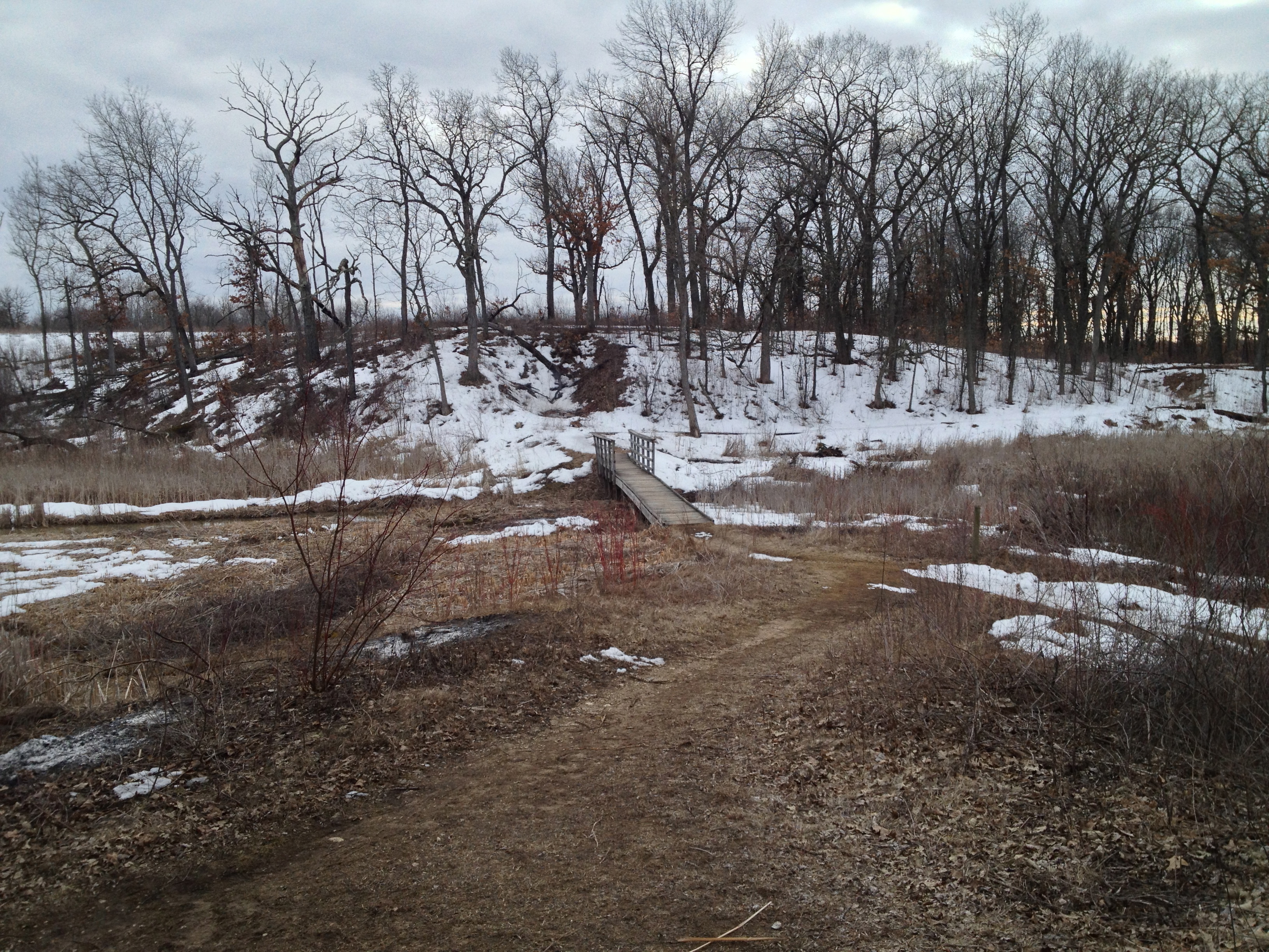
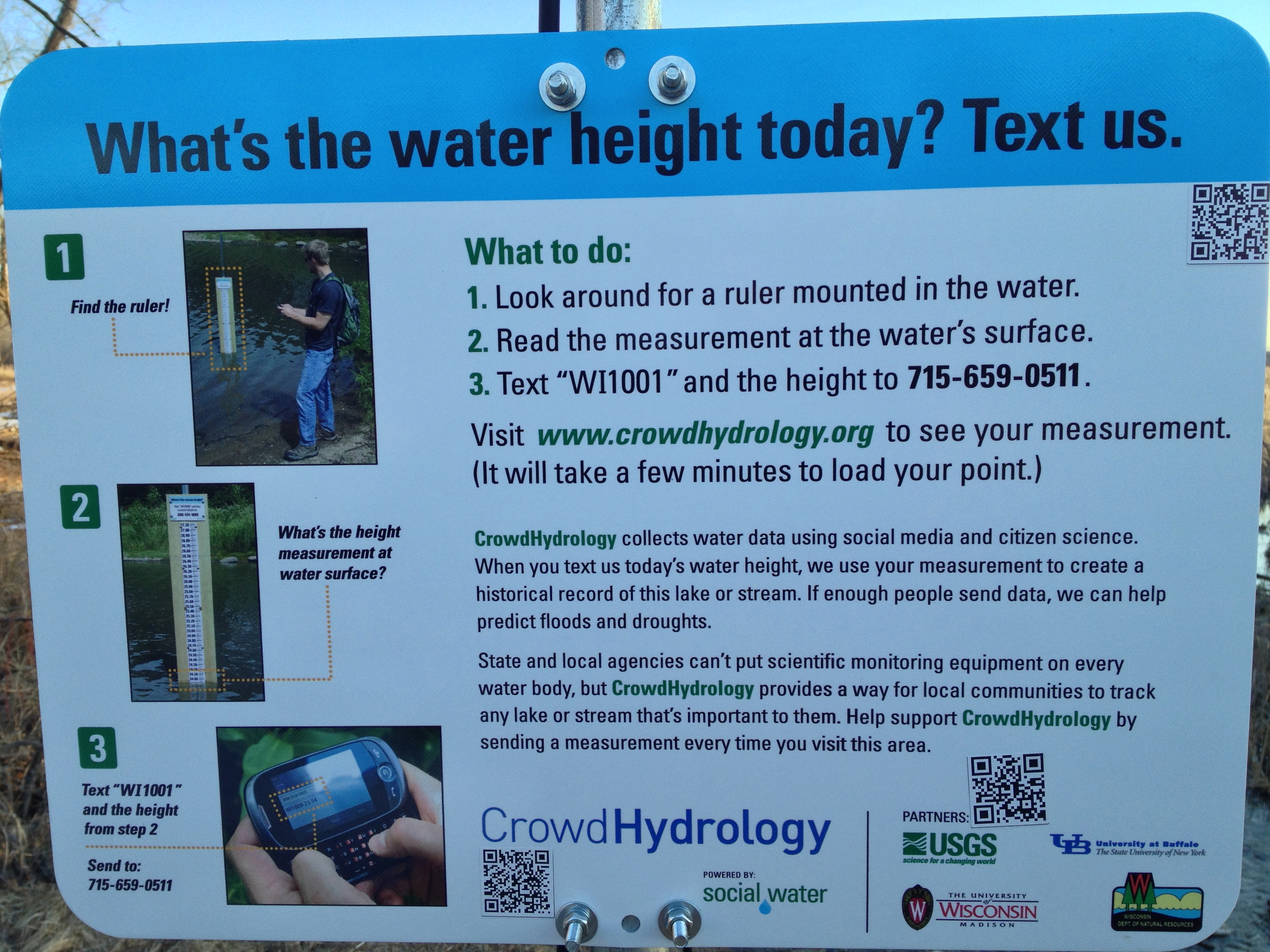
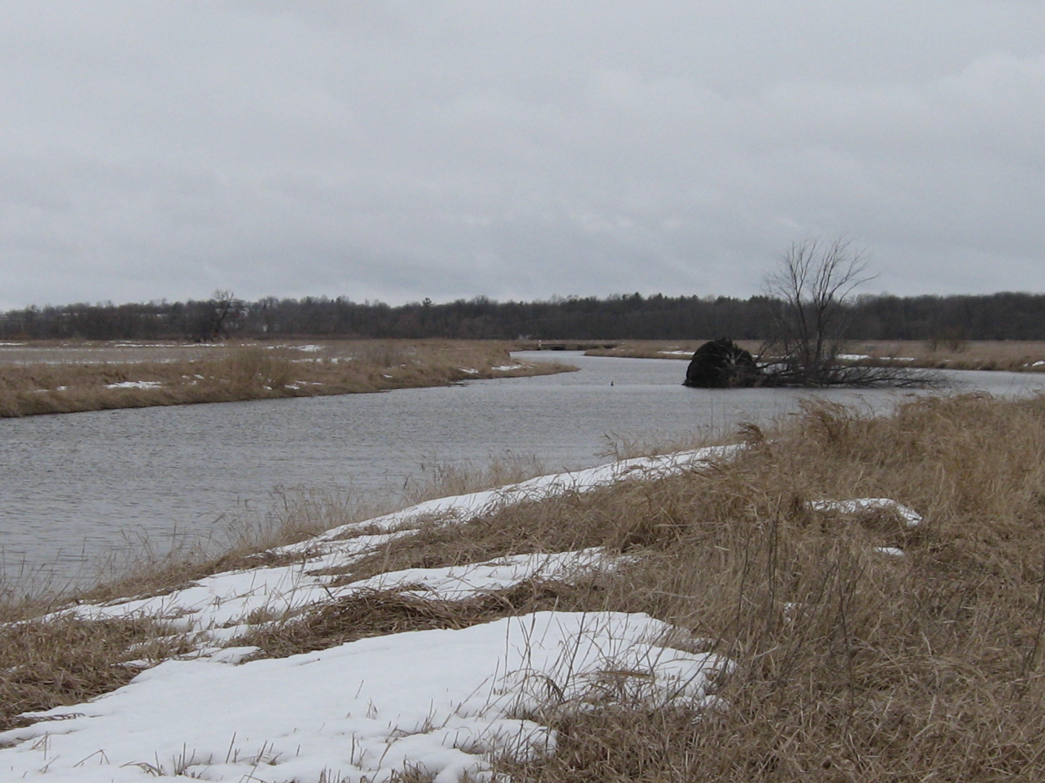
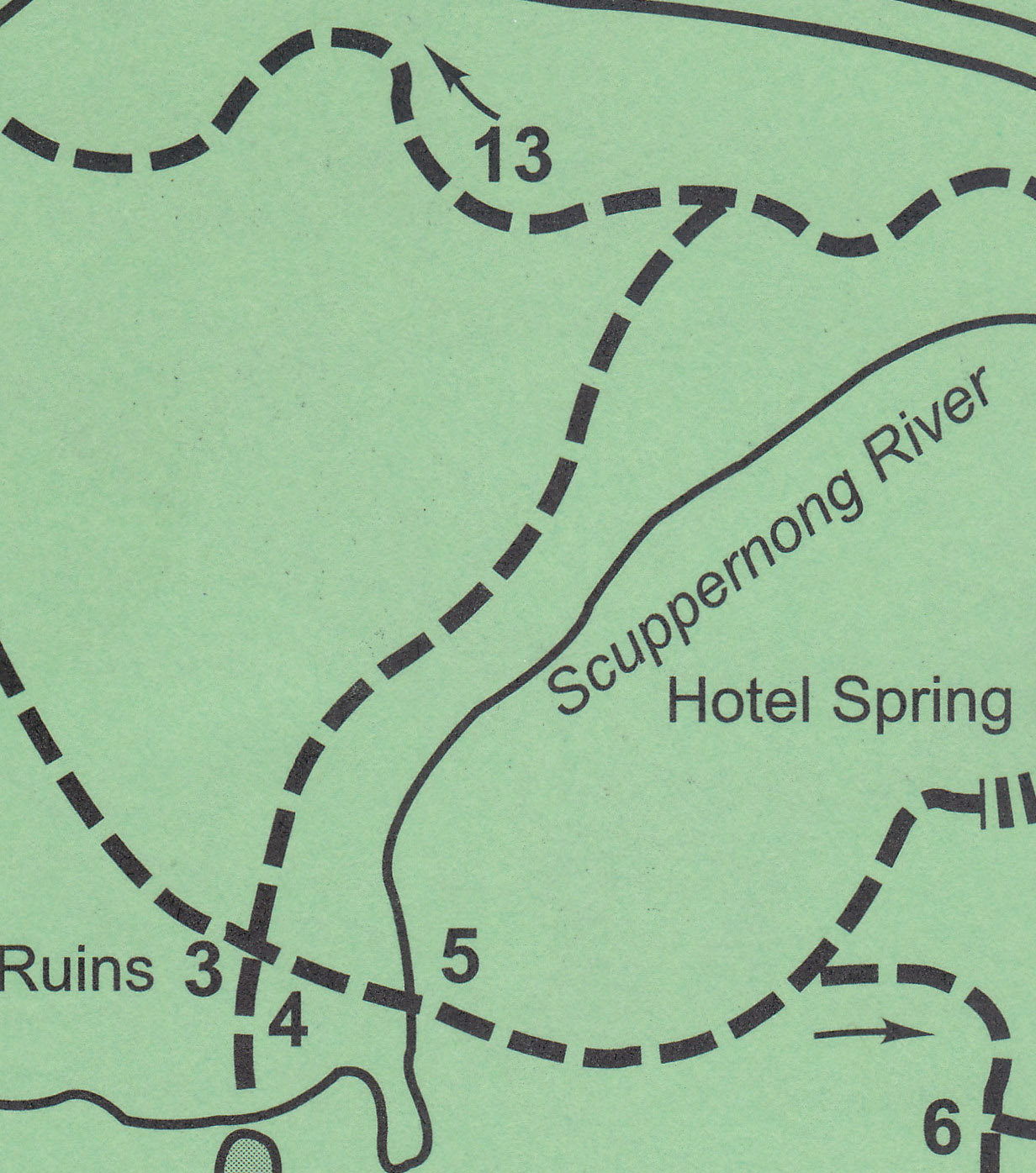
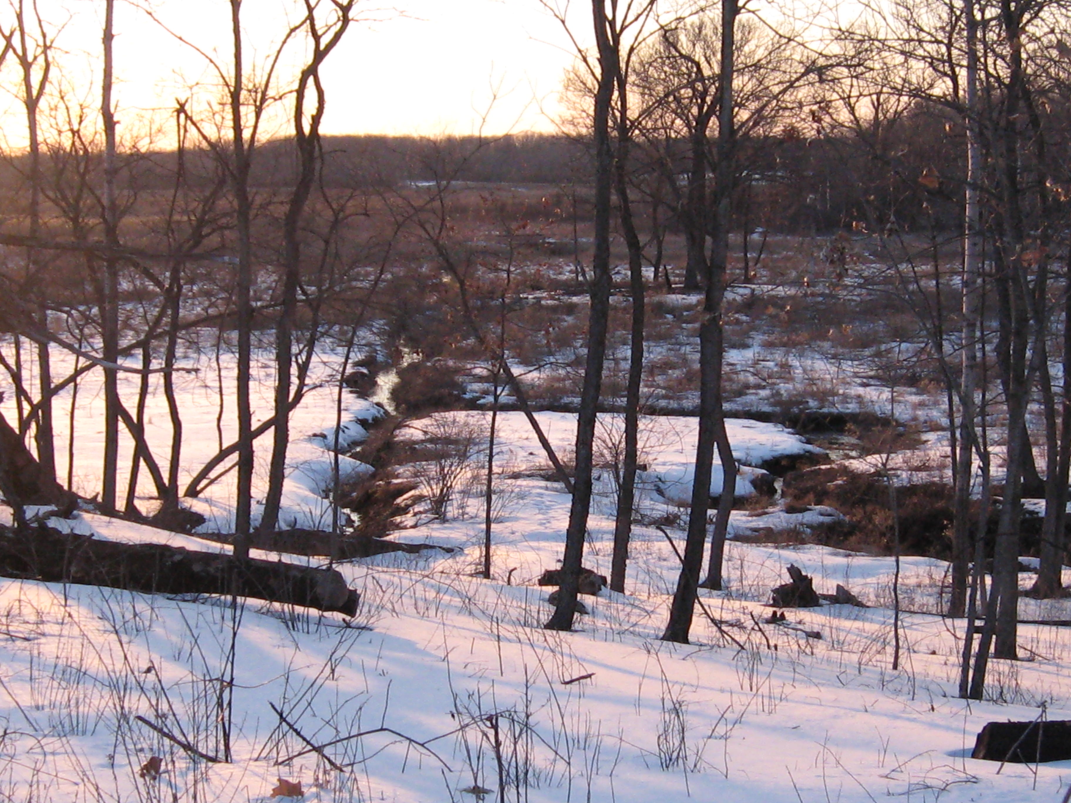
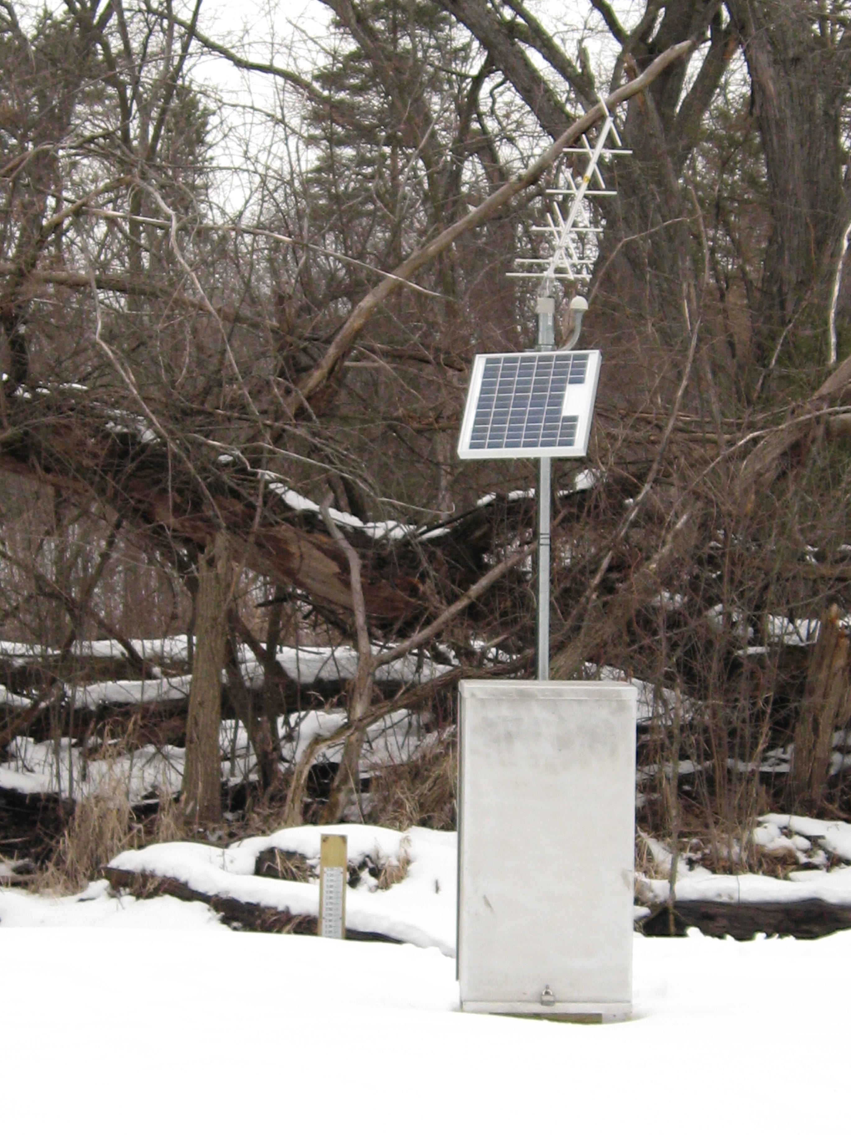
Here is the view of the old barn site as seen from the bridge over the Scuppernong River at #5 on the trail map, where the stream gaging station is.

IMG_1081

IMG_1082

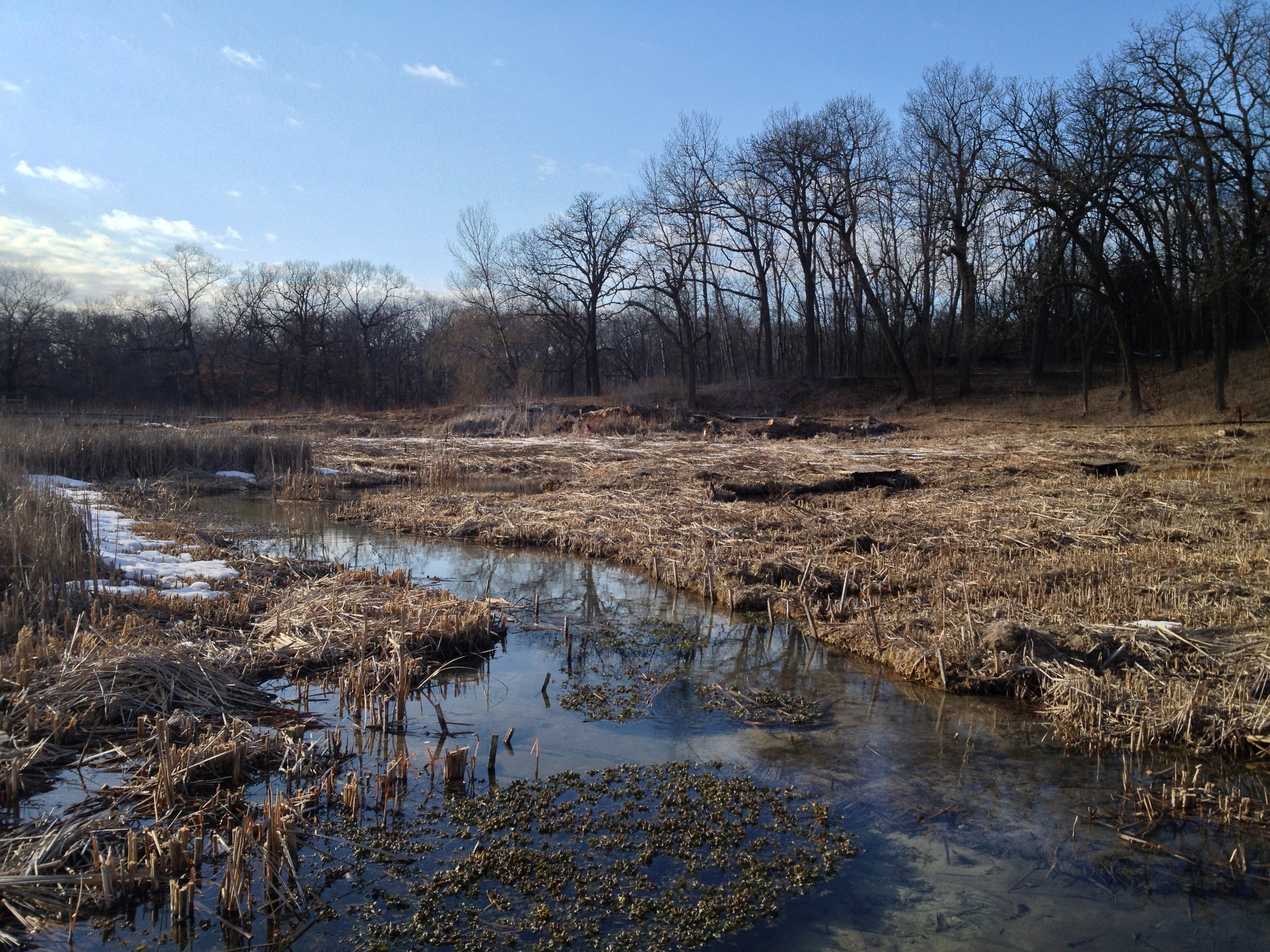
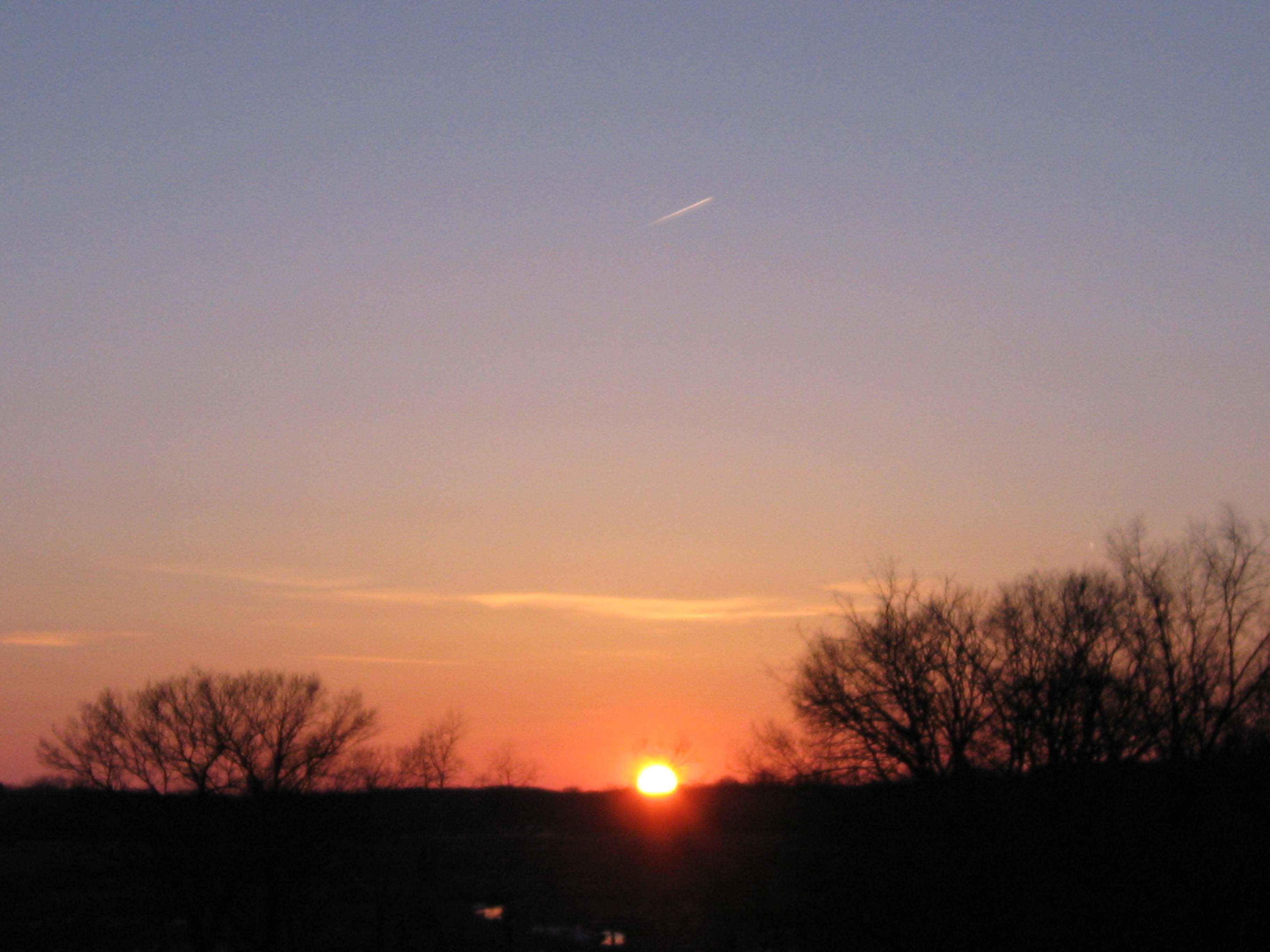
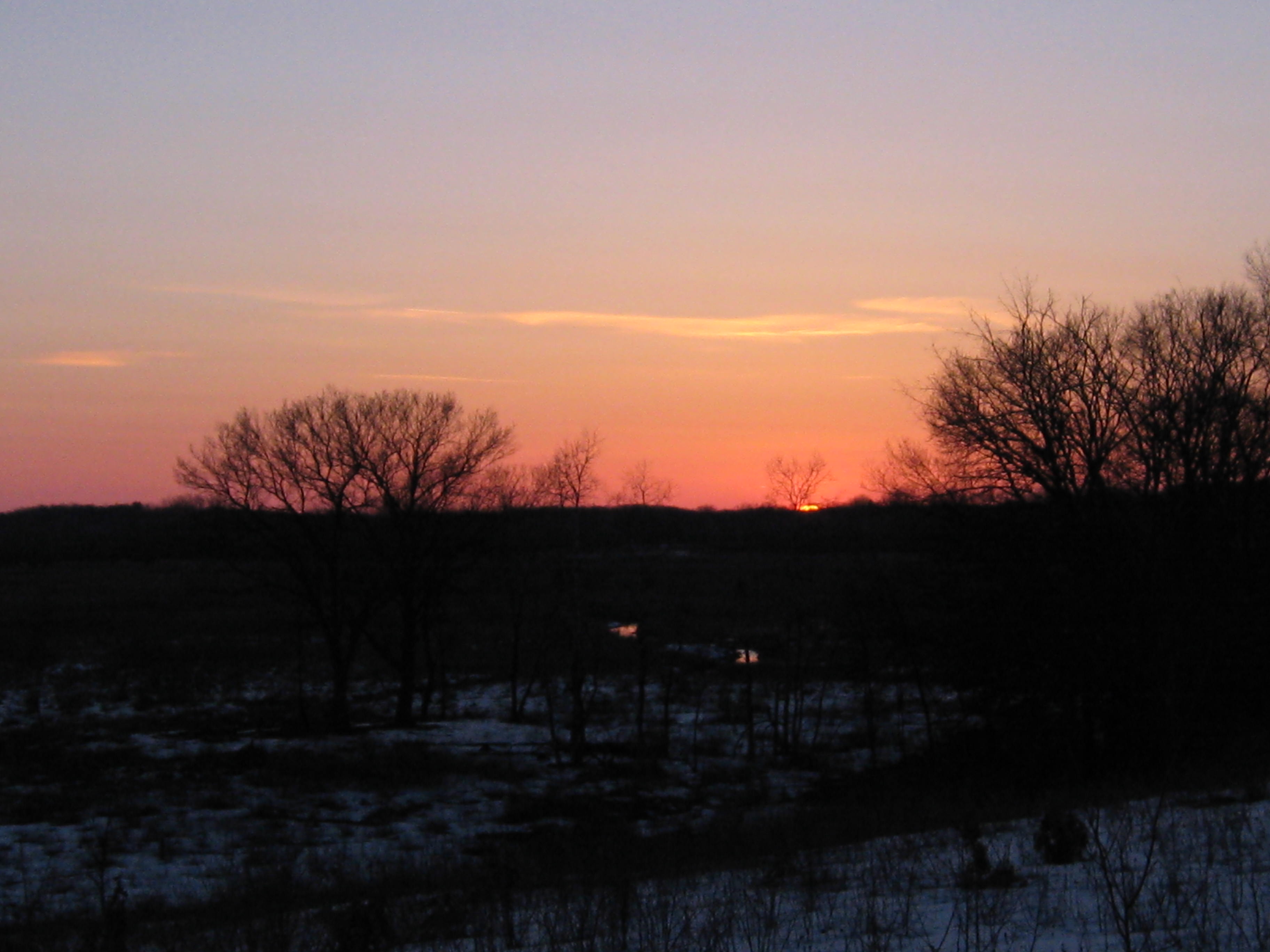
The sun made a few brief appearances that were much appreciated, one of which occurred as I was passing the Hatching House Springs.

IMG_1083

IMG_1084

I can’t wait for warm, sunny, green days to arrive.

See you at The Springs!

Let it Rain

“Let it rain, let your love rain down on me.”  It’s been a long time since we had a good soaking rain!  “Only love, can make it rain”; the love of The Creator that is.  As of February 2013, we’re still in a moderate drought in Southeast Wisconsin and the recent rains are much appreciated.  I caught a break from the showers today and cut 8 cubits of buckthorn just north of the old barn site.

  • The Kettle Moraine Natural History Association is holding its annual meeting at 10am, Saturday, May 4, 2013 at the Kettle Moraine State Forest-Southern Unit Headquarters, located 3 miles west of Eagle on Hwy 59.
  • DNR Fisheries Biologist, Ben Heussner, will present a program on “Fishes of the Mukwonago River.”  Learn about the tremendous diversity of fish that can be found there and what is being done to preserve this fishery,

The DNR is stocking Wisconsin waters with trout.  Here is the statewide report.  Zeroing in on the Scuppernong River watershed we see:

Waukesha Ottawa Lake RAINBOW TROUT 1071
Waukesha PARADISE SPRINGS CREEK BROOK TROUT 125
Waukesha Paradise Springs Headwater Pond RAINBOW TROUT 250
Waukesha Paradise Springs Headwater Pond BROOK TROUT 200
Waukesha SOUTH BRANCH SCUPPERNONG RIVER BROOK TROUT 83

Hopefully some of these trout will venture over to the Scuppernong Springs.  I have not seen any trout in the river since last fall. John Hrobar suspects that all the disturbances to the river in the past year have chased the trout away.  Say it ain’t so John!

I dallied this morning waiting for the rain to stop and tested out one of my new aspen tree girdling tools. The bark came off better than last time, but I think it will get even easier in the next few weeks. This one took 10-15 minutes.

IMG_1057

I visited the stream gaging station and uploaded .33 to Crowd Hydrology site. You can see the correlations with the USGS data.

IMG_1058

IMG_1064

IMG_1060

The rain let up and I wheeled my gear along Hwy 67 to the work-site, just north of the old barn ruins.

It was a fine day to cut buckthorn!

The rain returned as I was loading up my gear, but I still enjoyed a walk around the nature trail.

IMG_1063

IMG_1065

IMG_1066

There is an interesting pond of primordial ooze by the Hatching House Springs.

IMG_1067

IMG_1068

The garlic mustard, catnip and spotted knapweed are starting to show some green. Skunk cabbage and marsh marigolds are coming up too but it’s still mostly dormant. Hopefully the DNR will get a chance to burn the Scuppernong Springs Nature Preserve this spring; it is definitely on the agenda.

See you at The Springs!

Scuppernong Spring House

The headwaters of the Scuppernong River were coveted by early settlers to harness as an economic engine. Chester Smith built a saw mill there around 1847 and Curtis Mann and Talbot Dousman created THE PONDS OF THE SCUPPERNONG for their trout farm and built a cheese factory in 1870 at the site of Chester’s mill. As the reputation of ponds, trout and serene location grew, so did the number and frequency of visitors, prompting Mann and Dousman to convert the cheese factory into a hotel, which they called the Scuppernong Spring House. You can read all about it in Robert Duerwachter’s great book, THE PONDS OF THE SCUPPERNONG where he explains “The Last relic of the Scuppernong Ponds, the building which at one time had been a saw mill, a cheese factory, a hotel, a restaurant, and a club house, was destroyed by fire on August 21, 1972, the work of an arsonist.”

Looking south from the site of the Scuppernong Spring House.

IMG_1014

IMG_1015

Since the fire, the hotel site has been colonized by huge aspen trees and buckthorn. There are some very fine oak and hickory trees on the slopes above the site and these too were under assault from buckthorn. Here is a view of the area as seen from Hwy 67.

Down at the hotel site there was a buckthorn thicket laced with huge fallen aspen and cedar trees; a lot more work than I thought!

IMG_1016

IMG_1017

IMG_1018

I took my time with this mess and when I finished the 6th tank of gas it was almost 4:00pm.

IMG_1019

IMG_1020

A strolling tour.

Revisiting the view from Hwy 67.

A close up study of the gnarly oak.

I enjoyed a nice walk around the trails and stopped at the stream gaging station to upload .30 to the Crowd Hydrology site. The sunset was beckoning, but I was tired and a little chilled so I headed for home back in Milwaukee.

See you at the Springs!

WDNR Awarded $75,000 NAWCA Grant

There was quite a buzz at the South Kettle Moraine State Forest Headquarters as news of the $75,000 North American Wetlands Conservation Act award echoed in the surrounding oaks. Phase IV of the Scuppernong River Habitat Area restoration effort will proceed full speed ahead thanks to the efforts of Project Officer Matt Zine and Grant Preparer Dave Hoffman, who did an excellent job on his first grant proposal. The majority of the $75,000 matching funds required to secure the grant is being provided by the Kettle Moraine Natural History Association. Our volunteer efforts are as good as gold and will also be used to help make the match.

The NAWCA grant represents another step in the leadership transition at forest headquarters as they try to do the impossible and fill Ron Kurowski’s shoes. Dave Hoffman was a limited term employee when I ran into him at the Scuppernong Springs last October and since then he has accepted a full-time position as an Wildlife Technician (Advanced) working for the Bureau of Endangered Resources in the Southern Unit. He is back “home” in Eagle and couldn’t be happier. I think he deserves a raise!

Here are a couple pictures of the north and south sections of the Scuppernong River Habitat Area showing the work described for Phase IV in the grant proposal.

SRHPA N end

SRHPA S end

We share the “buzz” with the DNR staff and look forward to seeing the Phase IV goals realized!

Meanwhile, back at “The Springs”, there is plenty of buckthorn that needs cutting. There are a couple of gaffes in the narrative below: Robert Duerwachter wrote THE PONDS OF THE SCUPPERNONG (not William!); and no, this was not the last of the buckthorn that needs to be cut.

Lindsay and I cut a heap of buckthorn and Pati helped pile the brush.

IMG_1012

Later, Pati and I took a dreamy walk visiting all the springs.

IMG_1006

IMG_1007

IMG_1008

The cut-off trail has some wet spots so be prepared if you want to take that path. Hopefully, the DNR will be able to make improvements to complete the resurrection of the “lost trail“.

IMG_1009

IMG_1010

See you at the Springs!

Burnt Offering

It was Ash Wednesday yesterday as Rich Csavoy and I donned our priestly garb (yellow, fire resistant jumpsuits) and offered 22 brush piles as burnt offerings to the sun god; the dominant visual and physical reminder of the work of The Creator.

Here are some before shots from the Temple of the Springs taken near the Hotel and Emerald Springs altars.

IMG_1106

IMG_1107

IMG_1108

IMG_1109

I was really happy to see Rich coming down the trail just as I was lighting the first couple of piles. We almost had to call tech support to figure out how to attach the suspension system on the inside of his brand new fire helmet. Thanks again to the Kettle Moraine Natural History Association for funding our gear!

The snow cover was a little sparse and we had to keep a close eye on the perimeters of the fire rings. There were a few cases were the fires began to escape, but, thanks to Rich’s help, we are able to easily contain them. I have had sporadic problems with my torch characterized by extremely low btu output and it happened again yesterday. I resolved it by tightening one of the joints in the torch hose and now I think I finally understand how to keep the torch working perfectly. Here are some after shots.

IMG_1110

IMG_1111

IMG_1114

IMG_1115

IMG_1116

After a cloudy day, bright blue skies moved in from the northeast; a welcome invitation to take a few late afternoon pictures of the Springs and a sure sign that The Creator accepted our offerings.

IMG_1118

IMG_1119

IMG_1120

The Emerald Springs.

IMG_1121

IMG_1122

The Hillside Springs.

IMG_1125

IMG_1126

The Scuppernong Spring.

IMG_1127

There is a new program via which we can text in the current water level at the gaging station. I was too burnt to try it out.

IMG_1128

These are for you Mike!

IMG_1129

IMG_1131

IMG_1133

IMG_1135

IMG_1137

IMG_1138

IMG_1139

See you at The Springs!

Journey Down The Scuppernong River Part 4

When you merge curiosity with a little experience you get curience.  Add in a dash of optimism and you get opticurience.  Etymology aside, that about describes our states of mind as Pati, Lindsay and I embarked on what we thought would be the final leg of our Journey Down The Scuppernong River.   We new what to expect just west of Hwy 106, but the Prince’s Point Wildlife Area was a mystery. Would the ice be stable enough to walk on? How extensive were the wetlands bordering the river and what would the water level be. There was only one way to find out.

Our goal was to follow the river from Hwy 106 to where it merged with the Bark River just east of Hwy D, a mile or 2 south of Hebron.

In hindsight, the idea that we could cross the Scuppernong River at some point near its confluence with the Bark wearing teva’s is pretty laughable; par for the course though, if you know me.

This area is a major thoroughfare for migratory birds and we scared up hundreds of geese, cranes, ducks and other birds from the river as we progressed west. Flock after flock of birds passed over head. We were being watched and I’m sure they wondered where we thought we were going.

As we approached the only bridge over the river, we new this was our last chance to switch sides. I don’t know if it would have been any more hike-able on the south side, but I naively insisted that we had a better chance on the north side.

IMG_1000

As the river neared the Prince’s Point Wildlife Area and escaped the confines of the embankments, it spread out in a vast flood plain. We tried to thread a path over the thin ice to the high ground to the northwest with the hopes of rejoining the river bank further downstream. When I began “post-holing” through the ice past my knees we realized that it was not our day. We retreated north to Koch Road leaving the flooded bottom lands of Prince’s Point and headed west to cross a bridge over the Bark River and connect with Hwy D, where we headed south to the parking lot and Lindsay’s waiting truck.

IMG_1002

We are going to wait a few weeks and paddle the stretch from Hwy 106 to the confluence with the Bark River to complete our Journey Down The Scuppernong River. This will be a lot of fun!

See you at the Springs!

Kettle Moraine Oak Opening

I really love everything about Oak trees. Their stately grandeur, sweeping curves, deep shade, fissured bark, colorful leaves and nutty fruits give them a marvelous character. At the recent Oak Opening Workshop I was inspired to join in the efforts of the Oak Savanna Alliance and, when I got Jared Urban’s email invitation to a workday at the Kettle Moraine Oak Opening, that was all I needed to take action.

This past Saturday I joined Jared Urban and Amanda Prange, from the DNR and Herb Sharpless, Virginia Coburn and Zach Kastern, from the Kettle Moraine Land Trust cutting brush off a hillside prairie at the south end of the Kettle Moraine Oak Opening on Bluff Road, just east of Co. Hwy. H.

IMG_0985

IMG_0983

Listen to Jared describe the project.

We split into two teams and continued to expand the already cleared areas to the west and east.

IMG_0984

IMG_0982

All the while I could not wait to walk to the top of the hill and get a good look around.

I had a commitment in the afternoon at the Scuppernong Springs so was not able to explore the area, but I’ll definitely be back to stroll amongst the majestic oaks along the rolling moraines. What a cool place! I’m sorry I missed Ginny in this picture (Amanda, Zach, Herb and Jared). I really enjoyed the morning and look forward to working with them again.

IMG_0988

I had a date in the afternoon with Troop 131, from Fort Atkinson, to pile some brush at the Scuppernong Springs Nature Trail and I got to the cut-off trail in time to start some piles.

Thanks to DNR Assistant Superindent, Anne Korman for connecting me with troop leader Peter Jacobs. Check out this righteous group of dudes!

The conditions were pretty rough and they had been hiking all day, but they gave it their best shot and we made 20 piles.

I hope we can do it again some time!

IMG_0992

A couple of parting shots from the Indian Campground.

IMG_0994

IMG_0995

See you at the Springs!

Friendly Fires

Hi, and thanks again for following our adventures at the Scuppernong Springs Nature Trail.

We have been waiting for the right conditions to burn the brush piles at the south end of the trail in the area around the Scuppernong Spring and the Hillside Springs and today was the perfect day. Not only was the wind right and the snow cover right but our righteous friends Carl Baumann and Steve Brasch were able to join Lindsay and I. Although we’ve had a lot of snow and rain lately, the piles were bare and pretty dry and they readily took the fire.

Here is the scene before we started burning.

Carl and Steve followed behind Lindsay and I using leaf blowers to fan the flames we ignited, which really got the piles going and saved a lot of propane.

Here is the crew (Steve, Lindsay, Paul and Carl from left to right).

IMG_0967

The winds were pretty swirly down by the piles but as the smoke rose, it was blown away from Hwy 67 by a predominately northeast breeze.

After the 42 fires were “mopped” up, Lindsay, Carl and I took a walk around the trail and we filled Carl in on the details of our plans for the future. It was a splendid day and great fun to work together.

See you at the Springs!

West End Story

Winter is definitely the most challenging time of the year to work out at the Springs. It has its advantages as well, enabling access to normally wet areas and the opportunity to burn brush piles; we’ve lit 284 so far this season. Between burning piles, we’ve been focused on opening up the cut-off trail, which had been obliterated by flooding and overgrown with a buckthorn thicket.

SSMapCut-OffTrail

Don Dane helped us with the first step to restore the trail by marking the route, which you can see on the map above. Then we cleared the buckthron path moving from east to west eventually re-establishing the trail. All the while we were struck by the beauty and majesty of the huge oak trees and the lovely view of the Scuppernong River, both of which were still obscured by thickets of buckthorn overlaid by fallen trees.

The next step was to expand the views from the trail; first to the south to show off the river, and then to the north to reveal the huge oaks. I worked this past Monday and Wednesday (yesterday) and finished clearing the west end of the cut-off trail between the trail and the river. A couple of huge oaks laid down amongst the buckthorn thicket complicating the clearing, which is done now except for the piling and burning. I also cut some on the north side of the trail to open up the perimeter of an old cranberry bog. We are negotiating with a local prison to get inmates to come out and help us pile brush. I hope it works out. Imagine being incarcerated and getting the opportunity to spend the day at the Scuppernong Springs!

Here is a before video of the work-site taken this past Monday, March 11th.

I had to switch to my rubber knee high boots to wade through the slush, but I got a lot cut on Monday.

Hanging out at the bridge later.

The weather was much nicer on yesterday, bright sun and blue skies, as I made the last cuts on the west end of the trail.

The view after.

Here are a couple pics of the brush that was laid down.

IMG_0948

IMG_0949

And the oaks along the trail.

IMG_0950

In the afternoon I relocated to approximately the mid-point of the cut-off trail to continue clearing the perimeter of an old cranberry bog on the north side of trail, which is surrounded by huge oaks.

There is nothing quite so edifying as clearing buckthorn to reveal giant oak trees. It gives me great joy; my work is play.

Later, I meditated by the river and spent some quality time strolling the trails in contemplation waiting for the sun to set. Here are the Hidden Spring, Scuppernong Spring and Indian Spring.

IMG_0951

IMG_0953

IMG_0956

Sunset at the Indian Campground.

IMG_0958

IMG_0960

IMG_0964

See you at the Springs!

Paradise Springs

Over the past few months we have tried to deepen our knowledge of the Scuppernong River watershed and offer you the opportunity to do the same via our posts at this site. Thanks again for taking the journey with us! I have been visiting Paradise Springs for over 30 years and I’ll never forget the mind altering experiences I had there hanging out with friends and learning to jam on my guitar. After attending an Oak Opening Workshop at DNR Forest Headquarters in the morning, I hiked Paradise Springs Creek from its source at Paradise Springs, across the prairie, to where it joins the Scuppernong River.

It was standing room only at the Oak Opening Workshop thanks to the hard work and planning of Amanda Prange, Matt Zine and Don Dane, and the support and participation of The Kettle Moraine Land Trust, the WDNR, the Tallgrass Prairie & Oak Savanna Fire Science Consortium, The Nature Conservancy, The Waukesha County Land Conservancy, the Southeastern Wisconsin Invasive Species Consortium, Inc and Joy Wolf, UW Parkside. There were many land restoration professionals there as well, but most of the audience consisted of private land owners who are actively working to restore their own oak savannas.

Lindsay and I were honored to jointly receive the Land Steward of the Year Award from the Oak Savanna Alliance for our work at the Scuppernong Springs Nature Trail.  Barb Holtz, who won the award last year, passed the acorn to us to carry, or maybe bury, until next year.
IMG_5196

By the time the workshop was over, the rain had let up and I made my way to Paradise Springs, which is on Hwy N just north of Hwy 59.

Paradise Springs has a colorful history reminding us of the enduring allure of a gushing spring. Let’s take a look.

The water was put to many uses including a power generation.

IMG_0915

A stream gaging station was installed here around the same time as the one on the Scuppernong River.

IMG_0917

Short-eared owls have been spotted recently in the area near the historic log cabin, which is across Hwy N from the springs.

IMG_0918

IMG_0920

This goes out to Ron Kurowski, who was so instrumental in the success of the Scuppernong River Habitat Area restoration project.

Now we follow Paradise Springs Creek towards to the Scuppernong River. I was surprised and amazed at the extensive stone work that the DNR did (with help from SEWTU, I’m assuming) to restore the creek to its original stream bed.

IMG_0922

IMG_0924

IMG_0925

The views from this wide open prairie are outstanding!

IMG_0926

IMG_0928

IMG_0929

Ever since I used to mow this section of the Ice Age Trail, I always wanted to explore the Paradise Springs Creek.

The scenery is marvelous as we near the Scuppernong River.

IMG_0932

IMG_0933

IMG_0934

We passed this way on the second leg our out journey down the Scuppernong River.

That was a wonderful hike! The bank along the Paradise Springs Creek is very well defined and I think it would be possible to take this hike almost any time of year.

See you at the Springs!