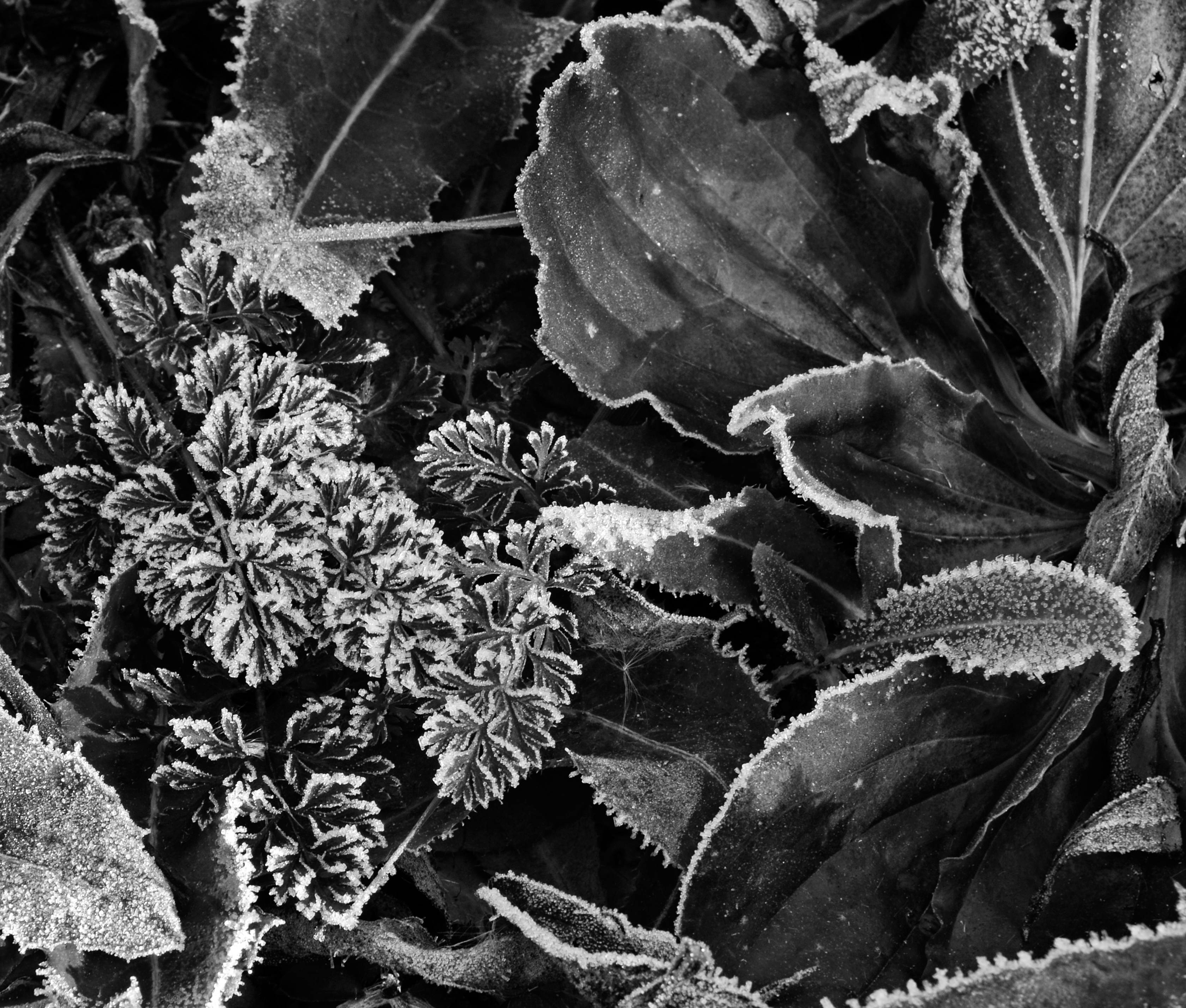
It was a dam cold winter morning at the Hartland Marsh when I carelessly let my hands get bitten by frost. Like gravity, it’s a law of nature: if you don’t understand and protect yourself, you’re going to get hurt. Ever since then my hands are the first to tell me Winter has arrived.
The polarity between hot and cold is really only a matter of degree i.e., the amount of vibratory energy that is present. And the rhythm of the seasons is just Nature’s Way. We have no trouble understanding the physical laws of nature but how about the spiritual laws of nature? What are they?
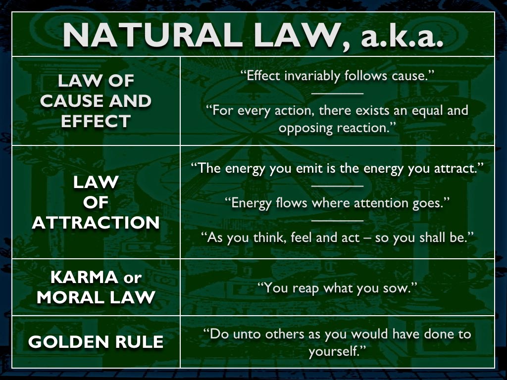
I’ve recommended Mark Passio’s Natural Law Seminar before on this blog and it bears repeating. The degree to which we, collectively, live our lives in adherence with natural law, will determine the kind of world we create: the reality that manifests around us.
I’ll give you a quick, thumb-nail sketch, using a few slides from Mark’s presentation to wet your appetite.
What are the principles, or first things, underlying natural law?
And what binds them together?
But you already know this!
What are the consequences of following natural law or ignoring it?
At it’s heart, natural law teaches us the difference between right and wrong.
What distinguishes natural law from mans law?
How can we get what we say we want from life?
You don’t have to look far to see which way we are heading… but, we can change that by seeking and speaking the truth.
I like to think I’m combining the laws of nature (physical) with natural law (spiritual) by voluntarily giving my time and attention, my spiritual currency, working to reveal the beauty of God’s creation. For my reward, I get to keep my sanity in a world gone mad.
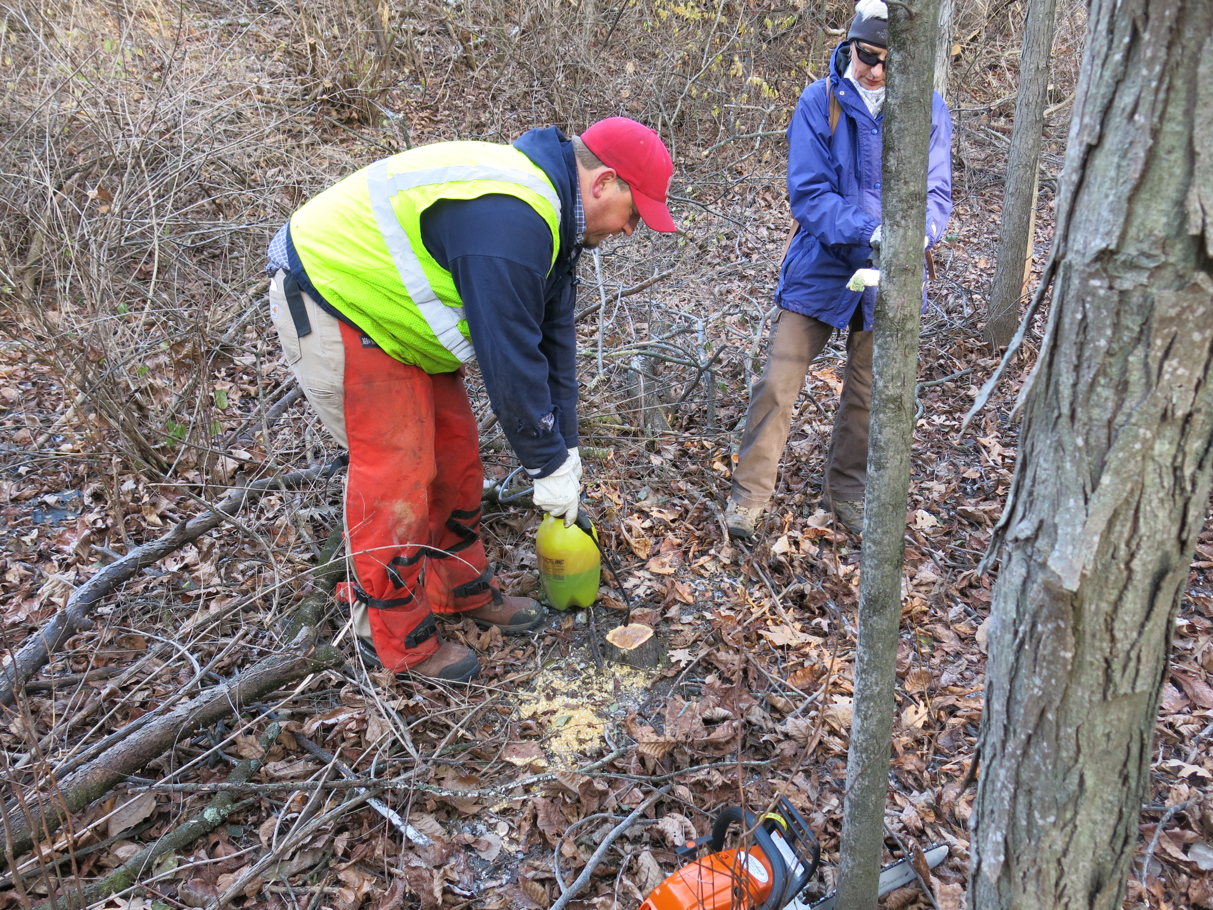
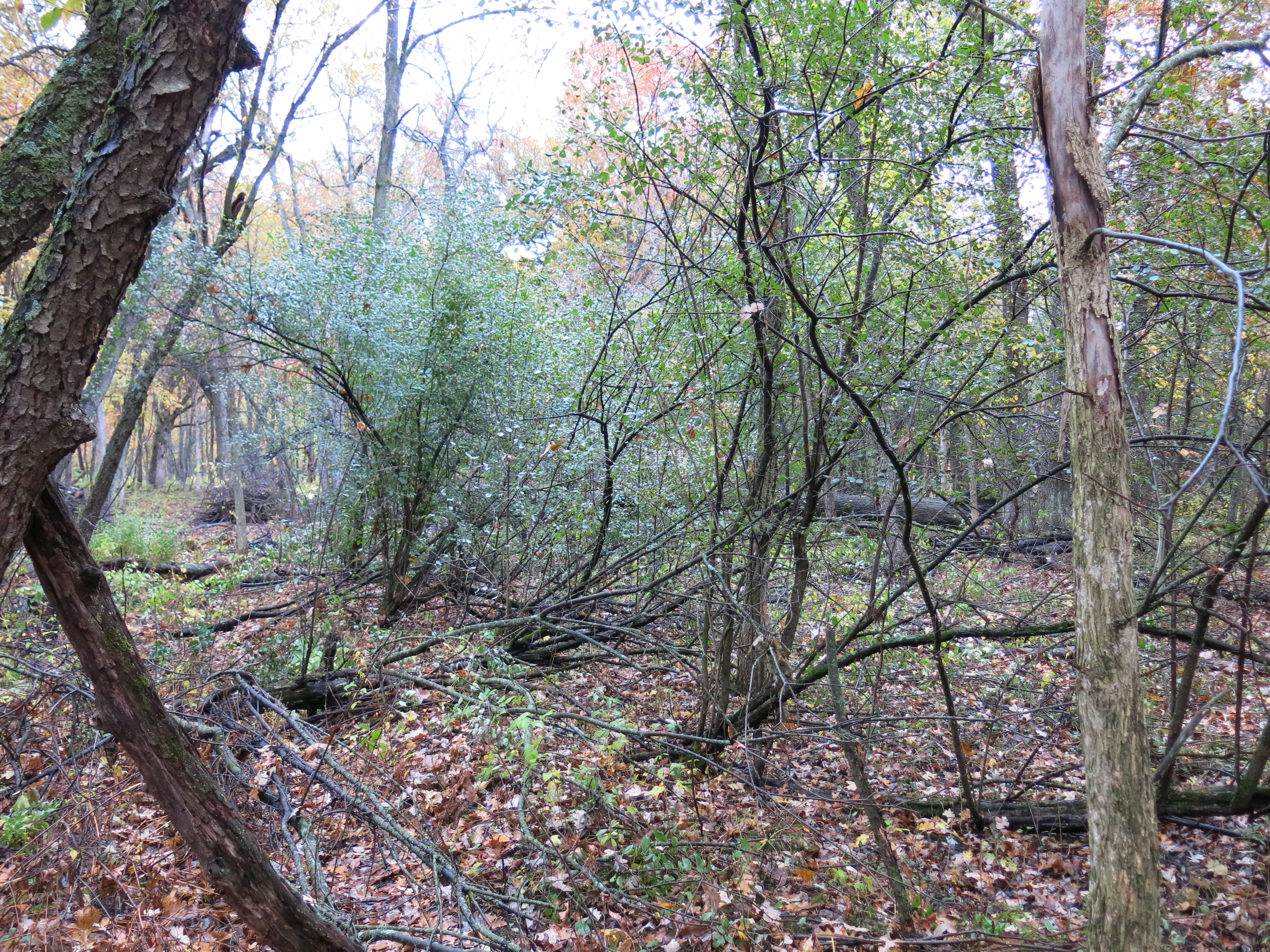
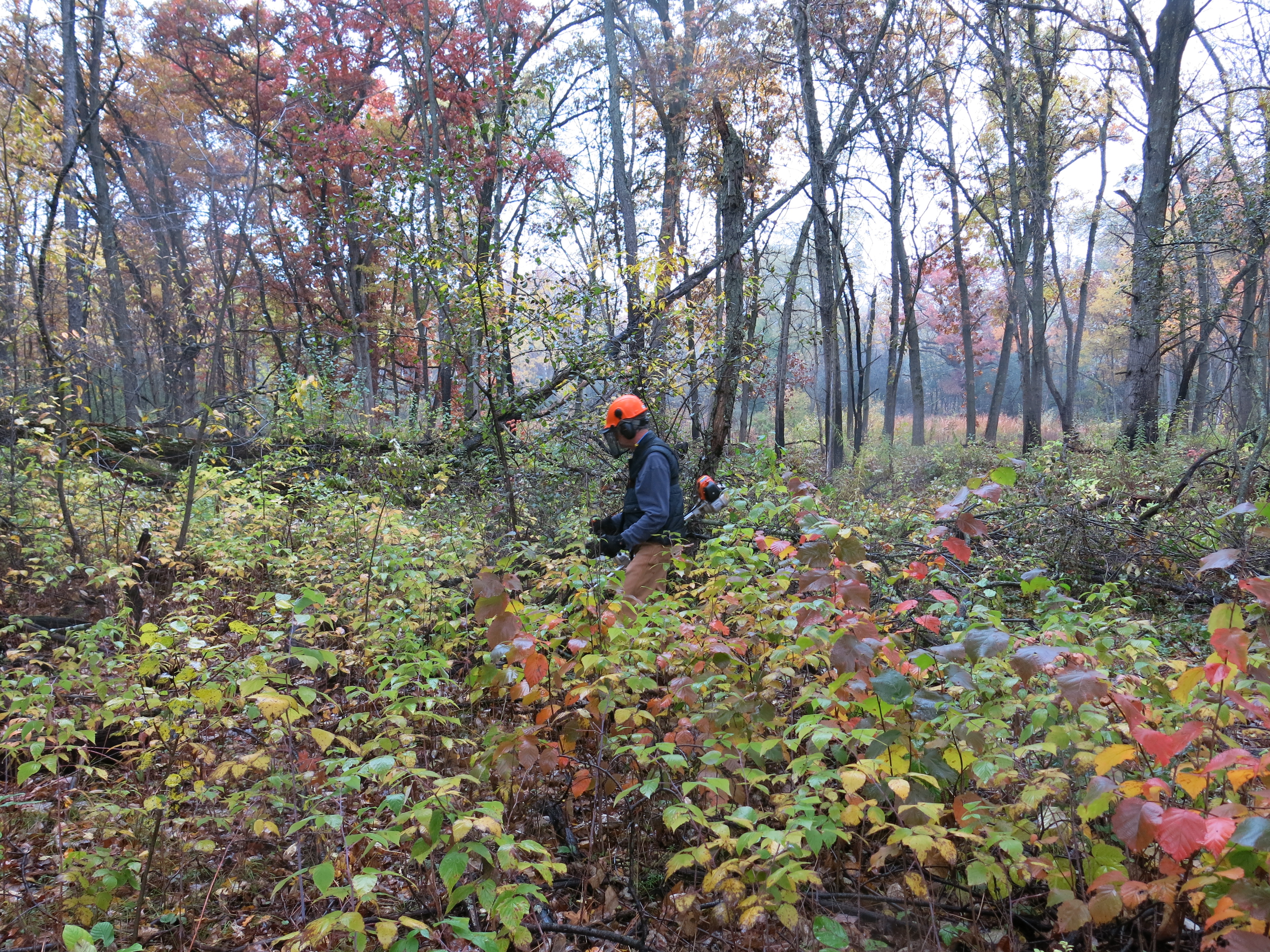
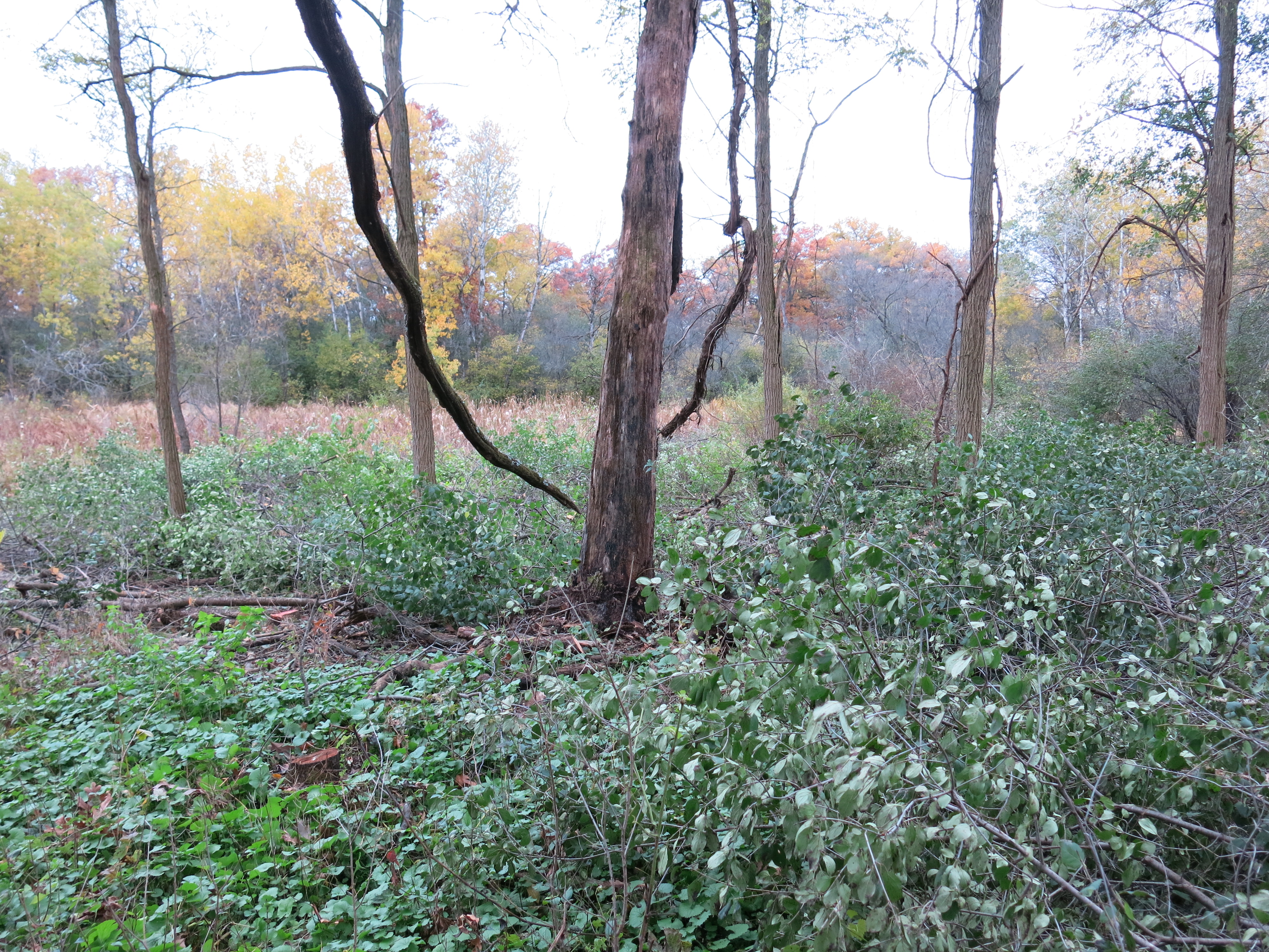
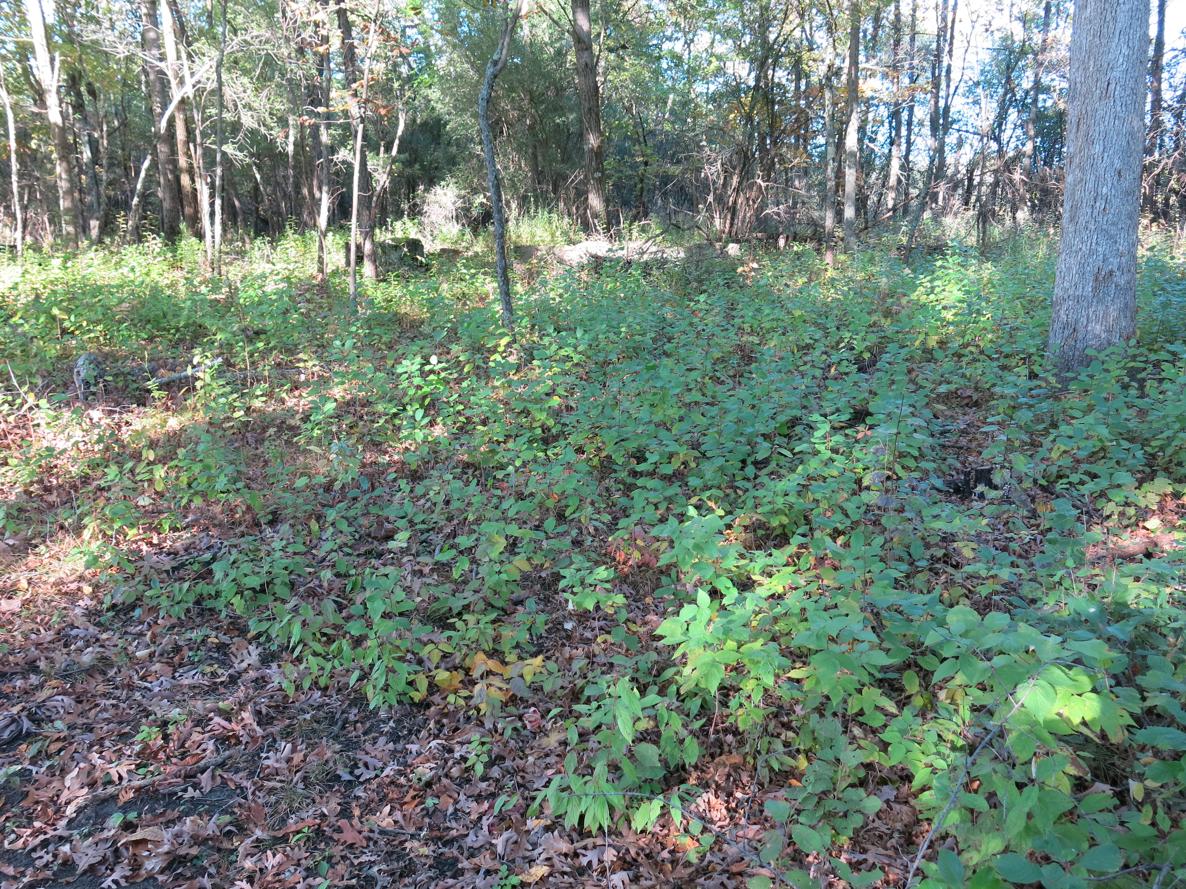
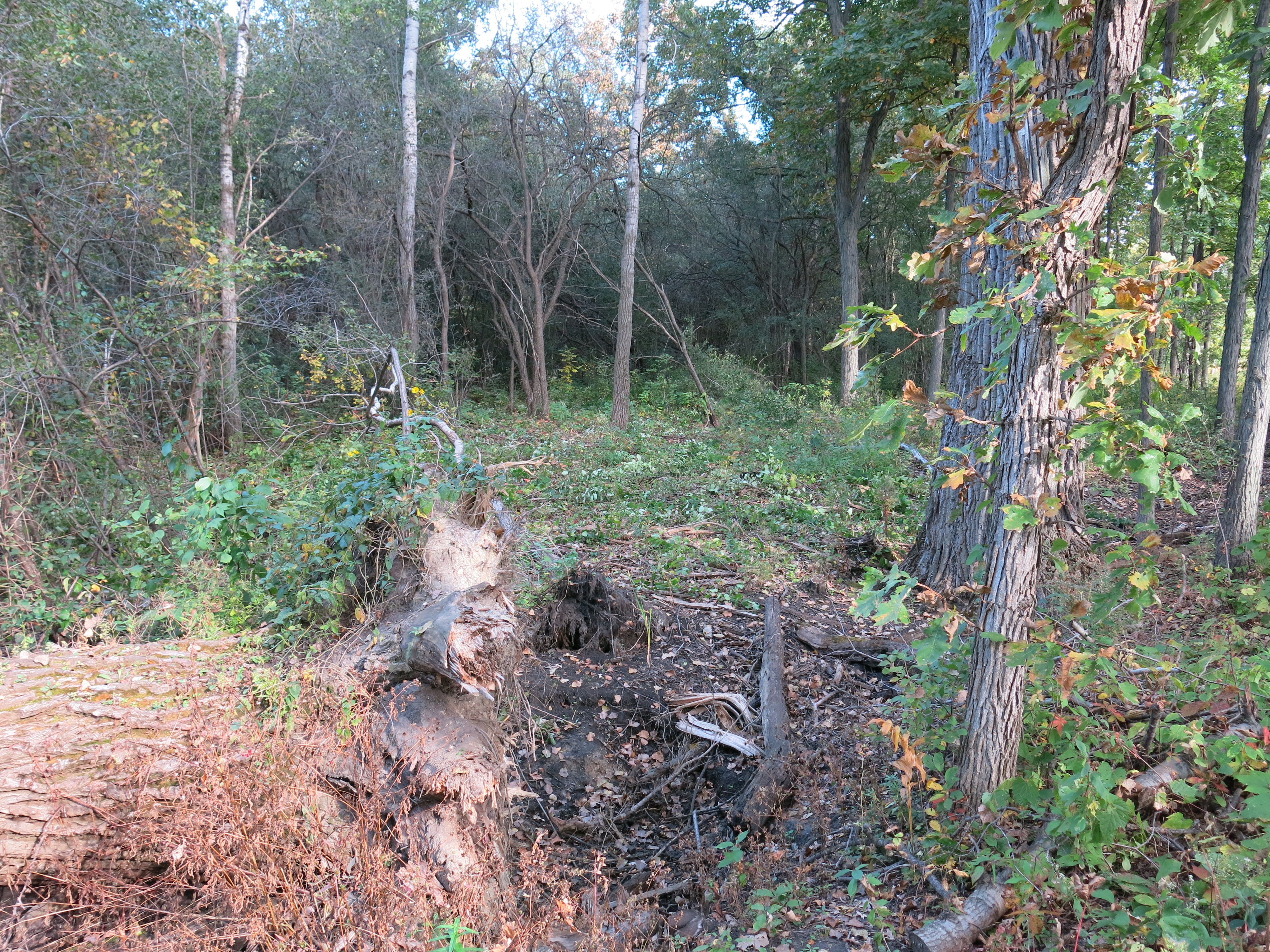
This past week I continued prepping The Springs for the prescribed burn that the DNR plans to execute next spring. I’m focusing on the sand prairie area now cutting buckthorn, cherry, red oak, black locust and honeysuckle seedlings and resprouts.
I’m taking my time and poisoning as many cut stumps as I can find after each tank of gas burned in my Stihl FS-90 brush cutter. One reason the buckthorn is coming back so strongly here is that I took the shortcut of not poisoning the stumps the first time I brush cut here back in 2012. For every stump I didn’t poison, a half-dozen new shoots appeared.
Hey Ed, thanks for inviting Pati and I to take a tour of Growing Power’s headquarters here in Milwaukee with you!
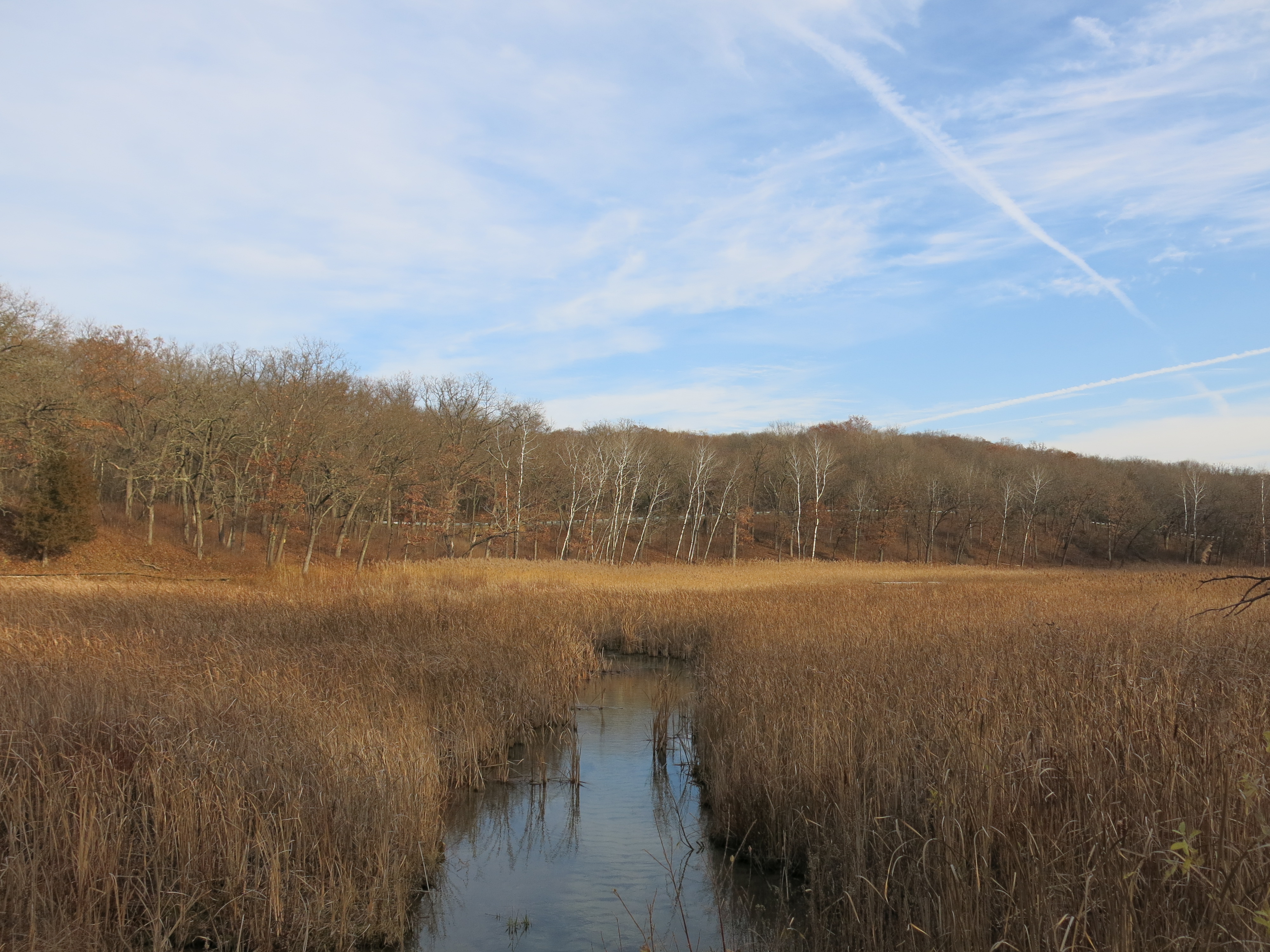
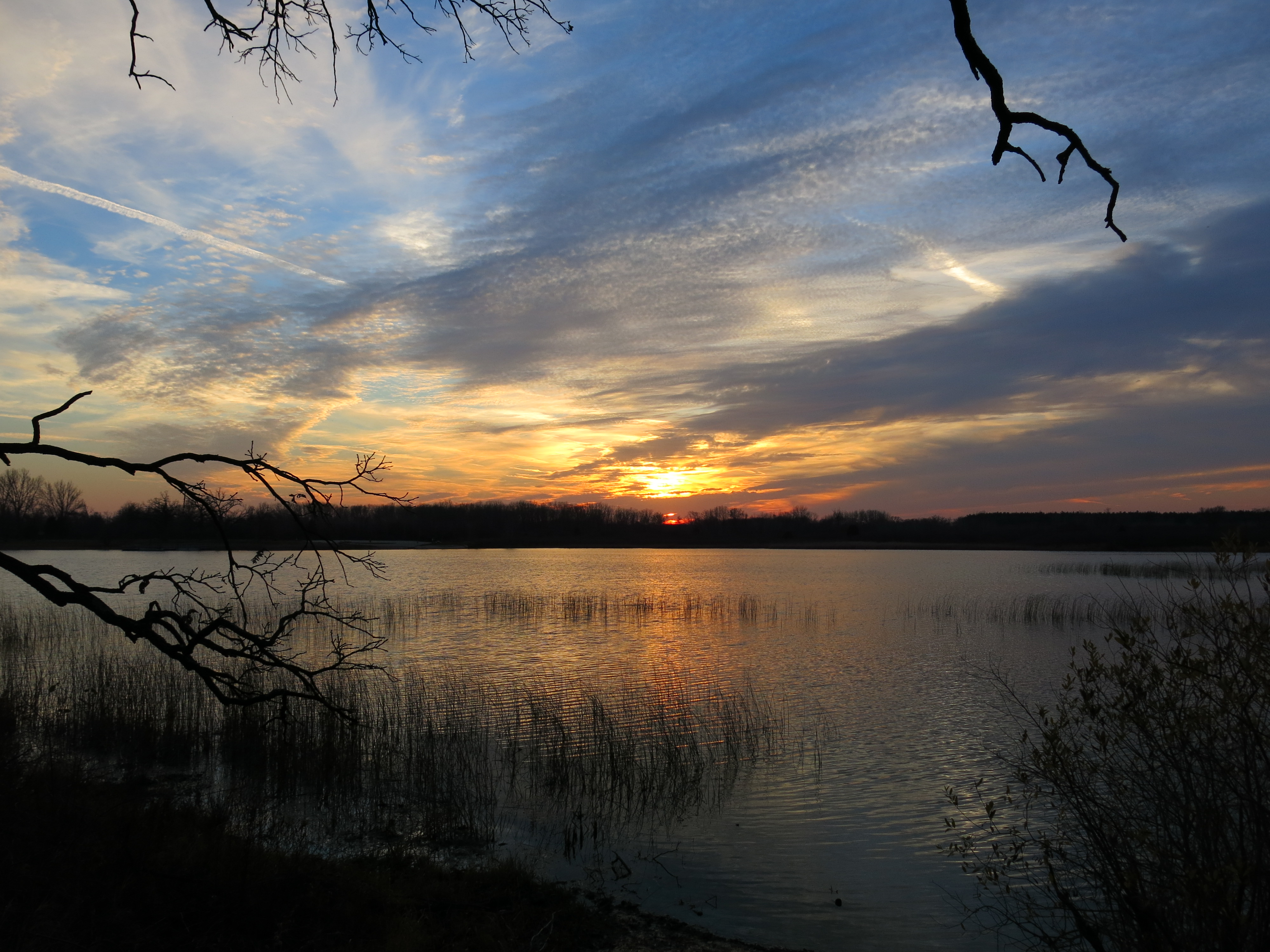
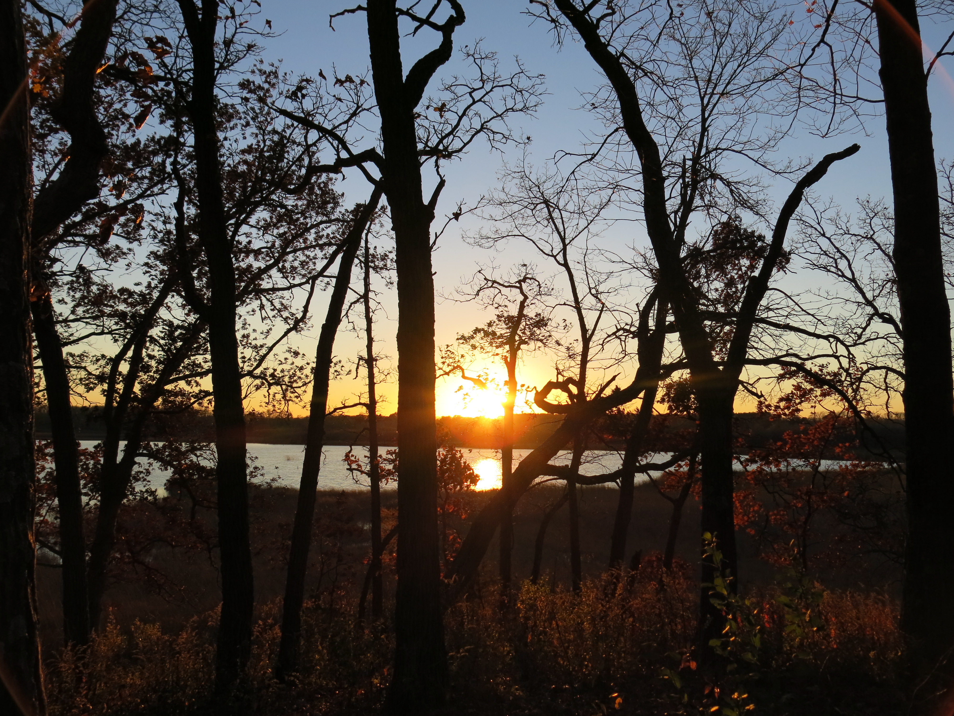
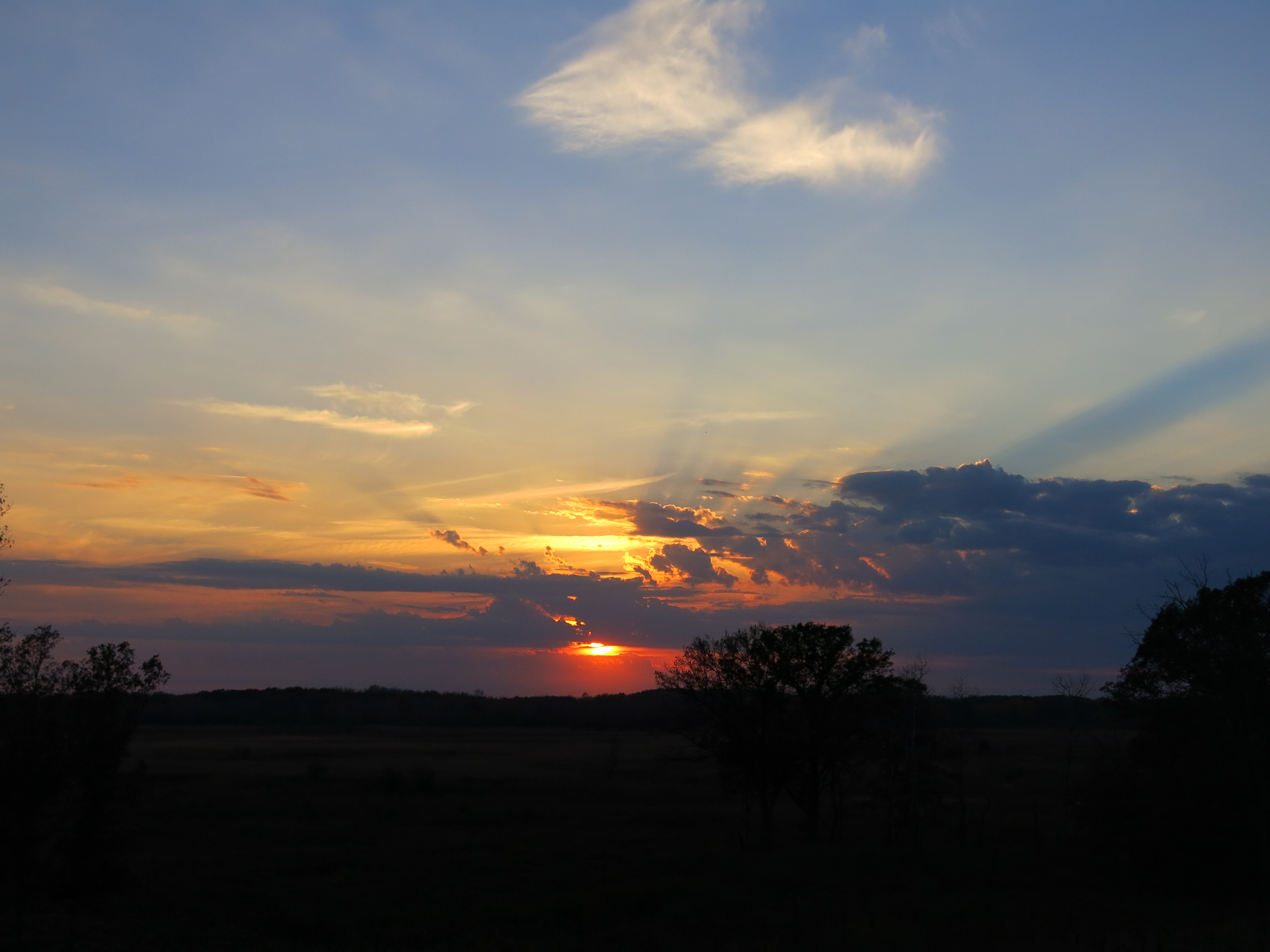
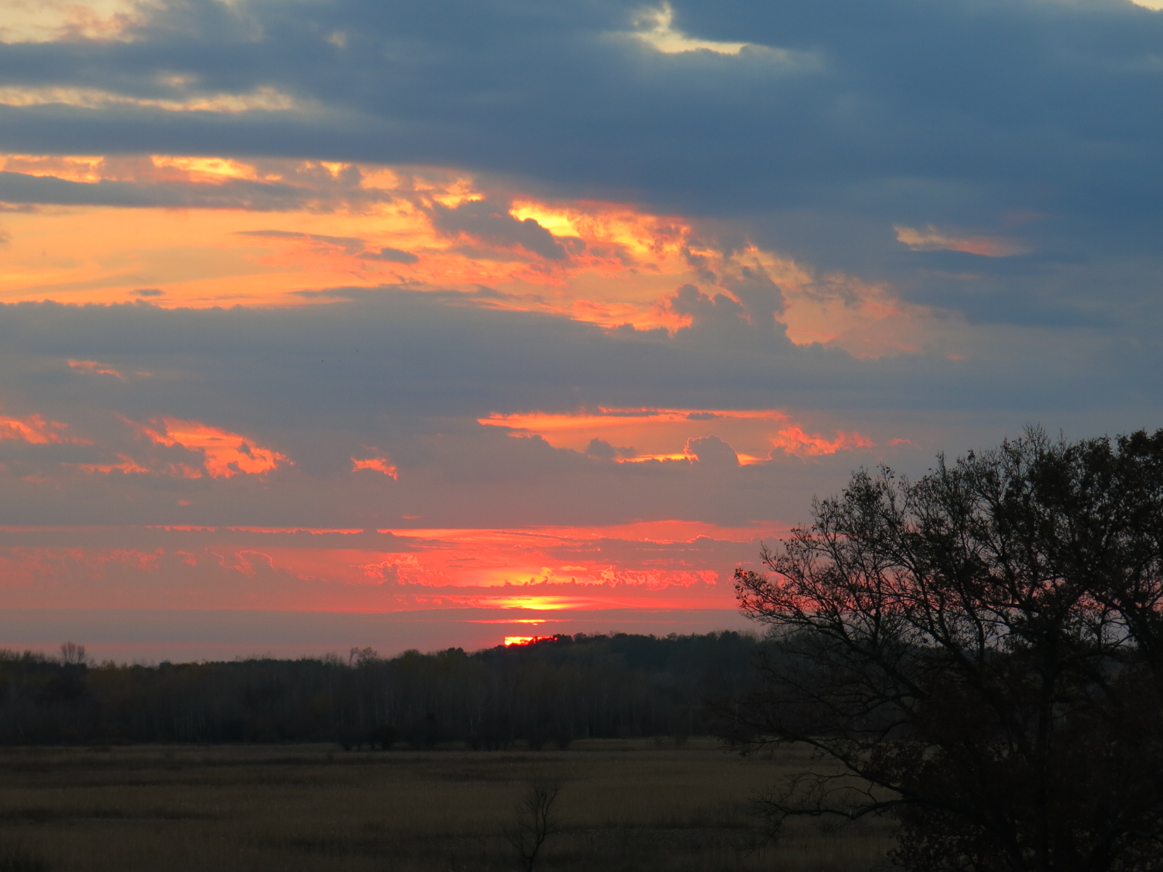
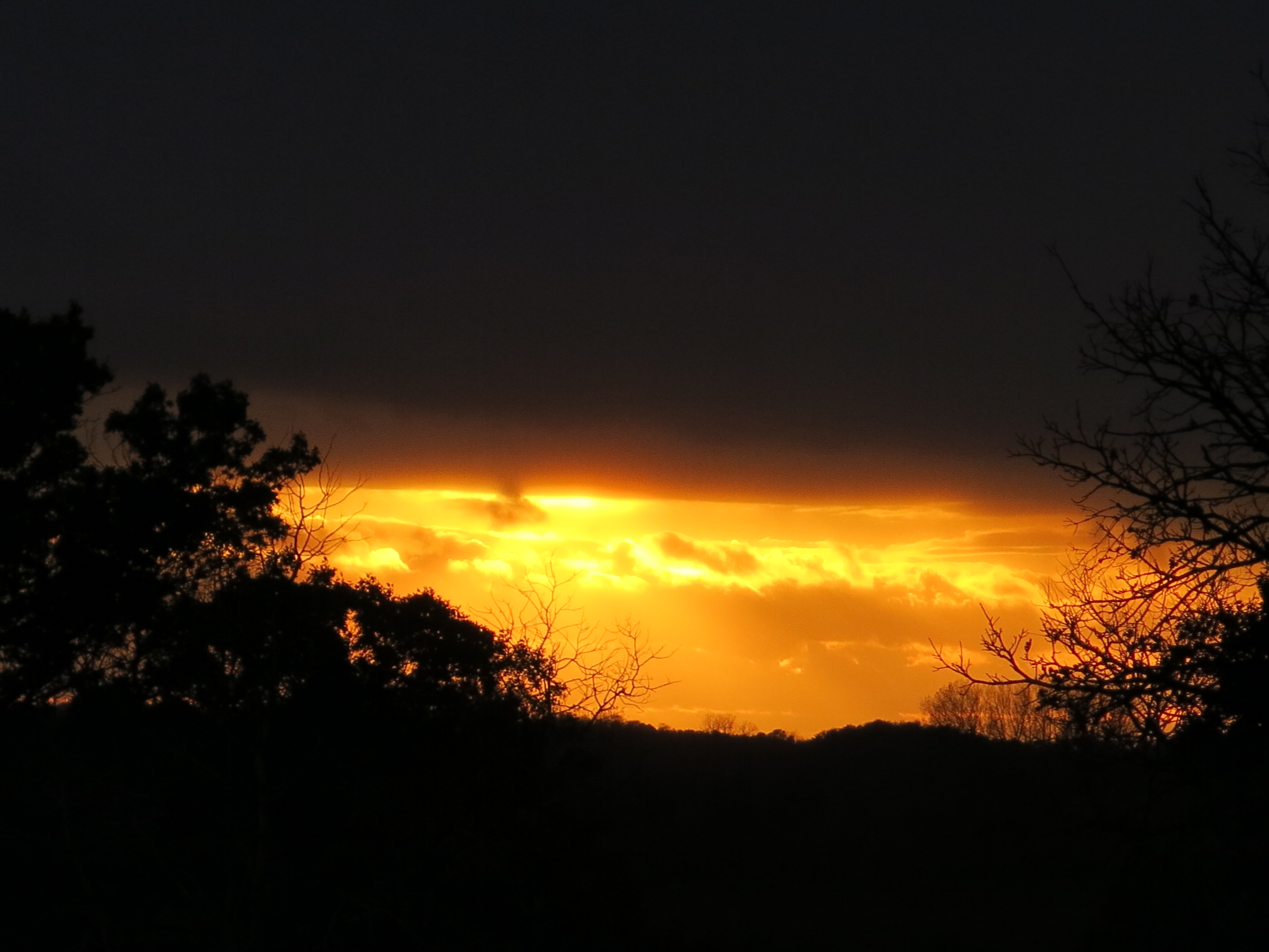
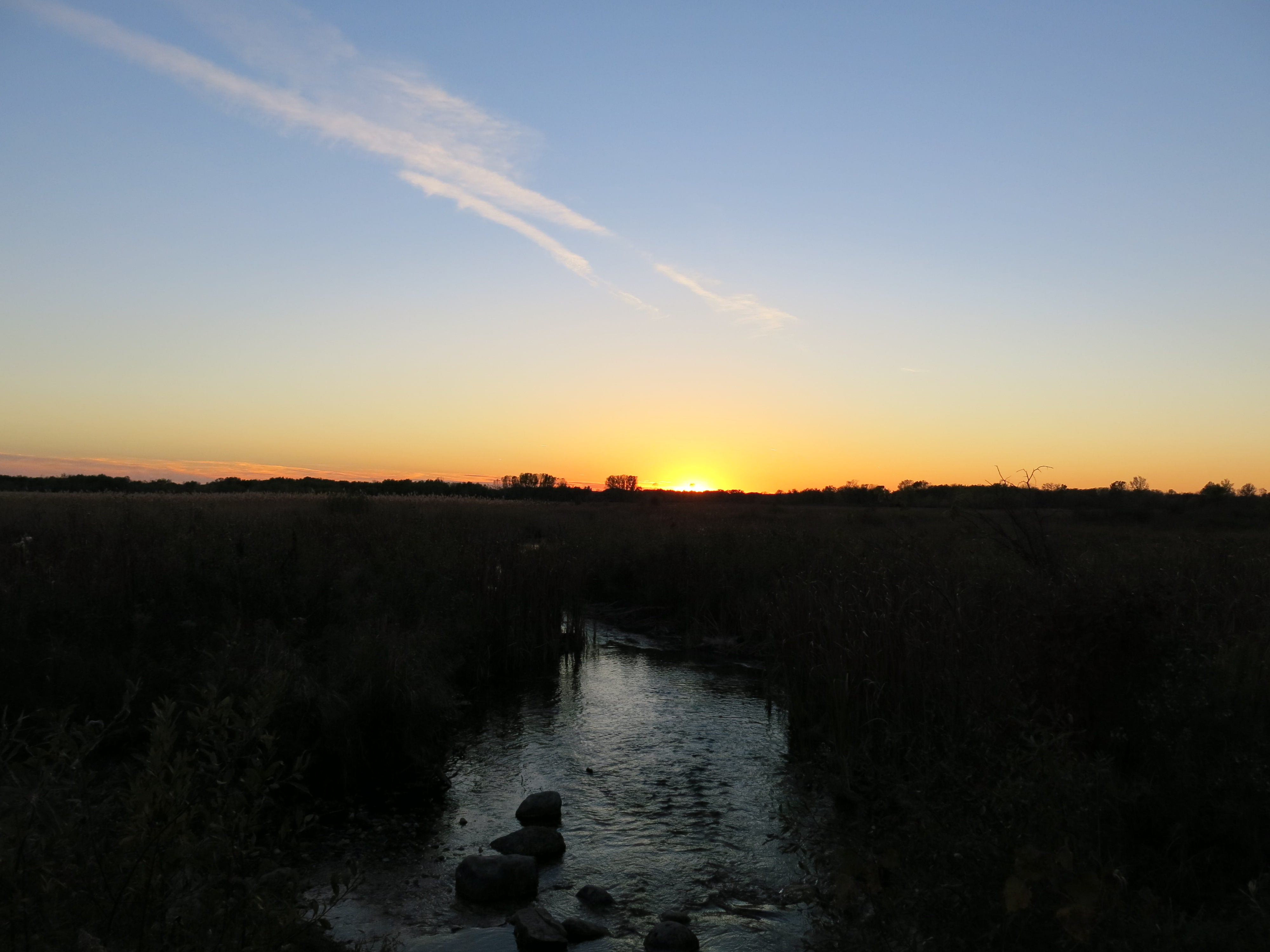
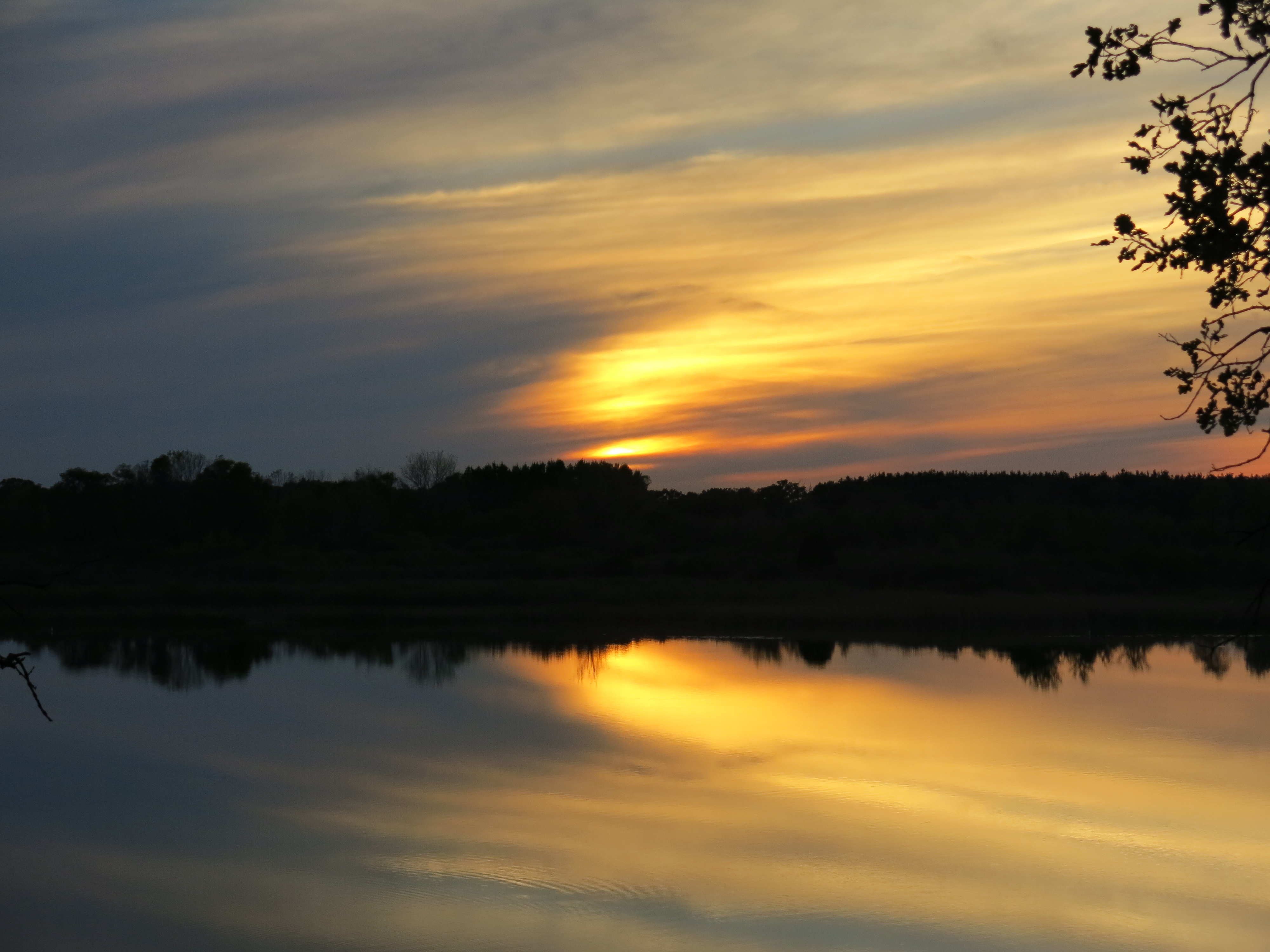
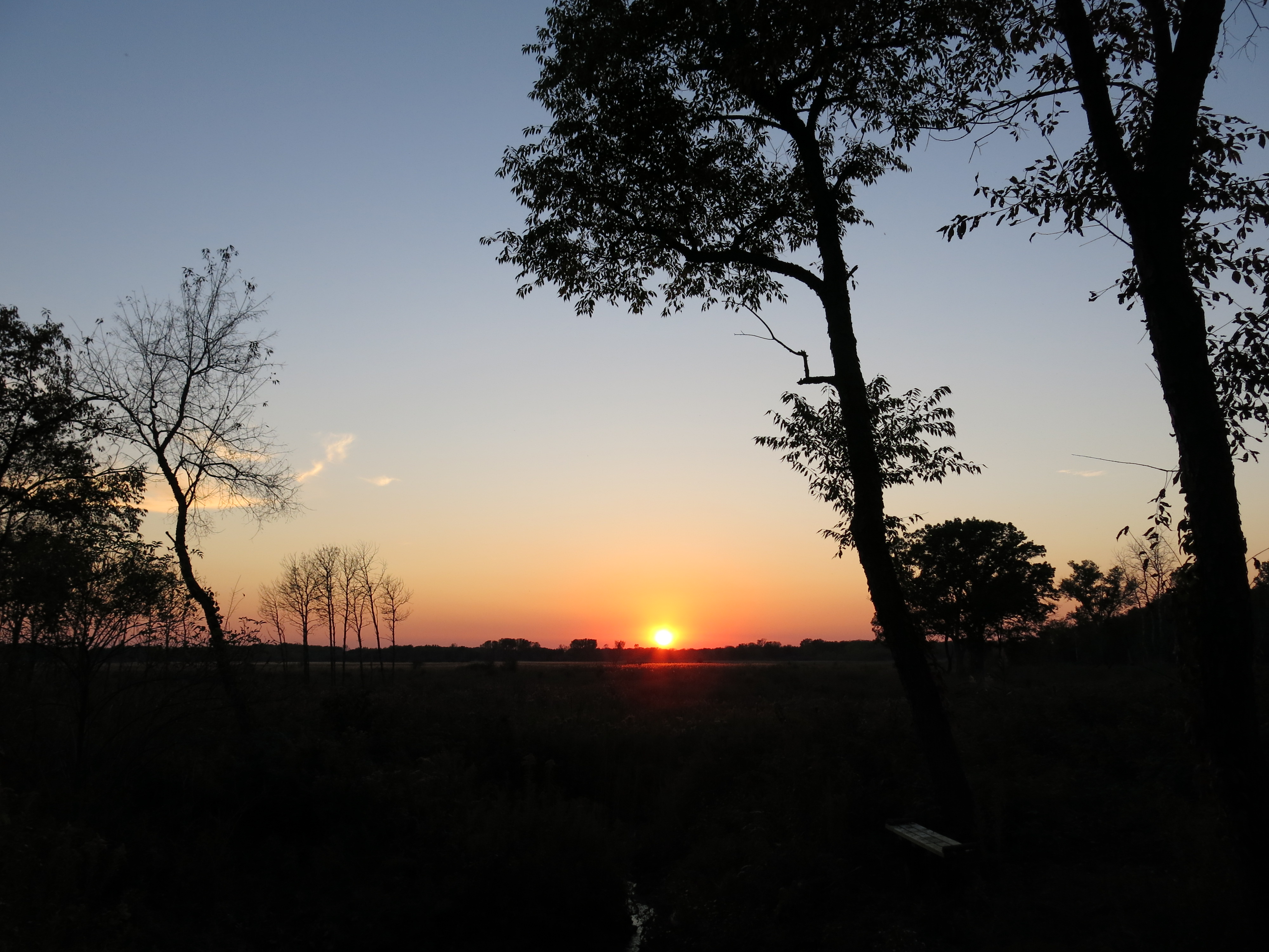
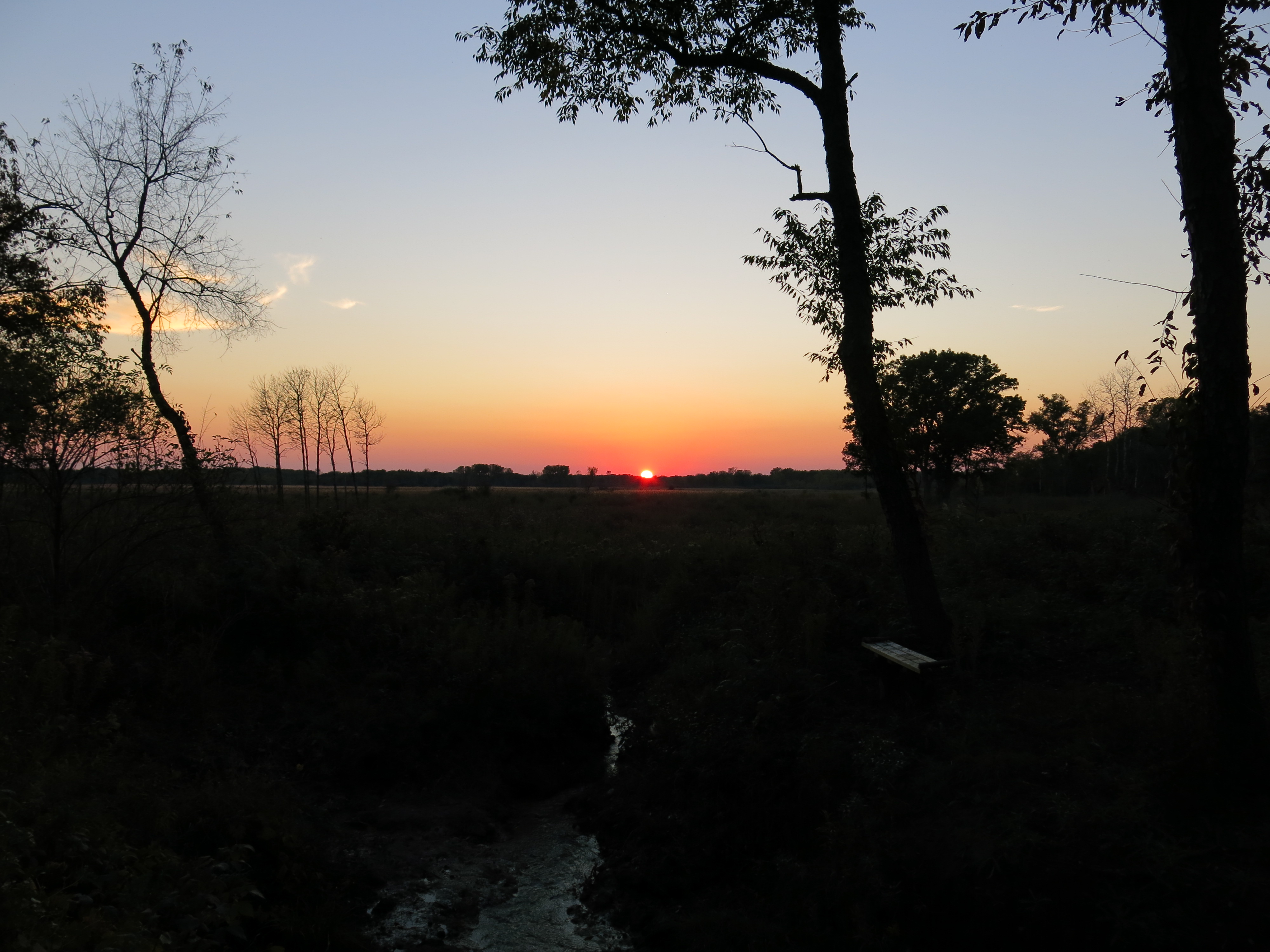
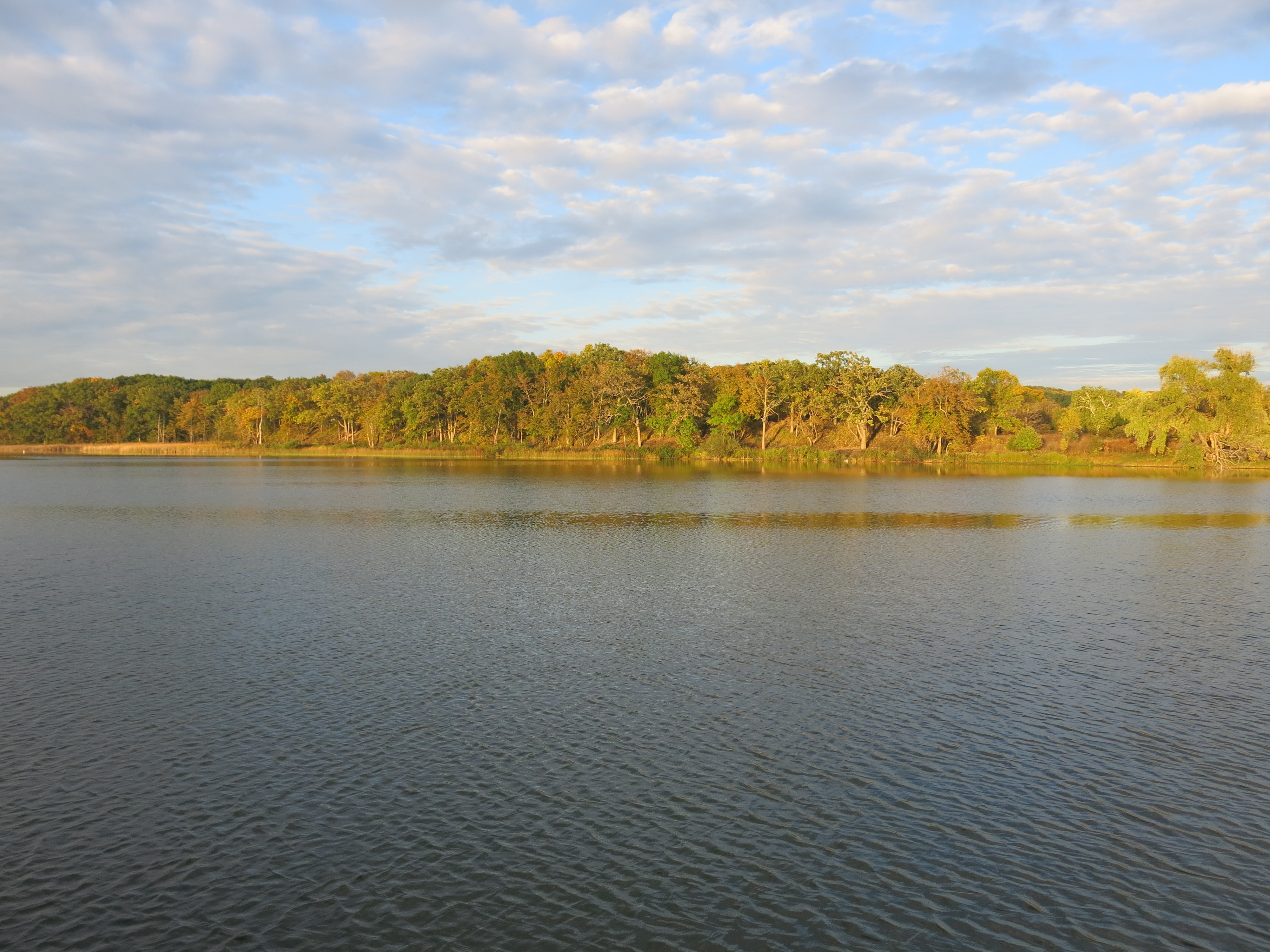
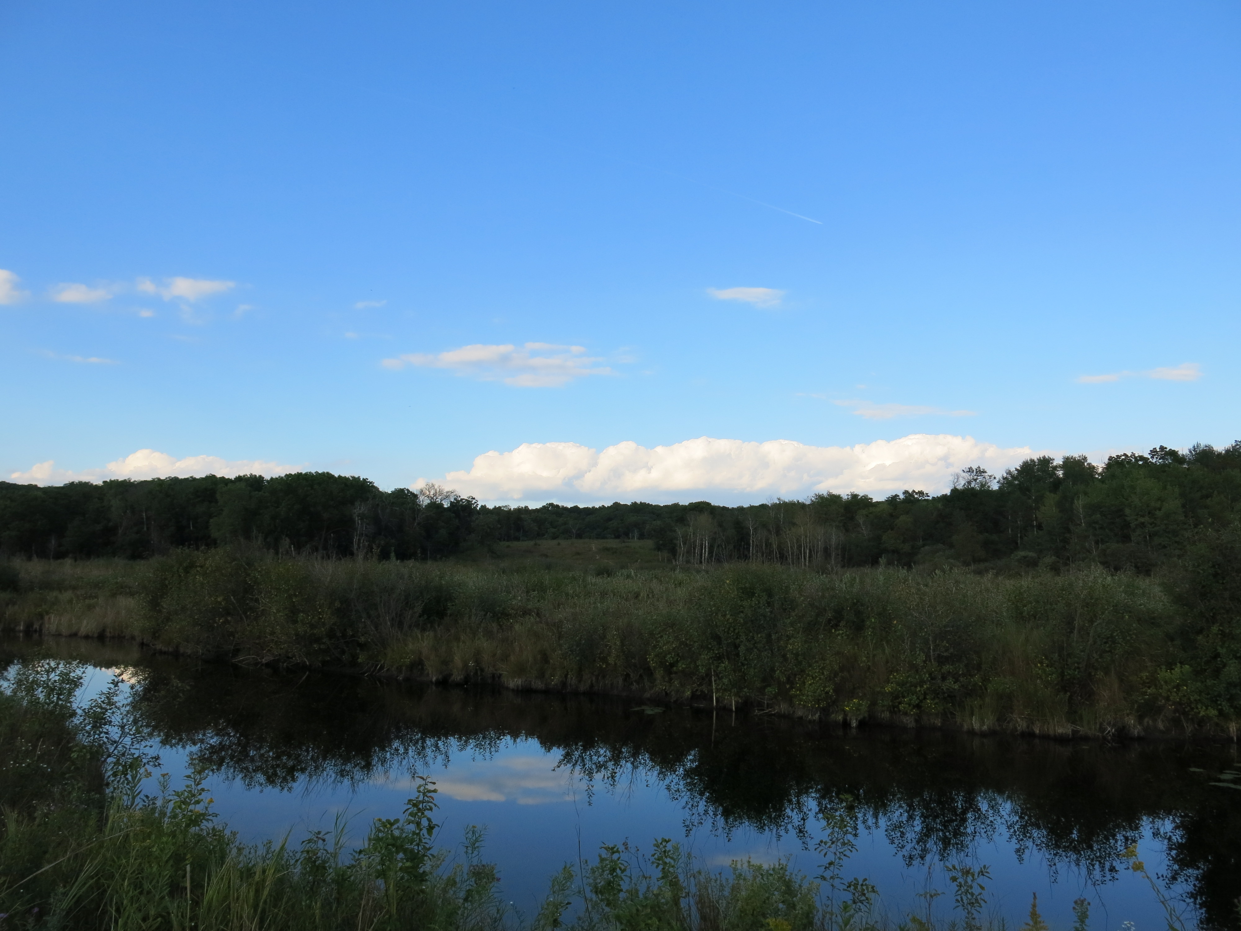
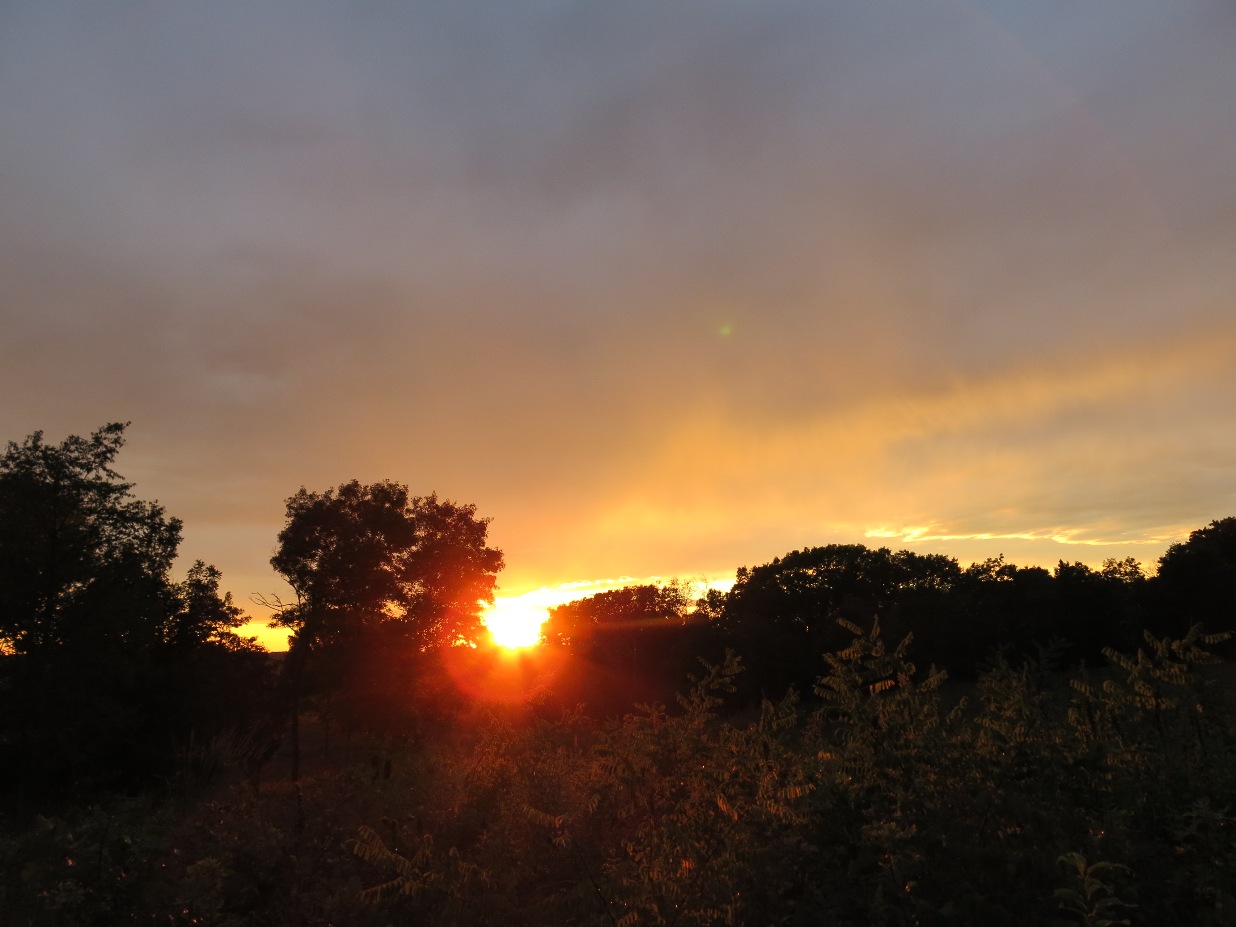
Pati joined me for the sunset at Ottawa Lake.
Last Wednesday, I picked up where I left off on the sand prairie. It was another cold day swinging the brush cutter.
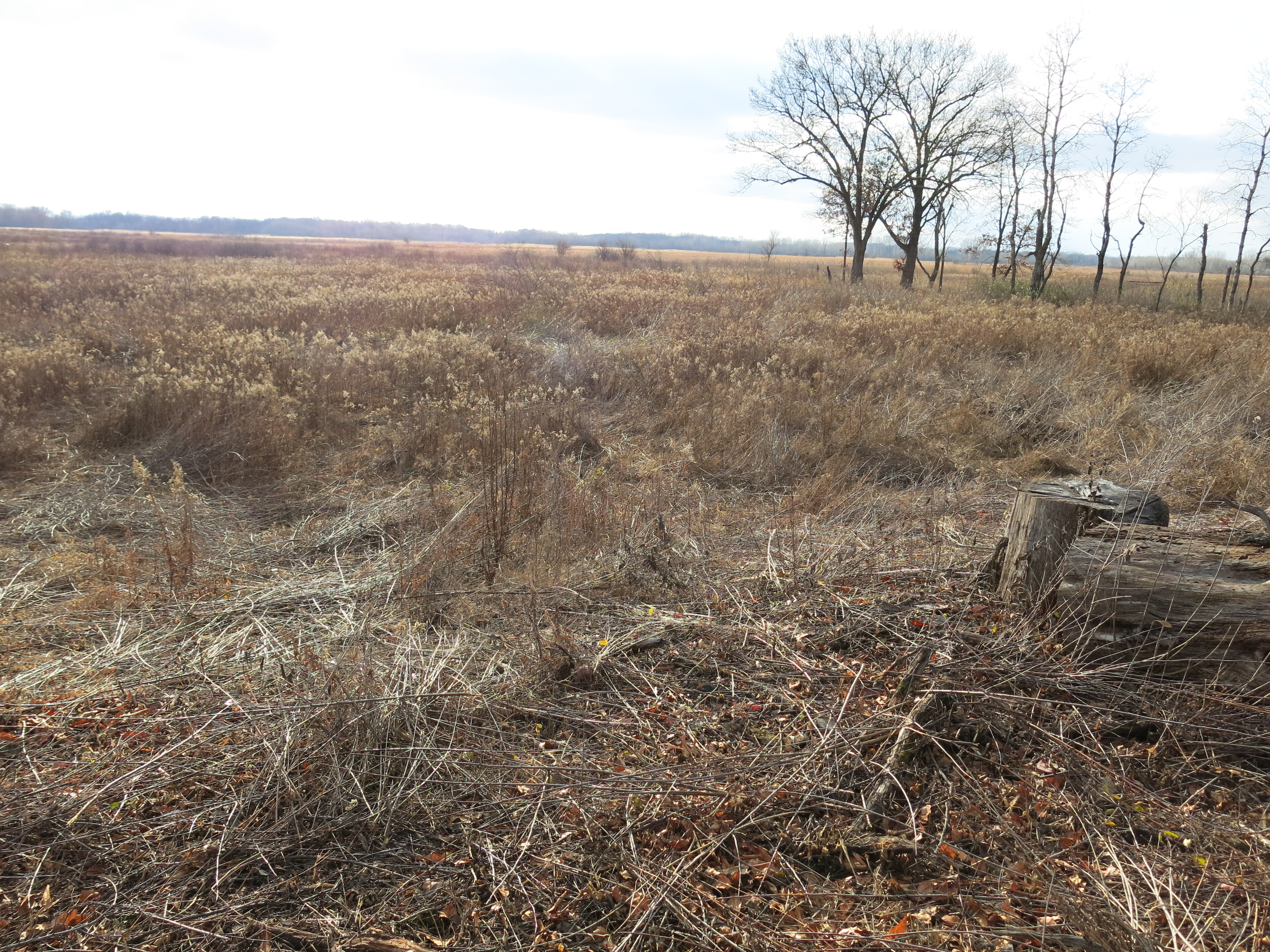
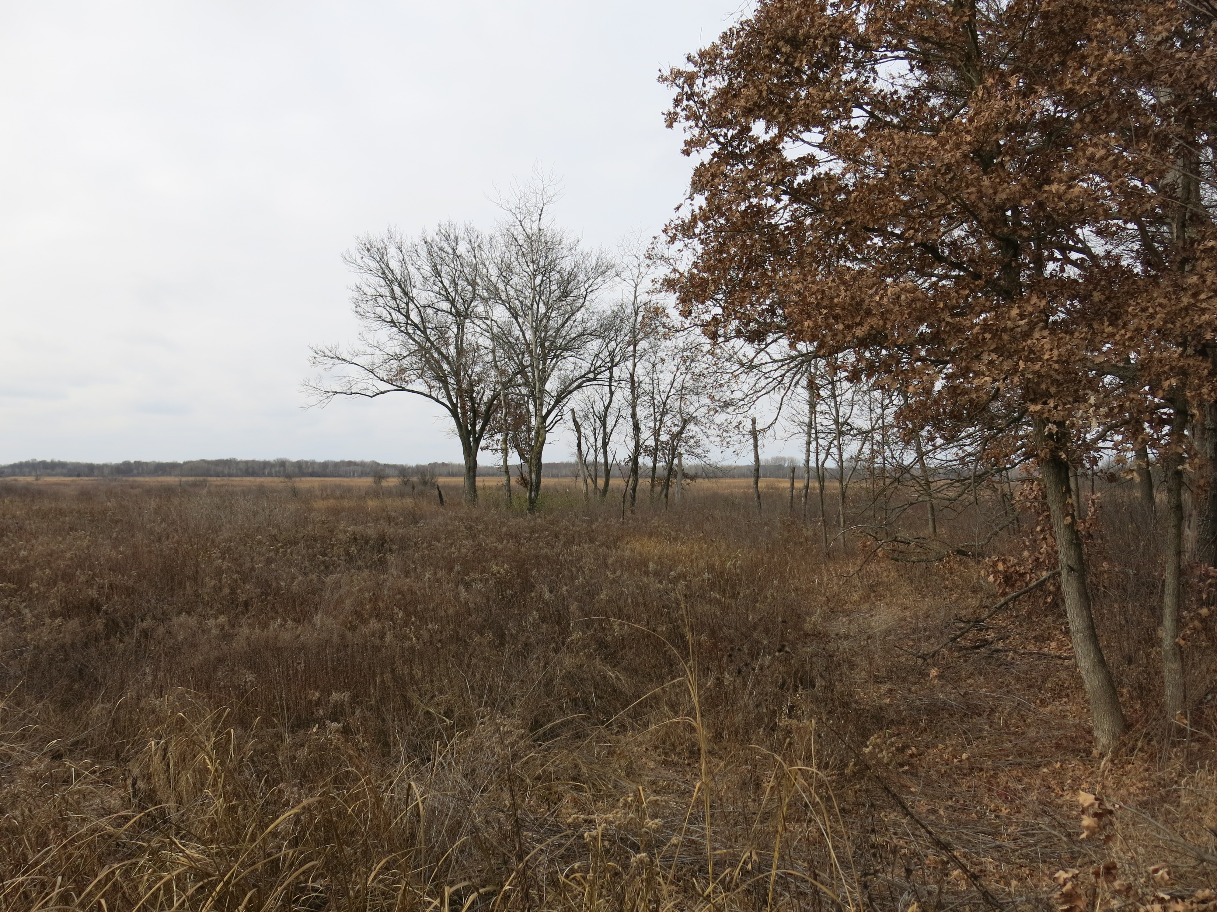
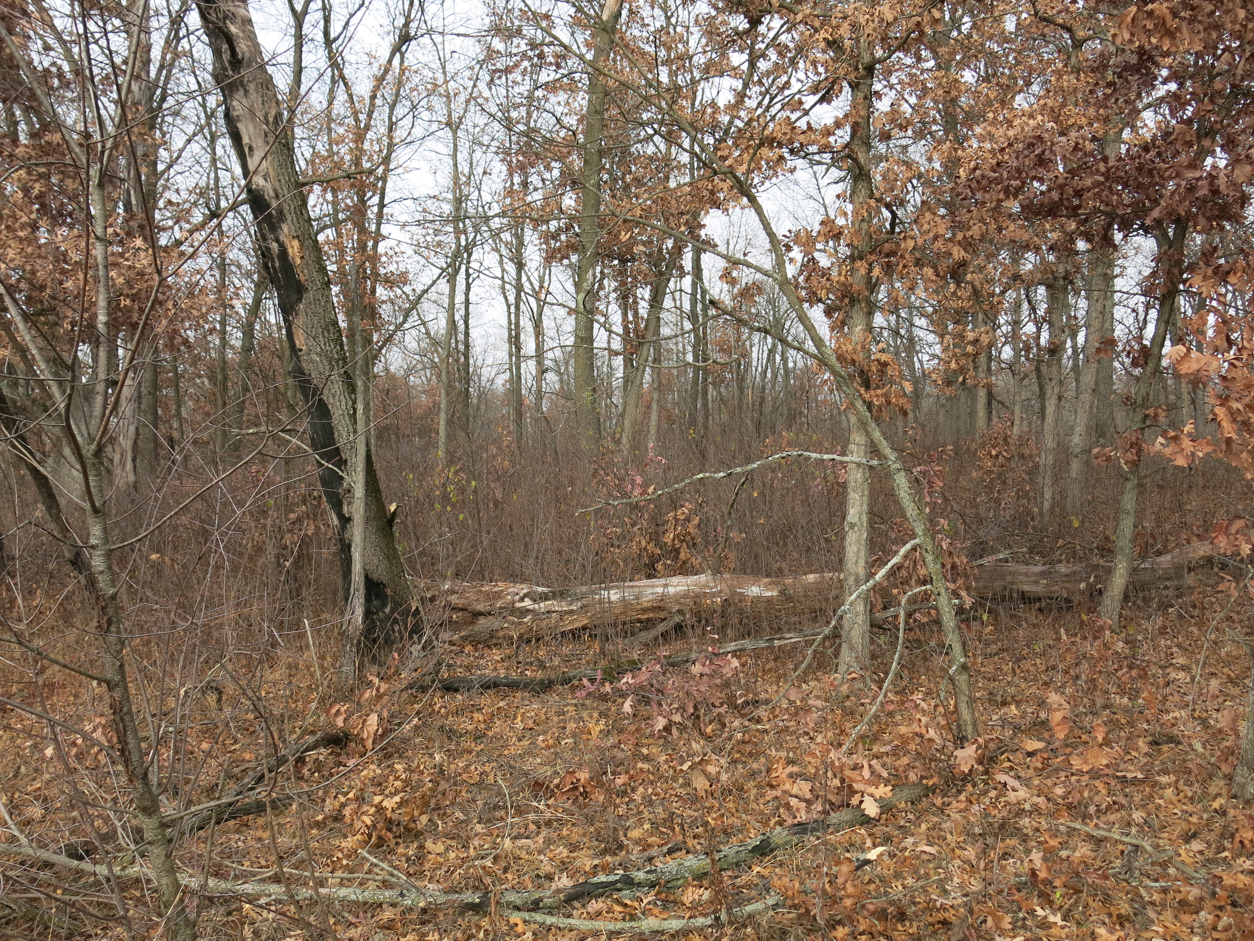
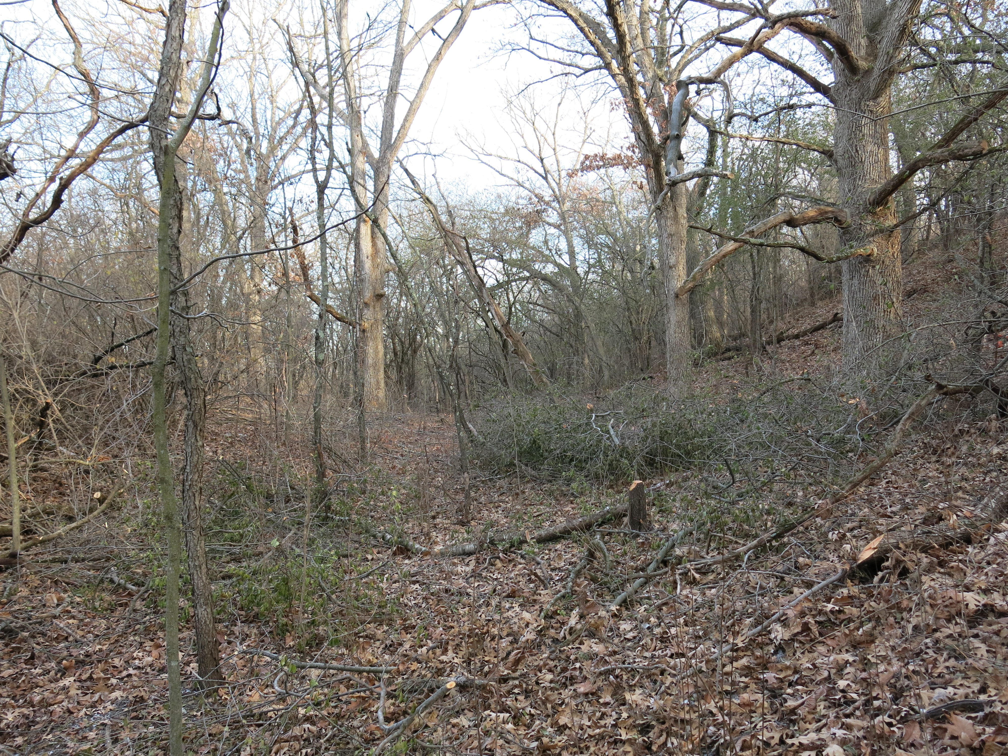
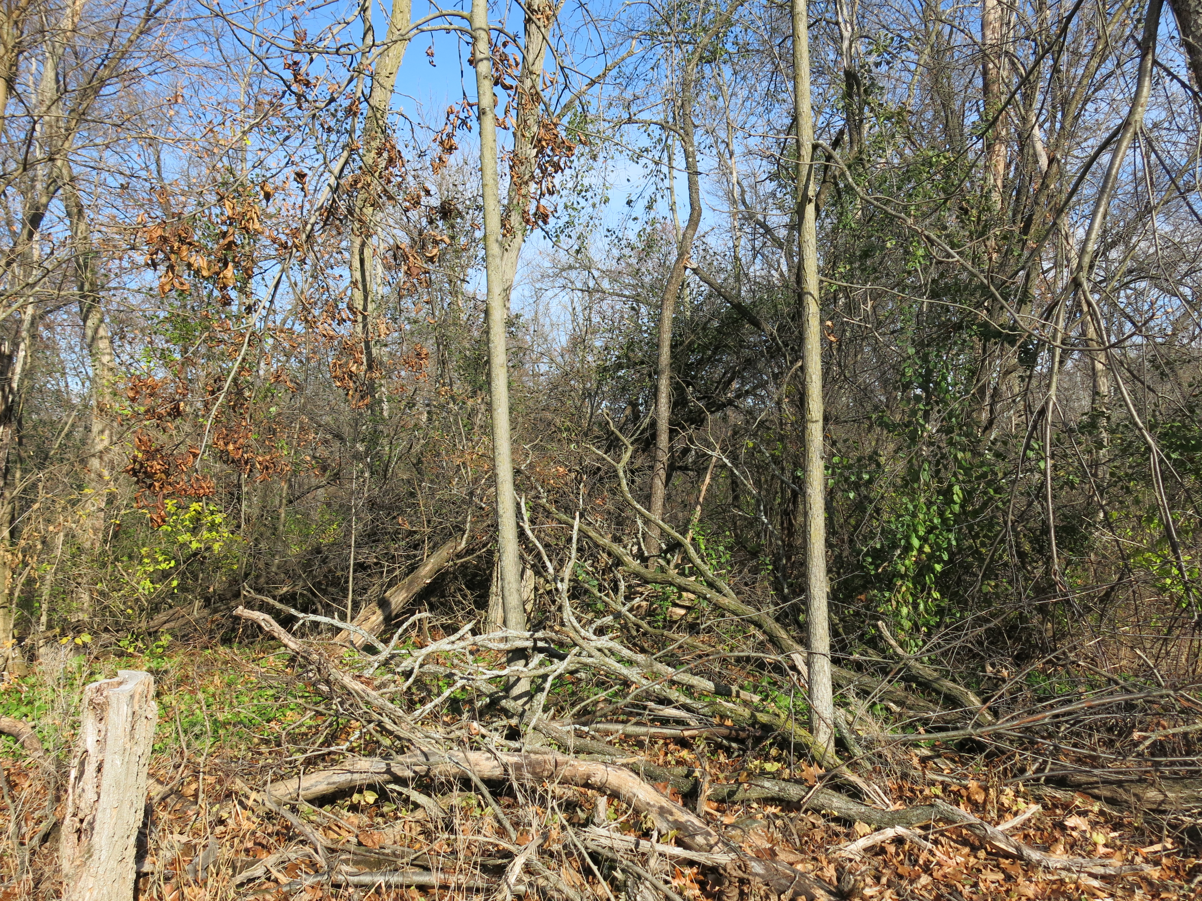
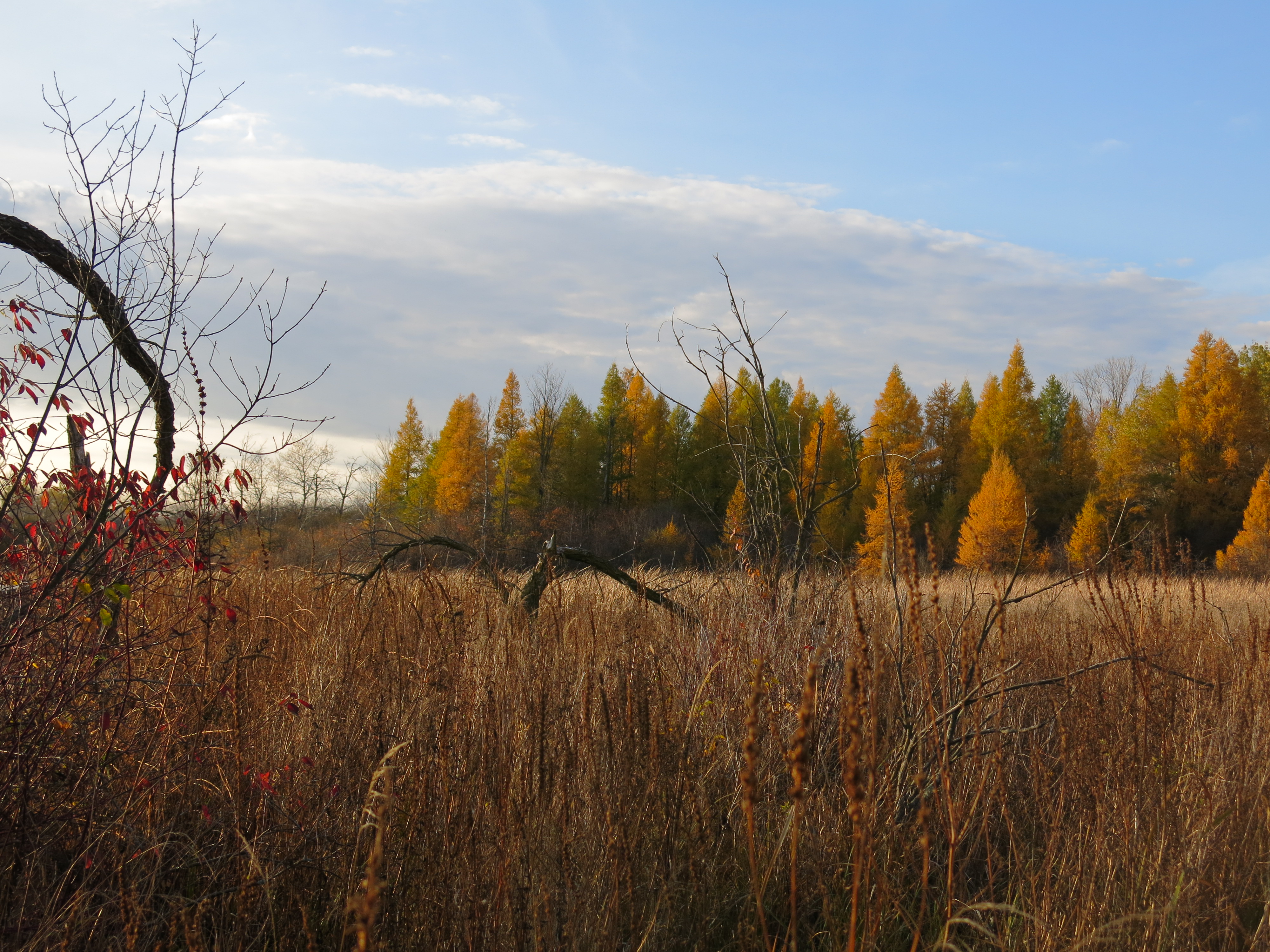
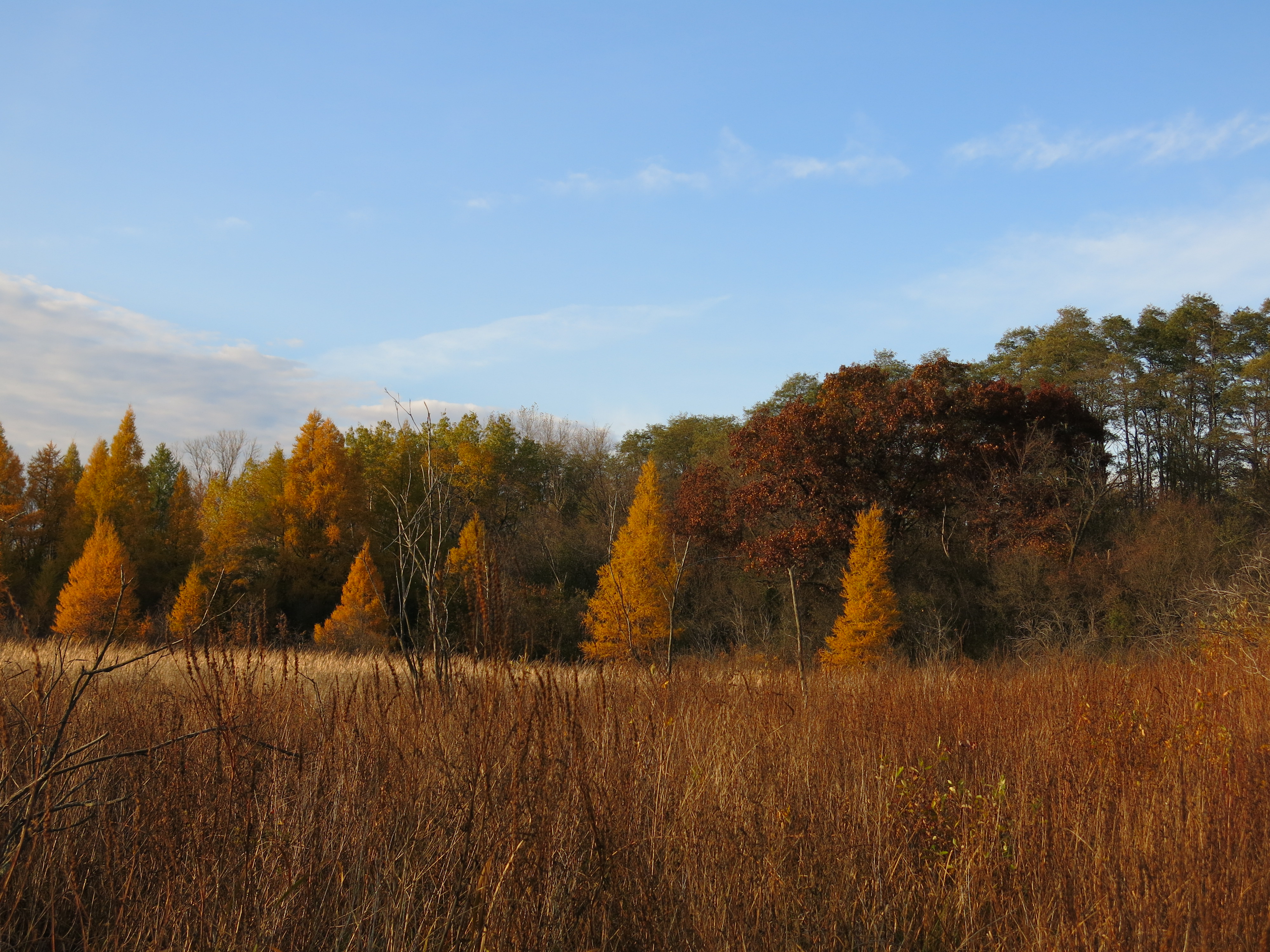
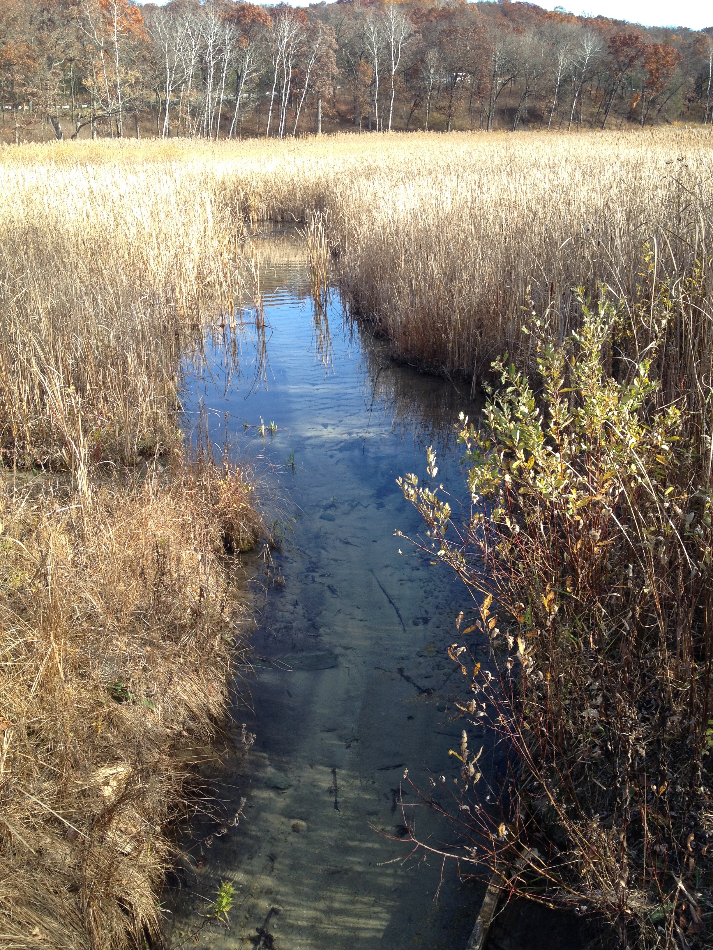
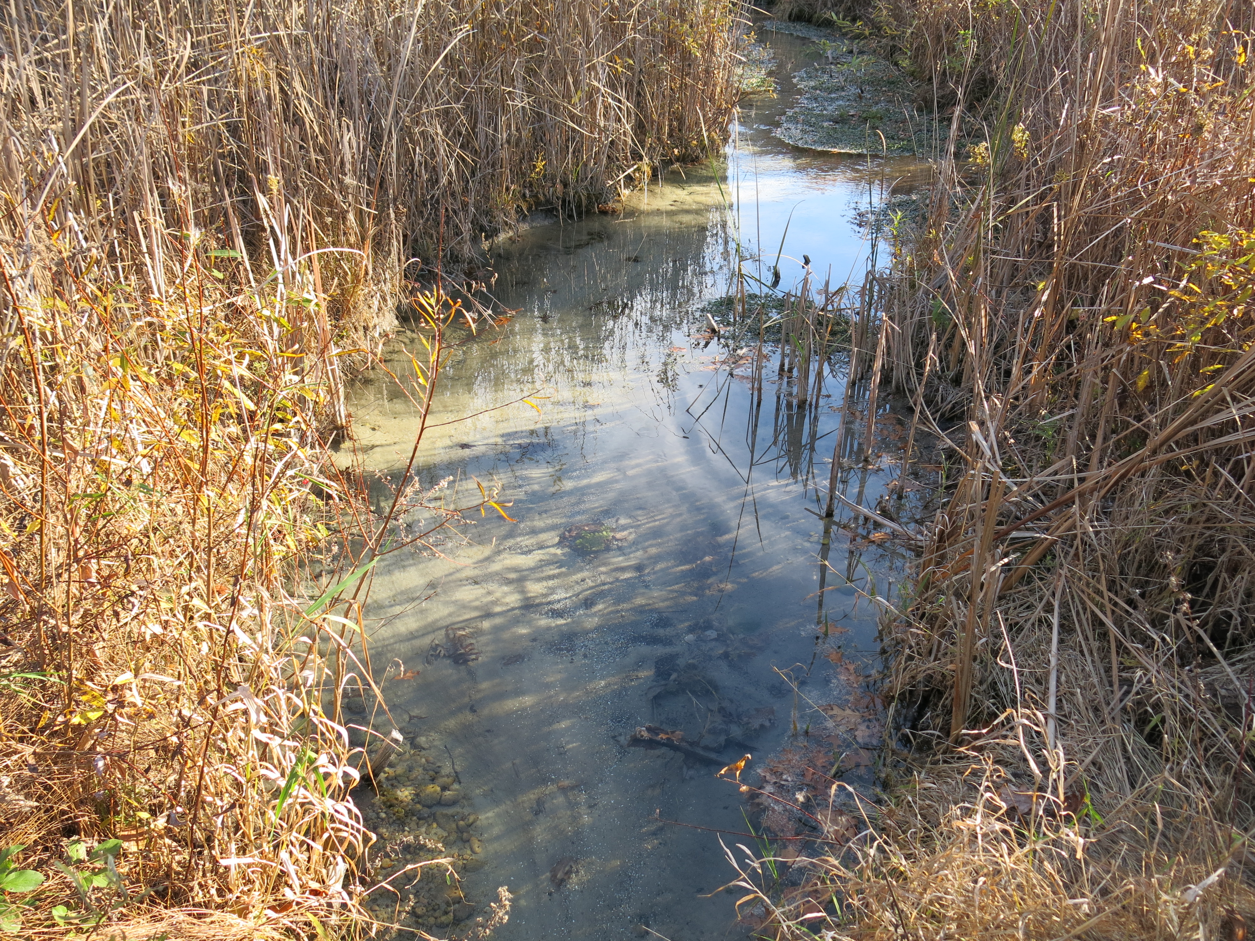
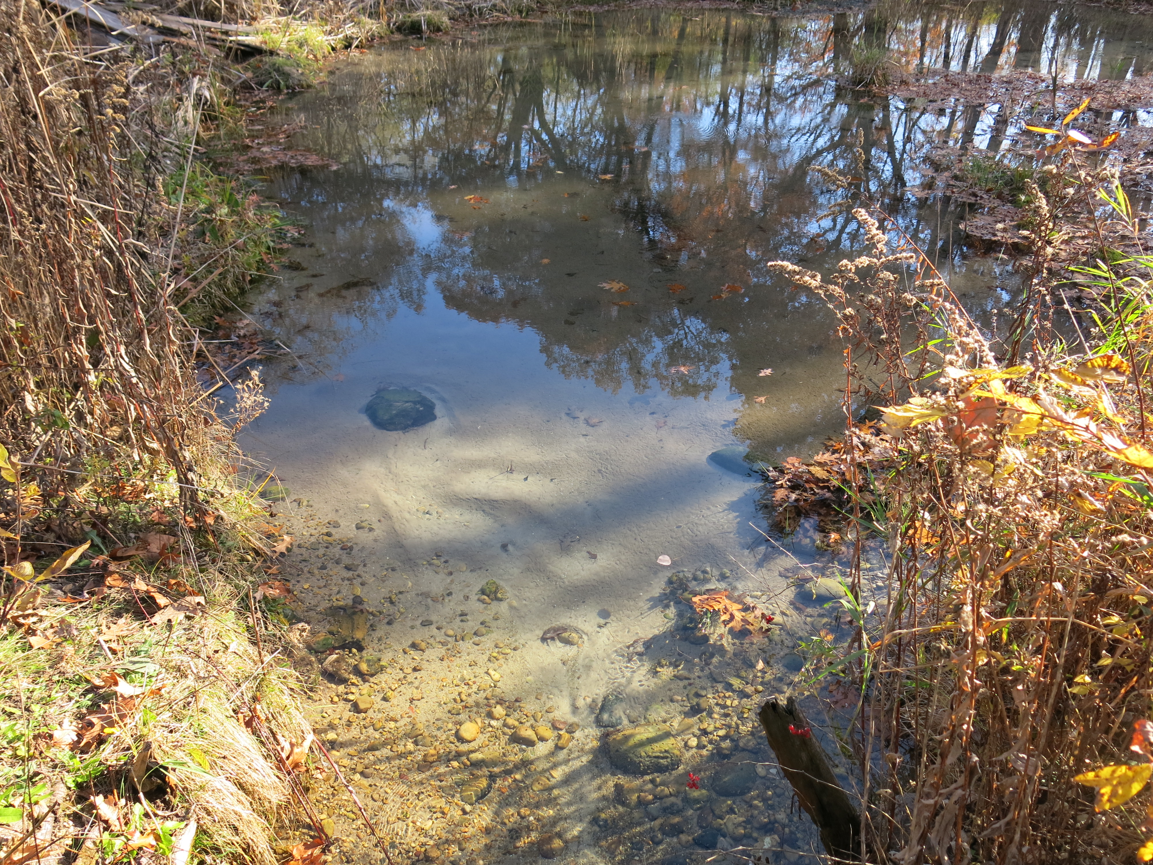
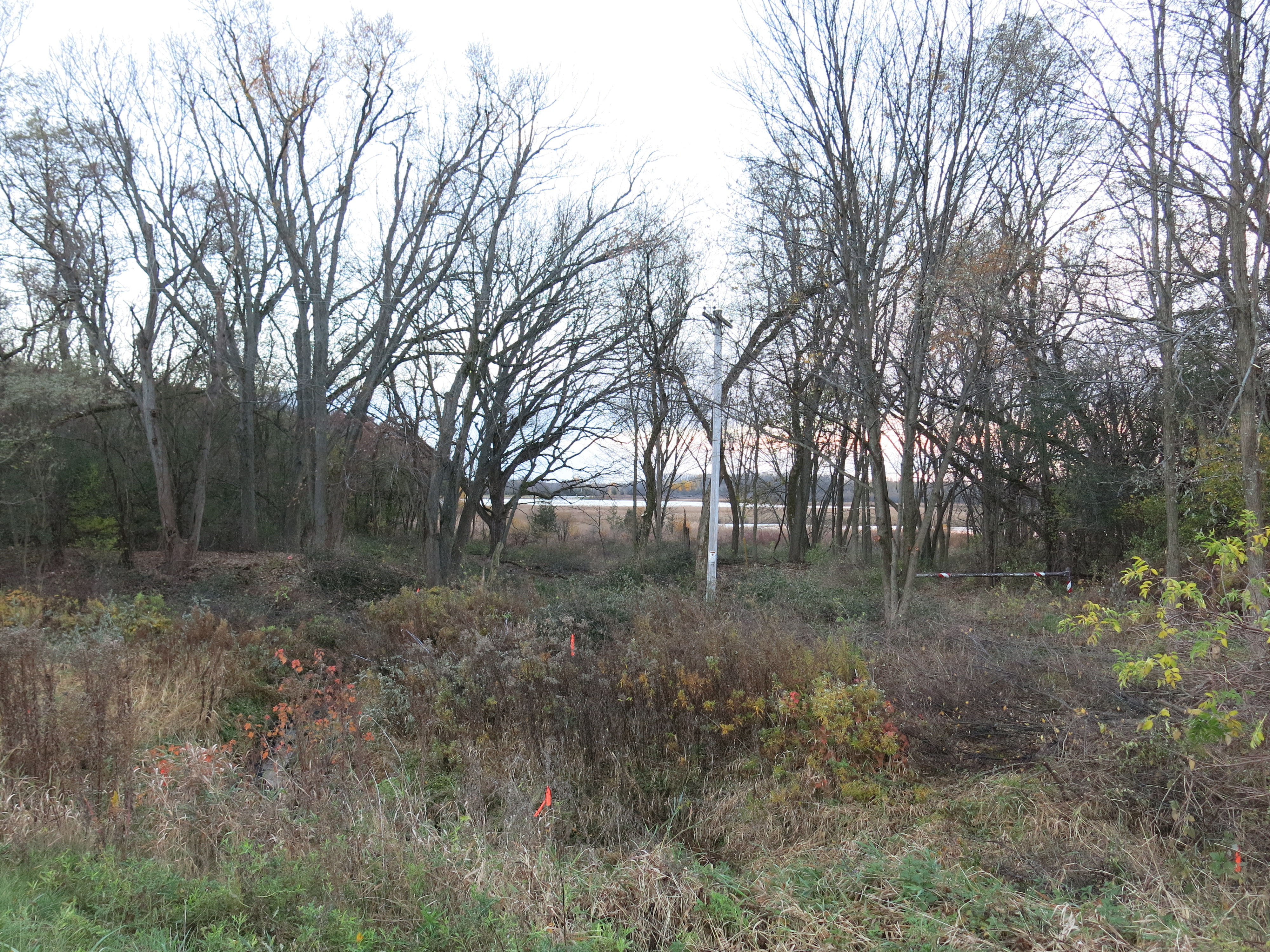
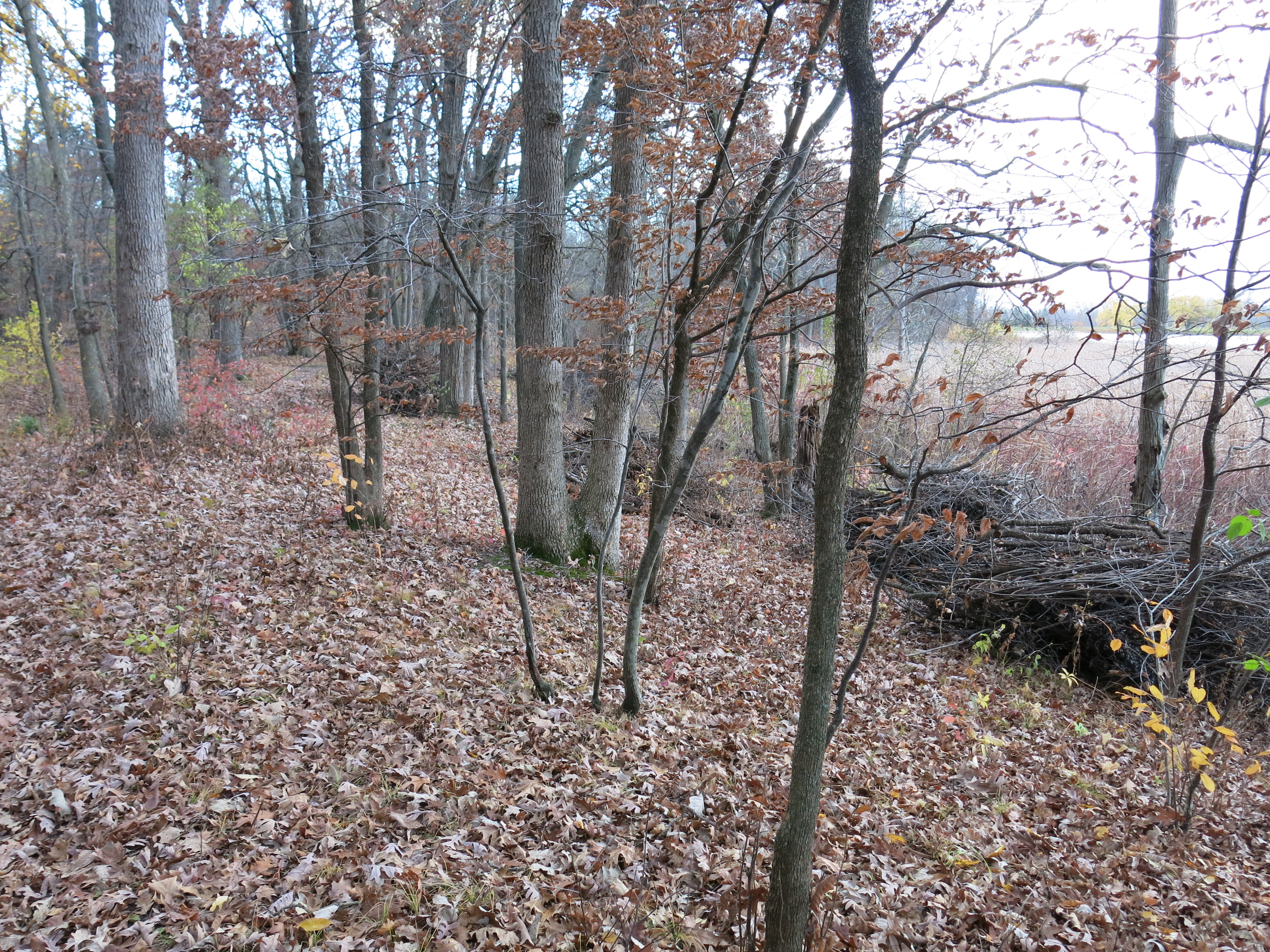
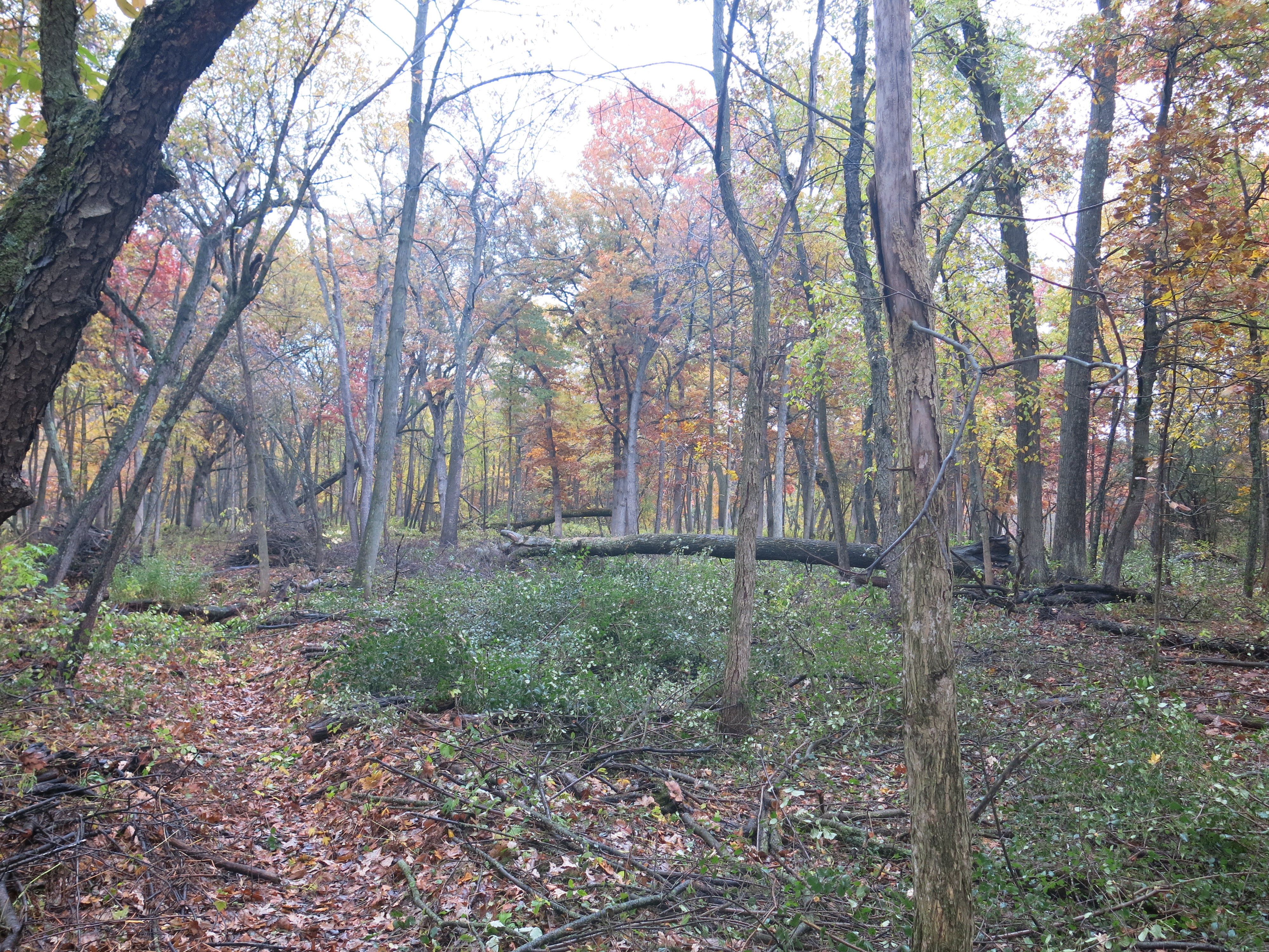
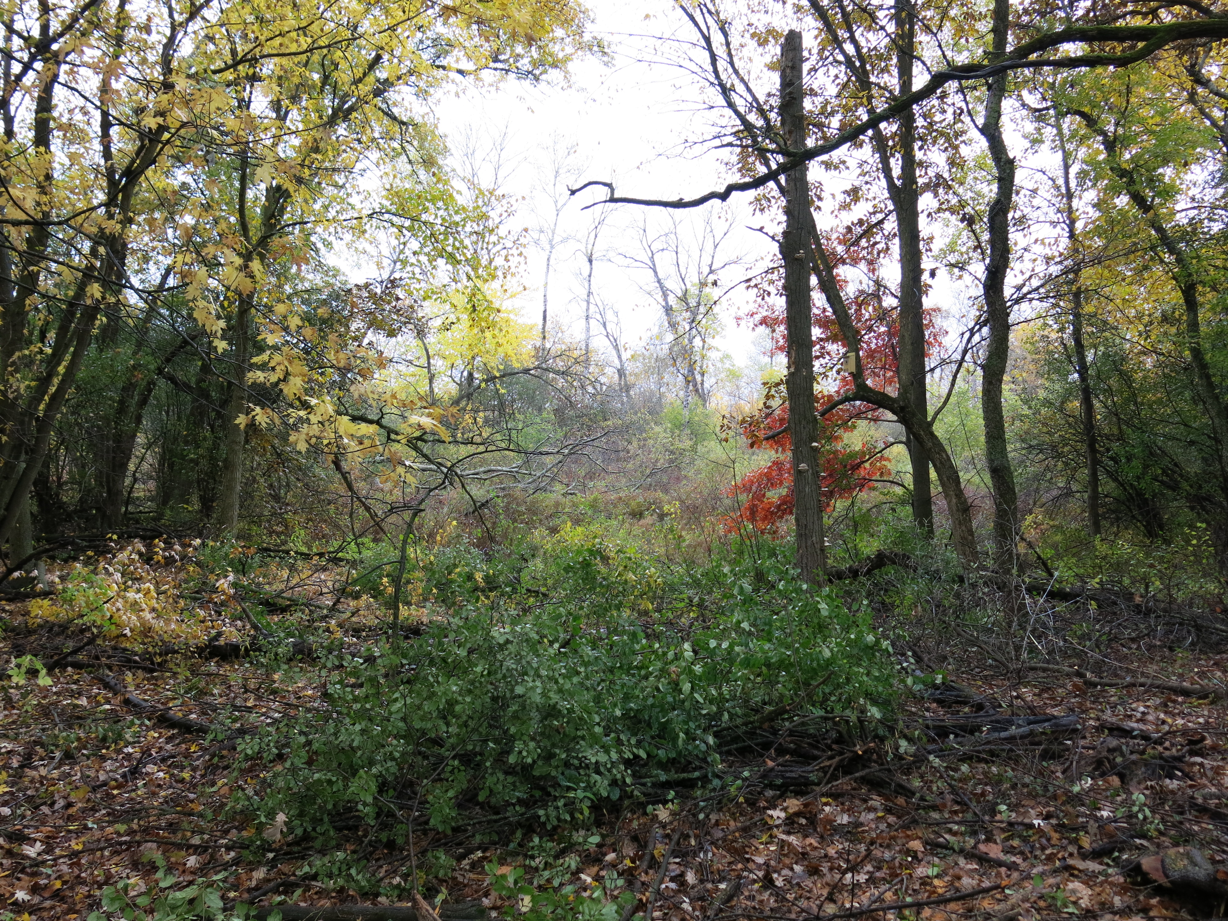
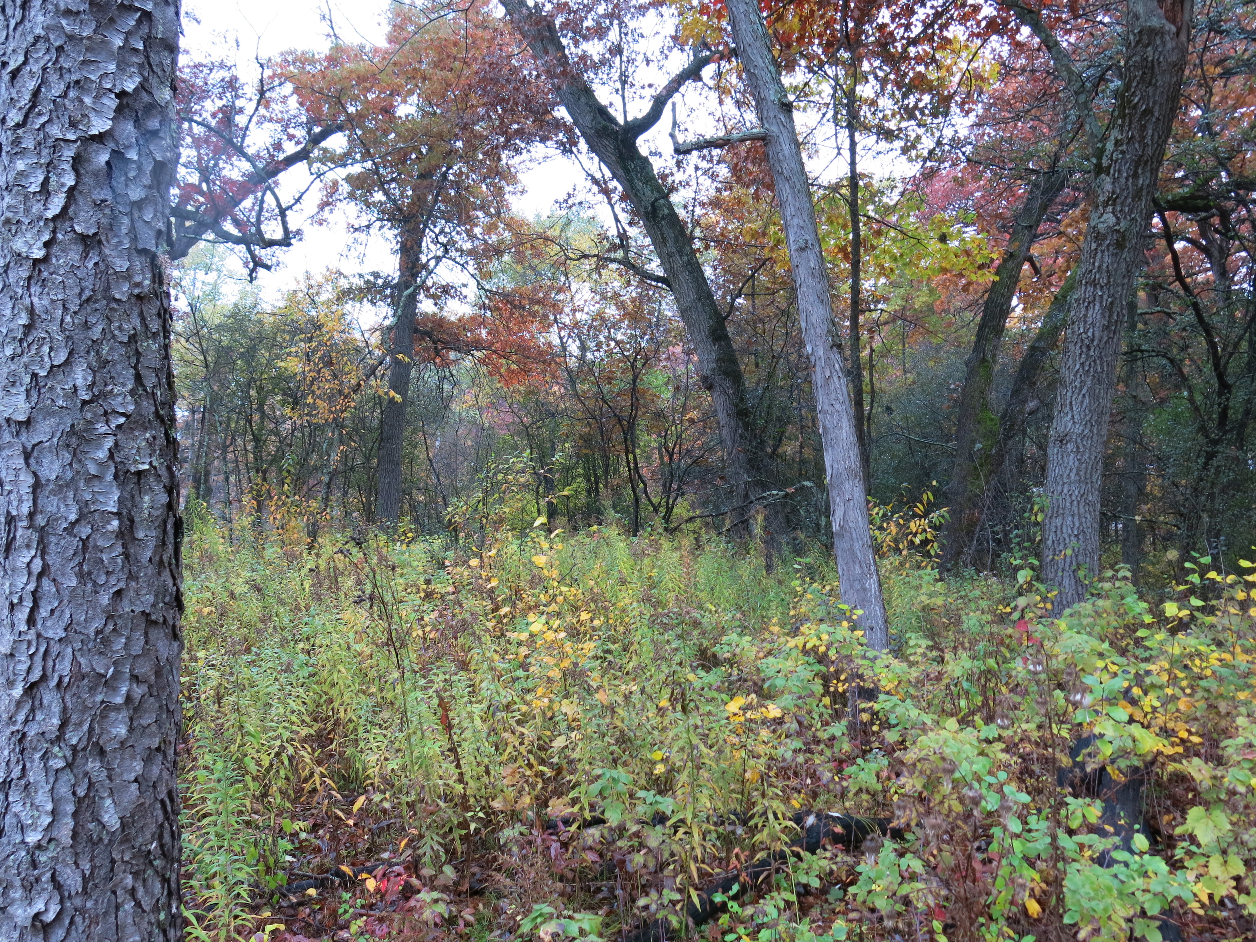
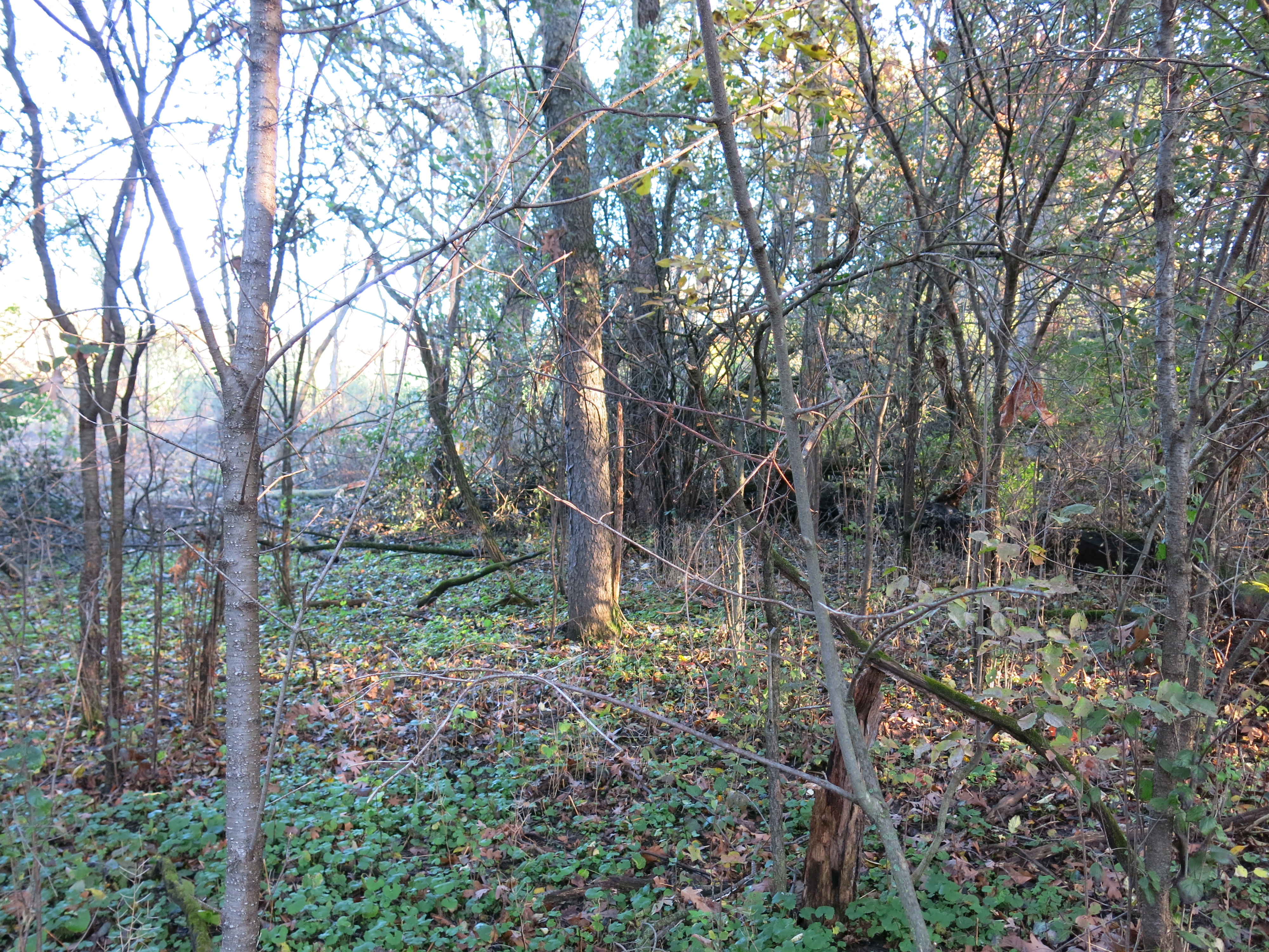
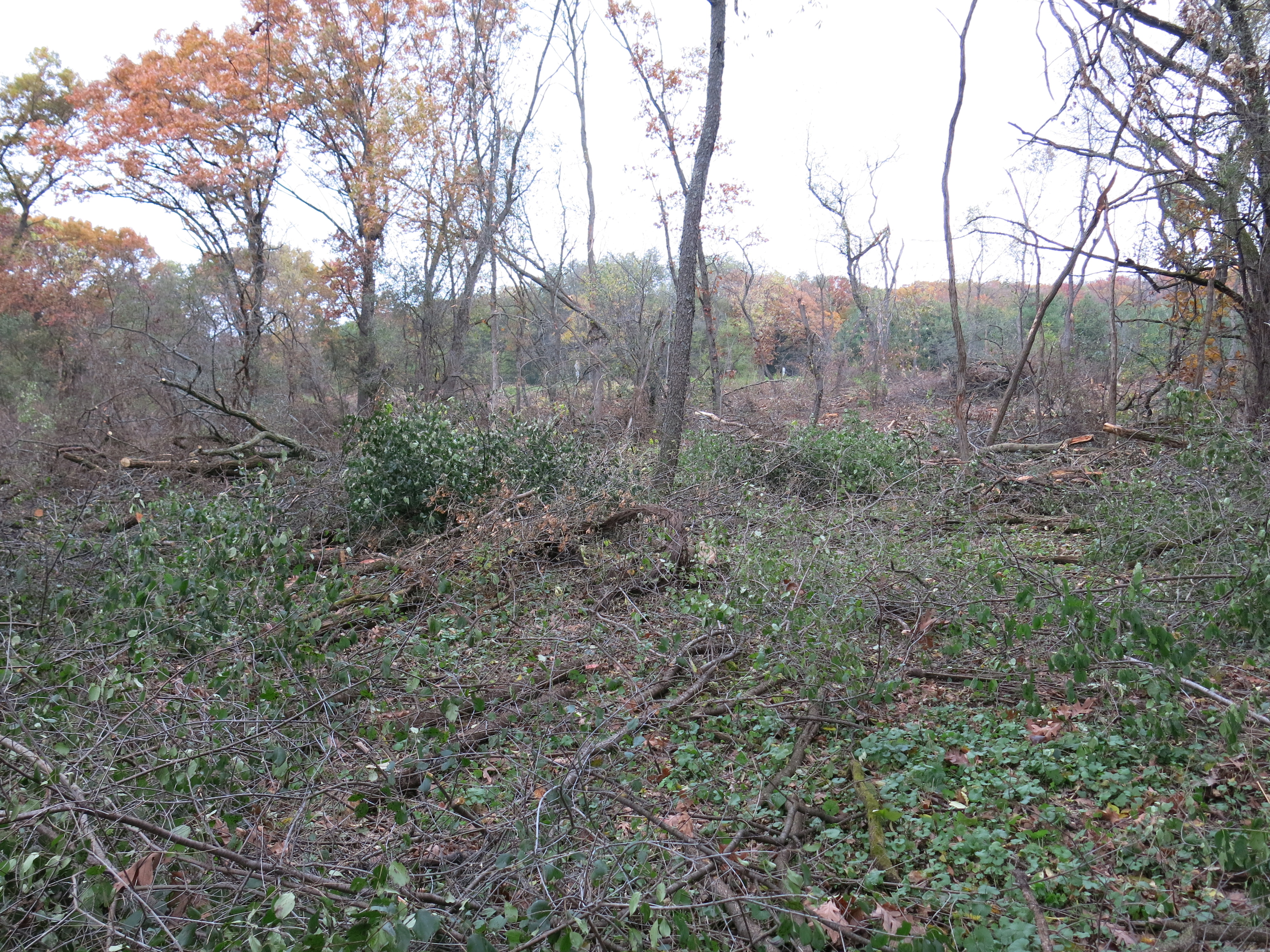
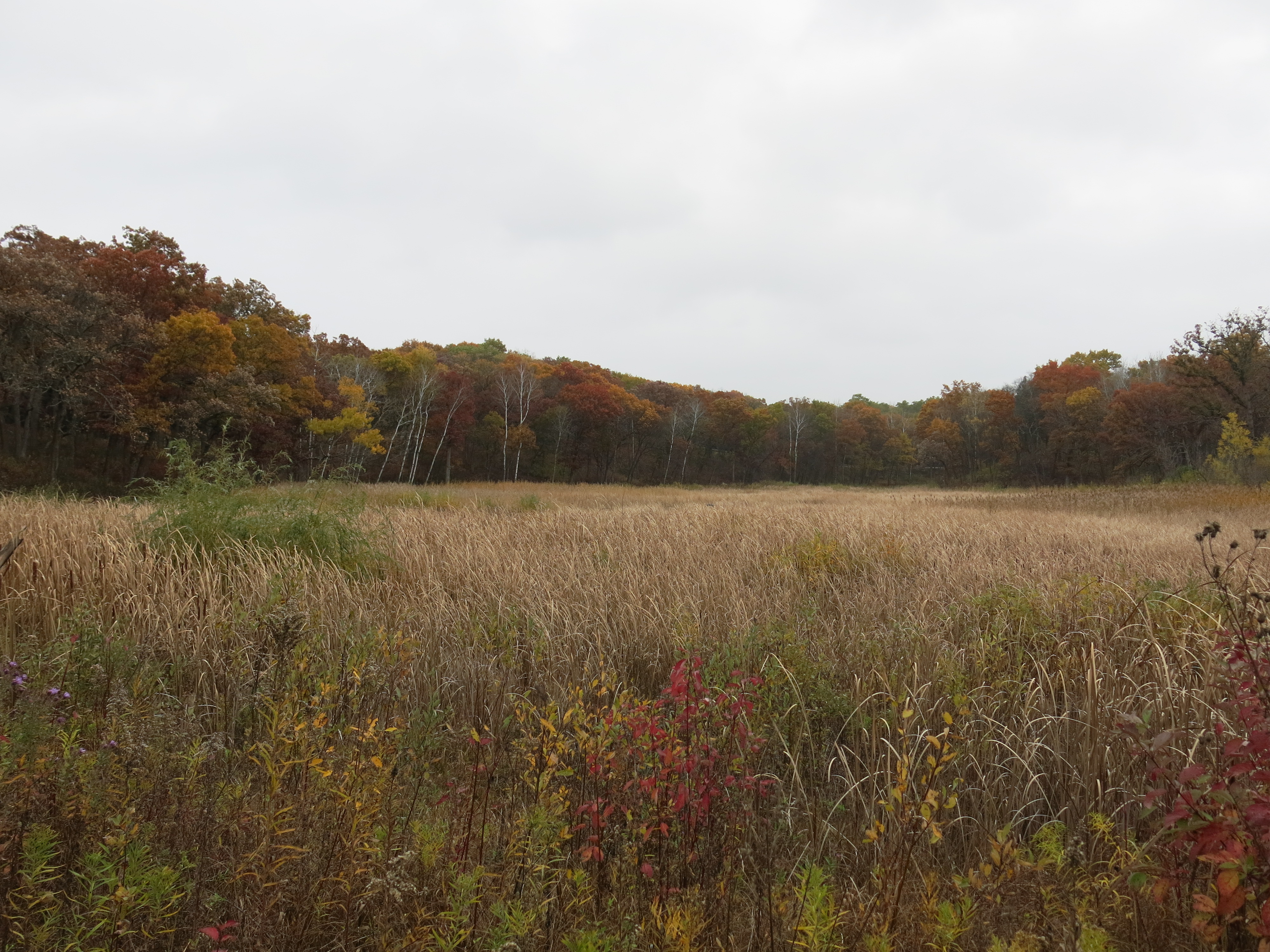
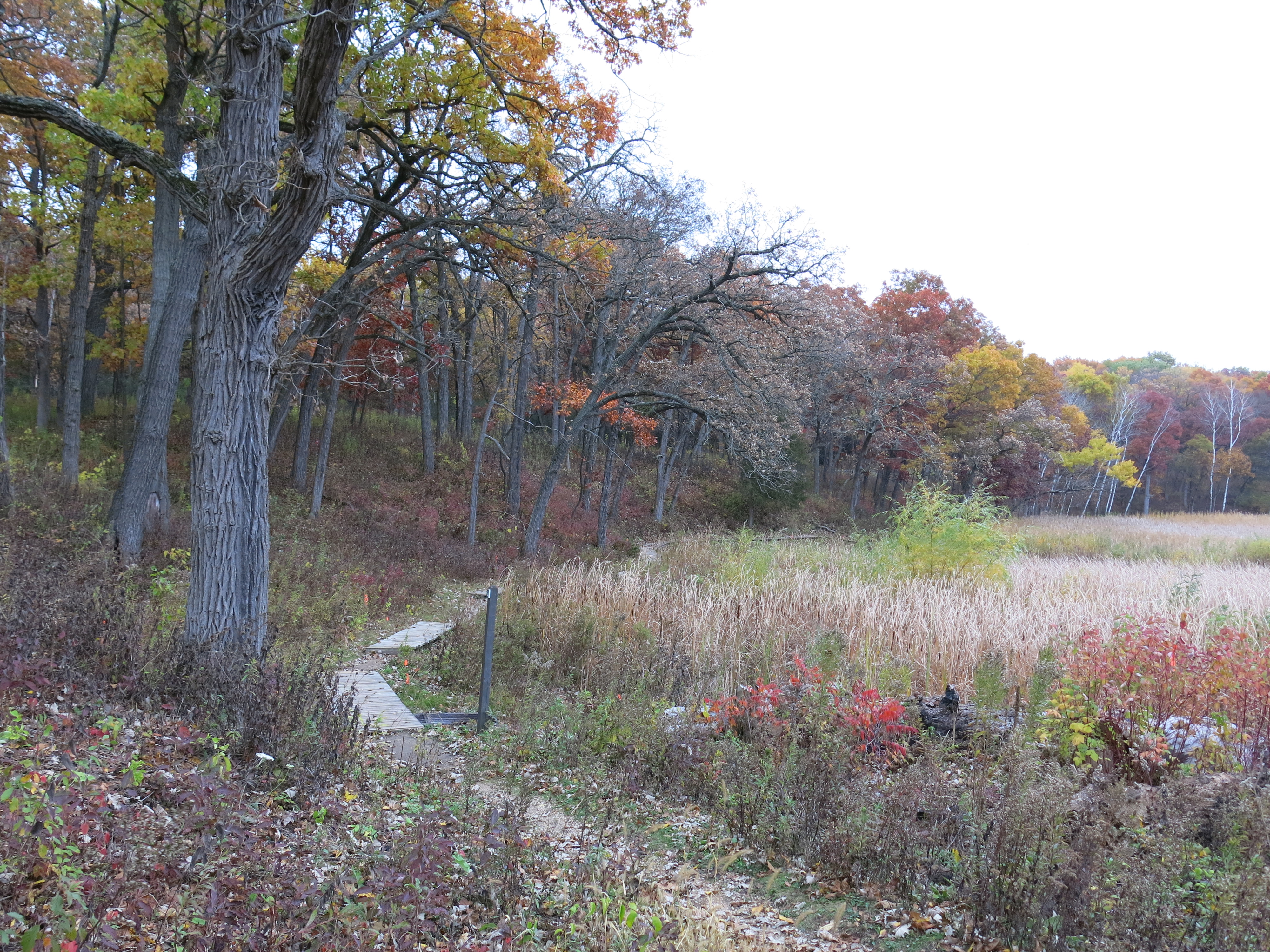
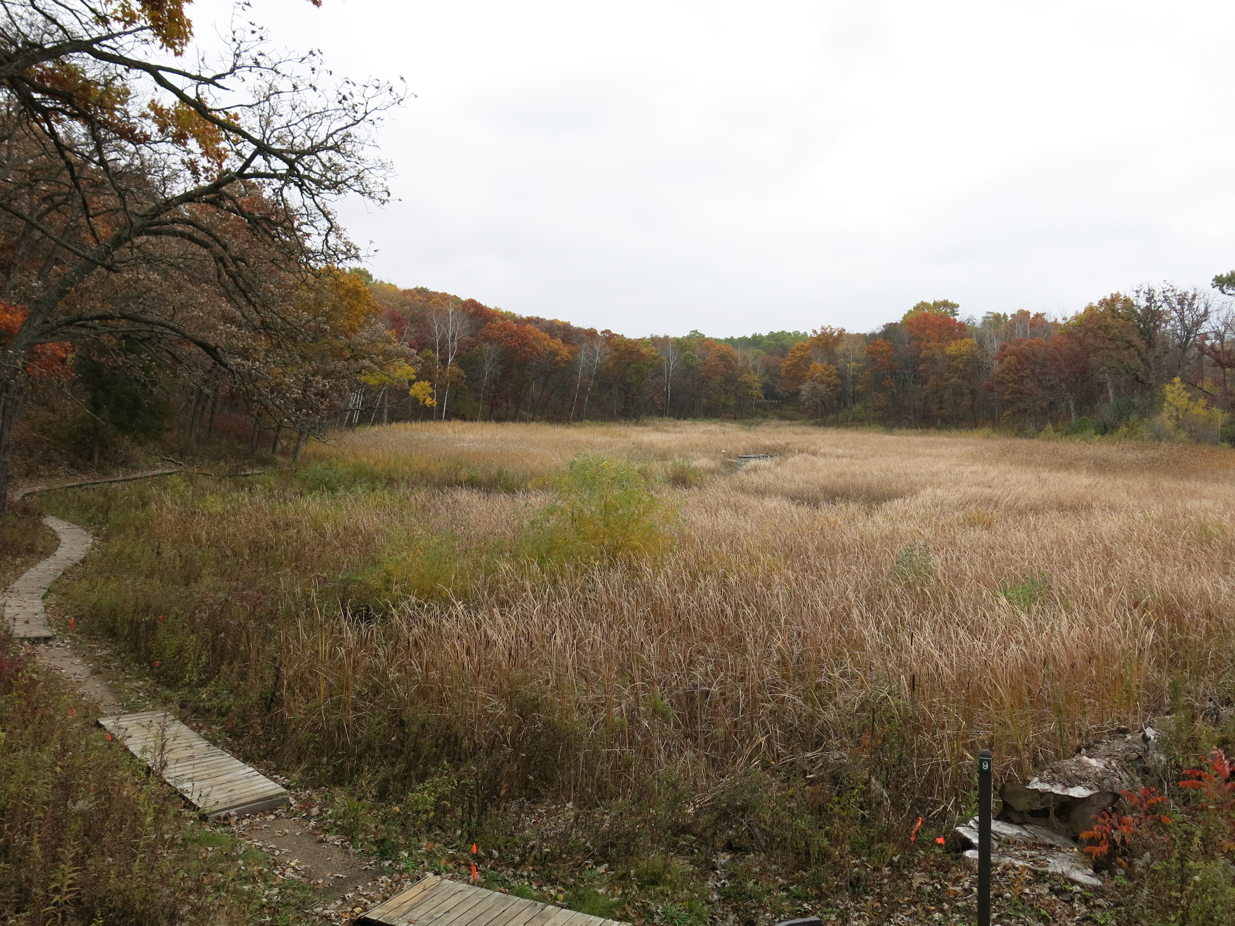
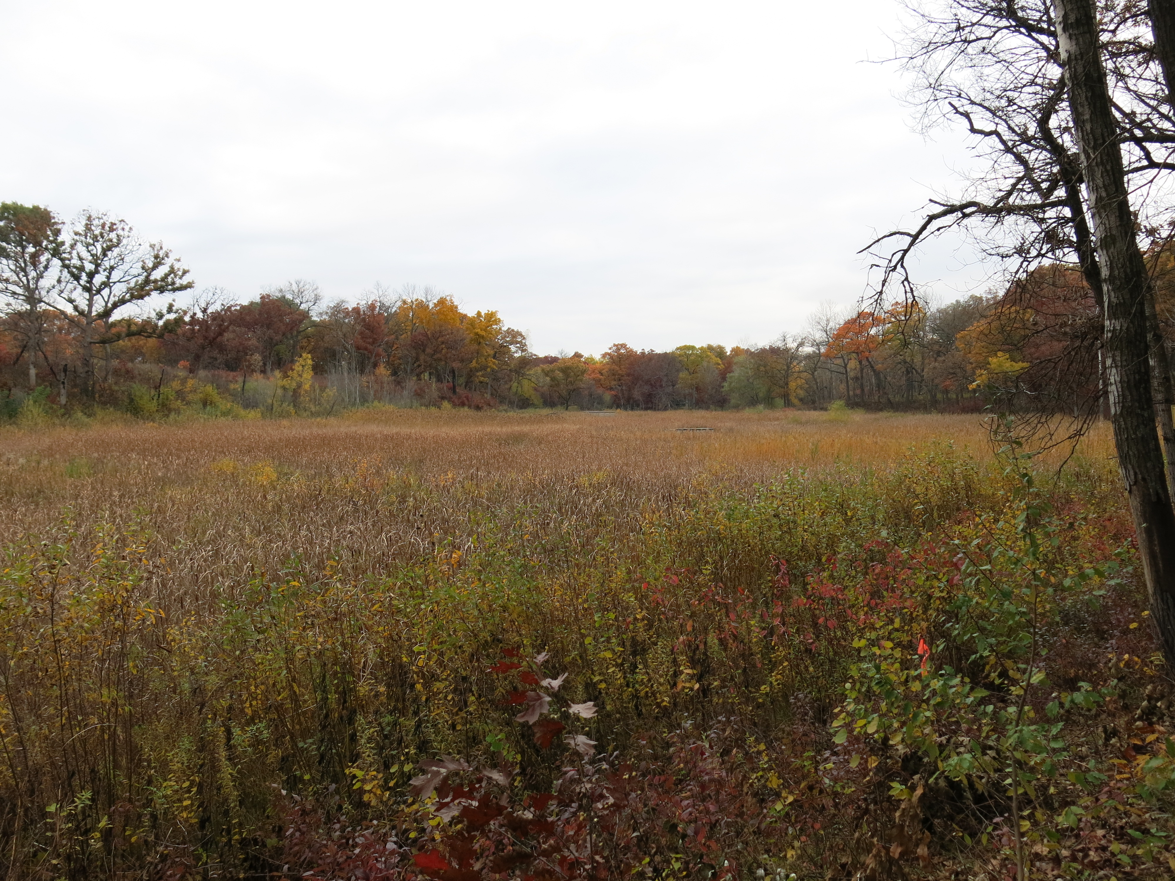
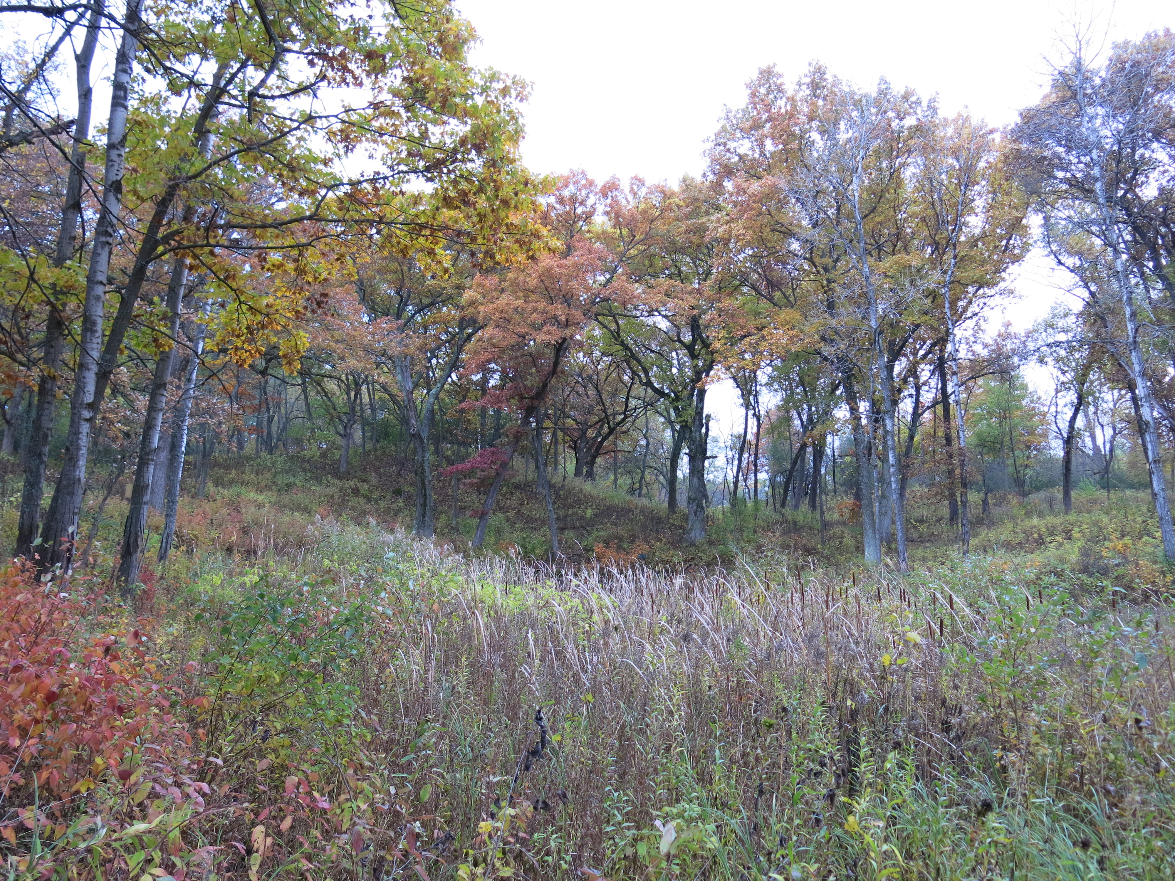
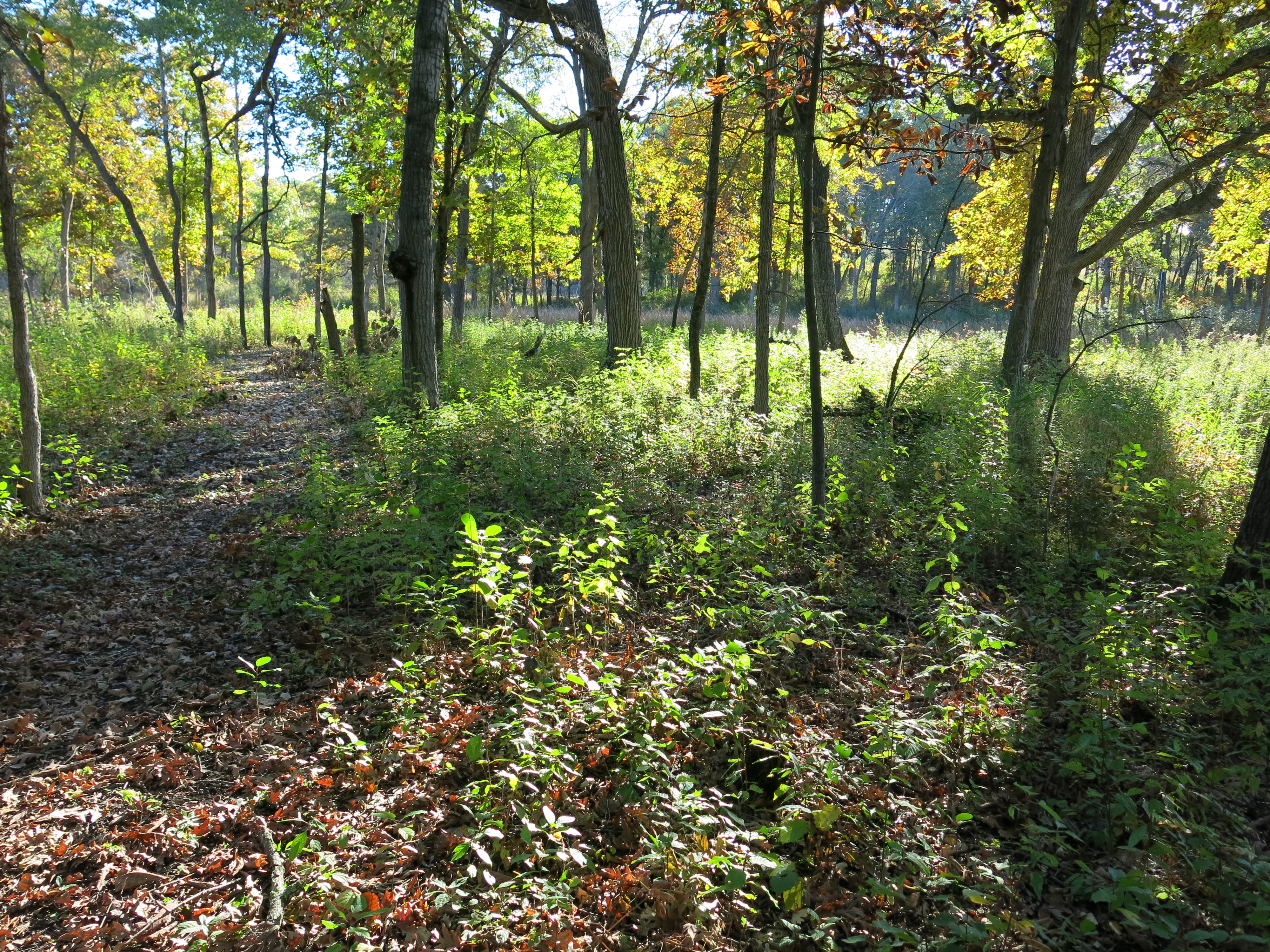
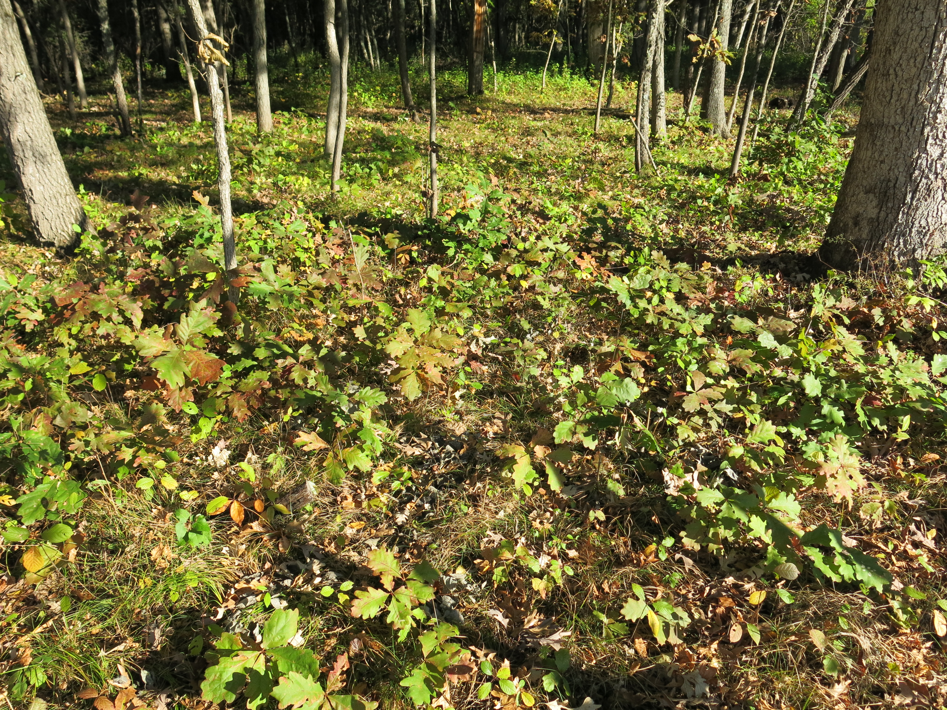
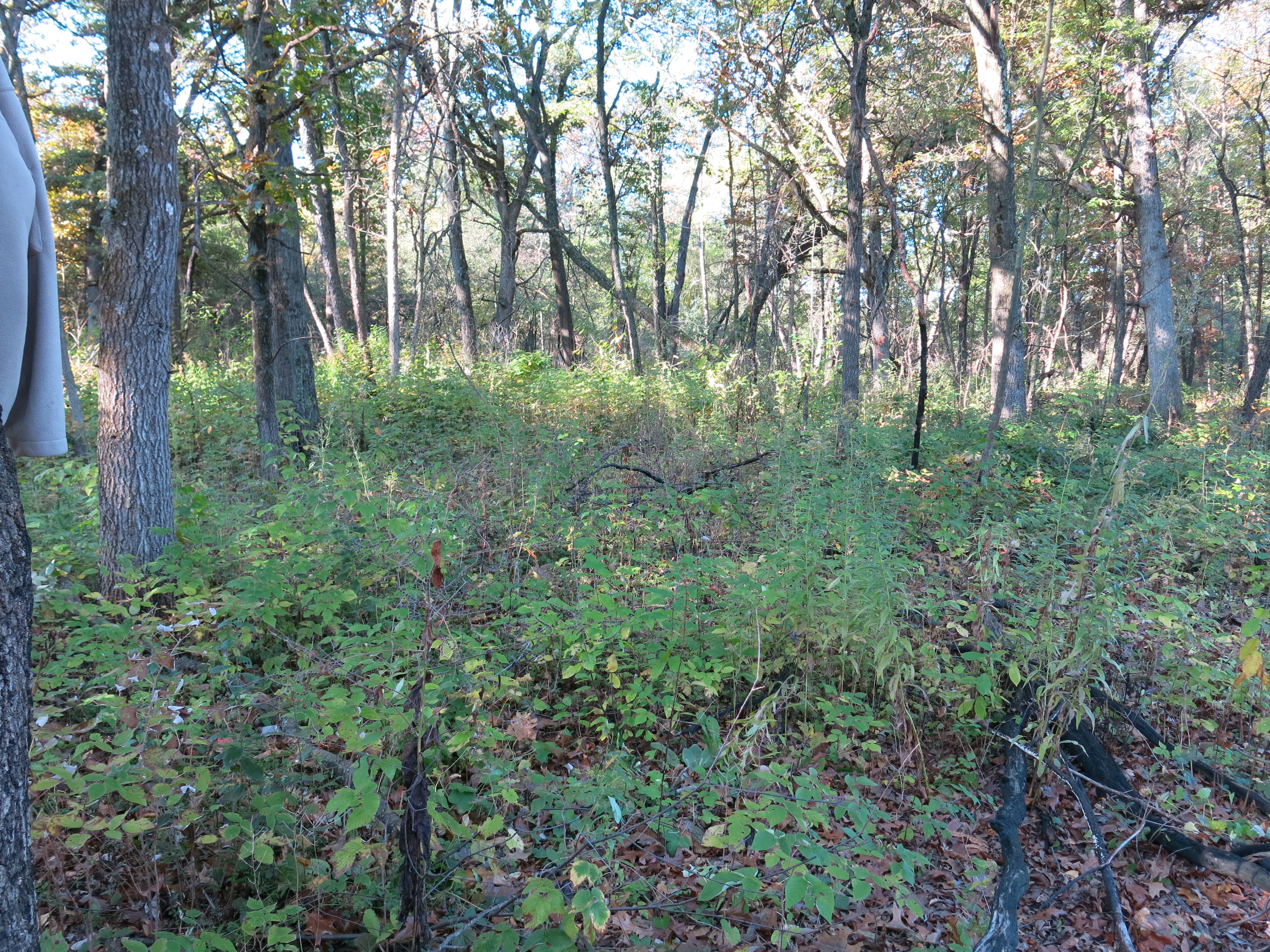
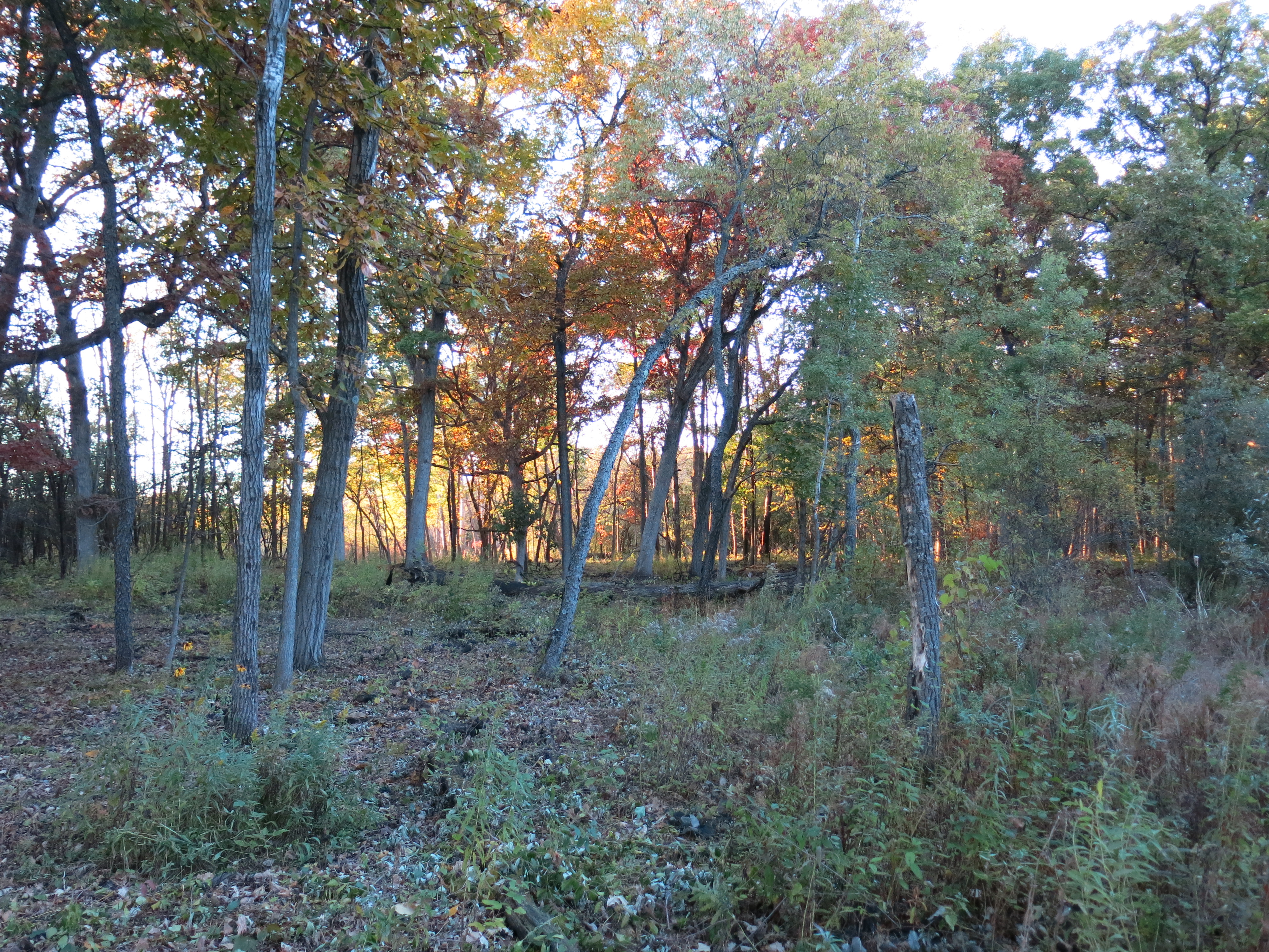
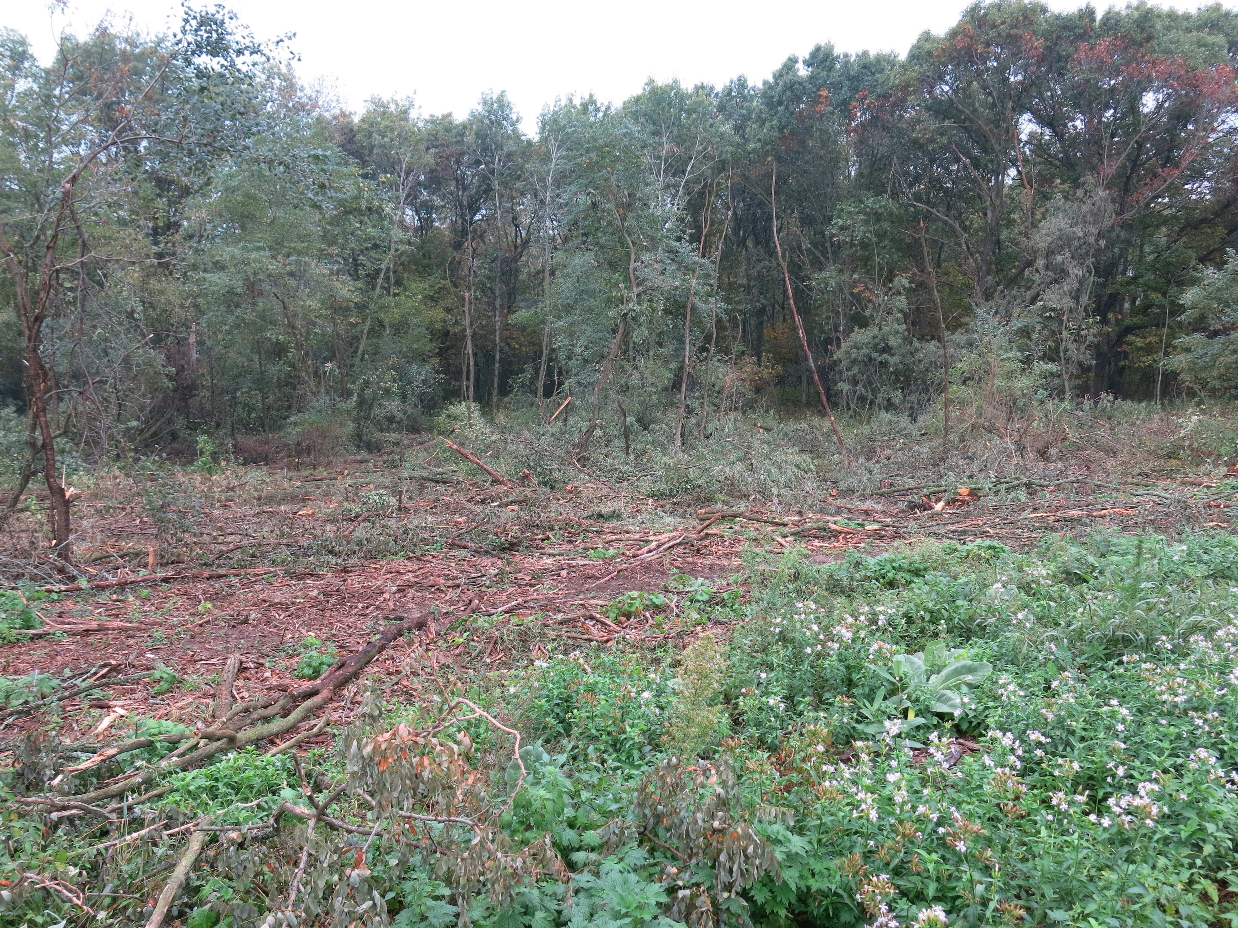
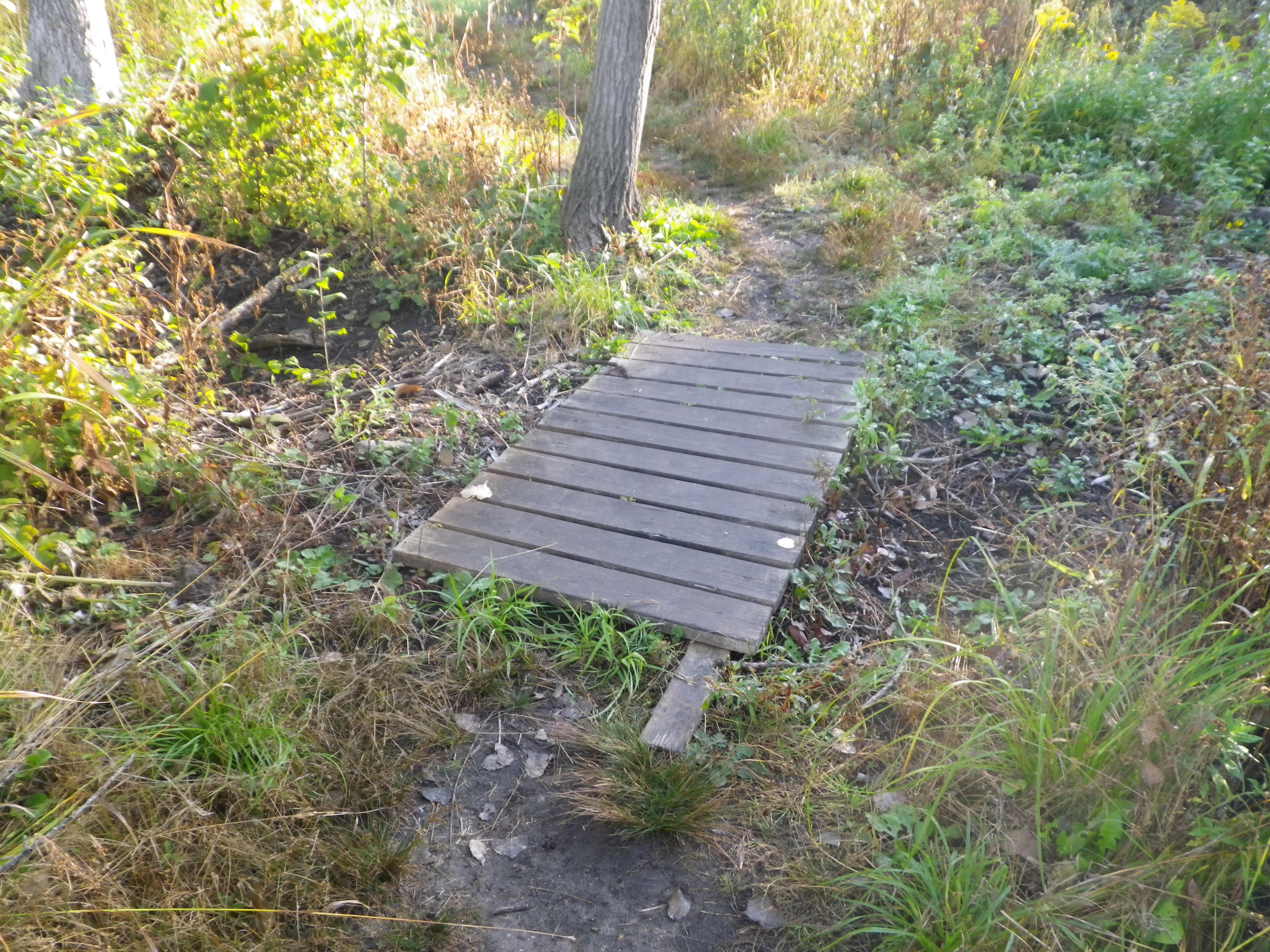
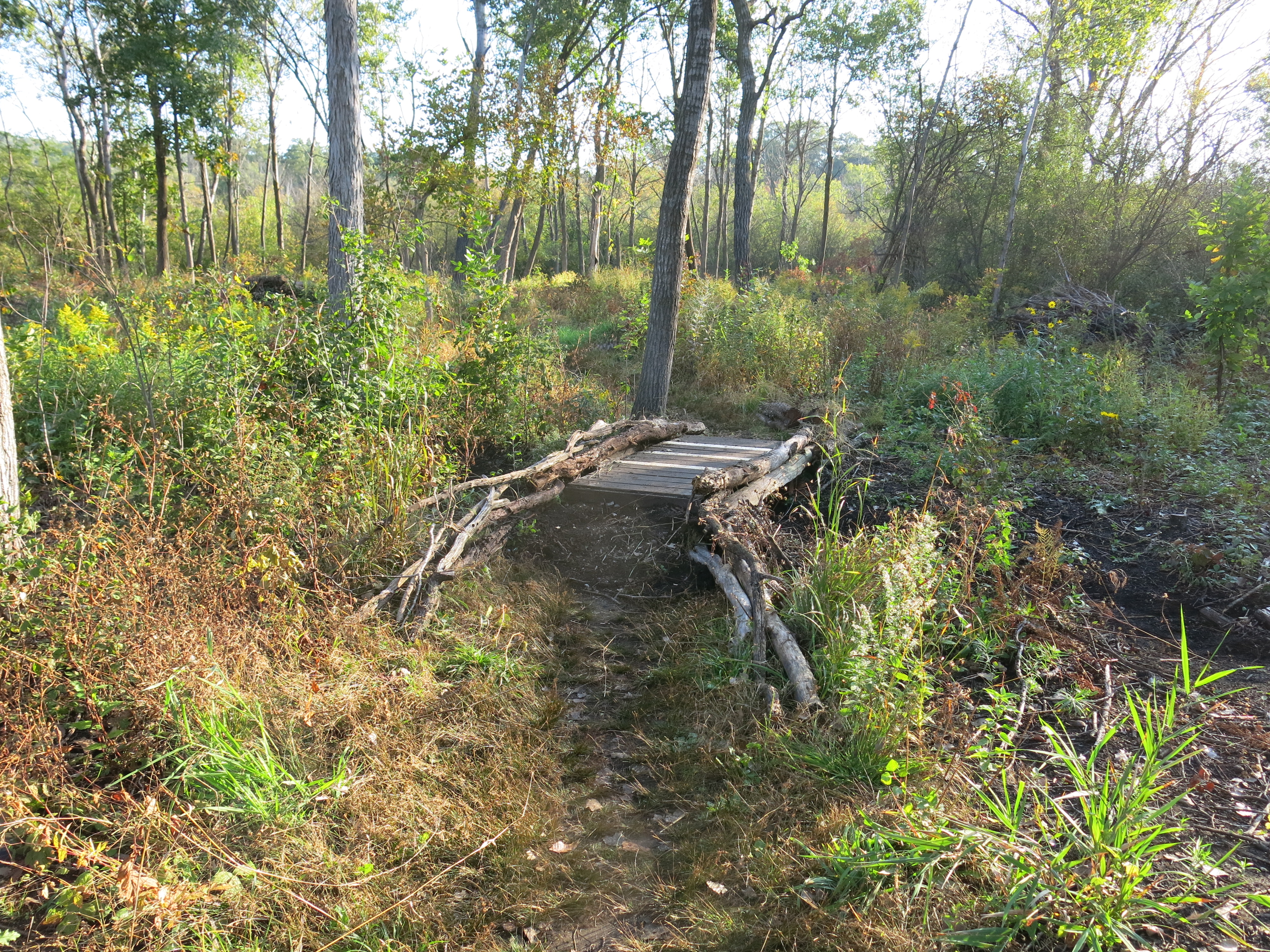
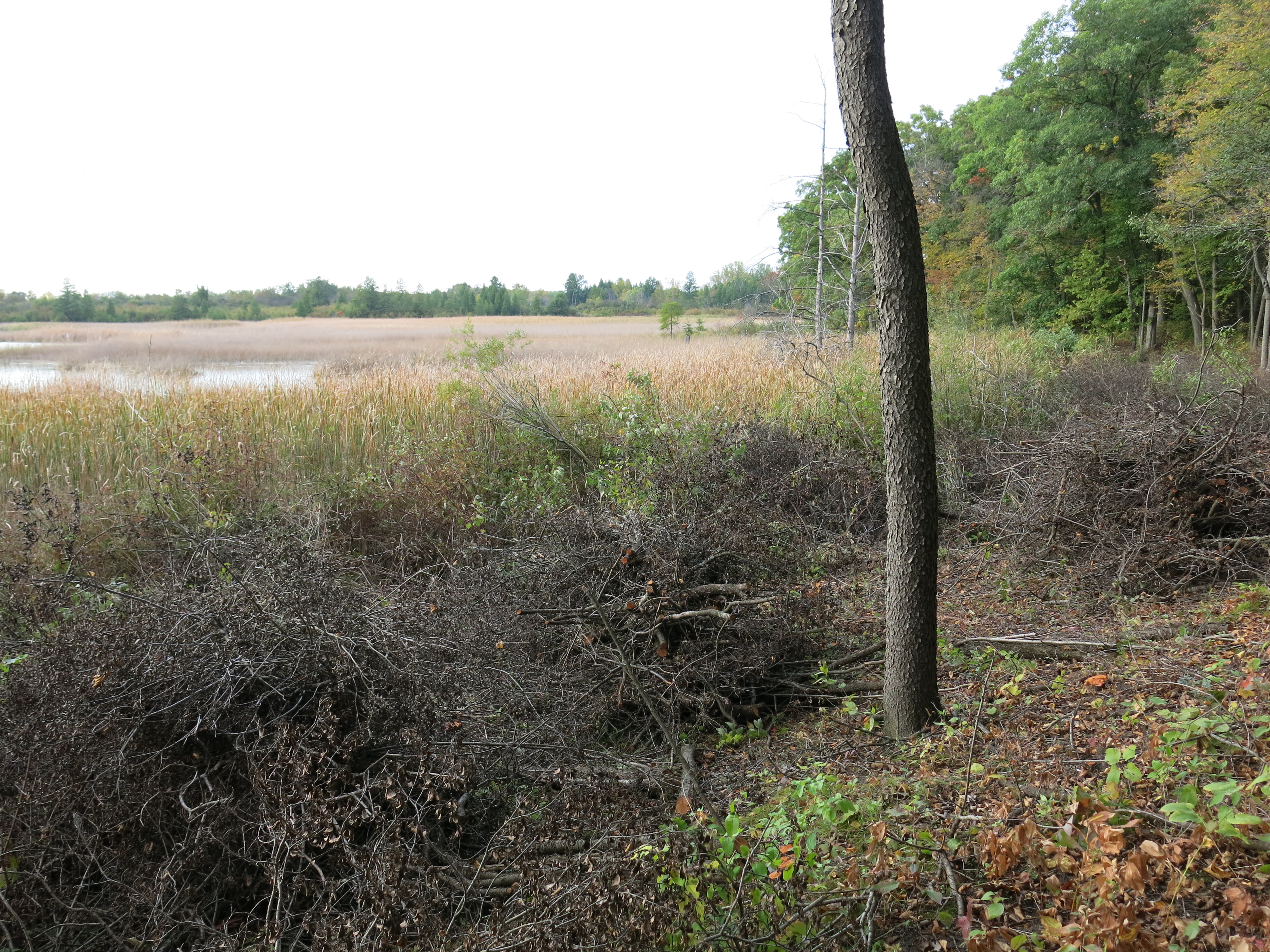
I’d really like to get all the brush laid down in the areas that I have previously cut before the snow falls, so I hit the trail again on Friday. Here are a couple of views Friday morning.
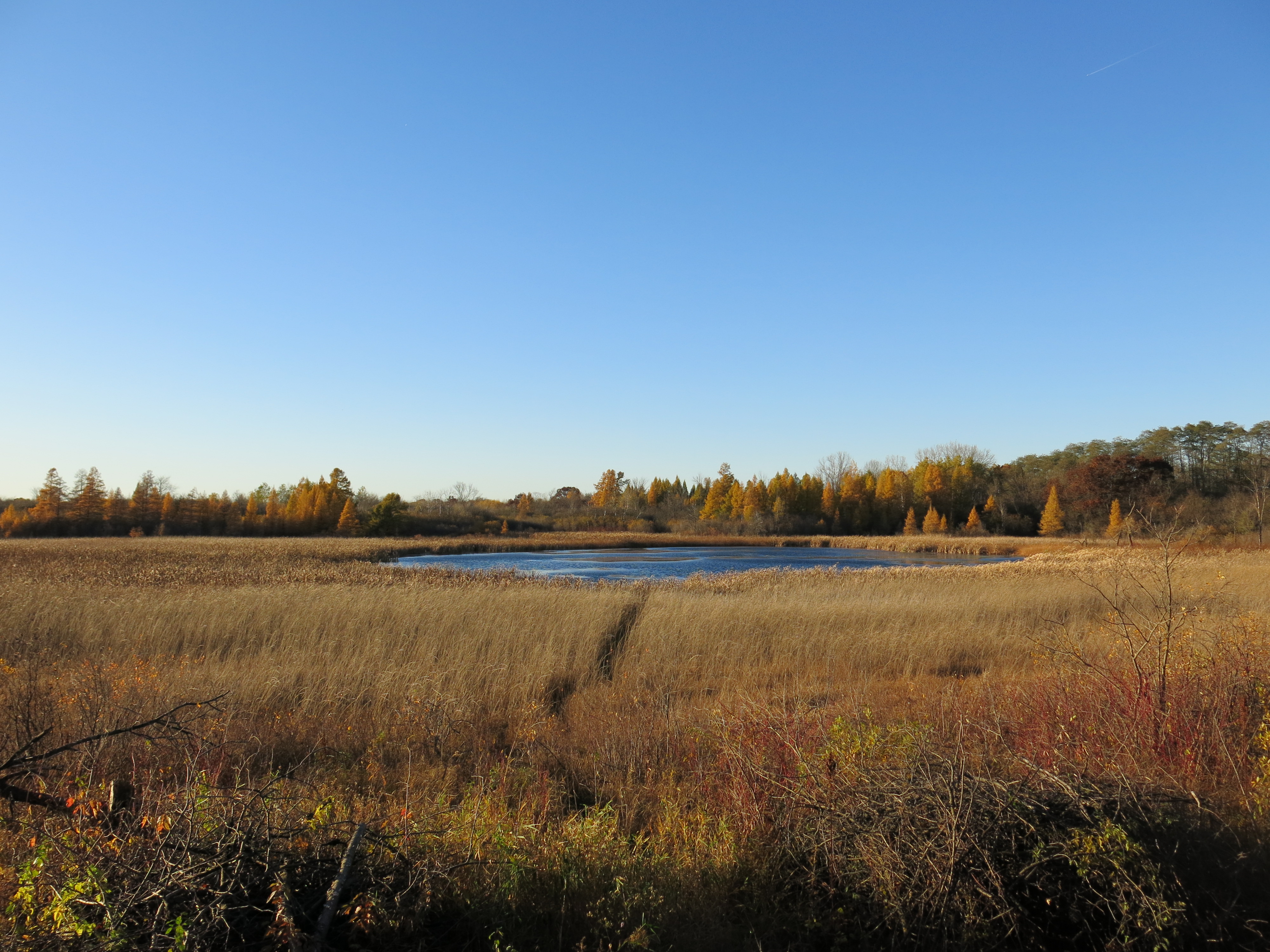
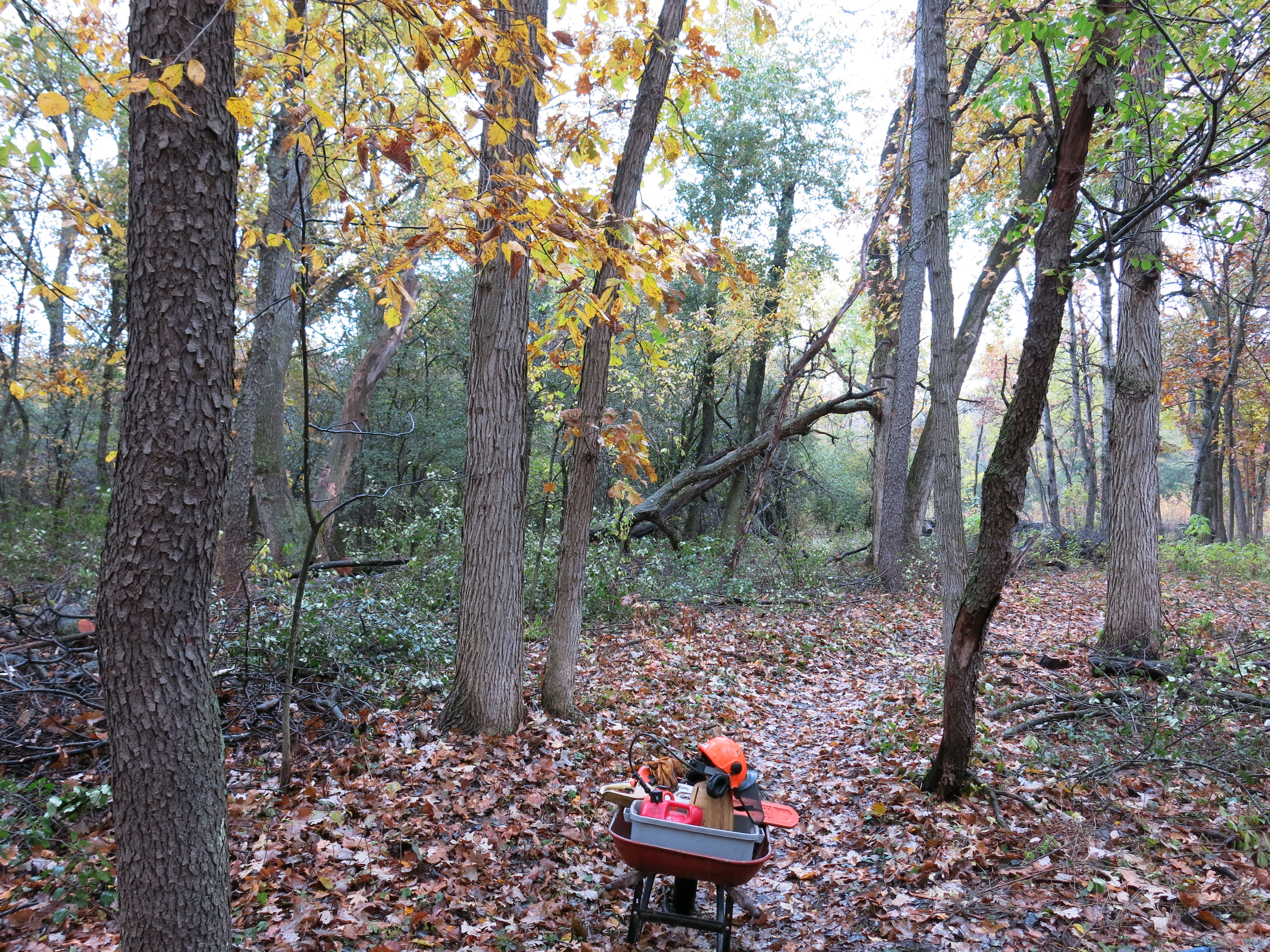
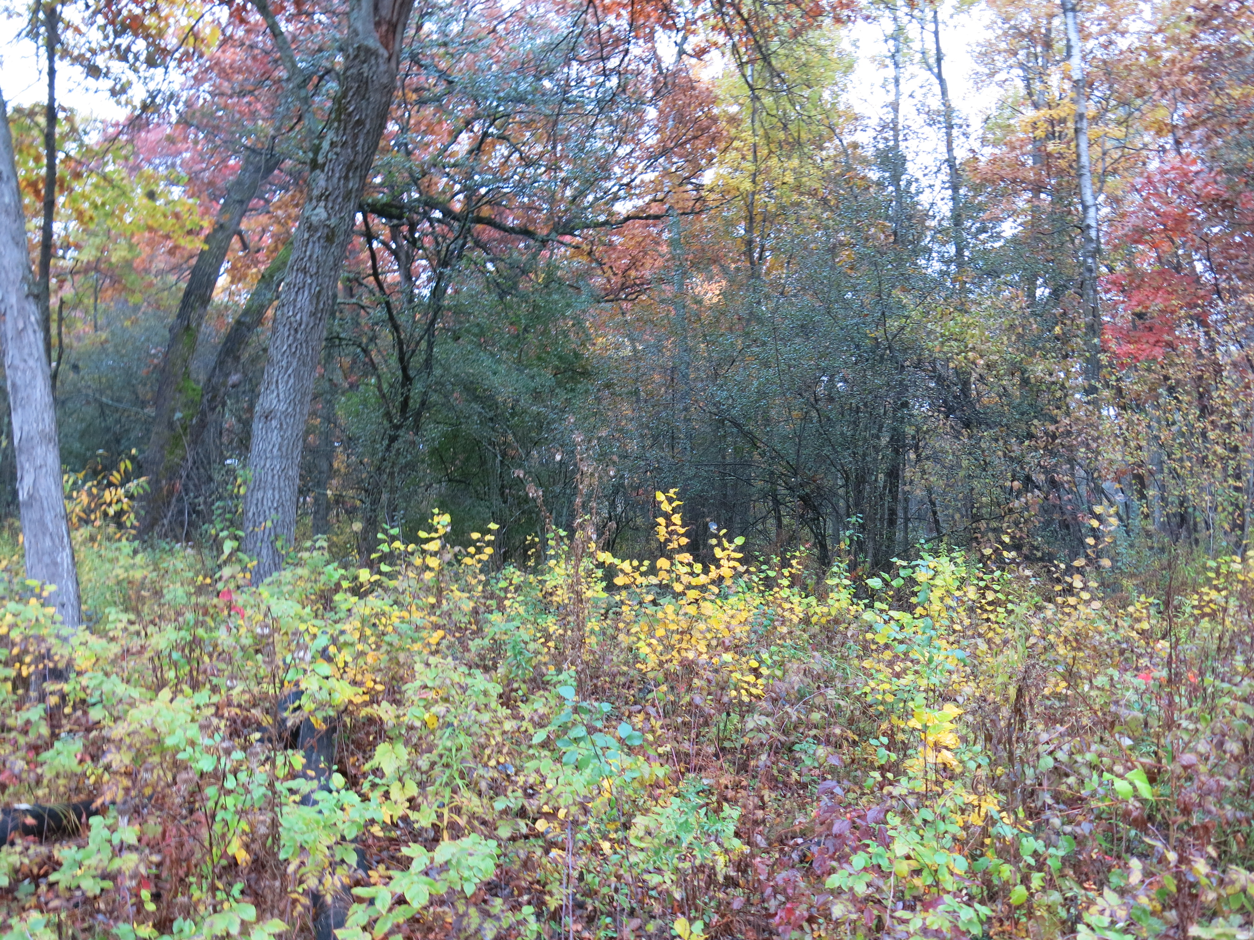
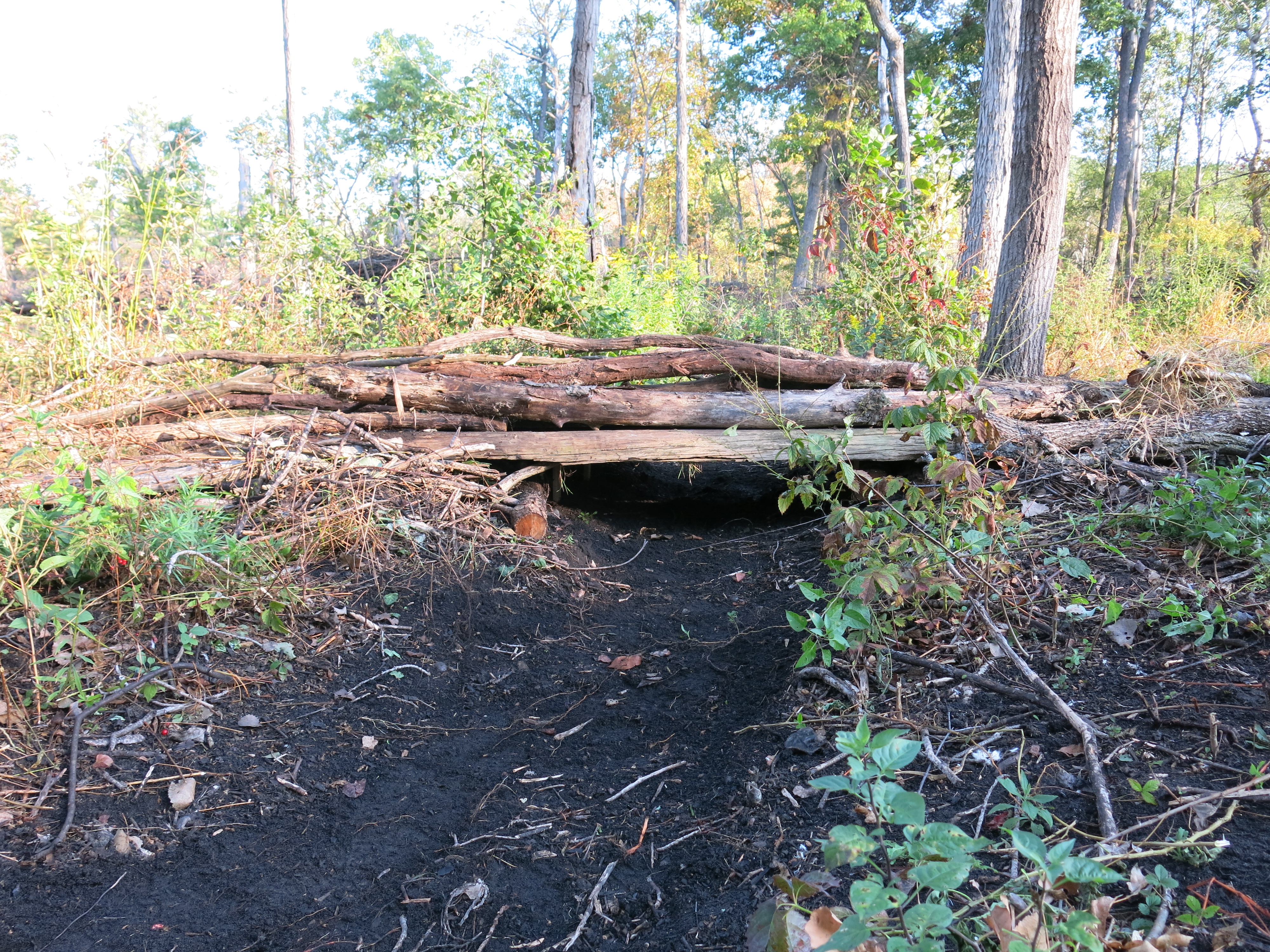
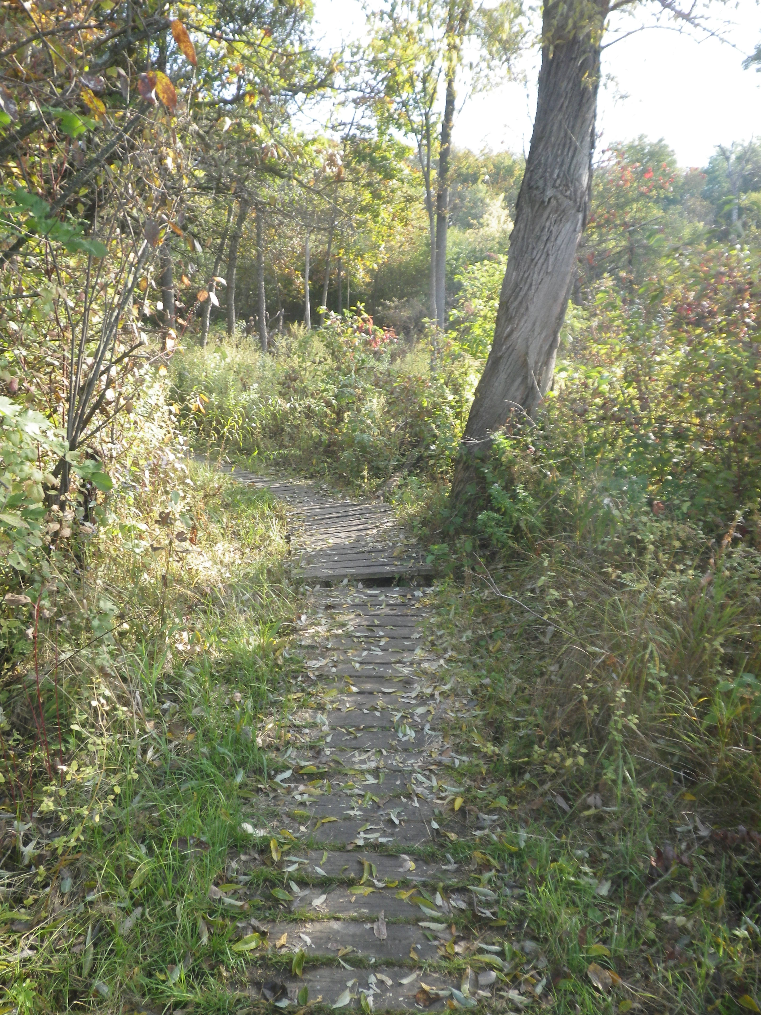
And the same two perspectives in the afternoon. Can you tell the brush was cut?
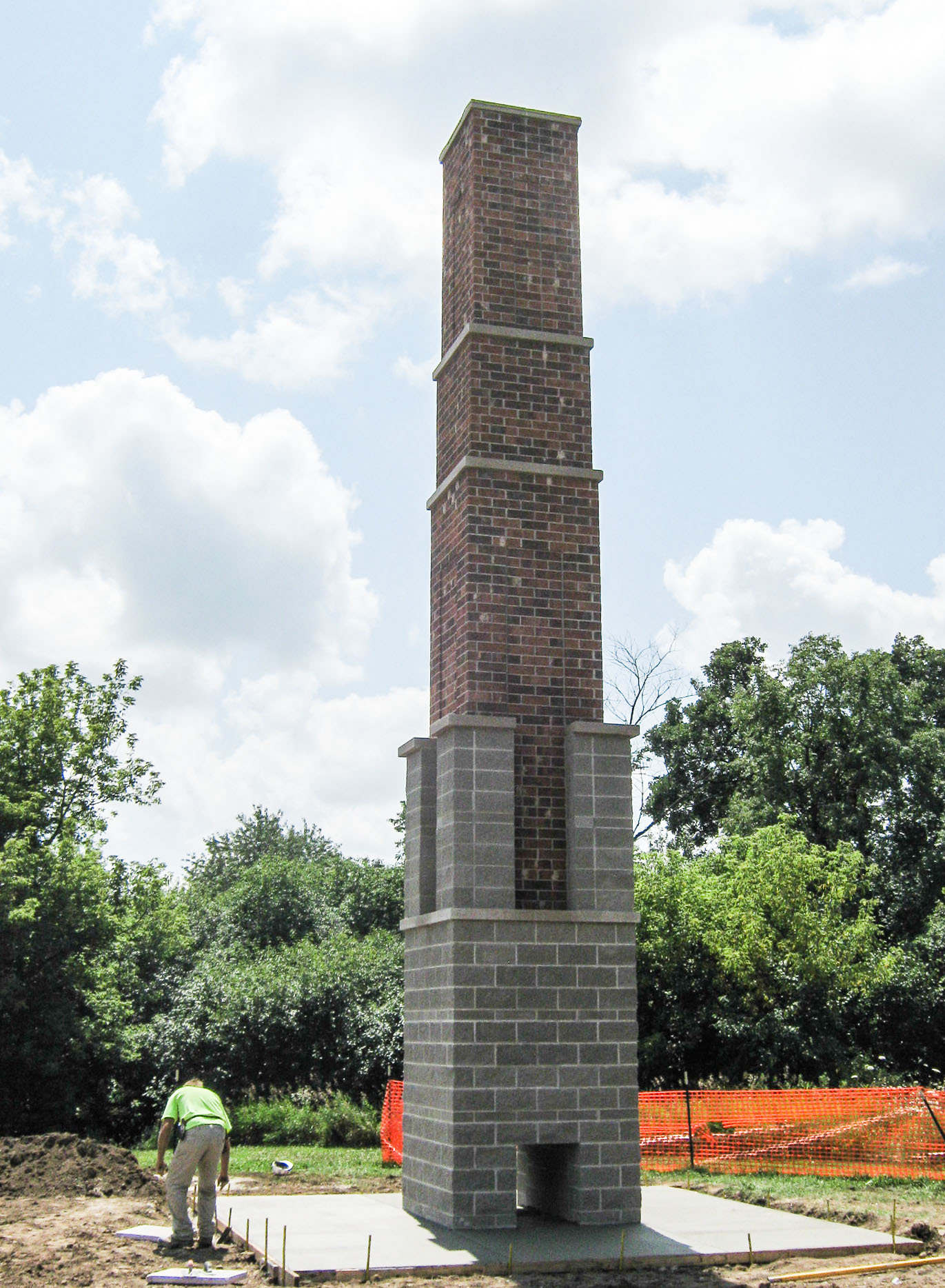
Pati and I were dumbfounded as we walked up the trail to the Cottonwood Gazebo at The Hartland Marsh. What was that monolithic tower poking through the treetops at the top of the hill? I pulled my coat across my face, cowering like quasimodo behind Pati, and, turning slightly to avoid looking directly at it, I pointed with my right hand asking with trembling voice: “what is it?”
I’ve walked up that trail a thousand times and it was absolutely jarring to see a brick tower at the trailhead.
… and the fact that one of their favorite resting spots in the Village of Hartland was scheduled for destruction. Thousands of lives were at stake! Ramsey Schlissel does a brilliant job telling the story.
The whole Village of Hartland came together spurred by the passionate environmentalism of their vibrantly conscious youth. Wow! They still need some help paying for the new Chimney Swift Tower. Visit them on Facebook or at SaveTheSwifts and make a contribution.
Can a movement in the village to Save The Oaks Of The Hartland Marsh be far behind? The buckthorn has returned, thick as thieves, since I abandoned my valiant (or was it vain?) effort to save the oaks there 3 ½ years ago.
∞∞∞
One of the reasons I “gave up” at the Hartland Marsh was the resistance to the use of fire as a tool to restore the landscape and control the buckthorn seedlings and resprouts. I was lucky they let me finish burning the hundreds of brush piles I left there. At the Scuppernong Springs Nature Trail, on the other hand, I have the total support of the DNR, and, in fact, they are hoping to burn The Springs in 2015. To that end, I continue to focus on prepping the land for the next burn.
On Monday, November 3rd, I used a brush cutter to “mow” the woods on the northeast side of the loop trail. The DNR has never been able to get a hot ground fire to run through this area. Now, with the removal of the black locust and my brush clearing, we’re hoping for better results in 2015.
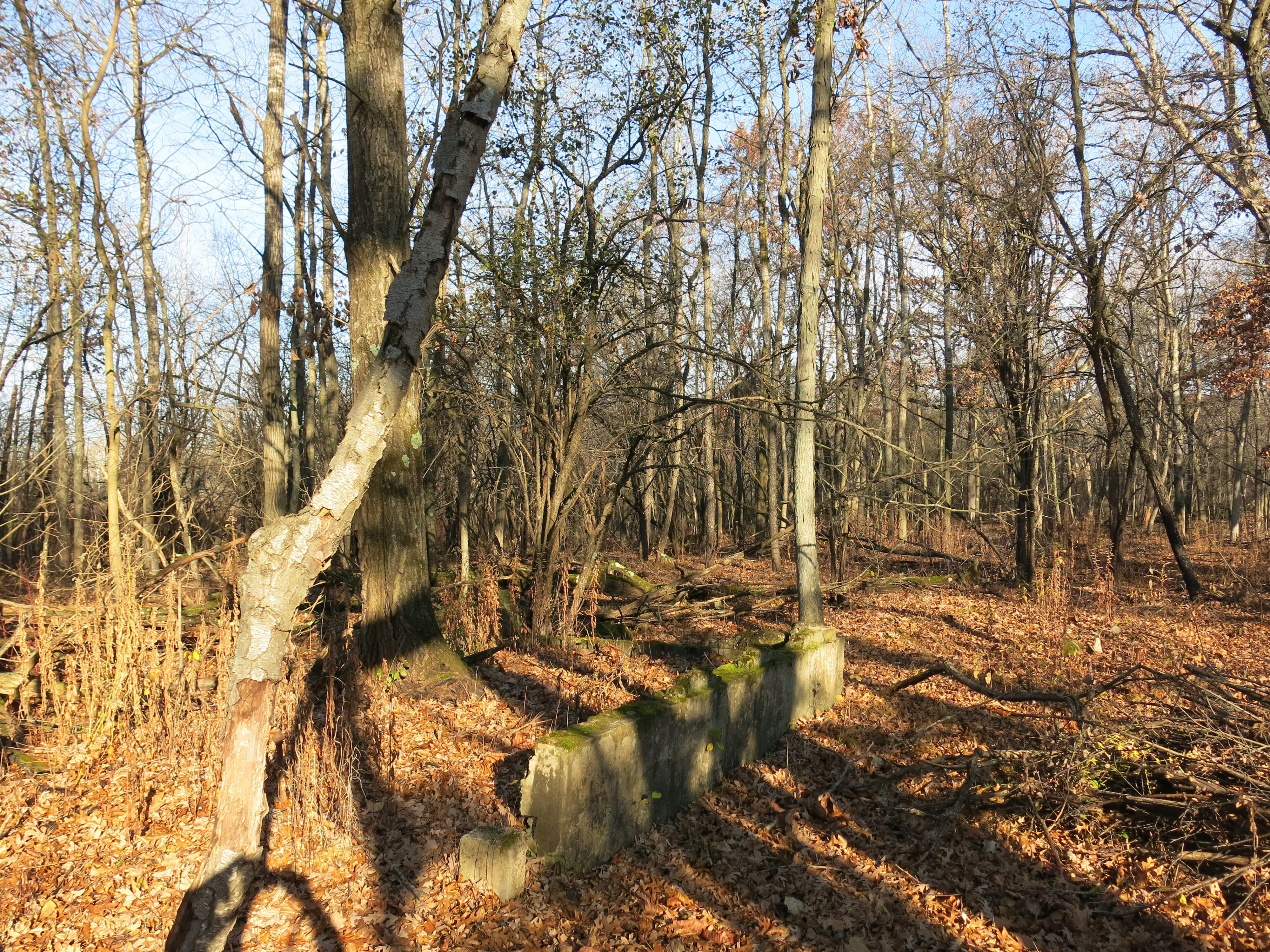
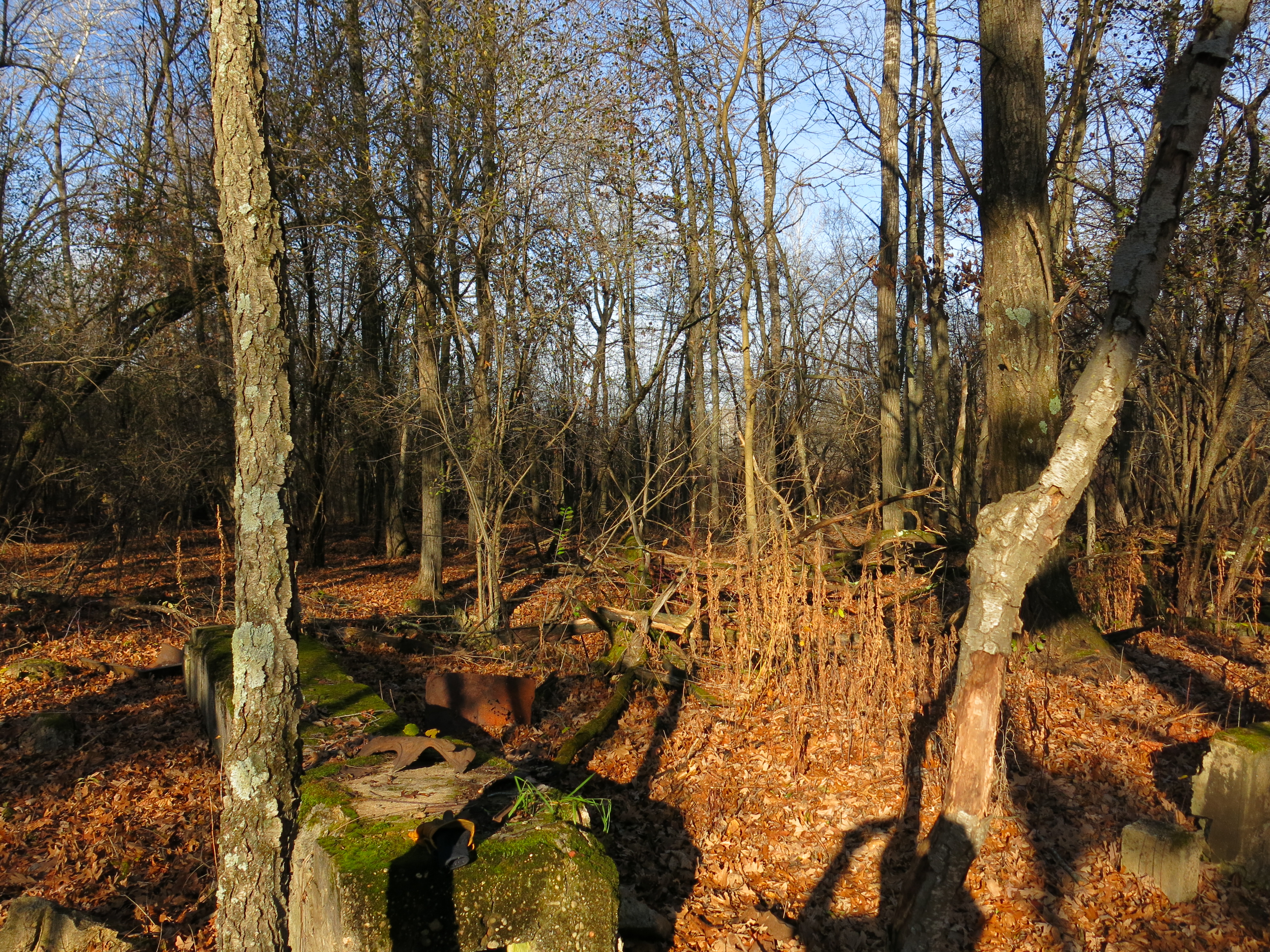
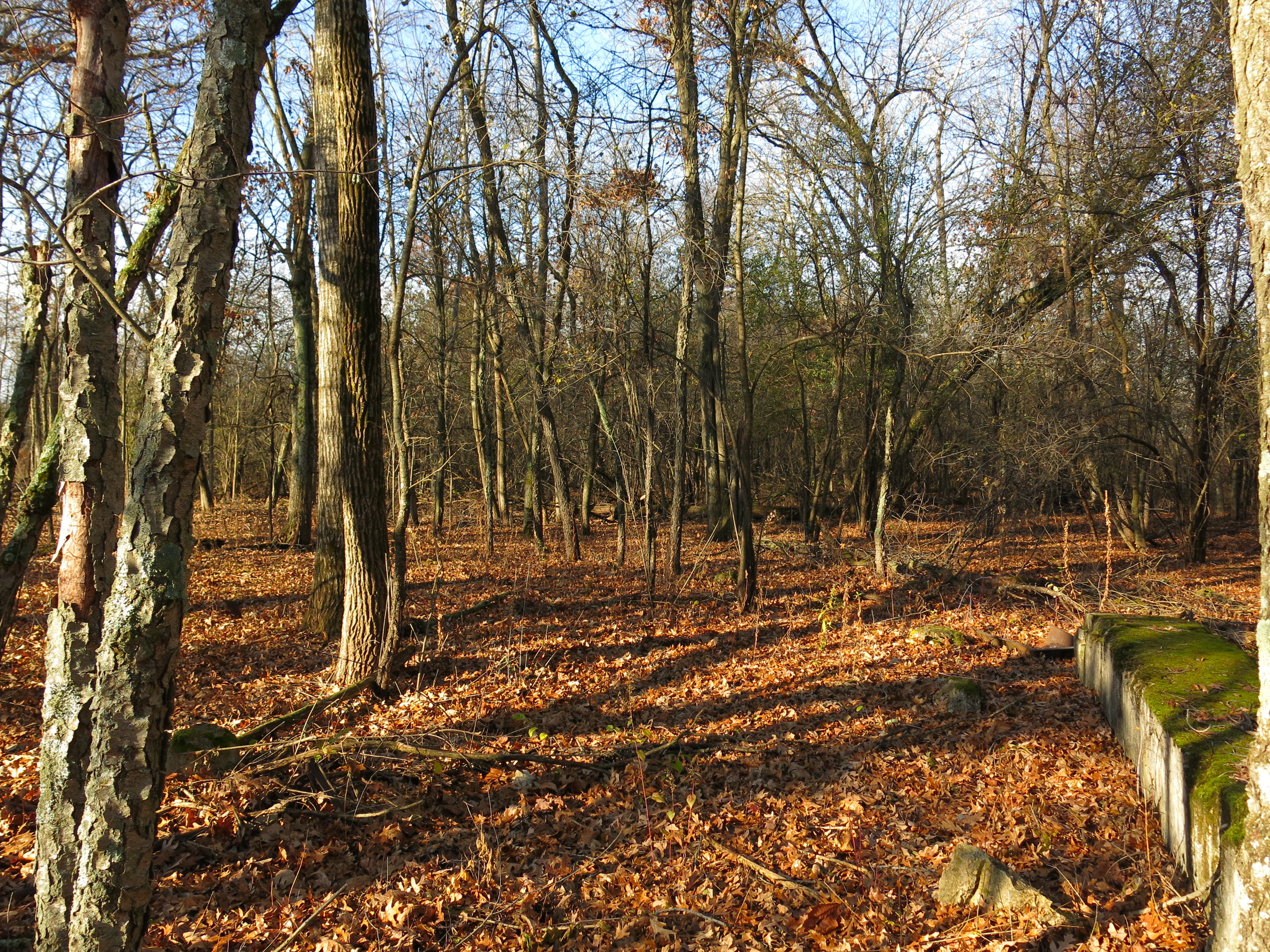
I recently replaced the bar oil pump, clutch and muffler on my Stihl 361 Pro chainsaw and I was eager to see how it performed. On Wednesday I returned to the cut-off trail to finish cutting a little patch of buckthorn on the east side of a wetland that sits between the cut-off trail and north loop trail. Then I moved 100 yards to the east to cut buckthorn on the east side of another wetland near an old building foundation.
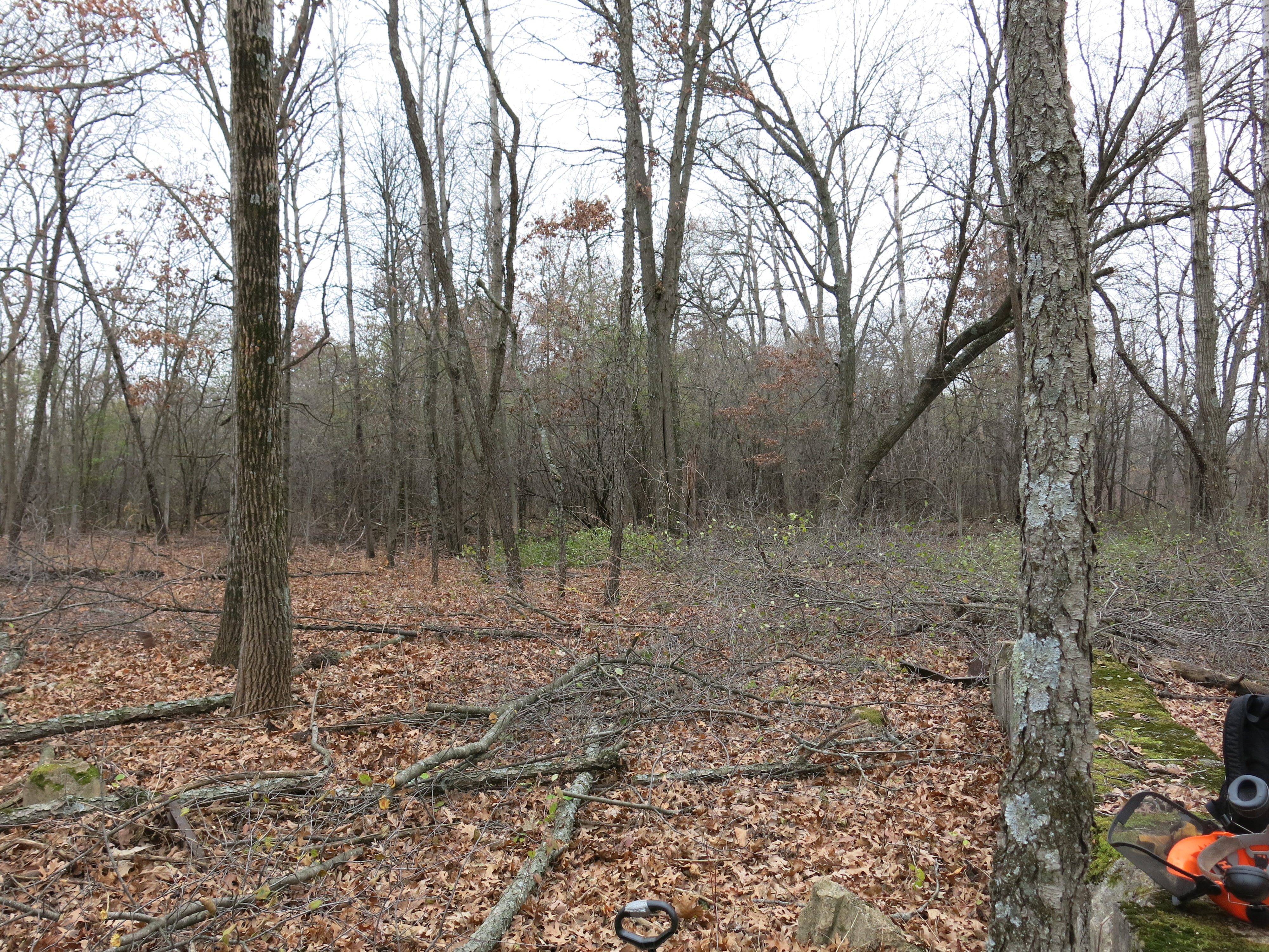
And after cutting… the same three perspectives shown above.
Pati joined me and we walked over to the north loop trail to check out the view from that perspective and to see the newly minted brush piles that Andy Buchta made. Thanks Andy!
Here is a view of the work area as seen from a bit further east on the cut-off trail.
And video tour of the area.
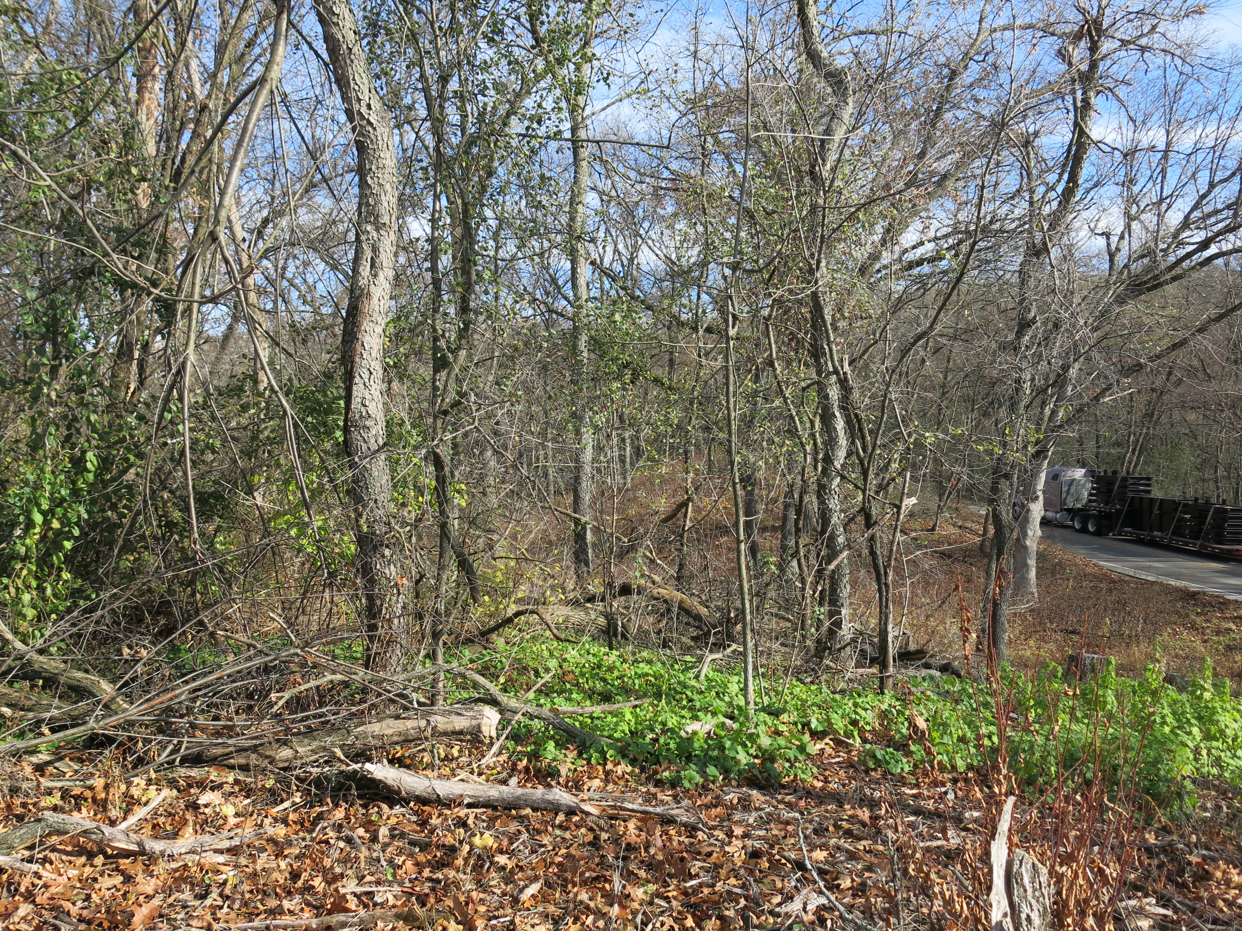
My chainsaw ran perfectly and on Friday I was back at it again this time on the south end of the Scuppernong Springs Nature Preserve. There was a patch of buckthorn on a little knoll between the Scuppernong Spring and Hwy 67.
I had to tie a rope around some of the buckthorn to pull them pack away from the road as I cut them.
Then I moved over the west a few yards to tackle a nasty thicket of buckthorn mixed with black oak slash.
Like Wednesday, it was a sunny warm morning that turned cloudy and chilly as the day progressed. Here are the same three views above at the end of the day.
“I am just an amateur photographer; I enjoy a walk or hike in the city or country with camera in hand.” Tim Kant
I met Tim on October 11th, the first frosty morn of the season, and encouraged him to share his images of The Springs here. Regarding his pics displayed below, he modestly advised: “There is nothing in this dropbox folder that is worthy of the National Geographic.” Well, maybe they are not as cool as your wolf pictures Tim, but I like them. Click the photos to view them full-size.
View from the marl pit bridge.
During his recent visit to The Springs Ben Heussner explained that one of these huge culverts came from the gaging station bridge location. He recounted the many times they had to remove beaver dams from that site before the culvert was pulled out. That solved a mystery for me regarding how the cut-off trail got flooded out. I thought the beaver dam was at the marl pit bridge and I couldn’t figure out how a pond in that area could have affected the trail. Now I know; the beaver pond was upstream of the gaging station bridge and that is why the cut-off trail got flooded.
Ok, that was the first version. Ron Kurowski provided this explanation via email:
Read your latest news from the springs and wanted to clear up where those large culverts (marl ovens) were originally located. They were at the marl bridge and beaver would make their dams inside them and it would be quite a problem to take them out, so that is why they were removed. The beaver would make their dams on either side of the other (water guage) bridge and create a huge flowage on the east side of the bridge. It killed a lot of buckthorn that way but not enough. It flooded the main trail and the short cut.
I asked Ron for more info about the “marl ovens”.
The “culverts” were right where the marl bridge is today and were back to back in line with the flow of the river. I believe that these “culverts” were the massive boilers for the large kiln that dried out the marl to turn into quick lime. They also could have been part of the large kiln!! They were originally near the concrete marl plant and probably someone who owned the property before the DNR bought it, moved them into the stream for a culvert. It sure would be interesting if there were more photographs of the marl plant, as to how it looked but we only have one rare photograph of the plant.
Classic perspectives from the gaging station bridge.
Wanderings.
The Scuppernong Spring.
Very nice! Thanks for sharing Tim.
I had a mellow week working at The Springs cutting brush along the east end of the cut-off trail and along the northeast perimeter of the loop trail in preparation for the burn next spring.
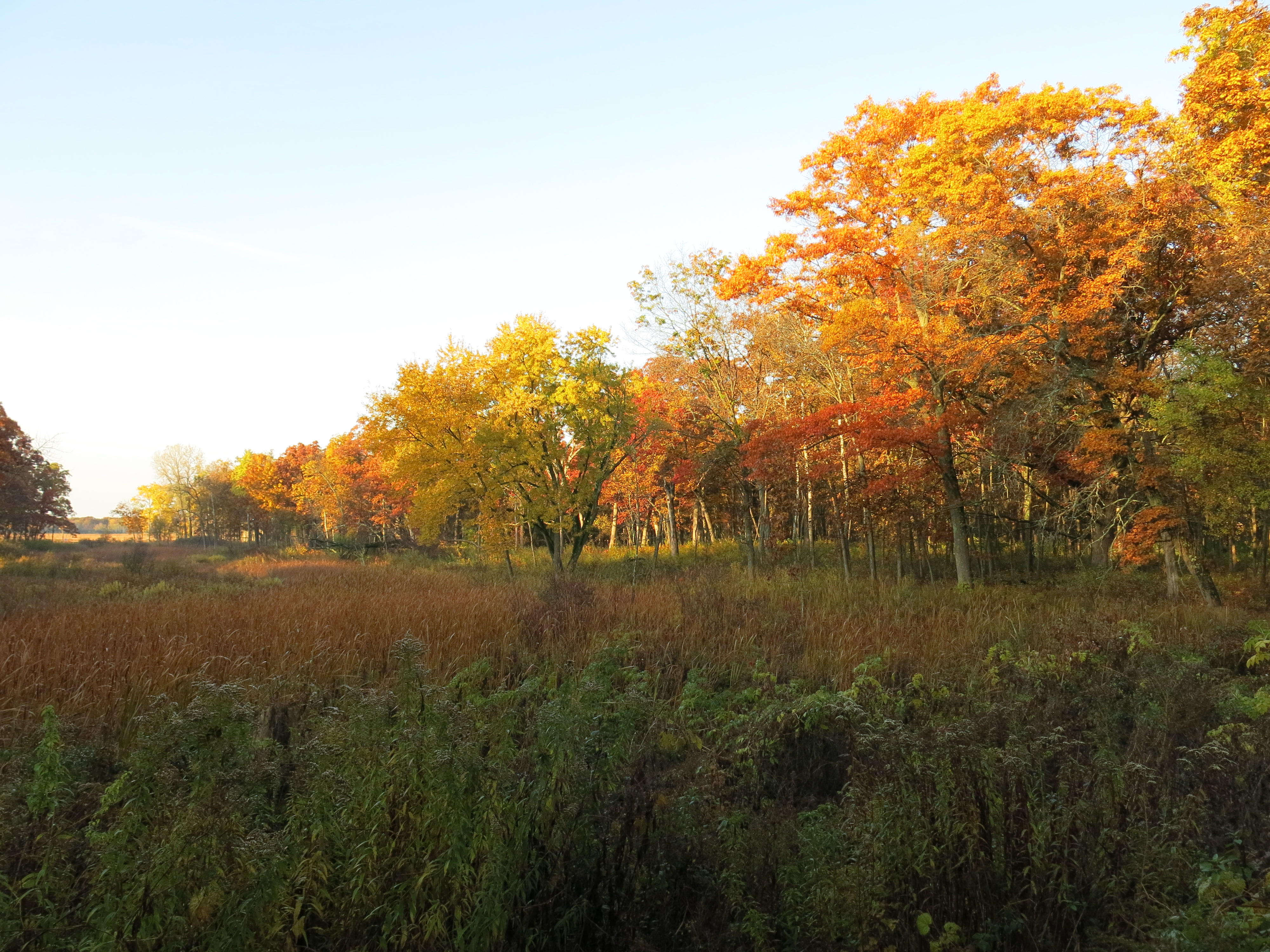
I hope you enjoyed the marvelous stretch of blessed Fall weather we recently experienced here in Southeastern Wisconsin as much as I did.
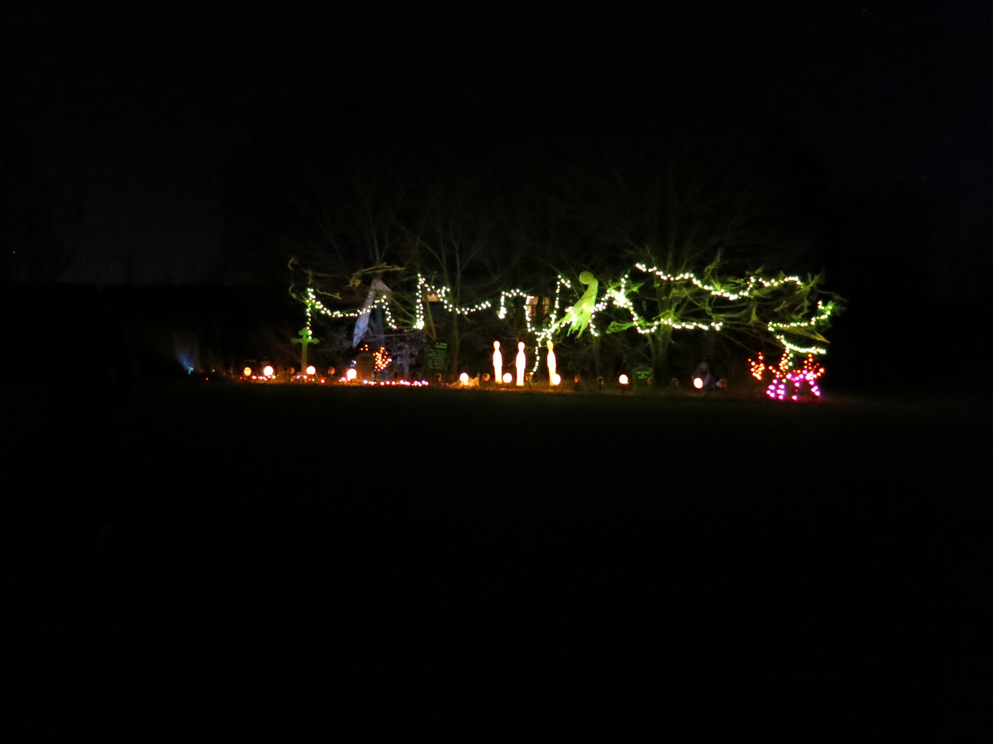
I chose to camp in late October at Ottawa Lake site #335, aka My Shangri-la, back in January because I wanted to enjoy the 5th annual Halloween Bash, and the event turned out to be magical indeed.
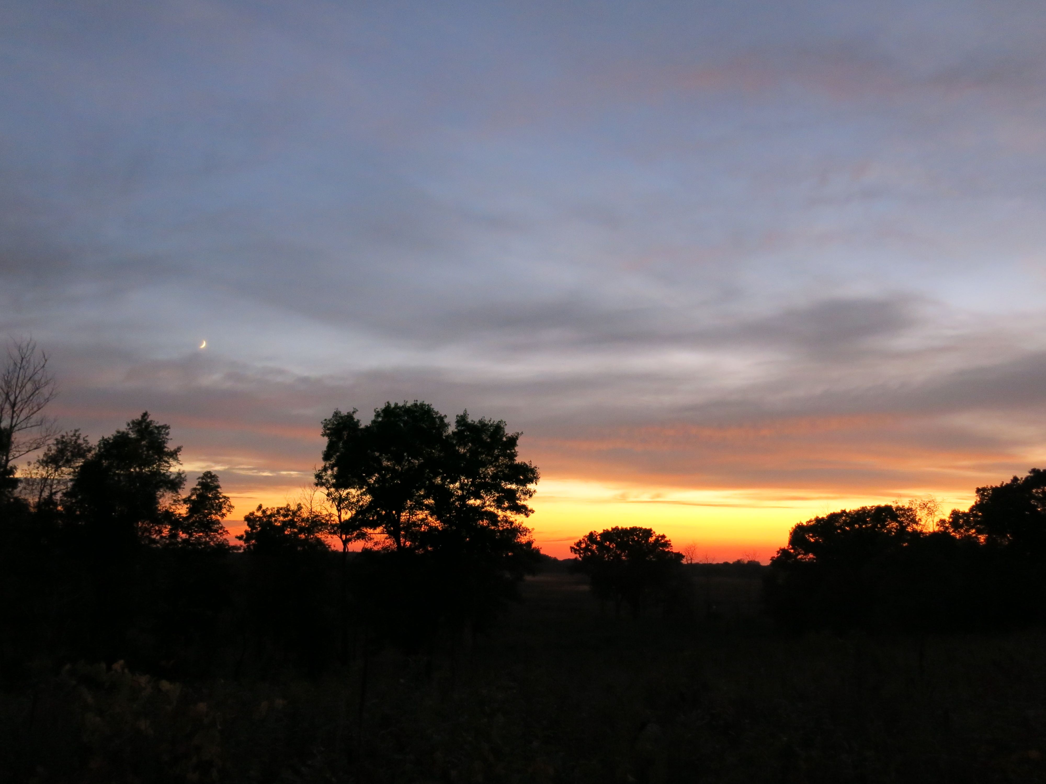
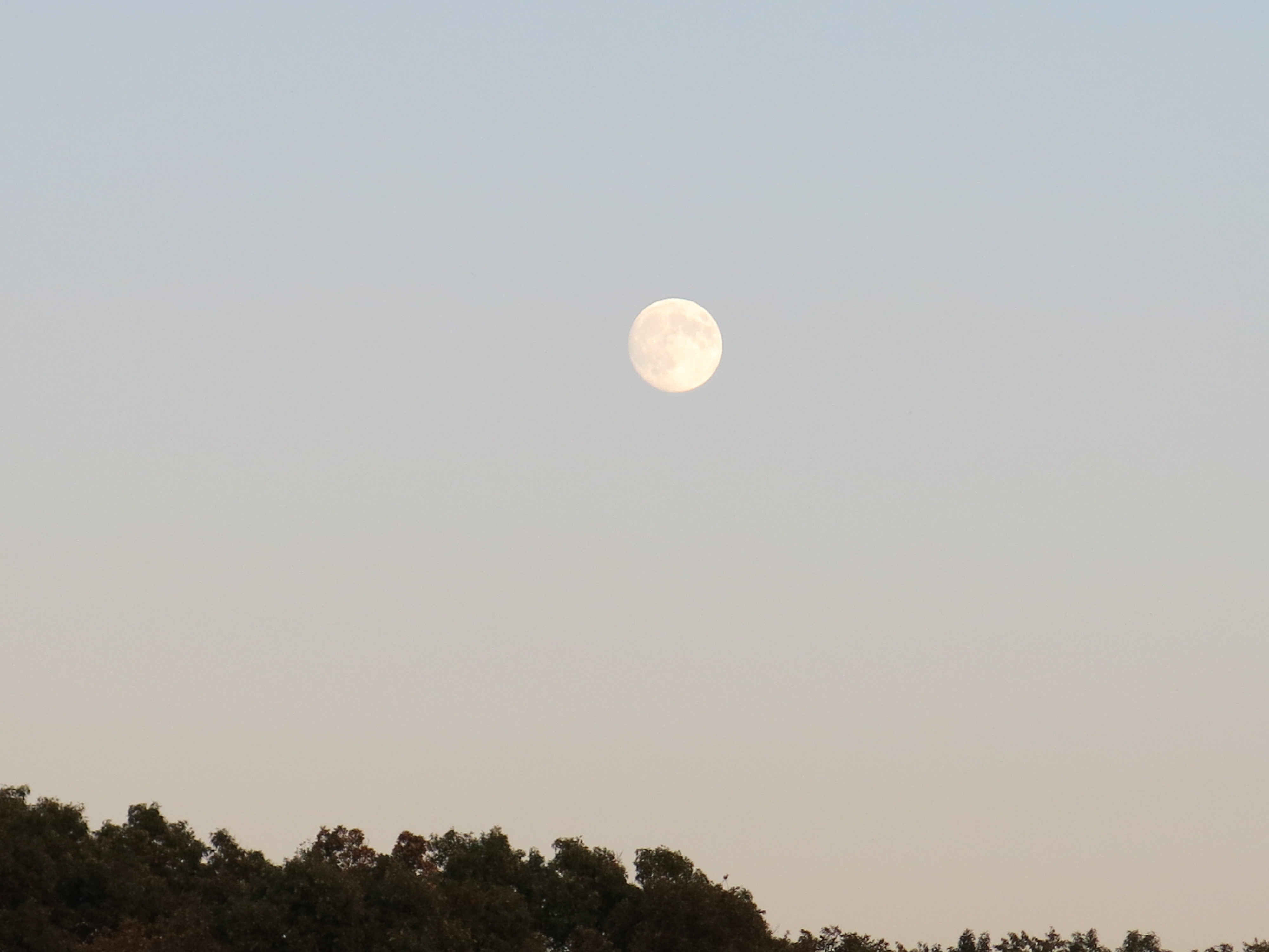
The campground was almost full Saturday evening for the climax of the festivities and a crescent moon hung over the lake. As Pati and I strolled amongst the fantasmicgorically decorated campsites, we were occasionally startled by ghoulish outbursts piercing the sweetly scented campfire smoke.
The pumpkin carving was exquisite again this year.
It was pure good fun, except for the premature report of the demise of the Buckthorn man, which I found very disconcerting.
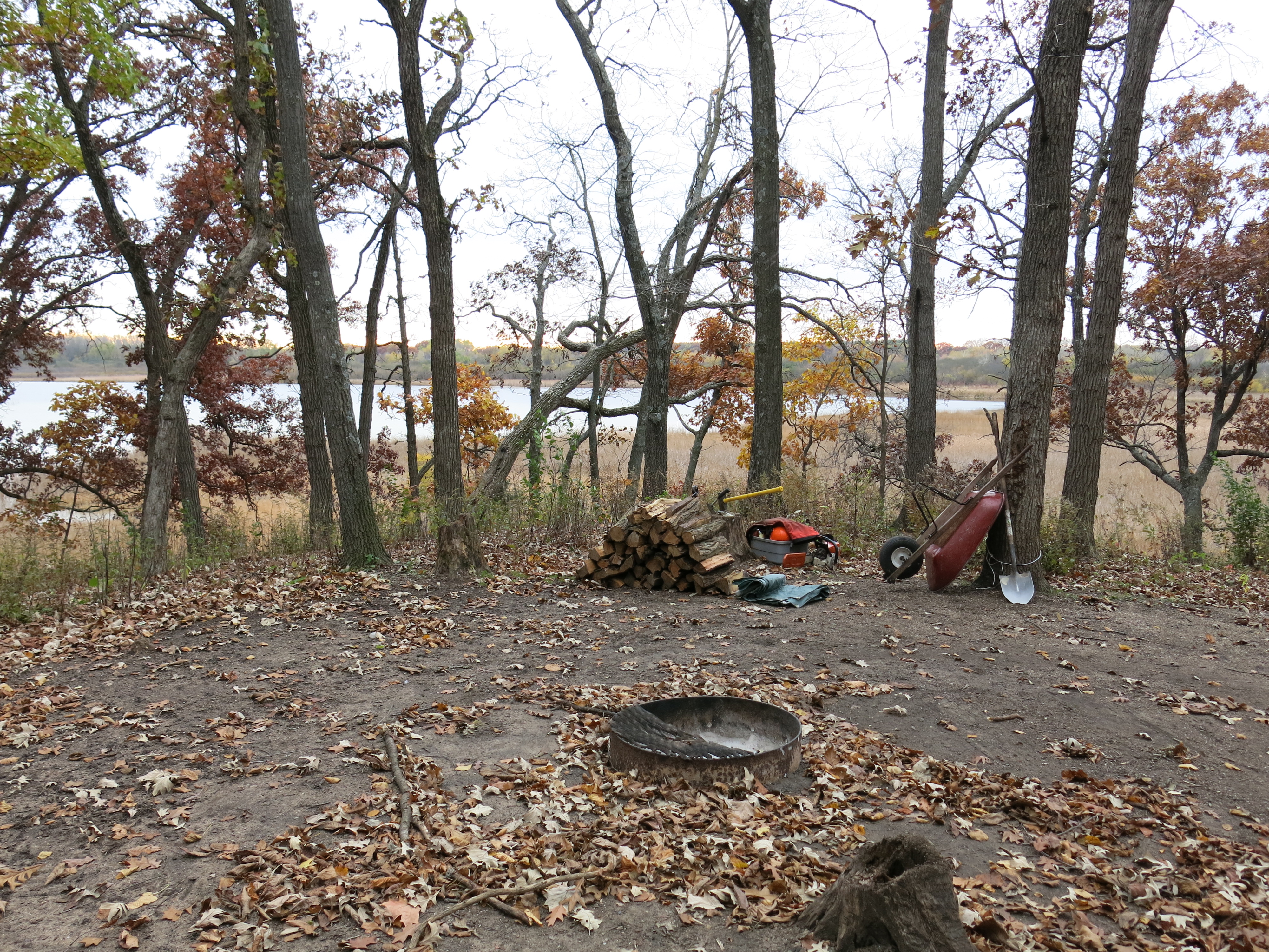
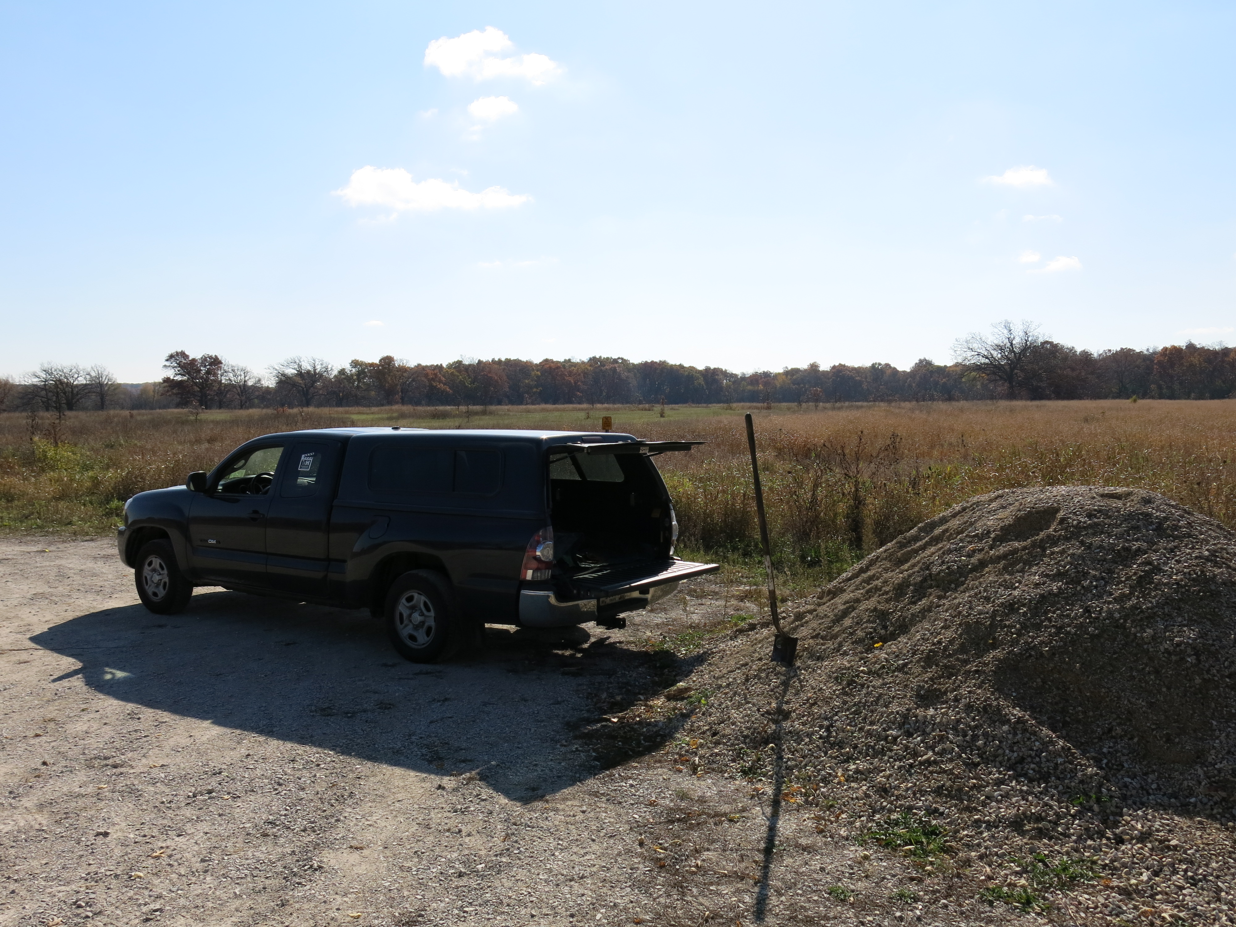
Contrary to the epitaph above, I had a super productive week working on the Scuppernong Springs Nature Trail and the Ottawa Lake Fen SNA. I setup camp on Monday October 20th…
… then proceeded with my empty truck to the gravel pile Anne Korman (Assistant Superintendent of the Kettle Moraine State Forest — Southern Unit) had directed us to.
There were a few spots on the trail that tended to puddle and I filled them with stone.
Back at camp I enjoyed a dinner of fresh vegetables, stir-fried with the Buckthorn Man’s secret recipe curry brown lentils and wild rice.
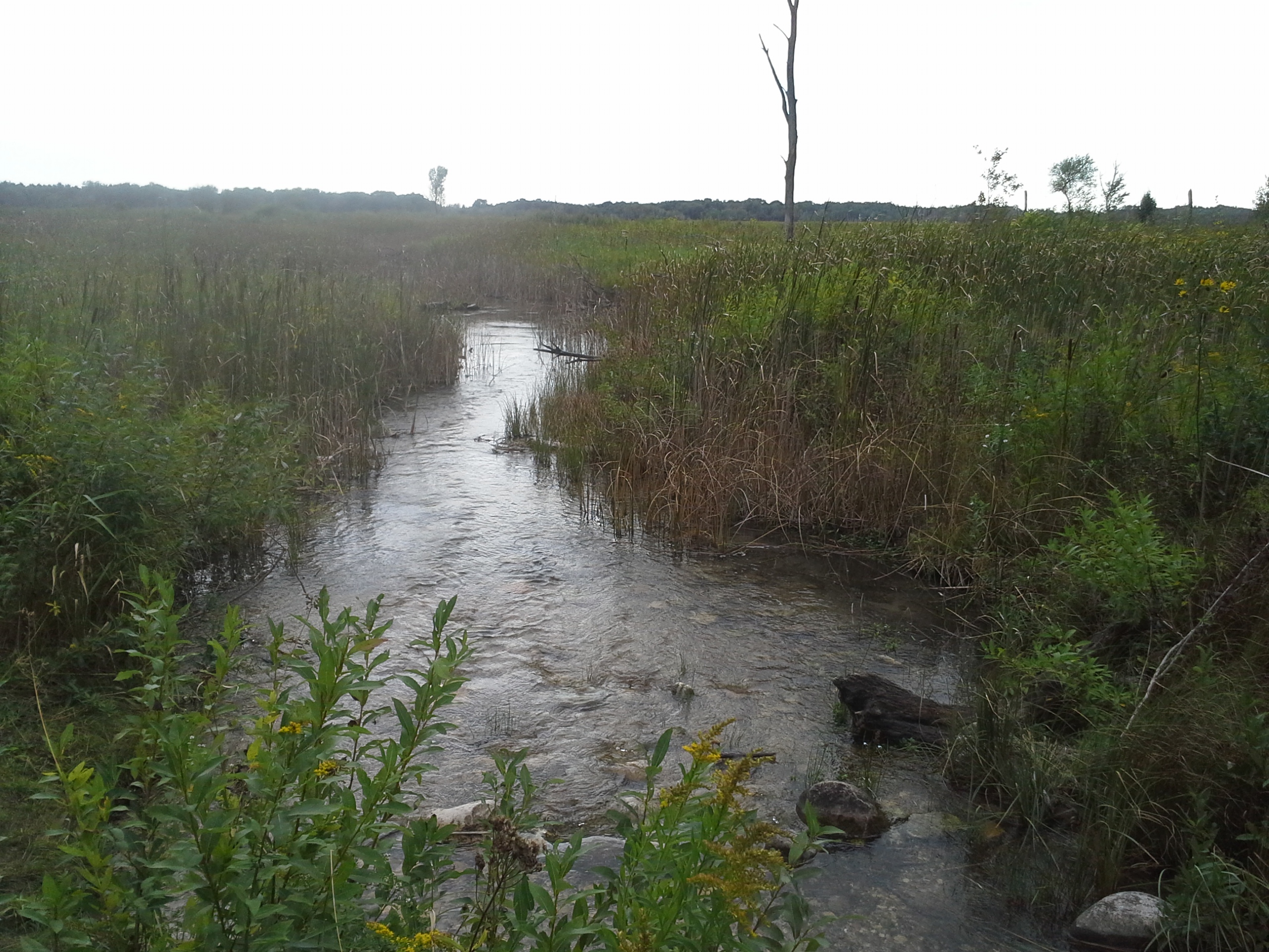
On Tuesday and Wednesday I began clearing buckthorn and honeysuckle on the south side of a channel that drains a spring that emerges from a ditch just below Hwy 67.
Here is the view before I got started standing on the shoulder of Hwy 67 and looking towards Ottawa Lake.
People I meet on the Scuppernong Springs Nature Trail tell me that they used to be able to see Ottawa Lake from the highway. Now, the only way you could possibly do that is via the drainage shown above. I was determined to reopen this view as a tease to draw people into exploring this beautiful area. At the end of the day on Wednesday, I followed the drainage up expecting to see the water emerging from a culvert that drains wetlands on the northeast side of Hwy 67. Instead, the culvert was dry and I found the source was a bubbling spring on the west side of the highway.
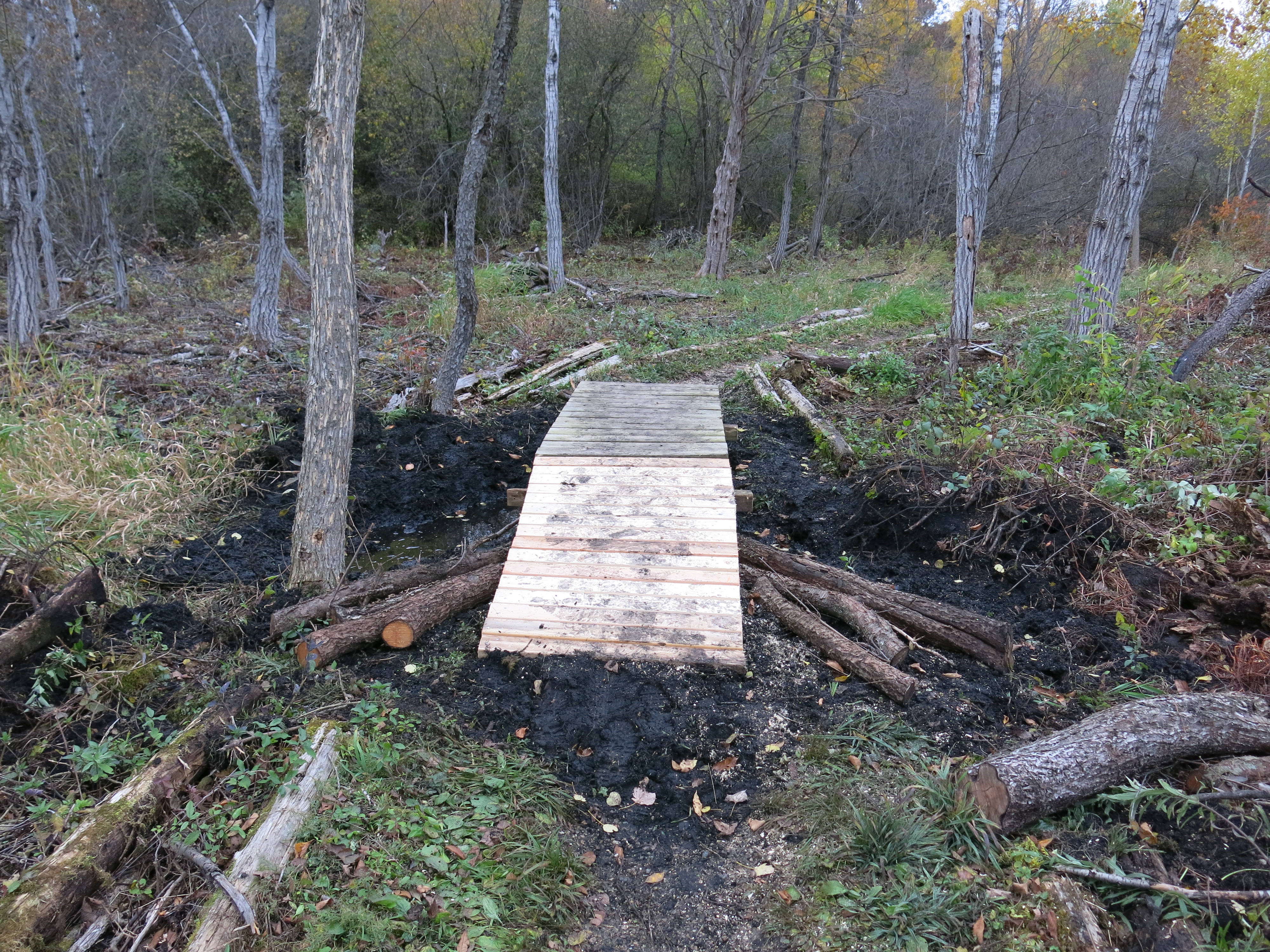
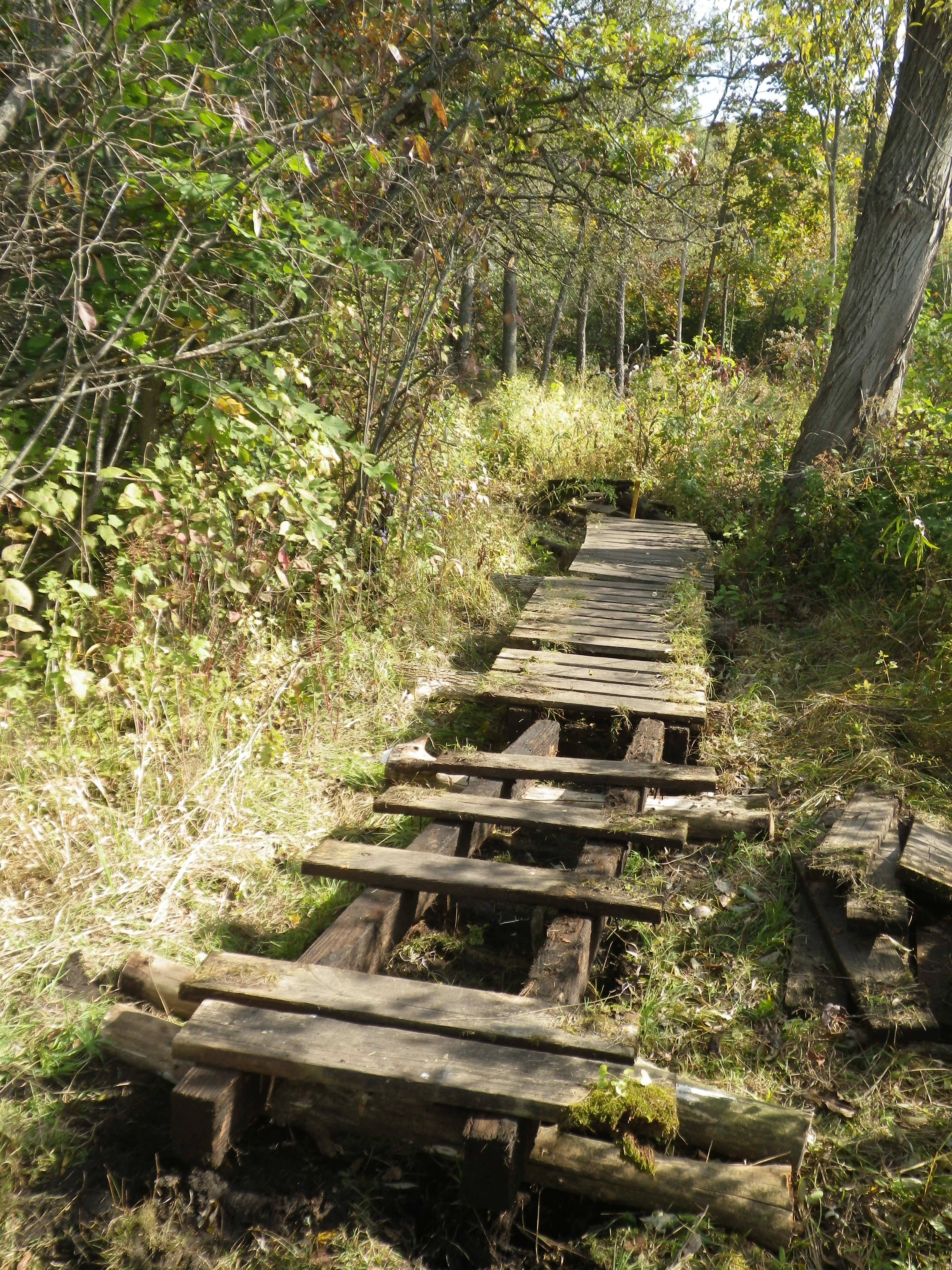
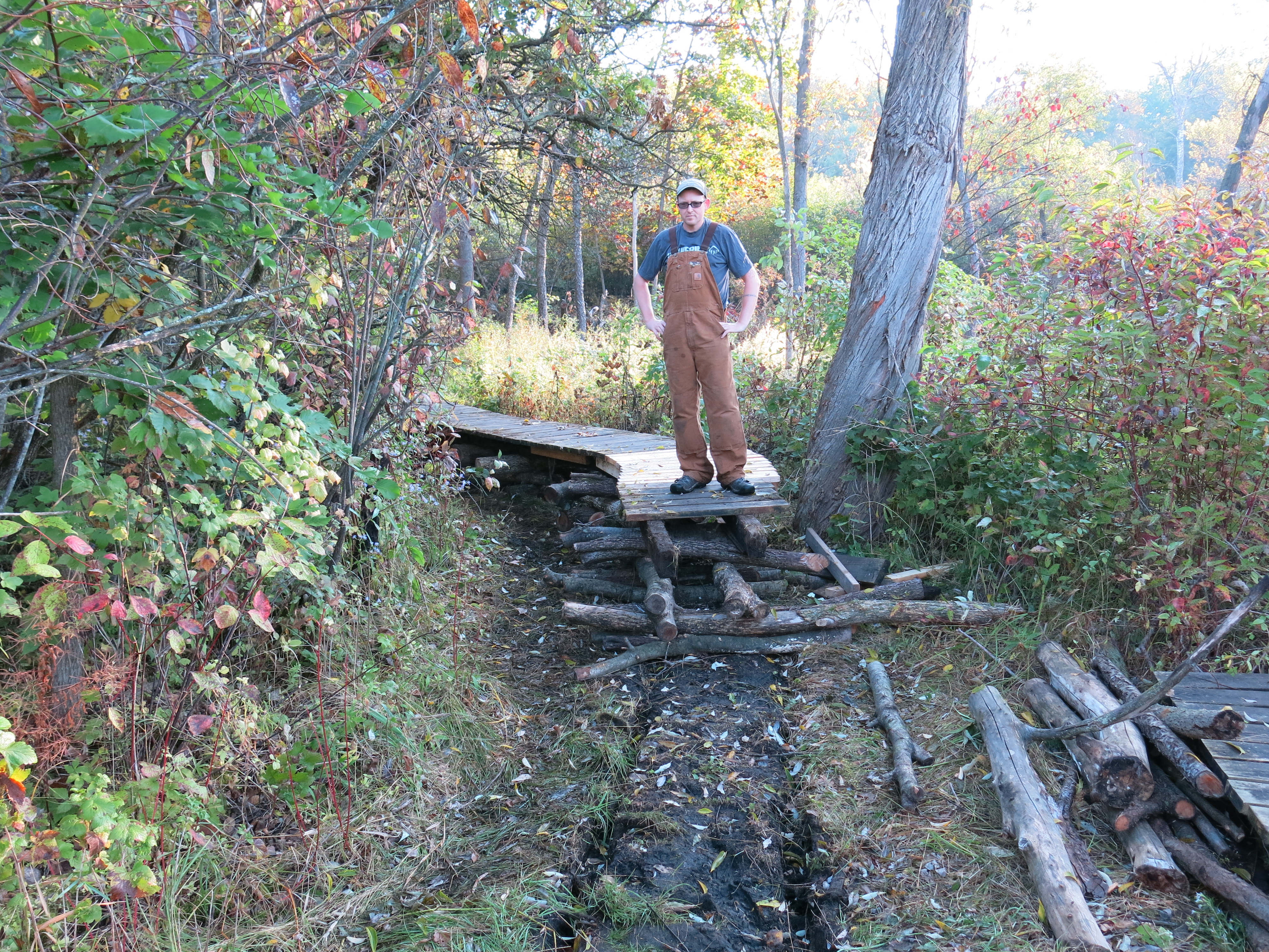
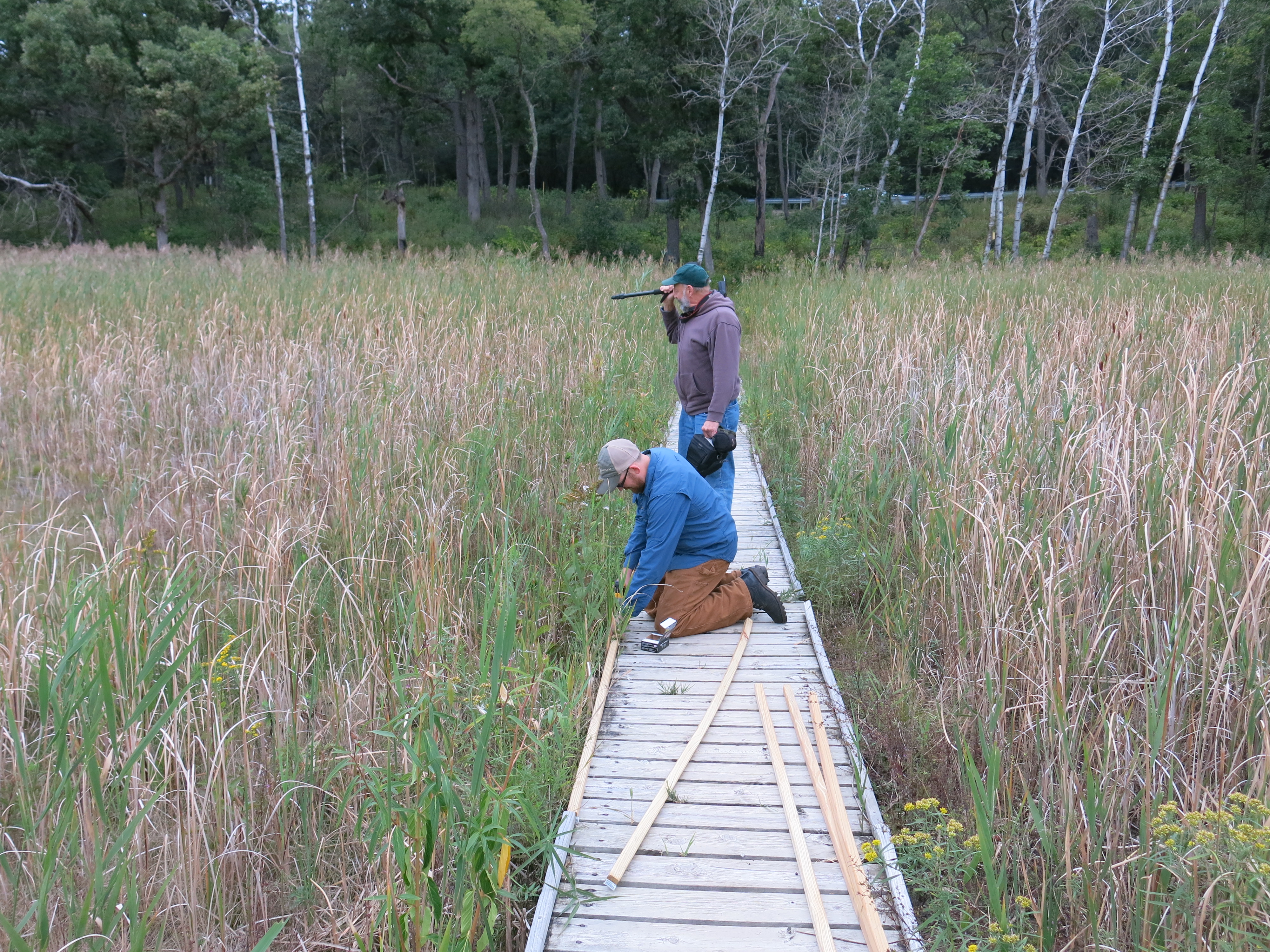
On Thursday I took a day off, sort of, sharpening my chains in camp and later meeting Ben Johnson at the Hotel Springs to work on positioning a boardwalk that we had relocated to the cut-off trail. The rain didn’t dampen our spirits one bit! It was a pleasure to have Ben over to the campsite for dinner afterwards and we dried our butts off by the fire.
Lindsay Knudsvig joined me on Friday and we began clearing the north side of the channel that flows from the spring I “discovered” on Wednesday. Ottawa Lake is fed by many springs and I think this one may be the most substantial. Here are a couple views after we finished for the day.
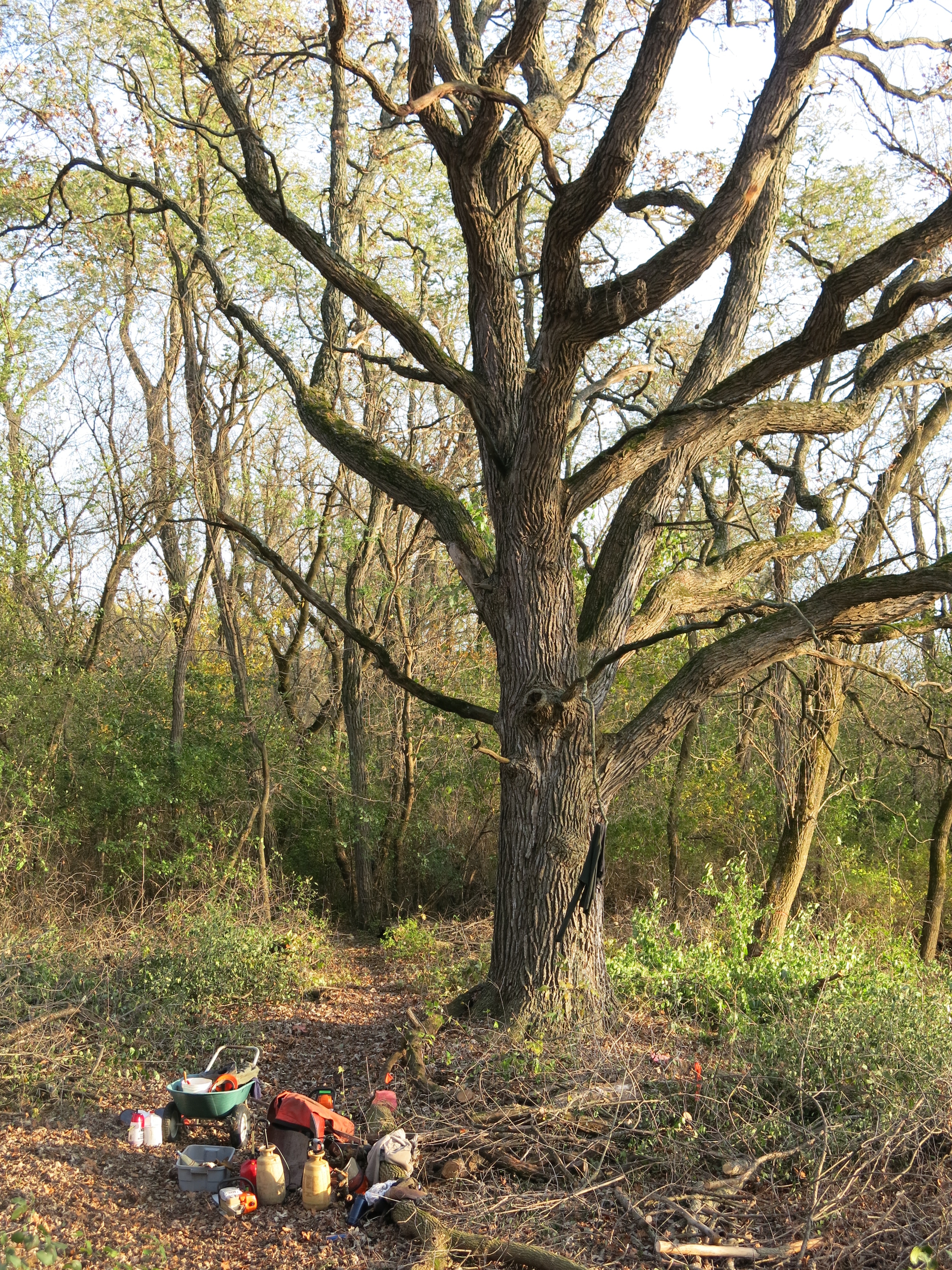
There is a massive, pre-settlement, white oak near the spring’s channel.
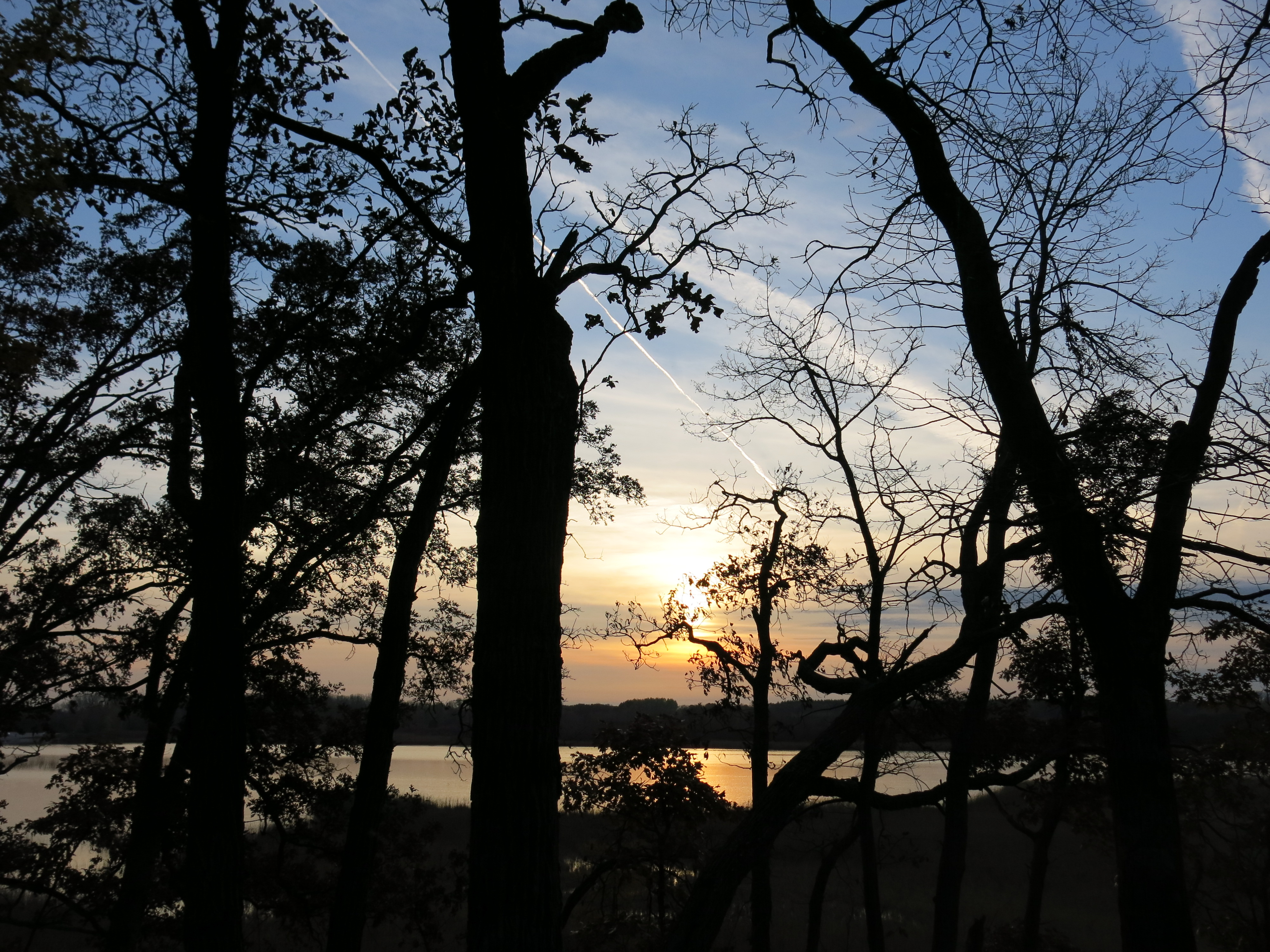
Unfortunately, Lindsay could not stay for dinner, but Pati came out and we enjoyed the sunset and campfire.
There is an embankment on the north side of the channel that extends out to where the water joins the pond that is at the center of the Ottawa Lake Fen. There are excellent views south, west and north from this vantage point.
On Saturday I started to clear the buckthorn from both sides of this embankment. Here is what it looked like before I got started (looking left, then right).
I finished the left side on Saturday and began clearing the debris from the channel with the intention of getting a current flowing all the way to the union with the fen pond. That evening Pati returned to stay a couple nights with me and it was sweet.
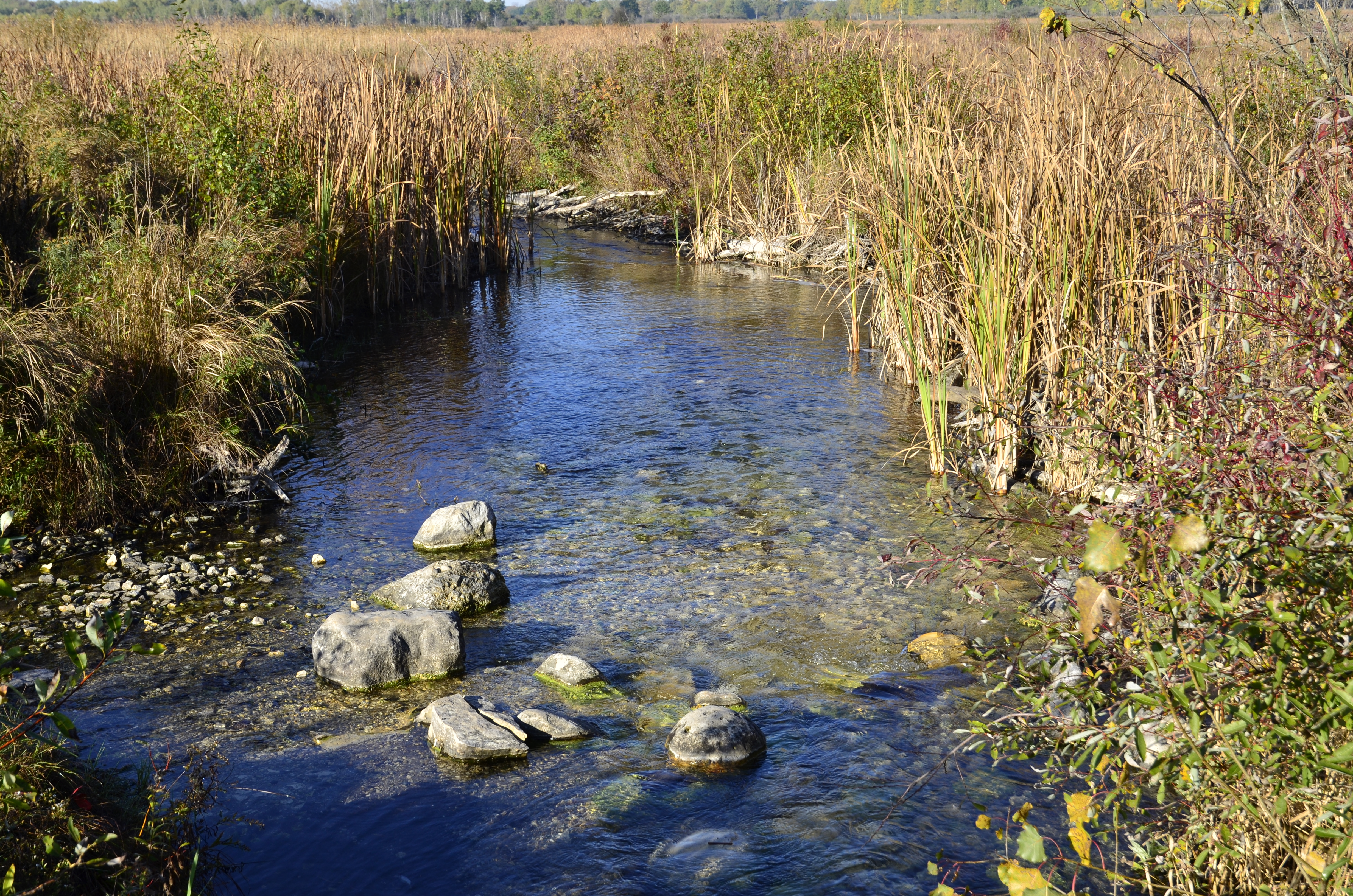
On Sunday morning we took a nice walk around the Scuppernong Springs Nature Trail waiting for the day to warm up and then we headed to where the Scuppernong River passes under Hwy Z to do our last river monitoring of the year. You can view the data we collected in 2014 at the Water Action Volunteers site by searching by site (Scuppernong River at Count Hwy Z) and specifying the date range of April thru November and the “select all parameters” button.
In the last post I made the bold and unsubstantiated assertion that: “We do not see the diversity of macroinvertebrates typically found on stoney, sandy, bottom riverbeds…”, in the muck and marl filled stretches of the headwaters of the Scuppernong River. So, Pati and I repeated the same biotic index study we did at Hwy Z as part of our river monitoring, at four locations in the Scuppernong River headwaters where the DNR is planning to remove material to enable the river to headcut. We investigated the areas just upstream from where the changes will be made. Here is what we found (refer to this link to see pictures of the Macroinvertebrates):
Where the Scuppernong River crosses Hwy Z, which has a stoney and sandy riverbed:
Aquatic Sow Bug
Crawfish
Amphipod or Scud
Dameslfly larva
Giant Water Bug
Back Swimmer
Water Boatman
Riffle Beetle Larva
Pouch Snail
Caddisfly Larva
Now, at the four sites in the headwaters. First at the Old Mill site:
Aquatic Sow Bug
Crawling Water Beetle
Amphipod or Scud
Dameslfly larva
Predaceous Diving Beetle
Back Swimmer
Riffle Beetle Larva
Orb Snail
Caddisfly Larva
At the Hotel Spring Bridge site:
Aquatic Sow Bug
Fishing Spider
Amphipod or Scud
Nematode of Threadworm
Leech
Pouch Snail
Riffle Beetle Larva
Orb Snail
Caddisfly Larva
At the bridge to the Hidden Spring site:
Aquatic Sow Bug
Amphipod or Scud
Nematode of Threadworm
Whirligig Beetle
Pouch Snail
Predaceous Diving Beetle
Dobsonfly Larva
Caddisfly Larva
And finally, at the first bridge to the Hillside Springs:
Aquatic Sow Bug
Amphipod or Scud
Riffle Beetle
Riffle Beetle Larva
Dobsonfly Larva
Caddisfly Larva
Backswimmer
Water Strider
I think it is fair to say that I was wrong to conclude that there was not the same diversity of macroinvertebrates in the headwaters area, where the riverbed is generally full of muck and marl, as further downstream, like at Hwy Z, where the riverbed is stoney and sandy. I did have to literally drag the net through the muck and marl in the headwaters to get the samples so it may be the case the the macroinvertebrates there are not as accessible to the trout as they are in the areas downstream that are stoney and sandy. In any case, we will continue to collect data in the headwaters at the sites listed above next spring, before any changes are made to remove material from the former embankments, and continue to collect data after the changes are made.
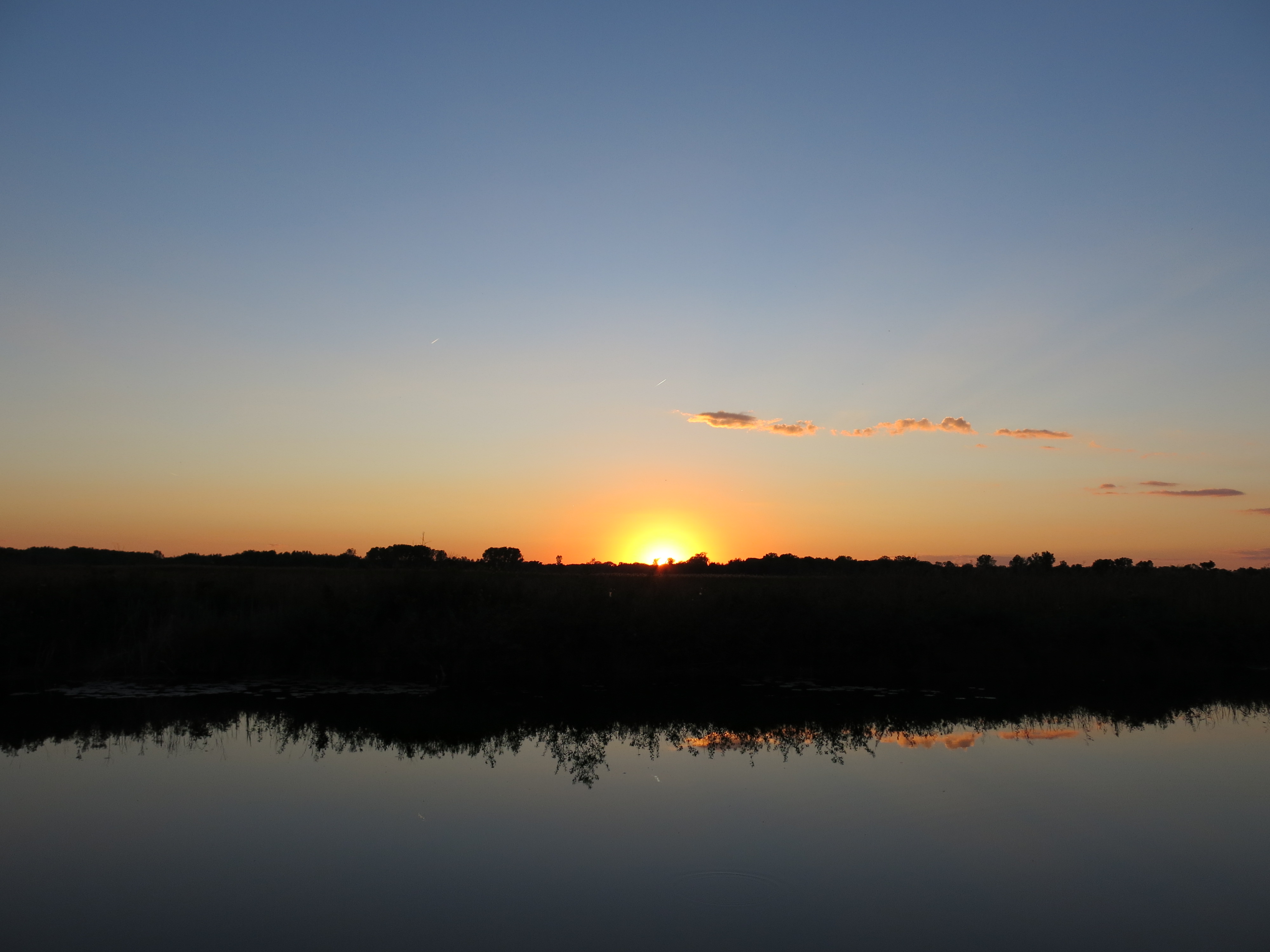
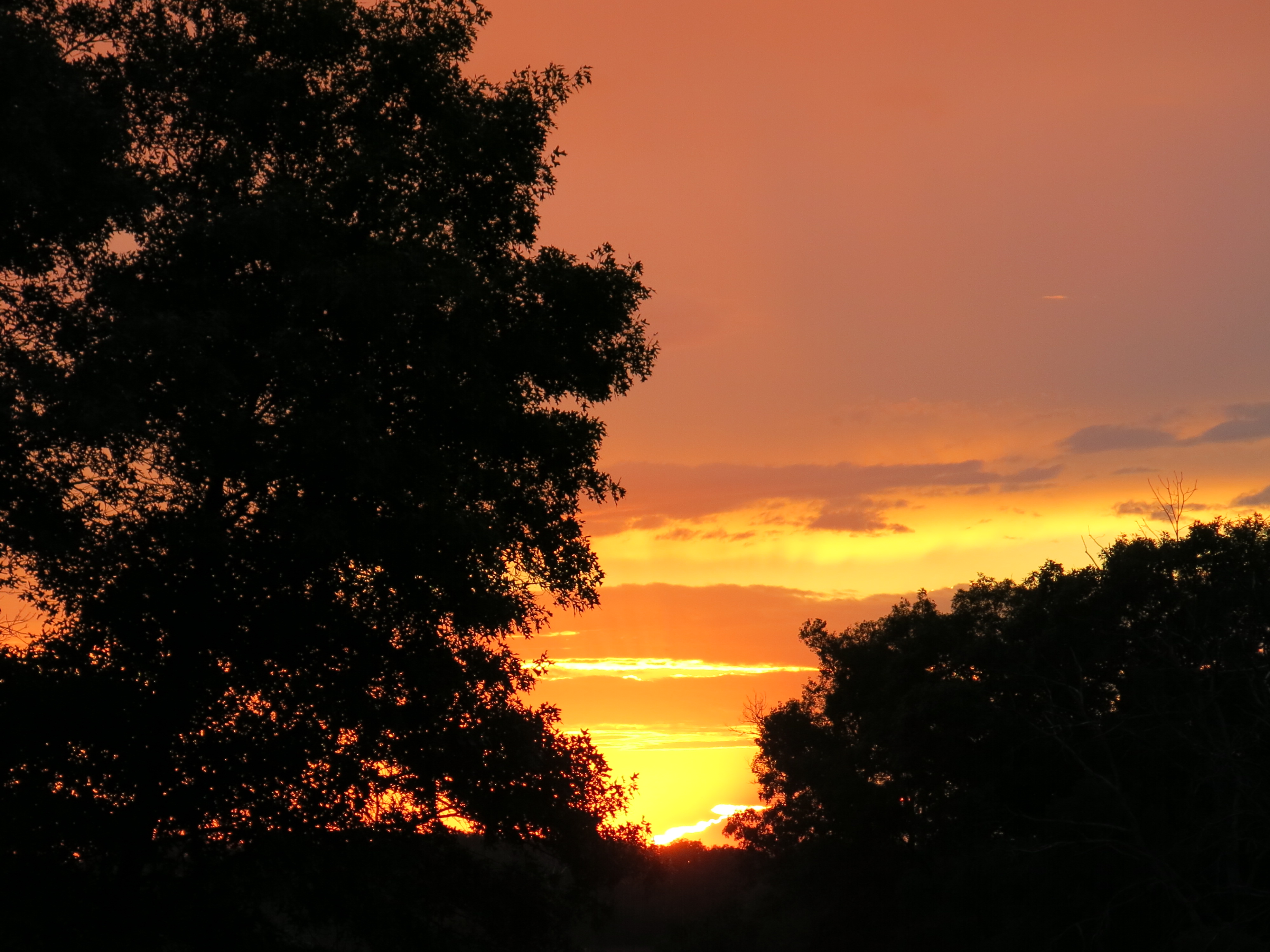
Sunday evening we finished dinner early and raced over to the Indian Campgrounds to catch the sunset.
And finally, this past Monday, I finished clearing the buckthorn along both sides of the embankment that follows the Ottawa Lake Spring channel to its entrance to the fen pond.
One Last view from the highway.
I also pulled out a lot more junk from the spring channel including: a car tire, one 5 gallon bucket, three 1 gallon plastic plant containers, bottles, cans, logs, planks and deck boards. Walk with me as I follow the channel from the fen up to its source at the spring. There is a bit of drama halfway through when I get stuck in muck up to my chest and let a few choice words fly.
Last but not least, I captured these images of the brush piles that Andy Buchta made on the east side of Ottawa Lake in the area that I cleared last month when I camped at My Shangri-La. Thanks Andy!
Think of The Springs as the heart pumping life giving water into the main artery of the Scuppernong River. When I began working at The Springs, 3 ½ years ago, I found the heart clogged with watercress, silt, marl and muck.
How do we measure the health of the heart of a river? The Wisconsin DNR does a fish count, on the stretch of the river between the gaging station bridge and the hotel springs, every year as a way to measure water quality. The counts have been going down since I began intervening by pulling out watercress, opening up the channels from the individual springs to the river, and stirring up and releasing muck and marl downstream.
Are my actions, metaphorically speaking, my heart surgeries, diminishing the quality of the water? Yes, if you go by the fish counts alone and you assume that my actions are the main causative factor for the decline. But, consider the river, choked with watercress, as a weight lifter dependent on steroids. The watercress dominated habitat provided shelter and macroinvertebrates the trout depend on, thus artificially boosting the fish counts. And, just like a weight lifter depends on steroids to maximize his power while ignoring the long term effects, the high fish counts at the Scuppernong River were dependent on an invasive plant dominating the river, to the long-term detriment of the heart.
What’s wrong with a river choked with watercress and filled with muck like a lake bottom? After all, the fish counts were high and we used to see trout in the river all the time.
It isn’t natural and it isn’t healthy long-term for the river watershed. The remnants of the entrepreneurial spirit of the European settlers on the river are four separate embankments that span the valley of the headwaters. Upstream of these four humps, muck and marl have backed up completely changing the hydrology. We do not see the diversity of macroinvertebrates typically found on stoney, sandy, bottom riverbeds. Now, I’m asserting that without data to back it up. I’m simply assuming that a muck and marl riverbed will not have the same diversity of species as a stoney, sandy riverbed. To address this lack of data, I plan to begin collecting biotic index data at various points in the headwaters so that we can compare it to after the four “humps” are removed, which will happen next Spring.
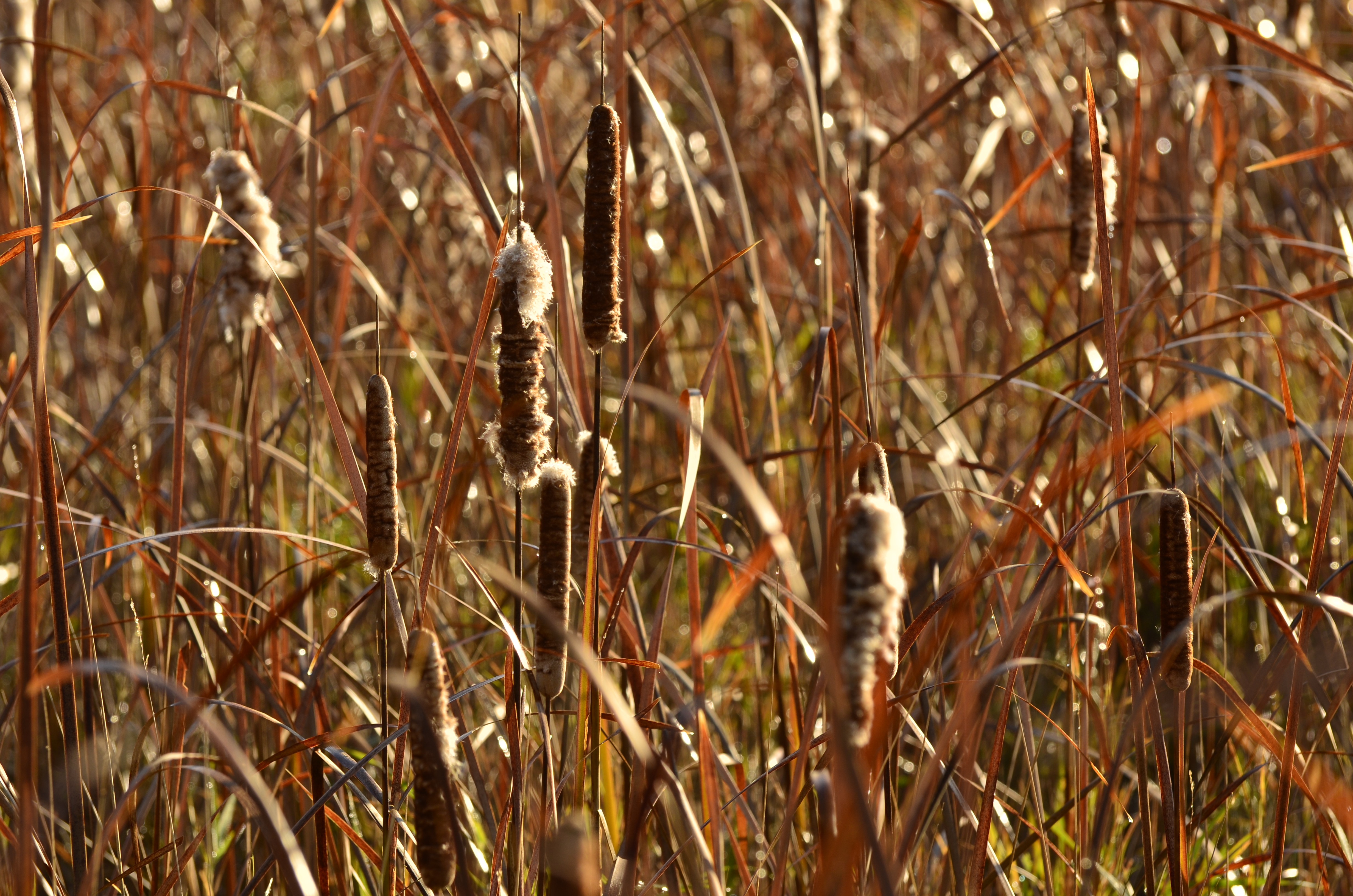
The width of the river in the majority of the headwaters above the hotel springs is 2 or 3 times normal and it resembles more a lake bottom than a riverbed. This widened and shallow system provides an ideal water source for the invasive cattails and phragmites that dominate the headwaters valley. Their root systems are hollow tubes ½ to ¾ inch in diameter, strong as pvc but much more flexible, that tap into the river The key to addressing this problem is, as Tracy Hames would say: “Fix the water“. Removing the humps will generate a headcut, which will cause the stream channel to narrow increasing its velocity and exposing a stoney, sandy bed. This will make it much easier to intercept the root systems of the cattails and phragmites and turn off the spigots that are feeding them. And keeping the watercress to a reasonable amount, so it does not impede the river like a vegetative dam, will help keep the water cold as it rushes downstream.
♦♦♦
I had a dramatic, three-day, run at The Springs this past Wednesday – Friday swinging my chainsaw with boundless energy. I’ve been chomp’in at the bit for 6 months to take down the buckthorn in many key areas, where a small amount of work can yield dramatic new vistas, and I tackled the areas marked in blue below this past week.
I’ll take you on a video stroll along the trail later below.
On Thursday, I was joined in the morning by a new volunteer named Dave Kieffer, who took a vacation from his project management role to help me out. Dave worked the brush cutter and I swung the chainsaw in the area marked in blue above that is closest to the cut-off trail.
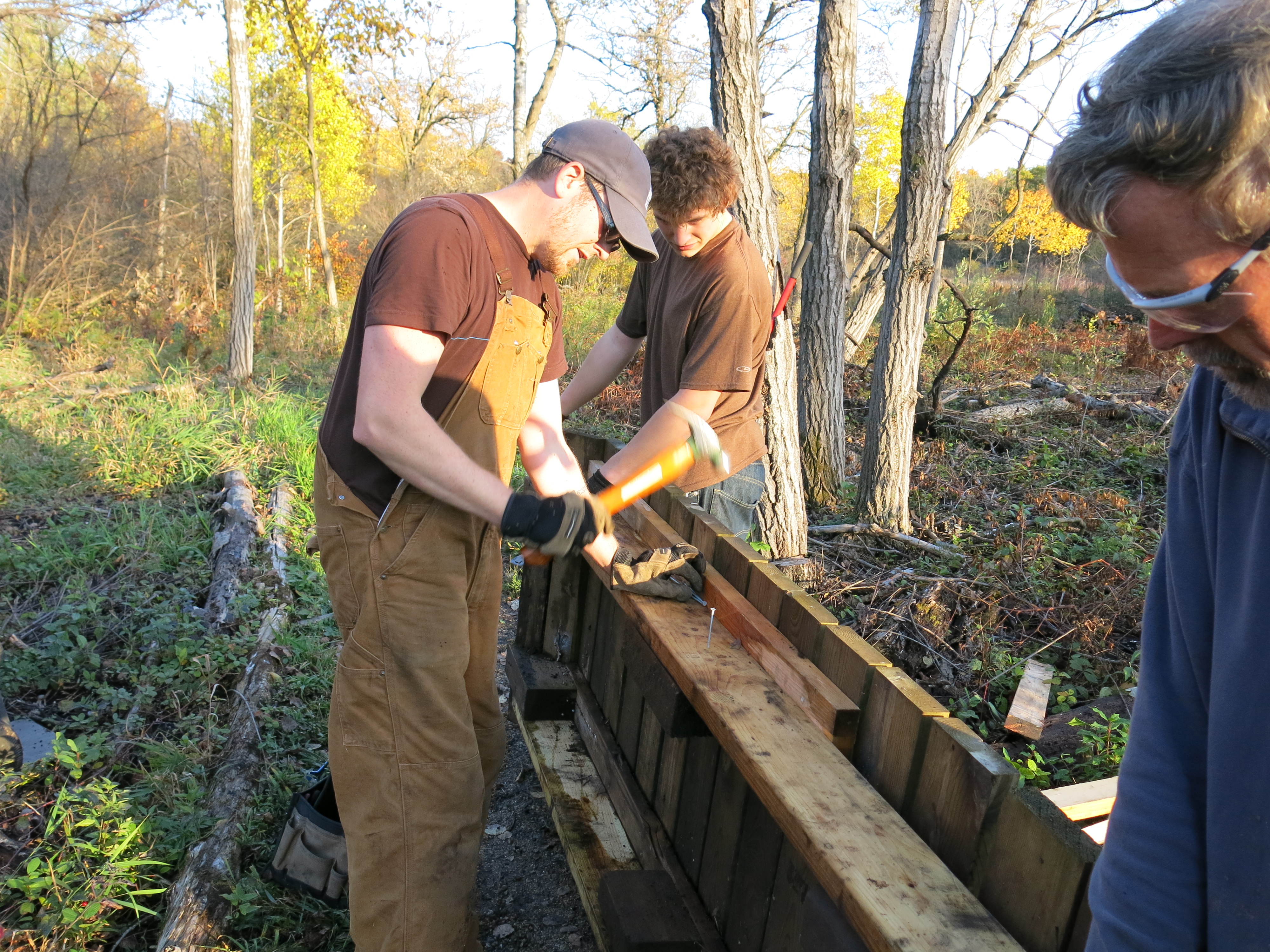
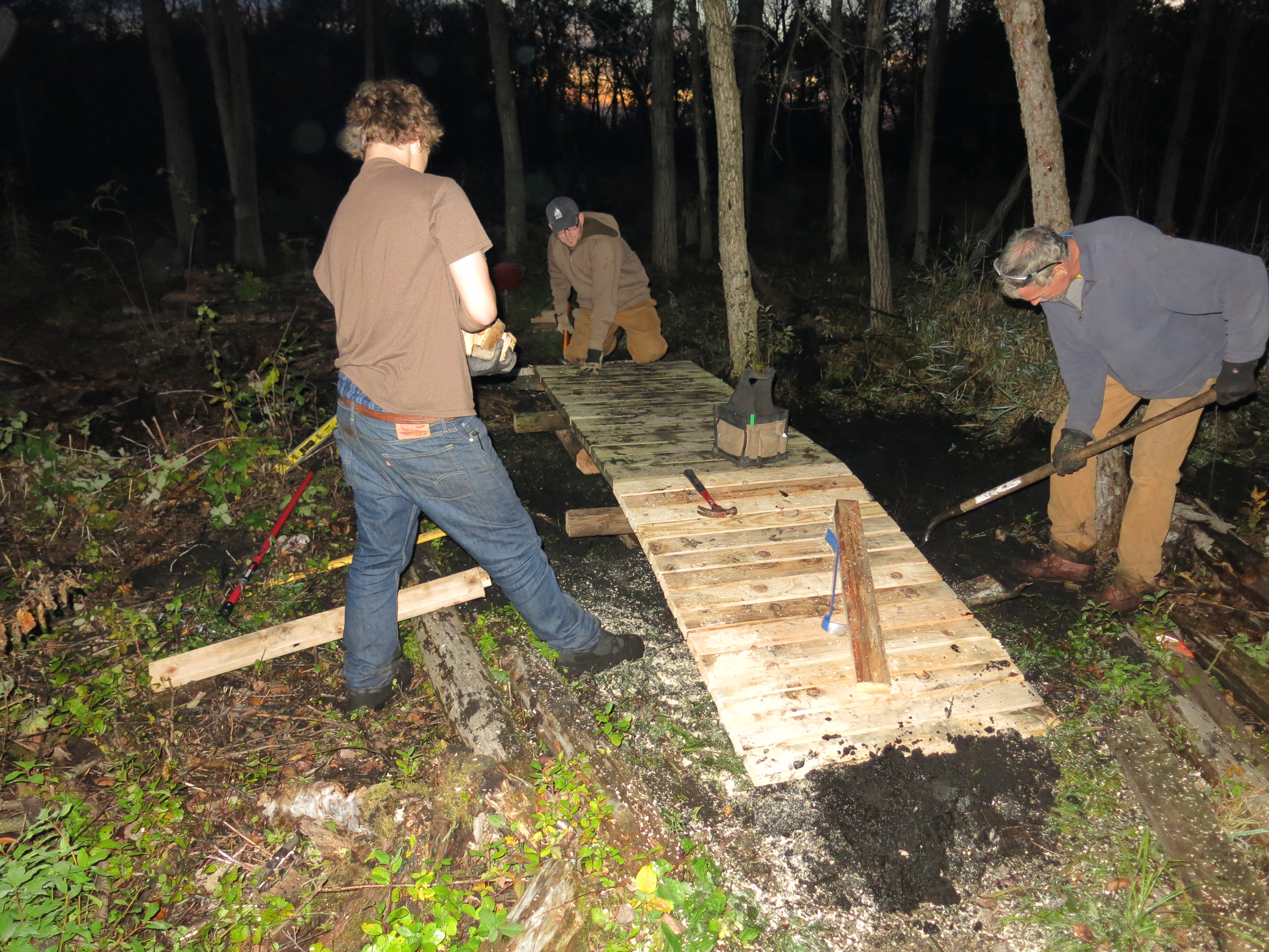
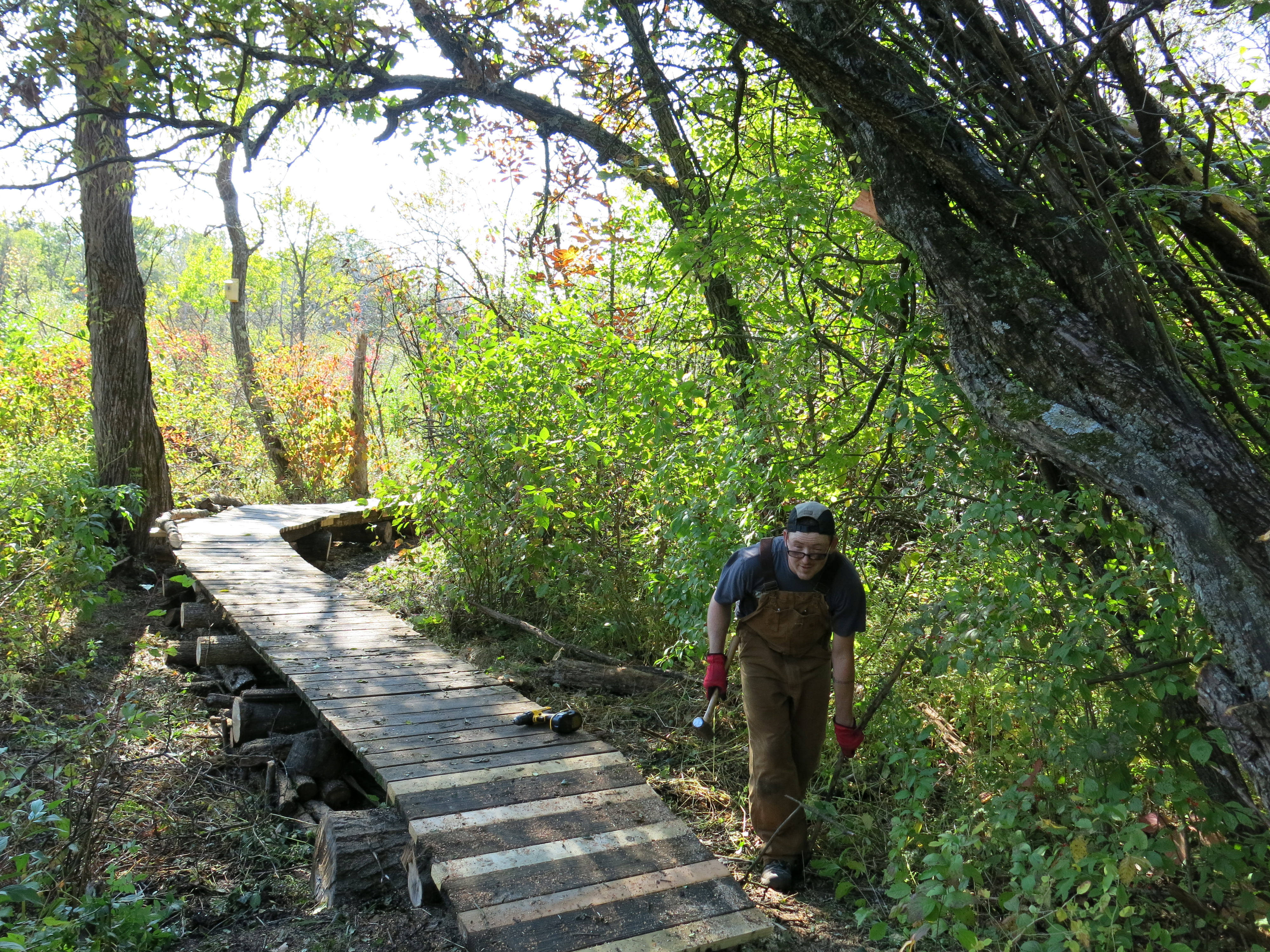
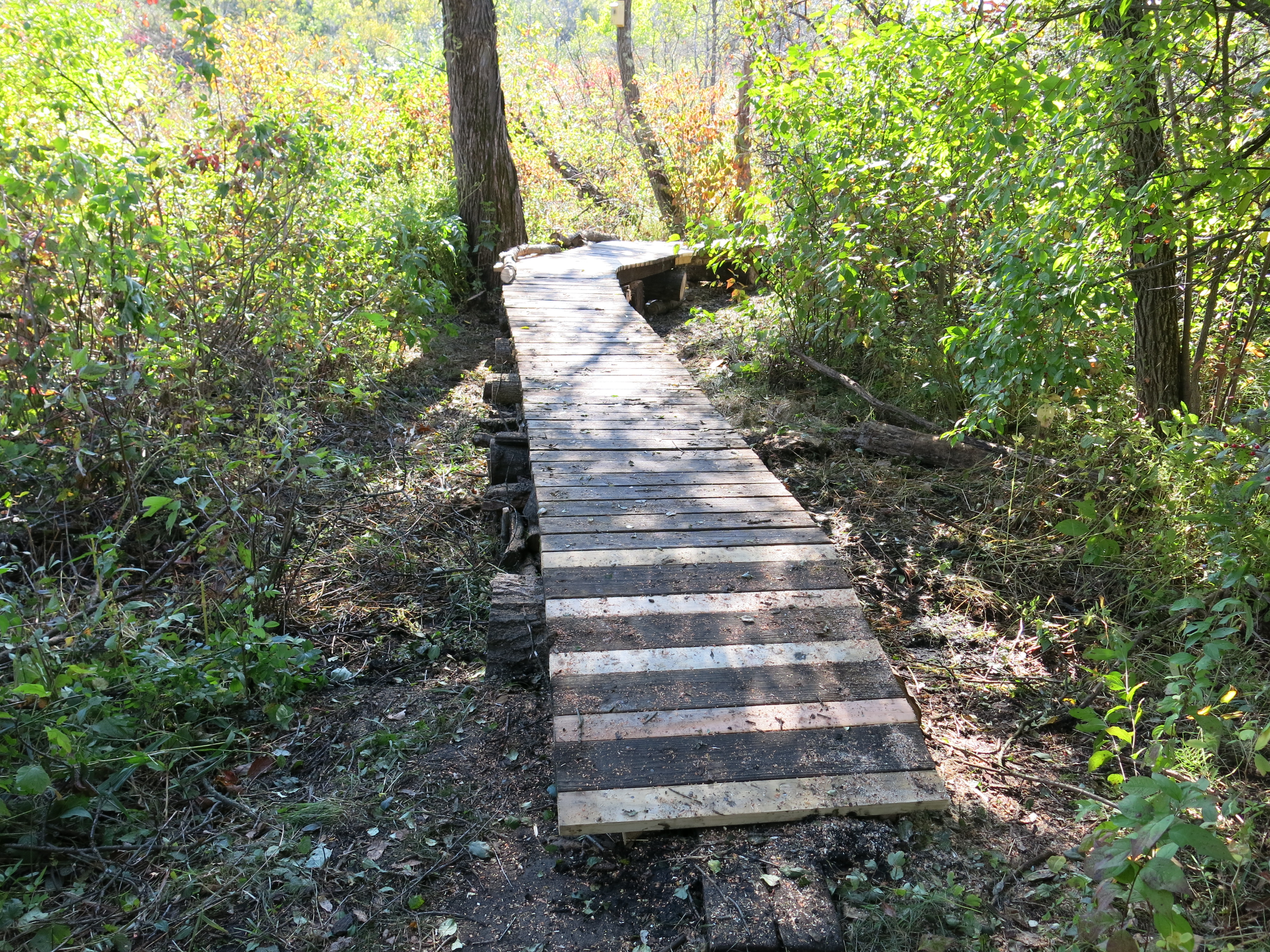
We had a date in the afternoon with Ben Johnson and another new volunteer, Ryan Wendelberger (a senior at Brookfield Central High School), to relocate two boardwalks so we shifted gears around 2:00pm. Here is how it looked when we finished.
Dave and I staged some logs to use as pedestals for the newly relocated boardwalks and then we met Ben and Ryan at the DNR parking area above the Hotel Springs, where we planned to take the boardwalk sections. Amazingly, Ben, Dave and Ryan were able to transport the boardwalk sections using Ben’s hand dolly. We were soon busy positioning one of the sections as a bridge on the north loop trail, where water is clearly attempting to cross the existing causeway and join the outflow of a spring just south of the trail.
Ben explains what we are doing.
Everyone pitched in for a great team effort!
The light was fading as we nailed the last boardwalk pieces and applied the final touches. Thanks again to Ben, Dave and Ryan for your outstanding contibution!
Here it is in the daylight.
Friday I was still raring to go.
I wanted to cut in an area on the northeast edge of the loop trail (shown in blue on the map above) to connect the opening along the trail and former cranberry bog to the opening made by Steve Tabat and his crew as they harvest black locust trees.
View from the trail.
The views looking right , center and left from where I staged my gear.
It was surprisingly warm and I had to strip off my long johns after the first tankful of gas. I put a new spark plug in the machine because it was running rough the day before and that did the trick! The views below are right-center and left as compared to those above.
Come along with me as I stroll down the north loop trail past the areas that were cut.
Afterwards, I took a blissful walk along the river towards the Scuppernong Spring.
The sunset was dramatic!
See you at The Springs!
p.s. I’ll be camping all next week at My Shangri-La. Do drop in and surprise me.
In what could be a landmark in the history of the restoration of the Scuppernong Springs Nature Preserve, the Kettle Moraine Natural History Association is funding Chris Mann and the Kettle Moraine Land Stewards to come and work at The Springs. Chris graduated with a Biology degree from the University of Stevens Point in 2007 and started the Kettle Moraine Land Stewards in 2008. Since then, he has left his mark on the land in the service of the: Wisconsin DNR, U.S. Fish and Wildlife Service, Friends of Lapham Peak, Kettle Moraine Land Trust, Muskego Lakes Conservancy, and many private land owners. Chris can do it all from designing an ecologically sound restoration, to clearing invasive species, executing prescribed burns and replenishing the native flora.
It’s always a pleasure to see Ron Kurowski at The Springs because he loves the place so much. Time is spiritual currency and last Friday afternoon Ron paid me a visit and spent his time celebrating the work we have accomplished at The Springs, and imagining what we could do with more help. The next thing I know, I’m walking on the Sand Prairie with Chris Mann discussing the work we want him to do. It is going to be a great partnership and I’m looking forward to learning a lot from Chris.
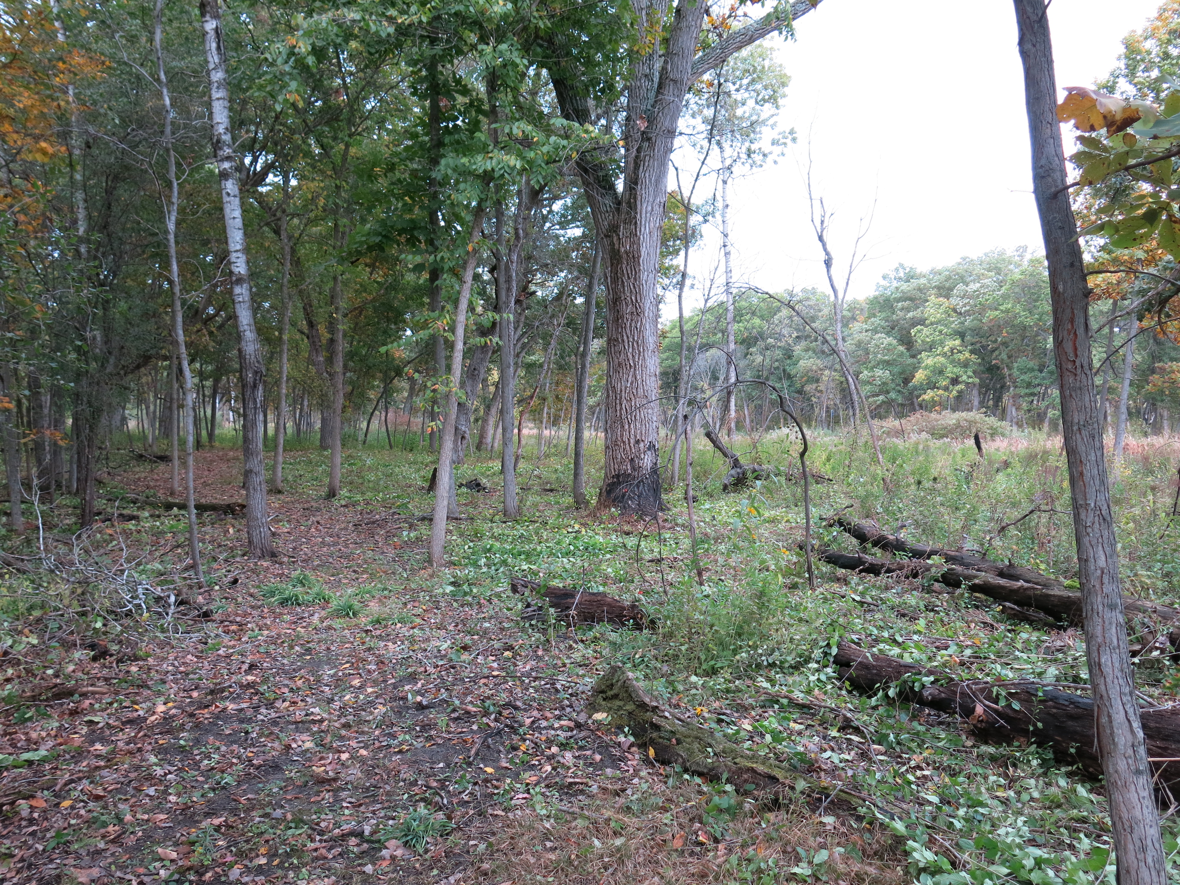
I had a fantastic, three day run, at The Springs this past week and the weather could not have been any sweeter. My immediate goal is to cut the buckthorn, and other woody brush, that has sprung up in all of the areas of the Scuppernong Springs Nature Preserve in which we have done major buckthorn clearing operations. The cut brush and stems should be nicely dried by the time the DNR does their next prescribed burn, hopefully in the Spring of 2015. On Thursday I continued where I left off last time on the cut-off trail. Here is what it looked like before I got started (the first picture is looking west at the ruins of an old building foundation, and the second is looking southeast towards the Scuppernong River.)
I am very careful to avoid cutting oak seedlings and, native flowers and shrubs.
Here are the same two perspectives shown above after 8 tankfuls of gas in the brush cutter.
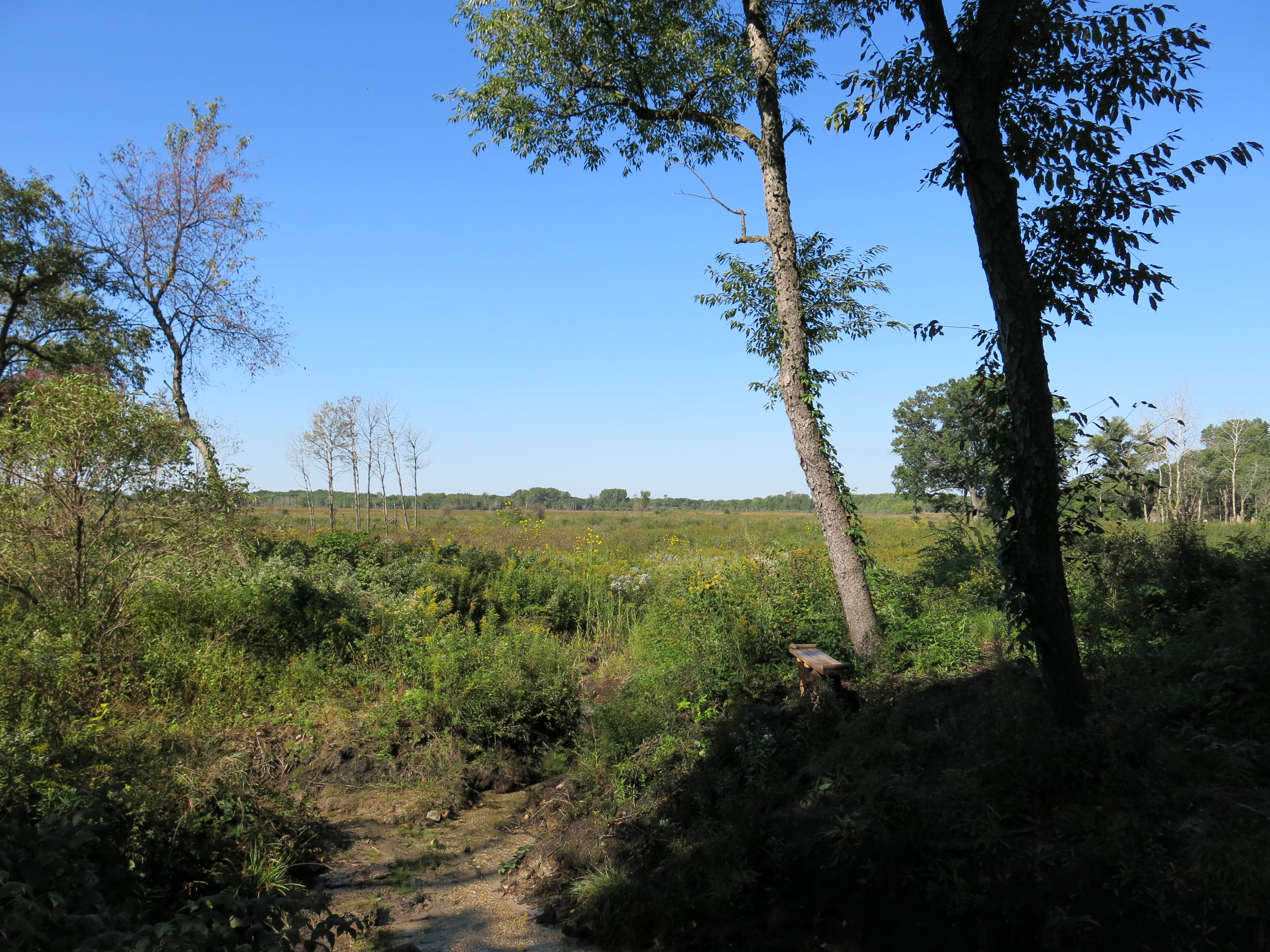
When I arrived on the sand prairie to watch the sunset, there were two women, obviously having a deep conversation, sitting on the bench that Ben built. I respected their privacy and caught the last rays from the Marl Pit Bridge.
Friday was another gorgeous, Fall, day and I strapped on my brush cutter to work along the Buckthorn Alley trail, just north of where I had been the day before.
I find this work very relaxing and conducive to having thoughts; one of which struck me out of the blue was the relationship between the Greek Trivium…
I first heard about this three years ago from Richard Grove, who asked the famous educator (at 26:00 in), John Taylor Gatto, about it at the start of the outstanding, 5 hour, interview he recorded with him. For some reason, the power and implications of the idea — that the Christian Trinity was a metaphor for the Greek Trivium — took that long to sink in.
Jesus, The Son, is Grammar. He is knowledge: who, what where, when. He is the way, the truth and the life. The only way to know The Father, is through The Son i.e., the only way to come to understand something is through knowledge. We gain knowledge via our five senses; only if we have eyes to see and ears to hear that is.
The Father understands all: God only knows why. There are no contradictions between The Father and The Son just as there are no contradictions allowed when you apply logic to grammar.
Who doesn’t want to be filled with the wisdom of The Holy Spirit and speak in tongues persuading all who hear? Don’t worry if you’re not a skilled rhetorician; The Holy Spirit knows how.
Comparing the two shields above:
Grammar (knowledge) is/est Consciousness: The Son (knowledge) is God
Logic (understanding) is/est Consciousness: The Father (understanding) is God
Rhetoric (wisdom) is/est Consciousness: The Holy Spirit (wisdom) is God
Truth is at the heart of consciousness. Truth is what has actually occurred: the reality that is manifested moment by moment. Yes, I see now: Grammar, Logic and Rhetoric united in truth is consciousness, and The Son, The Father and The Holy Spirit united are God. Hmmmm… Richard Grove’s first question to John Taylor Gatto was: “Is a metaphor a lie, or is it something else?”
á Ω
Whoa there Buckthorn Man! You better stick to your brush cutting.
Yeah… where was I?
The day flew by…
… and soon I was joined by a beaming Ron Kurowski. Thanks for your support and encouragement Ron!
Ottawa Lake sunset.
The harvest is plentiful but the laborers are few. I was brush cutting under the canopy just west of signpost #13 on Saturday and I had that special feeling I love of knowing I was in the right place, at the right time, doing the right thing.
Before doing my thing…
After doing my thing.
There are wonderful, late afternoon, views to the west from the cut-off trail. Check out the north side of the Scuppernong River under a canopy of massive white oaks on this trail that was once lost, but now is found.
Generation after generation of people lived and loved along the banks of the Scuppernong River. They never imagined saw mills, cheese factories, trout farms or marl pits; instead, they imagined that the spring waters, diverse prairies and oak savannahs would continue to support them, their children, and their children’s children for generations to come.
When Chester W. Smith arrived in 1847 he imagined the power he could create harnessing the force of the river and he dammed it to make the Buttermilk Mill. His cultural background emphasized man’s mastery over the natural world; it was his oyster!
Talbot Dousman imagined a more sophisticated application of the water in 1874, and he bisected the Scuppernong River with embankments and flumes transforming the headwaters into a trout farm.
The marl works left scabs and a deep scar on the land, wounding and abusing the river during the years it was operated along its banks.
These “care”-takers of the land took more than they cared, leaving the headwaters of the river submerged; its natural course lost under ponds of water for 120 years.
In the early 1990’s DNR Naturalist, Ron Kurowski, and others, imagined the Scuppernong River the way it was before European settlement, and they began reversing the anthropogenic impact via the Scuppernong River Habitat Area restoration project. What does it mean to imagine the river minus the reckless impacts of those who preceded us? I think Dr. Megan A. Styles, Ben Johnson‘s professor at the University of Illinois Springfield, expressed it quite eloquently in a recent email to him:
You’ve hit on a really important central theoretical tenet in restoration ecology — very rarely is the landscape “restored” to a precolonial state; it is actually constructed (notice there’s no “re-” here) anew in a manner that reflects (1) contemporary environmental values and (2) the ways that we “imagine” a truly wild and functional ecosystem should look like. I use the word “imagine” here not to suggest that it is not based in science (it certainly is!), but to remind us that there is a creative process afoot here as well. What we consider a desirable habitat will change over time in concert with changing values and new scientific discoveries.
Ben Heussner and the Wisconsin DNR Fisheries team imagine what a natural and healthy trout habitat should look like and they — one spring at a time, one bend at a time, one tributary at a time — have been reversing the anthropogenic effects on the Scuppernong River watershed for the last 20 years. Recently they performed an elevation study of the Scuppernong Springs to get the data they needed to objectively support what was visually apparent.
On a recent visit to The Springs, Ben interpreted the results of the elevation survey and explained their plans for the headwaters:
From the Hotel Spring bridge (site 3 below) we walked upstream along the river bank discussing how the river bed would change as a result of the projected head-cut. Heussner concluded that the scope of the plan, in addition to the work at the “perch” at the Hotel Spring bridge shown above at data point 1078, should include reducing the humps left after the removal of the embankments where the two bridges lead to the Hillside and Hidden Springs (sites 1 and 2 below), and the hump at the embankment where the mill pond was formed (site 4 below). He is working now on the permitting process and targeting Spring, 2015, to implement the plan.
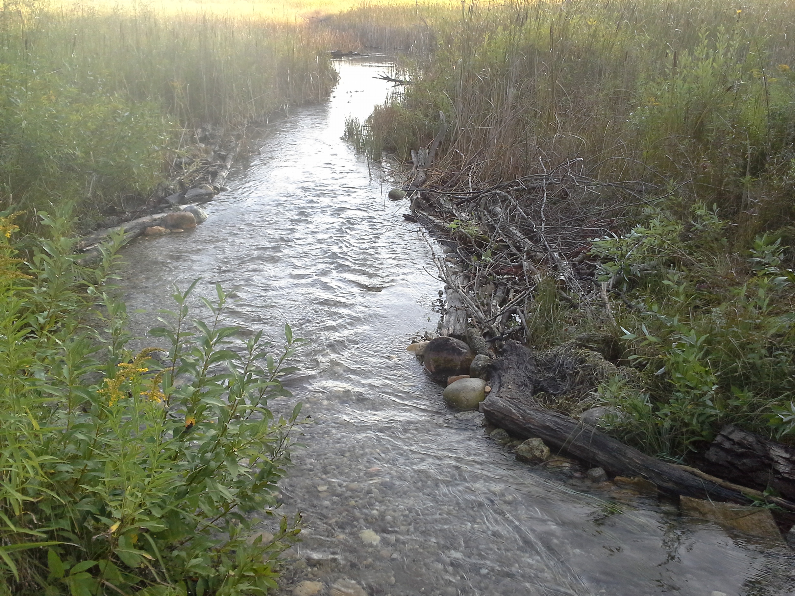
Then we walked downstream from the Hotel Spring bridge and inspected the results of the back filling we did last spring to compliment the bio-logs the DNR installed late last year (with help from Trout Unlimited), and imagined what it will look like when these areas fill in with vegetation. The river is really ripping through this stretch now, creating a sandy, stony bottom and carving deep pools and cut banks; great trout habitat! Ben is hoping that, with one more workday this December, they can finish the stream bank remediation effort all the way to the gaging station bridge.
Meanwhile, this year, after a long hiatus, the DNR has begun stocking trout again in the Scuppernong River watershed:
McKeawn Springs, 37 Brook Trout yearlings
Ottawa Lake, 1,485 Rainbow Trout yearlings
Paradise Spring Creek, 300 Brook Trout yearlings
Paradise Spring Pond, 200 Brook Trout yearlings
Scuppernong River at Hwy N, 148 Brook Trout yearlings
South Branch Scuppernong River, 74 Brook Trout yearlings.
We are constructing a new reality at the headwaters of the Scuppernong River that reflects: “contemporary environmental values”, and what “a truly wild and functional ecosystem should look like.”
♥ ♥ ♥
Last Thursday I resumed my efforts to prep the Scuppernong Springs Nature Preserve for the next prescribed burn by cutting buckthorn sprouts and seedlings with my brush cutter in the area around the old hotel site. The new bench that Ben and Karen Johnson built is getting a lot of use!
I noticed that the black locust removal effort has resumed in earnest. This is dramatically changing the look of the northeast corner of the property.
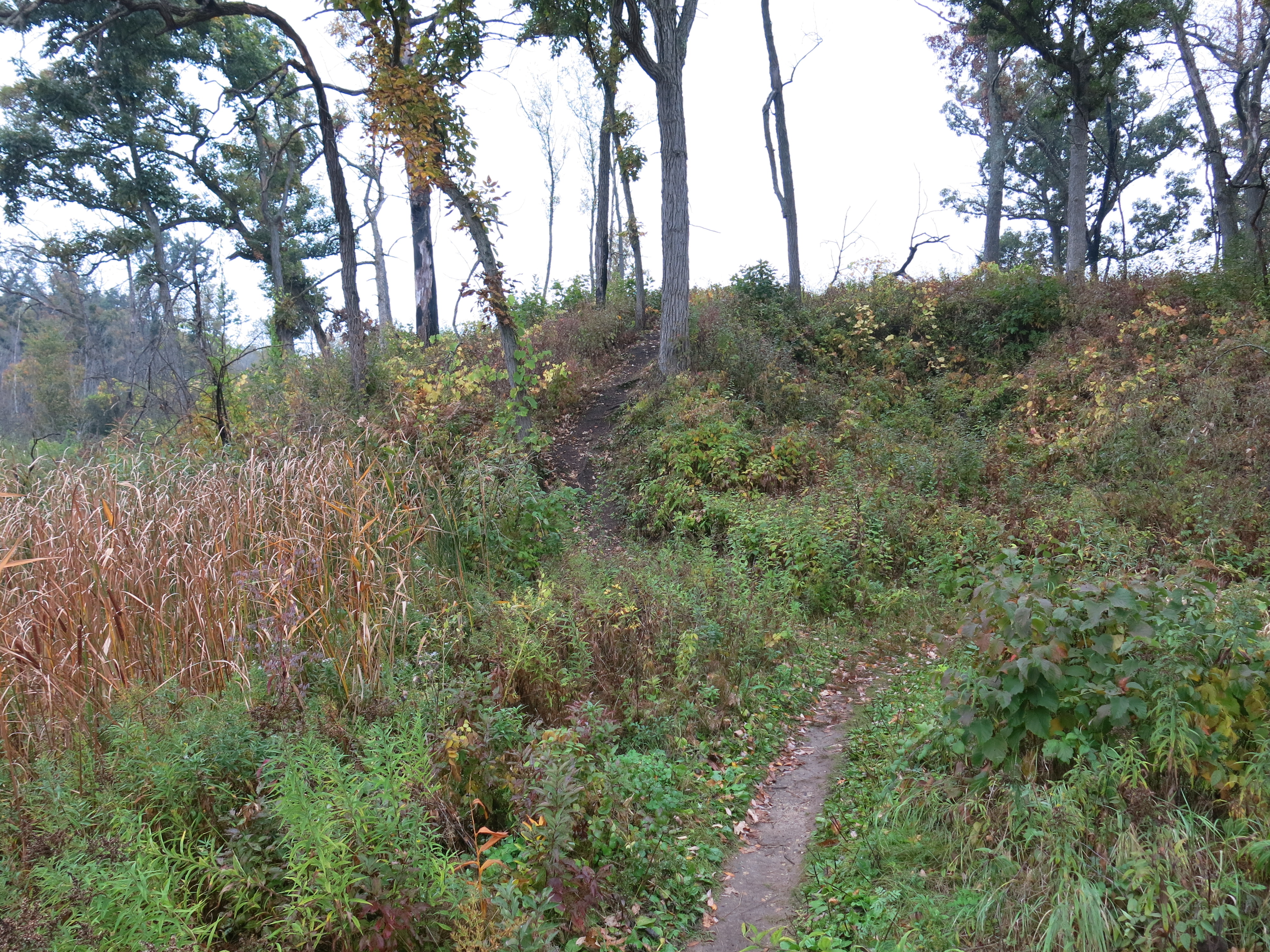
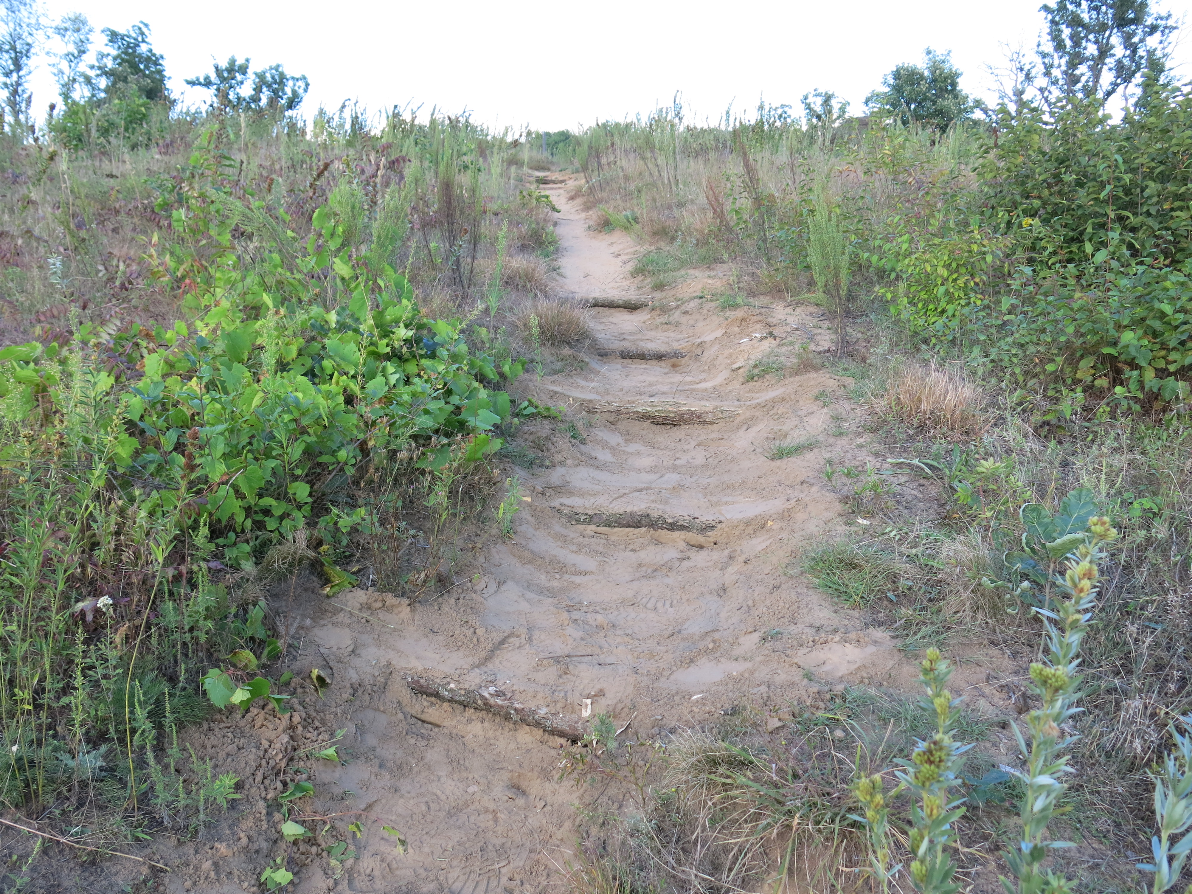
I also addressed an issue that DNR trail boss, Don Dane, pointed out a while back, and which Dan Carter reiterated on his recent visit, and that is the steep little short-cut trail that was getting “burned in” from the Hotel Spring bridge up to the Sand Prairie. Here are before…
… and after images.
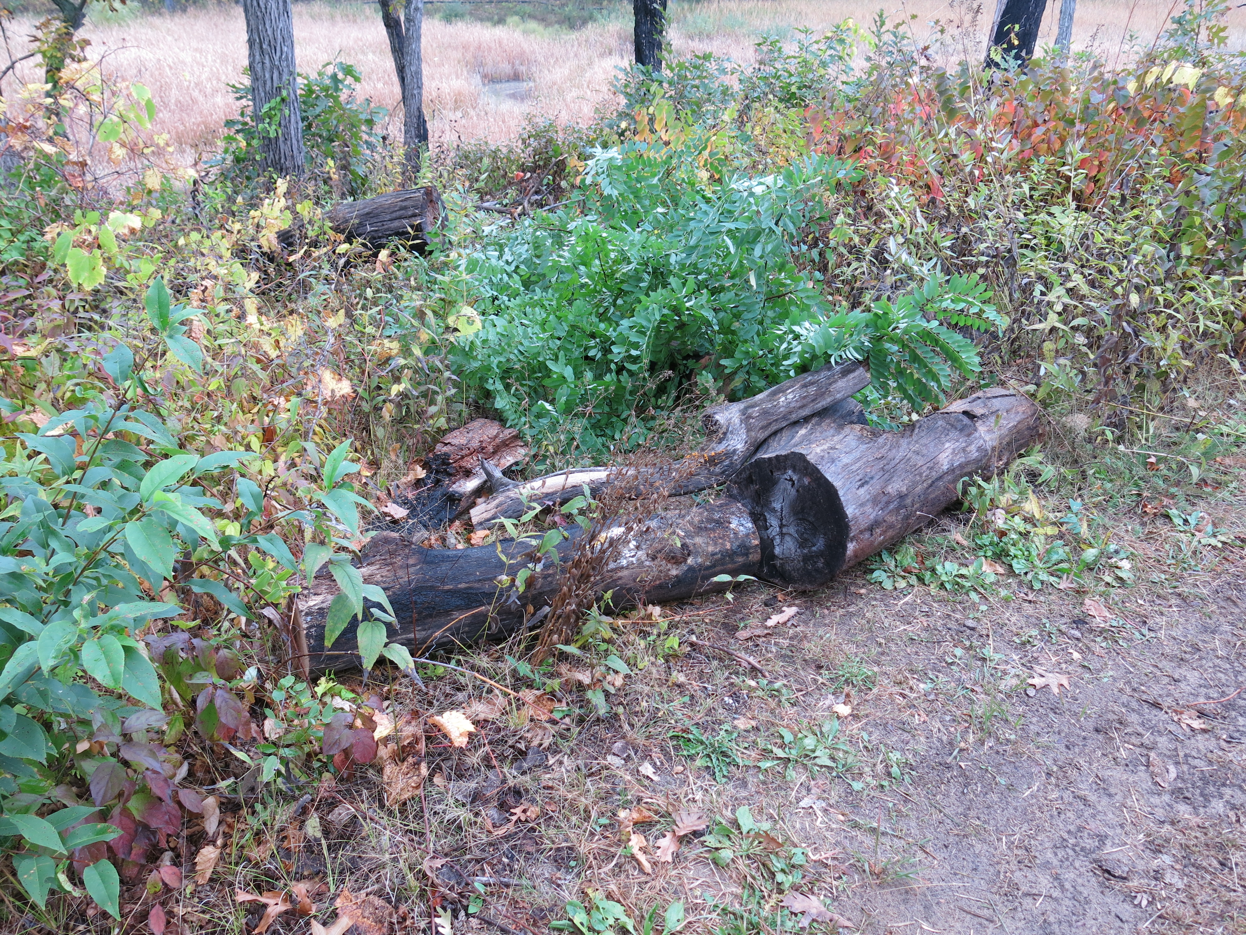
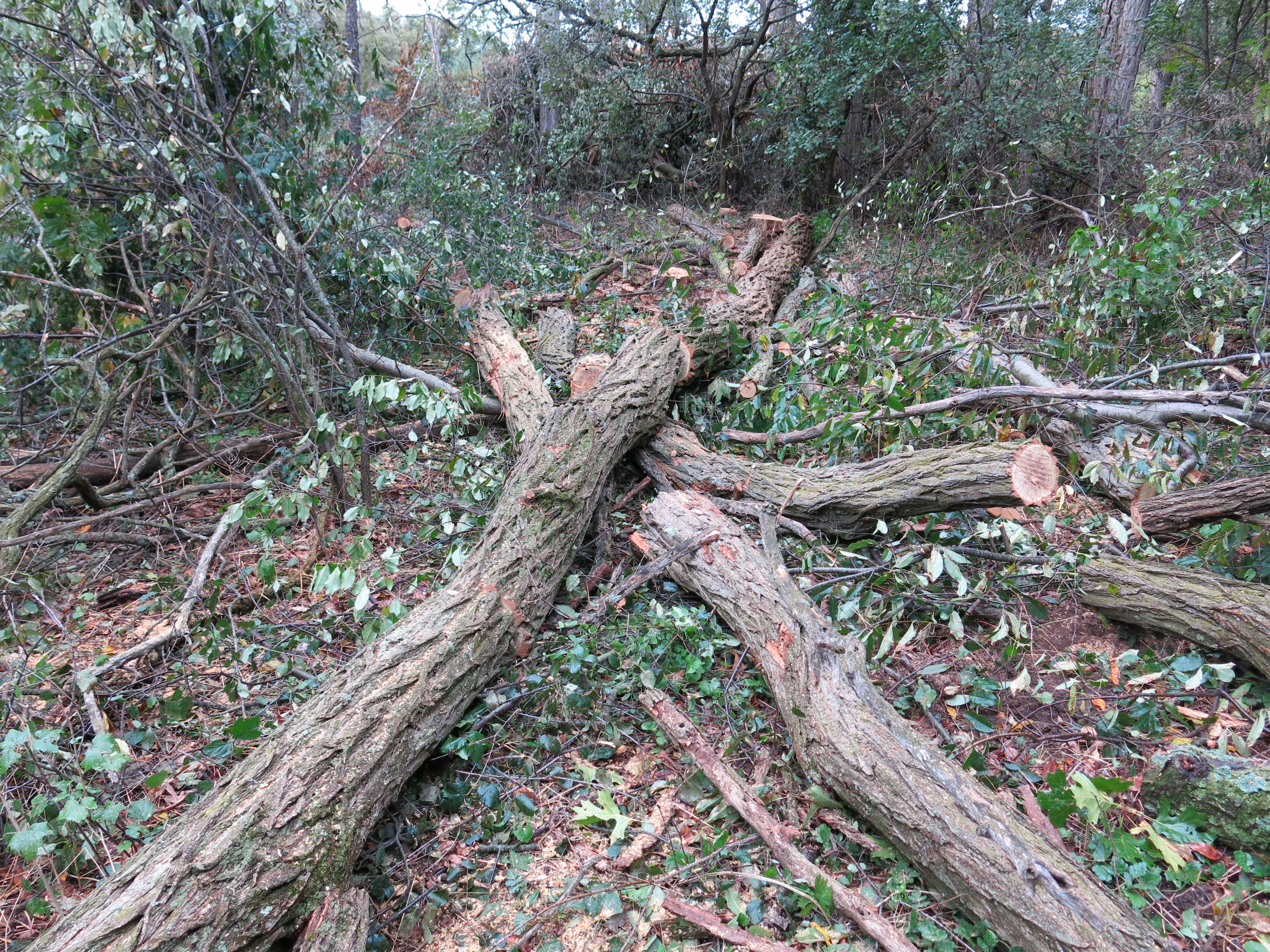
Ben Johnson joined me after work and we harvested some red oak logs that we planned to use to raise a boardwalk at the east end of the Buckthorn Alley.
We cut up the downed tree on the left shown above and moved the logs over to the boardwalk with a hand dolly.
On Friday I strapped on the brush cutter and did some “mowing” along the cut-off trail. Although it looks like a carpet of buckthorn, there was a lot of wild strawberry and geranium actively growing at ground level and I was glad I wasn’t spraying herbicide.
Later, I checked out the results of the latest hand-to-hand combat with the black locust. I’ll go out on a limb and say this is the handiwork of Steve Tabat and his crew, although I have not seen them personally in action.
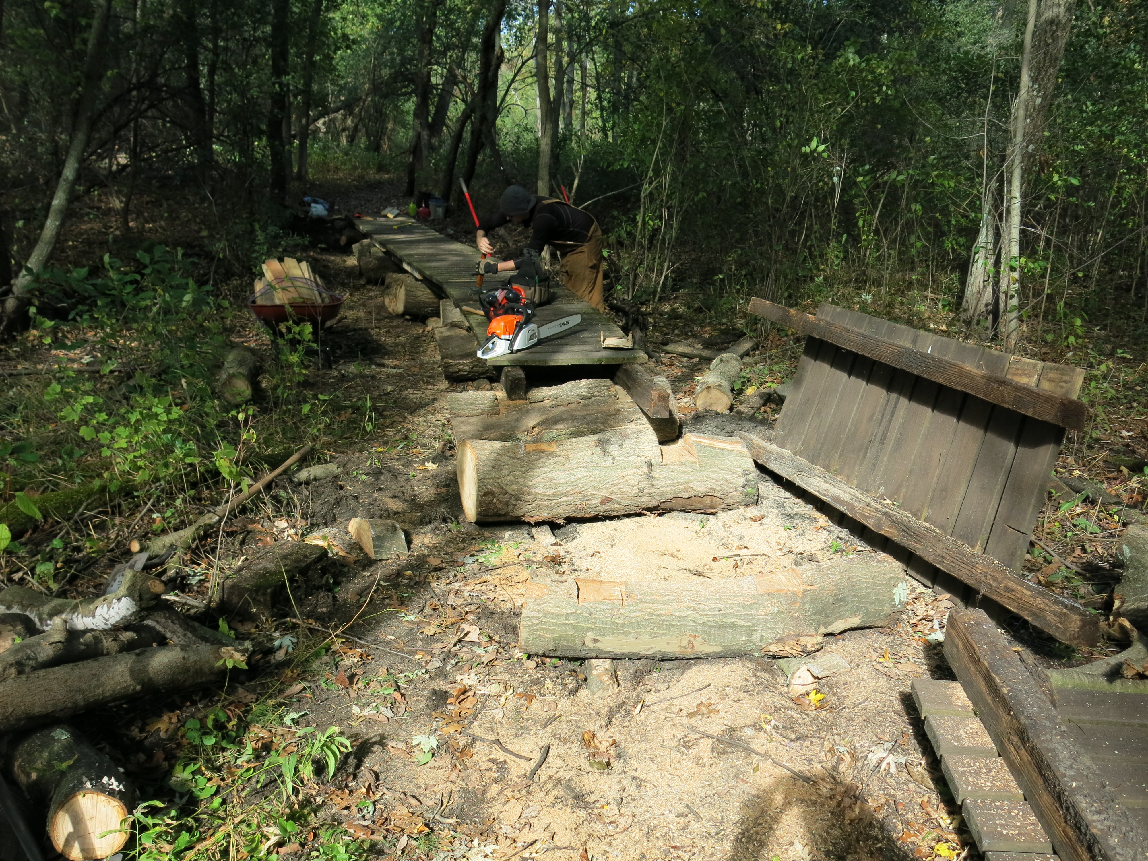
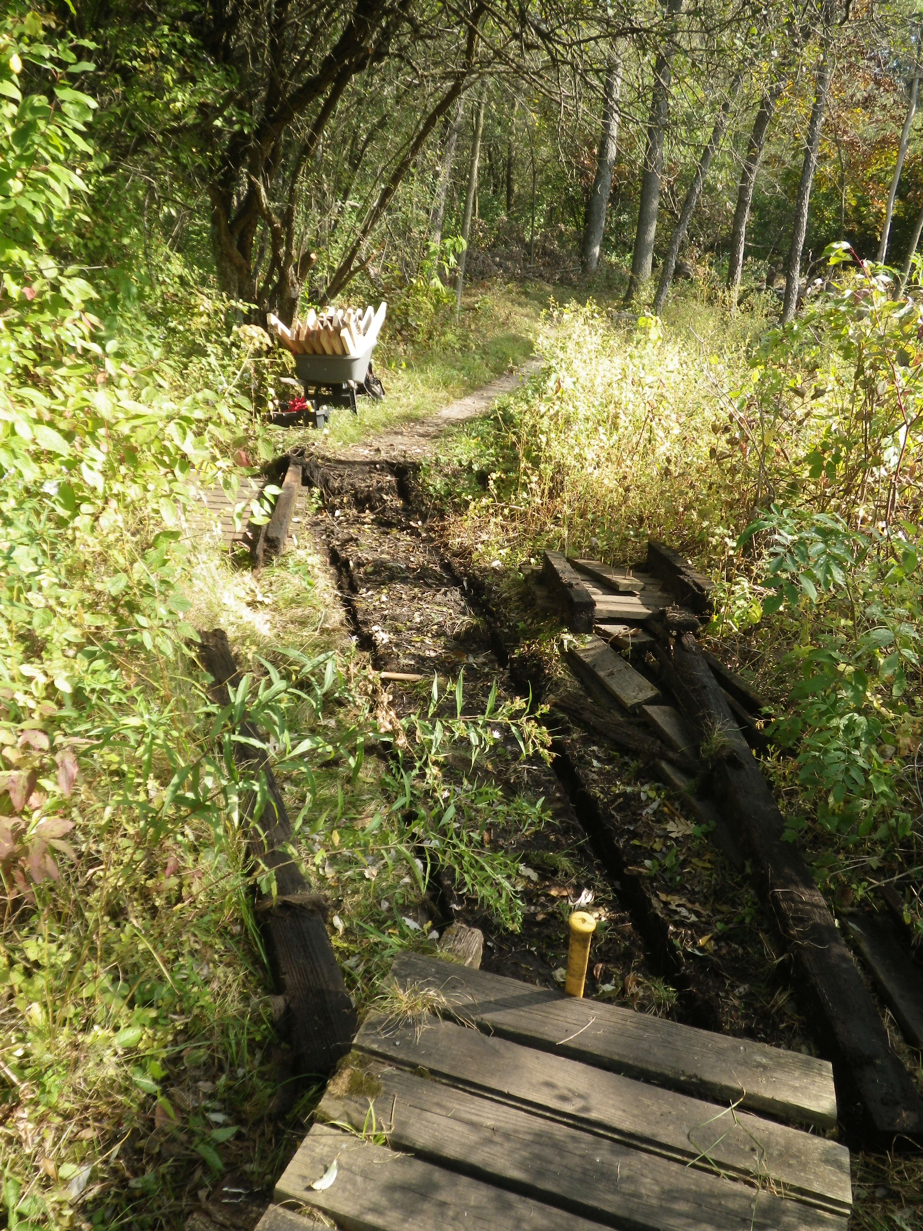
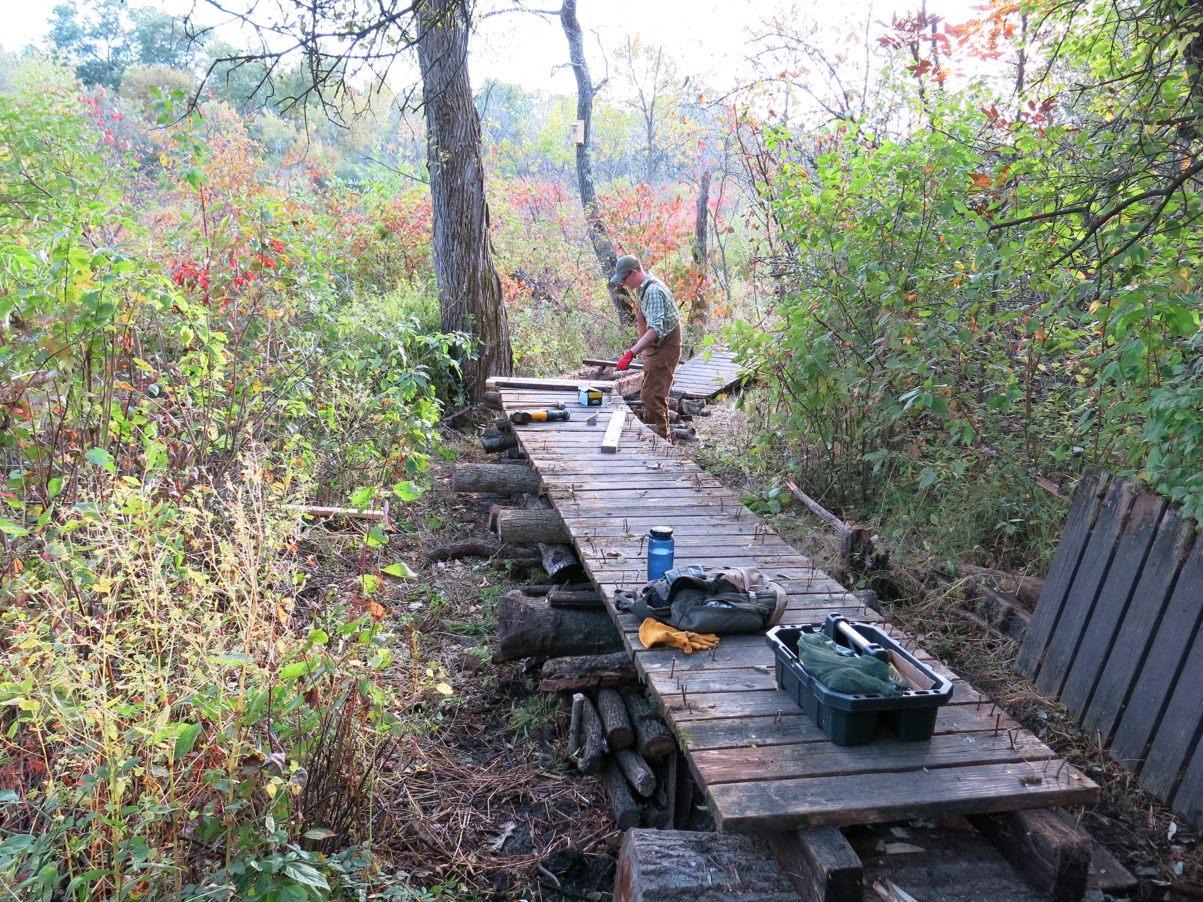
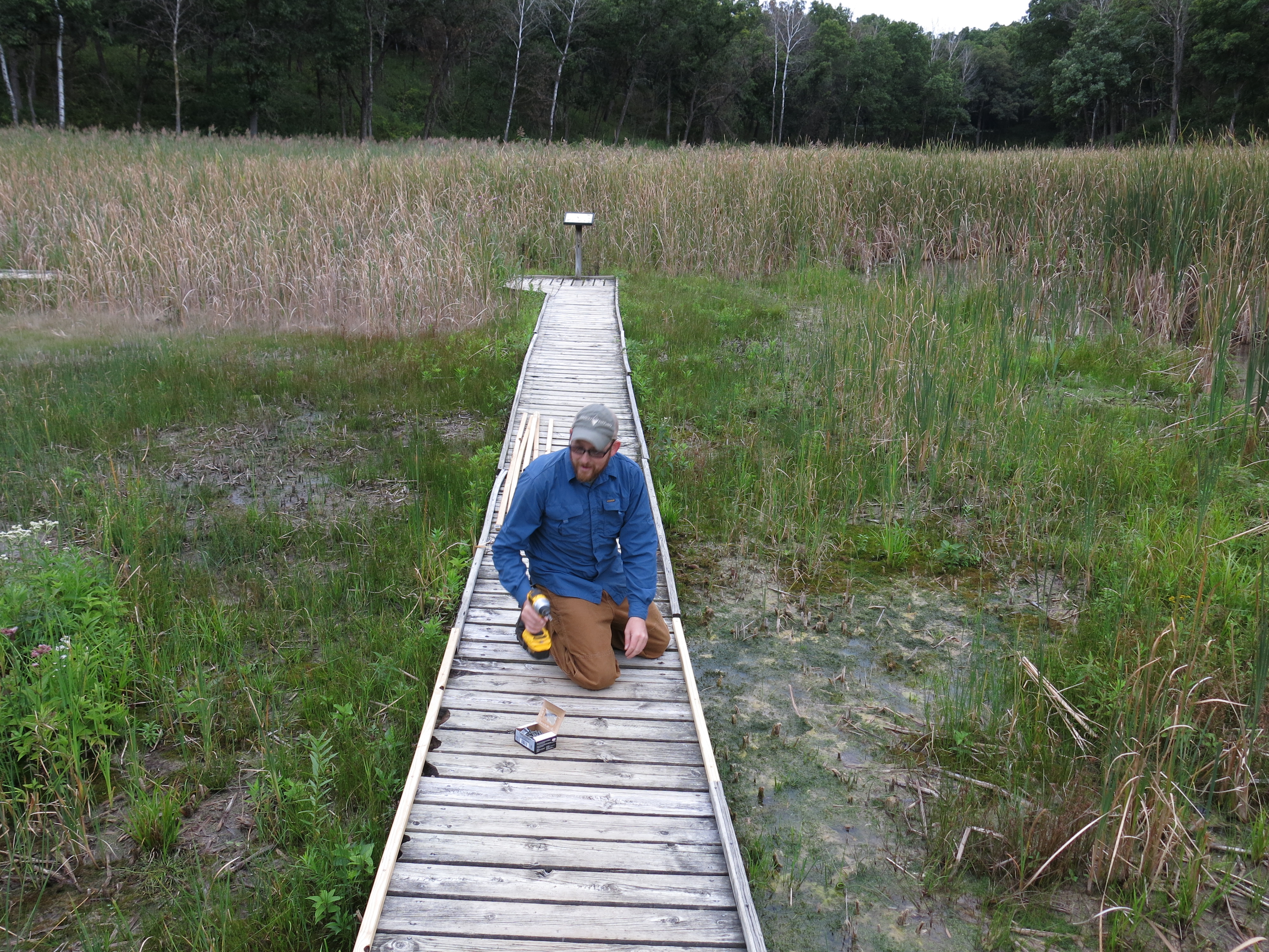
On Sunday, Ben Johnson and I began an ambitious boardwalk raising effort.
In a couple hours we had the deck torn apart. You can see how it was embedded in the dirt.
It took a while to get going and determine the best, complimentary, way to use our skills, but soon the new boardwalk was taking shape.
It was fabulously busy and we were constantly interrupted by hikers; good thing Ben posted a couple of orange, “trail work ahead”, cones to warn them.
Ben Johnson and I have been on a real nature binge at The Springs: intoxicated with fragrant breezes, bubbling spring water, clear blue skies, colorful wild flowers, singing birds, liberating temperatures, and, most of all, satisfying work. We positively indulged in a nature bender!
Ben’s three day bacchanalia began last Friday, when he raised two boardwalks near the trailhead to ecstatic new levels. The 8′, 4×6″ runners, that supported the deck boards disappeared into the ground long ago and were blocking the water, microbes and invertebrates that move through the soil.
Deck #1
Deck #2
The affair lasted all day, and when it was over, he was drunk with success.
Deck #1
Deck #2
I joined Ben on Saturday, modestly intending to cut buckthorn sprouts and seedlings near signpost #1 and completely unaware that he was riding the Bull. I reminded him that our recent deckrepair efforts were motivated by Big Jim Davee, and he just gazed a bit glassy eyed down the trail and said: “I’ve been wanting to do this for a long time.” We briefly discussed the next boardwalk on our priority list, and, assuming he was simply going to lift up the 8′ sections and reset them on level logs, I left Ben to his mission and proceeded to cut brush near signpost #1.
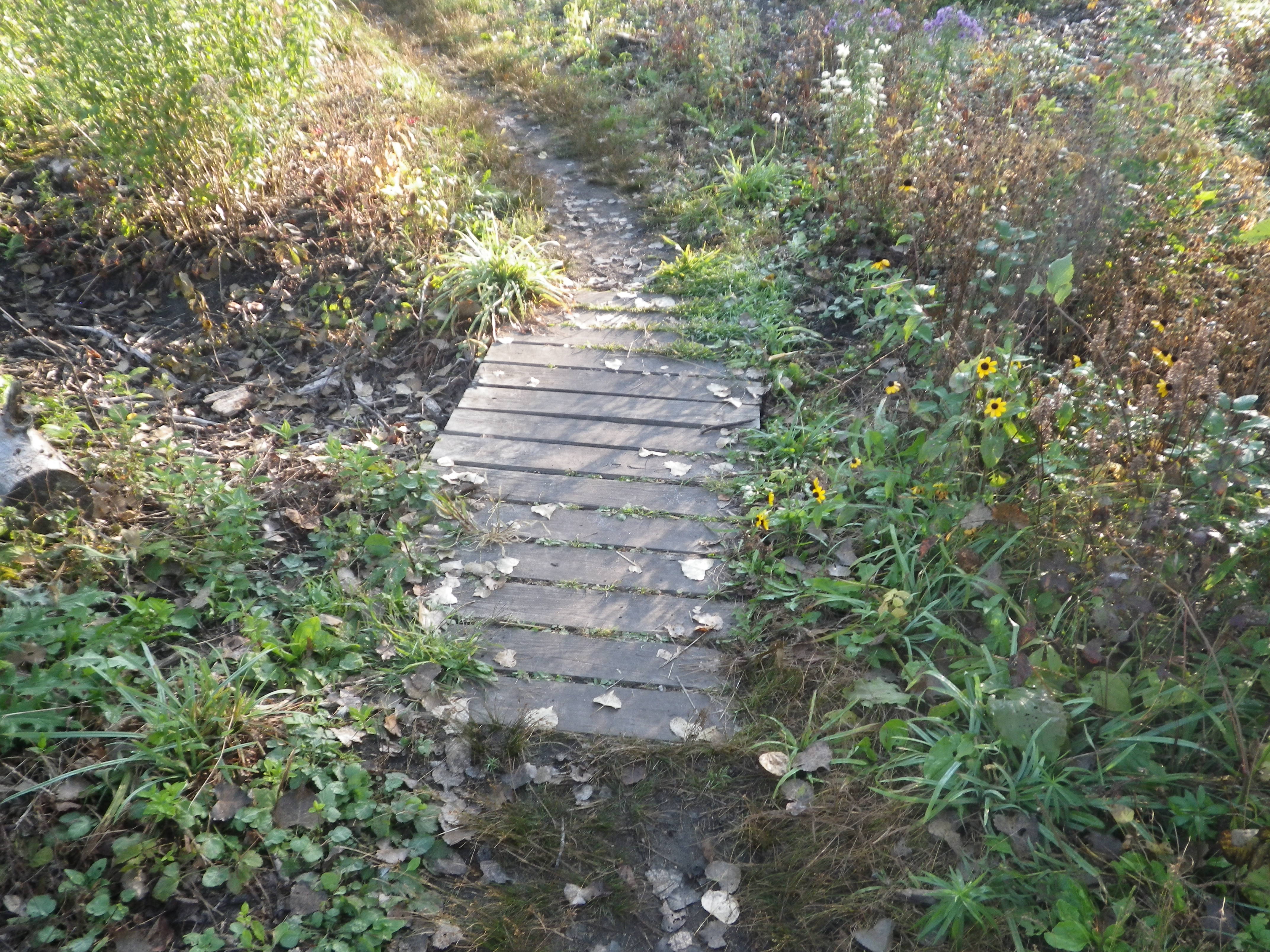
Deck #3, comprised of 6, 8′ sections, is close to the east edge of the Buckthorn Alley and it rocked and rolled as you passed over. There are wetlands on either side and, like decks 1 and 2 above, the runners were totally submerged in the soil.
A closer view of the gap shown above.
The far end of the boardwalk.
Just before noon, I noticed that my iPhone had gone totally mad and I was not able to use it. I was desperate (yah, a slave to my fondle slab) to keep in touch with Pati, who had just arrived in Uruguay to work with children for three weeks, and I had to let her know that I was incommunicado. I raced over to deck #3 to borrow Ben’s phone and found him hard at work.
He had surveyed the situation and boldly, or perhaps, bulldly, decided to raise the deck in dramatic fashion. Back in my days at “The Quiet Company” we called this ‘setting a stretch goal’ and Ben delivered. By the end of the day he was halfway done.
I wondered why I had spent the day cutting brush; I should have been helping Ben. I promised to help him finish the next day.
We decided to harvest logs to raise the last 24′ of the deck from a huge red oak tree that had fallen across the trail, and Ben made quick work of it with his new chainsaw. Another day reveling with mother nature; we couldn’t get enough!
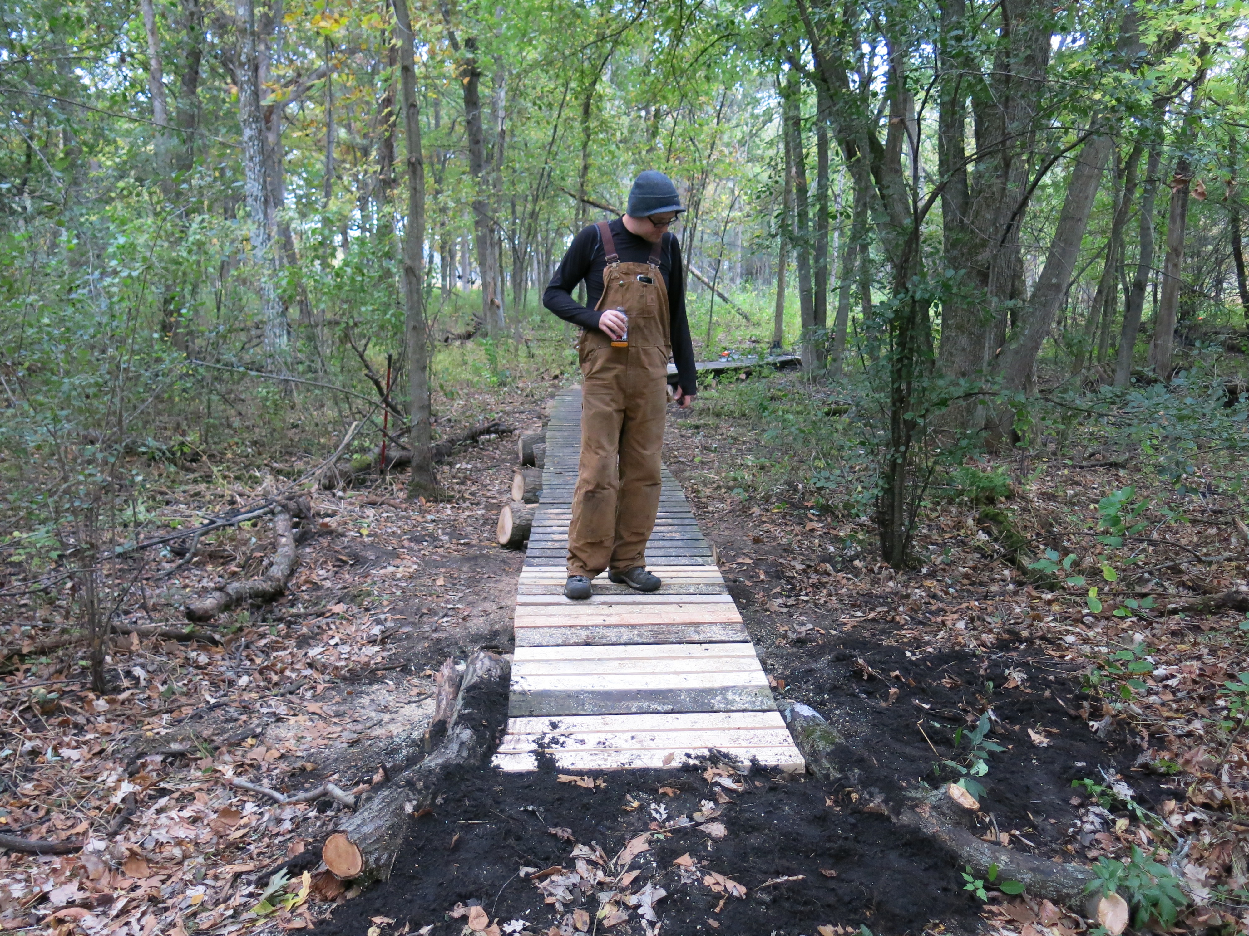
The deck turned out great and I was really impressed with Ben’s effort!
That was an intense, extended, weekend for Mr. Johnson!
Below is an example of the brush clearing I have been doing. Ever since DNR Trail Boss, Don Dane, said they were planning to burn The Springs in the spring of 2015, I’ve been thinking about laying more fuel down on the ground. I could be wrong, but I’m hoping that the cut buckthorn will dry out by next spring and contribute to a hotter ground fire, which in turn will scorch the cut tips of the buckthorn stems and kill them.
The same views after brush cutting.
I cut brush all day Monday and it was very relaxing.
The Kettle Moraine State Forest — Southern Unit won the 2014 Gold Seal Award for the best self-guided nature trail! There are 5 self-guided nature trails in the Southern Unit: Bald Bluff, Lone Tree Bluff, Paradise Springs, Scuppernong Springs and Stute Springs. The Friends of Wisconsin State Parks announced the contest back in August. Congratulations to all the hard working folks at the Southern Unit including: Superintendent Paul Sandgren, Assistant Superintendent Anne Korman, and especially, Don Dane — the Trail Boss!
Ben Johnson,and his wife Karen, were hard at work while Pati and I vacationed up North. They added 12 more steps to complete the erosion control on the path down to the Indian Spring from signpost #6 and they installed a very stylish bench near the Hotel Spring.
I whacked some buckthorn sprouts and seedlings with my brush cutter on Tuesday and ran into Dr. Dan Carter from the Southeastern Wisconsin Regional Planning Commission. He was documenting rare plants and waiting for the rest of his team to arrive to complete the demarcation of the wetlands for the Wisconsin DOT. I know, “Say it ain’t so Joe!”, but WisDOT is in the initial planning stage of some changes deemed necessary to make Hwy 67 safer. Please plan on attending the public meeting, which WisDOT will be scheduling for later this Fall, and help us make sure they don’t mess with The Springs.
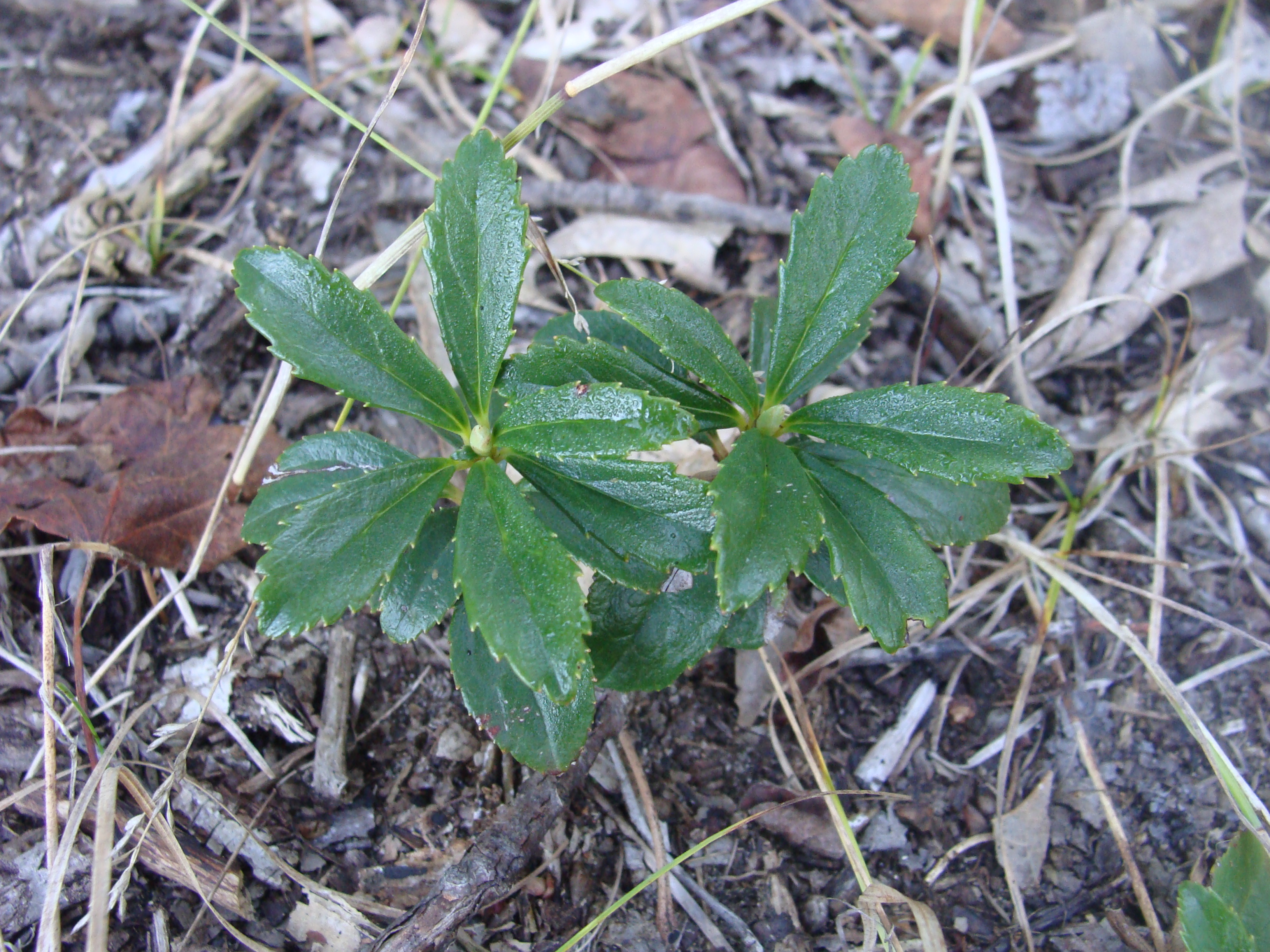
Dan has a keen eye and he spotted the sixth known occurrence of Pipsissewa (Chimaphila Umbellata) in the area: “It is more rare in the region than any other plant I am aware of at The Springs…” (photo courtesy of Dan Carter)
I want to give a belated thank you to Scuppernong Springs Super Friend, Anne Moretti for informing me that there is a difference between Buckthorn and Chokecherry!
Last year when I was cutting in The Buckthorn Tunnel, Anne noticed that I was oblivious to the distinction and she gently pointed it out. Well, I’m a little slow when it comes to confronting my own ignor-ance and I finally “did the grammar” and now I know the difference. I’m going to let 100 Chokecherries blossom!
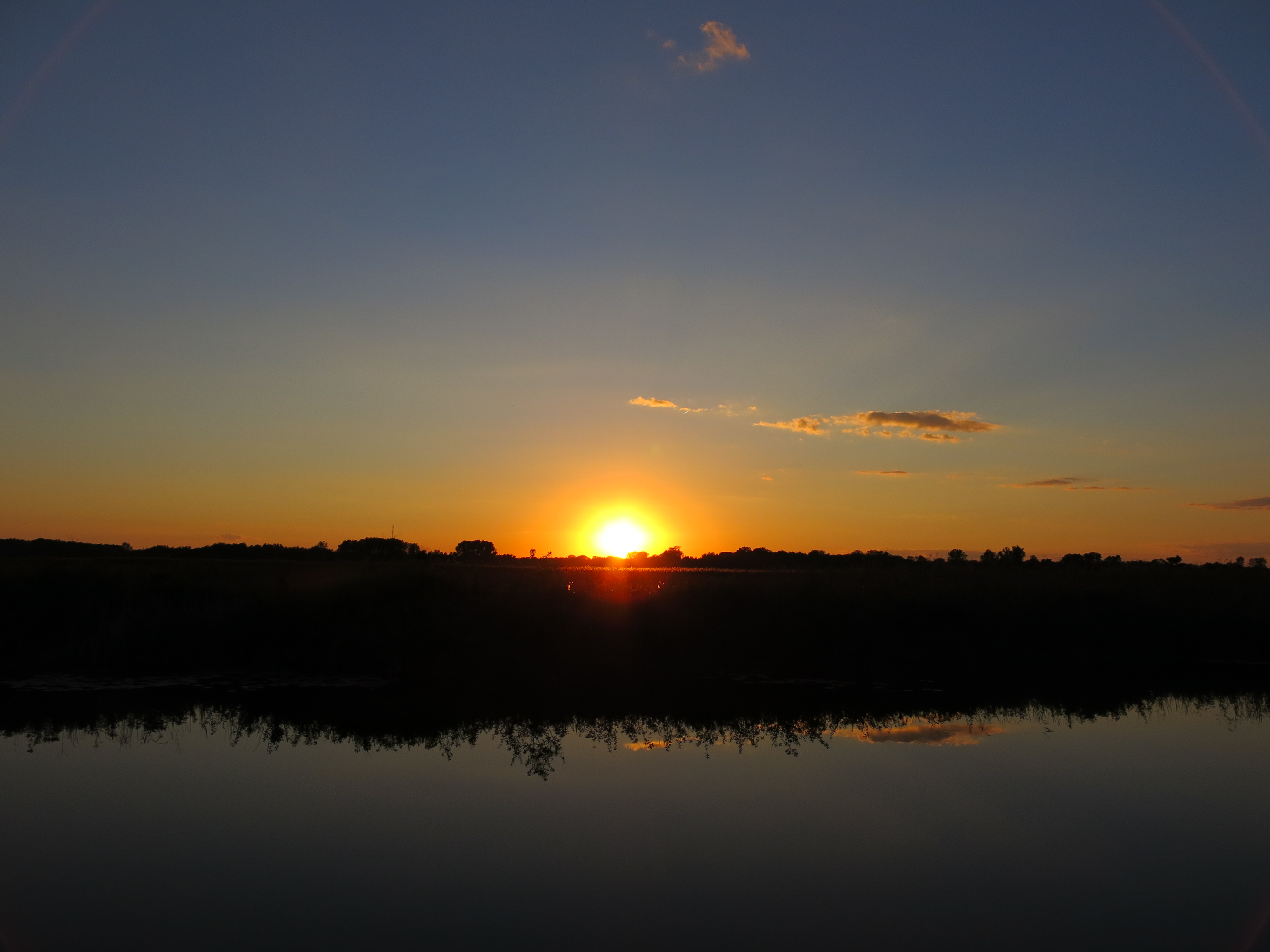
I had a crazy busy week and didn’t get much work done at The Springs, but Pati and I did enjoy a wonderful late afternoon at Ottawa Lake yesterday, and we caught the sunset from the Indian Campground.
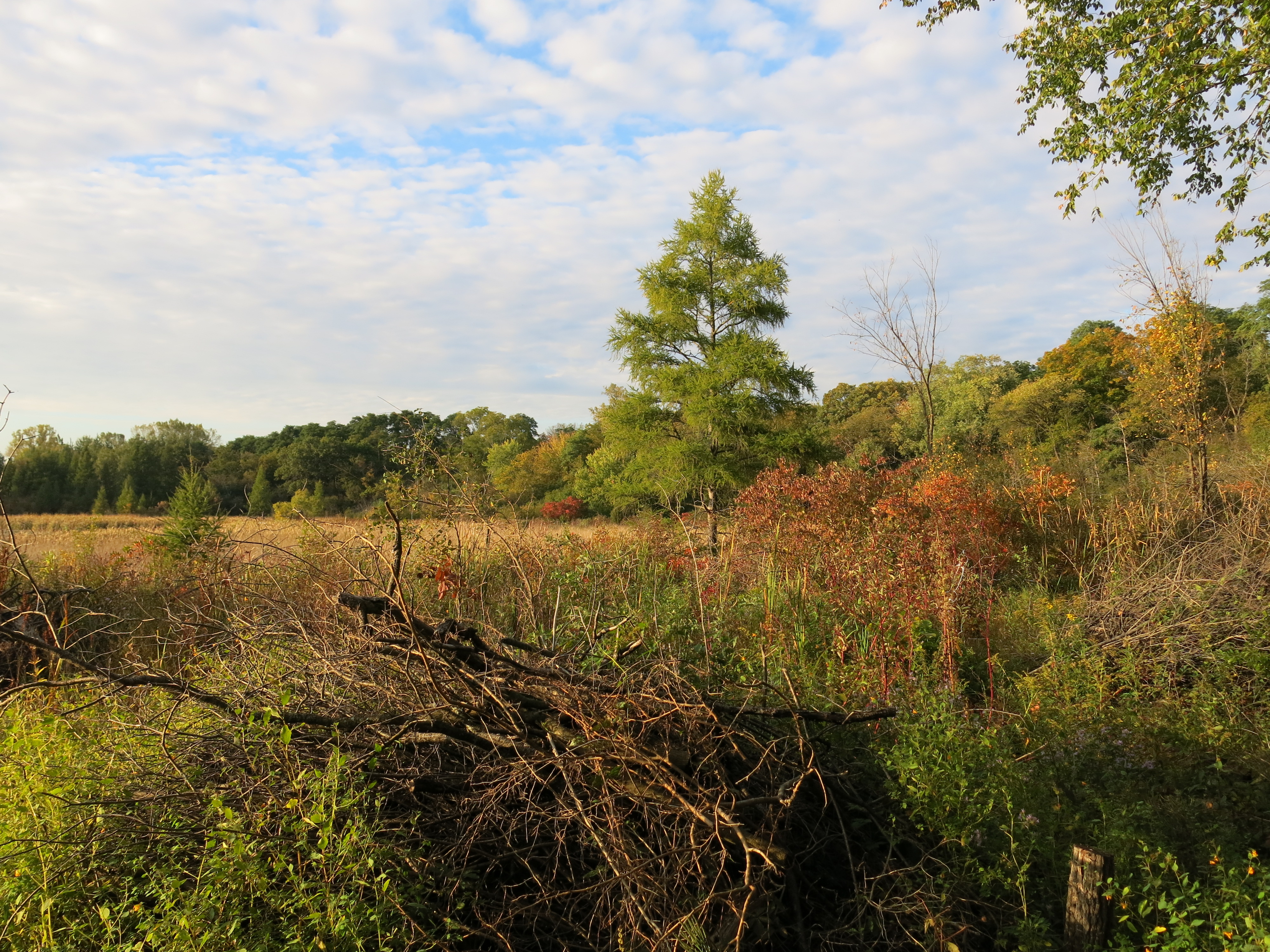
Andy Buchta has started piling the buckthorn I recently cut on the east shore of Ottawa Lake. Thanks Andy!
This Tamarack was the only decent tree I found amongst the brush I cut.
It’s been almost a year since Anne Korman, Assistant Superintendent of the Kettle Moraine State Forest — Southern Unit, introduced me to Ben Johnson and his contributions at The Springs have been gaining momentum ever since. From his first, fearless, dead of Winter, forays in the Buckthorn Alley wielding a decidedly underwhelming chainsaw — to his latest step building project using recycled buckthorn logs on the sand prairie — Ben has demonstrated natural creativity and indefatigable enthusiasm. Let’s take a look at some of his recent accomplishments and find out what makes Mr. Johnson tick (his words are indented in italics below.)
Is it an obsession, a religion, a deep metaphysical connection to our primal ancestral past? I’m not quite sure why some of us have the ability to see and feel the natural world, while others have no association whatsoever to the land. That’s a pretty judgmental assumption to make, but quite simply, some people get it and others don’t. The Aboriginal People of Australia believe in “dreamtime,” a spirit world where they can transcend space and time. Maybe there are a few of us that are fortunate enough to journey into a green dream: a mindset or inquisitive state of consciousness where we can actually speak the language of ecology. And it’s absolutely a journey. Nobody just walks into the woods and is given this gift. We have to work at it, study, inspect. We must experience the rain on our faces, see the first buds open, and the last leaves fall to the ground, the progression, the phenology of the landscape.
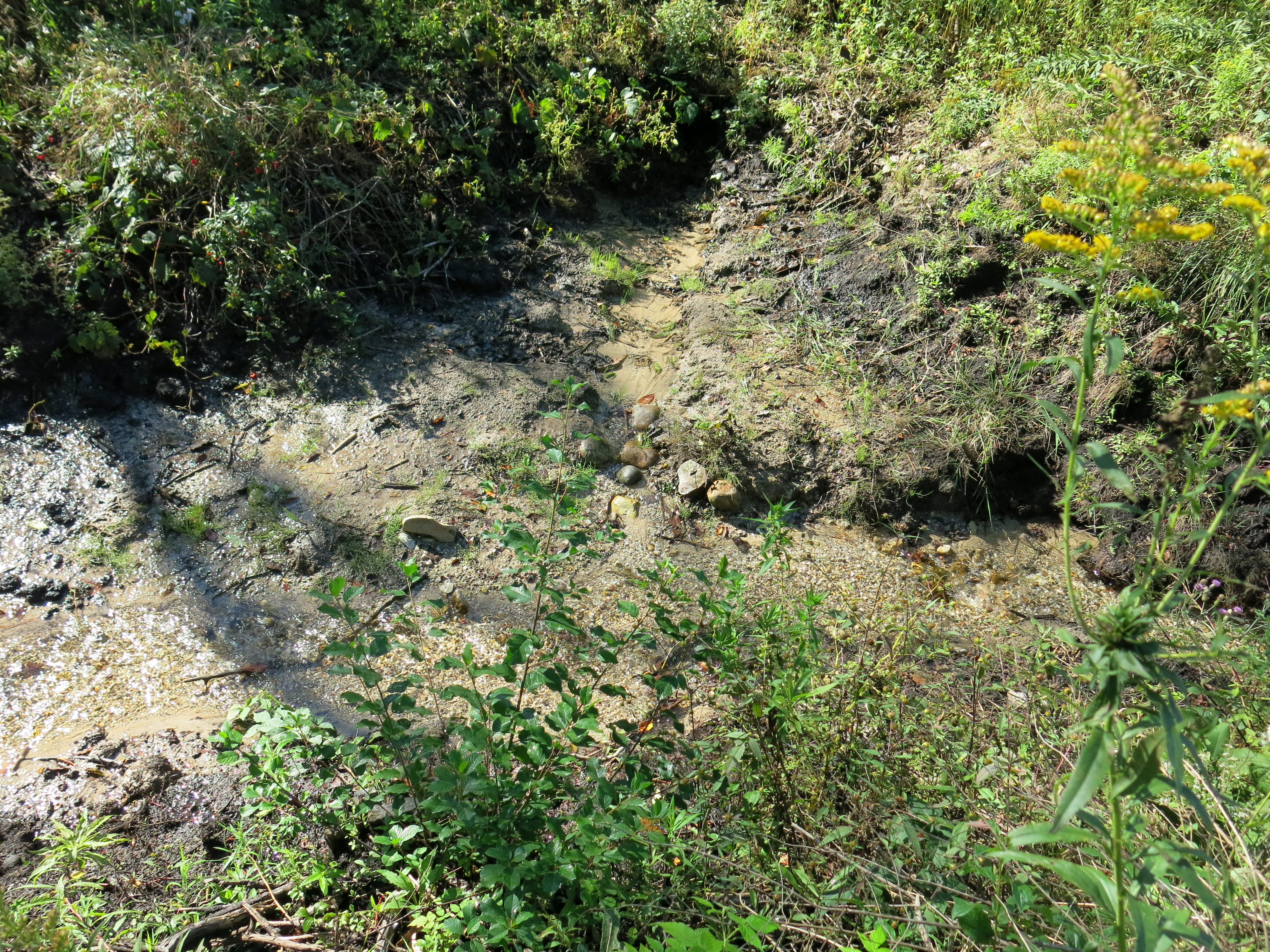
On September 4th, Ben bugged out of work early and headed straight for the gaging station bridge to do a little stream bank remediation. The view downstream before he got started on that steamy afternoon.
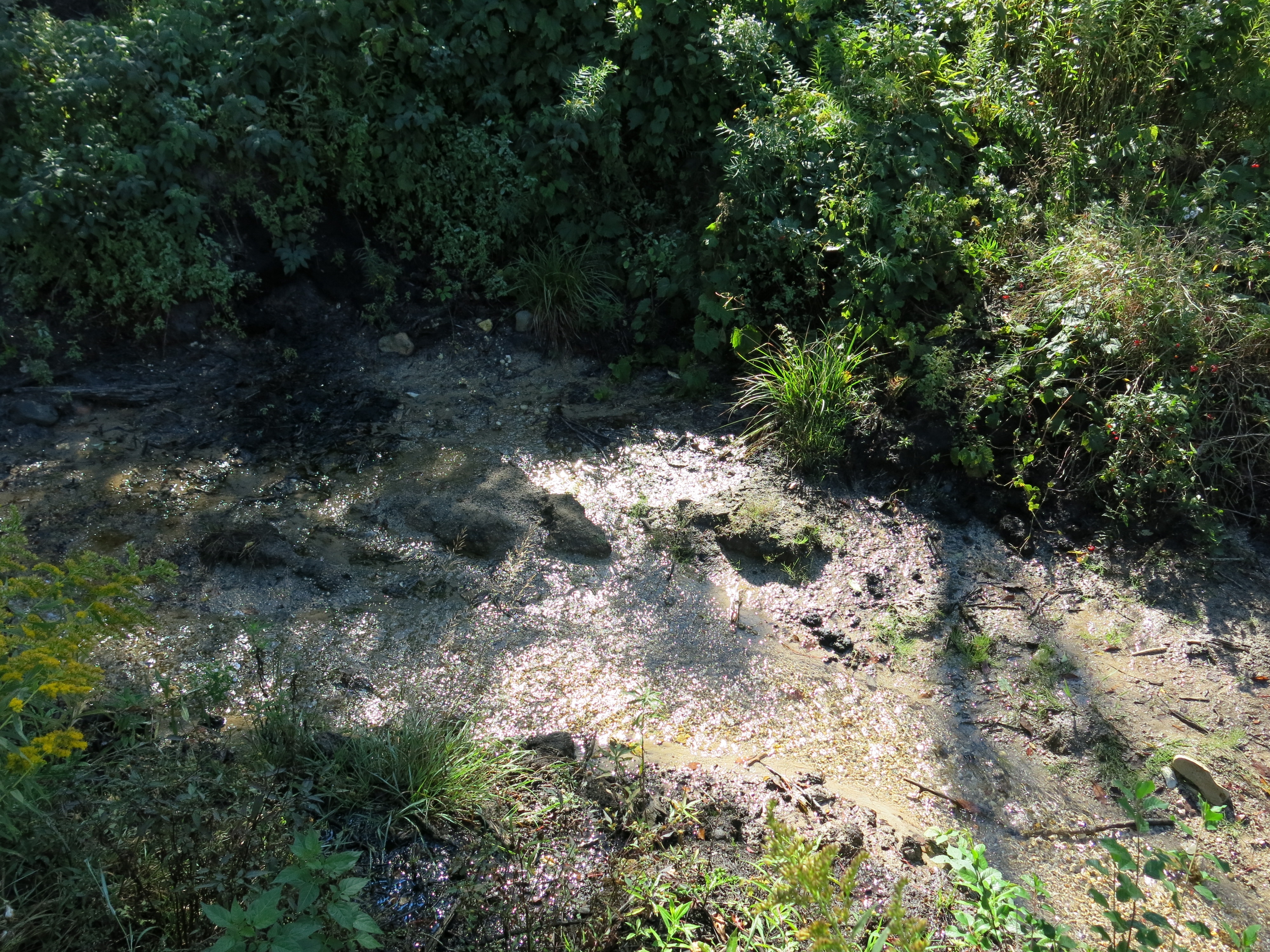
And after…
Seen from the left bank.
A few years back, after investing a good many years in college, and a solid decade trying to capture an income under a fluorescent enclosed sky, I asked myself, “does any of this make me happy? Ok, then what would?” I felt there was only one route to take, and that was in a natural setting, far away from the corporate path I had chosen. It’s not quite so easy to dump ones routine and dive into a new career. I have plenty of experience in the “green industry”, but the world of commercial landscaping is a far cry from ecological stewardship. To get to where I wanted to be, I felt that education was the key component. So I again enrolled in the university. I chose to pursue an MA in Environmental Studies at the University of Illinois at Springfield.
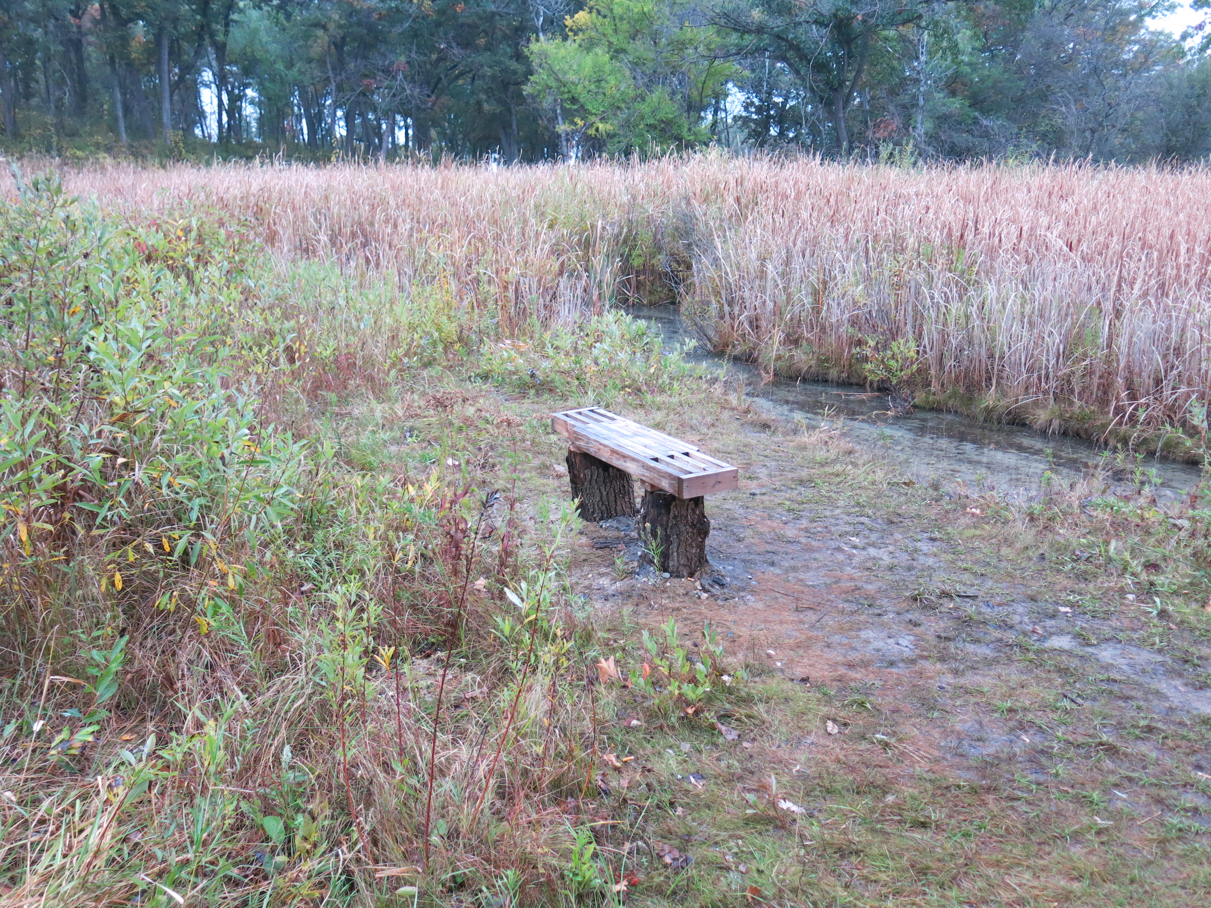
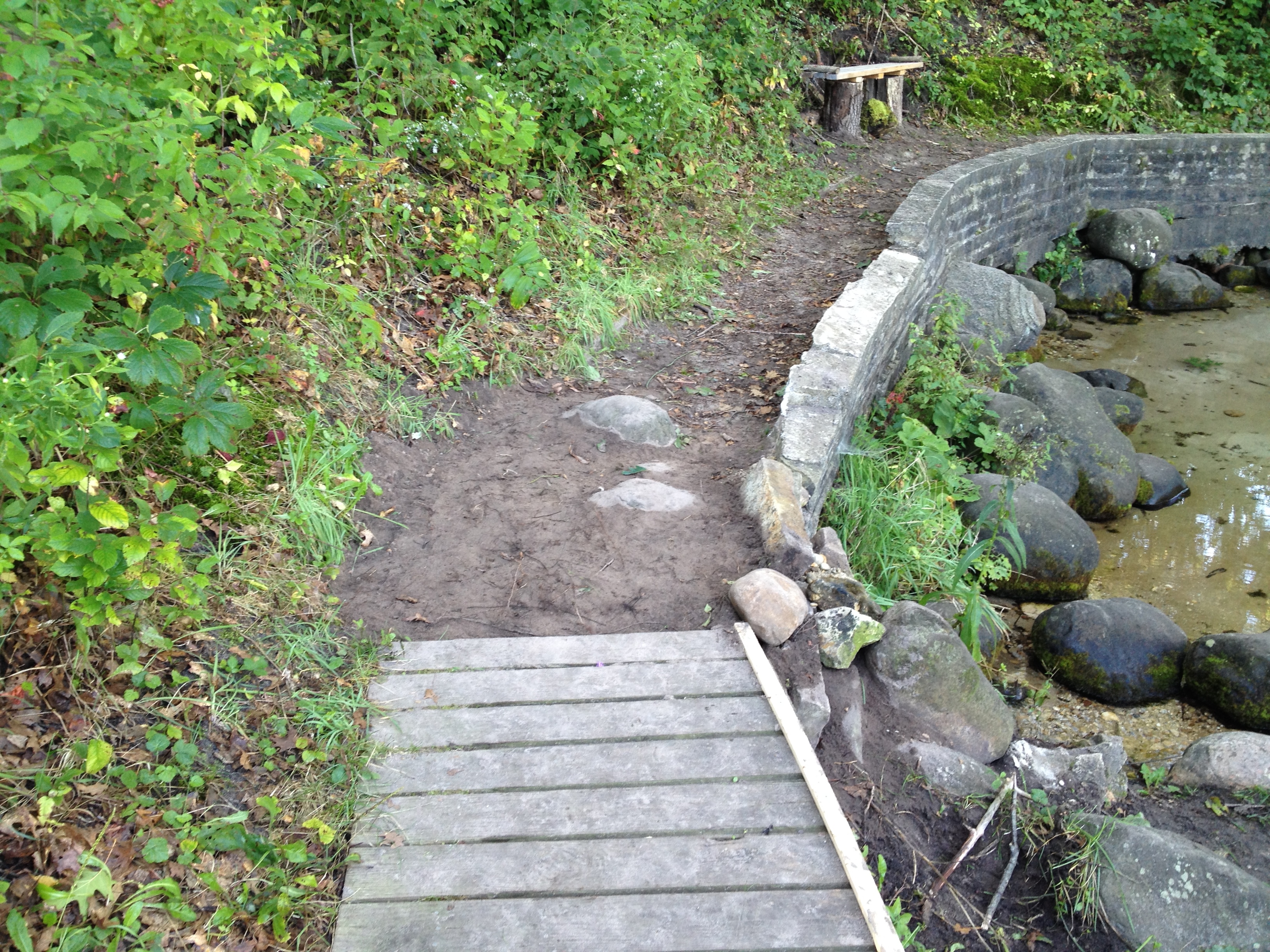
One of the first things Ben noticed when he began volunteering at The Springs, a fact I lamented as well, was that there were no benches anywhere along the trail to rest one’s weary bones. We talked about it many times and I know the satisfaction Ben must have felt when he finally got a chance to do something about it. On Saturday, September 6th, he did some erosion control at the edge of the stone wall at the Scuppernong Spring and installed one of his custom benches using red oak pedestals foraged from a pile up the trail where the source tree had fallen across the path.
On Sunday I joined Ben and we picked out 4 more pedestals, loaded our wheel barrows with two more benches, and headed for the Indian Spring.
The bench design couldn’t be simpler and they are surprisingly stable when screwed into thick oak stumps.
The views from the bench, looking right and left, of the some of the springs that comprise the Indian Springs.
You get a great view of the prairie to the west as well.
There is no such thing as a free lunch, so on top of the scholastic pursuit, I began volunteering at the Wildlife in Need Center as an animal rehabilitation technician and this soon evolved into showcasing wildlife at educational events. The next step, and it felt like the natural one to take, was to find a habitat or ecosystem to immerse myself in, and take the time to learn the land. The Southern Kettle Moraine DNR volunteer coordinator pointed me towards Paul Mozina and the Scuppernong Springs Nature Trail. I wouldn’t say that I found a blank slate to work, it was more like a Jackson Pollack painted over the top of a Thomas Cole.
We took the other bench up to the sand prairie and, amazingly, Ben picked one of my favorite spots, from which you get a classic view of the Scuppernong River winding westward, to plant the bench.
The view from the bench.
These conveniently located resting places cost almost nothing to build, and only a few minutes to install, yet they had gone wanting for years.
In due time, I came to understand that the work at the Springs was the practice of restoration ecology, be it in the river, the sand prairie, or knee deep in the snow removing buckthorn. Vegetation is a monster to ID, learn, and control in itself, but I felt the fauna of the area deserved attention as well. I used the skills gained through osmosis as the son of a carpenter (thanks Dad) to build fifty nesting boxes for various woodland and prairie species. I would like to think that the overall avian population at the property increased as a result of this project. That’s the restoration, let’s bring back what’s native to the Springs.
The morning passed quickly and in the afternoon I headed over to the buckthorn alley to cut the buckthorn resprouts and seedlings that flourished there with my brush cutter. Ben had other plans. There are two trails that descend from the sand prairie down to the Indian Springs and they converge along the edge of the outflow stream forming a little loop trail. Both trails are pure sand and suffering from erosion, so Ben decided to build some stairs.
Ben plans to finish the steps on this path and then tackle the more deeply eroded trail that leads directly down to the Indian Spring.
Johnson, another carpenter’s son, loves to work with his hands on wood. We saw some of his handiwork resurrecting the deck near the Scuppernong Spring. Thursday after work, he stopped out with his friend and coworker, Glen Rhinesmith, and replaced the missing toe boards on the boardwalk leading to the Emerald Spring.
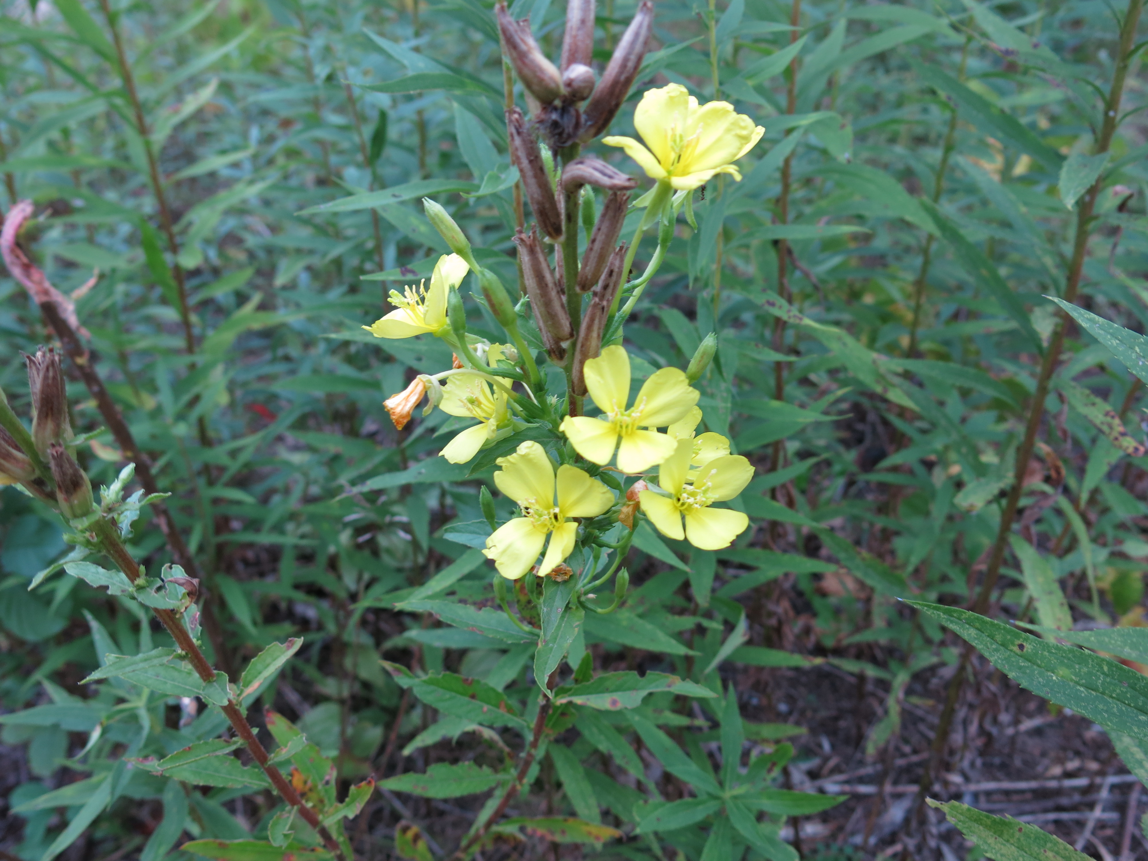
While Ben worked, I got to show Glen around The Springs and I learned way more from him than he did from me. Glen has a great eye, two in fact, and deep, deep knowledge about plants, fish, birds and the natural world, not to mention photography and ham radios. I hope to post some of his pictures of The Springs here soon. Here are just a few of the interesting things he pointed out to me.
Evening Primrose, which Glen explained attracts moths and smells like lemon!
Ben and Glen.
Though I thought the day would never come, I have reached the final course in the Master’s degree program at UIS, the capstone internship. With the help of Anne Korman, Assistant Superintendent of the KMSF – Southern Unit, I secured my graduate internship with the WDNR at the Springs. We have outlined projects and areas of need on the property. First priority is invasive vegetation, followed by trail improvements and accessibility. The fisheries team has also given me the opportunity to learn about stream restoration. It’s an honor to have such a beautiful classroom in which to work. This is the place where I enter the green dreamworld. I carry on a conversation with the land. It’s a very Leopoldian concept. Restoration ecology is an ethical practice, deciding what is right for the landscape.
Thanks Ben! It’s a pleasure to work with you.
I got a few licks in myself this past week cutting buckthorn resprouts and seedlings along the trail from the parking lot on Hwy ZZ all the way to the end of the Buckthorn Alley.
The spotted knapweed flower weevils we released in early August appear to be doing well and I have spotted them munching seedheads on the south end of the prairie and in the huge patch of knapweed to the east of the Indian Spring spur trail. I am leaving these remaining mature knapweed plants for the weevils despite the fact that they are loaded with seeds. There are lots of first year plants that do not have flowers, and that are far from where I released the root weevils (they migrate less than 100 yards a year), that I may dig out yet this season.
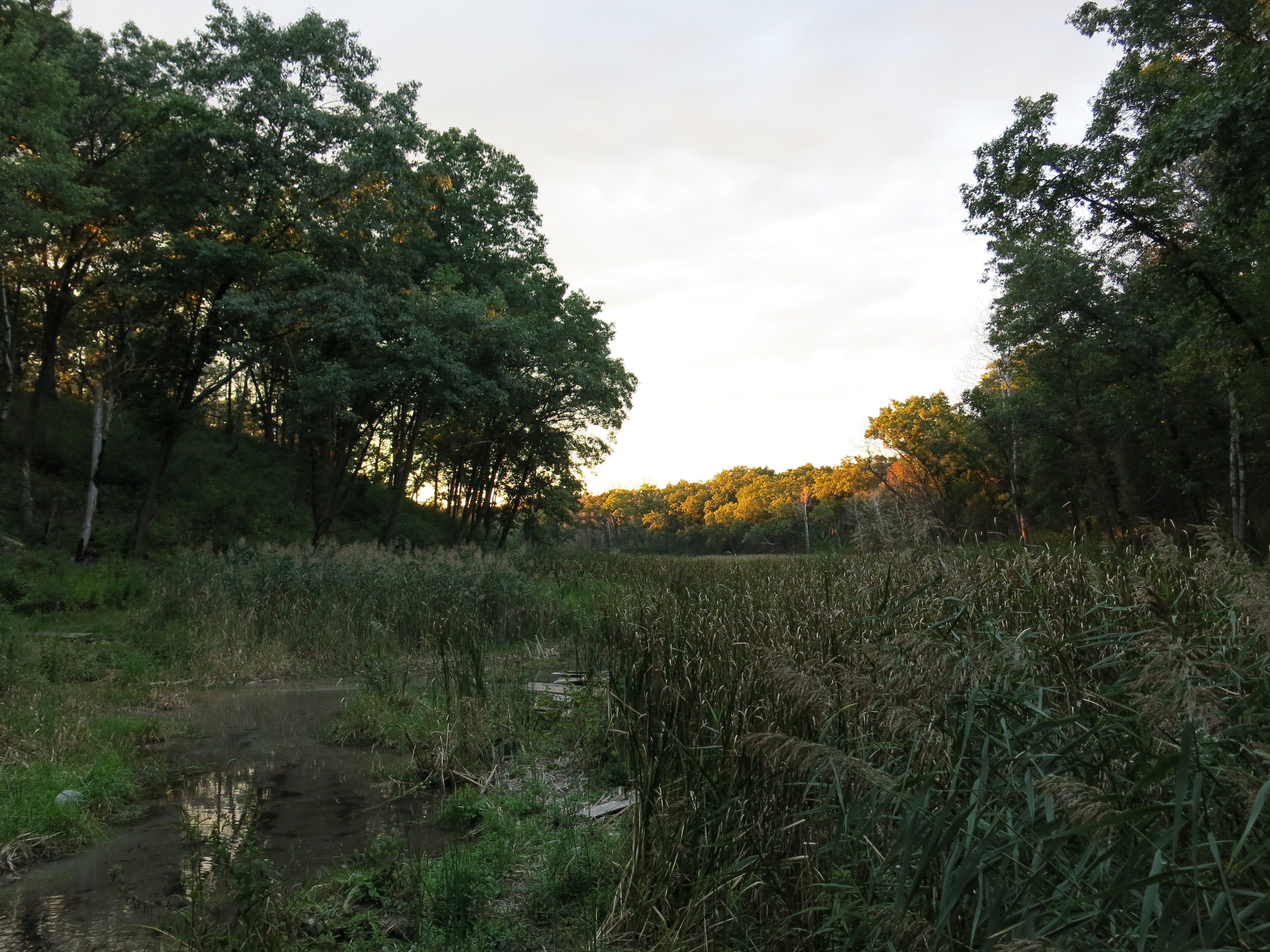
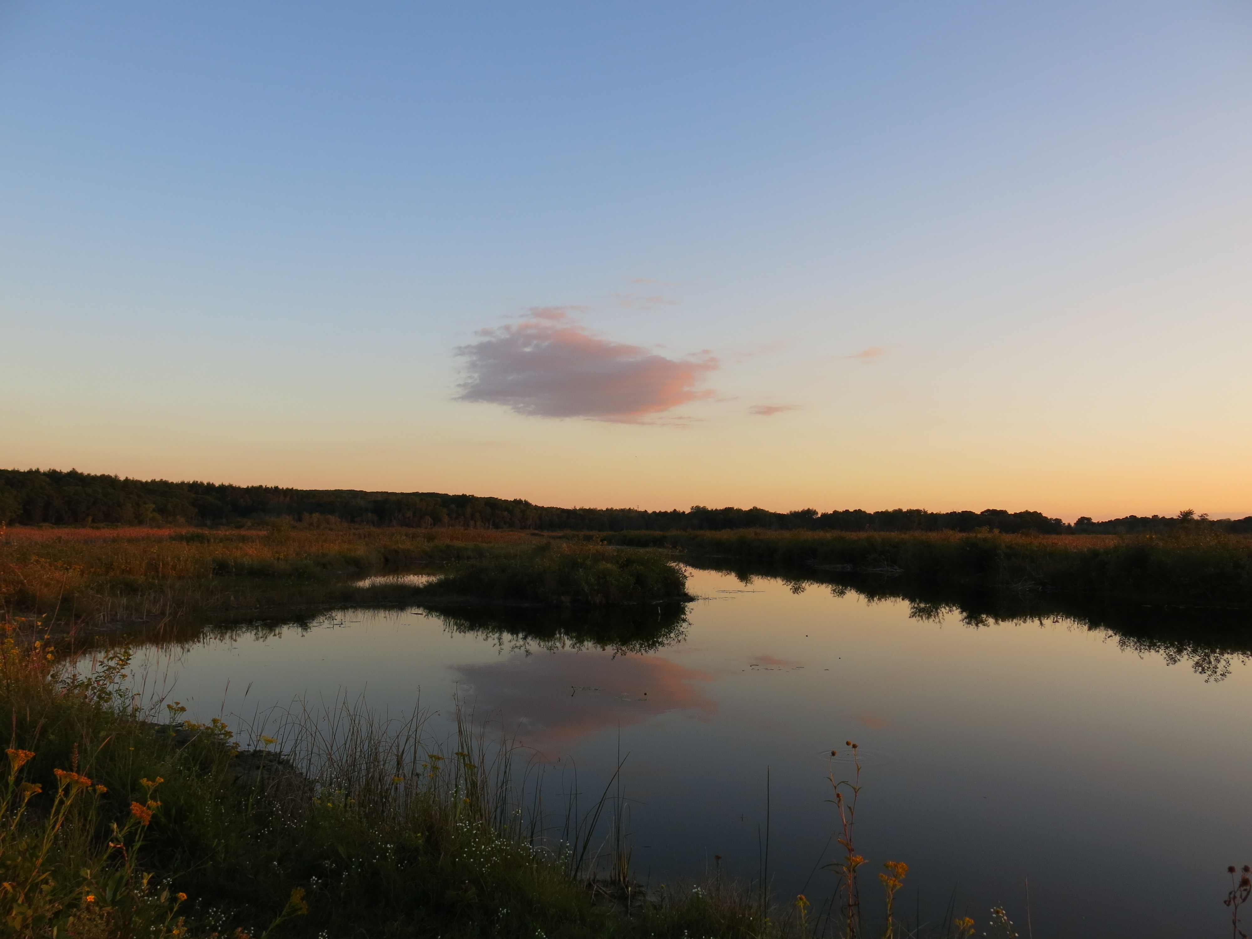
I love the view from the Scuppernong Spring as the late afternoon sunlight illuminates the valley.
Sunset out on the marl pit canal looking East towards the sand prairie.


